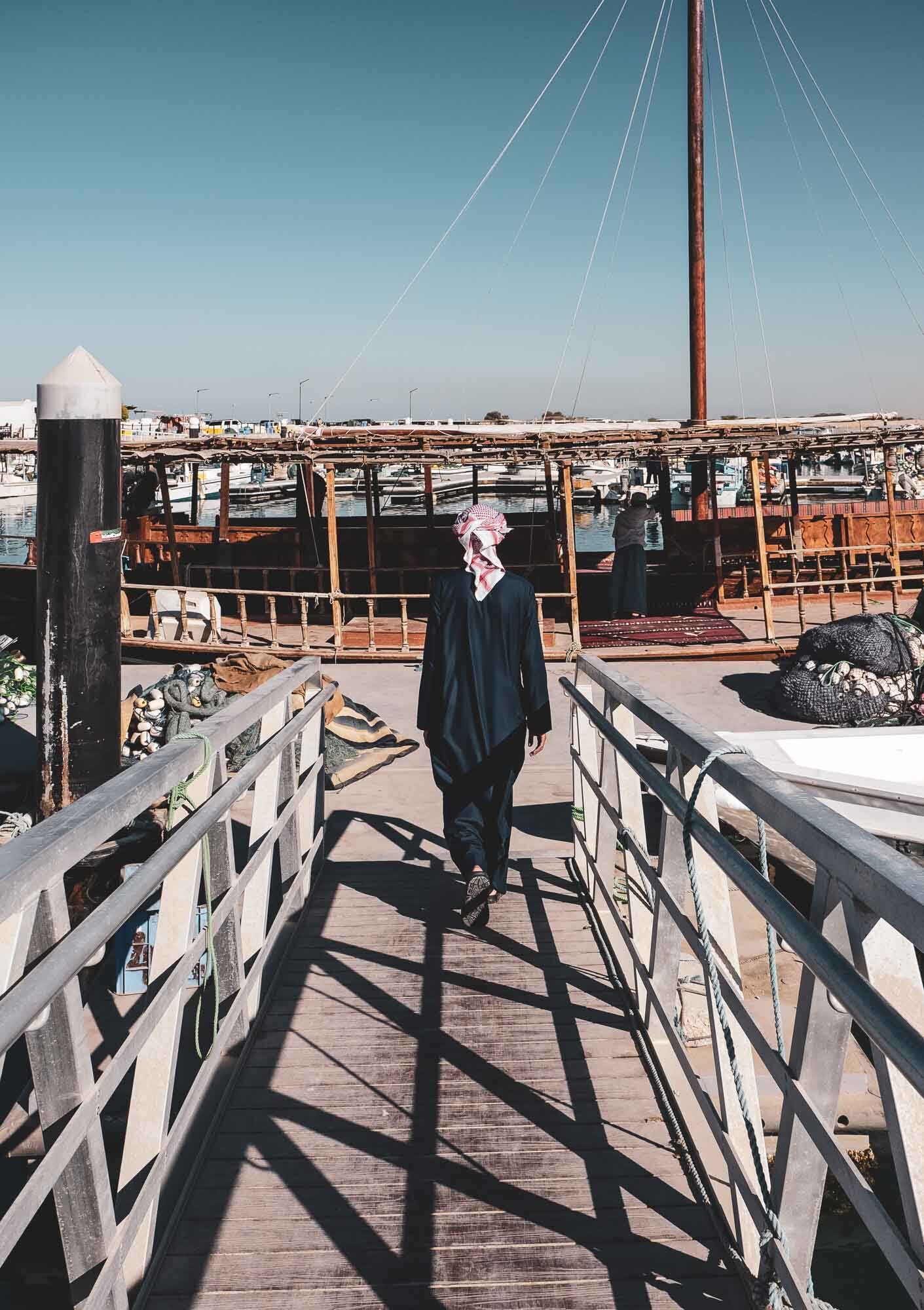
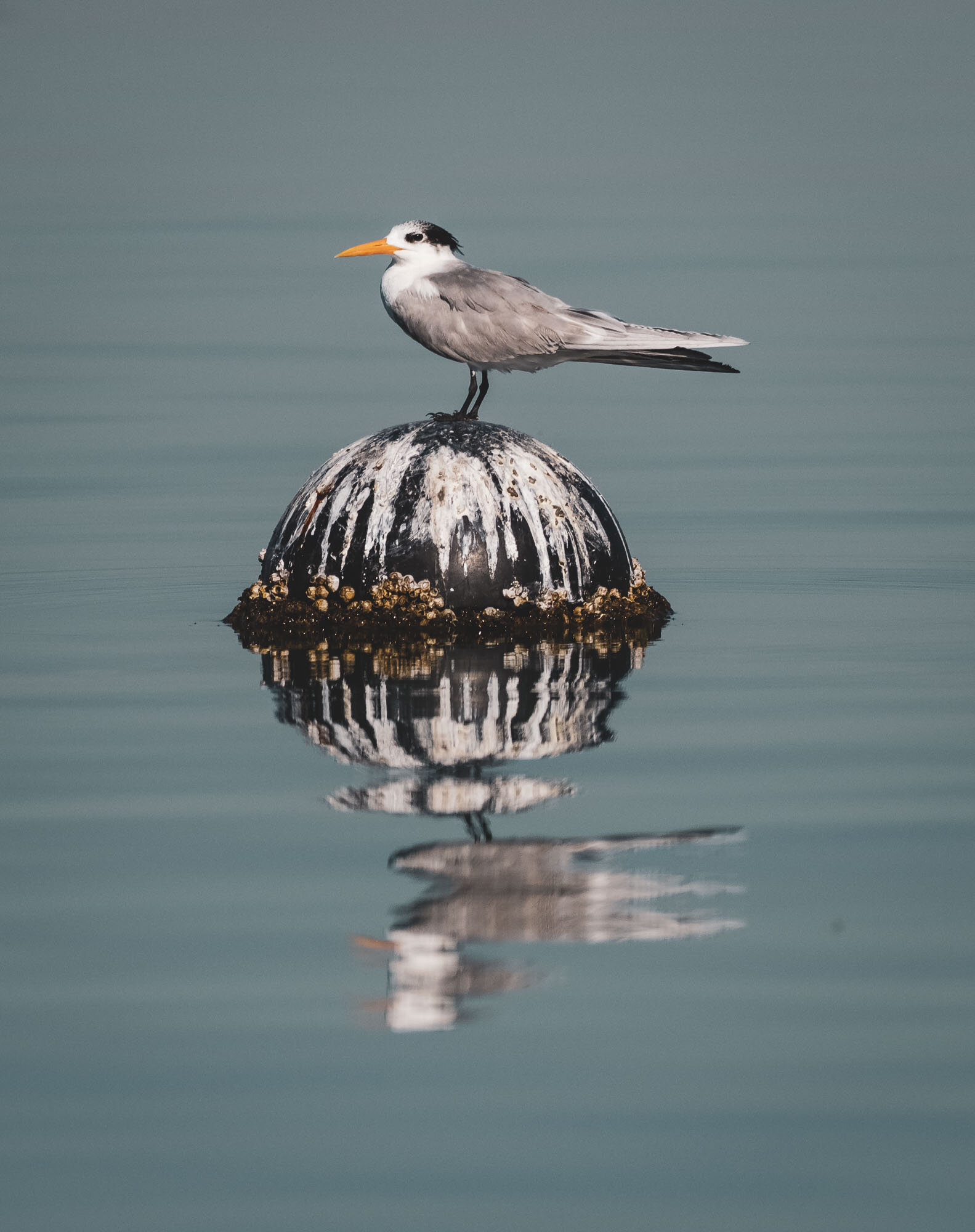
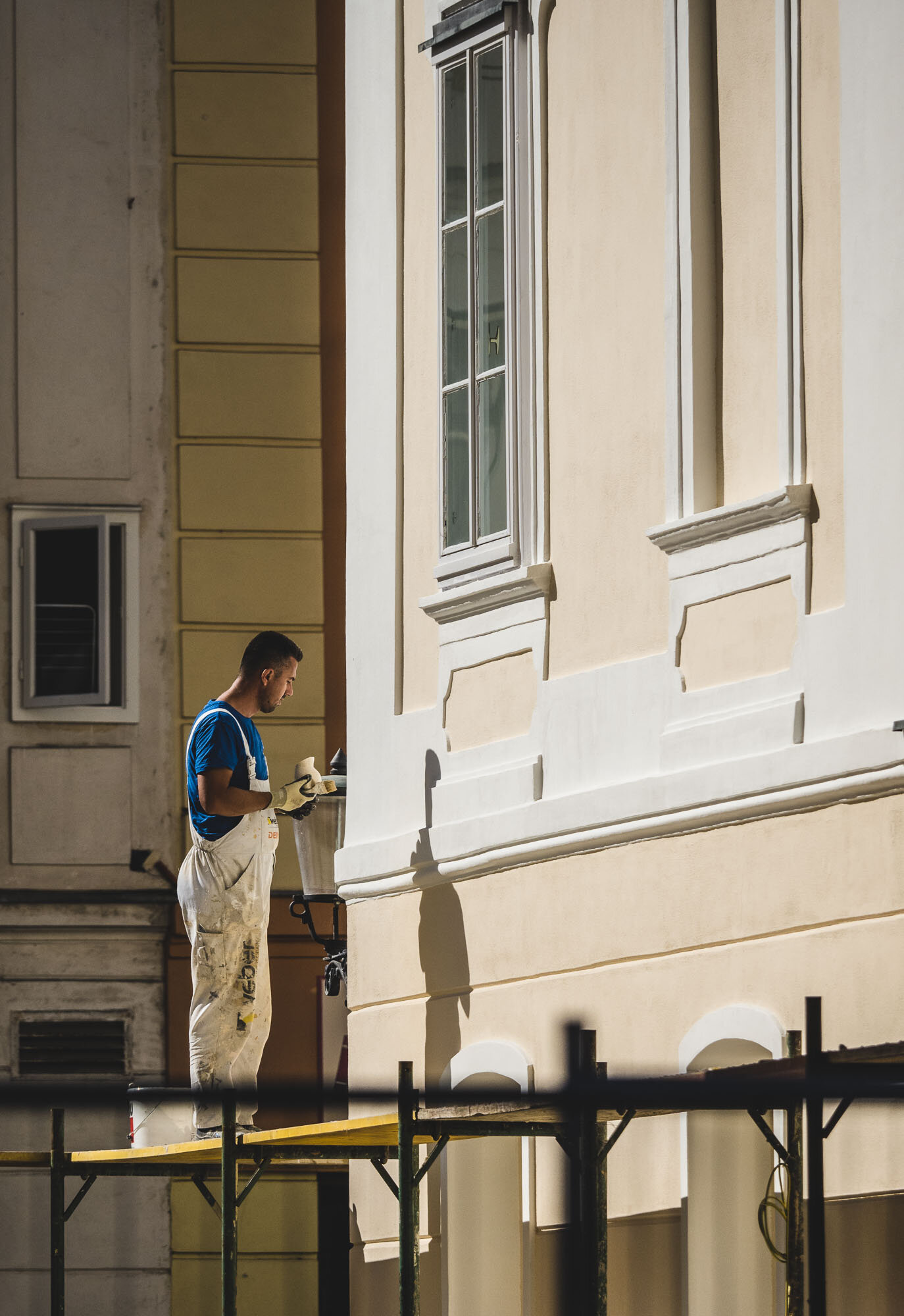
Oman - 7 Days of Authentic Beauty
From Dubai to Muscat and along the coast - an amazing journey of natural beauty, history, architecture, geology and kind people.

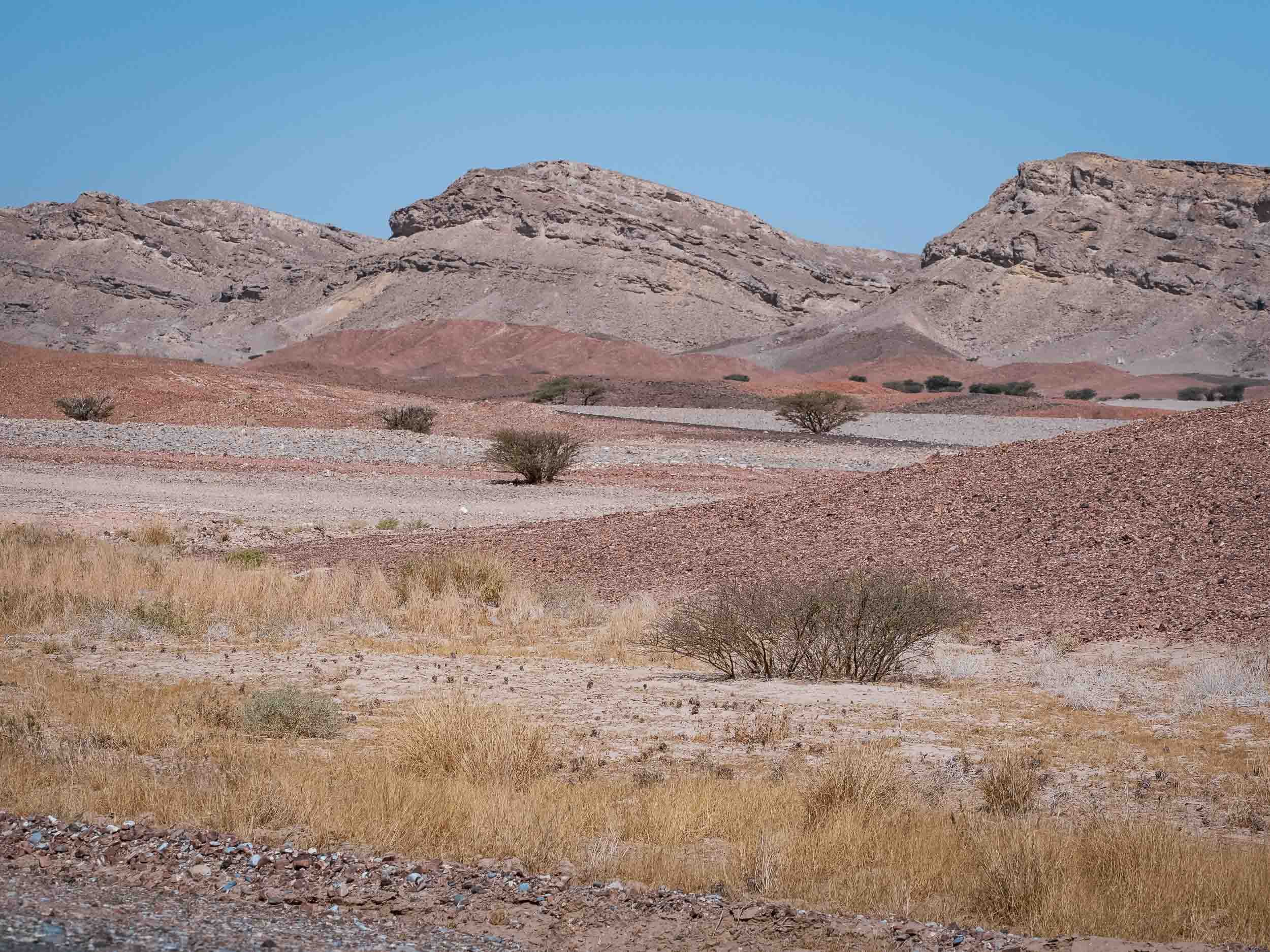
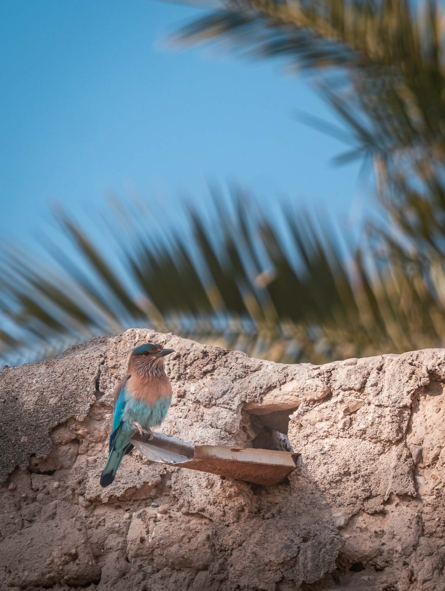
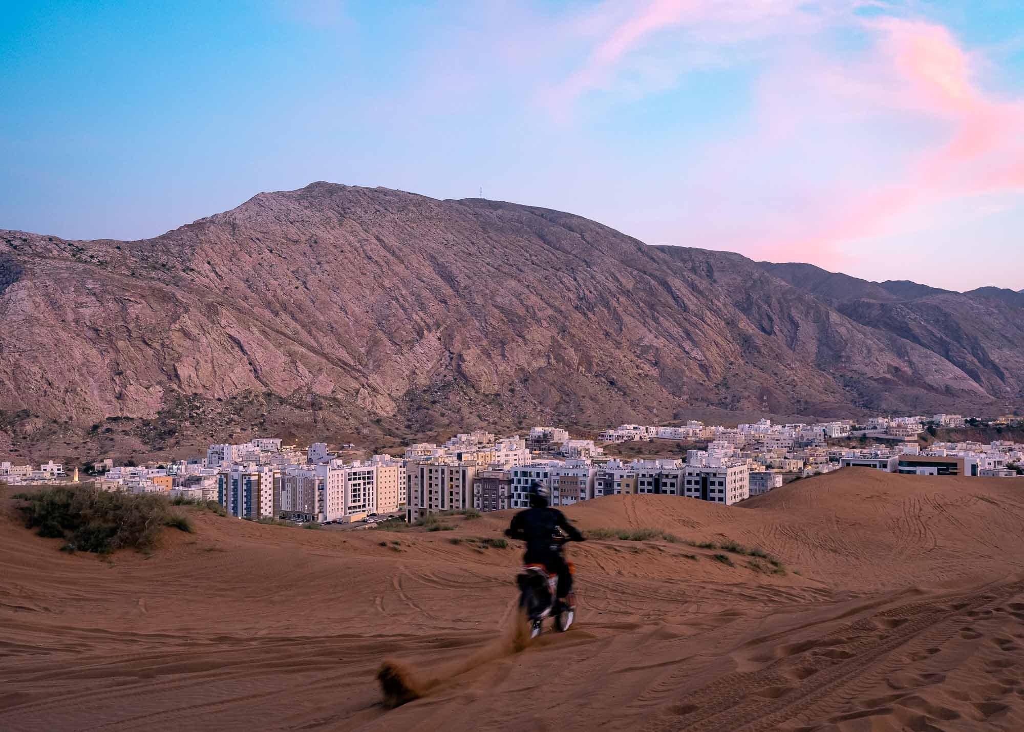
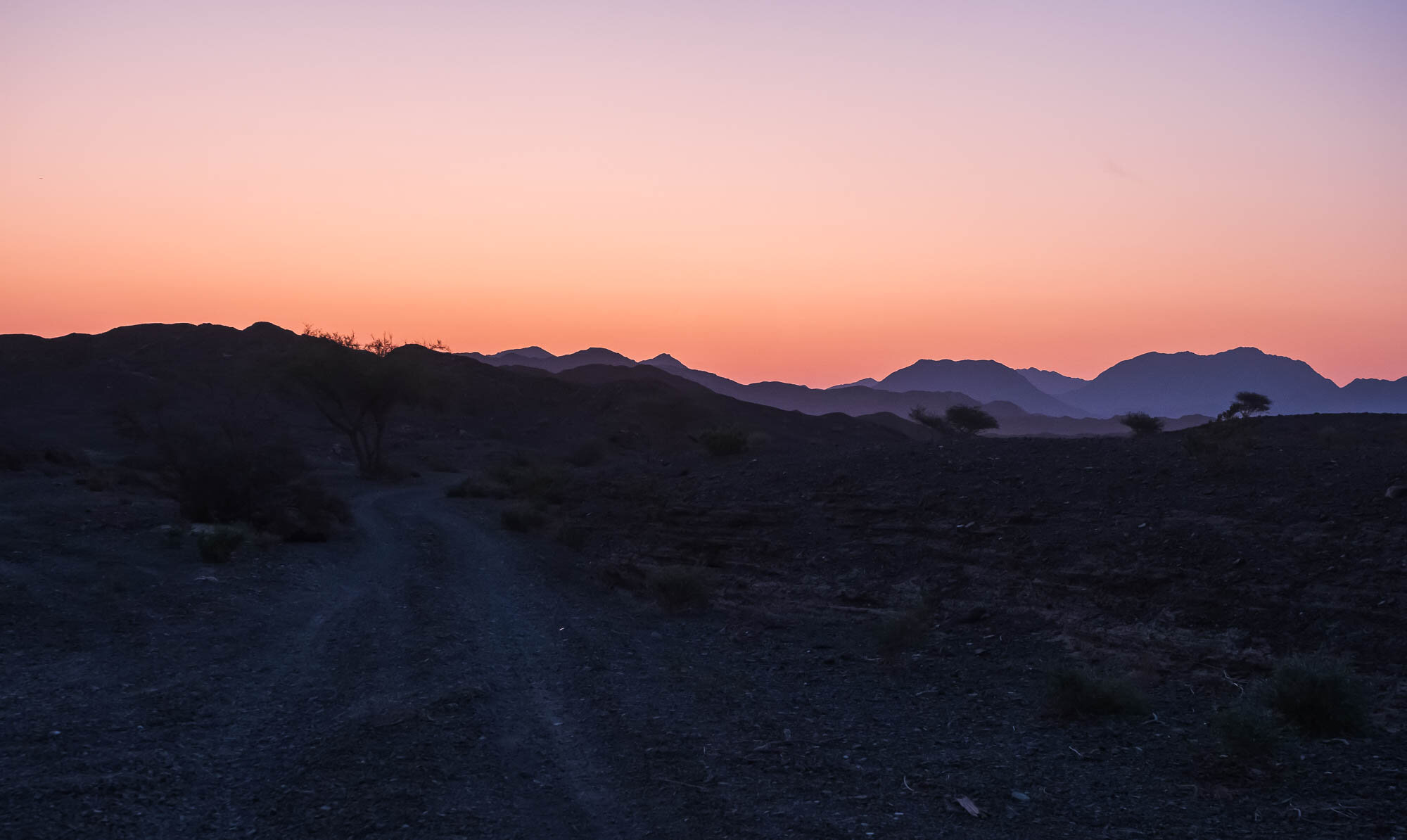
In February 2022 I had plans for a trip to India’s Himalayas, with the goal to take photos of the elusive snow leopard. Owing to various Covid restrictions, this idea unfortunately did not materialize, so it was time to look for another destination. One obvious choice was to look no further than a few hundred kilometers towards the Indian Ocean: Oman. Even though I’ve lived in the UAE on / off for 15 years, so far I had only seen the Musandam part of our neighbor country, and had yet to explore its mountain areas, the coastline, and the capital Muscat.
And oh boy did I miss out! The amount of landscapes, history, people, architecture, and activities you can encounter in just a week, all accessible with easy visa regulations (if you’re a GCC resident especially) and within a few hours drive from Dubai, is incredible.
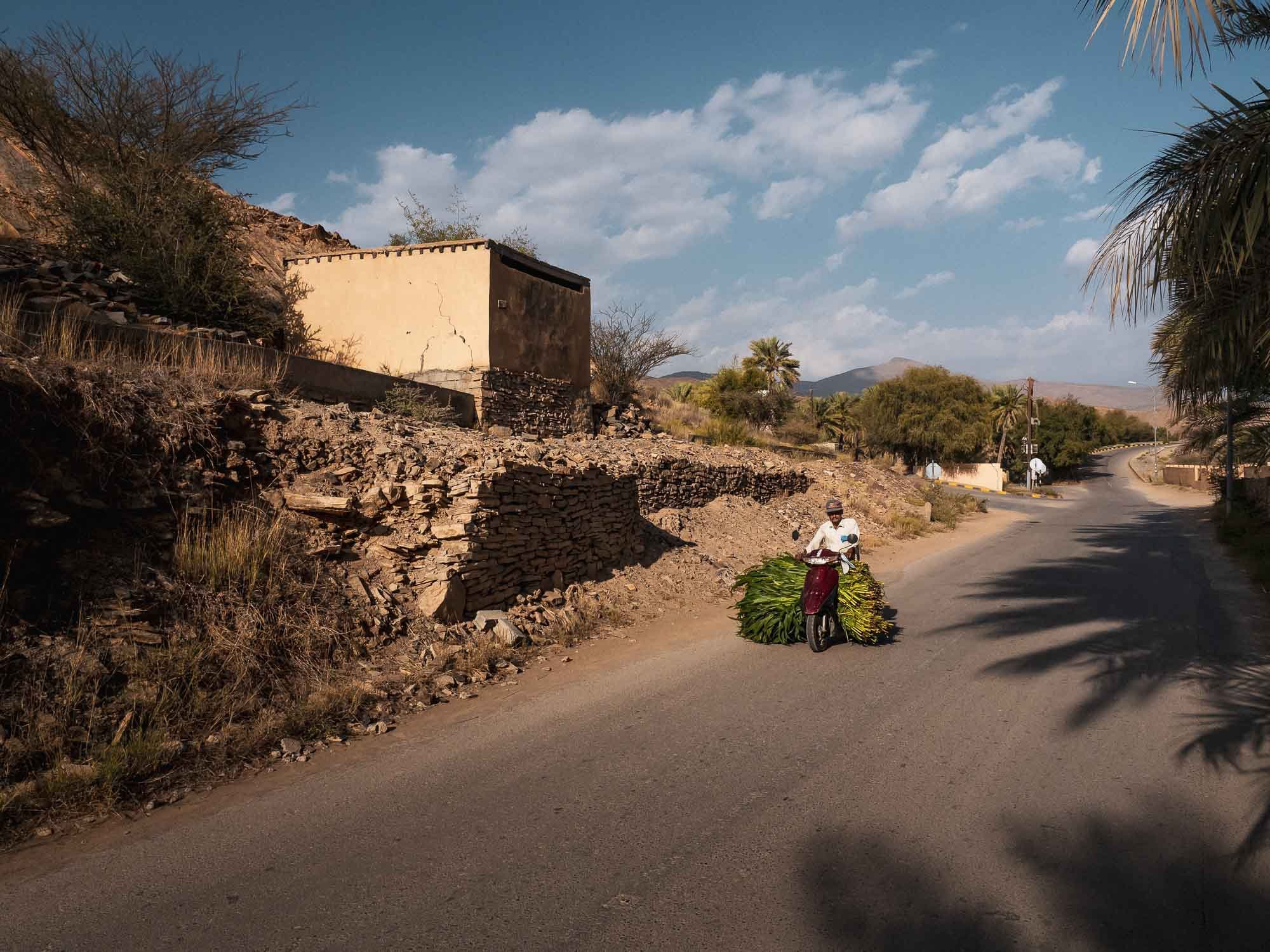
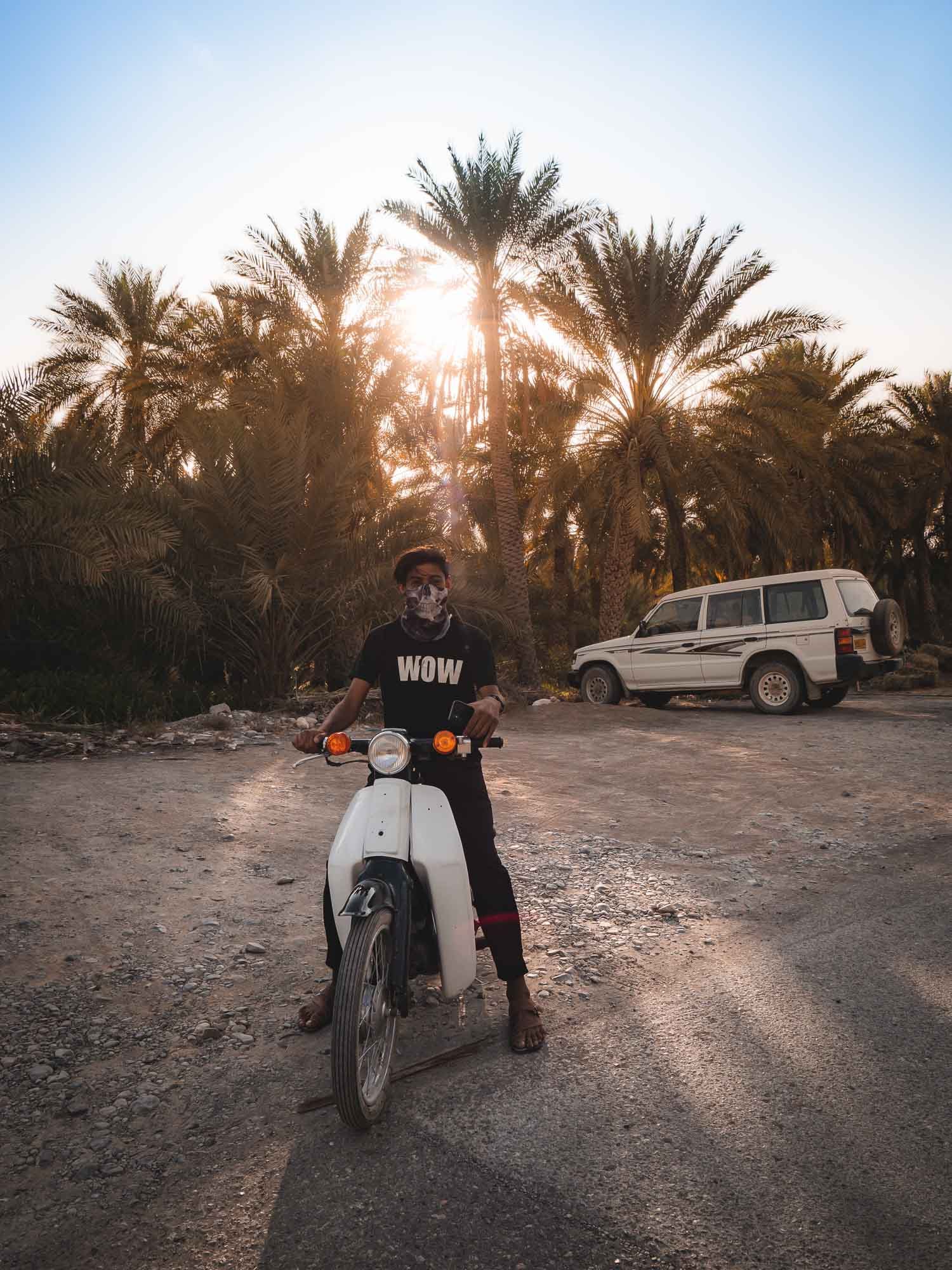
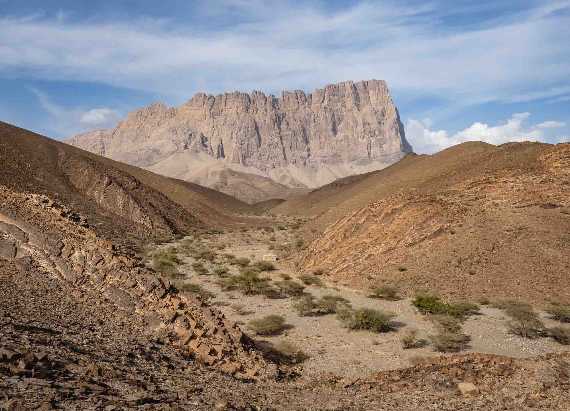
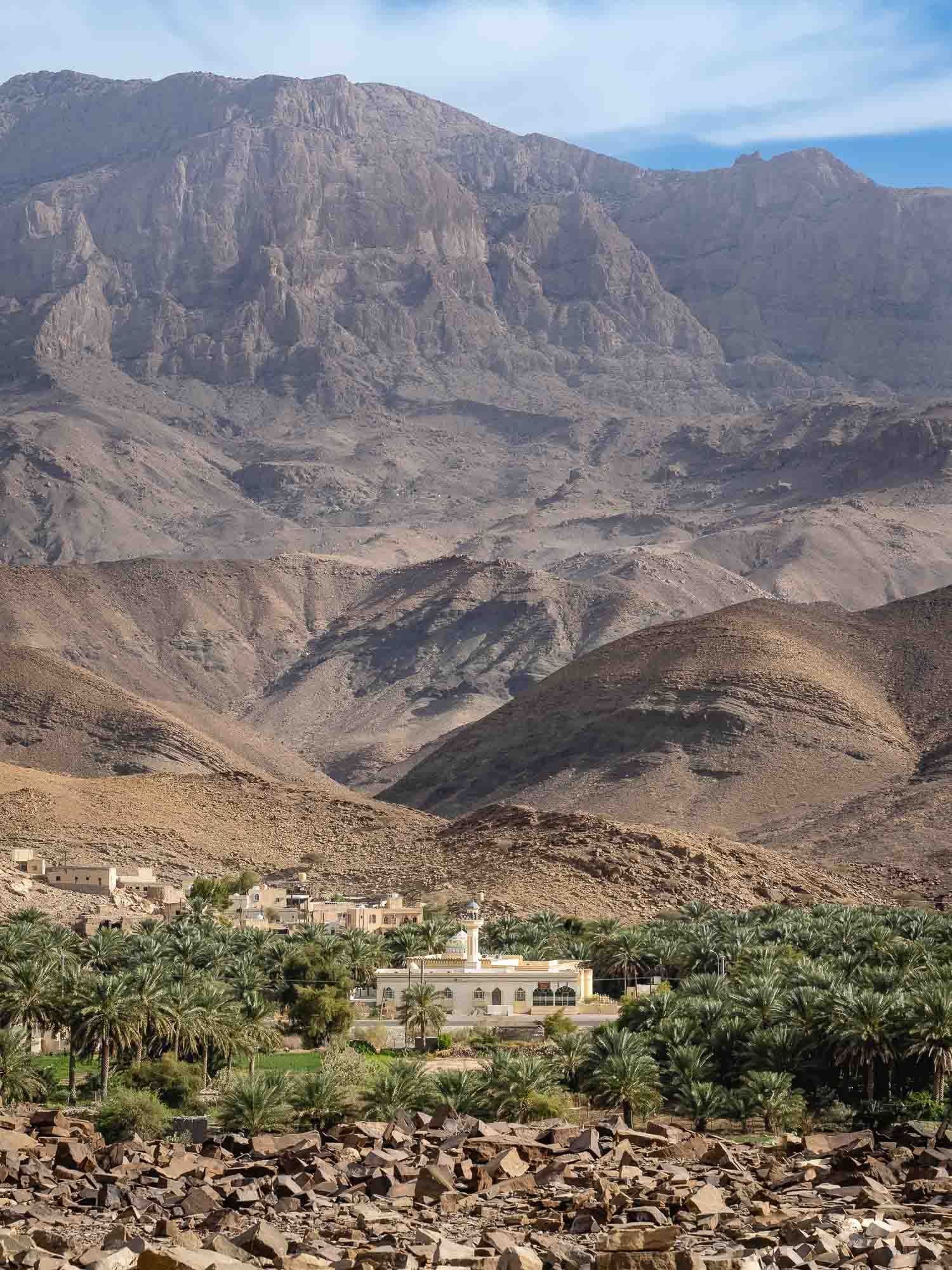
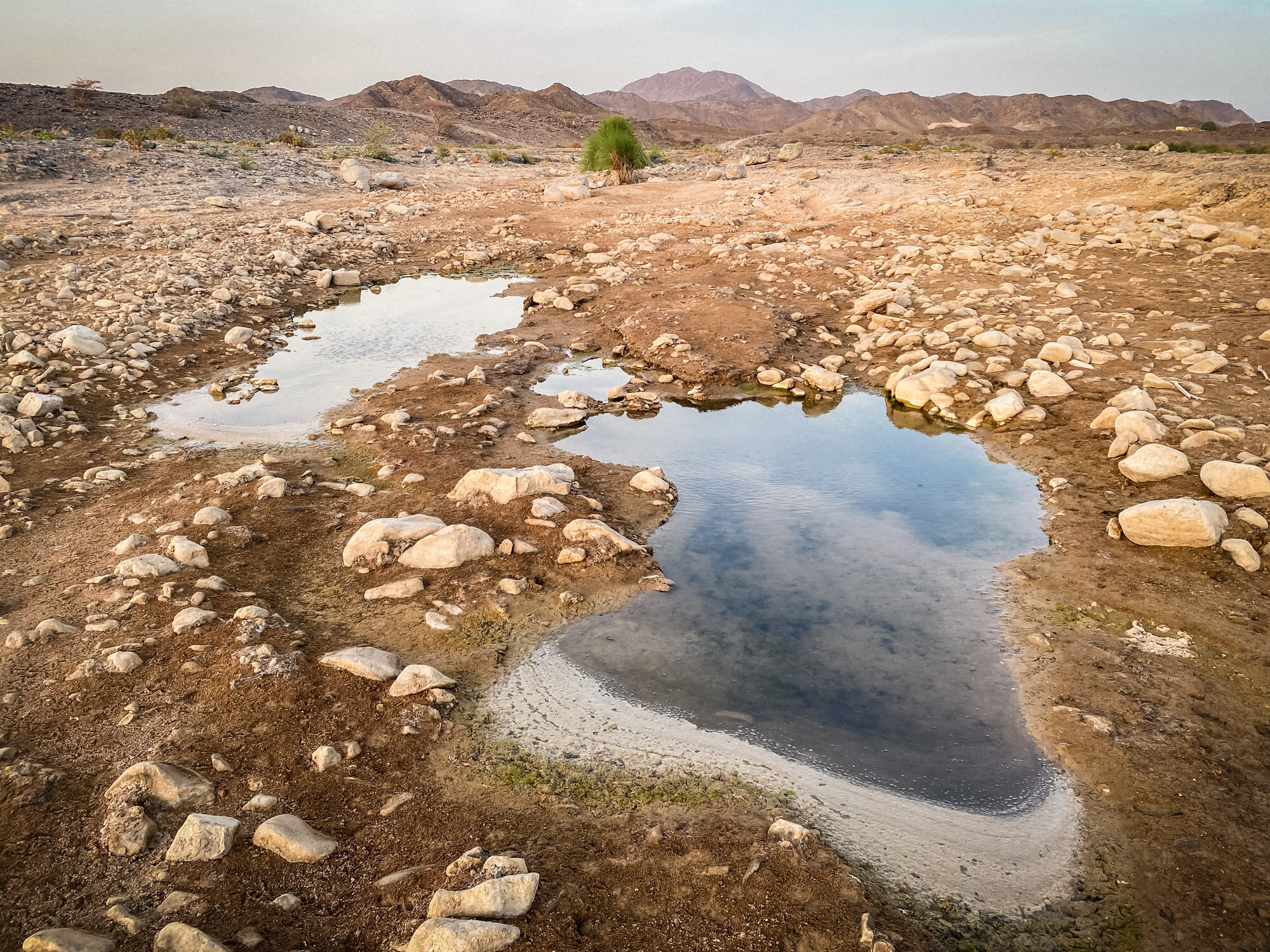
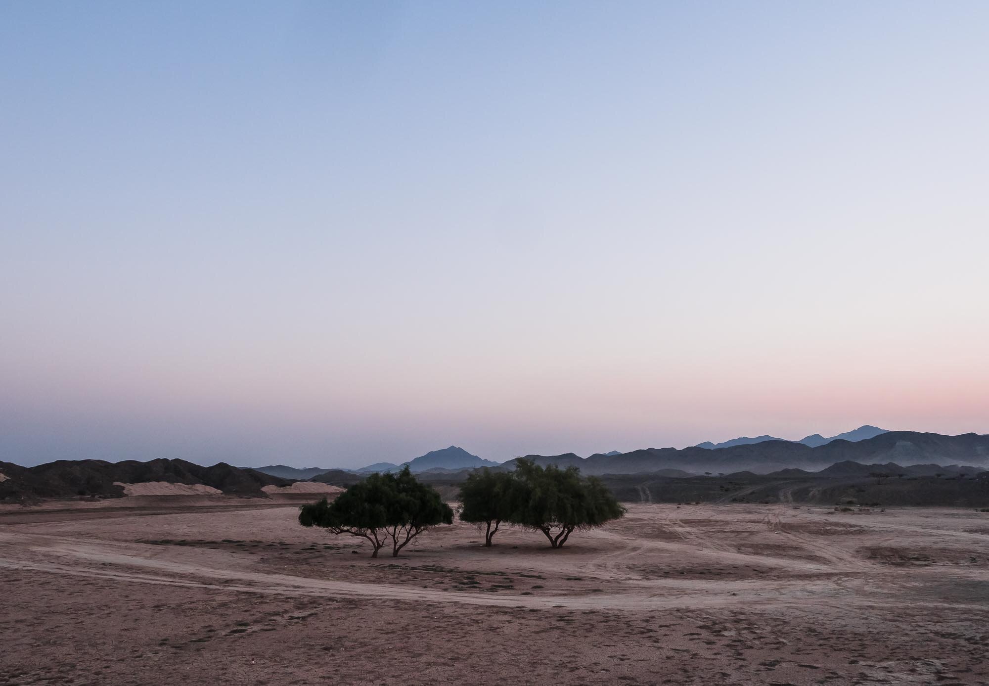
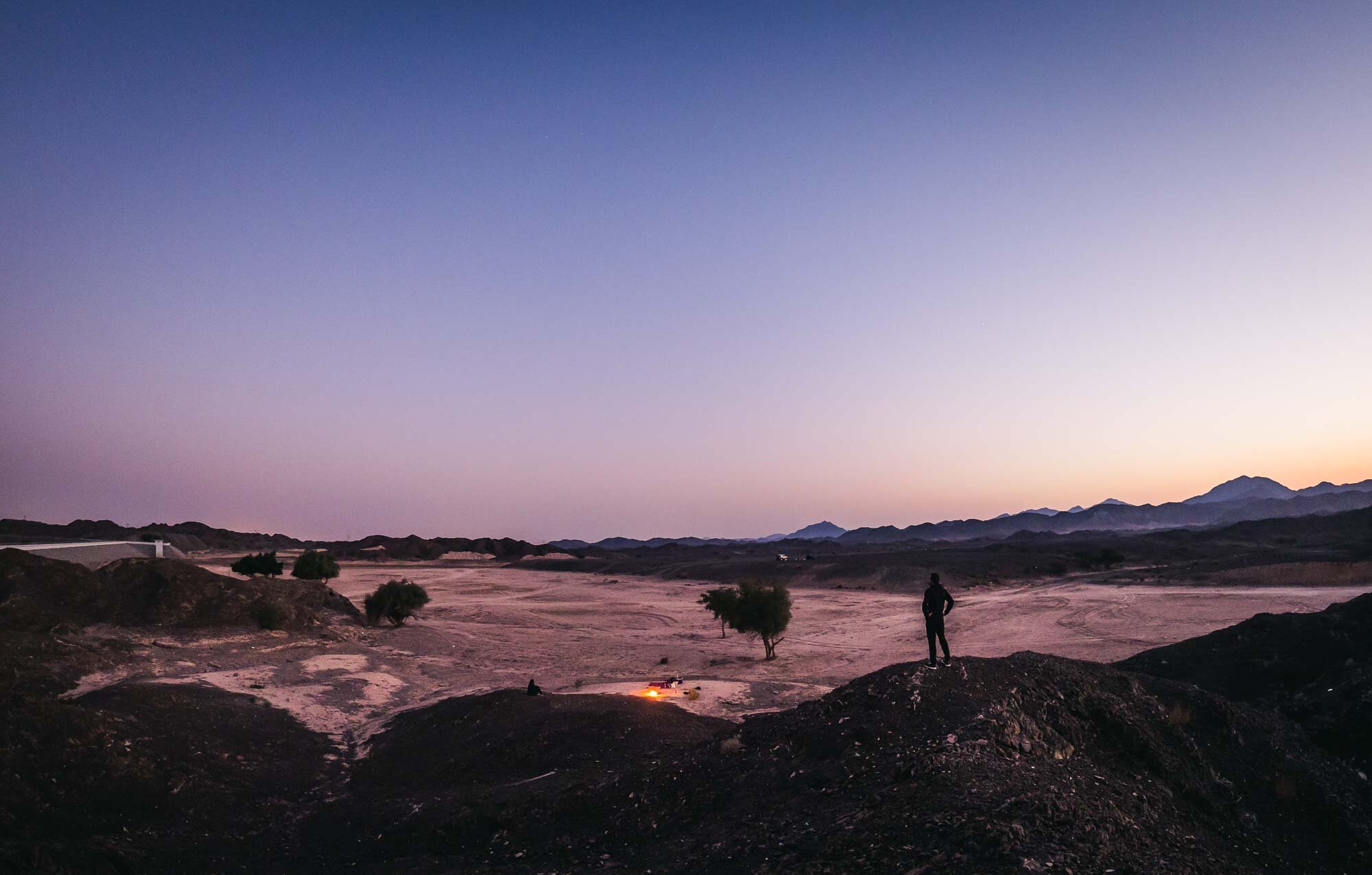
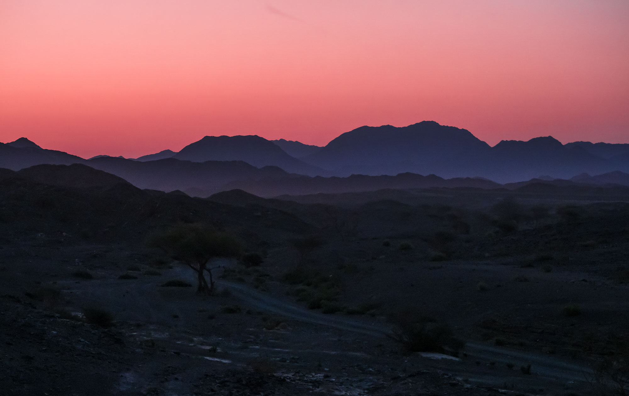
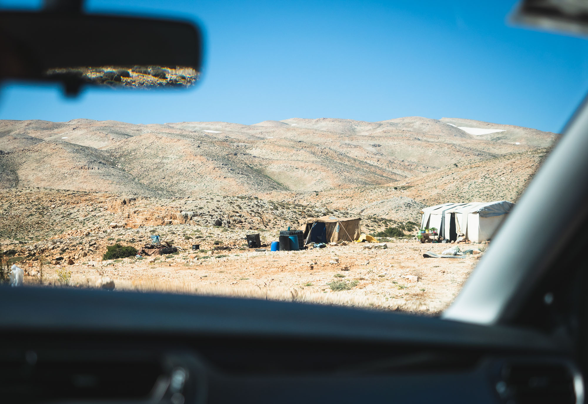
The route took us through the border near Al Ain towards Nizwa, with several stops on the way, before heading up Jebel Akhdar for a couple of nights. From there, onwards to Muscat to explore the city and its surrounding areas, and a day trip southwards along the coast almost until Sur (but not quite) was on the agenda.
Read on to find out about the sights and experiences on the way…
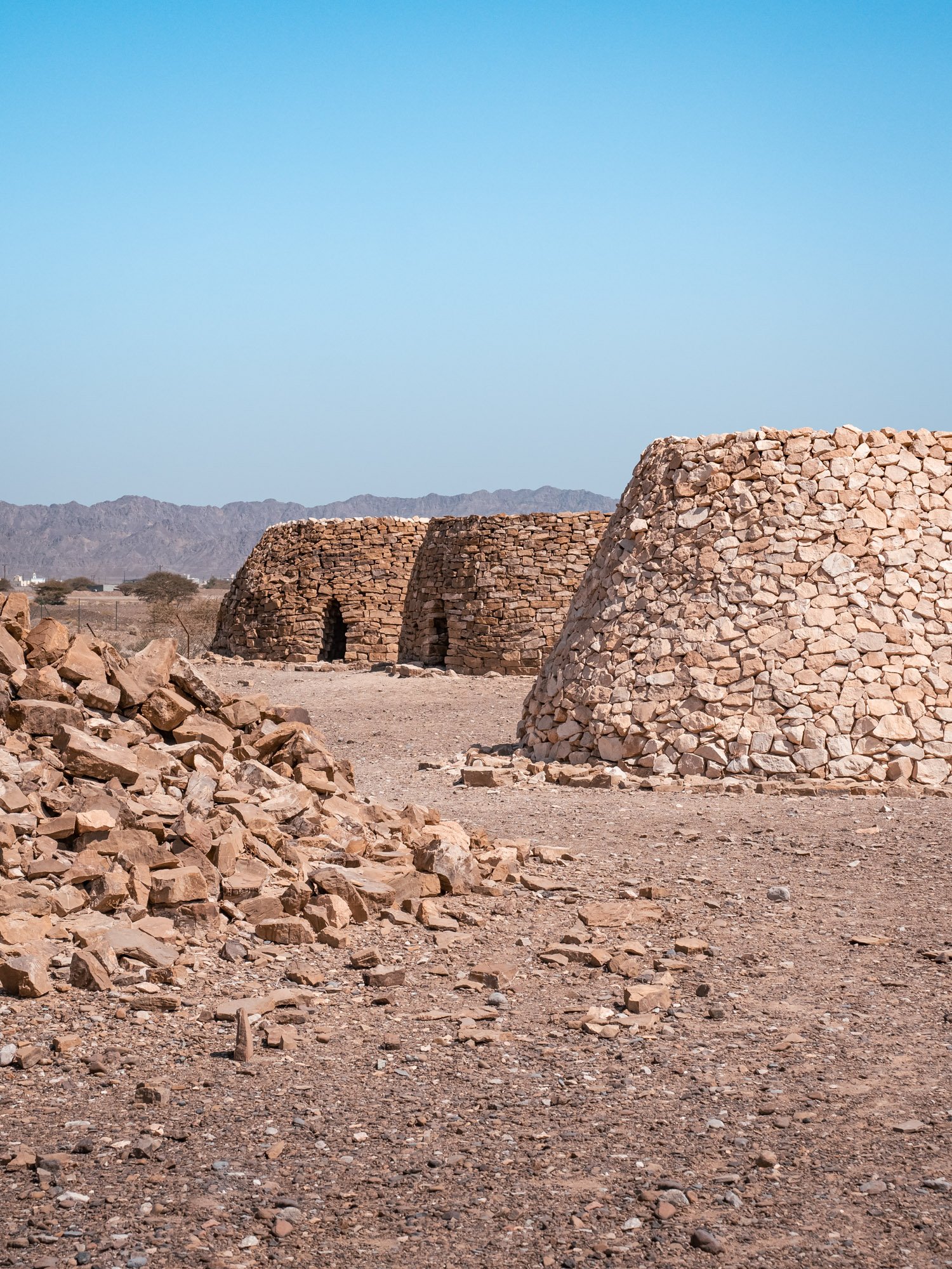
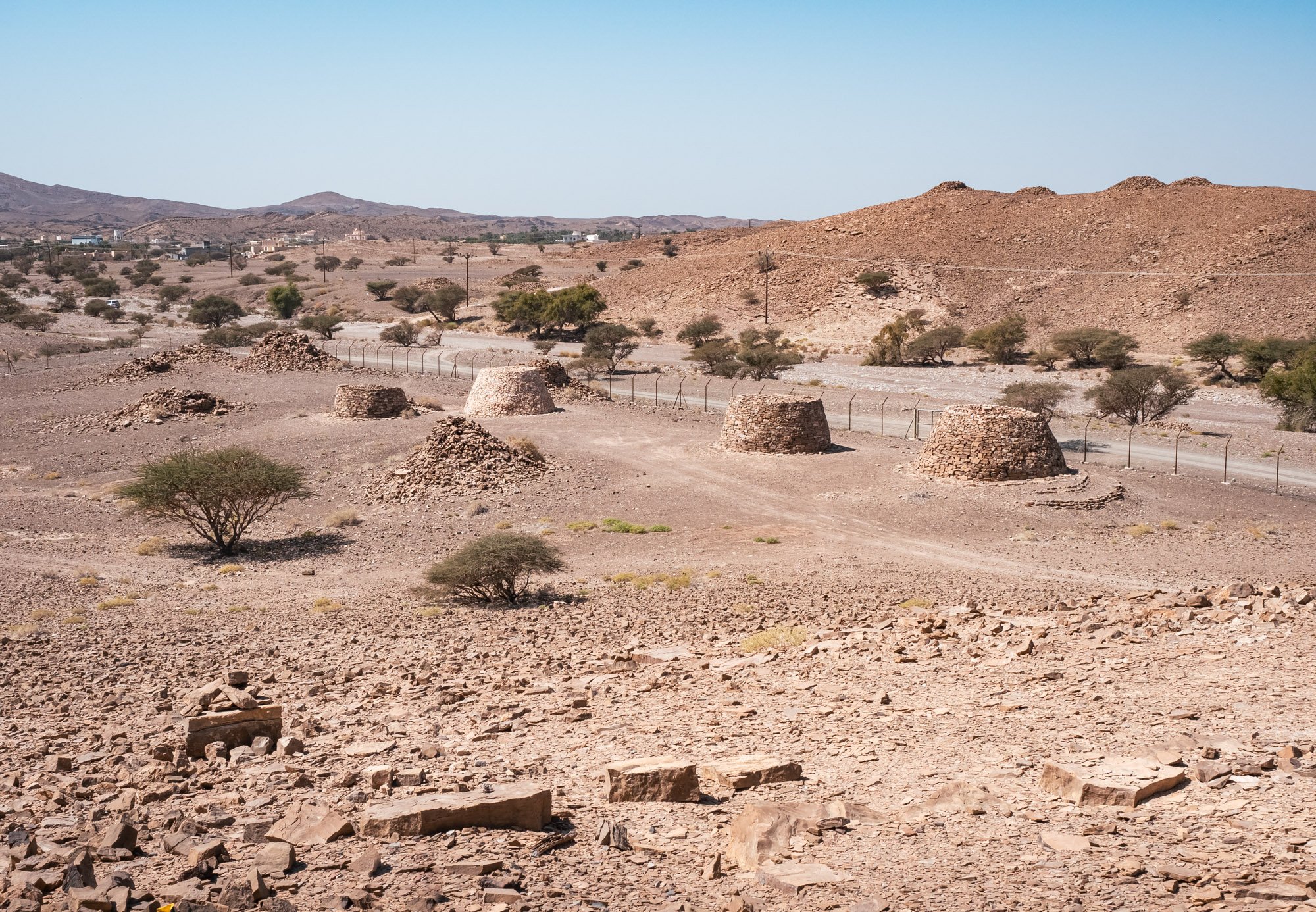
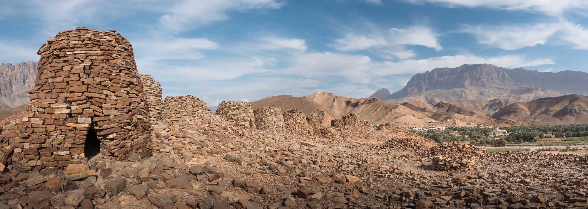
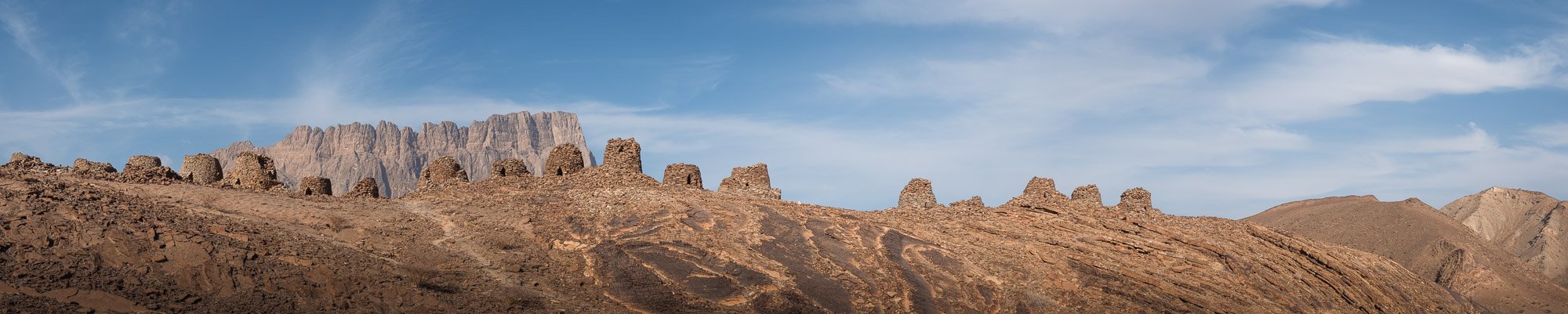
Next up, we had planned to visit the ruins of Salut fort, another important archeological site in the area, but were disappointed to find it is currently closed and under development. Check before you go - and avoid getting a flat tire like we did.
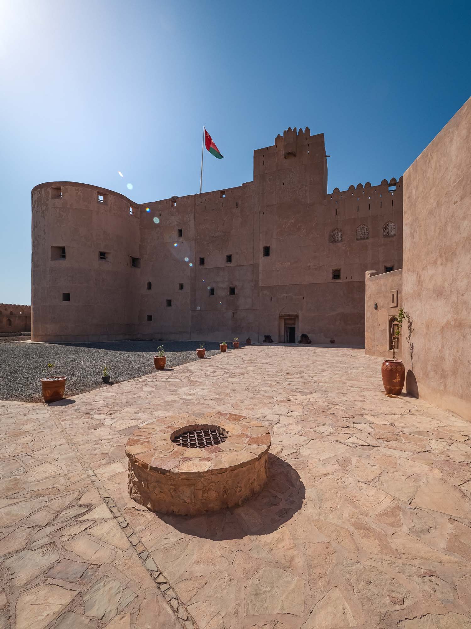
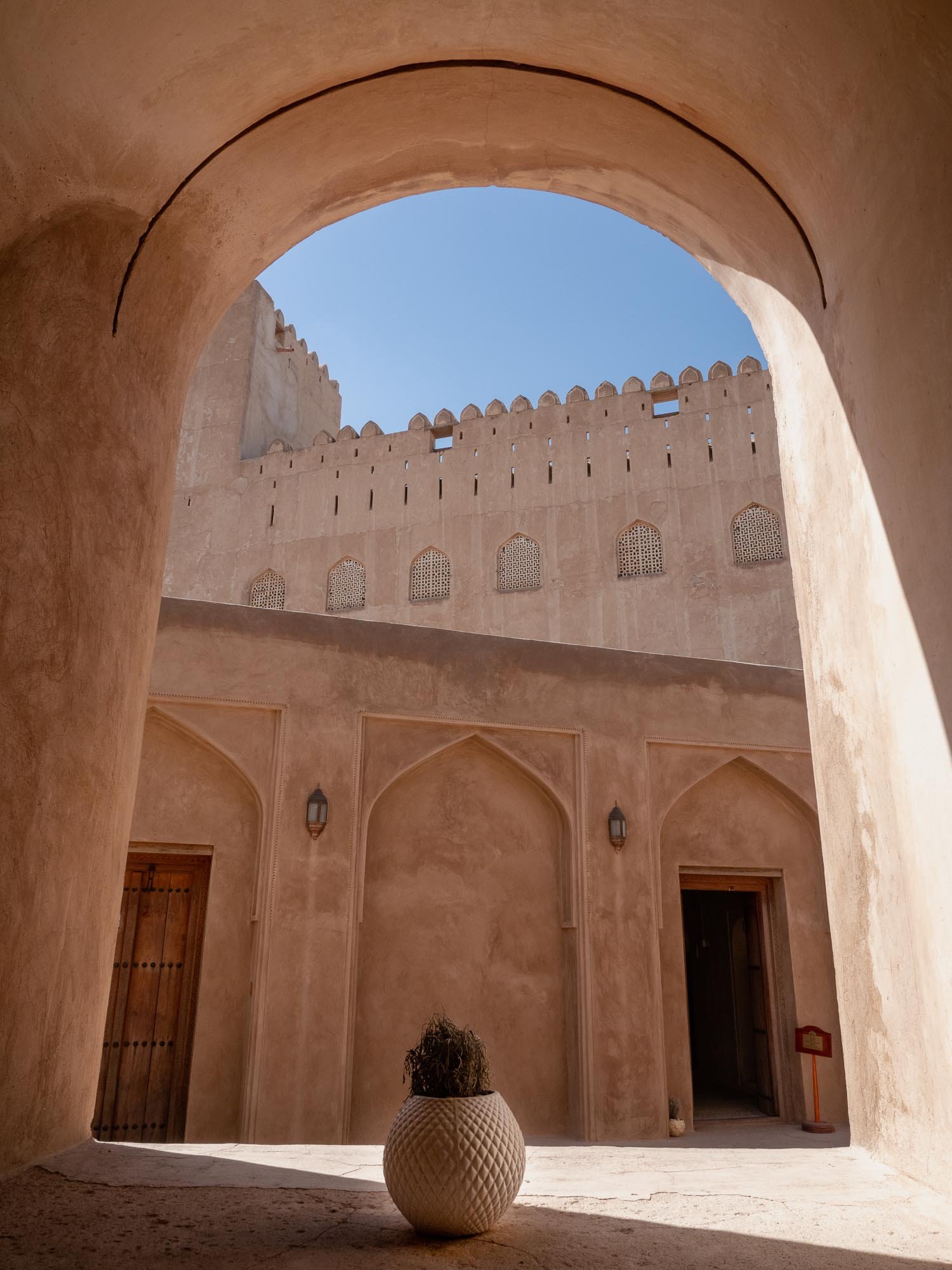
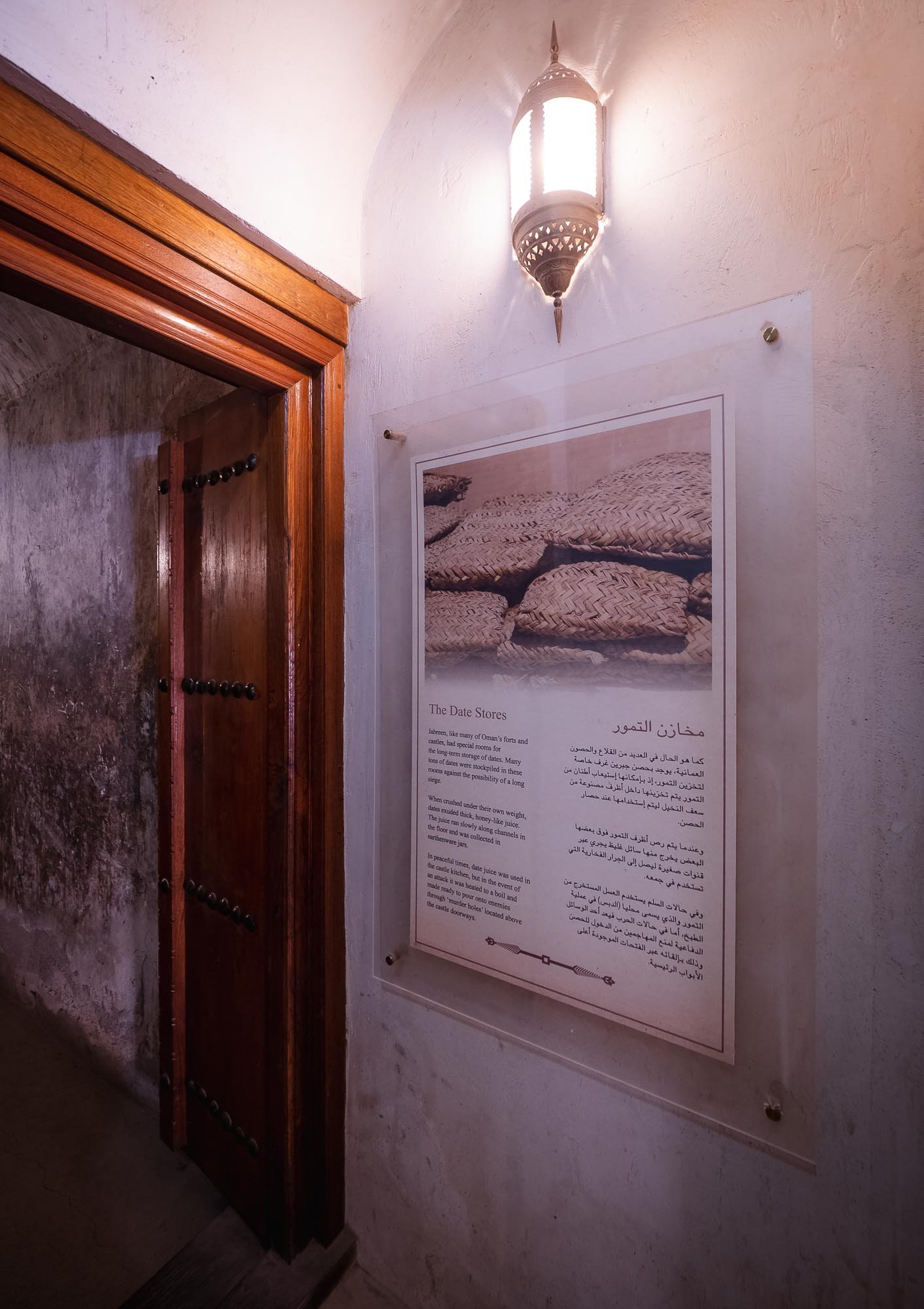
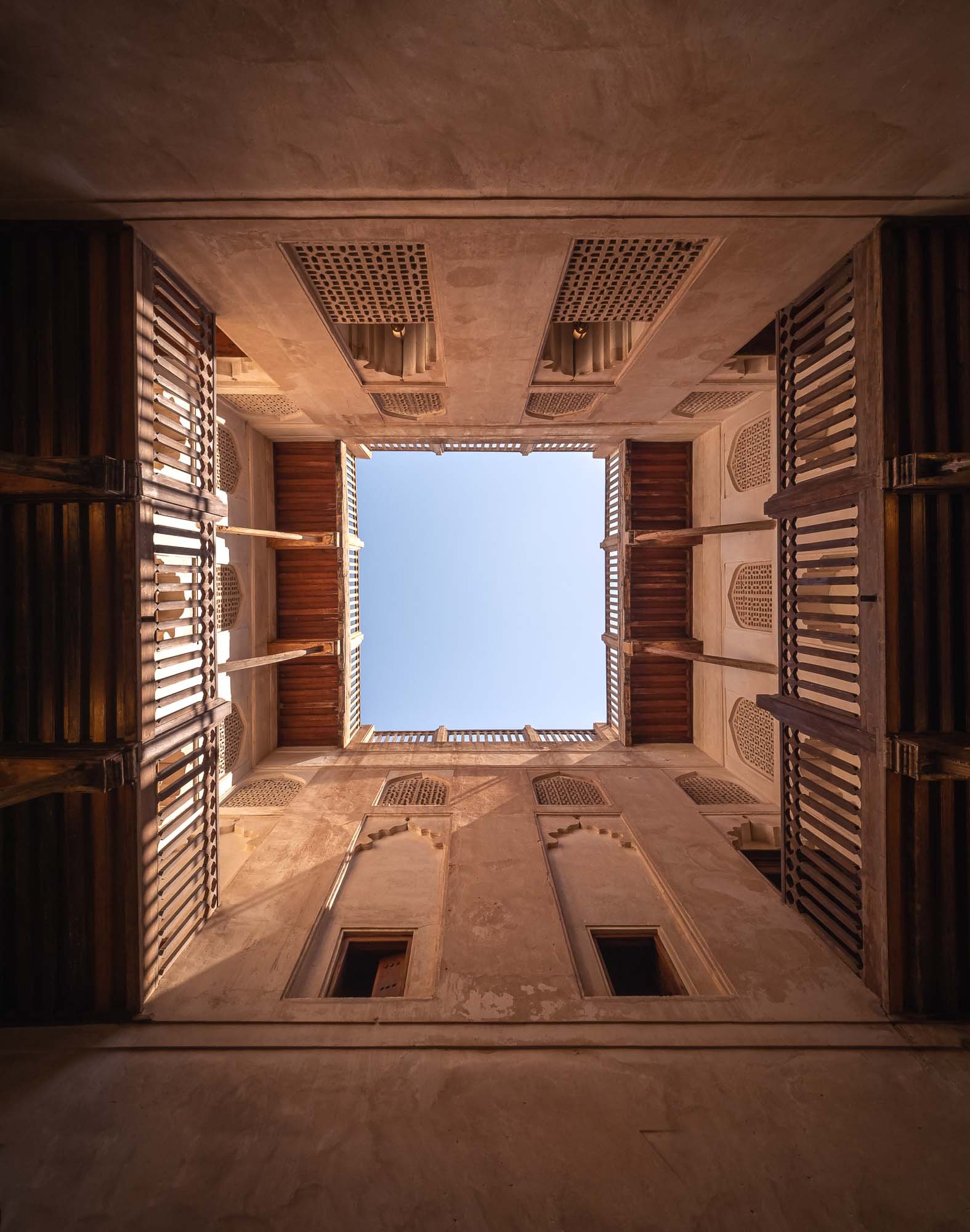
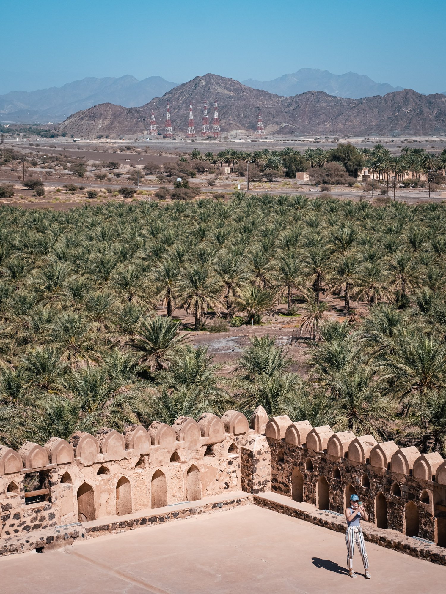
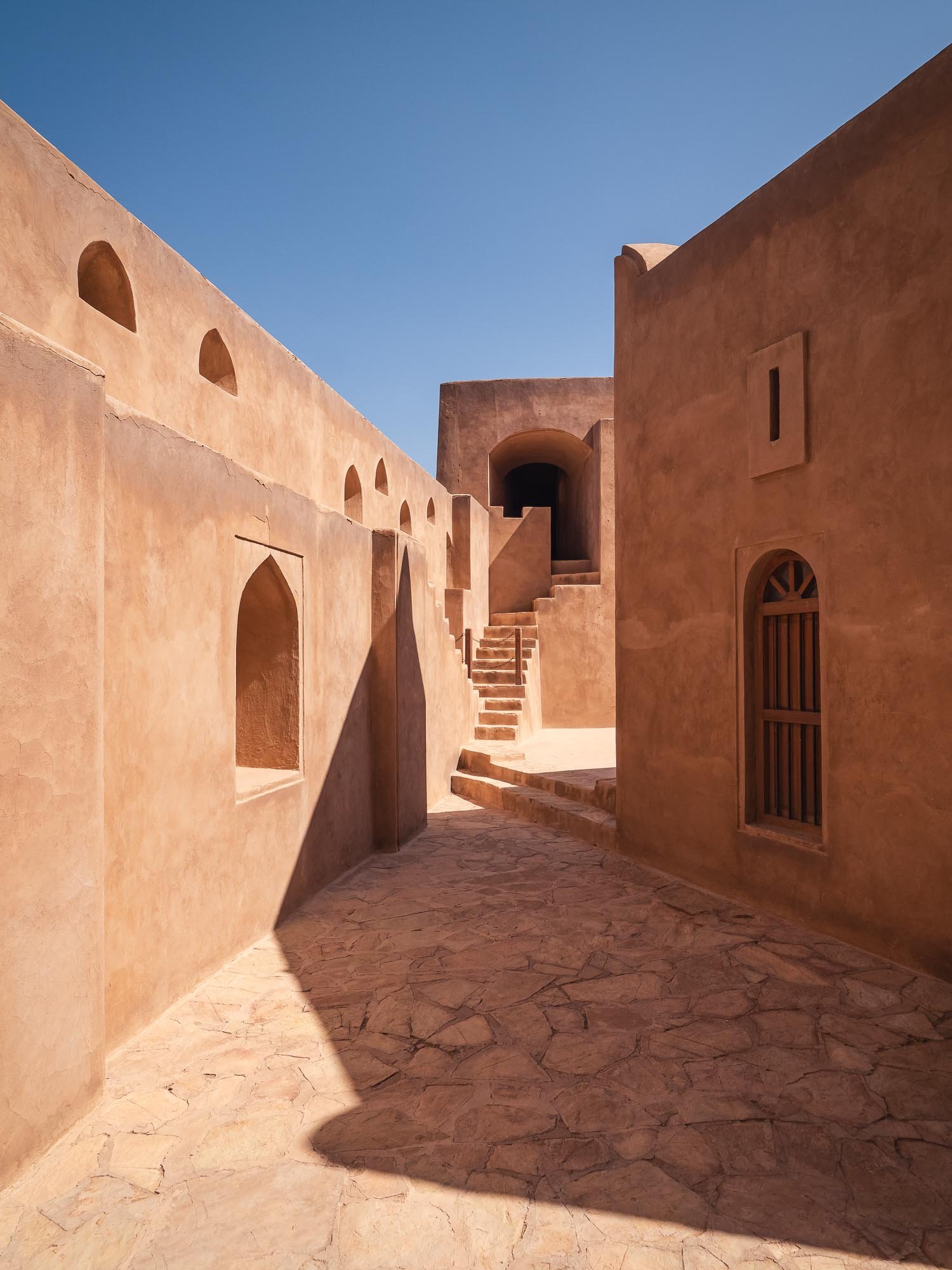
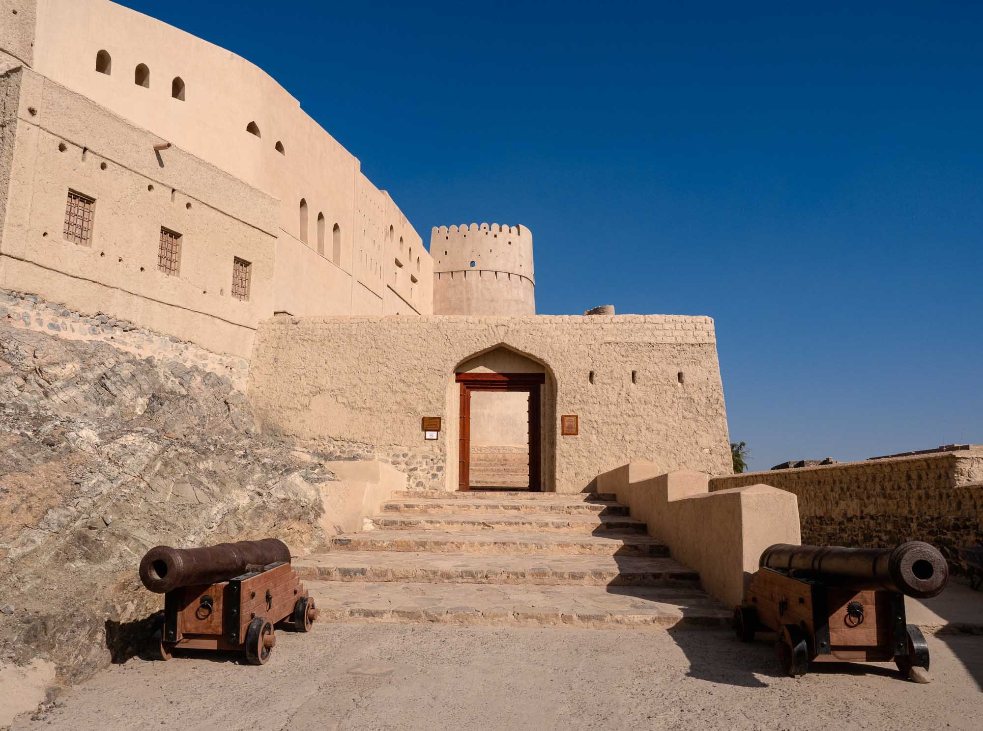
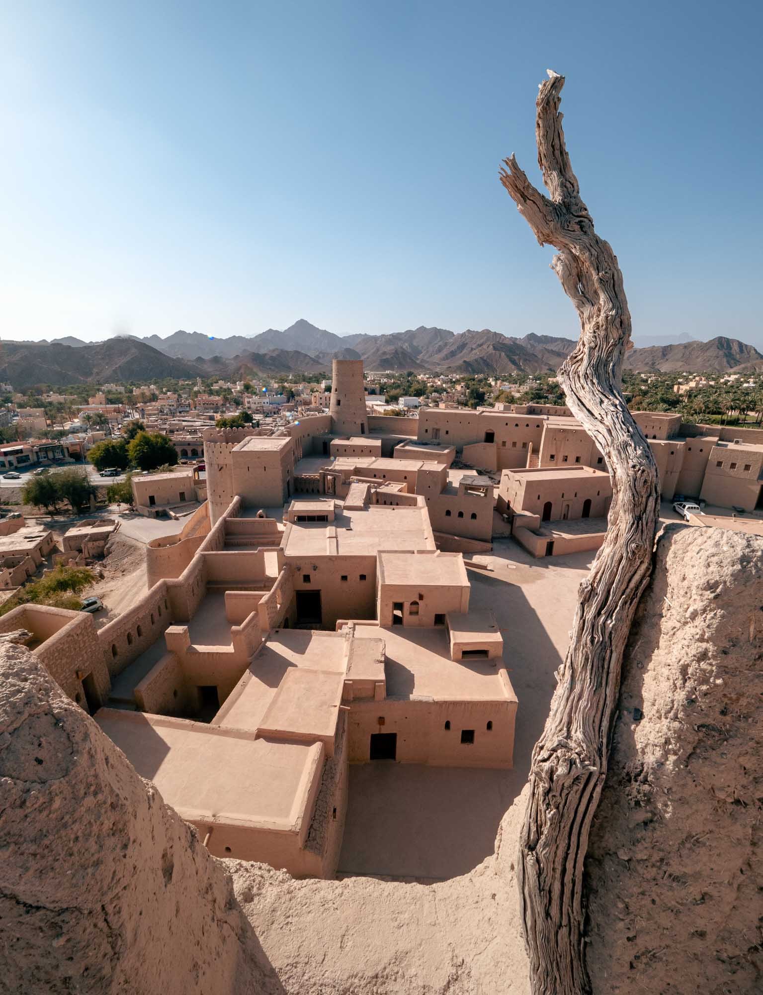
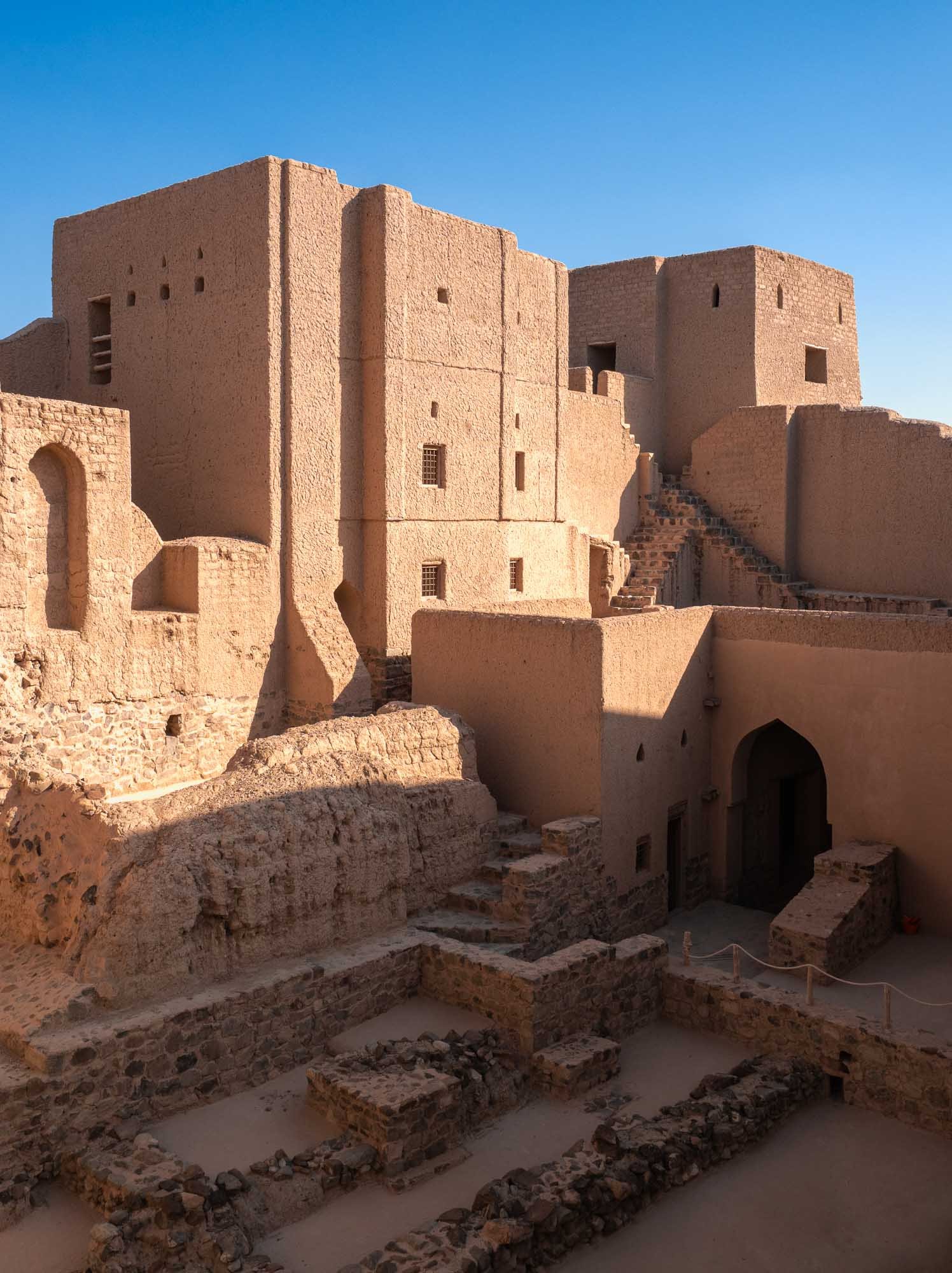
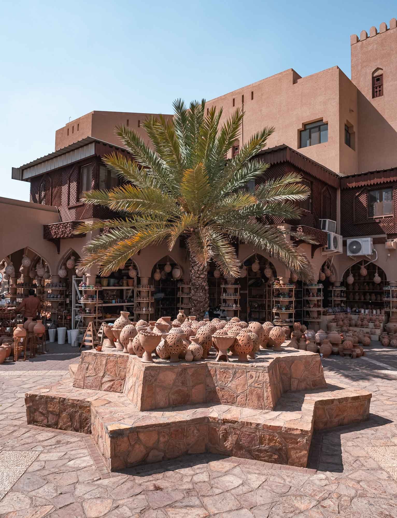
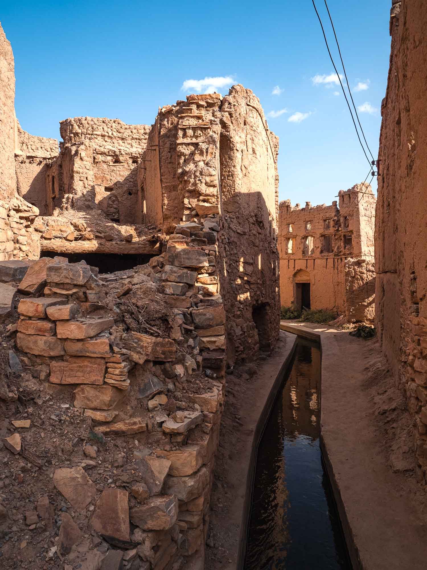
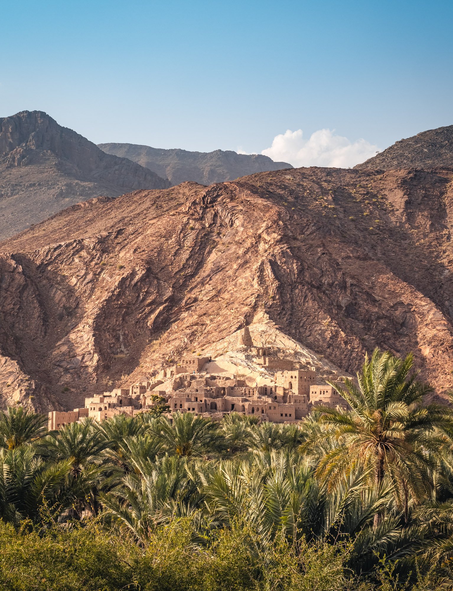
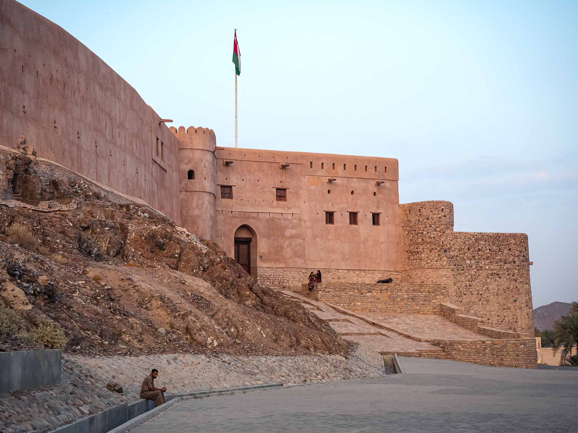
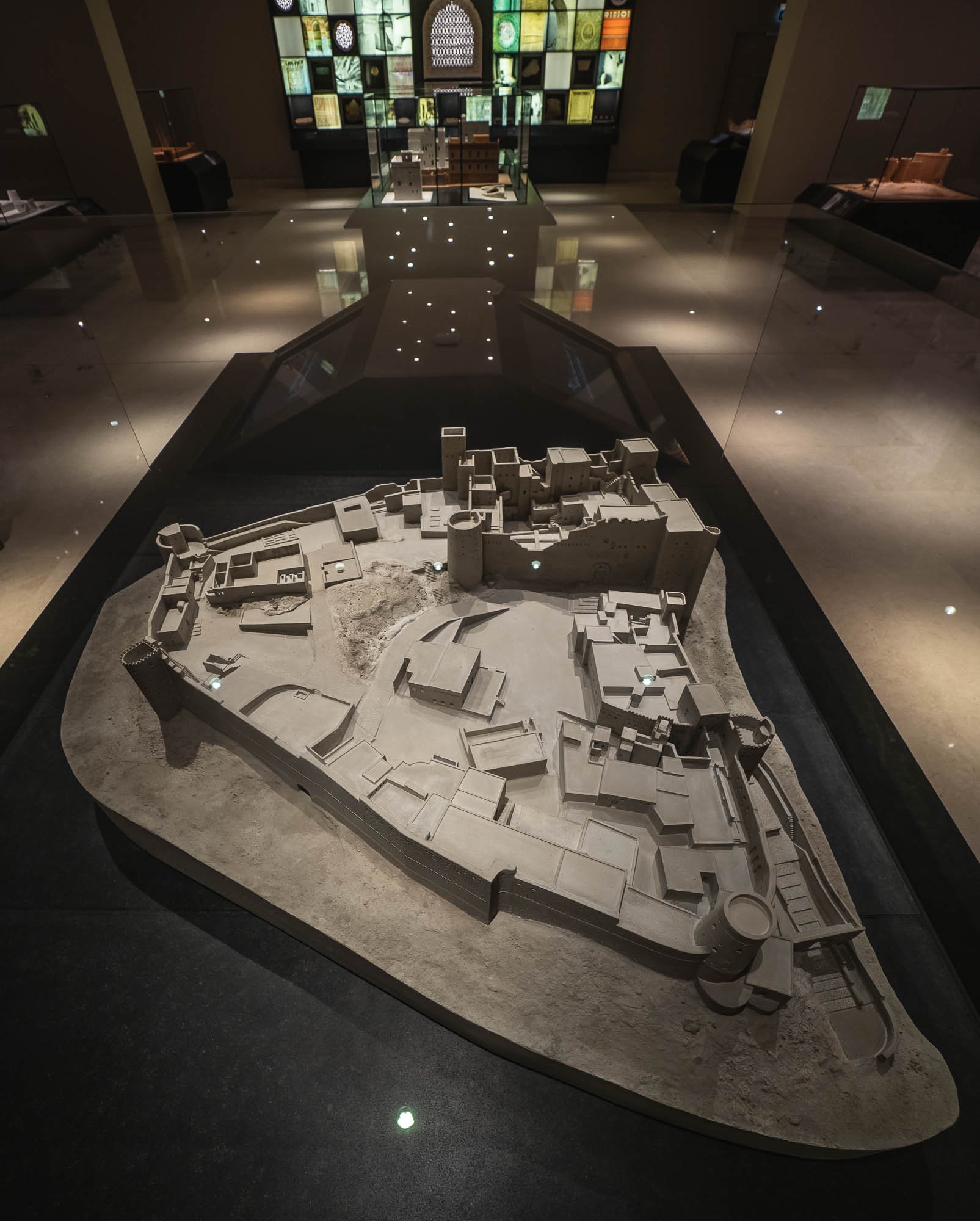
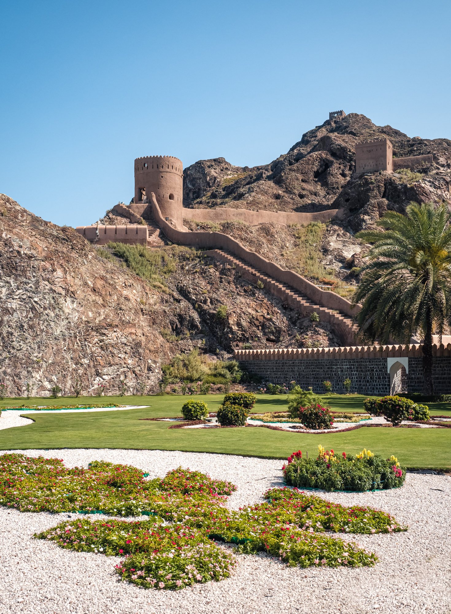
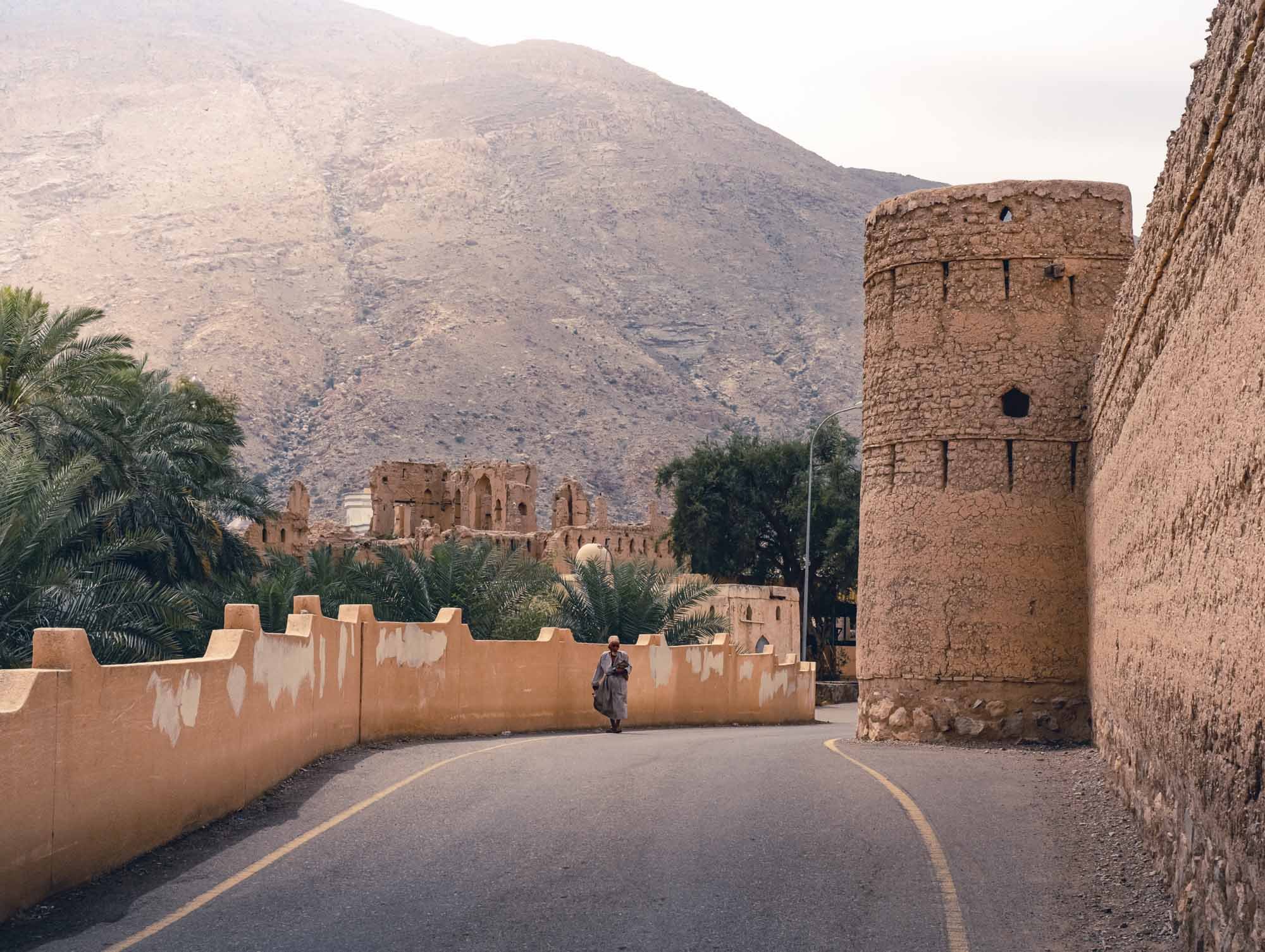
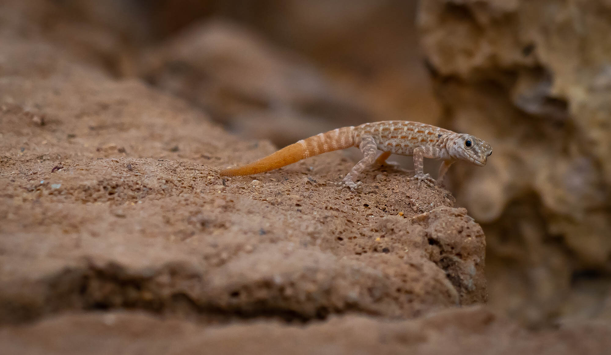
Bahla Fort

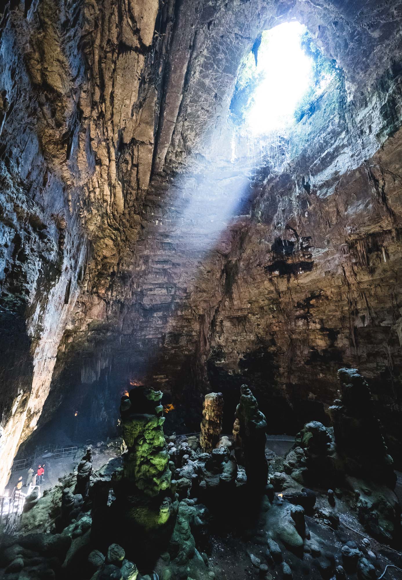
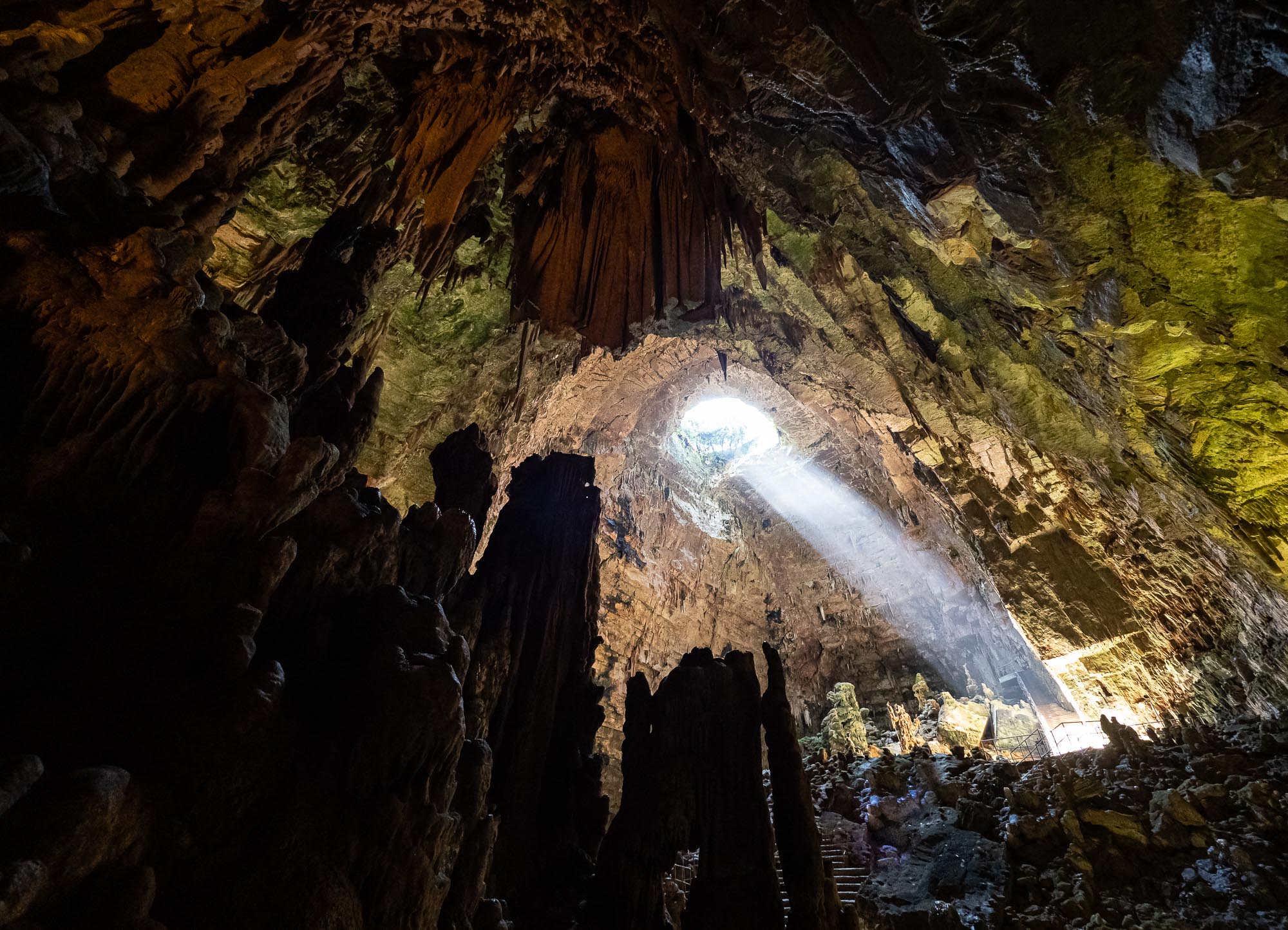
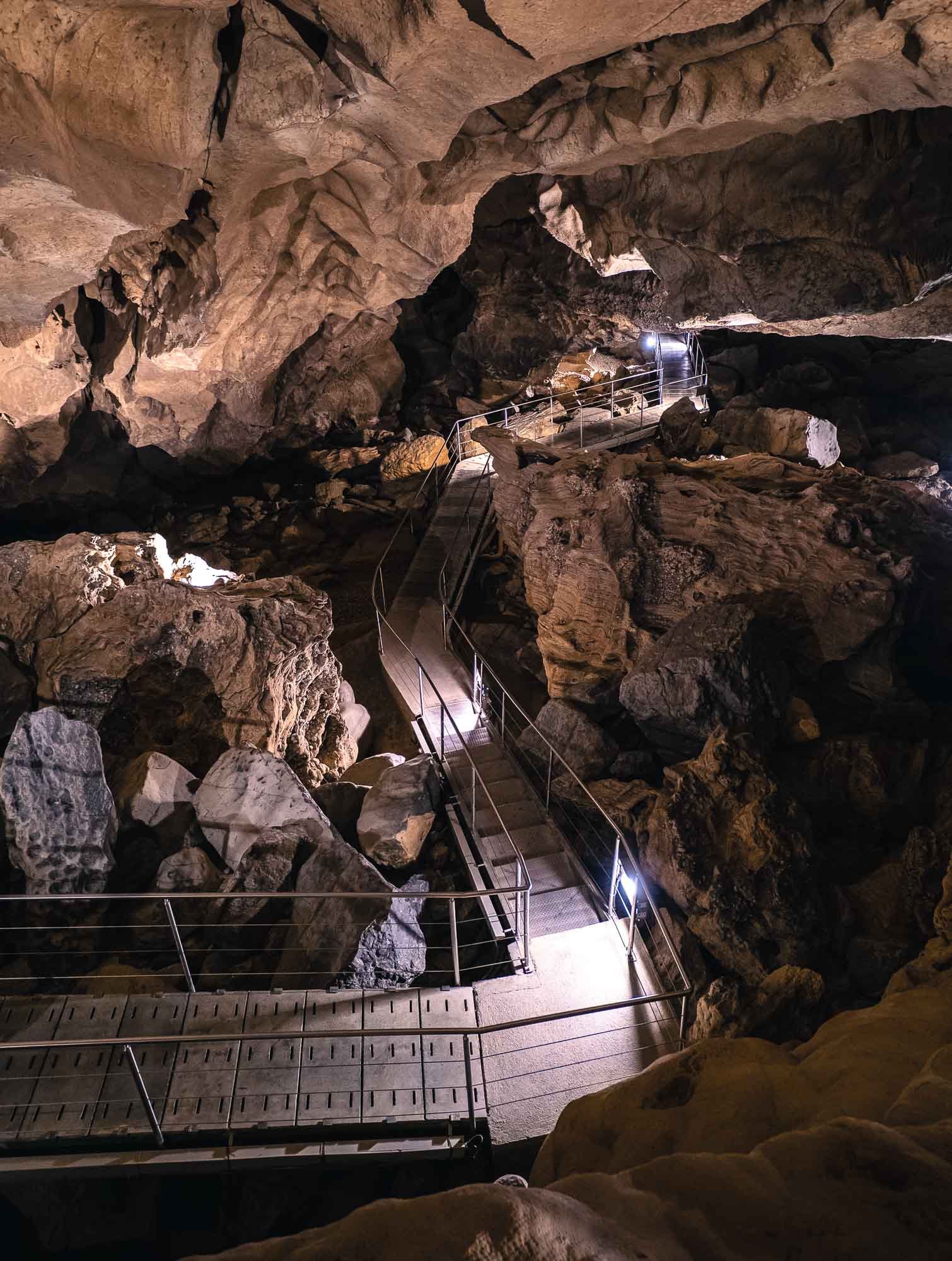
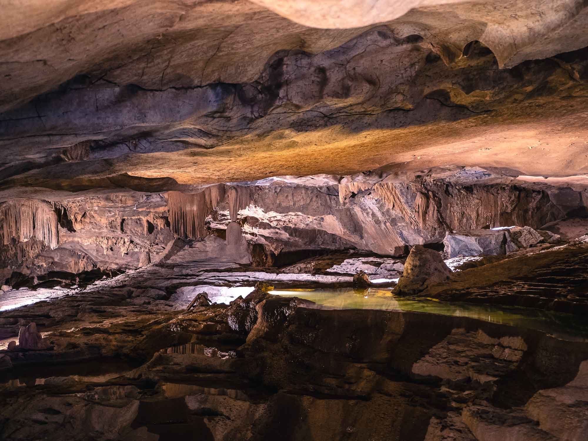
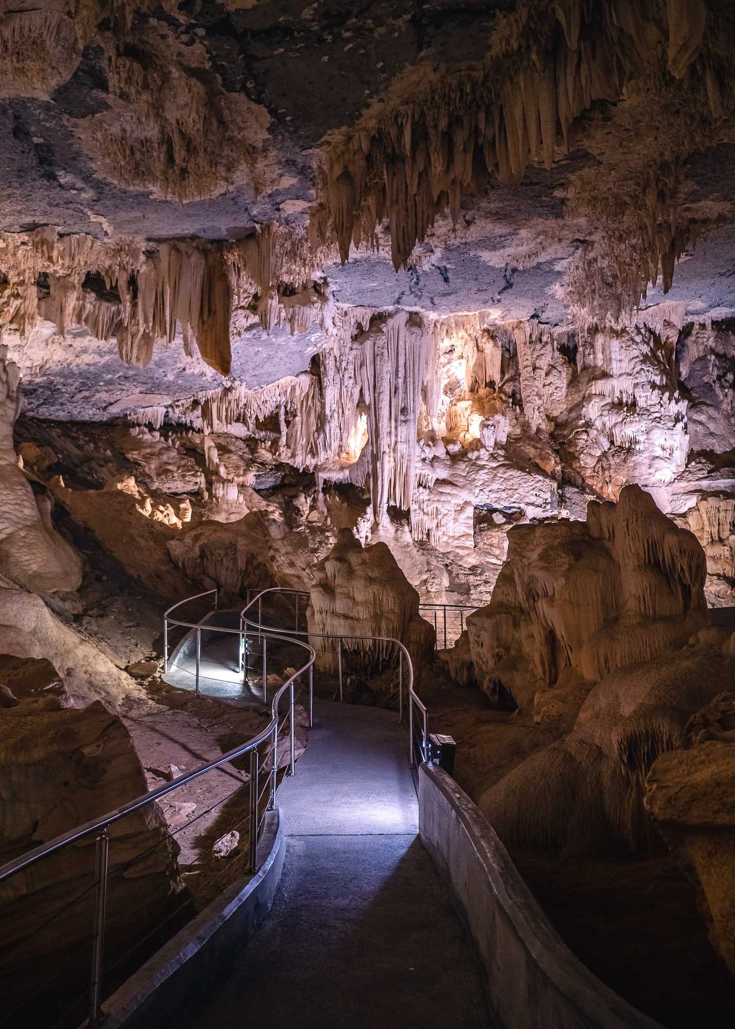
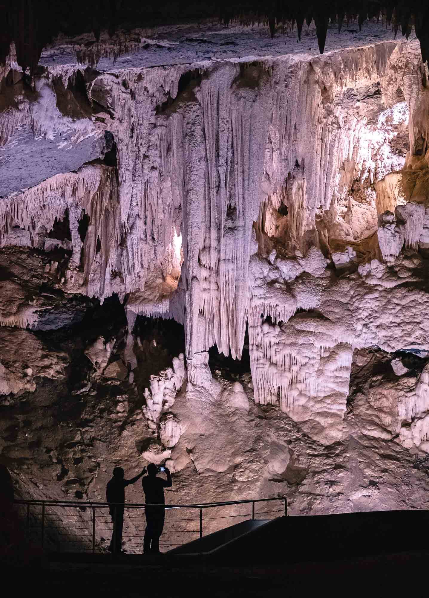
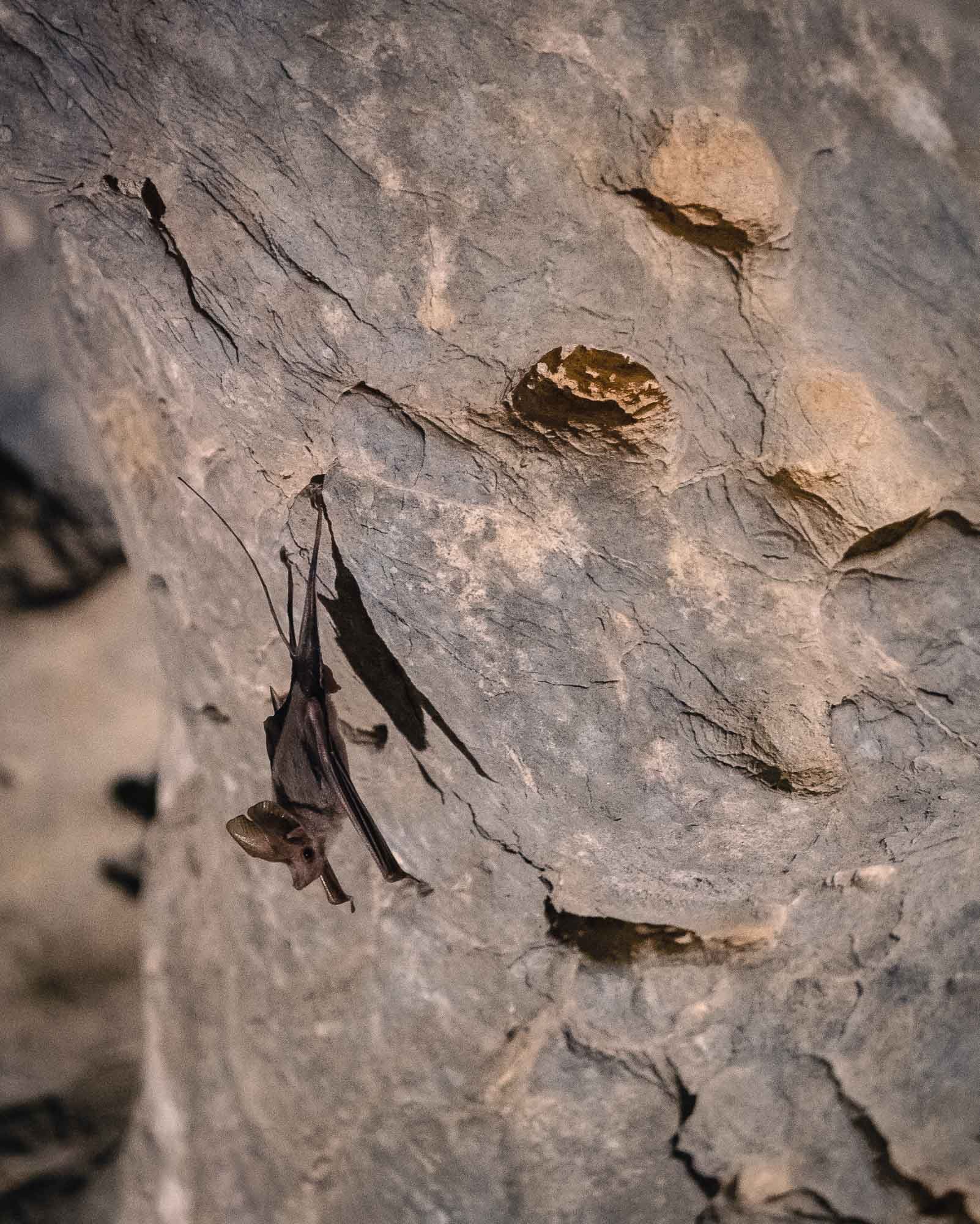
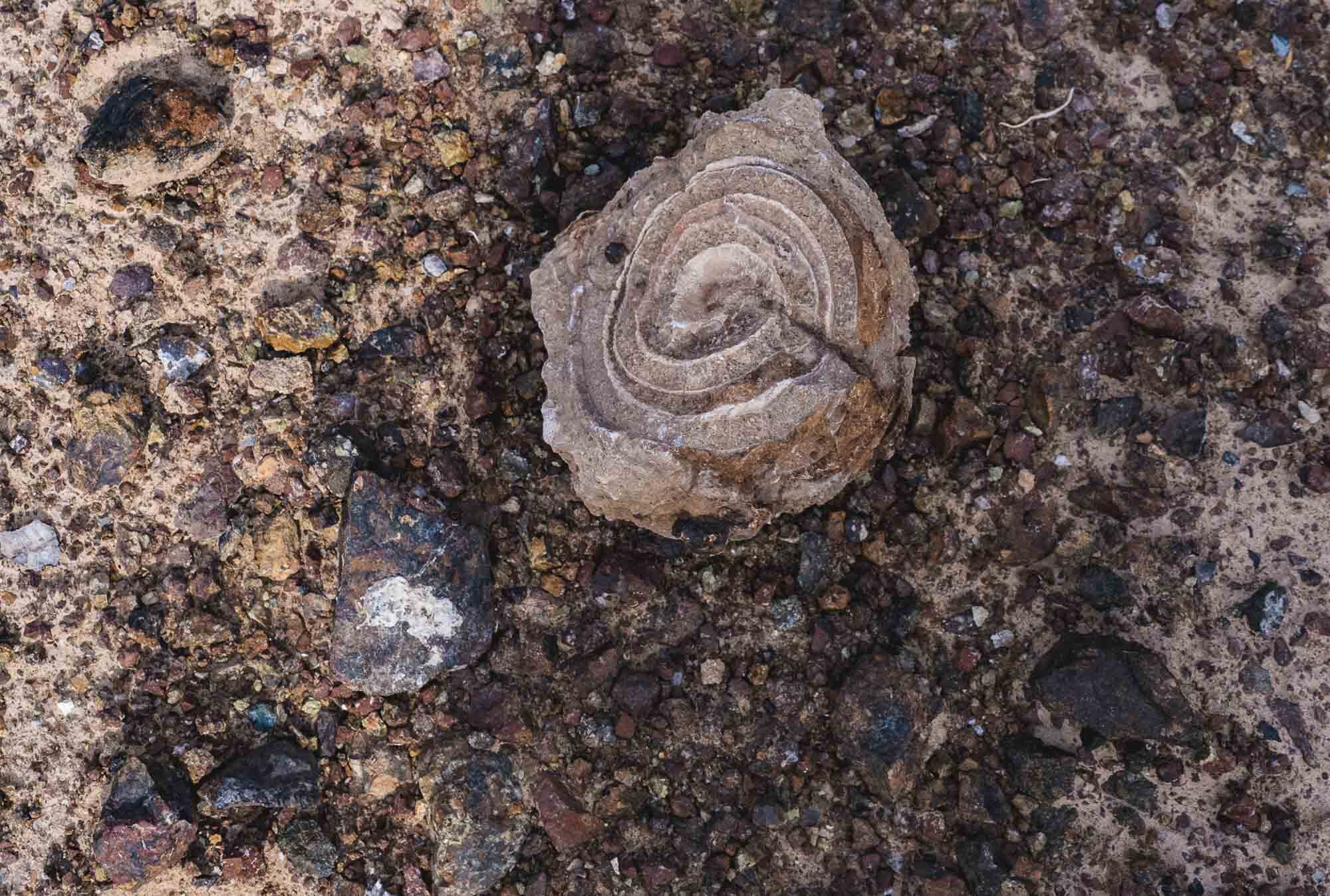
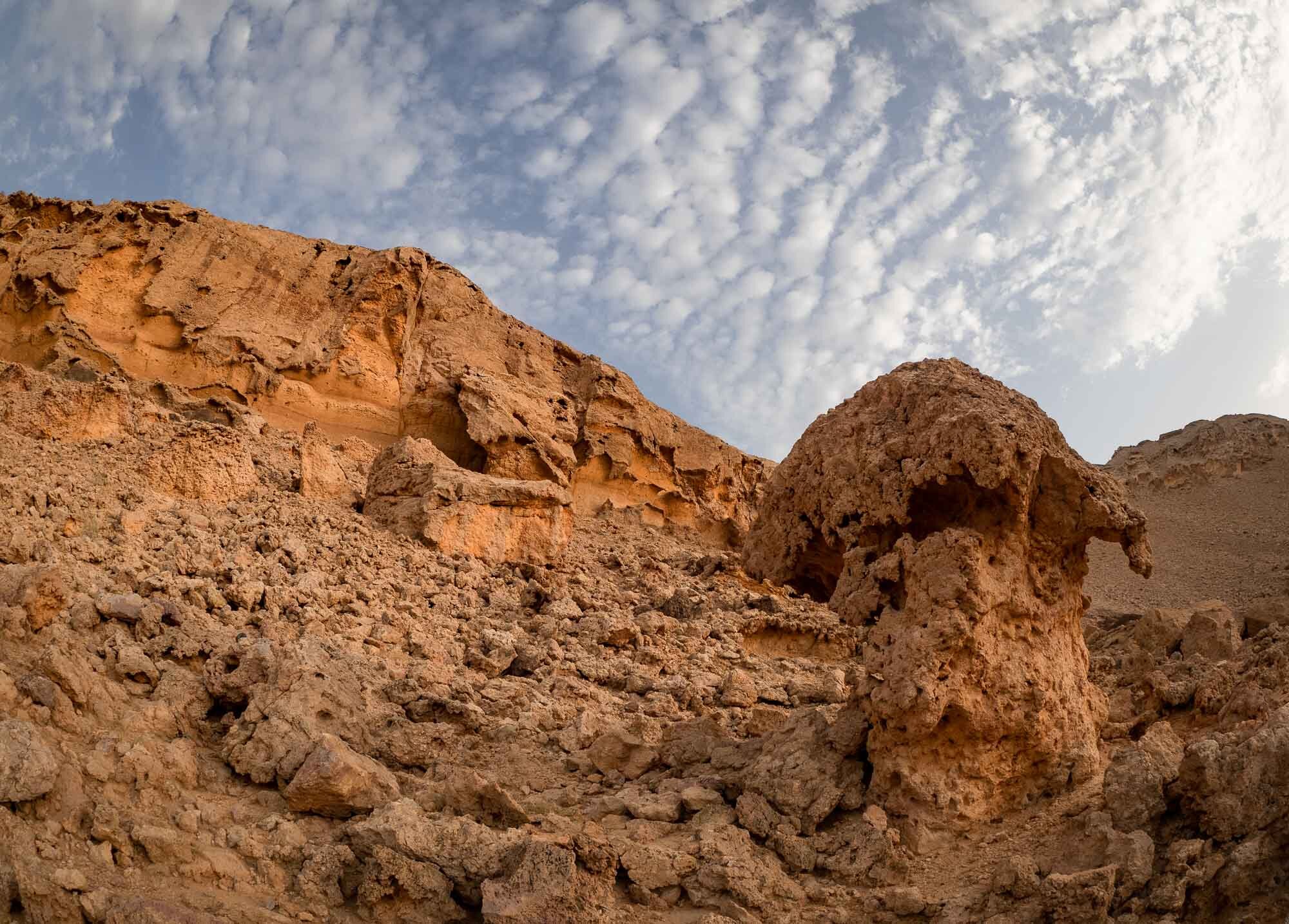
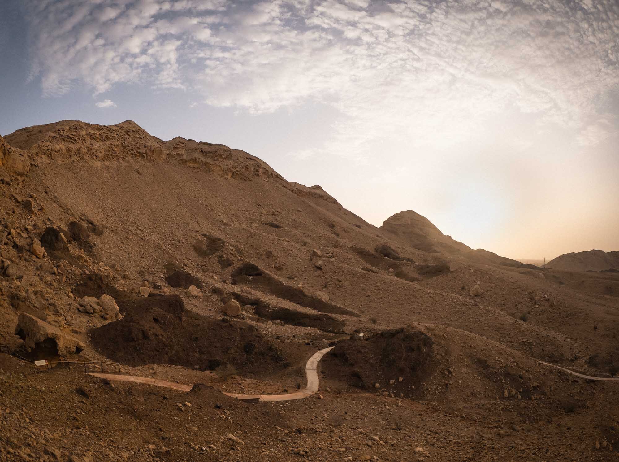
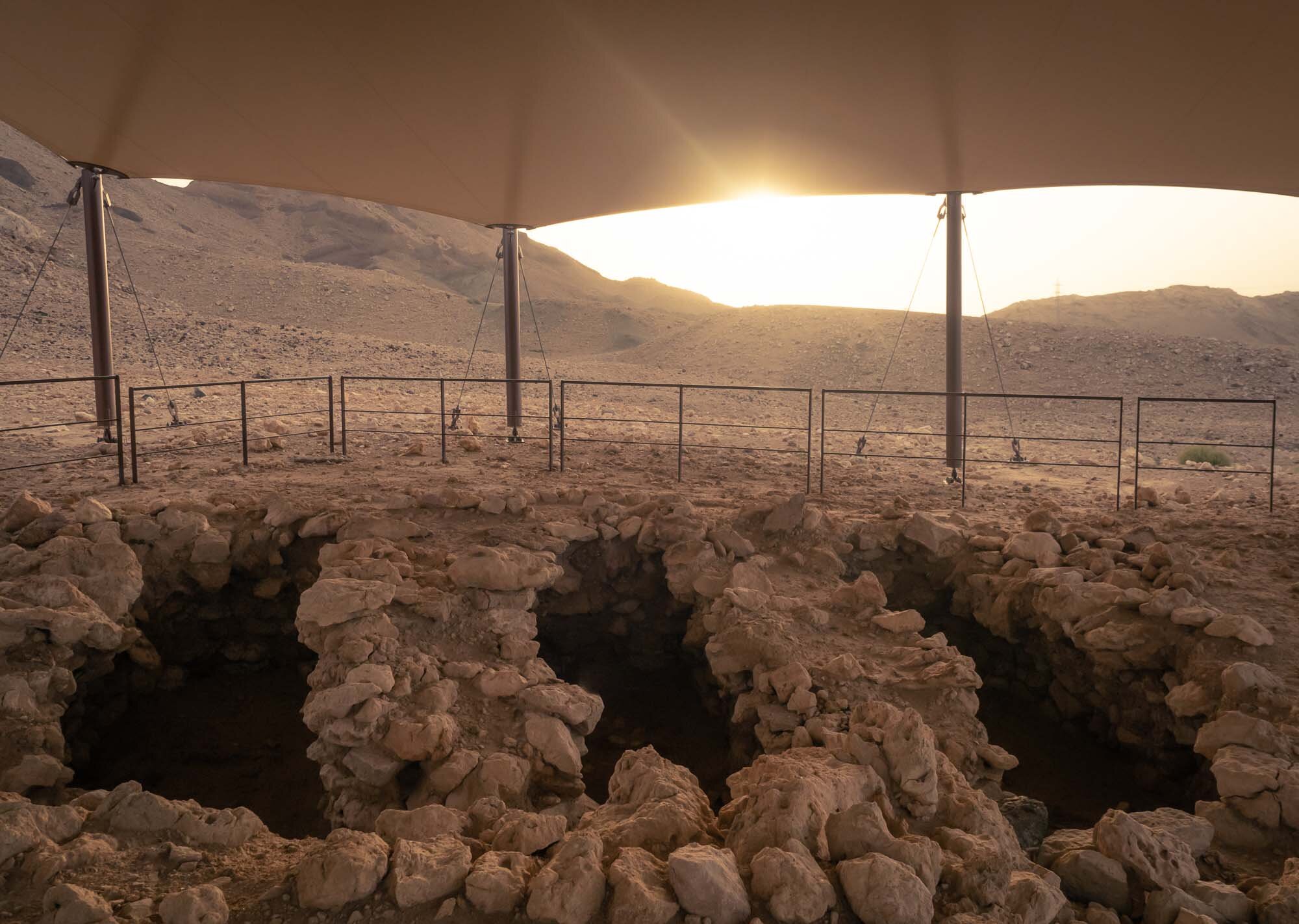
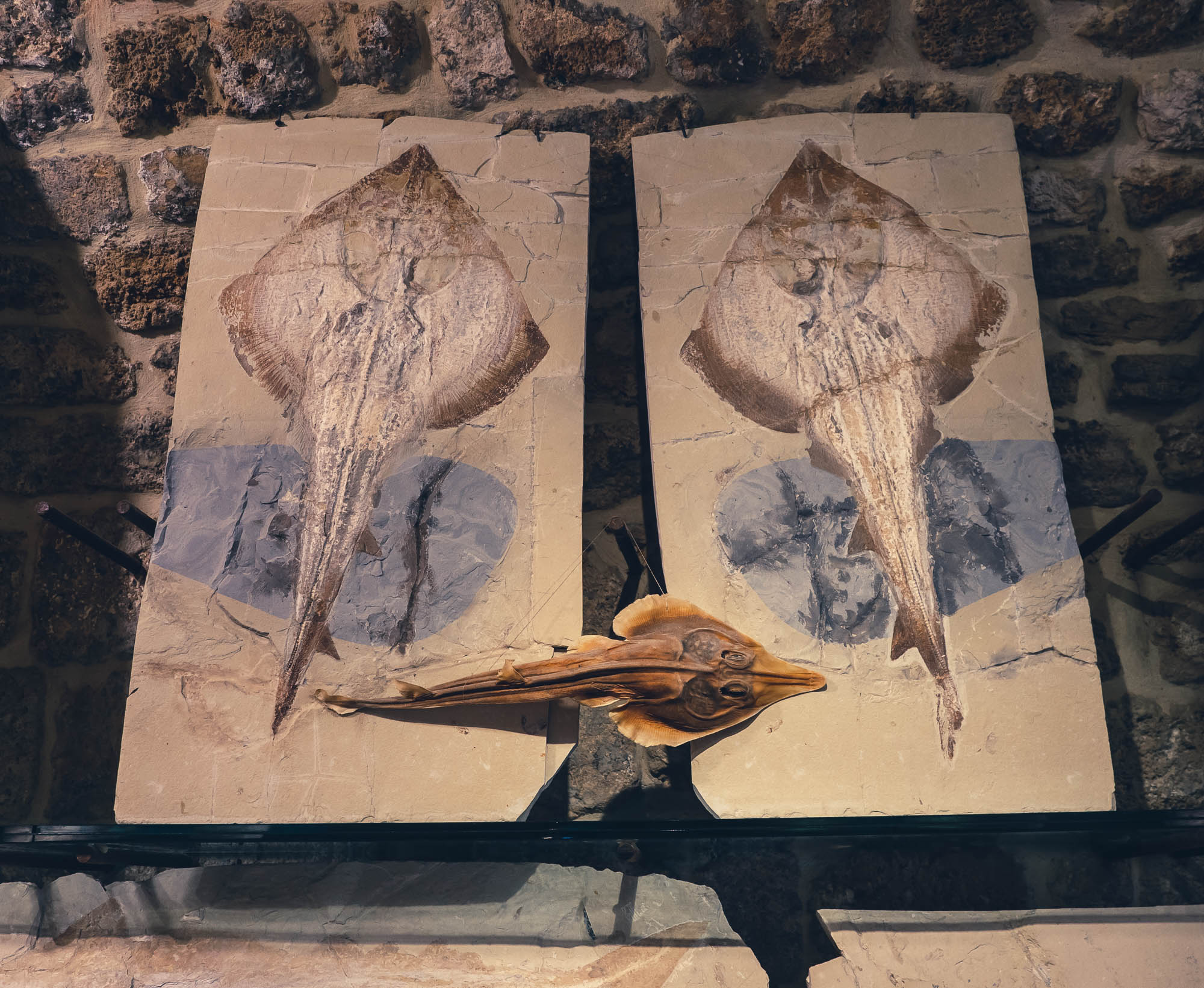
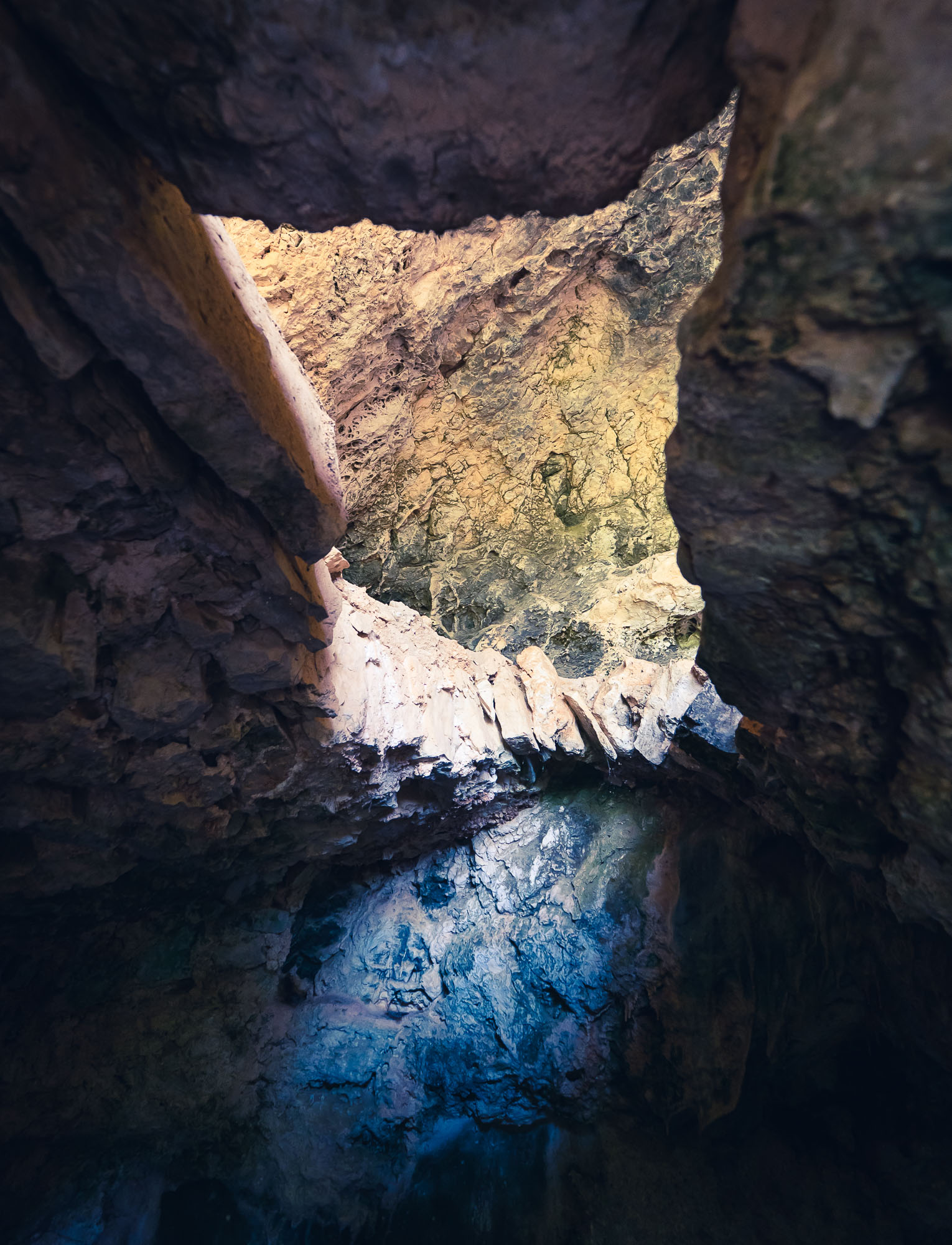
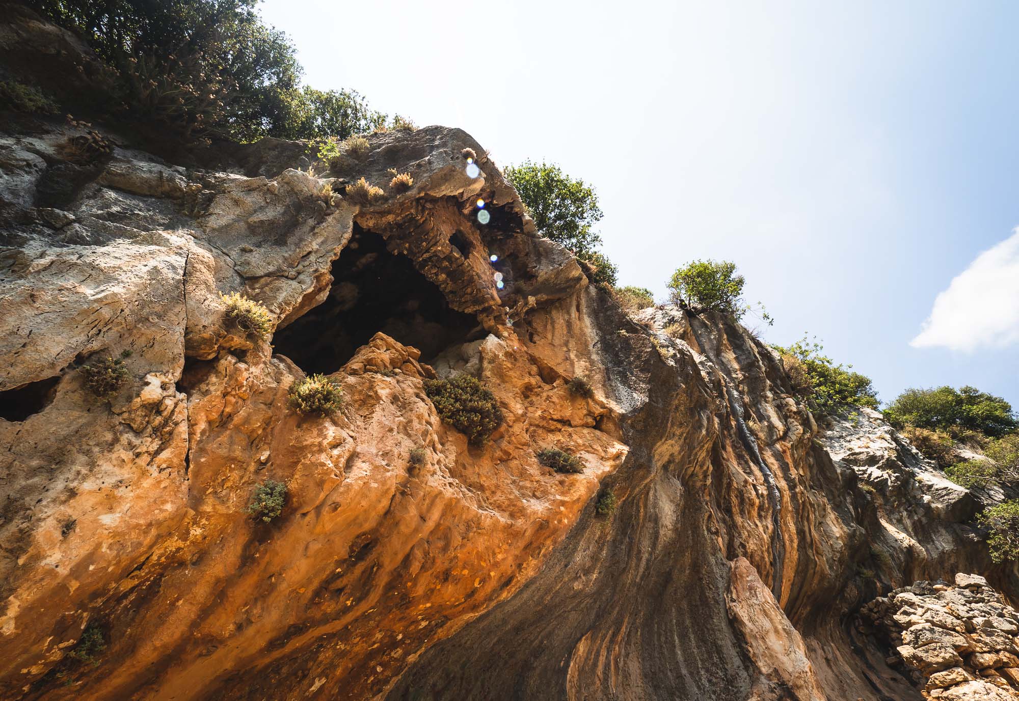
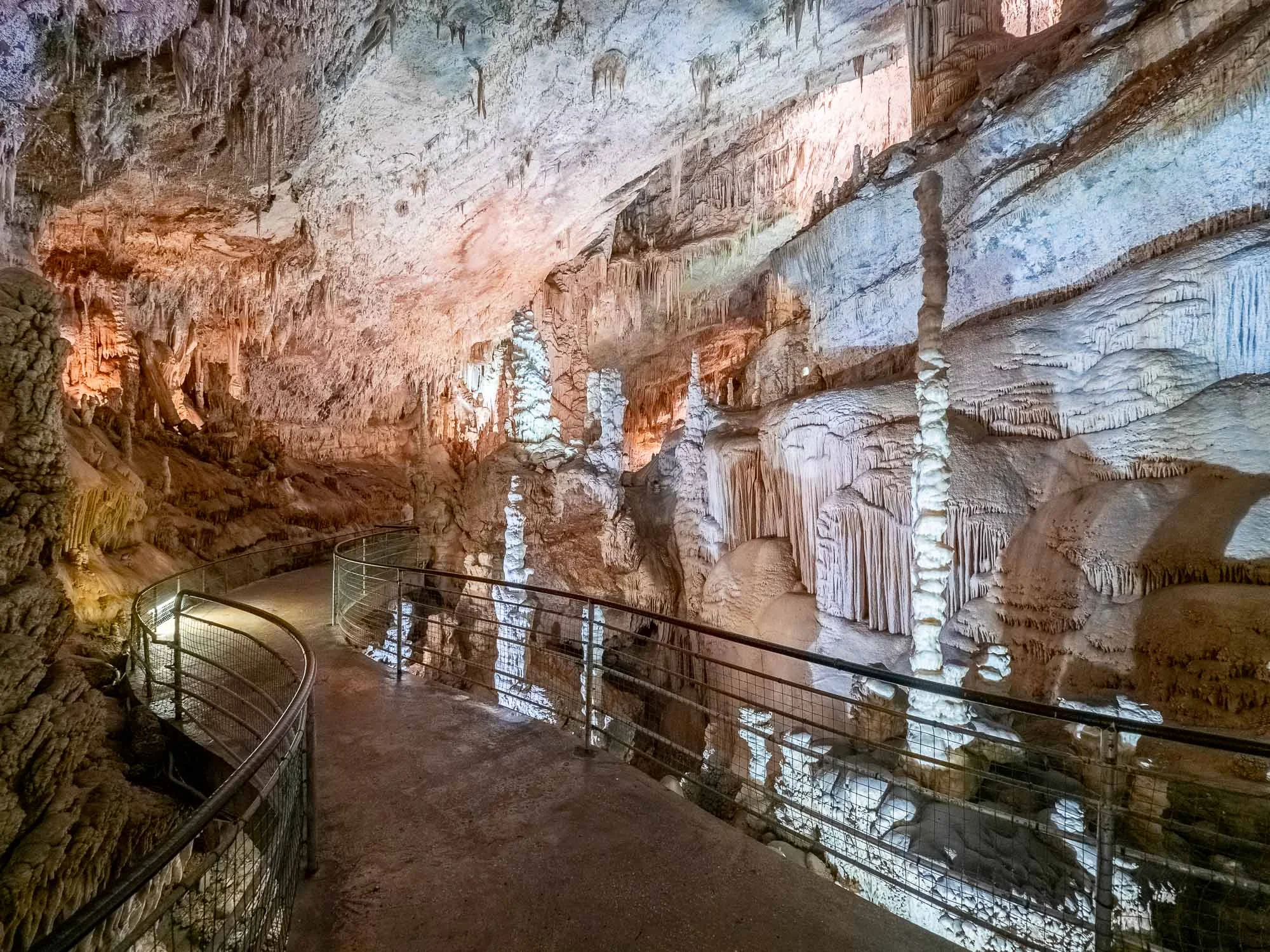
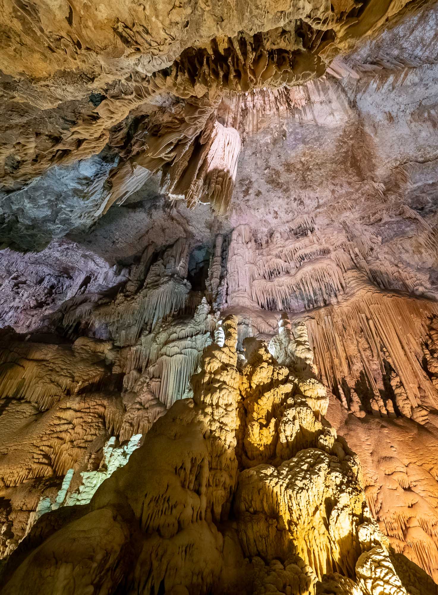
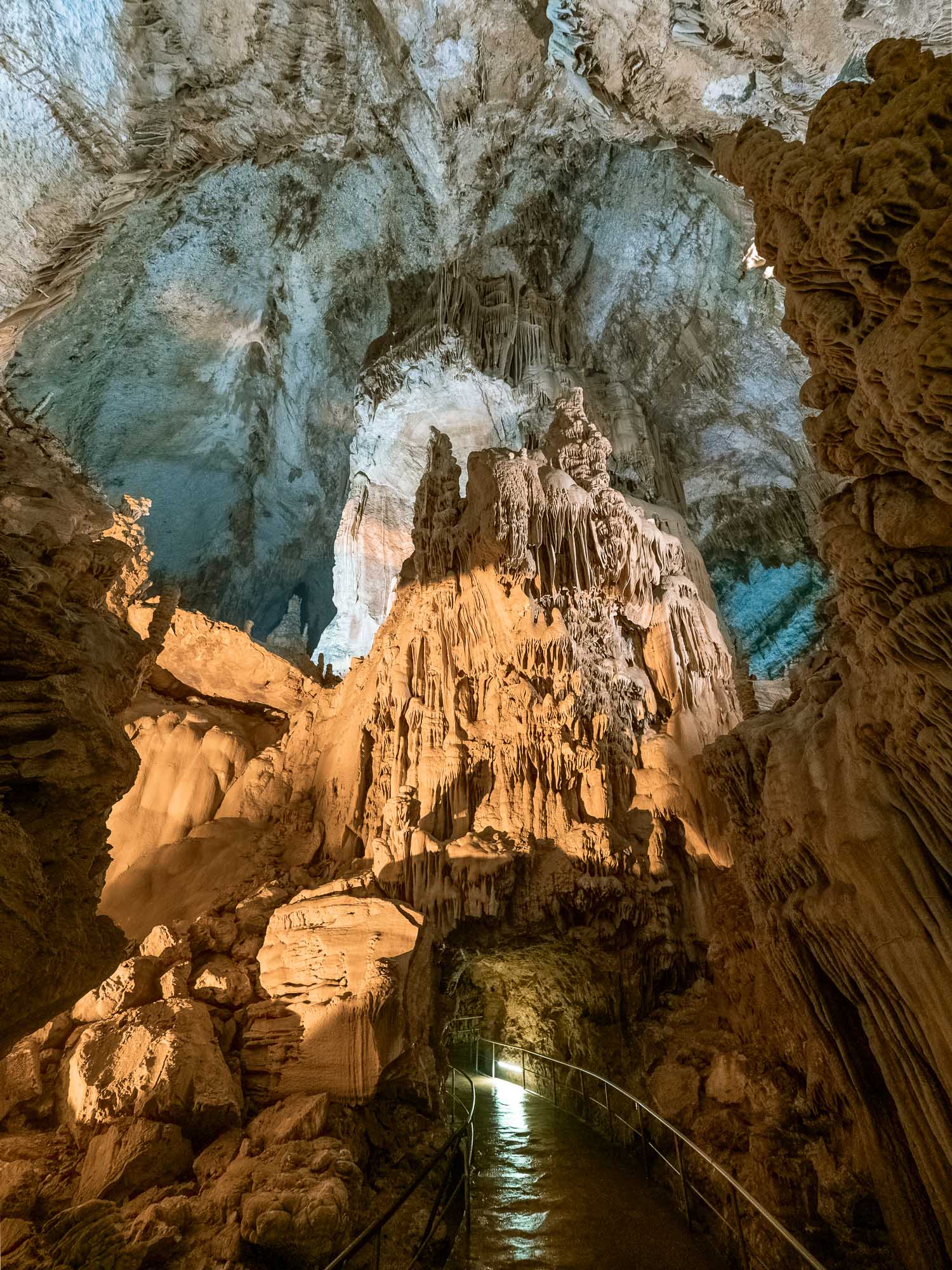
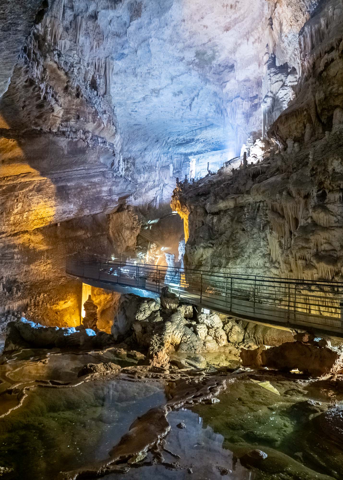
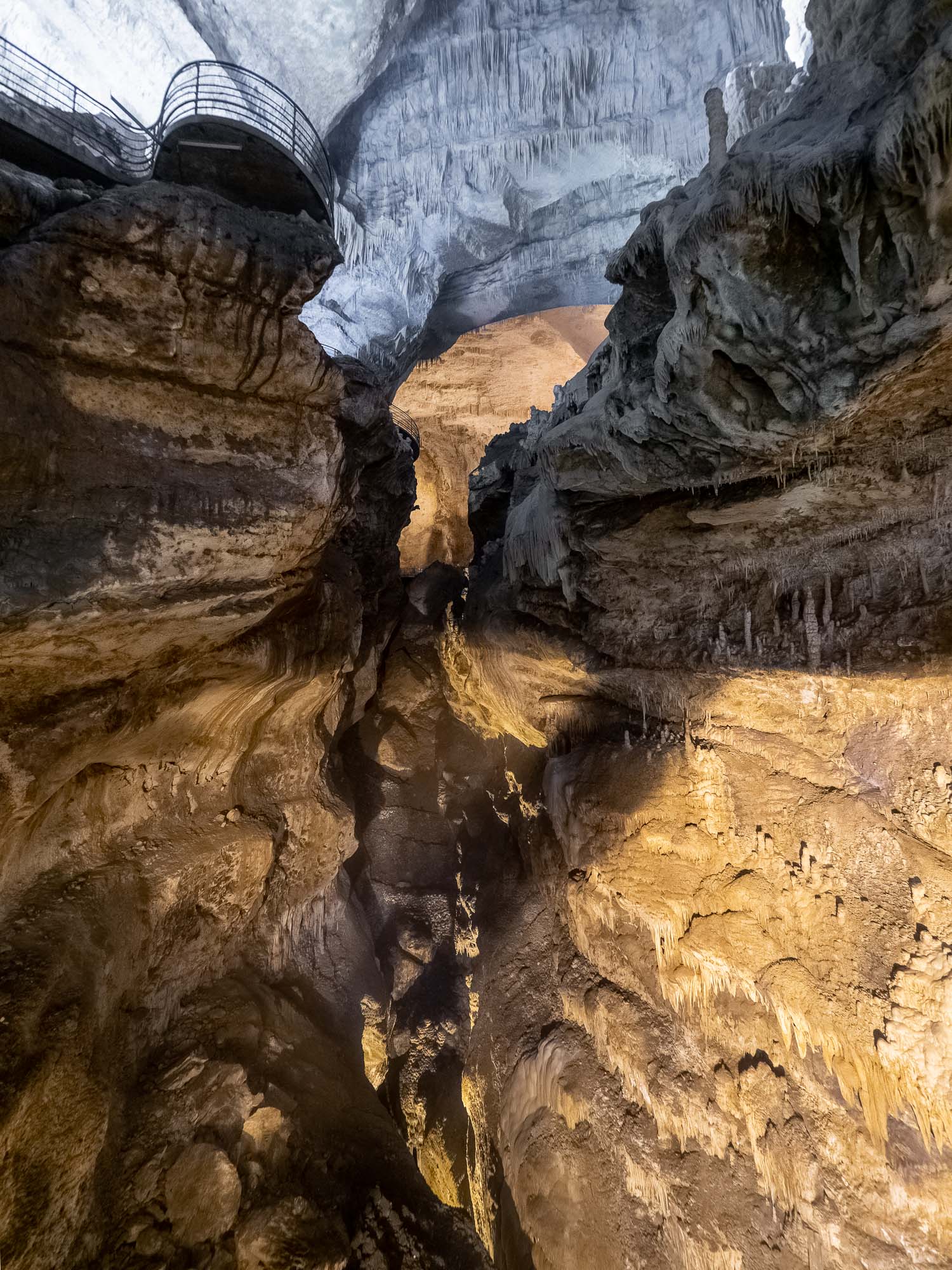
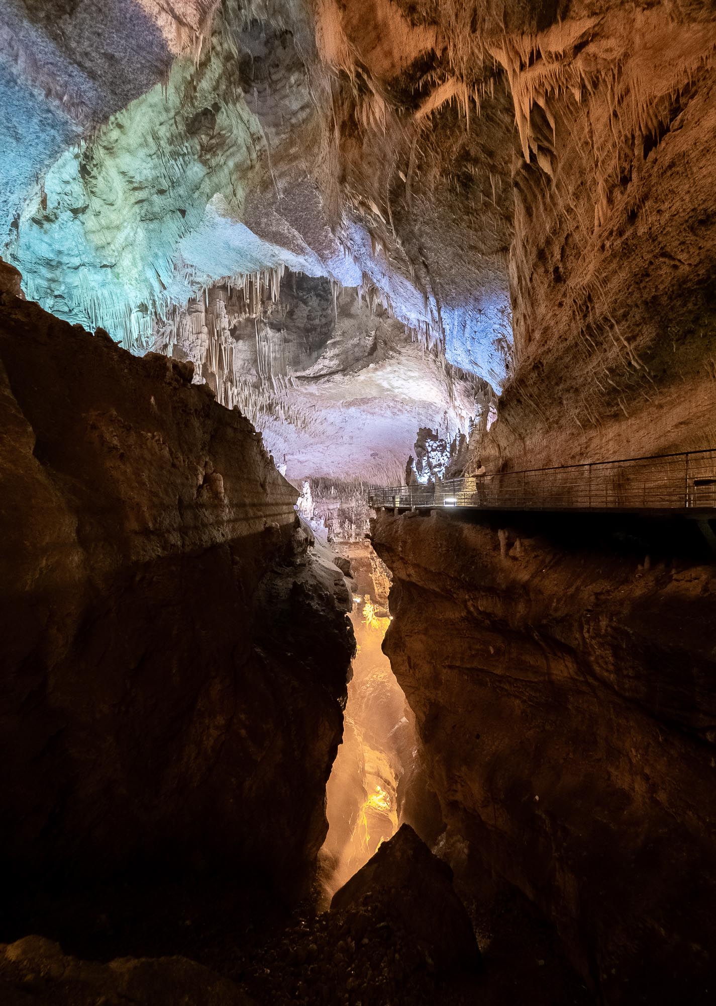
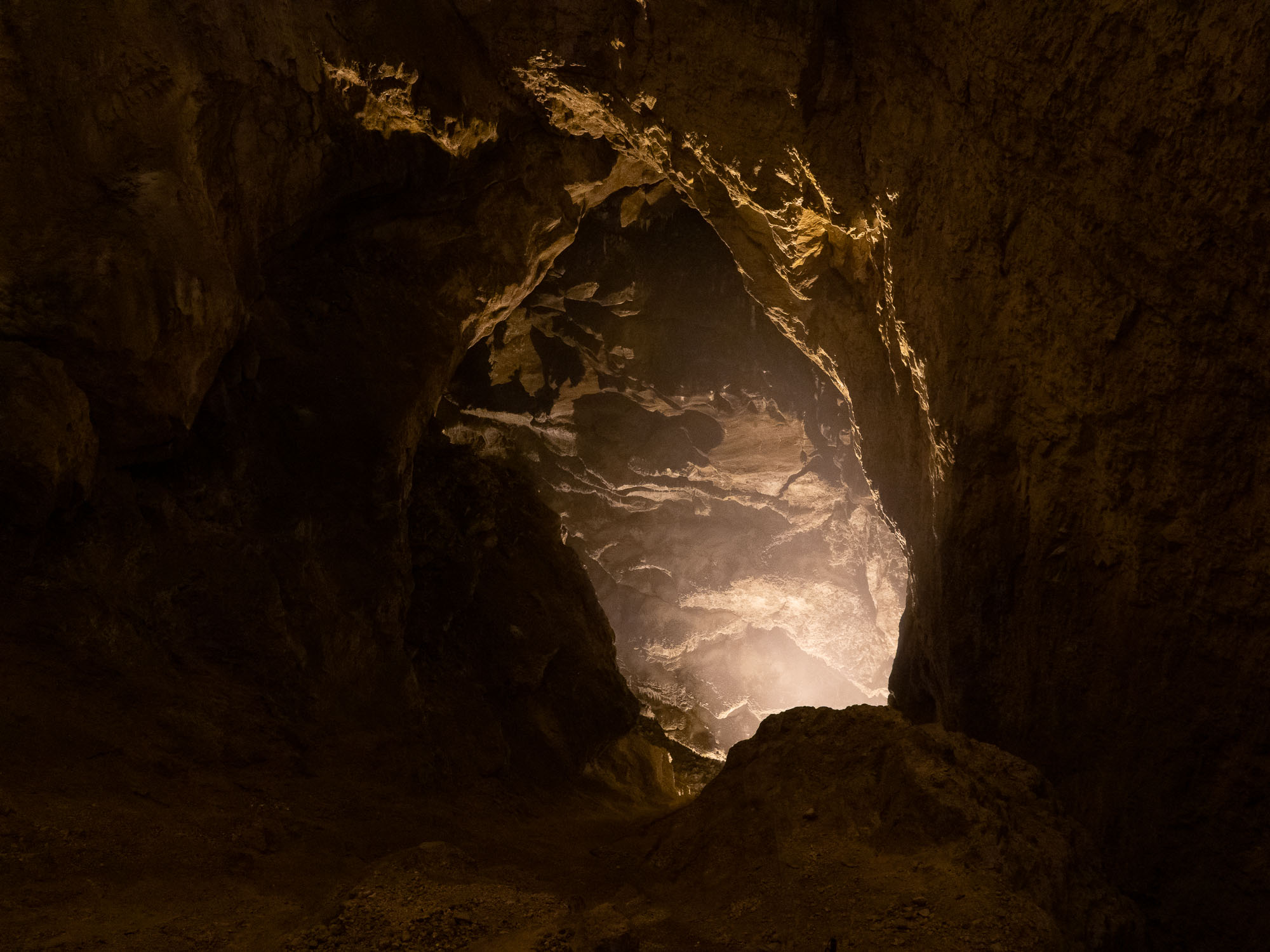
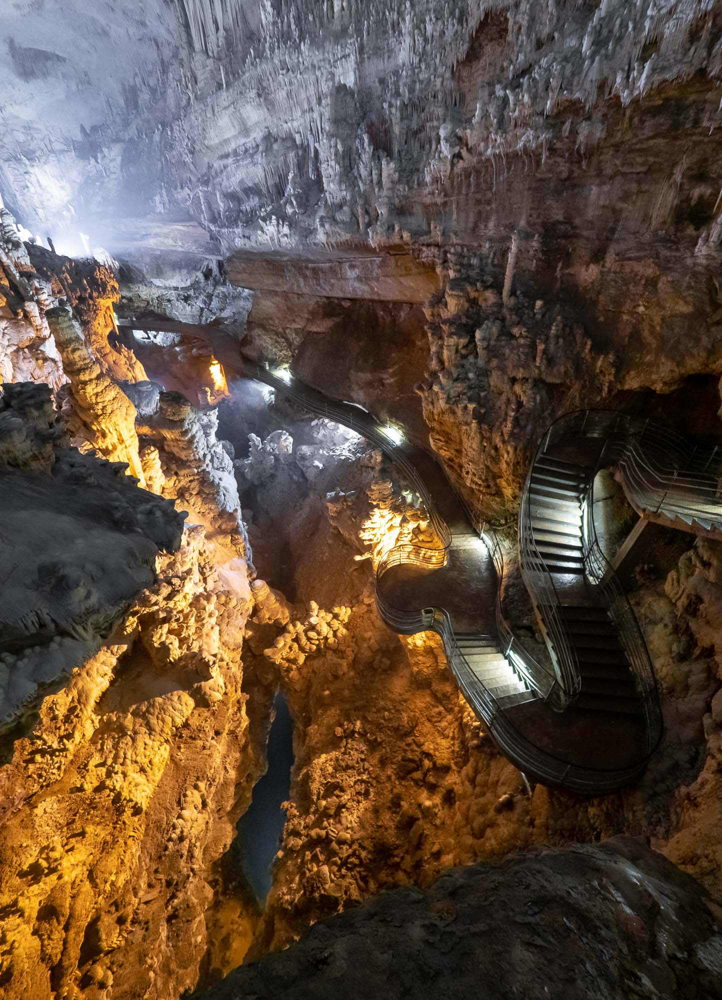
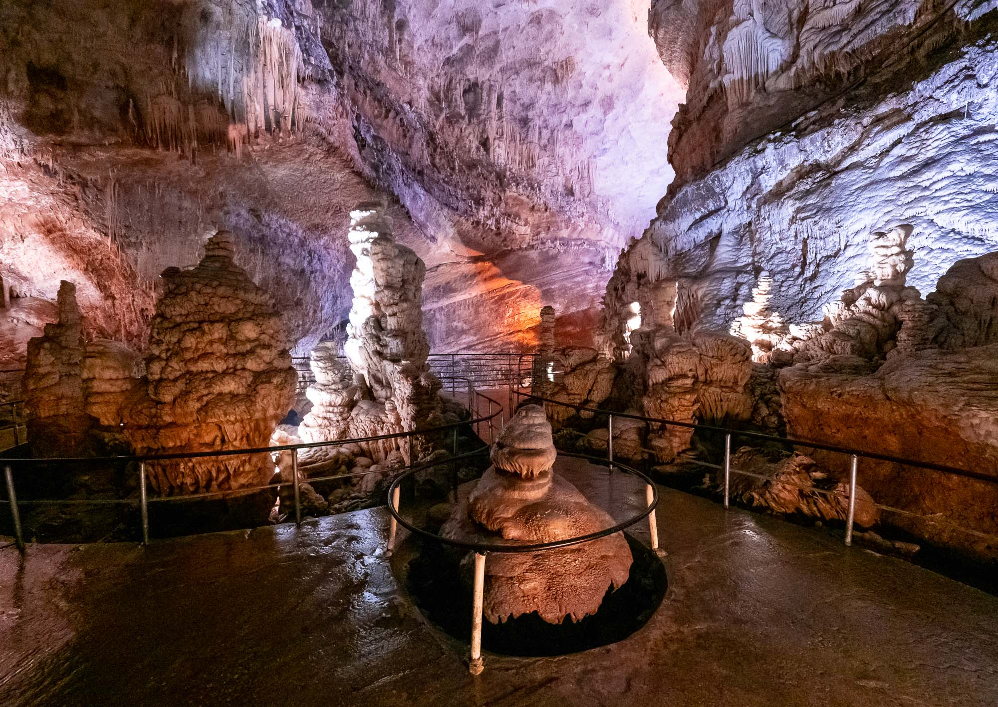
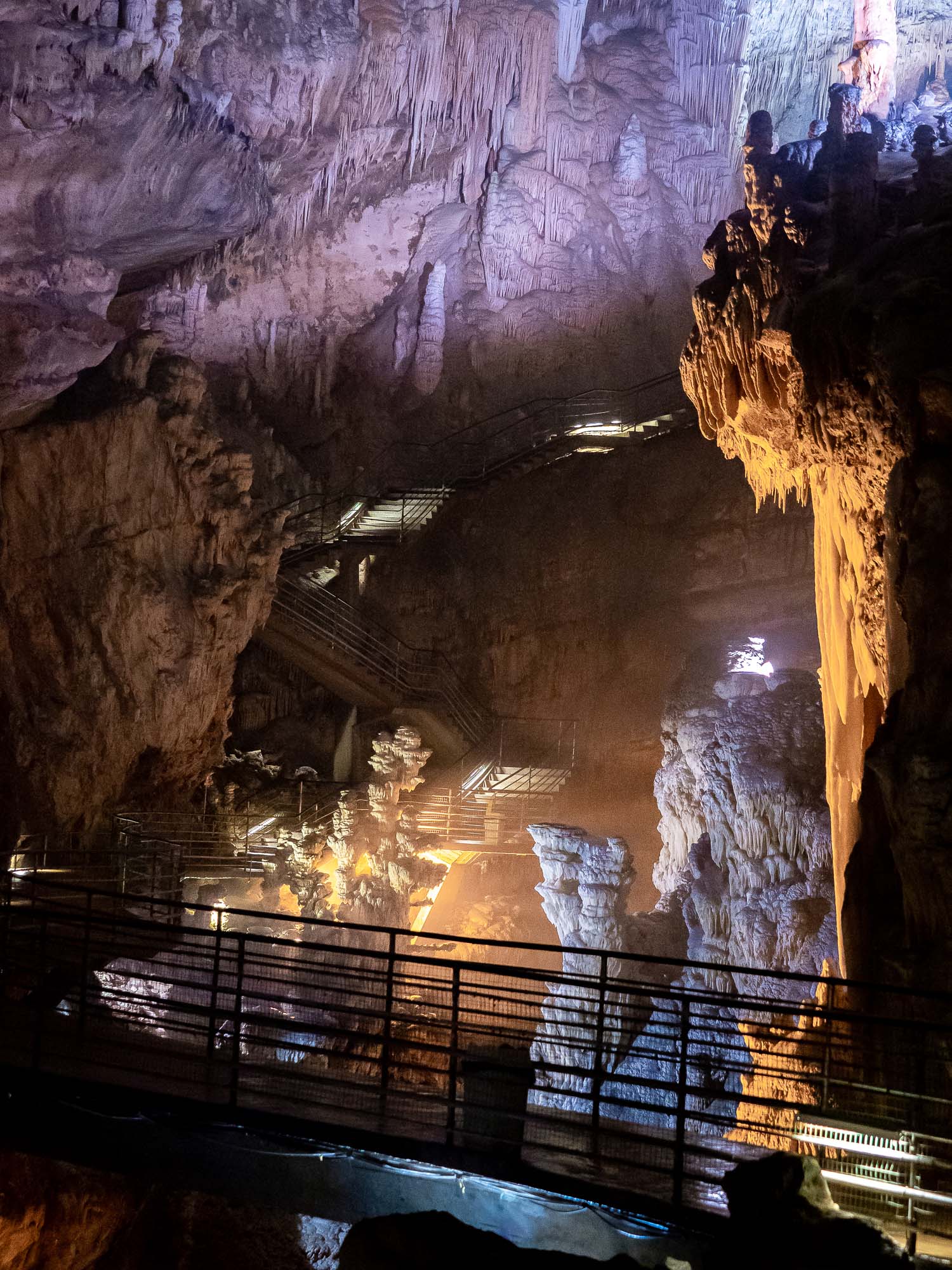
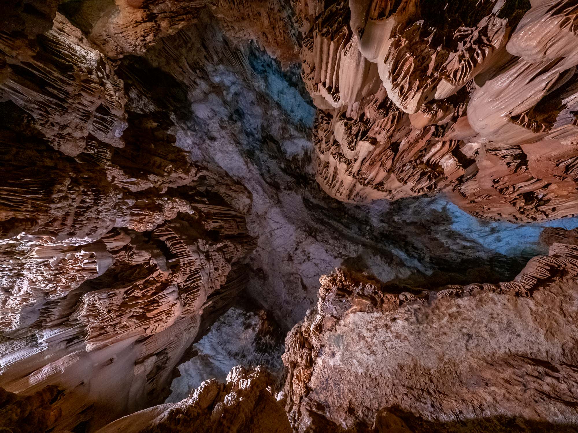
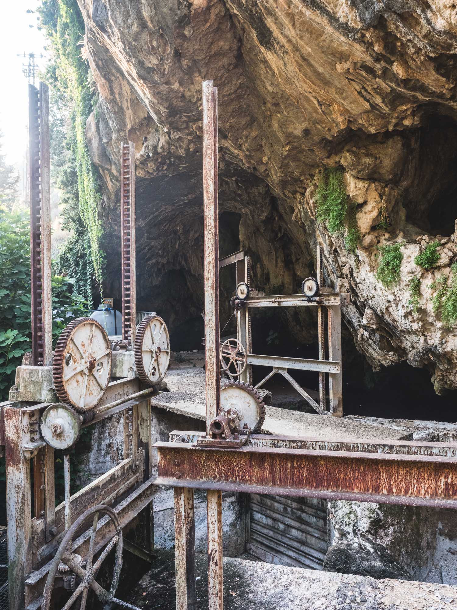
Al Hoota Cave

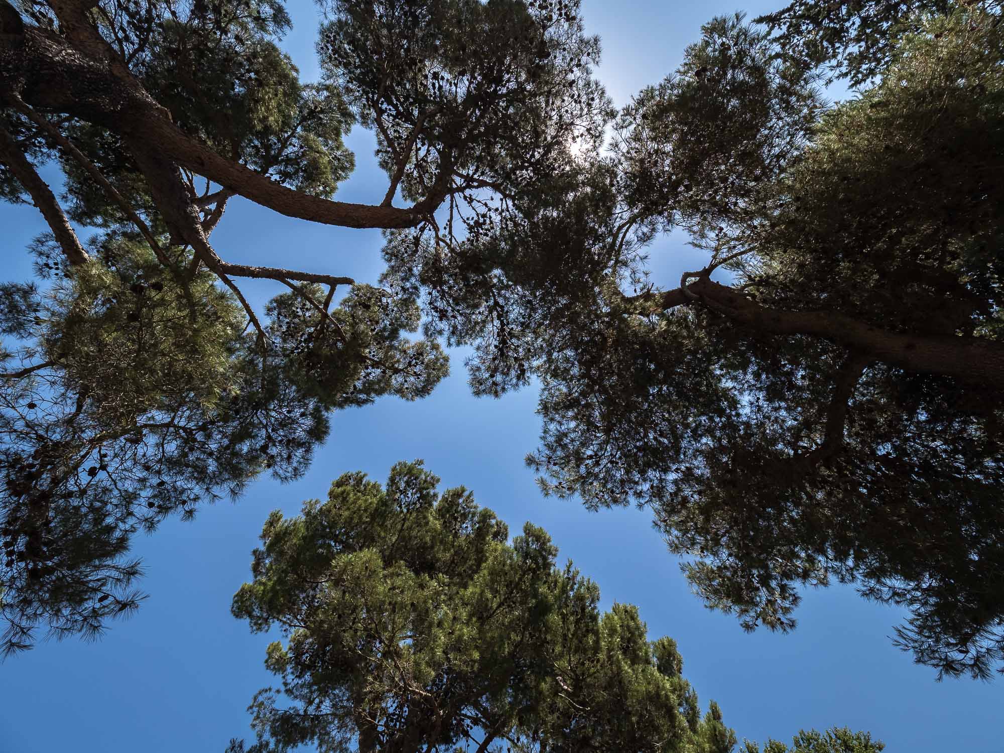
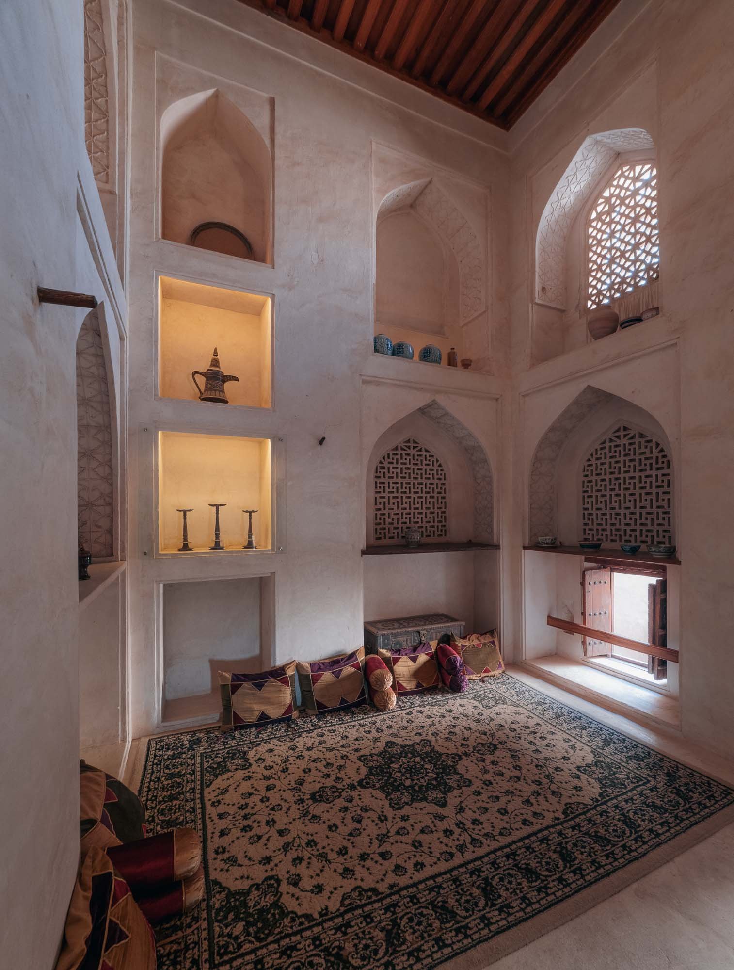
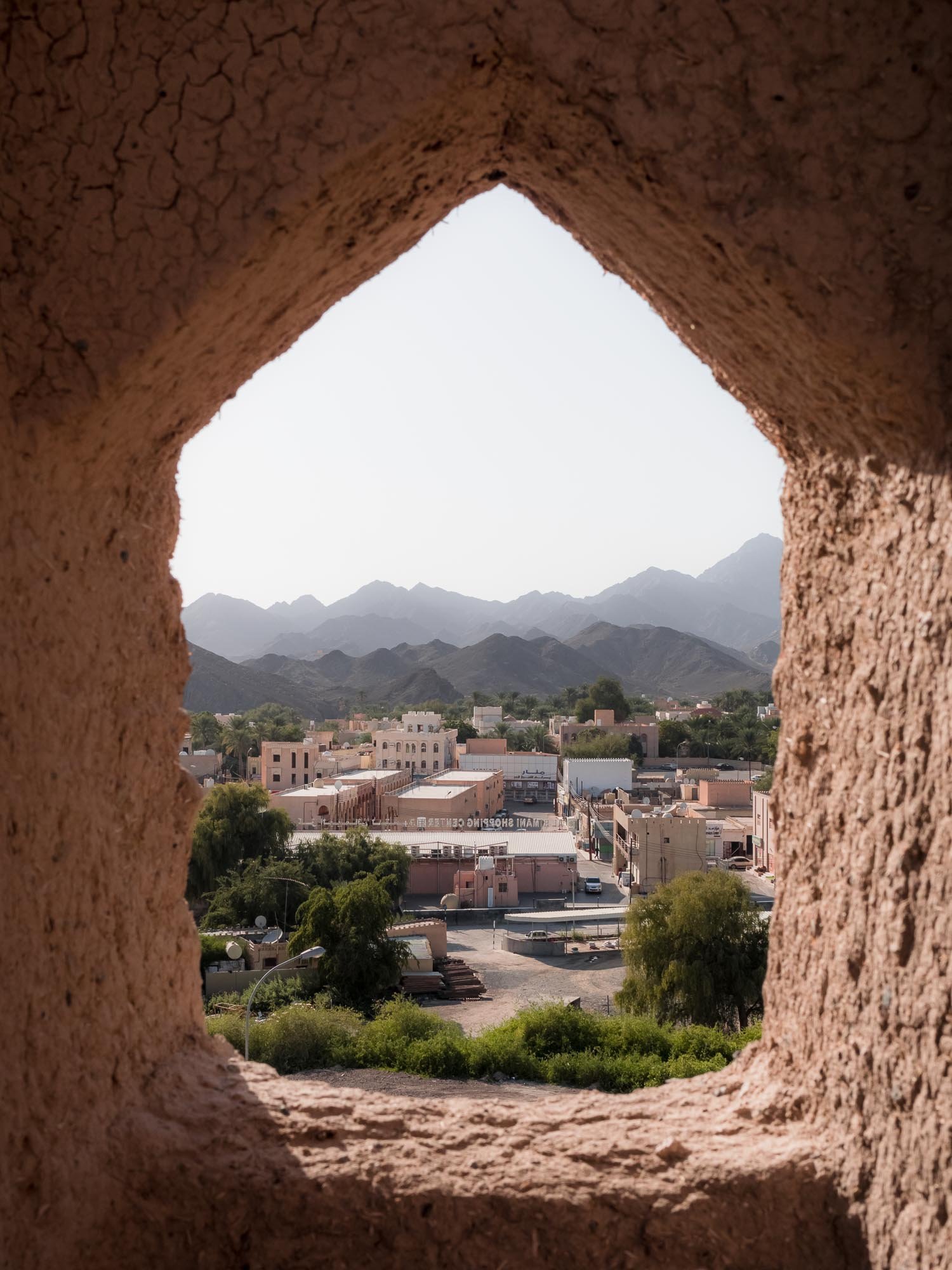
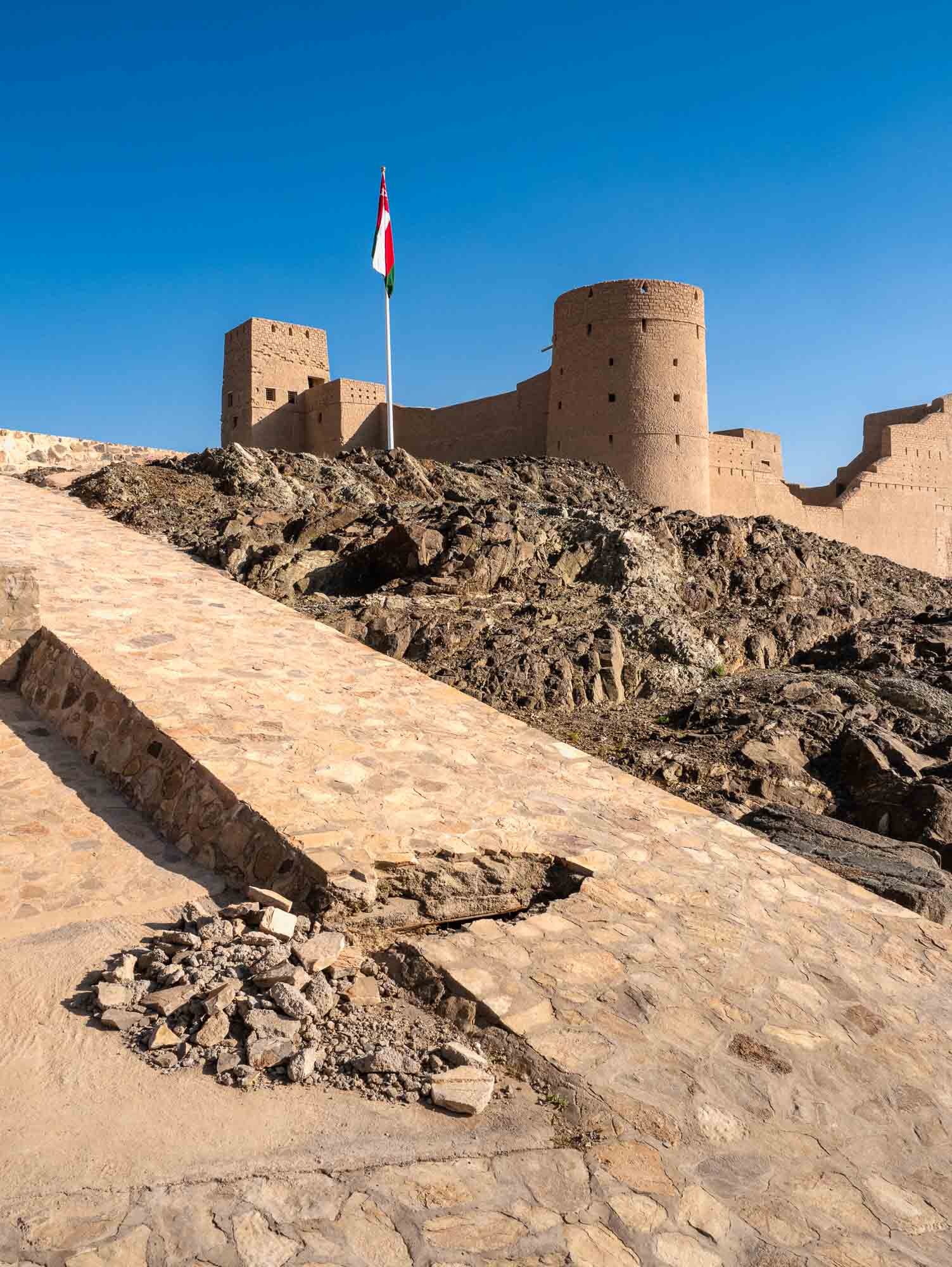
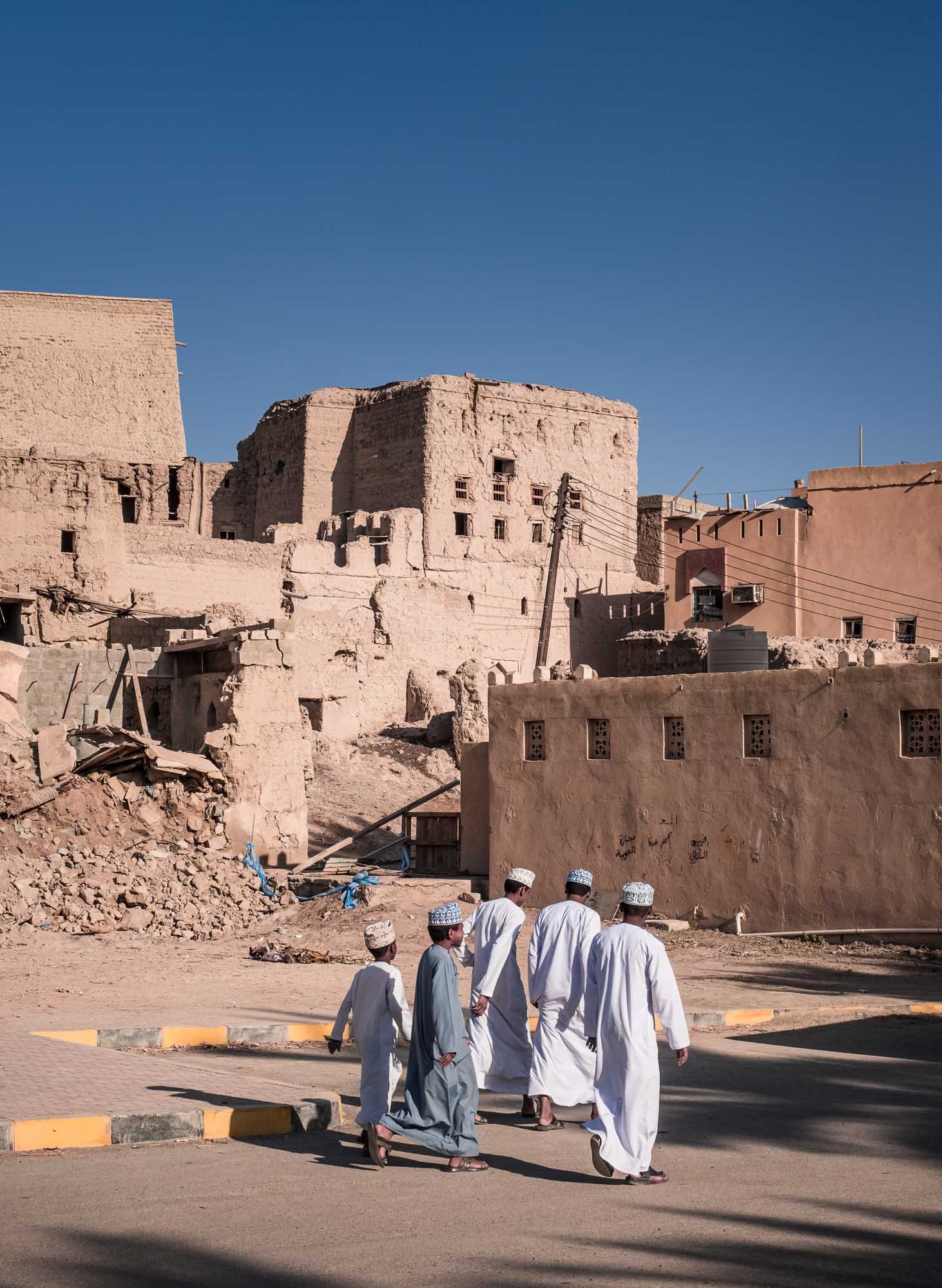
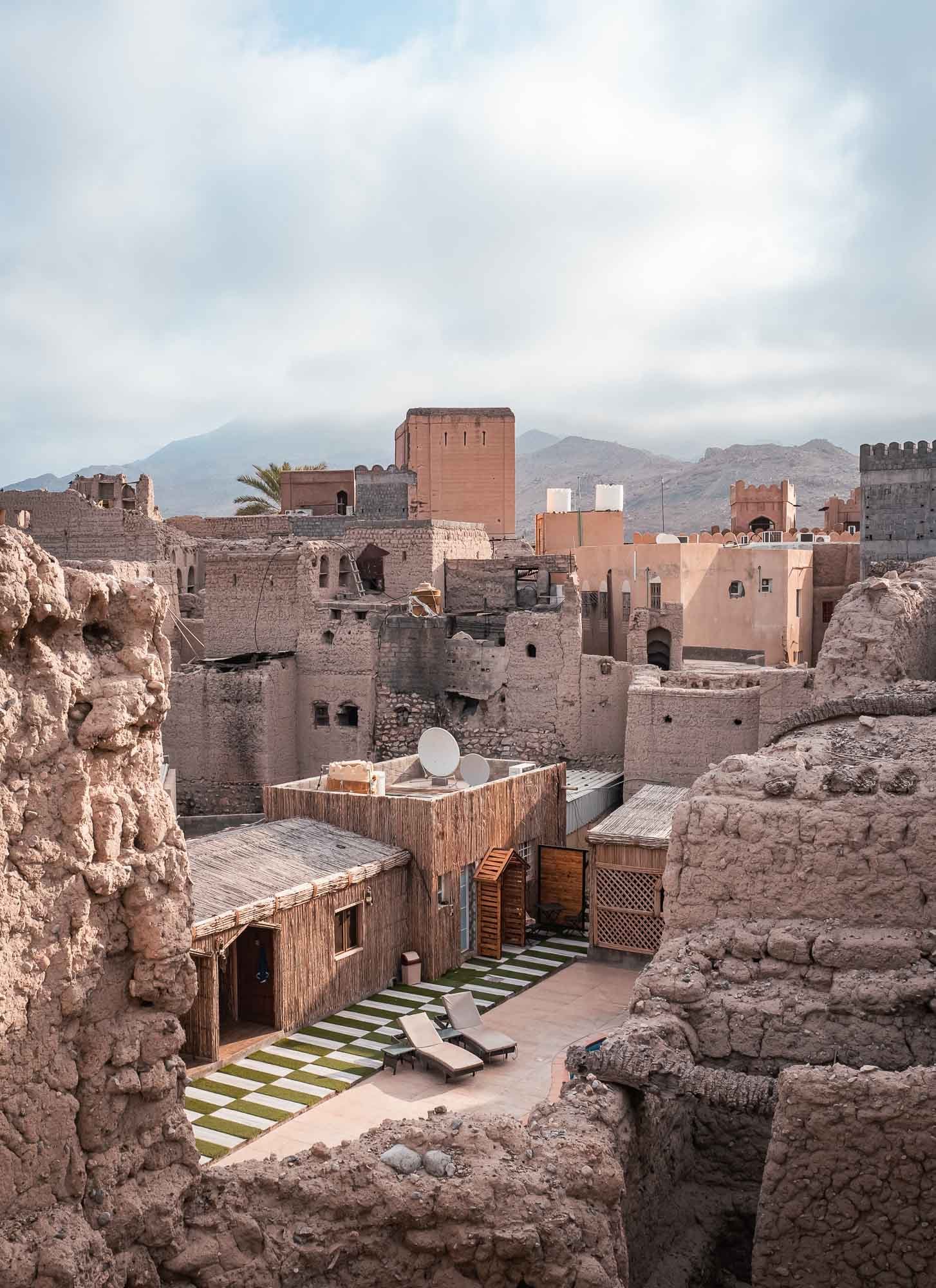
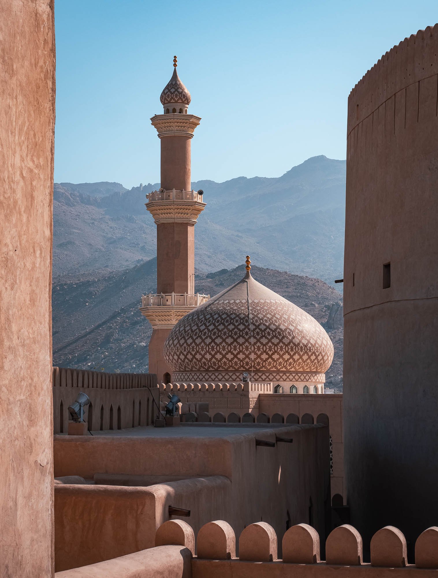
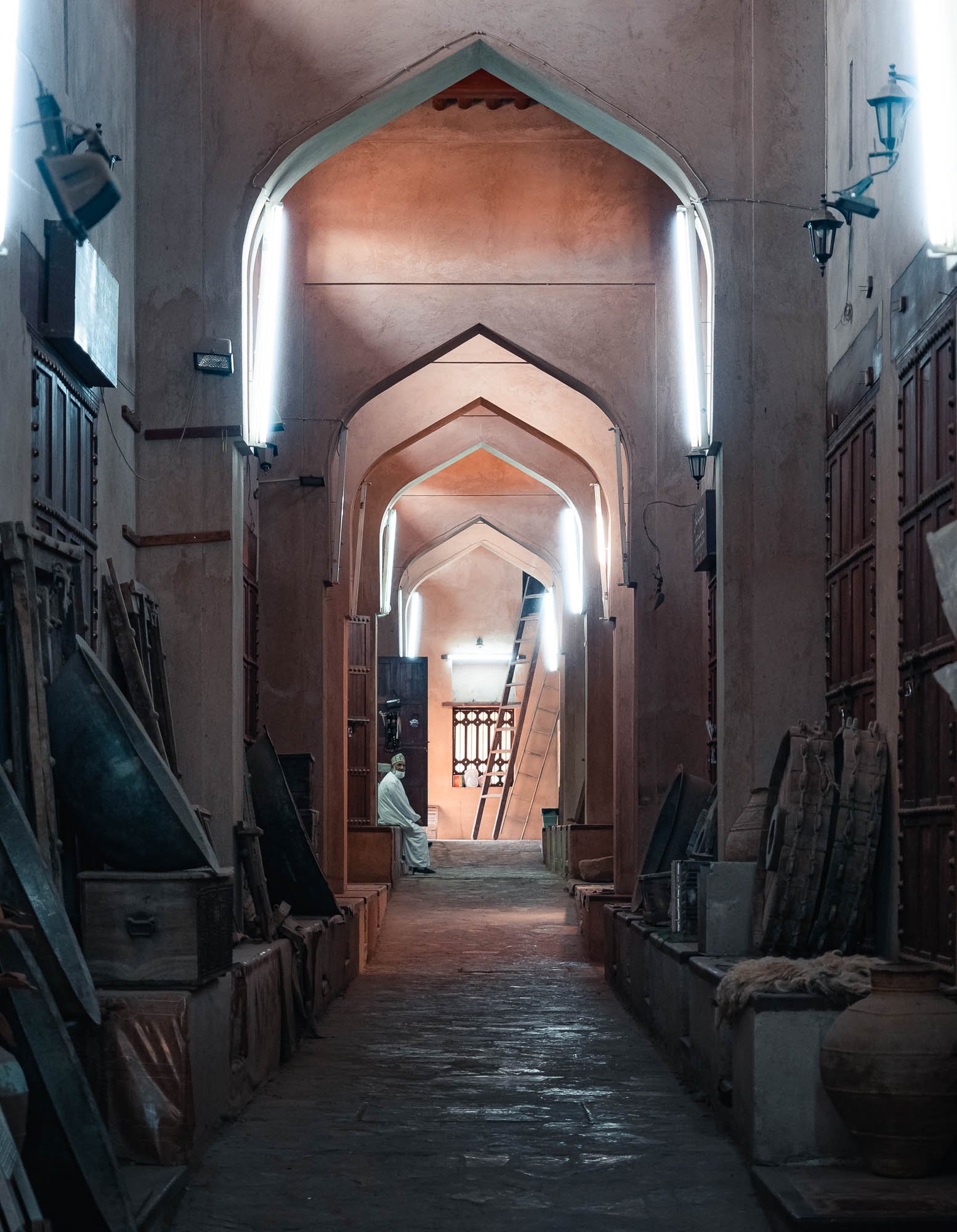
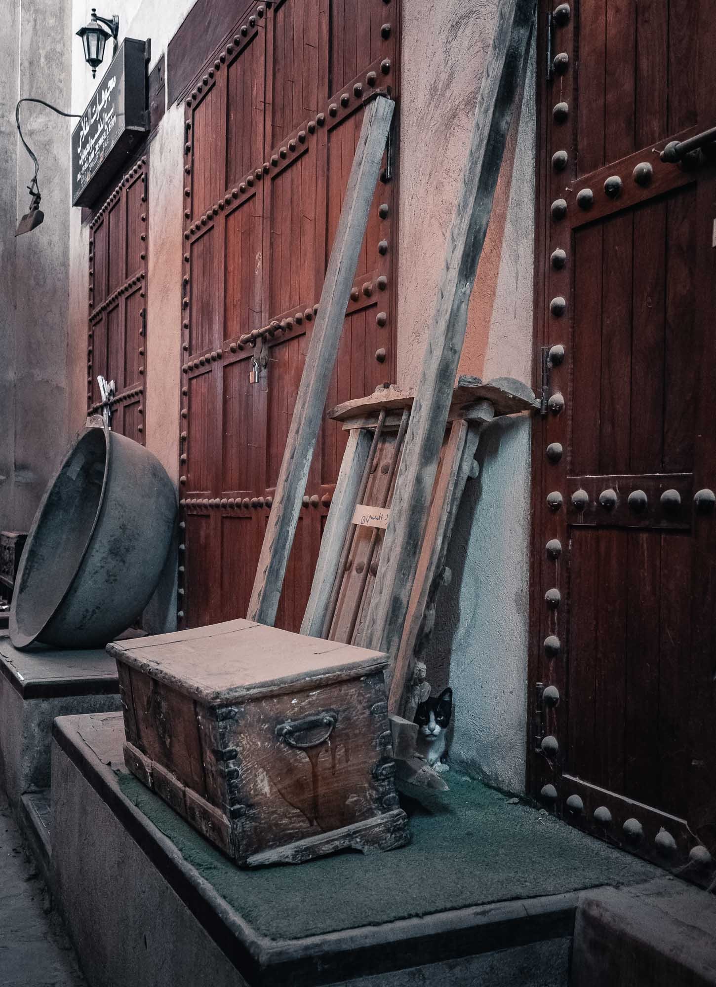
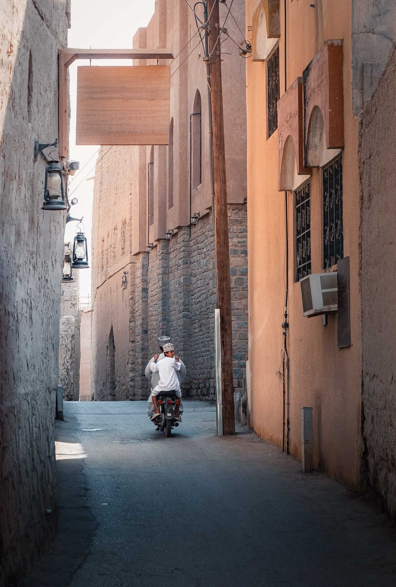
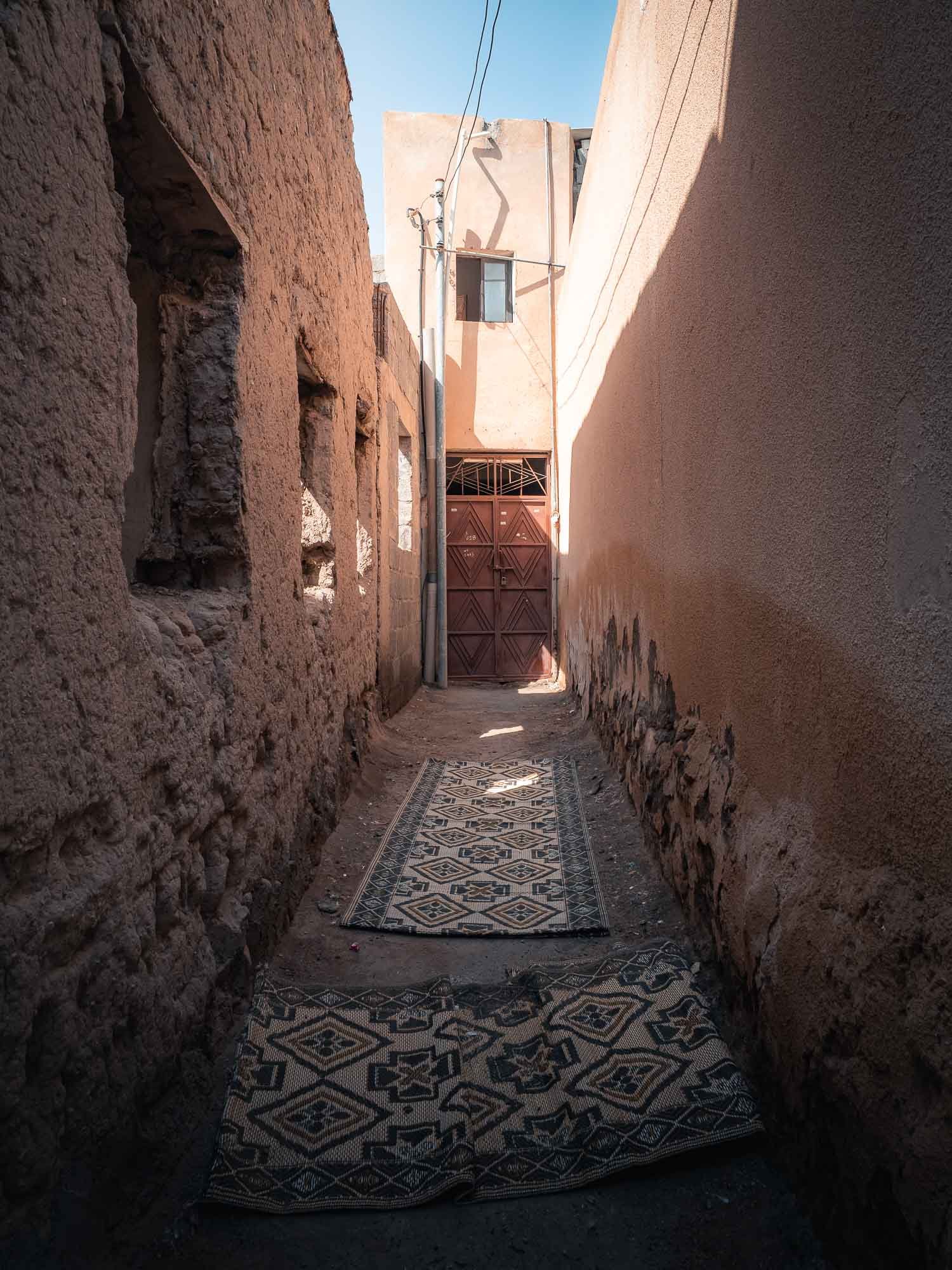
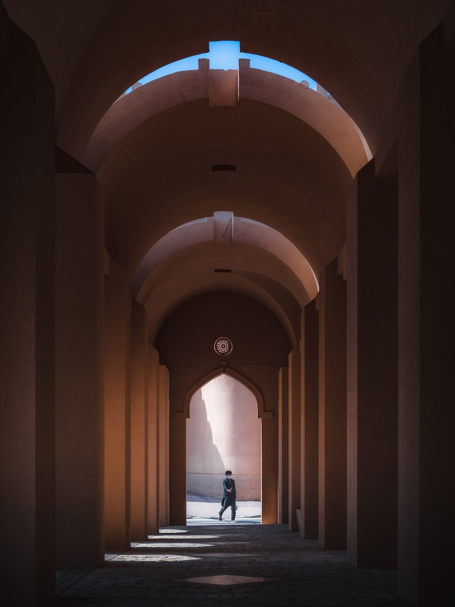
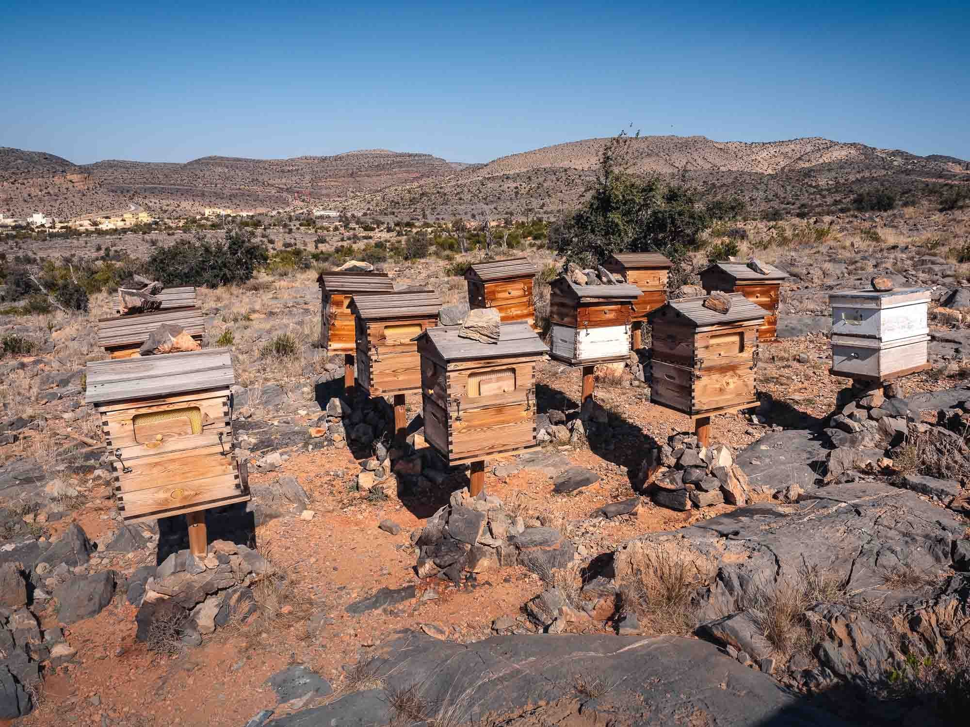
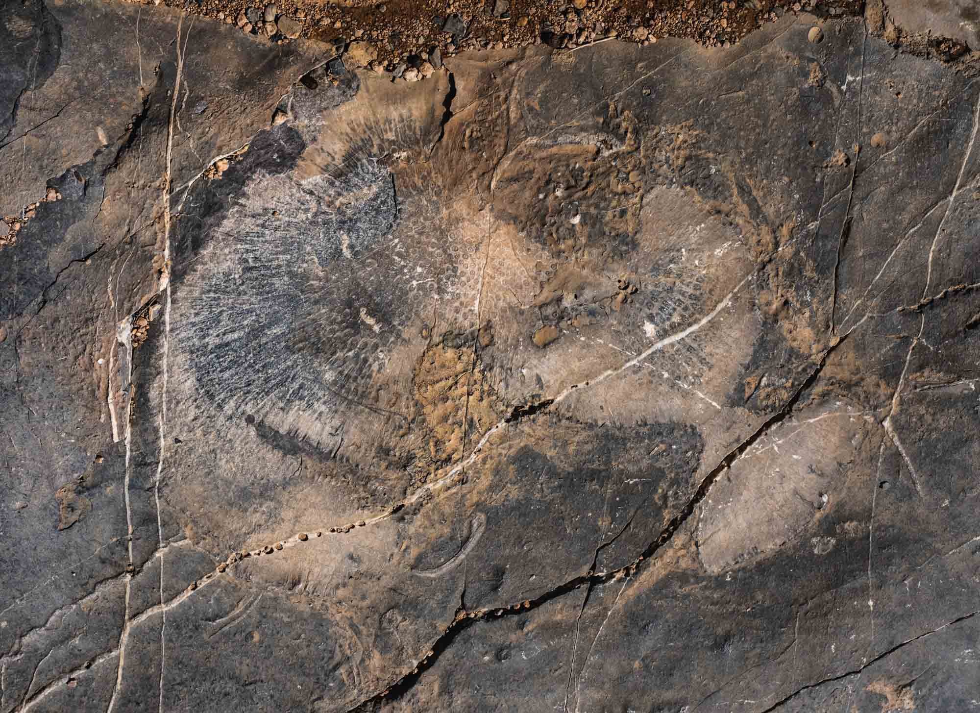
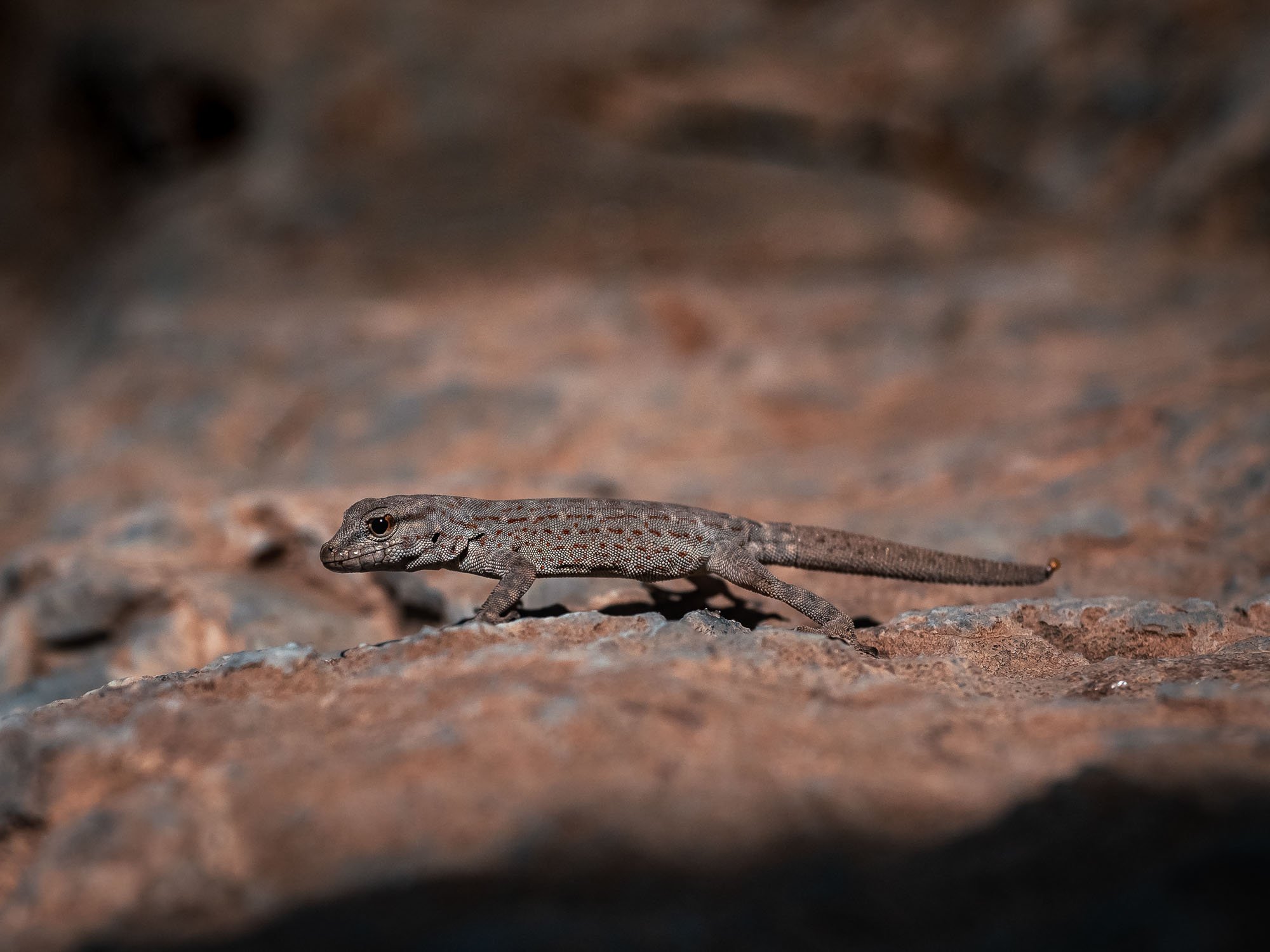
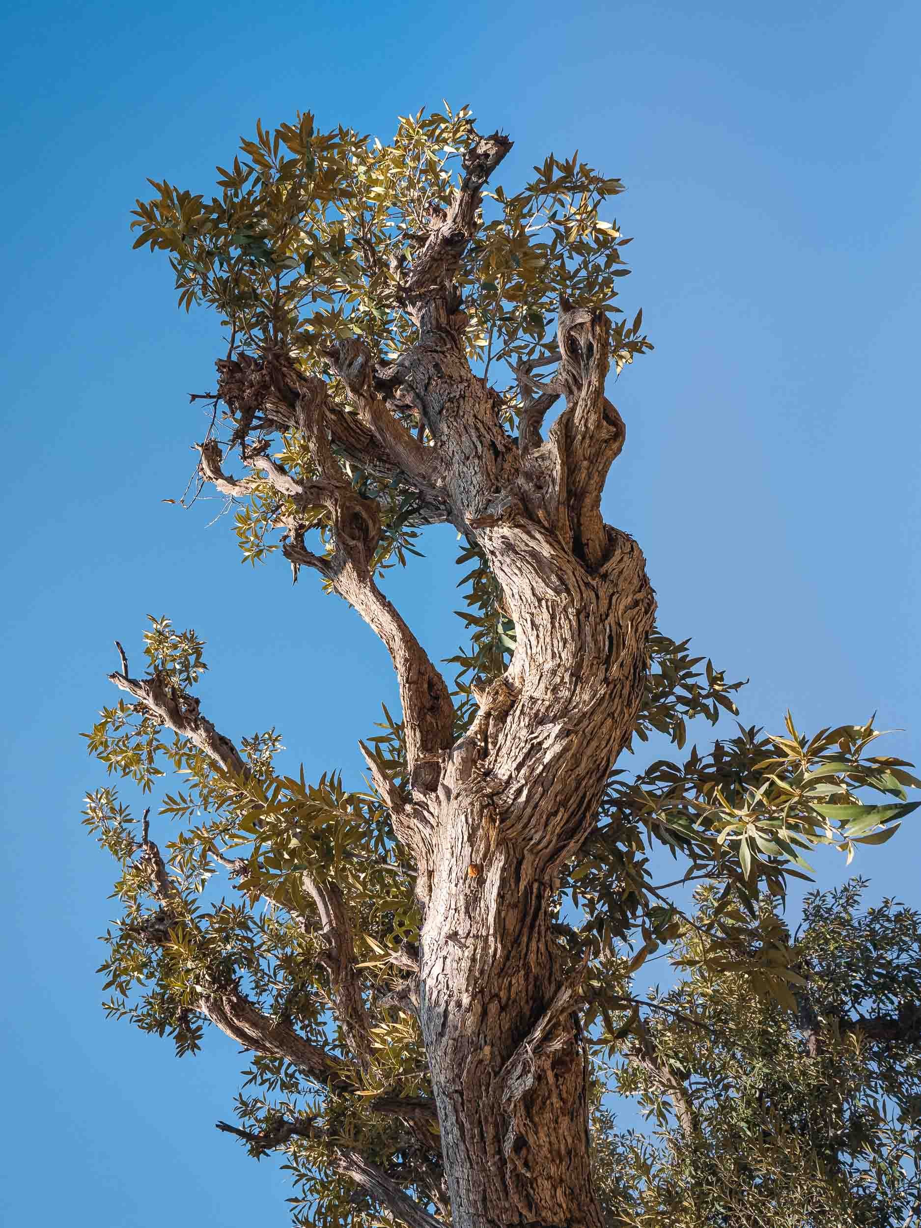
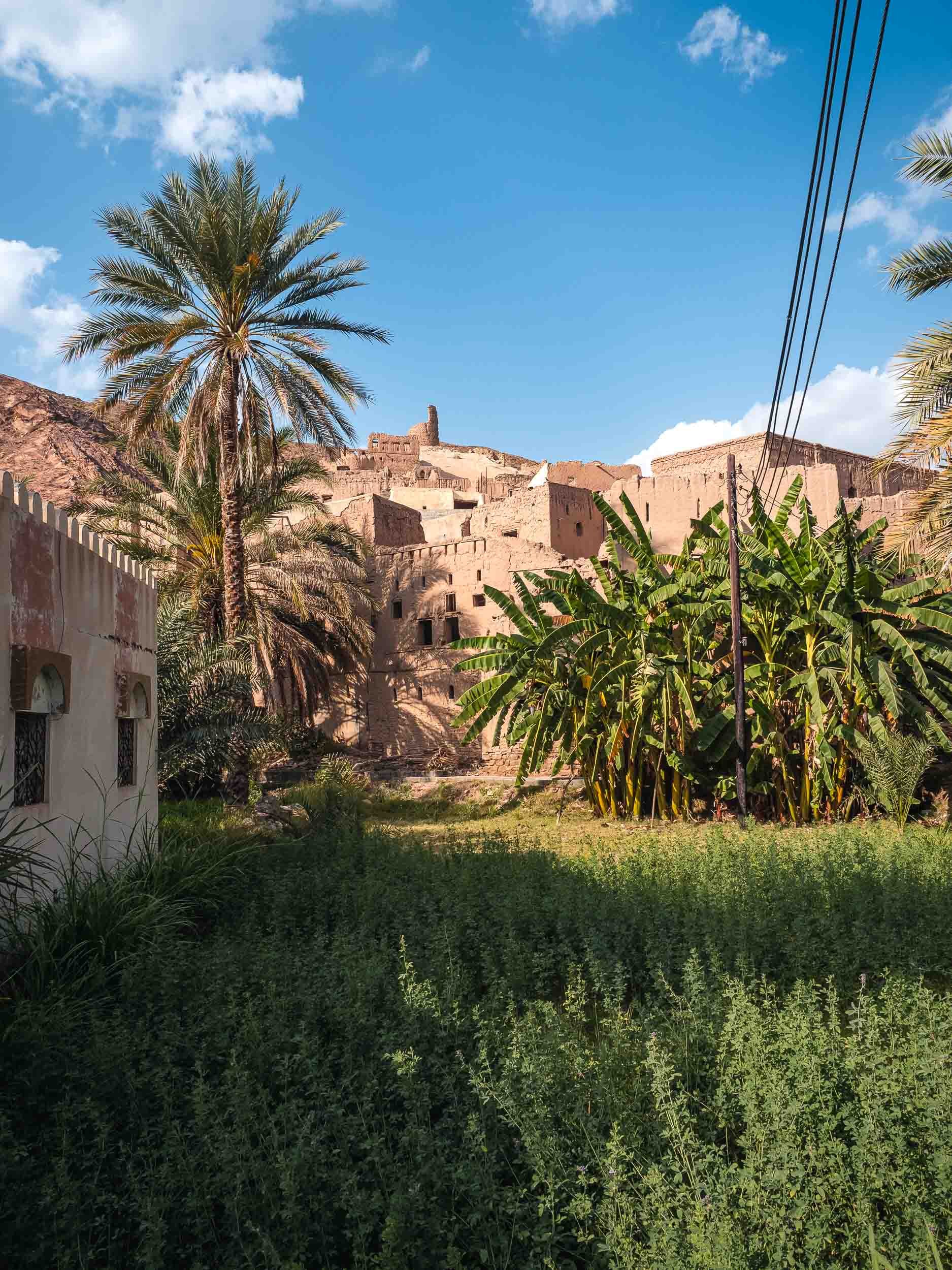
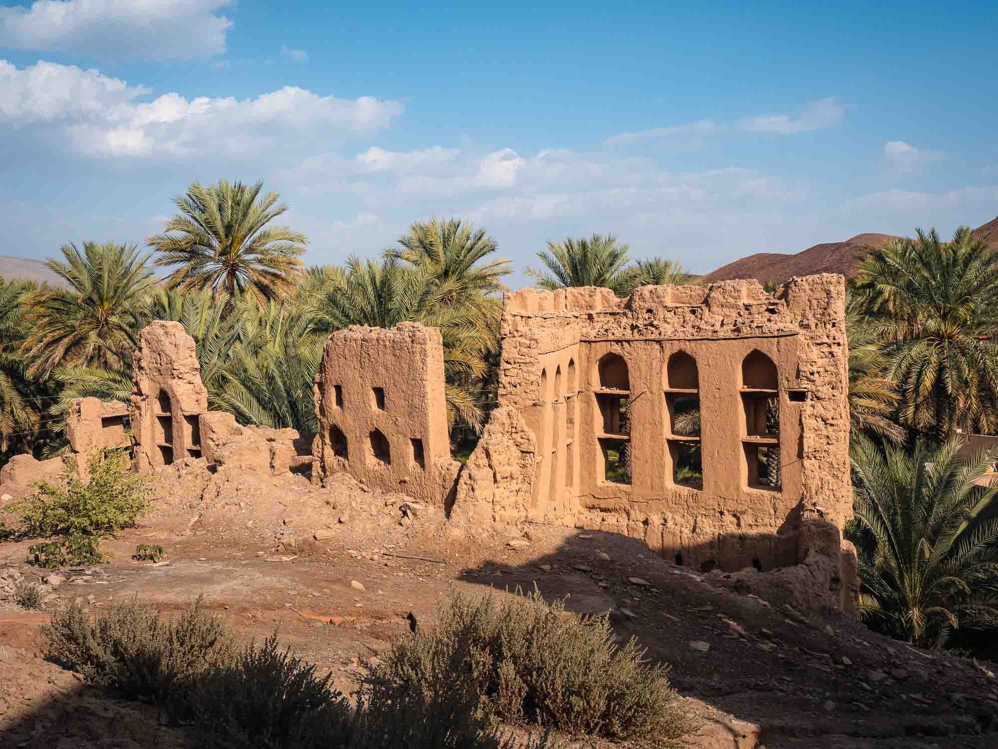
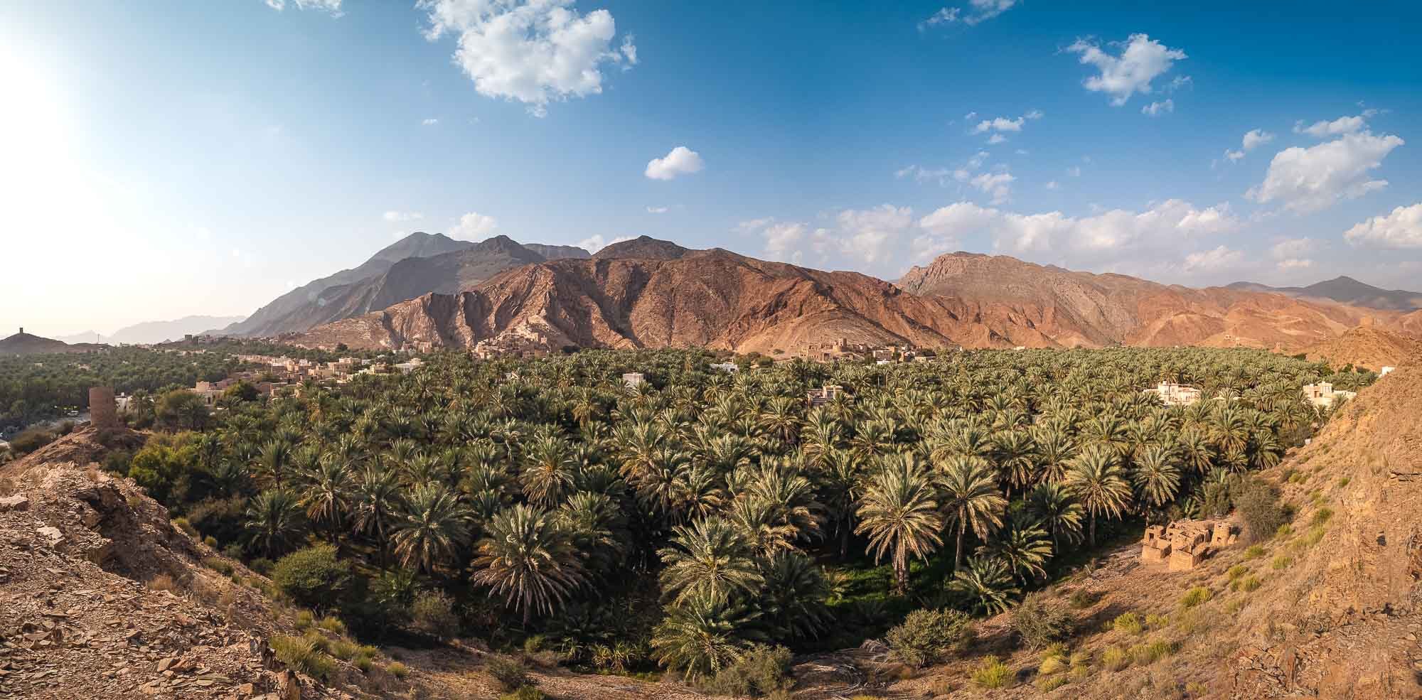
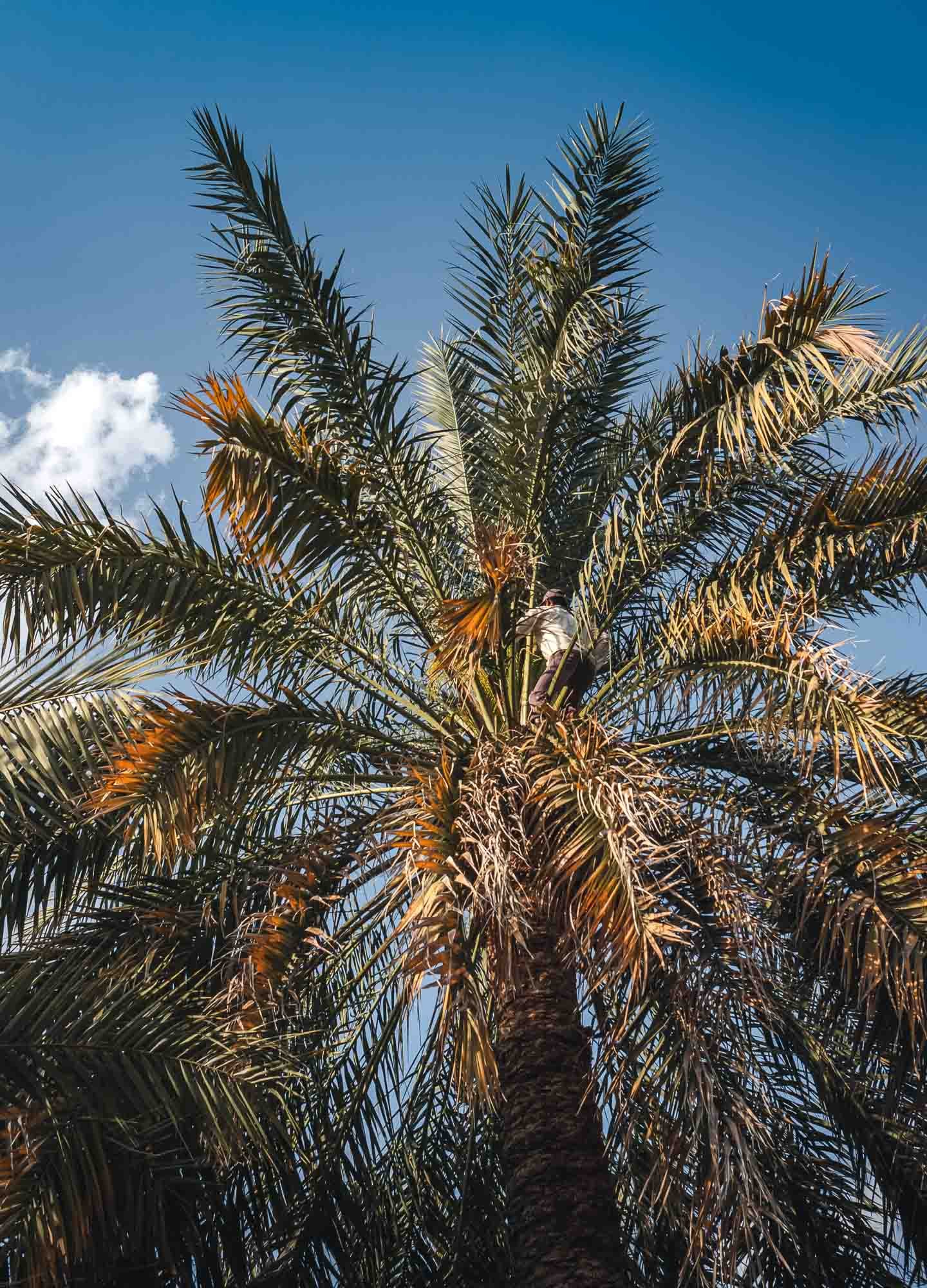
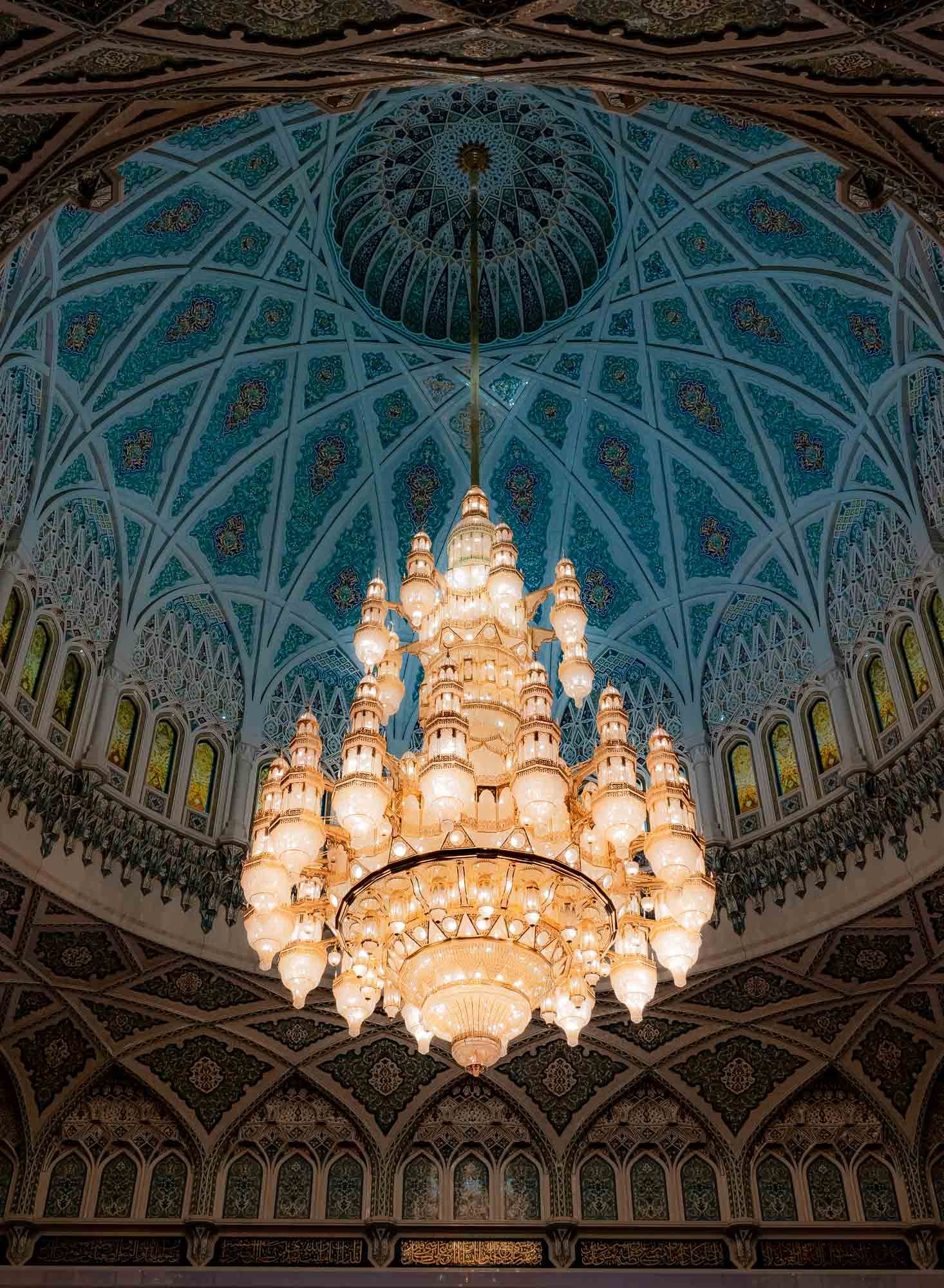
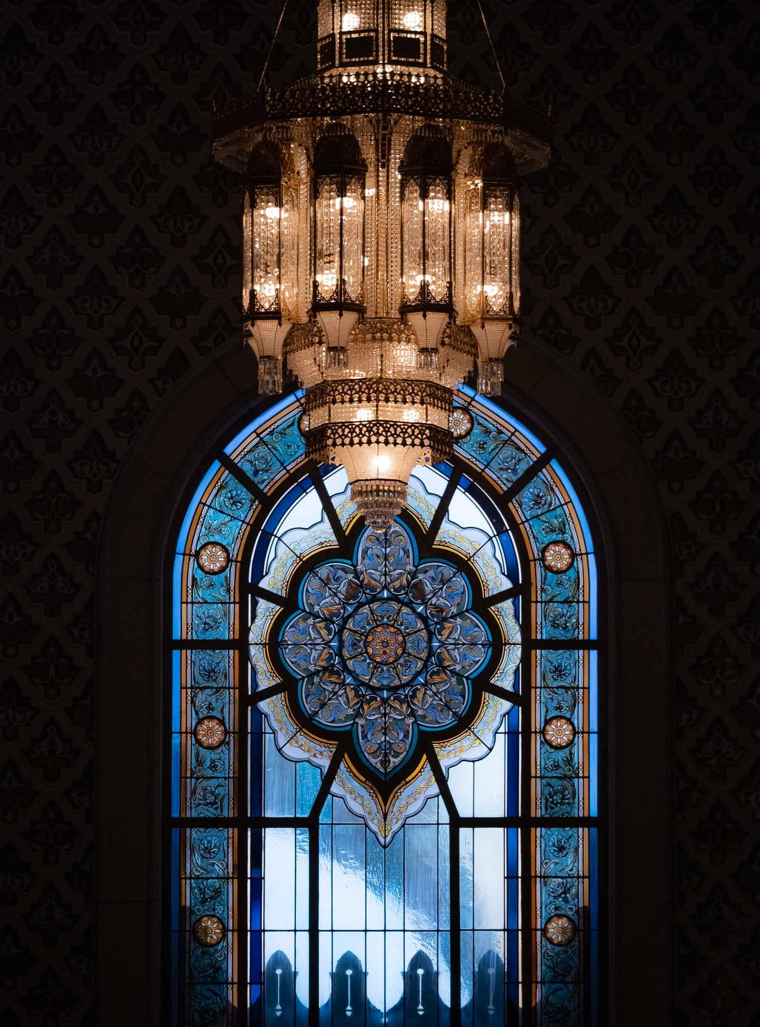
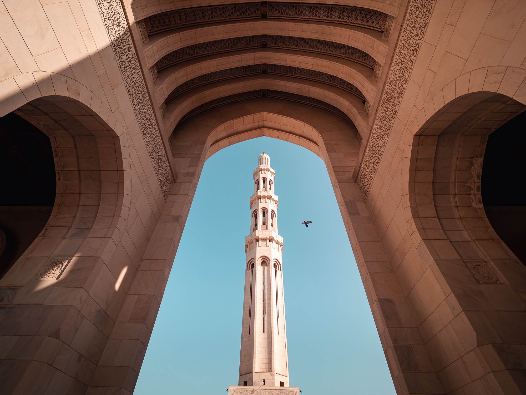
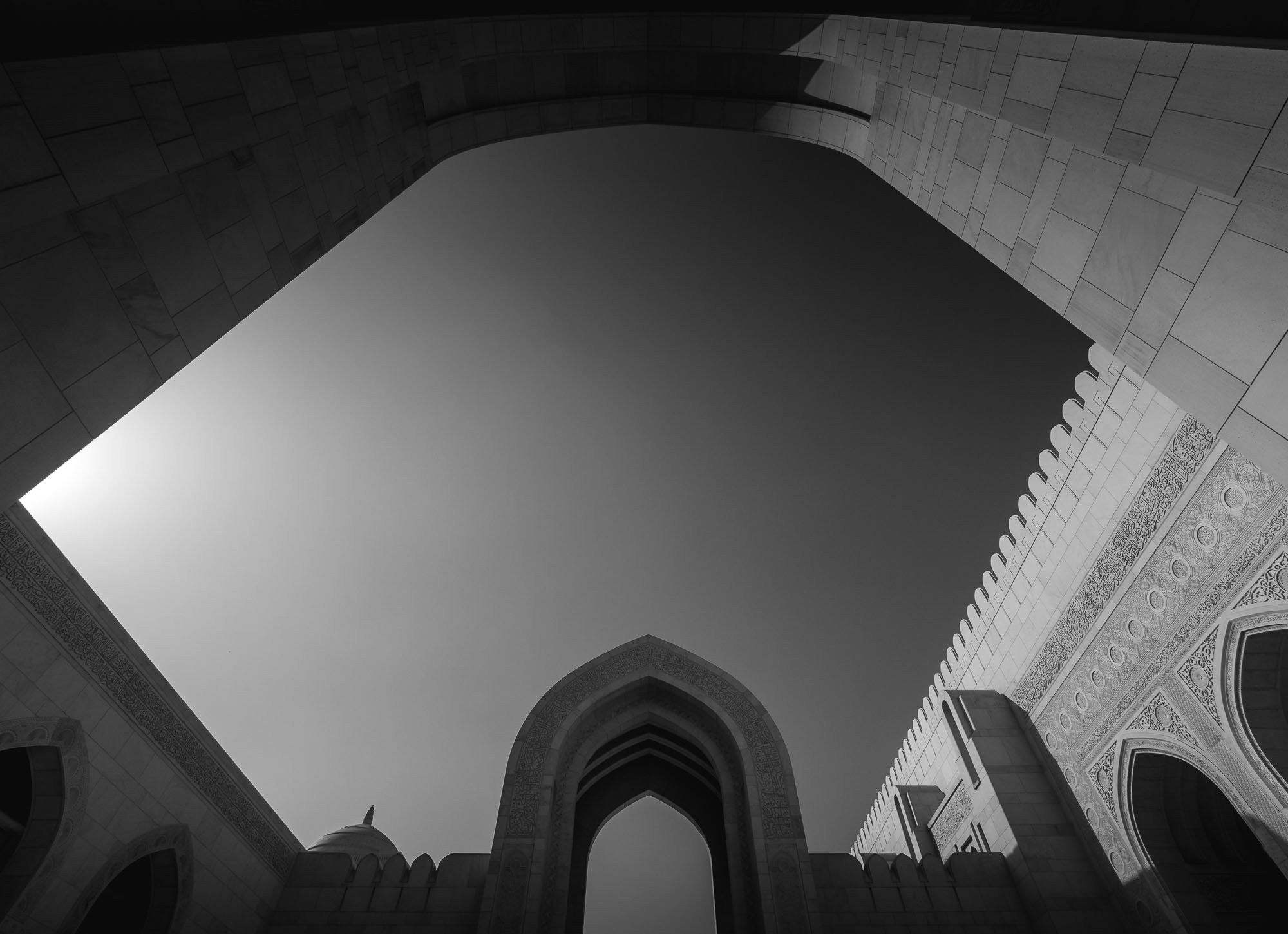
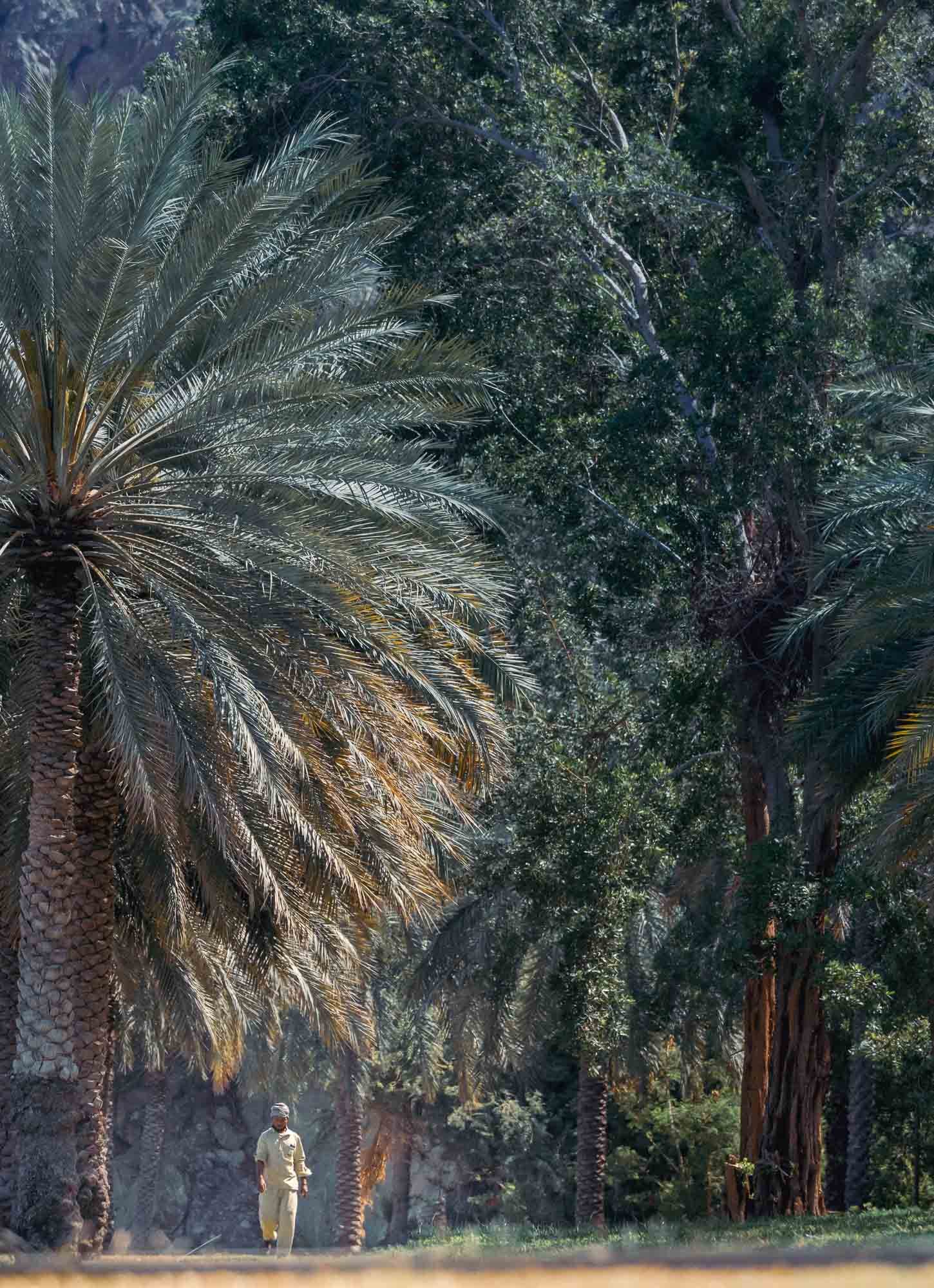
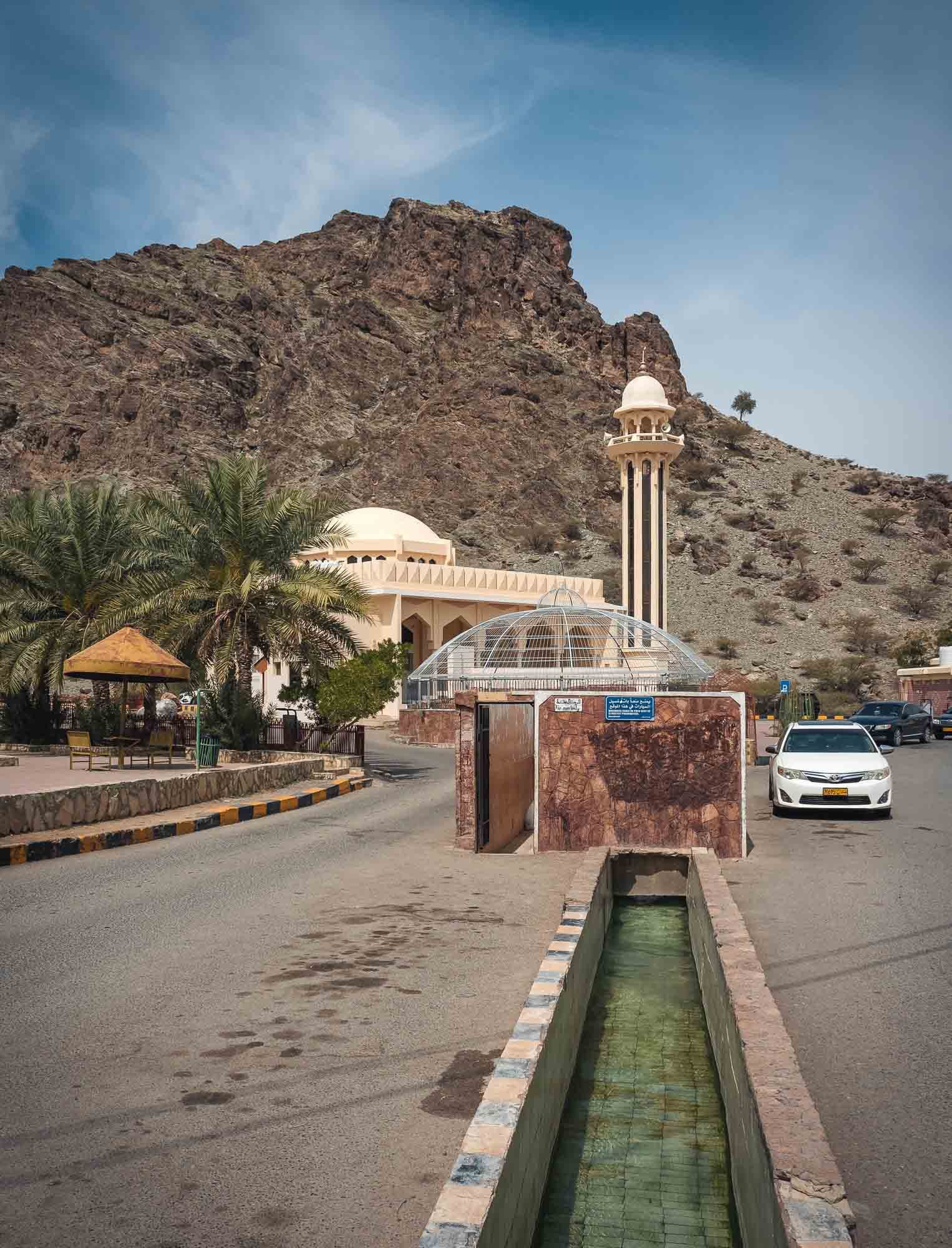
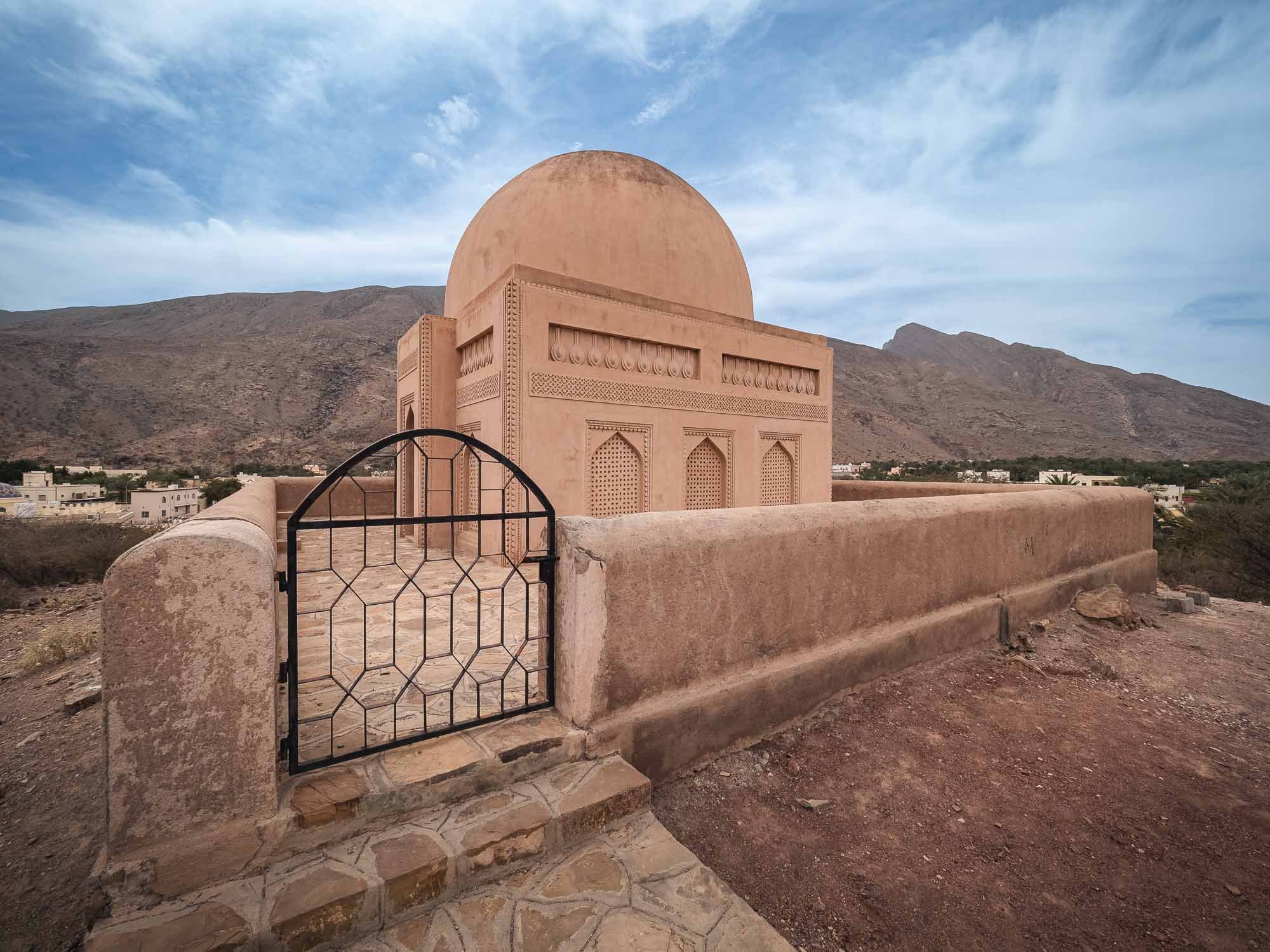
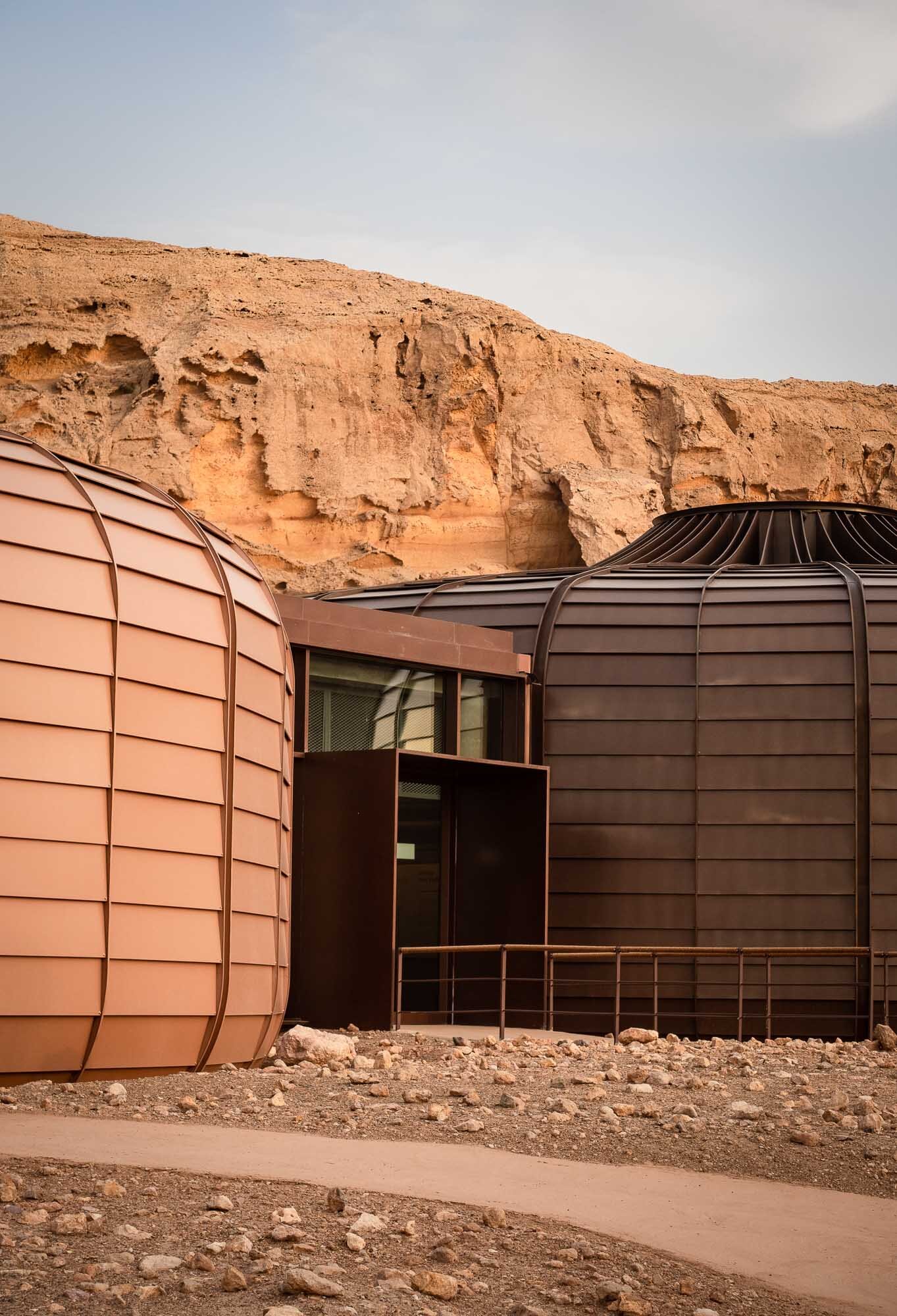
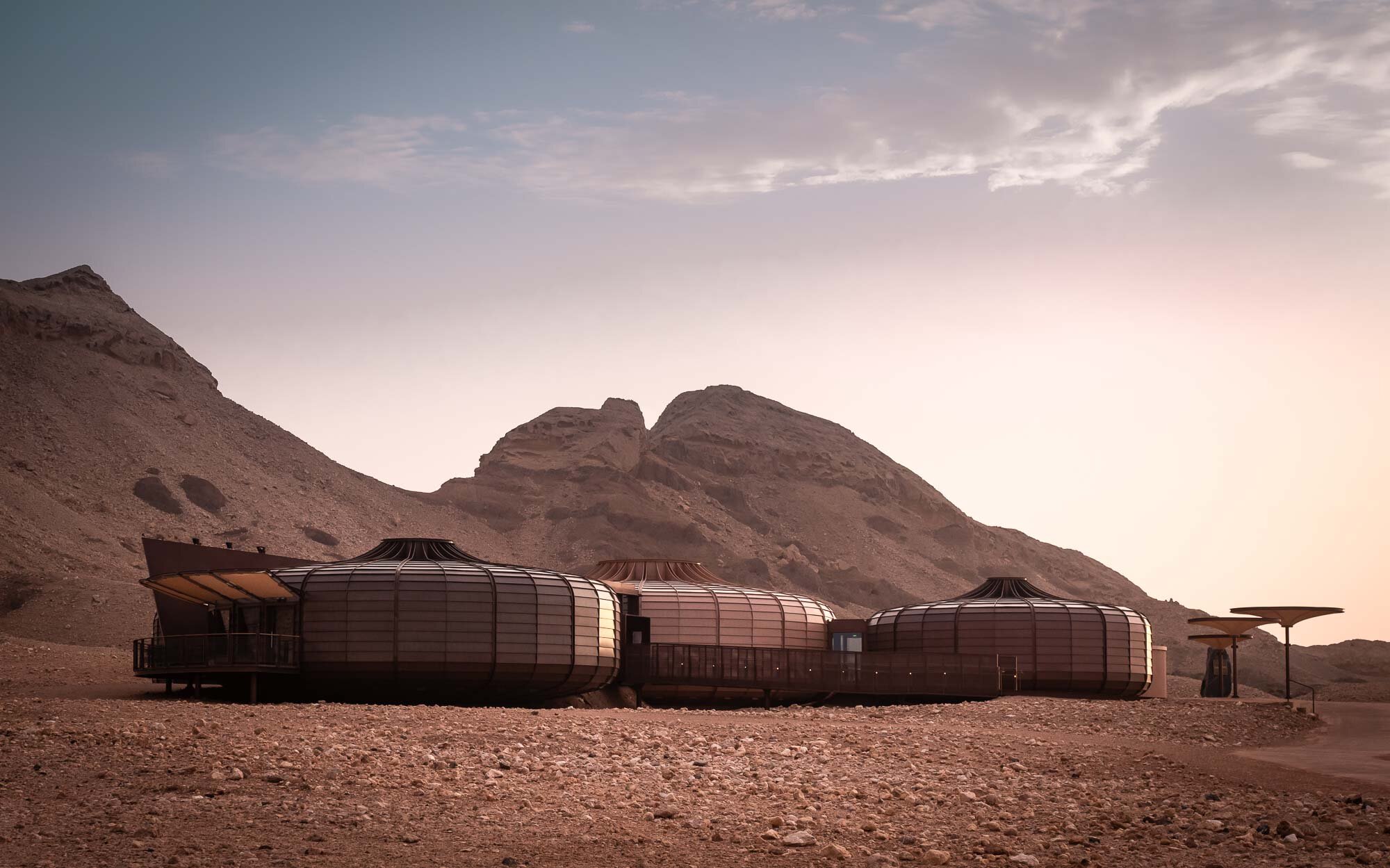
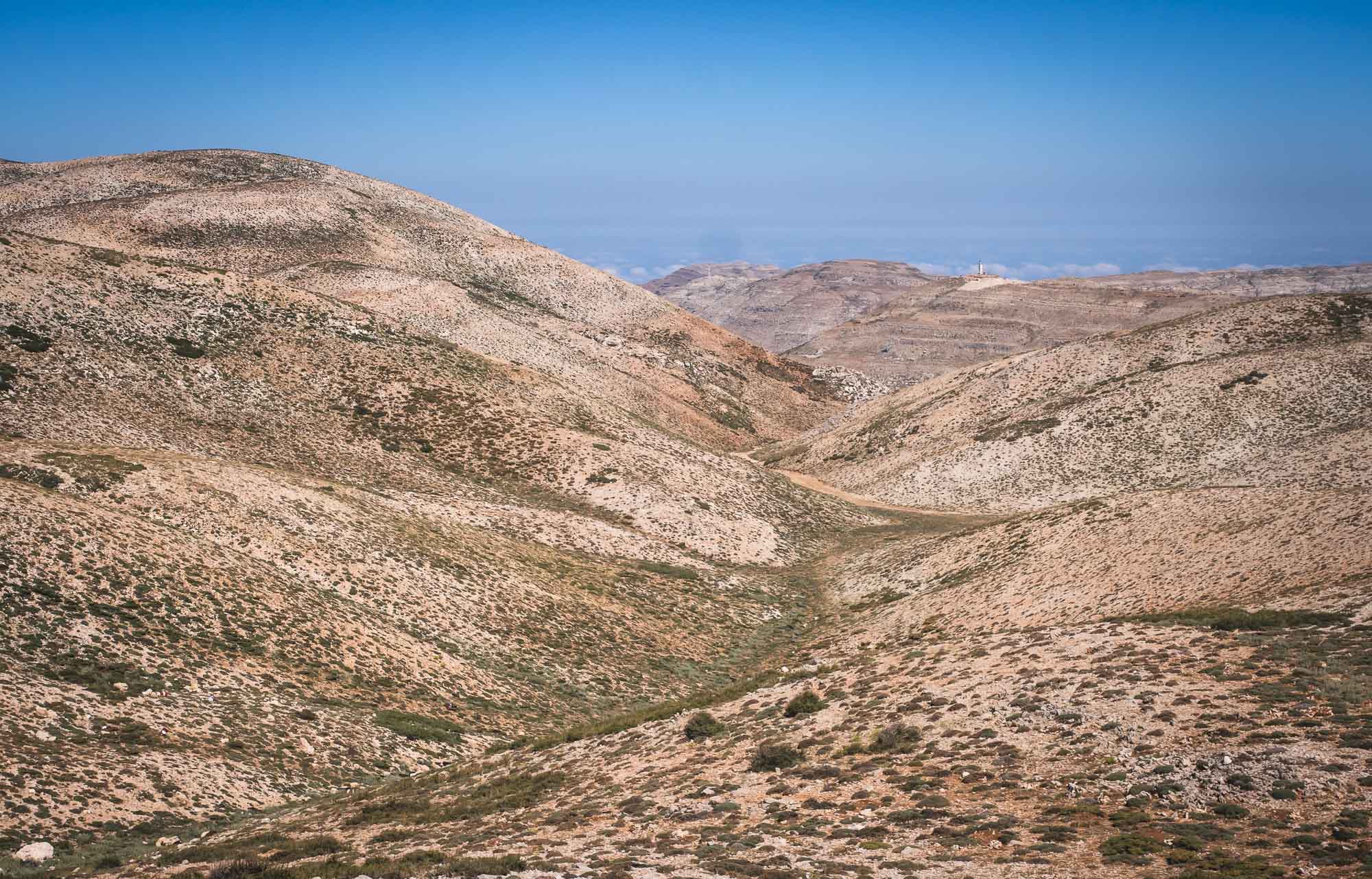
Nizwa


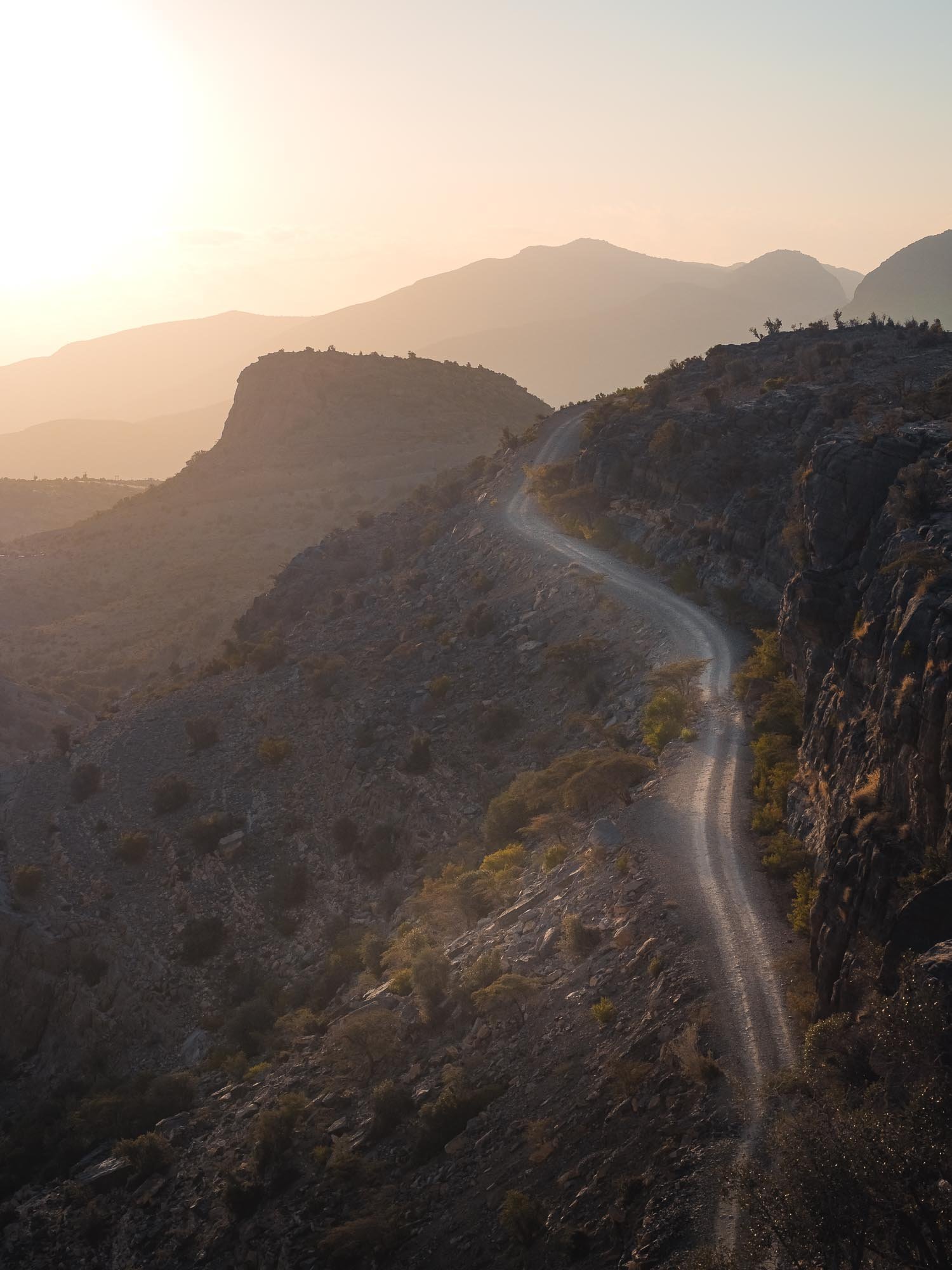
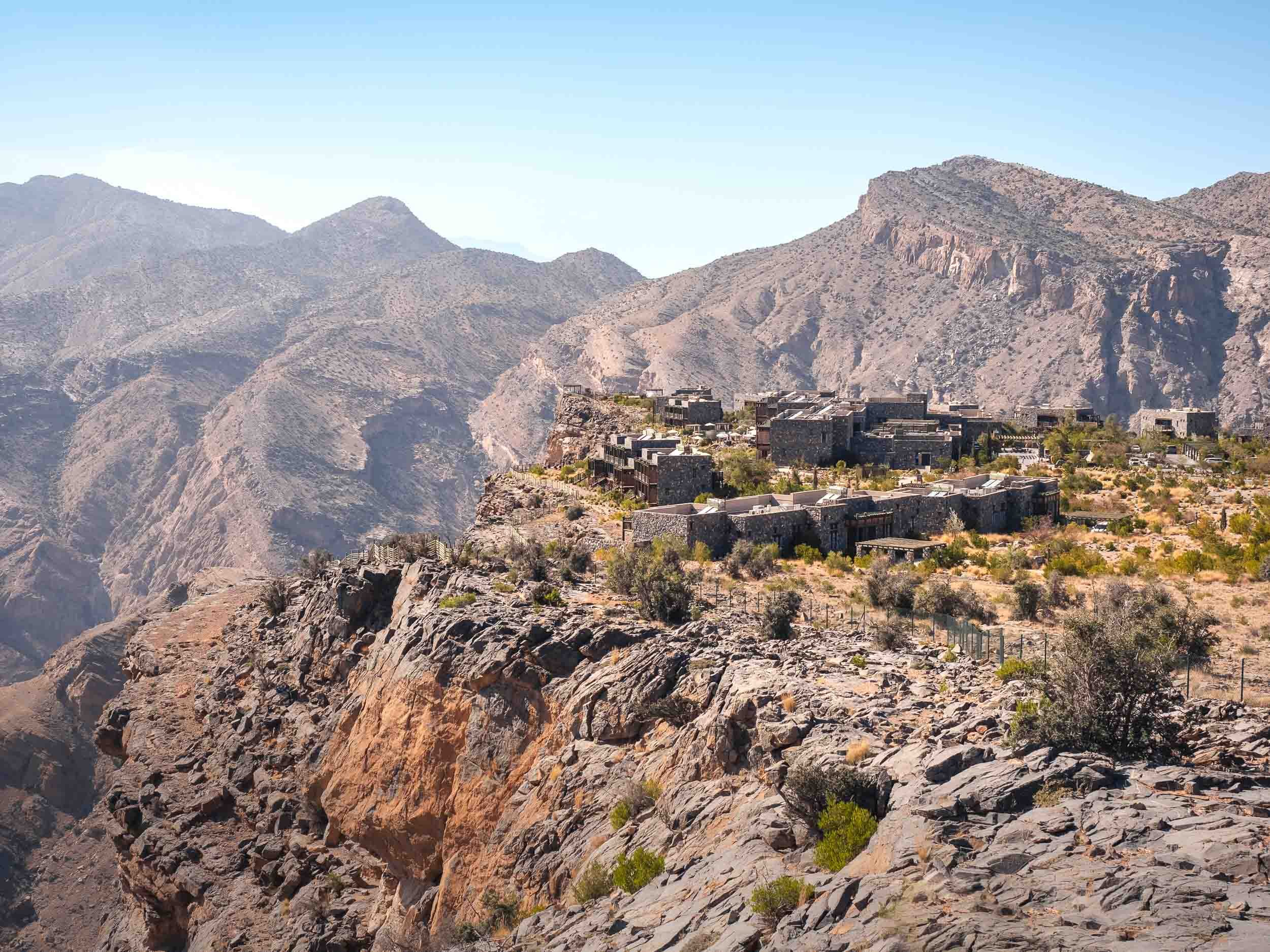
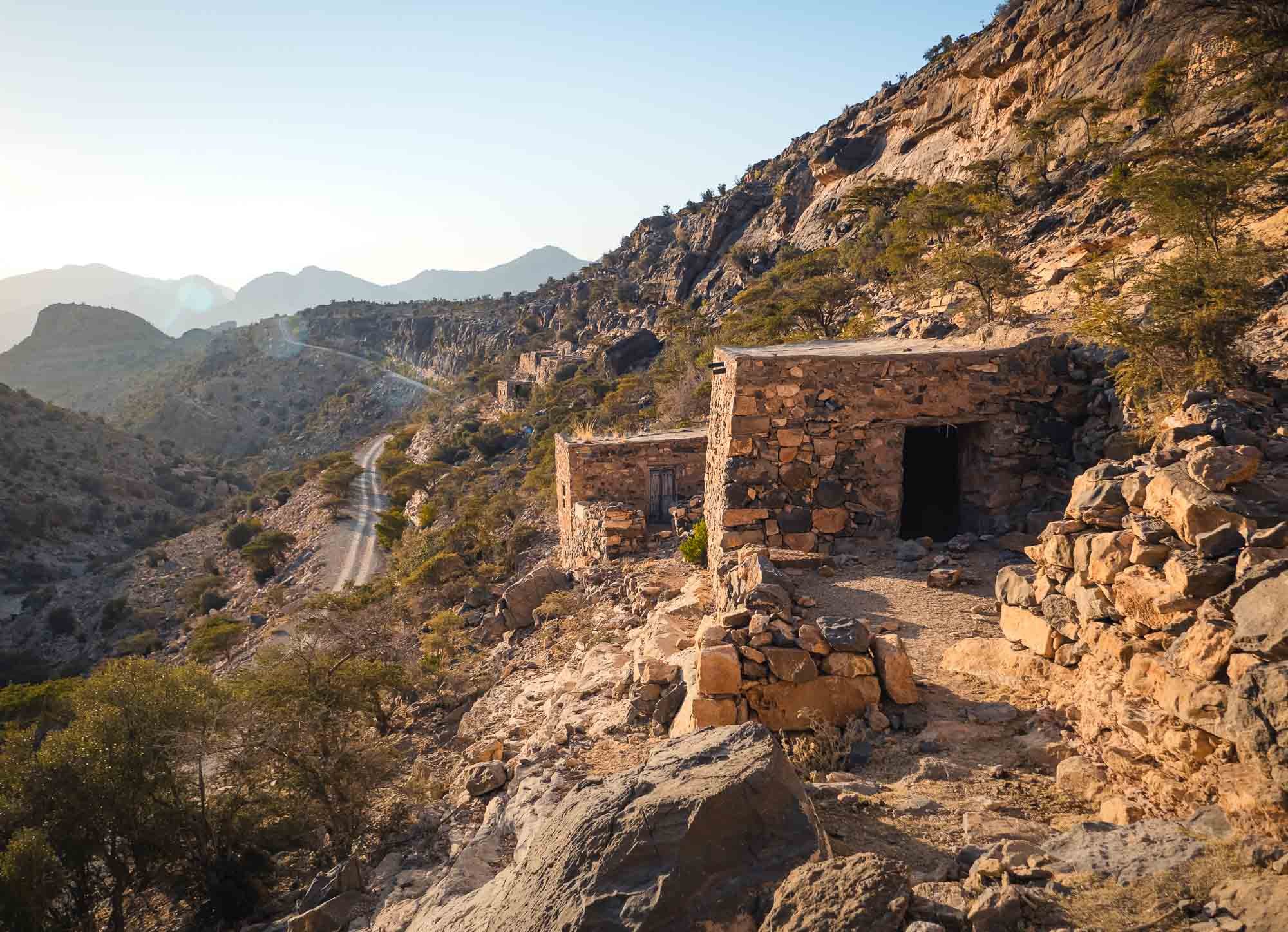
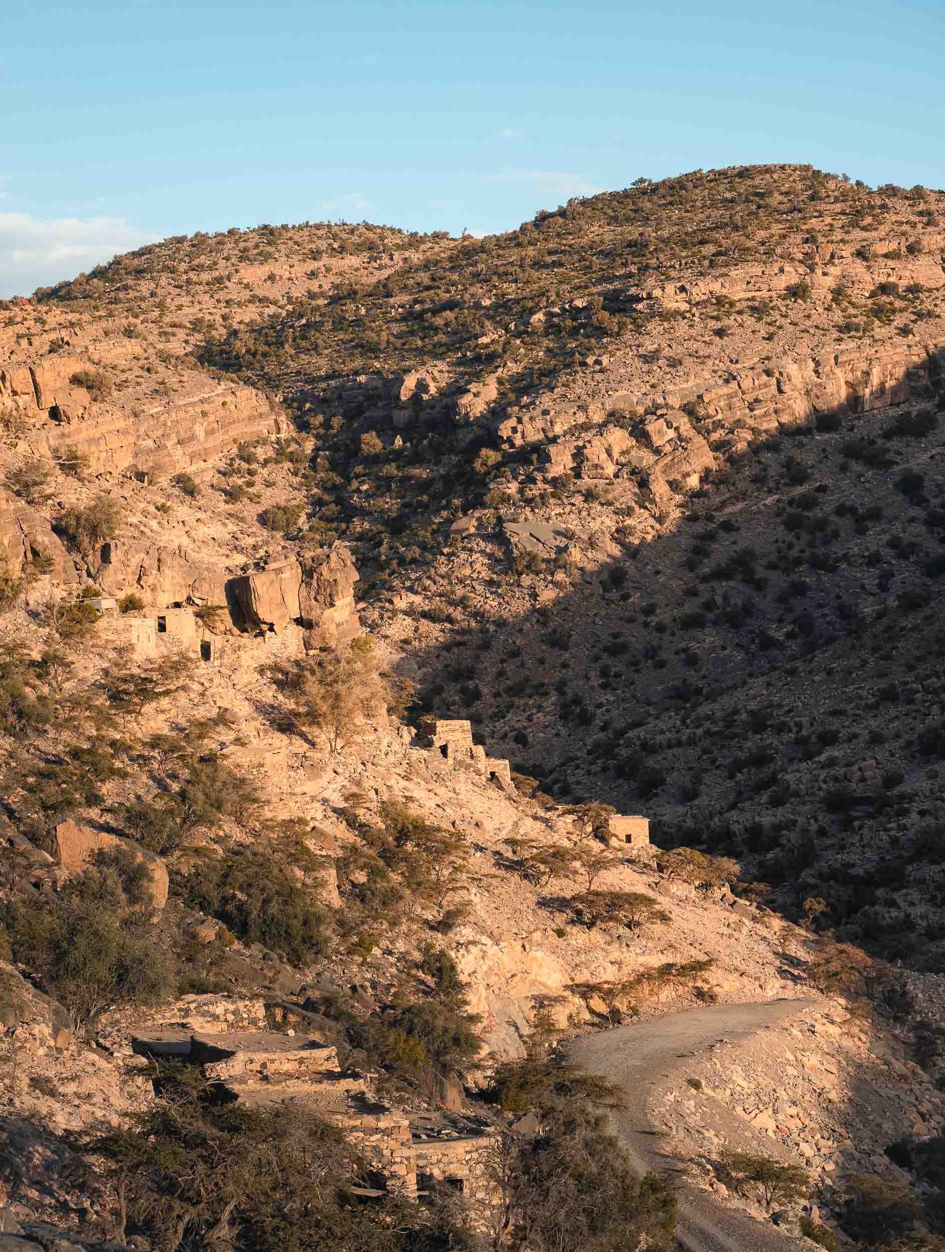
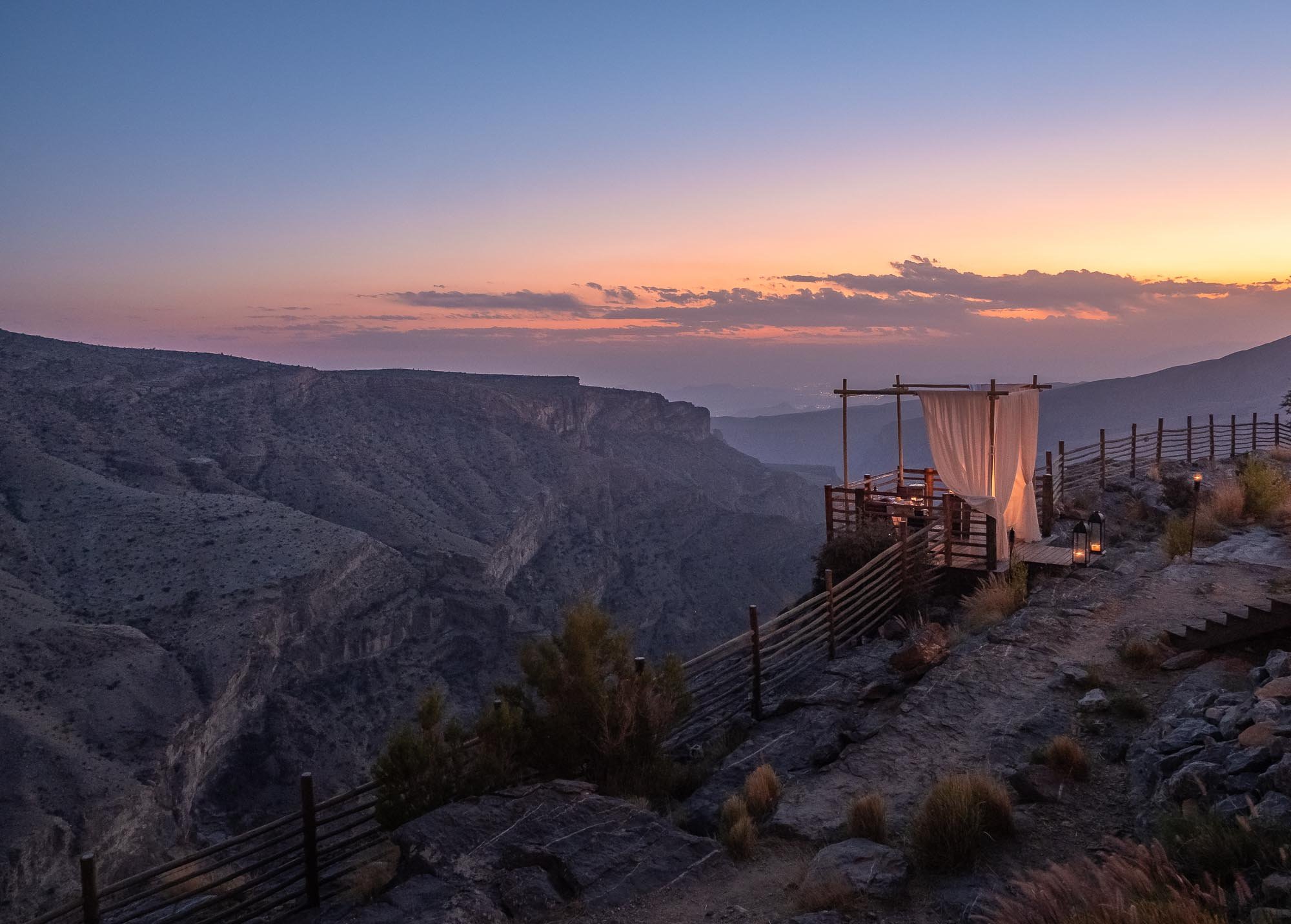
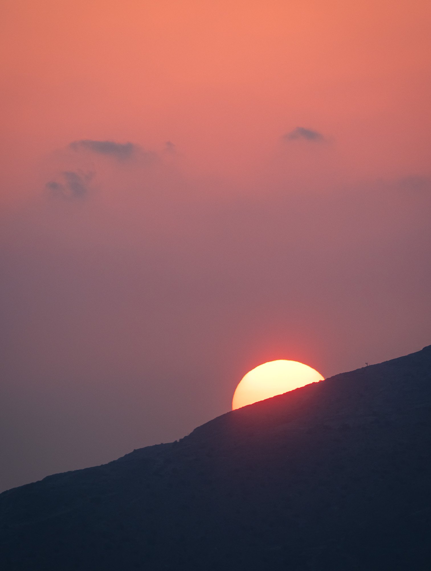
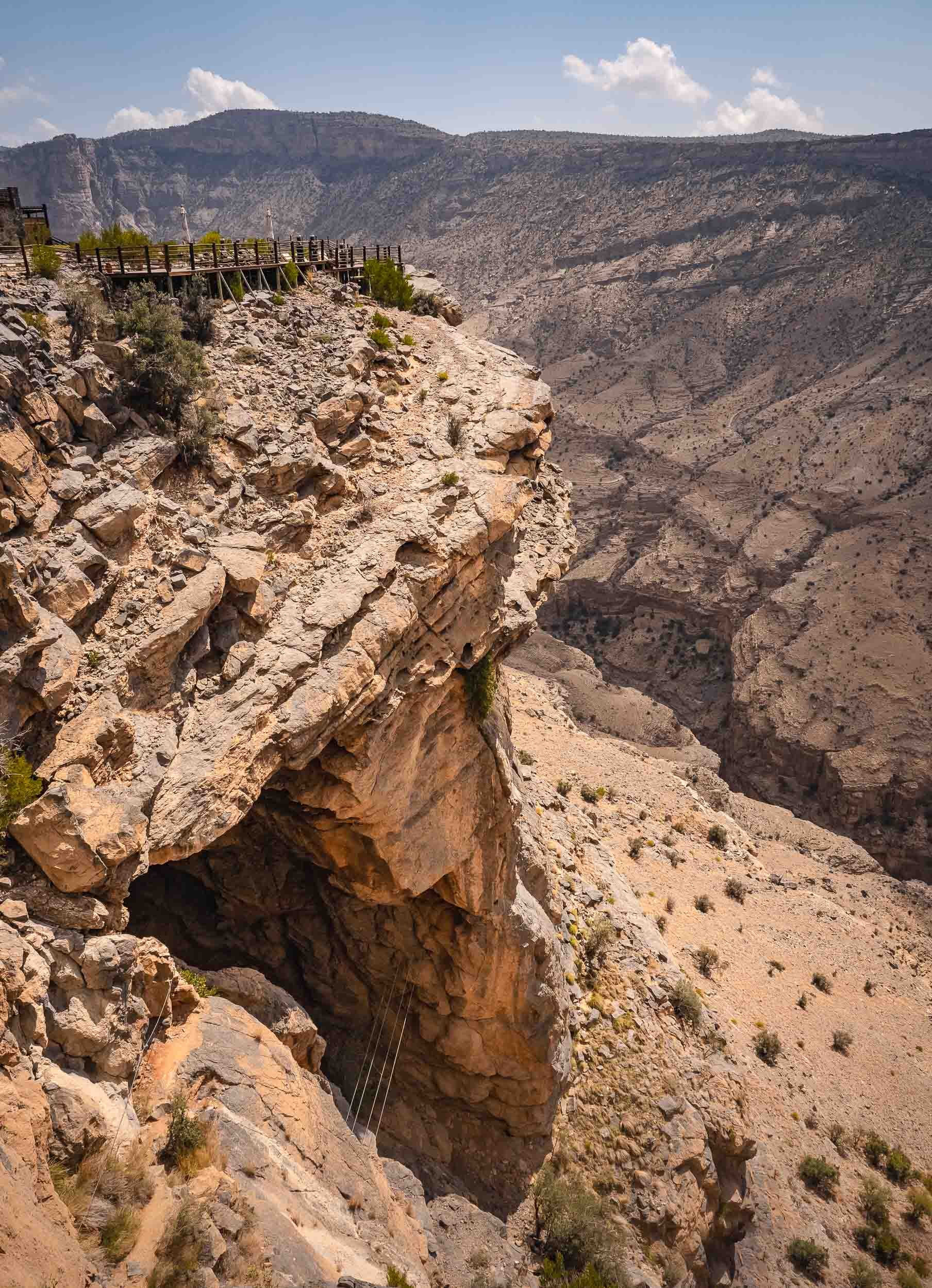
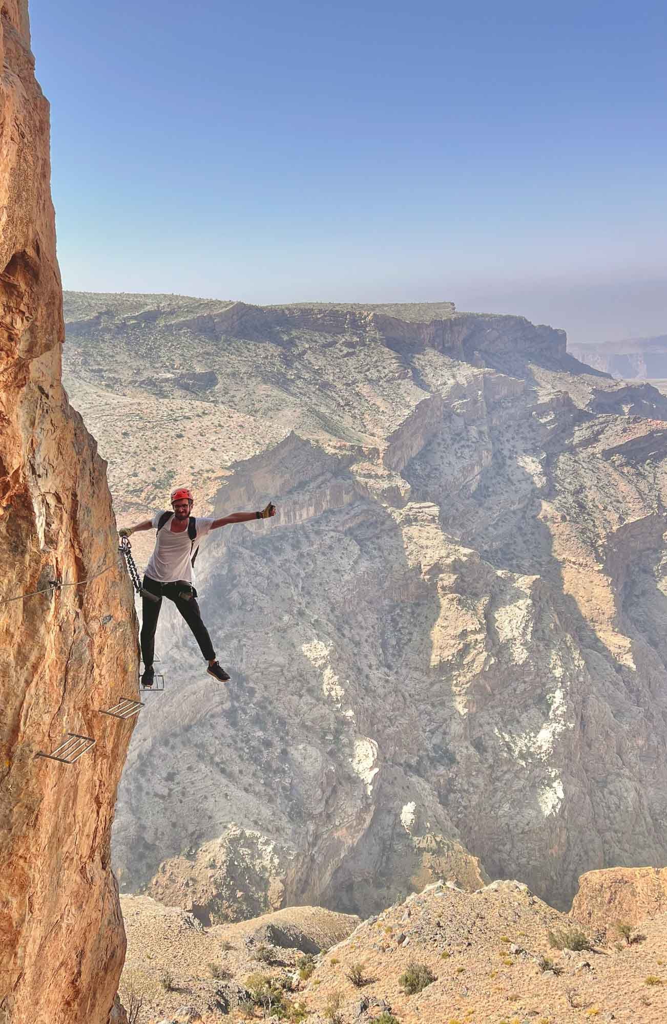
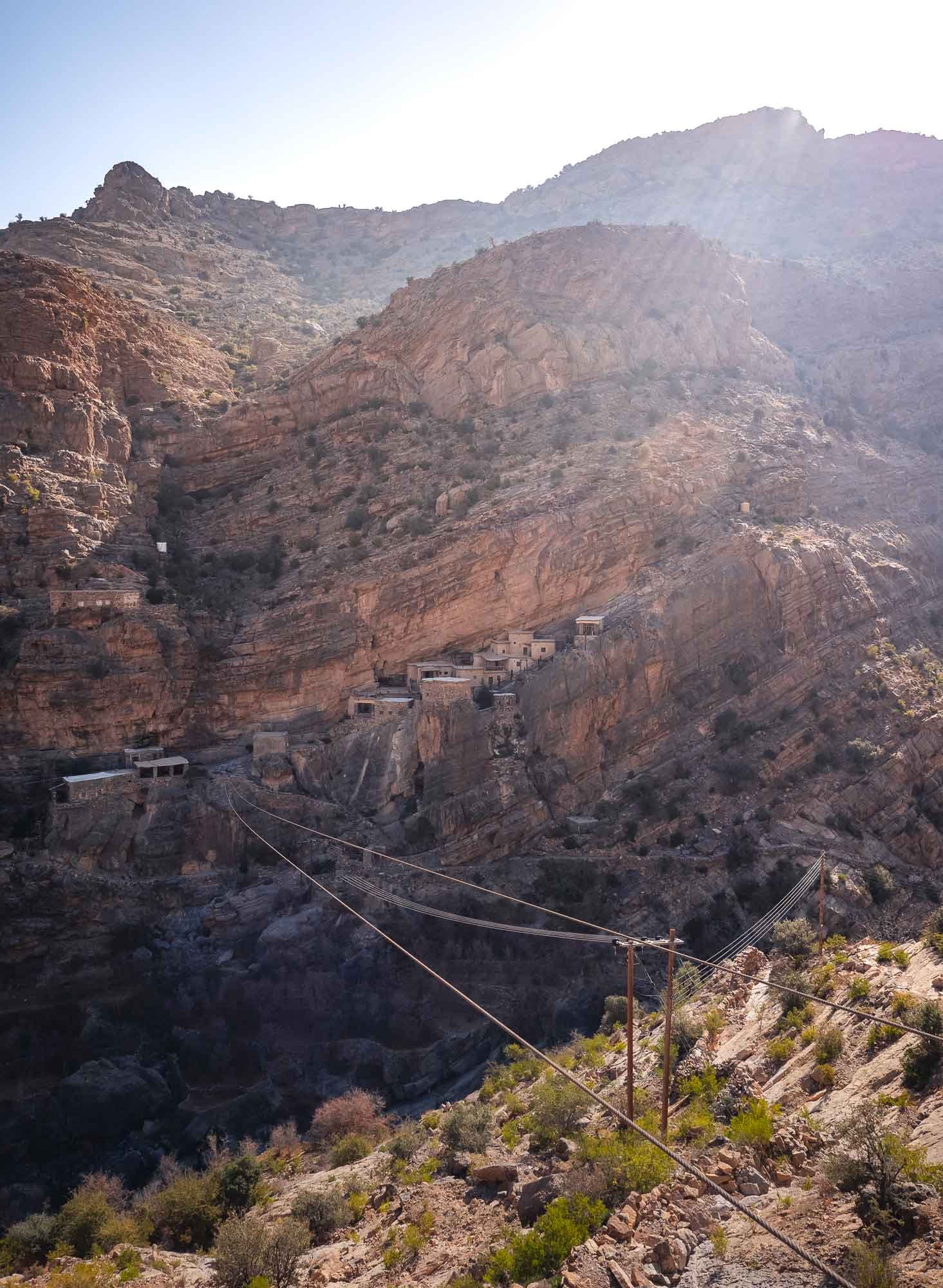
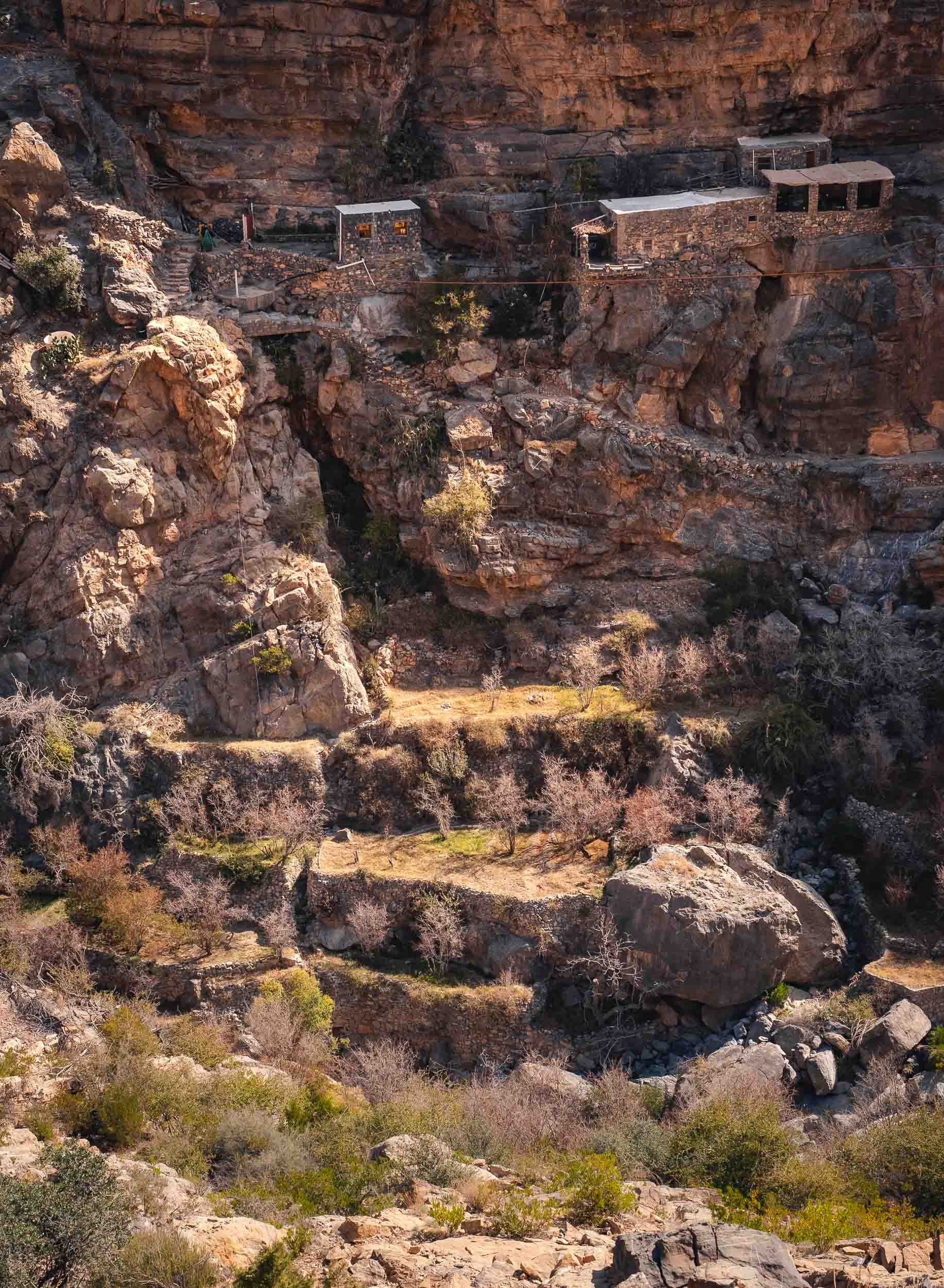
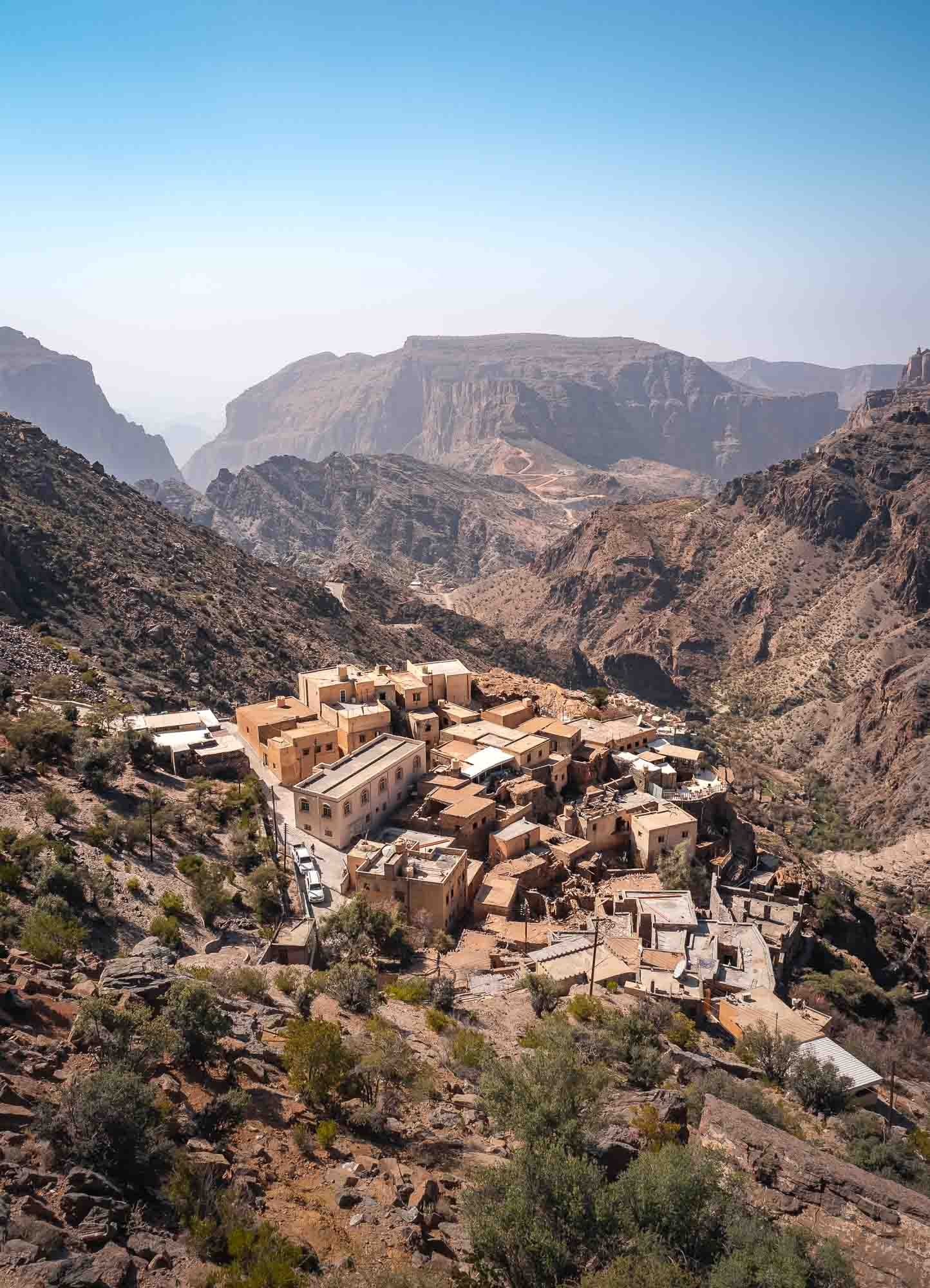
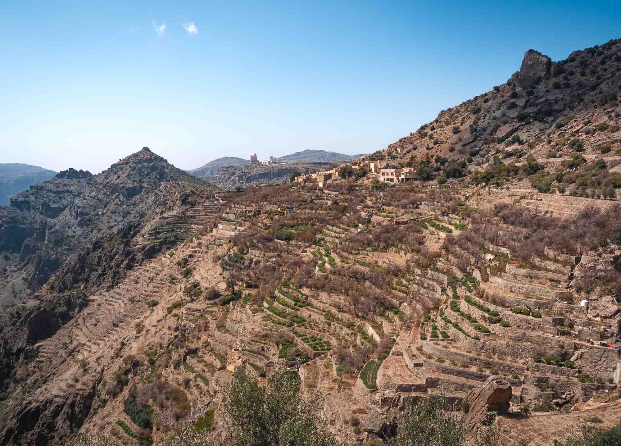
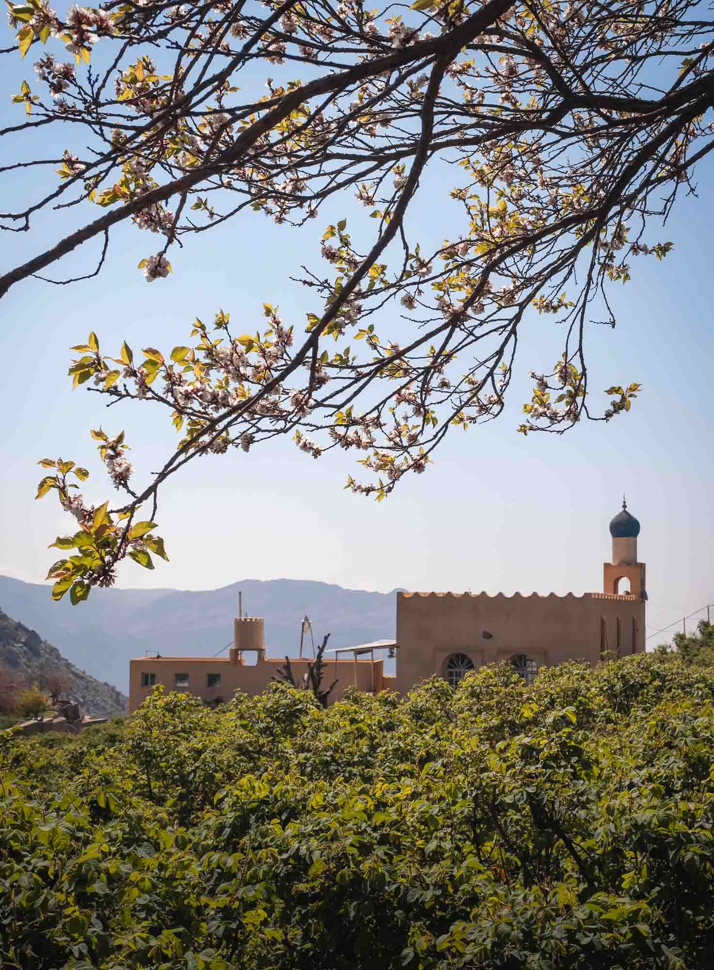
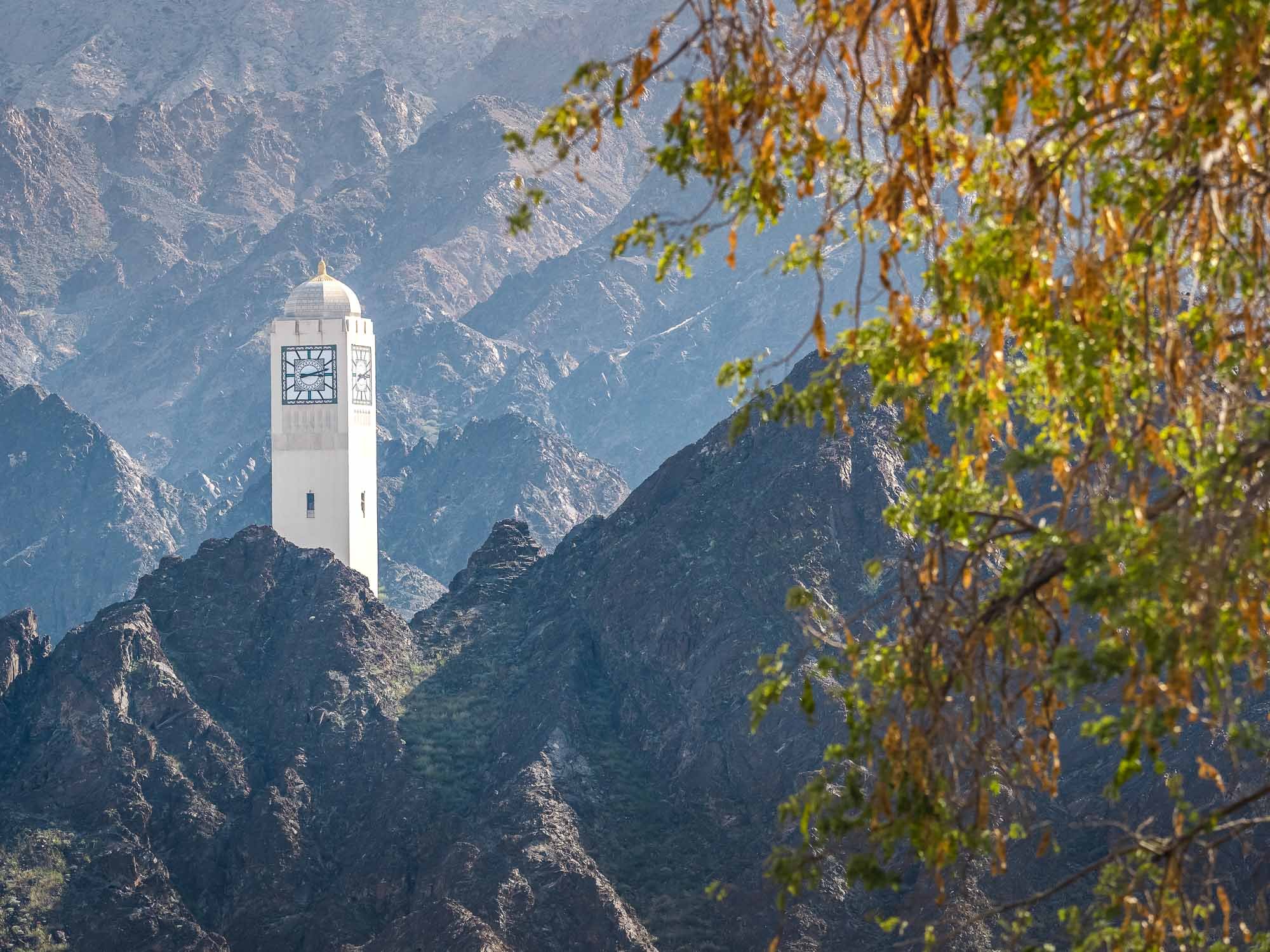
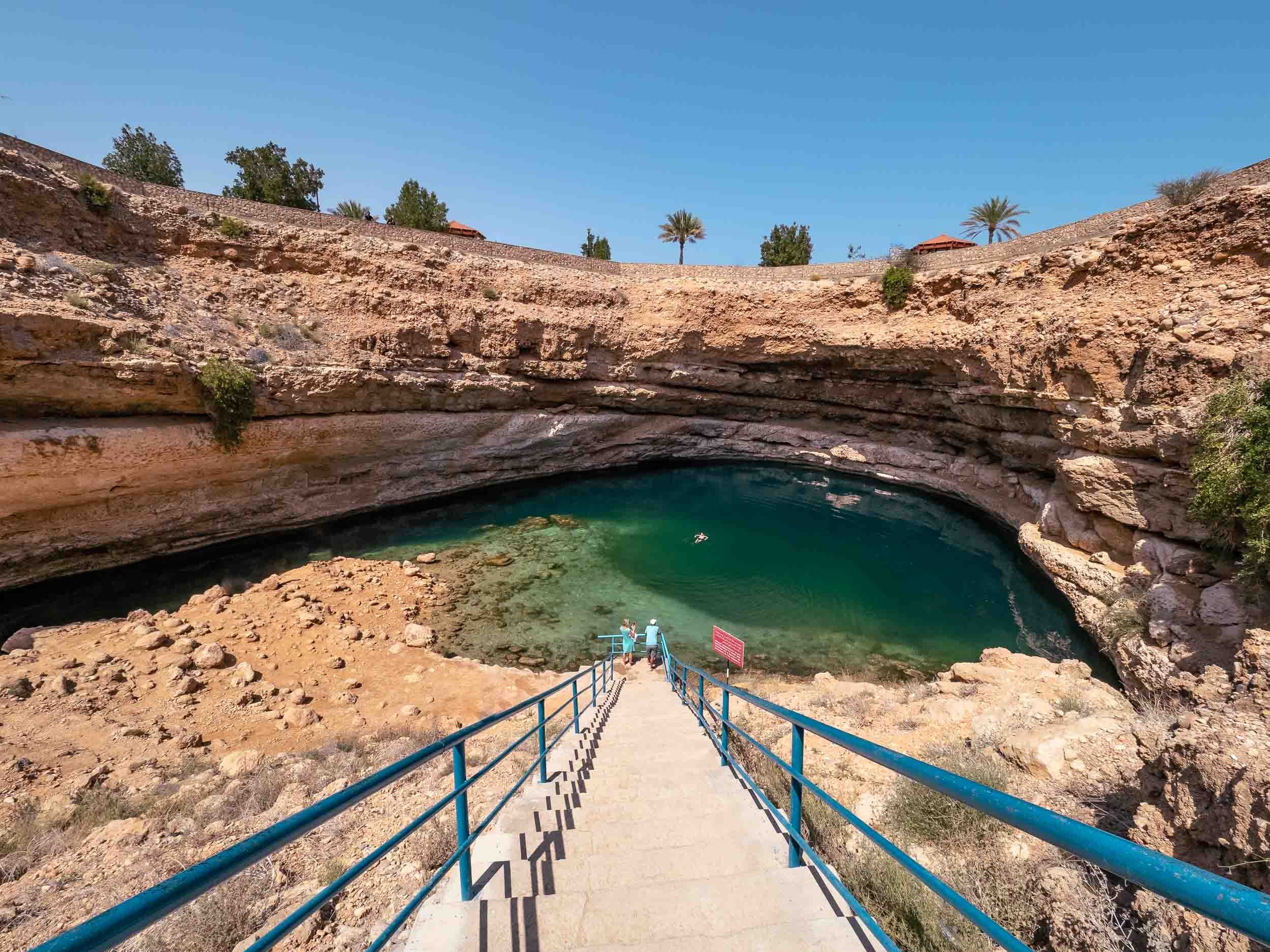
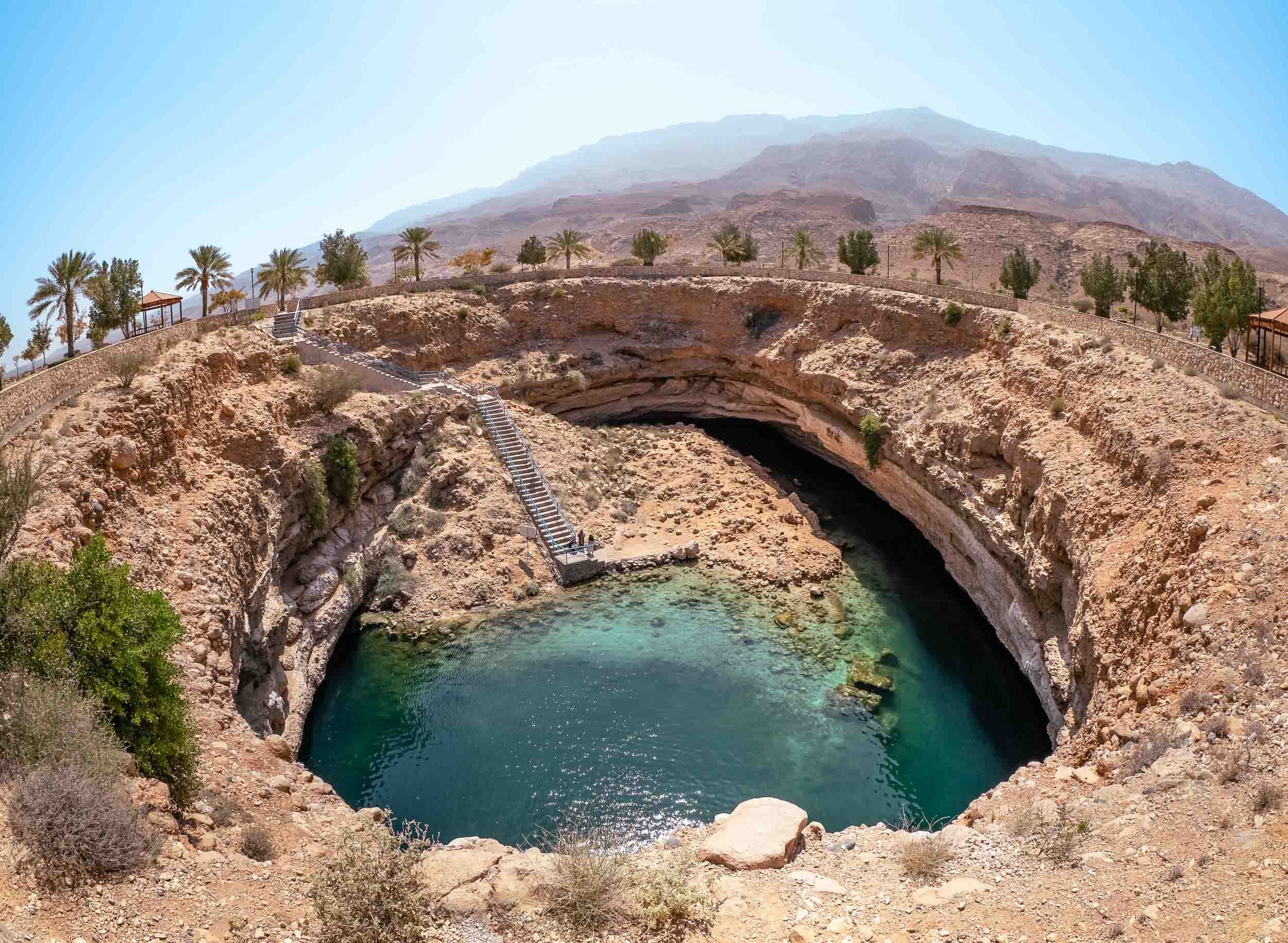
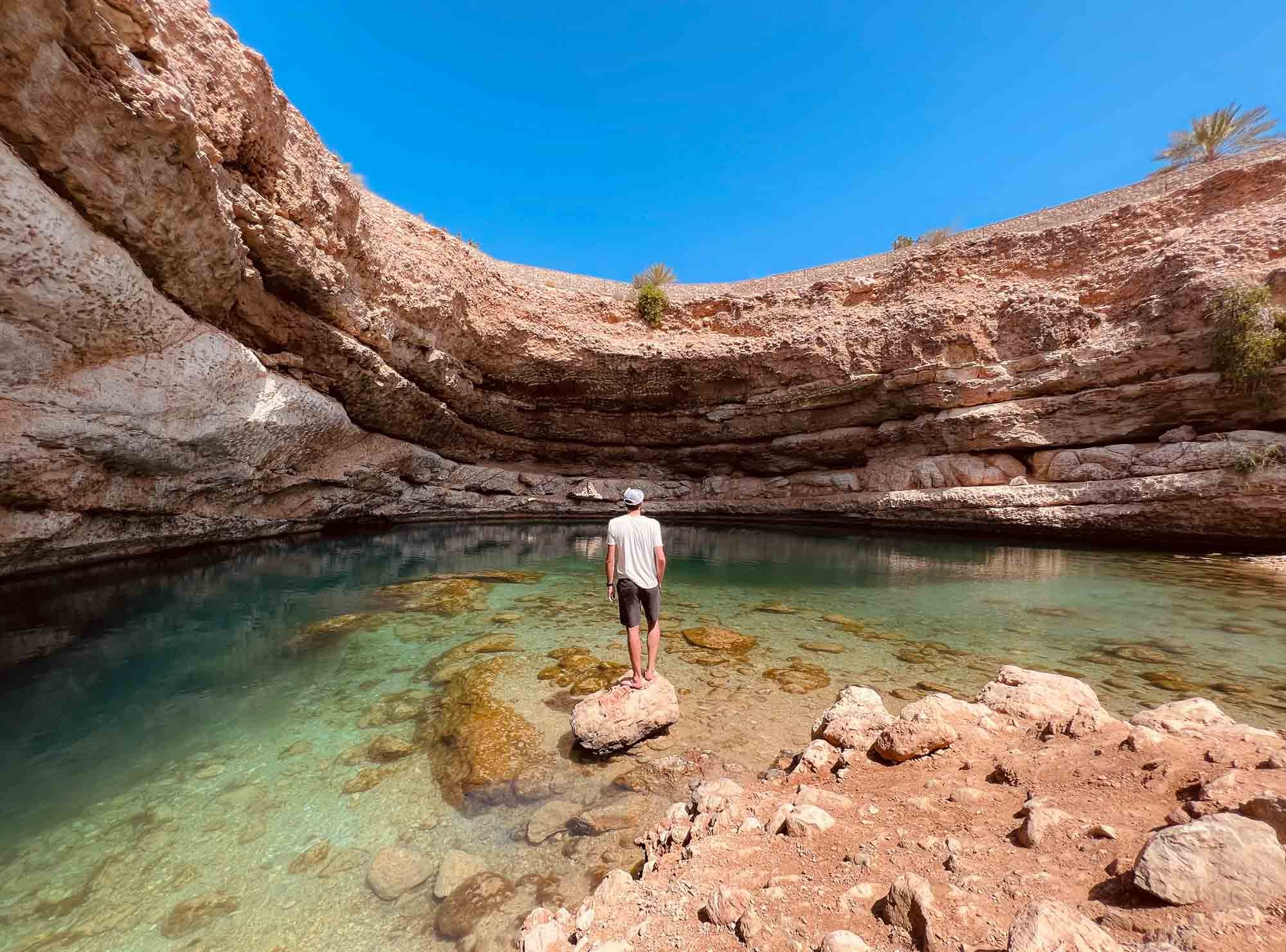
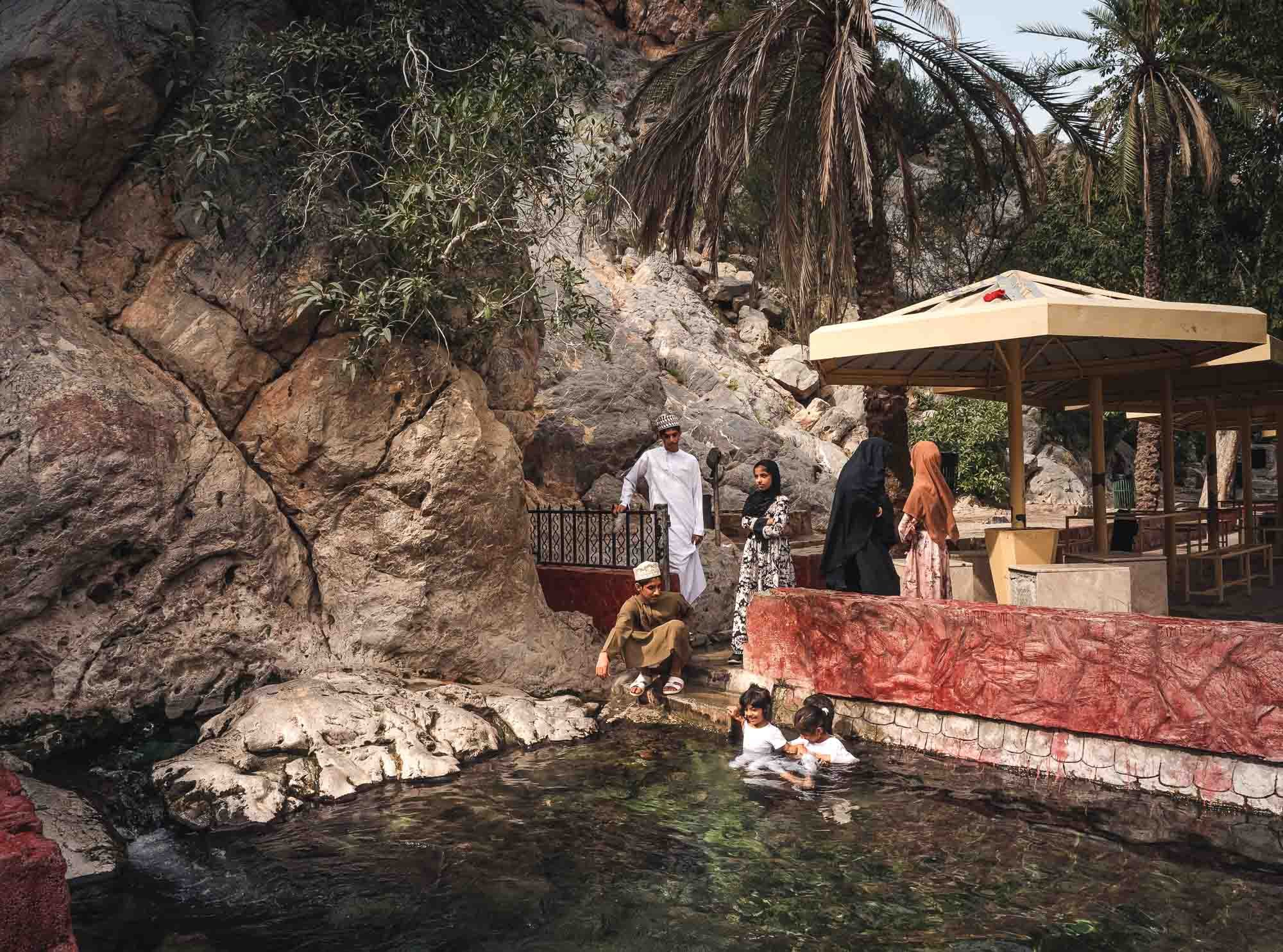
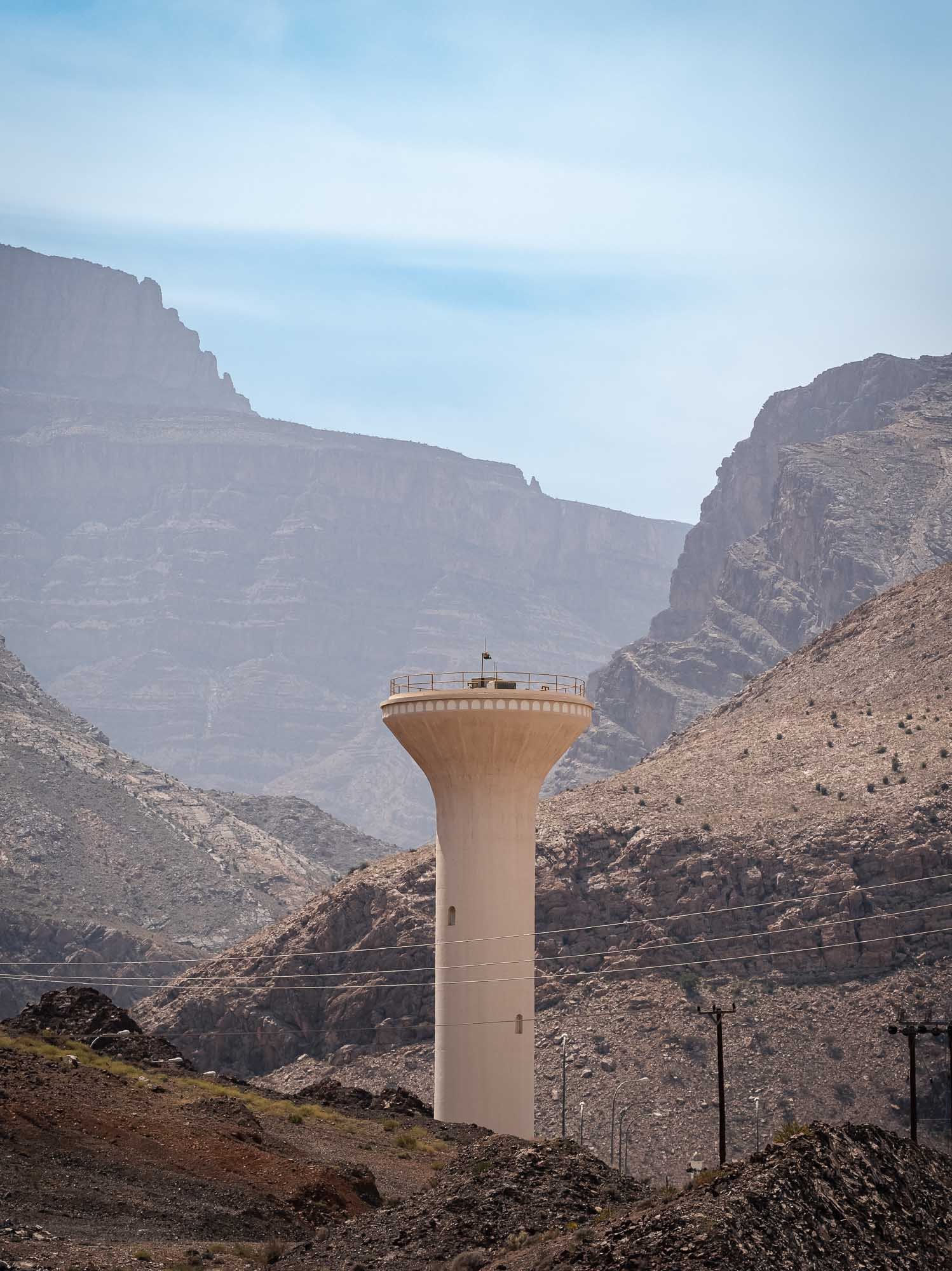
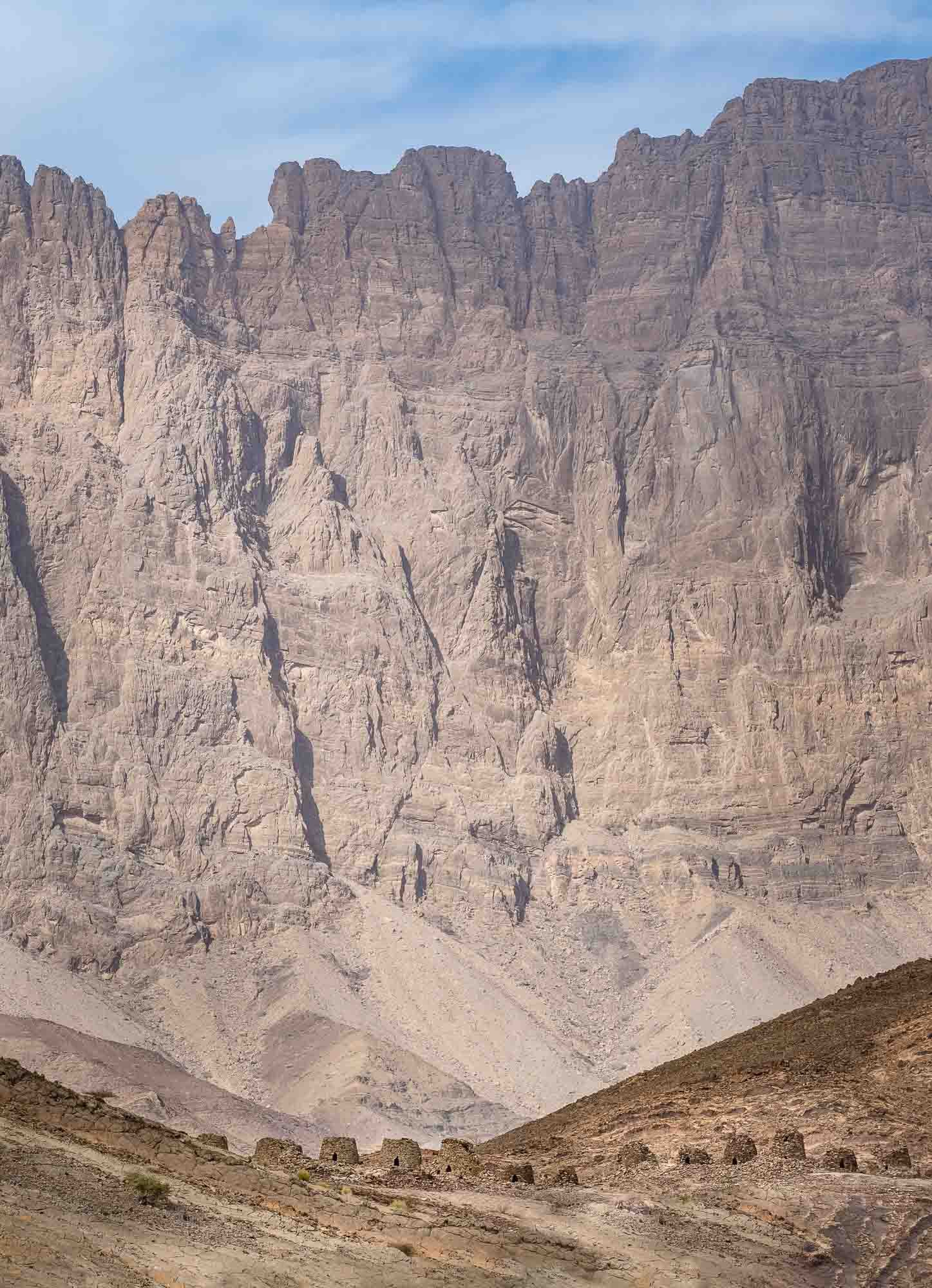
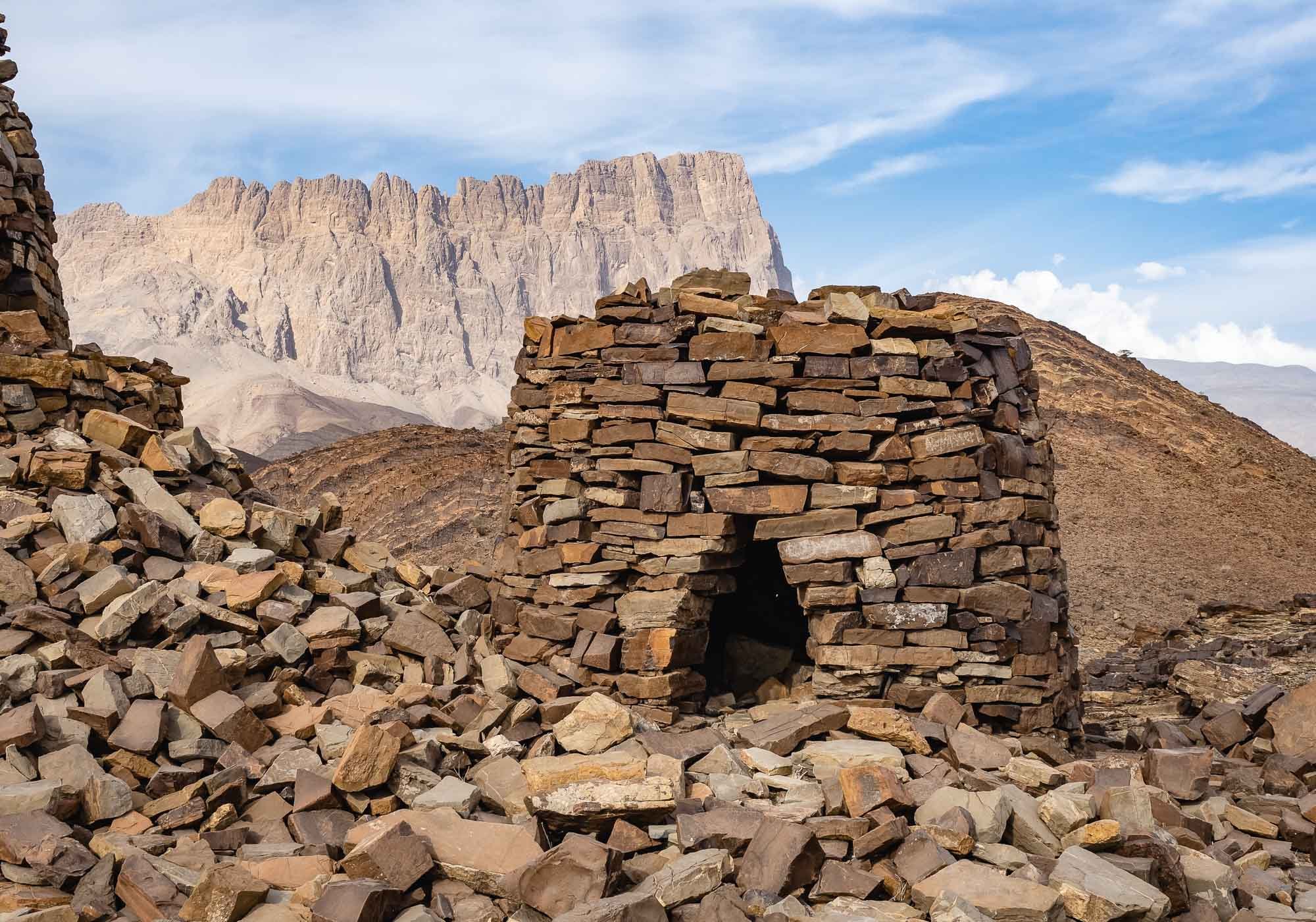
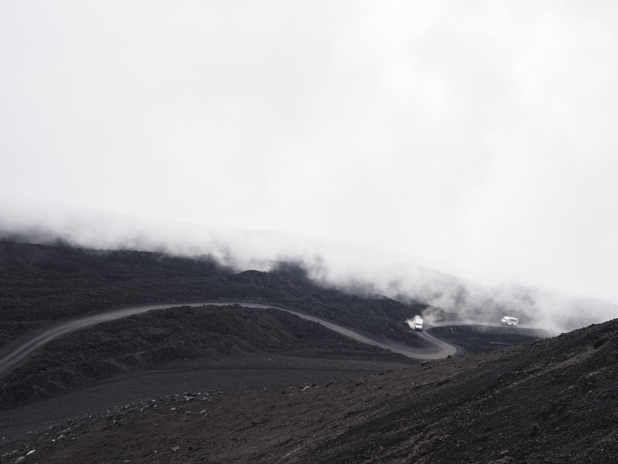
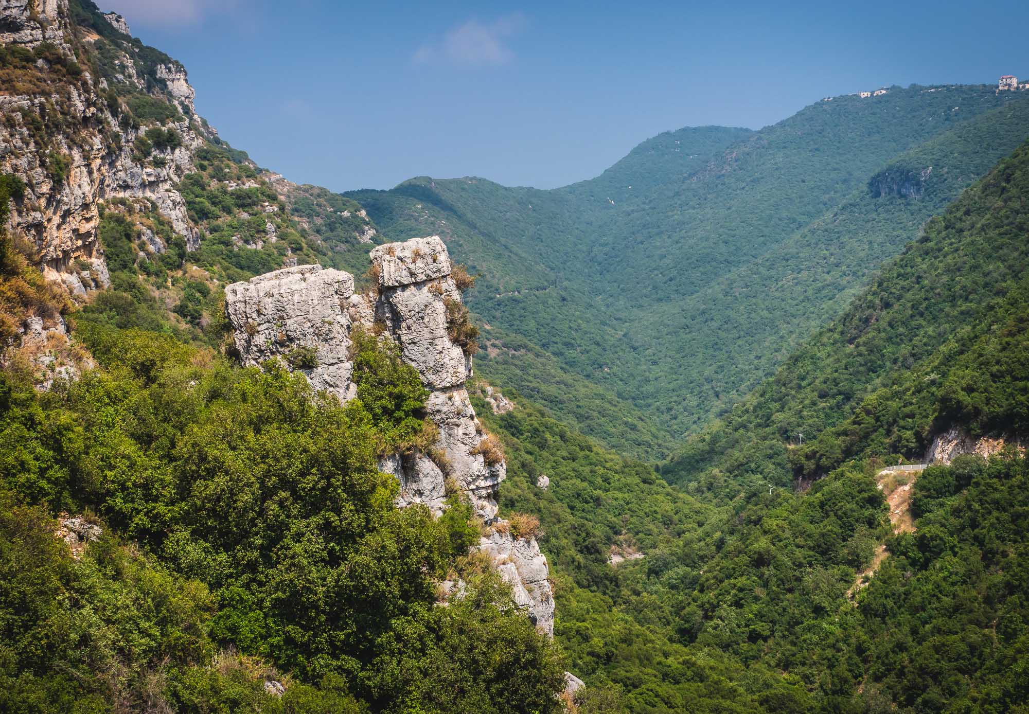
Jebel Akhdar


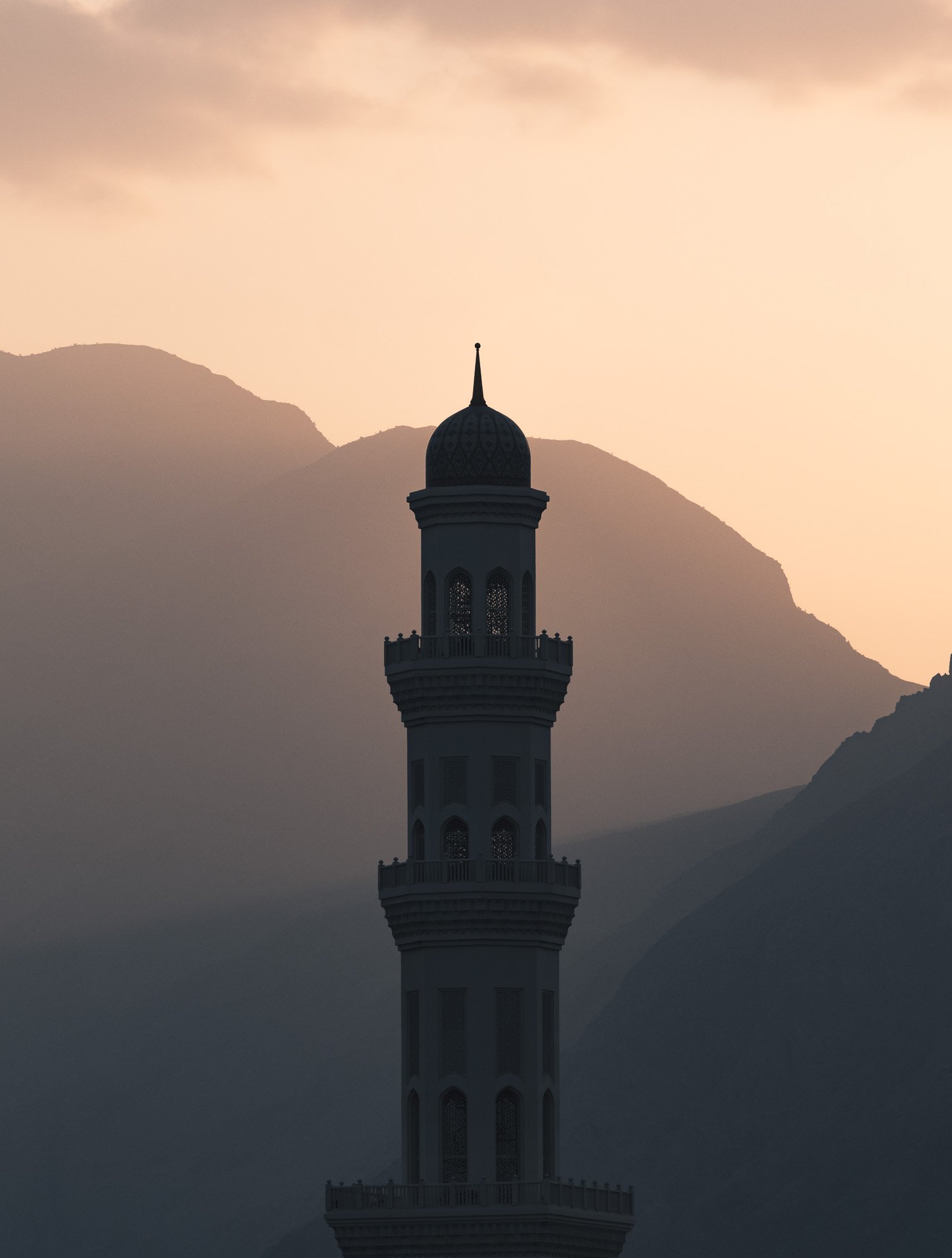
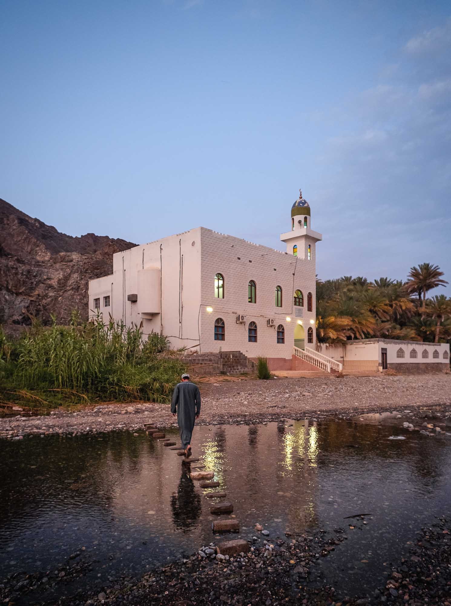
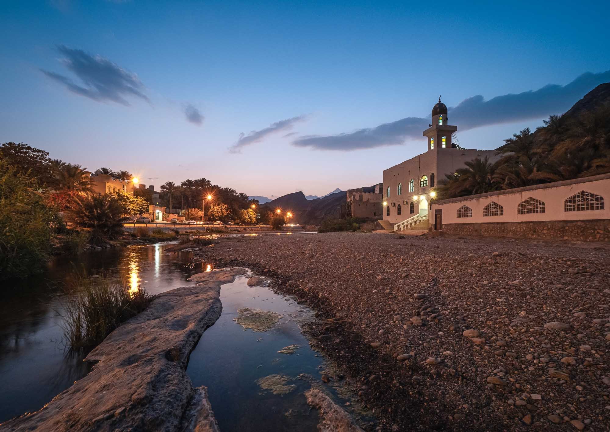
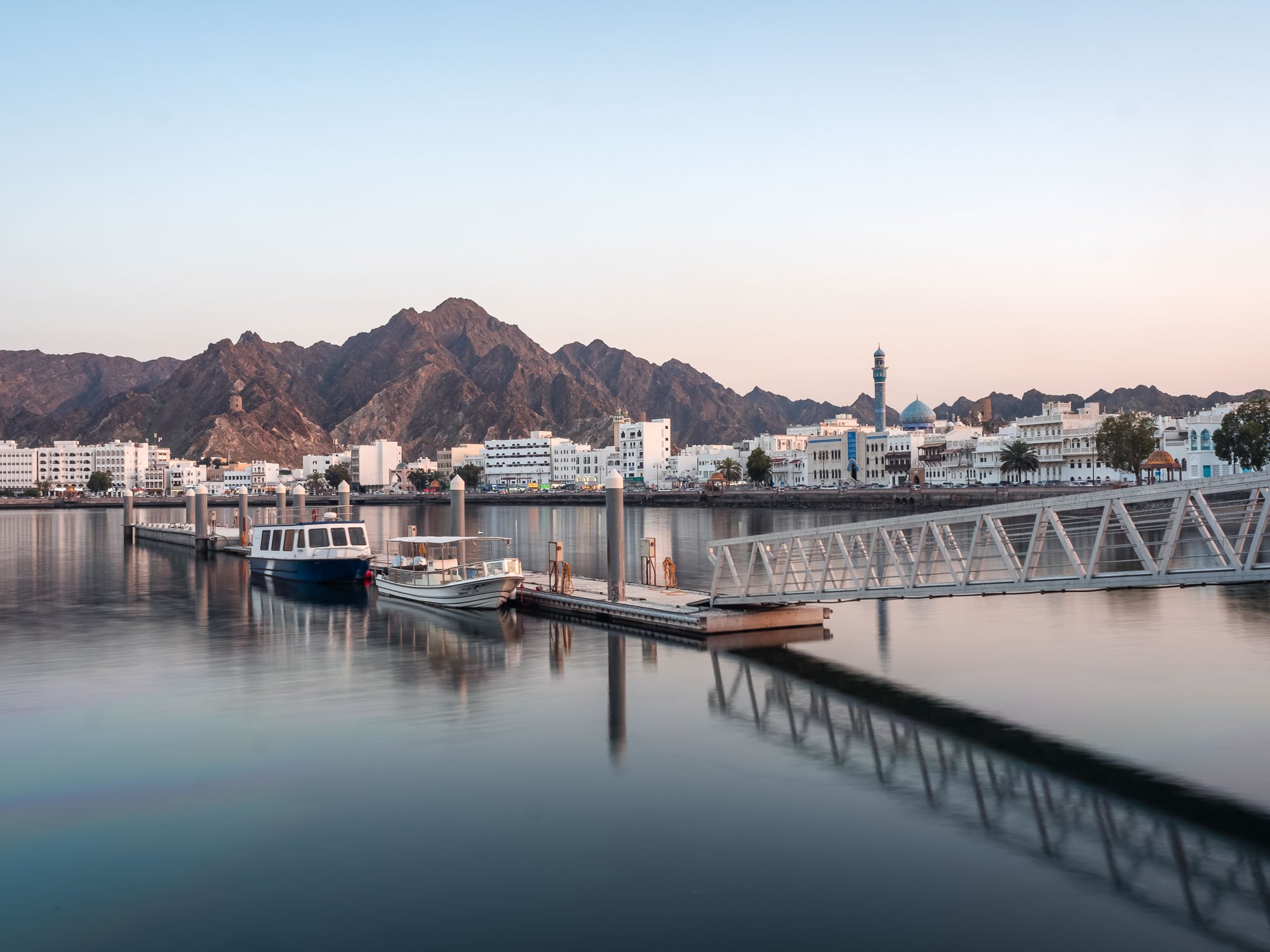
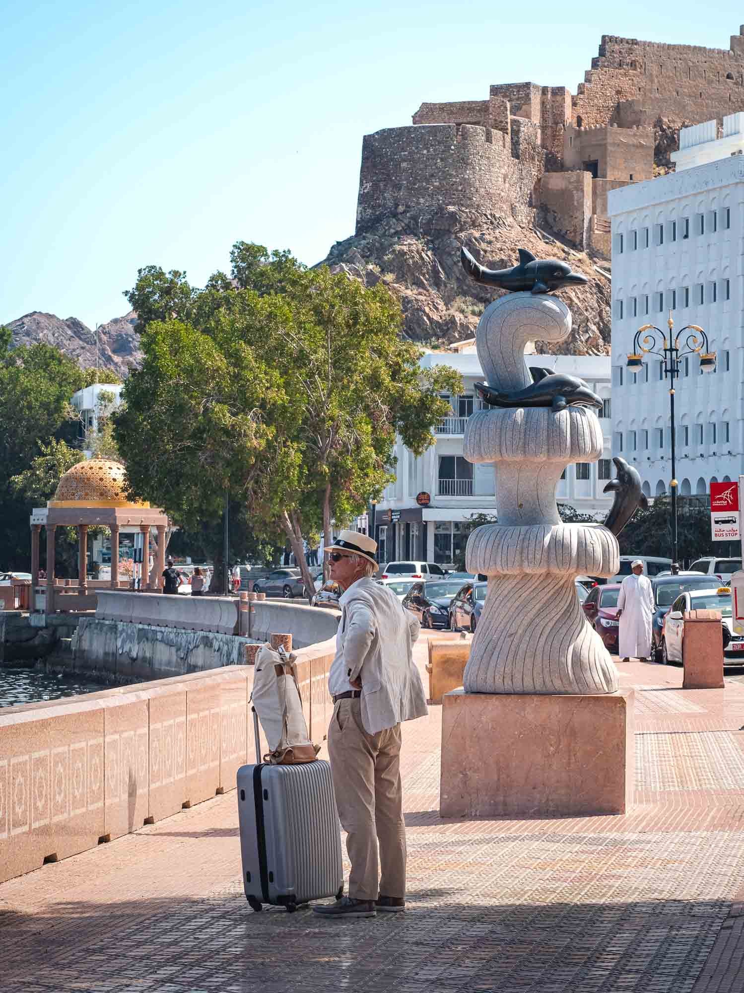
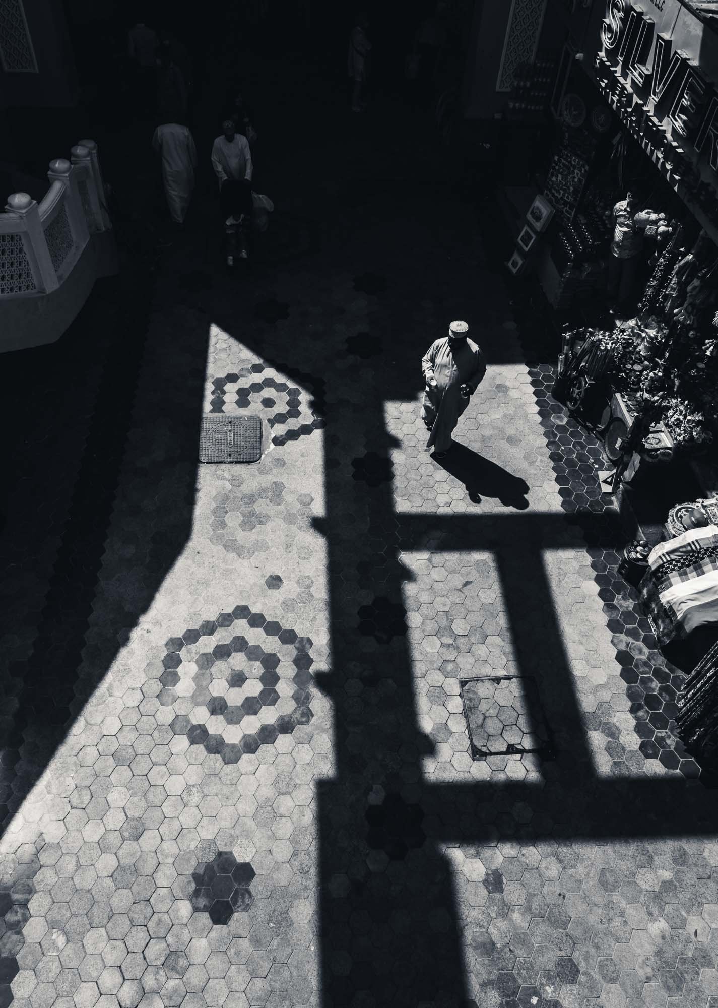
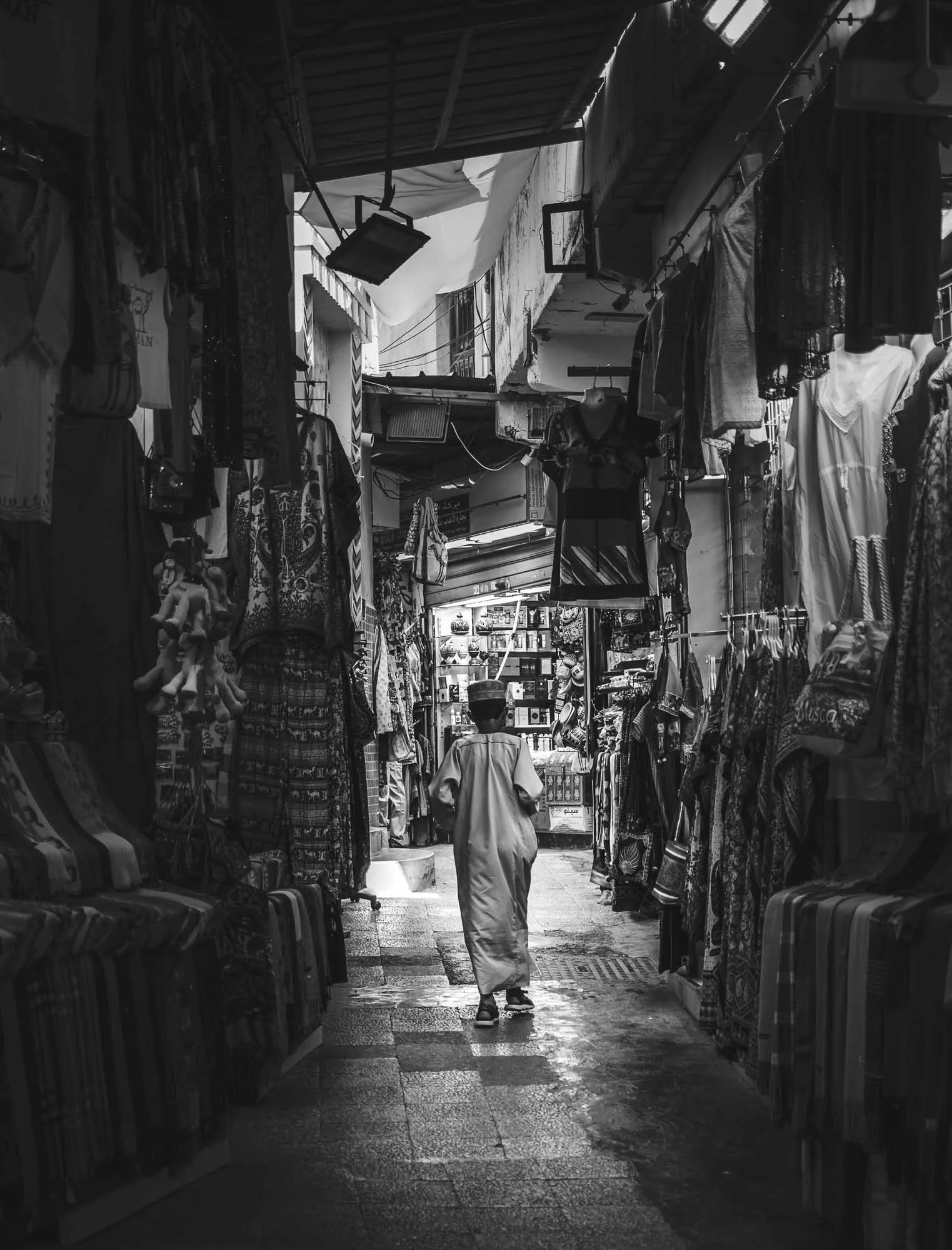
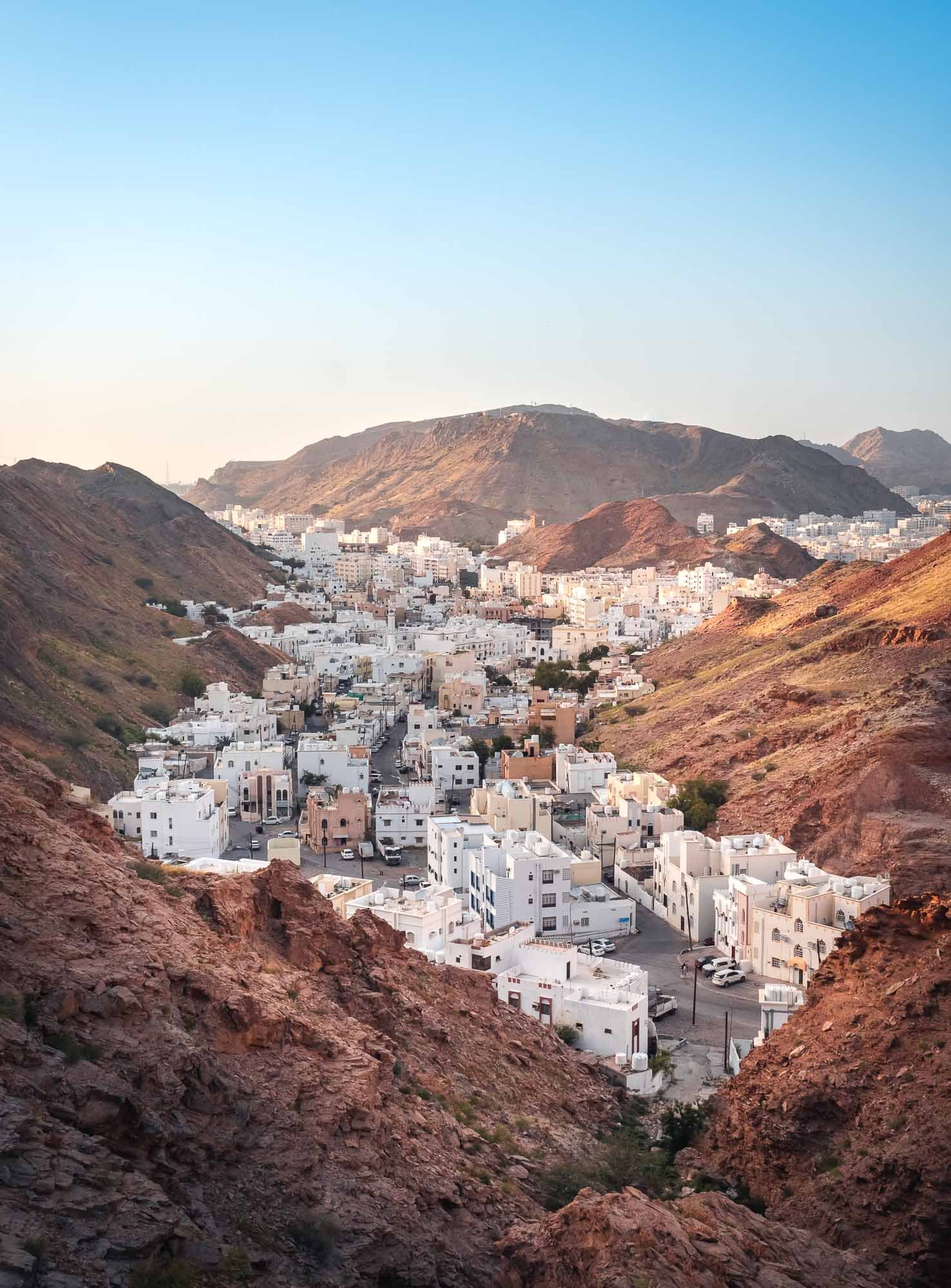
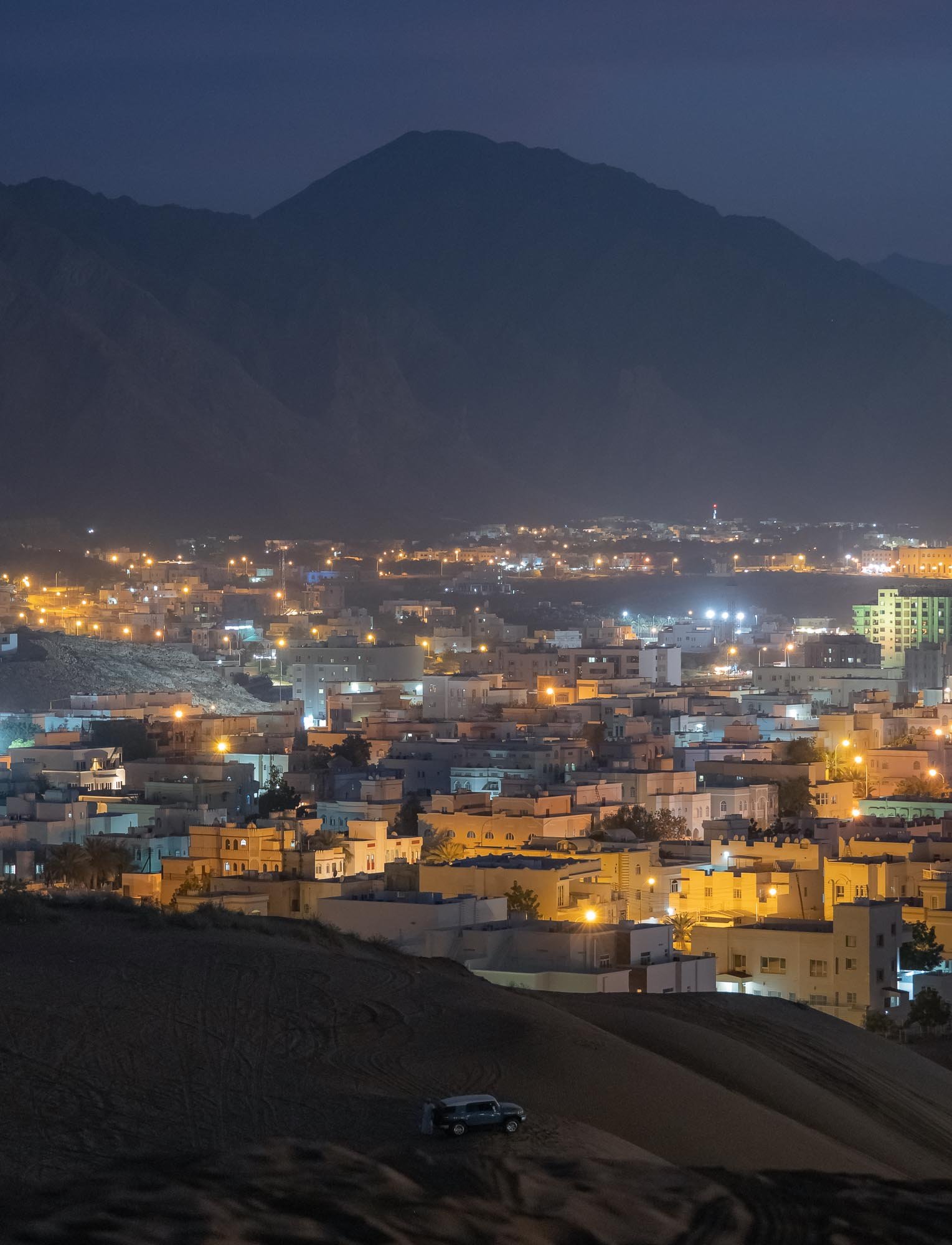
Onwards to Muscat
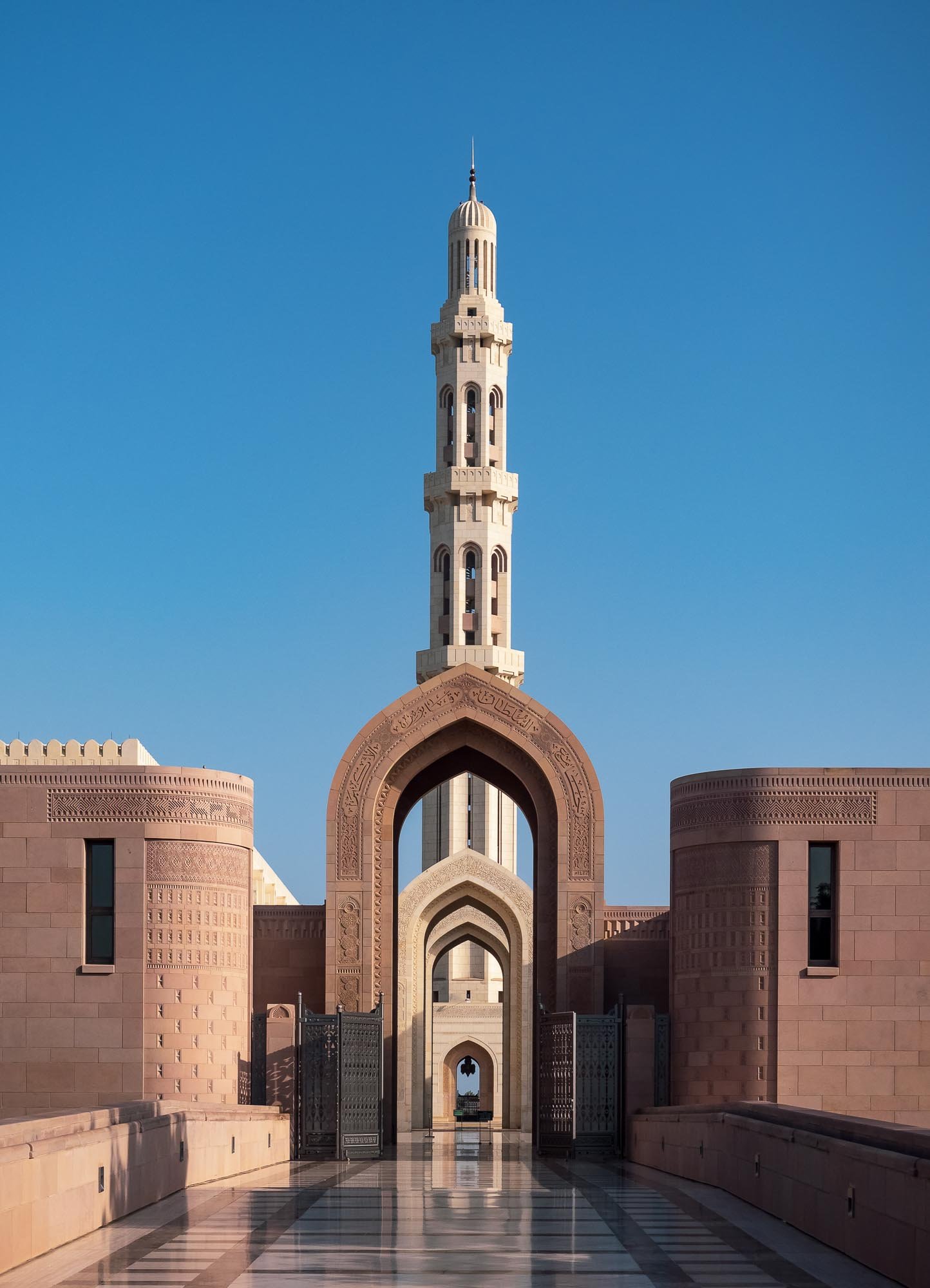
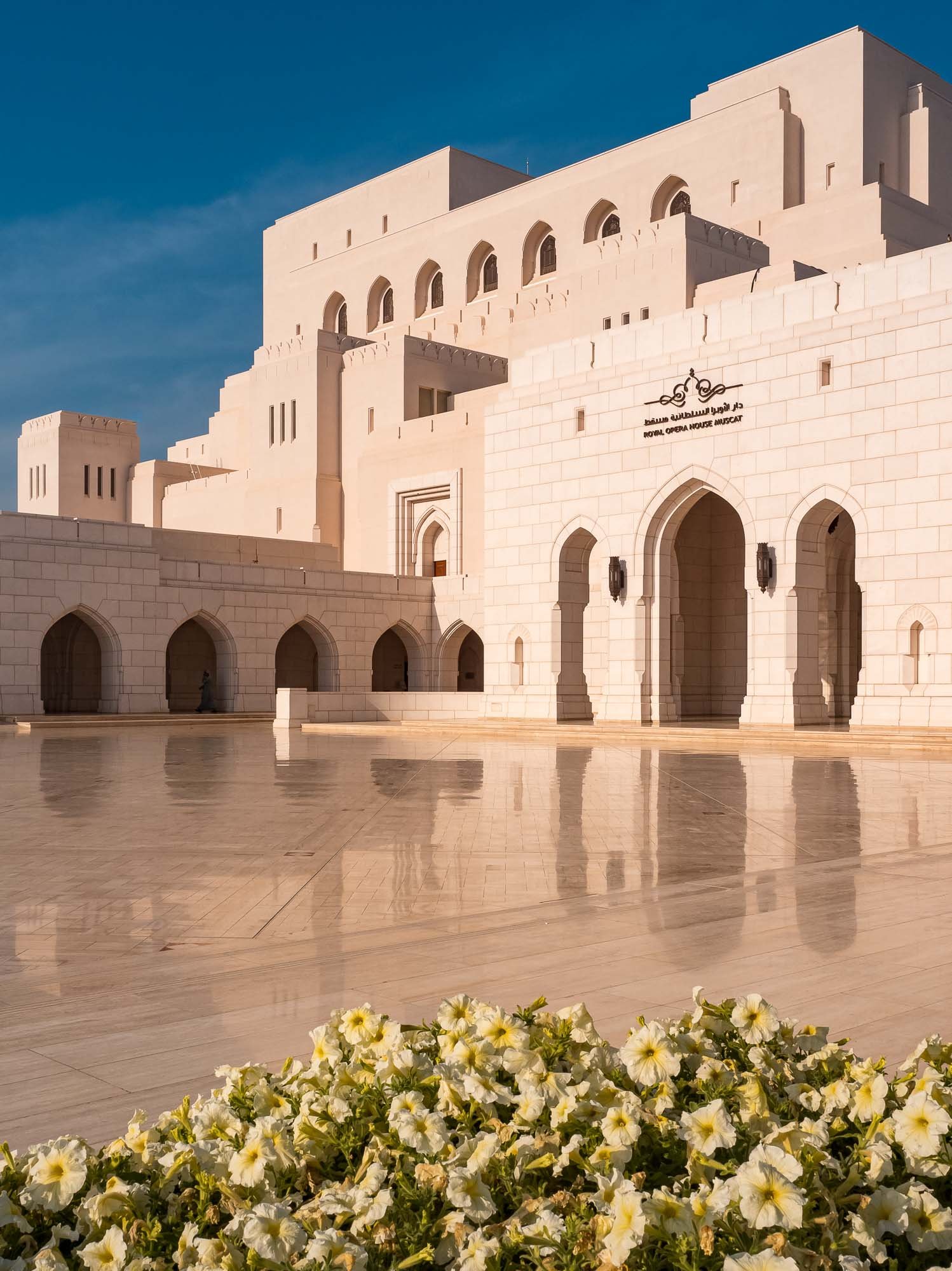
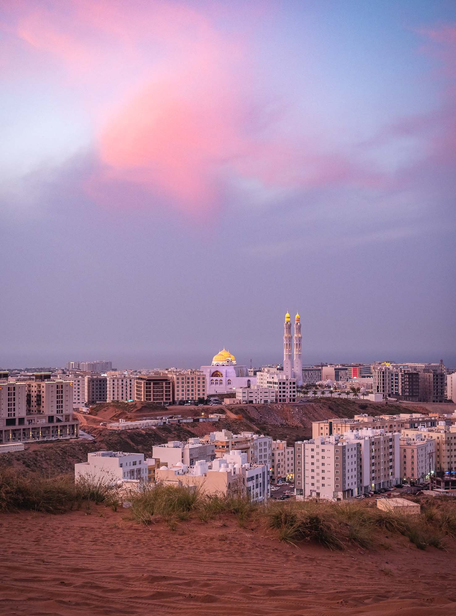
The Capital and its Surroundings
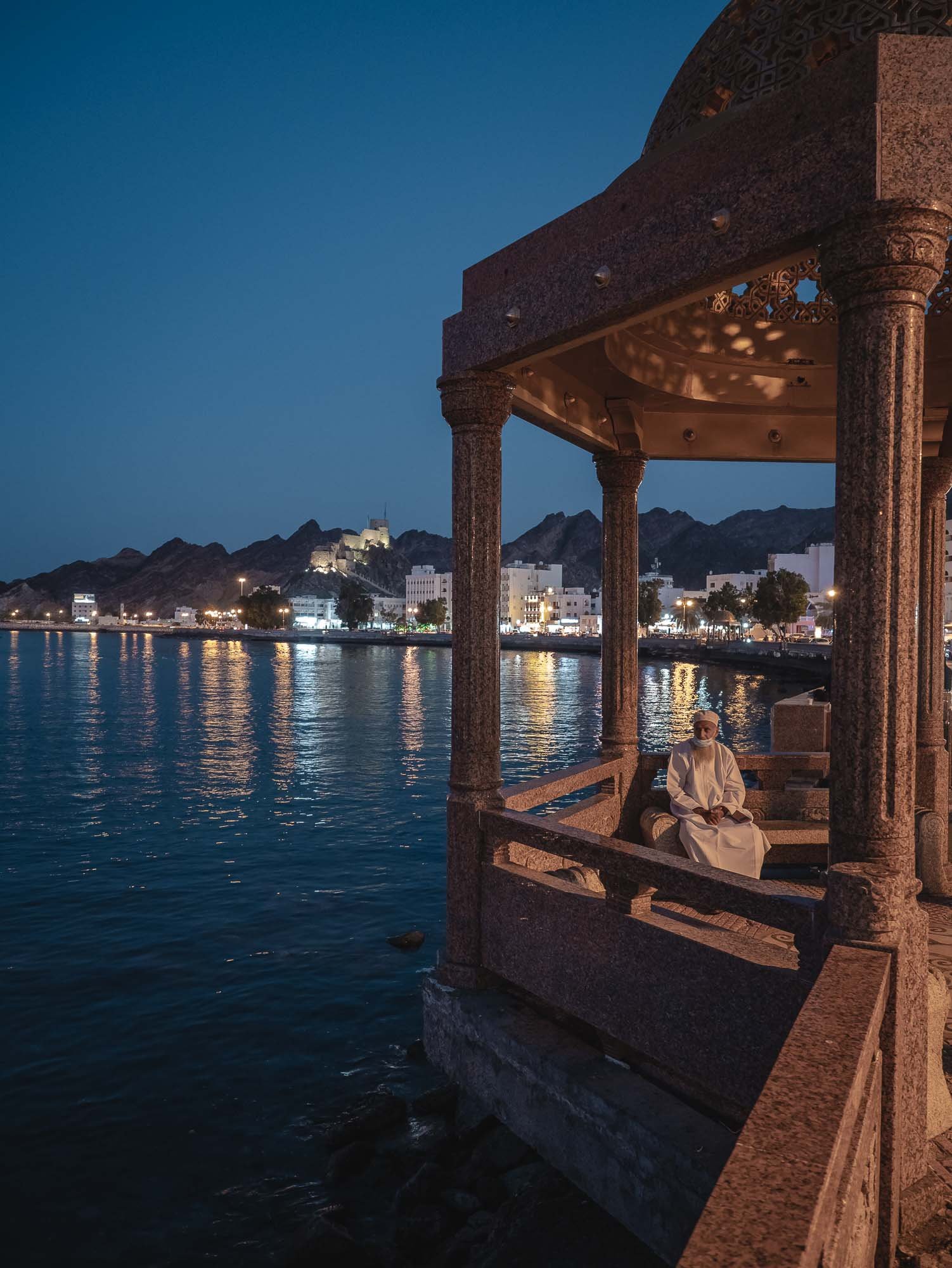
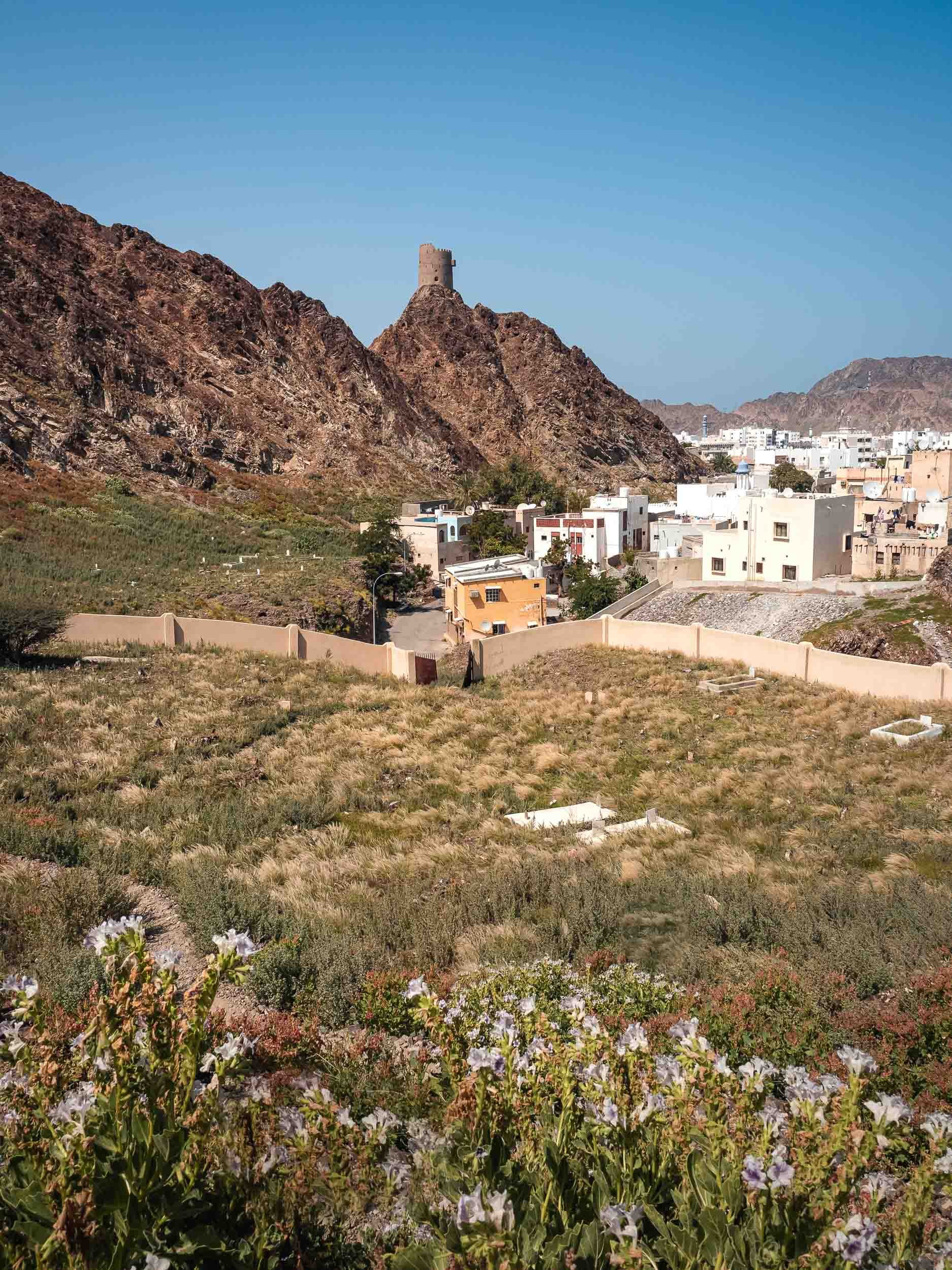
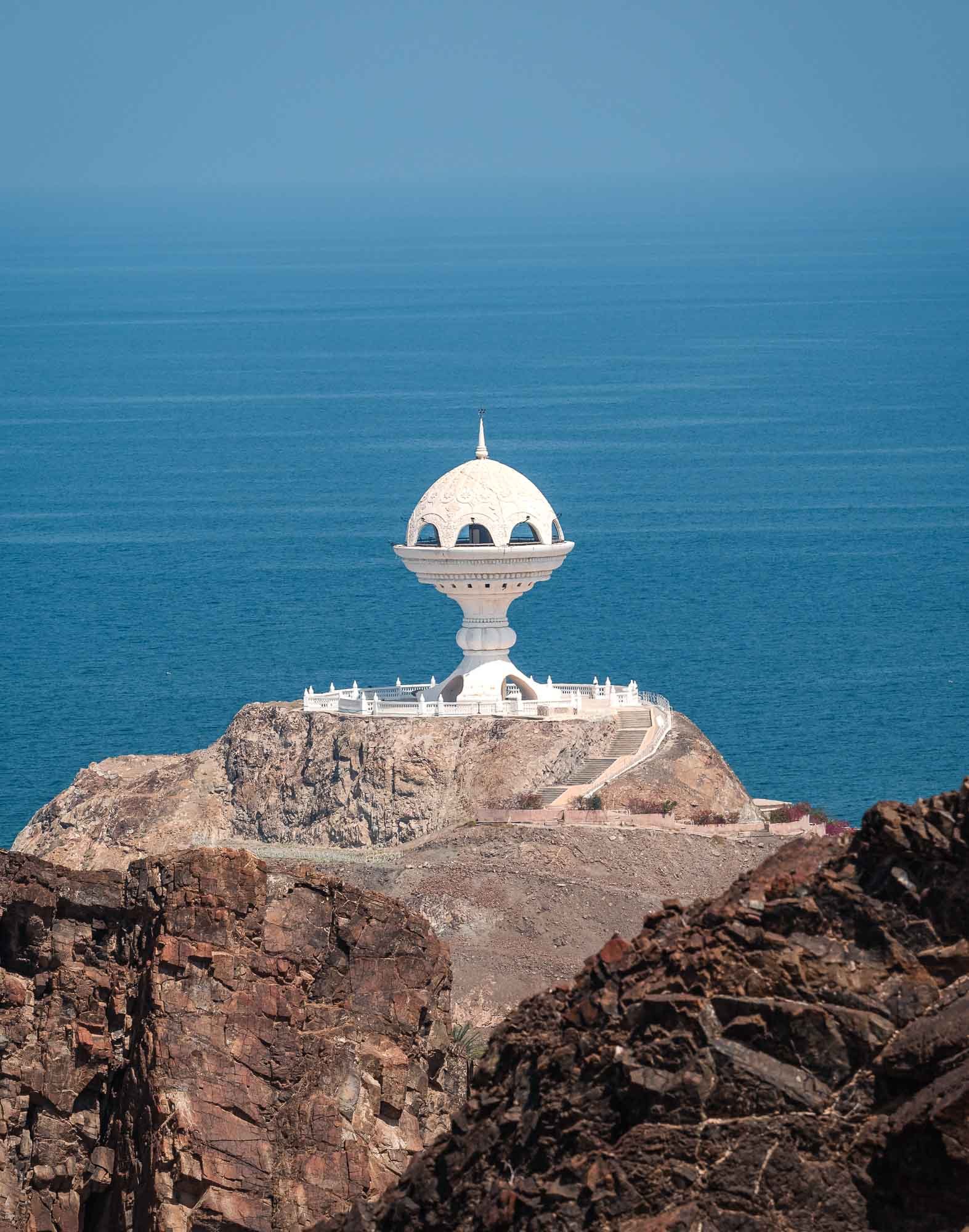
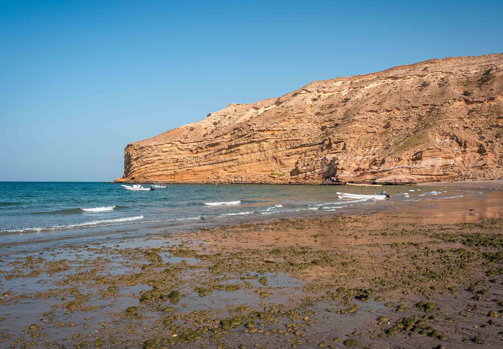
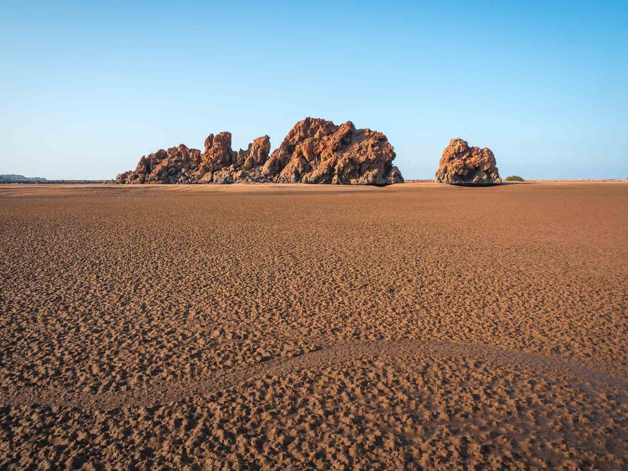
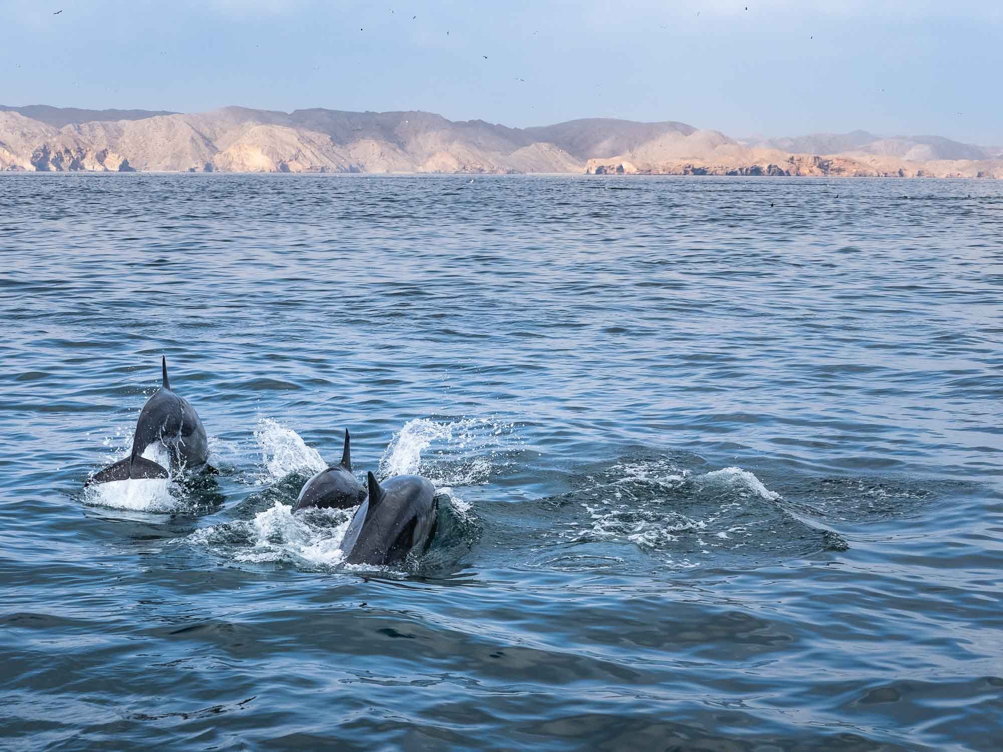
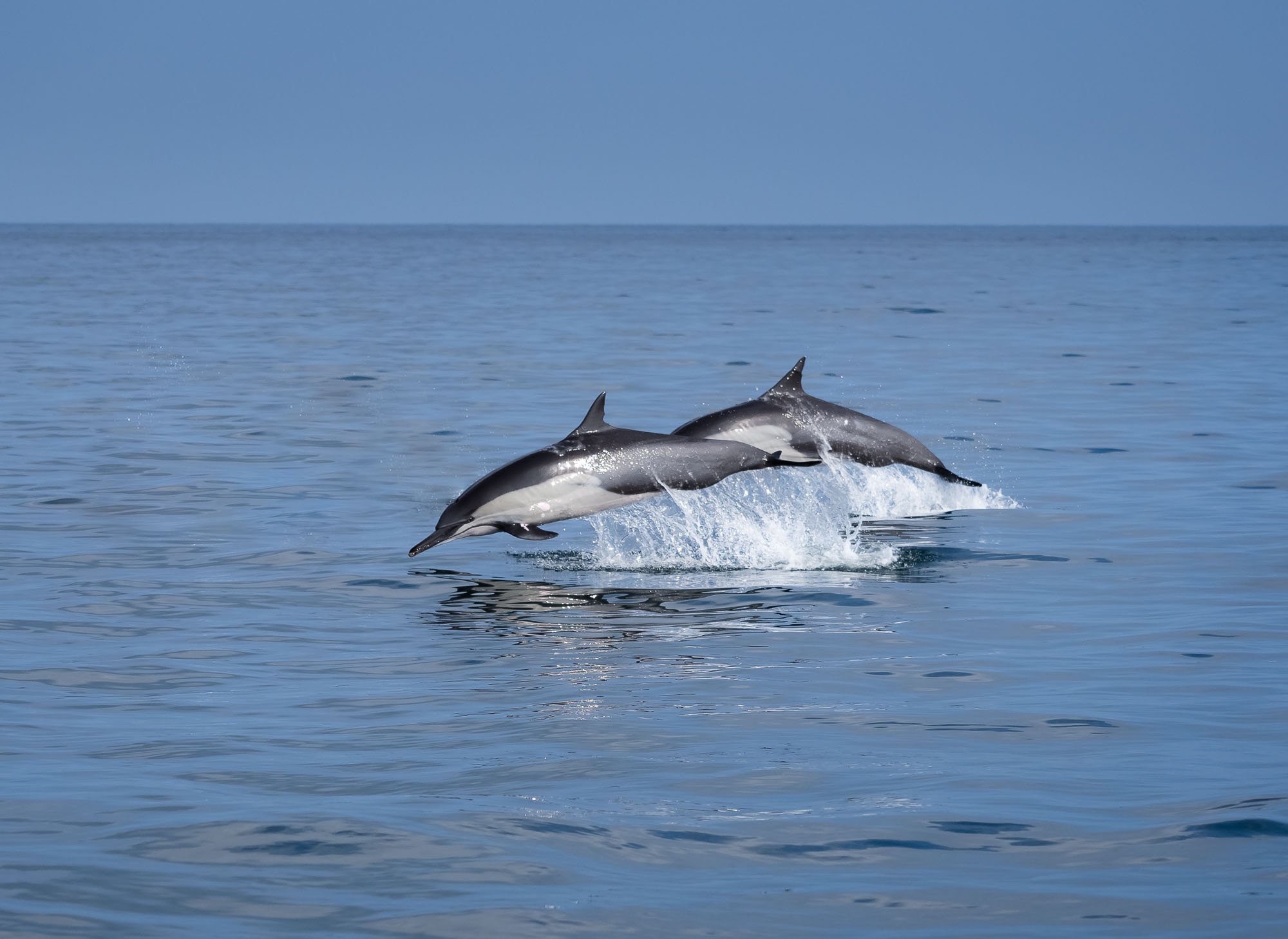
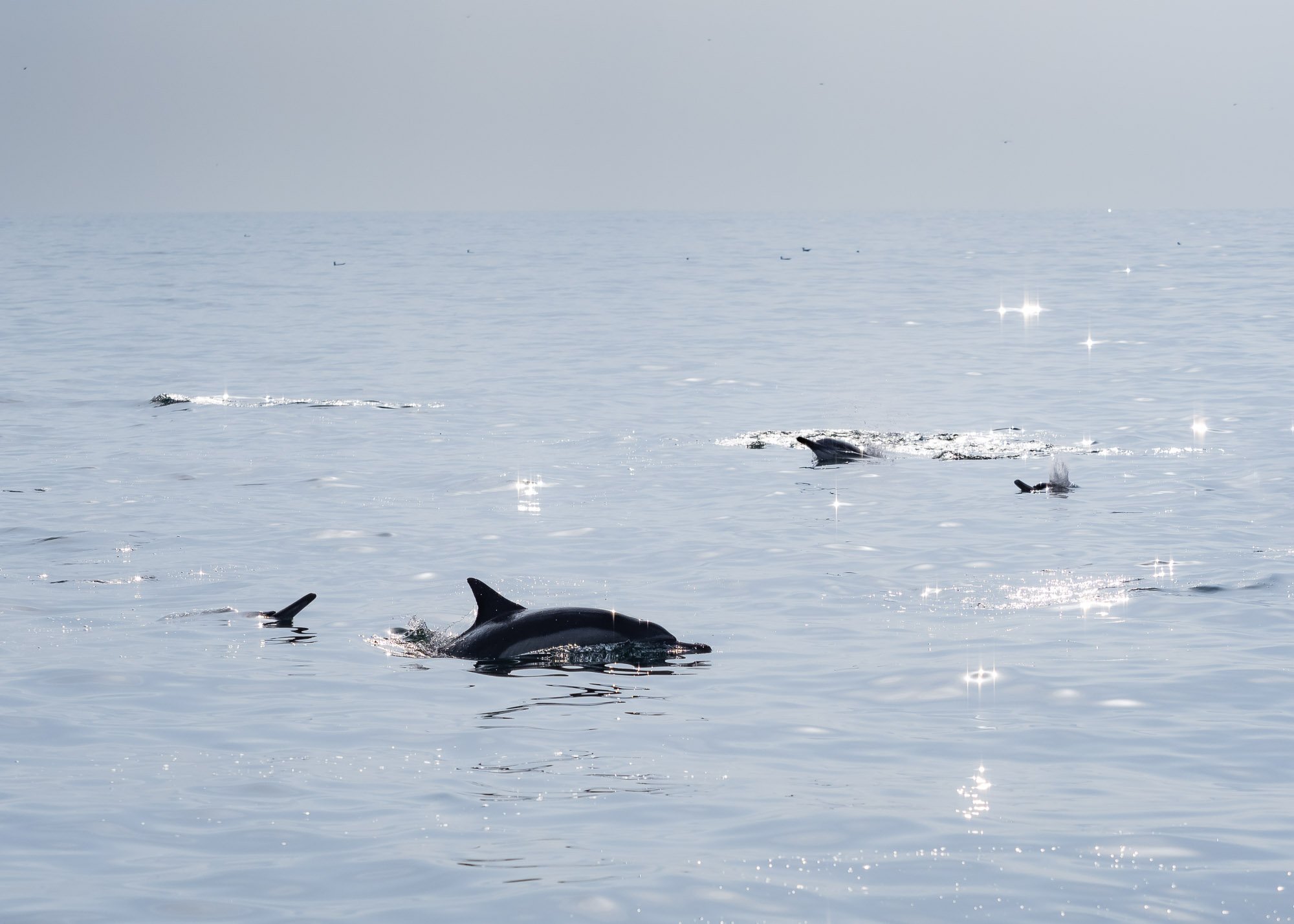
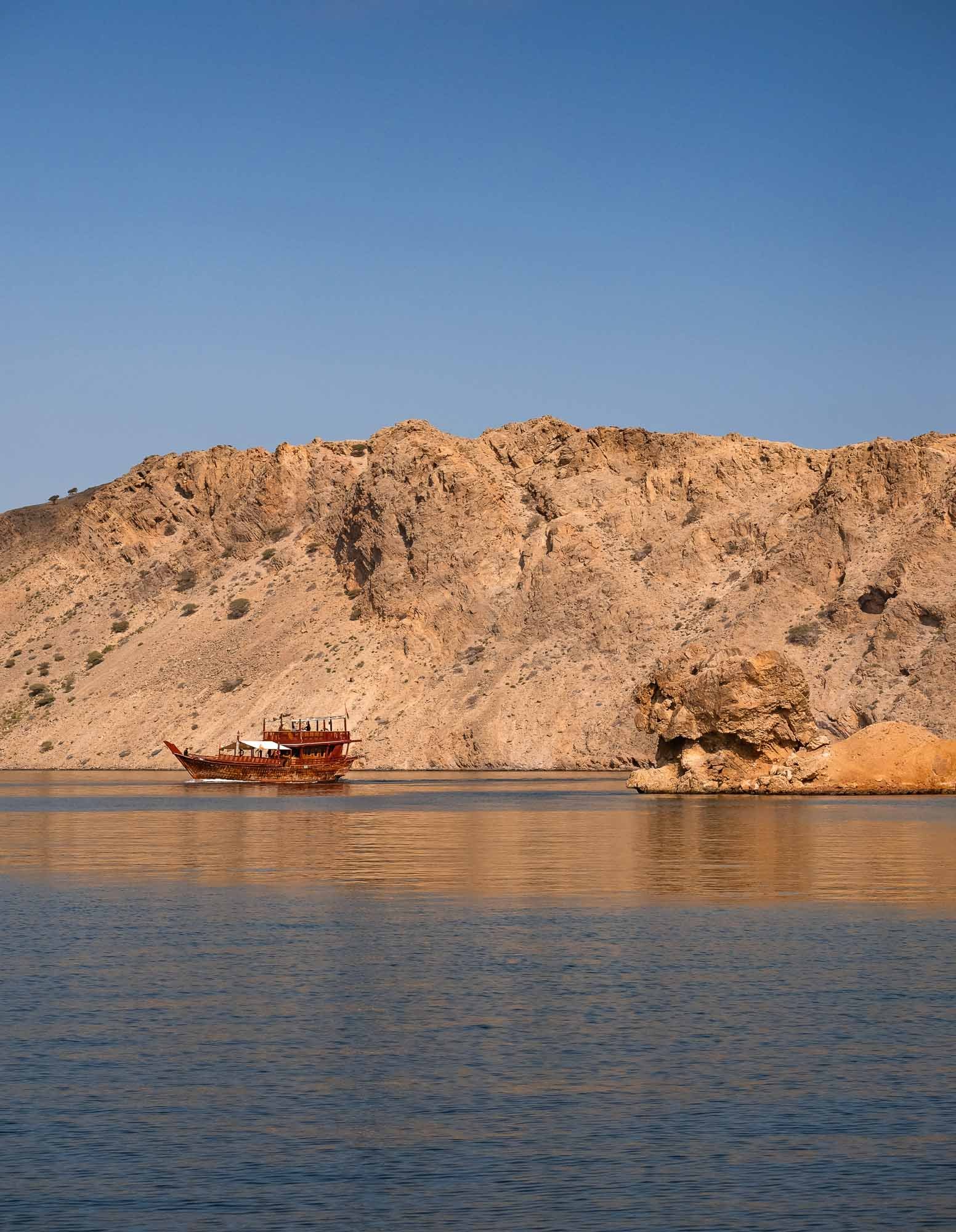
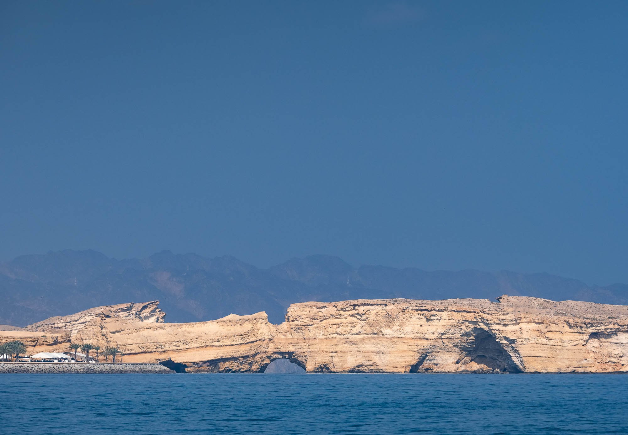
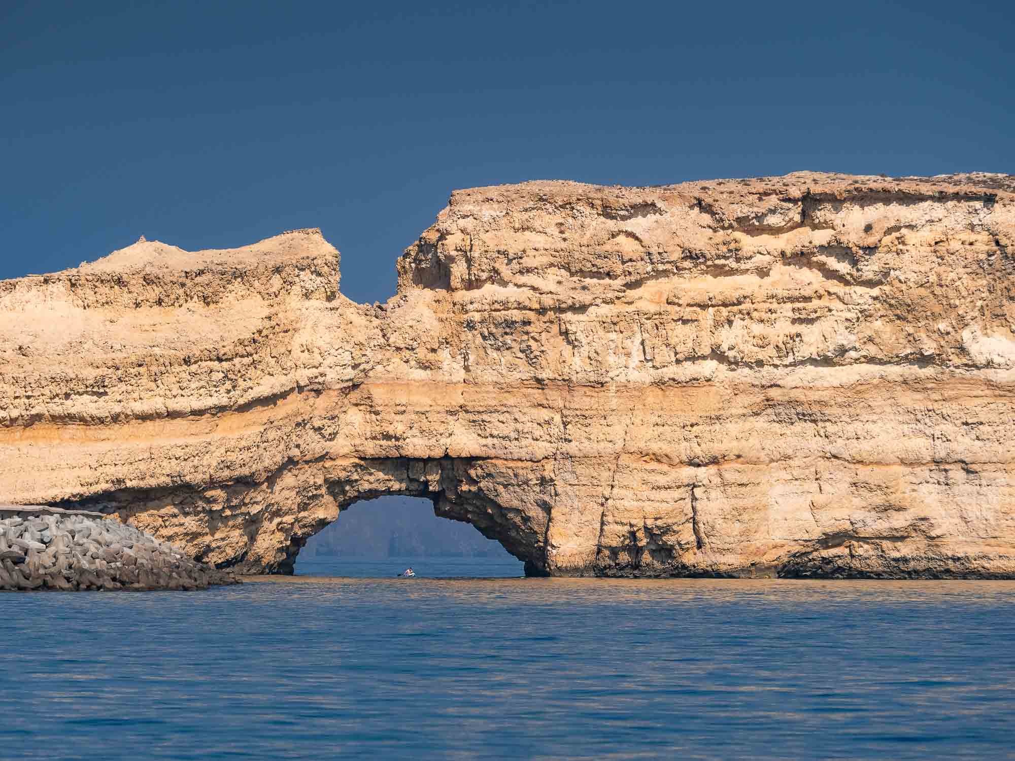
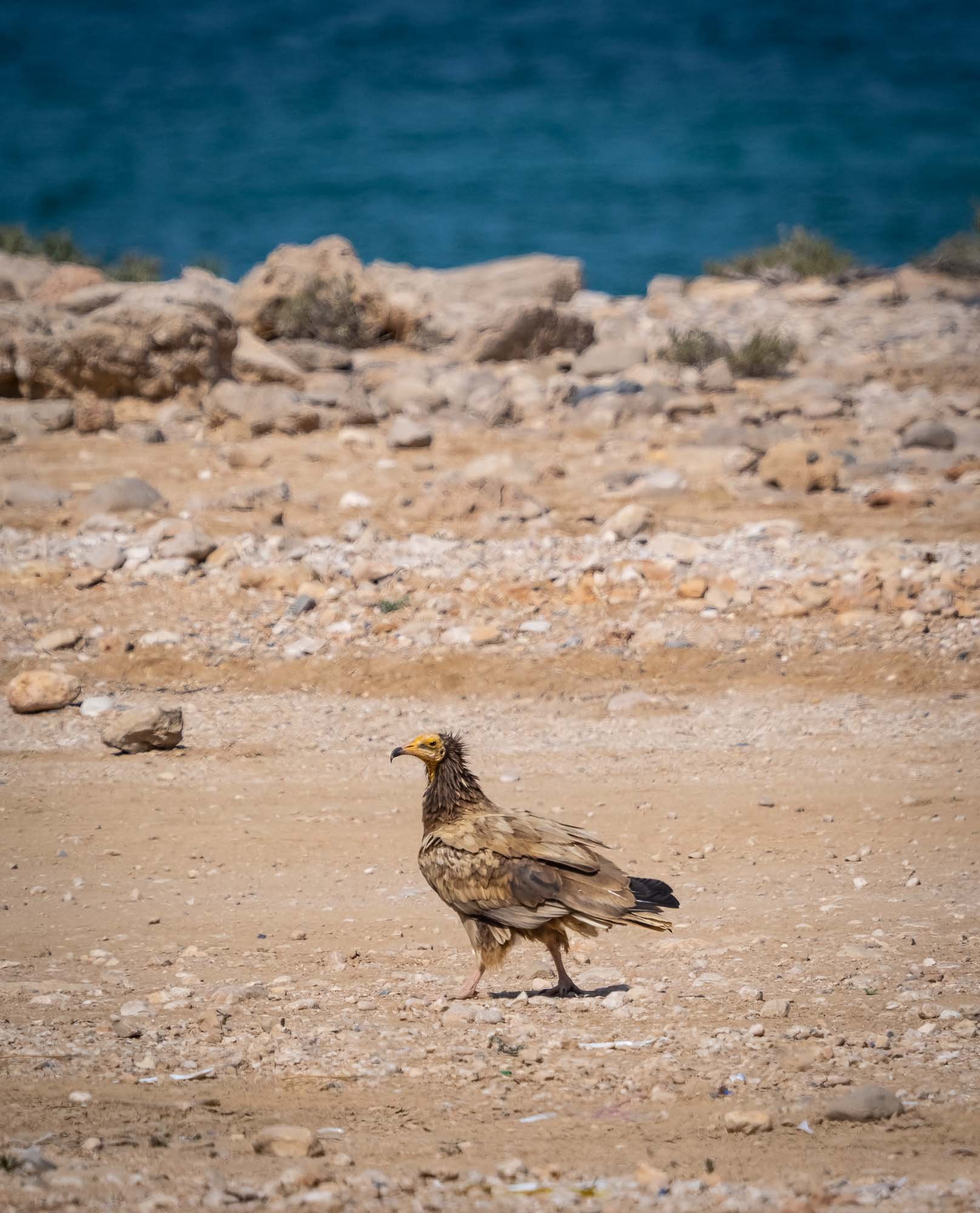
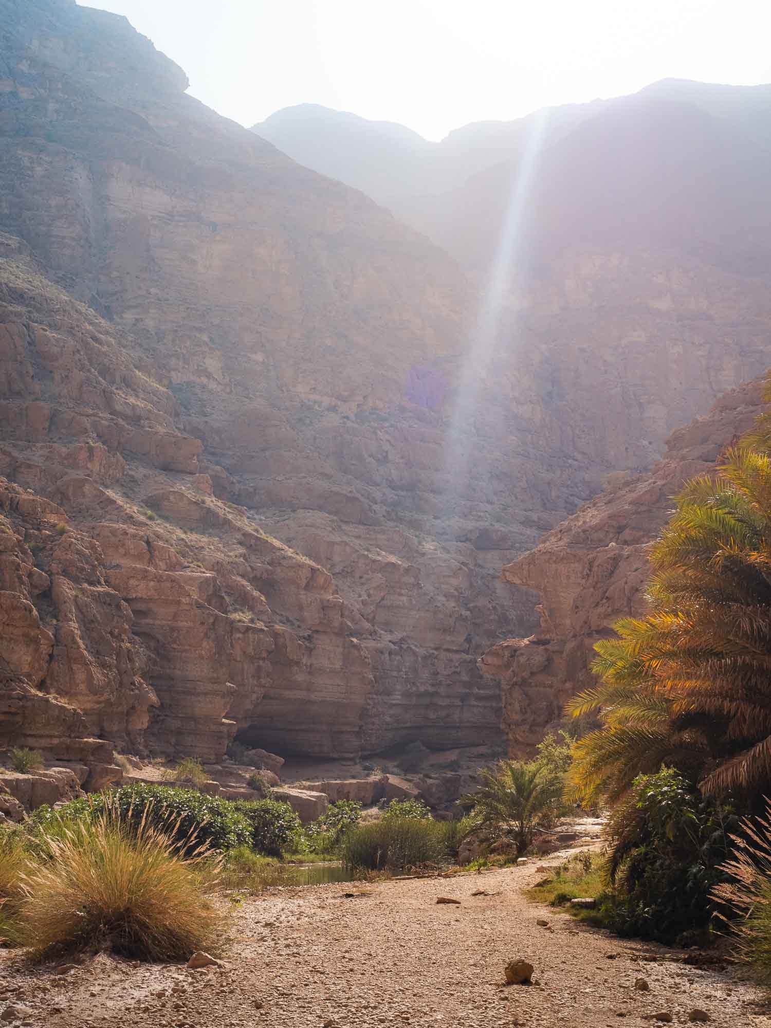
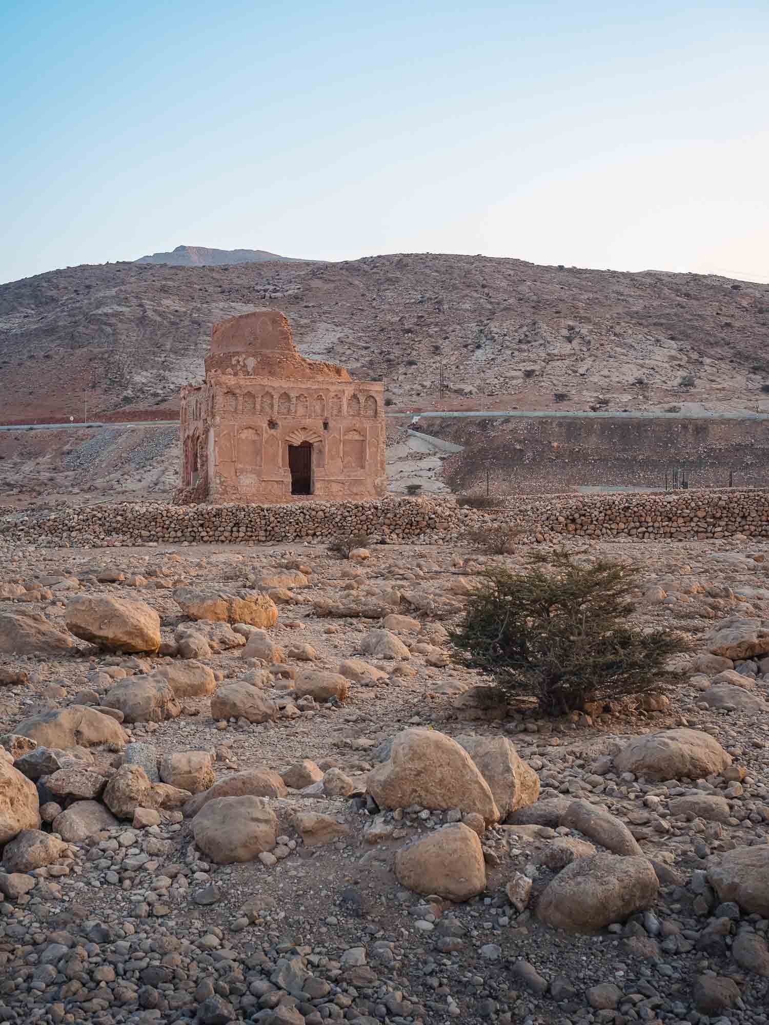
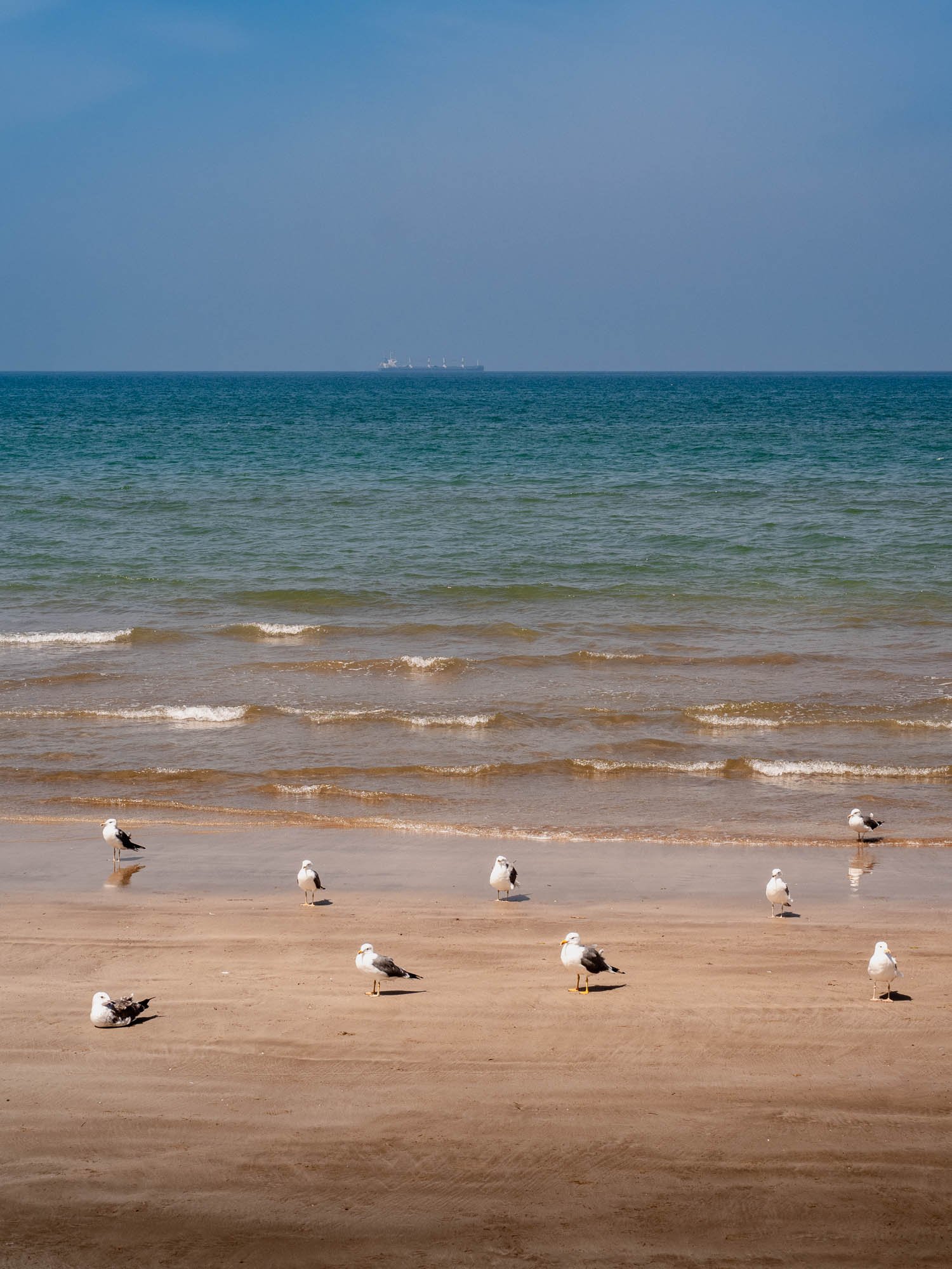
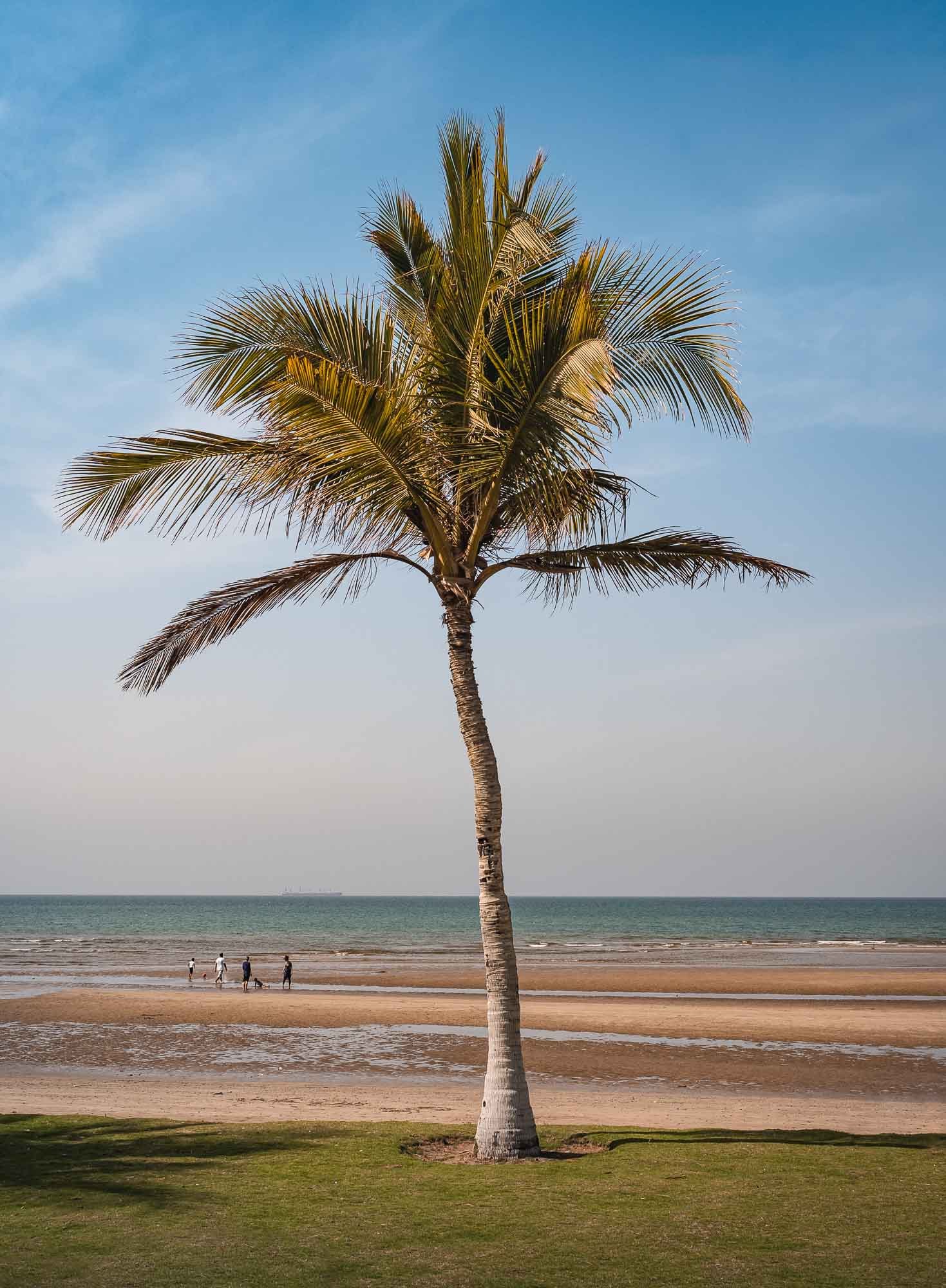
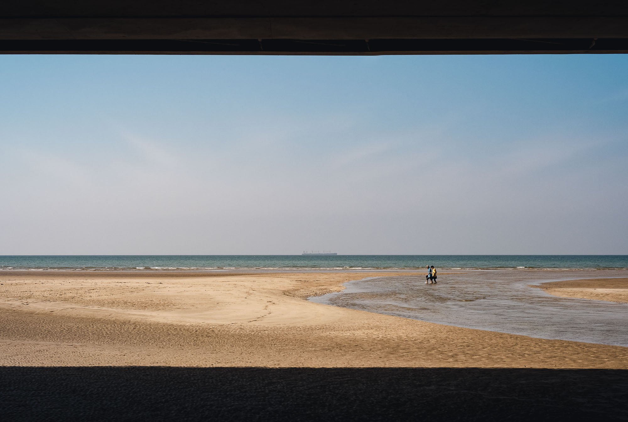
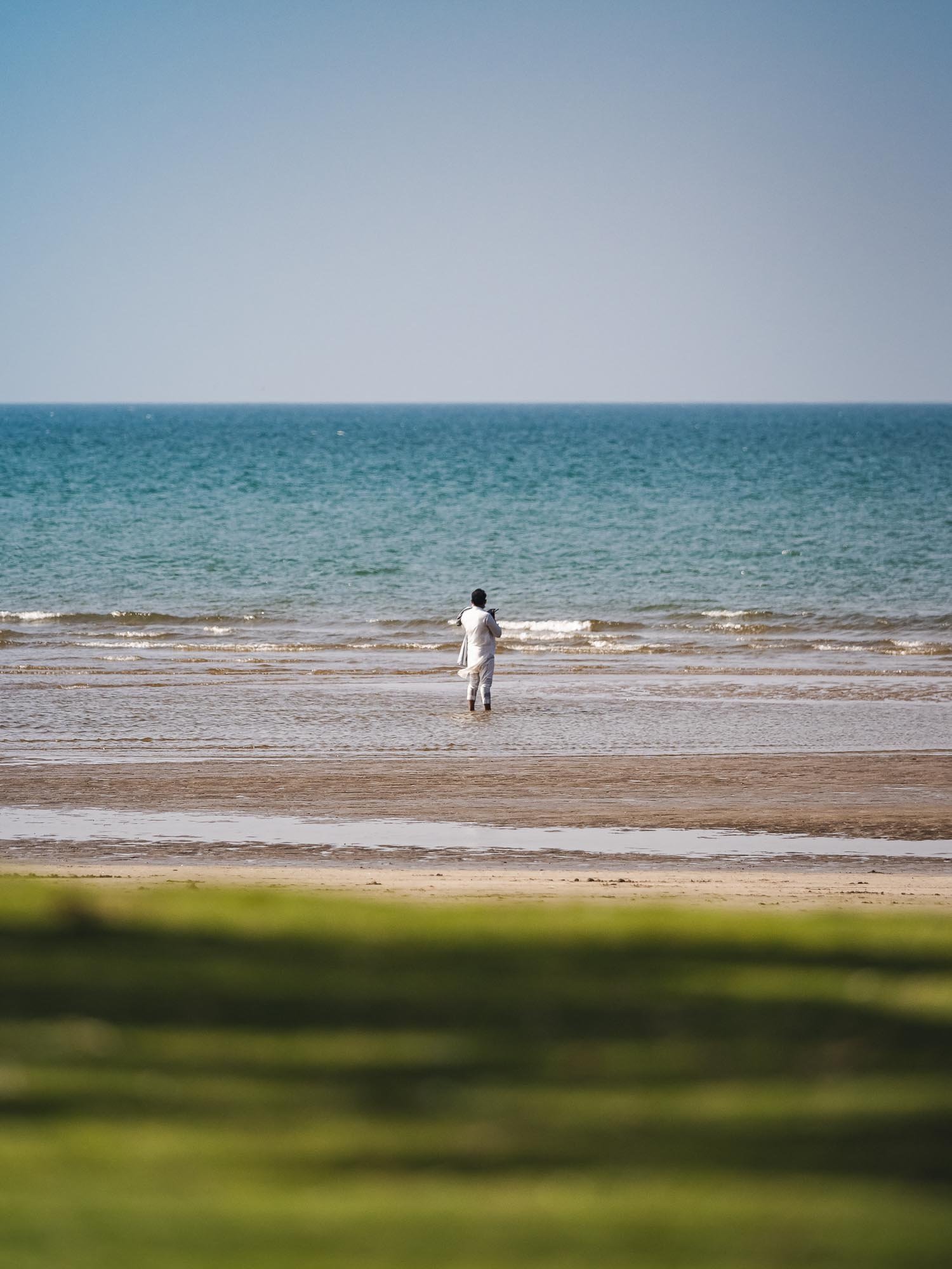
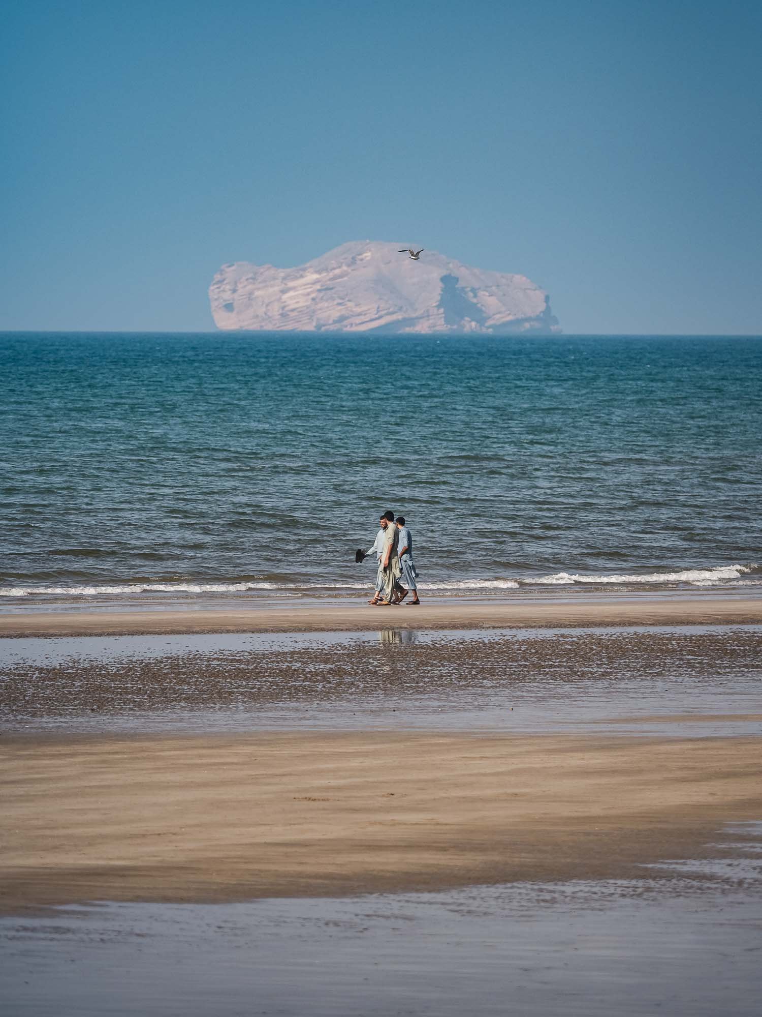
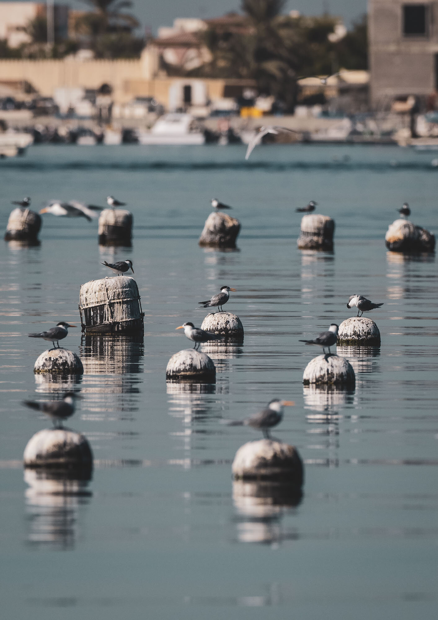
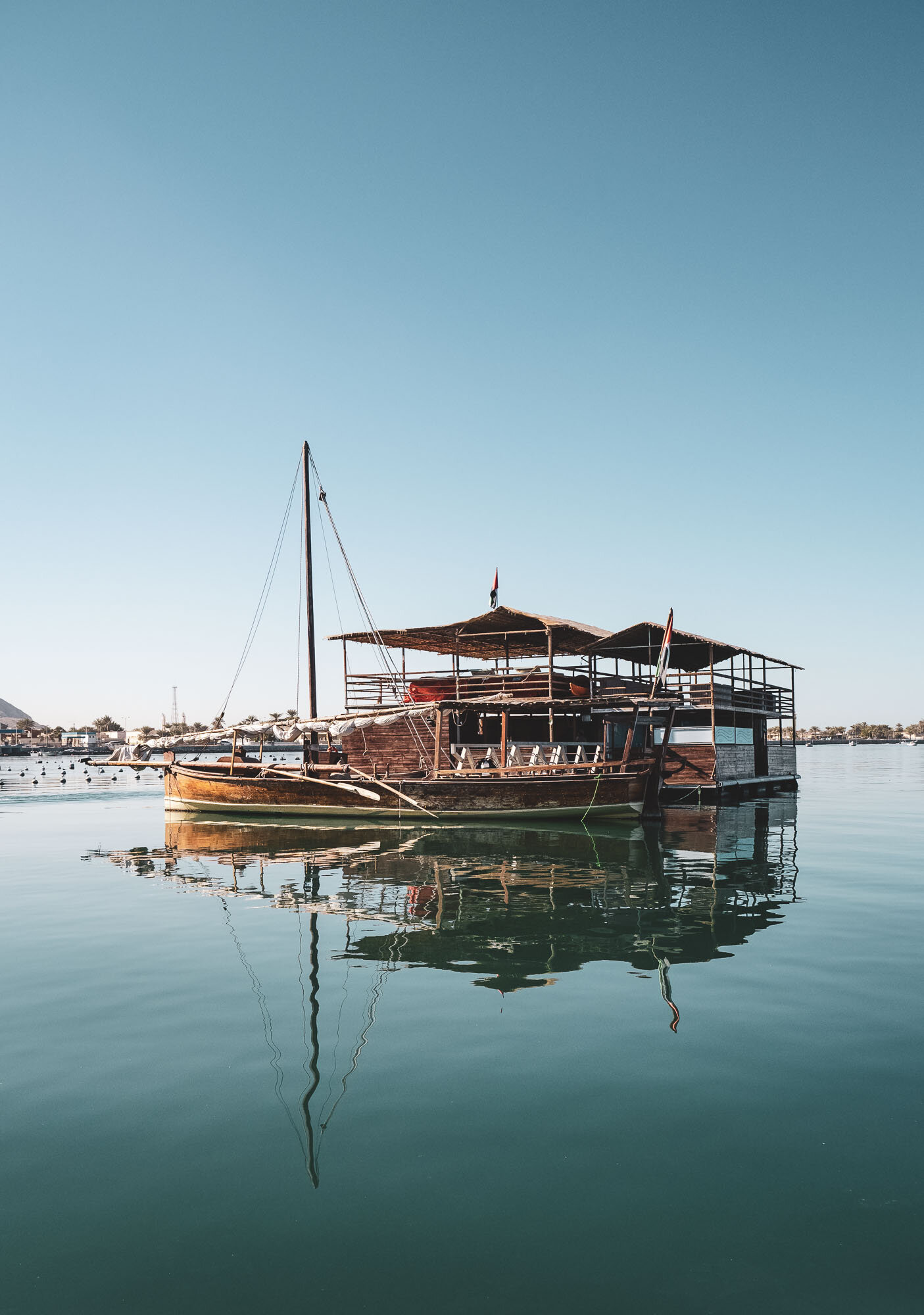
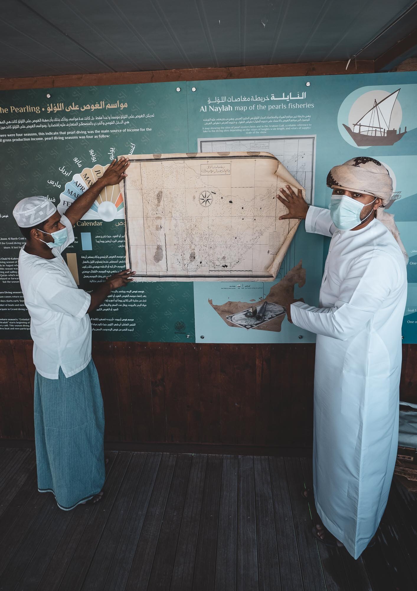
Along the Coast


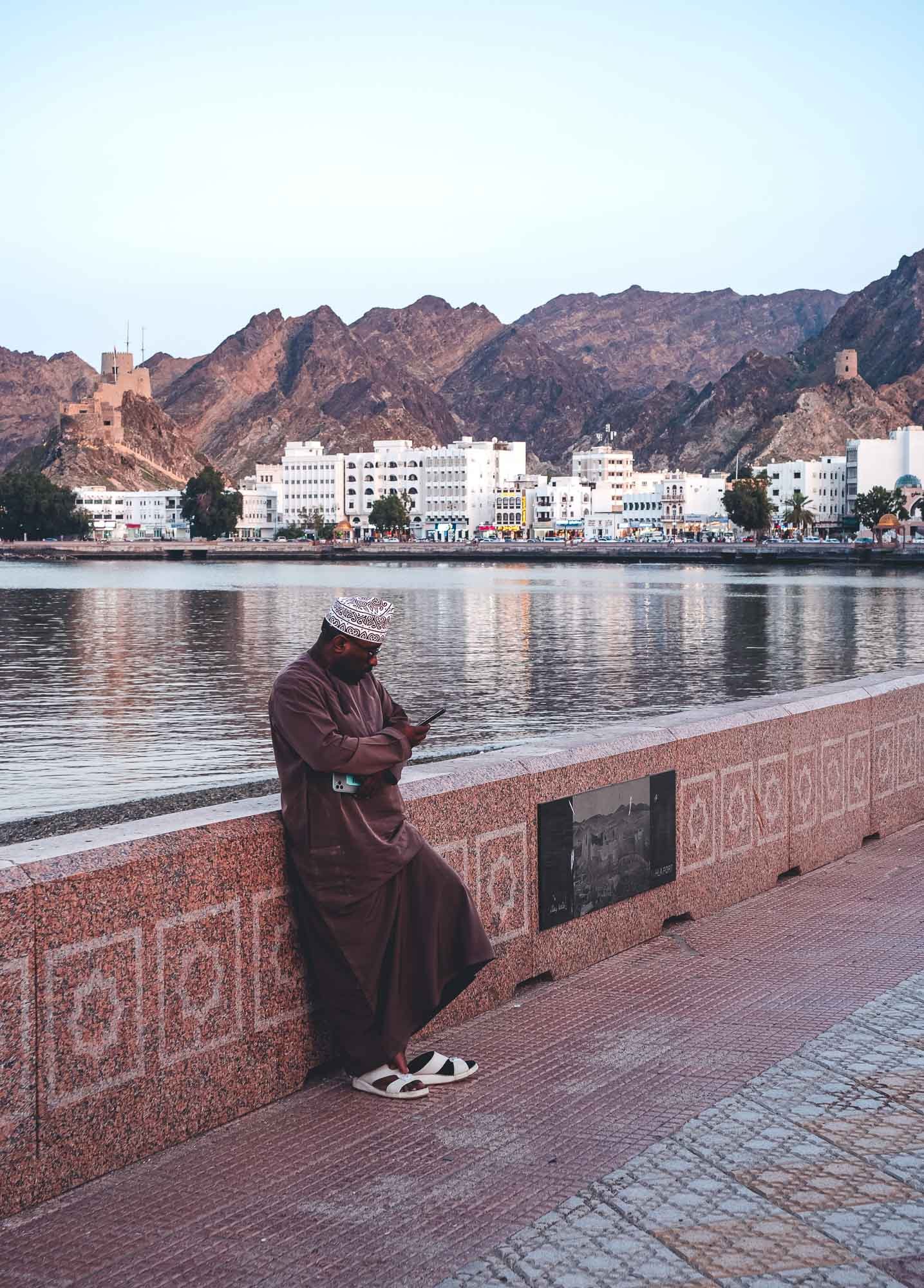
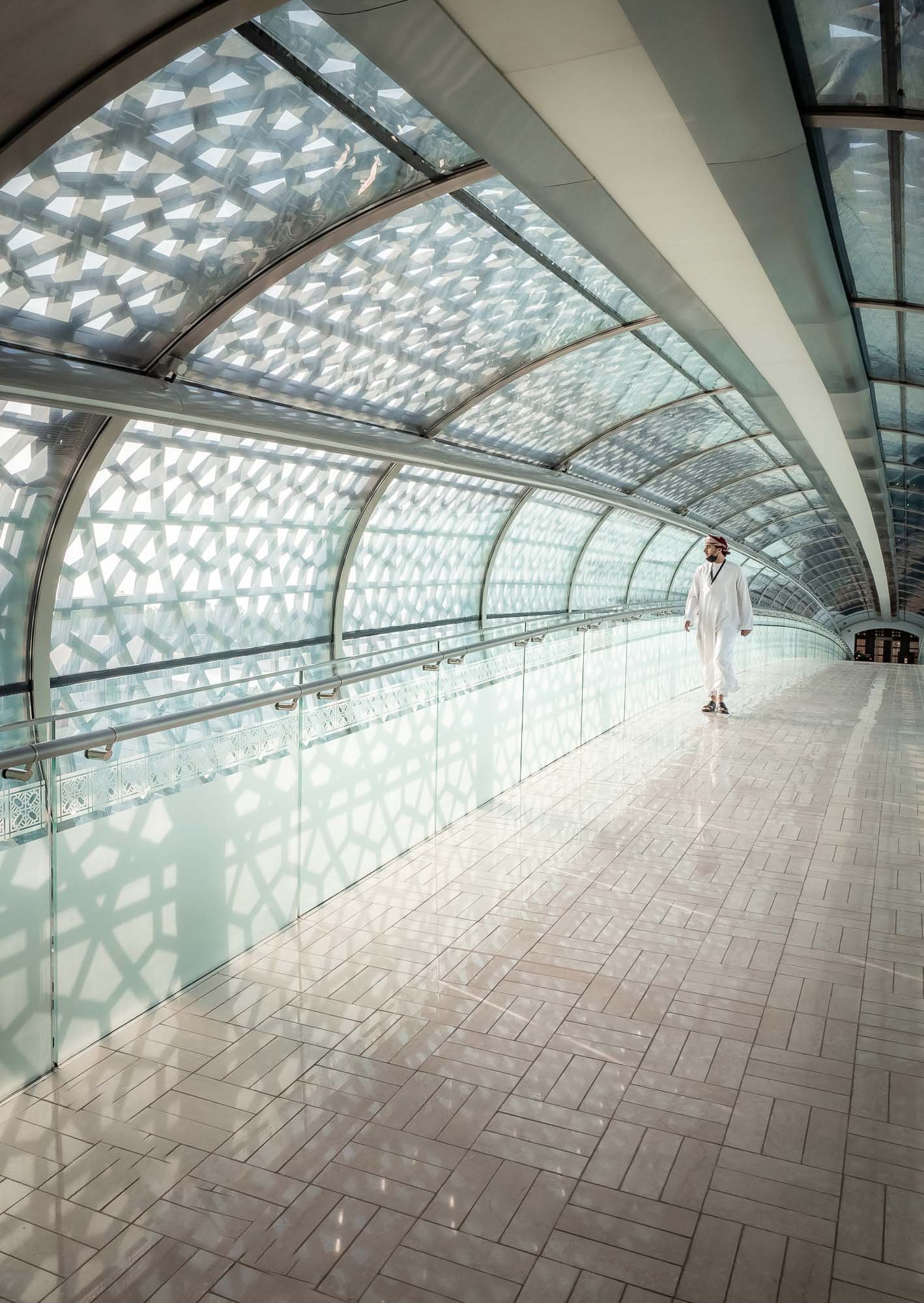
The Last Day in Muscat


Back to Dubai


I really hope you enjoyed this small documentary series of my trip to Oman. I’ve known about the beauty, geology, and history of the Hajar mountains from exploring the UAE, but Oman really took this to another level. It is probably a good thing for these sites that the country hasn’t had the same level of attention as some other more famous destinations in the Middle East, but on the other hand Oman and its people really deserve to be recognized alongside them. Will definitely come back.

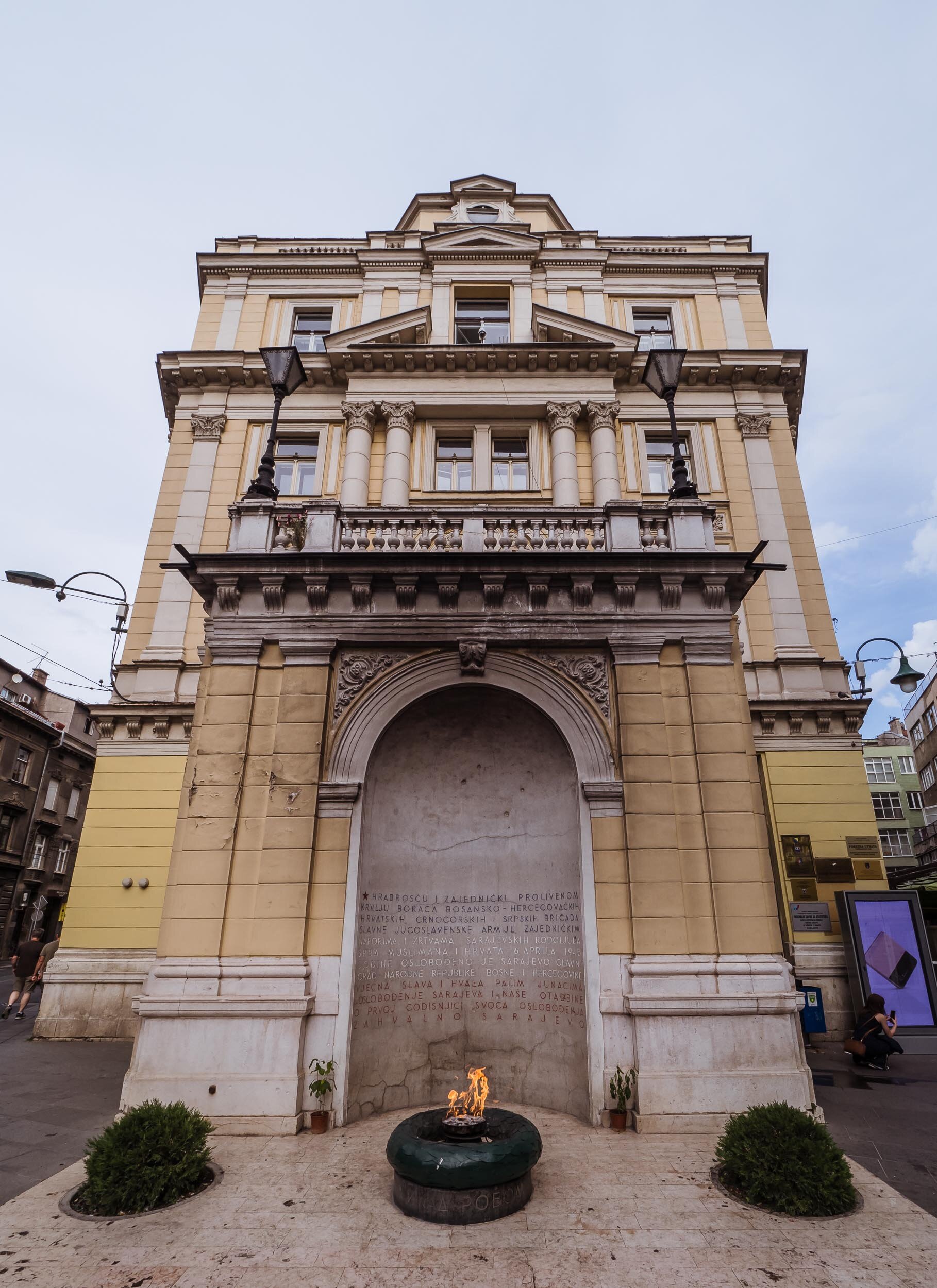
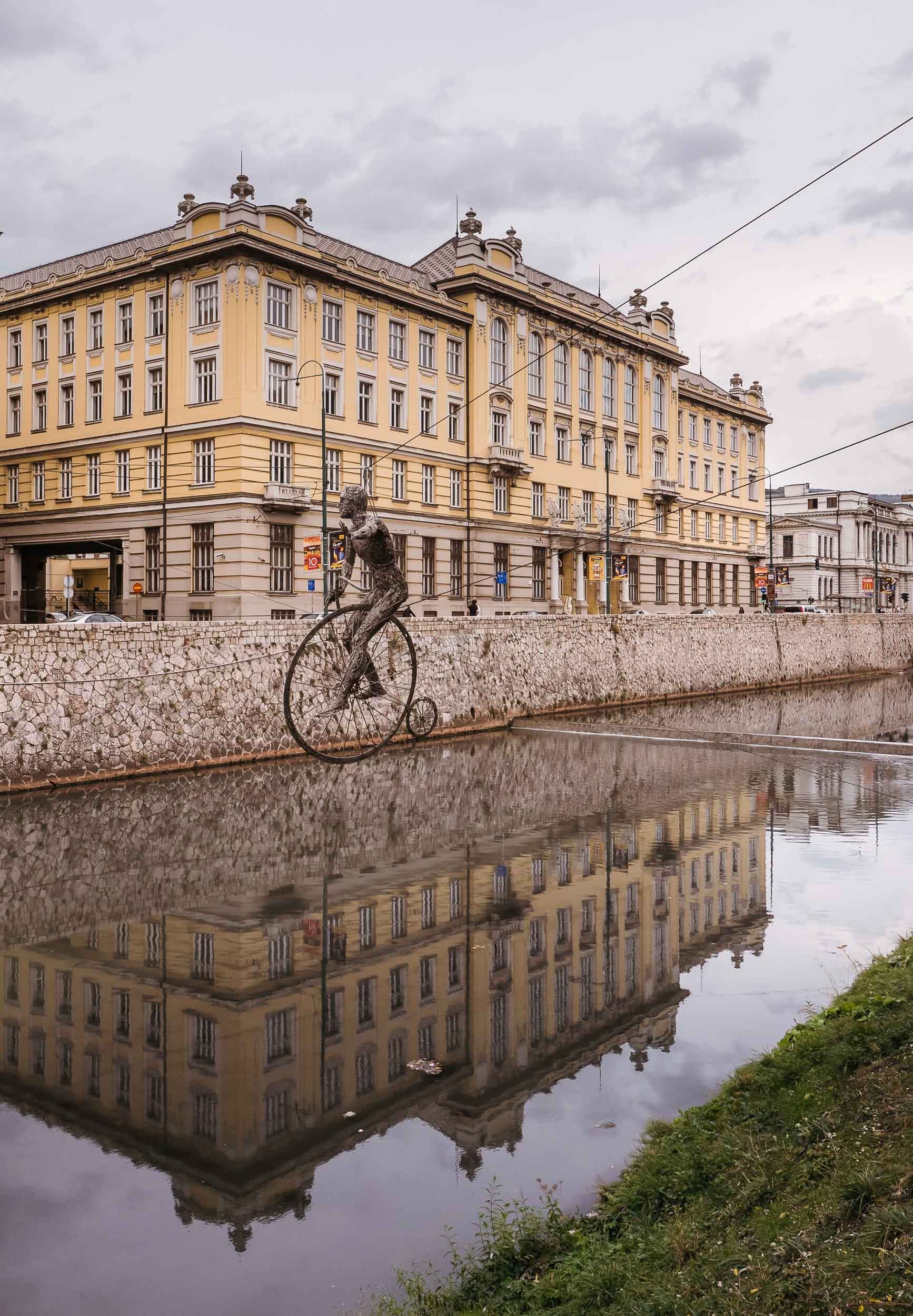
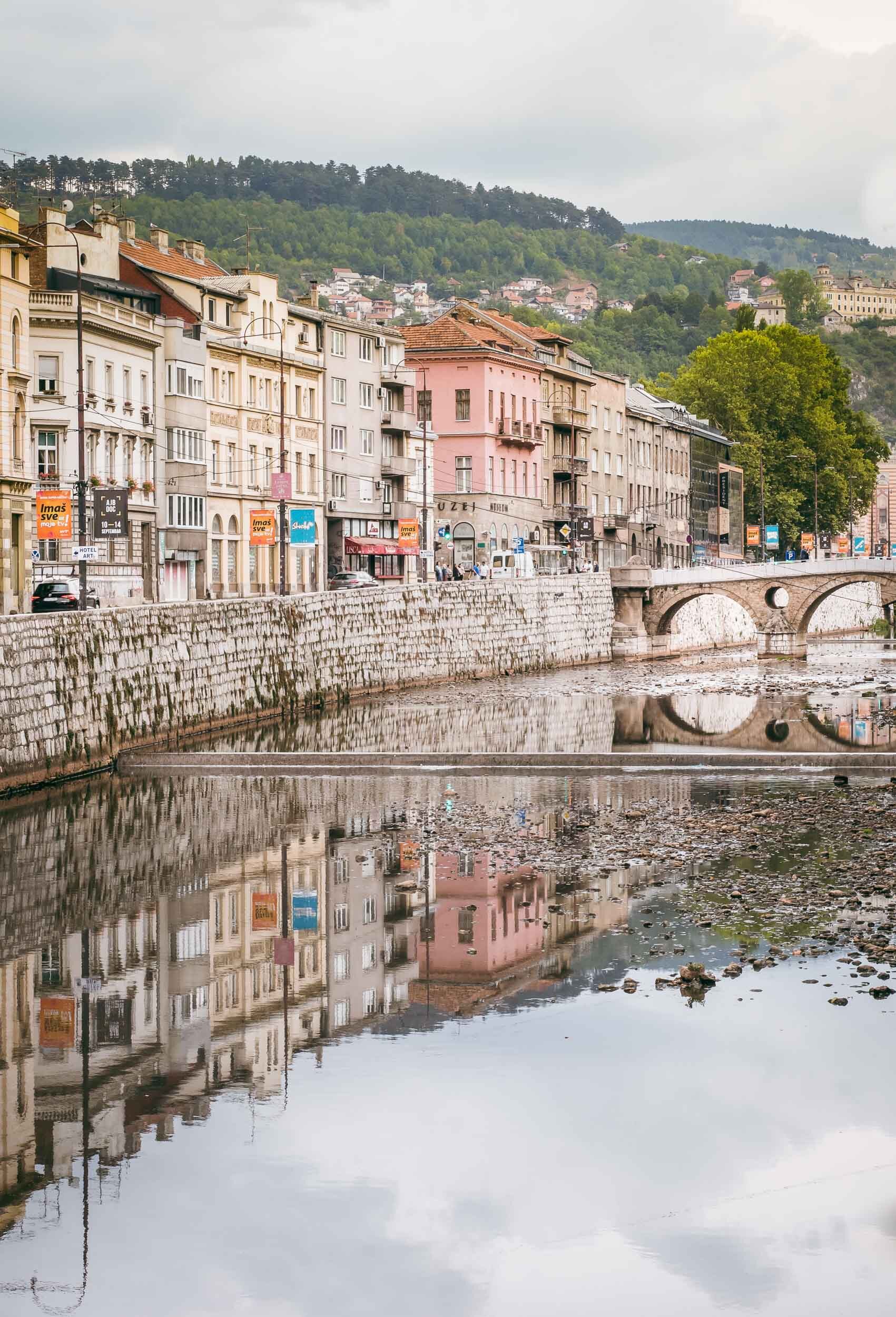
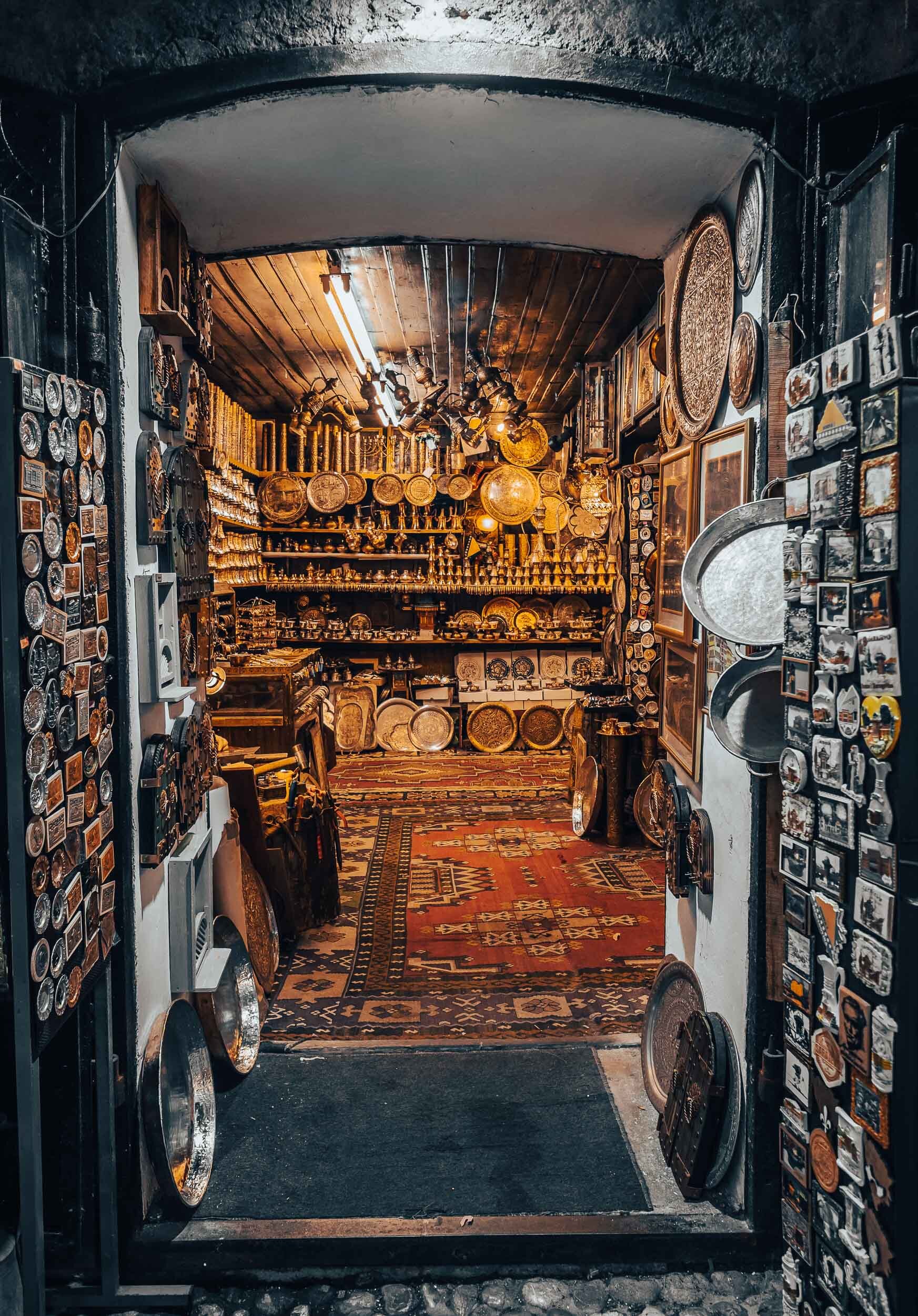
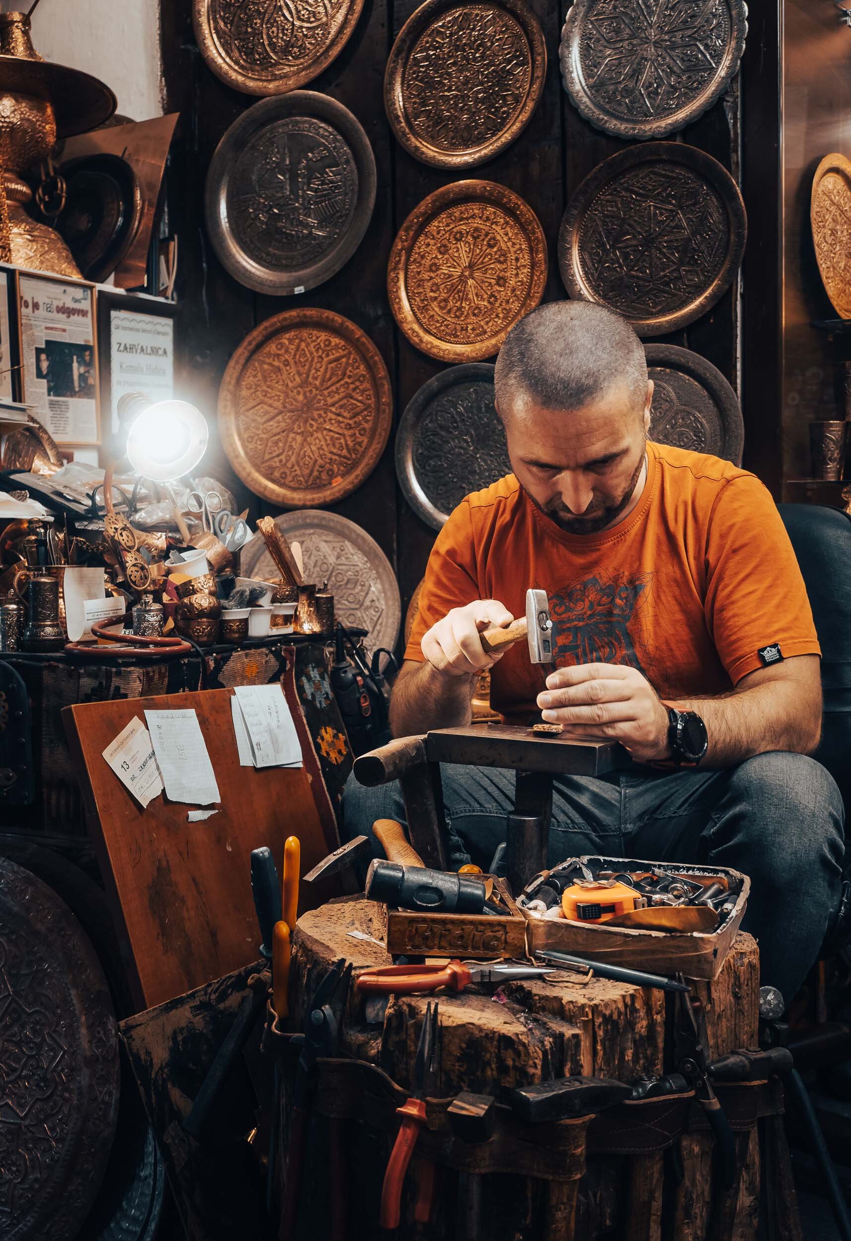
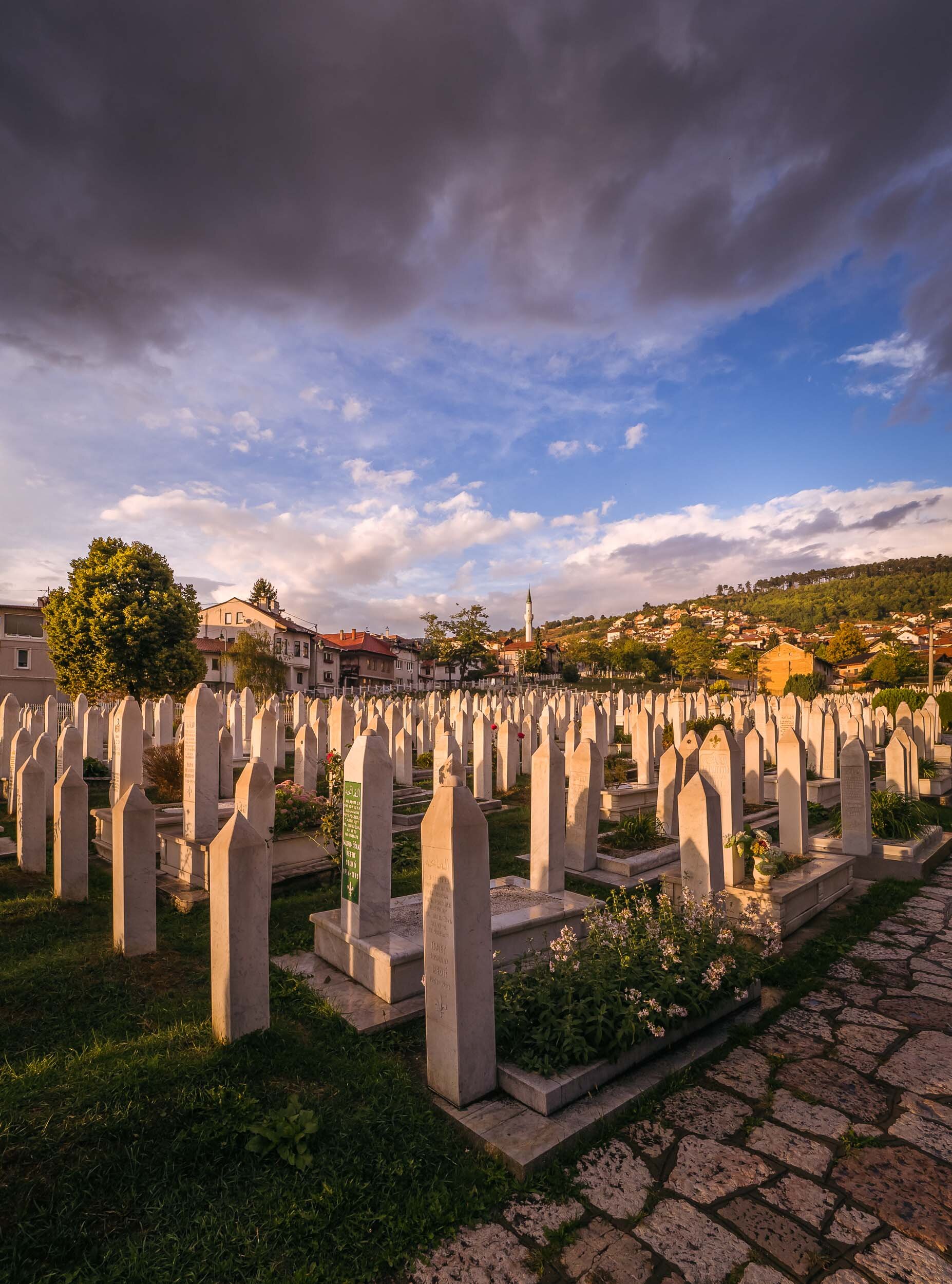
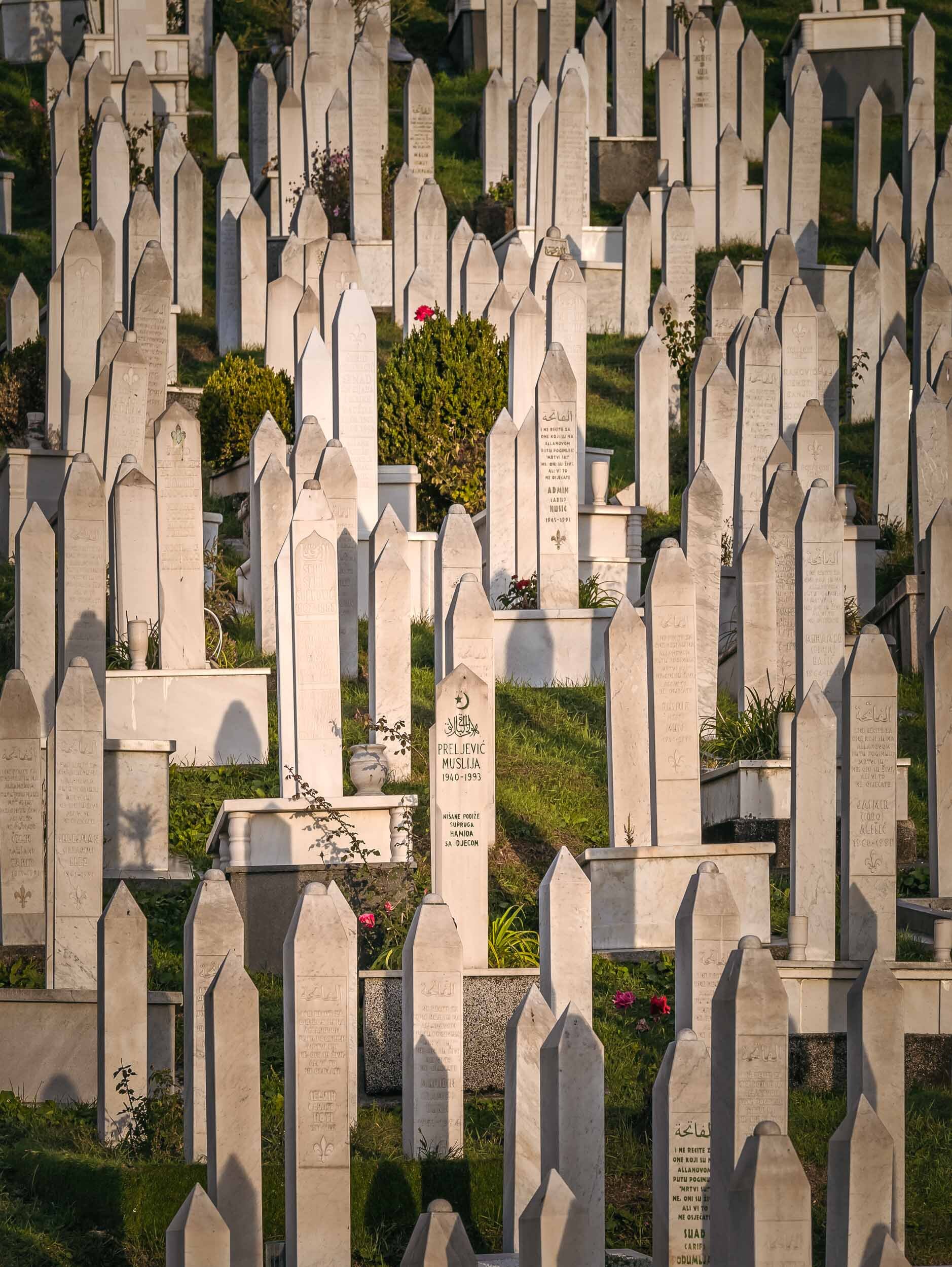
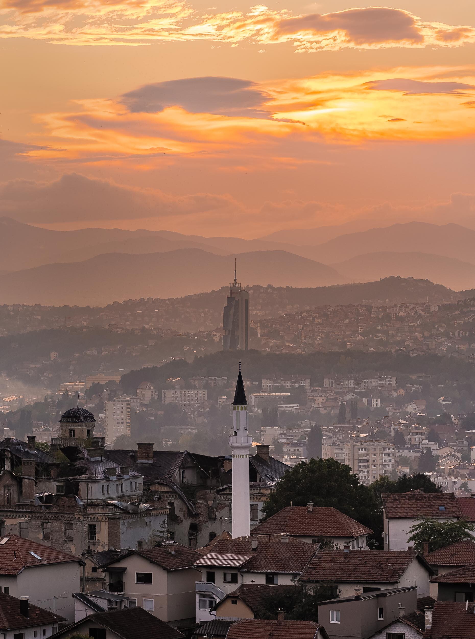
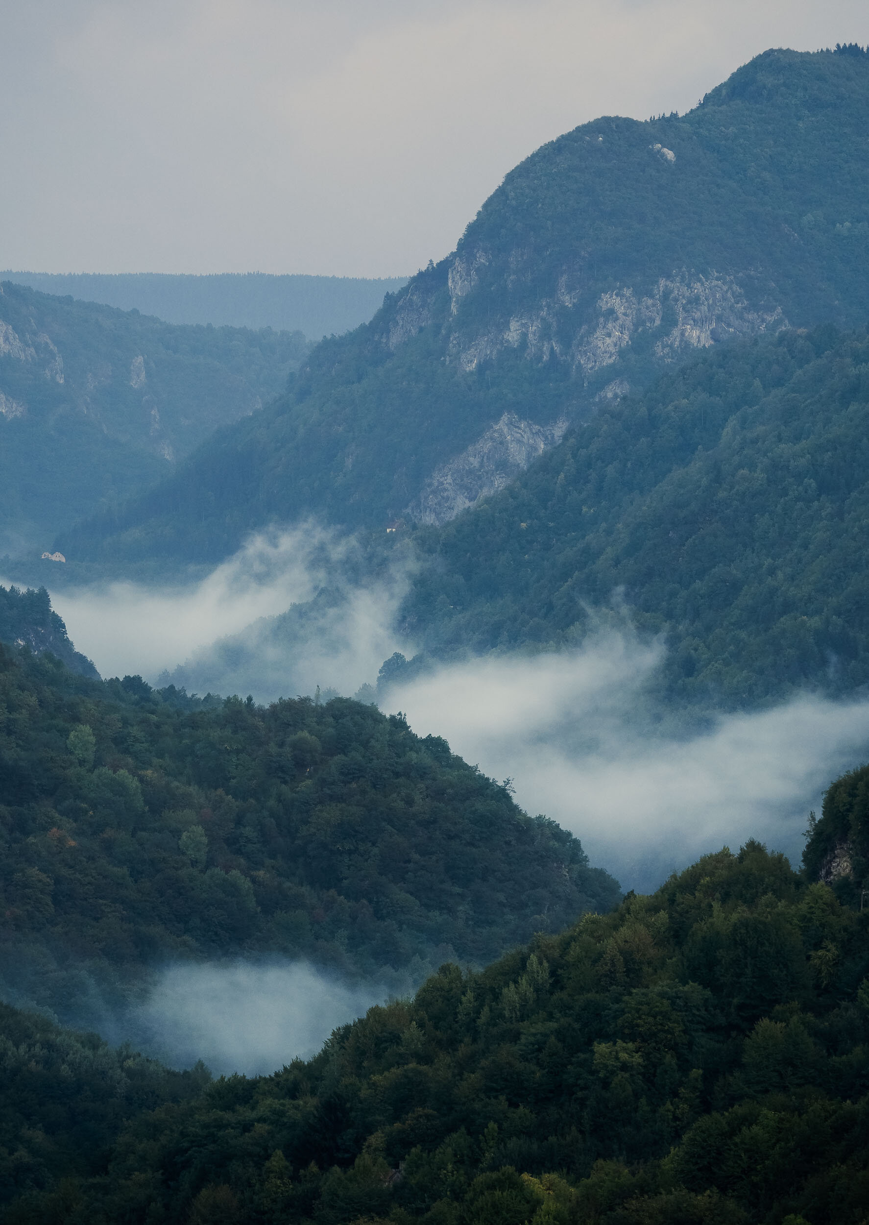
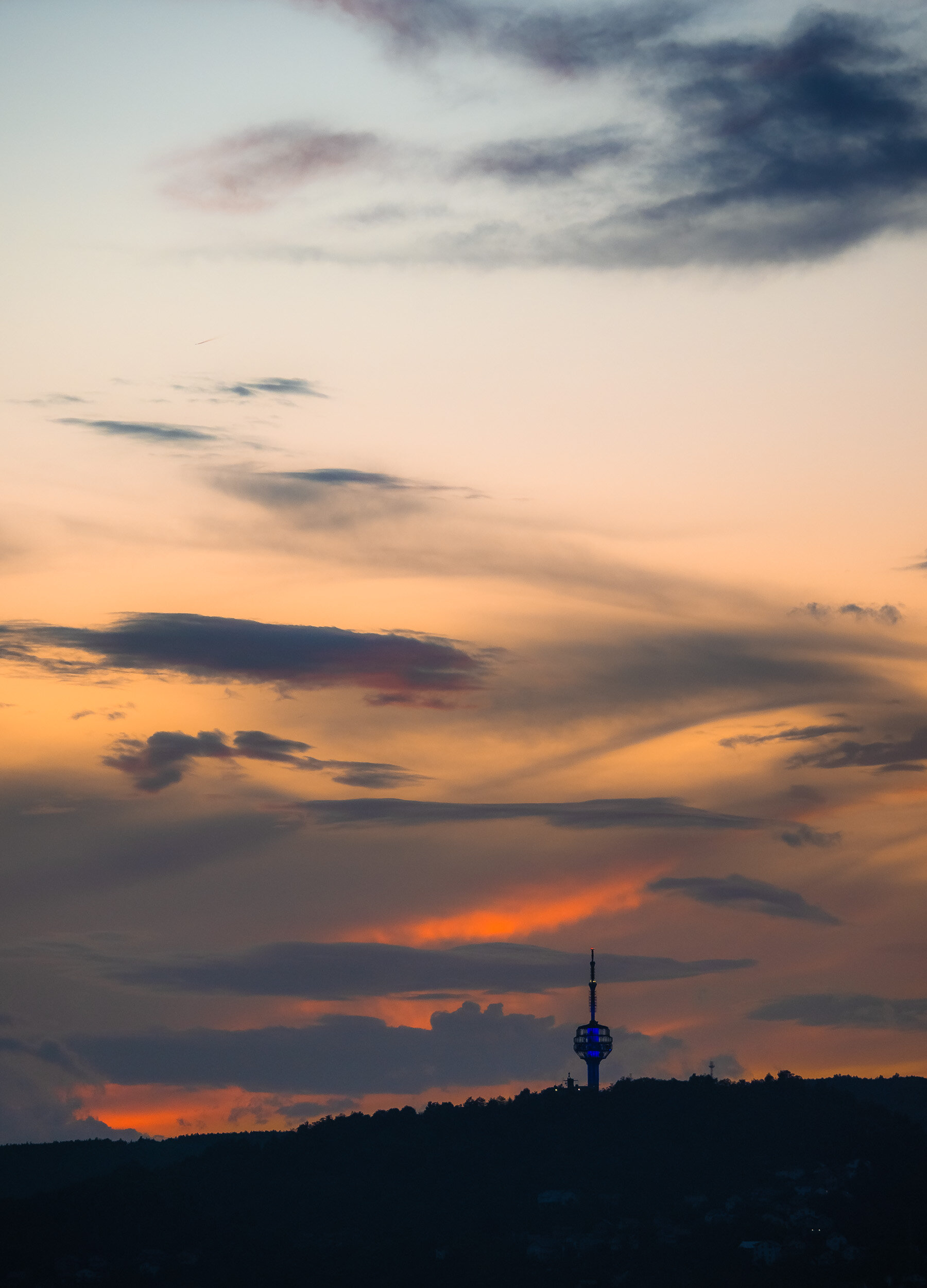
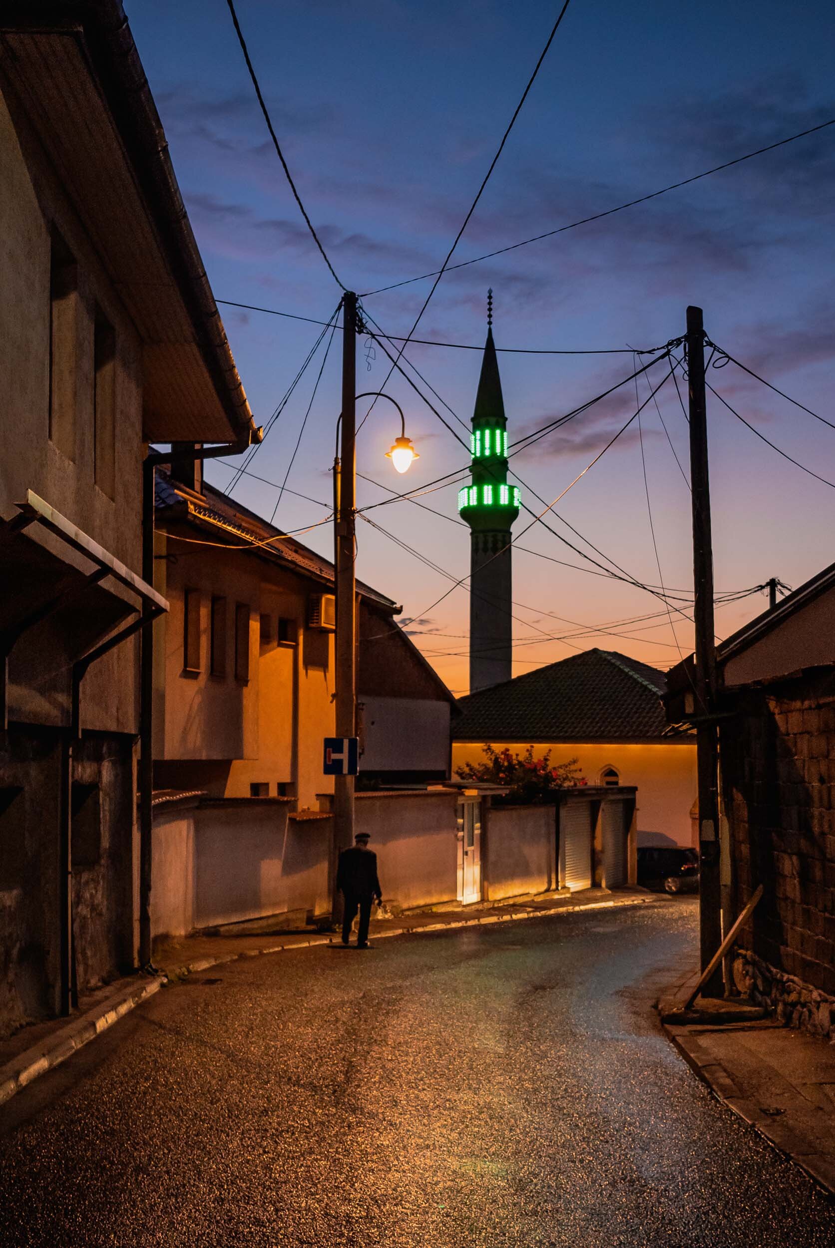
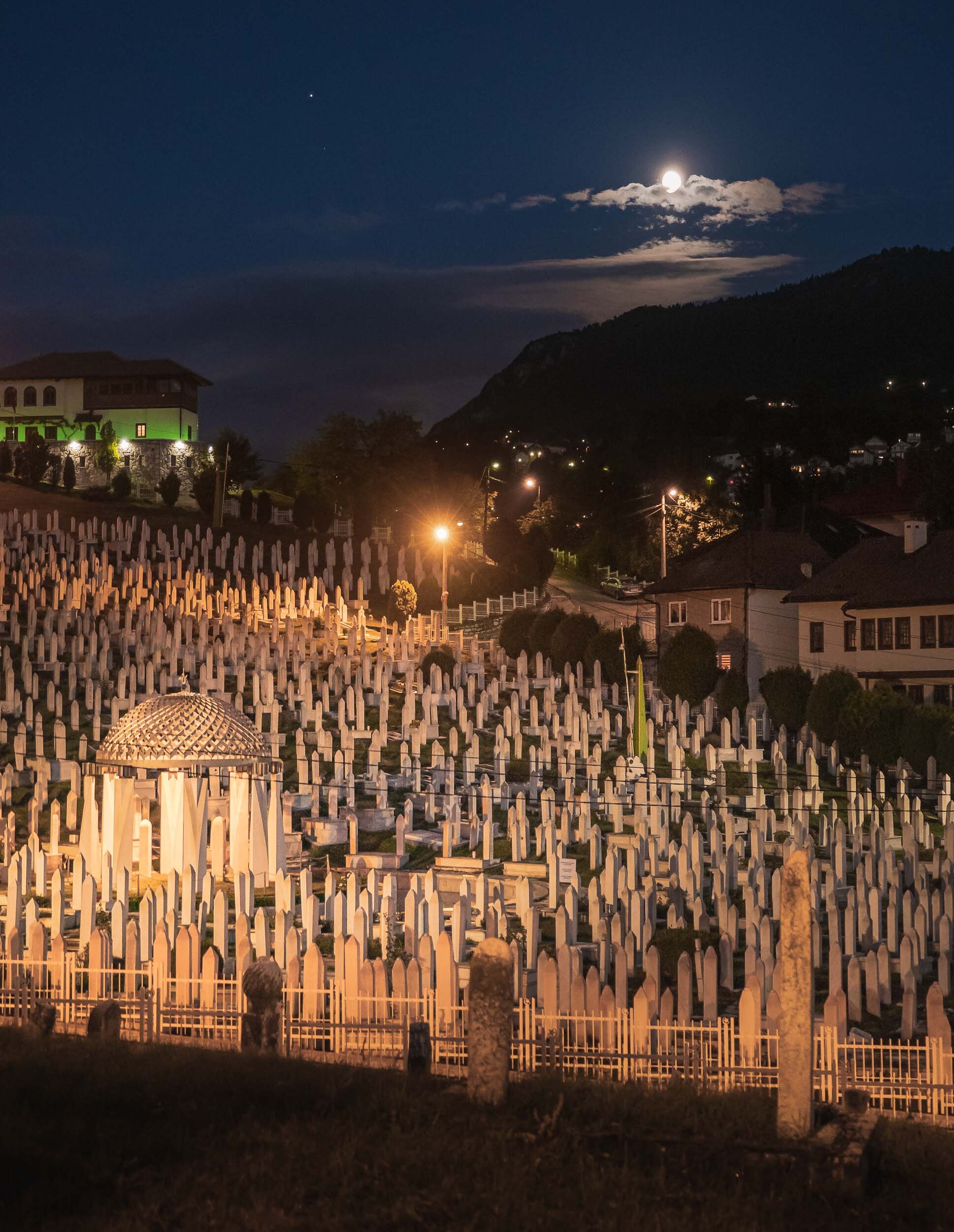
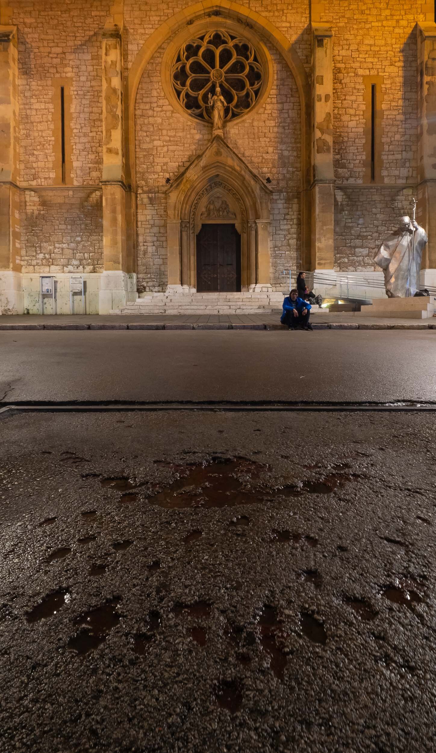
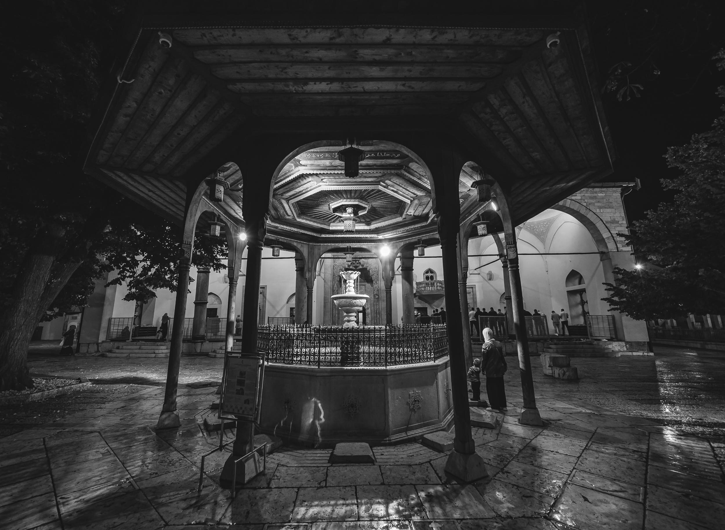
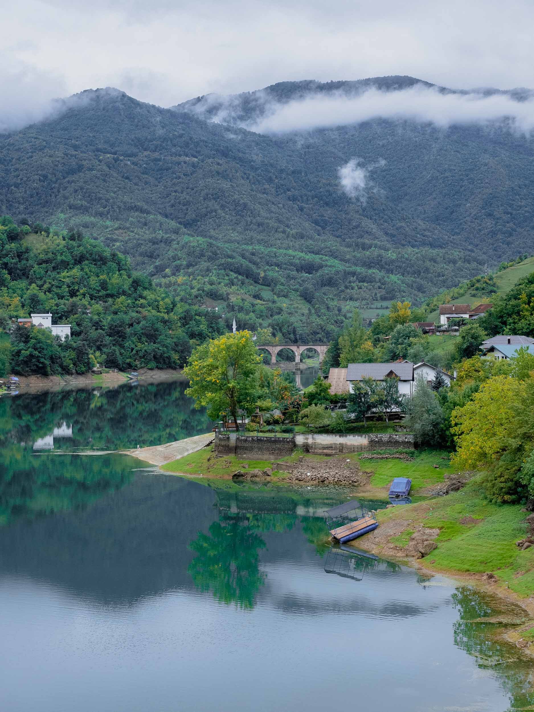
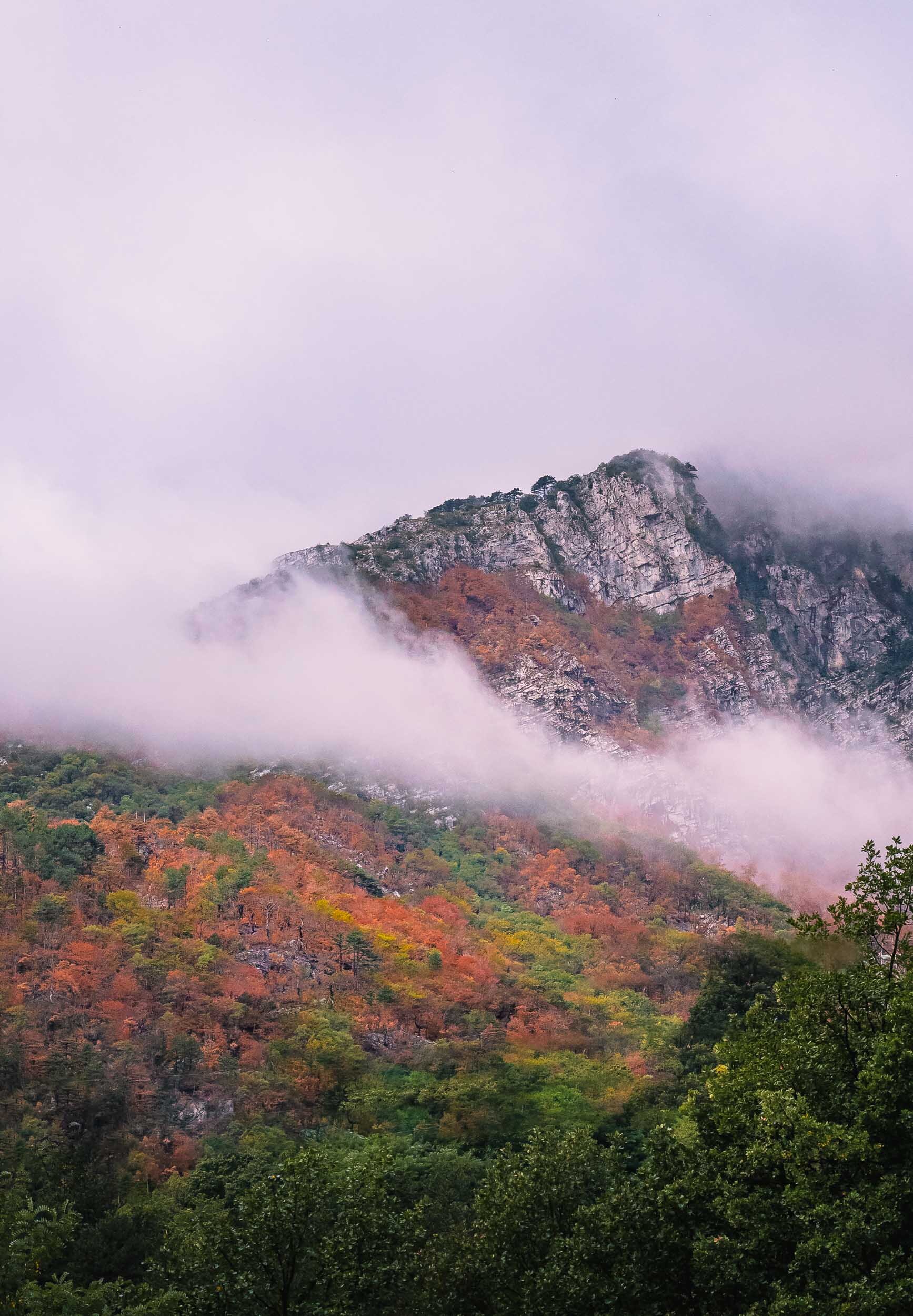
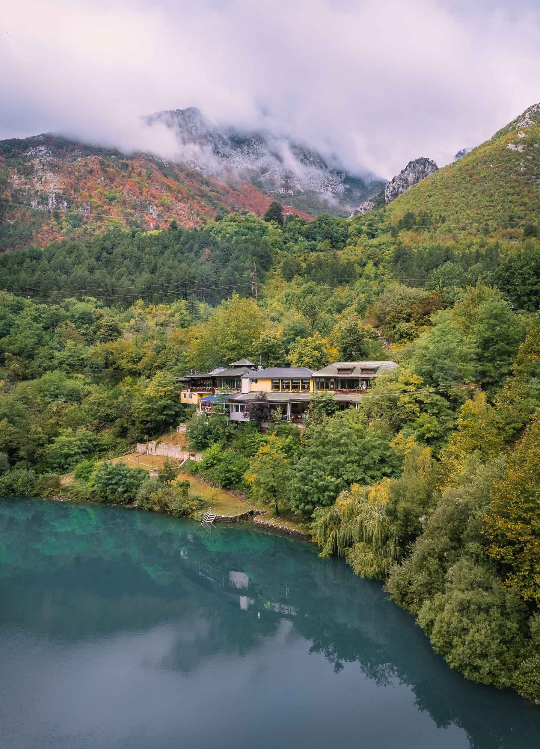
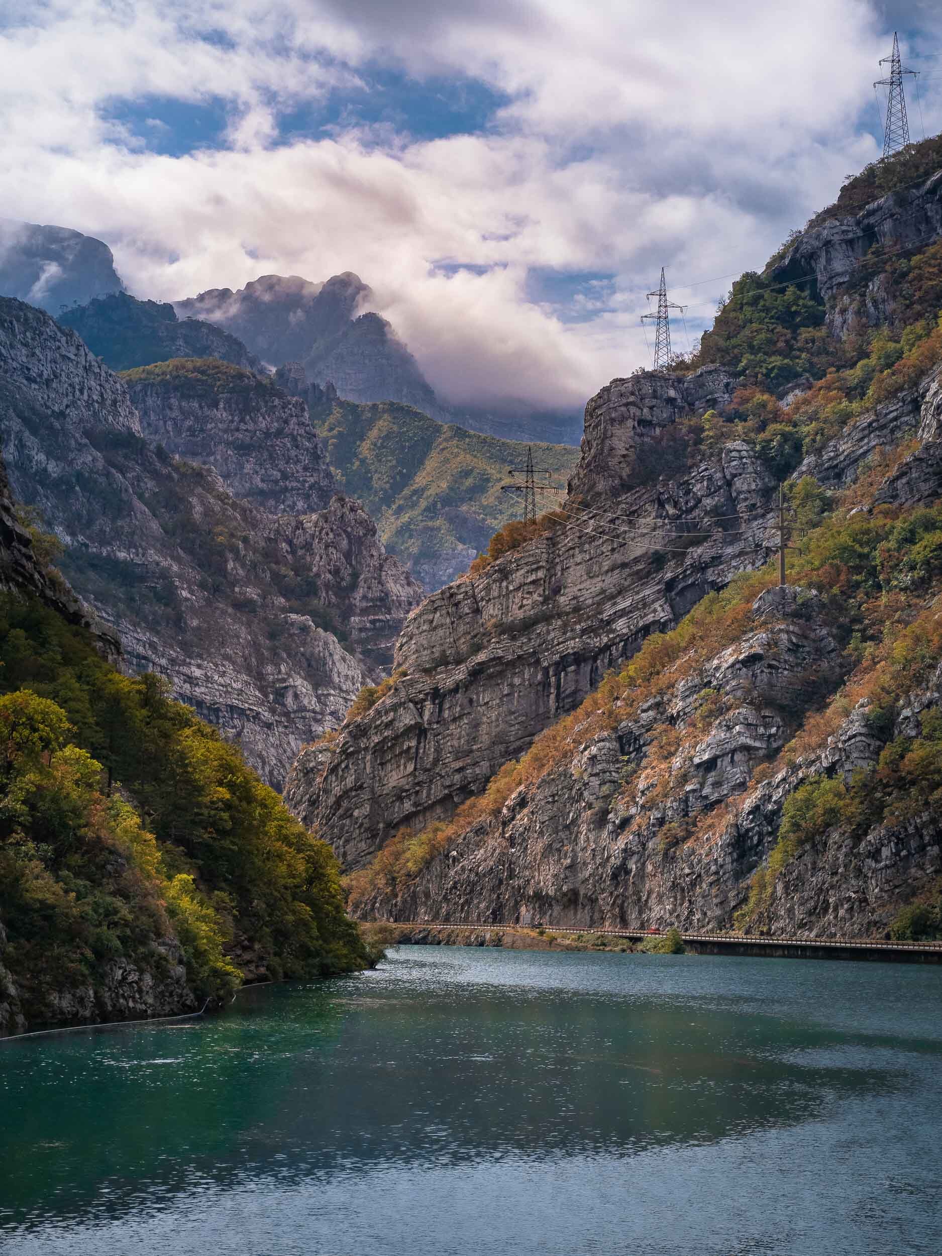
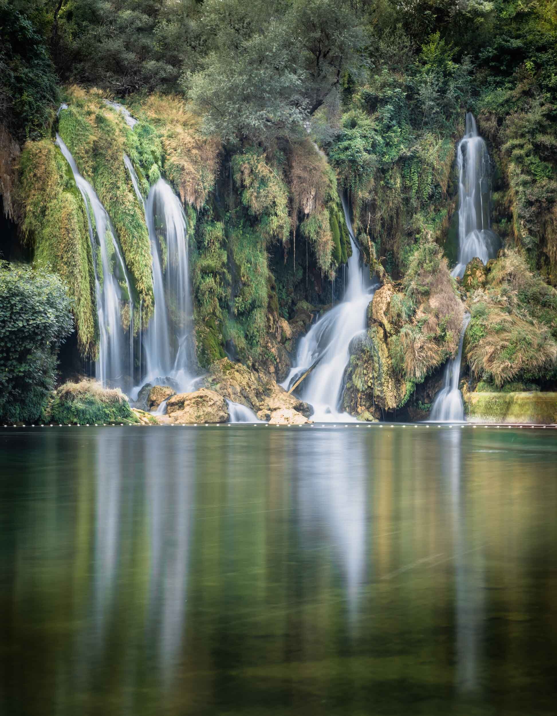
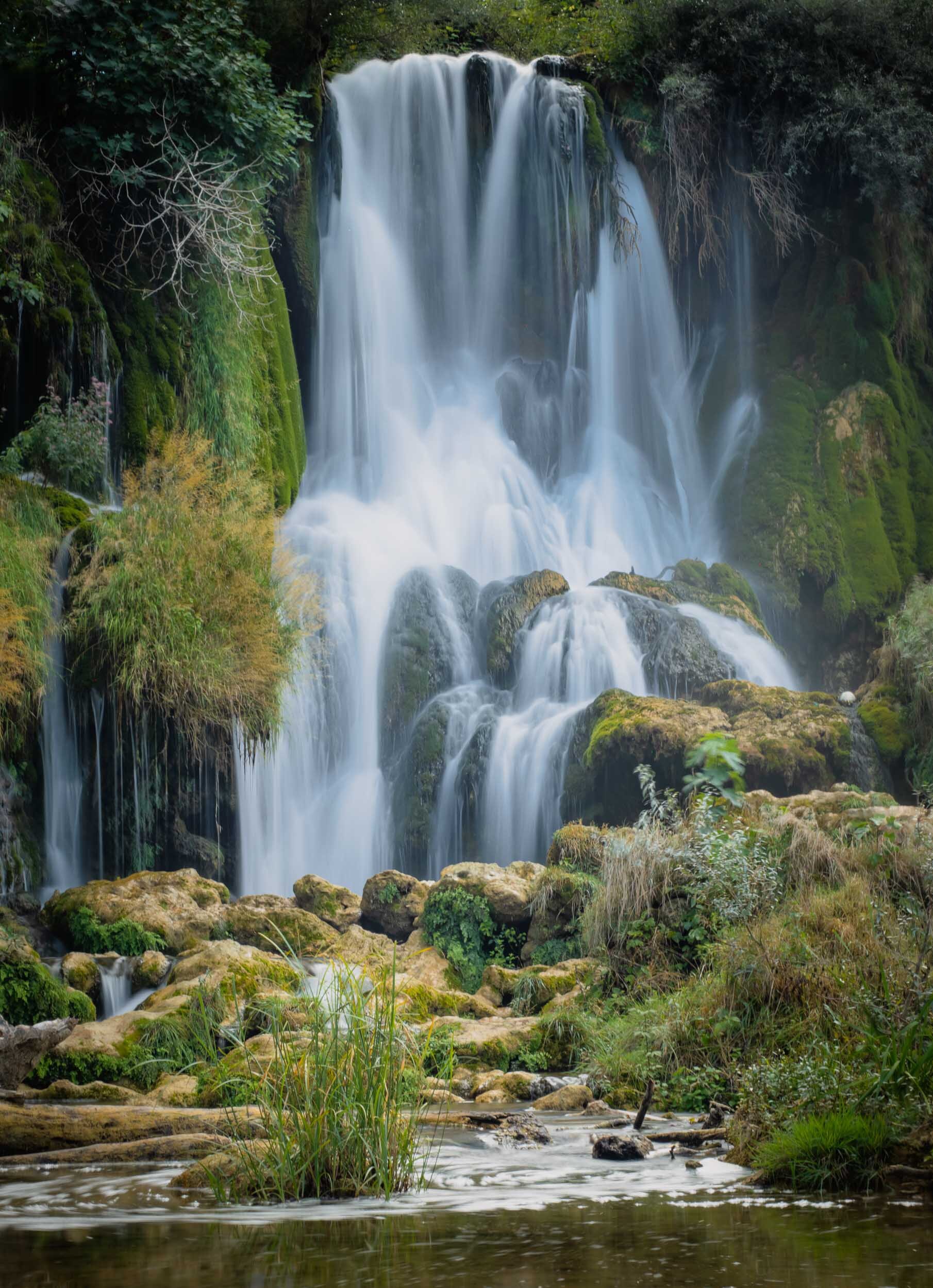
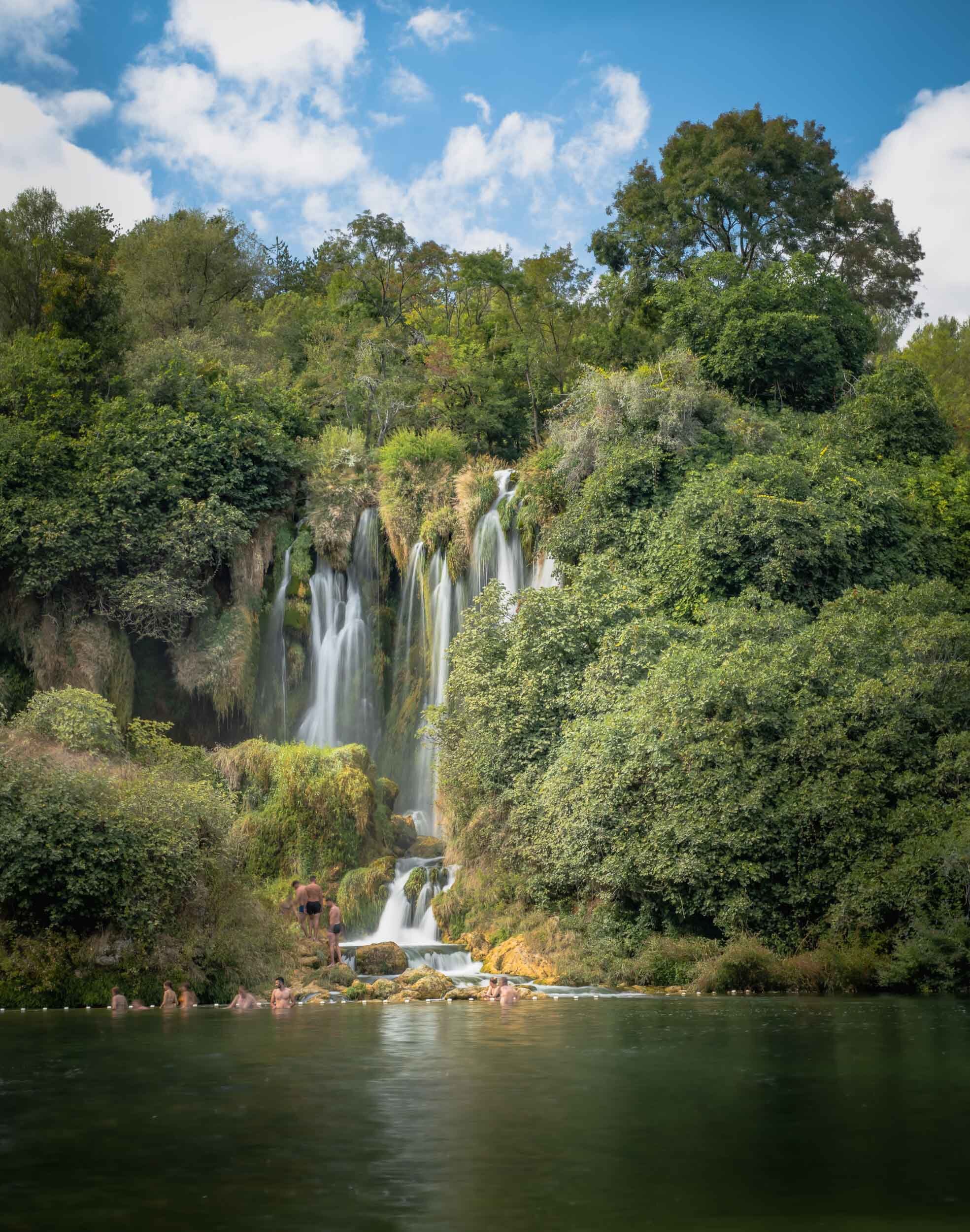
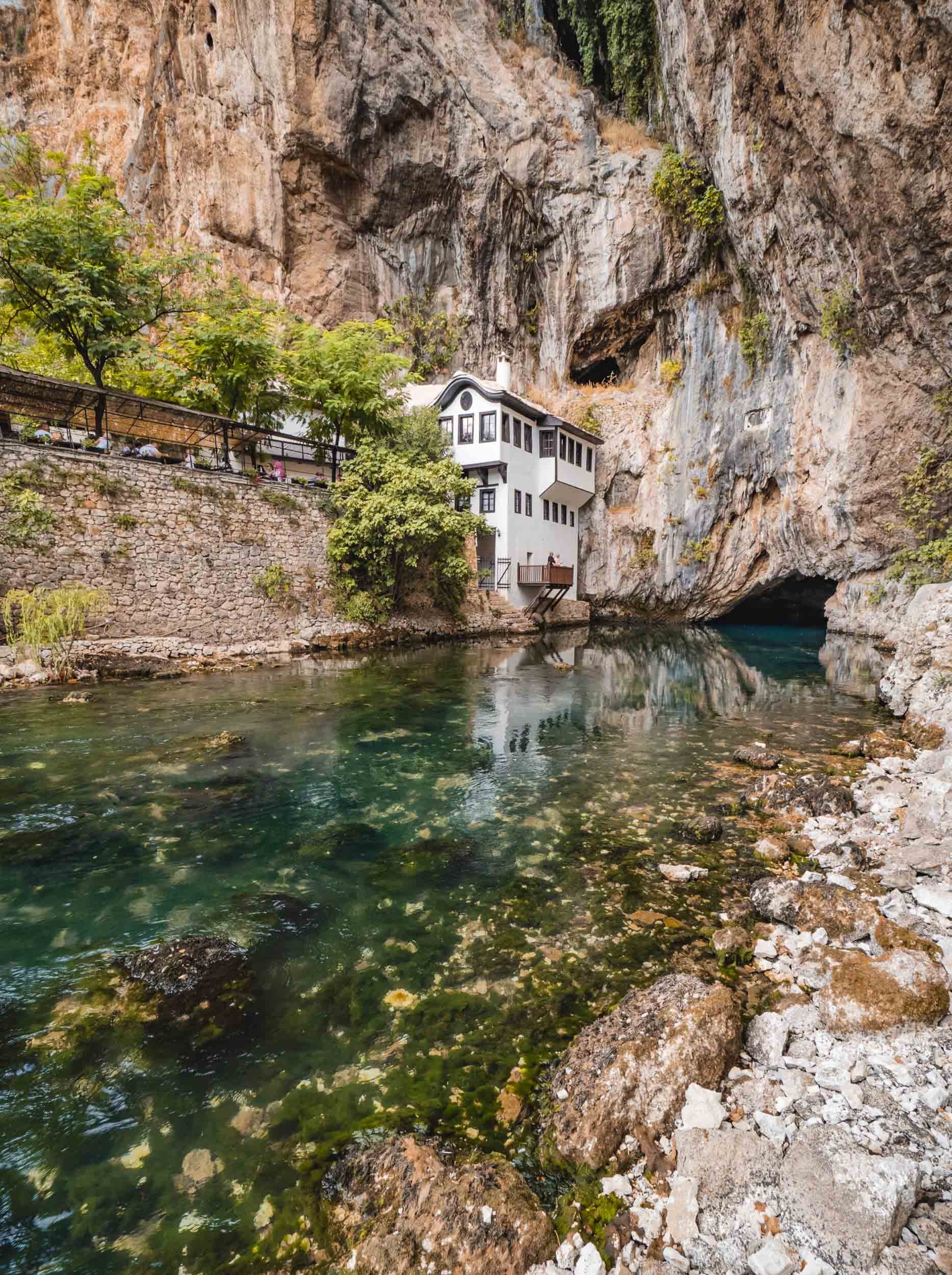
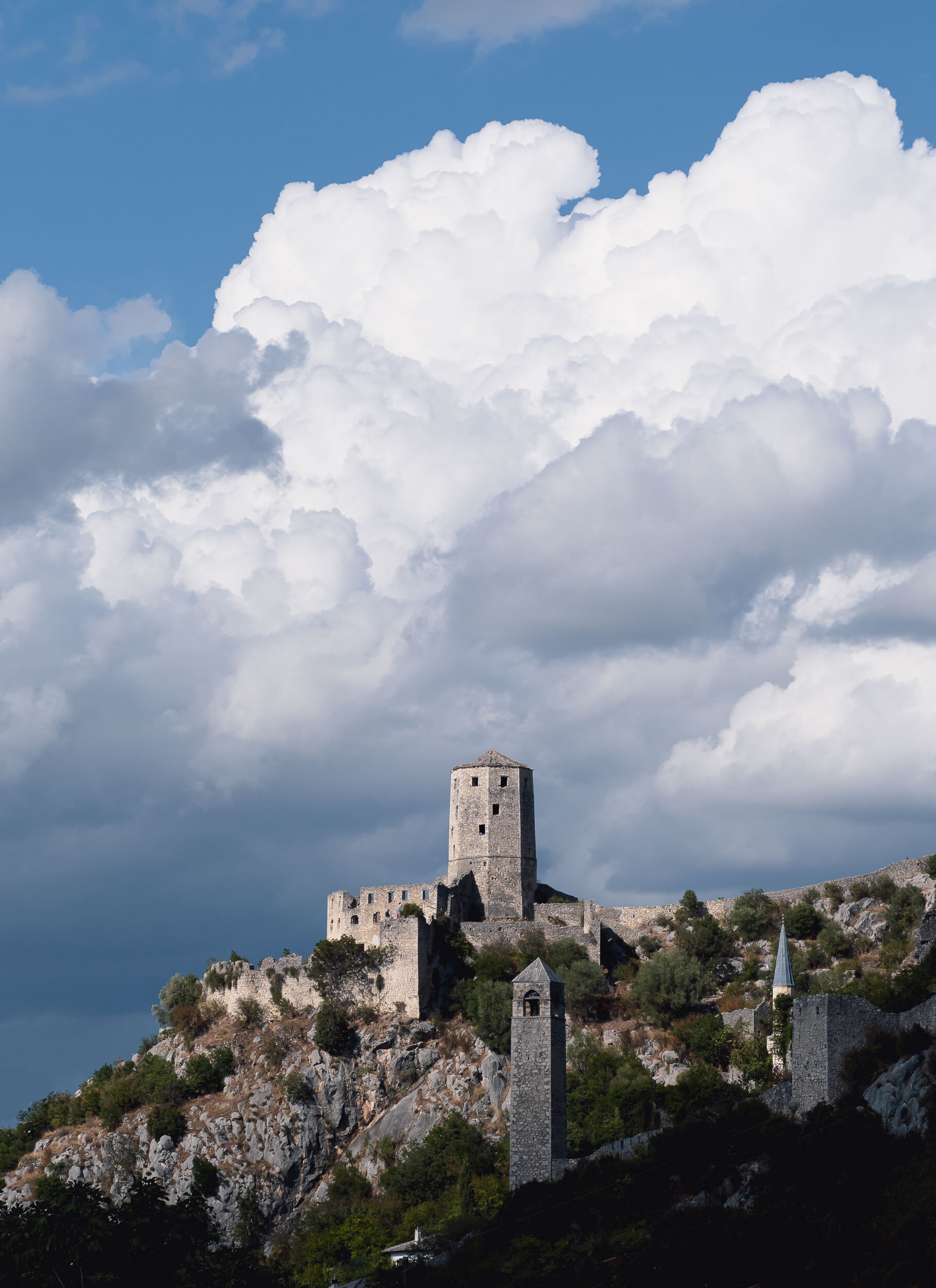
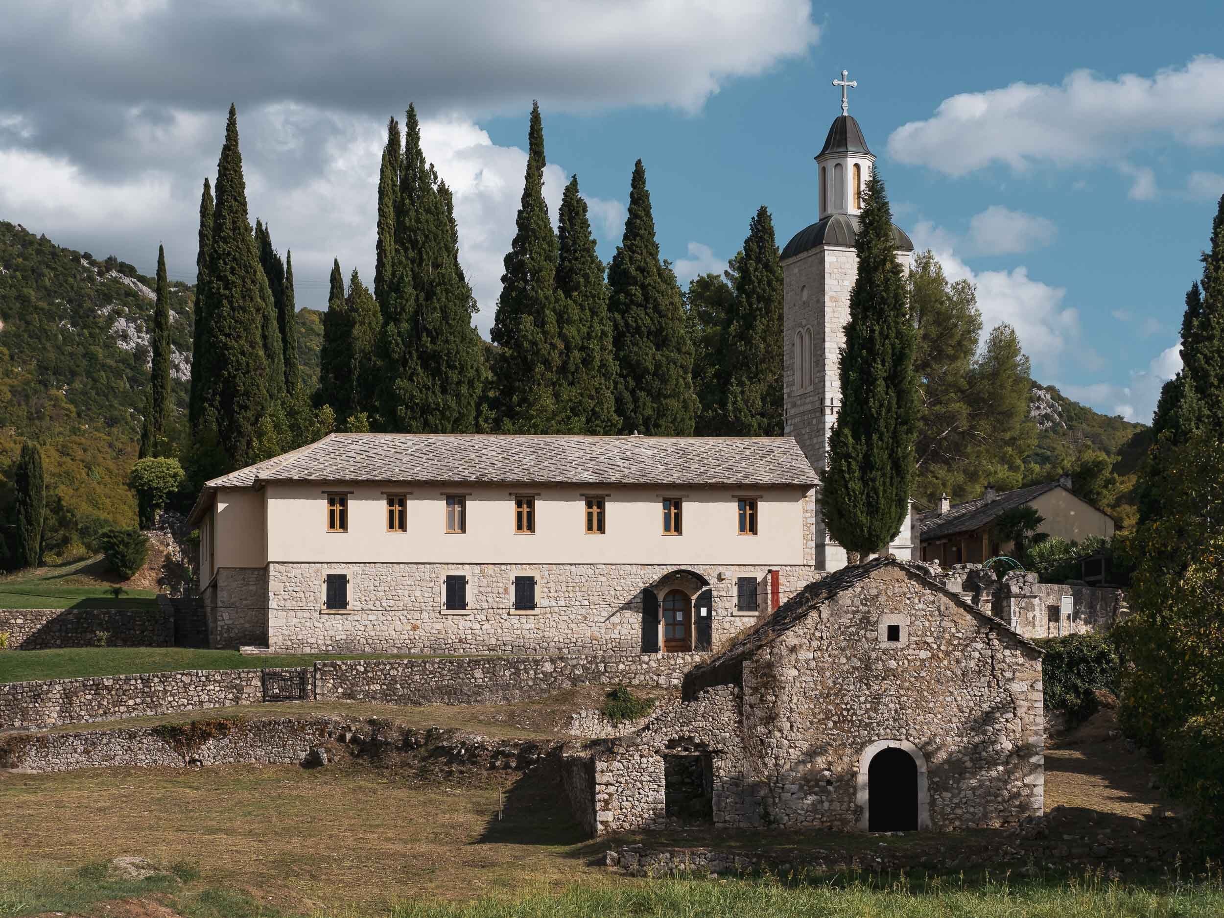
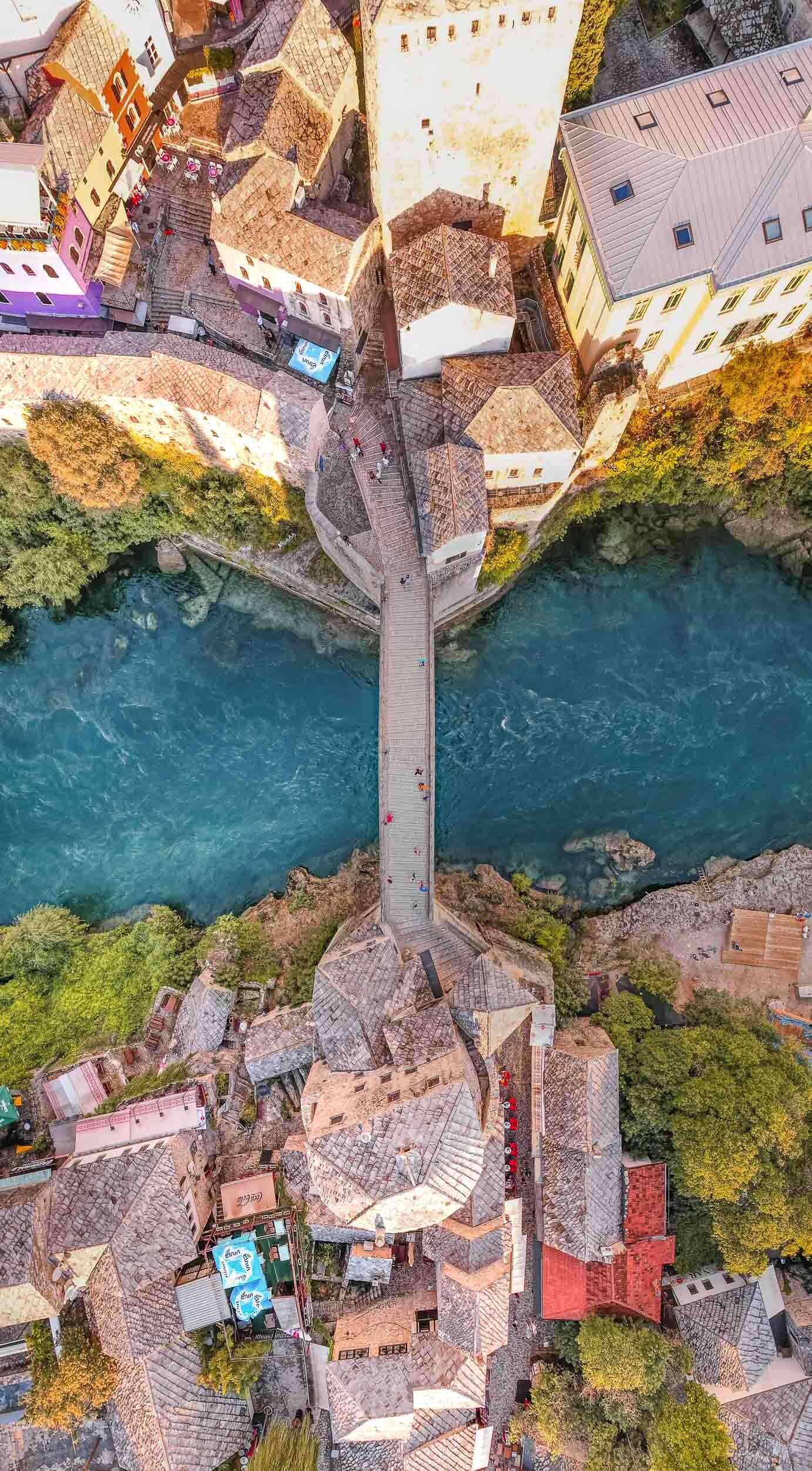
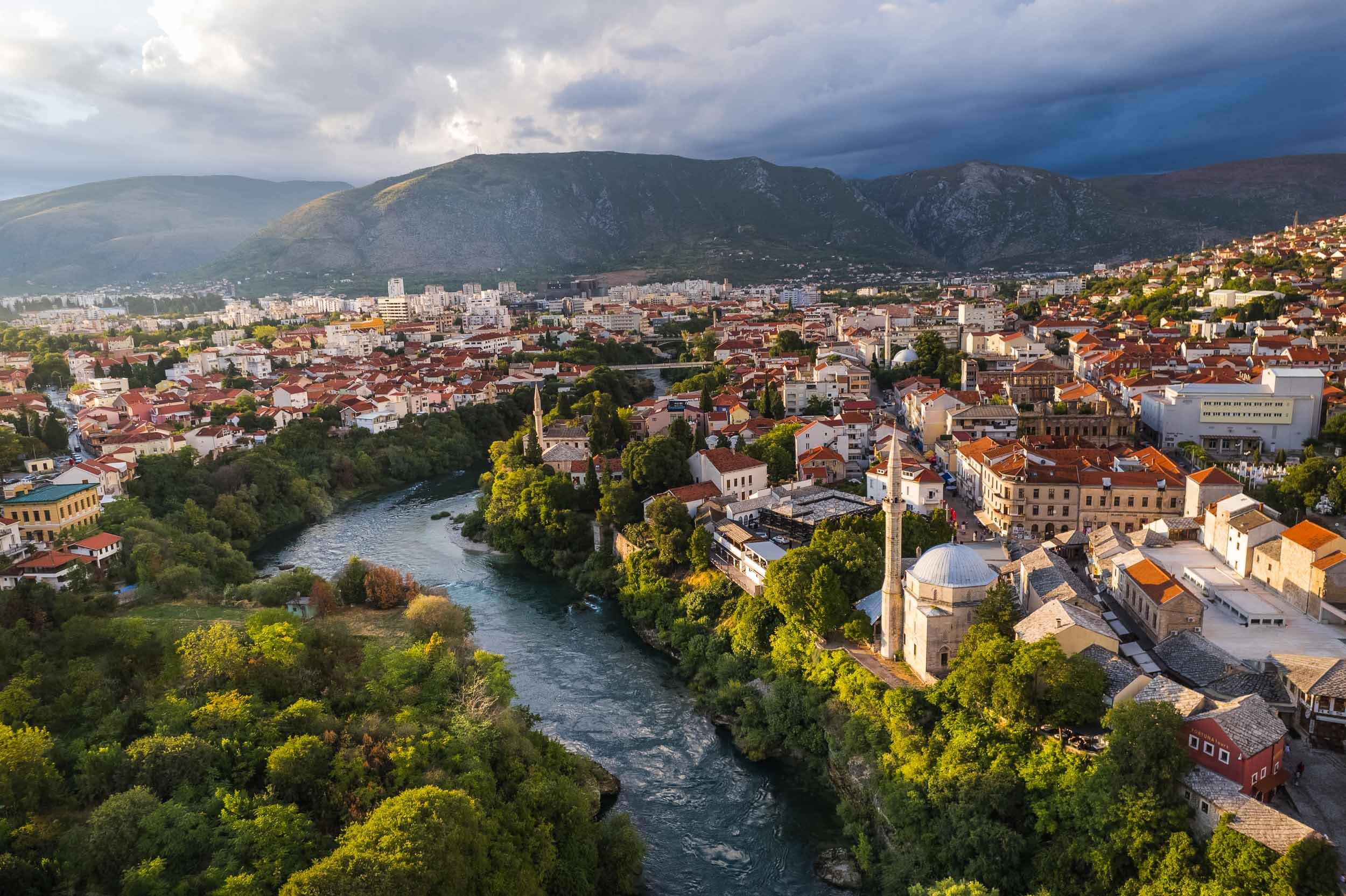
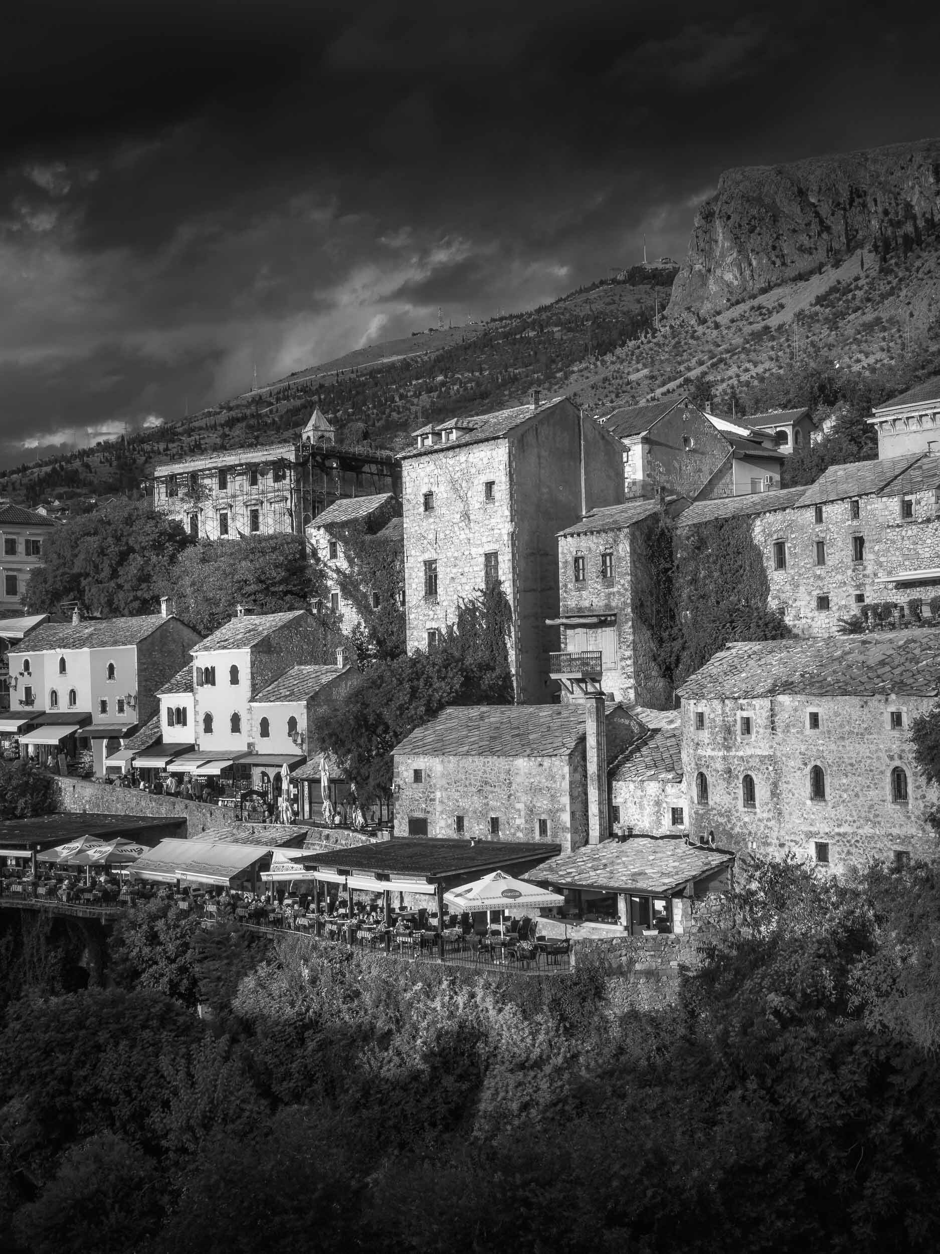
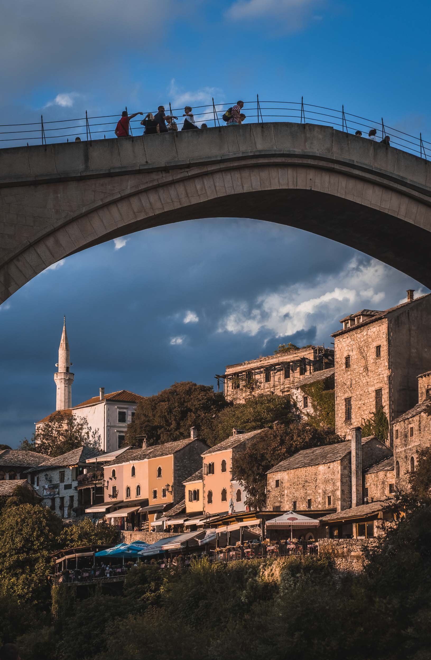
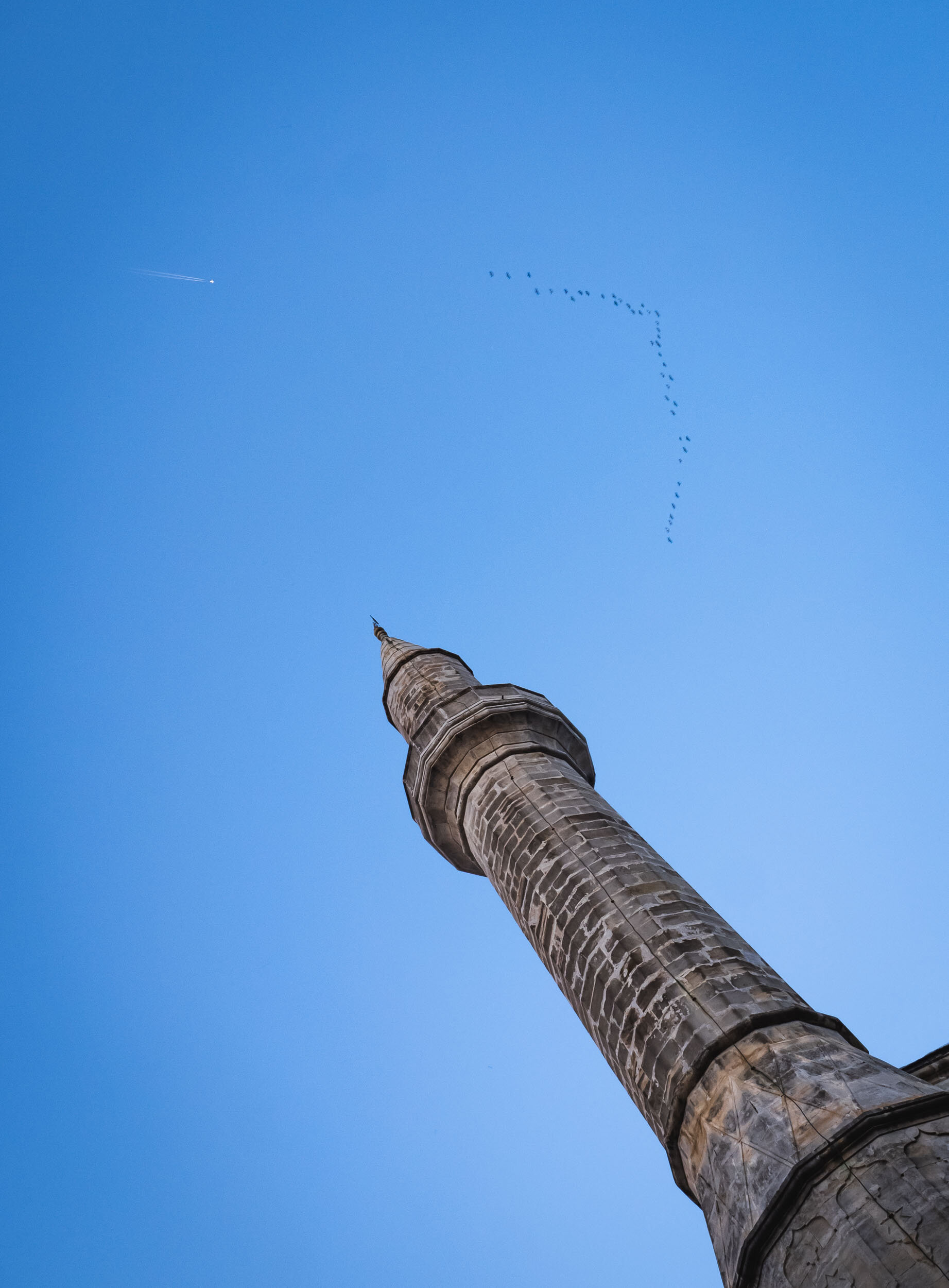
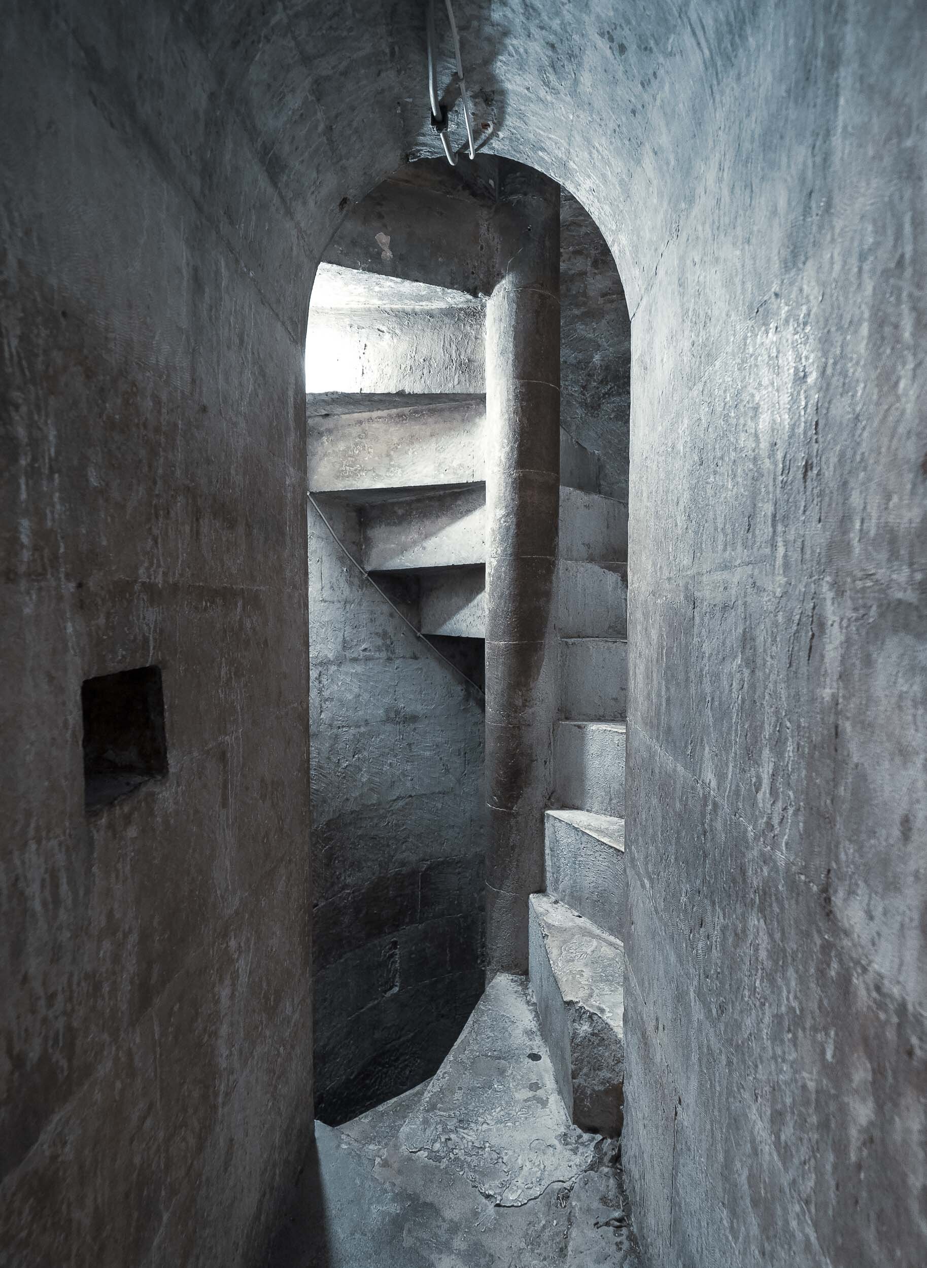
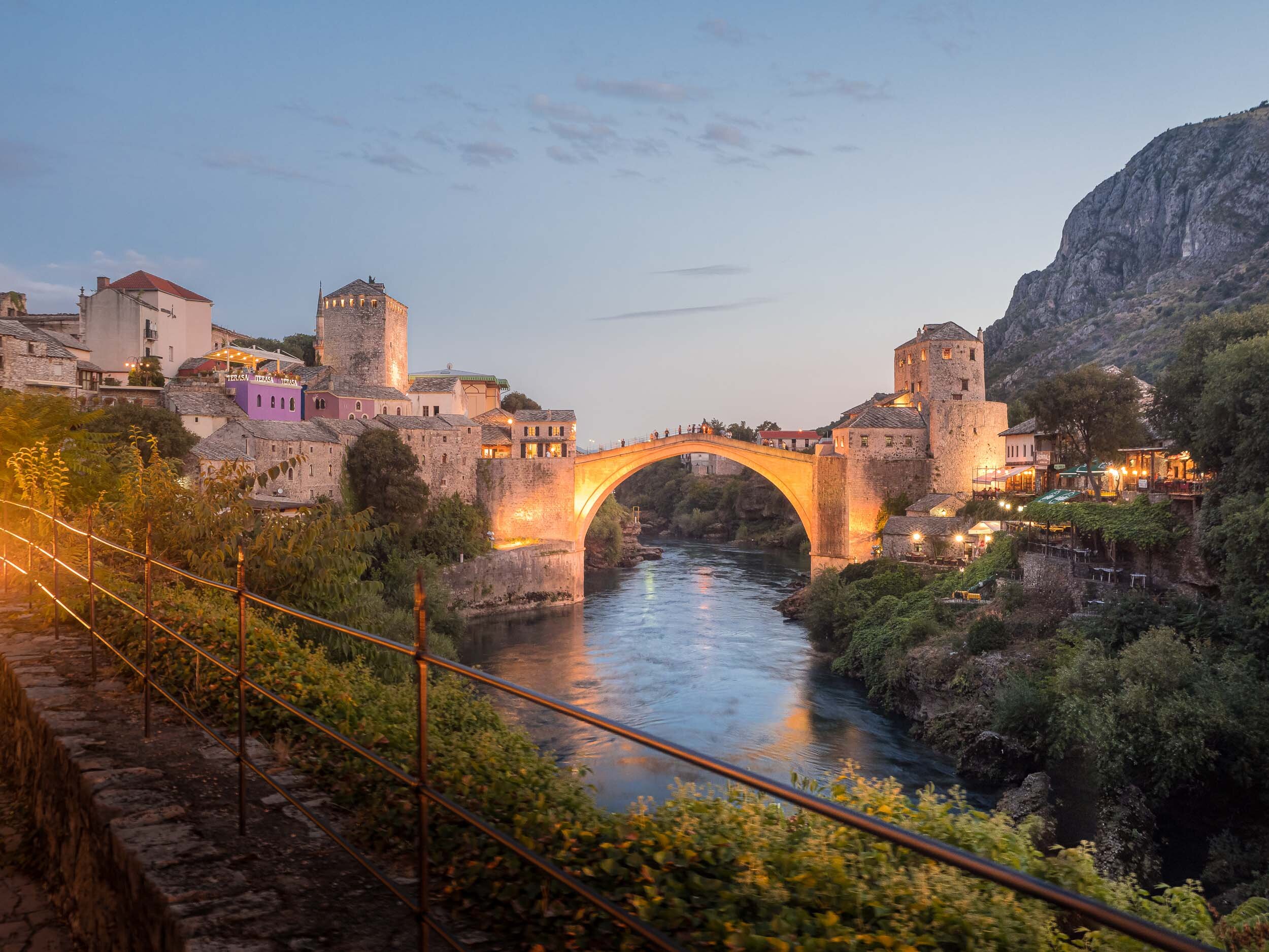
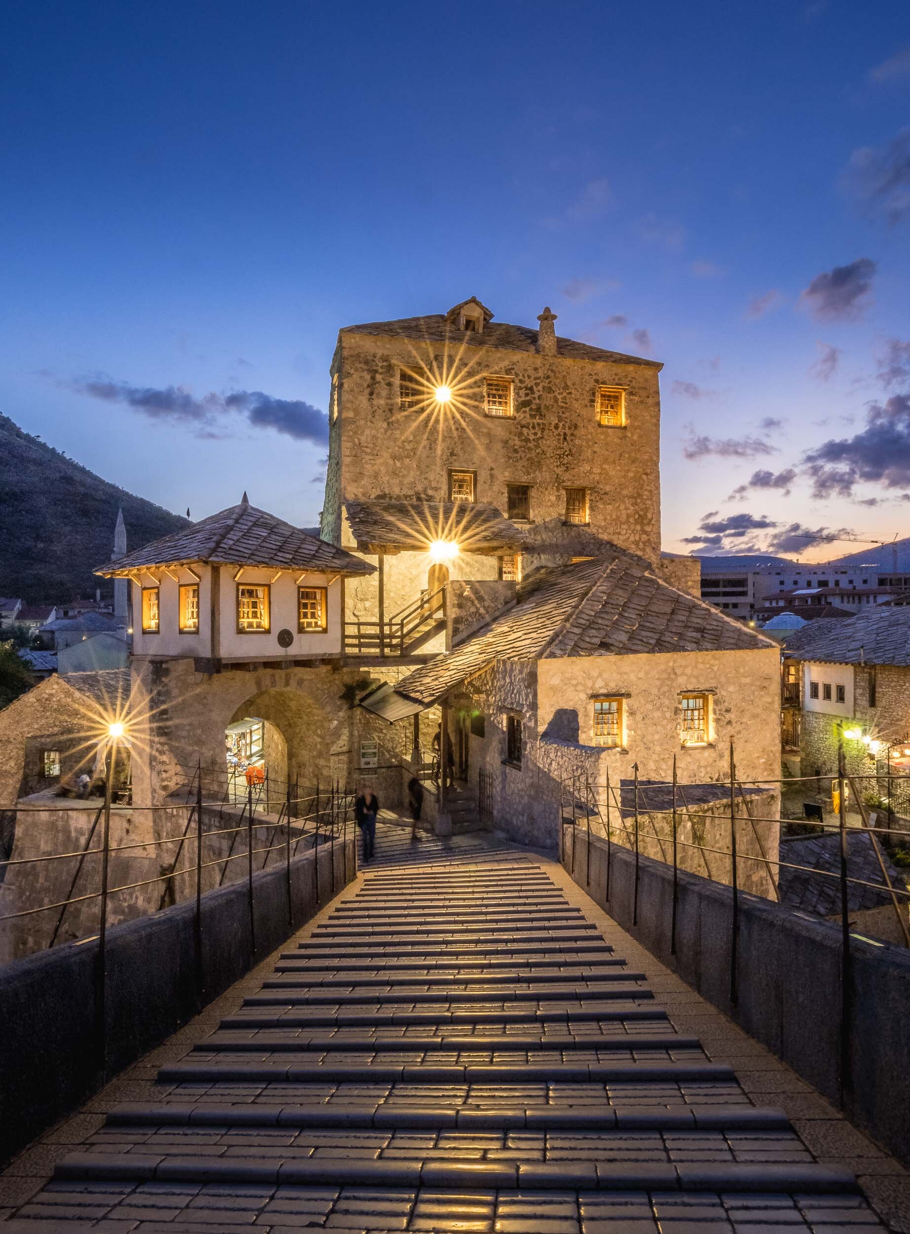
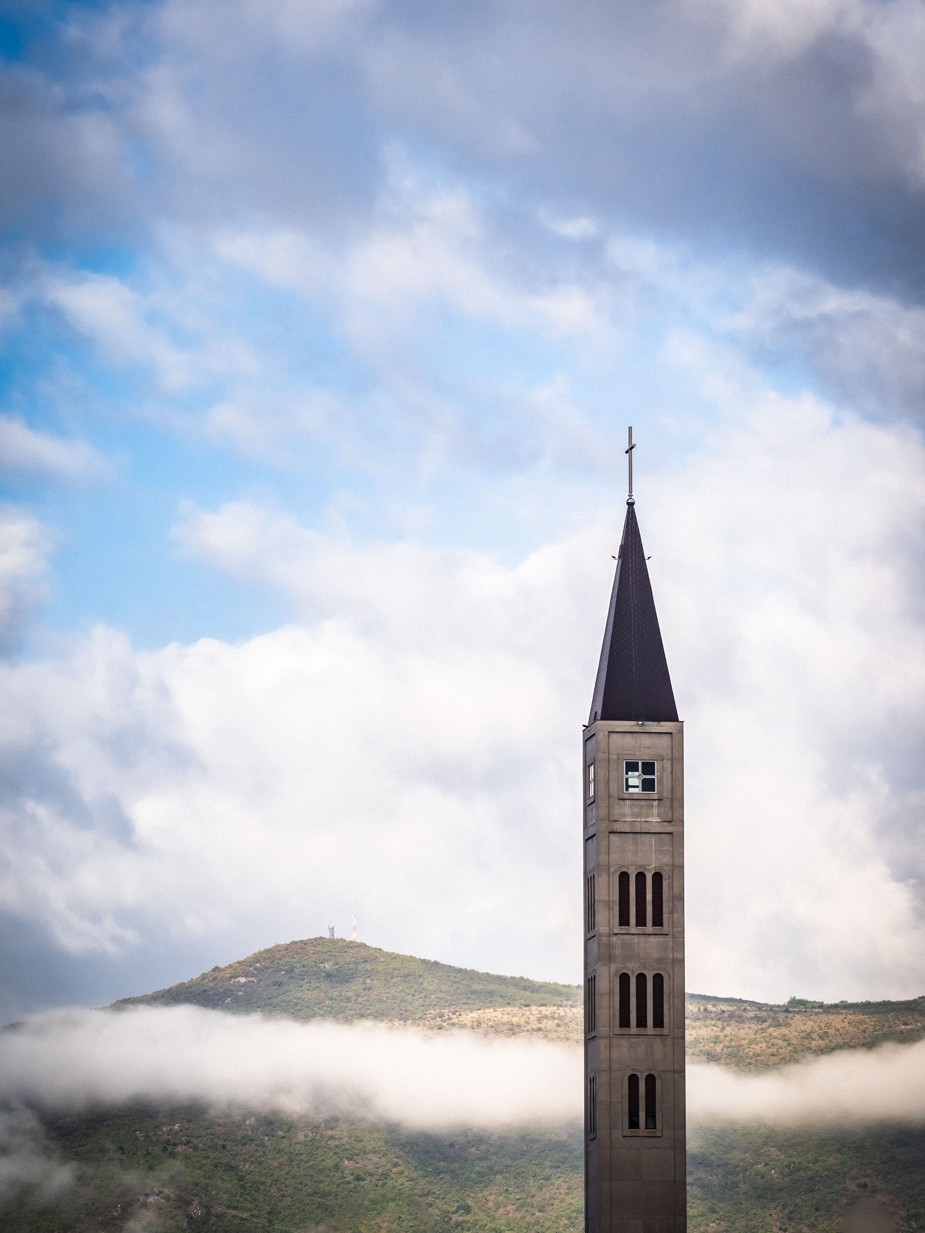
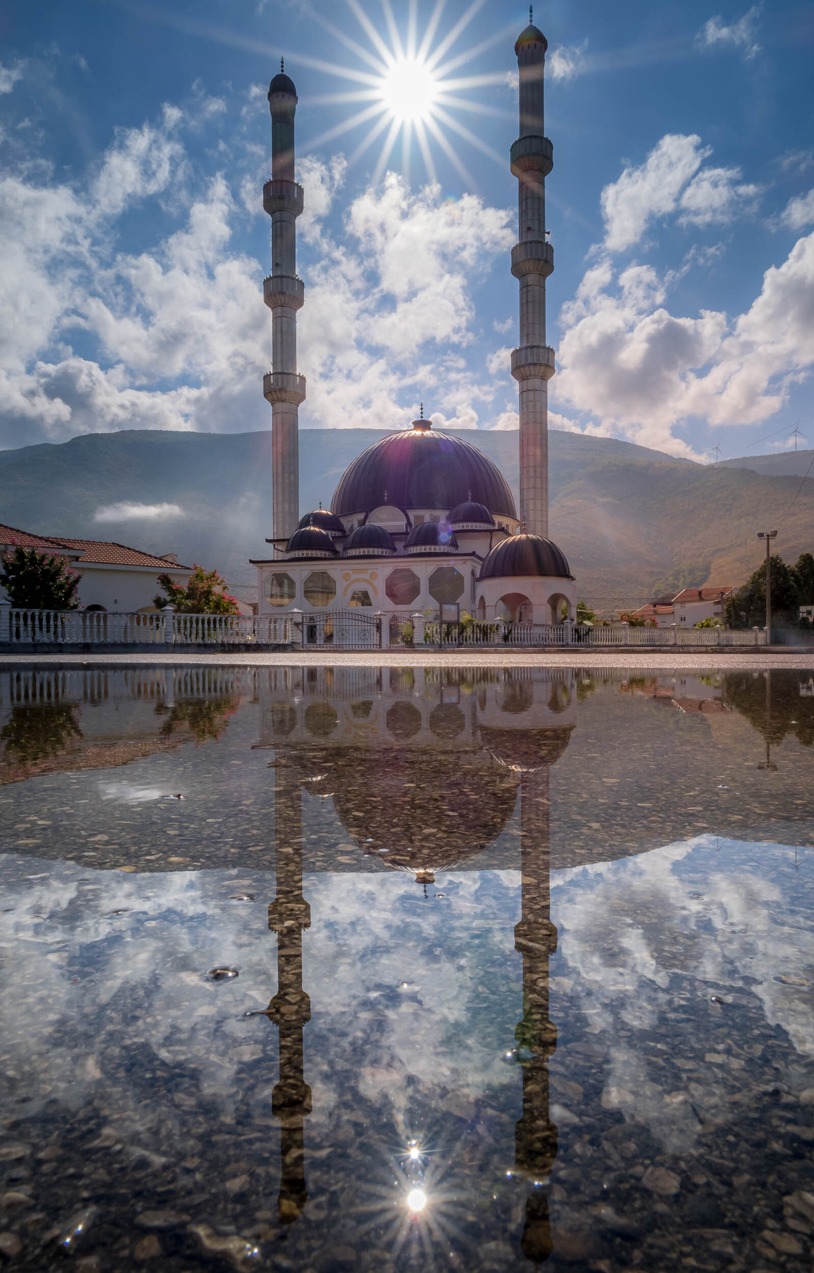
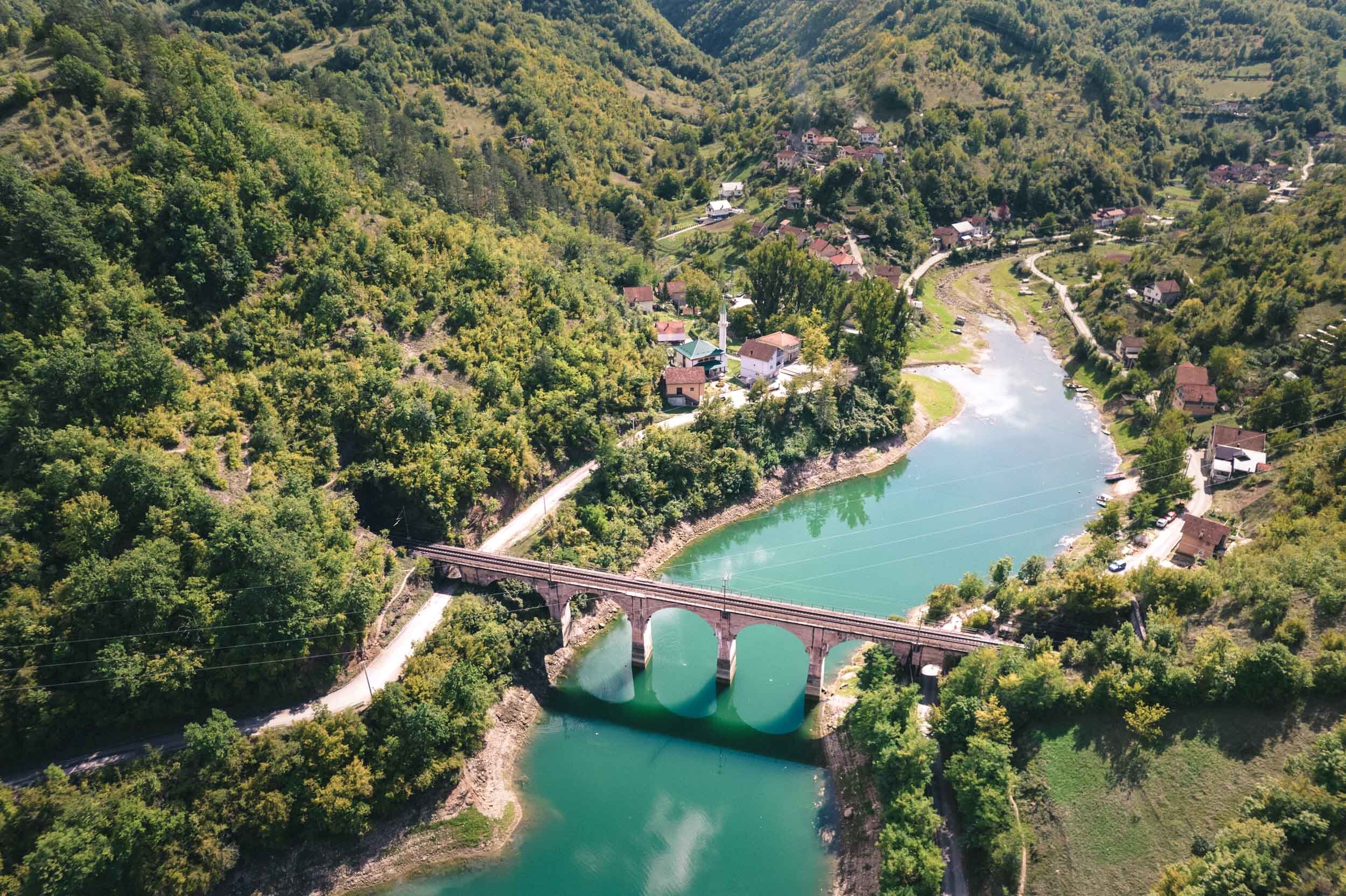
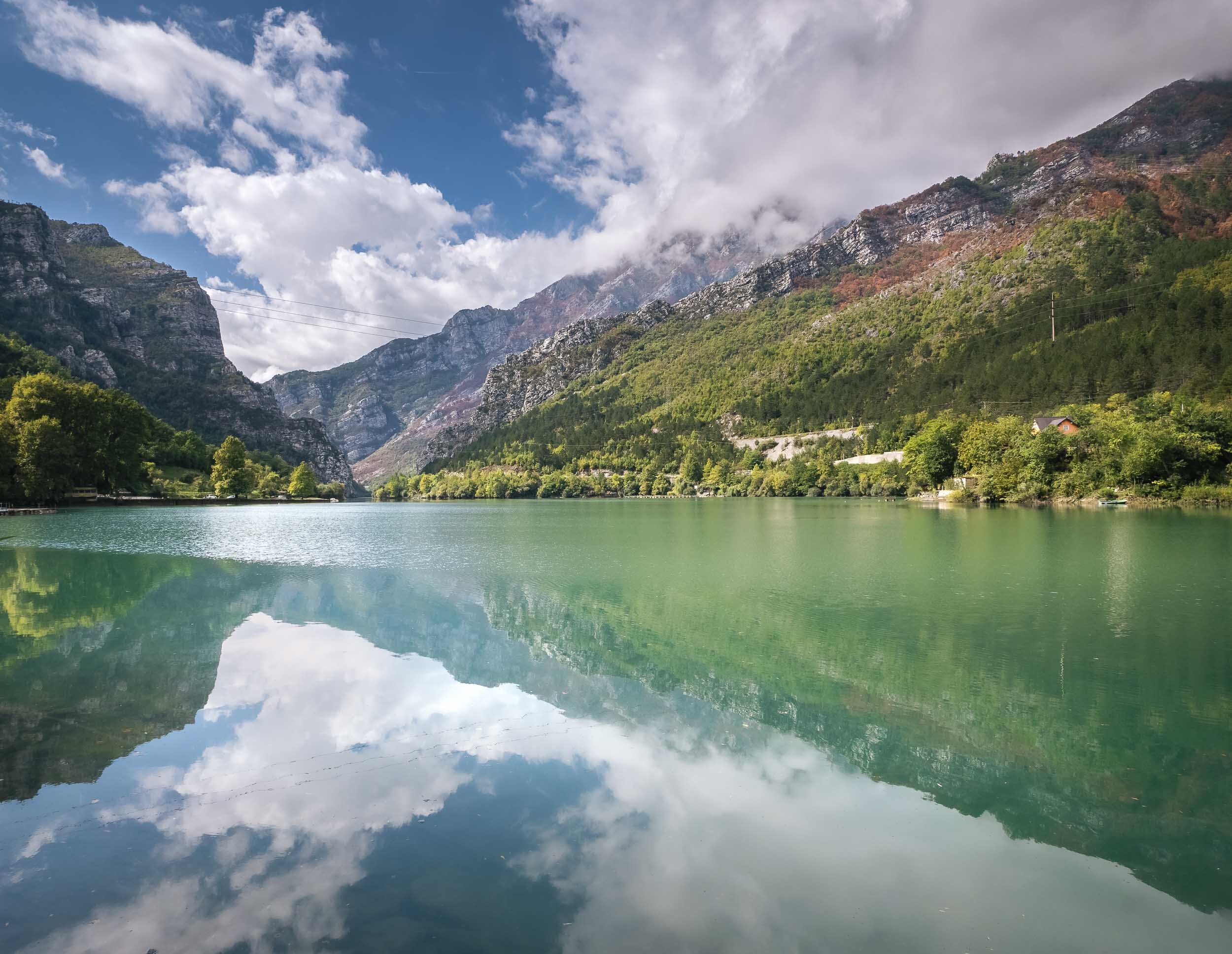
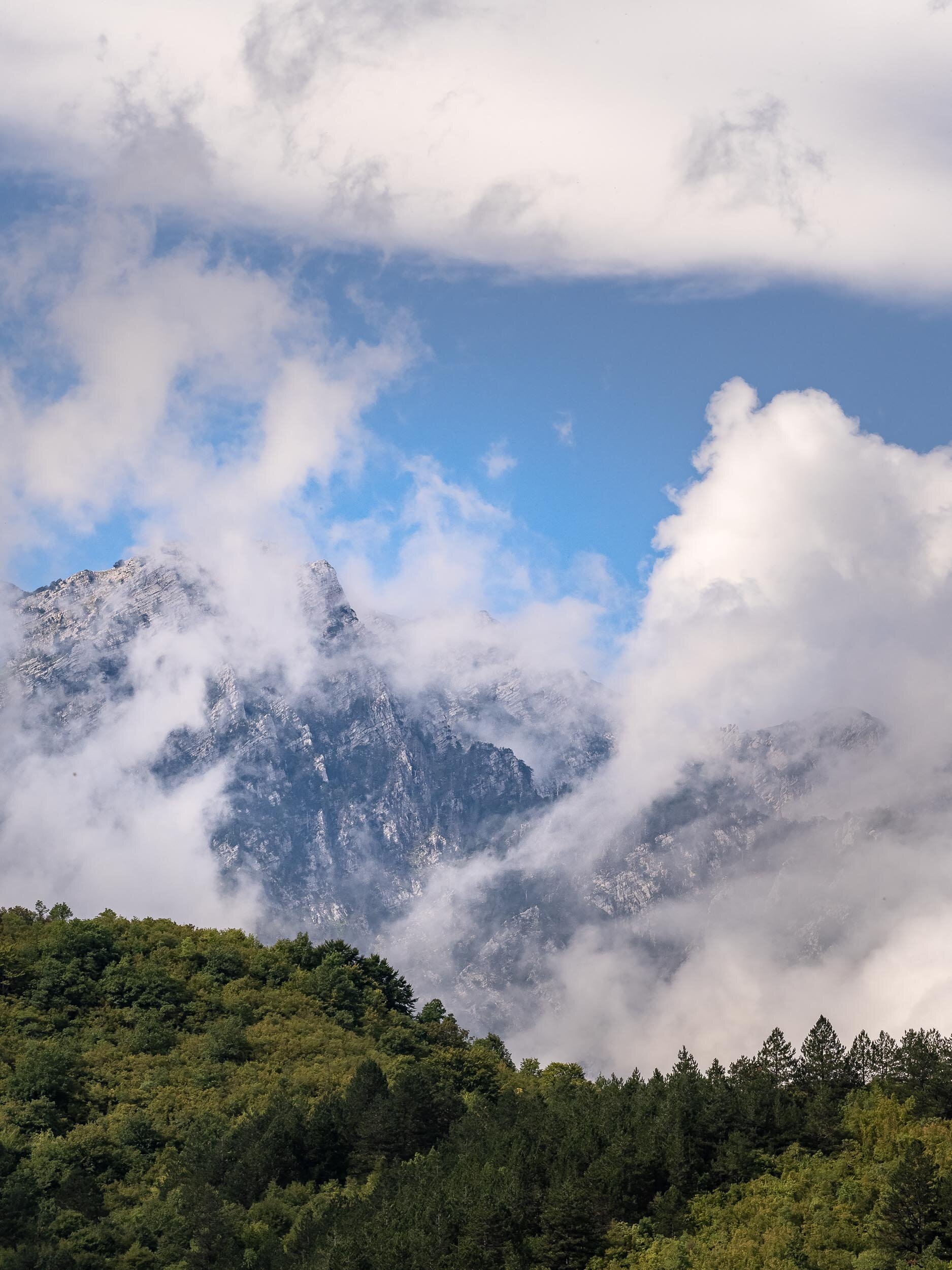
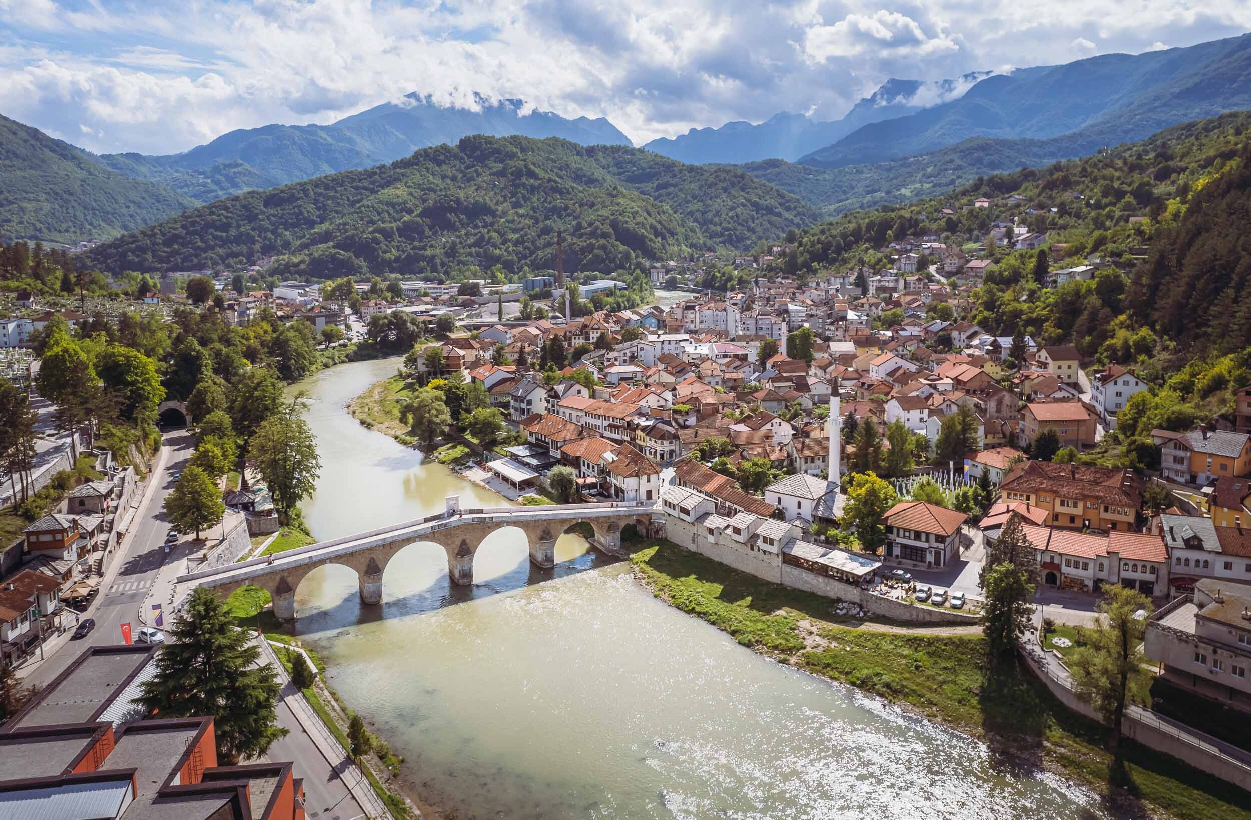
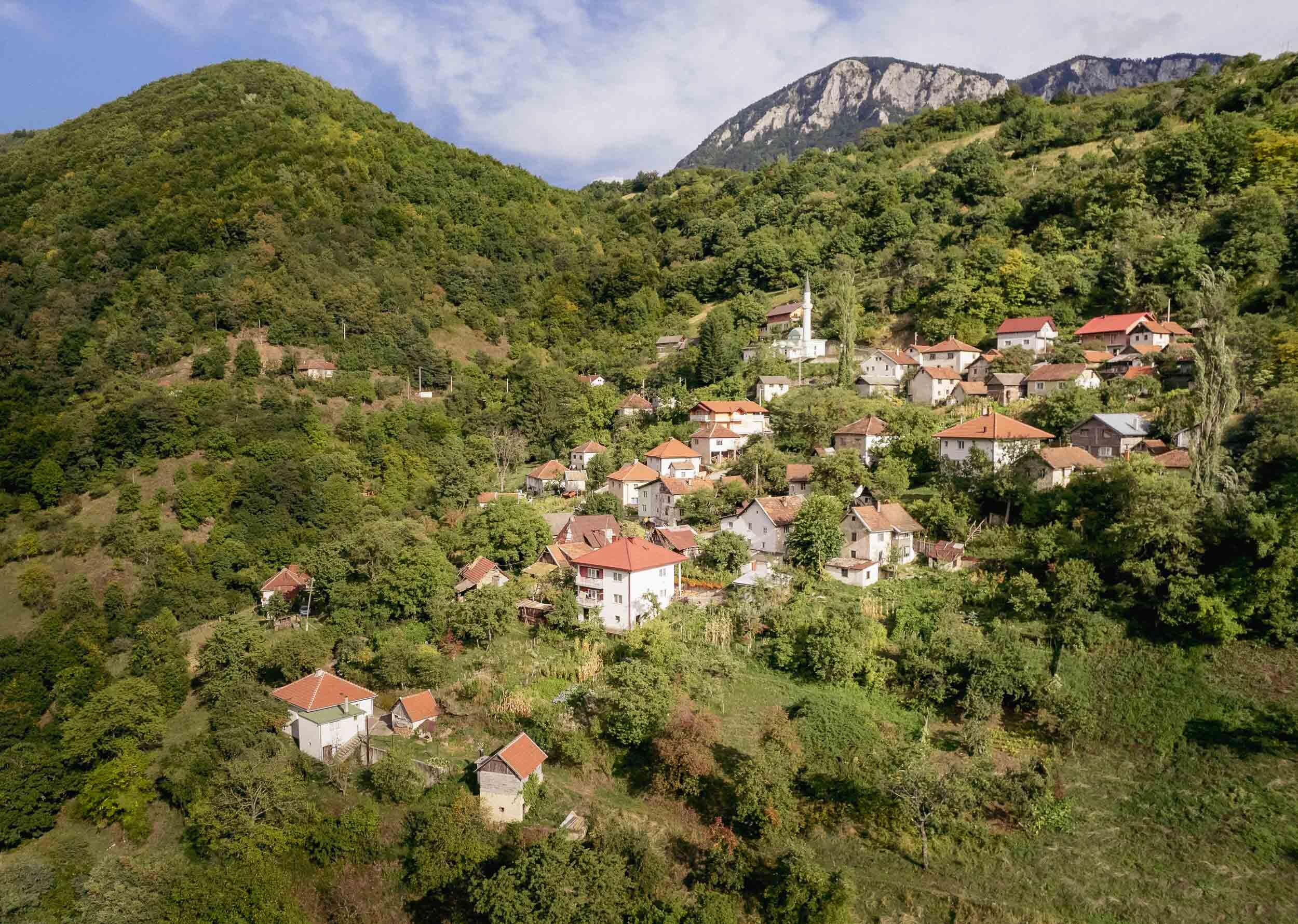
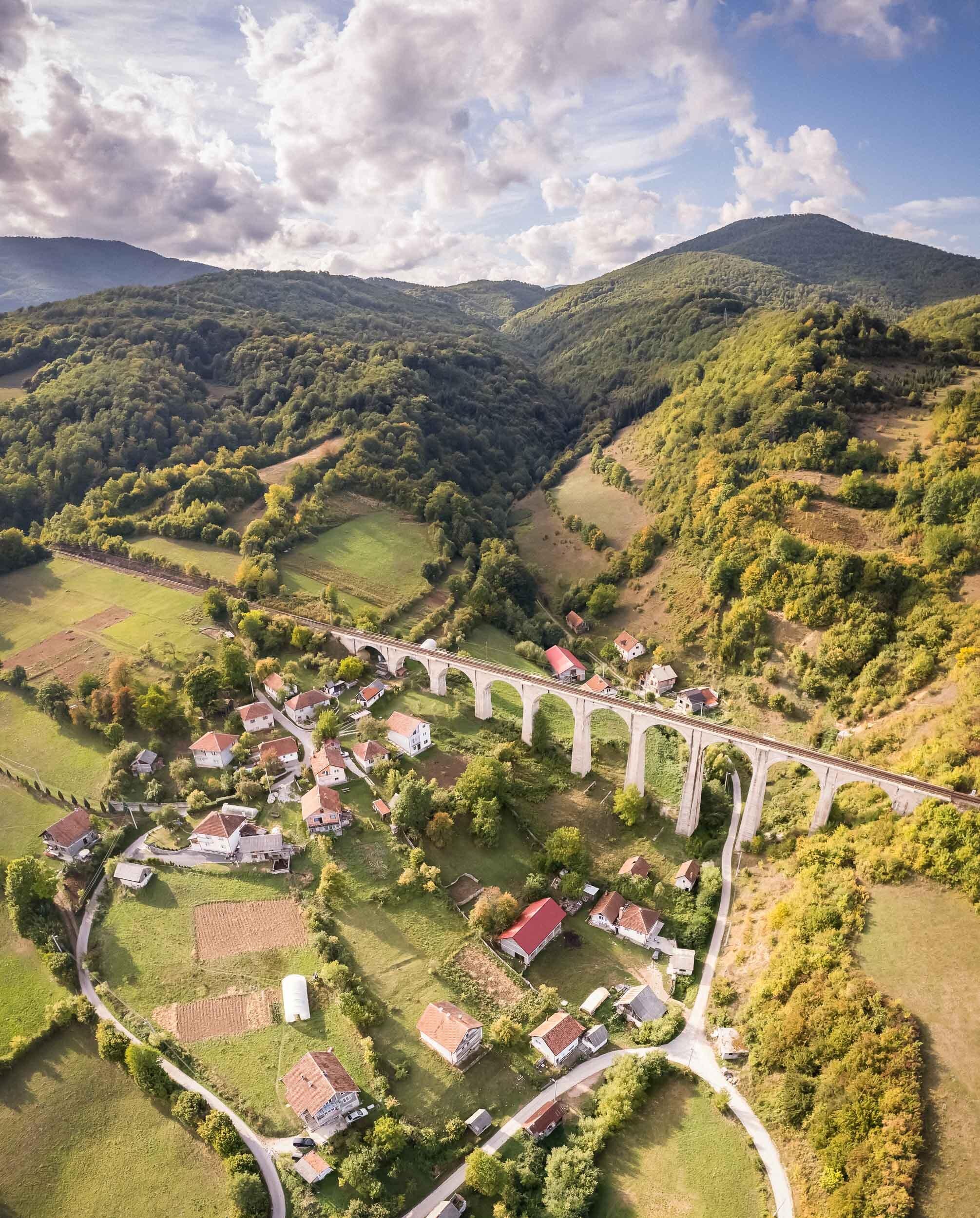
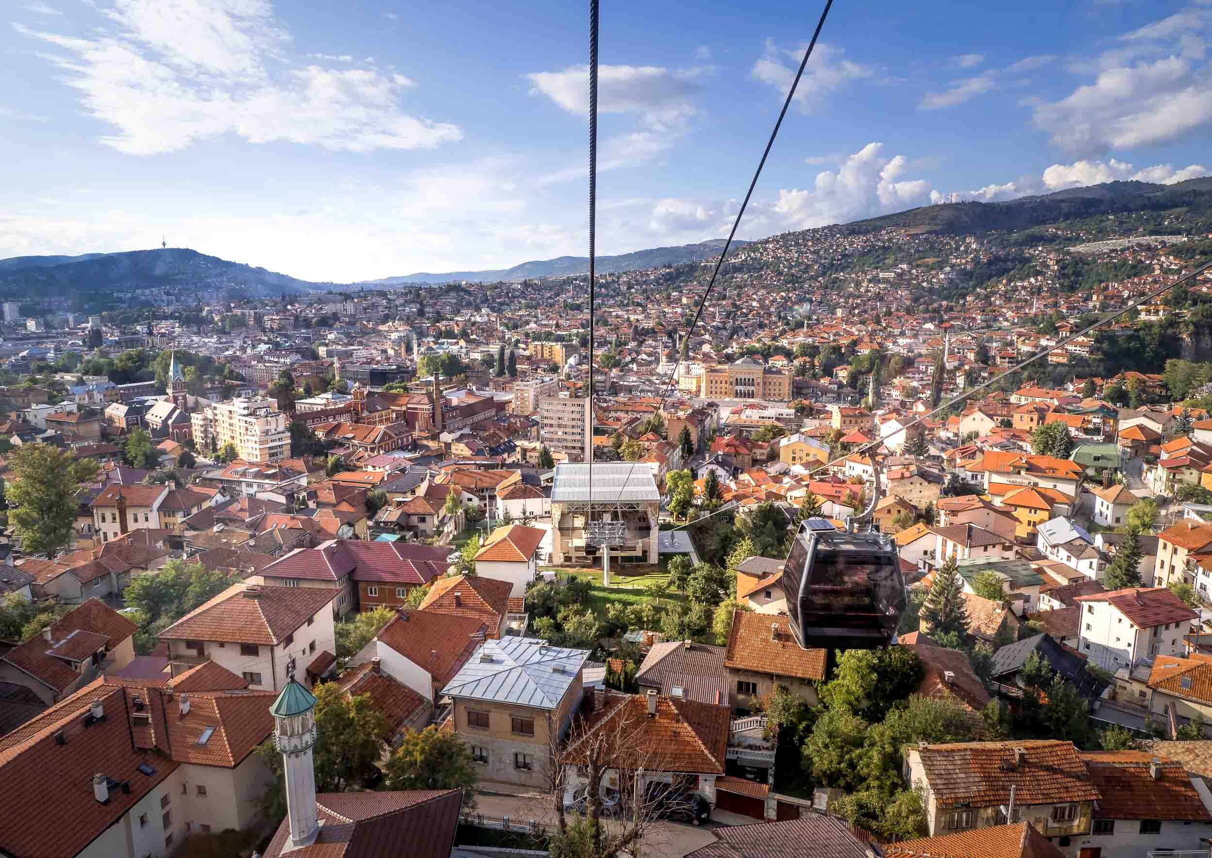
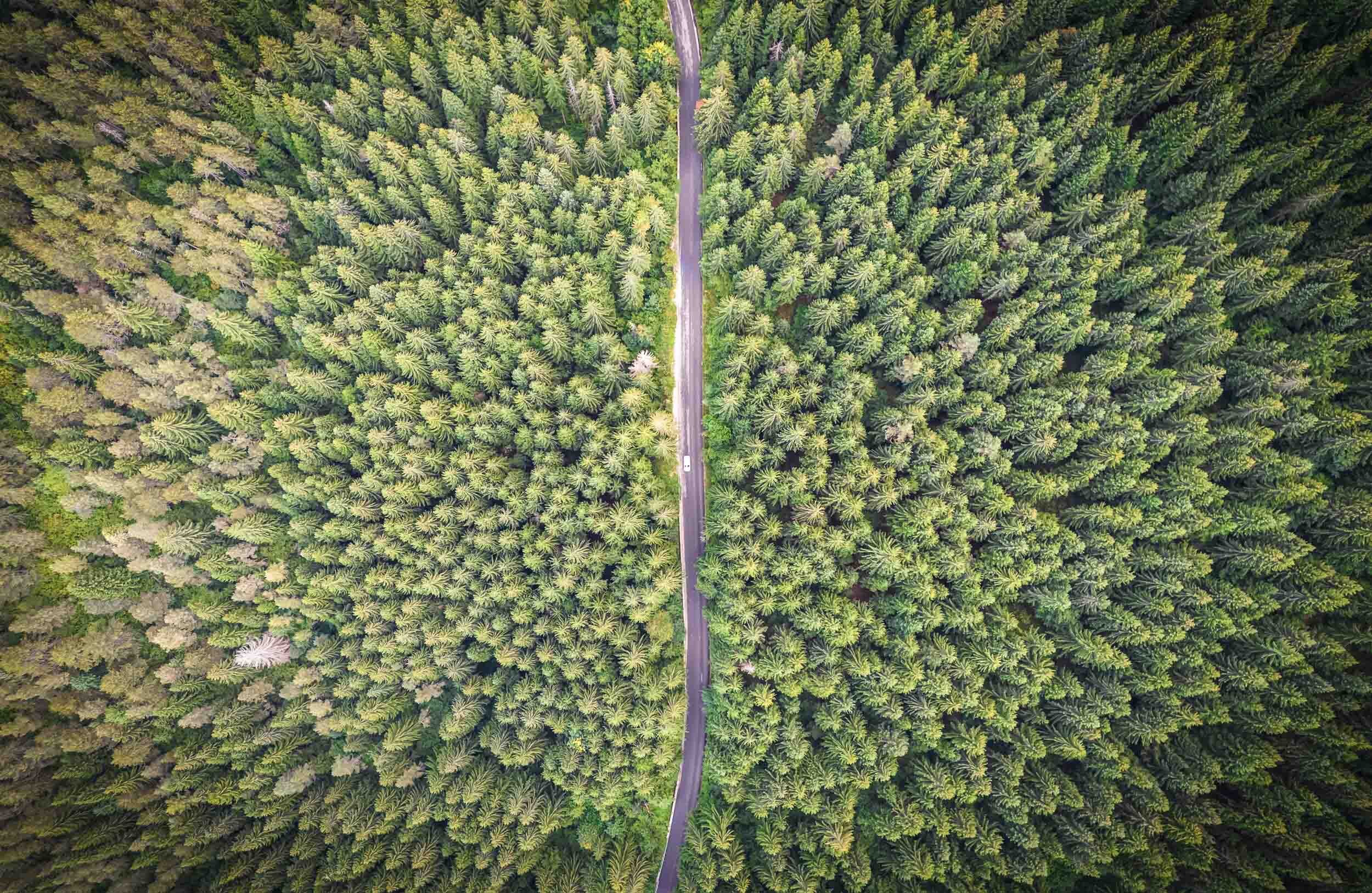
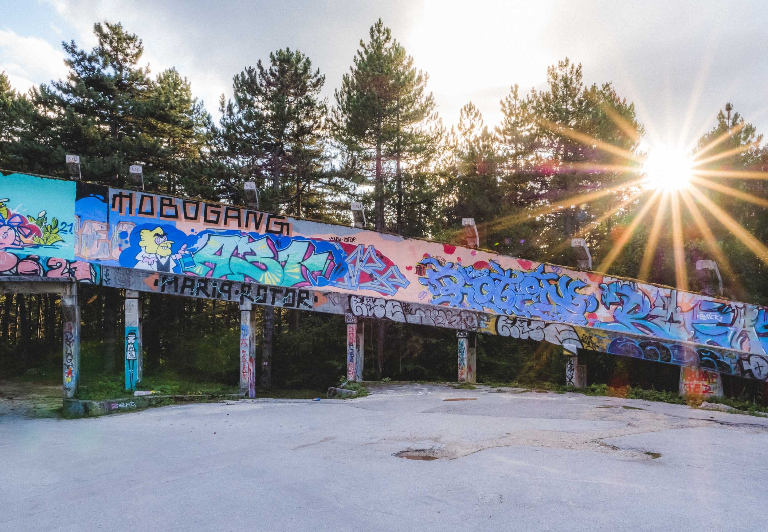
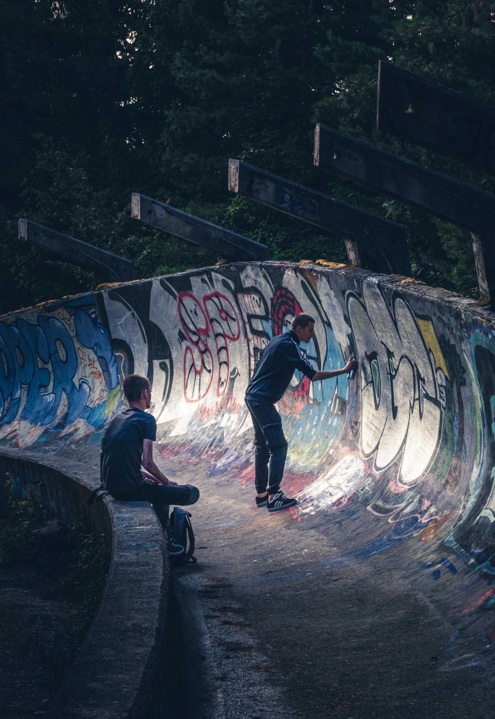
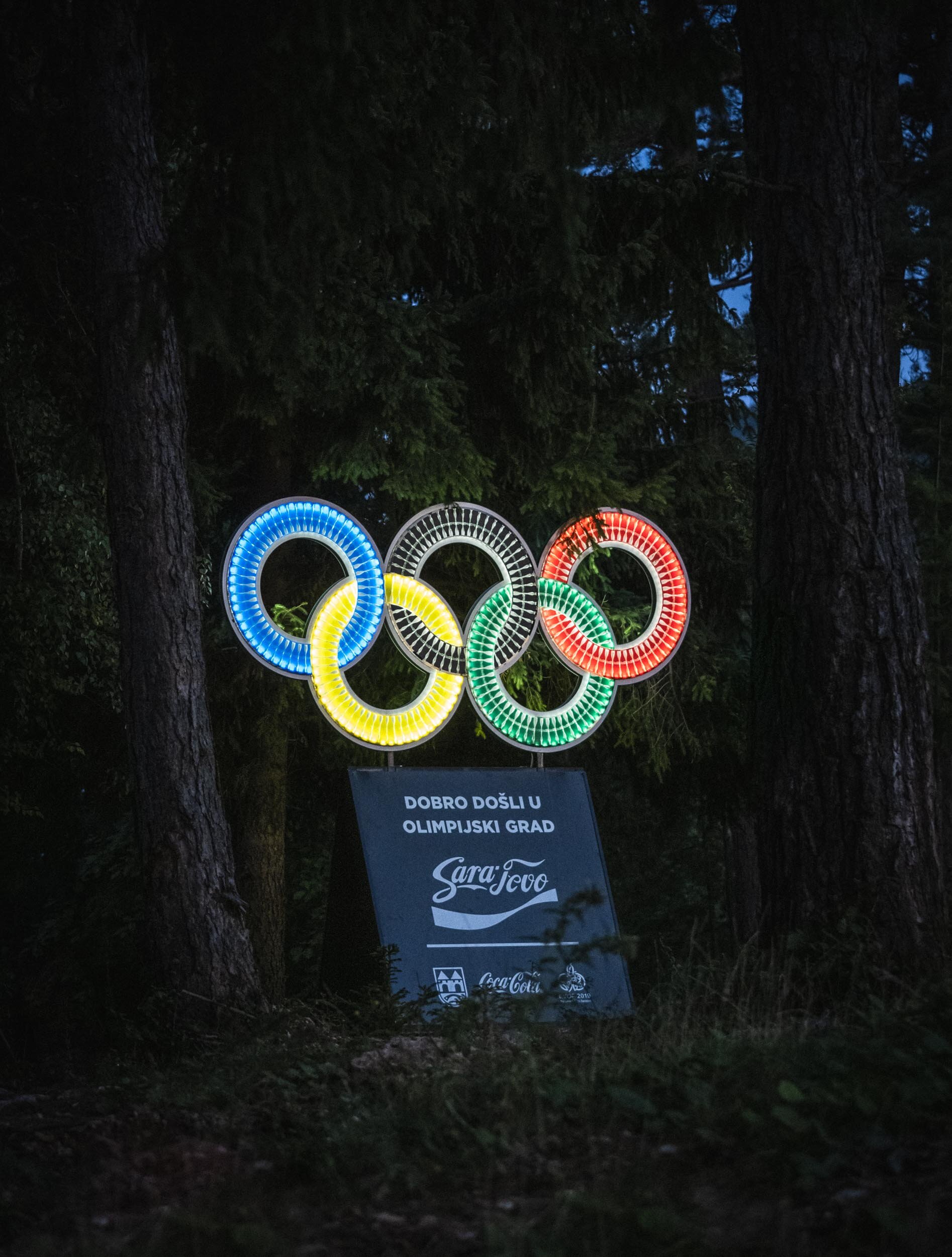
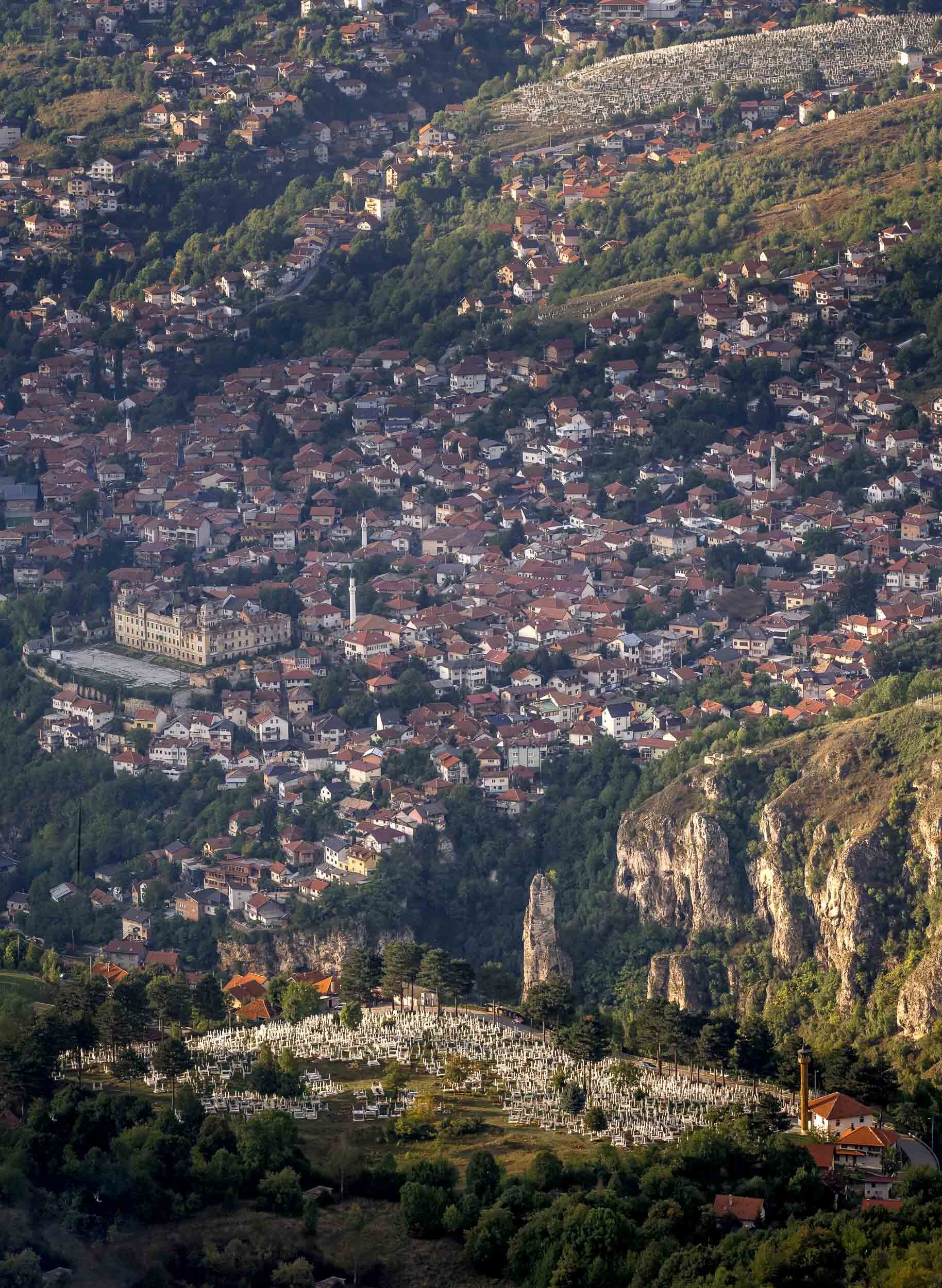
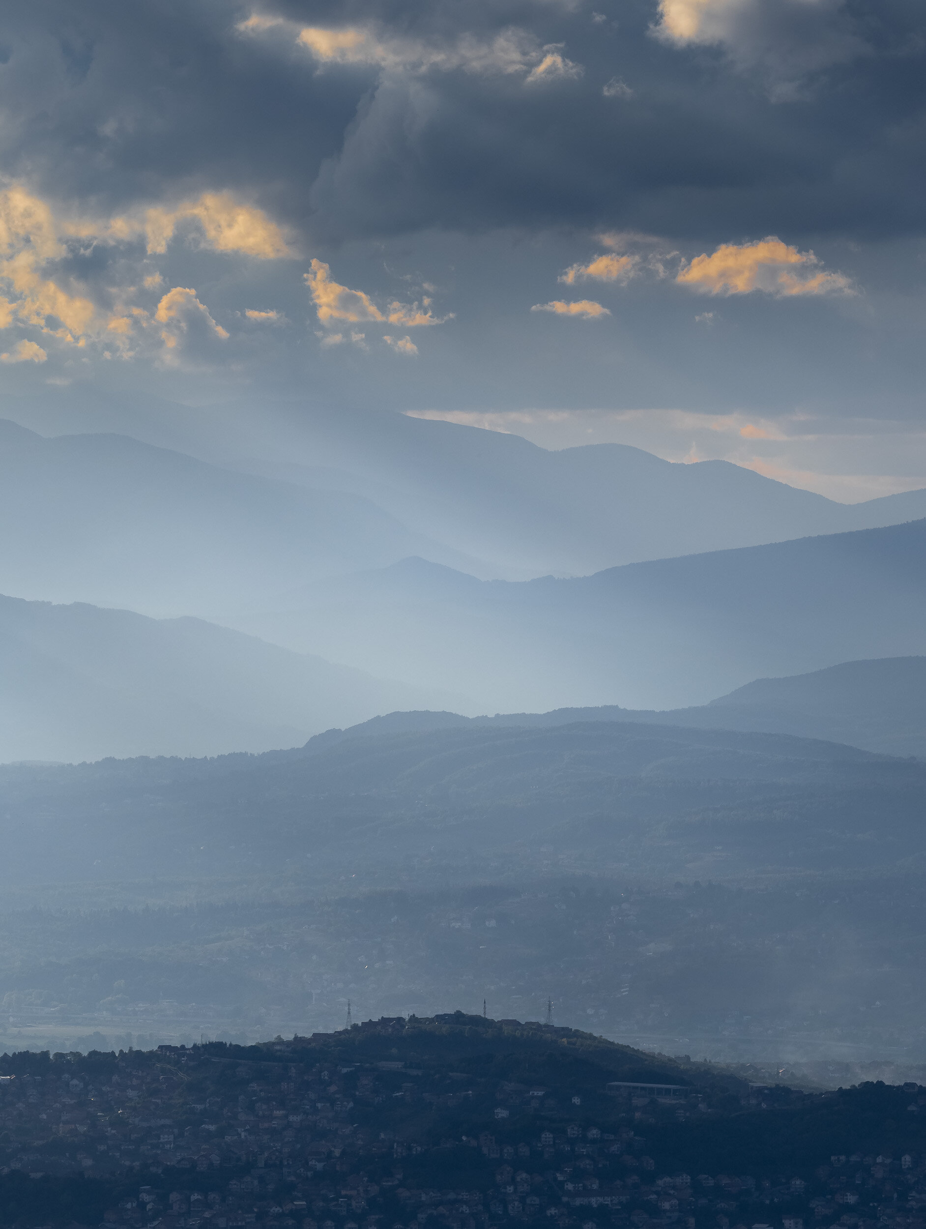
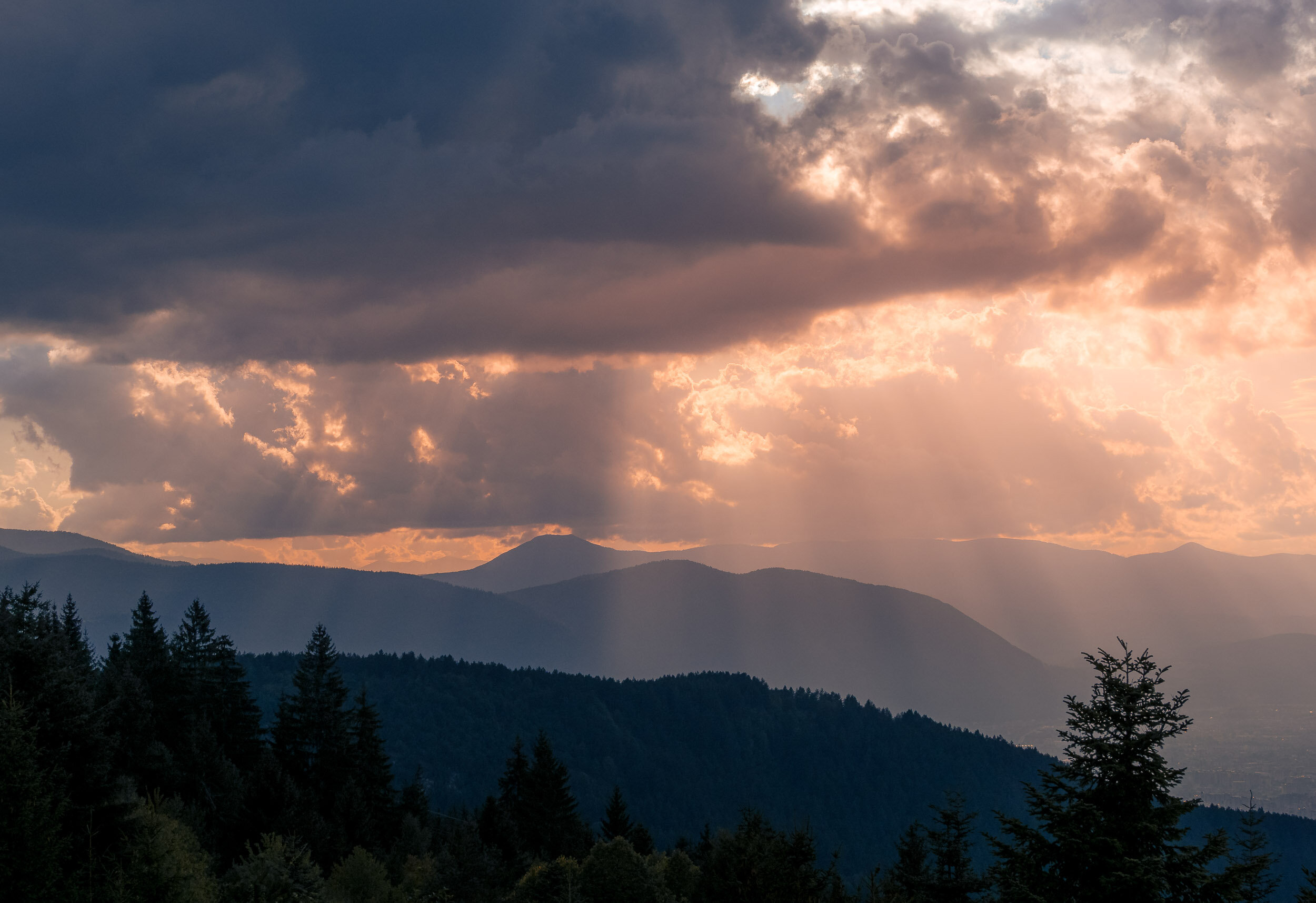
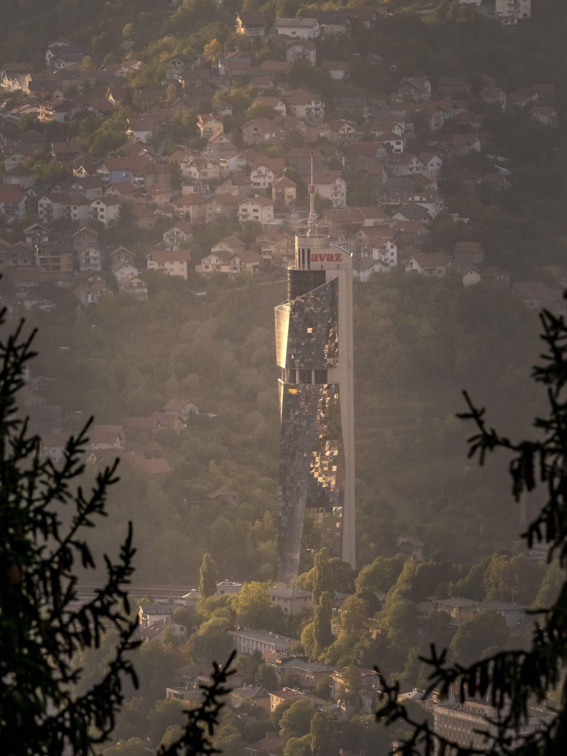
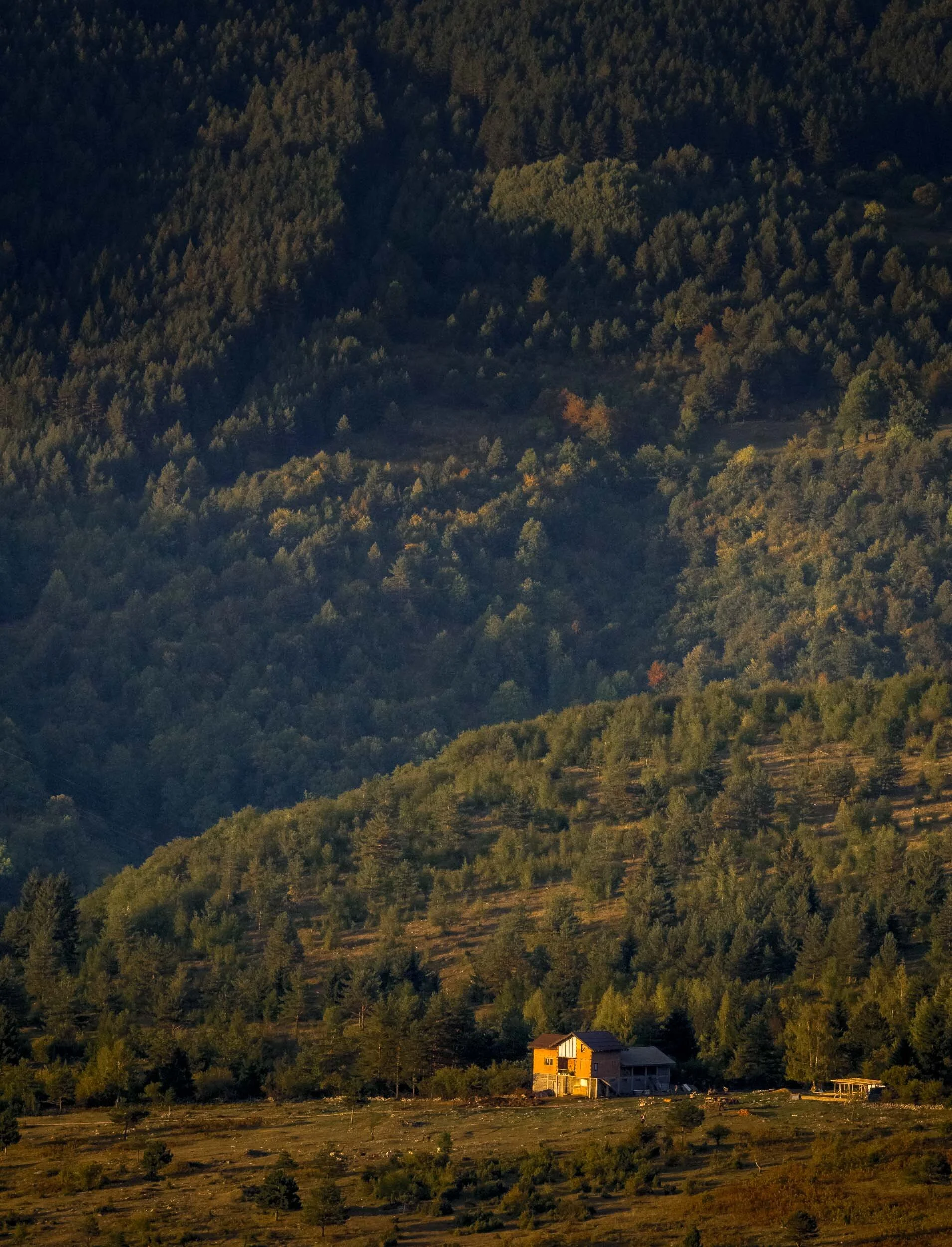
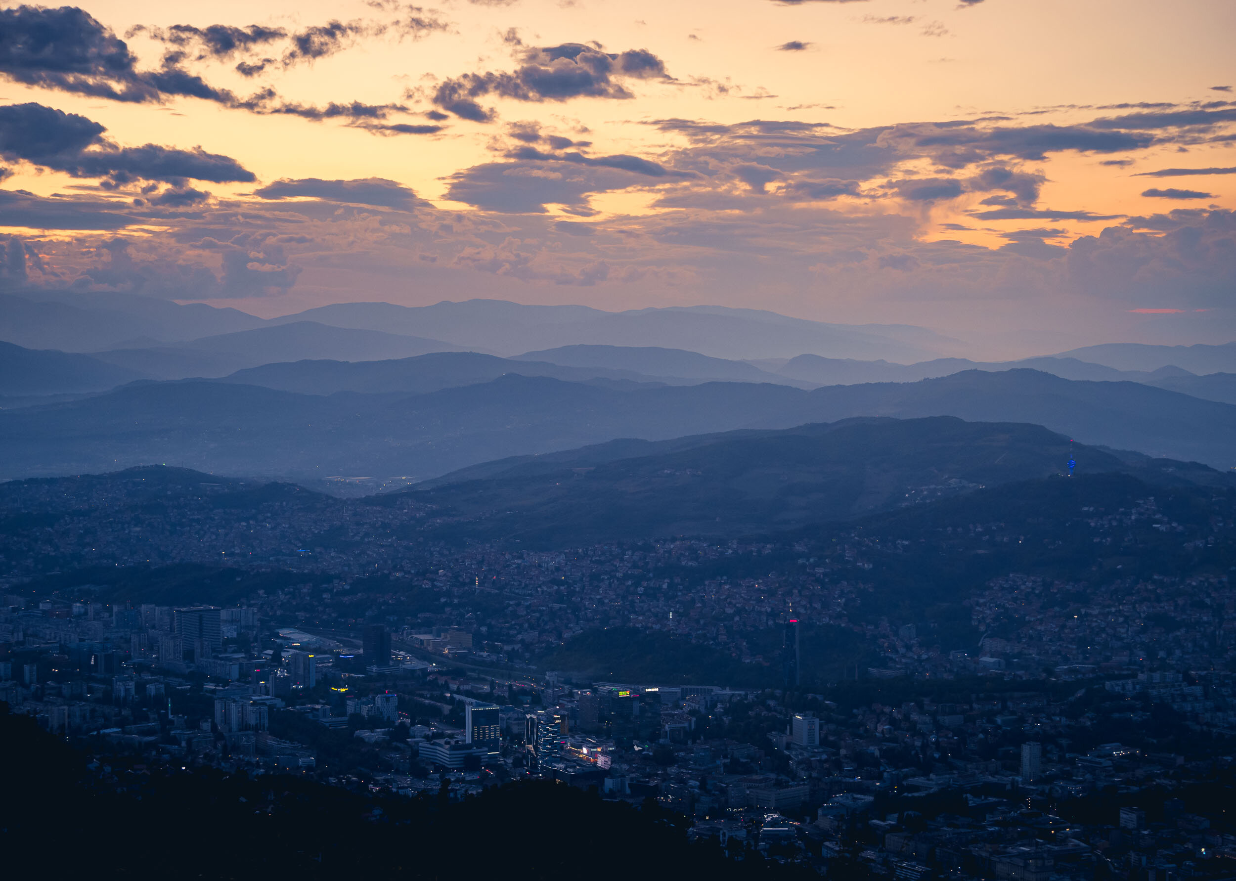
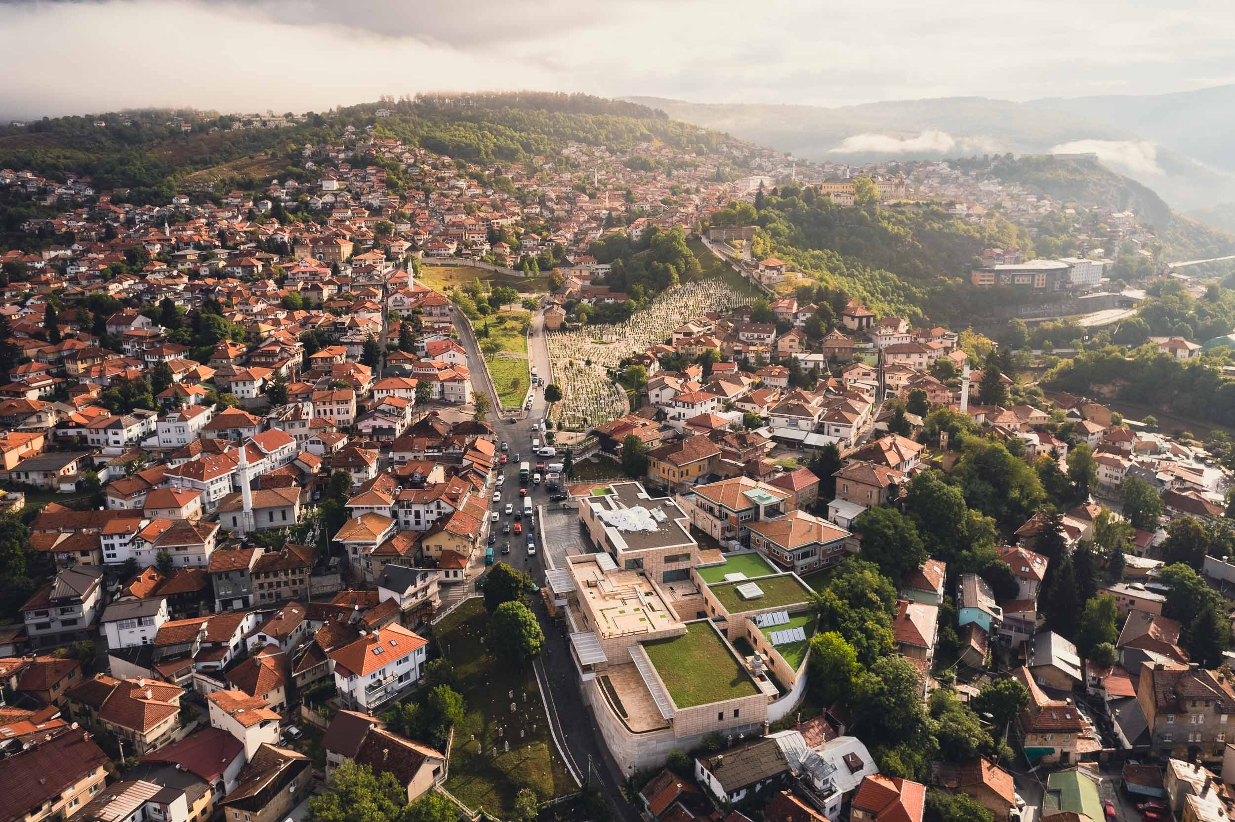
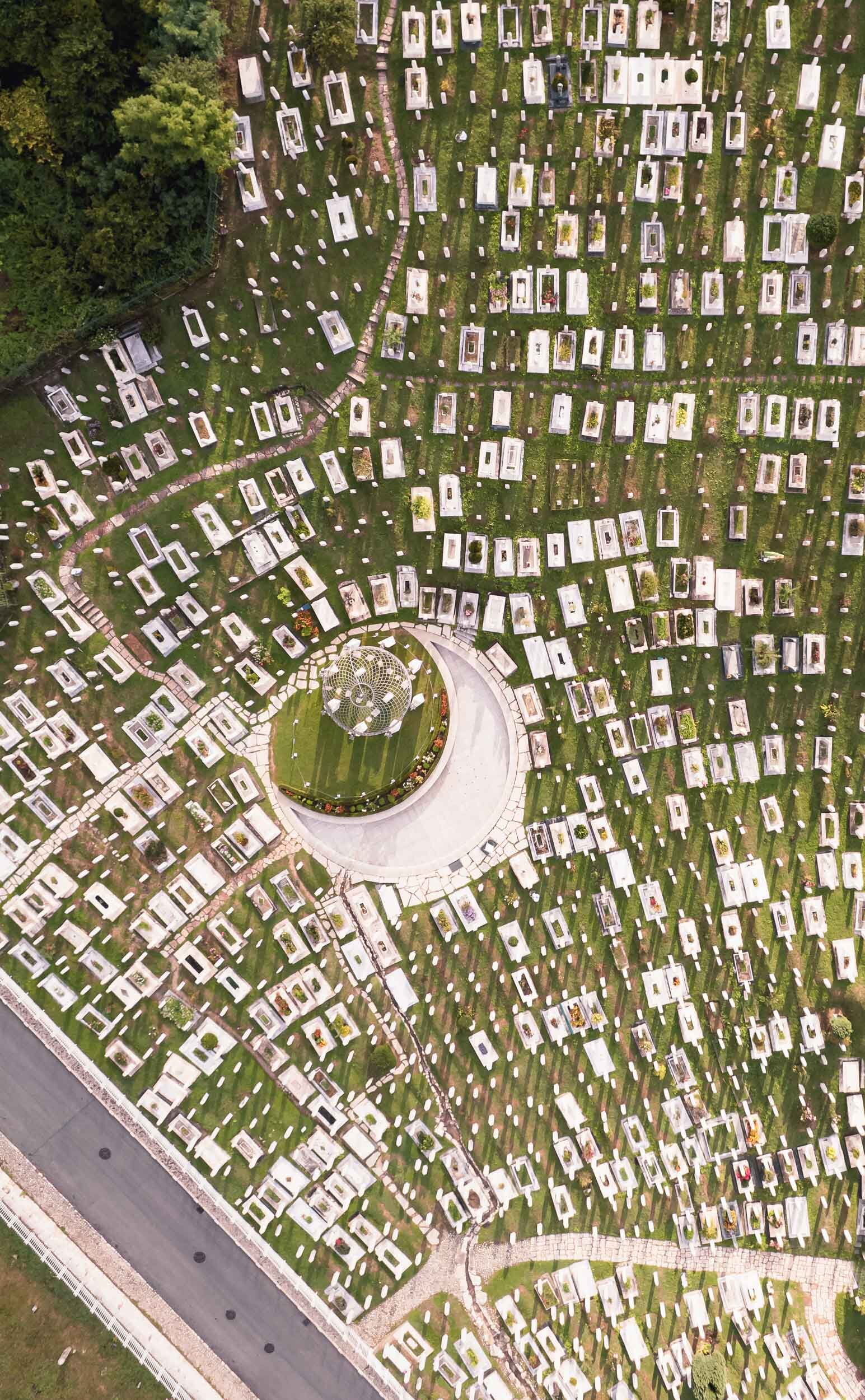
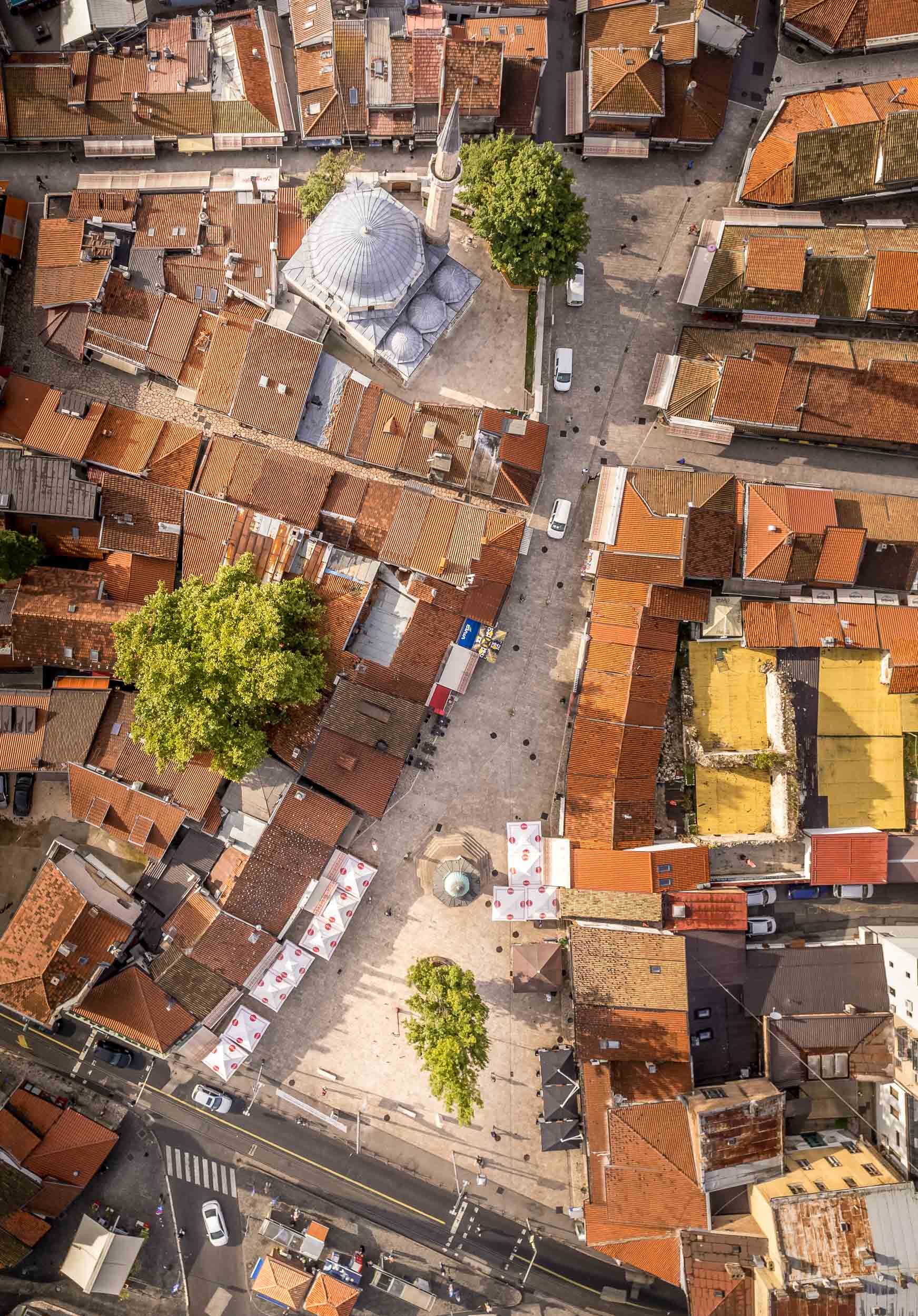
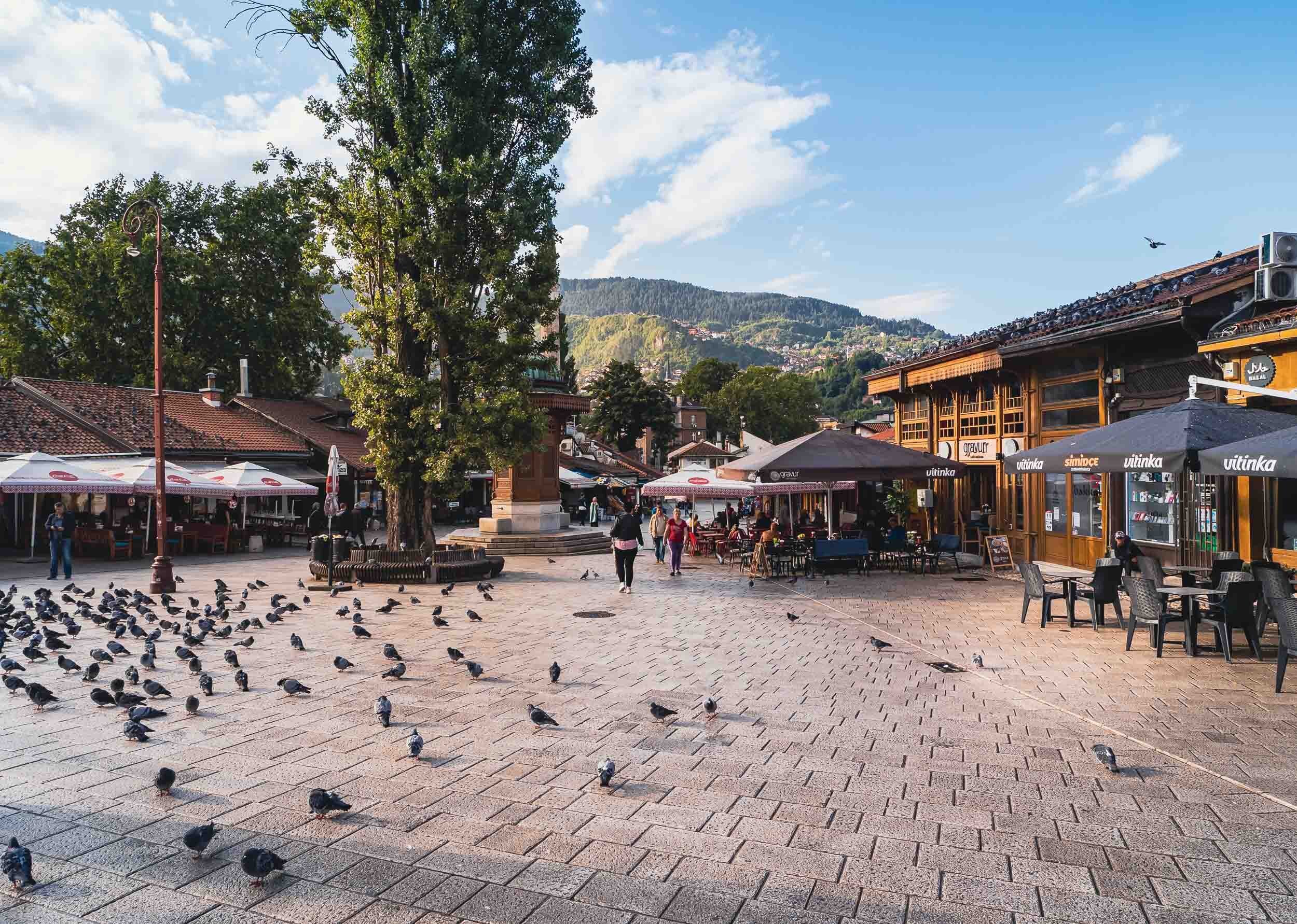
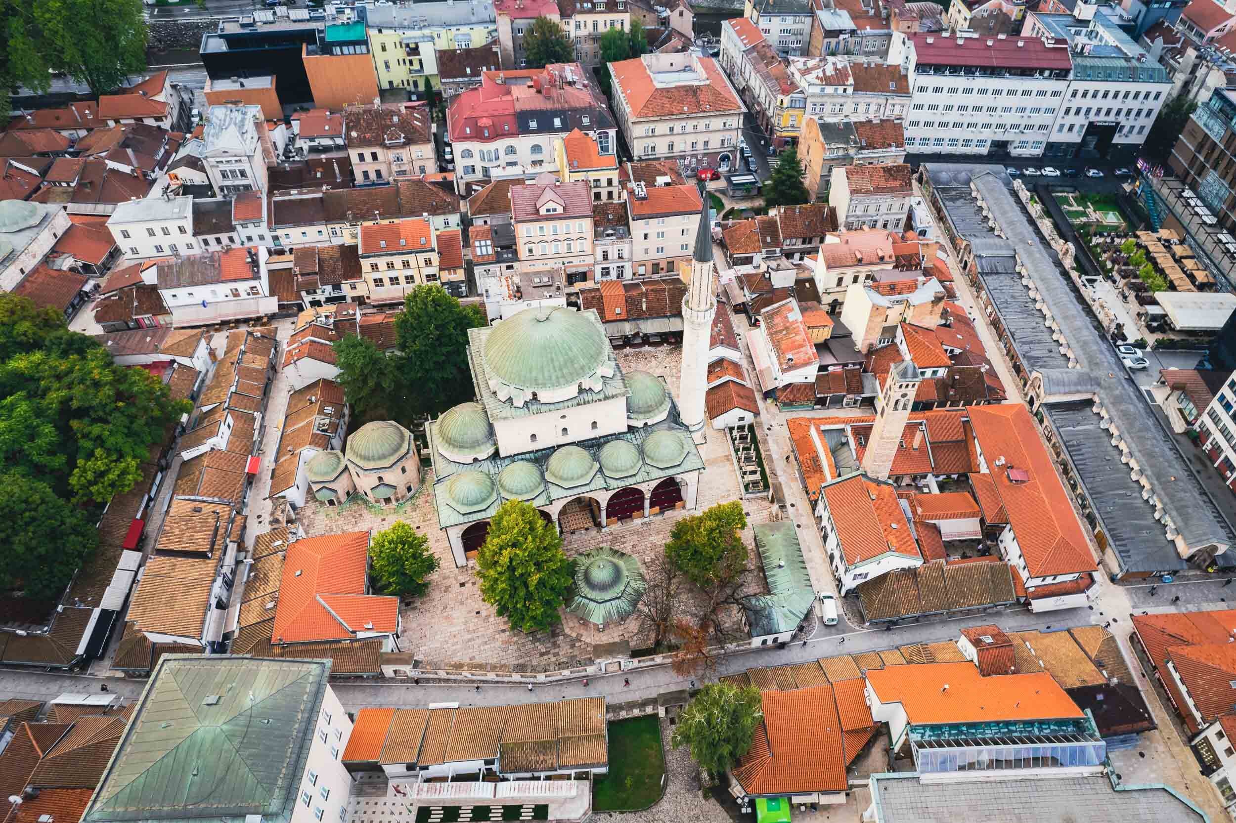
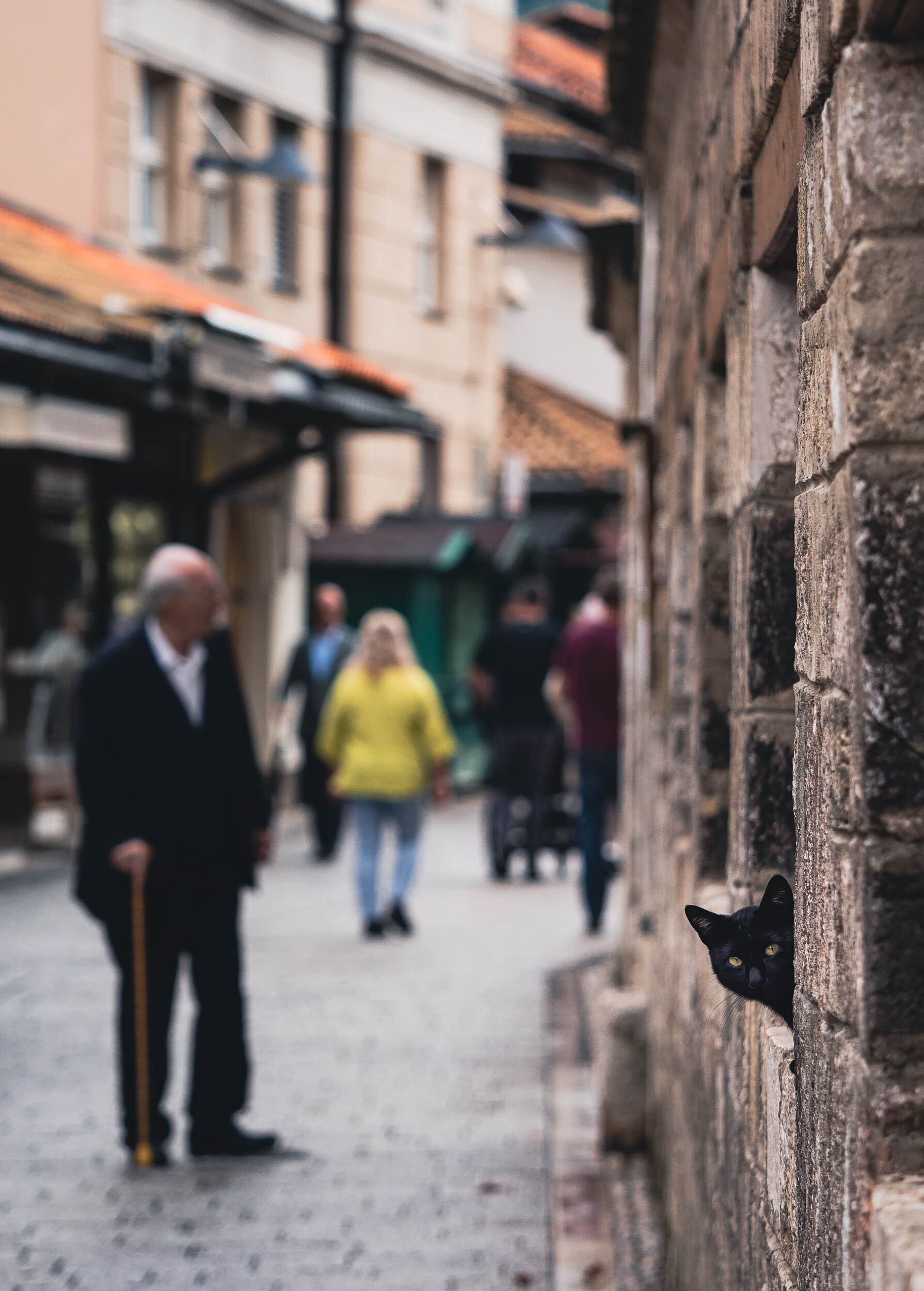
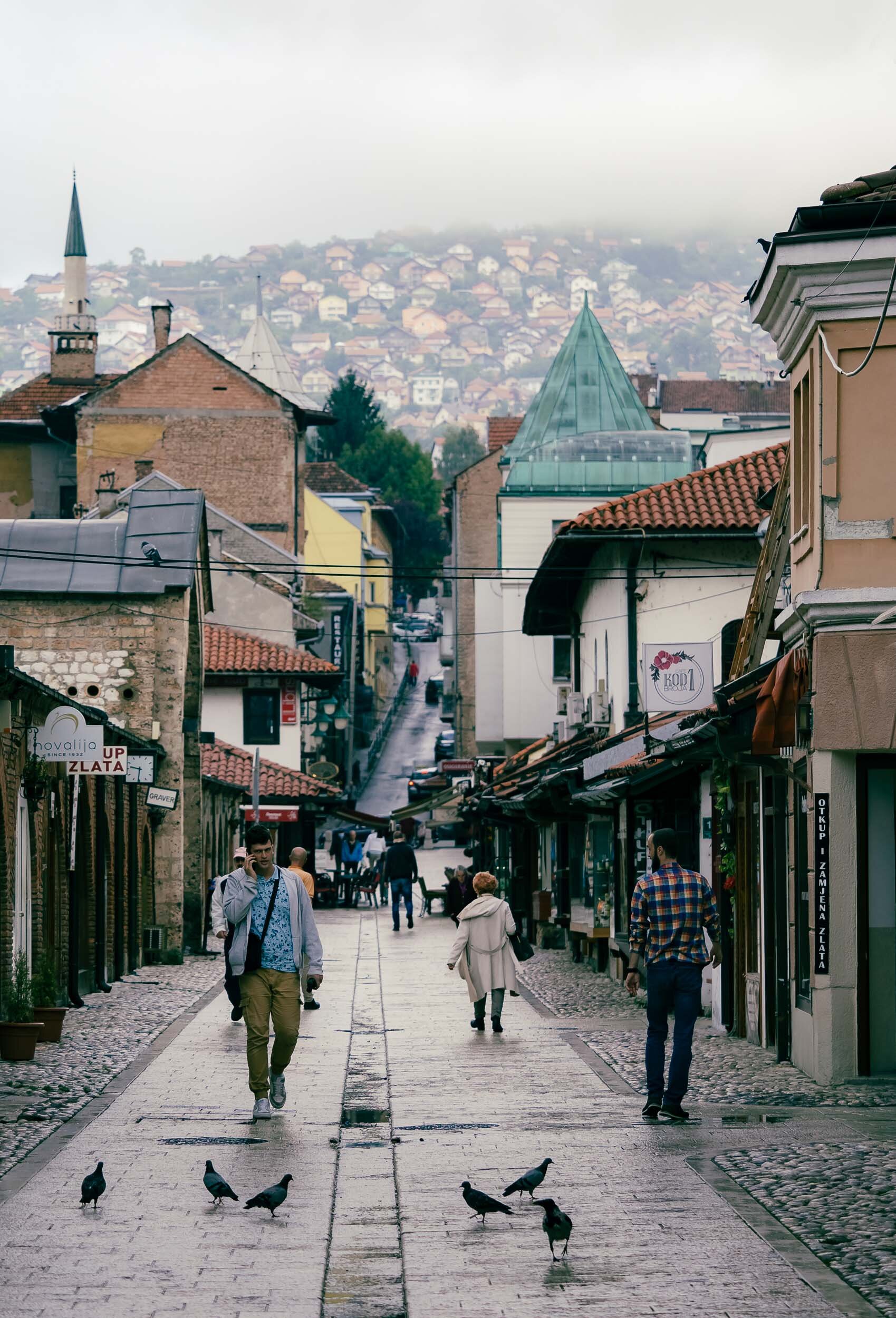
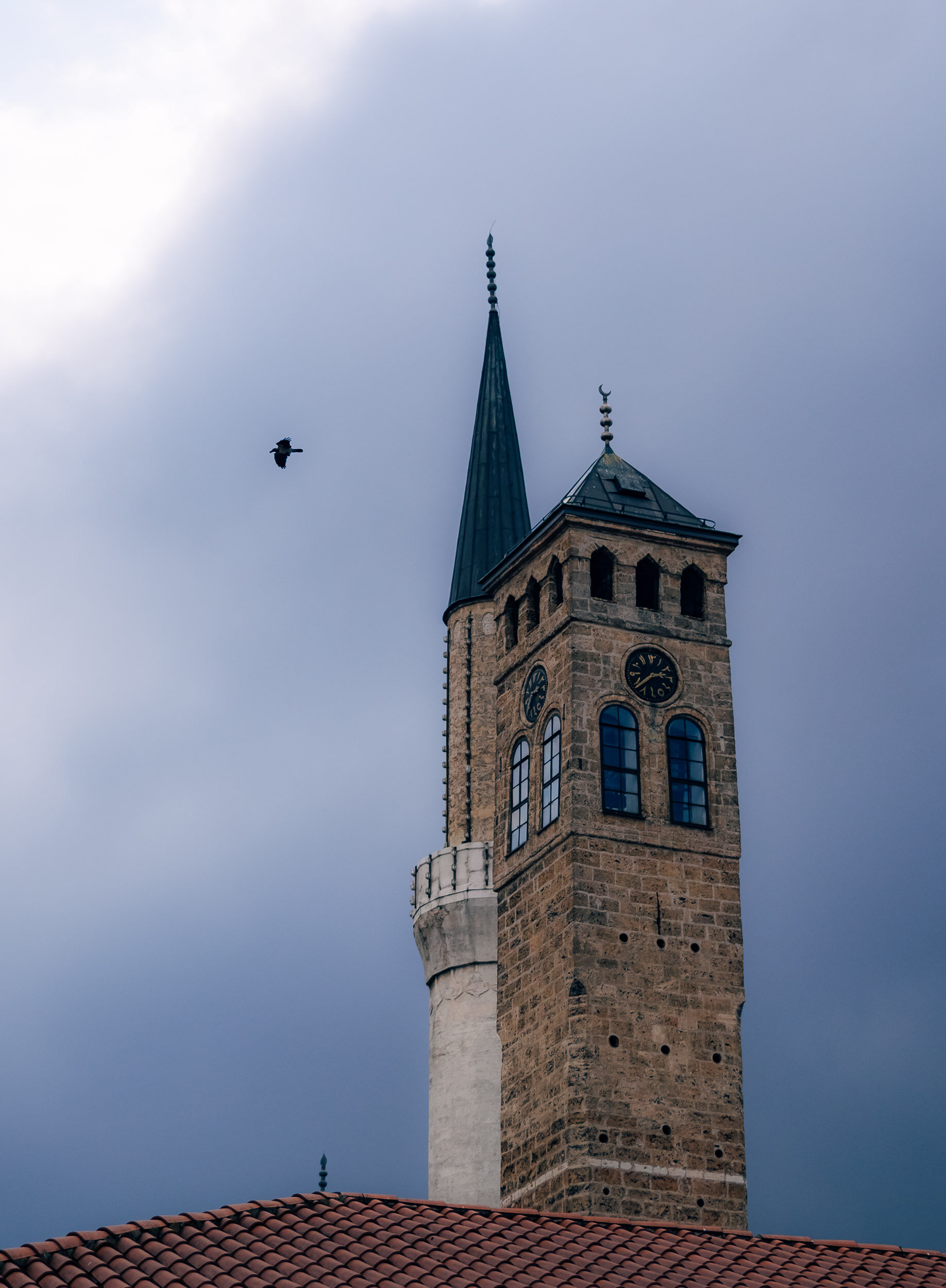
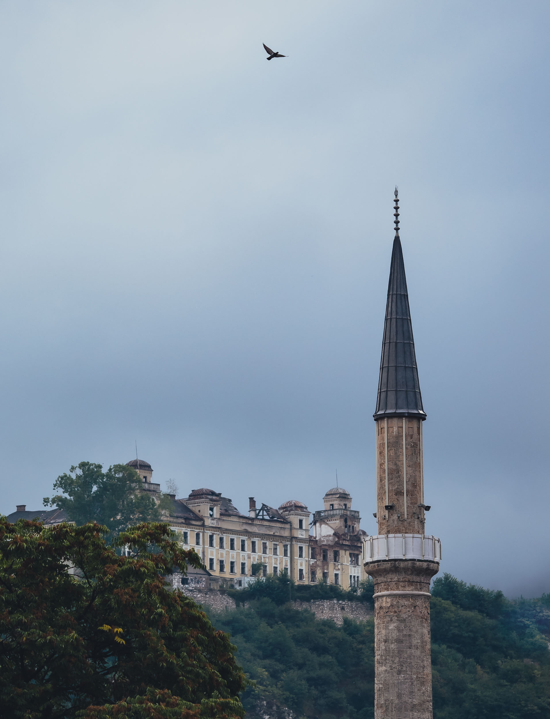
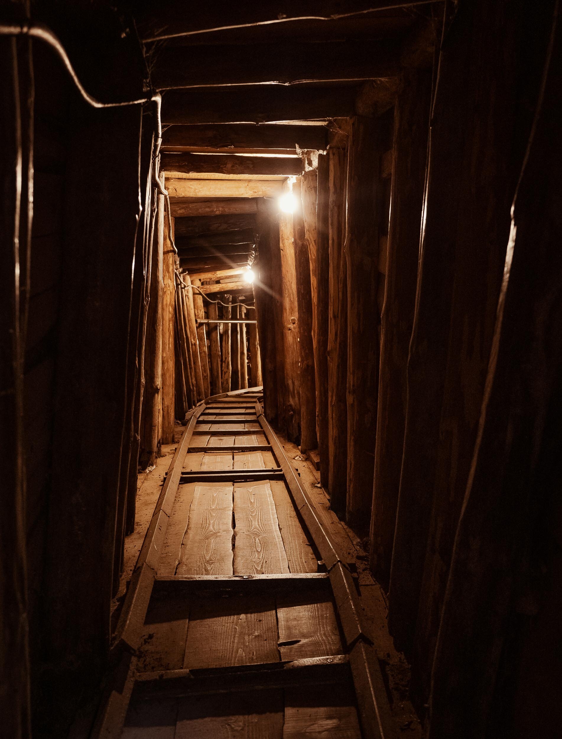
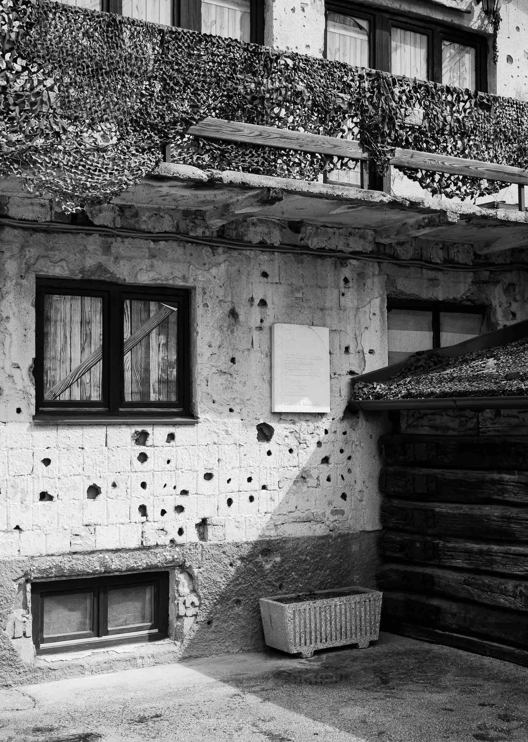
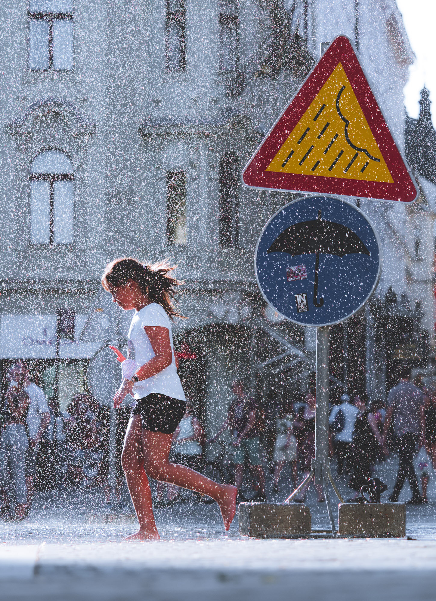
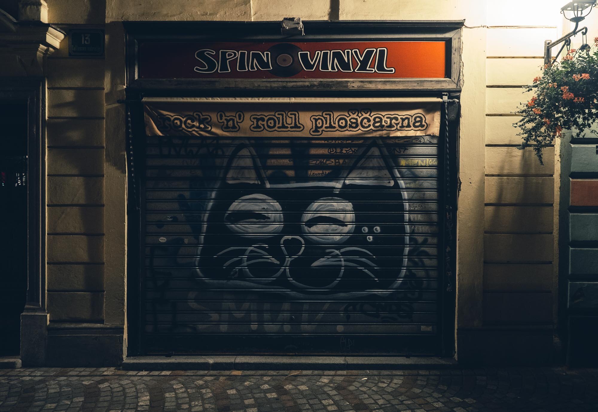
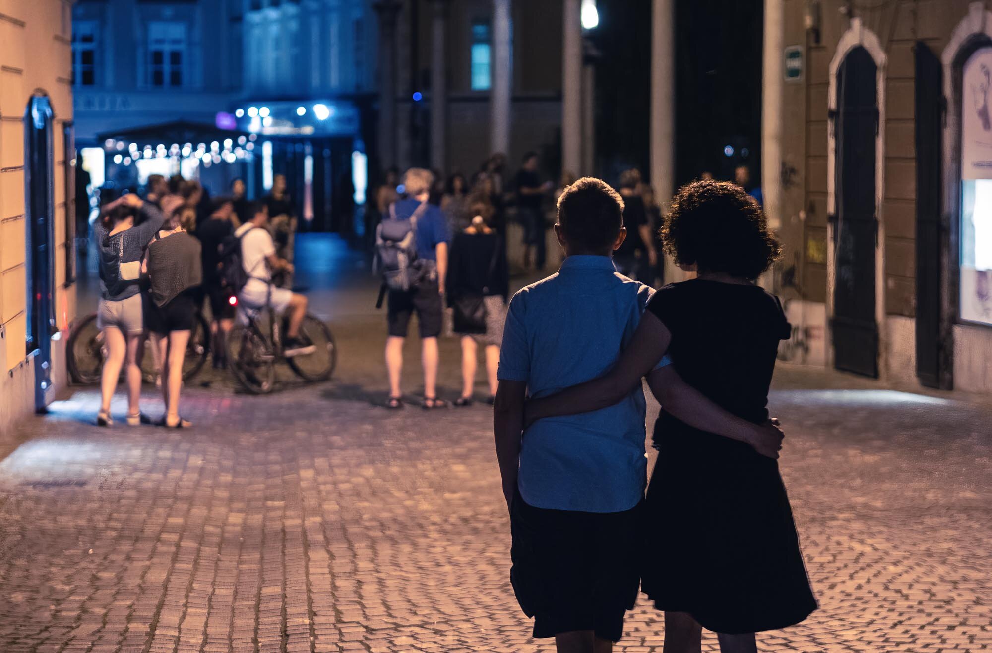
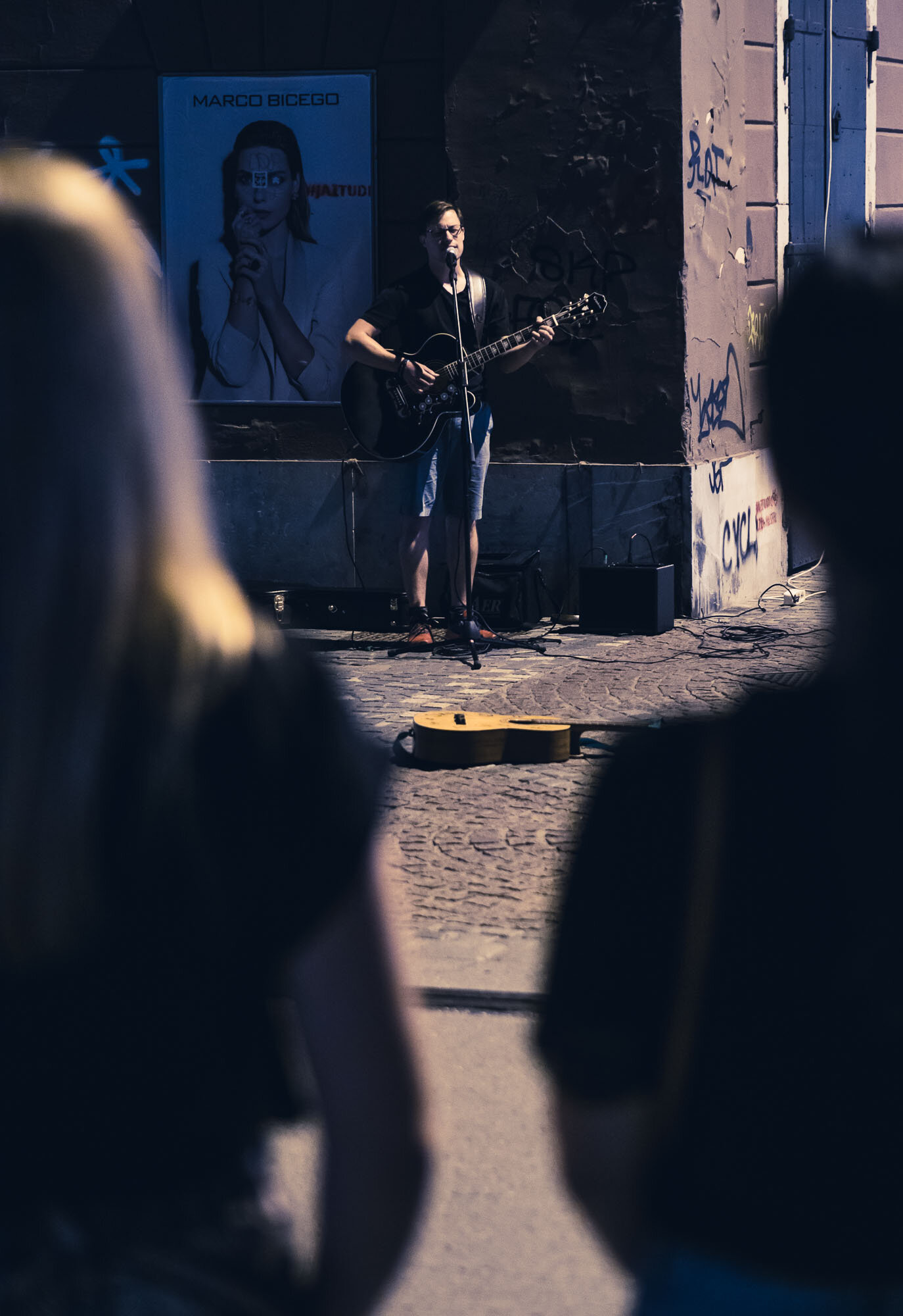
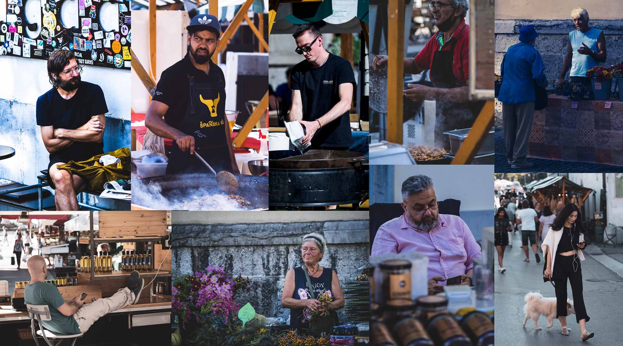
Bosnia & Herzegovina - Polarising Diversity
A late summer weekend brought me to Bosnia & Herzegovina, a relatively small and almost landlocked country in south-east Europe.

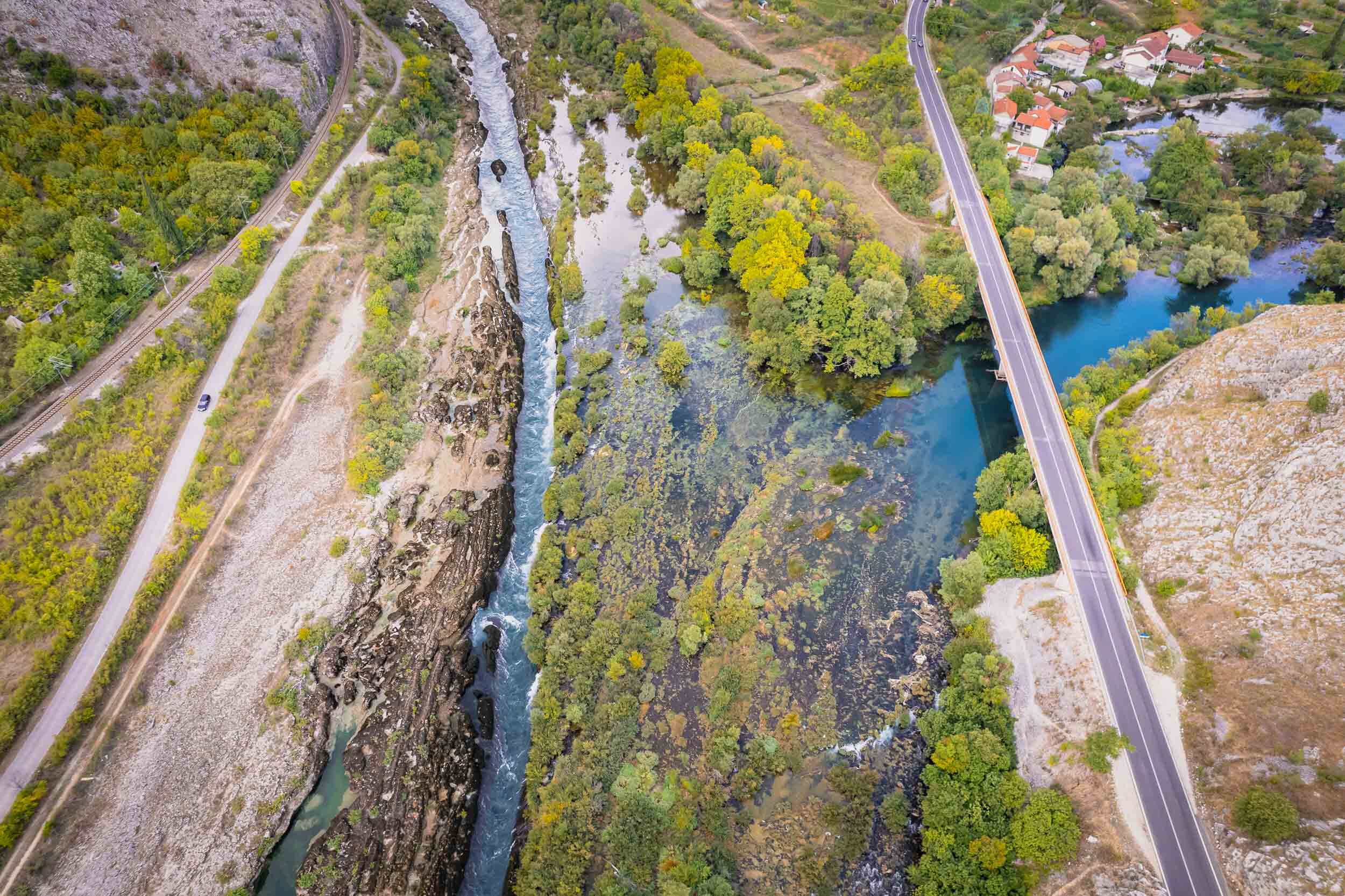
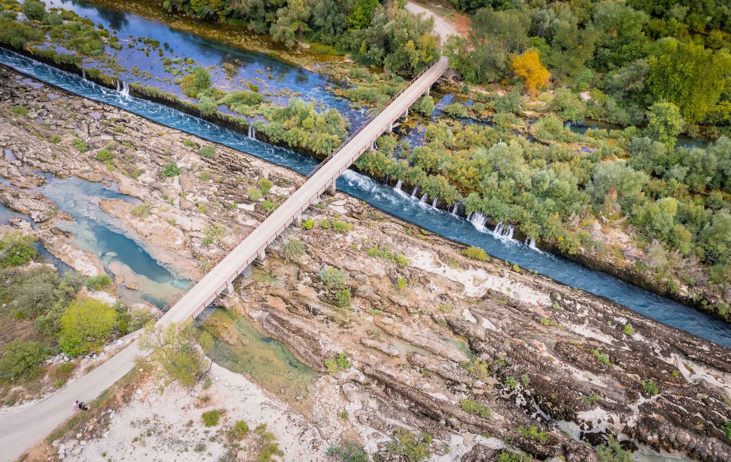
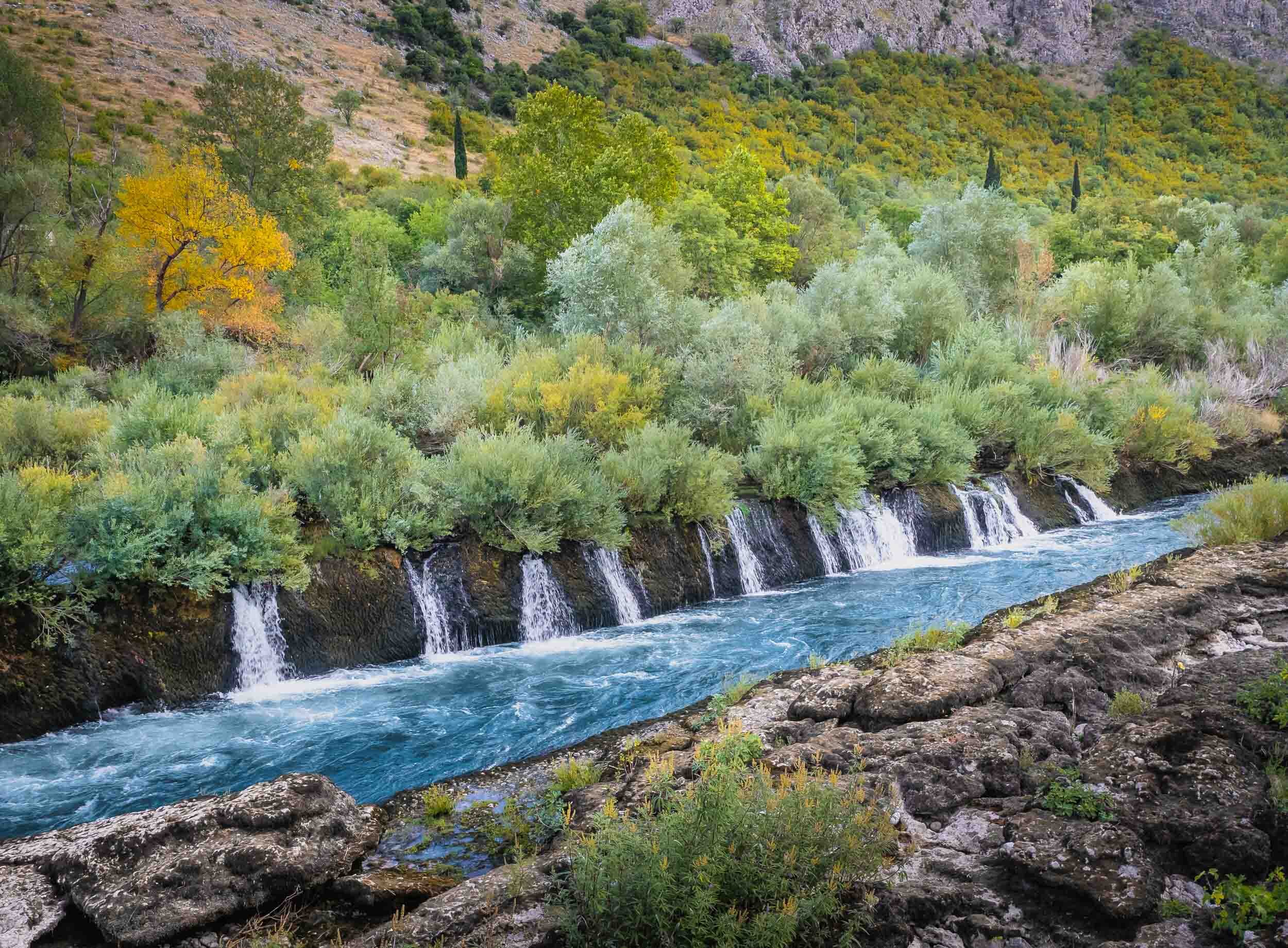
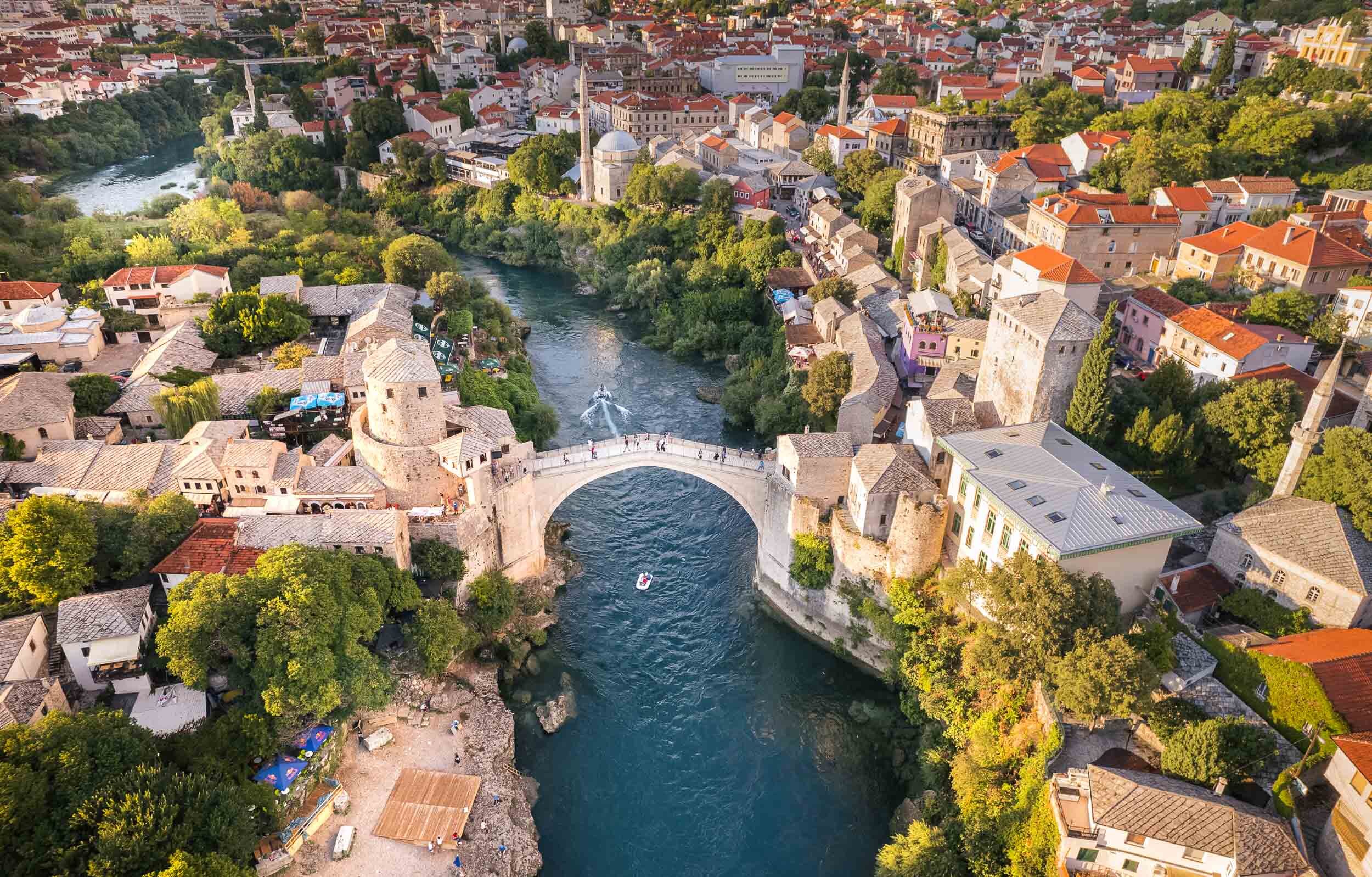
A late summer weekend brought me to Bosnia & Herzegovina, a relatively small and almost landlocked country in south-east Europe. The trip took us from the capital, Sarajevo, through the mountain ranges along the river Neretva towards Mostar and its surroundings sights and back. The country features impressive diversity in architecture, culture, and people - owing to its troubled past, which is still evident today - which made for a packed three days of sights, many of them well known, and a few unexpected ones.


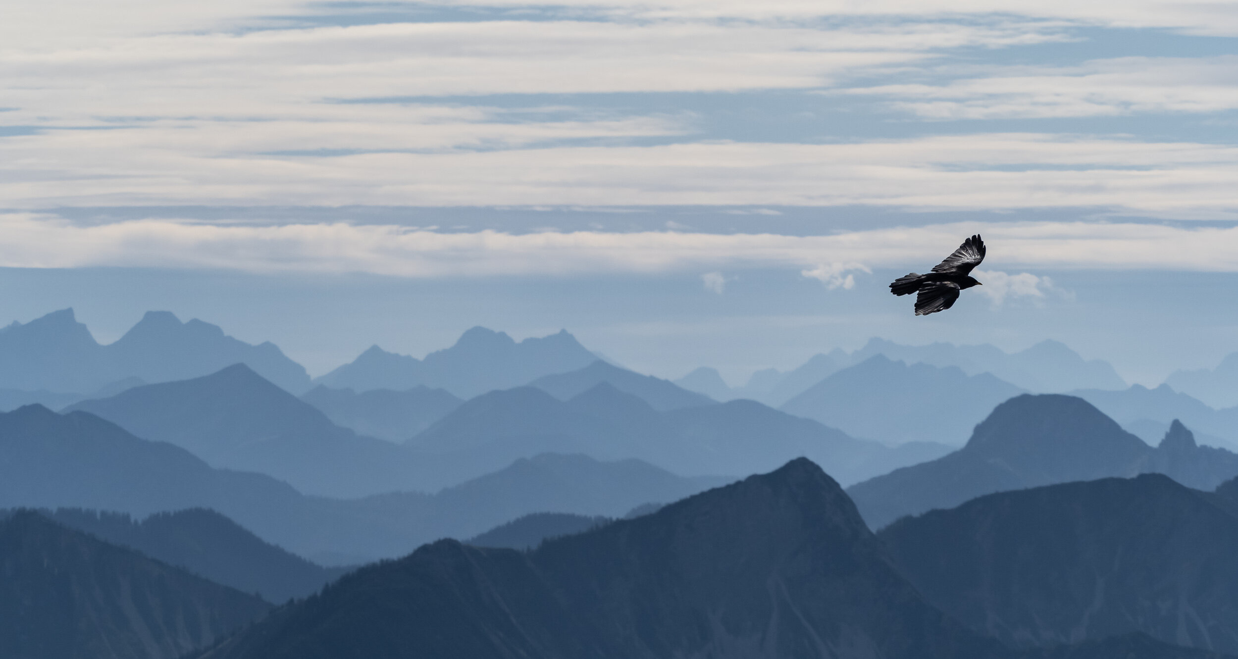
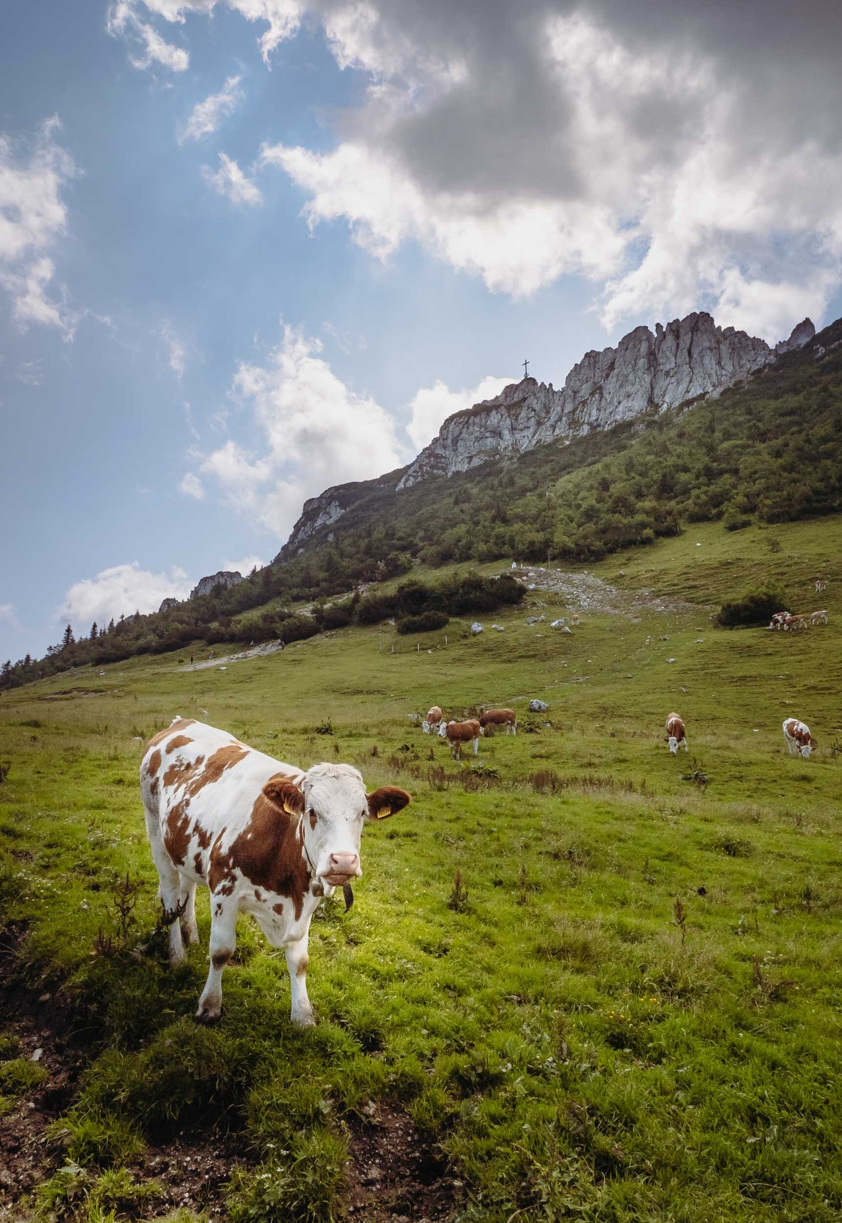
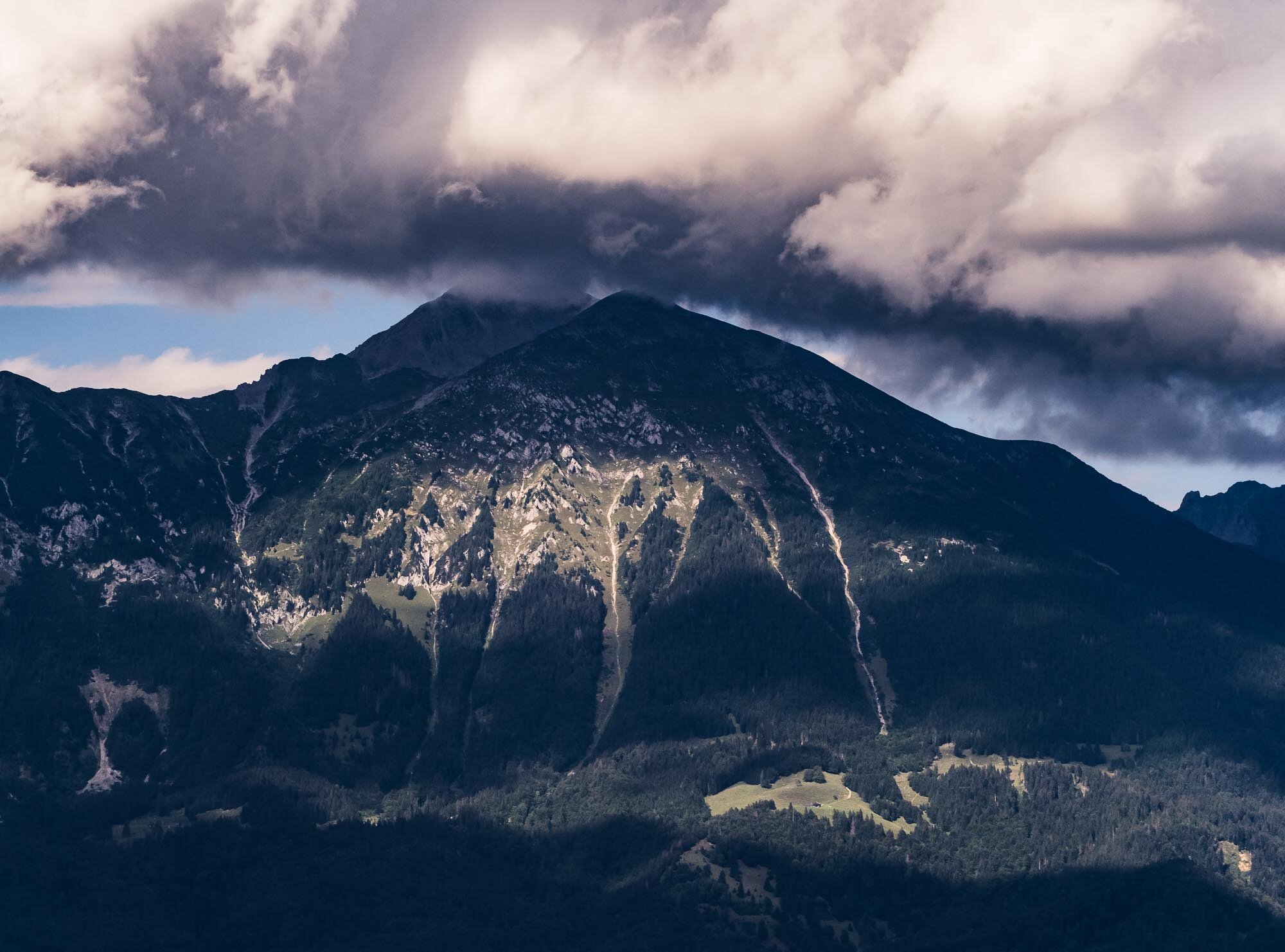
The Bavarian Alps - Blue Skies and Fluffy Clouds
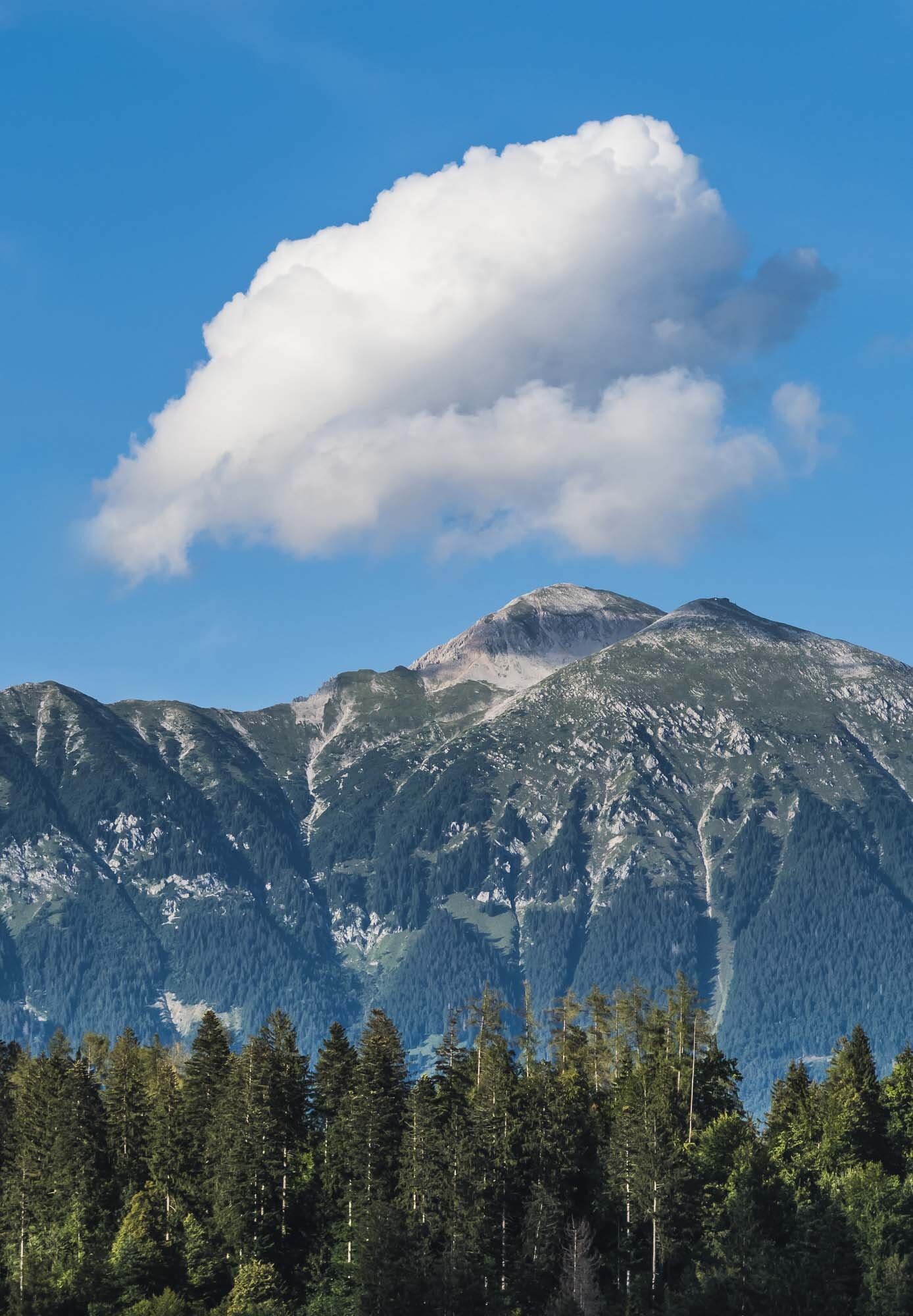
Over the last year I took the chance to photograph a few of the highest peaks of the Alps around my hometown in Bavaria, Germany.

Over the last year I took the chance to photograph a few of the highest (and most accessible - yes I was lazy and mostly used railways and chairlifts to get to the top) peaks around my hometown in Bavaria, Germany. Below is a collection of images from the trips.
Wendelstein
This is one of the highest peaks in the Bavarian Alps, at over 1800m. It features a railway originally built in 1912 on one side, and a cable car on the other, and the top is home to a church, a weather station and an observatory.


Kampenwand
At almost 1700m and an impressive rock formation to top it off, this is a very impressive peak of the Bavarian alps. It features a 12m cross on its peak. A cable car from 1957 takes you close to the top, but the final peak is a steep hike.


Hochries
At just short of 1600m, this is the smallest of the three peaks I’ve visited. It takes a short chairlift and a cable car to reach the top, which offers beautiful views over the valley below. This area is very popular with paragliders.


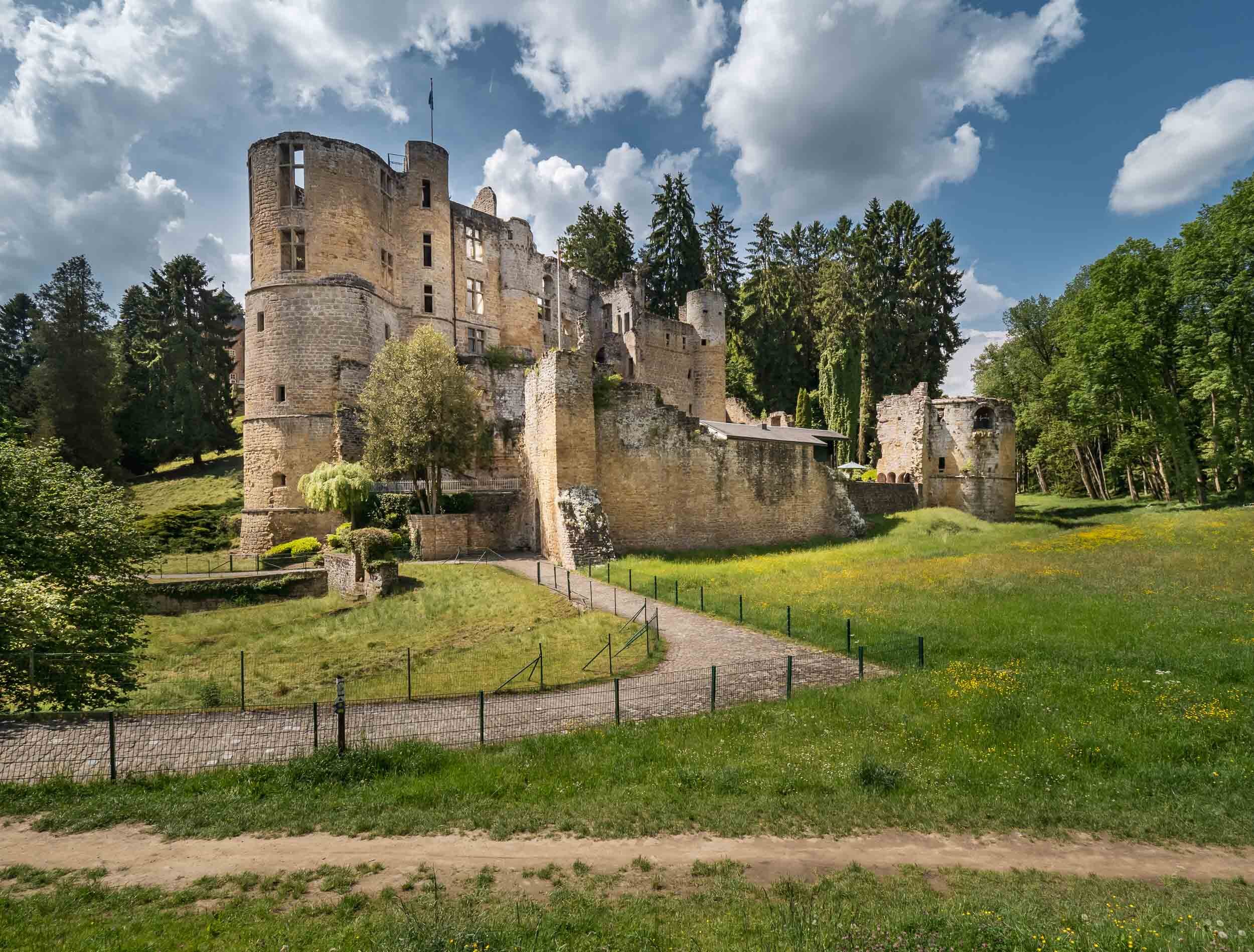
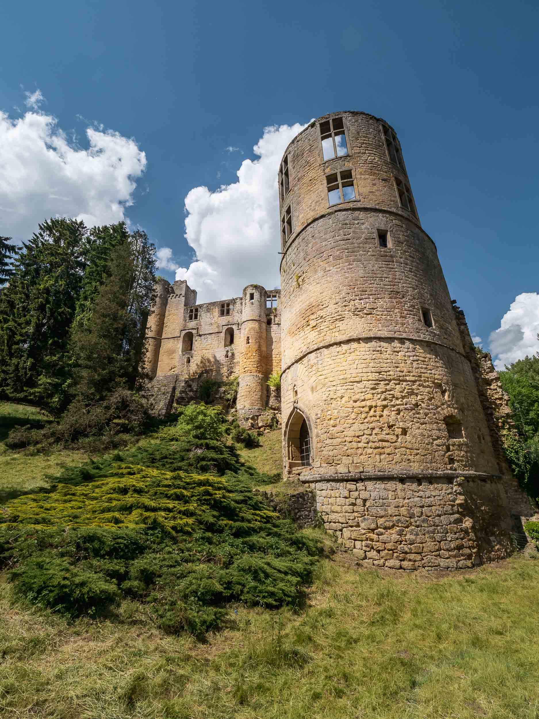
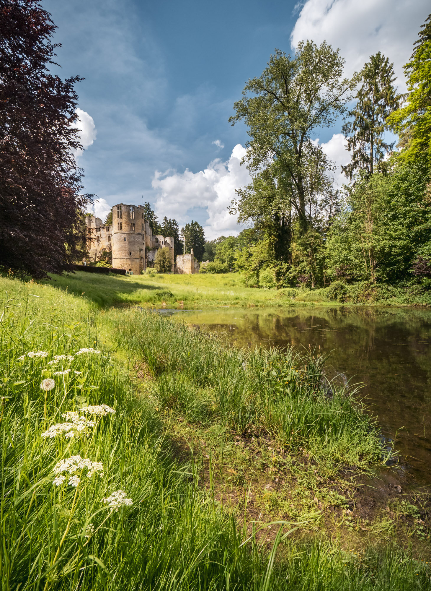
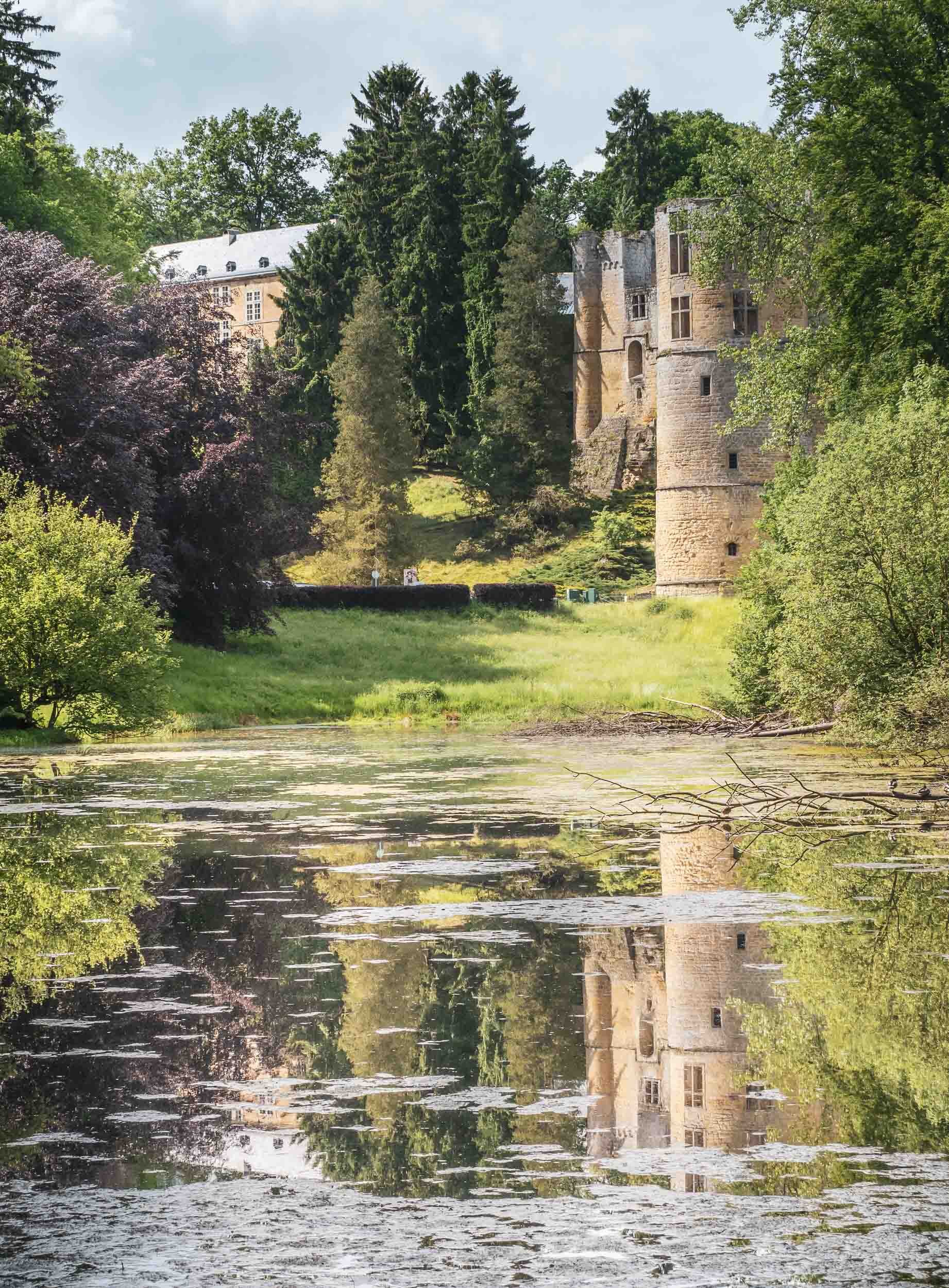
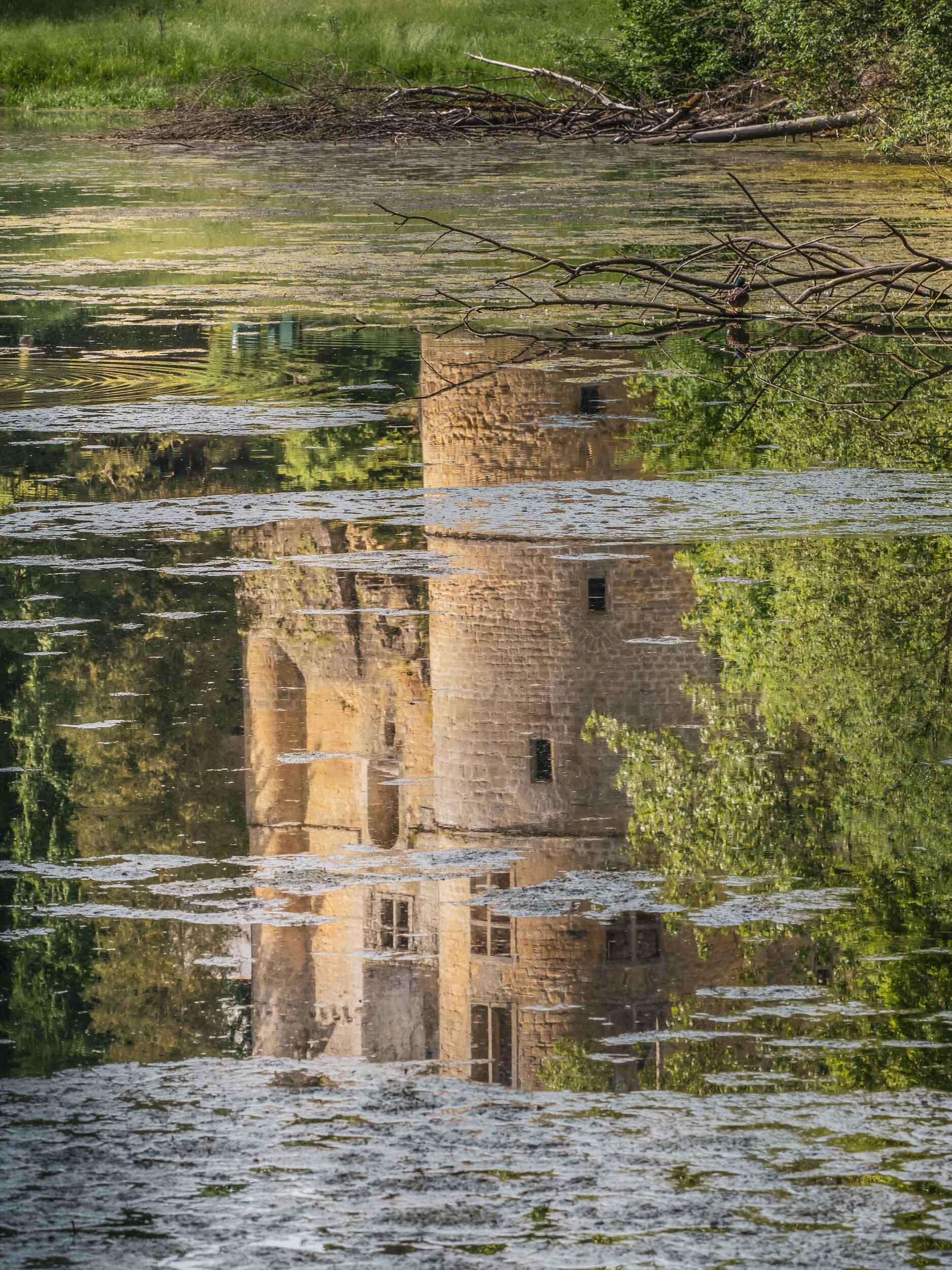
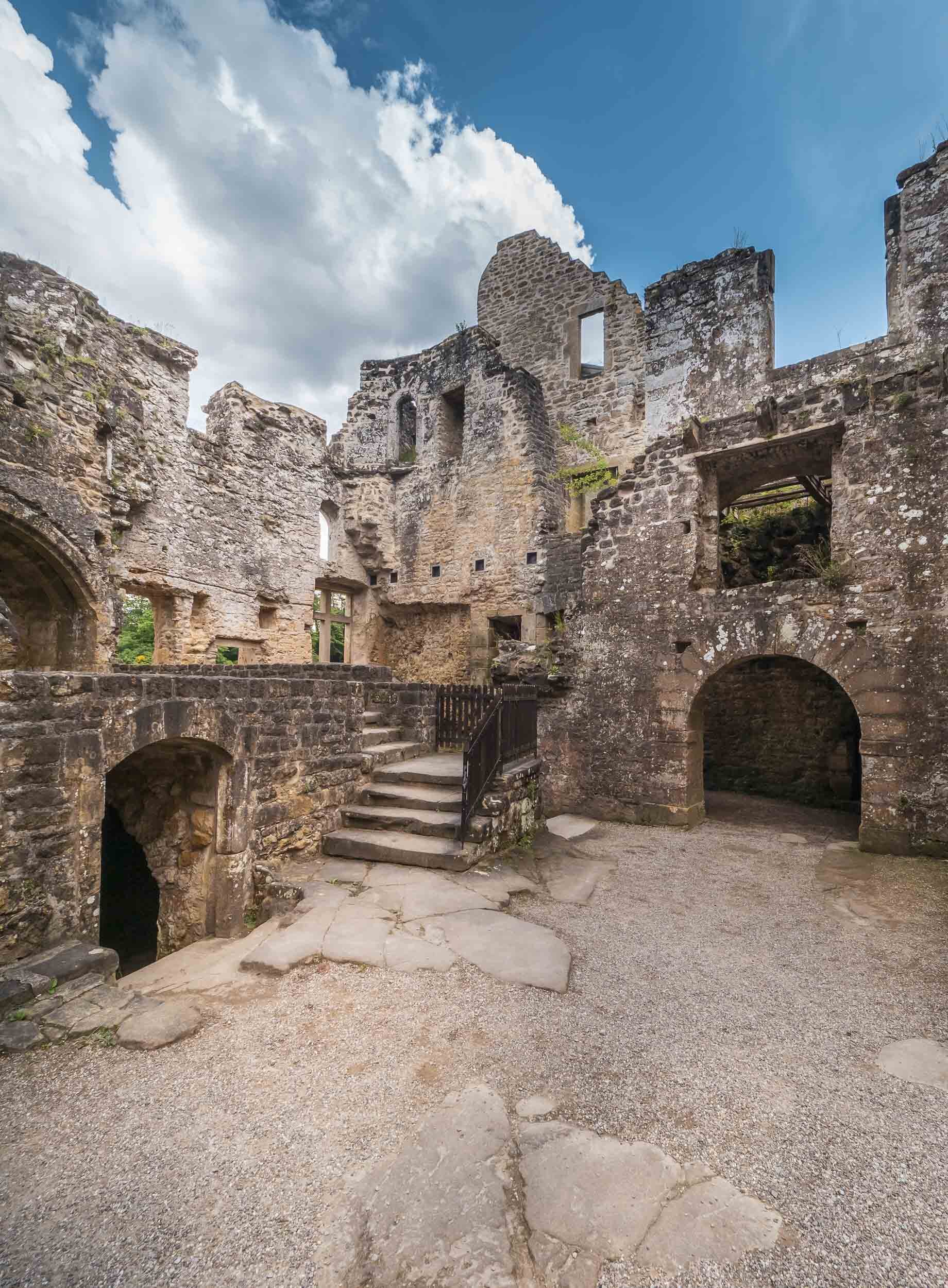
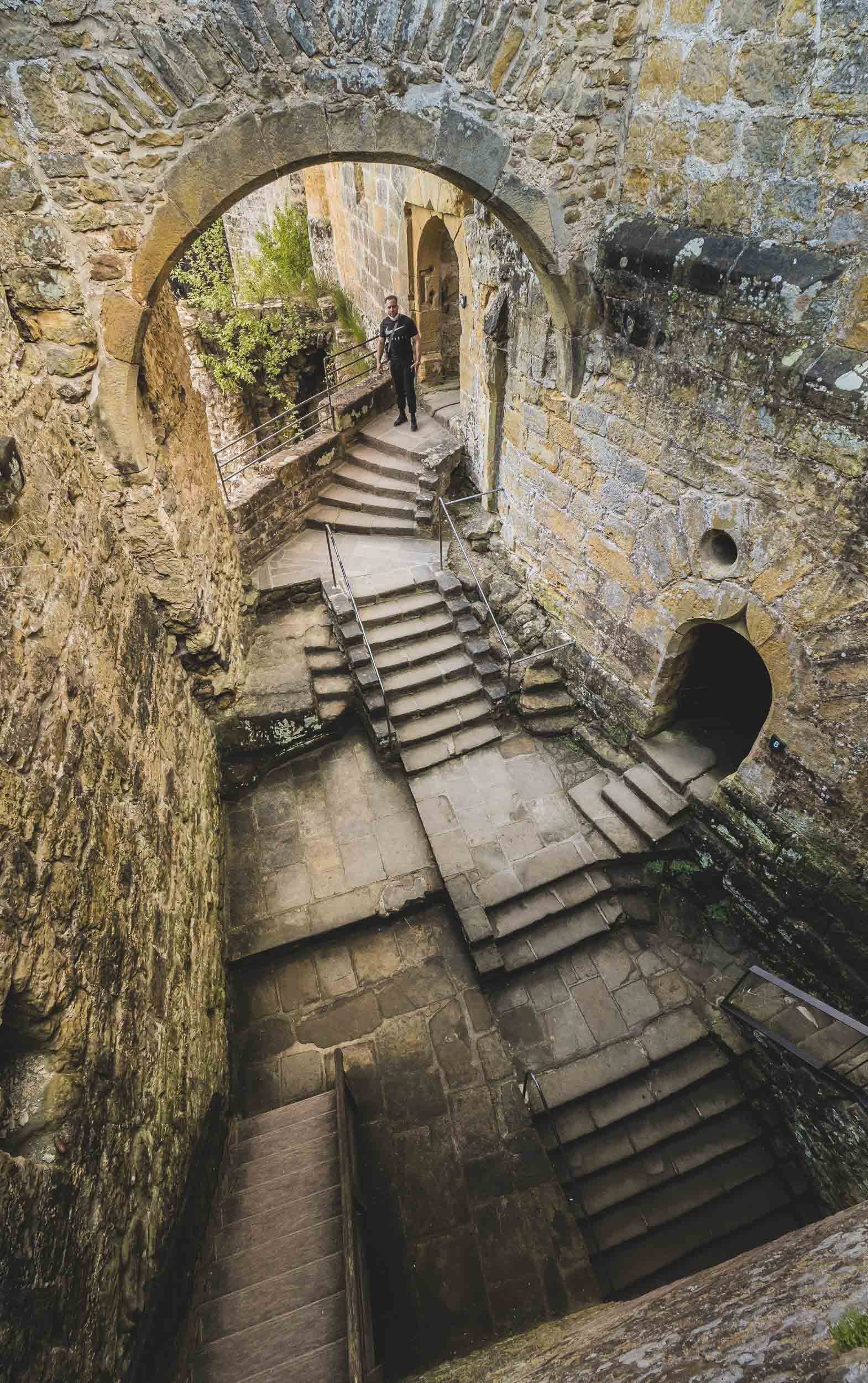
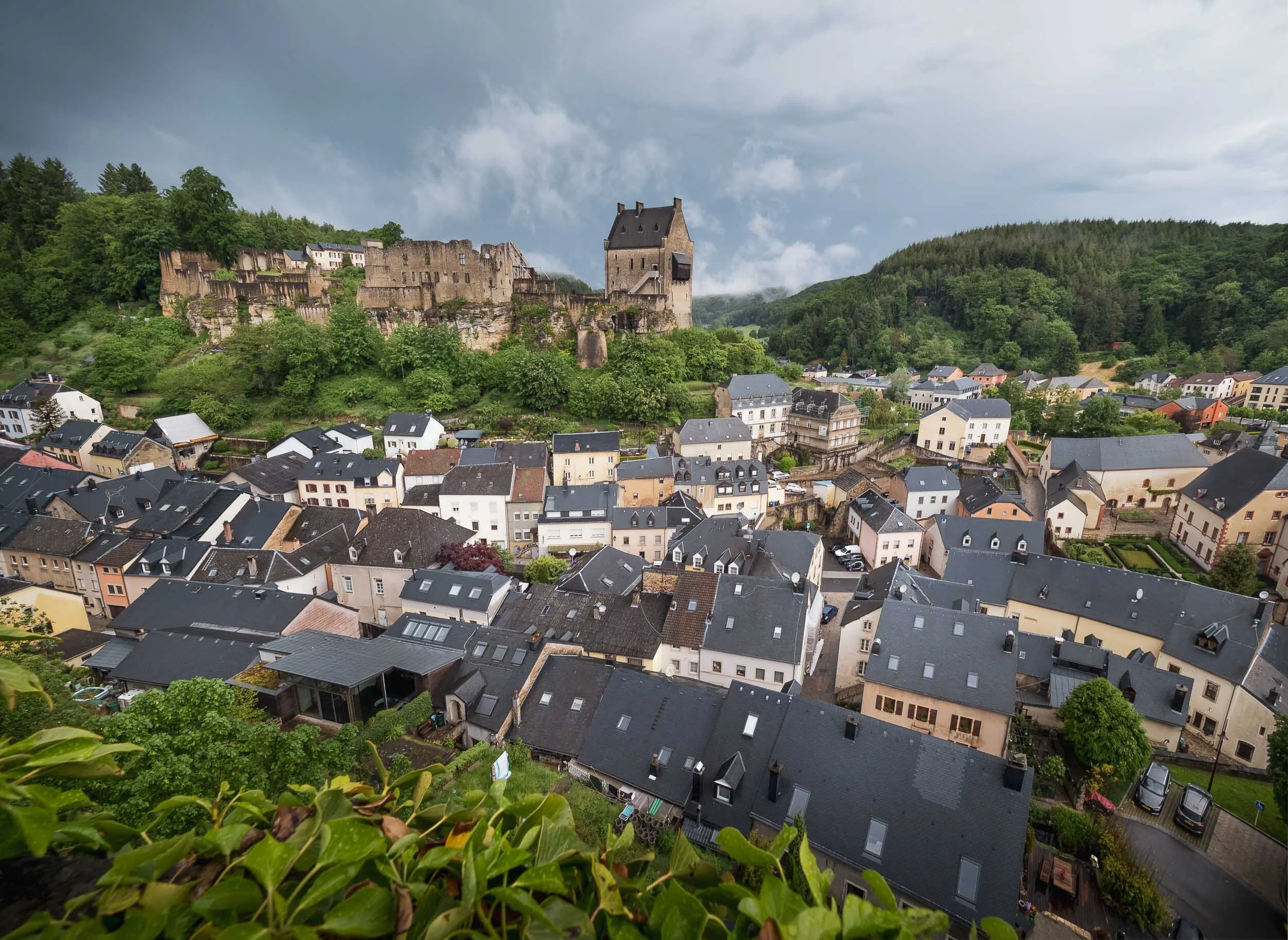
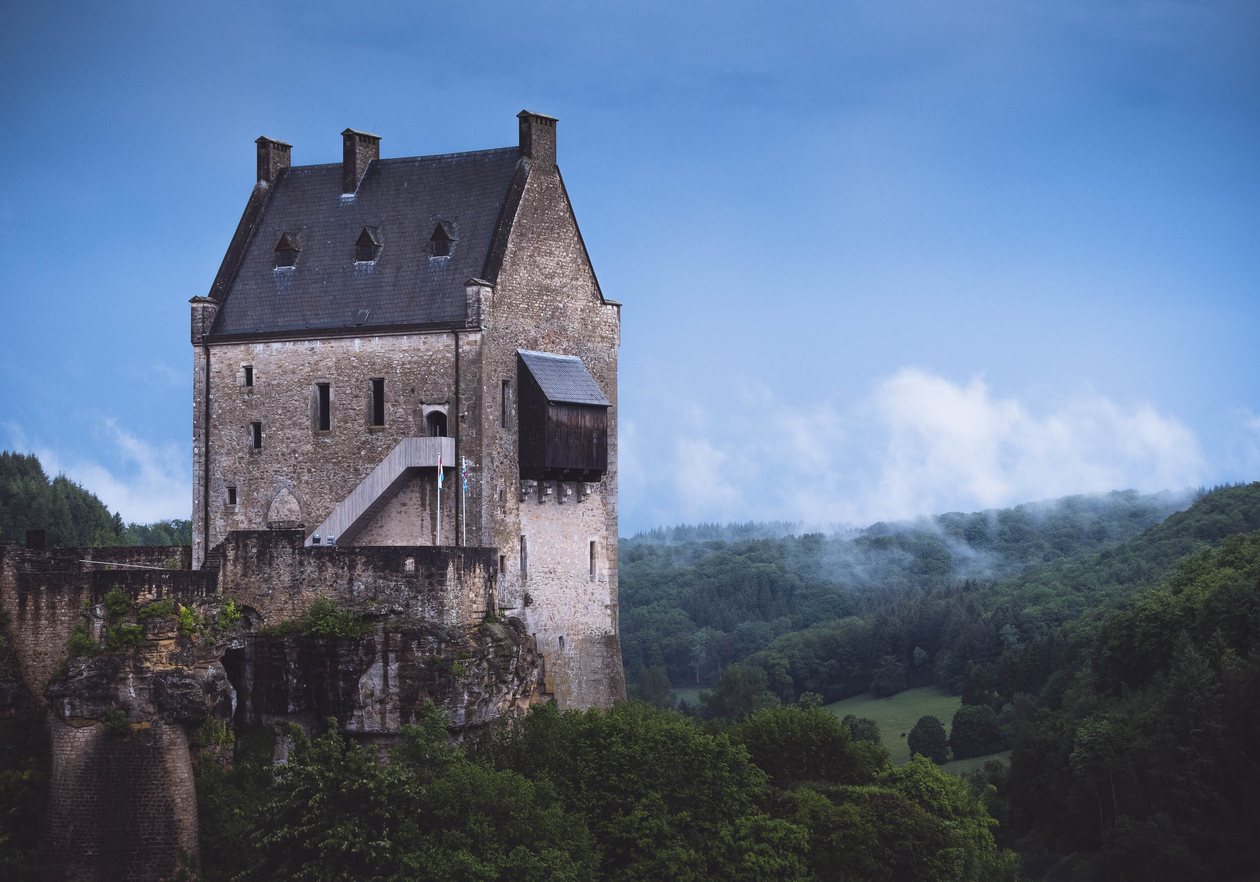
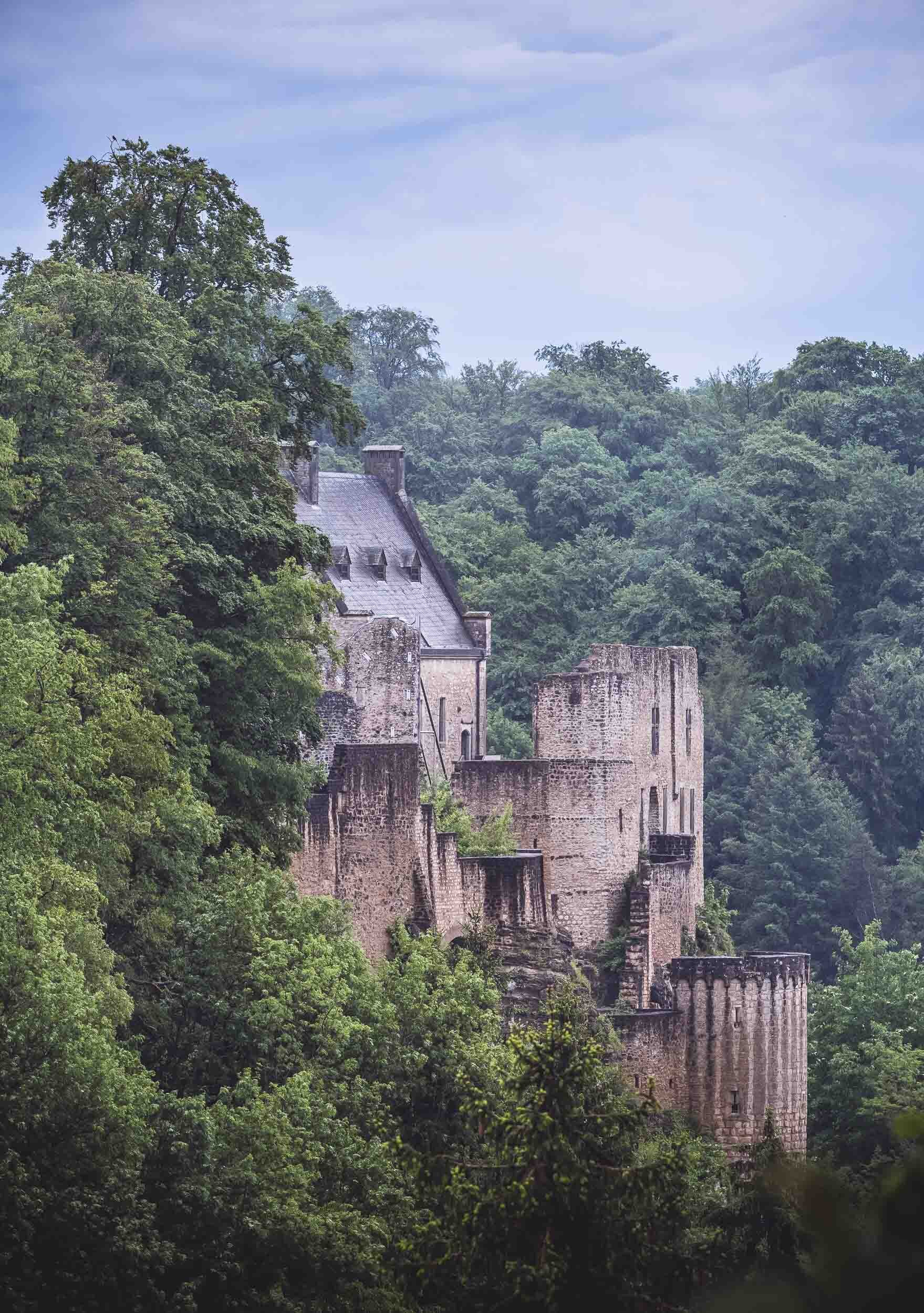
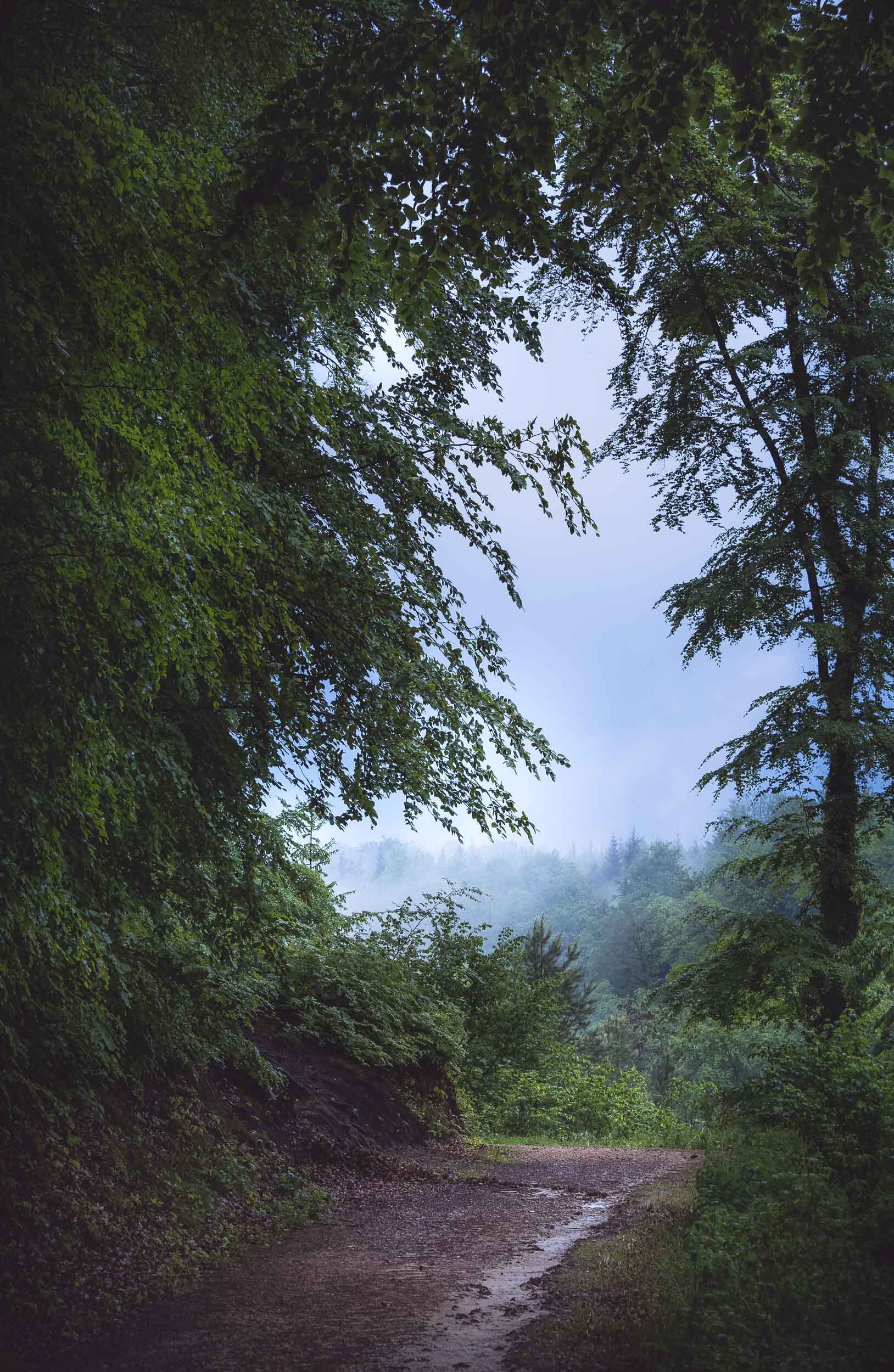
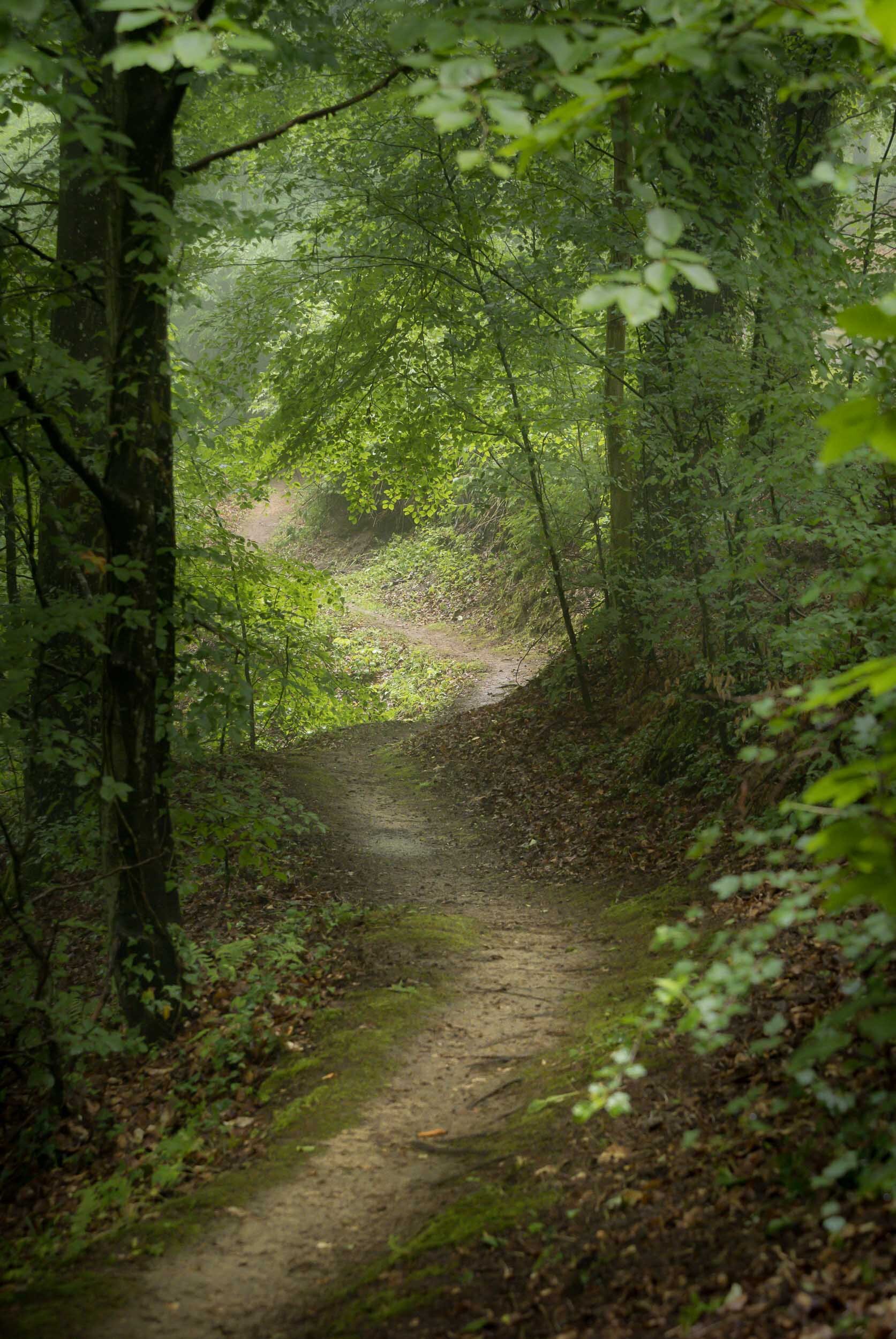
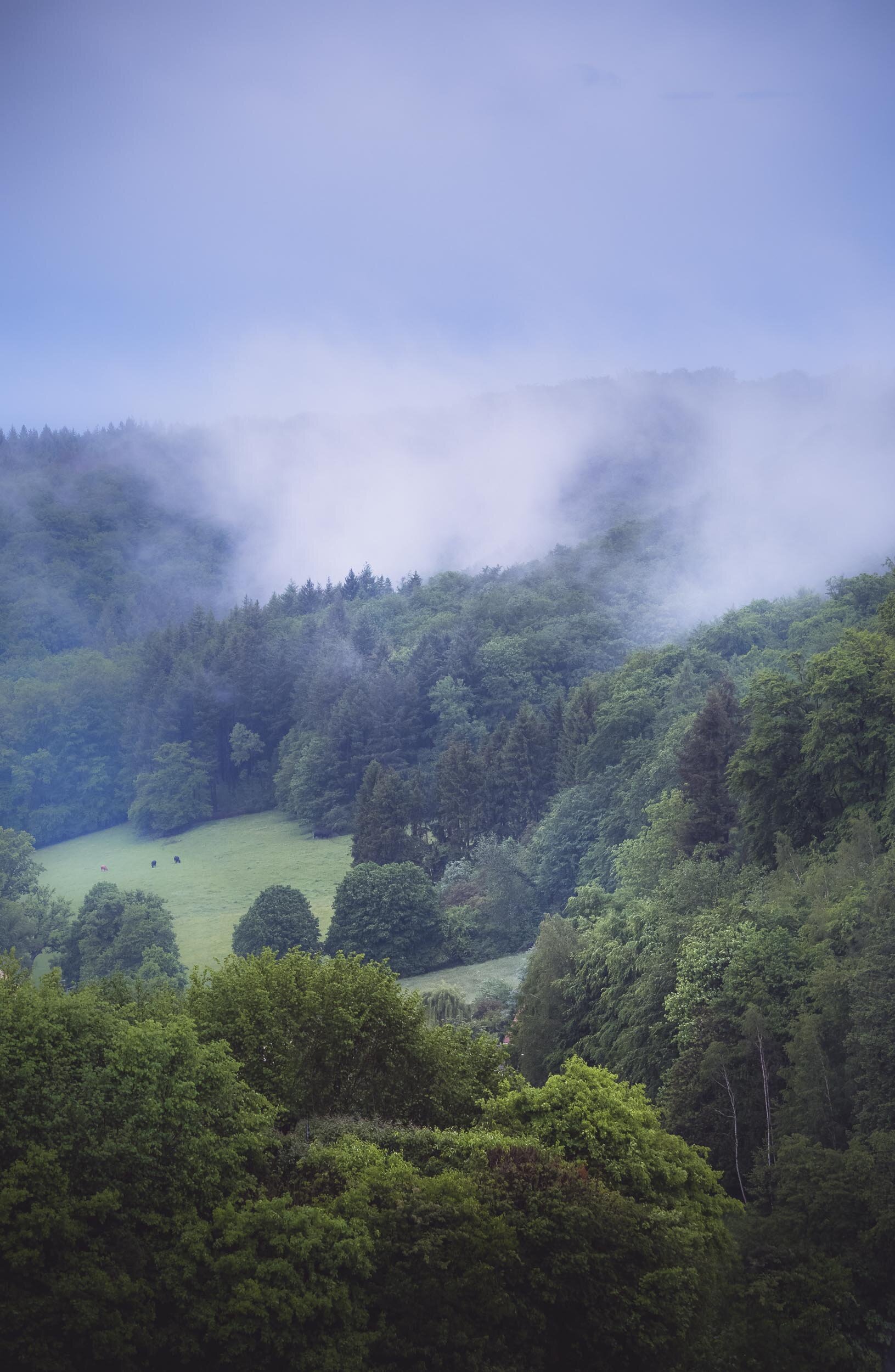
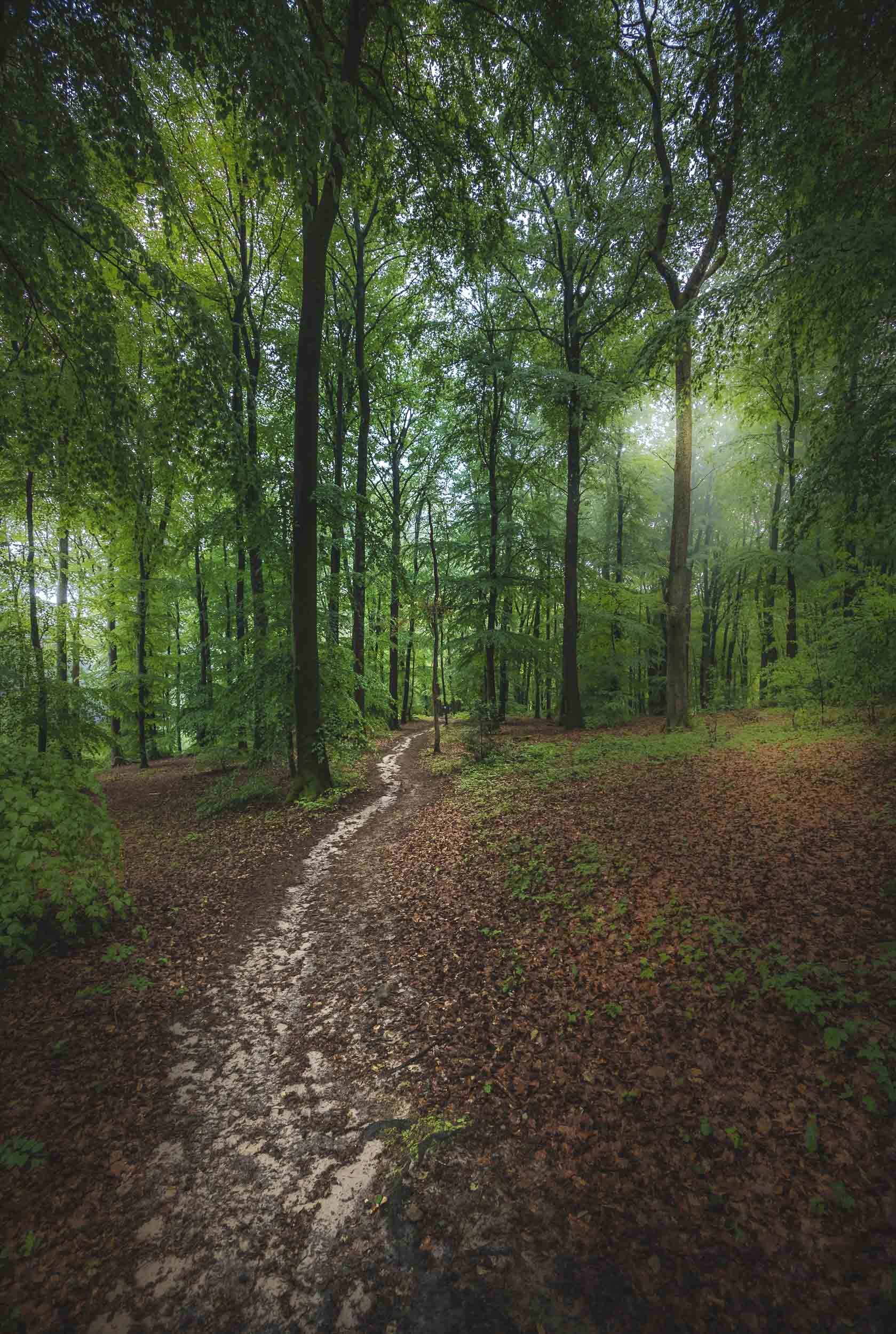
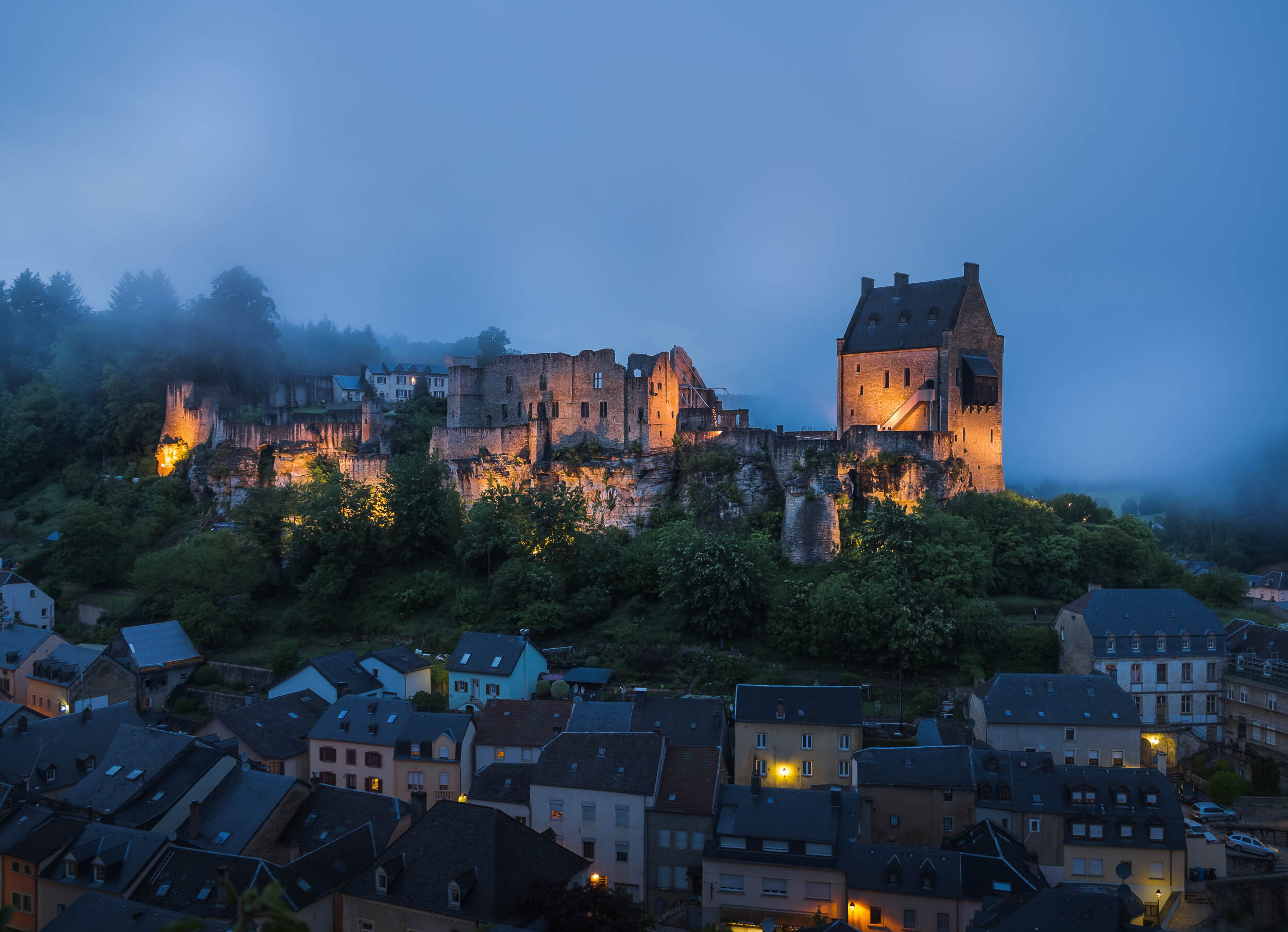
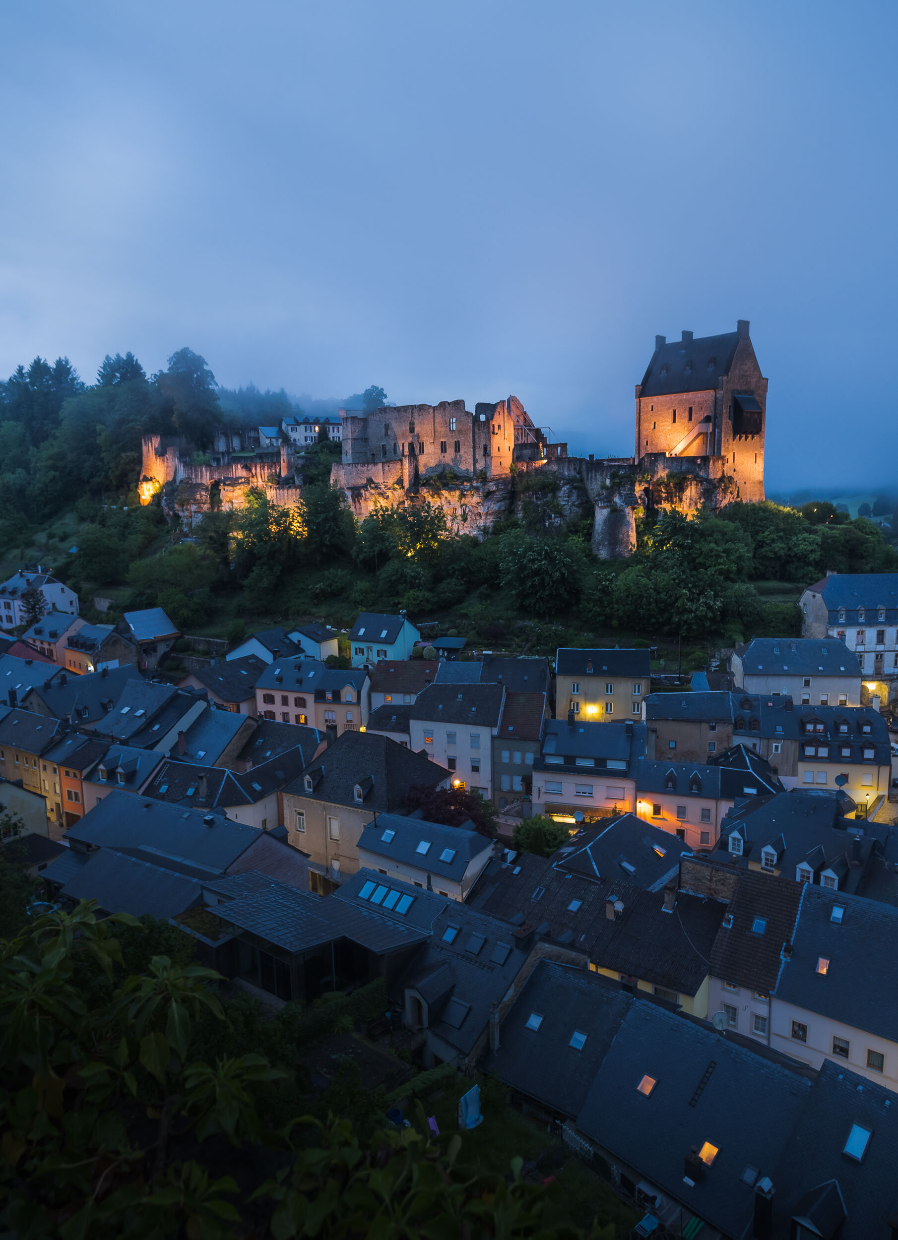
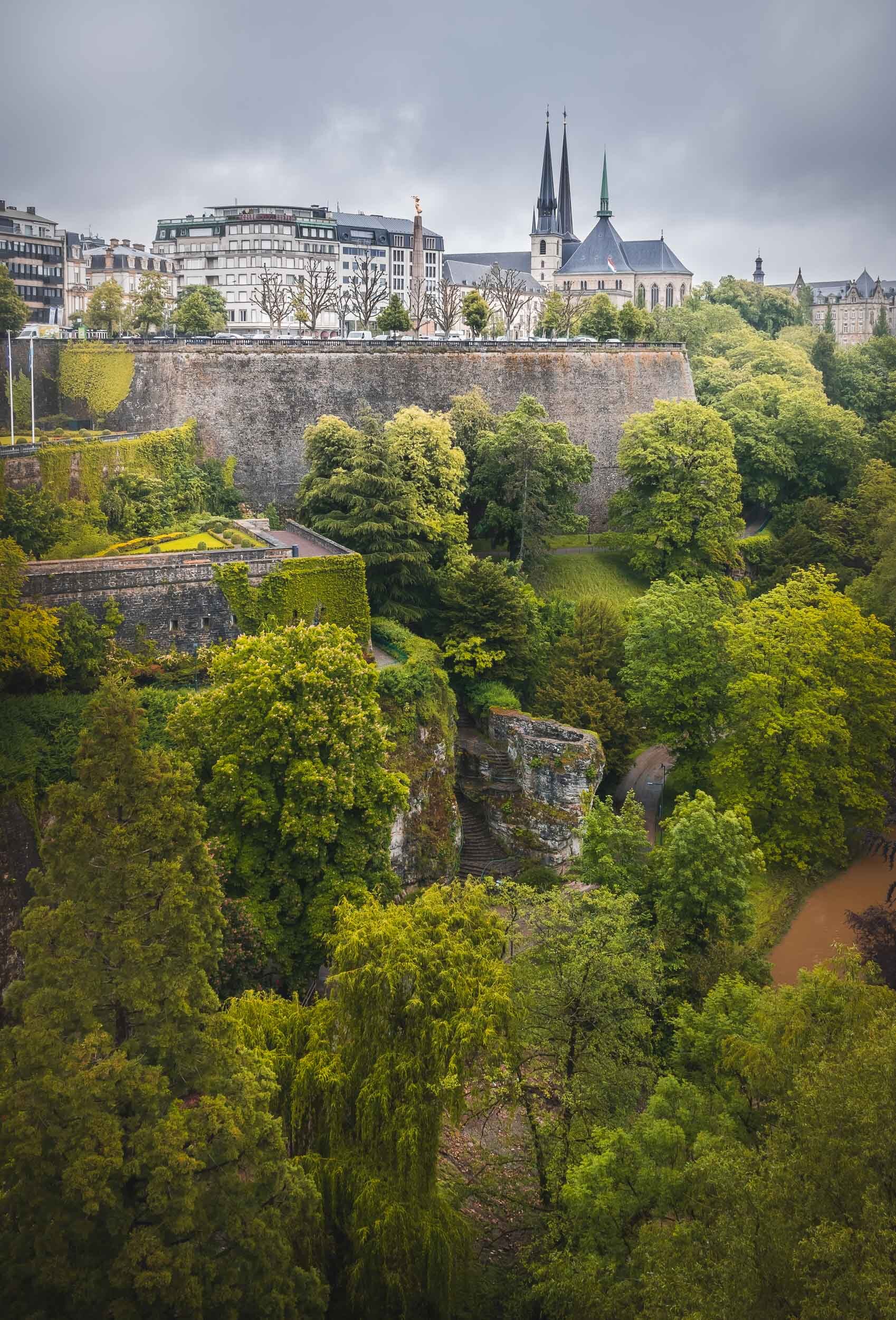
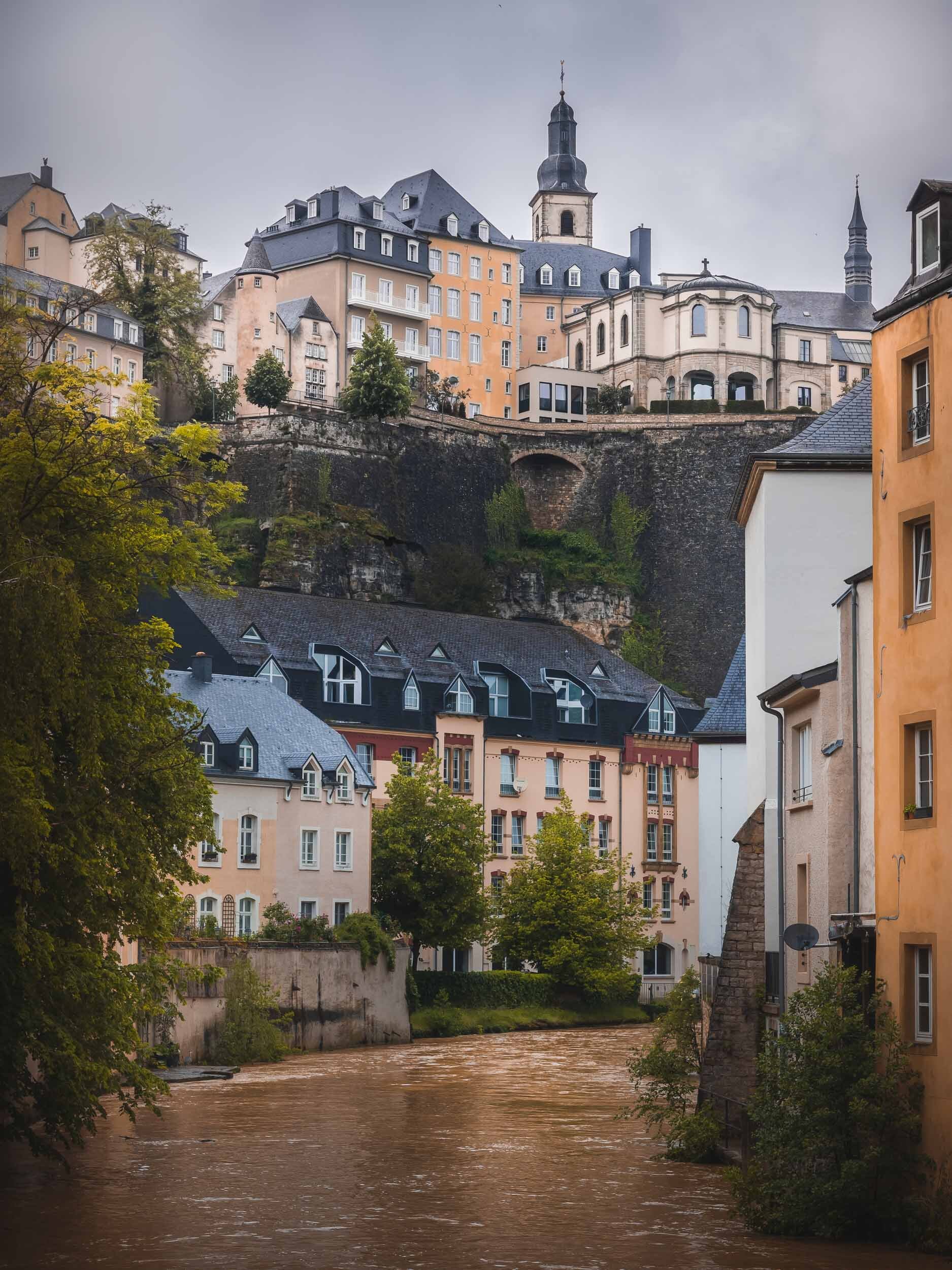
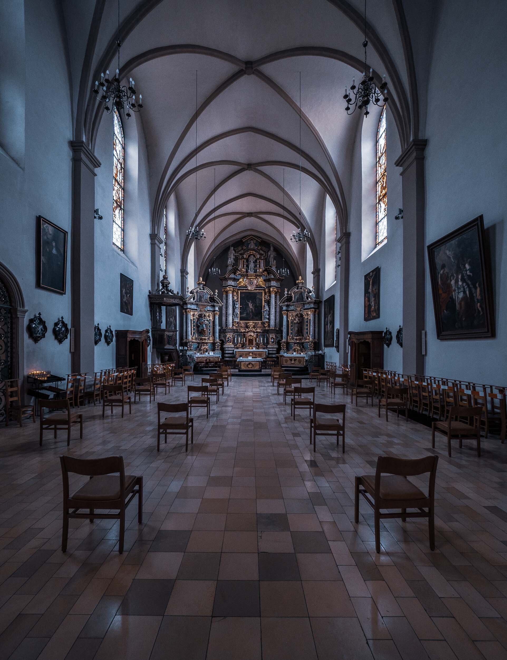
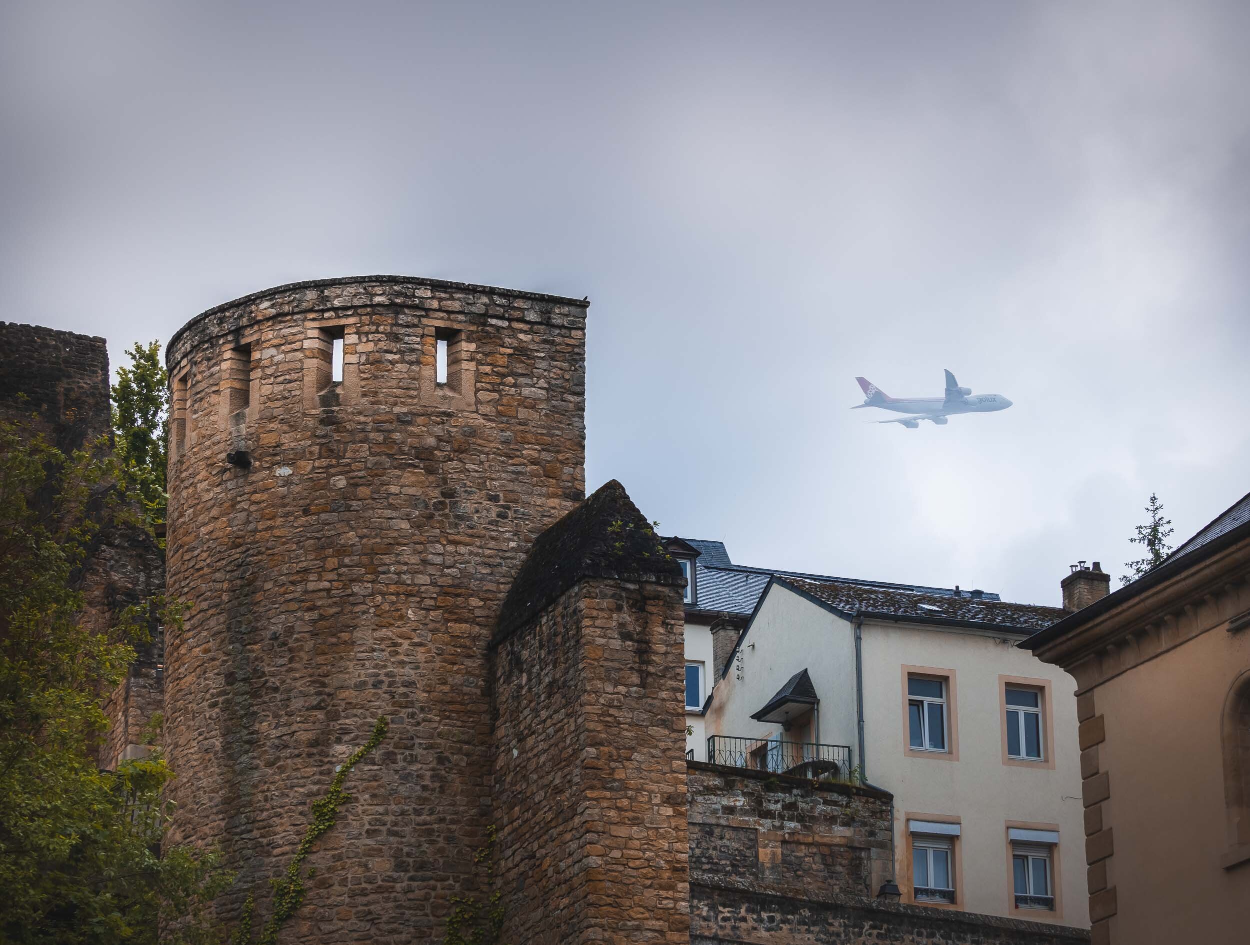
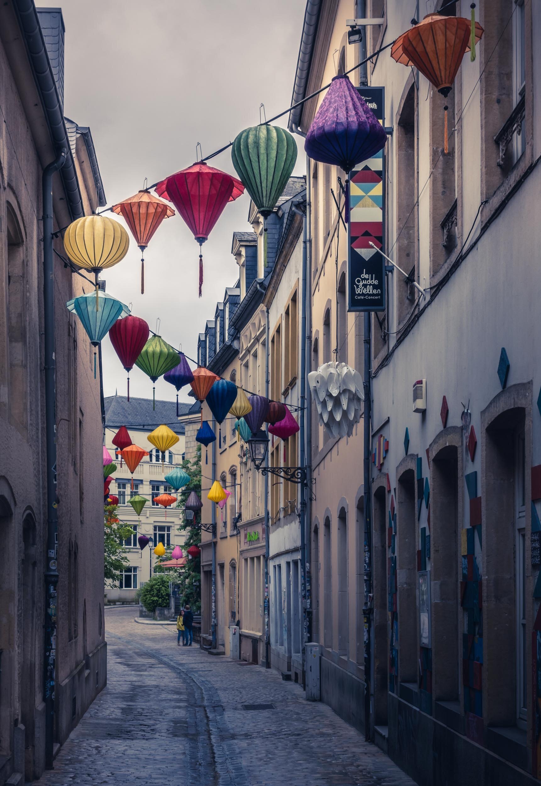
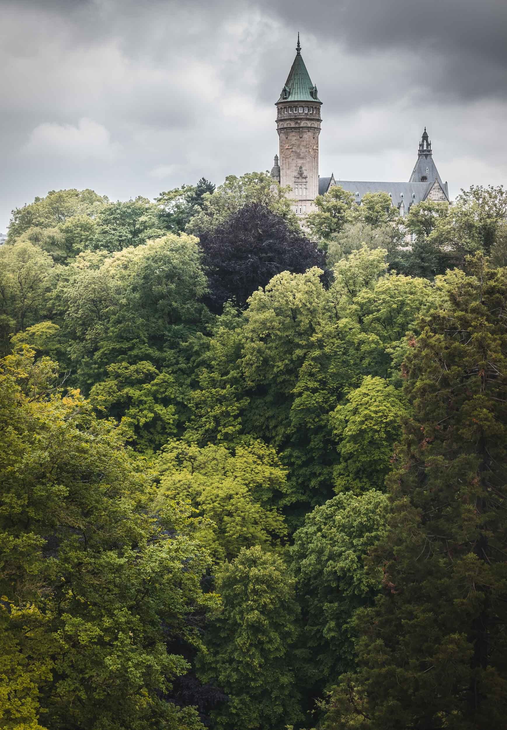
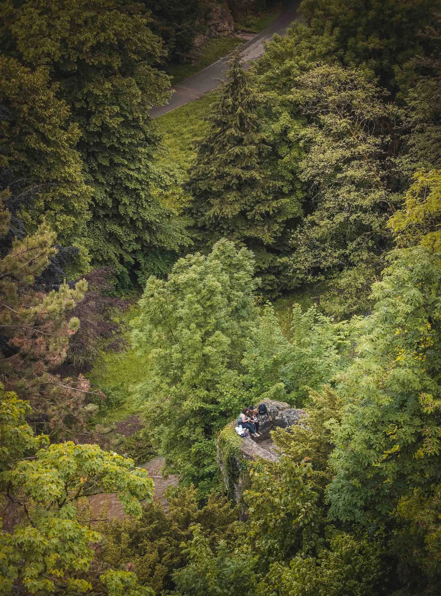
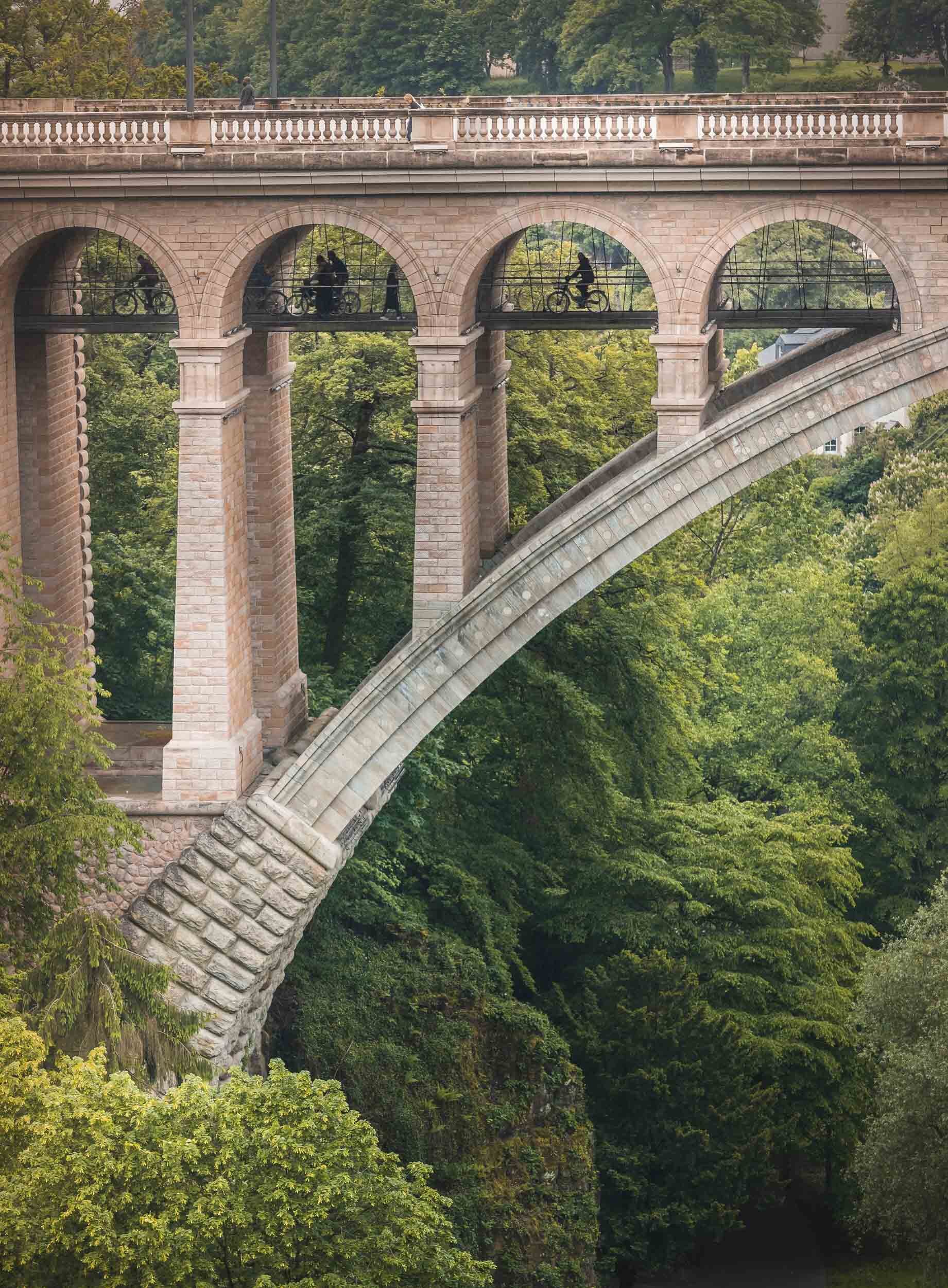
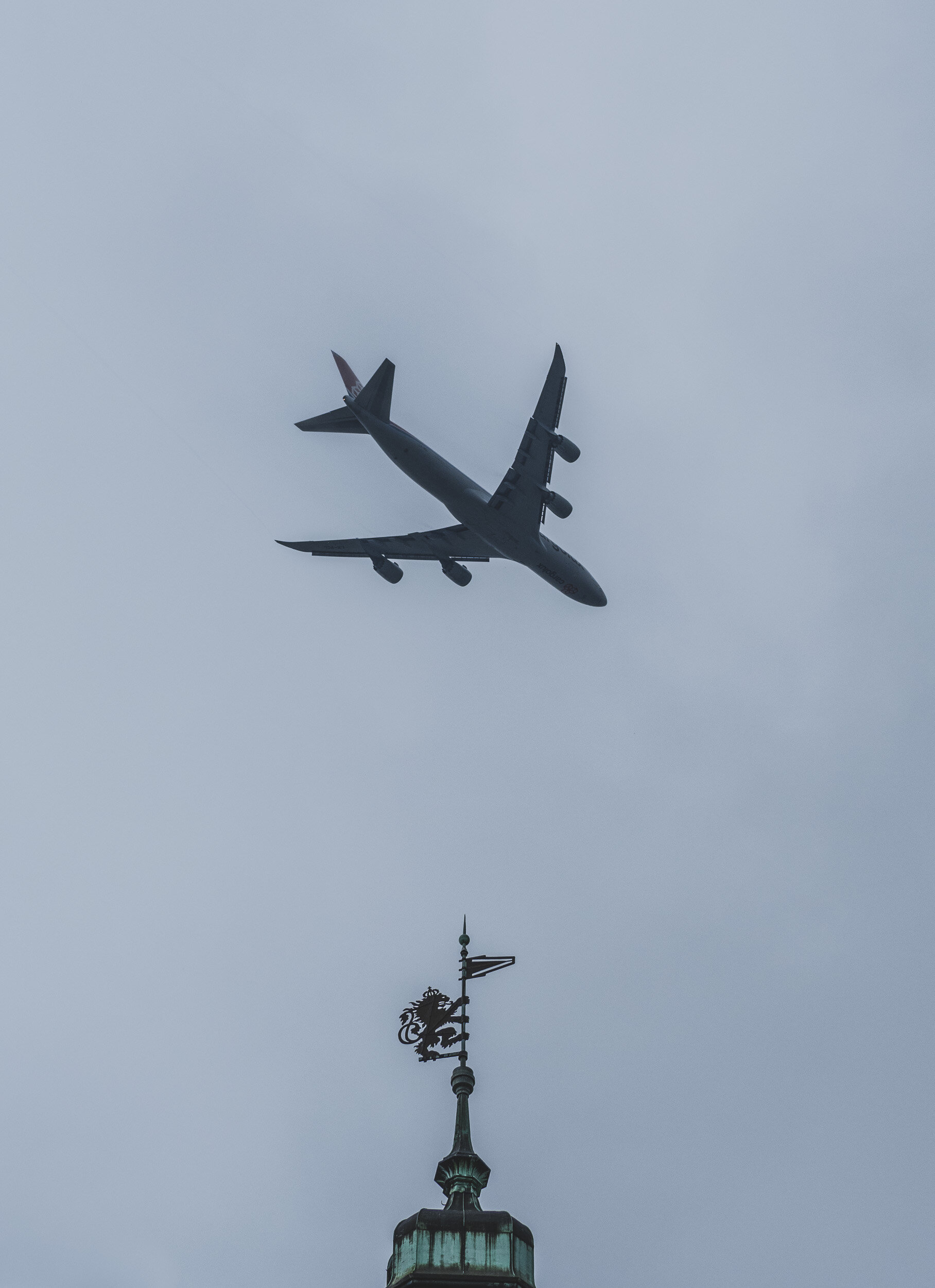
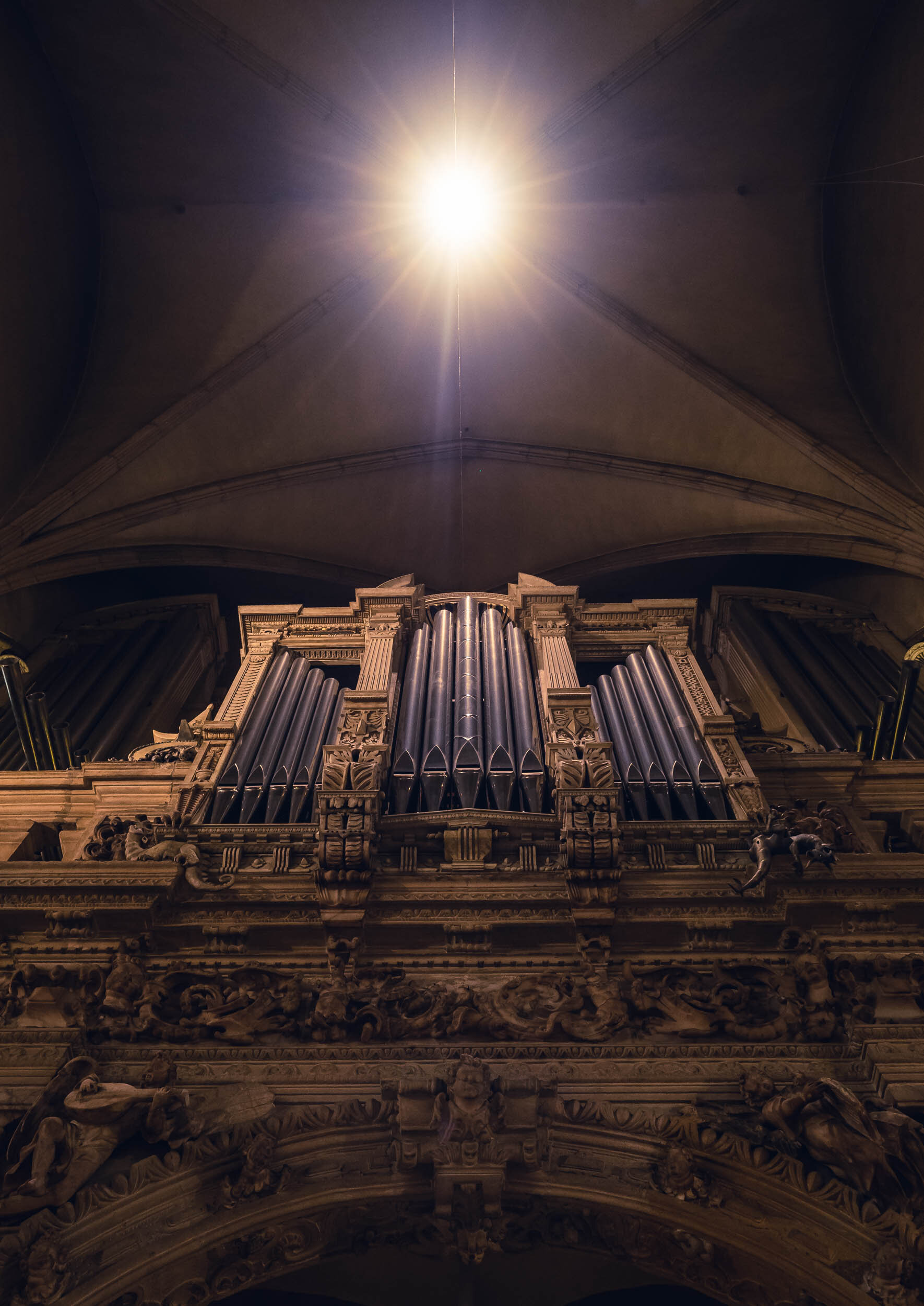
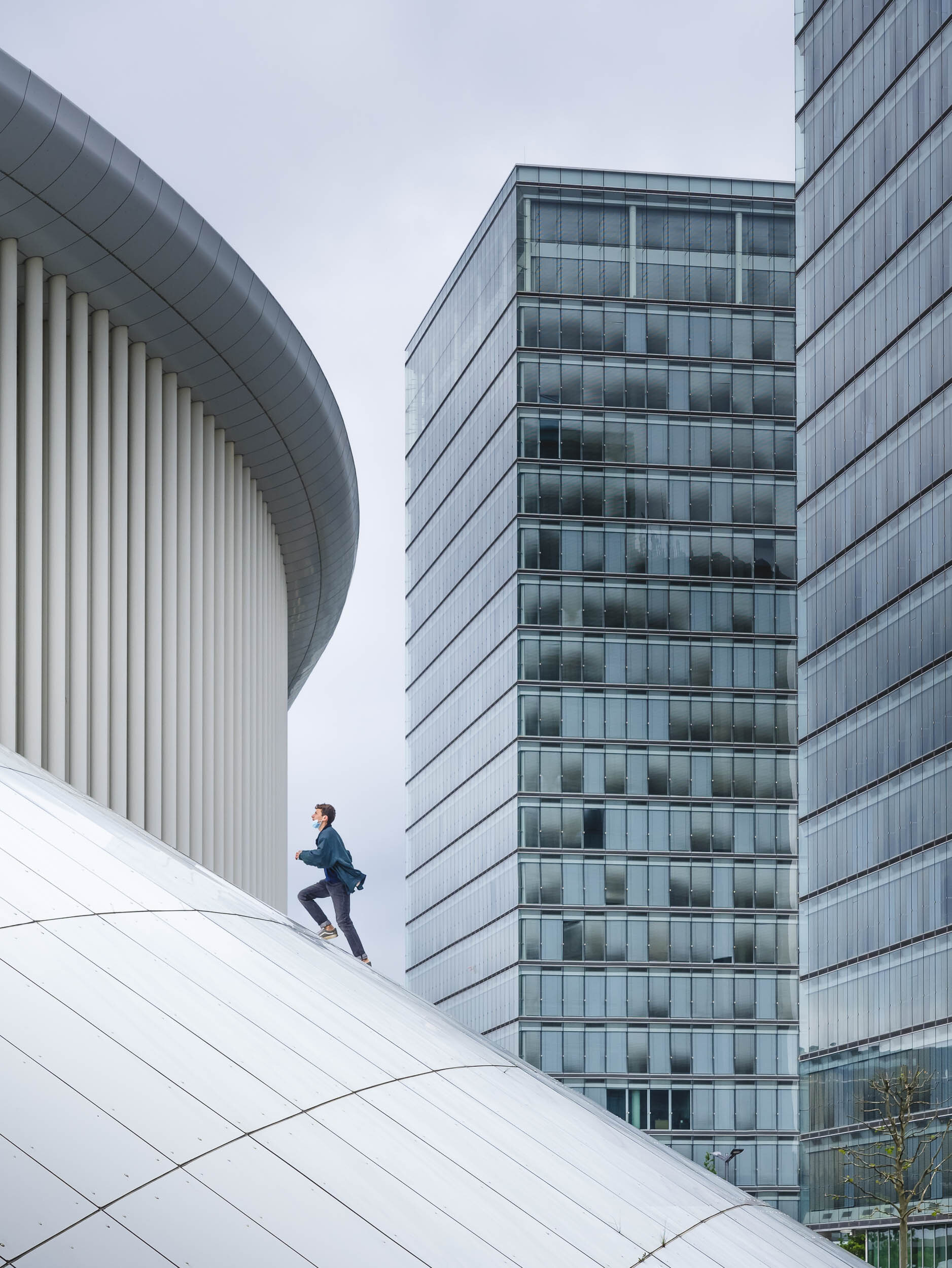
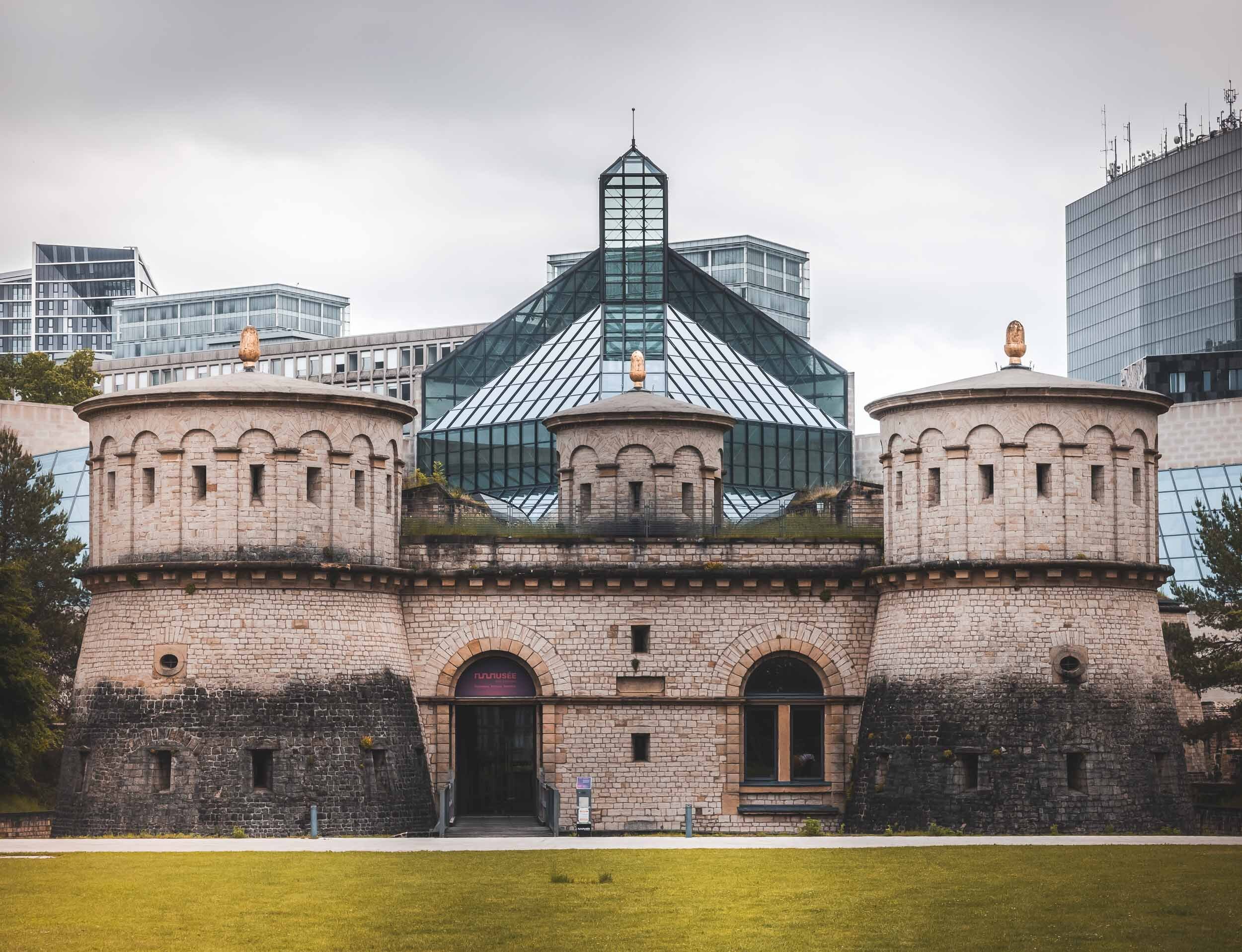
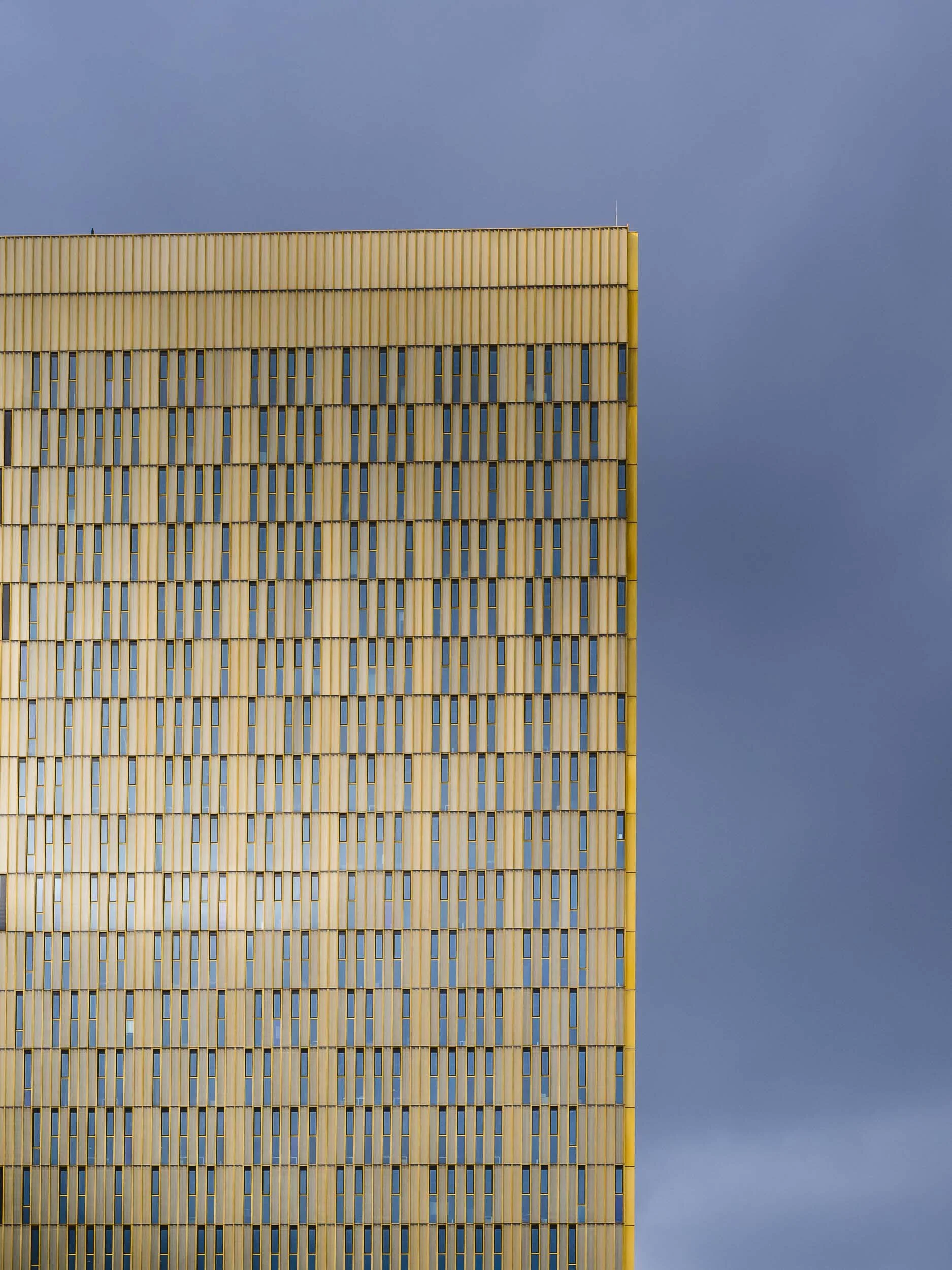
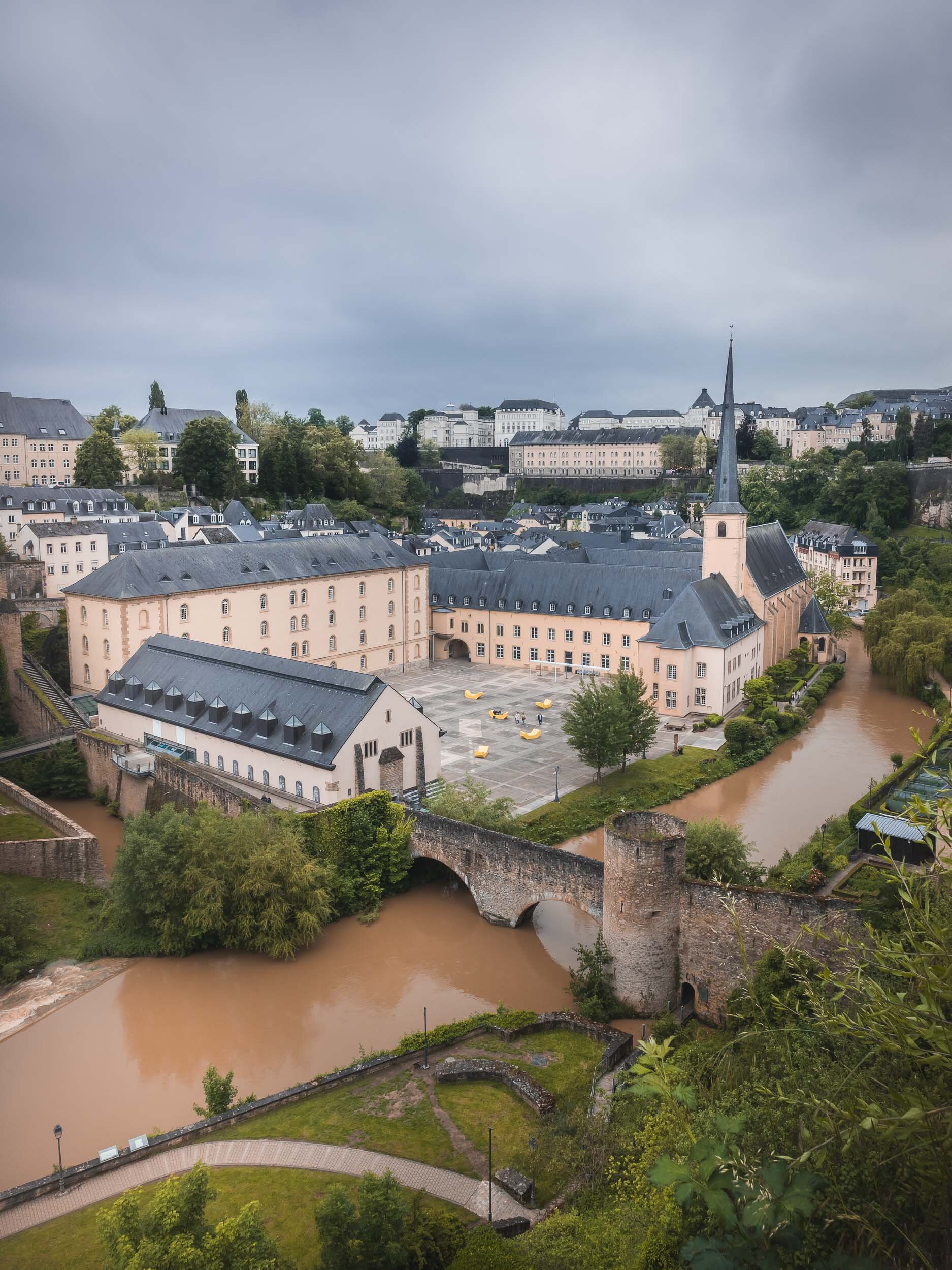
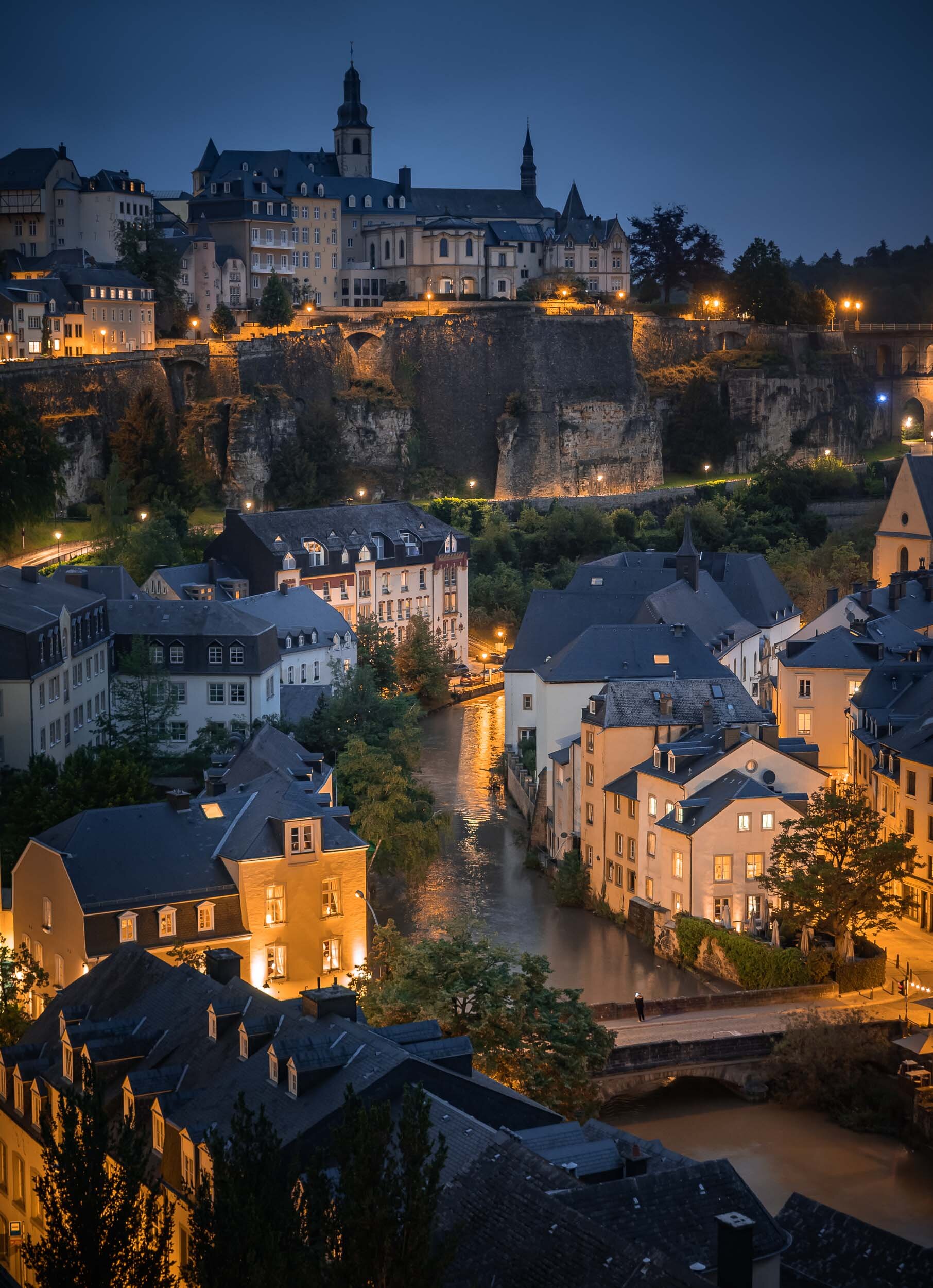
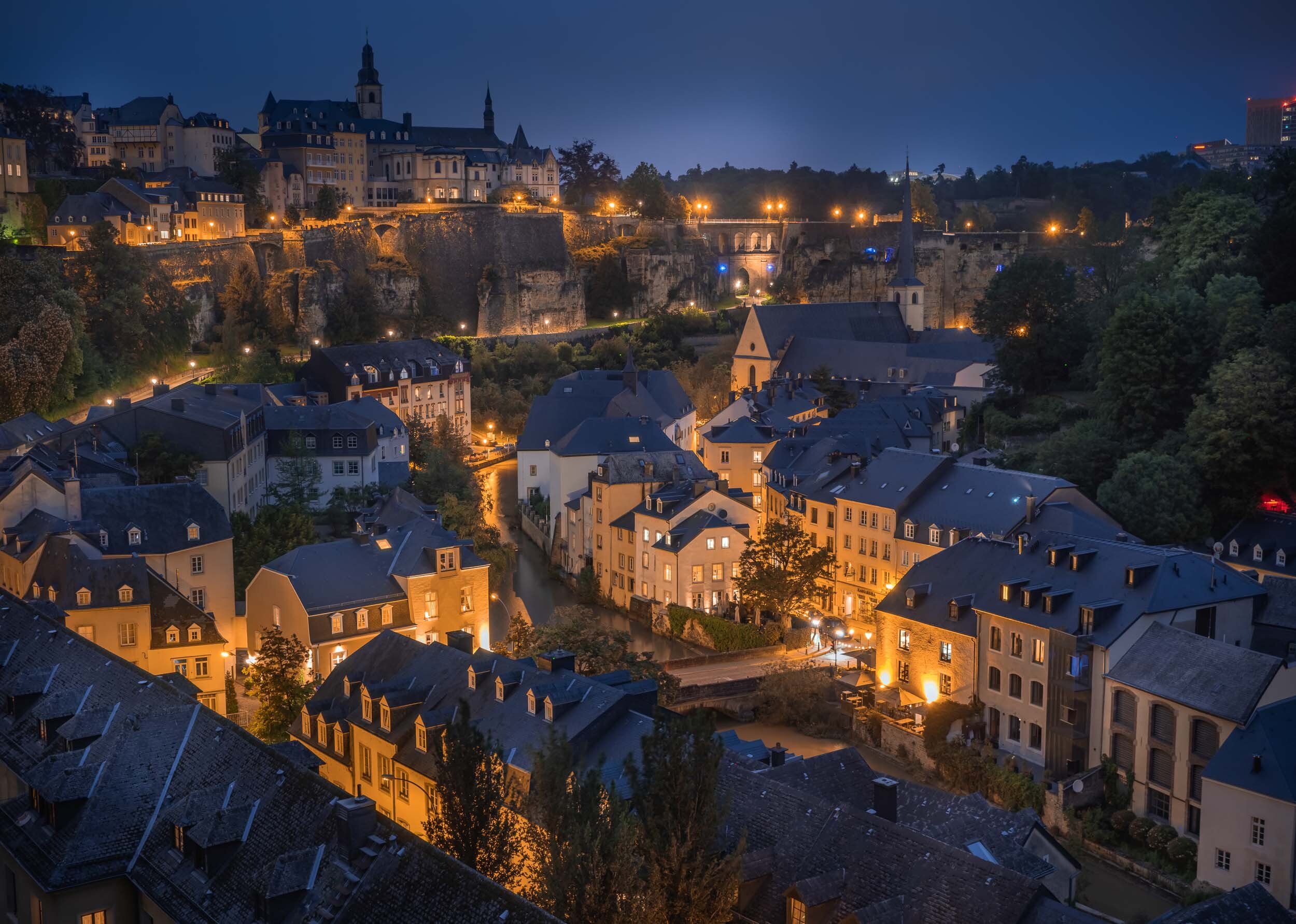
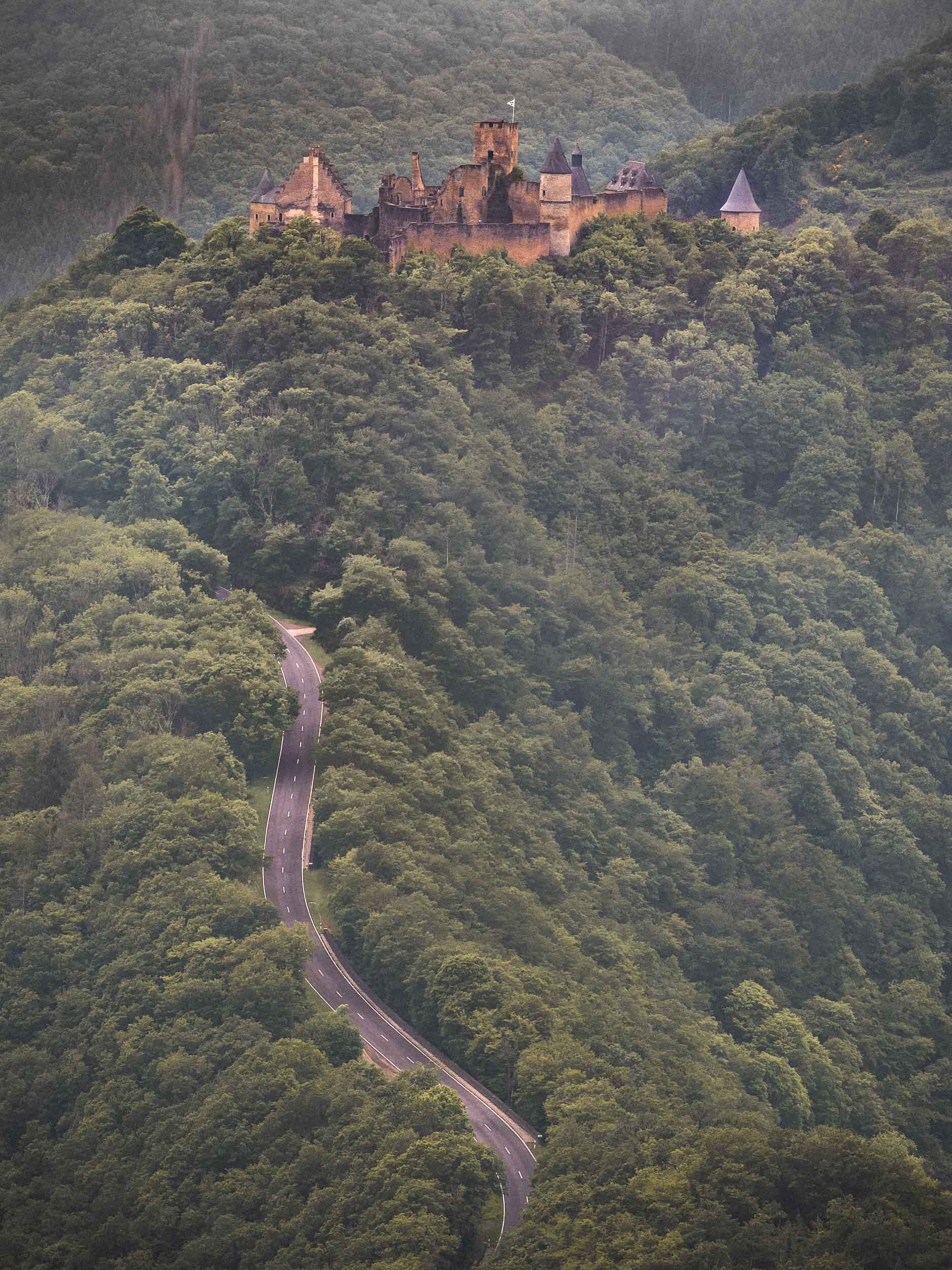
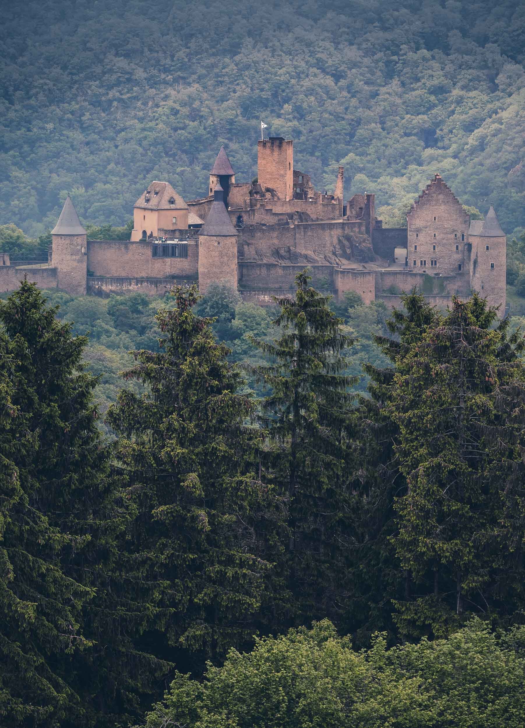
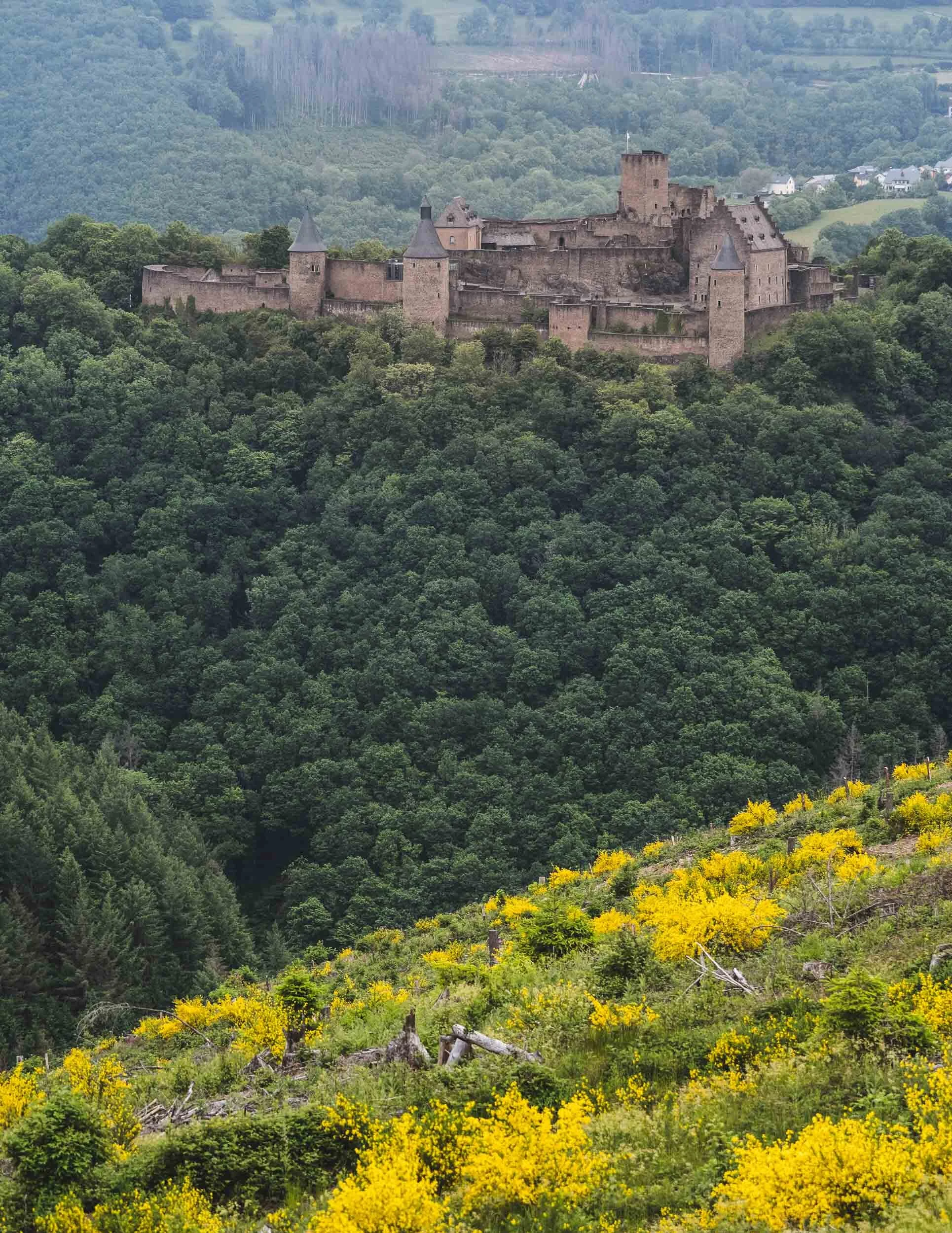
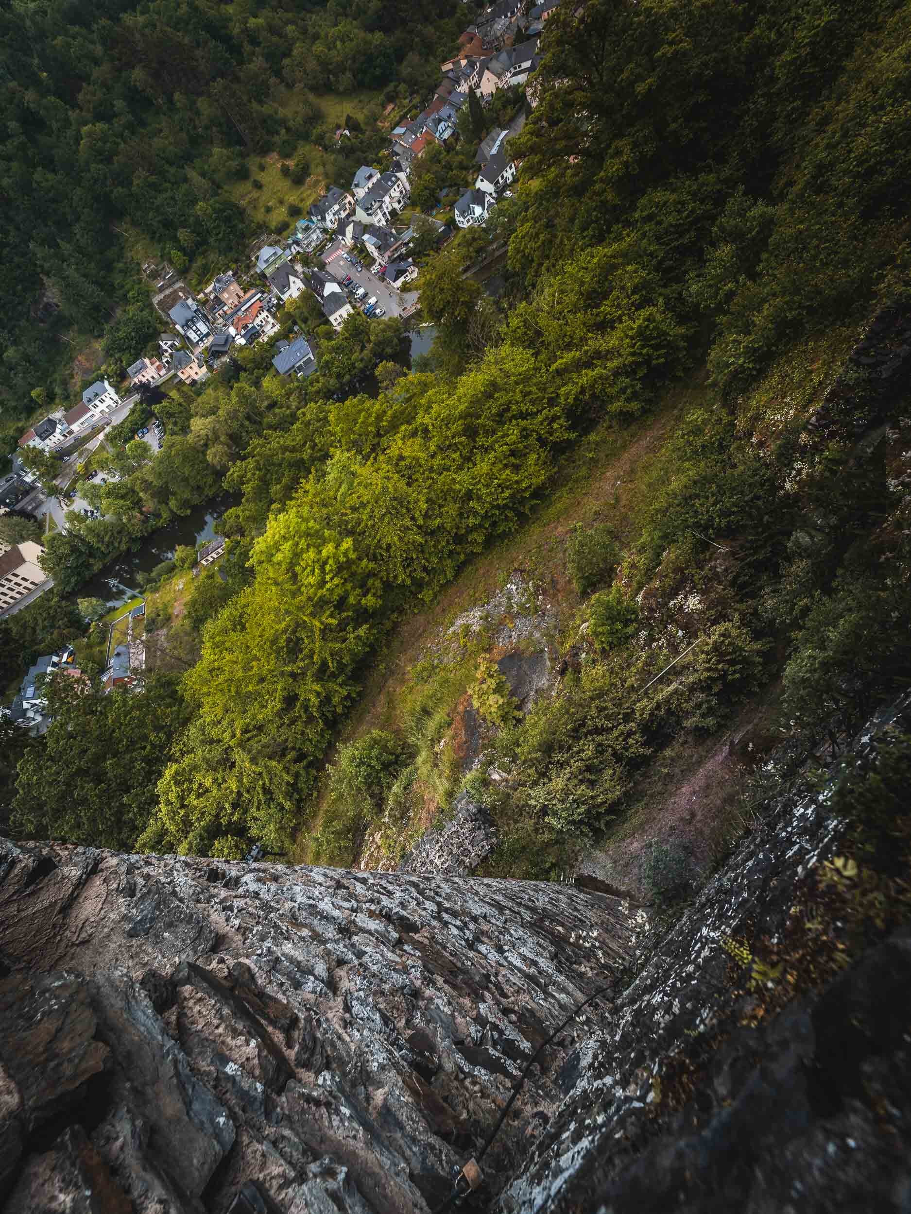
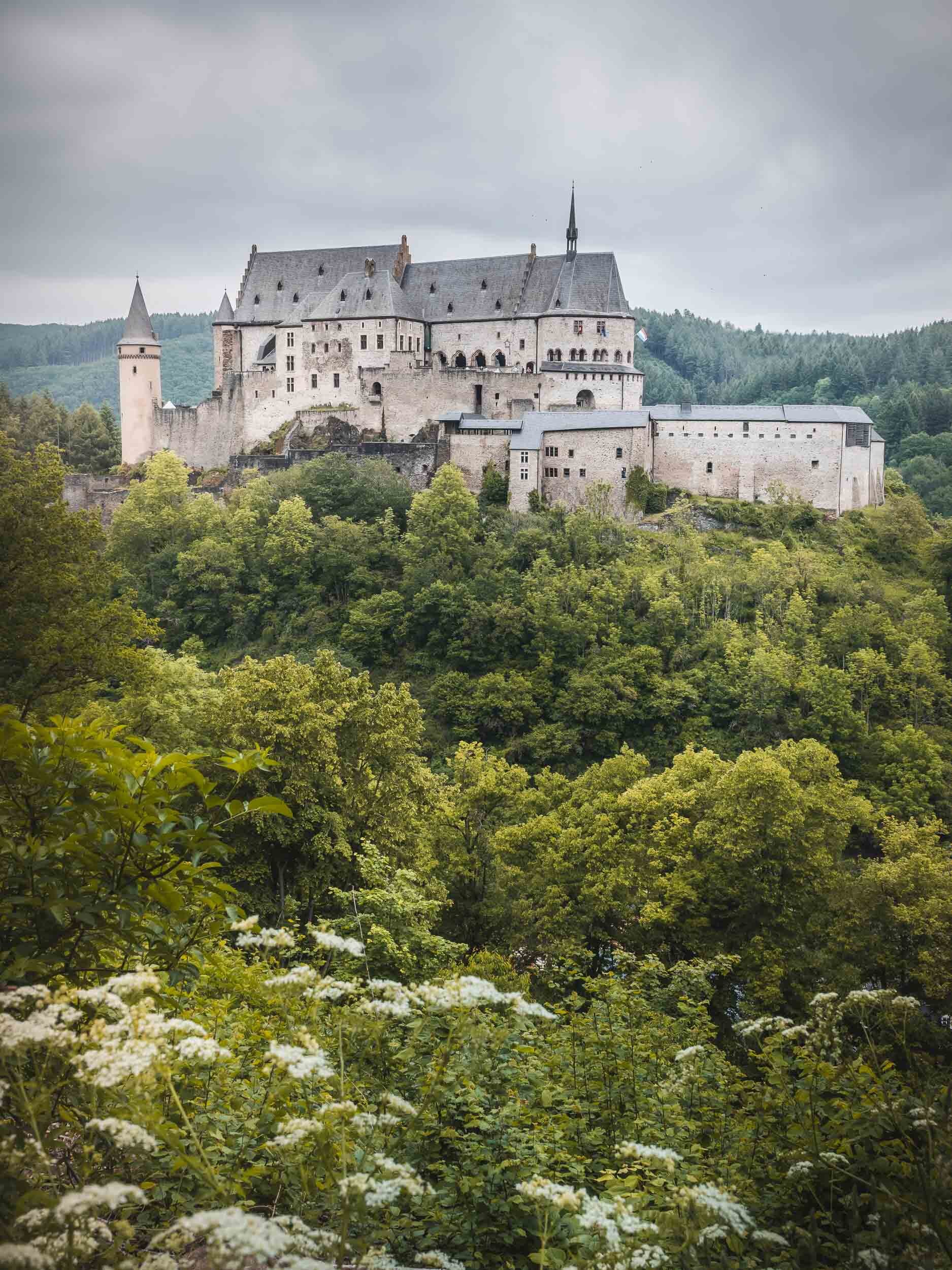
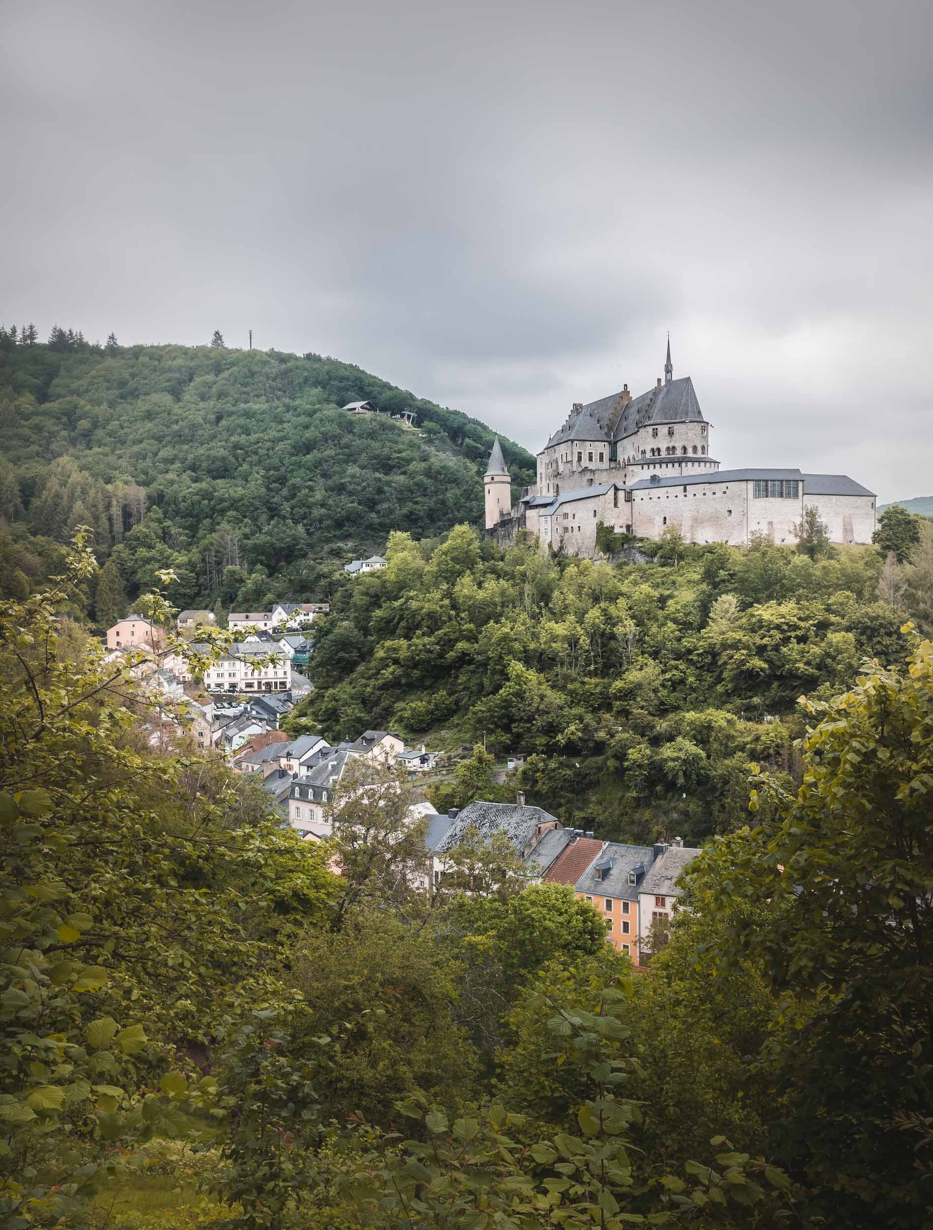
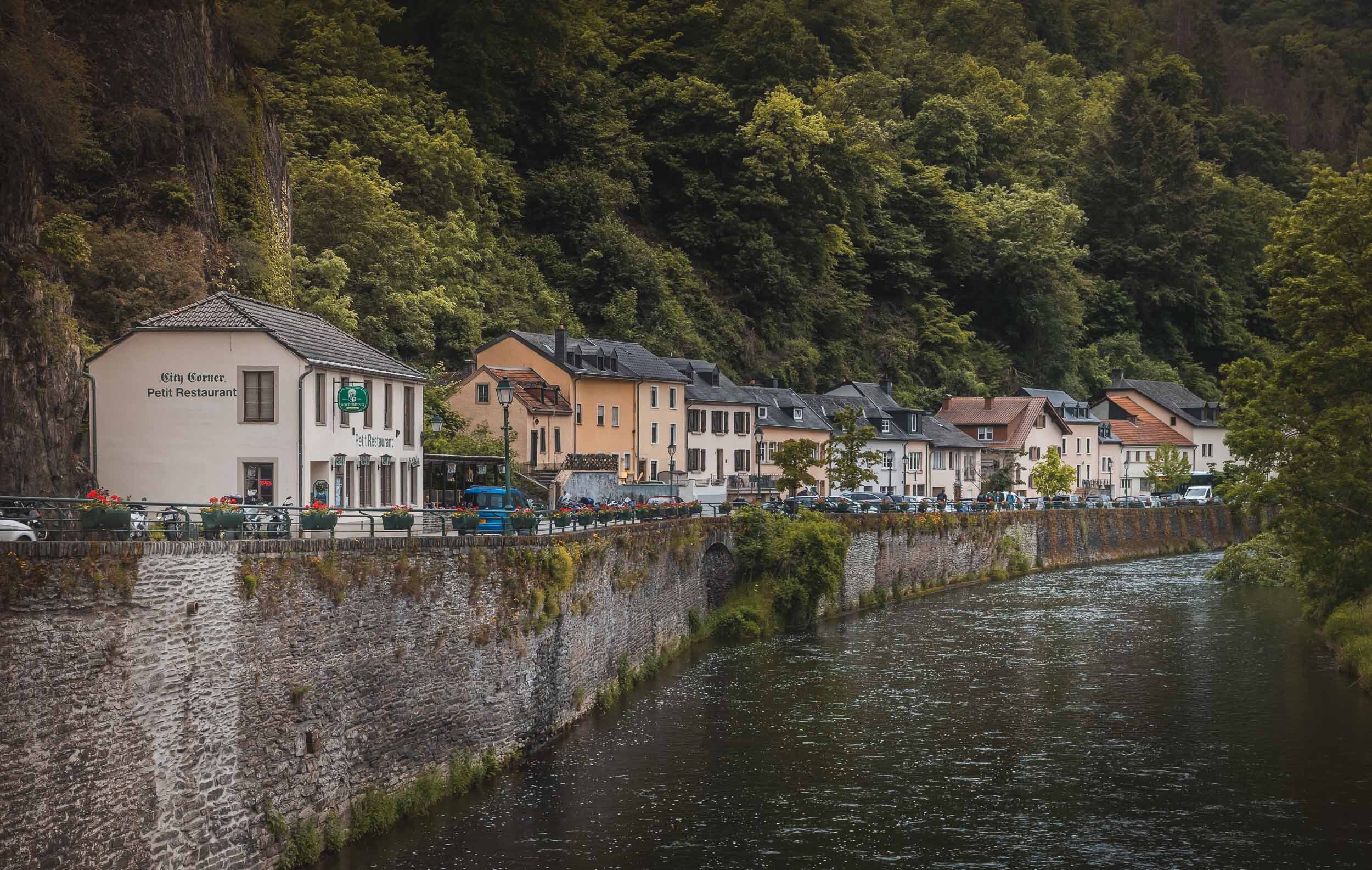
Luxembourg - Small but Special
In June 2021 I took the opportunity of borders reopening as the Coronavirus situation improved to visit Luxembourg, one of the last countries in Western Europe that I have not yet had the chance to explore

In June 2021 I took the opportunity of borders reopening as the Coronavirus situation improved to visit Luxembourg, one of the last countries in Western Europe that I have not yet had the chance to explore. With less than 1 million people and an area of less than 3000 sq km, it is one of the smallest countries in the world, but at the same time has one of the highest GDP per capita.
Luxembourg features a rich history with many amazing castles dotted around the landscape, and a diverse and multicultural history and presence. Take a look at the photos below to get a glimpse of what I was able to see in 48 hours.


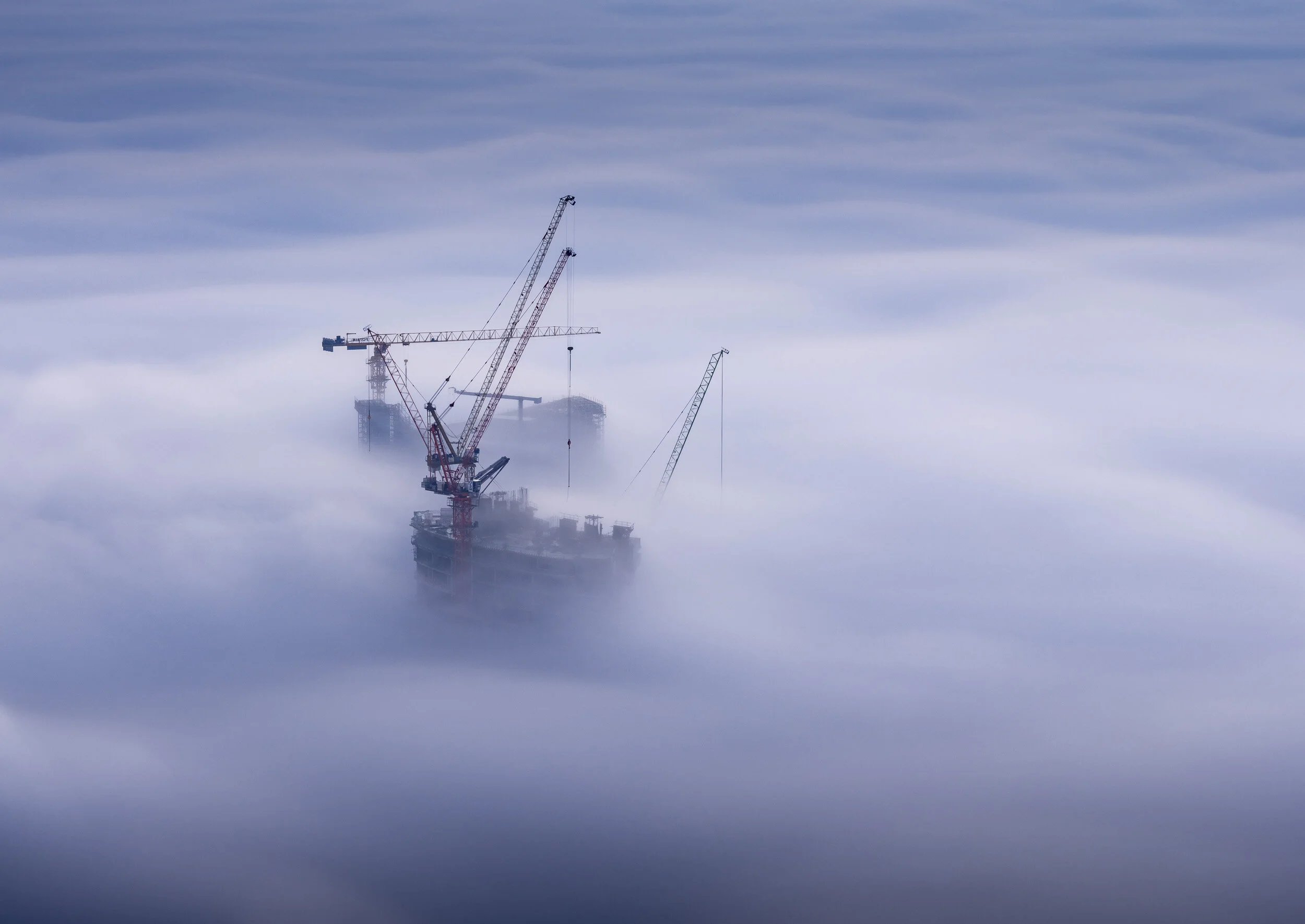
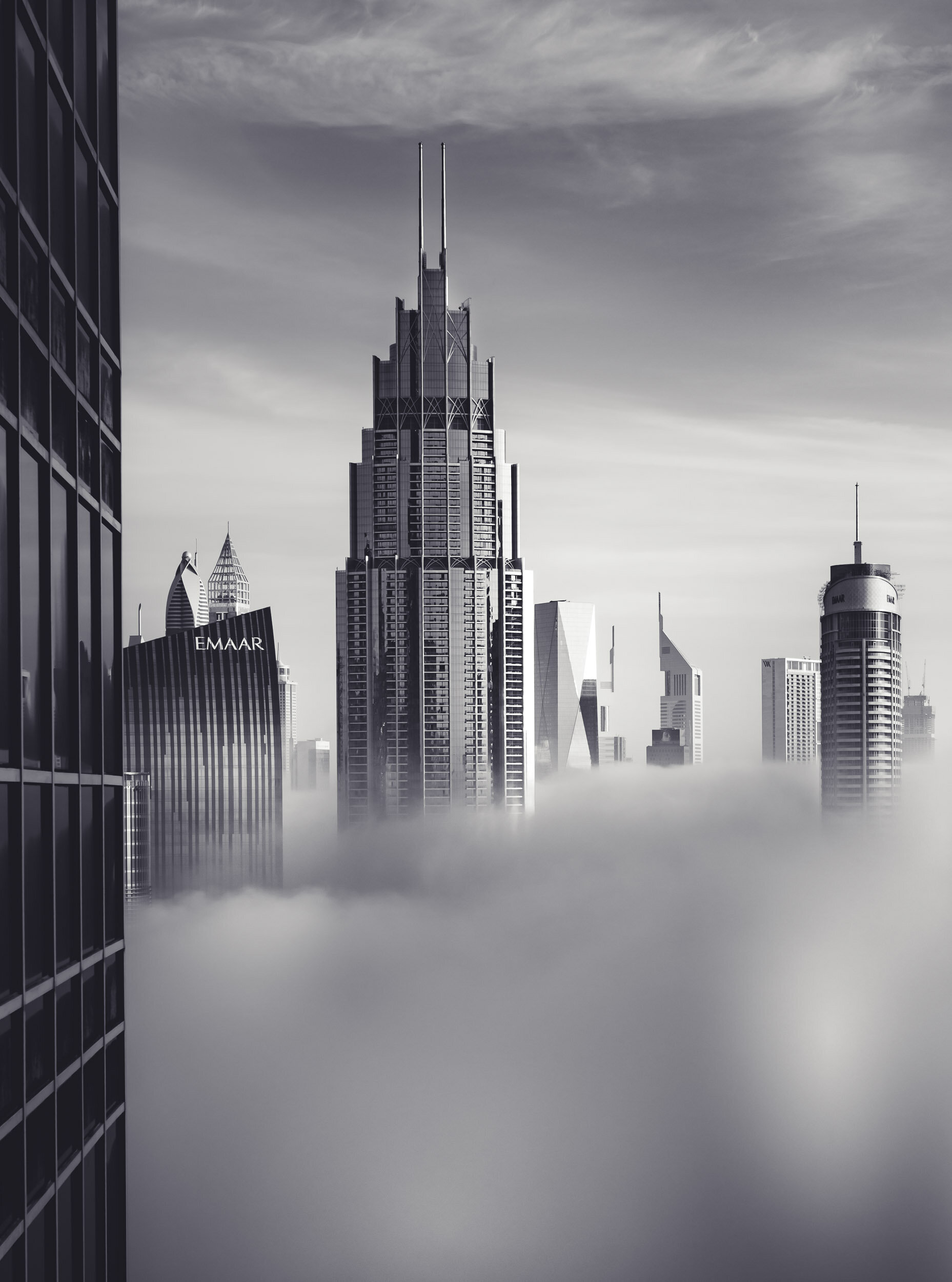
The Dubai Fog
One of the most elusive sights of cityscape photography is the infamous Dubai fog. It’s a yearly occurrence, usually from November to February, but often limited to a handful of days during this time.
One of the most elusive sights of cityscape photography is the infamous Dubai fog. It’s a yearly occurrence, usually from November to February, but often limited to a handful of days during this time. Predicting it is a gamble of combining various forecast websites and tools, comparing dew points, humidity and temperature forecasts, and even then you need to hope for a little bit of luck.
On top of that, you need to secure a location to shoot from. While some people live in high rise towers above the 40th floor with great views, the rest of us will struggle to get permits, ask hotels, check with friends, and convince security guards. The unpredictable nature of the fog makes that even harder - sometimes it is so patchy that a building 5km left or right will be floating above the clouds while you have a clear view of the ground.
If you do manage to get everything right, the rewards are spectacular. I’ve been able to shoot the fog five or six times this winter, and will certainly never get enough of it. To me, not other city can top the combination of Dubai’s amazing skyline (in fact, there are more than one skylines) with the feeling of floating above the clouds.
Contact me if you’d like to purchase prints of the photos in this post.


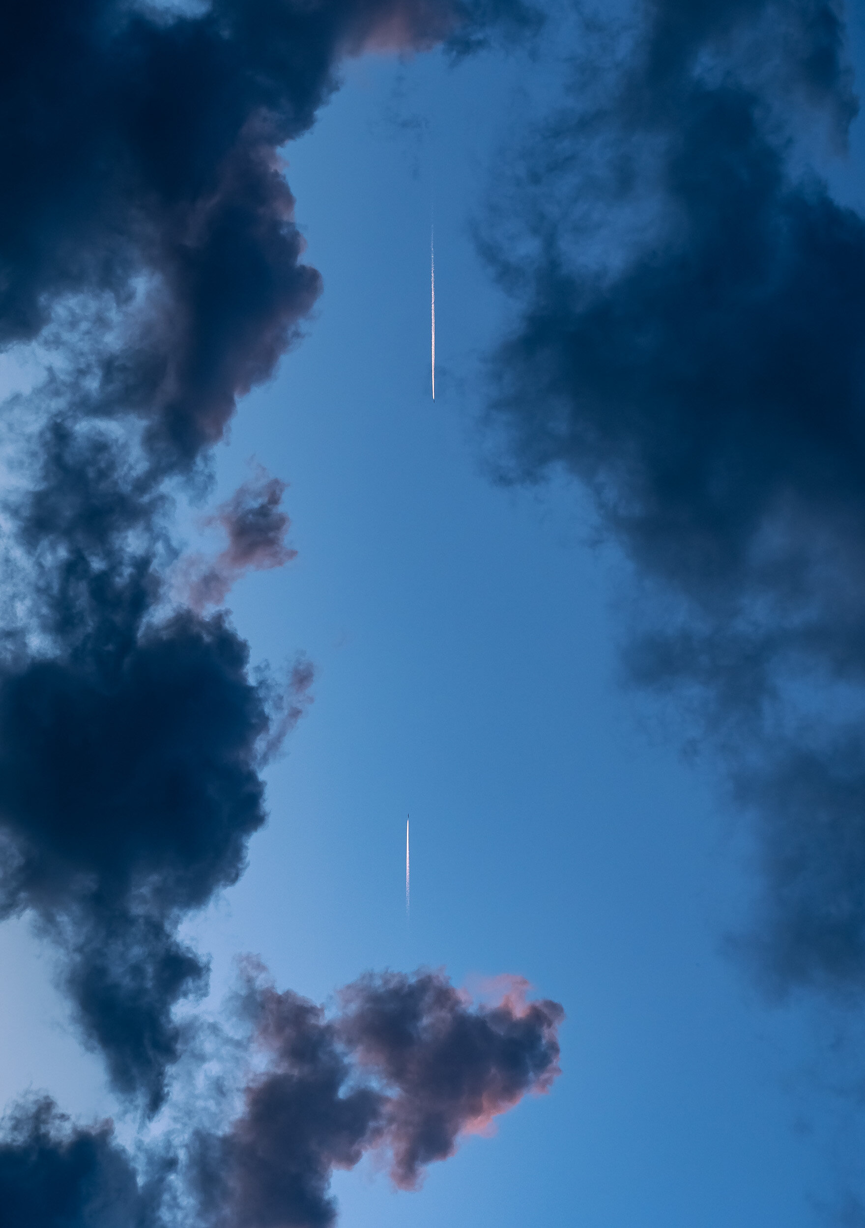
International Space Station - Moon Fly By
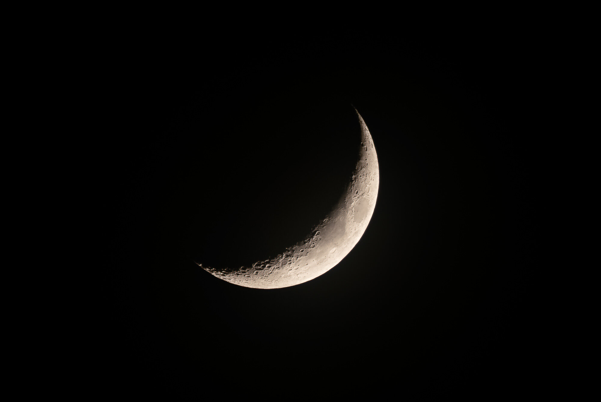
Finally I had the chance to observe and capture something I've been waiting for for quite a long time already: The ISS in front of the moon. This occurred on January 26th shortly after midnight in Dubai, UAE.
Finally I had the chance to observe and capture something I've been waiting for for quite a long time already: The ISS in front of the moon. This occurred on January 26th shortly after midnight in Dubai, UAE. It's pretty humbling to think that the ISS is 400km above us, and moving at 26,000km per hour.
Shot with Olympus OMD EM-1 Mark III, and 300mm F4 lens with MC-20 teleconverter.
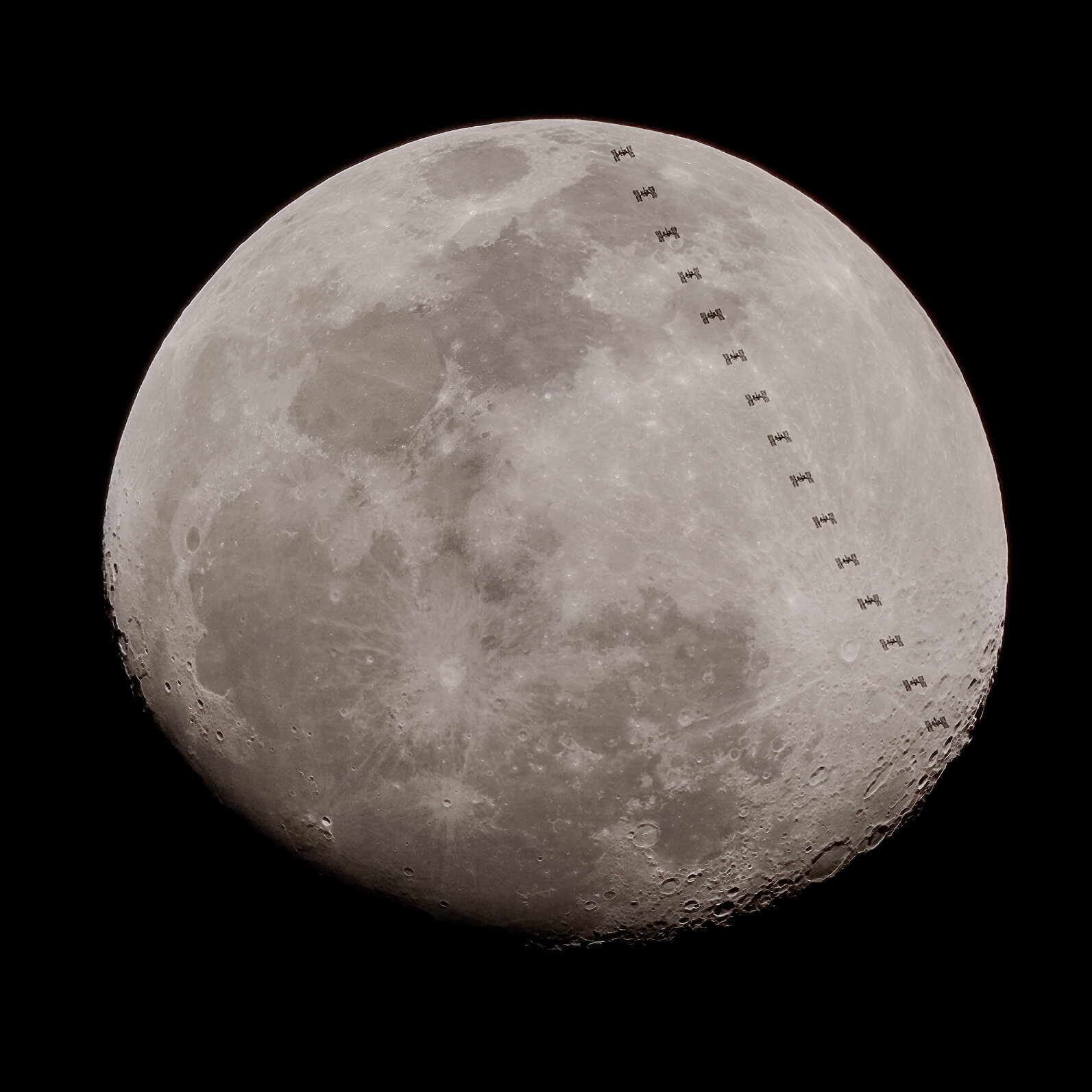
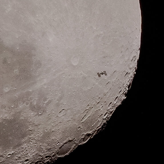
This video shows a slowed down frame by frame animation, and a realtime sequence - the entire event takes just above 0.5 seconds.
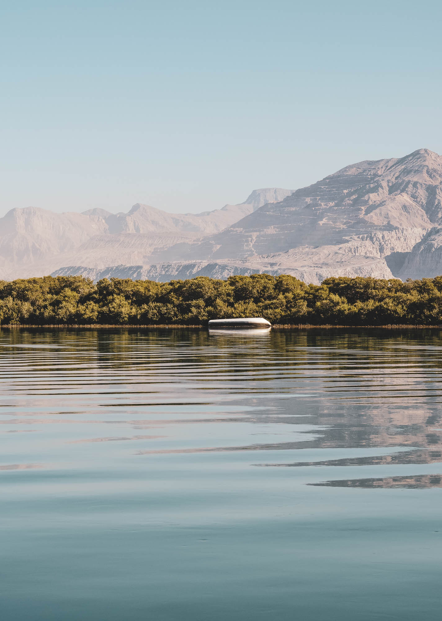
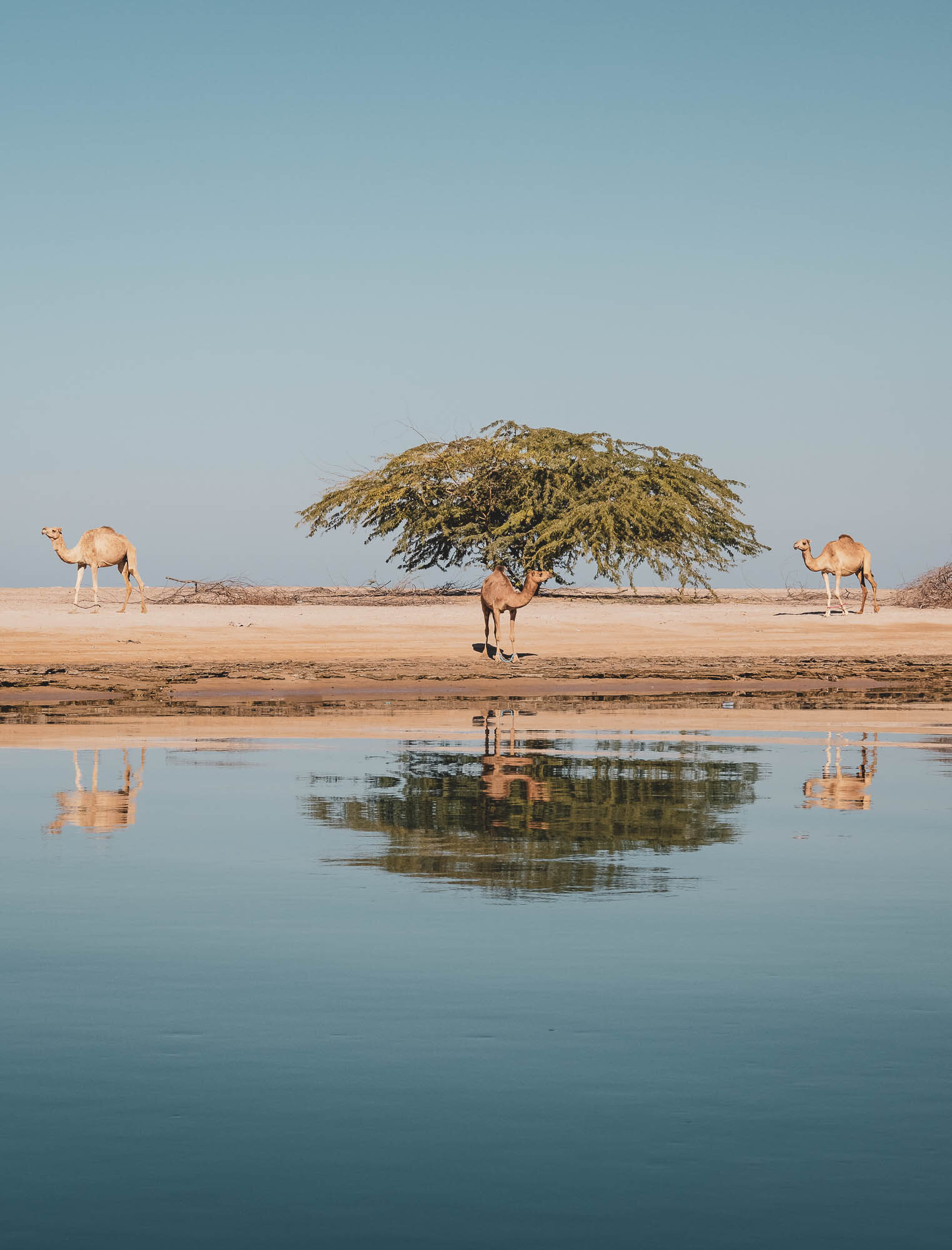
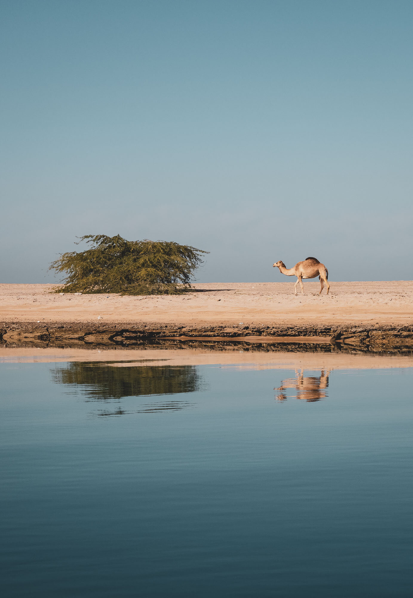
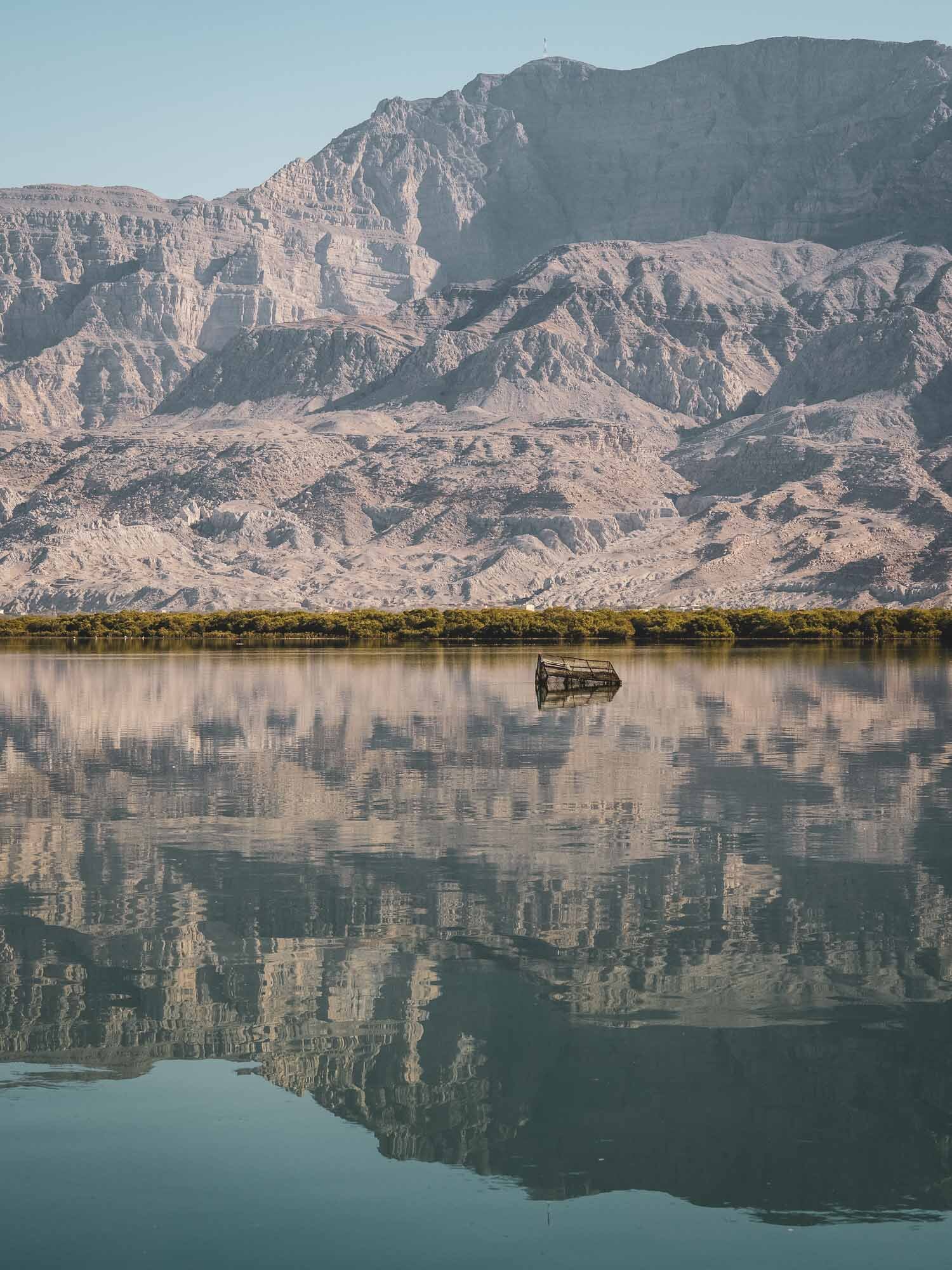
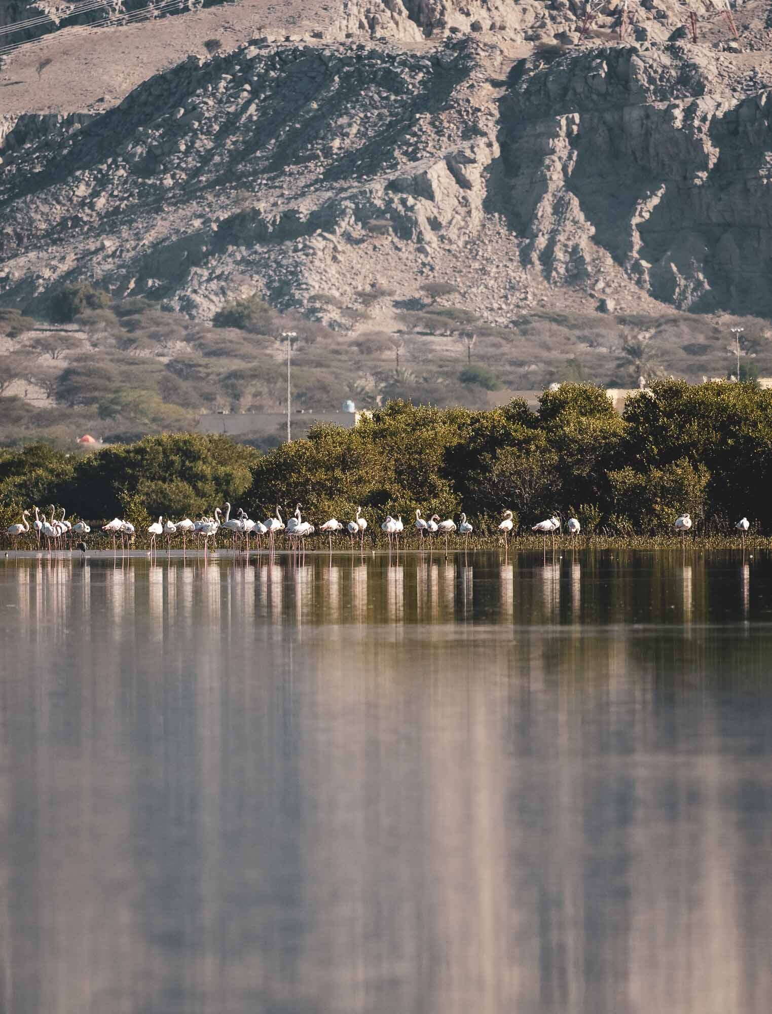
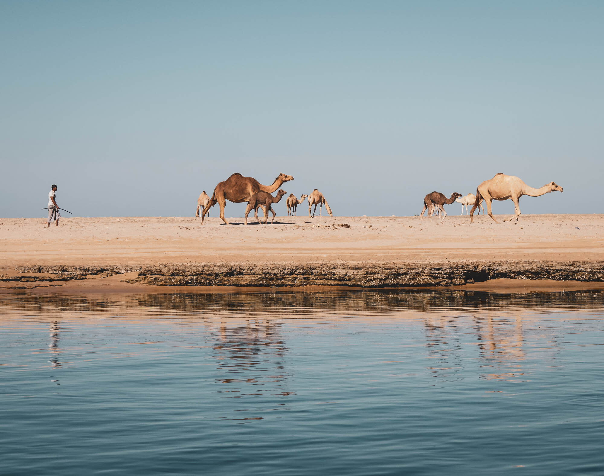
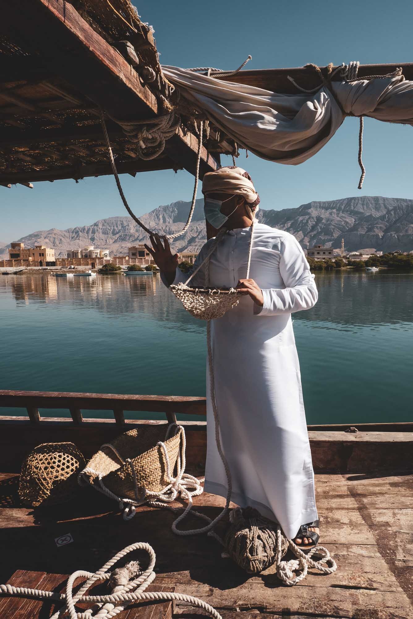
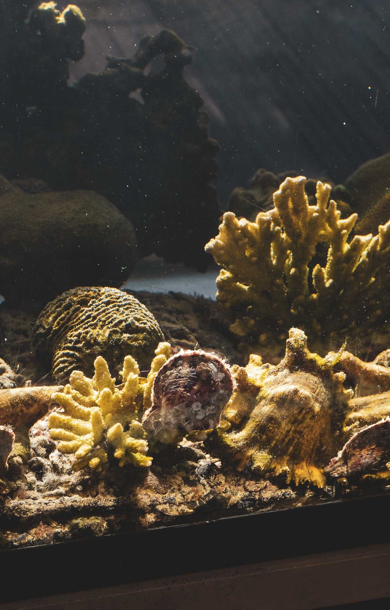
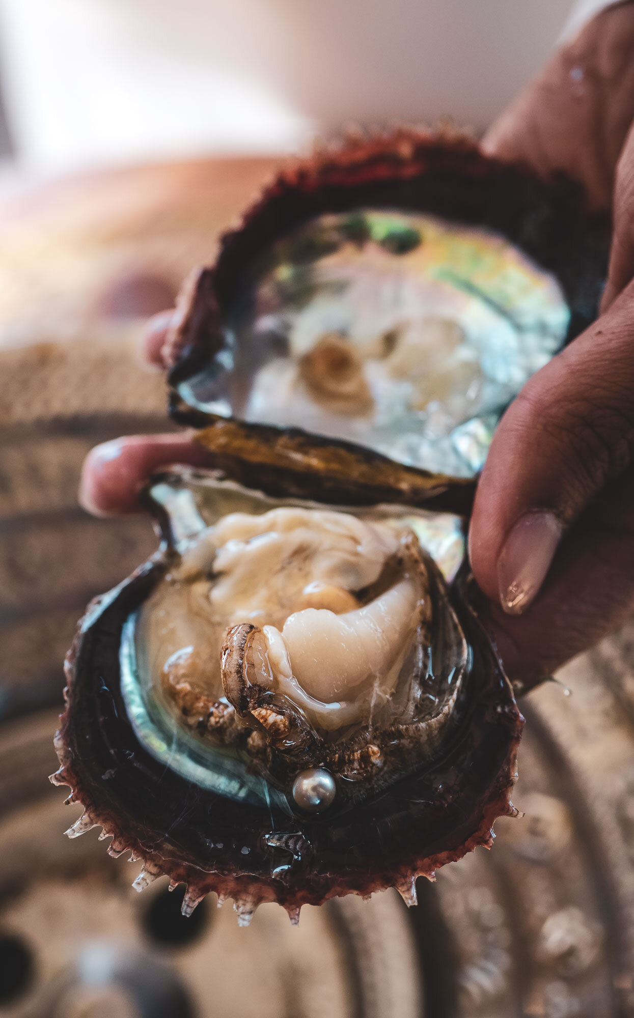
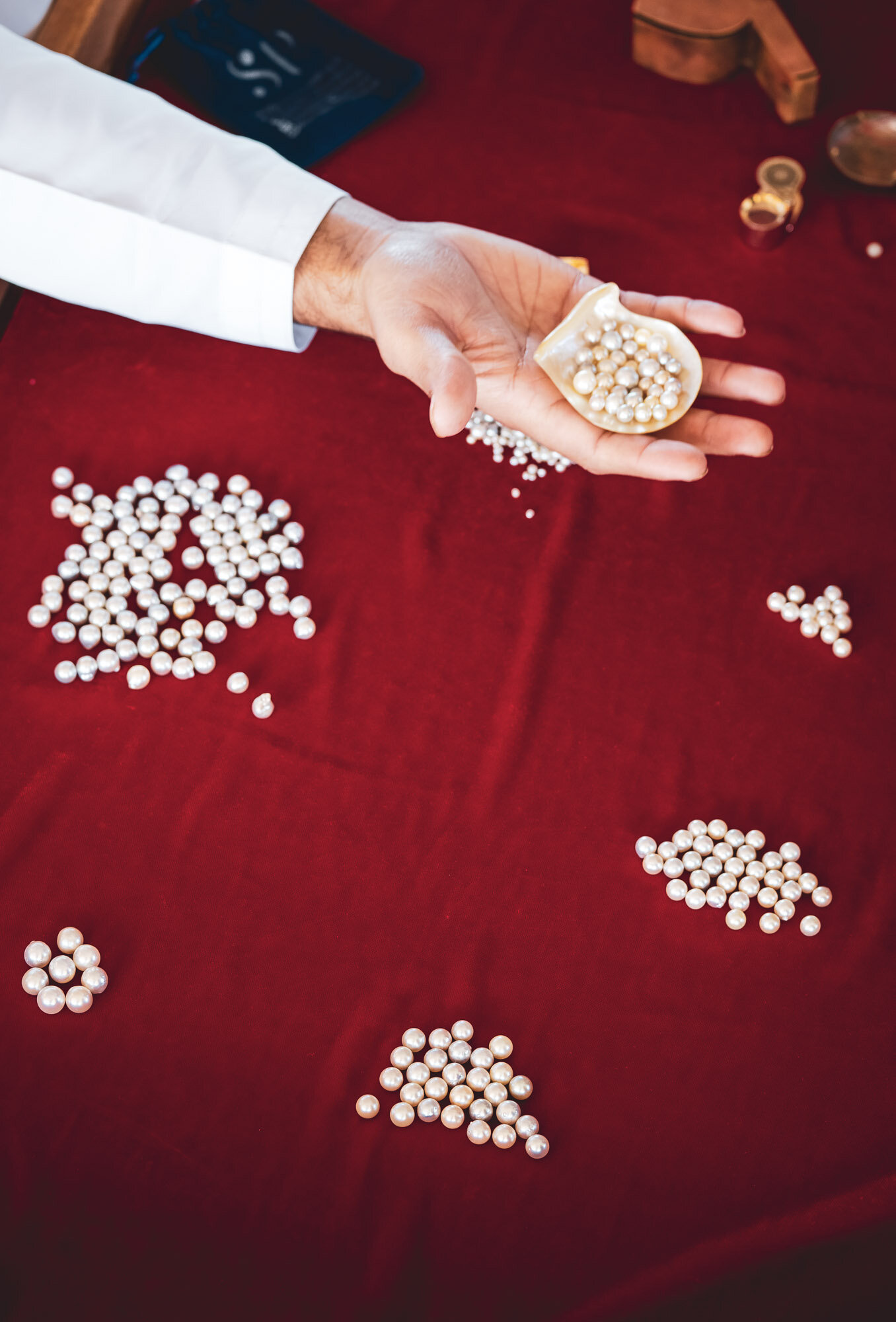
Hidden Gems - Suwaidi Pearl Farm Ras Al Khaimah
Another UAE adventure led me to the Suwaidi Pearl farm in Ras Al Khaimah. Definitely worth the 90min trip from Dubai, exploring the local mangrove area, seeing a camel farm on the beach, and finally the floating pearl farm.
Another UAE adventure led me to the Suwaidi Pearl farm in Ras Al Khaimah. Definitely worth the 90min trip from Dubai, exploring the local mangrove area, seeing a camel farm on the beach, and finally the floating pearl farm.


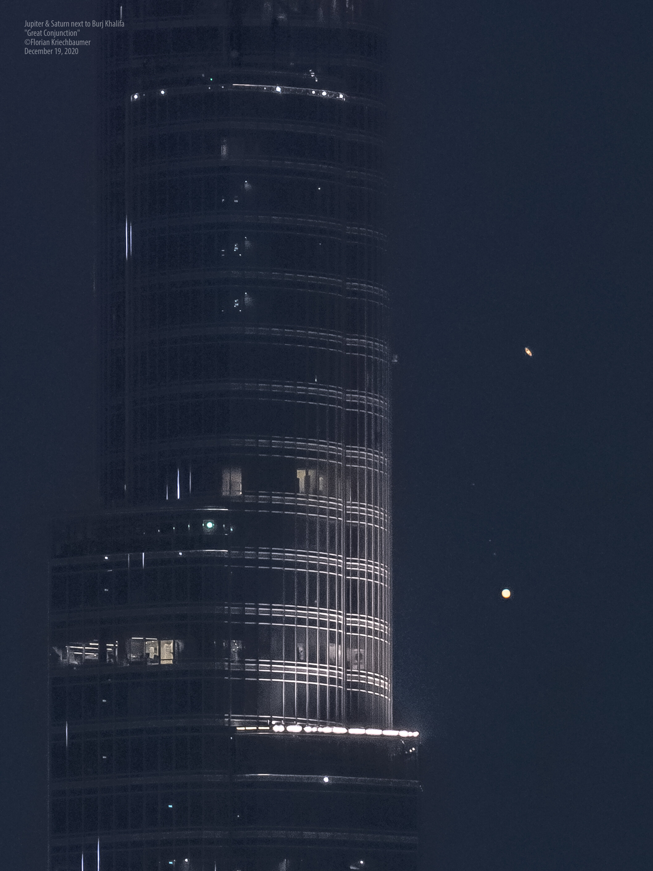
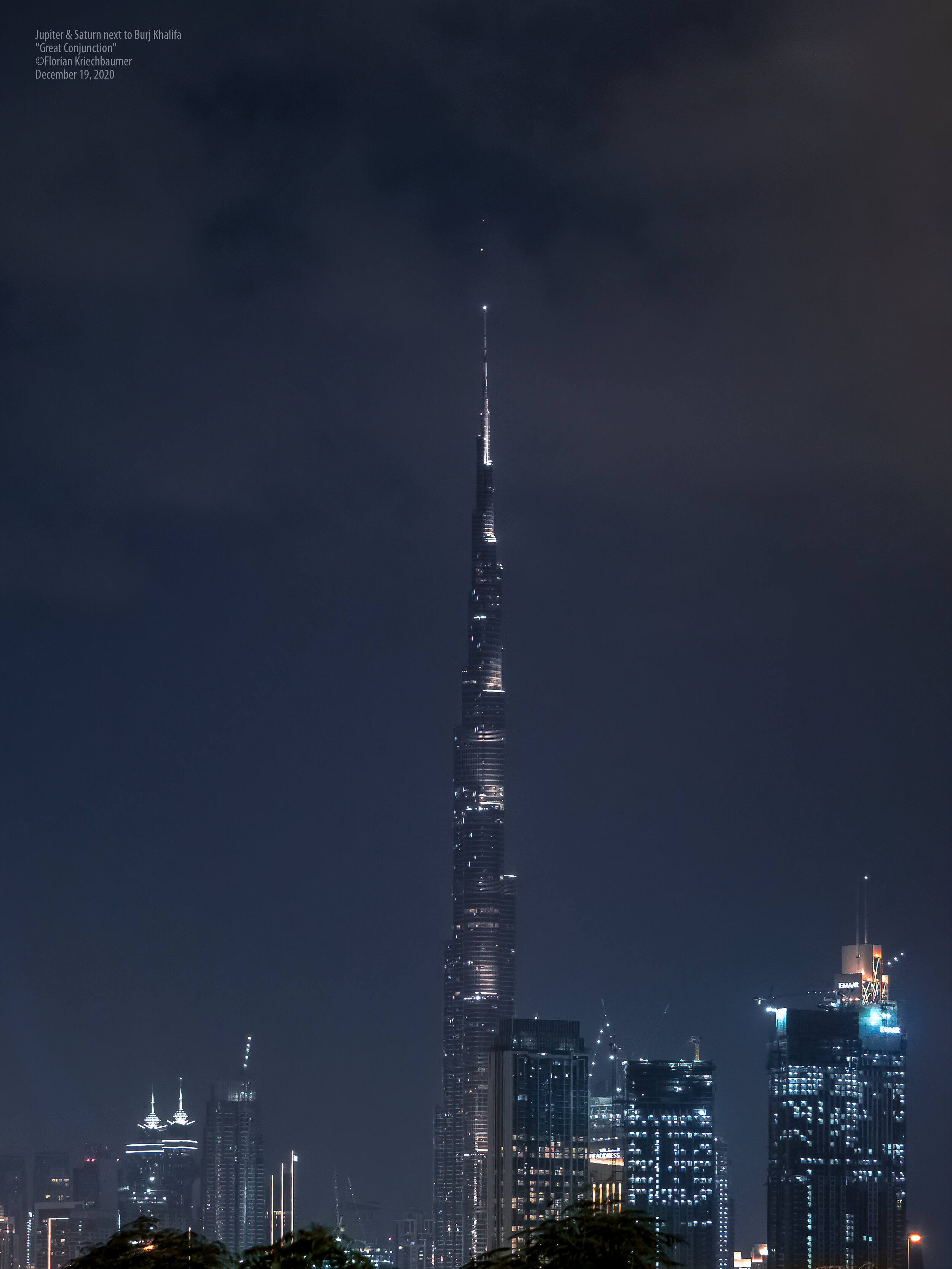
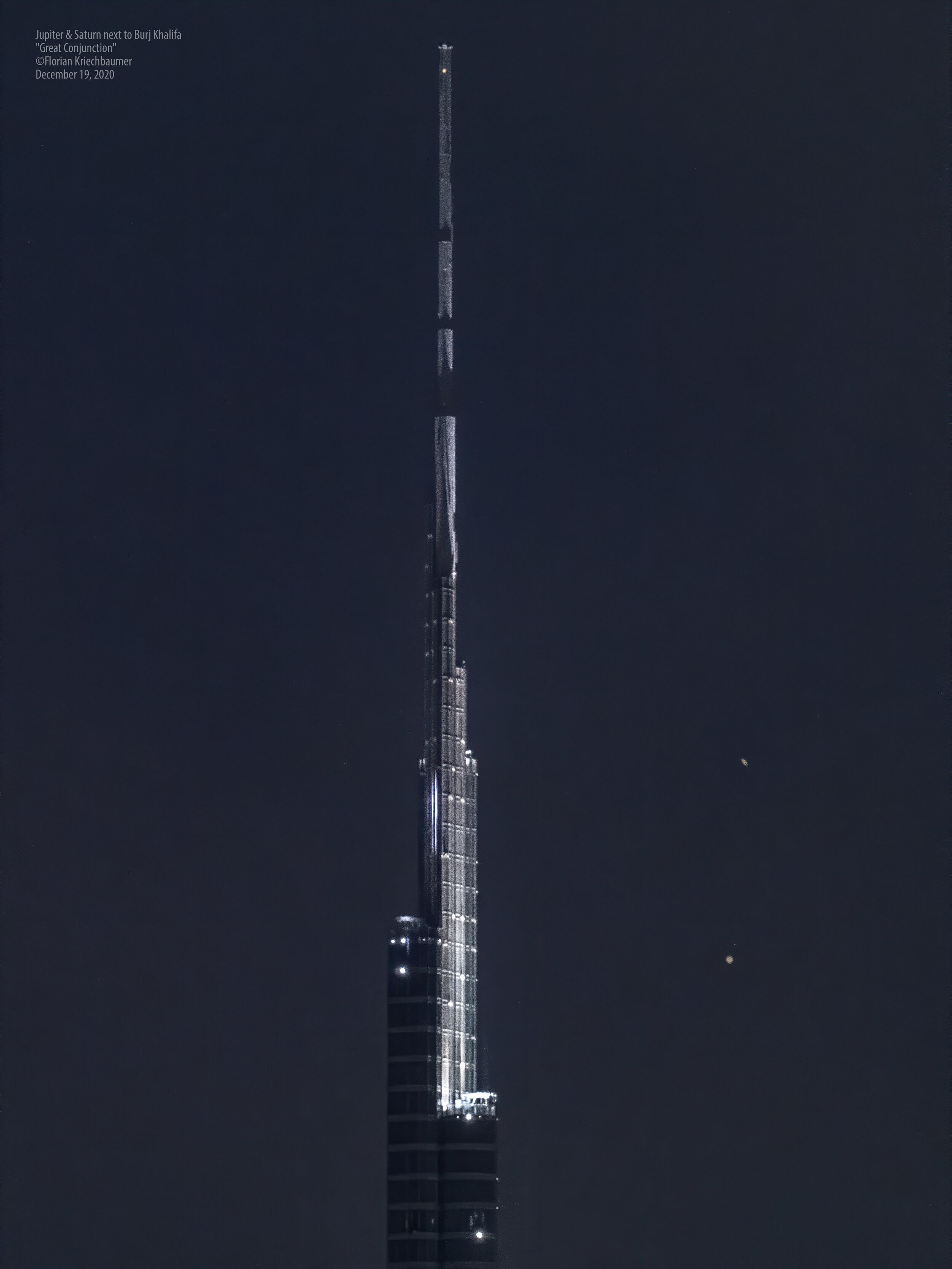
The Great Conjunction - Jupiter and Saturn passing Burj Khalifa
On December 21st 2020 something very rare is happening: The largest planets in our solar system, Jupiter and Saturn, will be at their closest observable in 800 years.

On December 21st 2020 something very rare is happening: The largest planets in our solar system, Jupiter and Saturn, will be at their closest observable in 800 years. This event, dubbed the “Great Conjunction”, happens regularly, but the planets have not been this close and at the same time visible from the earth since then.
I set out to try and capture this event in a different perspective 2 days before the date, where the planets were already incredibly close. The goal was to photograph them passing the world’s tallest building Burj Khalifa, in Dubai.
It was a cloudy evening but due to travels this was my only chance, and luckily some gaps in the sky enabled me to capture the videos and photos below. This was truly one of the most mind-blowing things I’ve ever seen through my camera’s viewfinder.
Enjoy.
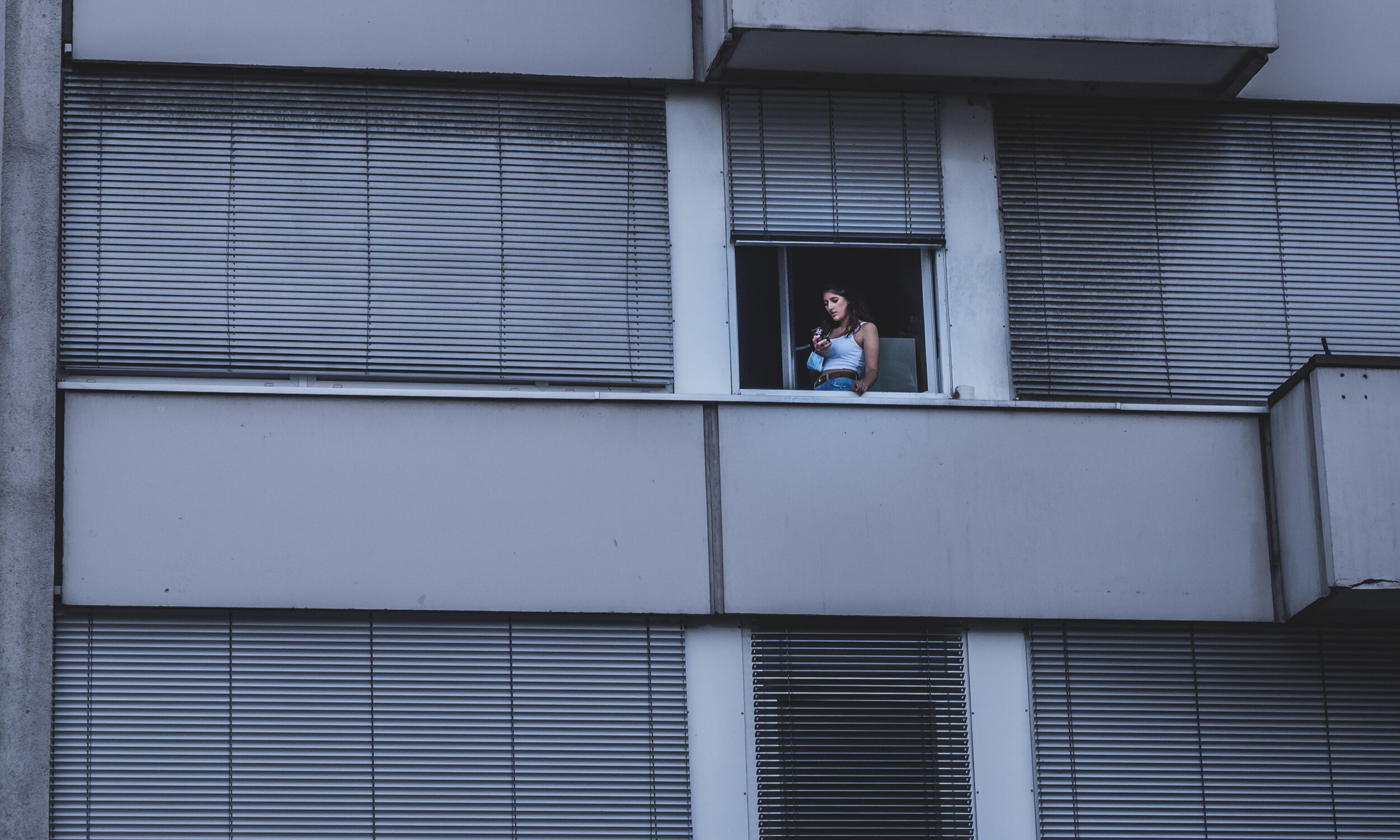
Resetting the rules: “Sorry, no tripod” & “Professional cameras not allowed”
During New Year’s Eve 2017, Dubai set a world record for the biggest LED and light show at Burj Khalifa, doing away with the usual fireworks and taking a different approach to welcoming 2018, the “Year of Zayed”, named after the founding father of the UAE.
During New Year’s Eve 2017, Dubai set a world record for the biggest LED and light show at Burj Khalifa, doing away with the usual fireworks and taking a different approach to welcoming 2018, the “Year of Zayed”, named after the founding father of the UAE.
It was just a 30 floor elevator ride for me to be able to capture this moment with my trusted Olympus mirrorless camera. For those reading and not familiar with camera terminology, this is essentially the same type of camera as what you might know as DSLR, or in general a camera with a viewfinder and interchangeable lenses. I got the shot I wanted, went back up, edited it, and posted on Social Media within the first 30 minutes of the new year.

To my surprise, the official @mydubai instagram account picked up the photo for their own NYE post a few minutes later. It became their most liked photo to that date within a few hours, and was reposted by several other official and unofficial accounts.
More than 2 years later, during a hot summer evening, I was wandering around a more or less empty Downtown Dubai in almost the same spot, with the same camera, on the hunt for new compositions. This time, I didn’t get the shot I wanted. Why? Because I was approached by a security guard telling me that professional photography is not allowed in this area, which is privately owned by Emaar, the master developer of the Burj Khalifa district.
This backstory to some extent exemplifies some of the reasons why I wrote this blog post: Many (not all!) developers, owners, organisations, and venues set ambiguous rules that prevent amateur photographers like me to capture their locations in the best light, enforce them arbitrarily, but then do want to reap the benefits of using our images for marketing purposes - mostly free of charge under fair social media use (whether that is right or wrong is a subject for another discussion).
At this point, I want to clarify that while I must admit I have sometimes been close to losing my patience with security guards, they are ultimately the messenger only, and their work as a whole is highly appreciated by myself and I dare say the entire photography community. This is about the rules they are being told to enforce, rather than who is enforcing them.
A second disclaimer to this post is that there are frequently very valuable and rational reasons for not allowing photography in certain situations: Protecting government institutions or military facilities, preventing the privacy of individuals in their own space from being compromised, ensuring the safety of people in crowded area by not allowing a tripod in the middle of a footpath, or ensuring protection of copyrighted material in cinemas or concerts.
These are not the situations in question here. Here, we are addressing wide open spaces, that are absolutely considered public, have no implications for national security, and where people take photographs on a daily basis with their smartphones.
For those familiar with Dubai, such places include Bluewaters Island, Burj Park, Dubai Canal, or Design District - I've chosen those examples, because in all these locations I've been asked to not take photographs with my camera and / or tripod.
The question is, why is that? To date, the explanations I’ve received - if any - have never been very coherent or logical. As a result, I will have to make some assumptions: Your typical photo capture device today ranges from the size of an iPhone (the most popular camera in your hand, to a DSLR and a big telephoto lens that may be up 30cm in length or so, set up on a tripod 2m in height.
From personal - and thus anecdotal - but qualified experience, I have found that:
None of the locations in question would prevent anyone from taking a photo with their smartphone.
A few of them would approach you for shooting with a DSLR or mirrorless camera with a typical wide angle lens.
Many will ask you to refrain from shooting if you carry the same camera with a bigger lens, such as a telephoto zoom.
All of them will ask you to leave the moment your tripod touches the ground as you set up.
My interpretation of these findings are that the larger your overall equipment is, the more likely it is you will not be welcome to take photos. An assumption I am making here is that outsiders (i.e. not familiar with photography) associate “larger equipment” with “more professional”, which would imply that the rules set by these locations are “we do not allow professional photography”.
I would welcome for any of these companies and organisations to comment here with feedback on whether this is the case. Until then, let's contine with this assumption.
The problem is that the boundaries of professional photography have long been no longer defined by the size of the equipment. The advent of smartphones with Instagram & Co, the rise of the influencer culture relying heavily on photography, and the significant advancements in mobile photography have allowed people to do commercially viable work with equipment that fits in their pocket. Heck, Netflix movies are now shot on iPhones. This discredits the entire reasoning why a regular DSLR and lens should be treated differently from a smartphone when it comes to what is “professional".
Let’s move to the next level: Using a big telephoto zoom lens. Also in this area, we are now approaching times where smartphones are capable of producing extreme levels of computational zoom, enabling everyone to take photos of objects and people far away. A camera with interchangeable lenses will (for now) still have an advantage in some ways here, and produce better quality - the question is why that would be a problem? I can think of privacy as the major reason, where as a location owner one wants to make sure people do not feel uncomfortable and be under the perception they are being photographed from far away without their knowledge or consent. My argument though would be that if this was a photographers intention, and they would do it maliciously, the laws around privacy protection for others would still apply - whether in a location that is privately owned by a large developer, or a public square. It’s unlikely that a private security guard will be able to deter someone from engaging in such activity, if even the law is not able to.

Moving on the last and seemingly worst offender: The three-legged friend of the long exposure photographer - a tripod. Here, it may be worthwhile to quickly explain why photographers chose to carry this device around. Generally speaking, cameras need to capture light for a certain amount of time to produce a well exposed image. When it’s bright outside, less than a second is enough to achieve that, maybe 1/100 or even 1/1000. When it gets dark, this isn’t enough anymore. The camera may need 3 or 5 or 10 seconds to capture sufficient light to produce a good quality image. The problem is, no one can hold the camera steady for that long, meaning that movement occurs during the light capture period, resulting in a blurry shot. This is where the tripod comes in, keeping the camera steady while it collects the required photons. Granted, there are other uses for a tripod, but generally speaking they evolve around similar concepts. So, I ask myself why venues do not want to see tripods being used? More than once I placed my camera on a rail, stone, bag or whatever when asked to stop using my tripod - and this was acceptable. How does that make sense? The result is the same, except that my composition might be worse and it’s more risky (the camera might fall, etc). My tripod will probably still be around, leaning against a nearby wall.
As we discovered earlier, in many places it is seemingly ok to use a camera, but only the tripod triggers something in the security personnel that makes them ask you to stop. This seems illogical: We can shoot the same exact photo during daylight in great quality (enough light for a short exposure), but at night when we need a tripod to capture enough light to get the same quality, it is deemed as not acceptable. It doesn’t appear likely that daylight photos are ok for a location owner, but night time shots are not.
Lastly, similar to the argument with telephoto lenses, the latest generation smartphones are slowly catching up in this area, using digital stabilization to capture acceptable night time photos, and further blurring the lines between the size and type of equipment needed to capture similar looking photos.
You may ask why we still need dedicated cameras and lenses? Well, smartphone technology is not quite at the stage where it can handle all the photographic challenges a specialized camera can, and while for average photos for an Instagram post on a small smartphone screen this may be less of an issue, if you are looking to print a photo for instance, this is where the difference between the two classes of equipment do show up. Some kind of photos aren’t achieve with smartphones just yet, but that doesn’t mean they are automatically “better” or more professional or commercially useful.
As smartphones catch up with dedicated cameras for these last scenarios, will the organisations making these rules soon forbid any kind of photography in their locations? My prediction is their marketing departments would quickly scream and shout when faced with the loss of the free social coverage, aside from it being practically impossible. If the assumption made at the beginning of this post is correct, the rationale should shift from “we do not allow professional photography” to “we do not allow commercial photography” - this may make sense as the venue wants to control commercial activity. But how can you do that when an influencer shot taken and edited with a smartphone can easily generate much more money than a photographer with a dedicated camera taking a shot planned and edited for hours, printed on fine part paper, and sold in a gallery?
So in anticipation of that, it may be the right time to re-define what “commercial” or “professional” photography means in this context and start a conversation on establishing clearer and logical rules for what scenarios and equipment are allowed, or not, and for what reason. In the end, it is clear that companies are free to ask anyone to leave their premises, or to not use a camera bigger than a smartphone, or an orange, or whatever arbitrary definition they chose, regardless of the reason.
Ultimately, this will probably make photographers try to take a photo by whatever means is allowed, instead of what produces the best result. That photo may just not be as good, not as creative, not as interesting, or it may not happen at all and the moment will be gone forever - leaving the photographer and his or her audience disappointed, and taking away a chance for the location to create positive impressions or attract new visitors due to the existence of the photograph, for no logical reason.
Myself, and I am sure the whole photography community in Dubai, are open to engage in this discussion with the decision makers at the various organizations, for the benefit of everyone - for us to follow our hobby and passion without hindrance, for the public to enjoy great photography, and for organisations to benefit from free and high quality coverage.
I see several ways a middle ground can be found: Ask photographers to sign a release form giving the location permission to use the photos. Make photographers sign a disclaimer that ensures we cannot publish the photos commercially or re-sell / license them. Create a system for granting permission to a person on a yearly basis, not for one single shoot. Request IDs in order to know who shot when at the location. Train security guards to determine in which cases there is a genuine issue caused by a photographer. Or, just treat photographers with a camera the same as someone with a smartphone.
Admittedly, there are details and issues to be addressed with these suggestions - this might be part of a future blog post - but I am confident there are better ways to establish a mutually understandable and viable basis than the inconsistent and illogical approach many places seem to follow right now.
Let’s sort this out. All we want is to take great photos of the city and places we love.
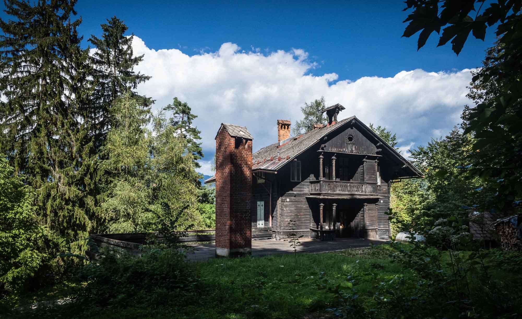
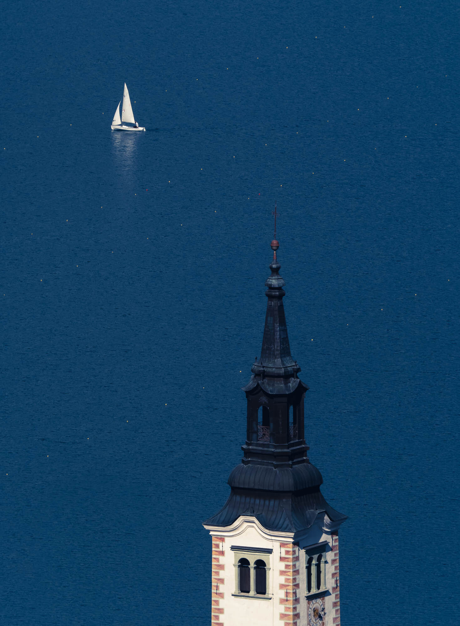
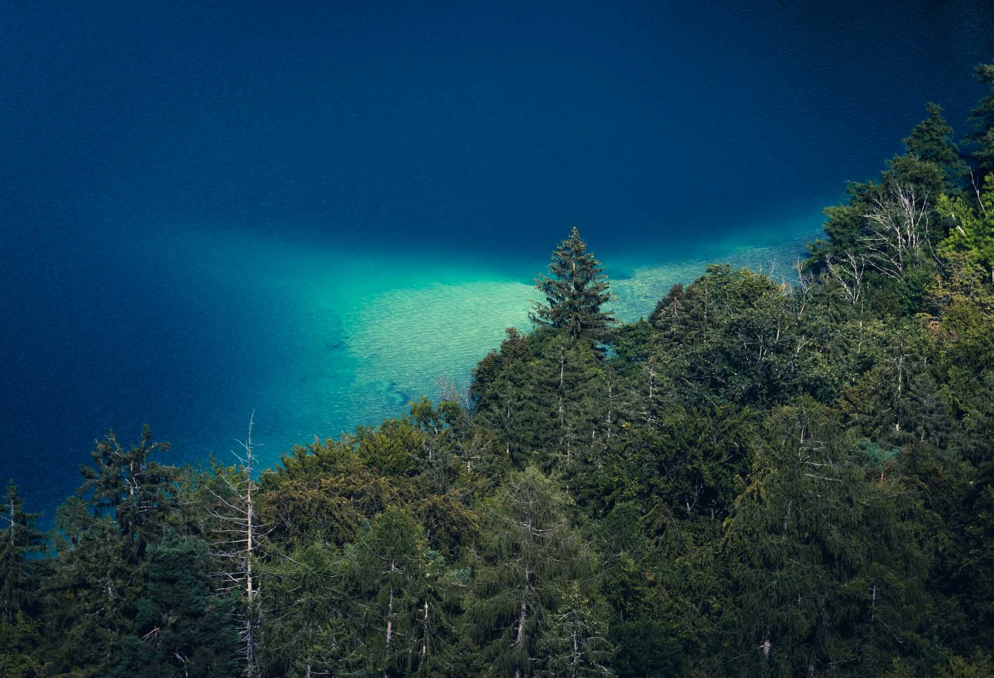
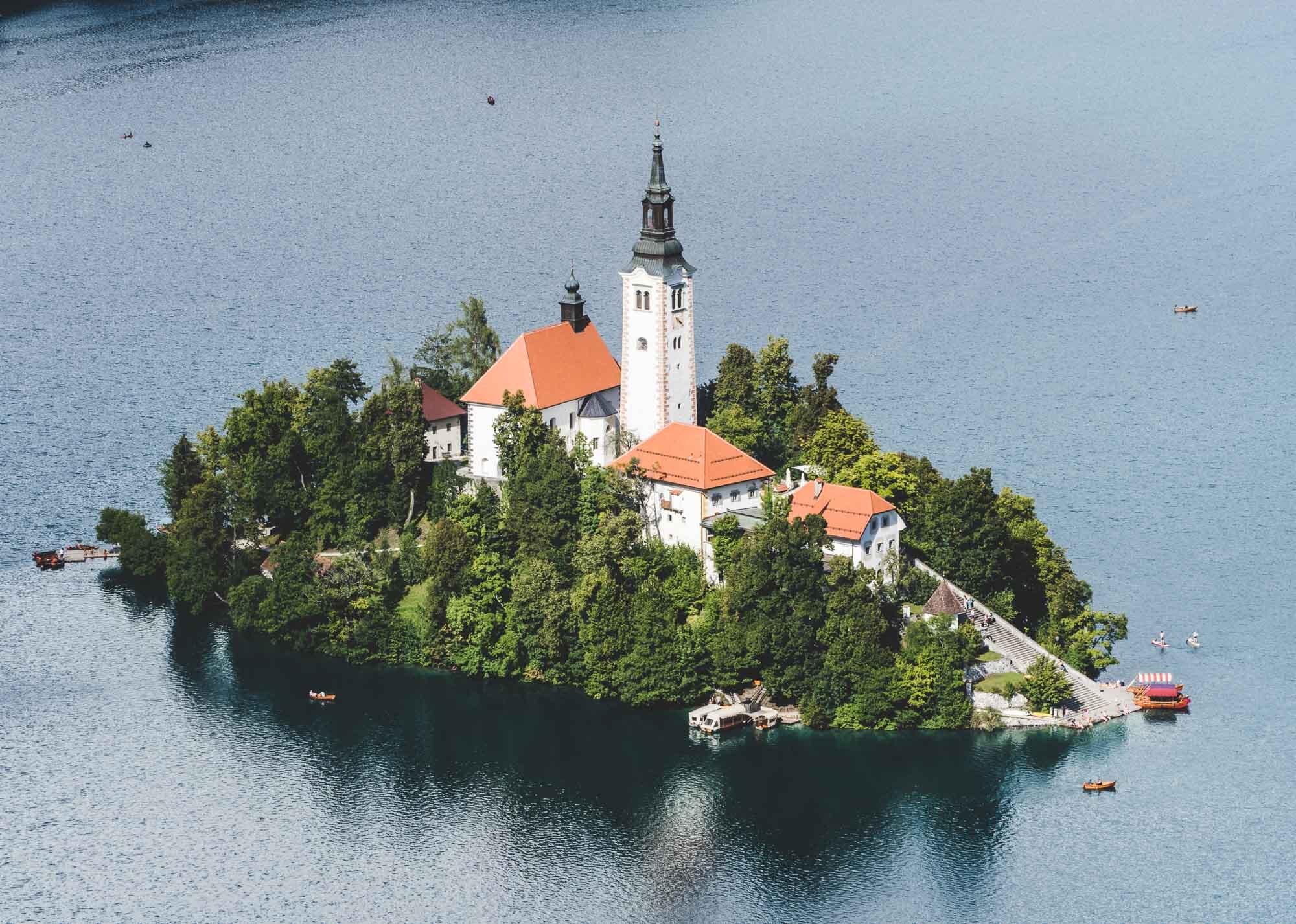
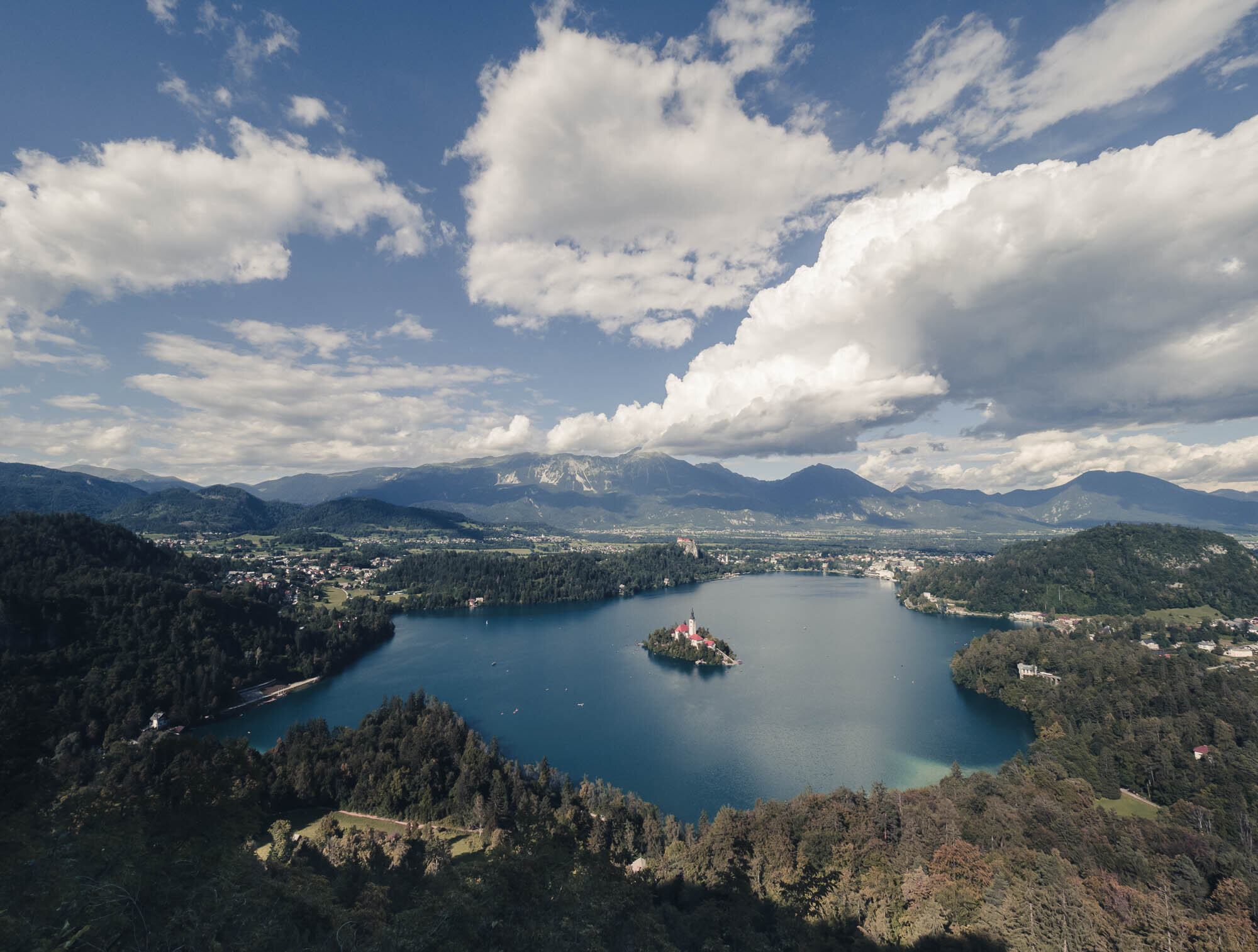
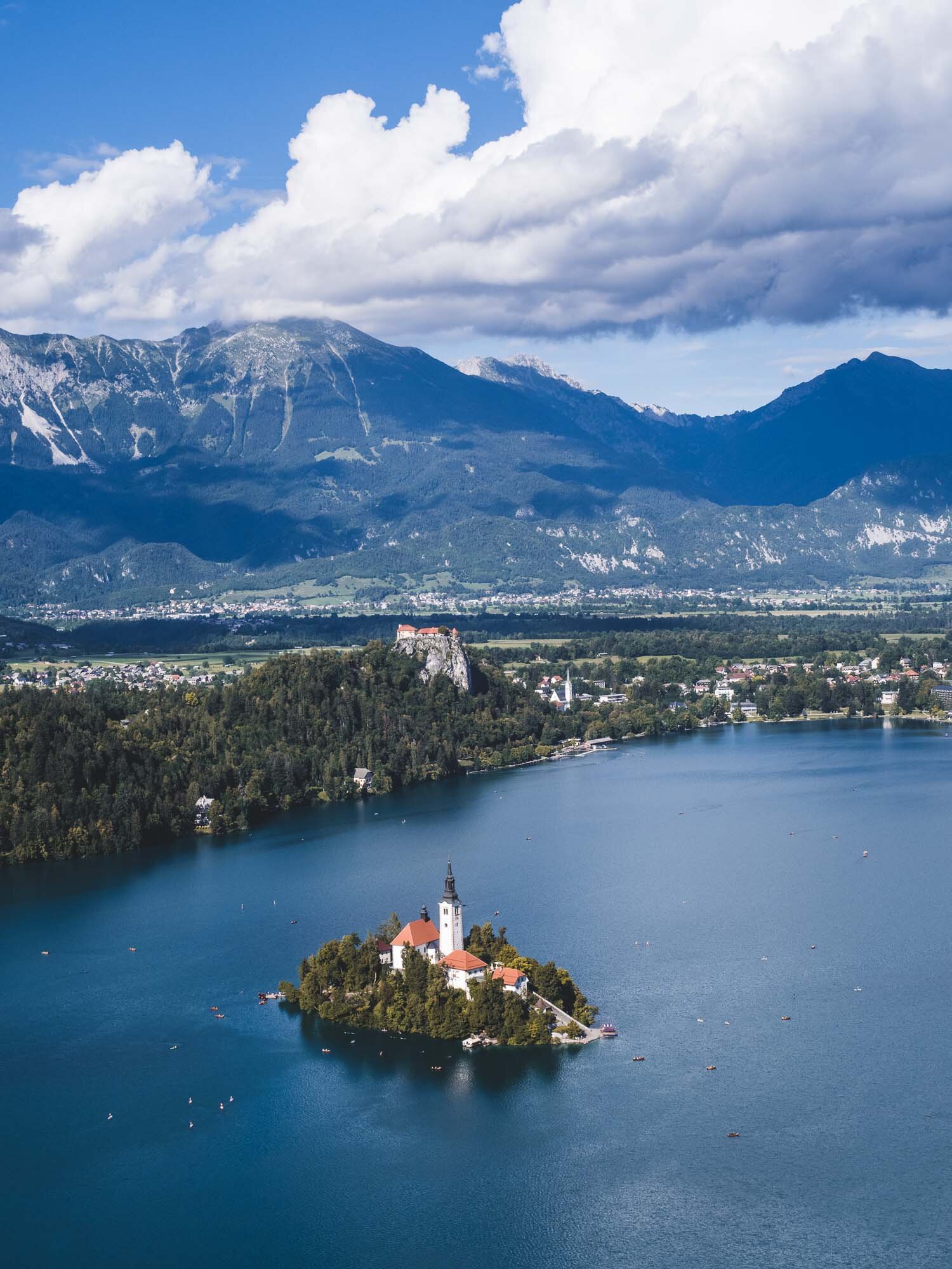
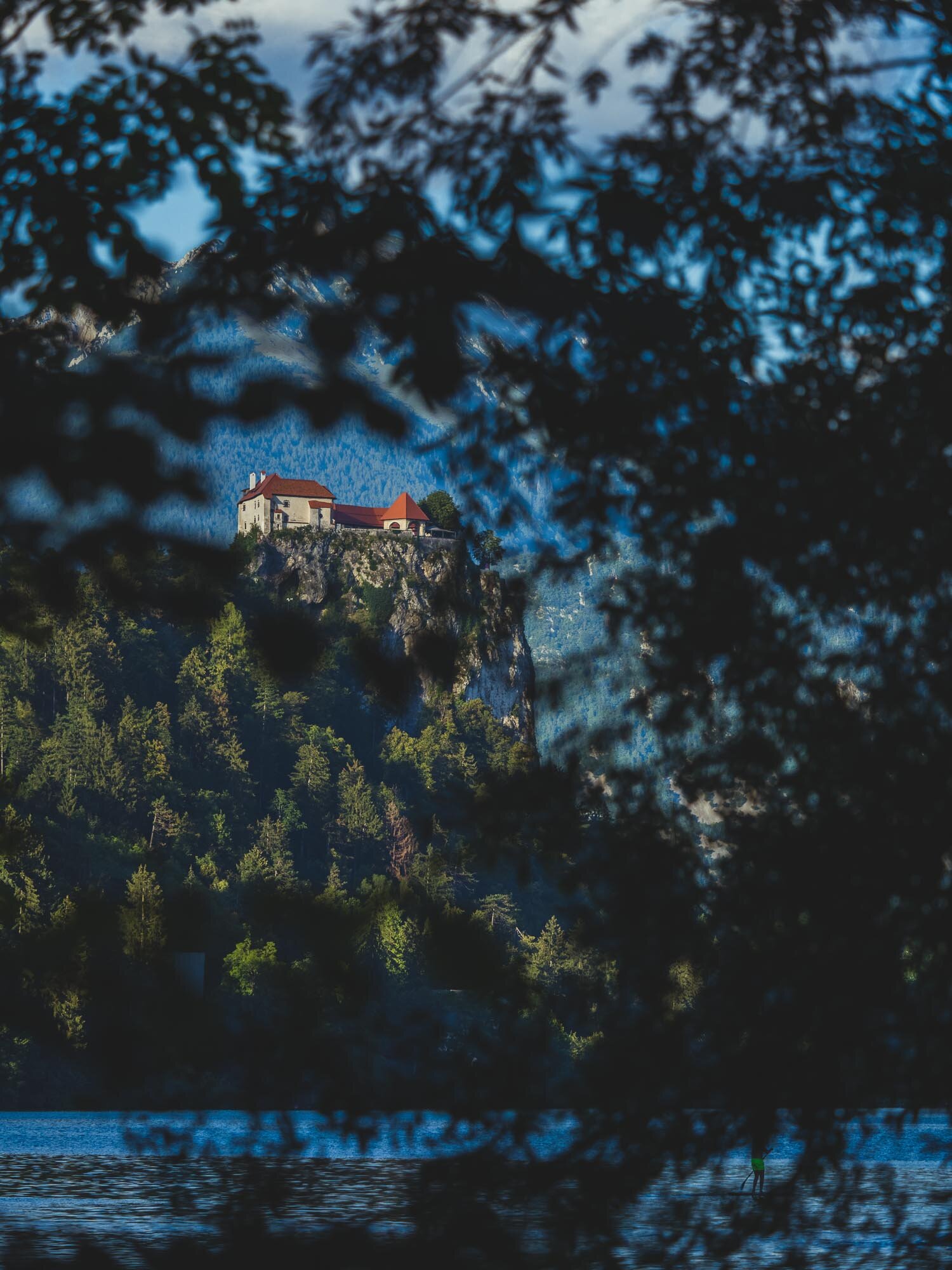
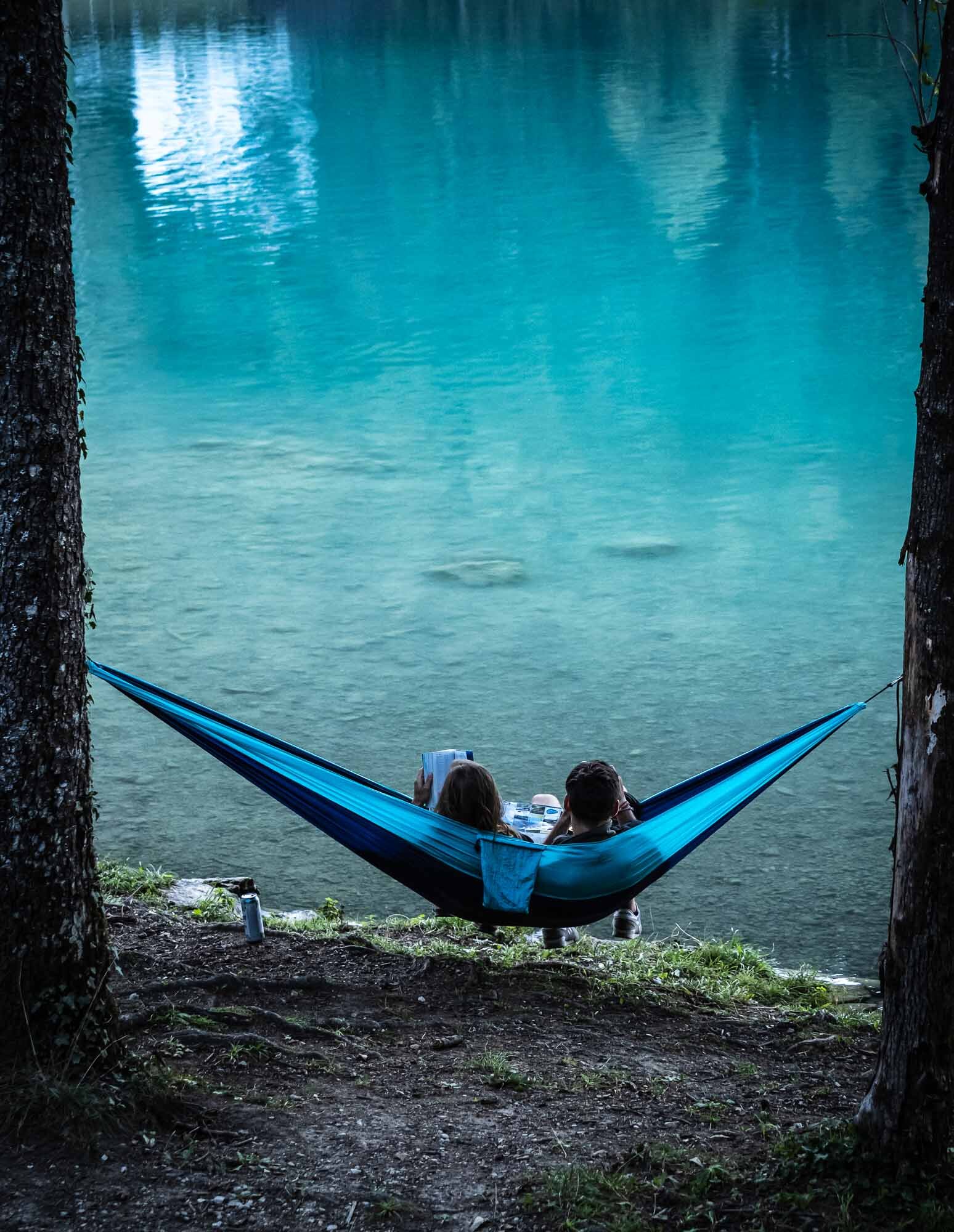
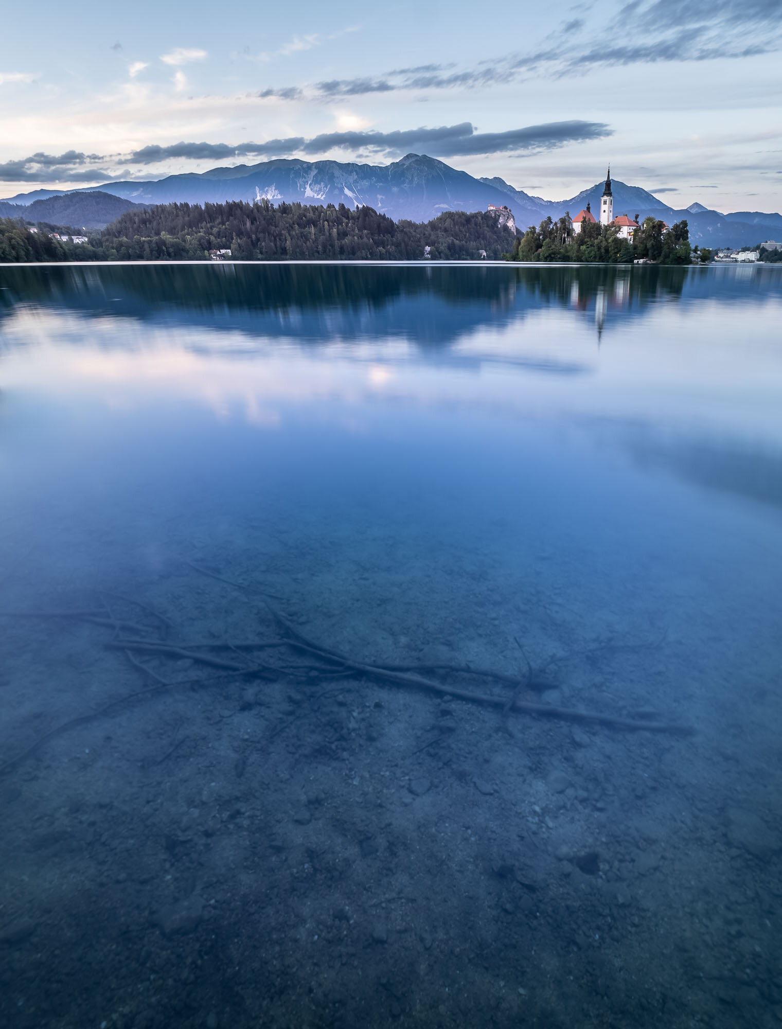
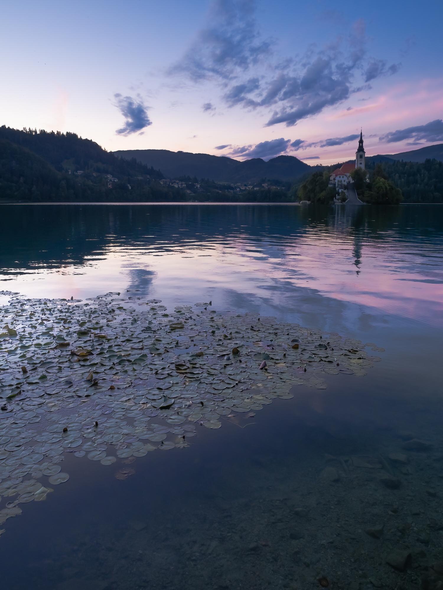
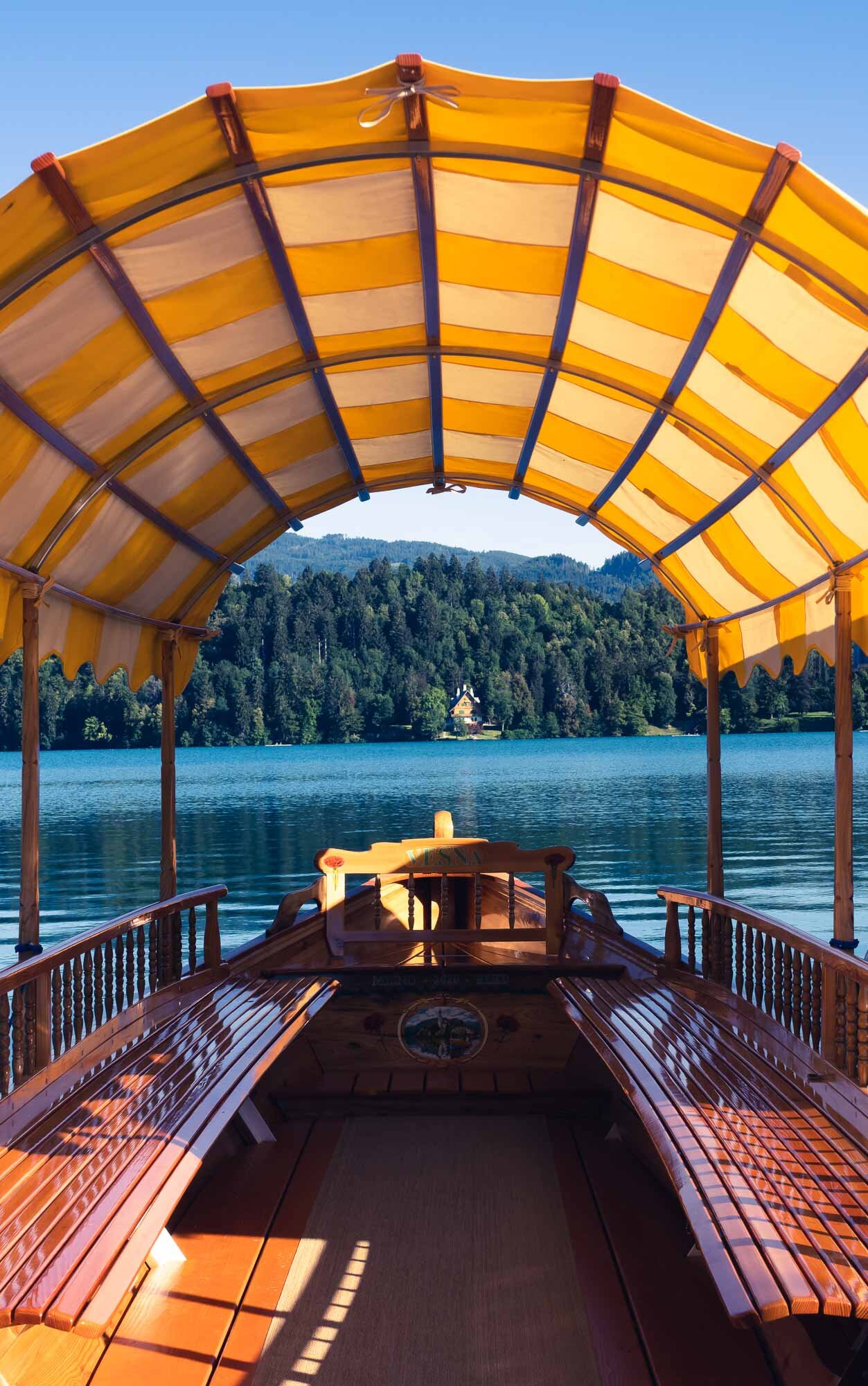
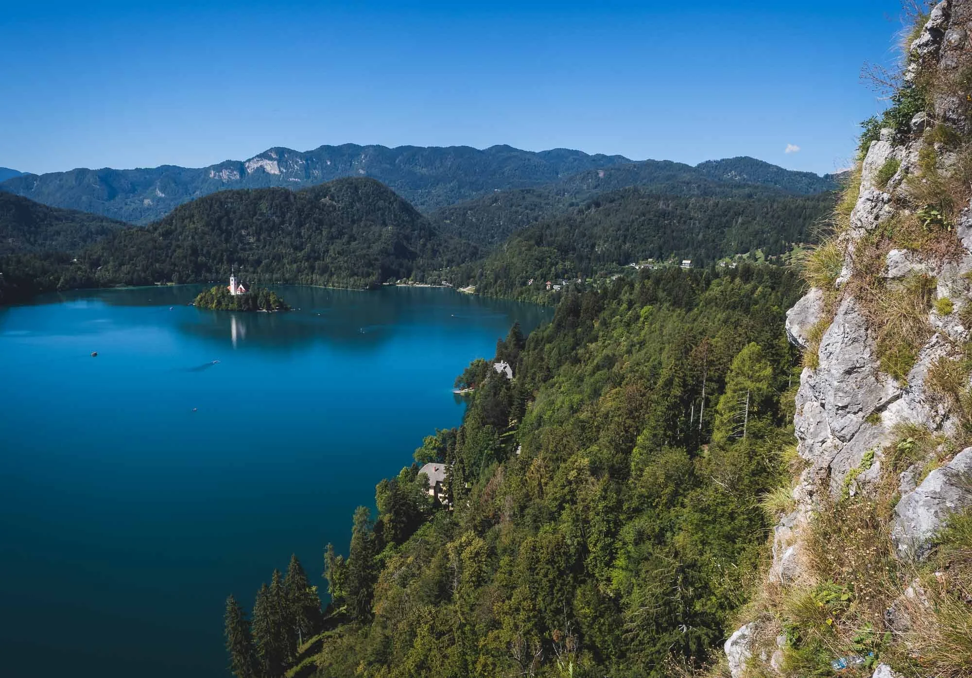
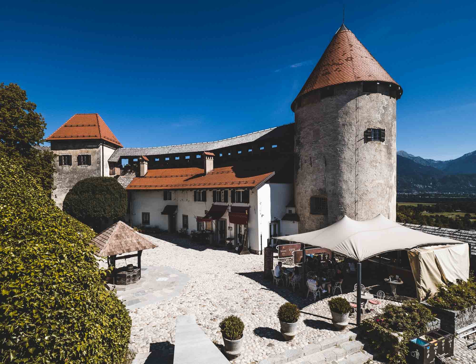
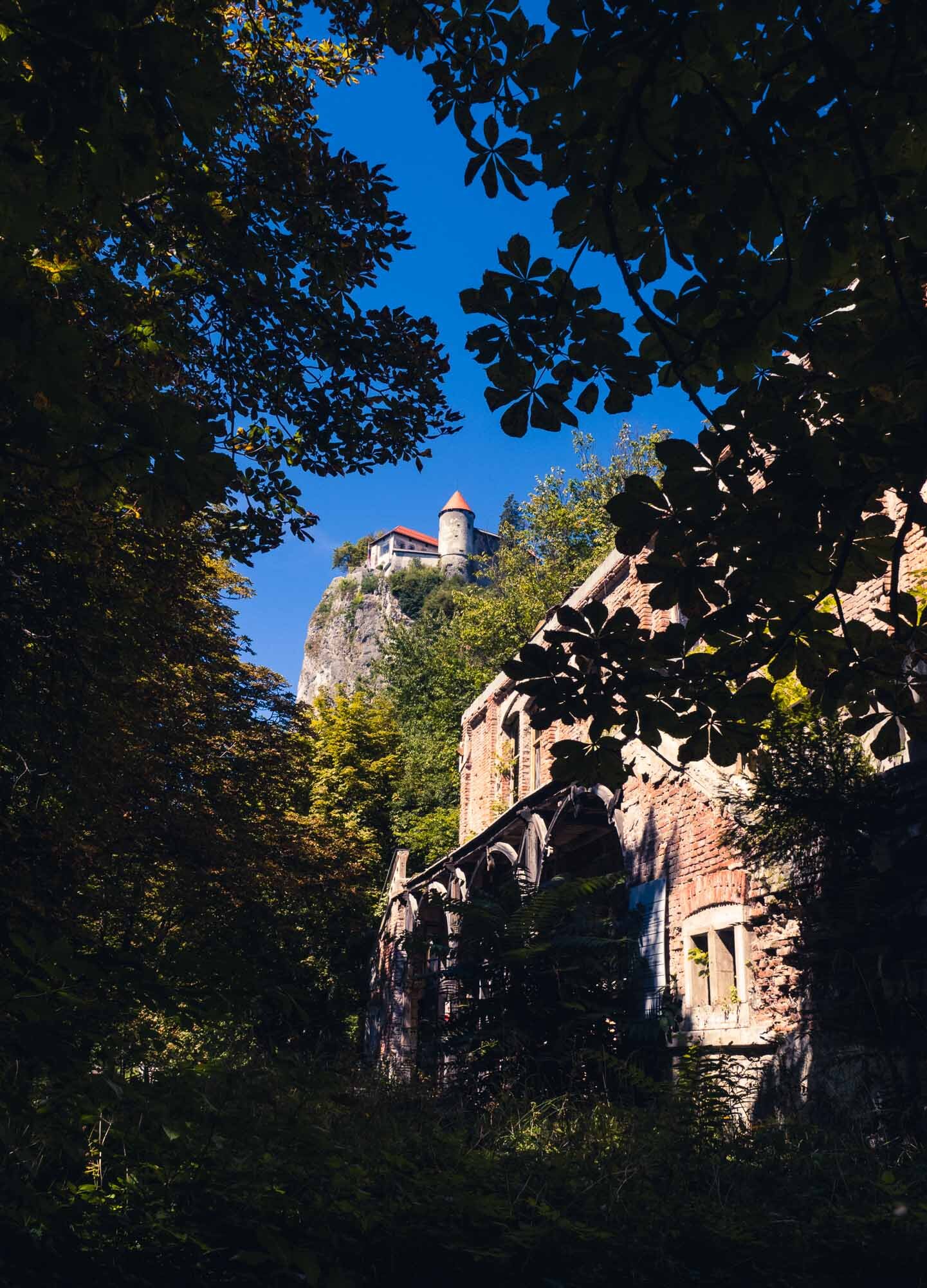
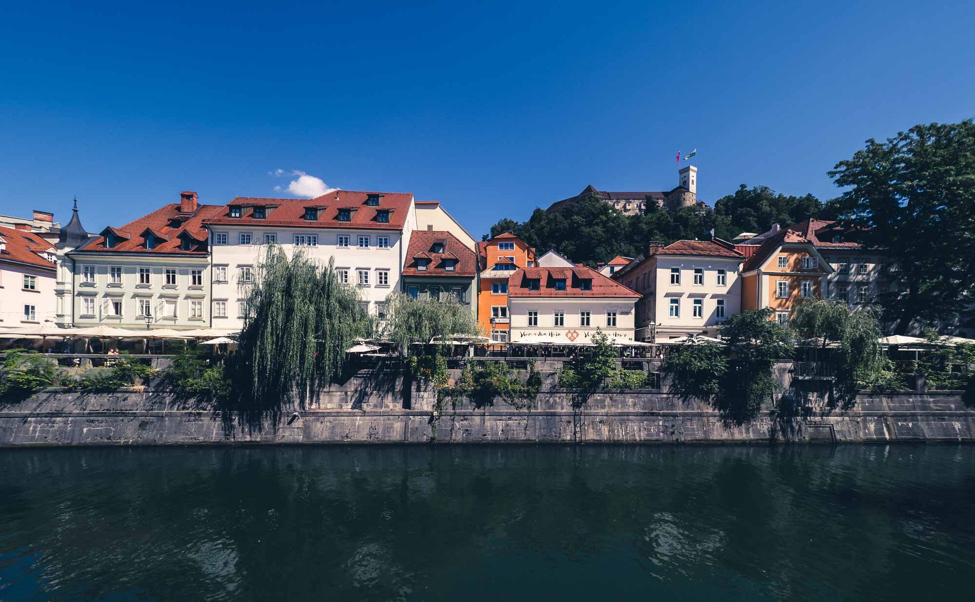
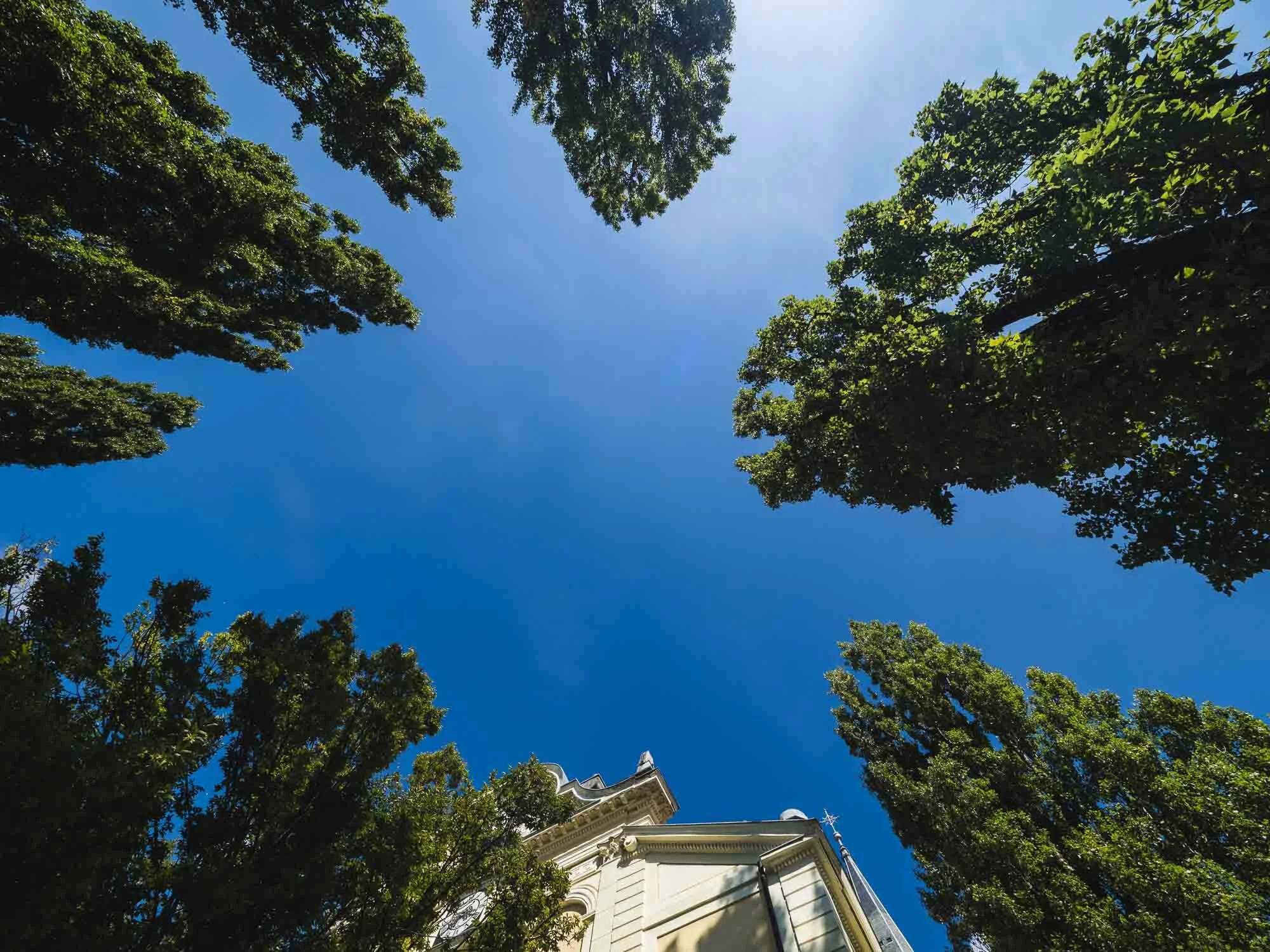
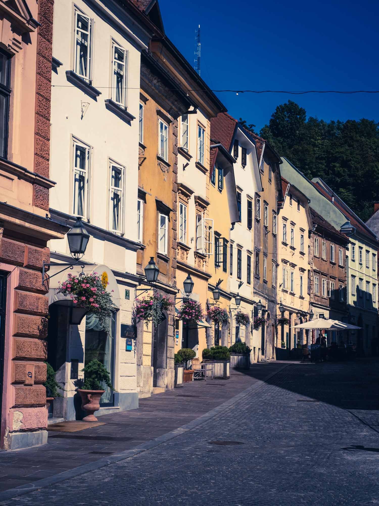
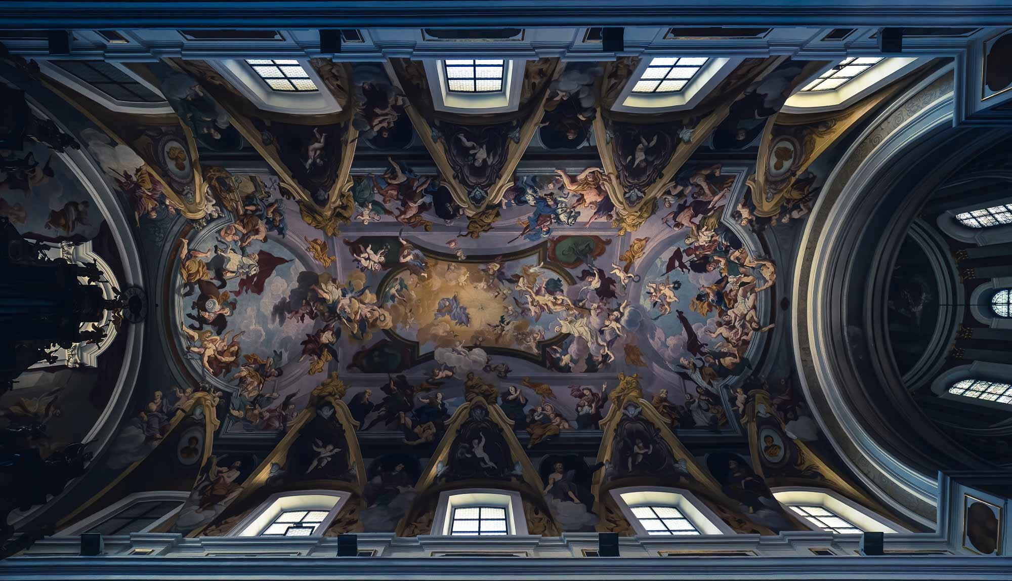
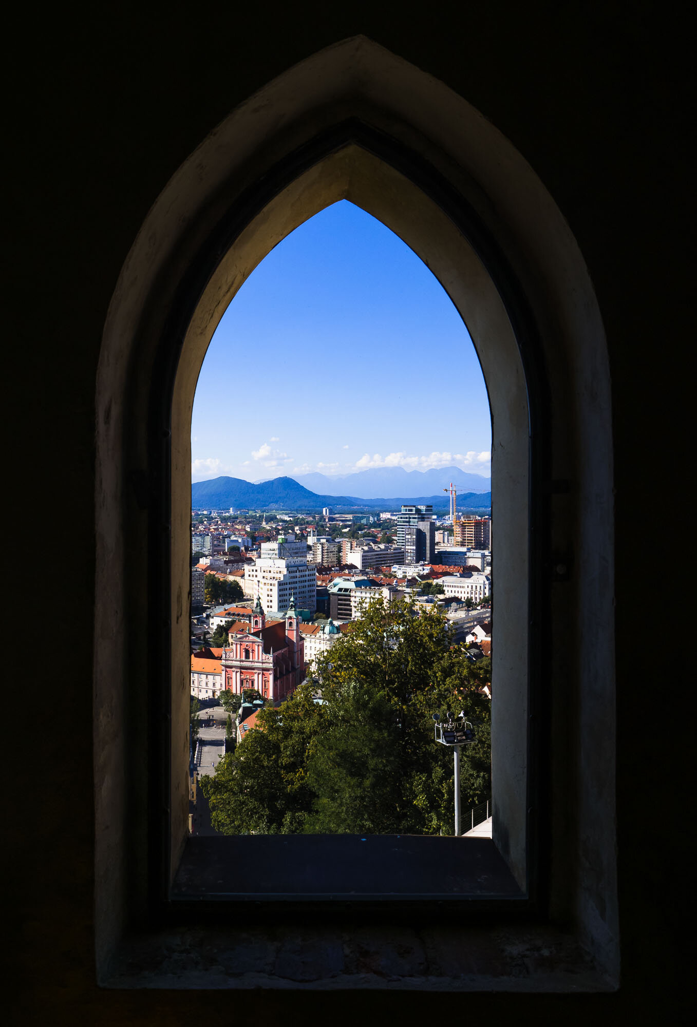
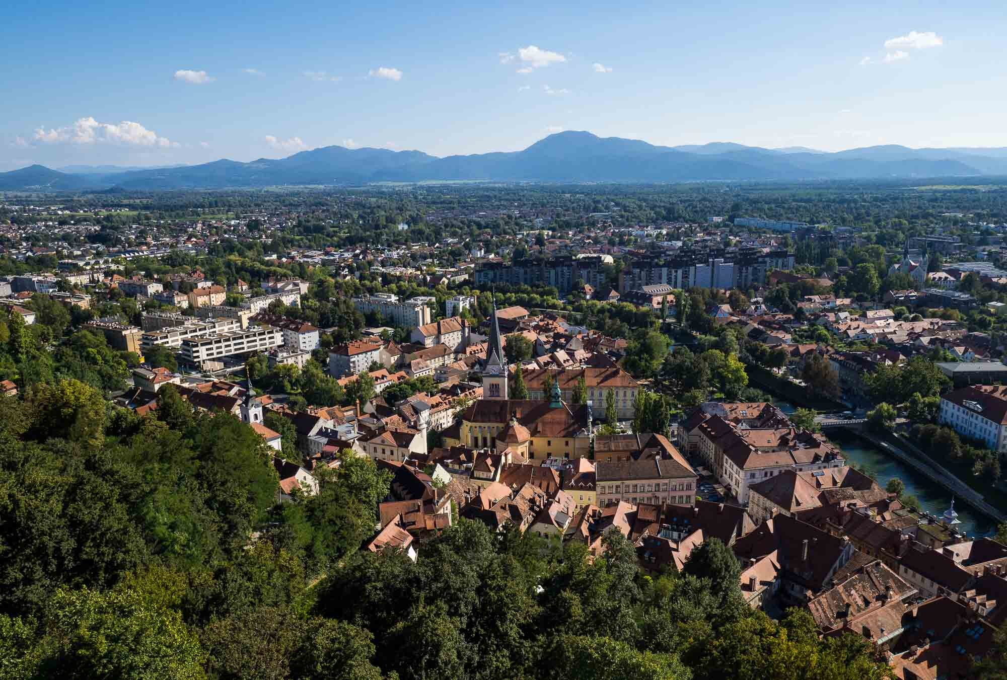
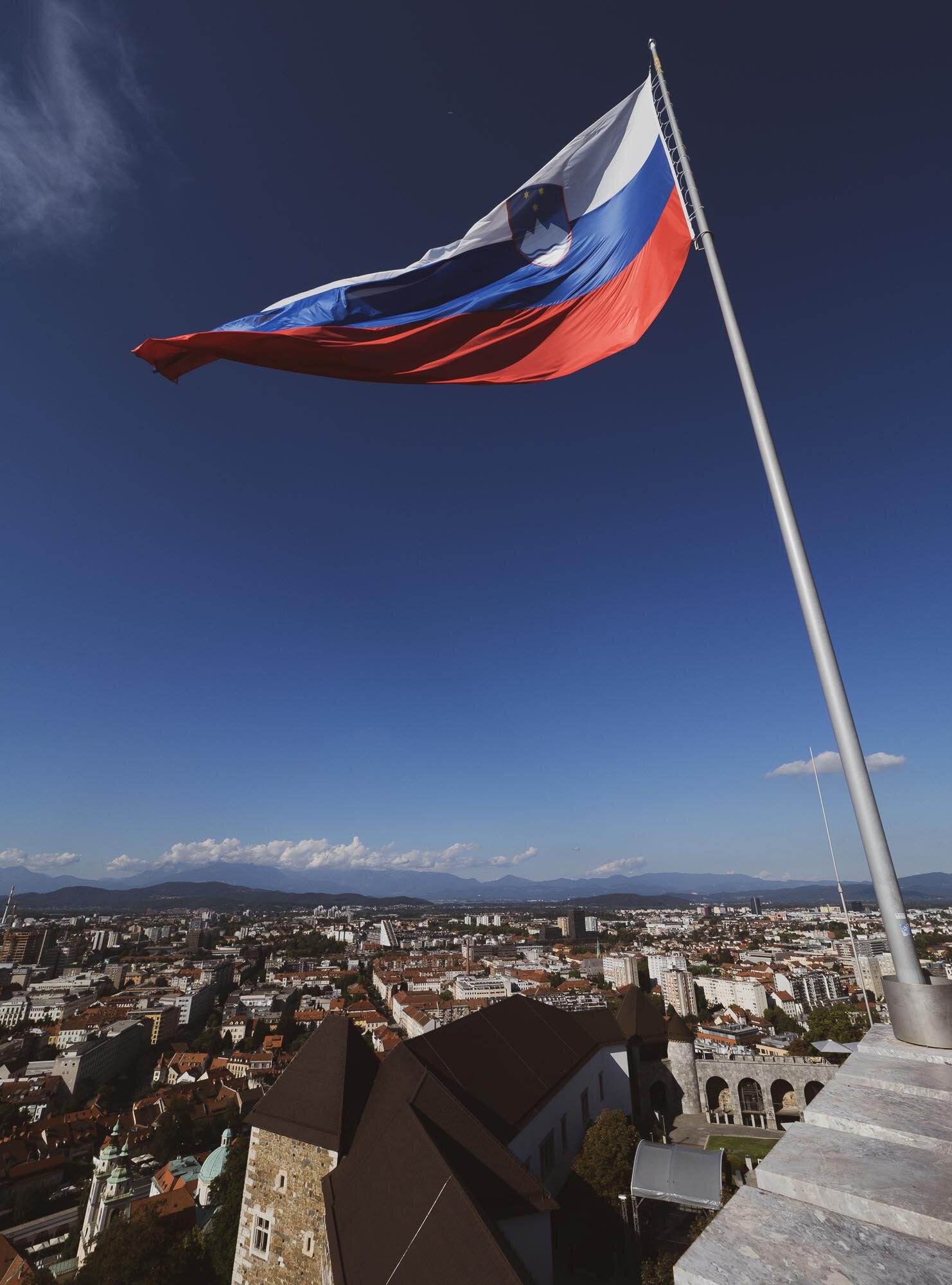
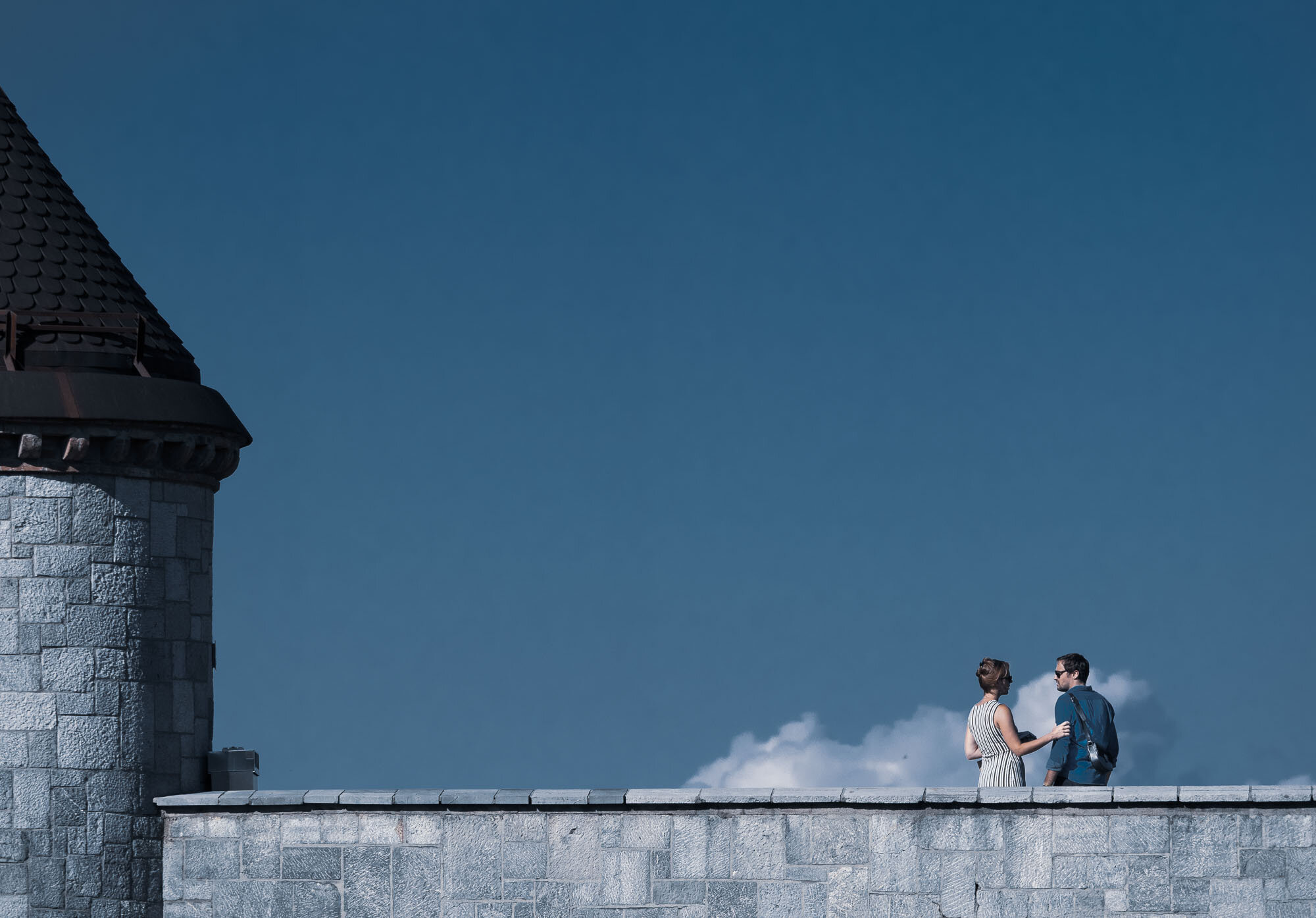
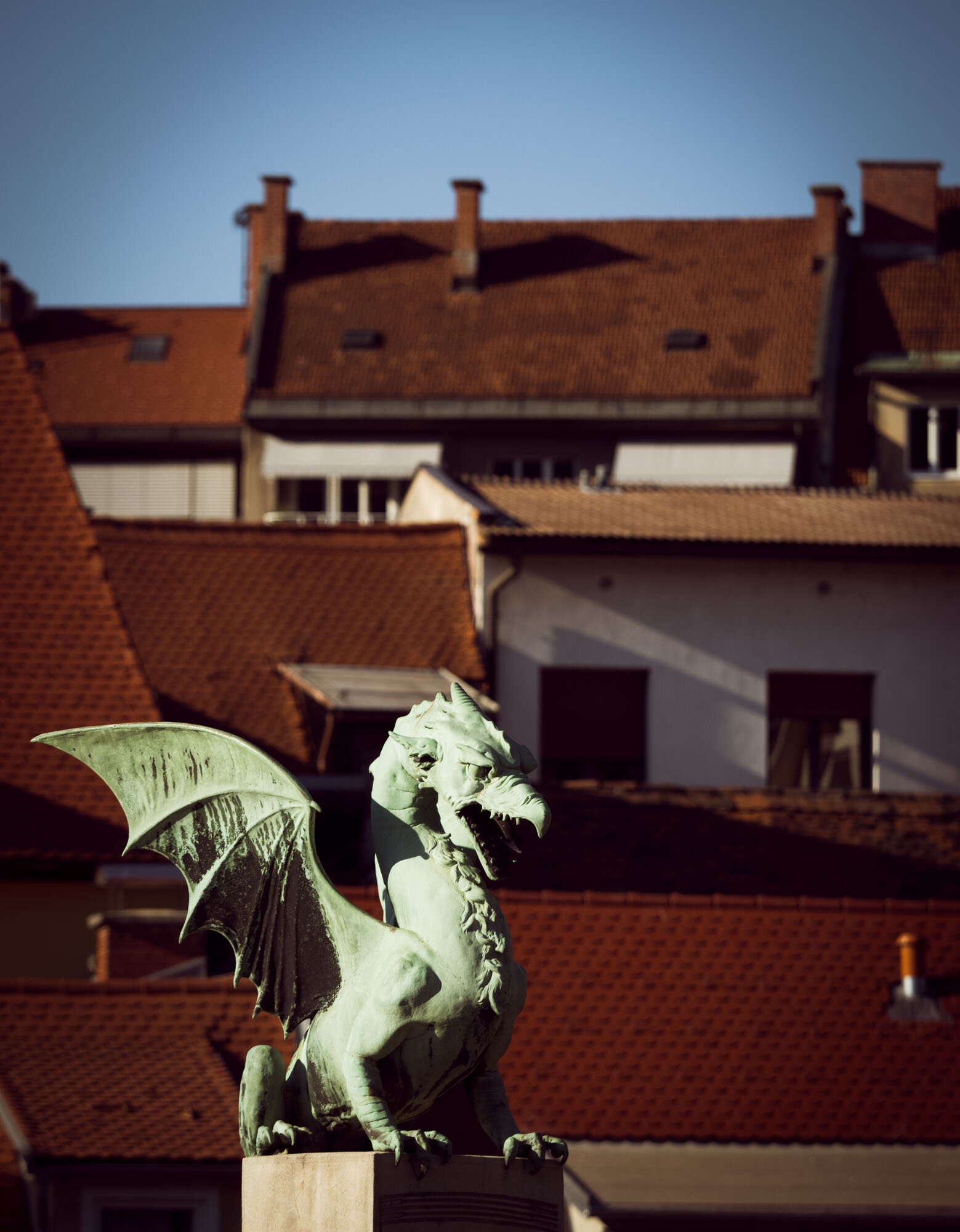
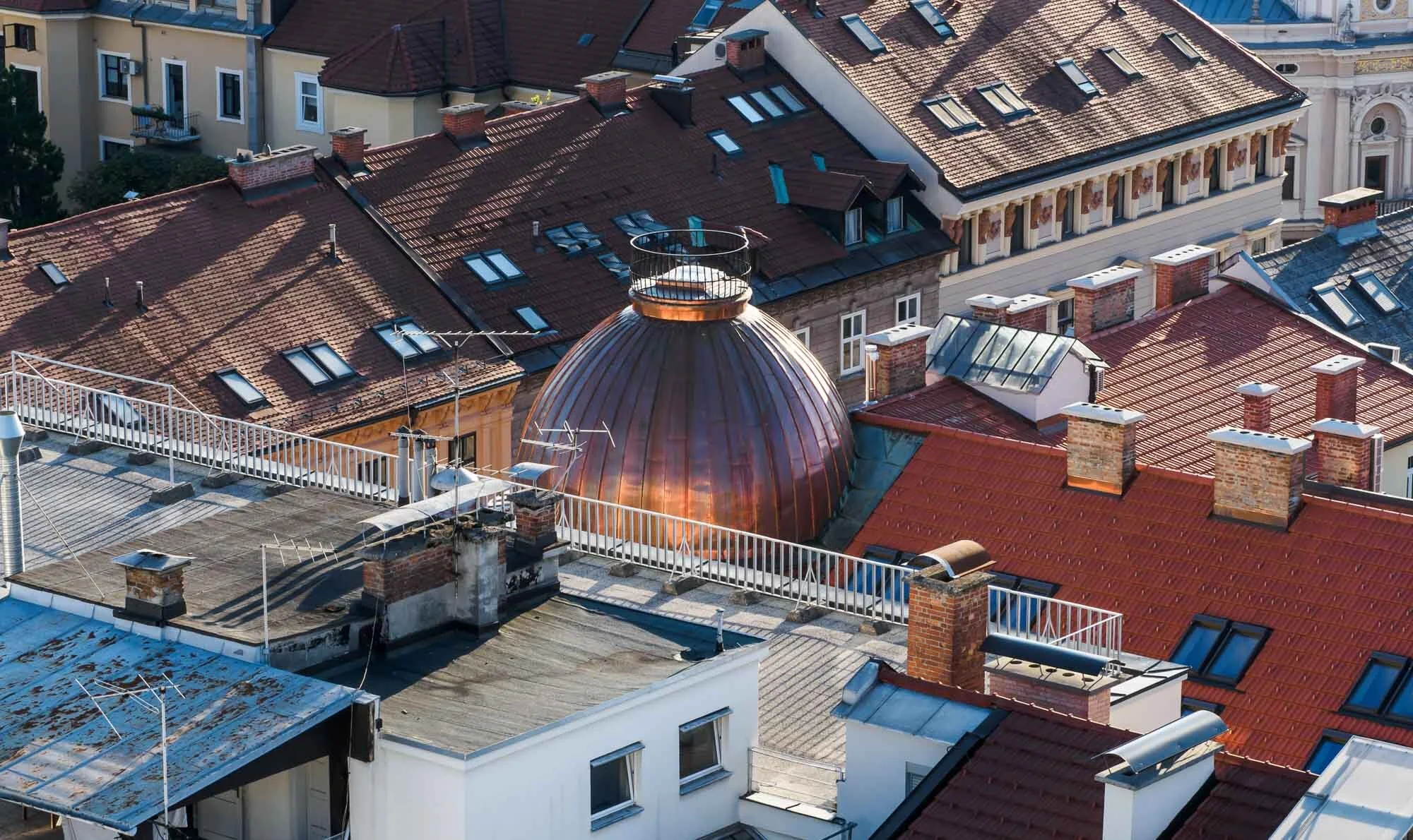
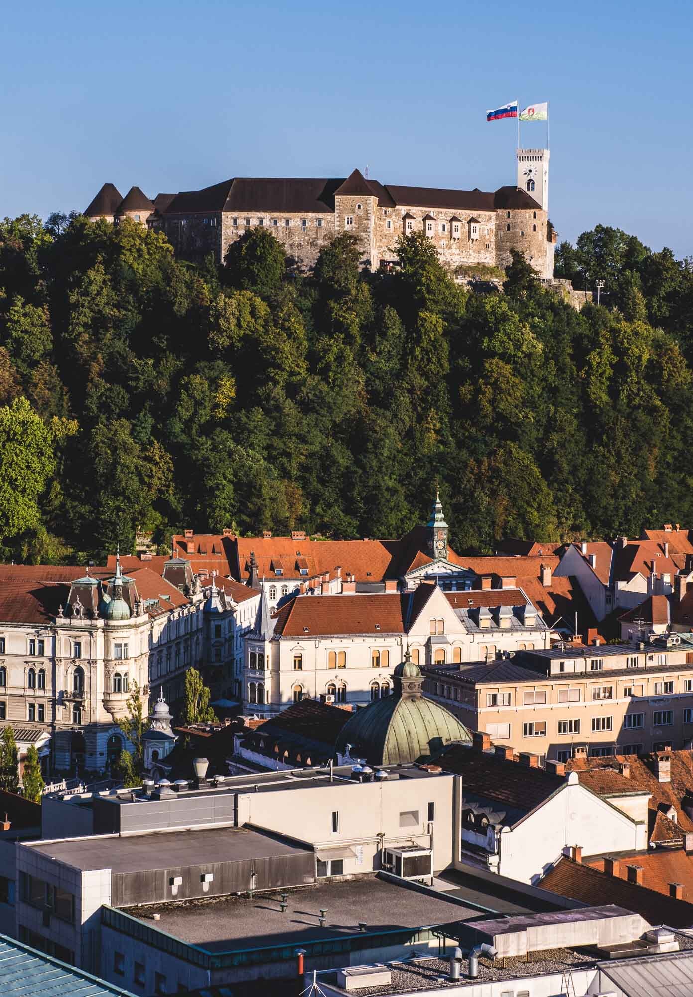
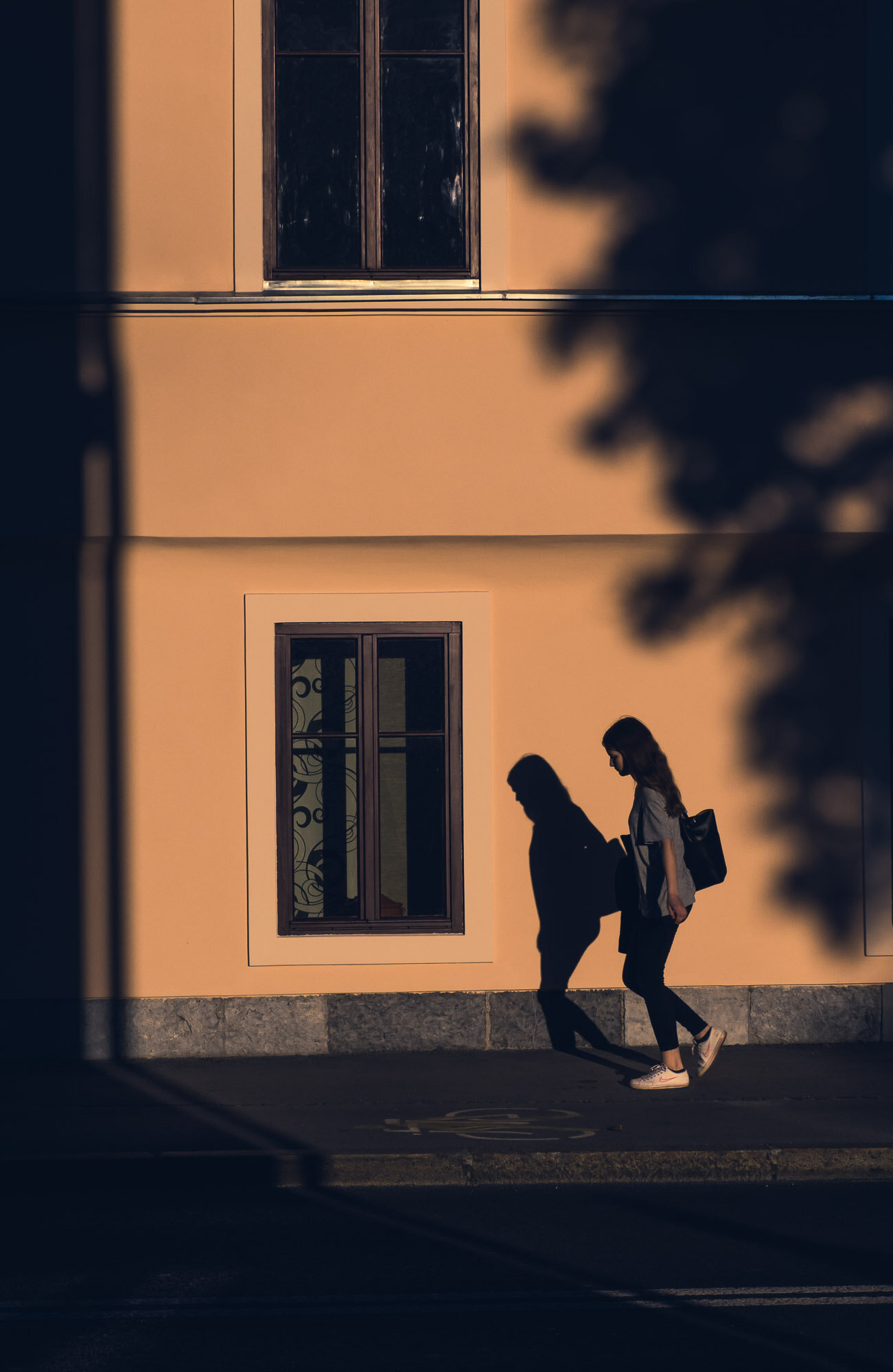
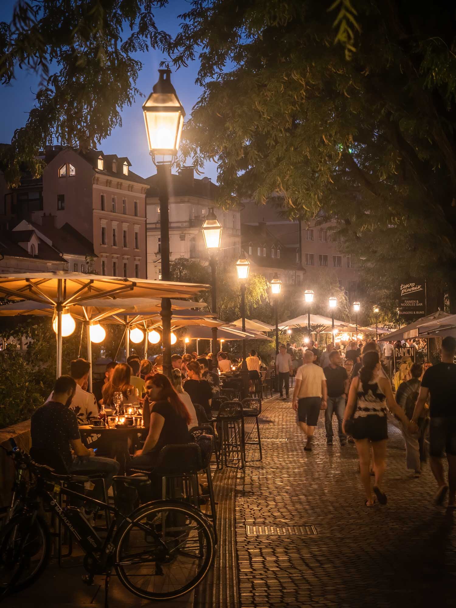
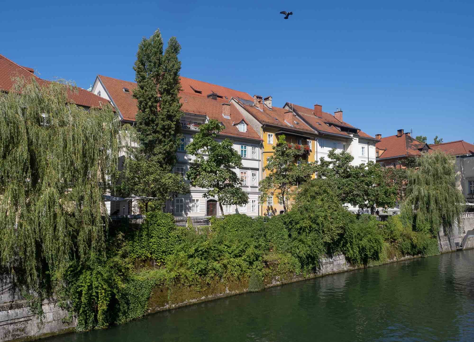
Slovenian Beauty - Lake Bled & Ljubljana
A two day trip to Slovenia brought us to the picturesque Lake Bled with its famous church island, and the beautiful capital Ljubljana.

While travel restrictions with health and safety requirements are still omnipresent, trips within certain countries in Europe are manageable with the right precautions. A two day trip to Slovenia brought us to the picturesque Lake Bled with its famous church island, and the beautiful capital Ljubljana.


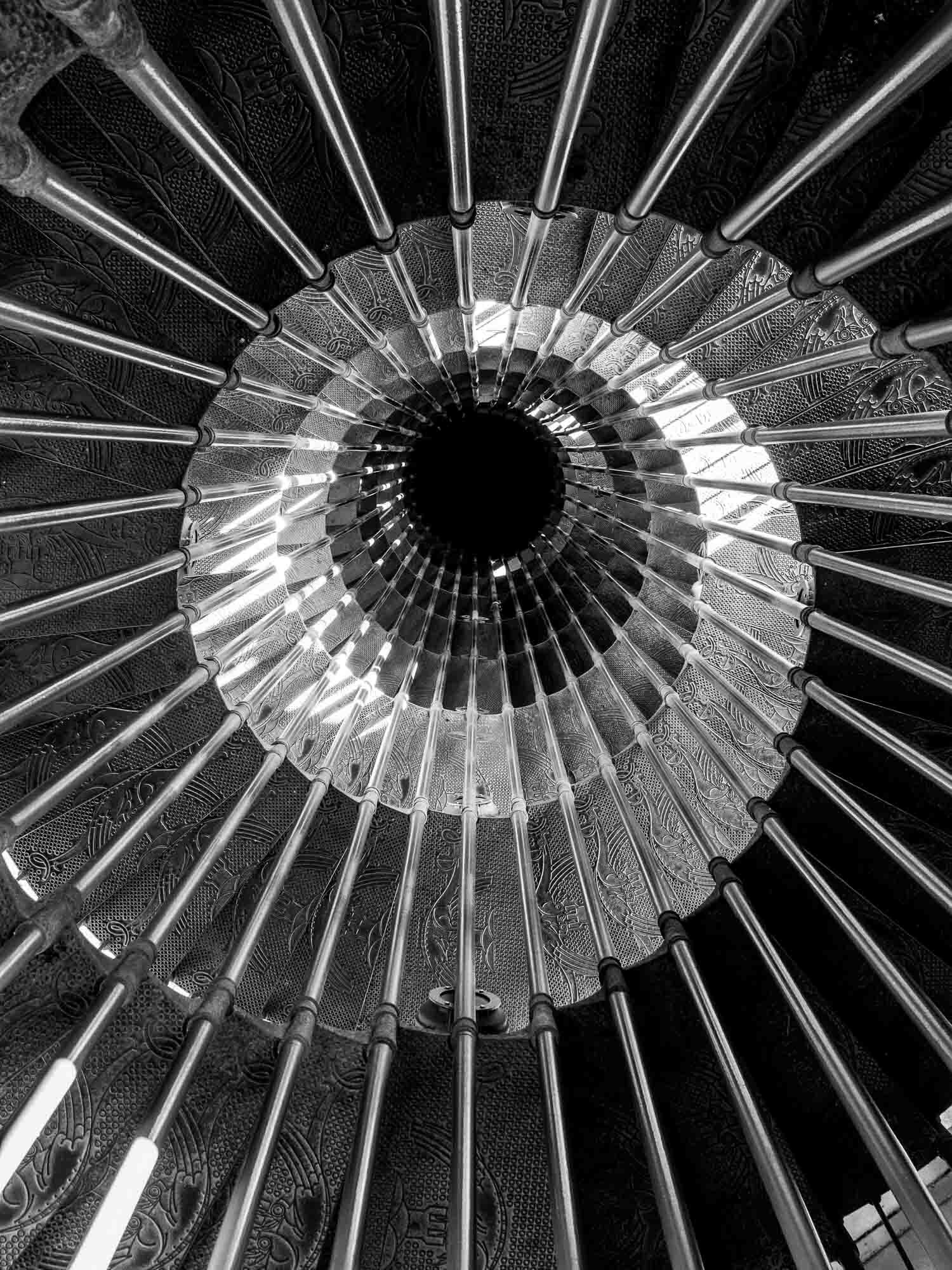


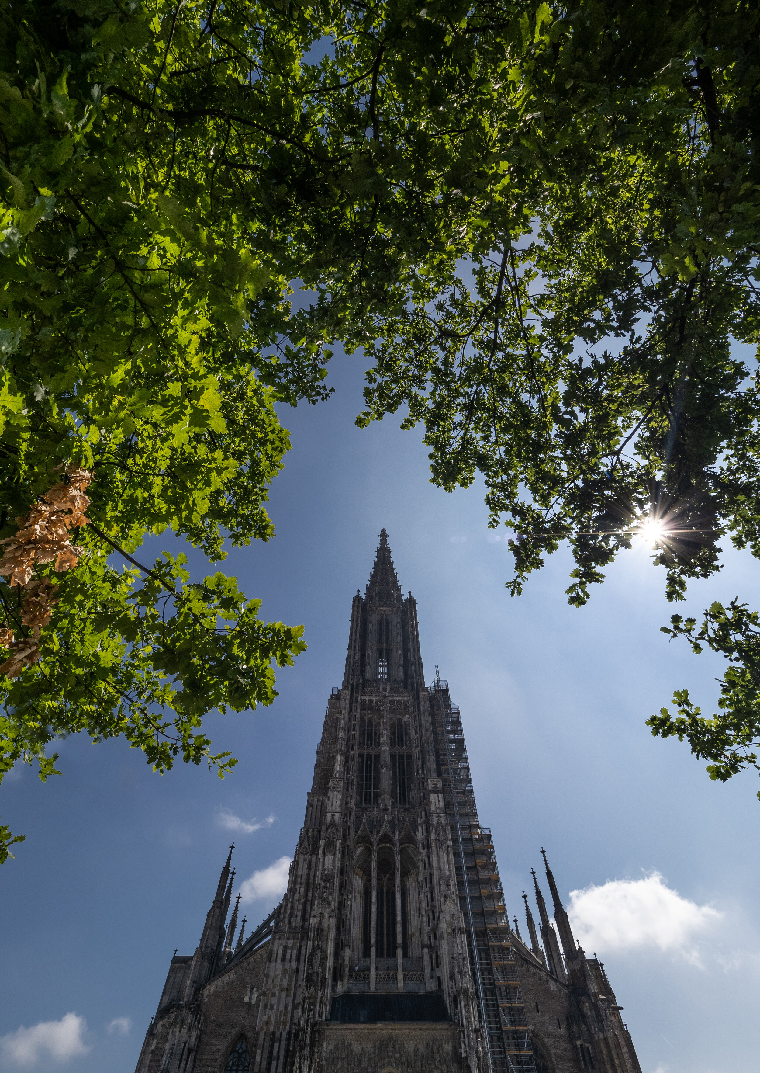
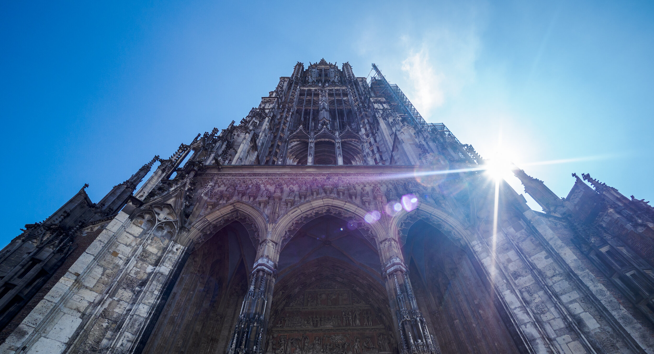
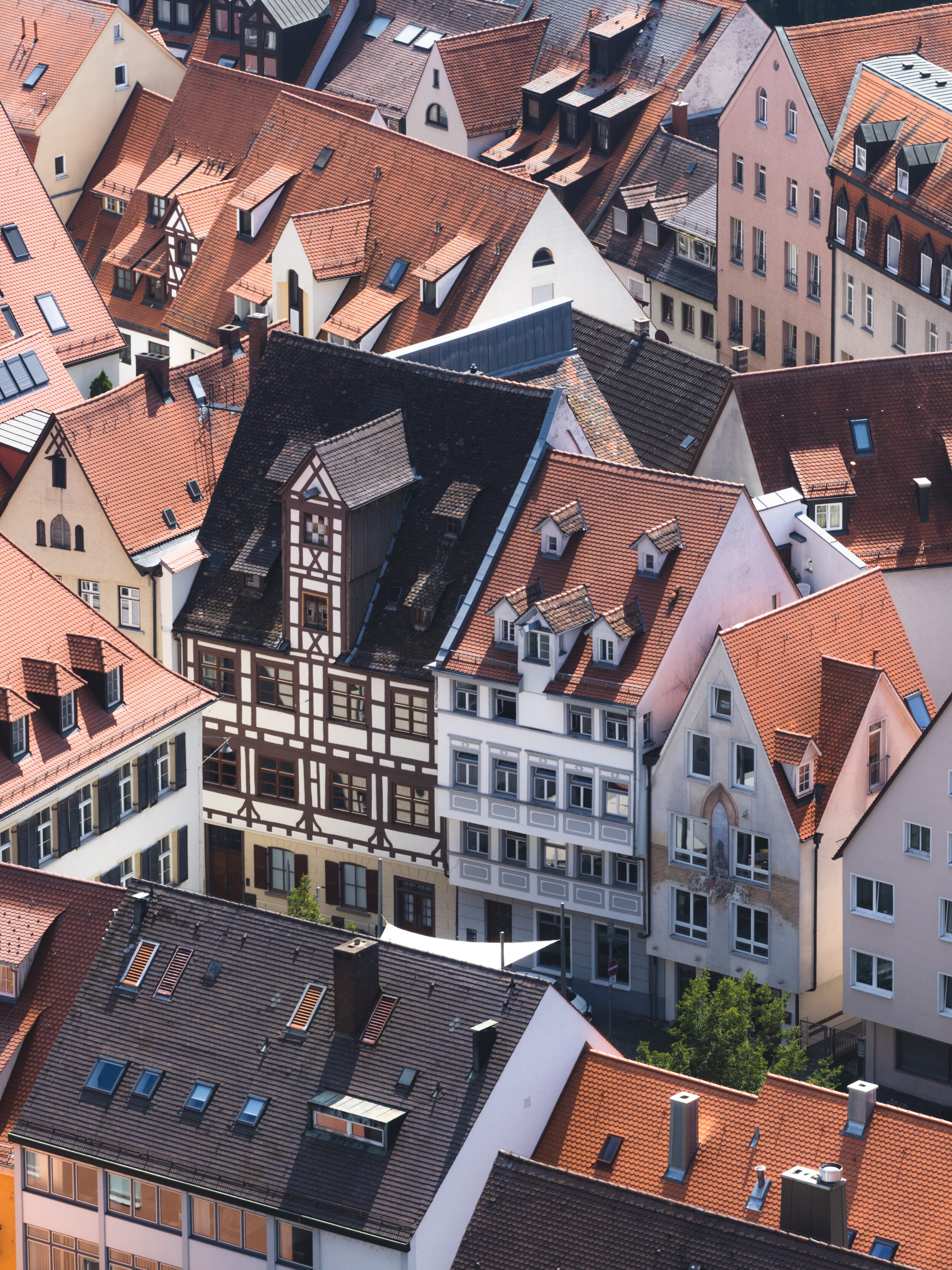
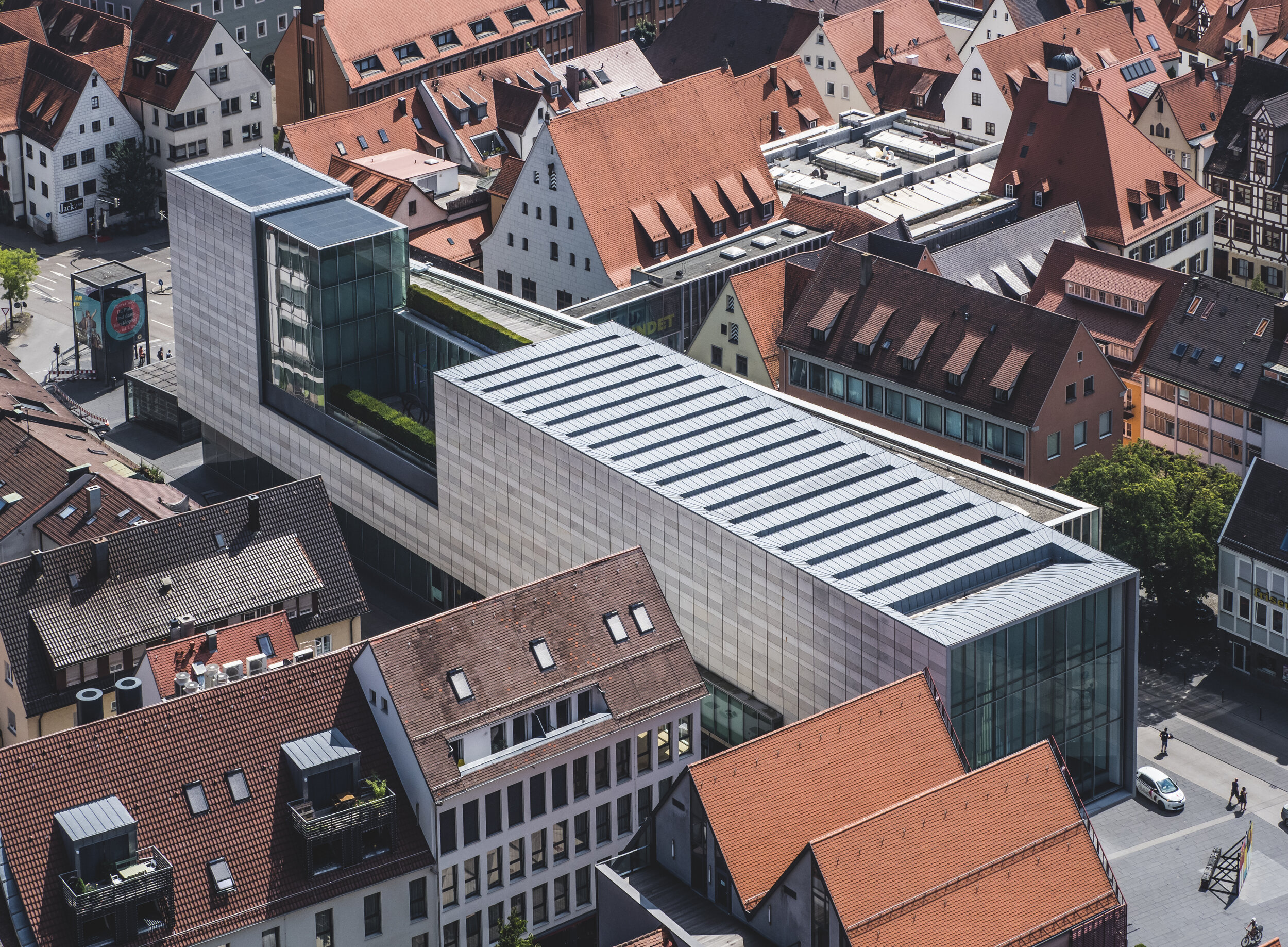
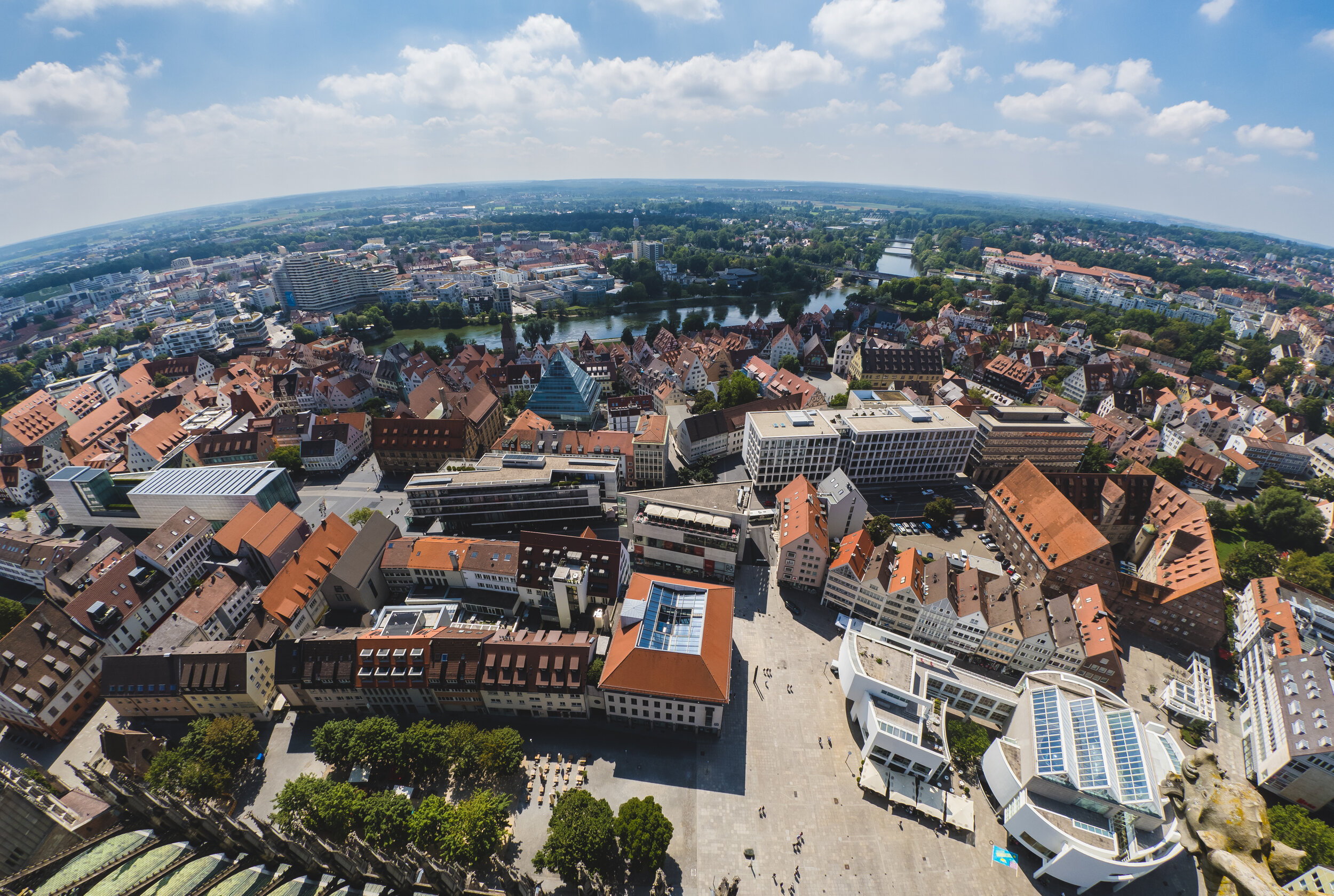
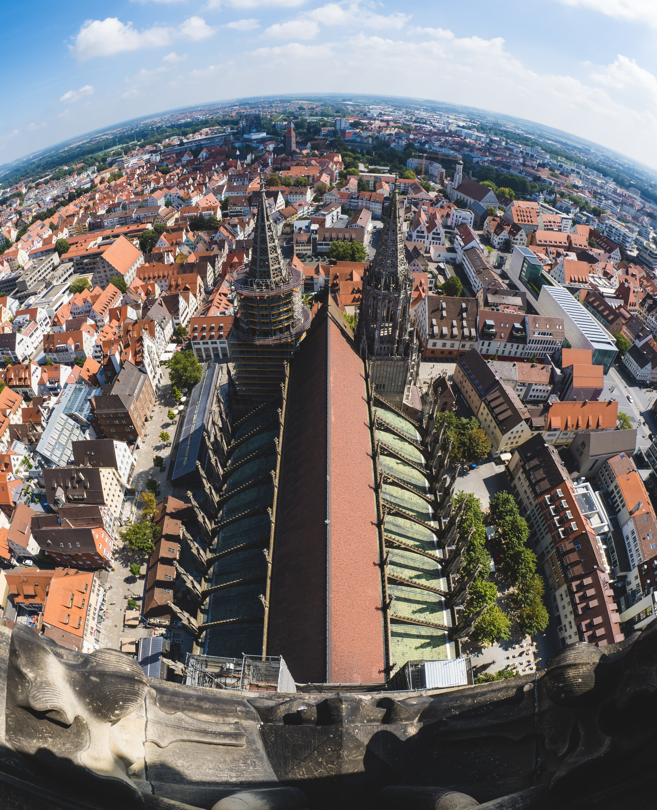
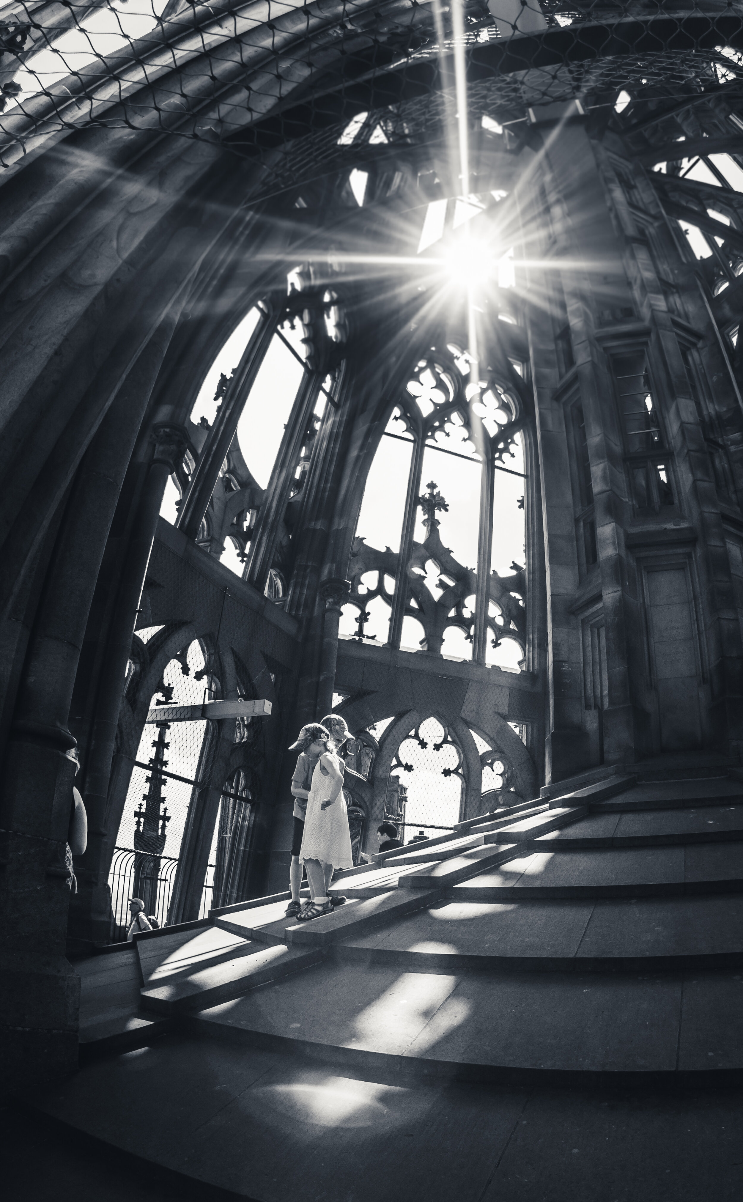
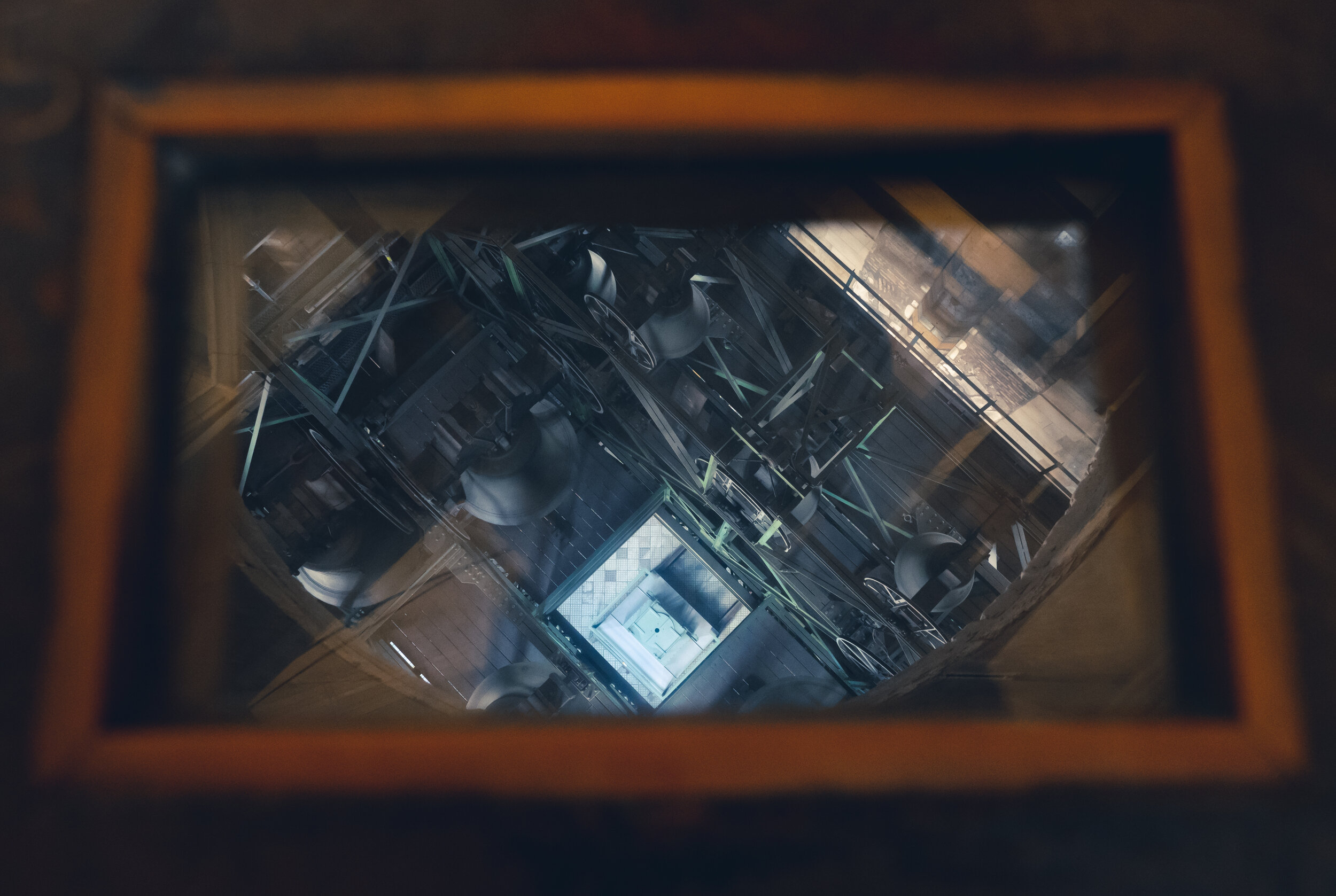
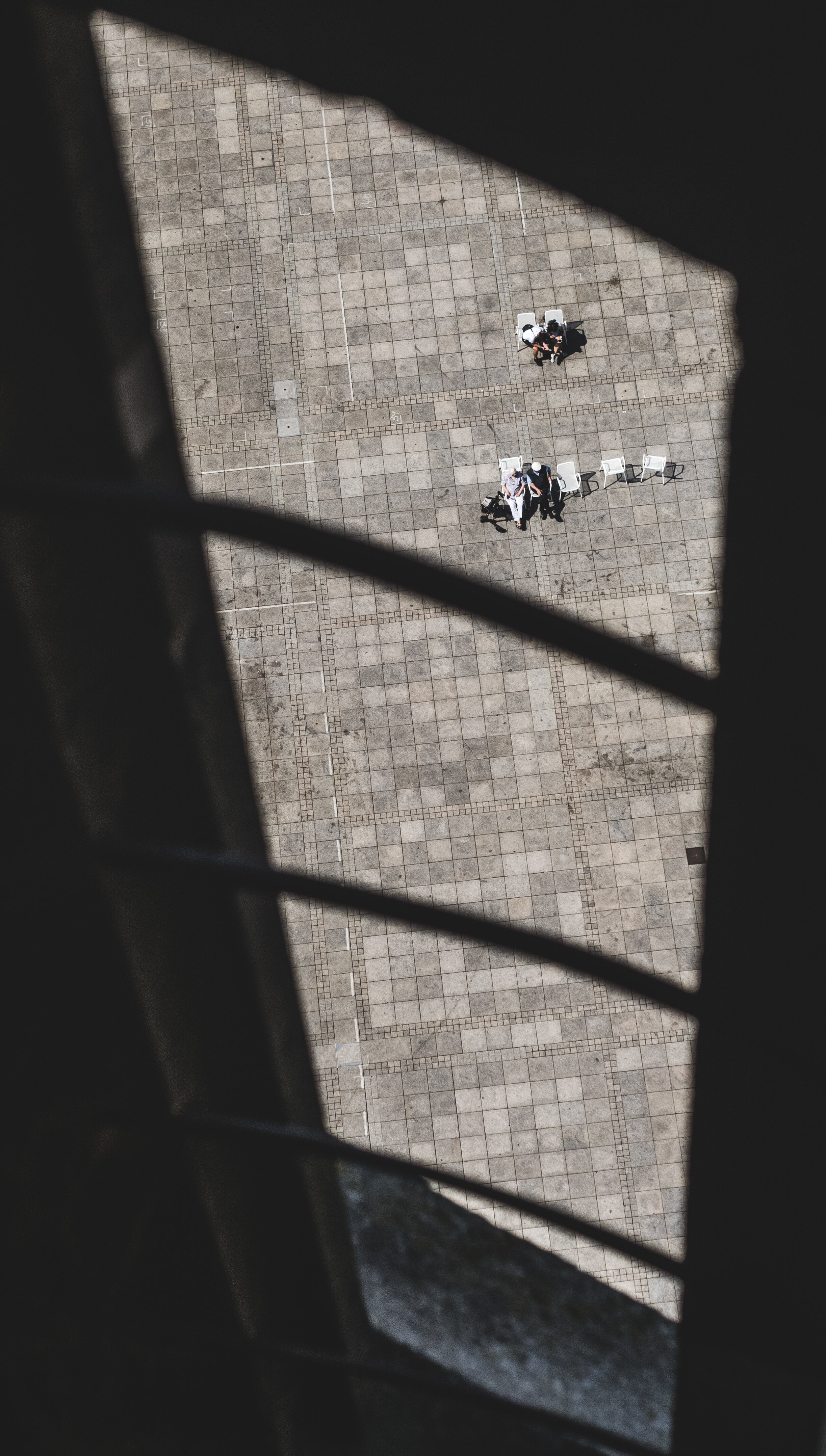
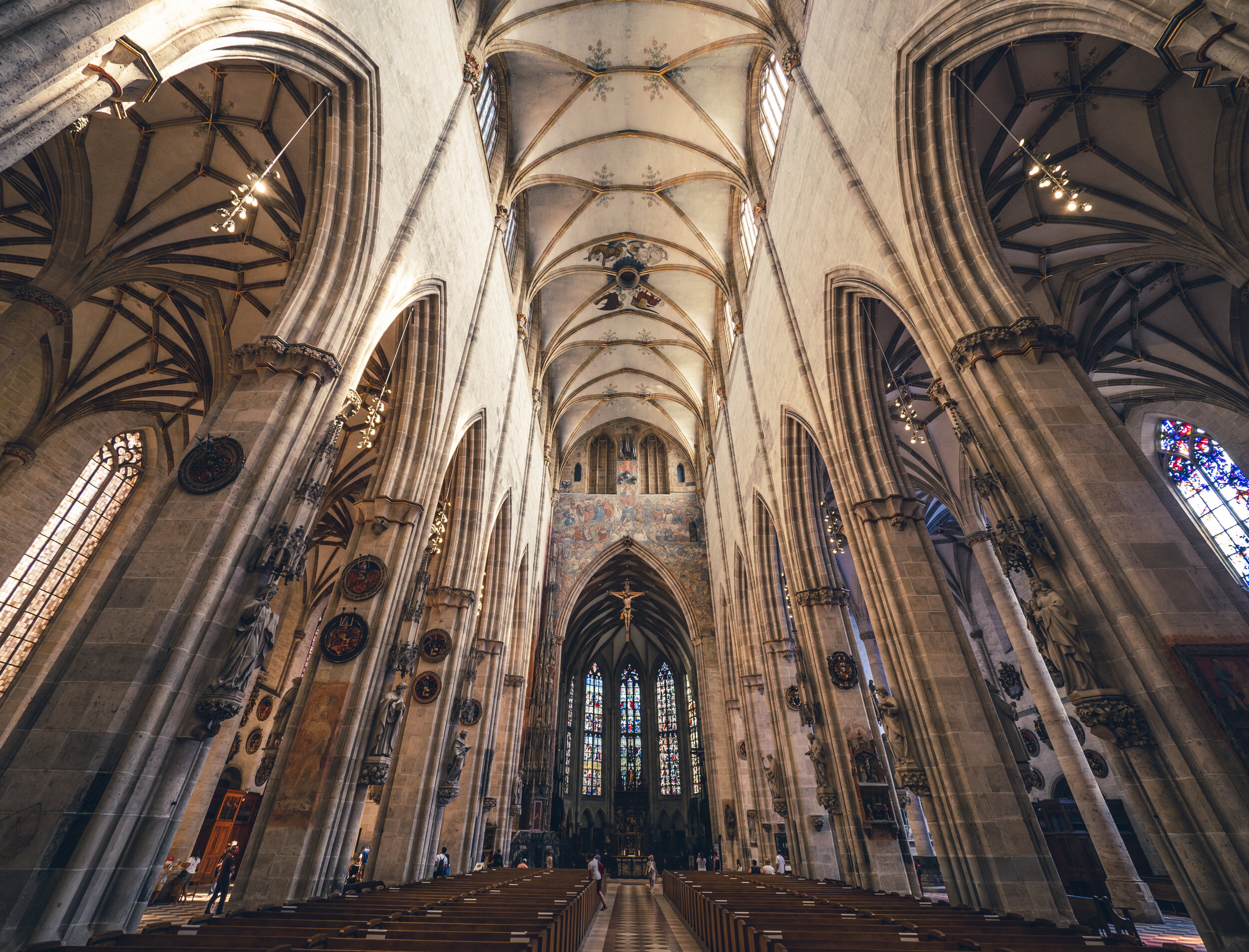
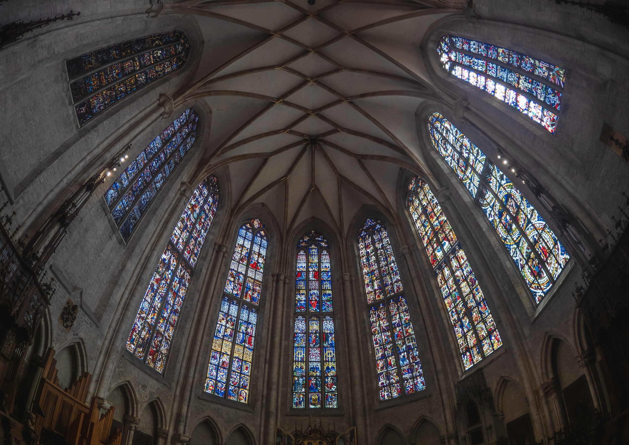
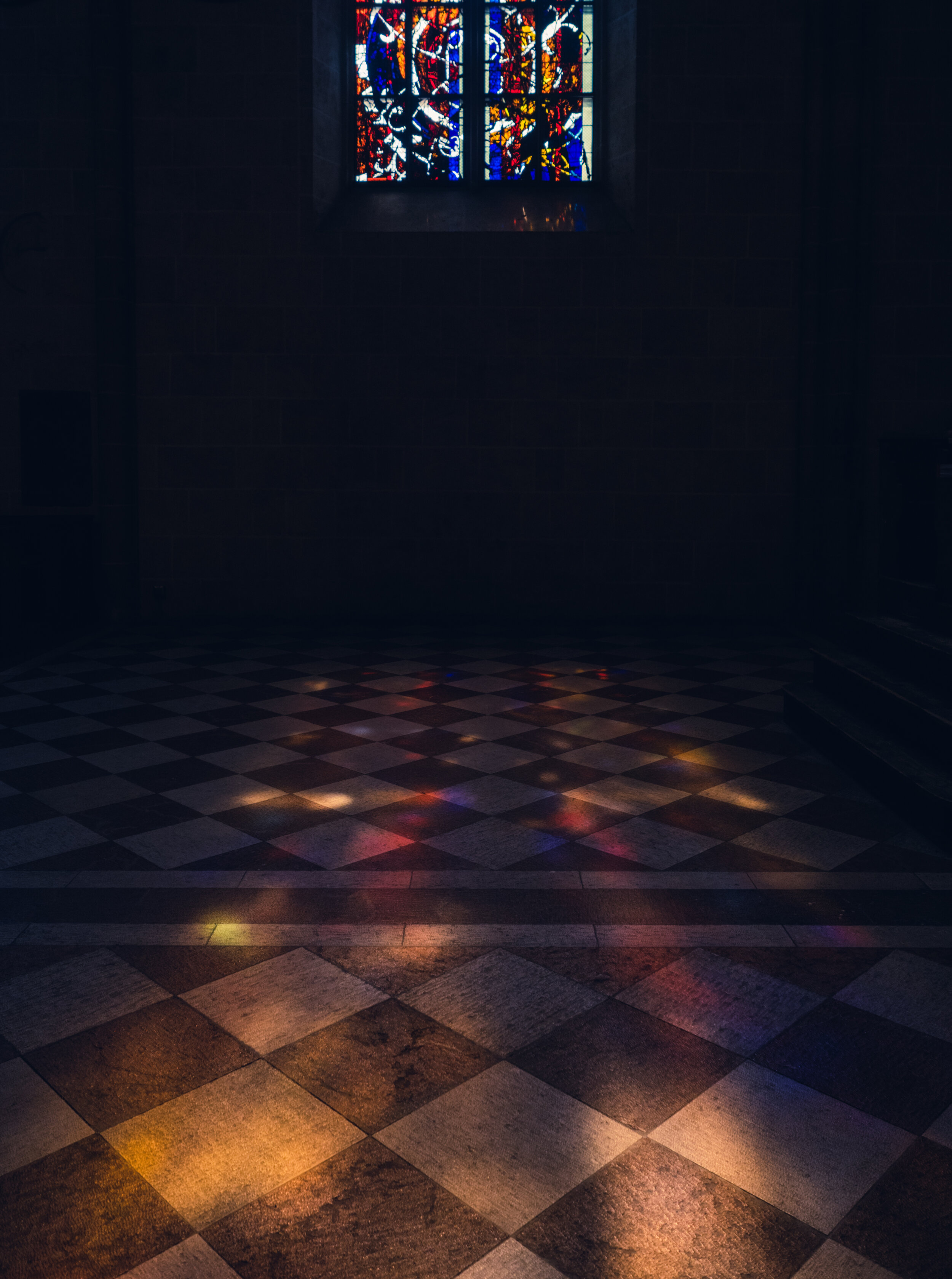
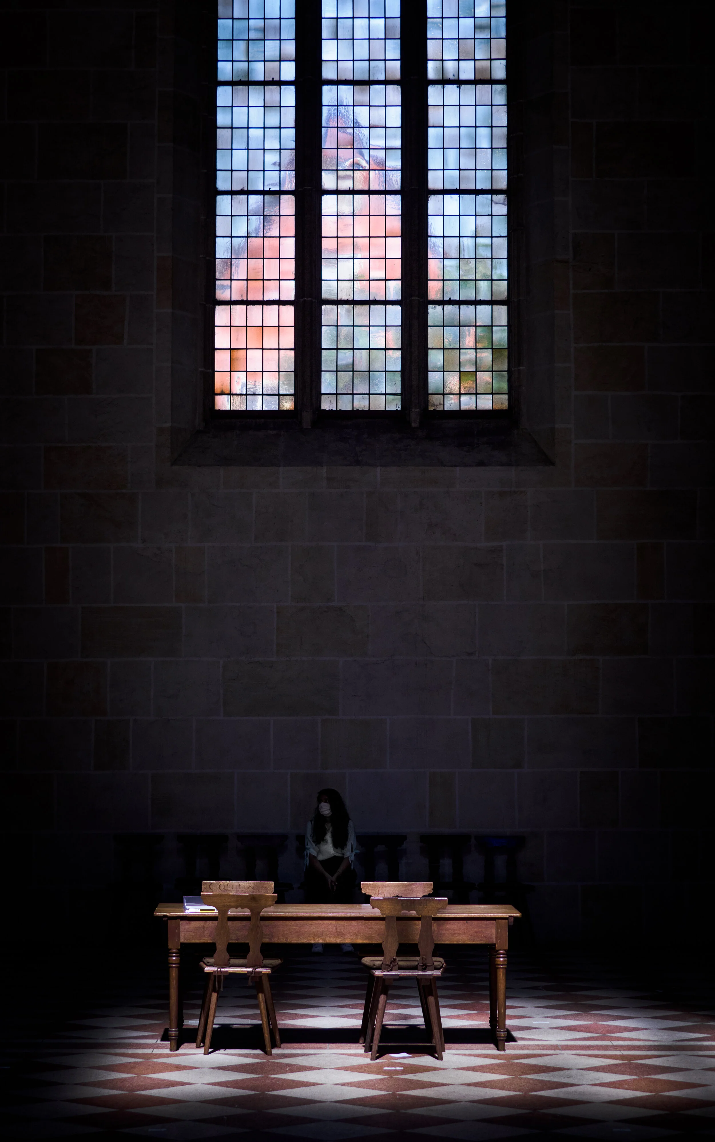
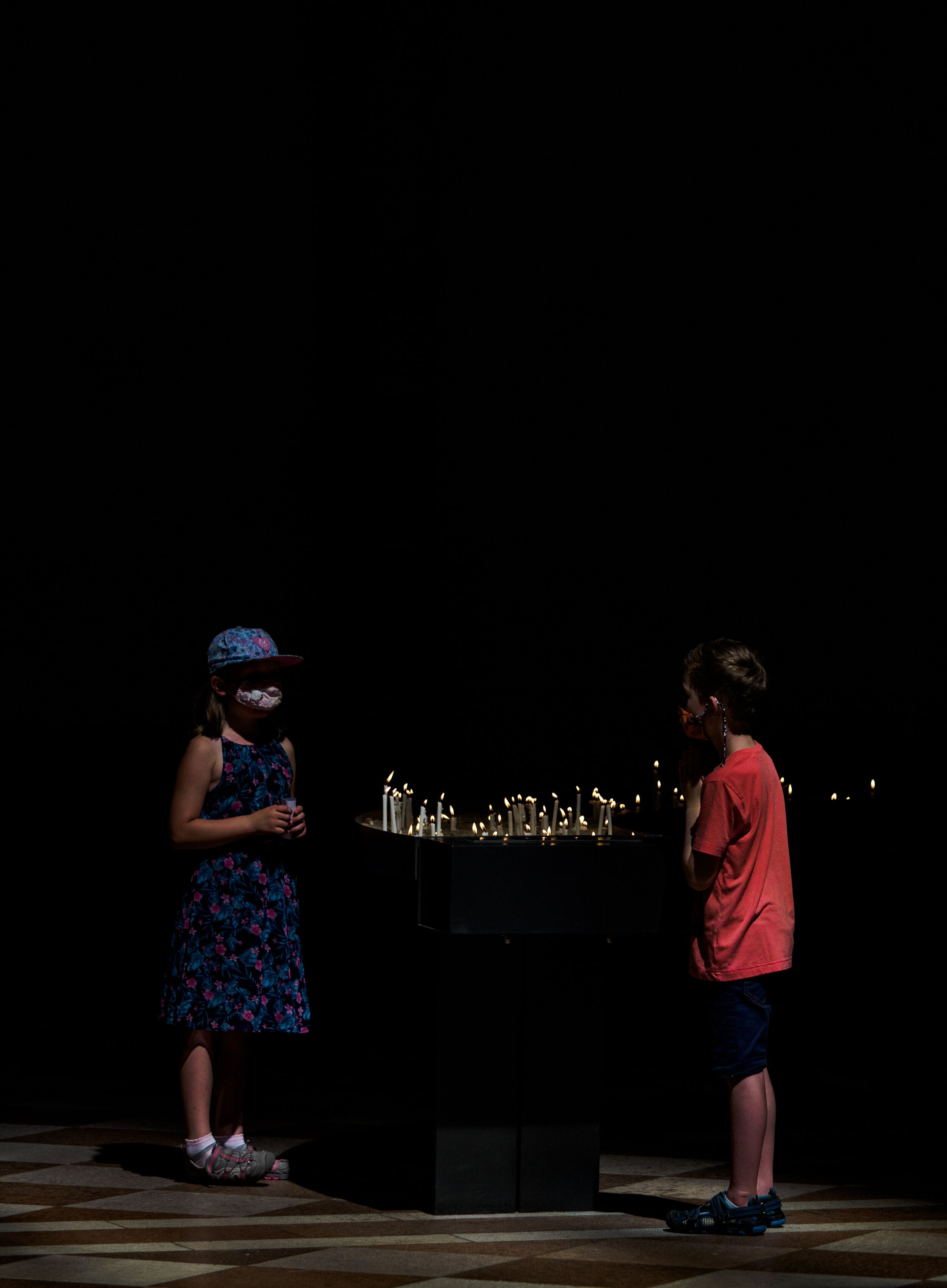
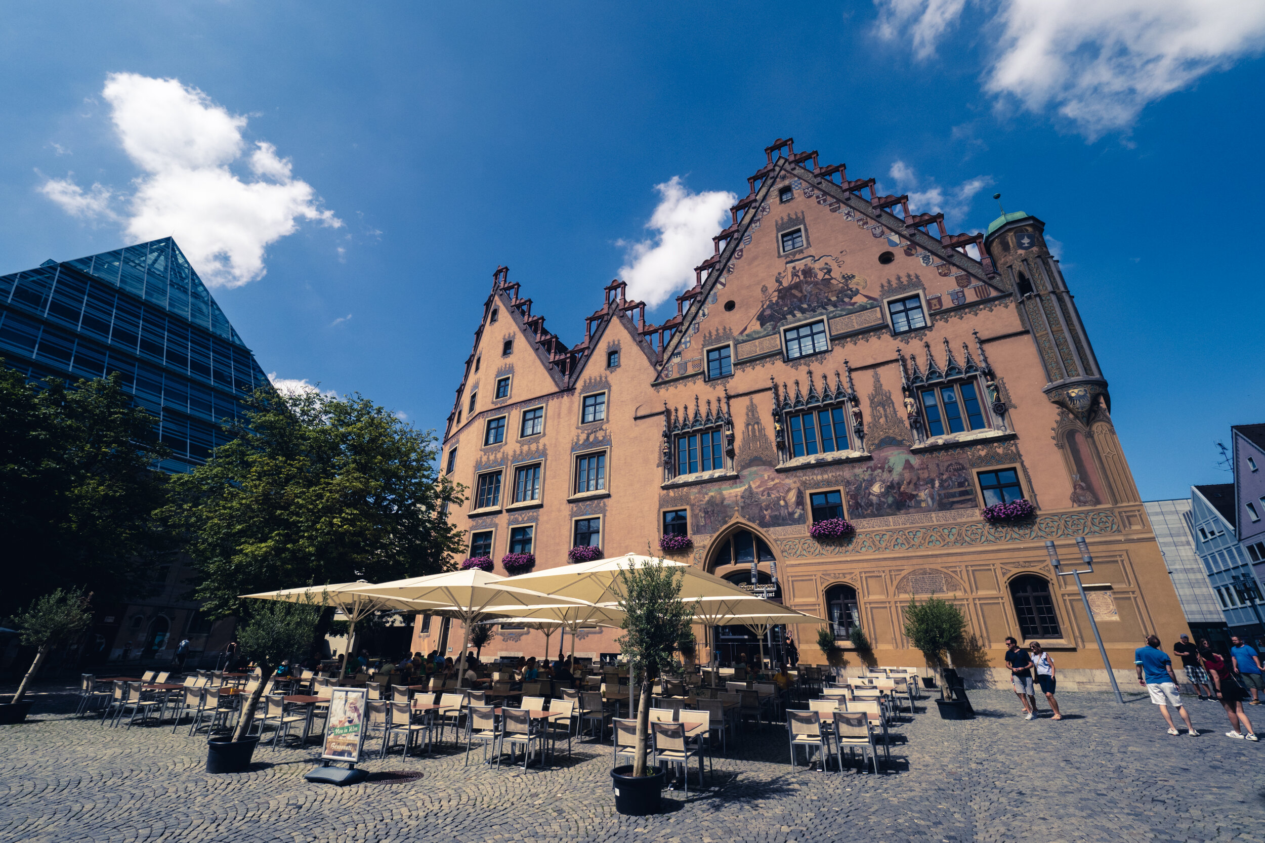
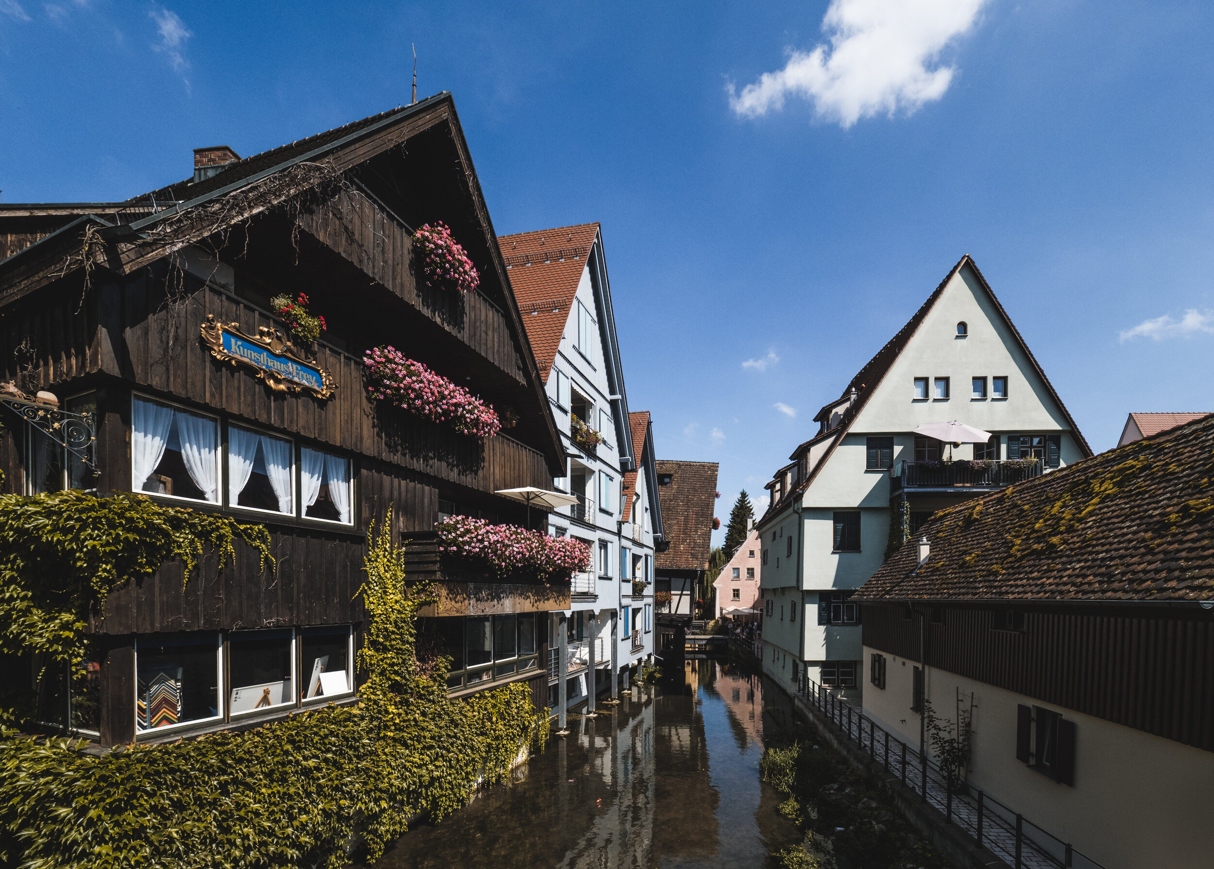
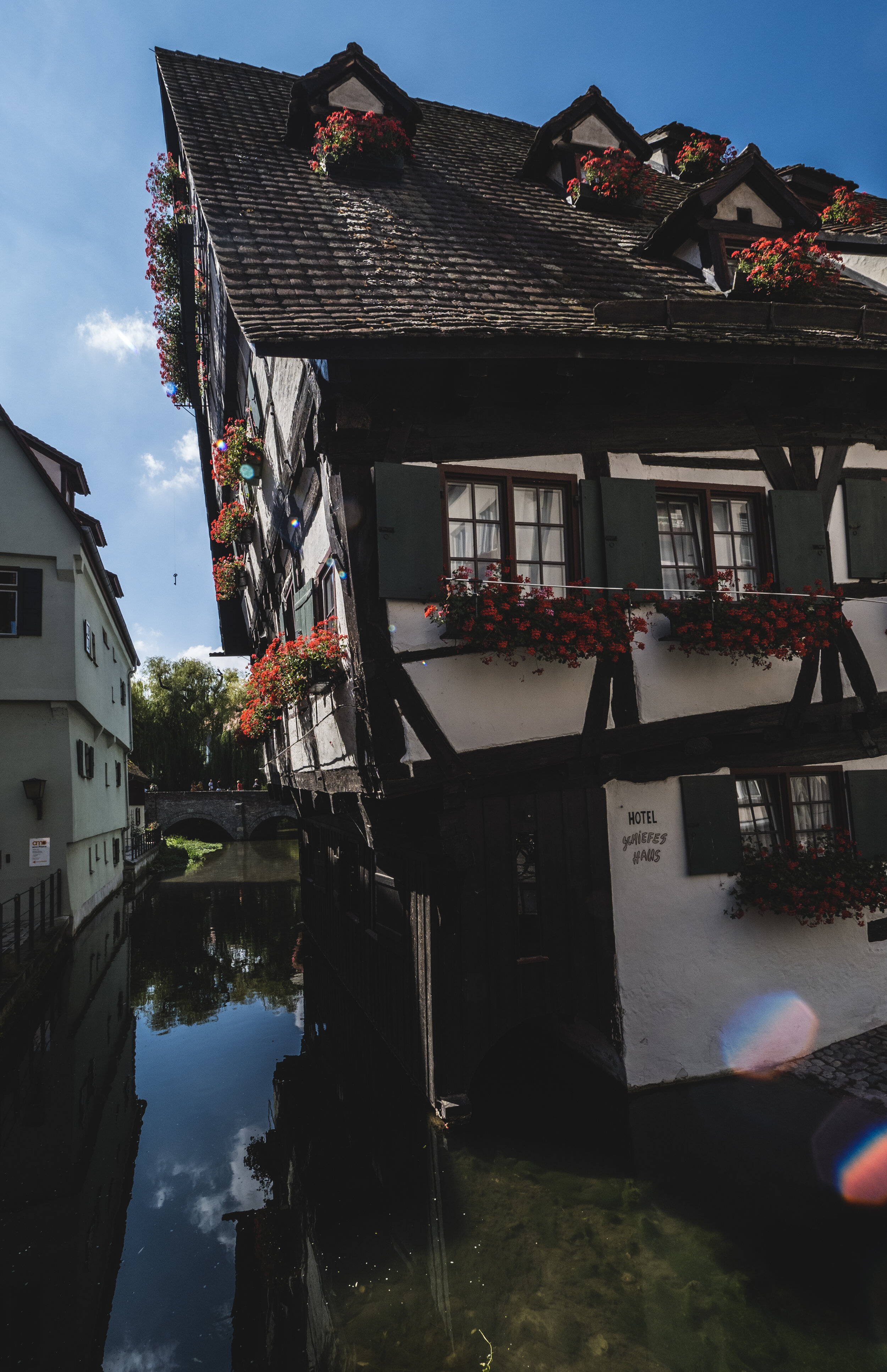
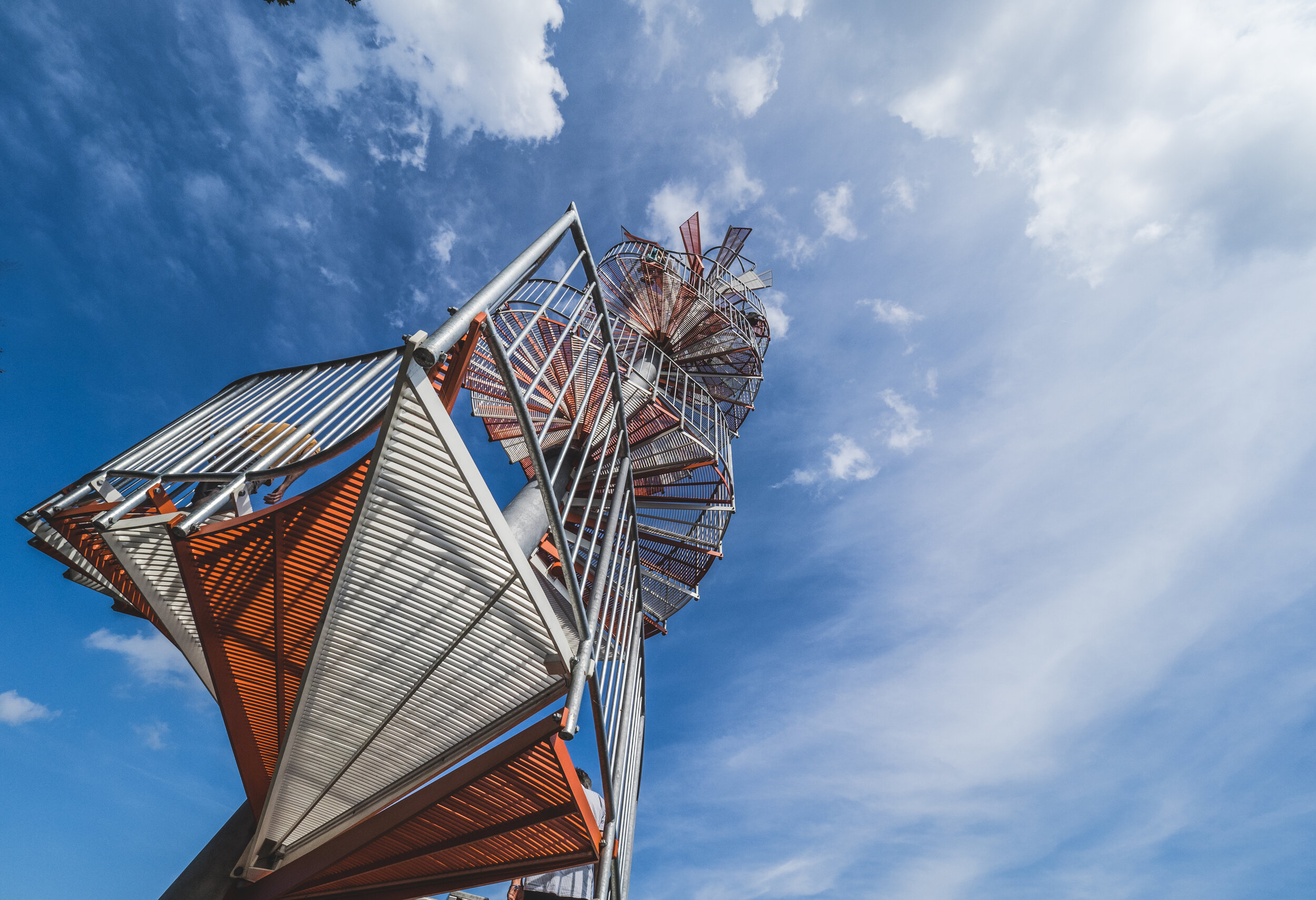
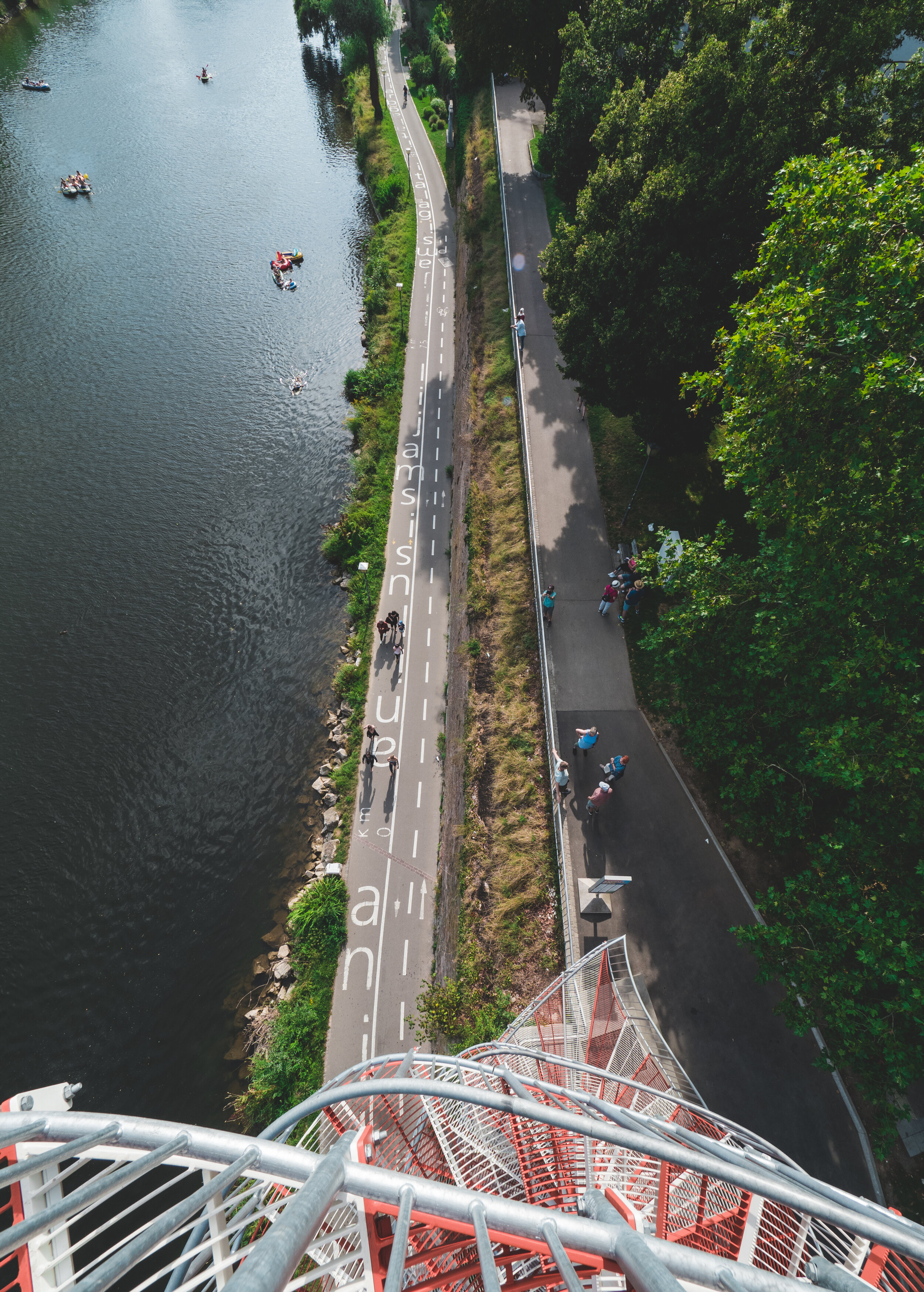
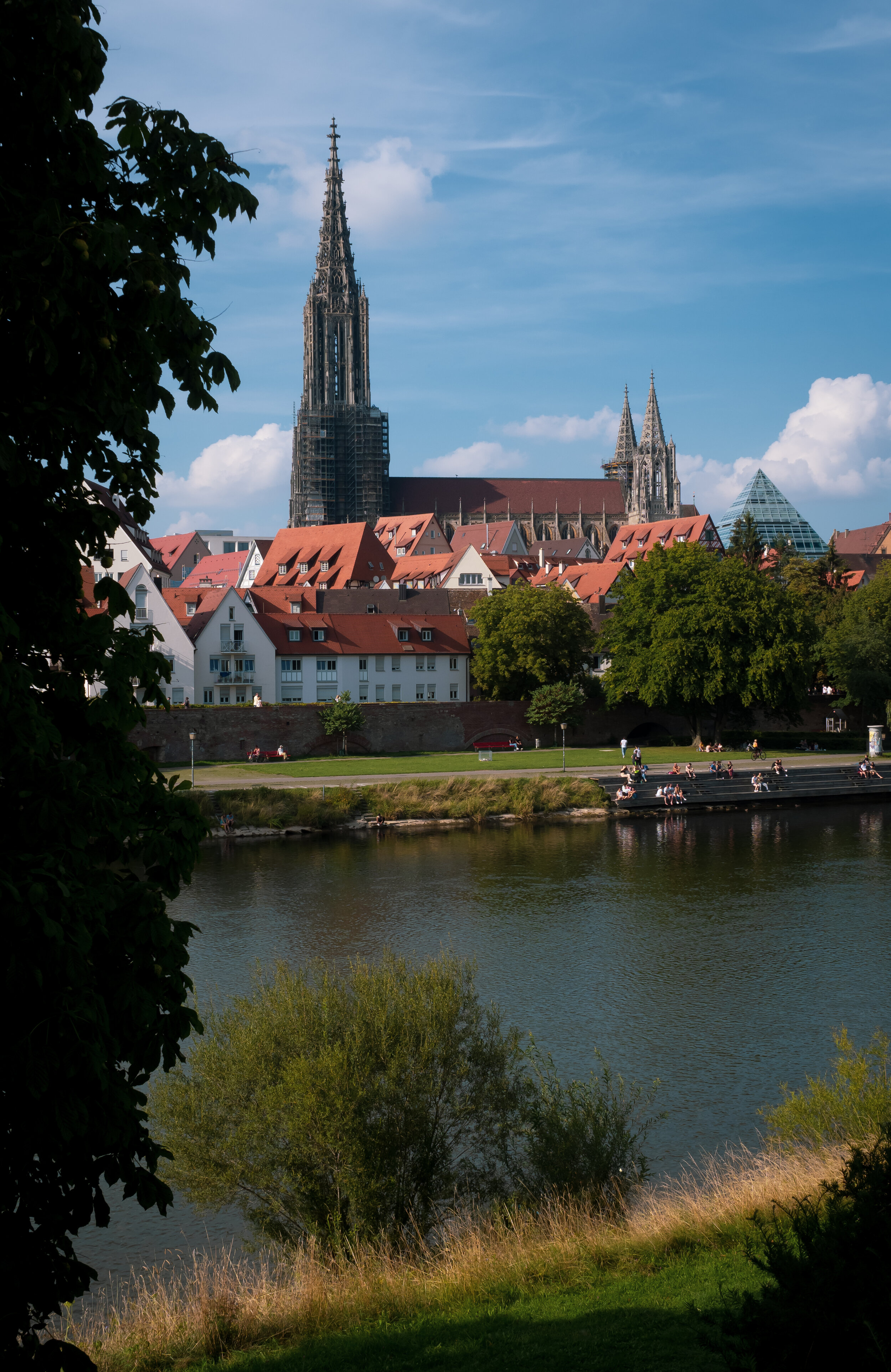
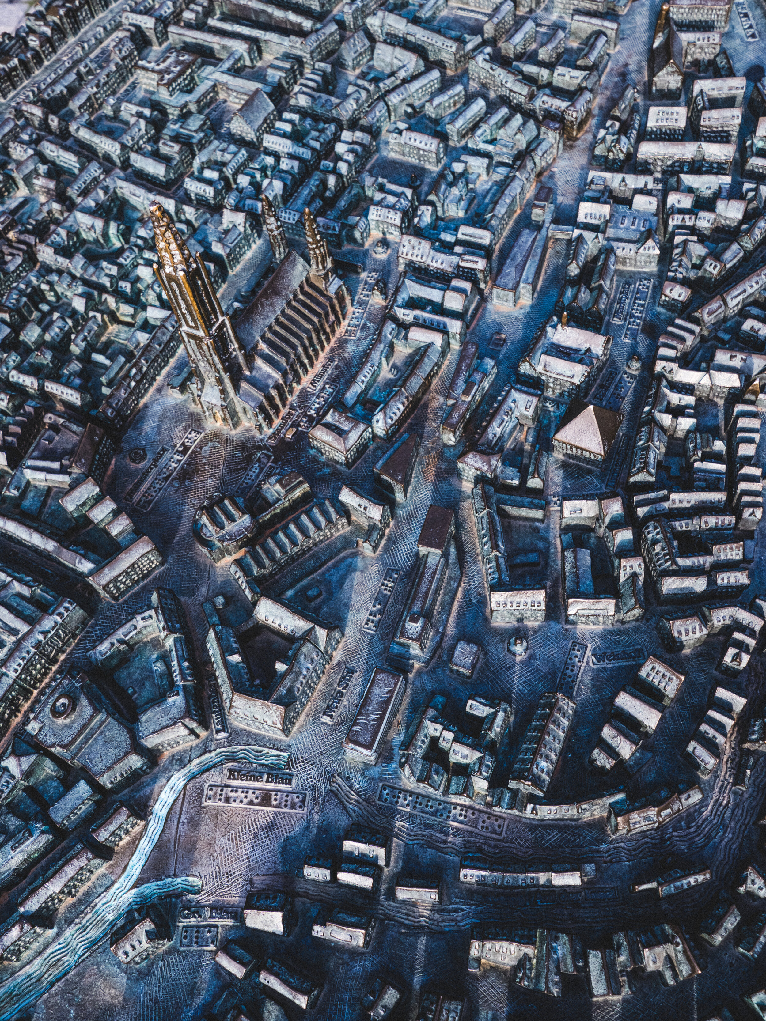
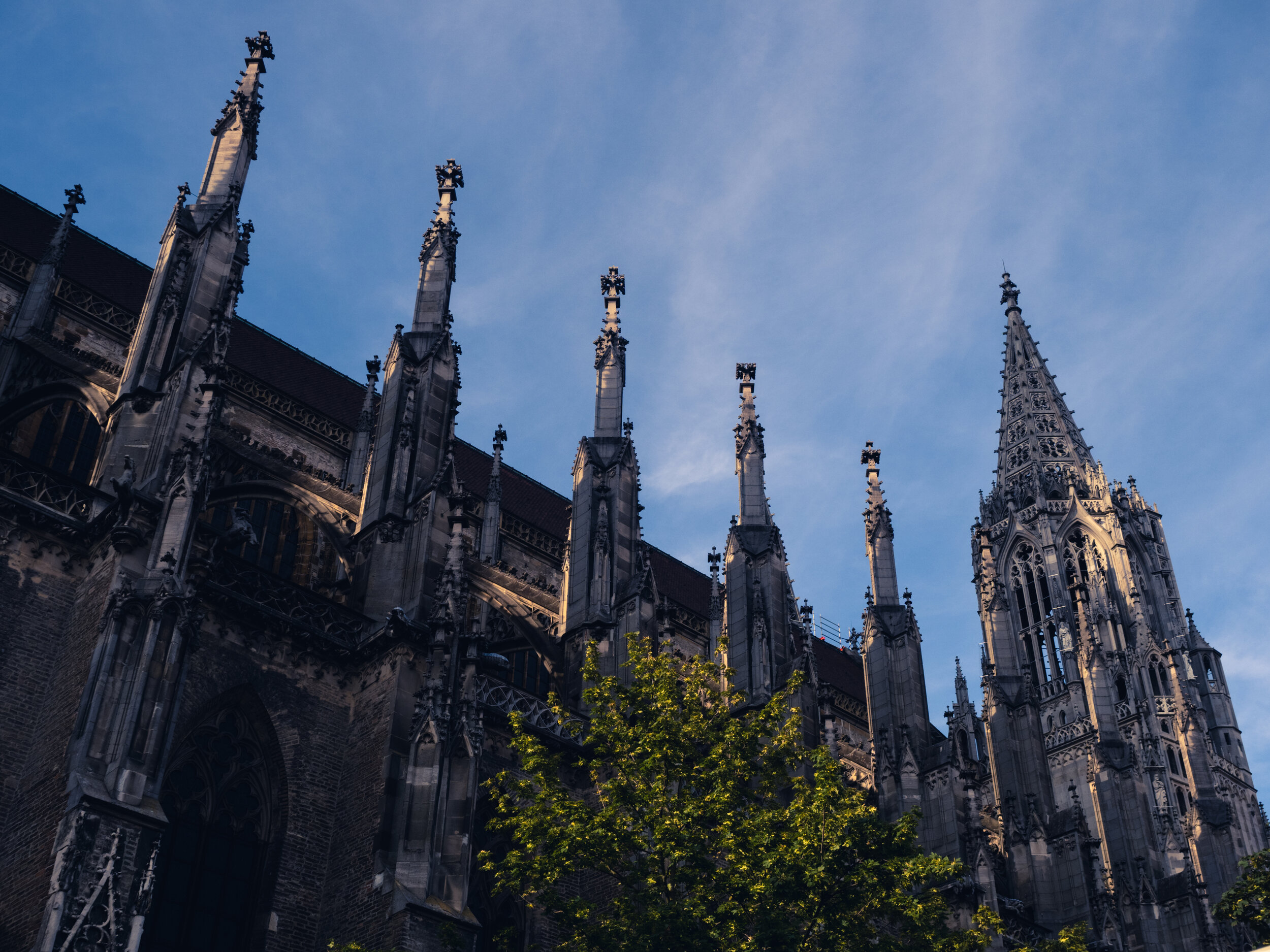
A Day in Ulm and 768 Steps
Escaping the Dubai summer heat to Germany means there are opportunities to explore my home country, which firstly I didn’t do enough, and secondly is very underrated compared to many of its European neighbors.

Escaping the Dubai summer heat to Germany means there are opportunities to explore my home country, which firstly I didn’t do enough, and secondly is very underrated compared to many of its European neighbors. I’m undoubtedly biased, but particularly the southern part of Germany is full of amazing places to explore. Ulm is one of these places, and its landmark attraction, the tallest church in the world, makes it a must see. Combine that with the chance to meet old friends from Dubai, and it becomes a great day indeed.
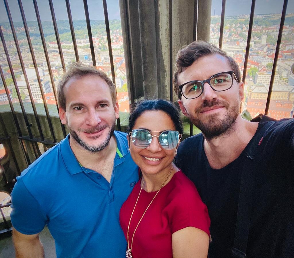
Two Germans, and Simon ;)


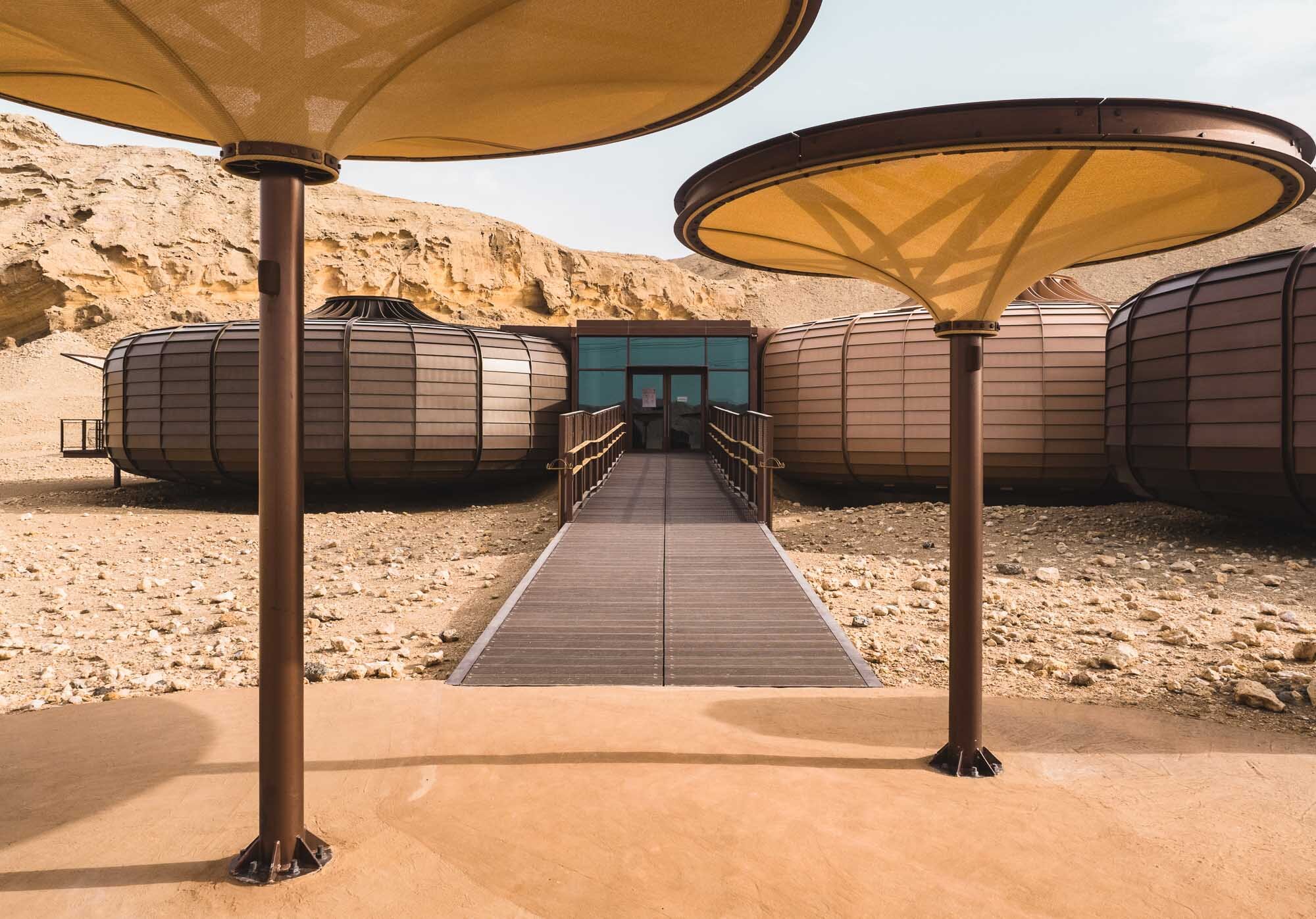
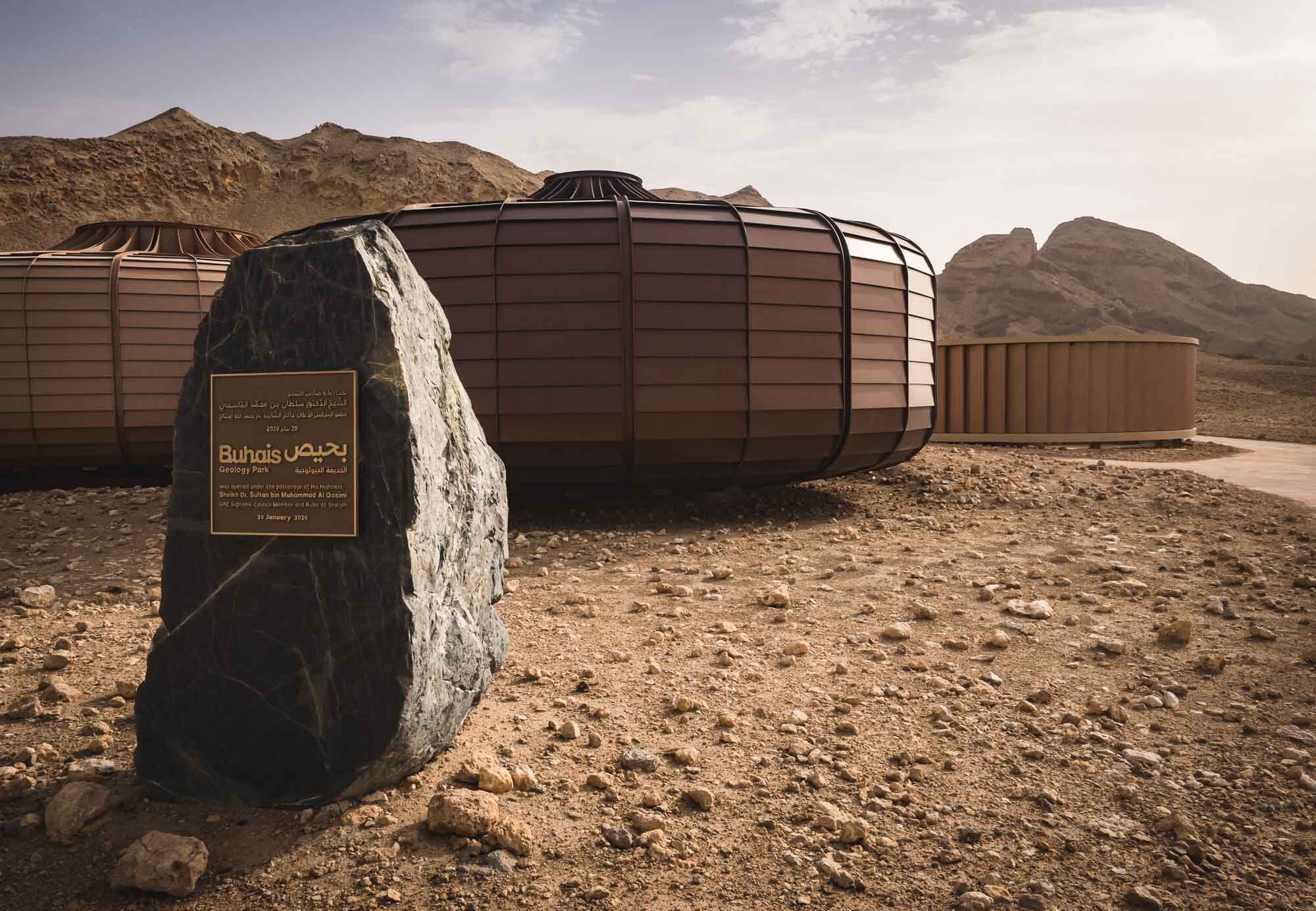
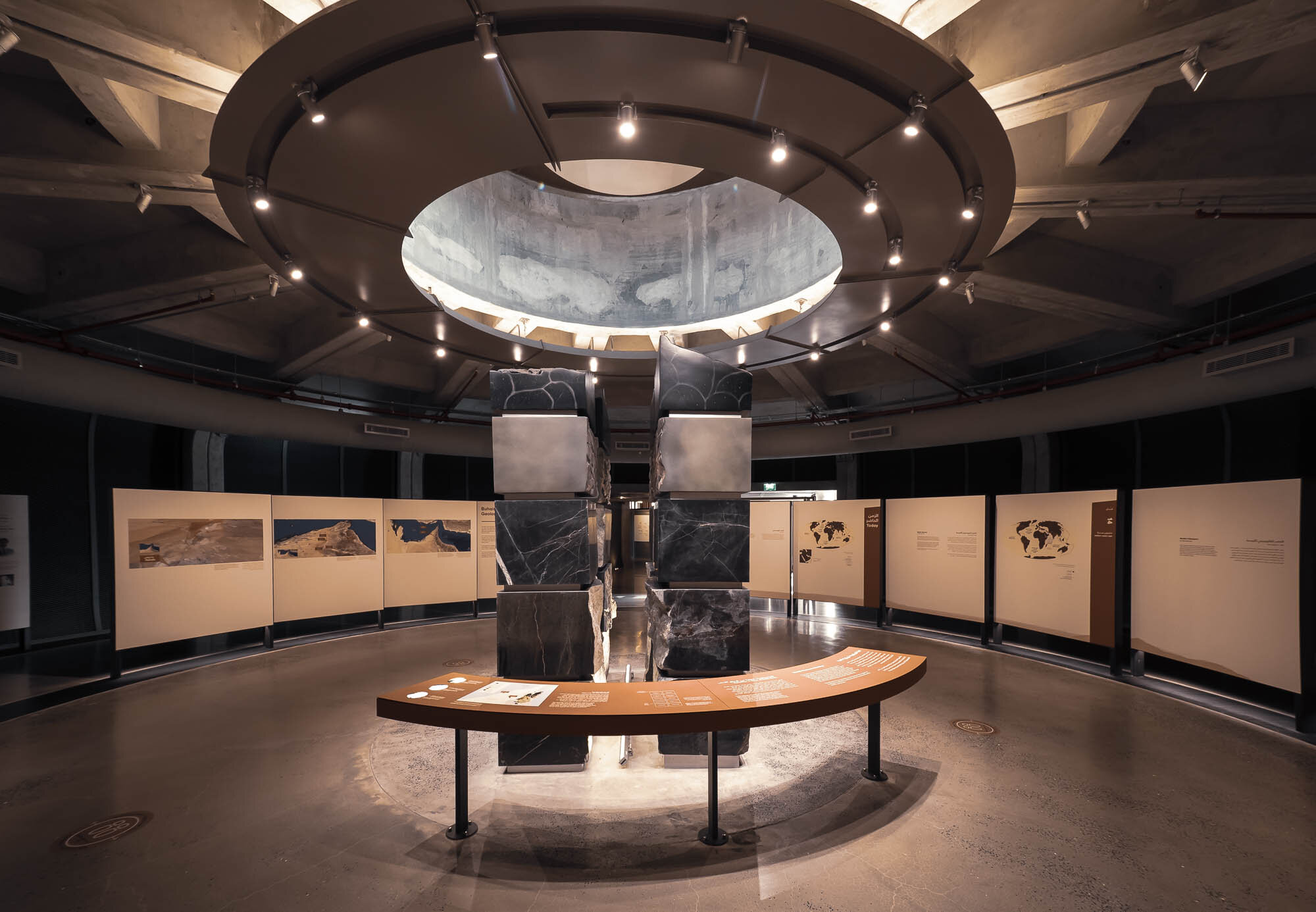
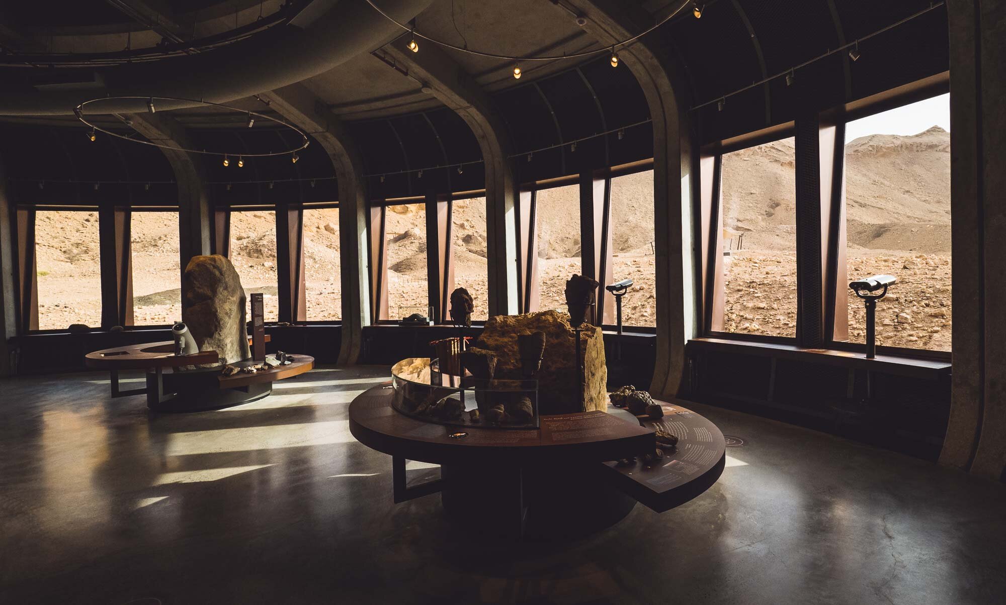
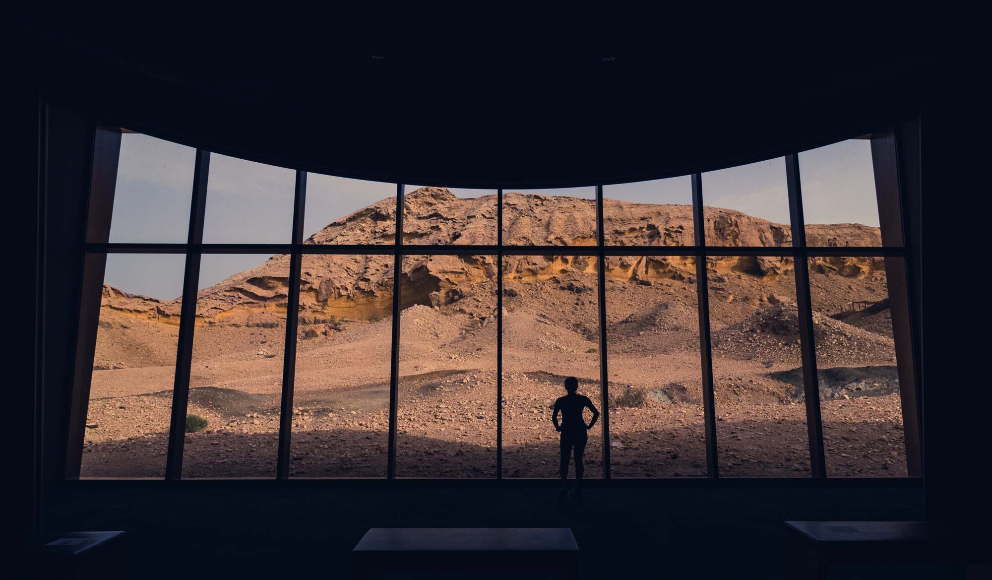
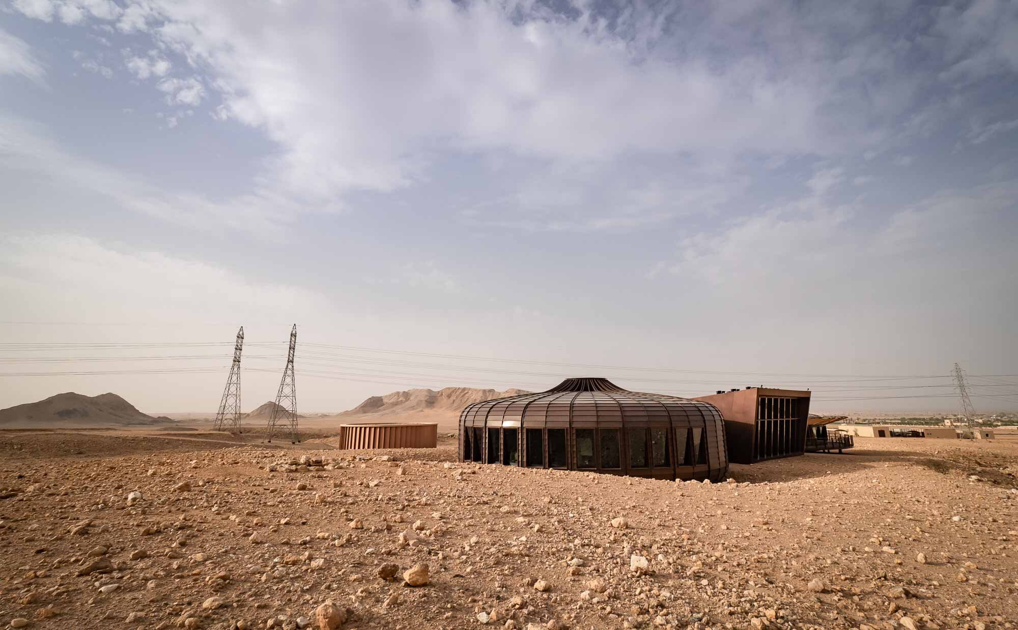
Buhais Geology Park in Sharjah, UAE
Sharjah is always in the shadows of its larger and flashier neighbouring emirates, yet it has made a name for itself for its historical, cultural and art related venues.

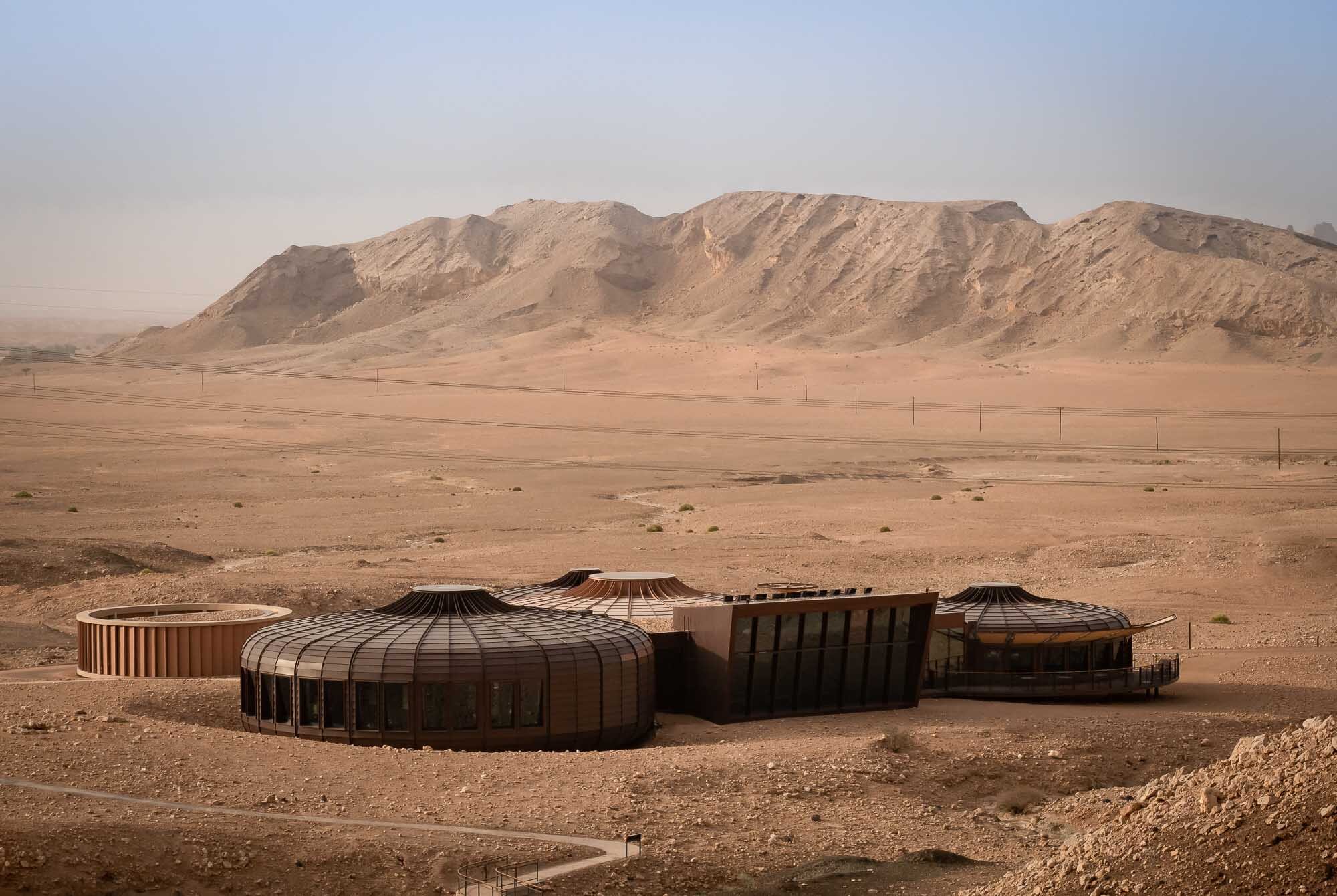
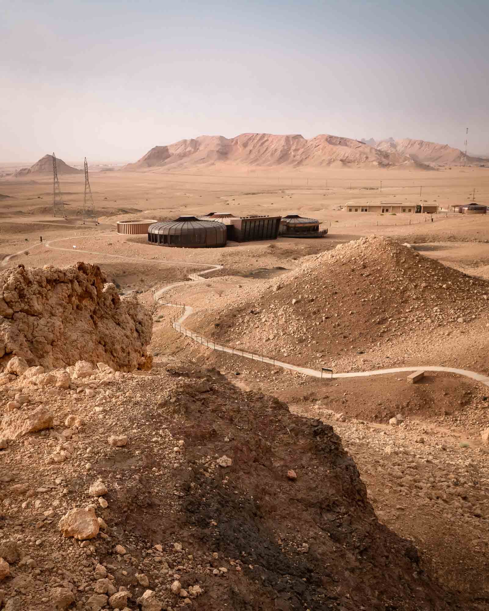
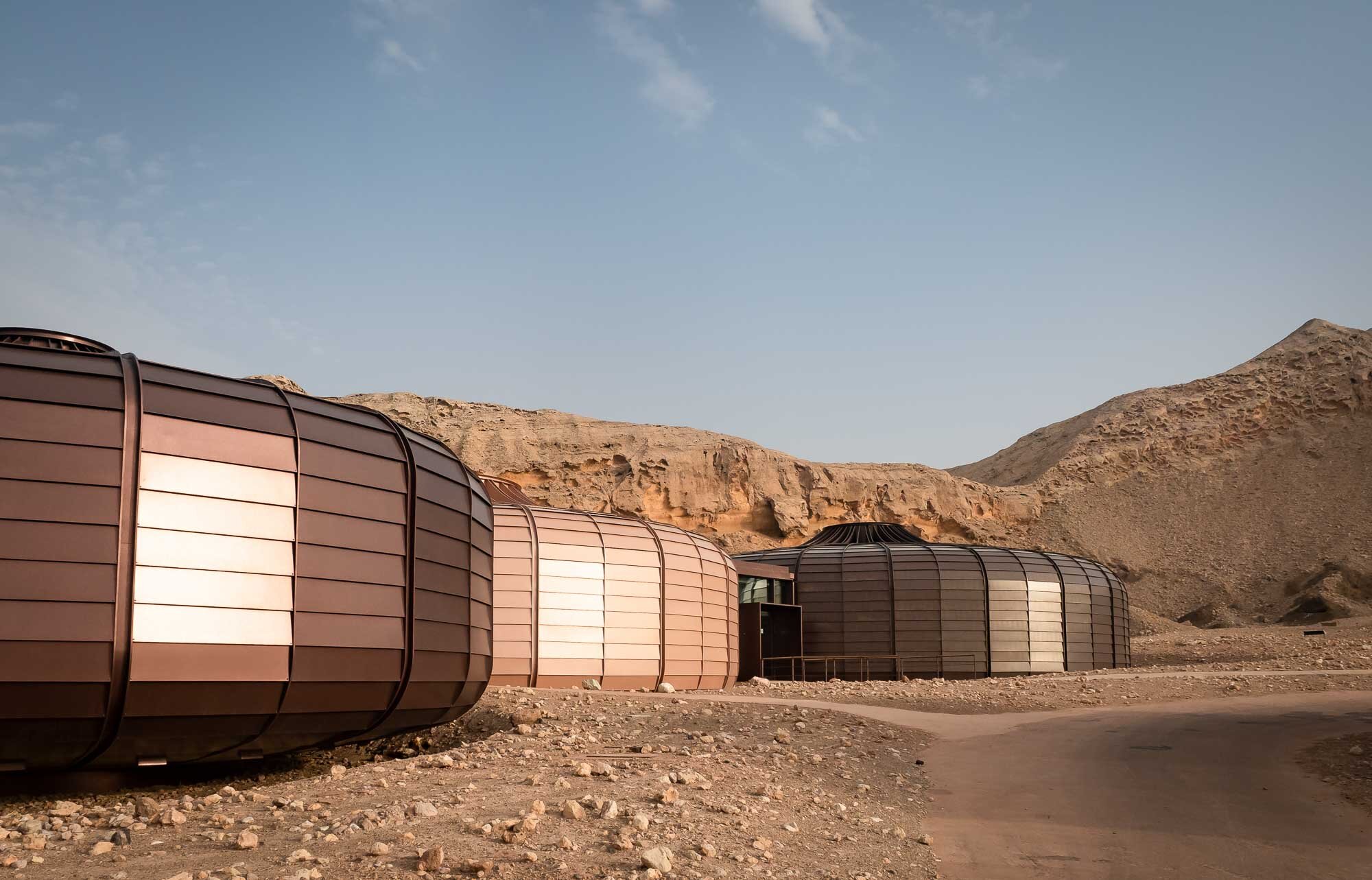
Sharjah is always in the shadows of its larger and flashier neighbouring emirates, yet it has made a name for itself for its historical, cultural and art related venues. A host of museums and destinations like the Mleiha archeology centre are always worth a trip. One of the latest additions to the emirate’s portfolio of somewhat more obscure but nevertheless amazing list of activities is the Buhais Geology Park near the mountain range of the same name, just before the desert slowly gives way to the Hajar mounts. While the architecture of the building embedded into the former seabed - designed by Hopkins Architects - is worth a visit, the exhibits and explanation of the unique geological history of the region make it all the more interesting.


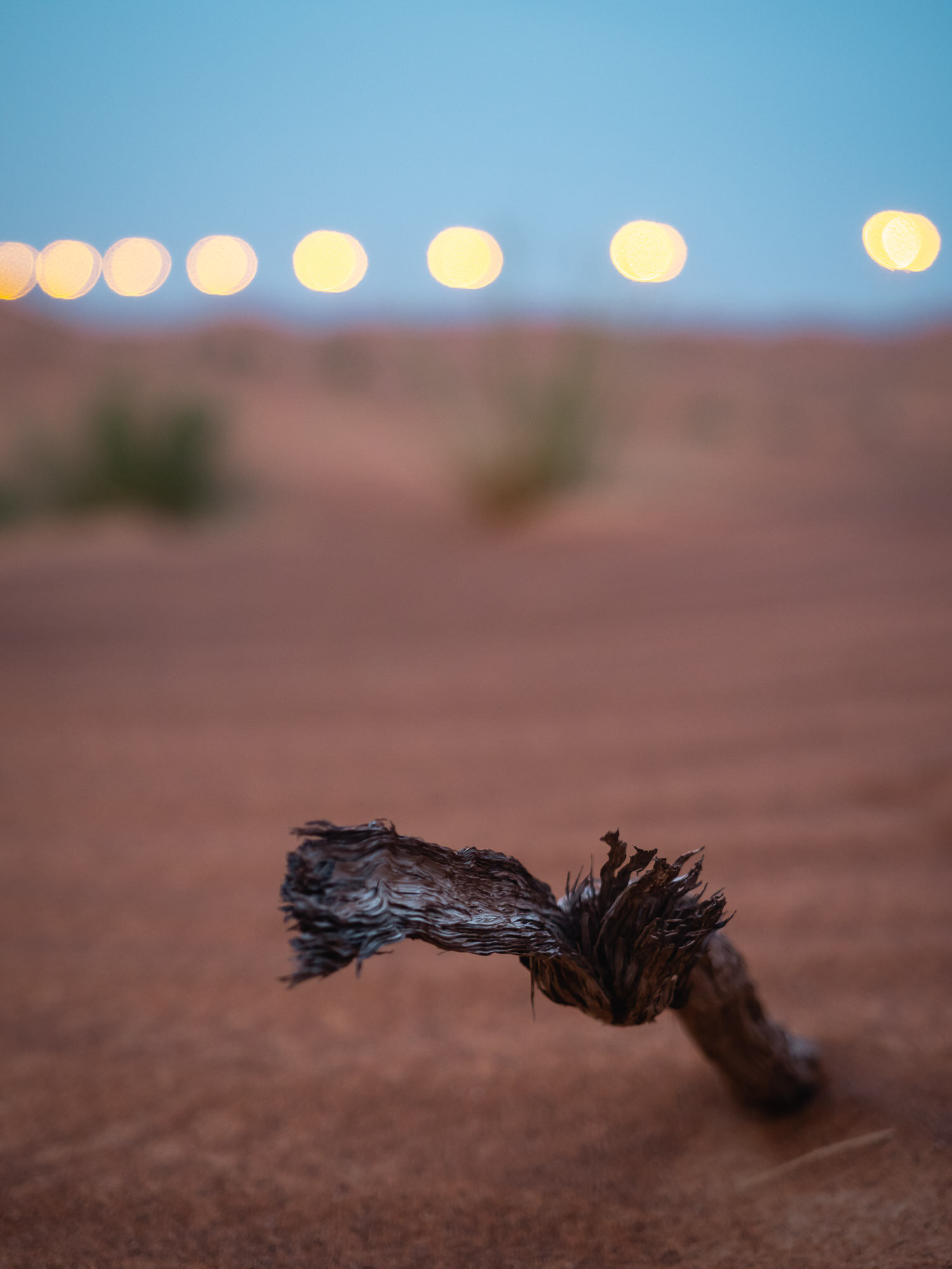

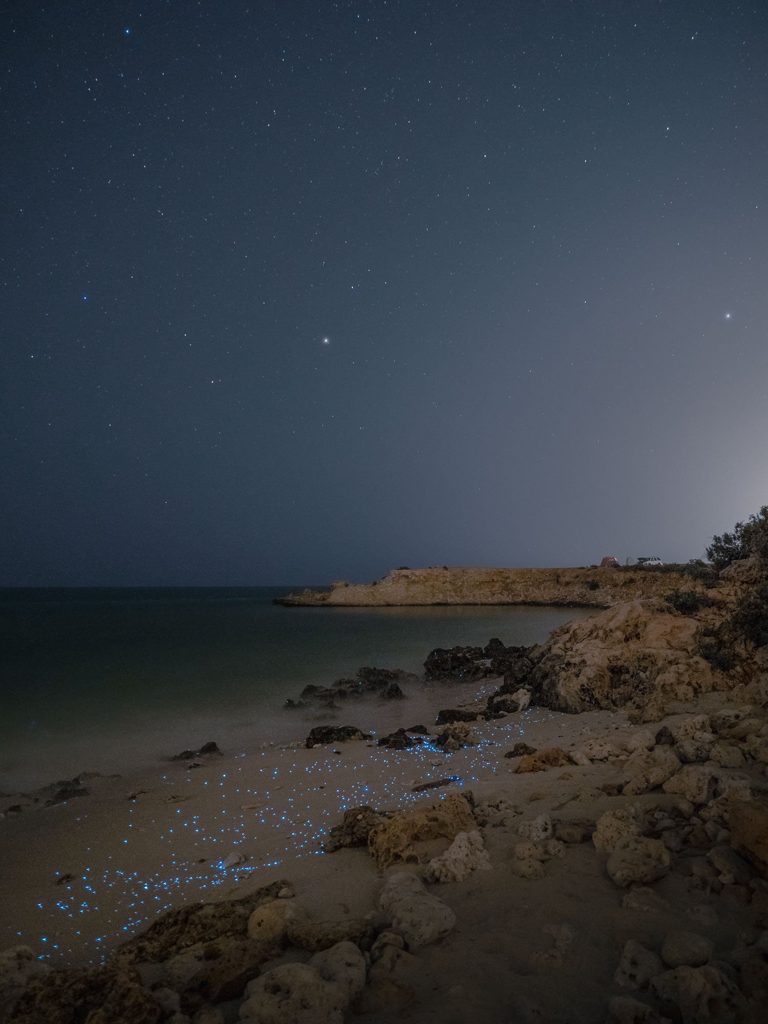
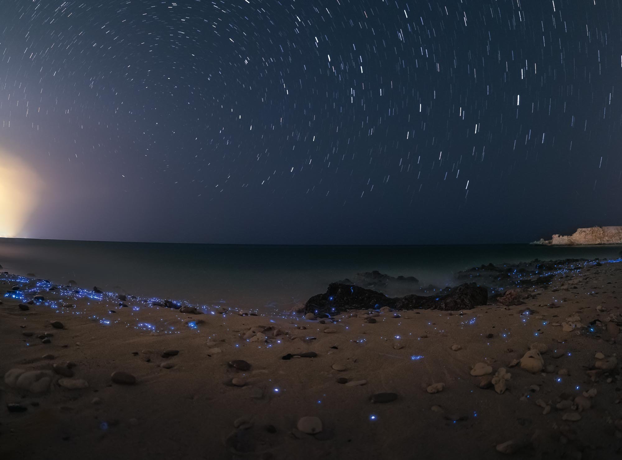
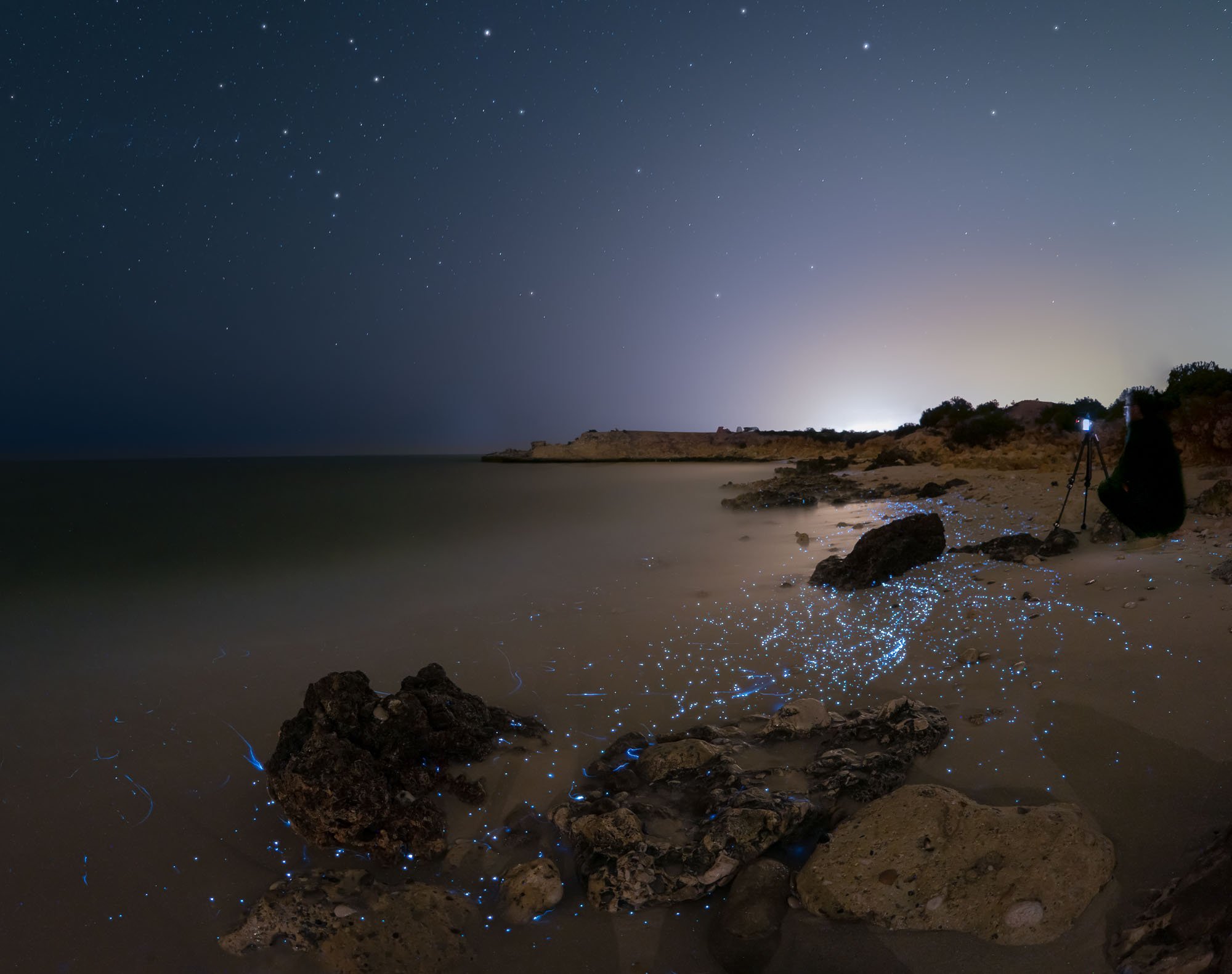
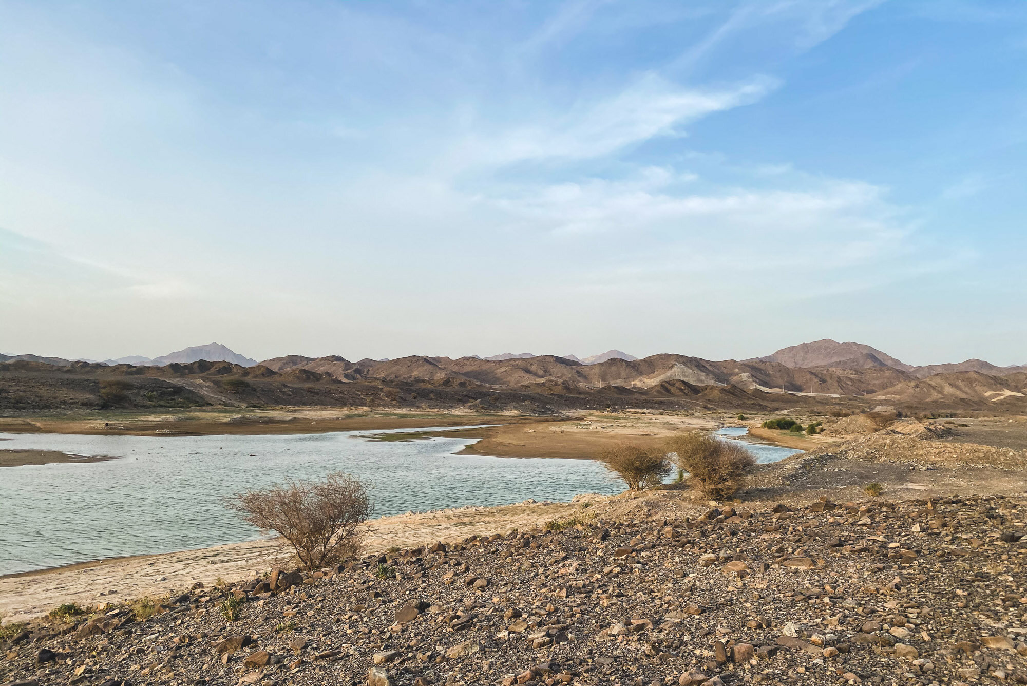
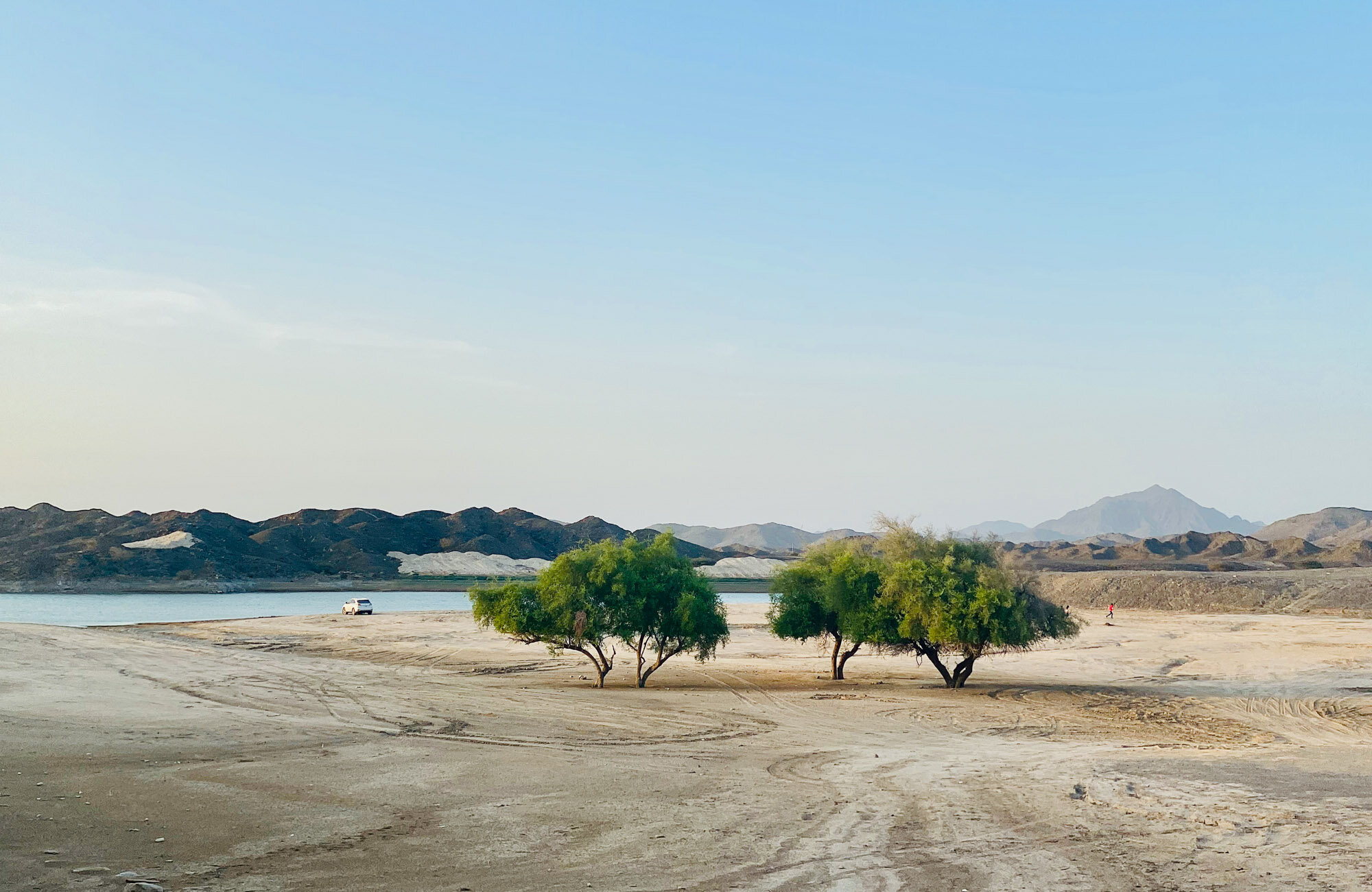
Summer Nights at Buraq Dam, UAE
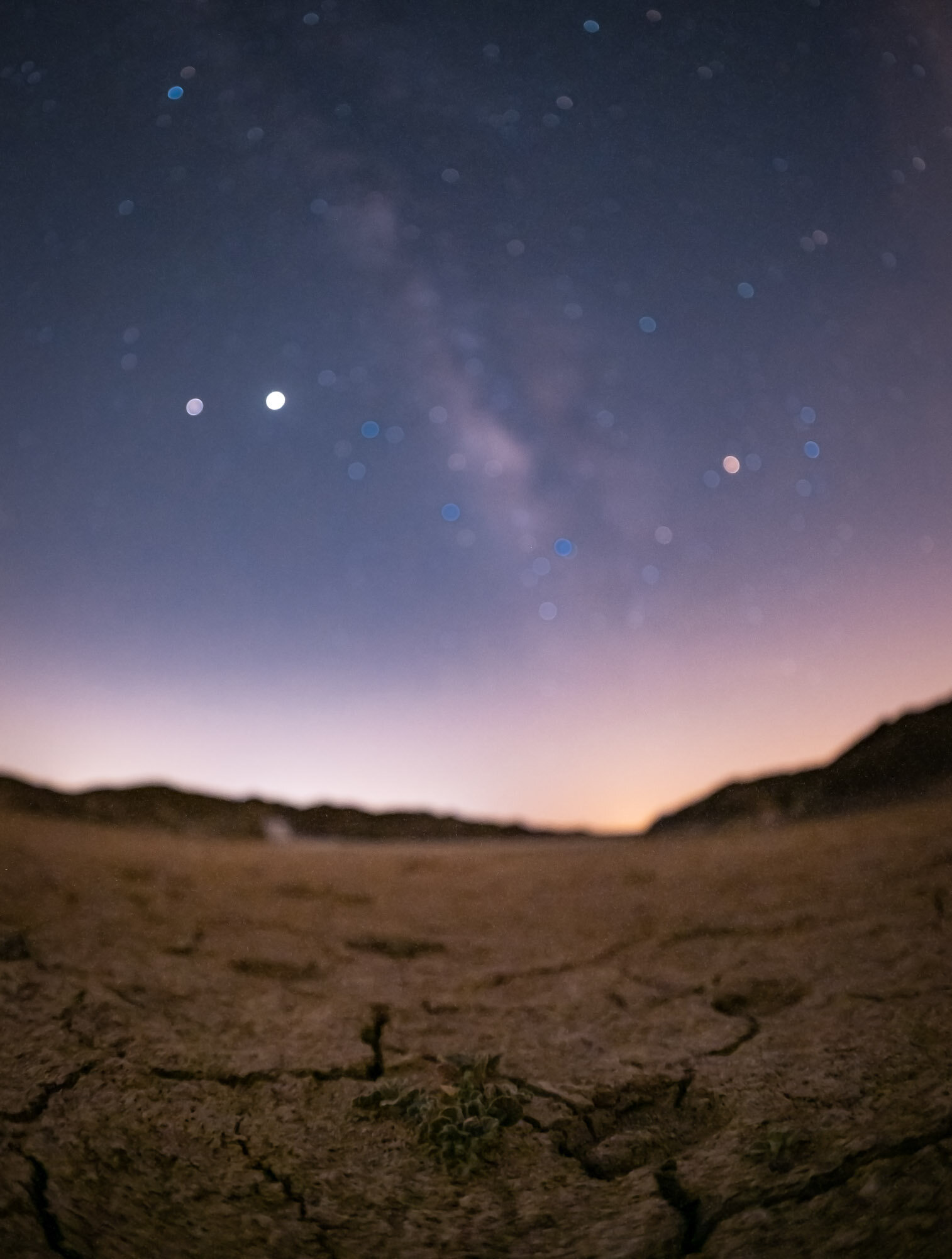
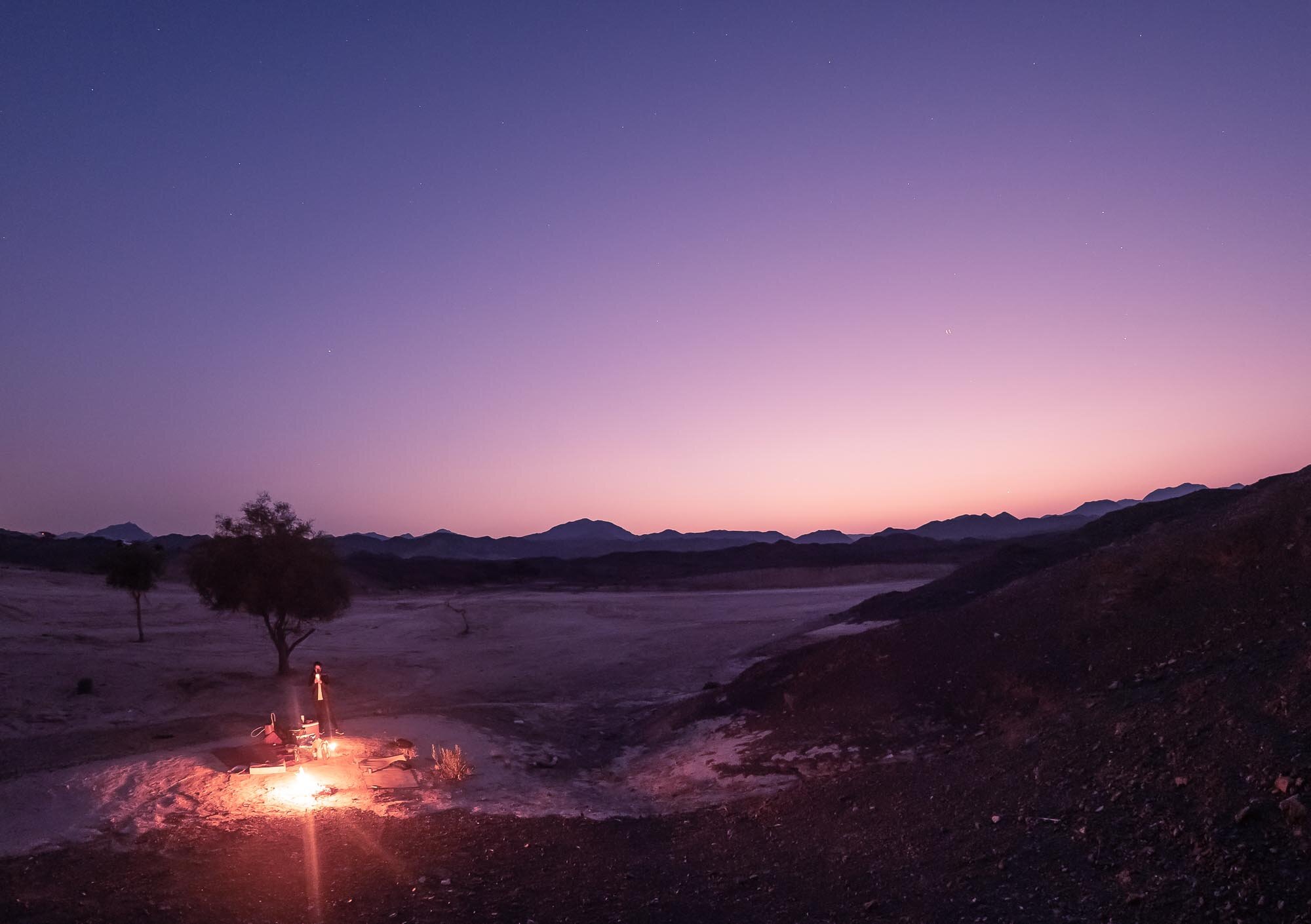
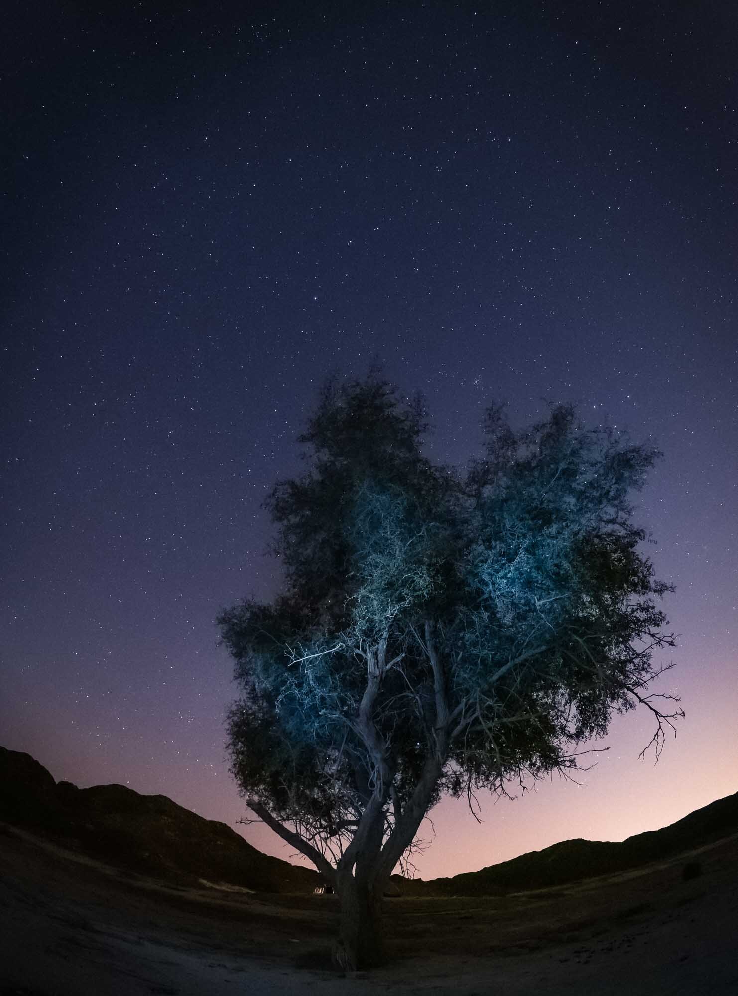
The UAE is not famous for its landscapes and mountains, but once you dig a little deeper, the country is full of amazing and unexpected scenery. A short drive from Dubai, about 1h, brings you to Buraq Dam, close to the Omani border.

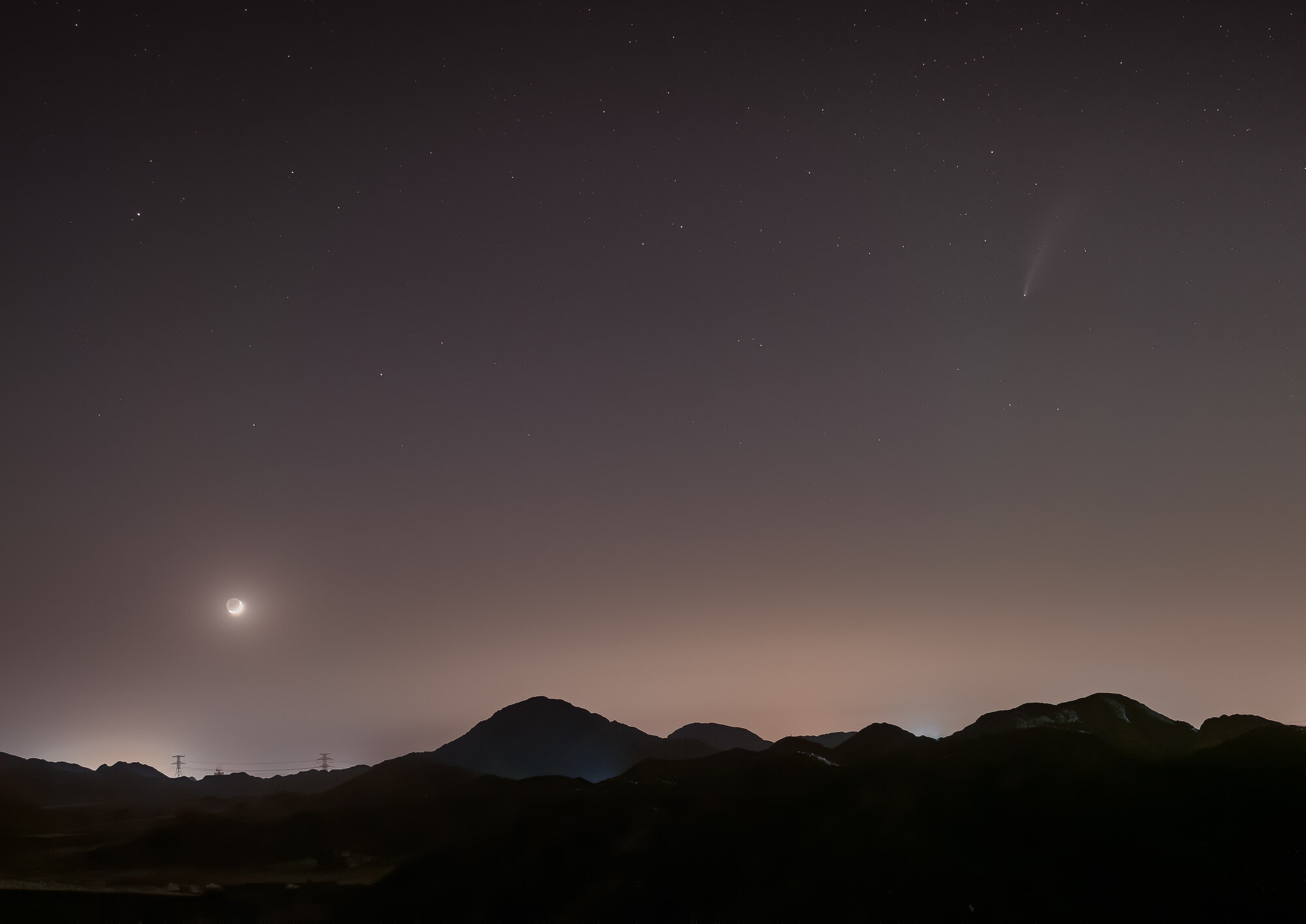
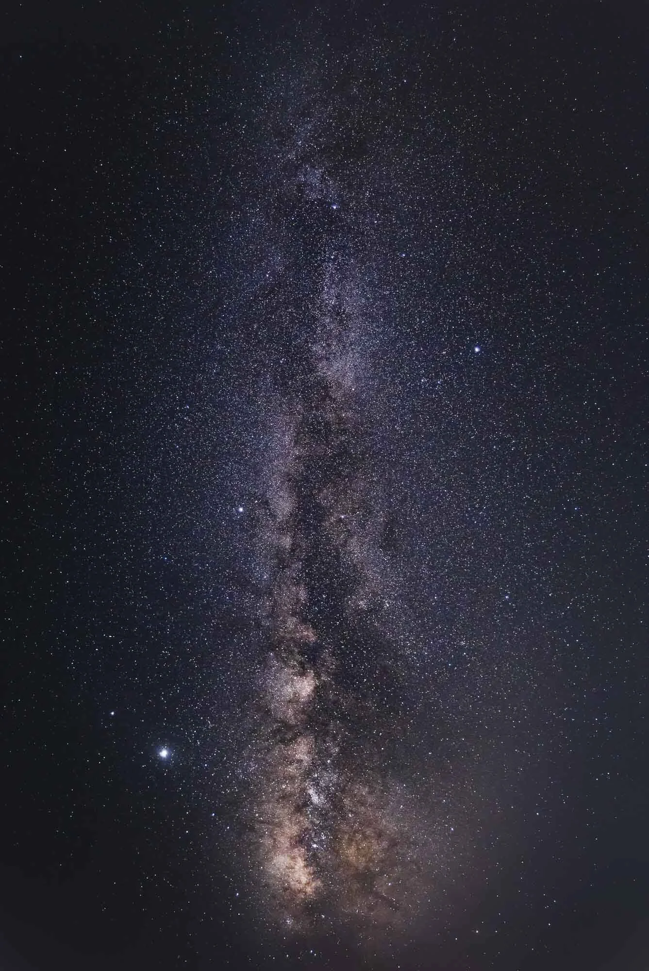
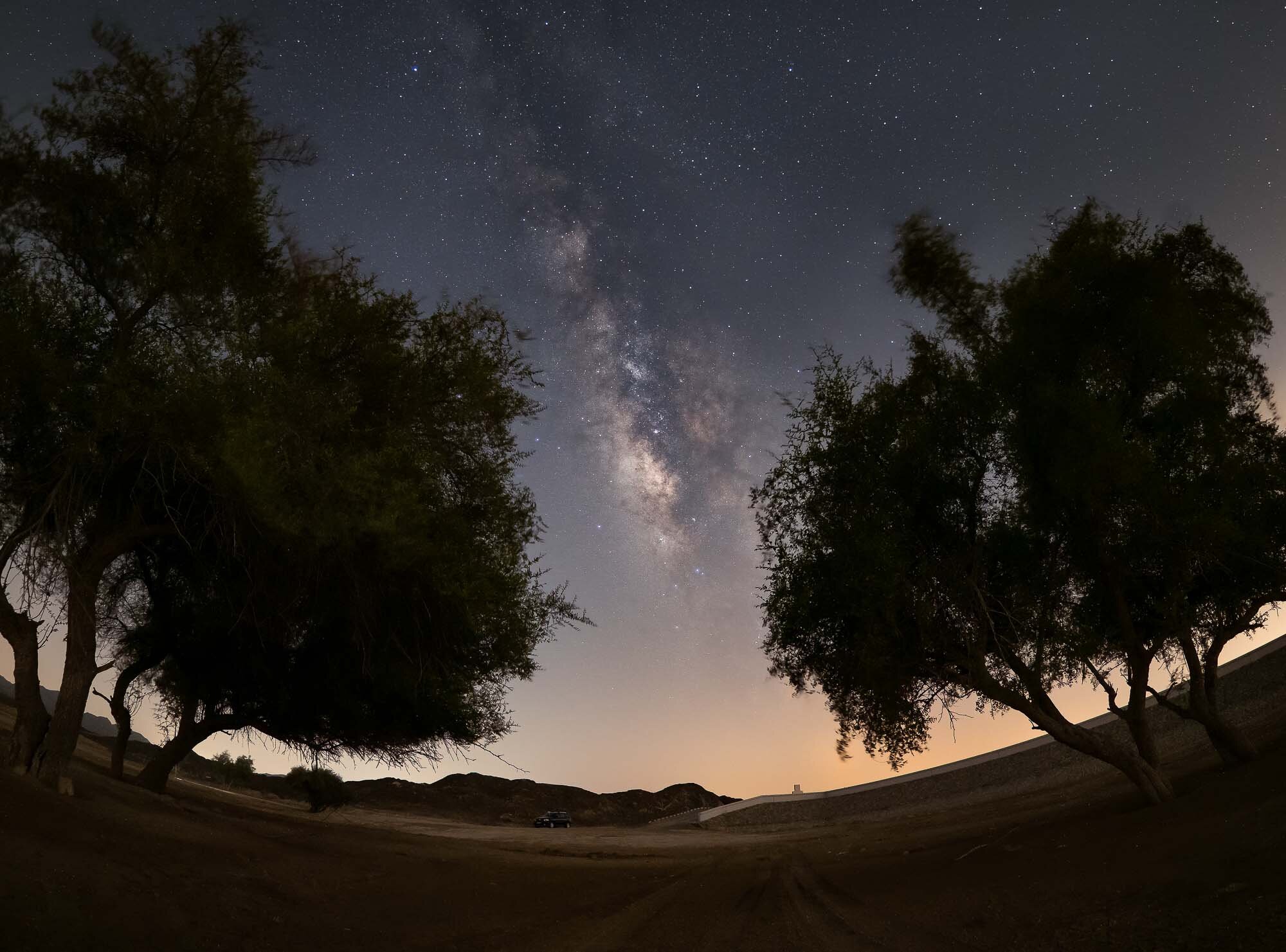
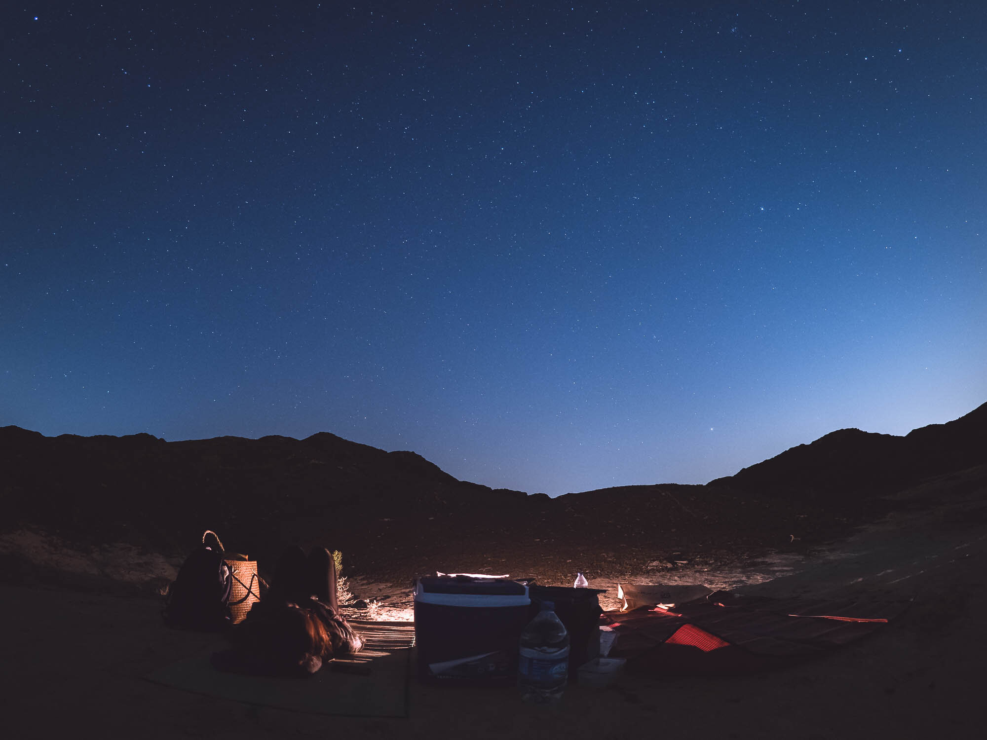
The UAE is not famous for its landscapes and mountains, but once you dig a little deeper, the country is full of amazing and unexpected scenery. A short drive from Dubai, about 1h, brings you to Buraq Dam, close to the Omani border. If you’re lucky, you can see the filled with water and birds flocking its shores. Regardless, the mountainous terrain and cooler air makes for a great hiking or camping spot. Because the location is quite far form city lights, it’s also an excellent spot for some stargazing!

Dubai Partial Solar Eclipse
Dubai was witness to a partial solar eclipse on June 21st, 2020 - the second in the last few months. This time, the UAE did not get to experience the full eclipse as it’s not located in the narrow band that experiences this rare phenomenon, but it was still a spectacular sight, with the skies darkening noticeably and shadows becoming fuzzy.

Dubai was witness to a partial solar eclipse on June 21st, 2020 - the second in the last few months. This time, the UAE did not get to experience the full eclipse as it’s not located in the narrow band that experiences this rare phenomenon, but it was still a spectacular sight, with the skies darkening noticeably and shadows becoming fuzzy.
The sight began at 8:14 (UAE local time) when the moon moved in front of the sun, and the eclipse was over at 11:12. I was lucky enough to be able to capture it from my balcony, and had set up my Olympus OMD EM-1 to shoot a sequence using a star tracker and home made solar filter.
Here are the results.

A full view of the middle portion of the eclipse.

A view of the the eclipse covering almost the entire period of the moon covering the sun.
Here is a video representing the same period - this was very tricky to align and smoothen out, as my tracker was not perfectly polar aligned, requiring some manual movement of the camera.
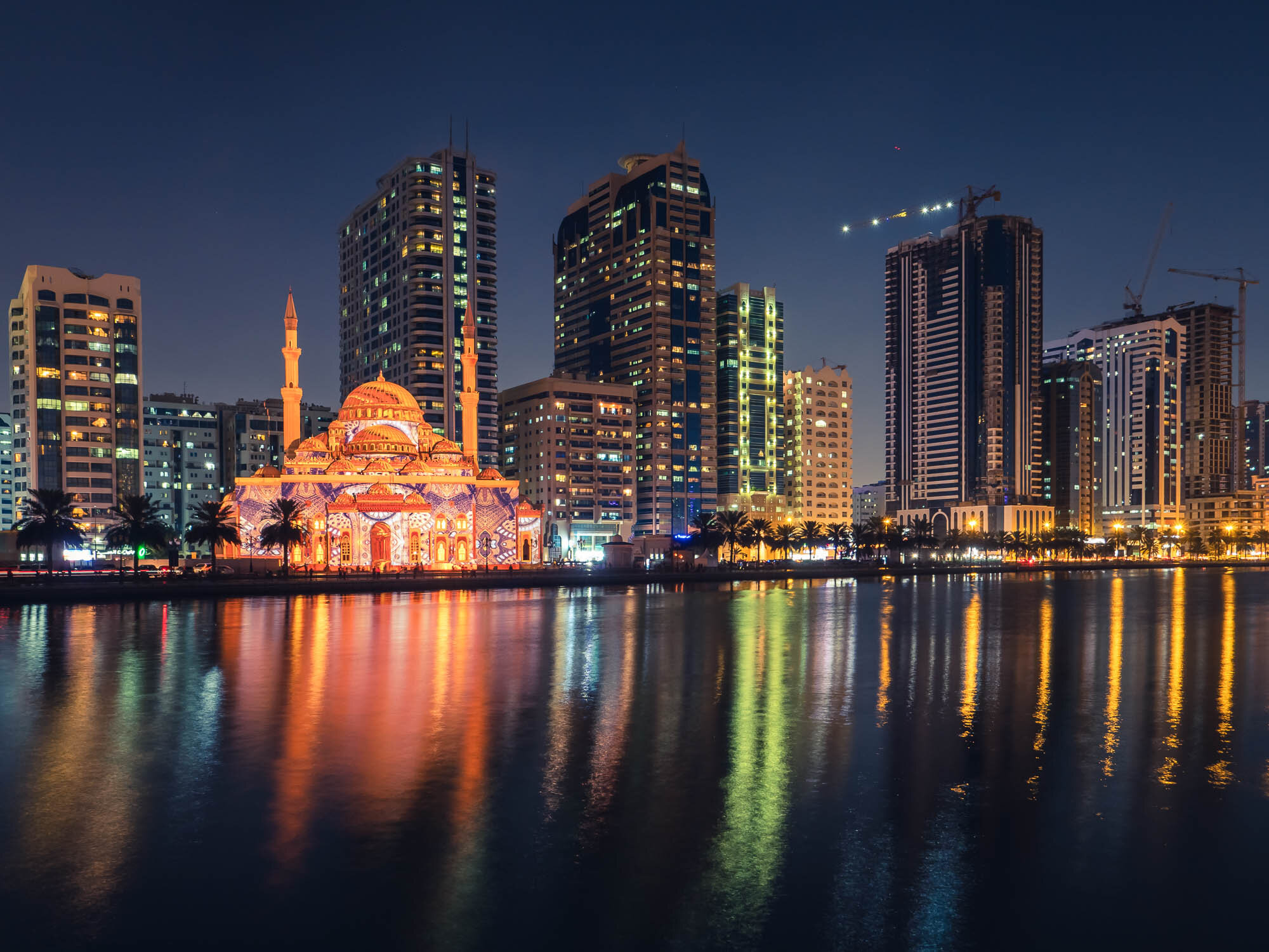
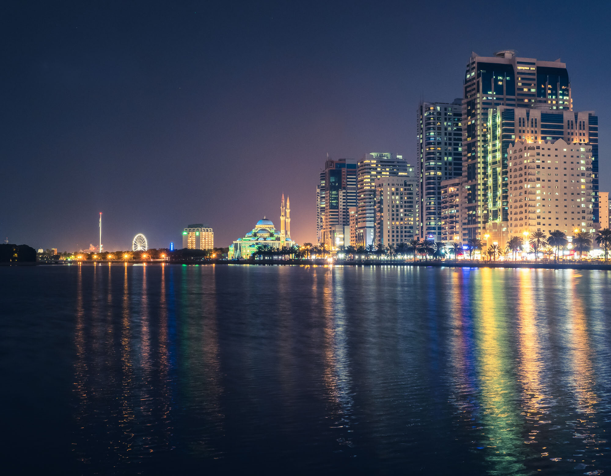
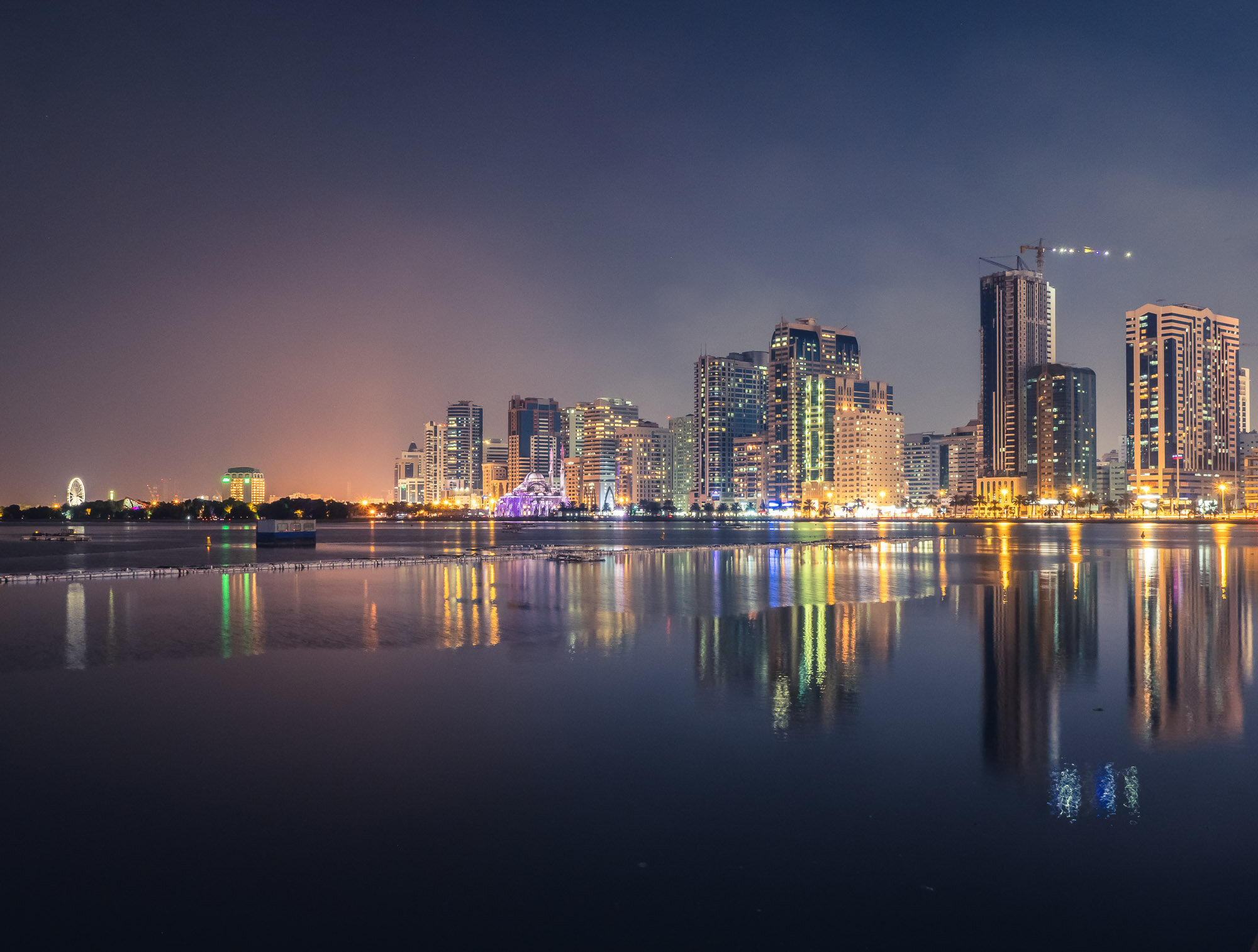
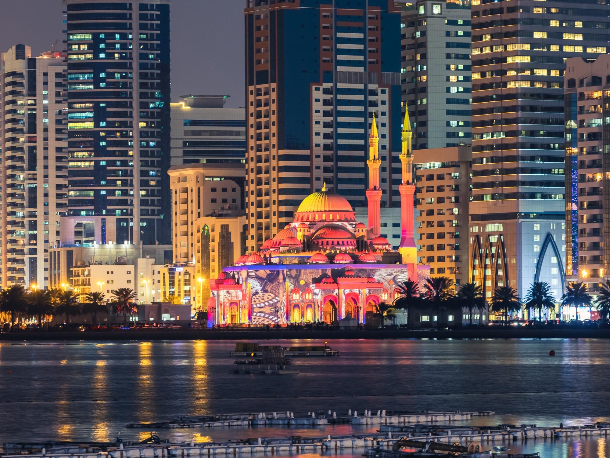
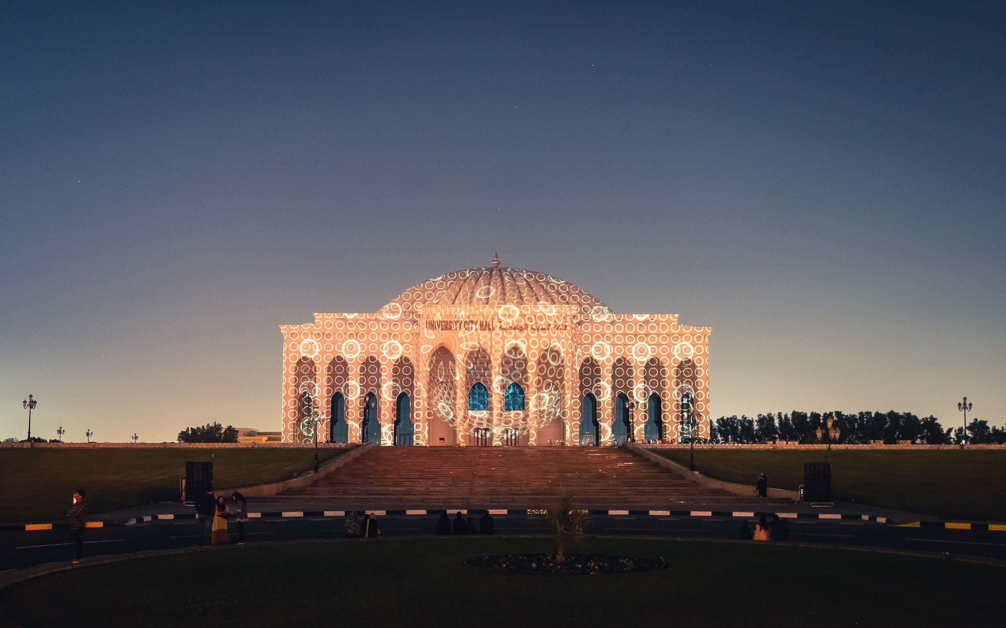
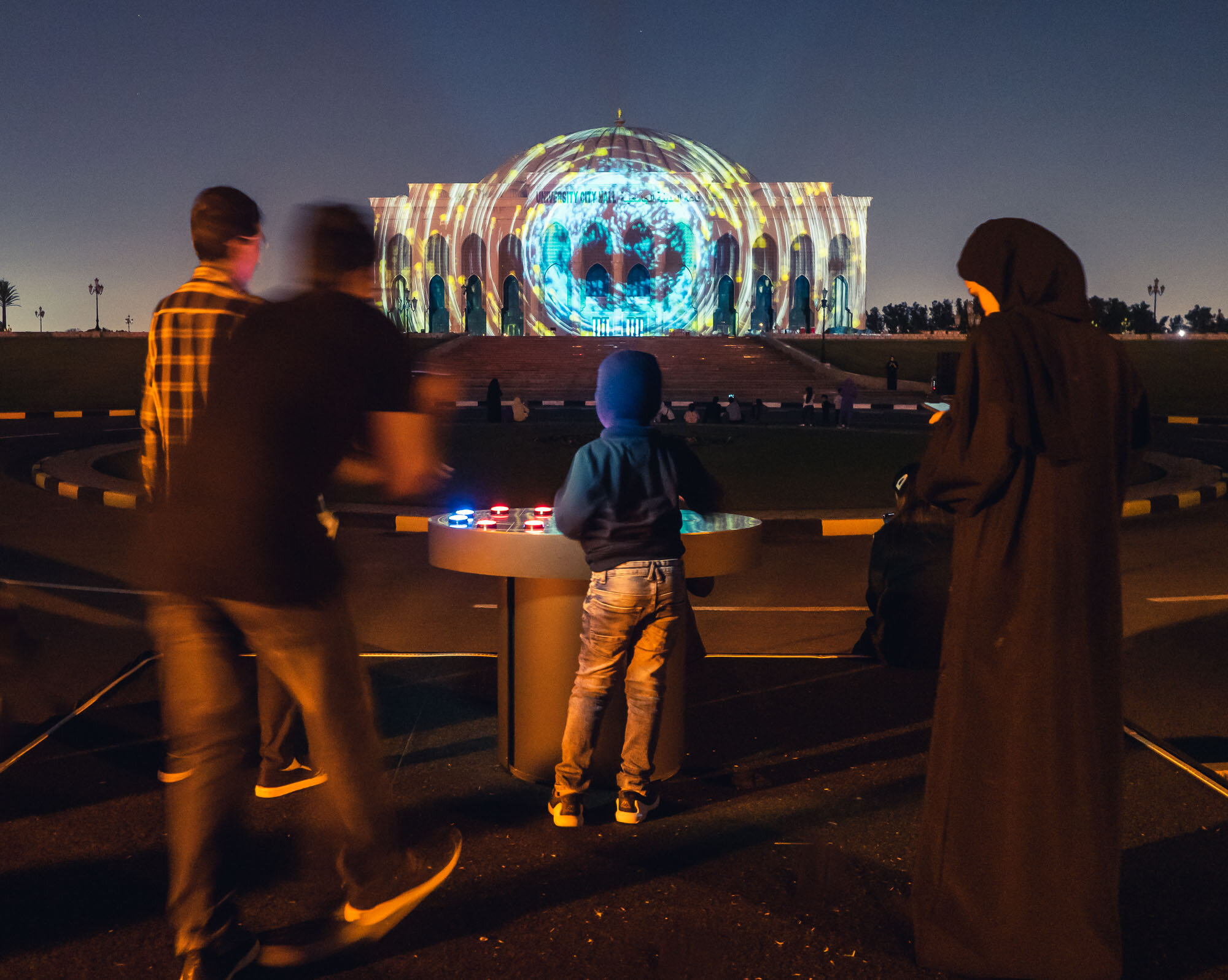
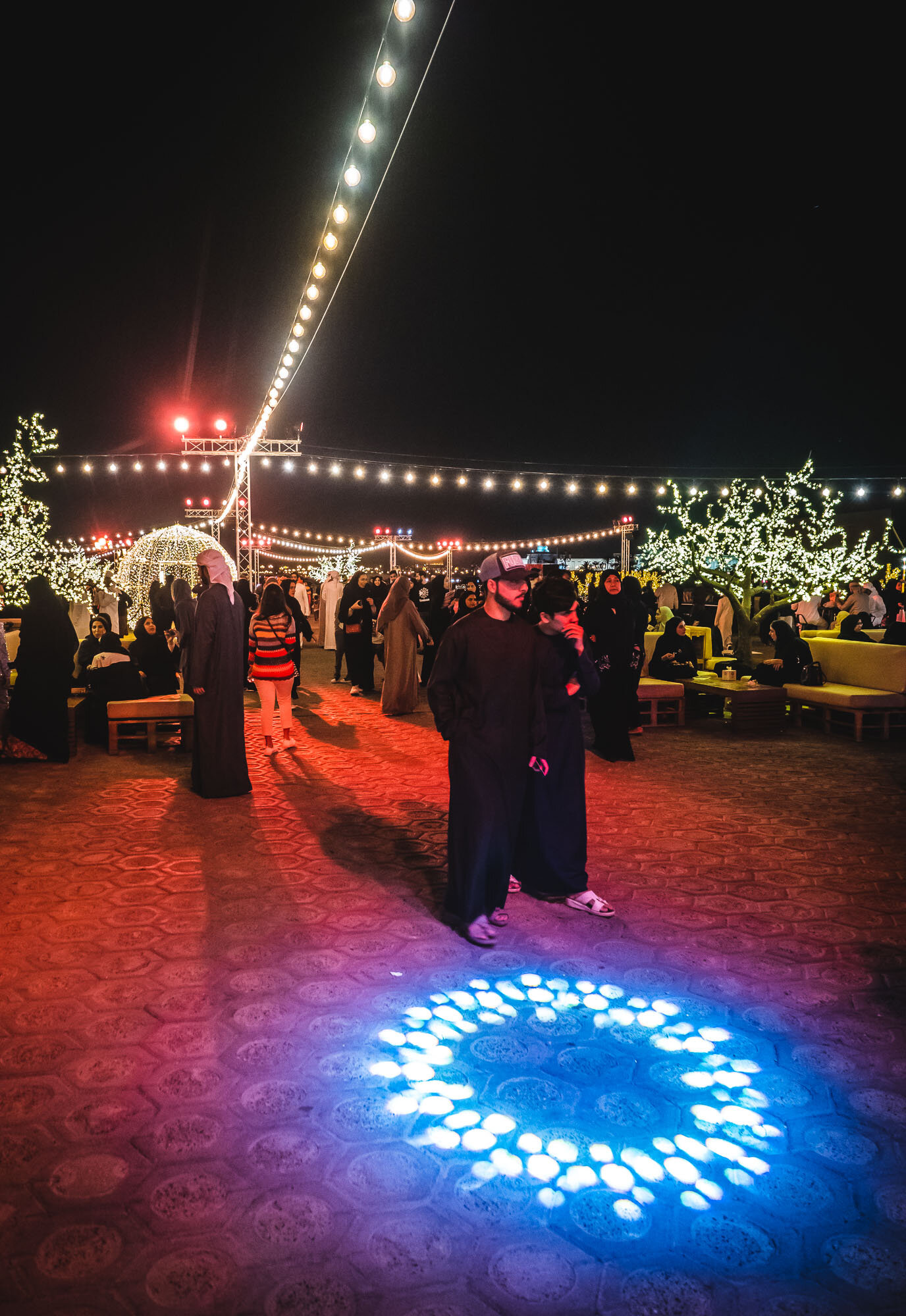
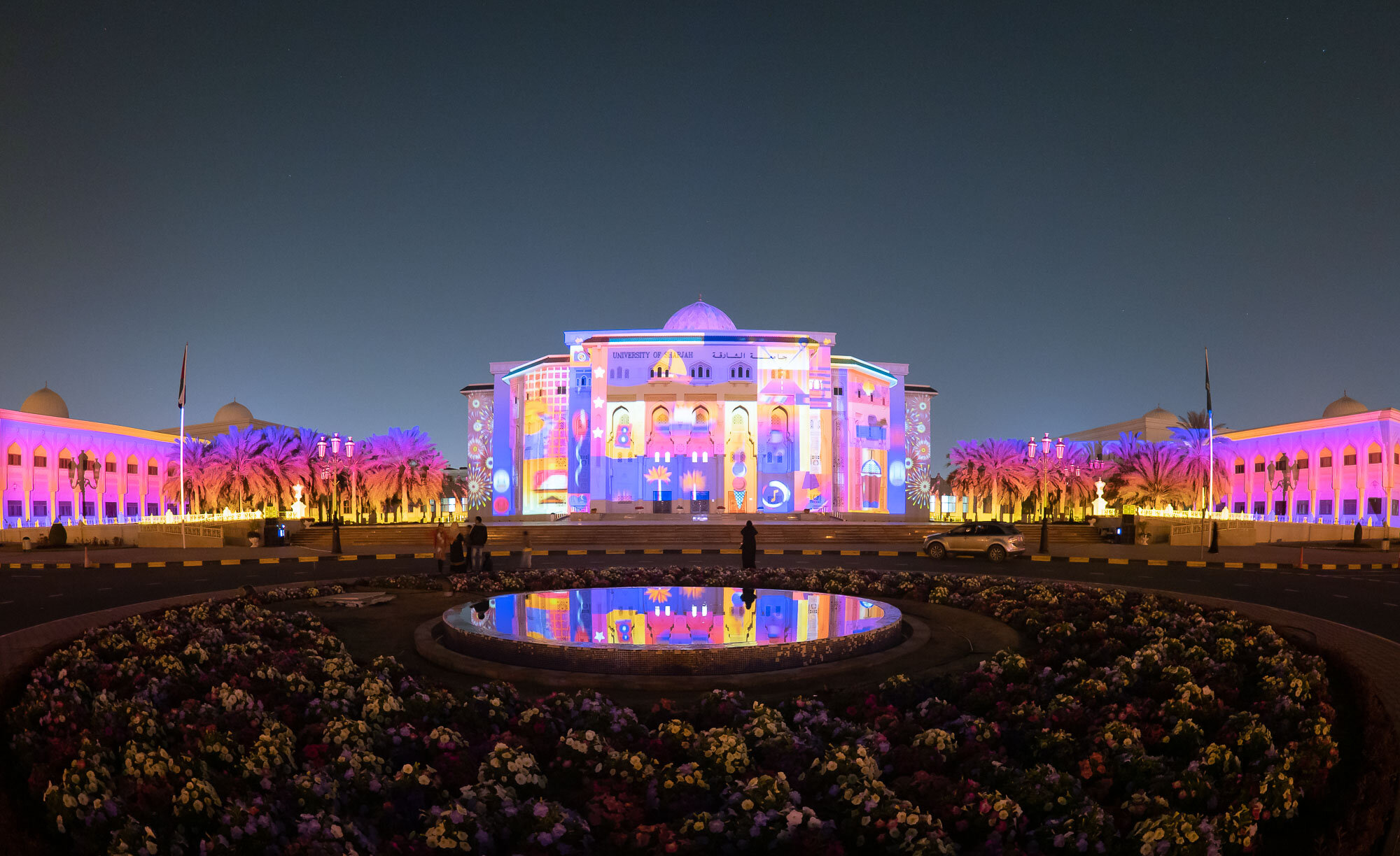
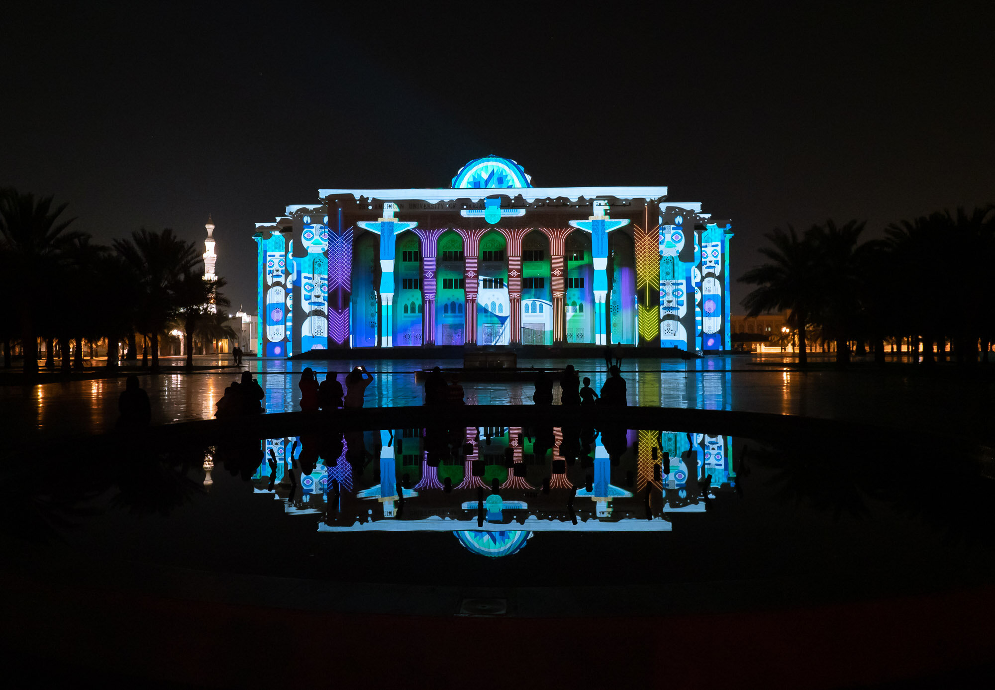
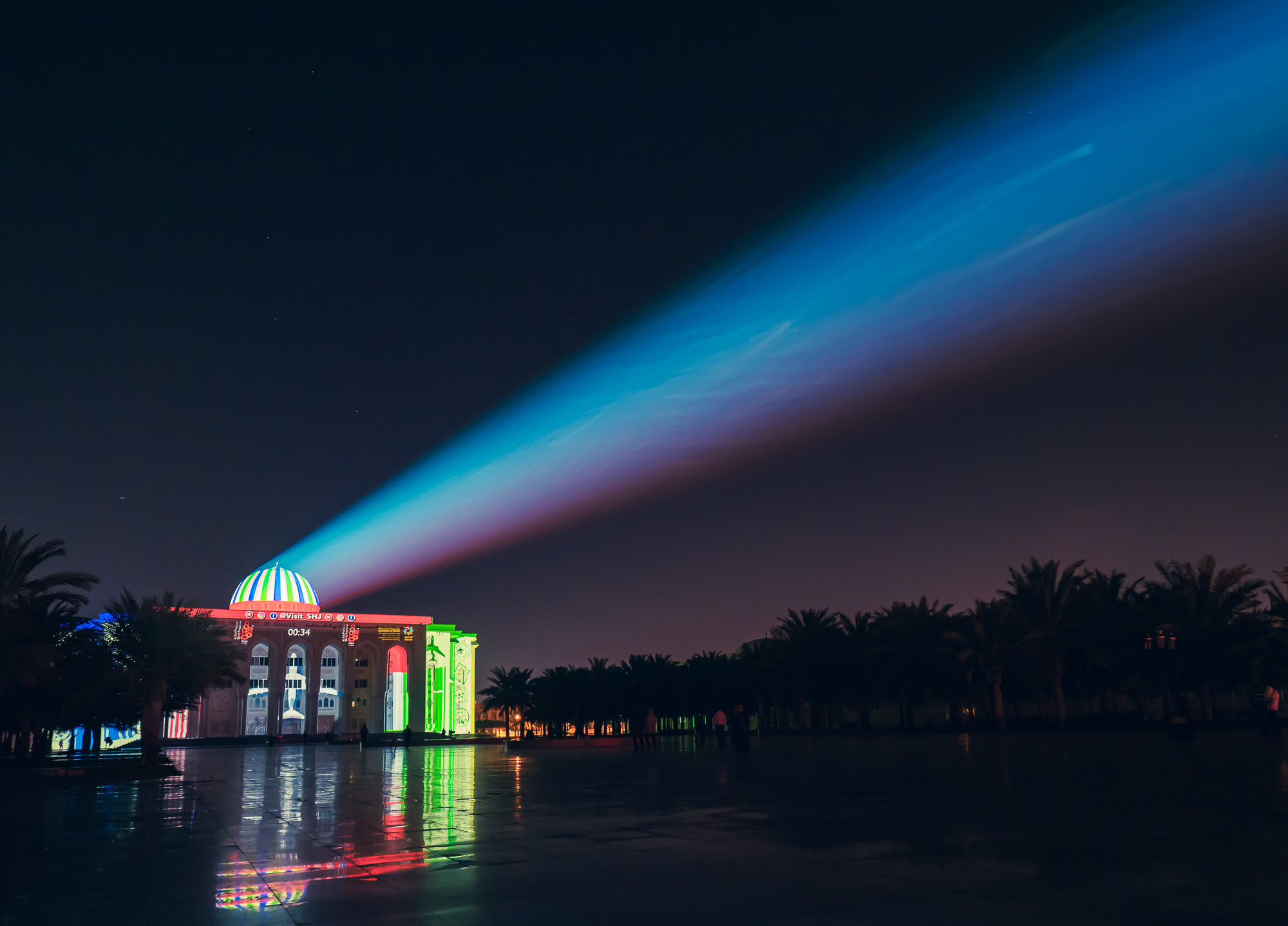
Sharjah Light Festival
Organised by the Sharjah Commerce and Tourism Development Authority, the Sharjah light festival illuminates 19 locations across the emirates with light shows accompanied by music and other activities, telling stories and bringing together the community. On the last day of the festival, I ventured out to a few of the locations to capture some of the artistic vision.

Organised by the Sharjah Commerce and Tourism Development Authority, the Sharjah light festival illuminates 19 locations across the emirate with light shows accompanied by music and other activities, telling stories and bringing together the community. On the last day of the festival, I ventured out to a few of the locations to capture some of the artistic vision.


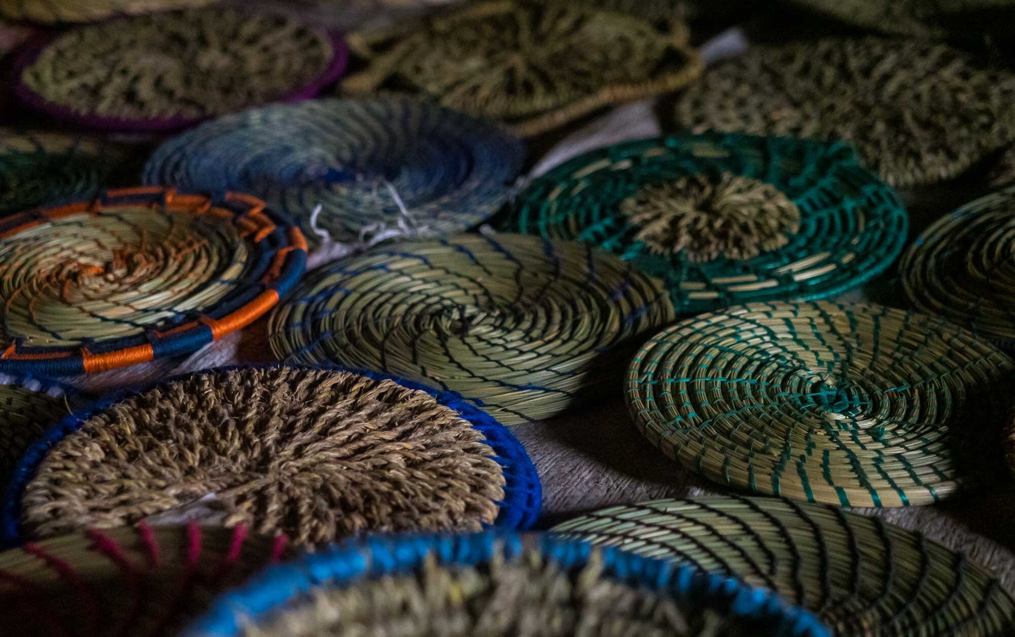
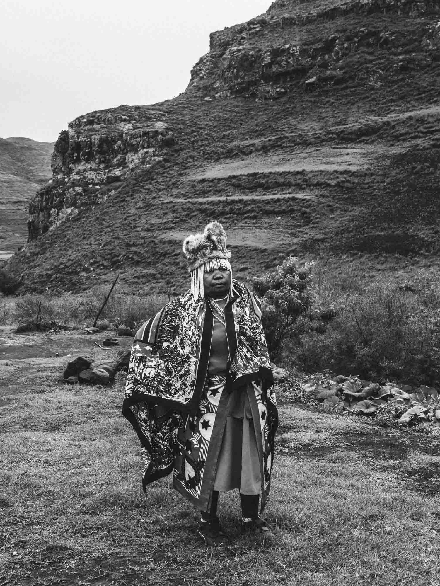
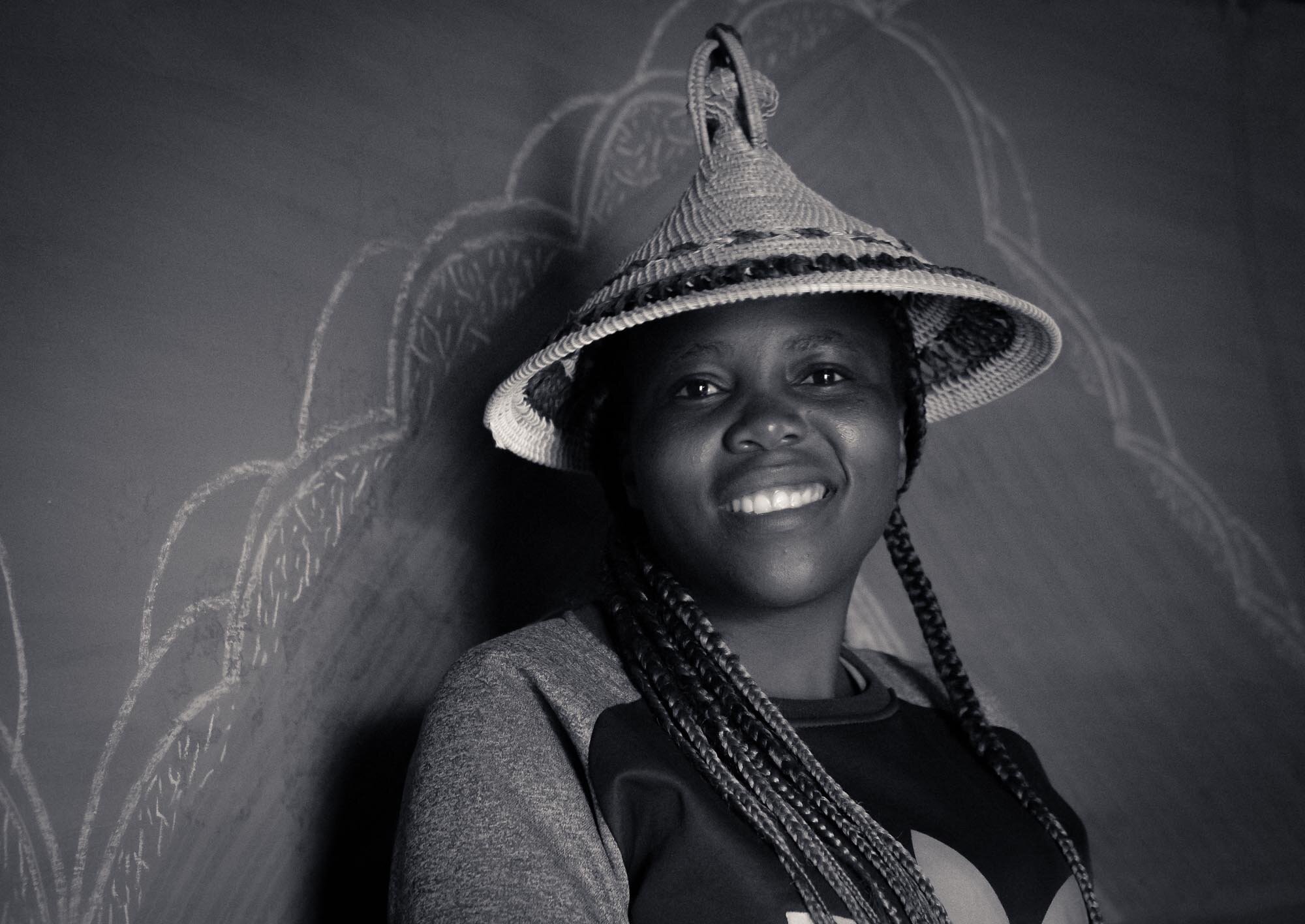
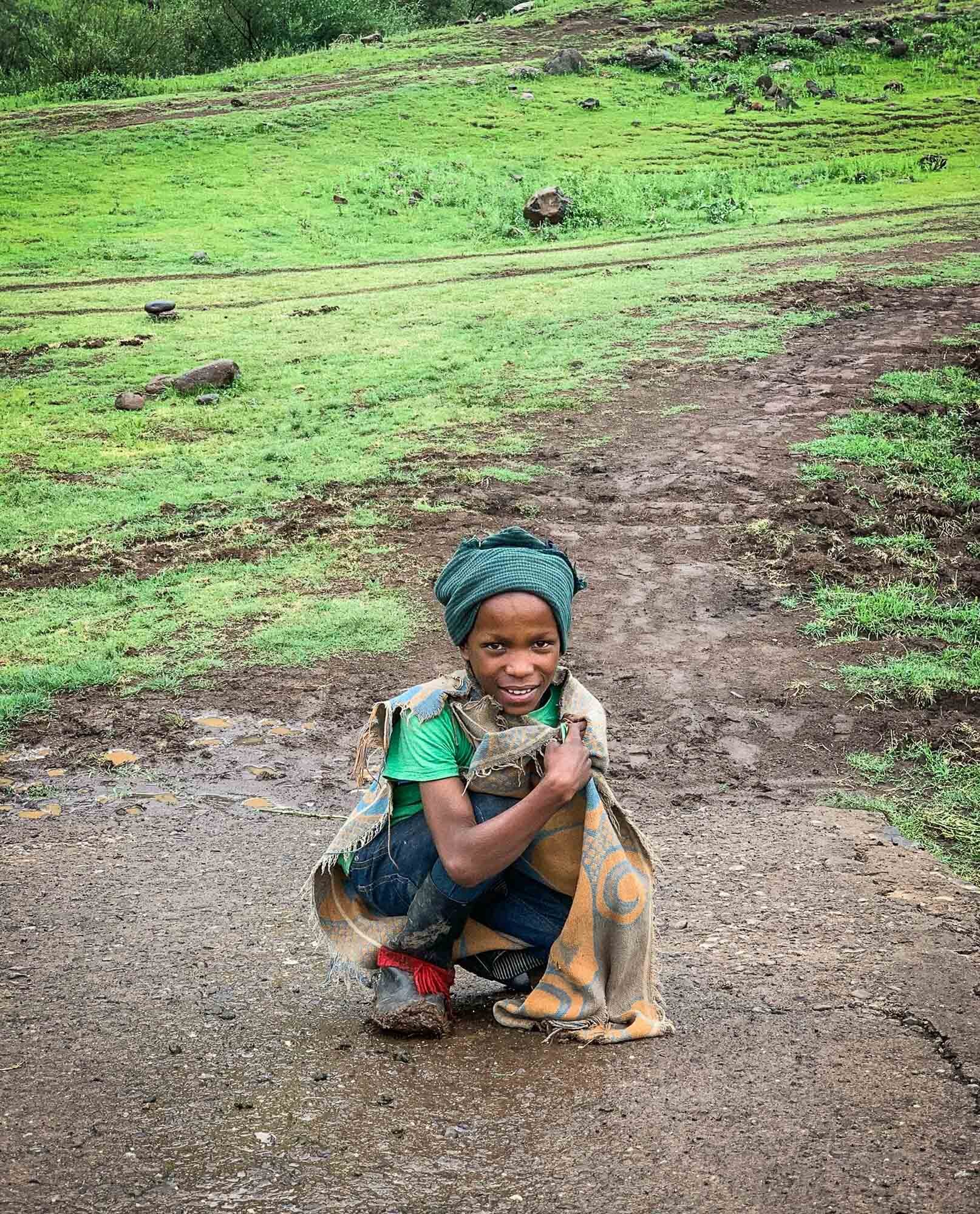
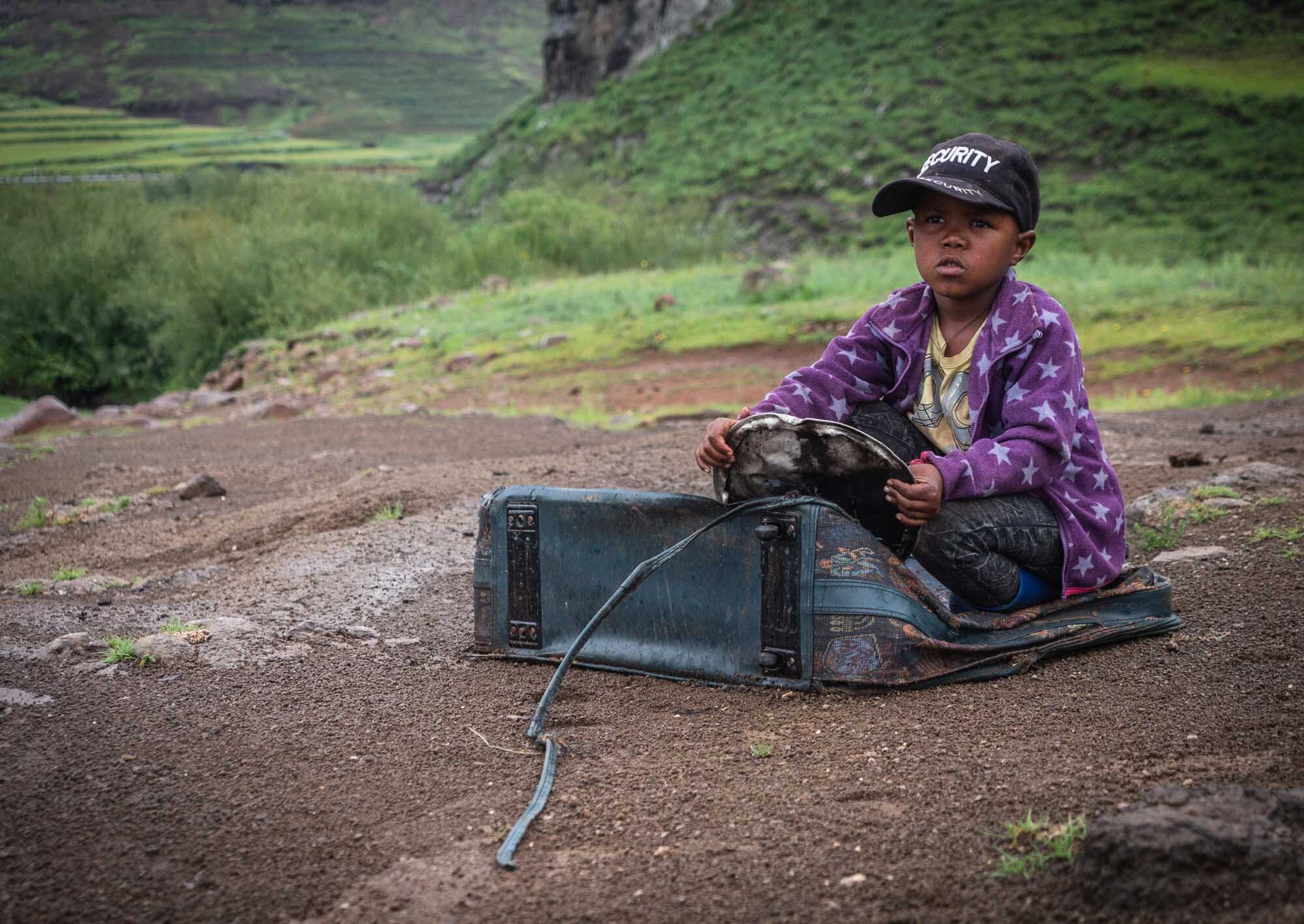
3 Trips in 1 - African Wildlife, Lesotho, and Durban
The joyous occasion of yet another South African wedding gave us the opportunity to see the amazing South African wildlife, visit a new and rather obscure country called Lesotho, as well as see a new city - Durban.

The joyous occasion of yet another South African wedding gave us the opportunity to see the amazing South African wildlife, visit a new and rather obscure country called Lesotho, as well as see a new city - Durban.
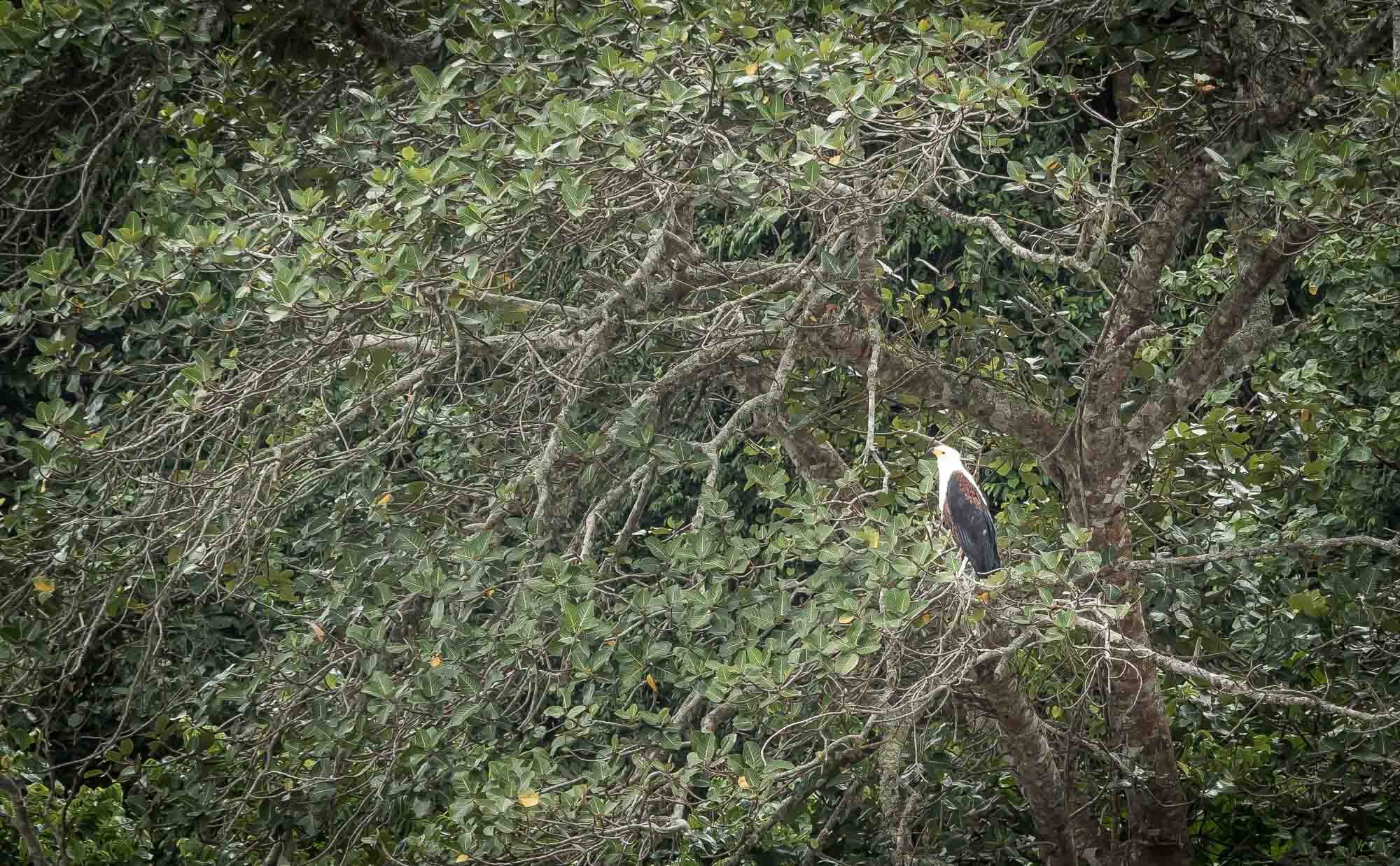
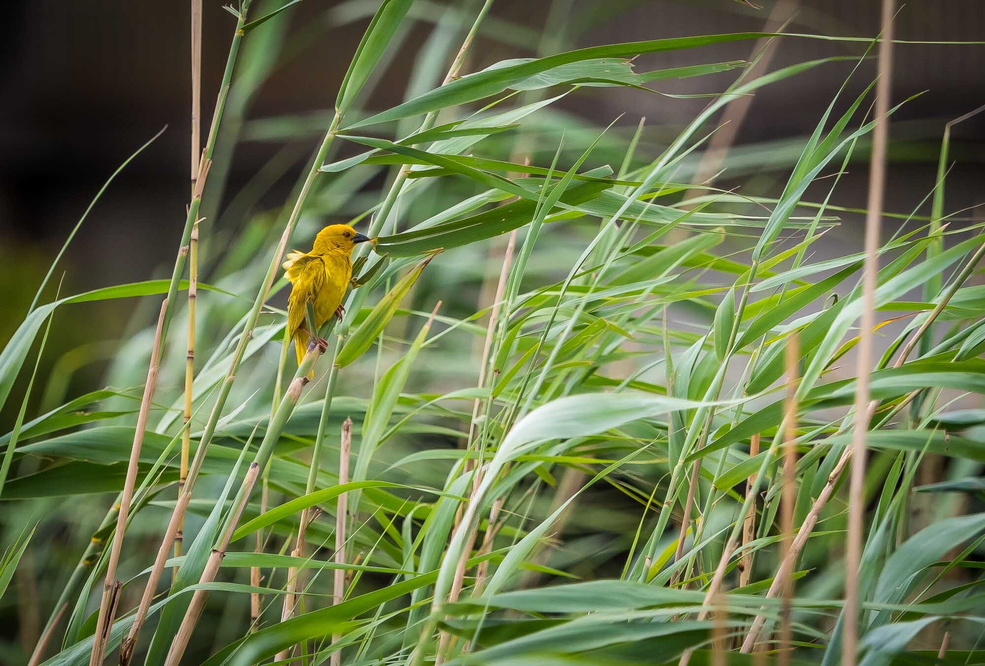
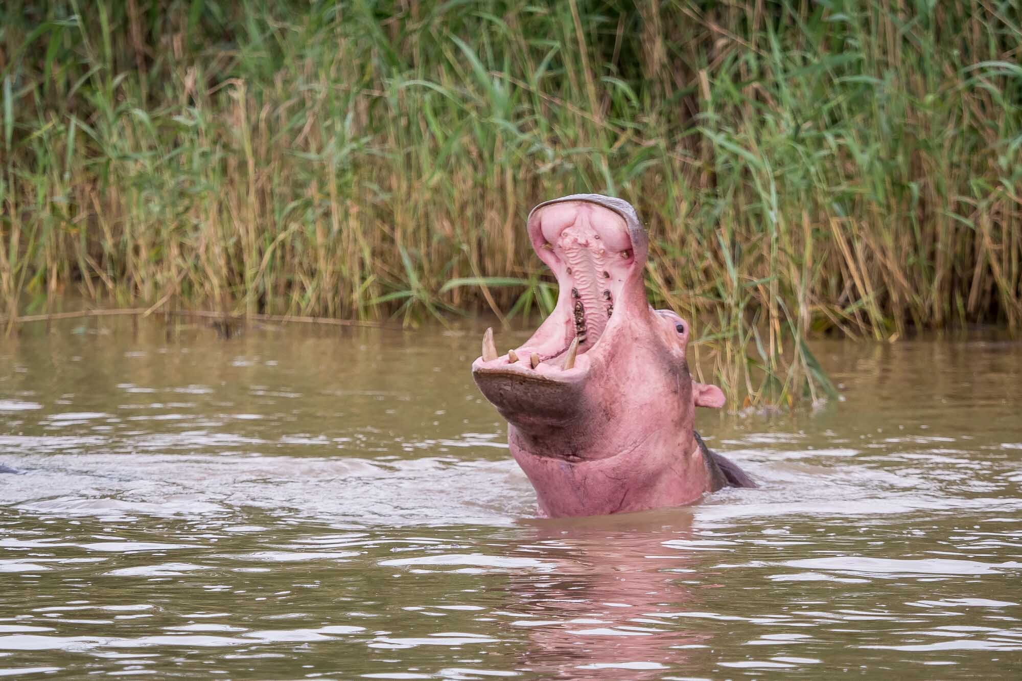
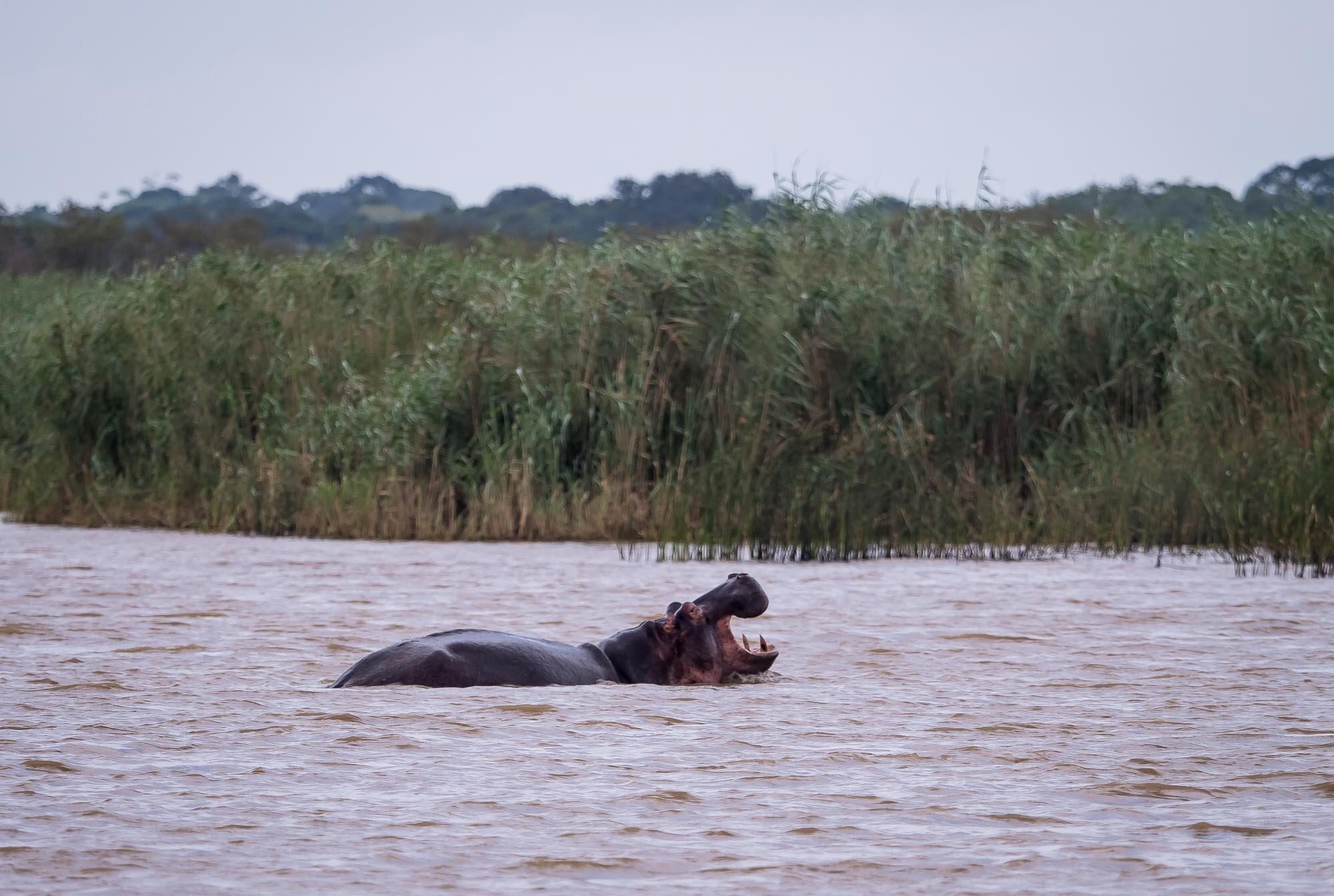
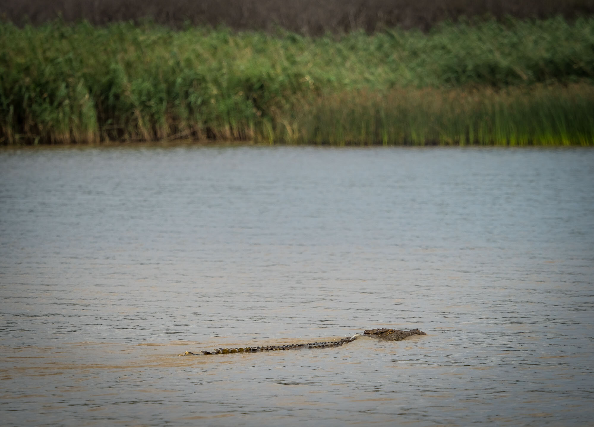
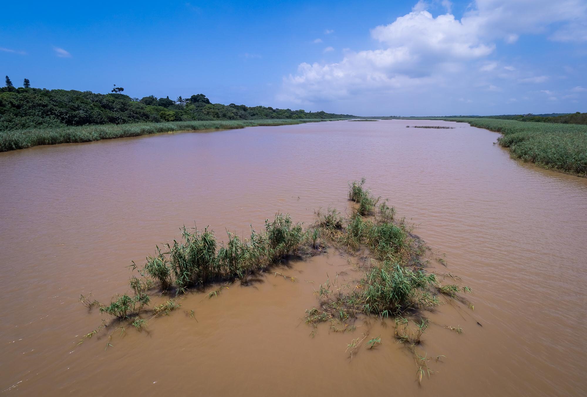
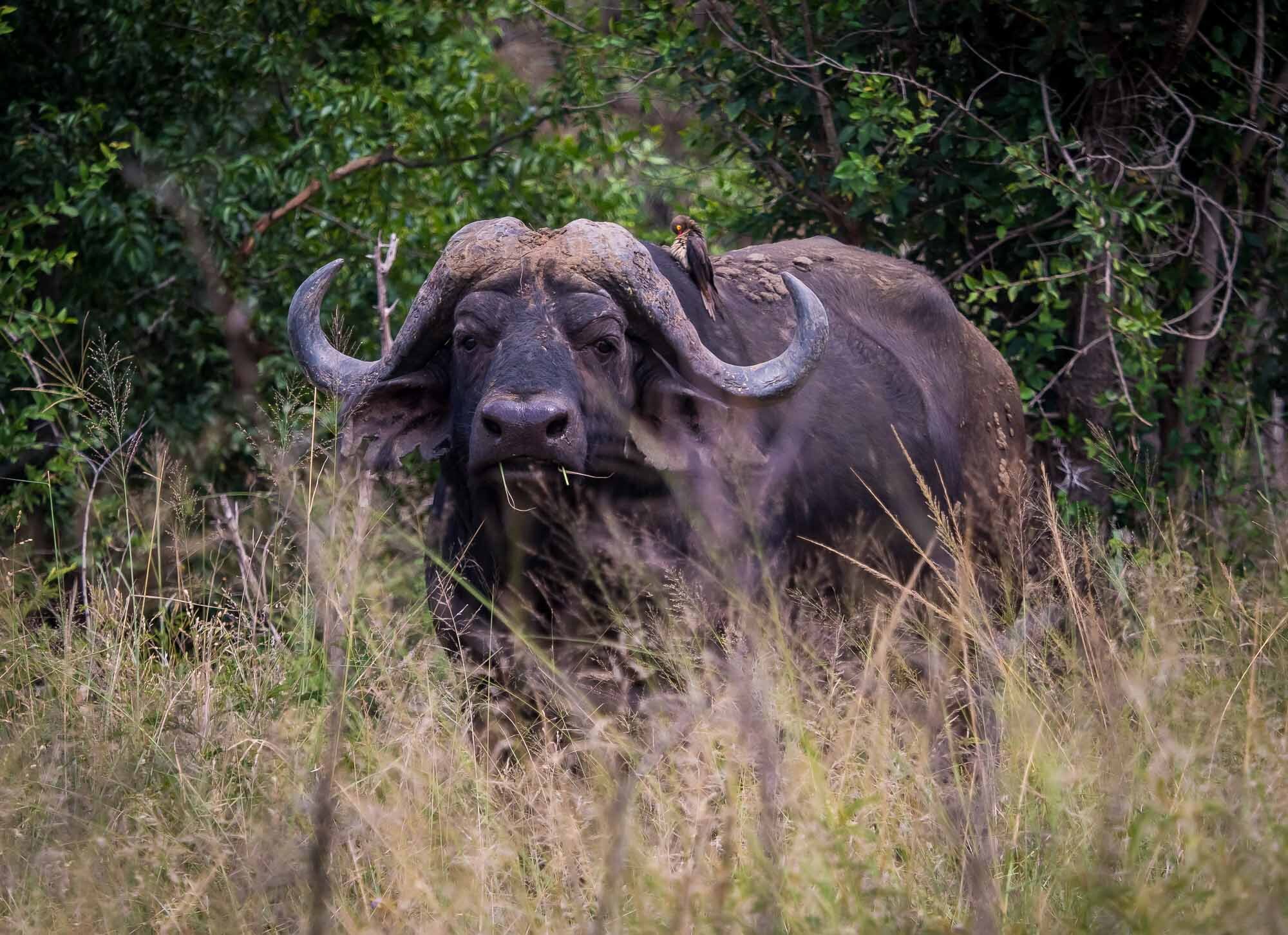
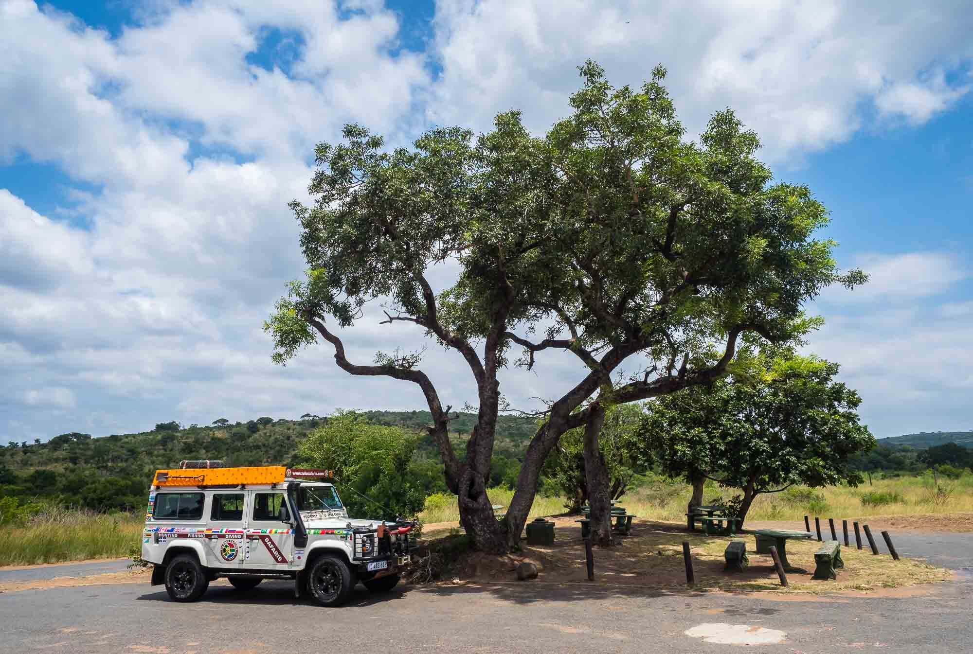
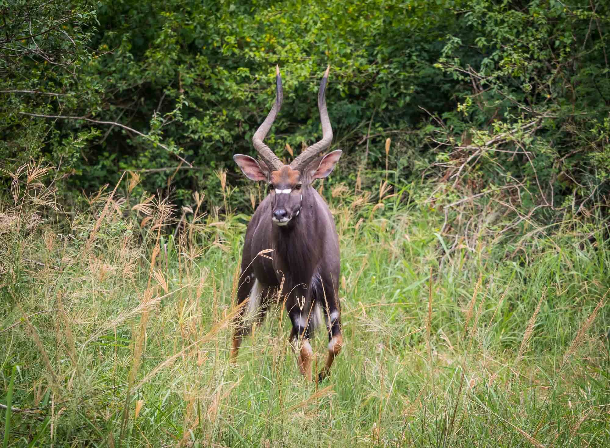
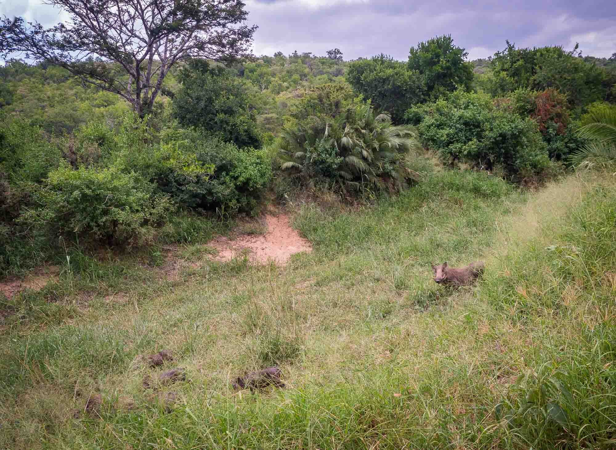
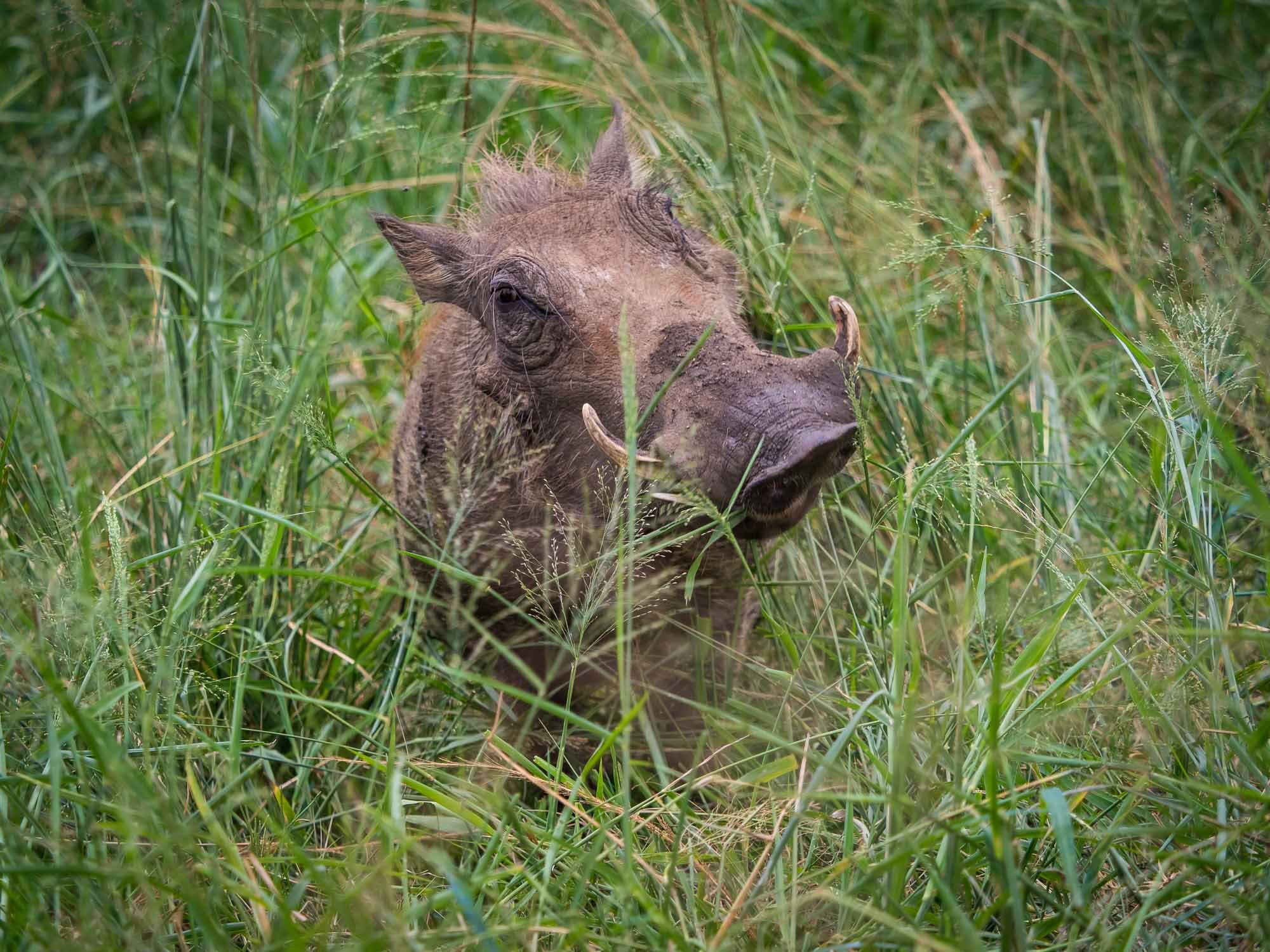
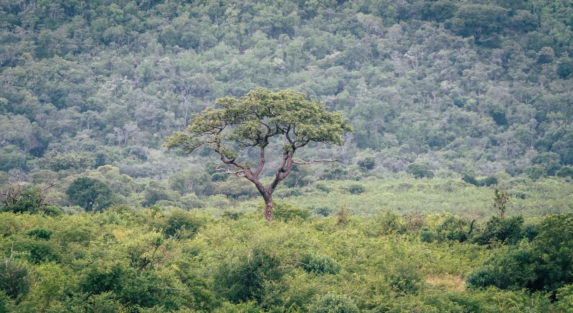
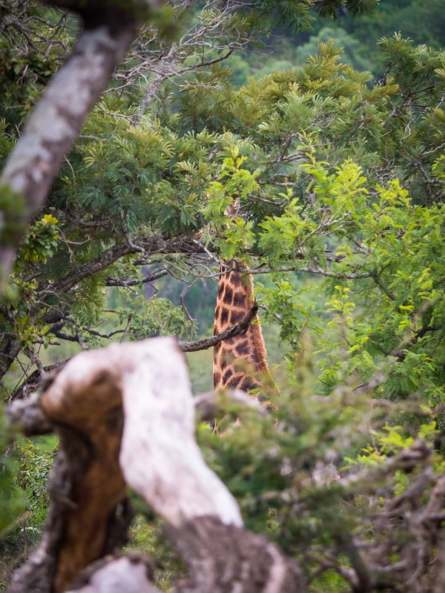
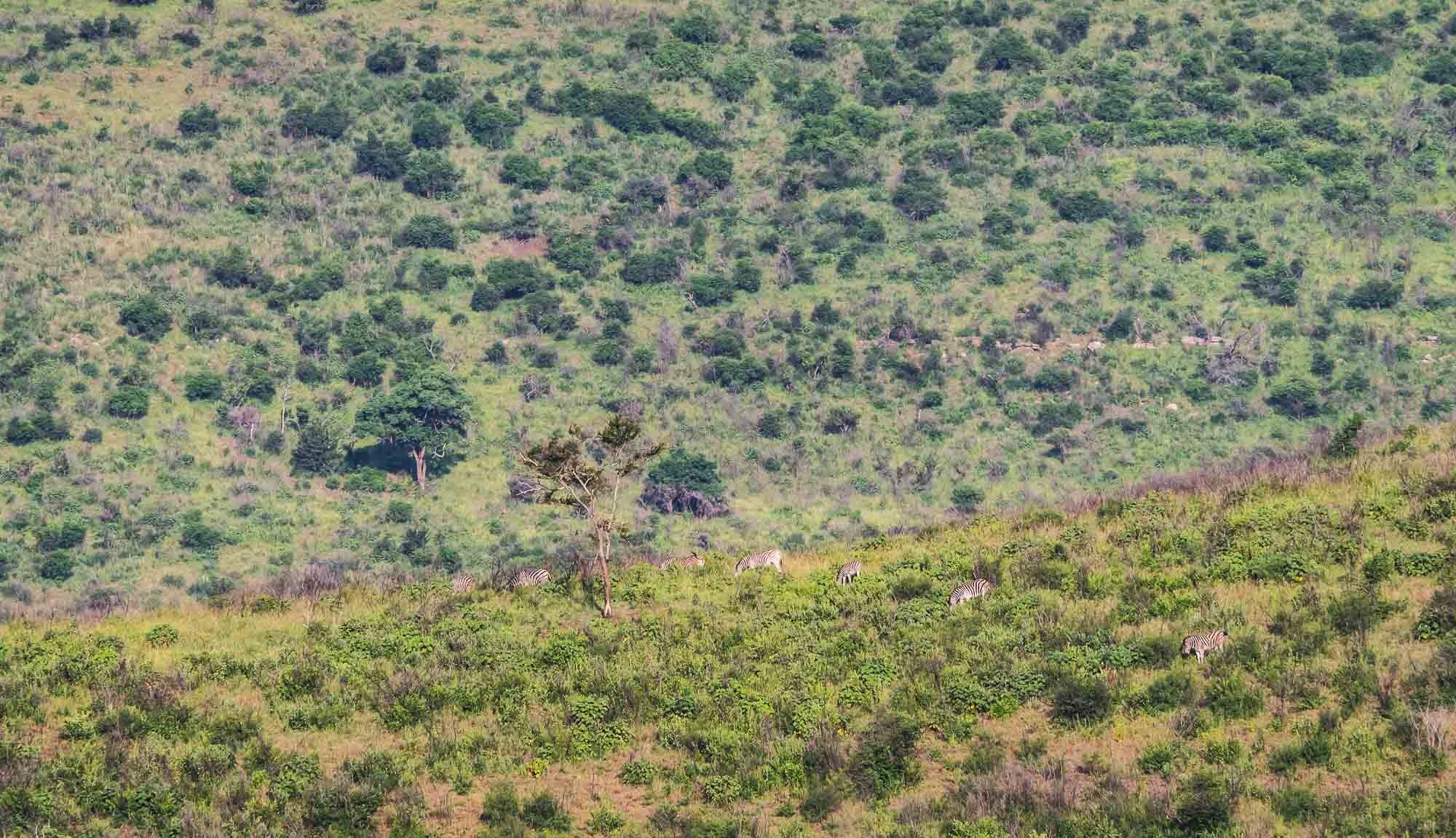
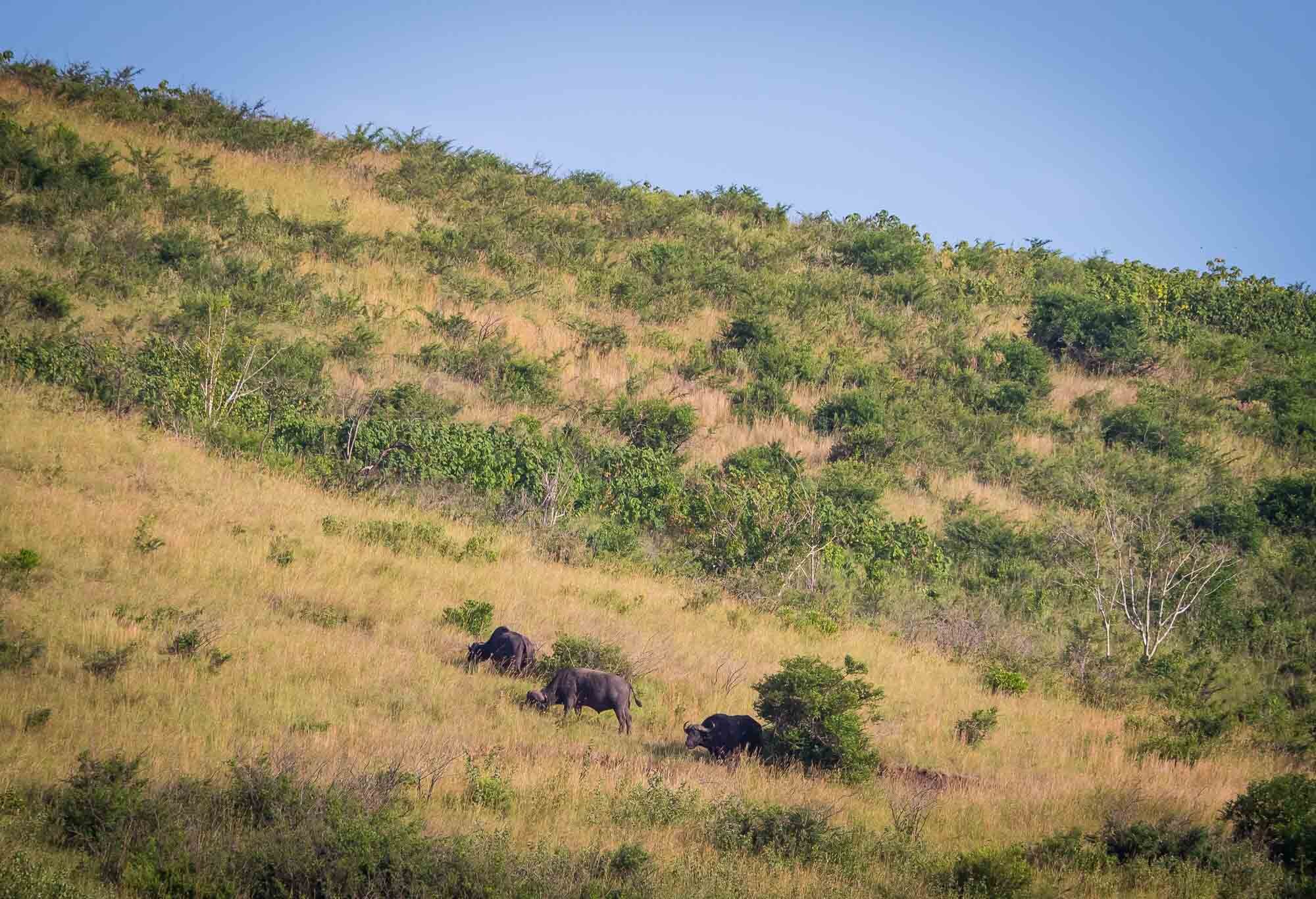
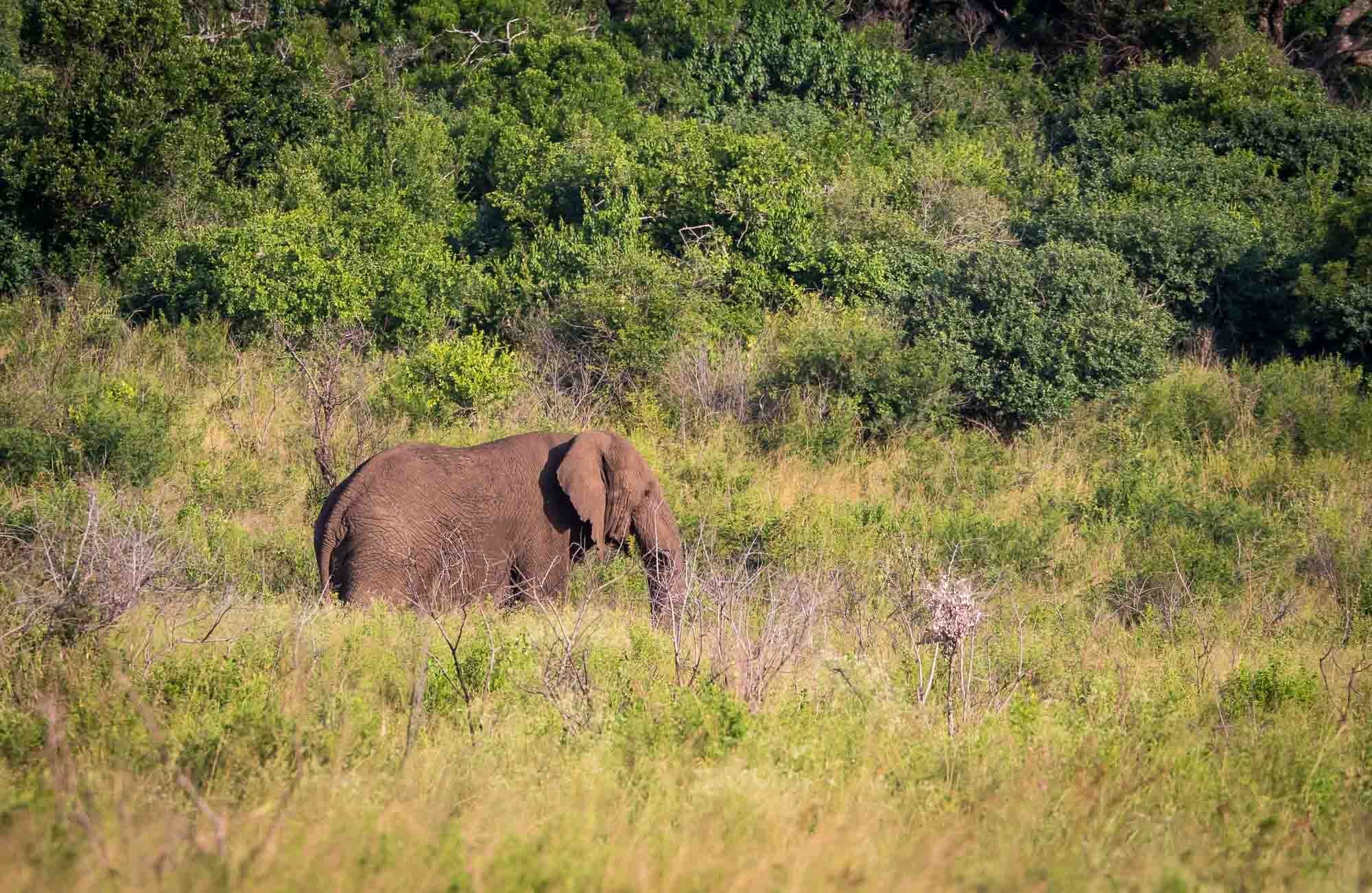
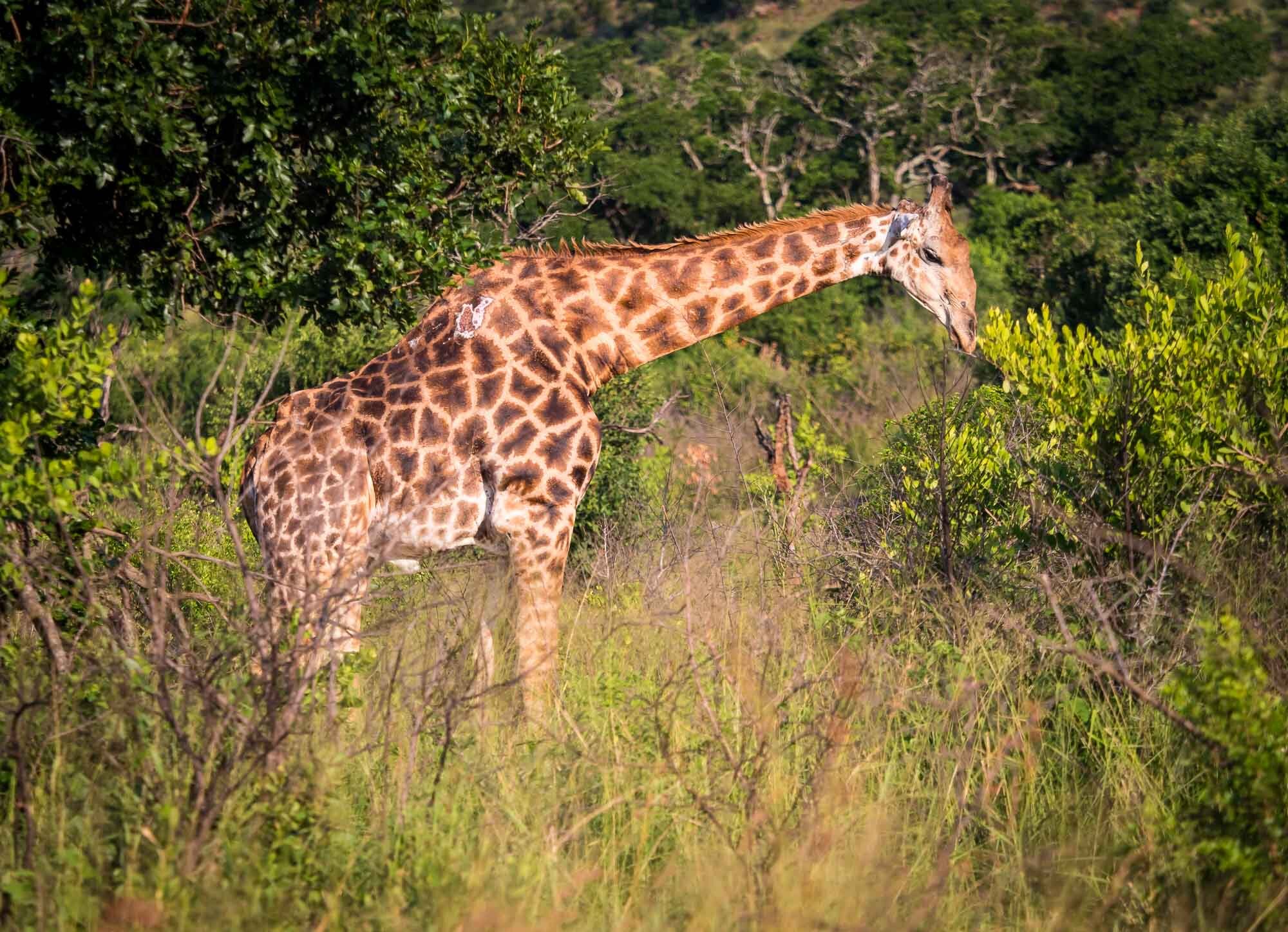
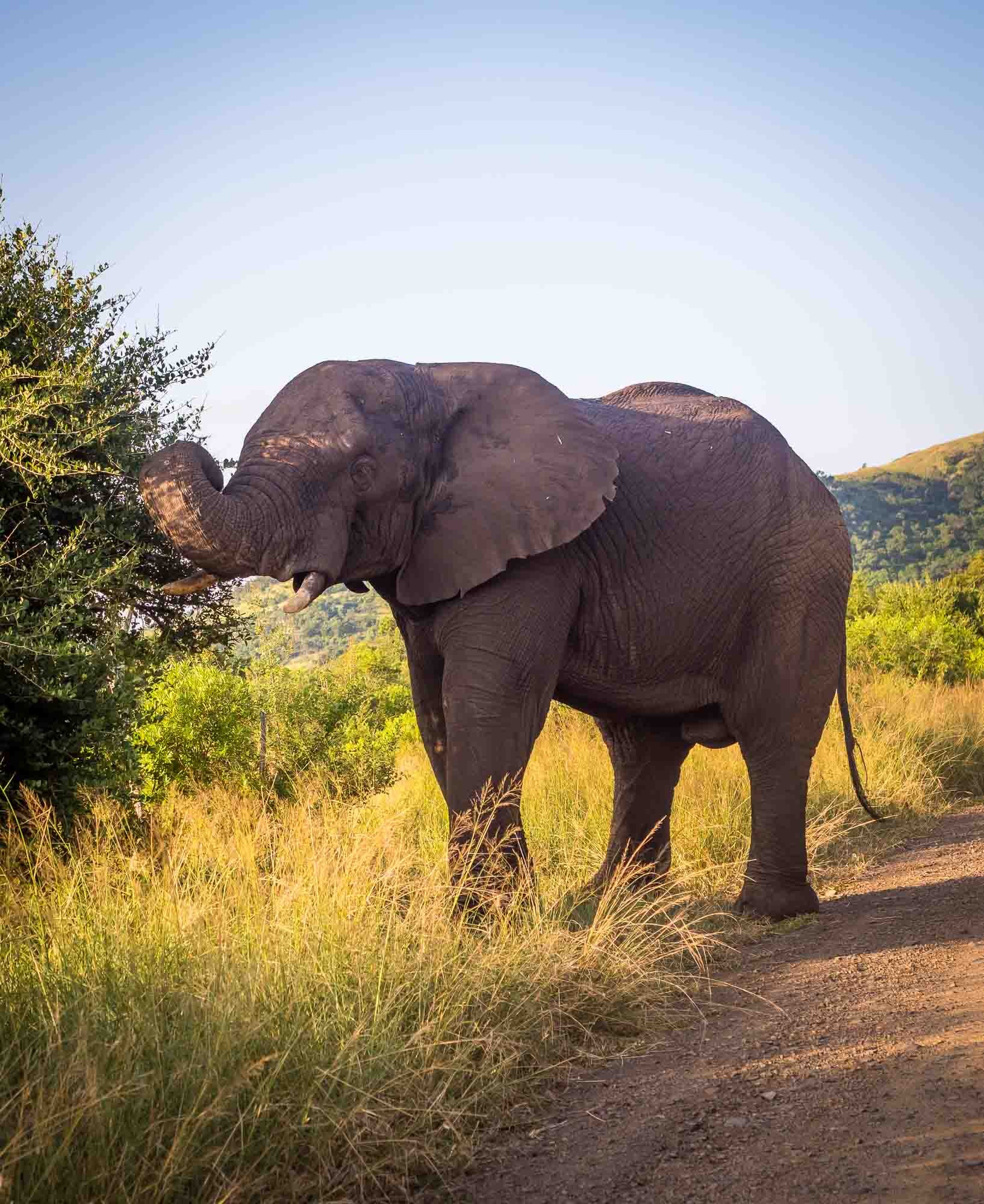
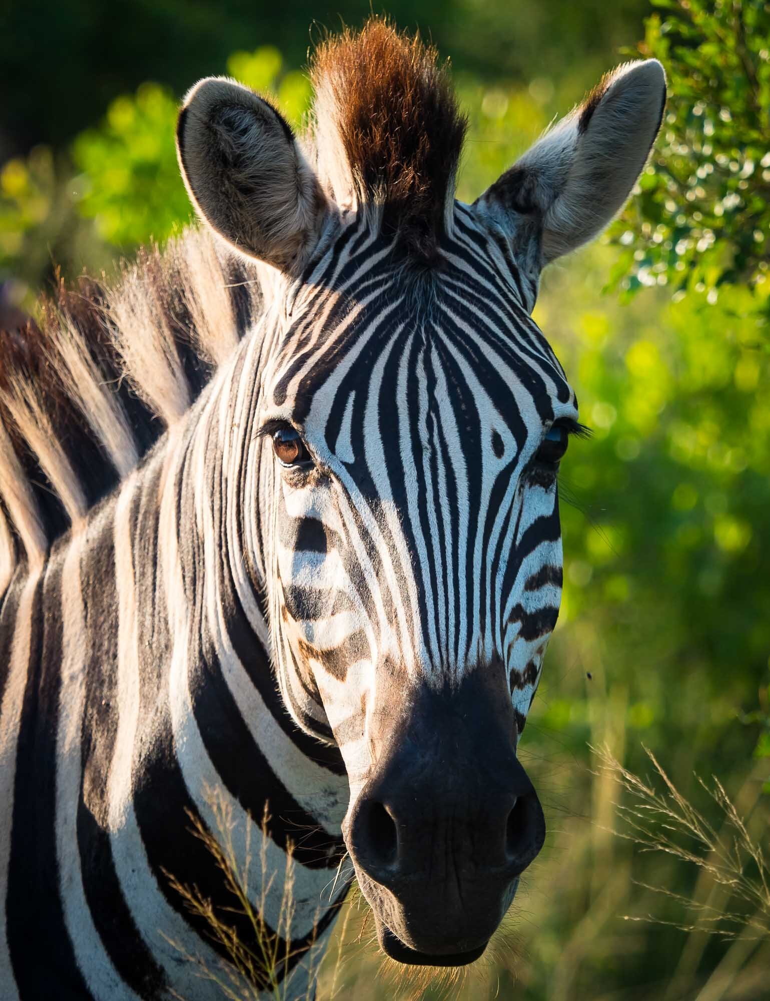
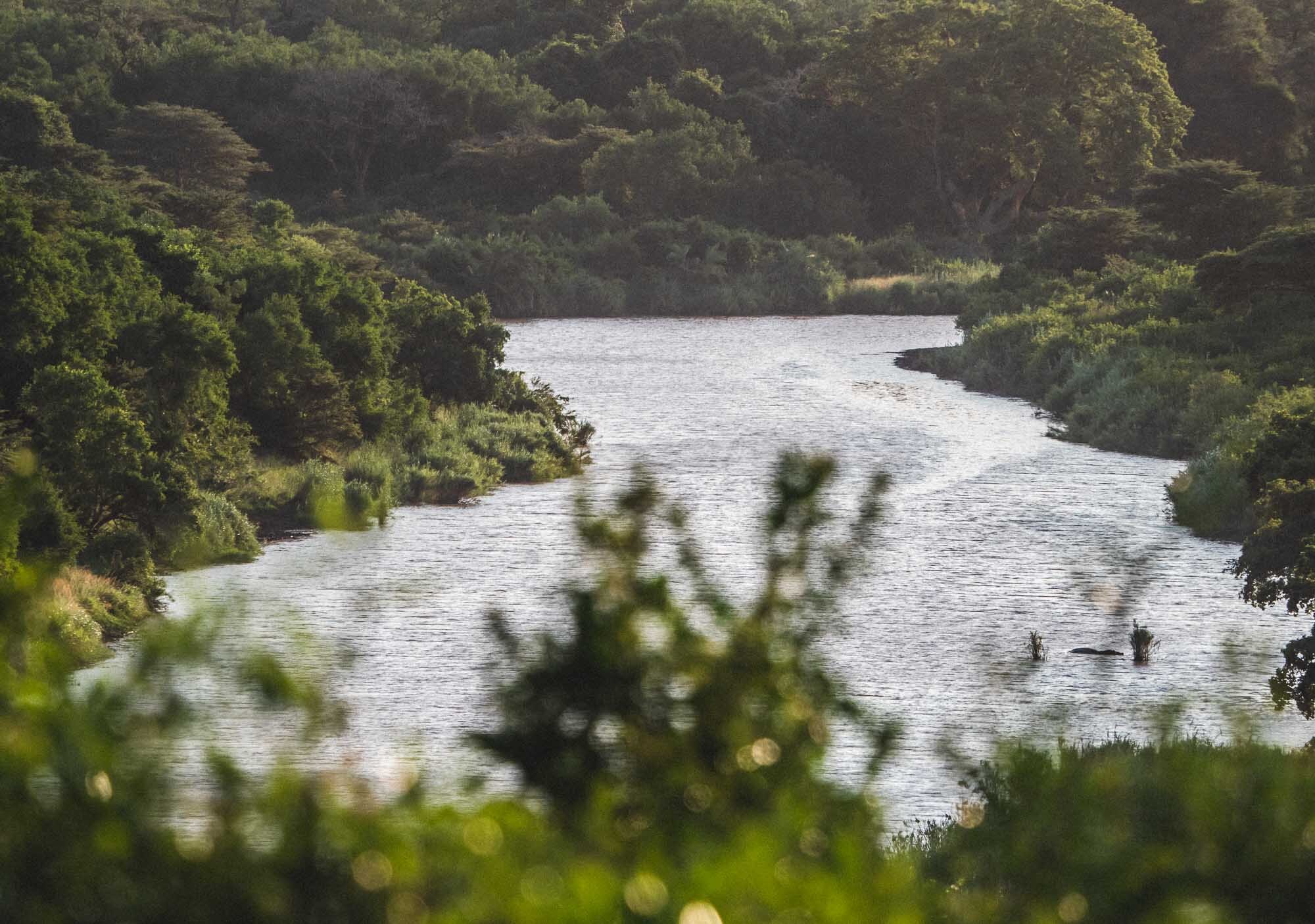
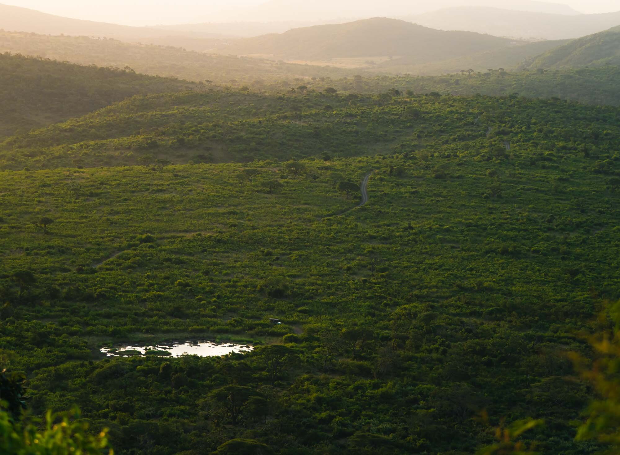
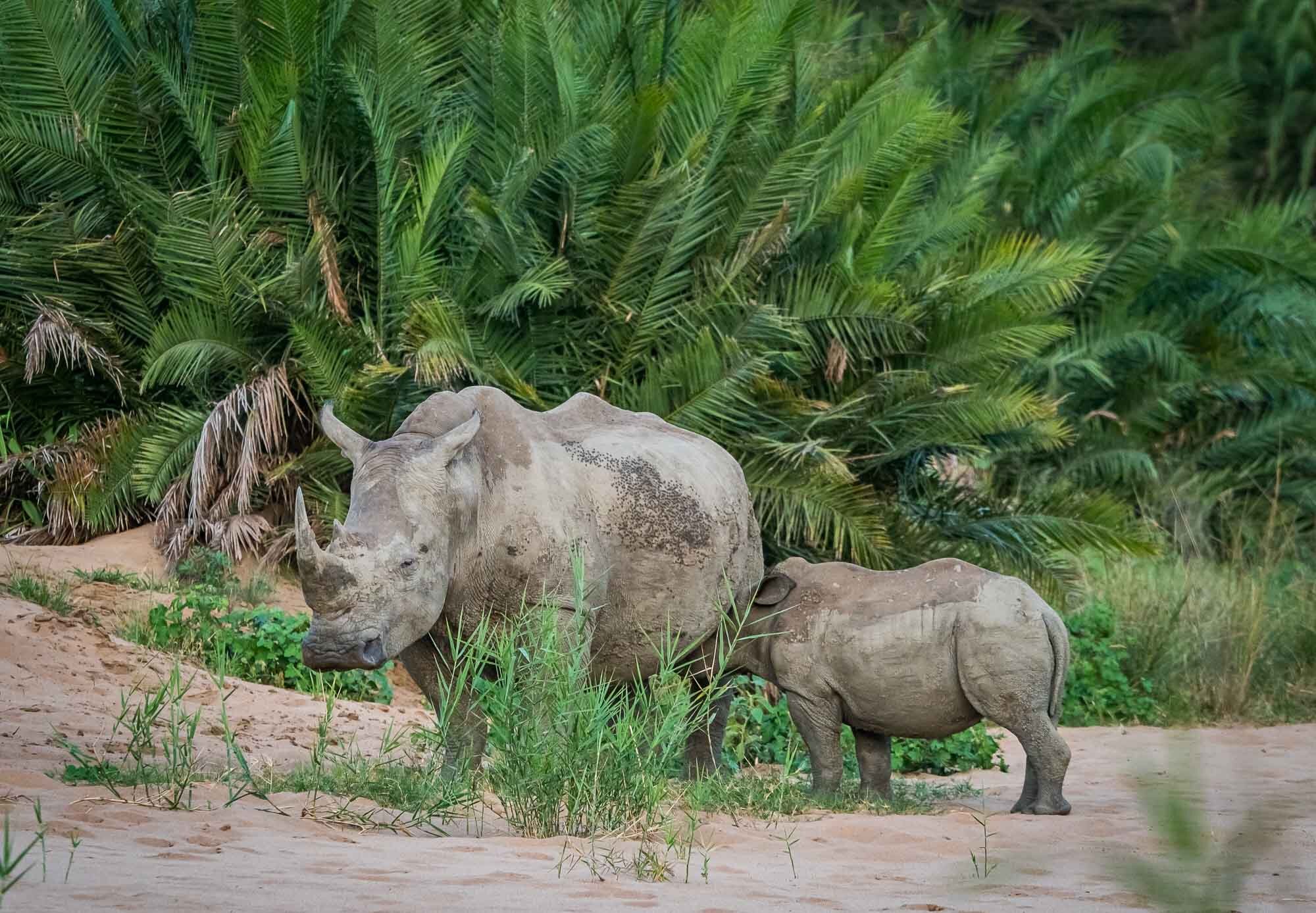
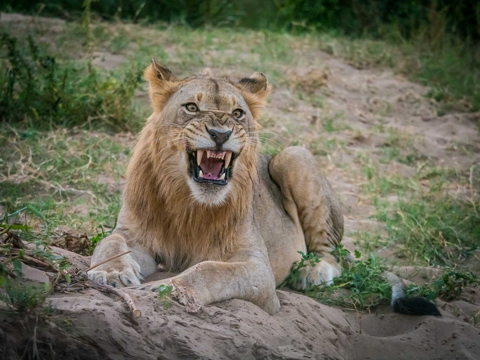
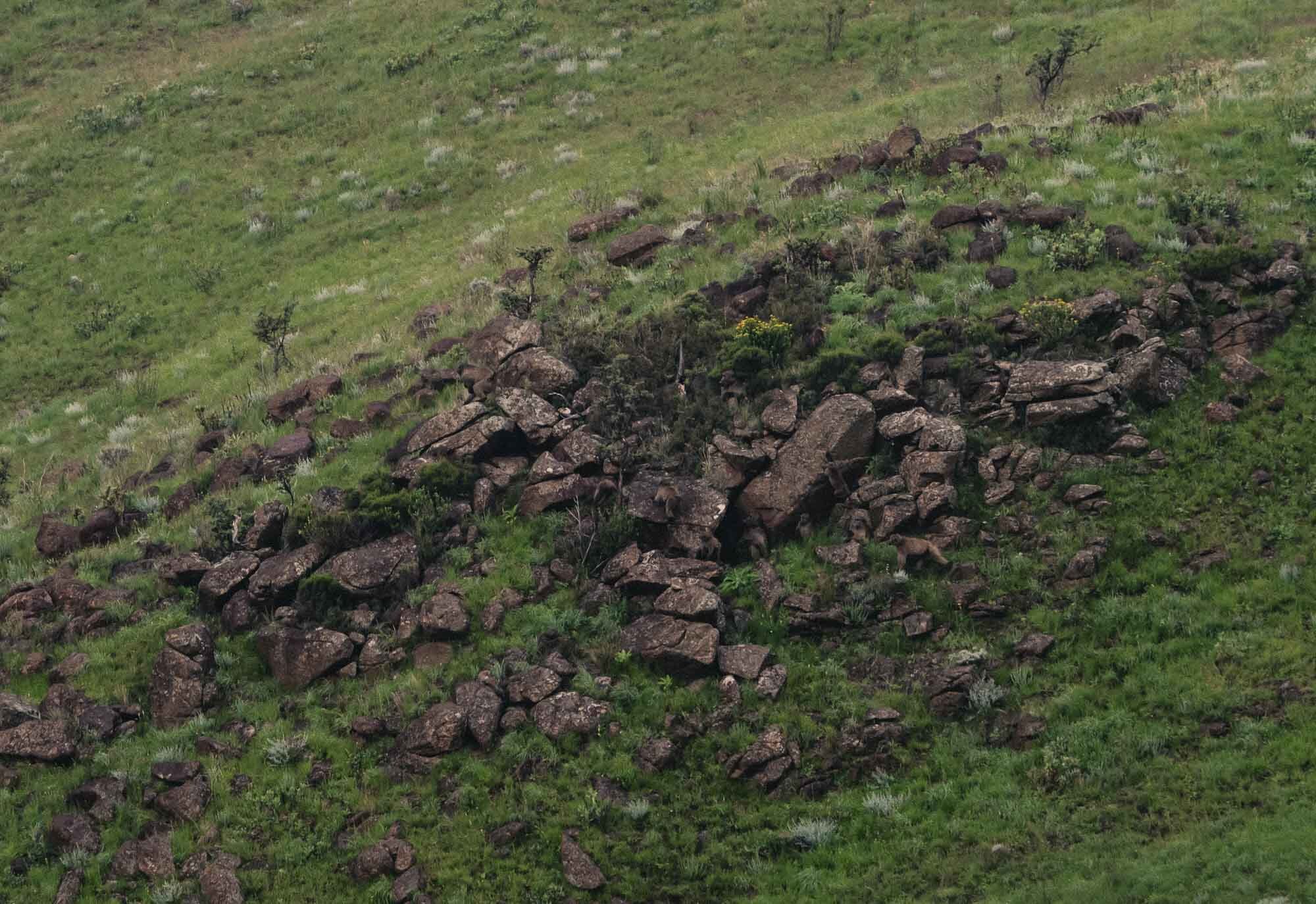
iSimangaliso Wetland Park & Hluhluwe–Imfolozi Park
On the first day before the wedding we took a trip to St Lucia and its adjacent iSimangaliso Wetland Park for a boat trip, before driving onward to the Hluhluwe–Imfolozi Park for a game drive.

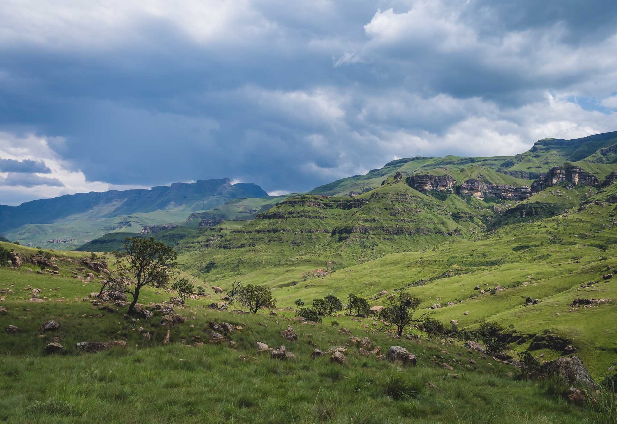
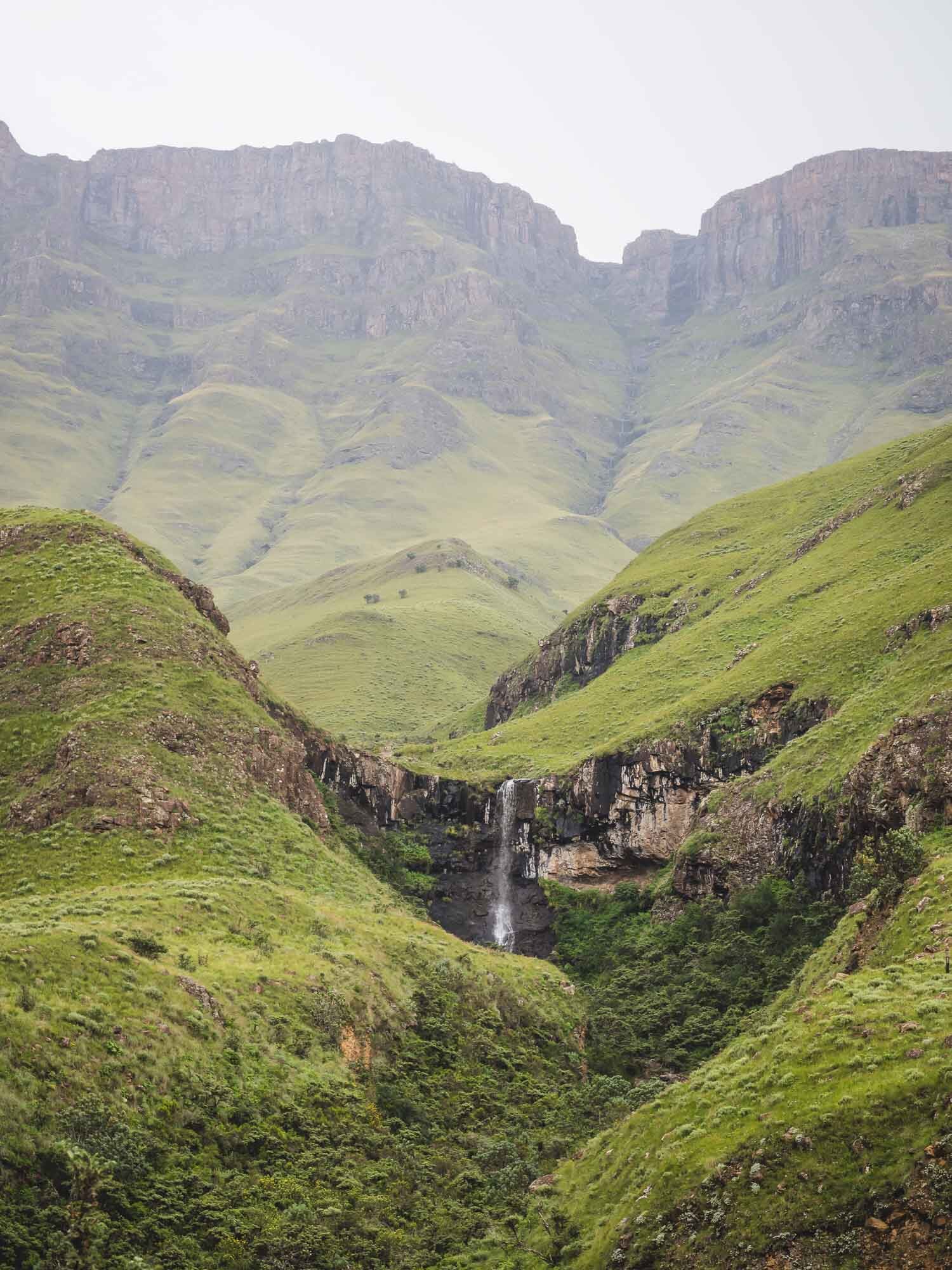
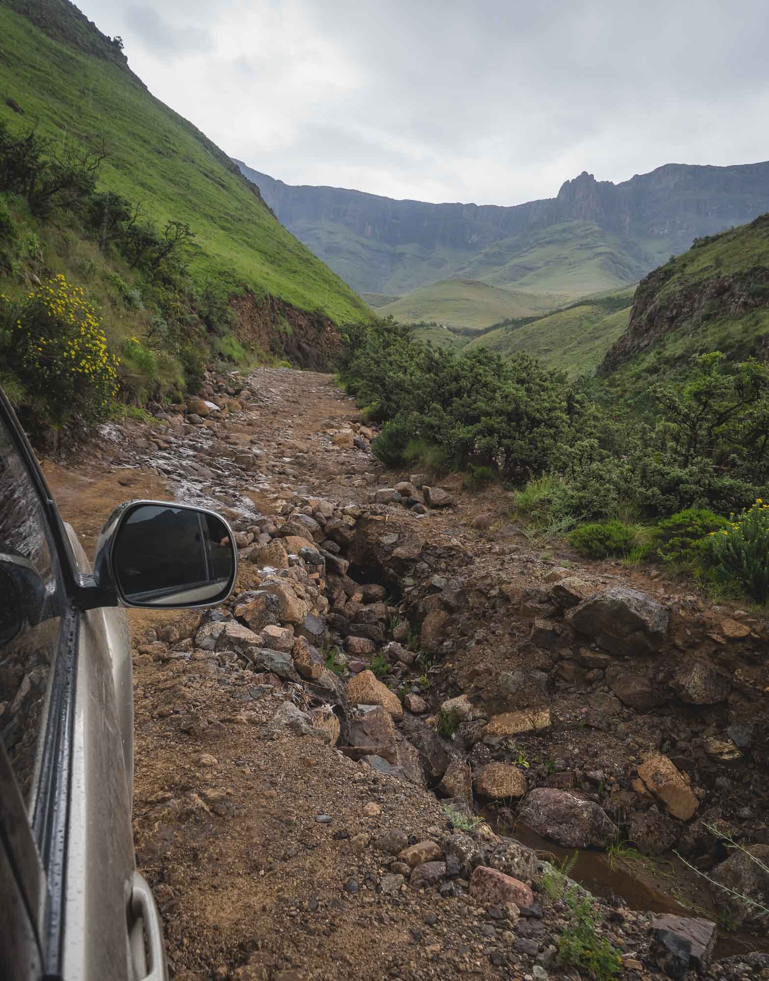
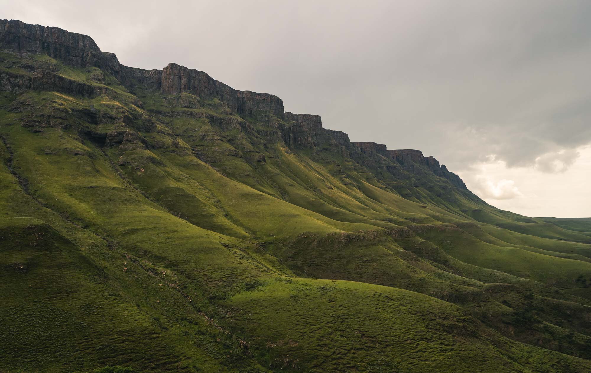
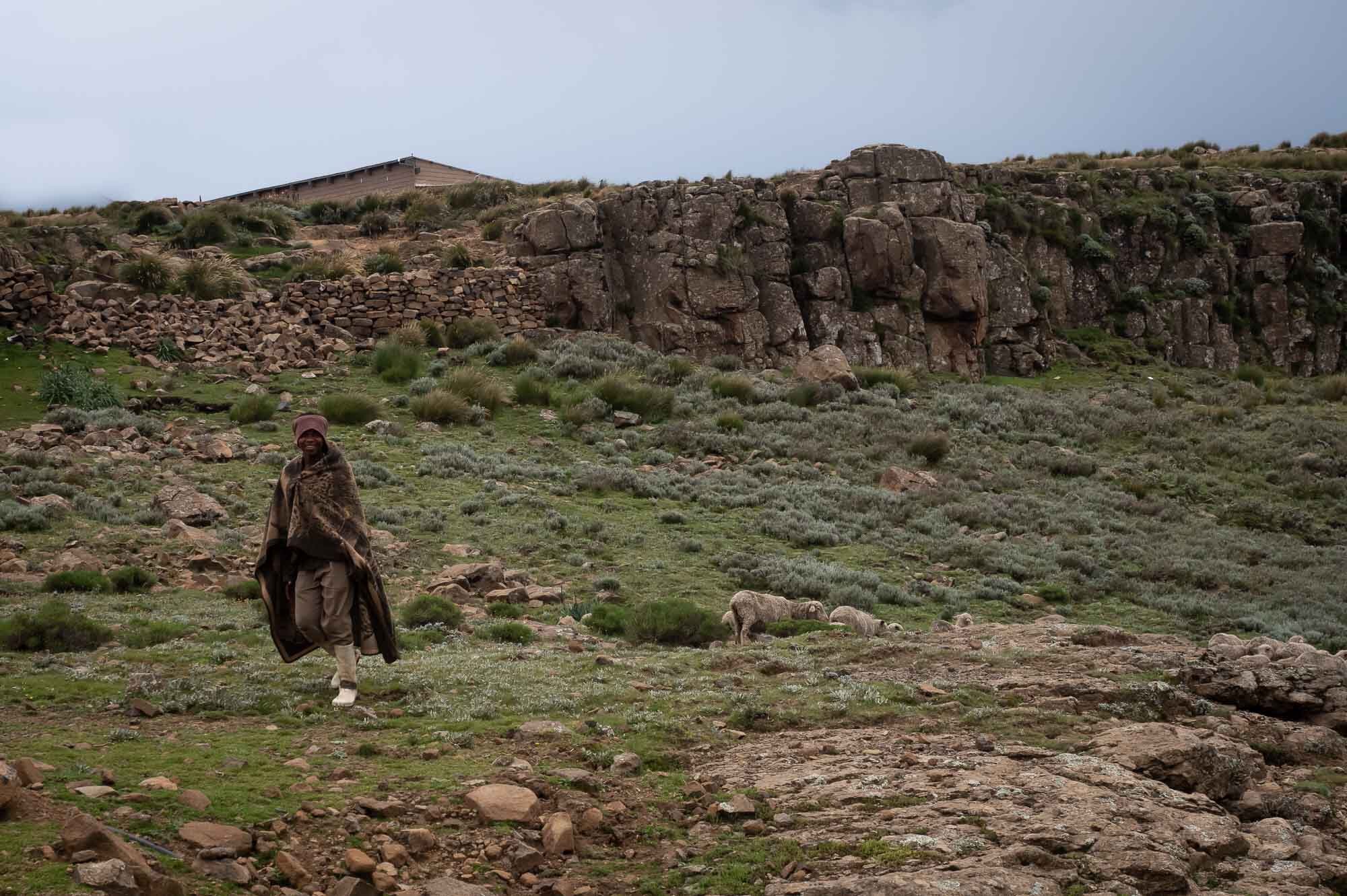
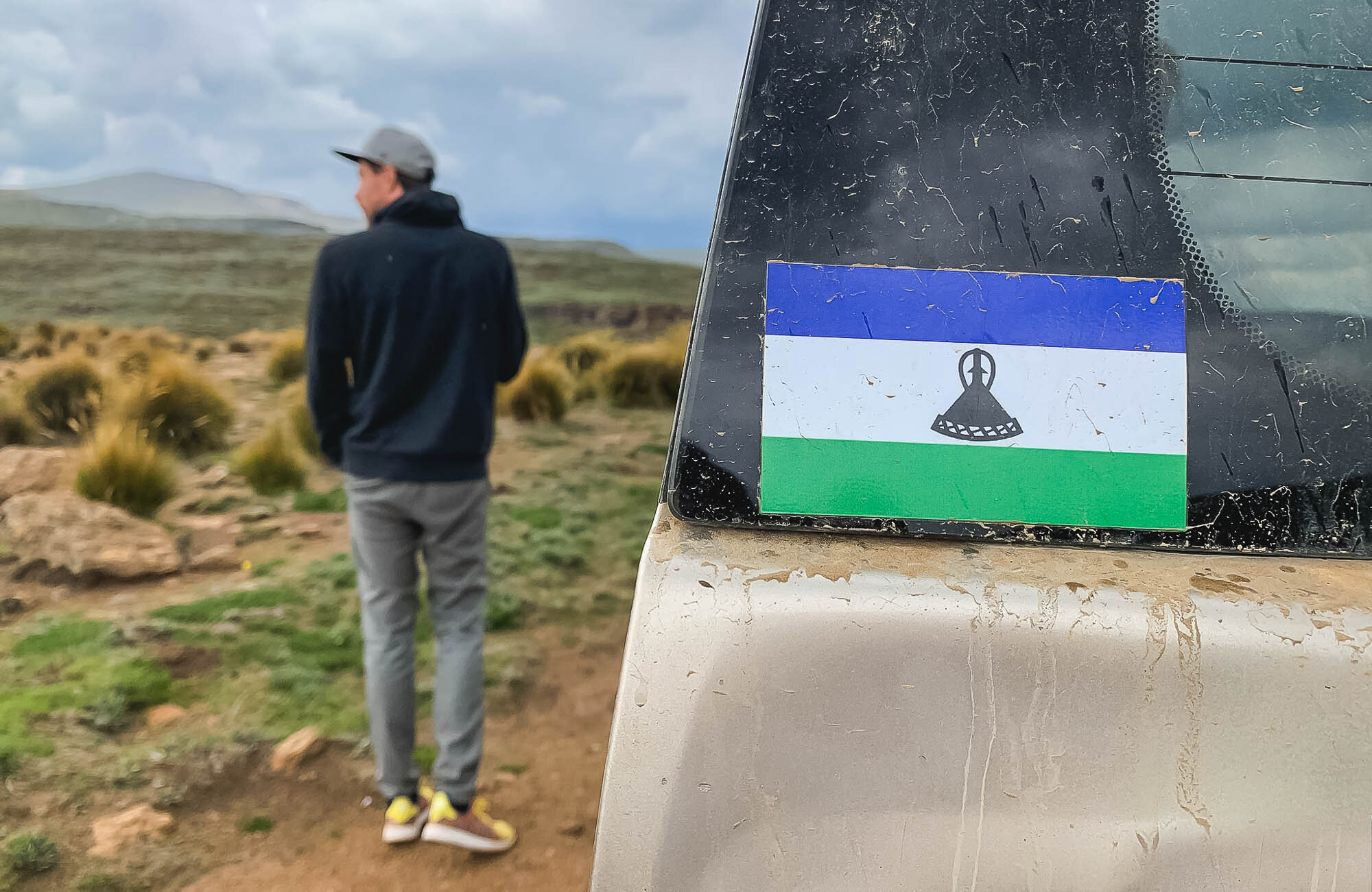
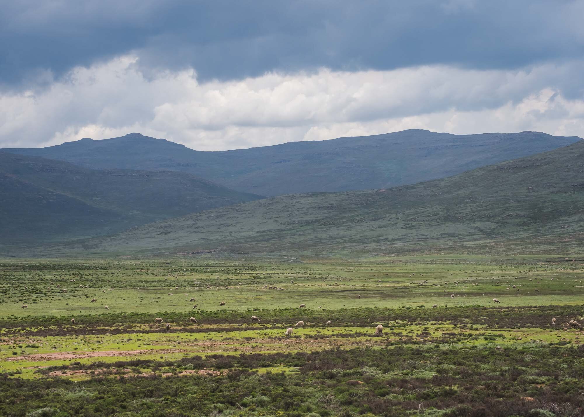
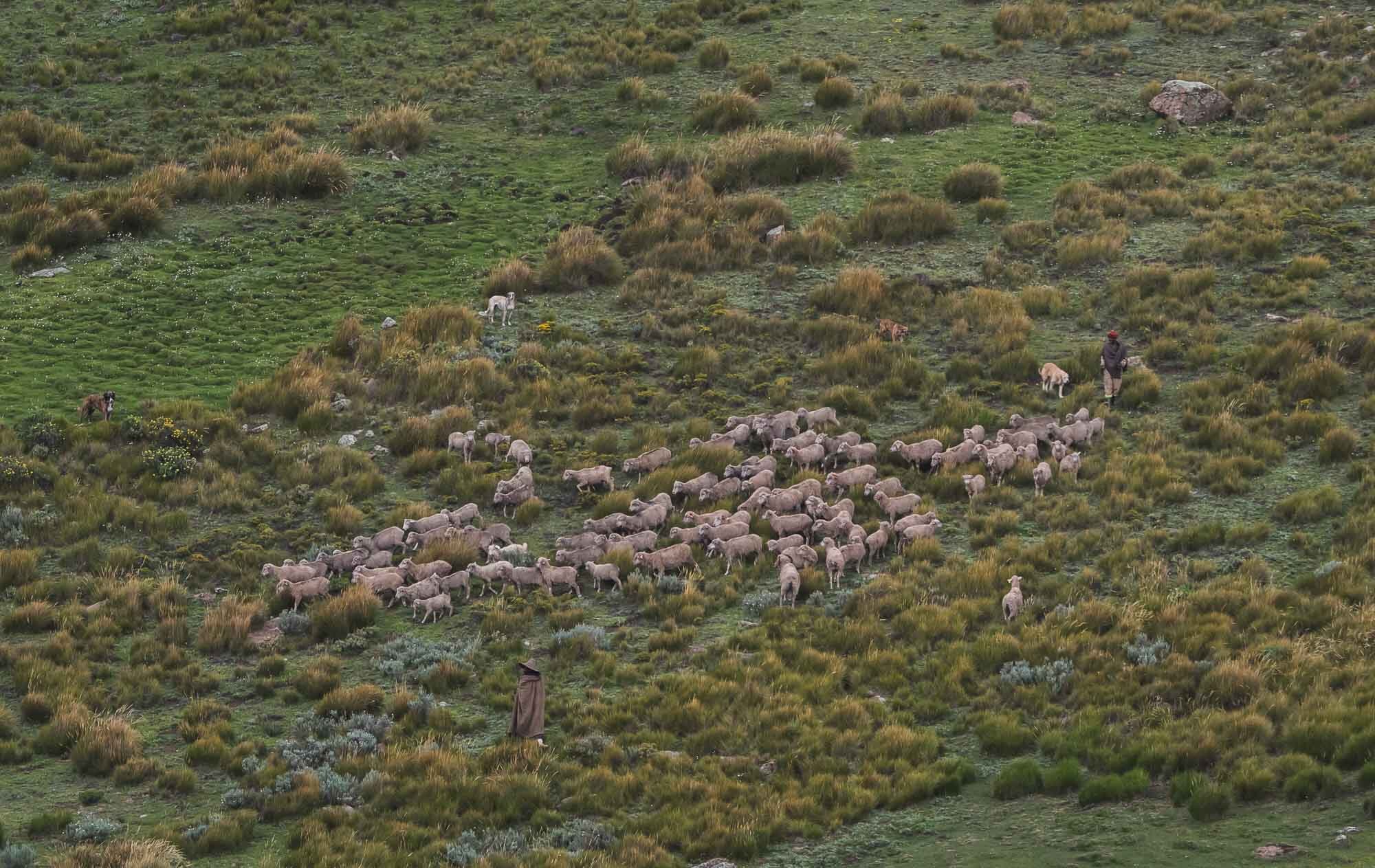
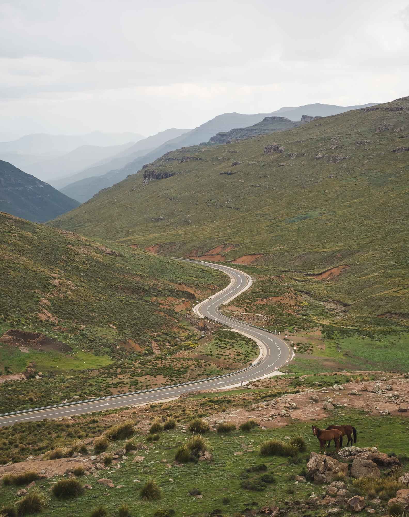
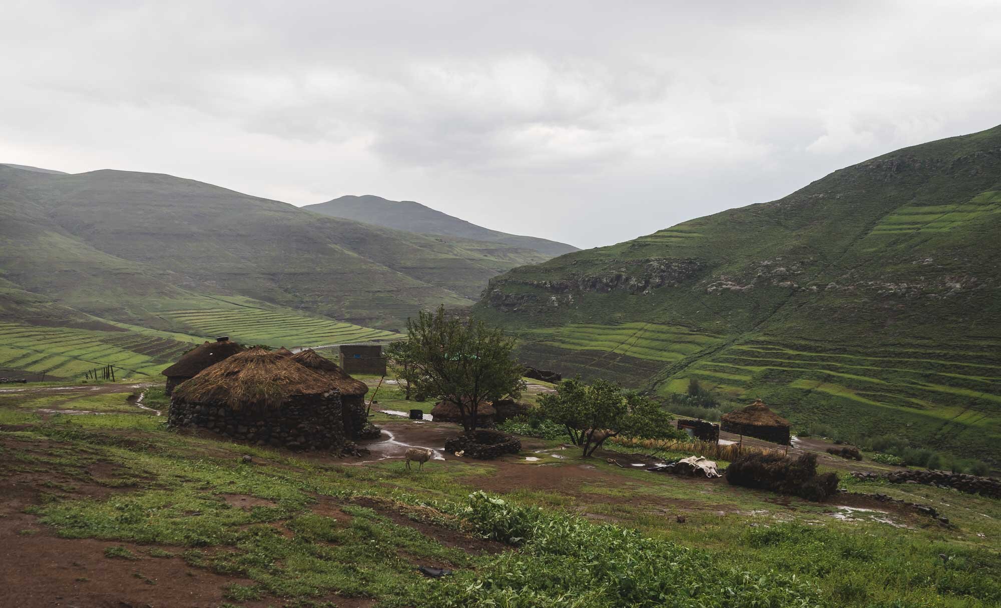
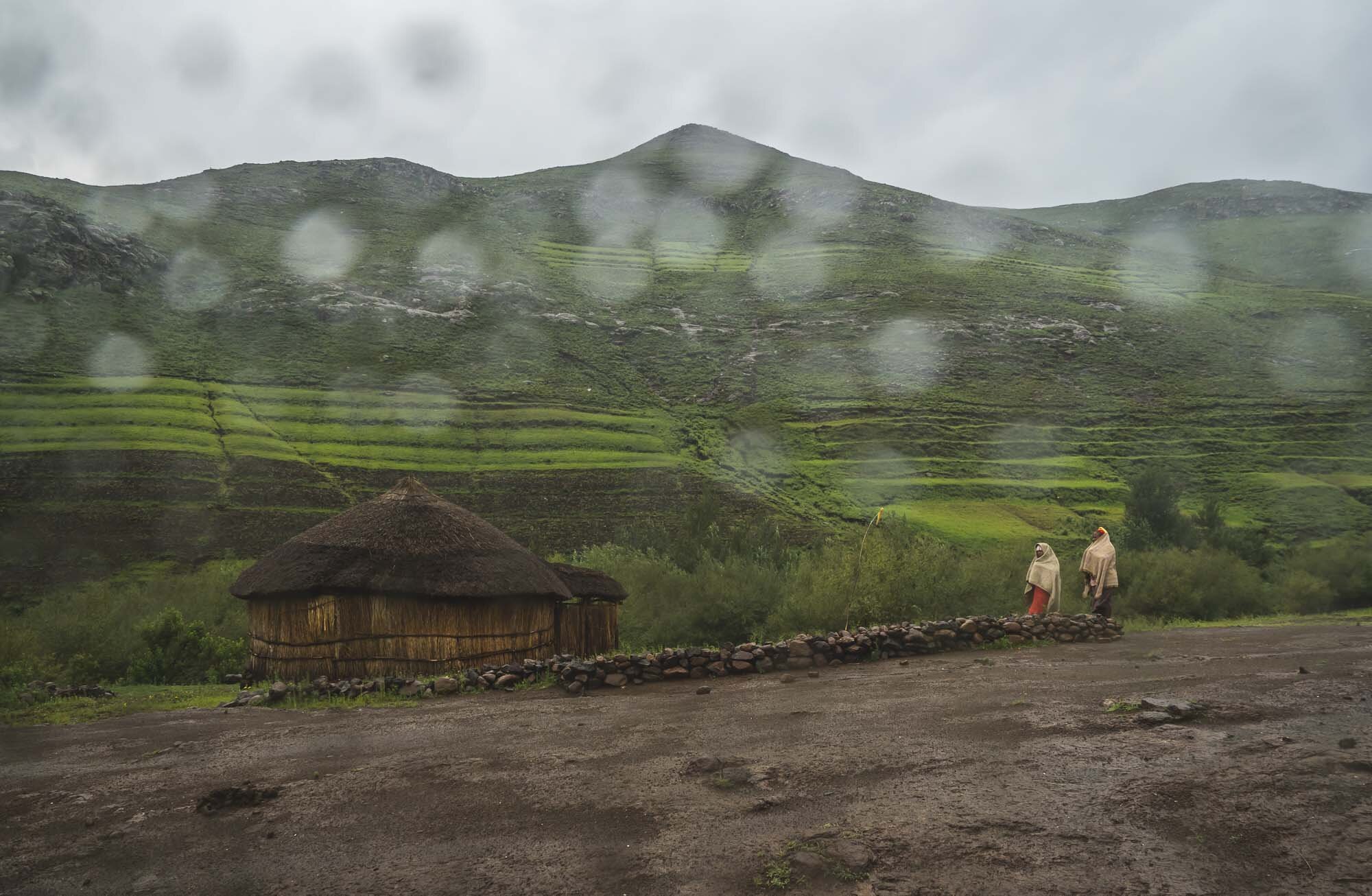
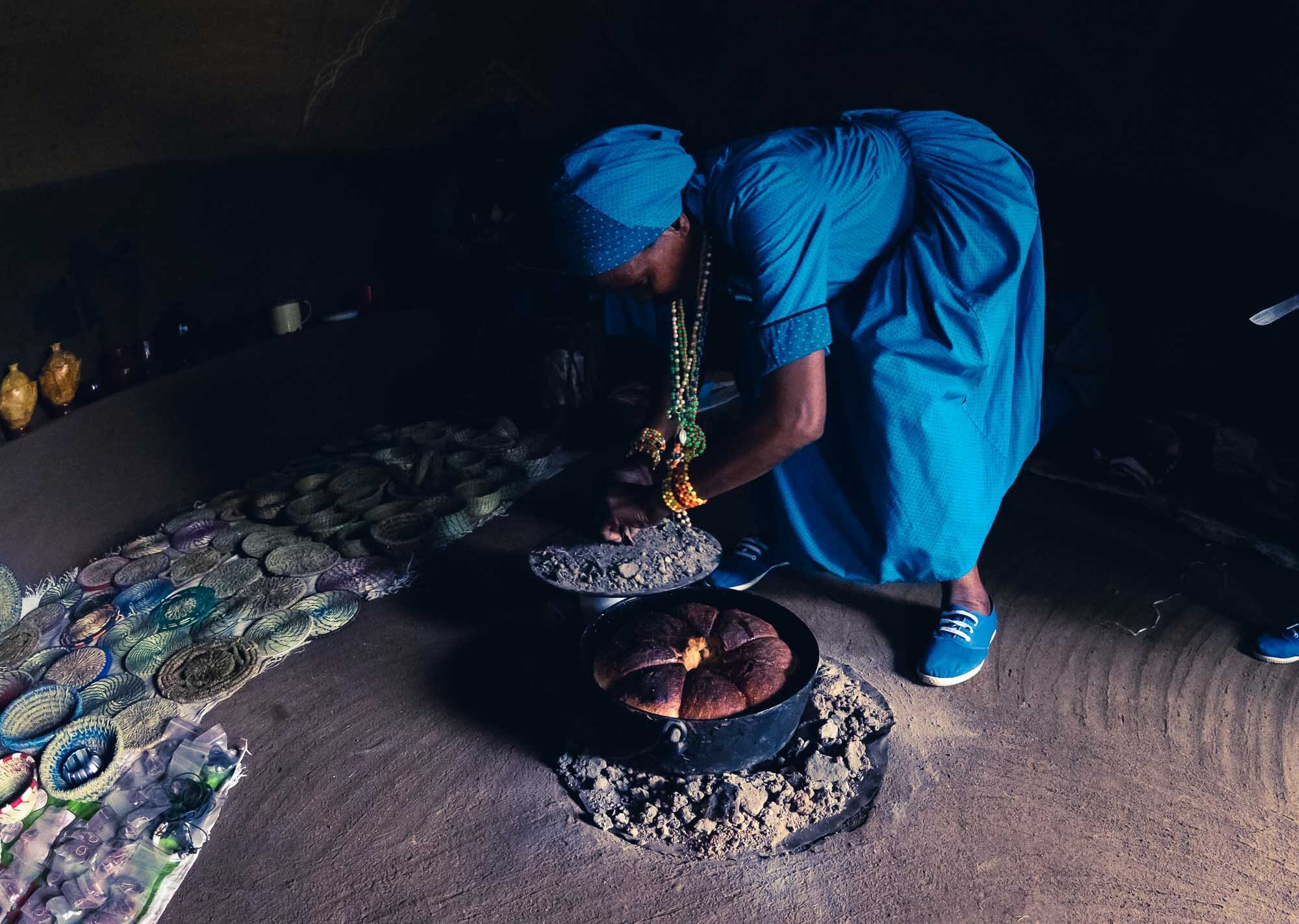
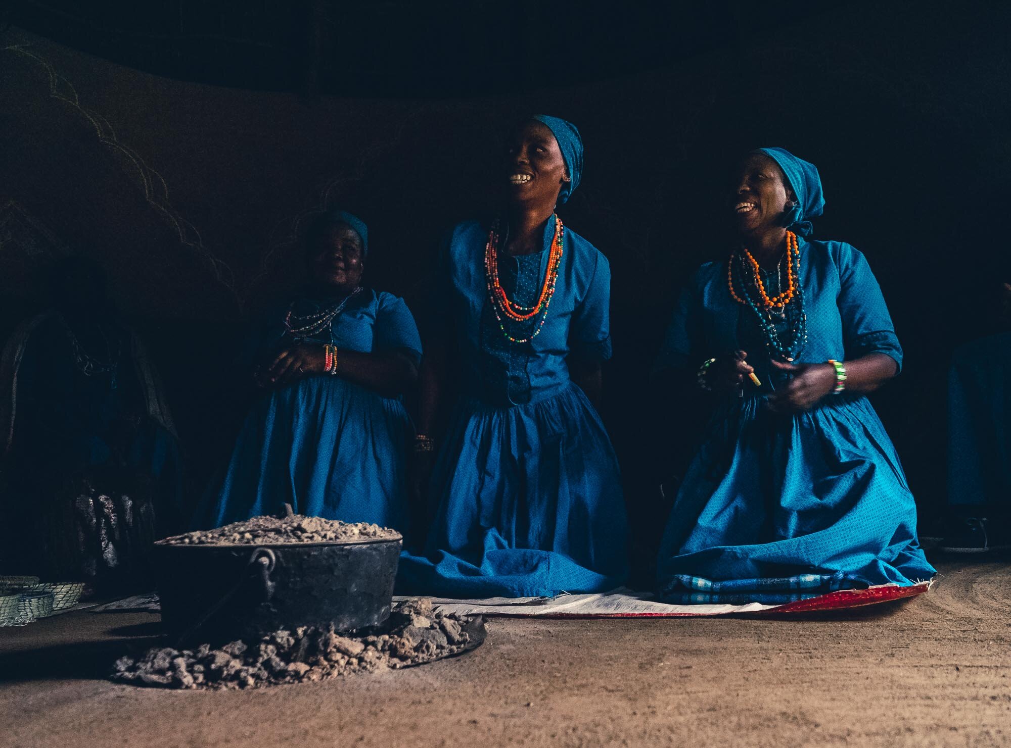
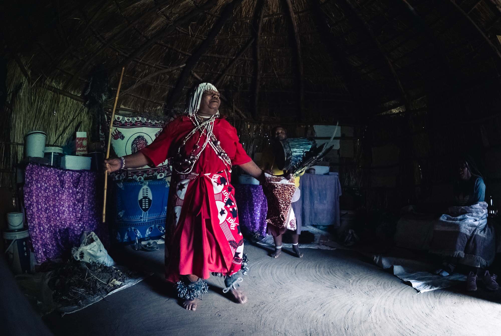
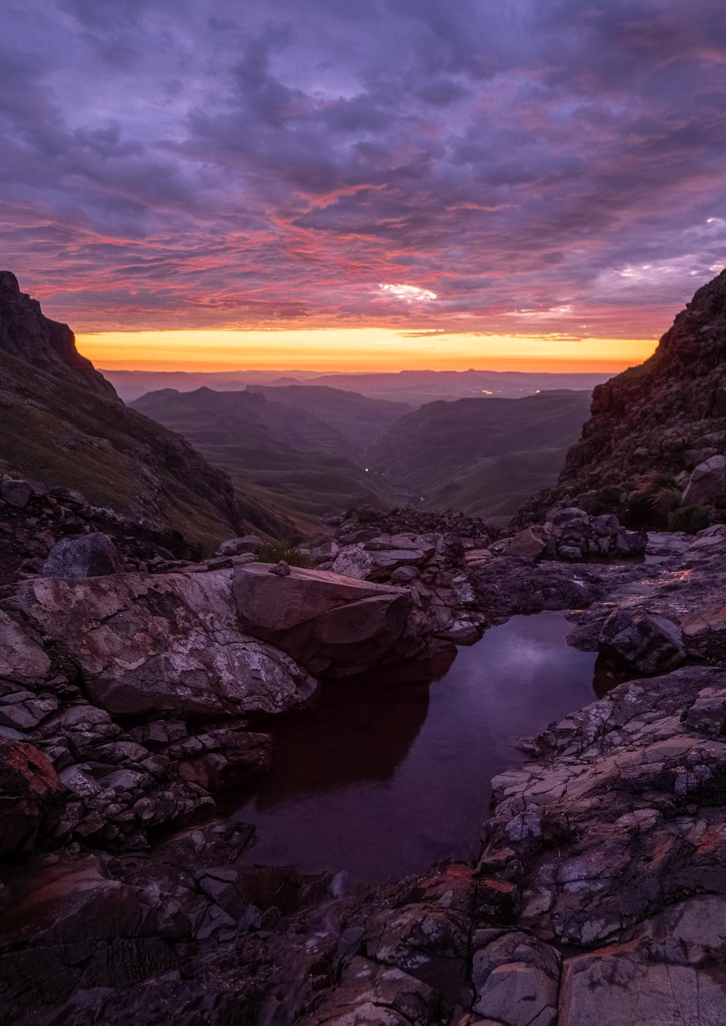
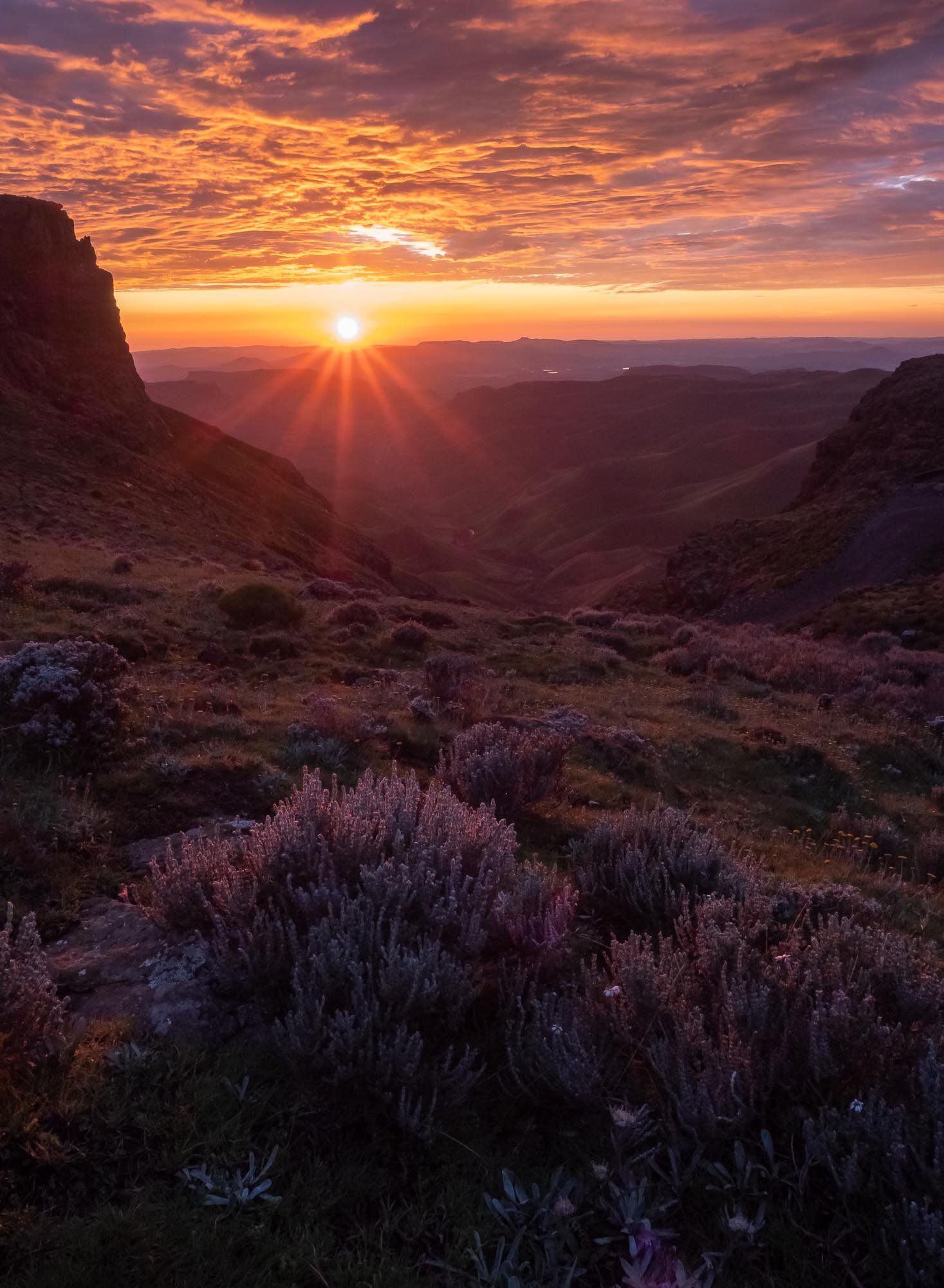
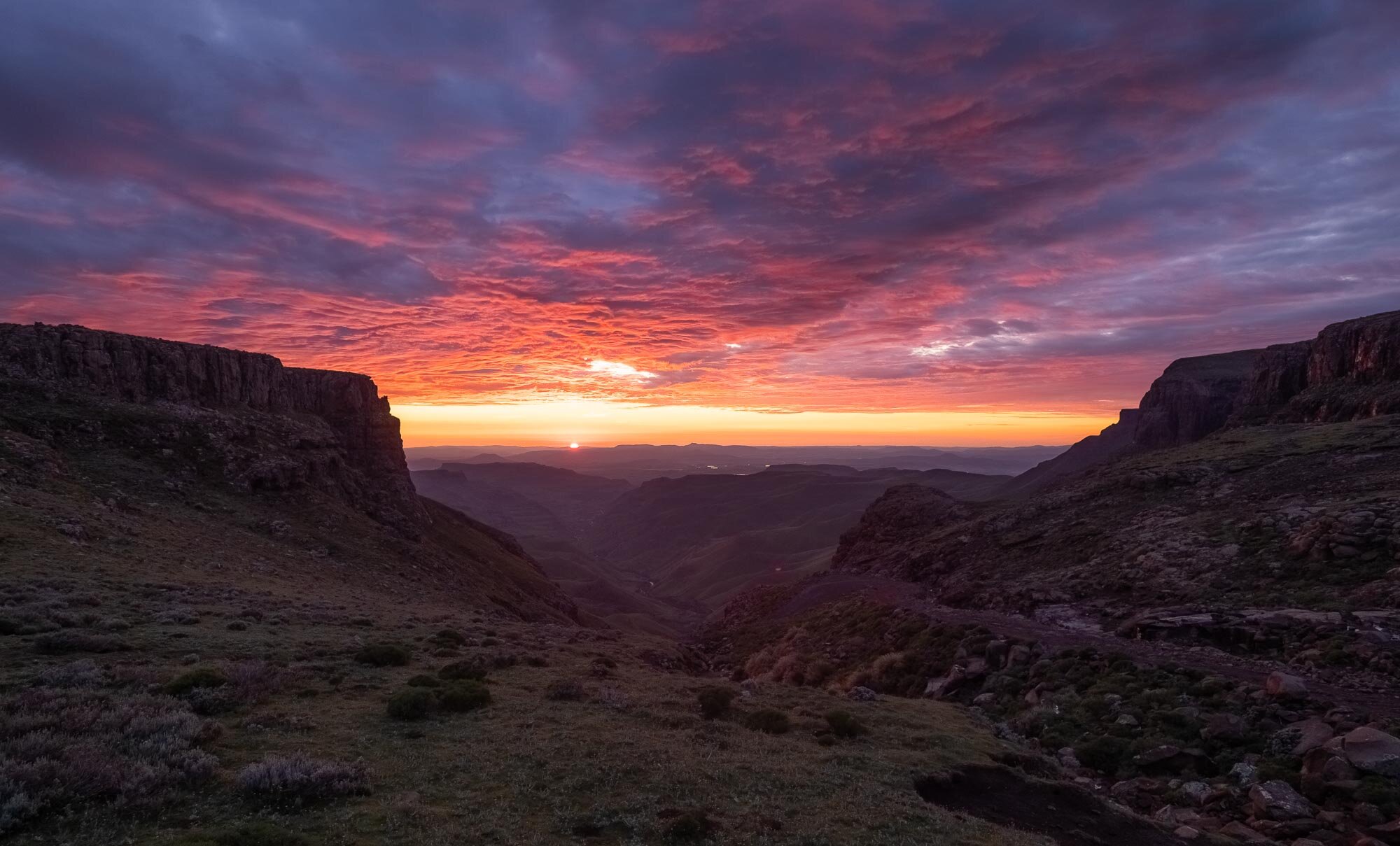
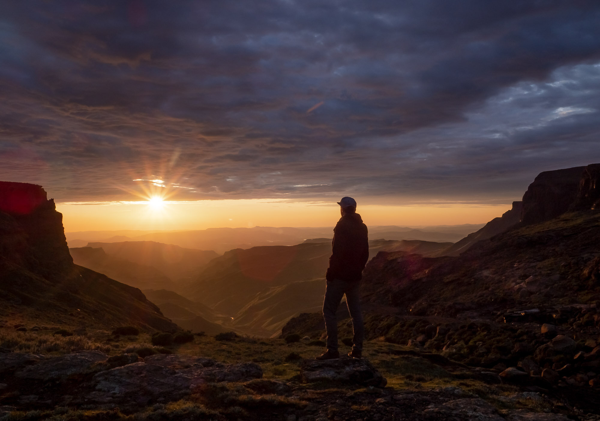
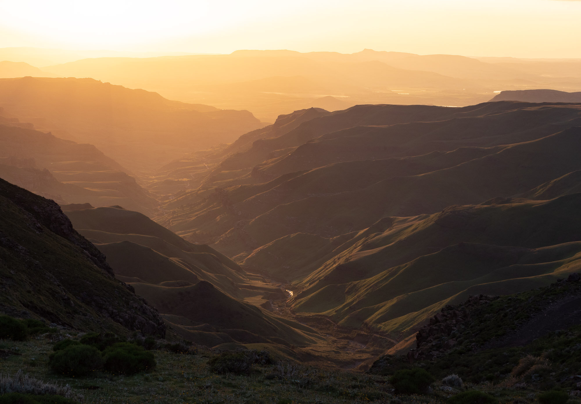
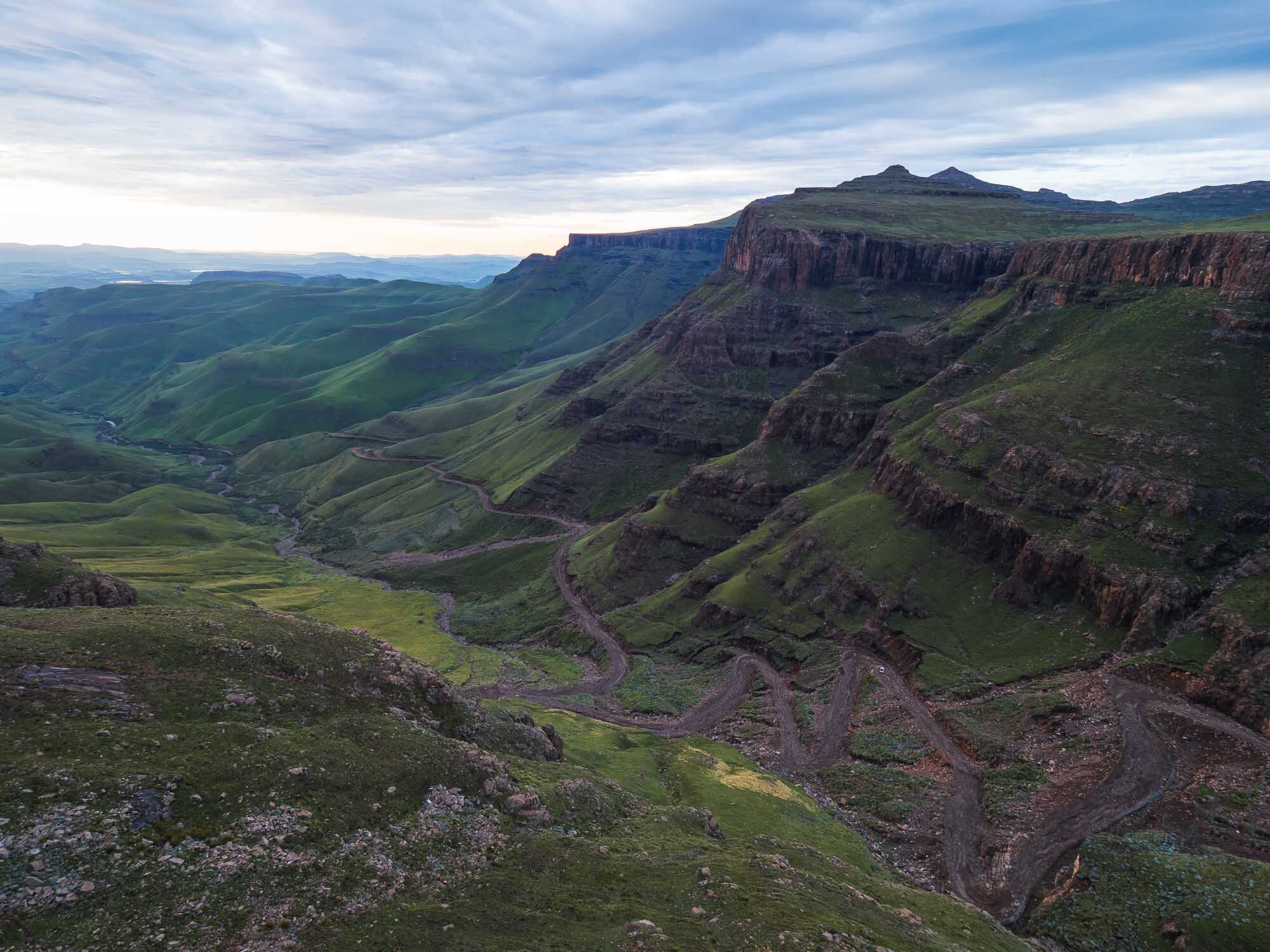
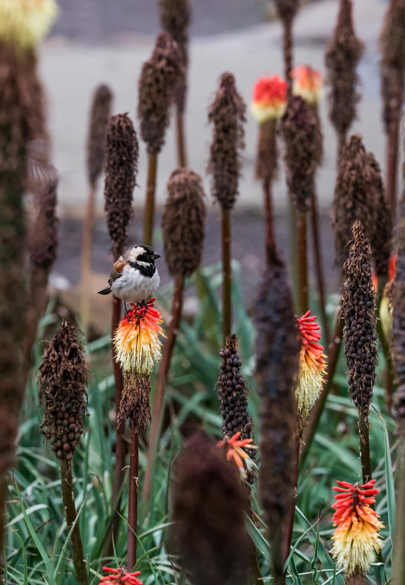
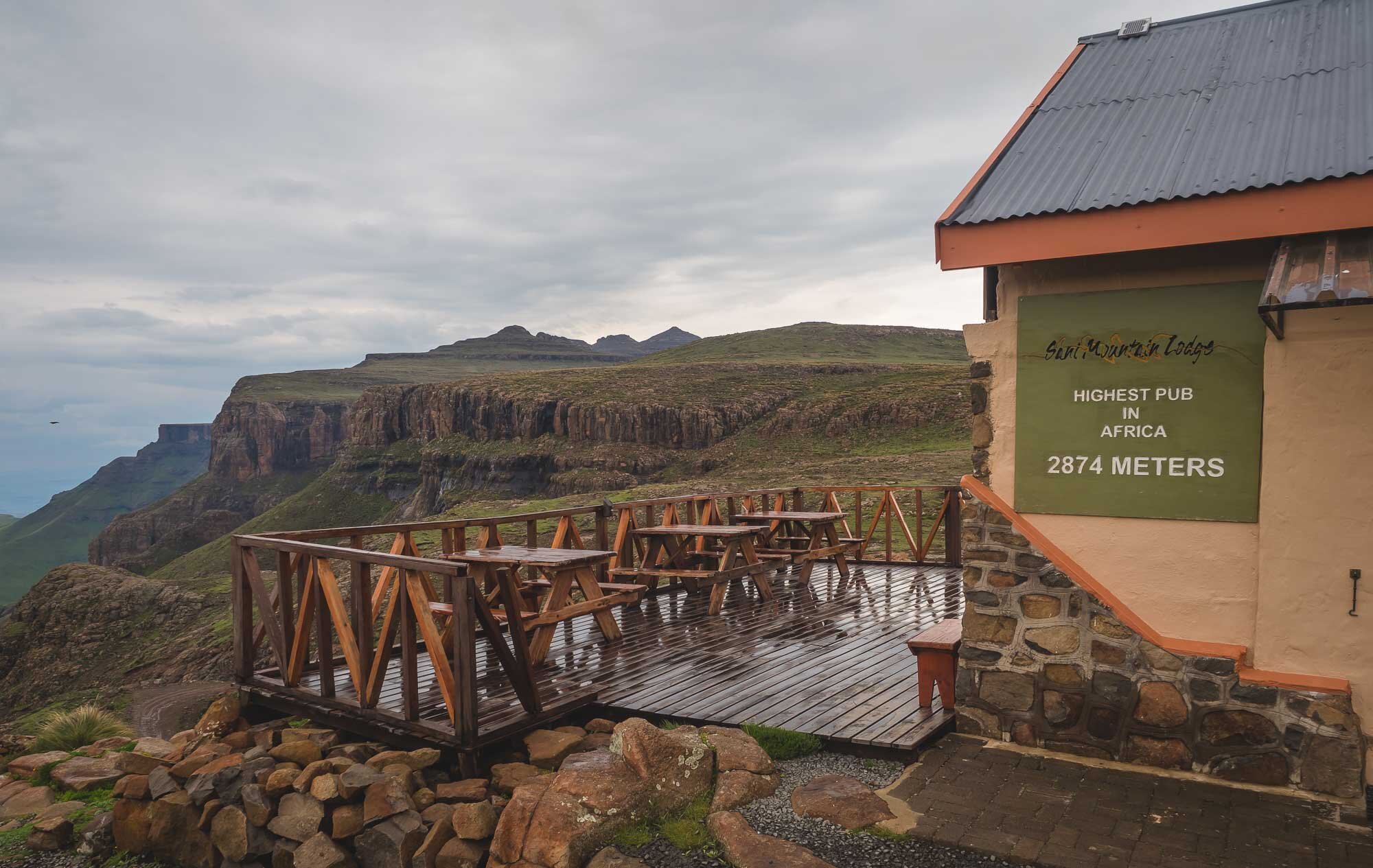
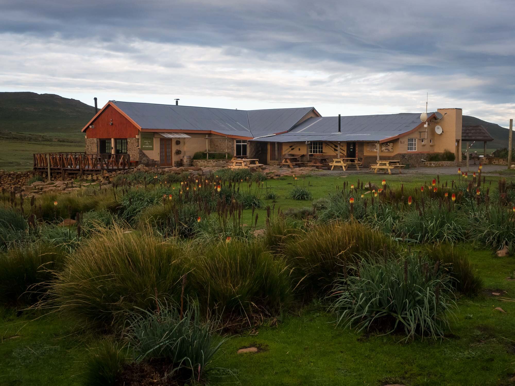
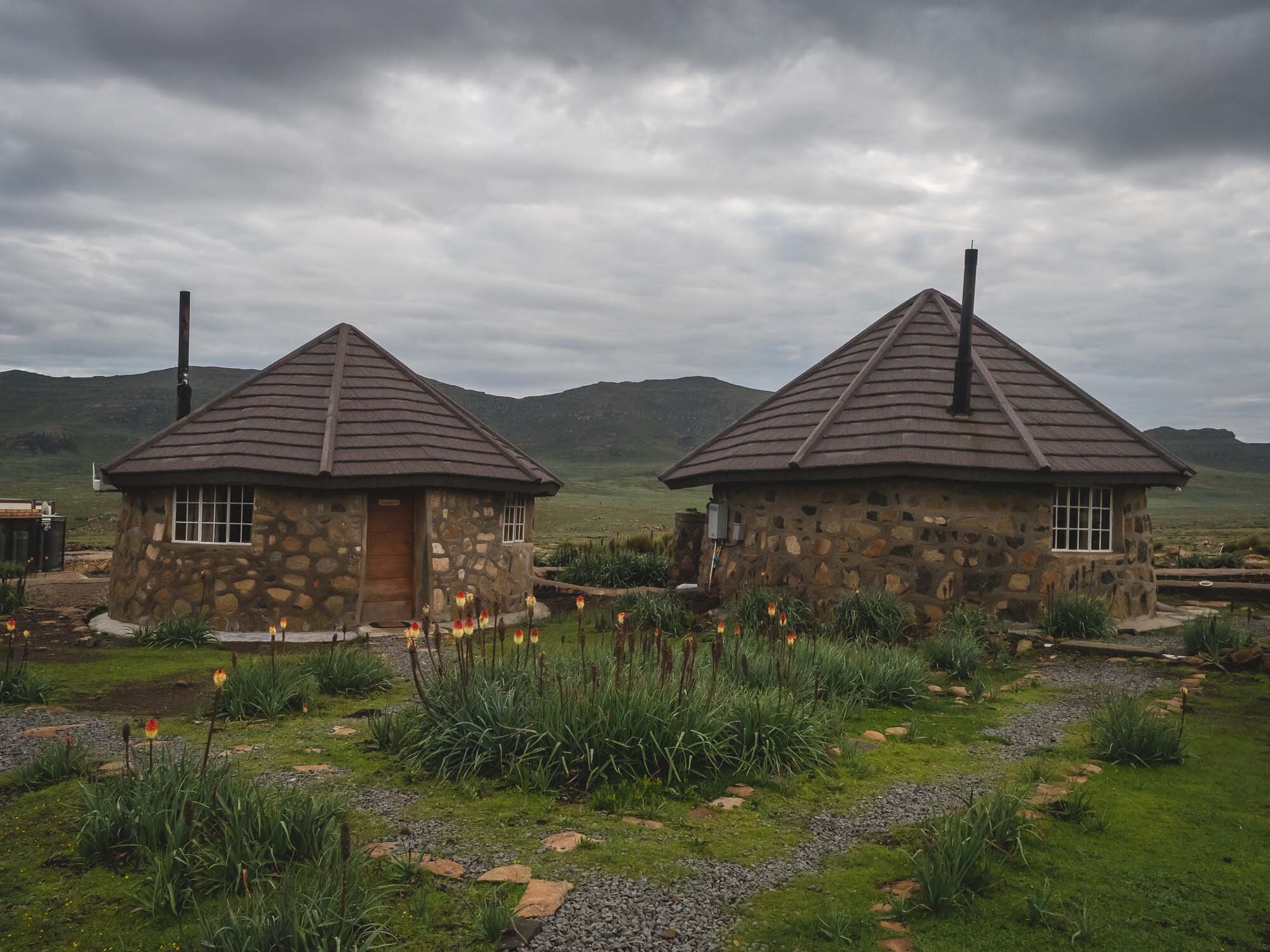
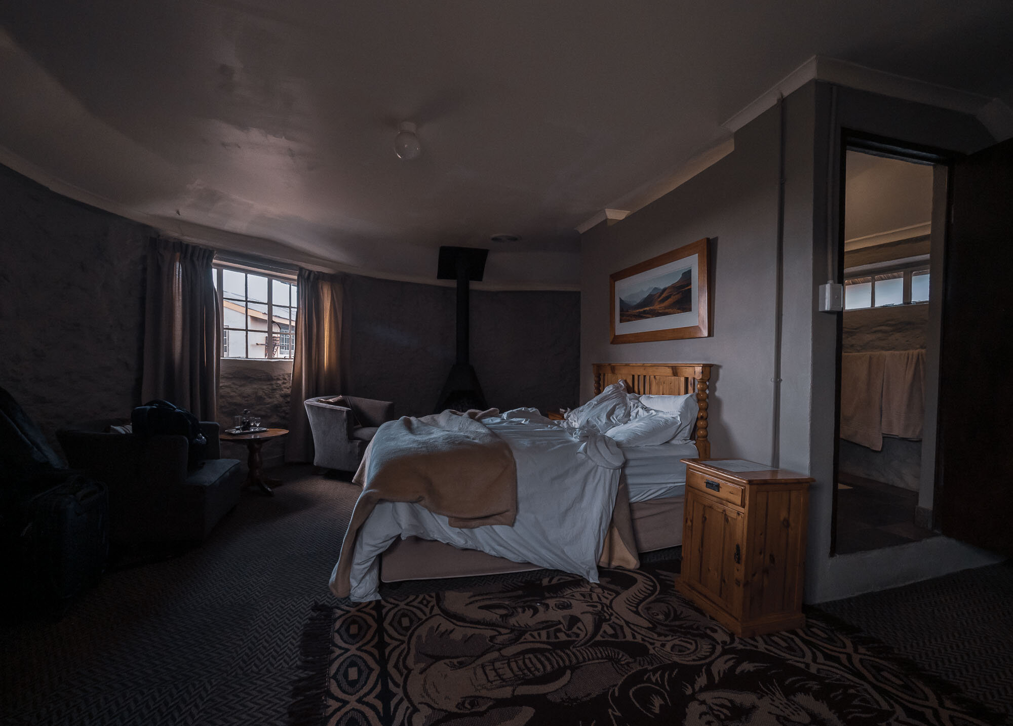
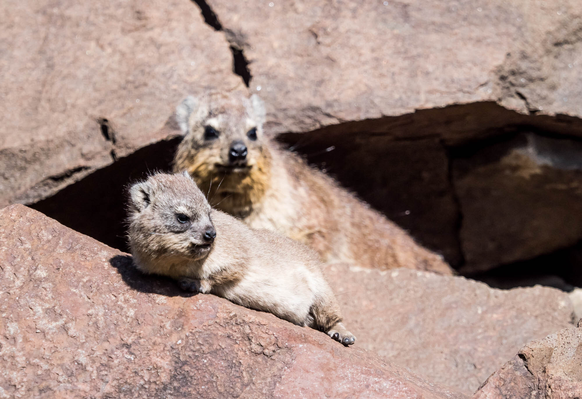
The Sani Pass & Lesotho
The day after the wedding took us up the famous Sani Pass in an amazing tour with Sani Pass Private Tours - highly recommended! A drive into the vast lands of Lesotho - the Mountain Kingdom in the Sky - with a visit to a local village ended back at the pass with an overnight stay before making our way down the next morning.


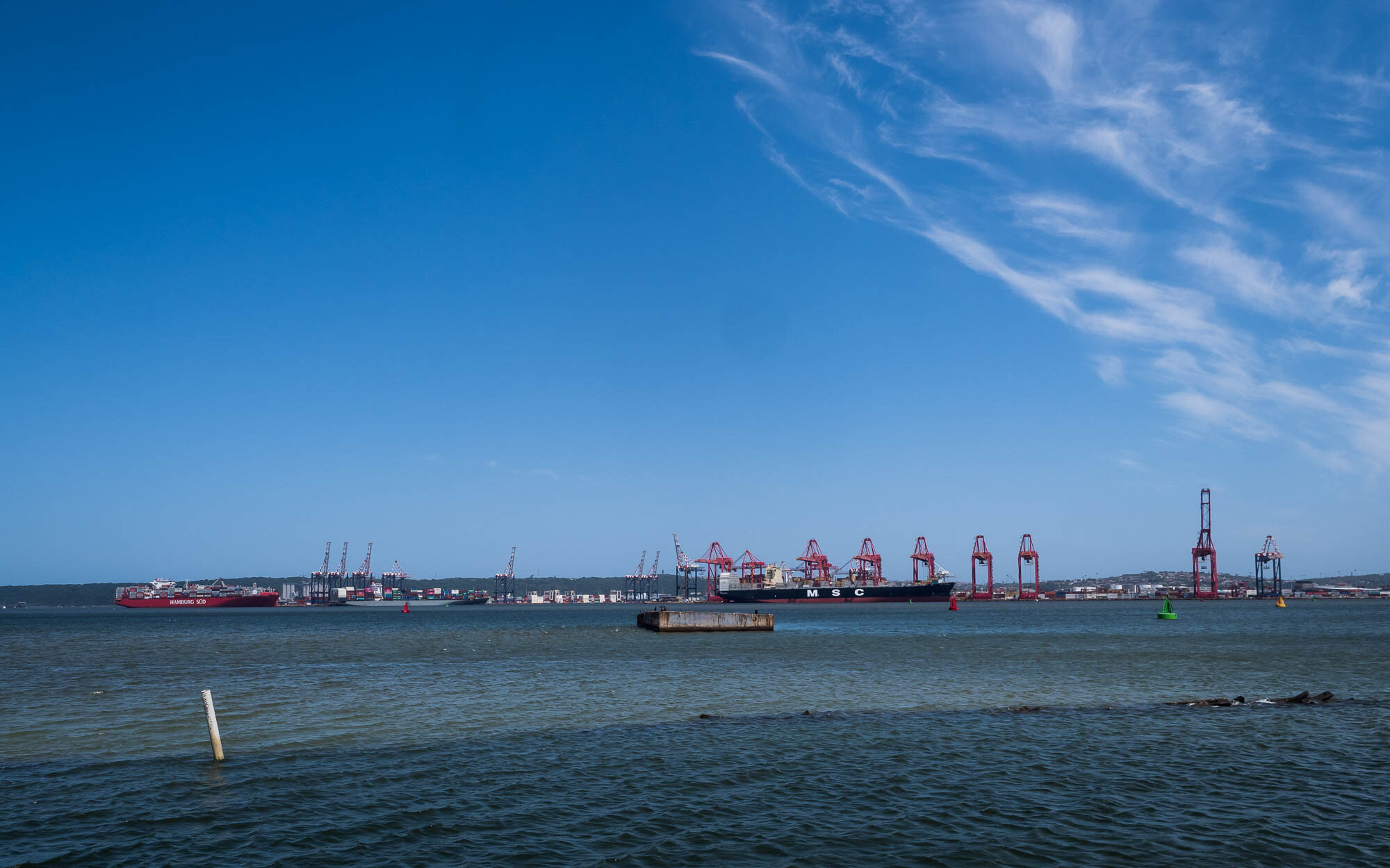
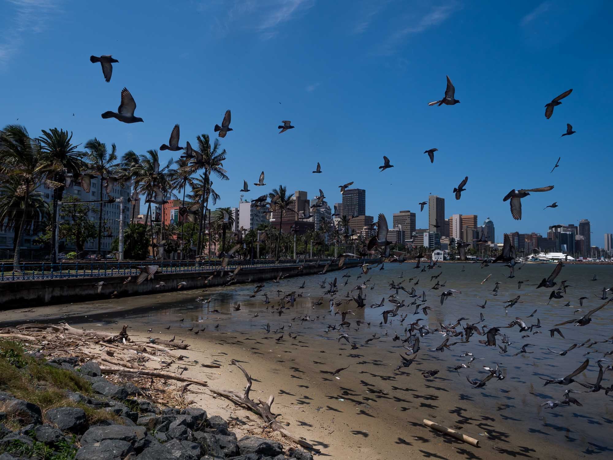
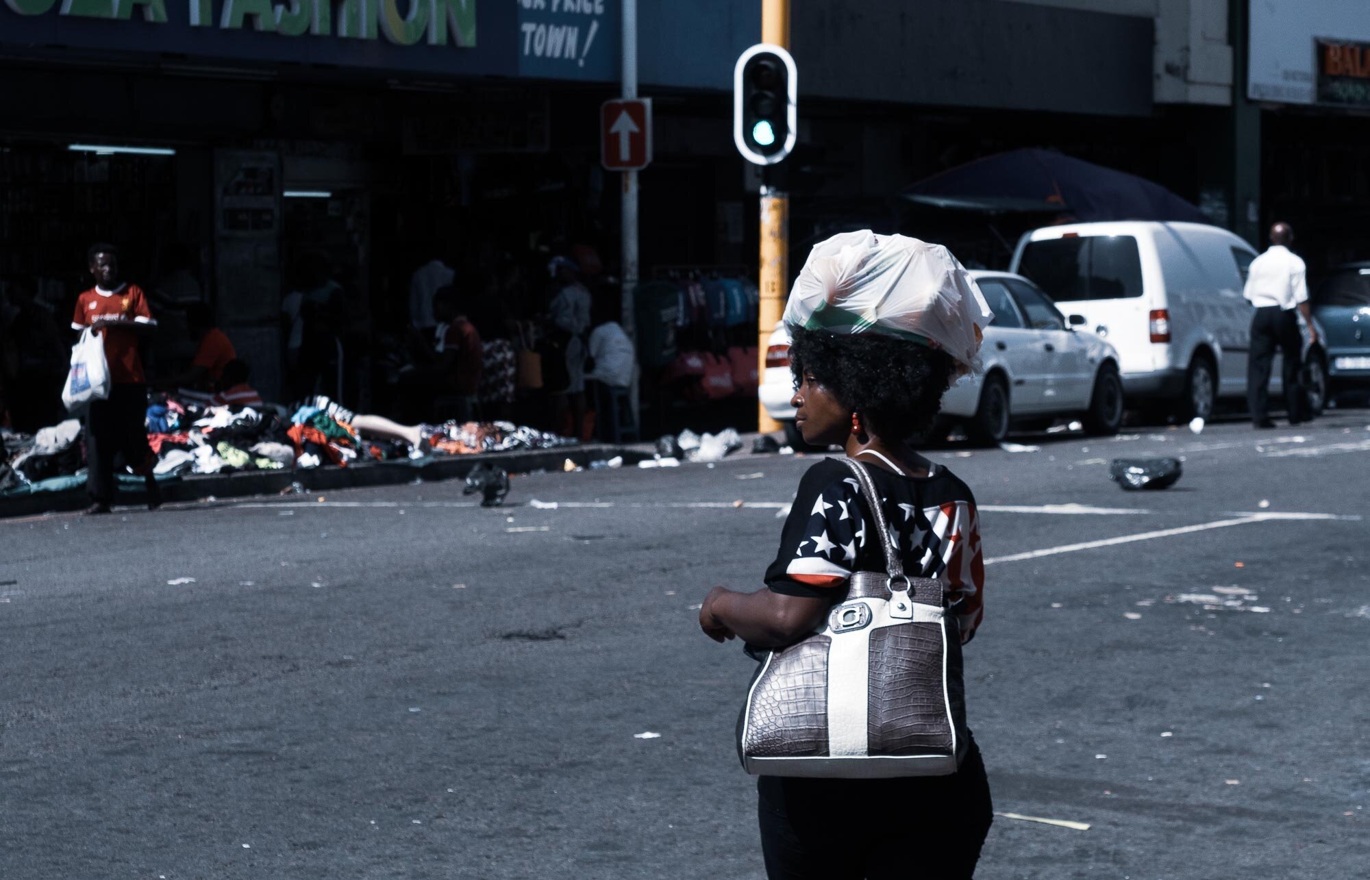
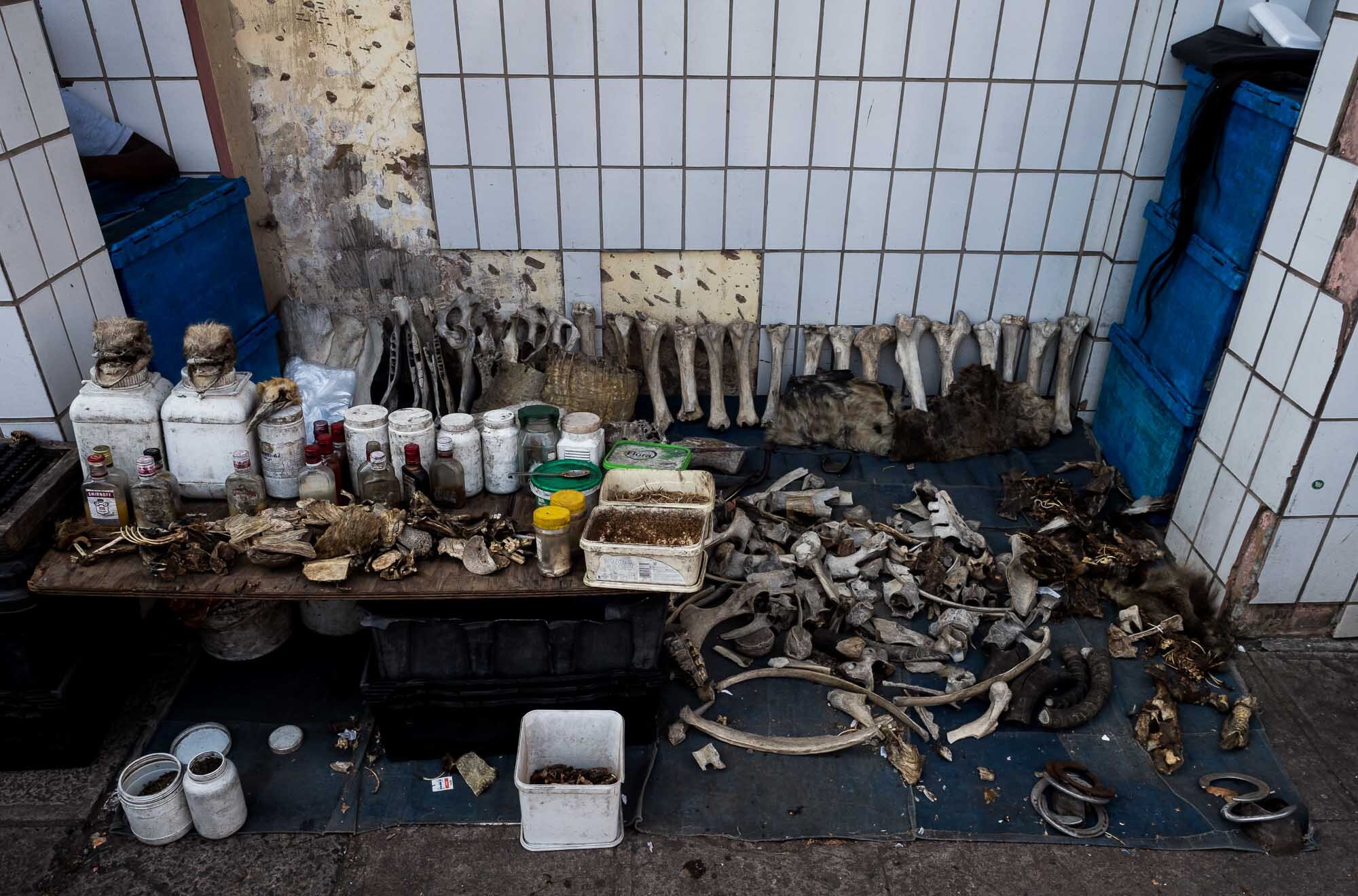
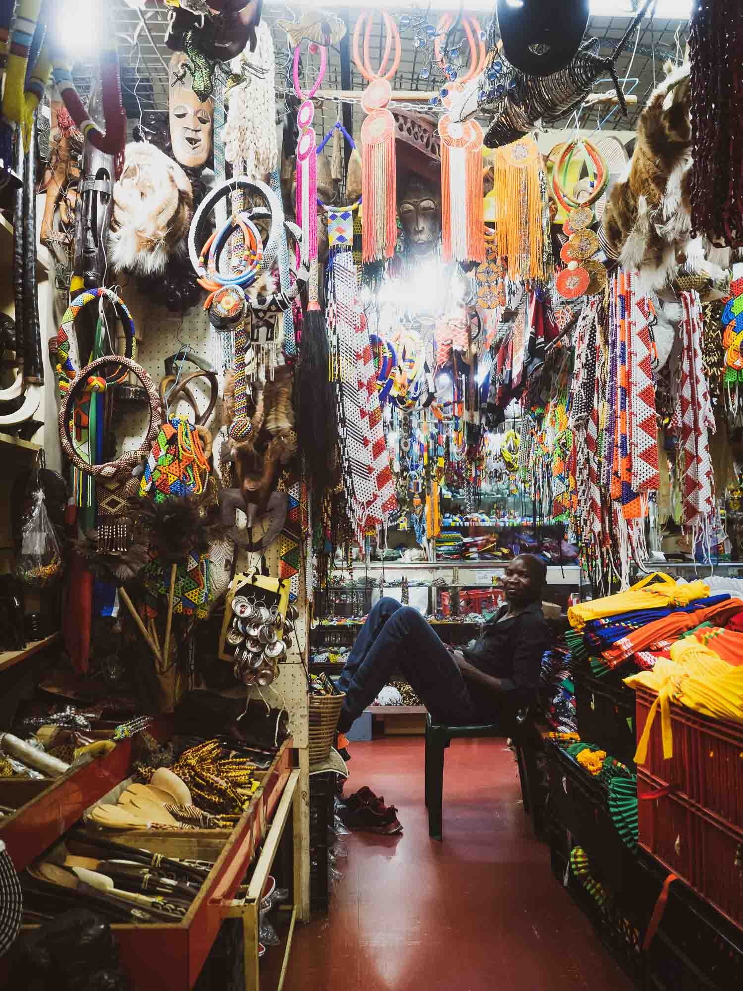
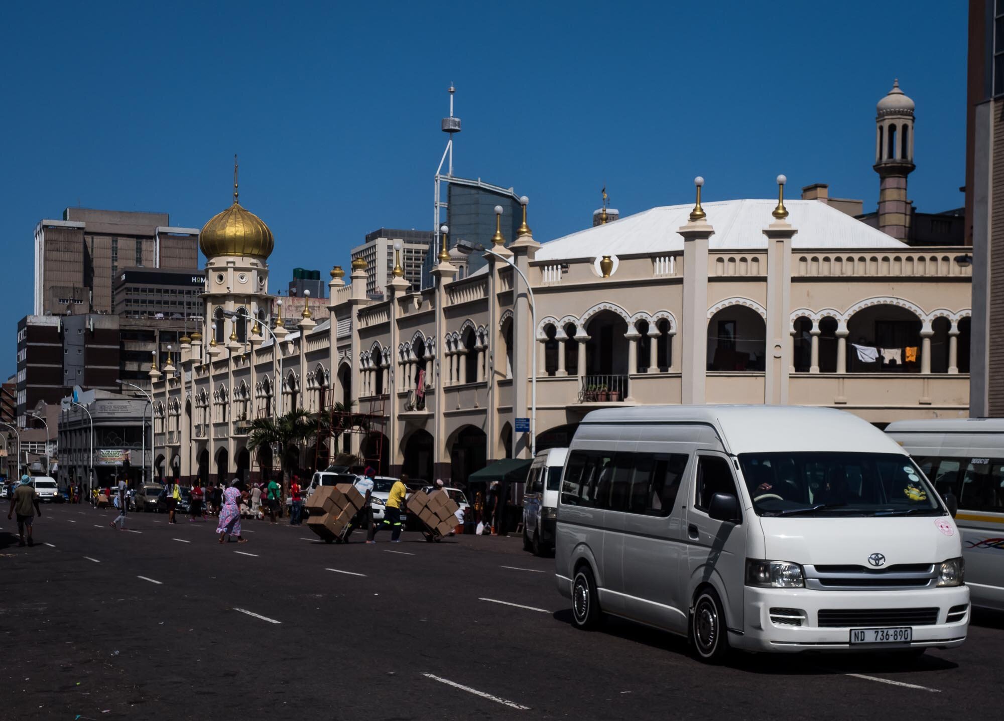
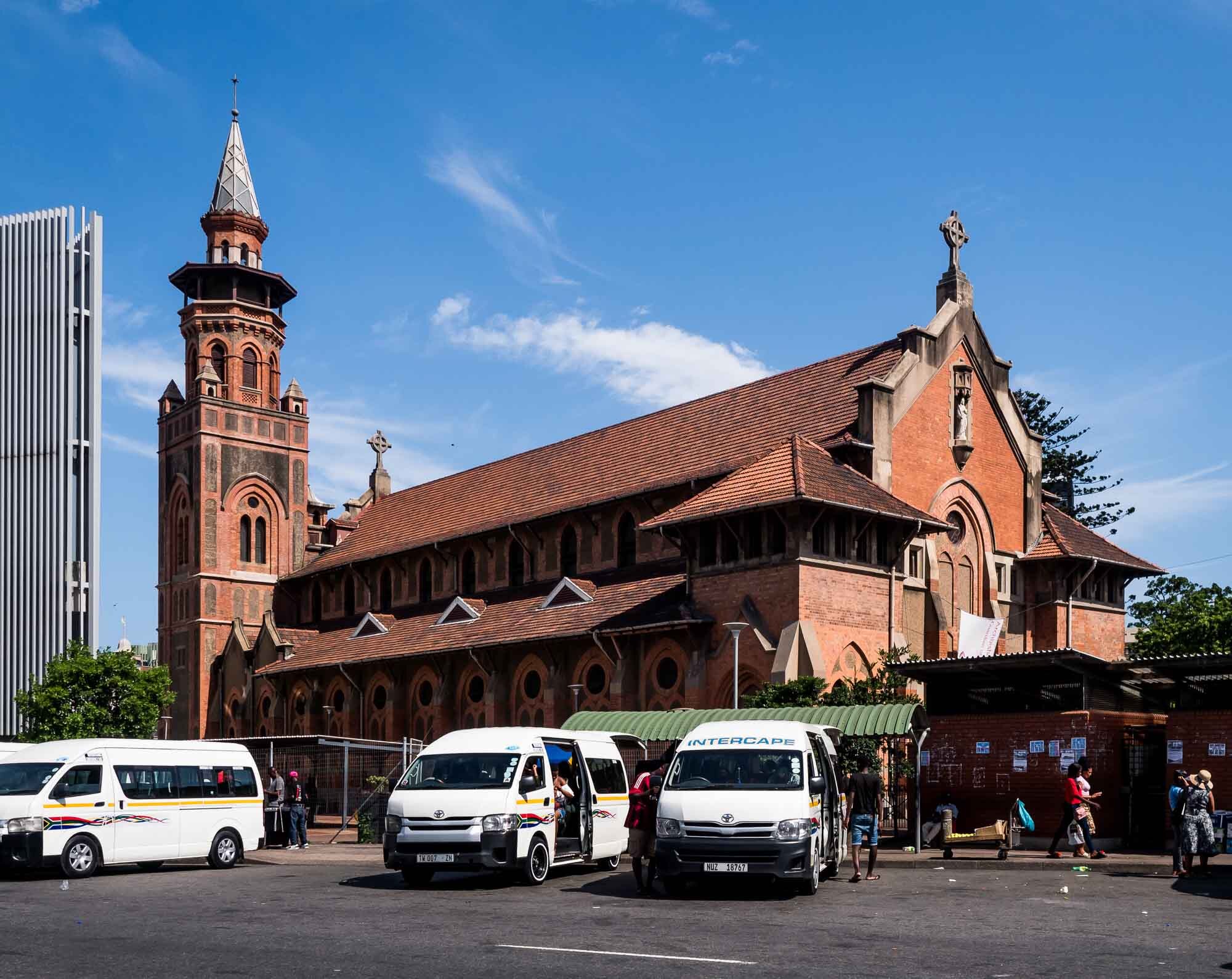
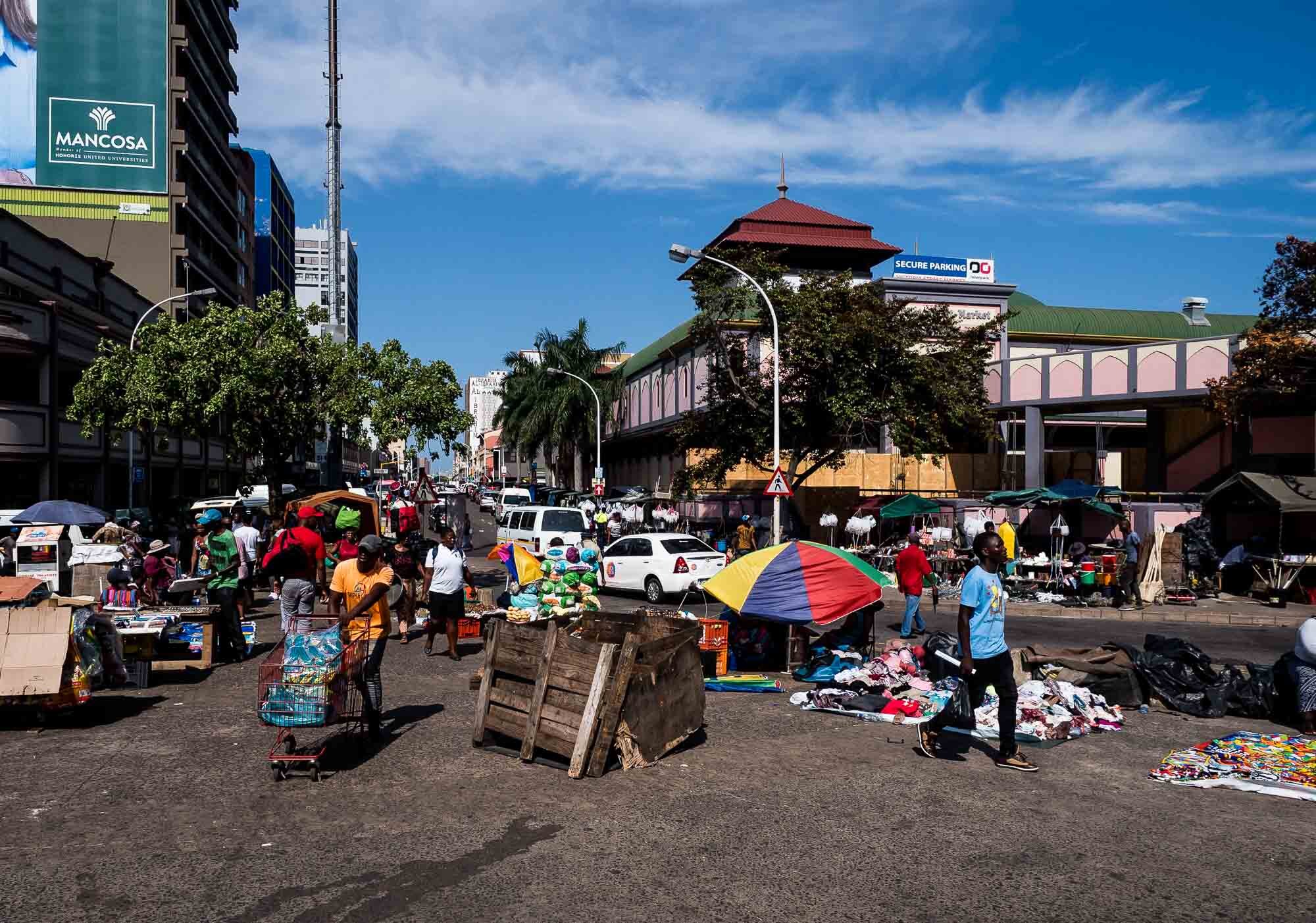
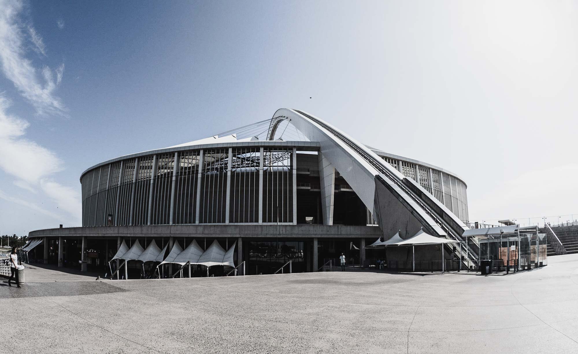
Durban
After the drive back down the pass, we had a few more hours to explore Durban, the third largest city of the country.


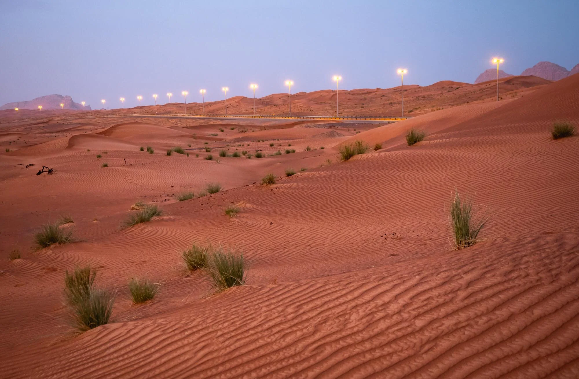
Buraq Dam - UAE Mountain Bliss
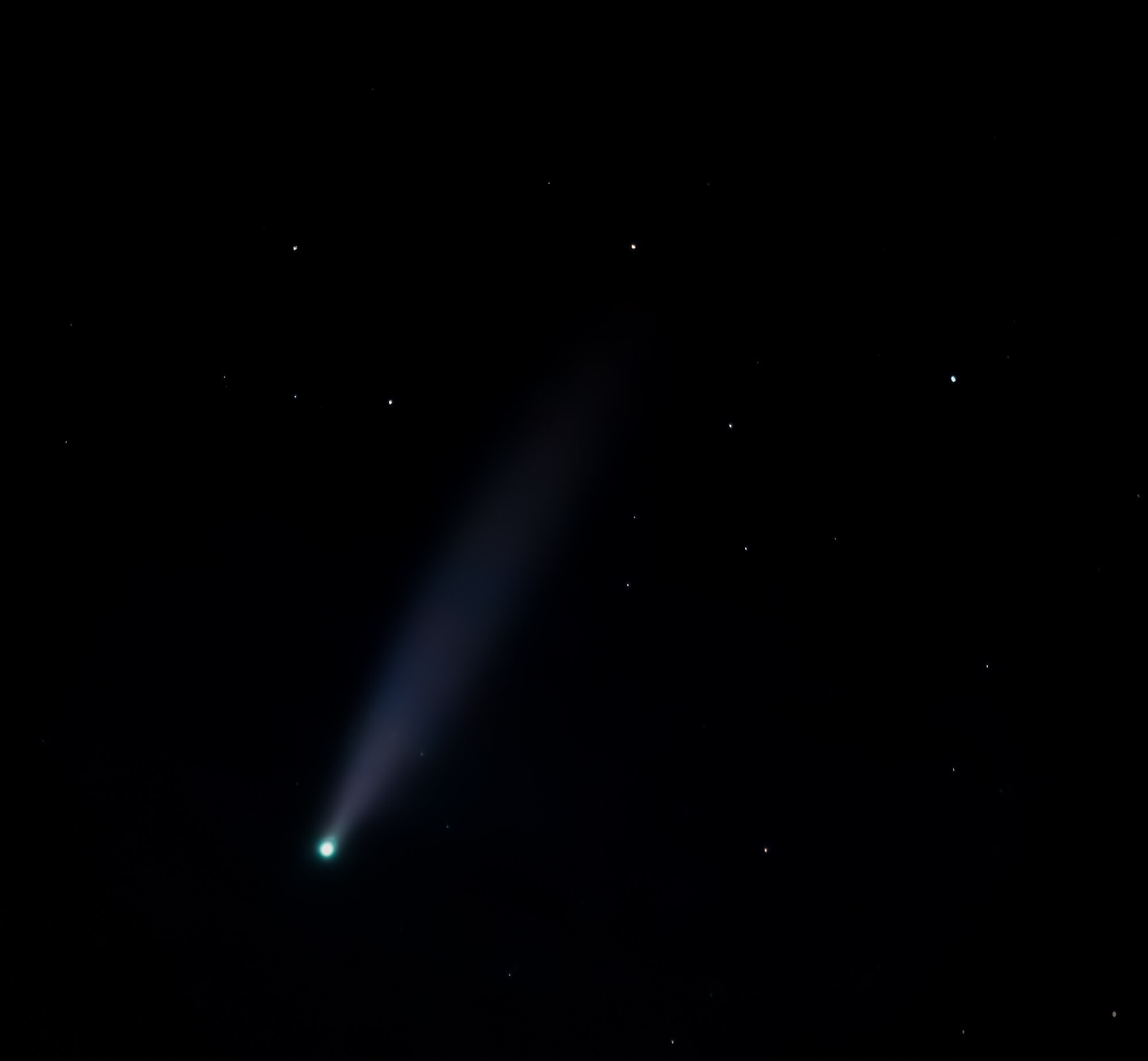
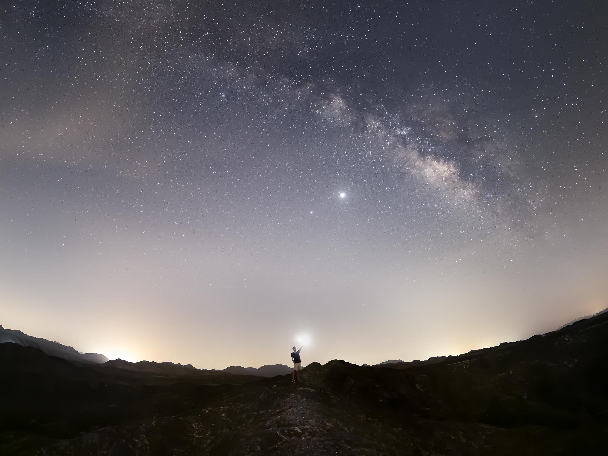
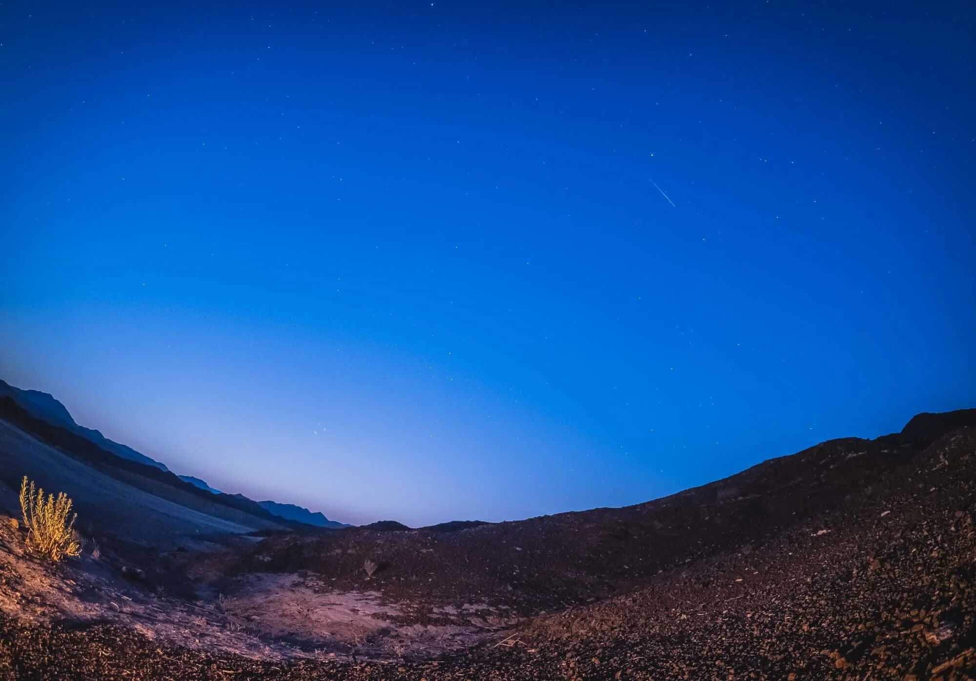
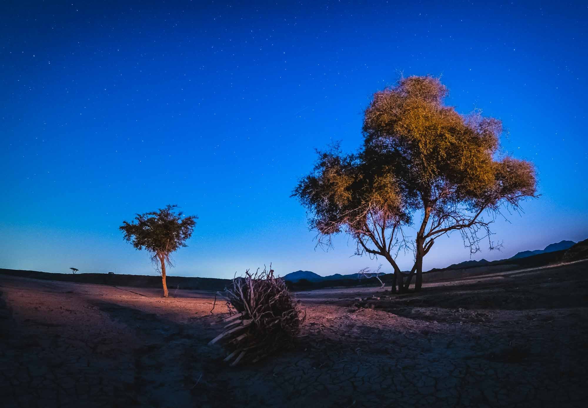
For the Quadrantid meteor shower in early January. we chose to explore a new spot up in the Hajar mountains of the UAE - Buraq Dam.

For the Quadrantid meteor shower in early January. we chose to explore a new spot up in the Hajar mountains of the UAE - Buraq Dam.
While the dam didn’t have any water - in fact most of it looked very dry - during out visit, it offered a beautiful quiet and dark spot to look into the night sky, surrounded by mountains. The only downside: The flight path of the DXB runway runs almost directly above this area, so you get a lot of planes in the sky.
It’s a relatively easy drive about an hour out from Dubai, and only the last few hundred meters need a bit of careful driving if you’re not in a 4x4.
We had a few lucky moments dawn, starting to see some meteors after midnight on the northeastern side, but I could only capture two on photos - can you spot them?


This short timelapse video below gives an idea of the amounts of planes flying into DXB during the night, slightly disrupting the peace and quiet of the Hajar mountains.

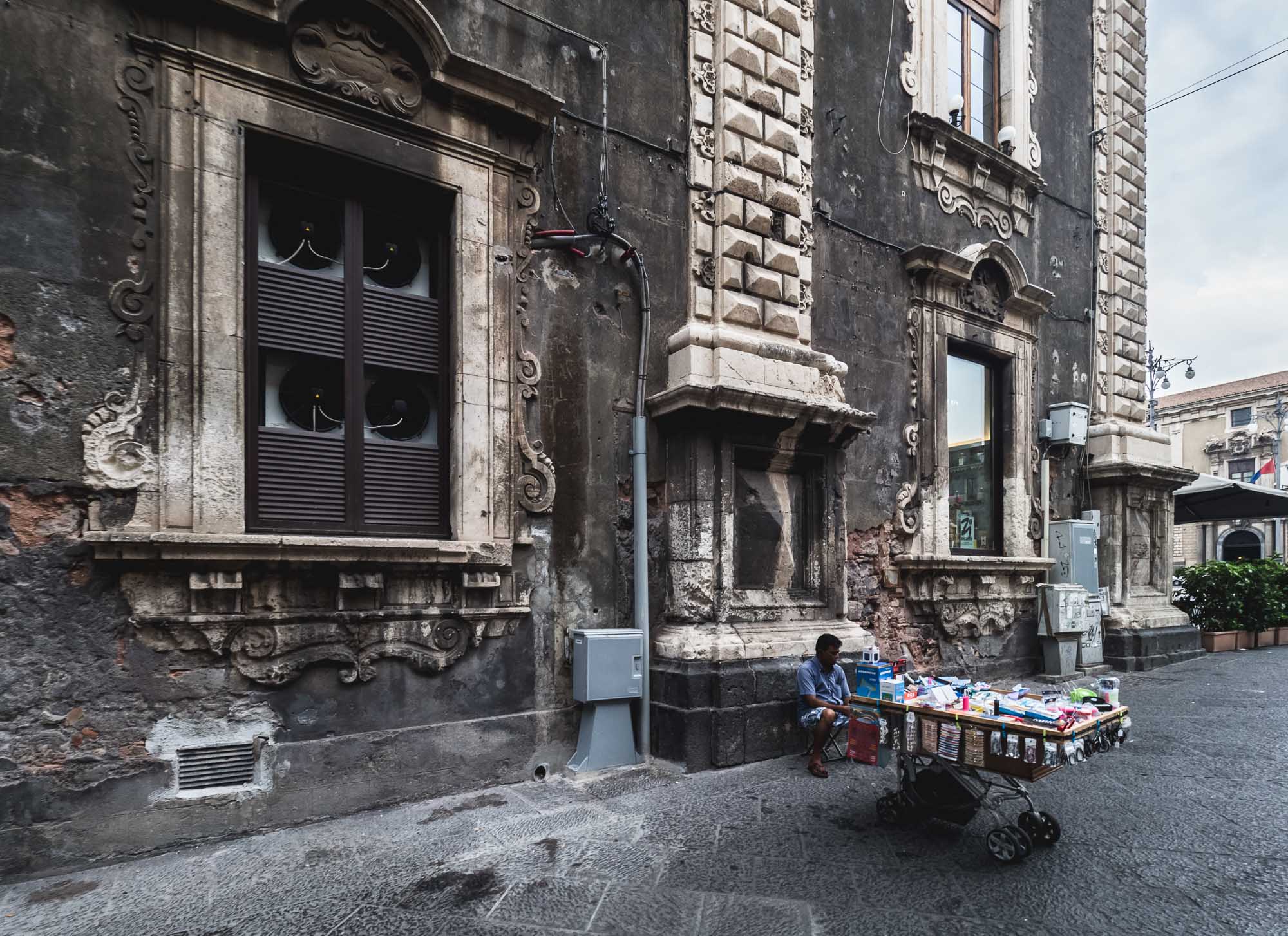
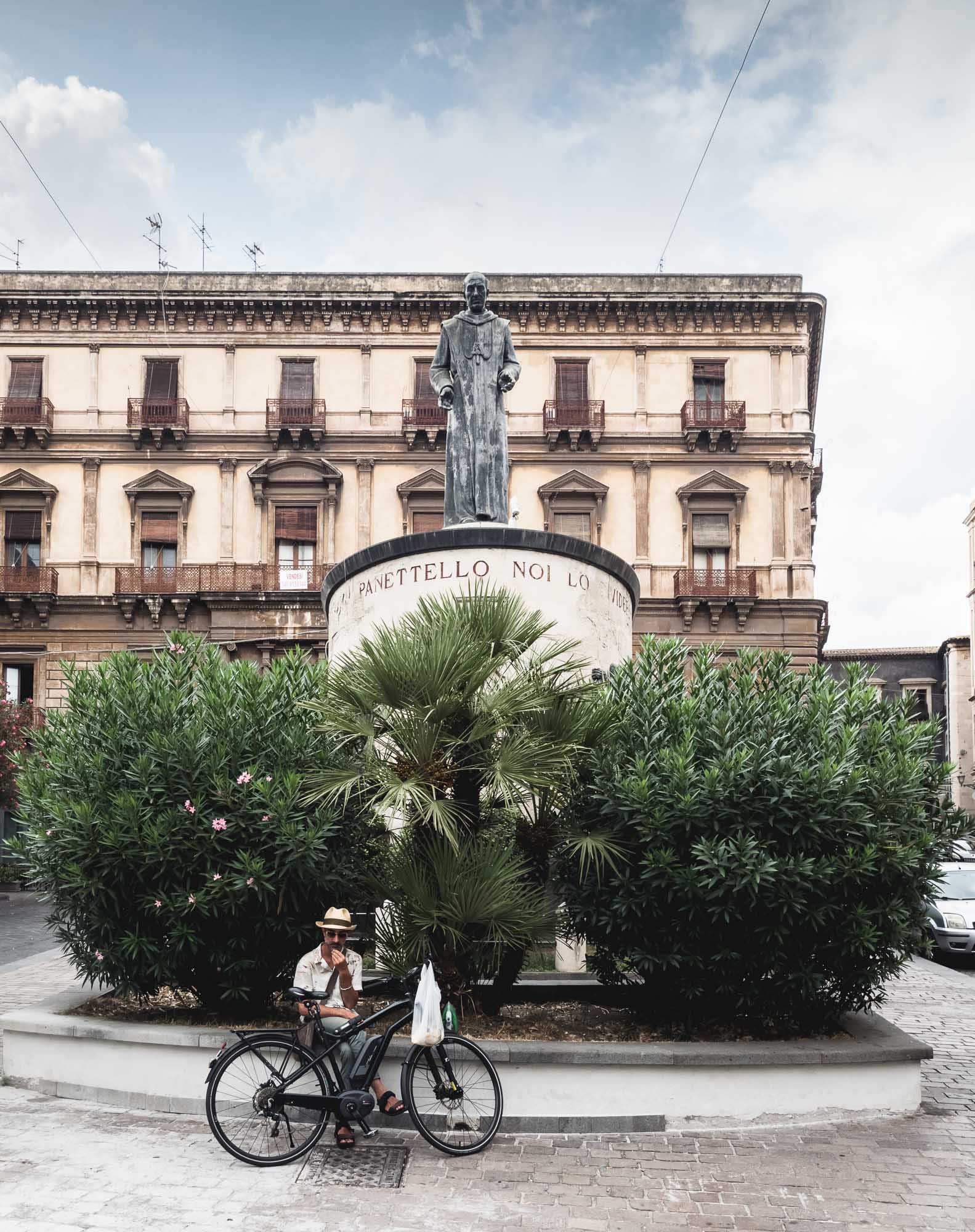
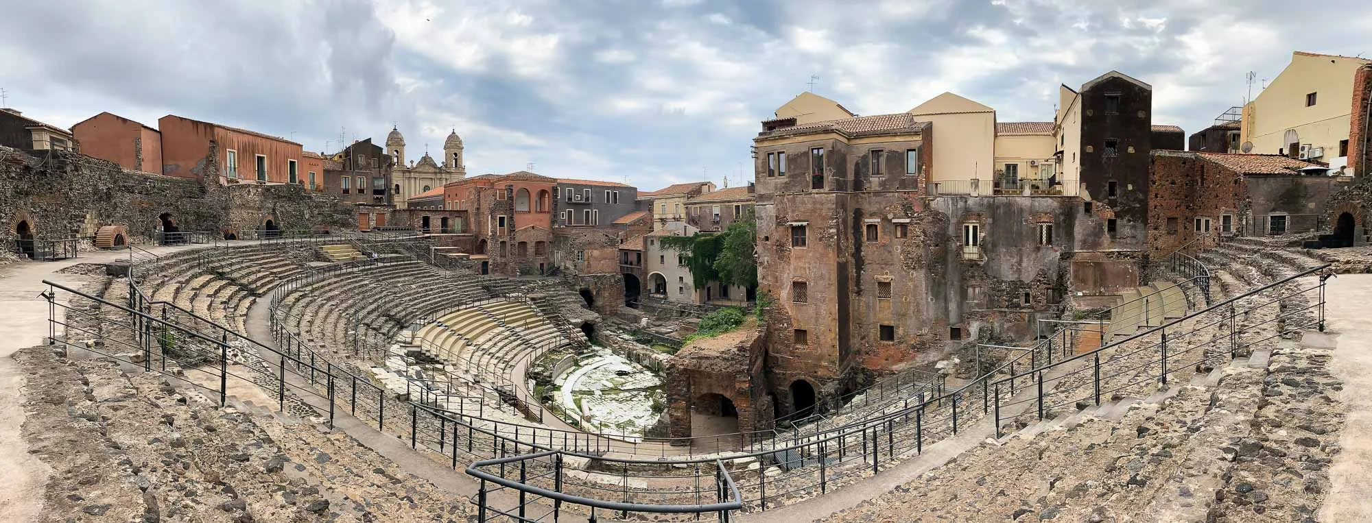
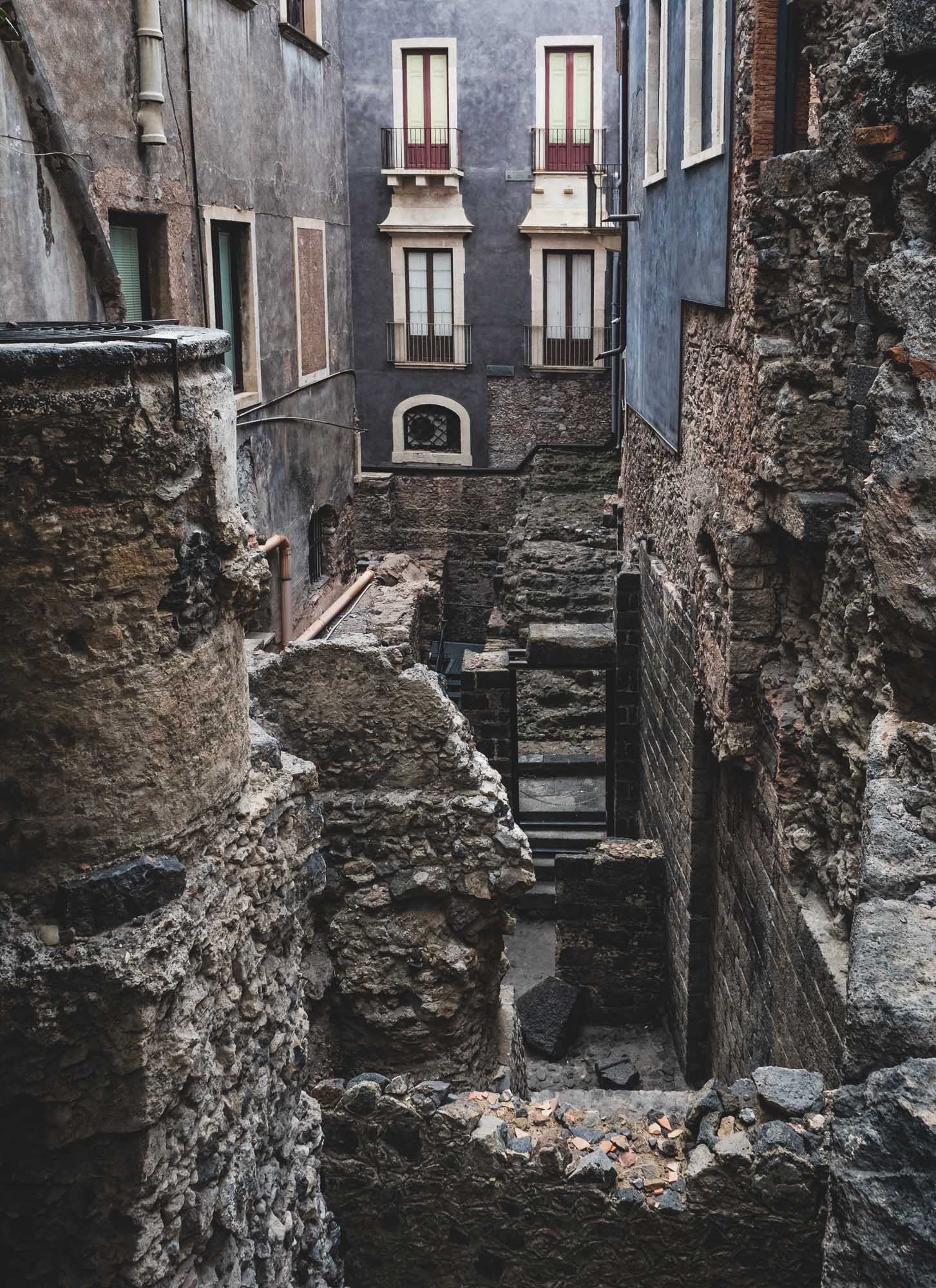
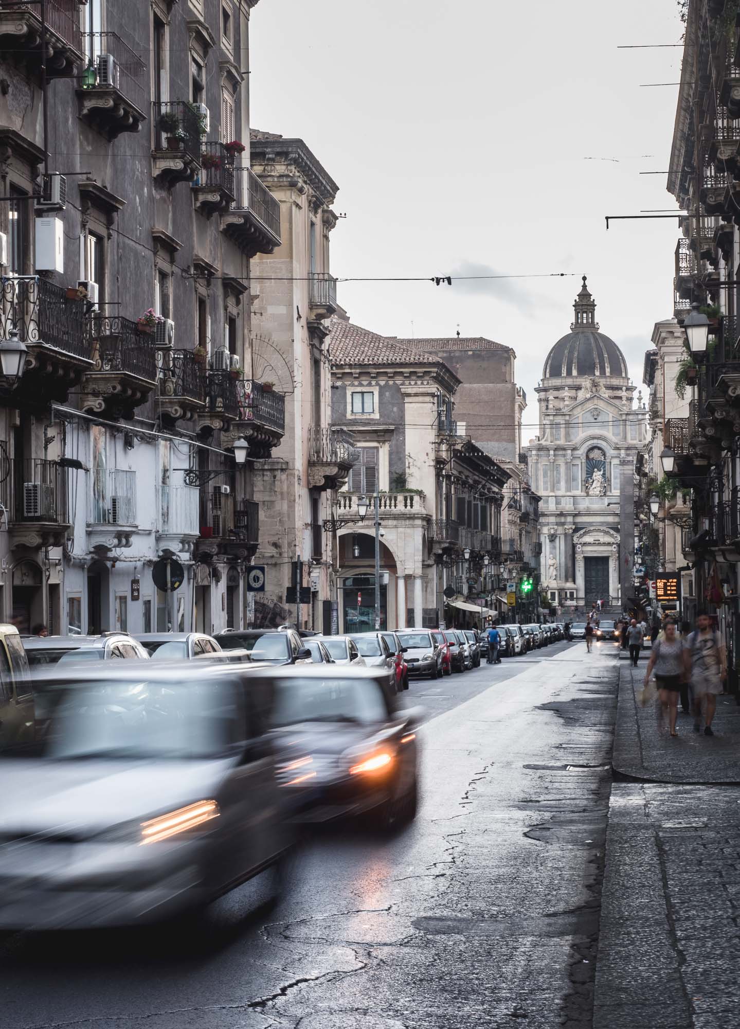
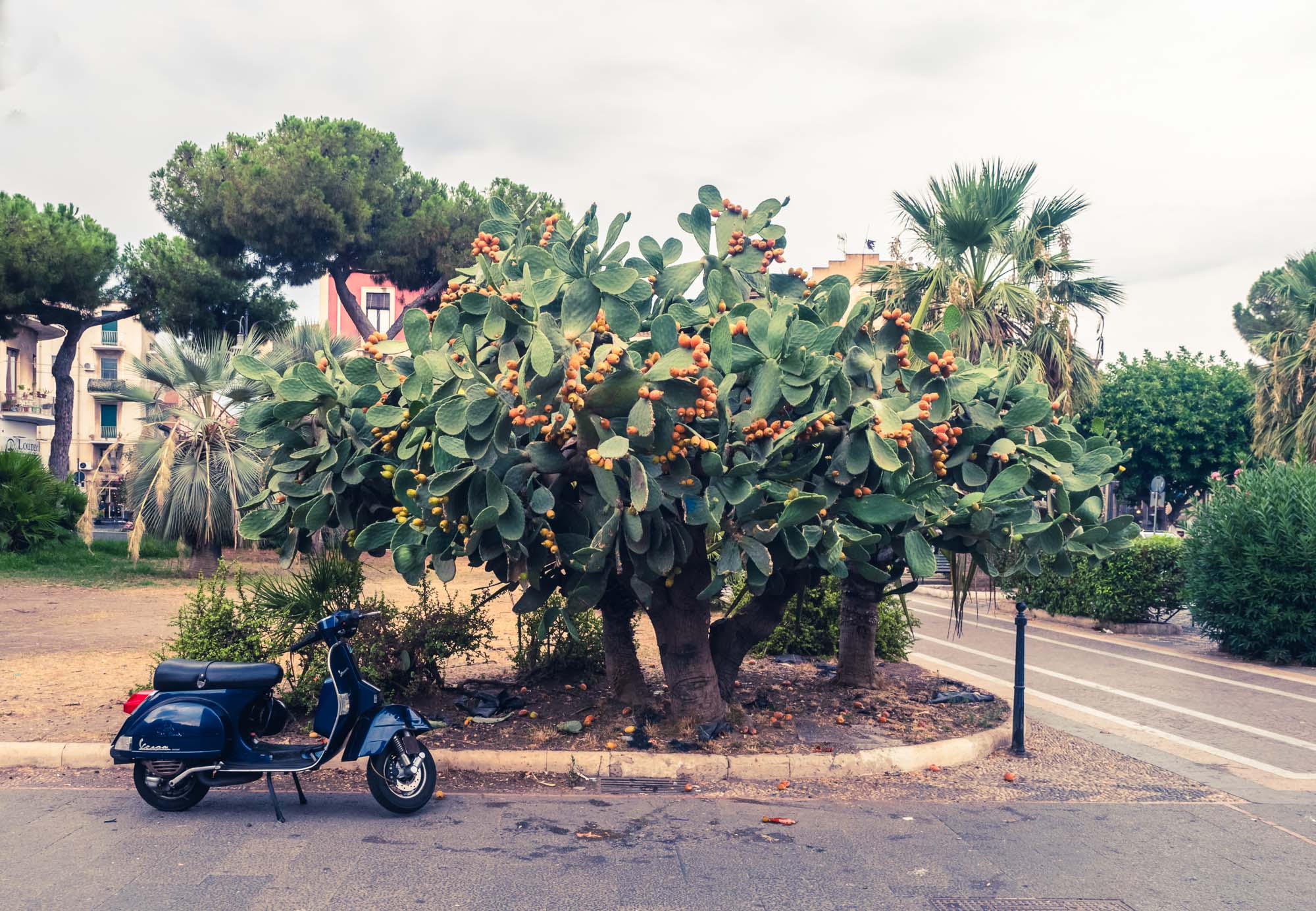
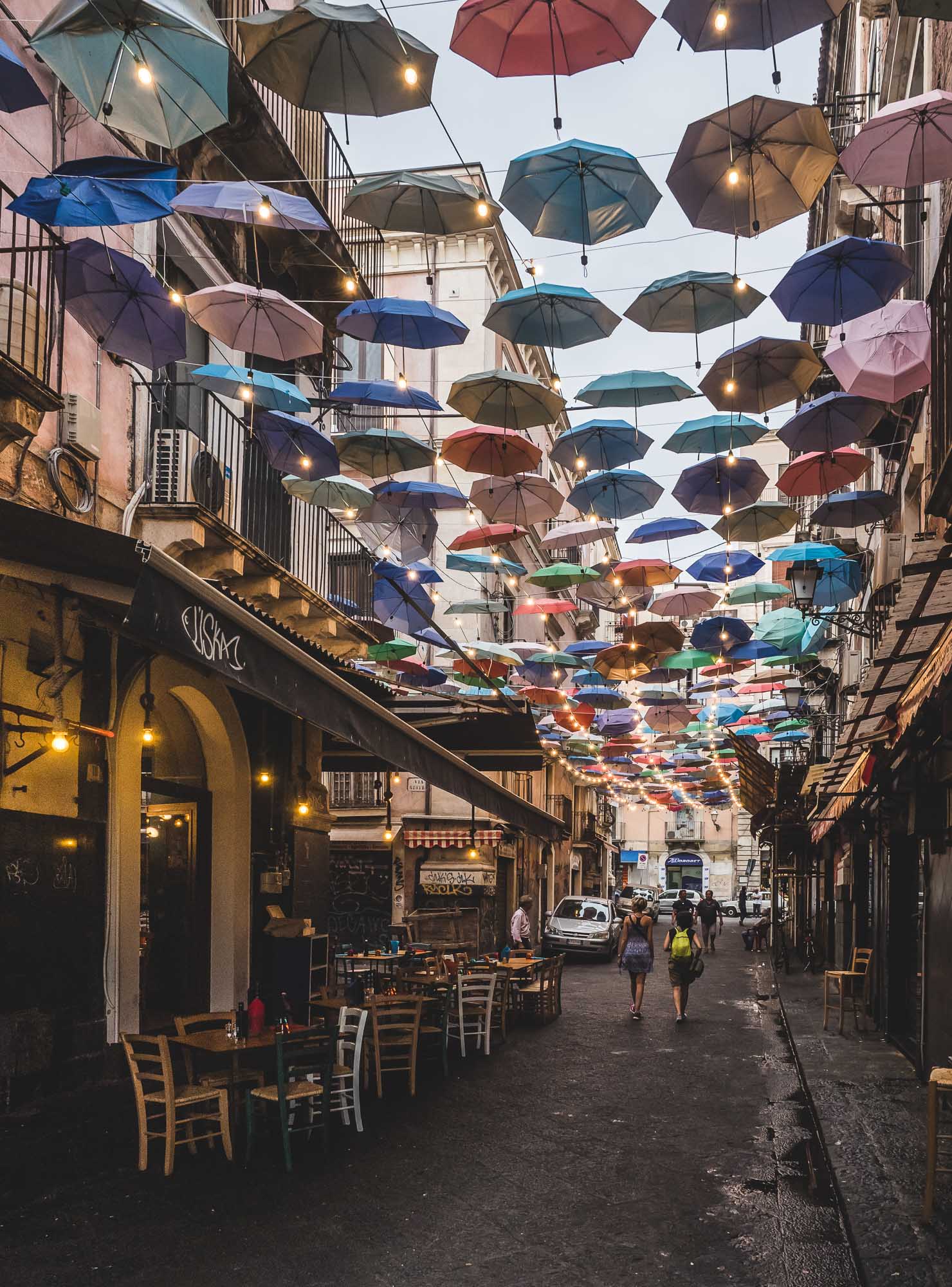
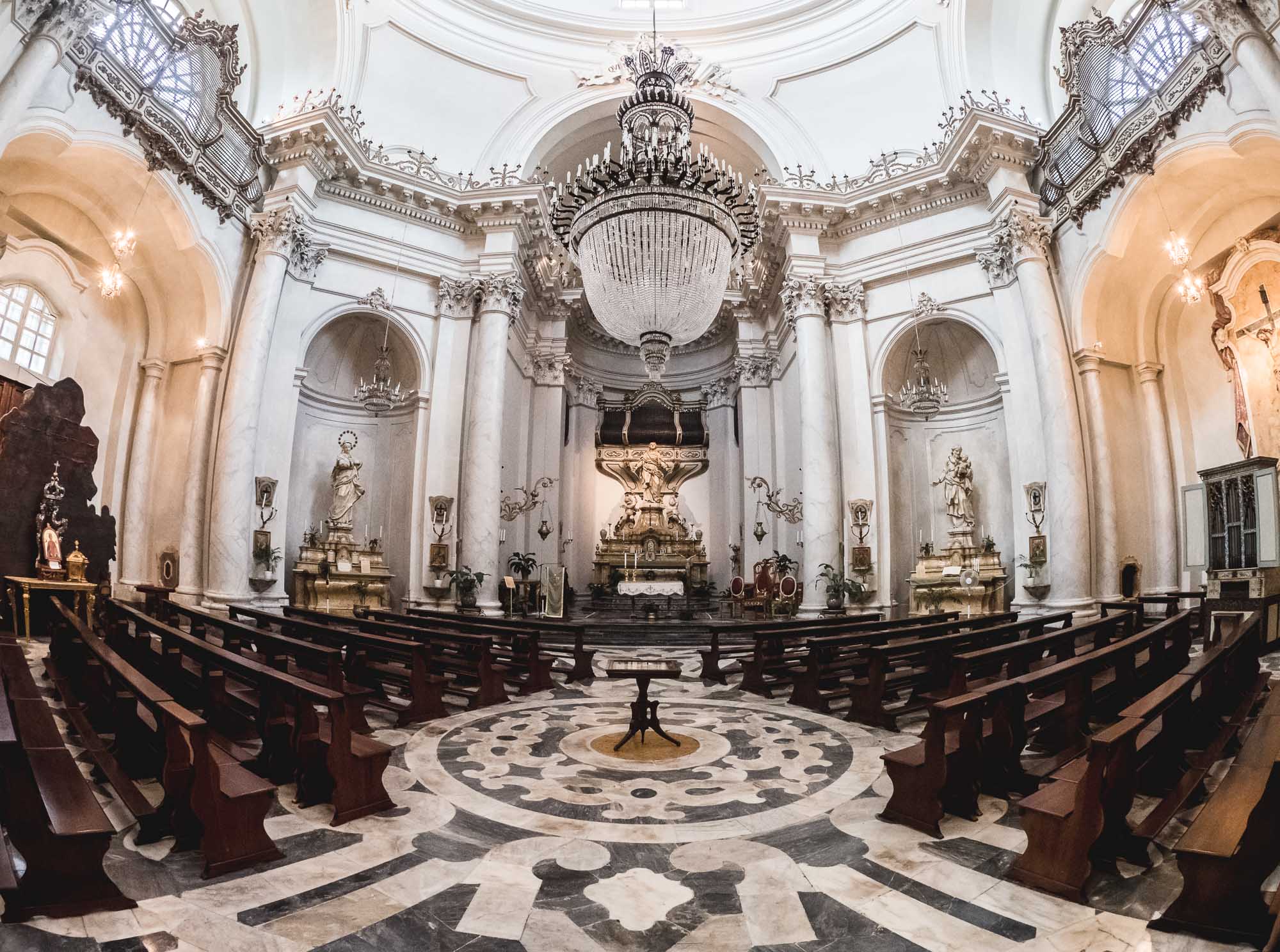
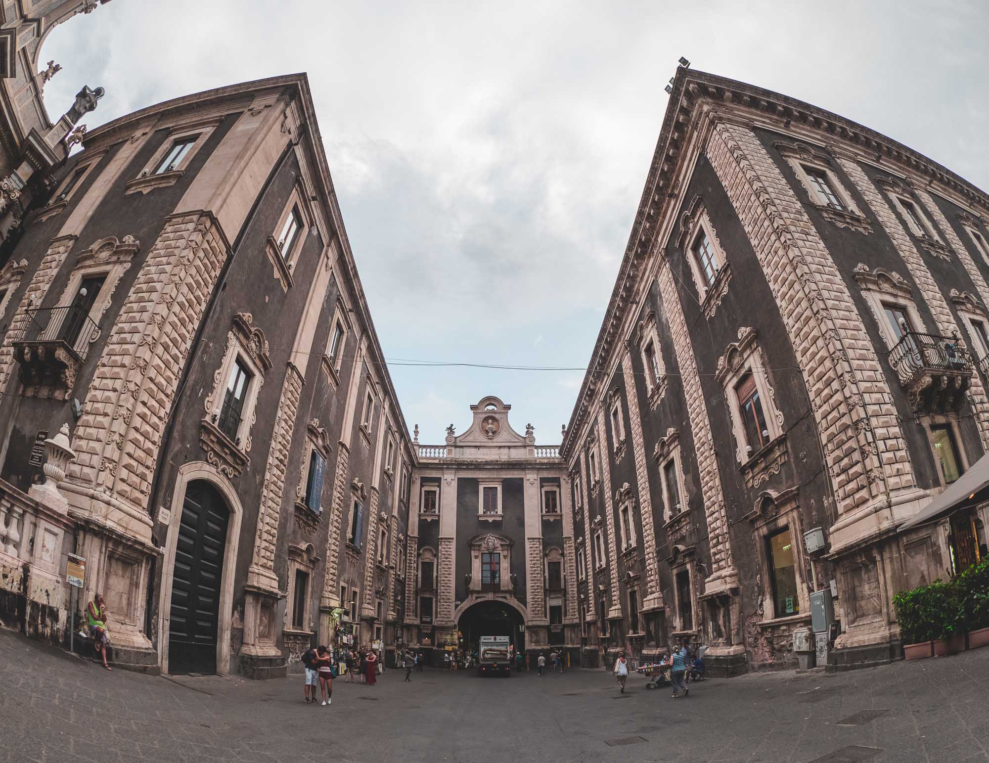
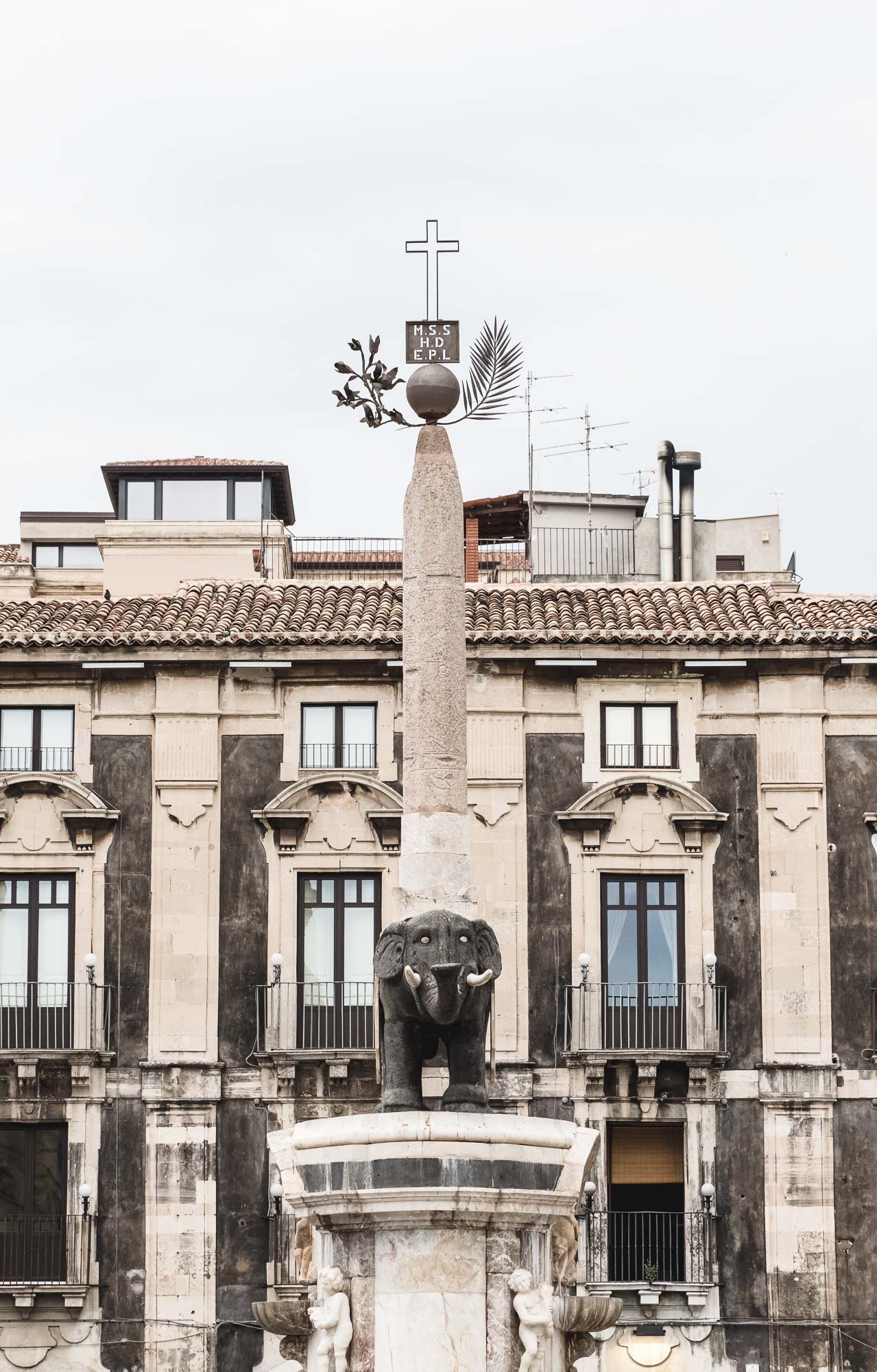
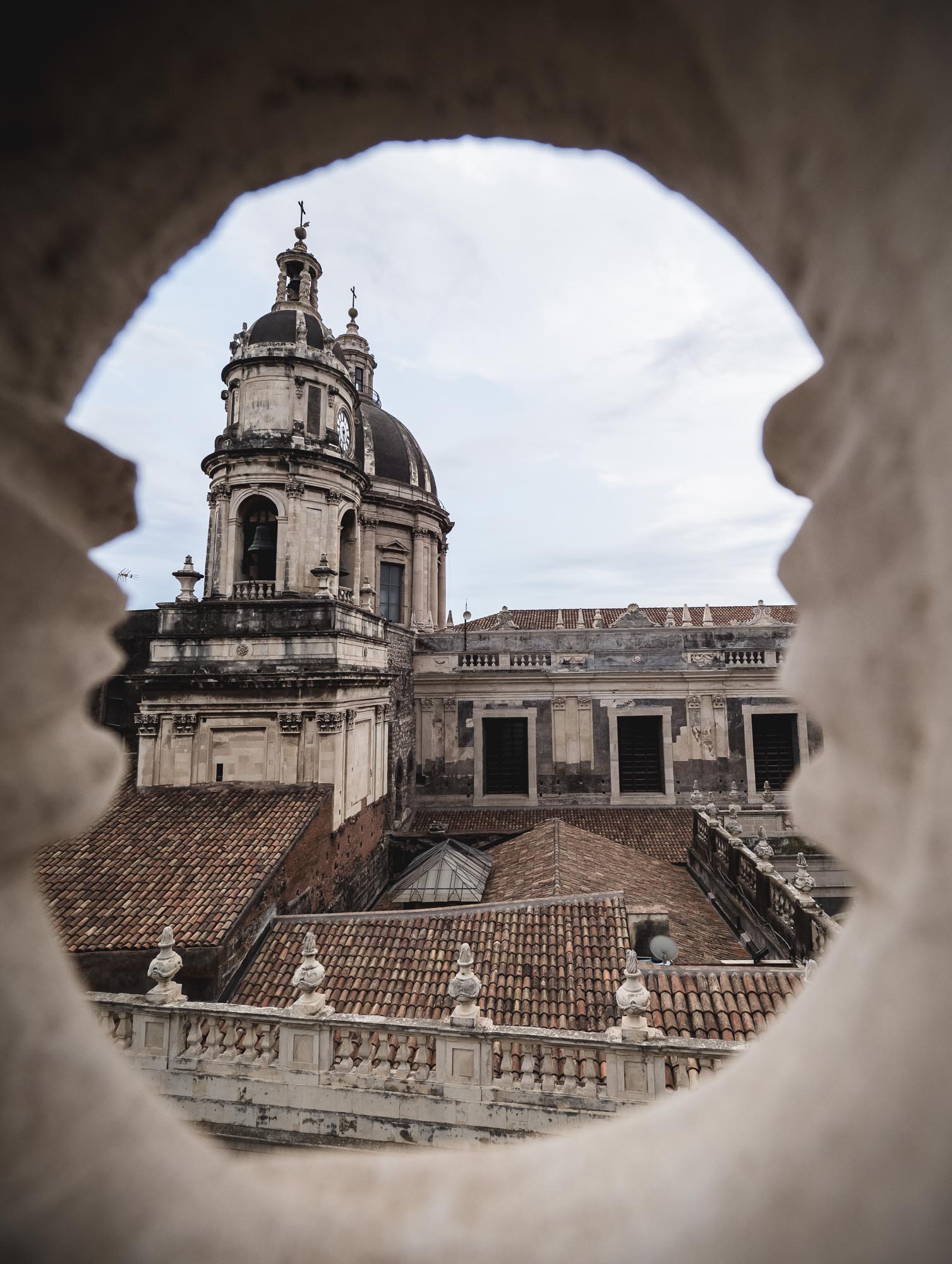
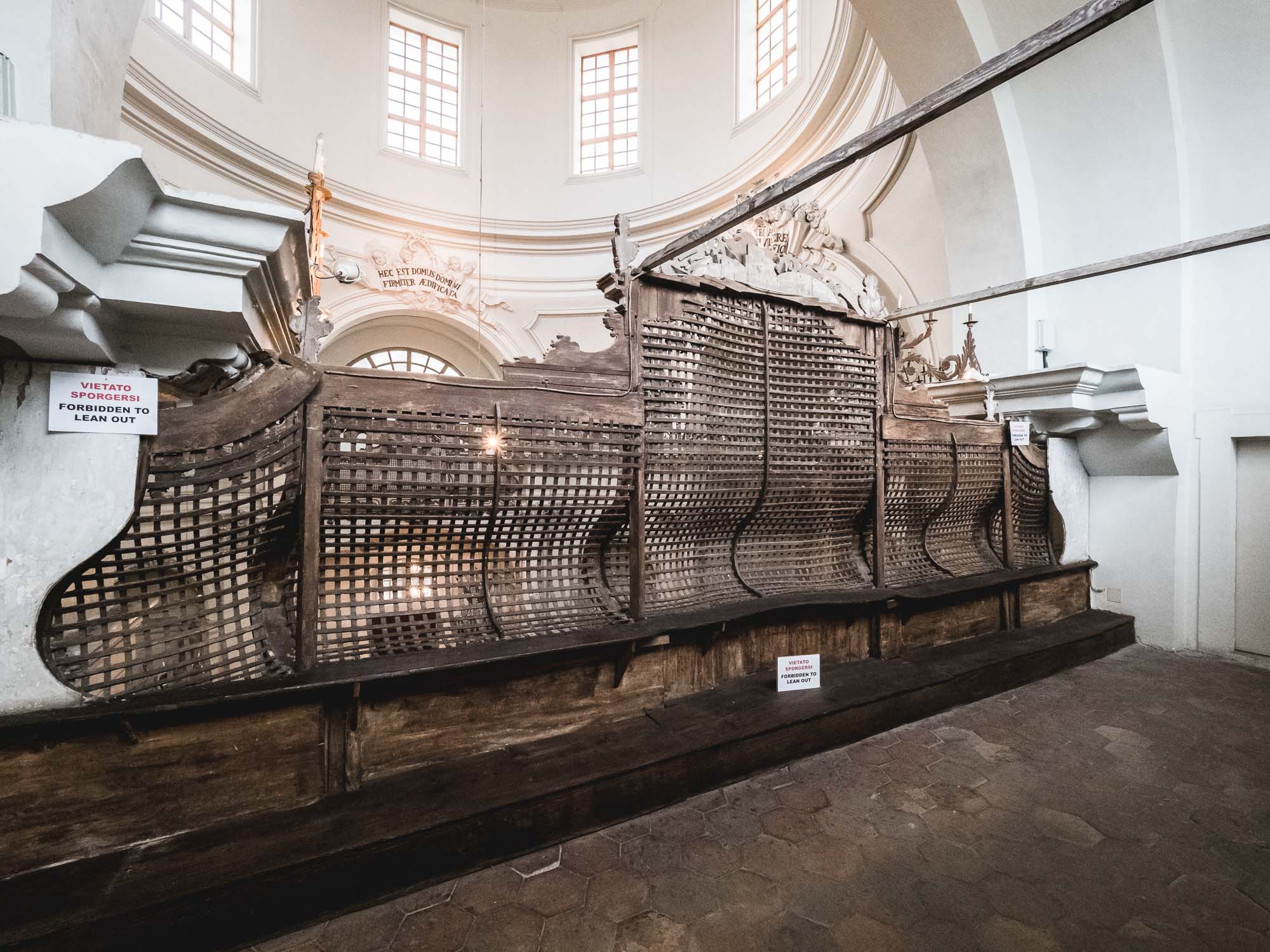
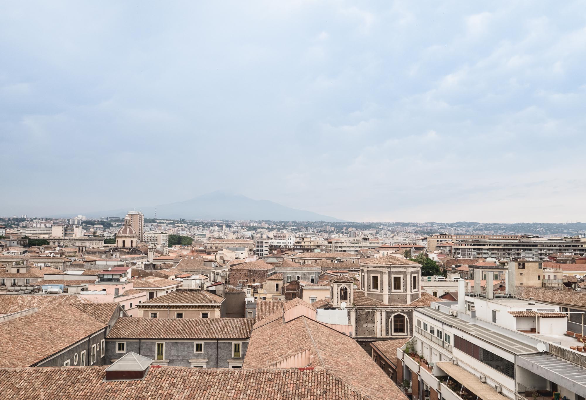
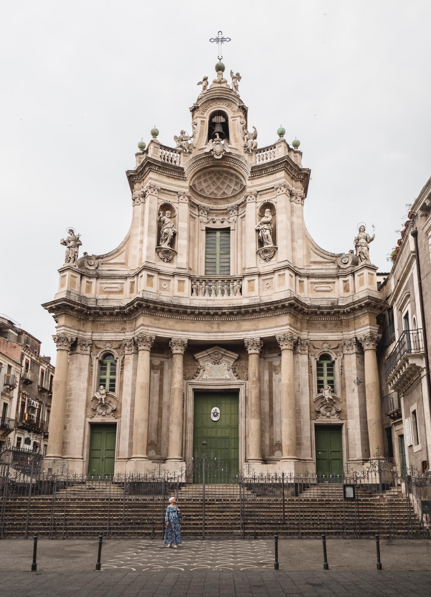
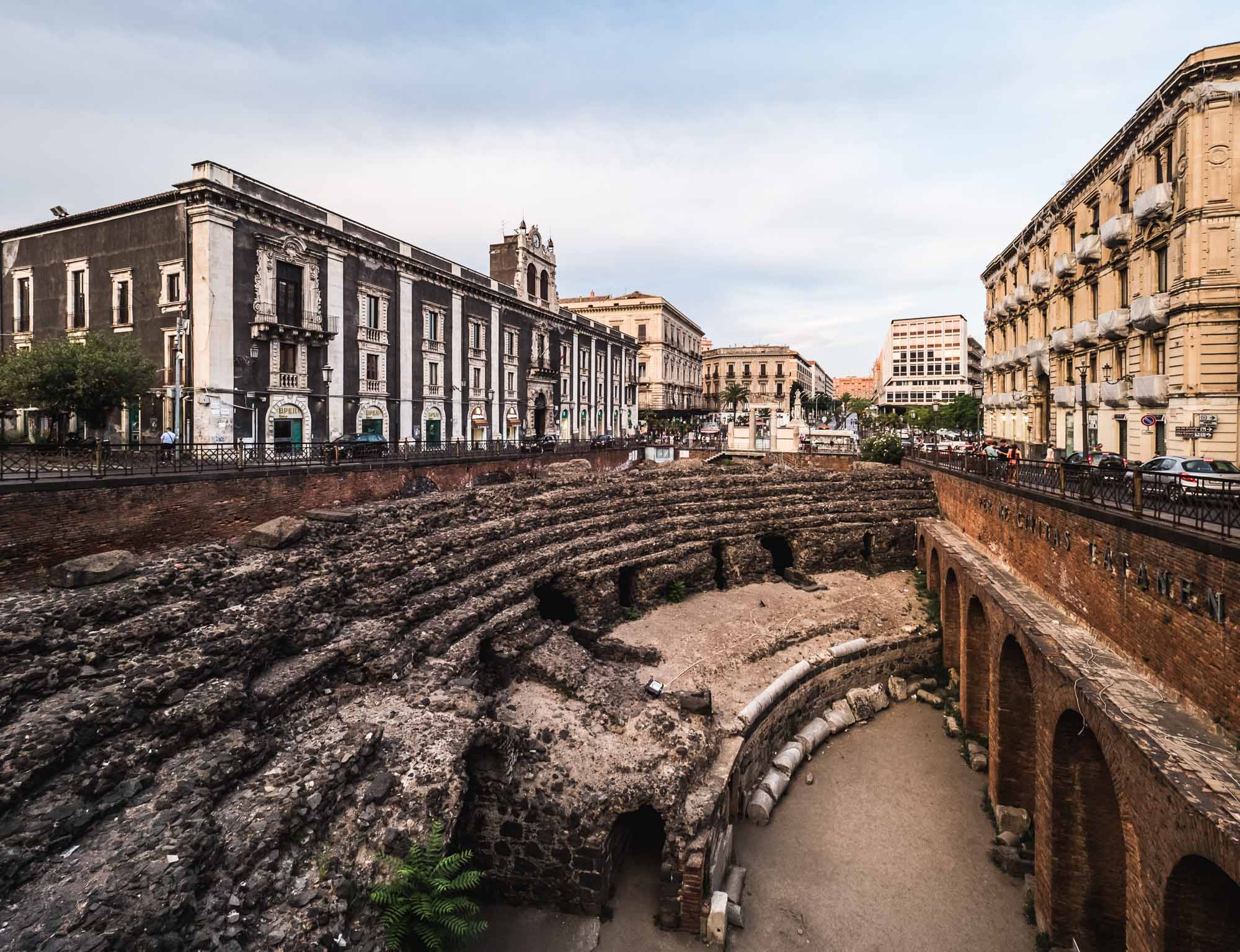
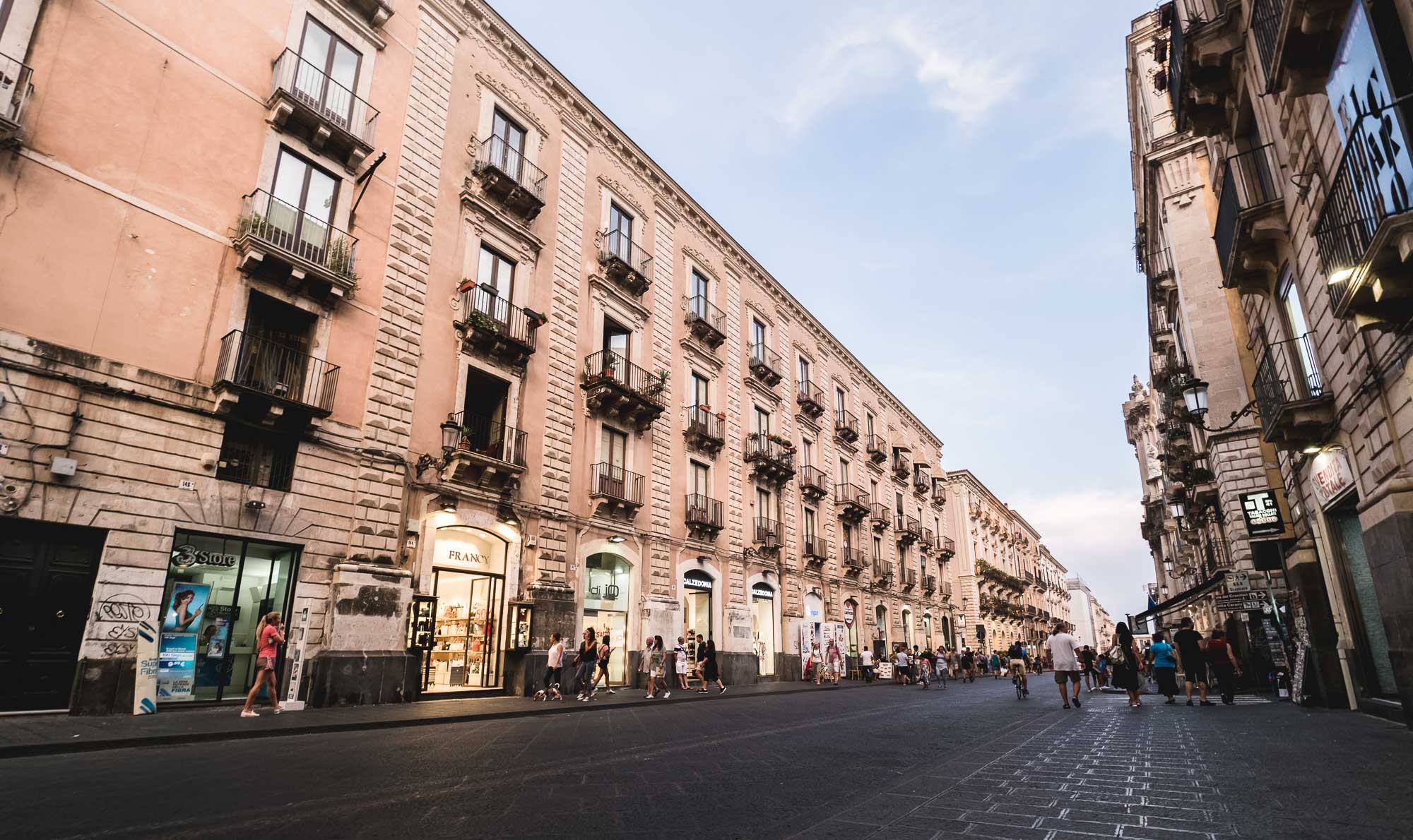
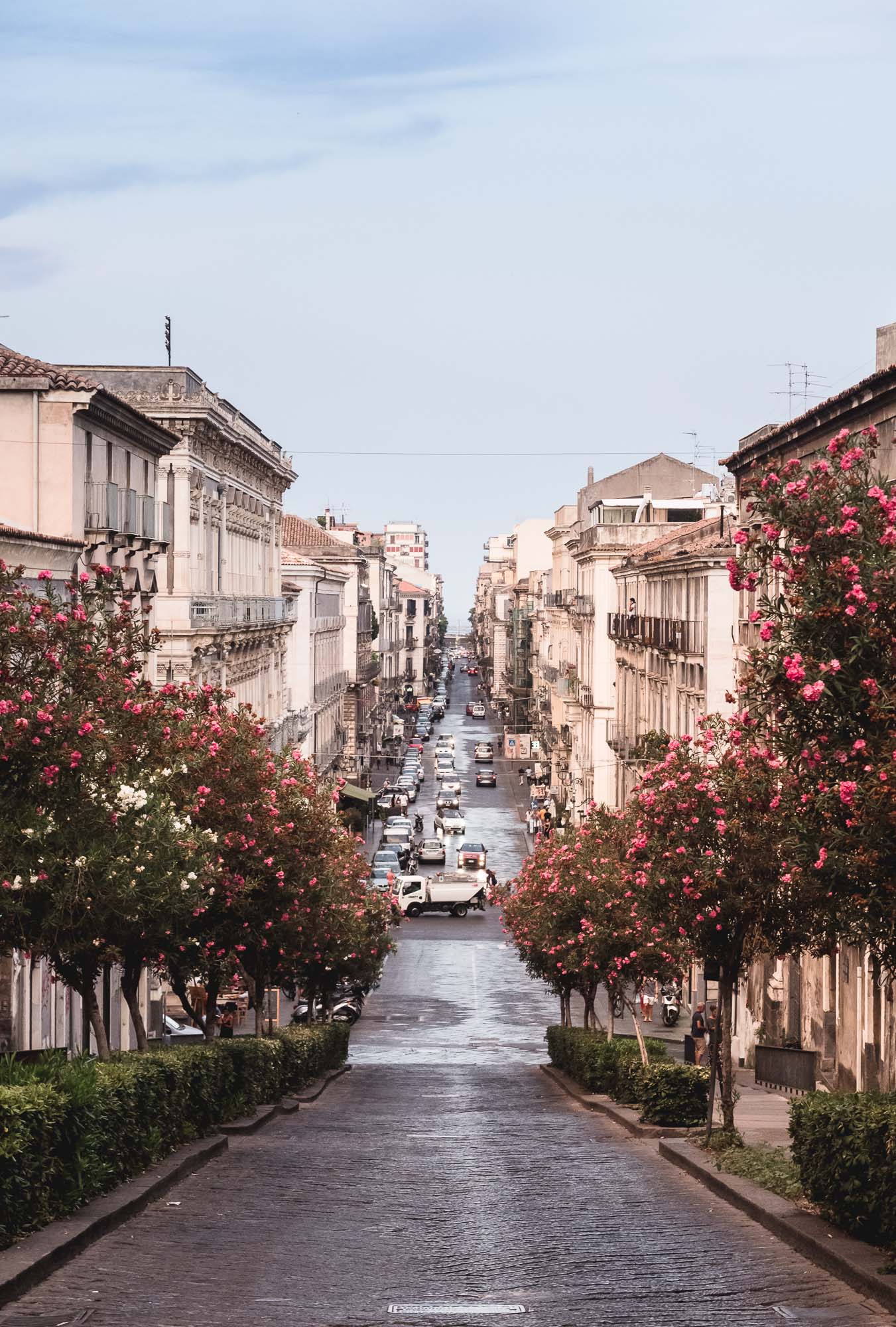
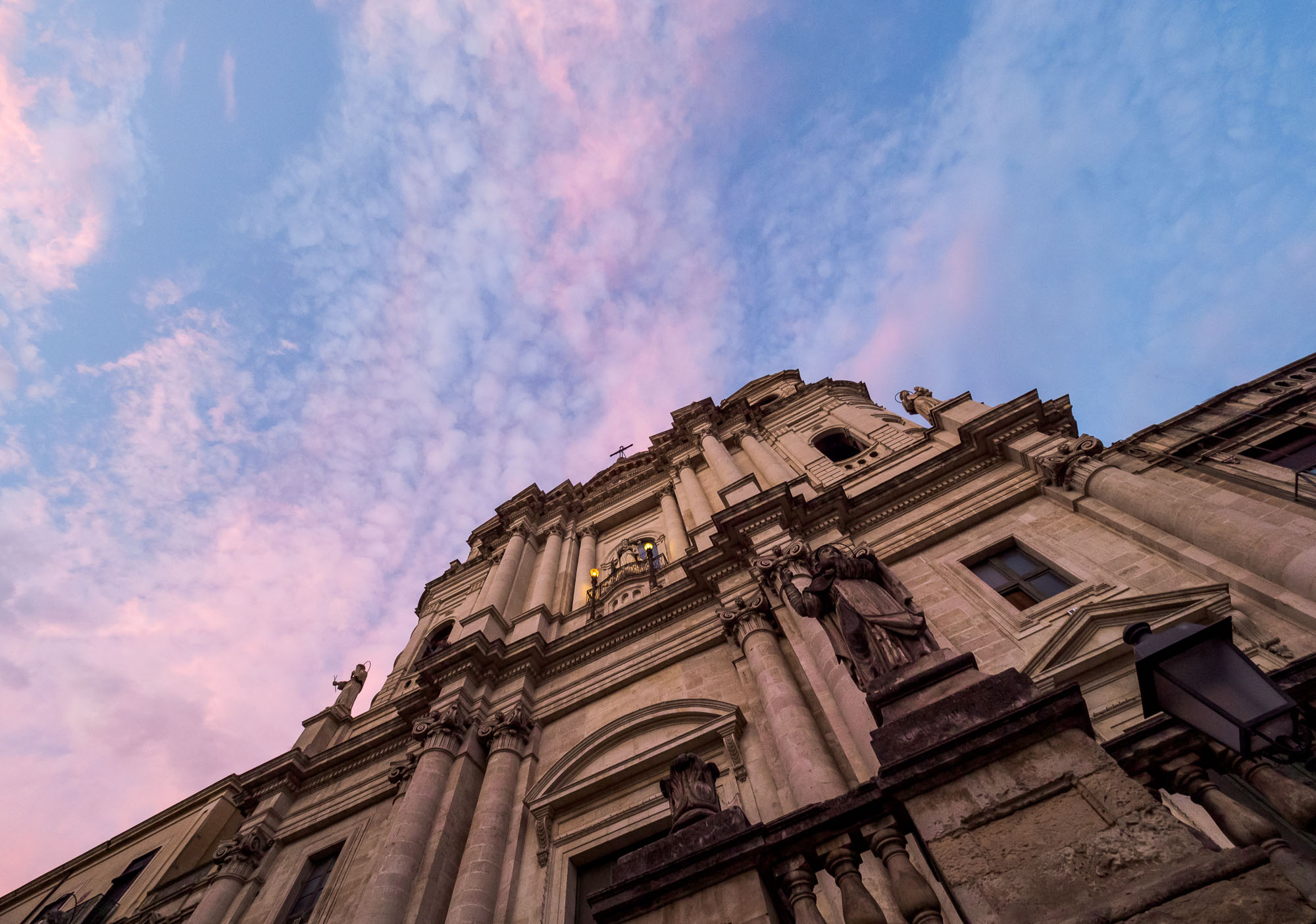
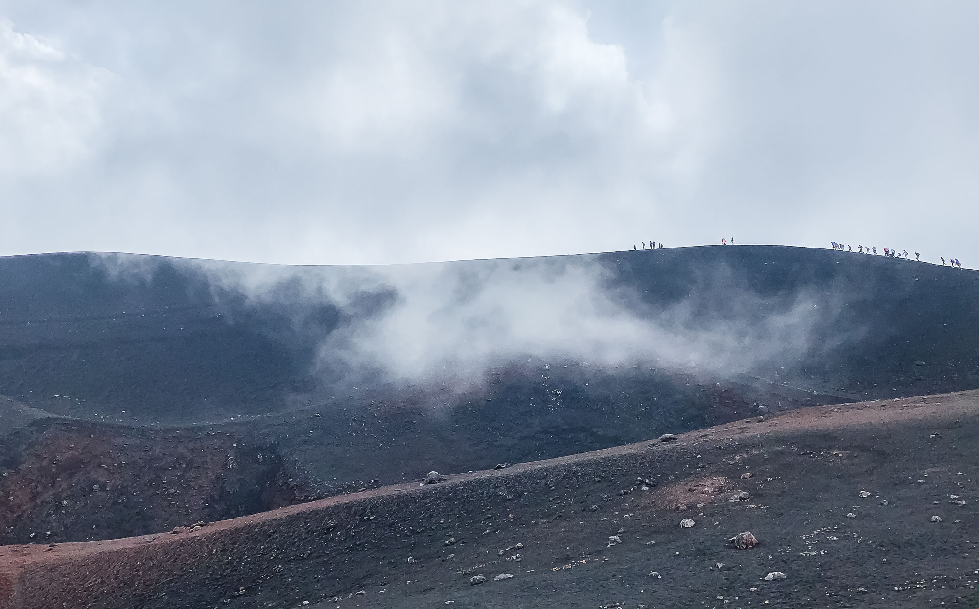
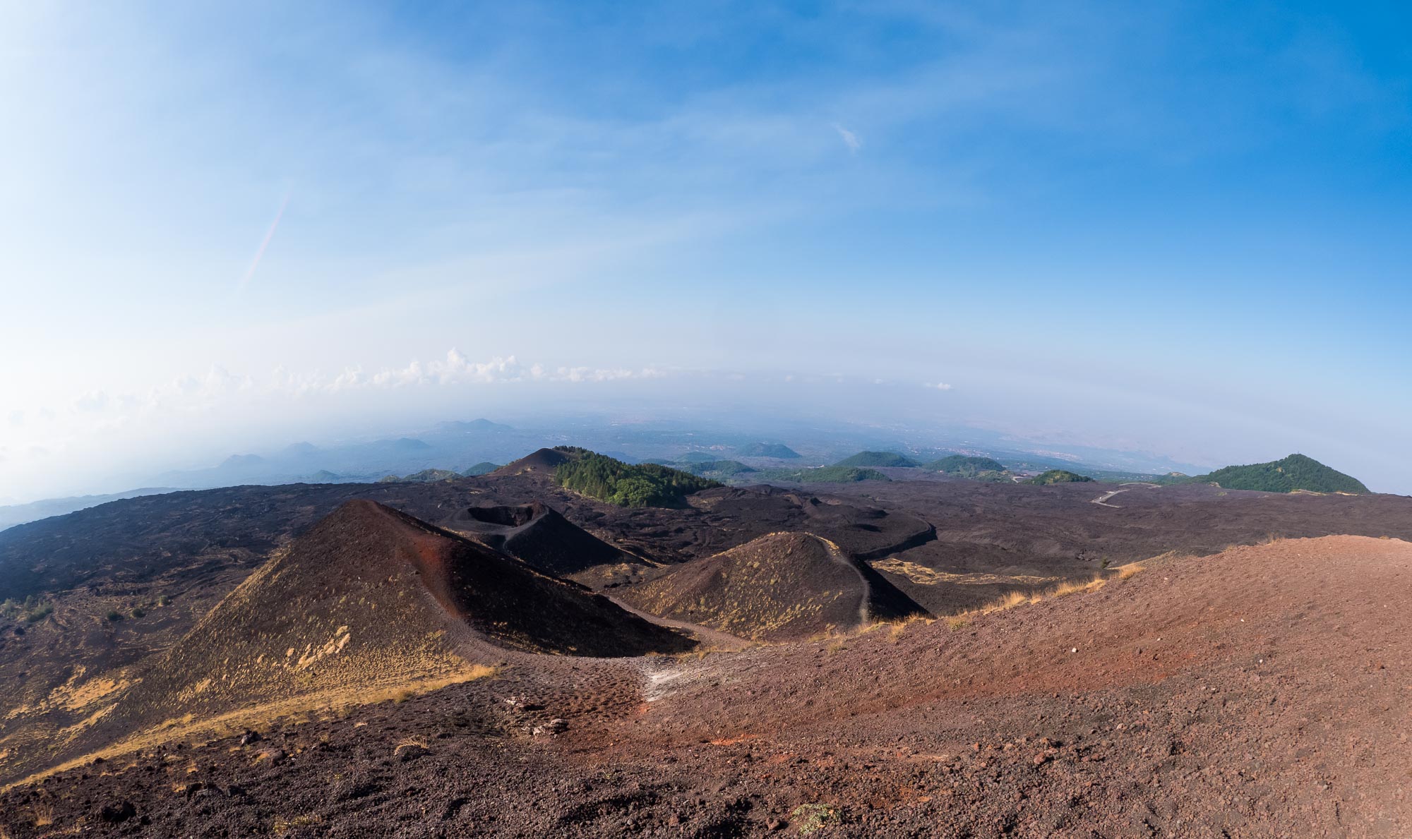
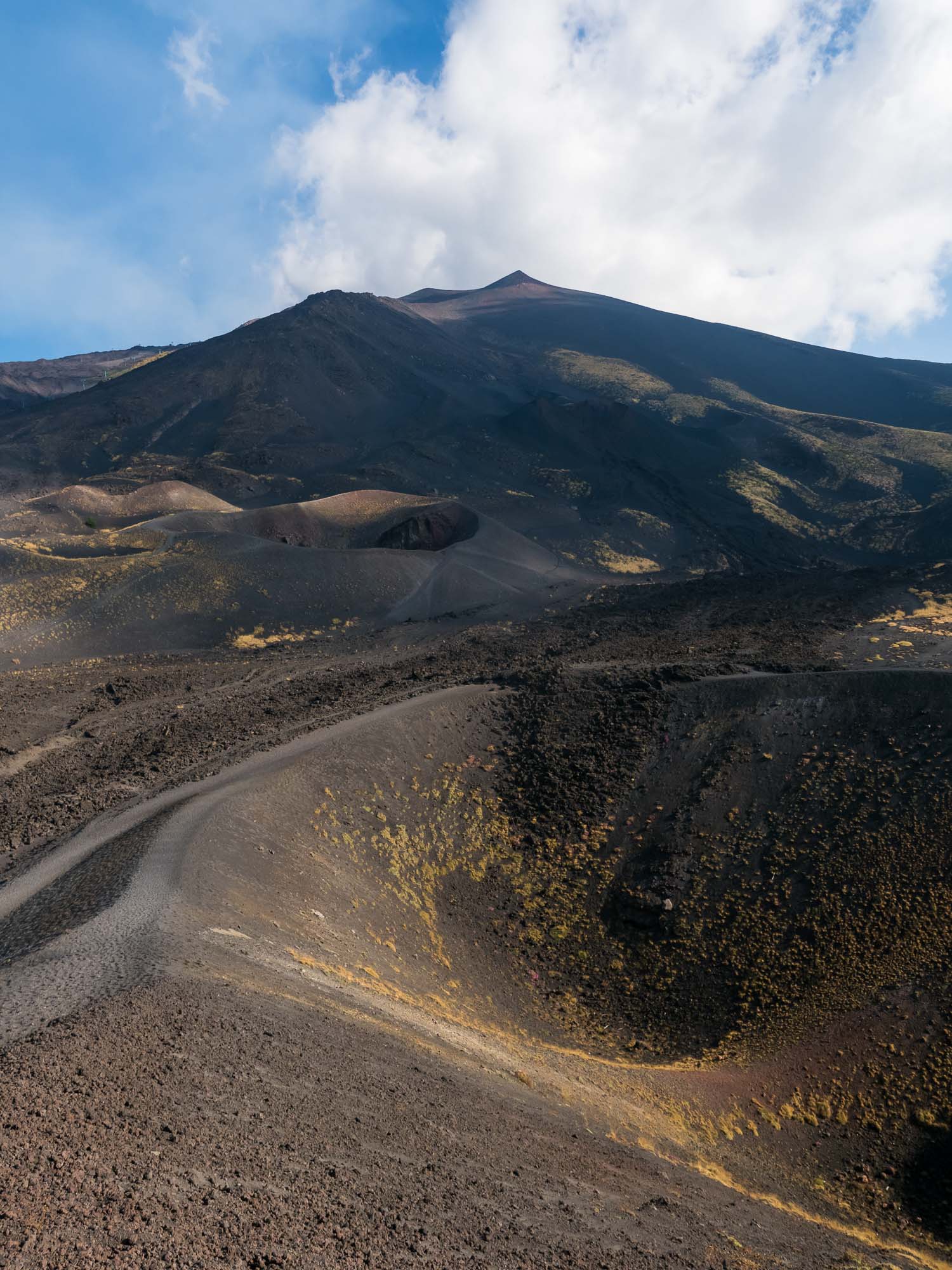
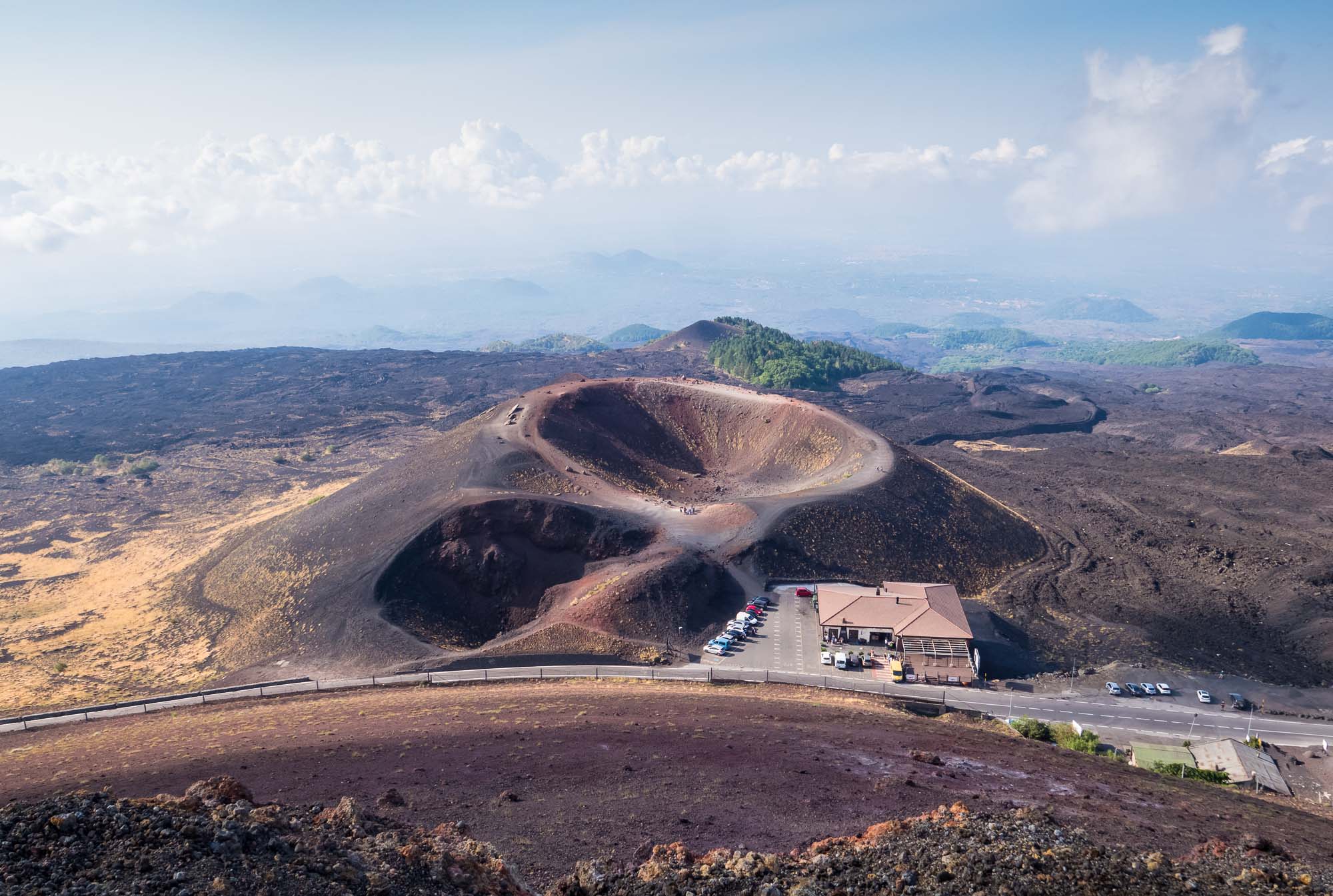
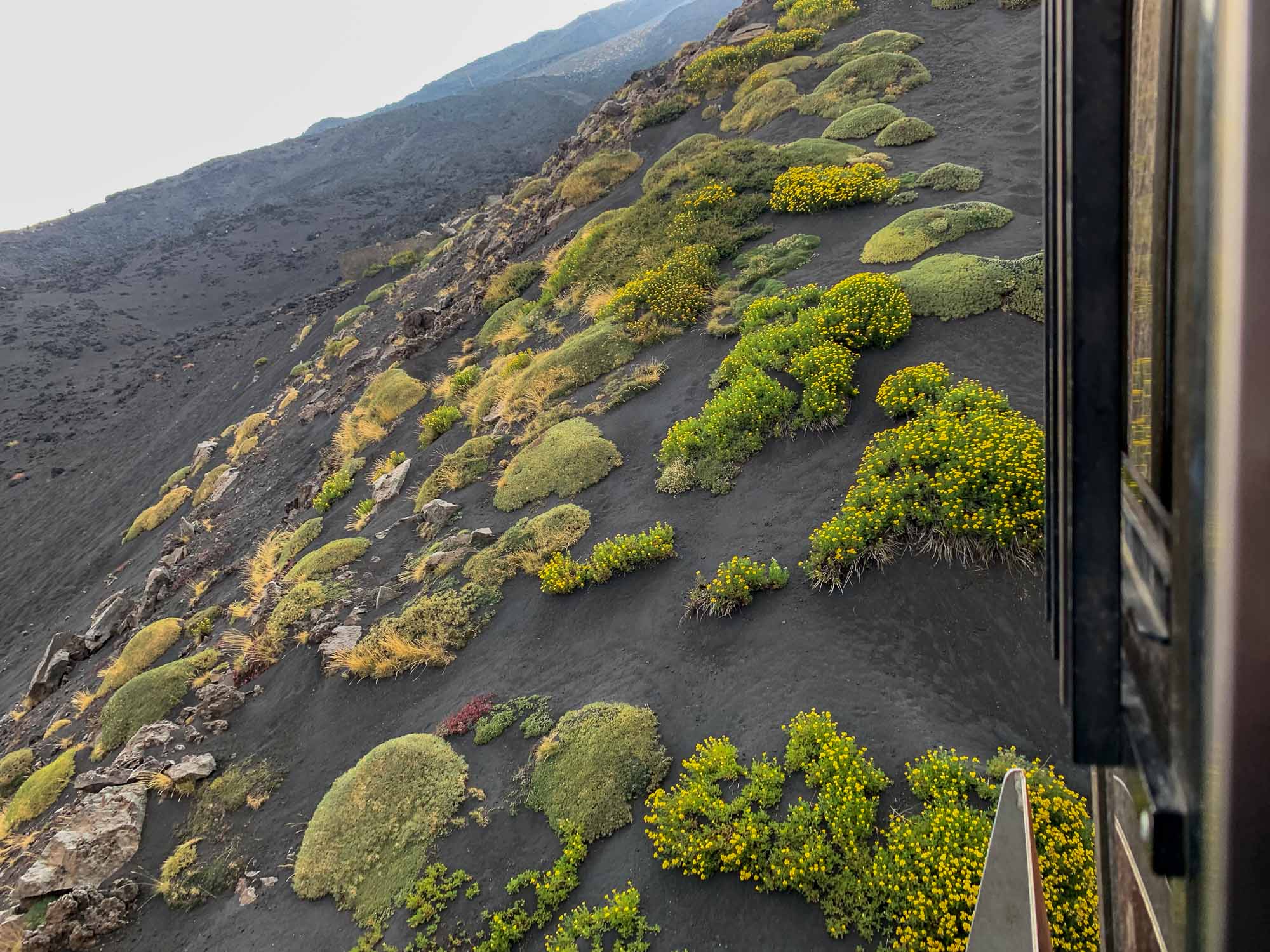
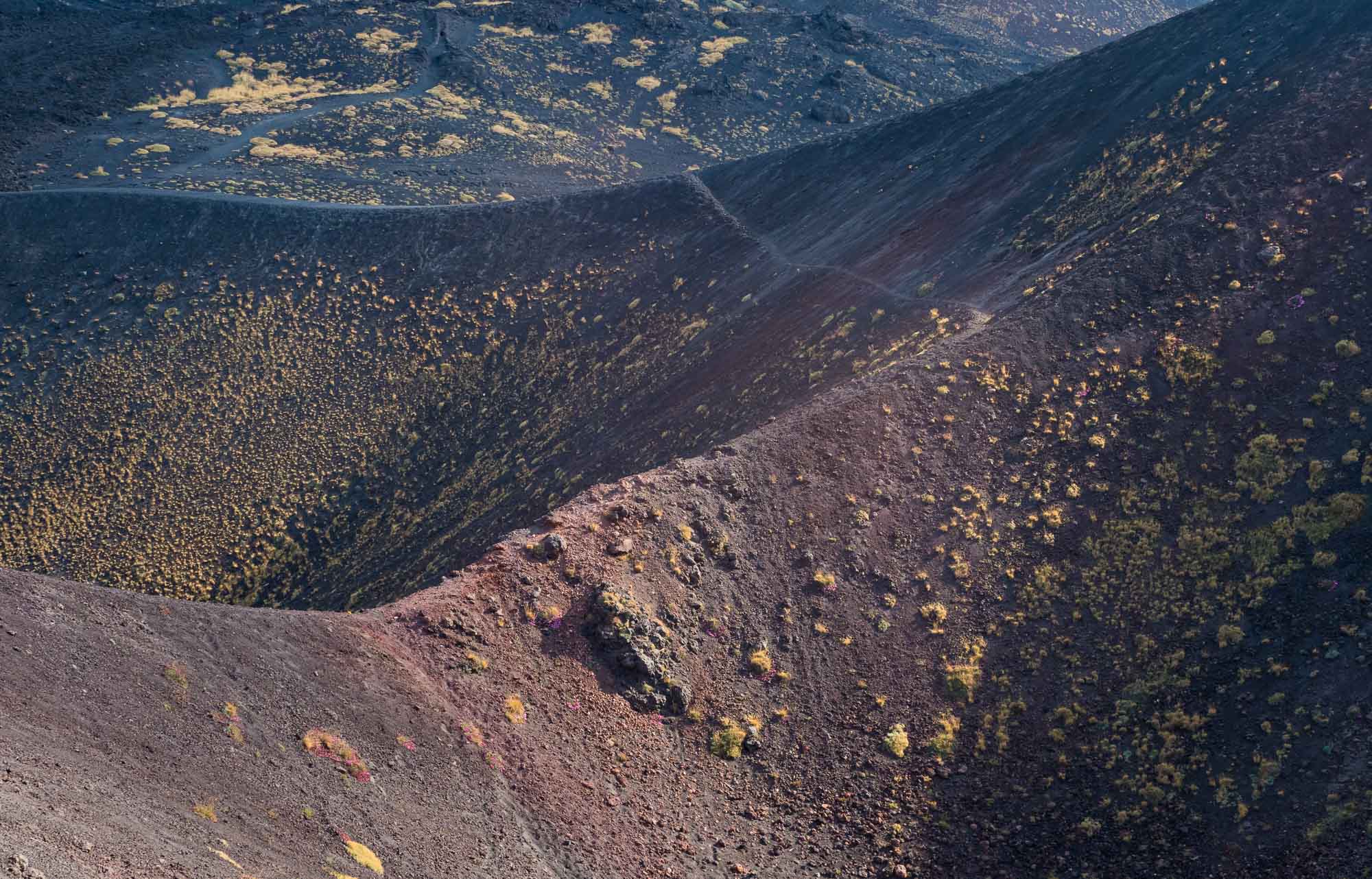
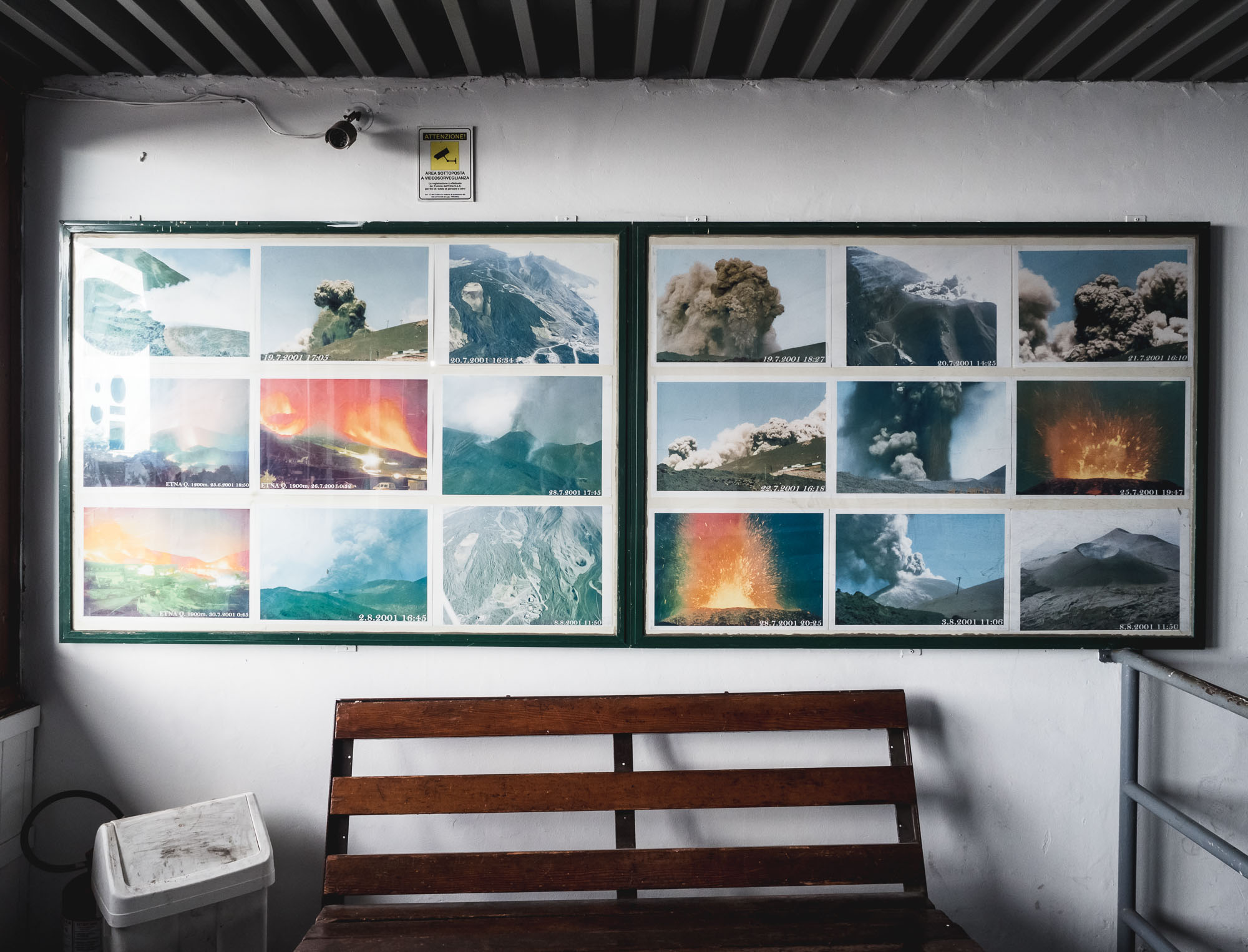
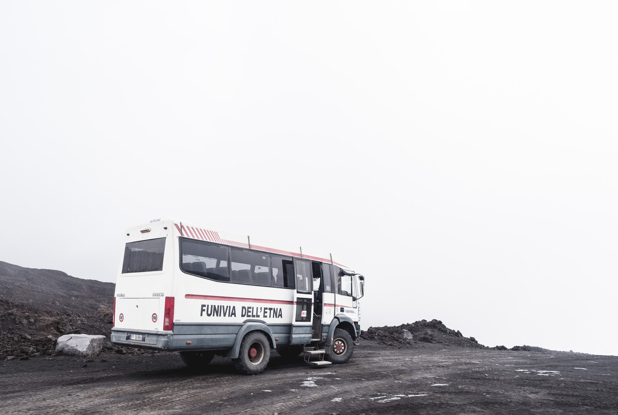
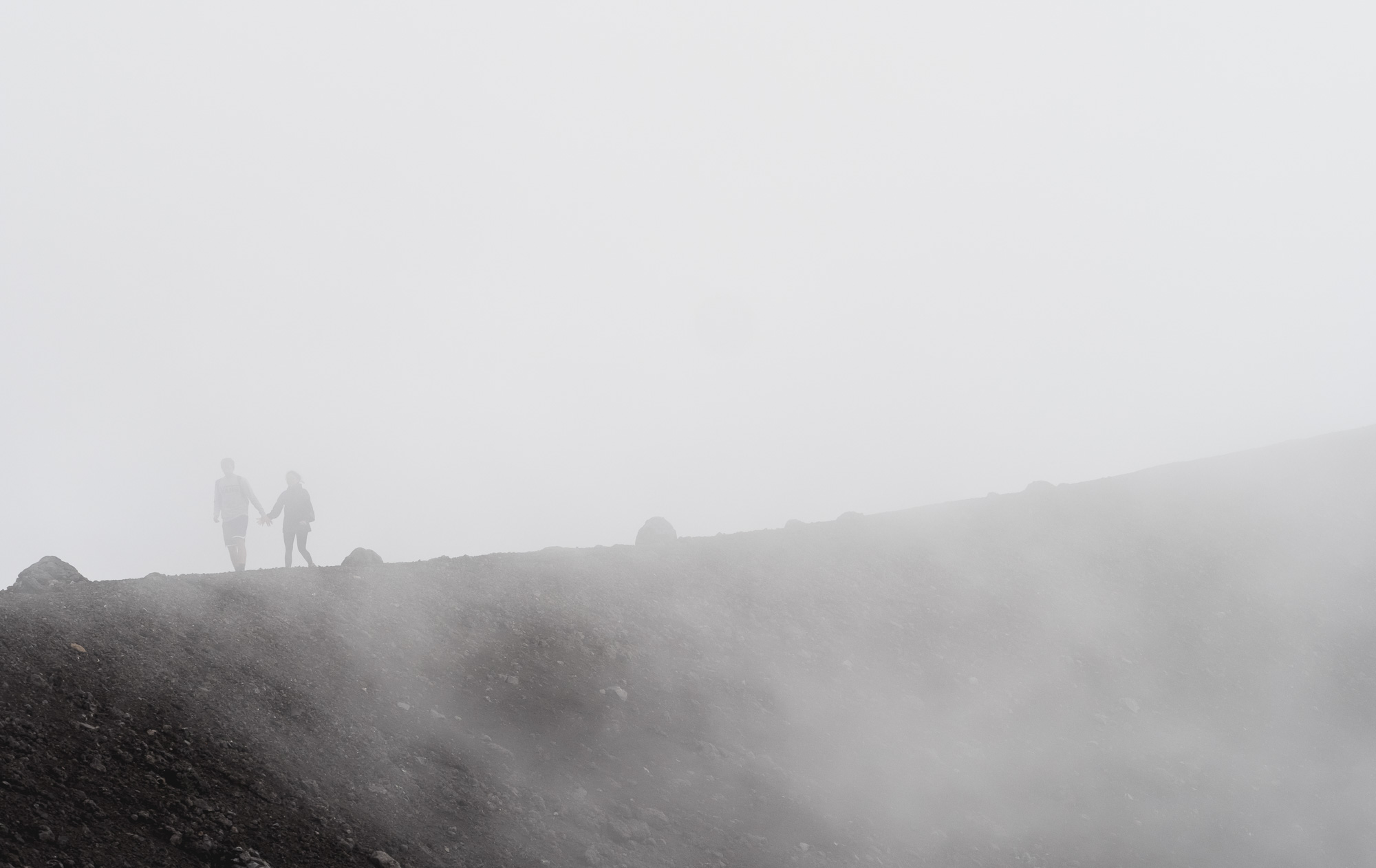
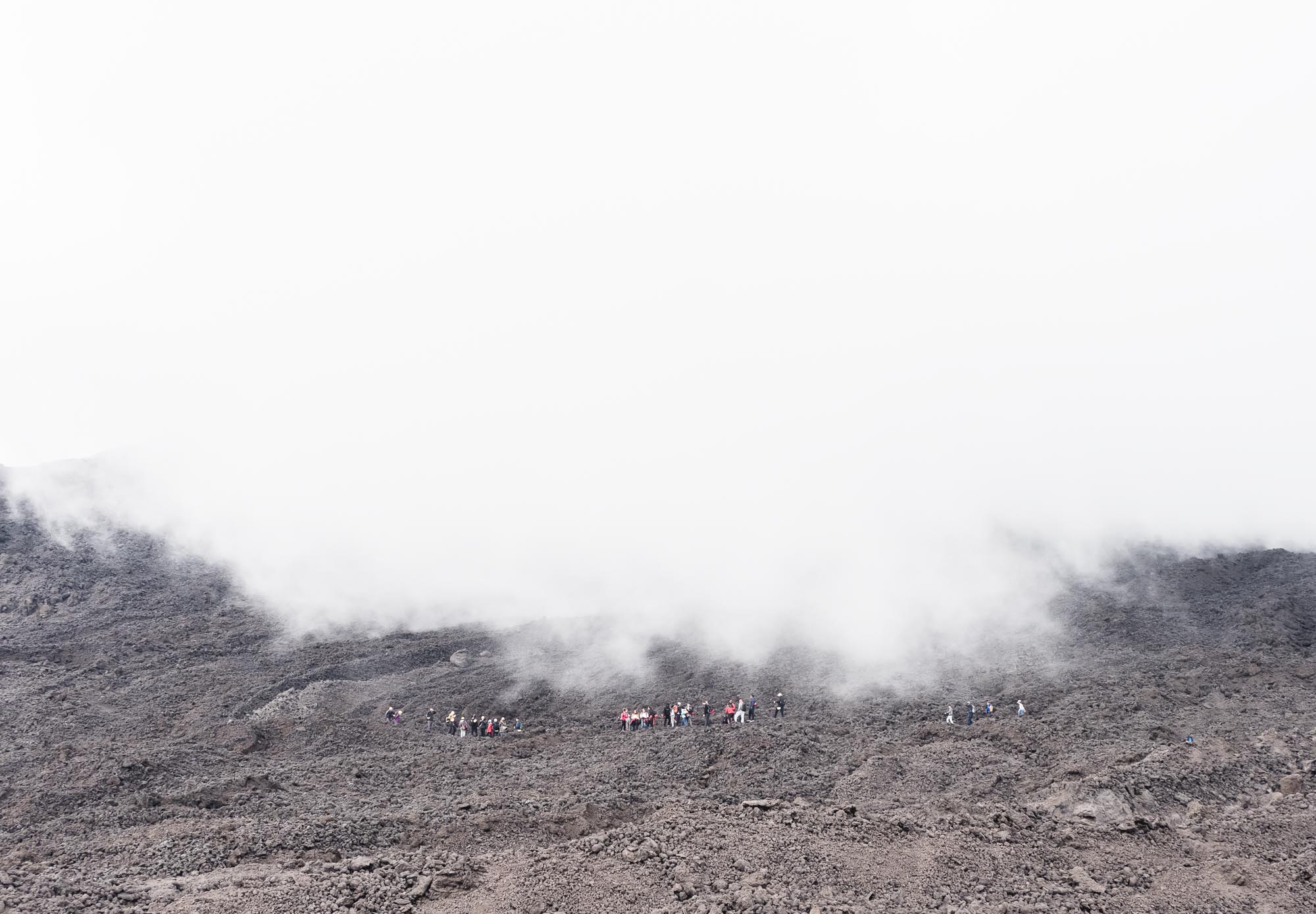
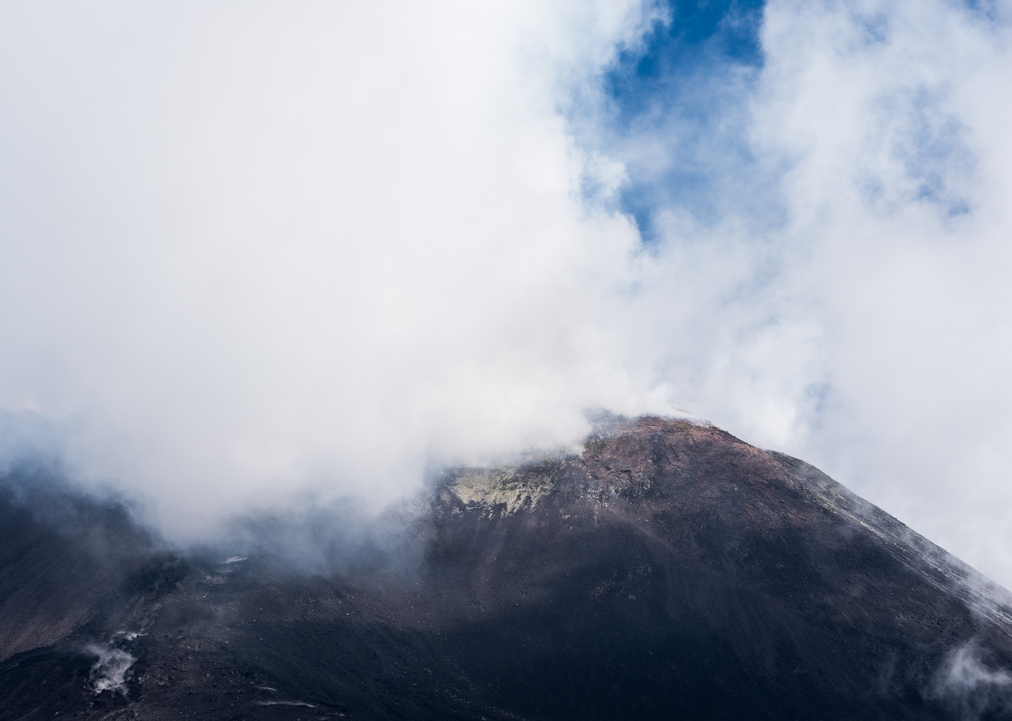
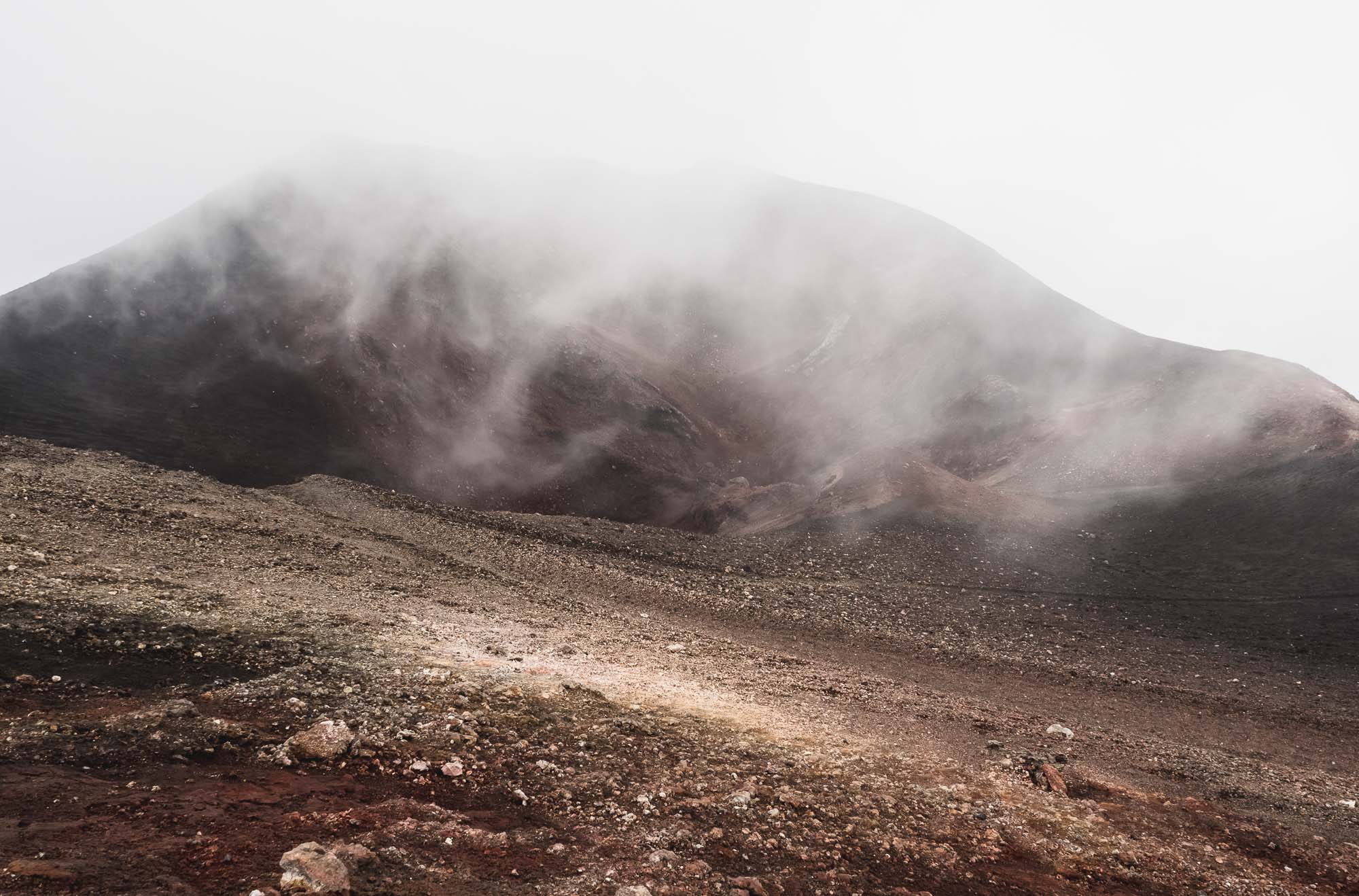
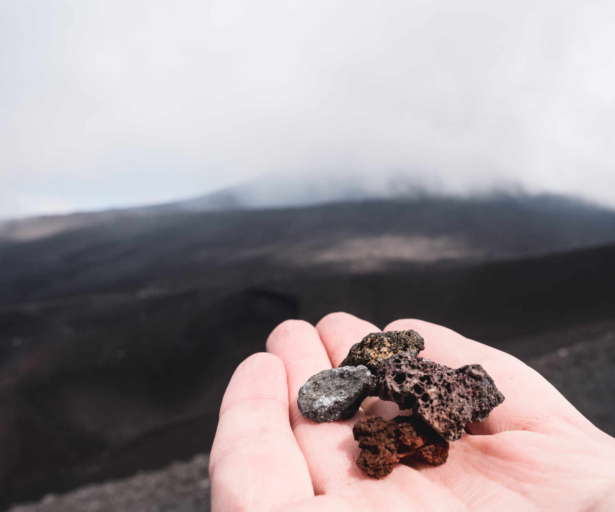
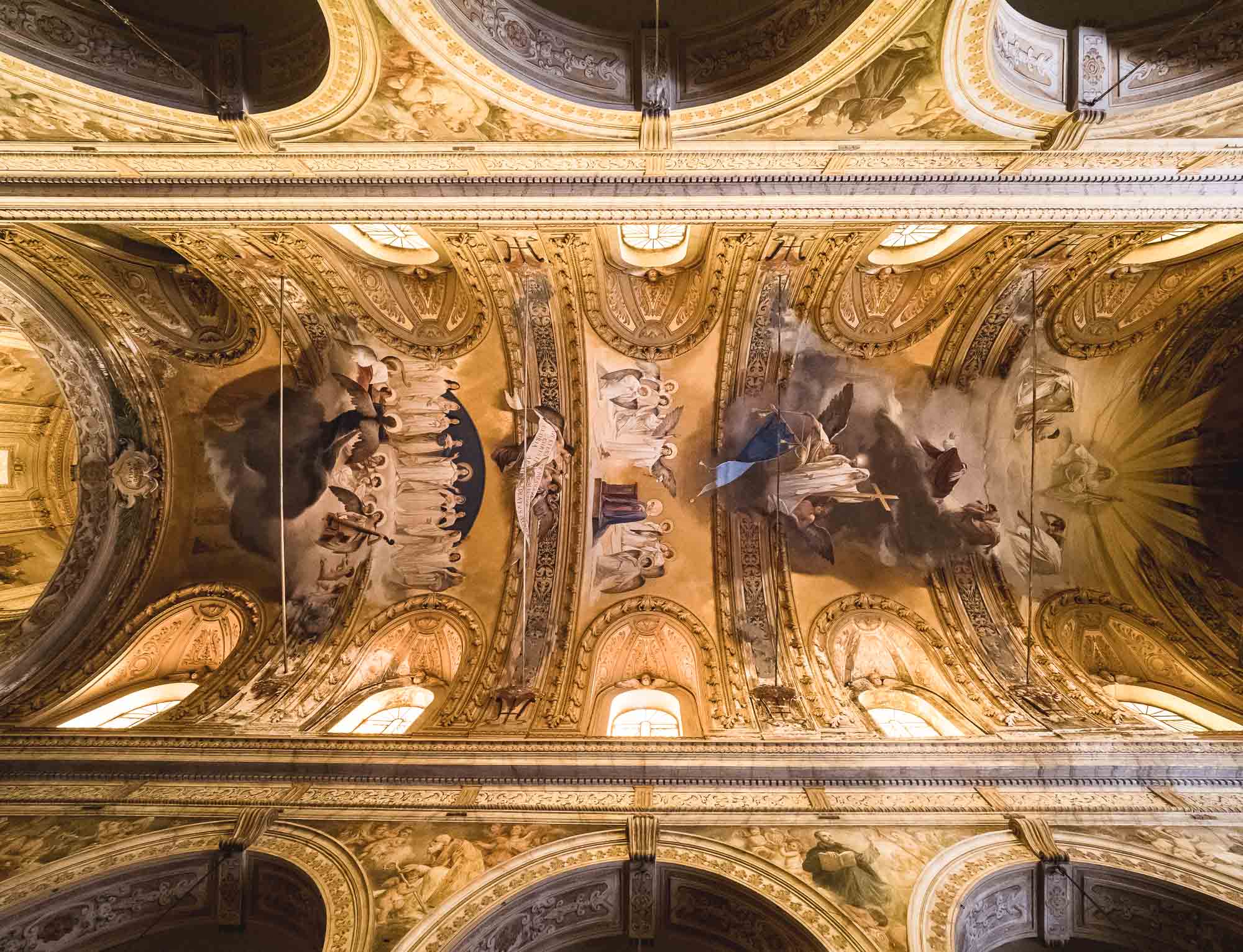
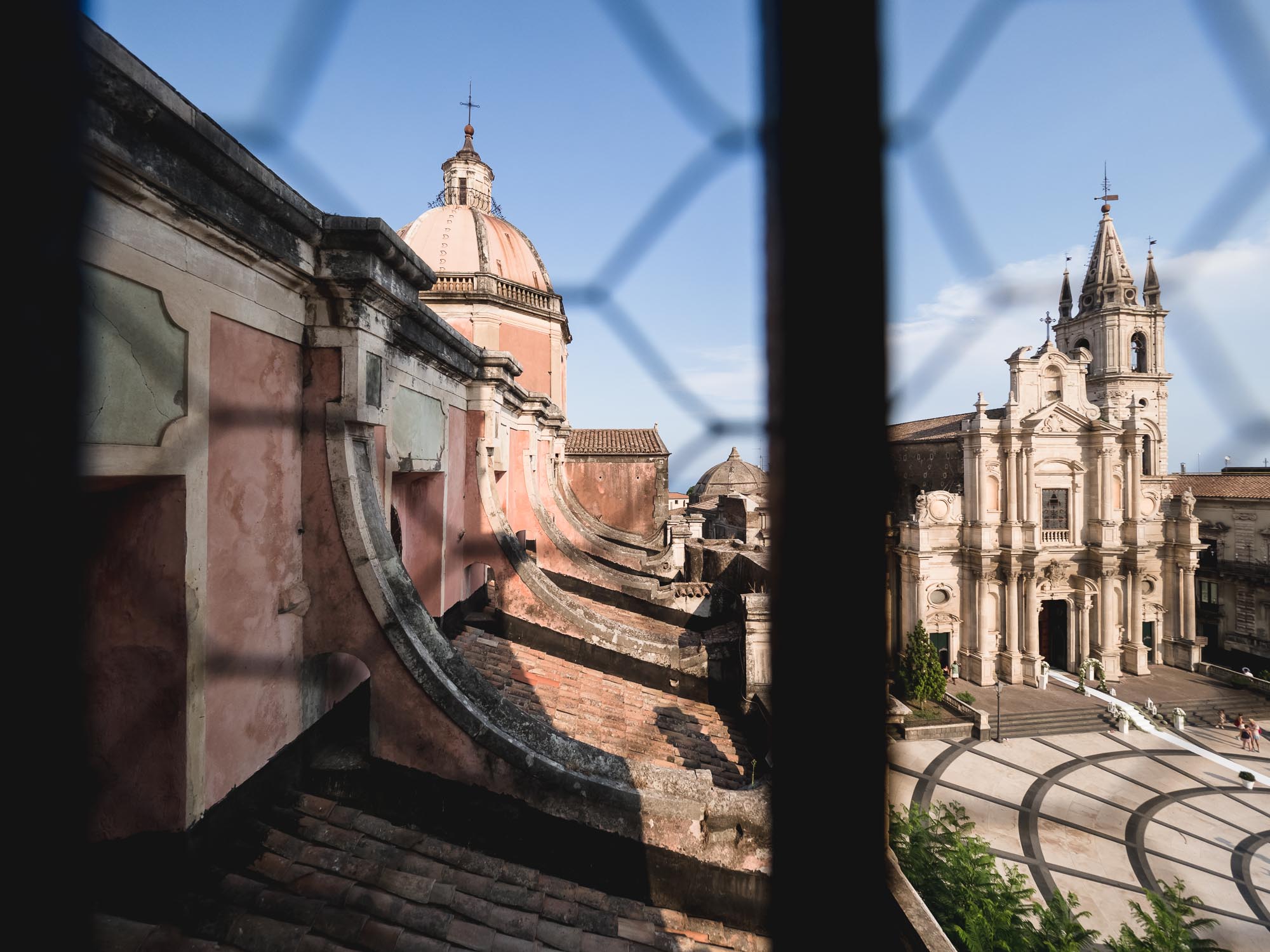
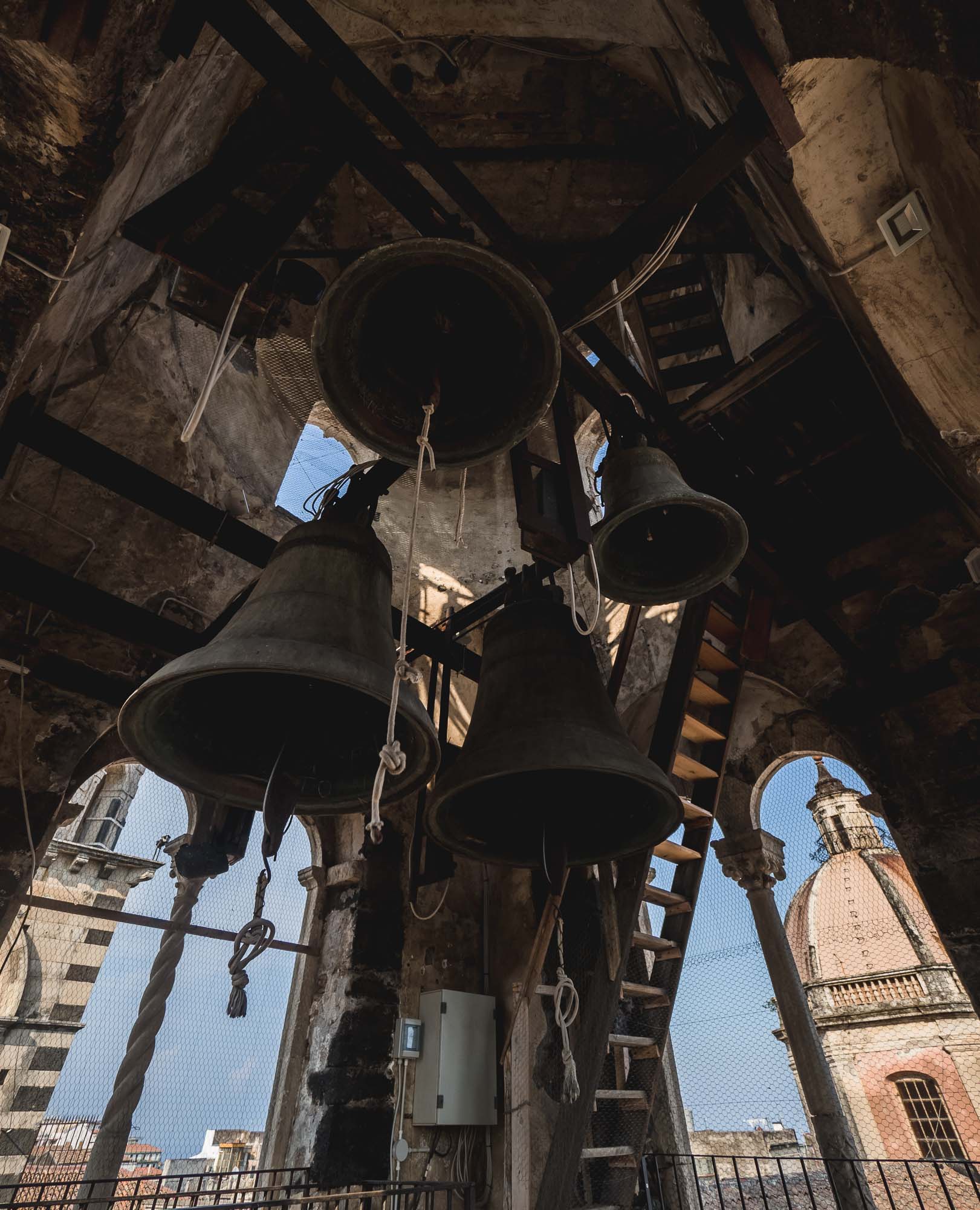
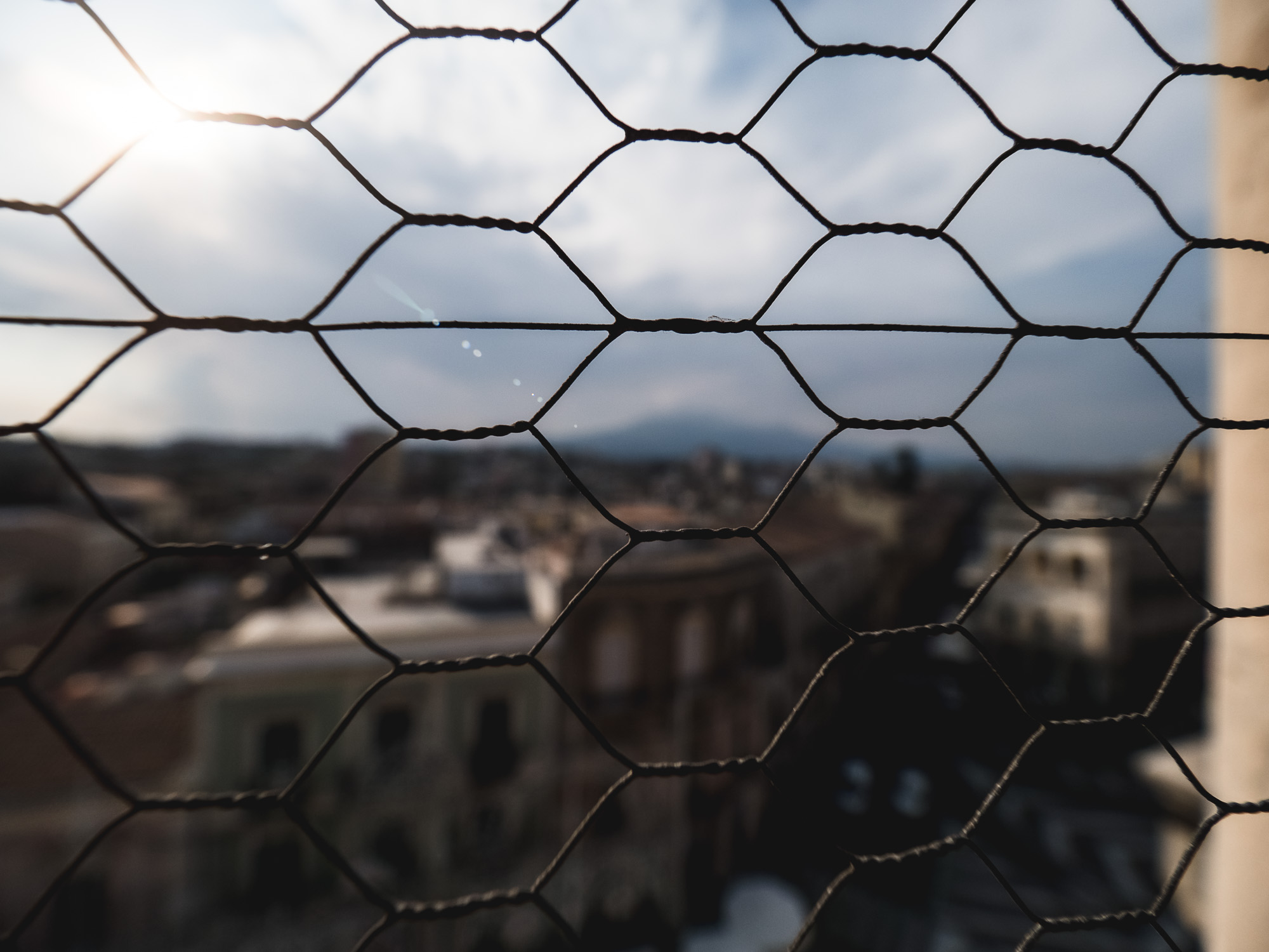
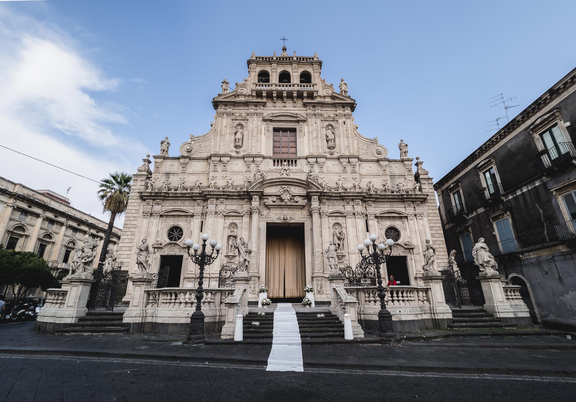
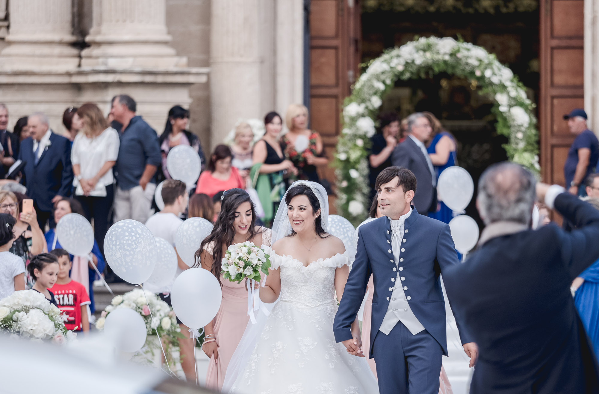
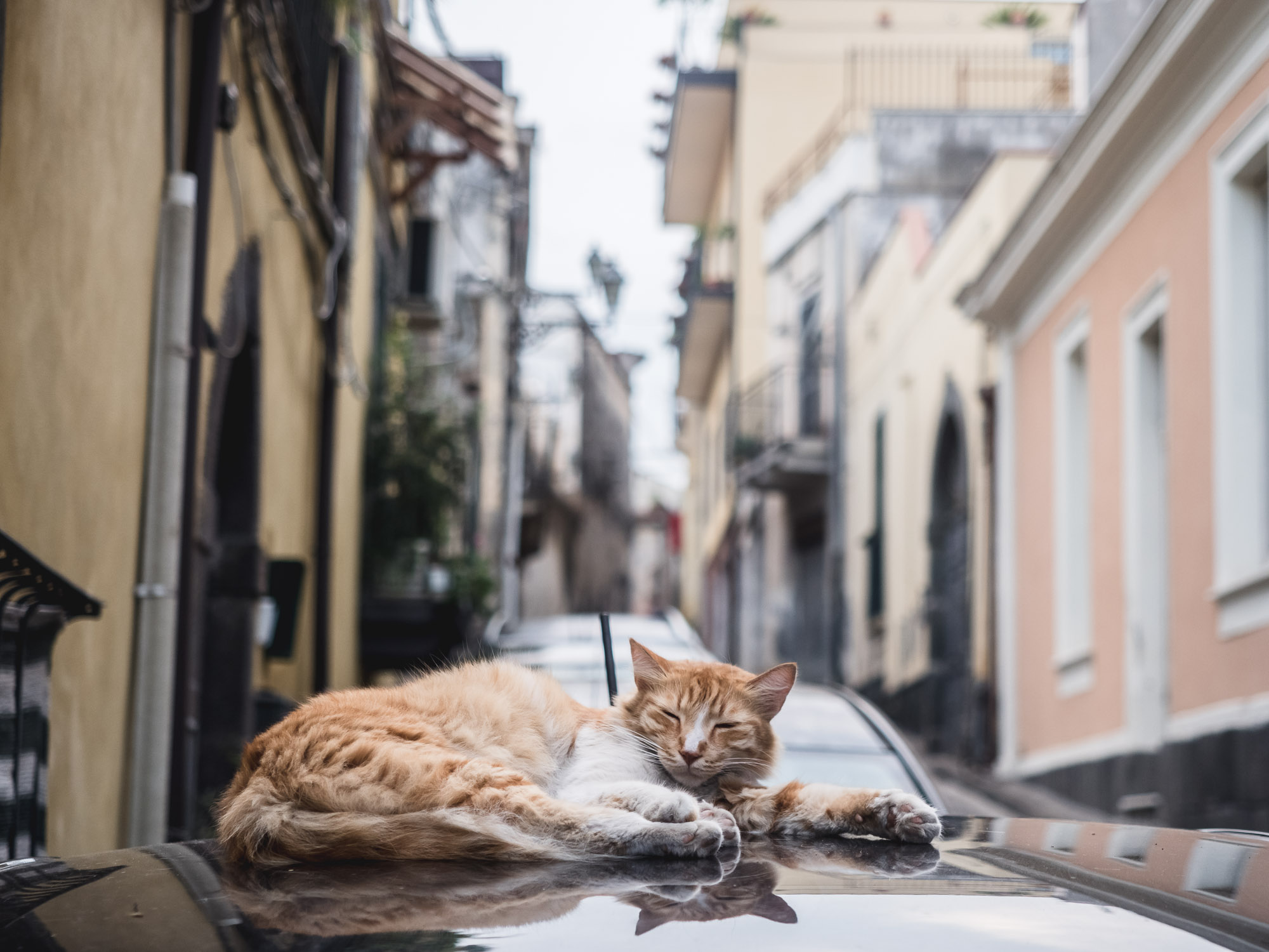
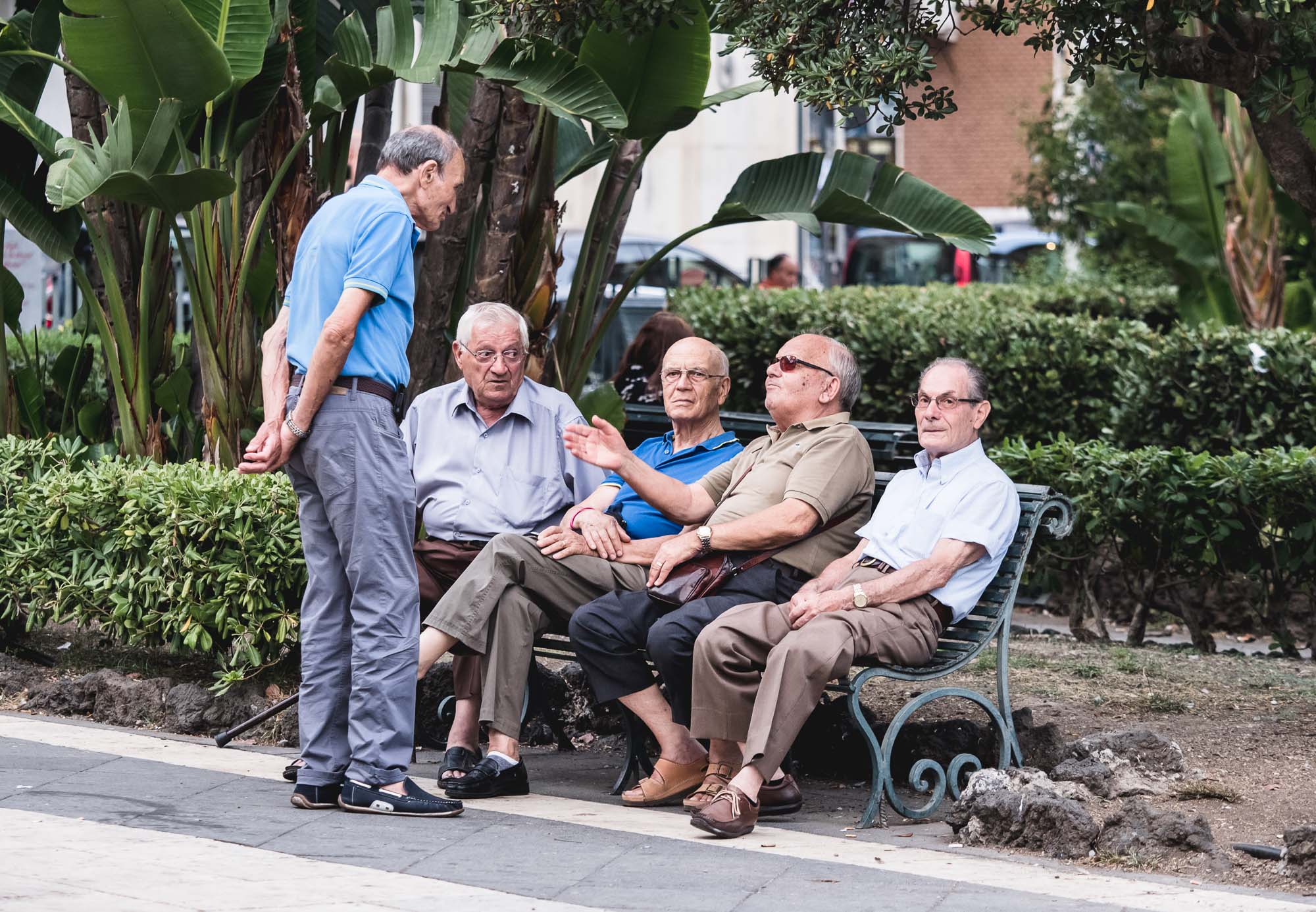
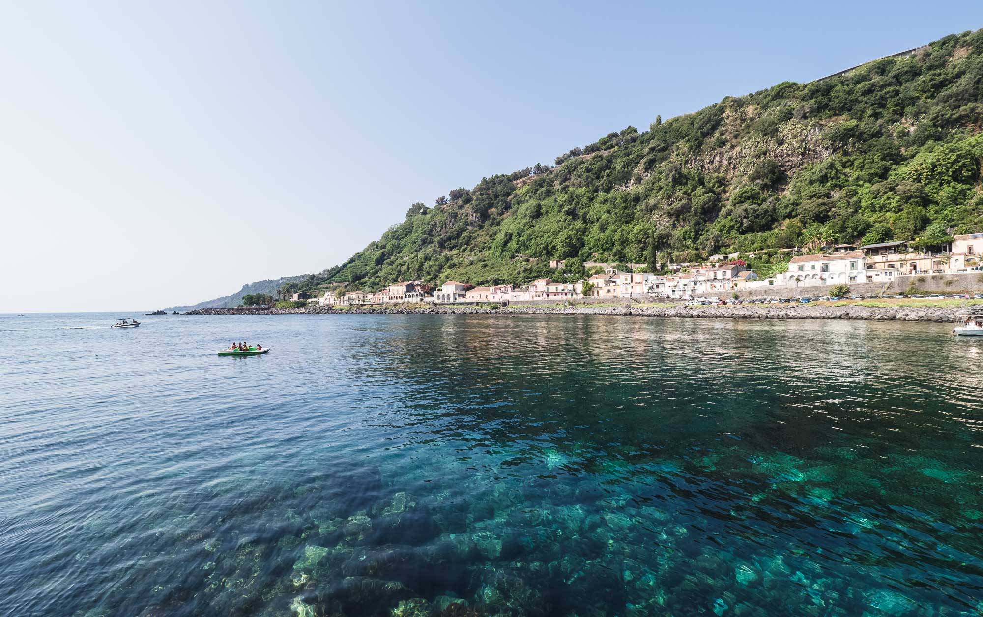
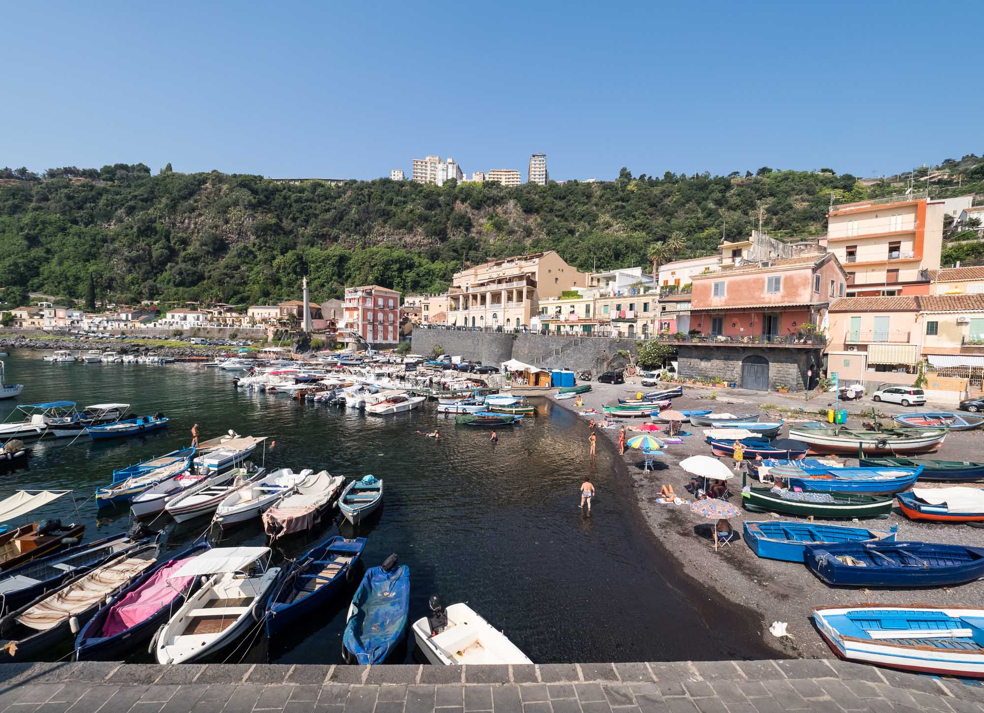
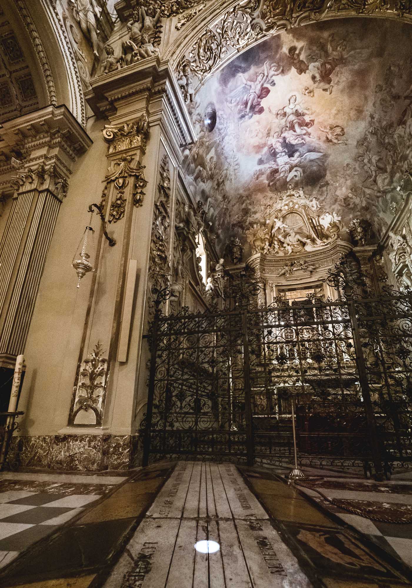
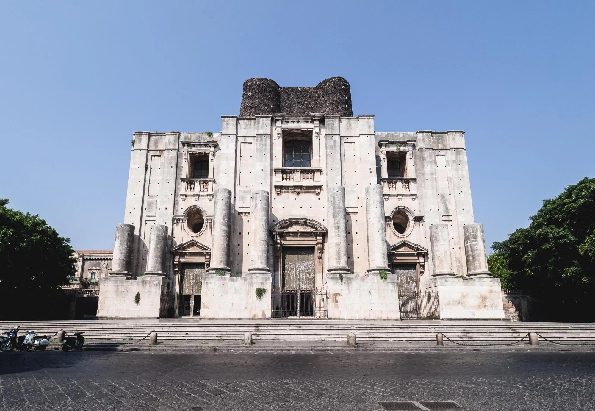
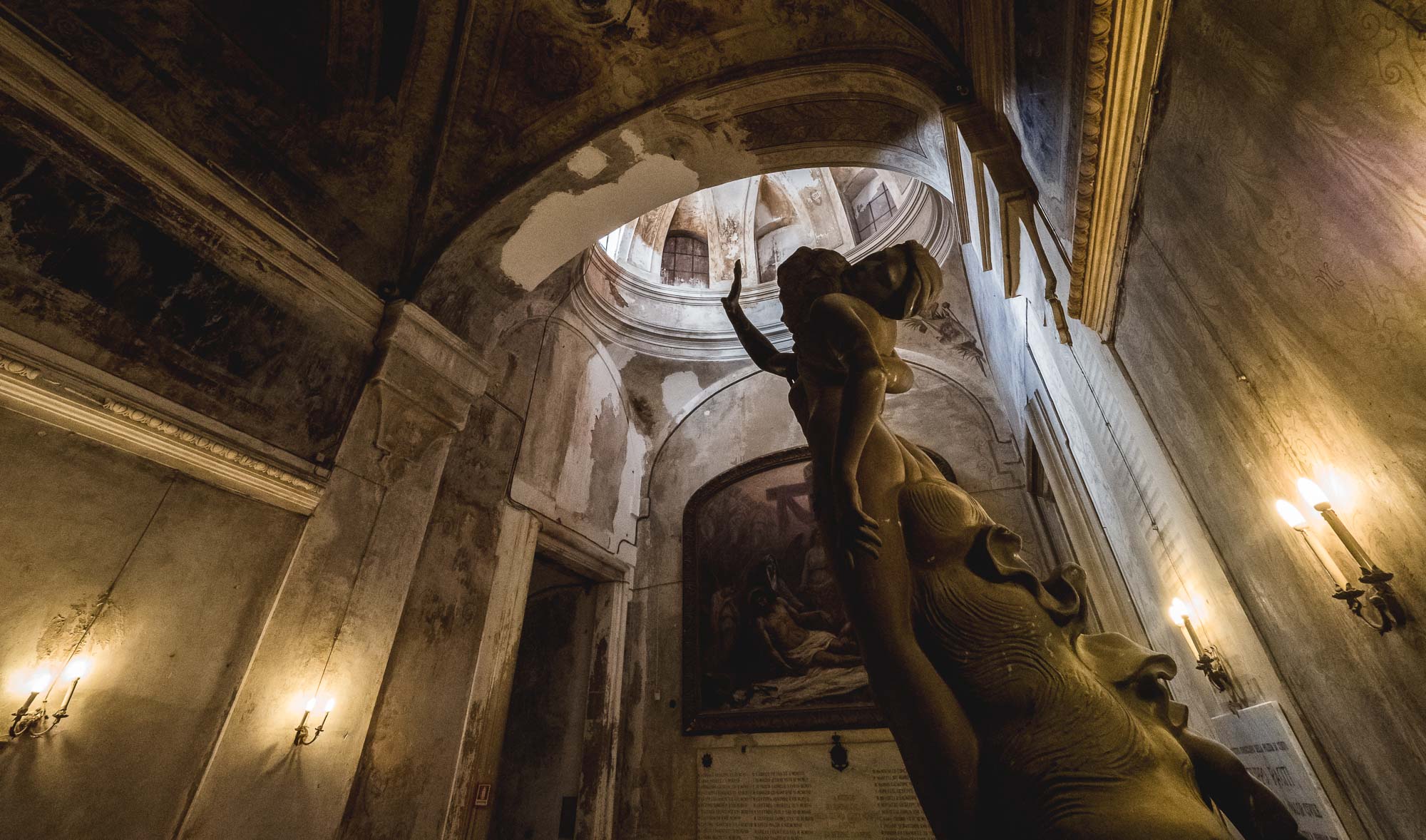
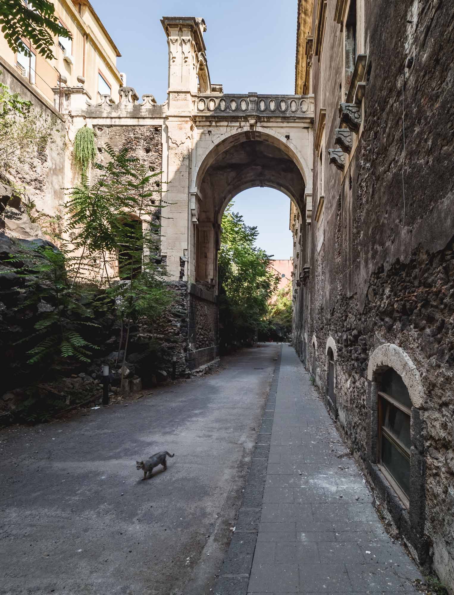
Sicily - Island of Etna
Another beautiful wedding gave me the opportunity to visit Sicily, exploring Catania, hiking Mount Etna, and wandering through Acireale. Unfortunately three days are definitely not enough for the largest island in the Mediterranean, nevertheless you get a taste for the life across the Strait of Messina.
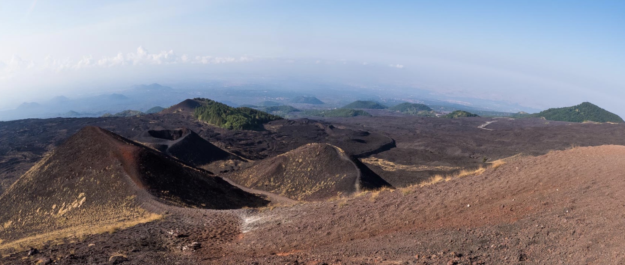
Another beautiful wedding gave me the opportunity to visit Sicily, exploring Catania, hiking Mount Etna, and wandering through Acireale. Unfortunately three days are definitely not enough for the largest island in the Mediterranean, nevertheless you get a taste for the life across the Strait of Messina.


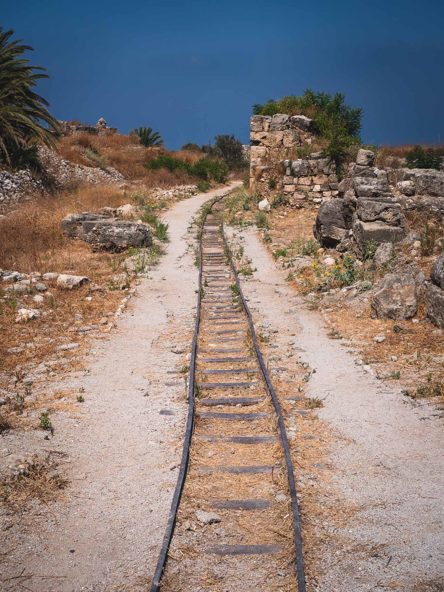
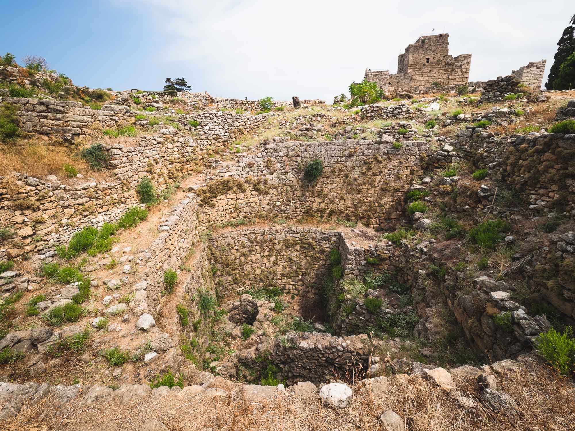
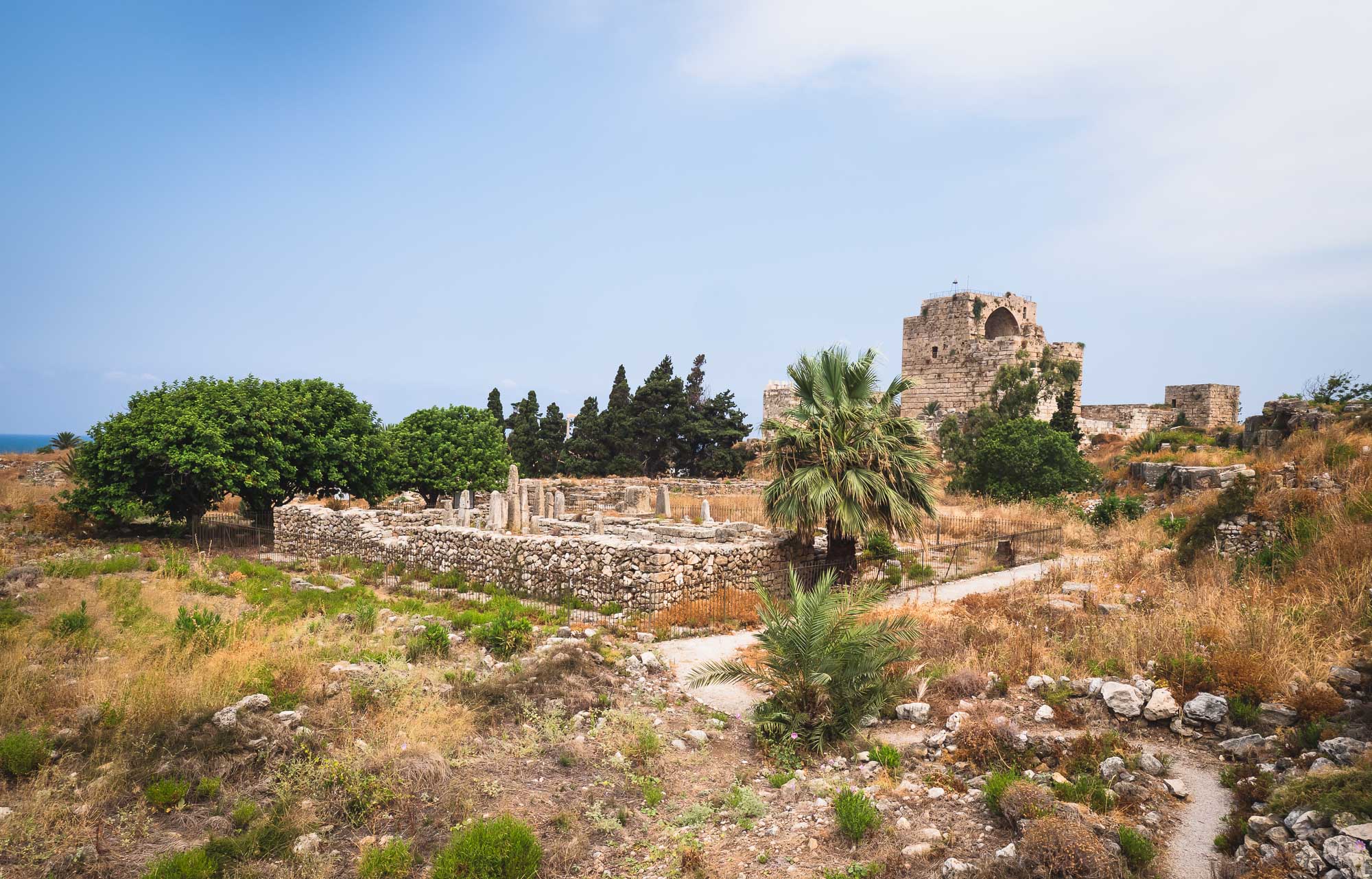
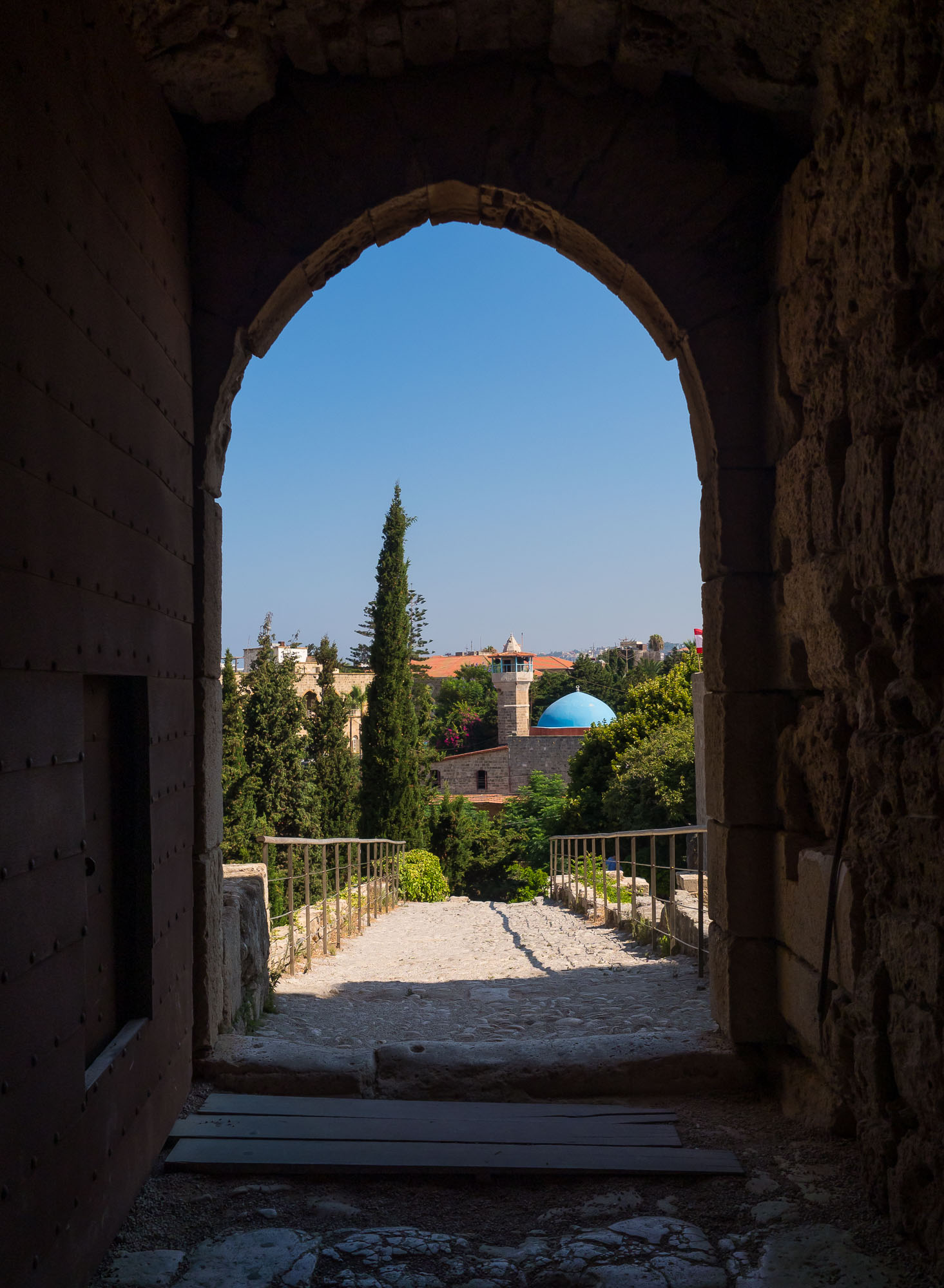
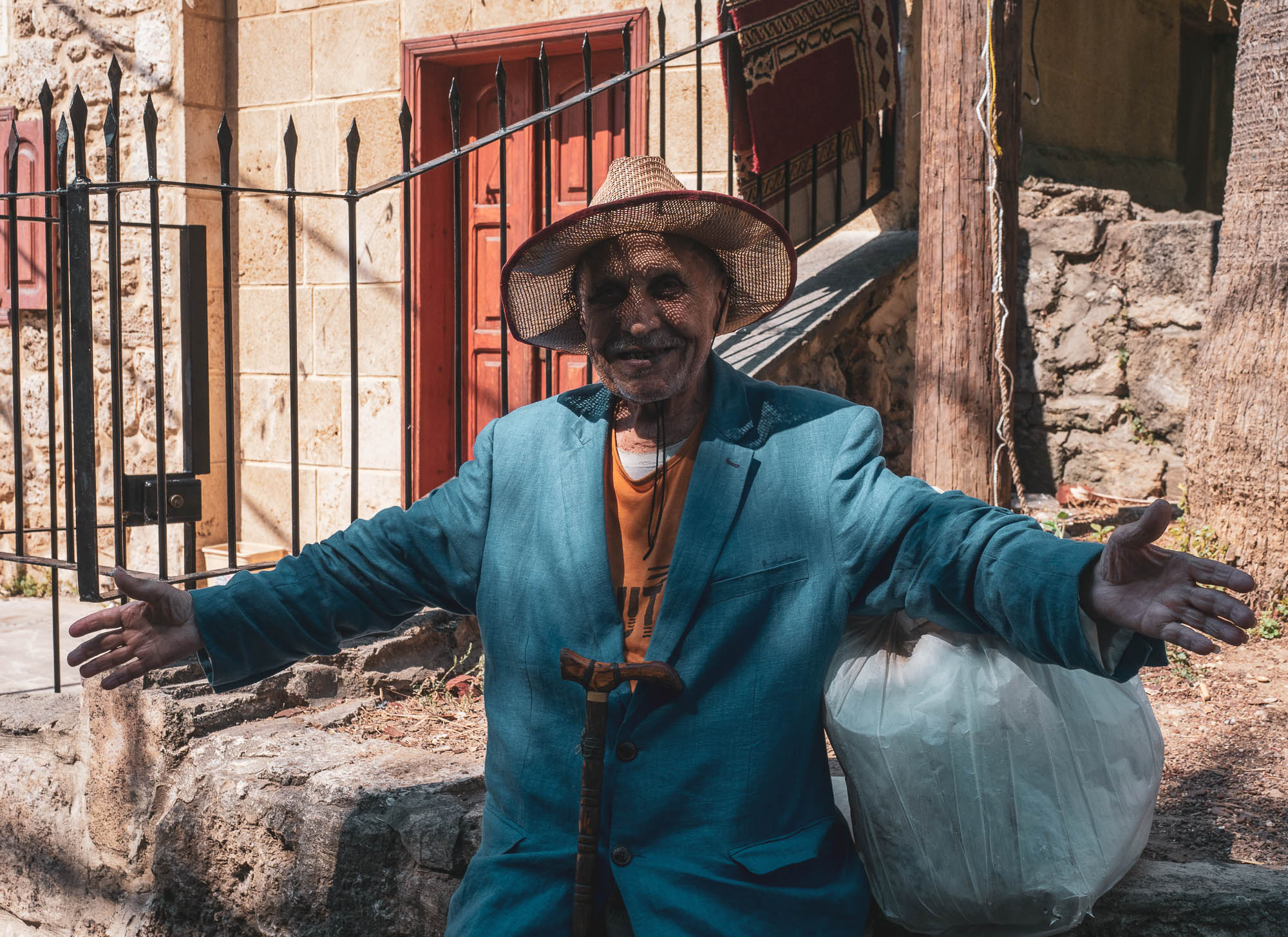
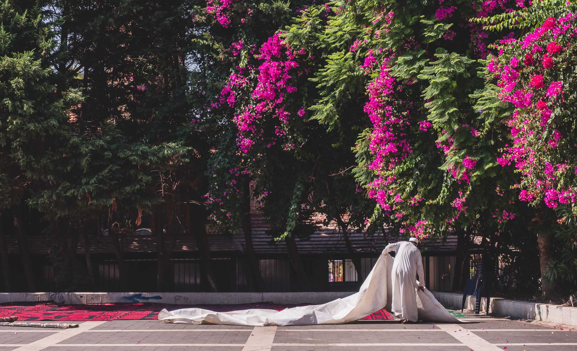
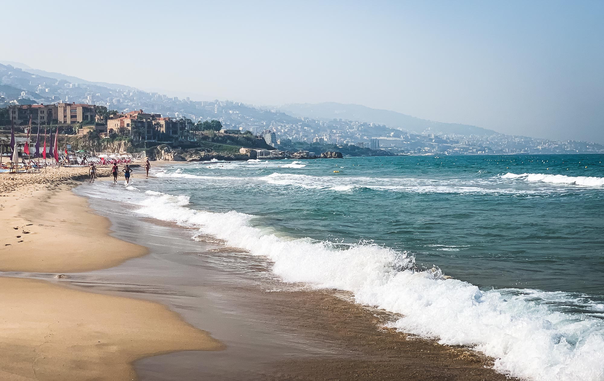
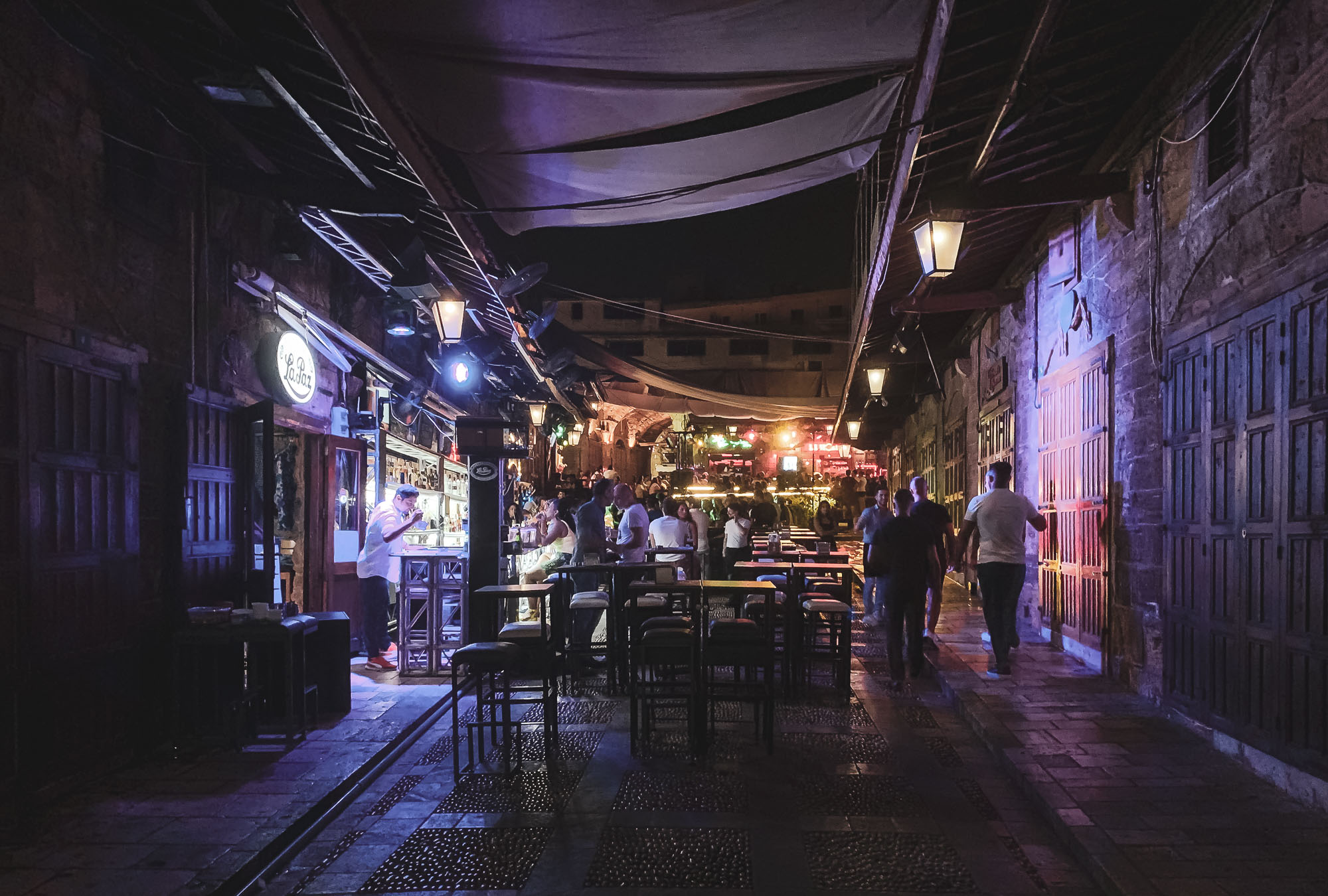
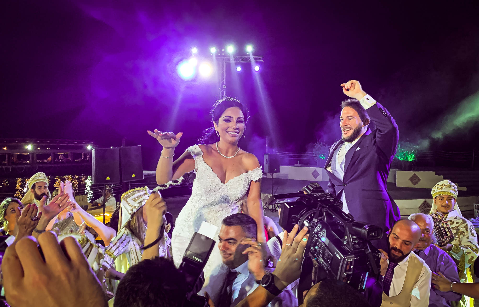
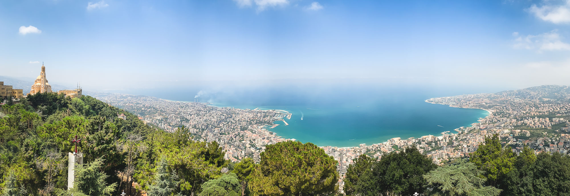
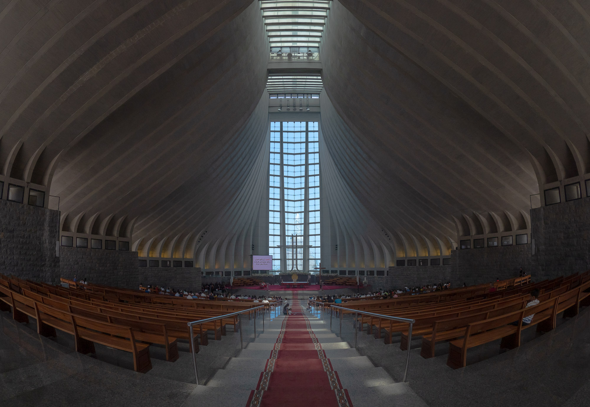
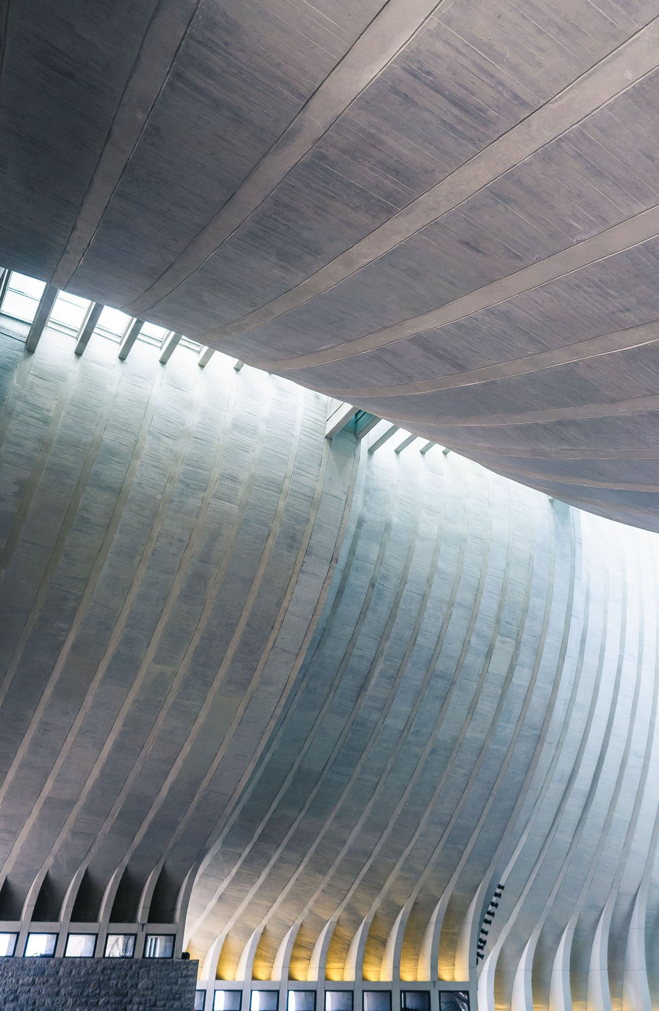
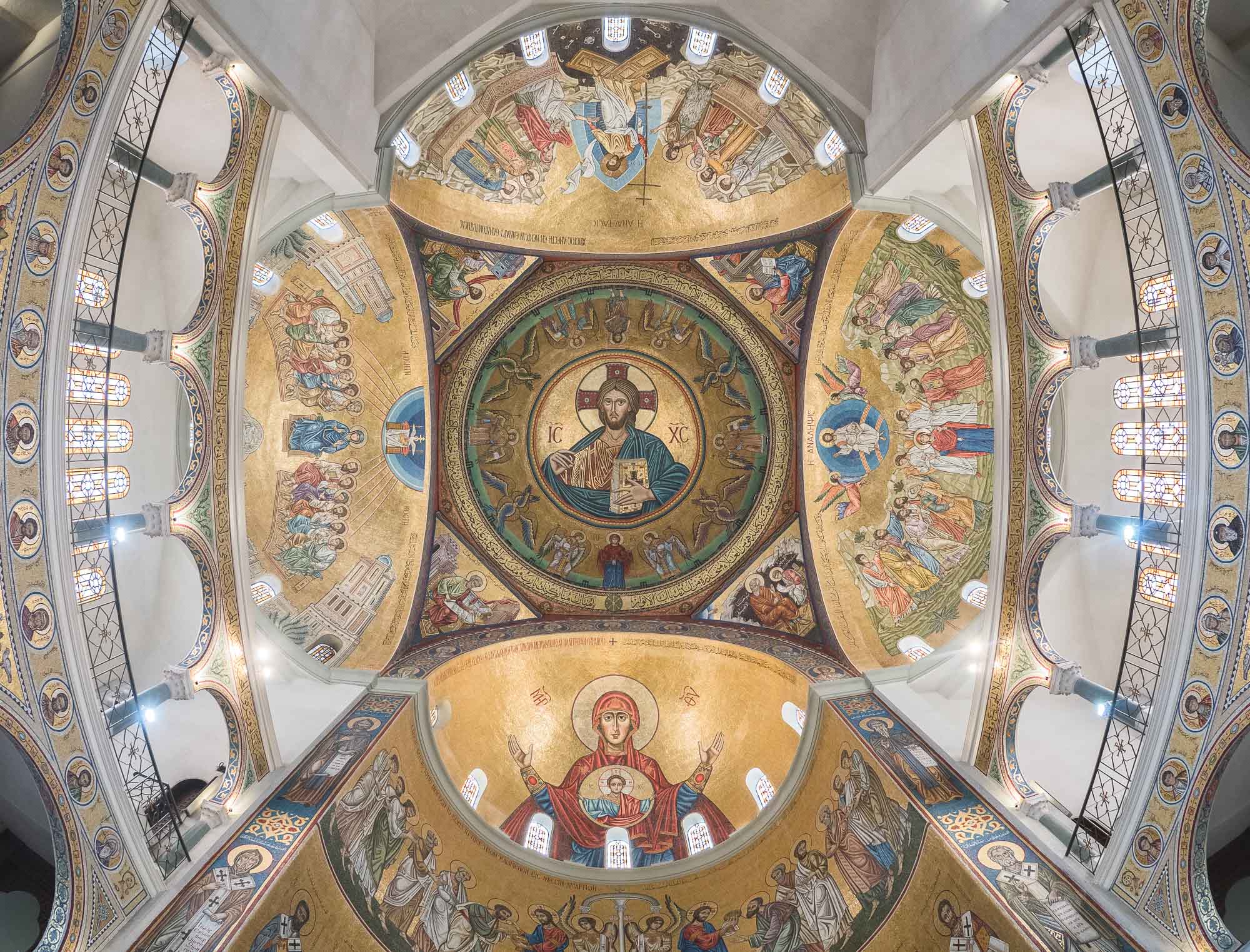
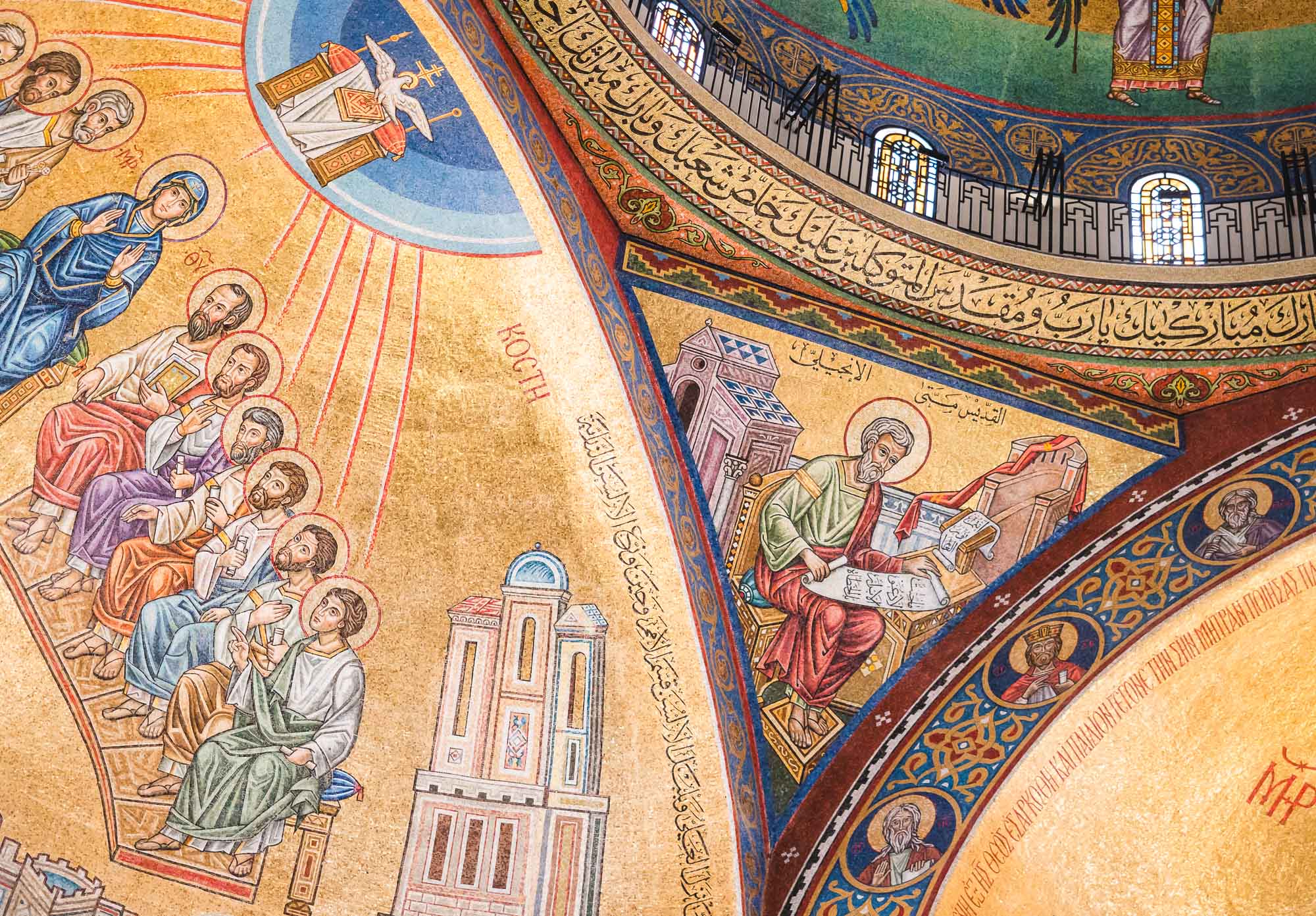
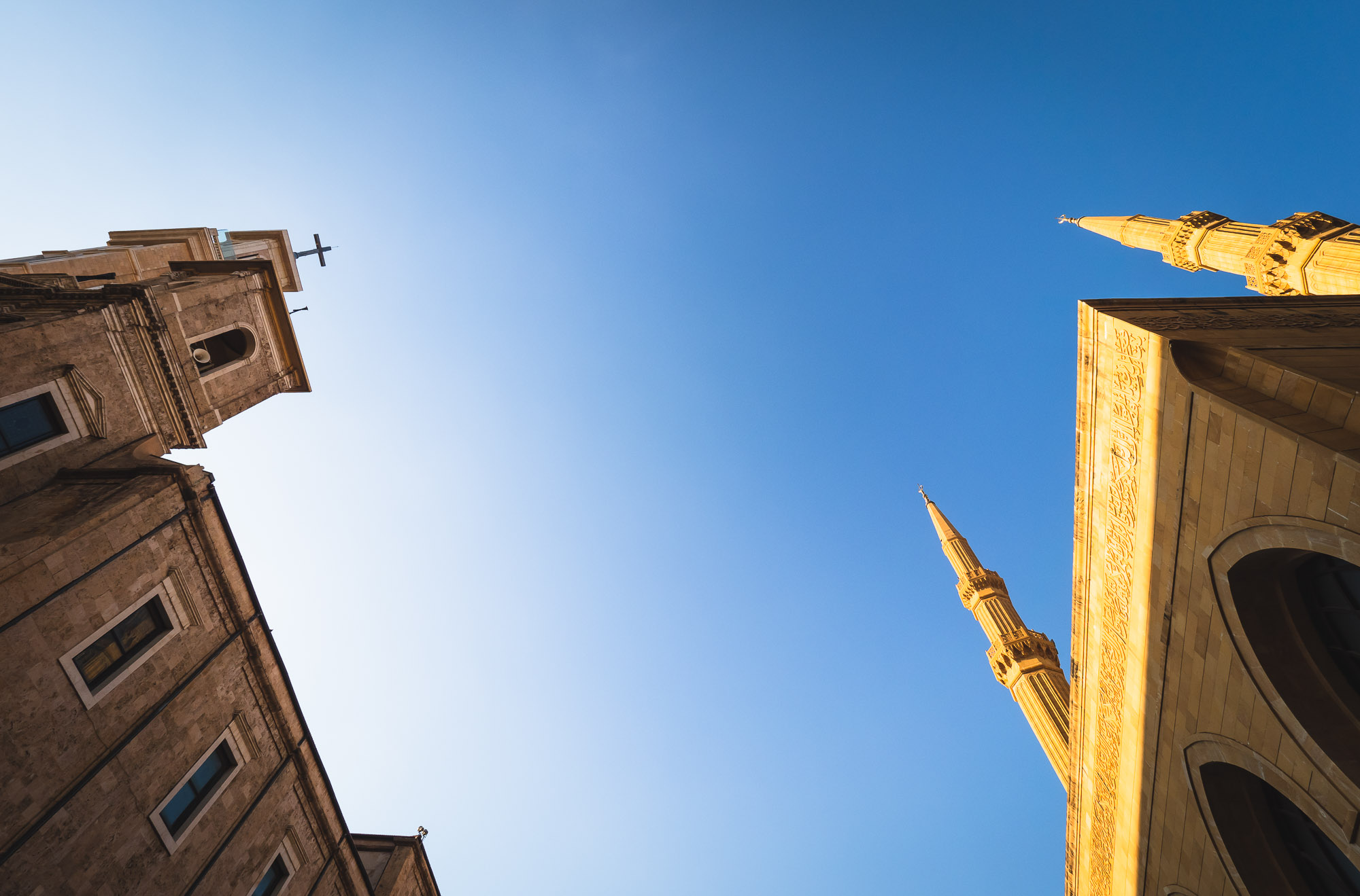
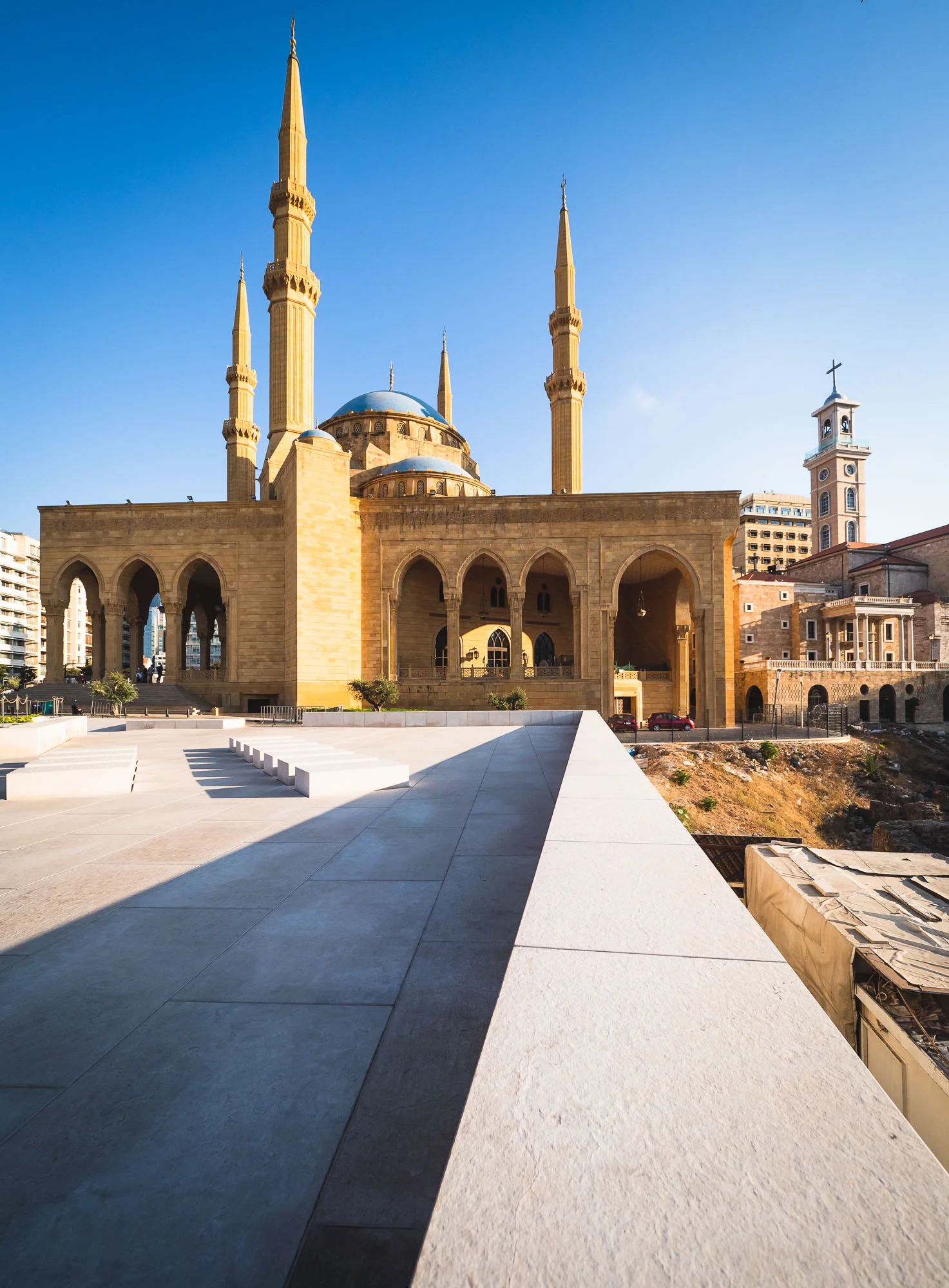
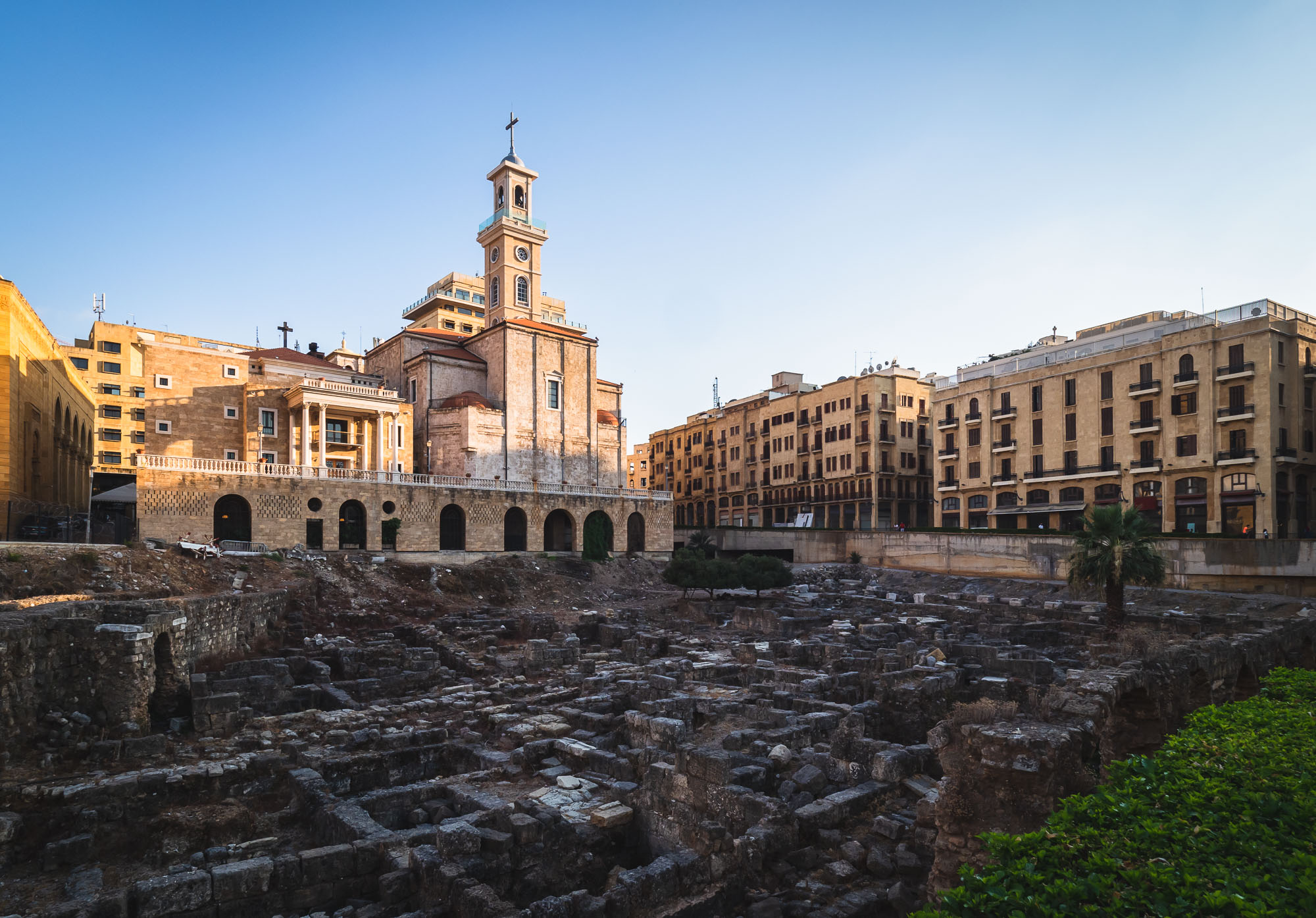
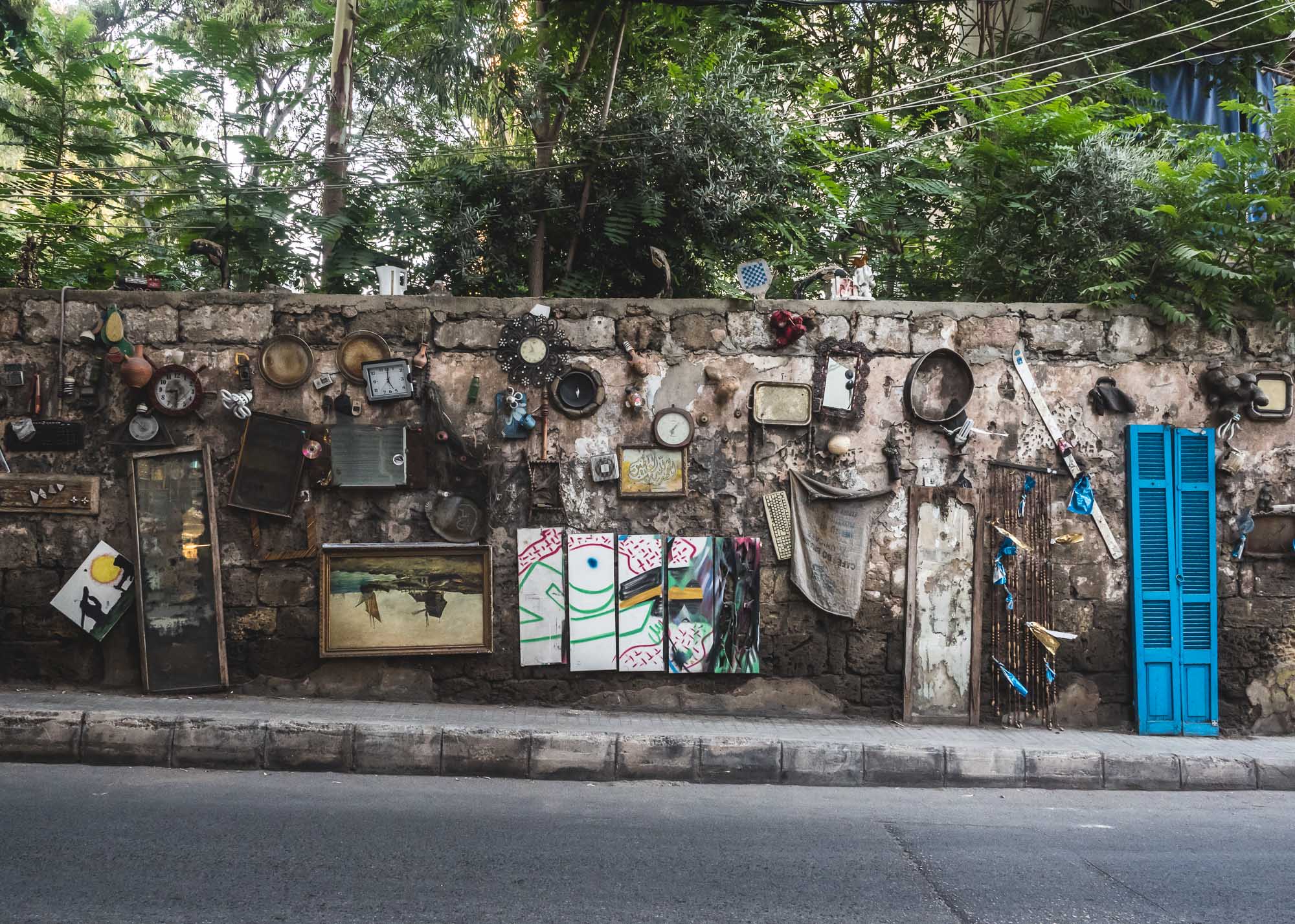
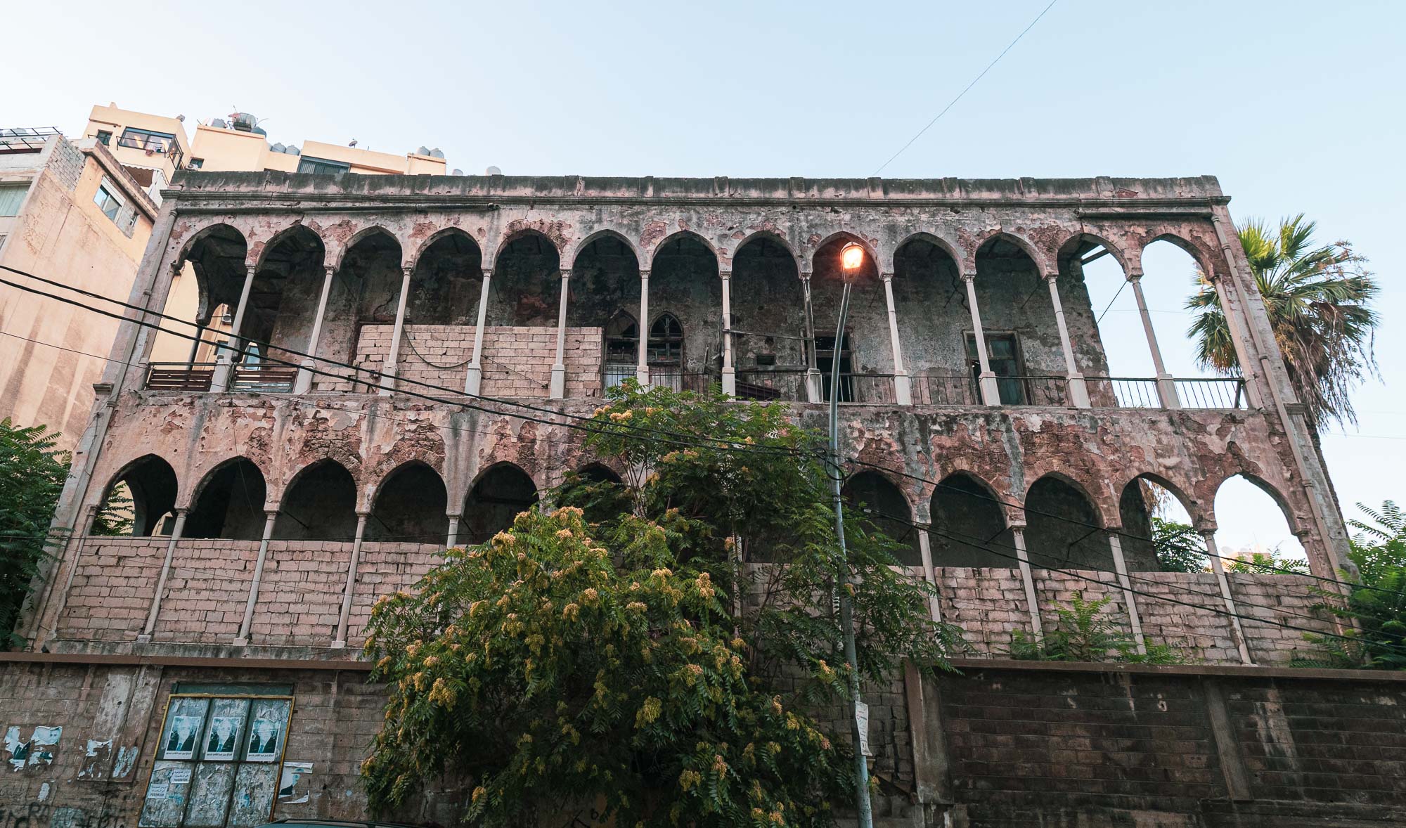
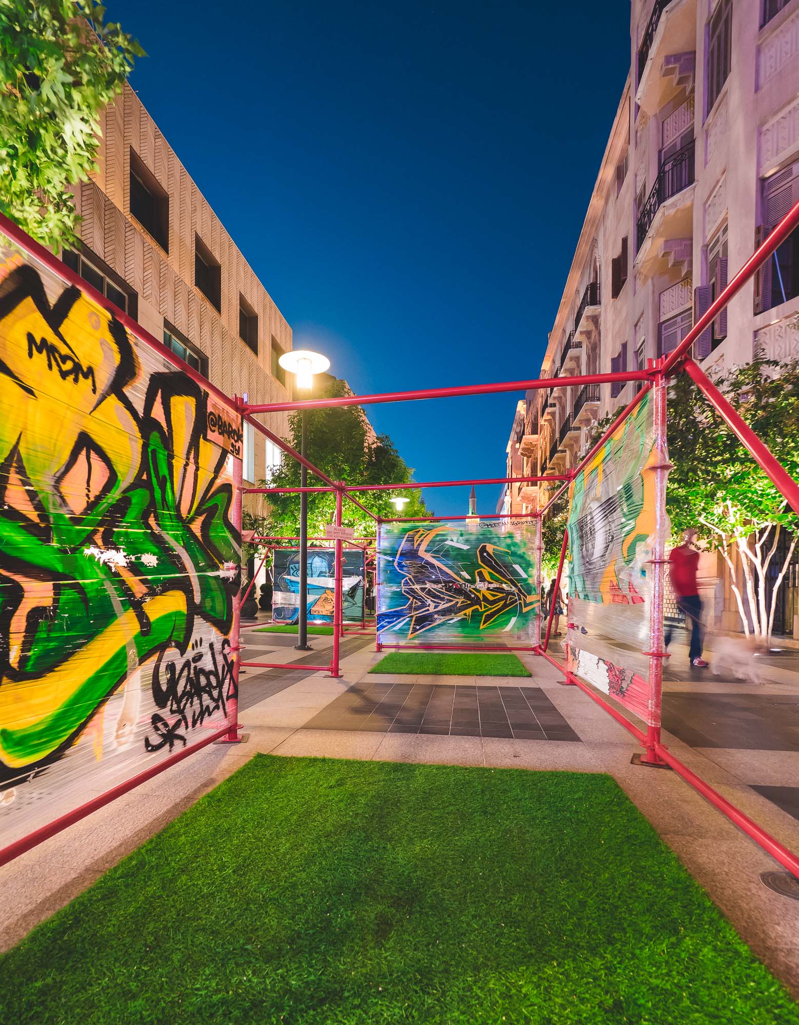
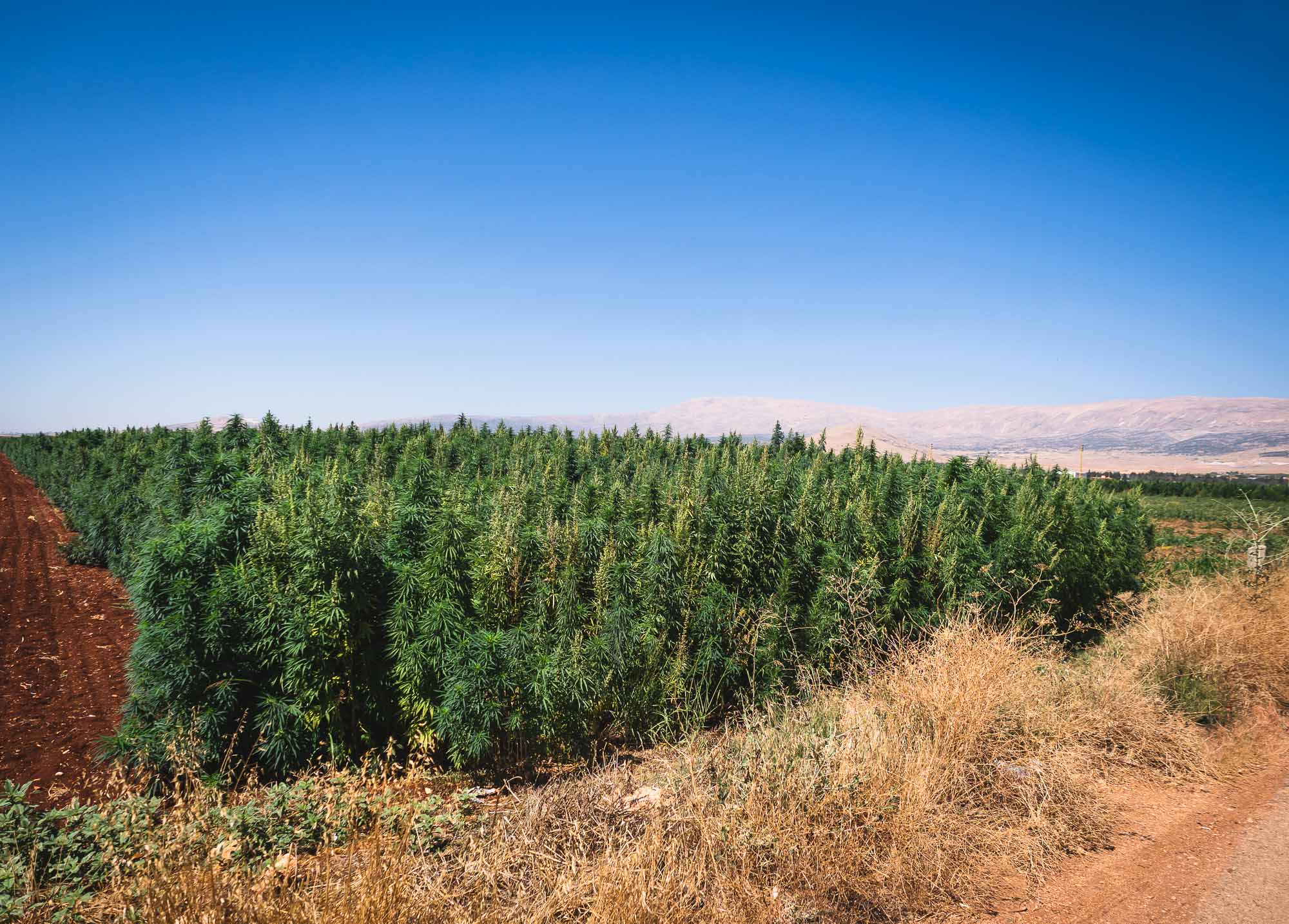
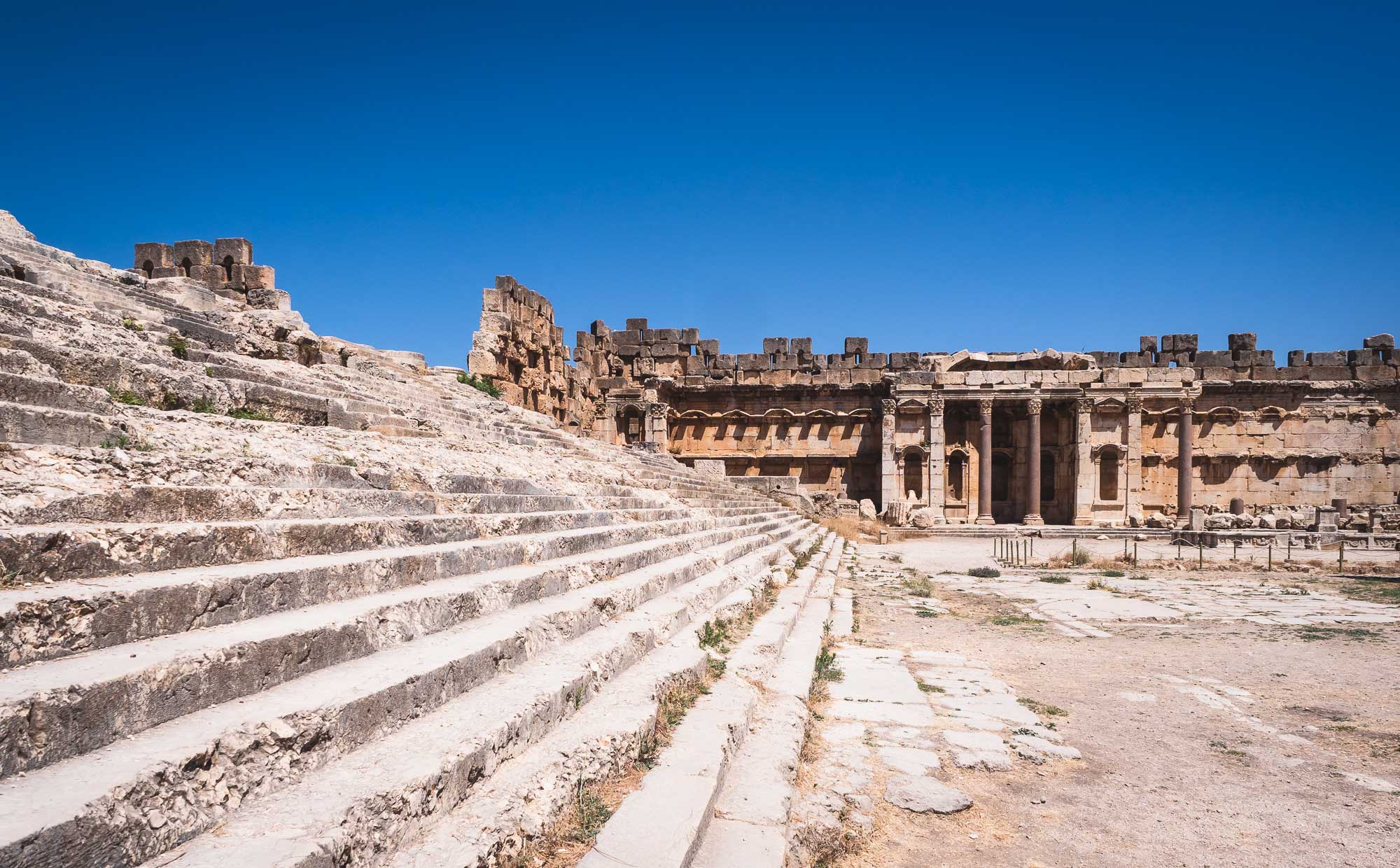
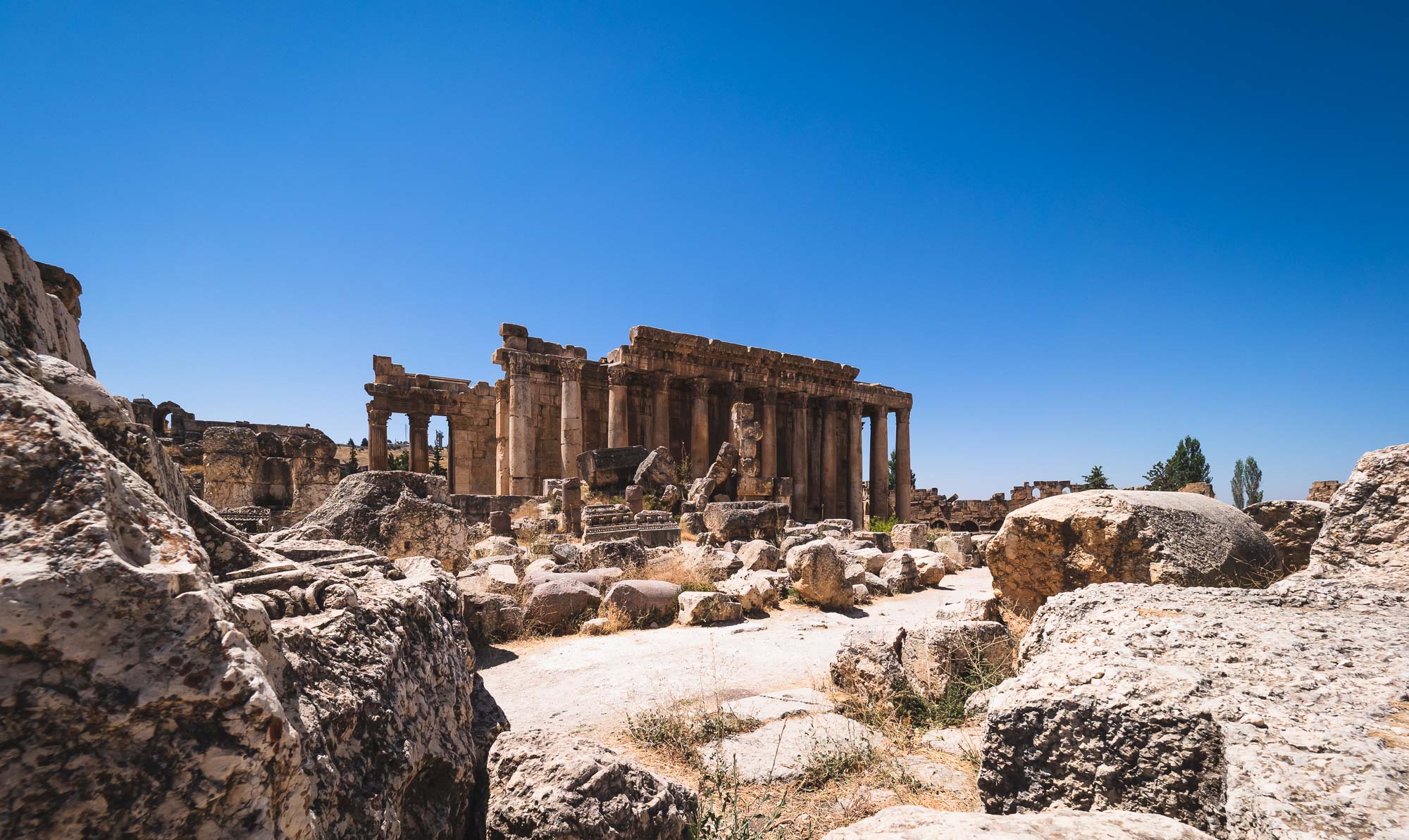
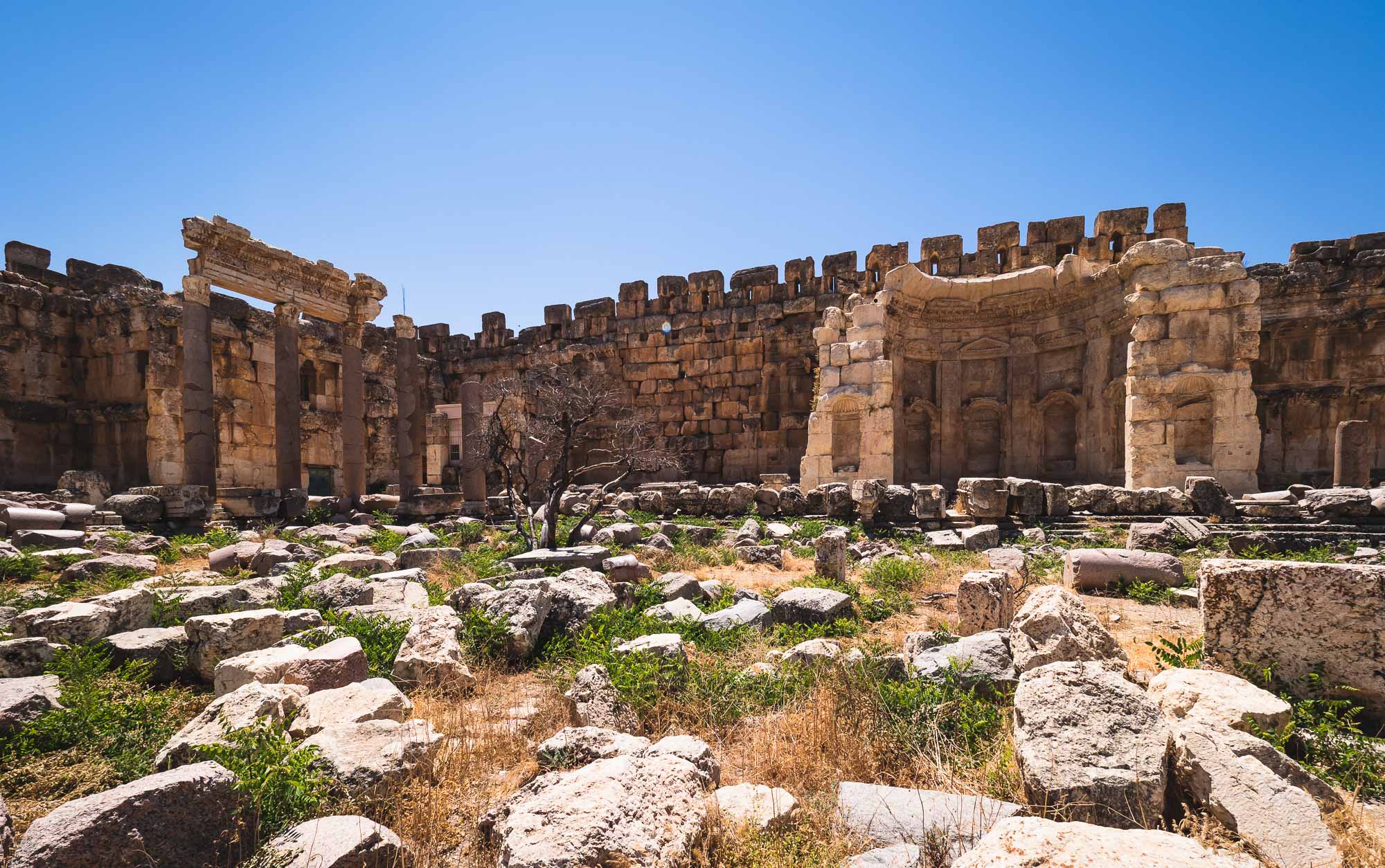
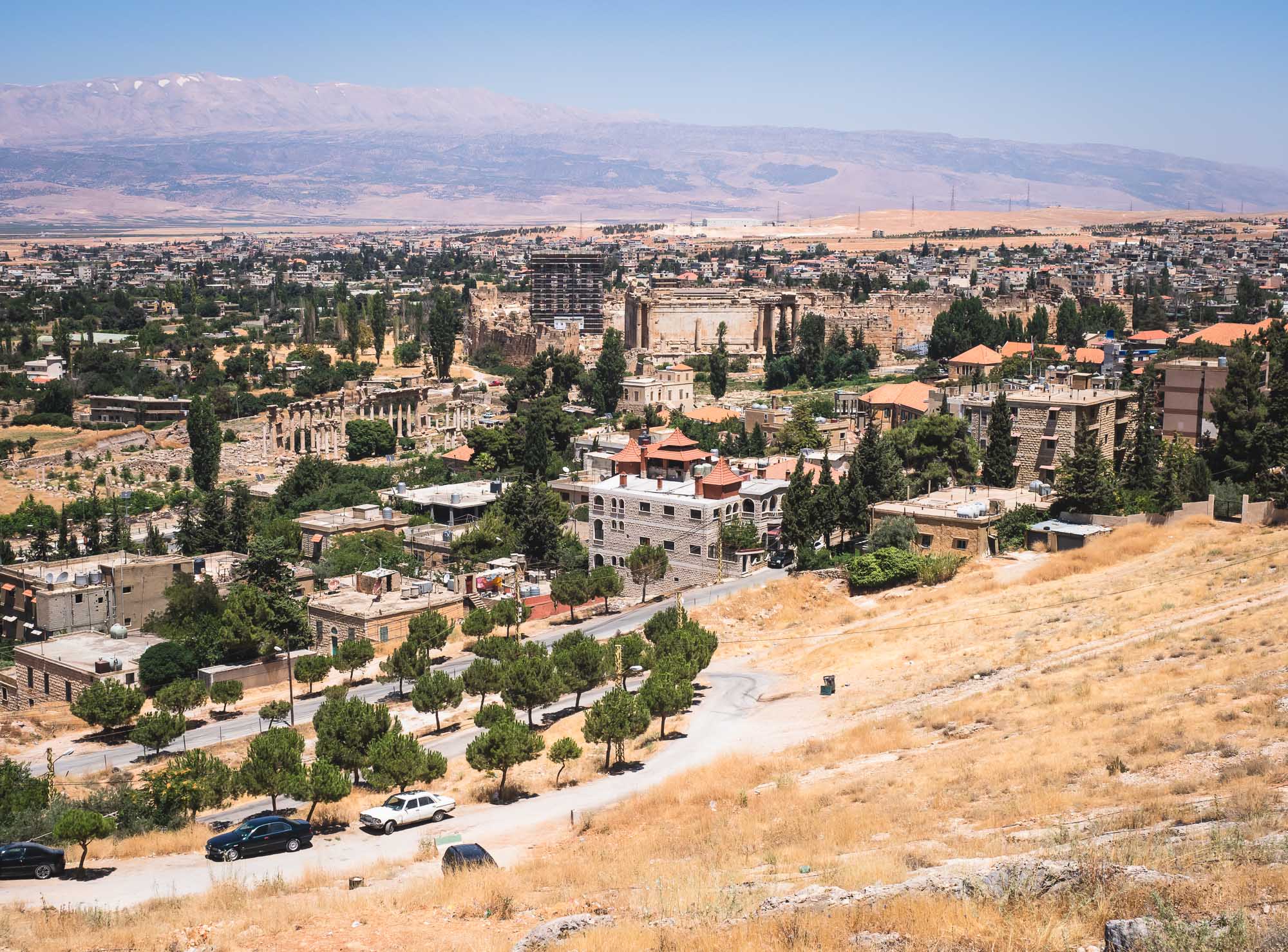
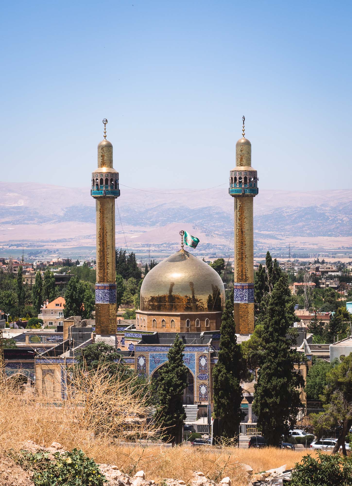
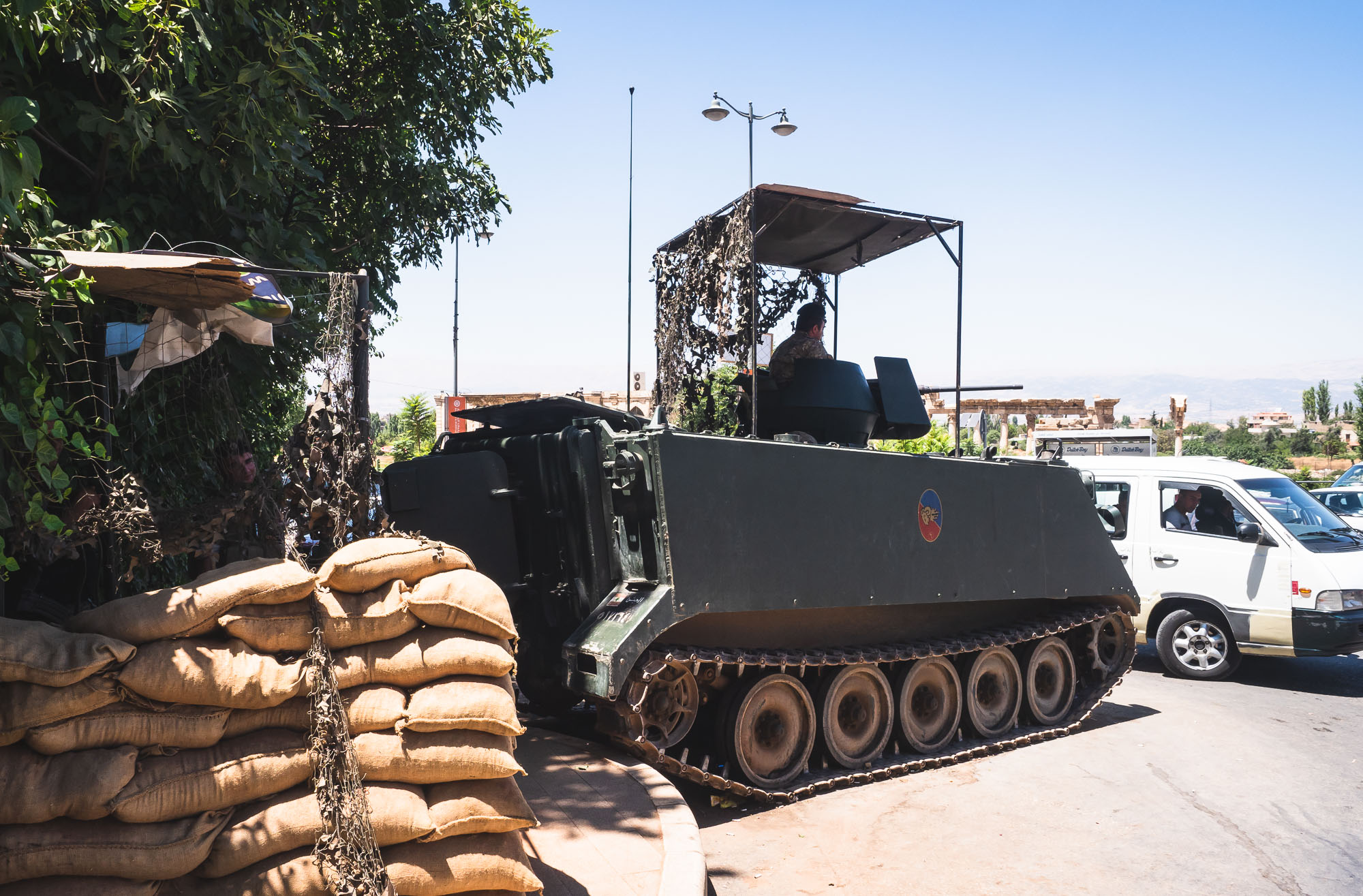
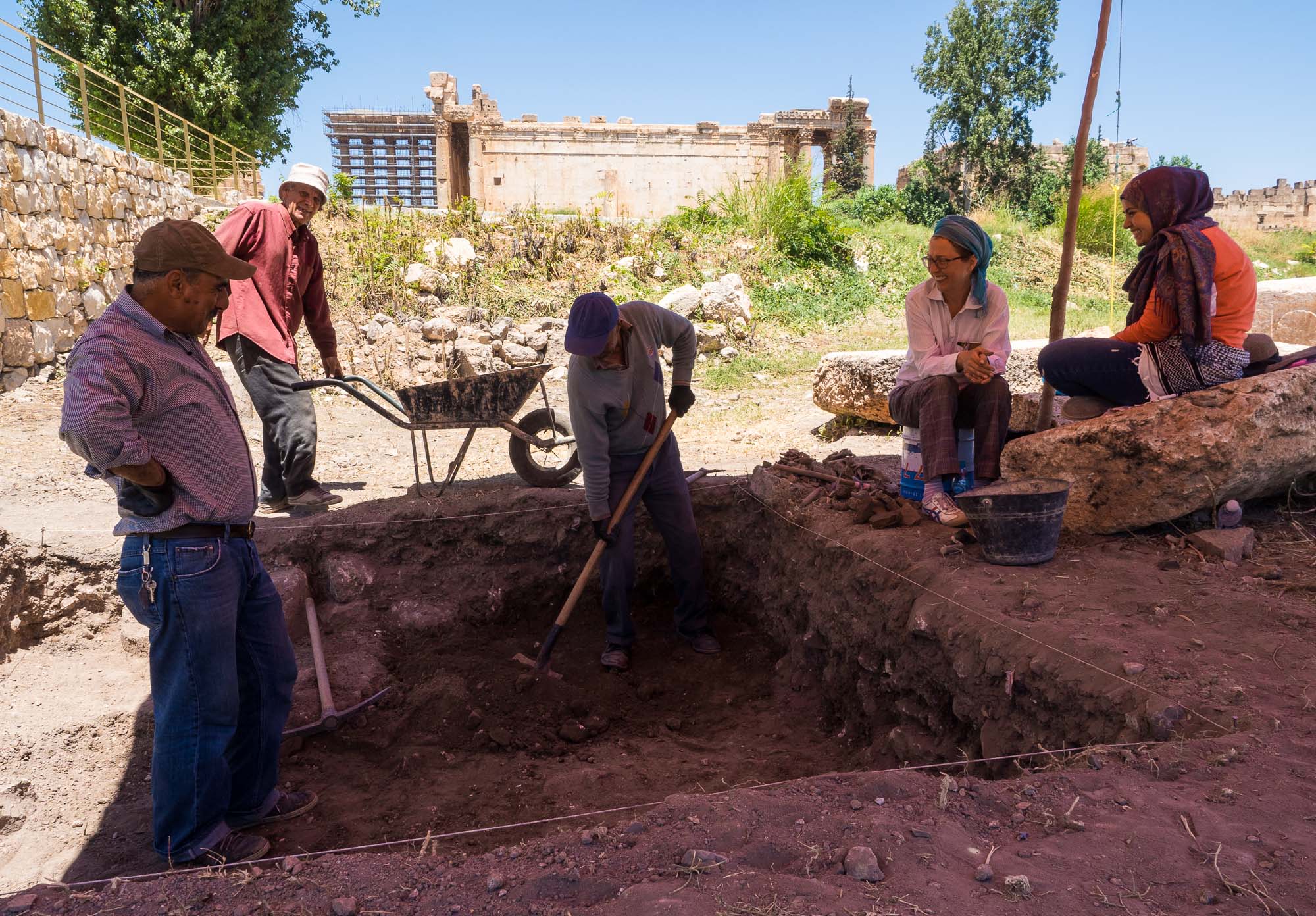
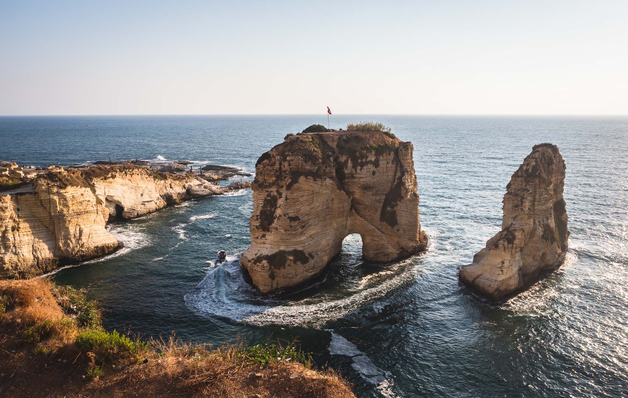
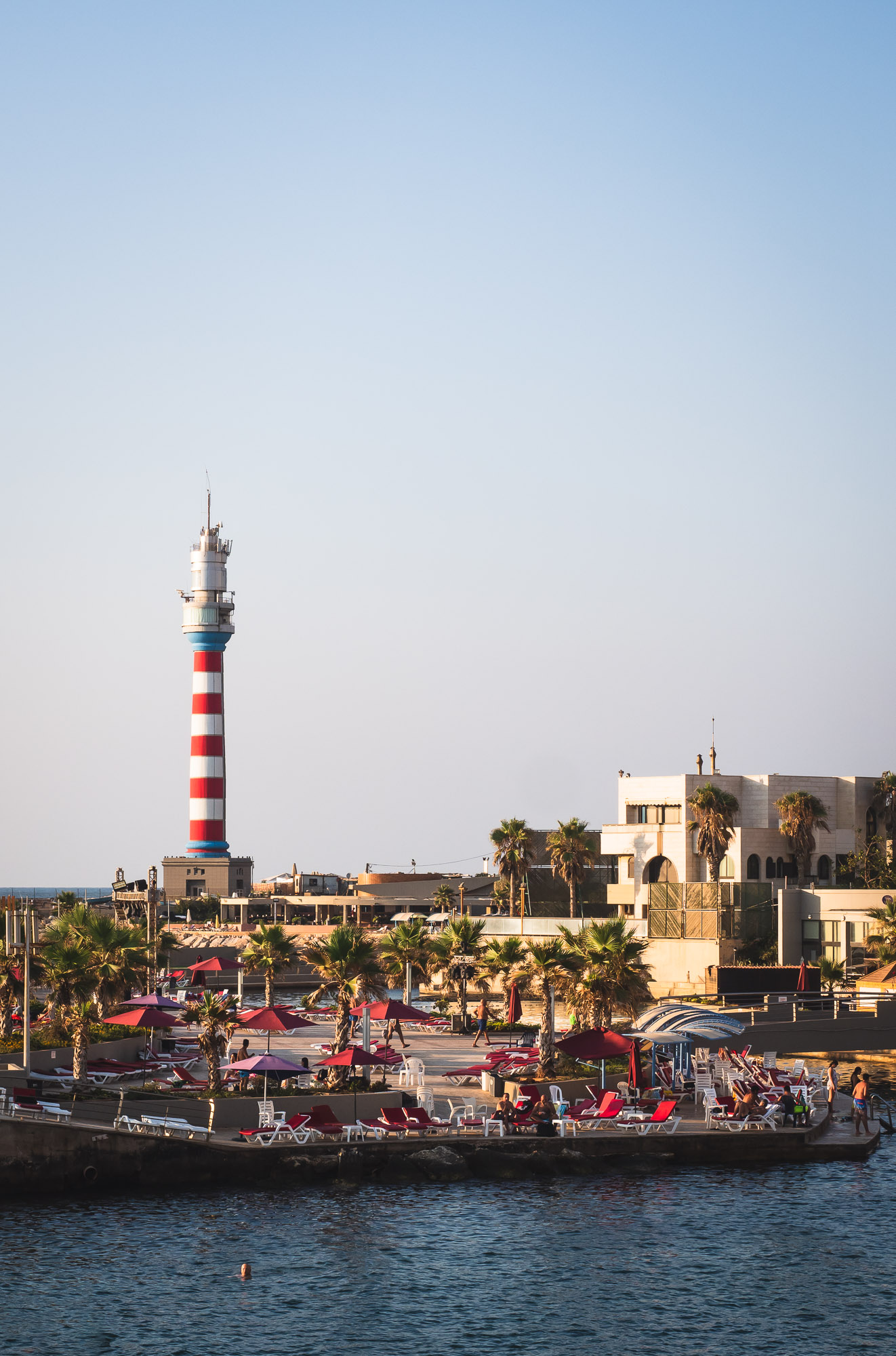
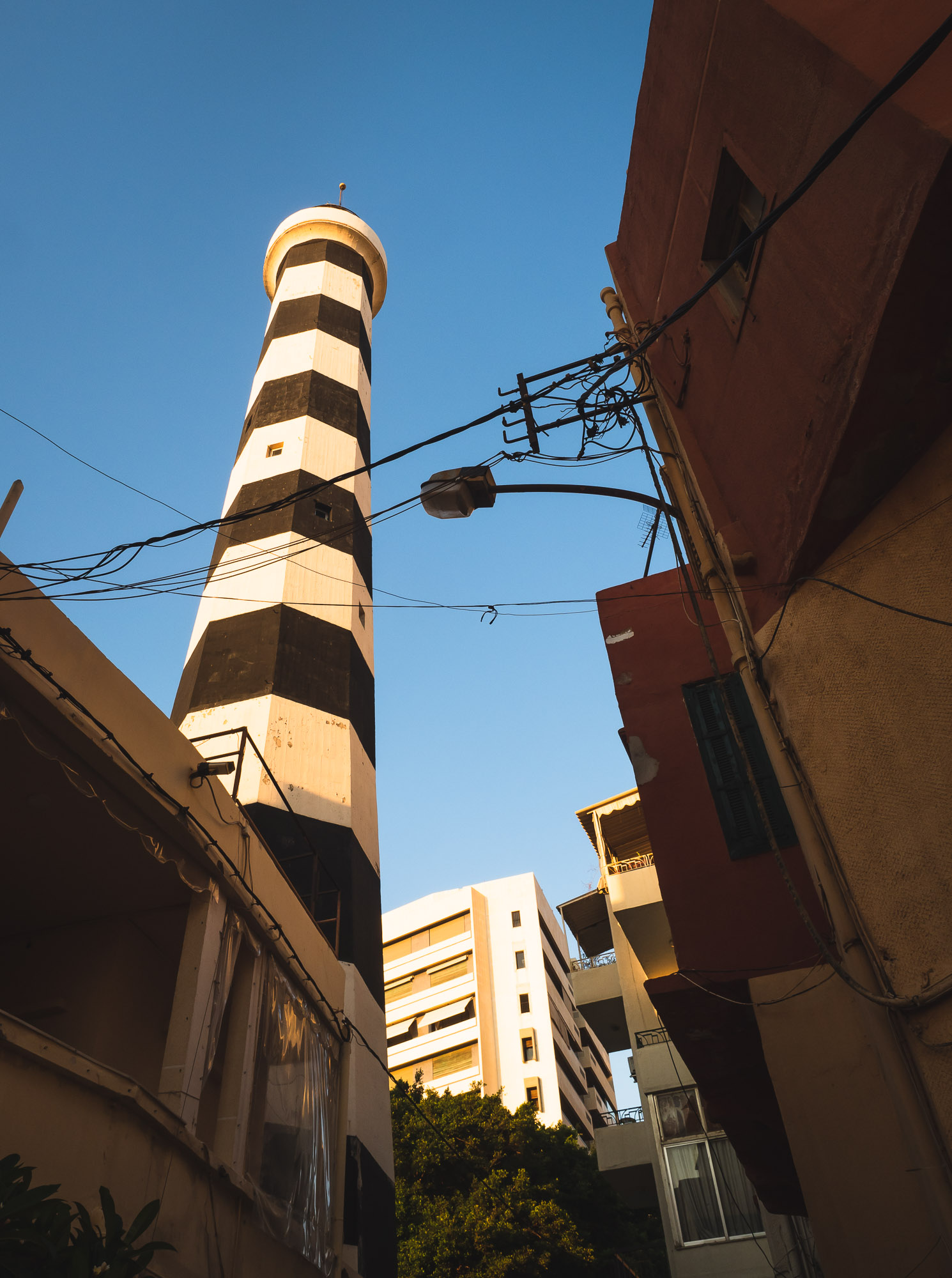
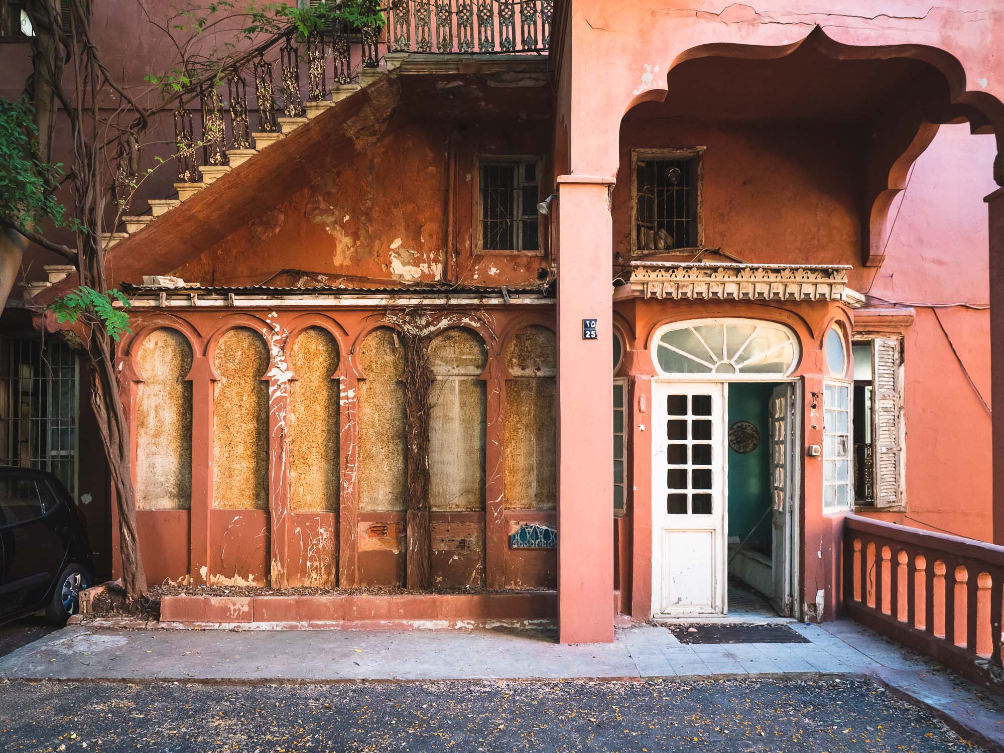
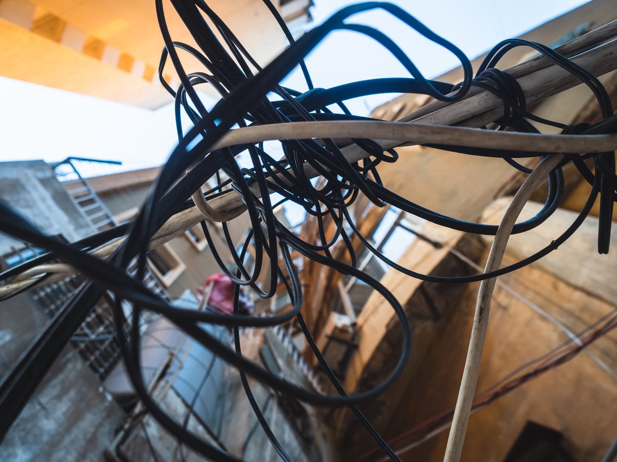
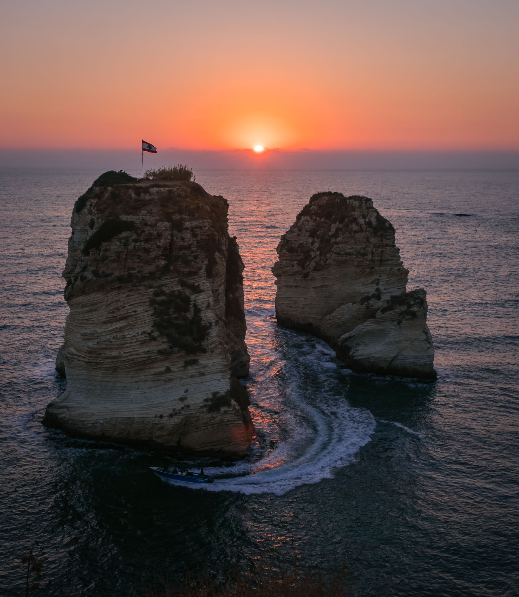
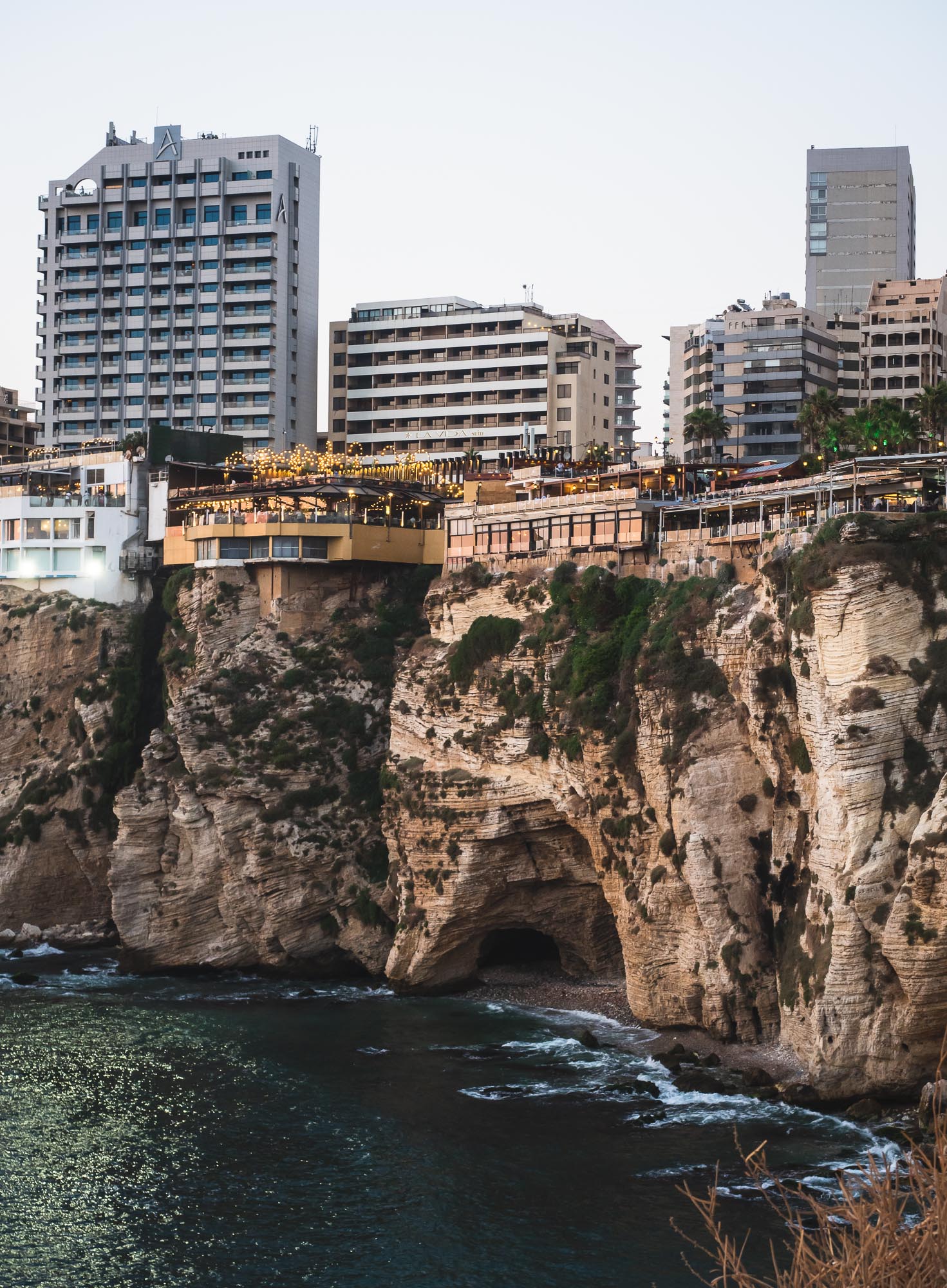
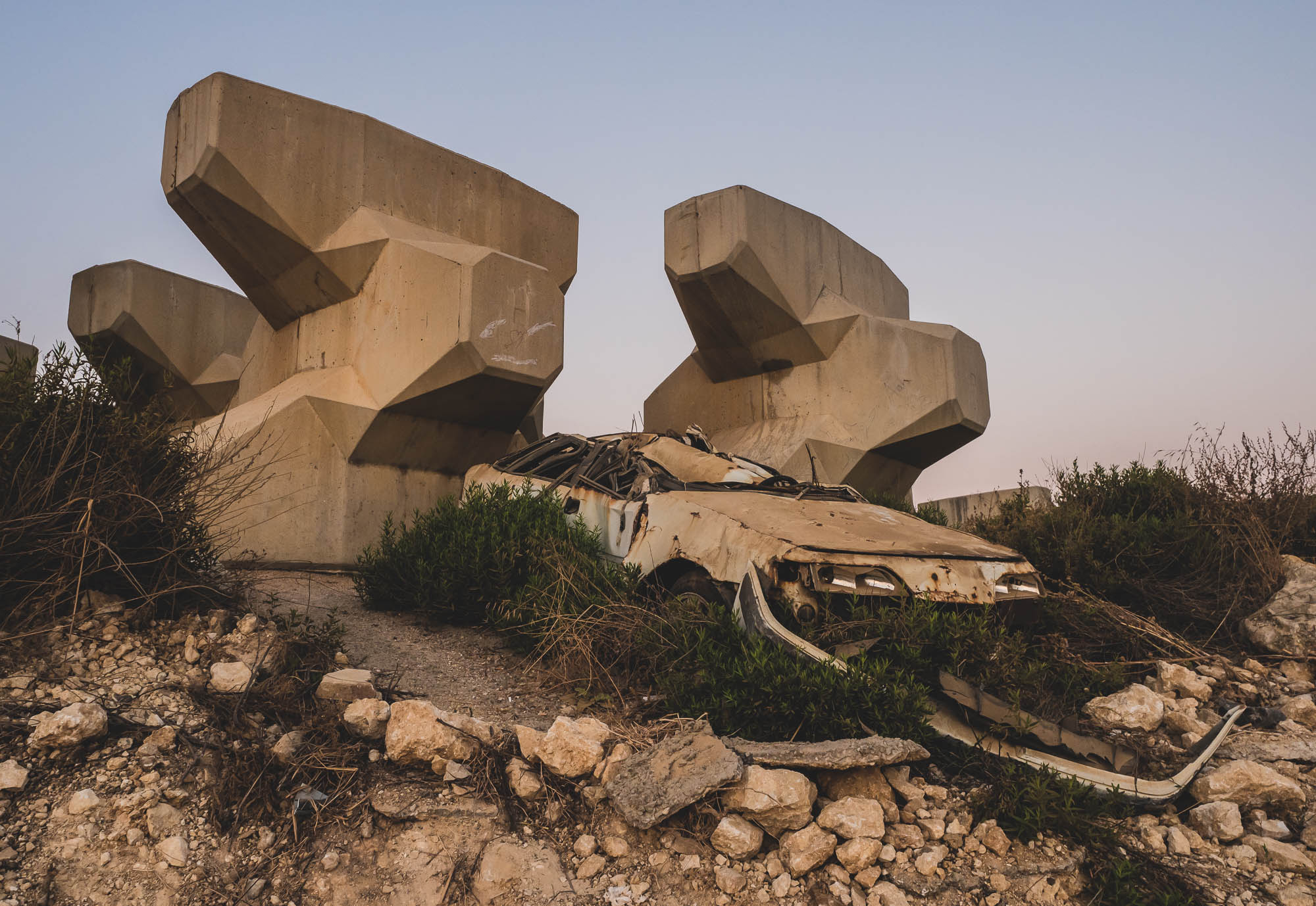
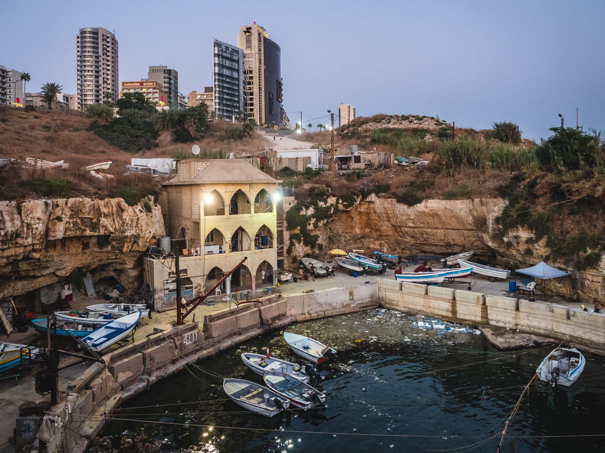
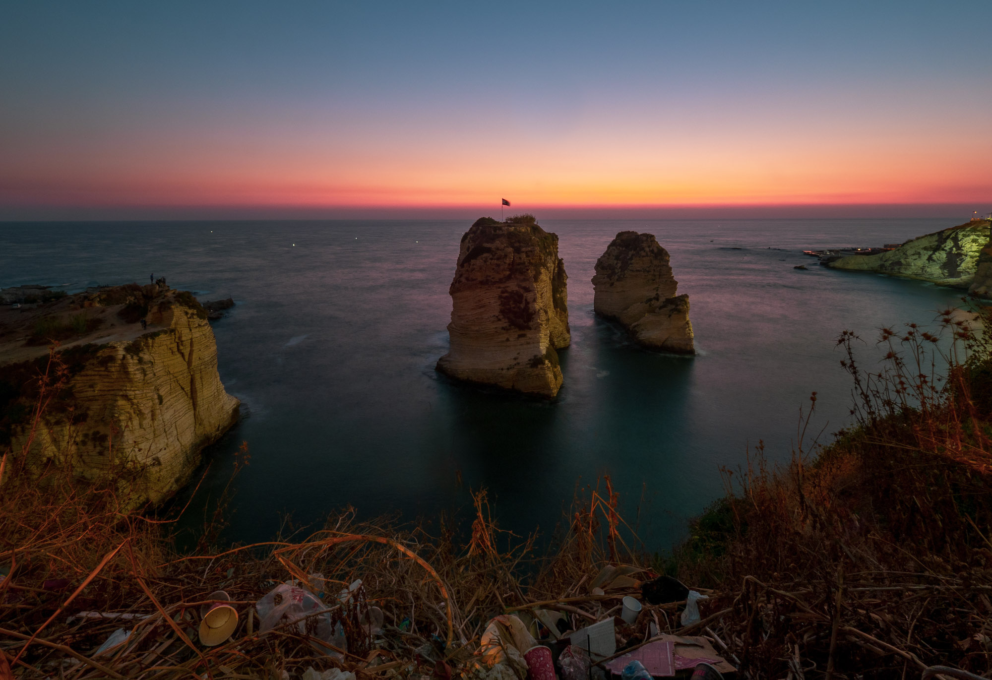
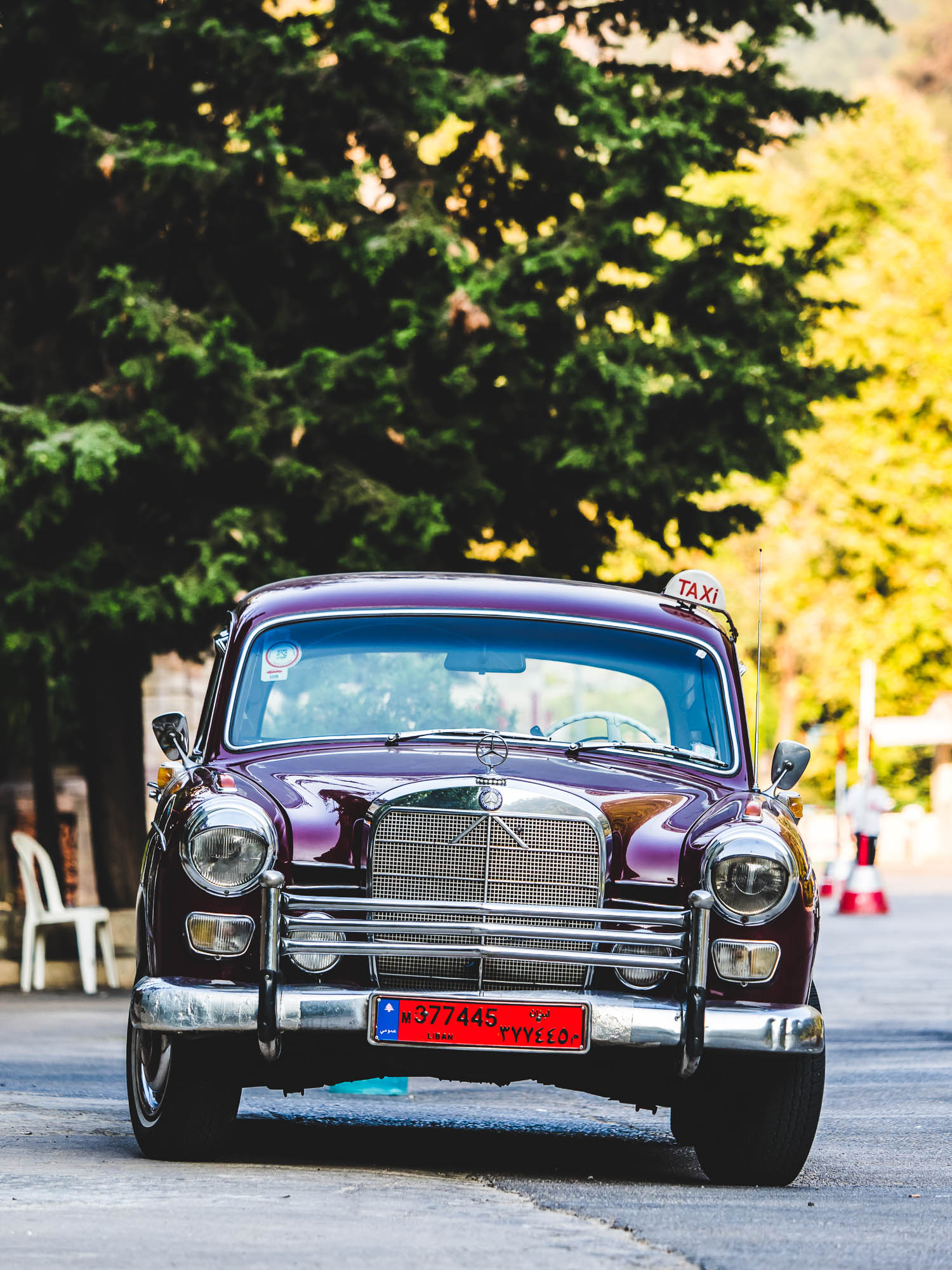
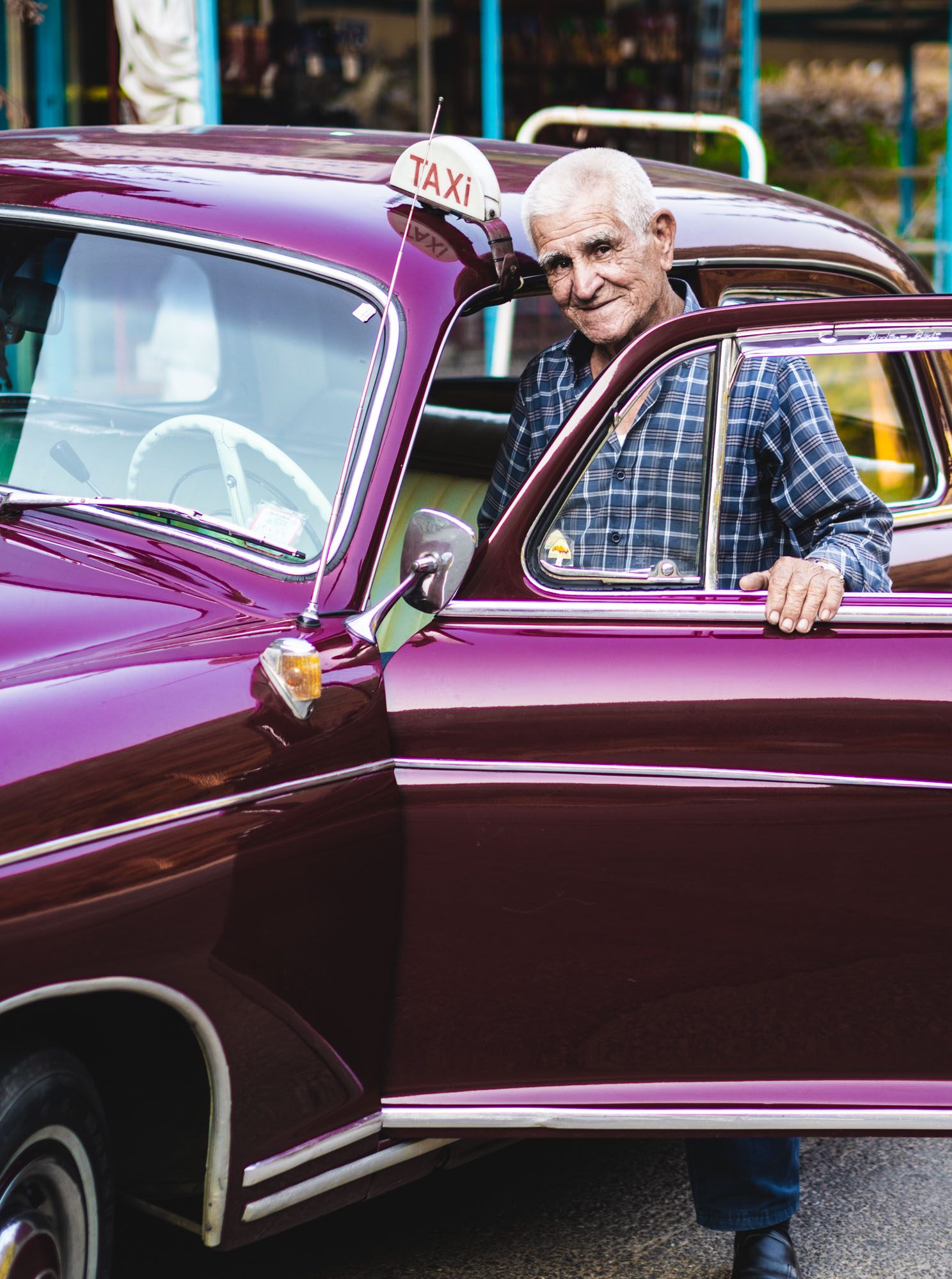
Lebanon - Crossroads of Cultures
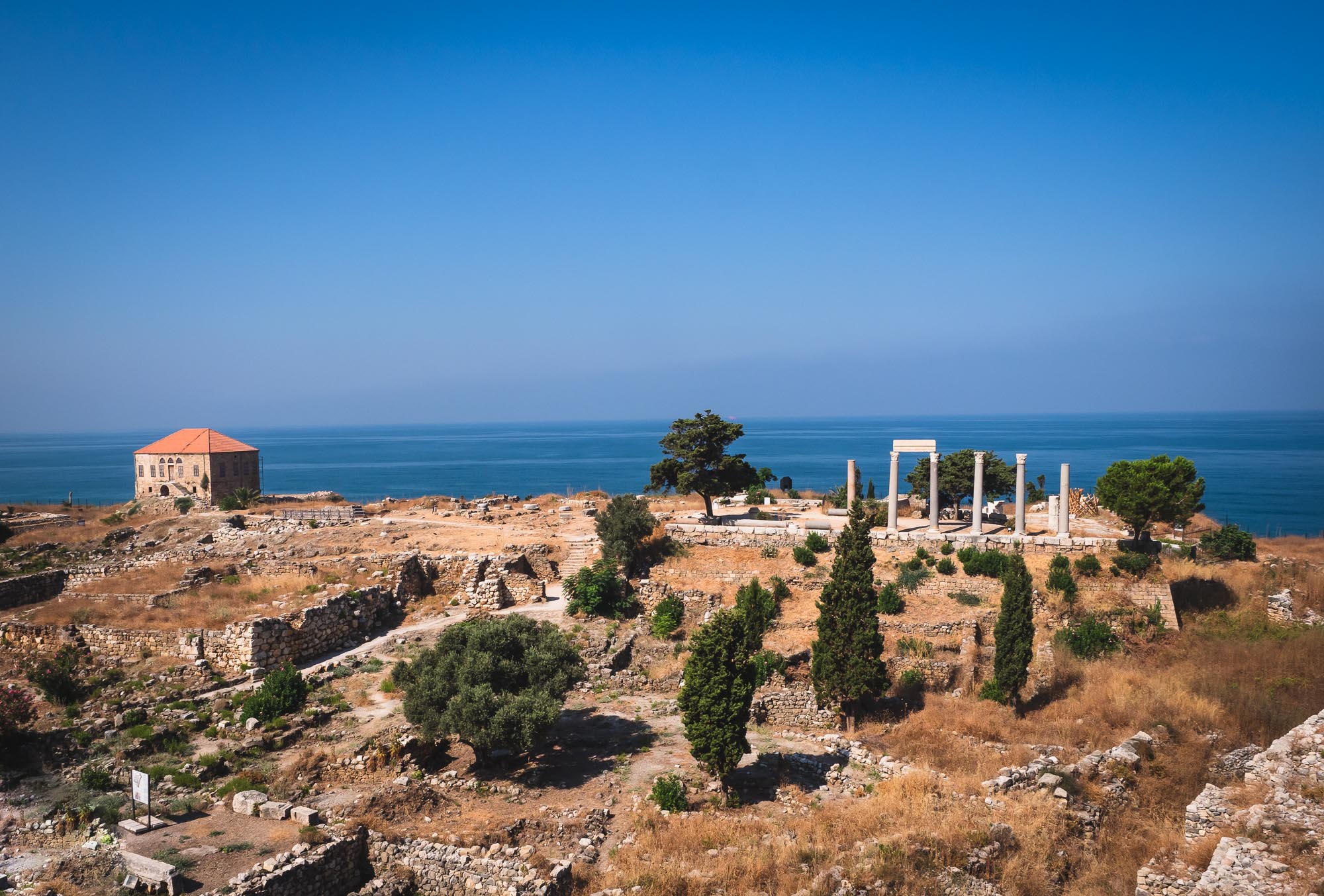
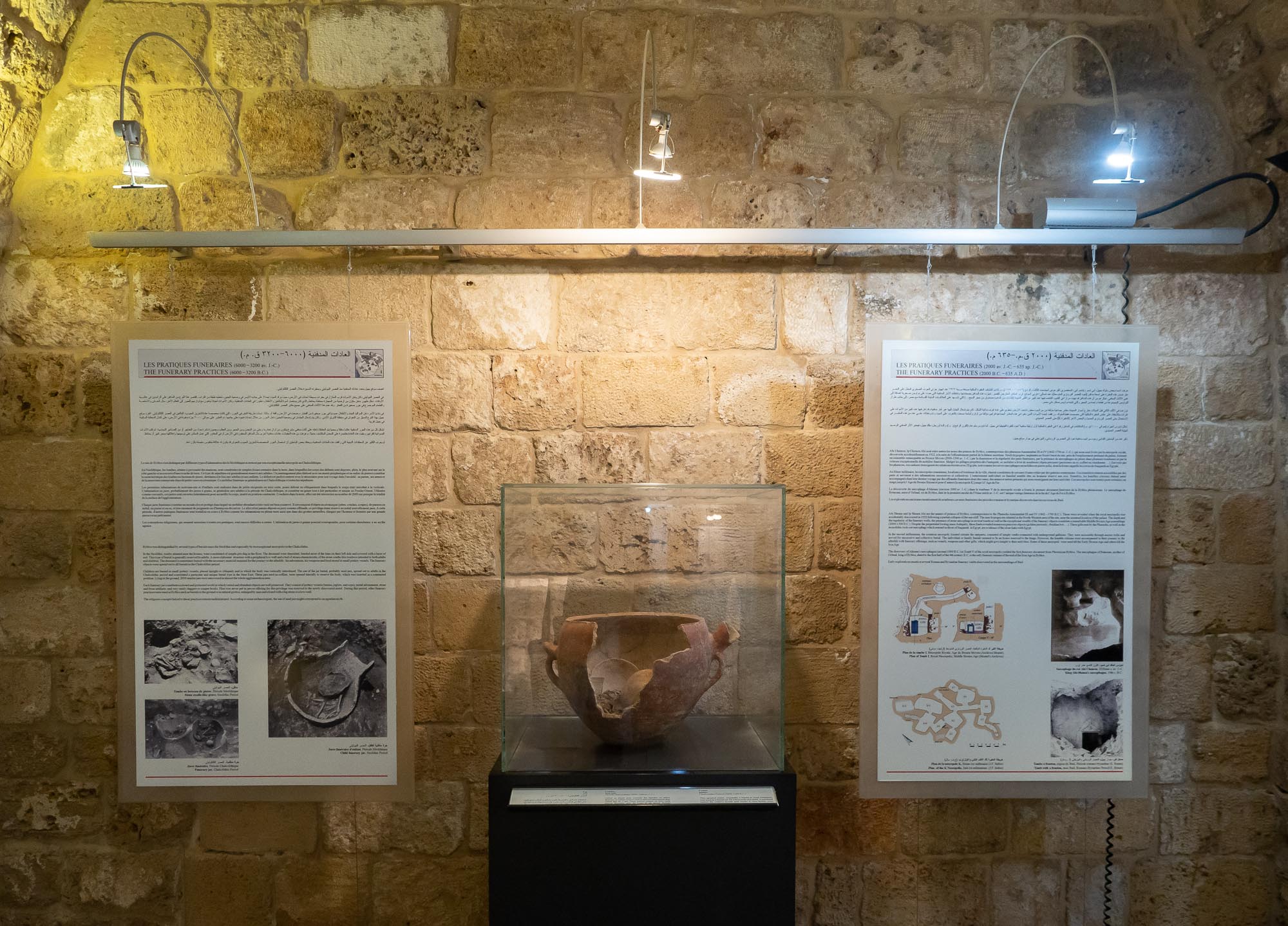
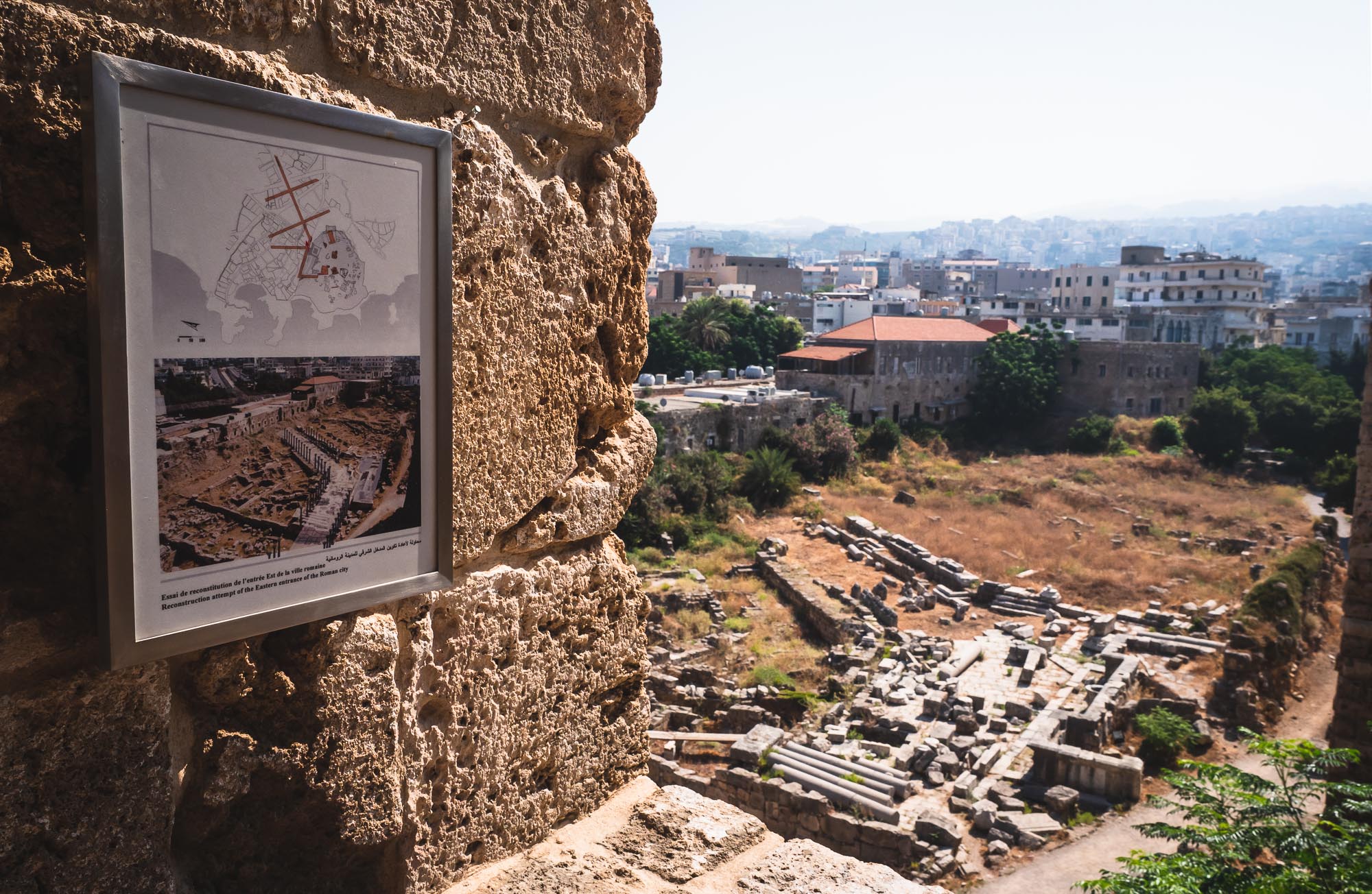
In July 2019, a wedding of one my best friends gave me the chance to visit another country in the Middle East: Lebanon. The history of the country and its natural setting result in a truly diversified experience. Assyrian, Hellenistic, Roman, Phoenician, Persian influences are evident throughout the country, which features everything from beaches, green mountains, nightlife, skiing in the winter, and some of the most impressive ancient sites in the world.
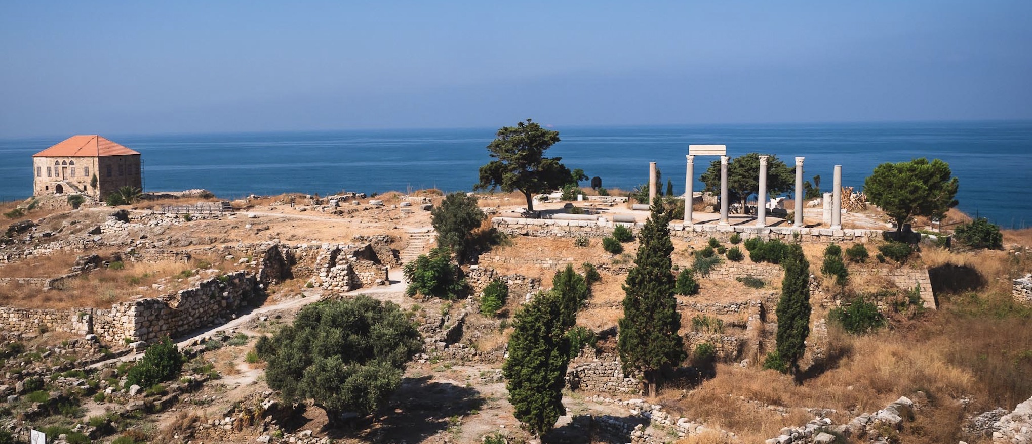
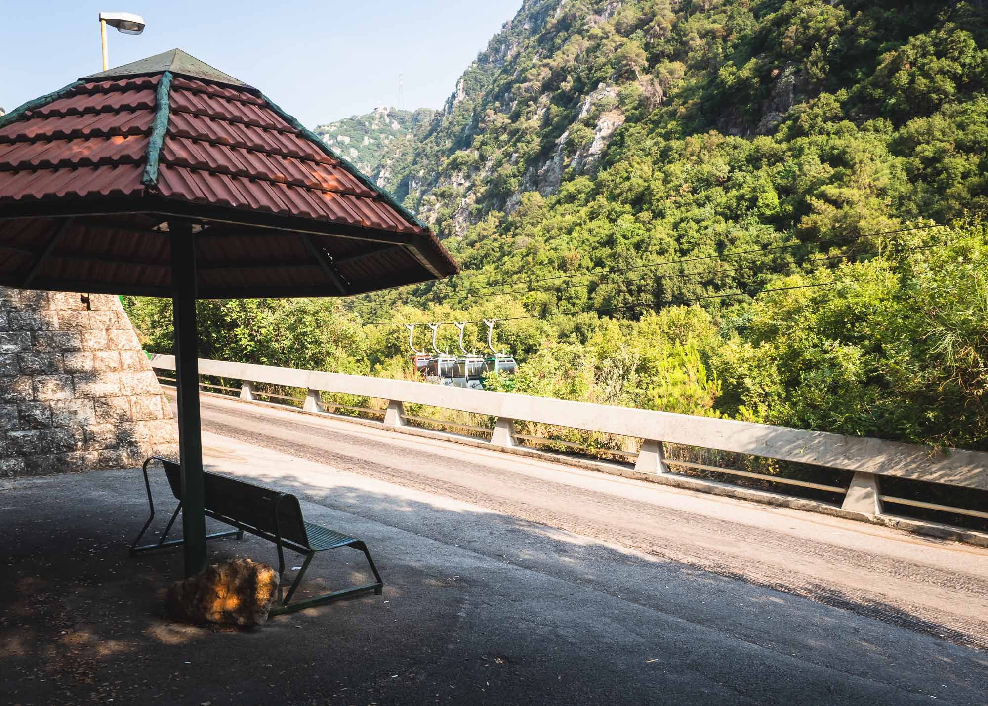
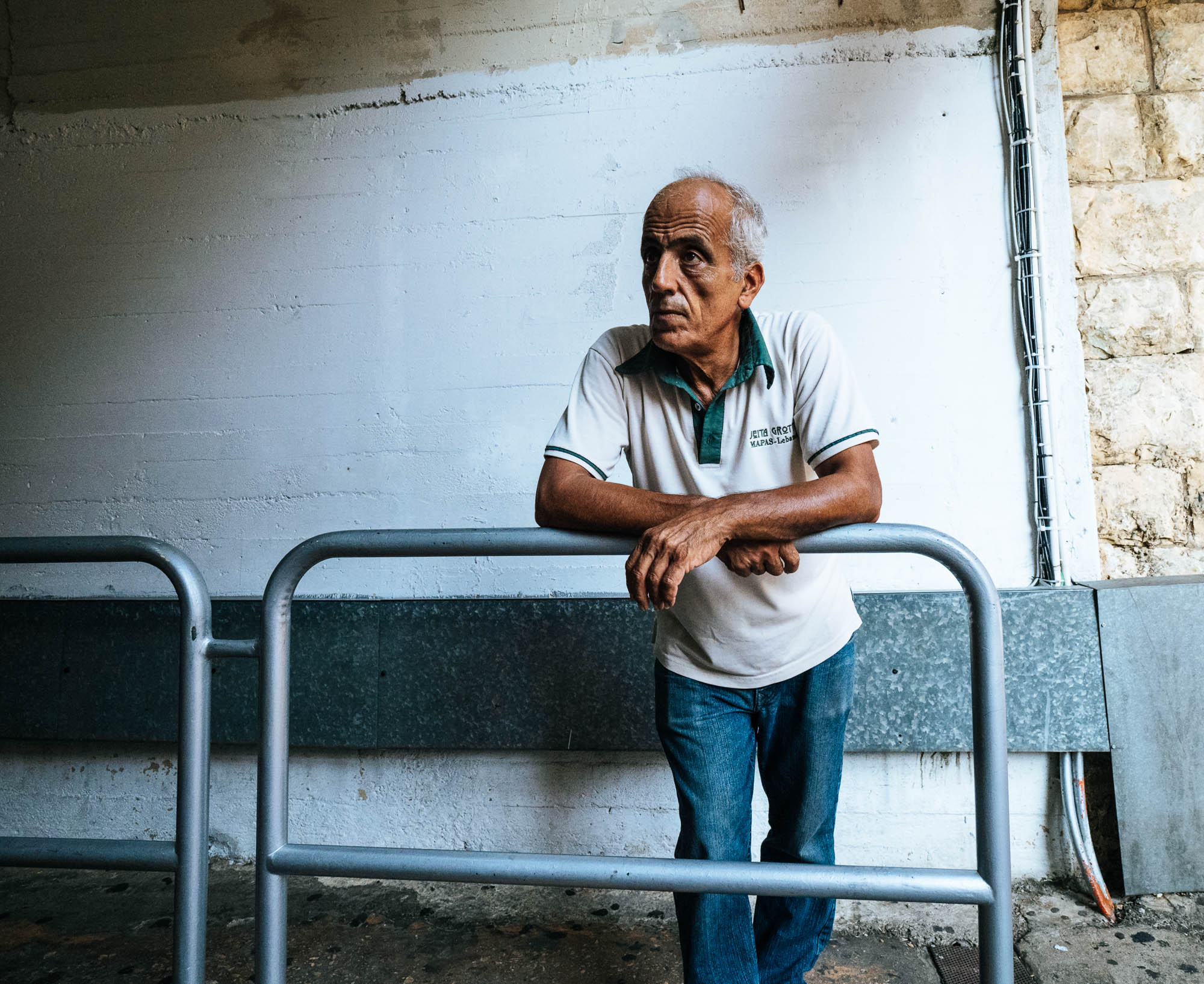
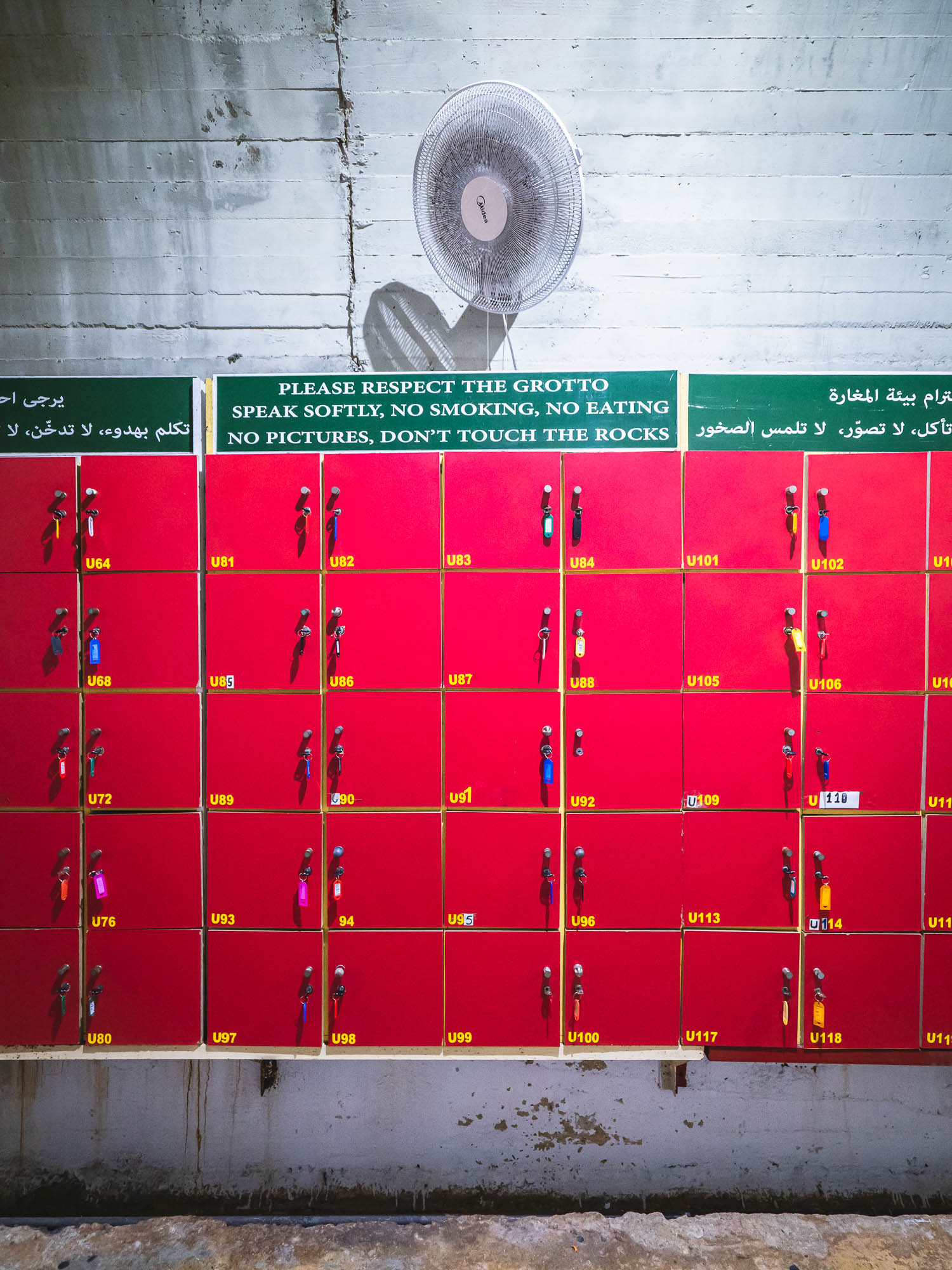
In July 2019 a wedding of one my best friends gave me the chance to visit another place in the Middle East: Lebanon. The history of the country and its natural setting result in a truly diversified experience. Assyrian, Hellenistic, Roman, Phoenician, Persian influences are evident throughout the country, which features everything from beaches, green mountains, nightlife, skiing in the winter, and some of the most impressive ancient sites in the world. While there is work to do to improve the traffic situation and general conditions of its major attractions, and the political situation remains challenging, it’s absolutely worth a visit (or two). During the 5 days, I visited Byblos, Harissa, the Jeita Grotto, Baalbek and explored parts of Beirut. Oh, and even passed by the Casino du Liban, once my mum told me my late grandfather and uncle had been there in the 1970s.


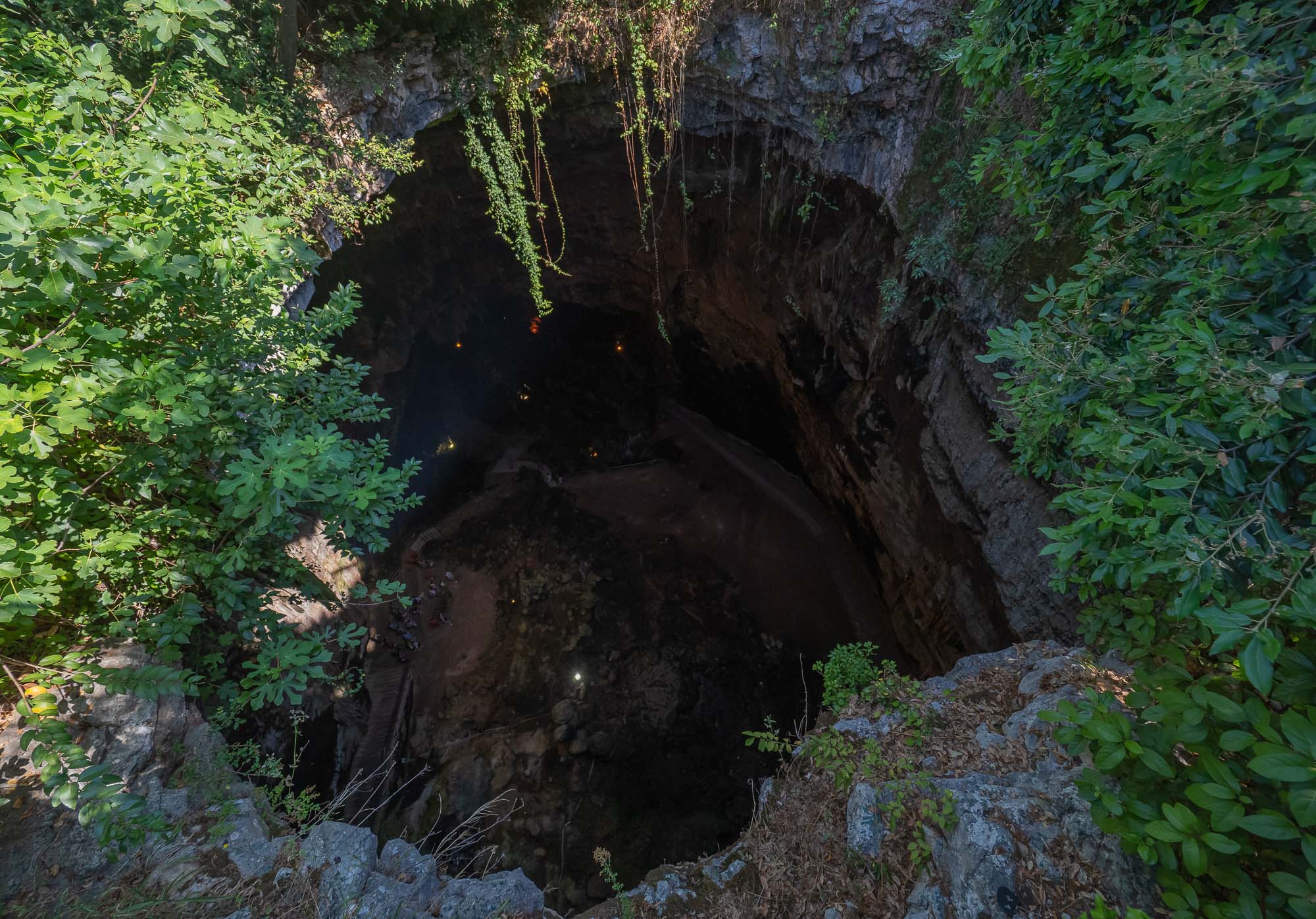
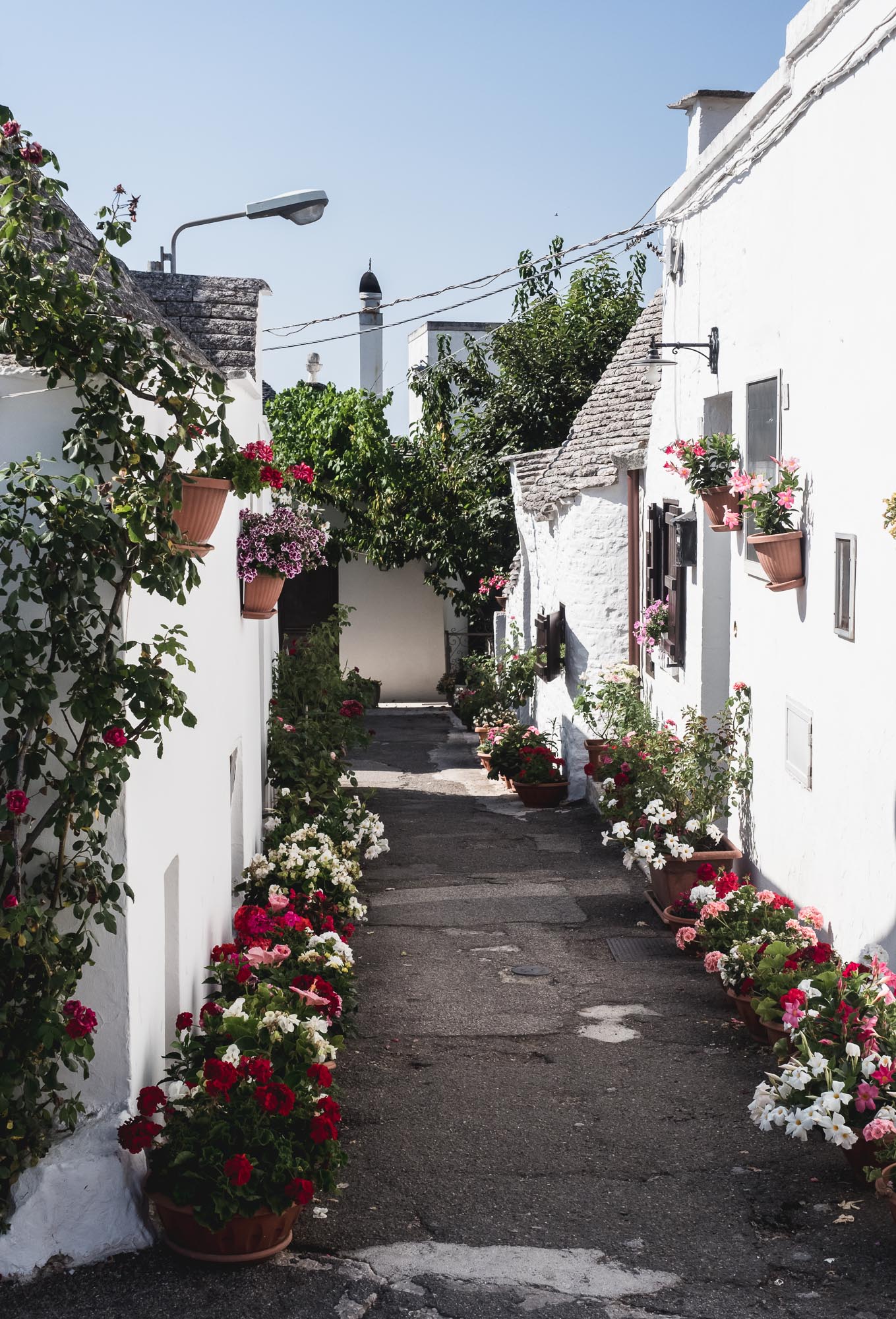
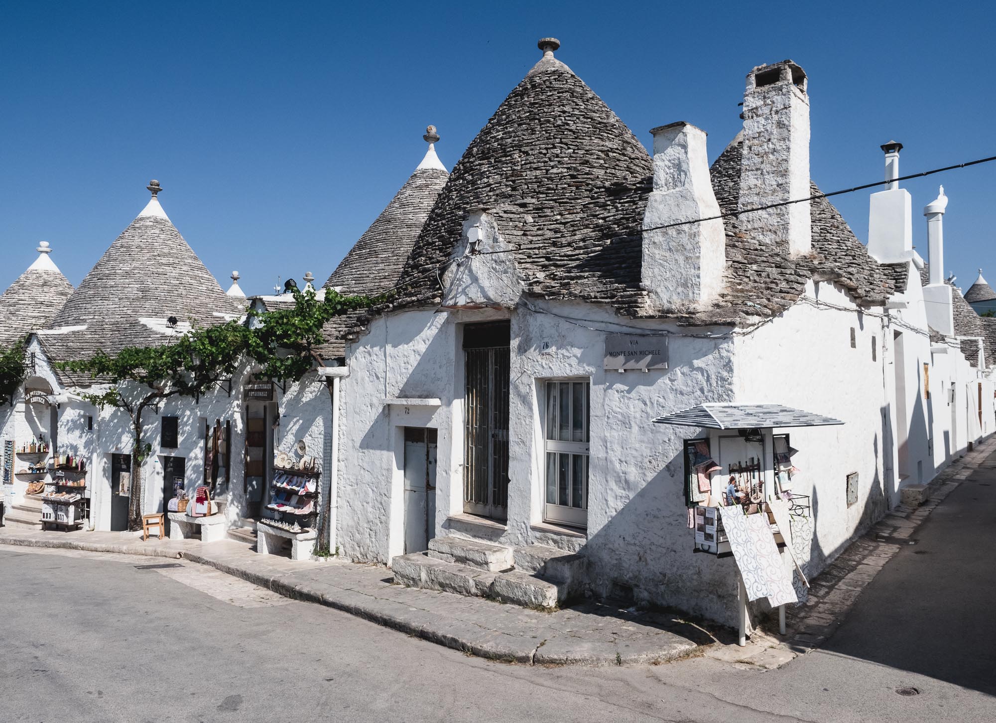
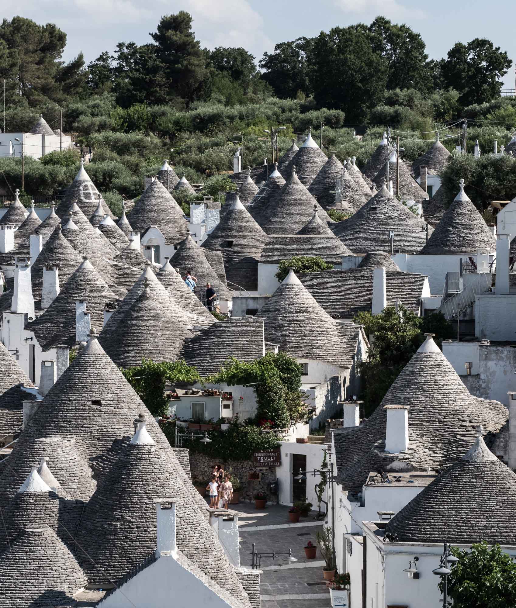
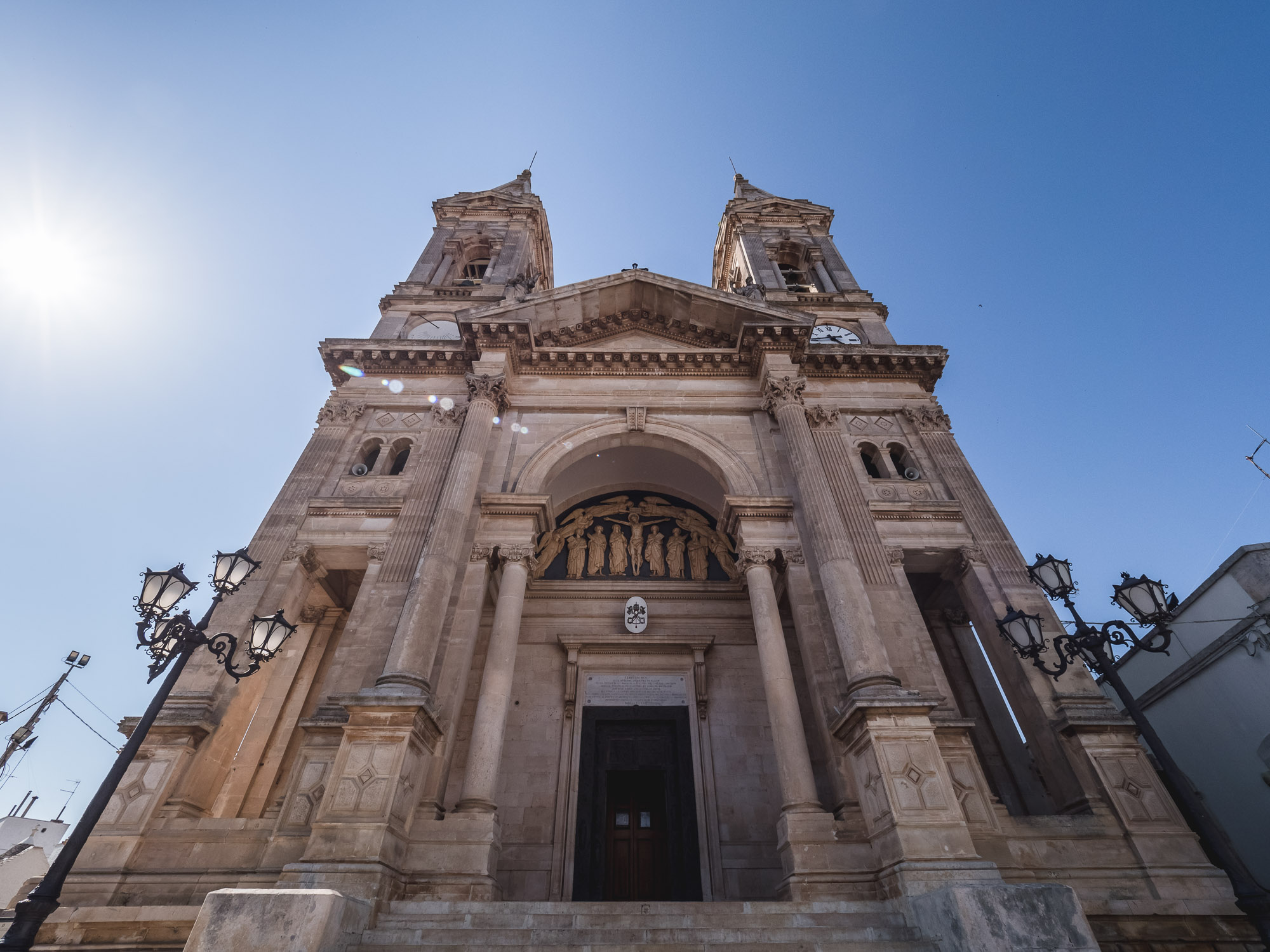
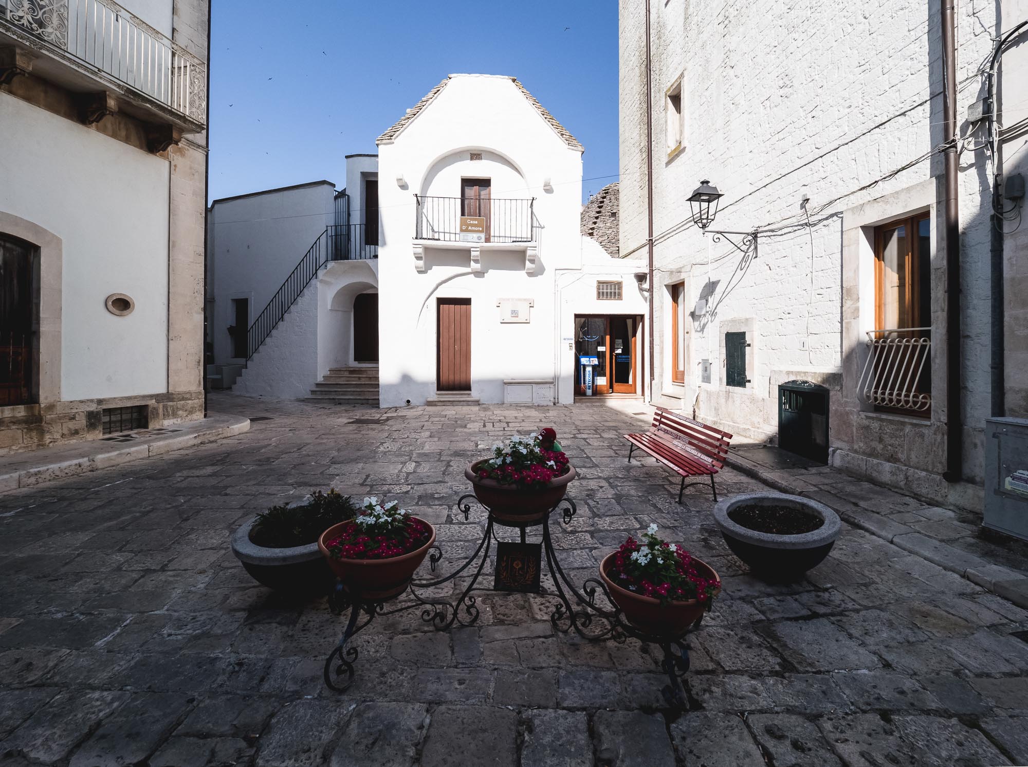
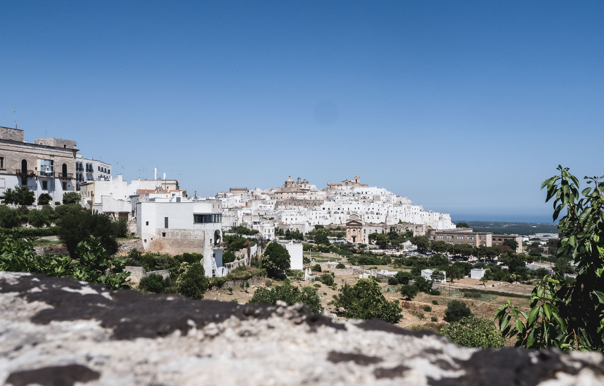
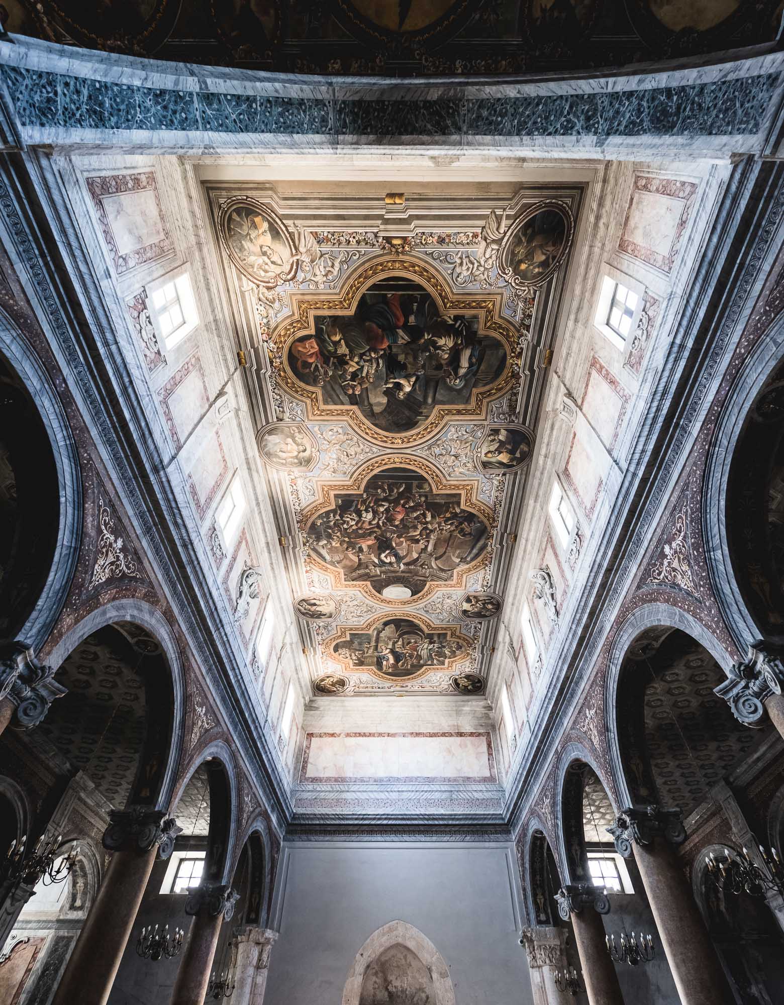
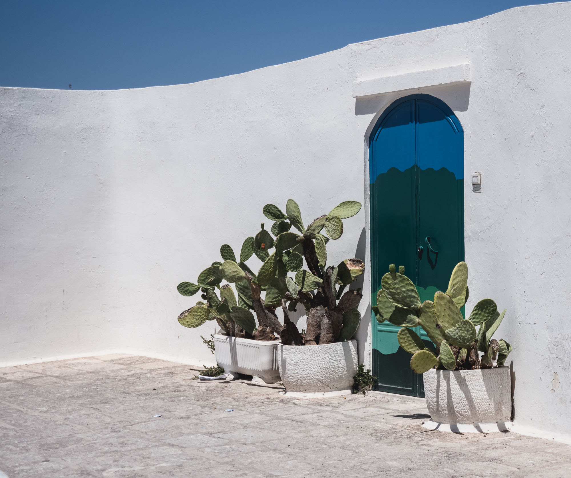
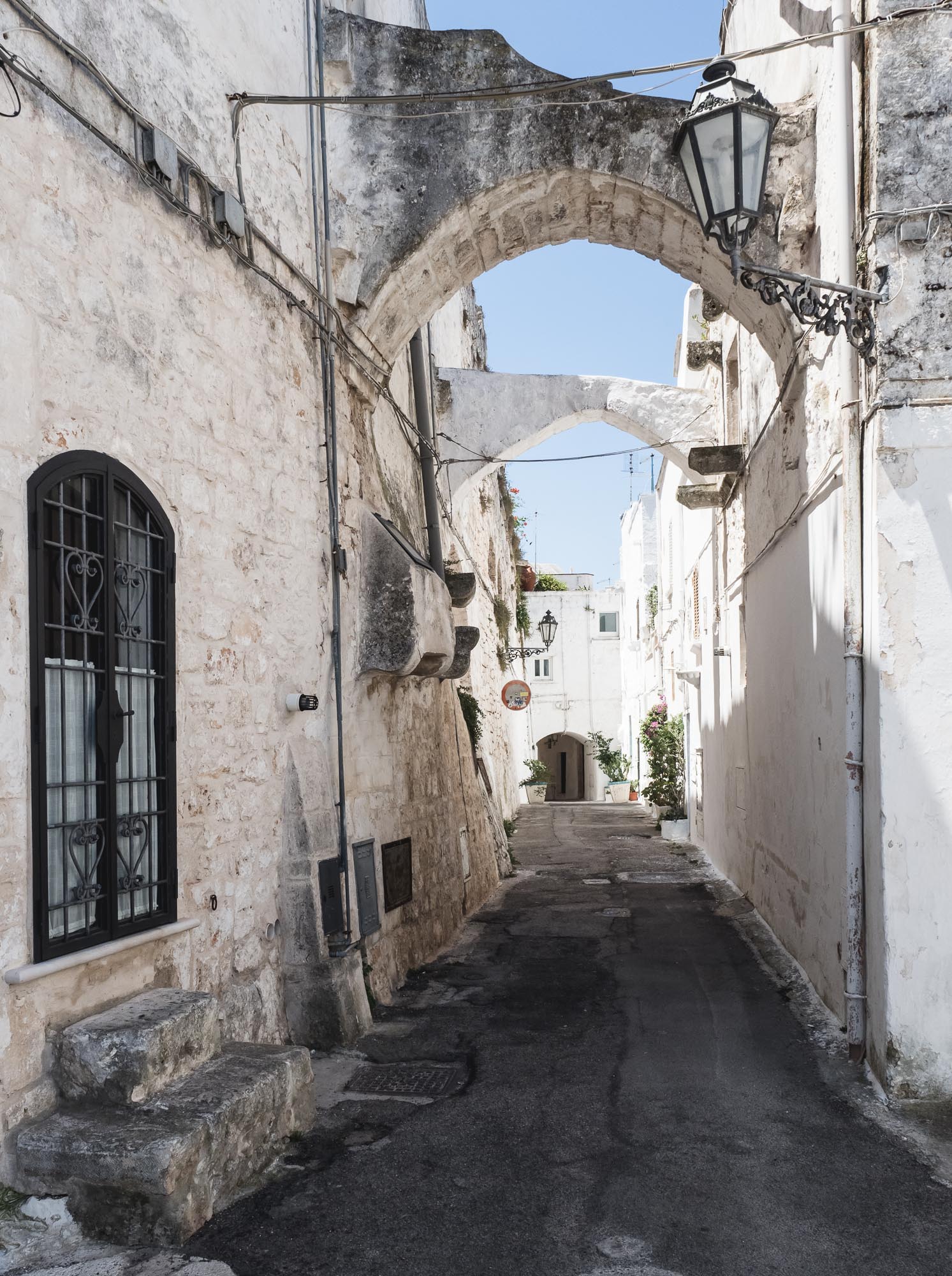
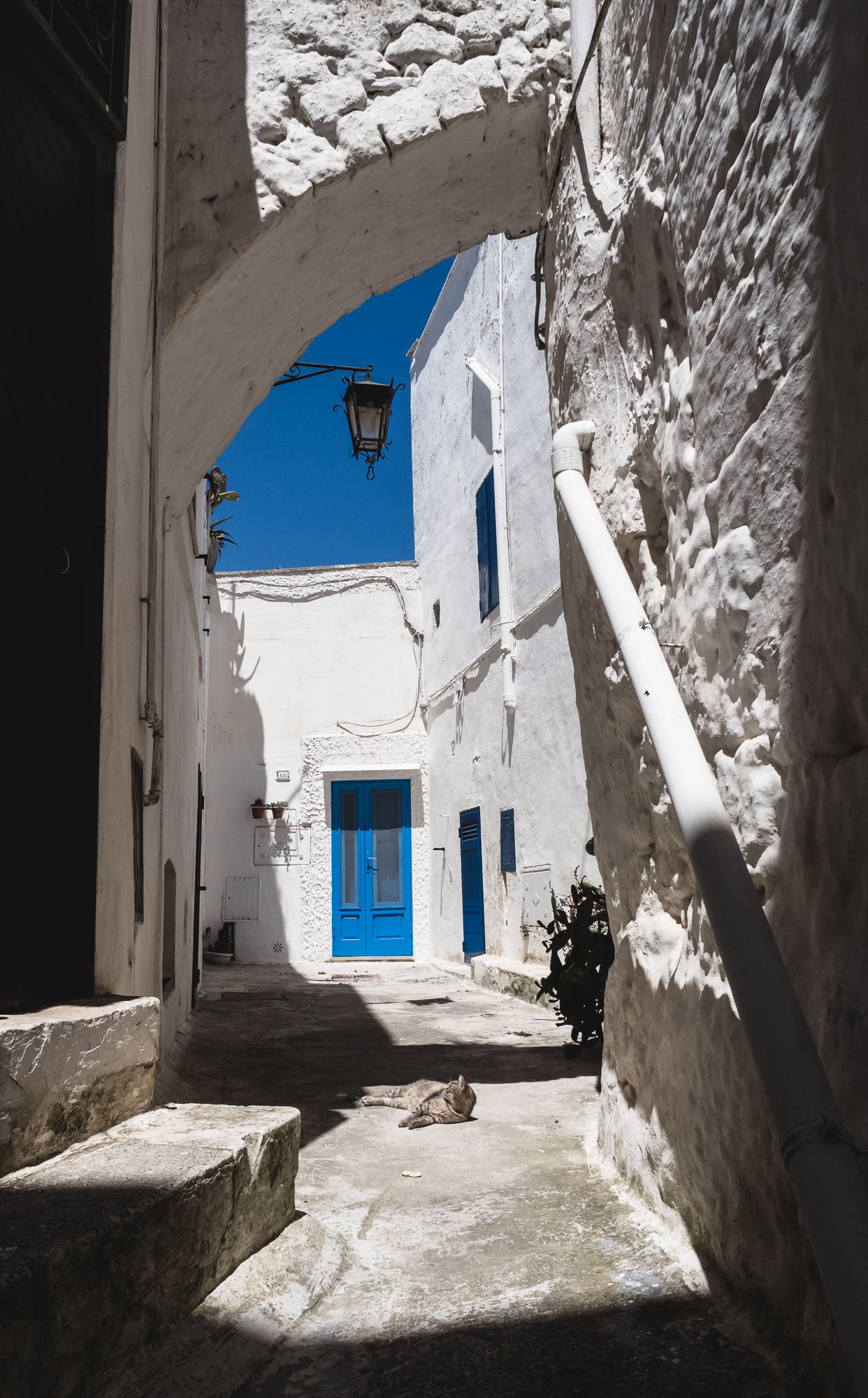
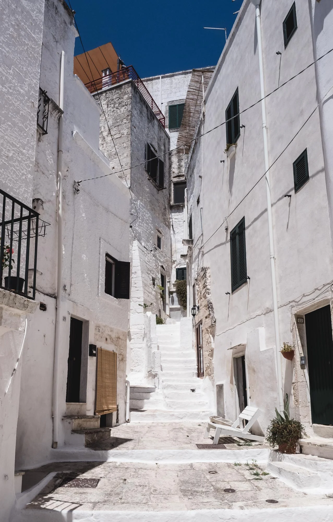
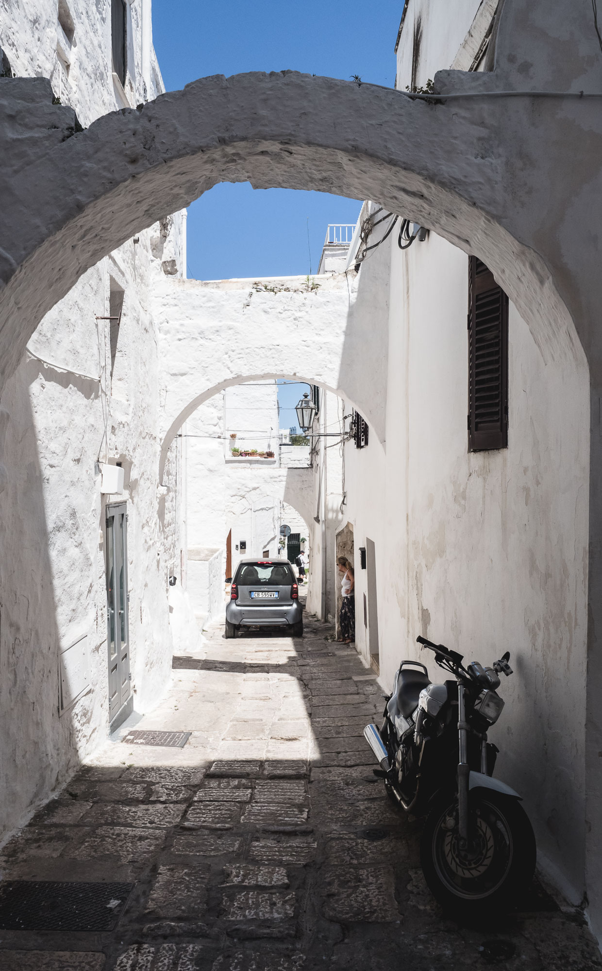
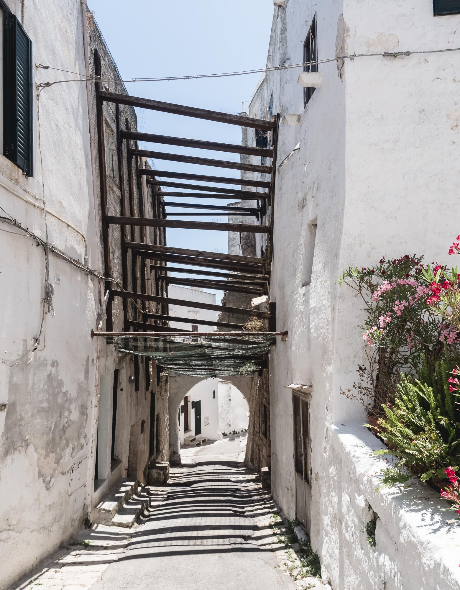
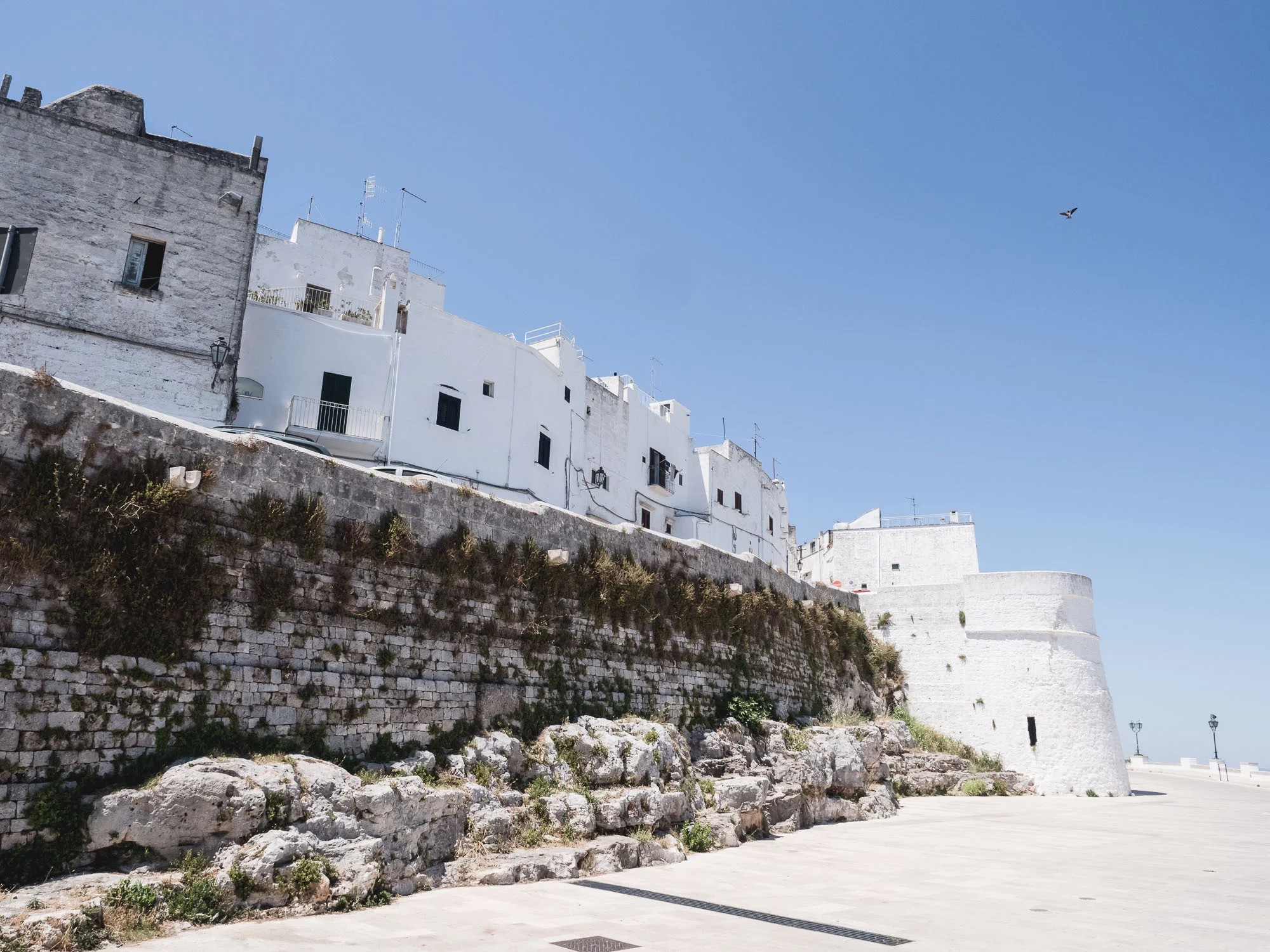
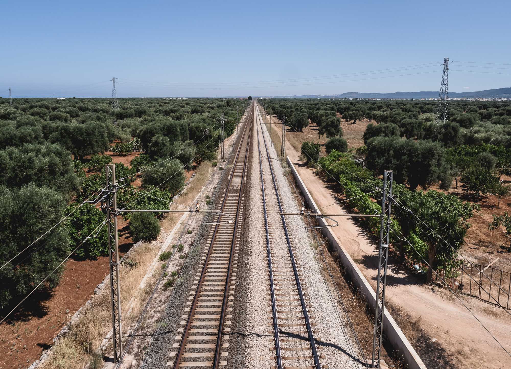
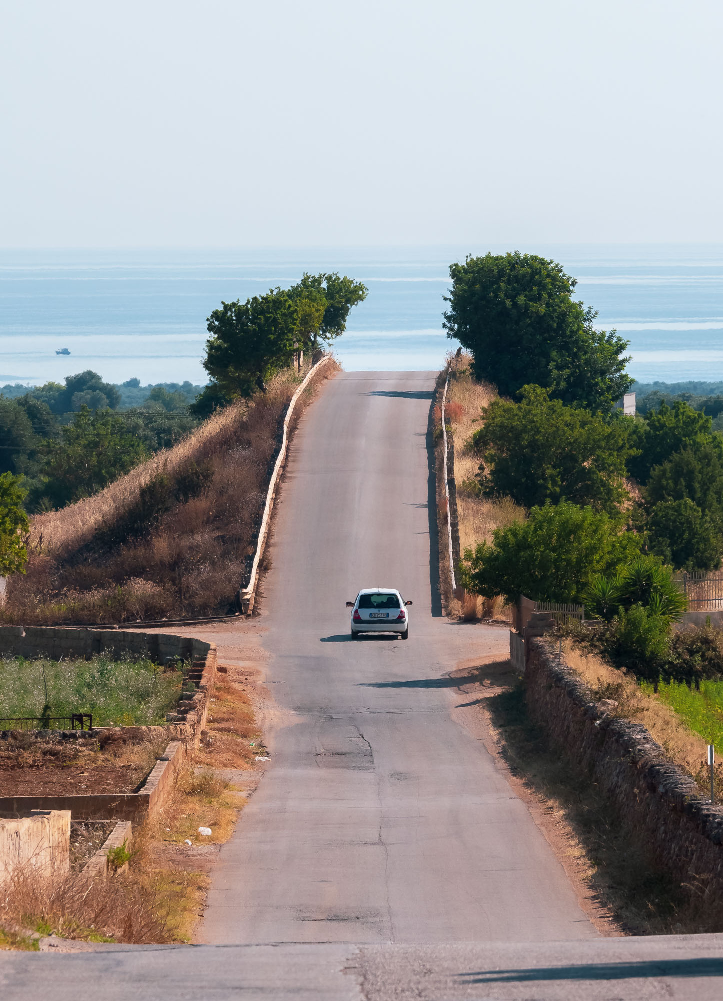
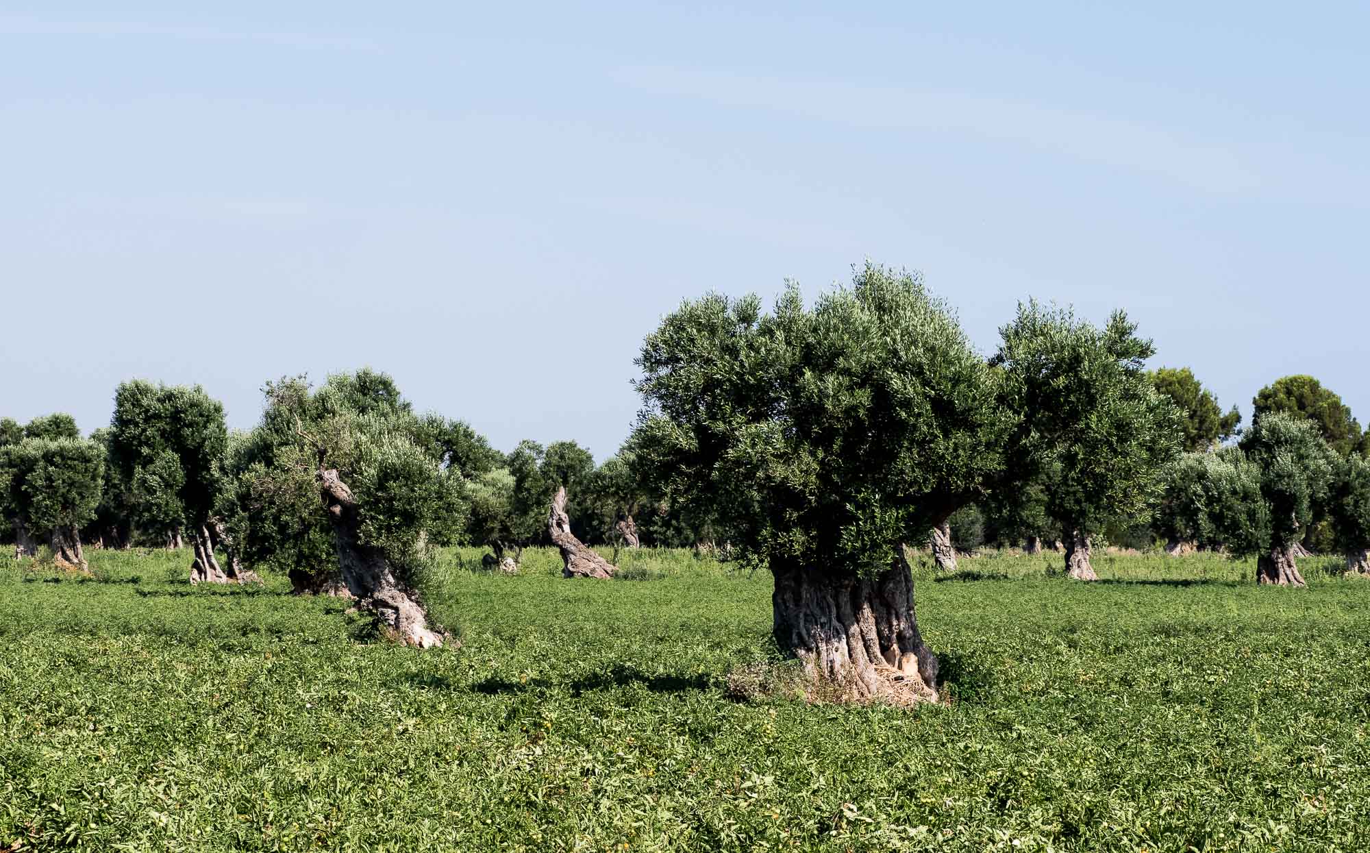
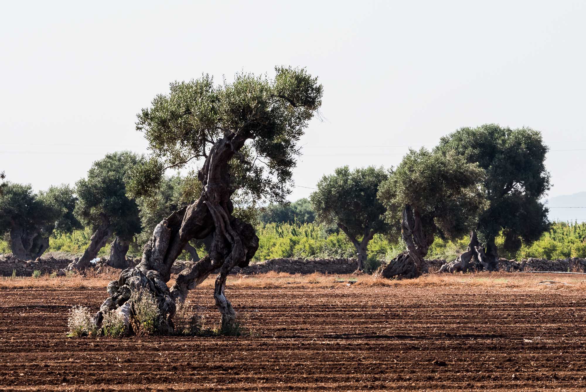
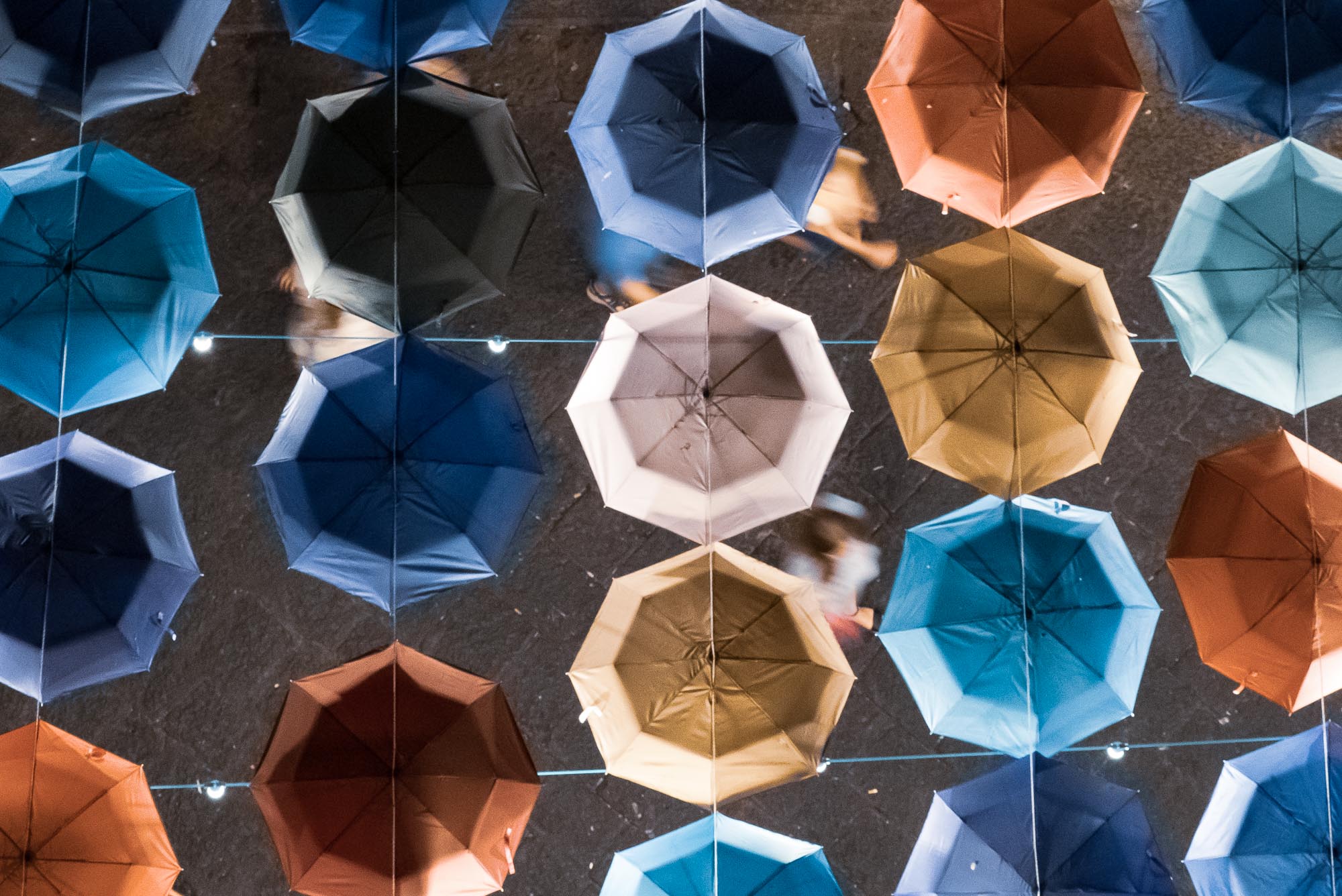
Puglia - Italy's South at its Best
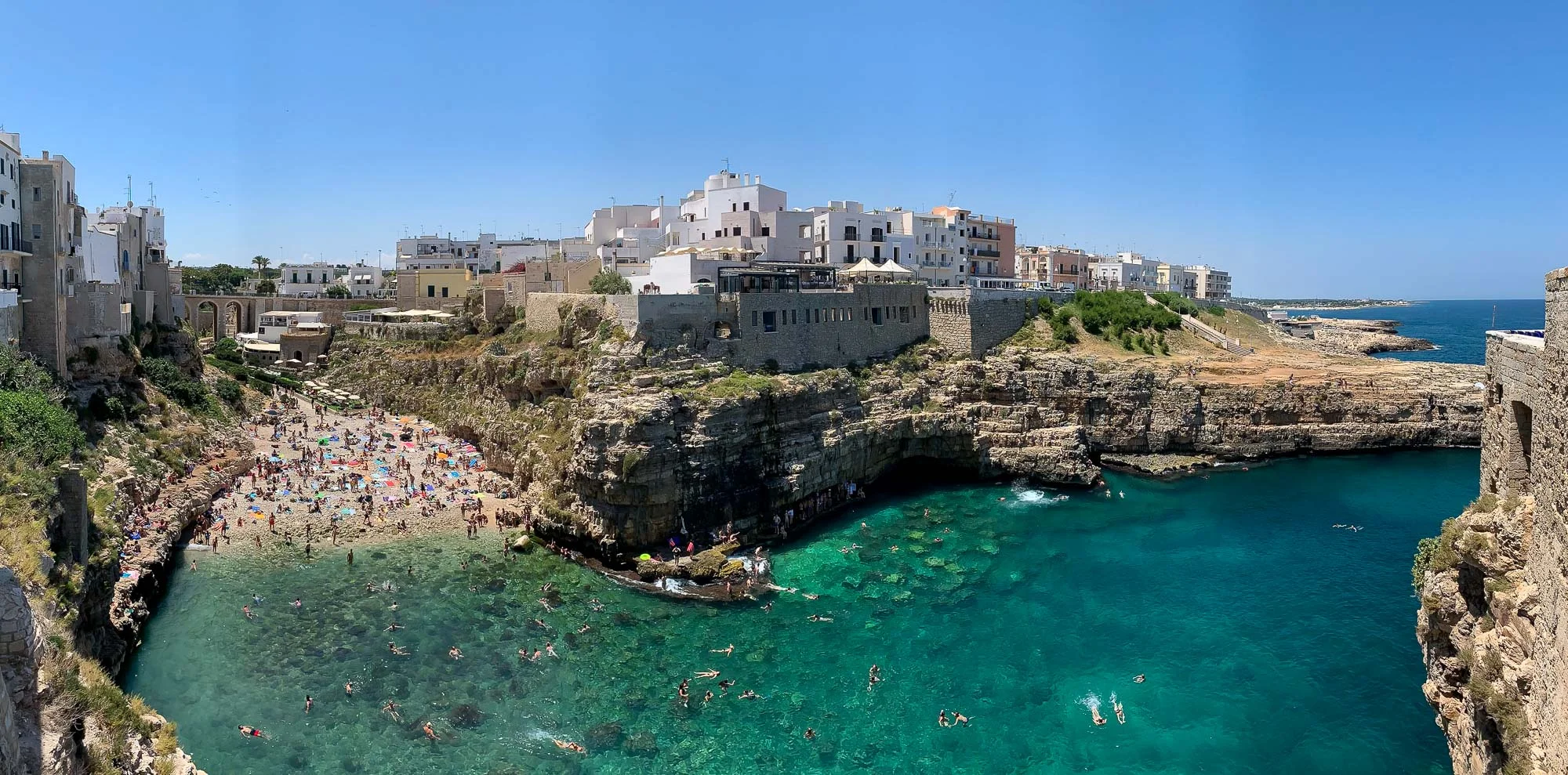
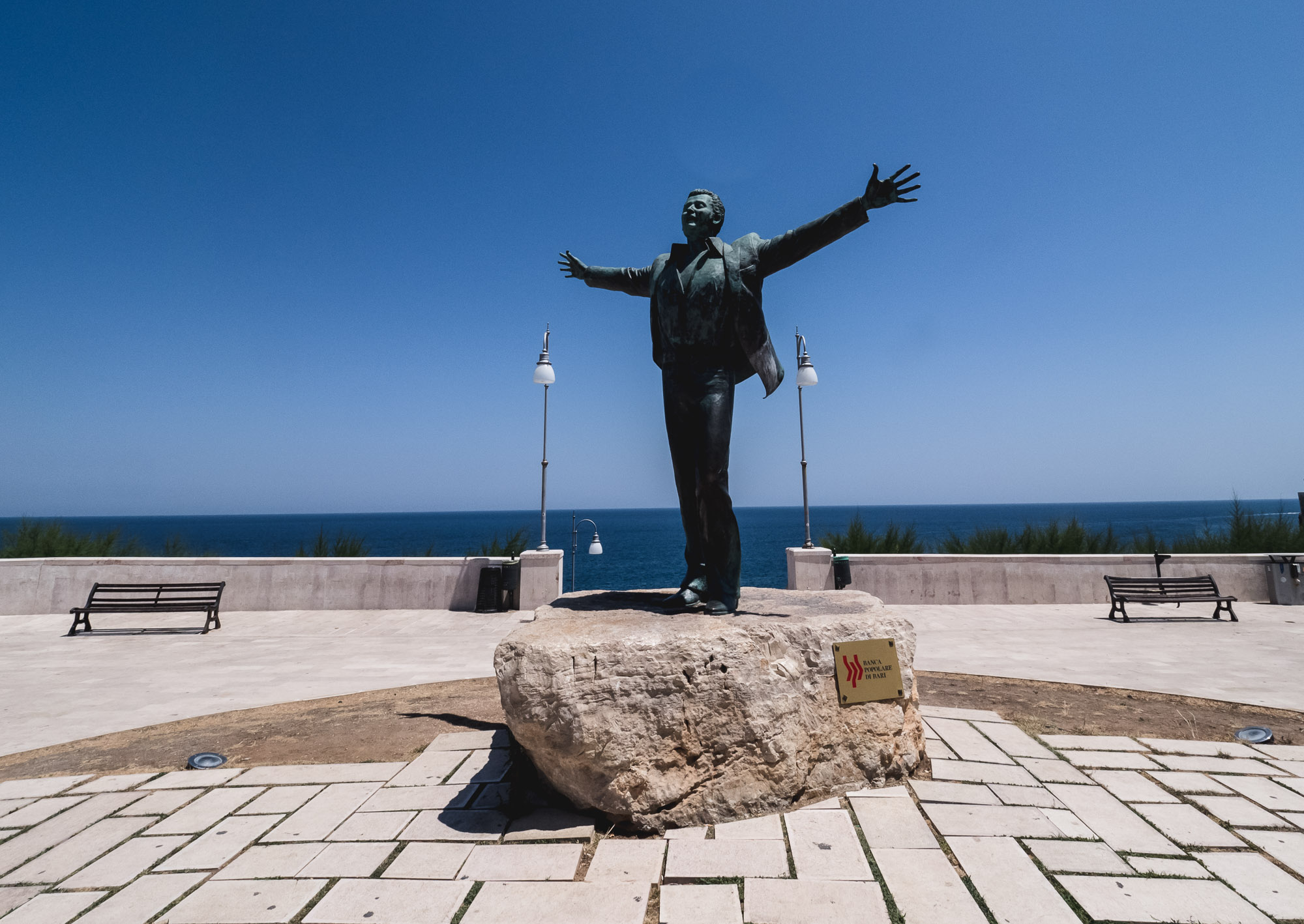
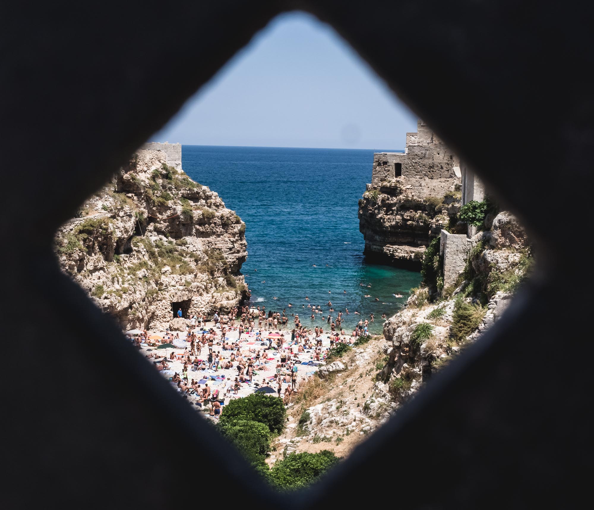
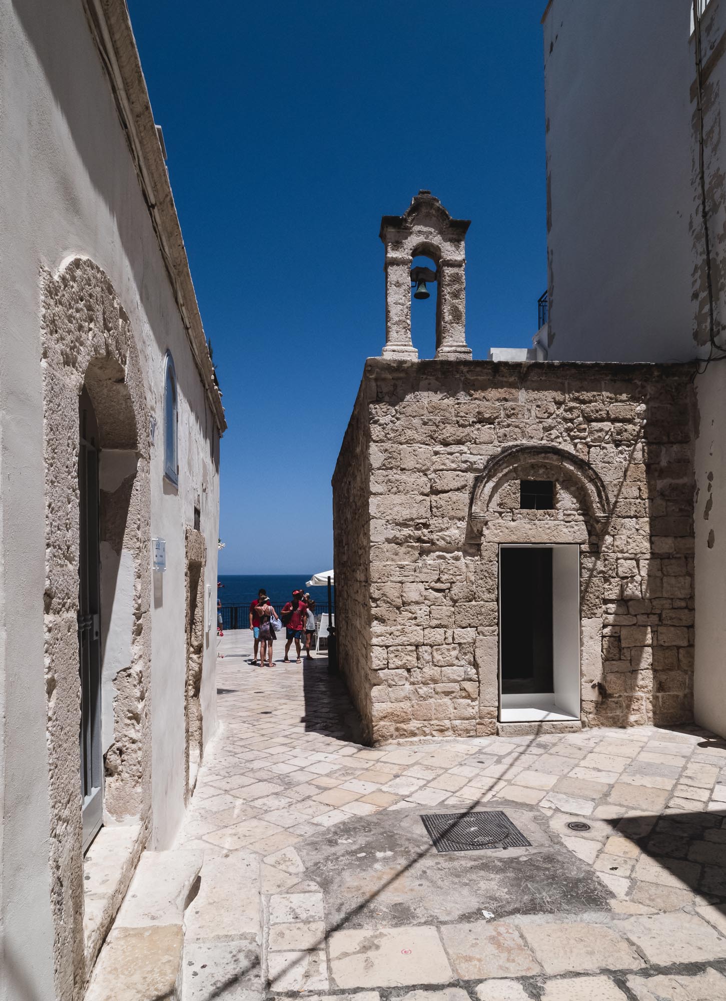
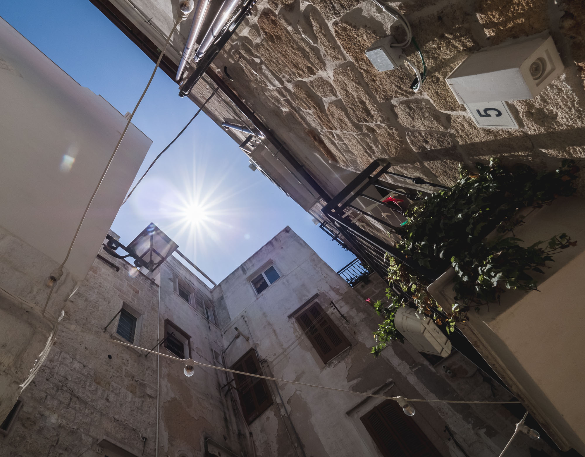
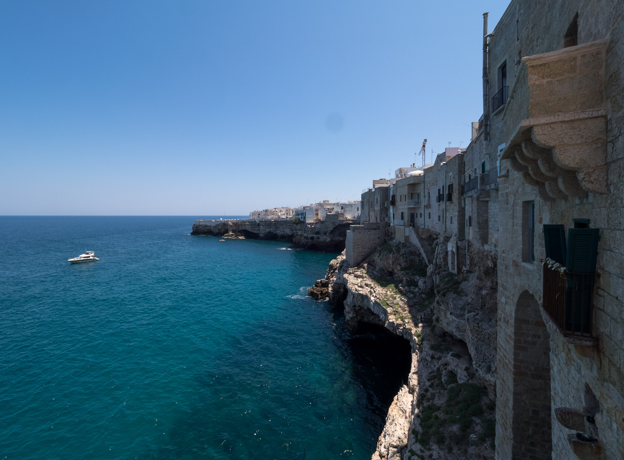
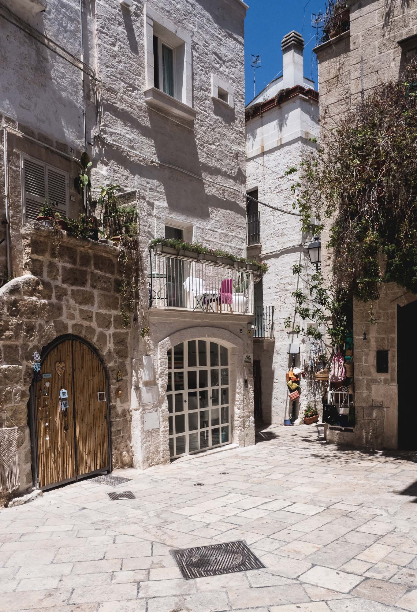
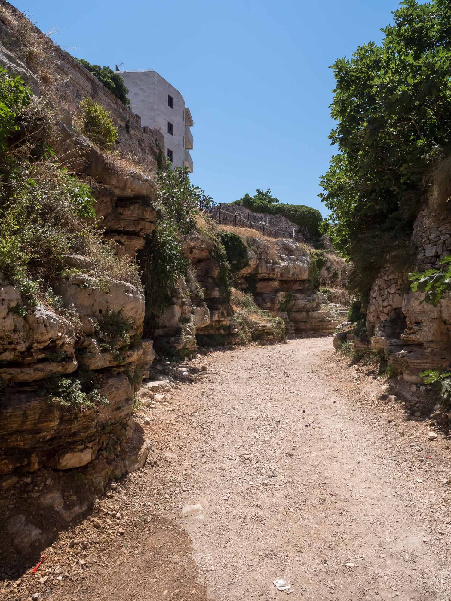
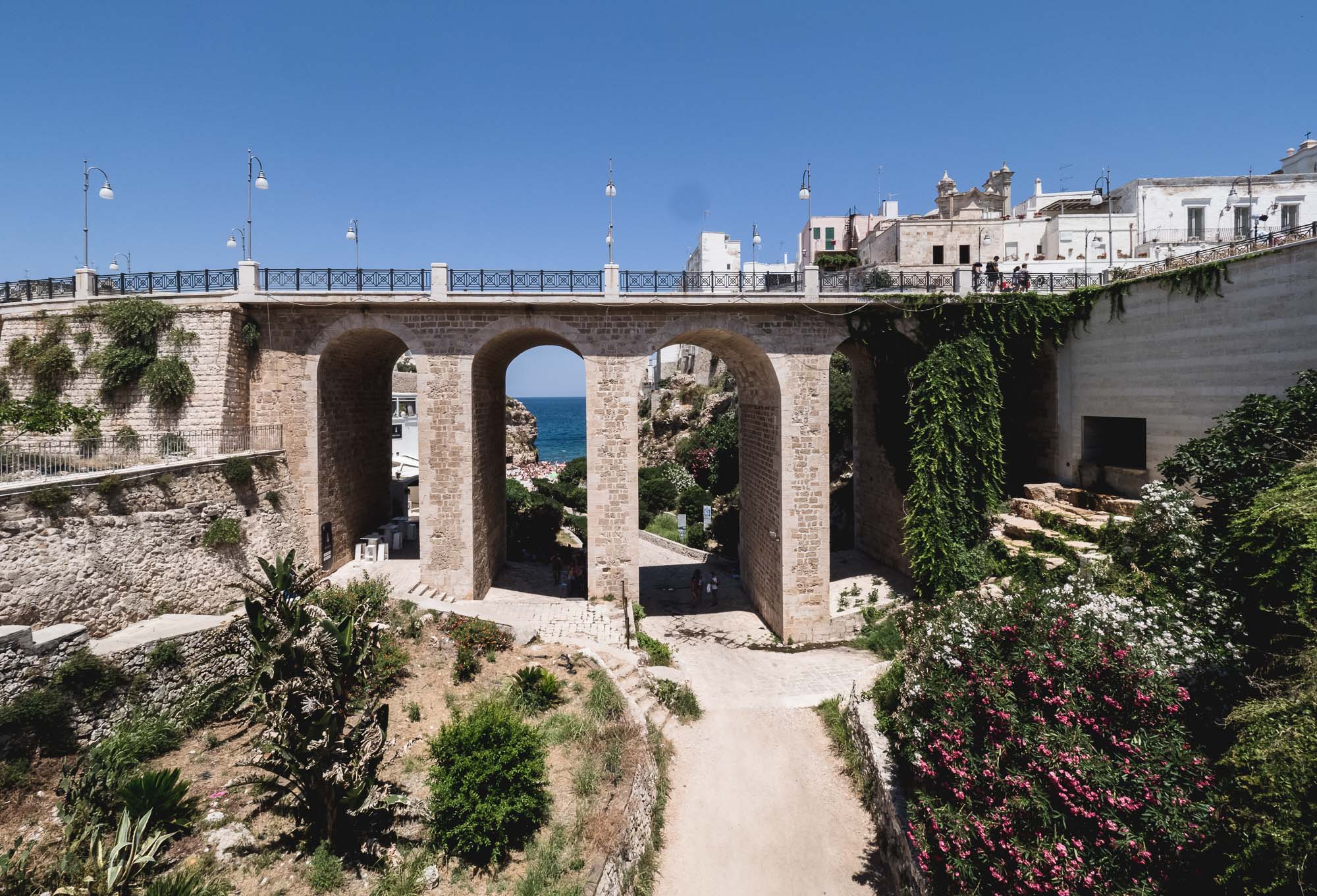
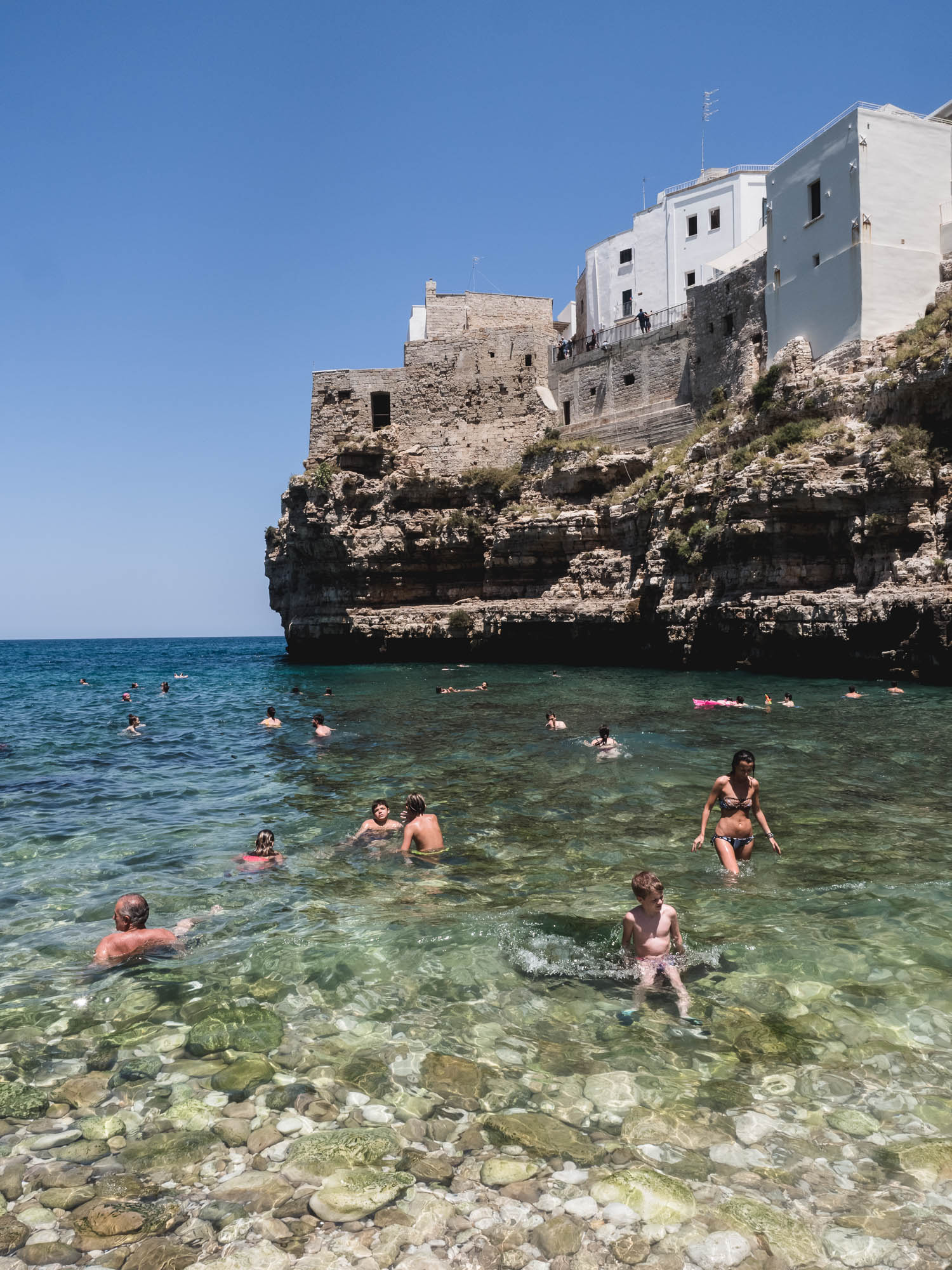
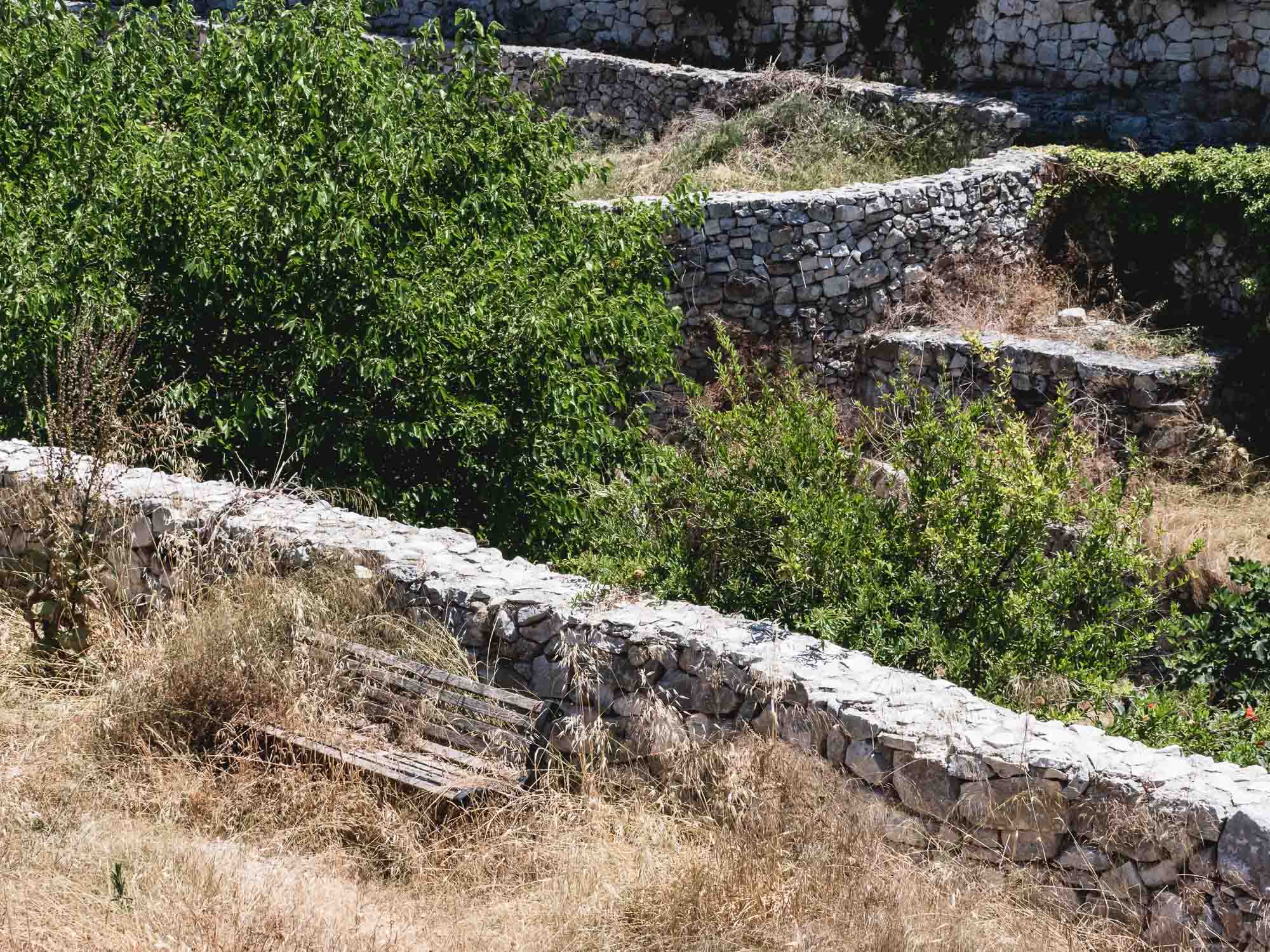
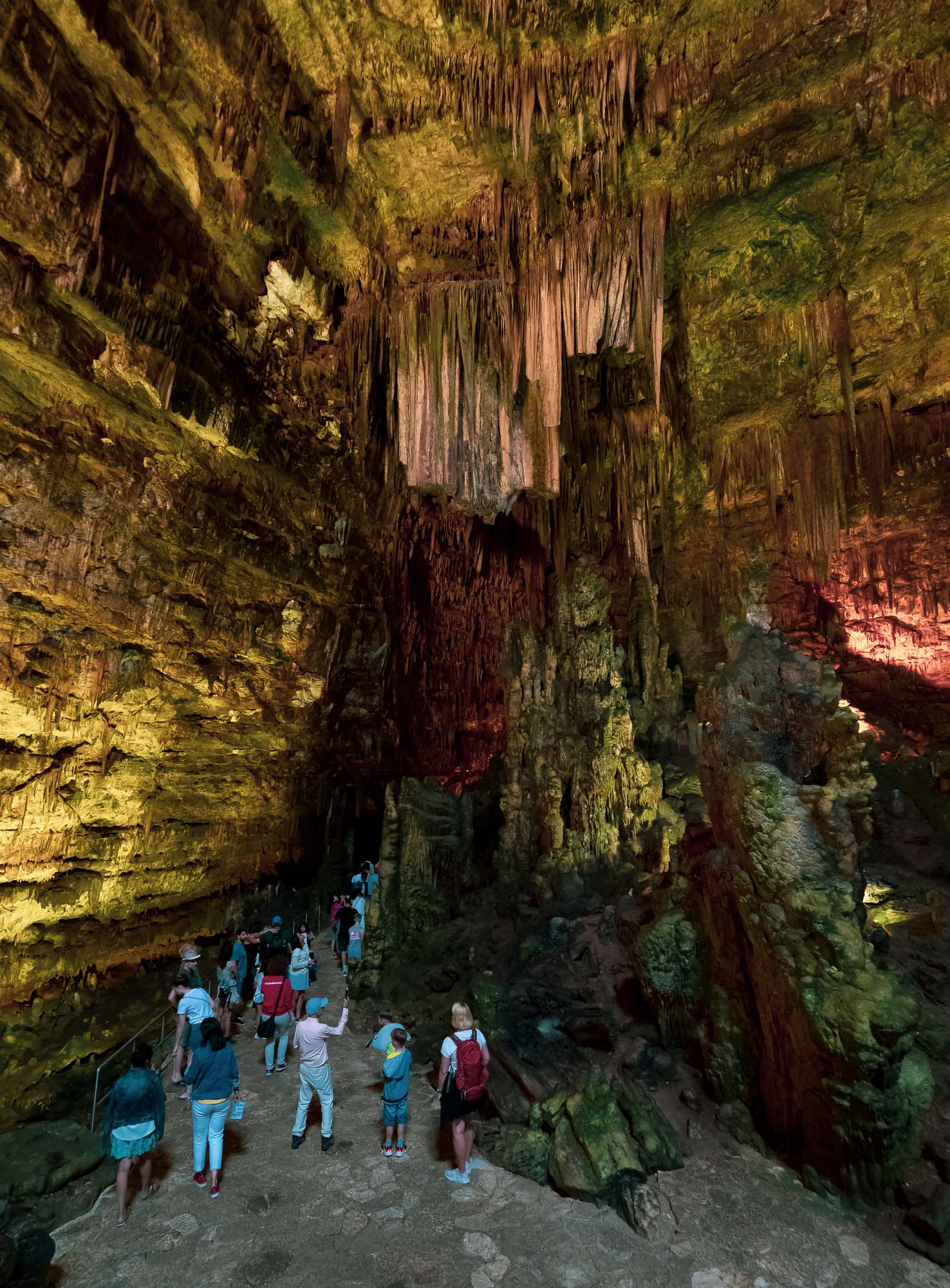
A recent wedding invitation gave me the opportunity to explore the south of Italy a bit more, specifically the region of Apulia, or Puglia in the native language. 2 days of driving from Bari through Polignano a Mare, the Grotte di Castellana, Alberobello with its Trulli houses, and the white city of Ostuni gives you a great impression of the typical architecture, food and nature around this part of Italy.
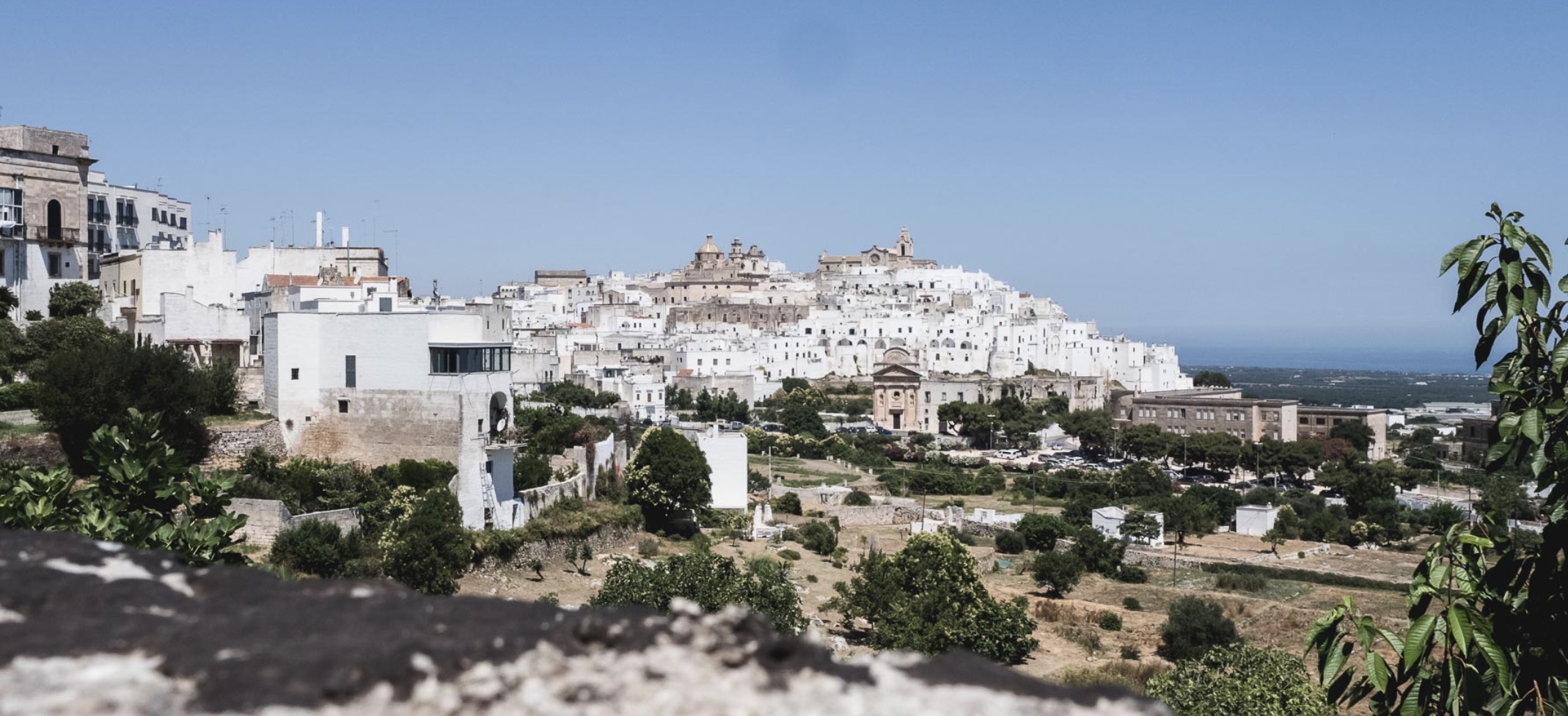
A recent wedding invitation gave me the opportunity to explore the south of Italy a bit more, specifically the region of Apulia, or Puglia in the native language. 2 days of driving from Bari through Polignano a Mare, the Grotte di Castellana, Alberobello with its Trulli houses, and the white city of Ostuni gives you a great impression of the typical architecture, cityscape, and nature around this part of Italy.