
Madagascar’s West - Baobabs, Boats, & More
The western coast, featuring the iconic baobaos, the landscapes of the Tsingy, fauna of Kirindy, and the shipbuilders of Belo Sur Mer.
After more than 10 years I had the chance to return to Madagascar in August of 2026. Having only visited the small island of Nosy Be in the north back then (with my grandmother, one of our last trips together and also when I shot my first real timelapse I think), this time I wanted to explore more of the country. Madagascar is home to more than 30 million people, and roughly the size of France, making it the fourth largest island in the world.
It’s partly for this reason that even over more than 3 weeks you can barely scratch its surface. The amount of places to see, the difficulty of reaching many of them, and the lack of infrastructure, also plays a role.
Nevertheless, I managed to cover both a few bits of the eastern side, as well as the western part, the subject of this blog: dry forest, baobabs, difficult roads, limestone and the sea.
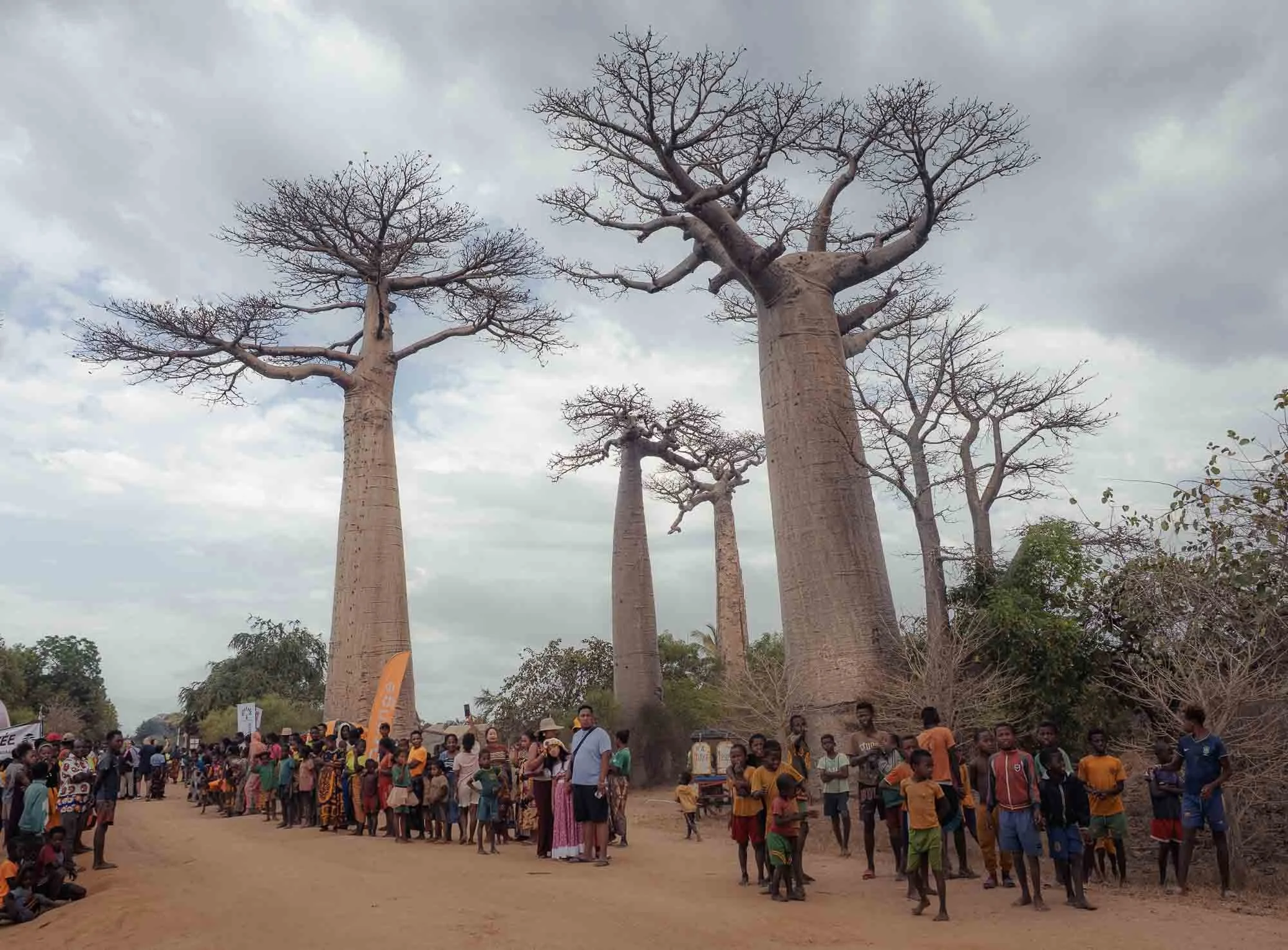
After a late arrival in Antananarivo (or Tana for short, although by now I can spell and say the capital’s name), I had a short night in a hotel near the airport before making my way back to the domestic terminal, with the goal to head west towards Morondava. Driving would have been possible, and certainly interesting, but it’s a good 15h+ and there were a few things that I wanted to prioritise. From Morondava’s small airport, my amazing guide Zo from Madafocus (which helped me organise the entire trip and did a great job at that) and I drove straight to one of these priorities: the famous Baobab Avenue. I have more to share about this place and its famous trees, but on this cloudy morning it was a crowded affair owing to a marathon taking place along the dirt road. Unexpected! We continued further north…
Along the Road
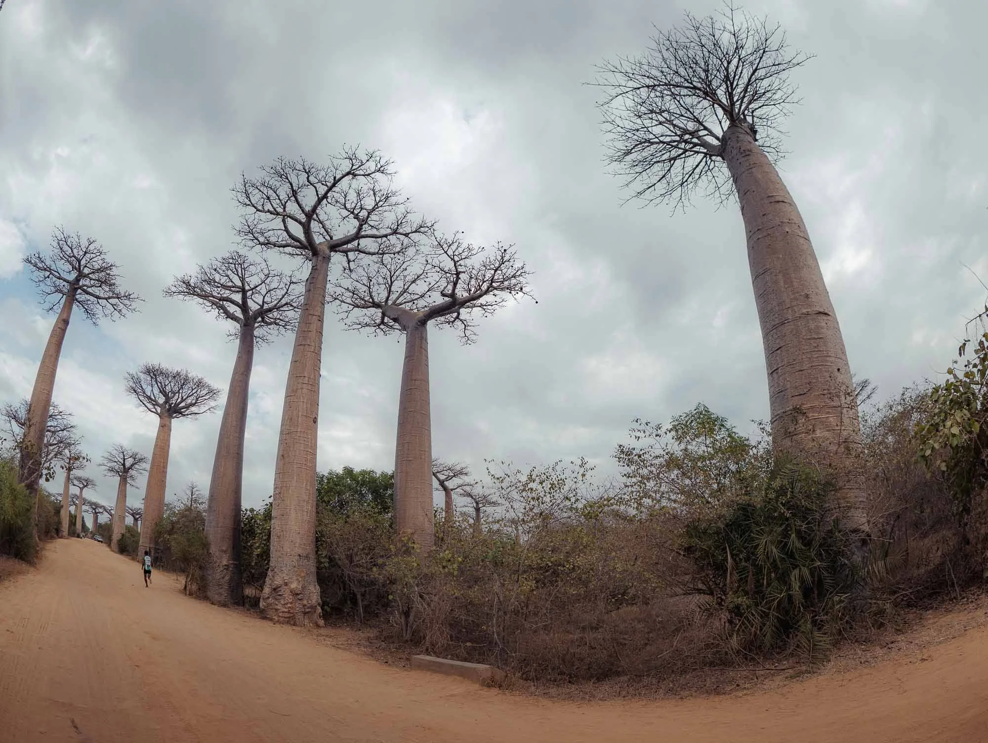
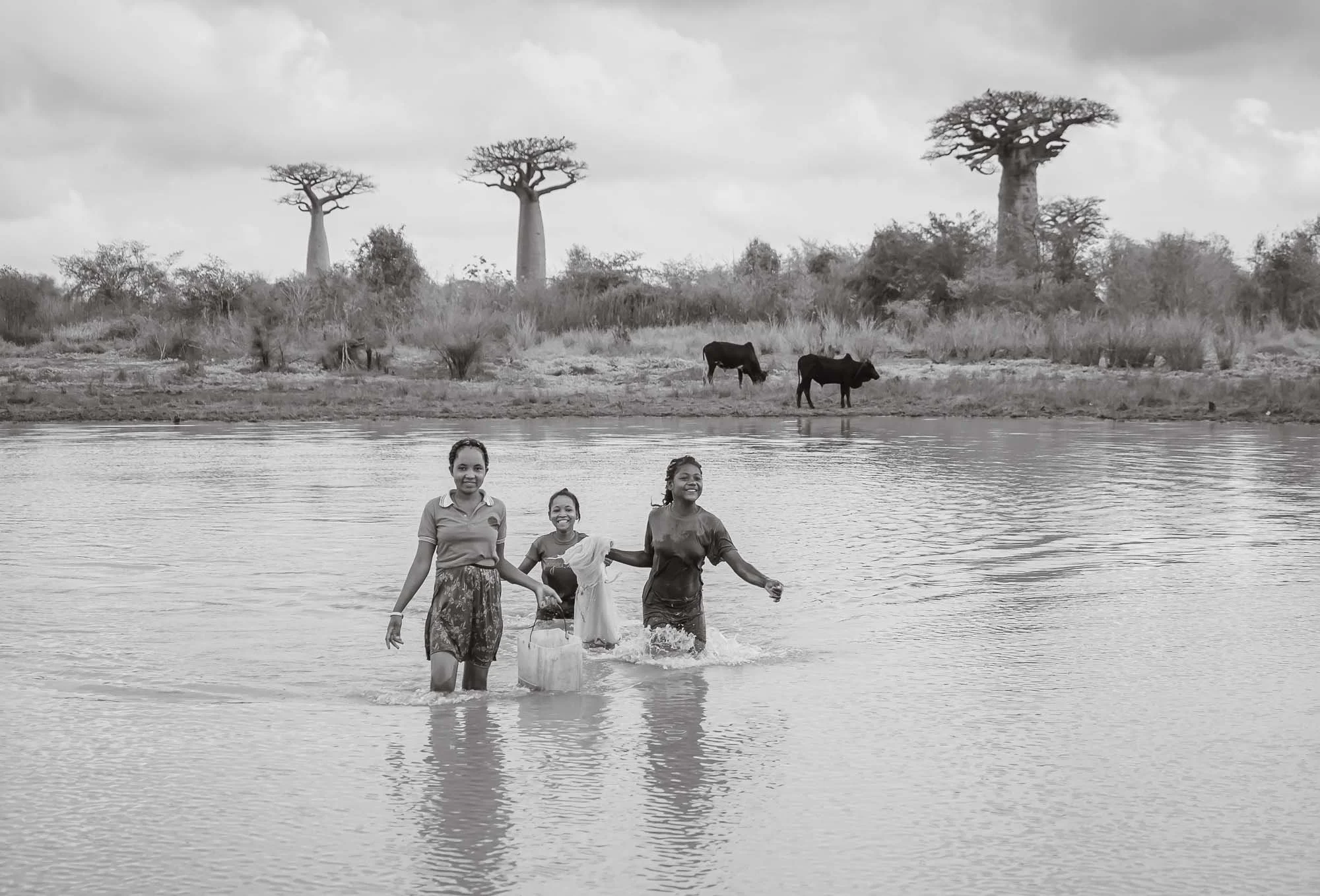
But didn’t get very far - every few hundred meters I saw another beautiful scene of local life, such as people fishing in the ponds dotted through the dry landscape, zebu (the local cattle) herders and their carts making their way between villages, and the local kids, a dozen of which would appear out of nowhere anytime you stopped the car.
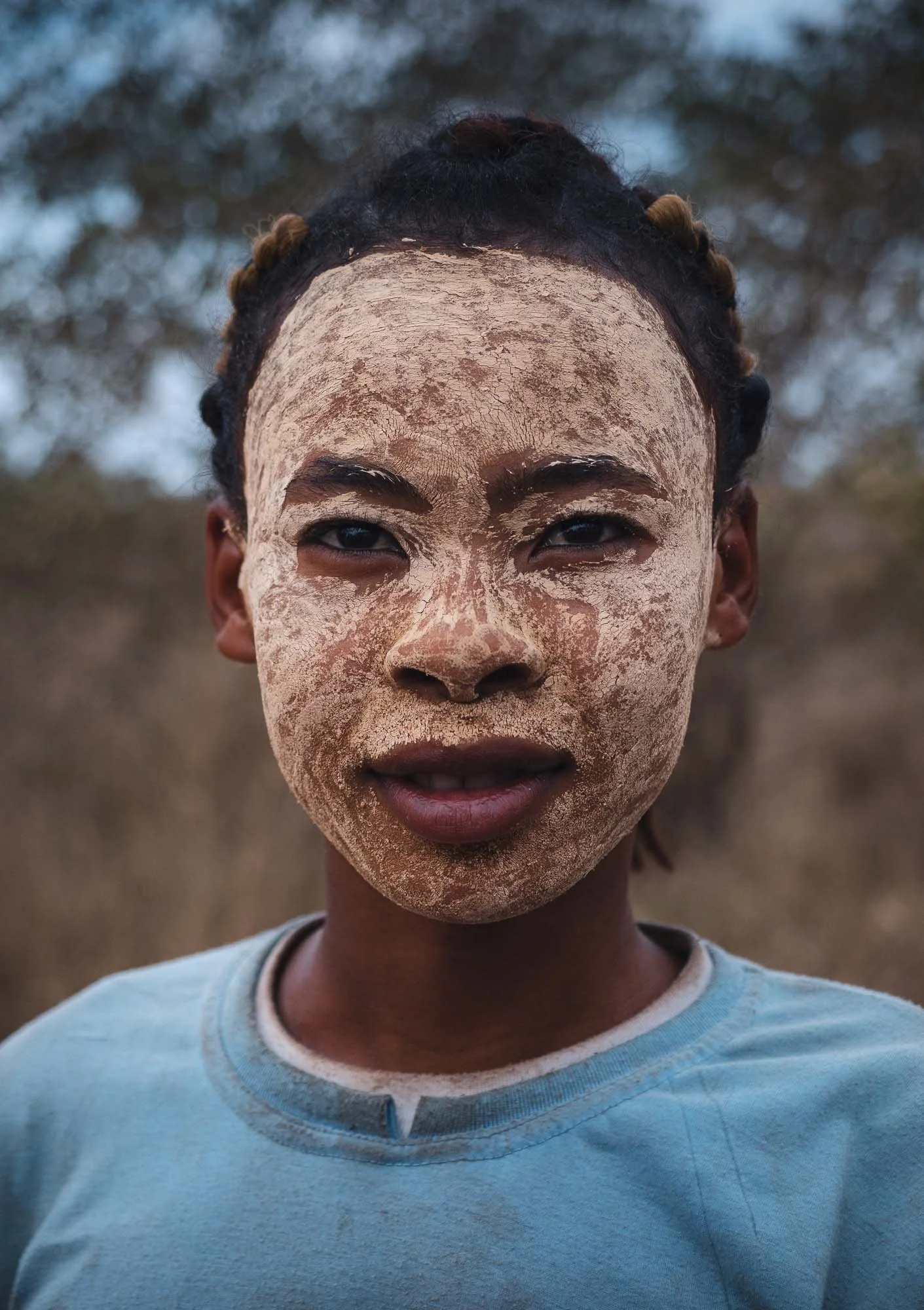
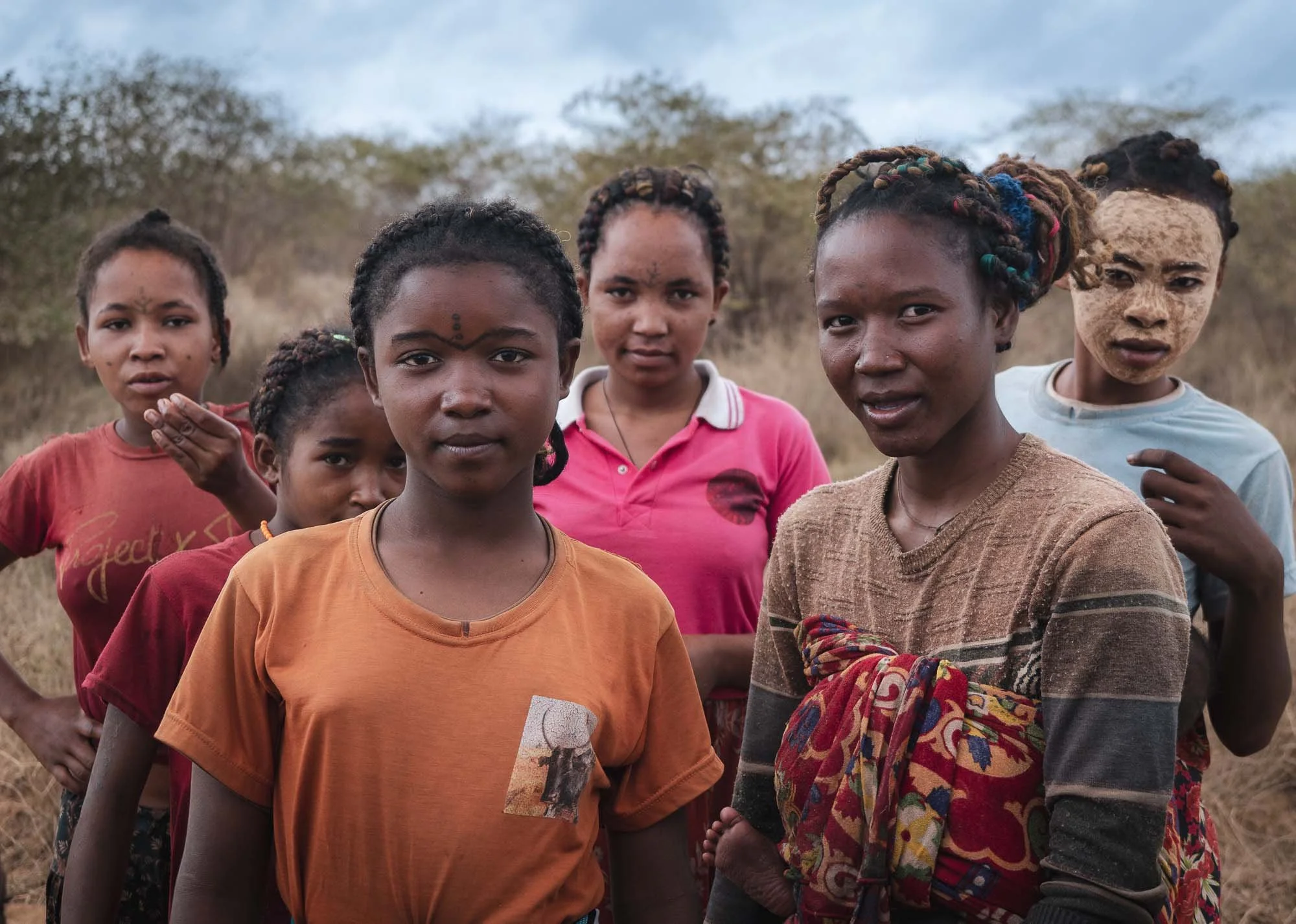
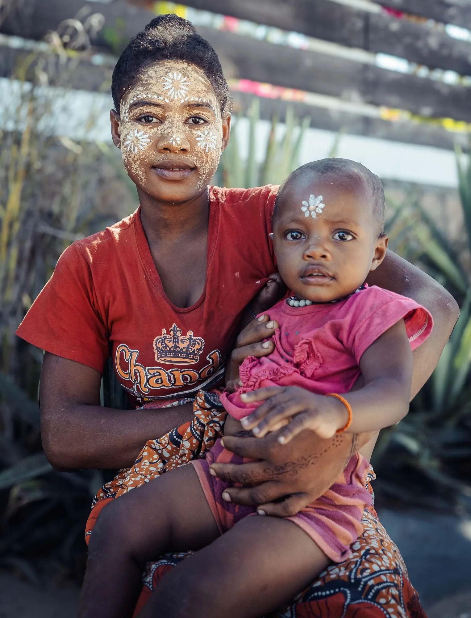
Although their objective was often likely to get sweets or money, I had plenty of pleasant encounters with curious people, and the occasional opportunity to take some photos - the yellow multi-purpose mask called masonjoany serves as sun protection, skin care, and occasional beauty tool for women.
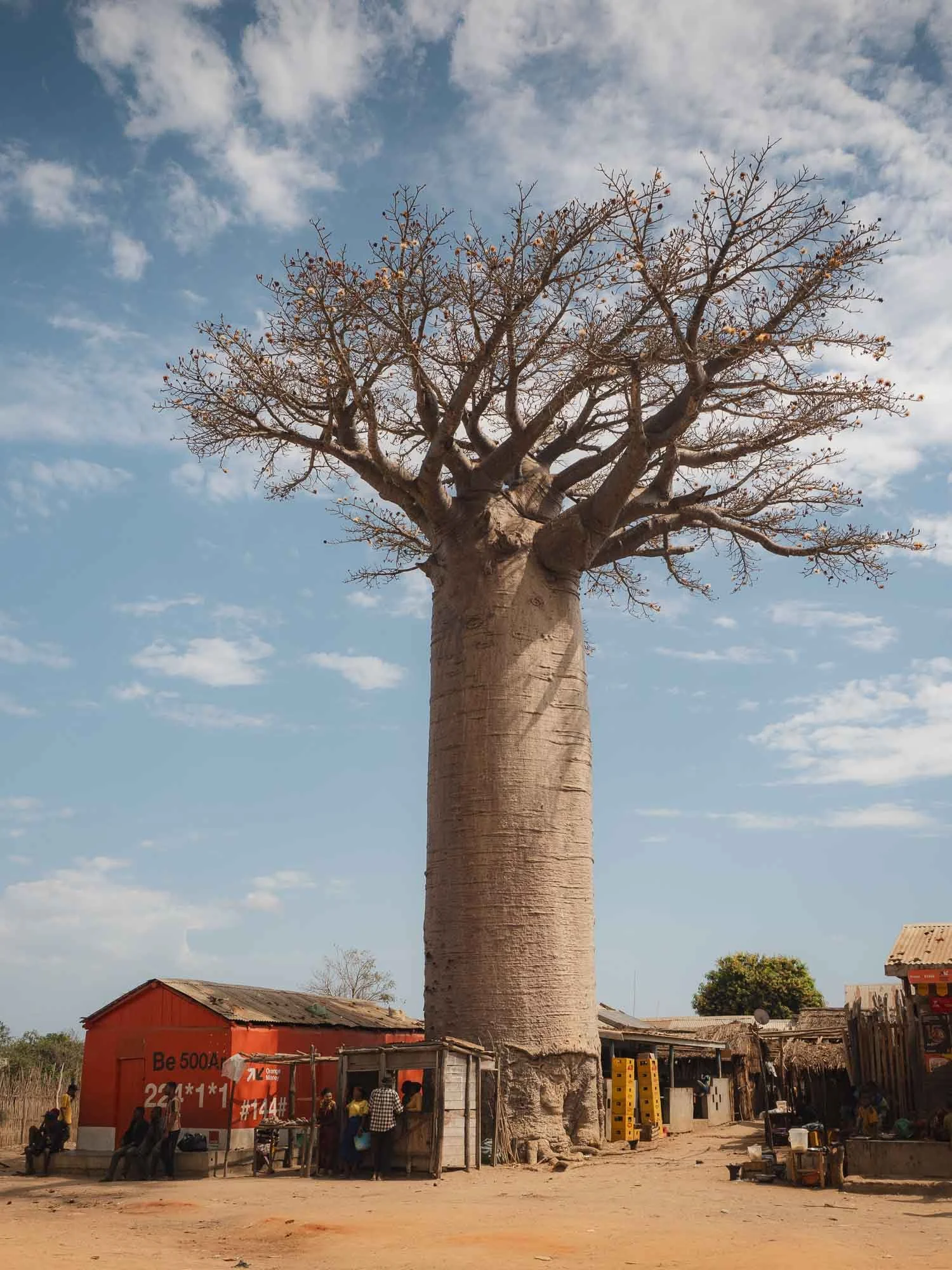
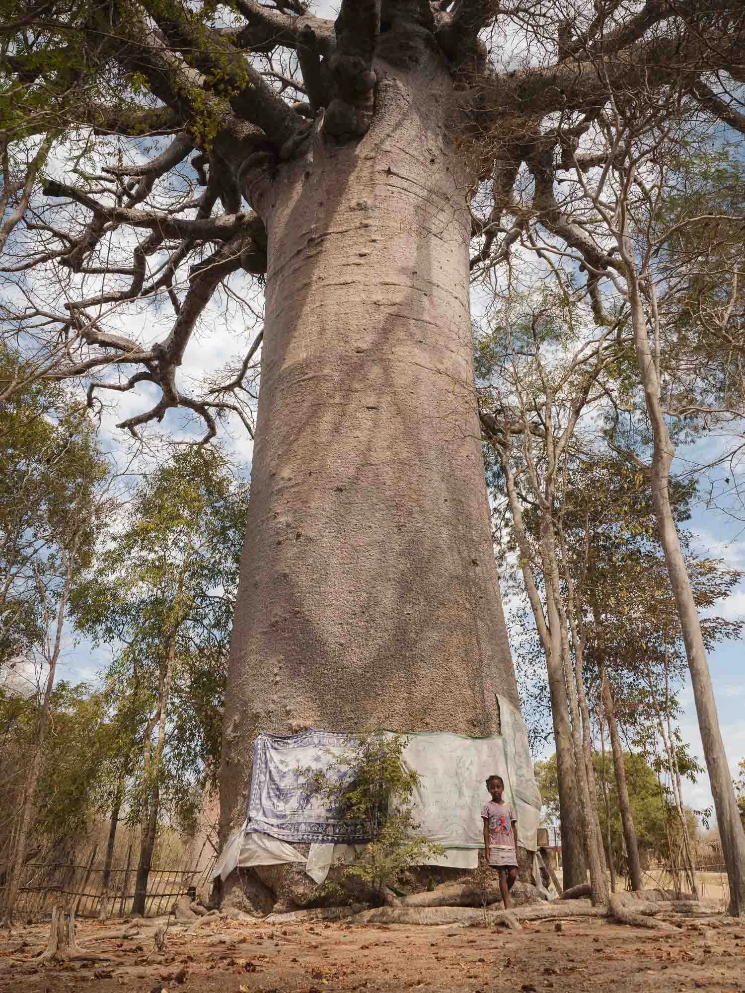
There is a reason why the landscape here is often dotted with Baobabs, but not much else - many of these trees are associated with ancestors and serve spiritual purposes, and hence cutting them down is prohibited according to the local fady - a kind of ancient moral guideline governing many parts of life.
The same cannot be said for much of the other flora, making it fall victim to the agricultural needs of the growing population.
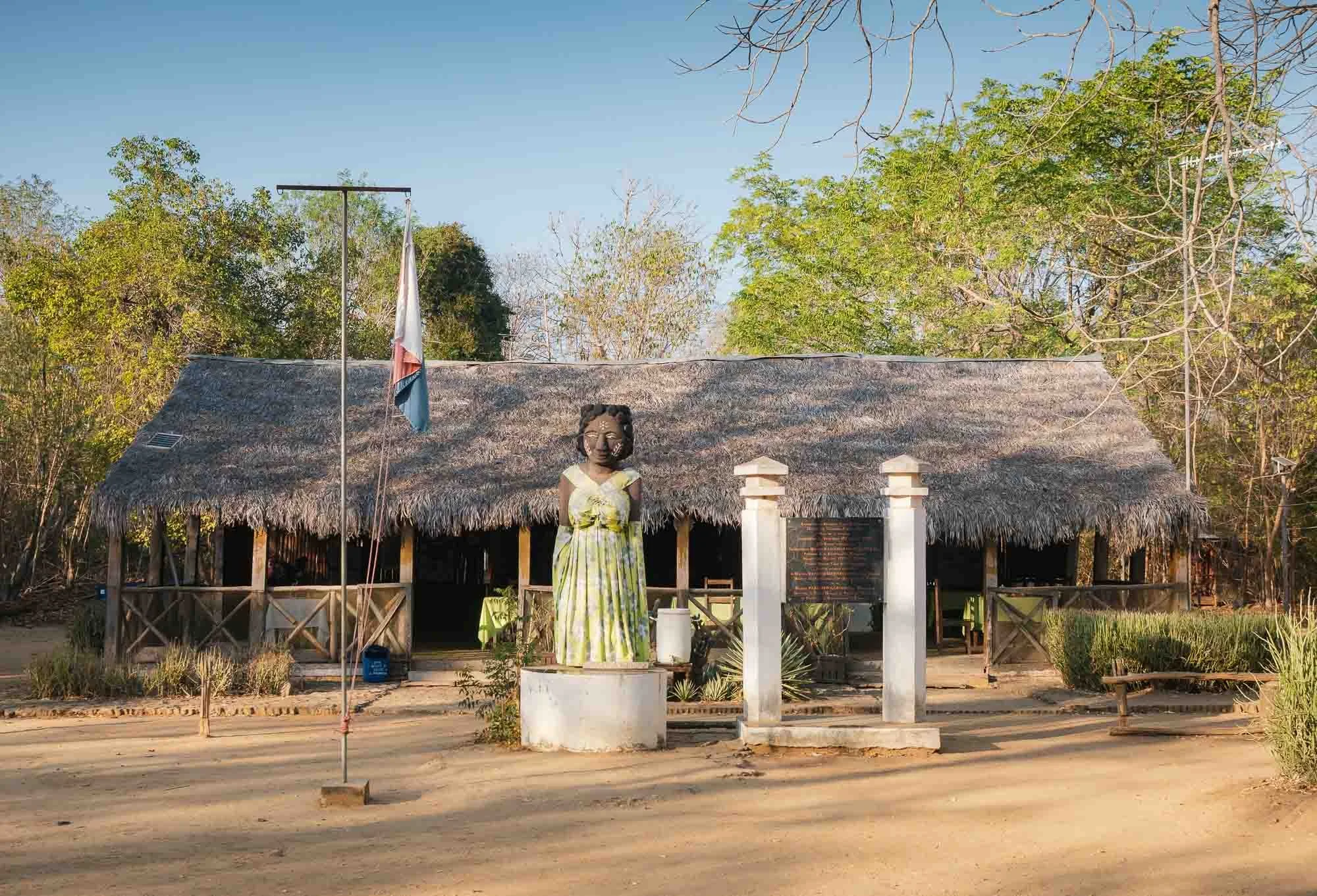
Kirindy Forest
Which brings me to my first actual destination: this small lodge inside the Kirindy Forest, part of a wider protected area, ensuring at least partial survival of the aforementioned flora (and faun). This dry forest area has been mostly spared from deforestation, or regrown as secondary forest, so the vegetation makes it home to a number of Madagascar’s endemic animal species…
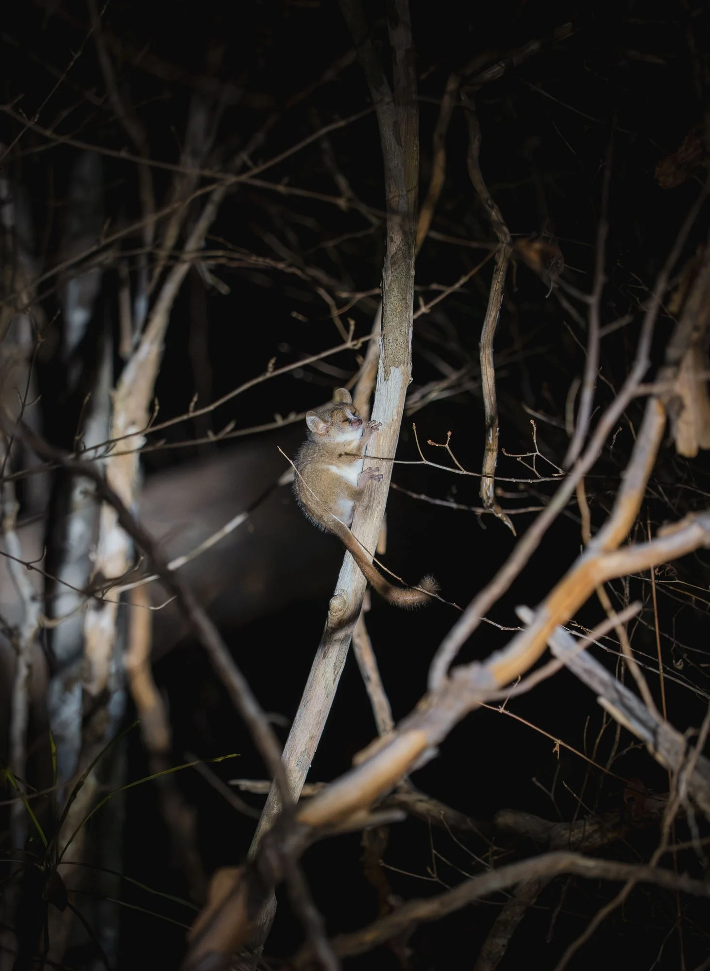
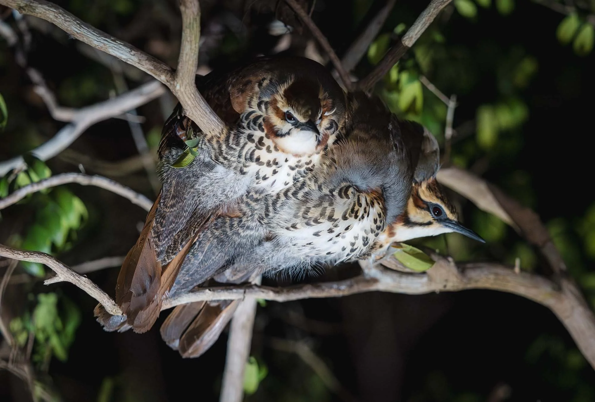
… many of which you can only see at night. Evening walks with the torch were the best way to spot the tiny mouse lemur (one of the smallest primates in the world) or these mesites, which cuddle up in the trees at night.
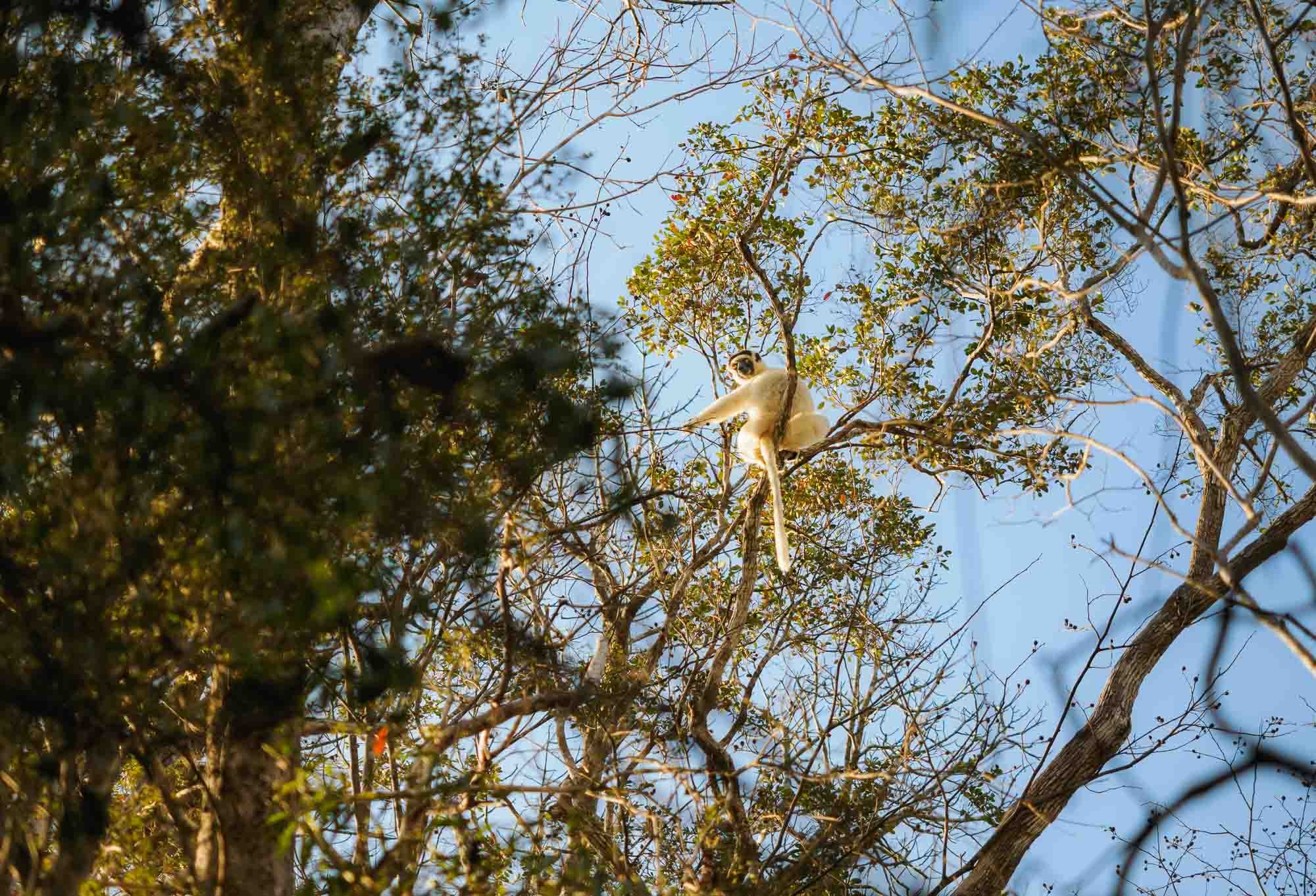
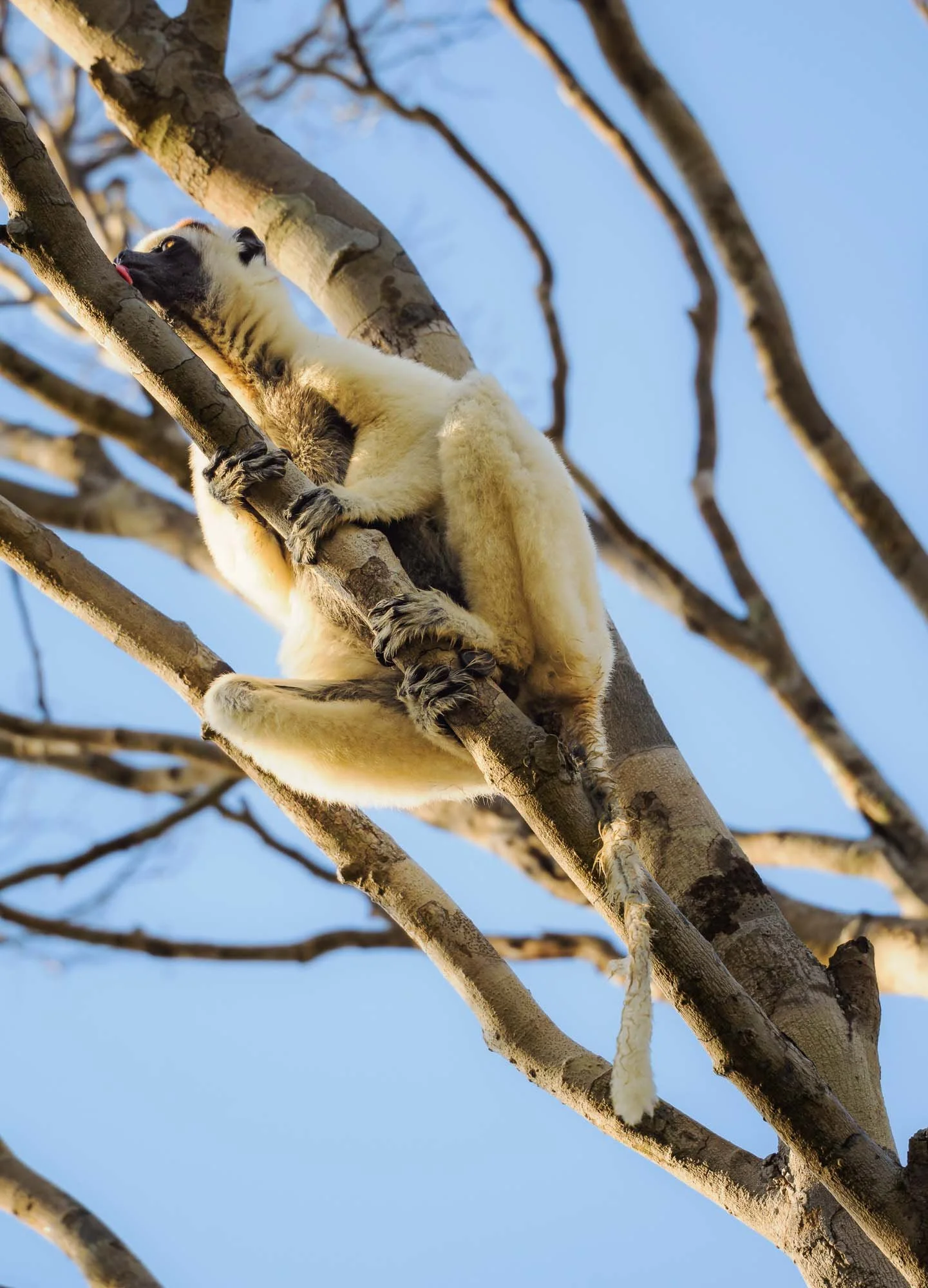
In the early morning hours on the other hand, we encountered the critically endangered Verreaux’s sifaka, one of western Madagascar’s lemurs, moving through the dry forest to lick dew from the tree bark.
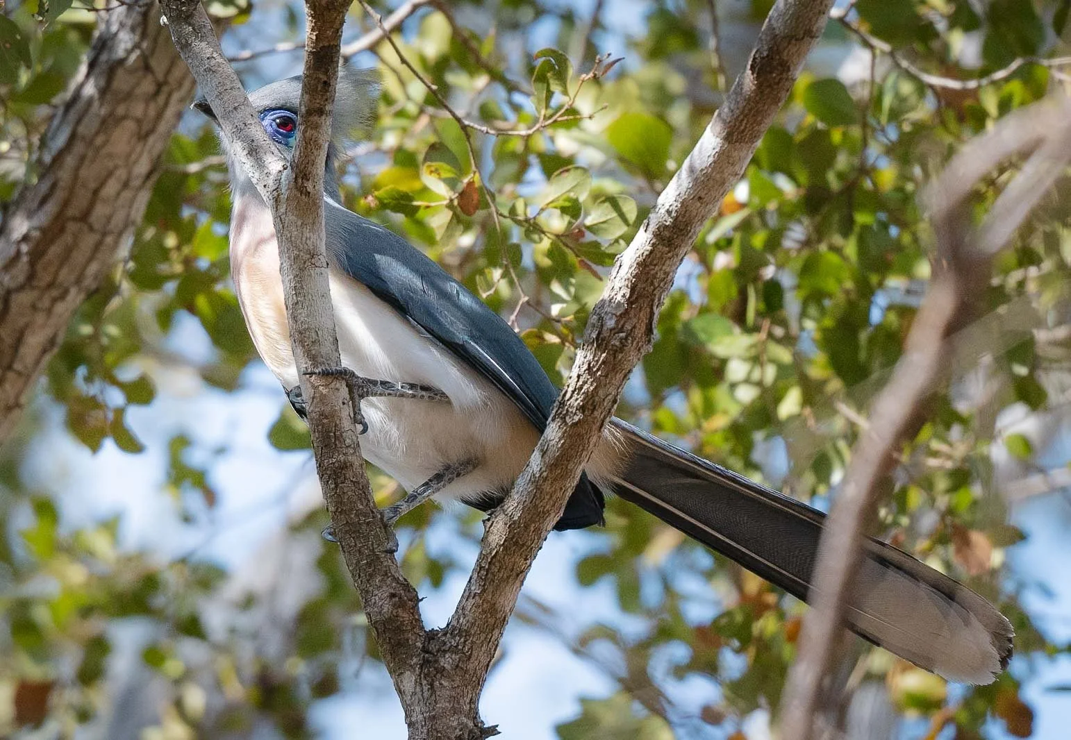
The endemic crested coua also made an appearance, with its distinct red eye.
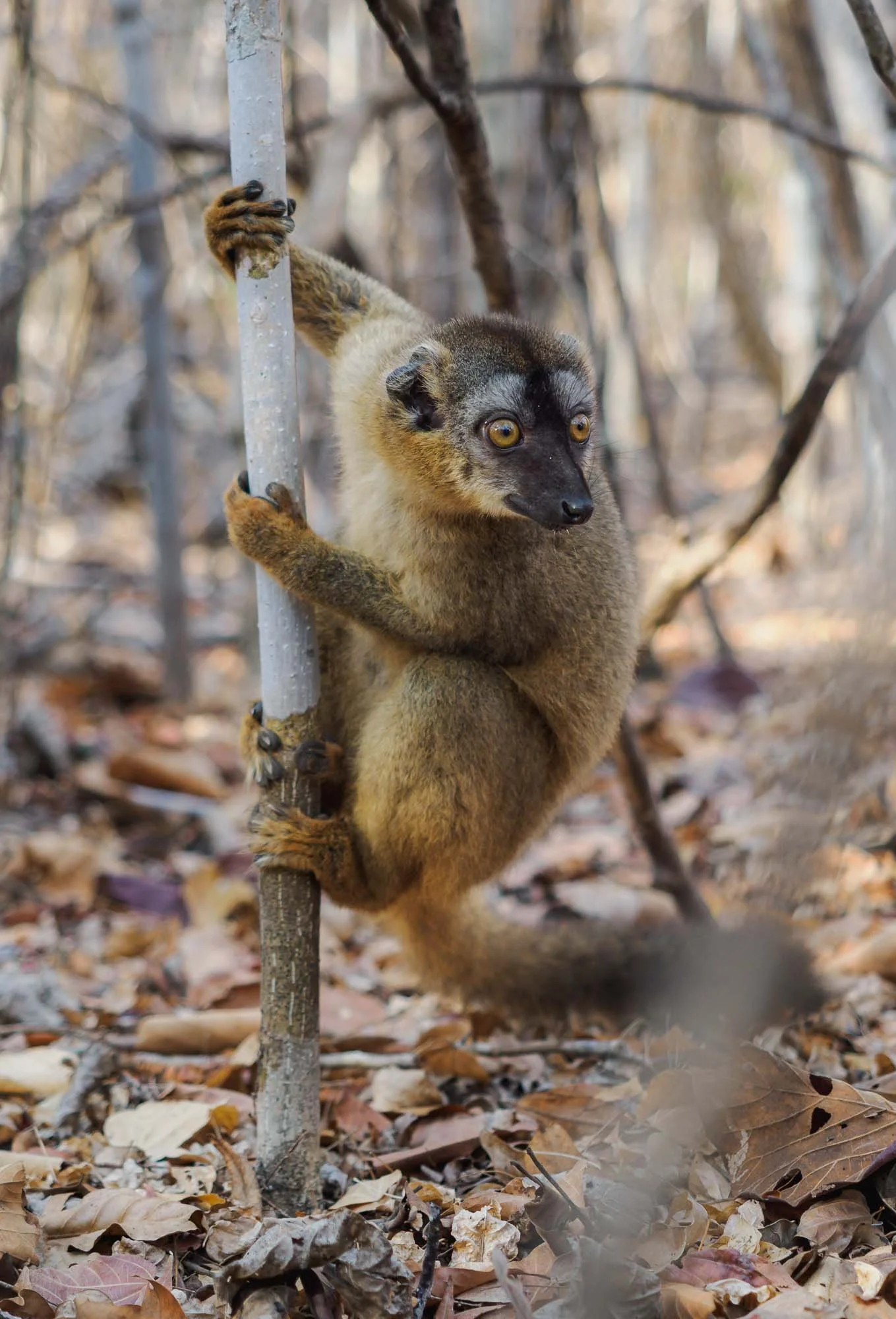
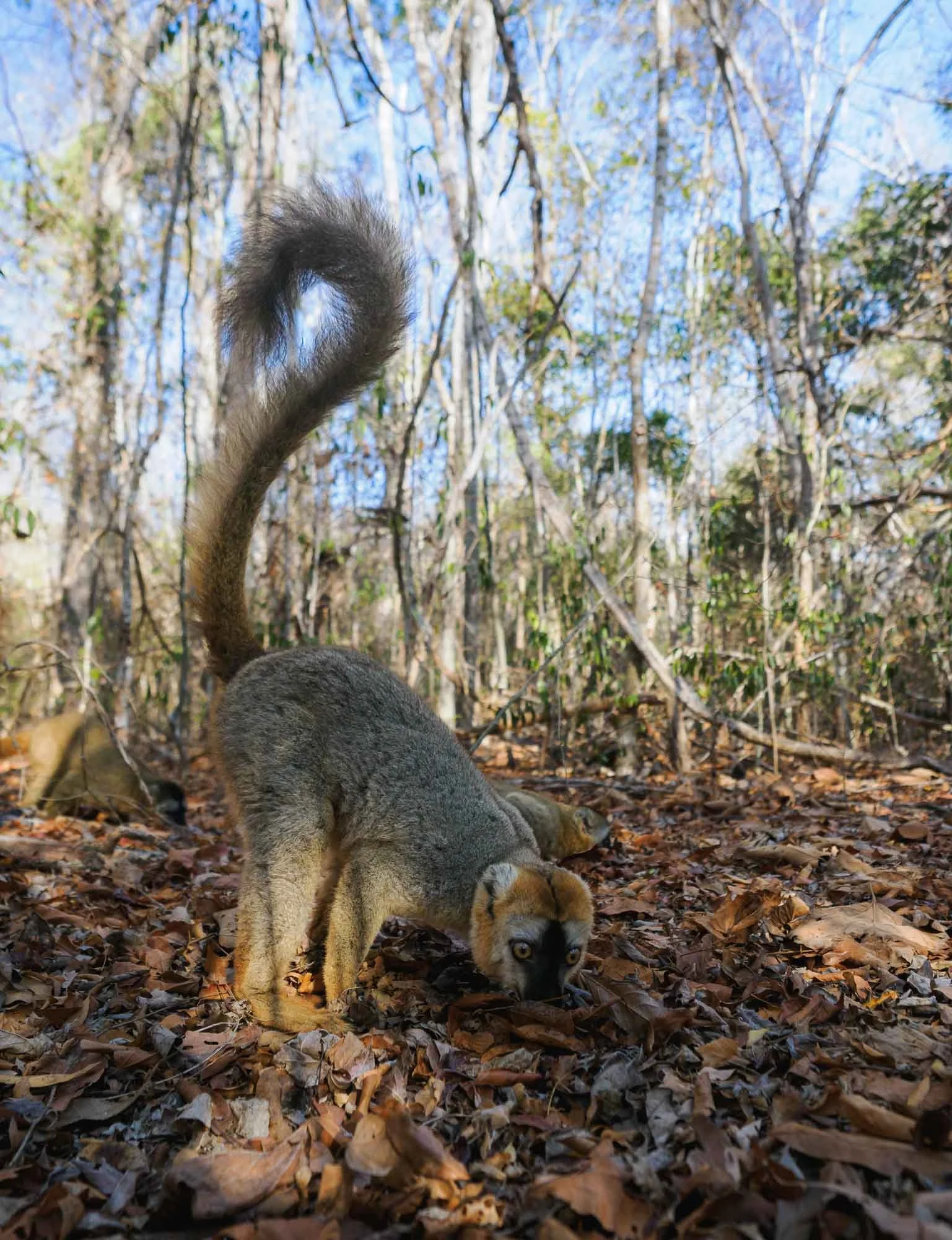
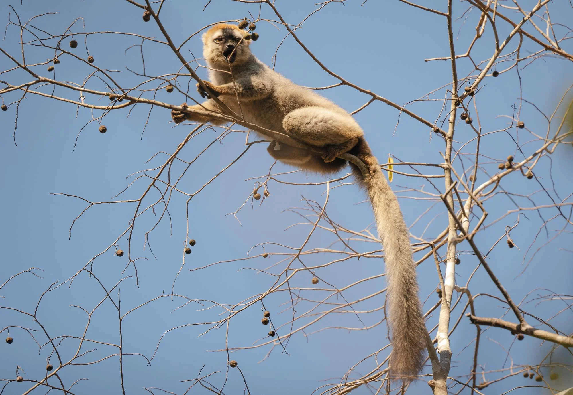
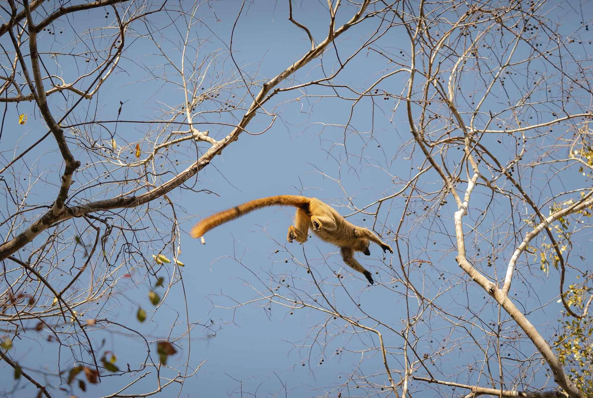
More common sights are these brown lemurs living in groups, foraging on the ground or leaping from tree to tree. Owing to the rangers and tourists walking through the forest regularly, some of them are quite habituated, arguably too much so: they will drink water from someone’s hand if offered.
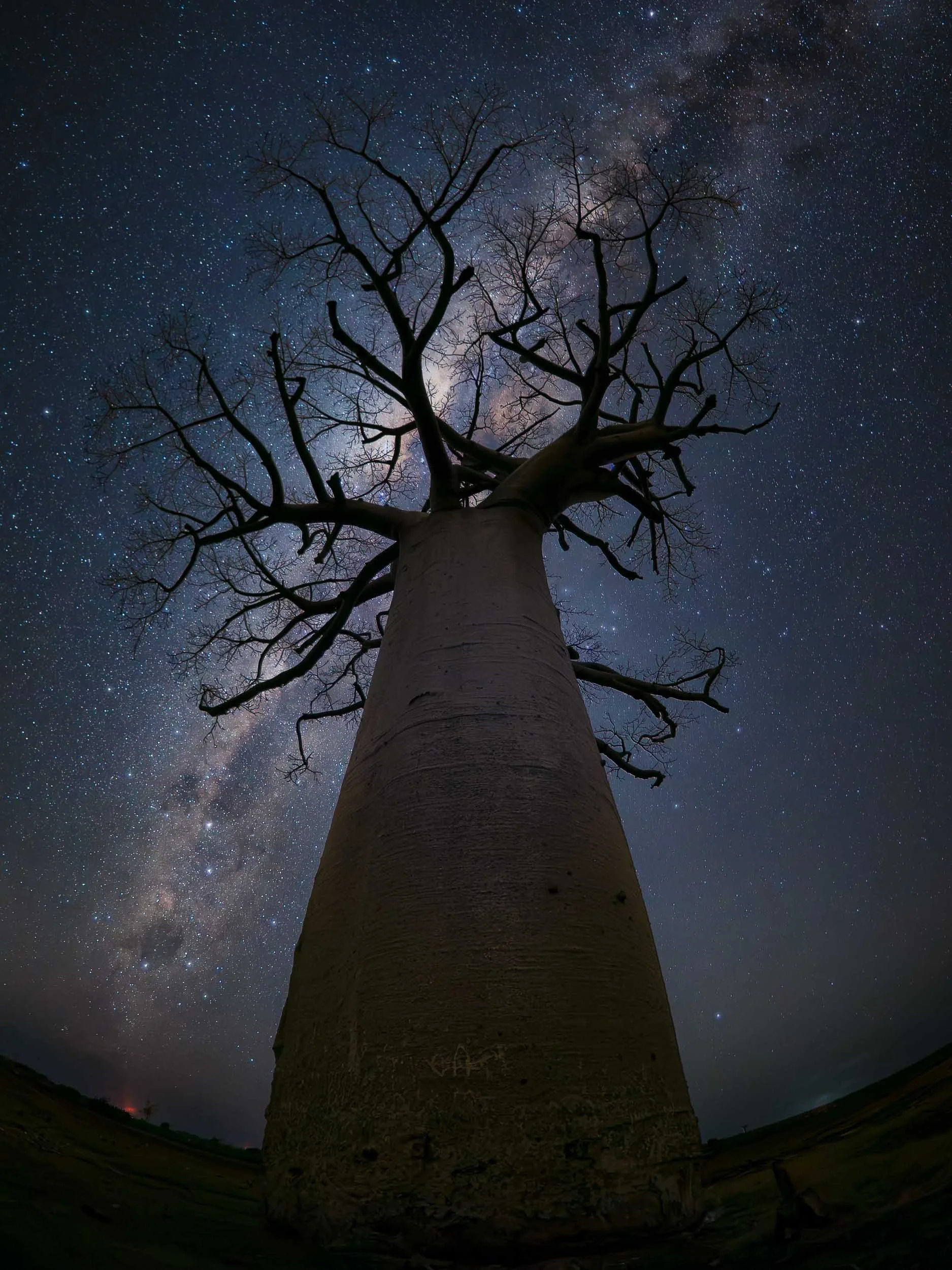
After another night walk, we headed back out to the edge of the forest where we had scouted a few lonely baobab trees during the day… It was around new moon, and I obviously couldn't resist getting some photos of these giants with our home galaxy. That turned out to be a challenge owing to the fact I had destroyed my primary wide angle lens on the way to Madagascar with no chance for a repair or replacement, meaning a lot of improvising was required.
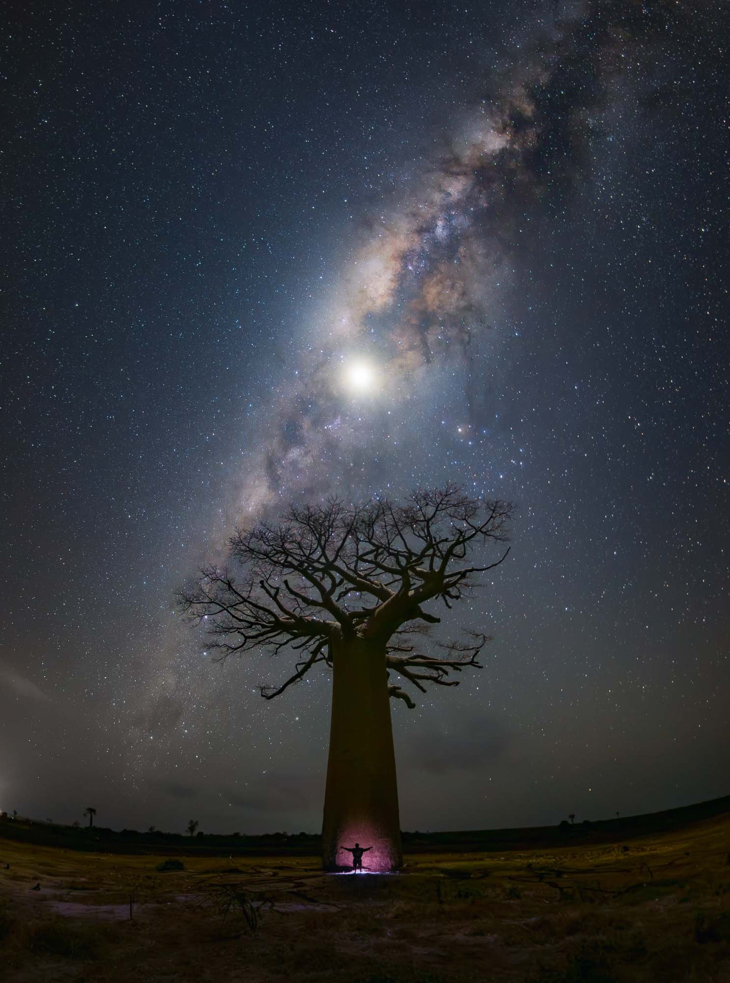
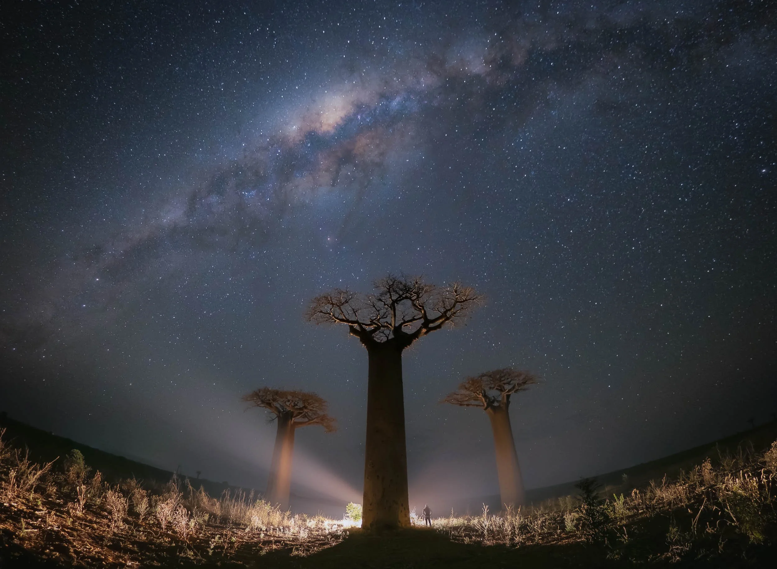
Despite some compromises, we had fun using a drone and the car lights to create some interesting compositions and effects with these incredible trees.
Back in the forest, we had another nightly quest: Kirindy is also home to the Malagasy giant jumping rat, a critically endangered rabbit-like nocturnal rodent found nowhere else on Earth. Having spotted its burrow during the day, we camped out at night with a flashlight, hoping it would make an appearance - result below!
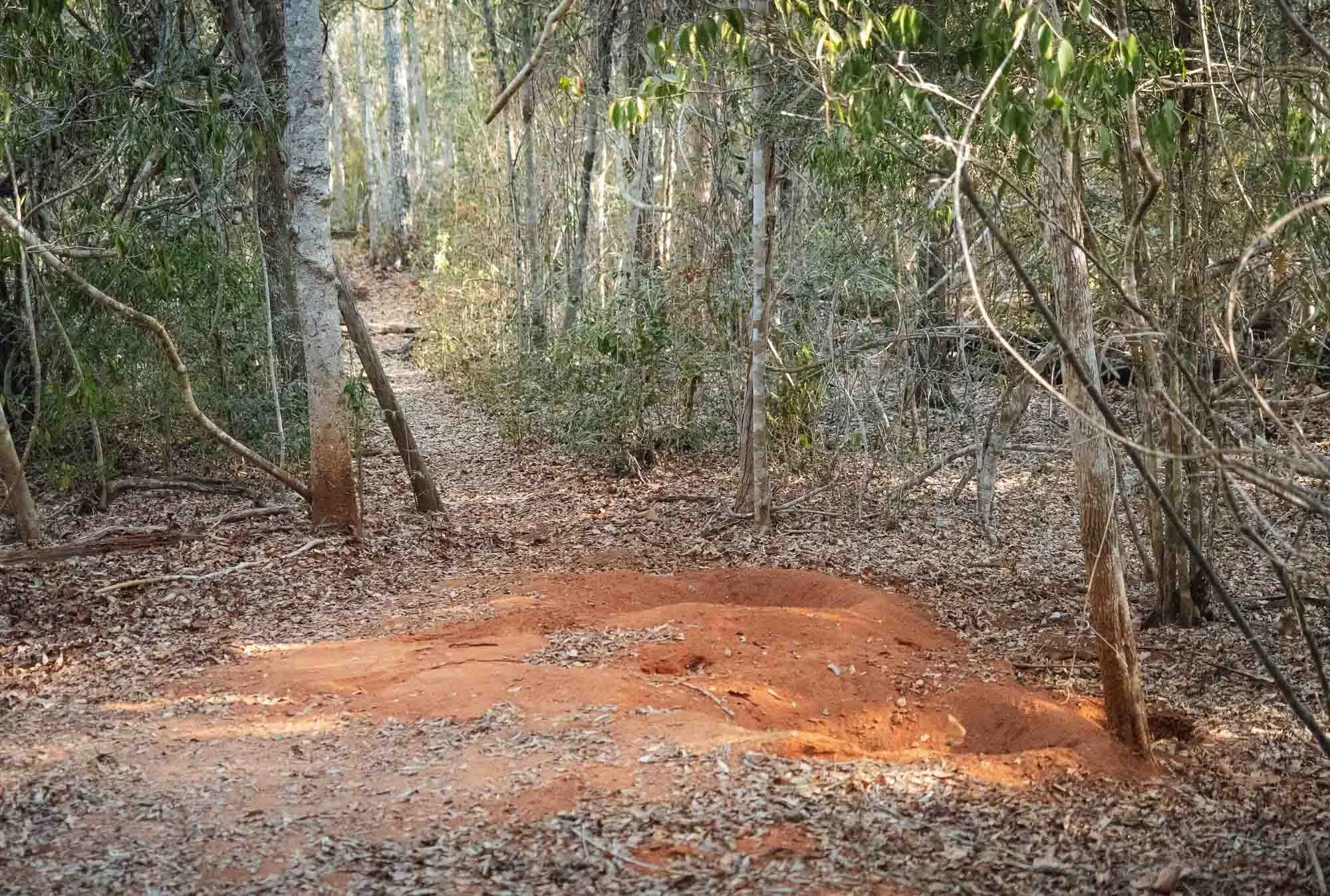
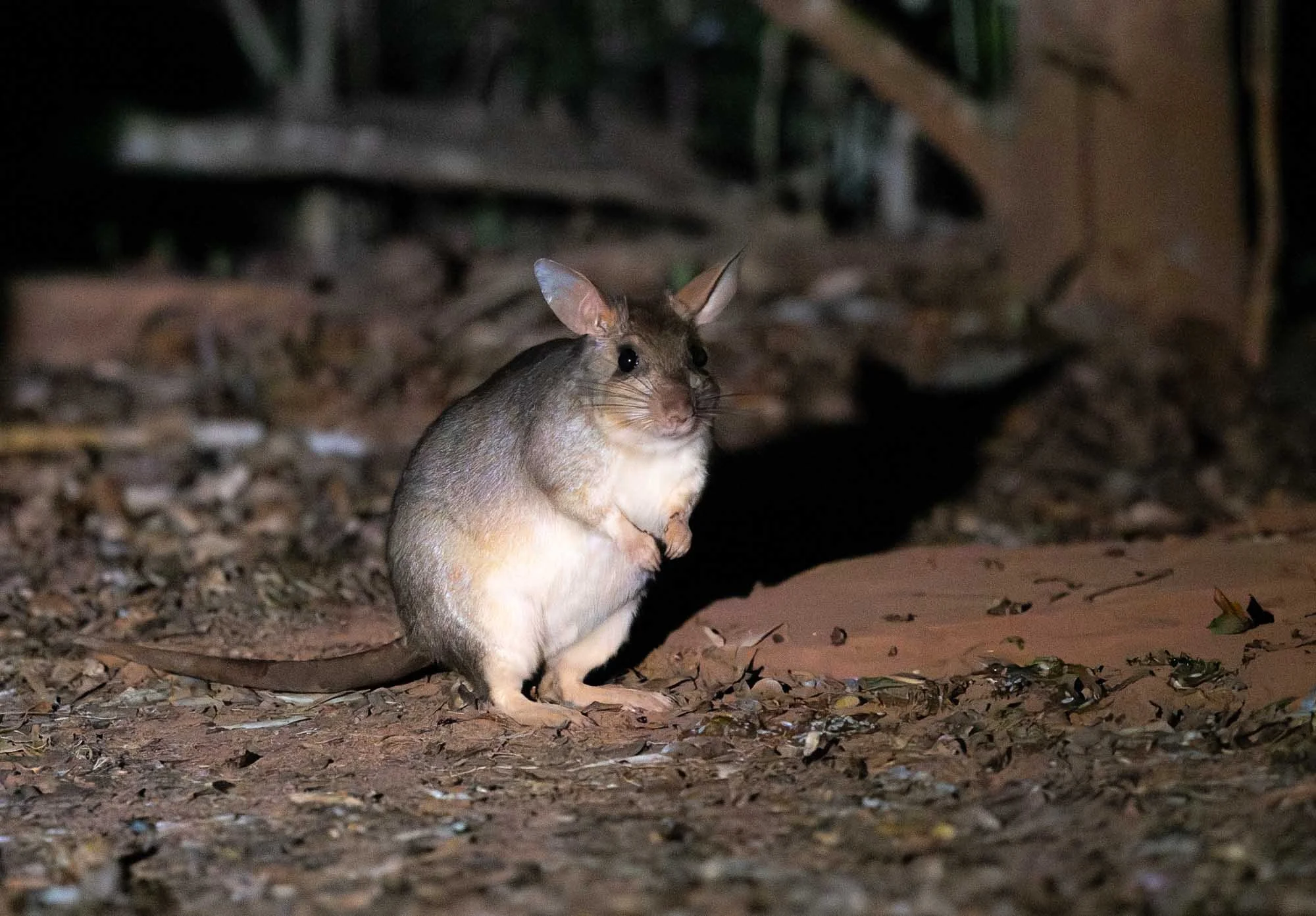
Although interesting, none of these animals (or the nightly Baobab visits) were the primary reason I came to Kirindy. This is because it’s also home to a species that is much harder to spot in the wild - indeed the two previous days of searching didn’t yield any results despite extensive walks through the forest, beyond some evidence of the Number 2 kind that the animal had left behind… I’m talking about the fossa. You may have heard about Madagascar’s largest predator in the eponymous movie, but it’s otherwise not a particularly well-known animal.
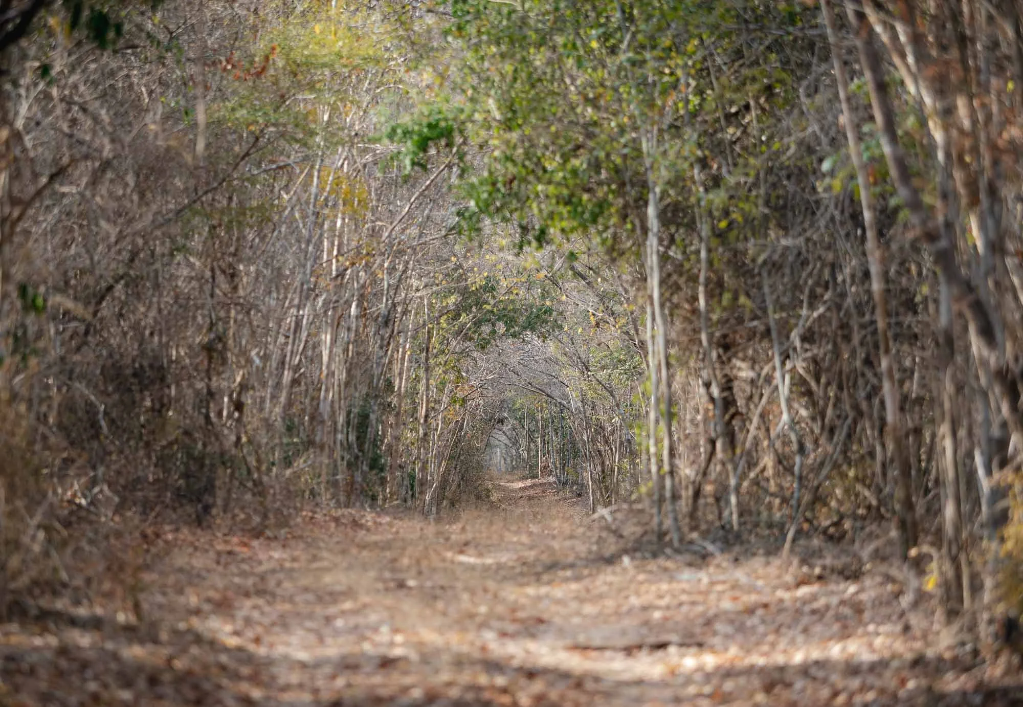
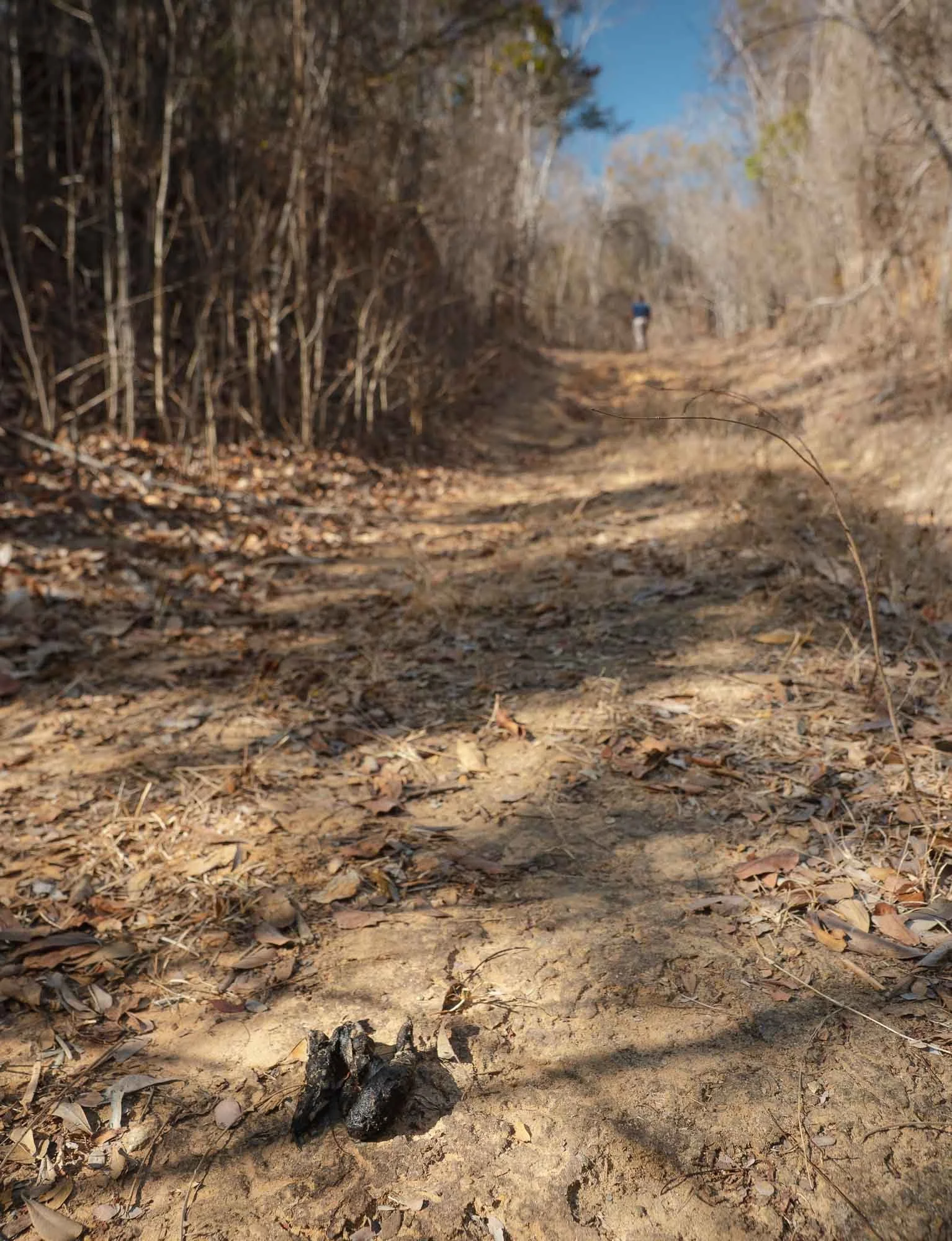
Despite the struggle, the last morning (once more!) had good news in store, with a small disclaimer: Kirindy is maybe the best place to see fossa in Madagascar, but they are still quite shy - with an exception. There is one fossa which - just like the brown lemurs - has gotten used to human presence and uses the various sources of food and water around the camp every few days. Even so, it is never guaranteed to spot it, so when my guide came shouting for me to grab my camera just before we were about to leave, it was still a moment of joy.
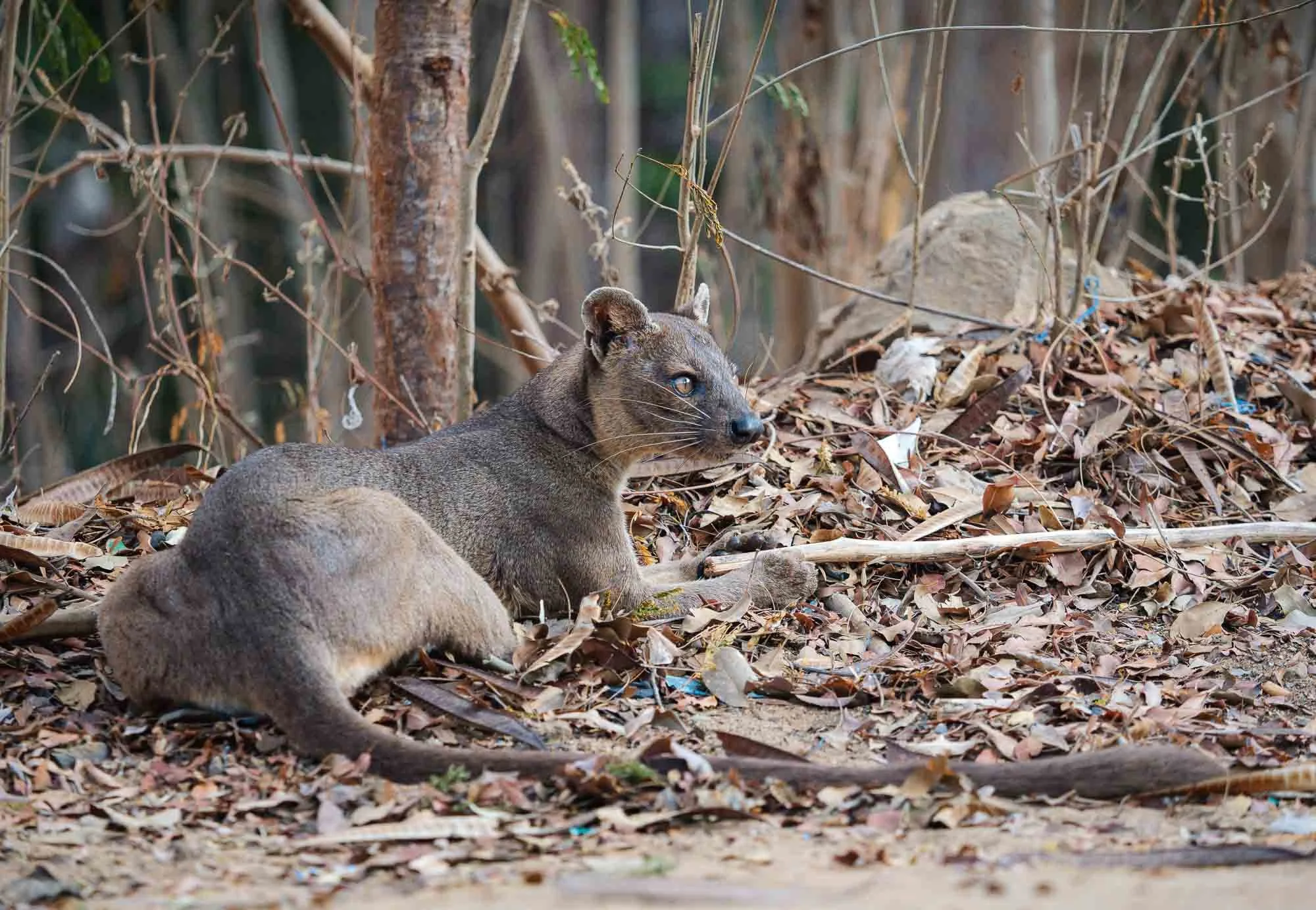
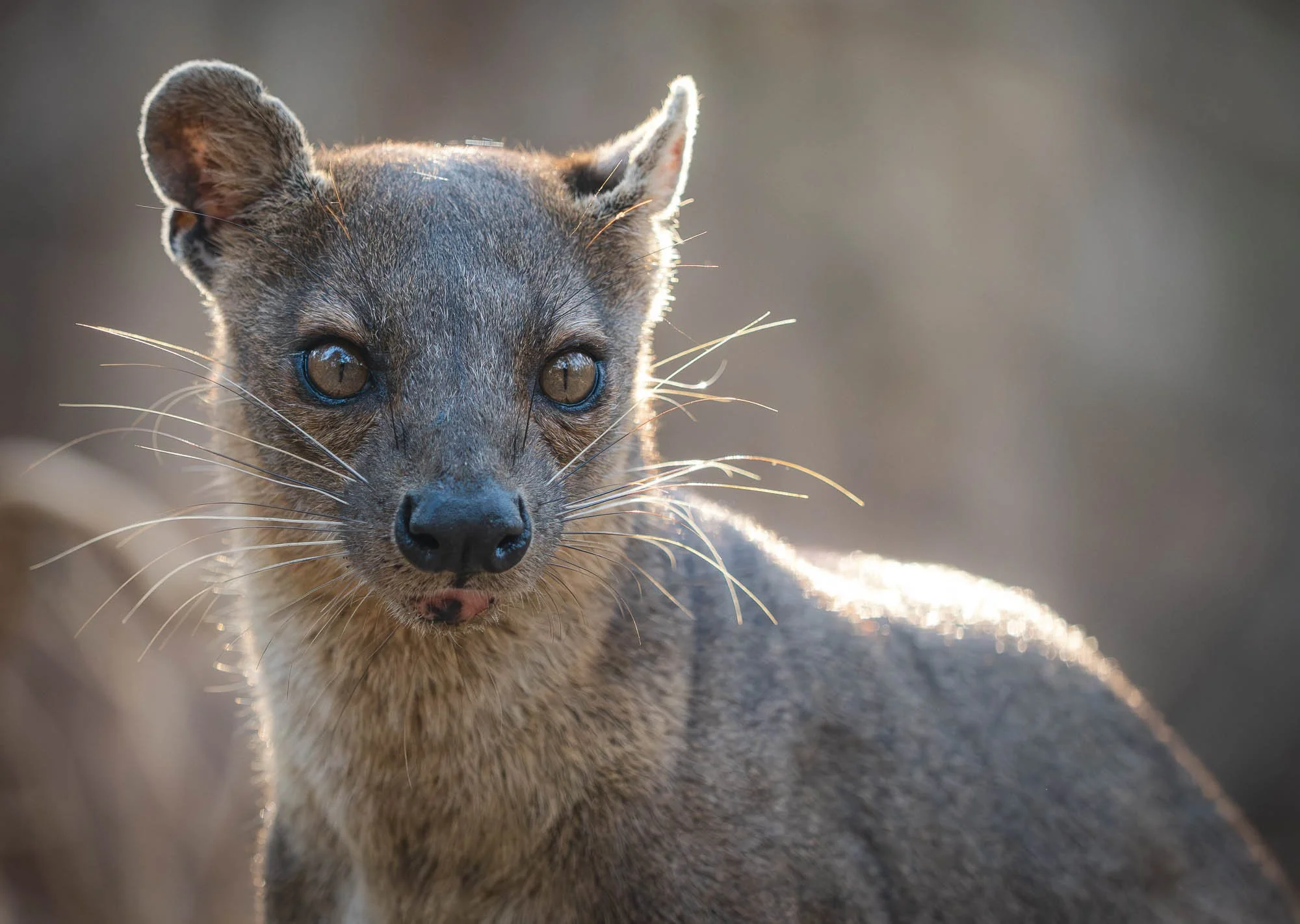
The fossa look like a mix between small puma and a big mongoose, with a strong body and a tail as long as its body - it is neither: fossa belong to Madagascar's endemic carnivore family, the Eupleridae. They are excellent hunters and pursue lemurs through the canopy as easily as on the forest floor. It gave us a few minutes around camp looking for food and water, before disappearing back into the forest.
With a feeling of relief we made our way further north, towards the next national park. The drive was hot, dusty and bumpy, but made far more enjoyable by a few interesting stops on the way, such as at these baobab collections - the last survivors of what was once a dense forest. Of the eight global baobab species, six only occur in Madagascar.
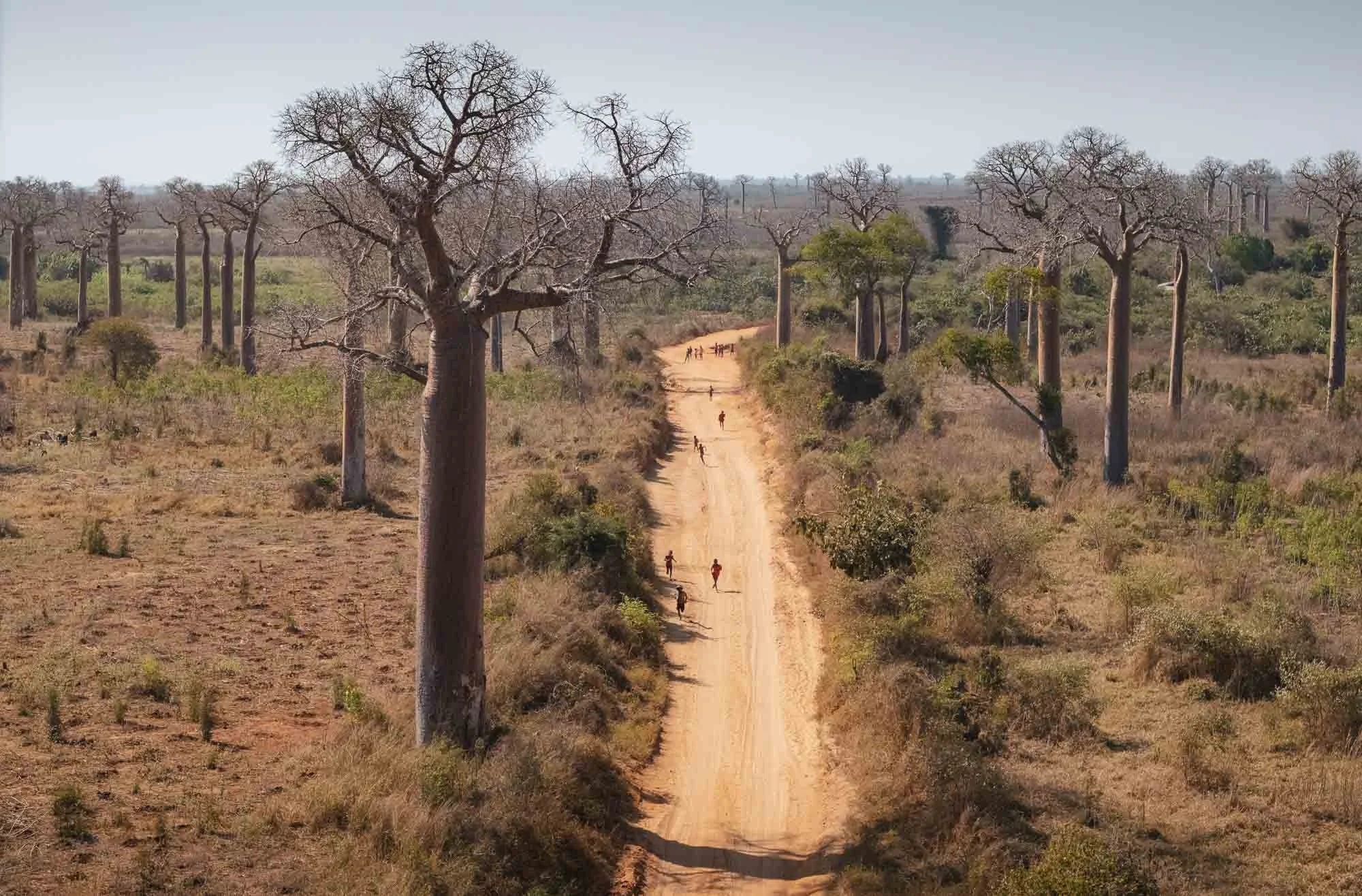
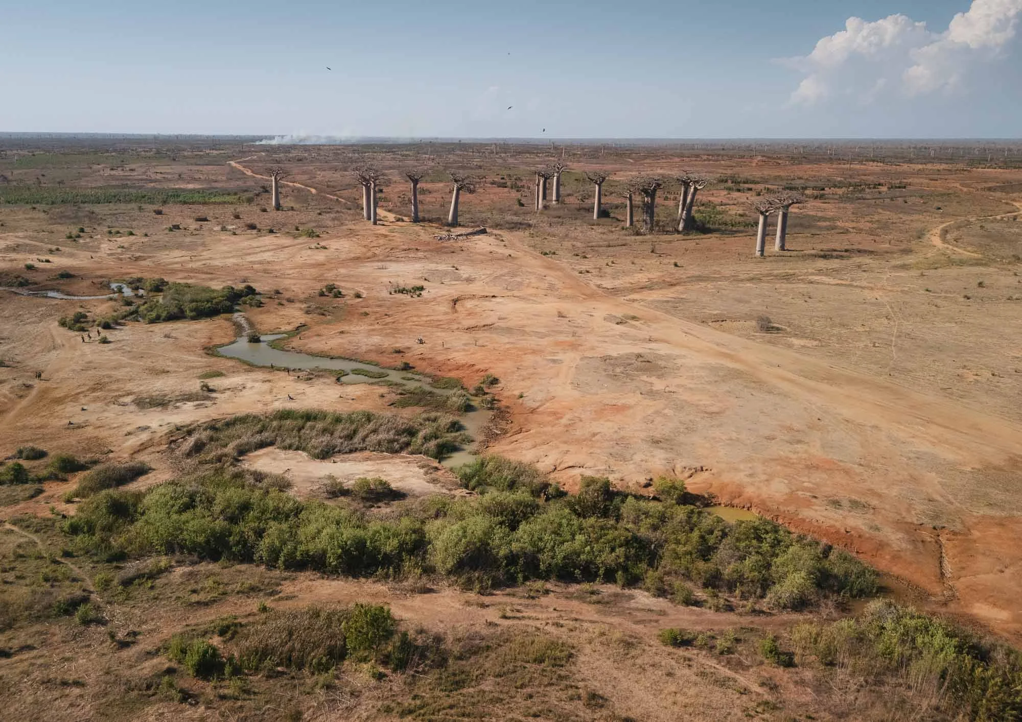
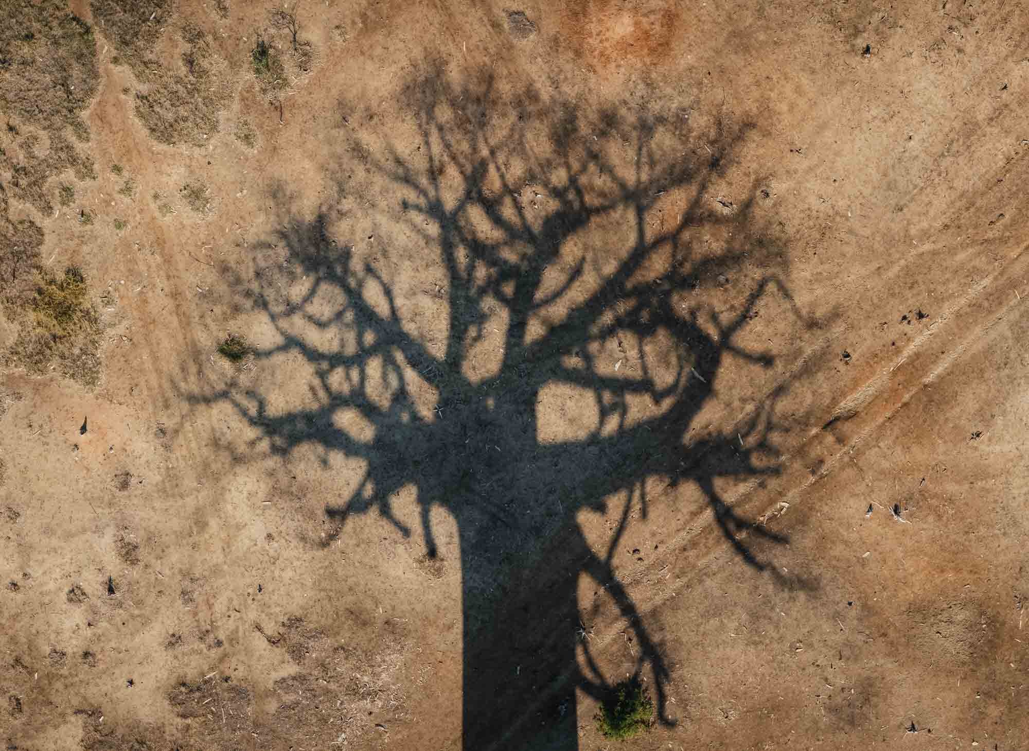
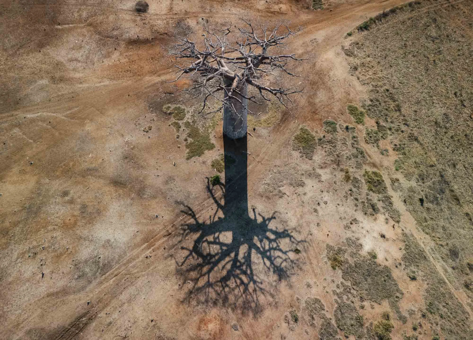
They lose their leaves in the dry seasons, giving them the characteristic “upside-down” appearance.
River Crossings
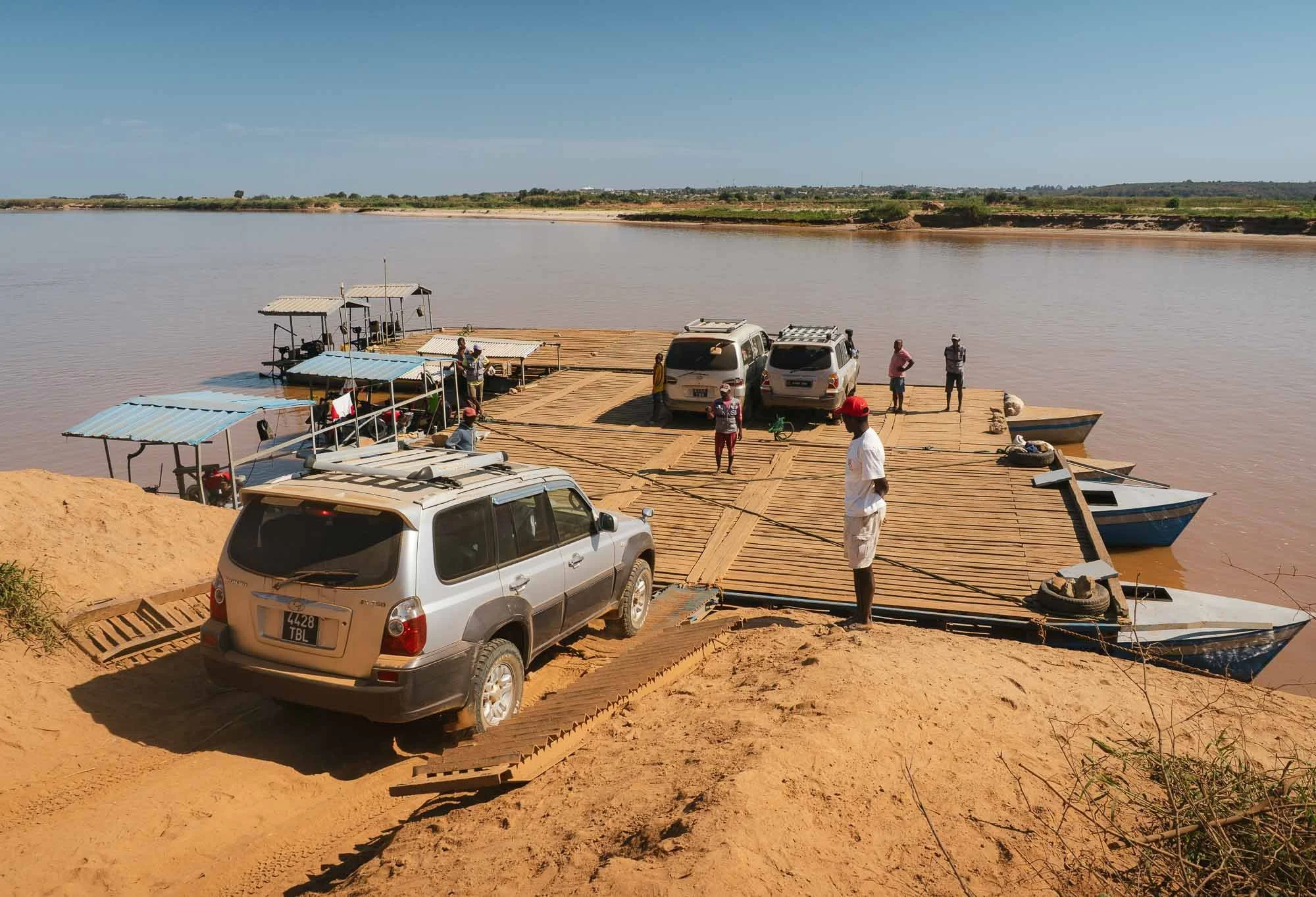
Our 7h journey also included two river crossings - that sounds quite mundane until you realize there are no bridges here. Instead, the cars are driven onto floating barges anchored on shore, and then shipped to the other side.
This trip can only be made during the dry season, the roads are not passable after heavy rains and the boats not equipped to cross the rivers during high water levels. Even with barely any current flowing these days, I was surprised the small engine was able to push us across.
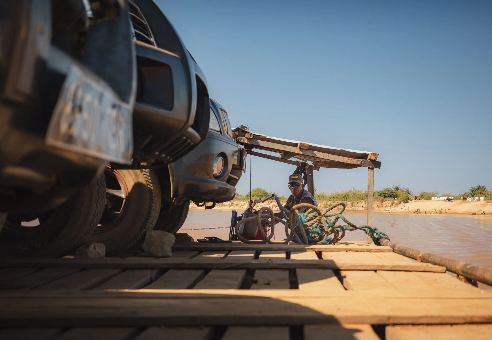
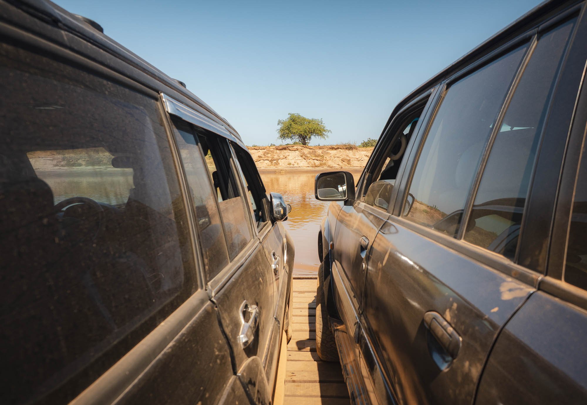
We did make it over both rivers, and I got the chance to document the journey from above, thanks to the very slow moving barges.
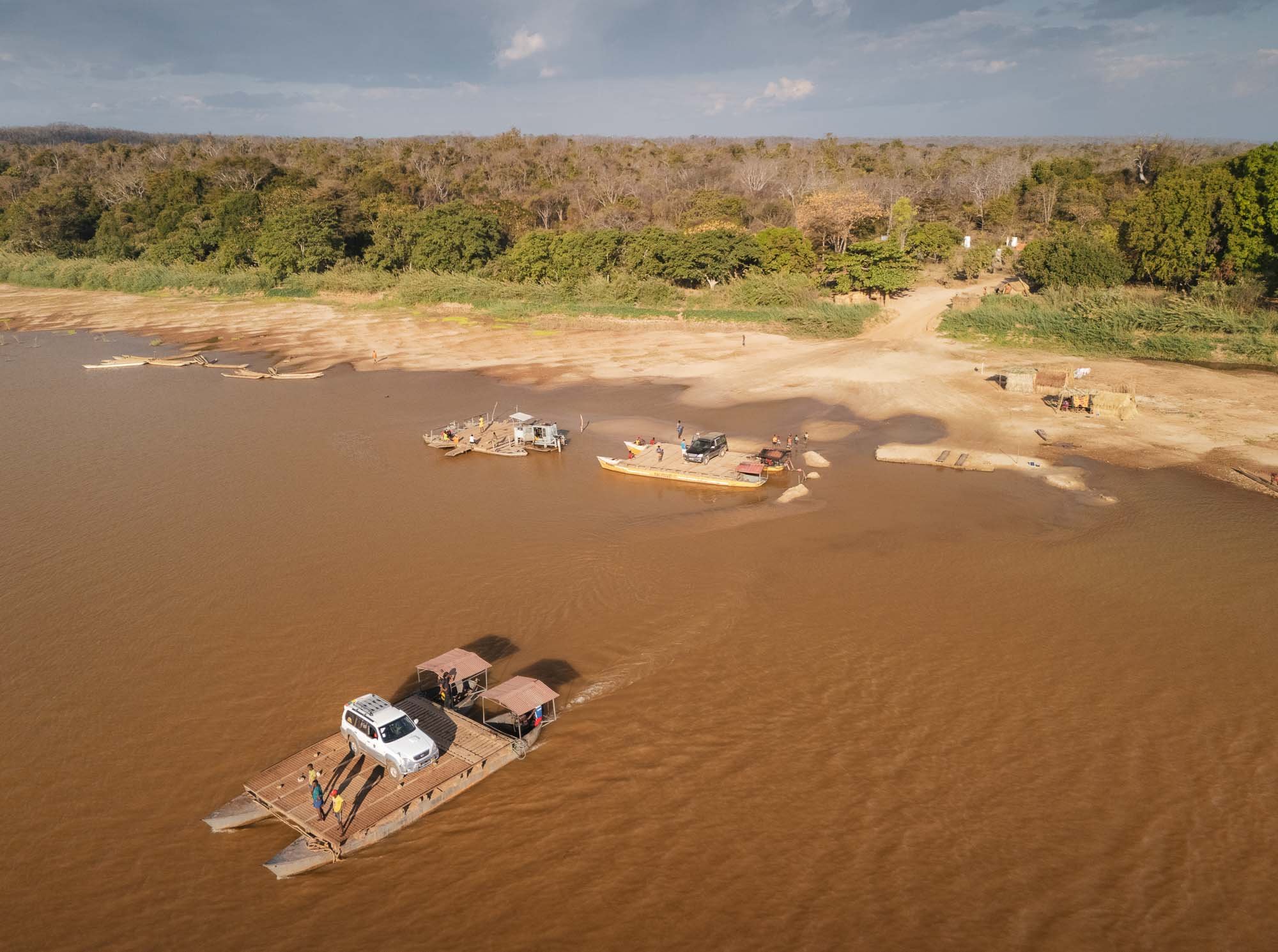
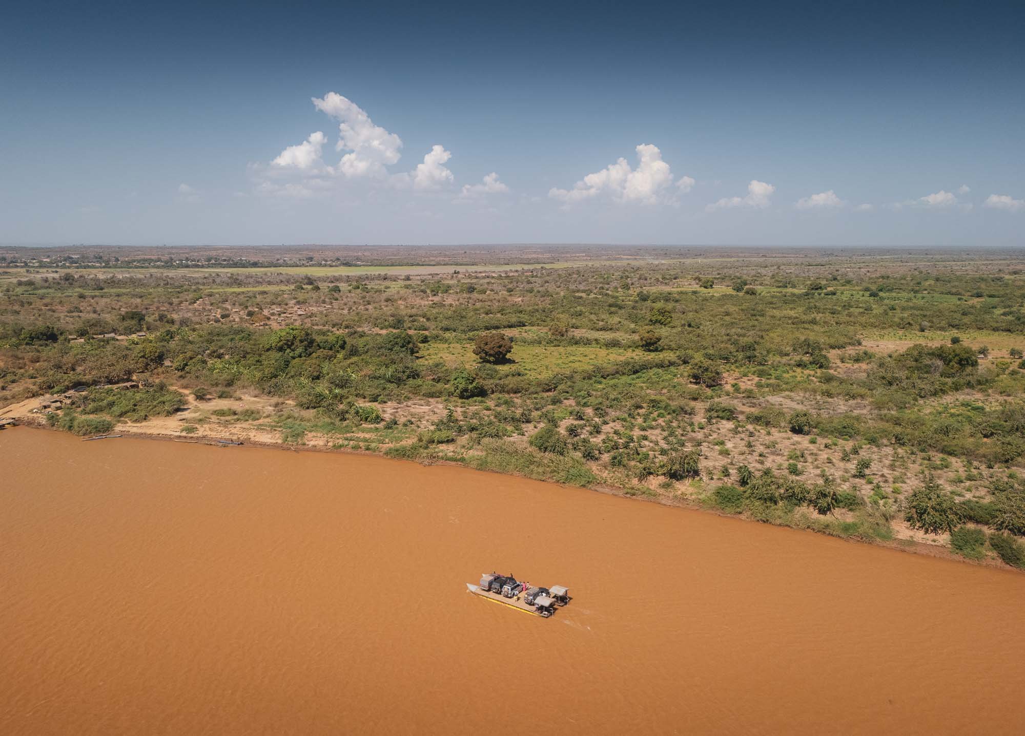
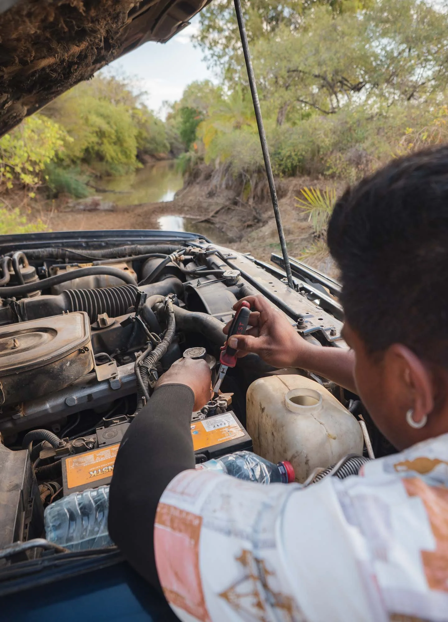
Rivers weren’t the only hurdle: close to our destination the car’s battery cables weren’t happy with the constant rattling from the bumpy roads, and some improvised repairs were needed to get us going again.
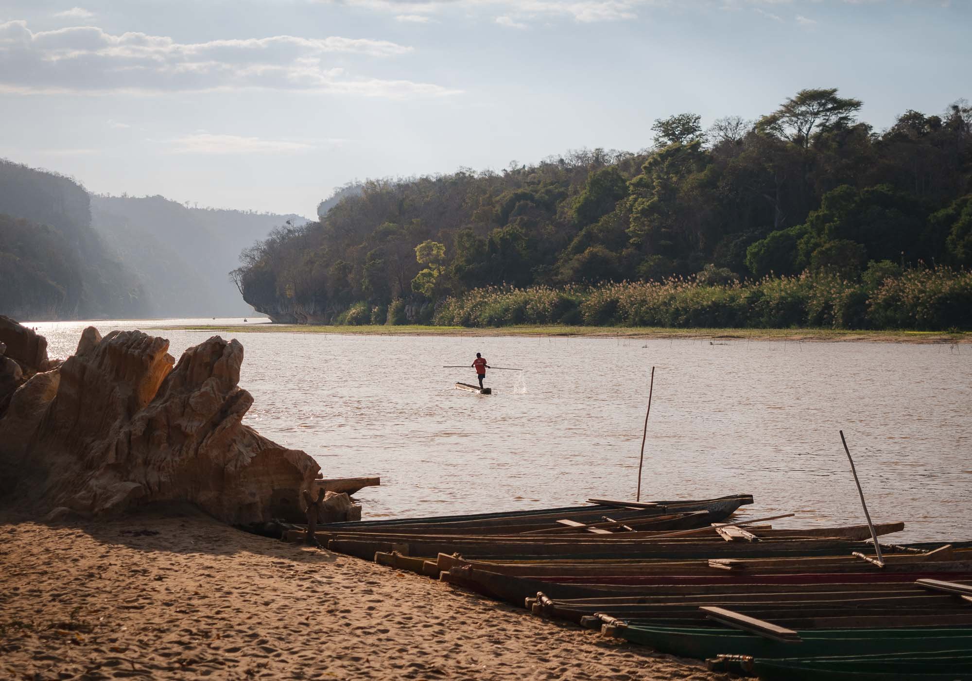
The Tsingy
So why would anyone make this rather cumbersome journey? Well, it turns out this part of the country is home to one of its most unique landscapes, and probably one of the most unique landscapes anywhere on earth. But before exploring that, we planned a small boat tour along the river.
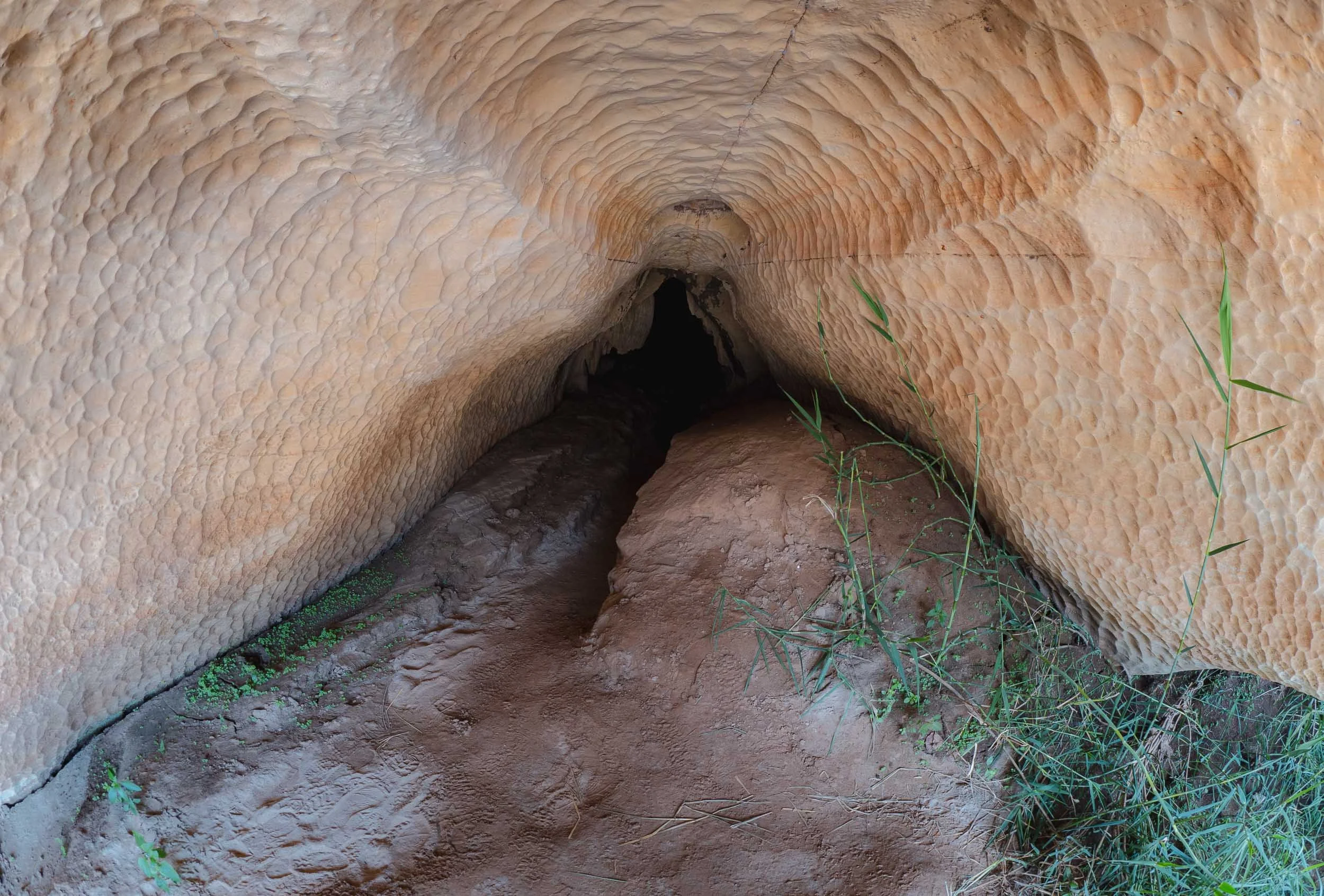
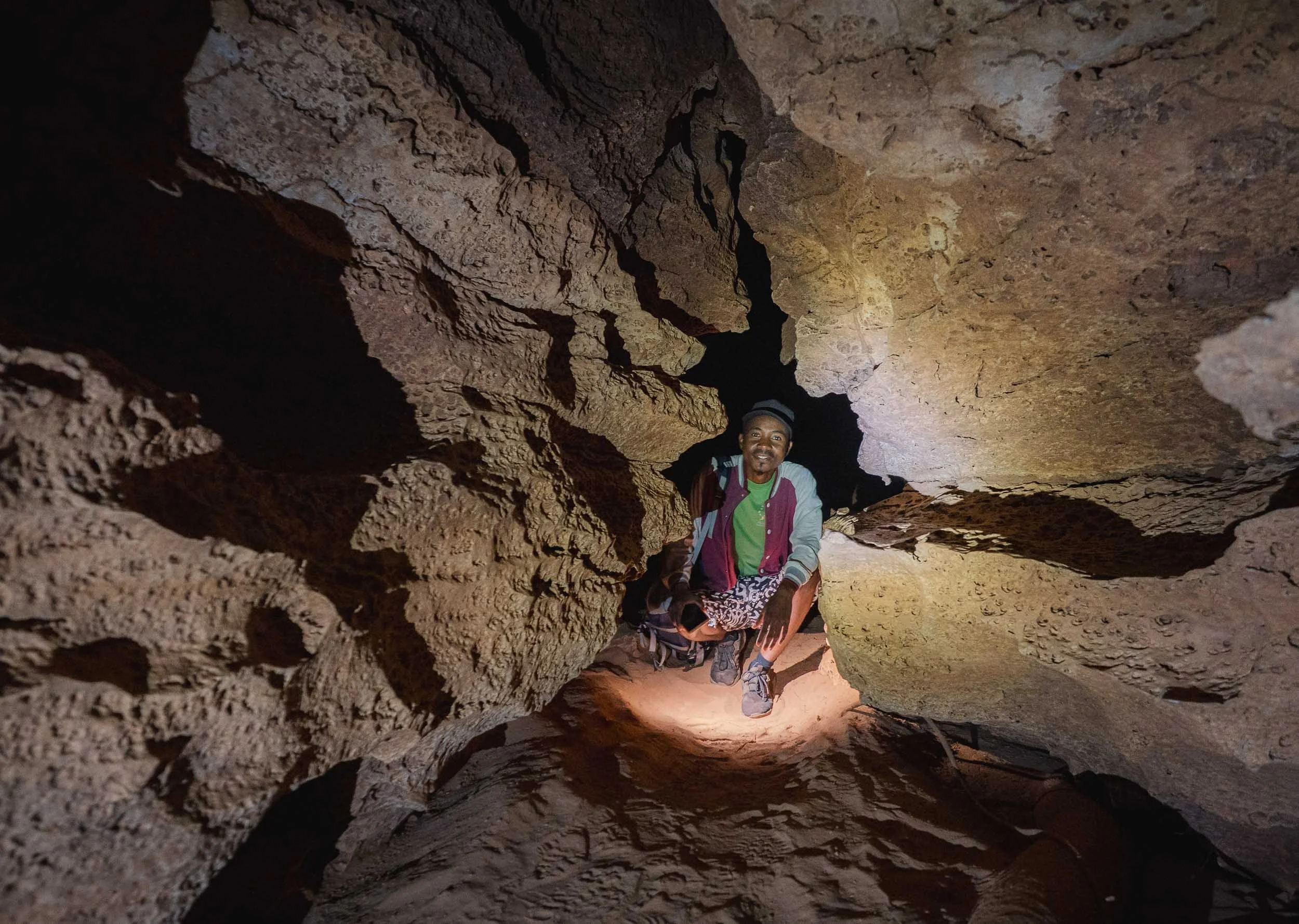
The Manambolo river serves as the only way to reach two quite beautiful small caves, if you’re brave enough to crawl into and through the rather narrow entrance. Once more, the water level defines accessibility - they’re both flooded during the rainy season.
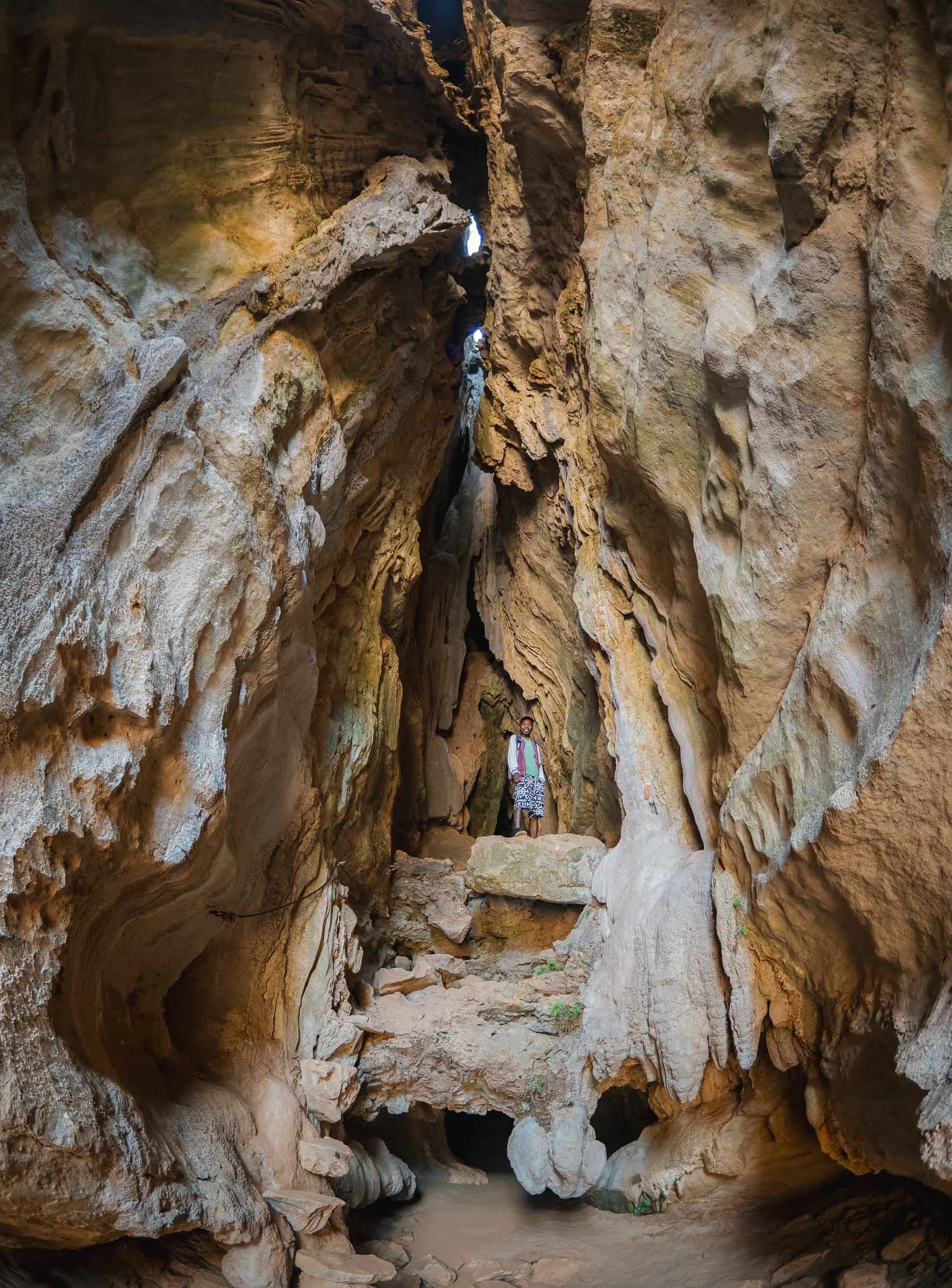
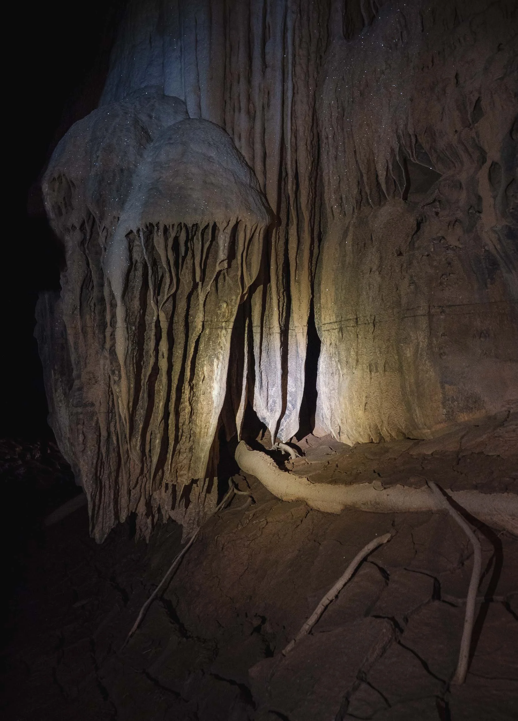
The Vazimba
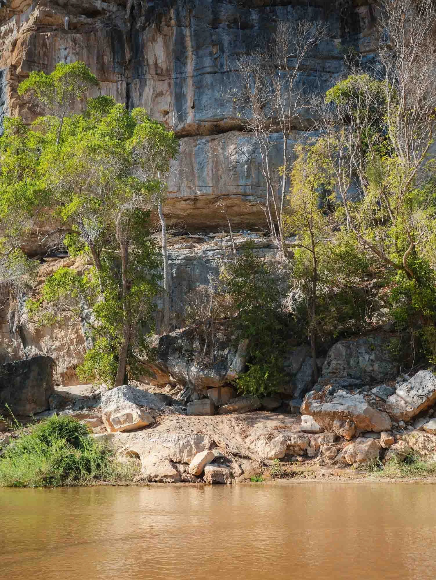
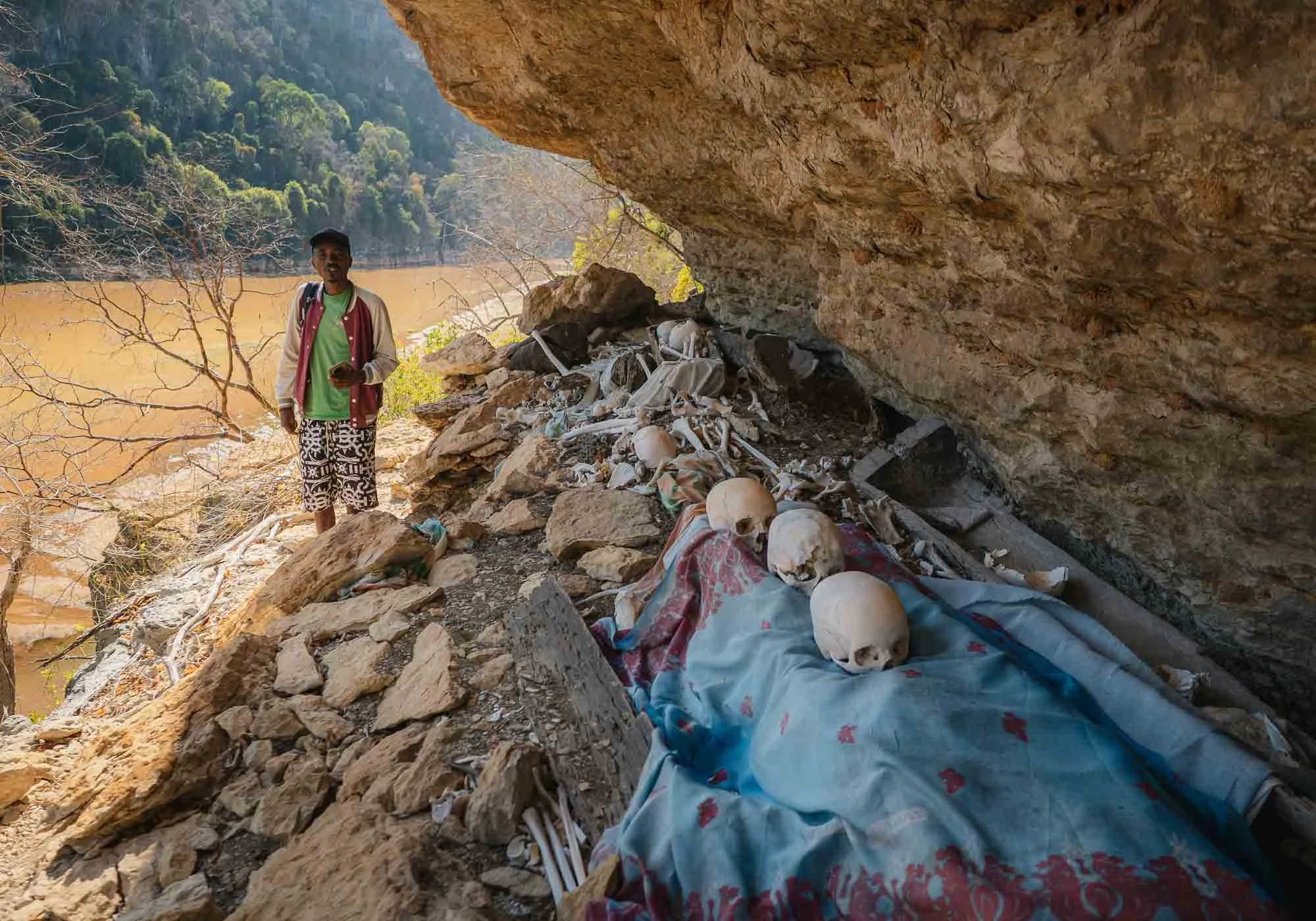
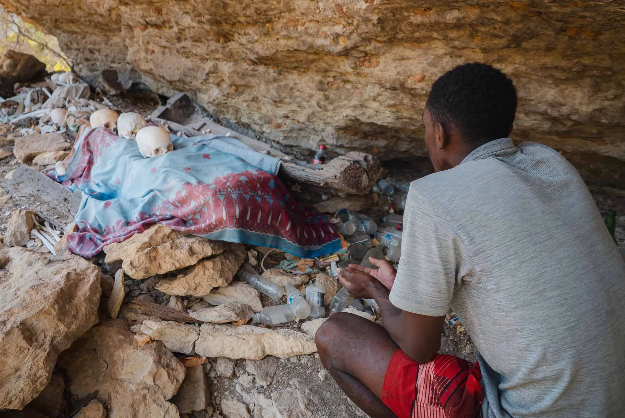
Further upstream, our boat captain pointed to a ledge in the limestone rocks: an exposed tomb. The area surrounding the Tsingy limestone forest was historically inhabited by the Vazimba people, often considered the earliest known settlers of Madagascar.
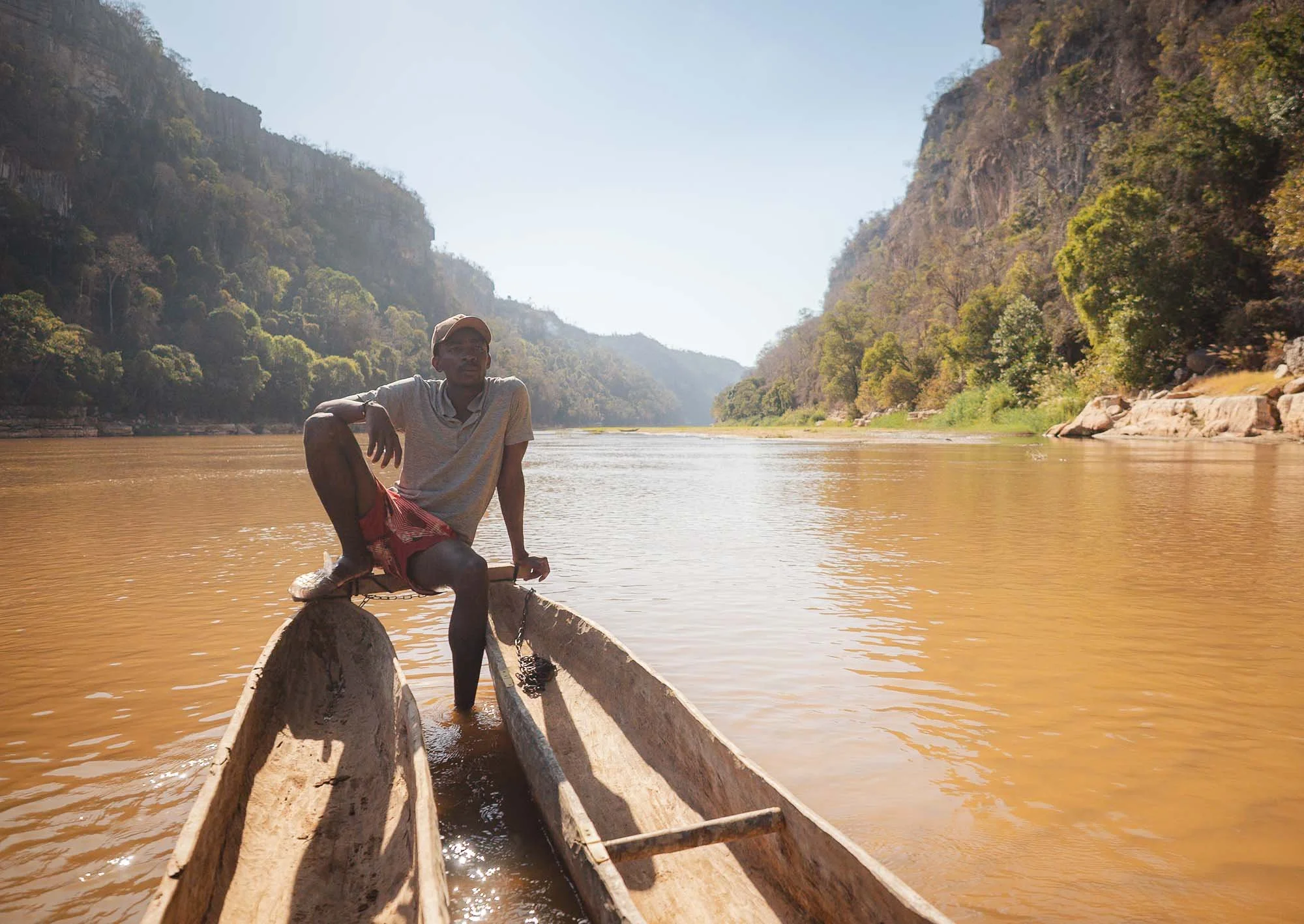
Being one of their descendants, he will take you up the rocks on a narrow path to take a look at some of the centuries-old wooden coffins and bones - for a small donation, obviously. Many such tombs remain in use and sacred to local communities today - small offerings such as money and bottles with the local distilled sugarcane spirit called toaka gasy surround the site.
After returning, we visited the so-called Small Tsingy - a dark limestone formation just by the river crossing, which features an easy 1 or 2 hour hike. It offers a first taste of Bemaraha’s extraordinary limestone landscape, which we planned to see on the following day.
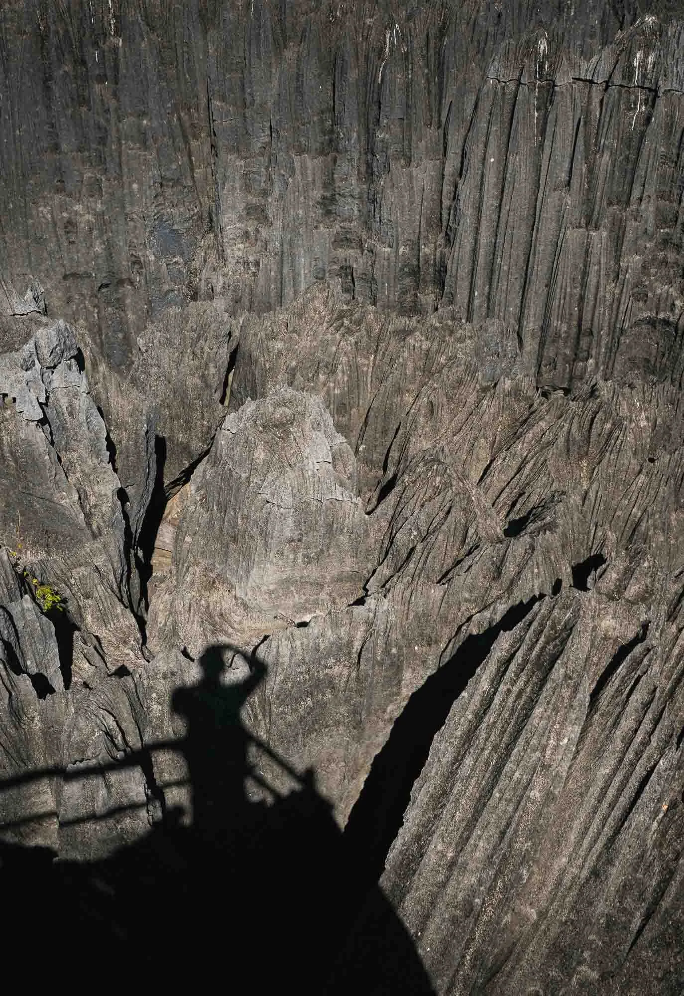
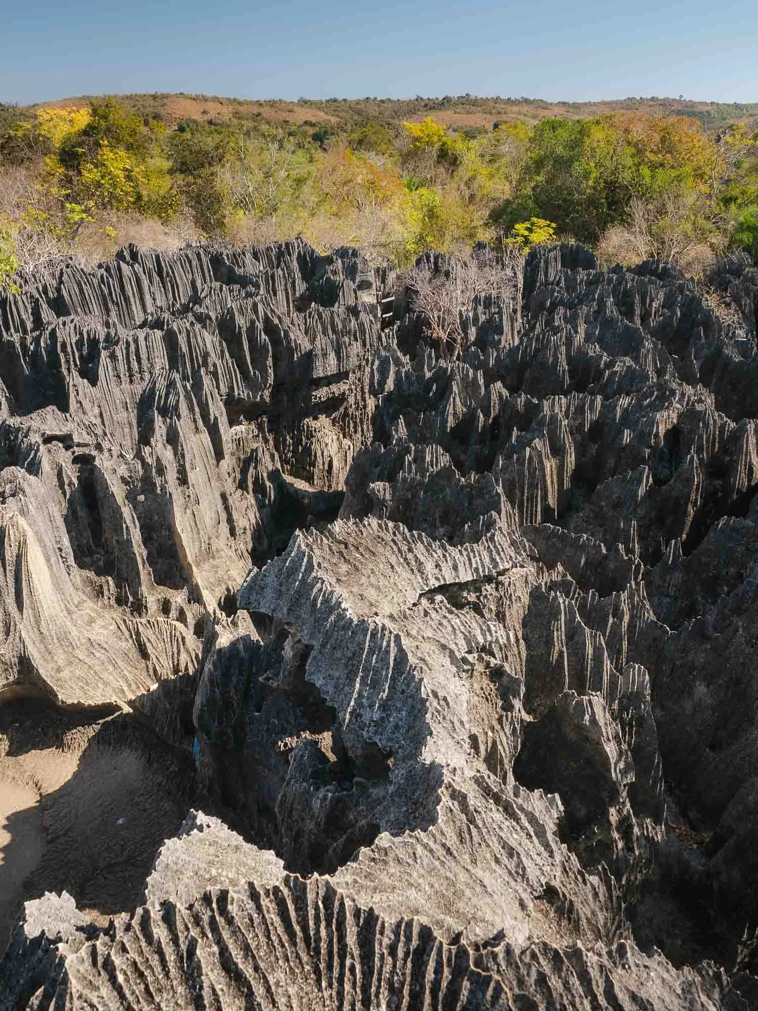
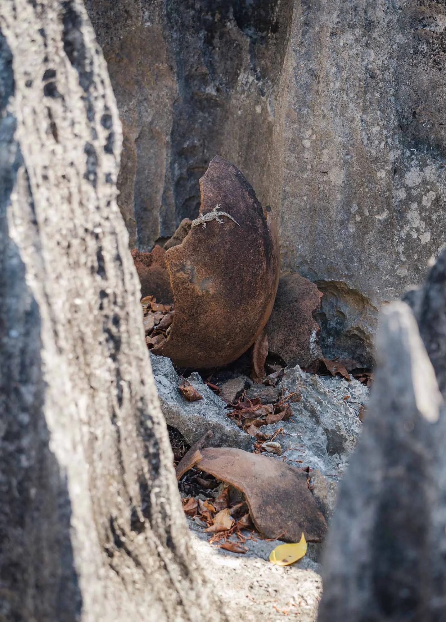
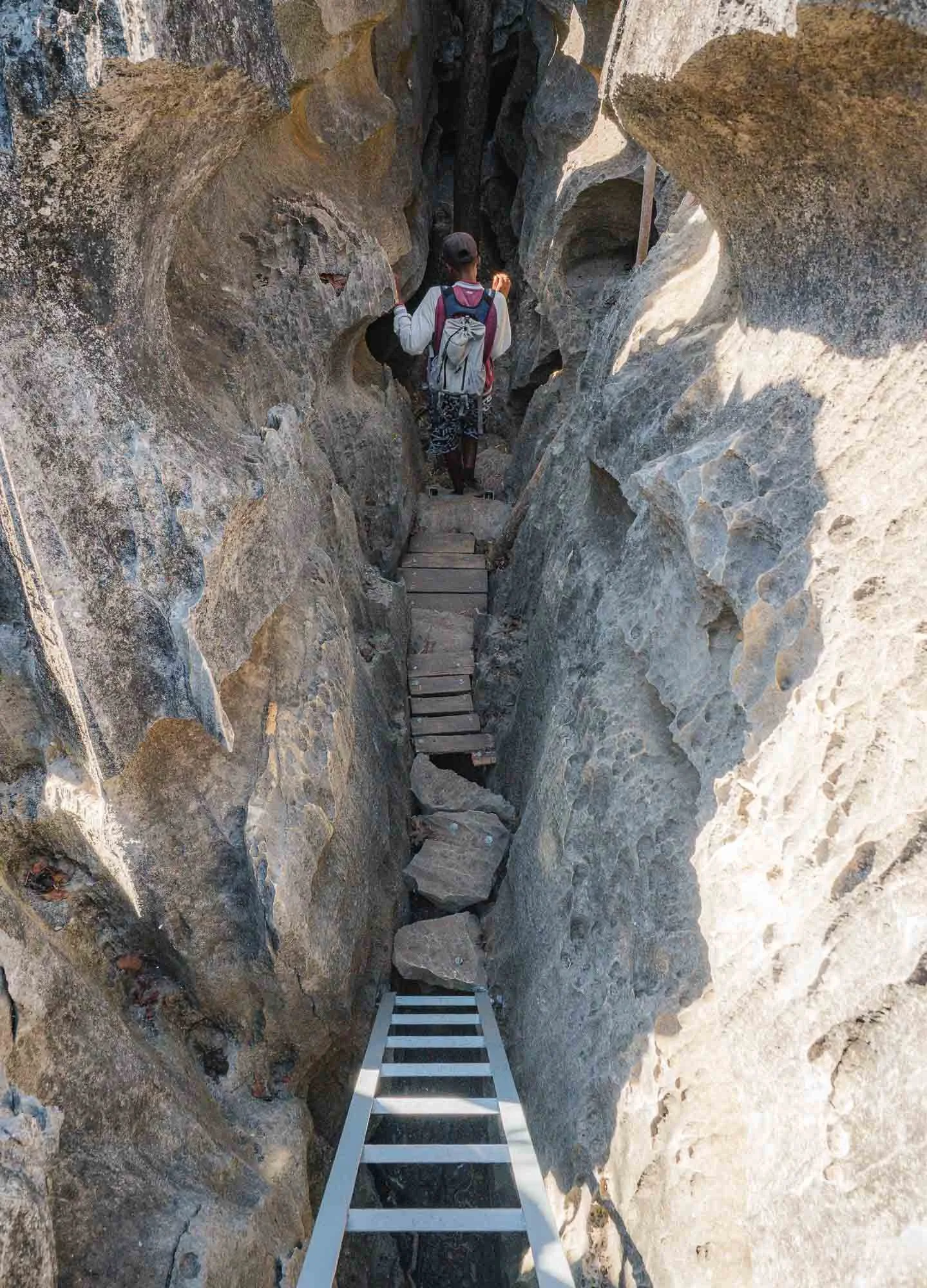
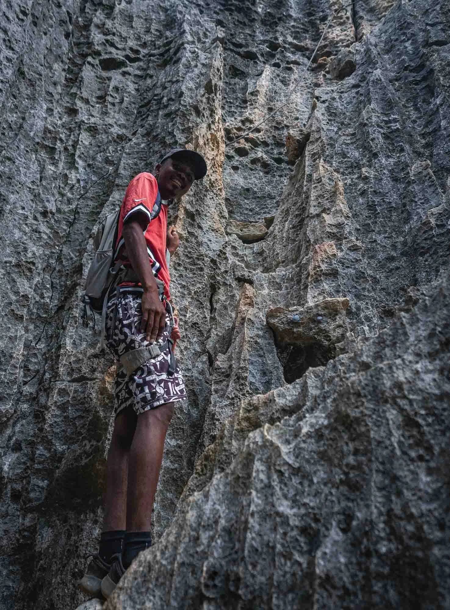
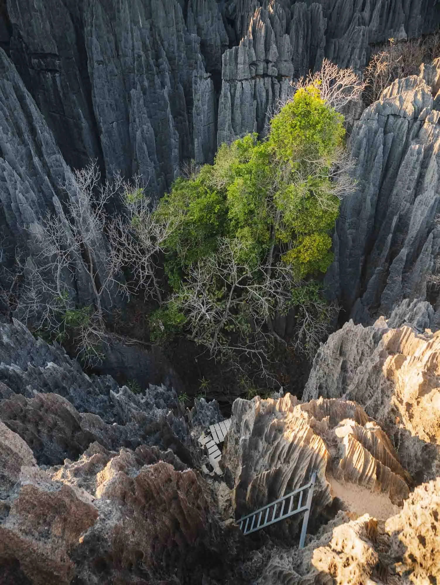
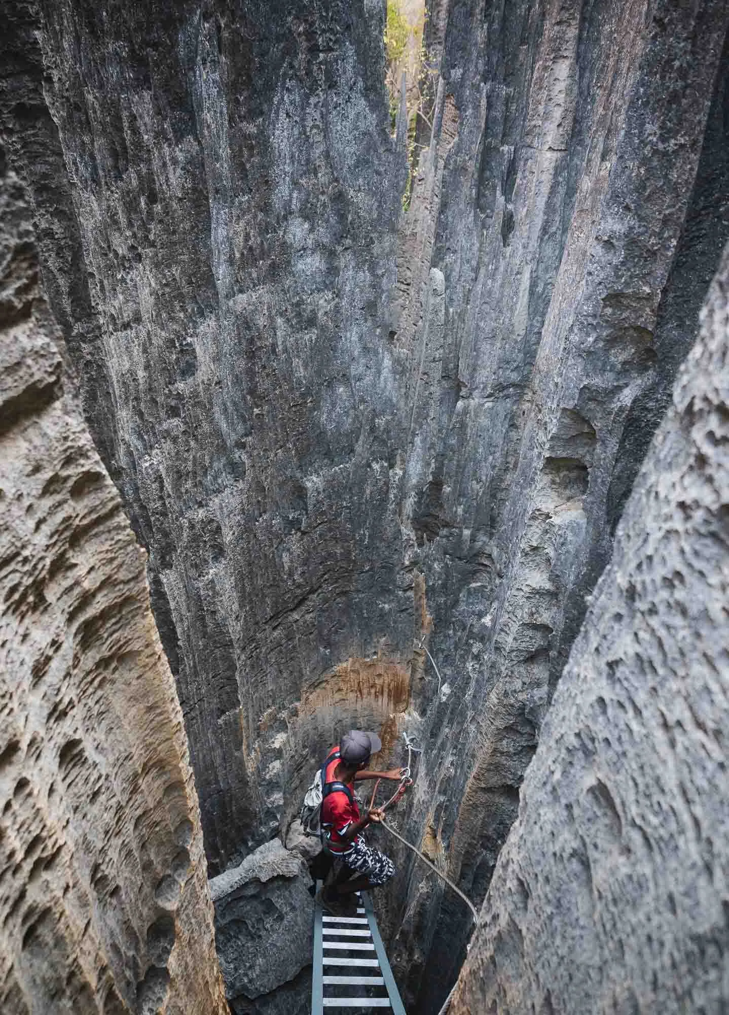
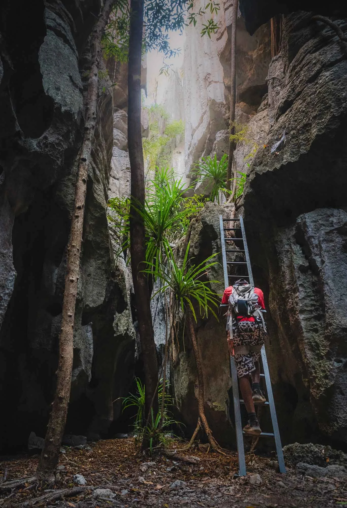
Some steep ladders, wooden steps, and a few stones affixed to the walls with nails help you navigate the razor-sharp rock formations. Tsingy is often translated as ‘where one cannot walk barefoot’. That didn’t stop the Vazimba who used to live here in the past, with evidence of those days such as ancient pieces of pottery still found among the crevices in the rocks.
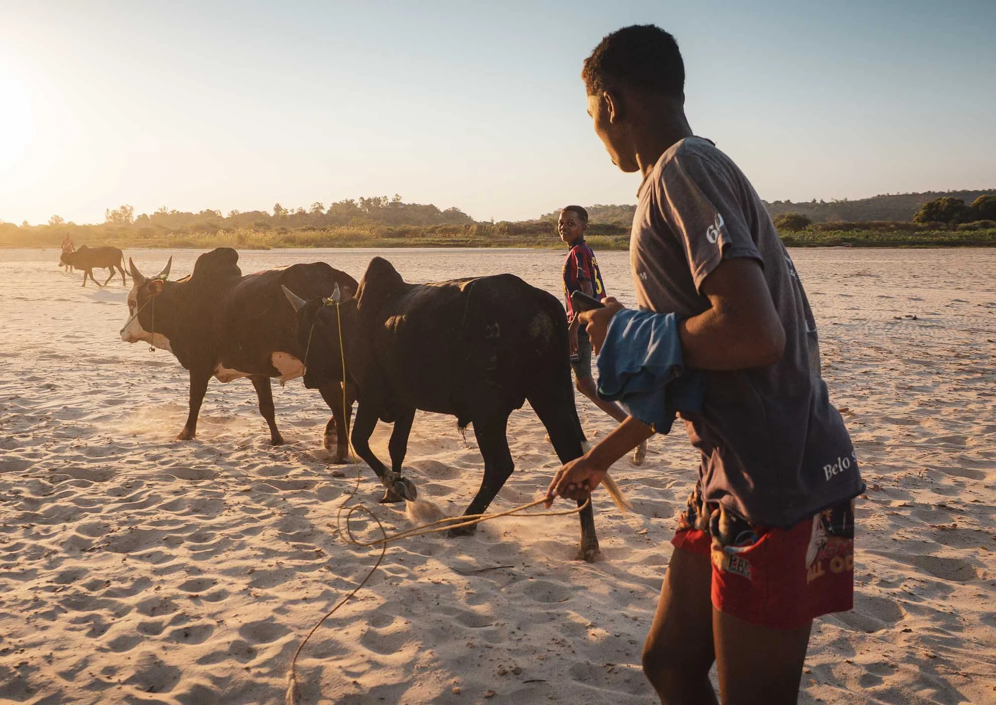
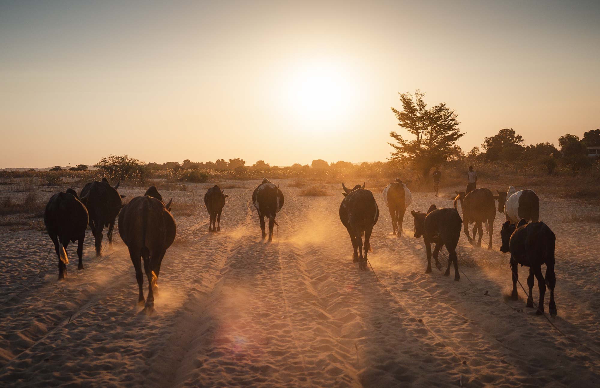
At sunset, we encountered these young boys by the riverbed, where they just finished taking their herd of zebu for a drink and now made their way back to the village. These humped cows represent more than just livestock here, also serving as a store and sign of wealth for their owners.
Grand Tsingy
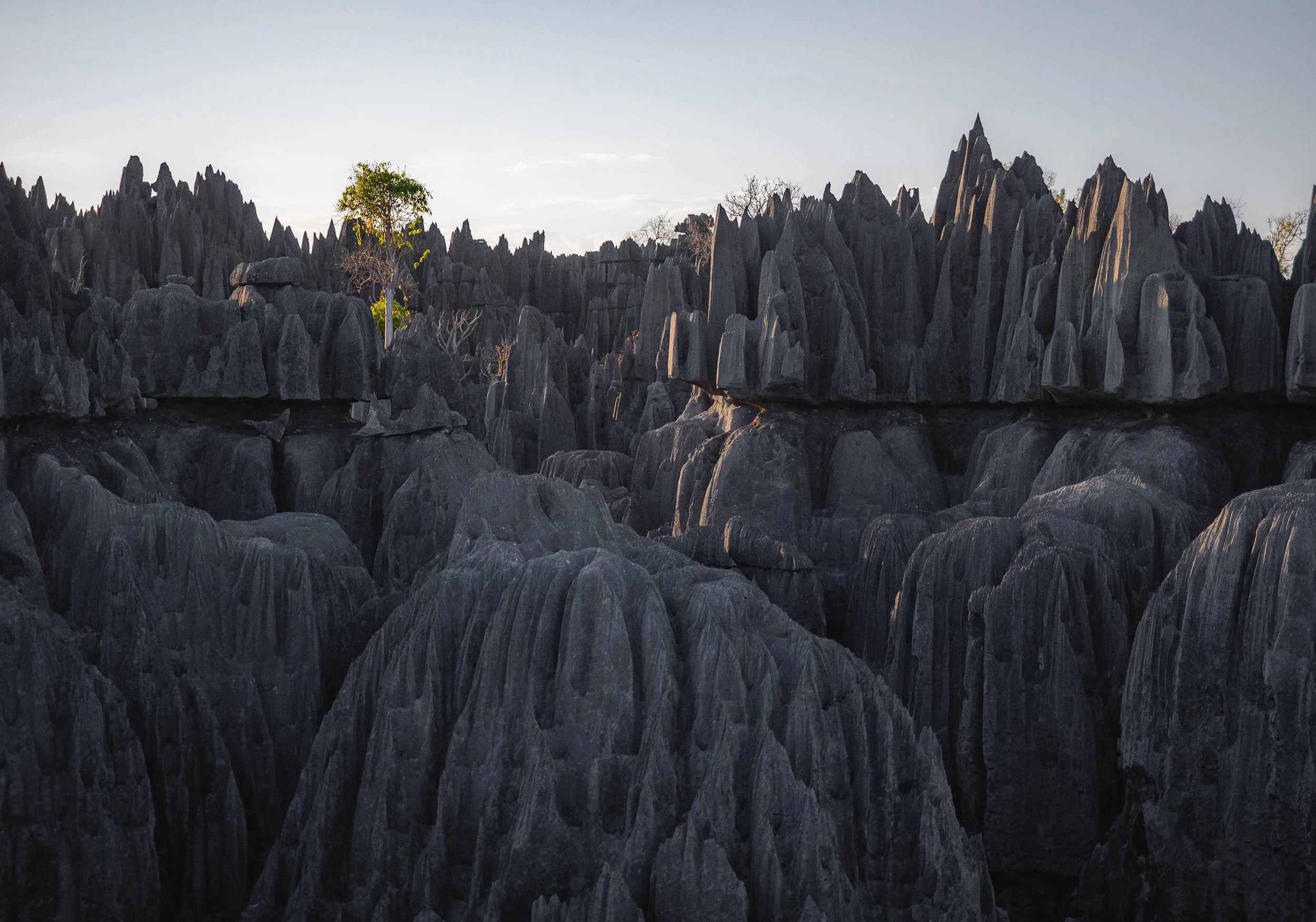
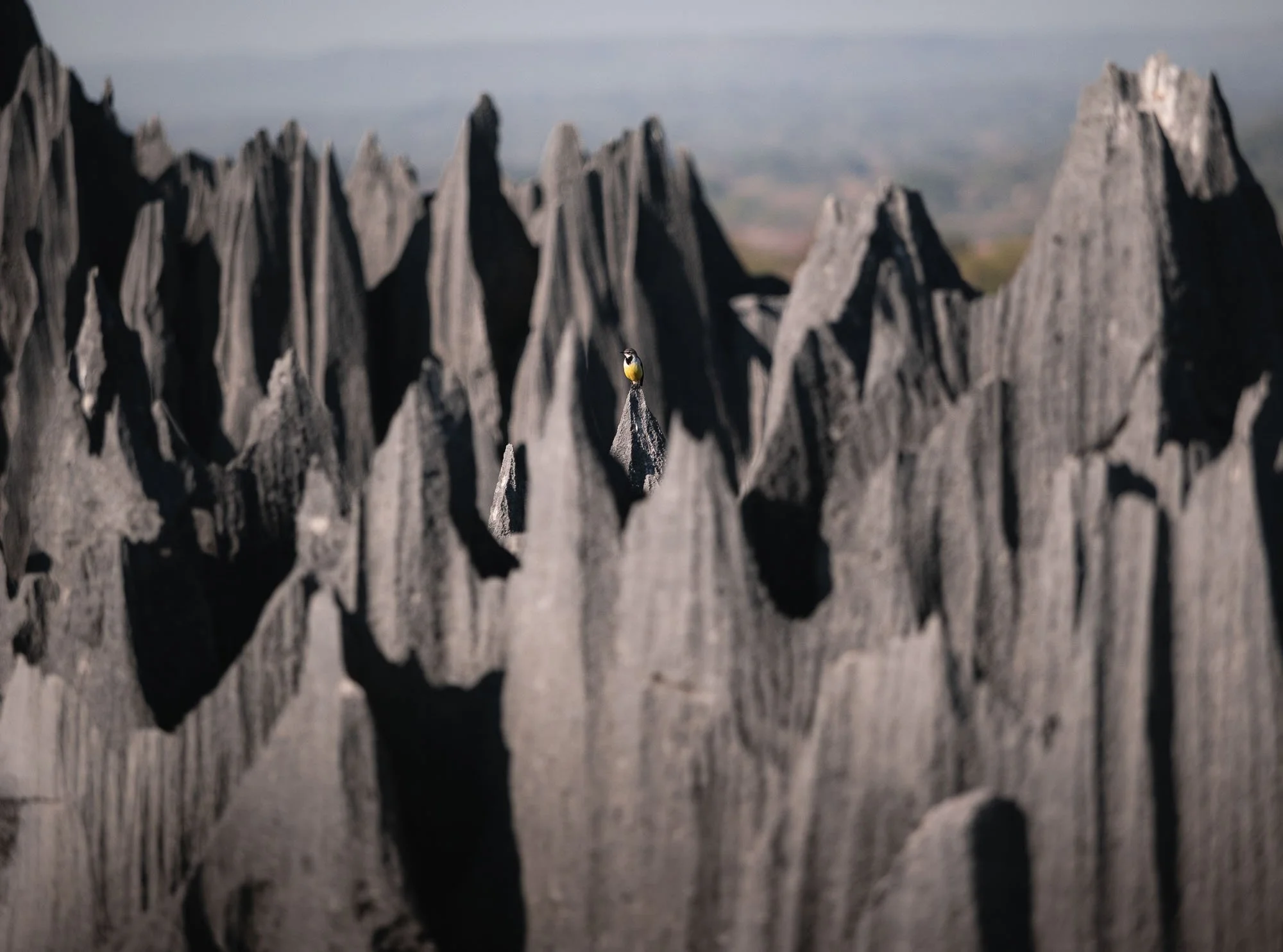
Although I realised the area has more to offer than I anticipated, the main attraction in Bemaraha’s UNESCO World Heritage Site are these amazing limestone formations - rightfully so, just look at this!
It’s a two hour drive from the village over very bumpy roads (who’d have thought..) before you enter the edge of the rock formations. From here, a walk through the forest and a number of smaller caves takes you to the steep edge of the rocks. Once more a mix of ladders and steps await, but this times ropes are involved - a harness is mandatory to make your way up here.
Views from the Top
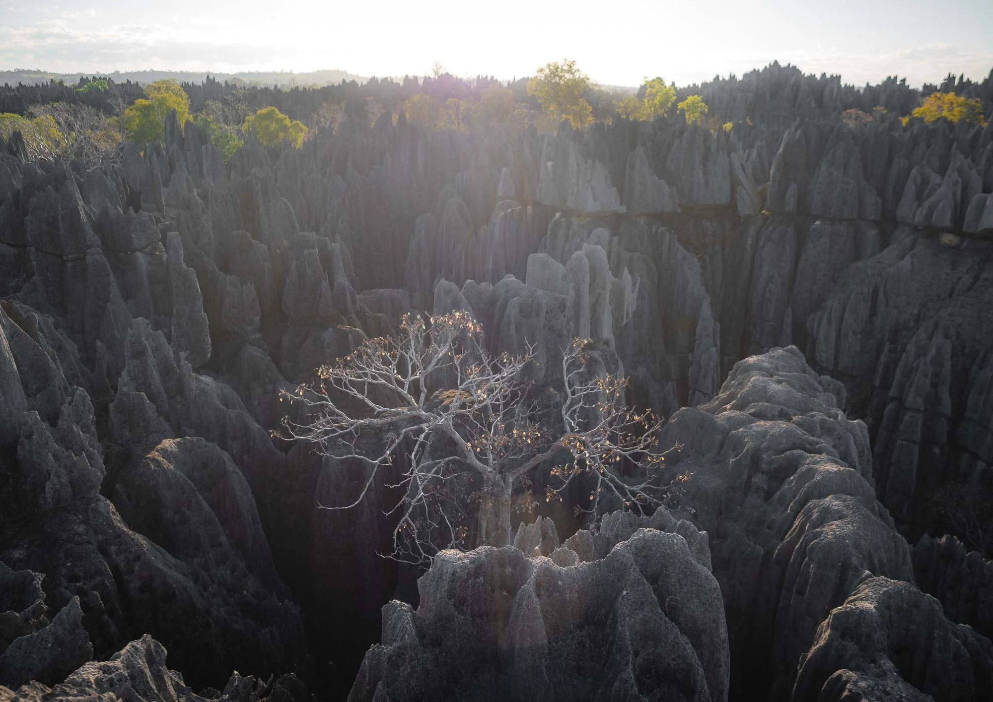
The reason for the sharp edges and terraced formations is chemical (rather than mechanical, i.e. wind) erosion. Jurassic sea deposits created the limestone 170 million years ago, much later rain and groundwater dissolved it into the pinnacles, caves, and fissures we see today.
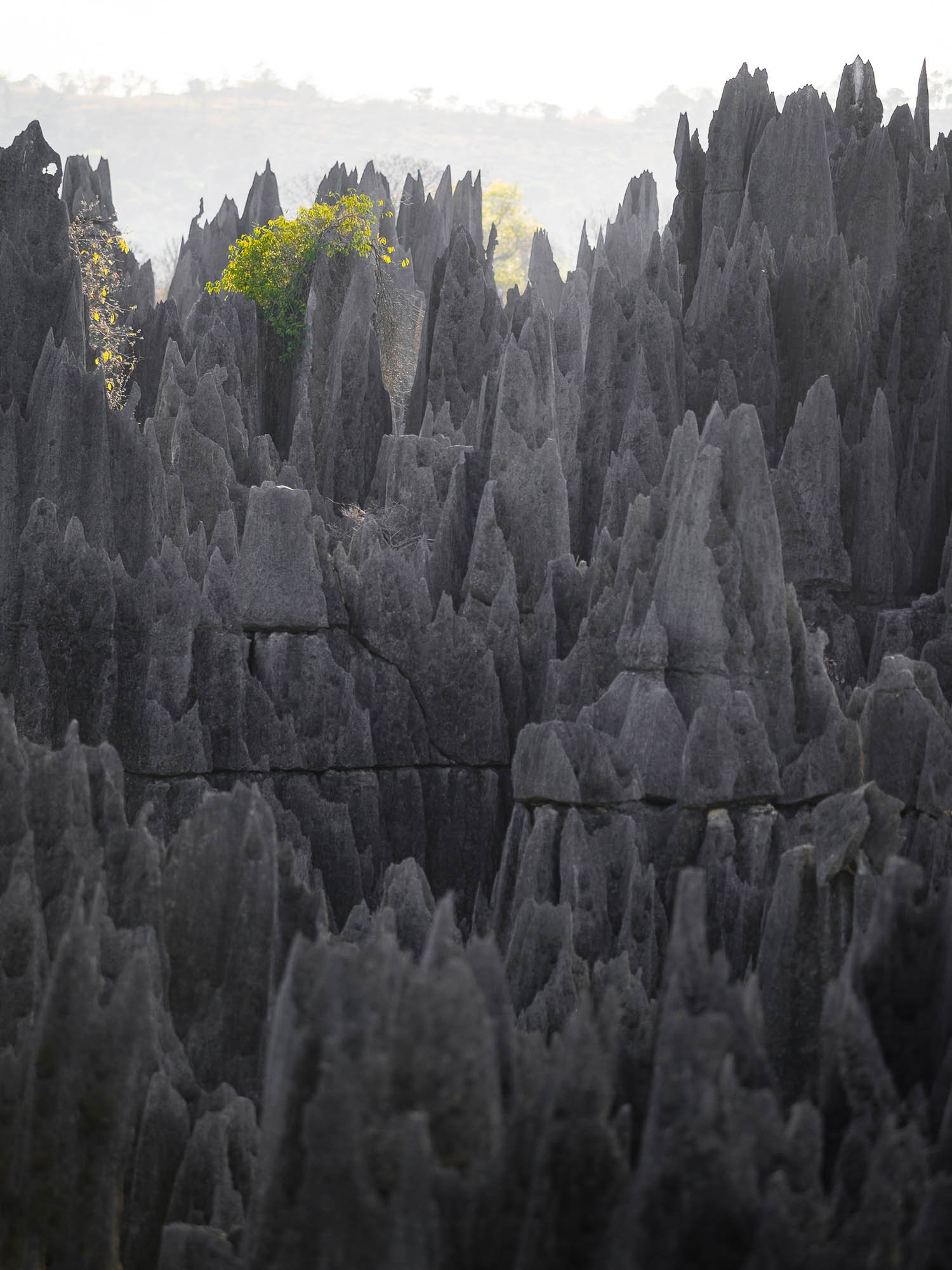
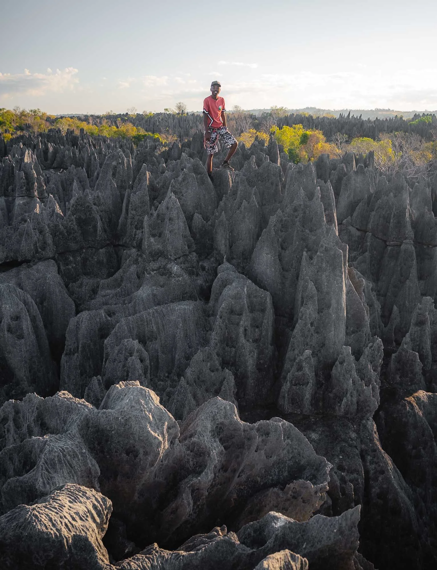
Our early start meant the closest living beings we encountered was an unusually round rock formation seen on the left here, resembling the Virgin Mary, and what I think was a wagtail sitting on top of the rock tips, adding a splash of colour to the scene. That said, the barren landscape is a bit deceptive - it is home to lemurs, chameleons, and more. Some species are in fact only found in this region, such as a type of forest rat we caught a glimpse of.
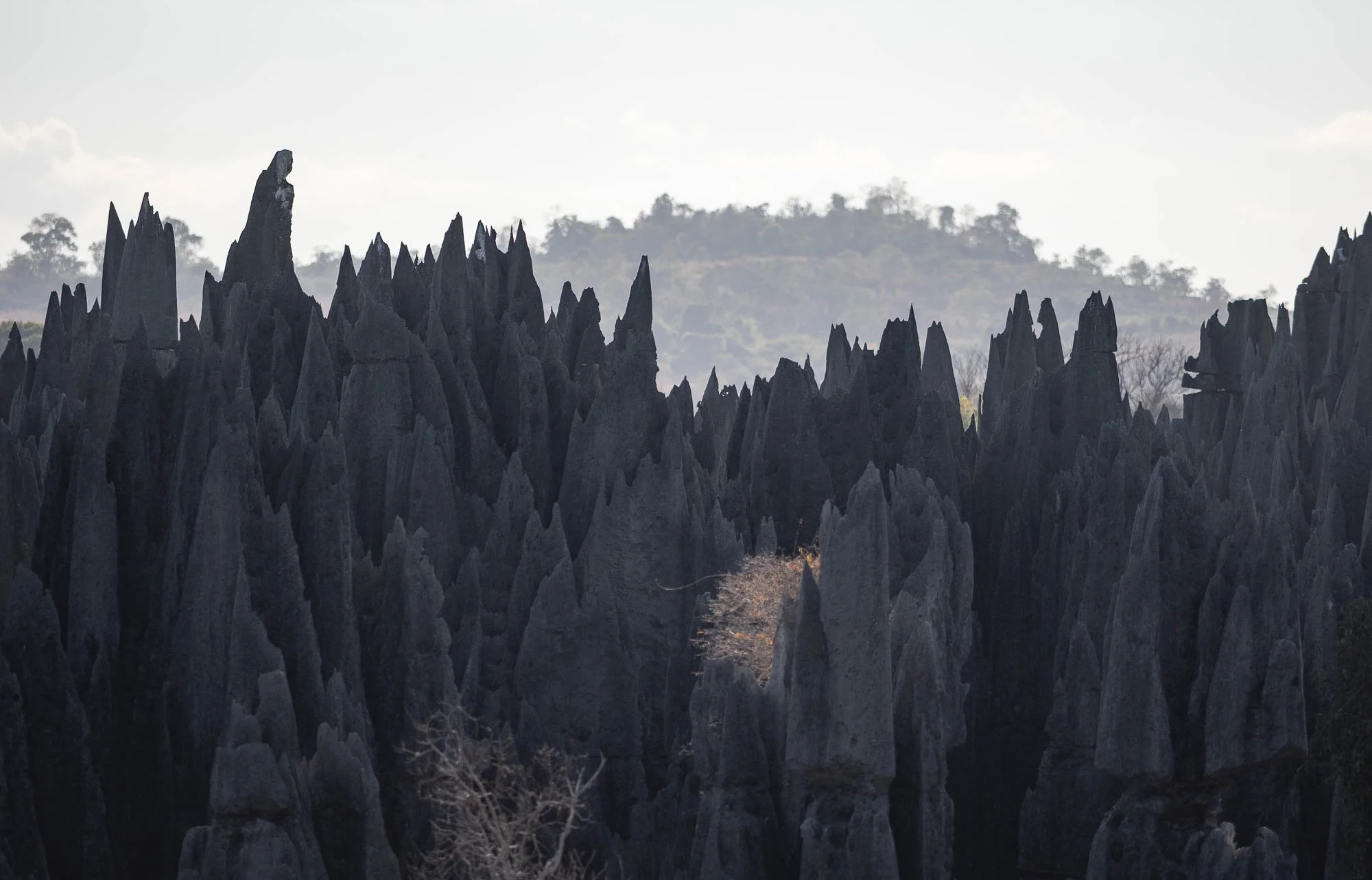
Further into the rock formations, the most exciting portion of the hike is probably this hanging bridge - thank god for camera wrist straps.
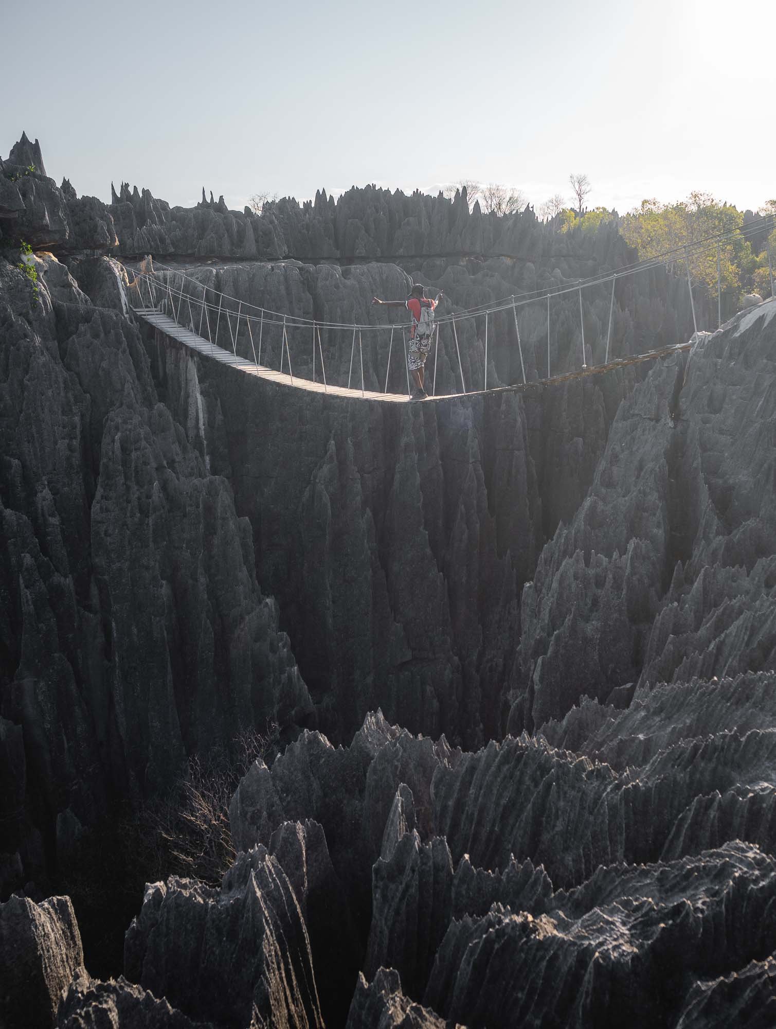
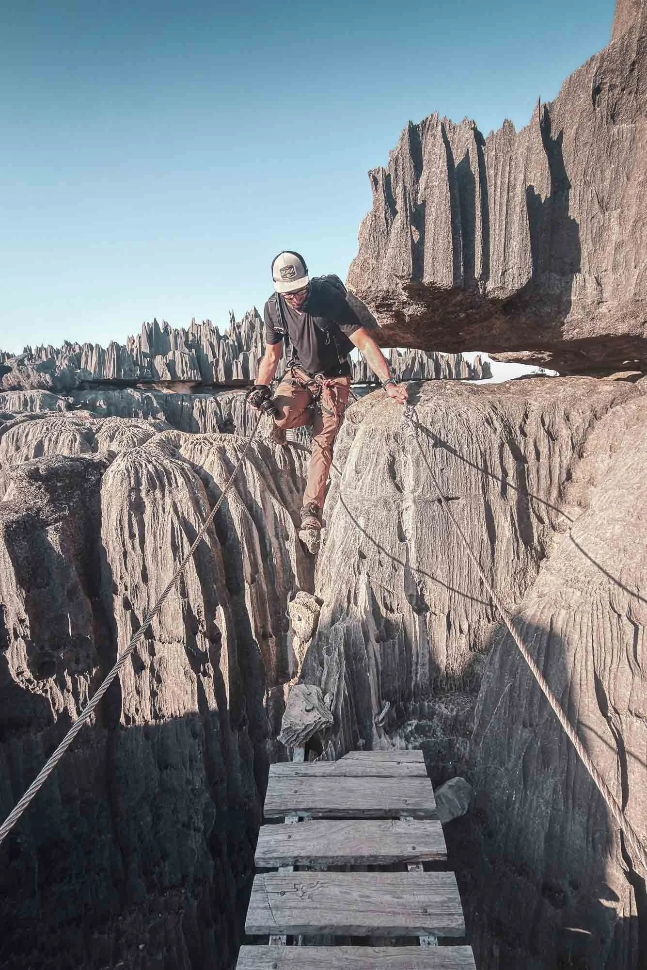
In order to leave, you squeeze your way through some very narrow canyons that get completely flooded in the rainy season, which continues to shape the landscape today - a surreal place.
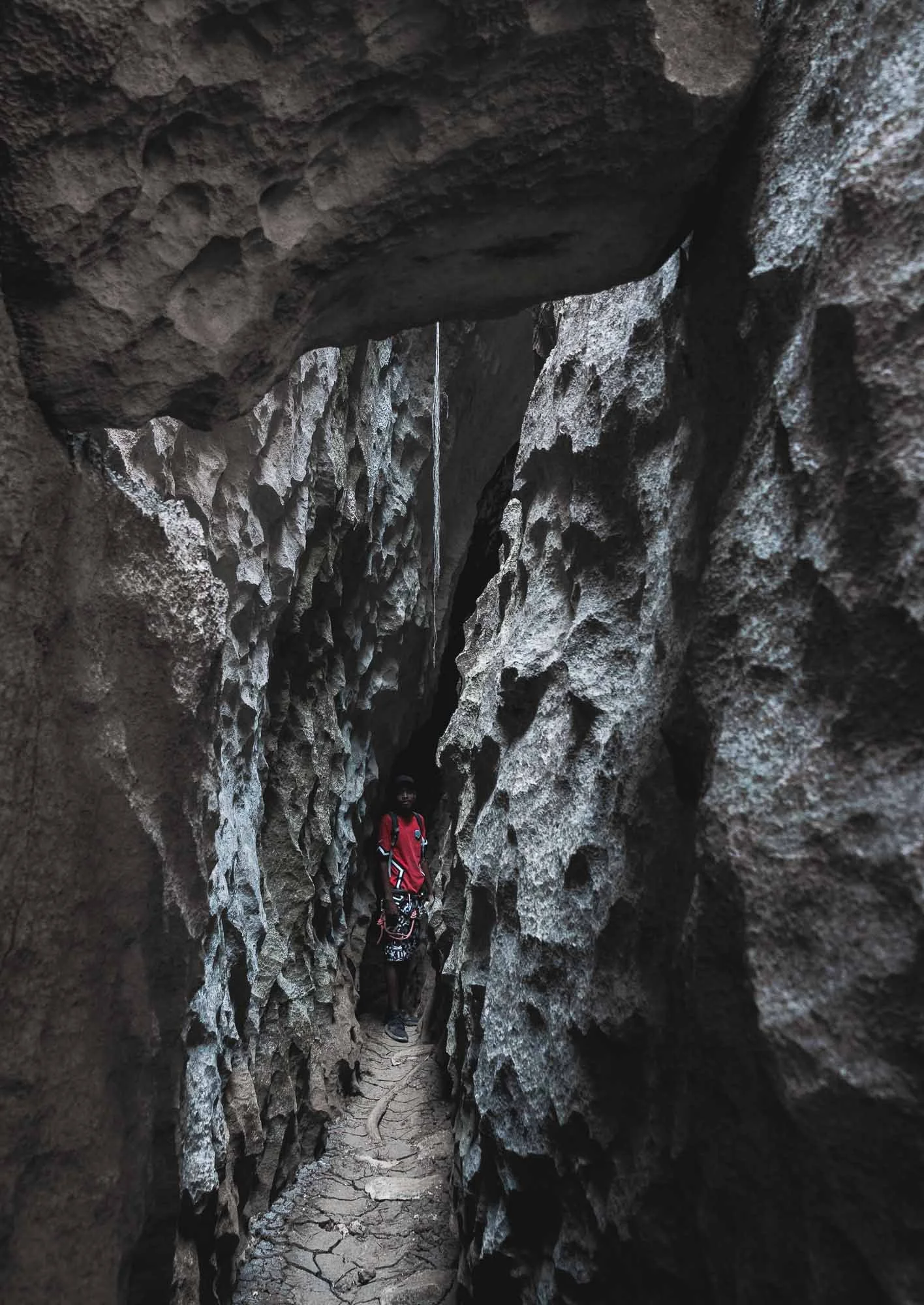
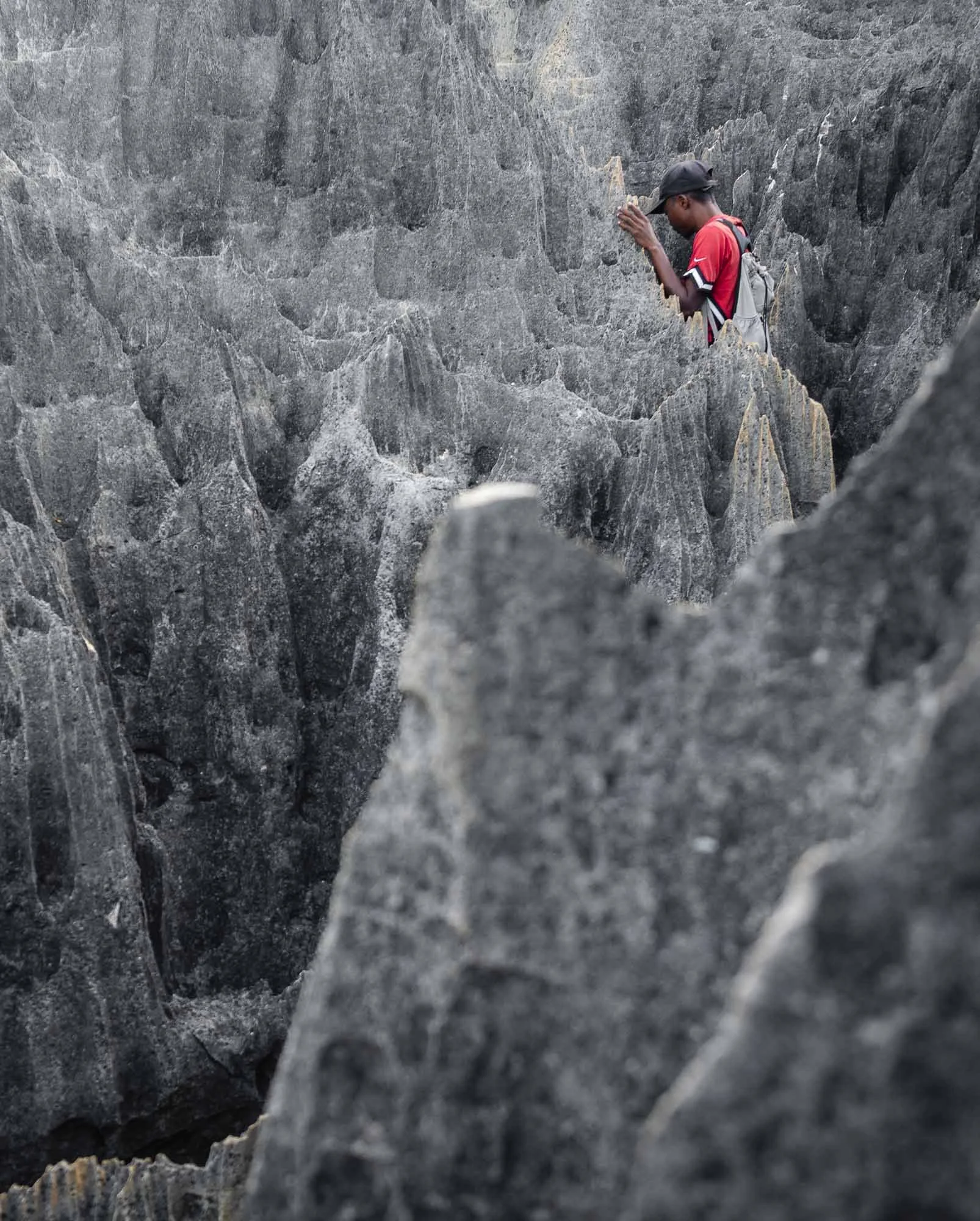
You come back to the forest floor after another set of ladders, ropes, and steps.
As we arrived back at the parking, area few more cars had arrived - the early start paid off.
I opted for a quiet afternoon and we started heading back southwards towards Morondava the next morning.
Aside from the bumps, the trip was uneventful. That’s not a given: we encountered a few armed patrols on the way back, and learned they had been dispatched to look for a gang that robbed a car with local tourists the day before, taking all their belongings and disappearing into the landscape. While Madagascar is generally not unsafe, there are definitely areas and times where you need to pay attention.
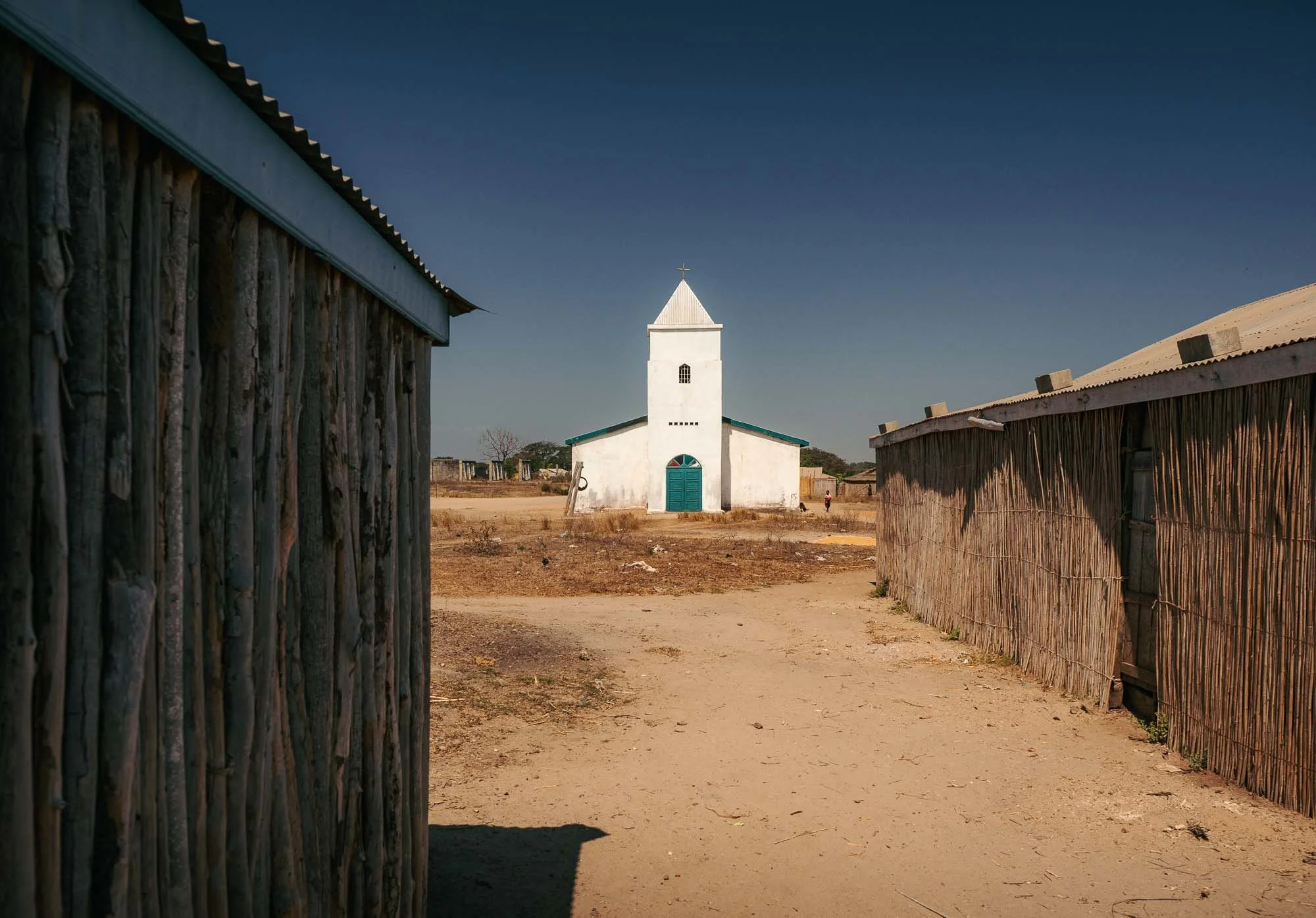
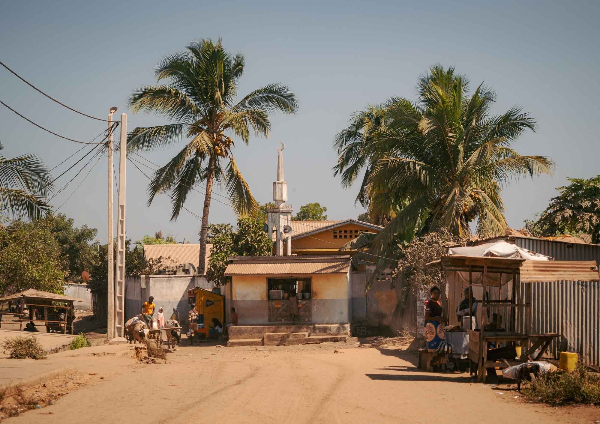
On the way we stopped in the town of Belo Tsiribihina for its rather unexpected attraction: a restaurant called Mad Zebu, serving fine dining gourmet cuisine (at extreme prices for Madagascar levels, but rather affordable for Western expectations). The owner used to be a hotel chef in France and brought his culinary skills back to this rather remote place, where the church (as is often the case) is the best-maintained and largest buildings around. 85% of Madagascar’s population is Christian, but we also spotted a mosque.
Baobab Magic
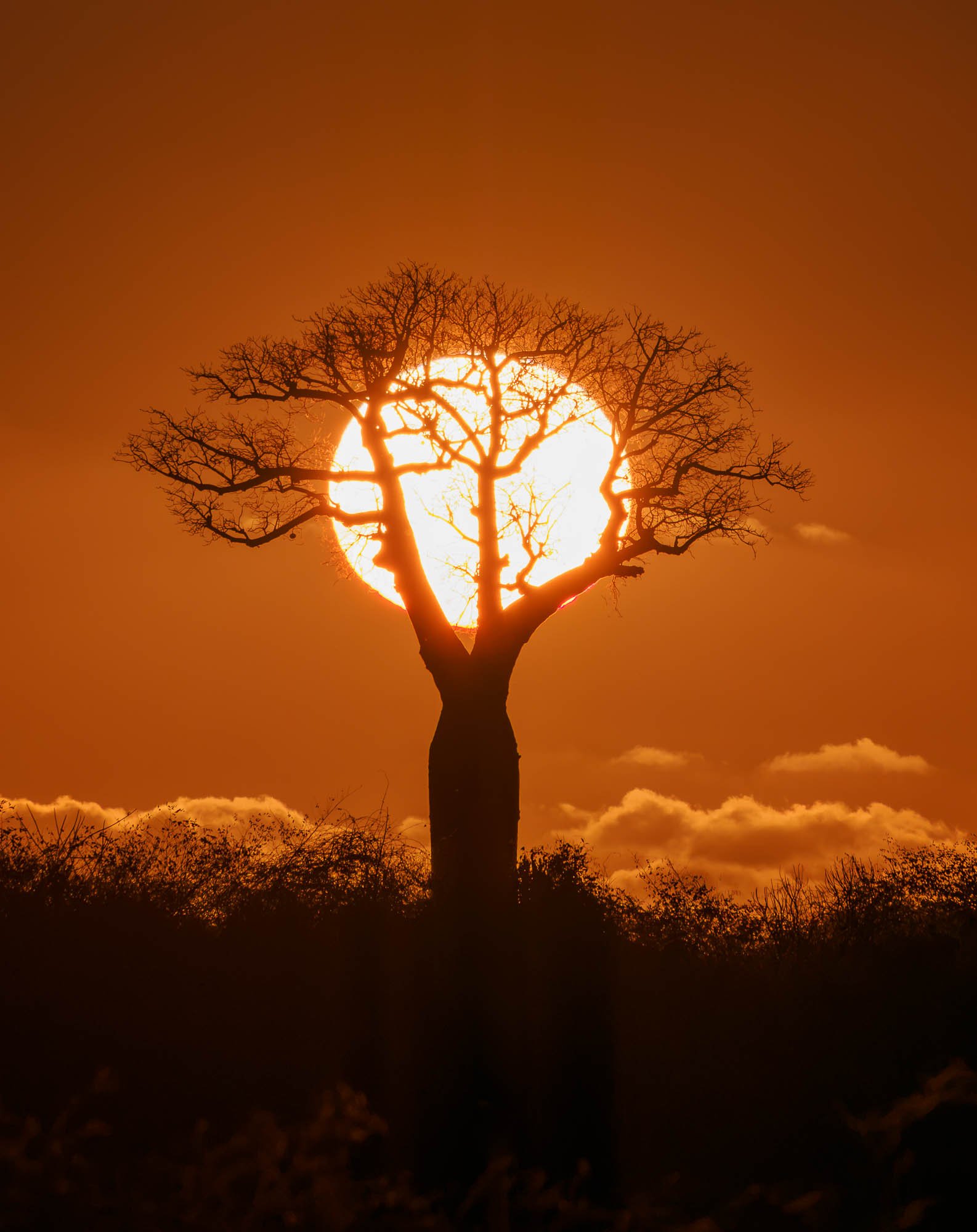
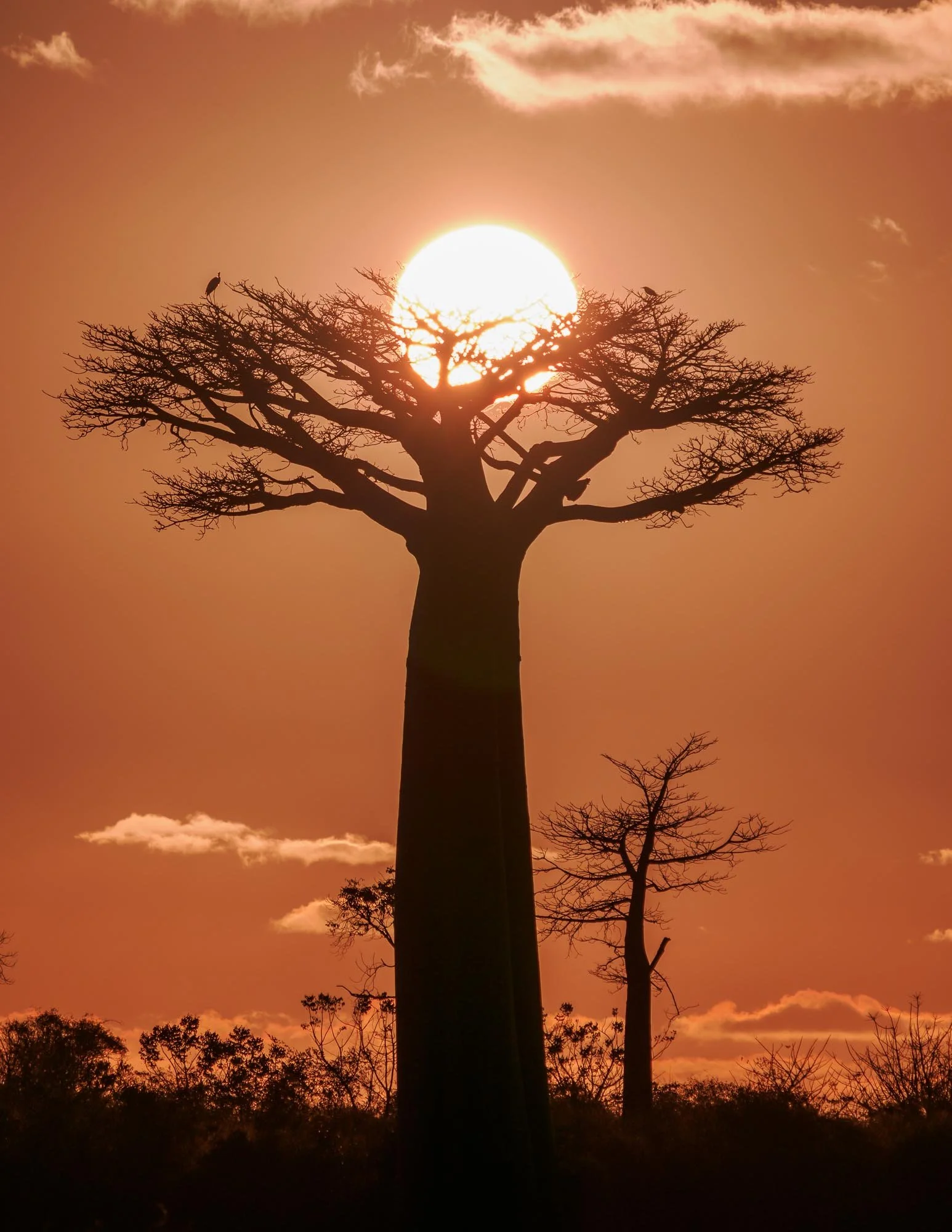
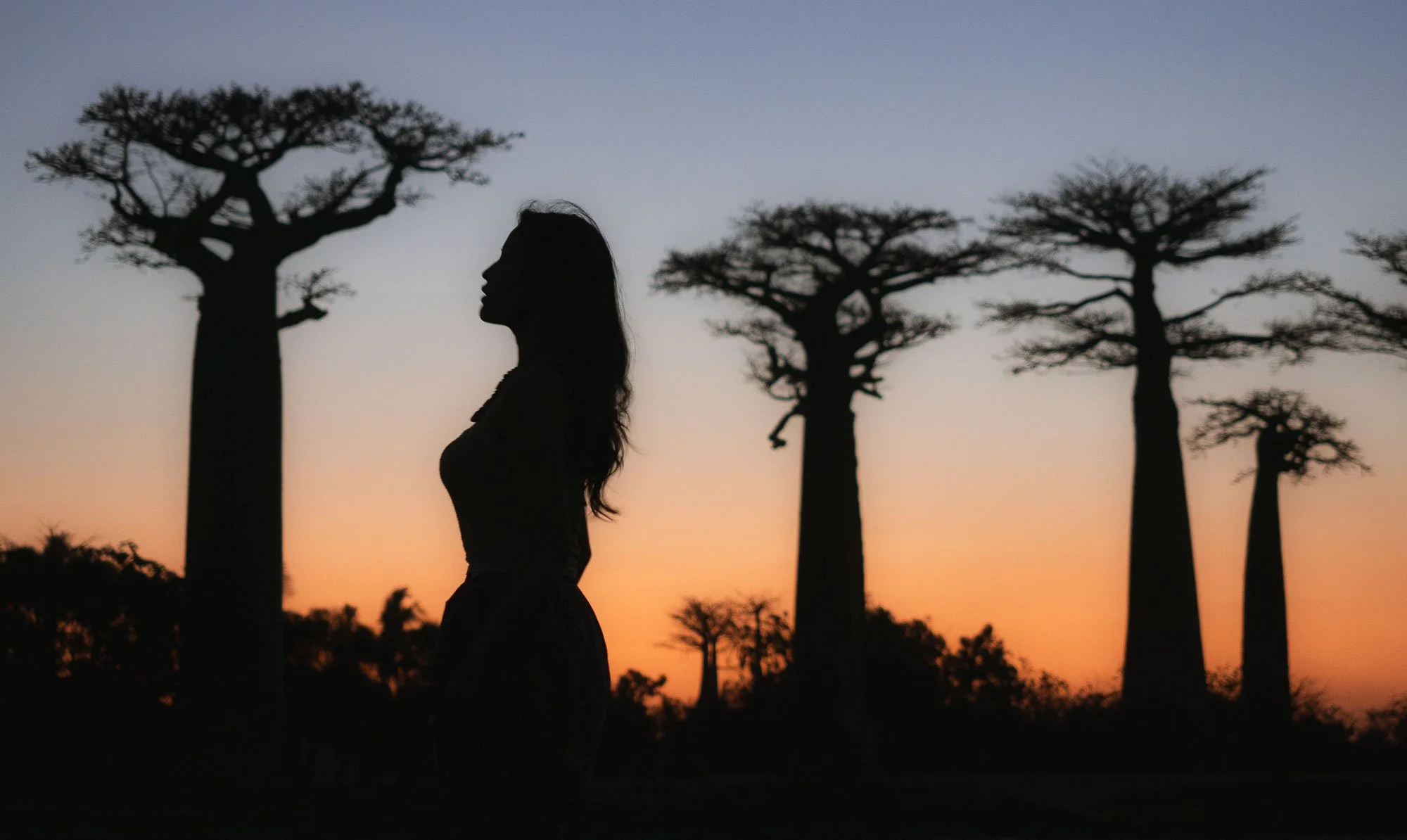
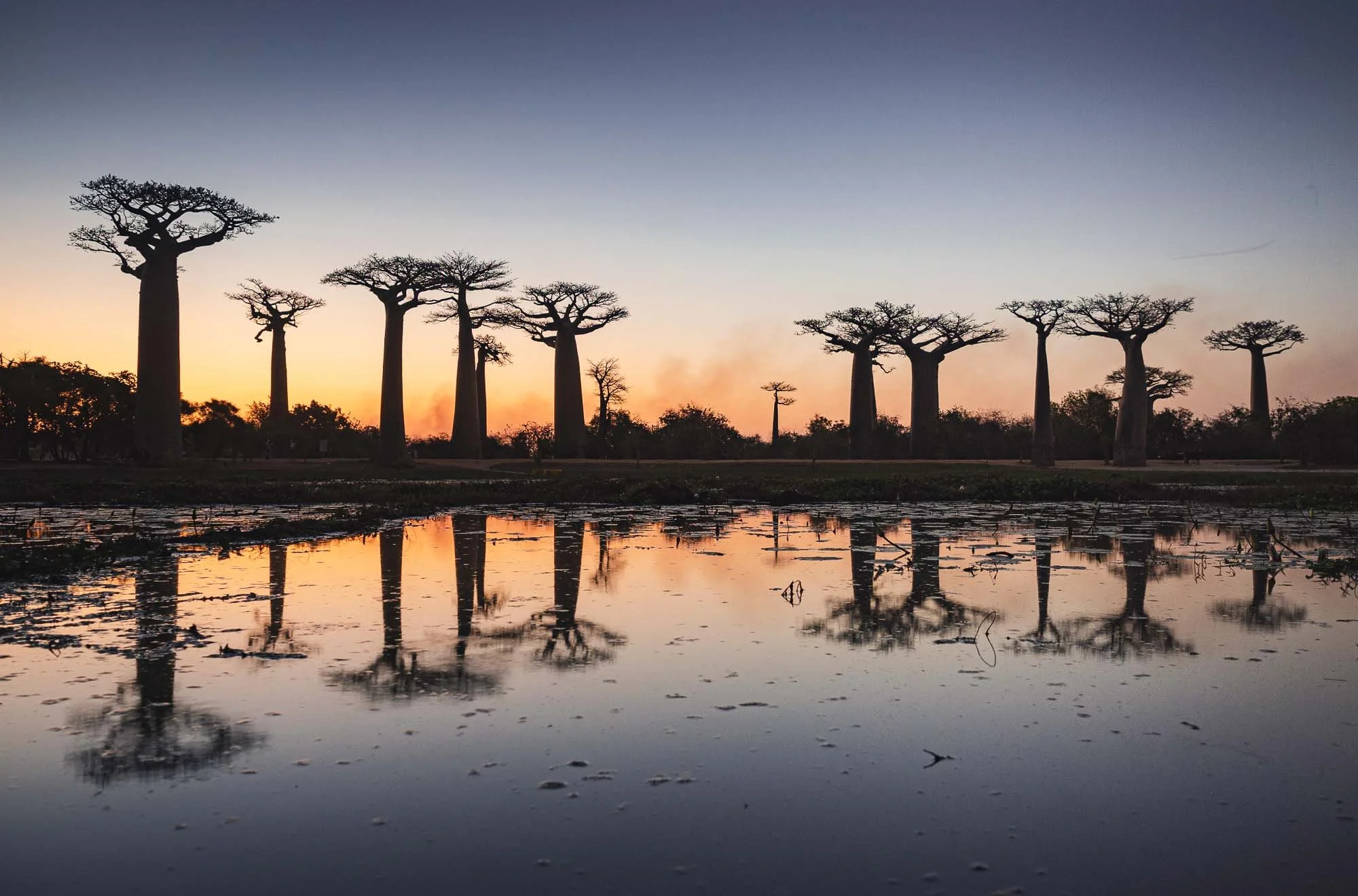
We also stopped back at Baobab Avenue for sunset and would visit the area again for another sunrise, and another sunset after that. Beyond the famous strip of around 1km length, there are a few more interesting spots to explore around here, so the multiple visits were worthwhile.
One such spot is the “Baobabs in Love” - two trunks that have gradually grown around one another to form a natural spiral.
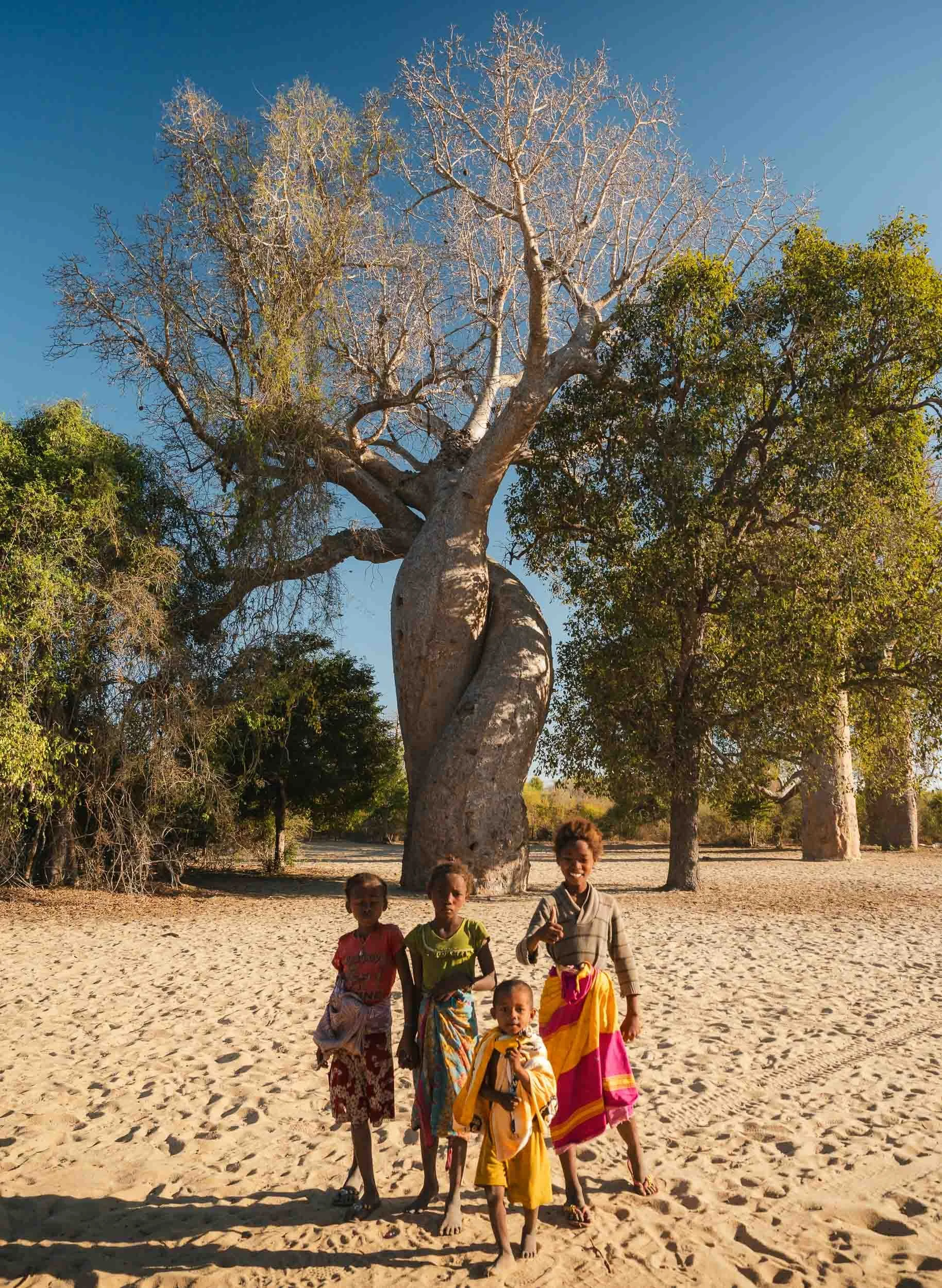
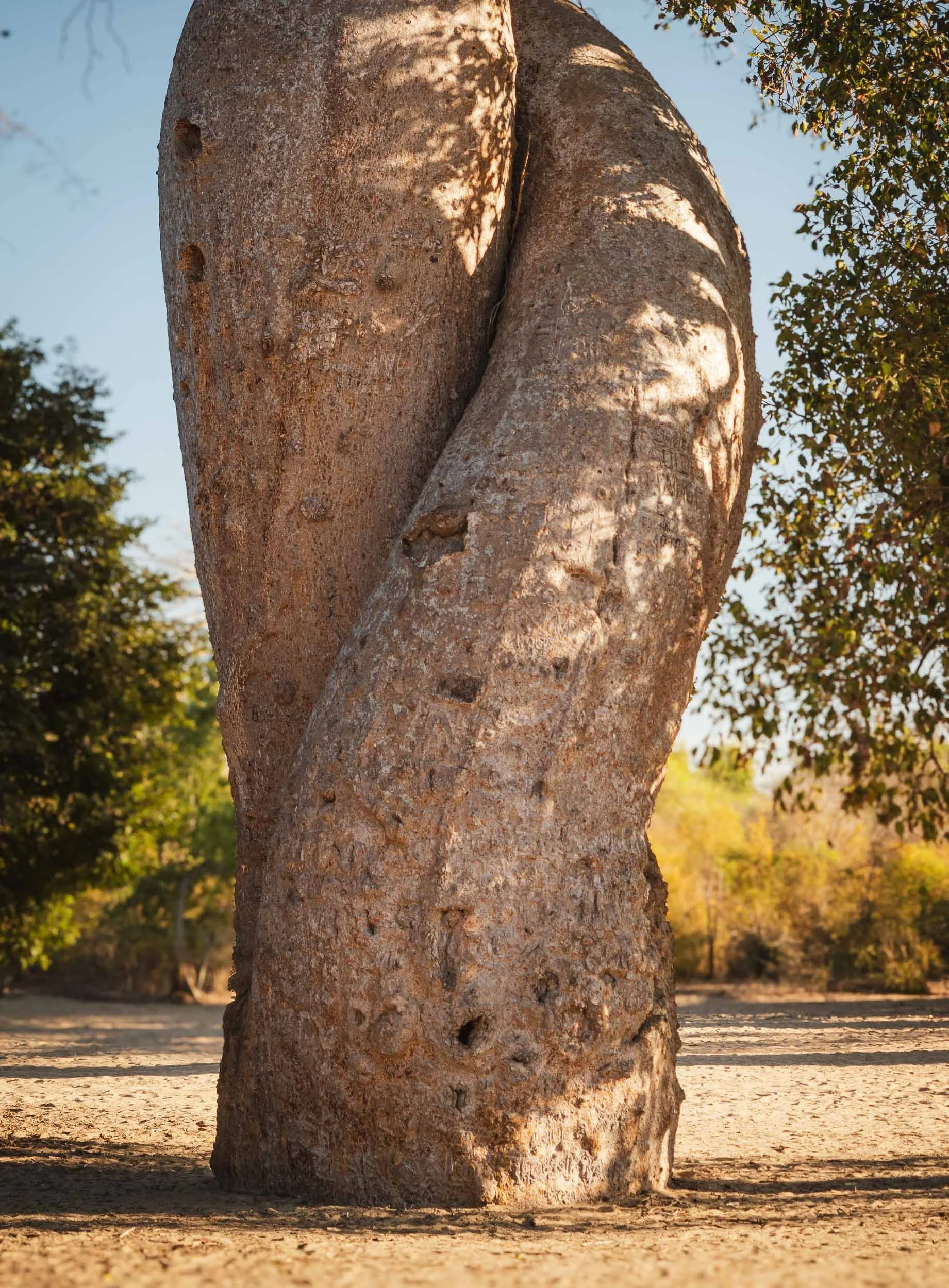
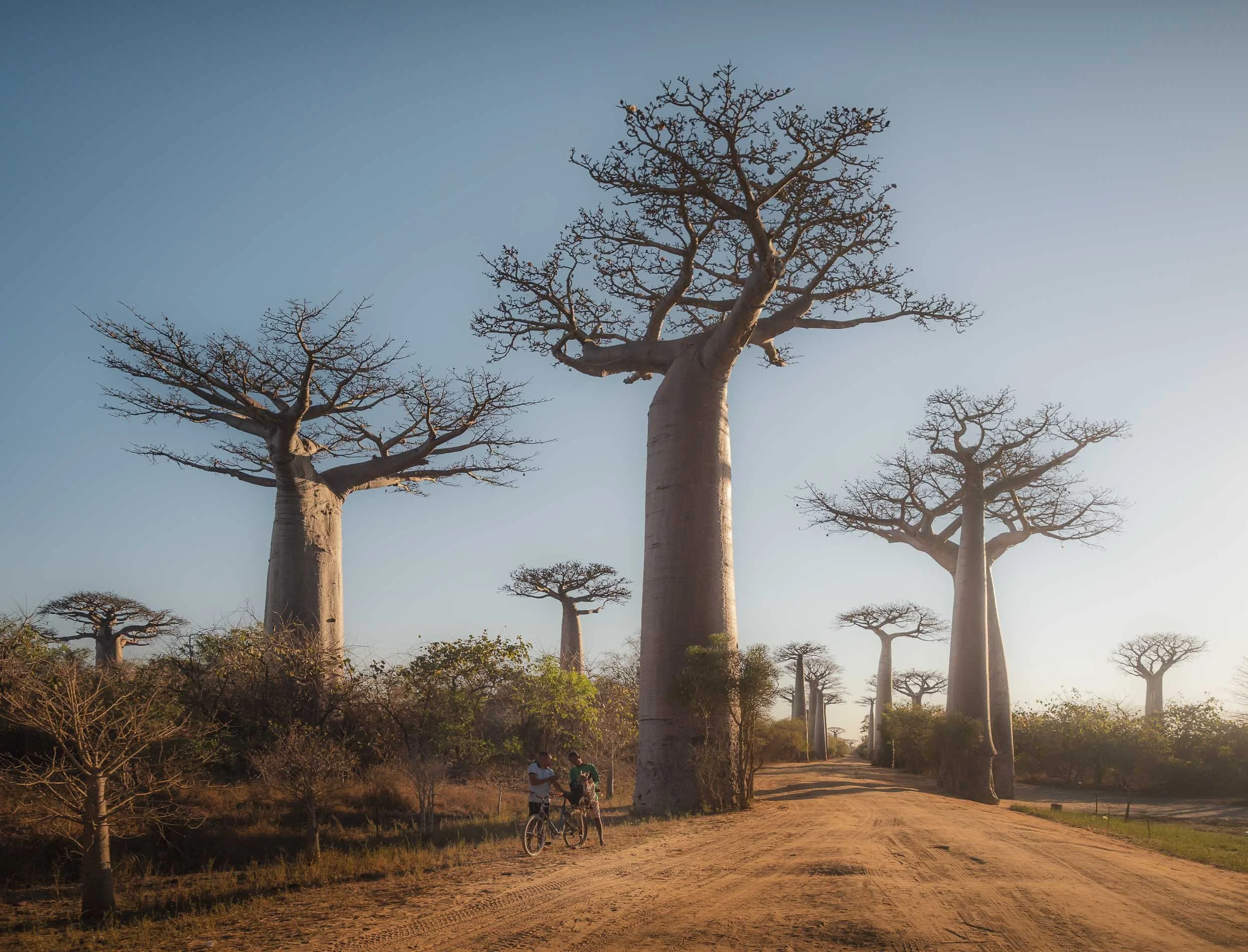
It’s easy to overlook, but the dirt path seen in many of the Baobab Avenue photos is indeed the actual road used by locals.
These two men were negotiating a price for live chicken transported on a bicycle, but as far as I could tell they didn’t come to an agreement.
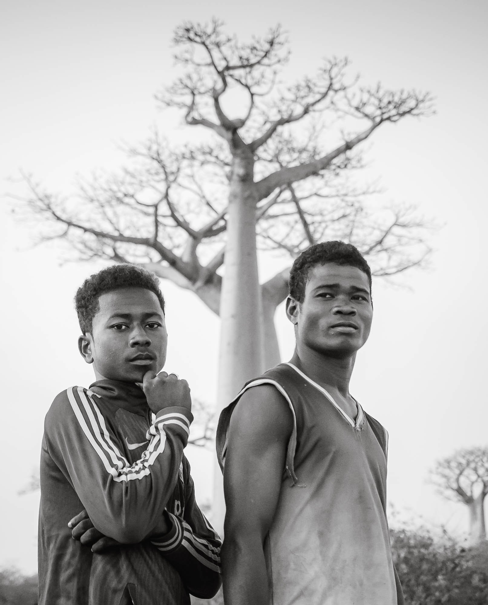
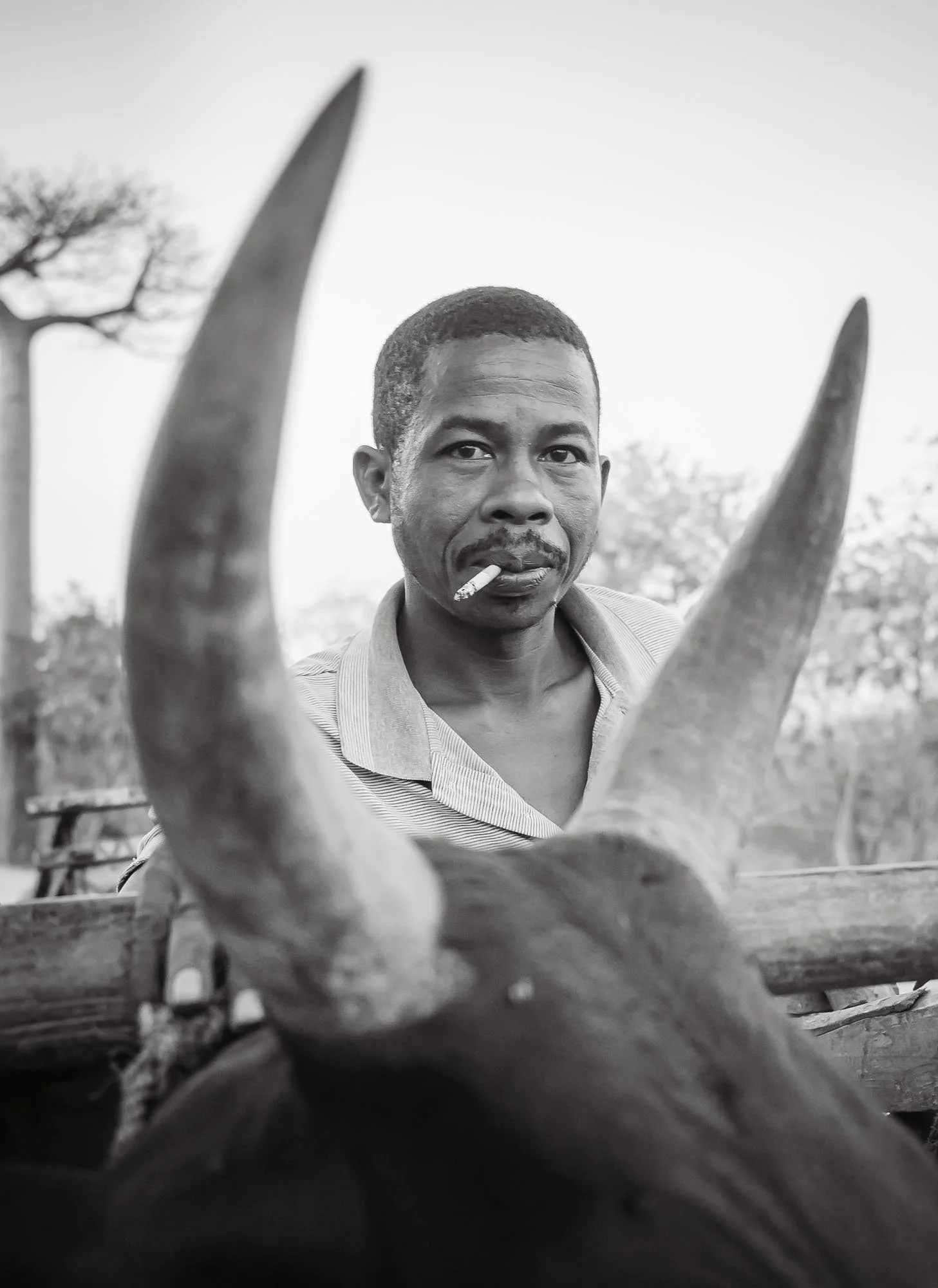
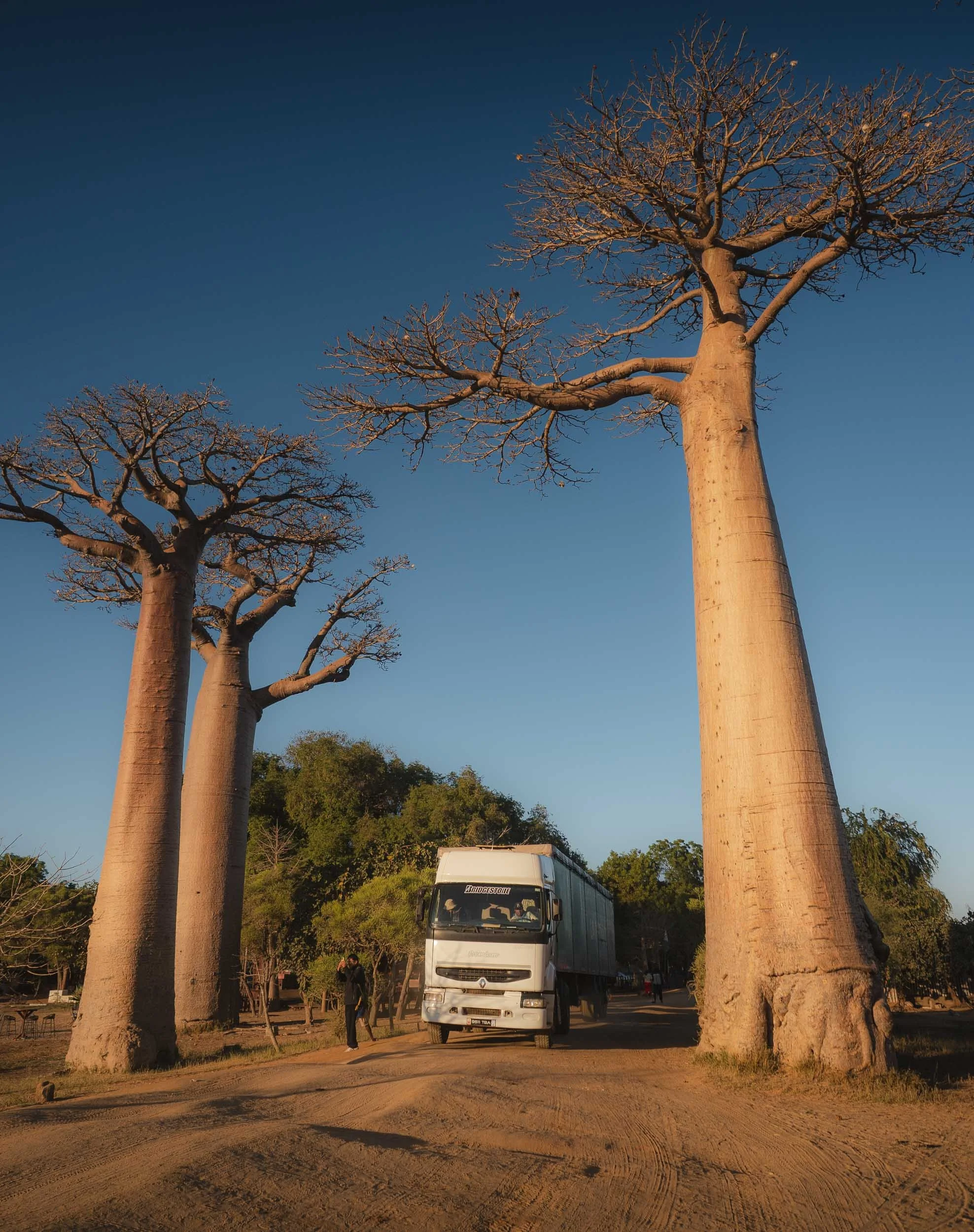
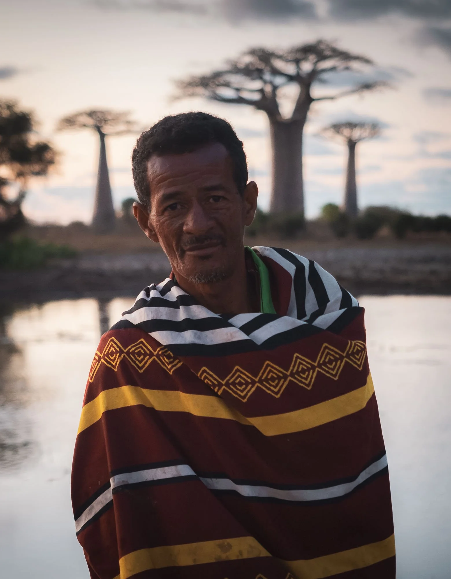
Occasionally big trucks make their way through as well to transport goods or petrol towards the Tsingy area, but it’s more common to see wooden wheelbarrows or zebu carts - these men were kind enough to pose for me on their way through.
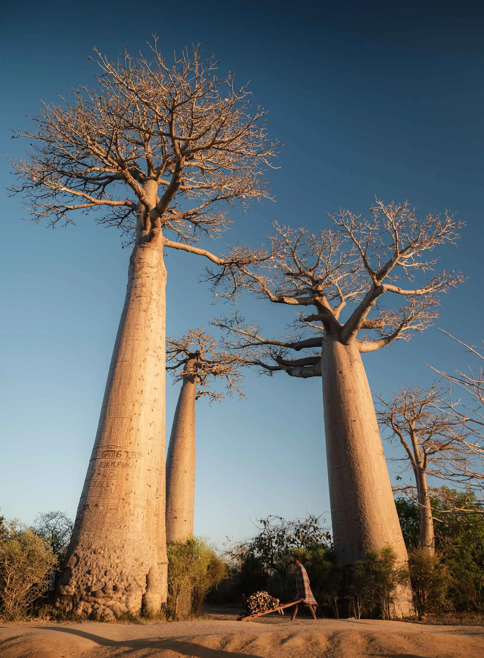
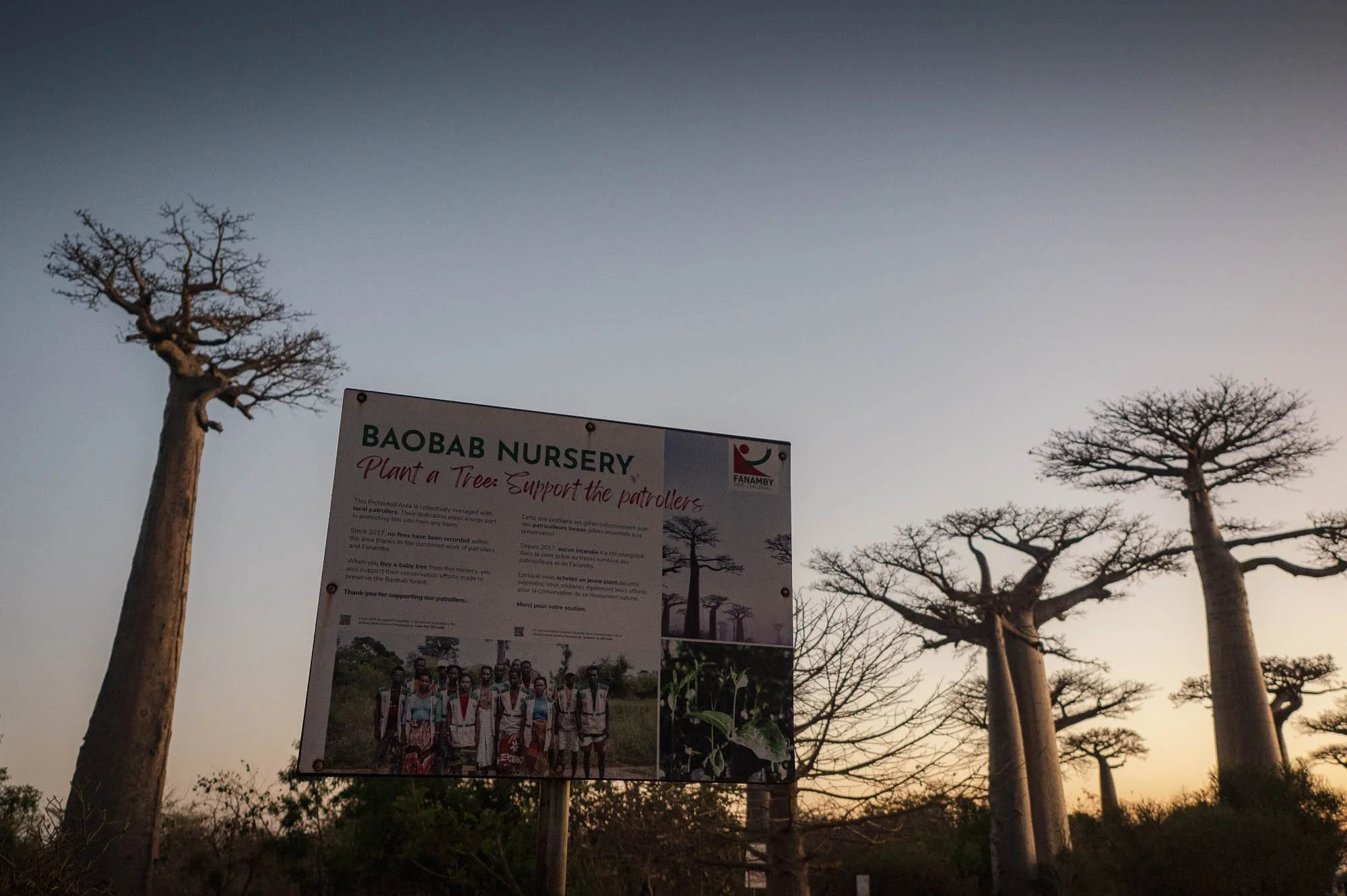
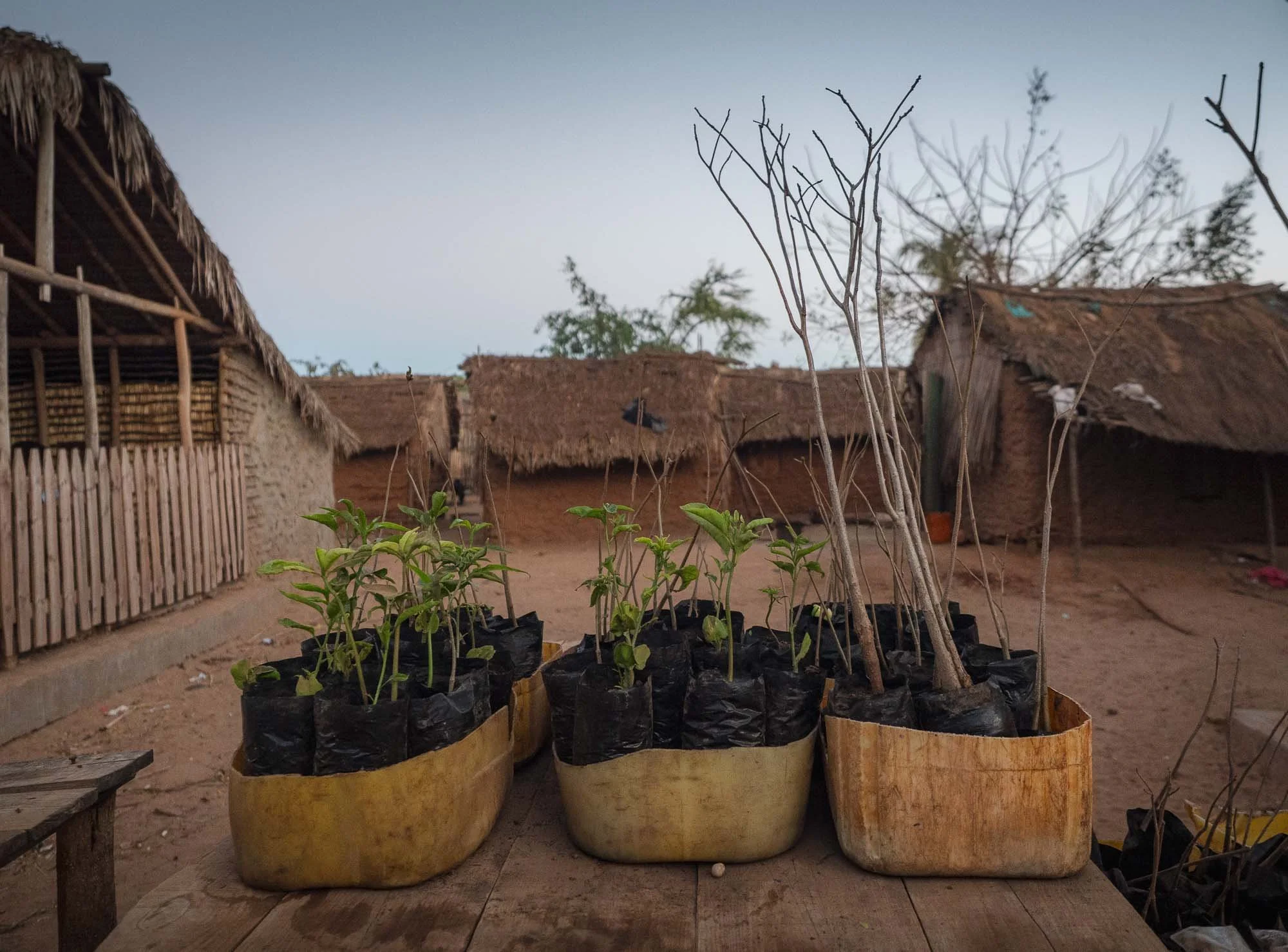
At the main section of the road, you can plant Baobabs or also buy the seedlings to take home. While they grow quite quickly when young, for these trees to reach the massive trunks often seen around here takes several hundred years.
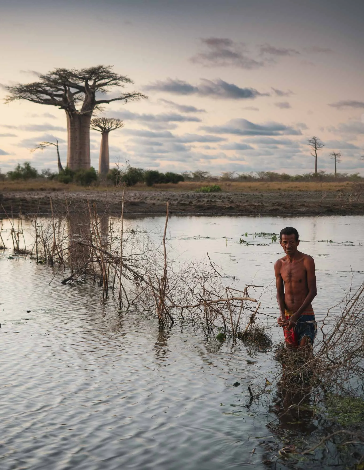
If you venture a little bit away from the well-known part, you can observe locals going after their daily ritual, setting up fish traps in the ponds that remain during the dry season.
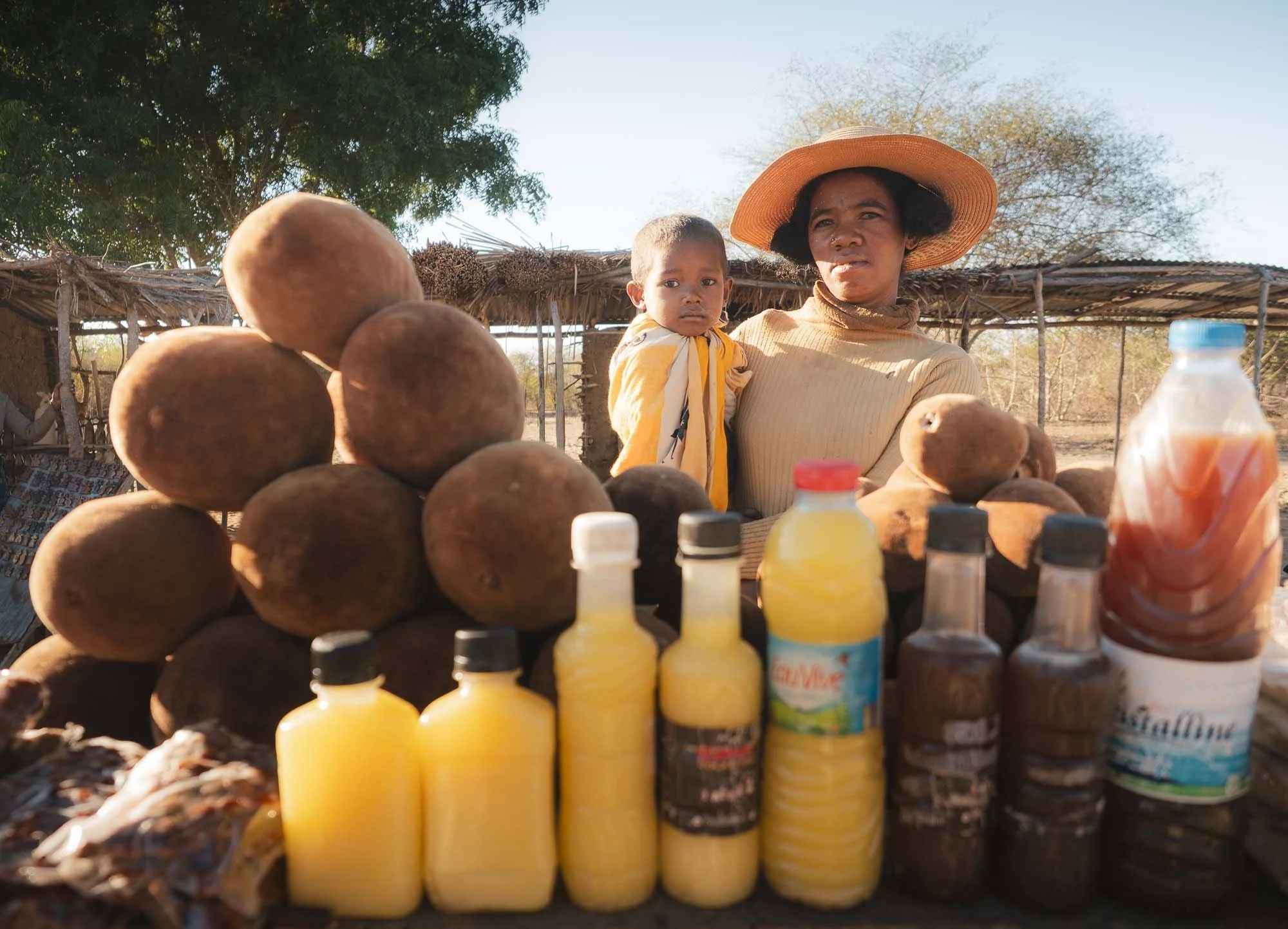
Beyond tourism and their spiritual meaning, Baobabs also play another role. When the rains come, the top branches will grow leaves and flowers and produce hard-shelled fruits used to make juice, syrups, and oils, often for sale on the side of the road.
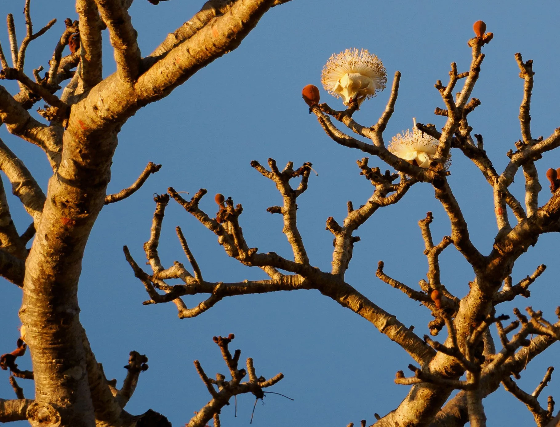
As August is the end of the dry seasons, there were no leaves anymore, but a few of the trees carried some last flowers if you looked closely.
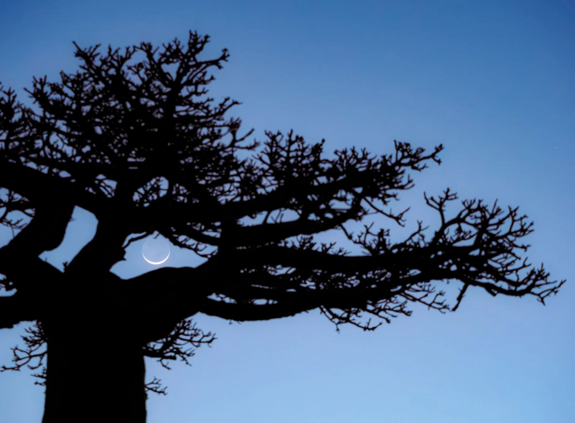
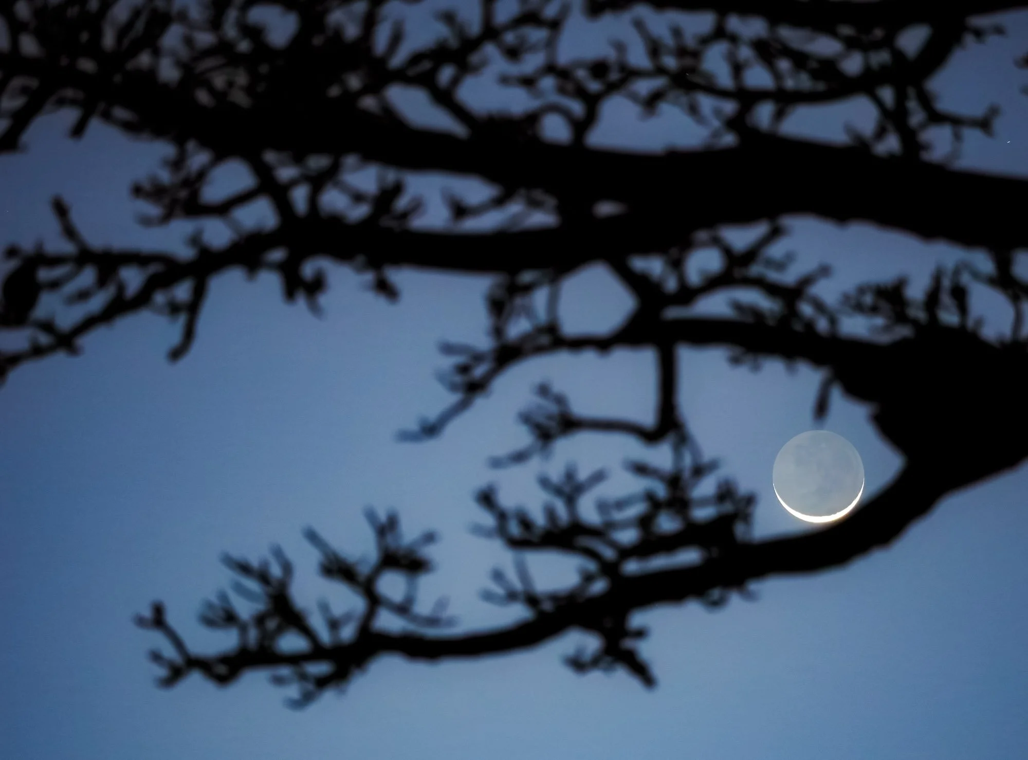
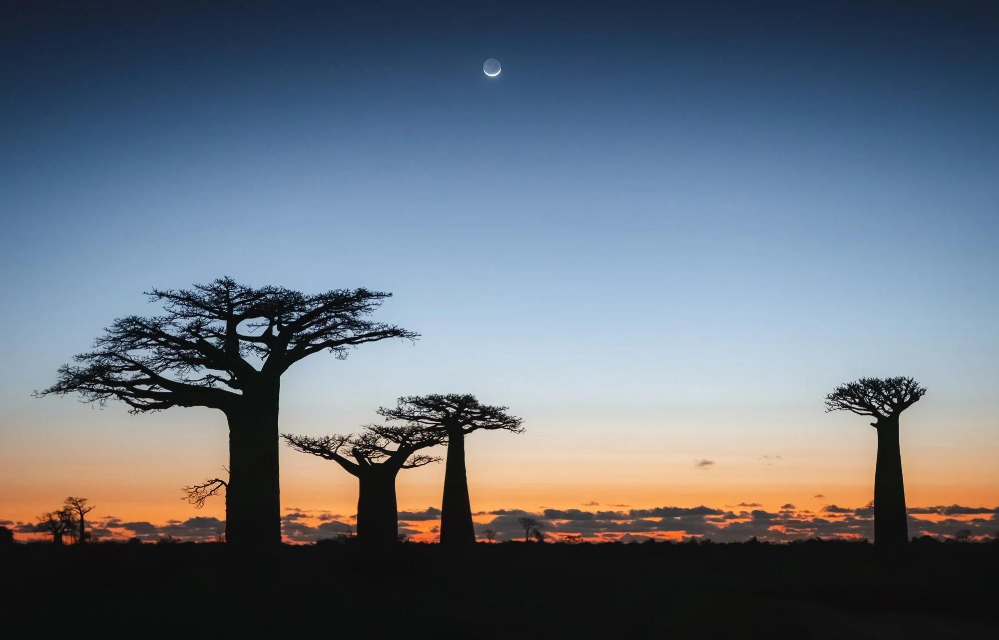
As the day ended, a gorgeous crescent moonset made for some of my favourite images of the trip. Baobabs are without a doubt among the country’s most iconic and most photographed sights, but it’s always fun to chase some new perspectives regardless.
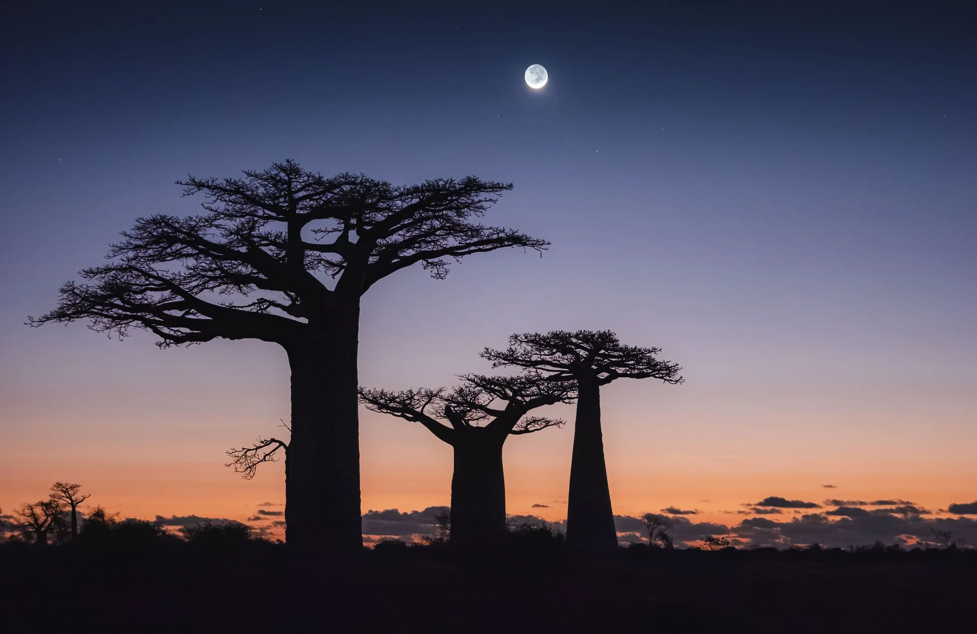
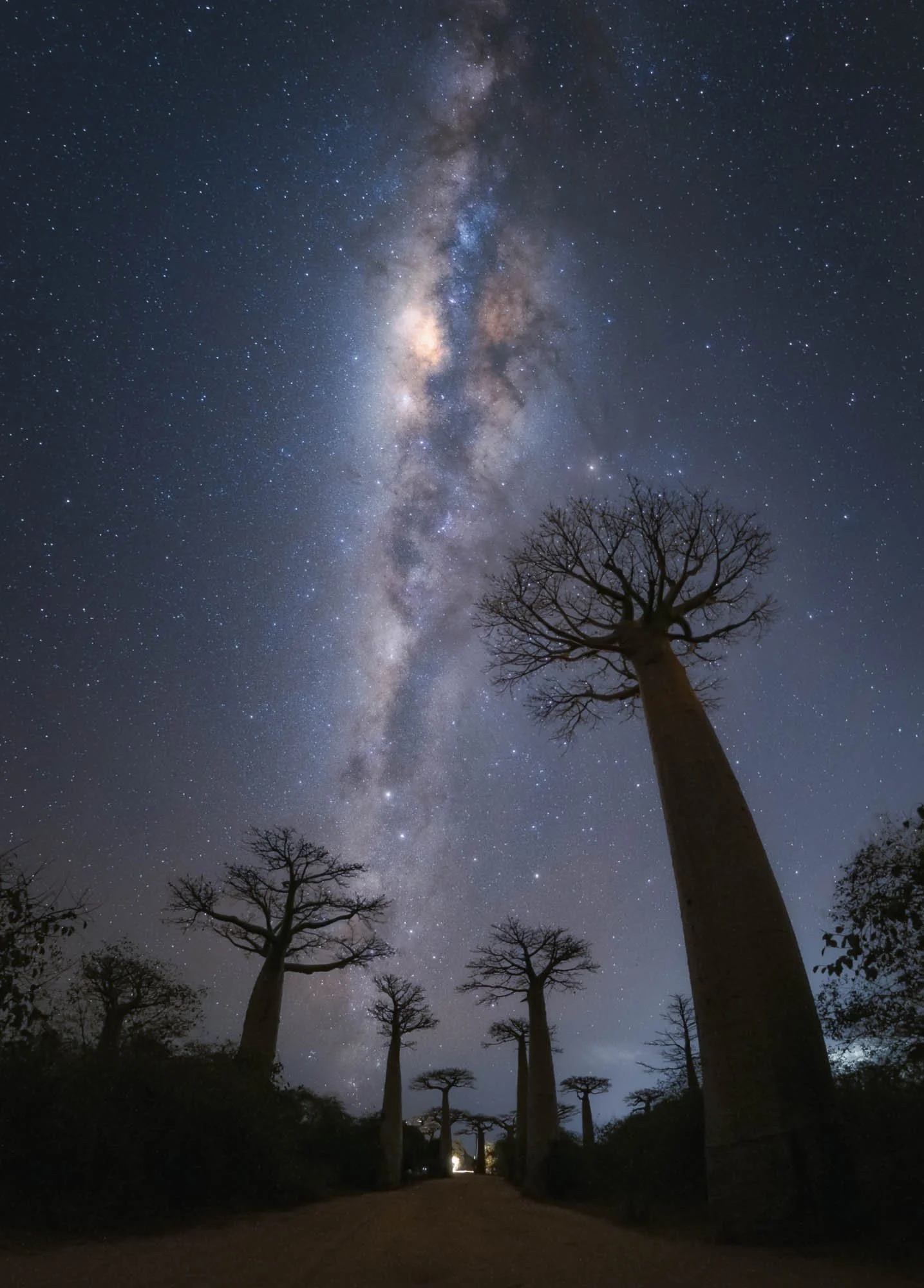
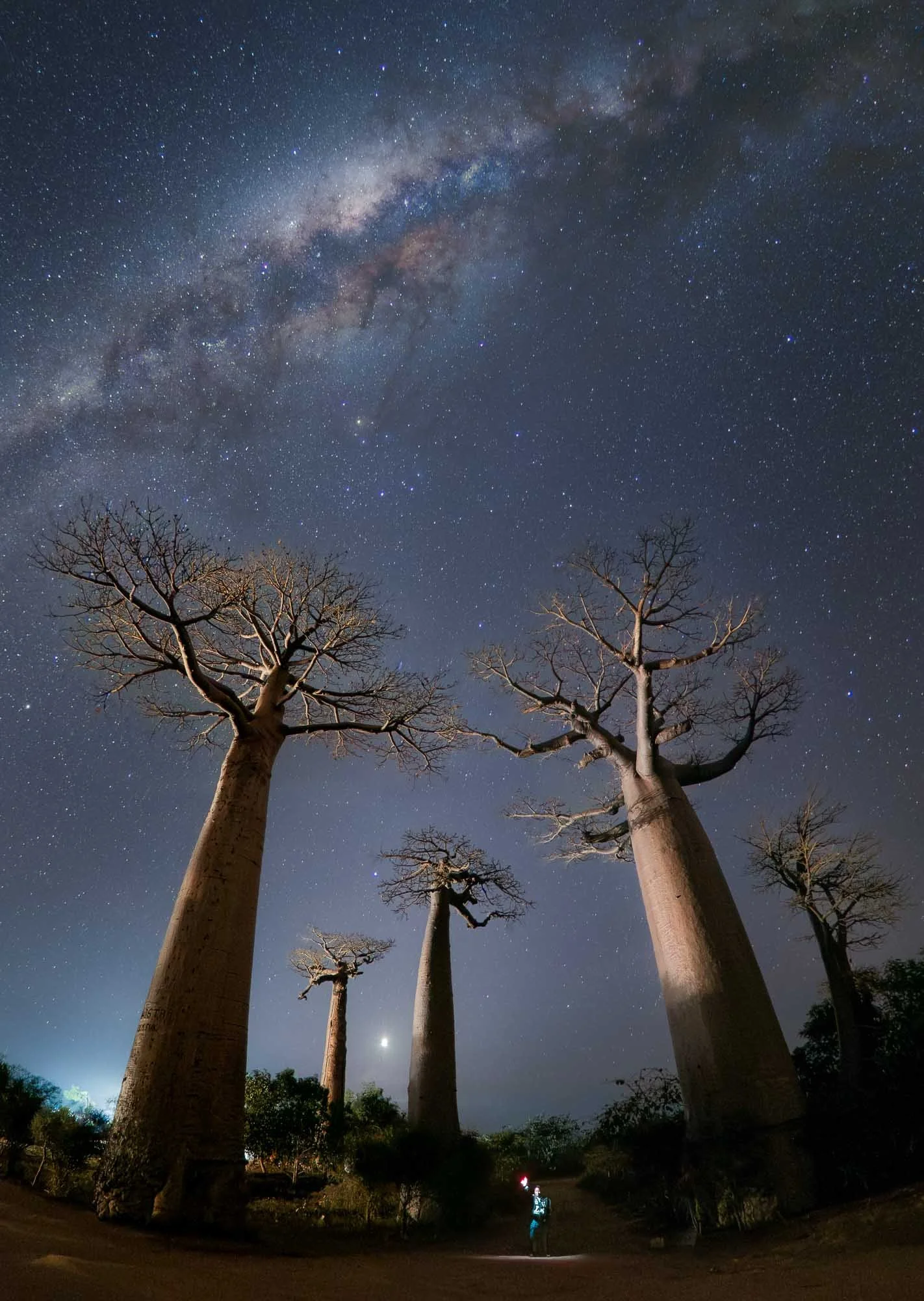
One more nightly session followed to capture our home galaxy with the baobab avenue - a little more challenging as we had to “convince” the security guard to switch off a few large floodlights and the nearby settlements still added a bit of light pollution.
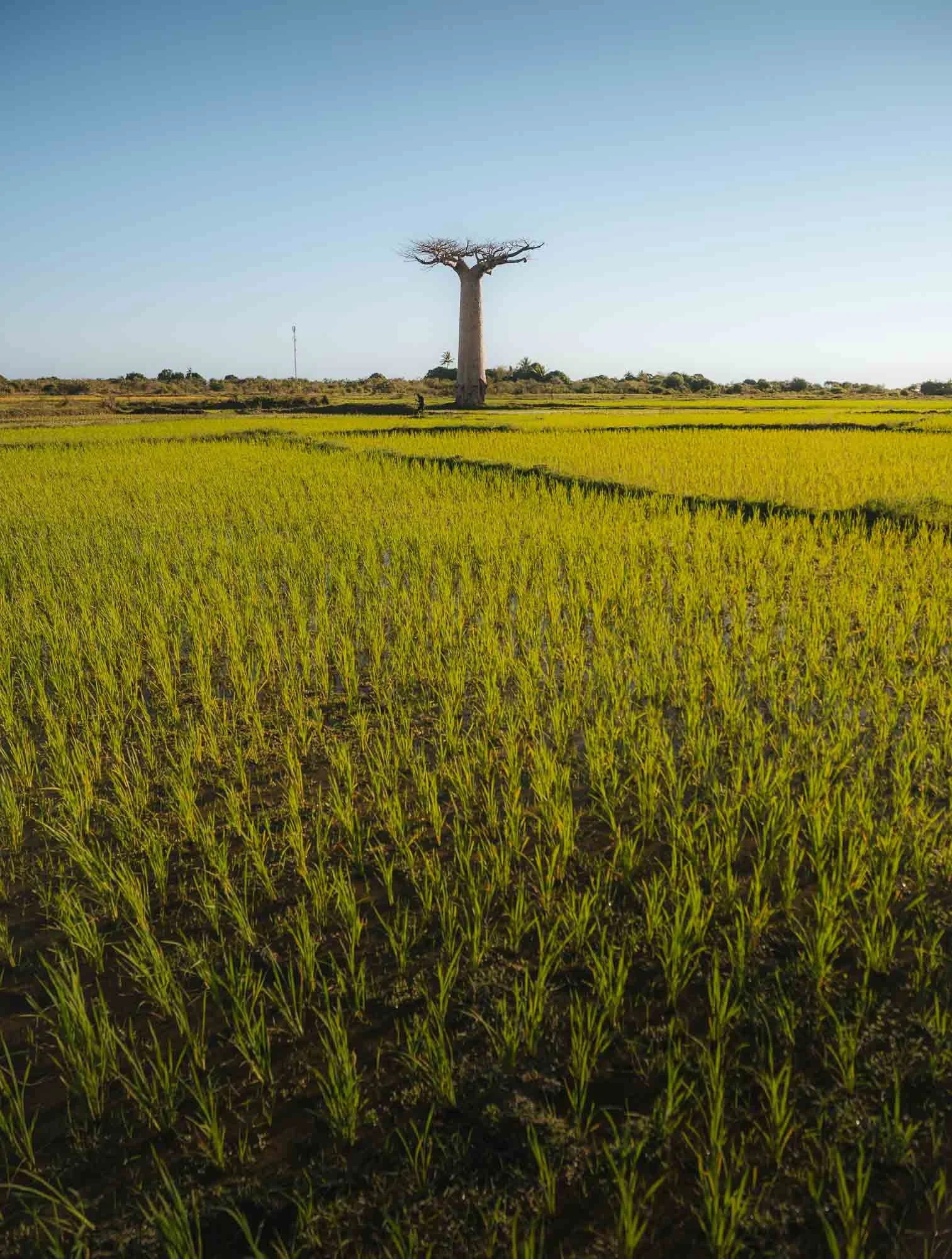
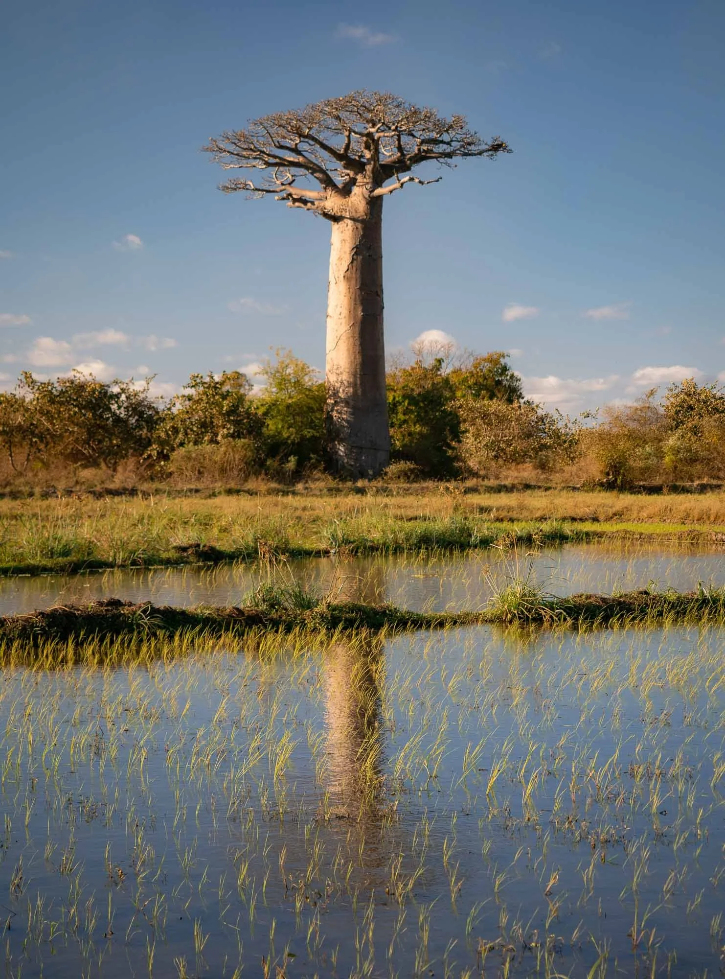
The low-lying land around this area is used for rice paddies, so you often see baobabs standing directly beside or within cultivated fields - this is also rooted in the importance of rice as the staple food in the country, owing to the influence of Austronesian settlers. As I learned with some astonishment, sailors from Borneo (!) are considered among the first humans permanently occupying the island, explaining some of their physical features and language traits as well.
Morondava & The Coastal Life
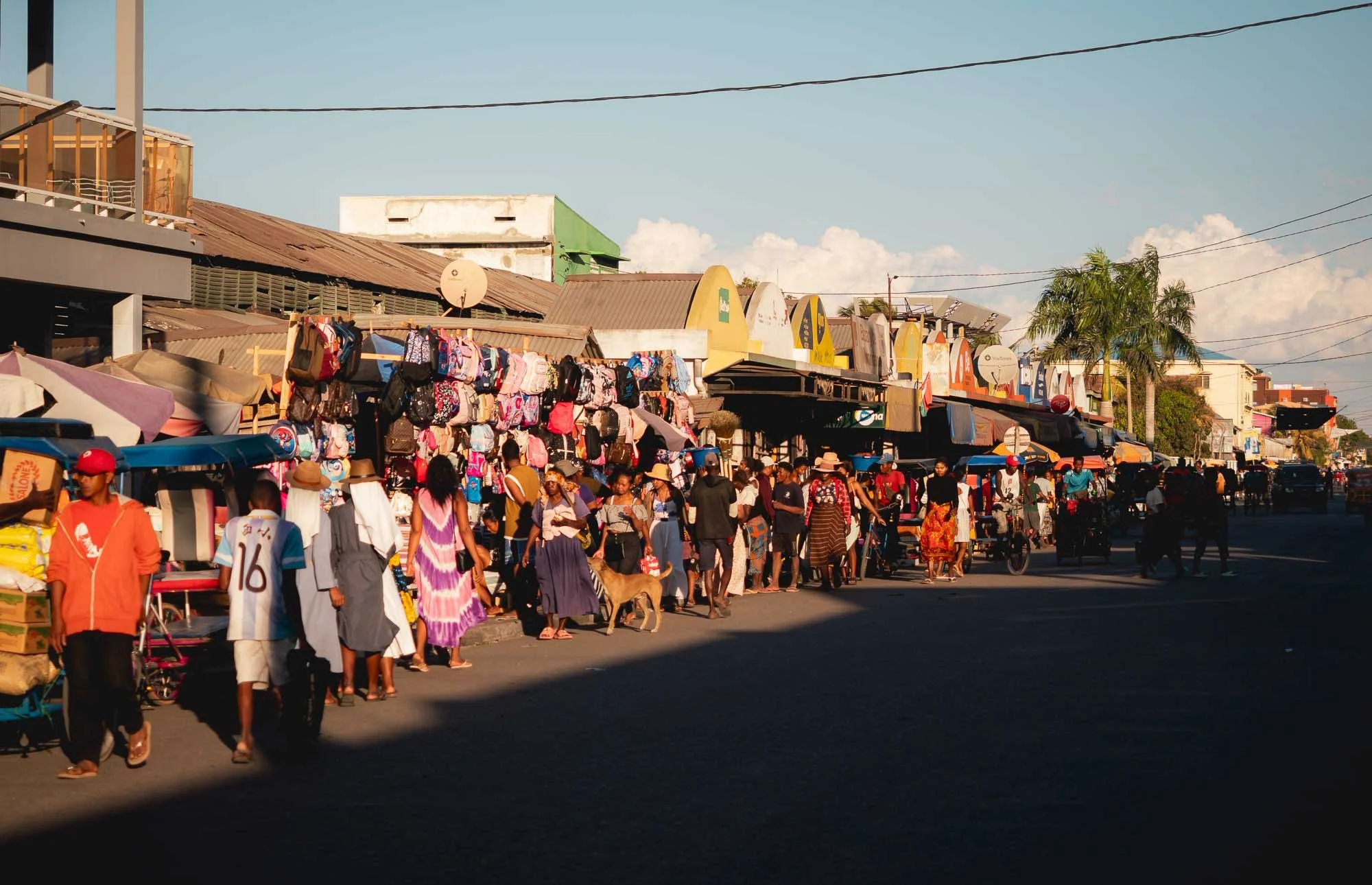
Back in Morondava, we had a couple of hours to explore the small city of less than 100,000 people - two of which were kind enough to pose for me.
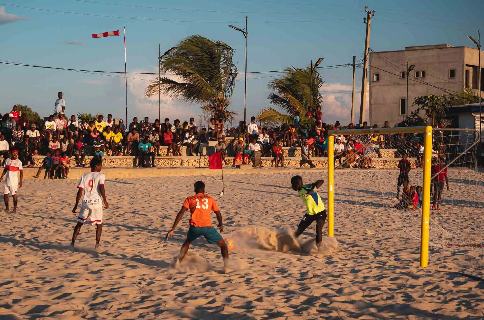
It is home to a popular market street and a long beach stretching along the coast, where I got to watch a surprisingly professional football game. But neither of which is why we came back here - the goal was to explore the traditional fishing life on the south-western coast.
Betania
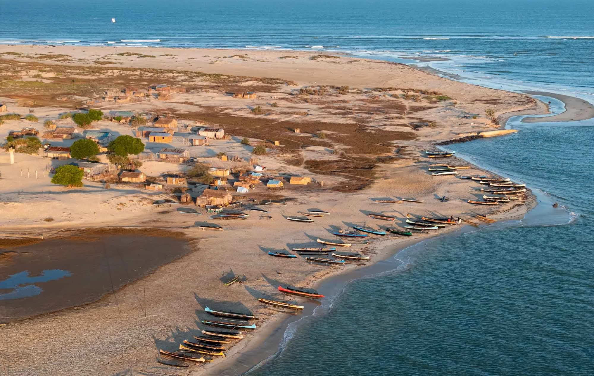
We began this endeavor by crossing the river mouth just a few minutes south of Morondava with a small boat (during low tide it is sometimes possible to walk), reaching the tiny coastal town of Betania.
It’s home to around 2000 Vezo (often translated as “those who struggle with the sea”), a subgroup of Malagasy people who occupy the south-western coastline, strongly connected to living from the sea: fishing, sailing and coastal life.
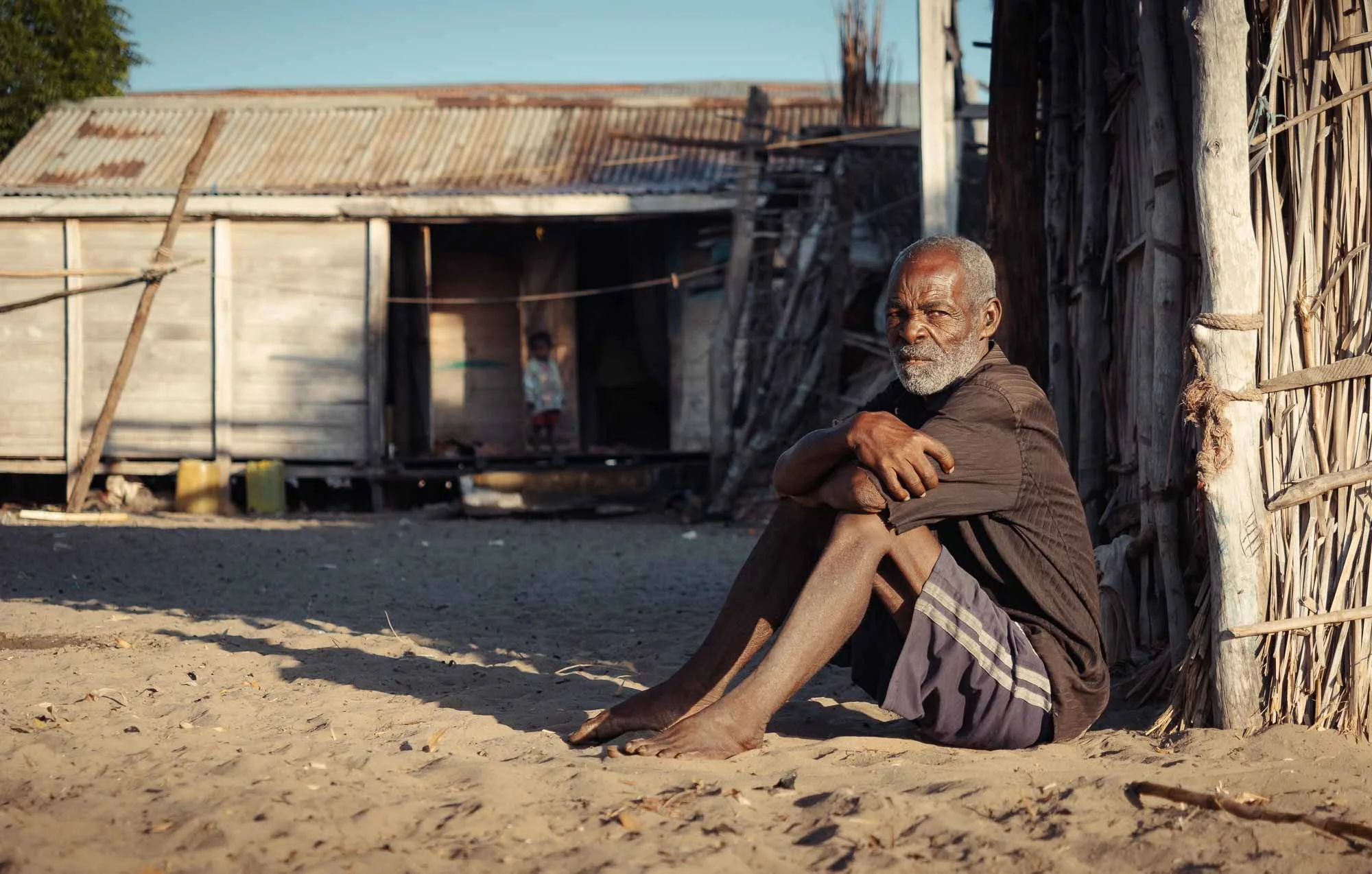
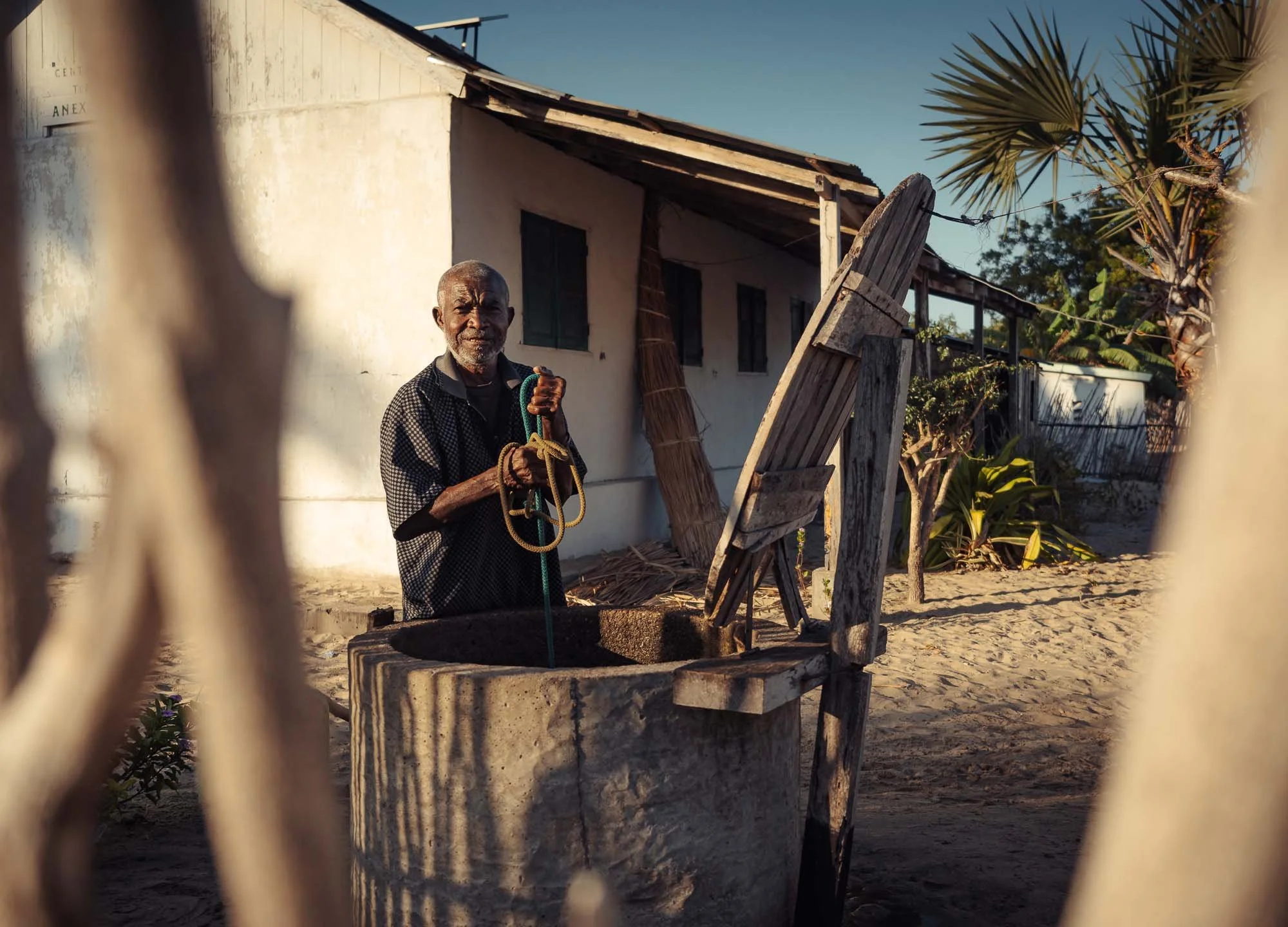
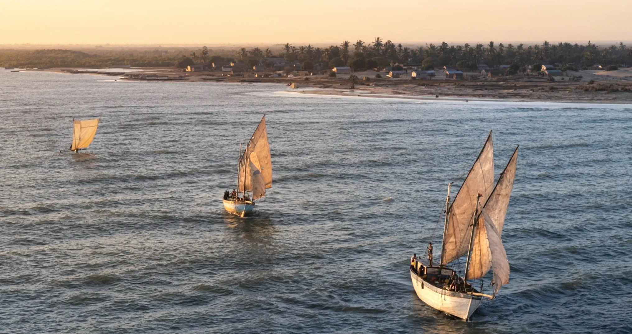
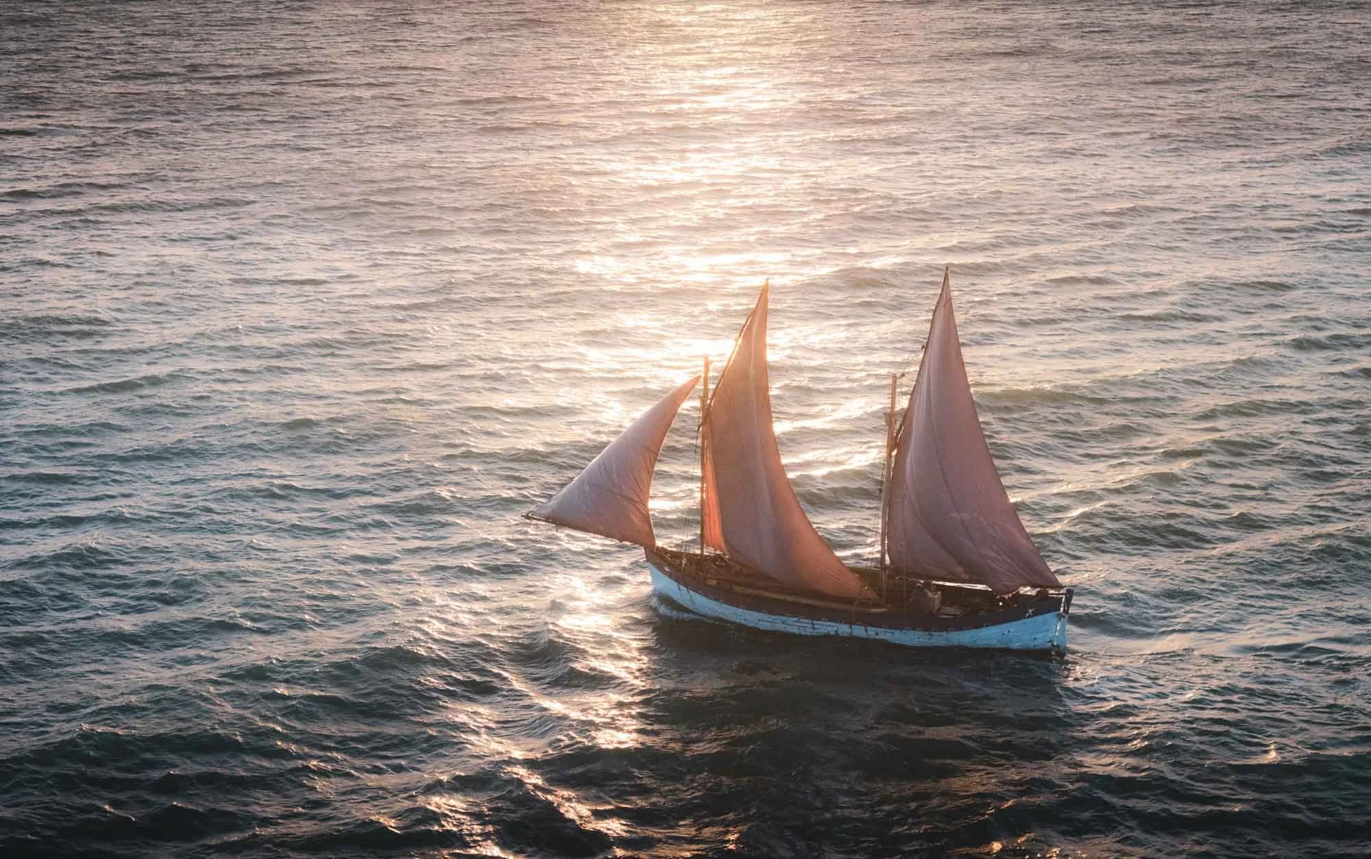
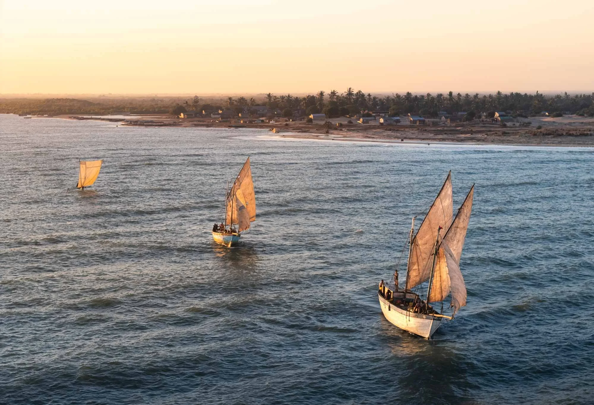
Living up to their name, the central theme of life was evident all around here - this includes for example the small canoe-like wooden pirogues seen in the aerial image above, but also much larger sail boats called botry, of which quite a few were under construction on the shoreline. We would get a chance to see much more of this over the next couple of days a bit further south, but had a first glimpse at these boats heading out to sea at sunrise today…
Belo sur Mer
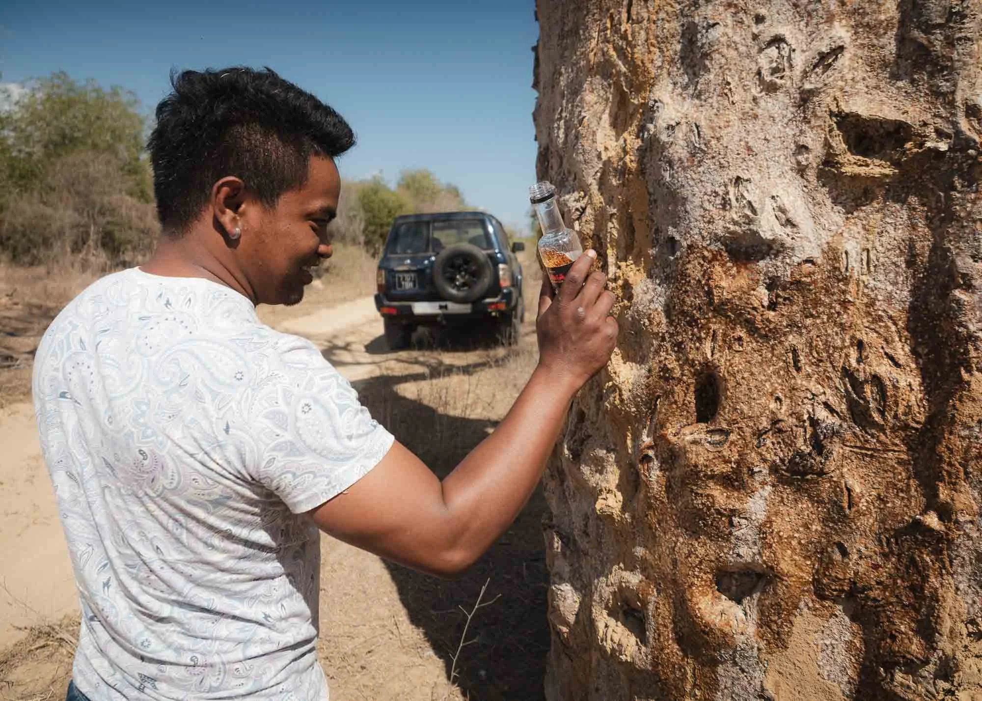
After a good 5 hours on the road, once again crossing rivers, passing small settlements, and driving through salt flats, we finally made it to the village of Belo sur Mer. If you ask my guide, it may have been the blessing of this baobab with the local rum that ensured our safe arrival. Or maybe the fact he had a sip himself…
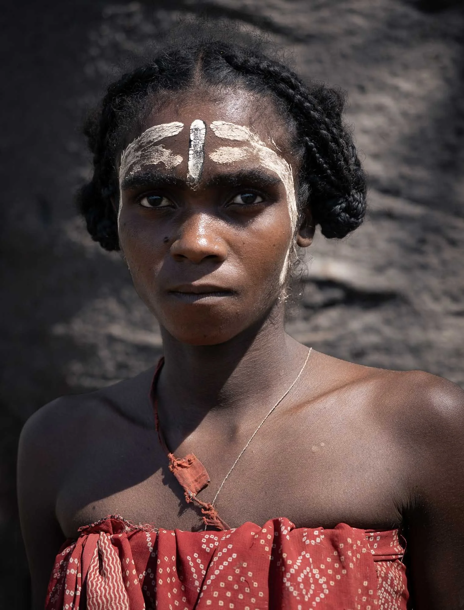
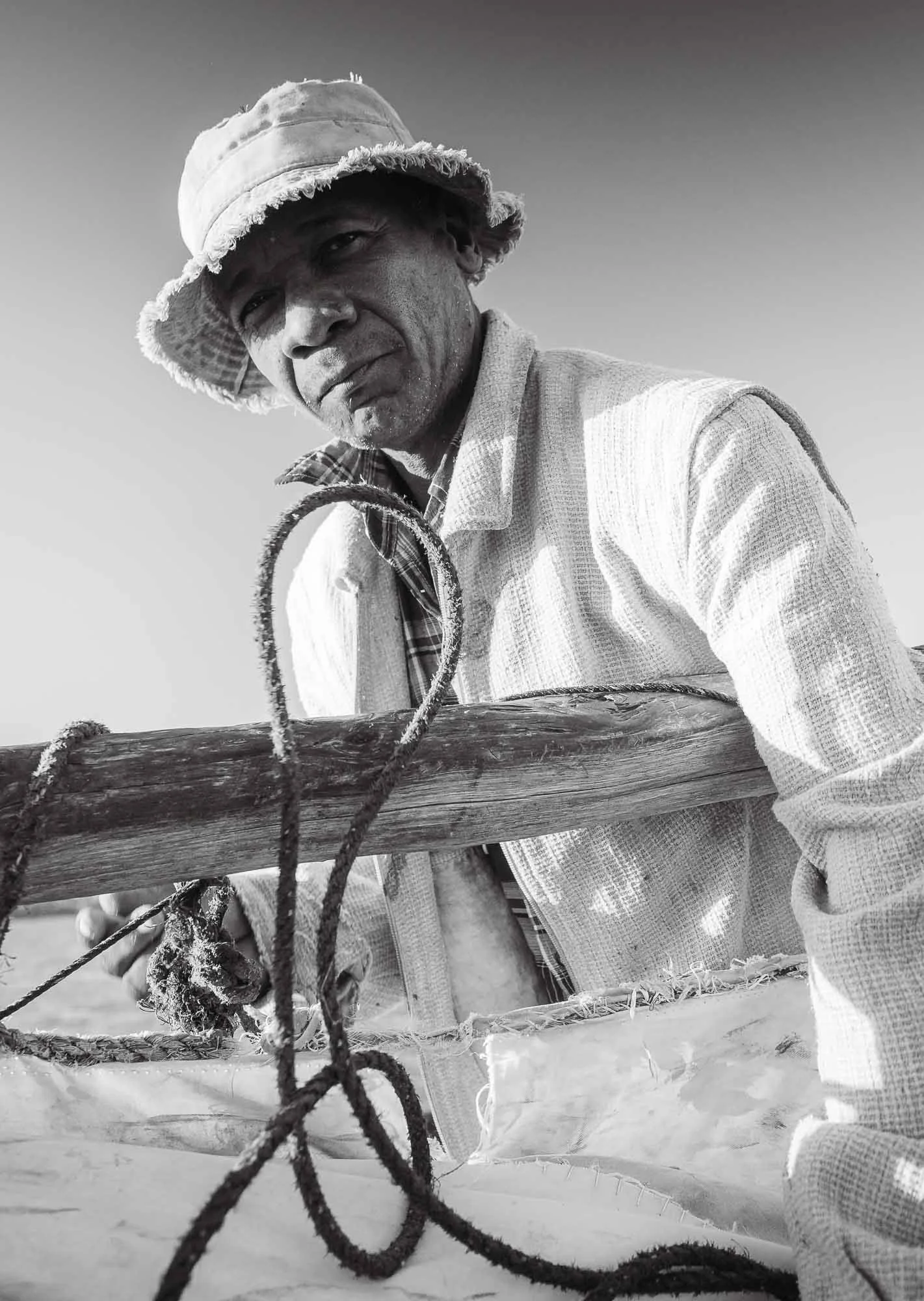
…either way, the stops on the way gave me the chance to take a few more portraits of the people occupying this sparely populated region.
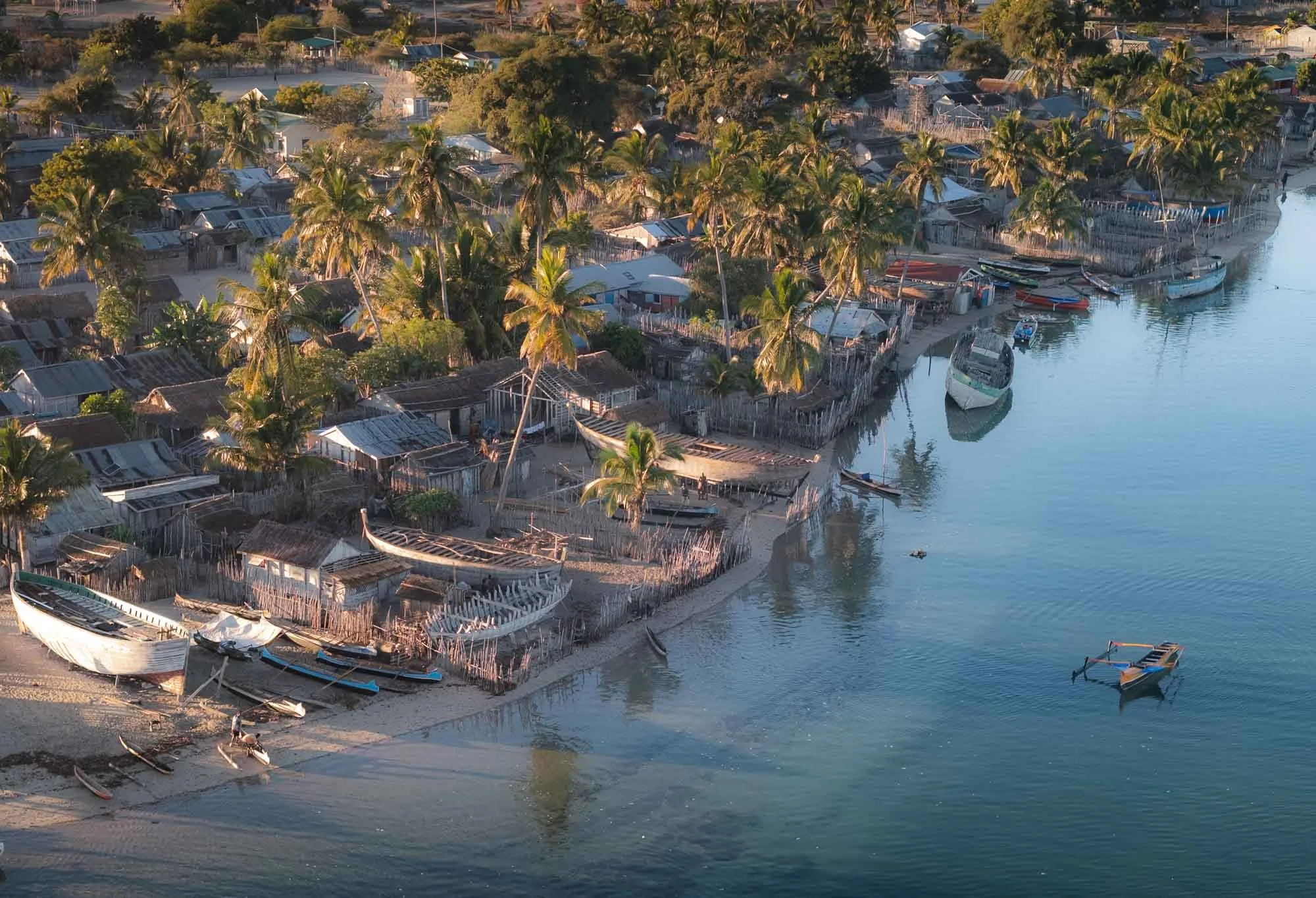
Belo sur Mer is famous for its traditional shipbuilding. While I didn’t count precisely, I’d say there were at least 100 boats under construction, dotted around different parts of the village. Having said that, many of the skeletons may just be old ships whose deconstructed parts will find their way into new ones.
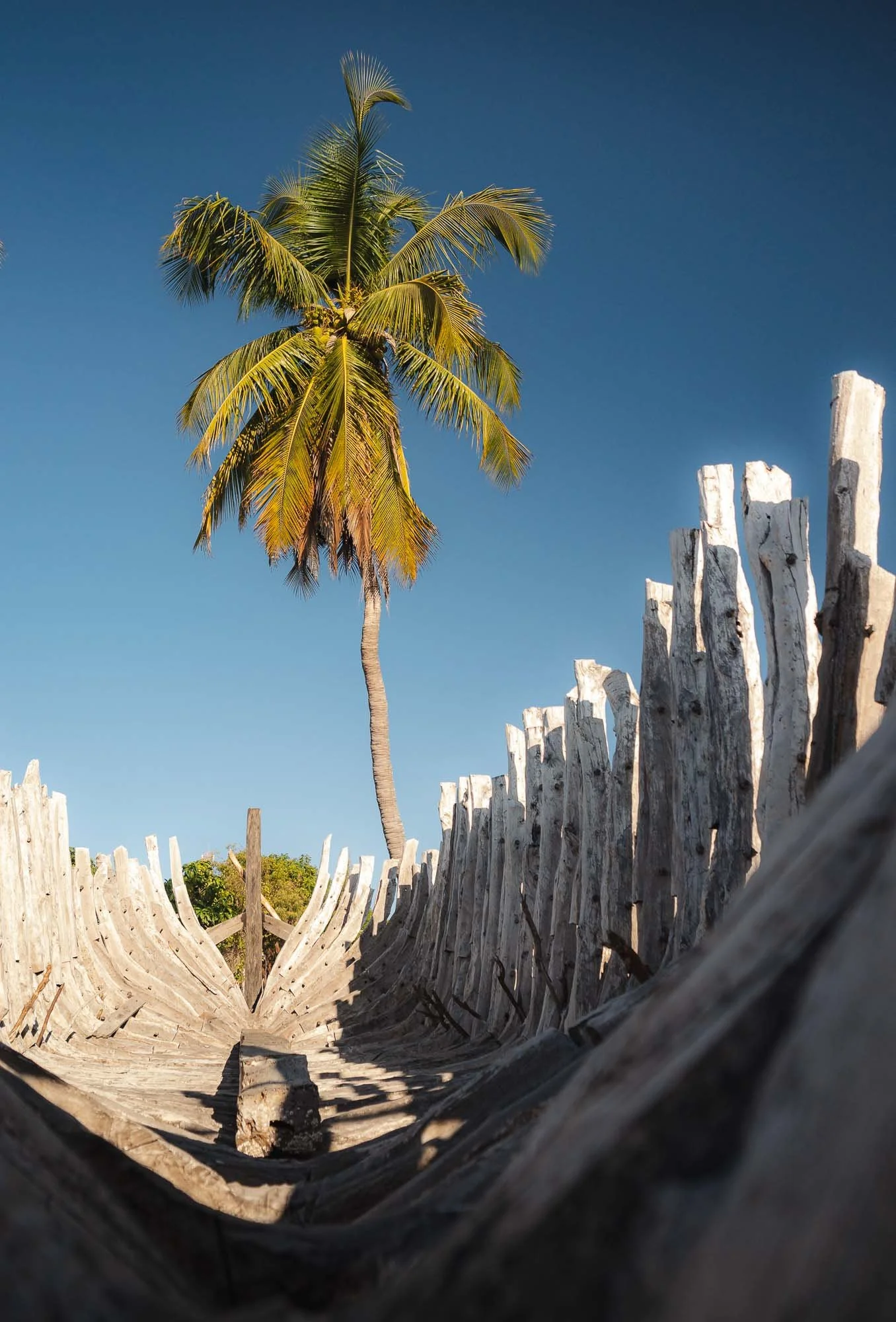
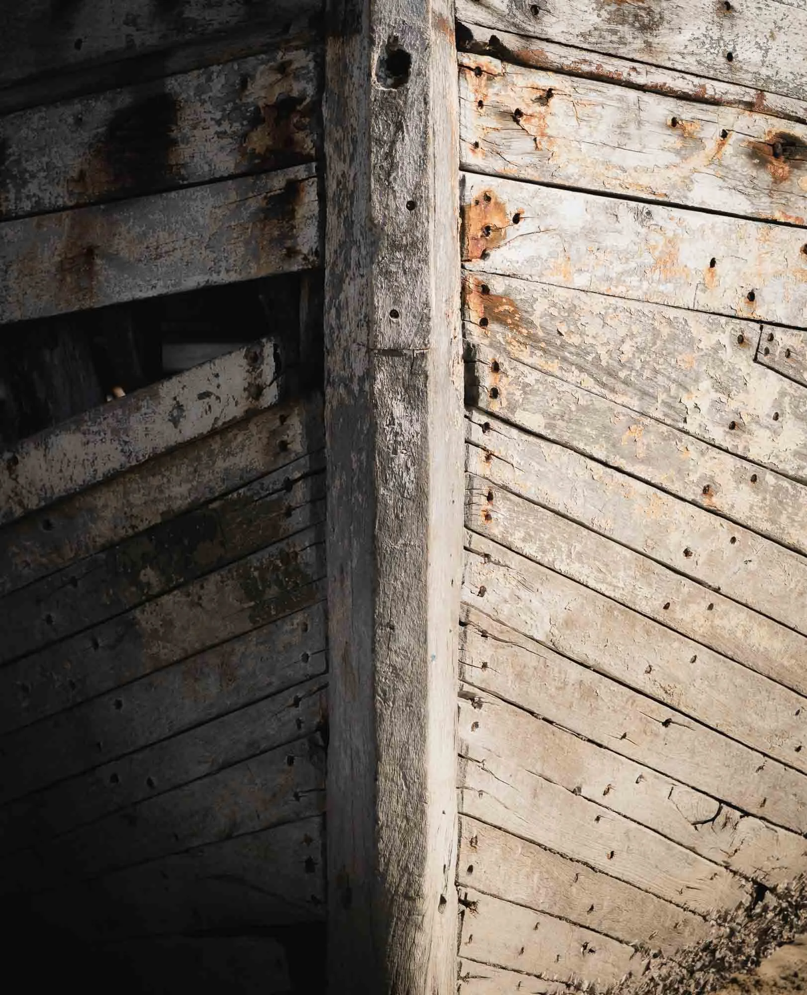
The tradition of building large wooden sailing vessels here goes back around 150 years, with skills introduced in the late 19th century by shipwrights from Réunion and passed down through generations of Vezo craftsmen. Of course the use of the smaller outrigger canoes is much older than that.
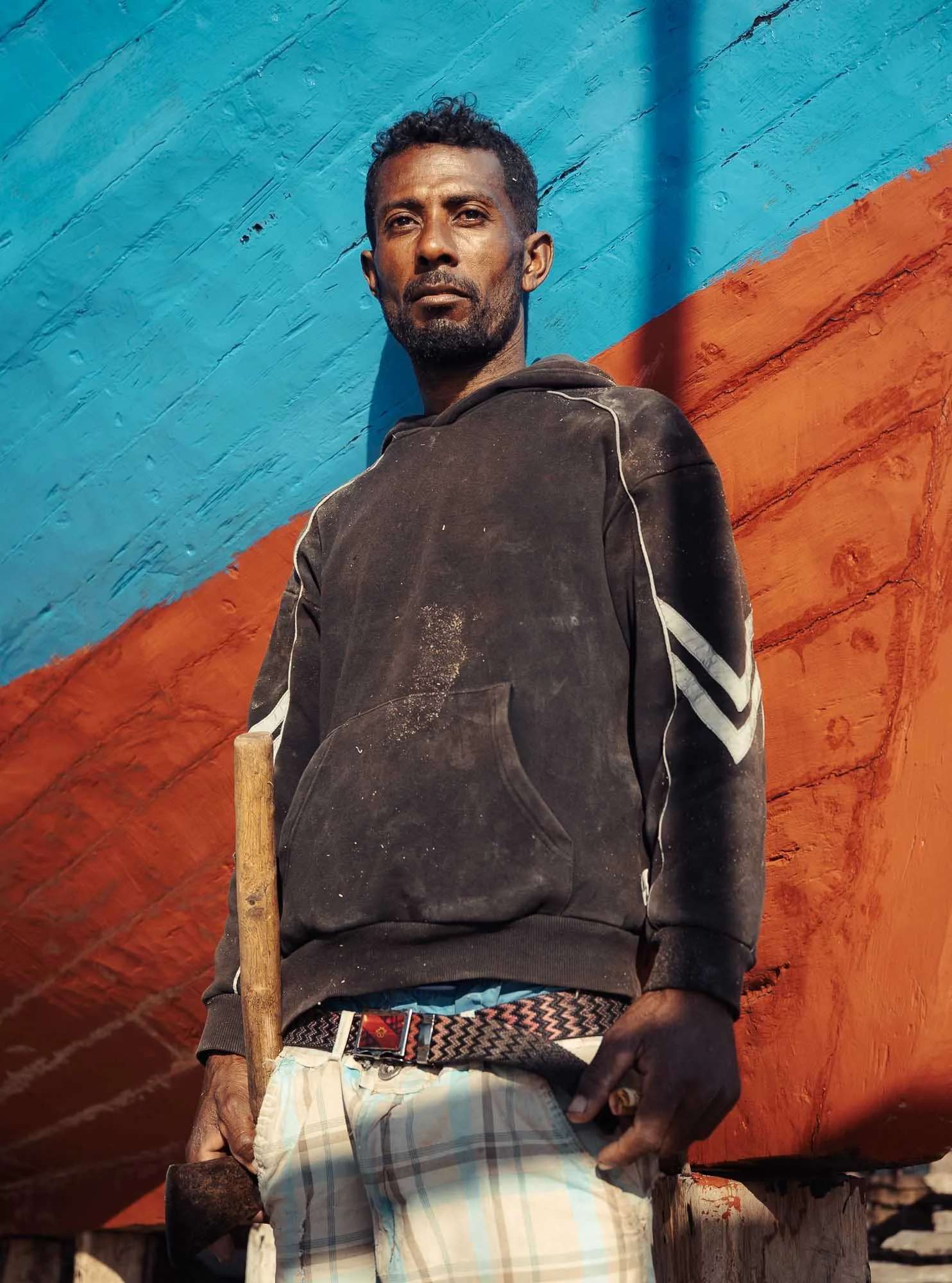
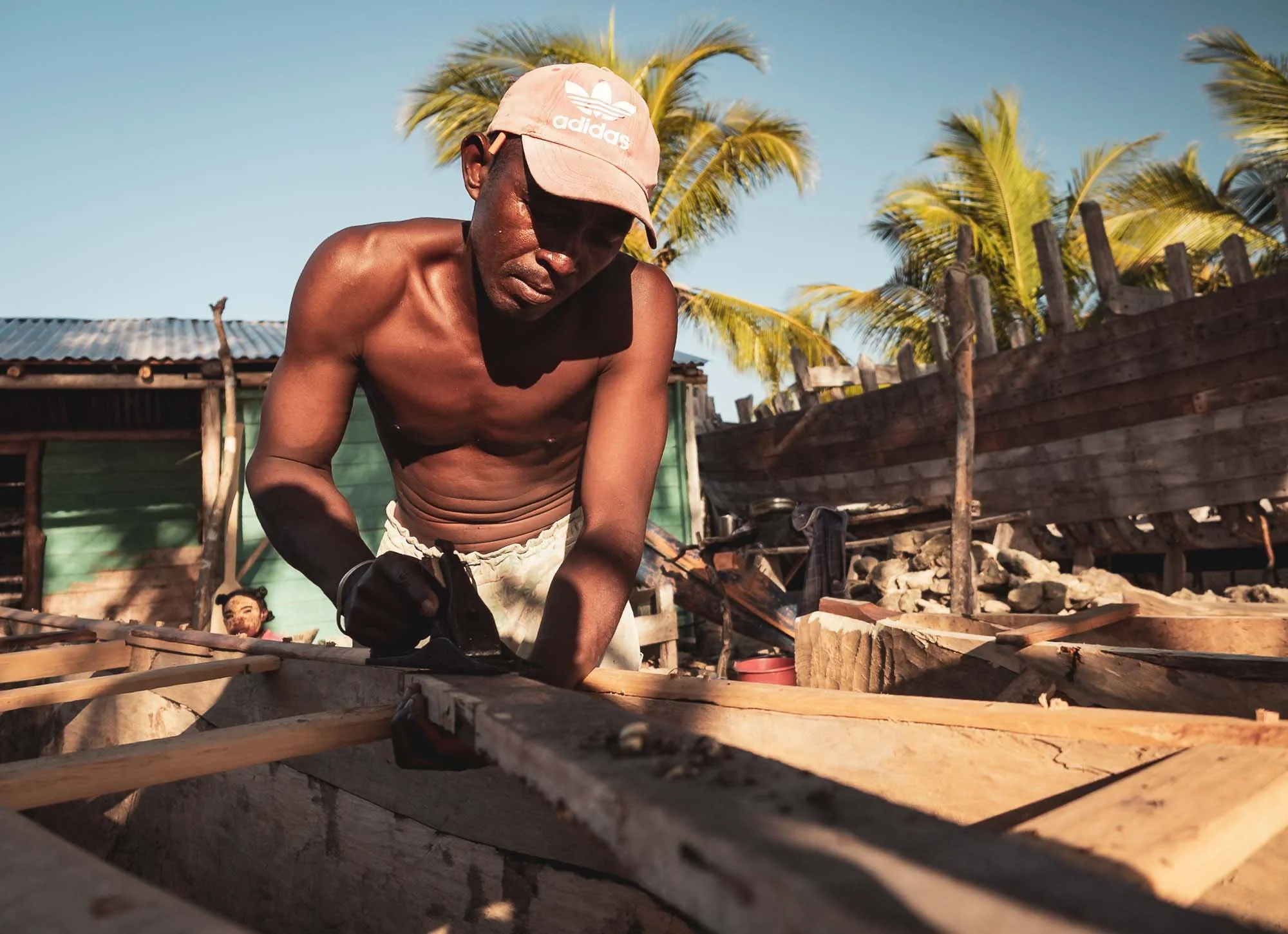
The boats take years to complete, and in many cases it is the ability for the owning family to afford the required wood that defines this timeline.
While it’s hard to say sometimes - and the lack of English doesn’t help - but I sensed a feeling of pride among some of the ship builders when I was looking to photograph their work, and using my guide to translate the questions on the process.
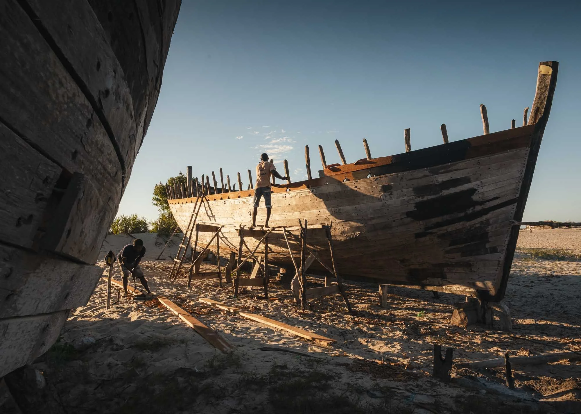
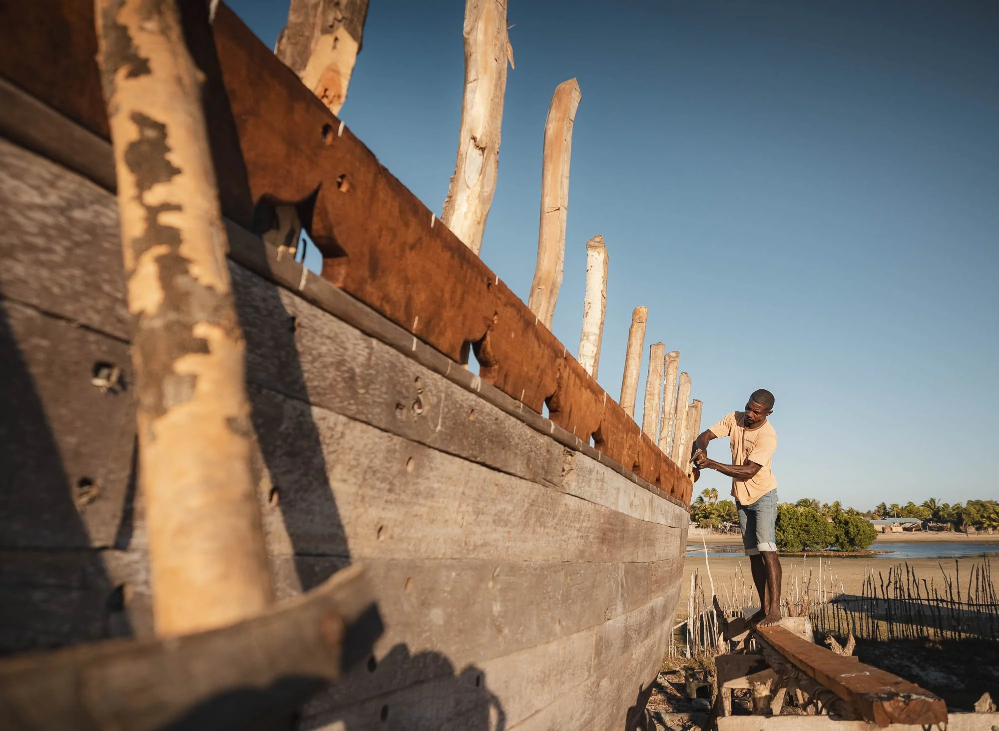
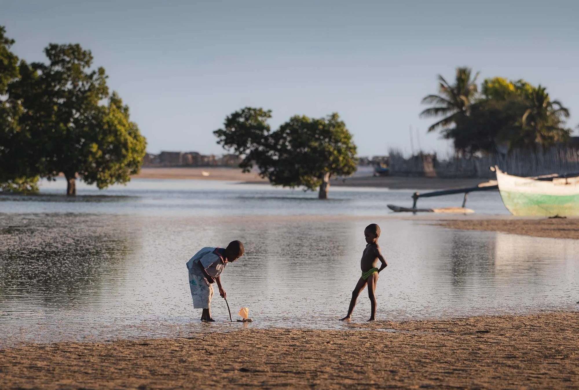
The techniques are passed down through generations and the seafaring education starts at the youngest age here.
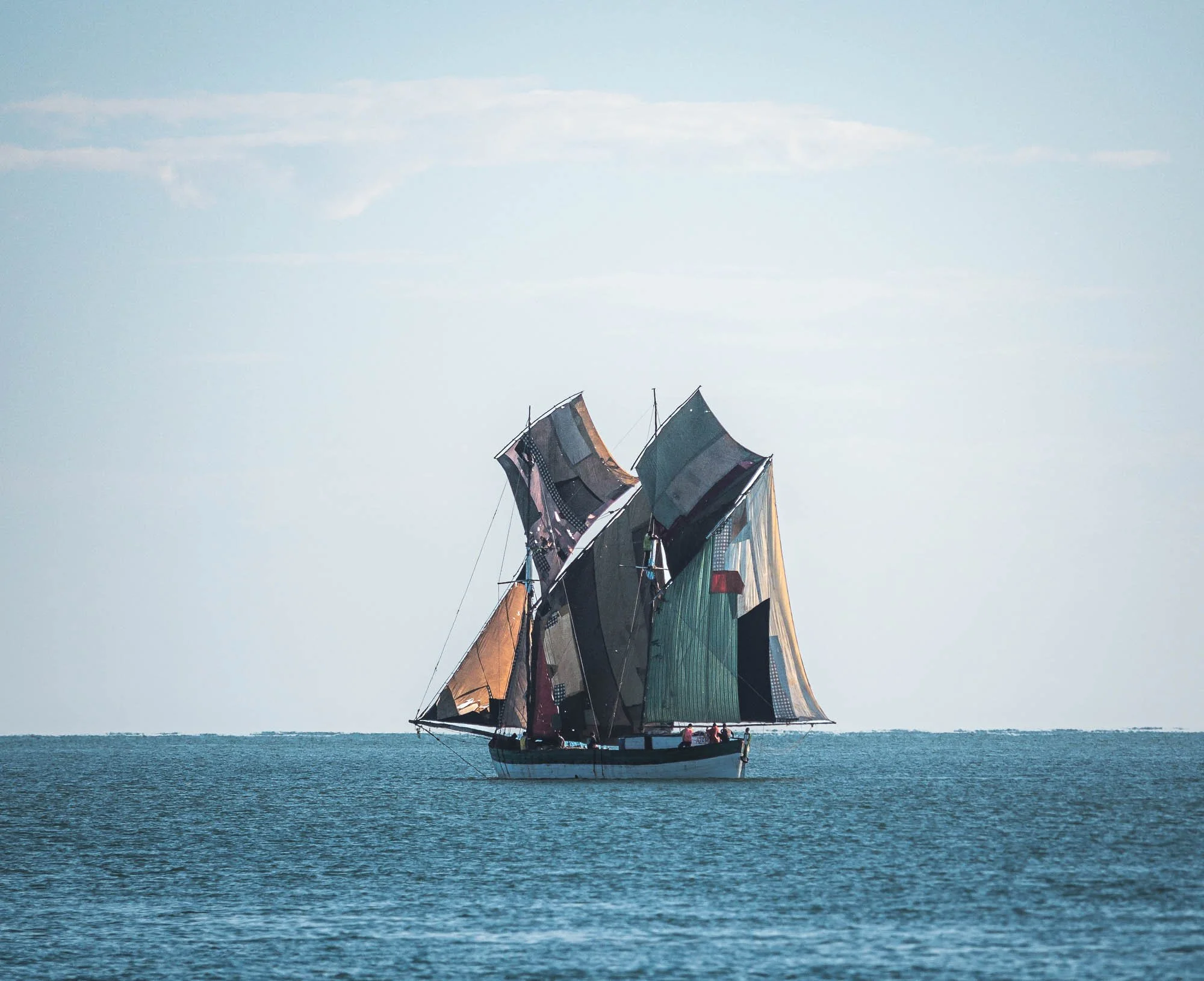
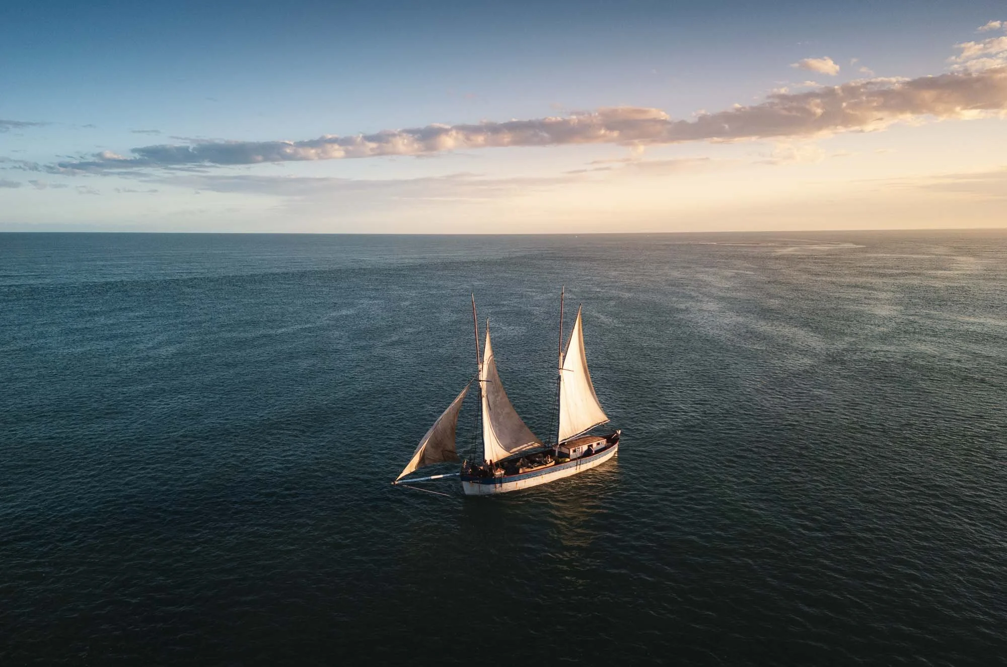
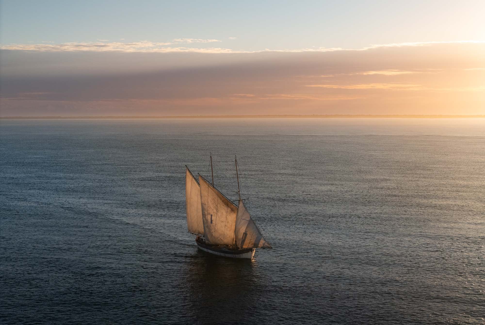
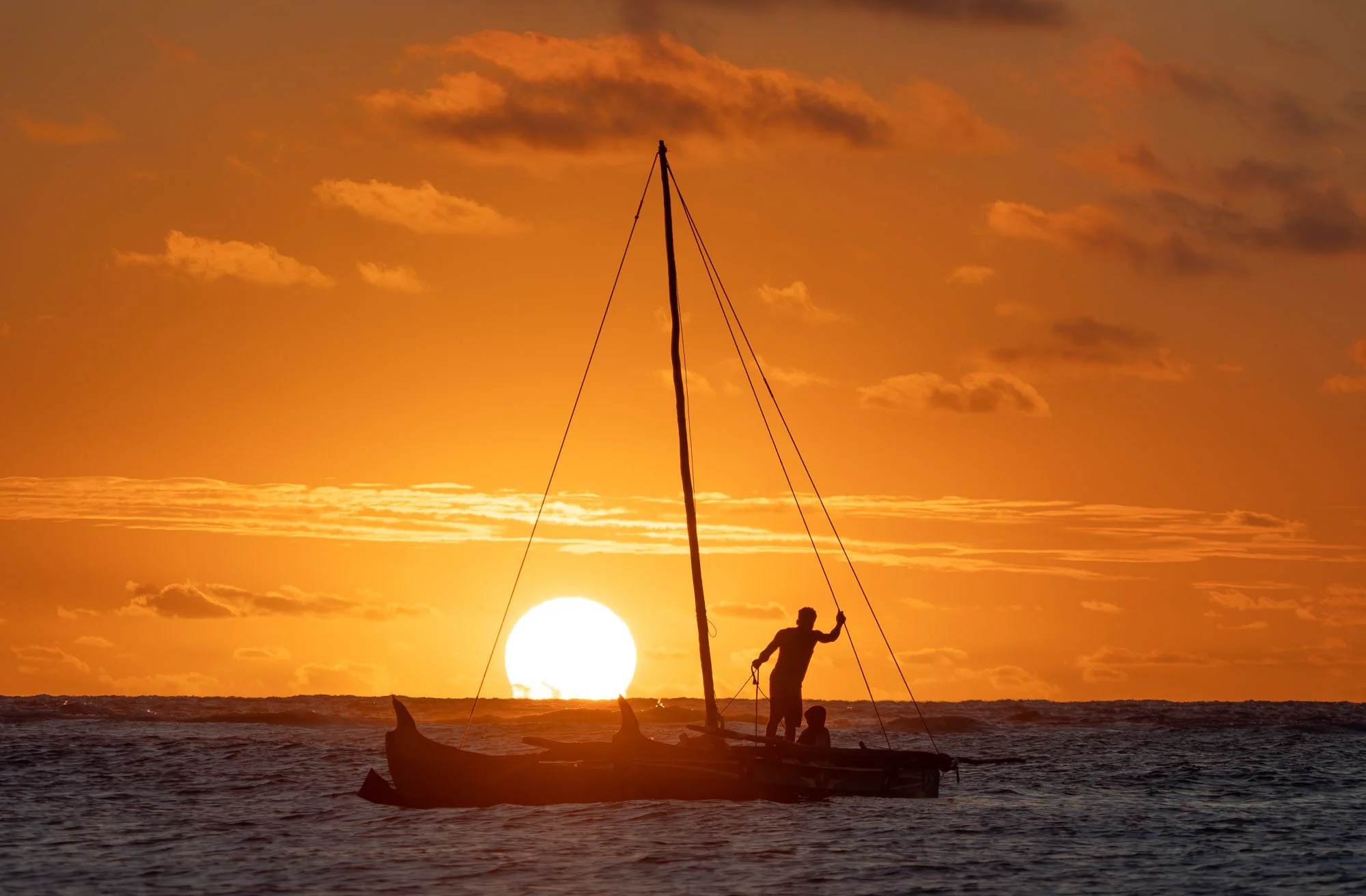
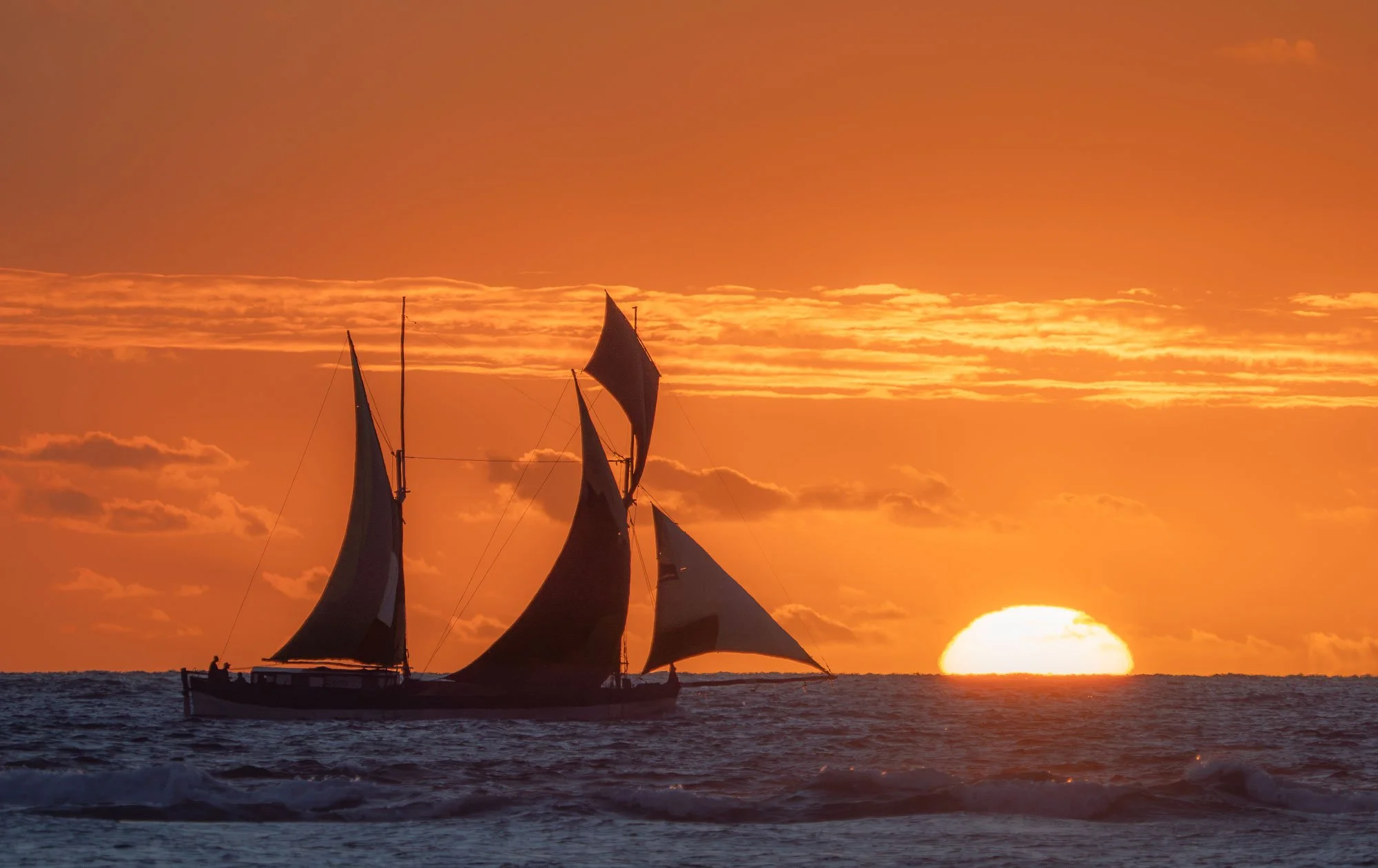
Once built, the ships make for amazing sights in the open ocean, with their patchwork of sails allowing the Vezo people to reach distant harbors along the entire coastline, transporting goods back and forth to areas that are otherwise barely reachable.
An Unexpected Sailing Trip
The next morning, I wanted to see some of these boats with their sails hoisted and either arriving or leaving the harbor, so we left our (surprisingly nice!) beach lodge in the darkness. The hope was to catch them in the early morning at sunrise near the large inlet from the sea into the mangroves and towards the salt flats - it’s an amazing landscape, just take a look at the Google Maps satellite imagery.
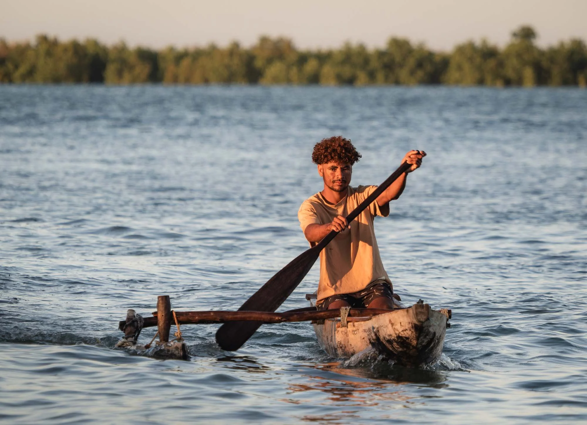
As the morning light slowly crept in, there was barely any activity here though, but I did spot one boat at anchor in the distance being approached by a small wooden canoe with two men on it. After dropping one of them, the other then returned to the shoreline, and we walked up to him with the intention to figure out if and when more boats would arrive or depart. He couldn’t say, but told us they were planning to head to the salt harbor inland in 15 minutes or so…
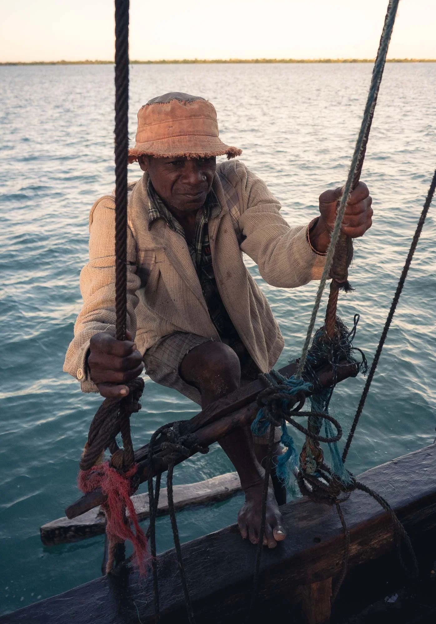
It’s probably from many years of travel and developing at least a little bit of photographic instinct, that at this point I told my guide to carefully ask him if we could join for that trip, and take some photos. The man didn’t speak English, so I can’t know what actually happened, but it took barely a minute and he waved us on board the little pirogue to head to the ship. And so, without knowing where exactly they would go, how long it would take, and what it would be like, I ended up one of the ships I hoped to photograph only from afar.
A few minutes later a couple more people arrived, and the crew started raising the anchor and hoisting the sails to get the ship moving inland. They told us they expected it would take an hour or two to get to a small harbor inland, where they wanted to pick up some cargo later.
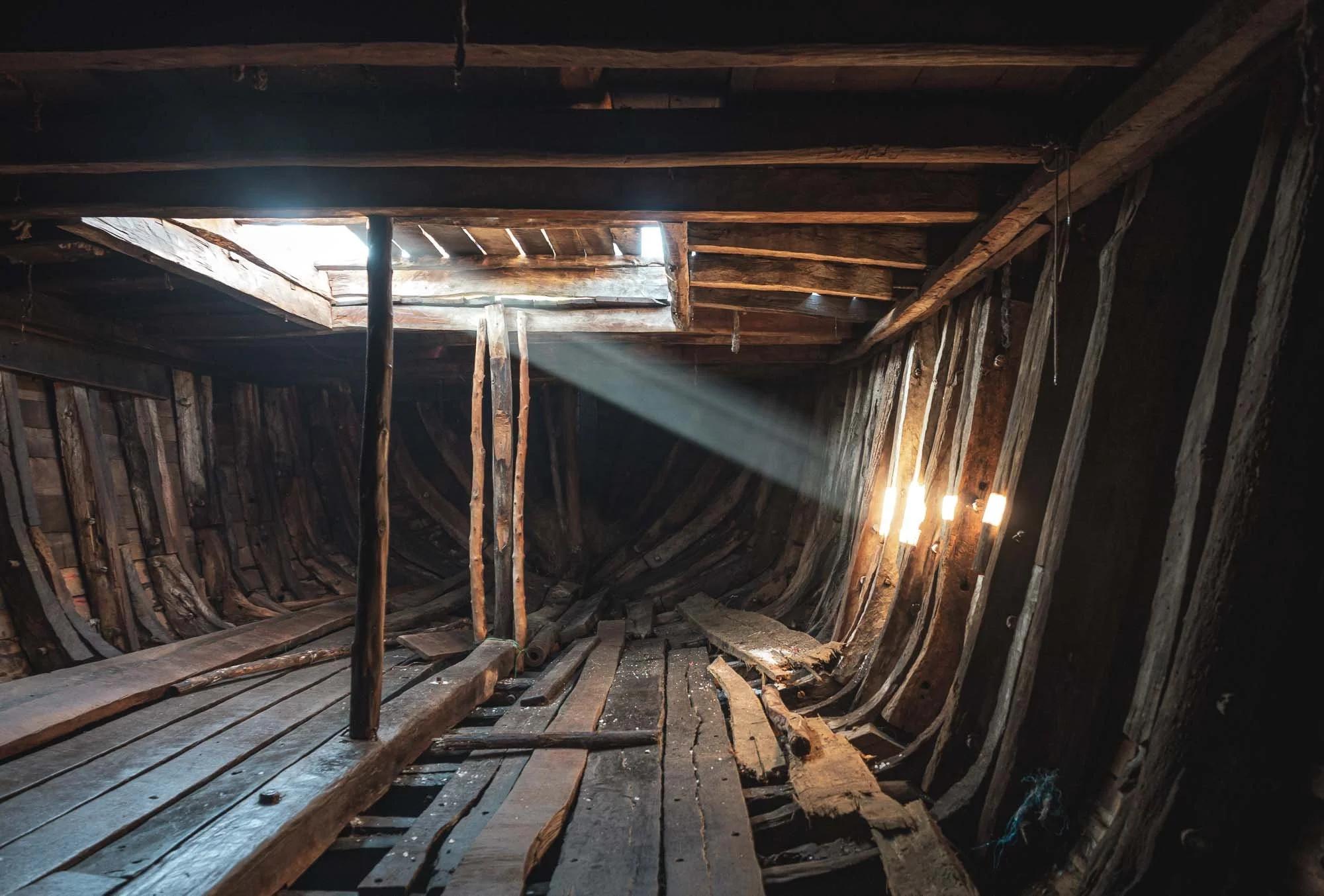
For now though, the hold was empty, but the white spots on the ground gave away what they were planning to transport: salt from the nearby extraction pans, destined for Morondava.
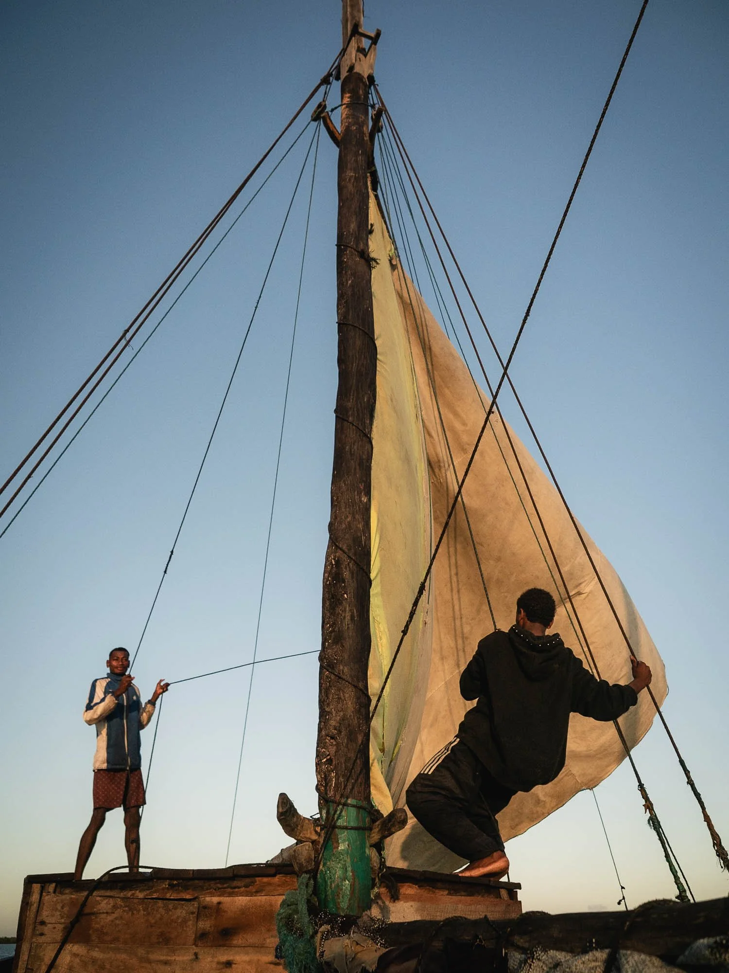
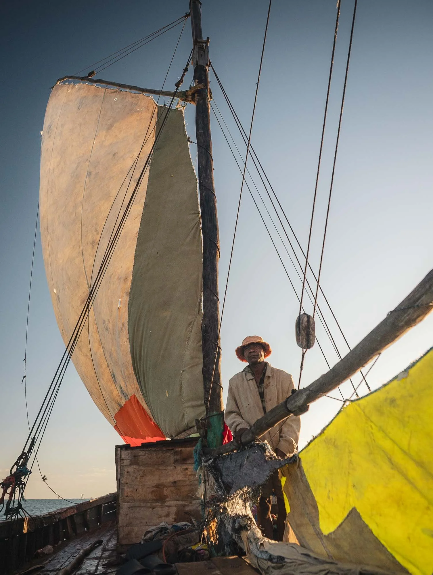
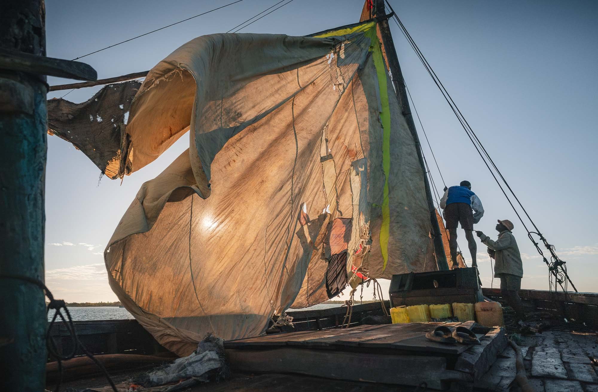
Almost an hour later though we had barely moved, and the crew was still scrambling with the sails.
While I don’t know much about sailing, I had a suspicion that their plan was disrupted, by the most obvious cause: The wind had subsided considerably, not to say, completely. That’s a problem when you don’t have an engine.
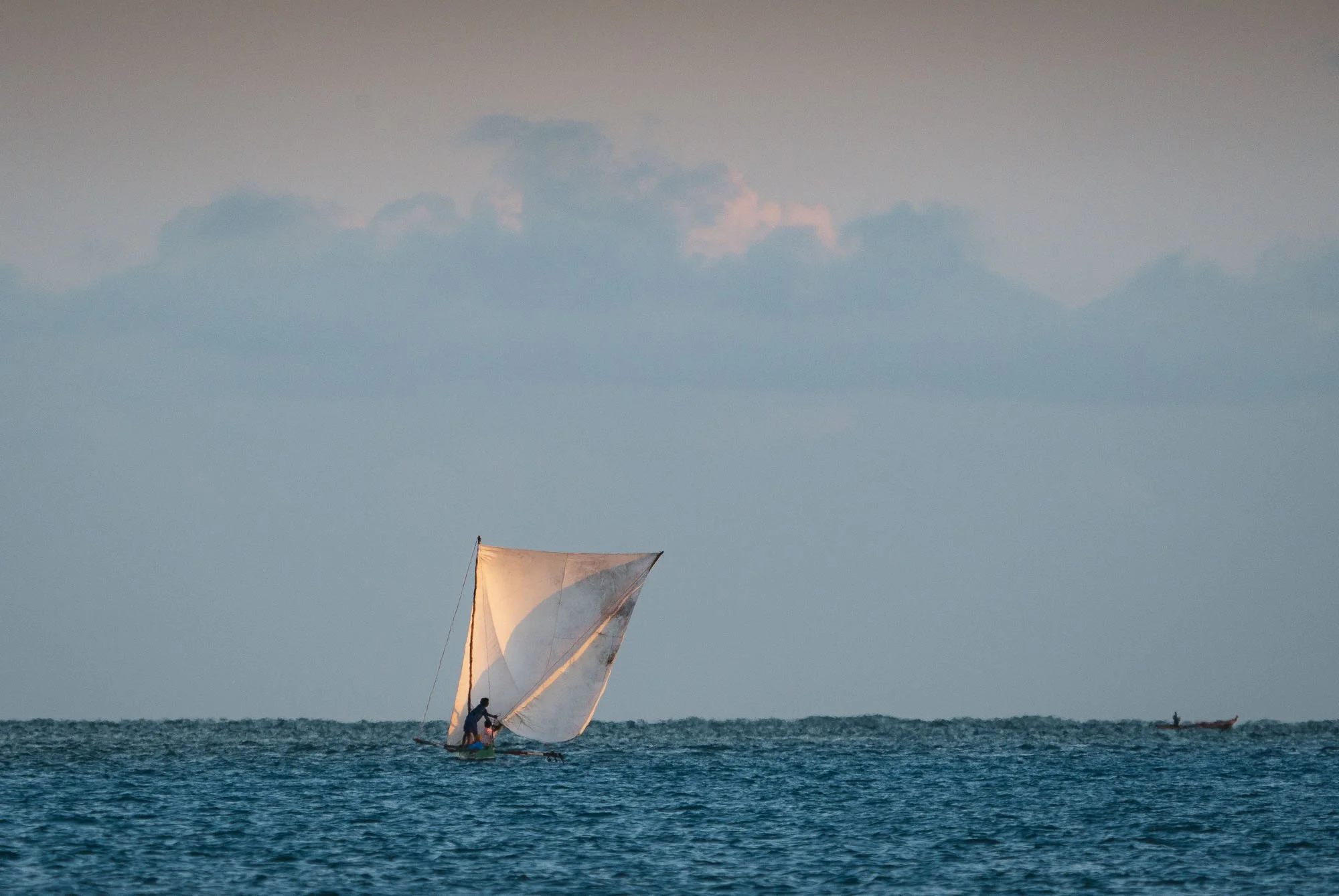
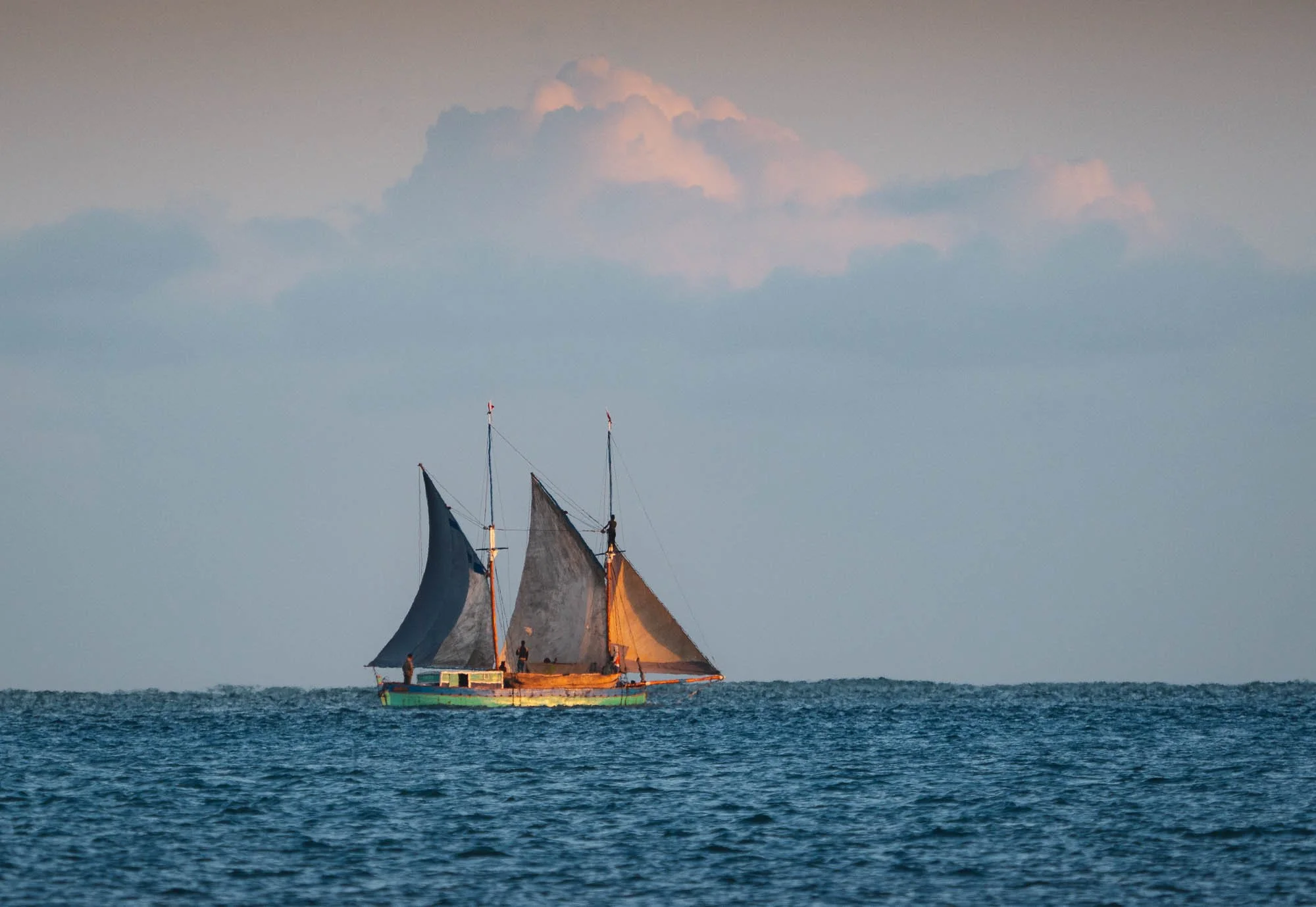
It seems the open ocean still provided enough wind to help both the smaller pirogues but also the larger sailboats to keep moving in the distance, but we were pretty much stuck.
When the wind doesn’t play along, you can’t do much other than wait - or, once the water is shallow enough during the receding tide, start pushing the boat with long sticks. The crew spent more than an hour doing just that, moving us just a little bit closer into the mangrove channel each time…
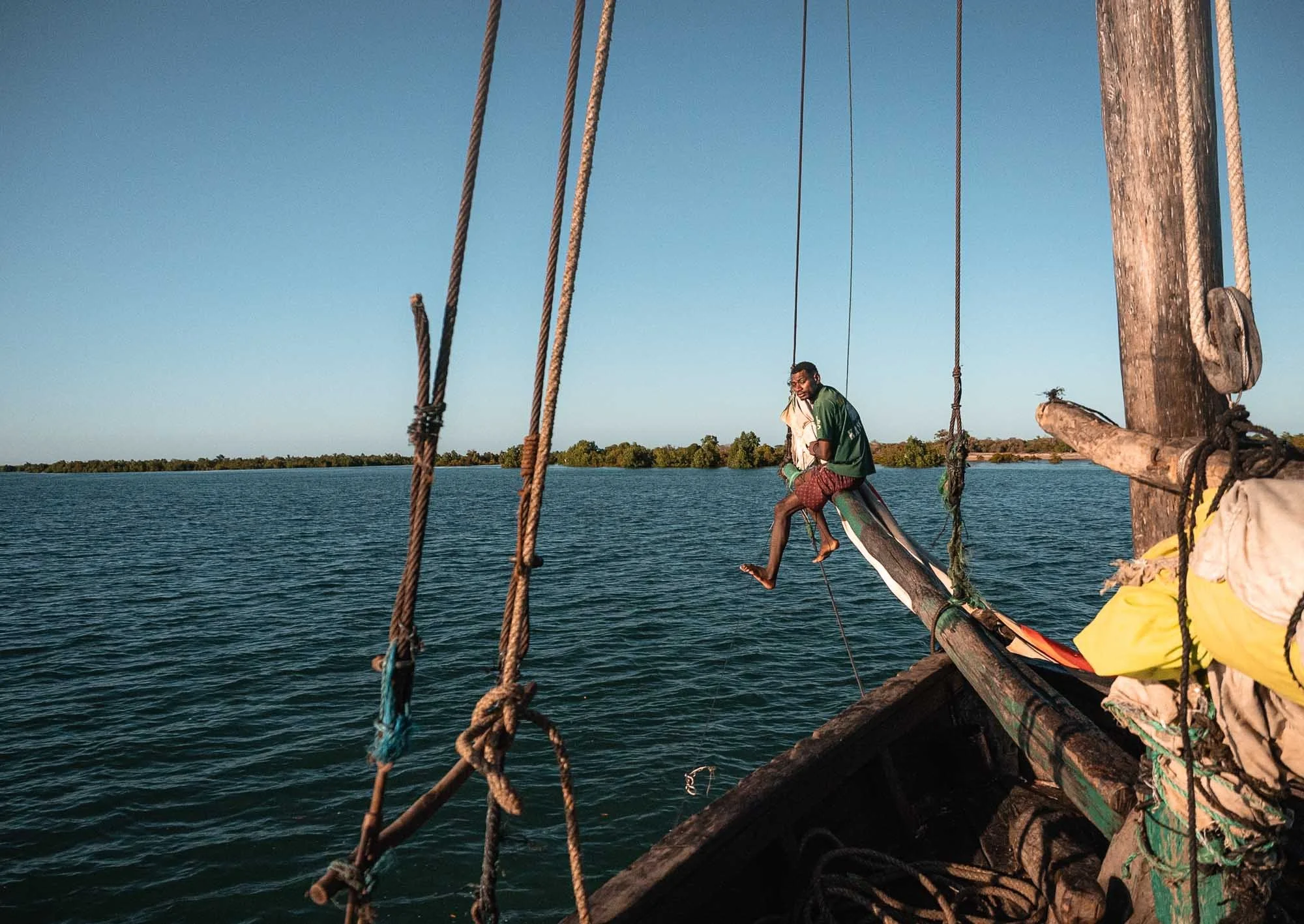
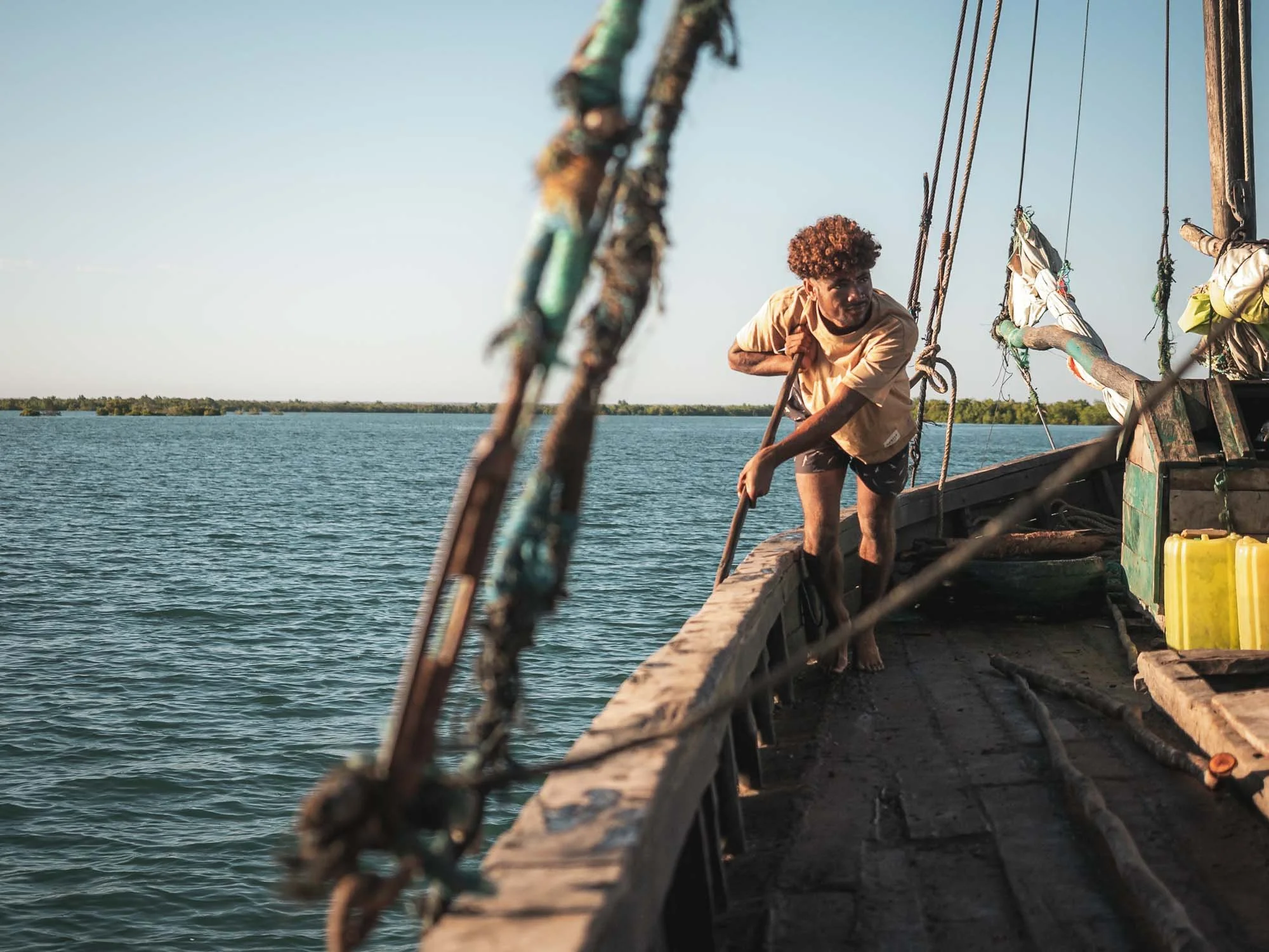
Luckily, this gave me plenty of time to take photos. I wasn’t able to figure out the exact family situation among the people on the ship, but beyond the men, this young mother and her child, alongside their two chickens, were also part of the crew.
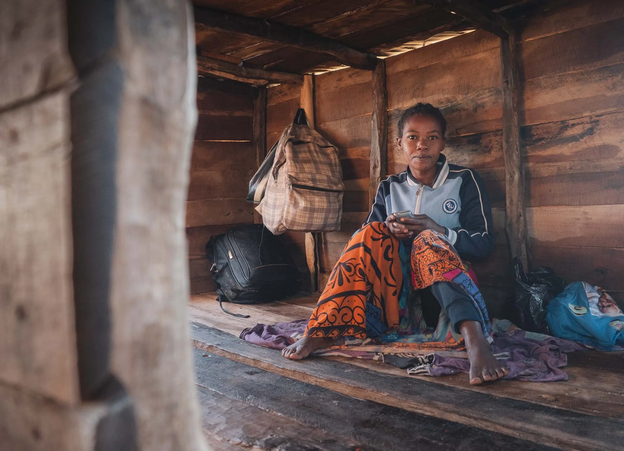
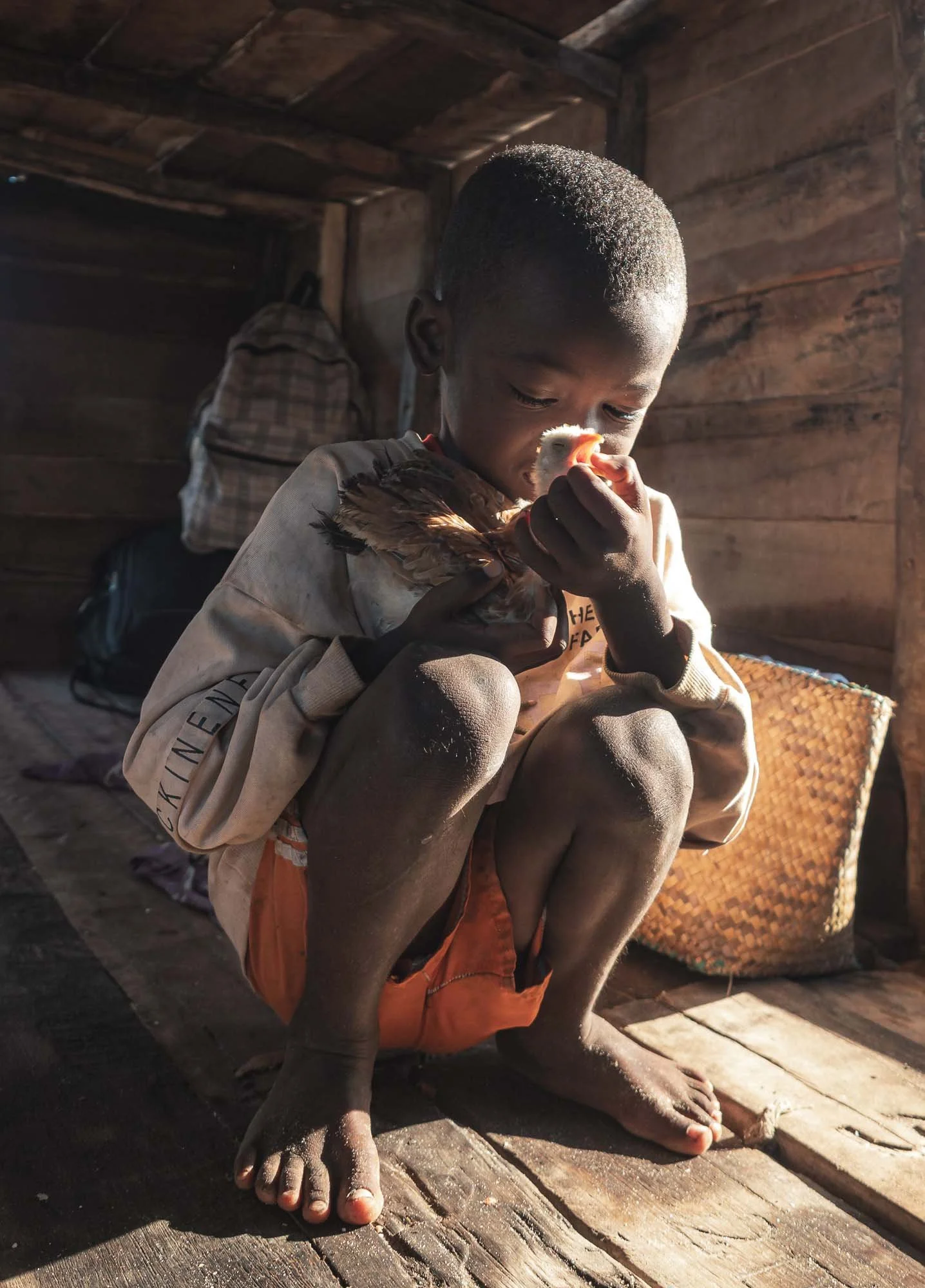
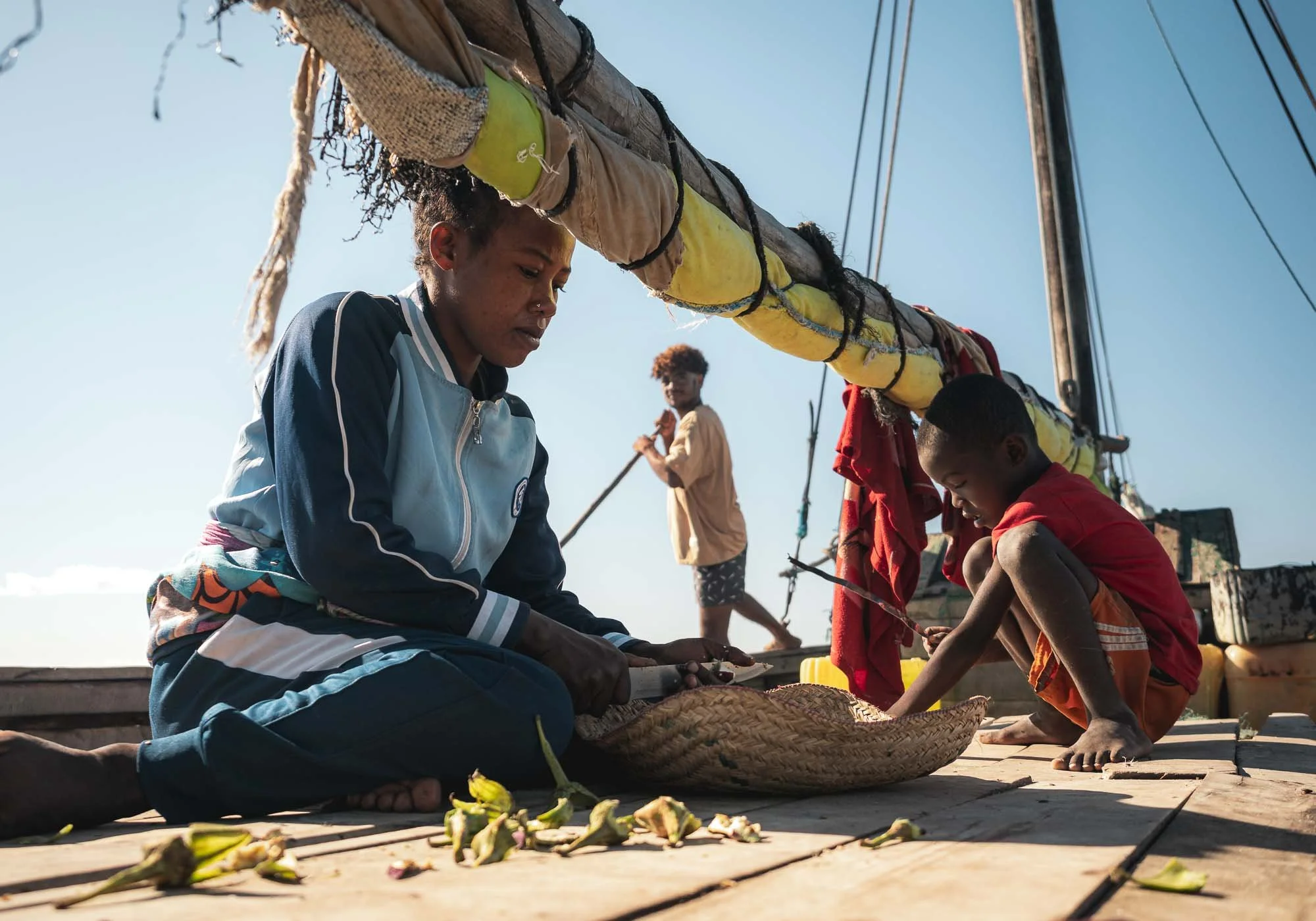
They started to prepare rice and some vegetables for lunch while the men were working on navigating the ship just a little further inland…
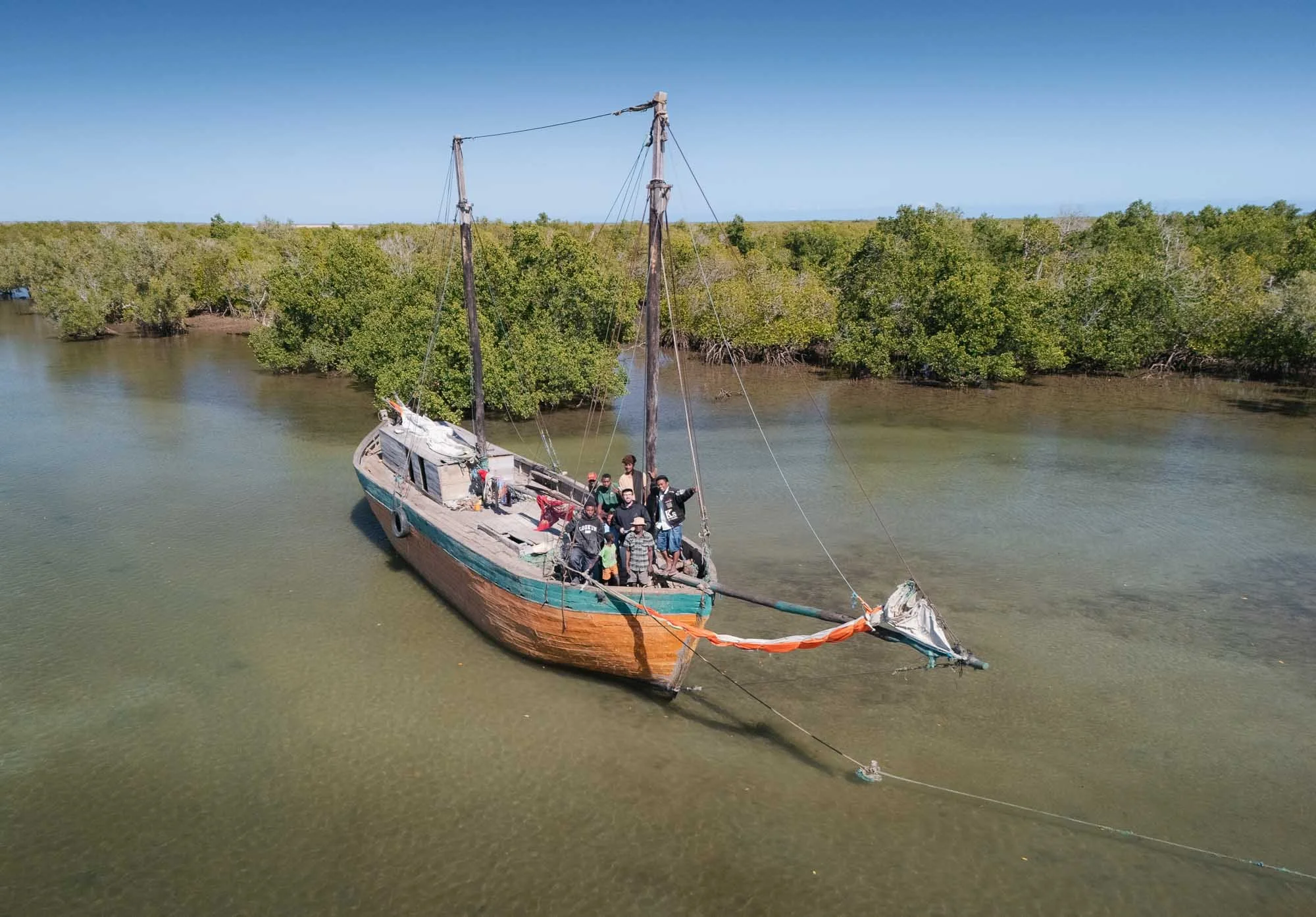
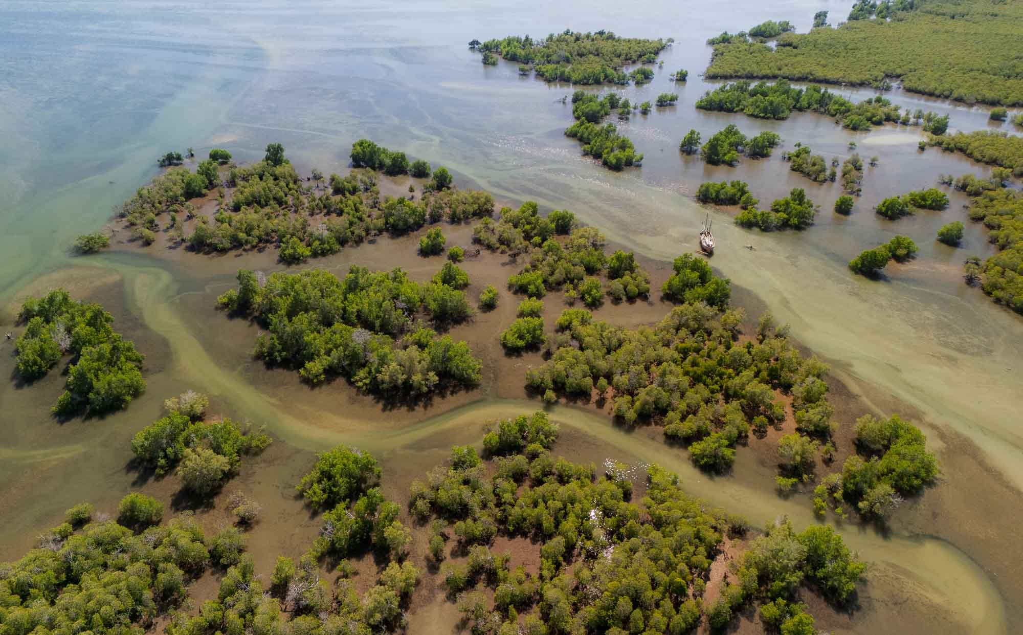
After more than 4 hours, they succeeded and we finally ran aground in the mangroves very close to a small salt harbor. One of them kindly took me back to the mainland with the little canoe, after we took this drone selfie together. The wider area around the village is a UNESCO Biosphere reserve for its beautiful varied ecosystems hosting a wide range of animals, from dugongs and humpback whales to lesser flamingos.
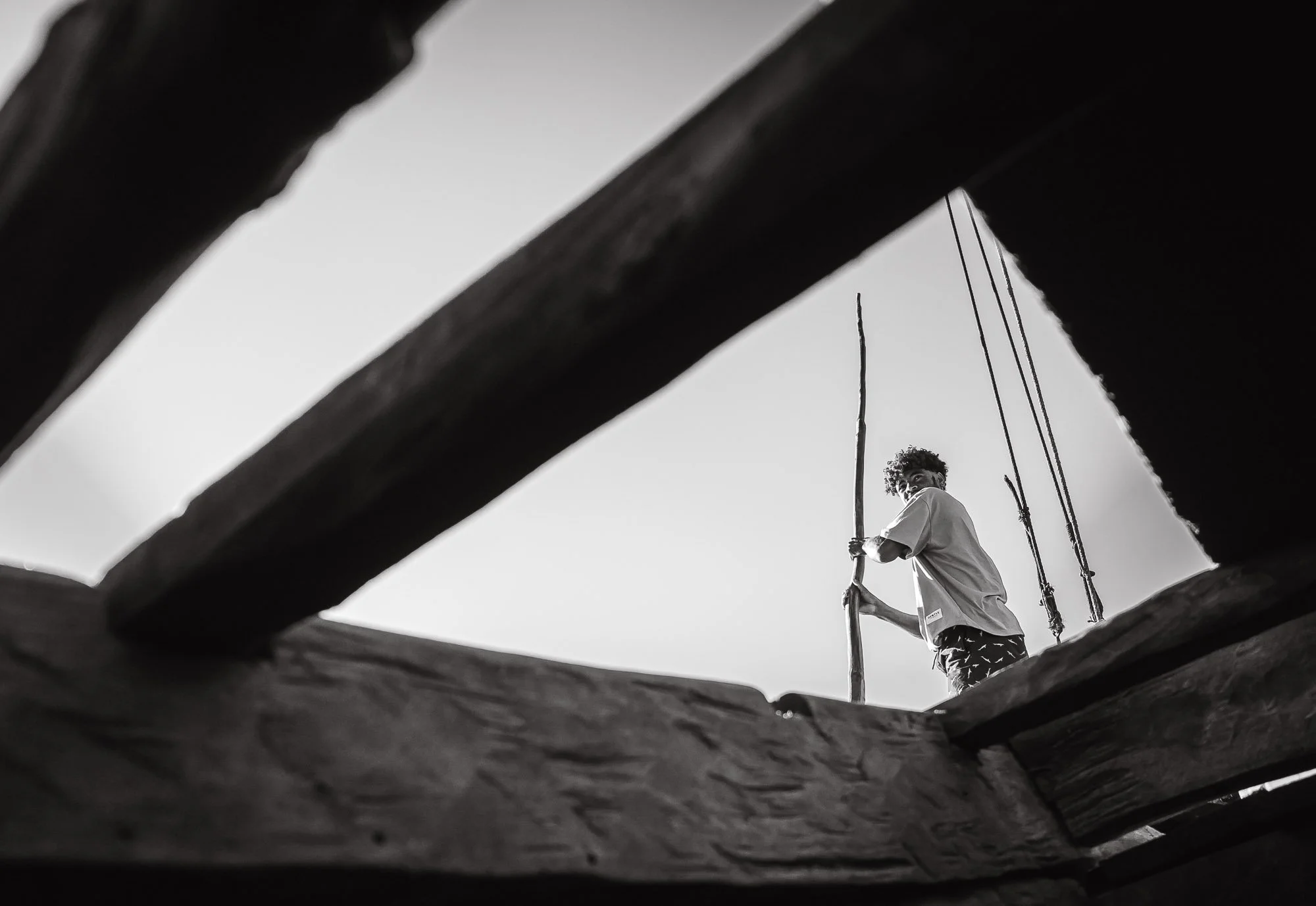
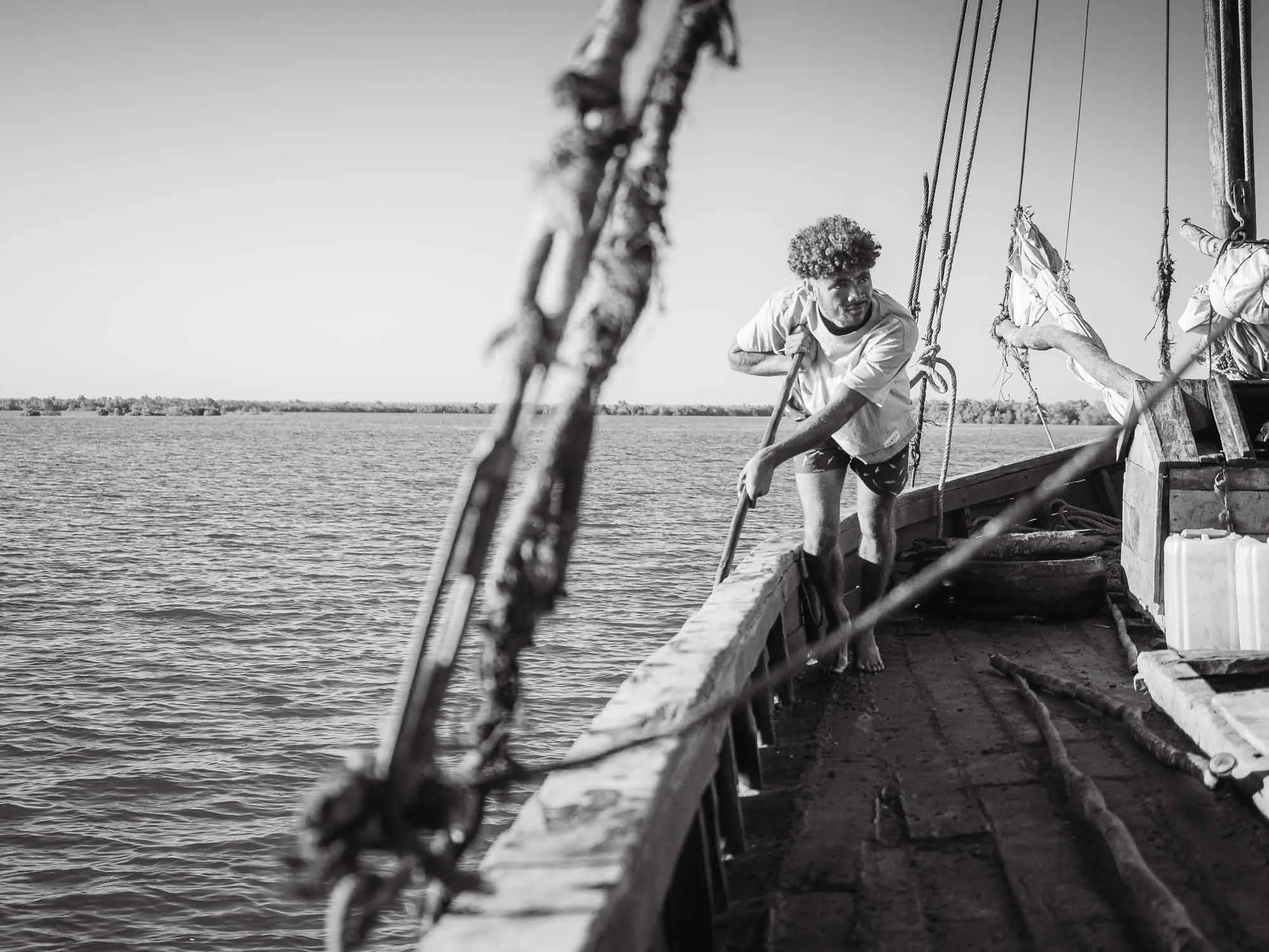
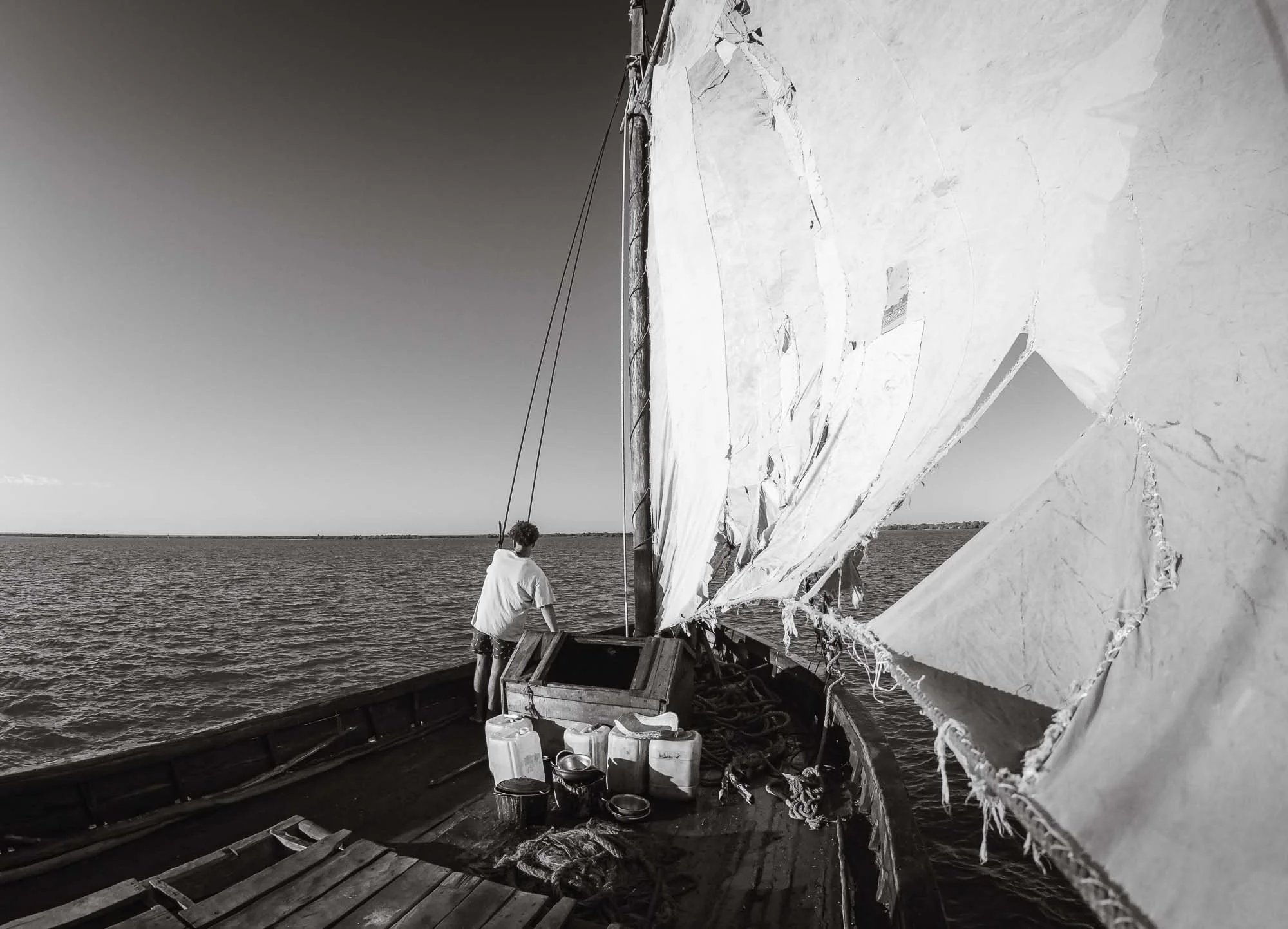
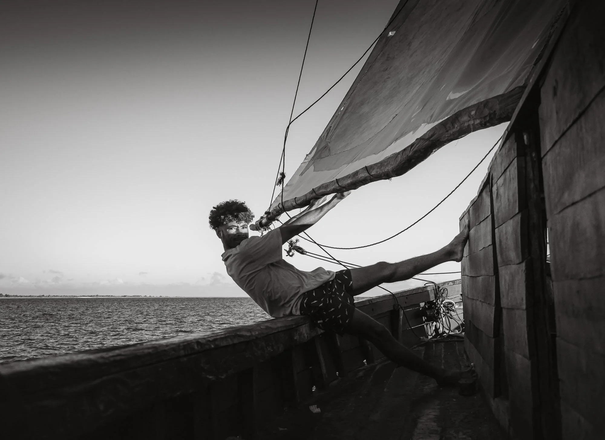
My time on the boat - albeit a lot longer and with a lot less distance covered than anticipated - was one of the highlights of this trip, giving me the chance to observe and document the unfiltered life of the Vezo people. This black and white photo series is maybe one of my favorite image collections of the last years. It is often the unforeseen and asking just the right question in the right moment that gives you these experiences.
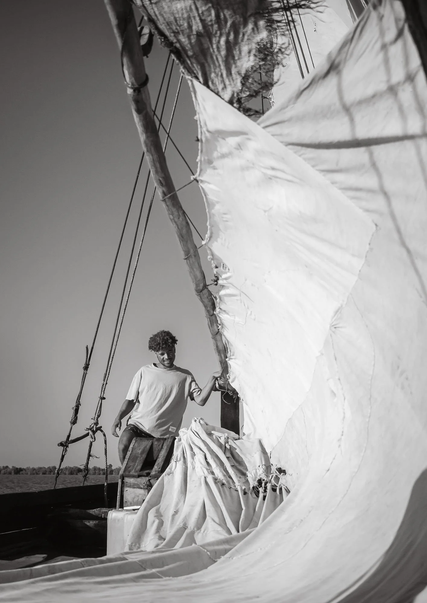
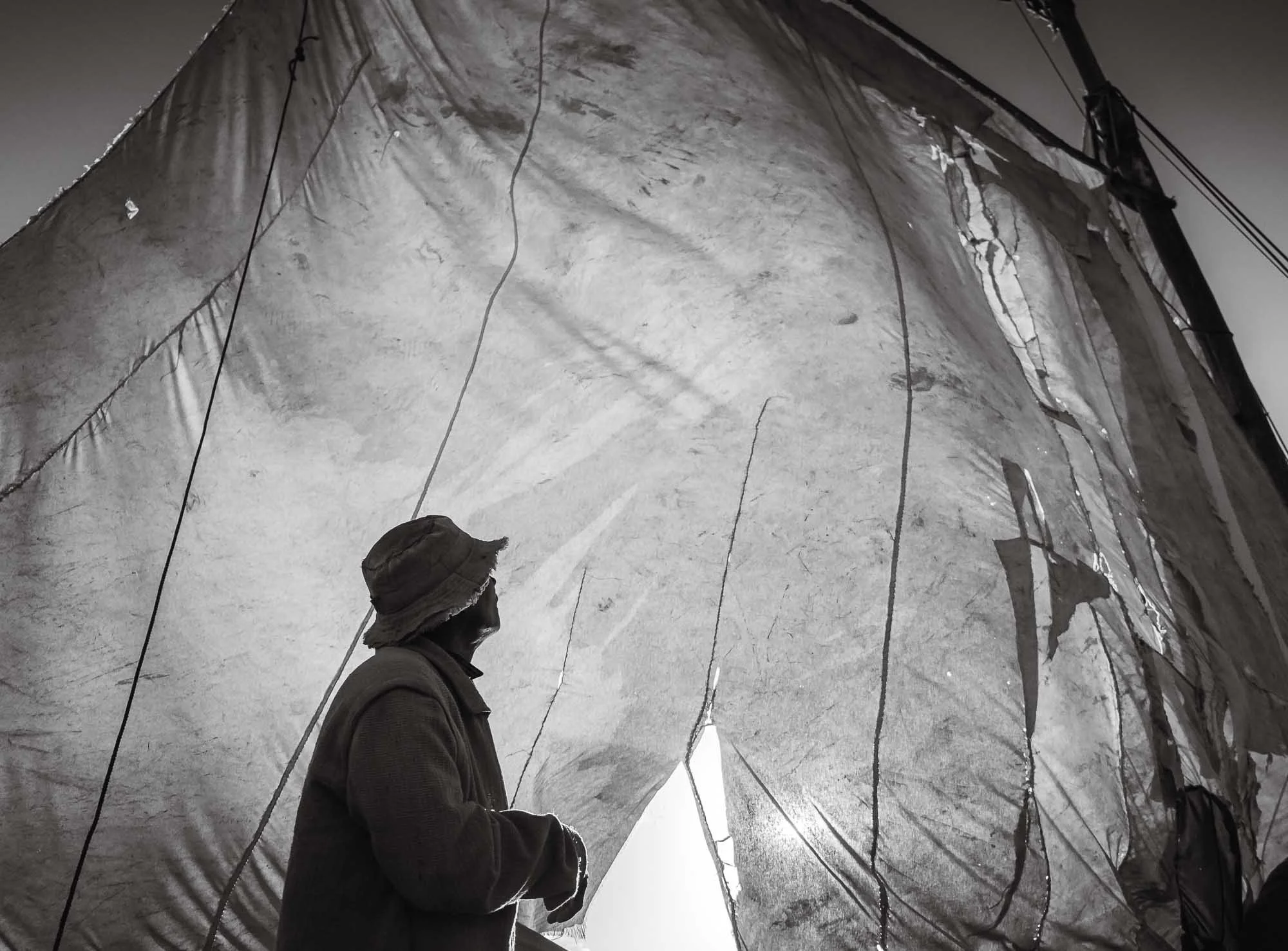
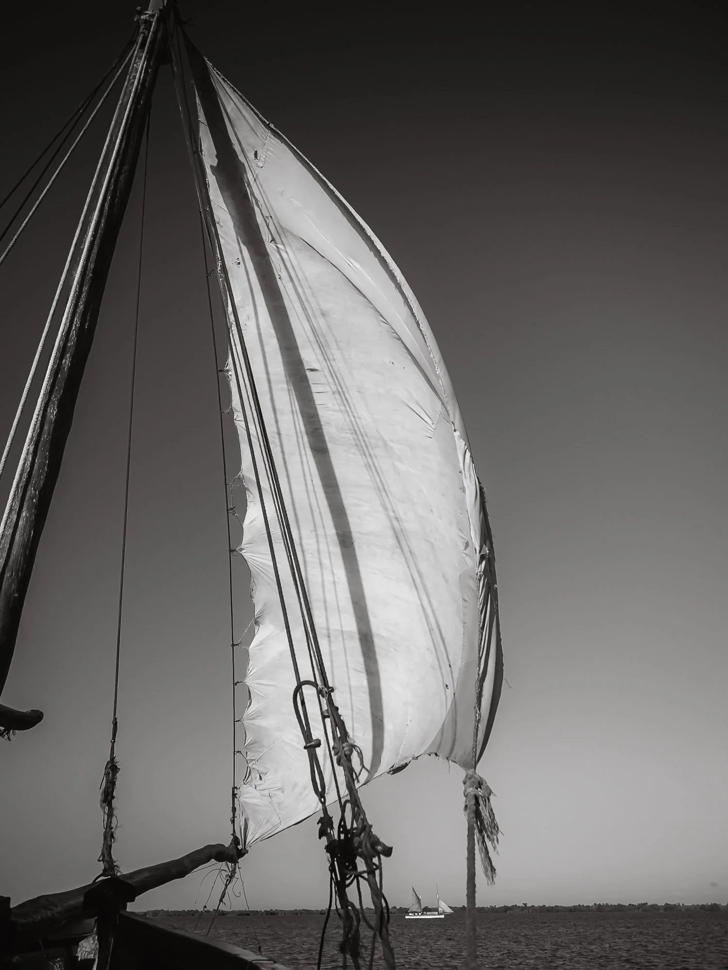
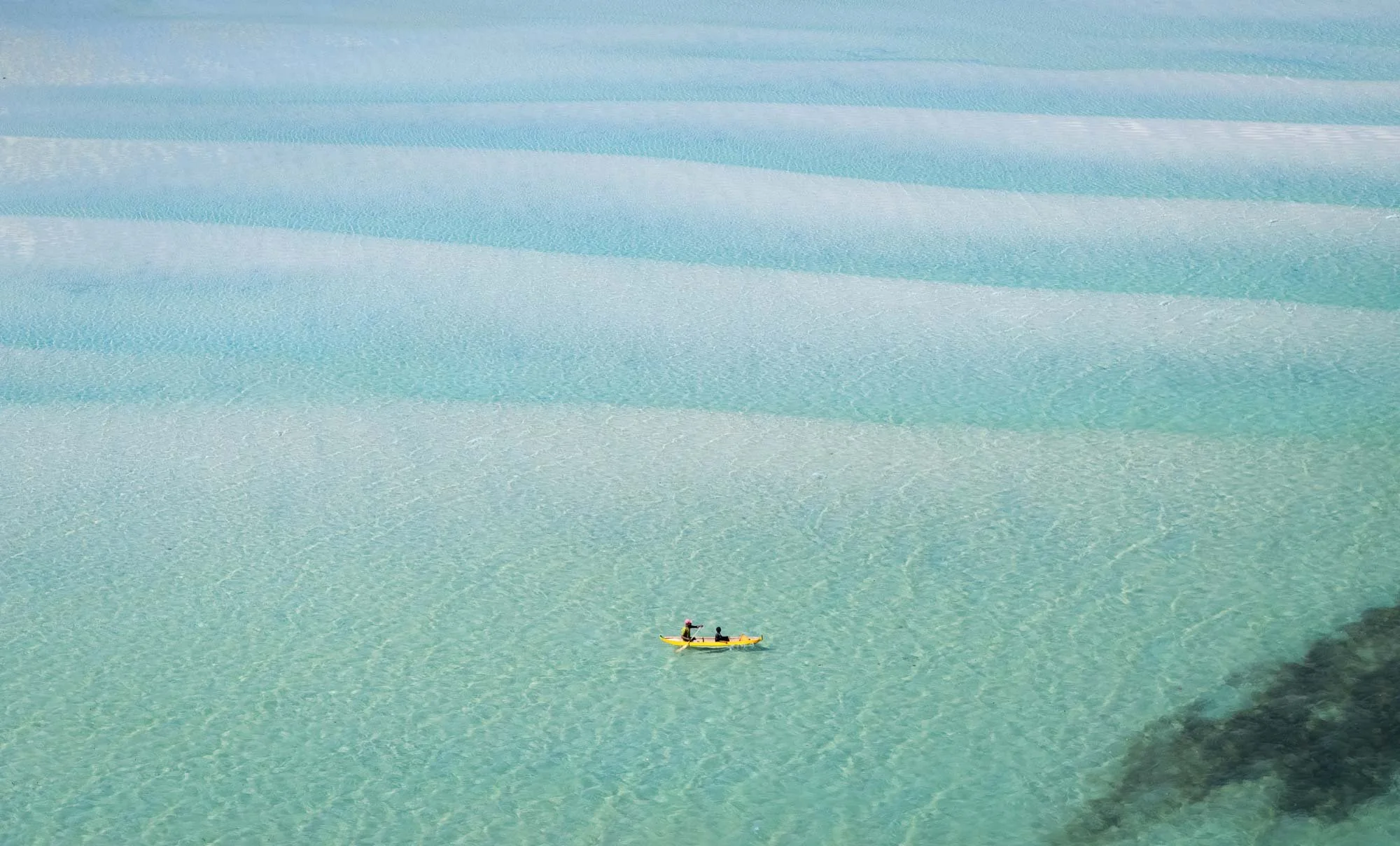
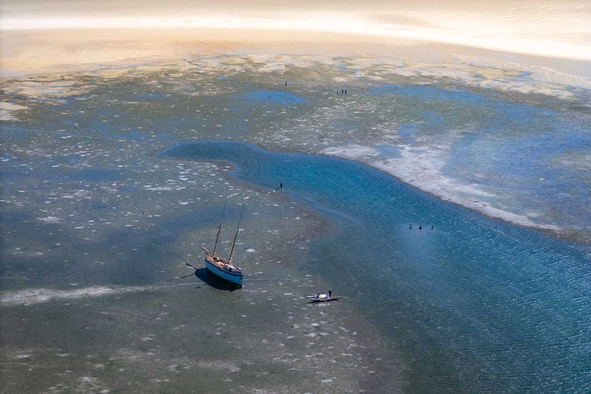
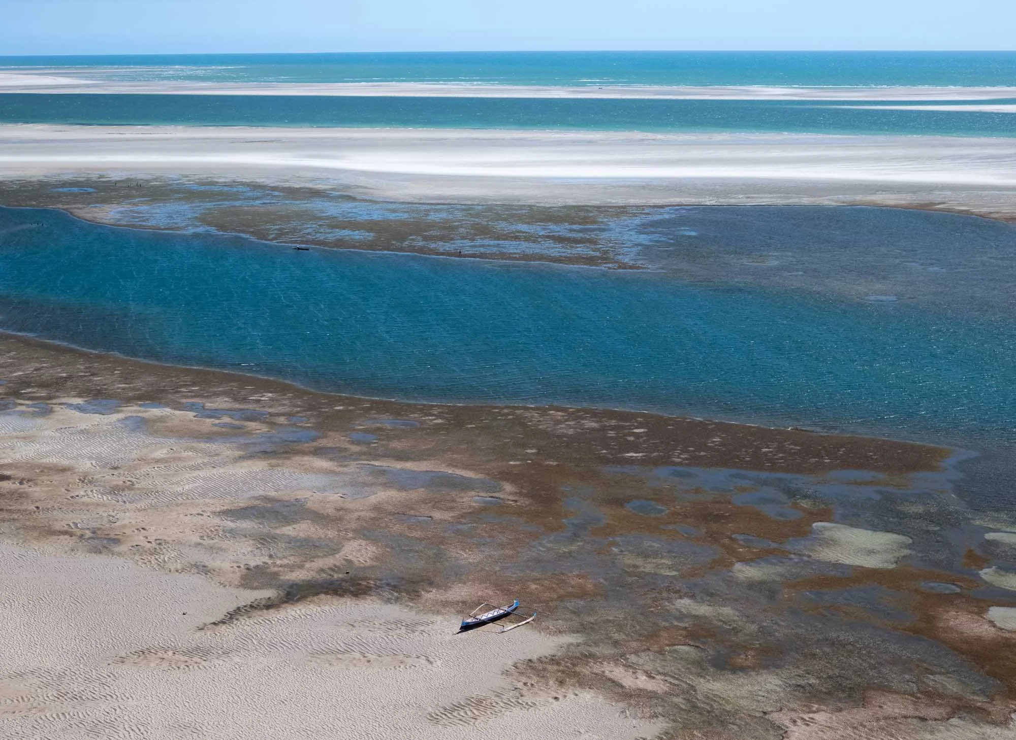
Although it was a little problematic for the crew, the low tide also produced amazing opportunities for photography, with abstract patterns, beautiful colors, and the occasional ship that ran aground, waiting for the sea to rise again - which happens incredibly fast here. The amplitude of the tide was over 3 meters during my visit, which means you can easily watch the water level rise and fall on the ground in front of you.
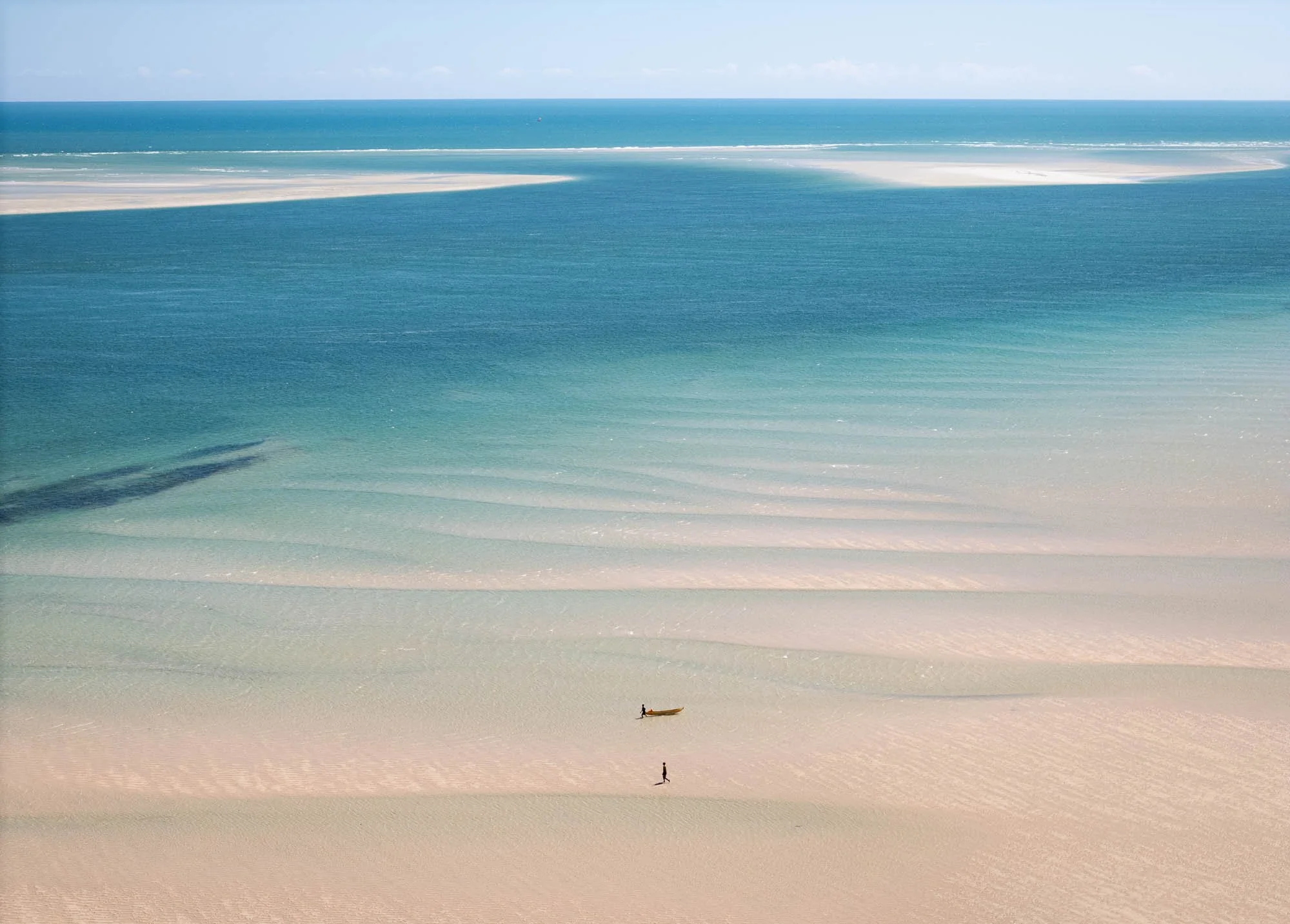
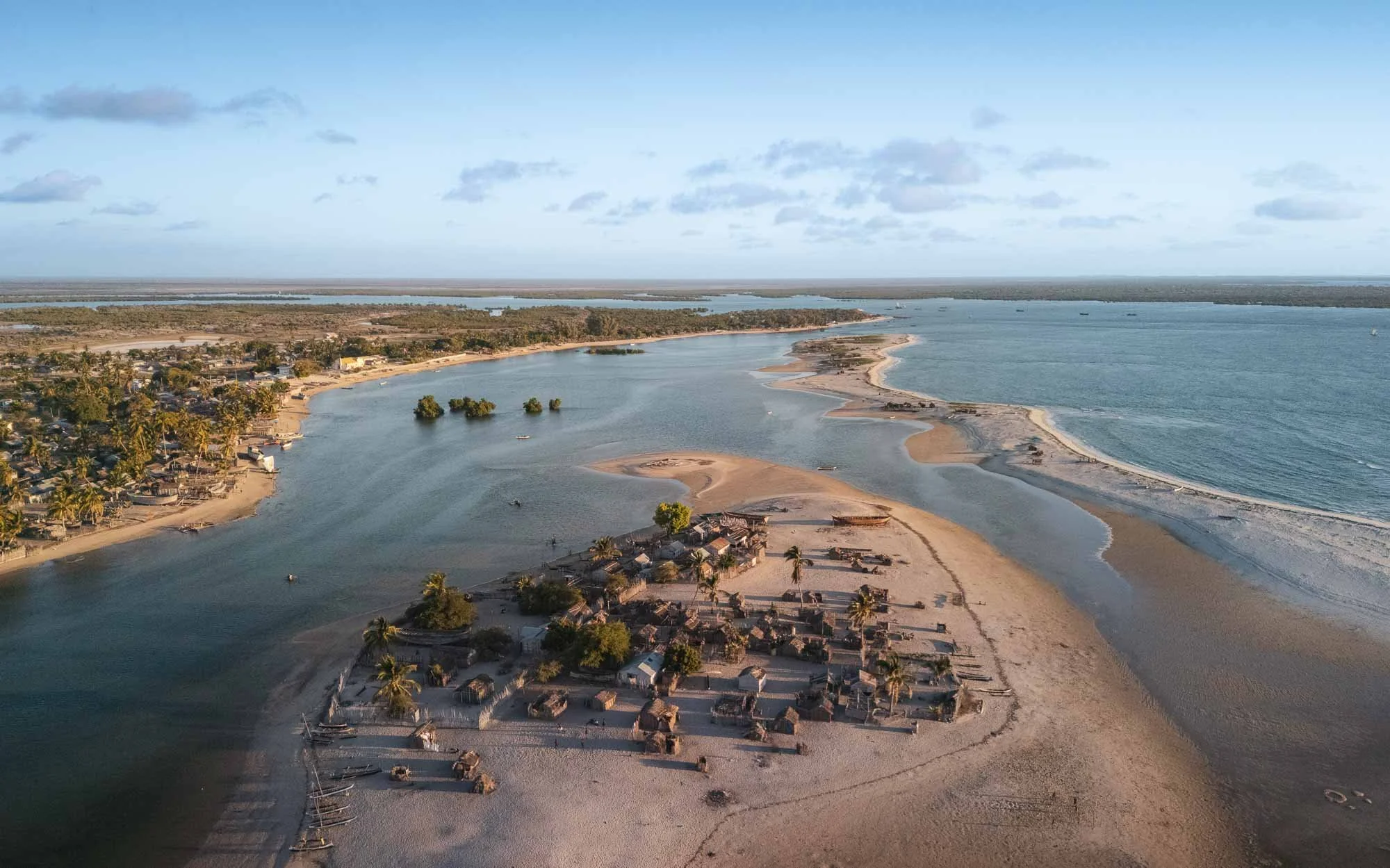
While some parts of town on the left are a little more modern by now - it has a few concrete buildings - many families live in very simple temporary wooden sheds on the outer peninsula, which gets cut off during high tide, and regularly floods completely when cyclones hit the area.
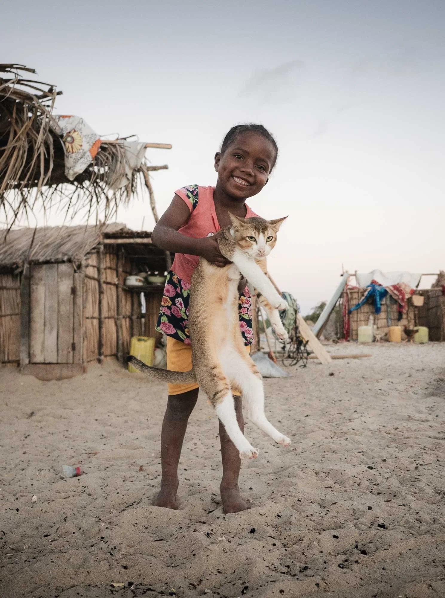
Things really came together during this part of the trip - I was even able to add my obligatory cat photo to the collection; although one might argue it seems doubtful that the cat was particularly excited about this opportunity.
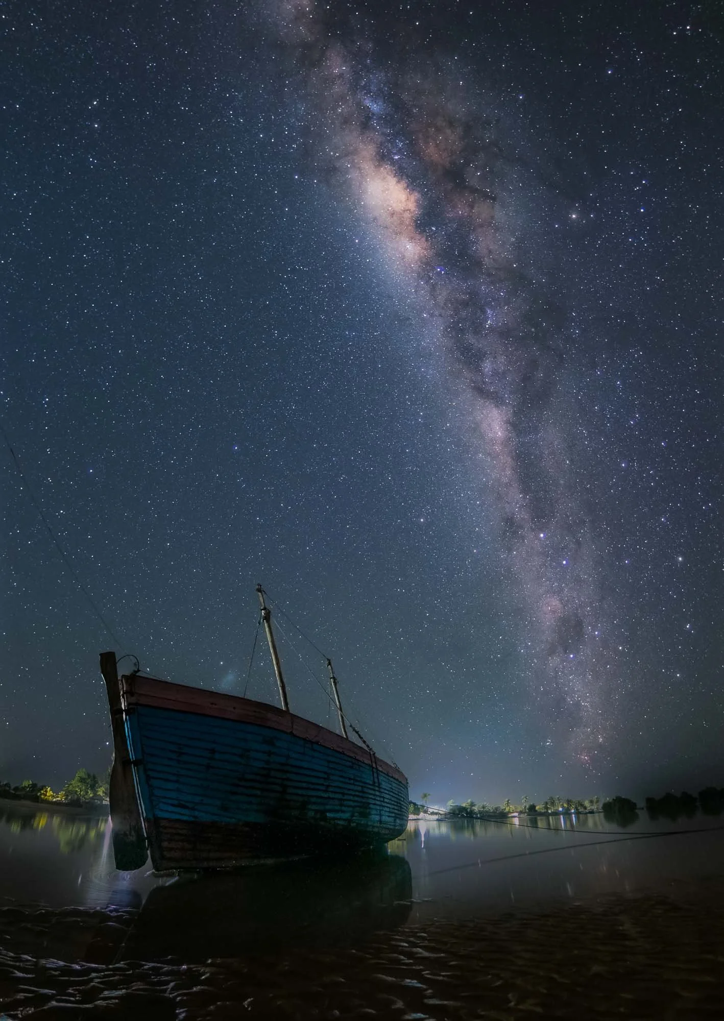
Of course I also could not resist heading out at night for some more Milky Way images before our lunar companion would make that impossible over the next days. While there was a bit of light pollution from a few solar or diesel-powered lights in the village, the boats made for beautiful compositions.
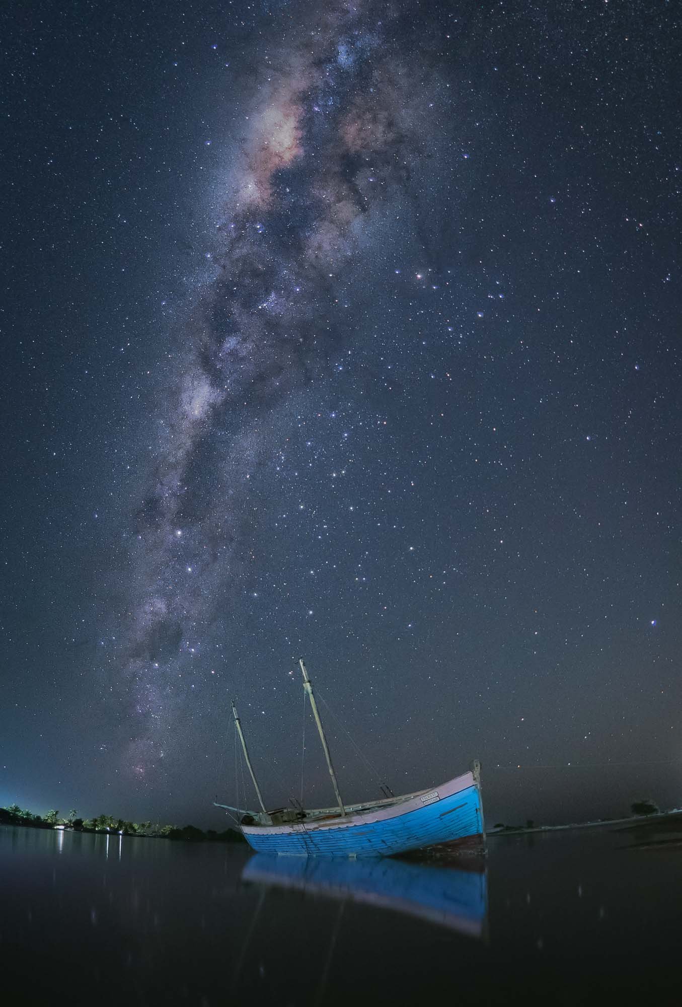
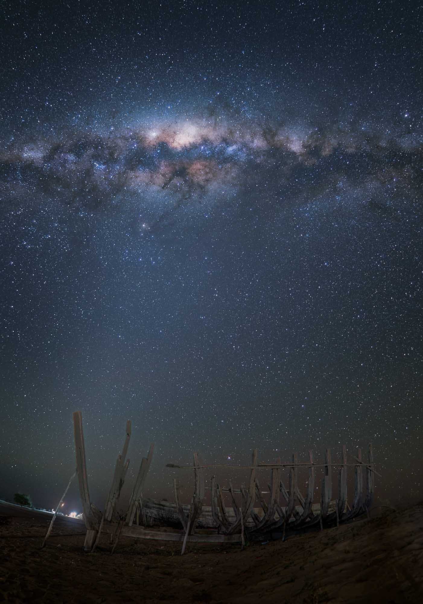
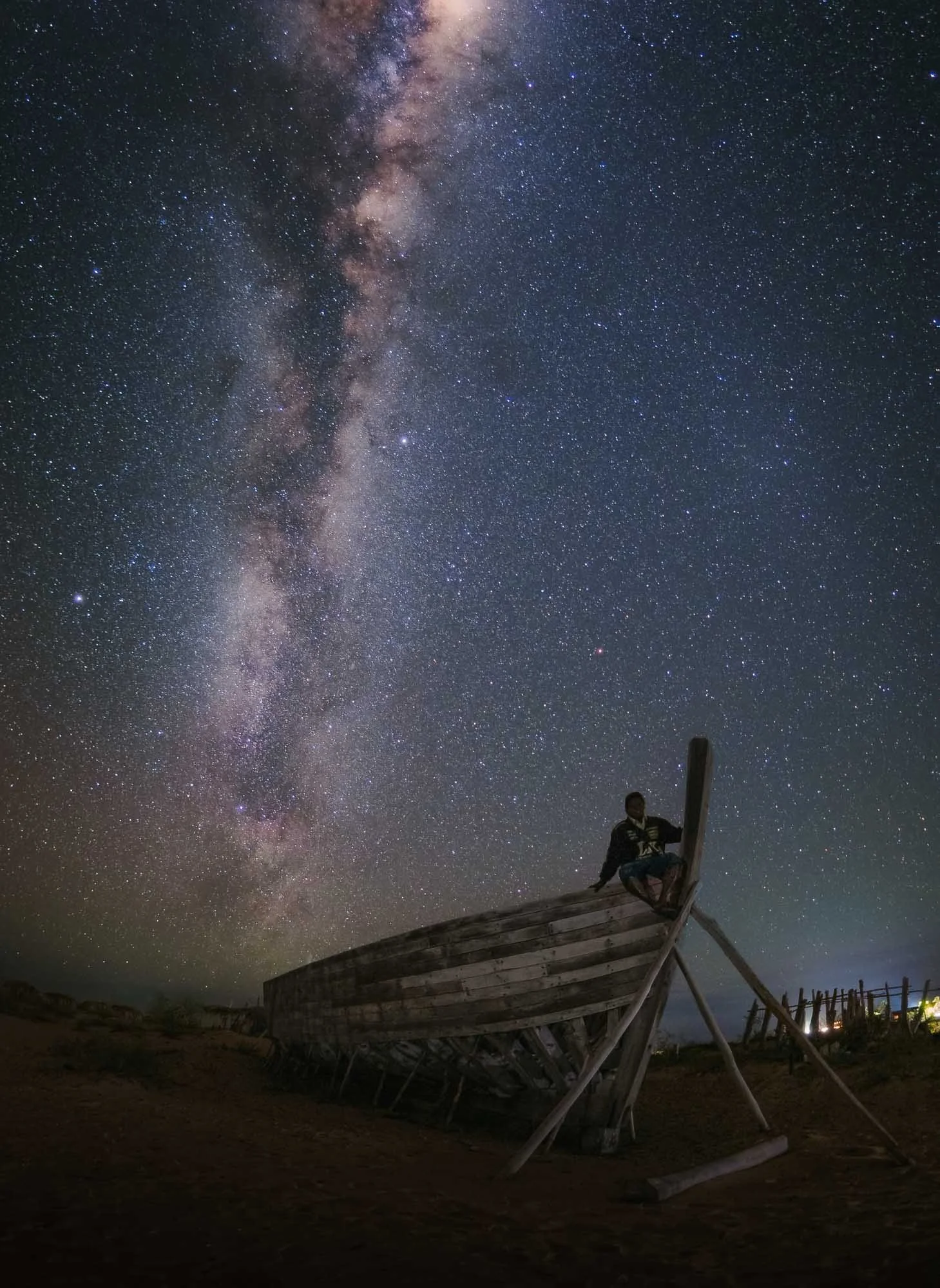
The final morning gave me another chance at photographing a few more botry out in the open ocean by sending out my drone from the shoreline, before we left Belo sur Mer.
The Salt Pans
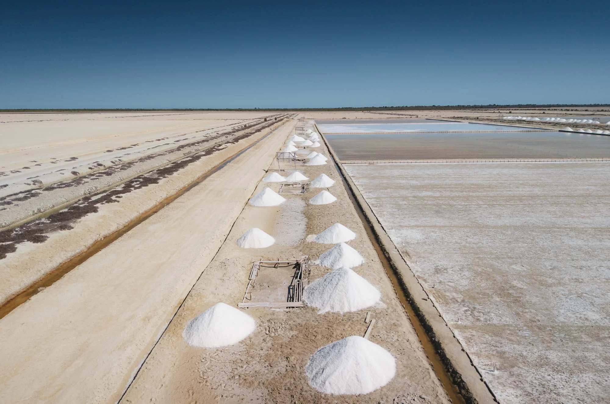
On our way we stopped at the salt flats just outside the village, where locals harvest the salt that is later transported by exactly these boats.
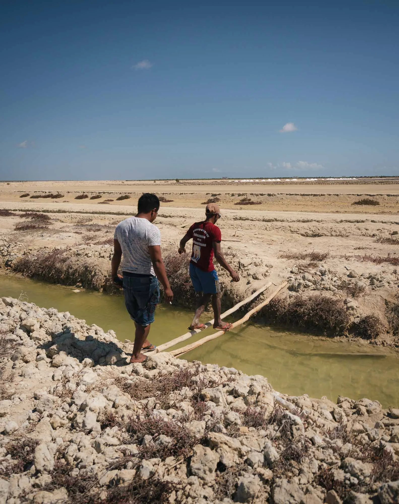
We found a worker who was willing to give us a tour, but to get closer, you need to cross a few channels on very shaky wooden planks.
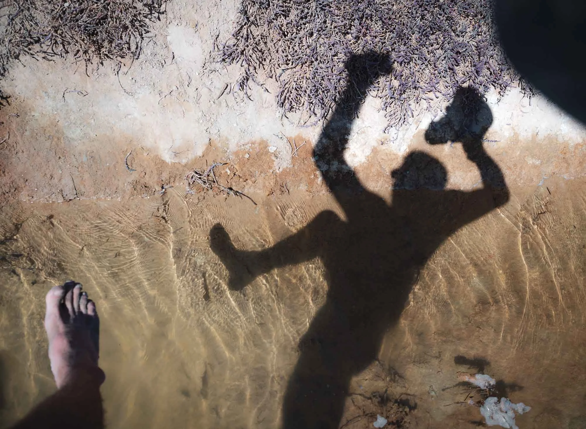
Yours truly obviously didn’t manage to do that without ending up halfway in the muddy salty waters, but at least my camera somehow recorded accidental evidence of the fall.
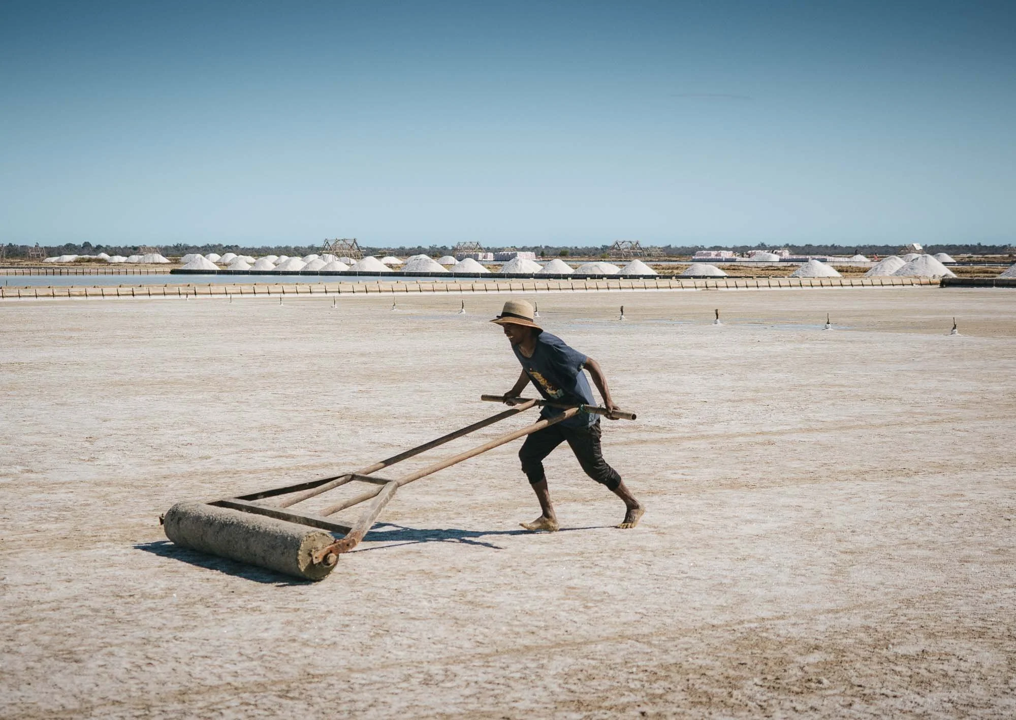
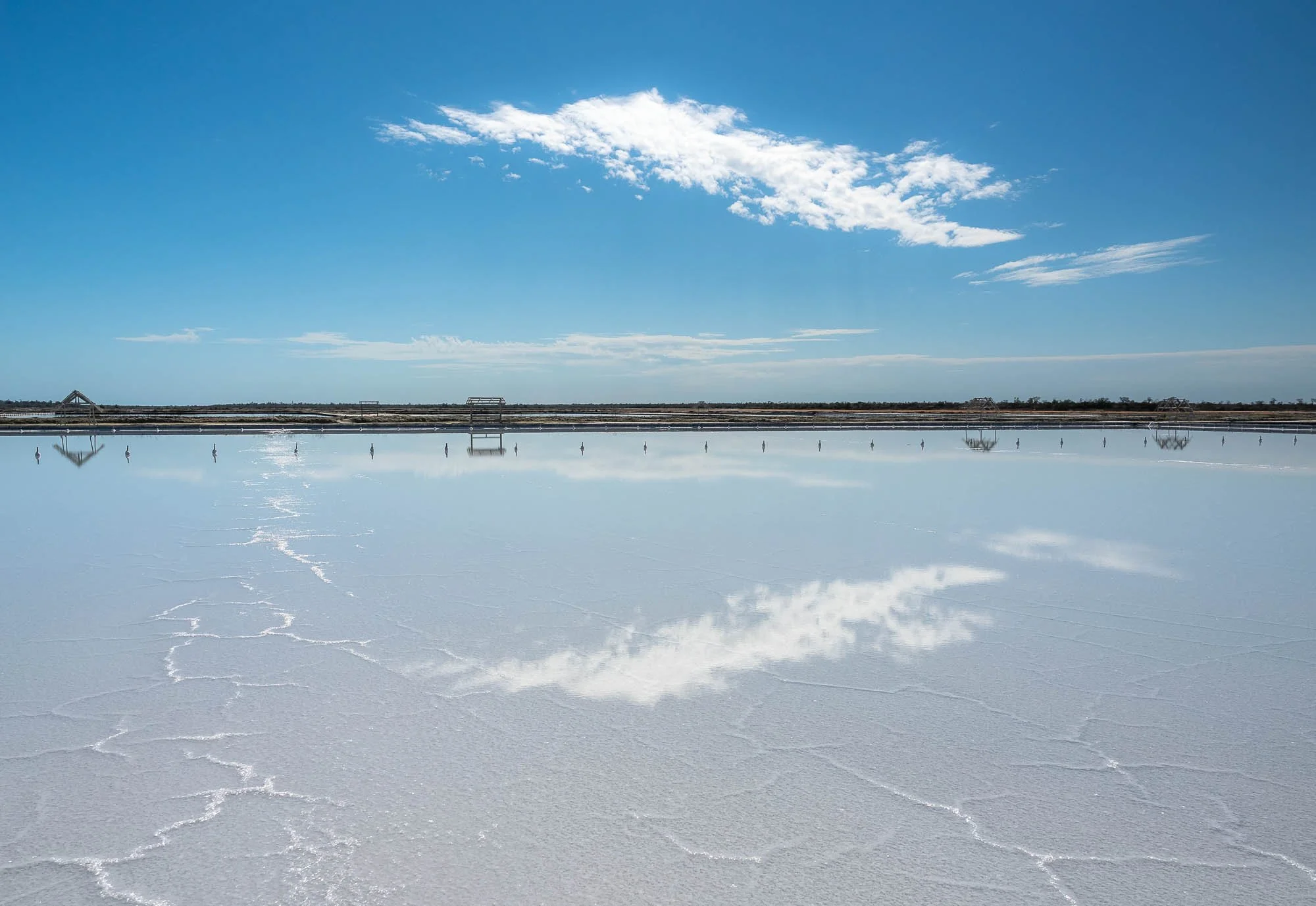
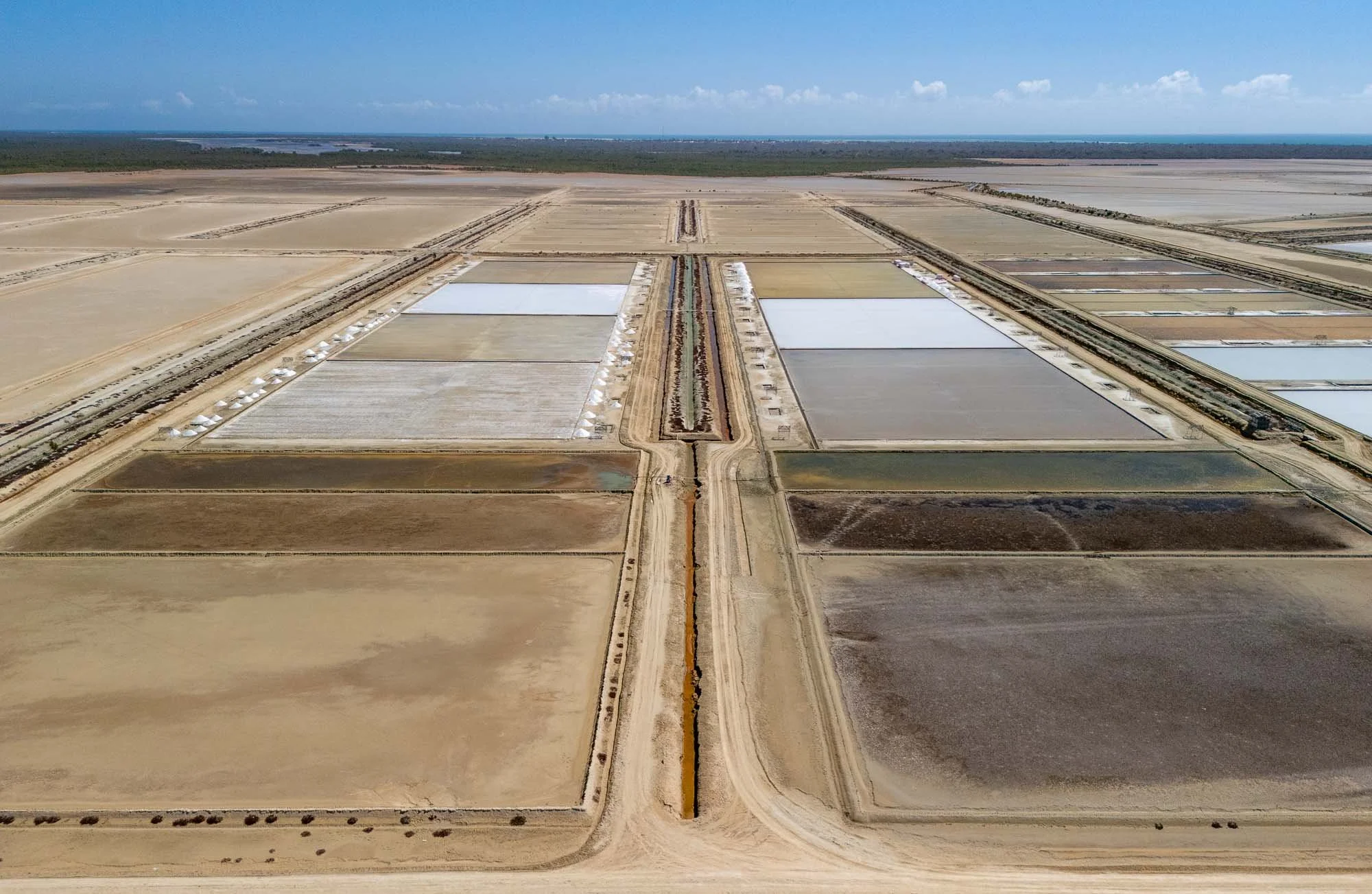
The salt pans are an important part of the livelihood of the locals here. Seawater pushes through the mangroves into the flats, which are leveled and compressed using rollers like these. The water concentrates in evaporation ponds before crystallizing due to heat and sun. The workers then break up the salt layer and clean it before it gets packed and transported to the small nearby harbors.
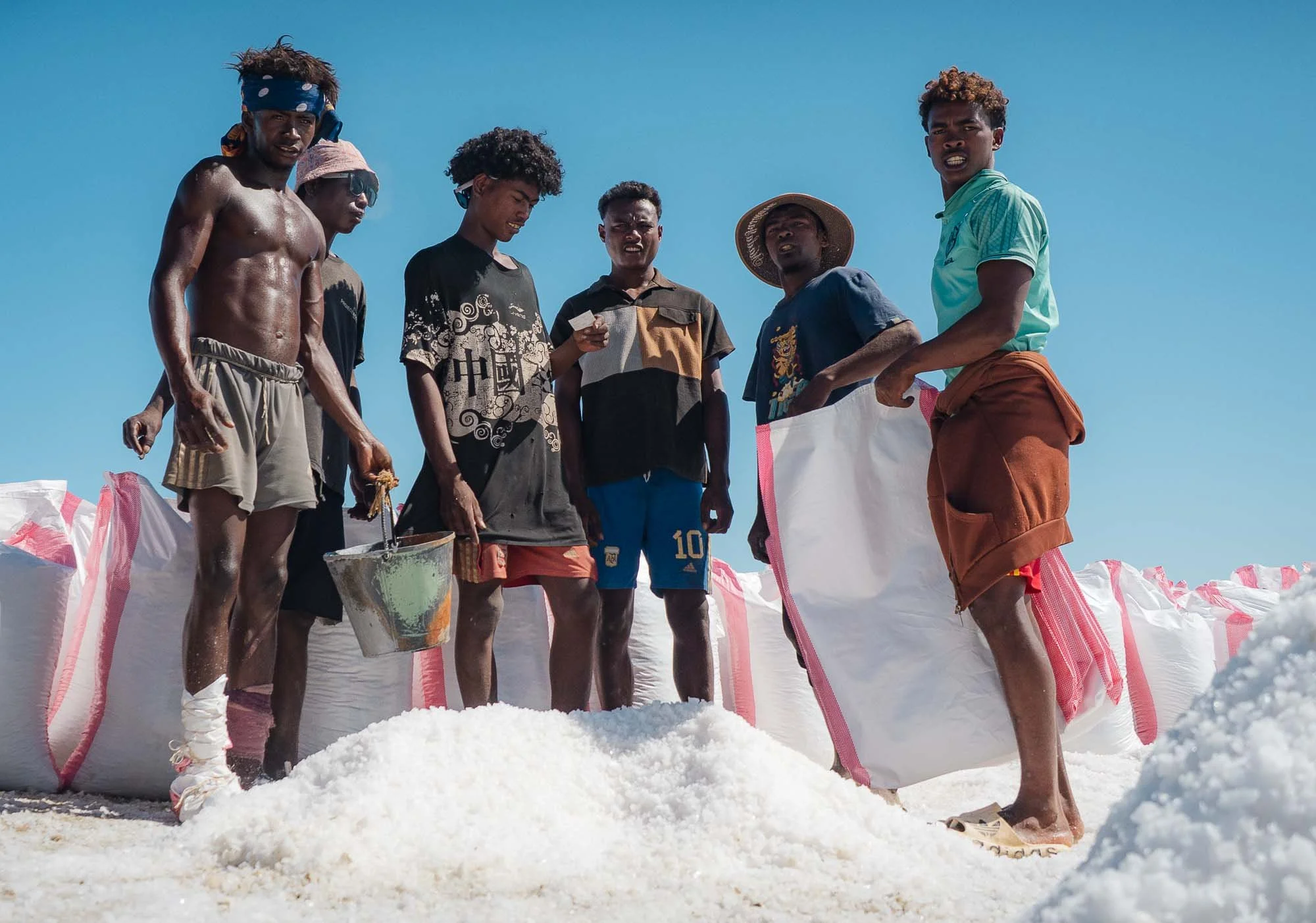
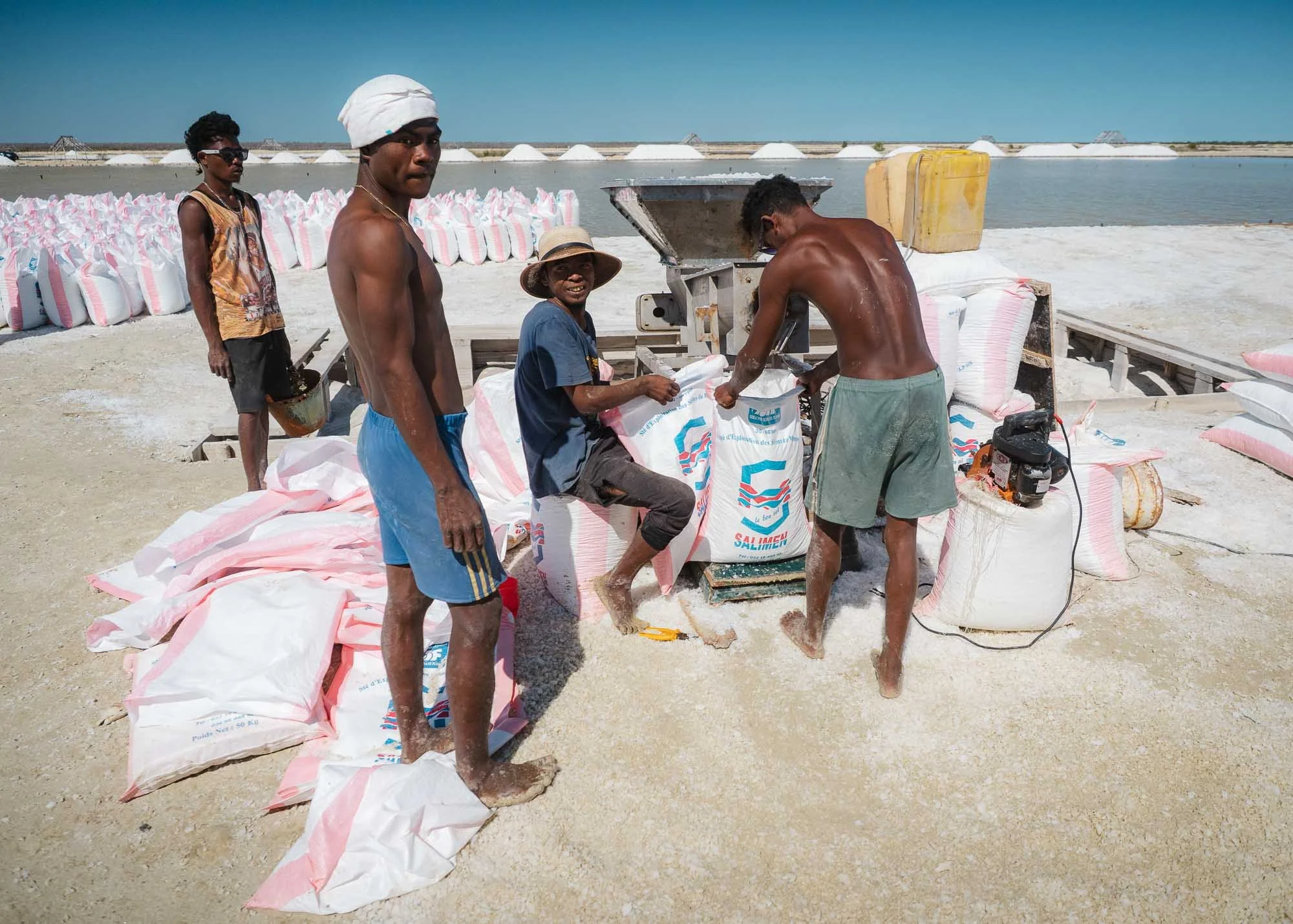
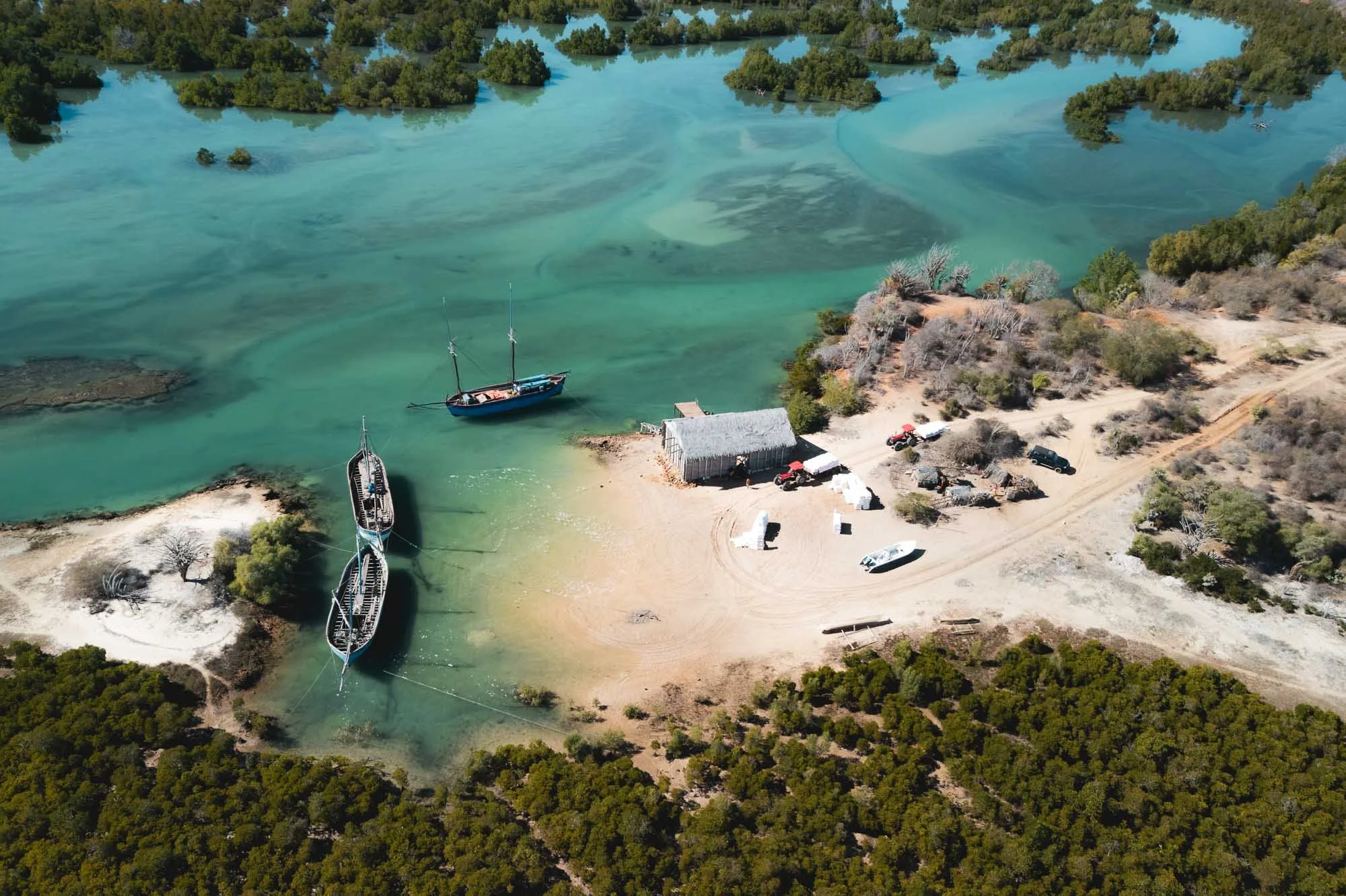
While these are mostly traditional manual methods, the transportation part has seen a few upgrades recently - instead of zebu carts, we spotted a modern tractor helping them move the packed bags to the harbor, where the ships show up at high tide to collect and transport them up the coast.
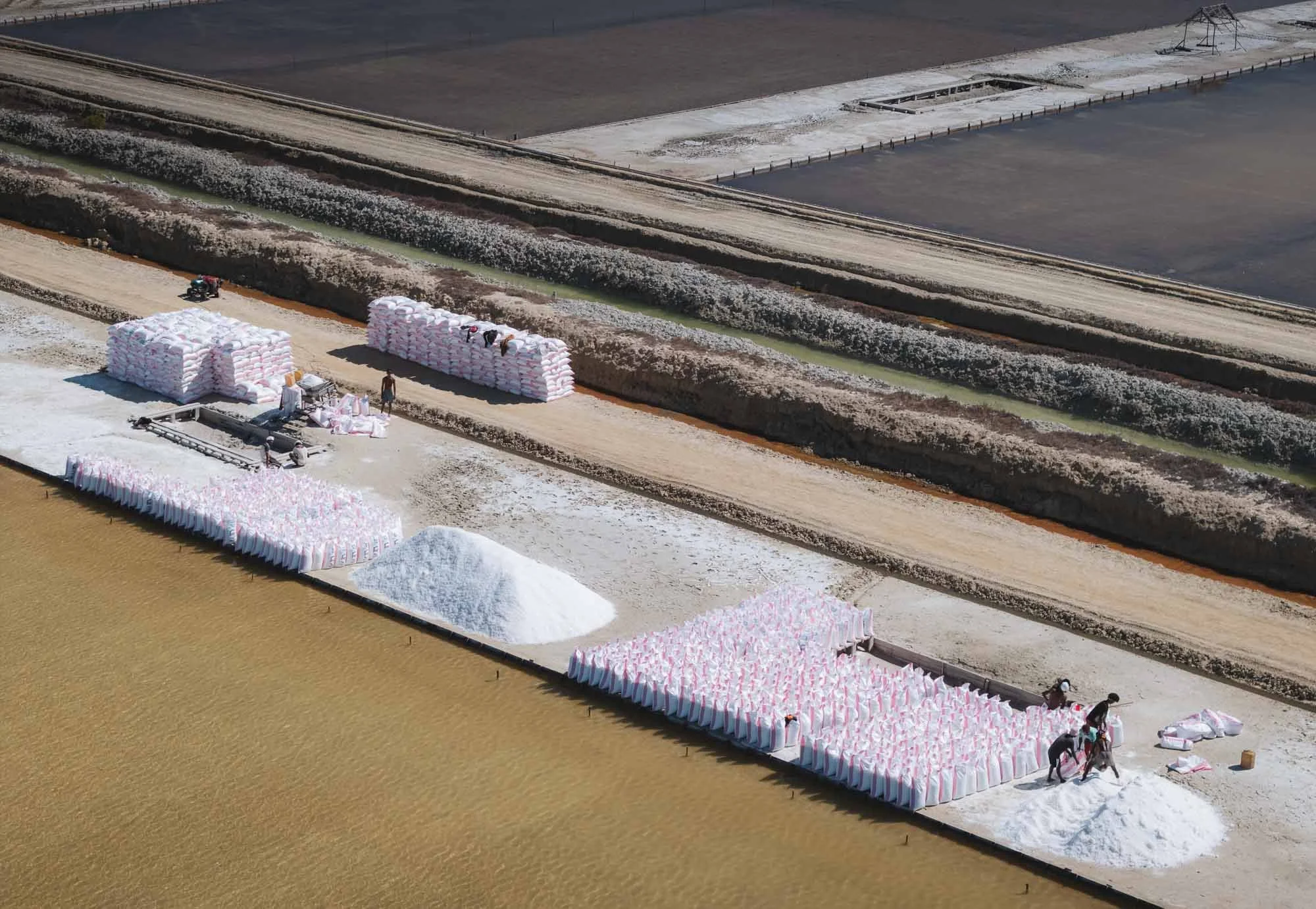
A series of aerial images of the large salt pans covering the area. Owing to the weather, these are seasonal and usually active from May to December.
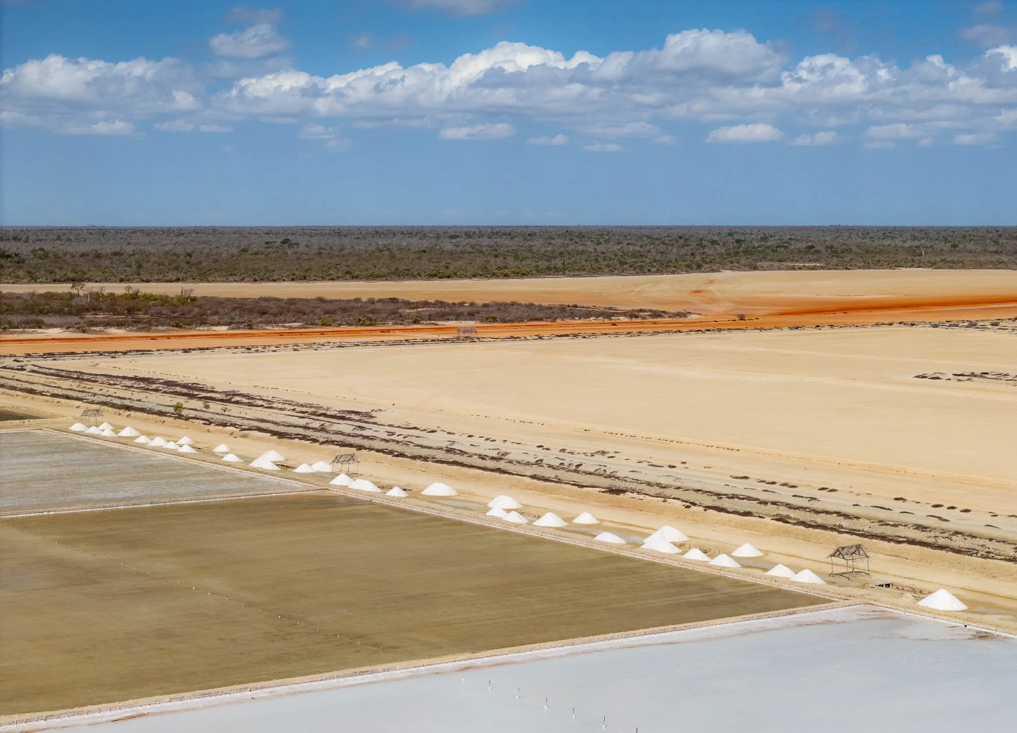
And with that, my time on the western coast of Madagascar came to an end. Another long drive to return to Morondava, and then it was time to fly back to Antananarivo, and explore - literally - another side of Madagascar. I had so many impressions from what is really just a small part of the country, but rest assured there is a lot more to come. Once I get around to the next post - subscribe below if you don’t want to miss it.
Subscribe to my newsletter to get notified and don’t miss out on more Wonders of the Globe.
Other Recent Posts:


Tales of the Atacama Desert
Famous for its dry landscapes and amazing geological formation, this place is also a great spot to observe the night sky.

Chile was the first country I visited in South America, and I explored the capital Santiago, the remote Rapa Nui island, the landscapes of Patagonia (those blogs are saved for another day), and the stunning Atacama desert located in the northern part of the endless latitudinal expanse of the country. This blog covers the latter, so read on to see what the driest nonpolar desert in the world has in store.
Although the borders of the Atacama Desert aren’t unambiguously defined, it's save to say that it stretches over at least 1600km along the western coastline of Chile. That makes visiting all of it essentially impossible in a single trip, so I started with the common destination of San Pedro de Atacama, somewhat in the centre of much of it.


It’s a small town that today is the base for many tourists, but has been occupied for over 500 years at an oasis in the Puna de Atacama plateau around 2500m above sea level. The first people occupied this area as early as 10,000 BC.


Many of the mud brick walls here are remnants of the past, built with the local adobe earthy construction material, and can still be found all around the city, separating the individual plots of land and roads. The walls of the church above for instance date back to 1744, from the Spanish colonial period.


Into the Moon Valley
Despite the quaint beauty of the town, it’s the landscape that attracts most people to the Atacama region. One such landscape is the so-called Valle de la Luna, an area of interesting stone and sand structures with colorful patterns, and dry, salty, rock formations.


Fun fact: from what can be read online, a prototype for the ESA Mars rover was tested somewhere in this area. Easy to see why.

One of the many beautiful rock formations, but beware of the winds - we were close to being blown off this ledge a few times. Generally, it is said that summer (southern hemisphere) is the windier time, but we did get a couple of days of heavy gusts with some dust in the air. On the other hand, the temperature is more pleasant (albeit a little cold at night) and there are a lot less people around.

The Magic Bus 🚌 🪄
One of the man-made attractions in this area is this abandoned graffiti-decorated bus, that is said to have been left here when mining operations were abandoned decades ago.


We had it the entire evening to ourselves, as most of the excursions that make it to this area leave by late afternoon. The story goes the bus was a commuter vehicle for the workers, but I still can’t shake the feeling that it was left here for tourists 😄. I was assured by my awesome guide, friend, and fellow photographer Mauro (check him out if you want to visit Atacama!) it was not - which makes it all the more interesting.
Either way it makes for a very special kind of setting, and was going to be the spot to wait for darkness on the first day…


… so that we could get the Milky Way rising above it. The dark skies with no light pollution at a high elevation with almost no humidity make this part of the world one of the best stargazing regions on earth - it’s not a surprise some of the most important telescopes for scientific research, such as ALMA, have been set up here.


The area also has a few interesting eroded rock formations that provide more astrophotography opportunities.

We did not have a lot of time to enjoy the darkness though, as the moon rose shortly after. Unfortunately I could not time my trip differently, but moonlit landscapes have their own appeal. Can you spot my shadow?

Valle del Arcoiris 🌈
The other reason to not stay too long was that we had an early morning planned elsewhere - more specifically, the rainbow valley, where the moon was now setting…

This region is somewhat similar to the moon valley, but some parts of it feature different minerals causing incredibly colorful variations in the rock formations - see the layers below, with a close up on the right.


Living in the Shadows
People are often dismissive of barren landscapes and deserts, complaining about the lack of greenery - but this kind of scenery is equally beautiful to me.

Standing Out
It generally does not get very busy here, and our early morning arrival meant very few people around. Nevertheless, sometimes having one or the other person in the frame (not usually my speciality) can add a sense of scale to the landscapes: spot the couple in this photo!


The end of this small path leads to a canyon, with a few beautiful spots featuring deep red and purple rock colors.

Nature’s Shapes
The wind, sand, and occasional water (yes, even in the driest areas in the world flash floods happen) have done their job here and created beautiful rock formations all around.

Petroglyphs of Yerbas Buenas
Just outside the mars valley is this rather inconspicuous rock formation, which is filled with beautifully preserved Pre-Hispanic rock carvings.


The petroglyphs were created by the Atacameno people and are said to date back approximately 10,000 years. Many of them show llamas / alpacas (the domesticated versions of the vicuñas and guanacos you can find here - although the difference remains a little elusive to me), but of course I couldn’t help but focusing on the cat. An oddity is the presence of monkeys in some carvings, which never actually lived in this area.

As you make your way through the endless landscapes you can’t help notice the shrines to the side of the road, sometimes simple, sometimes quite elaborate. It’s easy to see that traffic deaths can be common here: large trucks, buses, vast distances, monotonous landscapes, straight two-lane roads with lots of overtaking are all part of the daily driving routine.

Cañon de Guatín
After a small rest break we were on our way to another different kind of landscape - the cactus canyon of Guatin.
Within a few hours drive around San Pedro de Atacama, the region offers very diverse types of geology and flora - the definition of “desert” is really much broader than what one’s imagination would prescribe.

The area stretches for a few kilometers on the slopes left and right of a small river, the Rio Puritama, which gradually cut its path into the rock for thousands of years.
As the sun sets, one side of the canyon remains illuminated and the light slowly fades away over the tall cacti, some of which are up to 100 years old and reach 7 meters in height.


Once again, we waited for the sun to set and the stars to shine to capture the different cactus species with the Milky Way rising.


Nightly Waterfall
A small waterfall in the canyon where nature strategically placed a cactus made for this nice composition.

Southern Trails
I had also set up another camera to capture some star trails with one of the cacti on the other side of the canyon, but we had another early start planned for the next morning, so 2 hours of trails is all I got for this image - the early start was worth it though…
Geysers Del Tatio
…because we went to the geysers of Tatio, around 2h drive to an elevation of almost 4500 metres, heading north and close to the Bolivian border. And of course wanted to be there for sunrise.

A short stop on the way at the Atacamenian village of Machuca, with less than 50 inhabitants and a small church that was established in the early 18th century overlooking the houses.

Smoky Fields
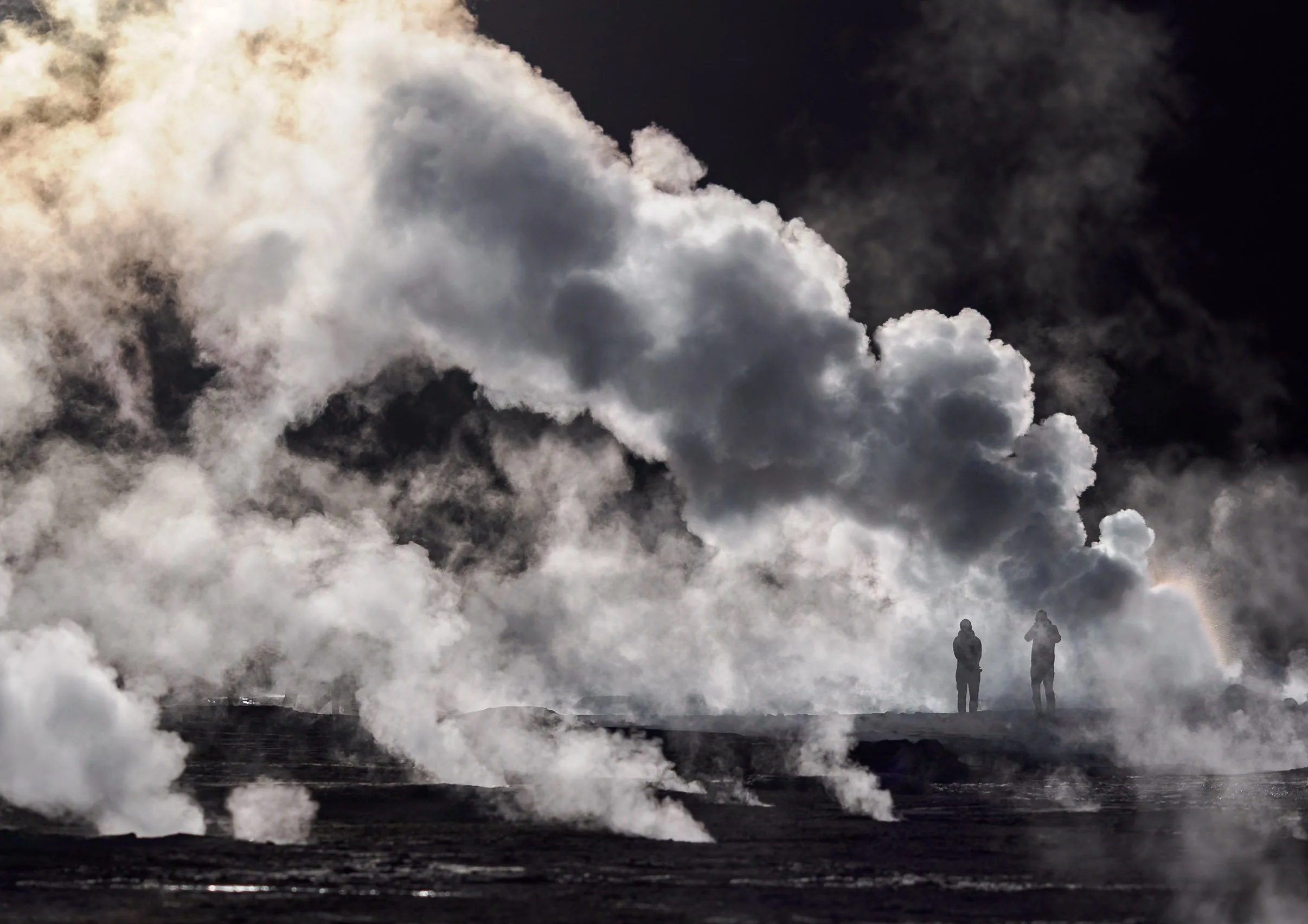
Shortly after, we started to see the rising puffs of smoke in the distance: The largest geyser field in the Southern Hemisphere, and the highest altitude field in the world. Spot the humans in the mist…


Extraterrestrial
El Tatio has been studied as an analogue for early Earth, and past life on Mars, owing to its extreme conditions where only the most robust of microorganisms could survive. Humans have been exploring the area for centuries - the old Inca trail from San Pedro de Atacama to Siloli crossed the geyser field.


The geothermal area covers around 30 square kilometres and is filled with hot springs and steaming vents - although only a smaller section is easily accessible by car or on foot.

Spectrum
Organic compounds and bacteria colour the sinter on the ground with orange-brown and greenish hues.


A vent and geyser cone - most of them only reach less than a meter in height, but occasionally fountains can grow to more than 10 meters.

Relics
Over most of the 1900s the site was considered for geothermal energy generation, but attempts were abandoned in the early 2000s over political and ecological controversy.
Landscapes
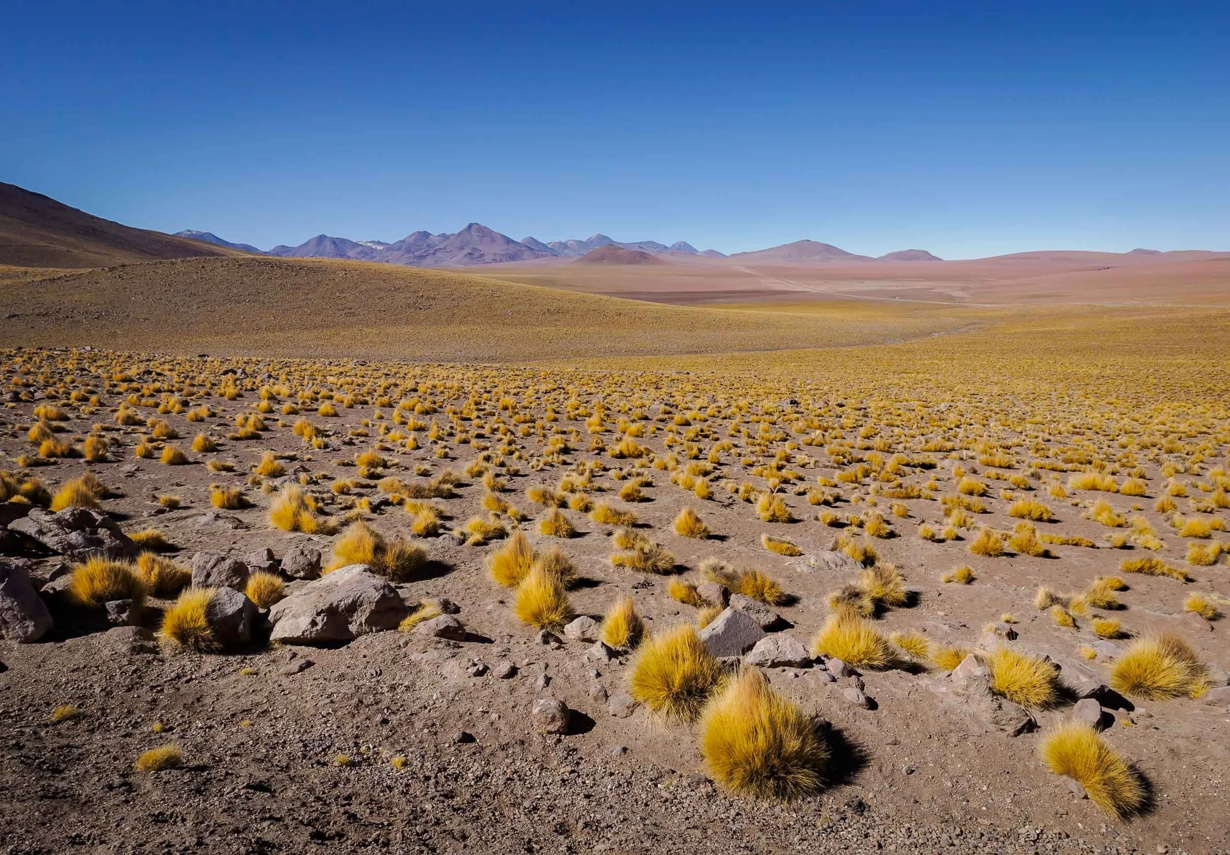
The region is part of a large volcanic complex with dozens of stratovolcanoes, many of which are still active, and some reach over 5000m in height.
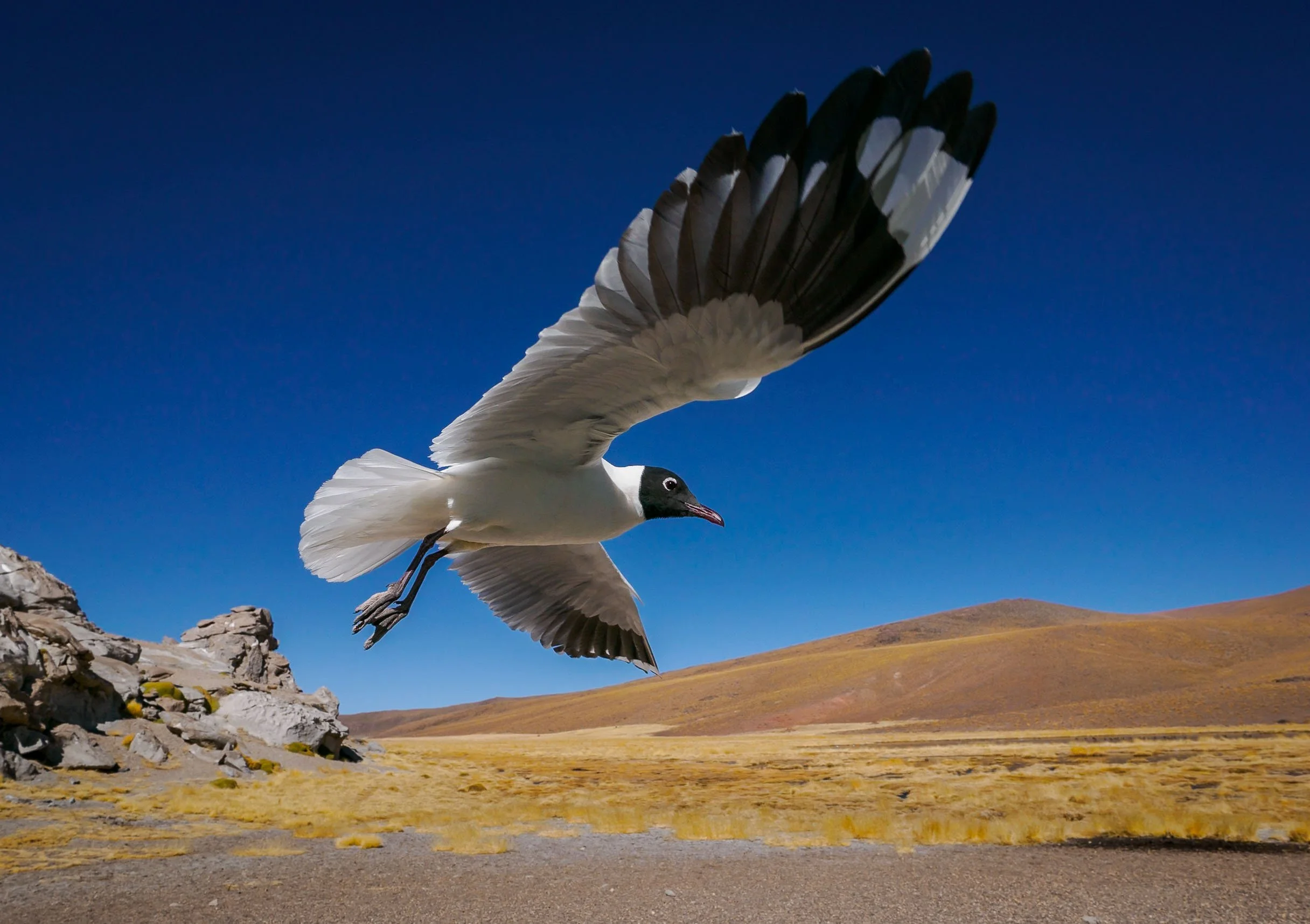
Despite the barren appearance and altitude, many vicuñas call this area home, and even puma can be spotted here occasionally. The Andean gull on the right has gotten used to tourists and came a little close during lunch break, making for a rather unique bird-in-flight photo.

The way back took us past the small lagoon of the Rio Putana, full of birdlife and with an abandoned mining operation just beside. Further down, a few spots offer beautiful views into the salt fields and the snowcapped Andean mountains.


Salar de Atacama 🦩
Our afternoon destination was one of several salt flats that are part of the Los Flamencos National Reserve.

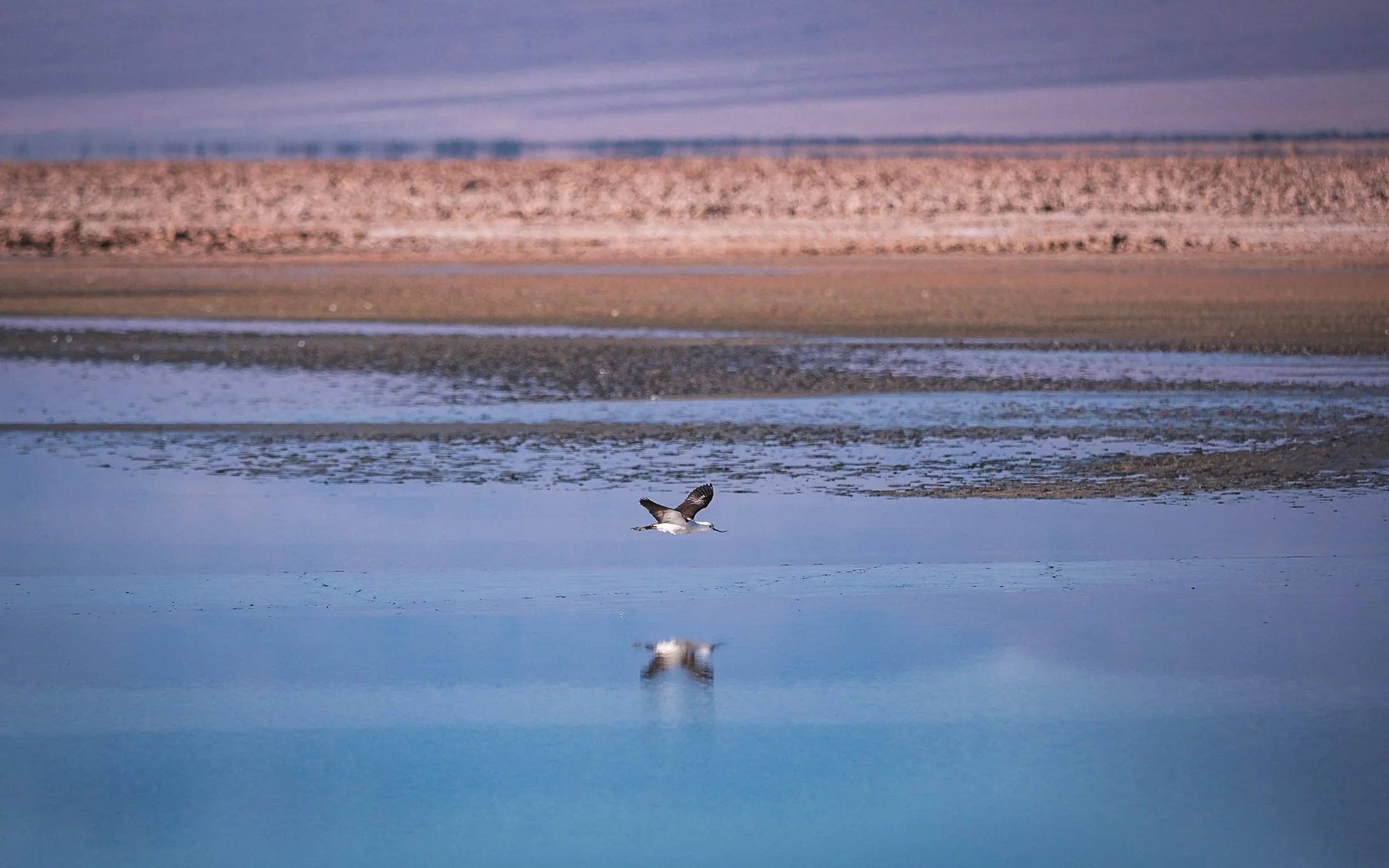
The Chaxa lagoon is a beautiful landscape, with its main attraction being the large flocks of flamingos - depending on the season - enjoying the food in the shallow salty ponds, with the surrounding volcanoes casting their reflections in the water.


This ecosystem is home to rich birdlife, such as sandpipers or the Andean Avocet with its bent bill, but there are also mammals such as foxes and different types of rodents to be found here (not by me though…).



The Mars Valley
My last morning was spent at probably my favorite spot of the trip, the so-called Mars Valley, or Cornices. Some off-roading not too far from San Pedro leads to an elevated platform along the deep canyon ridges, with beautiful patterns and earthy tones. Take a look at the drone video below…
Orange and red hues start to glow over the landscape before sunrise.

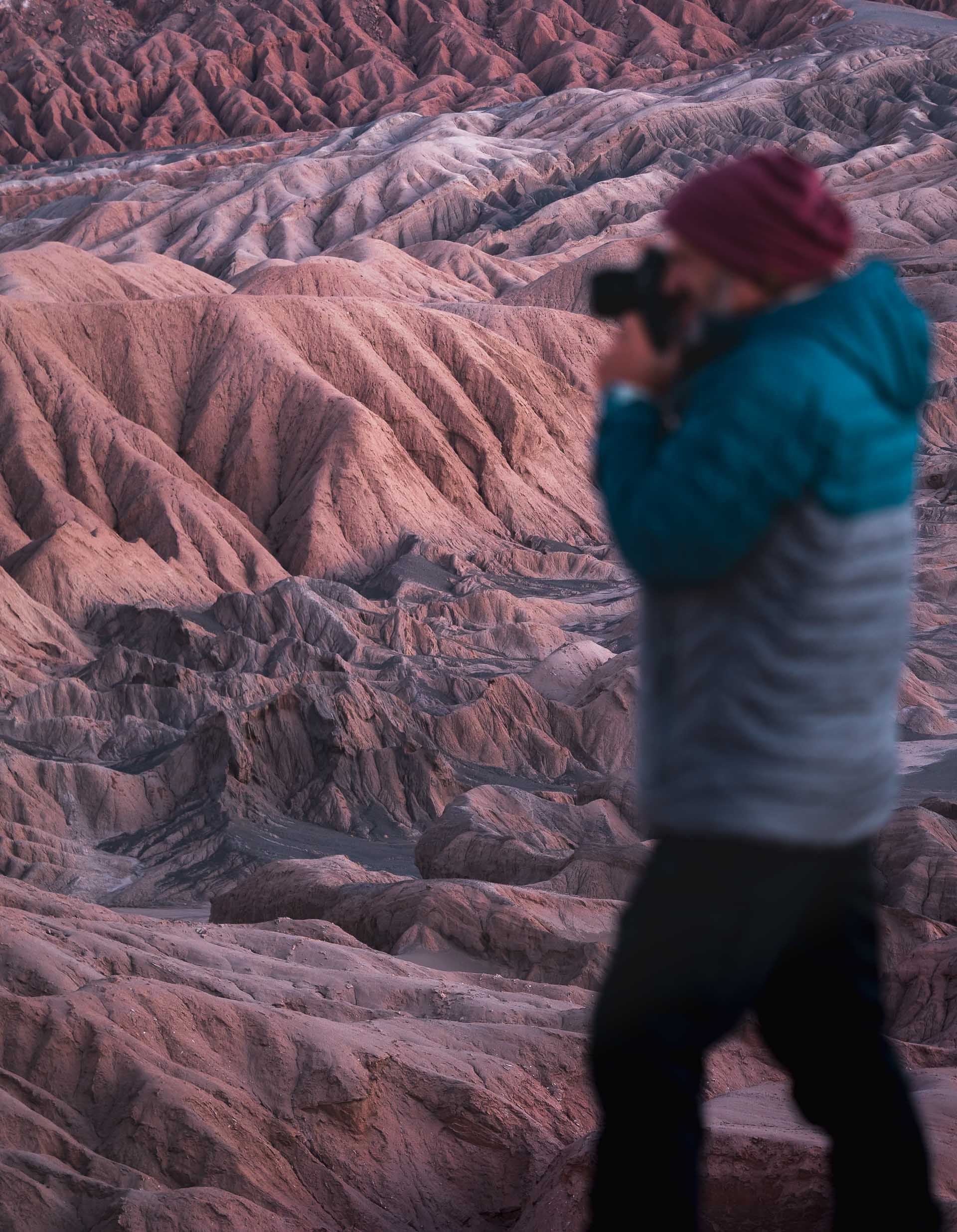
First sun rays hitting the distant rock formations. The Atacama desert may be the oldest desert on earth, and has remained extremely arid for 150 million years.


Breakfast Spot
Not many better places for a nice start to the day.
The erosion has created some interesting patterns of jagged rocks in the valley along the steep canyon ridge - the upper left image below is a top down view.


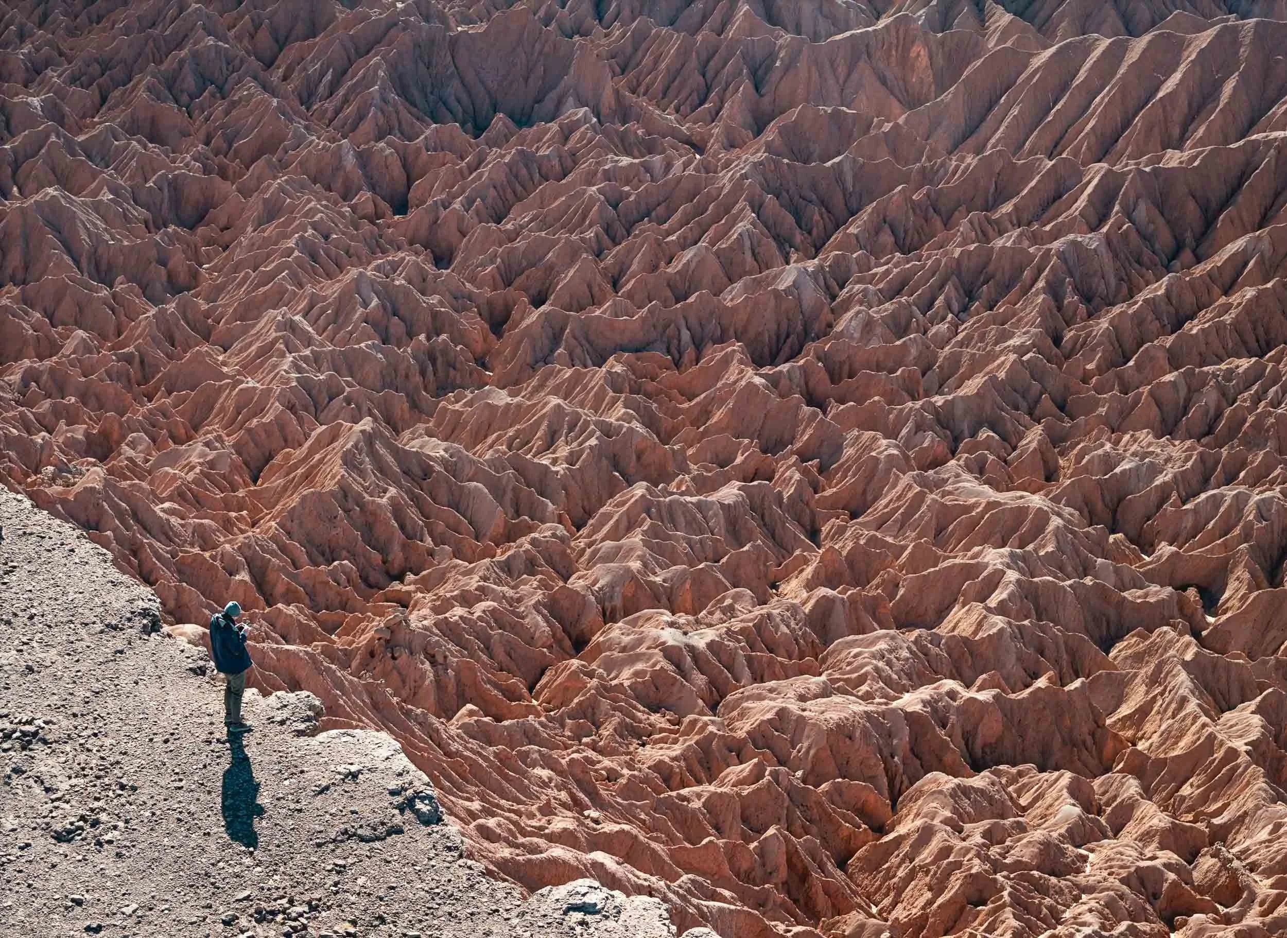

Beautiful layers all around. This is one of the few places of this area of the Atacama desert with sand dunes.
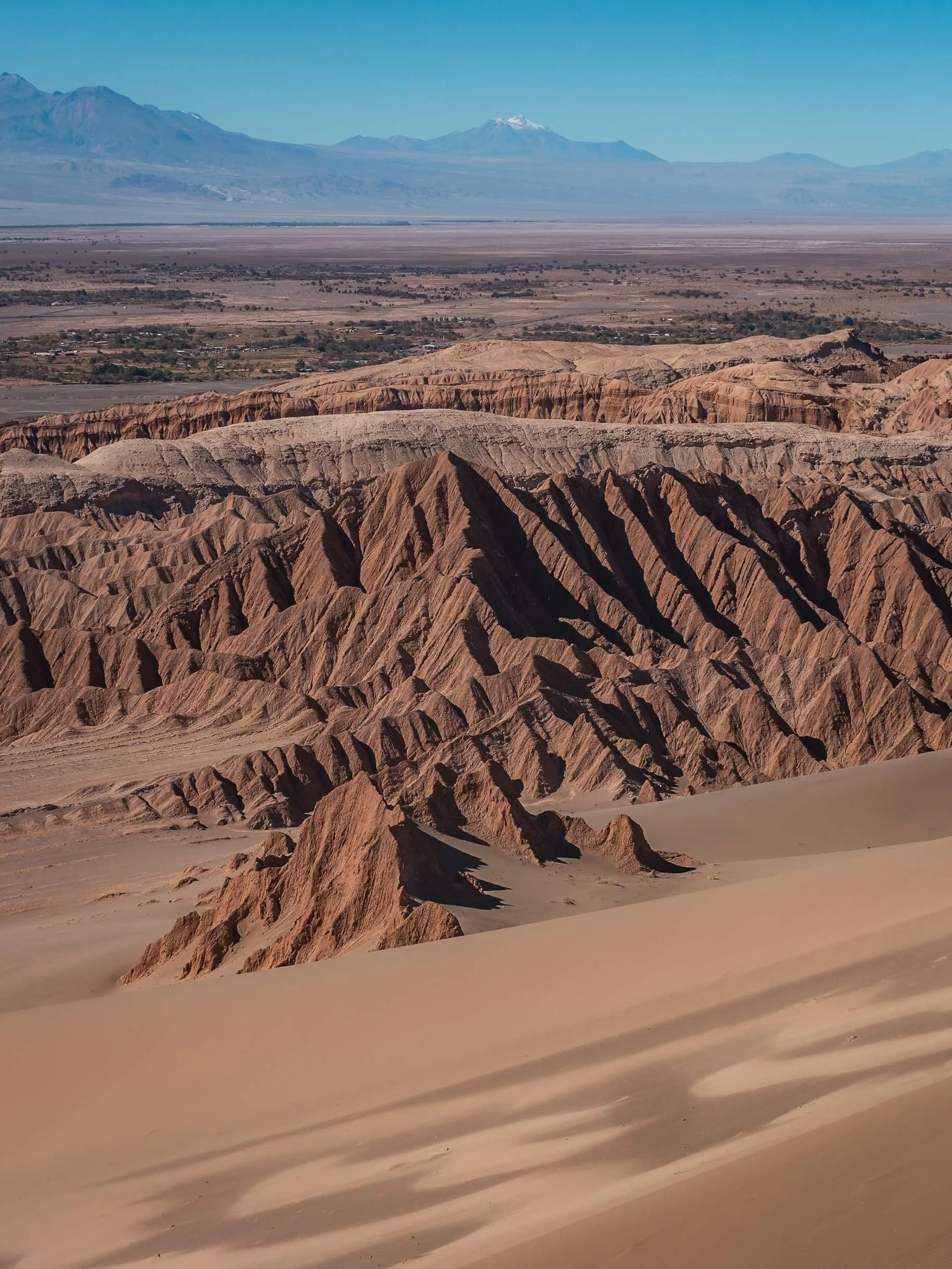


Panoramic aerial view on our way back. We didn’t encounter a single soul the entire morning.

A final look at the large wind farms around Calama, the main city in the northern area and home to some of the largest mining operations here, before I left the Atacama desert.
It feels like I barely scratched the surface of what can be explored here - and that’s because it’s true, there is a lot more to see in the region. I might need to come back… but for now I first have two more blogs from Chile in the backlog.
Subscribe to my newsletter to get notified and don’t miss out on more Wonders of the Globe.
Other Recent Posts:
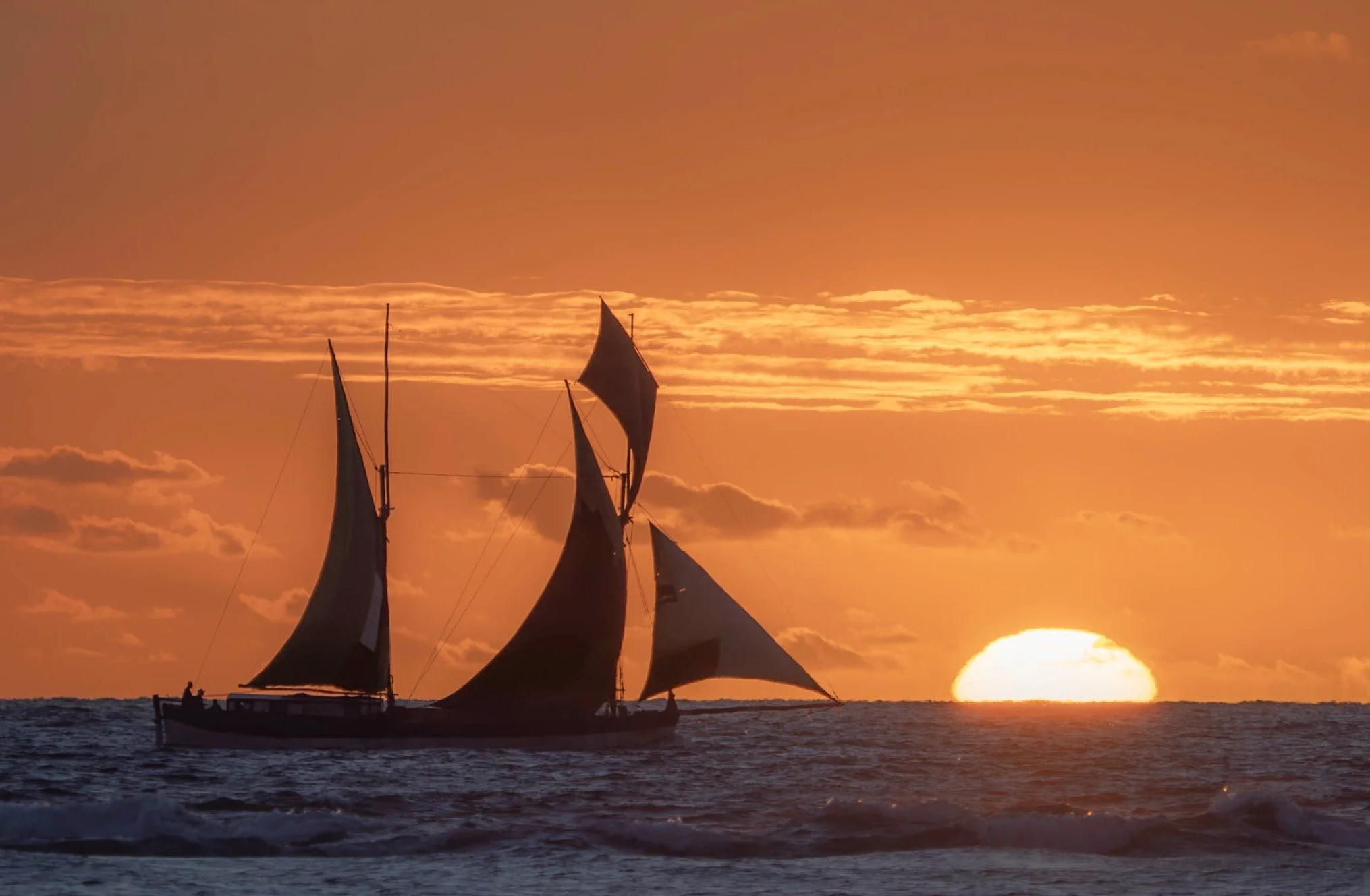

Jordan - From Salty Seas and Dramatic Deserts
A rich history, natural attractions, and dark night skies - what’s not to like?

I’ve wanted to visit Jordan for many years, and despite its proximity to Dubai it took until now - when I’m not actually living in Dubai - to make it happen. Its rich history and natural attractions didn’t disappoint, and on top of that, the dark skies of its deserts meant some Milky Way photography was on the cards. What’s not to like?
Petra - The Ancient Capital
The first part of my trip lead me to the capital of the Nabateans - the historic Kingdom that ruled this area more than 2000 years ago until the Romans took over. Their centre was the famous city of Petra. My time here (and in Wadi Rum) was spent in a small group as part of a trip organized by Benjamin Barakat, which really helped to get access to some of the best spots, with great local guides.
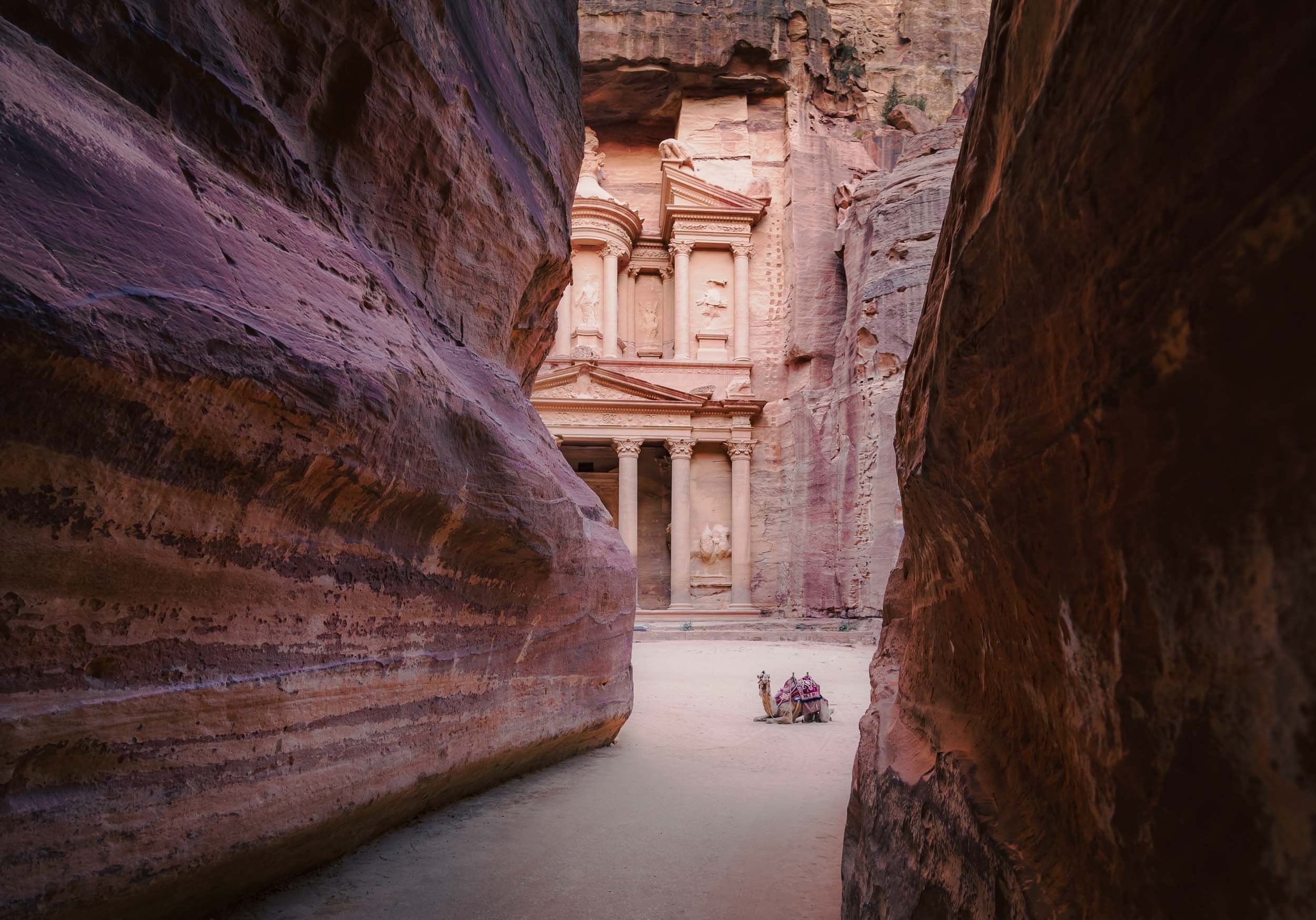
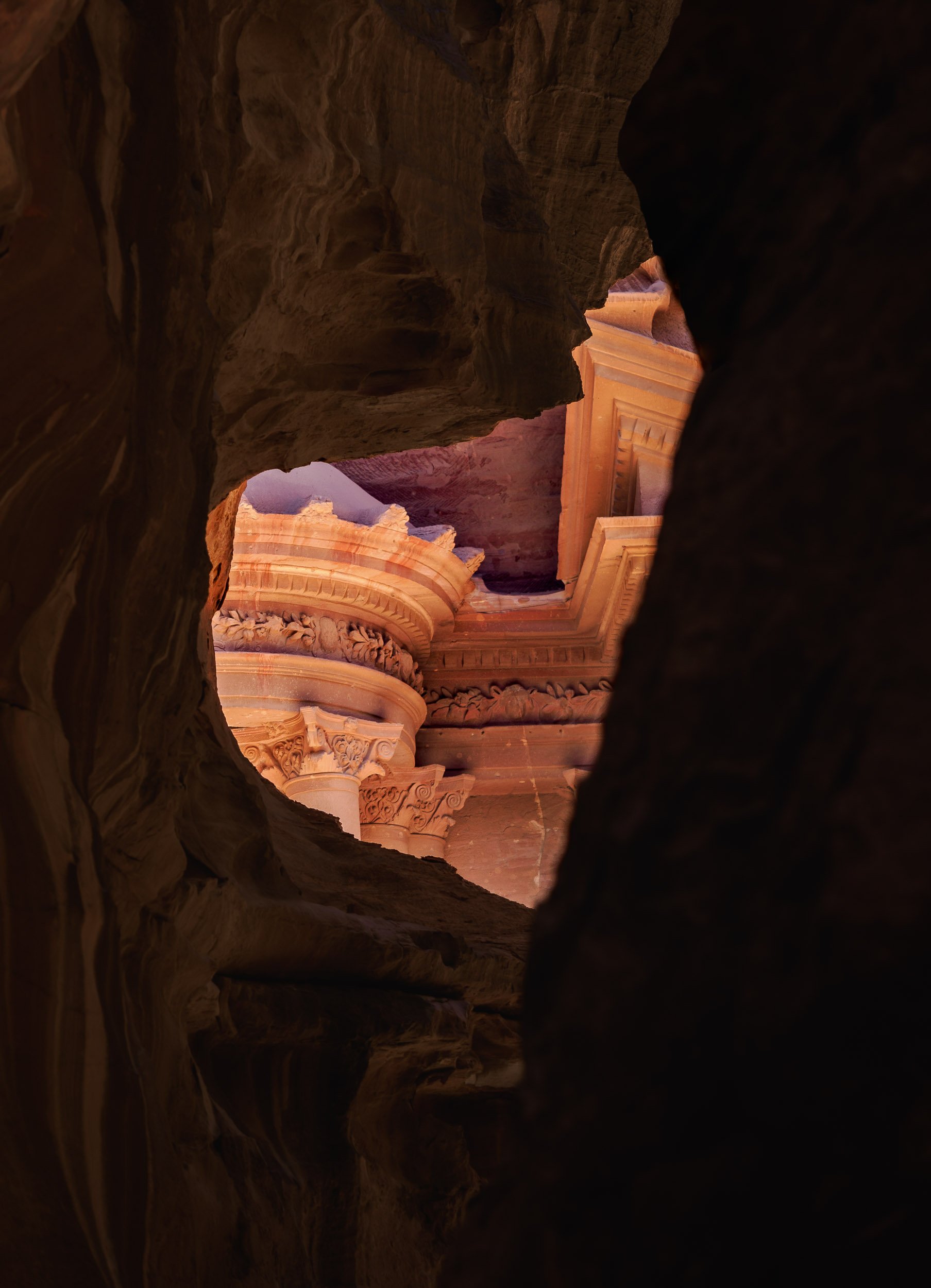
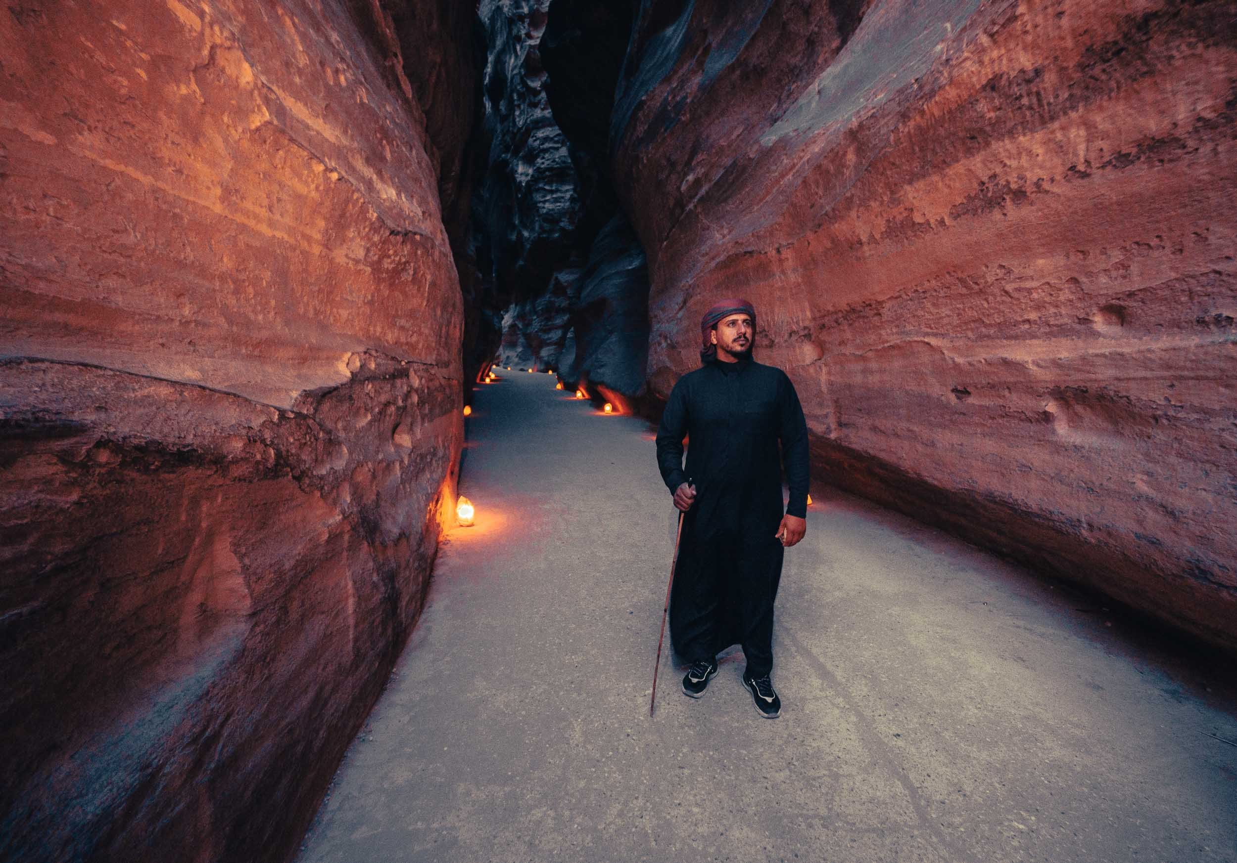

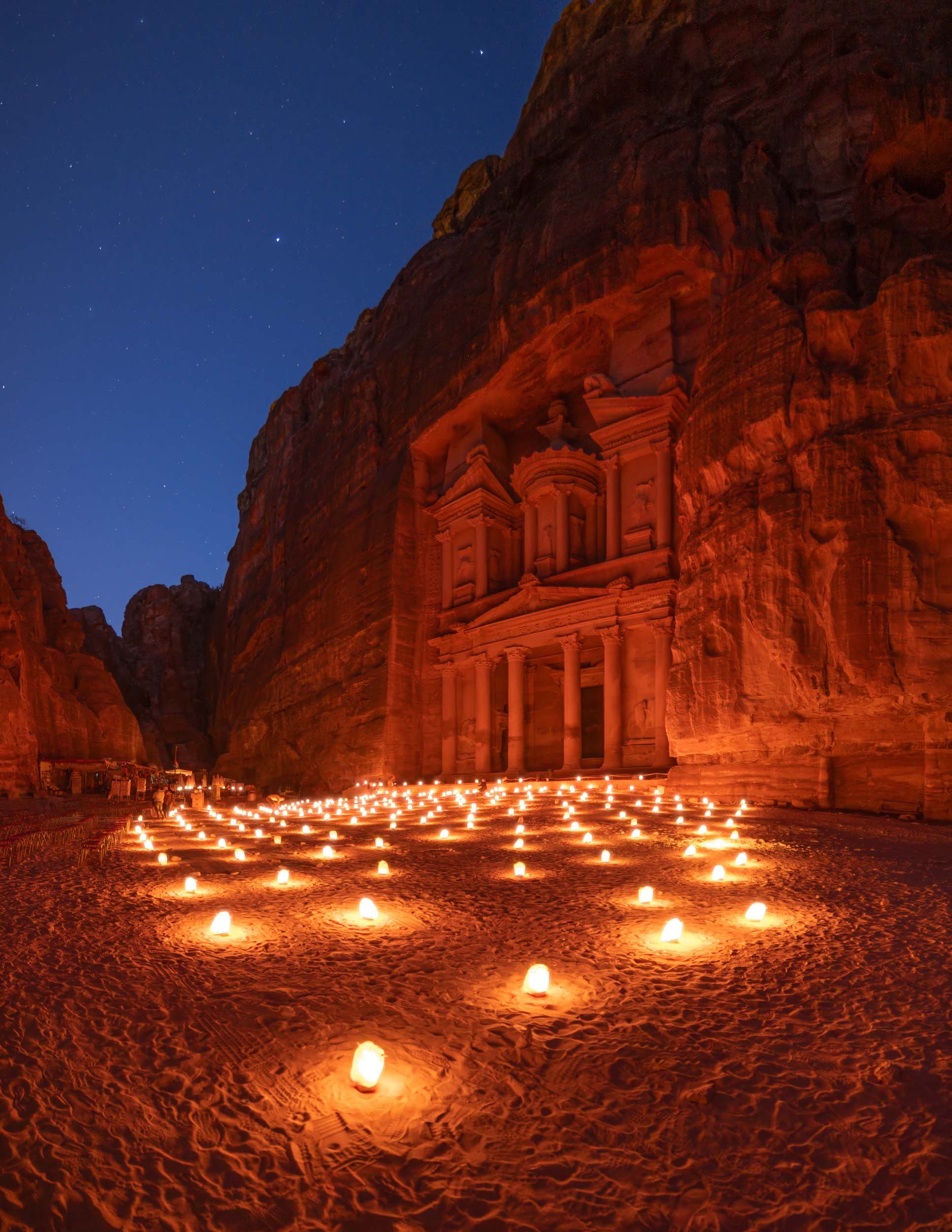
With the right timing - such as being the first one to arrive in the morning when the gates open at 6am (in the summer) - you can experience this place in peace and quiet, which adds to the awe-inspiring grandeur of the sandstone carved structure built 2000 years ago.


More than the Treasury
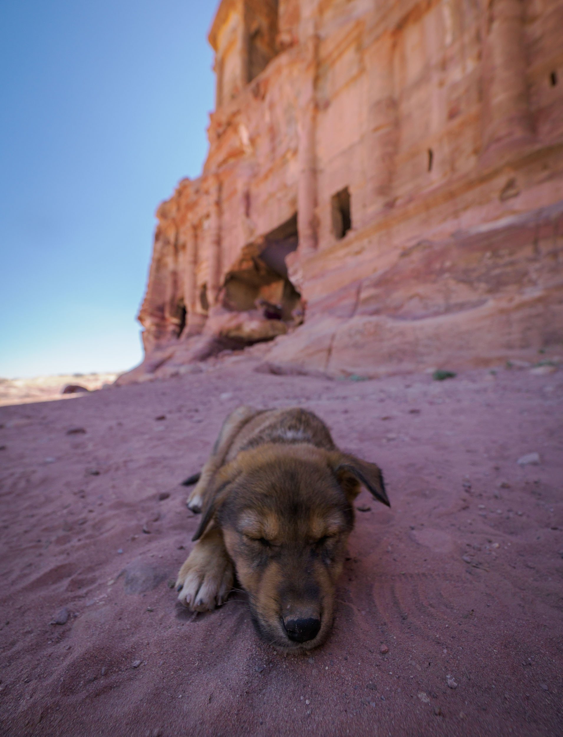
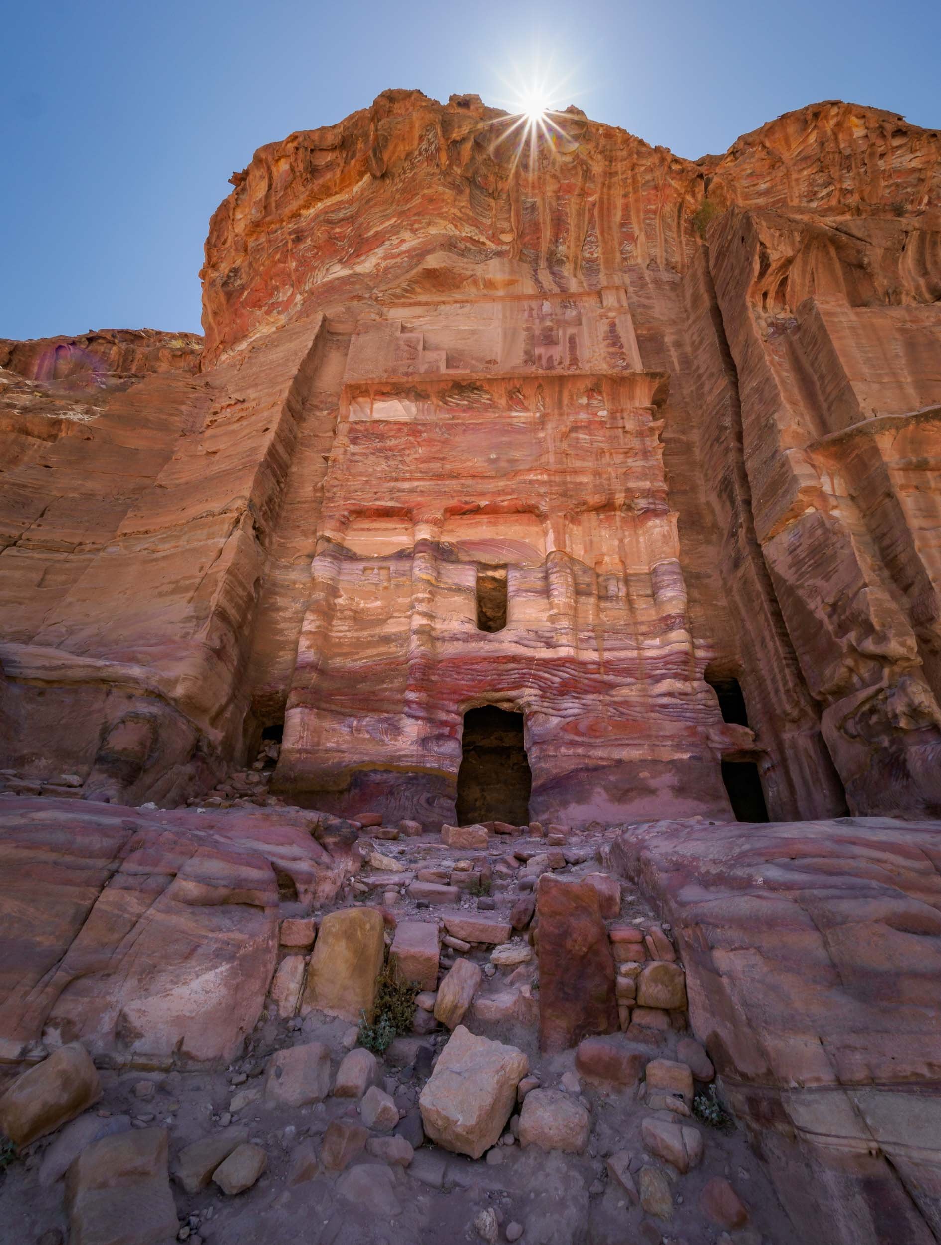
As I’ve alluded to, there’s more to experience in Petra than just the Treasury, which admittedly got a lot of the attention in popular culture, such as being featured in the original Indiana Jones movie. In fact, there’s a lot more to see, and if you want to soak it all in, you better be prepared to hike. I did 32km in one day, but it was worth it to explore the many Hellenistic facades, the tombs, and the amazing theatre, for instance.


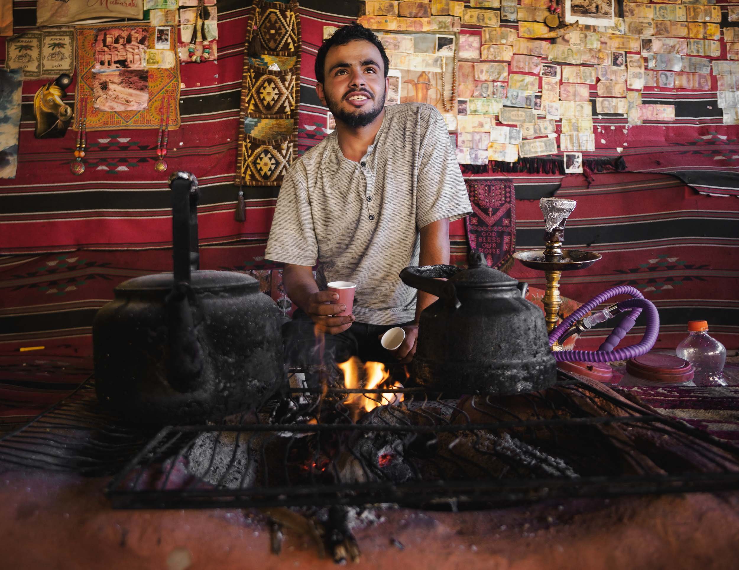
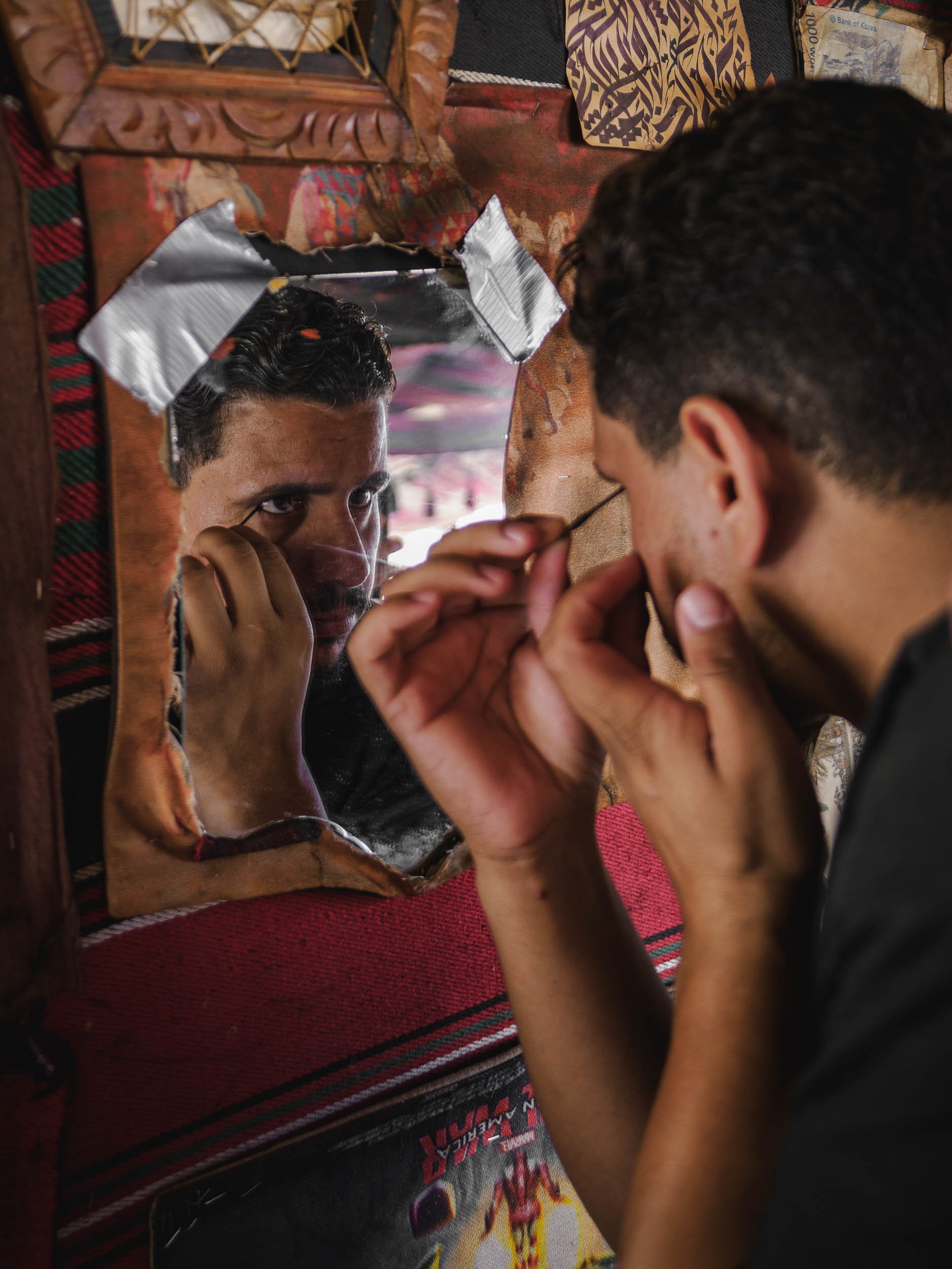
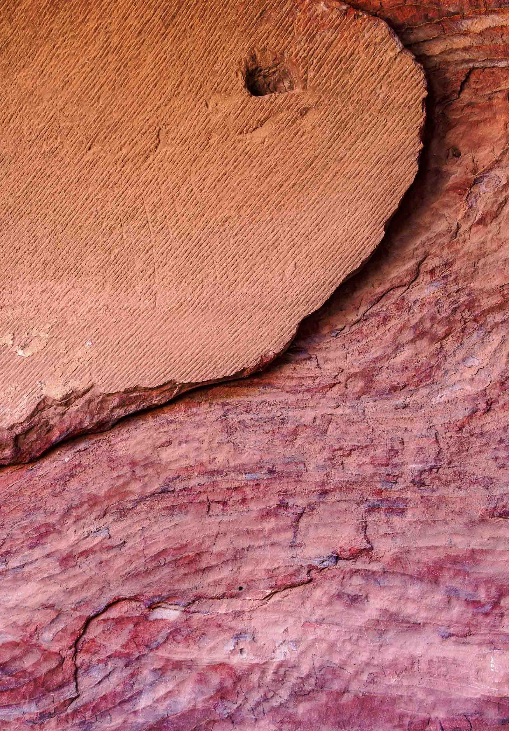
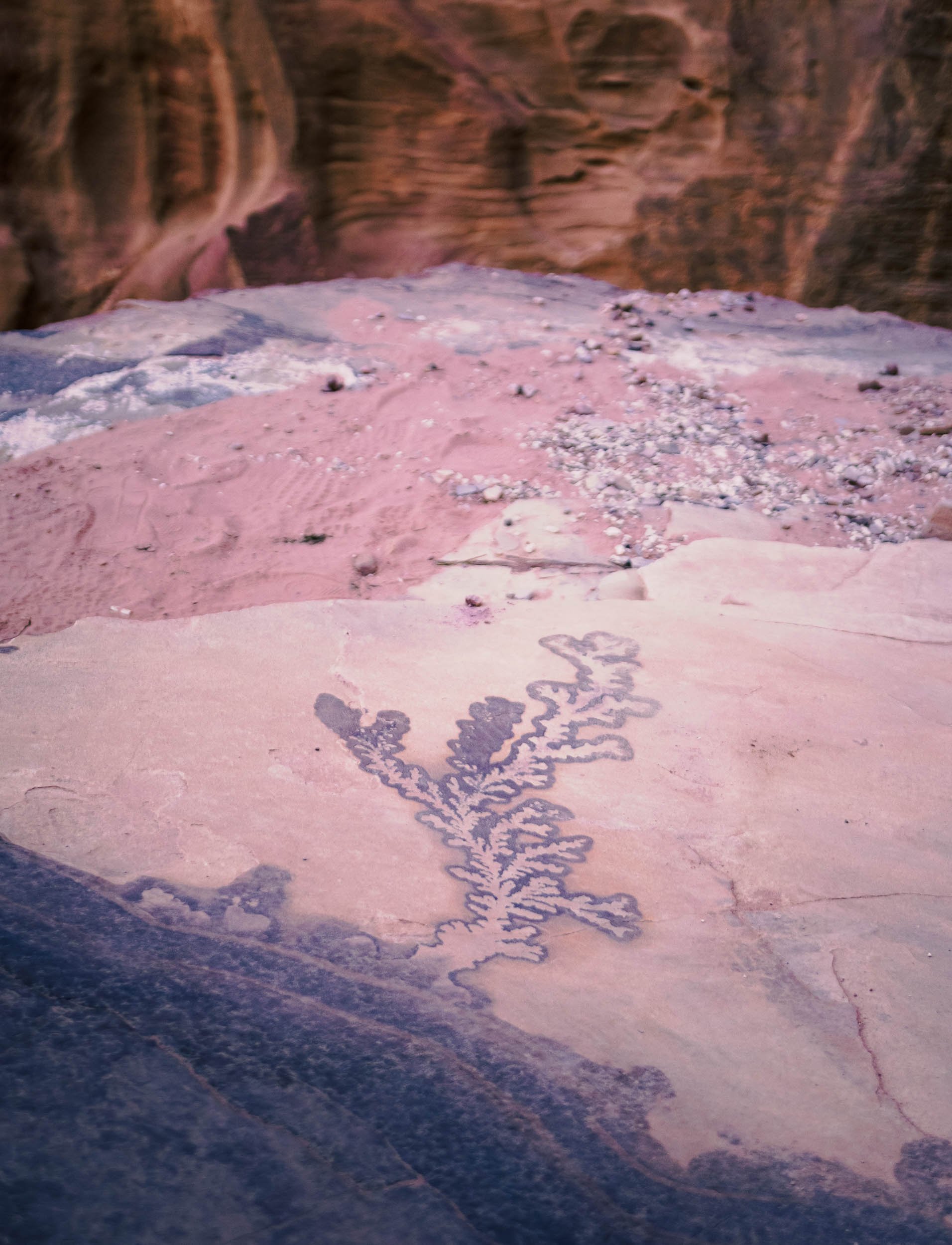
The Monastery
Maybe it’s simply the feeling of reward after the two hour journey to reach this place, but the Monastery might be my favorite structure in Petra. It was carved in the mid first century AD and follows the mixed architectural style that was characteristic for the Nabateans.


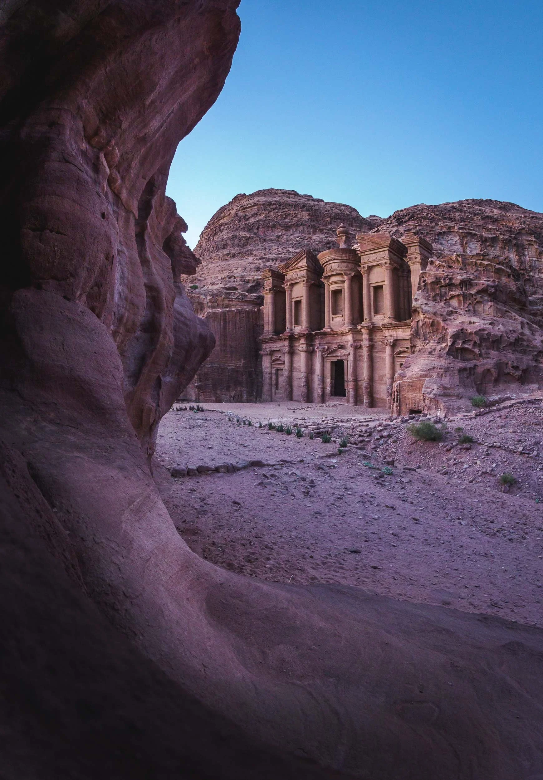
We were lucky to spend the sunset and early night here, allowing us to capture the structure in its best light and get a few star trails as well. It also meant that there were barely any other people left except us and the Bedouins… which couldn’t resist showing us their daring climbing skills.
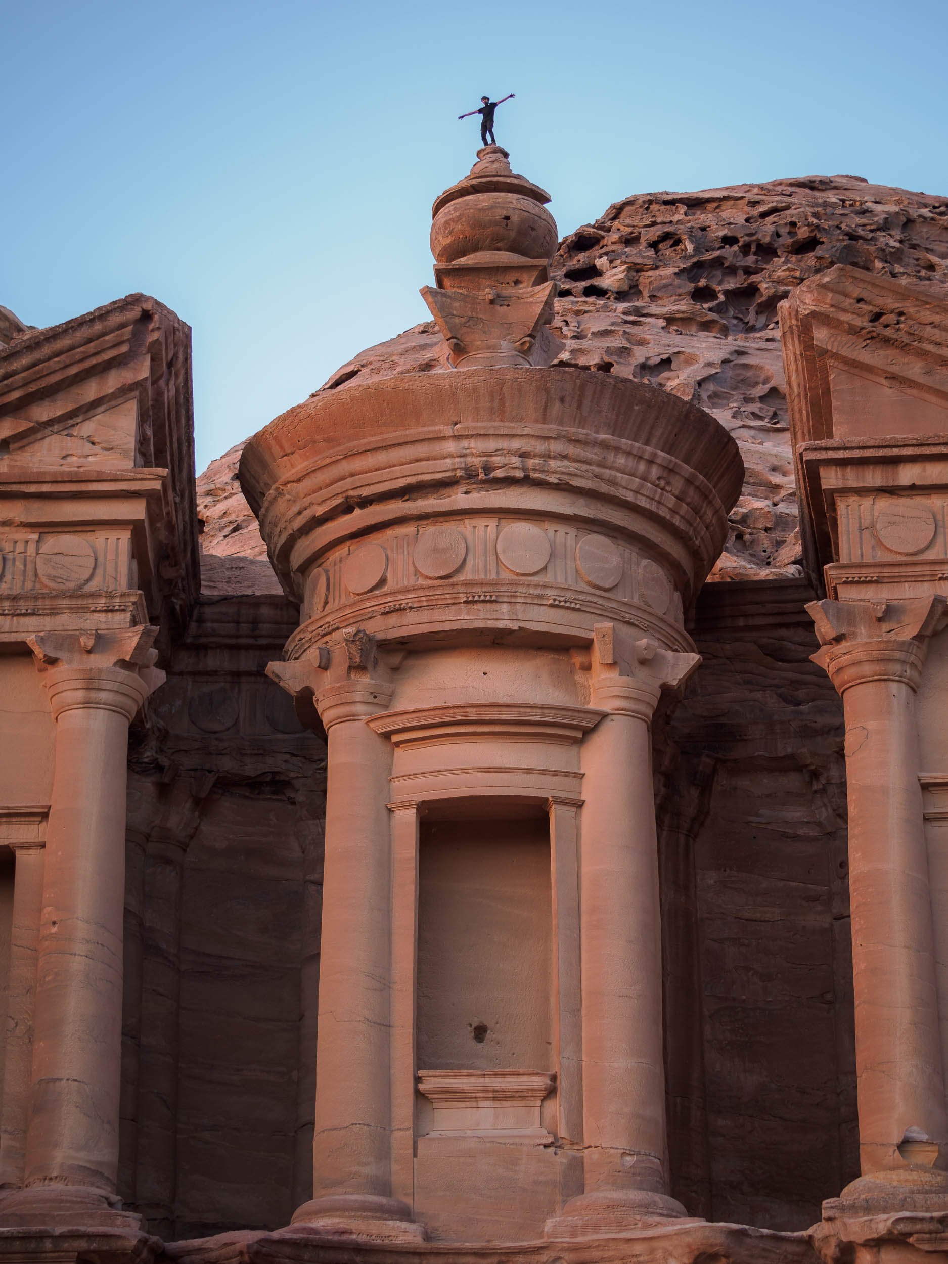

I couldn’t help but join them, and being up on the roof of the Monastery was an incredible feeling, but also one that reminded me that I have a healthy respect for heights - while I sat on the edge, you bet I didn’t follow that jump. Take a look at the video below and decide for yourself…
Wadi Rum - Mars on Earth
Another two hours further south of Petra lies one more of Jordan’s six UNESCO World Heritage Sites (Petra being one as well), and another one that has been featured in quite a few famous movies, such as Dune and The Martian. The original legendary appeal of Wadi Rum comes from the tales of Lawrence of Arabia though, which kick-started the tourism industry here.

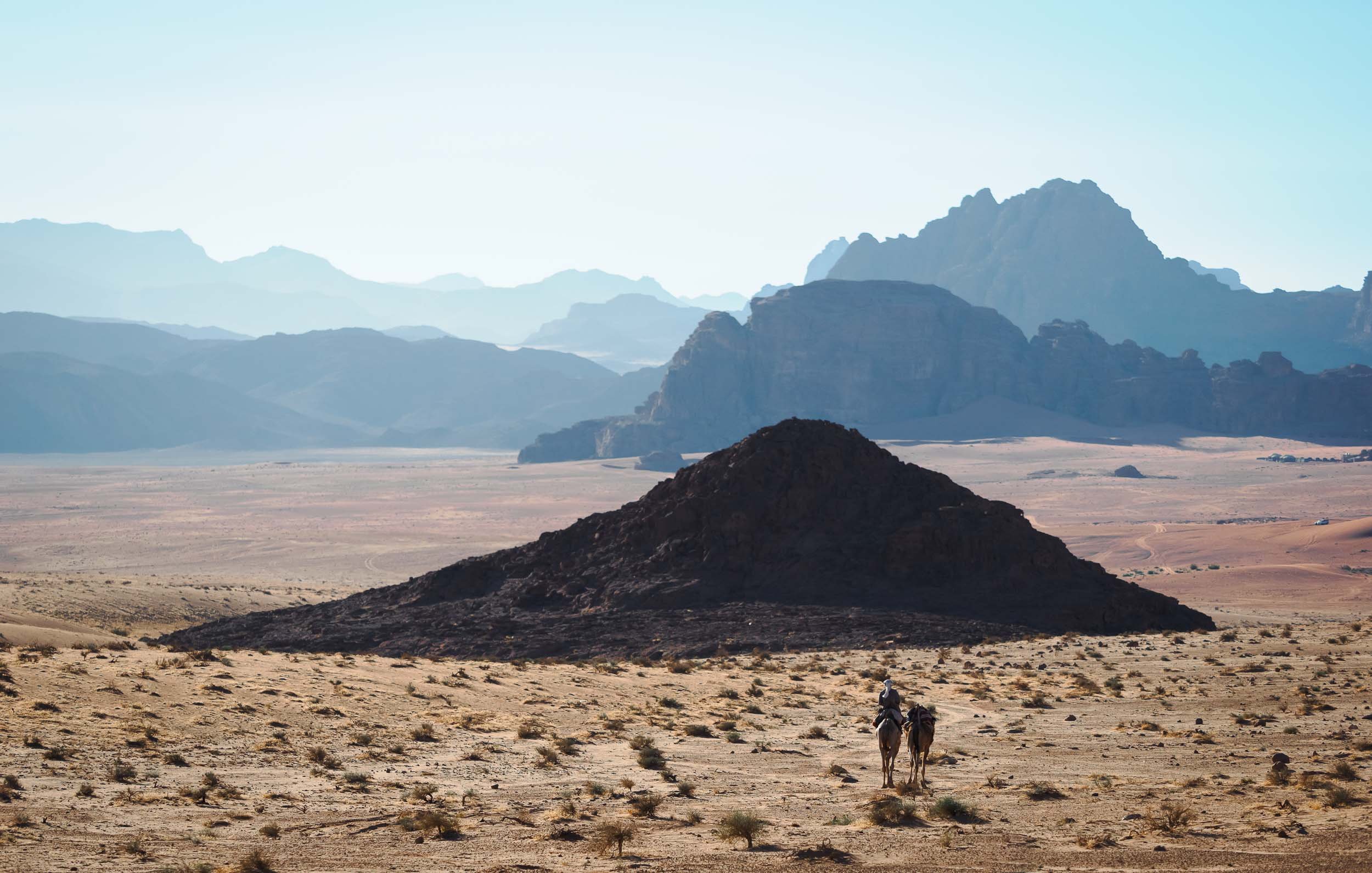
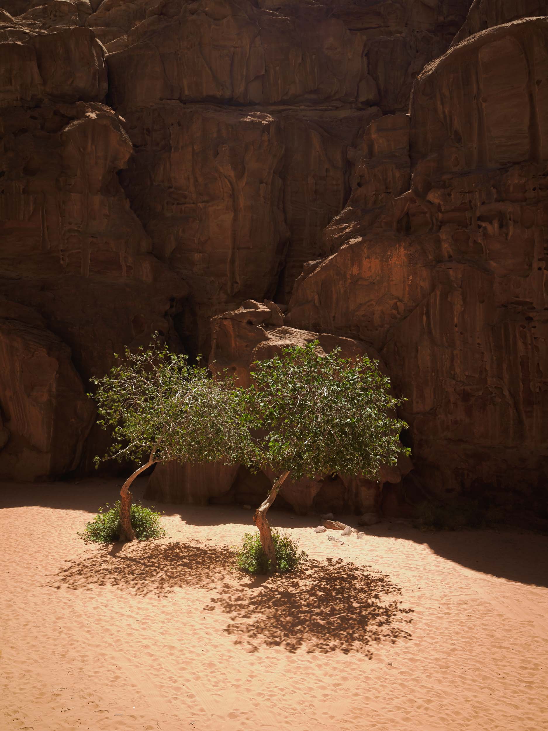
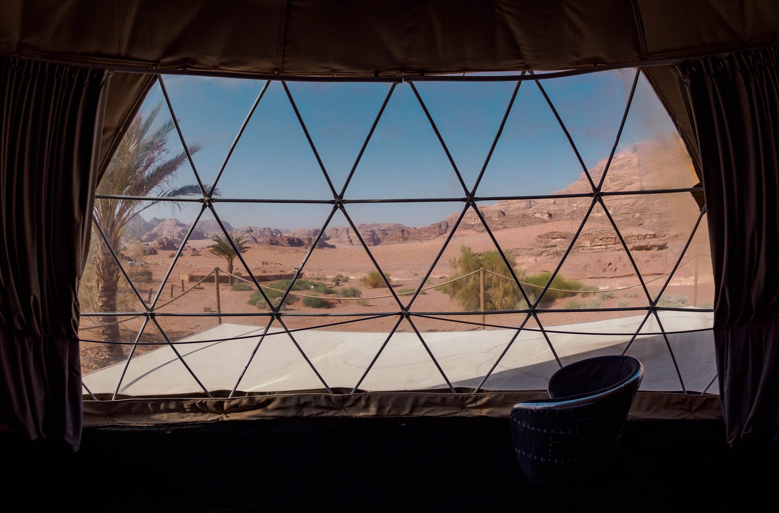
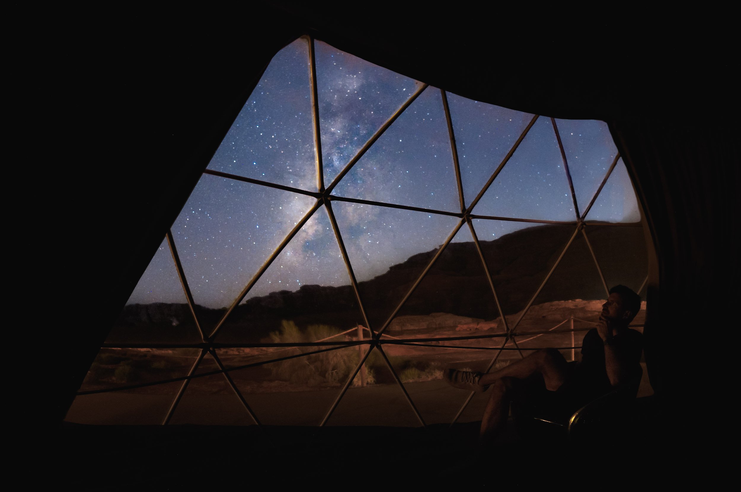
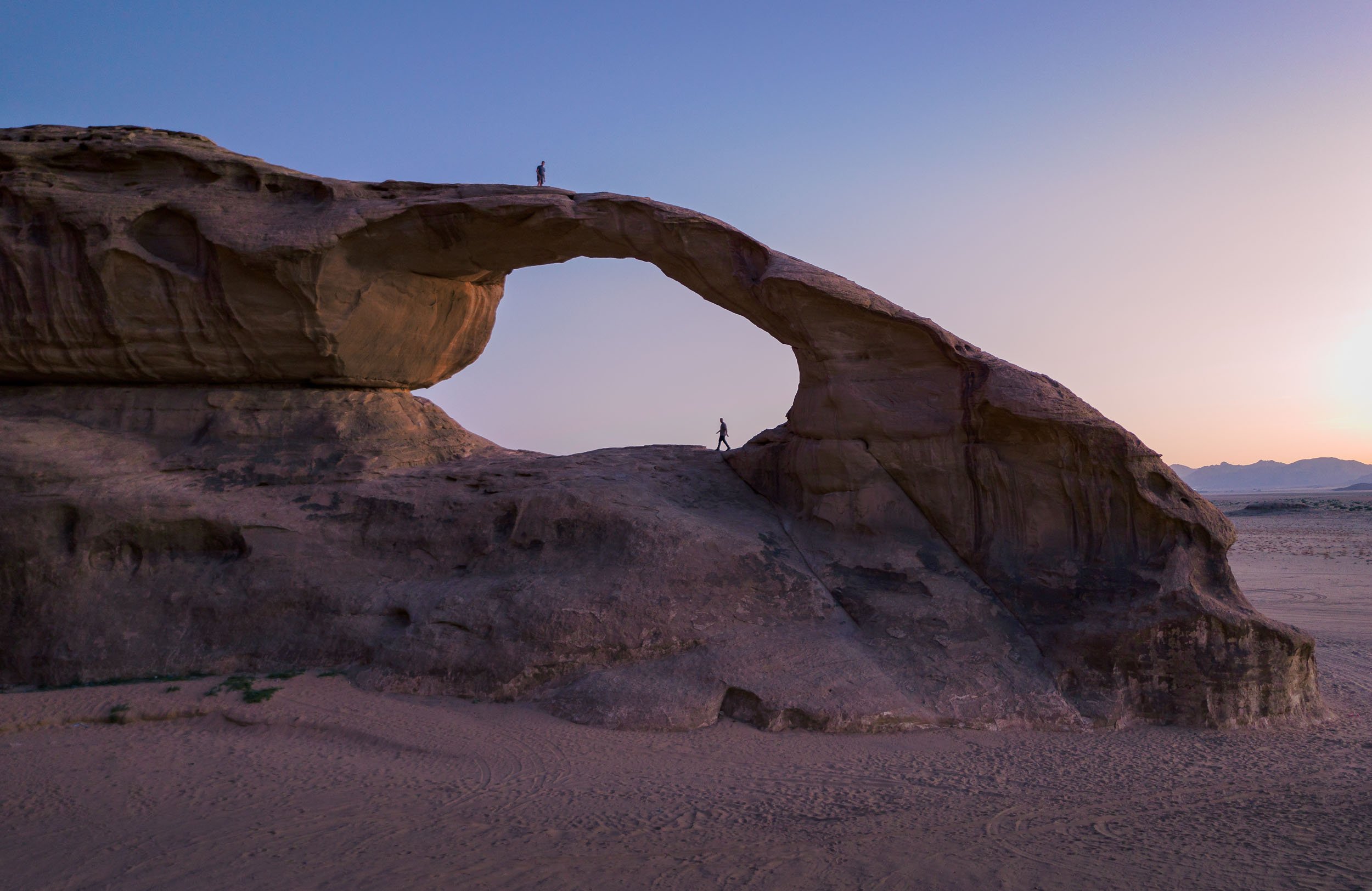
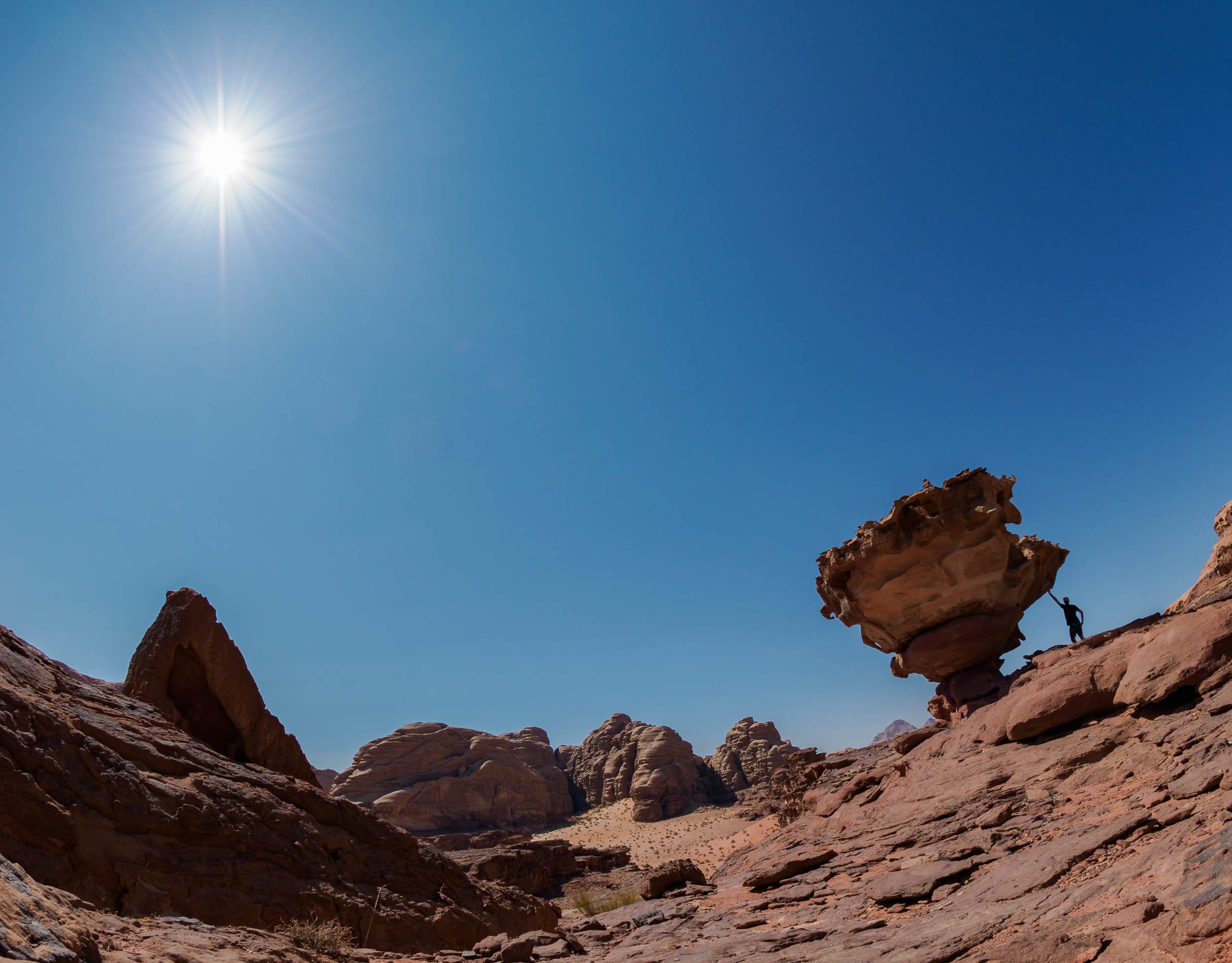
The first night took us out to a beautiful arch (one of many) not too far from the camp, and it was time for the first Milky Way session (also one of many)!
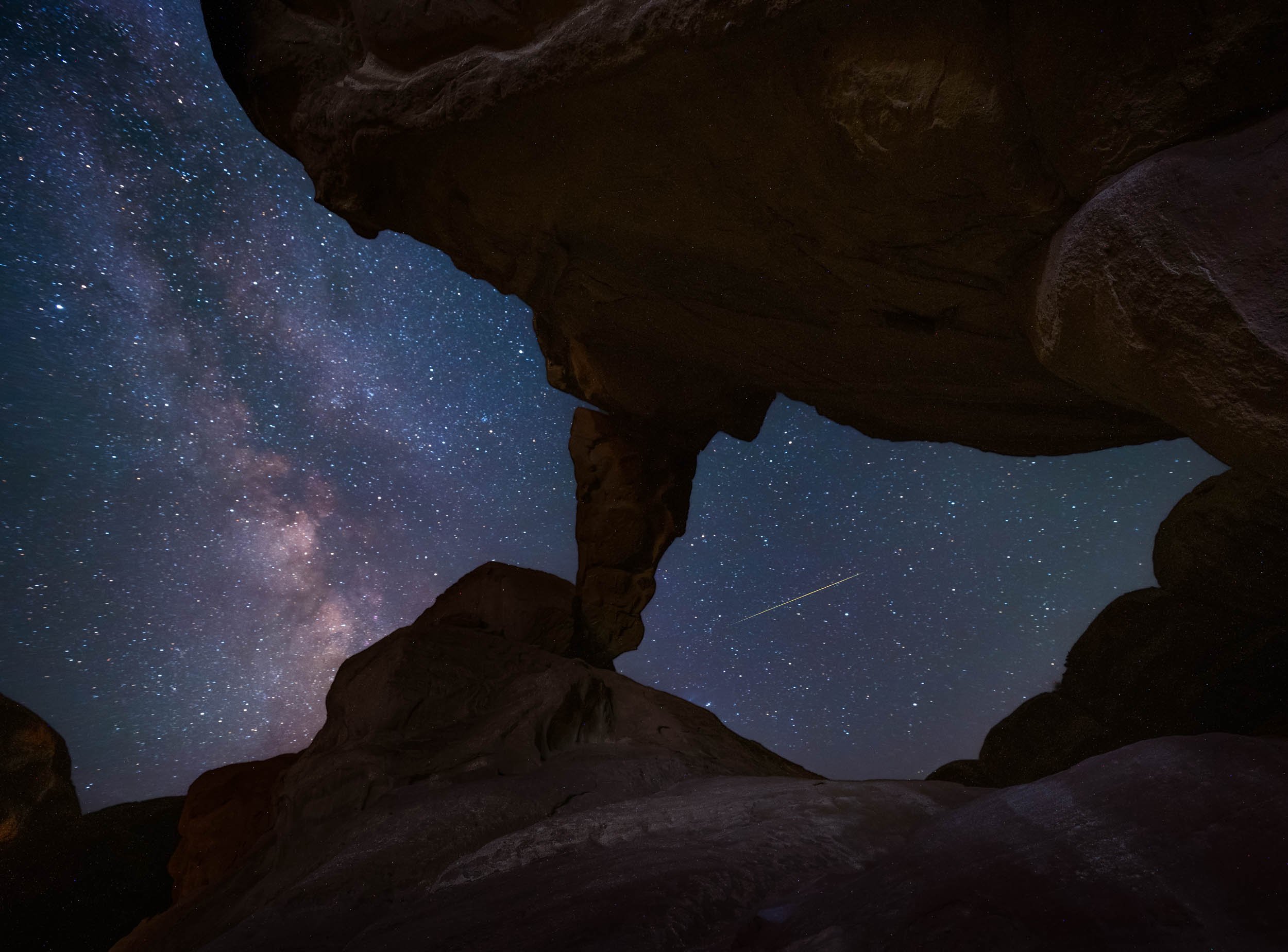

Another arch was on the cards for the following night, in fact, there are two different ones in this spot just a hundred meters apart. Paradise of rock formations!


Luckily there were a few cats around for company while one waits for the camera to finish taking 3 hours of exposures…
Our last night here was spent heading out to a few nearby dunes for sunset, joining our guides and their camels for dinner. The camel is a favorite animal of the Zalabieh bedouins that are resident here, and a symbol for male pride.
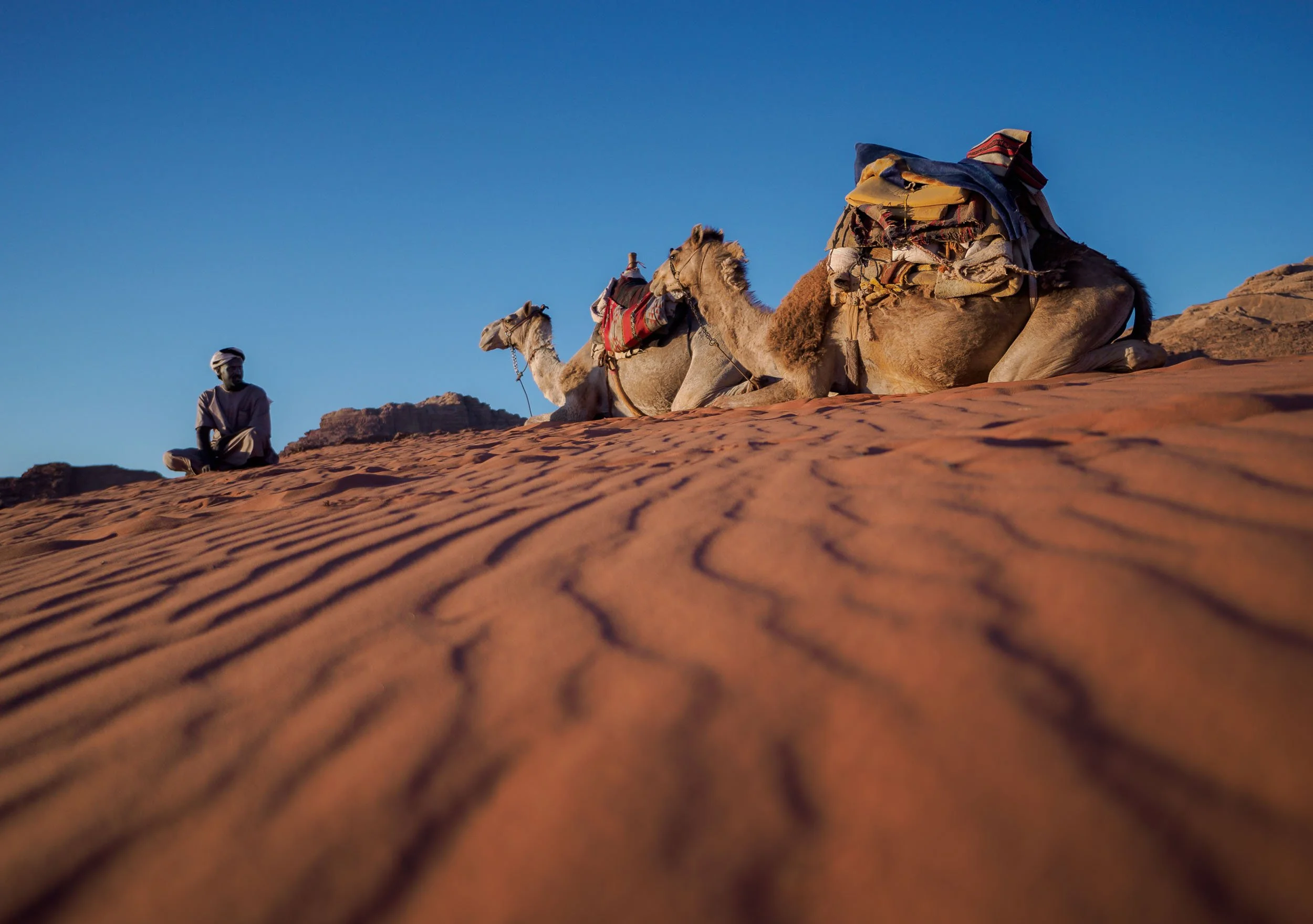

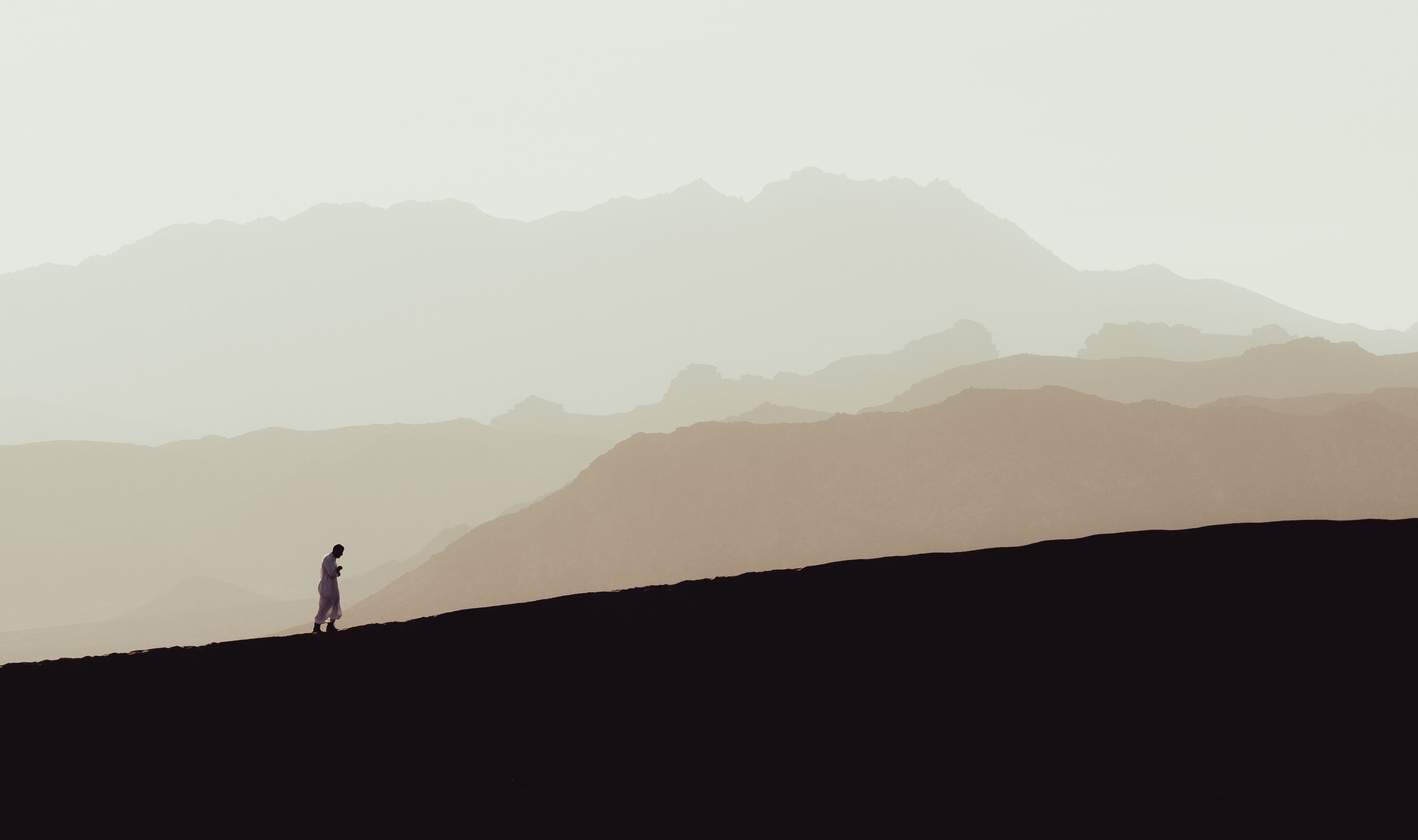

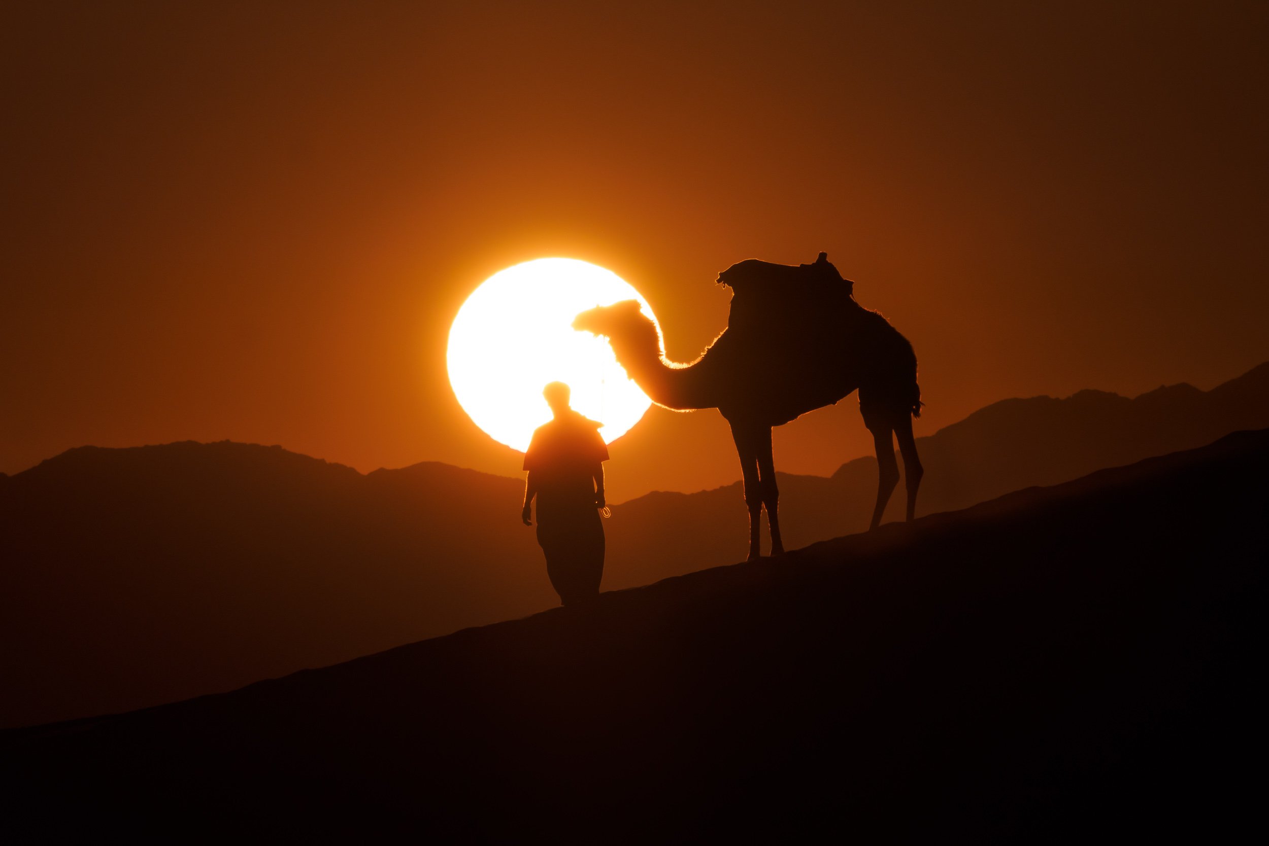
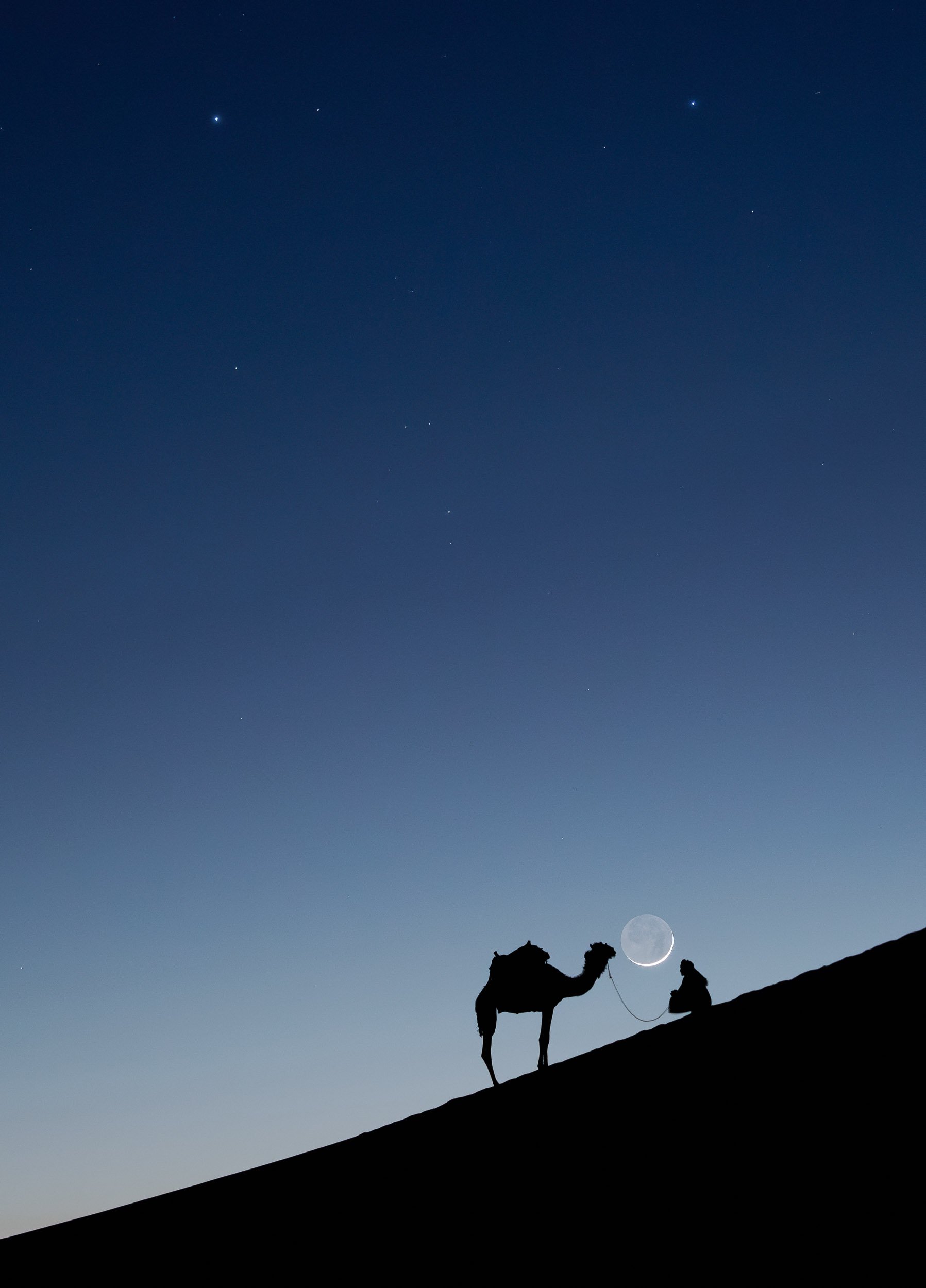
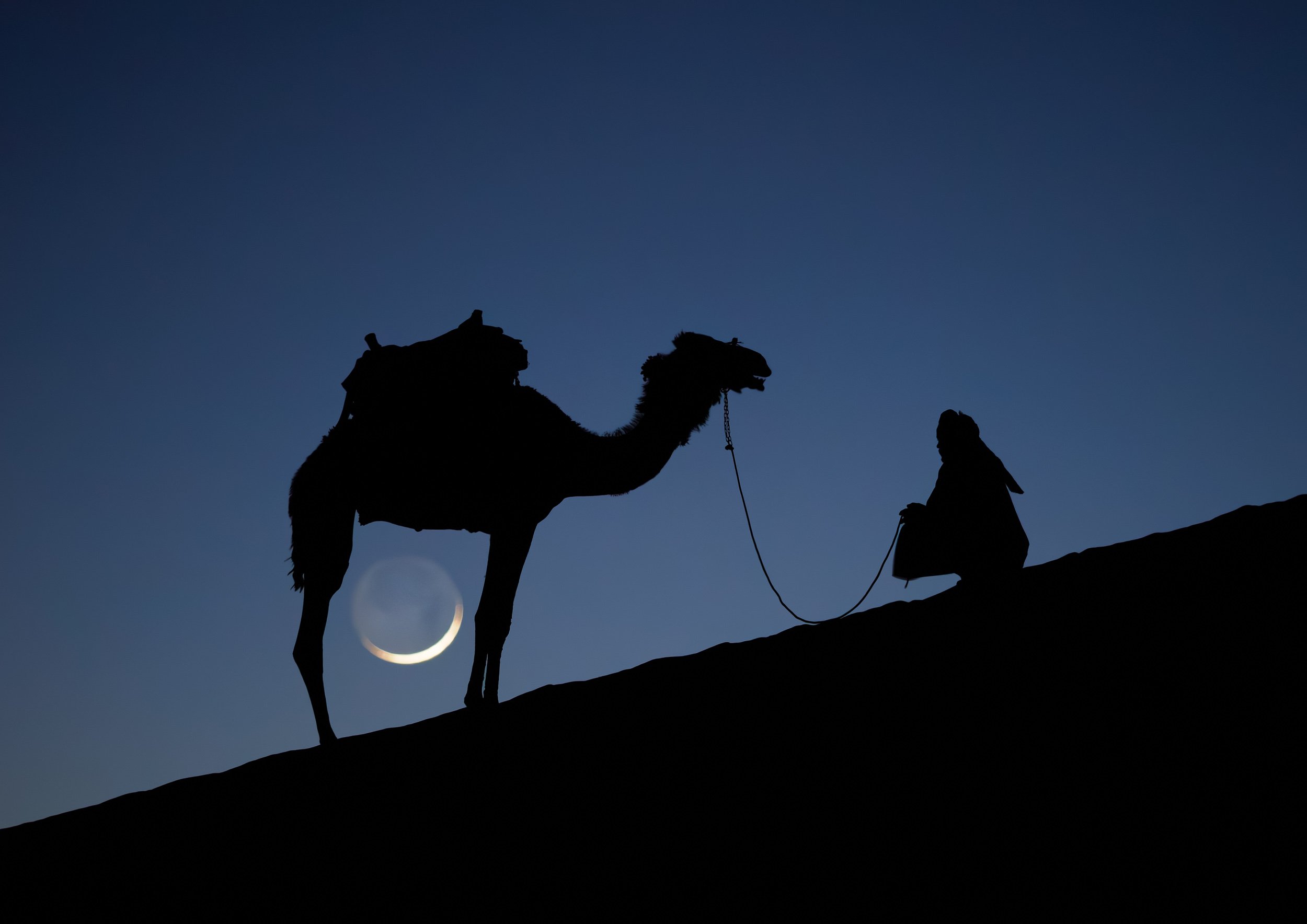
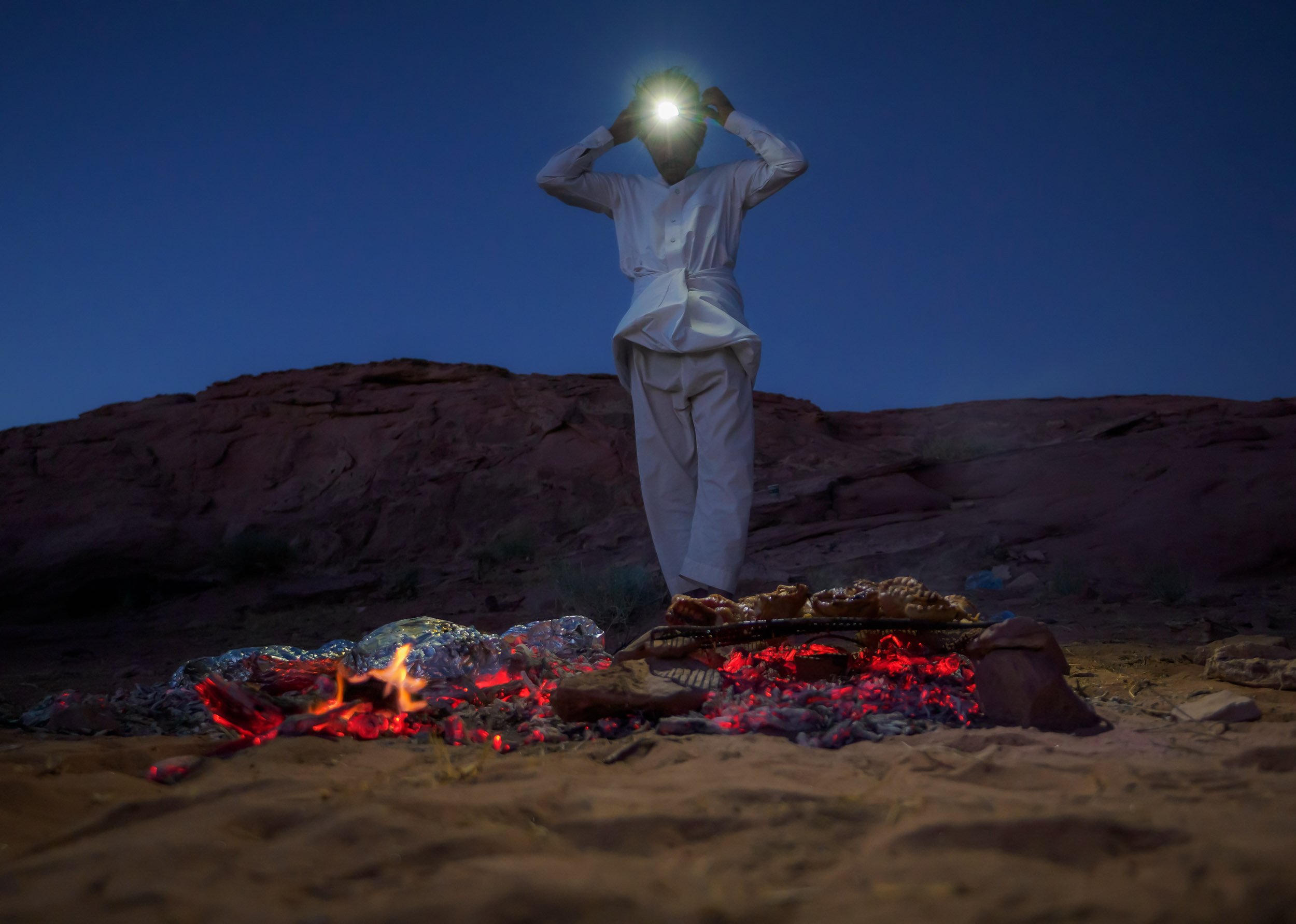
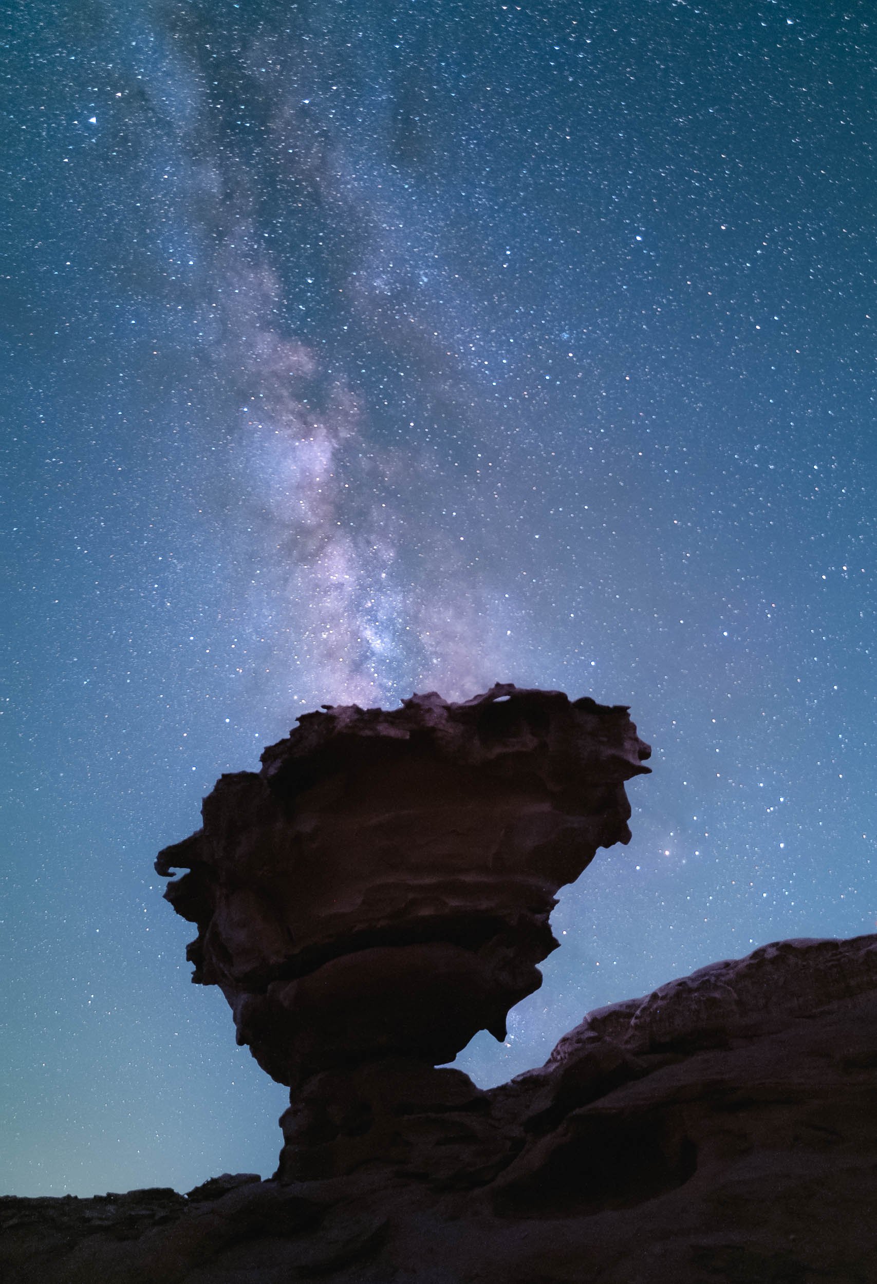
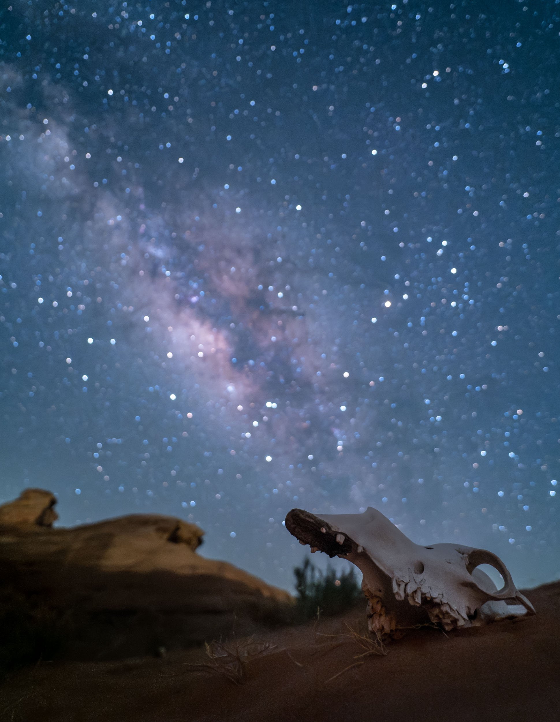
While I was off to take these photos, I set up another camera on my star tracker (the Benro Polaris) to take a timelapse sequence while the tracker was counteracting the rotation of the earth, effectively canceling it out and showing how our home planet makes its way through the galaxy.
The Final Morning in Wadi Rum
While drones are not allowed without a (very difficult to get) permit from the government, luckily there are other ways to see places from above, which I took advantage of before having to leave this incredible landscape.
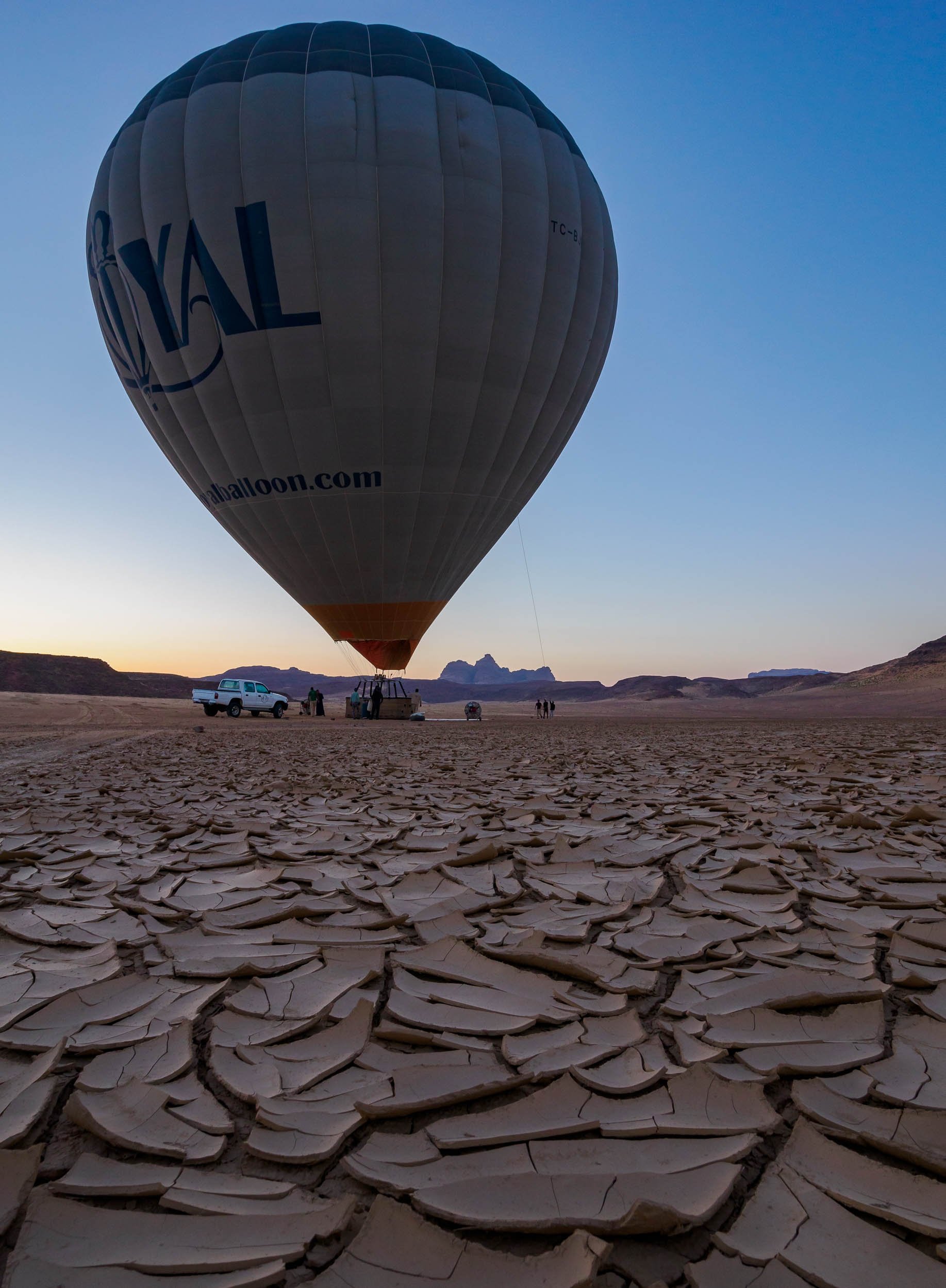
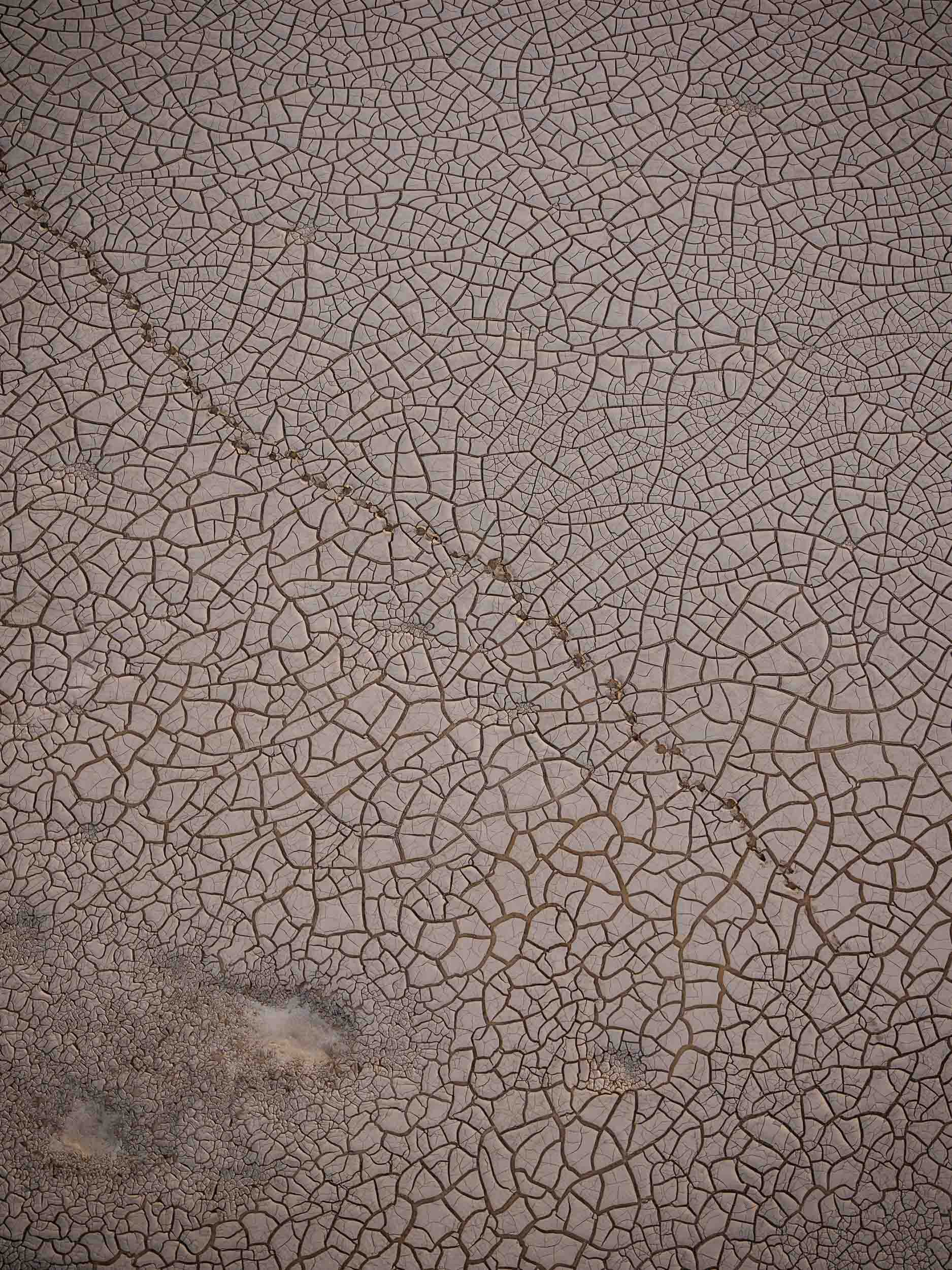

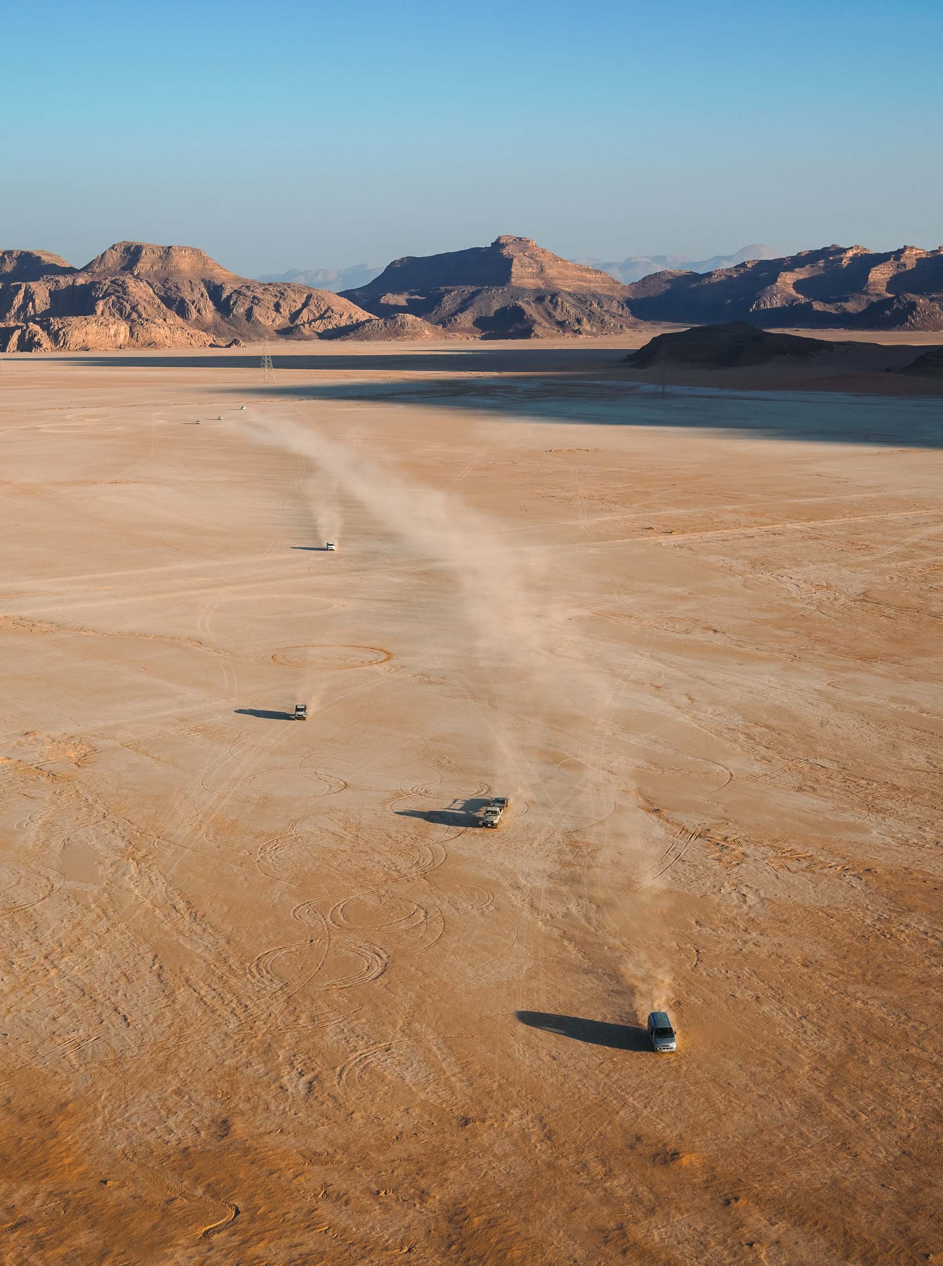
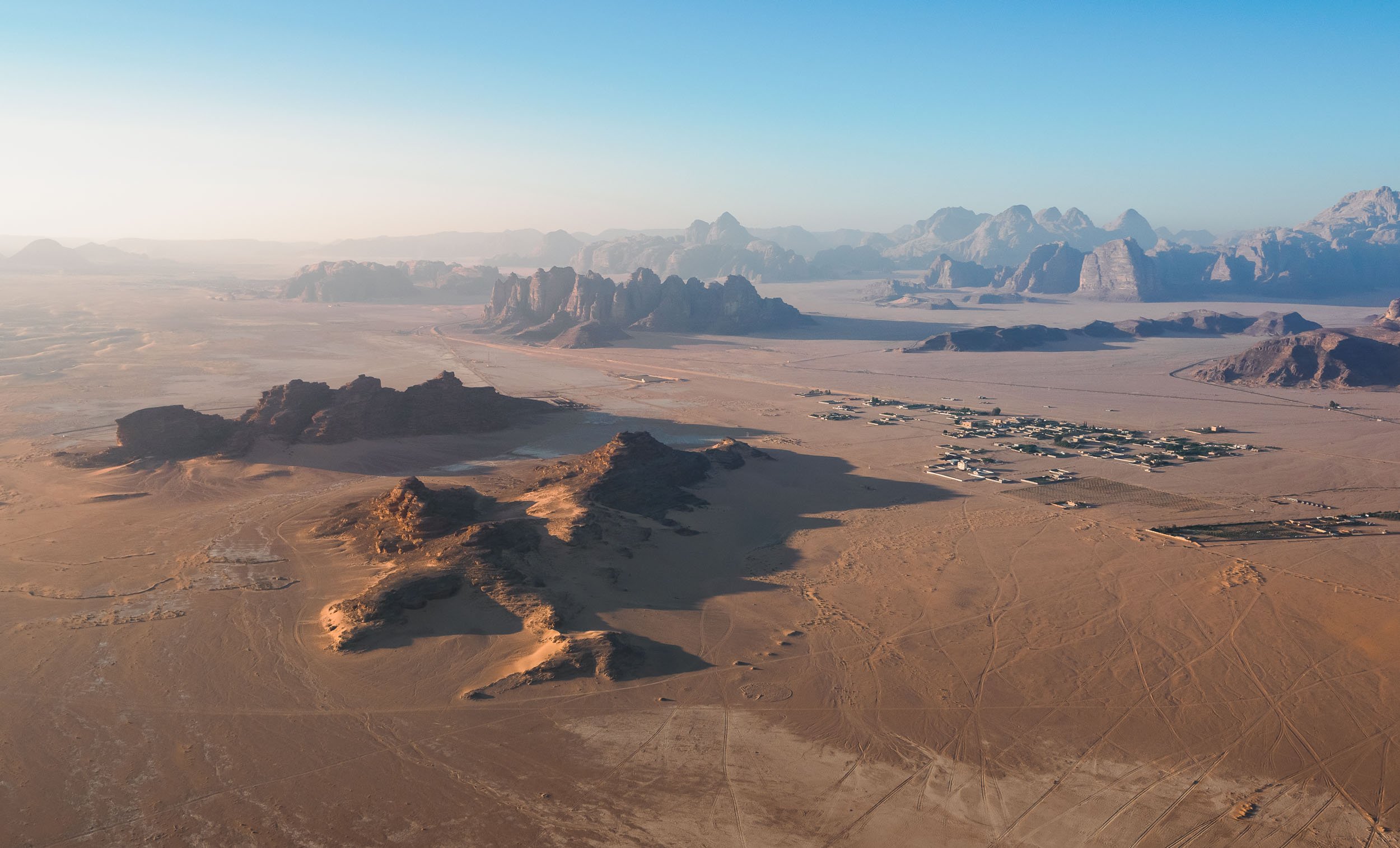
Back to the North
At this point I said goodbye to Benjamin and the group and continued the journey back into the northern parts of the country on my own, hoping to explore the ancient historic and a few more natural sites.
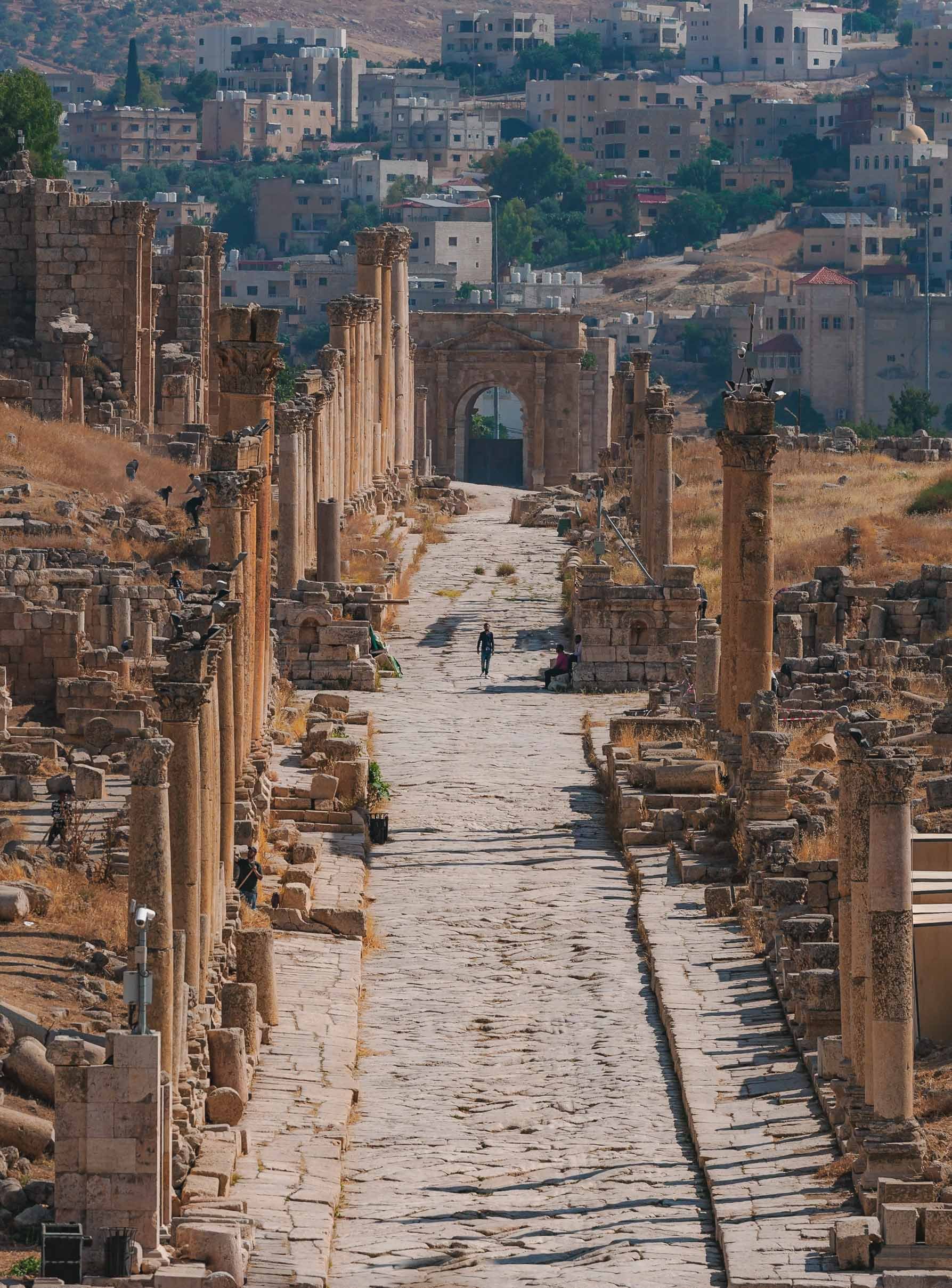
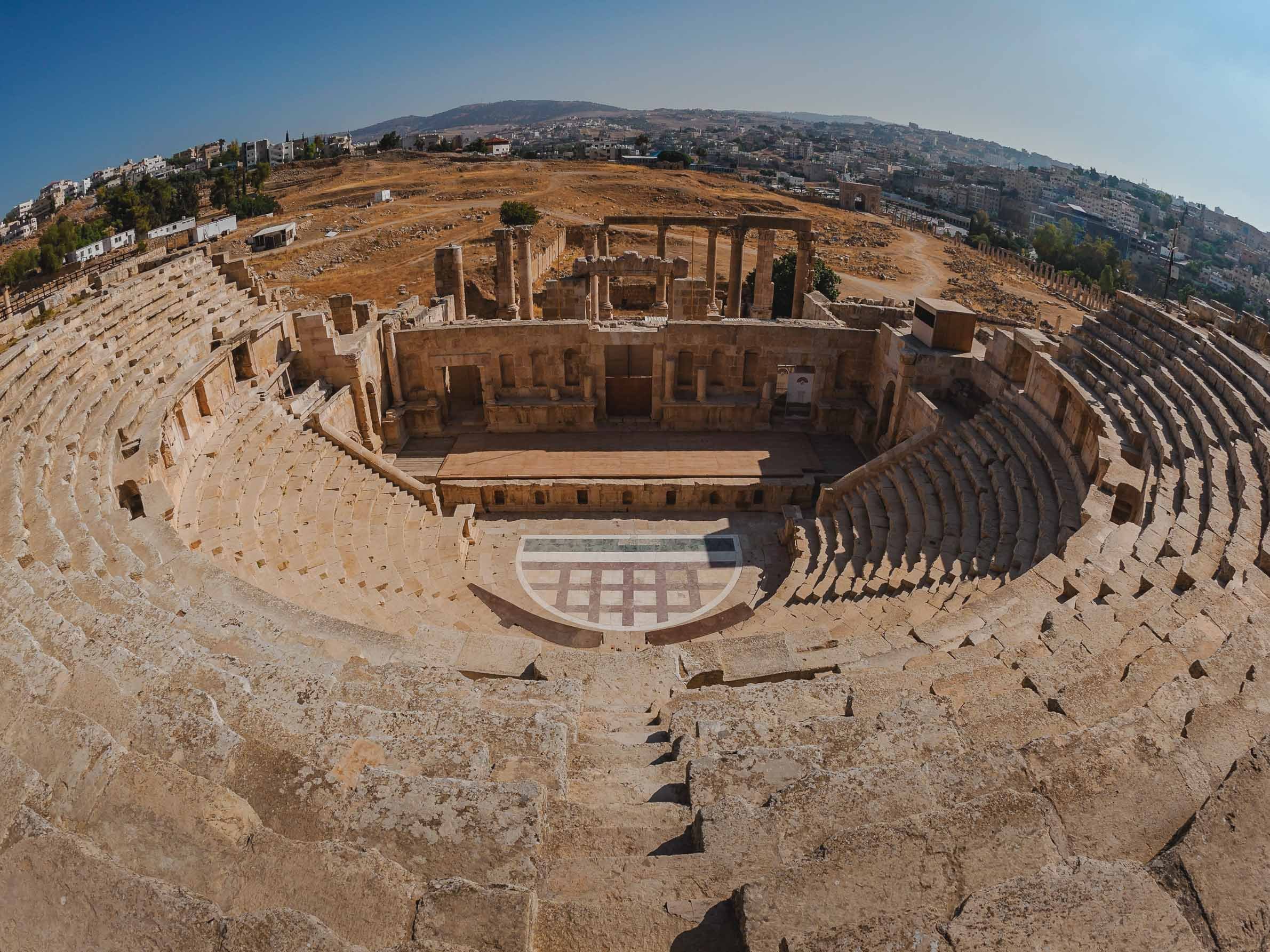


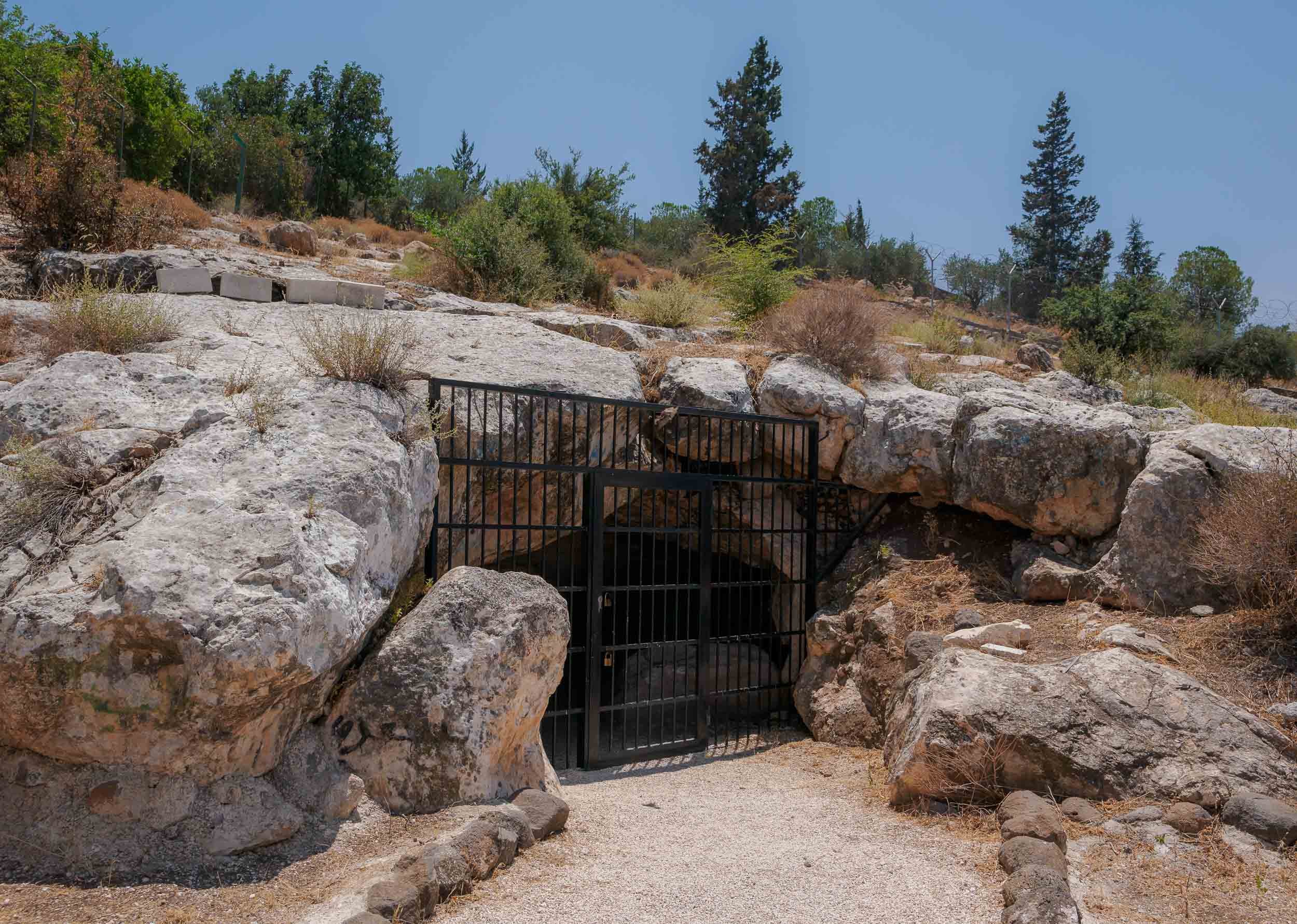

The Salty Sea
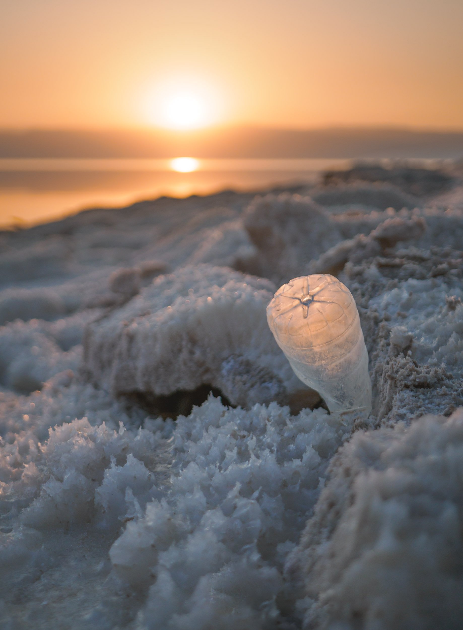
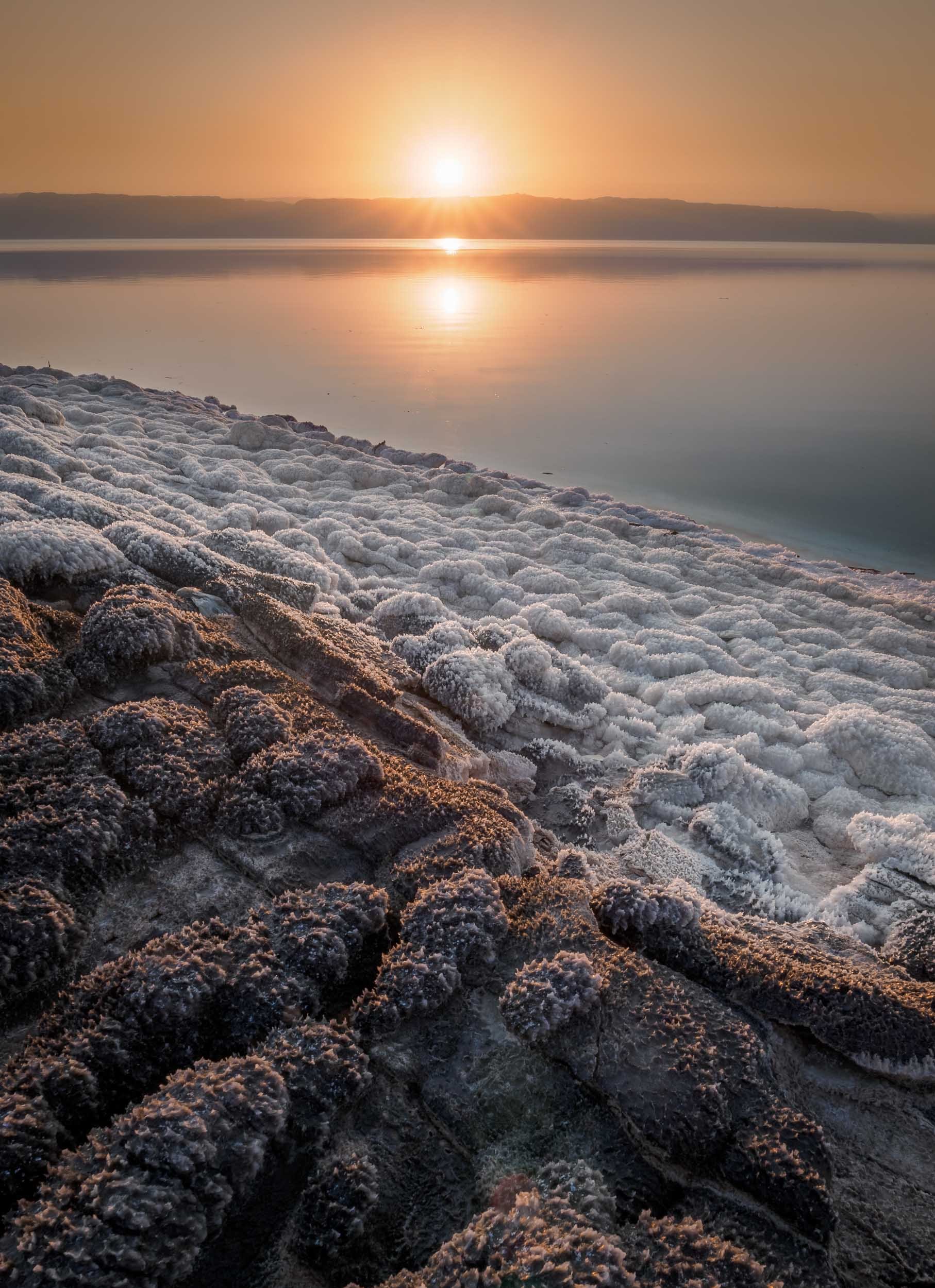
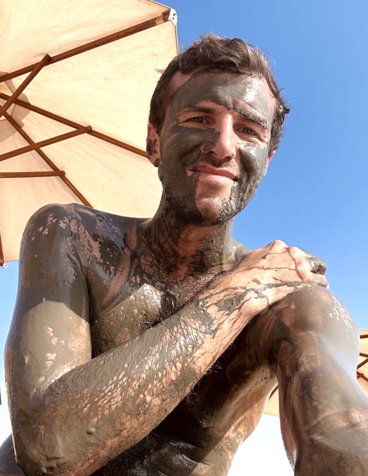
Heading back south, my next destination was the Dead Sea - one of the world’s saltiest water bodies and the lowest point on earth, at almost 450m below actual sea level. The water level falls at an alarming rate, dropping around 1 meter per year. Its high level of salinity (more than 10 times of a normal ocean) means there is no life to be found in and around it, and that swimming is more like floating - you can’t sink here.
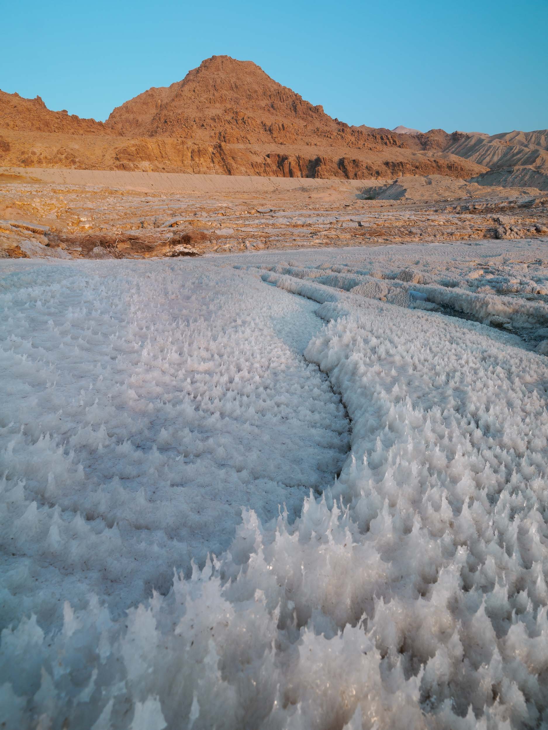
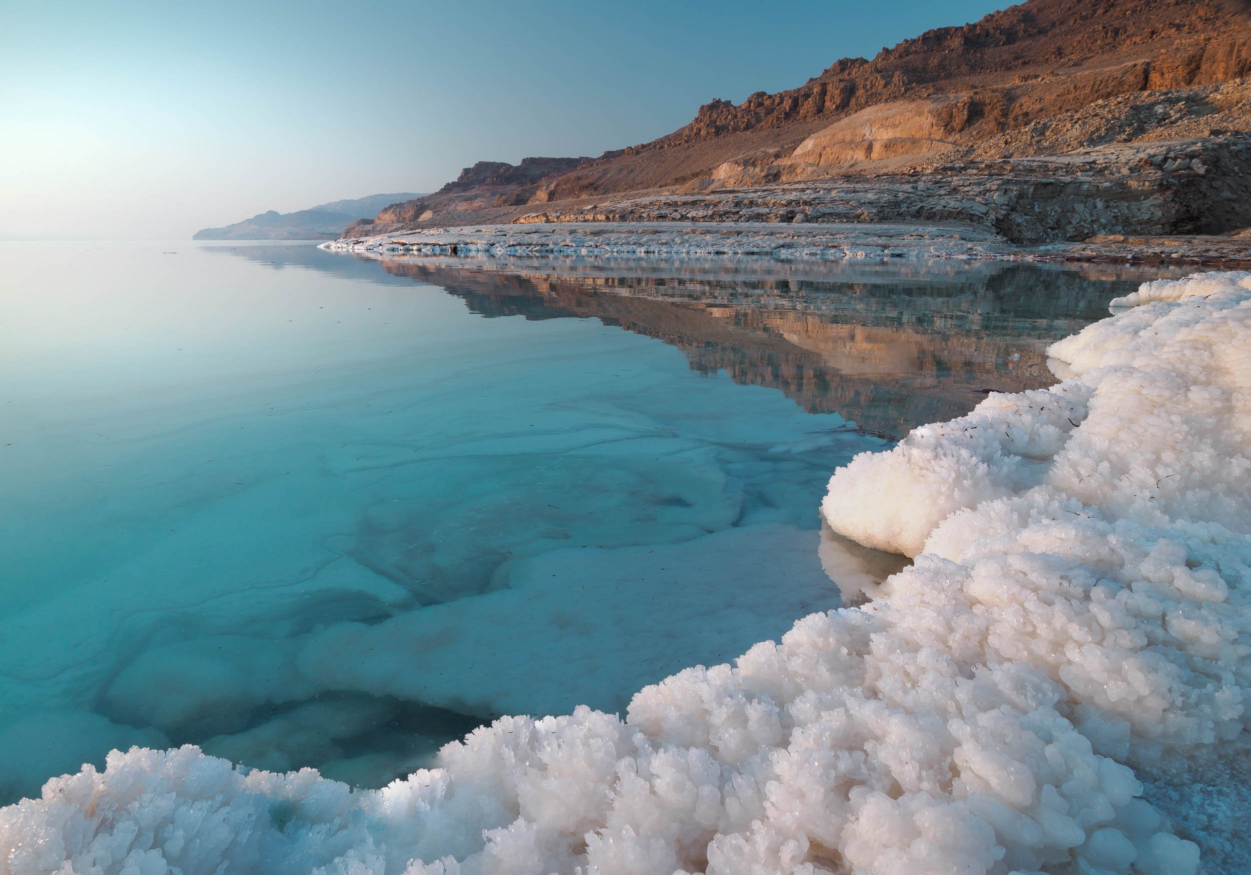
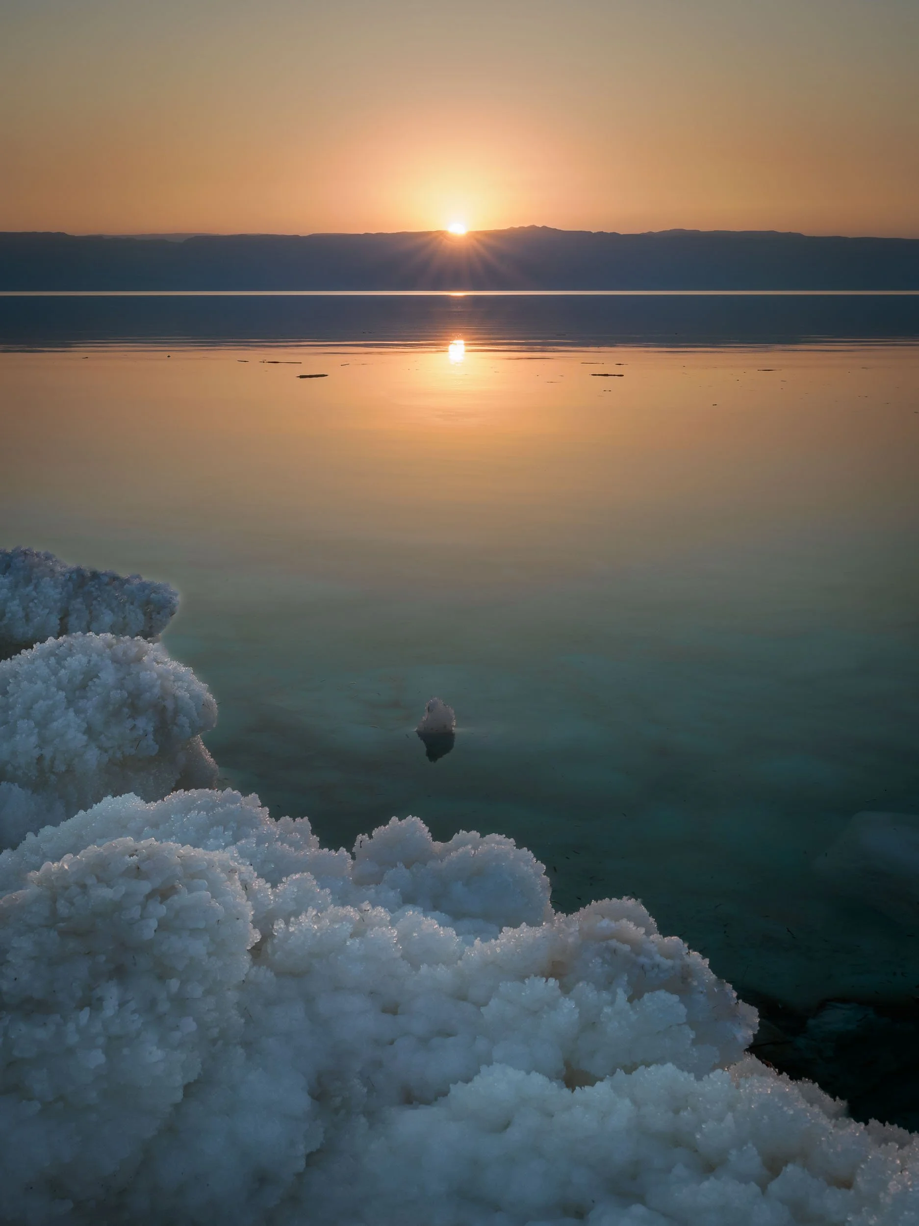

While originally a single body of water until the 1970s, the southern section of the Dead Sea (which is in fact a lake) is now completely separated from the northern part, and divided into commercially used evaporation pools to extract and produce chloride. The future of the northern part is not clear, some say it will eventually dry up completely, others believe this is unlikely due to the continued inflow of water, and the reducing evaporation rate that will eventually match the inflow. Commercial projects to save the lake at its current levels, such as a canal from the Red Sea, have been announced but never actually made significant progress.

Wadi Mujib
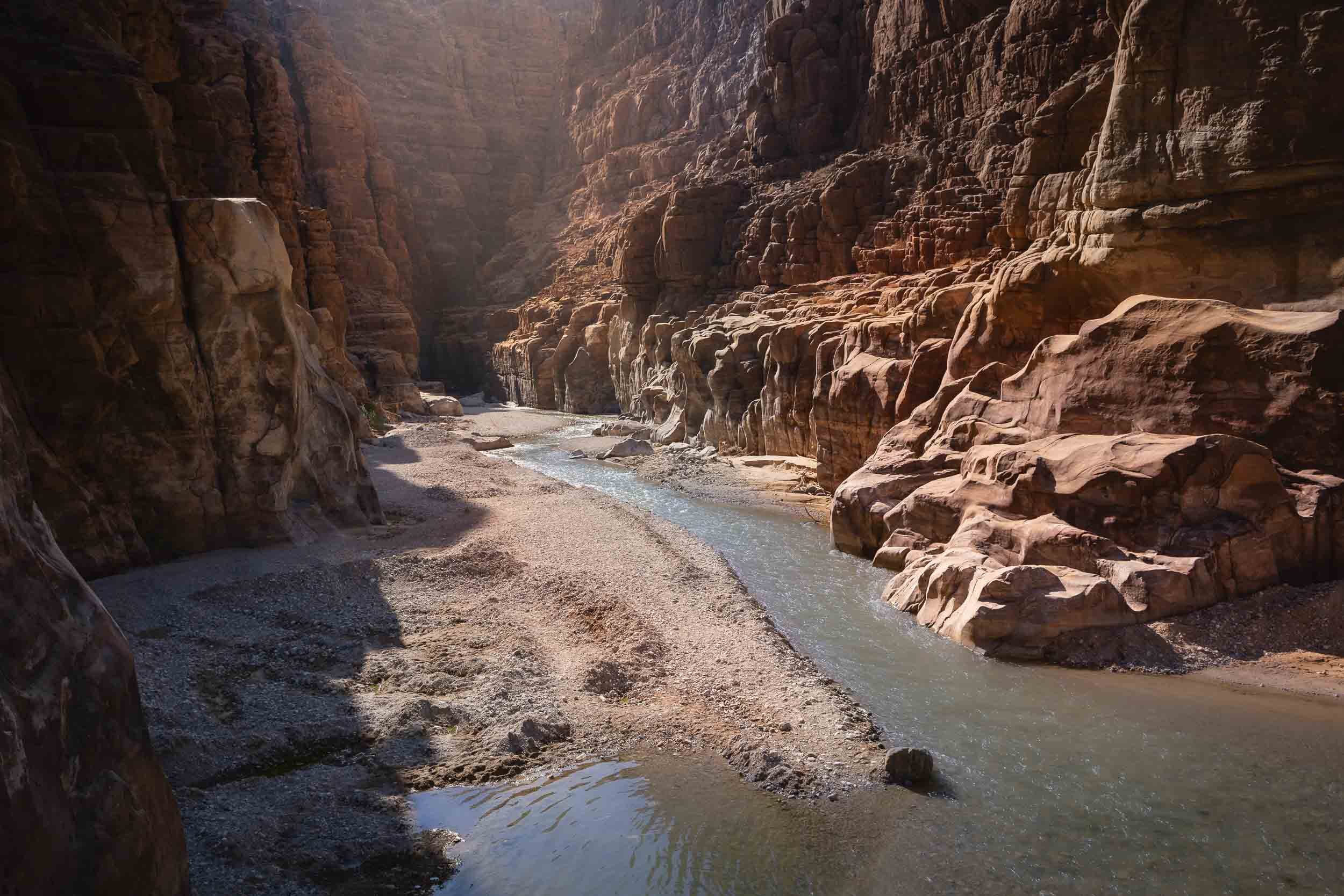
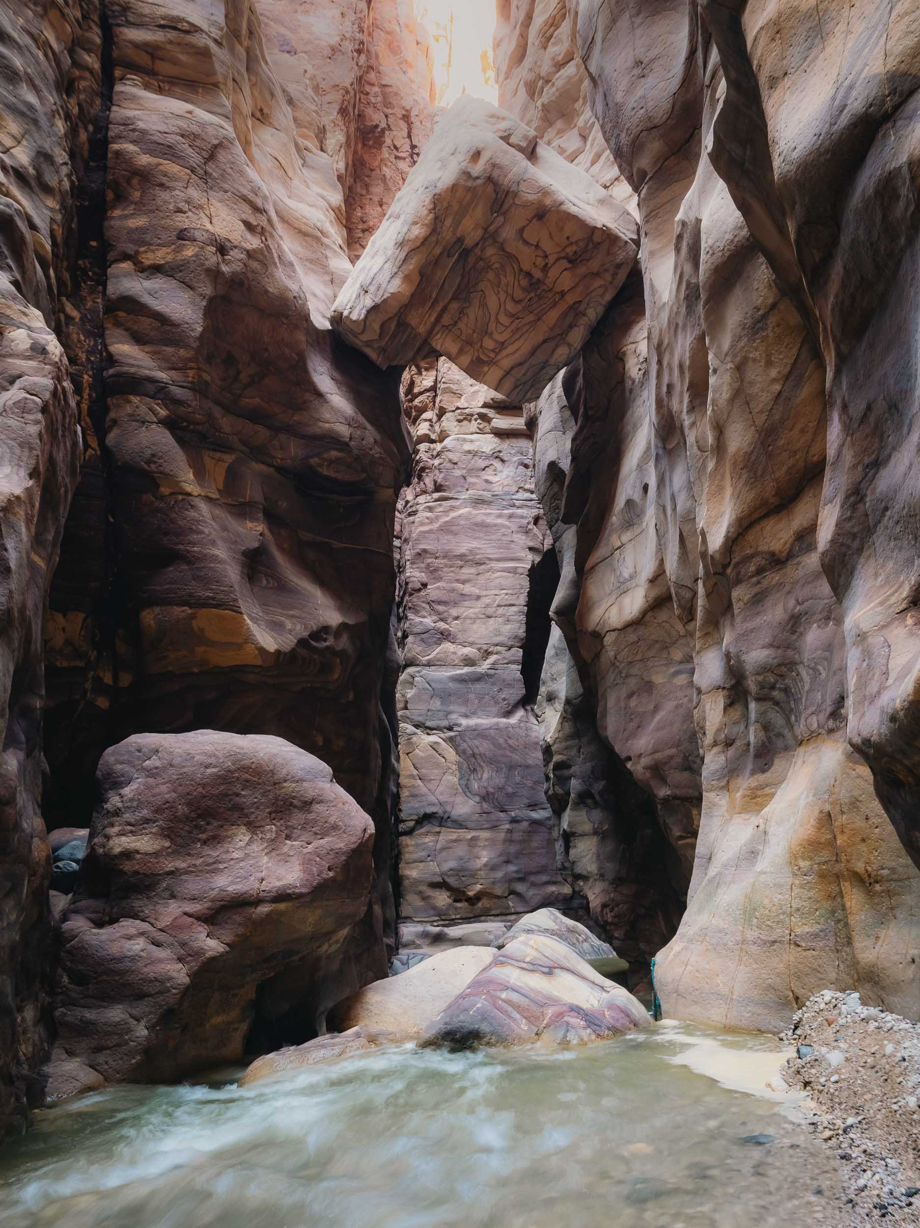
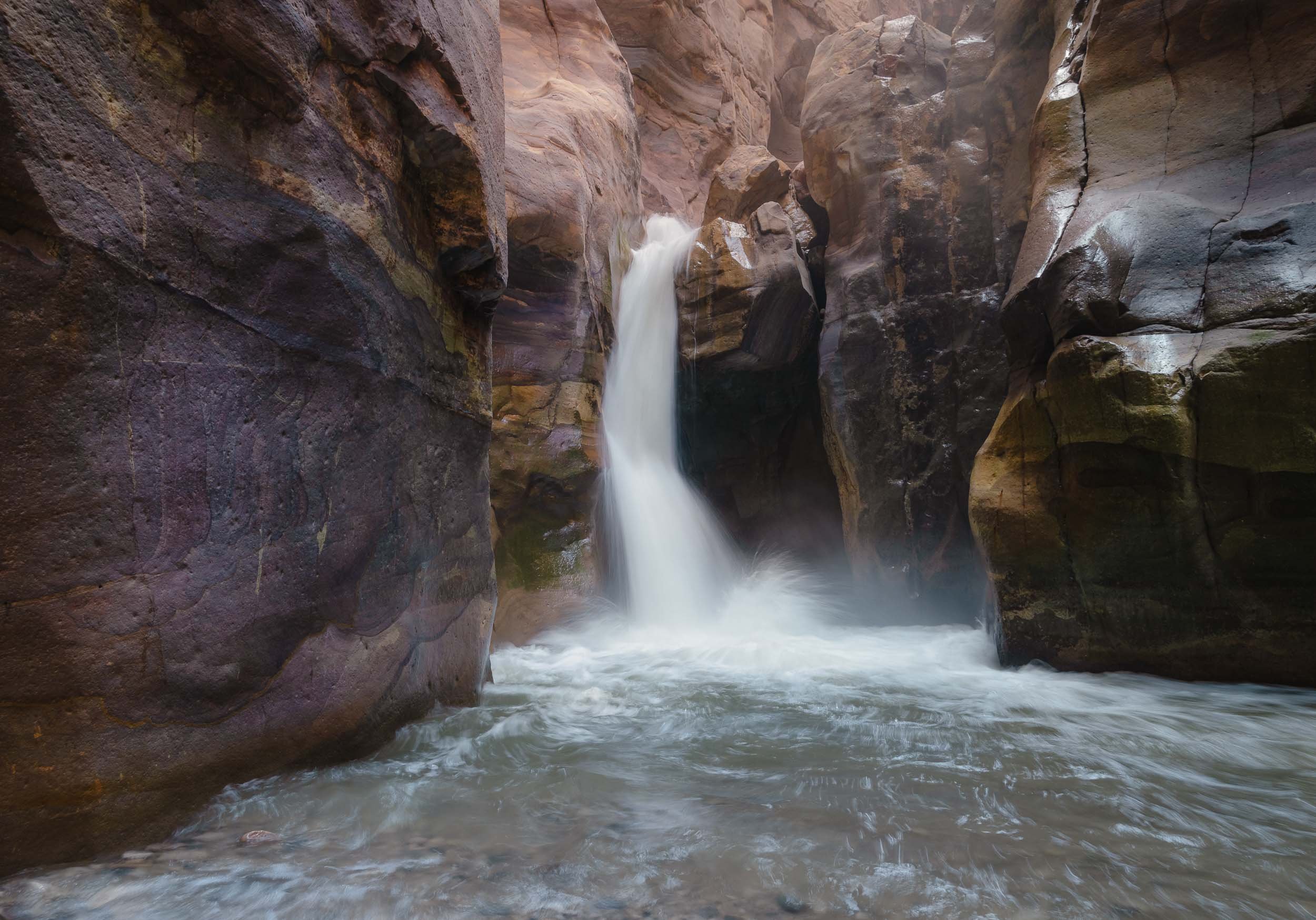
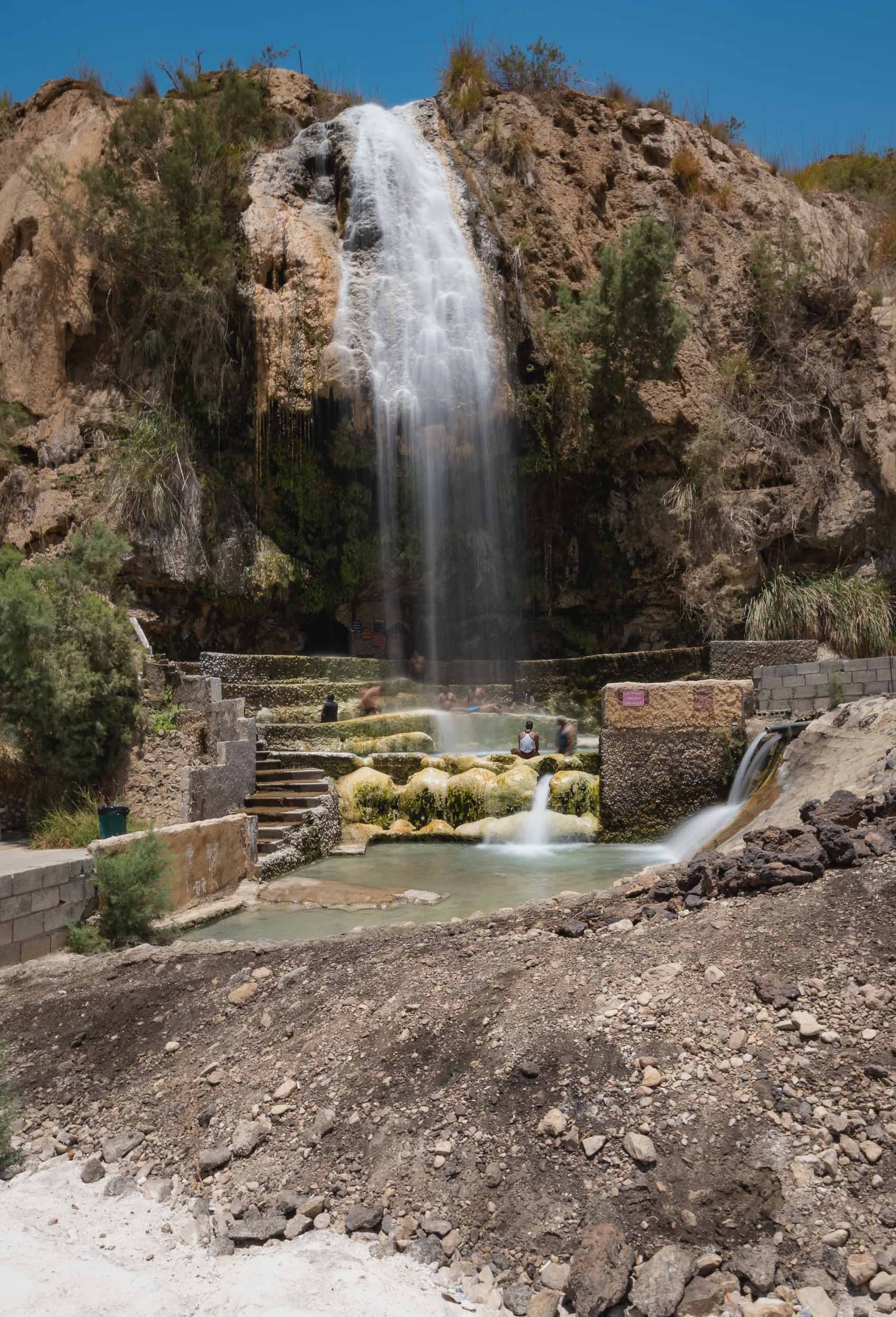
On the shores of the Dead Sea lies a beautiful biosphere reserve around a river that empties into the lake, with options for hiking and canyoning.


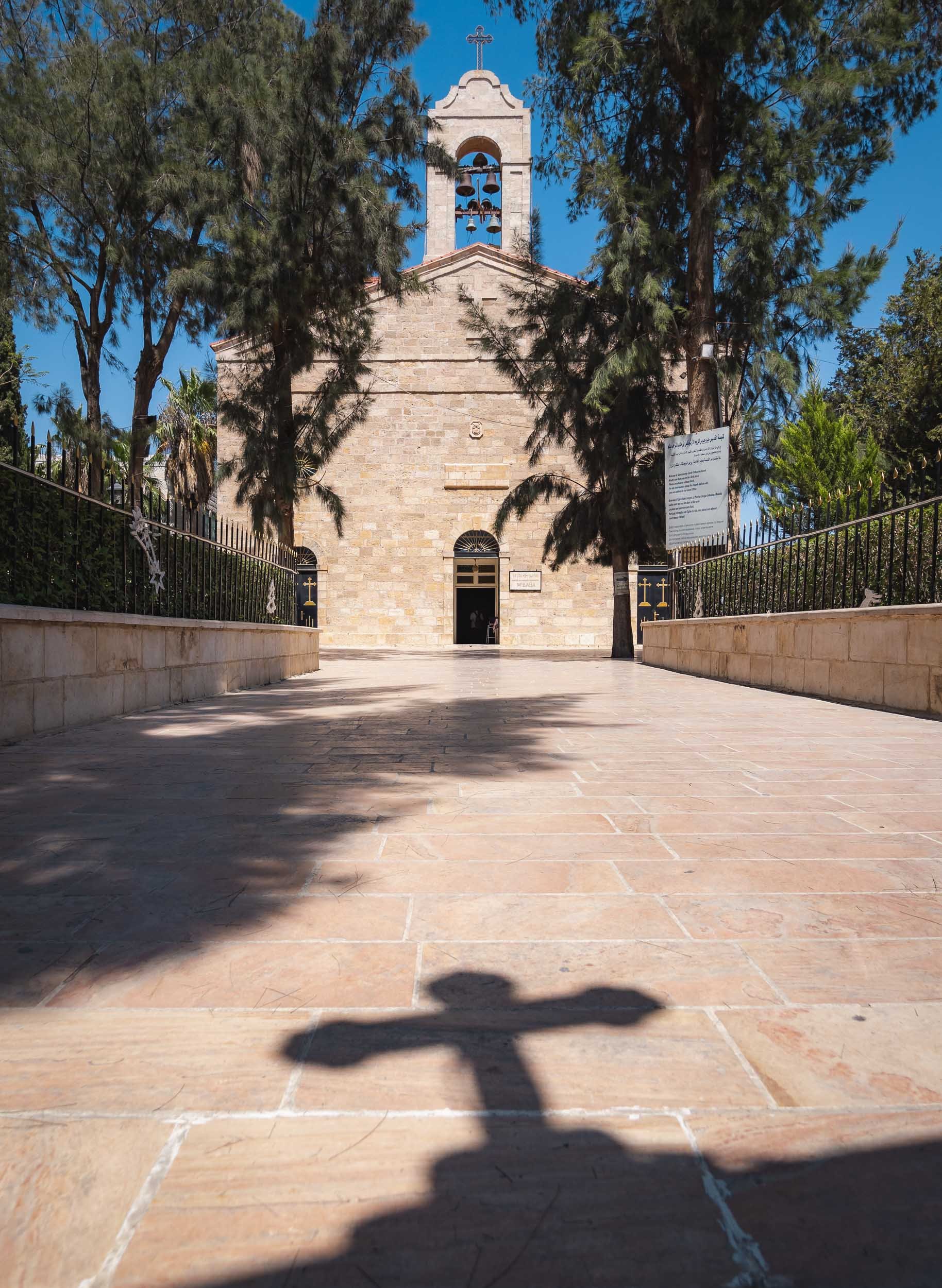


It's this 6th century map of the Holy Land, which represents the oldest surviving overview of the area, including old Jerusalem seen above. The representation was shown to be very accurate, occasionally even guiding excavations and research in certain areas.
Glimpses of Amman
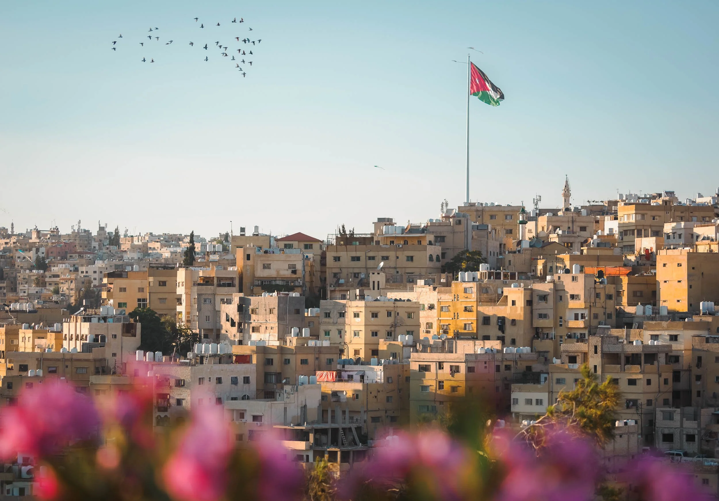
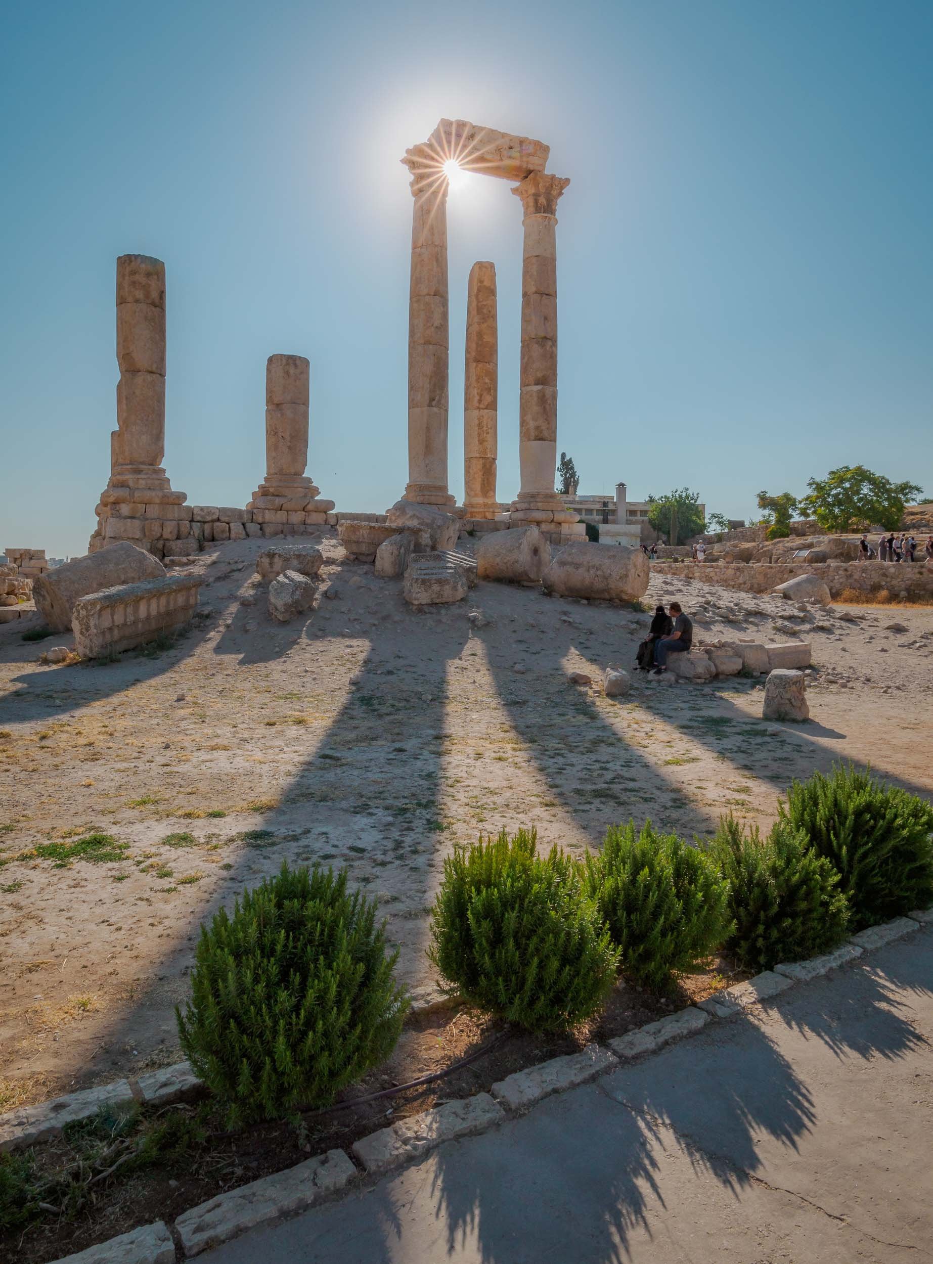
I didn’t spend all that much time in Jordan’s capital, but of course had explore the citadel towering over the slopes that Amman has evolved on - originally, the city was built on seven hills. Excavations in the area found evidence of settlements dating back all the way to the Bronze Age, 4000 years ago.


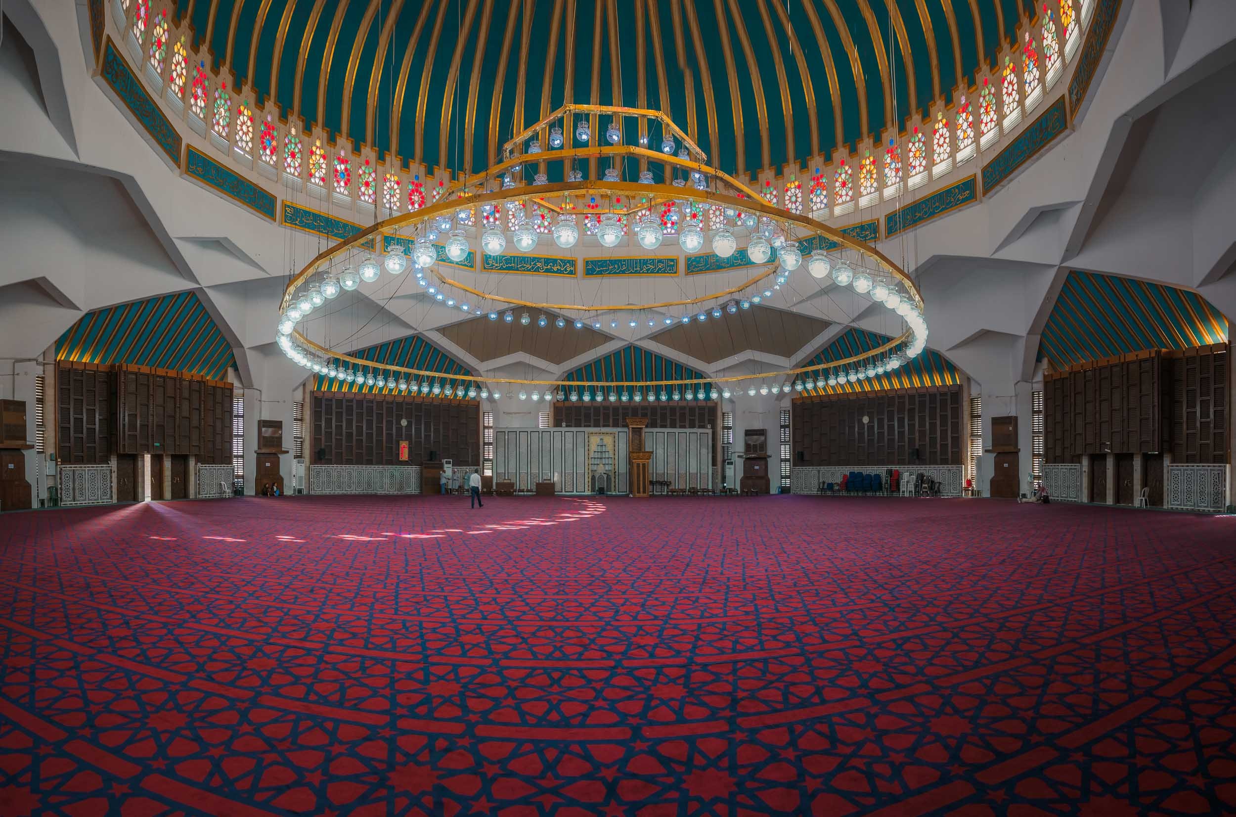


Final Stop
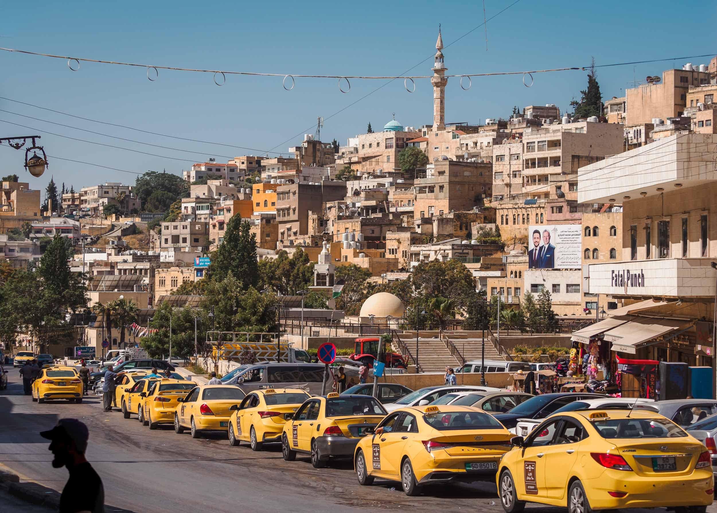


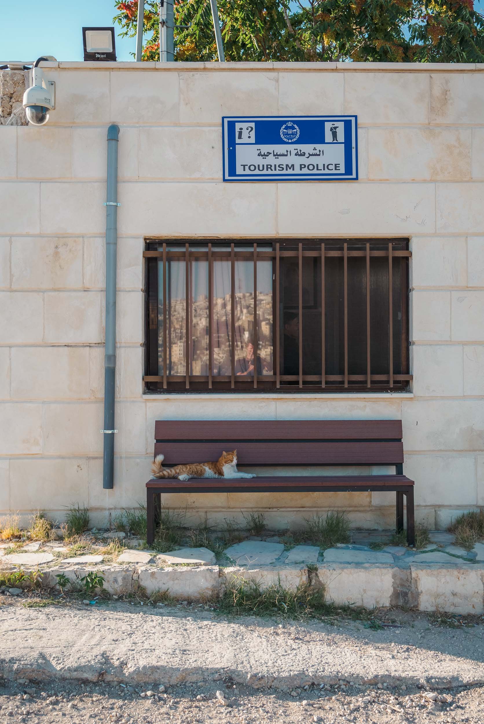
And that was my trip to Jordan - as always, you can subscribe for the next updates here or take a look at some of my favorite photos in my Portfolio. If any of the images here catch your eye and you think they’d make for a good piece of art on your wall, I make custom signed prints, just get in touch!


Botswana - On The River, Above the Ground, And Under The Stars
My time in this landlocked country on south-western Africa was mainly focused on animal photography.

The third destination I visited during my Africa trip, was Botswana. My time in this landlocked country on south-western Africa was mainly focused on animal photography. Having said that, I could not help sneaking in a few rather unexpected Milky Way photos, read on to find out why that was the case.
This trip was with Pangolin Photo Safaris, specifically their 10 day - 3 location trip, which was well organized and covered a variety of wildlife and landscapes.

The Chobe River
Over the first 3 days in the country, we spent time on a houseboat cruising and mooring along the Chobe river. In fact, we were anchored on the Namibian side, so one could argue that some of these photos show Namibia, and some show Botswana, depending on which side of the shore the animals stood ;).

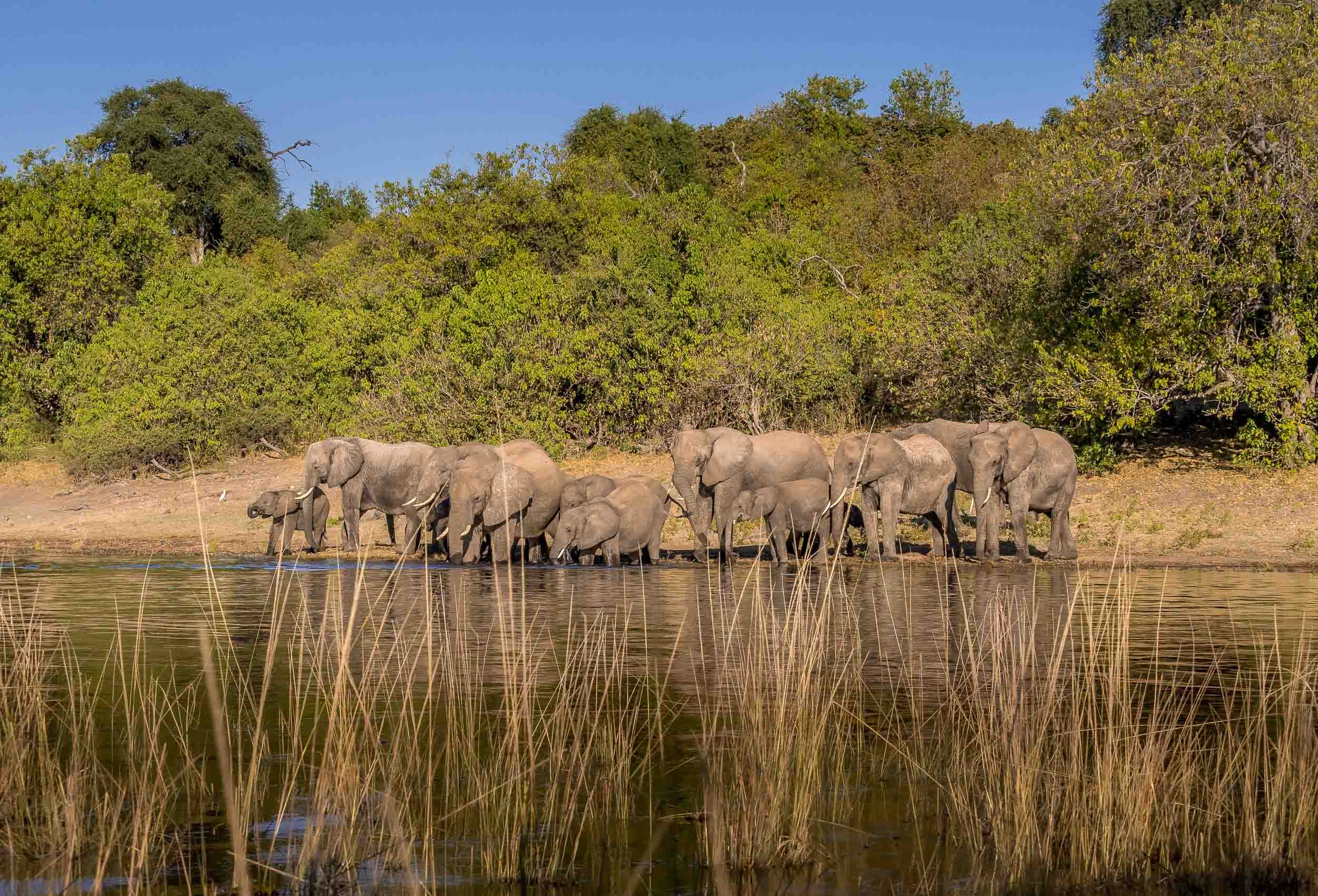
Elephants in the Water
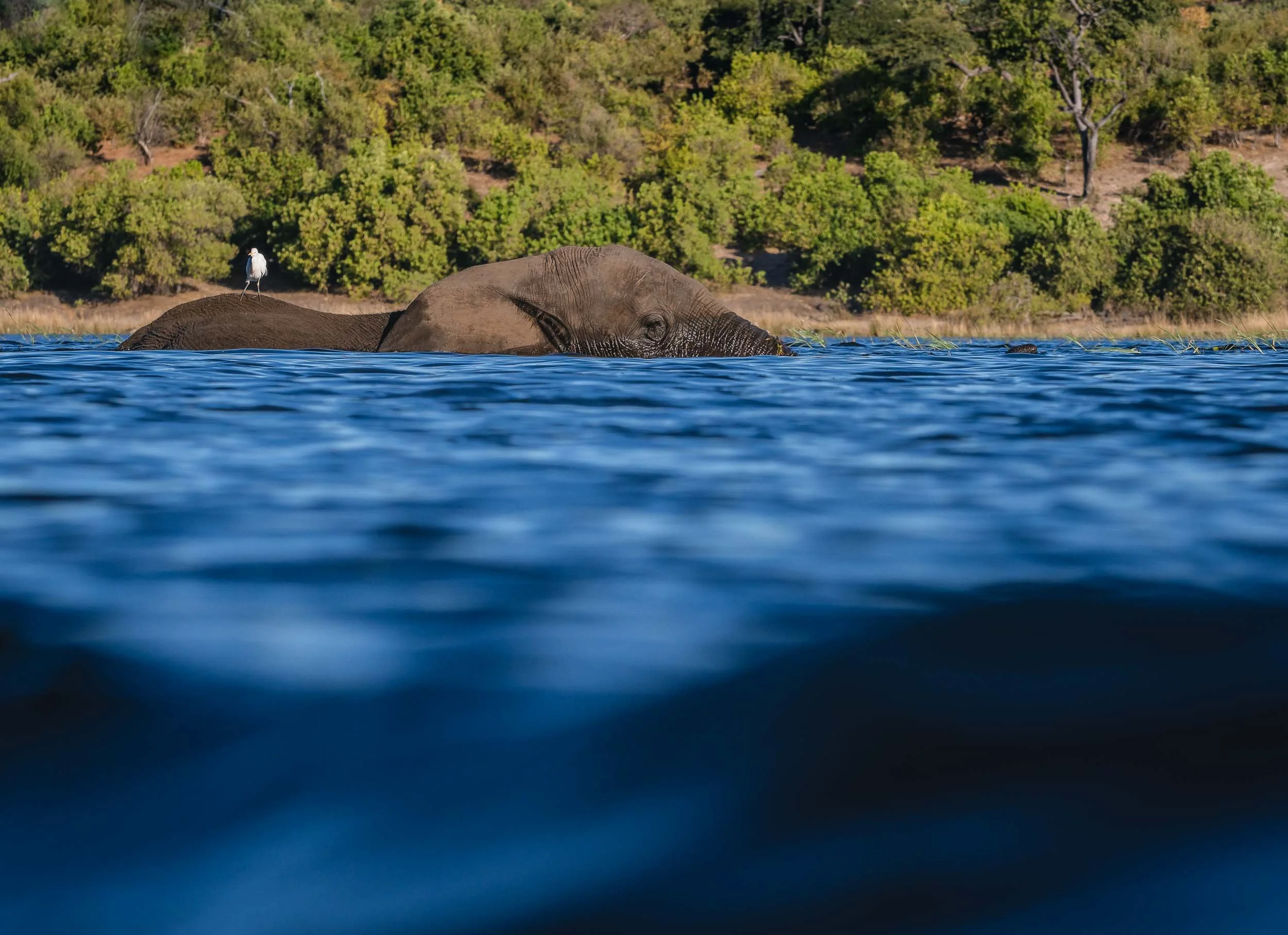
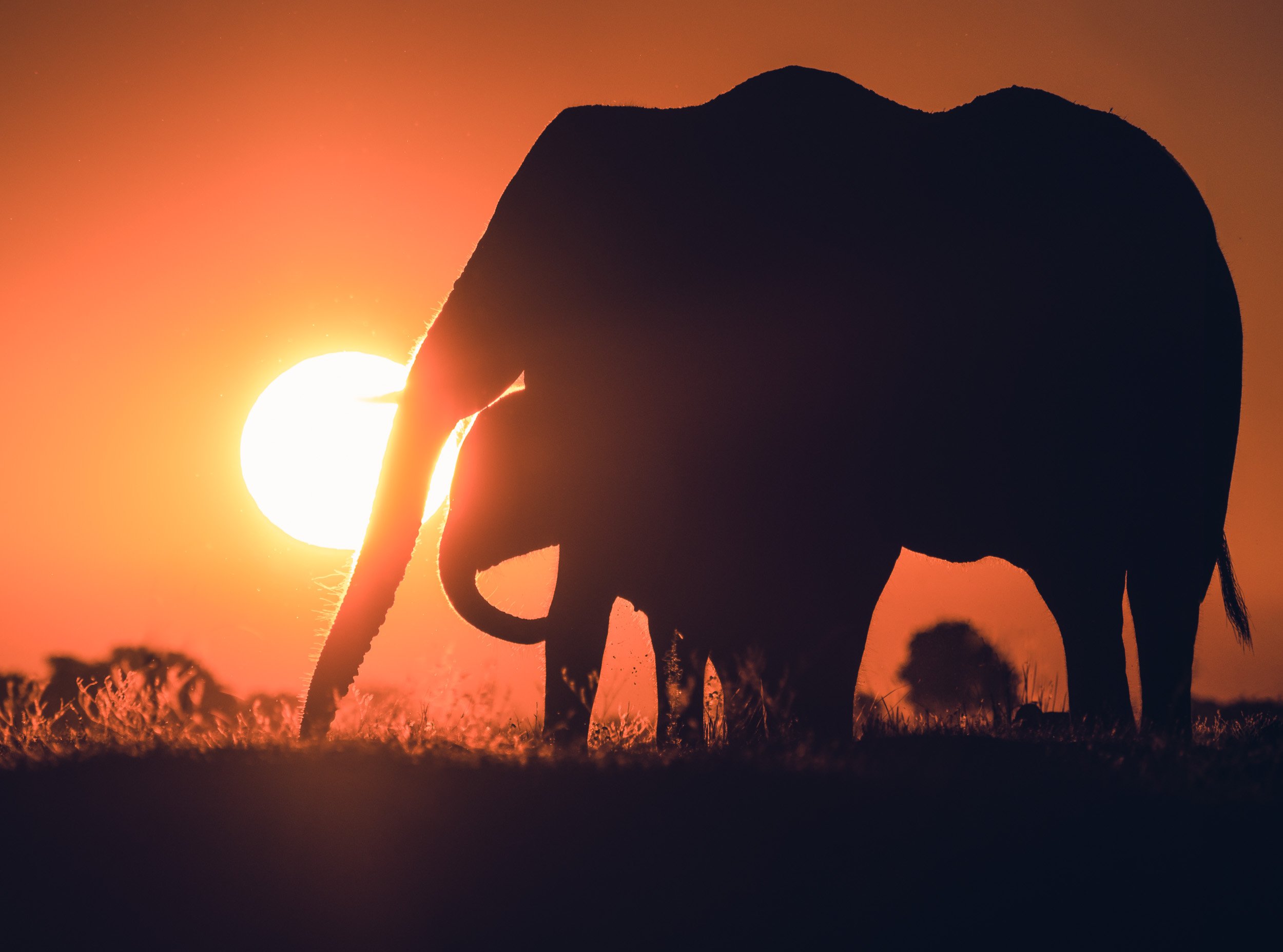
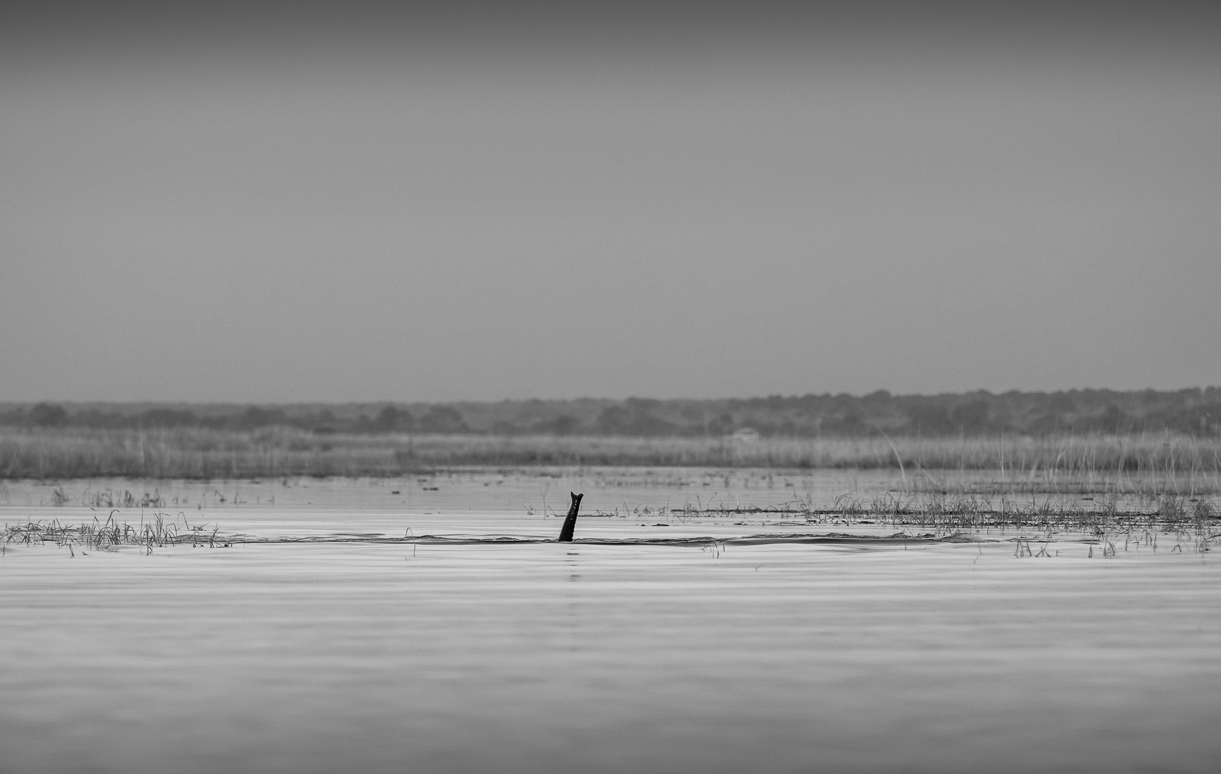
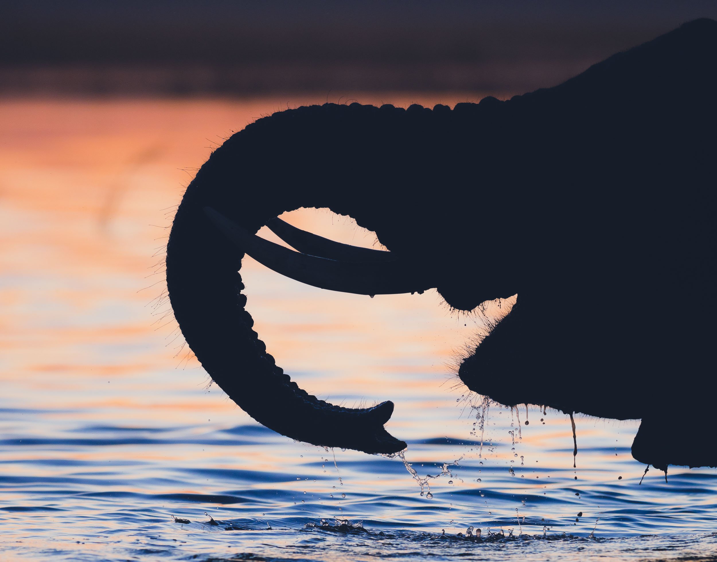
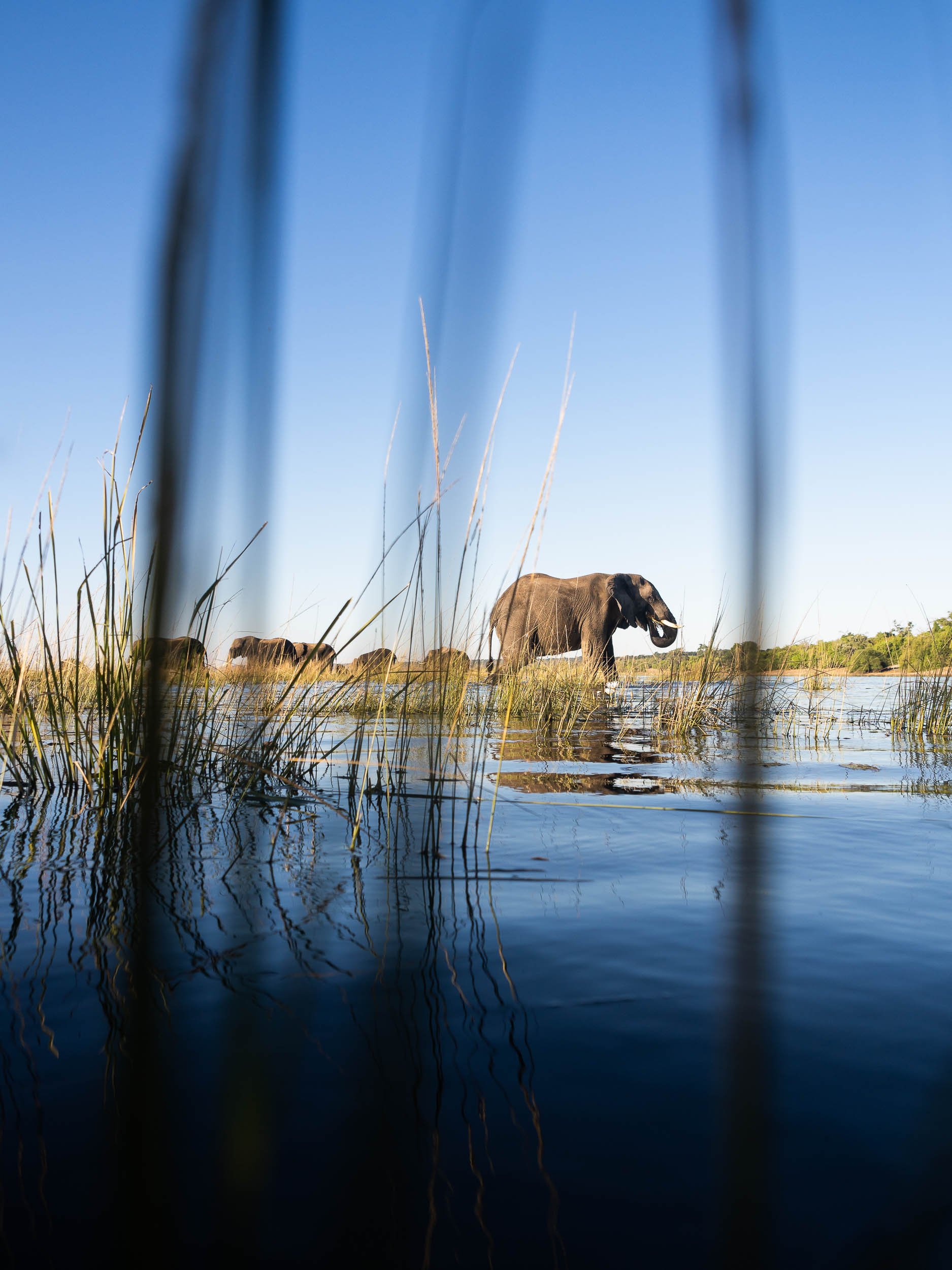
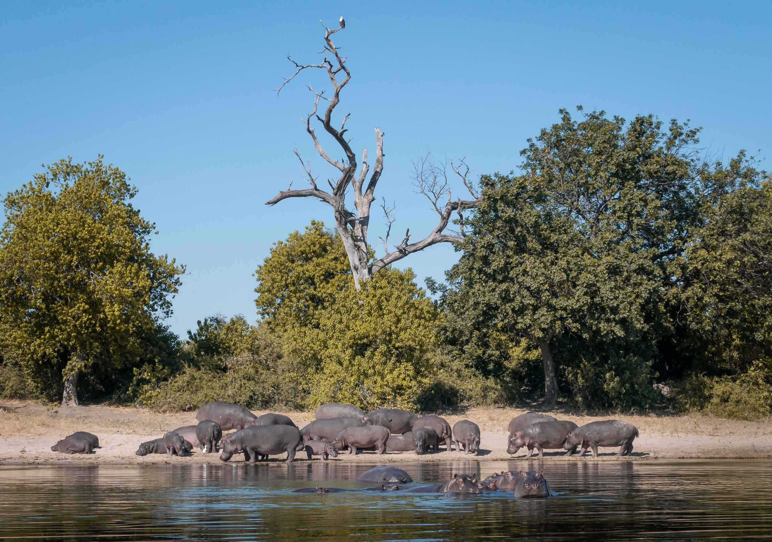
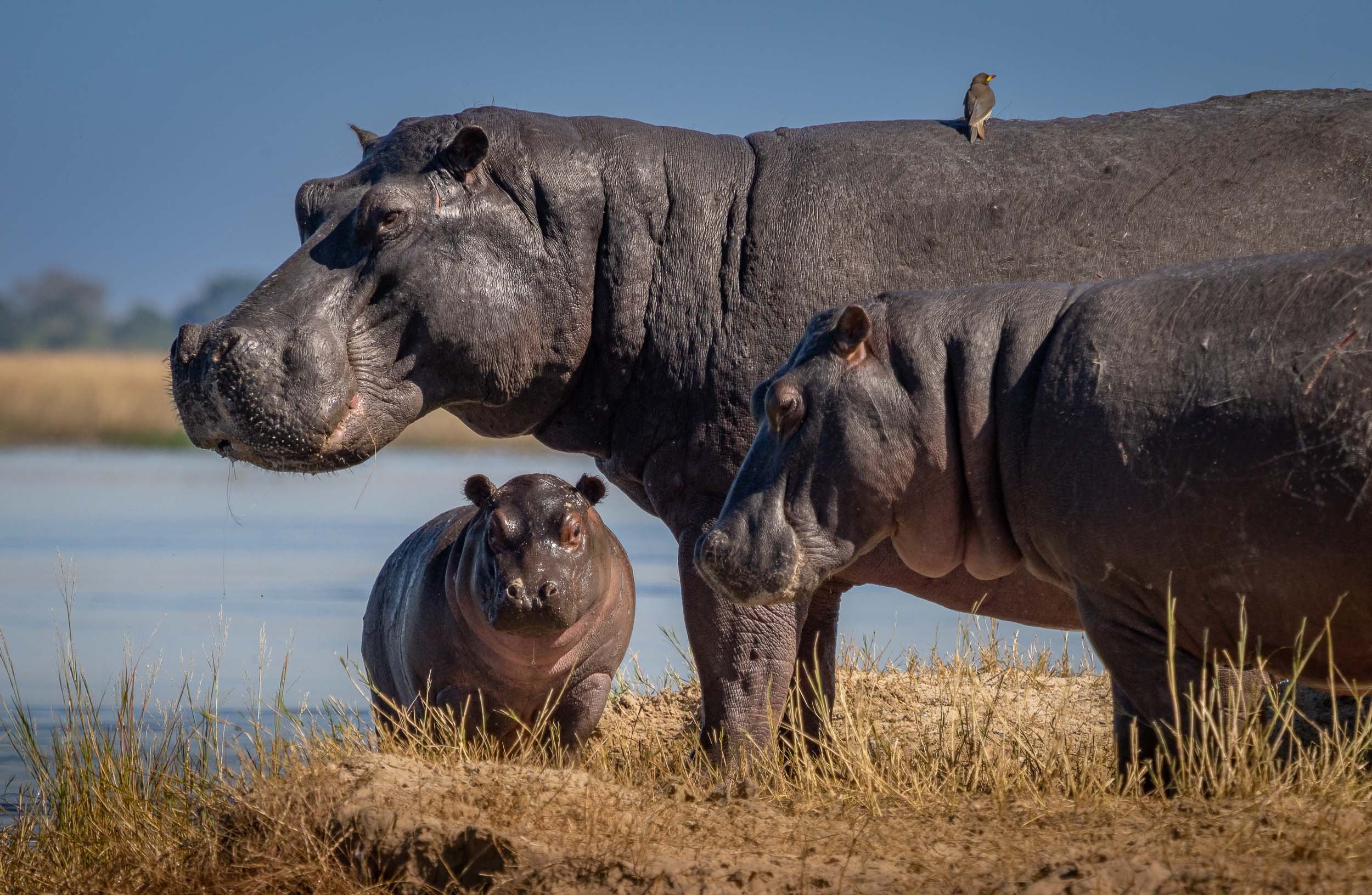
It was the first time I was able to observe elephants in the water, not just bathing and drinking, but properly swimming - in fact, literally under water. The park is widely known for its many elephants. Botswana has the largest elephant population in Africa estimated at over 200,000, to the extent that their presence causes pressure on the environment and other animals, as well as conflict with humans.
Bird Life
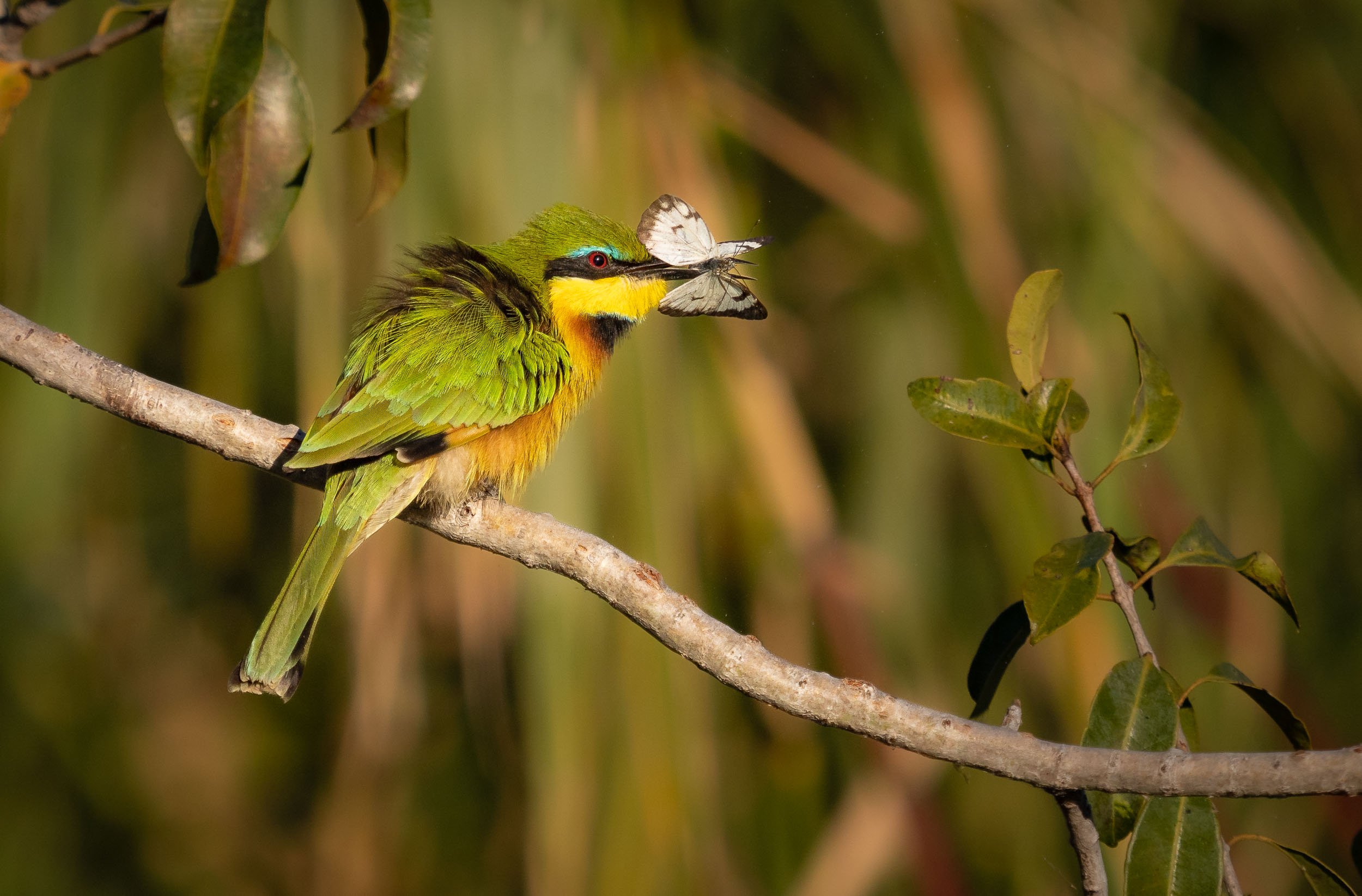
The river has amazing bird life, from Kingfishers, to Fish Eagles, Storks, and Jacanas. Not something I was previously too interested in, but observing their behaviors is intriguing, and trying to catch them in flight is a photographic challenge (which I never shy away from).
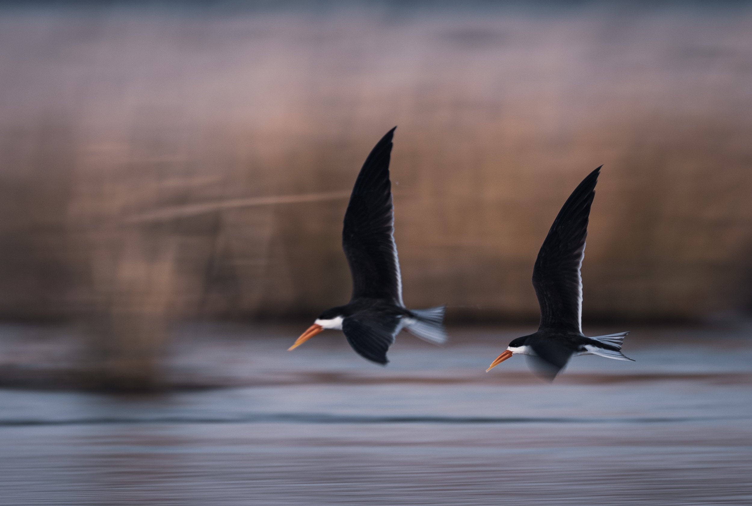
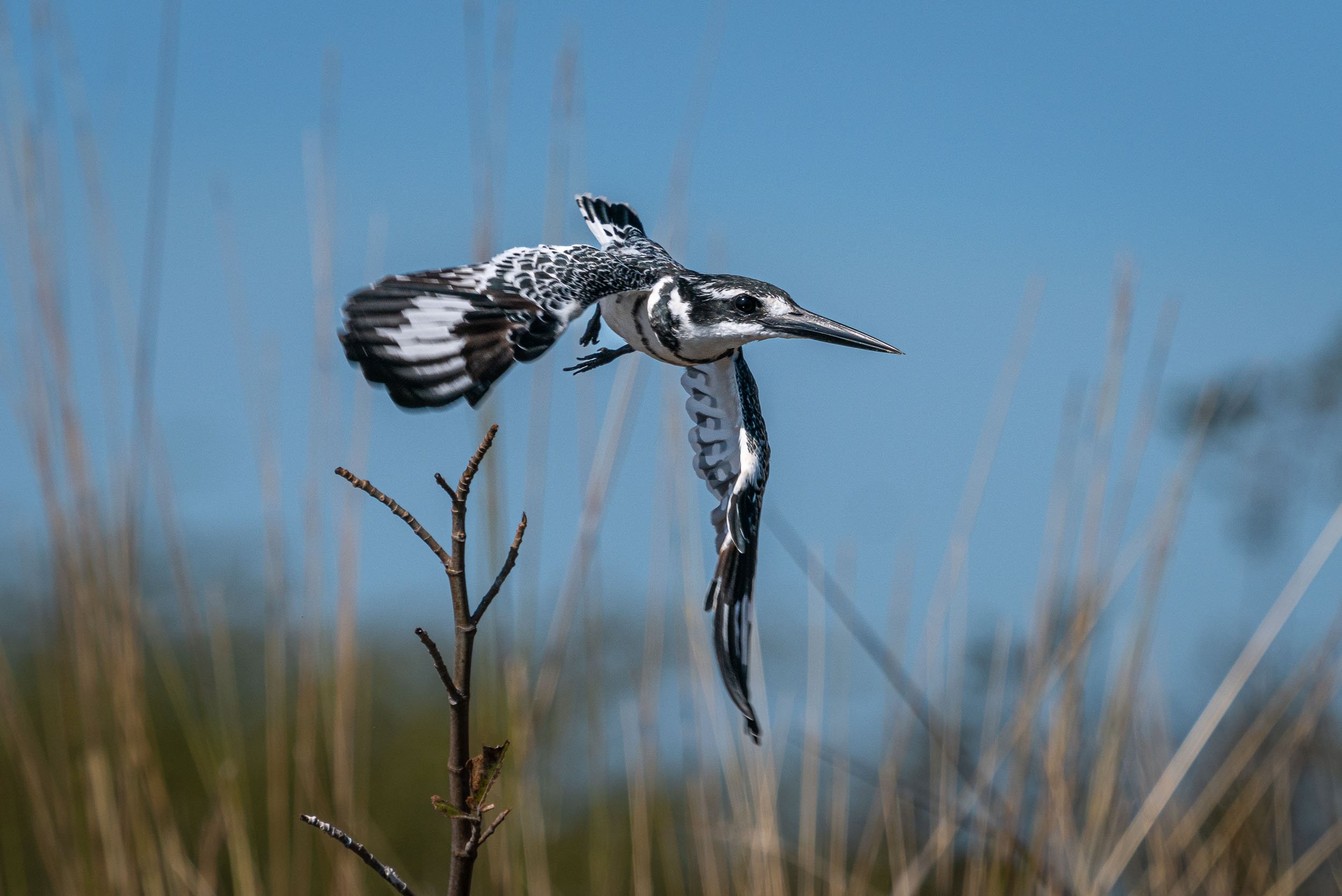
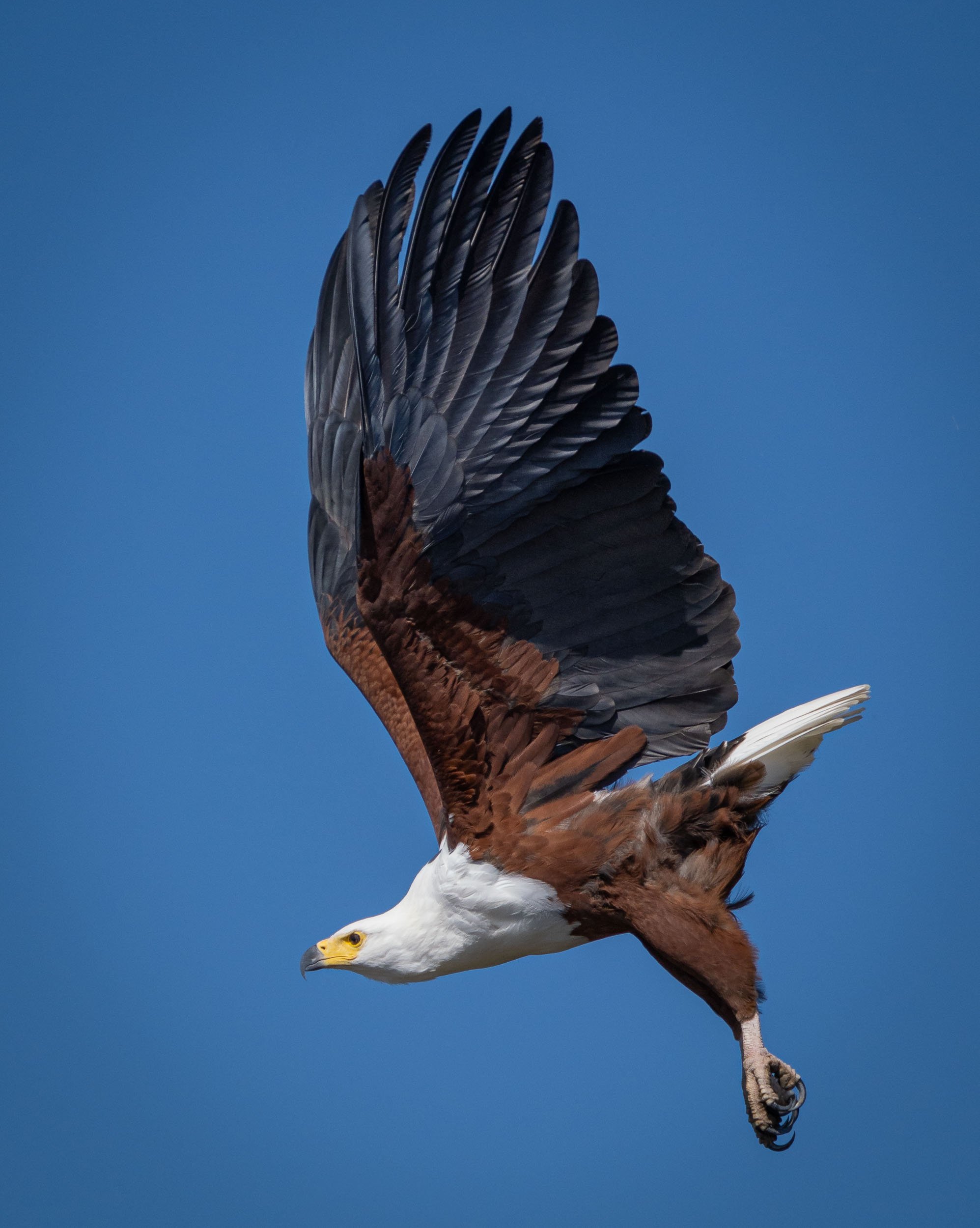
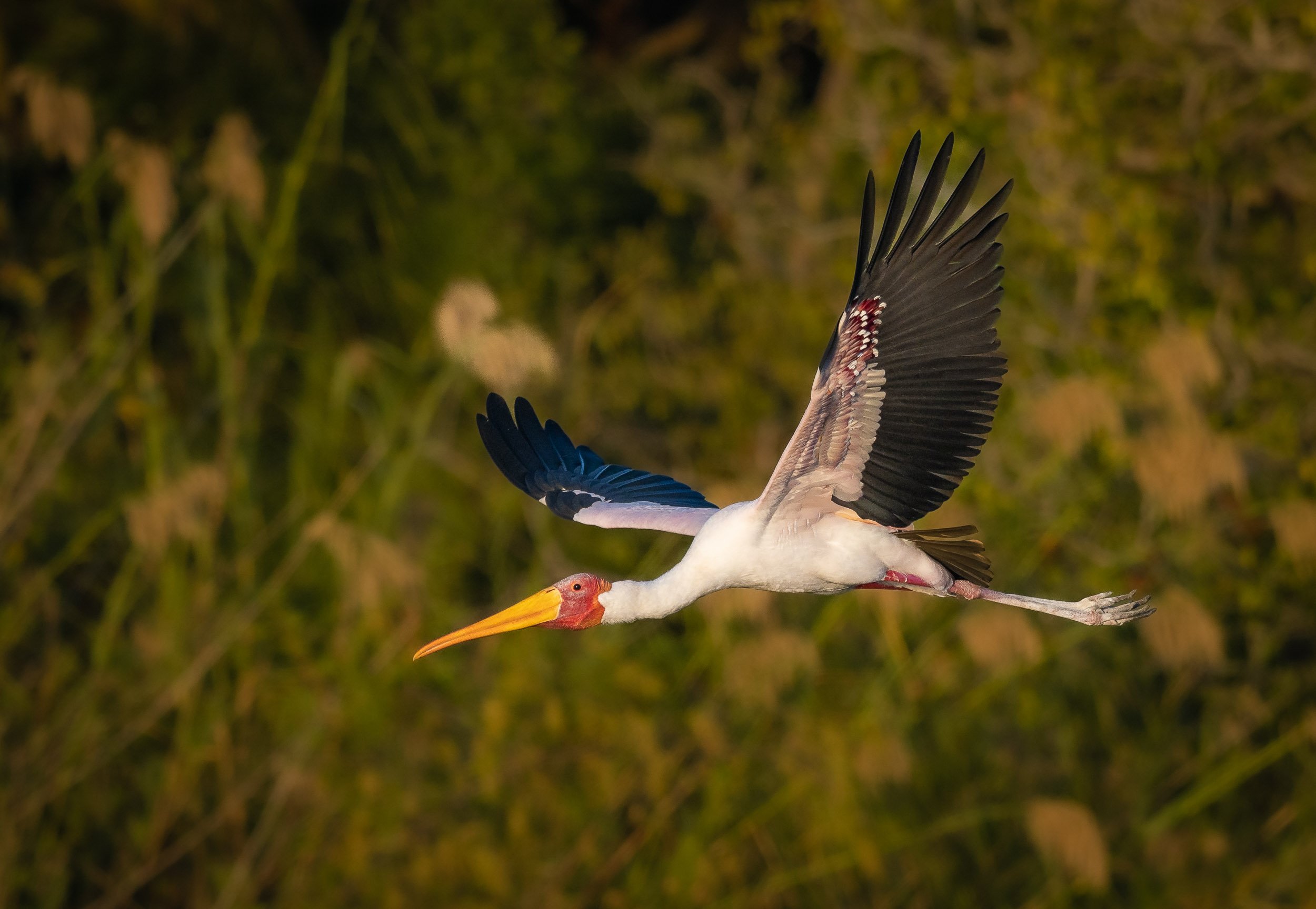
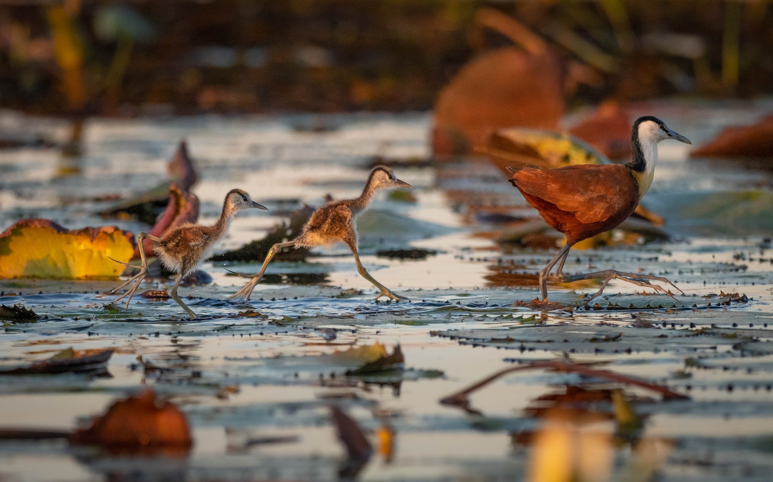
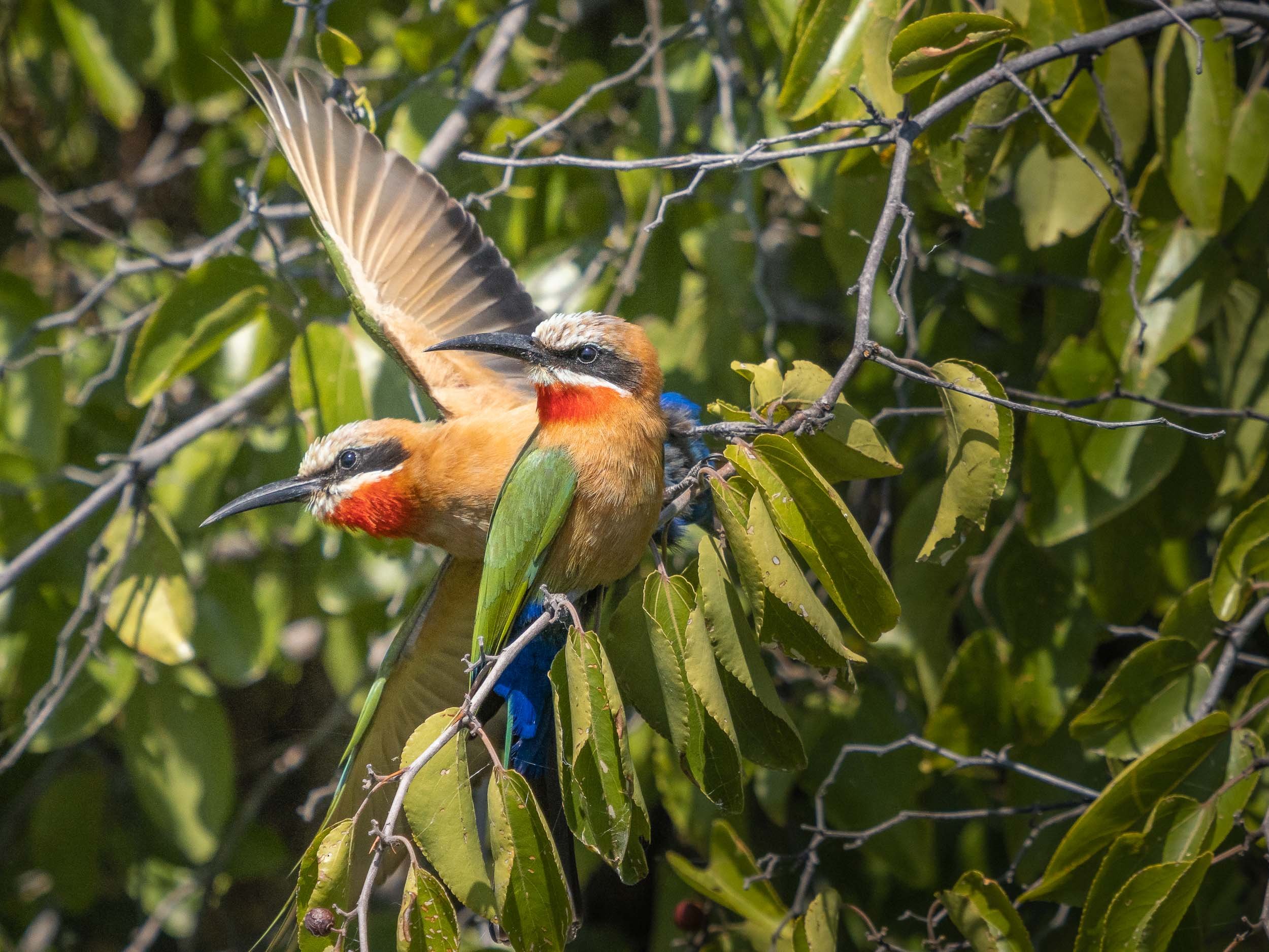
We were also lucky enough to observe some lions with a kill directly under the bushes on the shore.
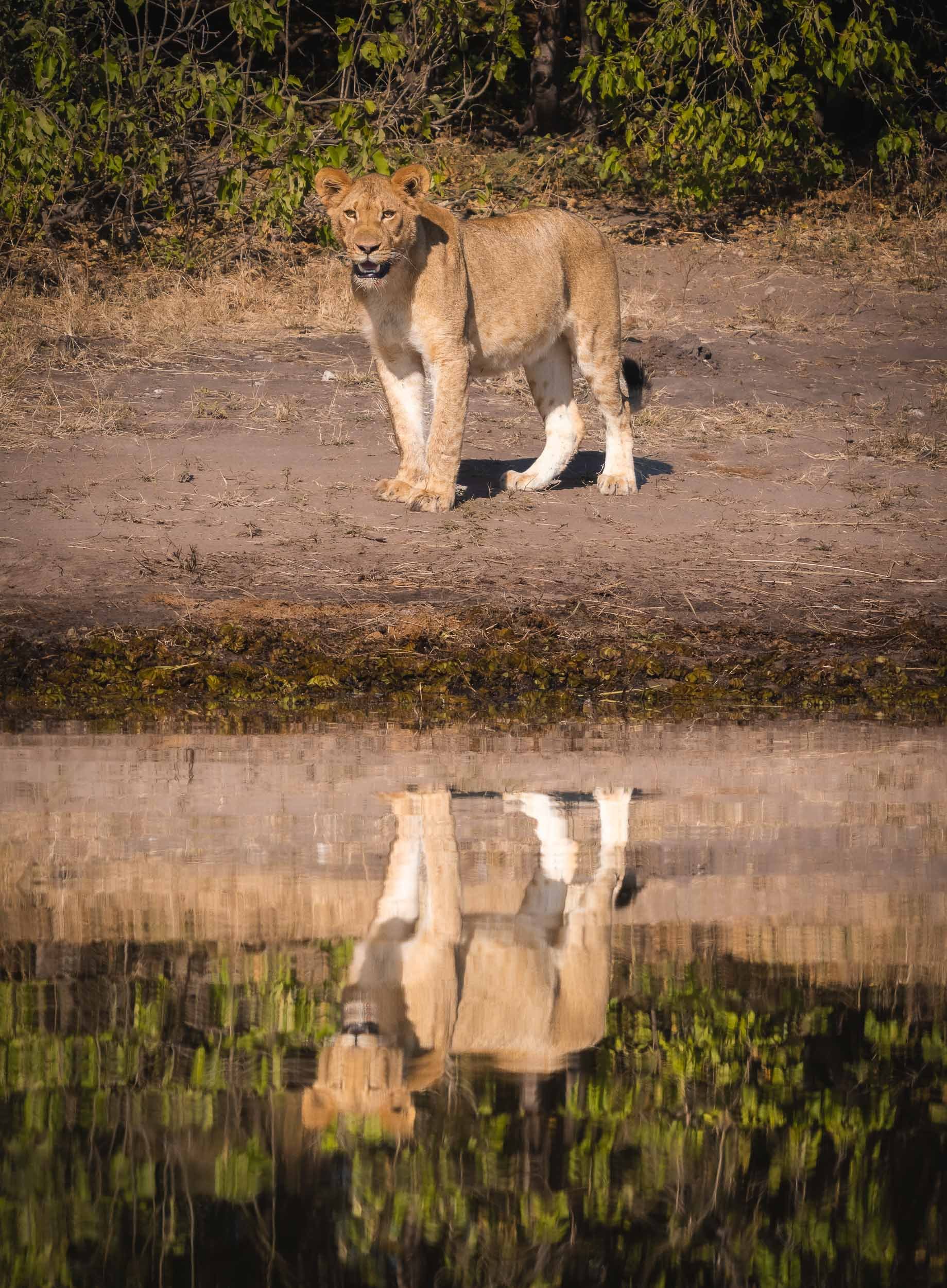
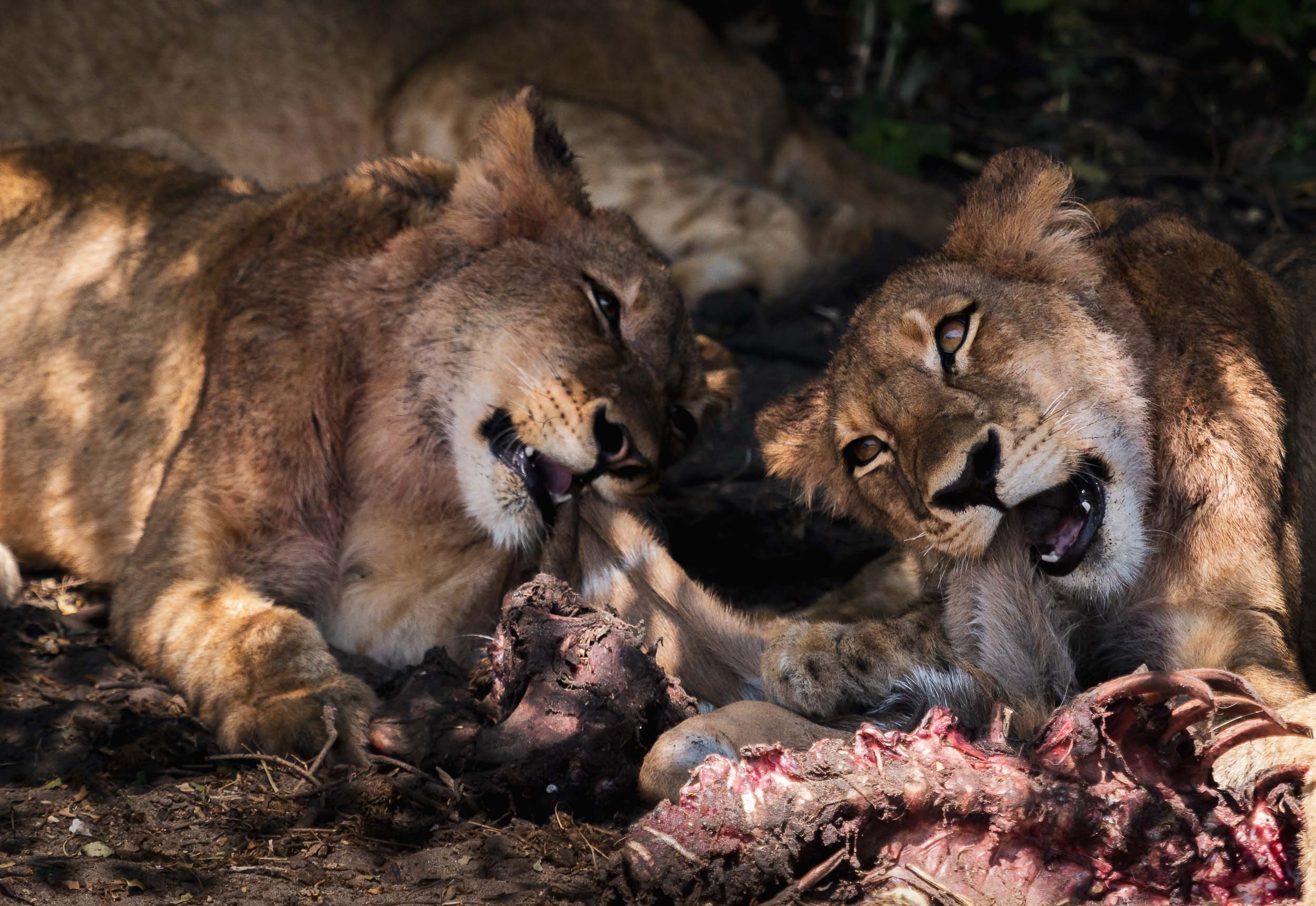
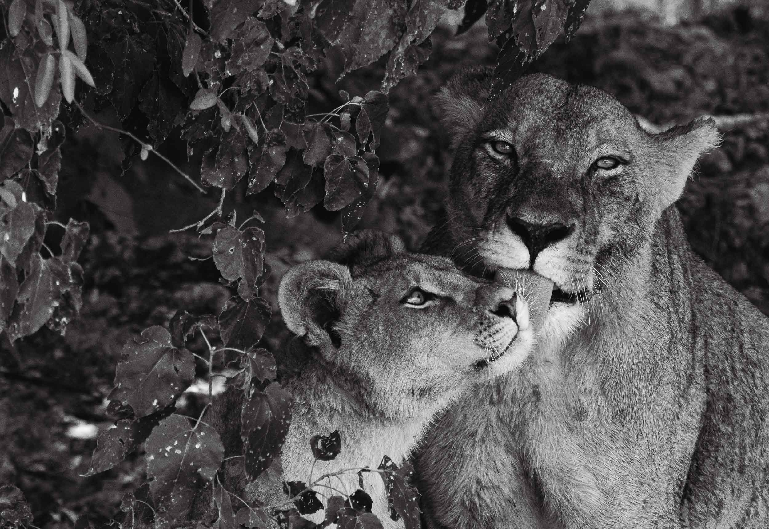
A few more animals by the water…
The Chobe river is actually the name of the eastern Cuando river, before it flows into the Zambezi. The National Park around it was Botswana’s first, and is its most biologically diverse.


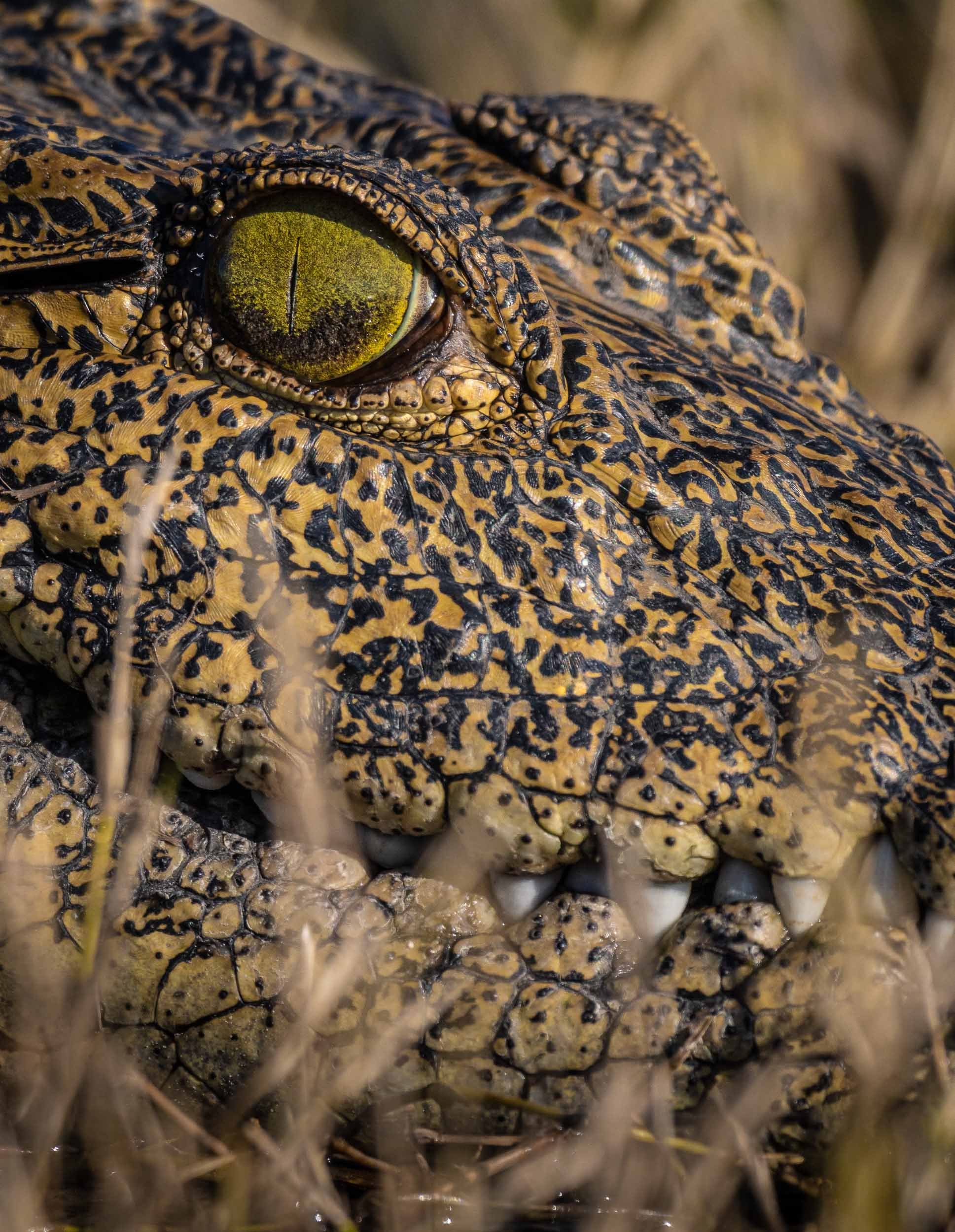

The Selinda Reserve
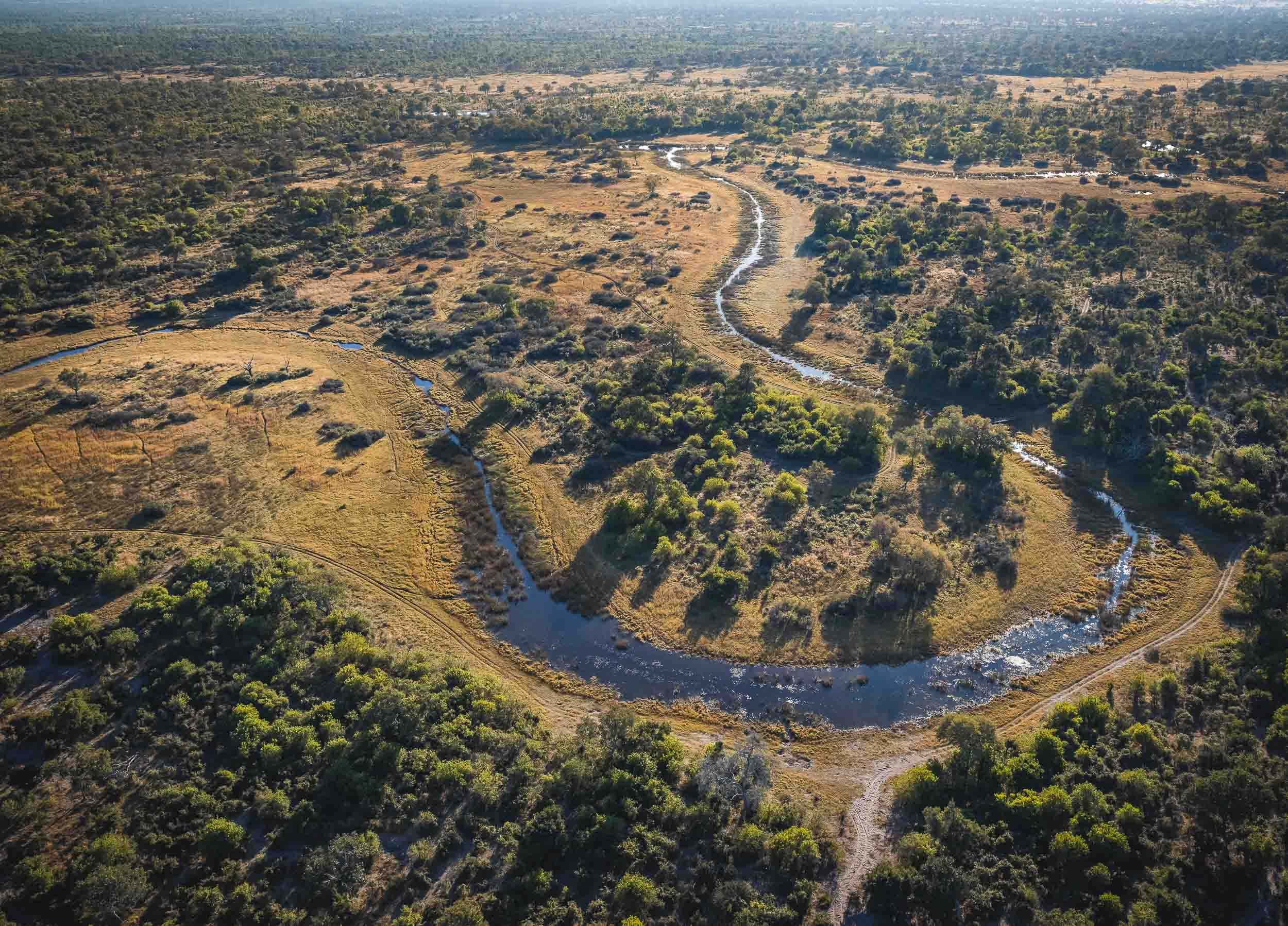
From Chobe we took a short flight to Selinda, a private concession in the greater Okavango Delta region. The Selinda spillway links the Delta with the Linyanti Swamps, and up until 2009 has been dry for decades. Now, its floodplains and channels have water flowing for many months of the year, becoming a home for wide variety of wildlife.
From Above
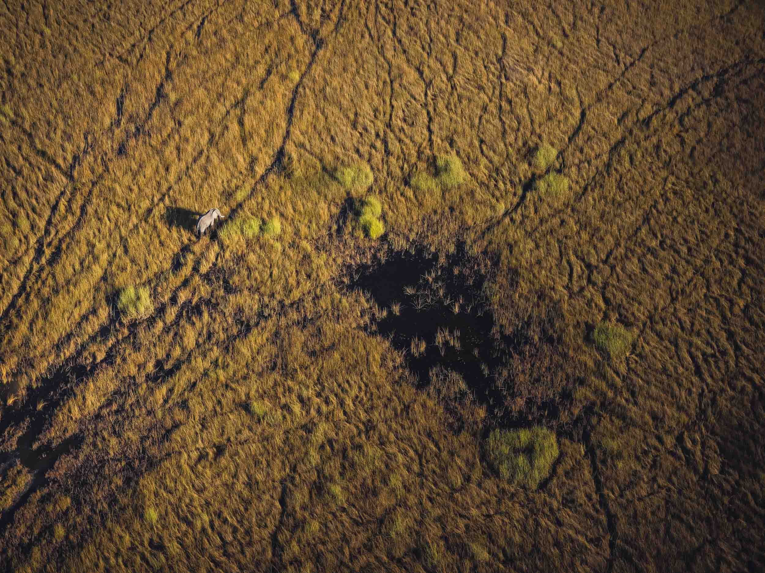
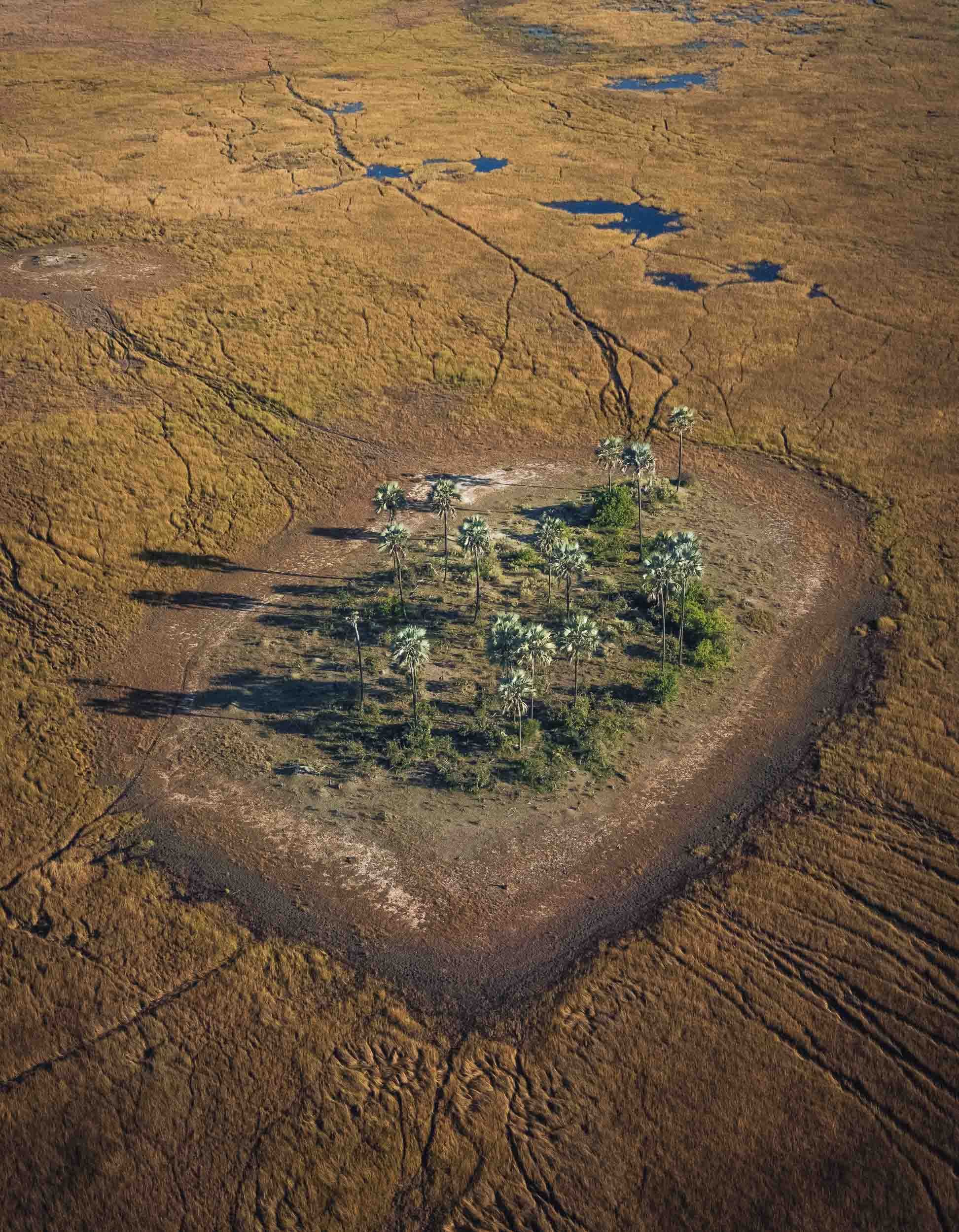
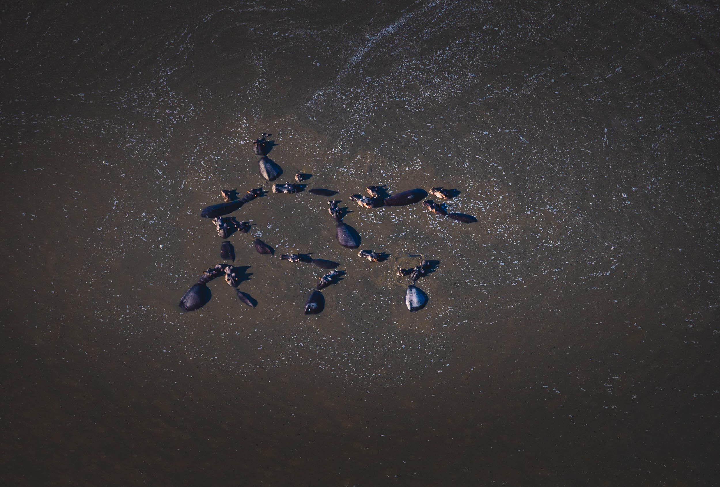
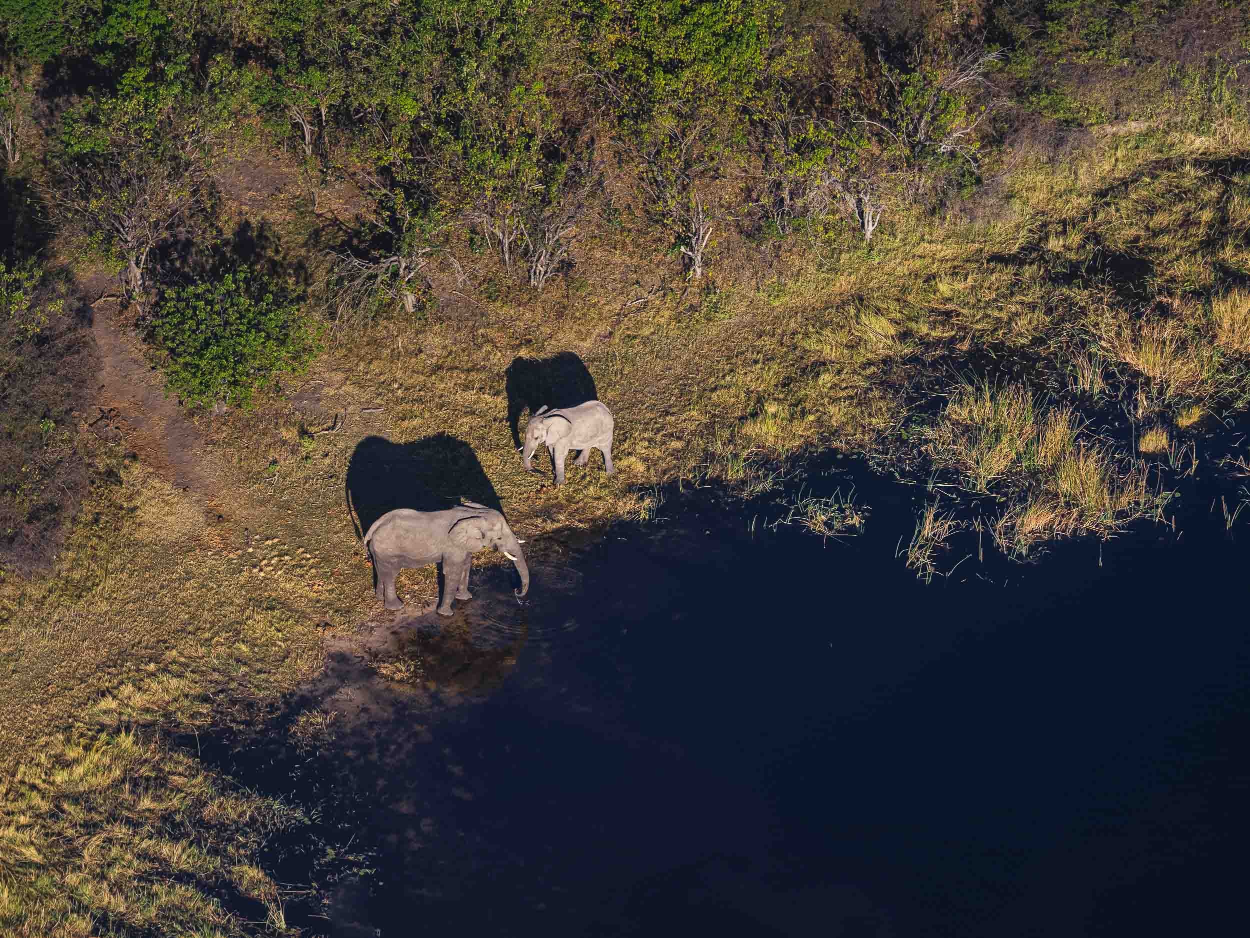
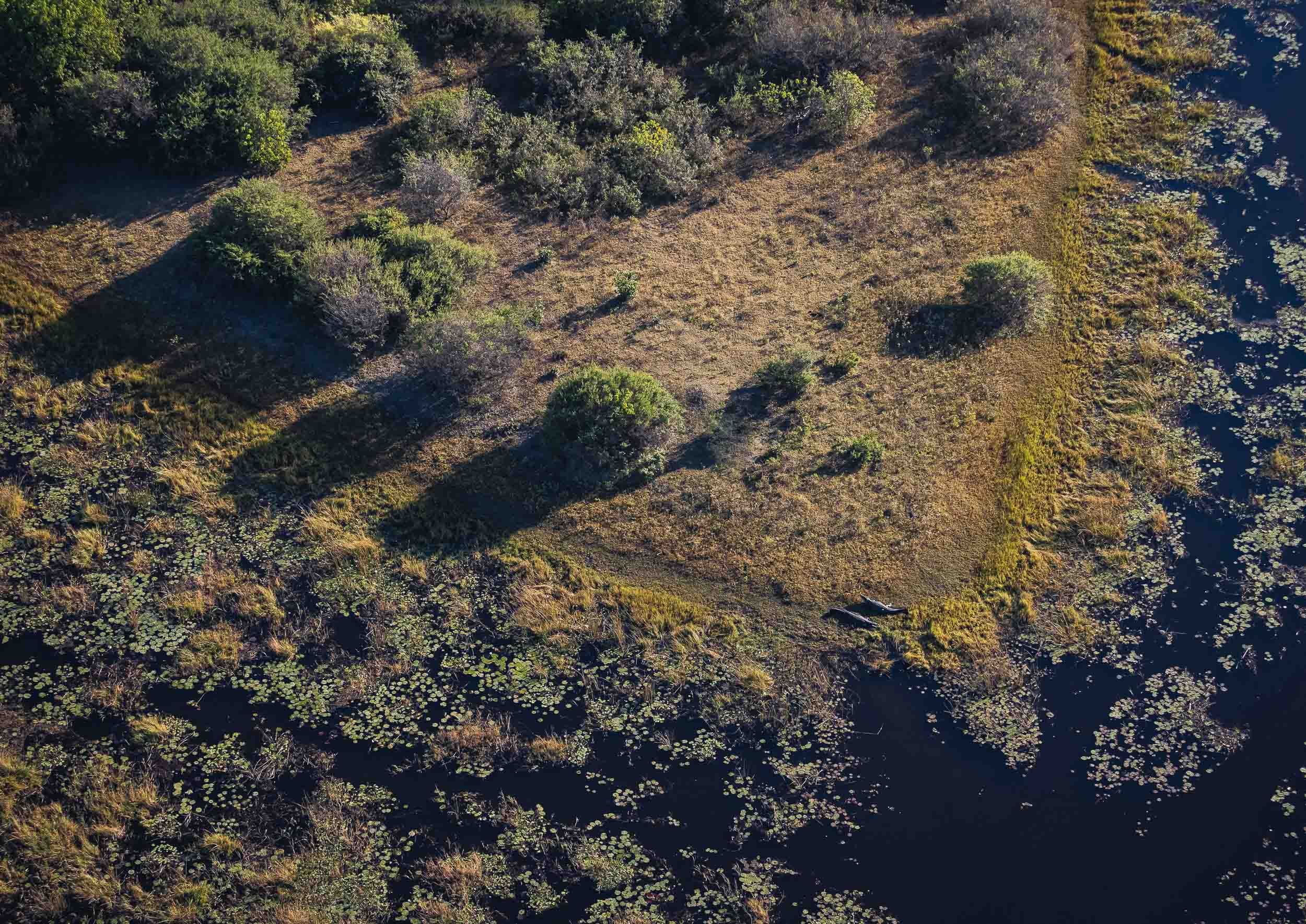
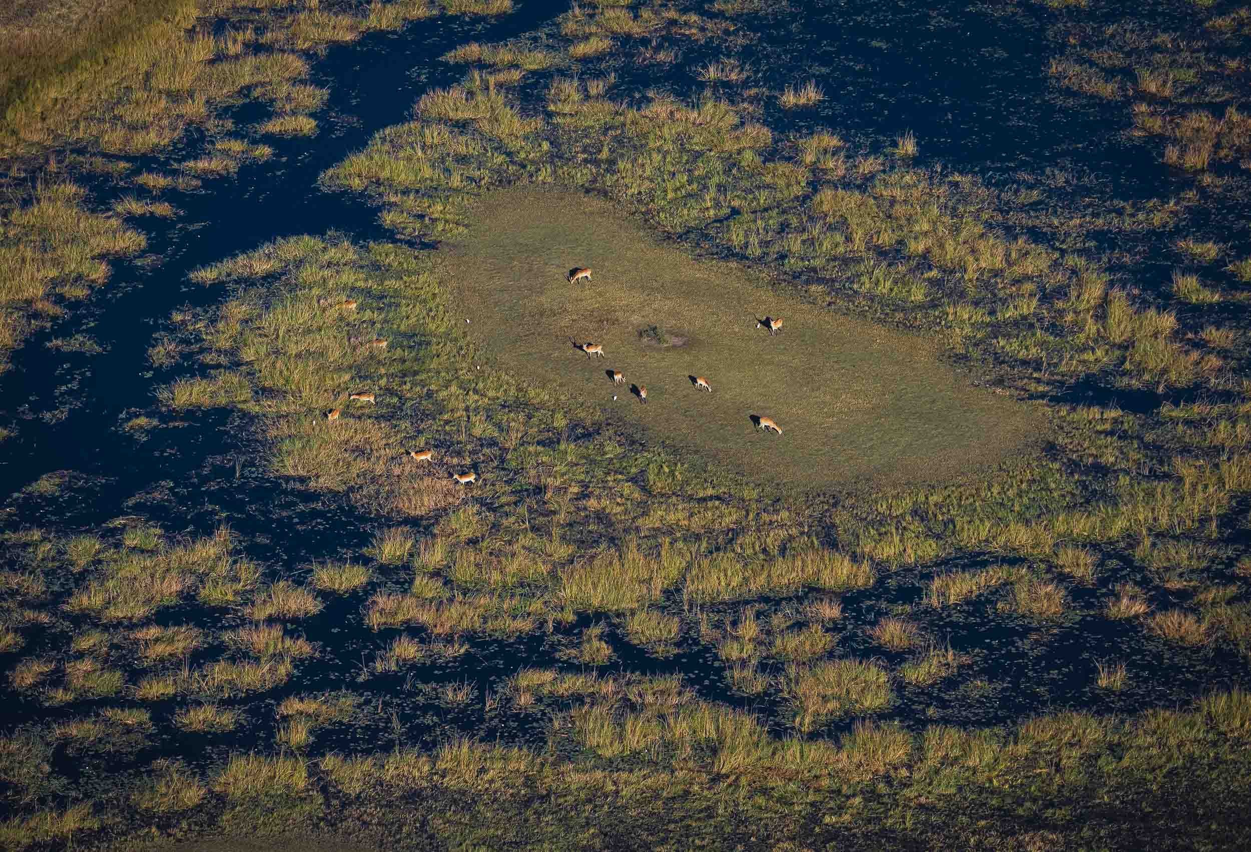
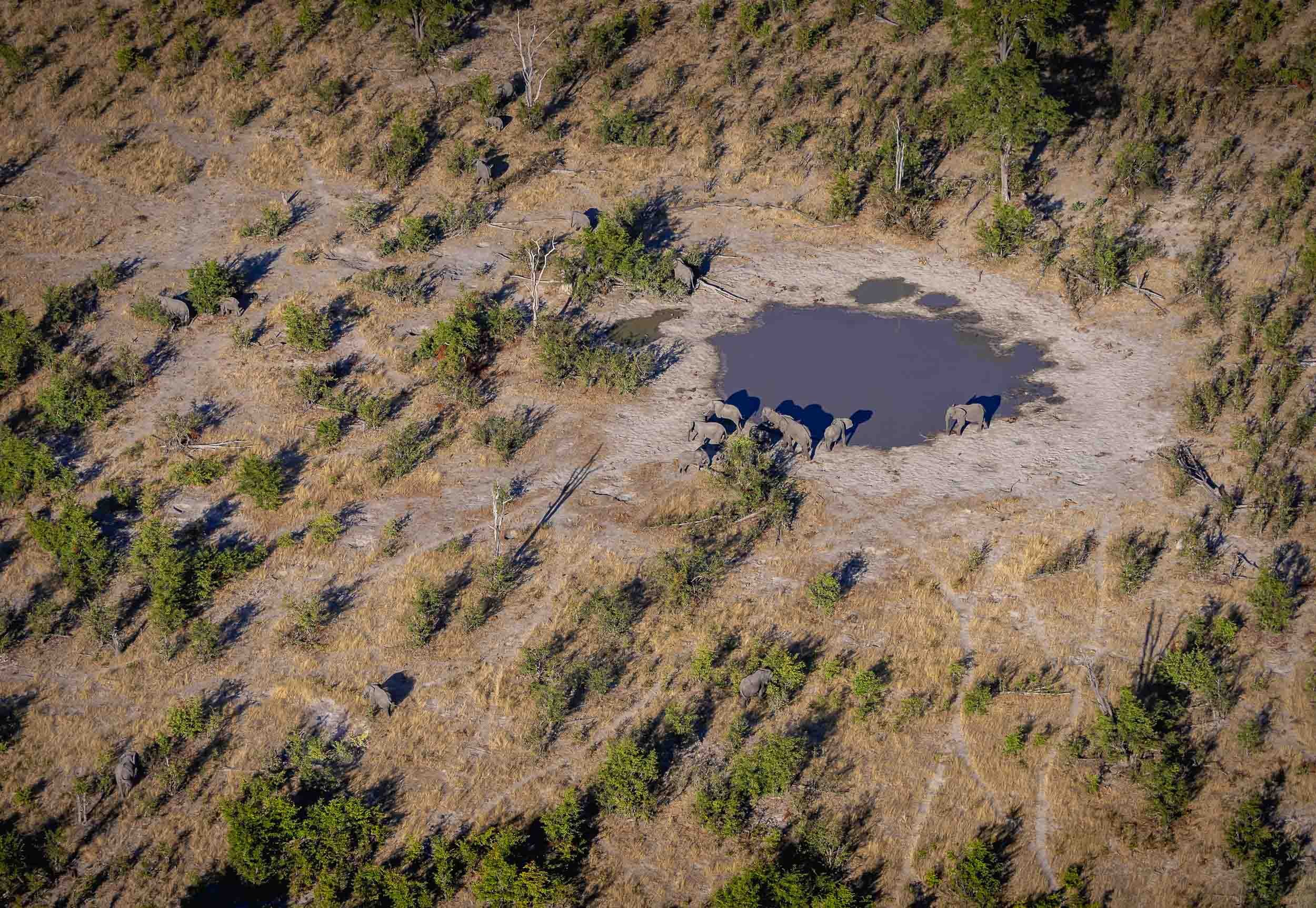
It was a good place for some aerial views, and what’s better for that than a helicopter? A 45min flight above this amazing landscape is the source of these bird’s eye views of elephants, crocodiles, heartbeests, and hippos in their environment.
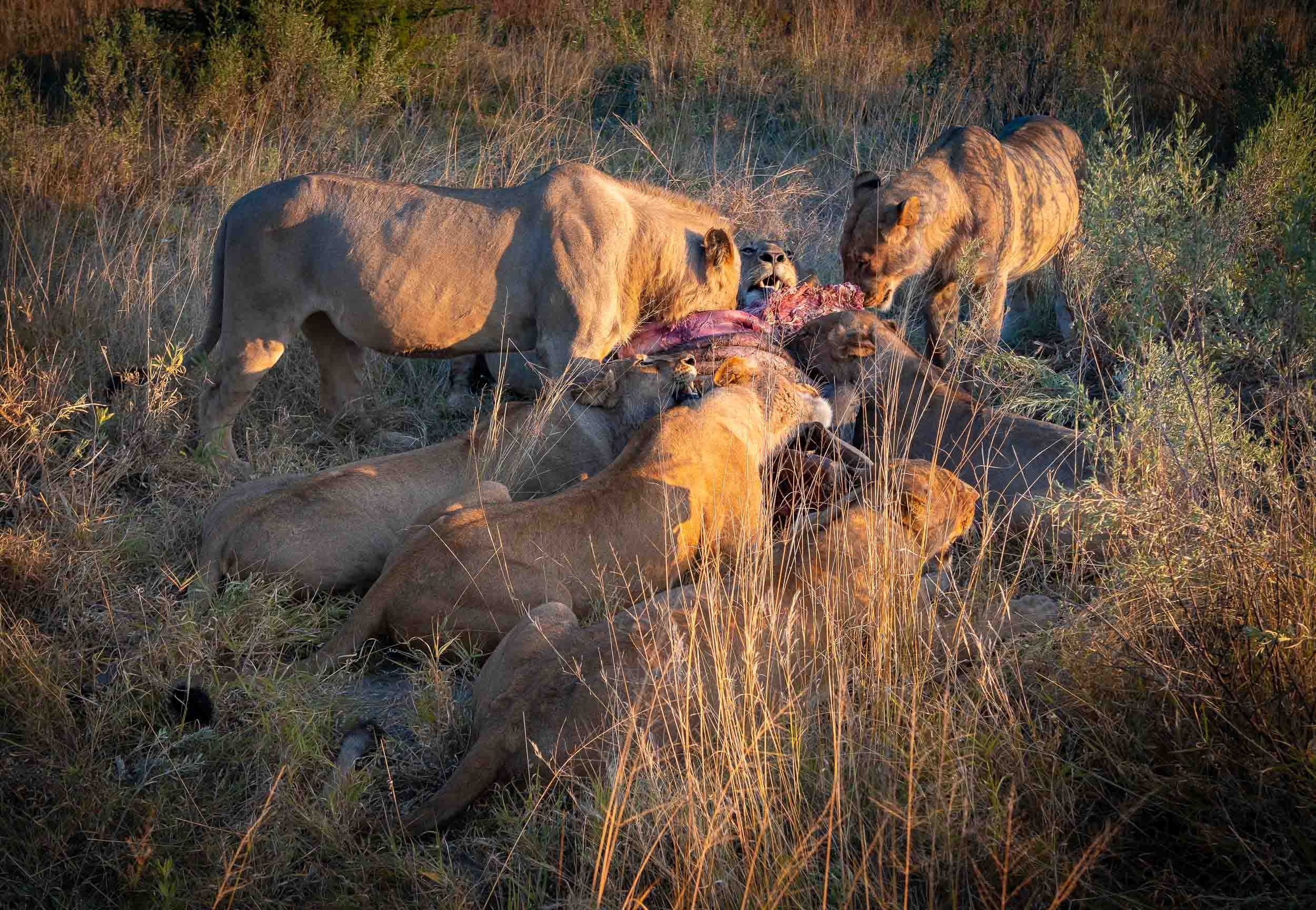
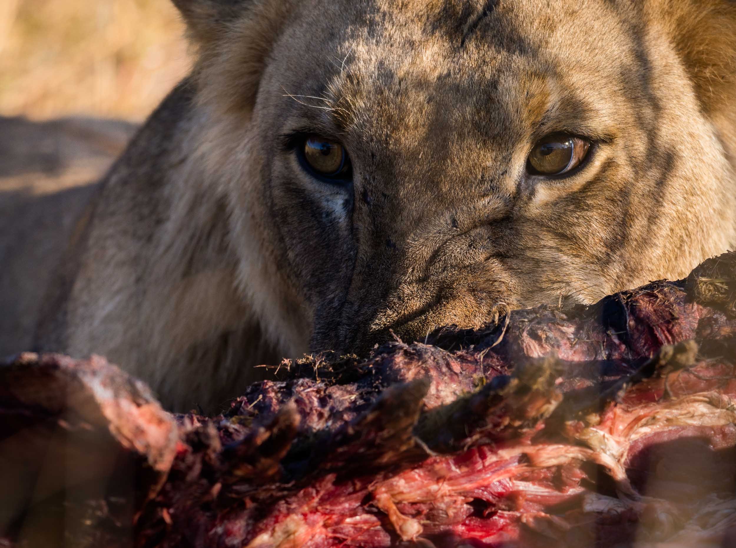
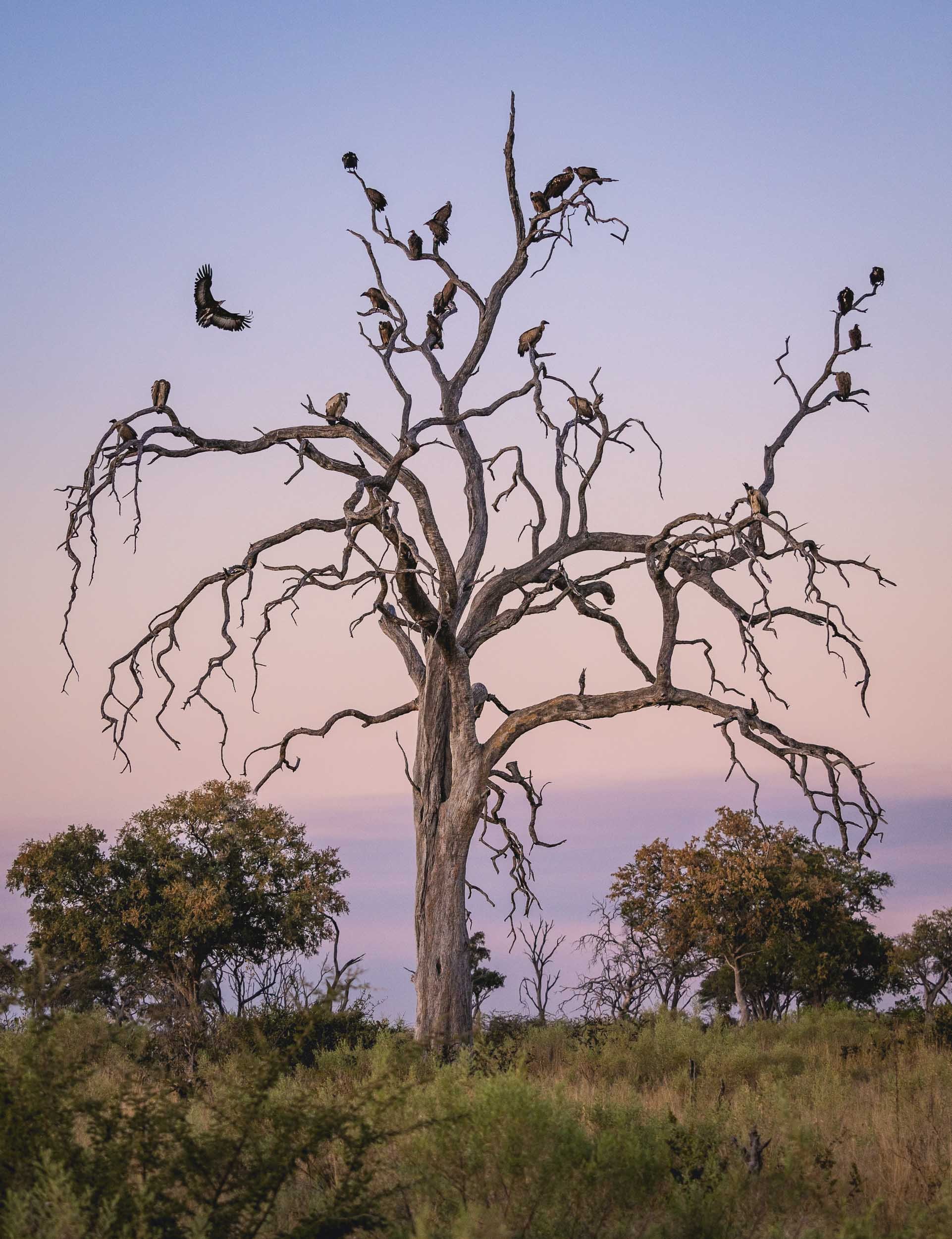
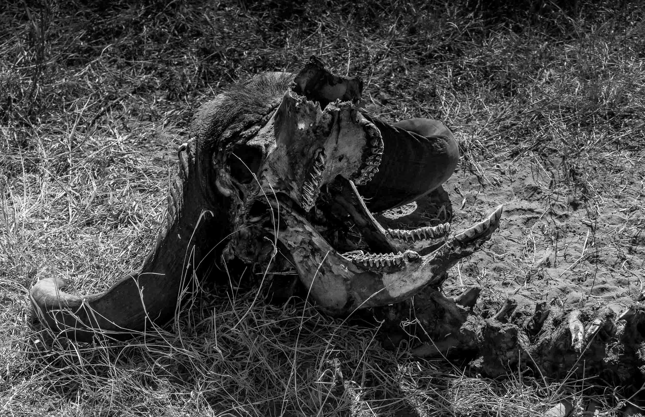
Lions
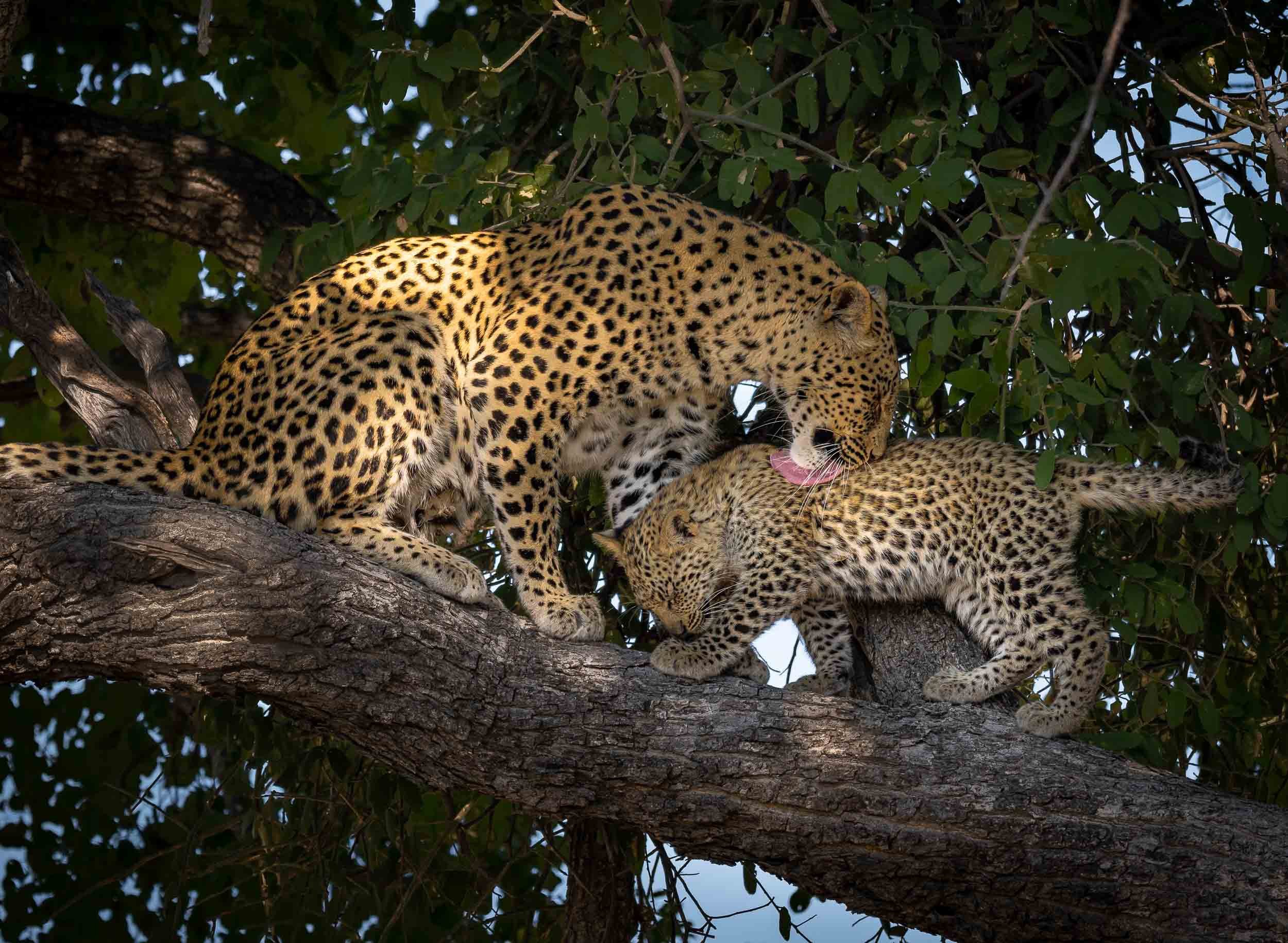
The Leopard
It’s always special to see your favourite animal in the wild, but a sighting like this makes it even more breathtaking. We spent four days, 8 hours a day, looking for this Leopard female and her 3 month old cub. On the very last morning, our guide - Stitcht, who called himself a legend and lived up to it - saw her sitting on a termite mount in the distance. We followed her when she called for her little one, and then climbed a nearby tree. They spent 15 min cuddling and cleaning before she rushed off to try and catch some breakfast, telling her cub to hide in the thick crown of the tree.




Watch them in motion
A few more…



Dinaka
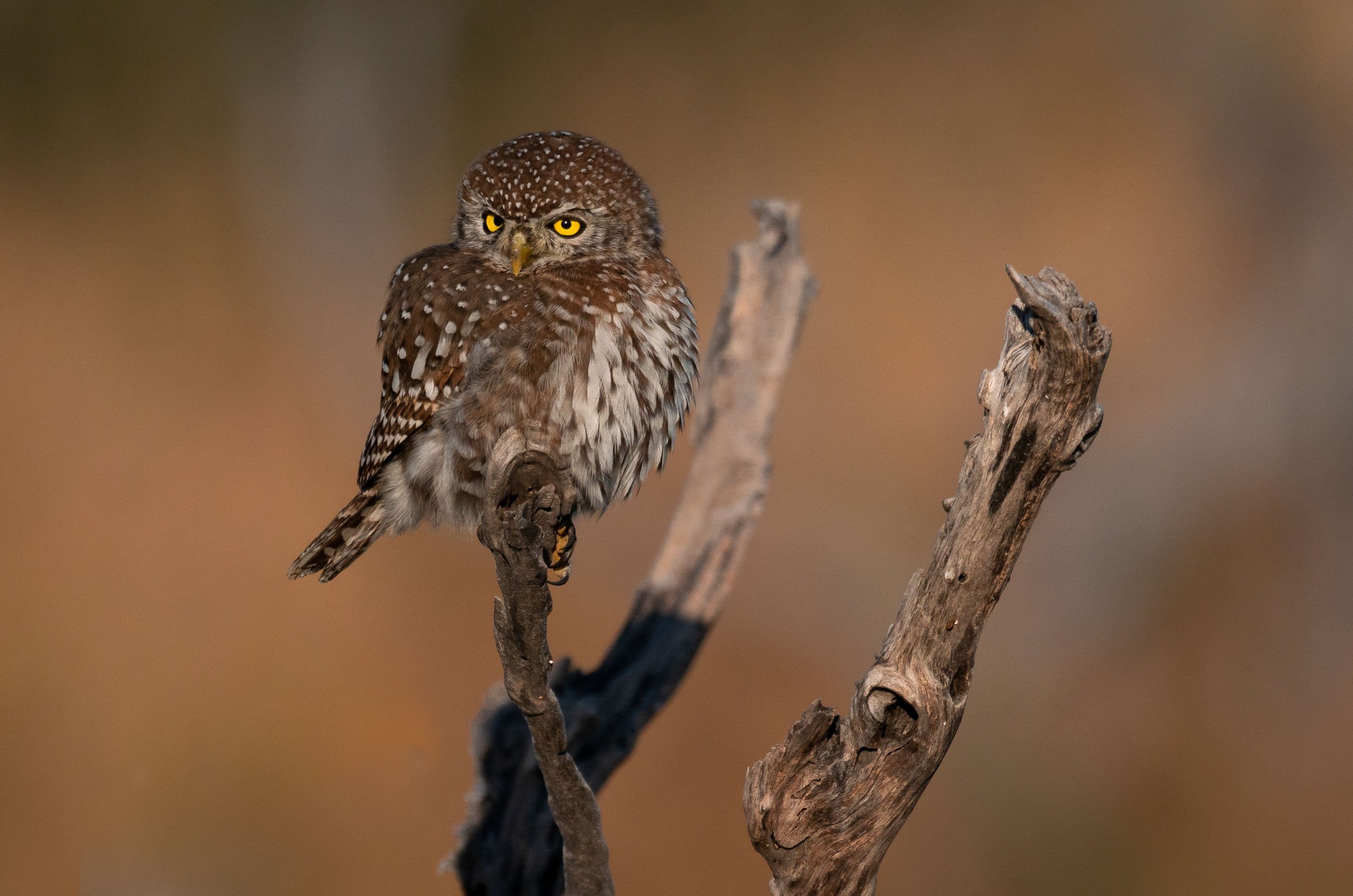
The last stop was in Dinaka, about 100km north of Maun, and bordering the central Kalahari. It’s a dry area this time of the year, but it did have a few special places to photograph from (and sleep in).
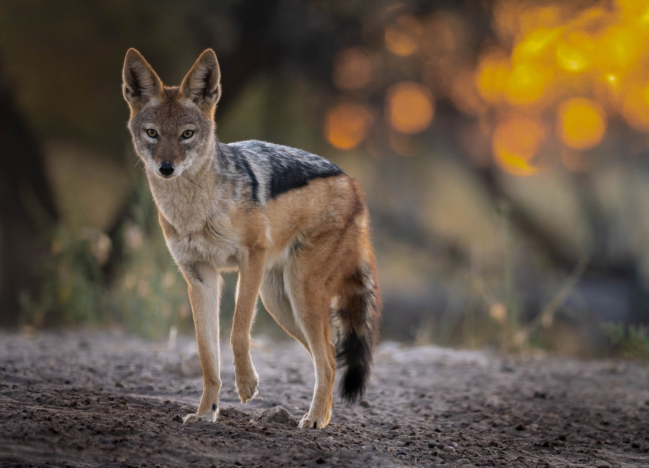
Jackals - Always Up To Something
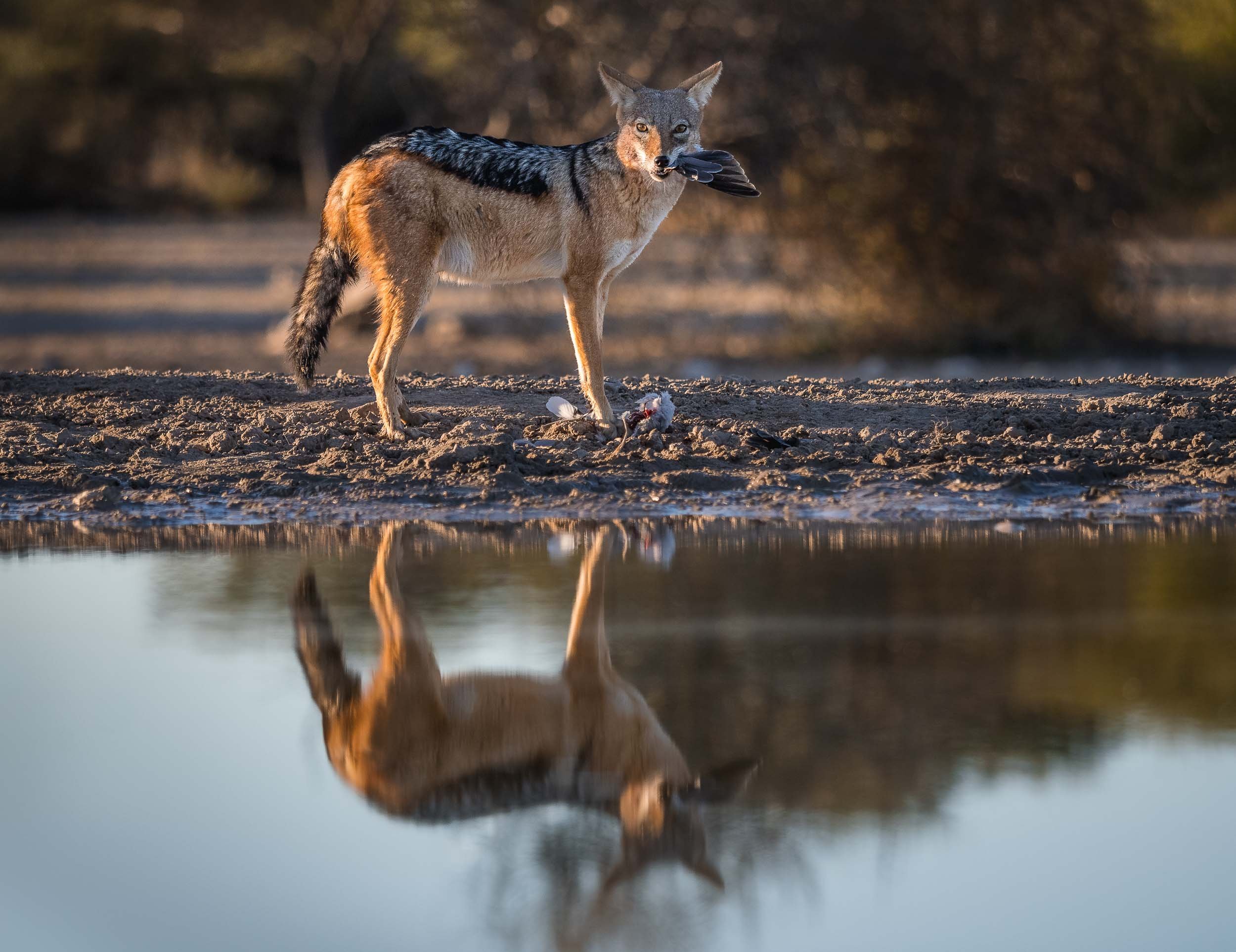
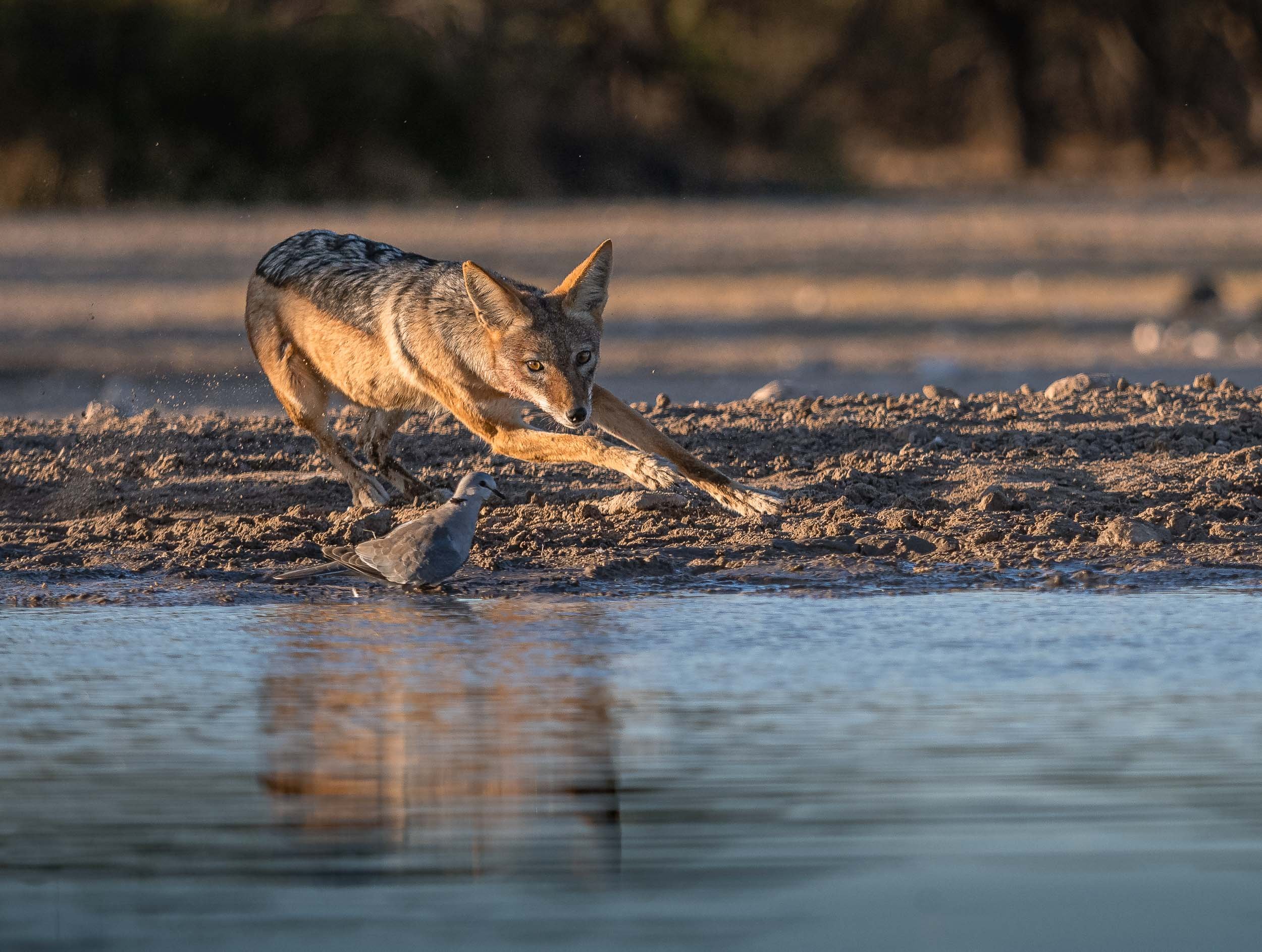
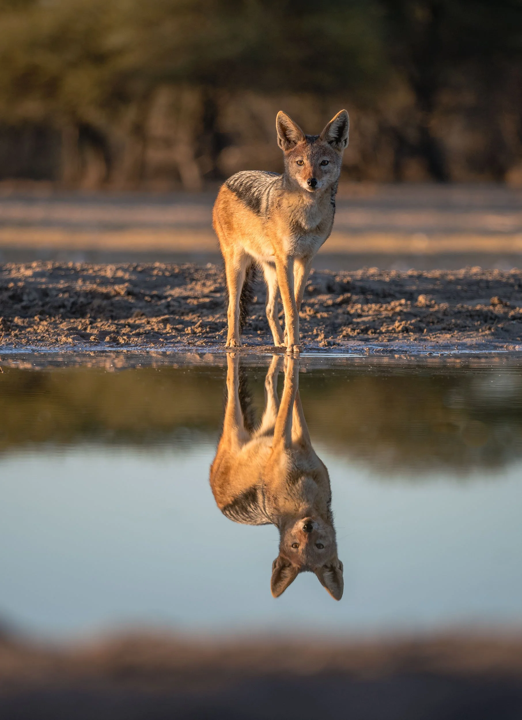
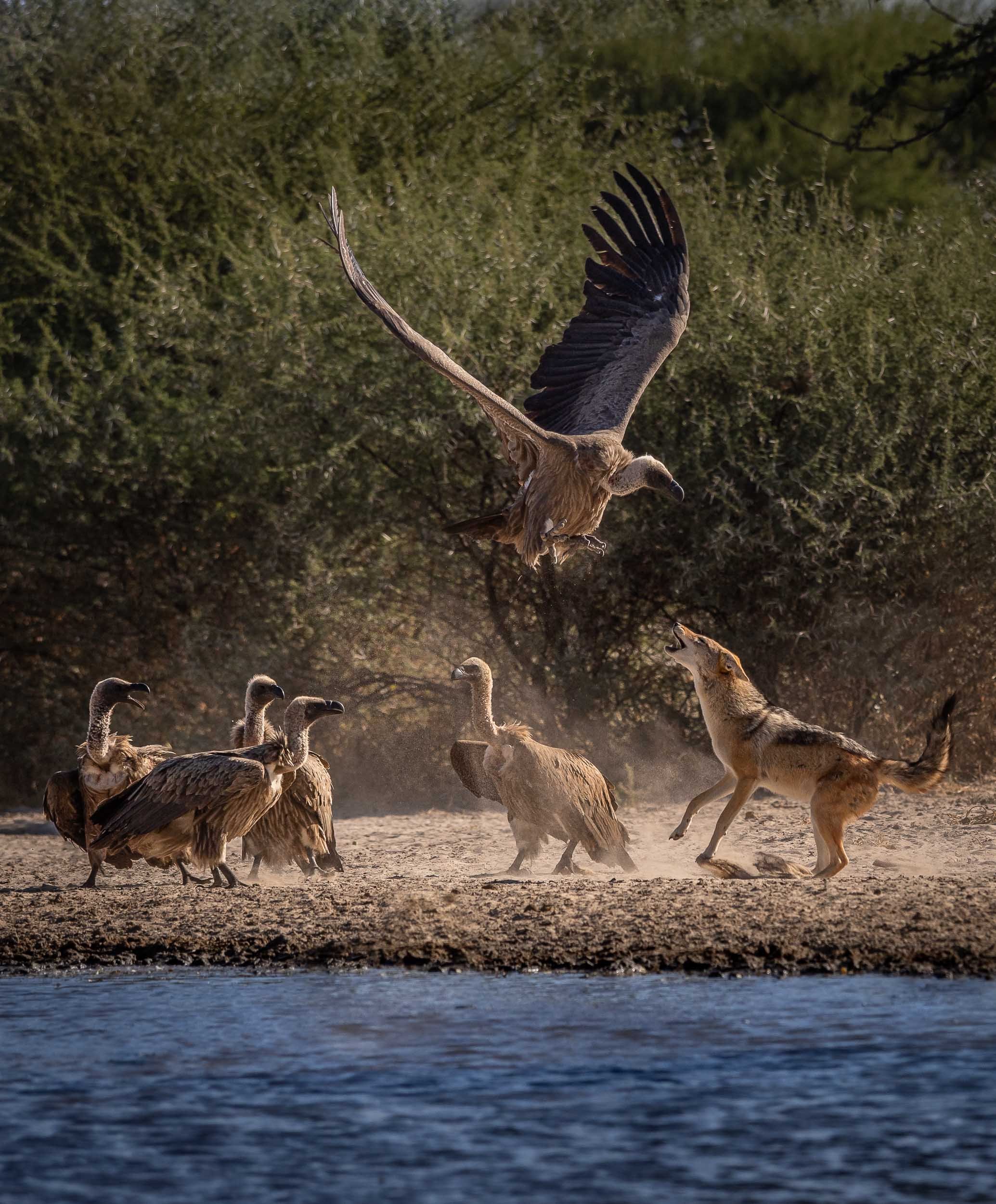
After having observed them for a good amount of time, these mammals have climbed up in a my favorite animal rating list. A constant source of entertainment, and always giving an impression of being up to no good, I’ve seen these mischievous omnivores catch doves, chase away animals much larger than them, and strut around like they are the kings of Africa.
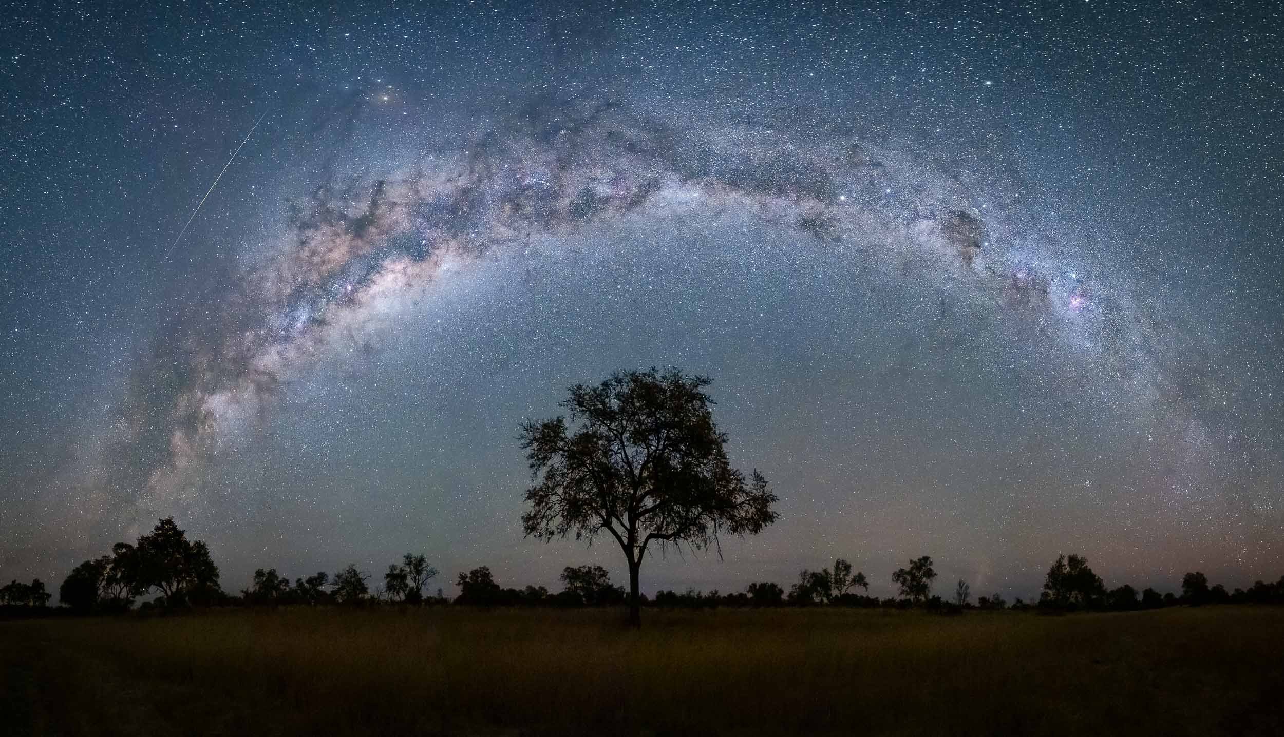
Starry Bedroom
Our lodge offered this special experience: A night under the stars, sleeping on an elevated platform in the bush - an opportunity I couldn’t miss out on, so one evening after dinner, I was dropped off 20min away from the camp to see what it feels like to sleep with a Milky Way view. See below for an impression!
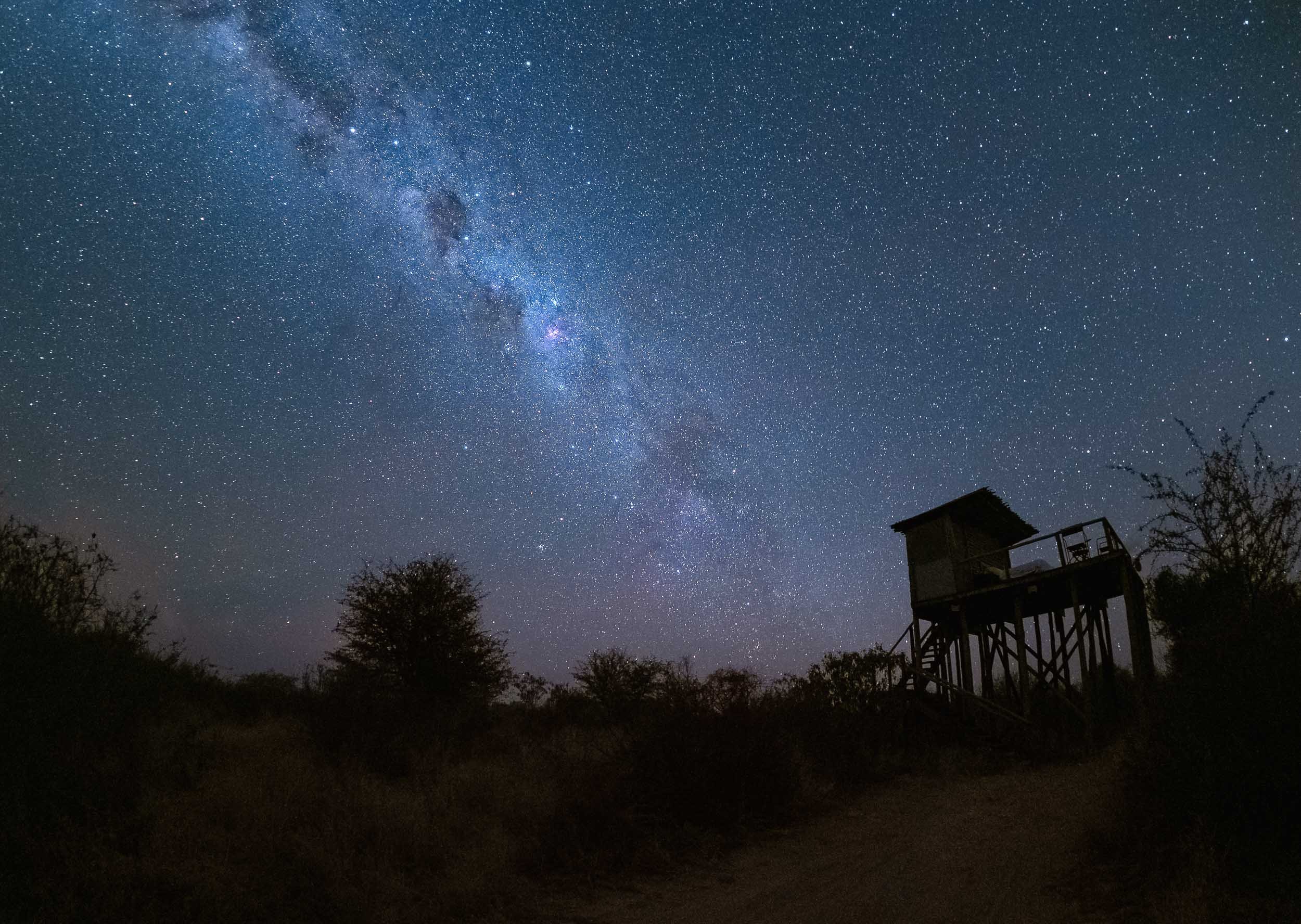

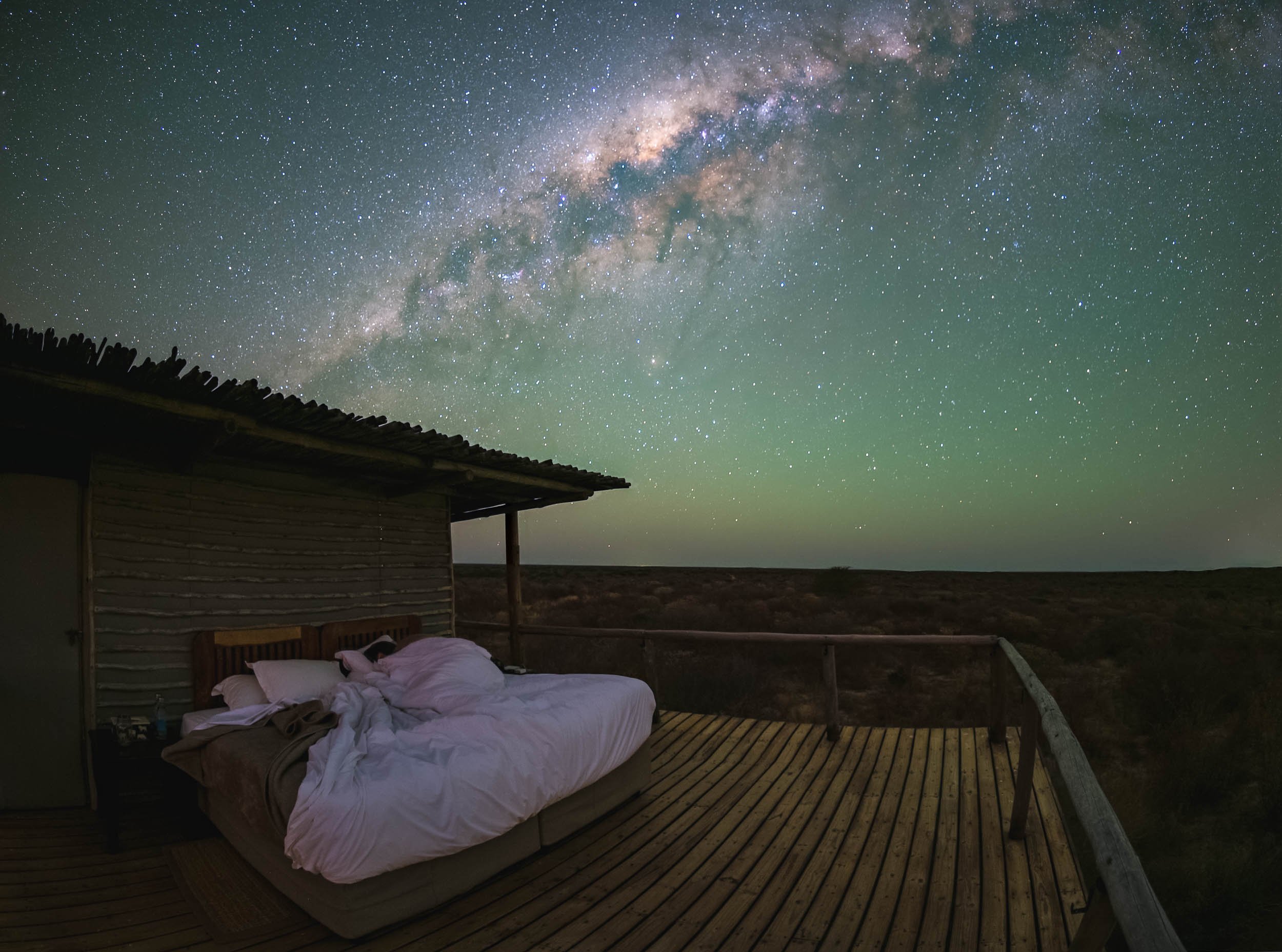
Watch Earth in Motion below…
The Waterhole
A second special spot is found a bit closer to the ground - in fact, it’s almost underground: A bunker-type hide to view animals up close at the waterhole, for some ground level perspectives. We spent a lot of time here, watching antelopes, giraffe, jackals and many other animals come to drink and interact without being bothered much by our presence.
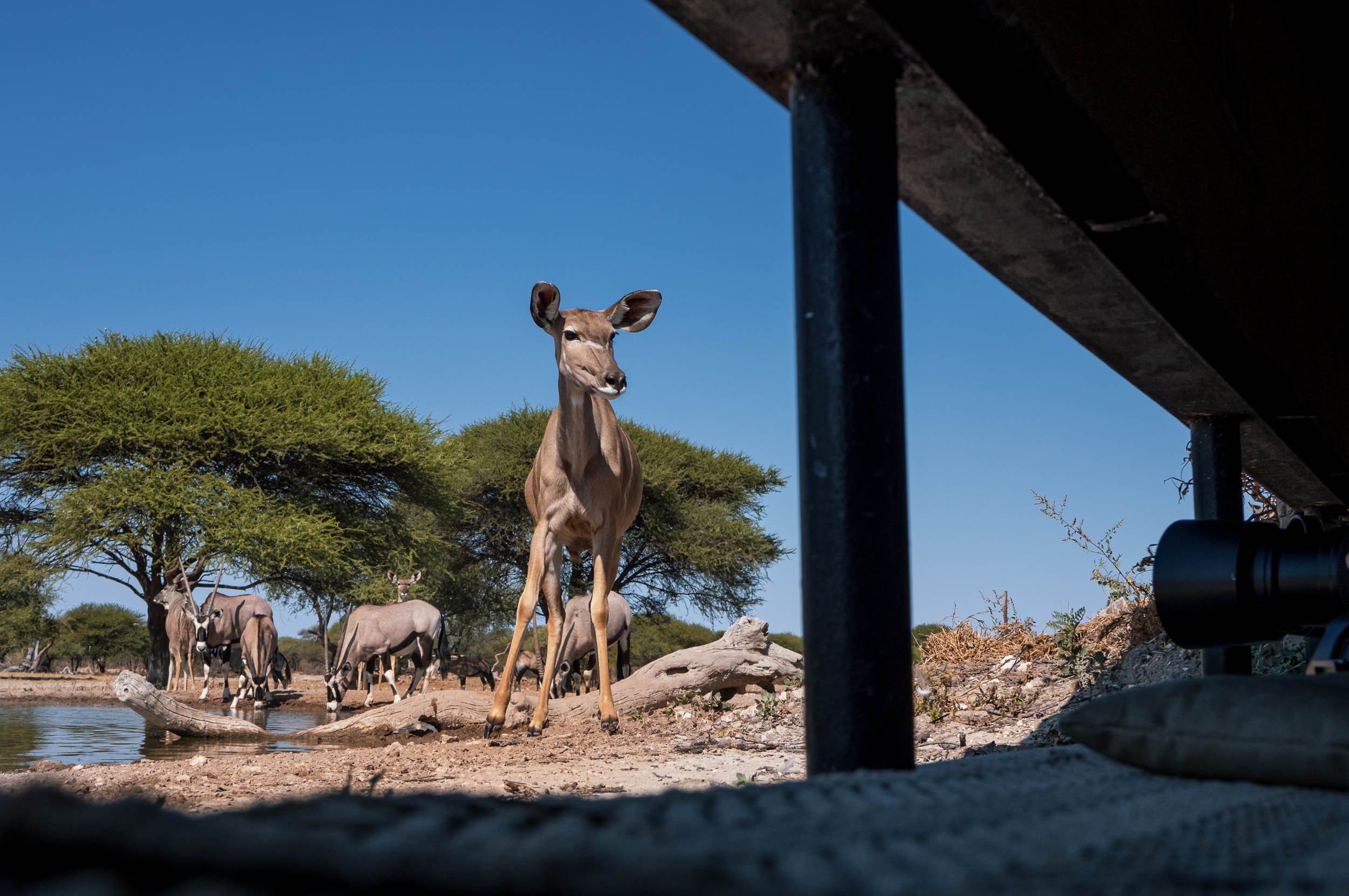
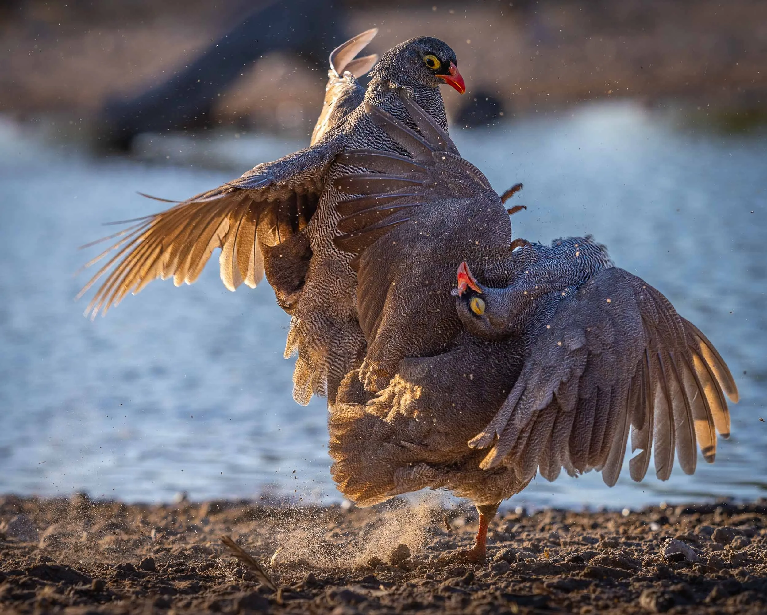


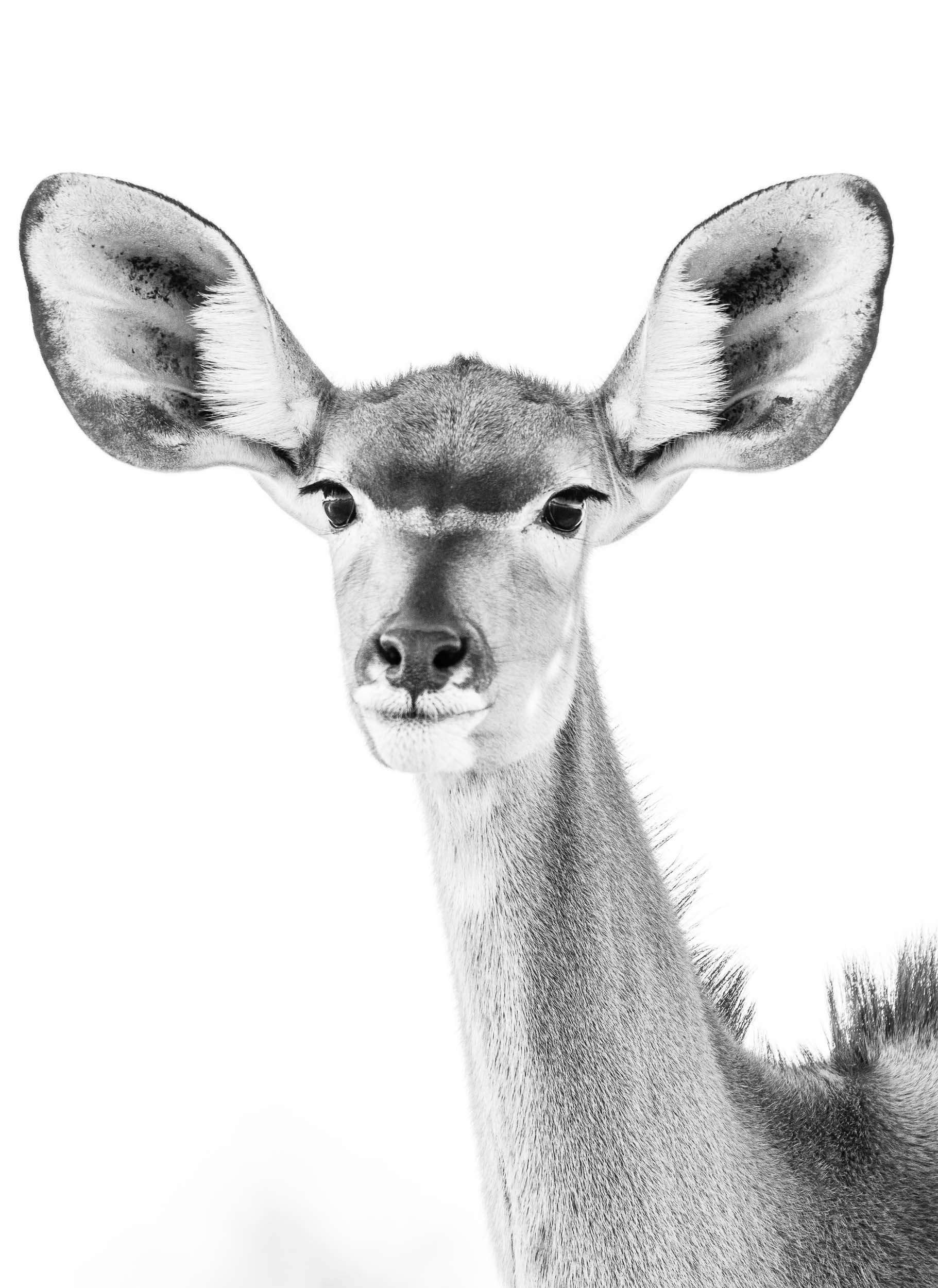
At Night
Private concessions (as opposed to National Parks) often come with the benefit of being allowed to stay out beyond sunset, opening the way for some nightly discoveries…


Lastly, the reserve is also home to a population of white rhino, which have been de-horned to deter poachers, a practice that some question in terms of its effectiveness in doing so, as the base is still attractive for the market.
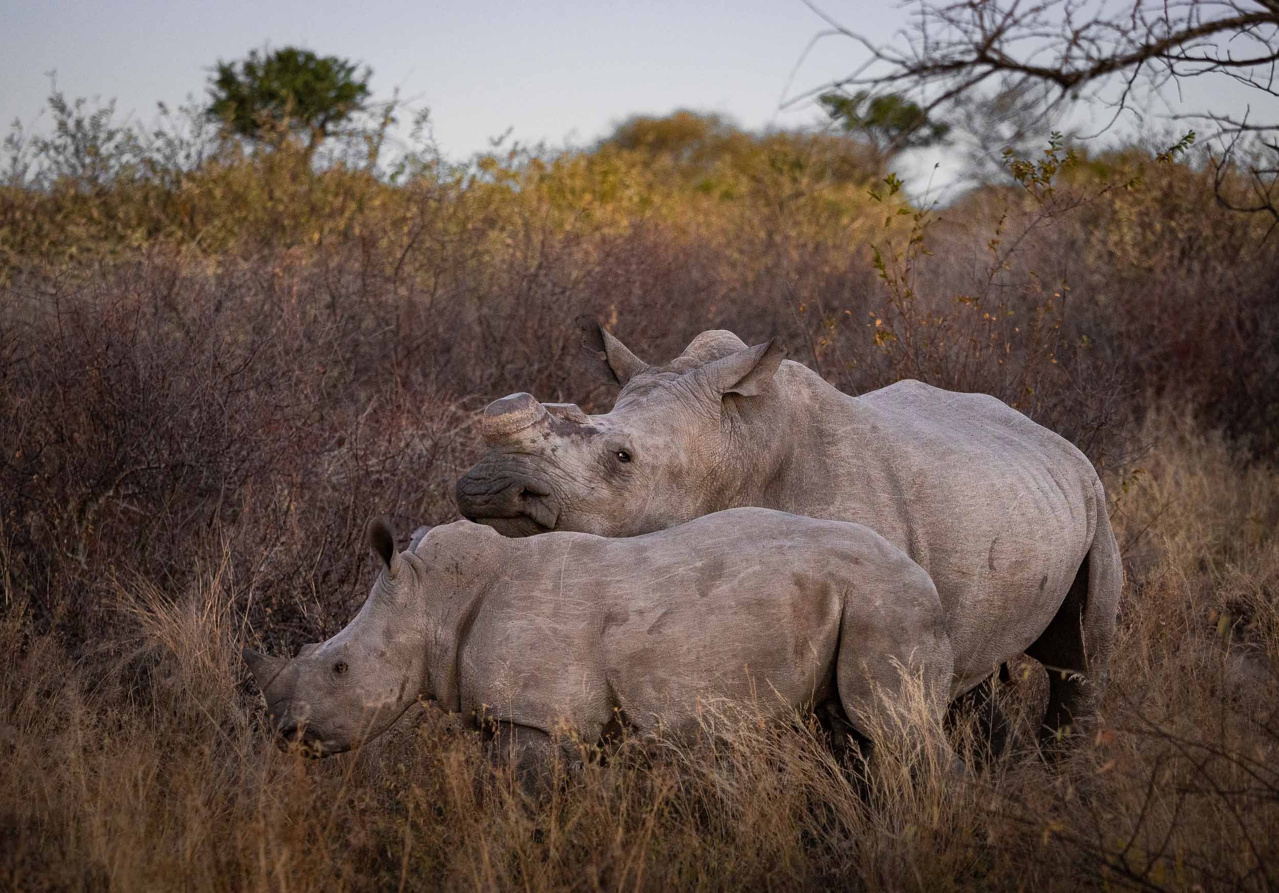
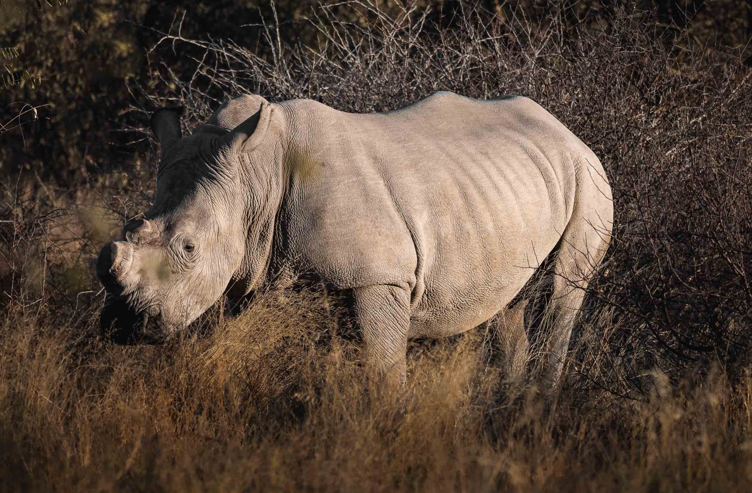
The 2022 Lunar Eclipse - As the Lions Roar
My time in Zimbabwe coincided with the a full lunar eclipse on 16th of May, 2022,

My time in Zimbabwe coincided with the a full lunar eclipse on 16th of May, 2022, and luckily our location was just about within the area of the globe that could experience this rare phenomenon, so I had to find a way to capture it. What a sight it was - and not only that, also an audible experience, read on below…
The Location
The night before the Lunar Eclipse I arrived in the Chewore area of northern Zimbabwe, for entirely different reasons than seeing the earth cast a shadow on the moon - see my blog linked above to find out what they were. Nevertheless, I couldn’t miss this occasion, and went out in the afternoon to find a suitable elevated area in the African bush. We found a clearing 20min from camp, with views towards the hills in the distance. This was going to be our spot, starting from 3am.

The Progression
After a very short night, we headed out into the bush in my guide’s trusty 1962 Land Rover, always on the lookout for elephants, buffalo, baboons, and lions, which roam in this area. Luckily, we only heard them in the distance, which made the experience all the more special, as the occasional roar accompanied the spectacle in the sky. The moon stood high as the eclipse started around 3:30am. It progressed until earth’s umbra covered the moon completely around 5:30am. This total eclipse continued until moonset, and at the same time the sun rose on the opposite side, casting an orange hue into the sky.
Below is a timeslice of this period, using 10 individual photographs.

The Phases
The four images below show the progression of earth’s shadow on the moon. The first three photos were exposed for the bright side of the moon, where the sunlight was still able to illuminate our celestial companion. The last image is exposed for the shadow side of the moon, which in fact starts to glow red due to a phenomenon called Rayleigh Scattering - any sunlight reaching the moon passes through earth’s atmosphere, which lets red light pass more easily than other colors in the spectrum.


A composite of 6 images and their corresponding timestamps.

Totality
The full eclipse, as earth moved in between the sun and moon. If you look closely, you are able to observe some stars around the moon, visible as white dots. This is one of the only times you can photograph other celestial objects in the same exposure as the full moon, which normally shines much brighter than most stars and planets.

A Coincidence
Aside from close ups of the moon, I also had a camera set up for a wide angle view of the landscape. And good thing I did, because it captured this very special moment, combining the blood moon, a hint of the Milky Way as a white band, the colors of the African sunrise, and a meteor crossing the frame, all in one exposure. I love it when things come together, and this will probably be one of my all time favorite photos.

In Motion
Here’s a video of the entire spectacle, both from a wider view as well as a close up of the moon.
All the images shown here were shot with OM System Cameras, specifically an OM-1 and two E-M1 III. No tracker was used.

Namibia - The Most Amazing Night Sky, But So Much More
Namibia was the first destination for my two-month-seven-country Africa trip, and maybe the one I was most excited about.
Namibia was the first destination for my two-month-seven-country Africa trip, and maybe the one I was most excited about.

This part of the journey was organised by https://www.stefanliebermann.de, Sony Ambassador for Germany as a 12 day workshop in collaboration with Richard Morsbach, a local tour guide.
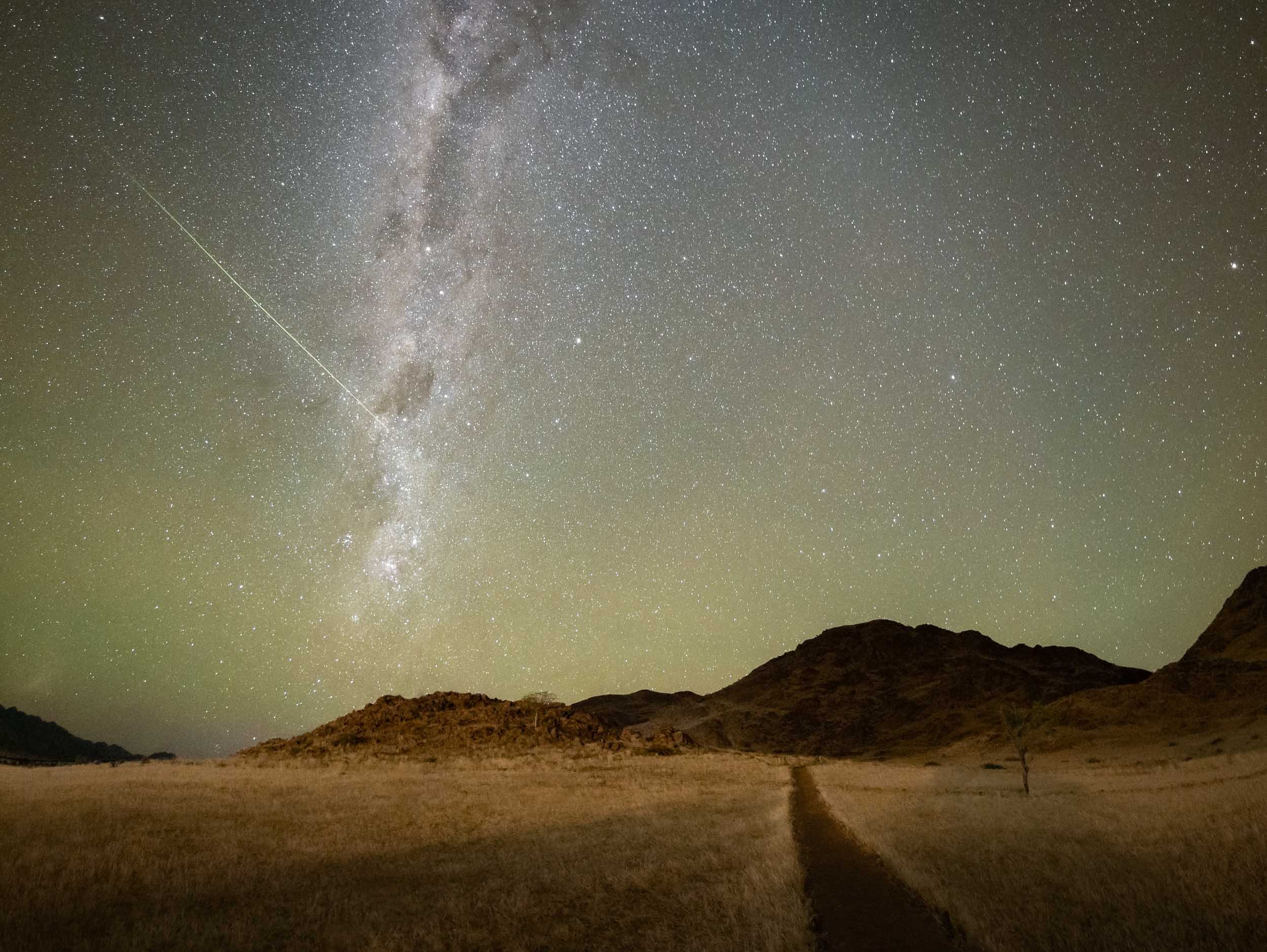
The trip was focused on astrophotography, as Namibia has some of the best dark skies in the world and the Milky Way was visible all night during new moon. We did however also have the opportunity to take some daylight cityscape, sunrise and sunset, wildlife, and landscape images.
Namibia is incredible and definitely a destination I’d come back to. Read on to find out what you can see in this country, and the photos I captured to document it.
You can also head over to my Instagram (www.instagram.com/djflore) and check my Story Highlights for a bit of background info.
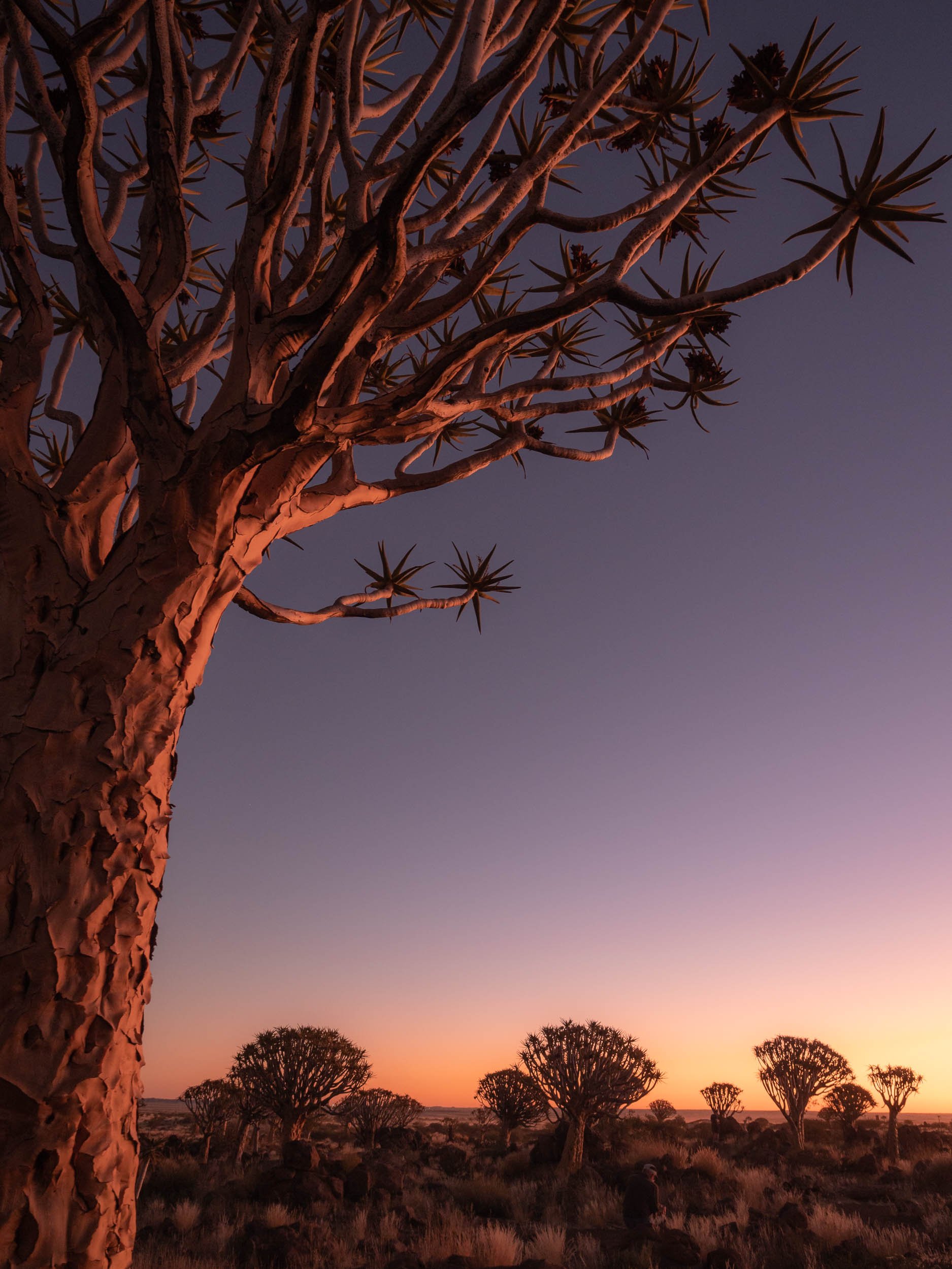
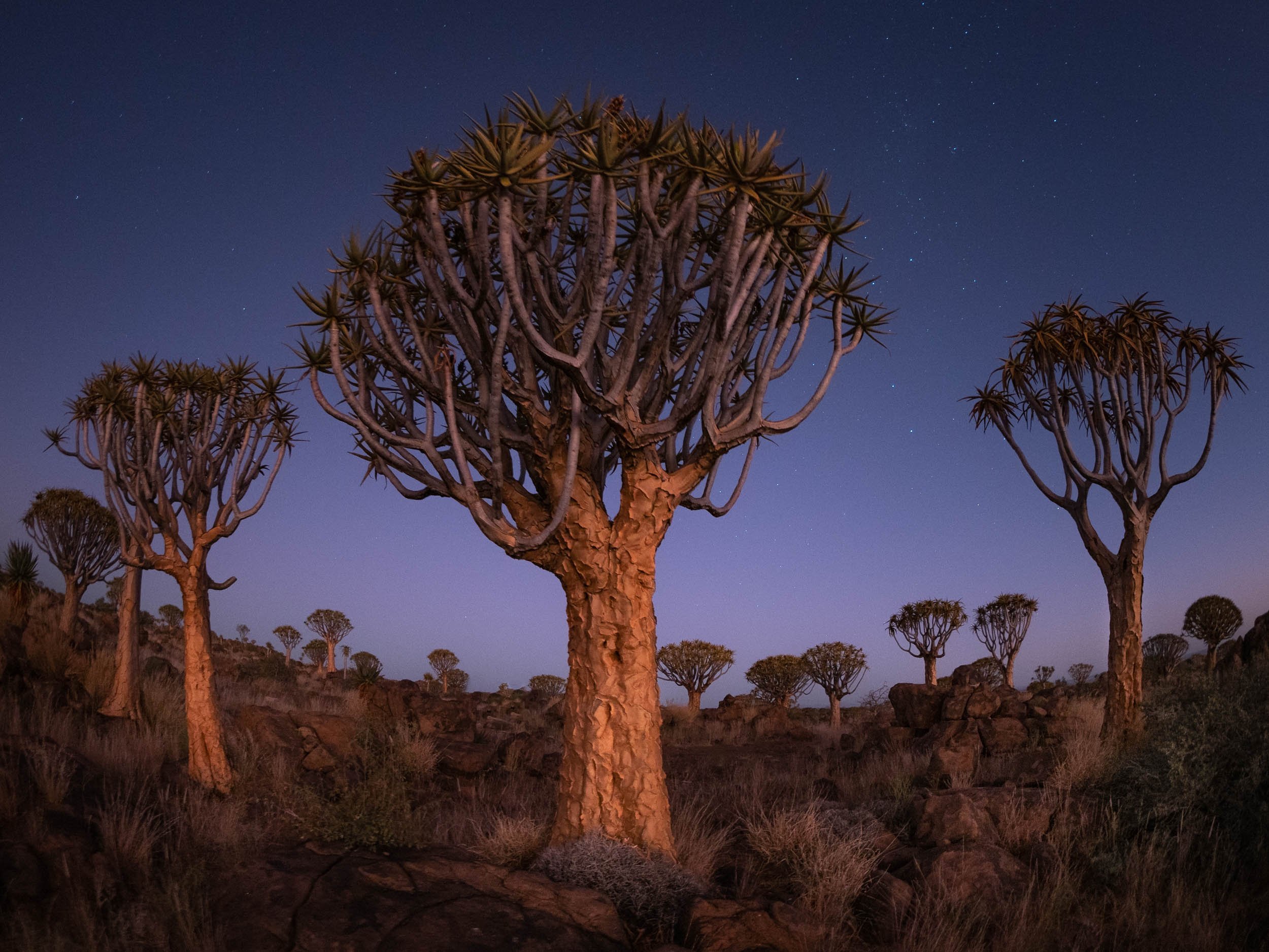
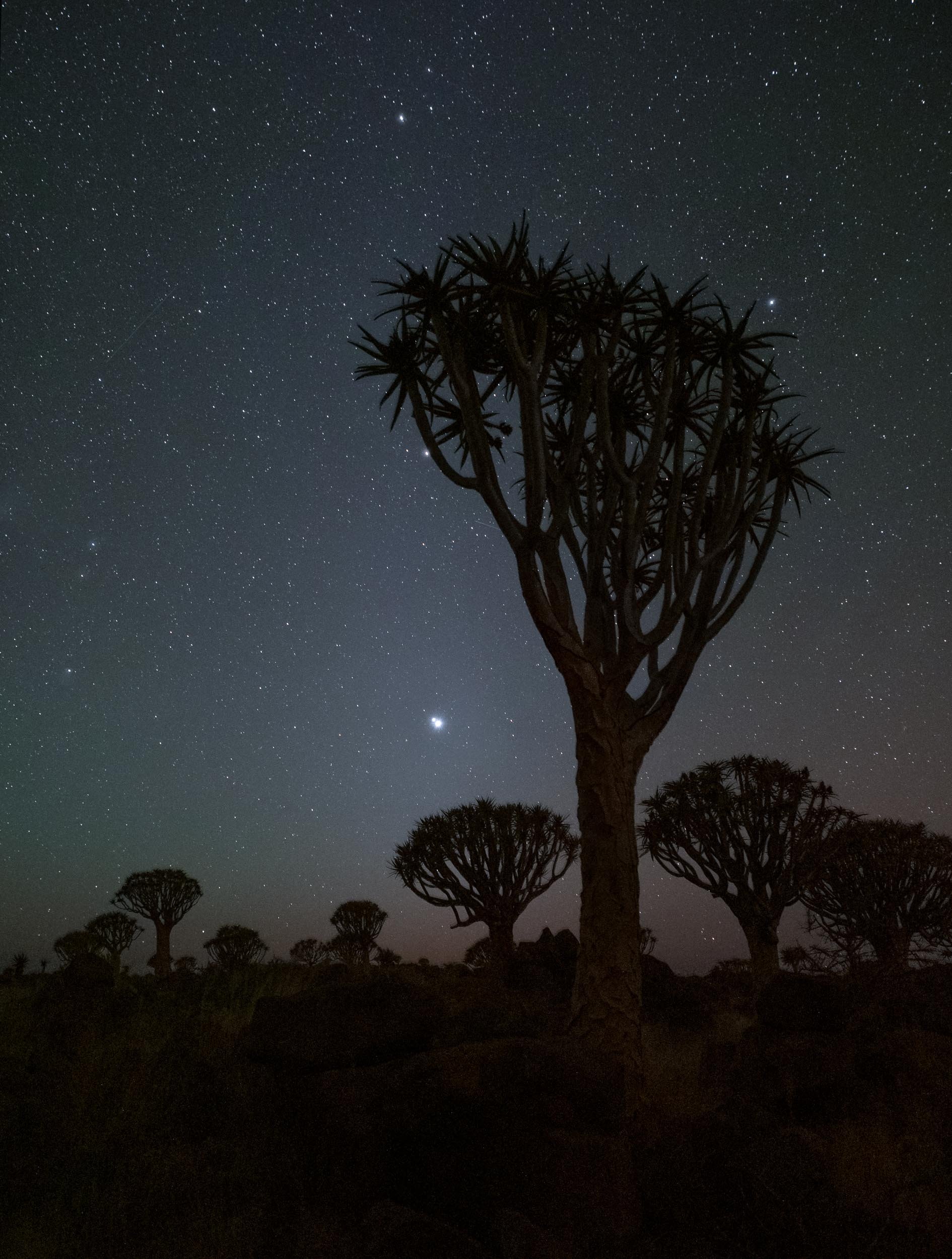
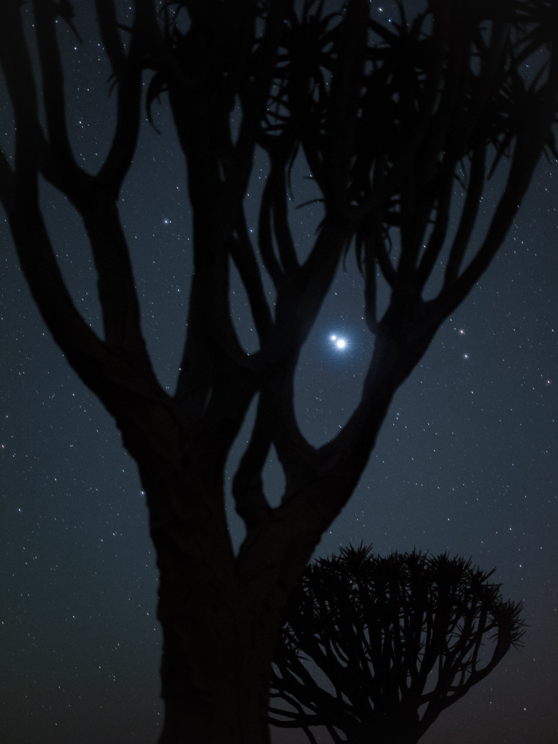
The Quiver Tree Forest
Our first destination after flying into Windhoek was the Quiver Tree Forest, north-east of Keetmanshop, where we arrived just in time for sunset after a 5h drive and lunch break.
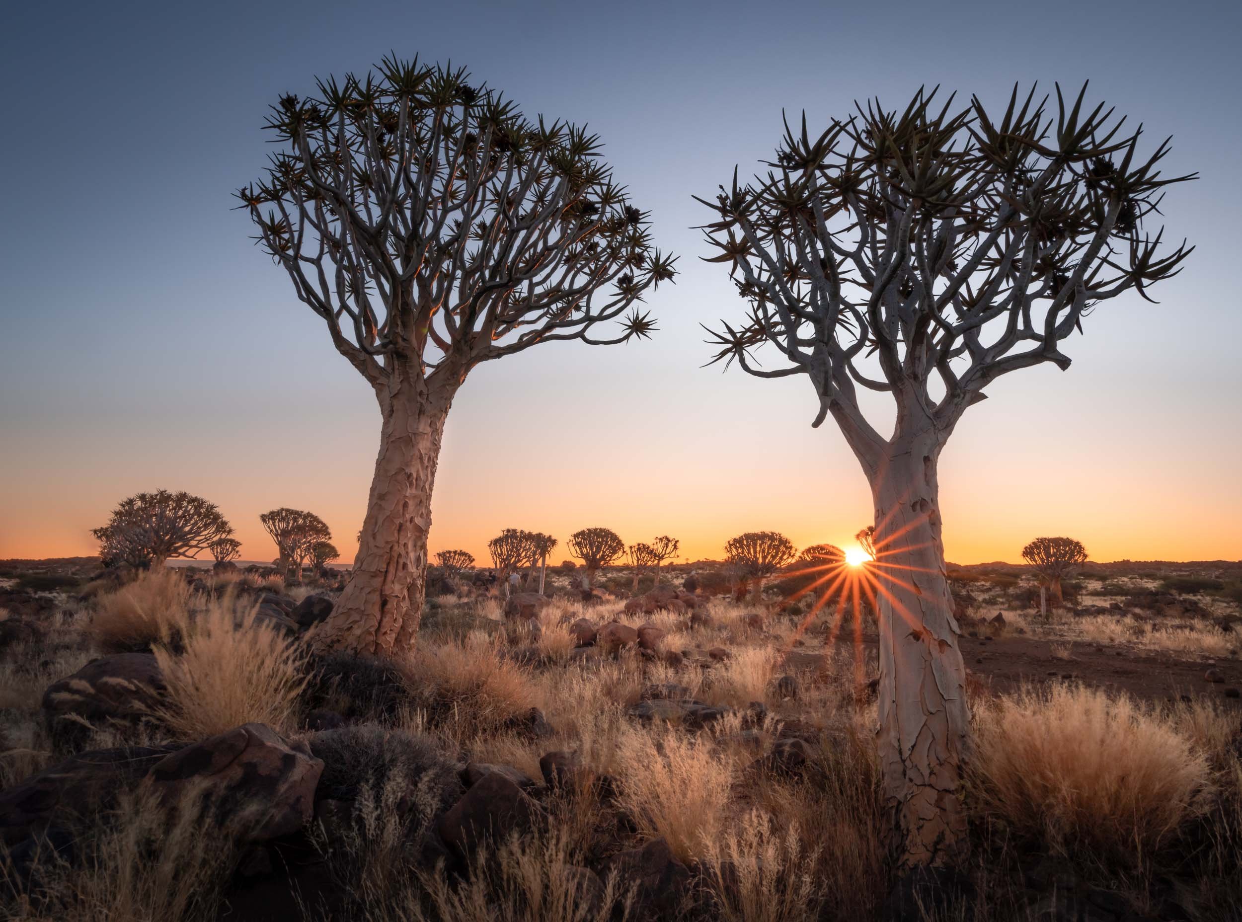


Onwards
After a sunset, night, and sunrise at the Quiver Trees, we moved straight on to the next spot., Fish River Canyon for a night, and then into Lüderitz, one of the country’s most famous towns.


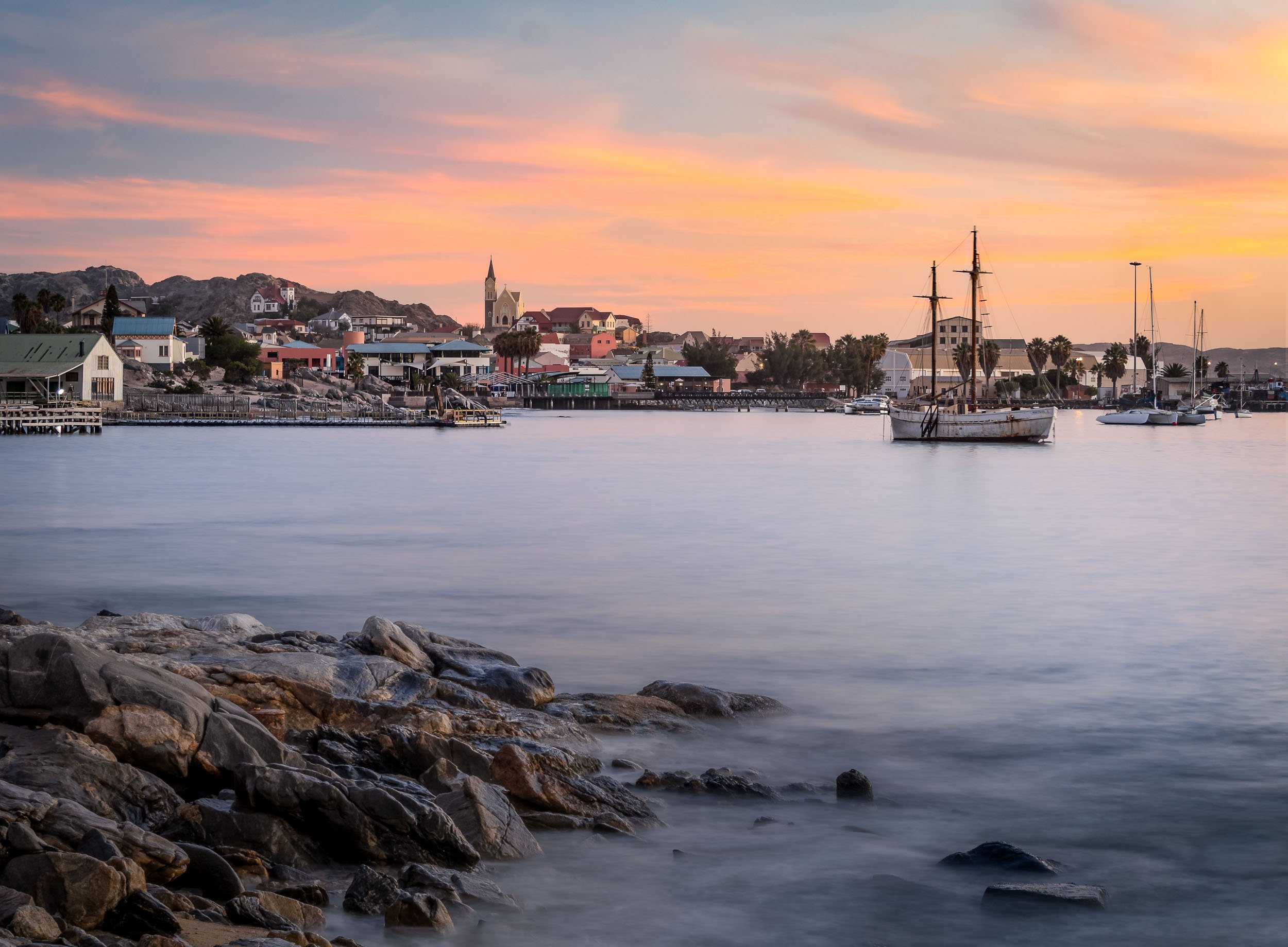
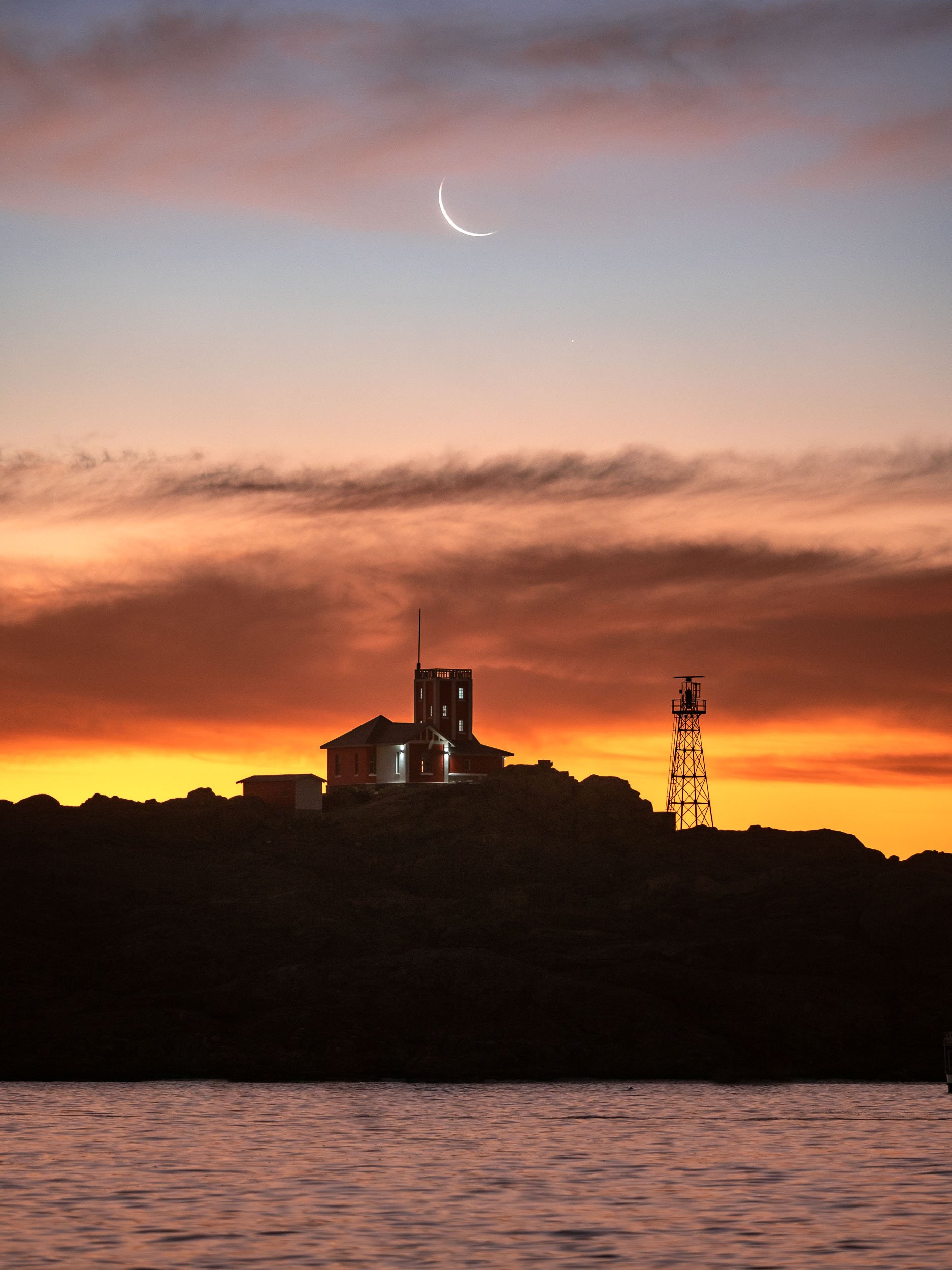
The Abandoned Town of Kolmanskoop
About 10km from Lüderitz you can find one of Namibia’s most popular destinations - a ghost village!
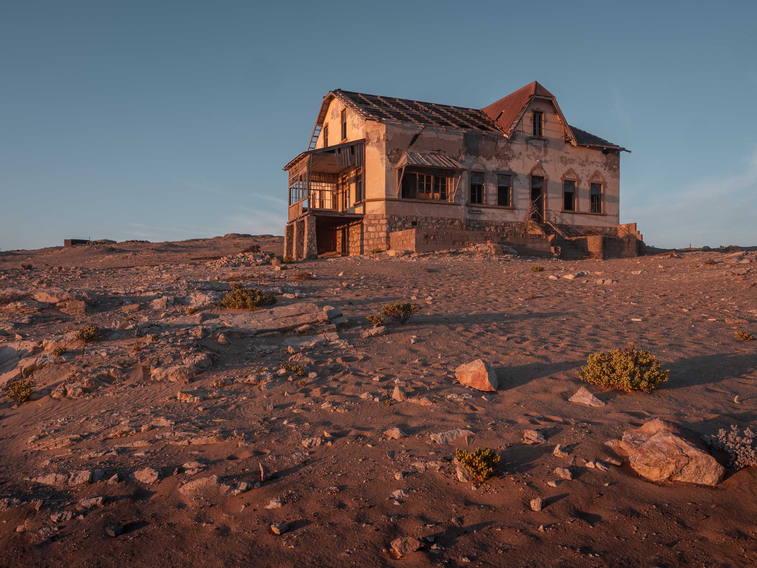
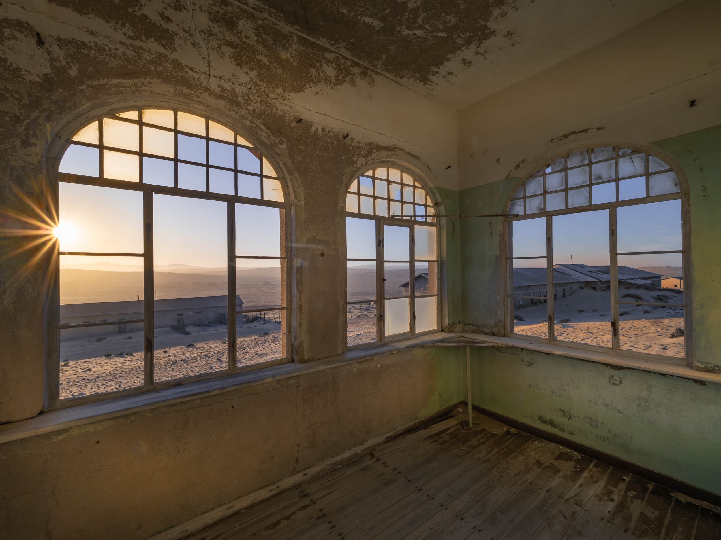
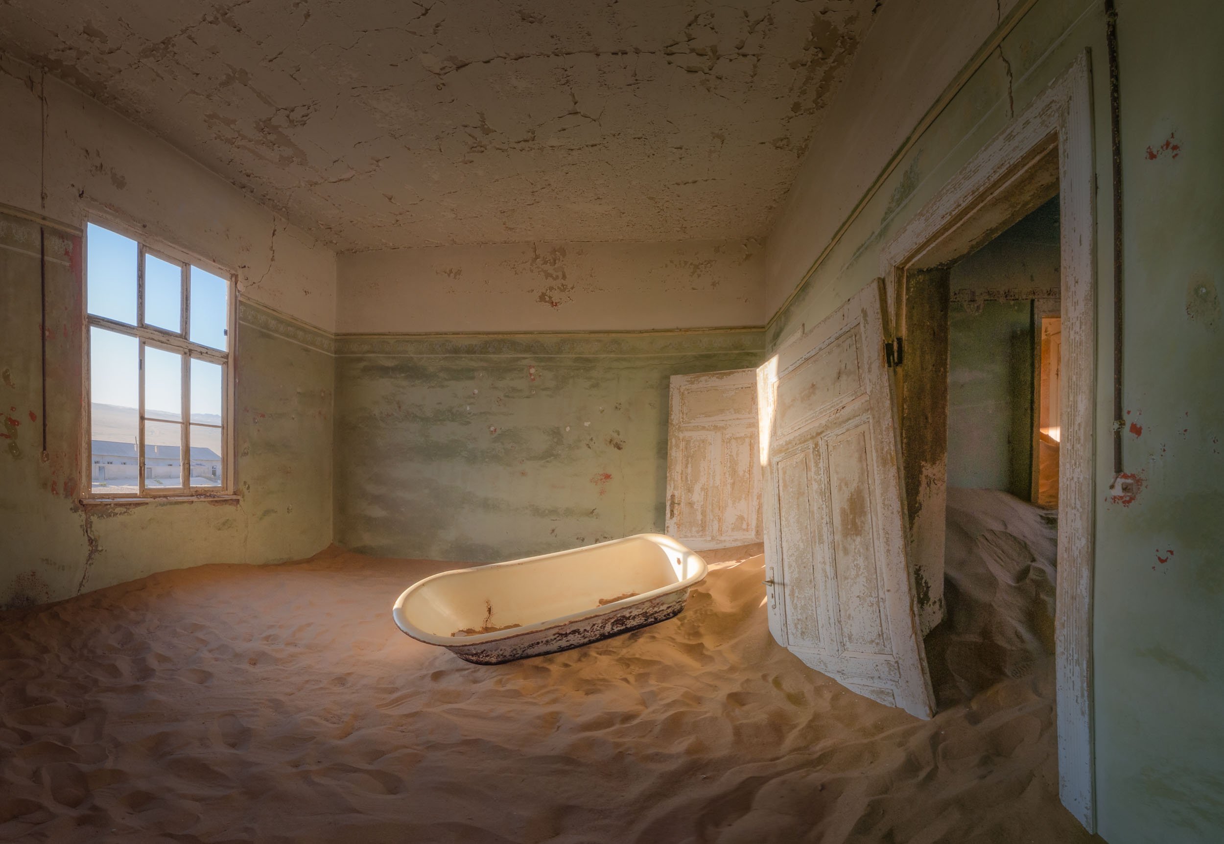
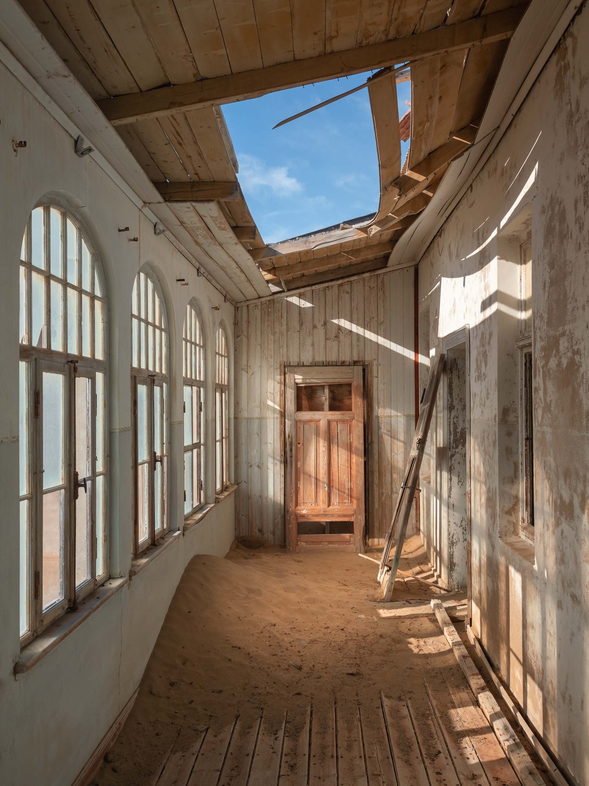
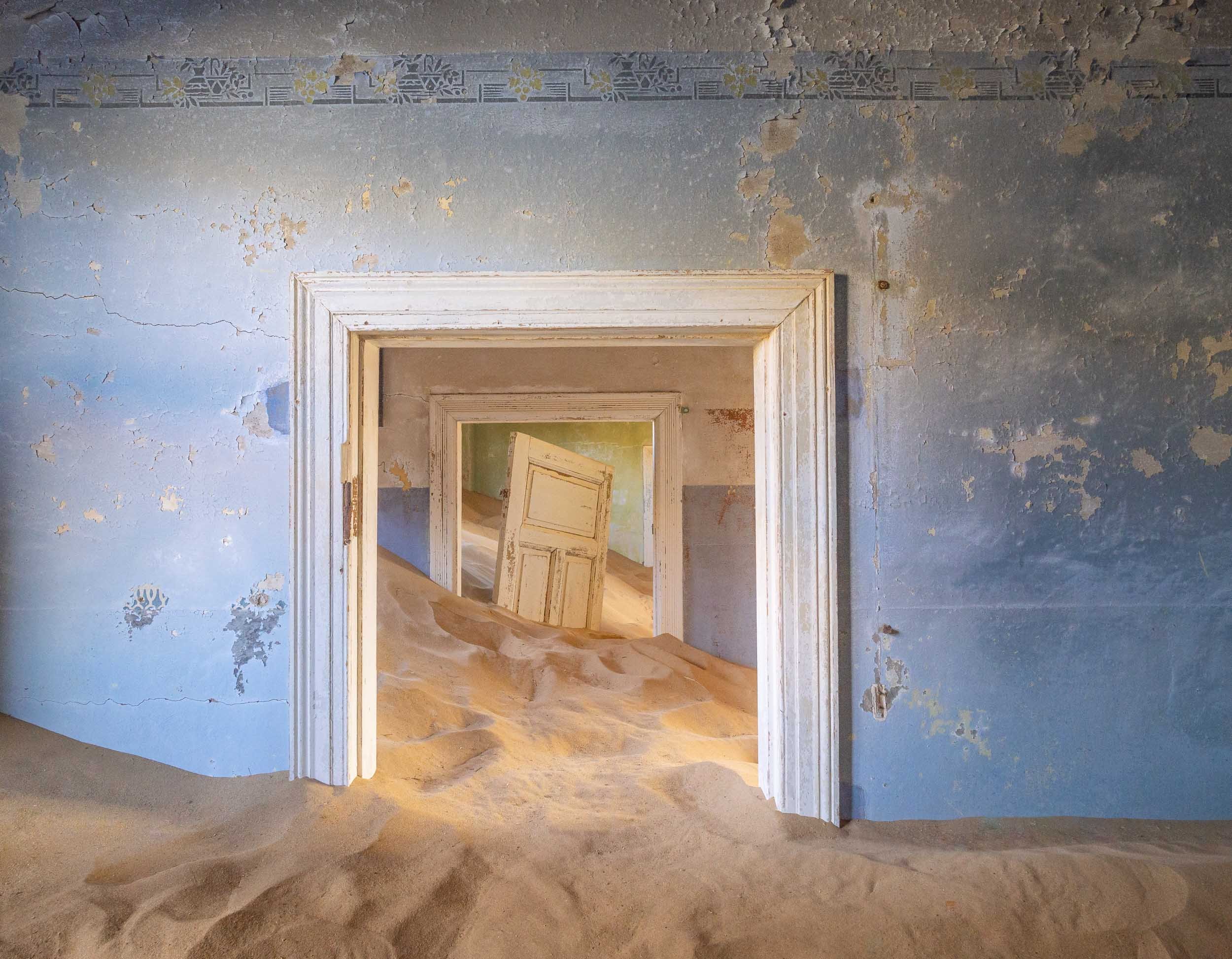
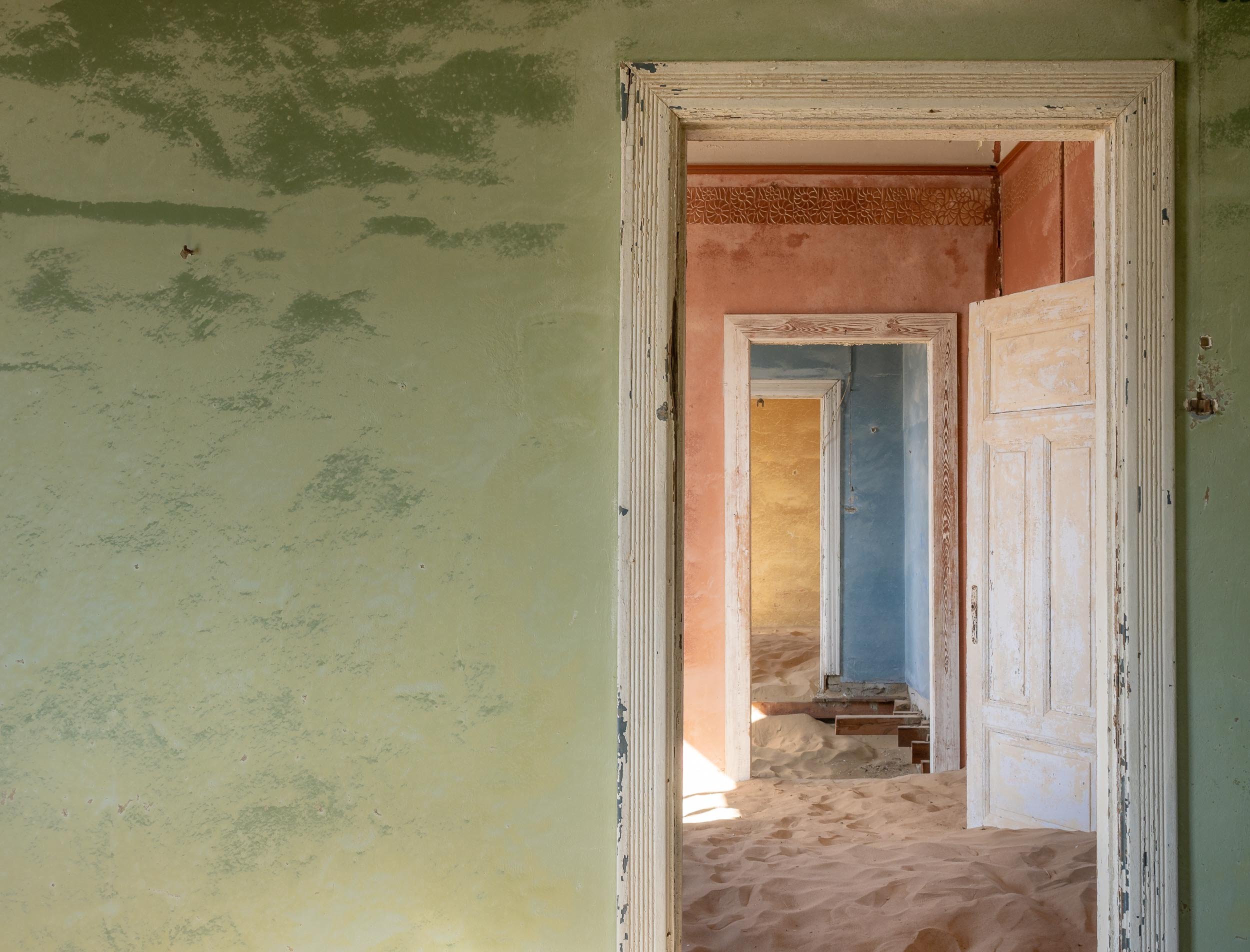
Onwards to Sossusvlei
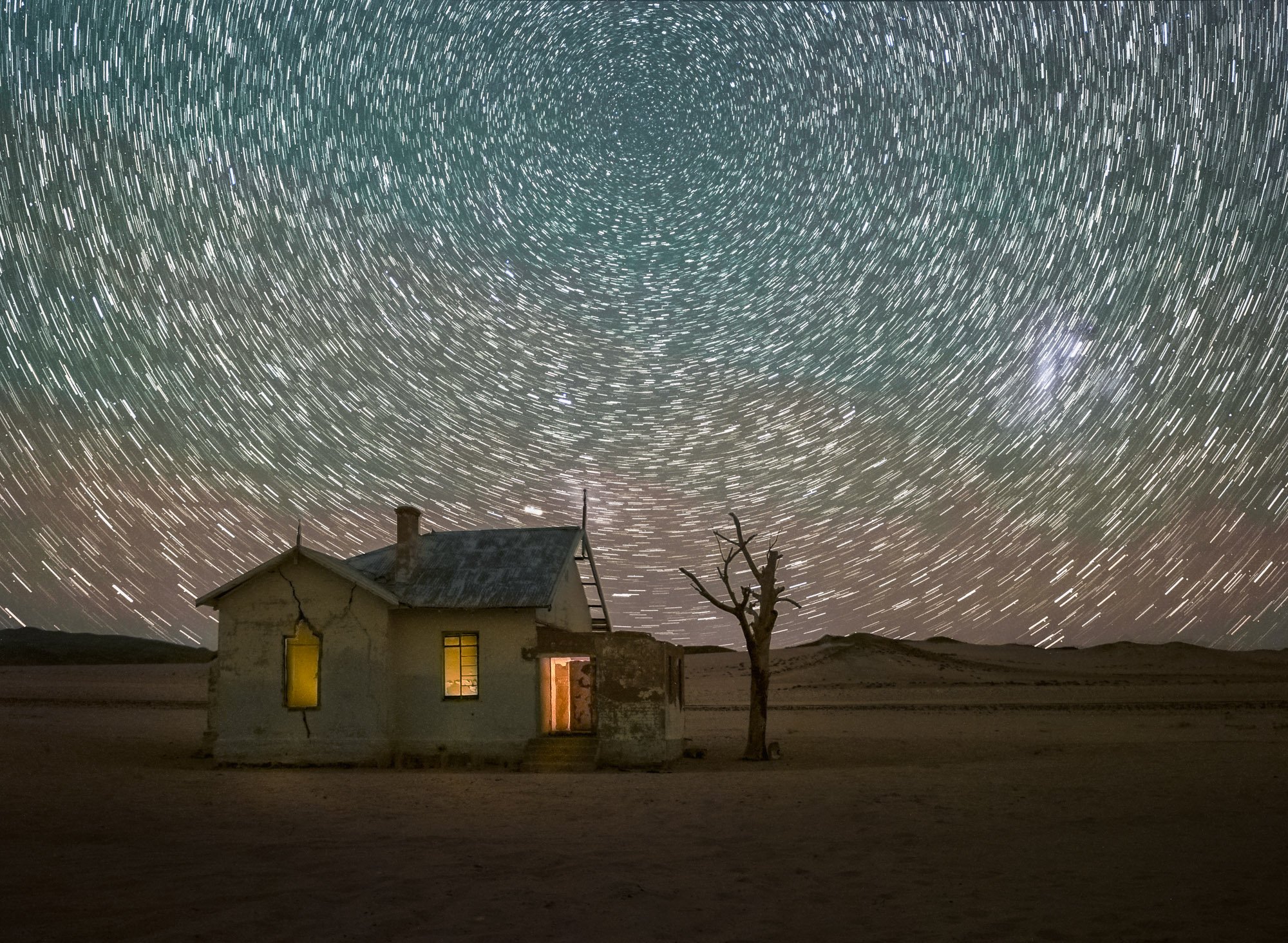
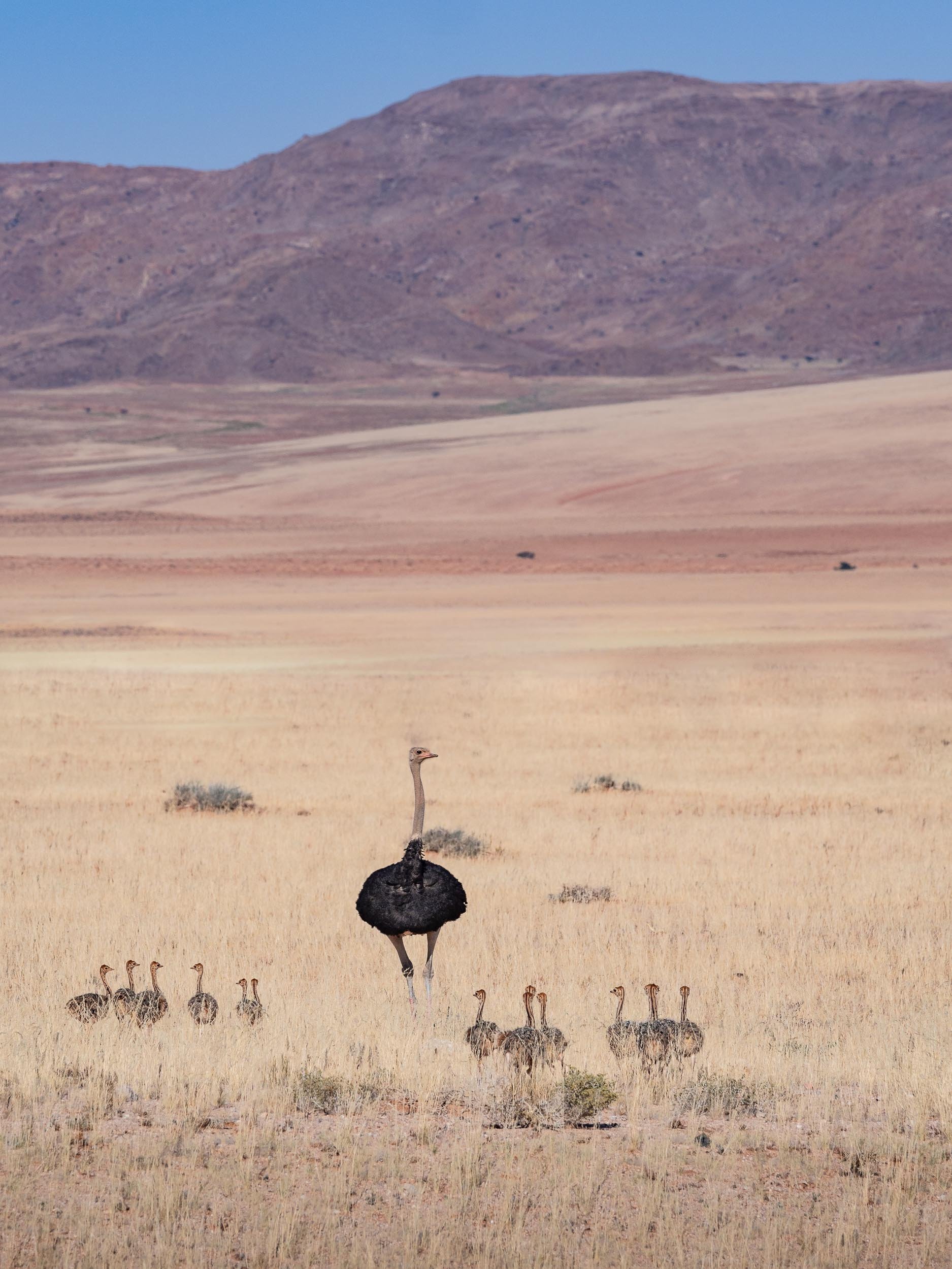
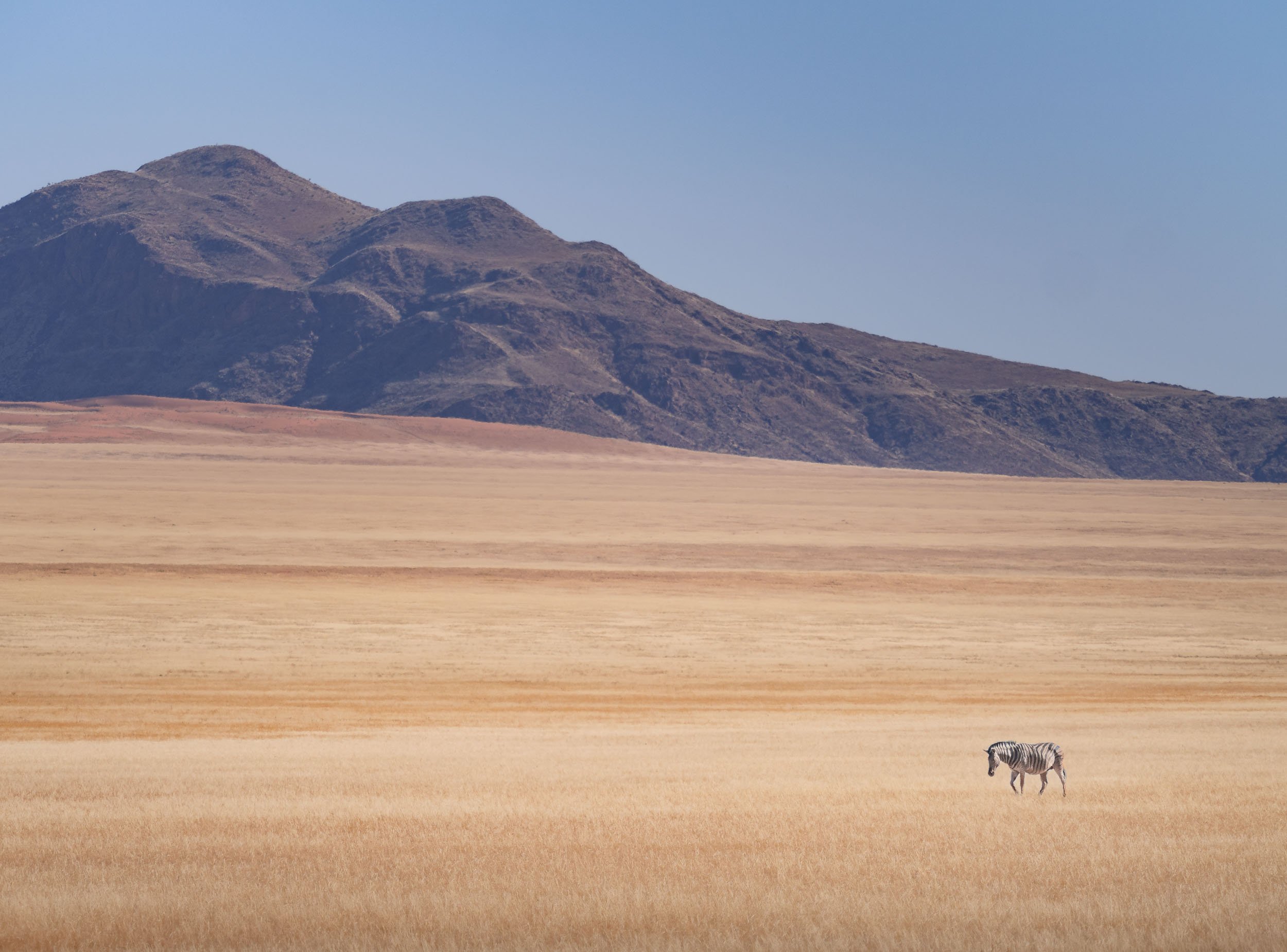
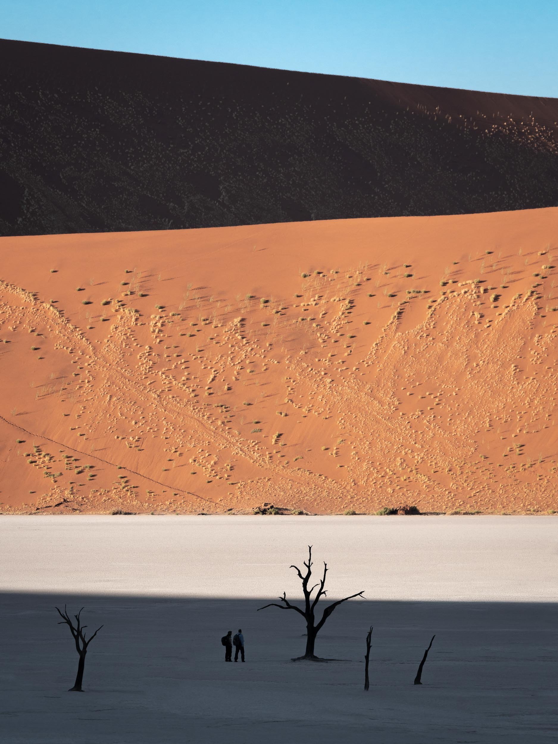
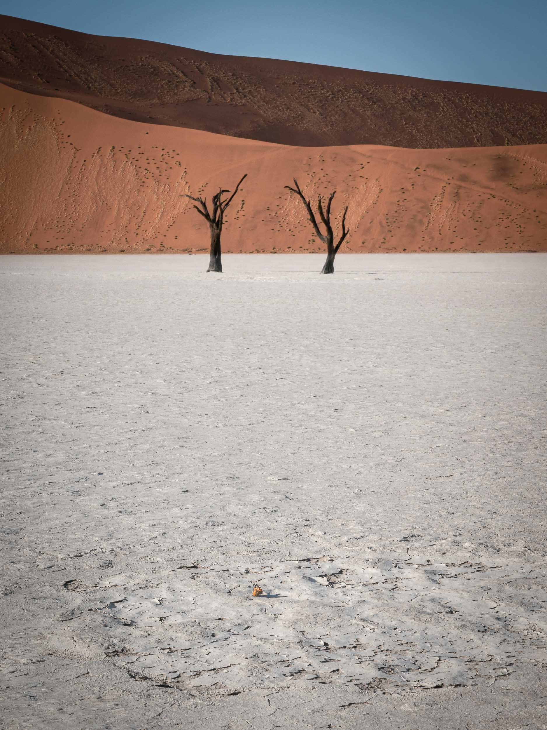
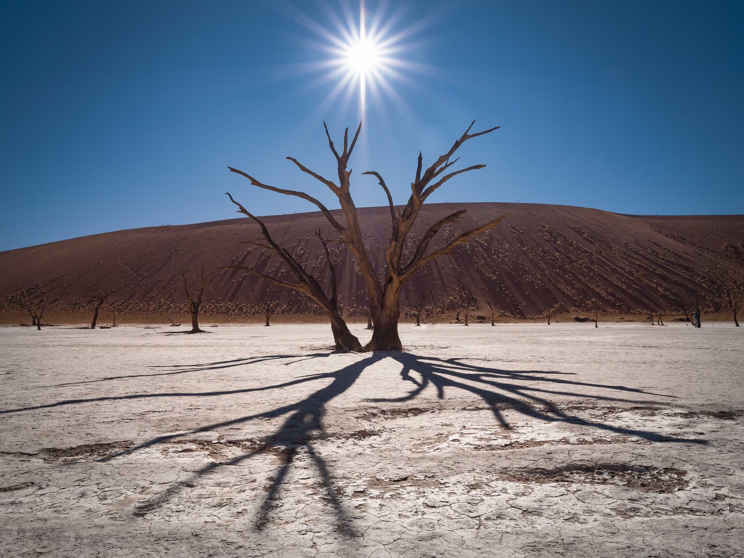
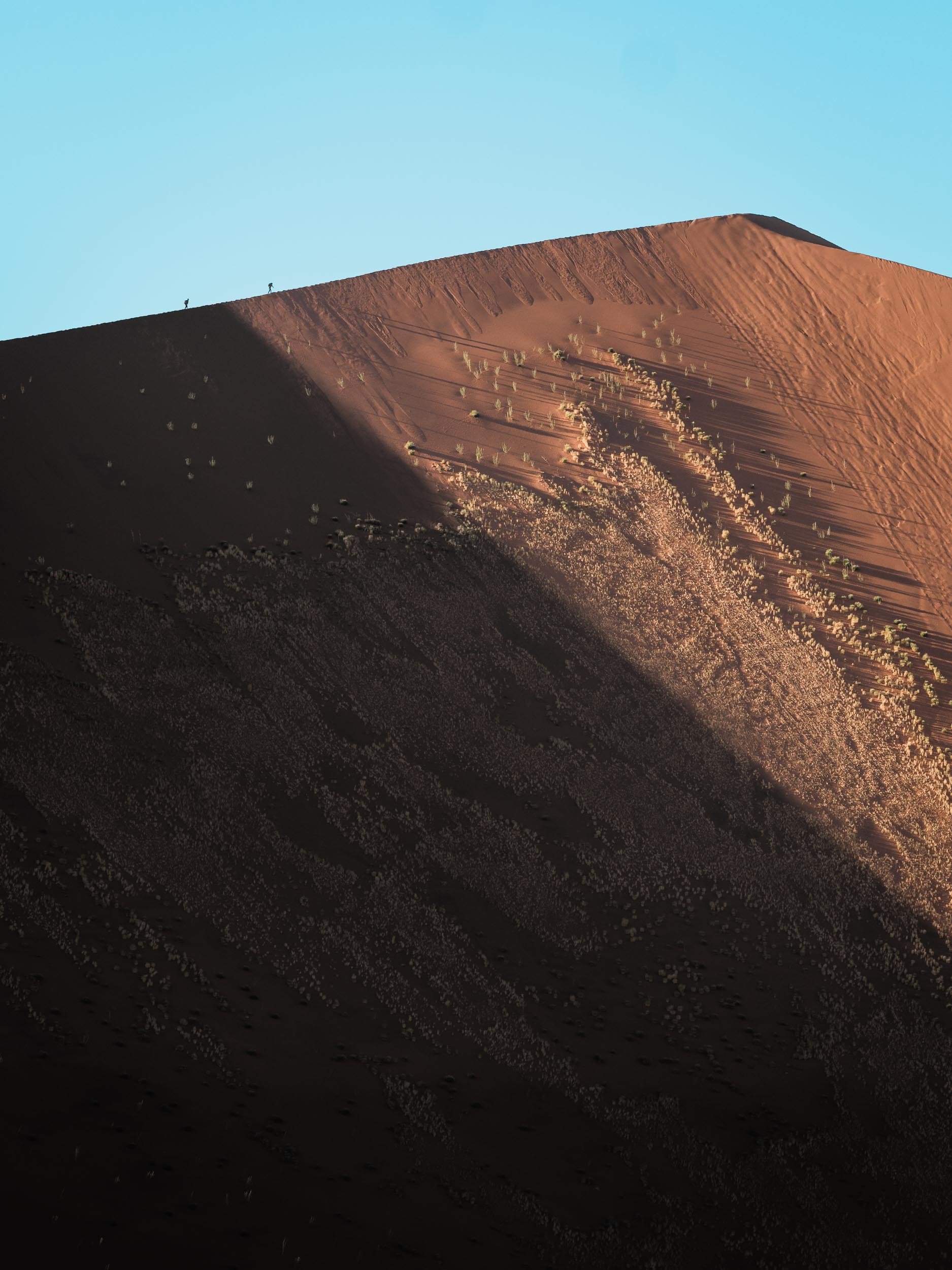
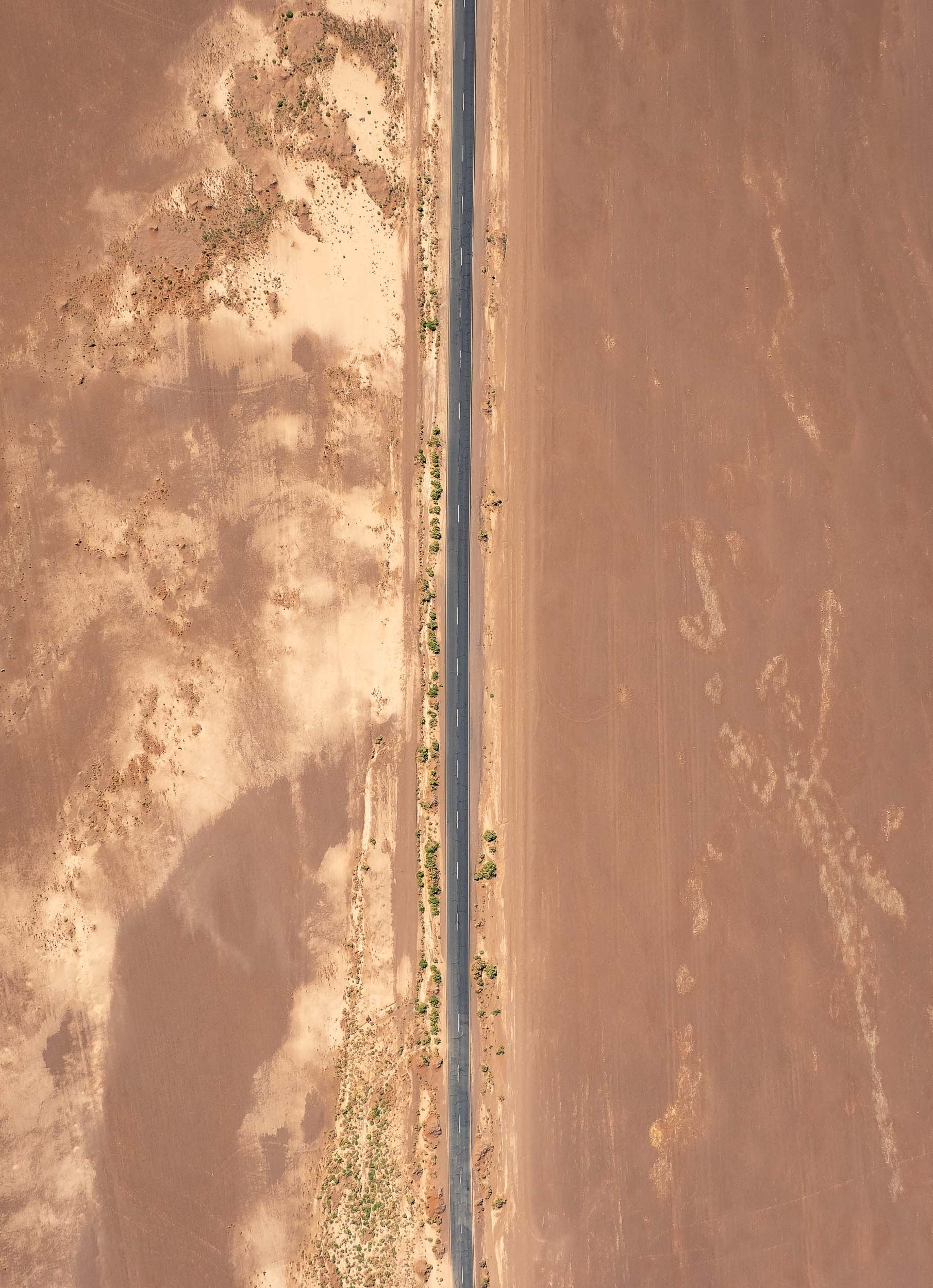
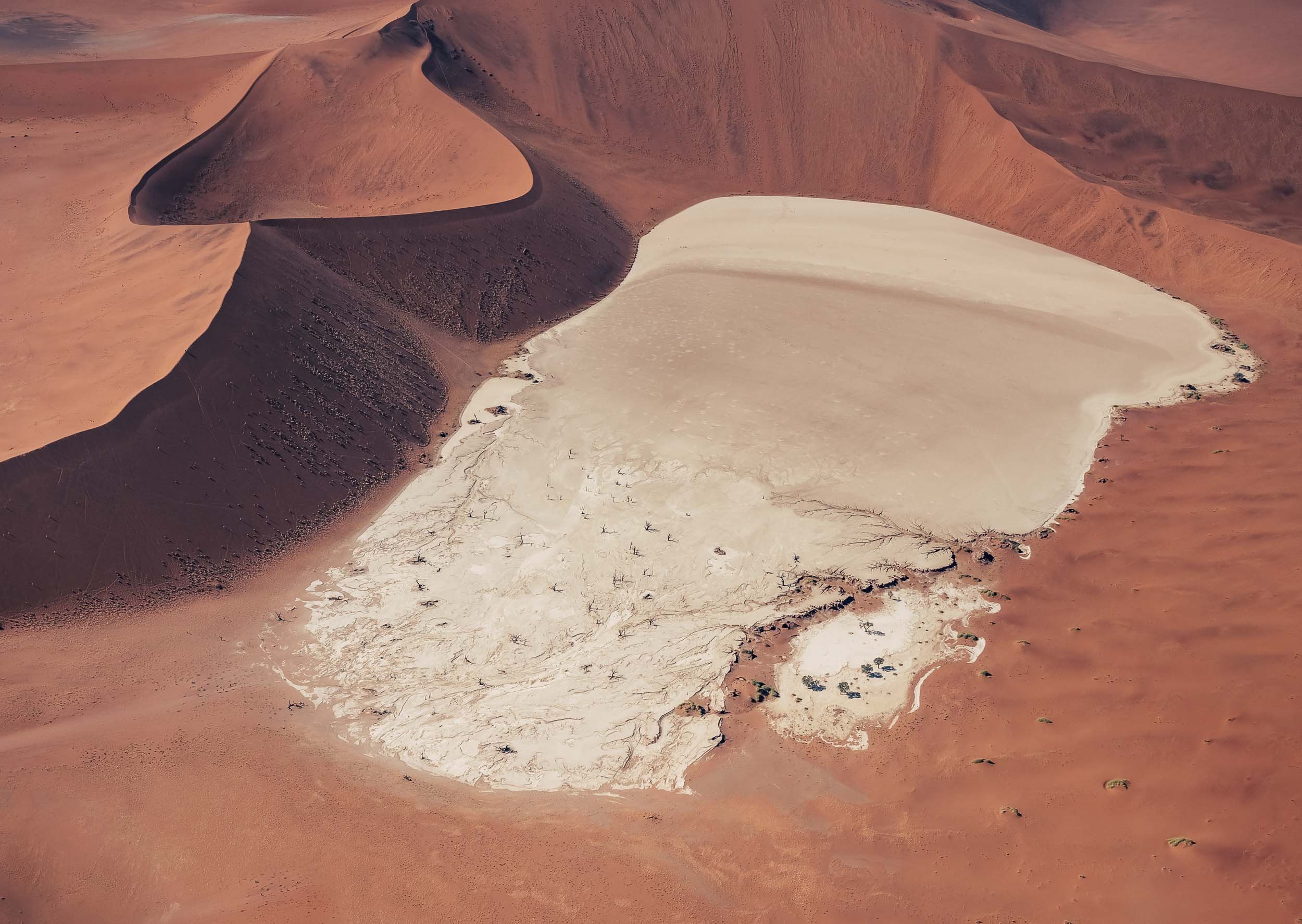
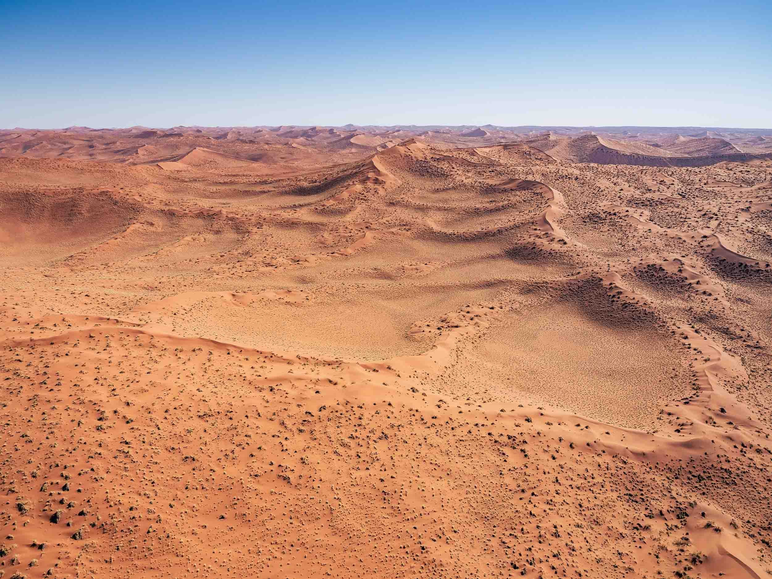
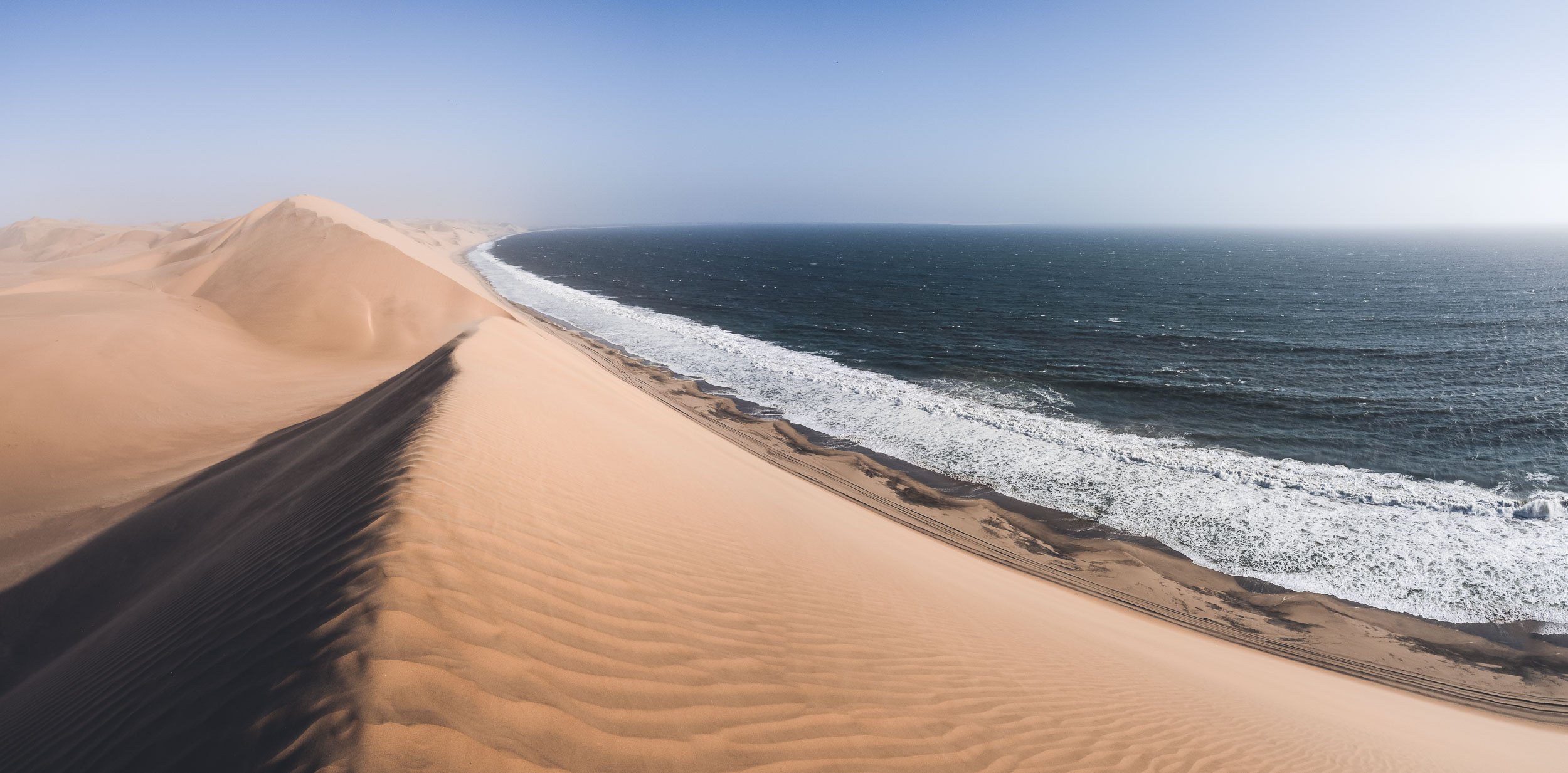
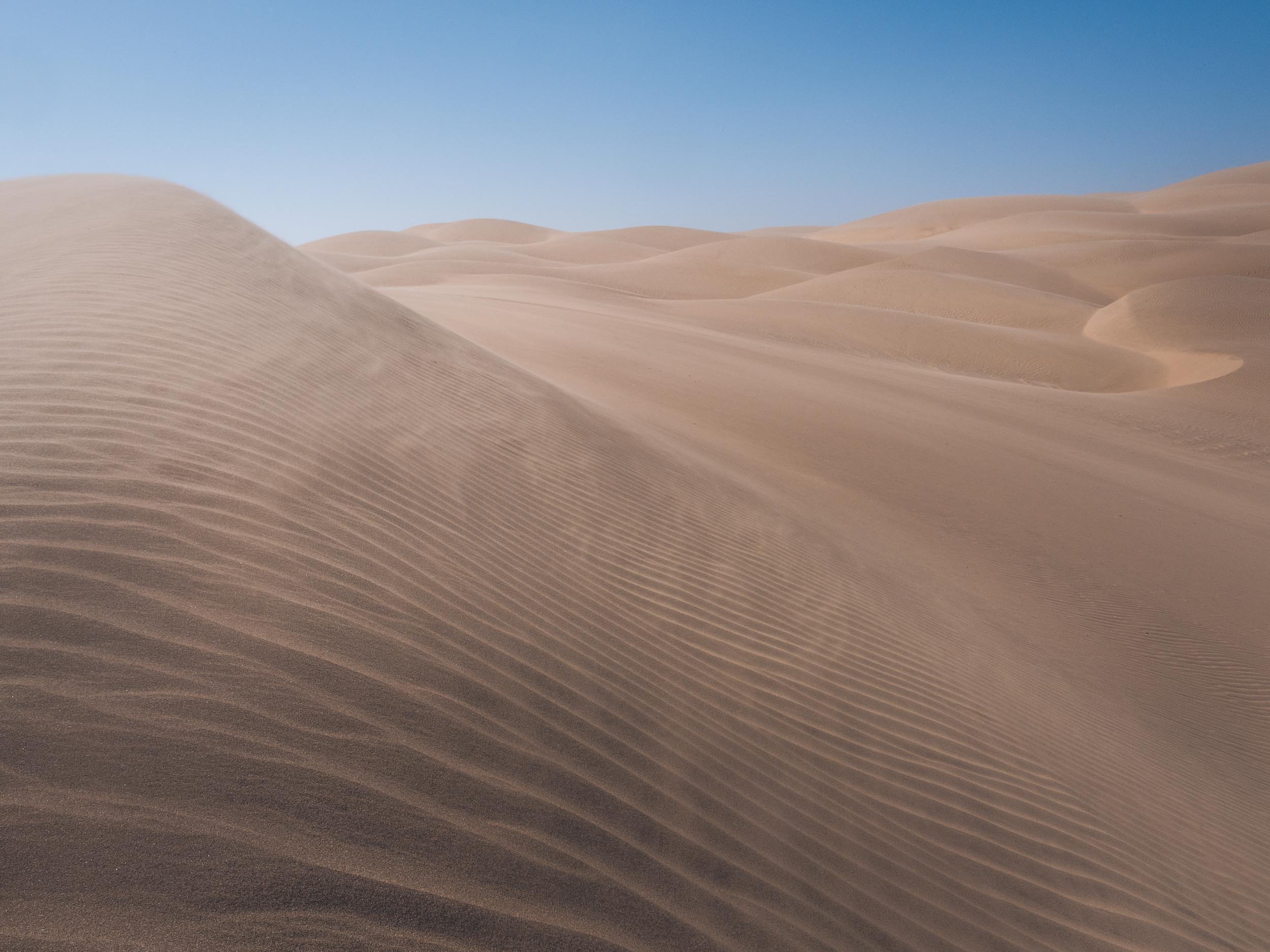
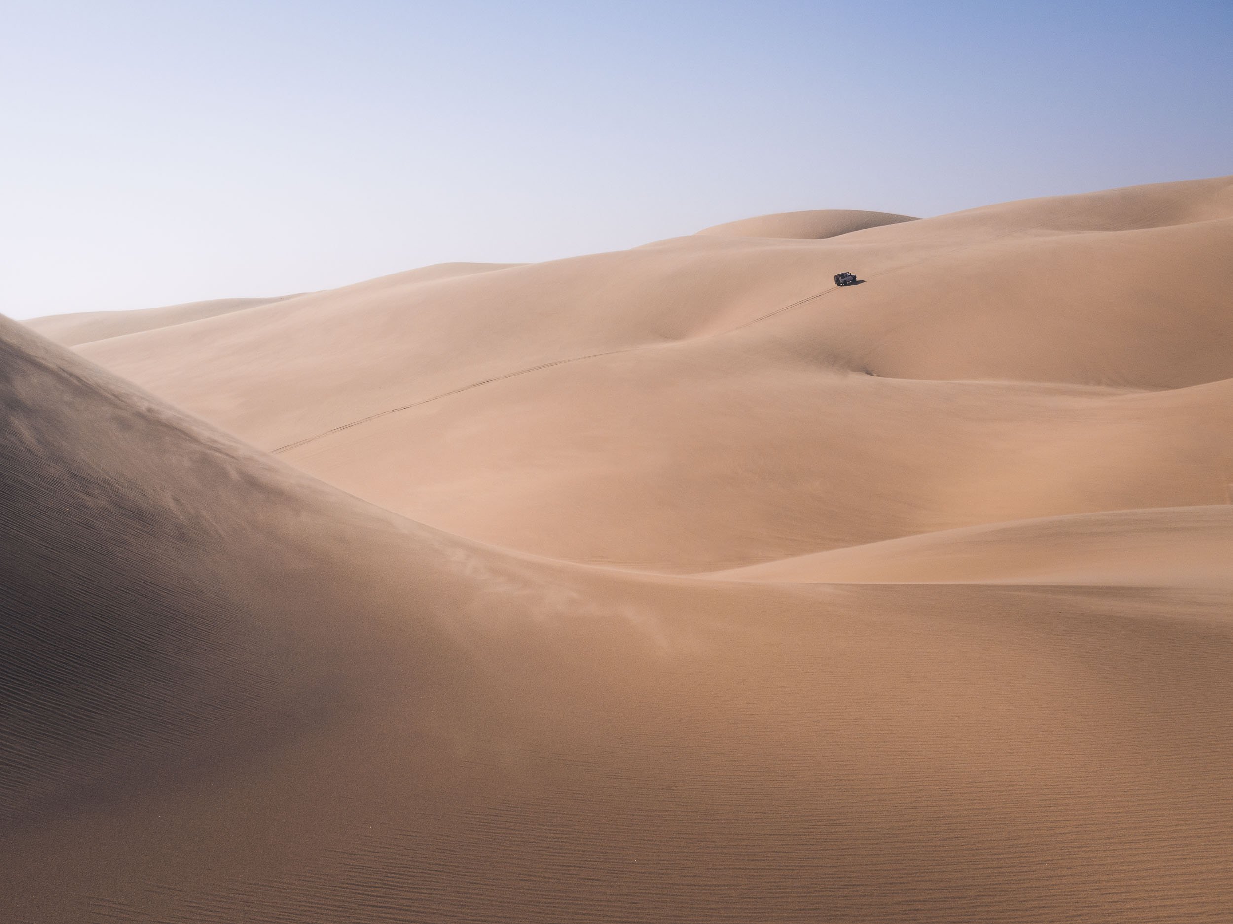
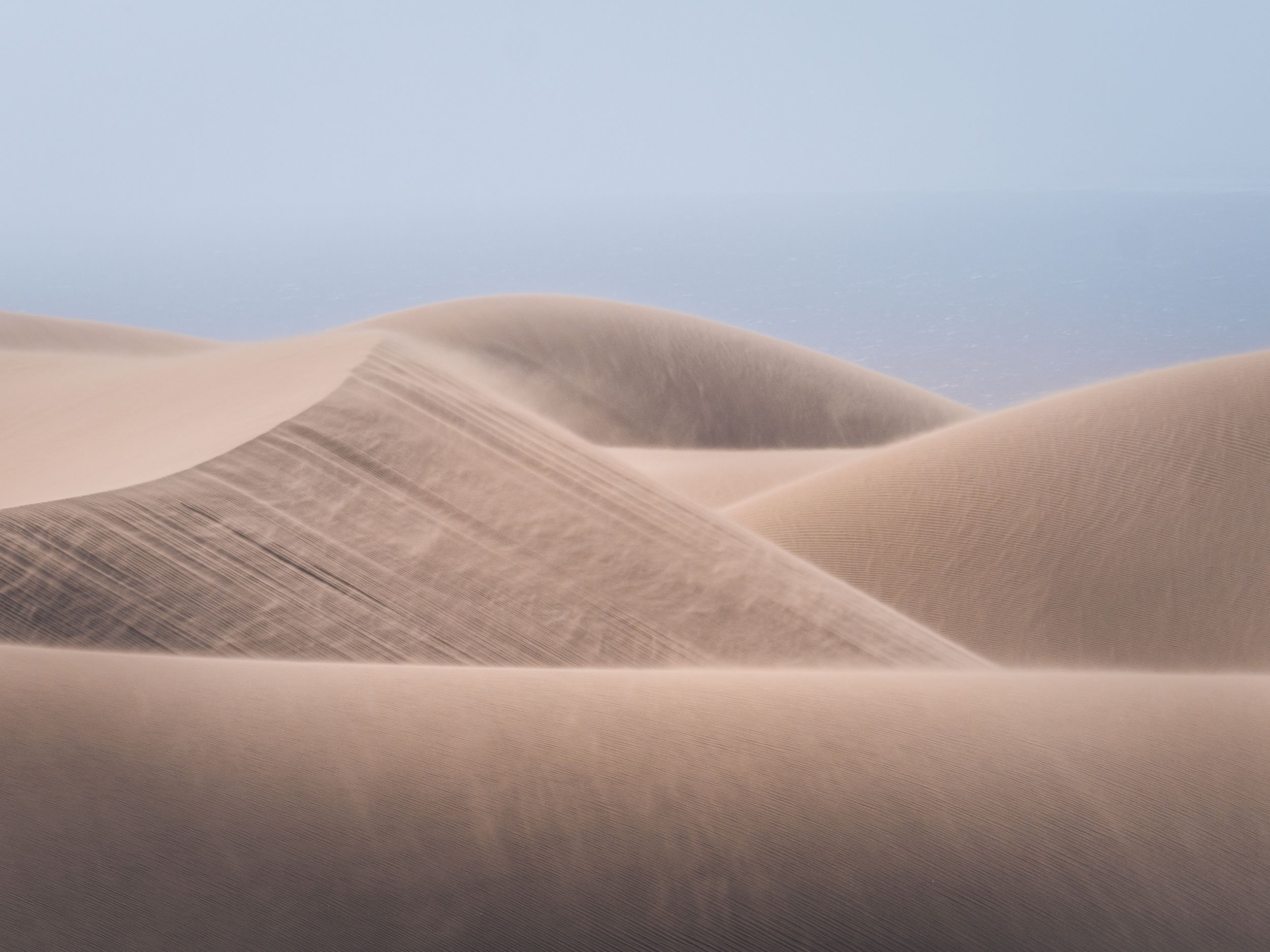
After Lüderitz and the abandoned town, our next destination was the famous dunes of the Namib Naukluft National Park a bit further north of the country.


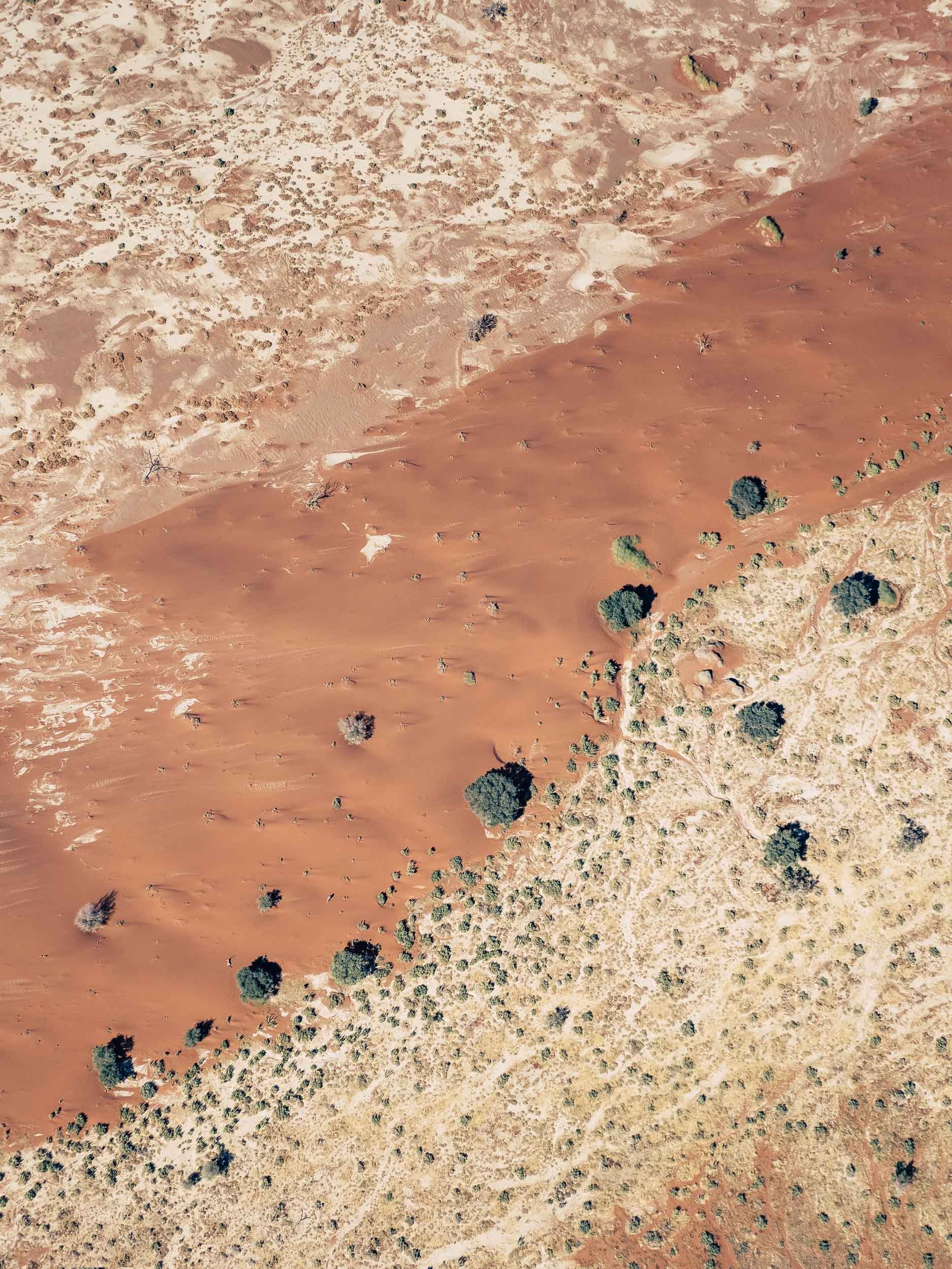

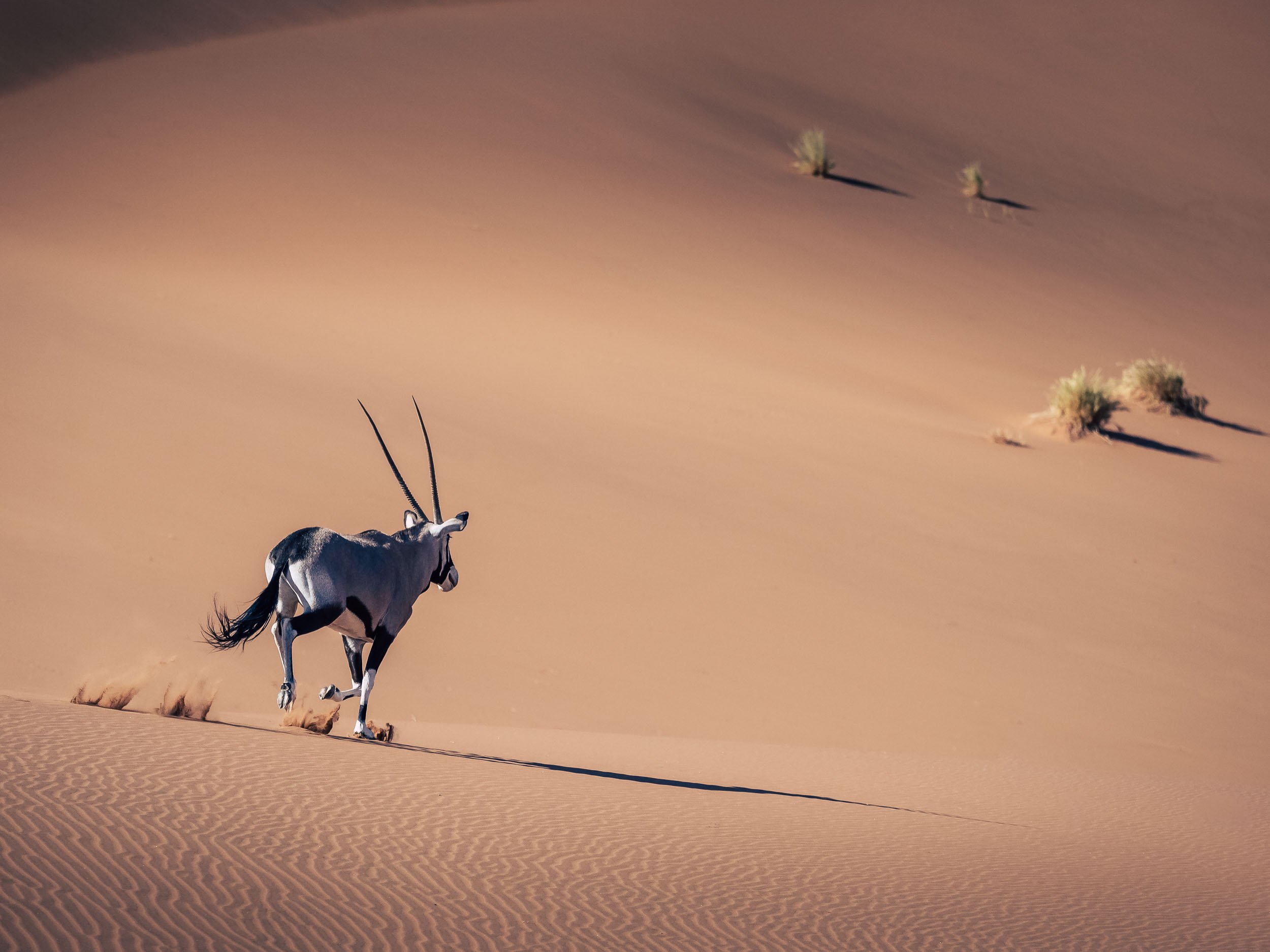
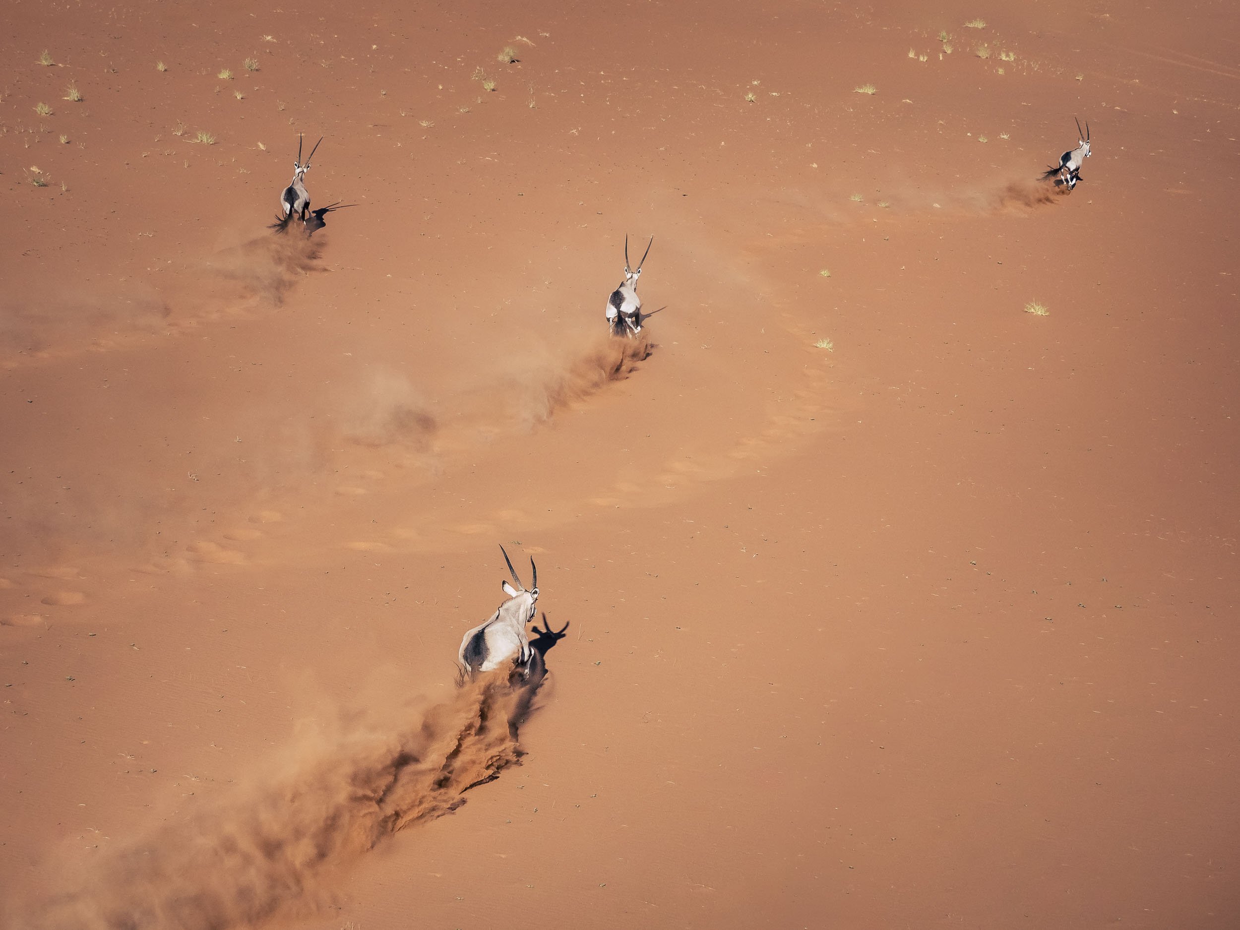
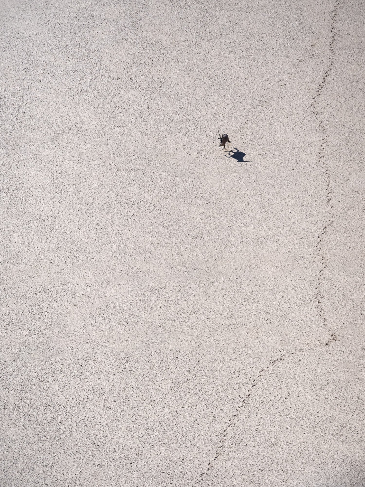

Swakopmund
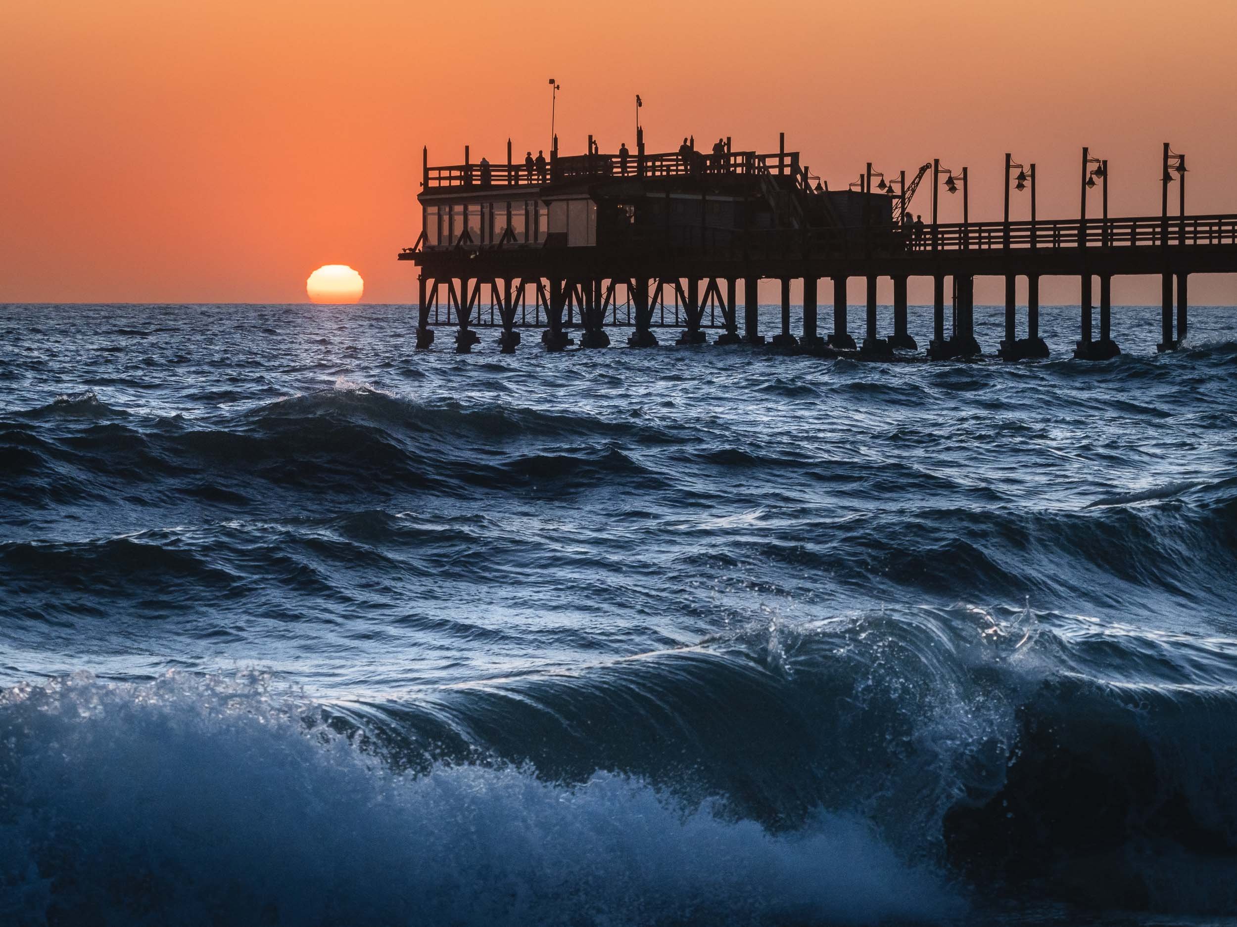
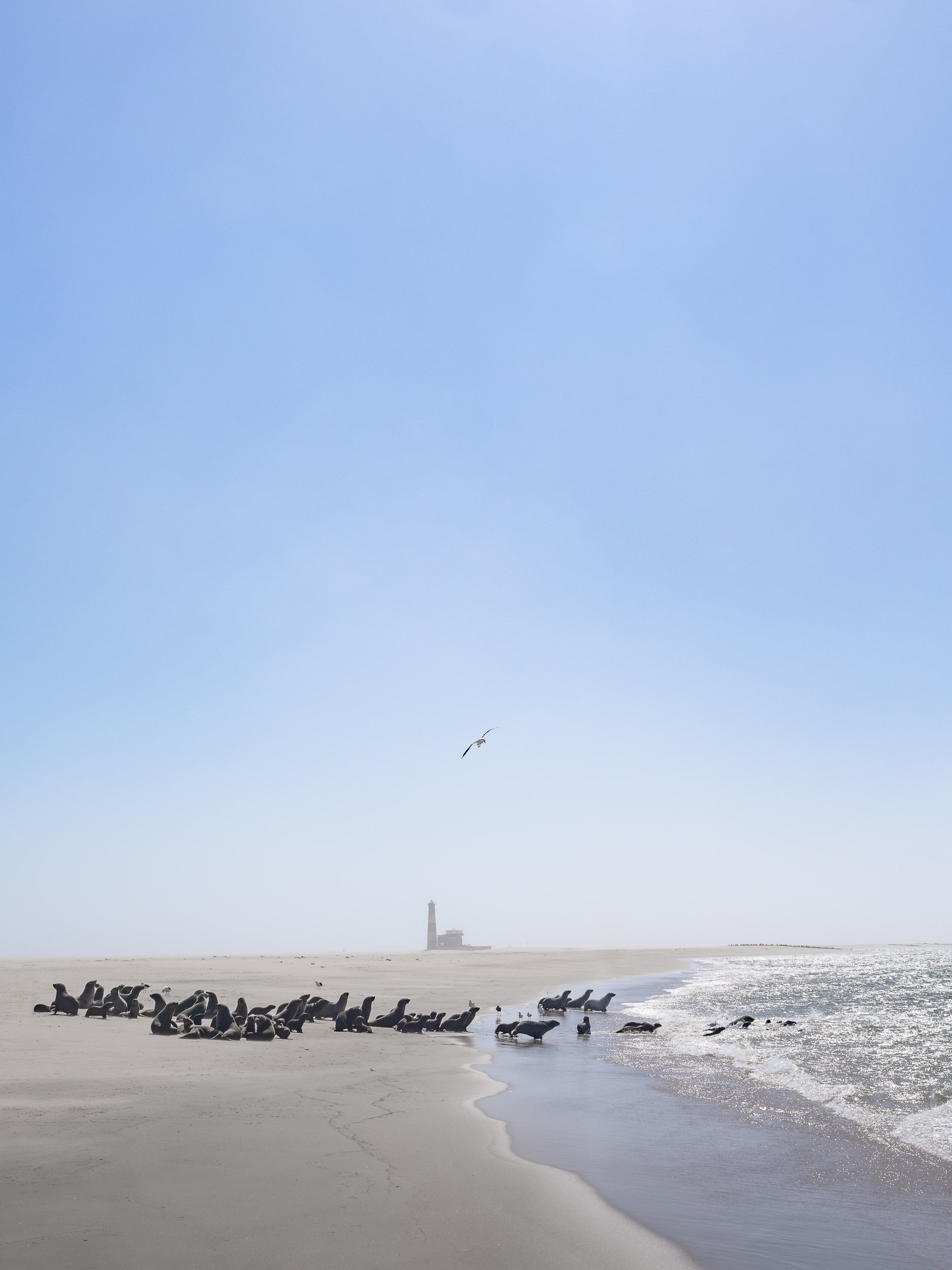
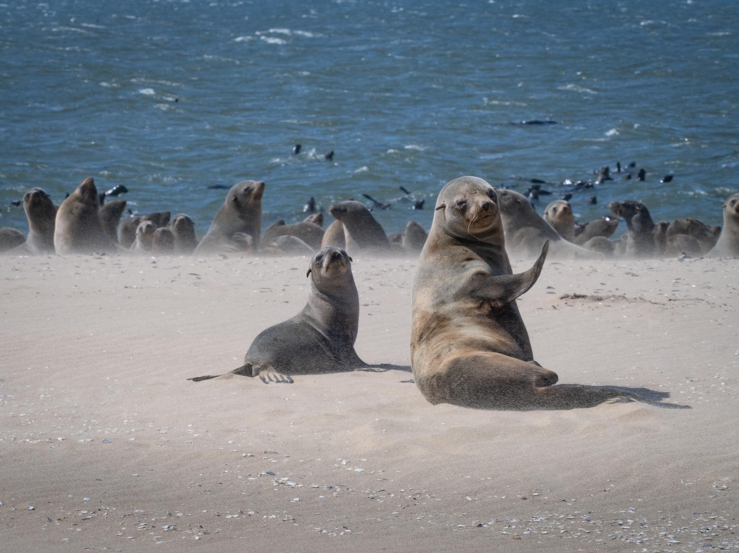
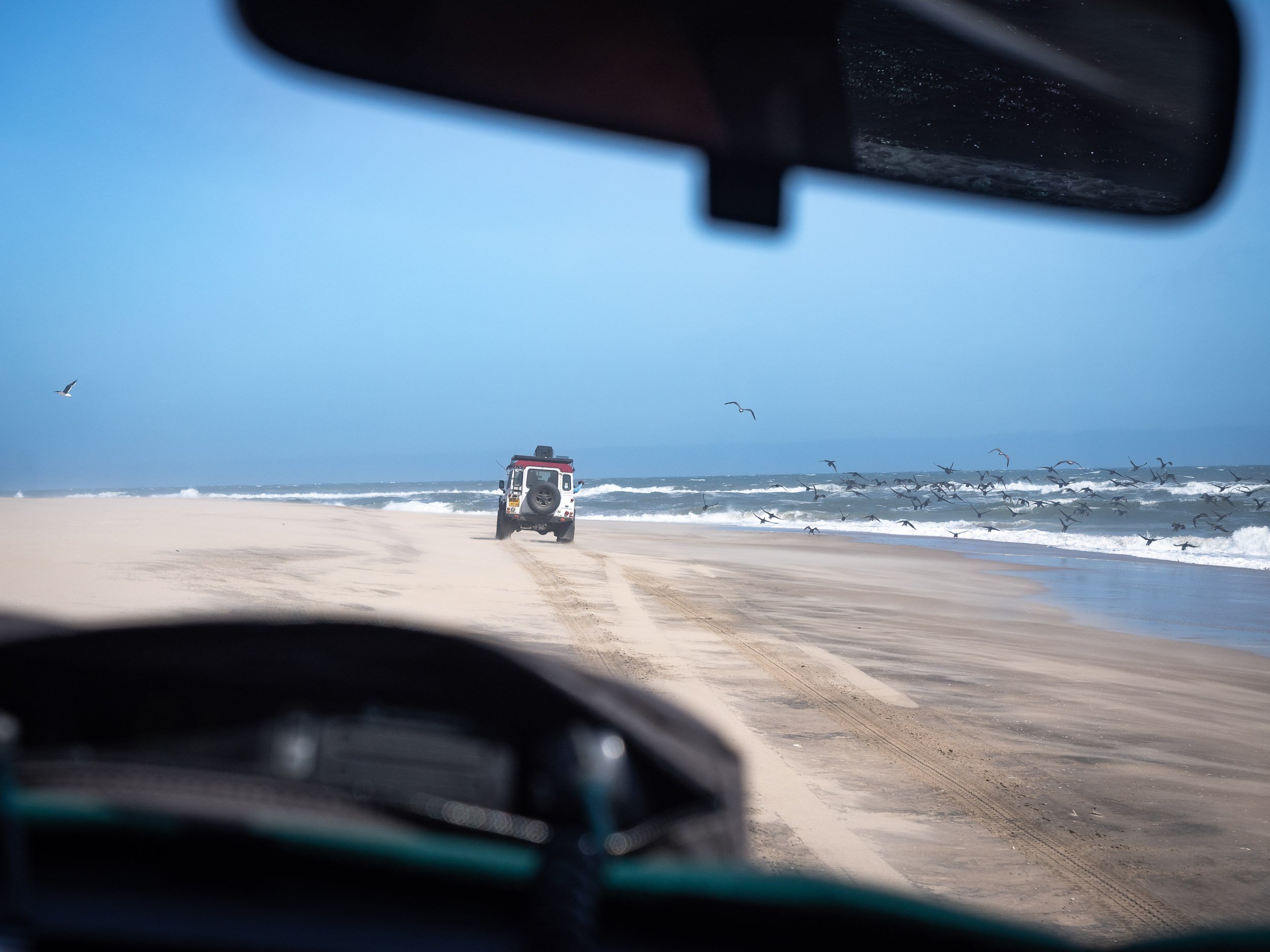
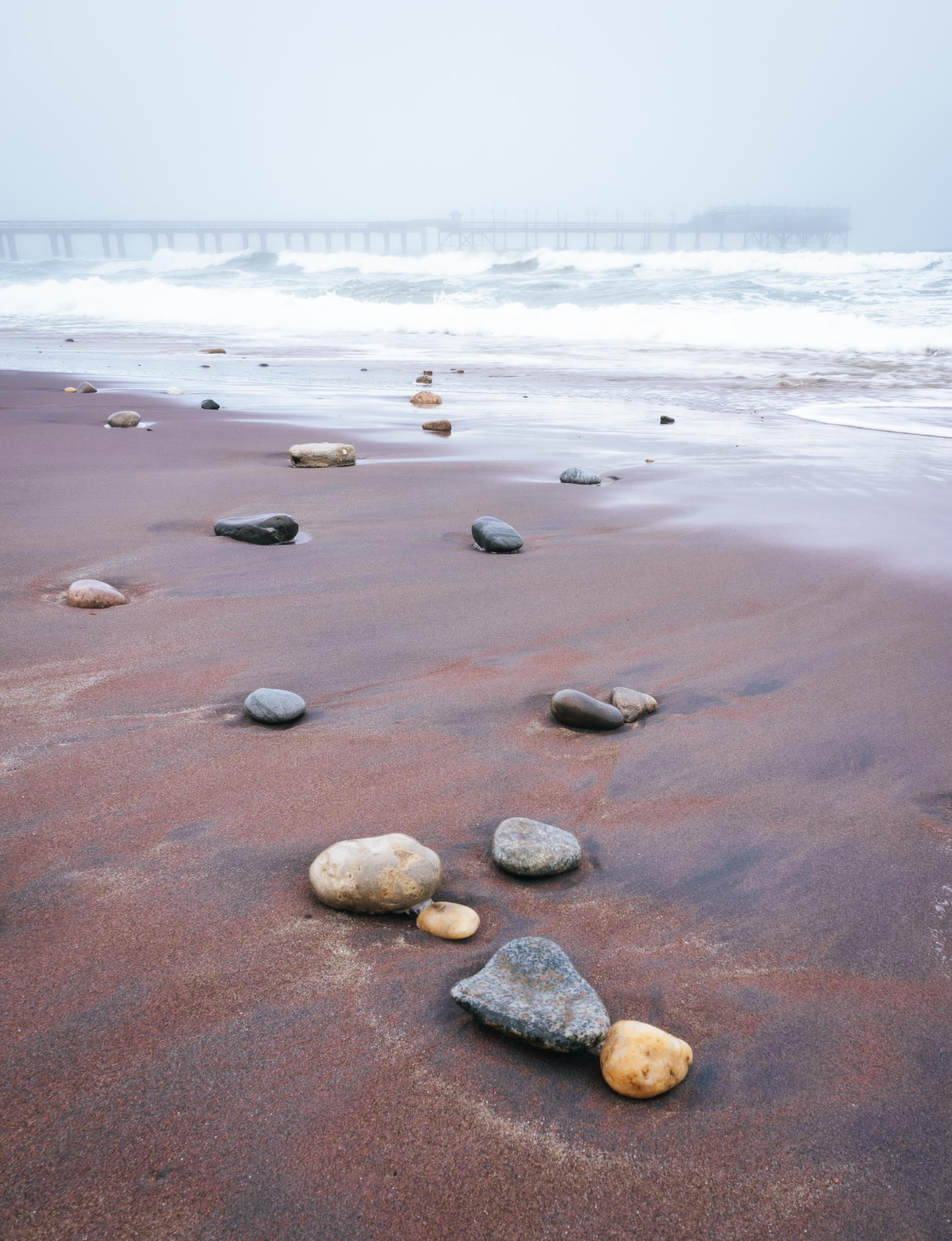
To the northern end of the park lies this small city and its attractions.

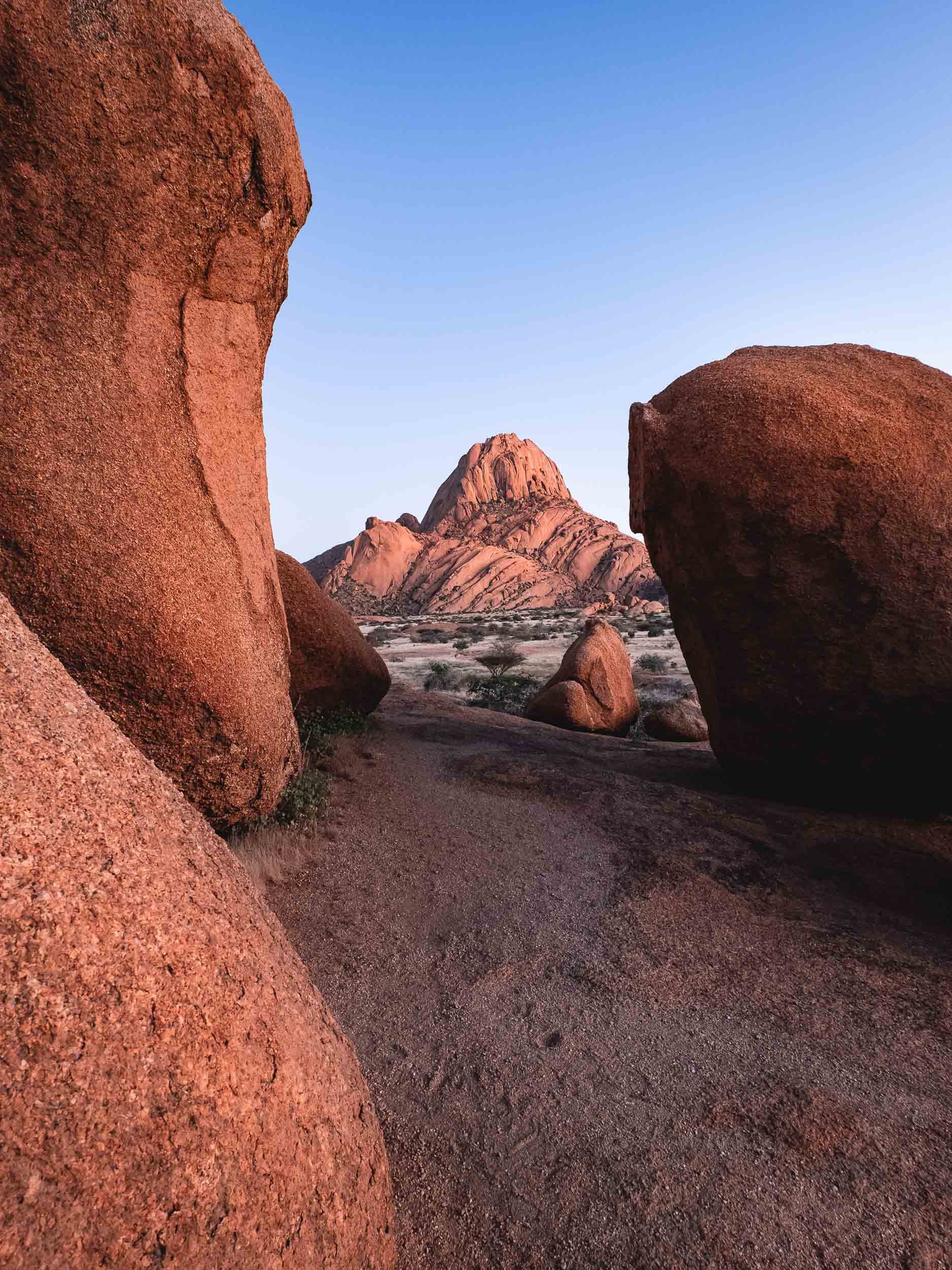
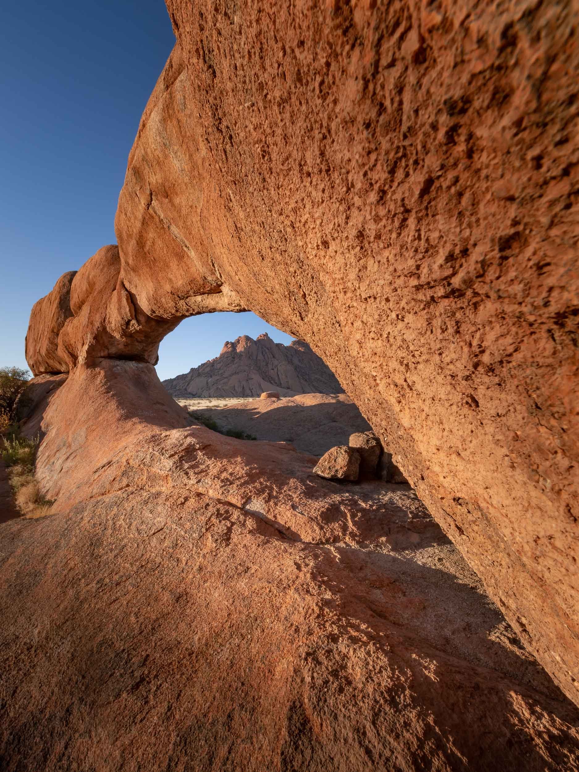
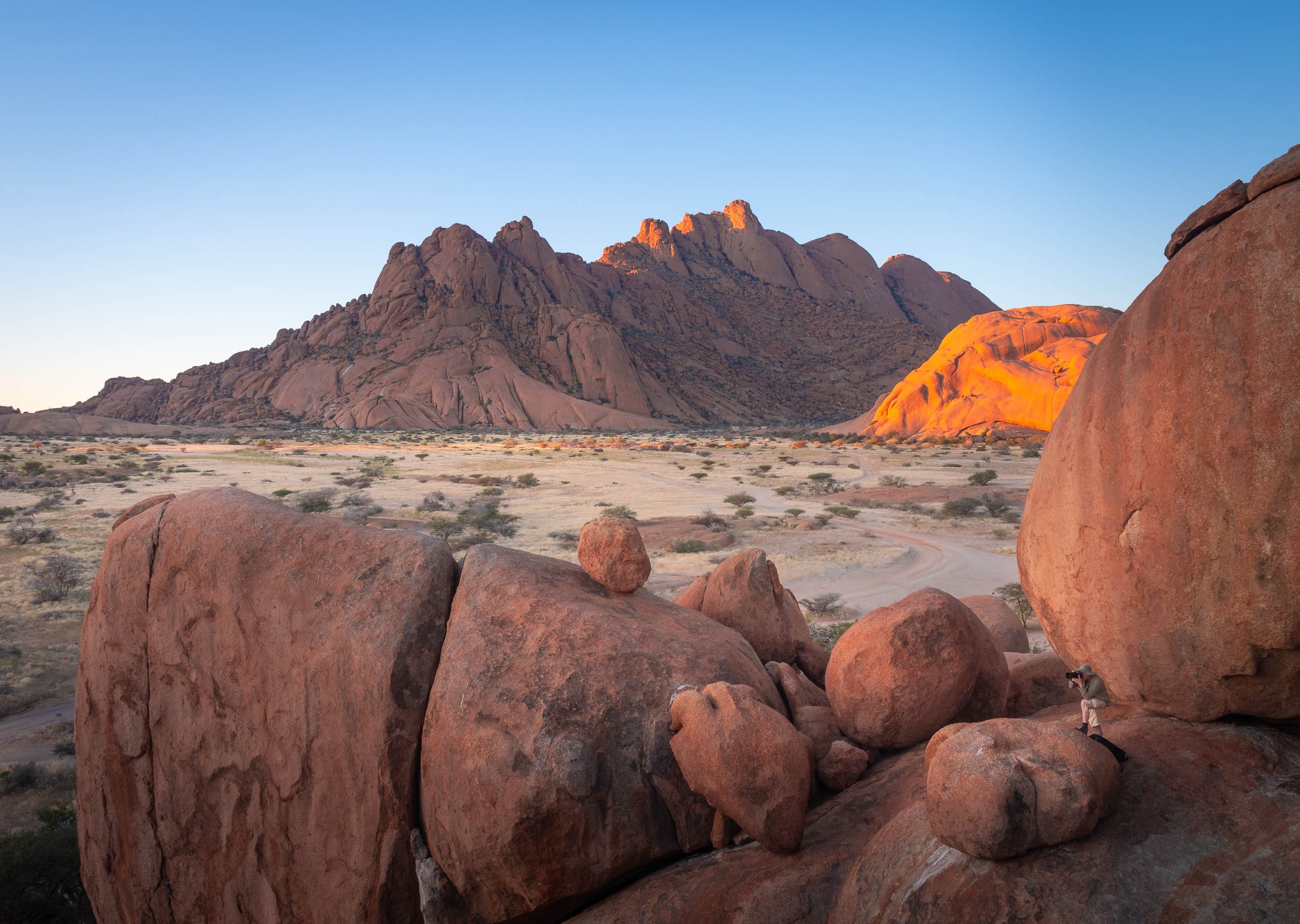
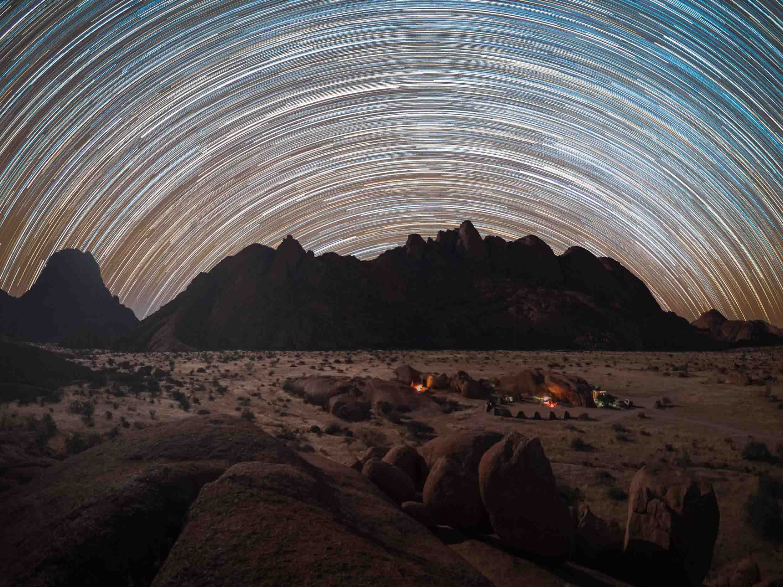
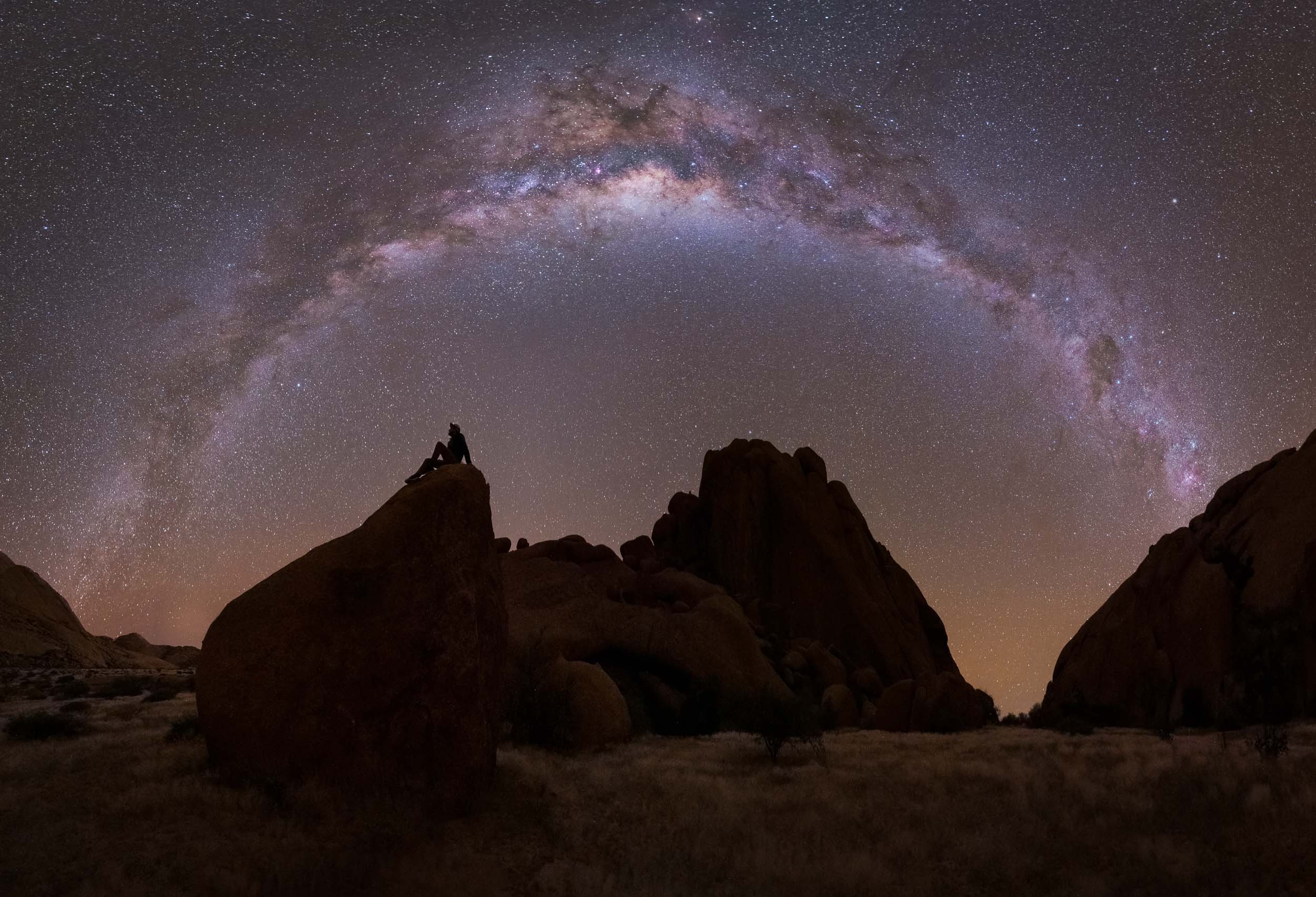
The Spitzkoppe
or Africa’s Matterhorn, as they call it.


Etosha National Park
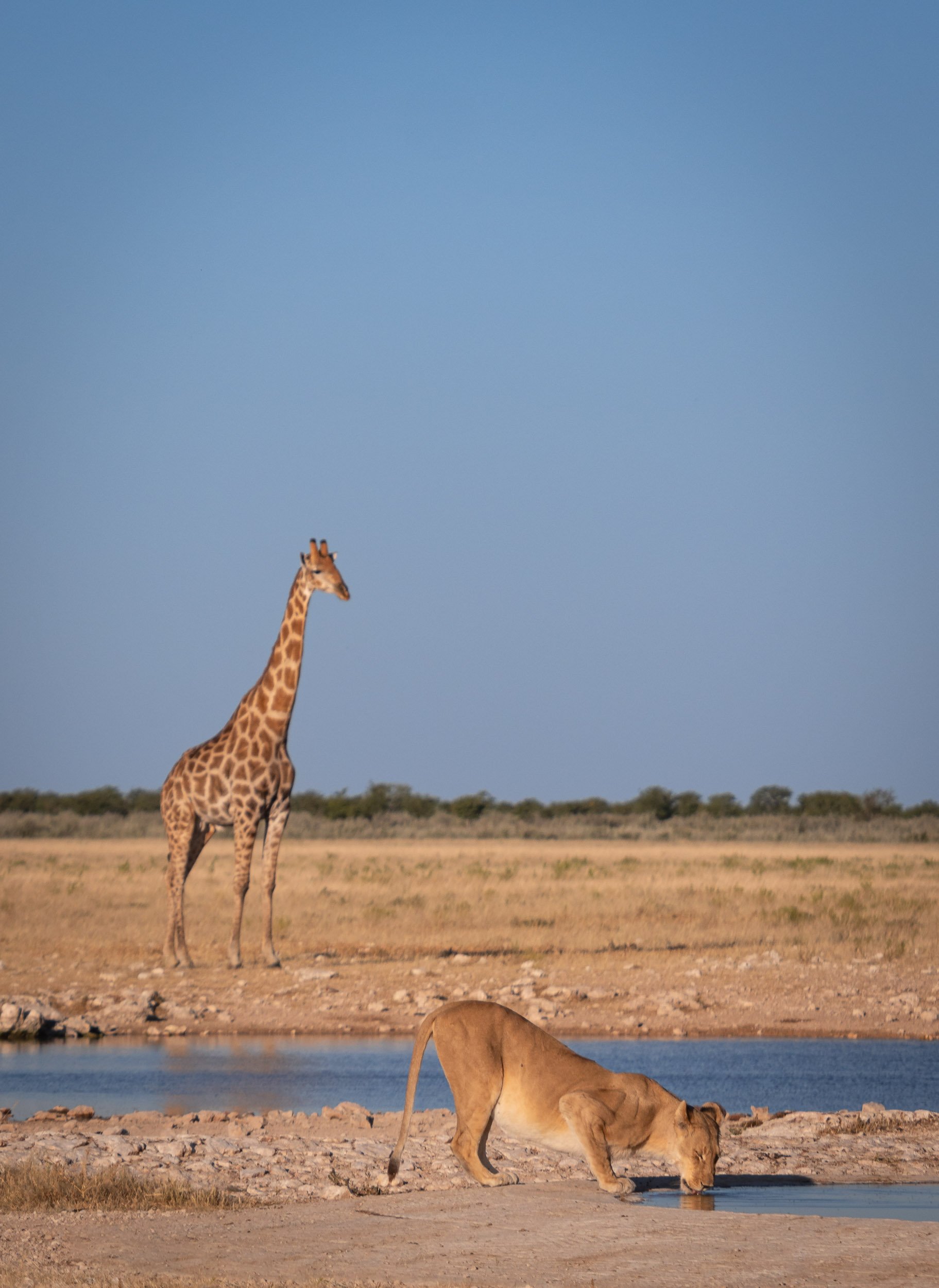
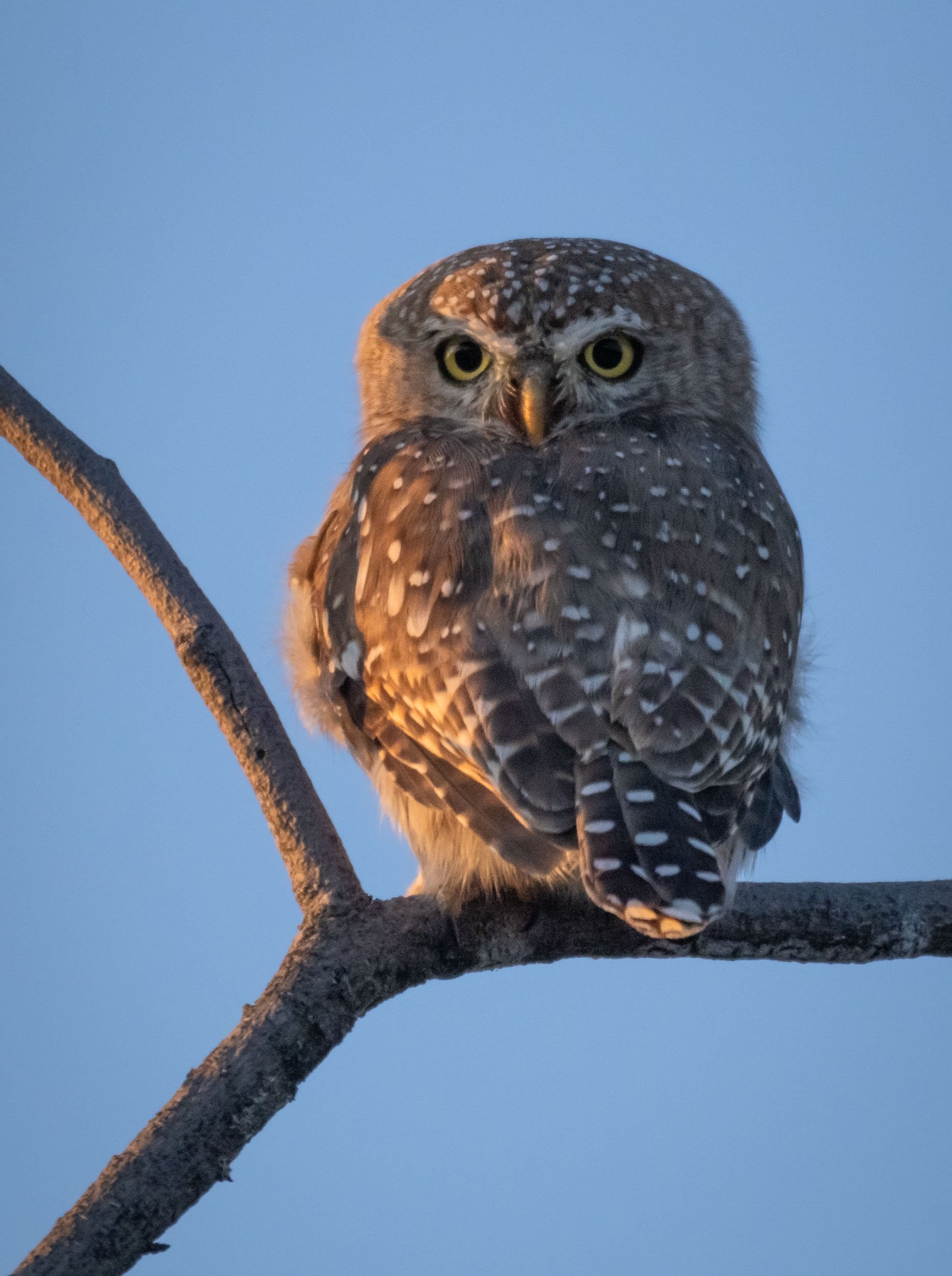
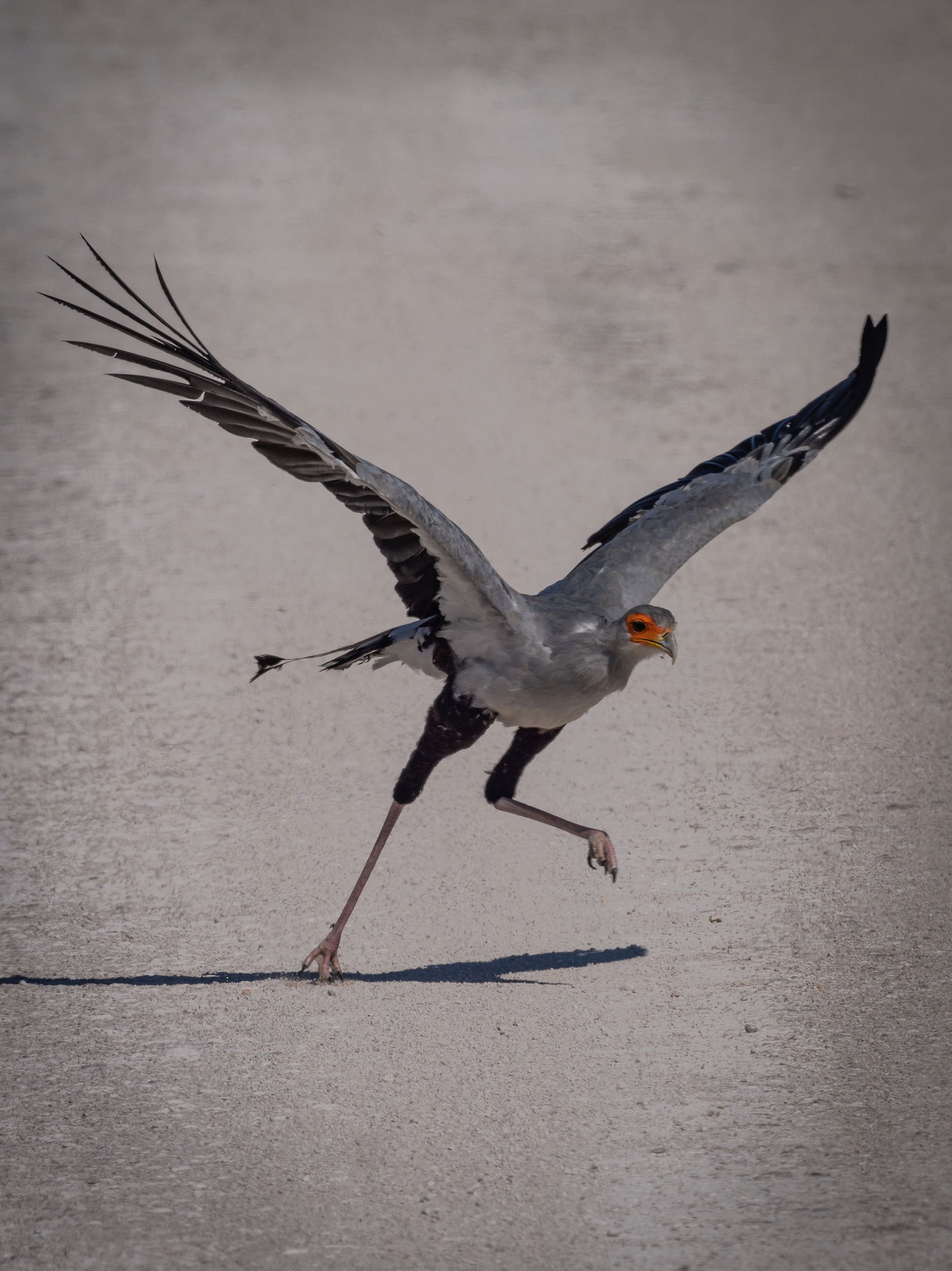
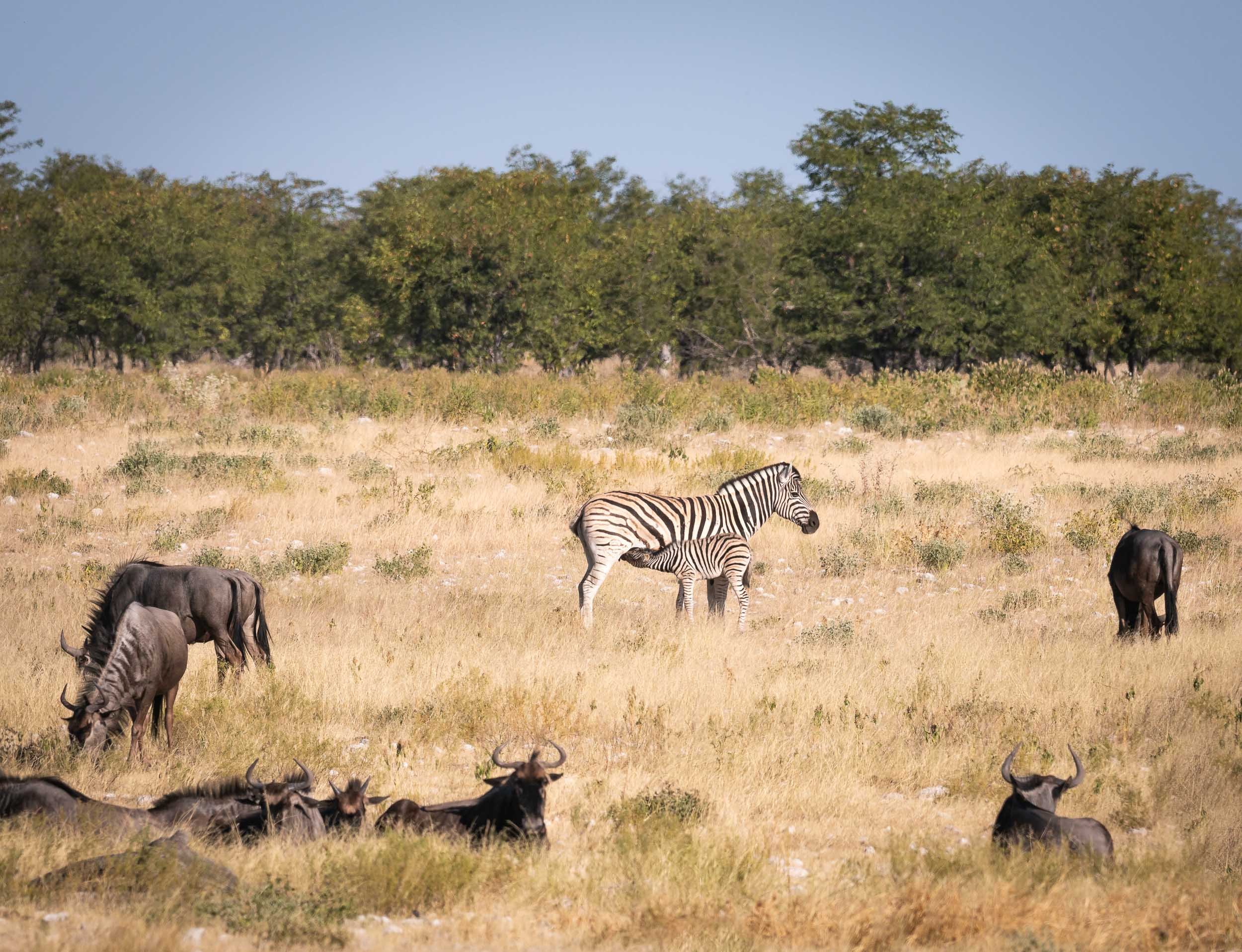
Our last destination was in the northern part of the country for some wildlife viewing.
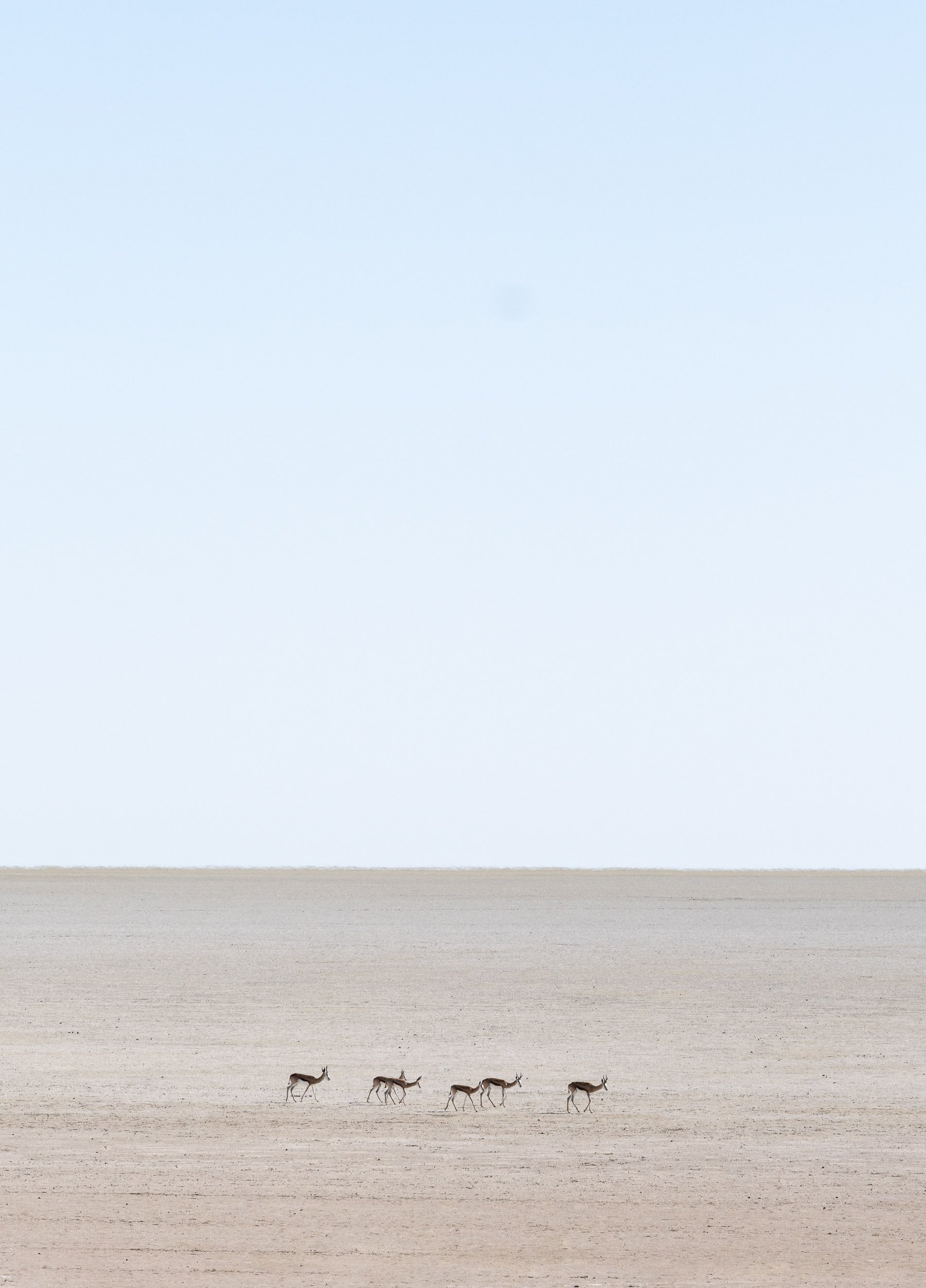
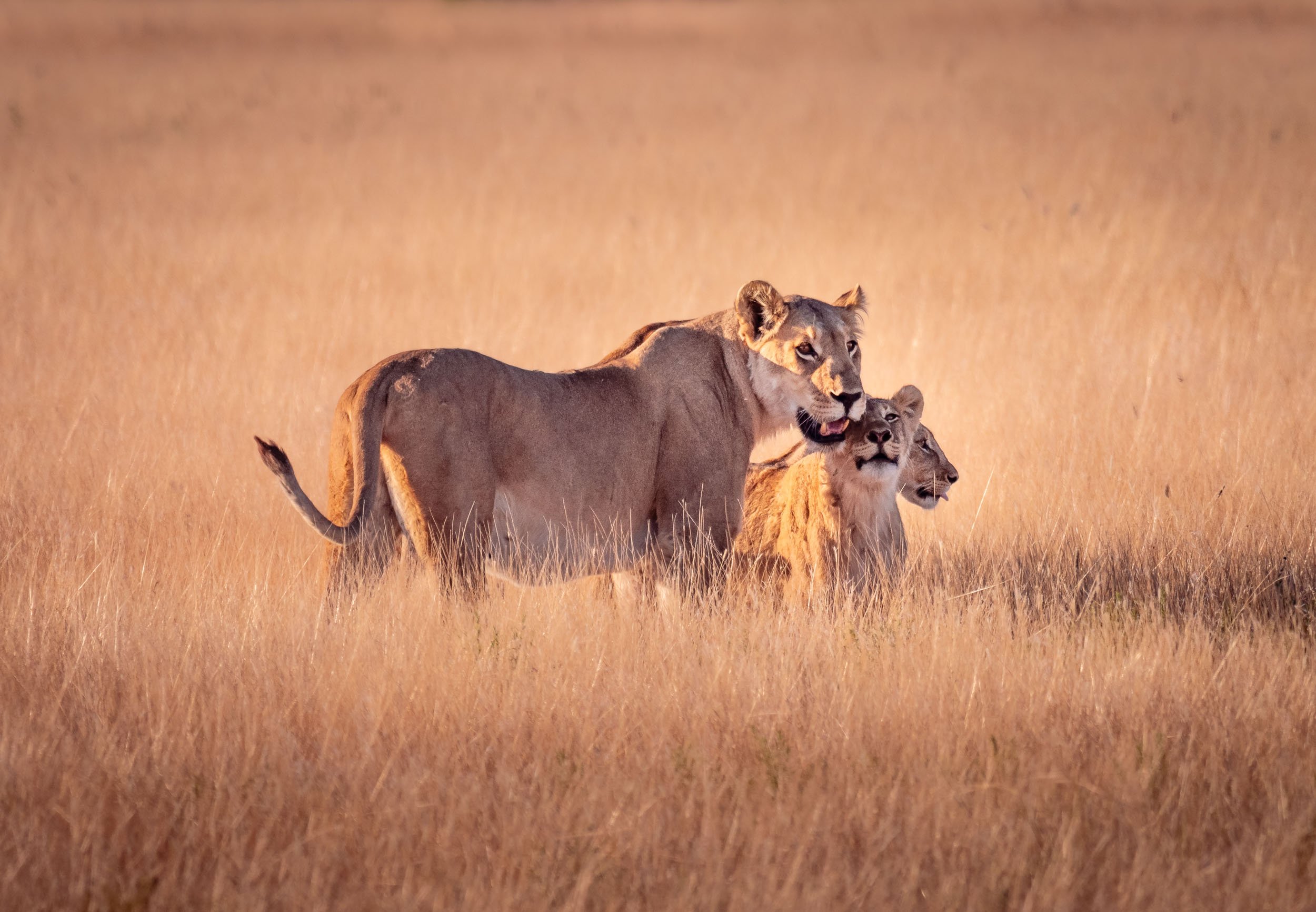
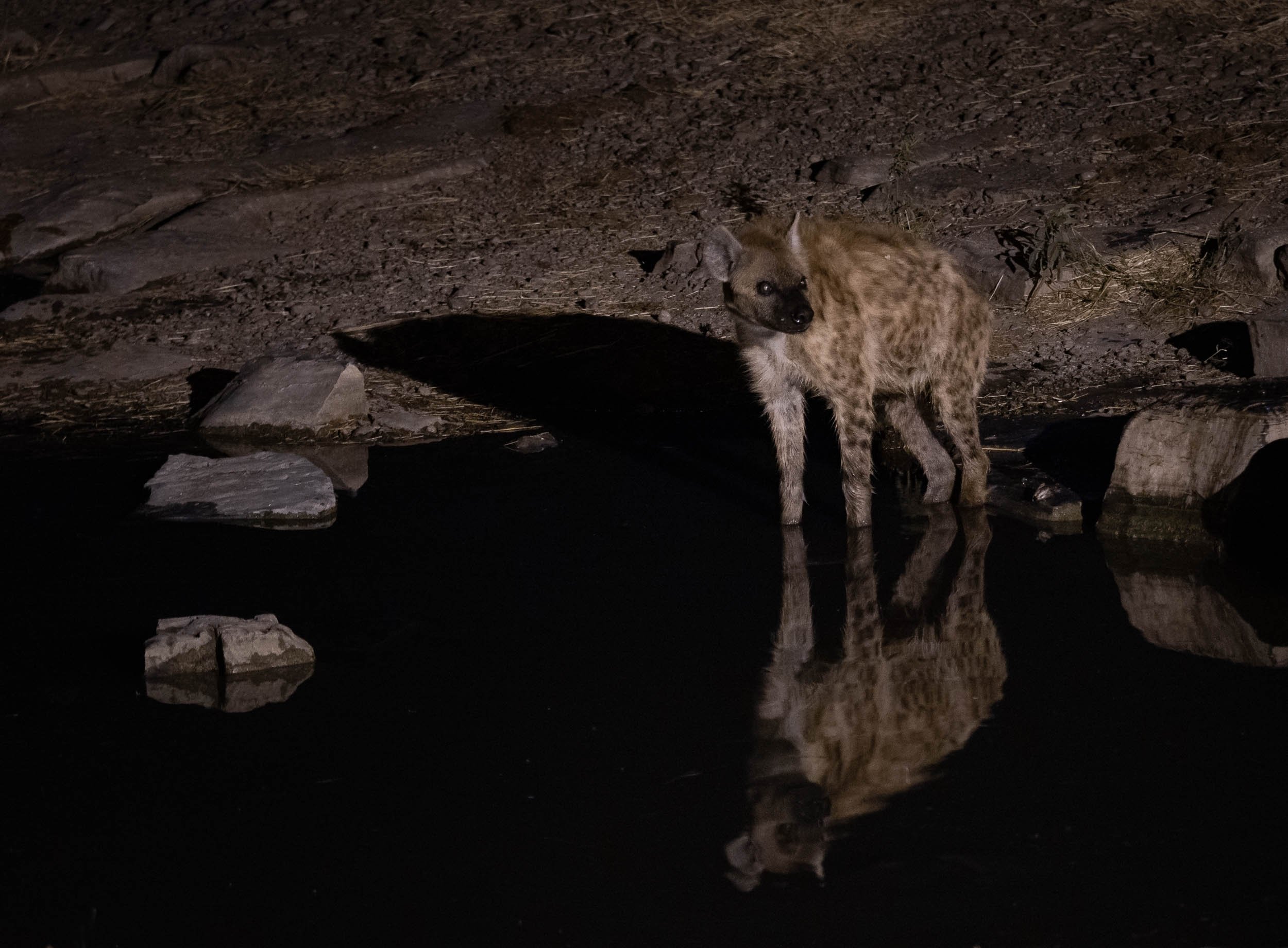
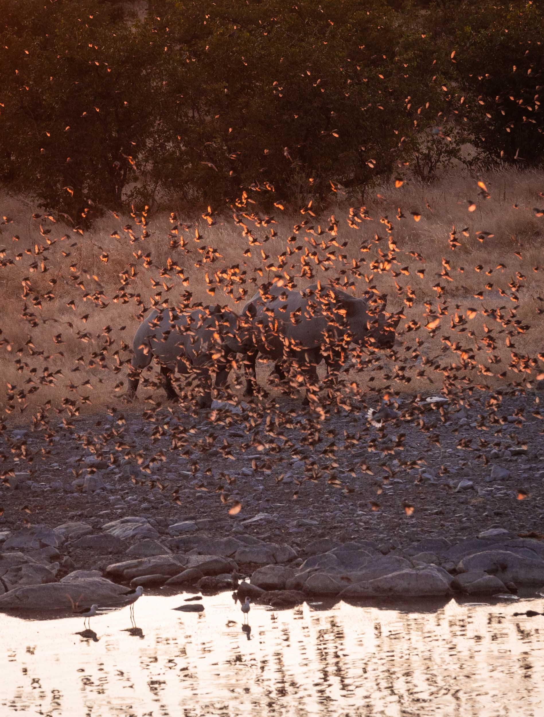
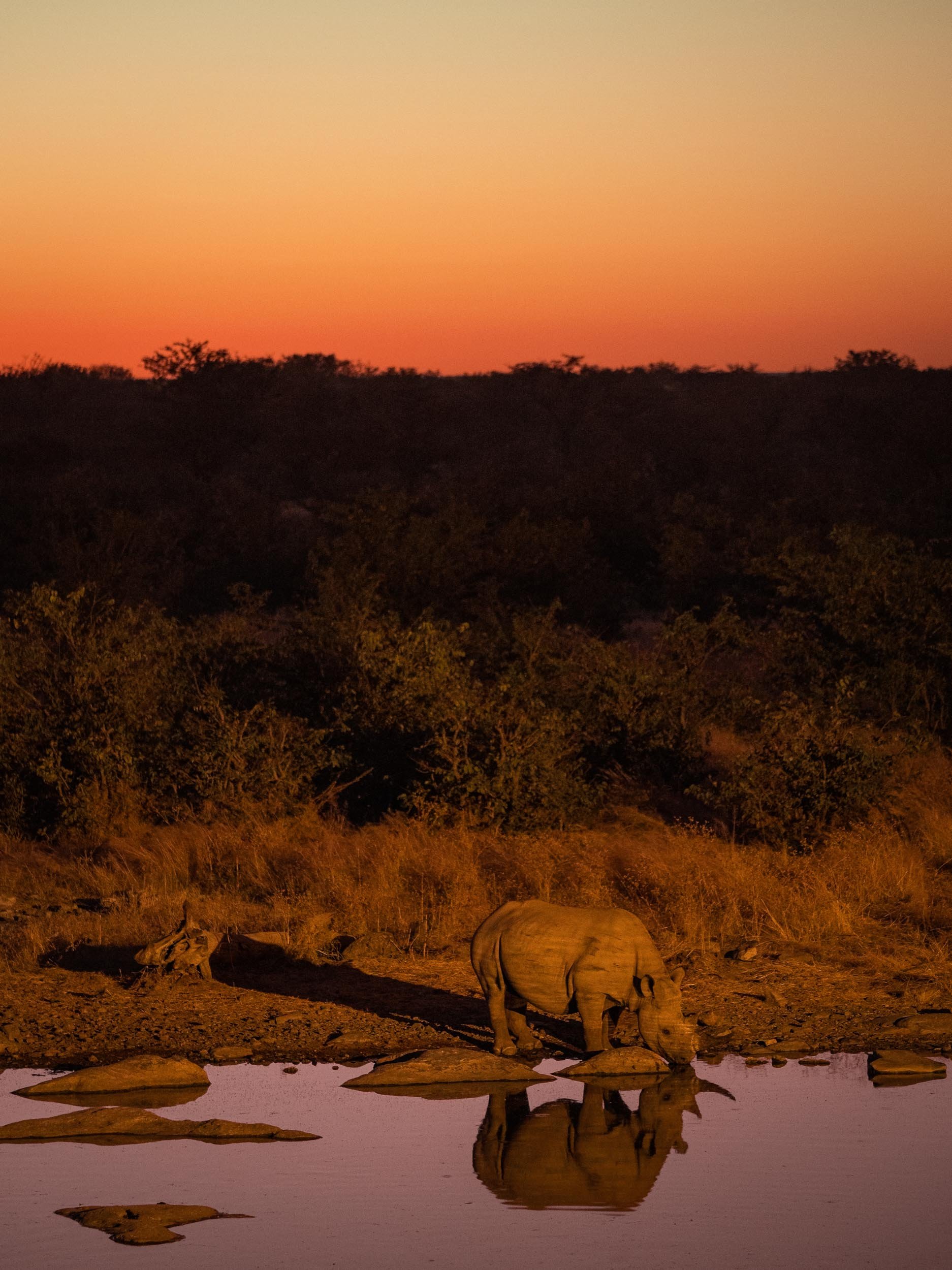
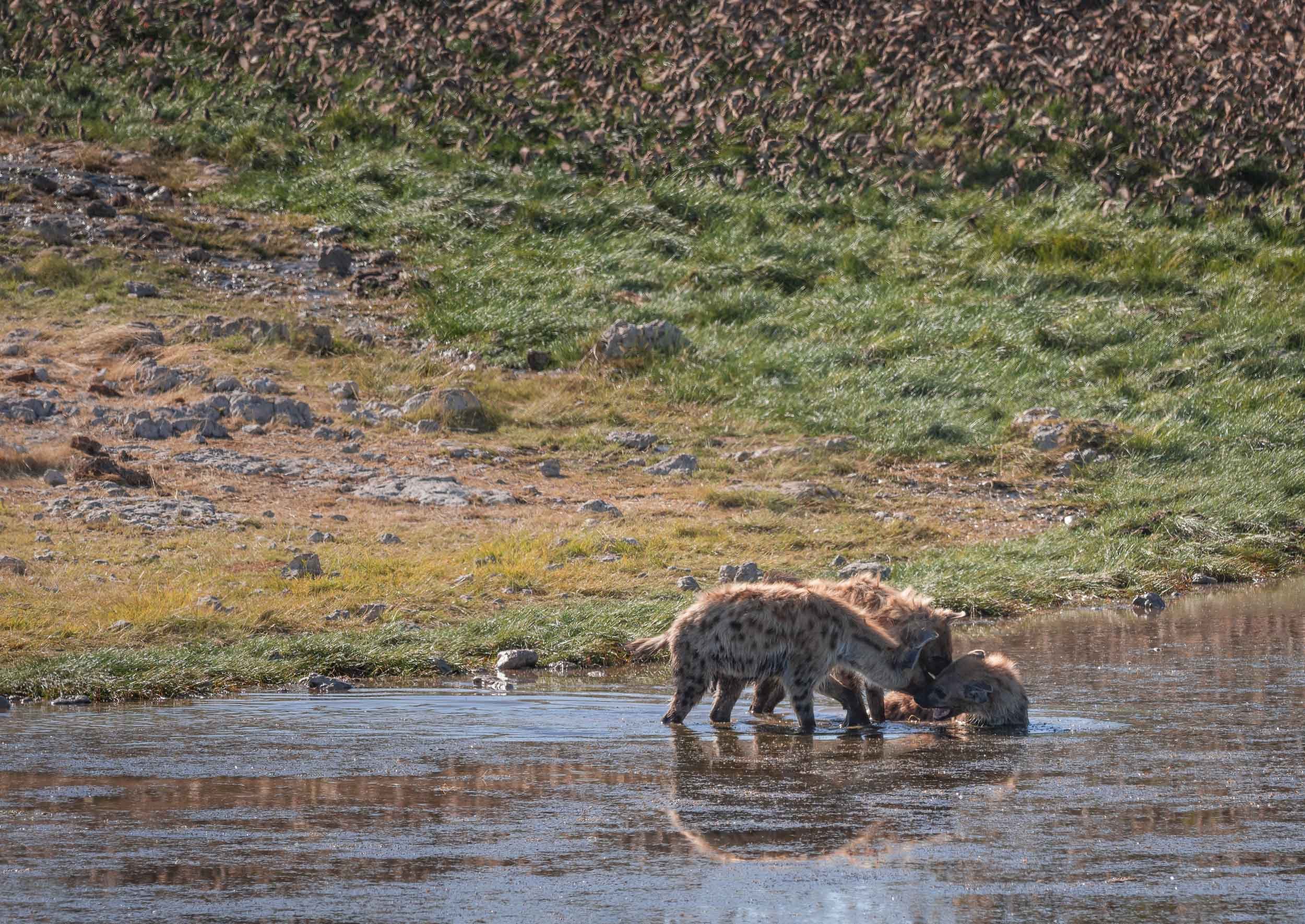
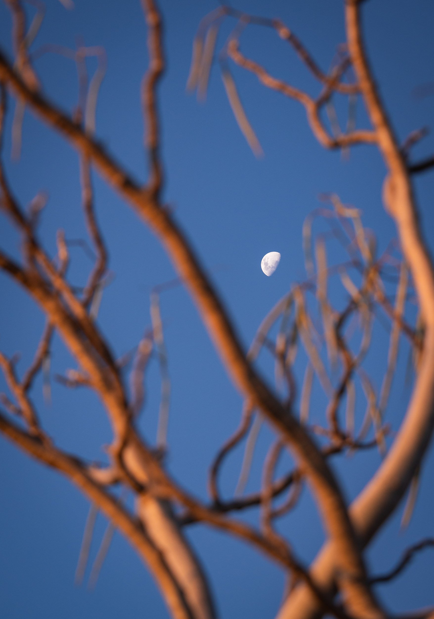
Scroll through the gallery for some of the animals we captured during the 2 days.
International Space Station - Moon Fly By
Finally I had the chance to observe and capture something I've been waiting for for quite a long time already: The ISS in front of the moon. This occurred on January 26th shortly after midnight in Dubai, UAE.
Finally I had the chance to observe and capture something I've been waiting for for quite a long time already: The ISS in front of the moon. This occurred on January 26th shortly after midnight in Dubai, UAE. It's pretty humbling to think that the ISS is 400km above us, and moving at 26,000km per hour.
Shot with Olympus OMD EM-1 Mark III, and 300mm F4 lens with MC-20 teleconverter.
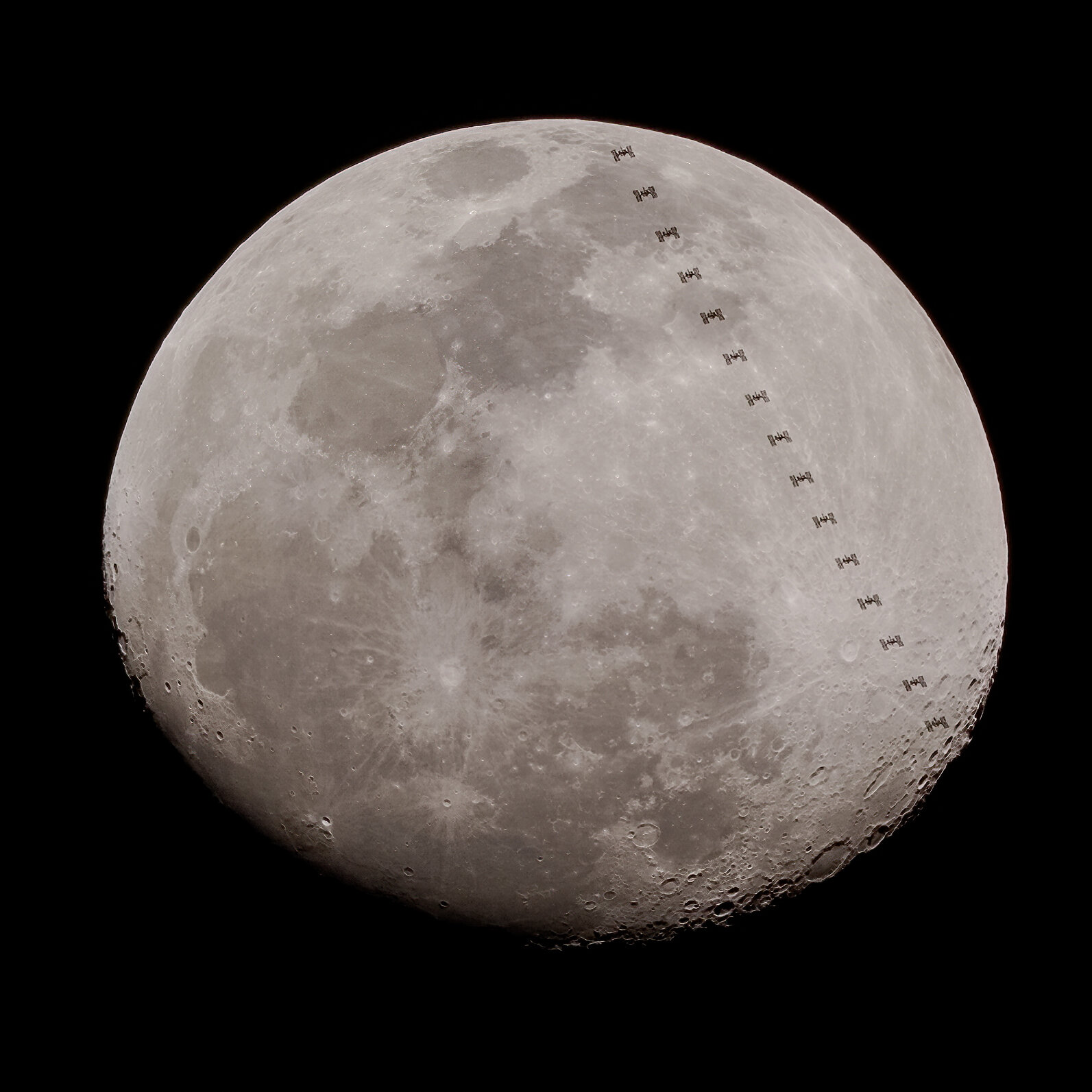
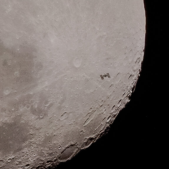
This video shows a slowed down frame by frame animation, and a realtime sequence - the entire event takes just above 0.5 seconds.
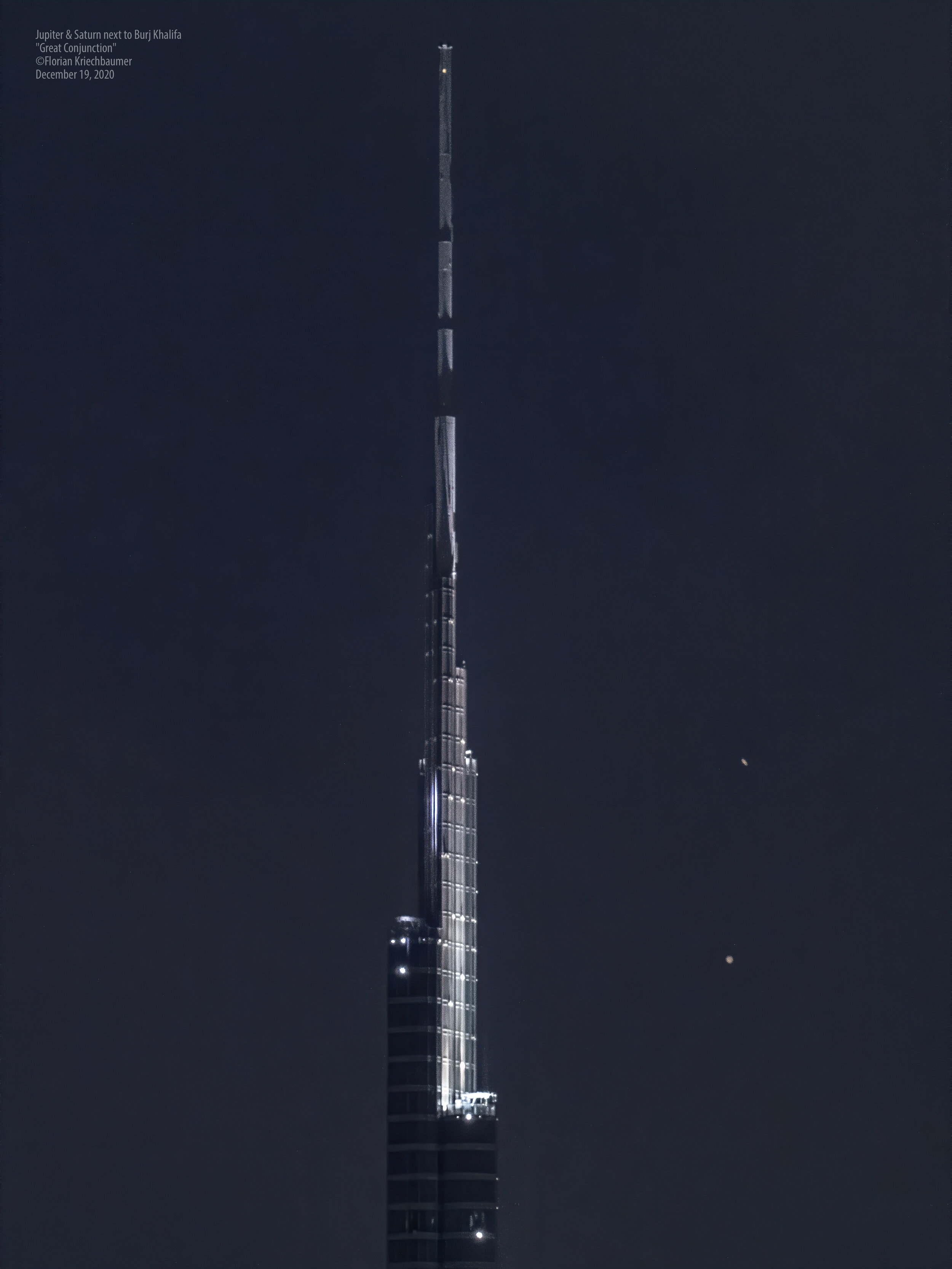
The Great Conjunction - Jupiter and Saturn passing Burj Khalifa
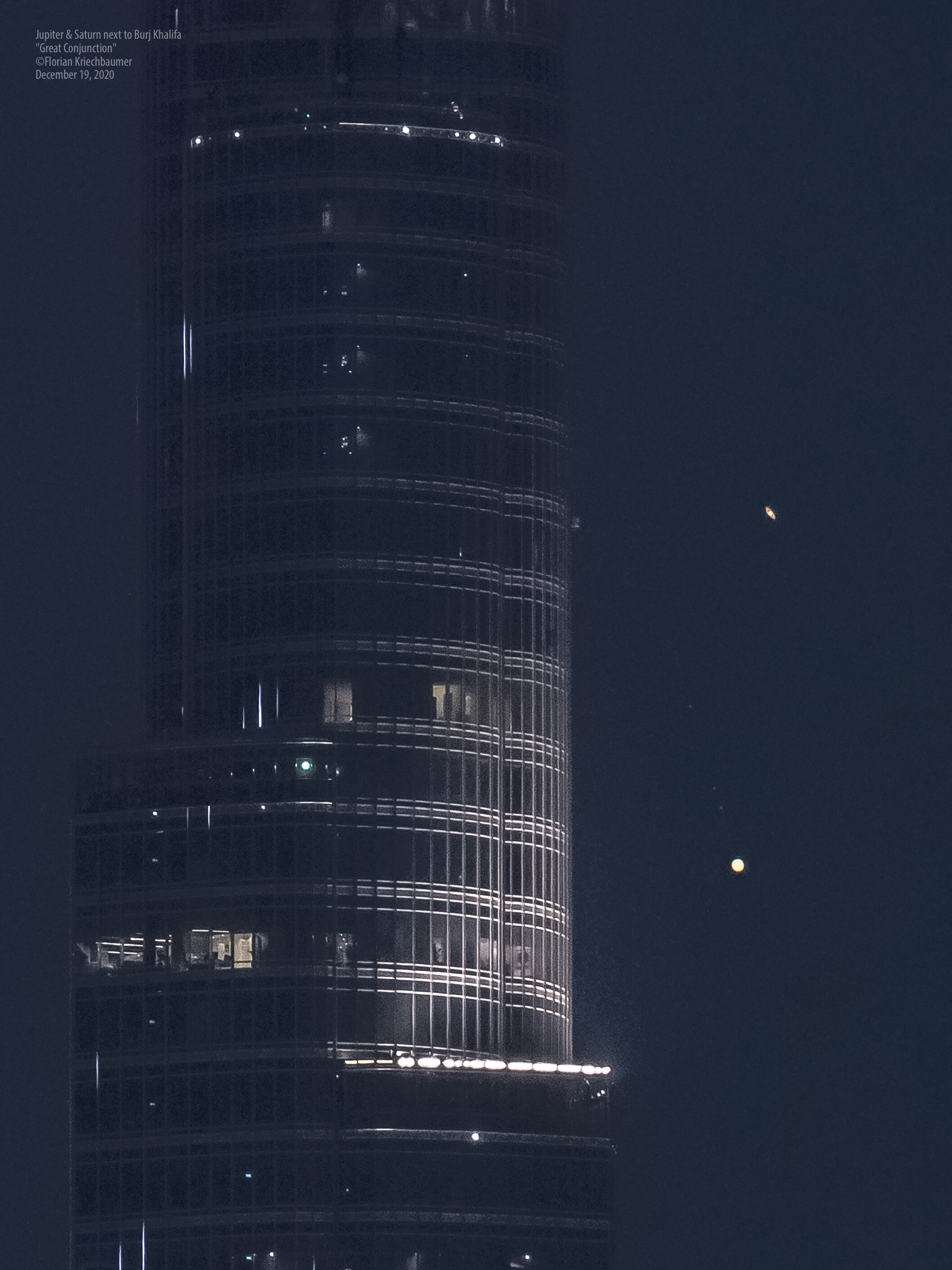
On December 21st 2020 something very rare is happening: The largest planets in our solar system, Jupiter and Saturn, will be at their closest observable in 800 years.

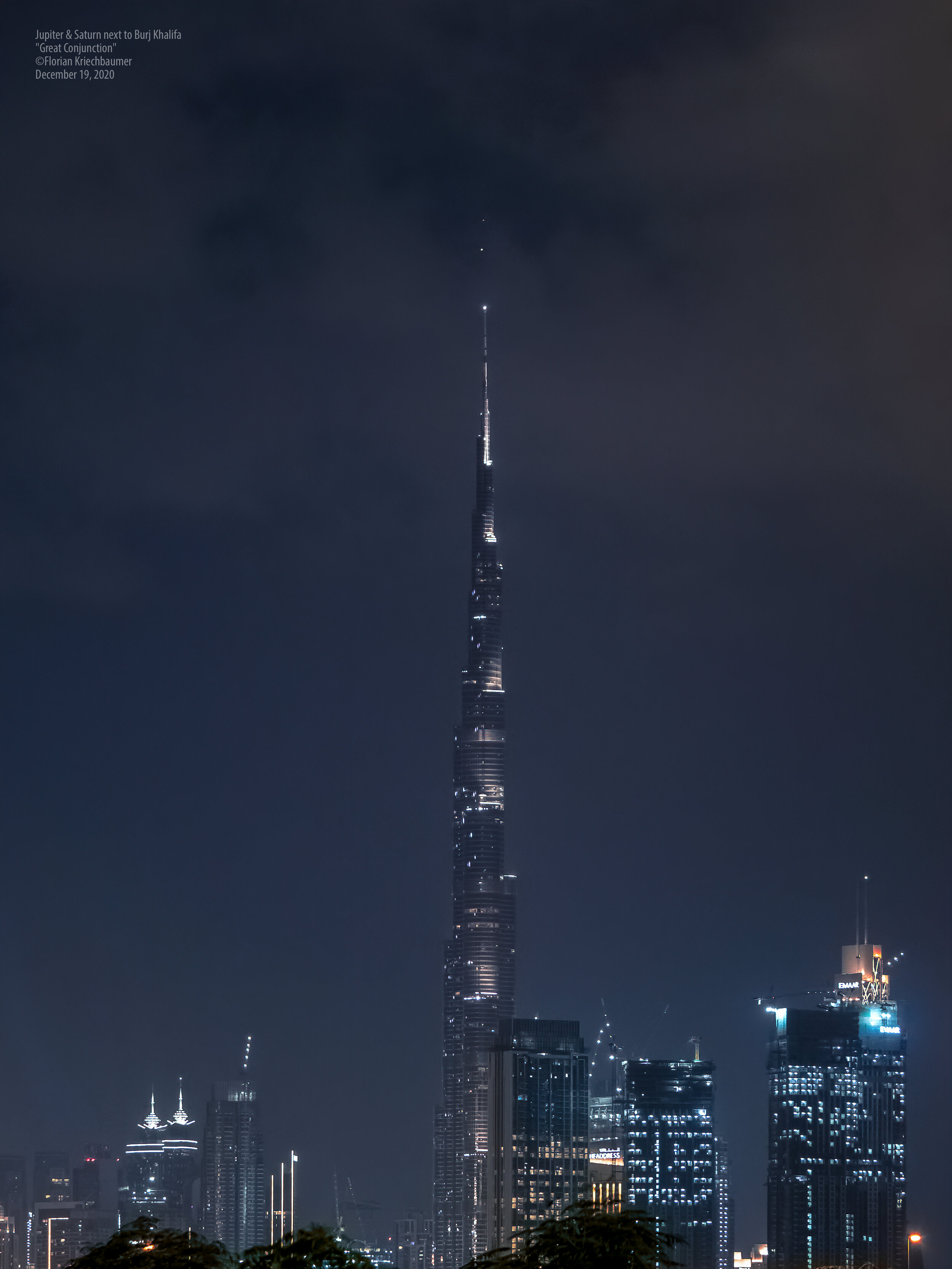
On December 21st 2020 something very rare is happening: The largest planets in our solar system, Jupiter and Saturn, will be at their closest observable in 800 years. This event, dubbed the “Great Conjunction”, happens regularly, but the planets have not been this close and at the same time visible from the earth since then.
I set out to try and capture this event in a different perspective 2 days before the date, where the planets were already incredibly close. The goal was to photograph them passing the world’s tallest building Burj Khalifa, in Dubai.
It was a cloudy evening but due to travels this was my only chance, and luckily some gaps in the sky enabled me to capture the videos and photos below. This was truly one of the most mind-blowing things I’ve ever seen through my camera’s viewfinder.
Enjoy.
Dubai Partial Solar Eclipse
Dubai was witness to a partial solar eclipse on June 21st, 2020 - the second in the last few months. This time, the UAE did not get to experience the full eclipse as it’s not located in the narrow band that experiences this rare phenomenon, but it was still a spectacular sight, with the skies darkening noticeably and shadows becoming fuzzy.

Dubai was witness to a partial solar eclipse on June 21st, 2020 - the second in the last few months. This time, the UAE did not get to experience the full eclipse as it’s not located in the narrow band that experiences this rare phenomenon, but it was still a spectacular sight, with the skies darkening noticeably and shadows becoming fuzzy.
The sight began at 8:14 (UAE local time) when the moon moved in front of the sun, and the eclipse was over at 11:12. I was lucky enough to be able to capture it from my balcony, and had set up my Olympus OMD EM-1 to shoot a sequence using a star tracker and home made solar filter.
Here are the results.

A full view of the middle portion of the eclipse.

A view of the the eclipse covering almost the entire period of the moon covering the sun.
Here is a video representing the same period - this was very tricky to align and smoothen out, as my tracker was not perfectly polar aligned, requiring some manual movement of the camera.
The western coast, featuring the iconic baobaos, the landscapes of the Tsingy, fauna of Kirindy, and the shipbuilders of Belo Sur Mer.