Bohol - Happy Hills & Tiny Tarsiers
This less well known island of the Philippines is home to some of its more interesting unusual sights.
As part of my trip through the Philippines (see also my blog about Palawan), I didn’t really have Bohol and its surrounding areas on the list of regions to visit. It was only through a rather spontaneous decision to fly to Cebu and continue from there that this island appeared on my radar. And what a lucky decision it was, given that its landscapes turned out to be one of my favorite photographic sceneries. Although I stayed in Cebu city on the namesake island, I didn’t venture out beyond having some traditional Lechon - I was more interested in exploring the nearby fishing islands I had spotted during the descent from the plane, and visit its neighboring Bohol. Indeed, after an initial day trip, I returned to Bohol a second time for three days to explore more of what it has to offer.
The Chocolate Hills
The primary reason I did so were these hills - and their name only played a small part, I promise. This landscape is geological formation consisting of over 1200 hills spread over an area of more than 50 square kilometers made of limestone covered in grass, which turns brown in the dry season, giving them their cocoa-related appearance (and name).
Cloudy Days
My visit in January didn’t quite coincide with the height of the brown dry season, and the first day was a wet affair, as the rainless period was just about to start around this time of the year. As a result, low clouds hovered around the hills, which were characterized by a mixed brown and green tone.
The hills vary in height, with the tallest reaching about 120 meters - most of them are literally impossible to climb due to the very thick vegetation and wet steep surface (trust me, I tried), but a couple have been set up with stairs for visitors to enjoy the views.
The reason I came back for the second time was to explore more of the rather large island, and the huge area covered with the whimsical hills during better weather conditions. My drone had to fly overtime during these few days.
Aside from flying, walking through the area on foot was also very enjoyable, with local farms dotted in between the mounds.
The hills have been subject of a few local legends, with popular stories suggesting that the hills are the result of a battle between two giants who hurled boulders at each other over the flat landscape, or the solidified tears of a heartbroken giant who wept over the loss of his beloved.
Science tells the story a little differently. The hills were formed through the weathering of marine limestone, originated from coral reefs when the area was submerged under the sea over 2 million years ago.
Tales of the Tarsier
Bohol is also one of the few islands home to the Philippine Tarsier, endemic to the southeastern part of the archipelago. It is a threatened species, and several organizations operate sanctuaries on the island. I visited two of them - the Philippines Tarsier Sanctuary, and the Bohol Tarsier Conservation Area. In the end, they are both tourist destinations and it shows to some extent, but the former is run by the Philippine Tarsier Foundation and felt like a much more pleasant and natural experience, I’d recommend it.
Either is better than seeing and supporting places that cage them or make them cling on a stick in a market.
Tarsiers suffer from loss of habitat and pet trade, as they don’t do well in captivity - their lifespan shortens drastically.
Their eyes are disproportionately sized with the largest eye-to-body weight ratio of all mammals. They are fixed in its skull and cannot move in their sockets, instead the tarsier rotates its head up to 180° to look around.
Tarsiers are shy and nocturnal and spend their days hiding in darker areas under leaves or hollows of tree trunks. Indigenous tribes leave the Philippine tarsiers in the wild because they fear that these animals could bring bad luck - maybe humans should consider this as well and let them chill, like the one on the left here.
There are a few more interesting sights to be found around Bohol, such as its themed public transport buses, and the ship-shaped restaurant. It is also home to a number of beautiful caves - I visited the small Hinagdanan Cave on neighboring Panglao island, where you are even allowed to go for a swim. River cruises and the Bamboo forests are other popular sights.
The Cebu Strait
The Cebu Strait with its channels is home to a number of islands and their fishing villages, which I had initially discovered during the approach to Mactan-Cebu airport. Can’t resist a nice aerial photo of interesting human settlements, so I rented a small boat one early morning with an itinerary based on promising Apple Maps screenshots...
Cuaming Island
This interestingly shaped island includes a small cemetery on the very tip to the right of the image.
Pandanon Island
Pandaon island is home to a small sandbank used for drying the daily catch. Its market house on the small harbour was heavily damaged during Super Typhoon Odette in December 2021.
Nasingin Island
My favorite of the villages here was Nasingin island in the municipality of Getafe, owing to its unique shape and position south of a mangrove forest, planted as part of the National Greening Program since 2013.
Because it essentially doesn’t have any actual land as part of its boundaries - just 0.04 km2 - it is one of the most densely populated towns in the world, given that it is home to over 2000 people.
Need Wi-Fi? Buy a voucher at this vending machines - but the kids were happy nonetheless!
And that’s it for this blog, but more of the Philippines to come from Manila and Siargao…
Subscribe to my newsletter to get notified and don’t miss out on more Wonders of the Globe.
Other Recent Posts:
Alaska - The Last (and Vast) Frontier
Alaska - endless wilderness, bear country, the largest state, home to the tallest mountain in North America.
Alaska - endless wilderness, bear country, the largest state, home to the tallest mountain in North America, and a few random surprises. There’s a lot of beauty to be discovered here, as I learnt during my trip with Capture The Atlas.
From Anchorage to Kenai Fjords
Day 1 took us along a few interesting sights on the road from the state’s largest city (which is not its capital) to Seward, gateway to Kenai fjords, a National Park.
Byron Glacier
The second stop was Byron Glacier, an easily accessible glacier with a small ice cave, visible at the bottom of the aerial photo.
Exit Glacier
We had one more stop on the way to Seward, which was the aptly named “Exit Glacier” - it’s literally receding so quickly, it may be gone within our lifetime. Signs along the trail show how its terminus moved over the last 200 years, and the speed by which it does can hardly be described as glacial - up to 100m a year.
The Kenai Fjords
A boat cruise into the smallest national park of Alaska was next on the agenda. While the size of the park may not compare to others in the state, it does contain the largest ice field in the US at almost 2000 sqkm, with almost 40 glaciers feeding from it.
Wildlife Sightings
The area is home to varied wildlife, and we spotted puffins, sea otters, harbor seals, and a humpback whale.
Our destination was Aialik Glacier in the namesake bay.
Bears of Crescent Lake
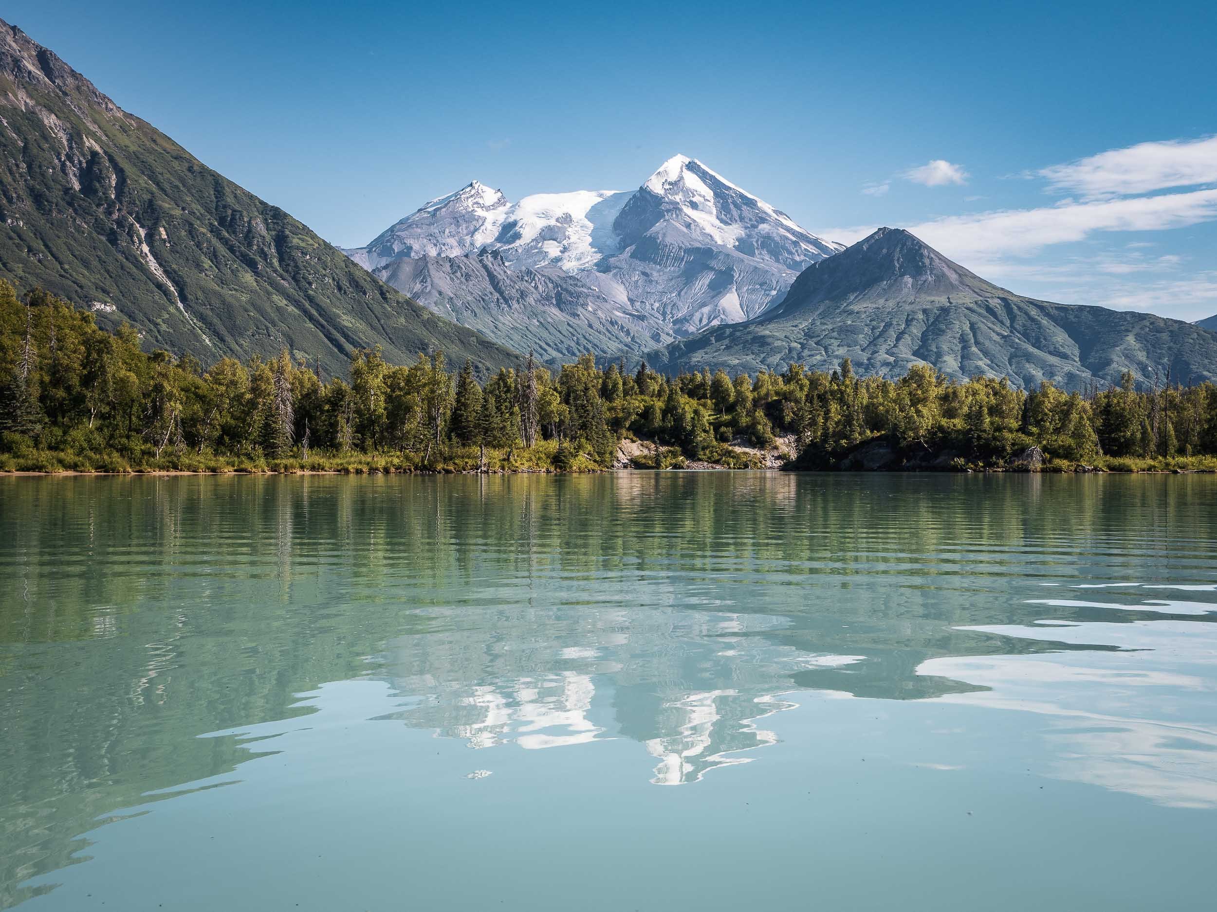
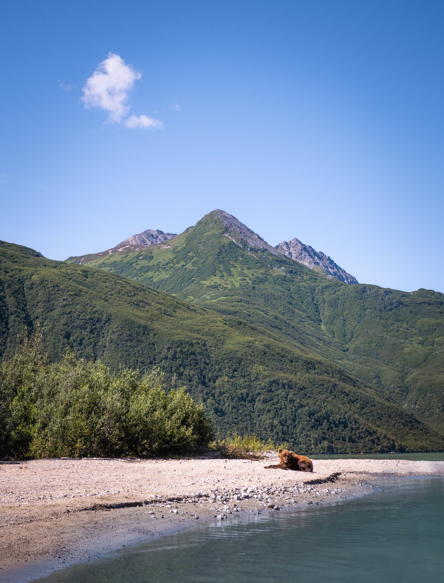
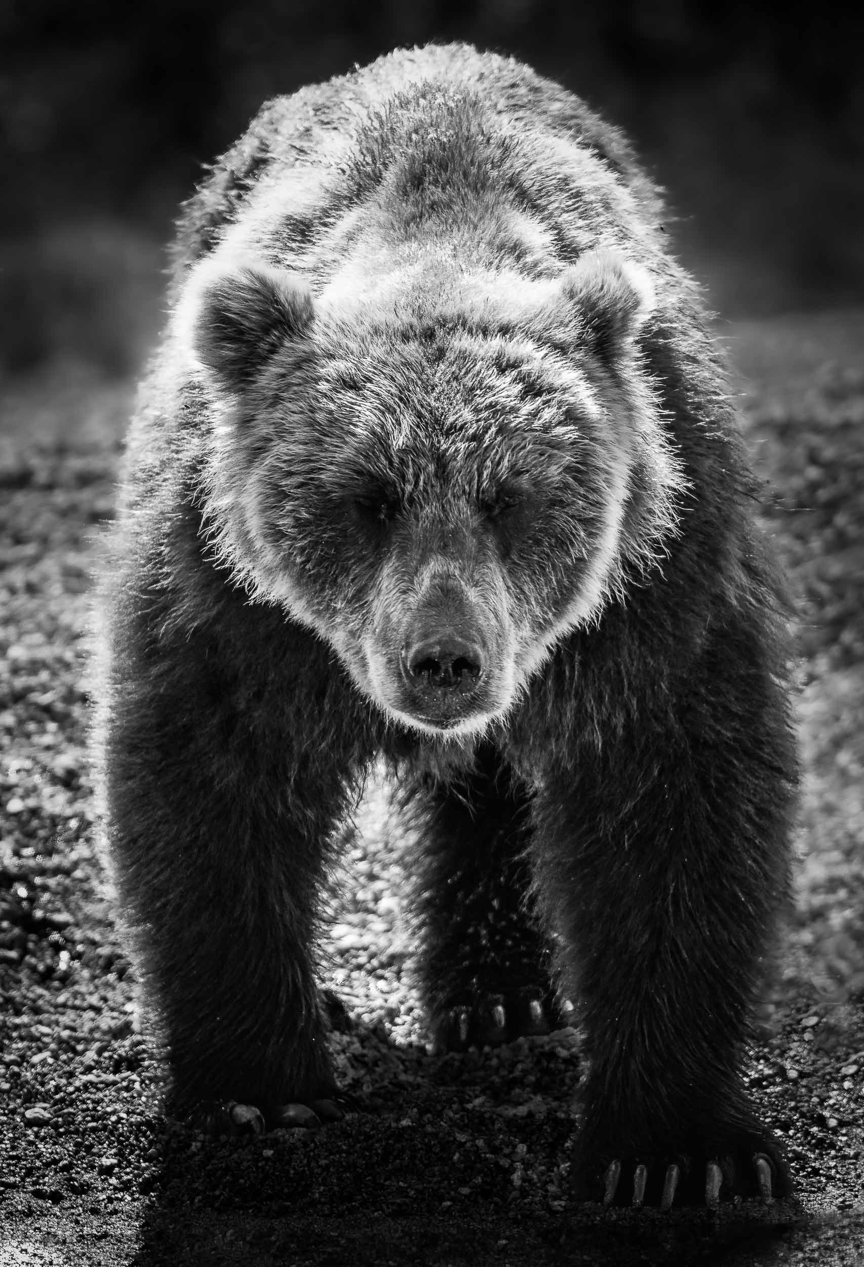
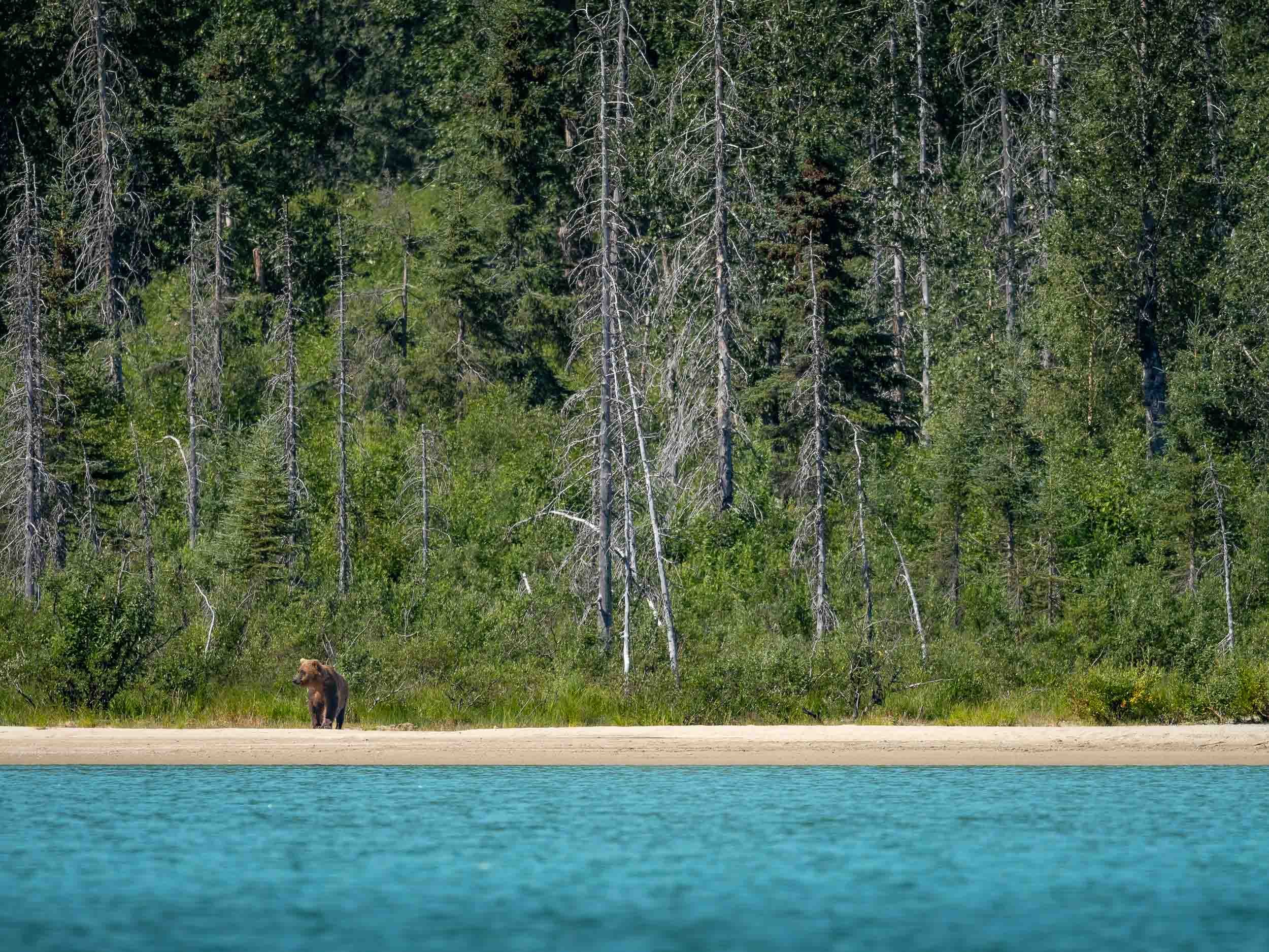
From Kenai we took a flight over the beautiful landscapes (more on that later) towards a turquoise lake across the Cook Inlet, with the goal to find and photograph brown bears. In fact, three of them acted as our greeting committee, sitting by the shorelines while the floatplane approached the lake, but quickly hiding in the bushes as we landed on the water.
Back in Anchorage, a scenic Flight, and another (attempted) Bear Tour
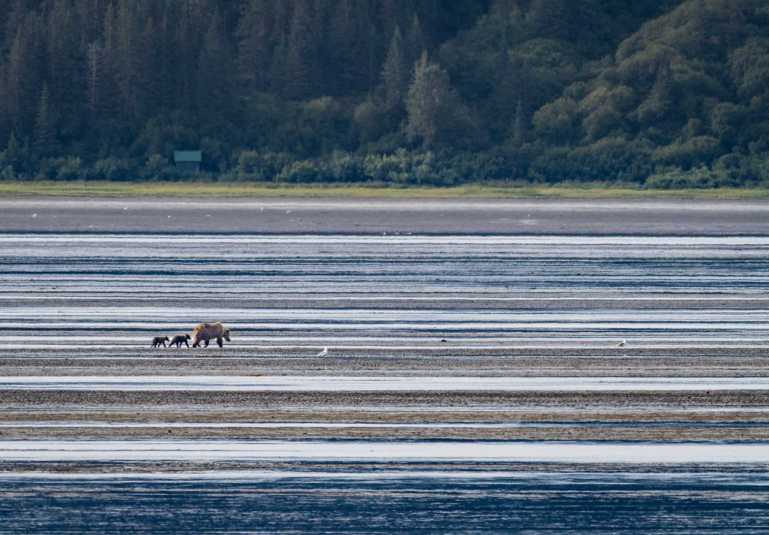
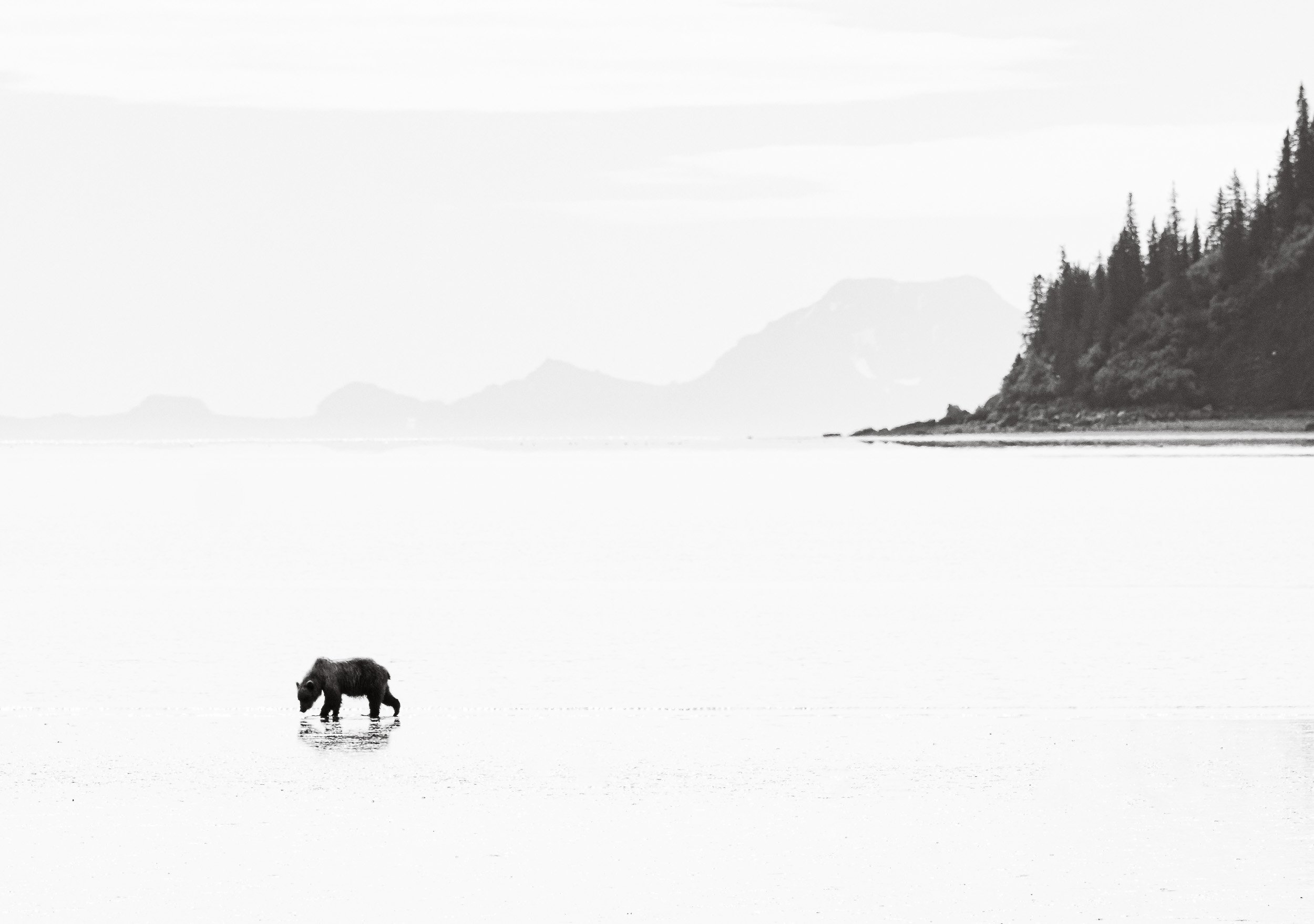
From Anchorage we took a flight to Chinitna Bay for another bear tour in a different environment.
Shapes & Colours
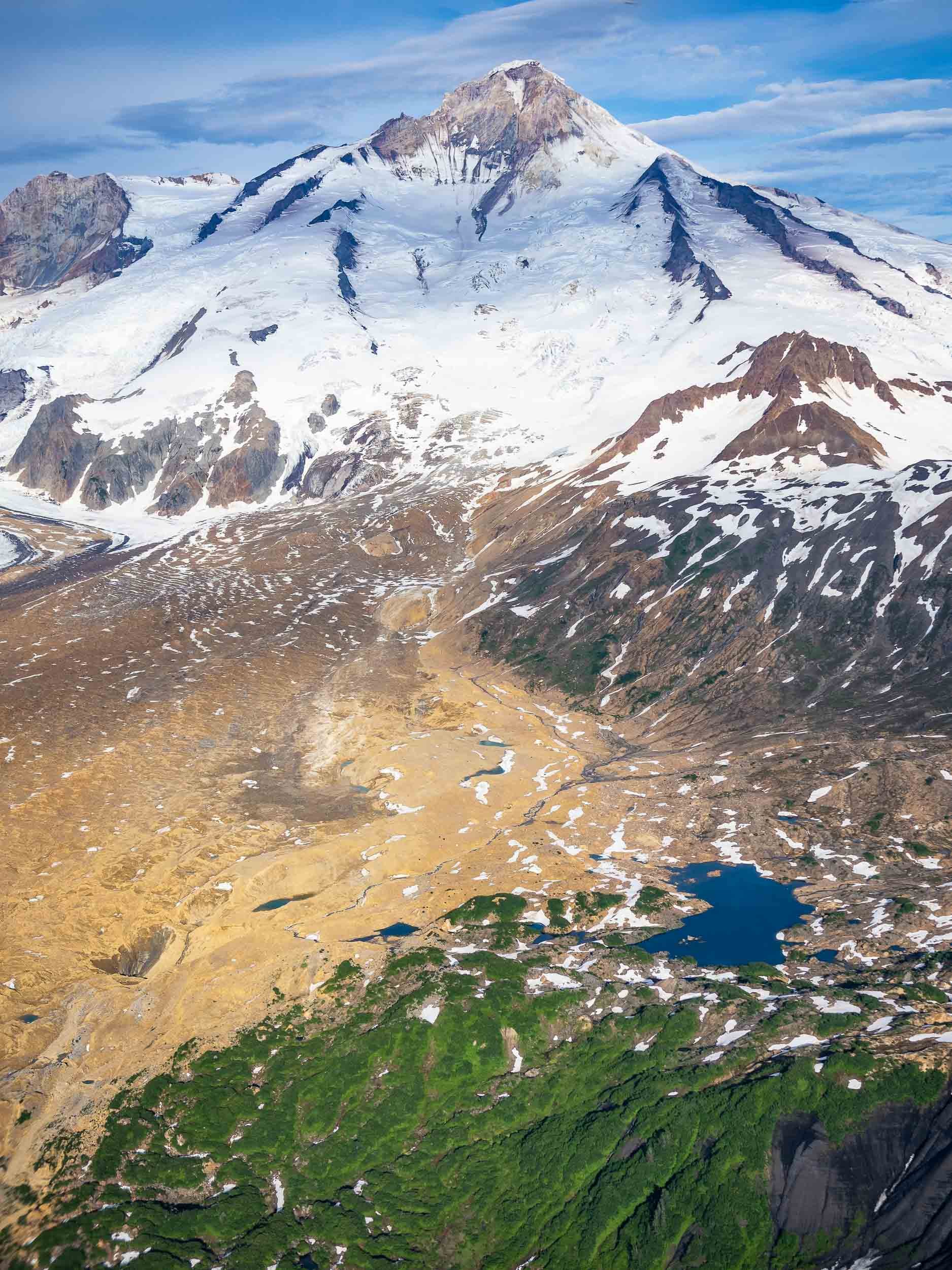
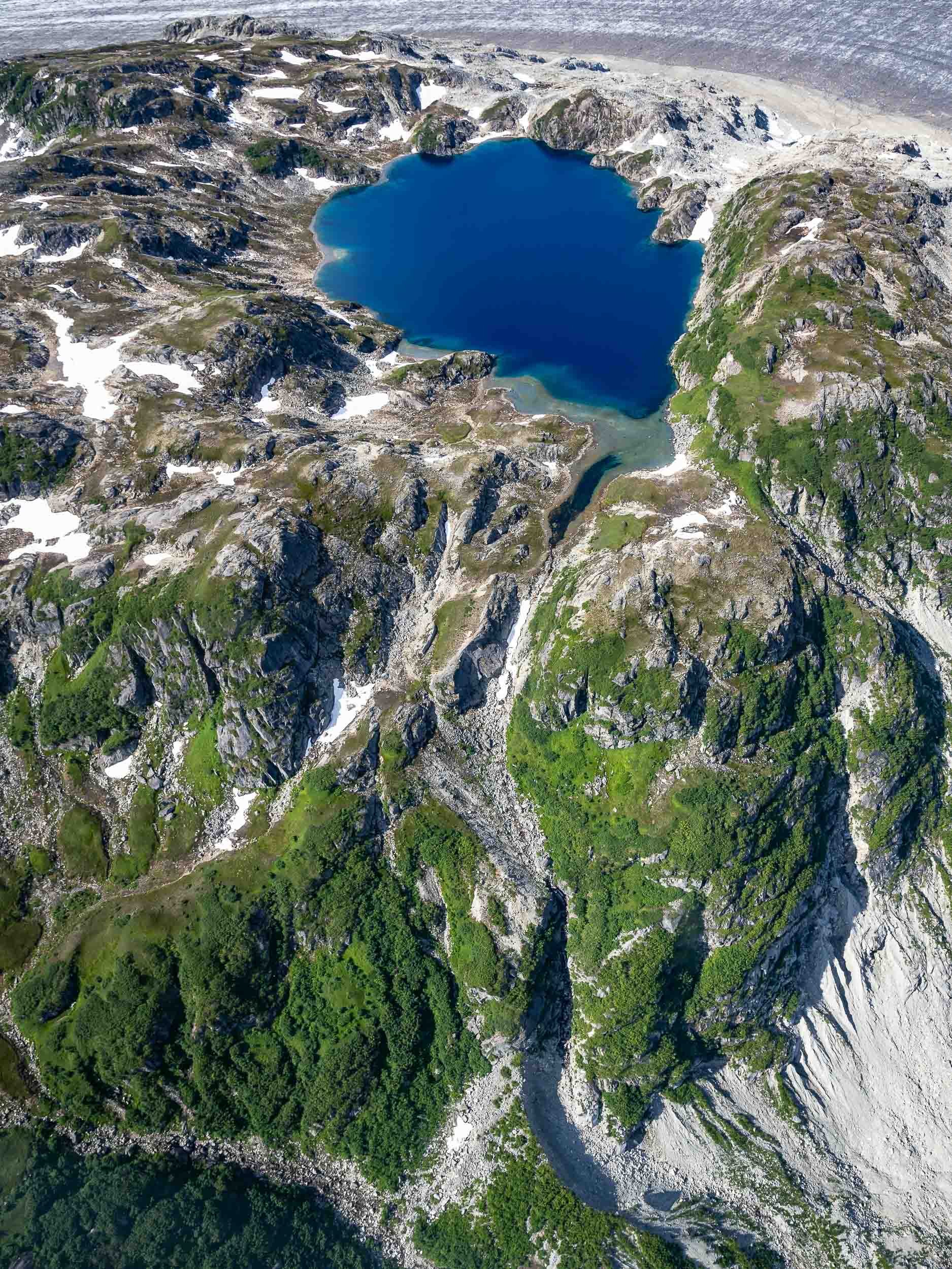
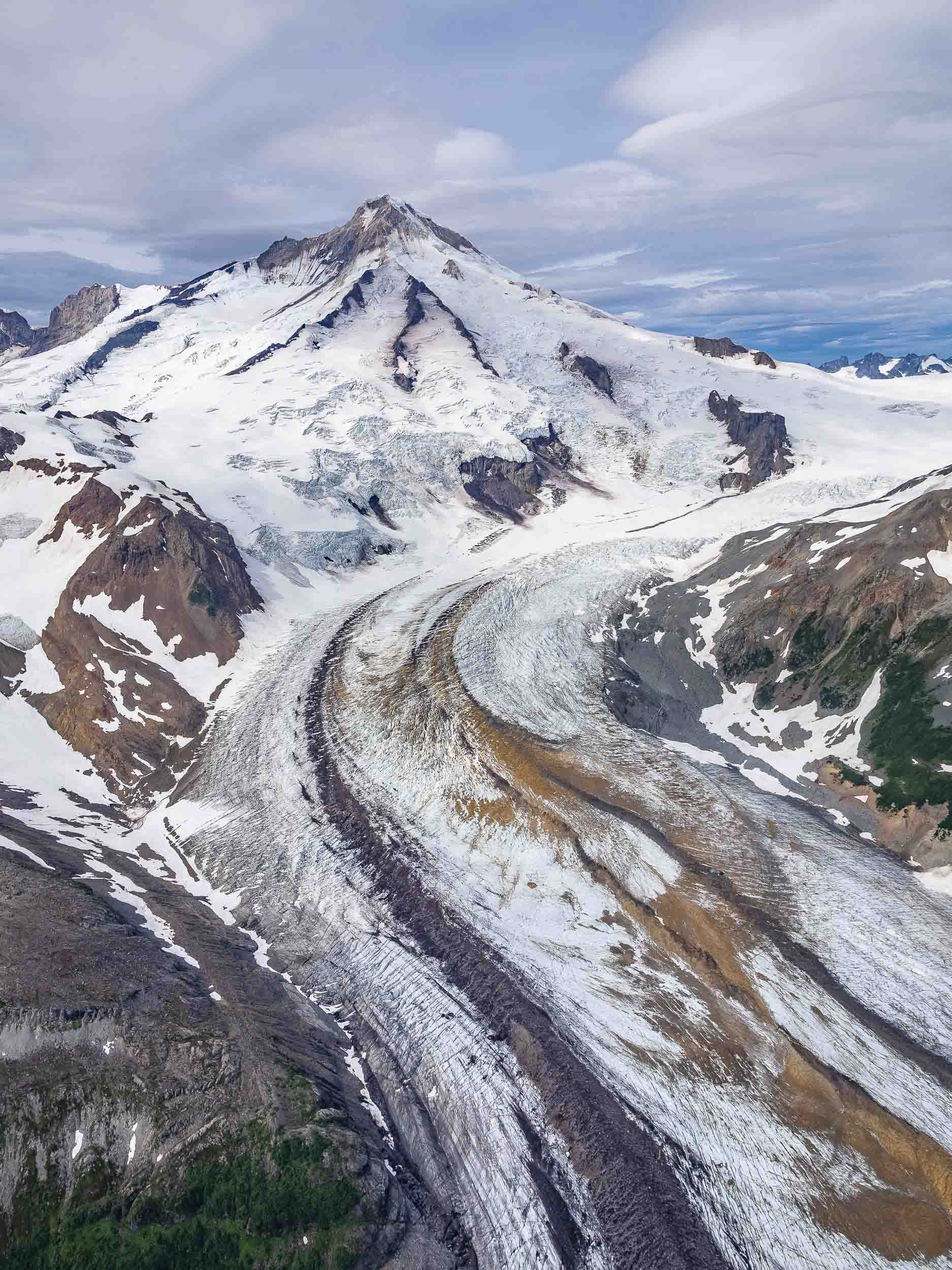
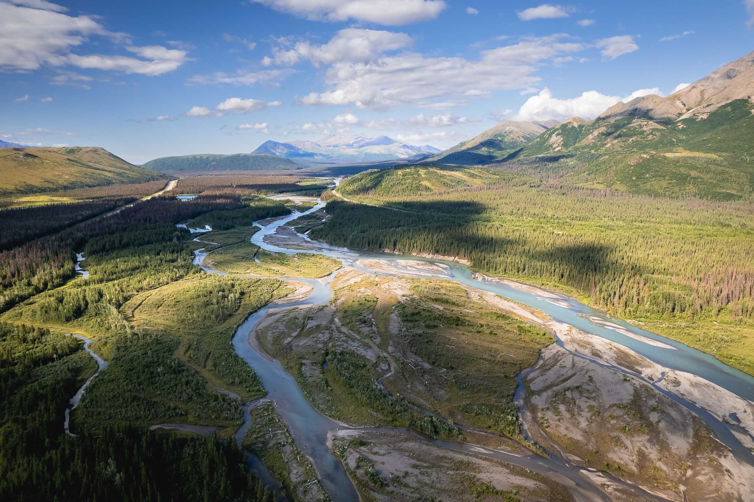
The flight to and from the location partly made up for this disappointment though, as the views of the Alaskan landscapes, volcanoes, mountains, and ground patters were incredible.
Valdez - Waterfalls and Kayaks
The next drive took us the small town of Valdez, at the head of a deep fjord in Prince William Sound. The journey is a beautiful one, past several glaciers and into canyons where one waterfalls follows the next.
Next was a full day boat trip towards the end of the Valdez arm into the Columbia bay, home to one of the fastest moving glaciers in the world.
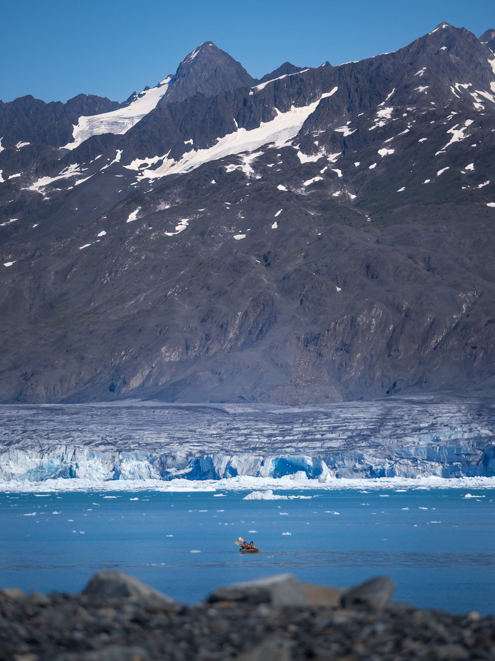
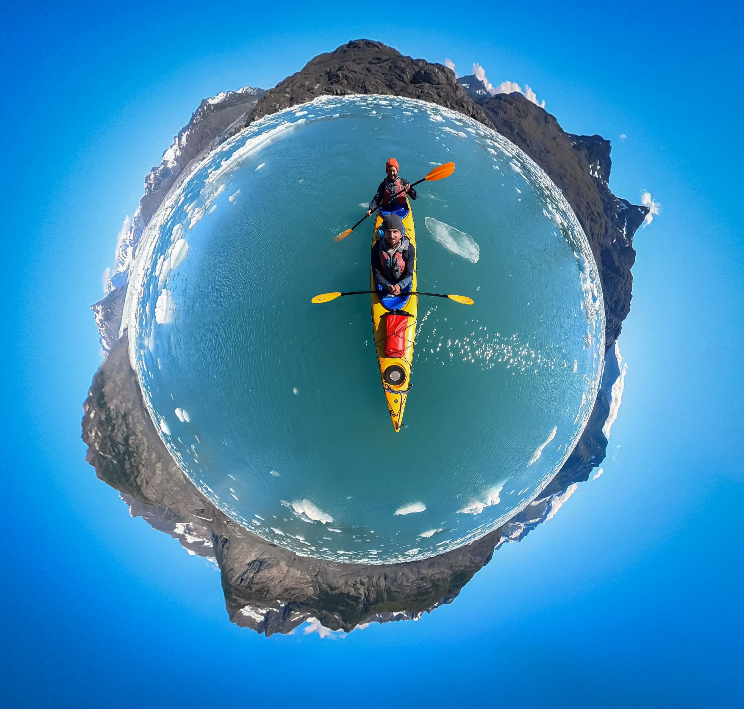
What was very special here is the fact we switched to a smaller and more manual method of transport once we reached the glacier - a Kayak. Moving through the ice like this was a very unique way to experience and explore the tidal glacier and the many icebergs originating from the calving of its terminus.
From Above
We had the chance to fly our drone from a small beach, providing some spectacular views of the landscape - and its inhabitants.
Sea Life
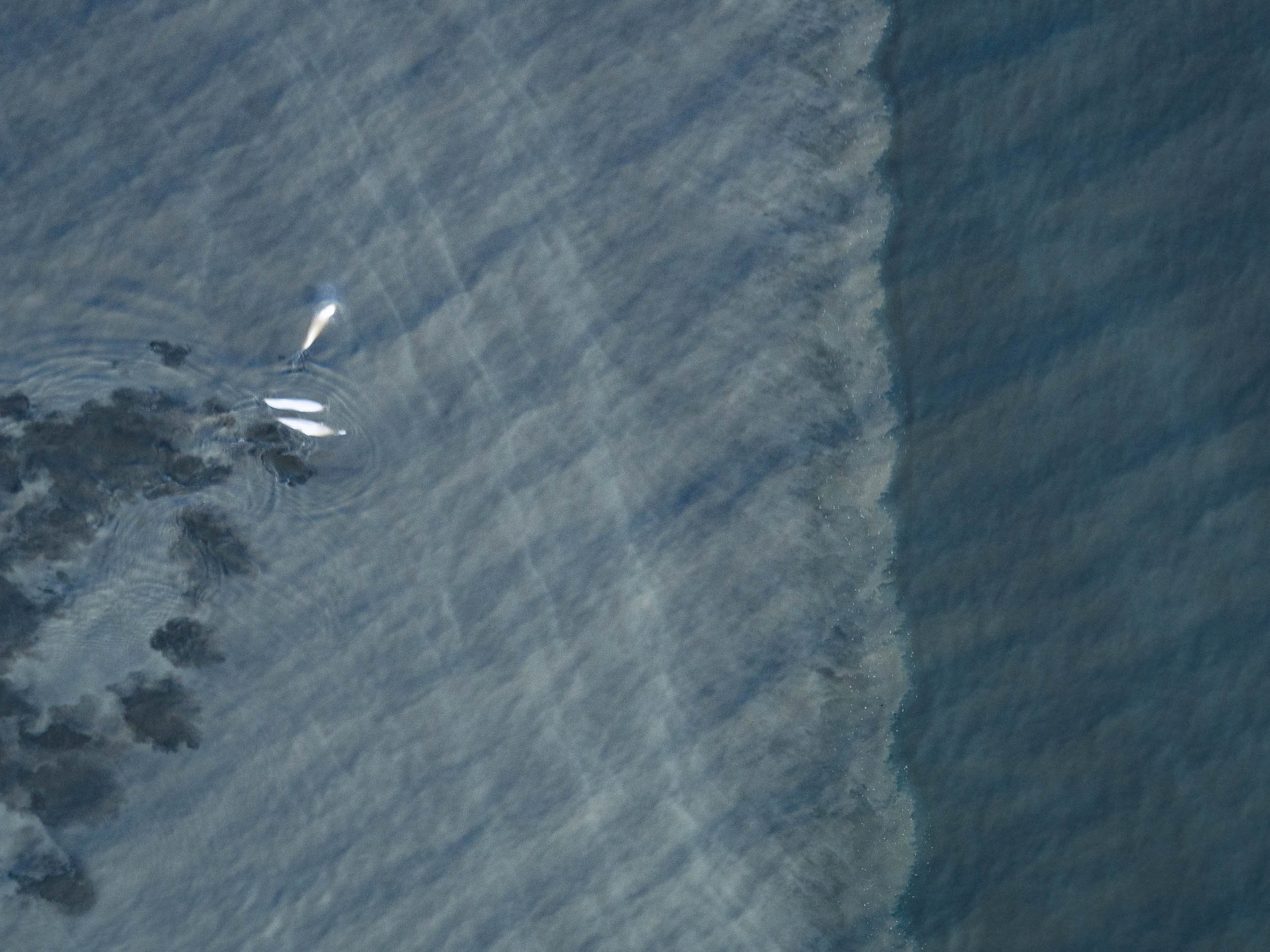
Aside from some chilled otters, we also spotted Steller sea lions, a near threatened species that had significantly declined since the 1970s but is slowly making a comeback, as well as porpoises, although getting a photo of them proved to be tricky.
The Matanuska Glacier
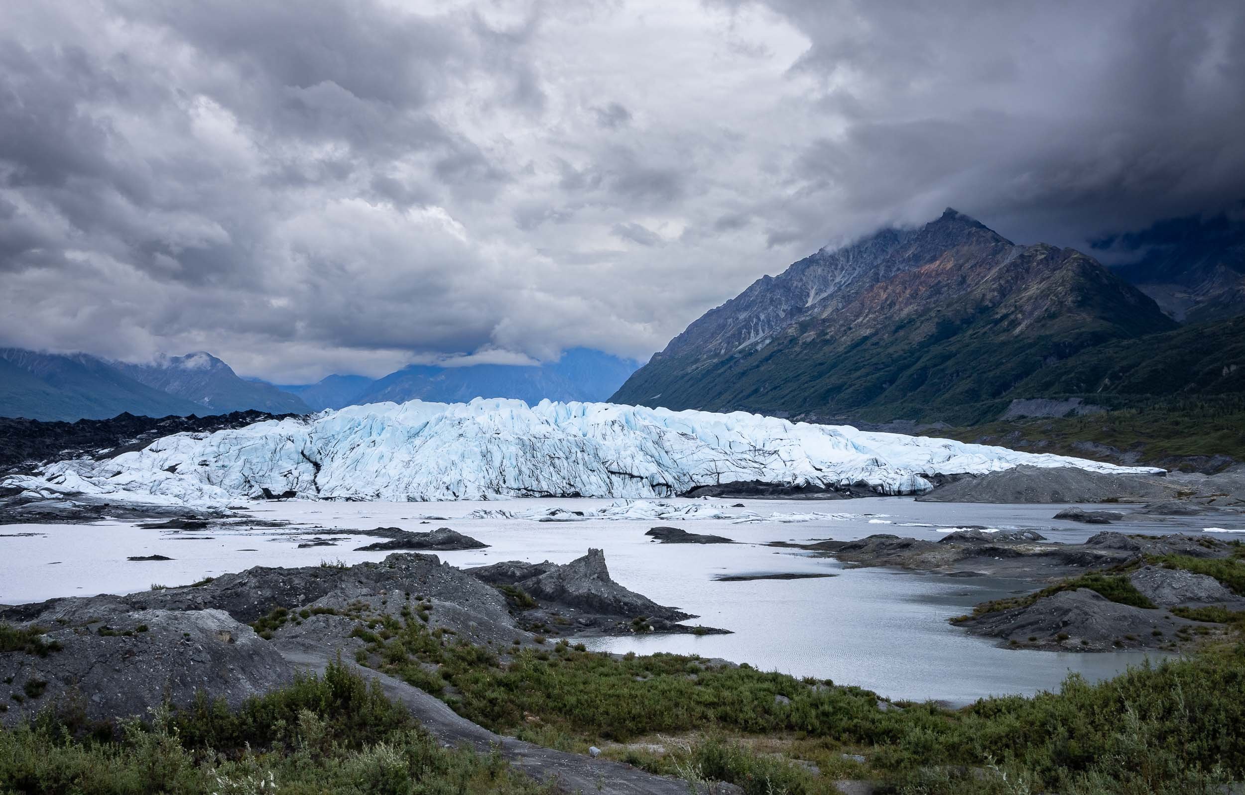
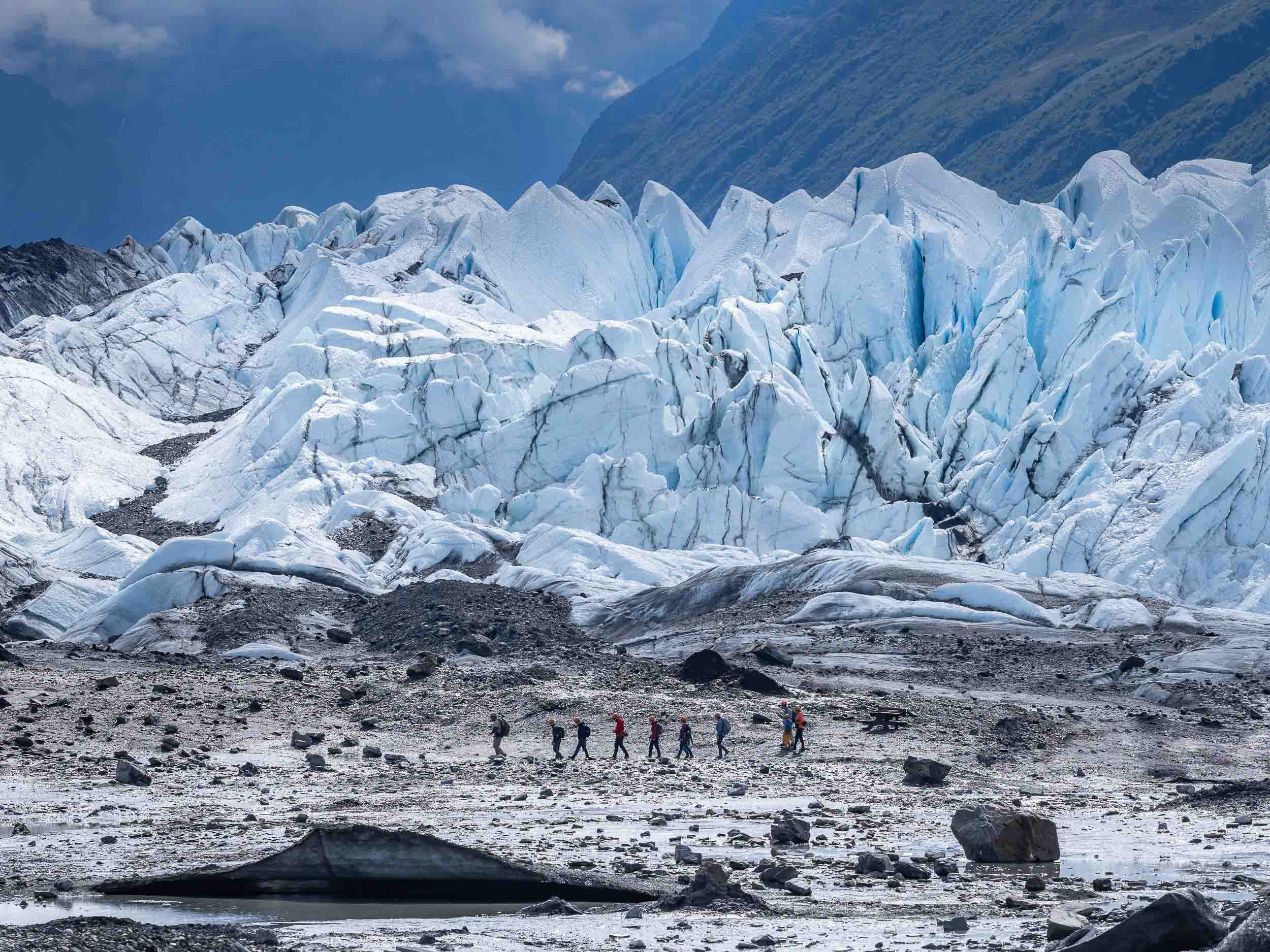
On our way back from Valdez we crossed the Thompson pass, and on the next morning Alaska had one more glacier experience to offer: This time, we got even closer than in the kayak, since it is possible to hike on this icey giant.
Alaska’s Most Unique House
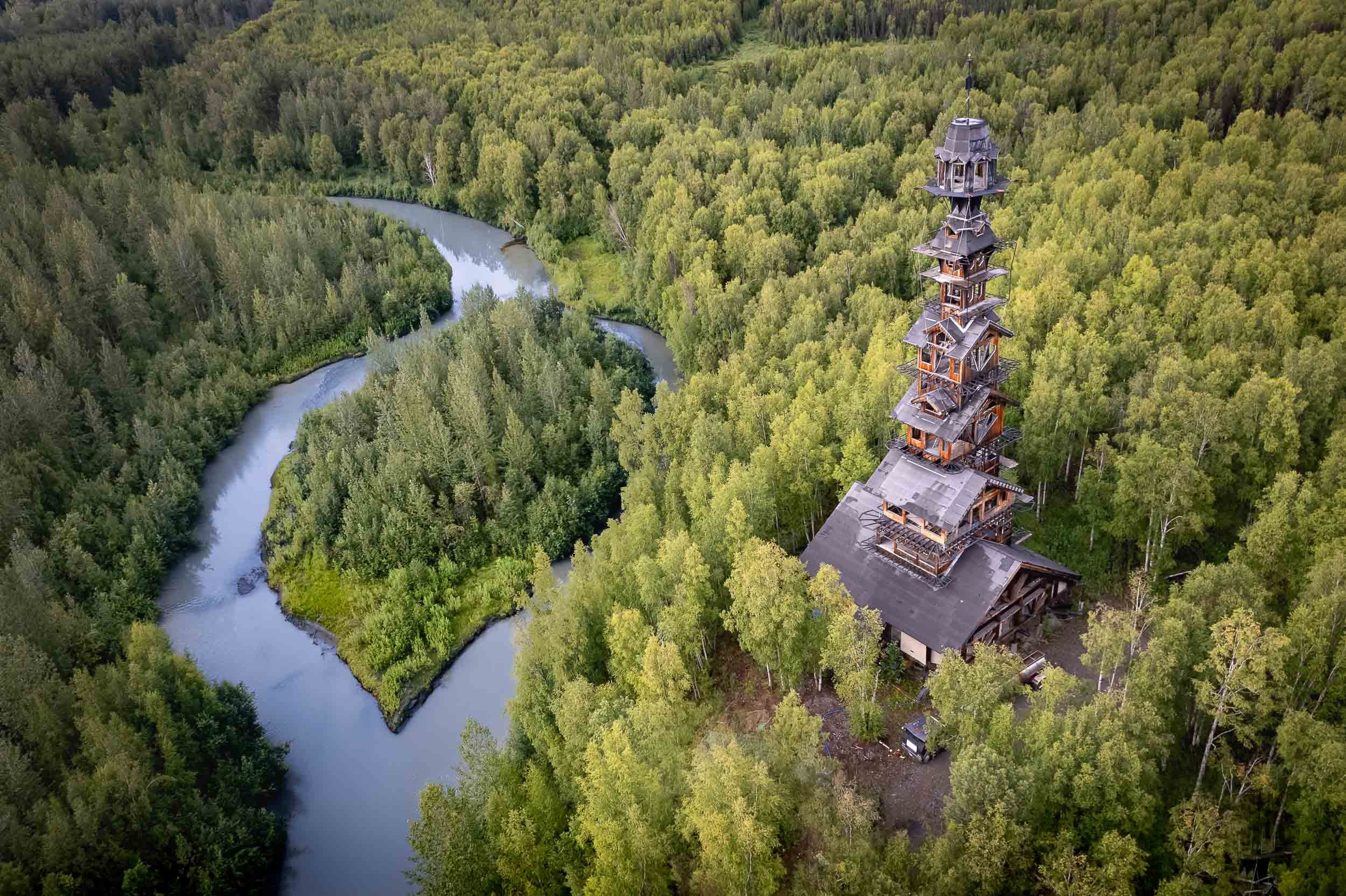
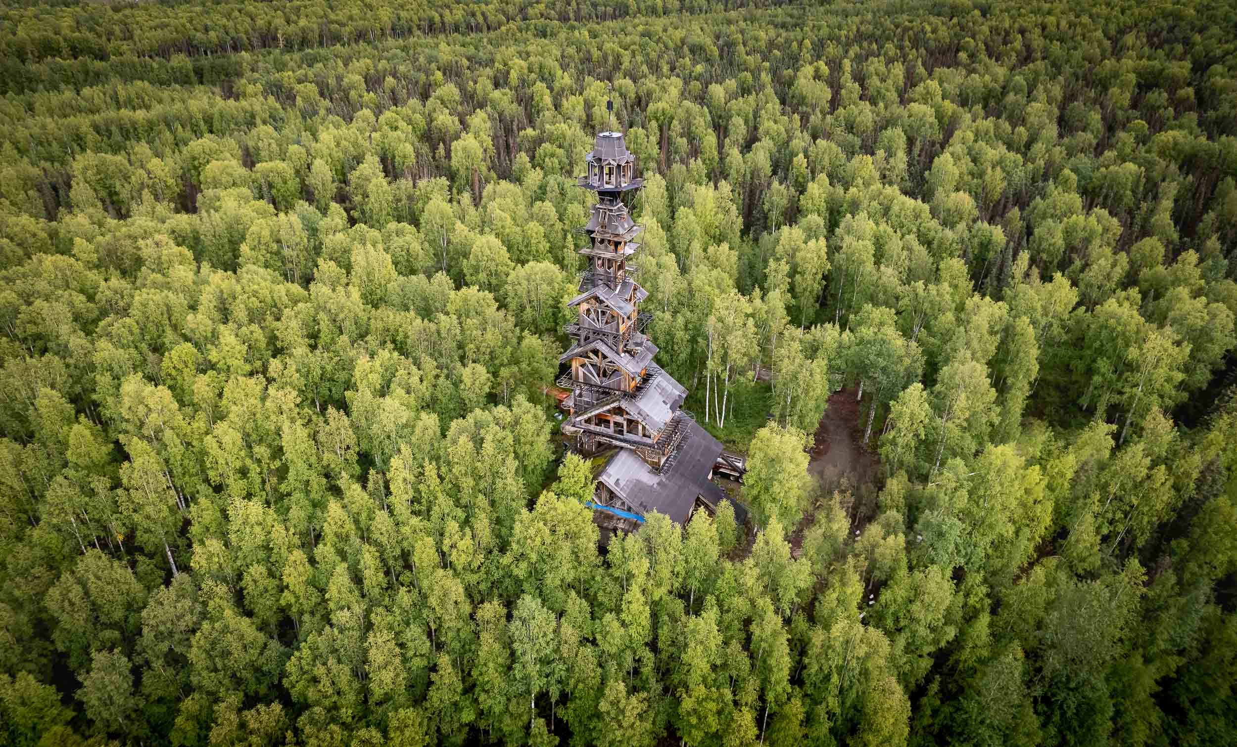
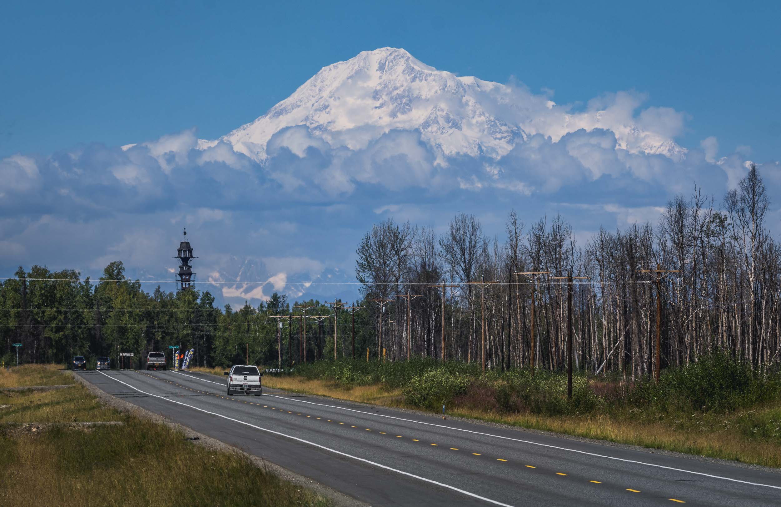
The next destination was Denali National Park, and the road northwards also leads to a rather peculiar building better seen from the air: Goose Creek Tower, or colloquially “Dr Seuss House”.
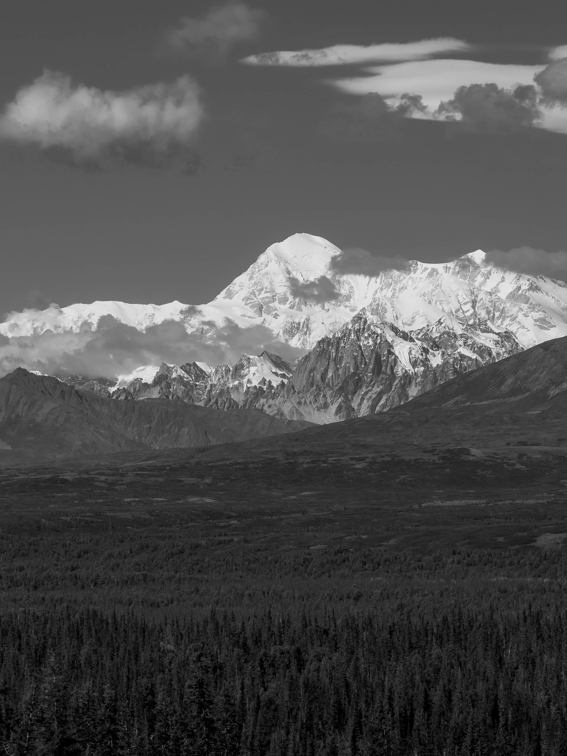
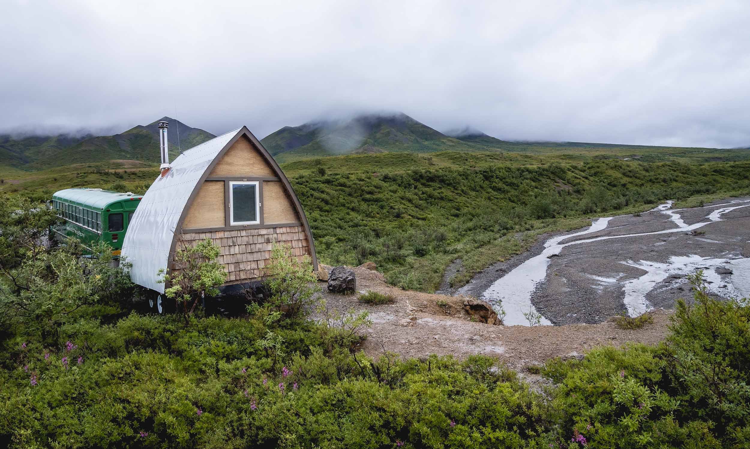
Denali - a National Park and North America’s tallest Mountain
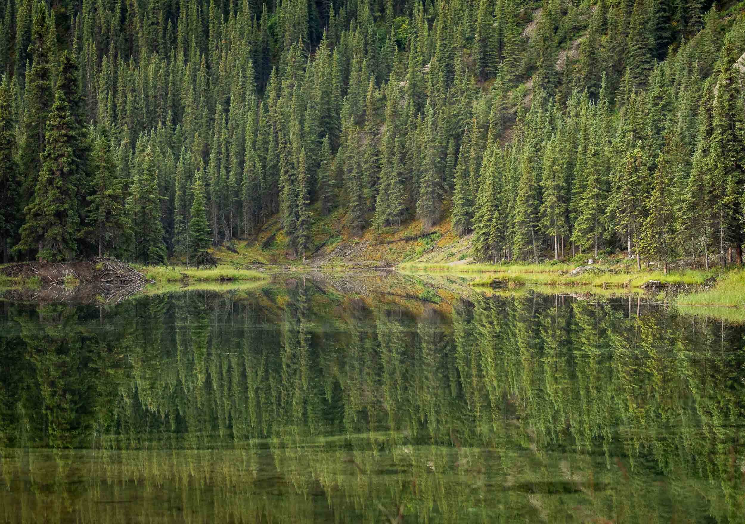
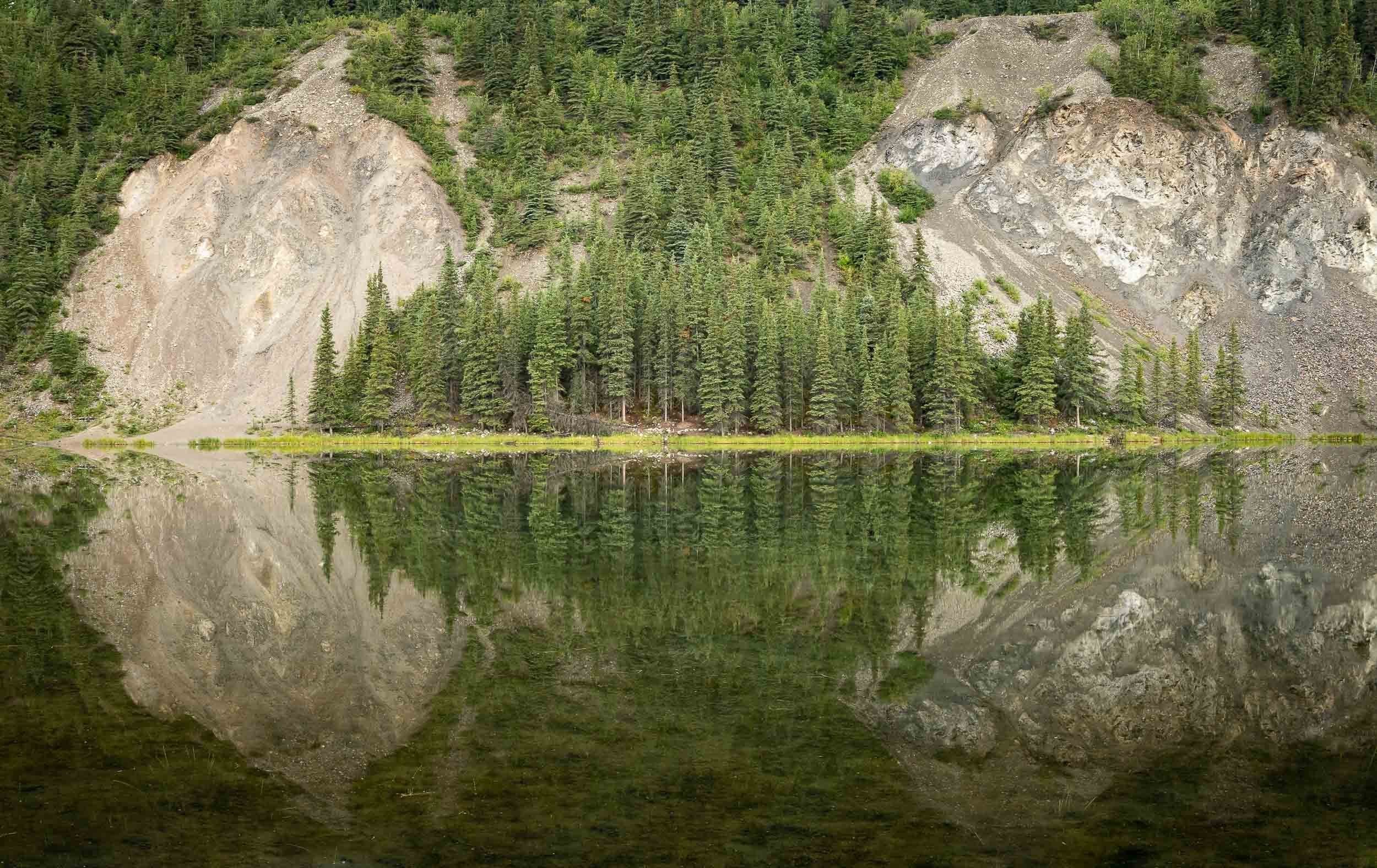
However, the next morning we had the chance to take a (dry) walk around Horseshoe lake, which features beautiful scenery reflected in the still lake waters, and a few beaver architectural masterpieces.
Denali also had a bit more wildlife in store for us, including Moose and Caribou, commonly known as their domesticated version - Reindeers.
Watch more of Alaska’s landscapes from the air.
Thanks for making it until the end!


