From Rio to São Paulo, and in between
Exploring the famous coastal cities of Brazil, and a few sights on the way after my trip to the Pantanal.
During my first trip to Brazil, the priority was to photograph the wildlife and landscapes of the Pantanal and I couldn’t be happier with the outcomes (in fact, even National Geographic covered it 😃). But a few extra days in the country allowed me to spend some time in its most famous cities, with a small roadtrip from Rio de Janeiro to São Paulo, and some stops in between. Here are my visual (and a few other) observations…
I was curious what I would find during my days in the urban parts of Brazil - the combination of photographic opportunities, famous landmarks, beach lifestyle, and the seemingly ever-present safety concerns should make for an interesting mix. I arrived in Rio in the late afternoon and got a first glimpse of its famous beaches from the rooftop of my hotel at sunset.
Rio de Janeiro
I only had a couple of days in the city, so we started early on the first morning to get an overview and capture the sunrise views from Mirante Dona Marta.
The theme of safety became a factor here: ”starting early” in Rio is an interesting experience, as many people would rather not walk to their cars or drive while it is still dark outside with much less police presence. My guide, a German who lived here for decades, didn’t seem as bothered but also said he’d rather not go out that early if he could avoid it.
The view from here provides a first contrast of the favelas (an informal neighborhood) with the urban setting below - this one in the foreground is called Favela Santa Marta and features a small but popular Michael Jackson statue. It is a favela where guided tours are possible - many others are off limits to tourists (and really anyone not living there). The famous sugarloaf mountain is visible in the centre.
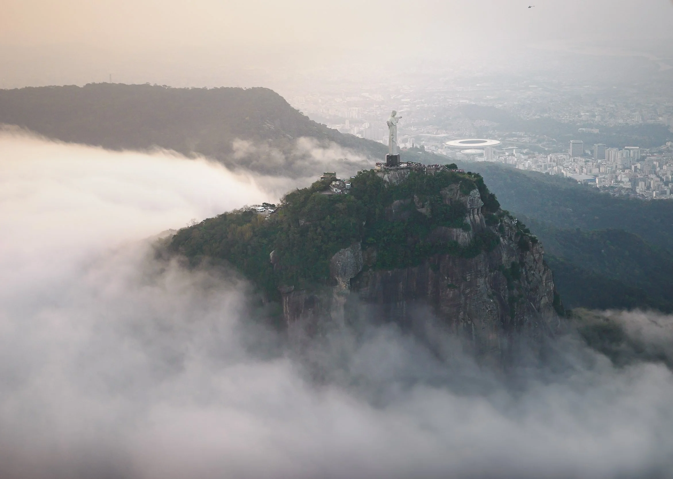
As you turn around, another famous Rio sight awaits in the distance: the statue of Christ the Redeemer.
The (unused) helipad also appears to be a nice spot for a romantic sunrise picnic, or so it seems.
On the way down from the mountain we stopped at Largo do Boticário, a group of brightly painted houses are a nice representation of late 18th century Portuguese colonial architecture. The square was home to the apothecary for the Brazilian royal family, and has been restored to now house a small hotel and homes mostly occupied by artists and writers.
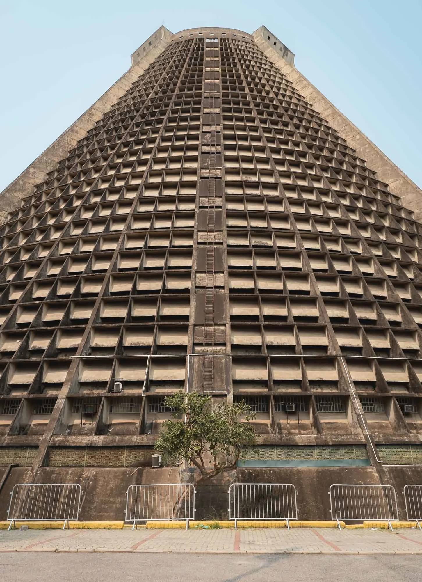
Catedral Metropolitana de São Sebastião
Our next destination was an architectural one as well - after some breakfast, we came to Rio’s main church, intended to echo the ancient Mayan pyramids in a kind of brutalist way.
I can’t say its exterior is particularly appealing - especially with the unmaintained stained concrete walls - but it does provide an interesting contrast to the surrounding area in the centre of the city, home to a few modern skyscrapers with glass facades the church reflects in.
The interior is rather impressive though, and holds up to 20,000 people. Huge stained glass windows on all four sides culminate in a cross pattern at the top of the pyramid, with a large hanging Jesus cross above the altar providing a juxtaposition with the bare facade.
The church took almost 15 years to build and was completed in the late 1970s. It features a separate bell tower outside.
Rio’s architecture is an interesting mix of modernism and colonial heritage - sadly a lot of the latter buildings in the city centre are not maintained and gradually fall into disrepair.
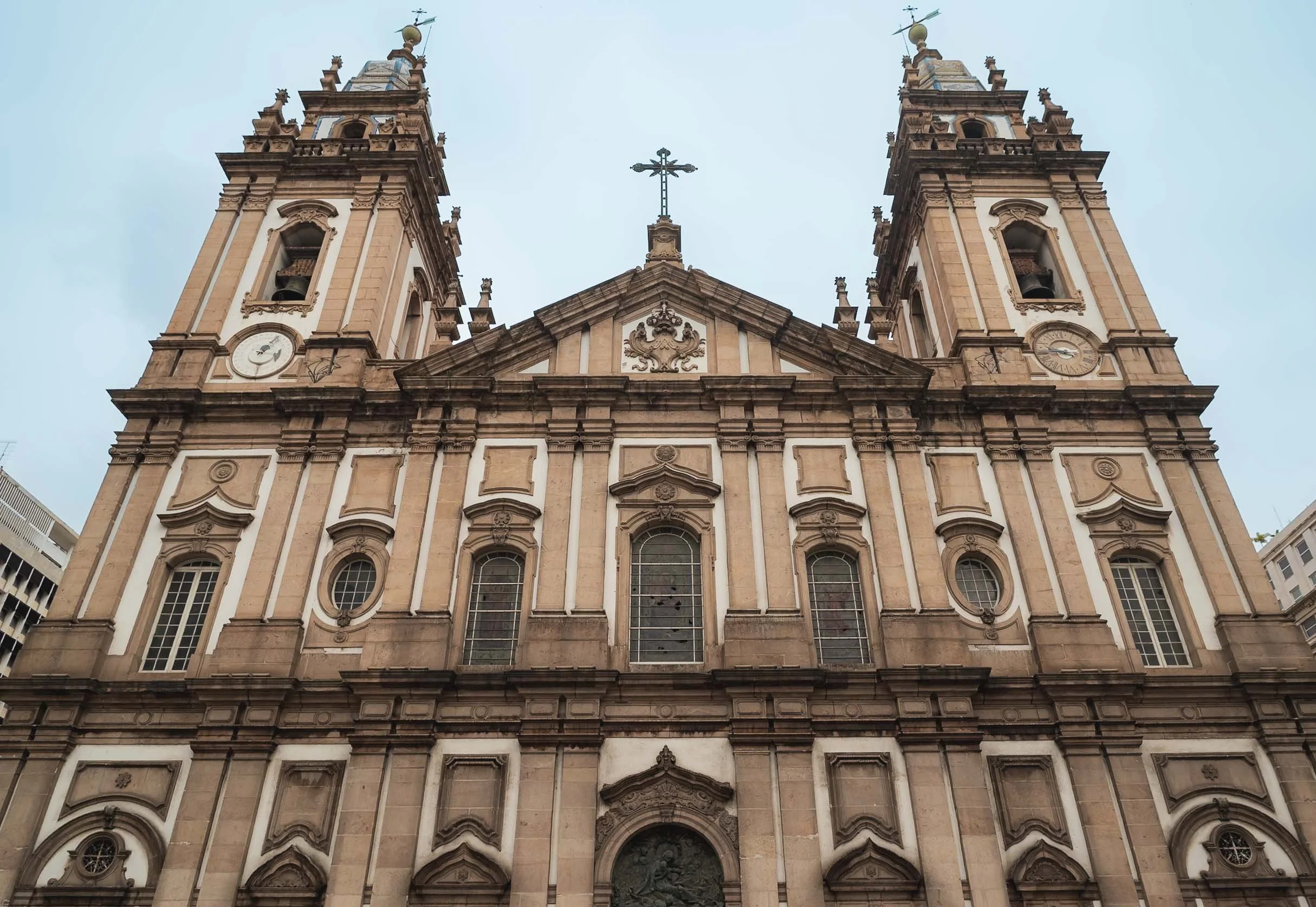
Candelária Church
Portuguese colonial Baroque references also show in this church, combined with some neoclassical elements. The dome was once the tallest structure in the city, and the interior heavily redesigned over the years.
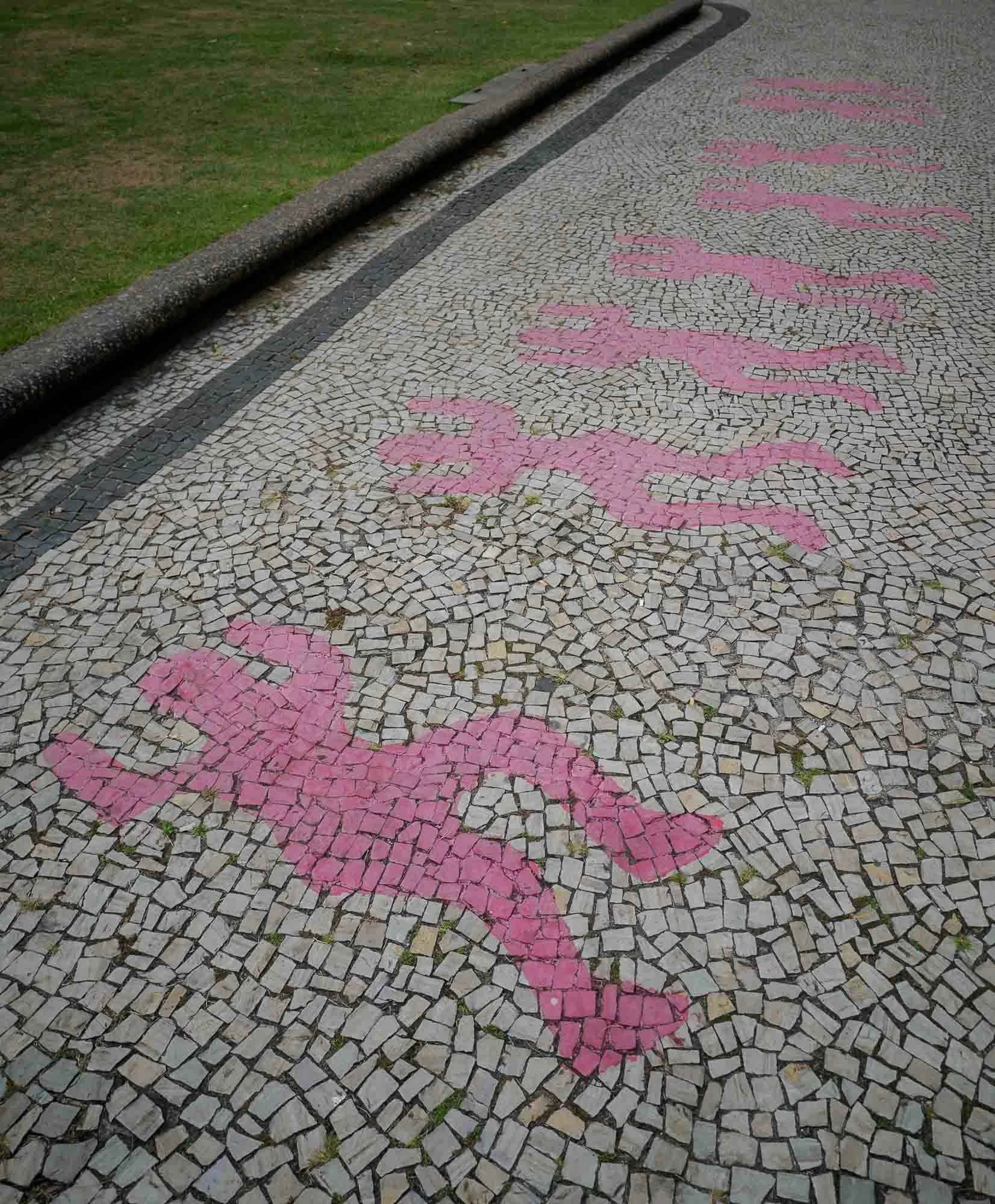
Remnants
The church is known for the 1993 massacre, where eight homeless people, including six minors, were killed by a group of men when they opened fire on the 70 or so children that had set up their makeshift homes on the square. Several of the shooters were members of the police and were tried for the killings, but only two were convicted.
The aftermath was severe and lengthy, placing the spotlight on police brutality, drug gangs and corruption, youth poverty and associated crime. Today a small monument serves as a reminder, alongside these 8 silhouettes on the ground in front of the church.
Mosteiro de São Bento
We moved on to another close-by religious site, an abbey founded by Benedictine monks in 1590, still operating today.
The interior of the church is known for its Baroque and Rococo-inspired decoration.
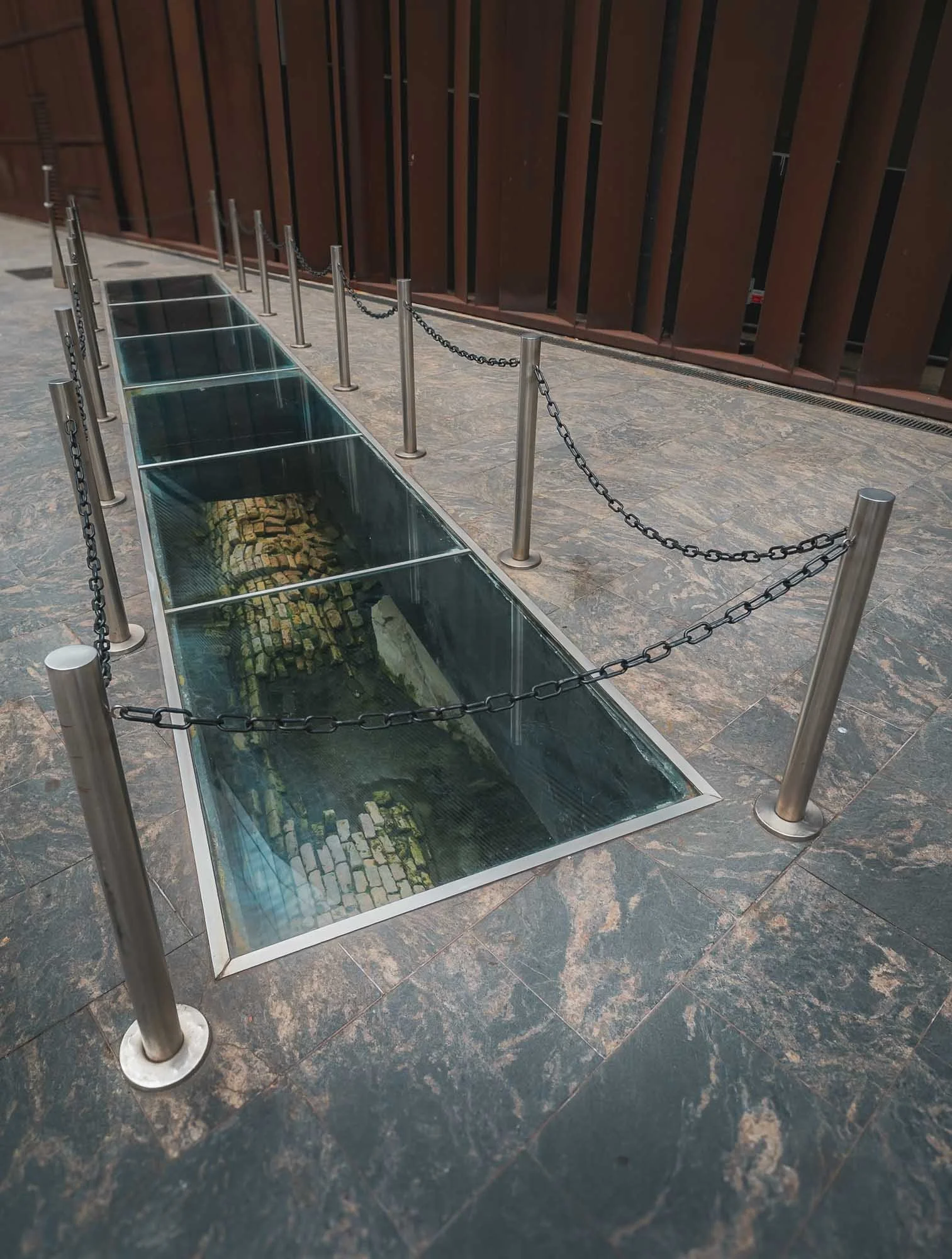
Sticking to ancient architecture: we encountered this small section of exposed remains of Rio’s early underground sewage system set up by Emperor Pedro II in the second half of the 18th century, as we walked towards more recent additions to the city’s architectural variety.
Museu do Amanhã
Specifically, we went to the newly redeveloped waterfront area at Pier Maua, a project executed as part of the reurbanization efforts during the Olympic and World Cup events. Its complex terraced steel construction is somewhat typical of its architect: Santiago Calatrava - I first encountered his work at the Lisbon train station back in 2008.
It sits on the lively Boulevard Olímpico and was opened in 2015. The museum houses exhibits around sustainability and innovation focused on - as the name suggests - tomorrow. I didn’t visit and hence cannot judge how well it delivers on these themes.
The Royal Portuguese Cabinet of Reading
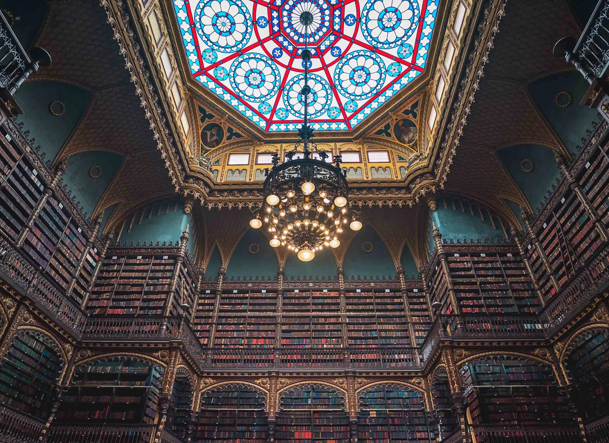
Instead, we visited a library containing the largest collection of Portuguese texts outside of Portugal.
Not speaking the language, my interest centered around the beautiful arrangement of almost half a million books the library collected since its opening in 1887. They are arranged in book covering three stories around a central reading area.
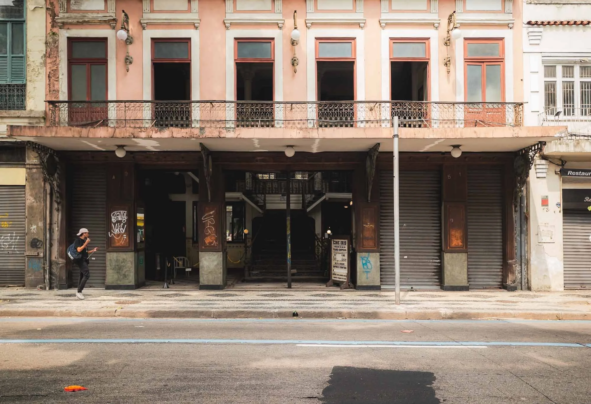
Cine Iris
As we continued, my guide pointed out one of the oldest cinemas in the city, seemingly famous for its program of adult movies of all genres, often showing in the middle of the day - I am not sure how he was aware of this…
Arcos de Lapa
More interesting to me was the Carioca Aqueduct, built in the middle of the 18th century to bring fresh water from the Carioca River to the population of the city. From 1896 onwards it served as bridge for what is now Rio’s last official tram line.
Taking photos here was not something my guide enjoyed, as it is apparently not a very safe spot - indeed we got approached by several people and I put my camera into the bag the moment I snapped the shot I wanted.
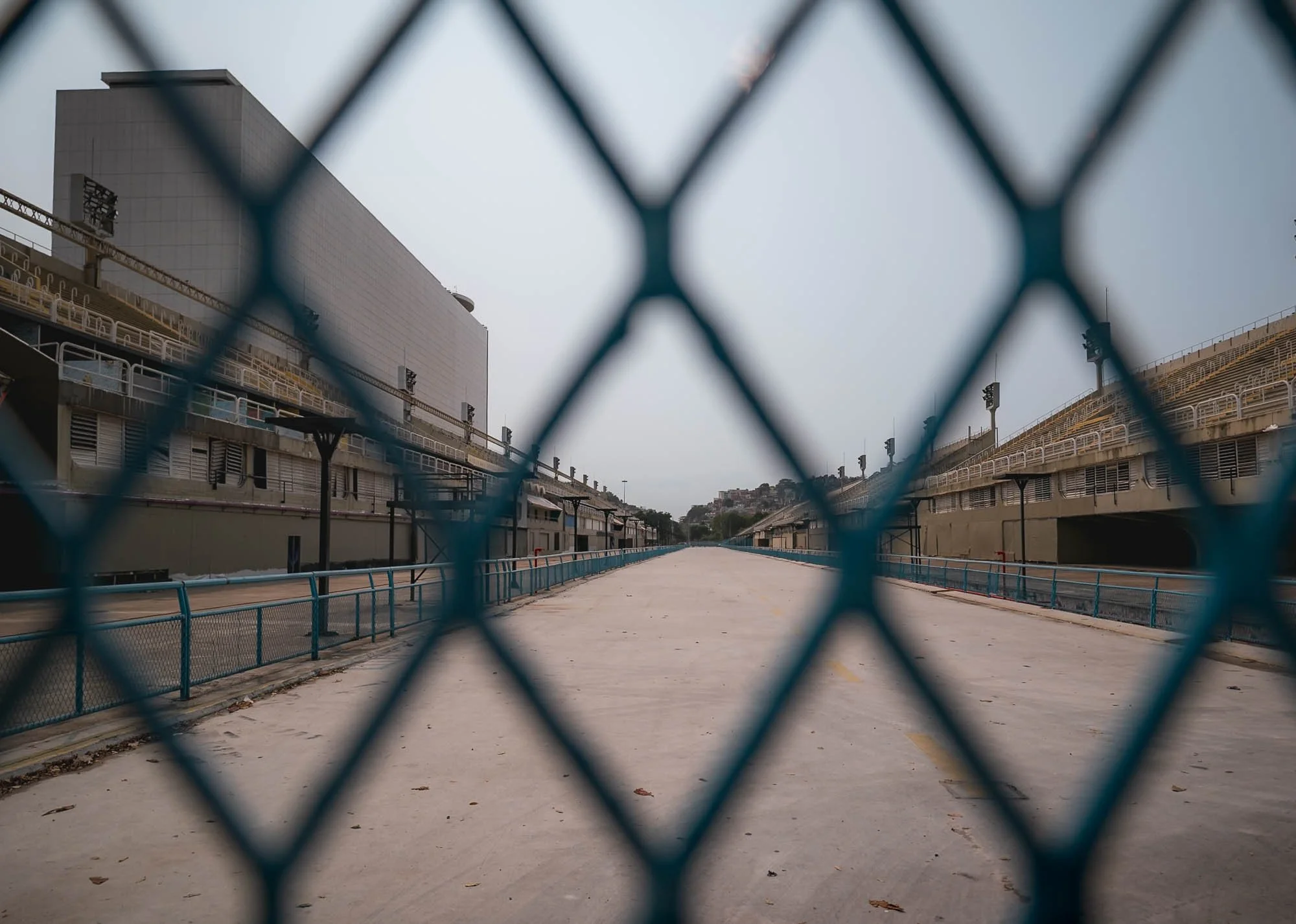
Our next destination was a short drive away, and gave me the chance for a very quick stop at the so-called Sambadrome, the place where the Rio Carnival parade takes place. Outside of that, the arena is sometimes used for concerts and was also a venue for some olympic competitions.
The Maracana
What I really wanted to see though is one of the world’s most well-known stadiums, famous for its record-breaking attendance figures, said to have reached in excess of 200,000 people during 1950 World Cup final, just two years after construction started. Despite this, its official completion took another 15 years.
Pele scored his 1000th goal in the stadium in 1969, and it hosted concerts by Frank Sinatra, Paul McCartney, the Foo Fighters, and many more. It is also home to the city’s most famous football clubs, Flamengo, Fluminense, and Vasco, but its present capacity has been reduced to 74,000 spectators.
In the previous decade, the stadium was host to the 2014 World Cup Final and the opening and closing ceremonies of the 2016 Olympics. It fell into disrepair after, and the stadium tours were halted because of vandalism and robberies in the area. After a new management agreement was signed, it is now home to a small museum and the visitor ticket allows you to go up into the stands and put your feet on the pitch as well.
Vertical Rio
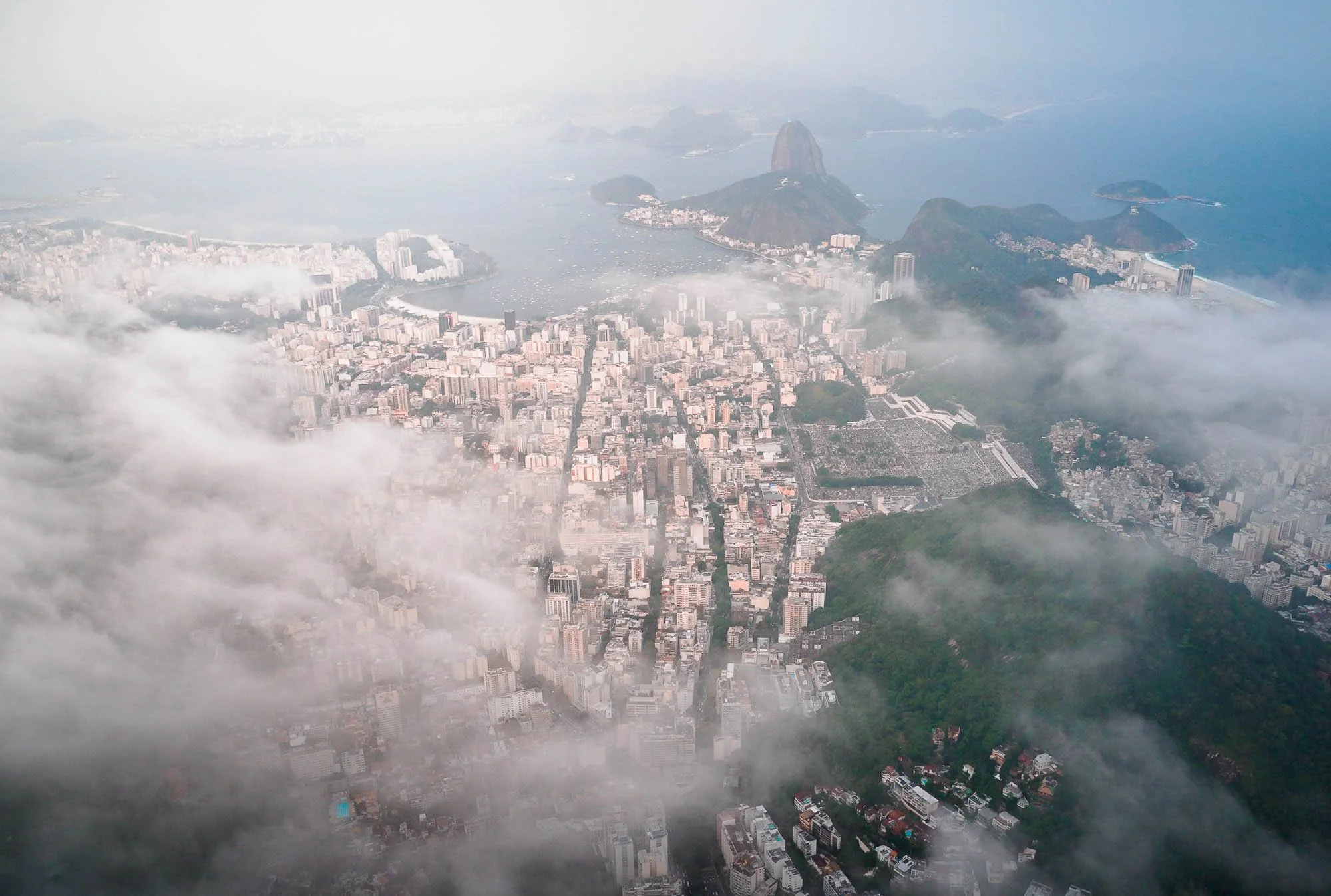
For the late afternoon, I had planned to explore the city from above and booked an open door helicopter flight. Rio is one of the few places that offers this kind of experience “by default” without needing permits or private helicopter flights. The weather had been mixed the whole day - small moments of sunshine but mostly clouds and even some rain as we explored the city. Most of the time, Christ the Redeemer, my main subject for the flight, wasn’t even visible from the ground. Although rescheduling was a possibility, my experience told me that sometimes it’s conditions that on the surface are less than ideal that then make for the most interesting photos…
Once I was up in the air after securing all my cameras, belongings, and myself, I knew my instinct was right. Couldn’t have been happier as I saw the clouds just about touching the ridges of the Corcovado mountain, and some haze and pollution giving the sunset a yellow tint.
I even managed to get the composition I first saw during the World Cup final coverage - including both the Maracana and the Christ the Redeemer statue in a single photo.
The art deco statue of Christ was constructed between 1922 and 1931 and is 30 meters high, making it quite small compared to other large statues around the world. It suffers from erosion and lightning strikes, and needs quite frequent repairs - the last major restoration took place in 2010.
Interestingly, Rio is also home to another famous statue - a copy of the Statue of Liberty located on the city’s outskirts. What makes this copy special is that it was created by the original designer Frederic Bartholdi (who was born in another city that has a replica).
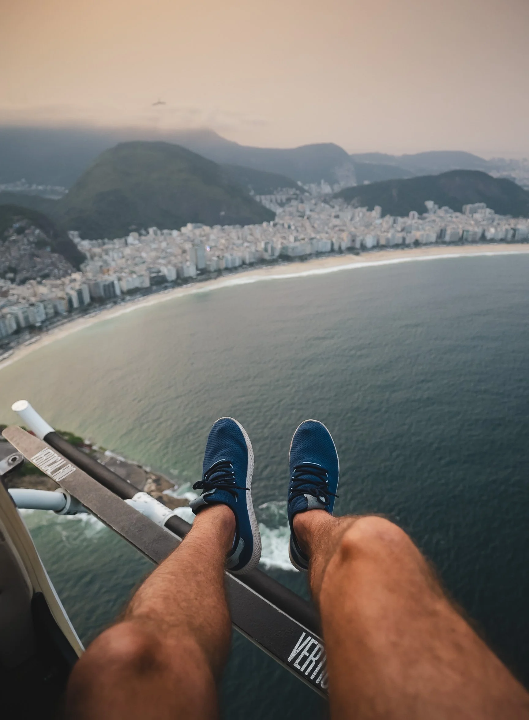
Legs Out
At certain points on the route the pilot hovers and you get to hang your feet out the doors - not something I’d recommend while the helicopter is moving. A rare experience not possible in many places, so it’s worth doing! The Copacabana in the distance.
On my second day, we explored a few more the neighborhoods and hills of Rio, and I wanted to cross the bridge to Niteroi, where some further architectural highlights await. But first, we had the chance to get closer to the historic Santa Teresa Tram, first set up in 1896.
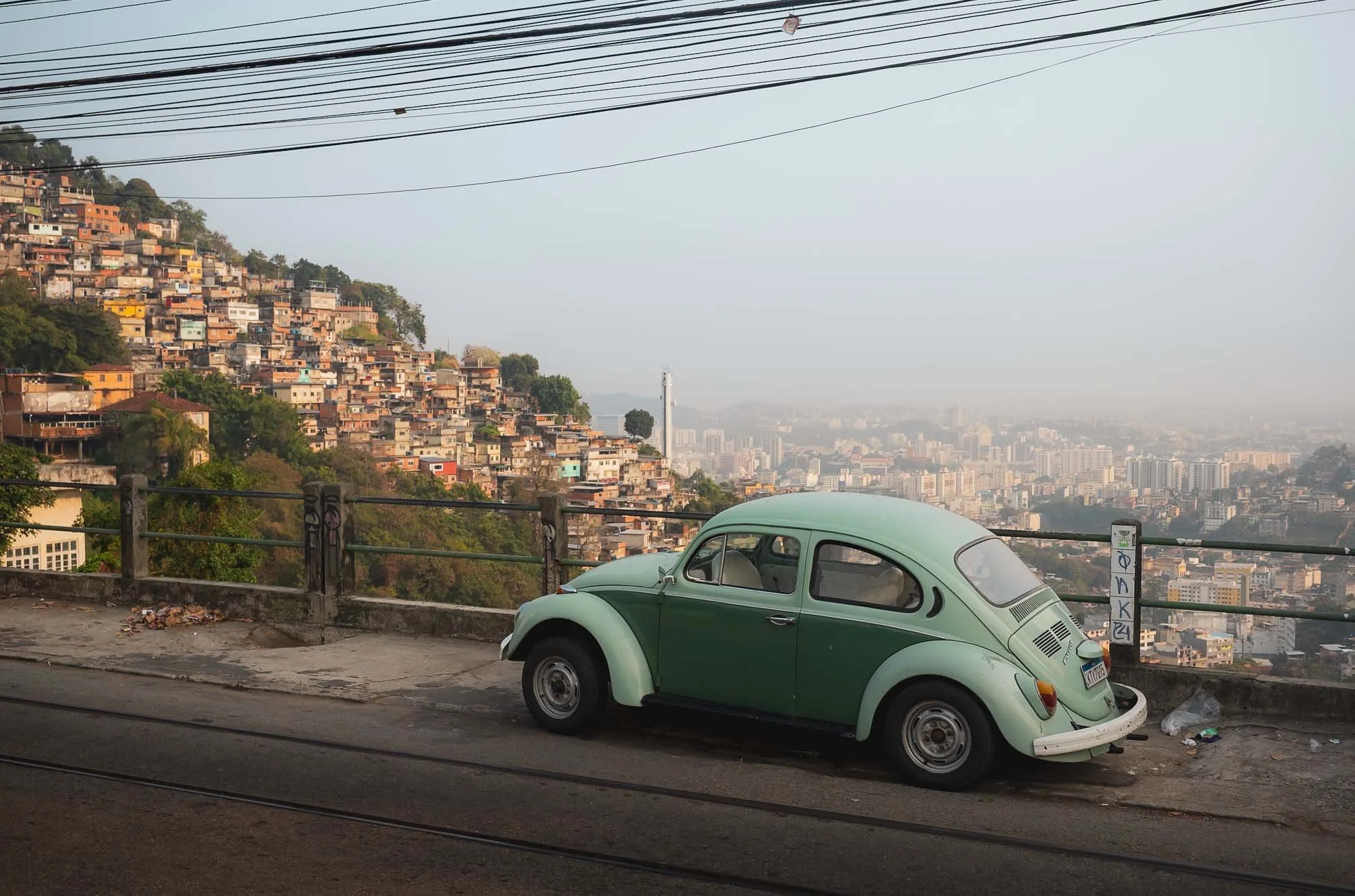
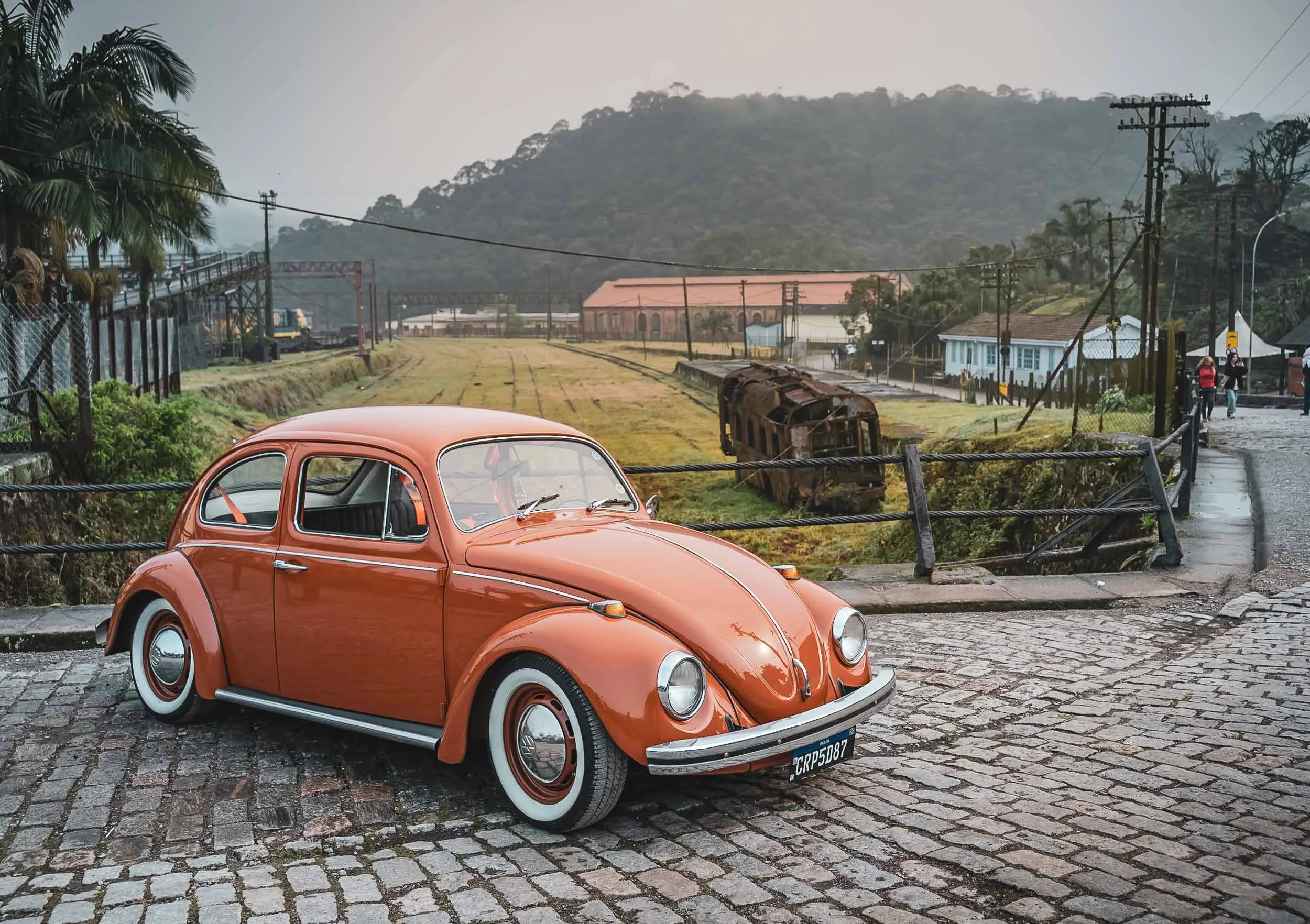
The hilly landscapes and neighborhoods around the Santa Teresa area on a quiet morning create a very different, artsy, calm, vibe, helped by findings such as this old VW Beetle, known as the "Fusca” in the country - it was produced here until 1996, way longer than anywhere else in the world.
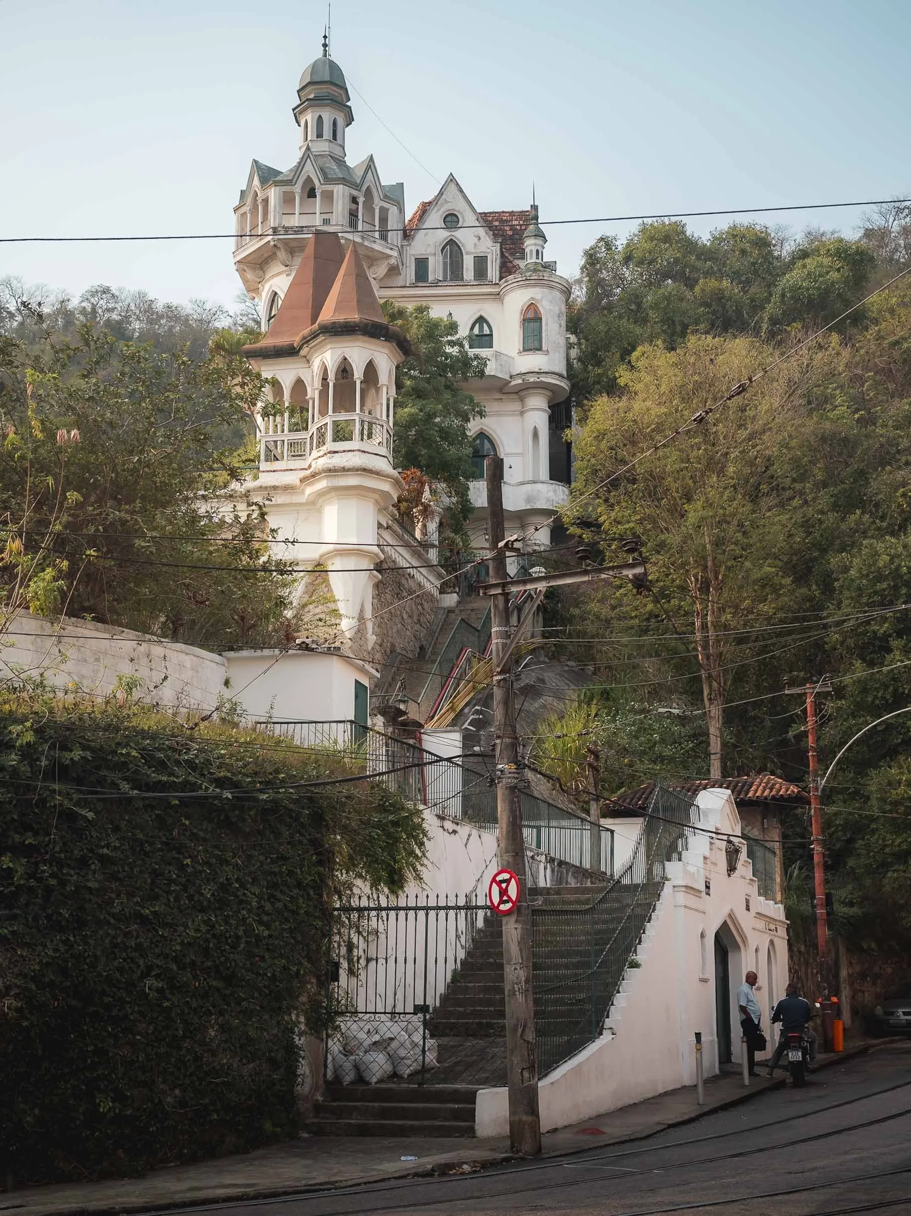
The district is also home to some of the more peculiar architectural remnants, such as this castle-like house on the Rua Almirante Alexandrino.
Escadaria Selarón.
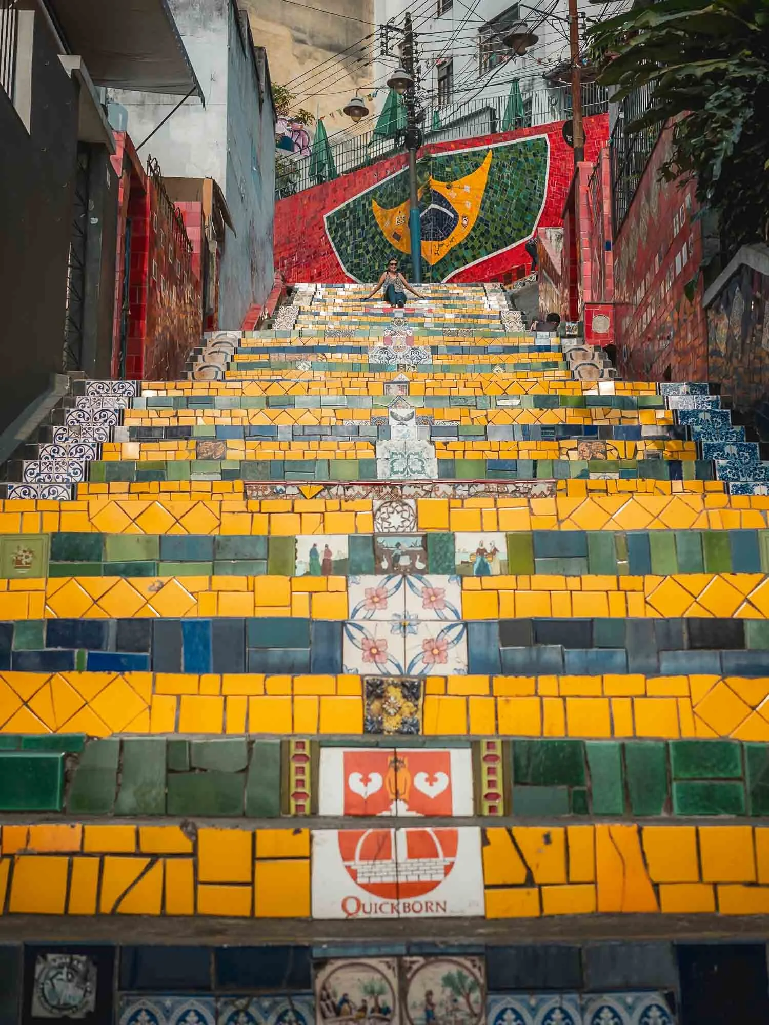
Descending from the hills, you arrive to one Rio’s most photographed spots: the Escadaria Selarón, a project started in 1990.
The Creator
The steps made of ceramic tiles from all over the world are the work of Chilean-born artist Jorge Selarón, who considered it a project that was never meant to be finished. Whether due to this mindset or not, he was found dead on the stairs in 2013, but is still permanently present on one of the tiles.
In the morning hours the 215 steps are still mostly empty, especially the upper parts, but it gets extremely busy during the day. I can imagine the people using the steps to enter their houses may find that less enjoyable, although this cat didn’t seem to mind.
Caminho Niemeyer
From here, we crossed the only bridge over the Guanabara Bay to the district of Niteroi - before the bridge was built in 1971, it was a 3h journey inland or a ferry ride to make it here from Rio.
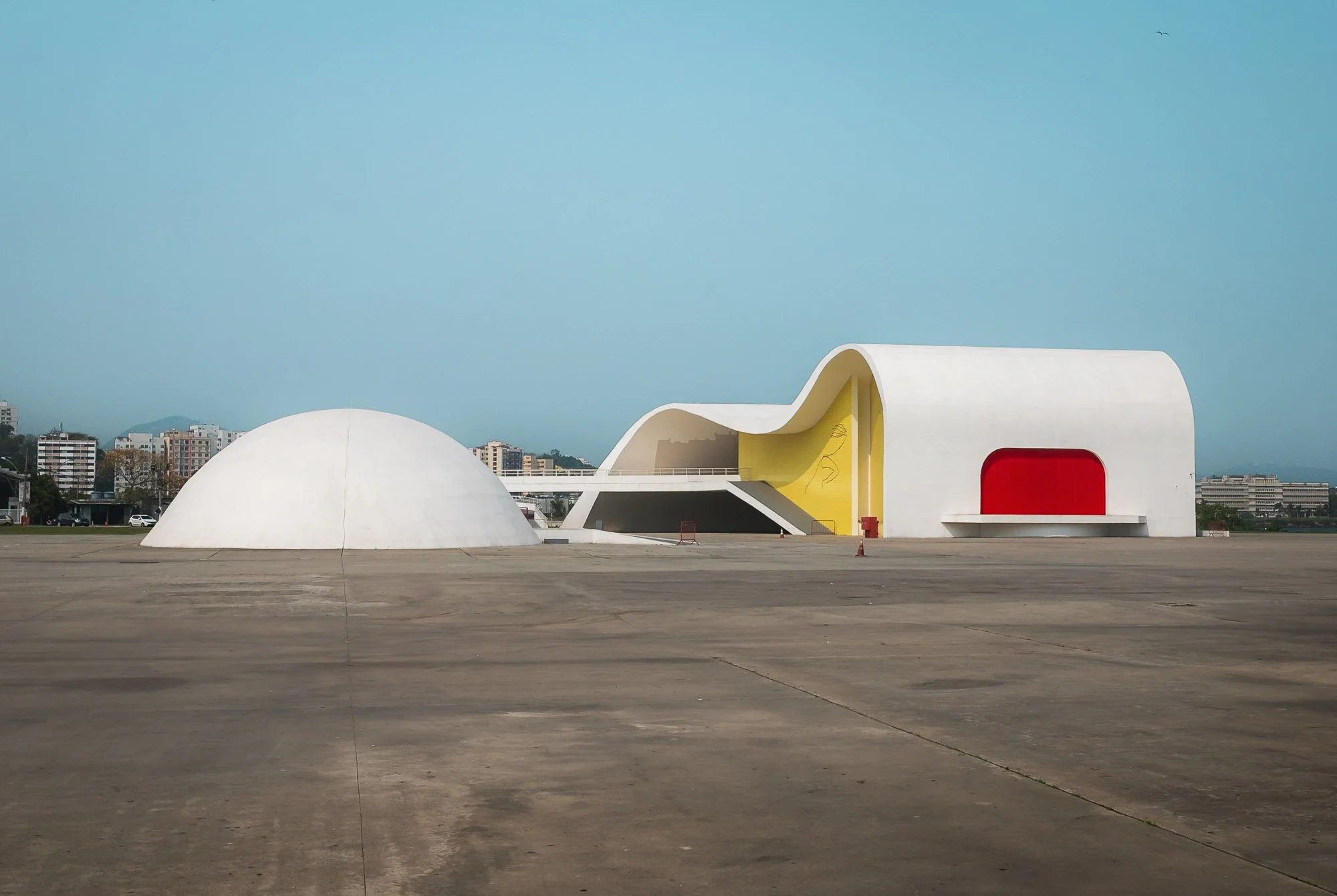
Oscar Niemeyer is maybe Brazil’s most famous architect, known for his use of abstract forms and curves. He was instrumental in the design of the country’s purpose-built capital, Brasilia.
The reason I wanted to cross the bay was to see a set of organic buildings designed by the famous architect as a space for art, history & culture.
Niterói Contemporary Art Museum
Not far along the coast lies another of his works, the UFO-like museum of contemporary art.
Aside from the exhibition, the building features beautiful views across the bay from the large windows of its 50m cupola.
It is said that Niemeyer positioned and designed the building in a way that it would align with the sugarloaf mountain on the other side when viewed from the right angle - I checked and it seems plausible!
As we returned back to Rio, I had one last sight on my mind - a walk through the city’s botanical garden. It is part of its UNESCO World Heritage area, which represents the significance of the unique interplay between sea, mountain, beach, and urban features taking place here.
It is home to the Avenue of Royal Palms, a collection of 134 palms that all descended from the same tree, and reach a height of 40 meters.
A brown capuchin monkey and one of the many large trees that were planted here in the time since the garden was established in1808, originally to acclimate plants the Portuguese brought to their colony from around the world.
After we returned, I spent a few minutes at sunset on the Copacabana just in front of my hotel, observing one of the reasons why Brazilian footballers are said to have the best technique on the ball: hundreds of people of all ages and genders were playing on the beach, whether casually or in organized groups. And that was my last impression of Rio - architectural diversity in a beautiful natural setting, with an upbeat vibe that is somewhat muted by the ever-present safety concern, with unmissable poverty, and the occasional hints of the uncontrolled informal gang governance.
An early start the next morning would take me towards São Paulo, but not without a few stops.
Hangars & Reactors
Some of those stops were at rather peculiar places: the first was the zeppelin hangar at Santa Cruz Air Force Base, one of the world's last well-maintained airship hangars.
For weeks my local contact and I had been trying to get a permit to be able to access the hangar from the inside, but without luck - as we arrived, the military unsurprisingly didn’t spontaneously let us in either, so the only view I could get was from a distance. Even that turned out to be difficult - the whole area is fenced off. In the end a local woman living in a house on the surrounding road kindly allowed me on her balcony to take this photo.
Irritatingly, after we had already moved on and drove a further 2 hours, we got a call telling us that the employee who normally handles these requests was on holiday and she was now back and would be able to give us a permit. I was tempted to turn around but it would have derailed a lot of our plans, so I reluctantly let go of the idea to stand in a Zeppelin hangar.
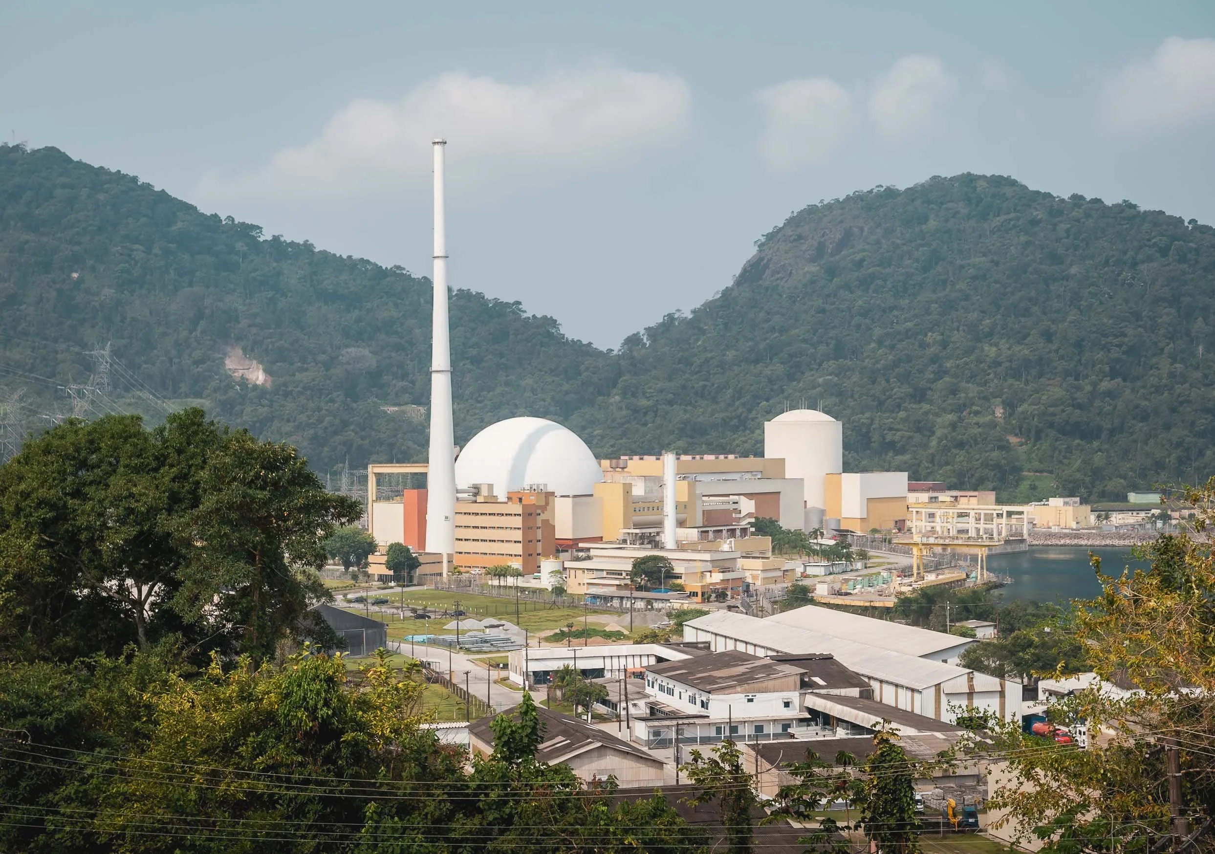
Instead, we stopped at Brasil’s only nuclear power plant. The multi-reactor facility started operating in 1985, and is still being expanded.
Paraty
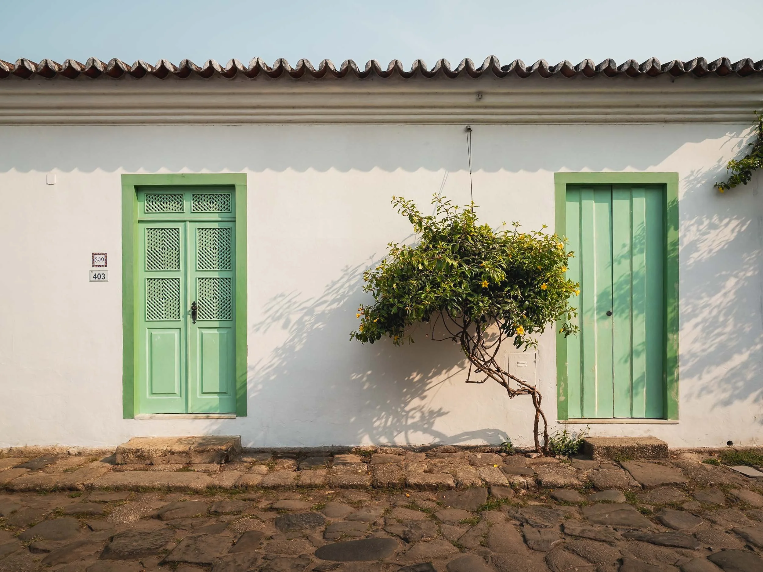
My overnight stop on the way to São Paulo was Paraty, a well-preserved colonial town listed on the UNESCO World Heritage List for its car-free, cobblestone city centre, which has not changed much for the last 250 years.
It’s the western-most city of the state of Rio de Janeiro, and lies more or less half way between the two cities, 300km in each direction.
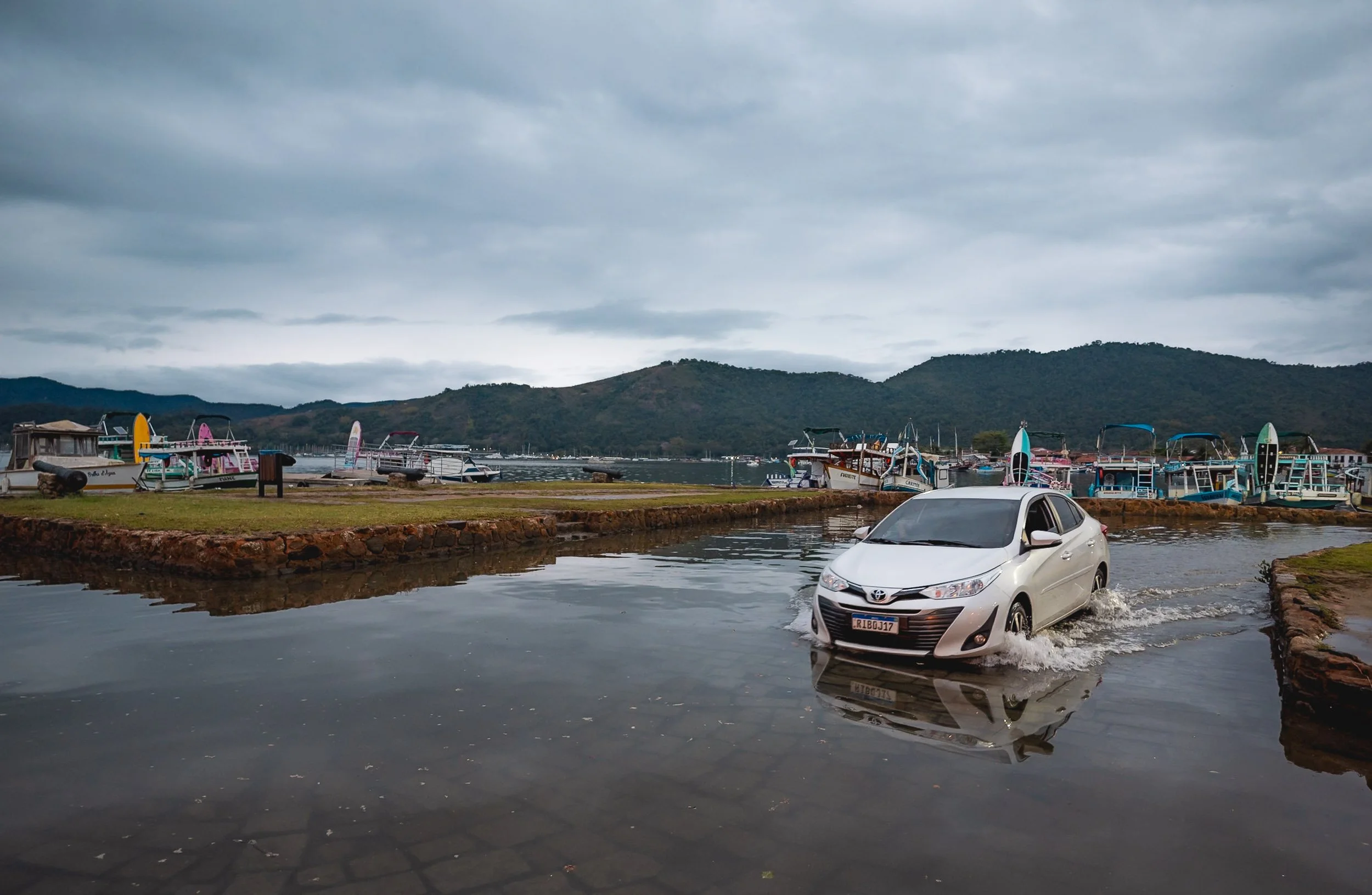
What adds to the unusual charm of the city is the fact that its centre floods almost every day depending on the height of the tide, turning the streets into little rivers. Apparently this was by design, to help keep the cobblestone clean - the house entrances are slightly elevated with at least a step or two at every door step.
It’s this unusual feature along with the beautiful architecture, its history, the many islands in the bay, and regular events, that made the town a tourist attraction.
Small wooden bridges and elevated sidewalks help to keep your feet dry when navigating the roads - not always successfully, I might add.
As I walked the streets trying to avoid soaking my shoes or twisting my ankles (the cobblestones are huge, bumpy, and full of holes) I had a few beautiful encounters of the feline and musical nature, getting the chance to meet and photograph an elderly singer who recorded a promotional video for her upcoming performance in a small designer store.
I took another walk during blue hour the next morning, as the water just receded again from the nightly tide and the town was still empty.
The road in front of the city’s oldest church, the Capela de Santa Rita from 1722, is one of the last places where the water drains back into the sea…
…which makes the morning commute rather interesting.
Further into the harbour, I encountered a few boats on the pier that didn’t seem to be in their best condition. That is seemingly not a coincidence or matter of maintenance: from what I’ve been told, recent years have seen heavy competition among operators attracting tourists to the various islands and beaches on the bay. Competing on price to do so is not judged upon with favor - in fact, the opposite, and captains who don’t adhere to the fixed price system may end up with a boat that is not going anywhere anytime soon…
Paraty’s historic claim to fame came from its use as an export hub for gold after the discovery of the world's richest mines in the late 17th century in the mountains further inland. It was the endpoint of the “gold trail”, a 1200 kilometer road that was built to transport the metal to the harbor. When pirates became a problem and the mines were depleted, the city’s importance faded.
Before continuing towards São Paulo, I explored these mountains myself with a short morning hike to a nearby viewpoint, offering an aerial perspective of the city and the many islands in the bay. Somewhere in the area lives the explorer Amyr Klink, who circumnavigated Antarctica in the late 1990s on his own. He was also the first person to row the South Atlantic, spending 100 days to make the journey from Namibia to Brazil in 1984. I added the books he wrote about his journeys to my reading list…
The Ubatuba Whale
Speaking of oceanic exploration, the city of Ubatuba just a few kilometres west of Paraty has an interesting sight to offer: a skeleton of a humpback whale that stranded here in 2000, triggering a frantic mission to somehow get rid of the stench of the rotting carcass. When all kinds of efforts to move the remains with tractors and other heavy machinery failed, the officials just dug a huge hole into the ground and buried the animal. 8 years later, the local public aquarium assembled a team to retrieve the skeleton and it was put up in front of the entrance, with a statue of the legendary ocean explorer Jacques Cousteau watching over it.
Ruins of Lagoinha
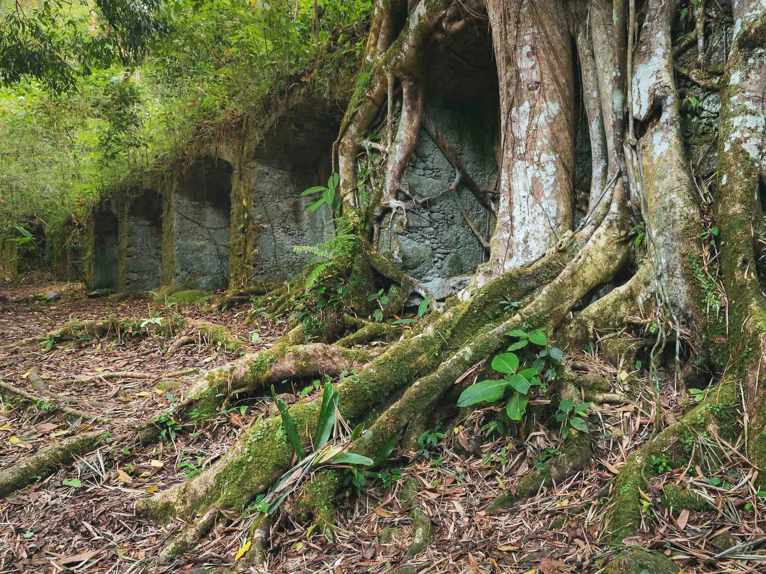
I planned one more stop before arriving in São Paulo that day: the ruins of Lagoinha, remnants of an old sugar mill of Fazenda do Bom Retiro and the pillars of the alleged first glass factory in Brazil.
Slowly reclaimed by the Atlantic rainforest, the scene feels like straight out of Indiana Jones.
I arrived in São Paulo late in the evening - and knew I was in the city as my (local) driver told me to stop using my phone in the passenger seat, as it is not unheard of that thieves break the window and snatch the phone when the car is moving slowly or stopped in traffic. We made it to the hotel without such incidents.
Paranapiacaba
The next morning I didn’t in fact stay in the city - an early start took me to a small municipality about an hour into the mountain ranges: Paranapiacaba (harder to pronounce than my last name..). It’s a sleepy, mostly abandoned place. Only a few hundred people live here.
This wasn’t always the case, and it’s the reason we visited: in the late 19th century it was home to 4000 engineers and workers operating the headquarter and station of the São Paulo Railway. Nowadays, trains have become a rarity but the track is still operational.
Many of the buildings around the railway have a very distinct British Victorian appearance, with red brick construction dominating the now mostly abandoned structures.
There used to be a small railway museum in the building to the left, but it seems to have been closed for a while - comparing its state with some older photos, it seems like it has been decaying for a few years. I only found out the museum was closed when I got there, but luckily I found a small (literal) loophole and managed to get access to some of the relics from the past in this area…
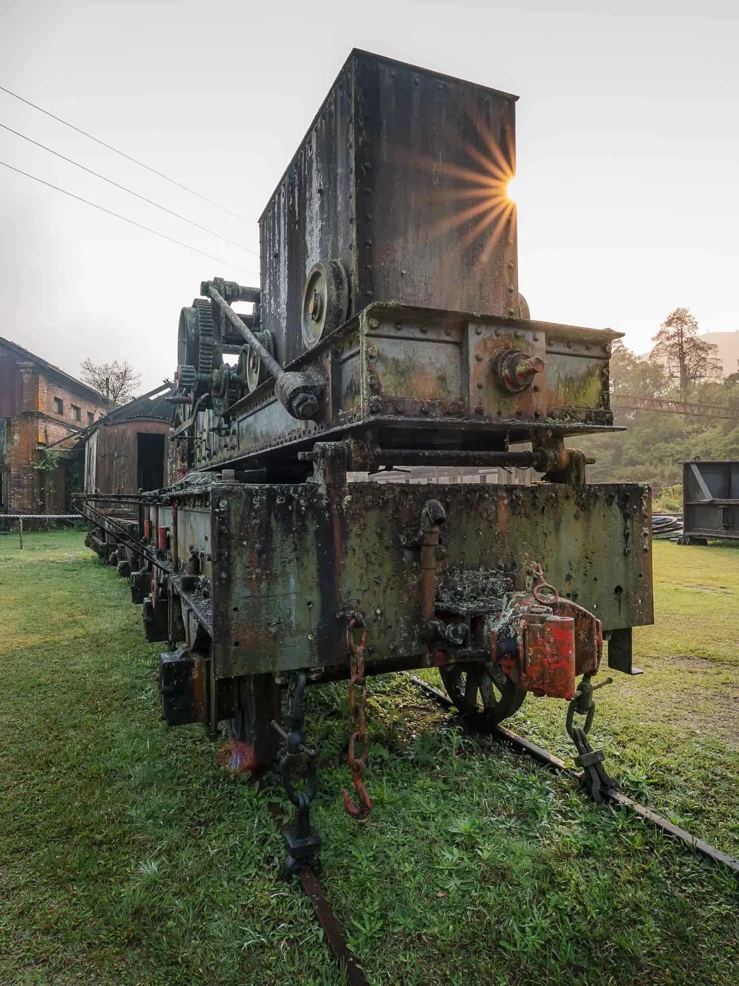
I’m not necessarily a huge train enthusiast, but who doesn’t like abandoned machines from a bygone era? I can imagine this place must be a paradise for someone who is a little more into this mode of transport - overgrown locomotives and wagons that have last been used dozens of years ago…
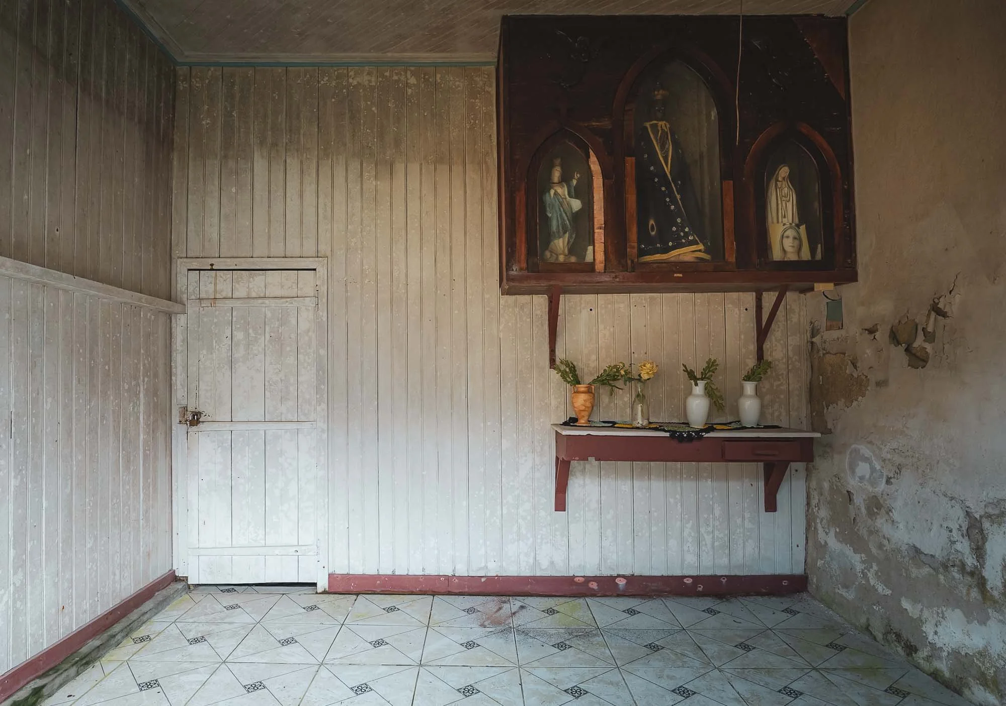
Even the old staff quarters were still visible - complete with the relics keeping the workers safe… I did wonder who put the flowers into the vases, as I didn’t run into a single soul around.
A set of old railway wagons in their home - which according to the “SPR” sign was built in 1900.
The railway primarily carried coffee between the port of Santos and the mountains inland.
In the 1980s, a working steam engine from the turn of the 20th century ran several times a day, originally used to pull inclined trains from the coast - no more unfortunately, although there is still a daily tourist train from São Paulo.
Not everything is abandoned here - some things from the past are kept in good condition.
Either way, a worthwhile visit to a colonial sight of Brazil, and kind of a hidden gem if you ask me - but maybe that’s because I like trains and abandoned things. The setting in the middle of the Atlantic rainforest is beautiful as well, the town is surrounded by greenery and hiking tracks for kilometers.
São Paulo
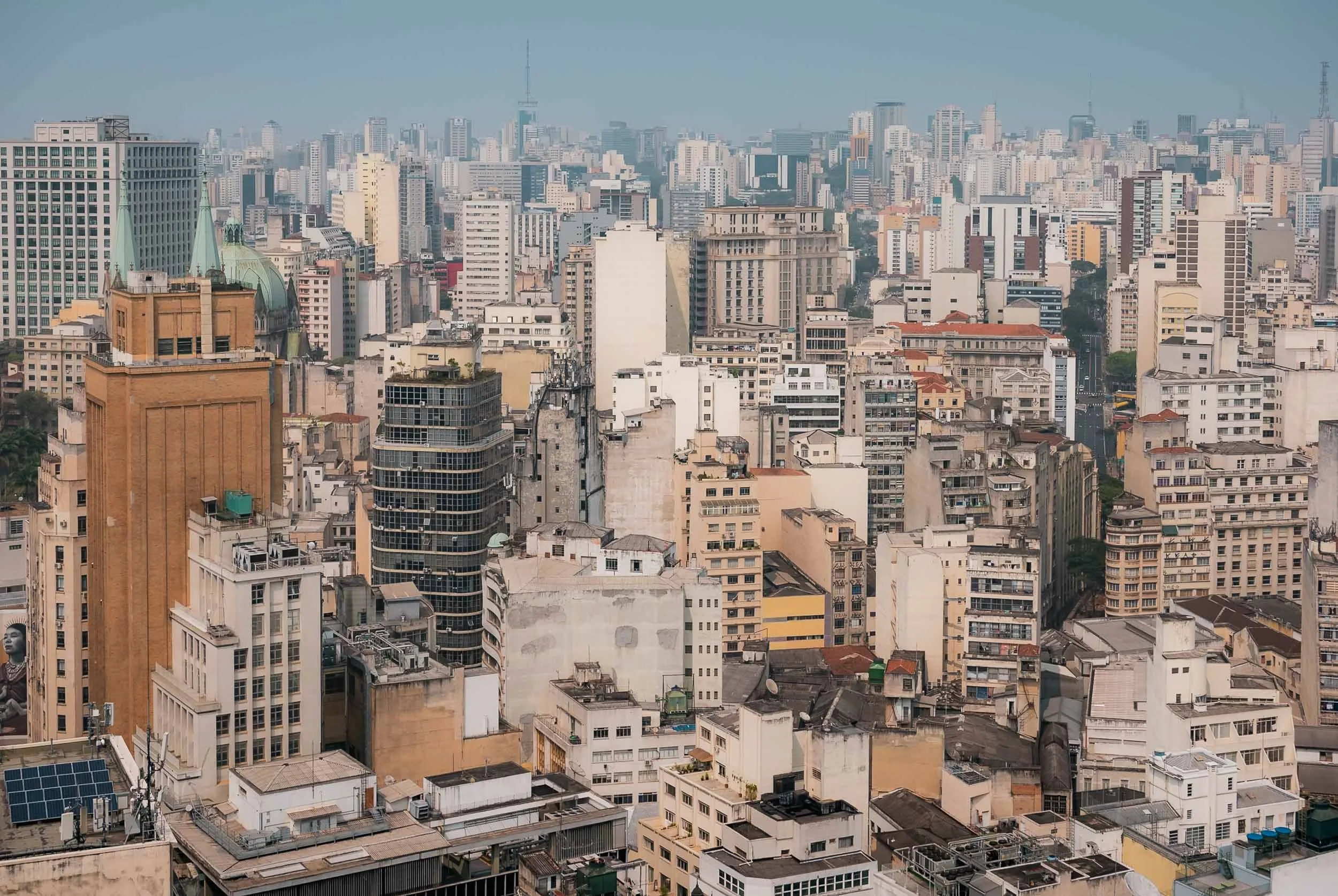
After returning, I had a full day to explore a little bit of São Paulo, Brazil’s most populous city. São Paulo was founded almost 500 years ago, and its metro region is home to more than 20 million people.
Urban impressions: the Consolação district to the left with its parish church, and a view of the city centre to the right, including the Art Deco Altino Arantes Building, once the tallest building in the city in the 1940s. The photo above is taken from its observation deck.
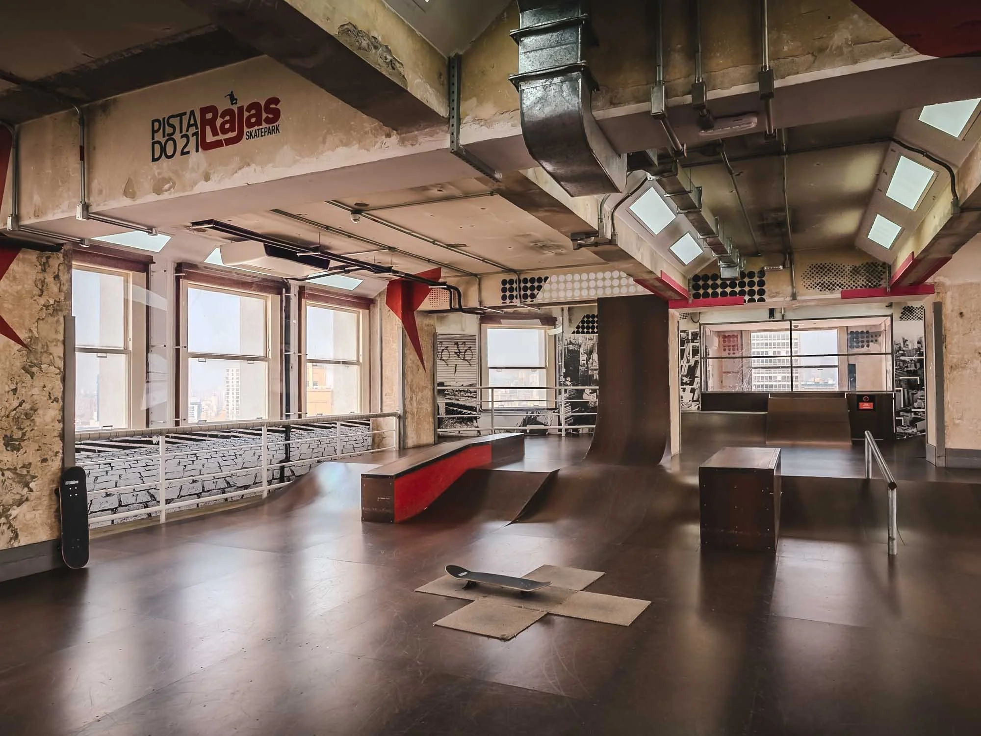
The Altino Arantes building is also home to the world’s highest skatepark in a building - not sure what this says about demand for high-rise units in the city, but a cool initiative nonetheless.
Leading the Way
As you walk around the city, you might come across these kind of traffic lights, with unique clues leading to different sights in each area…
São Paulo Cathedral
…such as the São Paulo Cathedral with the statue of Apóstolo São Paulo in front of it (and a demonstration in the background, the purpose of which I cannot recall). The Neo-gothic church was only completed in 1967 and is the largest in the city.
The interior of the cathedral - an interesting mass was going on here, with almost only men in attendance. I couldn’t figure out why though, if anyone has an idea, please do share.
It was a Saturday, where some of the main elevated highways are closed off for pedestrian traffic, creating a car-free area for walking, running, cycling, and people to have gatherings.
Urban Finds
Common sights in the city are unfortunately also the many abandoned buildings with the historic colonial architecture, and - more fortunately - a lot of amazing murals, covering entire building facades. This one is by Hanna Lucatelli - her goal is to infuse a sense of strong women into the streets, which she says generally have a more masculine energy.
In the late afternoon, we made our way to the final place I wanted to see, located in Paraisópolis, the city's second largest favela. The huge informal housing district is surrounded by parks and skyscrapers, creating the intense contrast many of Brazil’s urban centers are notoriously famous for. Taking photos here is not something you want to risk - and indeed, entering without a local contact person is not a good idea. But - I did have a contact person and a reason to go.
Casa de Pedra
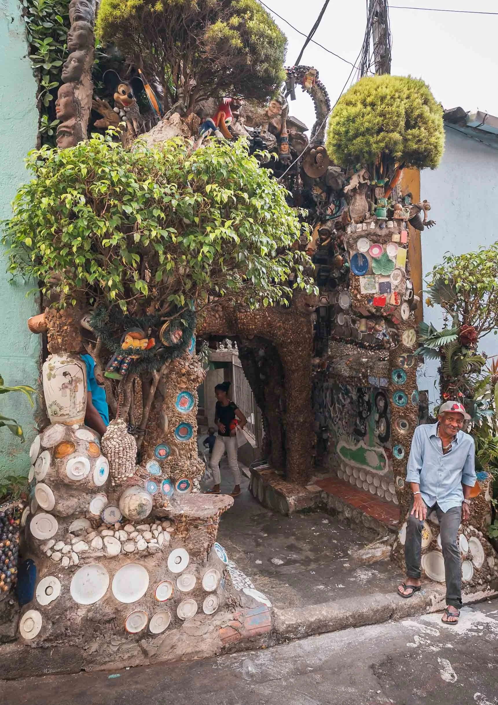
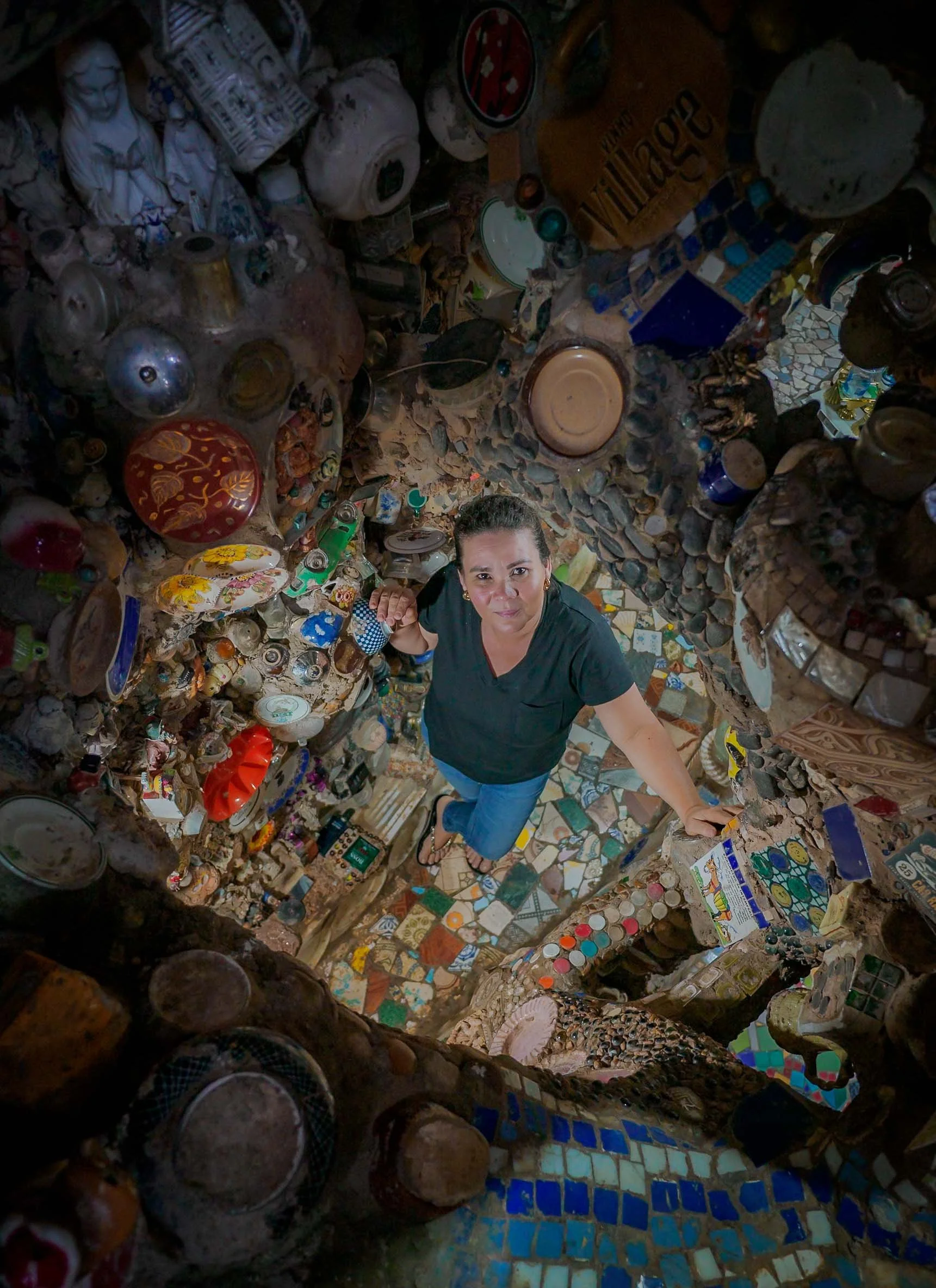
The reason was this man and his house. The eccentric home of Estevão Silva da Conceição, known as the "Brazilian Gaudí", is truly an extraordinary place.
That’s his living room, where we had some tea and he told us the story of his incredible house, which covers several floors and has been a work of love for the past decades. Each room is defined by organic shapes and covered to the last square centimetre with artifacts he collected over the years, mostly plates and similar objects.
If you look hard enough, you’ll surely find some of your favorite things in here…
…if not on the ground floor, just take one the tiny ladders and squeeze through a small hole into the second floor. Or third floor. Or fourth floor, or the roof. The house is an endless collection of art, but the higher you go, the less busy it gets - Estevão is still working on the upper parts. Luckily his family was around and made sure we didn’t get lost.
The artist speaks with a lot of passion about his project. Even though it’s been over 30 years, as he explains while showing us a book with images a documentary photographer took at the beginning of his journey, he knows the origins of many of the pieces used to decorate the house.
The roof of the house above the entrance to the left, and his ongoing work and yet to be used pieces on the right. A place like no other, both for its interior, its artistic commitment, and its setting.
As we headed back to the city centre, the unexpected traffic was an indicator of something out of the ordinary occurring: it turned out to be a large political demonstration on Paulista Avenue, one of the main arteries of the city. The road was closed off to cars, and thousands of people roamed the street - alongside a similar number of policemen (and maybe women) - which to some extent gave me some confidence to walk around and try to get some photos.
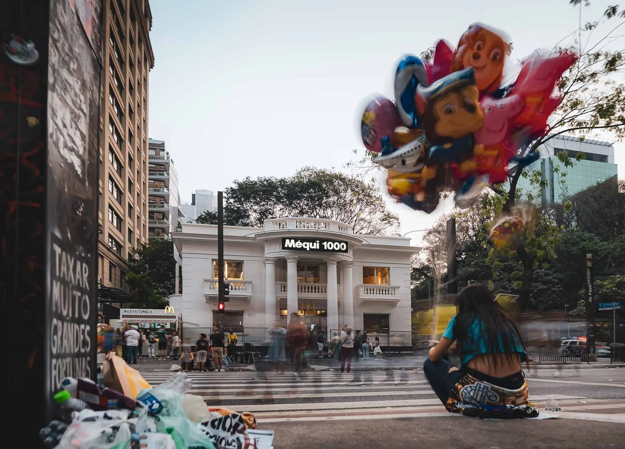
Surprising no one that knows me, one reason I wanted to take a walk here was this rather special McDonald’s, named after its local nickname and to celebrate store number 1000 in the country. Its design seems inspired by the White House (which nowadays is probably a good customer)
The interior was equally appealing to me!
I got some photos of friendly protestors left on the street, although the main demonstration had ended a few hours ago. Brazil’s political situation has been messy over the last years as the former president is facing legal proceedings. When I was in the country, access to X was blocked after disputes between Elon Musk and Brazil’s supreme court, which had moved to curb extremism.
It was dark after I had my well-deserved burger, and the police decided it was time to empty the streets, forming a long line and pushing everyone out, making for a quite interesting scene - that was also the end of my time here, as I flew out the next day. One morning visit to the Museo do Futebol (worthwhile, really quite cool!) and my time in South America’s largest country was over - for now.
Some final words: To what extent the danger of robberies, assault, theft, etc are exaggerated or a true risk is probably subjective and sometimes hard to tell - but as a photographer, it was common for guides, drivers, and hotel staff to tell me to keep my camera in the bag while walking around, avoid using your phone in the streets, and not to go out at night - in both Rio and São Paulo.
Beyond statistics it’s also a matter of perception, and for me this is what created an impression that would always make me favor many South-East Asian cities or the GCC in terms of feeling safe to just walk around with a camera anywhere anytime. On the other hand, it would not keep me from going back, and I’d also not deter people to visit either São Paulo or Rio de Janeiro (and for sure not Paraty) - they have a lot to offer. So do other parts of the country, and I might be back here soon!
Subscribe to my newsletter to get notified and don’t miss out on more Wonders of the Globe.
Other Recent Posts:
A Belgian Roadtrip
A short trip through Brussels, Gent, and Bruges, waffles and fries included.
In April 2023 (yes, it’s been a while and I still have some backlog of more places…) it was time for another short roadtrip through Europe, following trips to Luxembourg, San Marino, Slovenia, and a few more places over the years. This time, the German Autobahn took us to Belgium, with a plan to see some of the most well-known cities and sights in this not-so-large country famous for beers, fries, and waffles - what’s not to like (well - beer for me, but the rest is highly appreciated)!
The goal was rather ambitious. In just four days, we wanted to cover three cities and three sights around them. For this reason, I apologise in advance that this blog may lack a bit of a coherent story as I try to capture some essence of all these places…
Sight No. 1
On the way to Brussels we stopped here, at the “Reading Between the Lines” church, or “Doorkijkkerk”, part of an art installation in the area. The structure is made of steel and 10m tall and was completed in 2011.
Seeing Through
The church with the actual church of the nearby town of Borgloon. Whatever the symbolic meaning of this installation is meant to be, I might have rated it higher during sunrise or sunset from a visual point of view, but alas, time was short.
Brussels
We arrived in Brussels - or rather, the City of Brussels in the namesake region - located pretty much in the centre of the country after an (unintentional!) drive along a few very questionable roads, where the windows were glowing red, daylight or not be damned.
The Grand Place
The 15th century gothic town hall on the main square during a quiet early morning. It’s a Unesco World Heritage site. There is a distinct lack of symmetry of the front arches, the tower, and the facade, and legend has it the architect committed suicide after discovering this issue, but the reality was probably rooted in pragmatic choices during the build phases rather than a mistake.
Although the town hall is the only remaining medieval structure of the Grand-Place, its neighbours are equally architecturally interesting - many of these baroque buildings are in fact private houses, while others are guild halls.
Brussels City Museum
Situated opposite the City Hall.
Facade Love
The city intentionally maintains a lot of its older facades while rebuilding and renovating houses, such as here on the one of the major pedestrian squares.
Other than its beautiful facades, Brussels also features more questionable sights - the Little Pissing Man and the counterpart Little Pissing Joan are among those. The former being the original and something of a landmark in Belgium, with countless legends and stories surrounding its 400 year existence. The latter is a 1987 addition, and the artist once - jokingly or not - said it was a matter of gender equality. In 1999, a pissing bronze dog was added in the city as well, I visited and took a photo, but let’s say its artistic value is low and I want to keep this blog at a reasonably length… By now it’s just cats that must feel left out (or stand above such trivial displays of public indecency).
Strange Combinations
Replicas of the famous statue even adore - if one could say that - some of the shops selling another Belgian staple: Waffles. Together with beer and fries, these probably make up the most important local food items on the tourist menu. Indeed, Bruges is home to a fries museum (ask me how I know… 🍟❤️) although claims of the dish’s origin are disputed. French fries might be named this way for a reason, but we will probably never know.
The Black Tower
Another peculiar site is one of the best preserved remains of the first fortifications of Brussels from the 13th century - this tower is now surrounded by modern houses (and a construction site in front, making a good photo difficult).
Brussels is not short of churches, and the gothic / baroque Cathedral of St. Michael and St. Gudula is probably its most impressive, to my untrained eye comparable to Notre Dame in Paris. I did not manage to visit, but here is the choir of the beautiful Church of Our Lady of Victories at the Sablon.
The Atomium
Admittedly the sight I was most excited to visit during this trip (aside from Waffles) was the centrepiece of the 1958 Brussels World's Fair and now the country’s most visited attraction. Although the original plan for the entire 102m structure to rest only on the central column turned out to be optimistic, it is still an impressive piece of architecture. Oddly, it was meant to only last for the period of the World Expo, but due to its popularity the authorities kept delaying its dismantling, finally deciding to retain it - a renovation in the mid 2000s refurbished the entire structure for a longer lifespan.
Six of the spheres are accessible to the public via elevators and escalators and used for exhibitions, audiovisual installations, and events - the ongoing installation had a very cool futuristic vibe and ethereal type music with some techno and trance elements, the composer of which I managed to find after some research.
Until 2015, the Atomium and its copyright society held a controversial policy forbidding even private individuals to show photos of the Atomium to anyone, which was finally overturned with the introduction of the Freedom of Panorama provision in Belgium.
Halle Gate
Brussels’ 14th-century fortified city gate looks like a small castle and houses a museum largely dedicated to its history and armed conflicts.
Although Brussels is home to the European Parliament I didn’t spend any time in the so-called European district other than driving through. Next up, we left towards Gent, with an early morning stop in the famous Hallerbos forest, owing to its carpet of bluebell flowers meant to bloom around this time of the year. Well, supposedly, but it seems they were a little late that year, and the rainy weather also didn’t help with the atmosphere.
Hallerbos Forest
A sea of purple and white flowers, if you’re lucky and find the right spots…
I could definitely see the potential for this to be a beautiful place for photography in the right conditions - or obviously just take a walk in nature. Although the forest was almost empty when we visited, there was parking setup for 100s of cars in the open areas and fields surrounding the trees, which I suspect when filled would make it a less peaceful experience.
Ghent
Although it was only one very rainy single afternoon we got to spend in Ghent, I could imagine this being a very pretty city to visit. Its centre is car-free (a new trend in many European cities), features plenty of well-preserved medieval architecture, a quaint river promenade, and a castle from the 12th century.
Ghent features the tallest belfry in Belgium, seen here in the distance on the right, with Saint Nicholas Church in the foreground.
Gravensteen Castle
The 12th century castle was a central point of the Ghent World Fair of 1913 and hosted its last (not so violent) battle in 1949 when 138 students from the local university occupied the castle over a new tax on beer - unsuccessfully.
All in all, photography here was barely possible and after getting soaked and talking a last walk through the city’s Graffiti-filled Werregarenstraatje, it was time to move on to Bruges after just a few hours, but Genth might be a place to re-visit for a bit longer.
Welcome to
Bruges
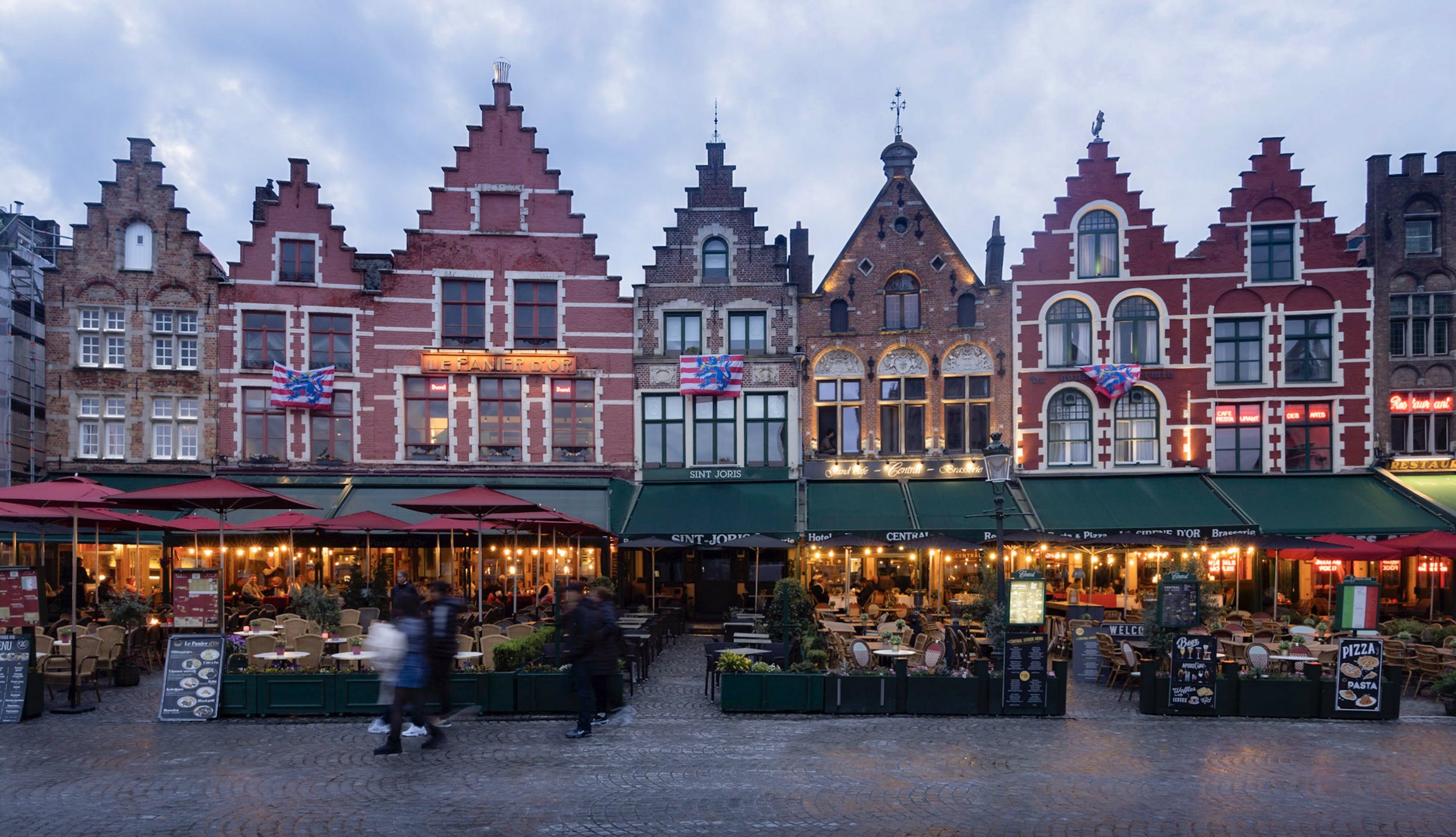
The rain cleared soon after we arrived and revealed some of the blue hour beauty of the northern port city’s streets and canals, including its landmark Belfry. The entire city centre is one of the best-preserved medieval towns in Europe, and a UNESCO site.
Facades in an around the “Markt” area, the Bruges’ central square, originally established around the 11th century, when Bruges became the capital of the County of Flanders. Today it’s still the main city of the West Flanders province in the Flemish region of Belgium.
I was unable to find any cats here, but I guess it was to be expected given that it’s a clothing store.
Religious Artifacts
Bruges is also home to a number of coveted religious artifacts, the primary one located in the Basilica of the Holy Blood, seen on the right: It houses the relic of the Holy Blood, brought to the city as part of the crusades in 1150. It’s one of a few such proclaimed relics containing traces of the blood of Jesus, mostly lacking veracity as to their authenticity (either way). The vial seen on the left is shown to the public for a few minutes daily and contains a cloth that shows drops of blood allegedly coming from Jesus Christ.
Following the trail of the relic takes you down a curious path - its home plays a role in the movie “In Bruges”, but the actual filming location in the movie was a private church shown below, resembling the footprint of Jerusalem’s Church of the Holy Sepulchre.
This church, built by an Italian emigrant from a rich merchant family called Anselm Adornes in the 15th century, contains its own precious Jesus artifact: a piece of wood taken from the cross he was crucified on. Again, one of many around the world, with varying degrees of historical accuracy supporting the claim.
Madonna & Child
Continuing with another piece of historic significant, the gothic Church of Our Lady is home to the only Michelangelo statue taken out of Italy while he was alive: the white marble sculpture of the Madonna and Child created around 1504. Its backstory is quite interesting, as it was twice recovered after being looted by foreign occupiers (the French and the Nazis).
Boniface Bridge
A more touristy landmark is this little bridge, which in fact isn’t particularly noteworthy nor matches the age of the medieval buildings in the city (it’s from the early 1900s) - but the only time you find it this empty is on a very early morning, when this cat was the only visitor.
Windmills
Although the neighboring Netherlands are more famous for windmills, Bruges has a rich history of mills, but only 8 are left today.
Legends
Our last activity in Bruges? Attending a game at Club Bruges, the city’s legendary decorated club, founded in 1891.
Caves of Remouchamps
One last stop on the way back was the Caves of Remouchamps in the eastern part of the country, discovered in 1828.
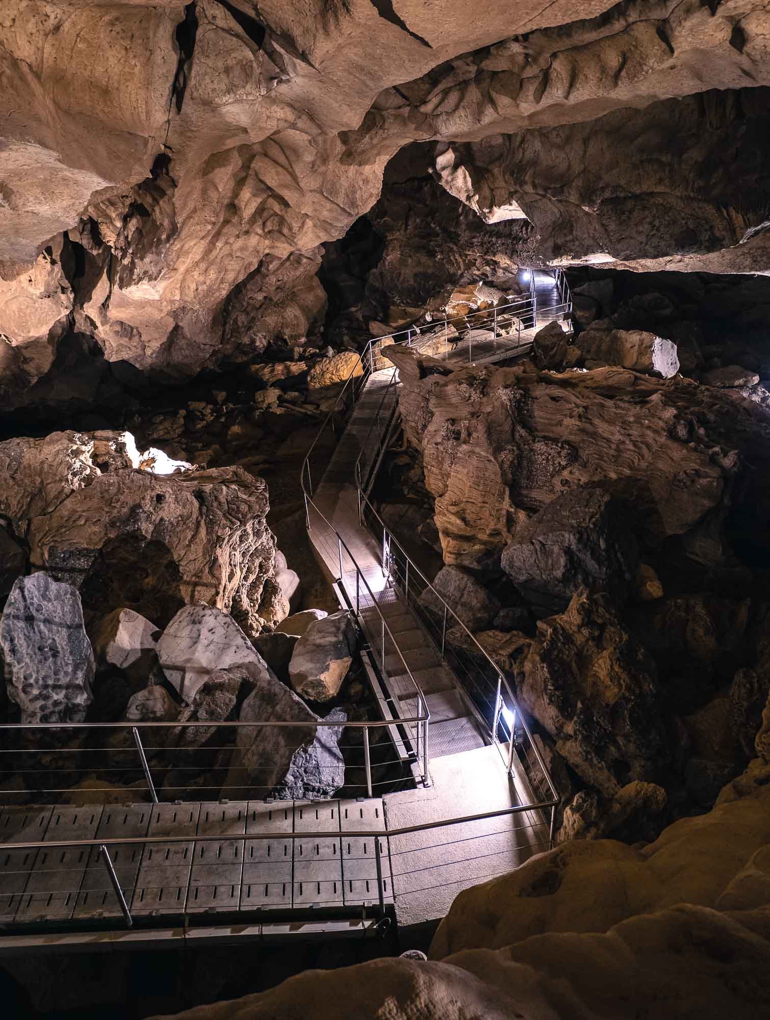
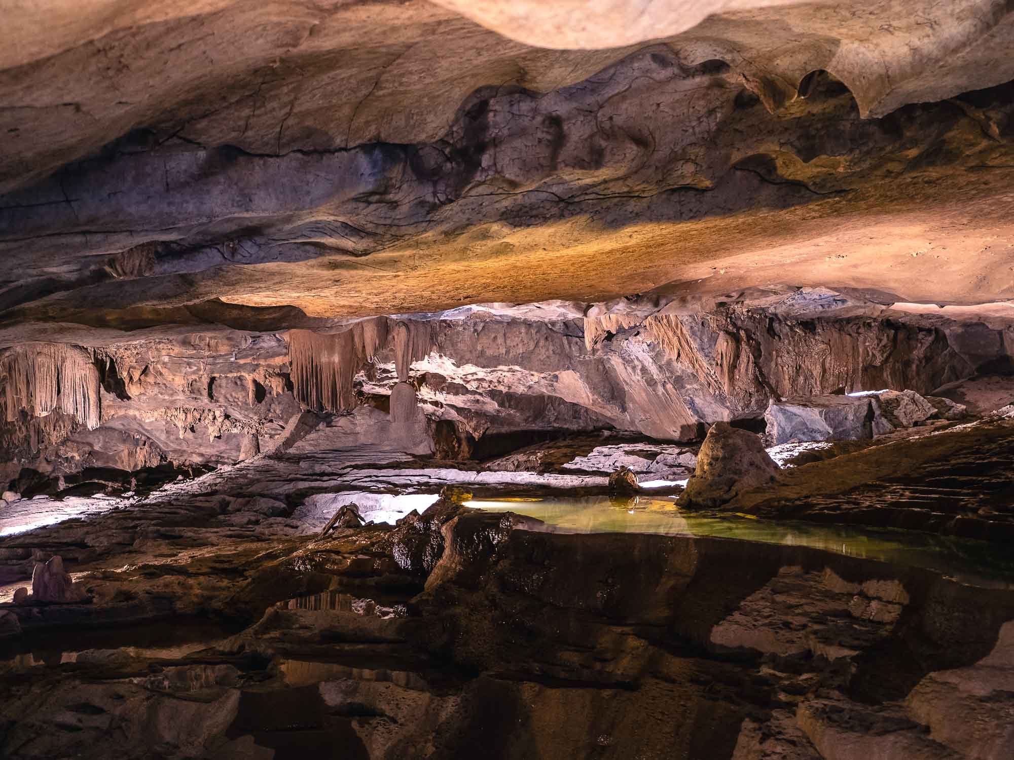
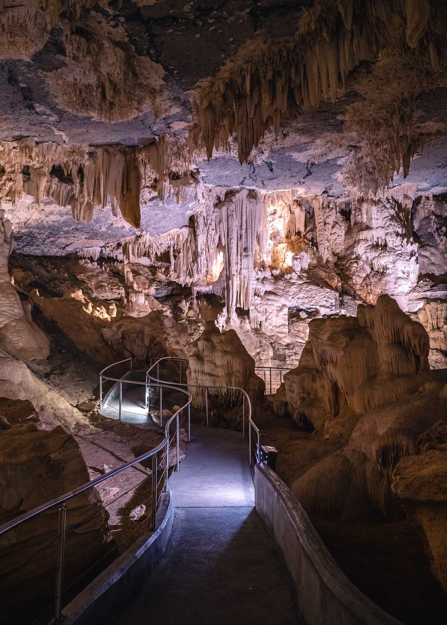
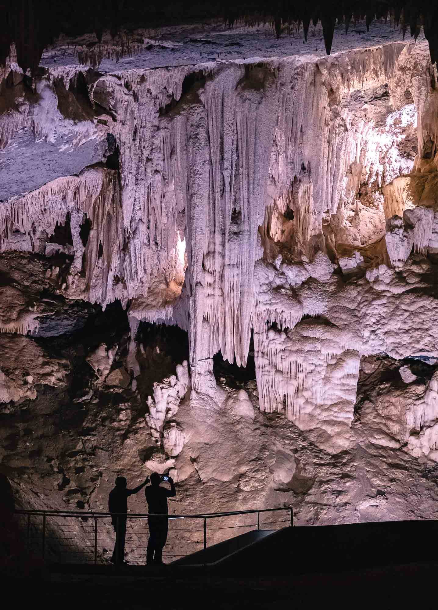
Some sources attribute the longest underground navigable river in the world to the caves, but I suspect there might be some caveats to this, given its competitors in Mexico and the Philippines. Regardless, the many stalagmites and stalactite formations and the boat trip through the narrow 700m long Rubicon river are a worthwhile experience.
And that’s the end of a 5 days roadtrip from the south of Germany through some of the major cities and sights of Belgium.
Subscribe to my newsletter to get notified and don’t miss out on more Wonders of the Globe.
Other Recent Posts:
San Marino - Small but Surprising
In the eternal quest to explore all corners of earth, you sometimes have to make your way into the smaller corners, or countries in this case.
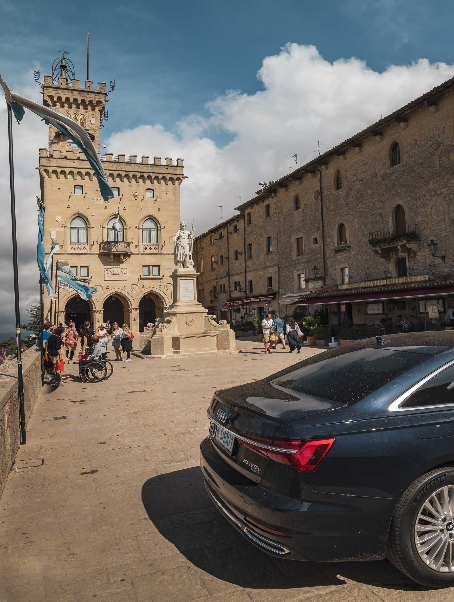
In the eternal quest to explore all corners of earth, you sometimes have to make your way into the smaller corners, or countries in this case. San Marino is definitely one of the smallest, at just over 60 sqkm and 33,000 people. In fact, this makes it the oldest extant sovereign state, and also one the wealthiest in terms of per capita GDP.
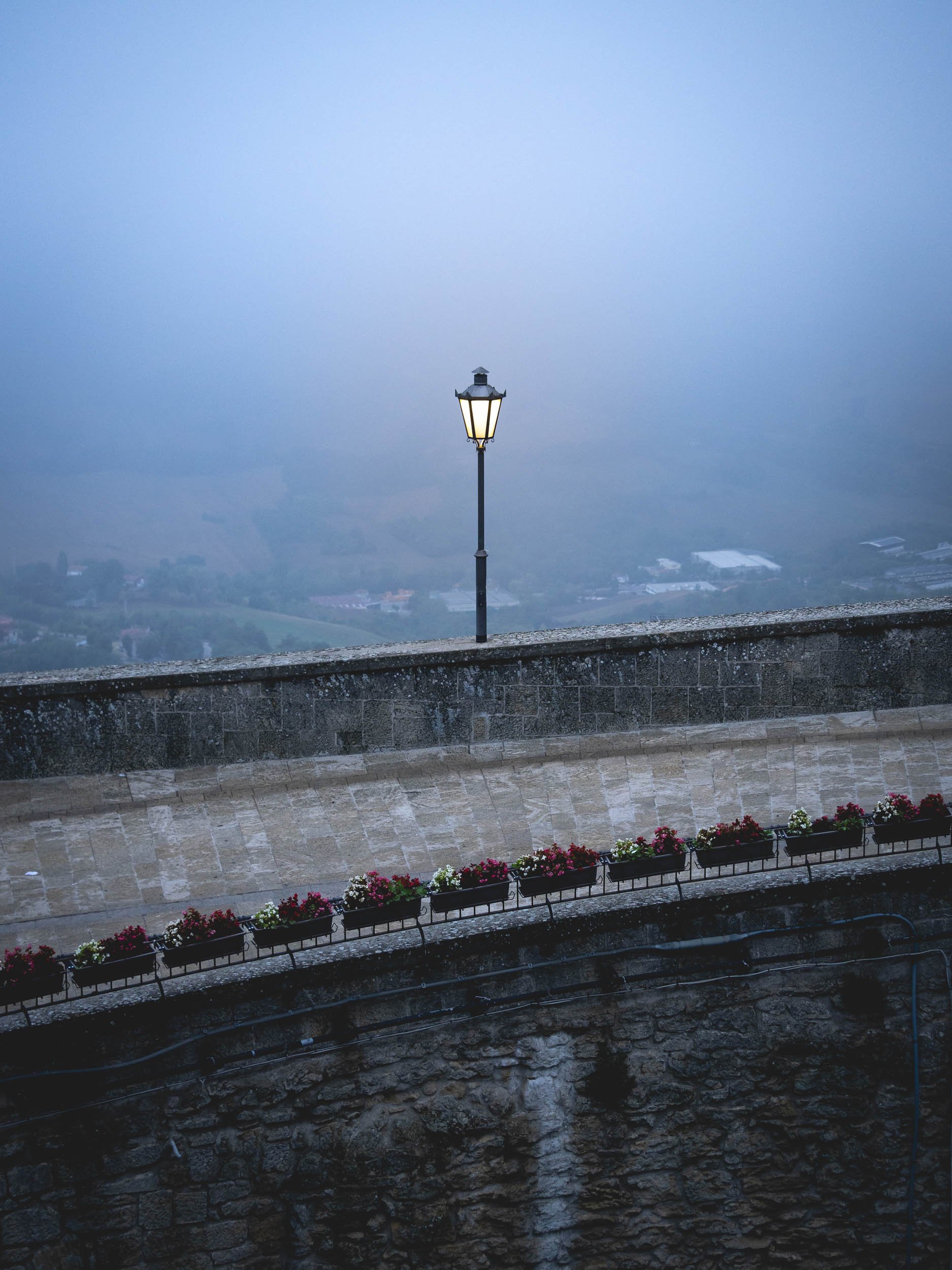
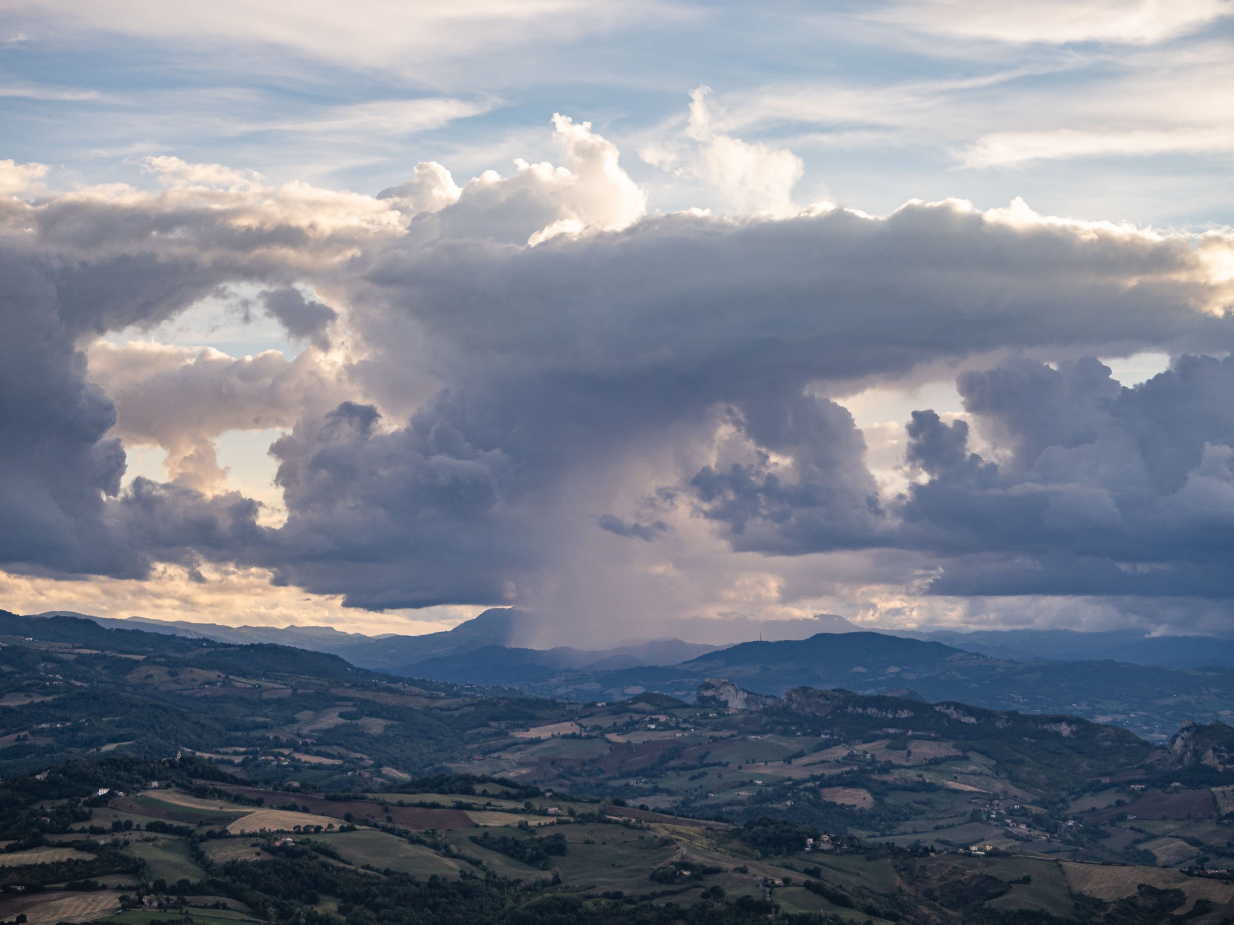
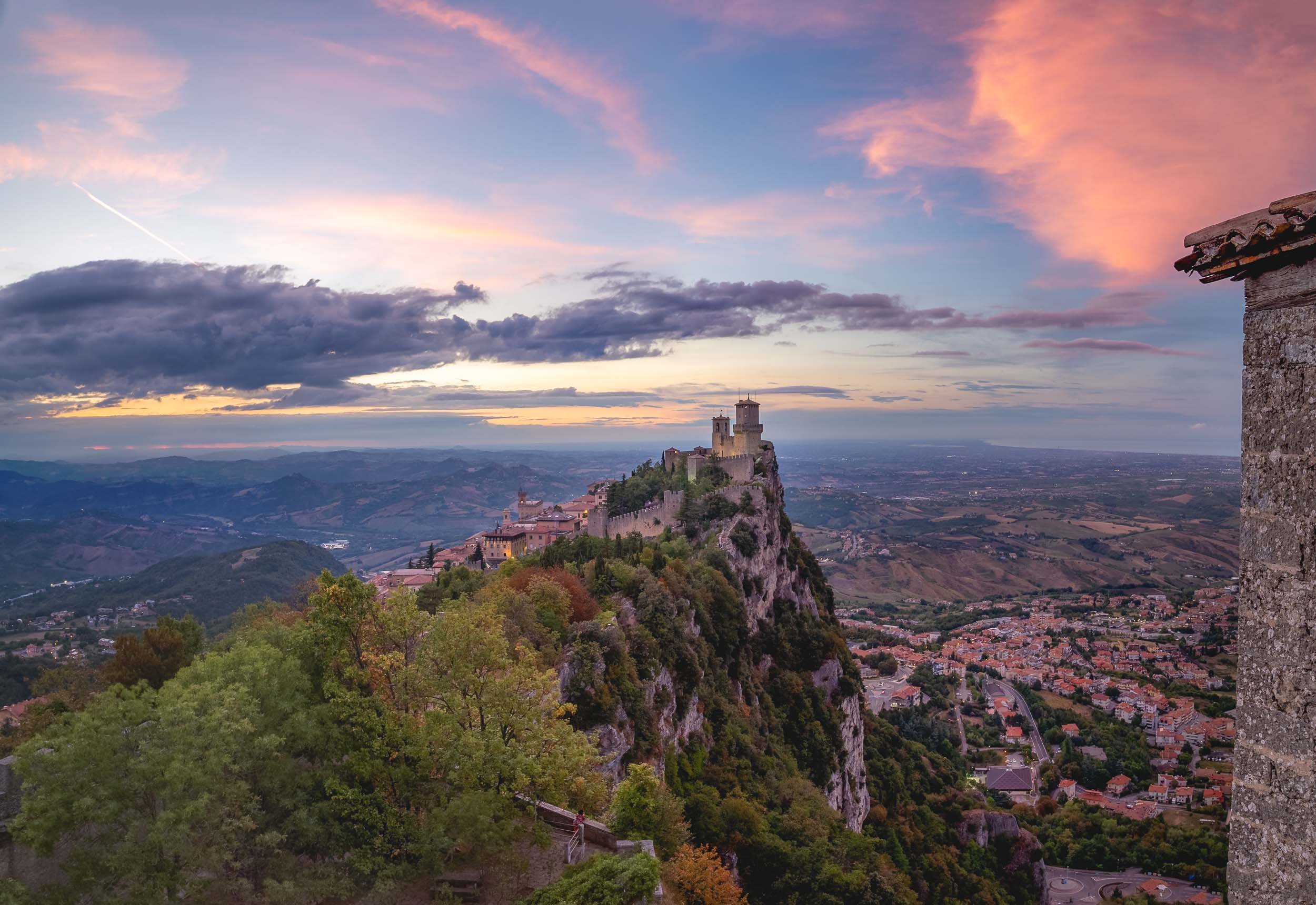
It was a short road-trip and we had just 36h to explore - on the other hand, its size makes that enough time to explore most of the country’s sights, which are located in the namesake city on Monte Titano (there is a larger community at the foot of the mountain where most people live). On arrival we were greeted with a peculiar cloud rolling in, which was my clue to take a look from above.
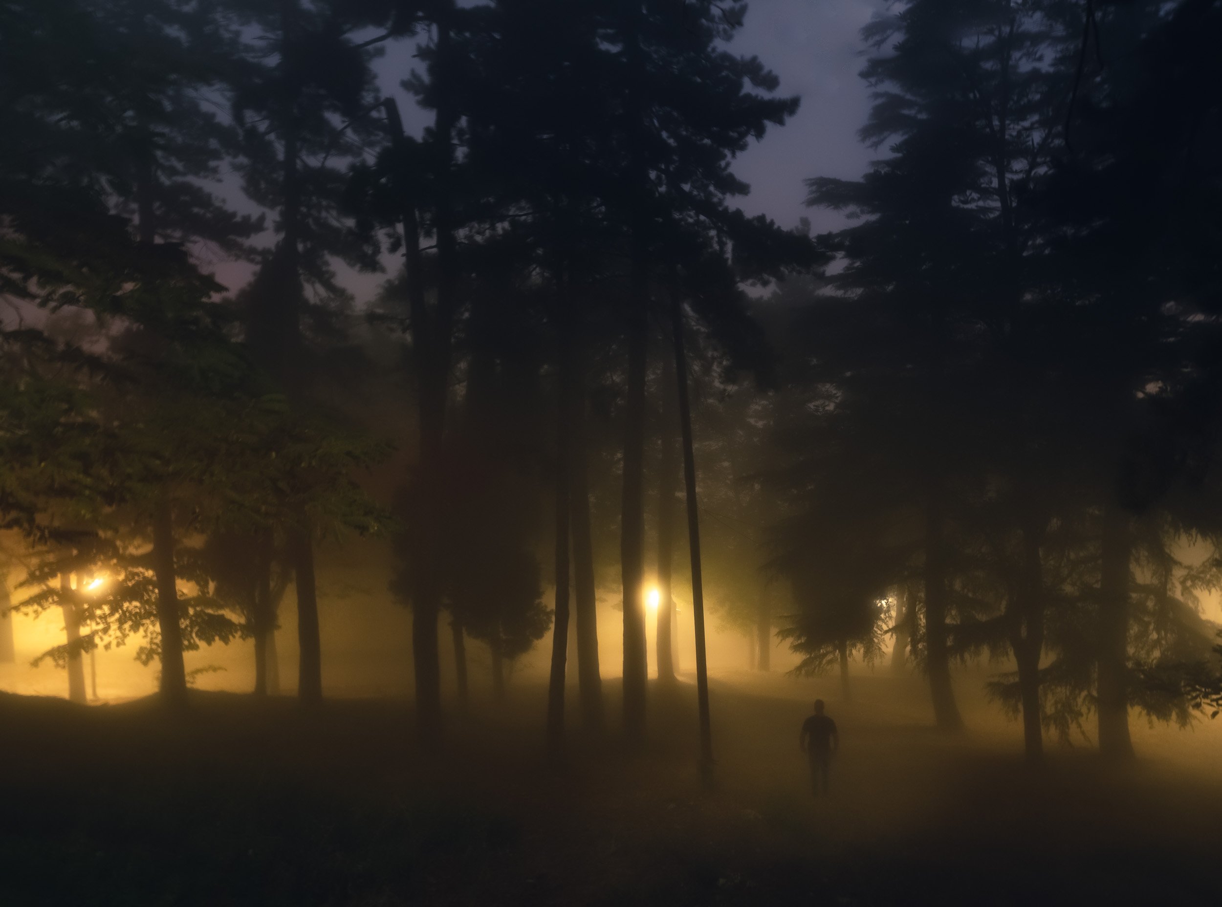
It wasn’t quite the weather you’d expect during August in Italy, just 10km from the Adriatic coast. A few minutes later, the city was covered in a layer of fog and clouds, and it became dark, turning the atmosphere into a mix of Christmas and Resident Evil.
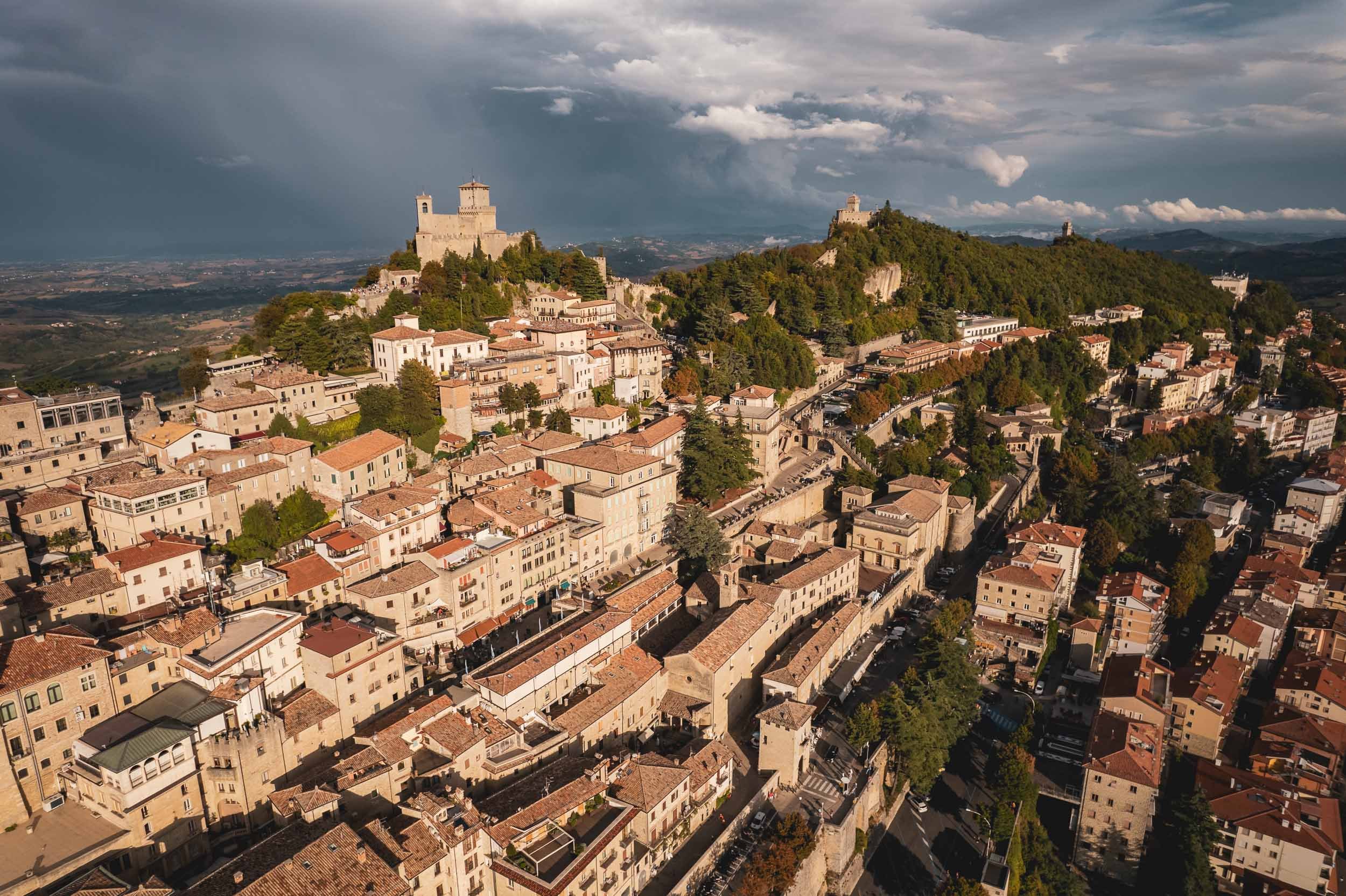
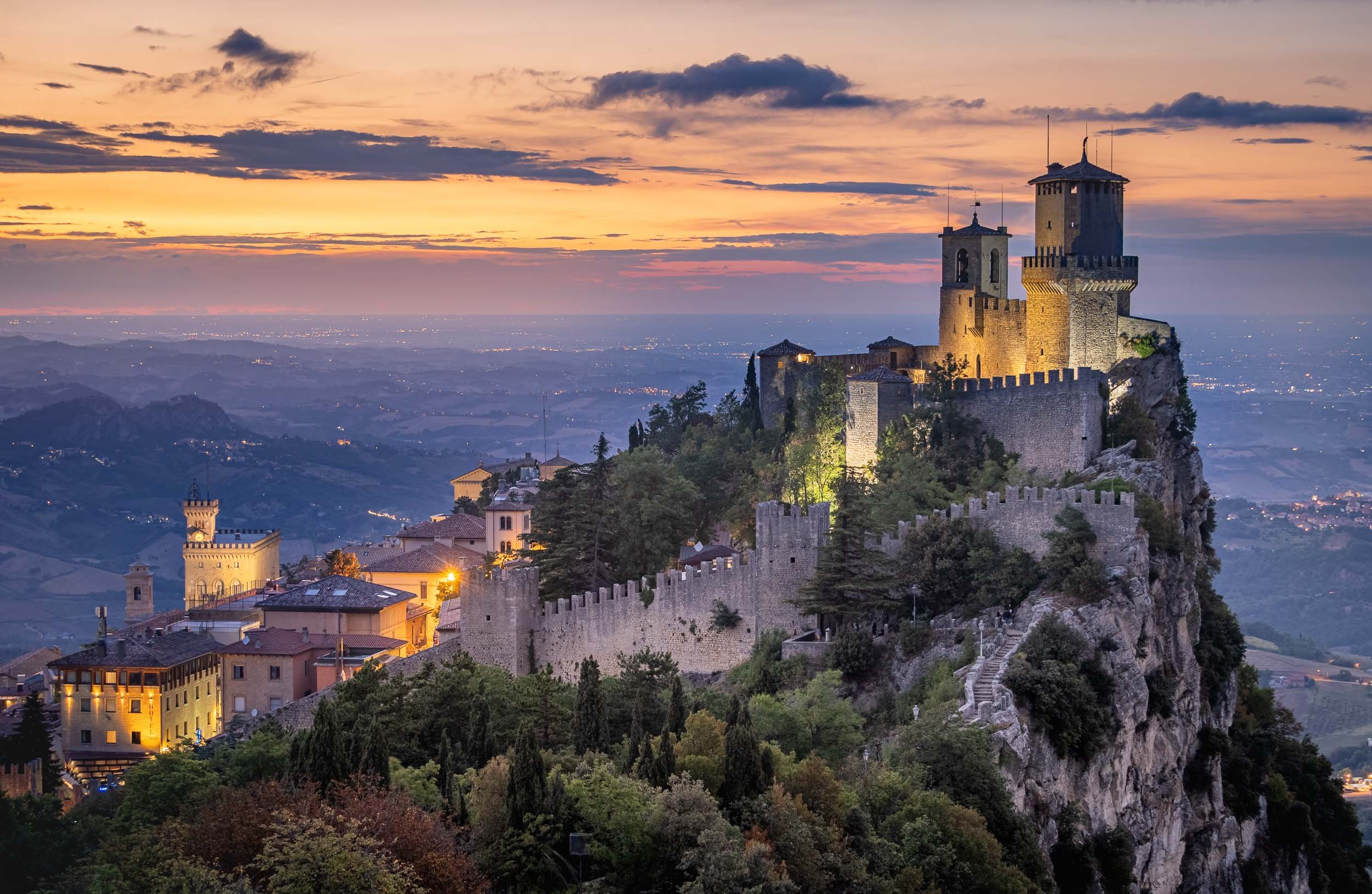
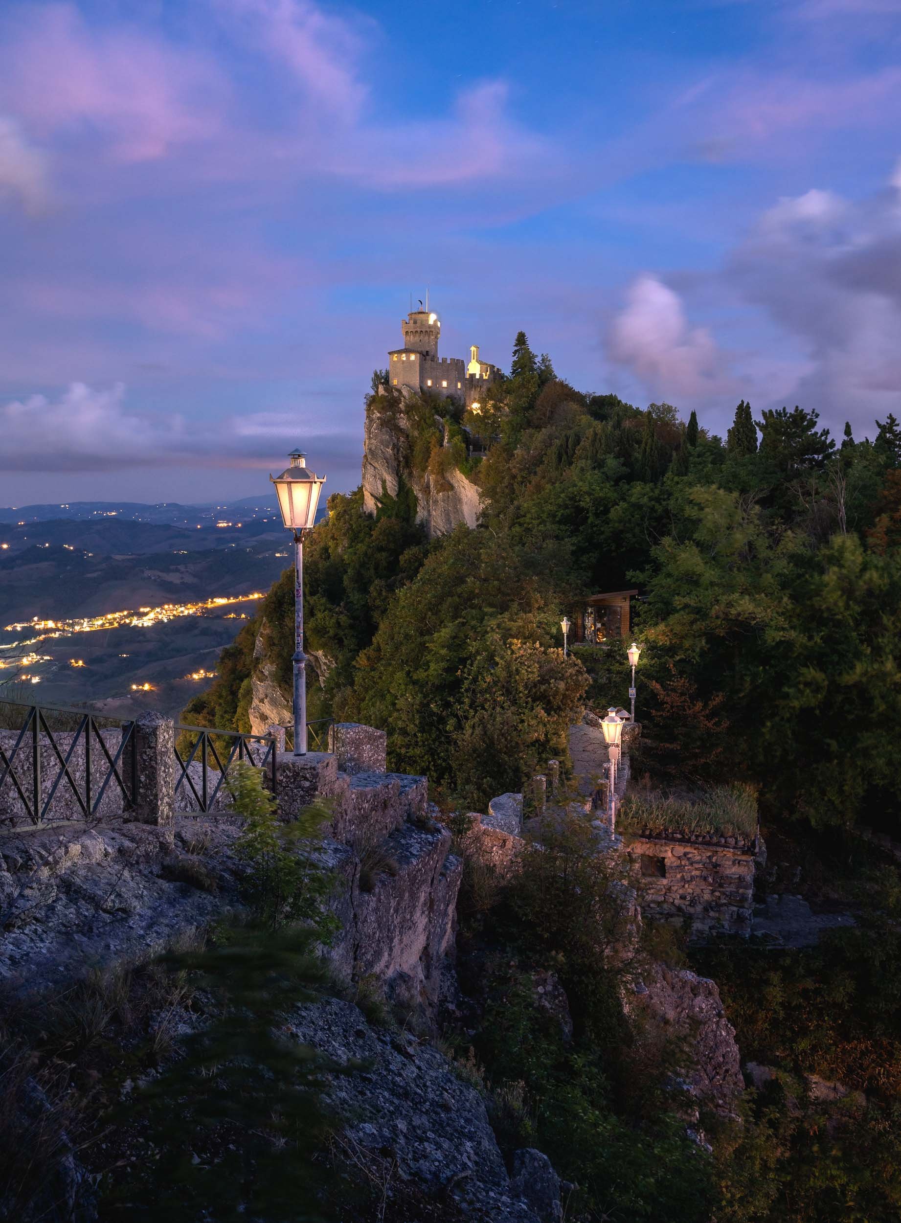
Exploring the fortress of Guiata and its two neighboring towers at the cliff of Monte Titano.
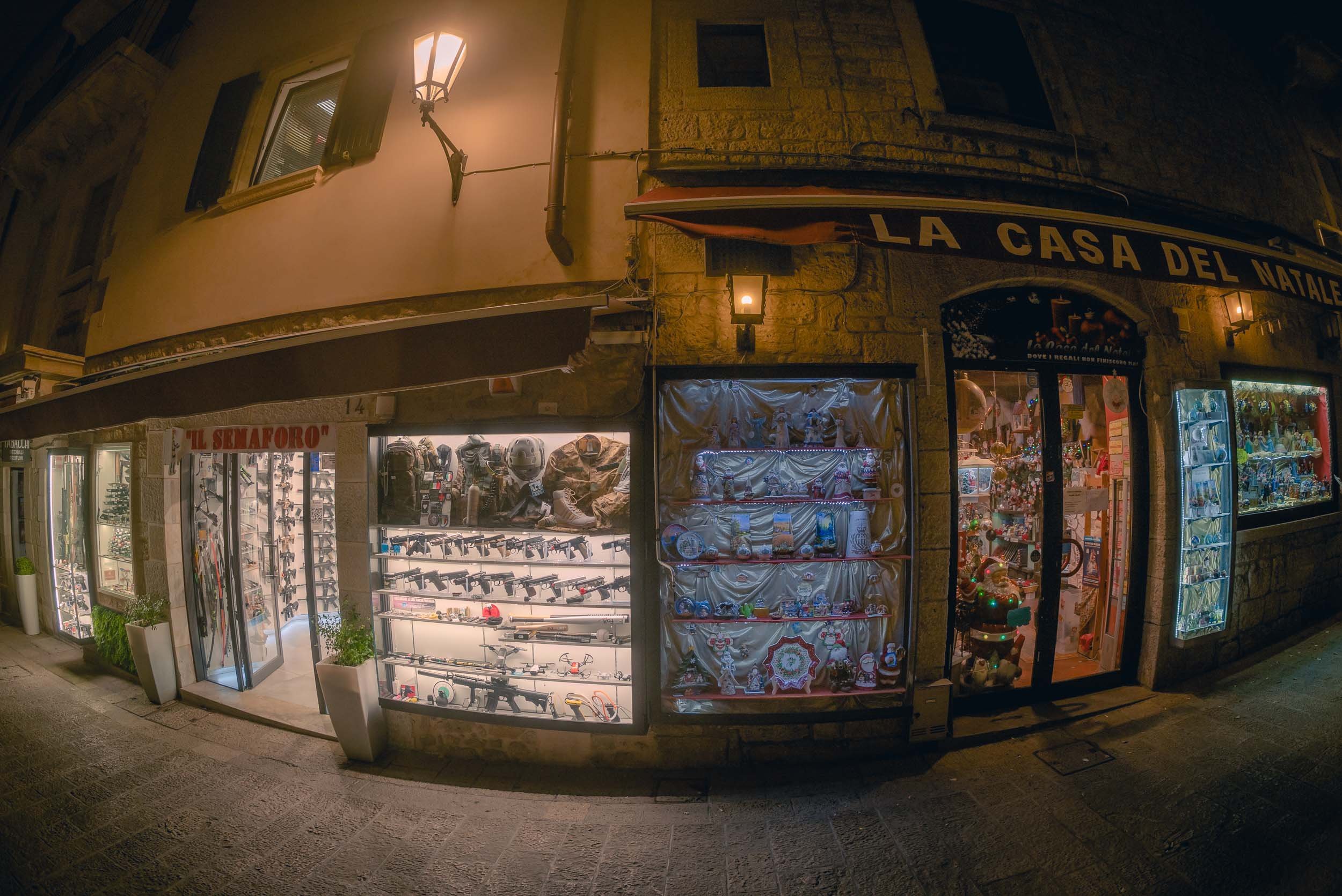
Nightly street vibes
Day 2
Politics
San Marino’s political system is a peculiar one. It is the world’s oldest constitutional republic with an elected assembly, which in turn elects not one, but two heads of state every six months from opposing parties, called the Captain’s Regents. This tradition is a nod back to the Roman consul times. At the end of their legislature, every Sammarinese (the Demonym for citizens of the country) has 15 days to submit any complaints about their actions - or lack thereof.
As the clouds opened up, I spent the last sunset photographing the country’s most iconic view, but rest assured there’s more to see in San Marino, such as its Museums of Torture, Dracula, and Curiosities (although I can’t say I’d highly recommend either of them). If you’re looking for the Formula 1 track where the race named after the country was held up until recently, you’ll have to go to Italy though. There is however an Ayrton Senna statue as a tribute one of the world’s best drivers, who tragically died at the 1994 Grand Prix.
Thanks for tagging along - continue here with a nearby architectural curiosity, the medieval towers of Bologna (and a questionable statue).
Oman - 7 Days of Authentic Beauty
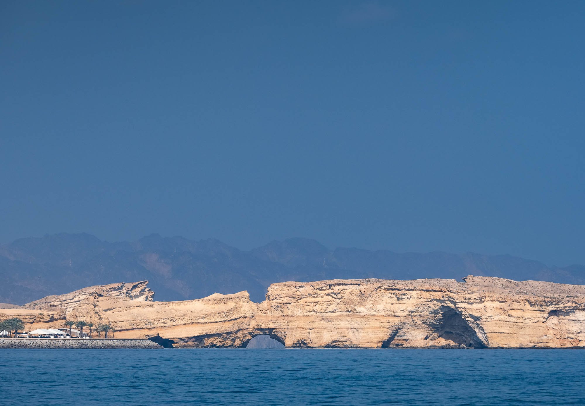
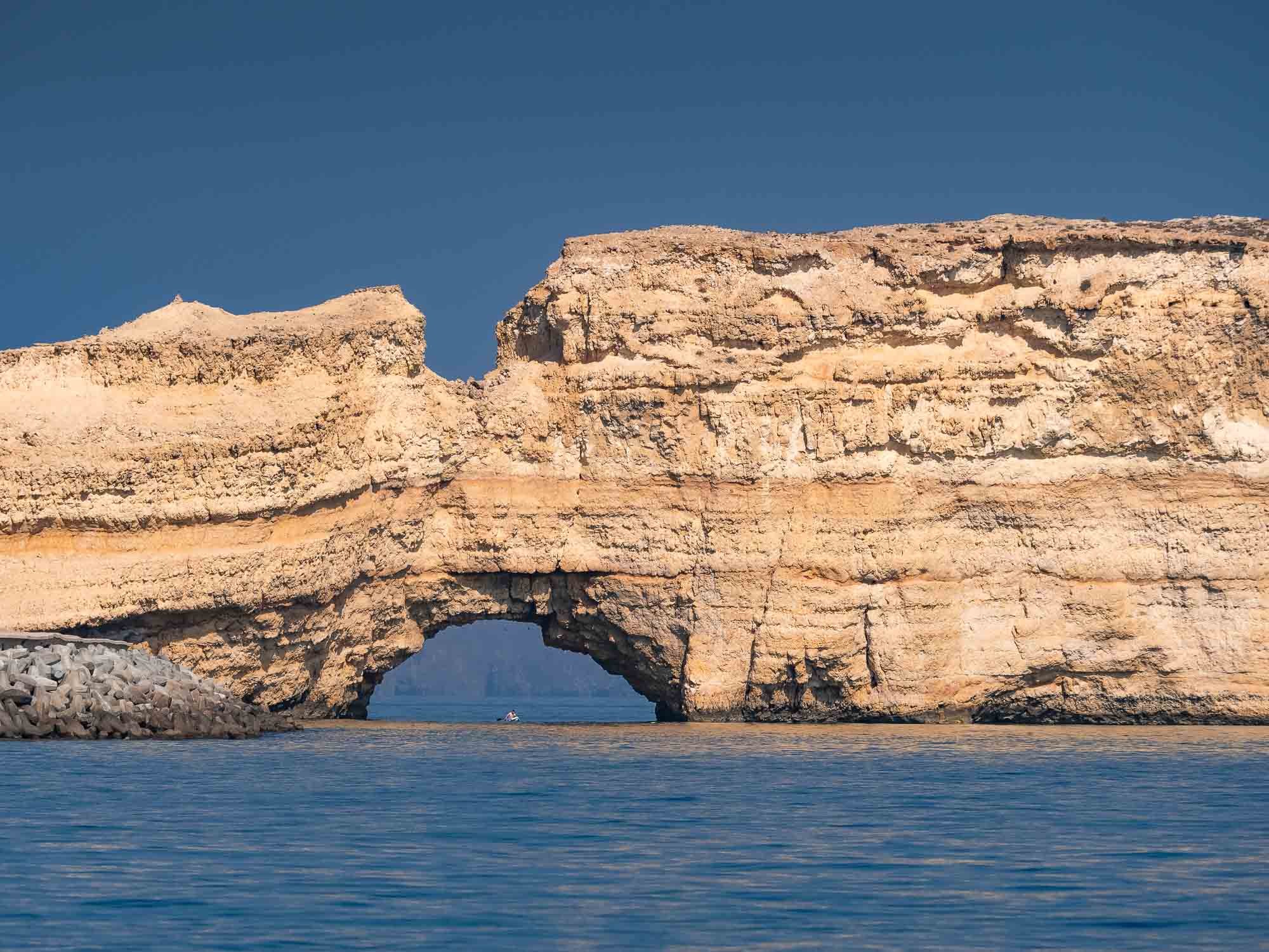
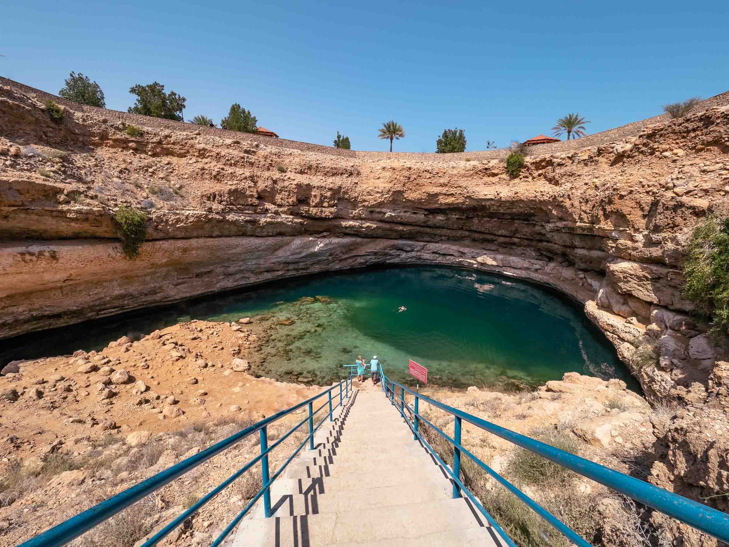
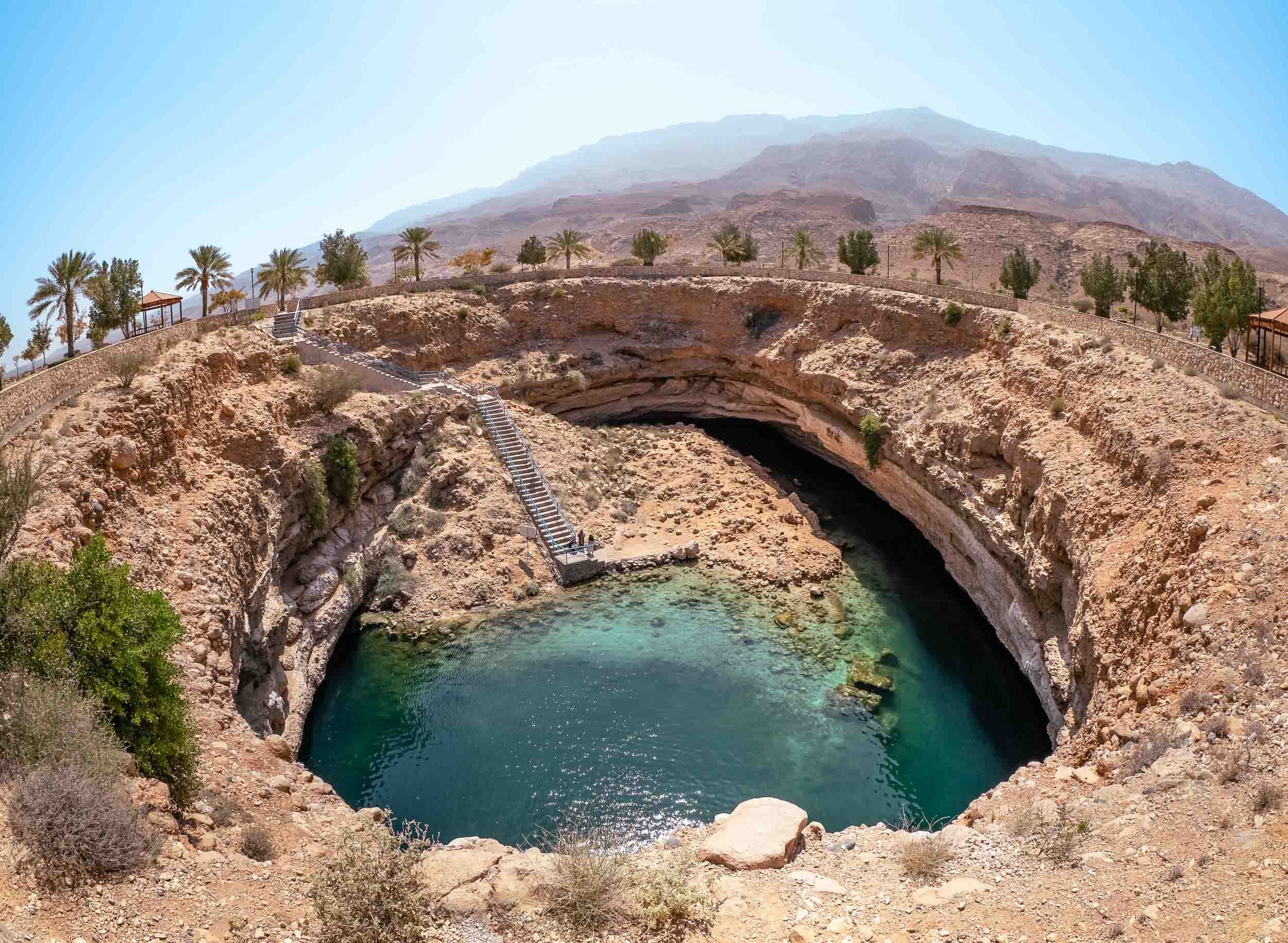
From Dubai to Muscat and along the coast - an amazing journey of natural beauty, history, architecture, geology and kind people.
In February 2022 I had plans for a trip to India’s Himalayas, with the goal to take photos of the elusive snow leopard. Owing to various Covid restrictions, this idea unfortunately did not materialize, so it was time to look for another destination. One obvious choice was to look no further than a few hundred kilometers towards the Indian Ocean: Oman. Even though I’ve lived in the UAE on / off for 15 years, so far I had only seen the Musandam part of our neighbor country, and had yet to explore its mountain areas, the coastline, and the capital Muscat.
And oh boy did I miss out! The amount of landscapes, history, people, architecture, and activities you can encounter in just a week, all accessible with easy visa regulations (if you’re a GCC resident especially) and within a few hours drive from Dubai, is incredible.
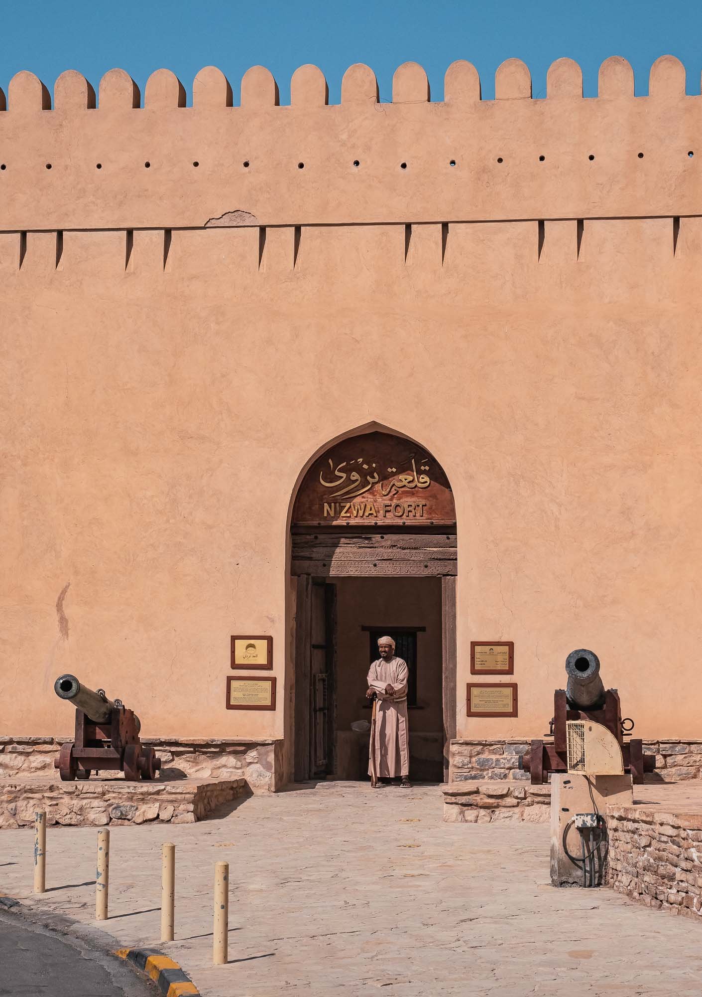
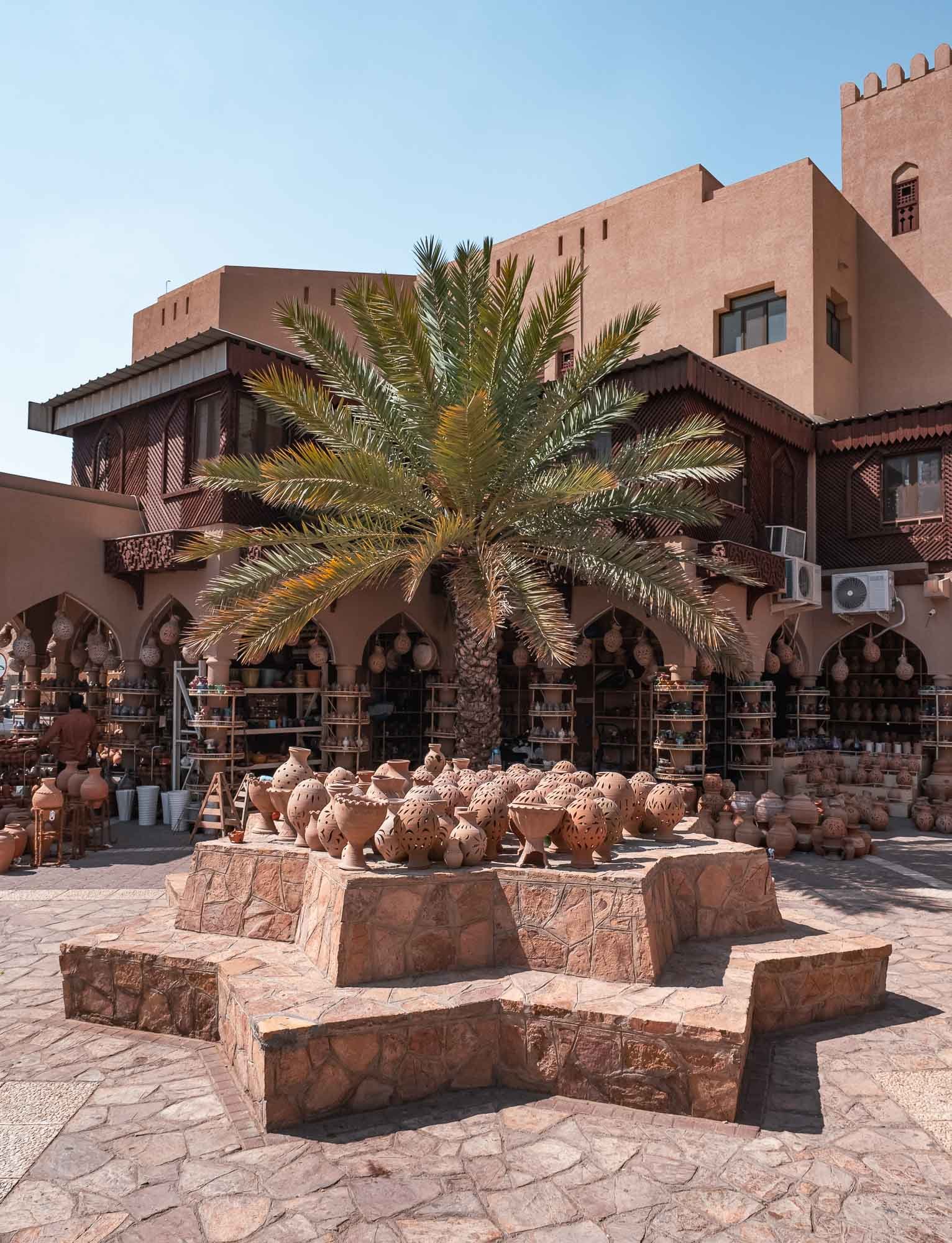
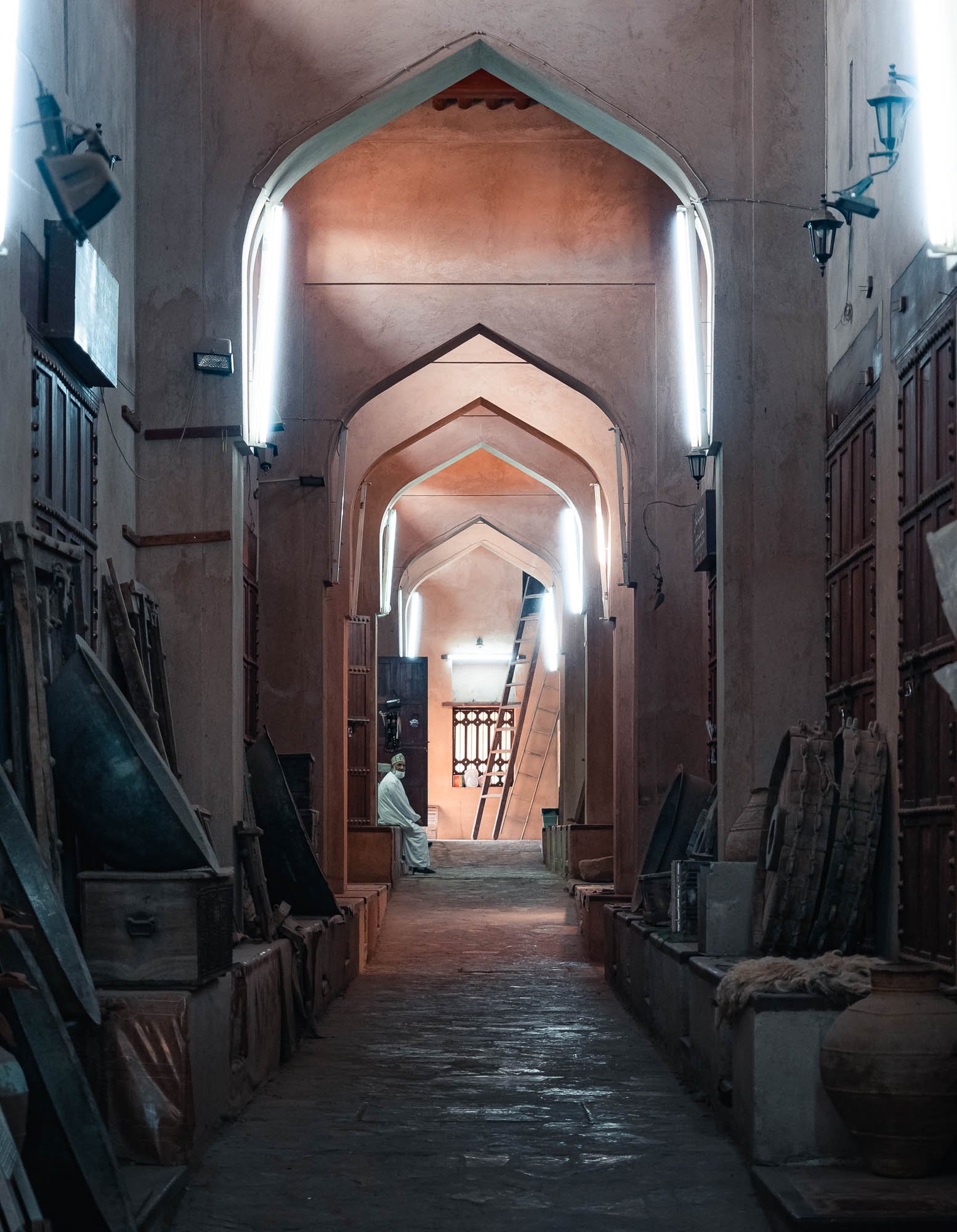
The route took us through the border near Al Ain towards Nizwa, with several stops on the way, before heading up Jebel Akhdar for a couple of nights. From there, onwards to Muscat to explore the city and its surrounding areas, and a day trip southwards along the coast almost until Sur (but not quite) was on the agenda.
Read on to find out about the sights and experiences on the way…
Next up, we had planned to visit the ruins of Salut fort, another important archeological site in the area, but were disappointed to find it is currently closed and under development. Check before you go - and avoid getting a flat tire like we did.
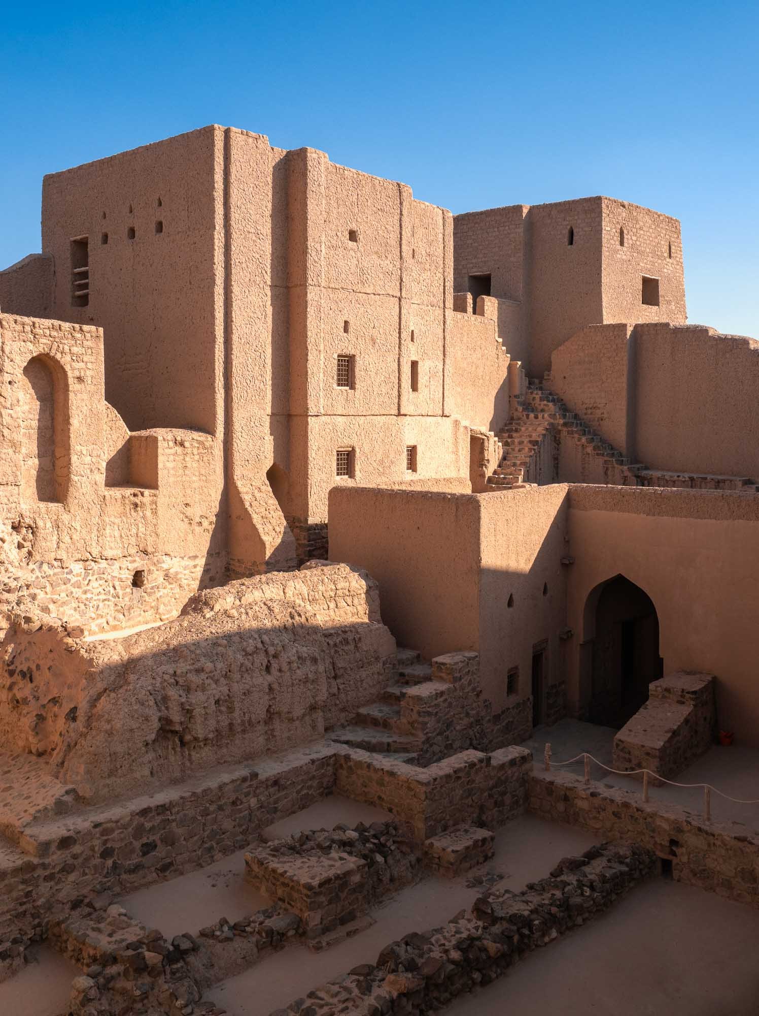
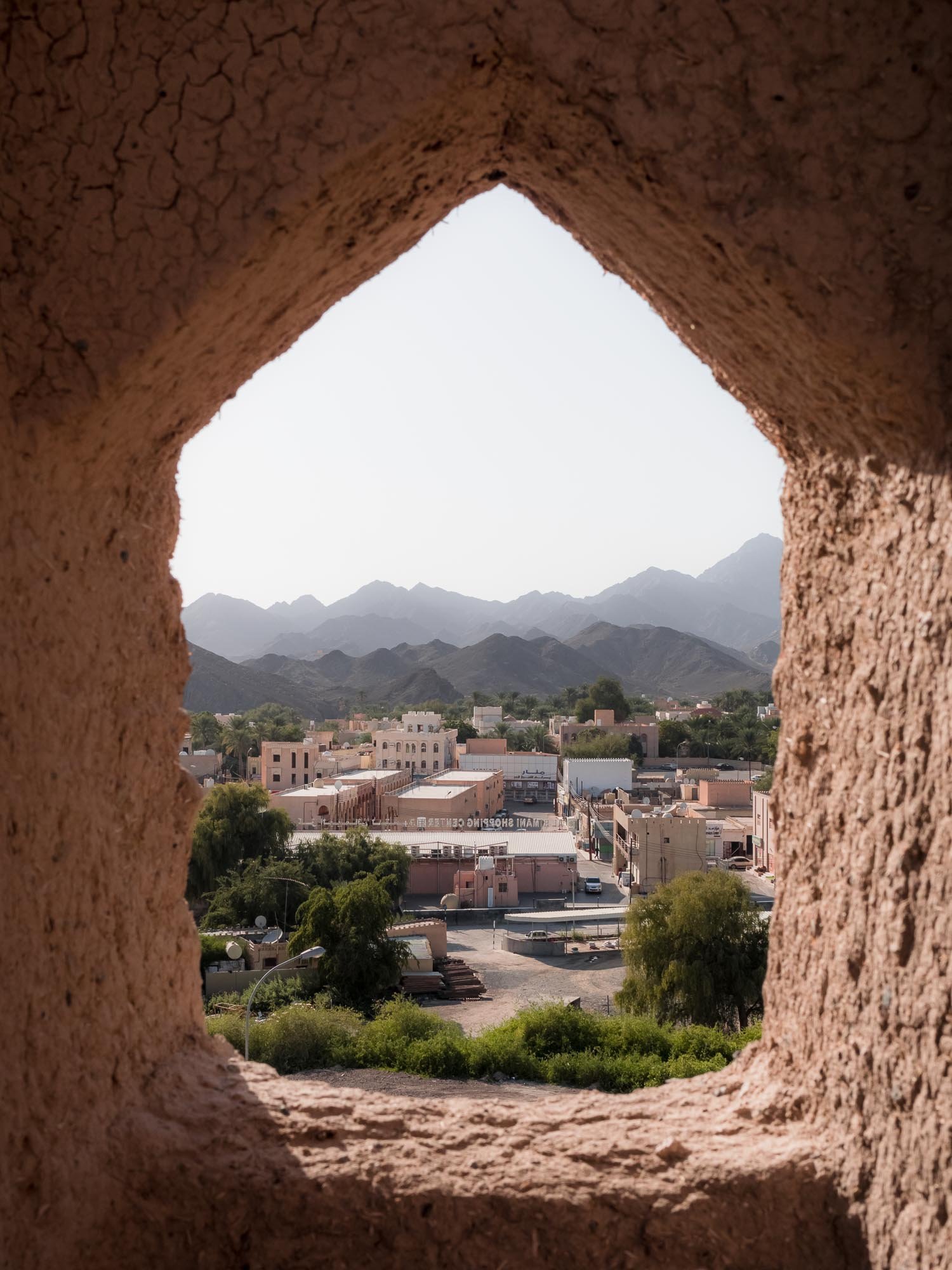
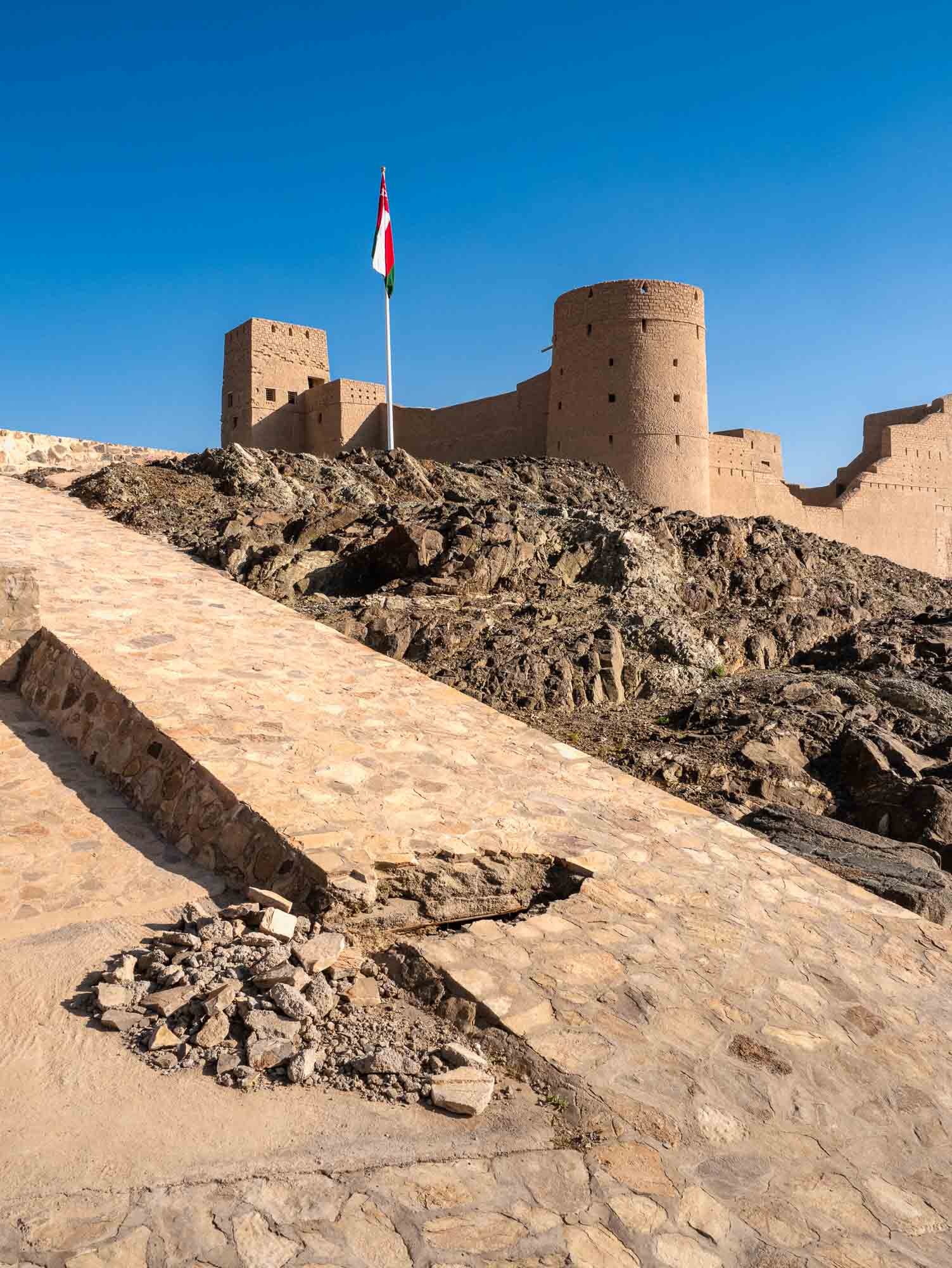
Bahla Fort
Al Hoota Cave
Nizwa
Jebel Akhdar
Onwards to Muscat
The Capital and its Surroundings
Along the Coast
The Last Day in Muscat
Back to Dubai
I really hope you enjoyed this small documentary series of my trip to Oman. I’ve known about the beauty, geology, and history of the Hajar mountains from exploring the UAE, but Oman really took this to another level. It is probably a good thing for these sites that the country hasn’t had the same level of attention as some other more famous destinations in the Middle East, but on the other hand Oman and its people really deserve to be recognized alongside them. Will definitely come back.
Bosnia & Herzegovina - Polarising Diversity
A late summer weekend brought me to Bosnia & Herzegovina, a relatively small and almost landlocked country in south-east Europe.
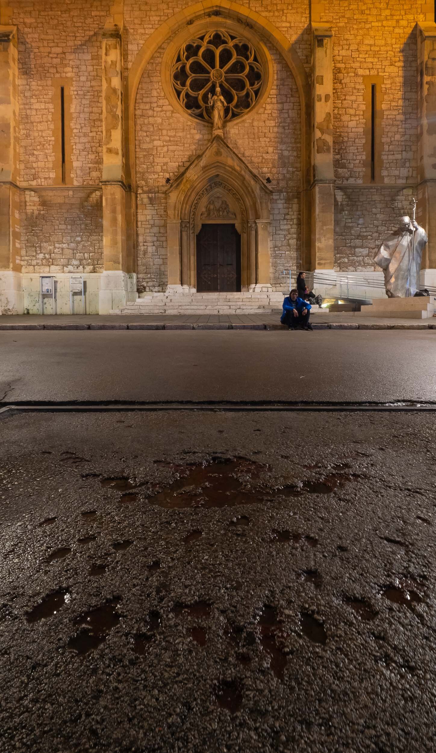
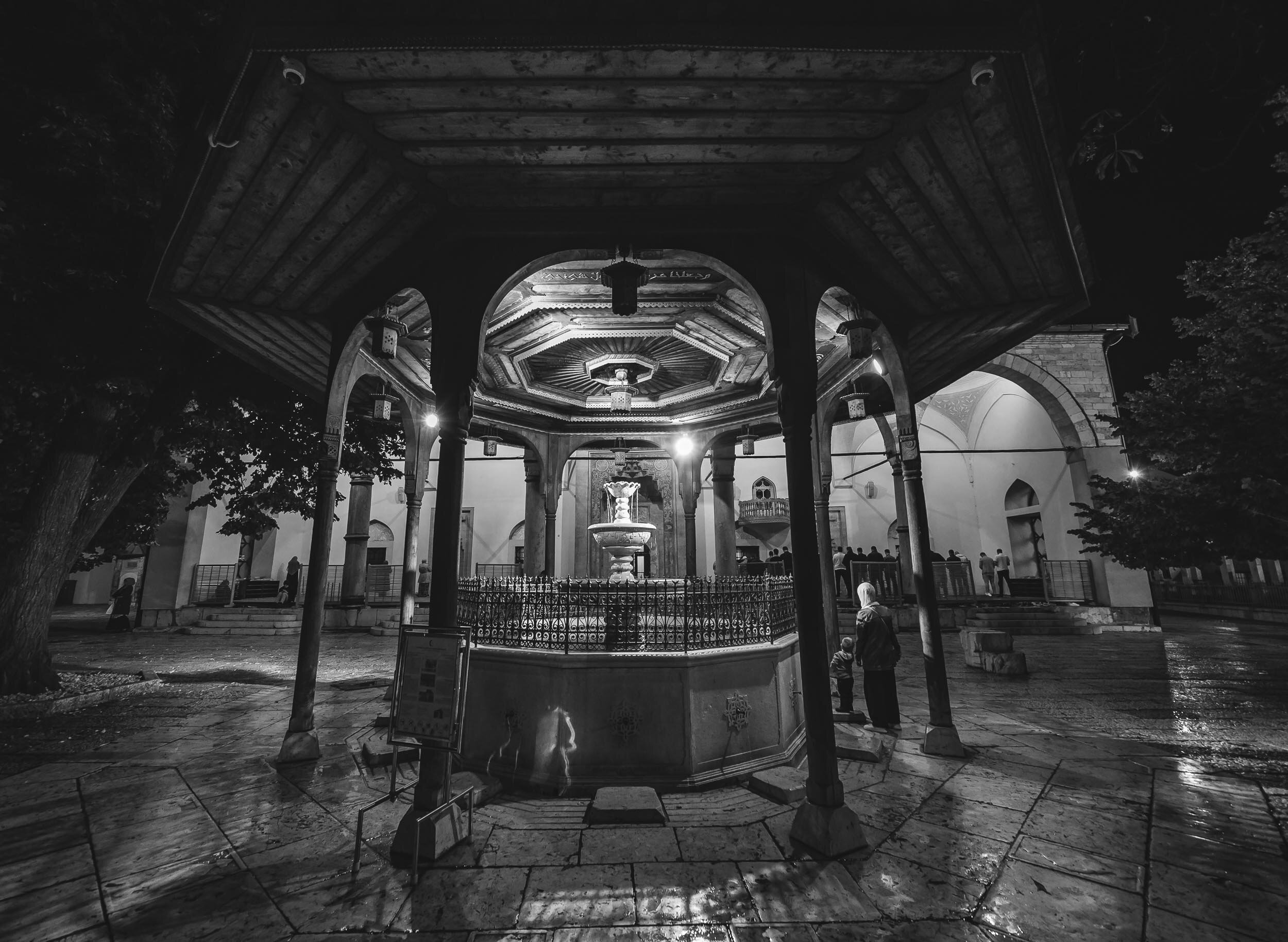
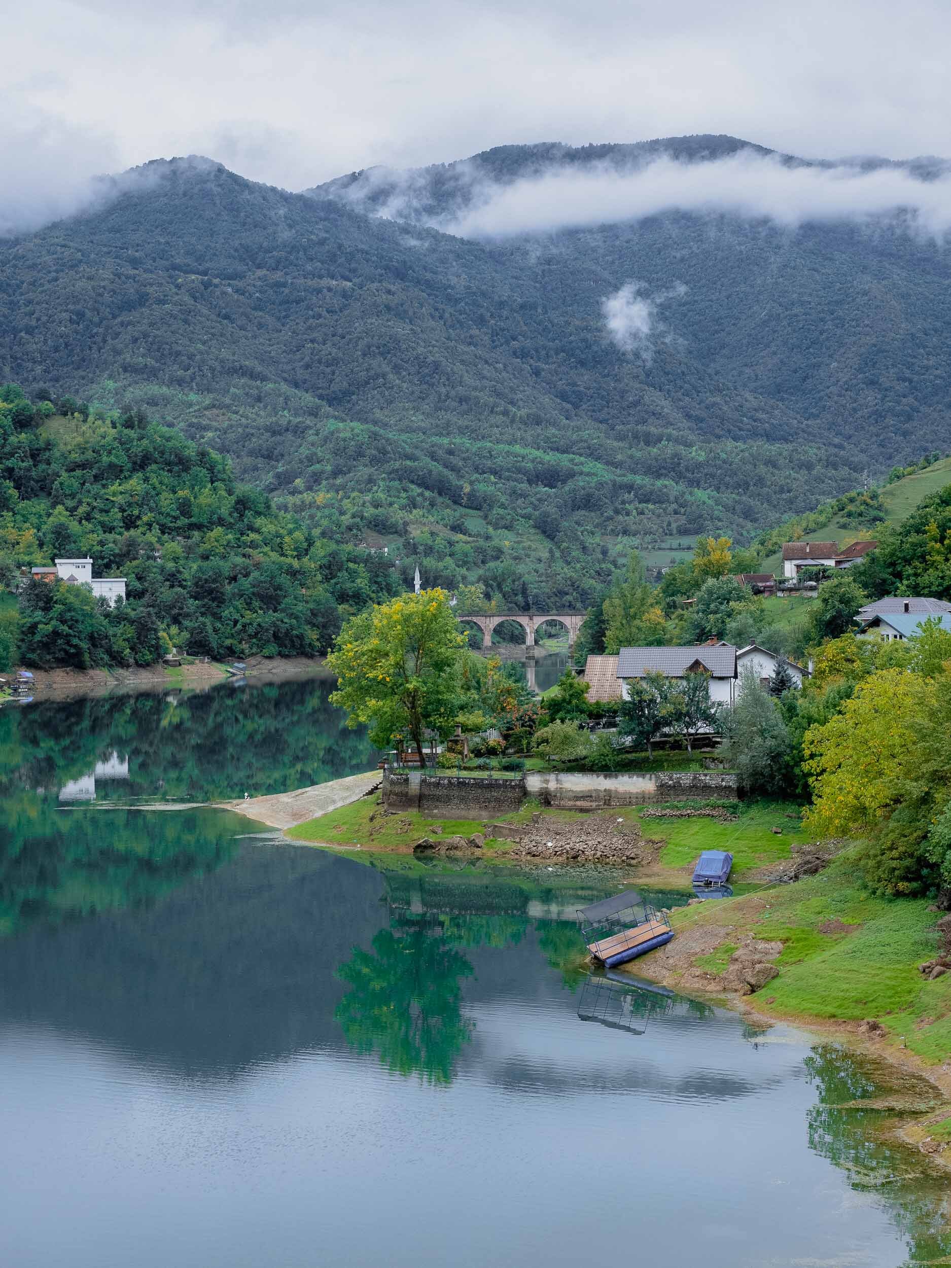
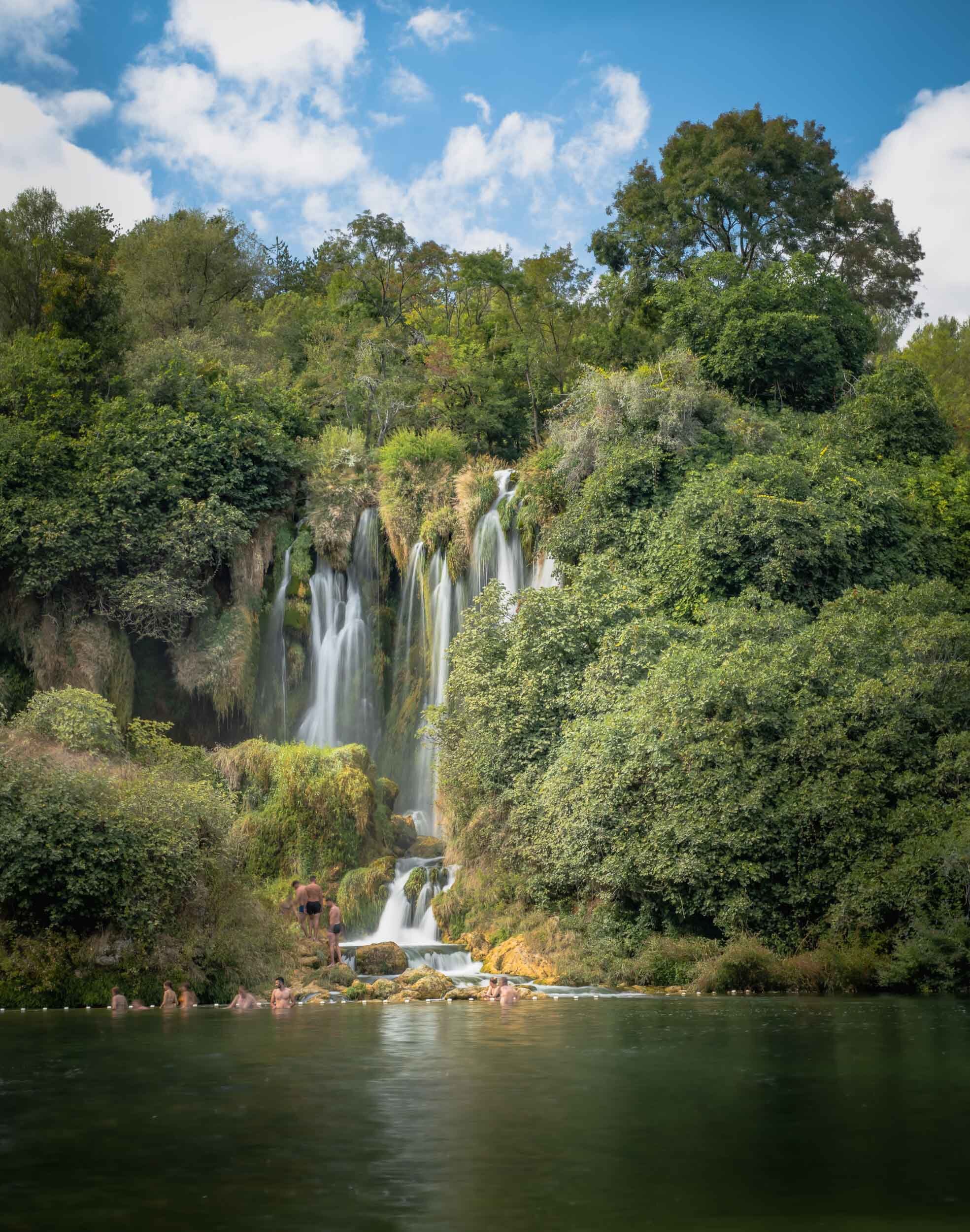
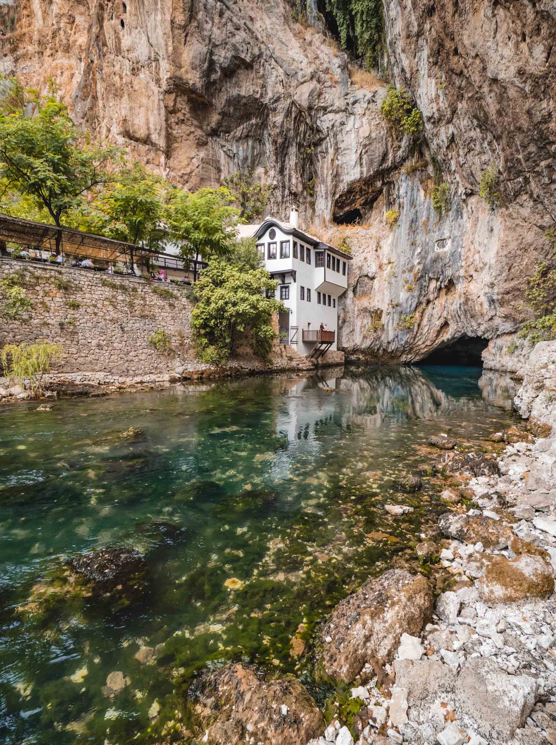
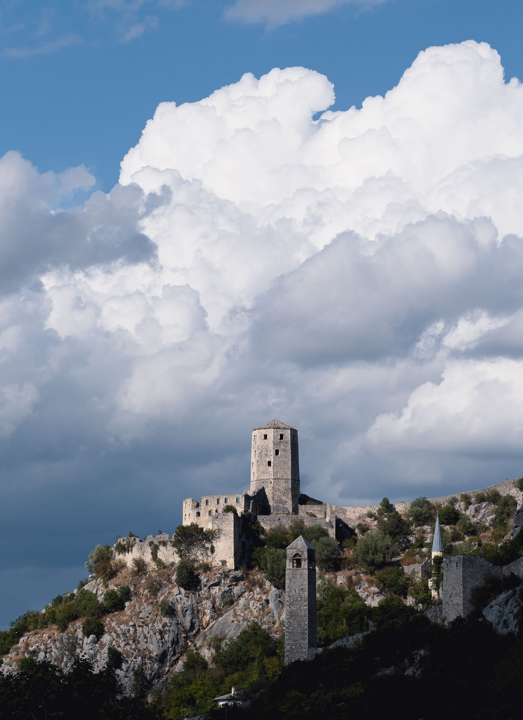
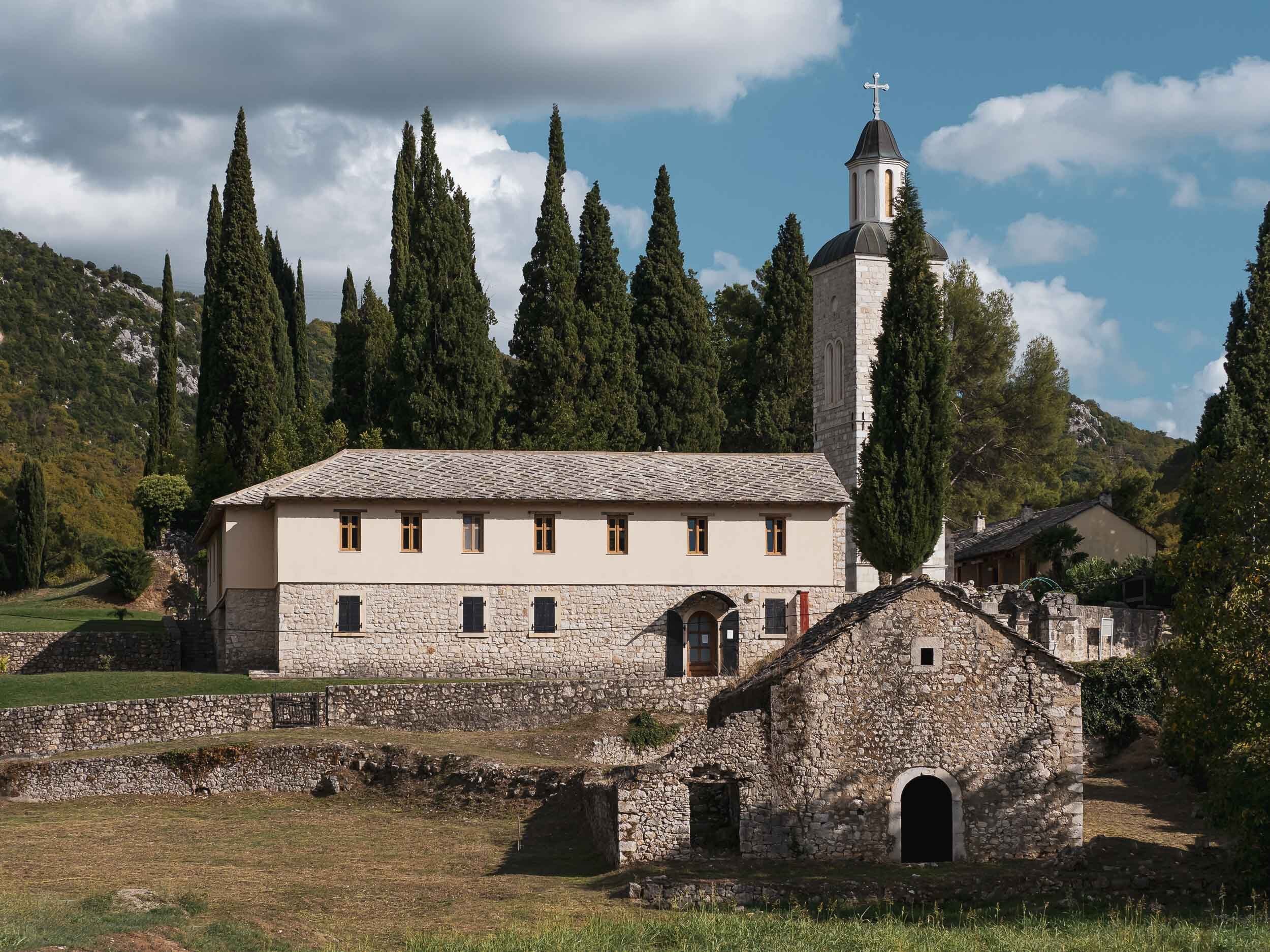
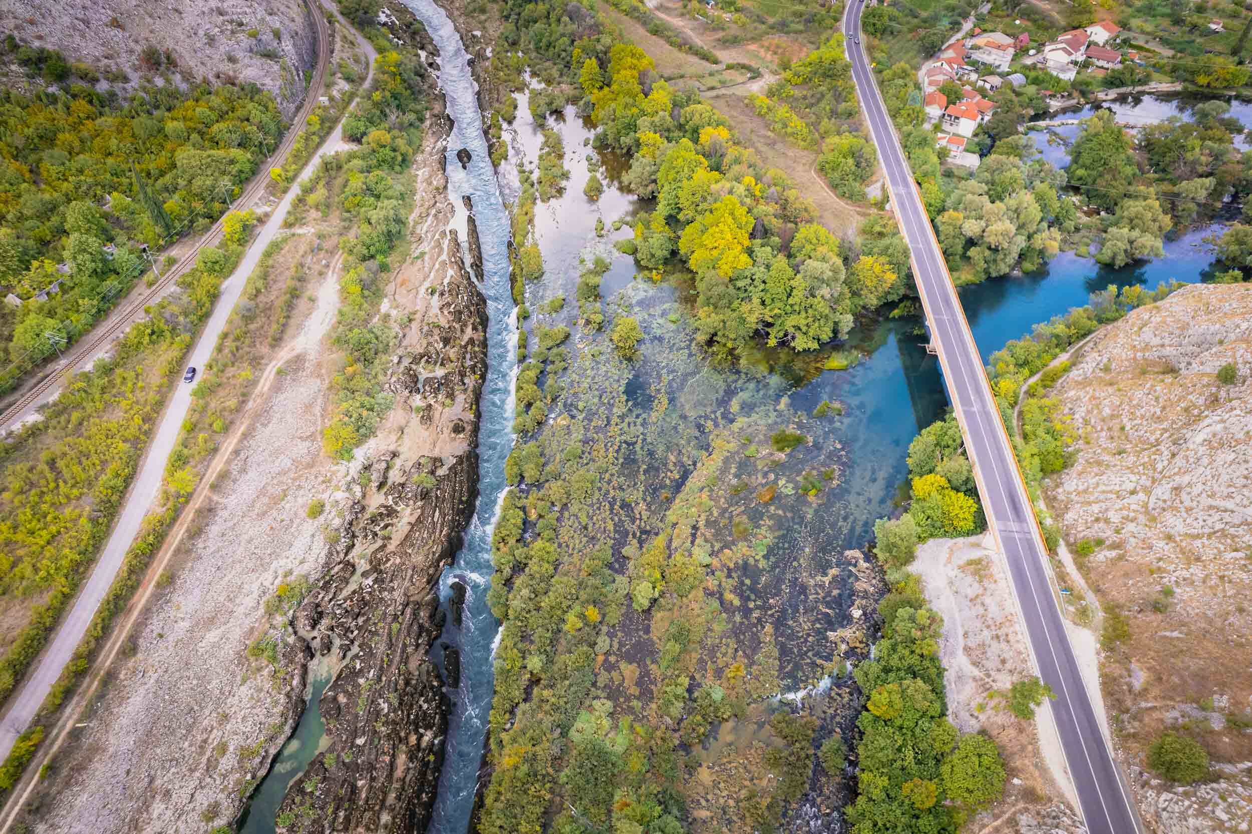
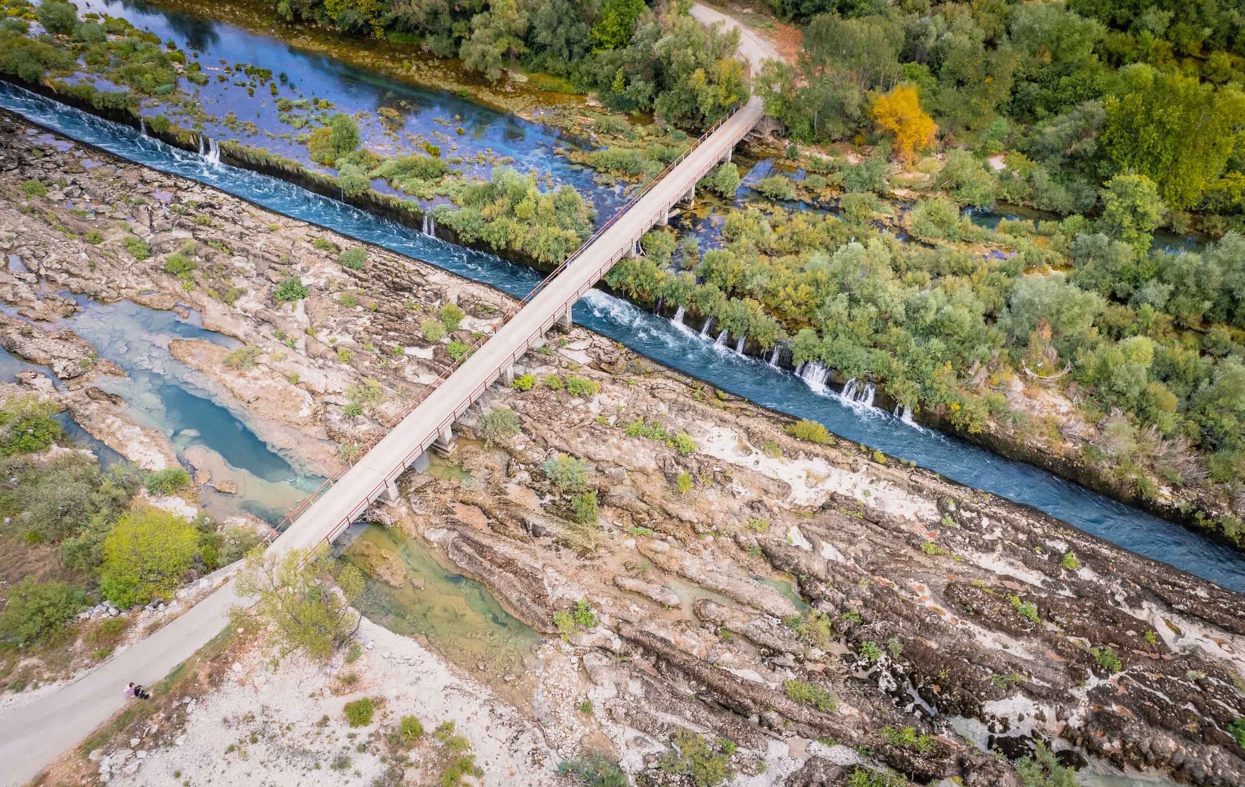
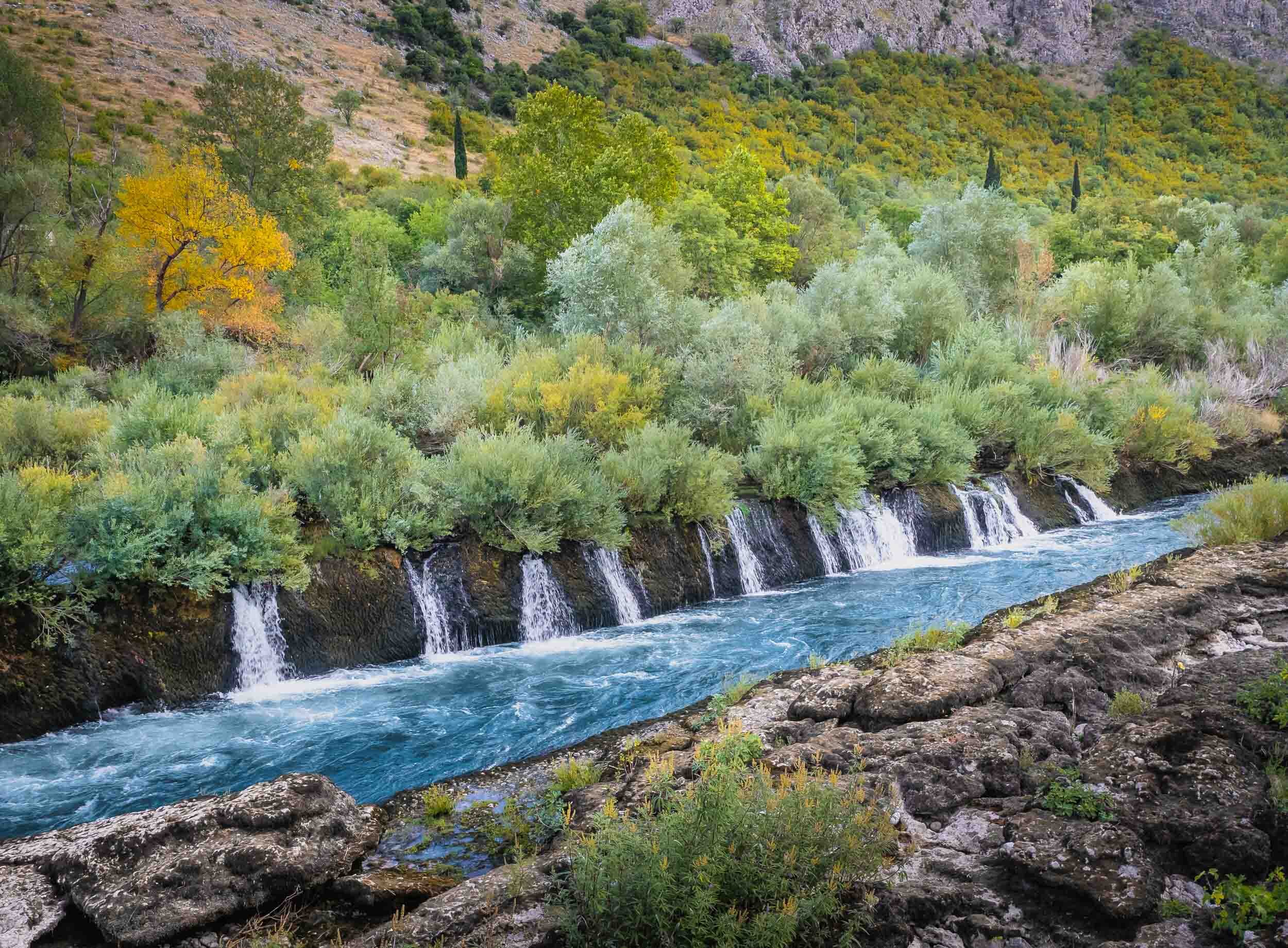
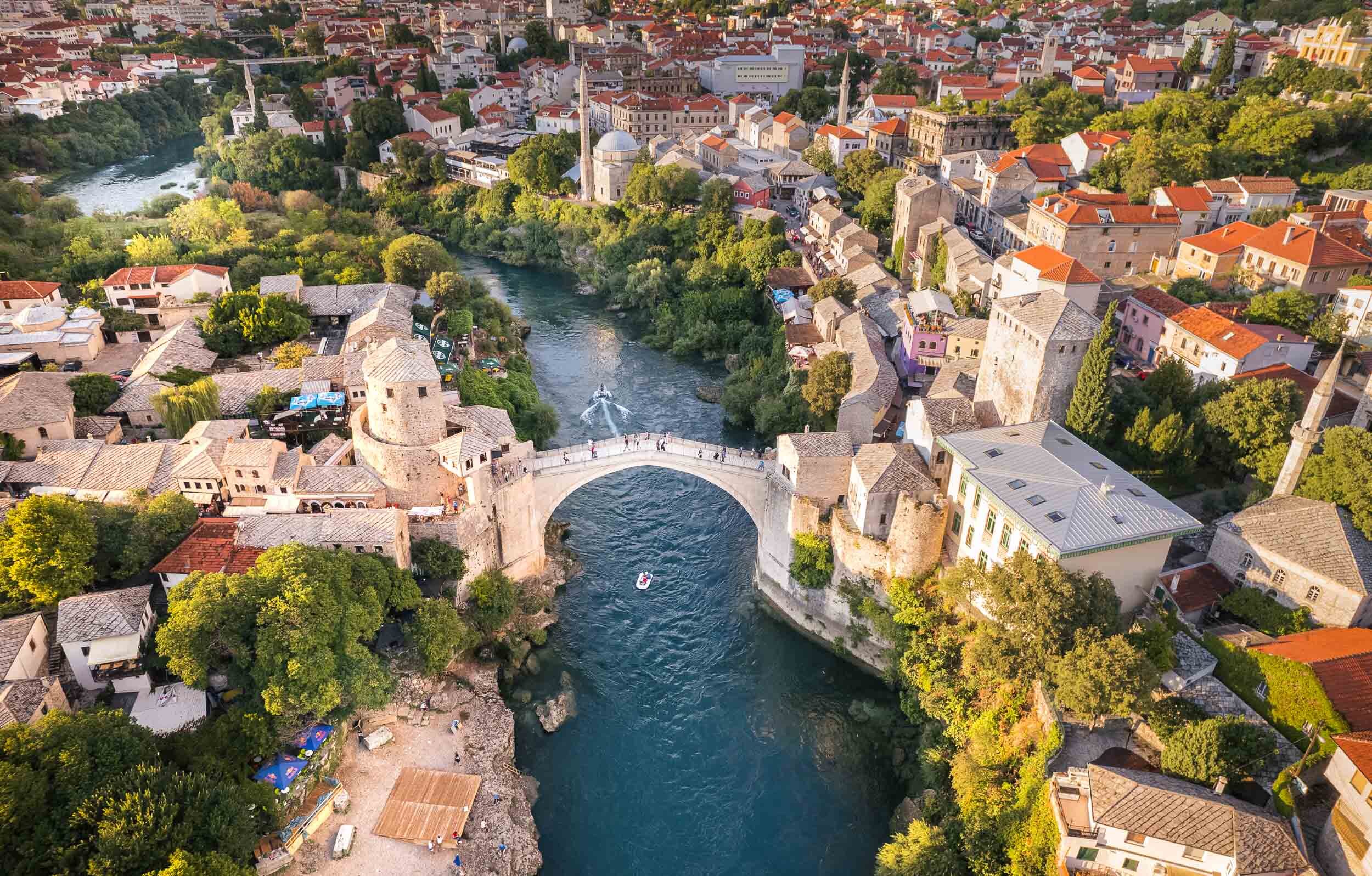
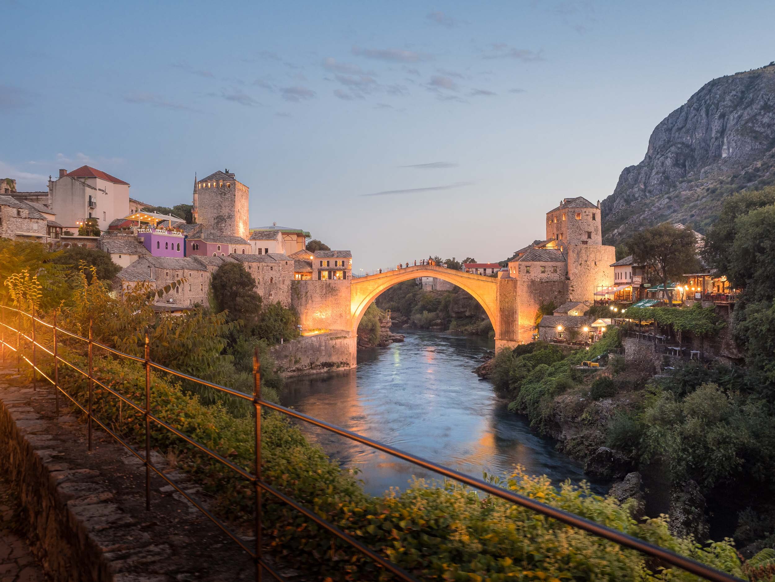
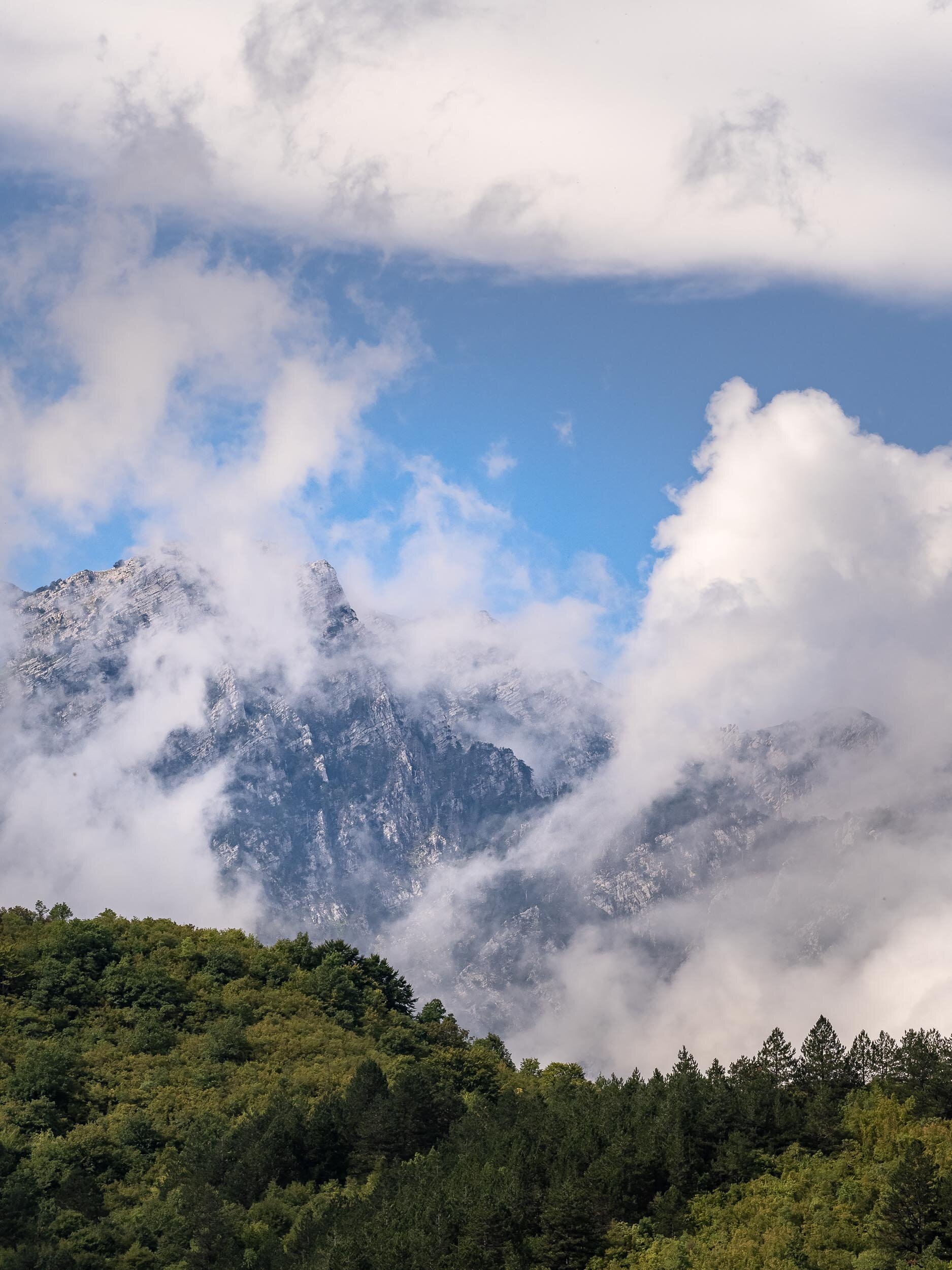
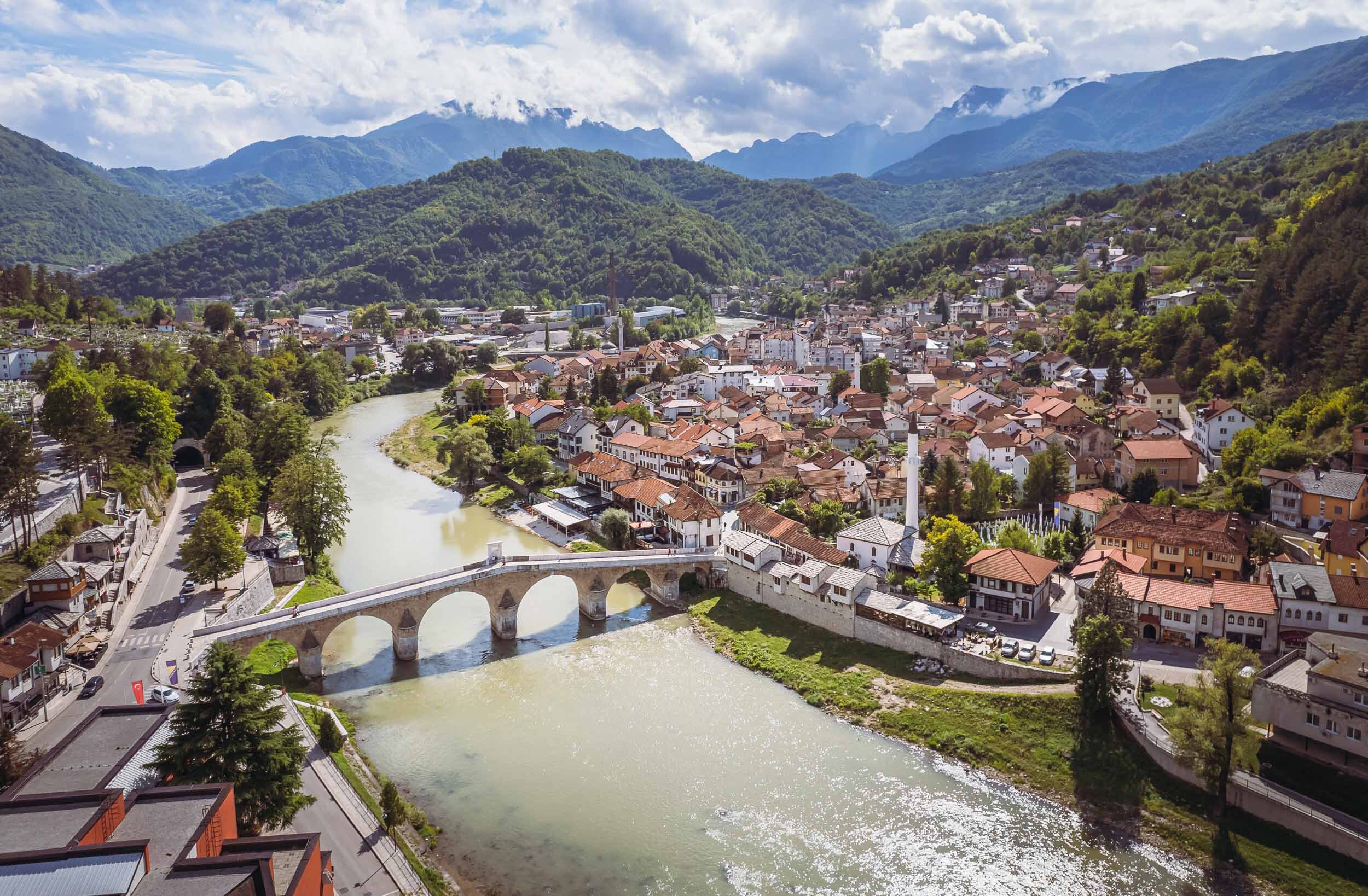
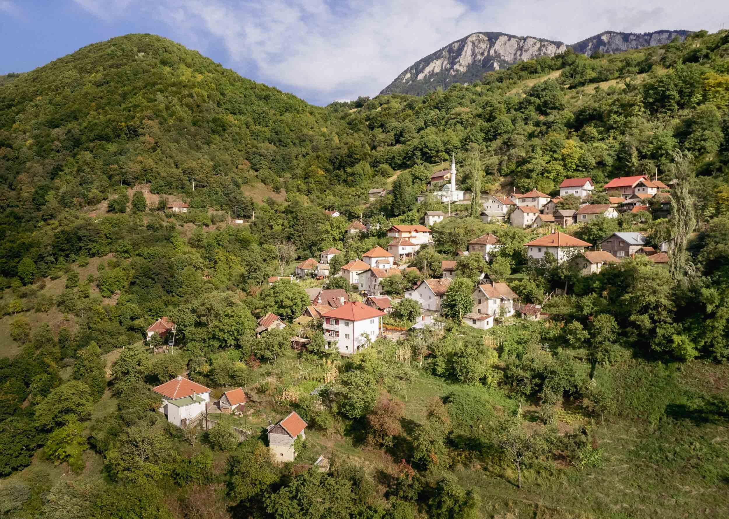
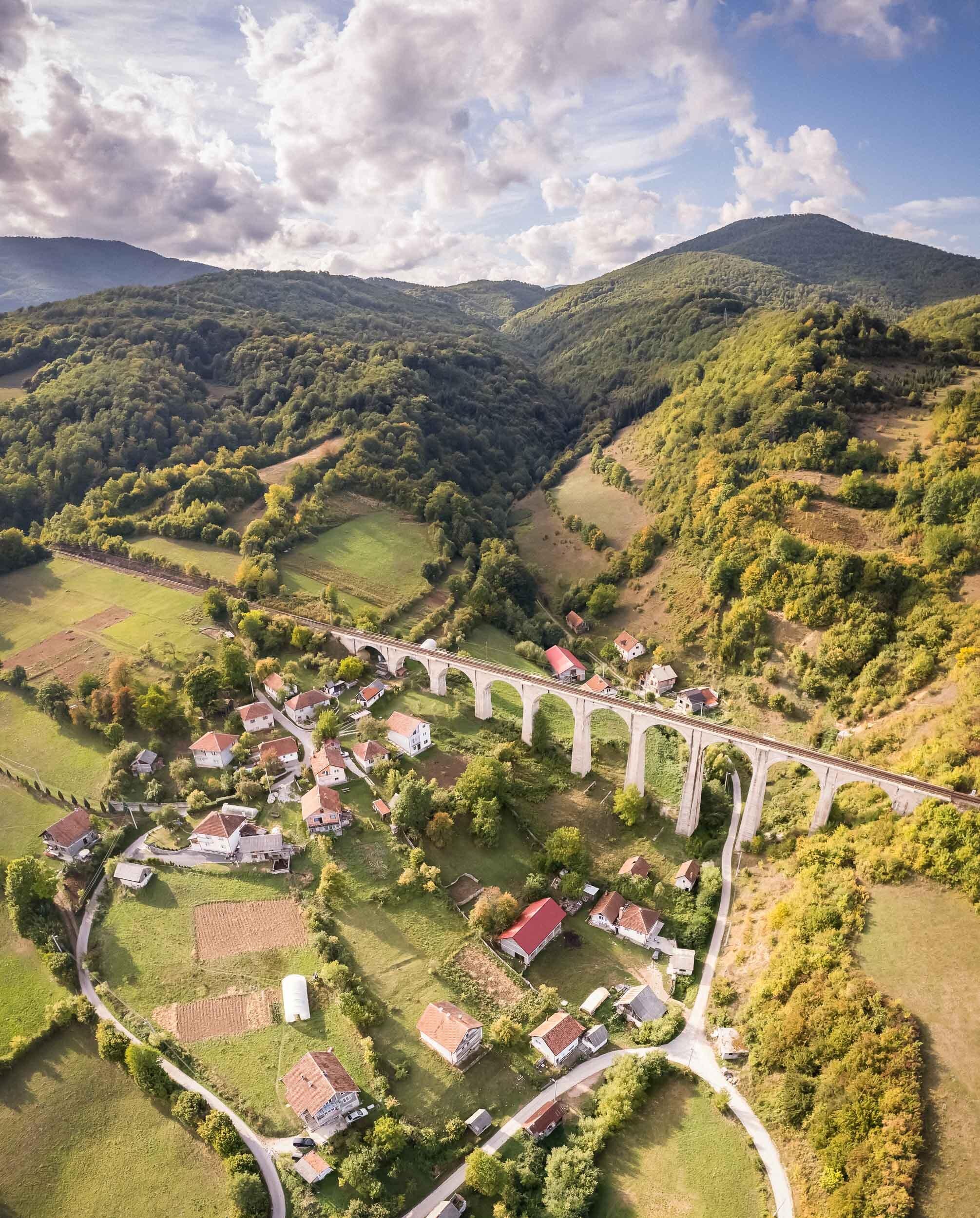
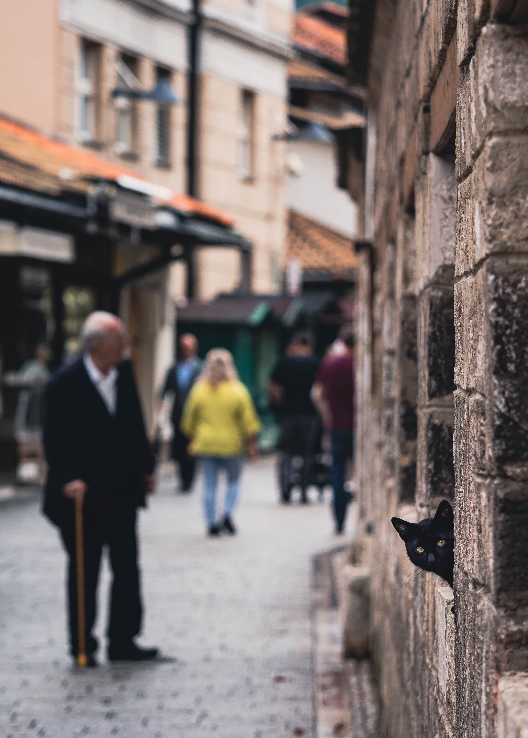
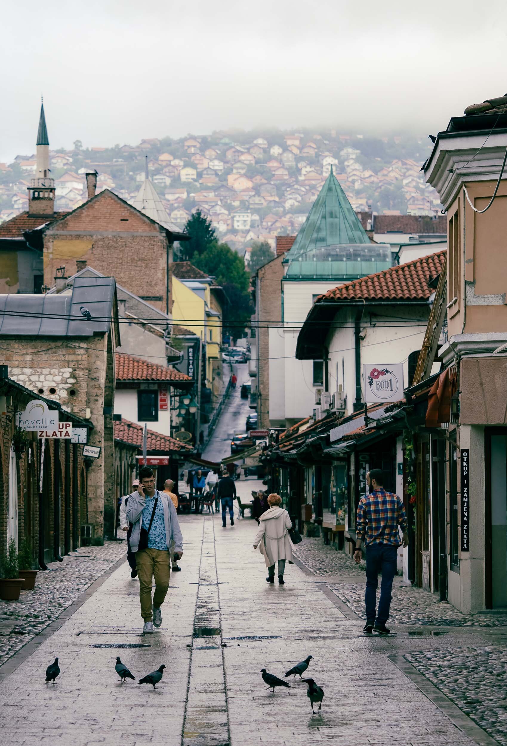
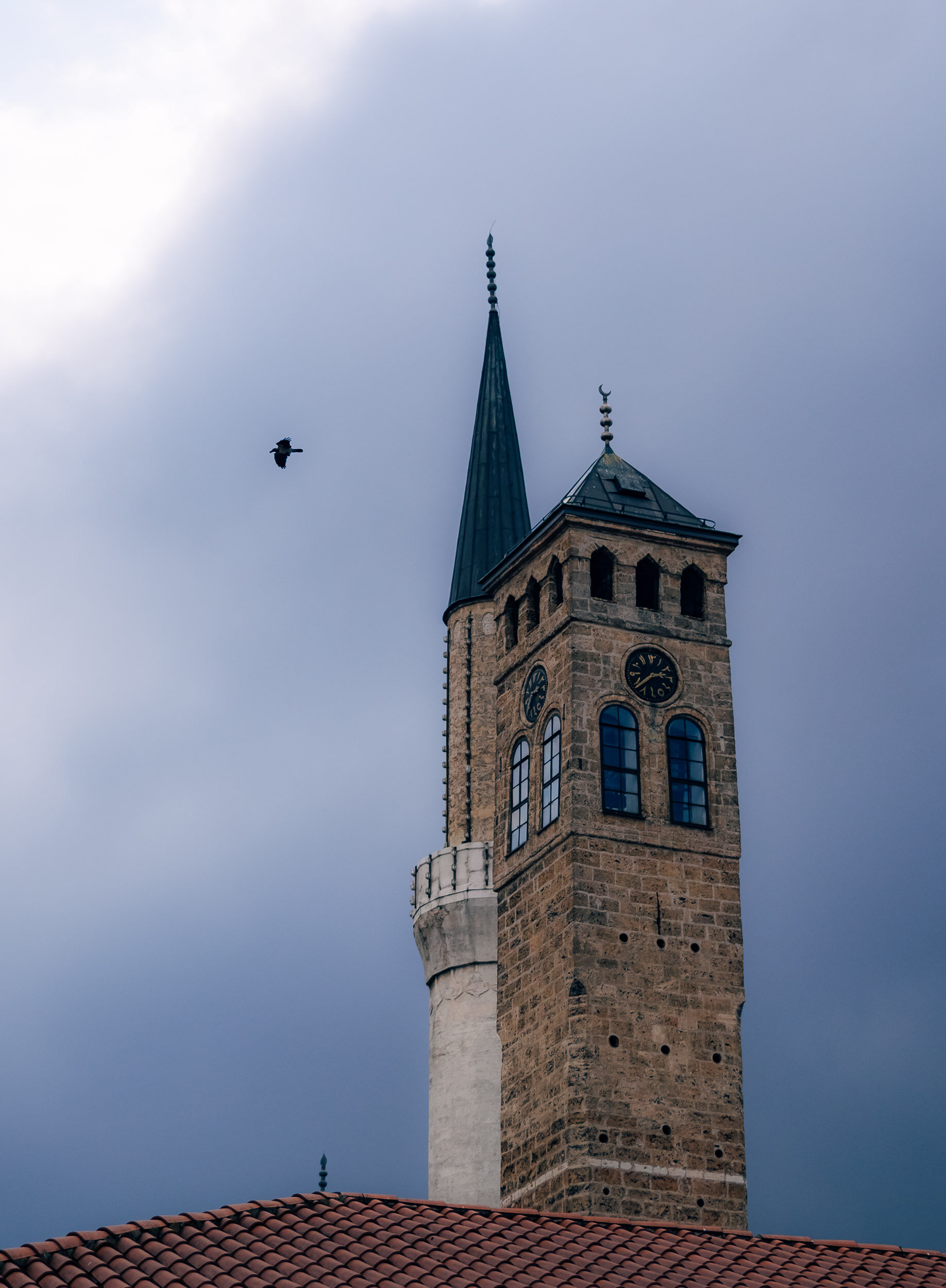
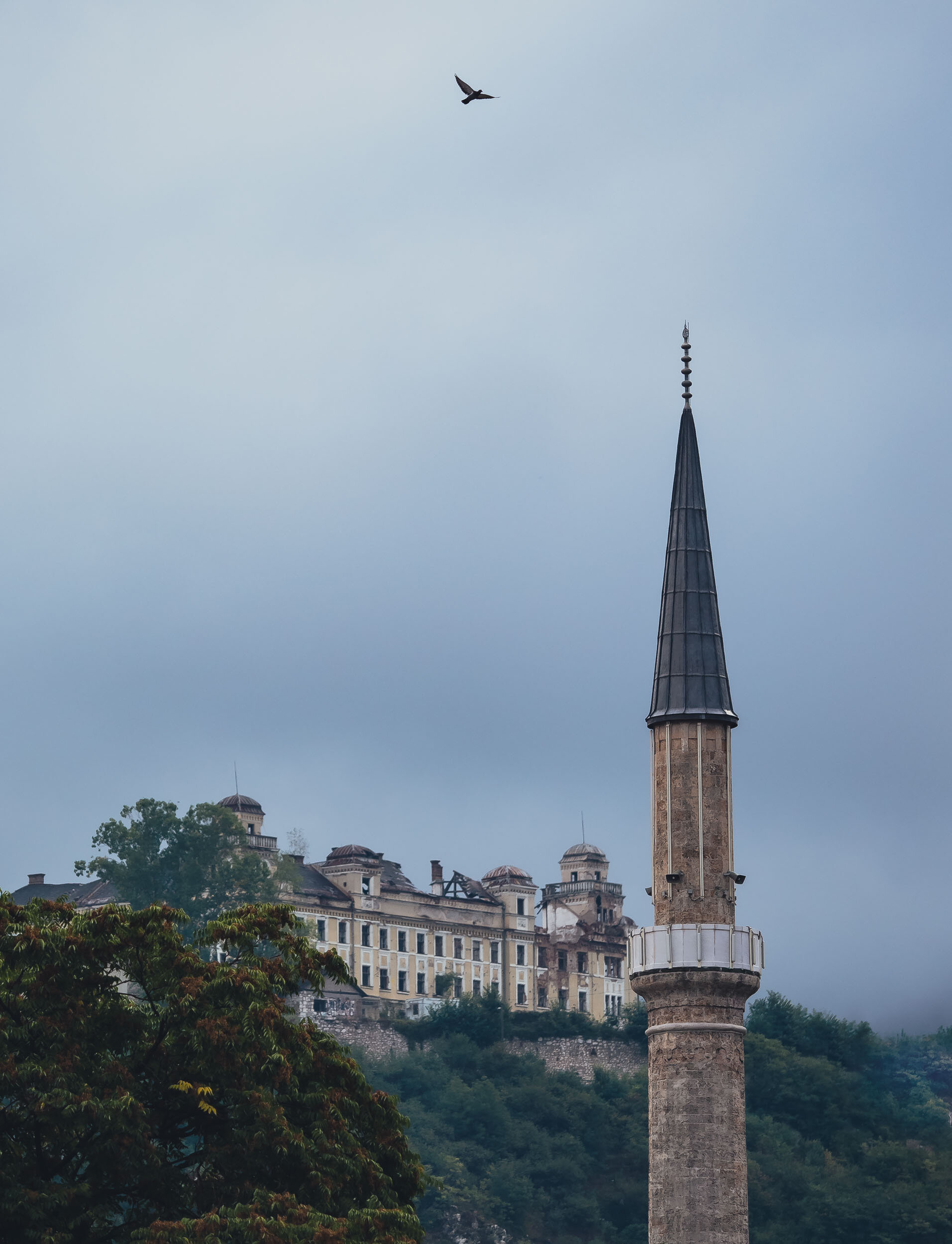
A late summer weekend brought me to Bosnia & Herzegovina, a relatively small and almost landlocked country in south-east Europe. The trip took us from the capital, Sarajevo, through the mountain ranges along the river Neretva towards Mostar and its surroundings sights and back. The country features impressive diversity in architecture, culture, and people - owing to its troubled past, which is still evident today - which made for a packed three days of sights, many of them well known, and a few unexpected ones.
Slovenian Beauty - Lake Bled & Ljubljana
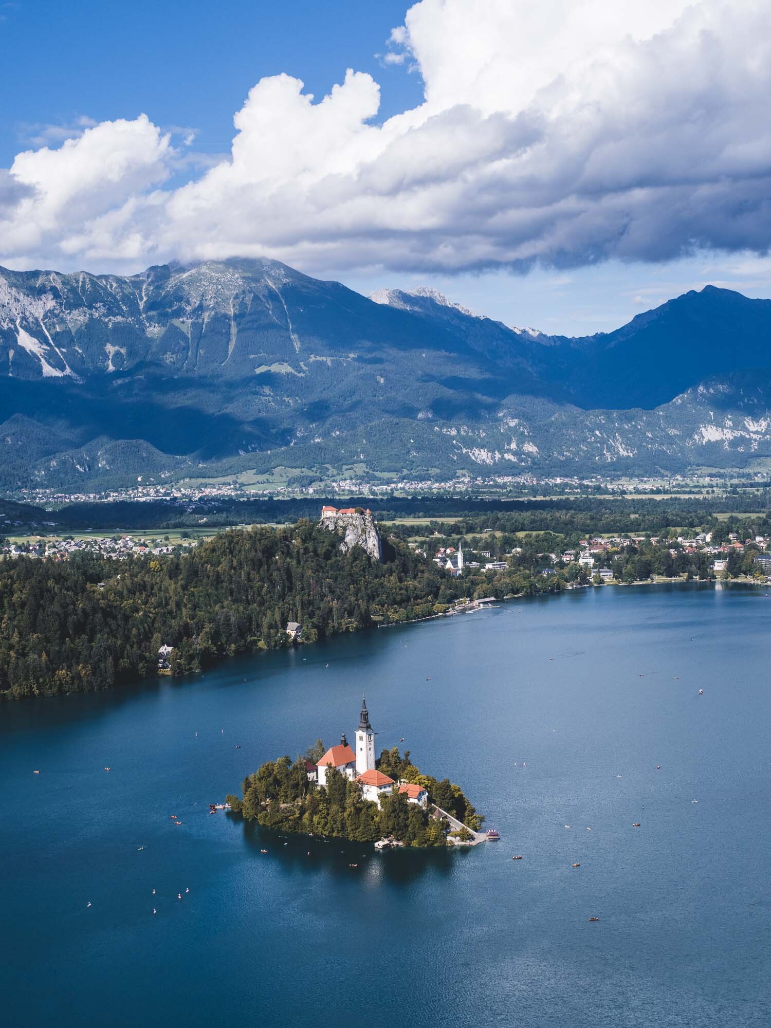
A two day trip to Slovenia brought us to the picturesque Lake Bled with its famous church island, and the beautiful capital Ljubljana.
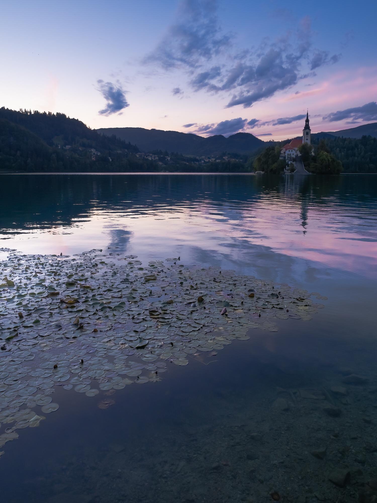
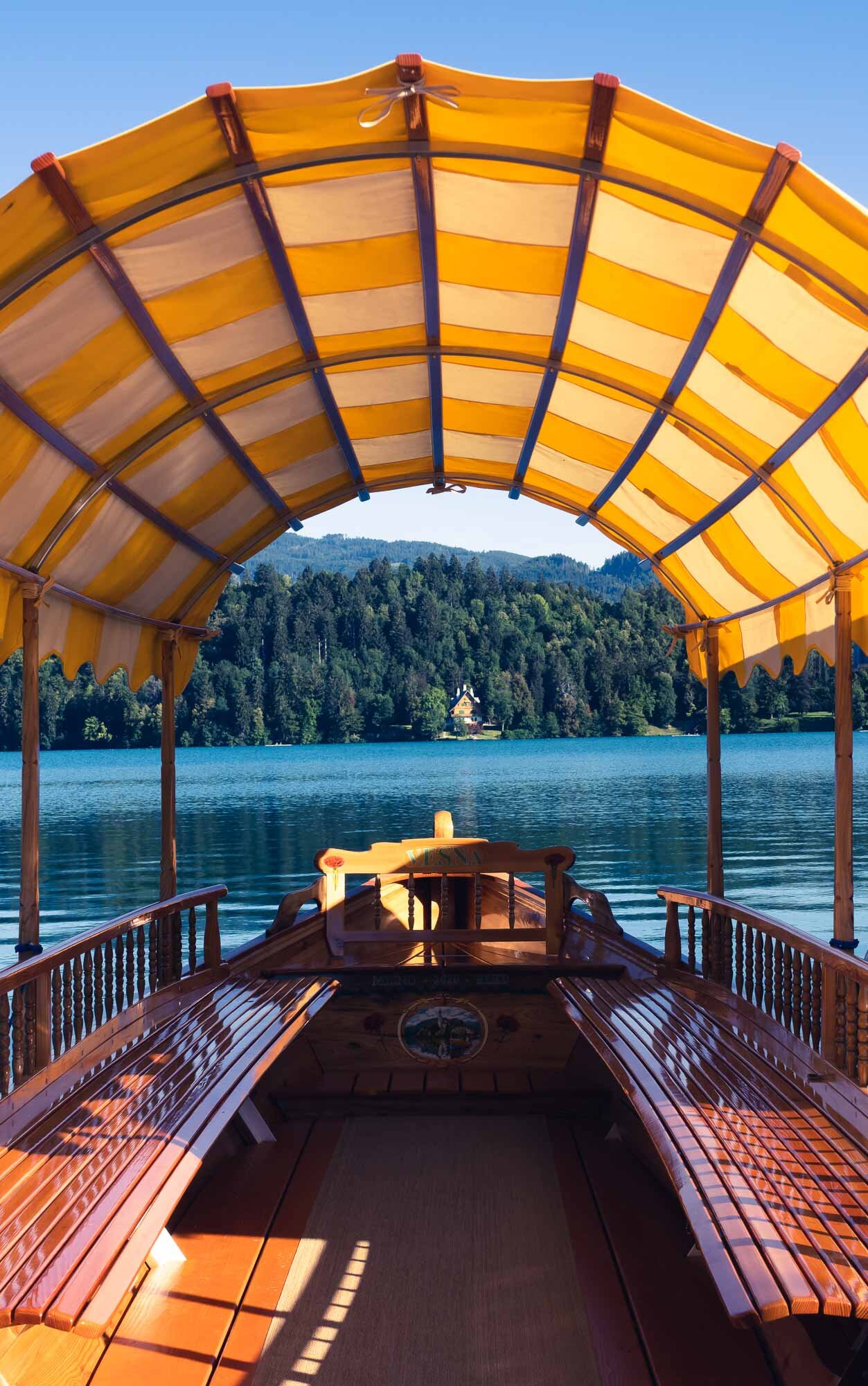
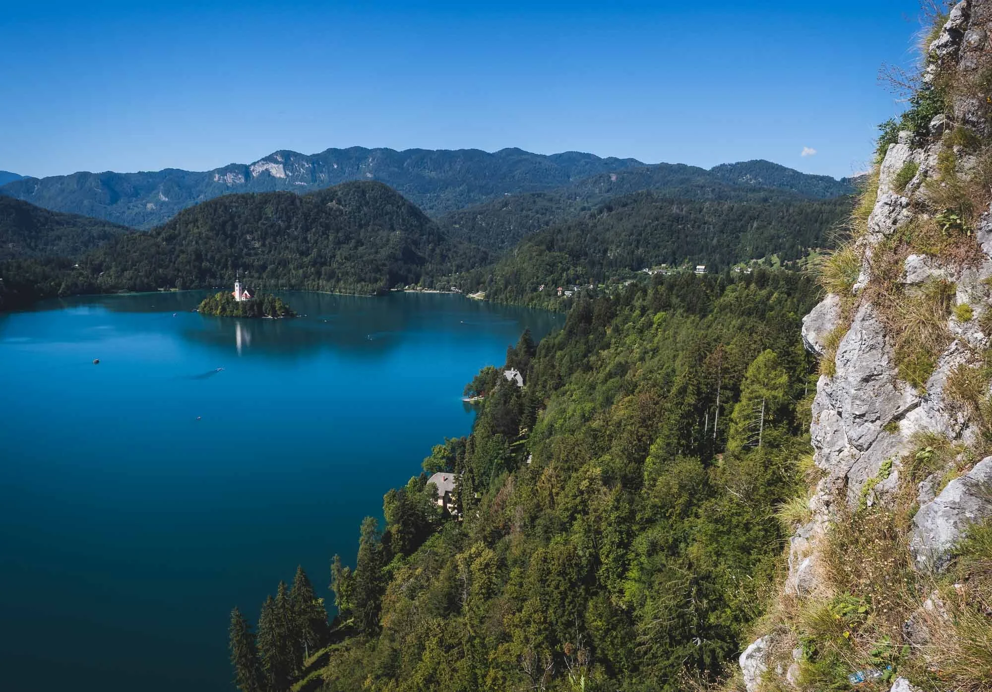
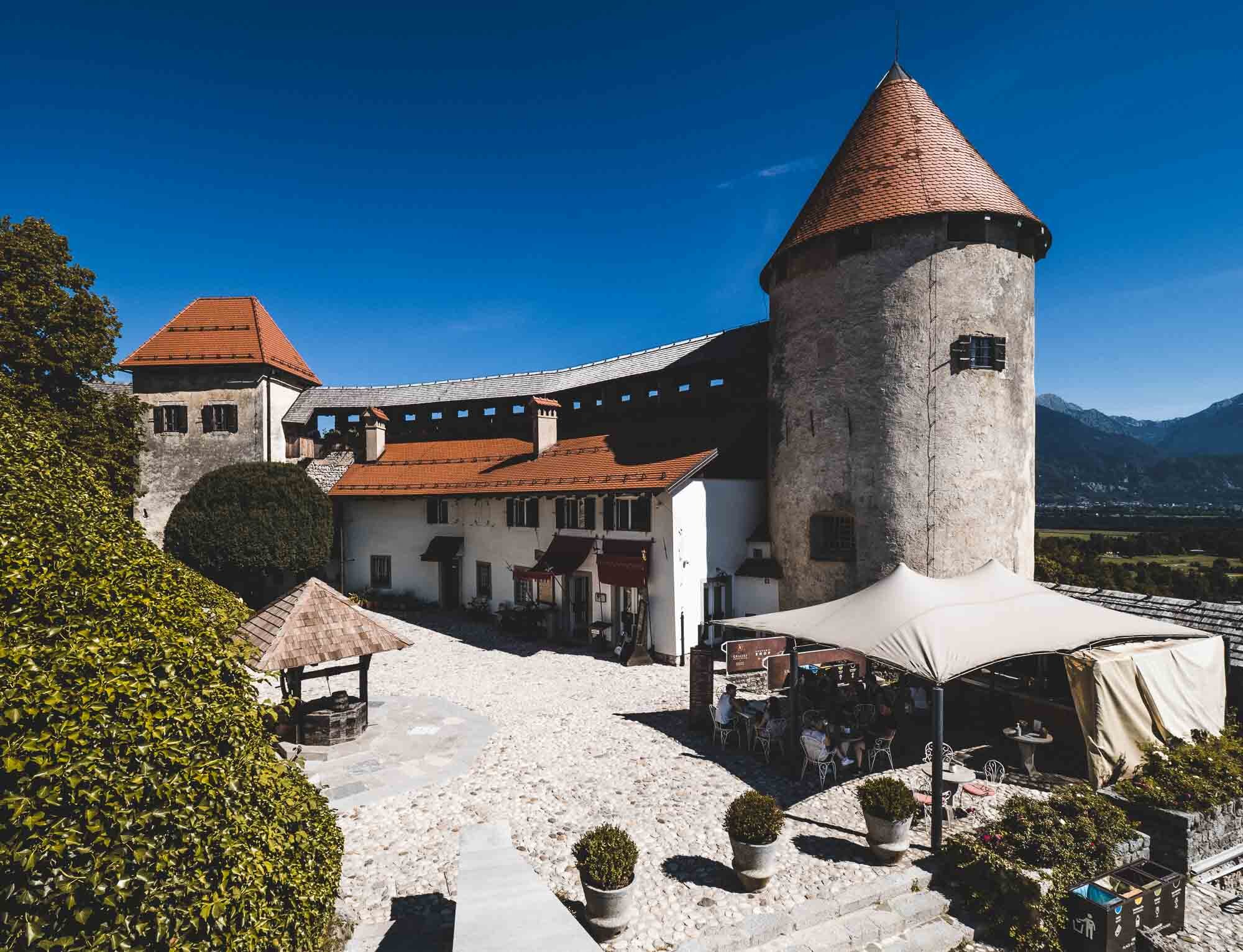
While travel restrictions with health and safety requirements are still omnipresent, trips within certain countries in Europe are manageable with the right precautions. A two day trip to Slovenia brought us to the picturesque Lake Bled with its famous church island, and the beautiful capital Ljubljana.
The Alpine Route, Liechtenstein, Lake Como, Genoa, the French Riviera and back!
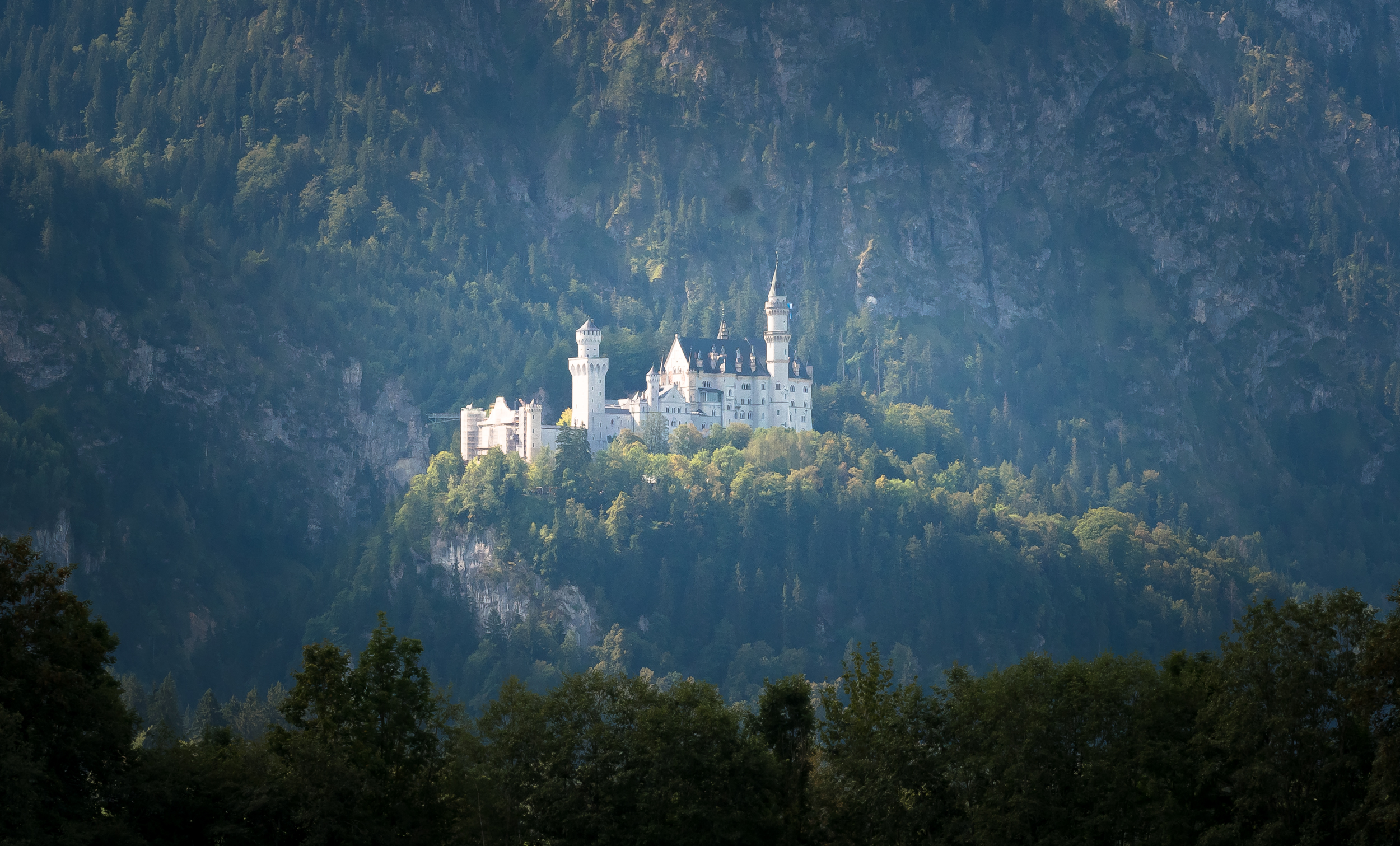
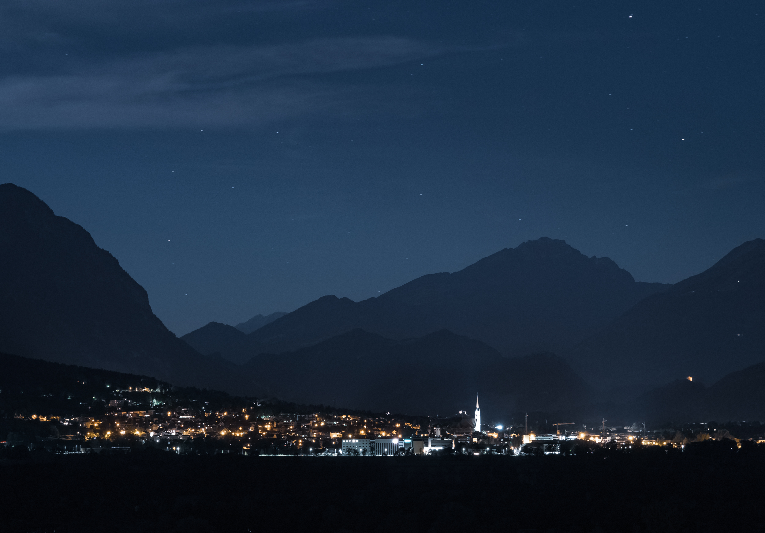
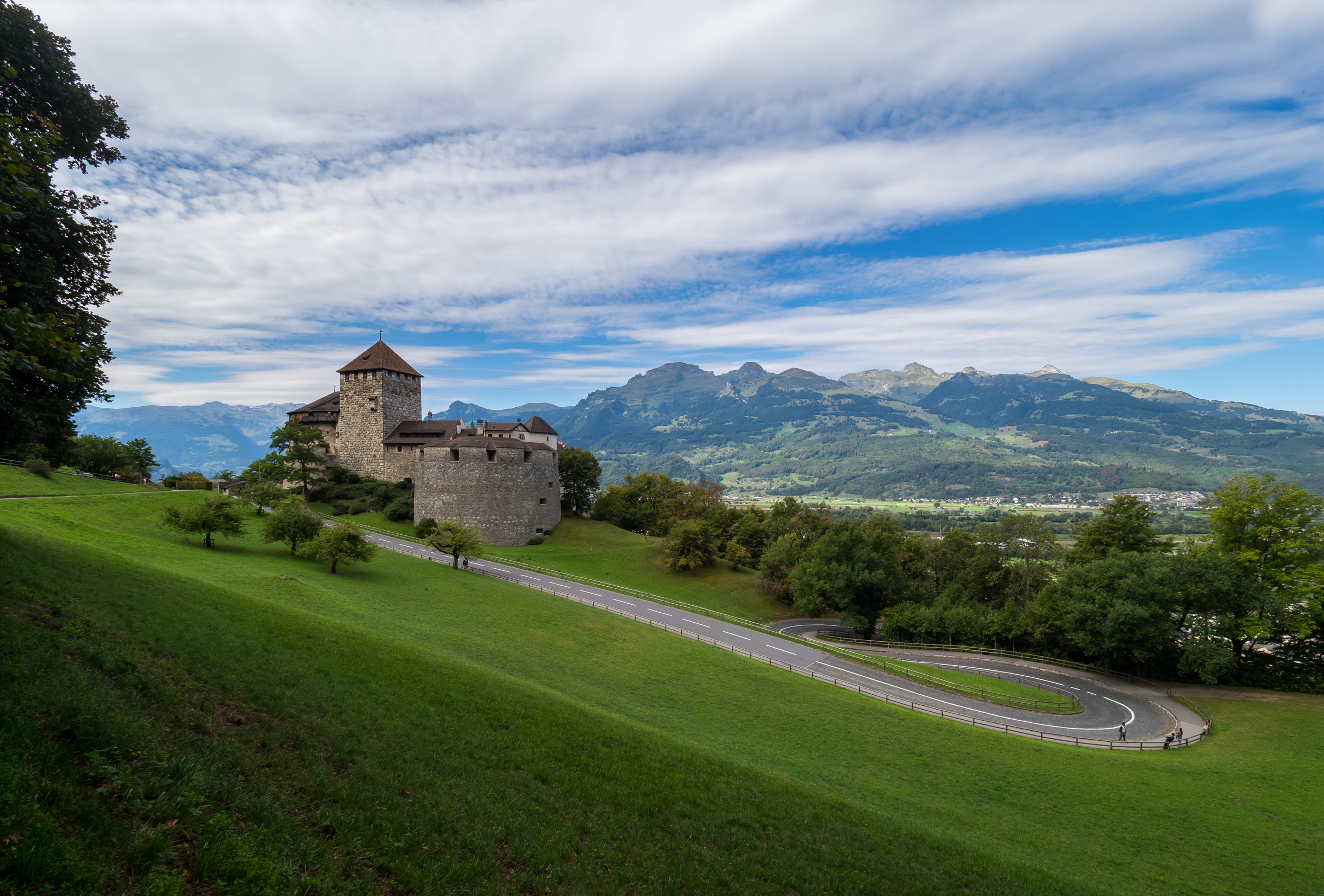
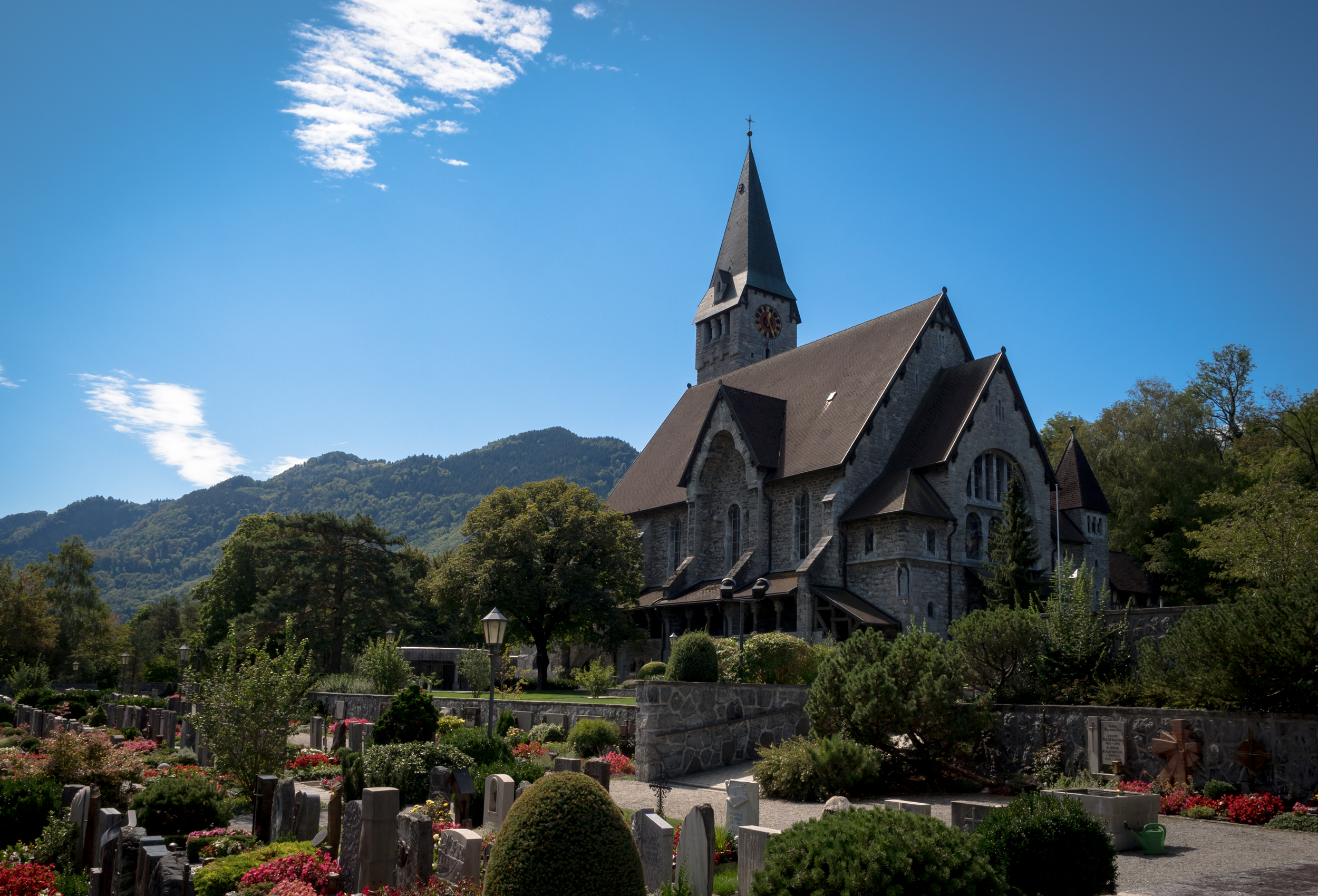
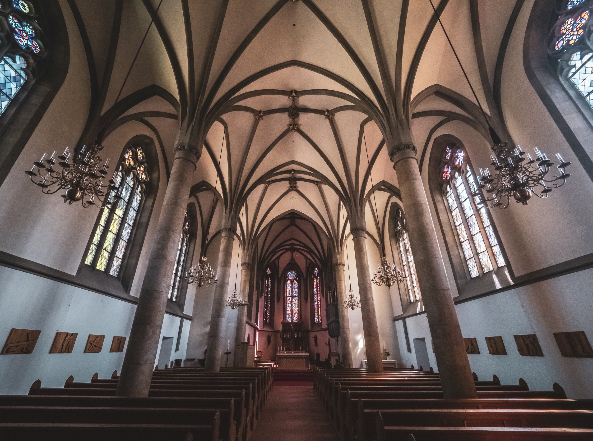
In August 2018 I finally took a trip I had on my mind for a few years, following the route below. The drive took us through parts of the famous German Alpine Route, past castle Neuschwanstein, along Lake Constance, through Liechtenstein with its tiny capital Vaduz, for a stop at Lake Como and onwards to Genoa, and finally the coastal beauty of the French Riviera with Monaco, Nice, Antibes, Cannes and St Tropez.
In August 2018 I finally took a trip I had on my mind for a few years, following the route on the map above. The drive took us through parts of the famous German Alpine Route, past castle Neuschwanstein, along Lake Constance, through Liechtenstein with its tiny capital Vaduz, into the Swiss Alps, for a stop at Lake Como and onwards to Genoa, and finally the coastal beauty of the French Riviera with Monaco, Nice, Antibes, Cannes and St Tropez. Aside from driving a lot, we also walked and hiked quite a bit as my trusty Pedometer app showed.
It was all worth it though and I can definitely recommend the trip. Below is a selection of photos taken along the route.


