Uganda - From Lakes to Apes
The Republic of Uganda was another East African country on my journey, and it had beautiful lakes, rural villages, savannah landscapes, and a forest that deserved its name on the agenda.

The Republic of Uganda was another East African country on my journey, and it had beautiful lakes, rural villages, savannah landscapes, and a forest that deserved its name on the agenda.
Entebbe and Lake Victoria
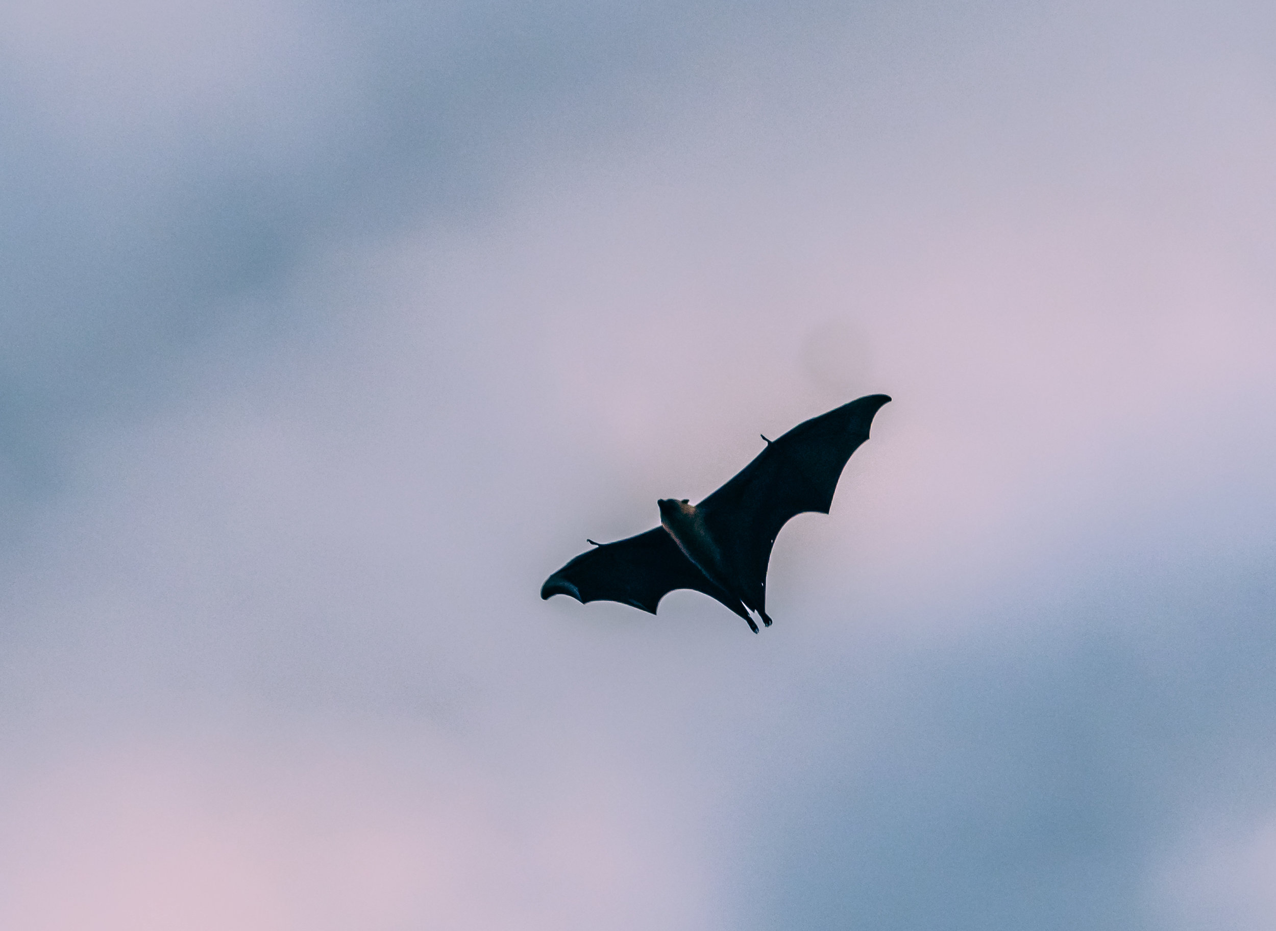
I started my trip from Entebbe, a small city south of the country’s capital Kampala, and home to its only international airport (famous for the 1976 hostage situation), but also place of residence and office for the president. Our first mission was to visit Mabamba Swamp on Lake Victoria, to find what they call the “holy grail of birding”: The endangered Shoebill.


Alas, it was not a successful trip beyond a very brief glimpse, but the area was still beautiful and it turns out this would not be the last chance to see this rare animal...
Tarzan’s Home
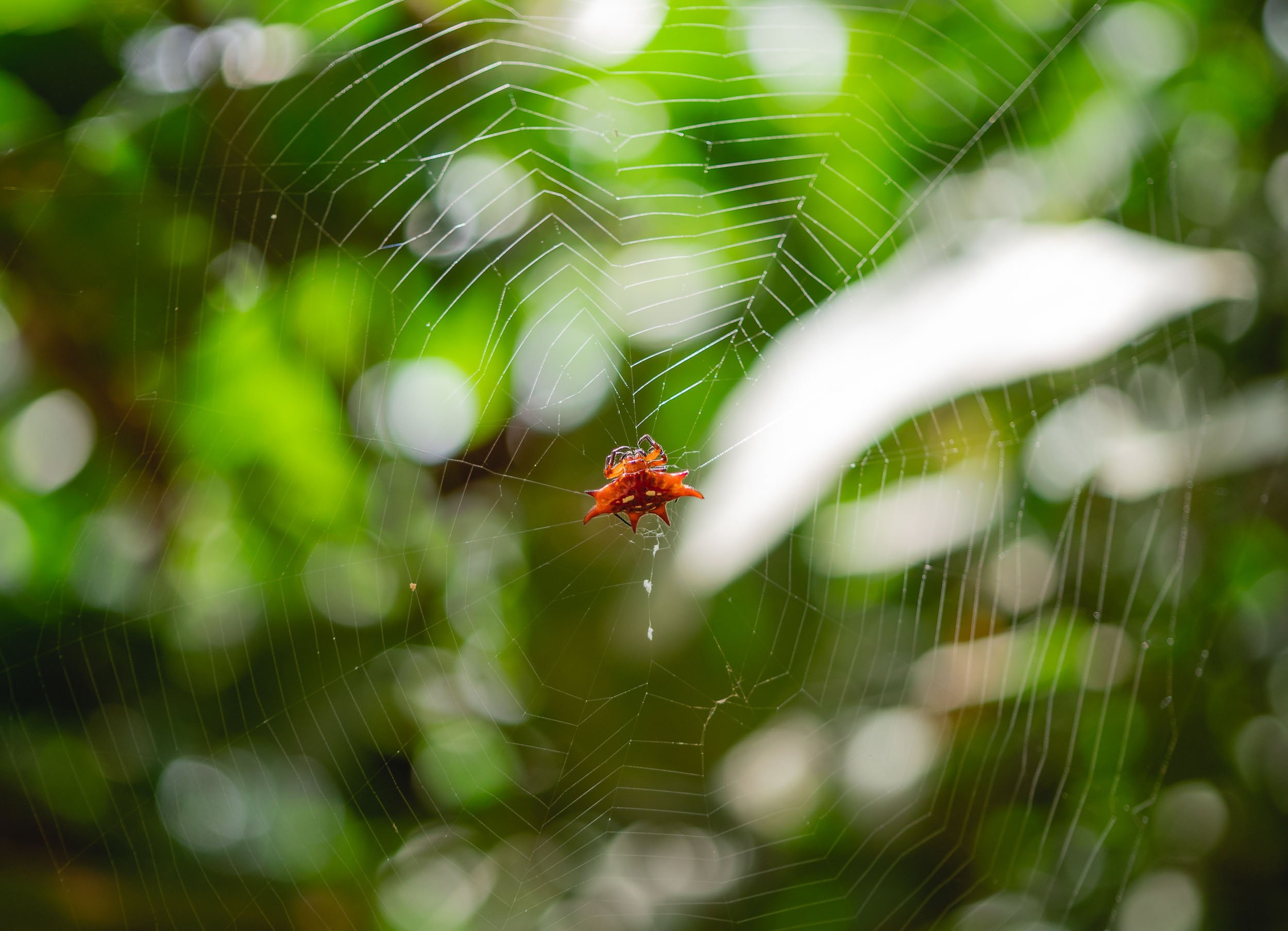
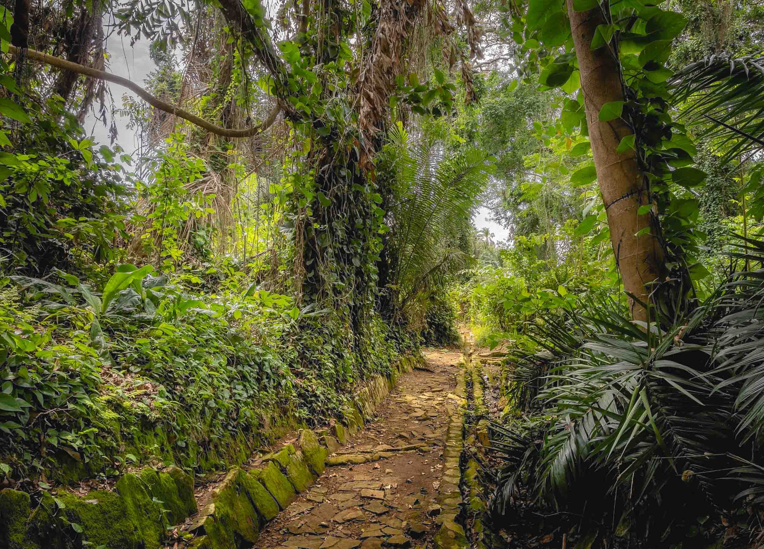
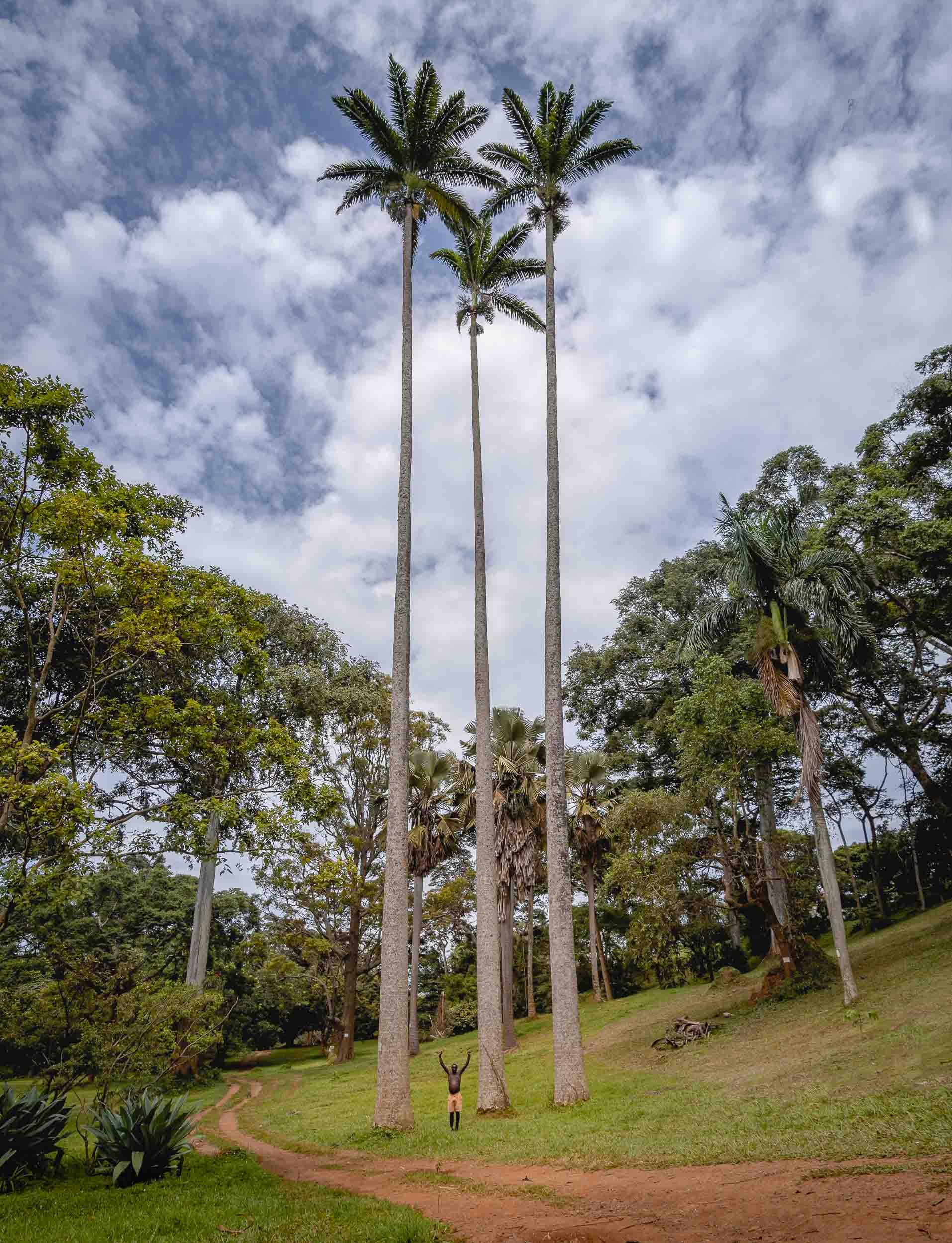
We also visited Entebbe’s botanical garden, which was started in 1898 and contains both endemic and imported trees, some of them more than 400 years old.

Punishment Island, and 28 more
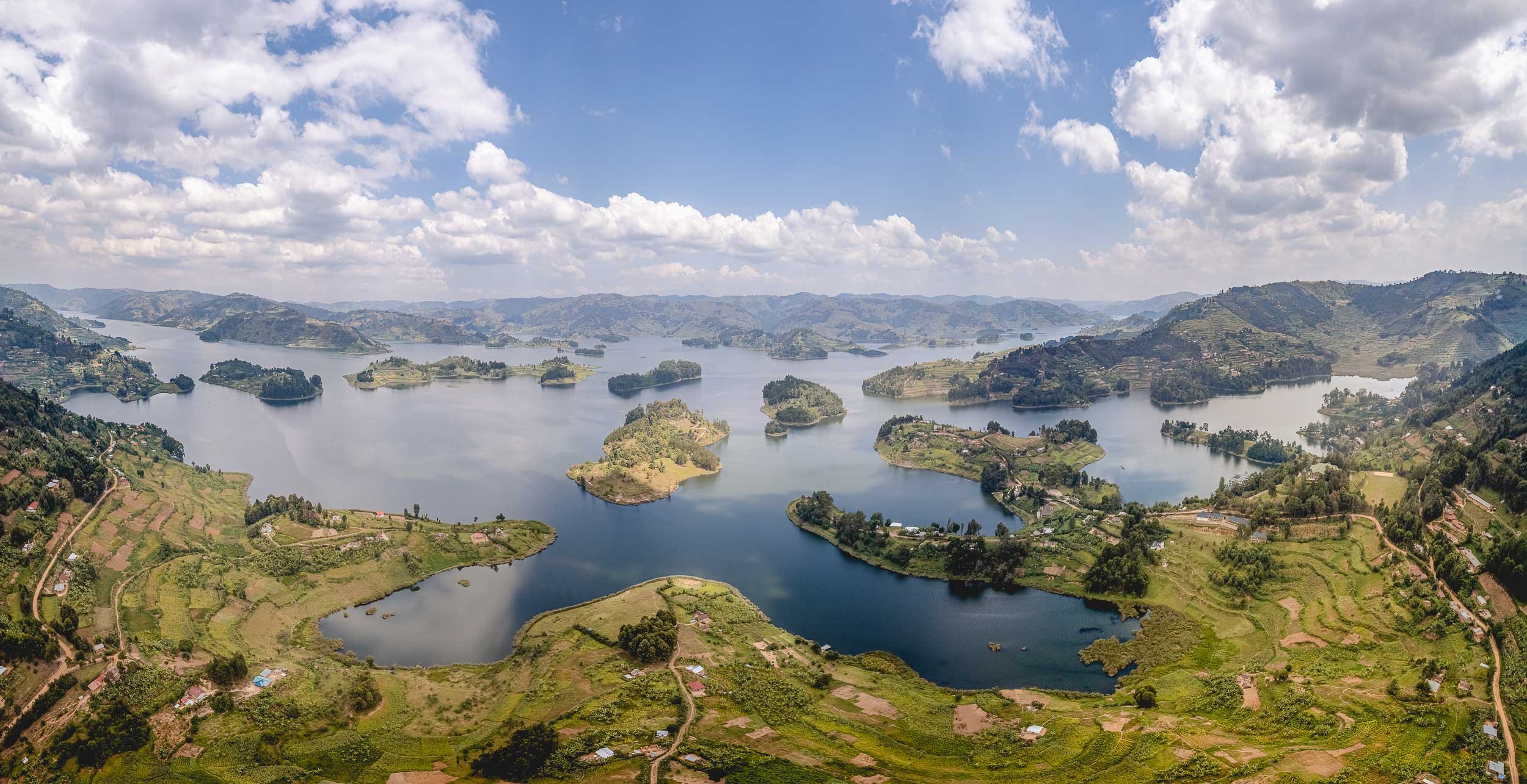
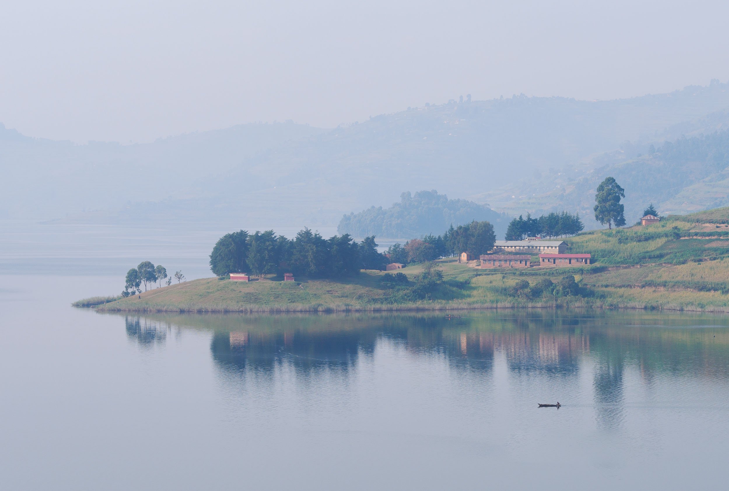
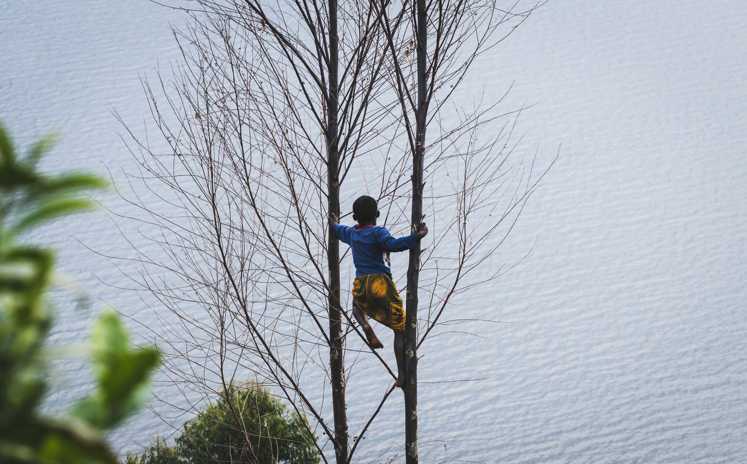
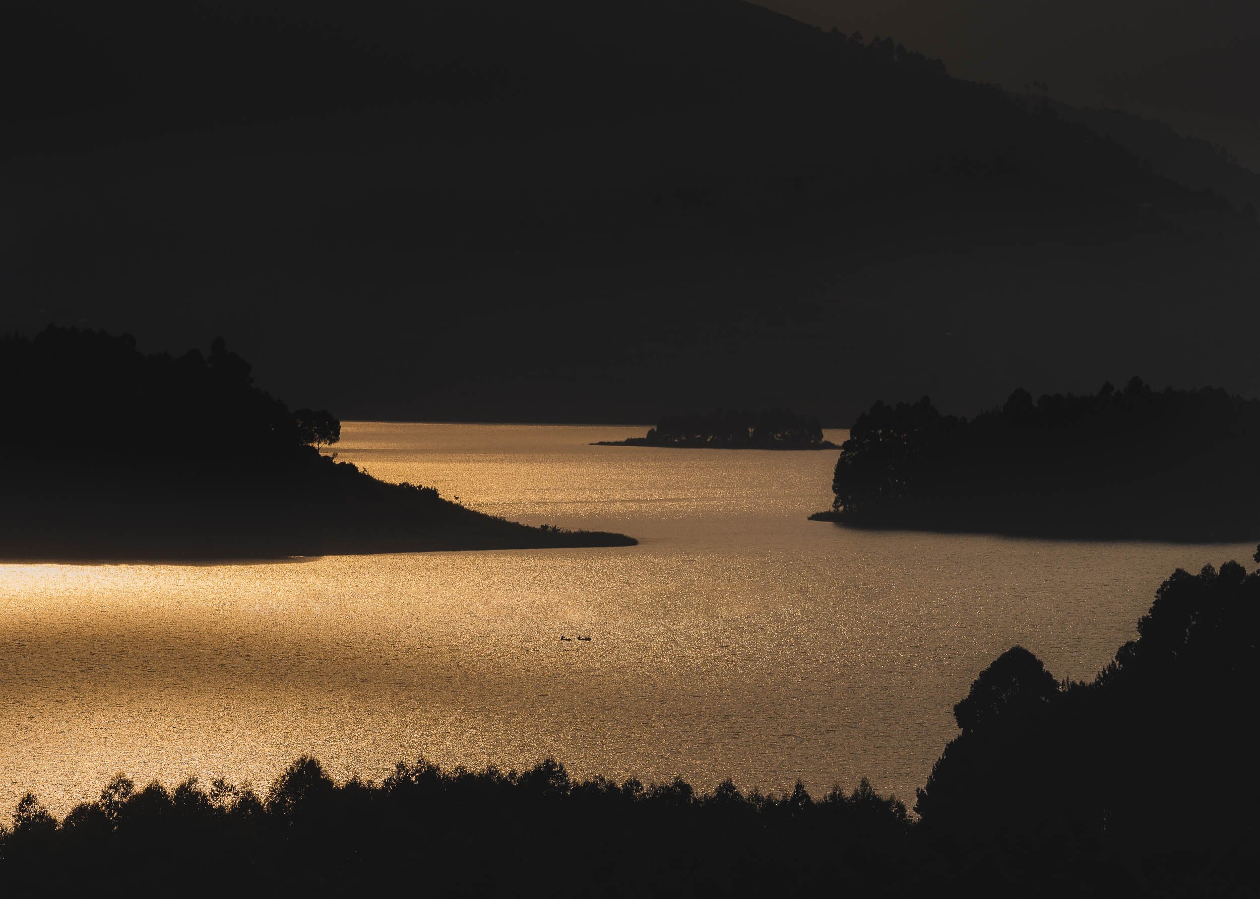
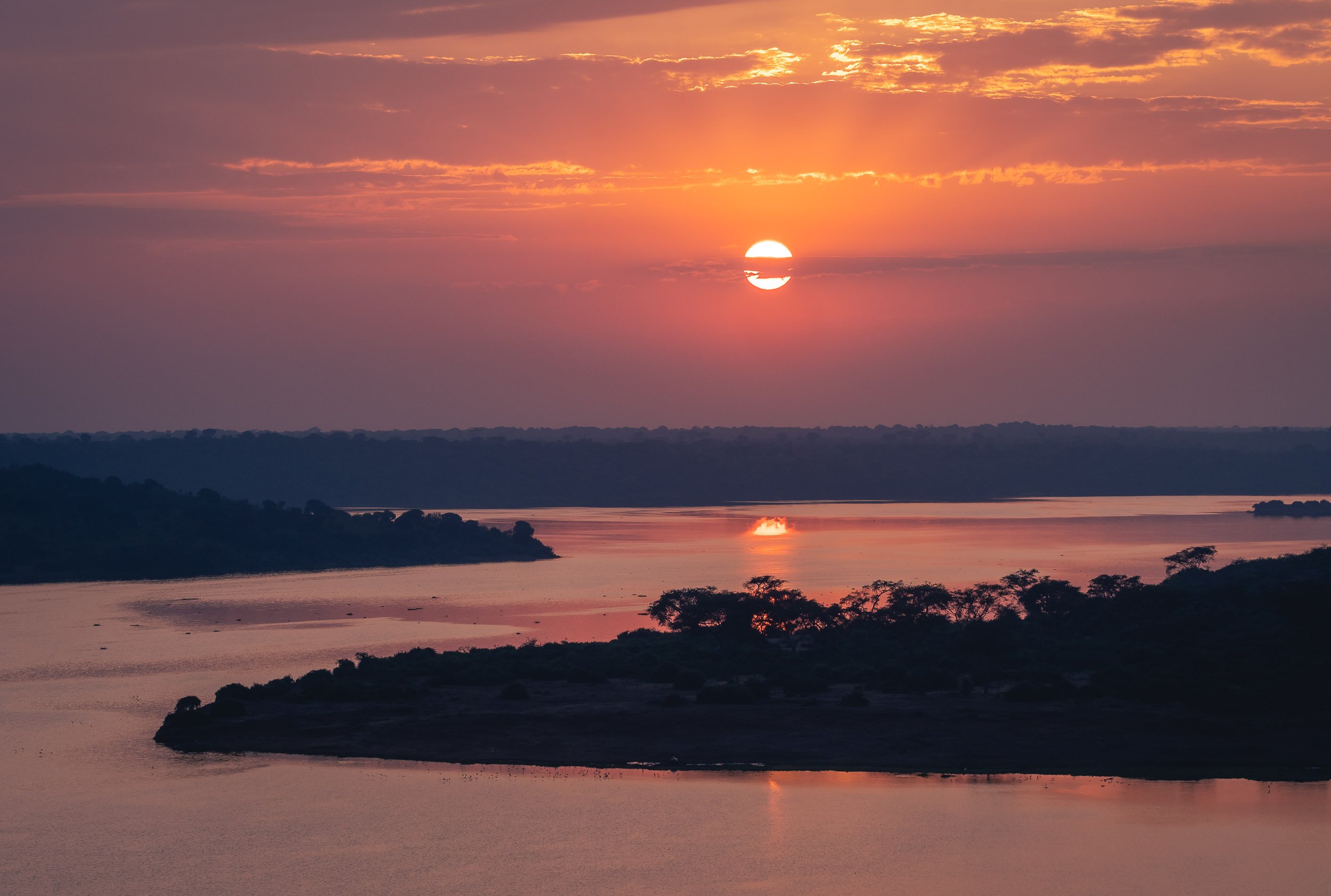
A long drive from Entebbe through the beautiful landscapes and towns of southern Uganda brought us to Lake Bunyonyi, a 46 sqkm lake very close to the border of Rwanda.


A Flight Above the Lake


Towards the Impenetrable
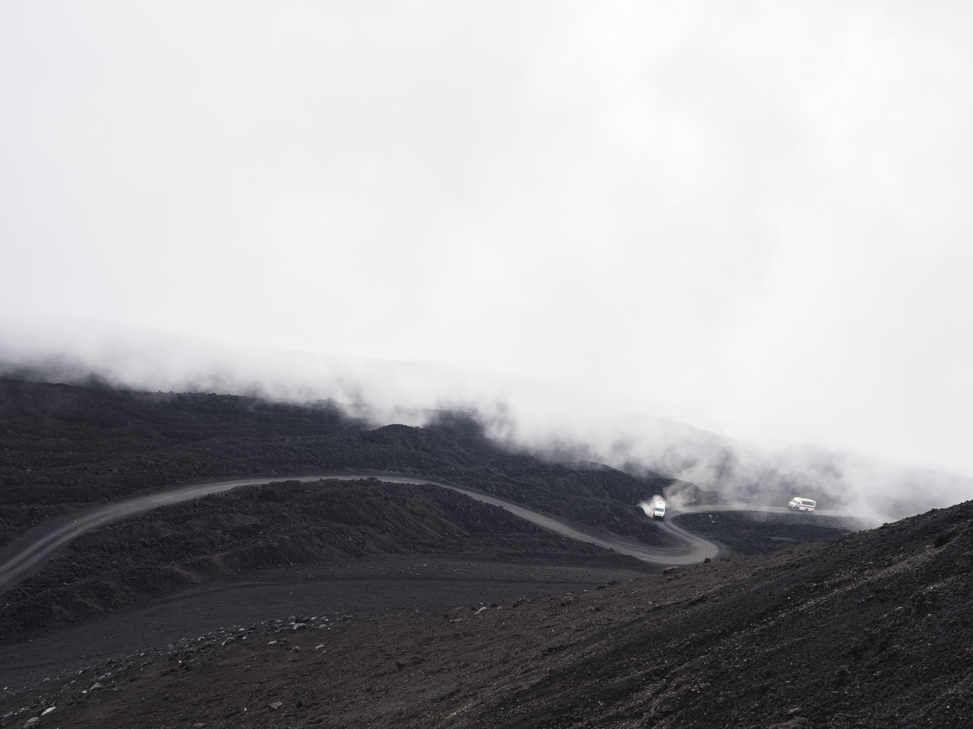
After two days at Lake Bunyonyi, it was time to head further west, approaching the border of the Congo. On route, we passed some of Uganda’s beautiful mountainous areas, dominated by farmland and small rural villages.


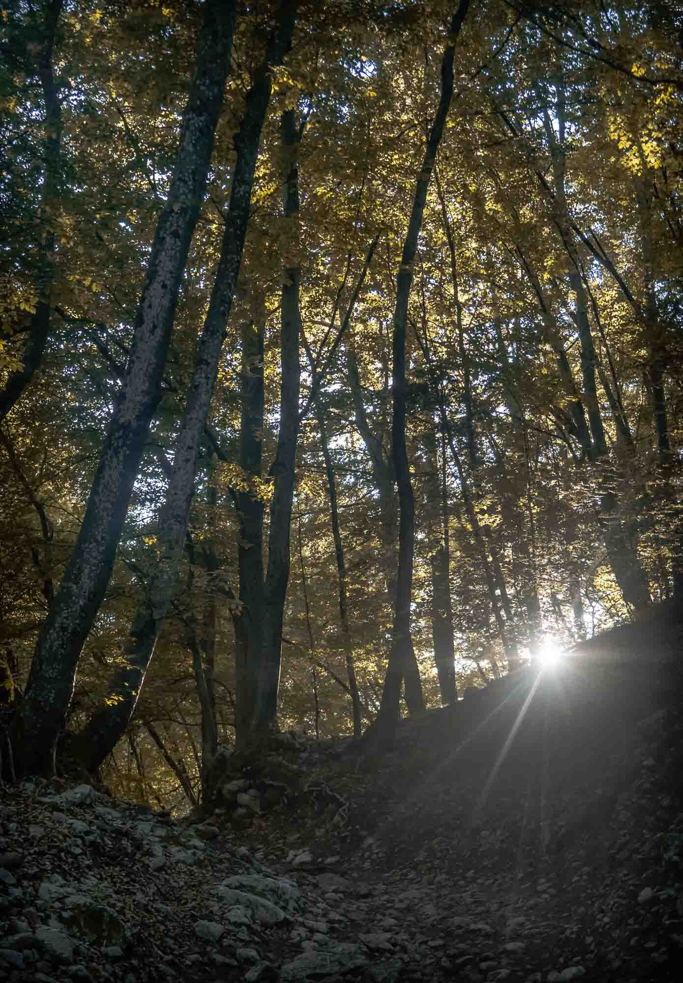
Our goal was a different one though, bordering the farm land. The Bwindi Impenetrable Forest, and its corresponding National Park. One of the most biologically diverse areas on earth, it is World Heritage Site that truly deserves its name, as I would later find out.
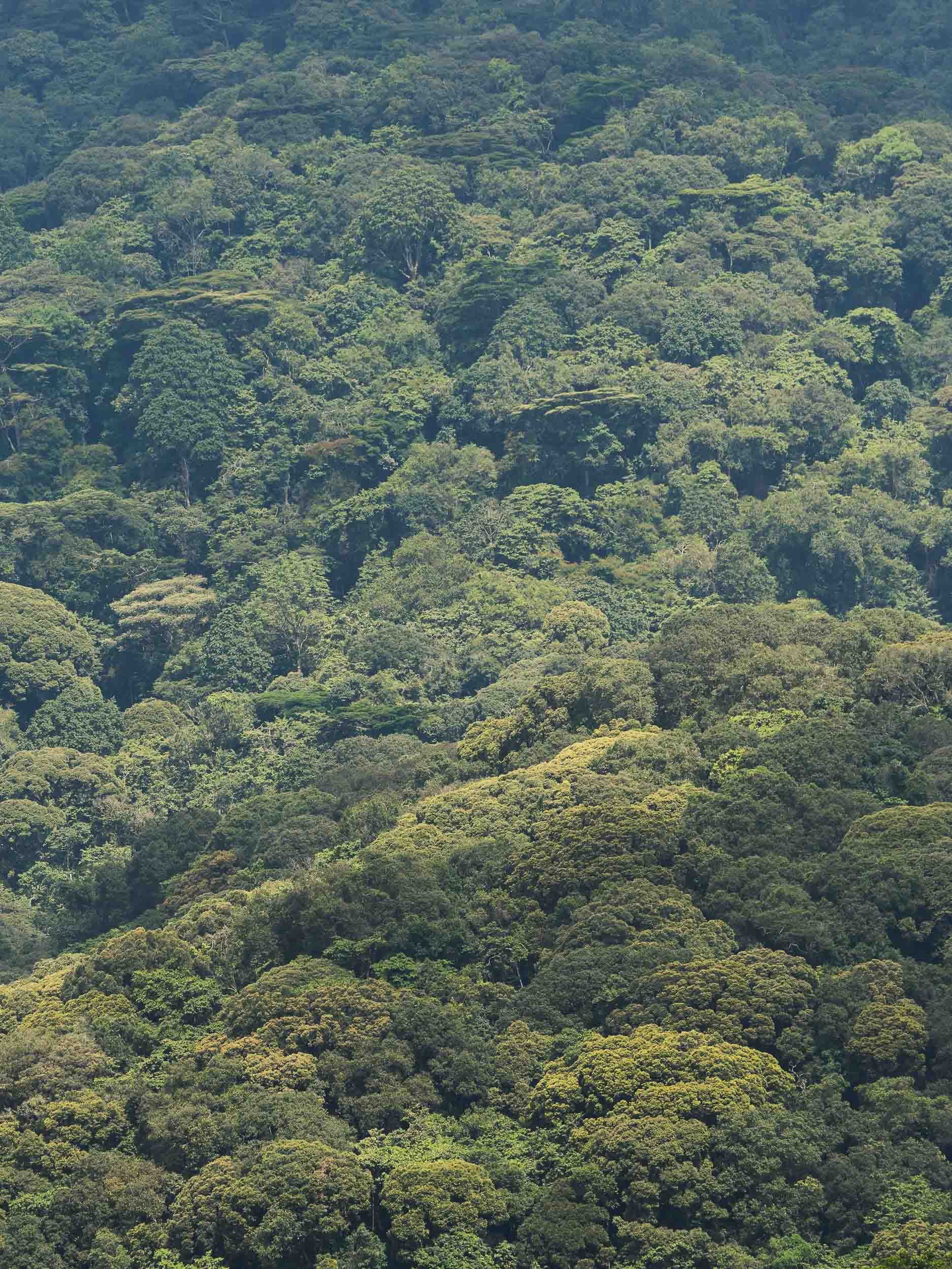
Parts of the forest are accessible - with a guide - through very basic hiking paths, and lead to some beautiful waterfalls, small rivers, and diverse flora and fauna.


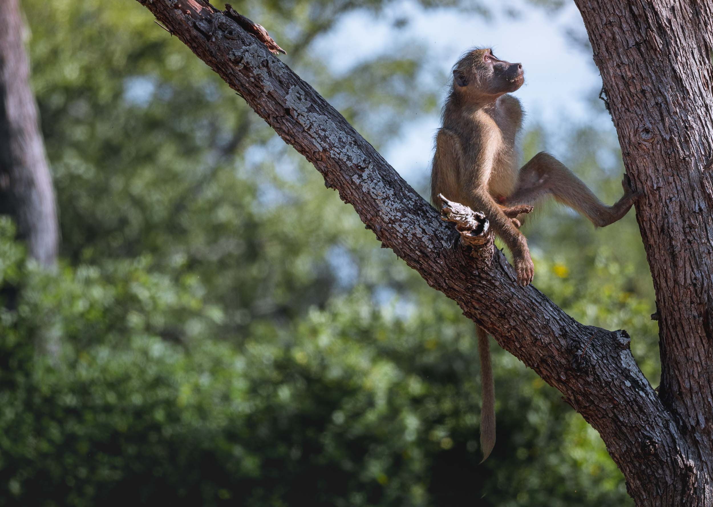
The Greatest of the Great Apes
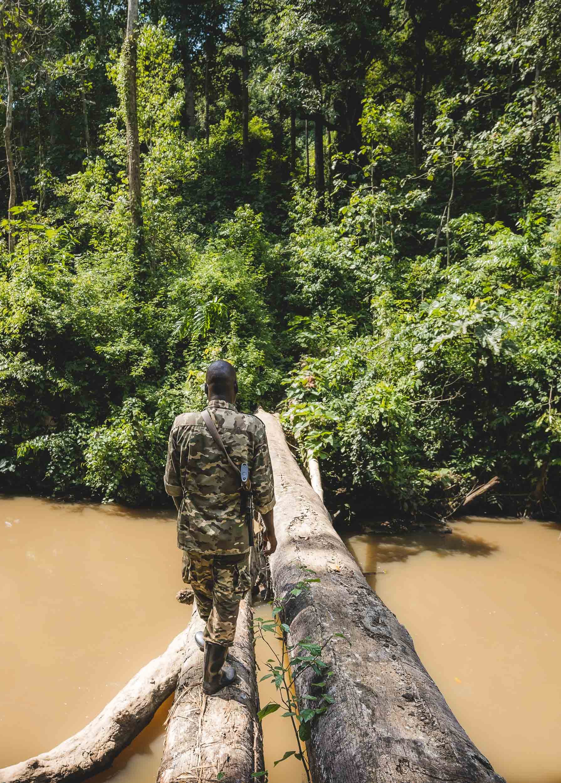
However, the real attraction of the Bwindi Impenetrable forest lies in something much less accessible, and it’s for a reason the meaning of the forest’s name in the local language is “a place full of darkness” . An armed ranger, a guide, and the stamina and shoes to survive several hours of trekking in the thick cover of plants and over muddy ground, climbing slippery and steep slopes, and wading through many small rivers, are all requirements to find the reason most people come here: The Mountain Gorillas.
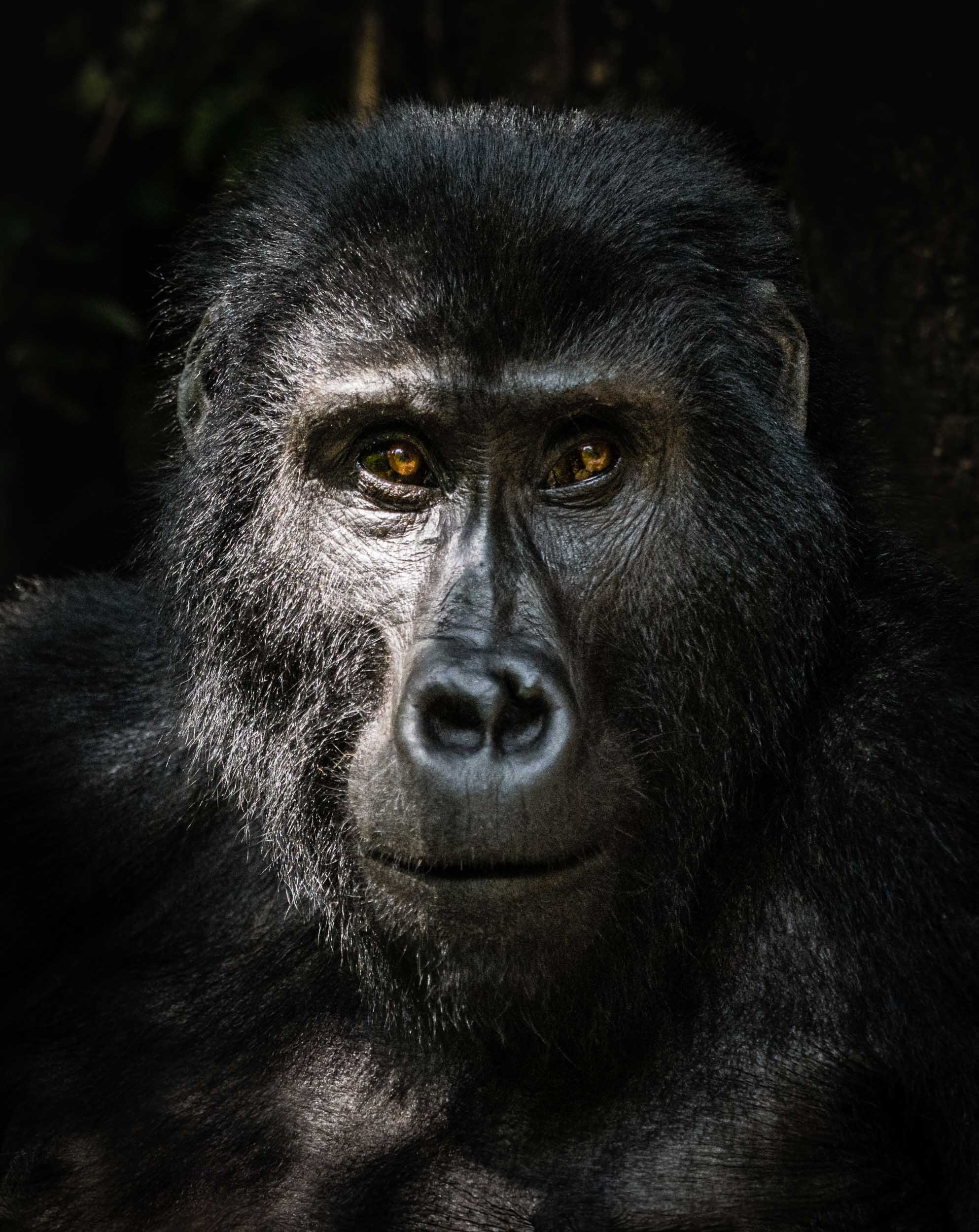
There are only just over 1000 individuals left on earth, living in two populations. One of them makes up about half of the entire species and lives in this forest, broken down into around 50 families. Only 21 of them are habituated, i.e. used to human presence, and can be visited. The one I trekked was the Oruzogo family made up of 17 individuals, led by the dominant silverback Bakwate.


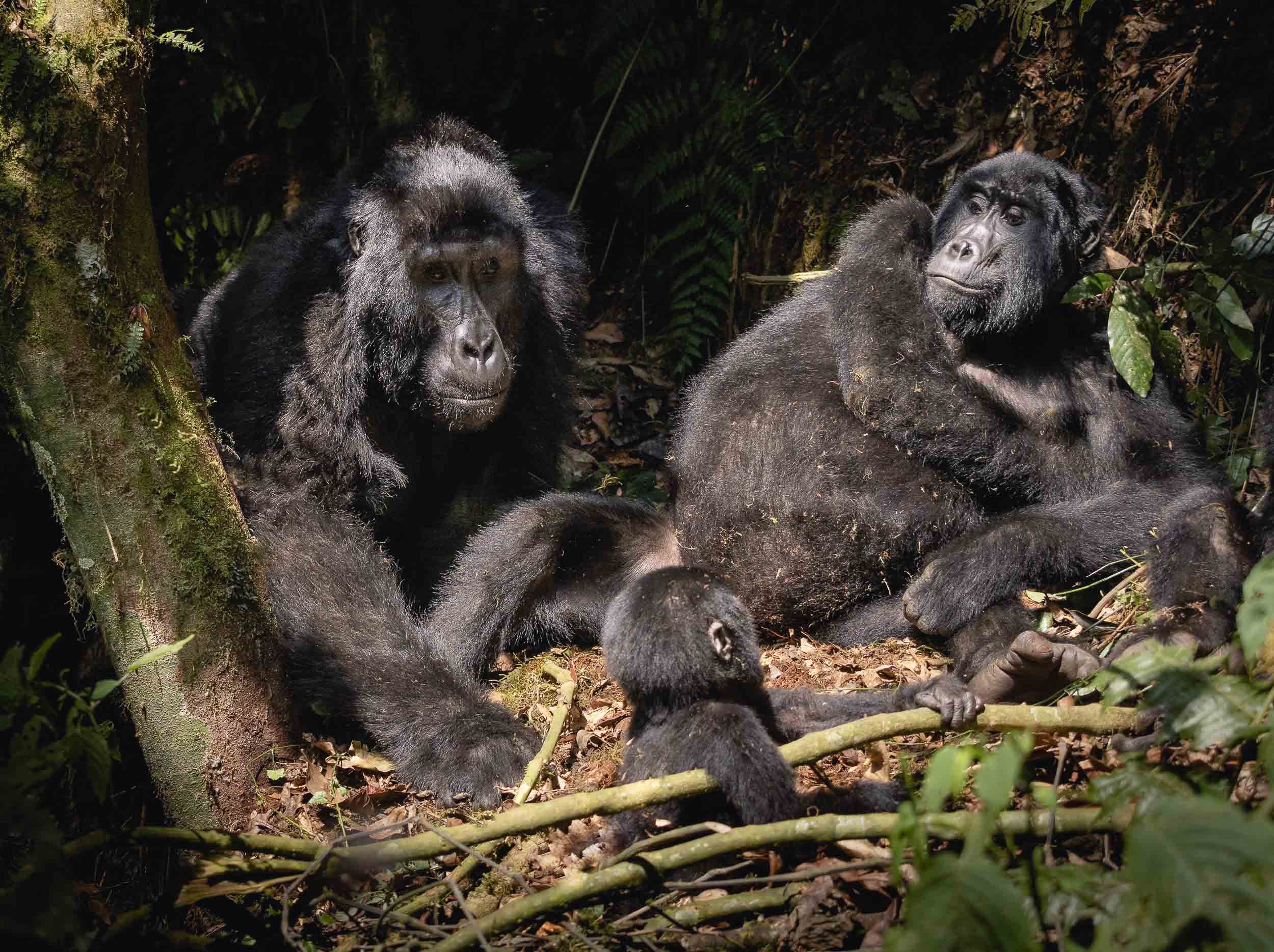
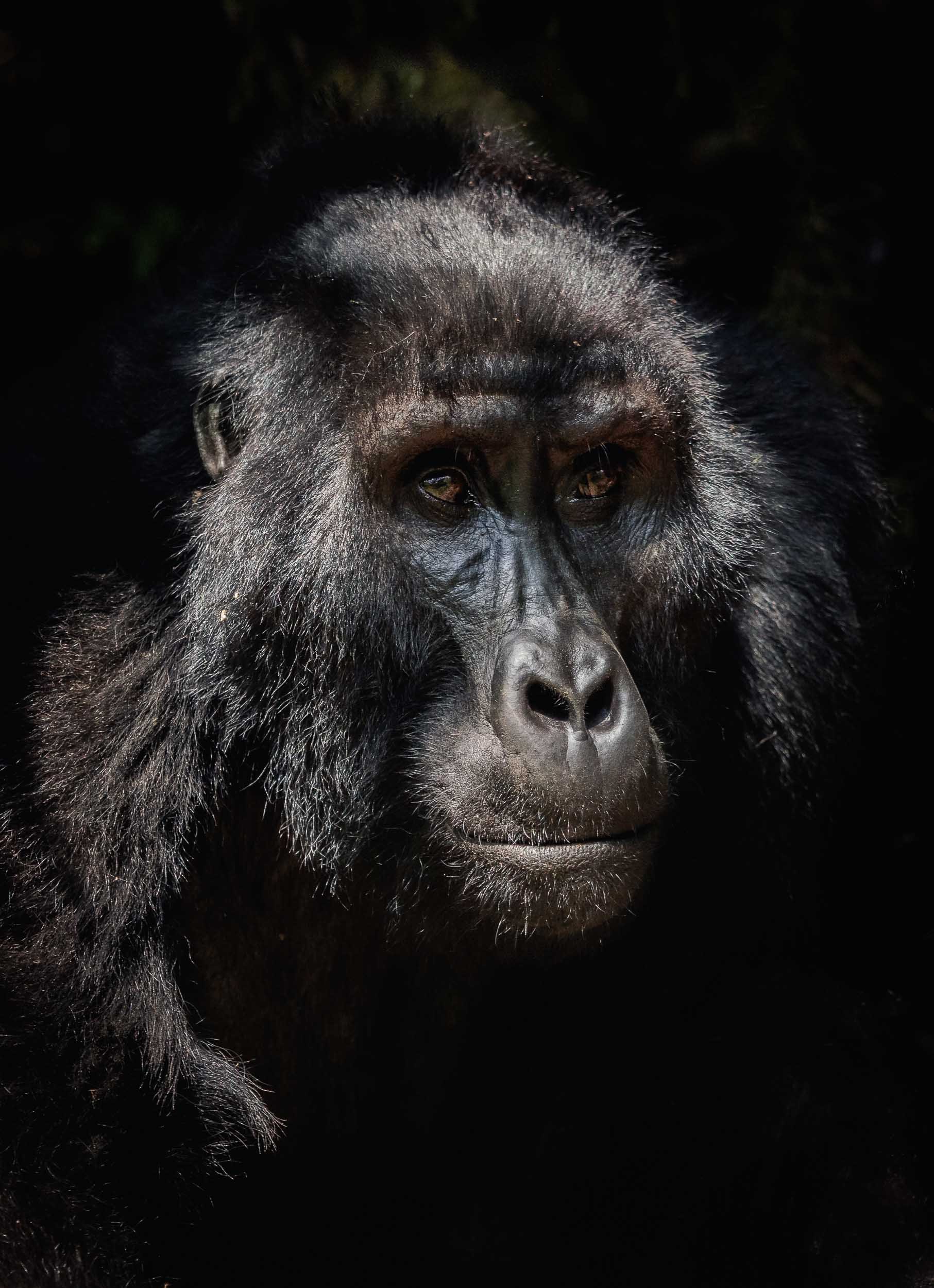
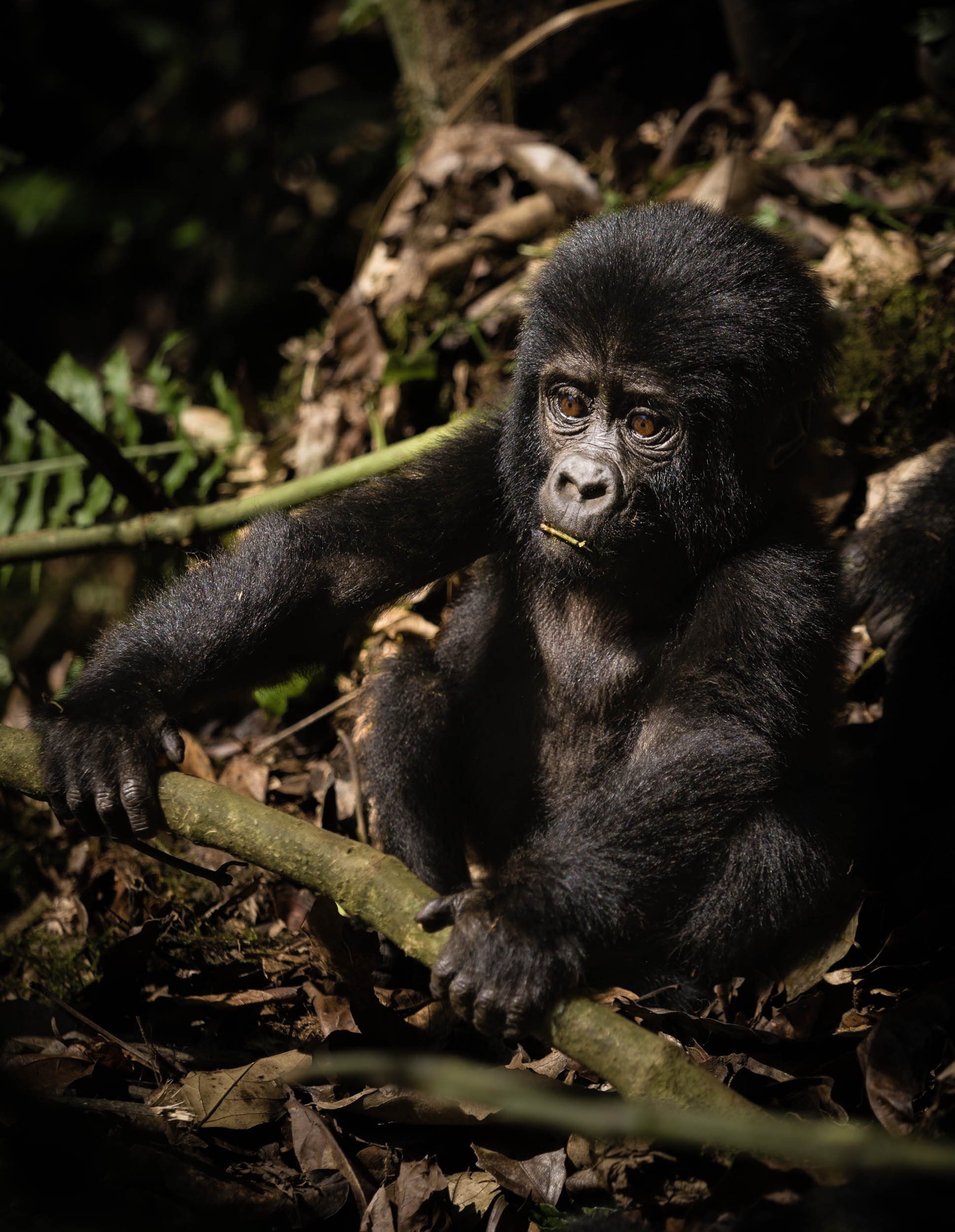
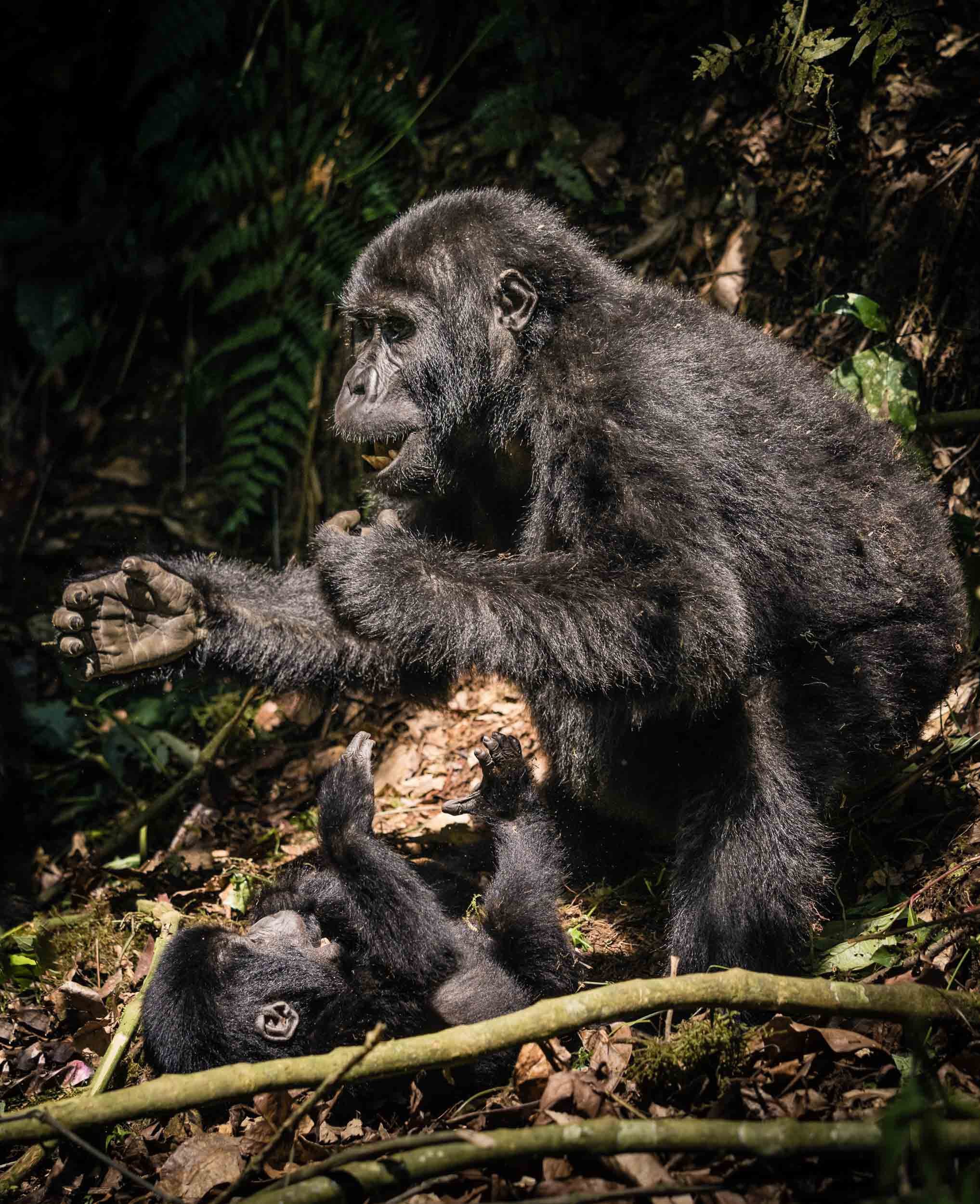
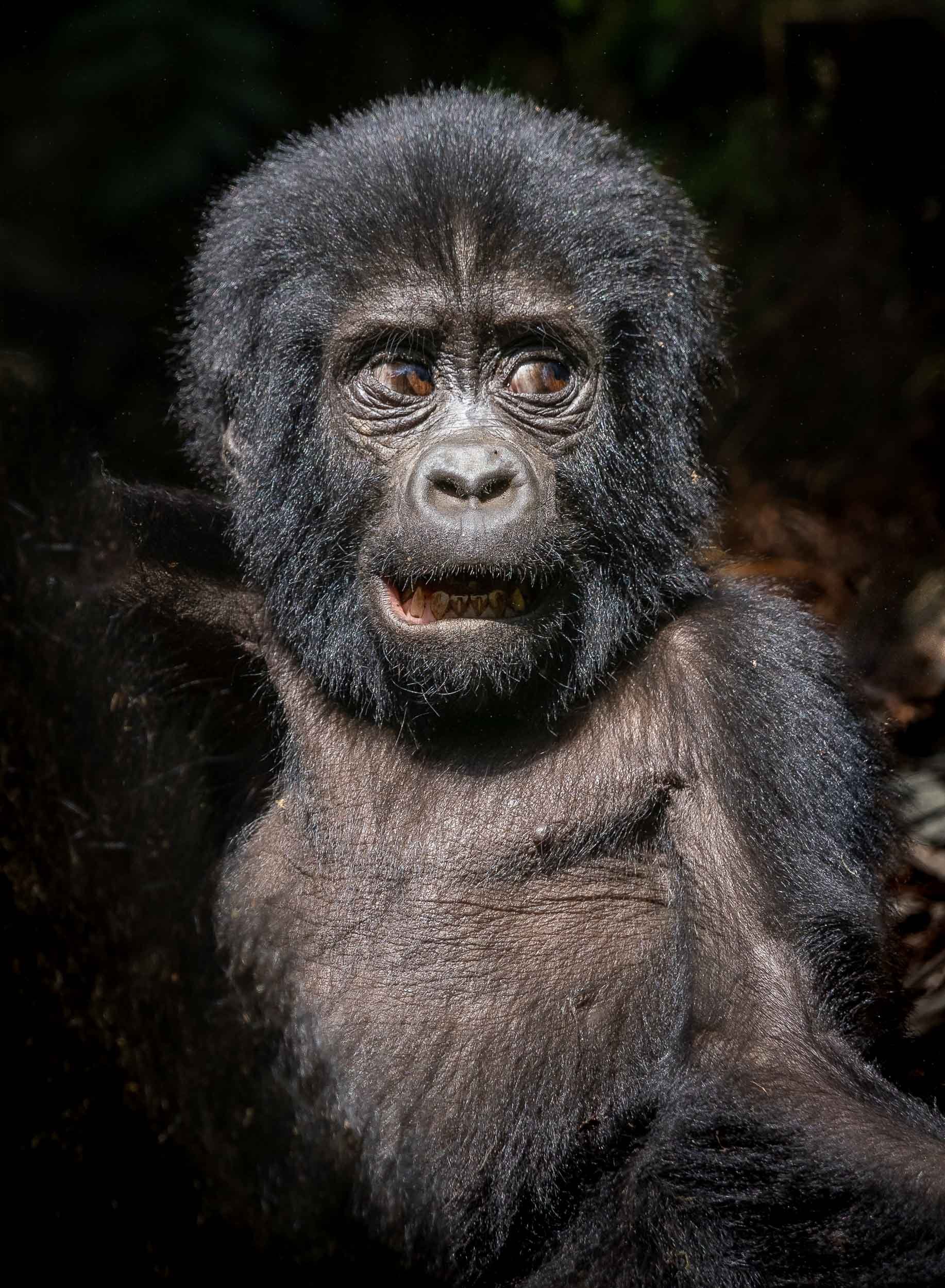
Seeing these rare and endangered animals in the wild, and observing their gentle and social behavior for an hour (this is the maximum amount of time you can stay with them) from just a few meters away is an experience that is hard to describe in words or photos.

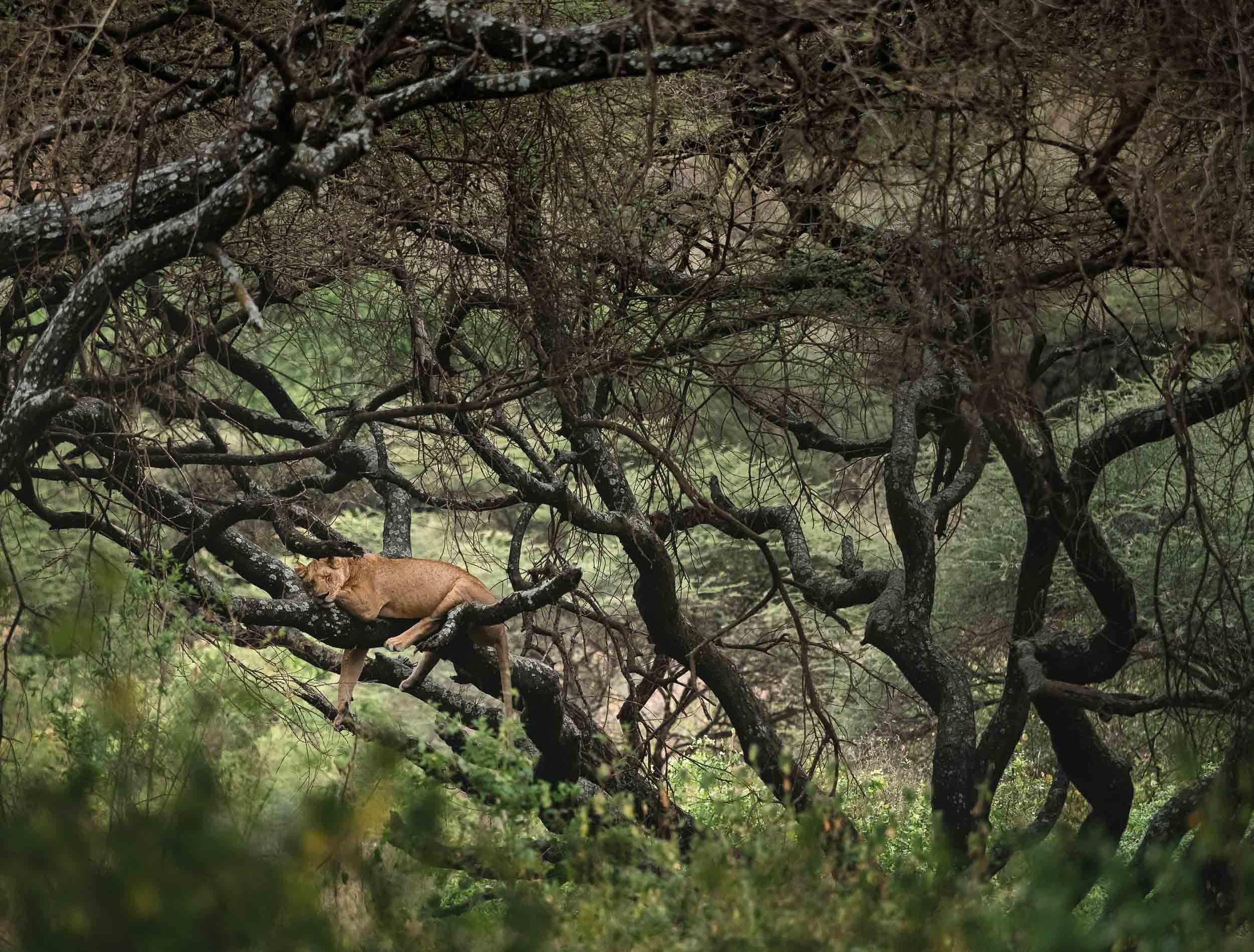
From Tree Climbing Lions to Gorge Climbing Chimpanzees
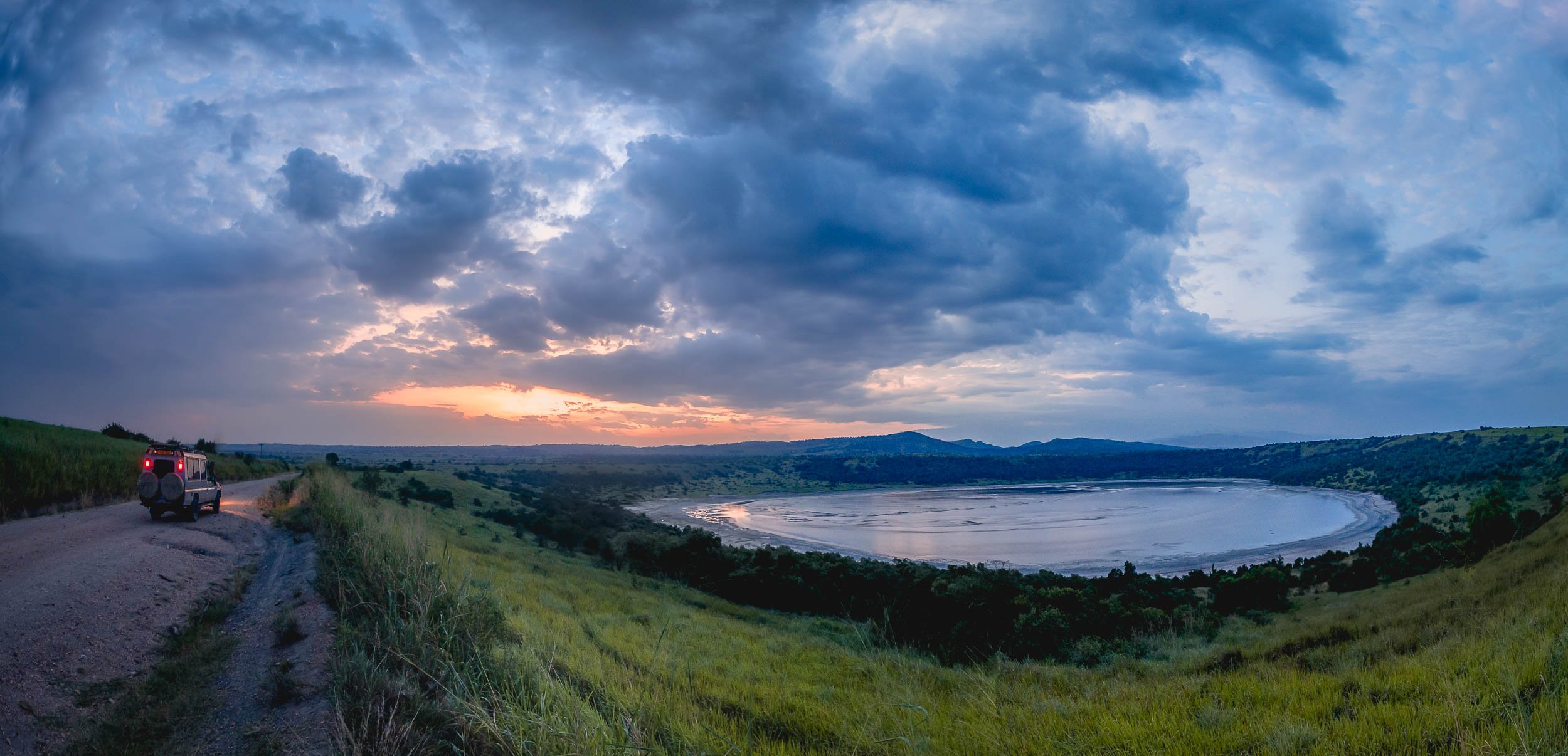
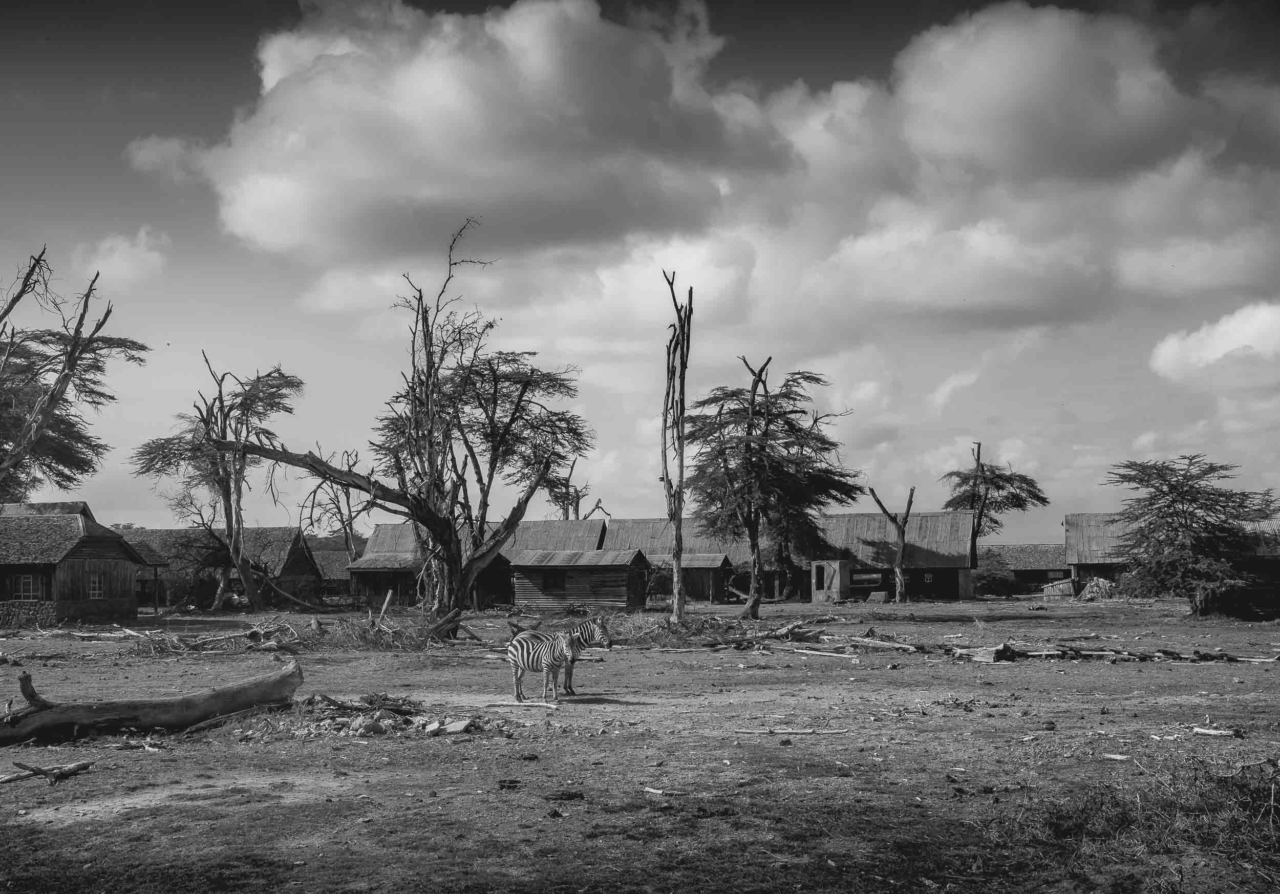
Leaving Bwindi with a sad eye, I made my way northwards to the Queen Elizabeth National Park and the Kazinga Channel.


We encountered these young lions in a tree, where they spent the afternoon being lazy. Tree climbing lions are not common, but Queen Elizabeth National Park in Uganda is famous for them. They usually move up for a better view, shade, and to escape insects.


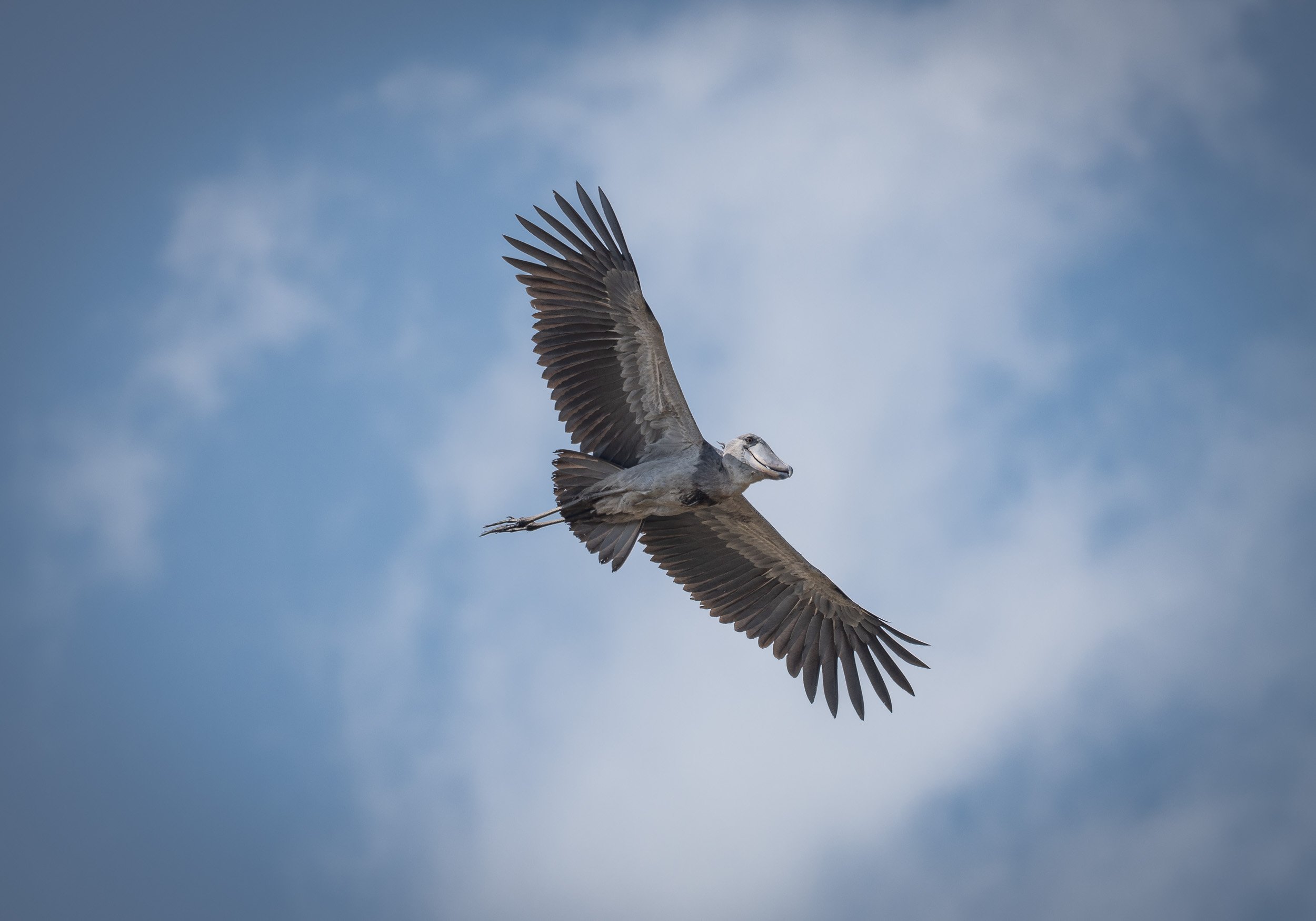
The Infamous Shoebill
Remember the quest for this elusive bird? Well, after an unsuccessful try in the swamps, the park came through for us. It is home to several of them, and one individual put on a show, even circling above our heads, which is quite rare as these birds are very large and heavy - up to 1.5m in size, weighing 7 kg - and rarely fly long distances. Their peculiar look and the large beak make them appear almost prehistoric - a modern dinosaur!

A Cruise on the Channel


Great Apes - The Second Round
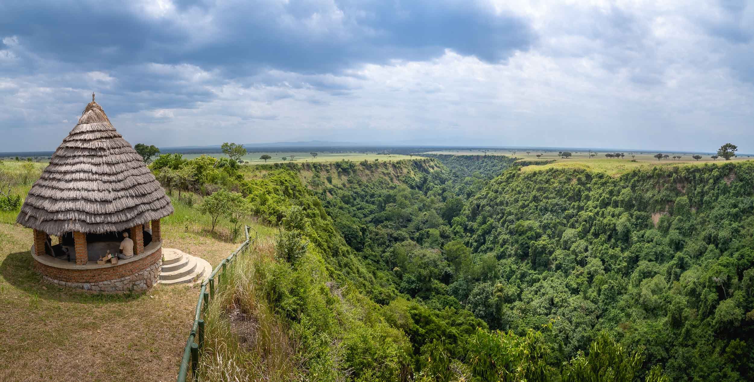
The park is also home to another Great Ape species which can be tracked and observed closely in the wild: Chimpanzees. The location is equally as spectacular as the Bwindi Forest: The Kyambura Gorge.
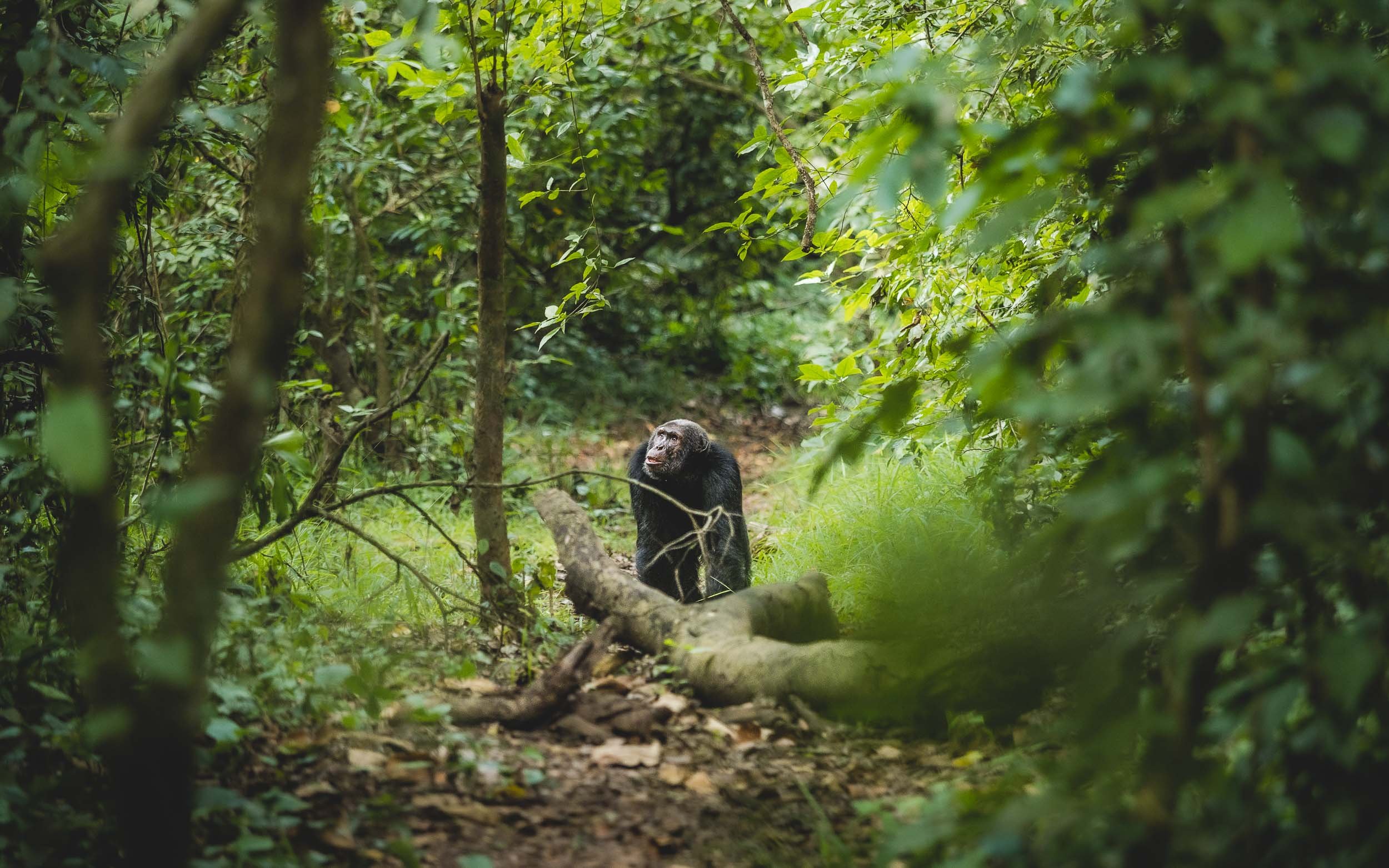
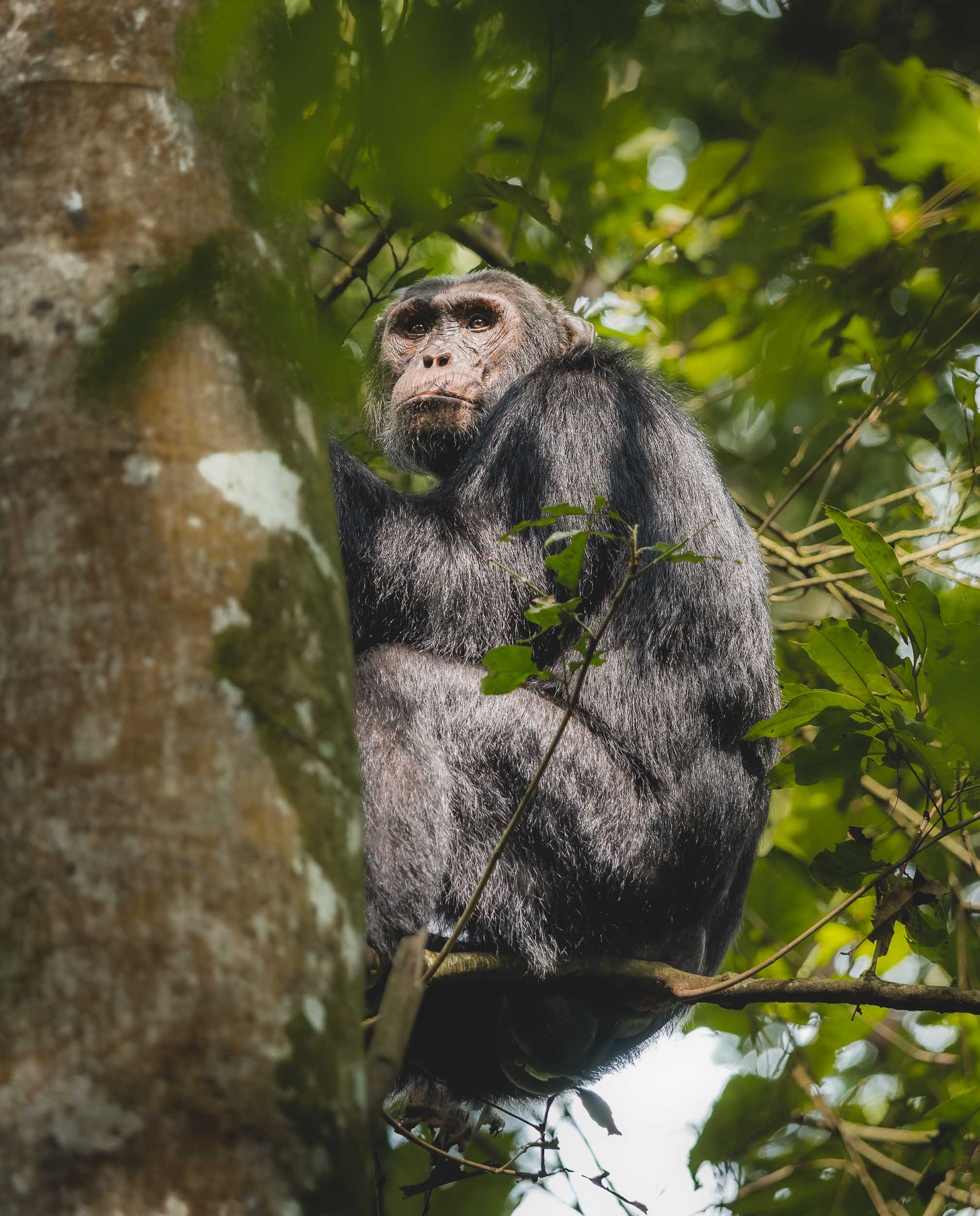
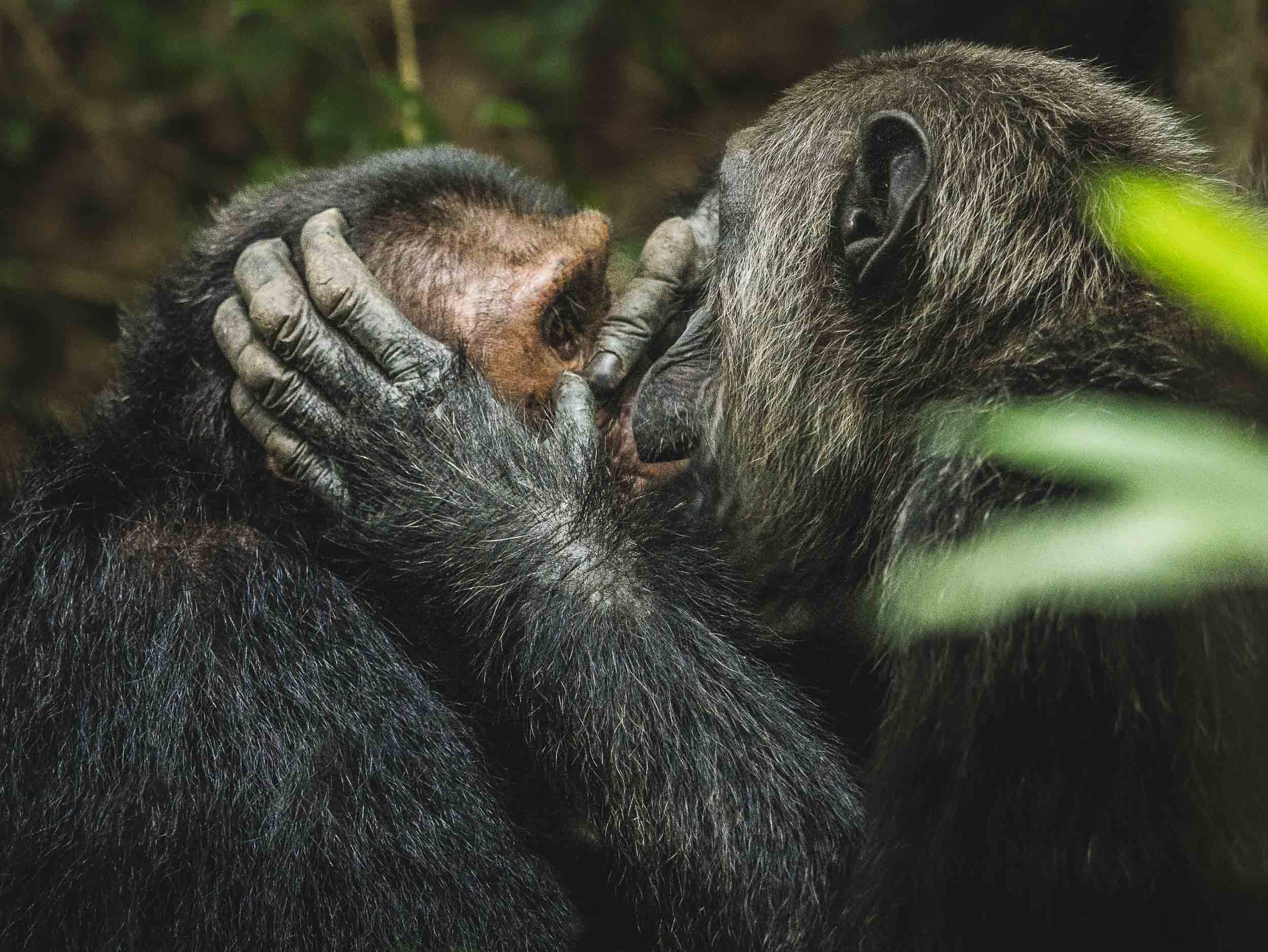
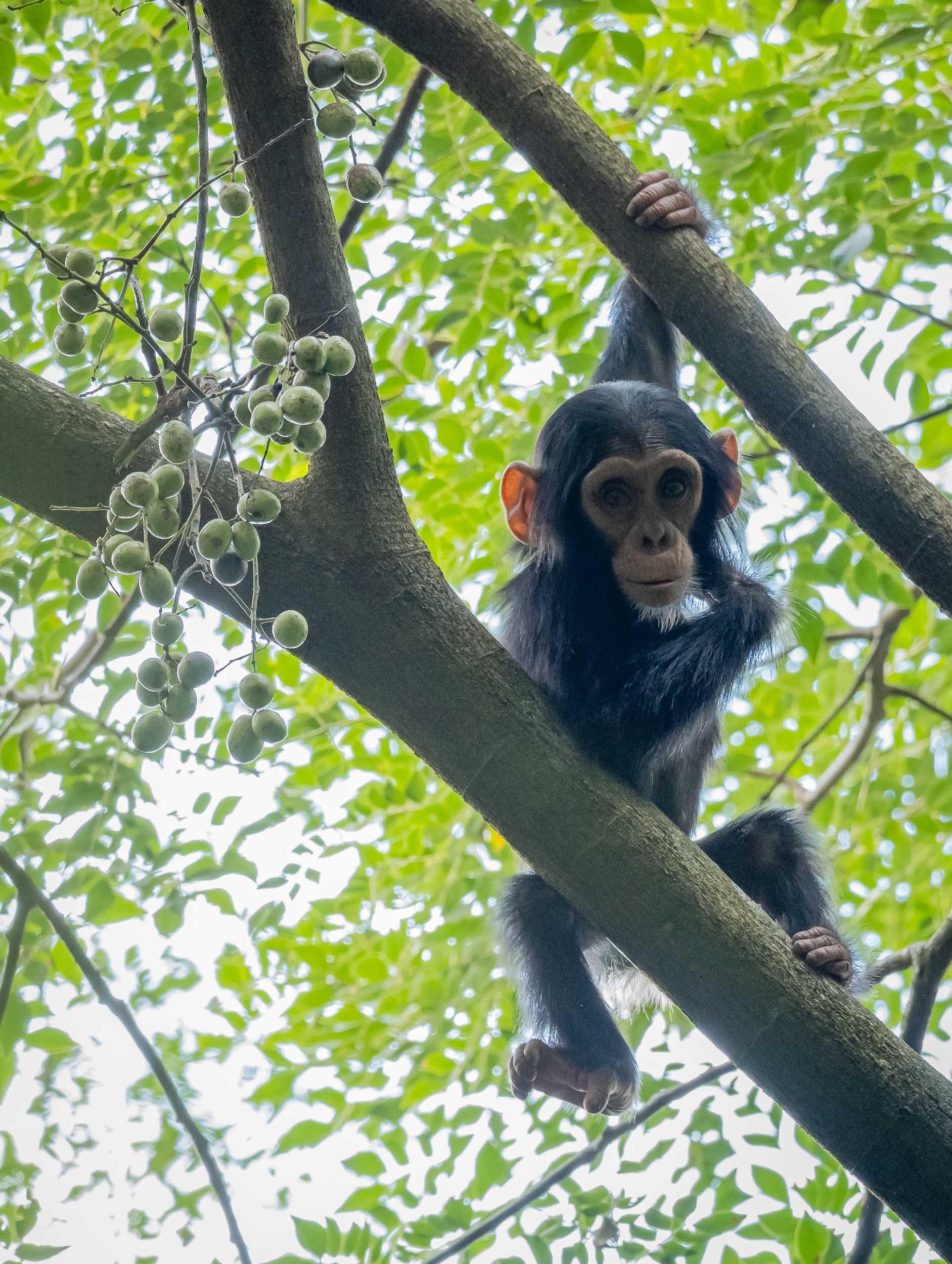


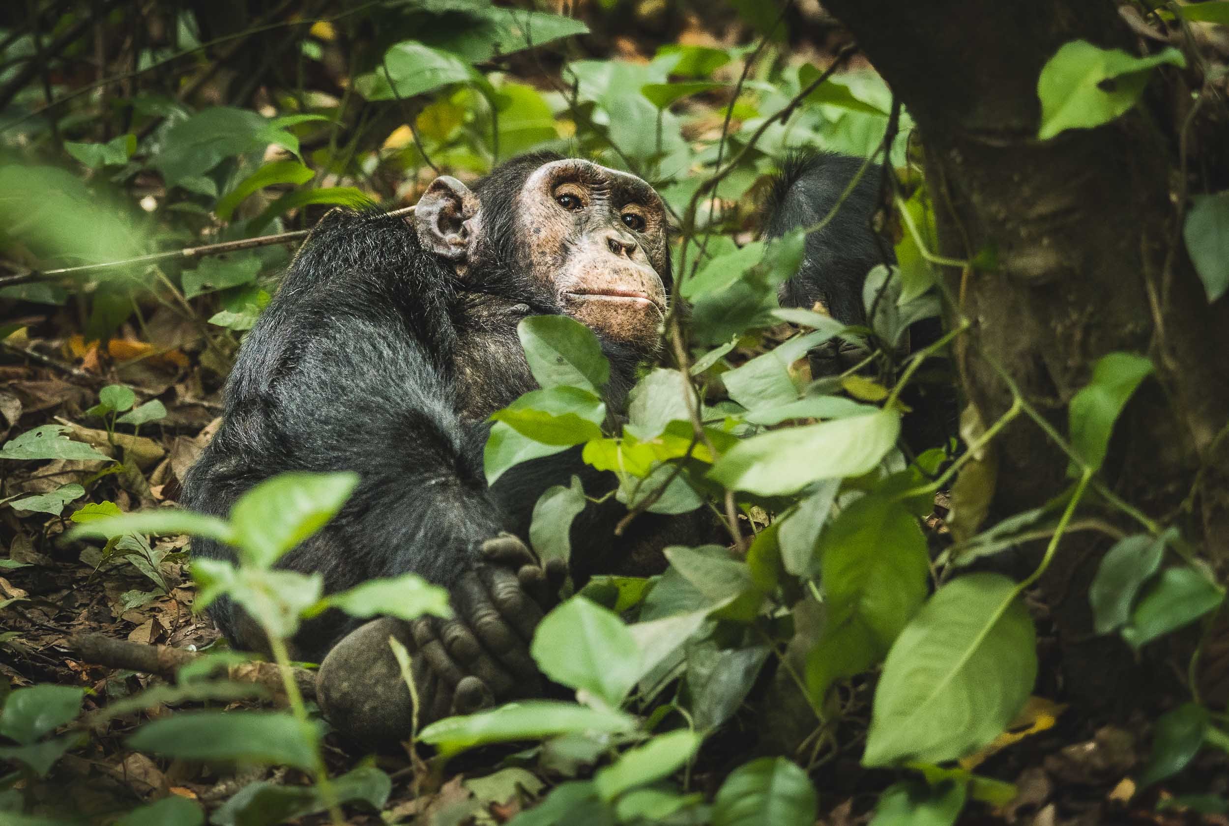

While they are both part of the Great Ape family, Chimpanzee observation feels very different from trekking and observing Mountain Gorillas. It’s a very distinct experience that I’m glad I didn’t miss.

Kenya - Giraffe in the City and Gentle Giants
The land of giants, and some the most incredible animal encounters I ever experienced.

My journey through Kenya was a relatively short one, and focused on only two parts of the country: Nairobi and the Amboseli National Park. Despite that, the days here included some of my most memorable moments in Africa - read on to find out what they were.
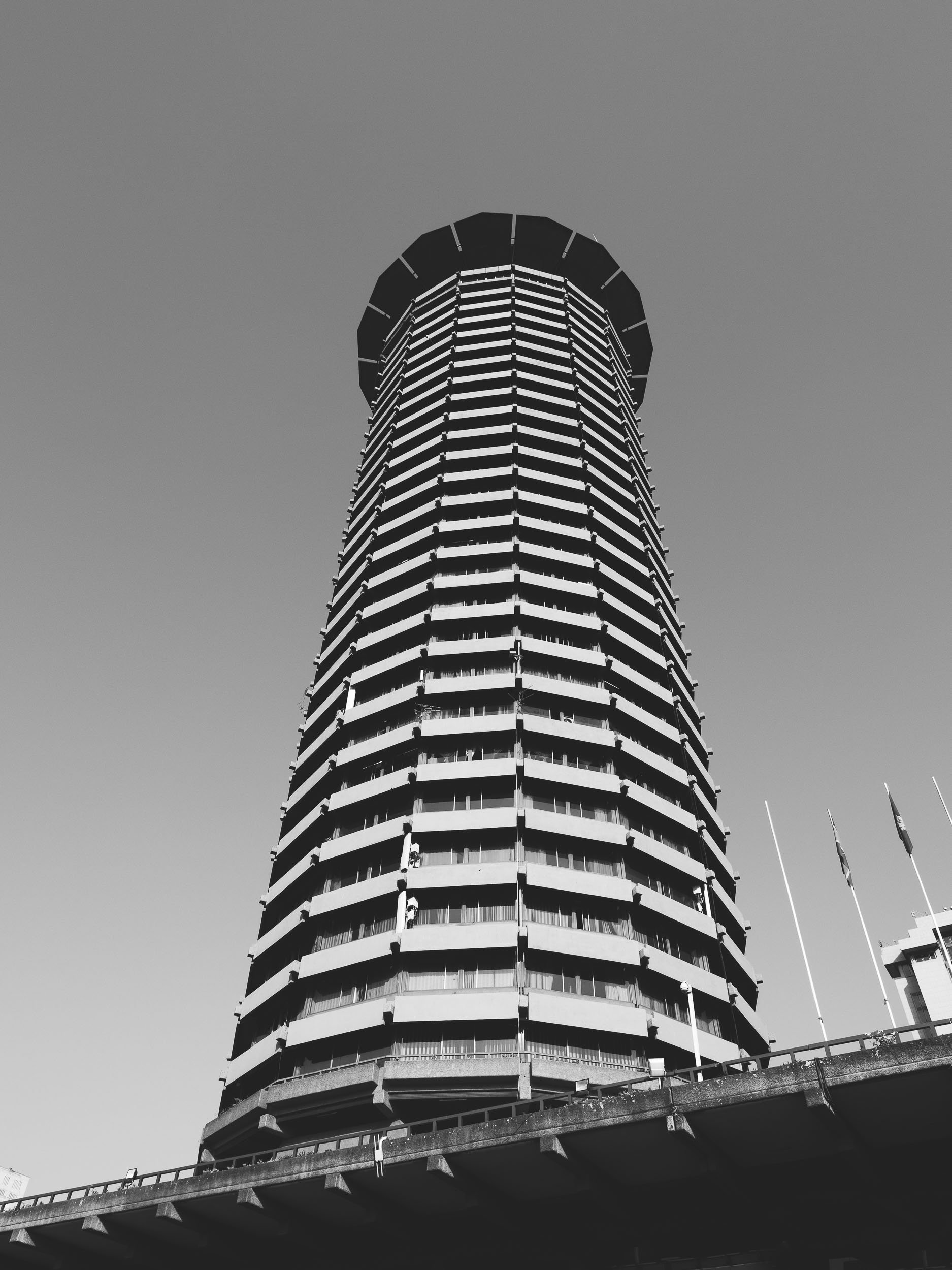
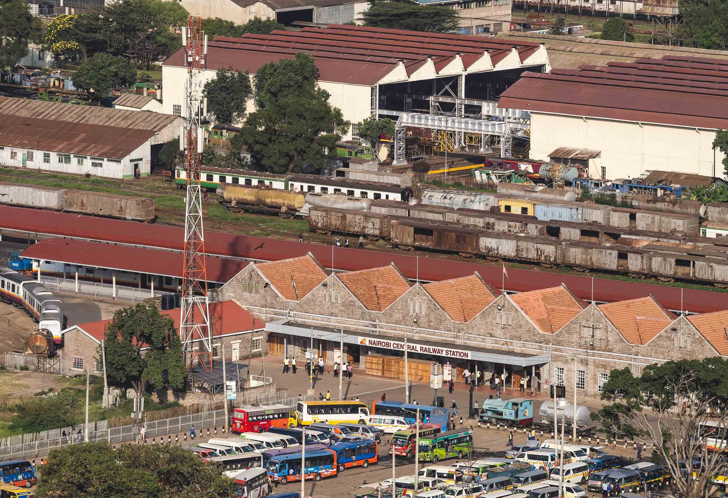
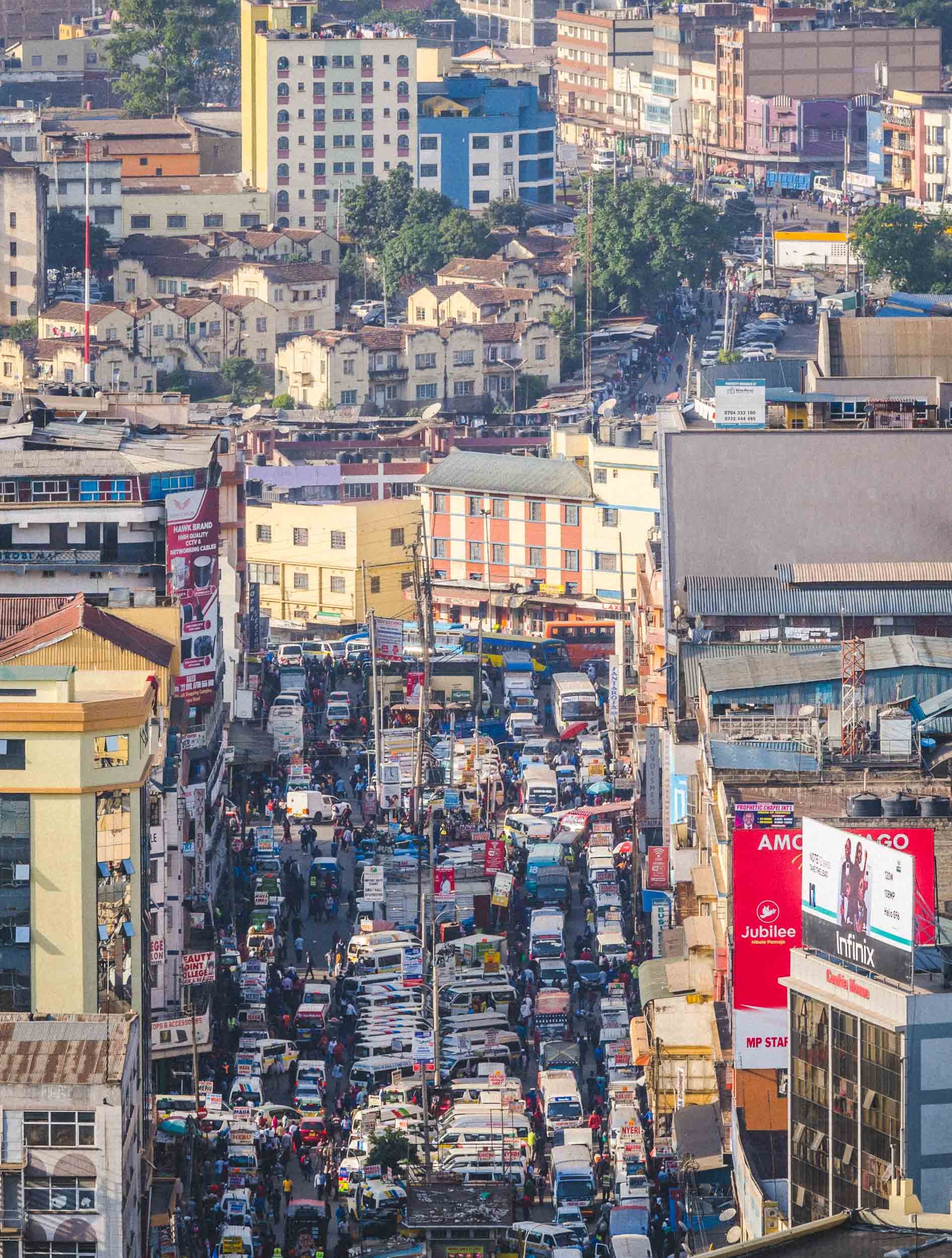
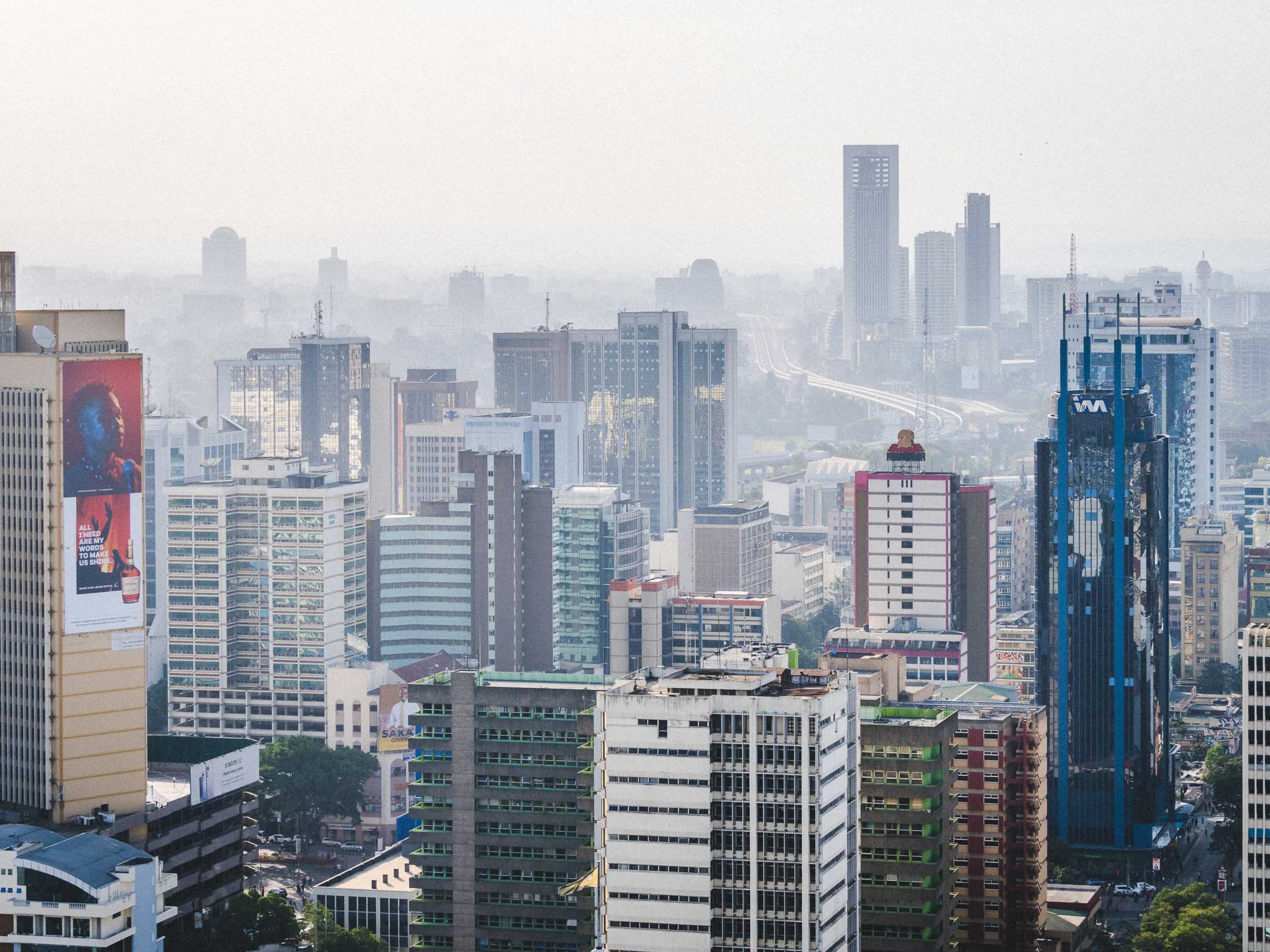
A Day in Nairobi
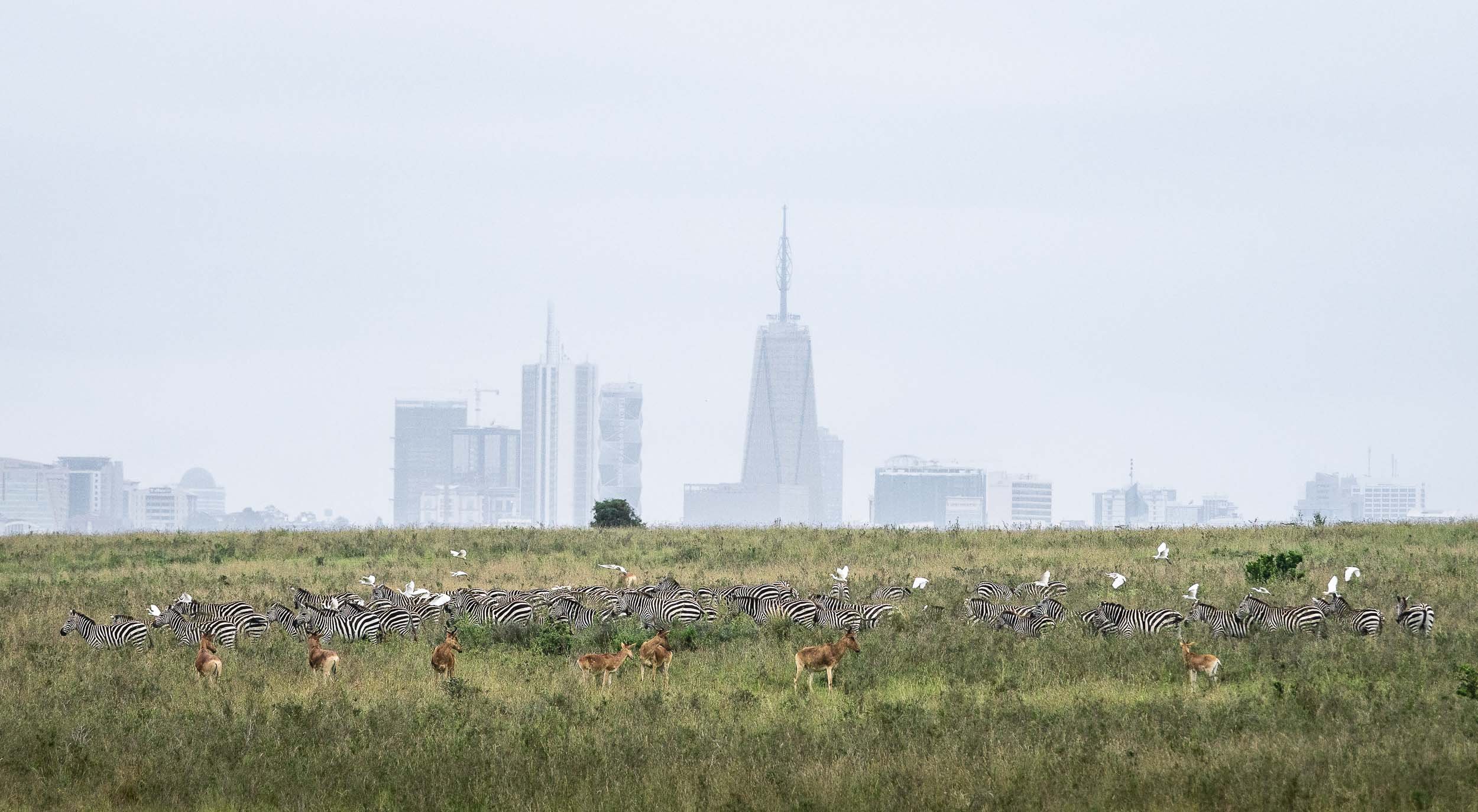
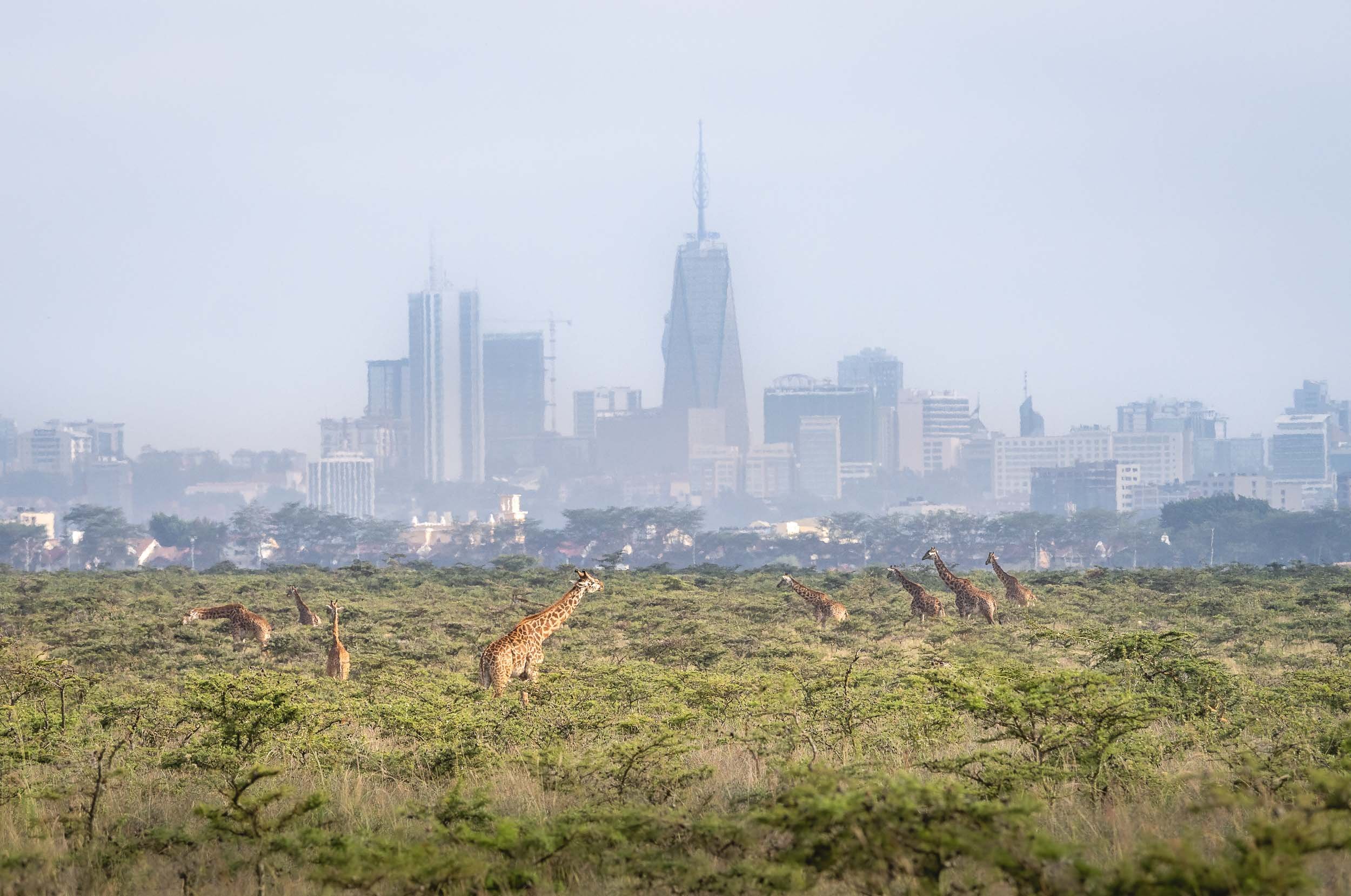
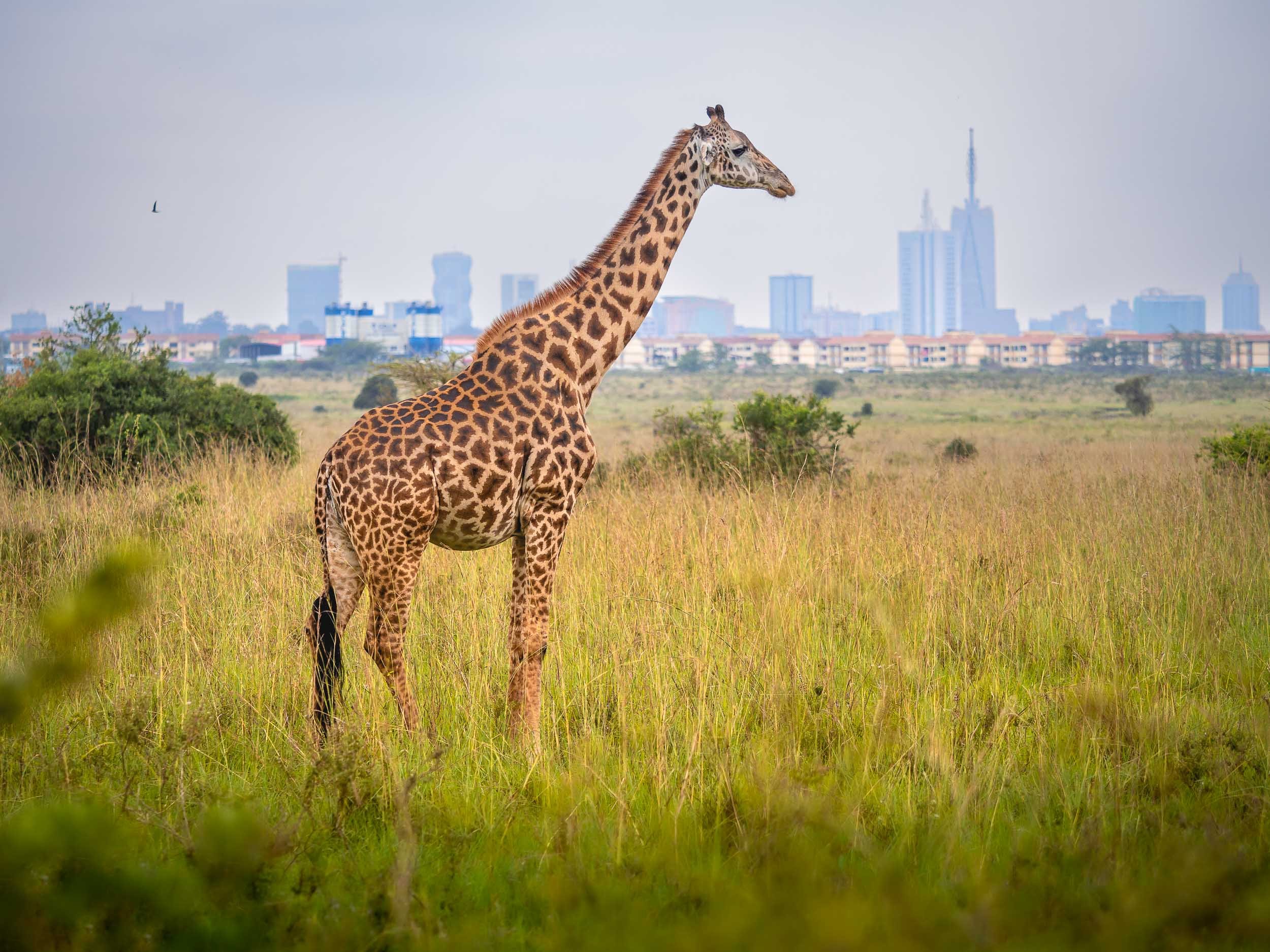
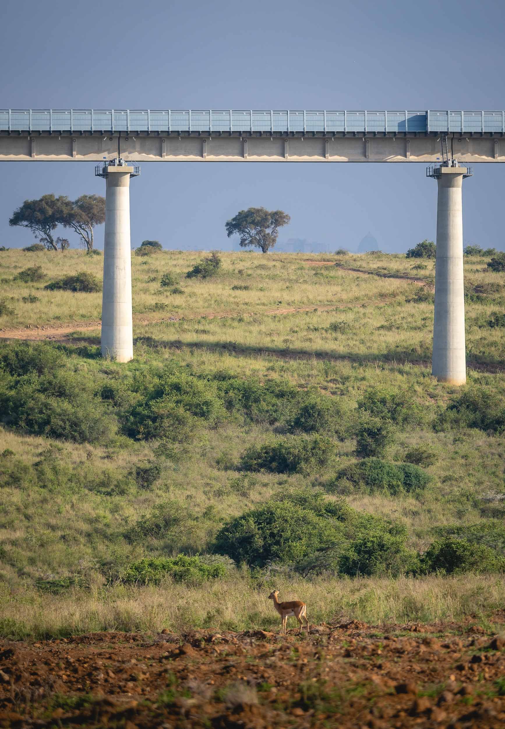
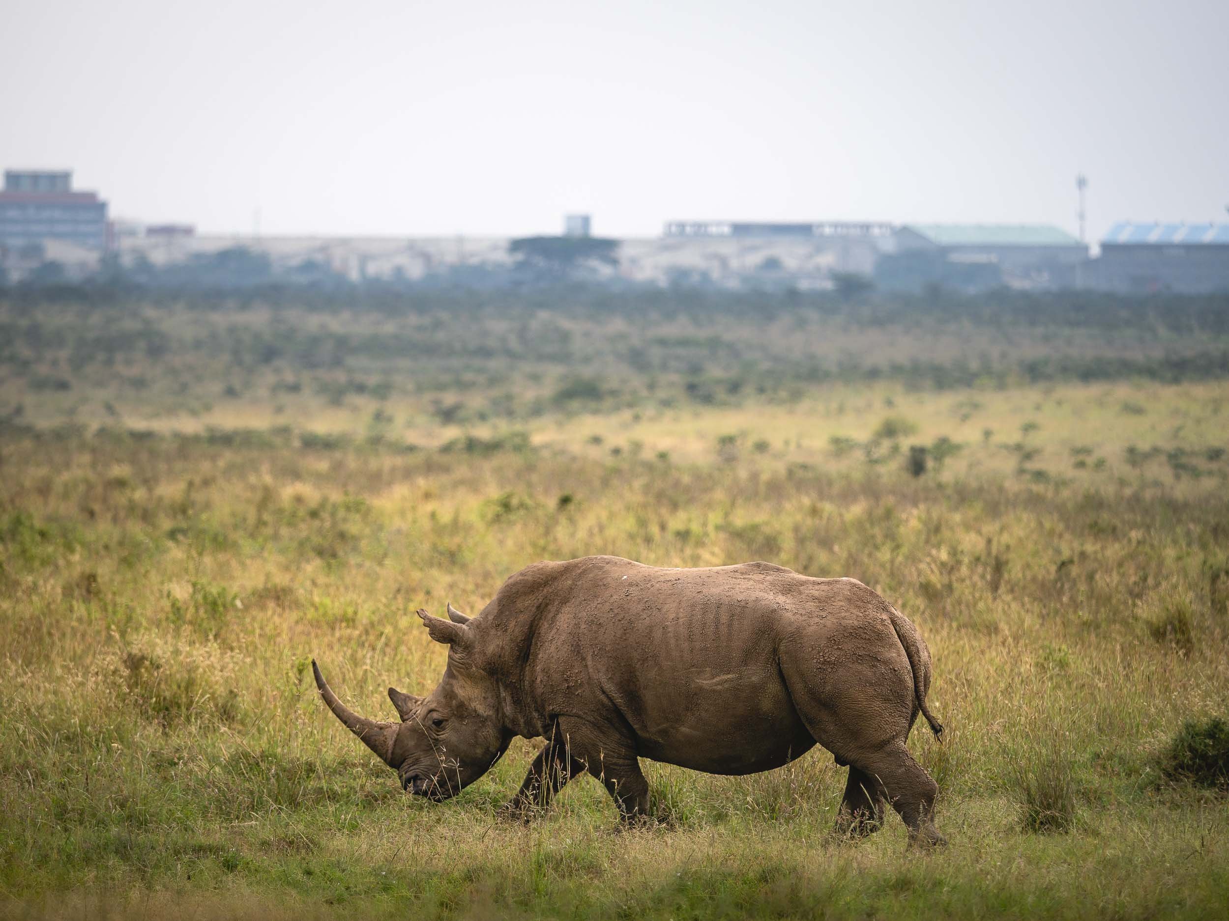
Nairobi National Park
My trip began with a very early morning pickup in order to explore the country’s first game reserve , and the only National Park in the world literally situated within a capital city. The park is fenced on three sides, but the southern border allows migration of animals.
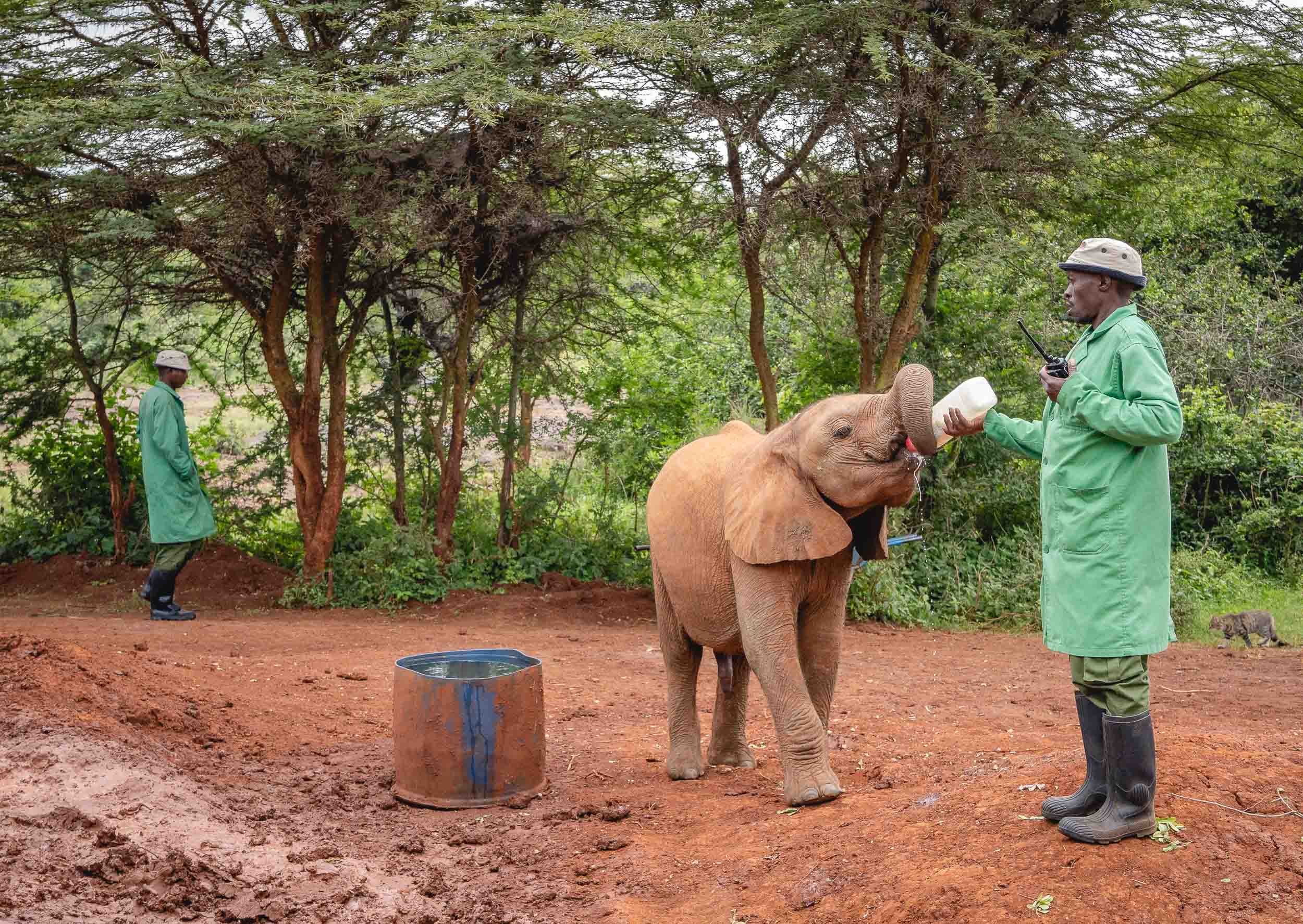
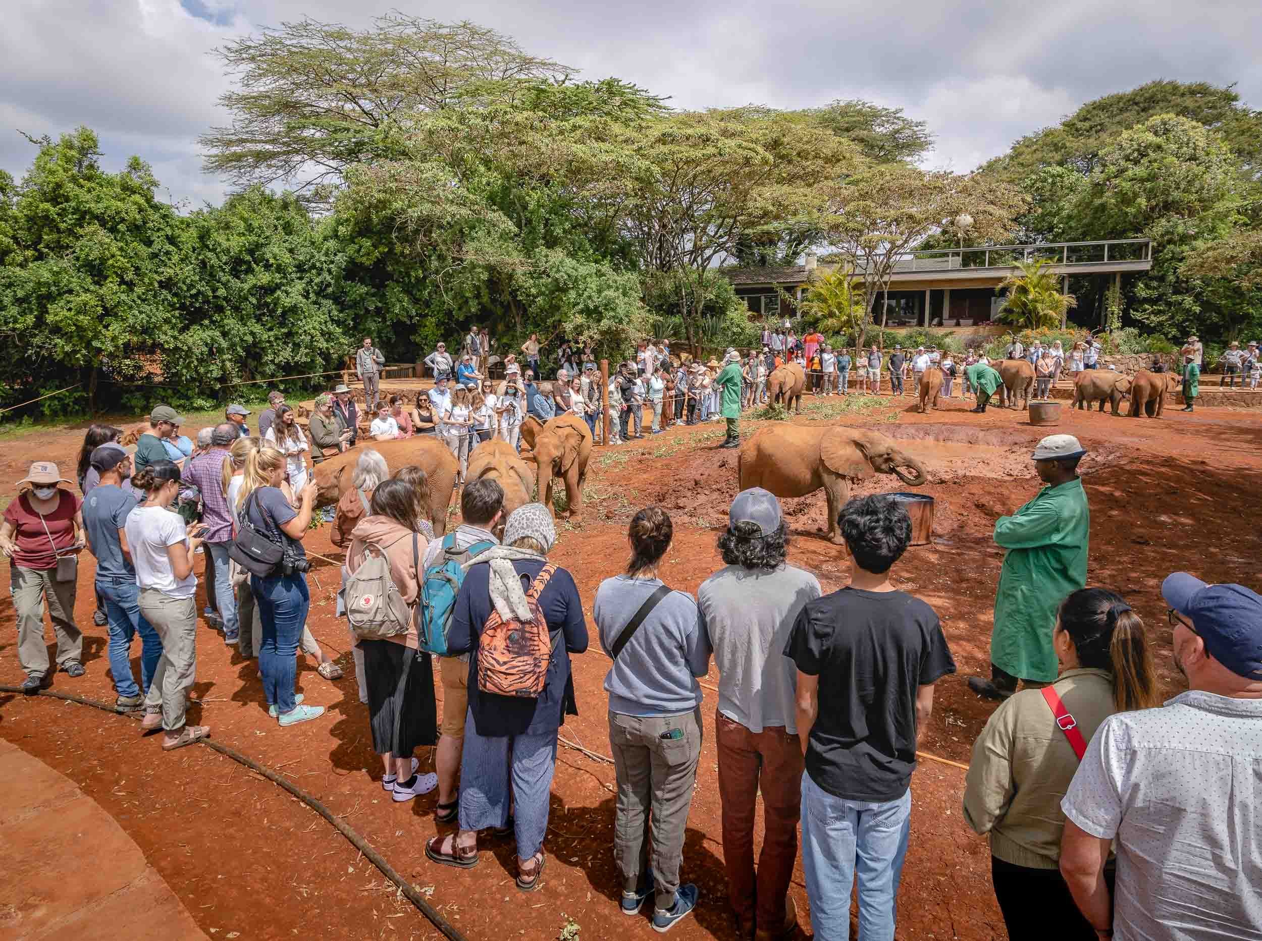
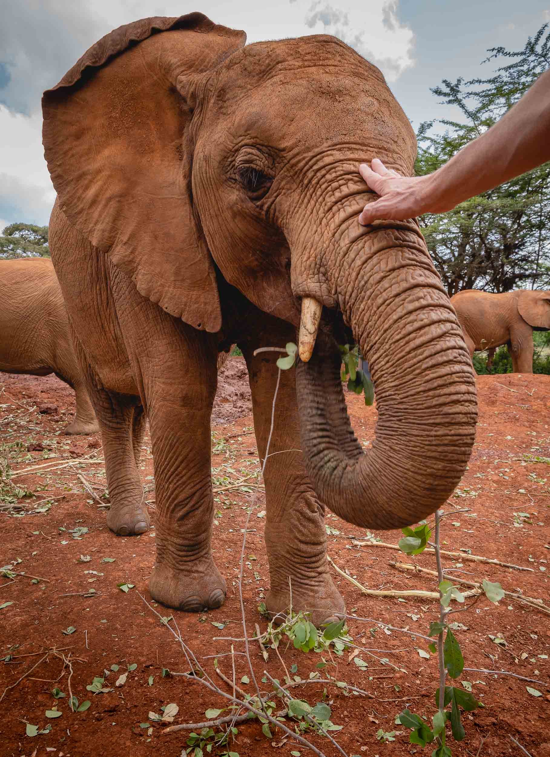
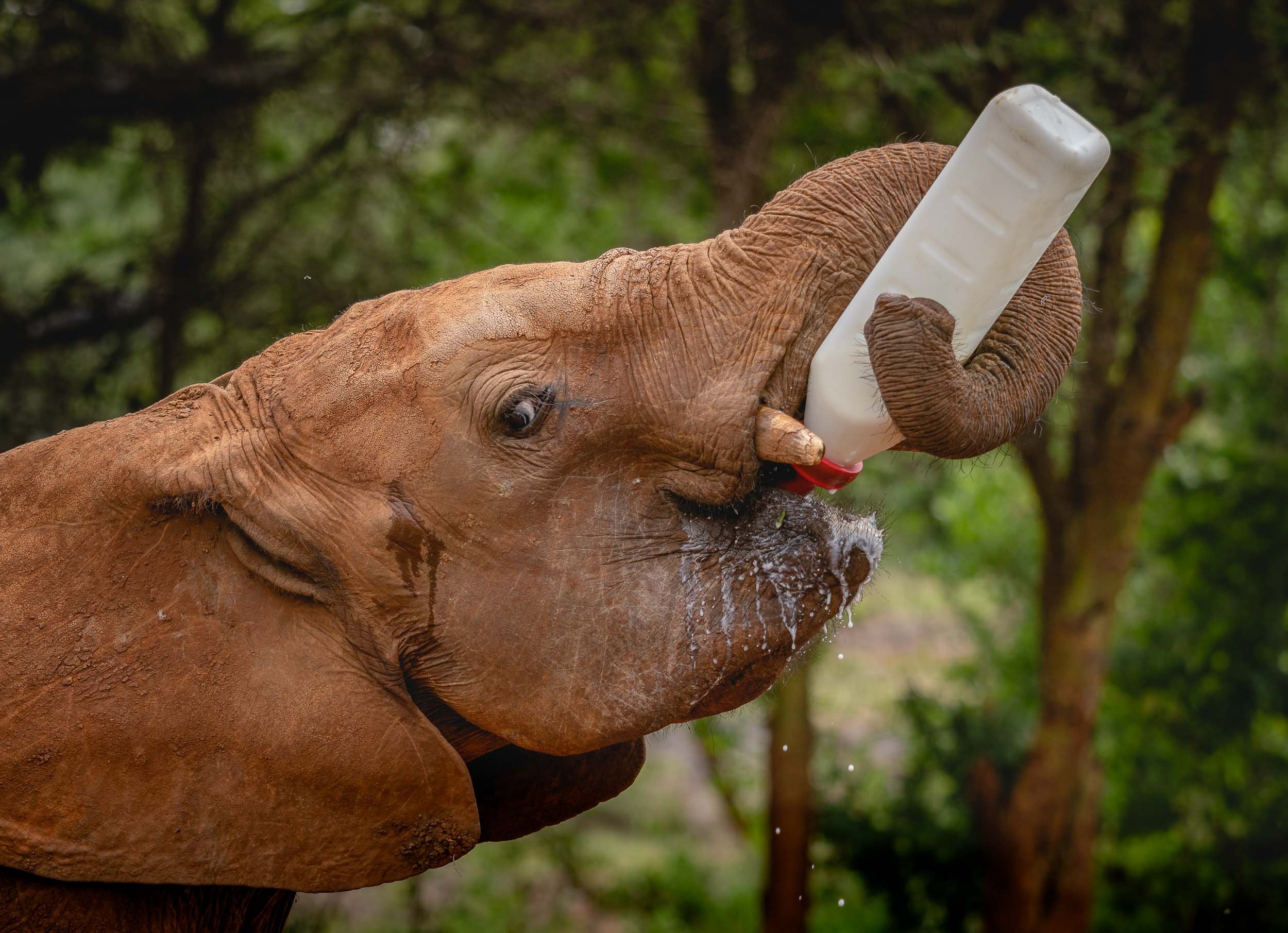
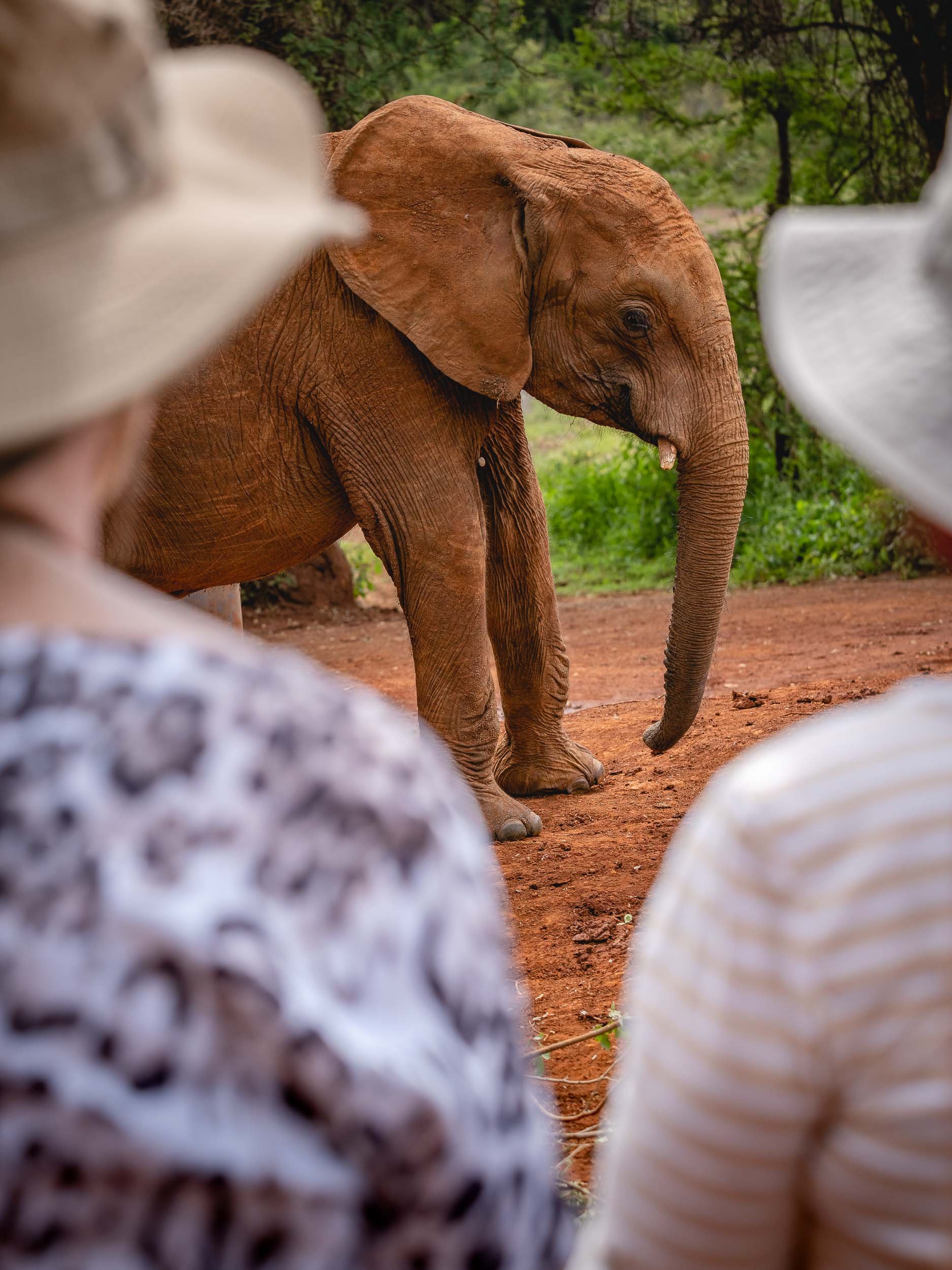
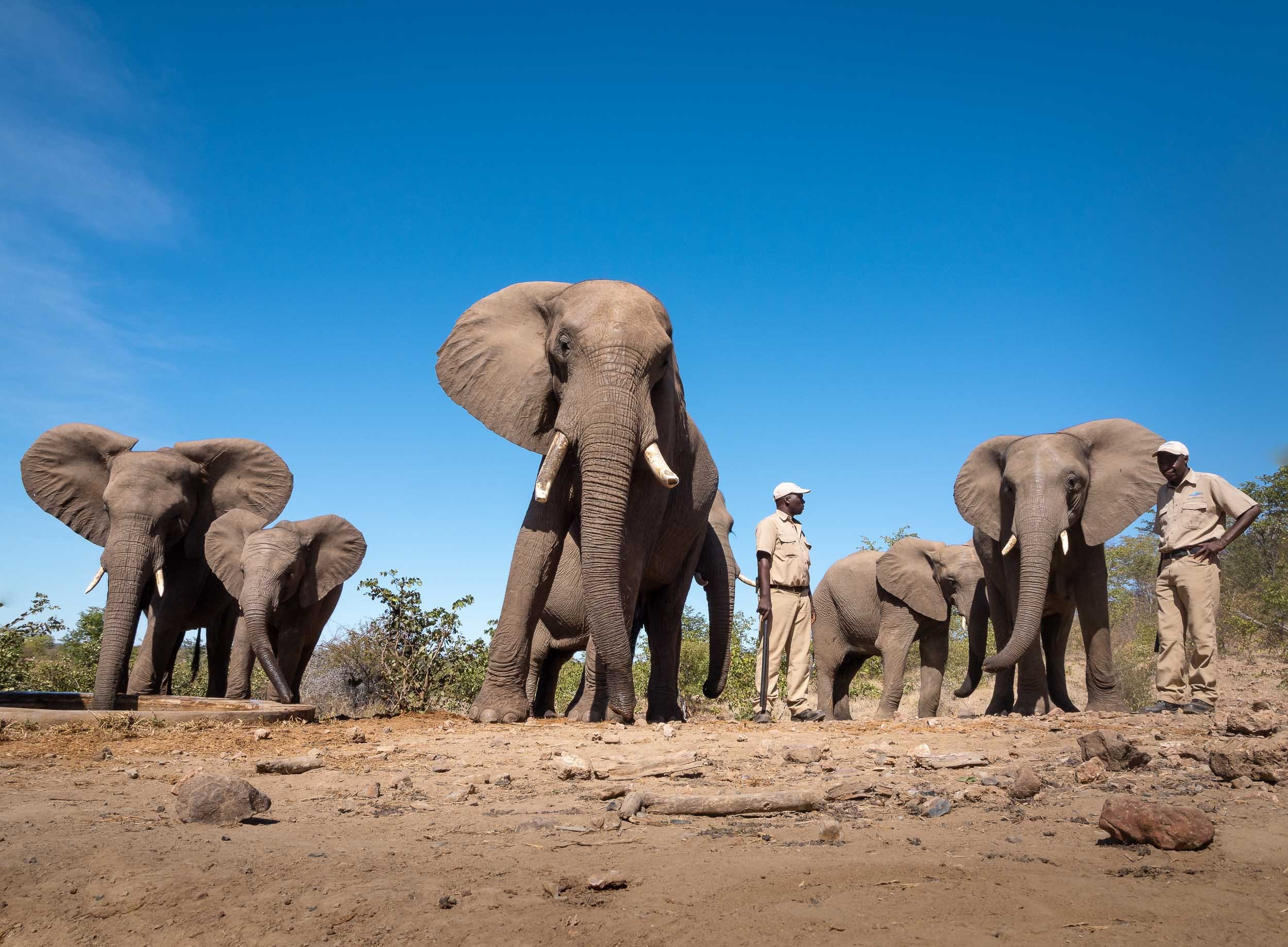
The Sheldrick Wildlife Trust
Close to the National Park are the grounds of the SWT, the most successful orphan elephant rescue and rehabilitation program in the world. Aside from taking care of abandoned elephant babies, they do much more though, such as conducting anti-poaching activities, veterinary missions, as well as water relief and community projects. You can learn more here.
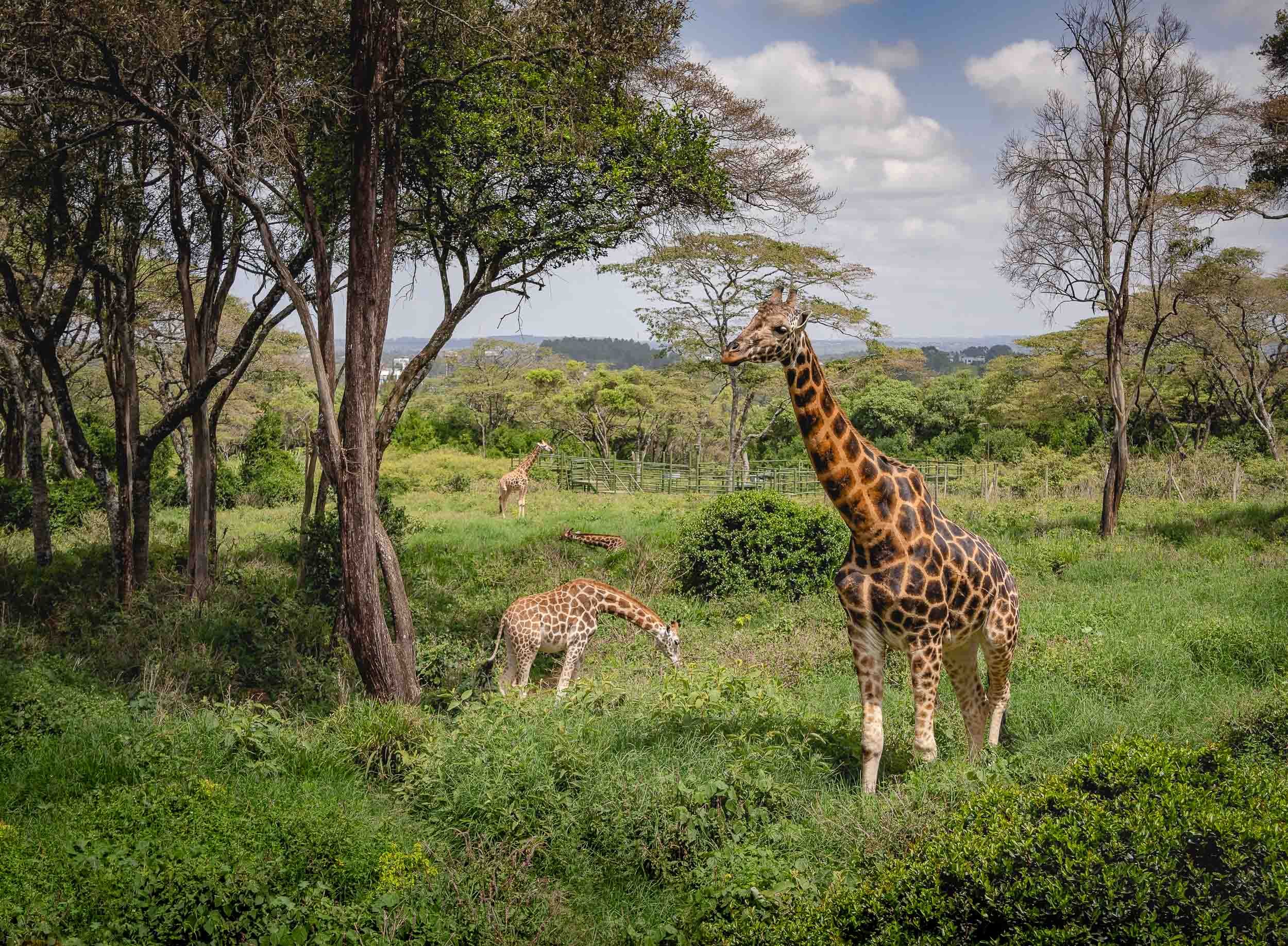
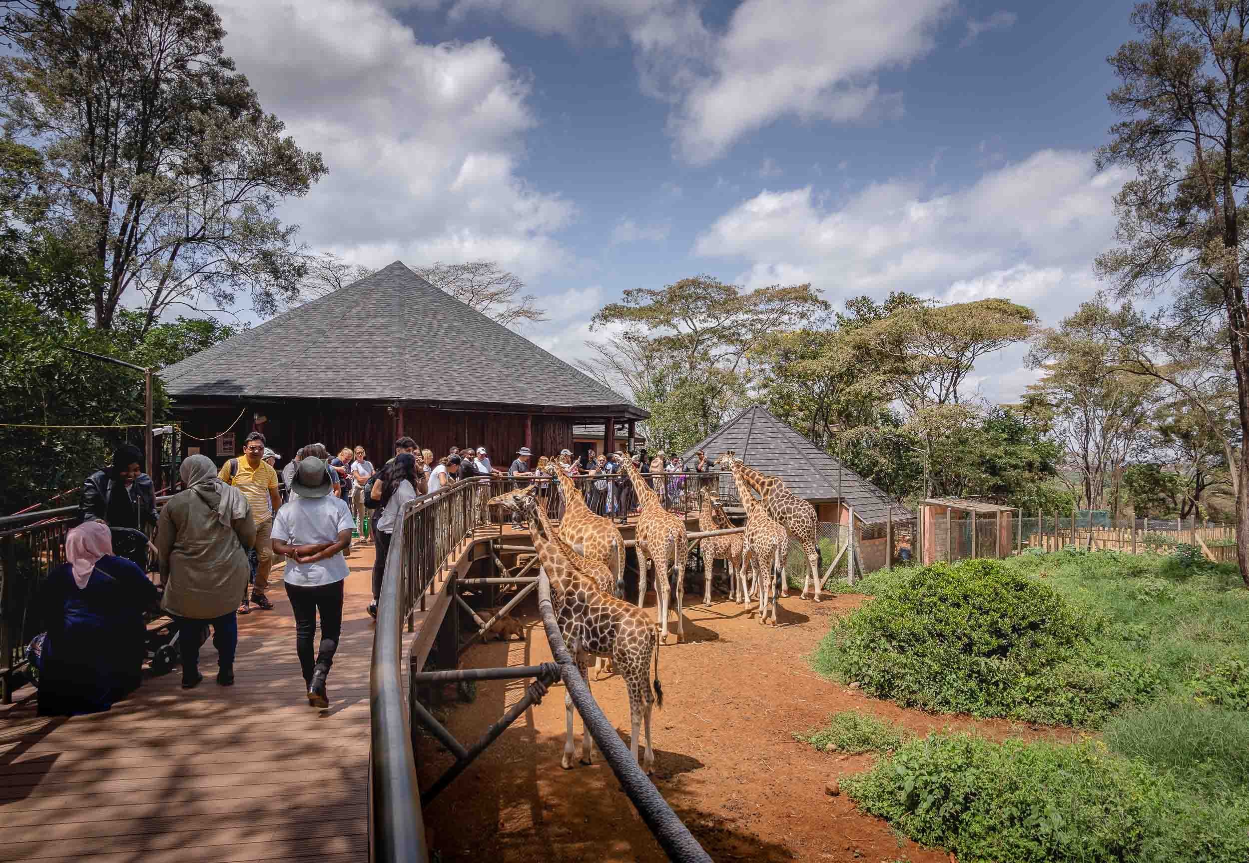
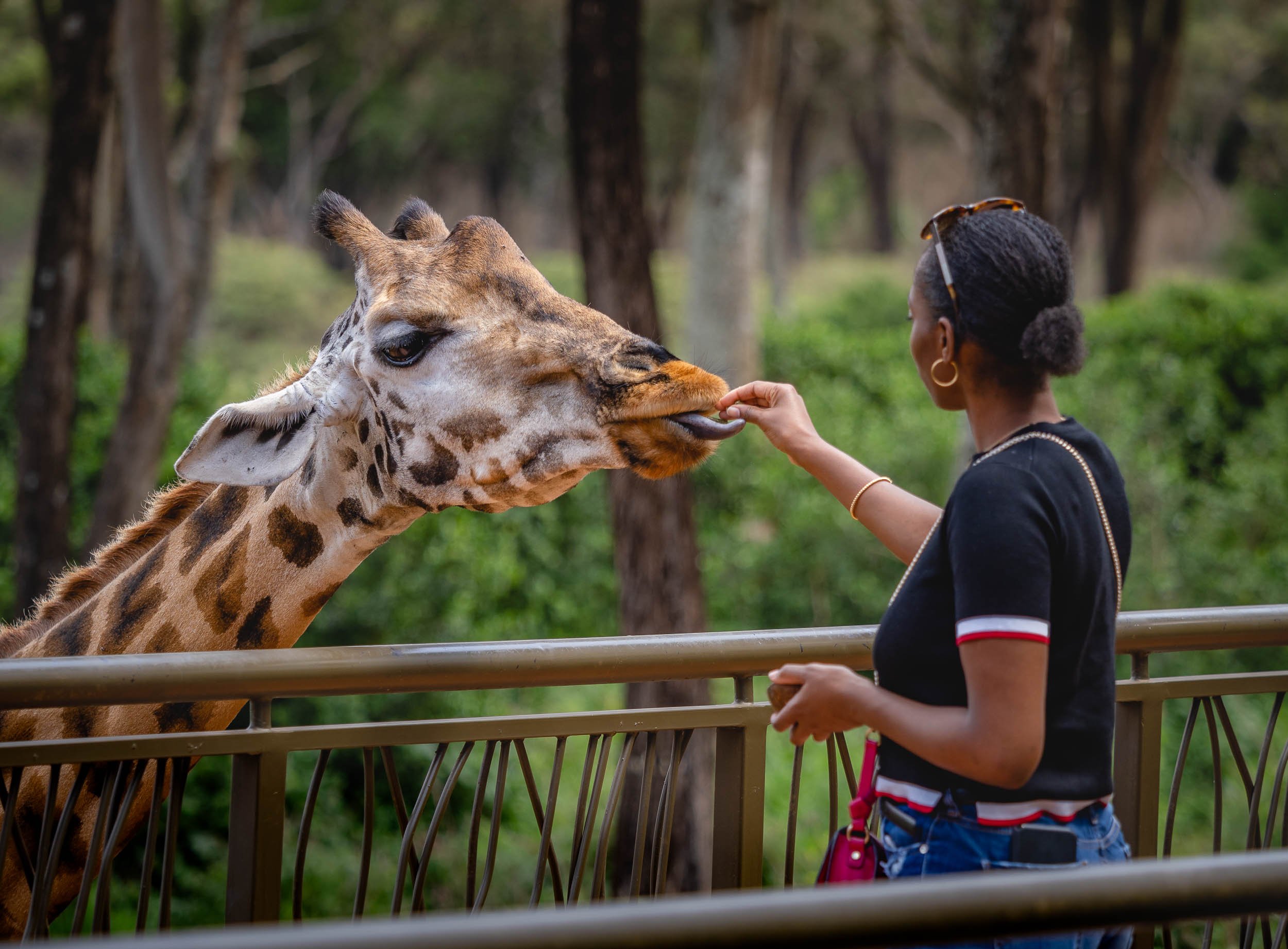
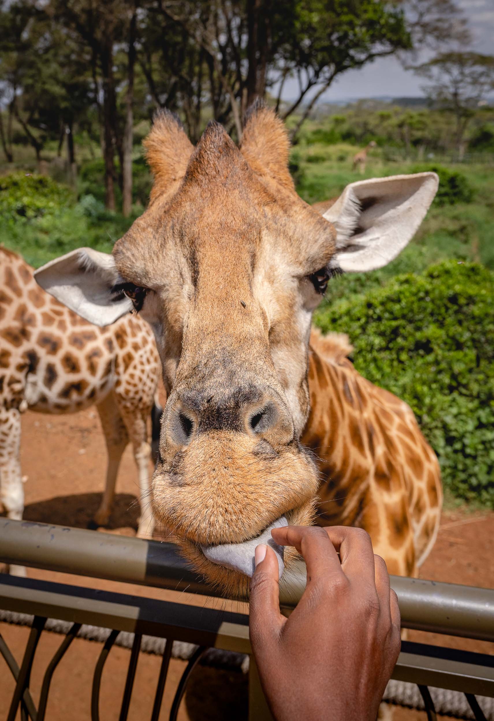
The Giraffe Centre
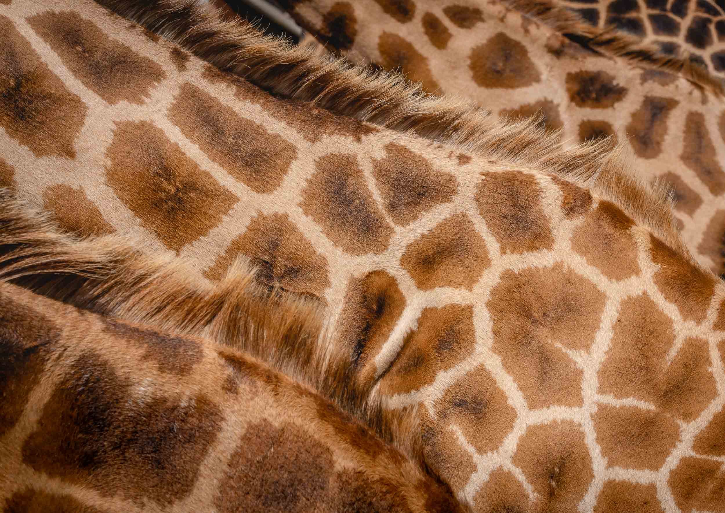
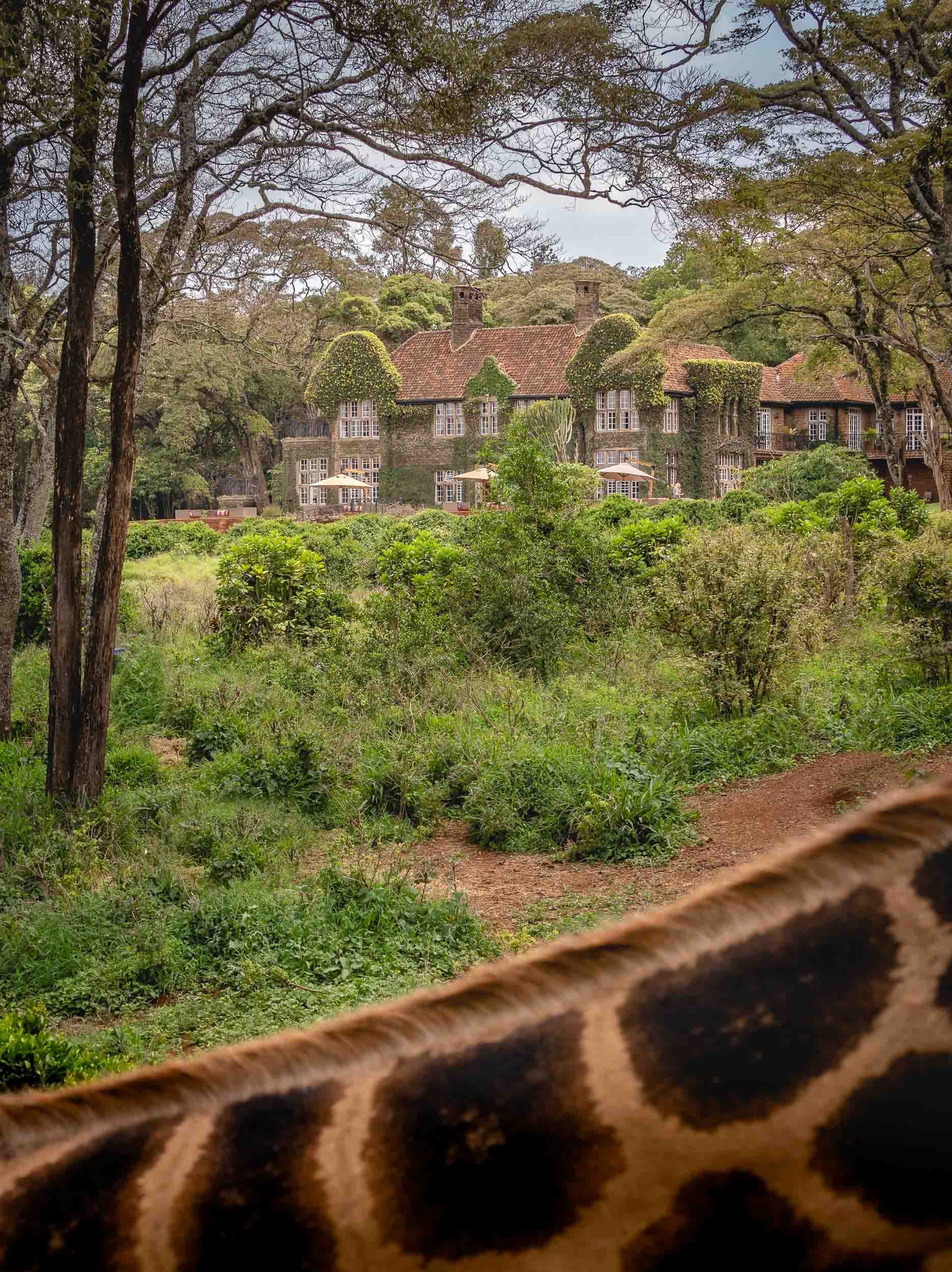
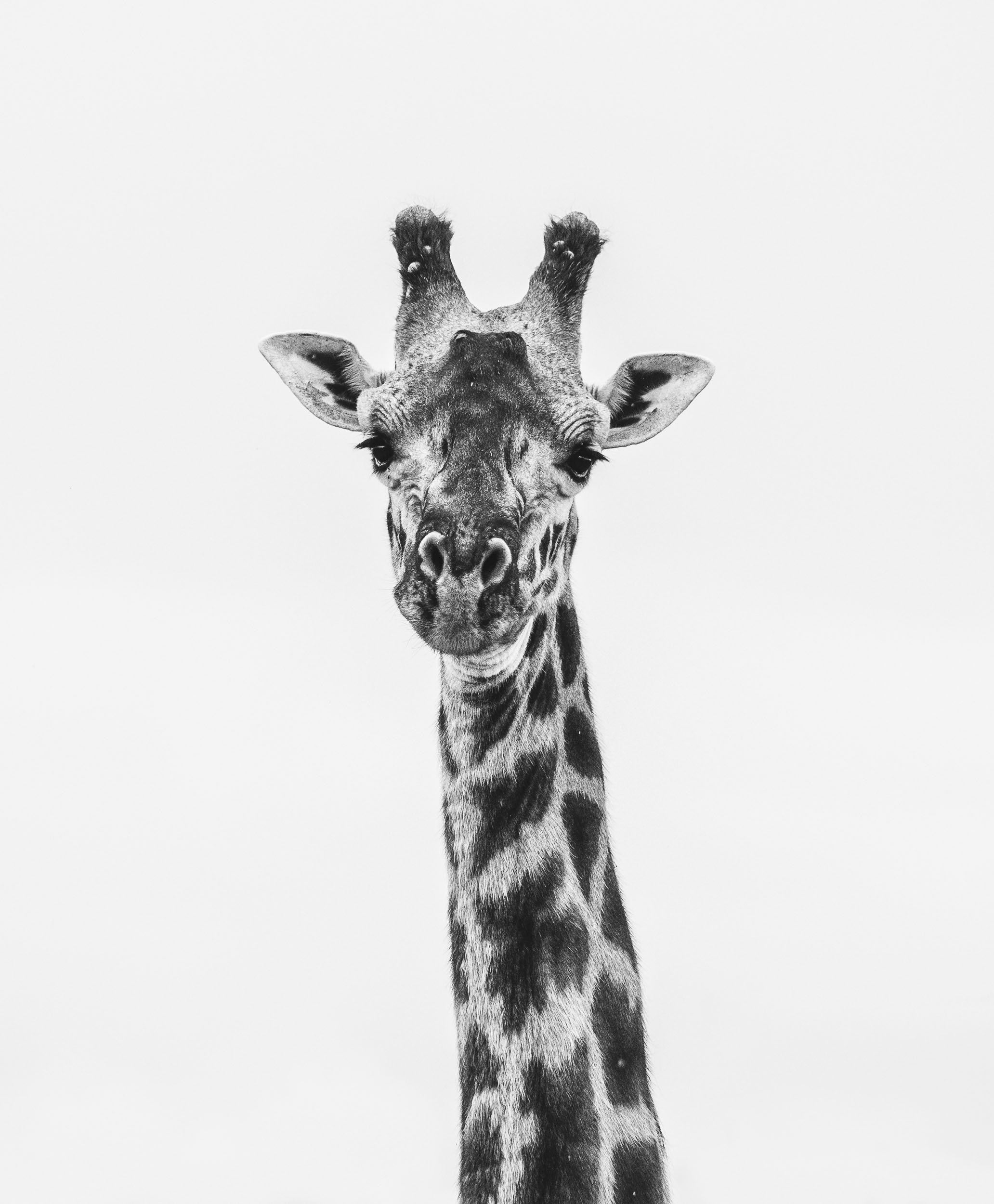
Next on the agenda was a visit to this sanctuary, which began its story in 1979 when Jock and Betty Leslie-Manville set out to save the nearly extinct Rothschild giraffe. In the early 1980s the centre opened to the public and is now home to several of these animals, of which there are only 1200 left in the wild. Learn more here.
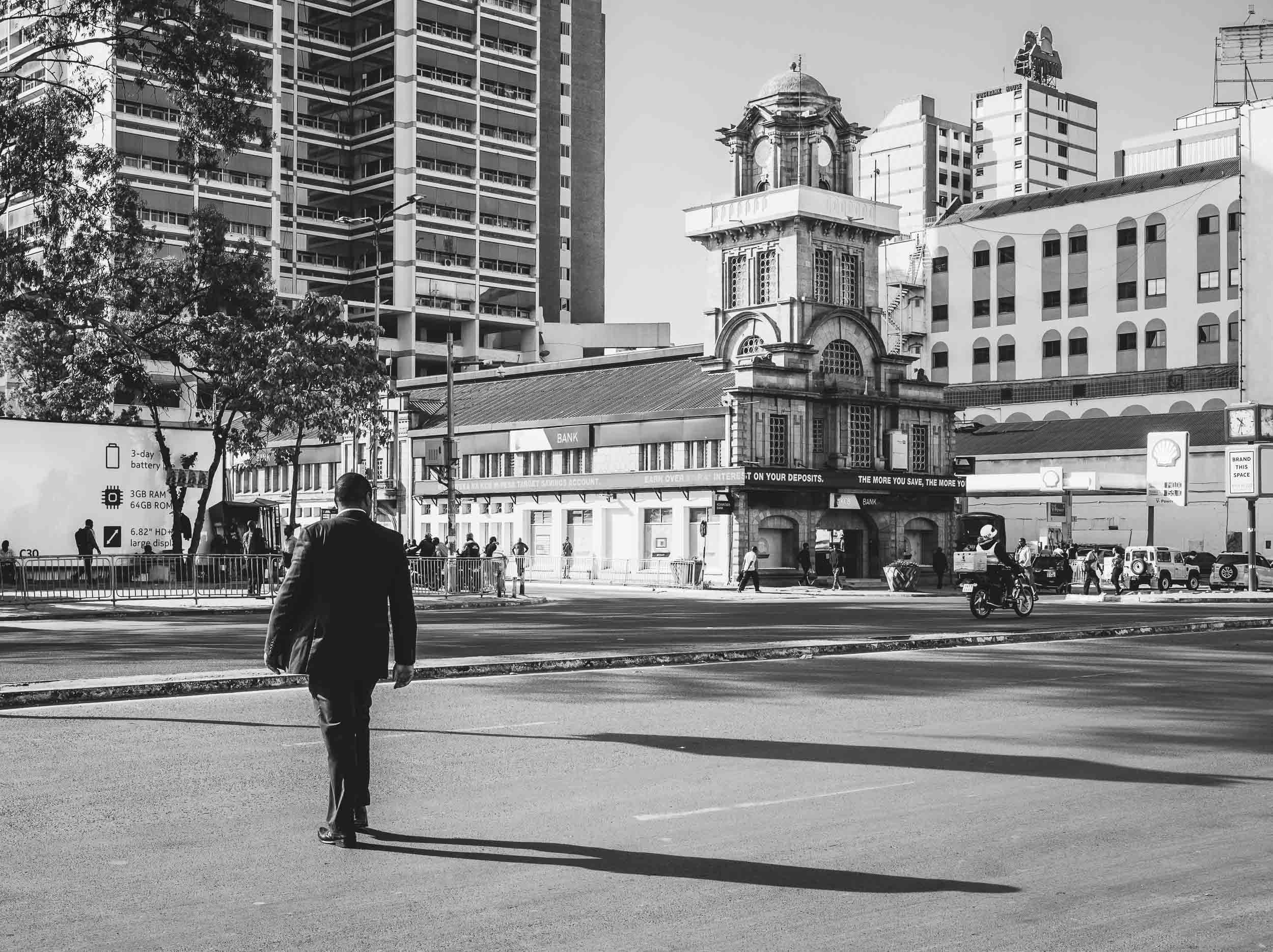
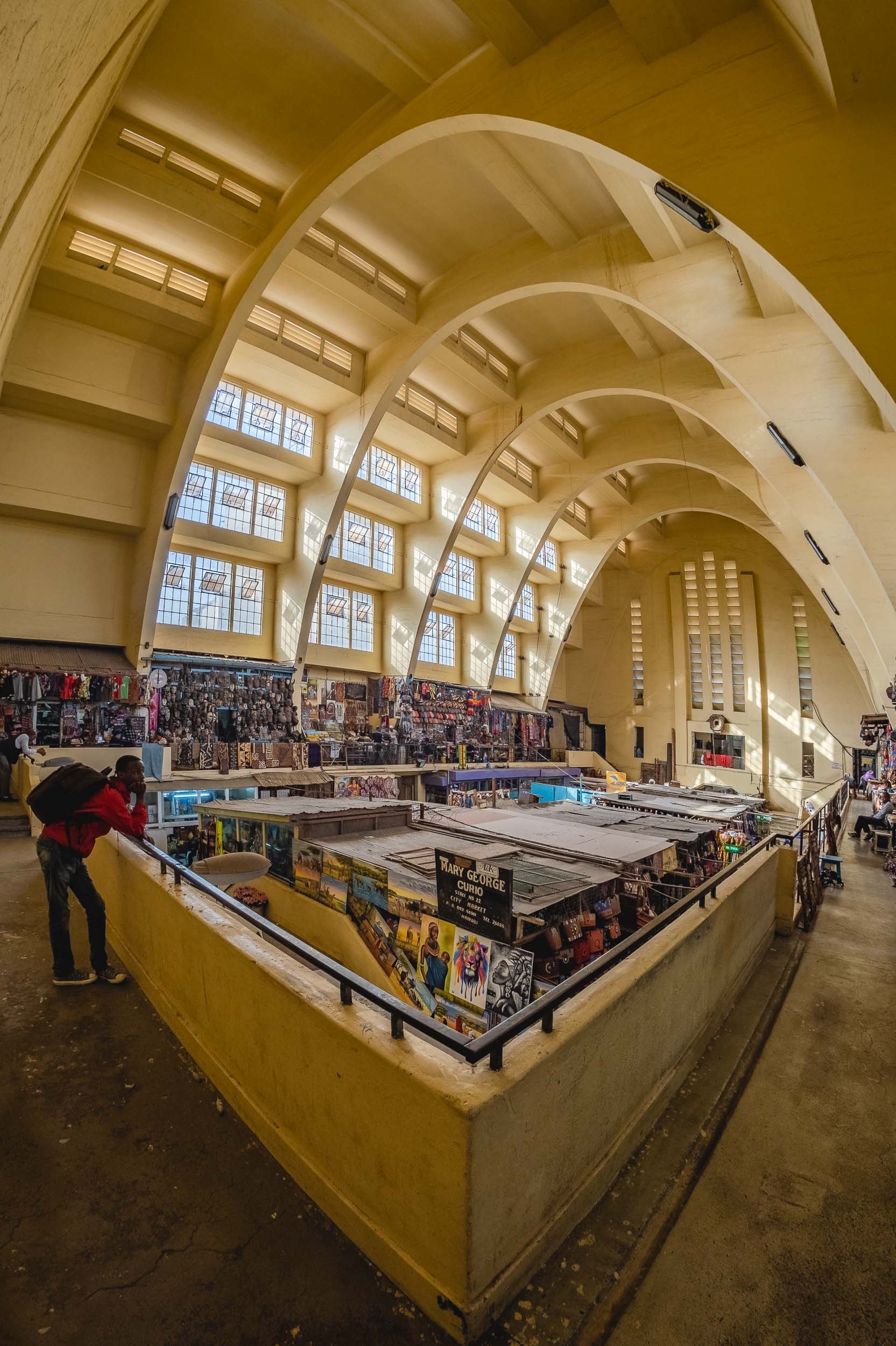
Exploring the City
The last few hours of Day 1 in Kenya were spent on a walk through the city, and a view from above.
Onwards to Amboseli
After my day in Nairobi, I spent 3 days in the Amboseli National Park. I came for the elephants, and I did find them, but in a way that was much more incredible than I had imagined.
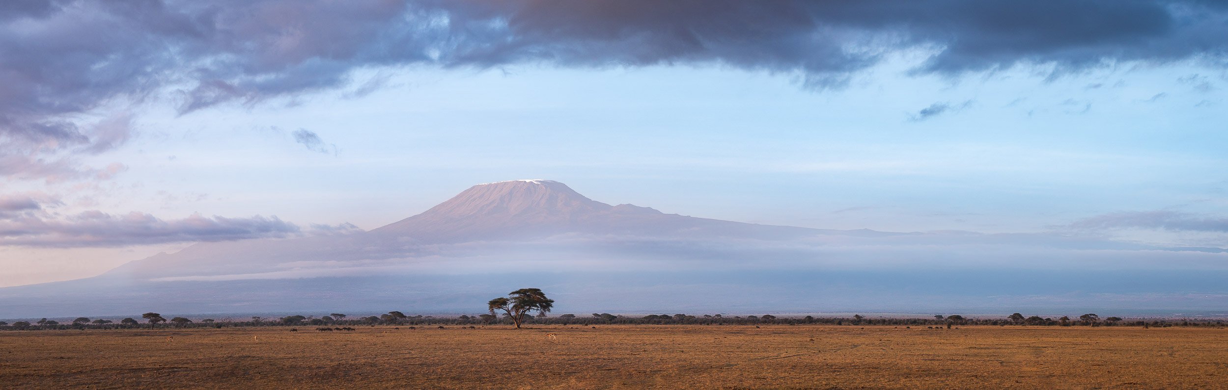
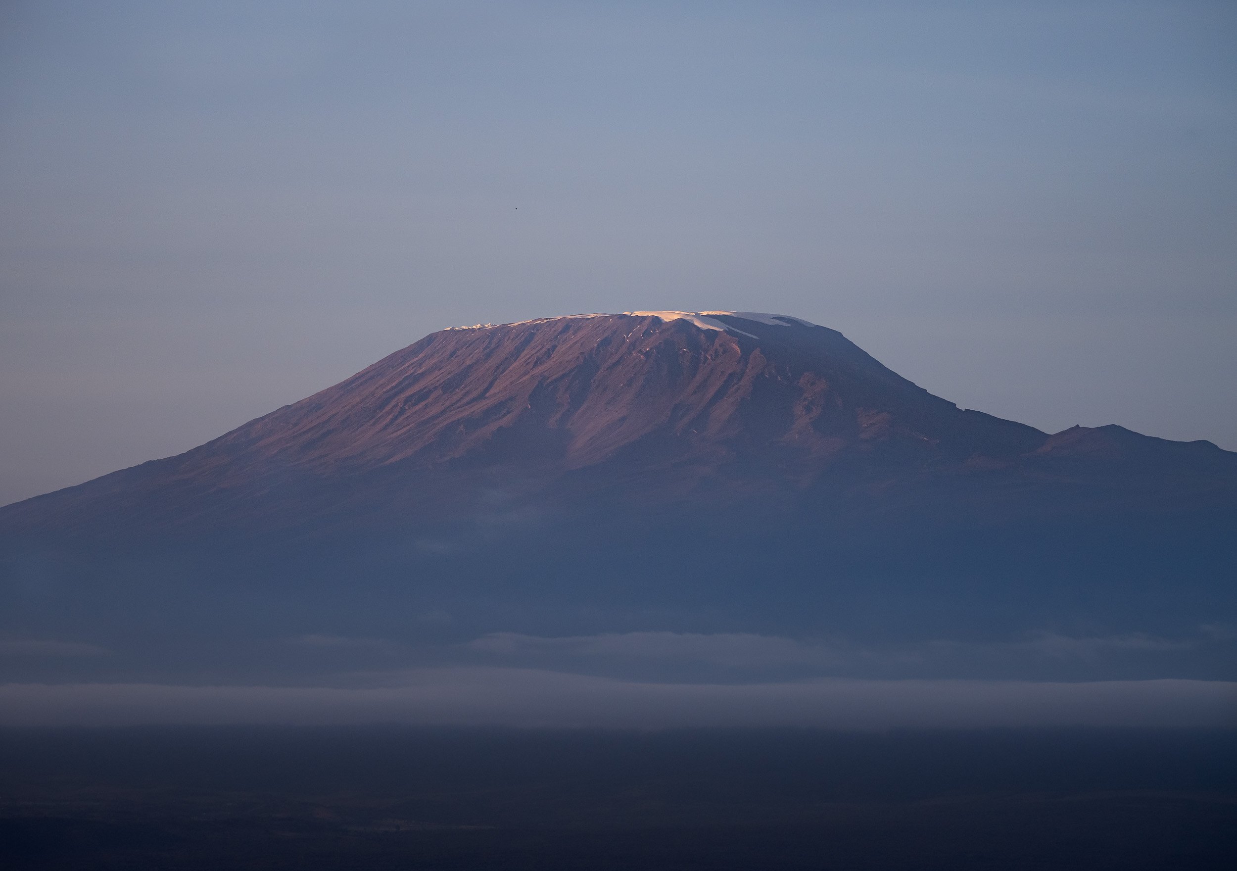
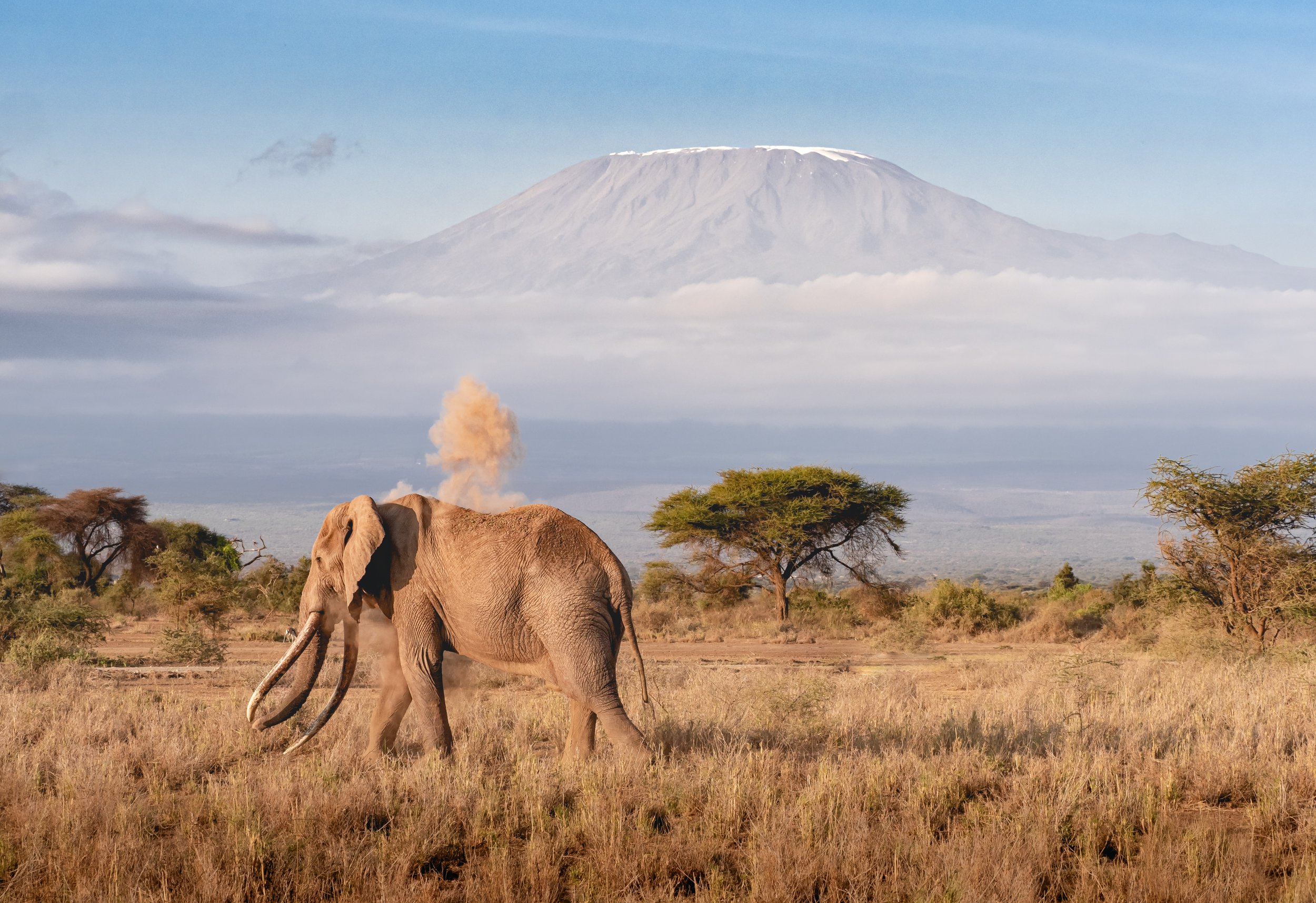
The Kilimanjaro
Africa’s tallest mountain and the tallest free standing mountain in the world, with its Kibo peak reaching 5895m, is actually not located in Kenya, but the views from Amboseli are some of the best you can get. That is, assuming the dormant volcano’s highest portions aren’t covered in clouds, as does happen frequently.
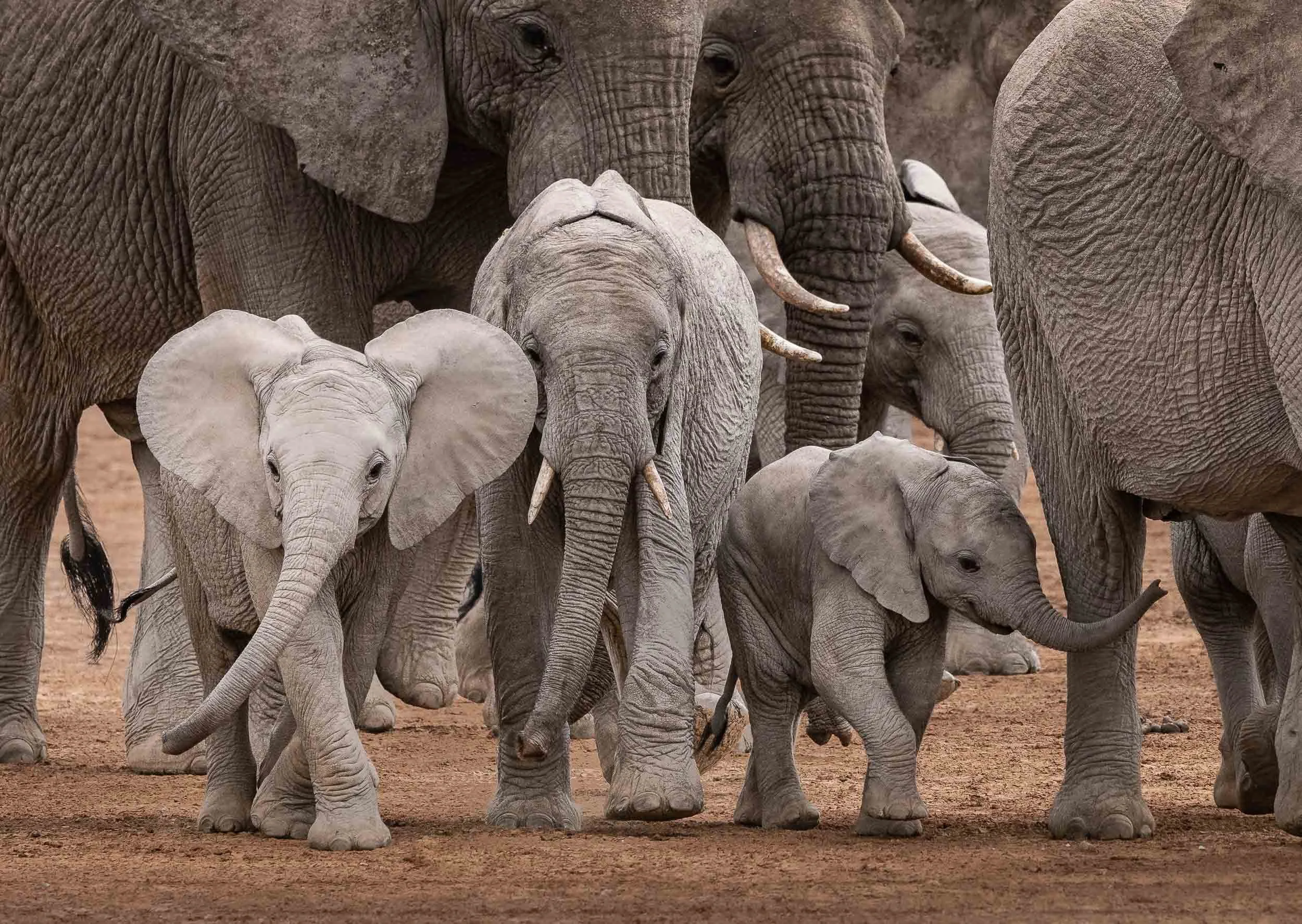
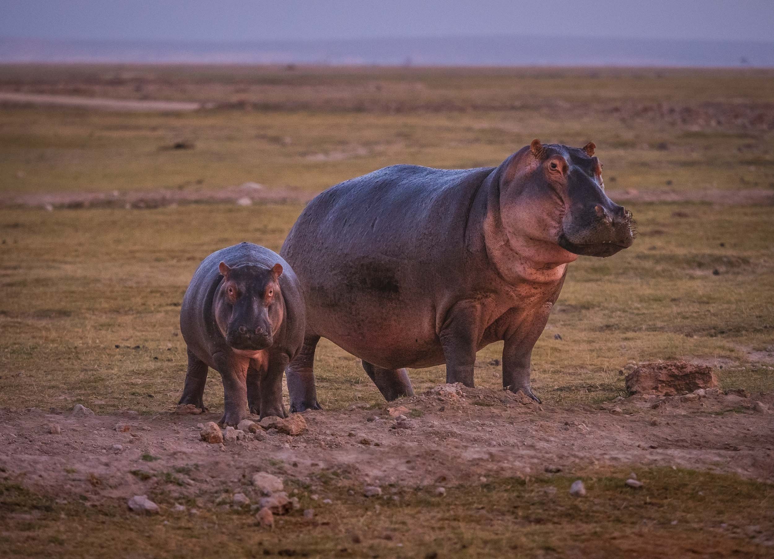
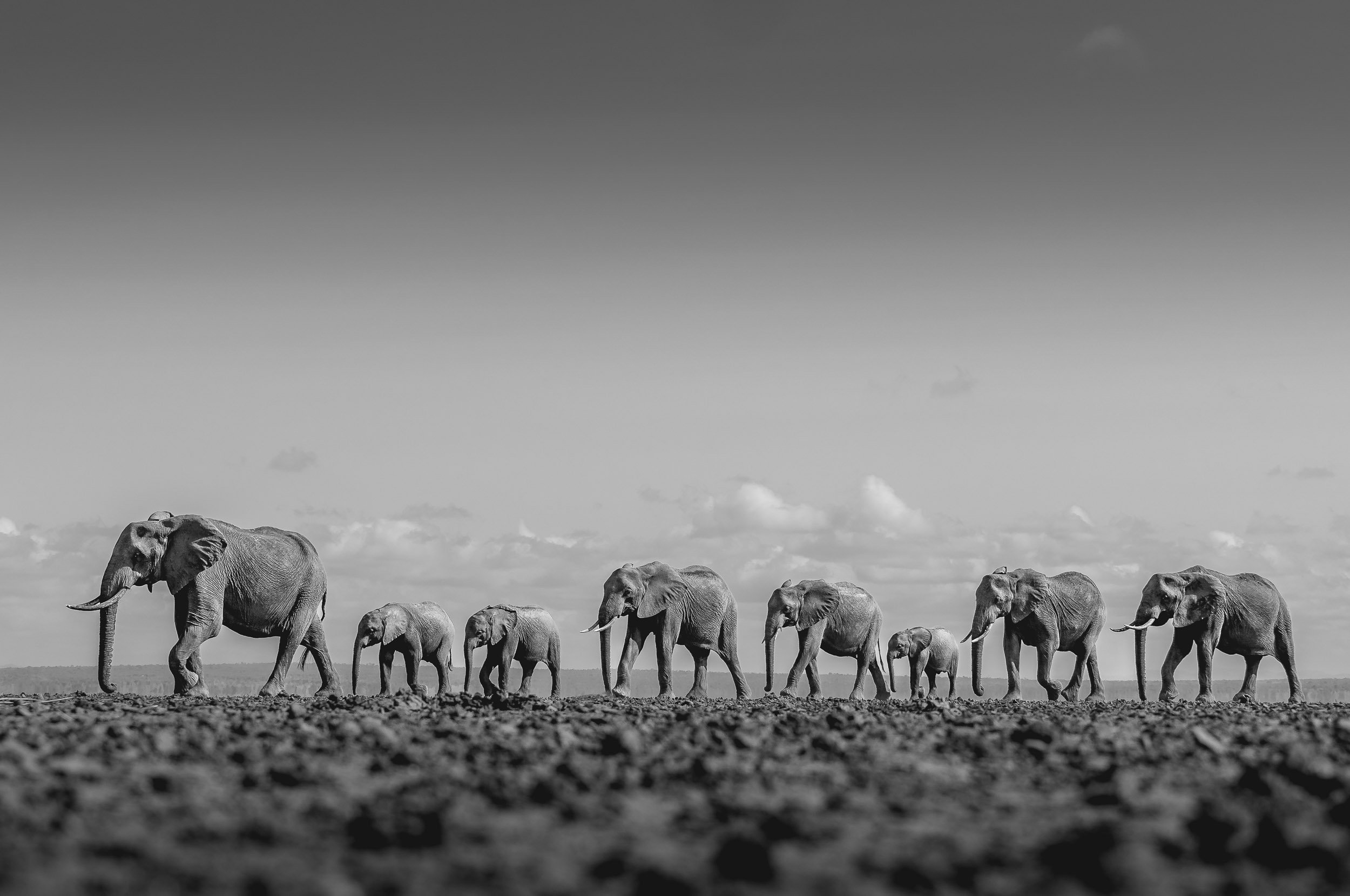
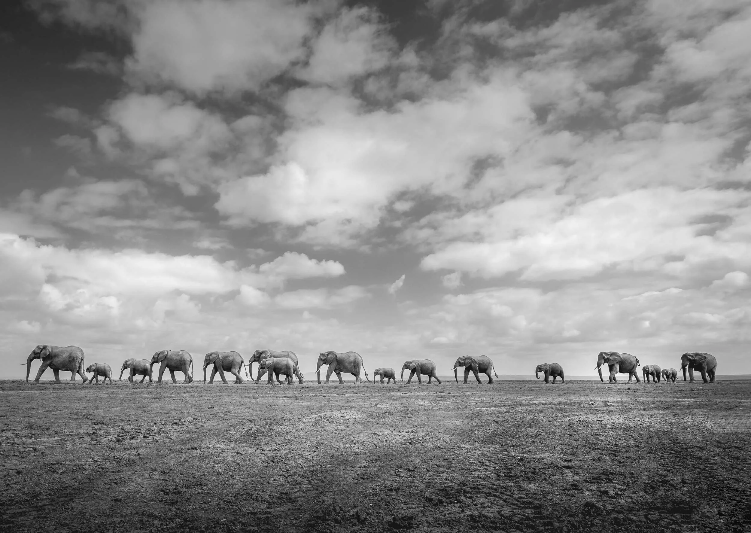
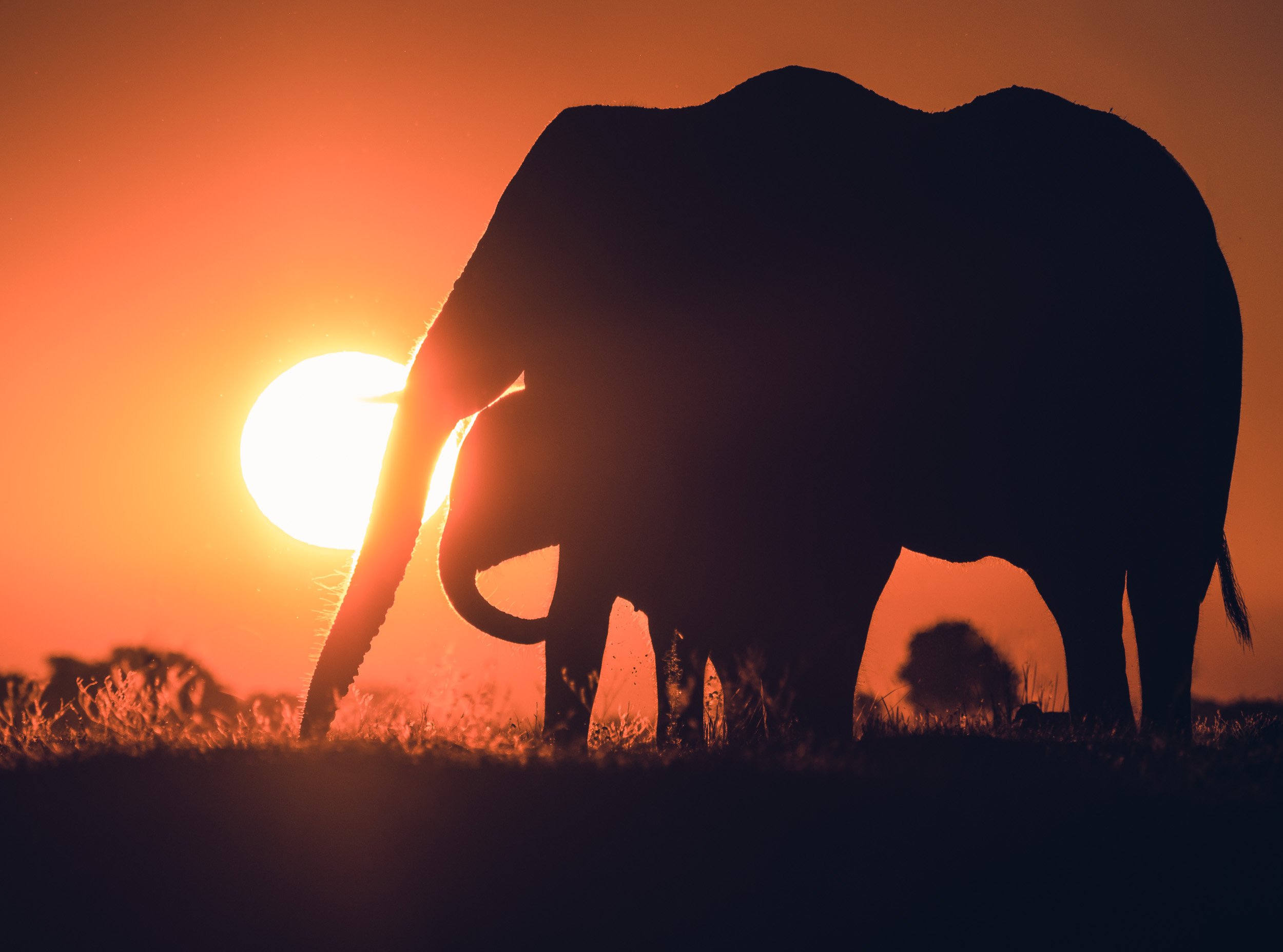
Gentle Giants
Right after landing at the park’s small airstrip in the morning, my amazing guide Dickson took me into the dry lake bed of Lake Amboseli. This location is home to a daily ritual for large elephant families: They cross it from the forest areas on one side towards the swamp lands on the other. With a bit of patience you can photograph their amazing formations, and if you’re brave enough and have the right guide, you can do so from the ground for that extra special perspective.


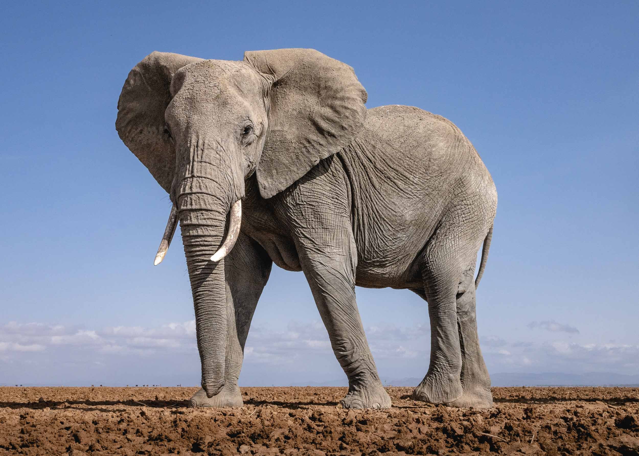
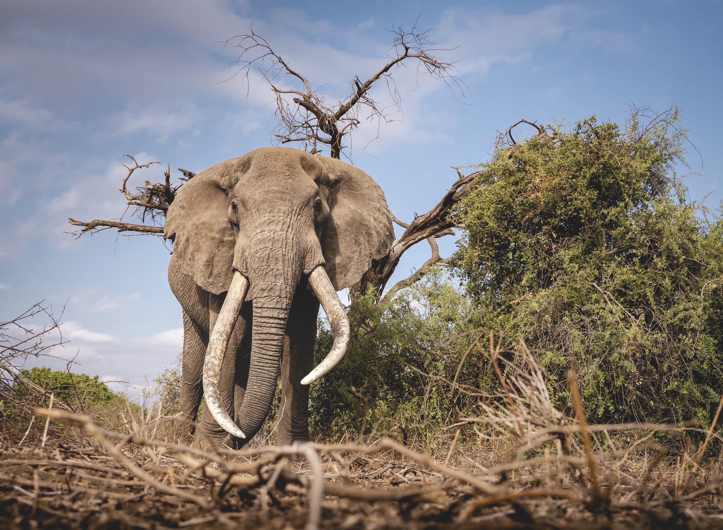
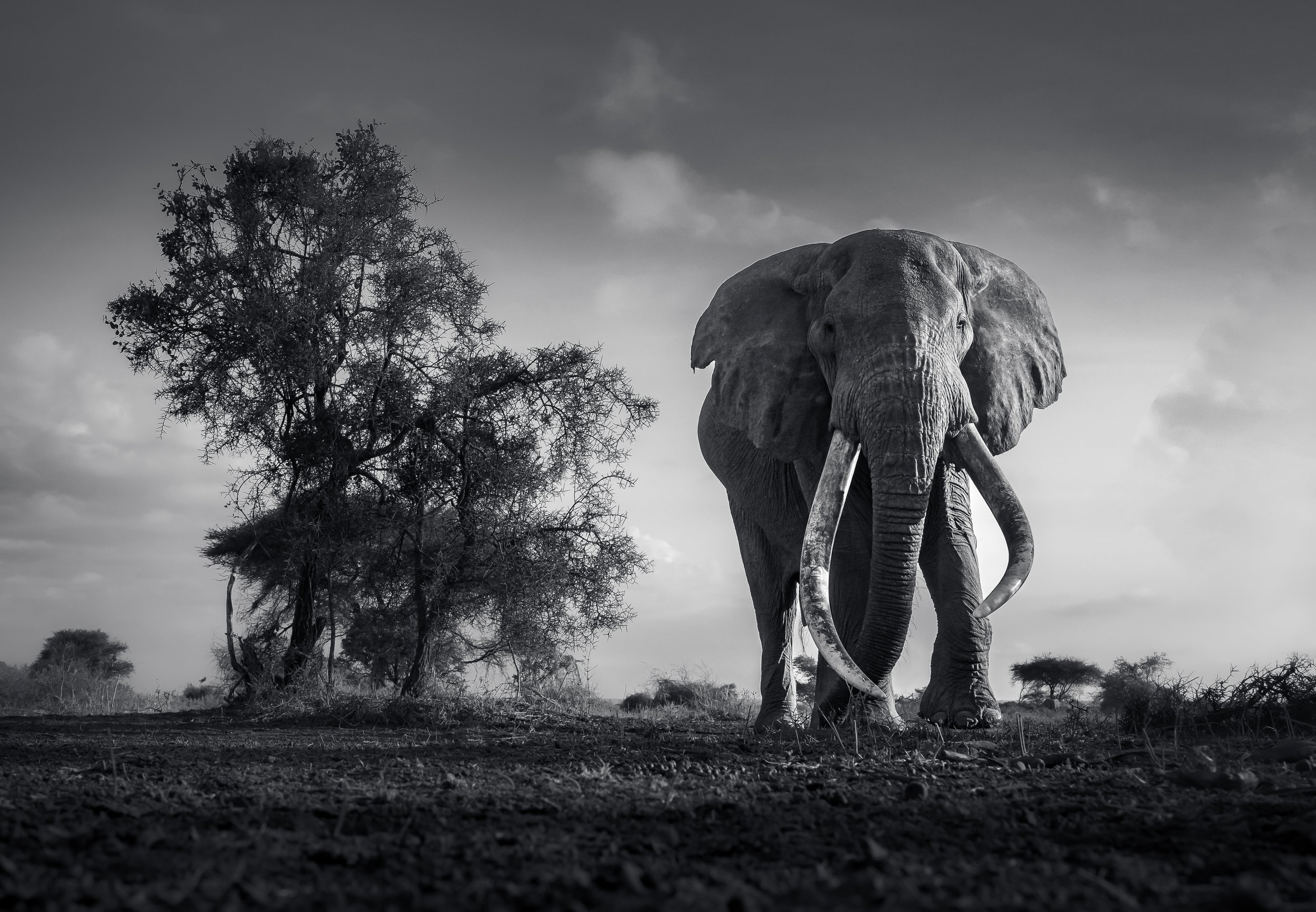
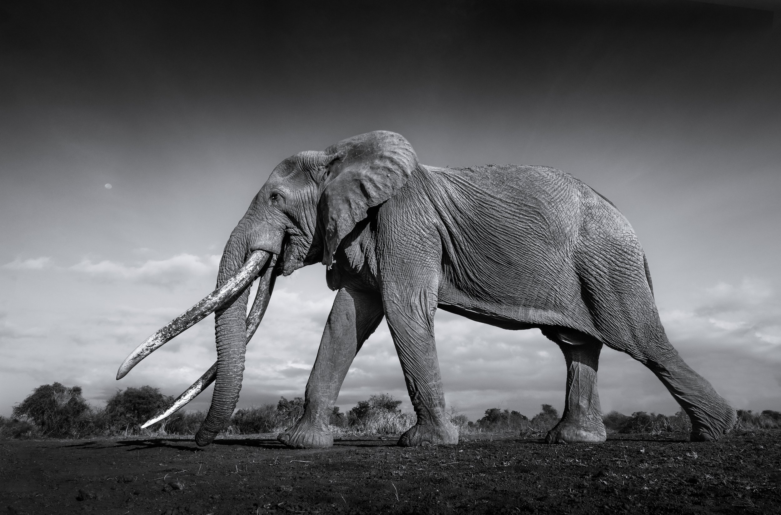
Craig - Africa’s Largest Tusks
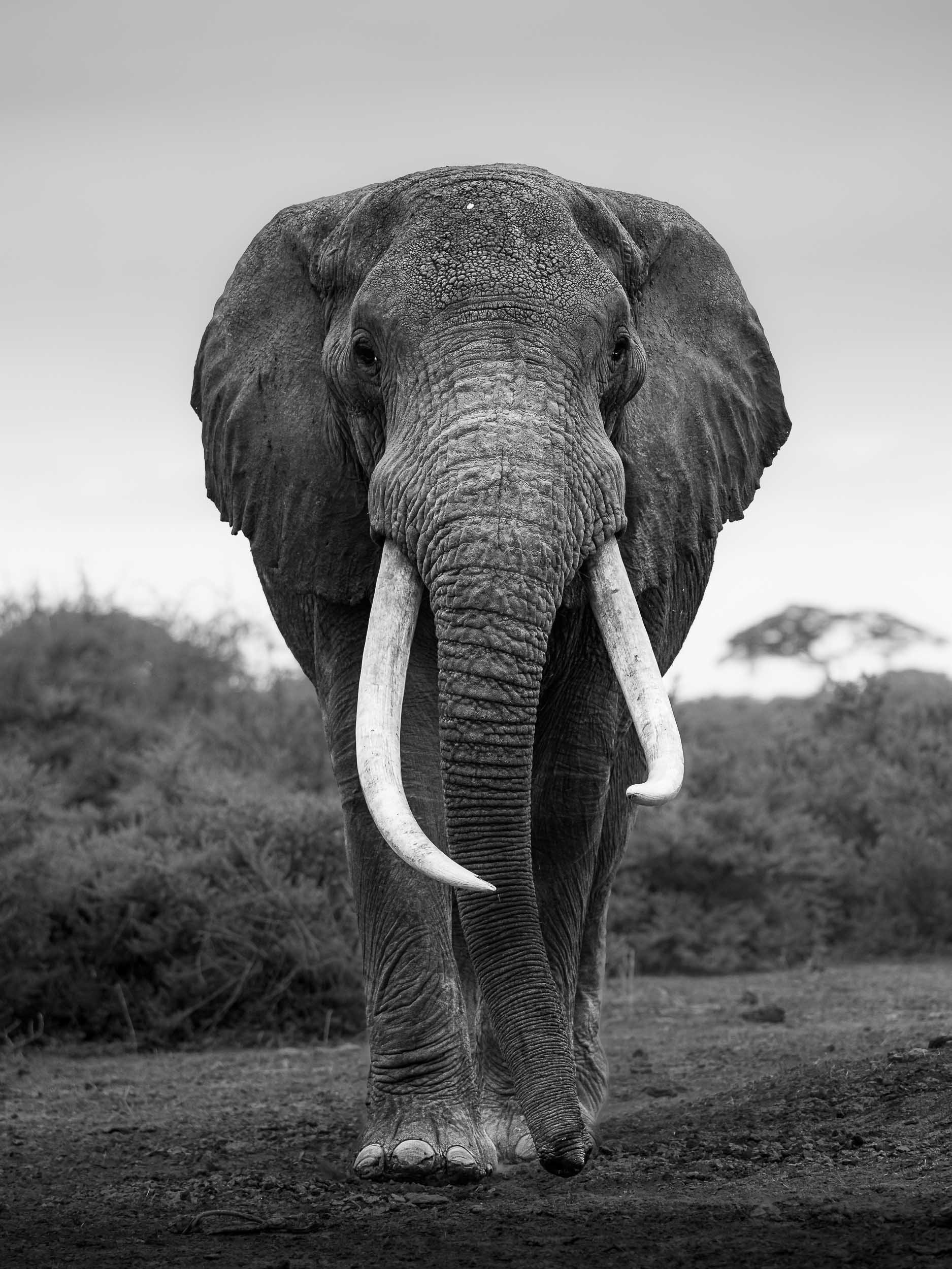
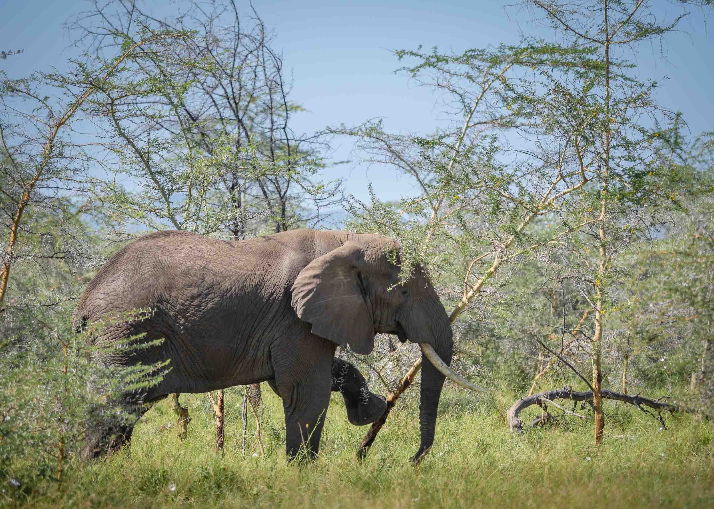
Amboseli and its surrounding areas are also home to a very special kind of elephant: The Super Tuskers. Bulls whose tusks weigh in excess of 100 pounds, often reaching all the way to the ground. There are said to be only just over 20 left on earth, spread between this area of Kenya and the Kruger park in South Africa. The most famous one of them is probably Craig, a 52 year old bull believed to have the largest tusks of any African elephant alive today. When I heard of his existence, seeing and photographing this magnificent creature became the highest priority of my time in Kenya. However, elephants can roam large distances daily, and there are no boundaries stopping them from crossing parks and even countries, as they often venture into Tanzania.
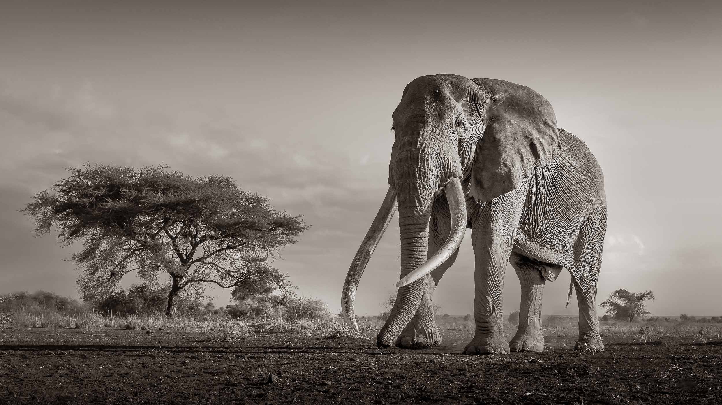
Luckily, an elephant like Craig is closely monitored by the local Maasai population and many rangers in the park, given the high risk of poaching - his tusks are easily worth $25,000 each in their raw form from what I was told. This means with the right network and a little bit of incentive, you may be able to hear of his whereabouts, or at least get a rough idea. For us, this meant a 1 hour drive in the very early morning into the bush to a nearby private concession. It was worth it…
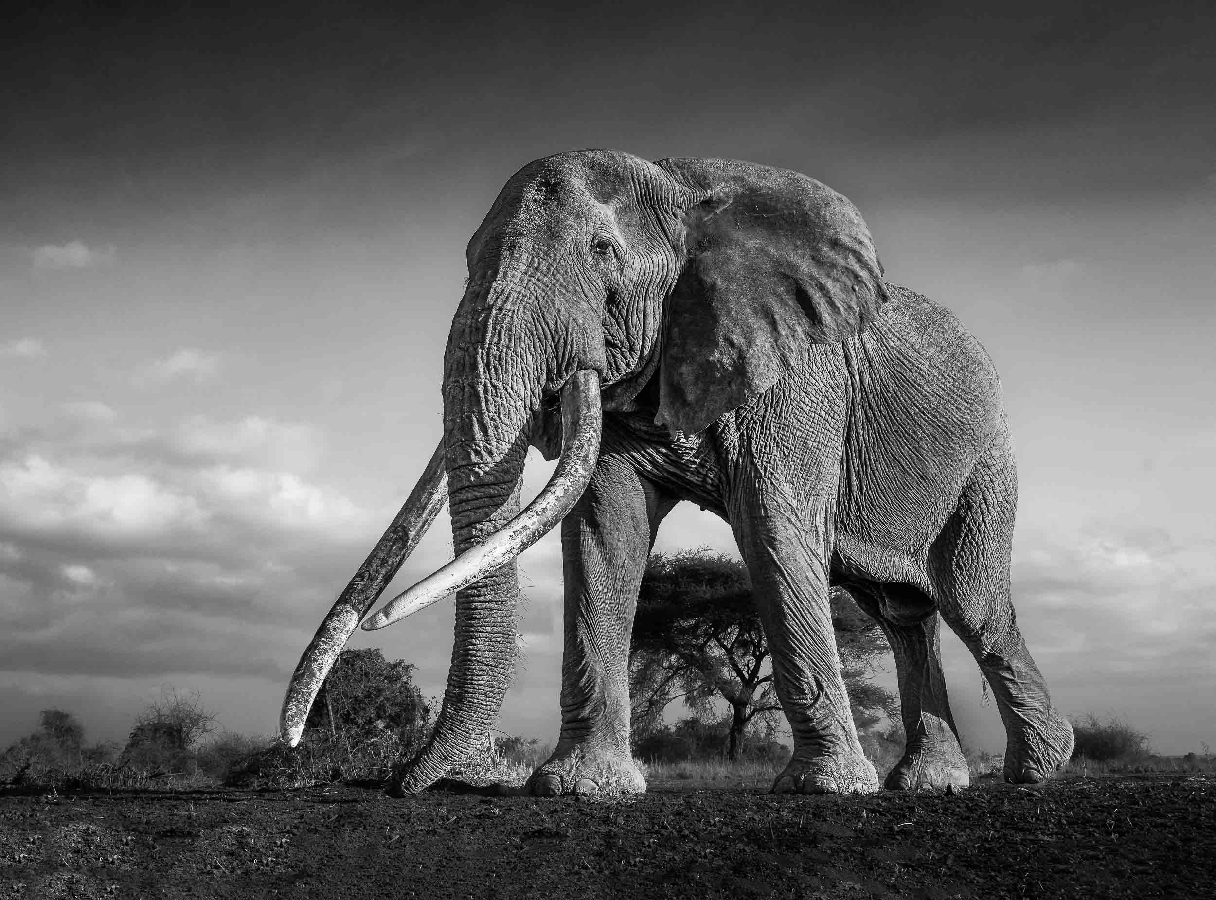
My spot as we found Craig looking for the best trees to feed on, and the resulting photo below.
The feeling of sitting on the grass while an elephant of Craig’s size, with his incredibly large tusks scraping the ground, walking by slowly with his calm and majestic demeanor is indescribable and was definitely one of the most memorable experiences of my life.
A few more Impressions
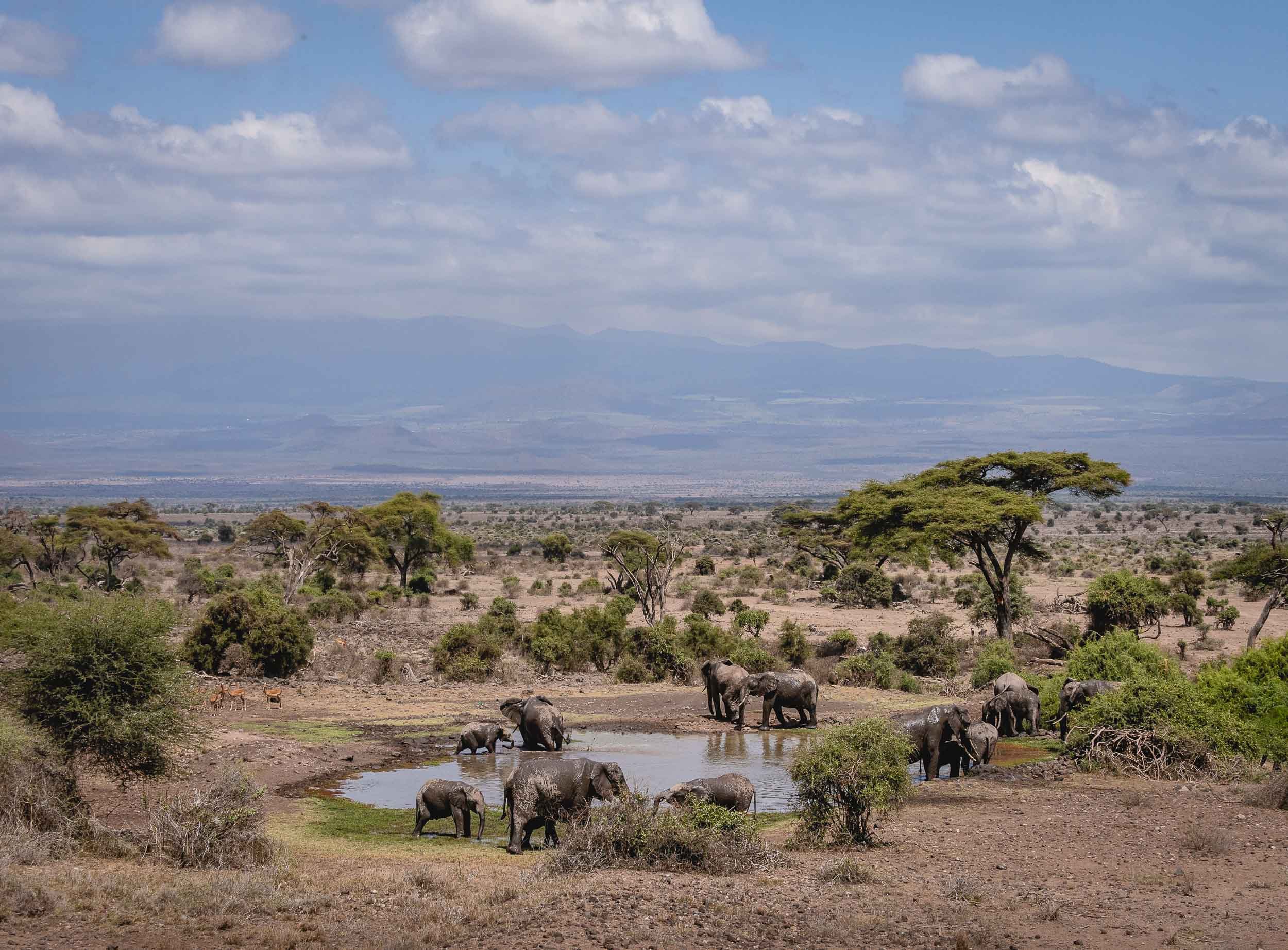
Granted, not much could top the experience of observing the elephants in Amboseli, but the park is home to beautiful views and a large variety of wildlife.


A Lasting Impact
I’ve certainly had an appreciation for the sheer size and the social behavior of elephants prior to my visit to Amboseli, but this experience has given me a totally new perspective of these gentle giants.


Let’s hope that their legacy will live on for a very long time, despite the threats of human poaching and wildlife conflict - you can support their pledge at https://tsavotrust.org

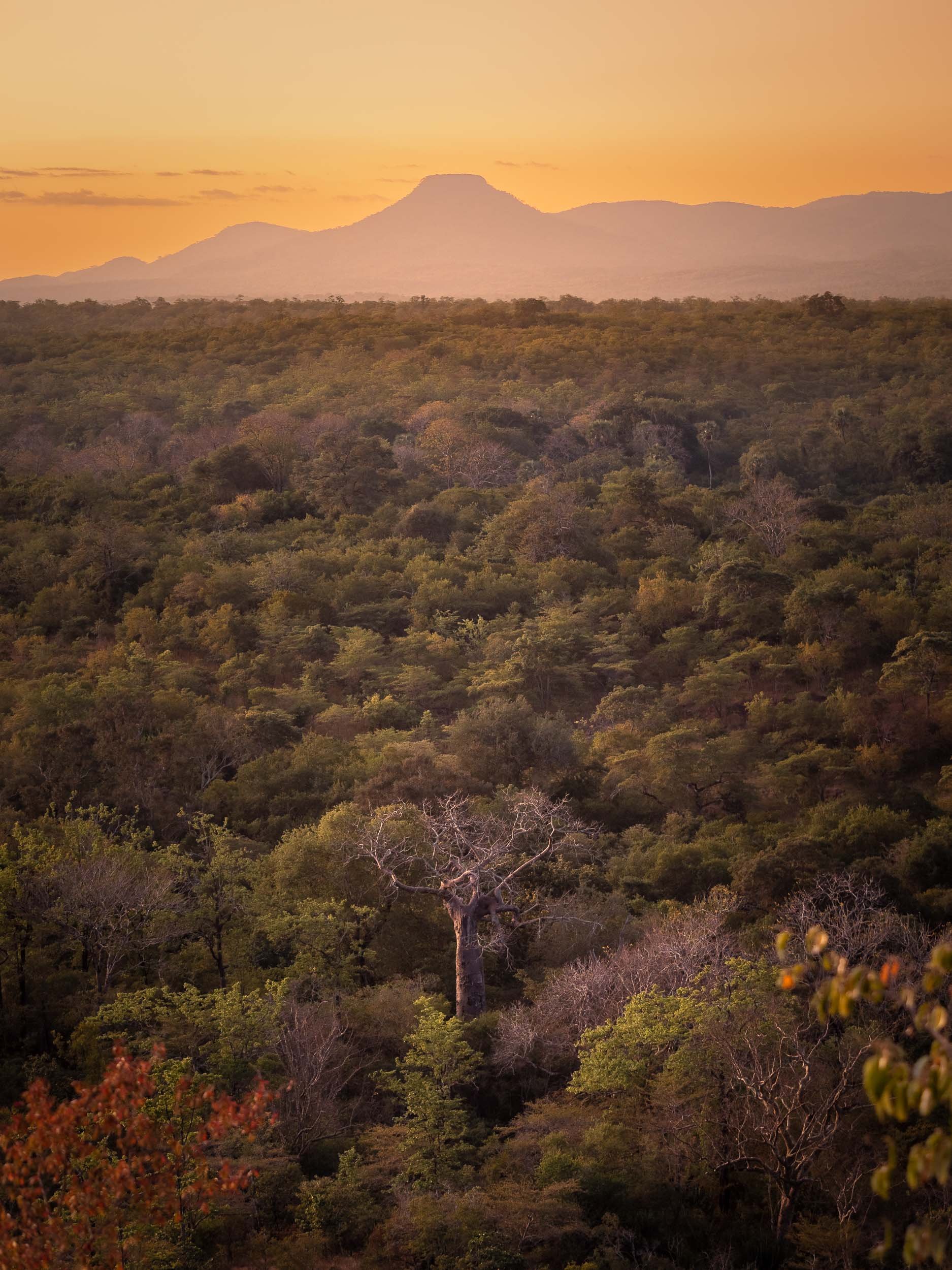
Tanzania - National Parks and the Origins of Humanity
After visiting Zanzibar back in 2016, it was time to add mainland Tanzania to the travel itinerary.

After visiting Zanzibar back in 2016, it was time to add mainland Tanzania to the travel itinerary. Despite visiting Lake Natron and four National Parks as well as some of the country’s most important sites of human history, I still feel there’s a lot left to explore, particularly the lesser known southern parts. Read on for what I did manage to see, which includes incredible landscapes, amazing wildlife sightings from the ground and the air, and some of the most significant places in the development of our species.
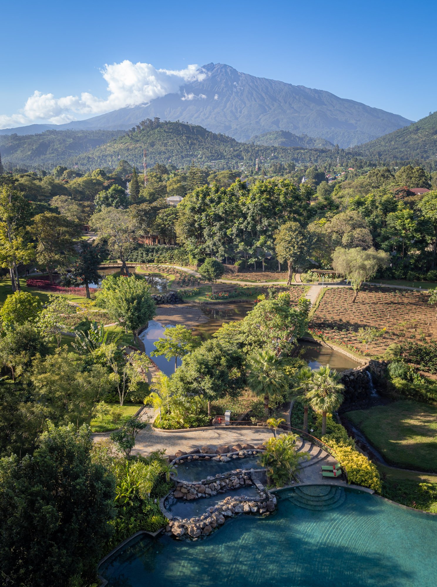
The trip started at Kilimanjaro airport, landing with the backdrop of Africa’s tallest mountain around sunrise - as it happens though, the peak is better photographed from the Kenyan side. As they say, you go to Tanzania to climb Kilimanjaro (which I didn’t) and to Kenya to photograph it (which I did). More on that in another blog post…
Kikuletwa Springs
Hence, the first photos I took were of a little unknown gem east of Kilimanjaro: Kikuletwa Springs, a small hot spring which on the morning I visited was luckily also completely empty, resulting in the calm, clear, colorful waters you see below.
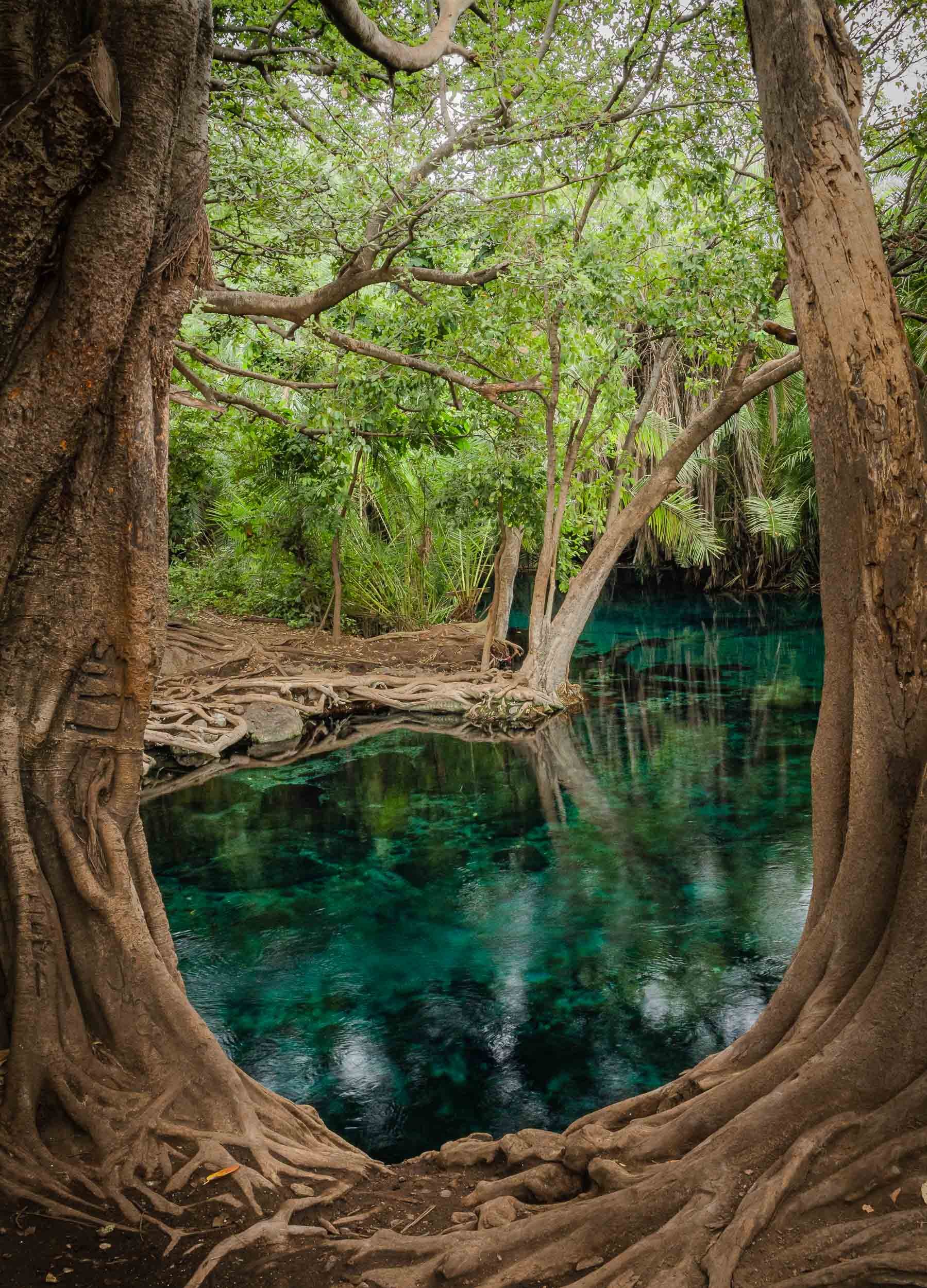
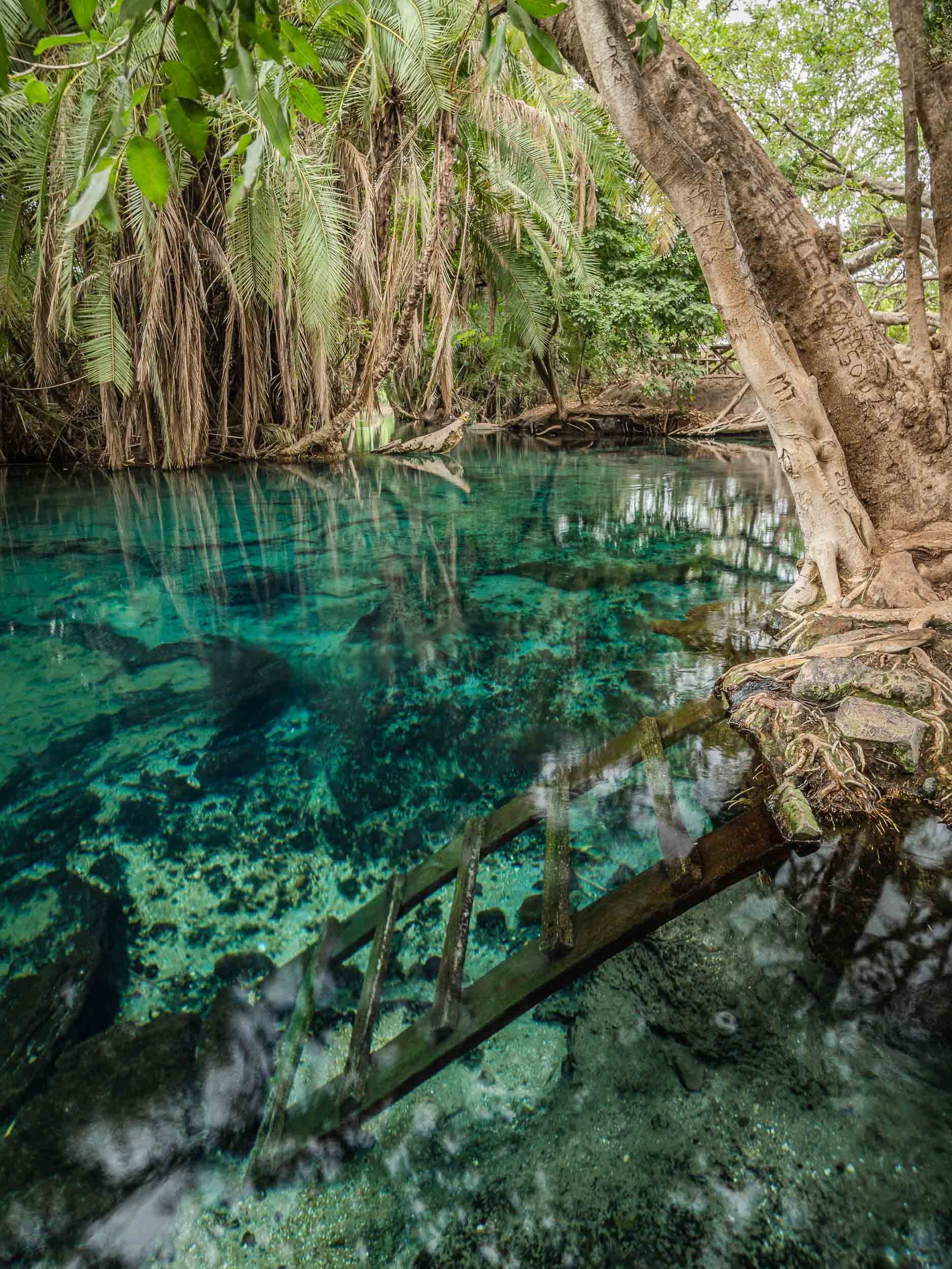
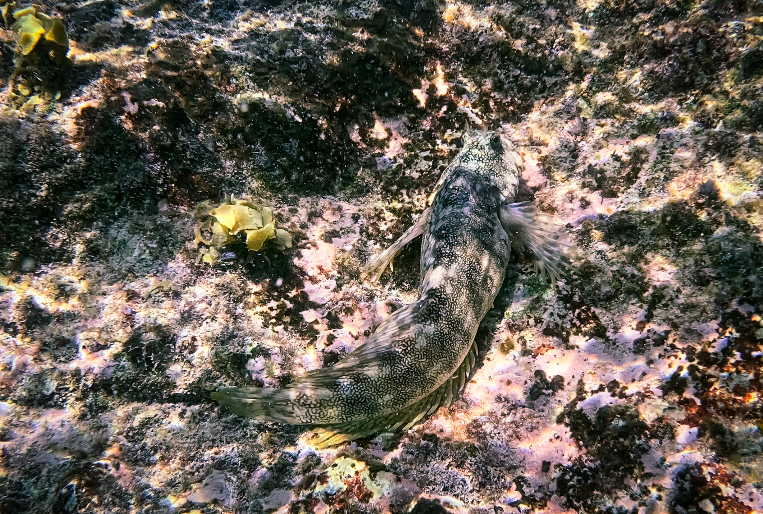
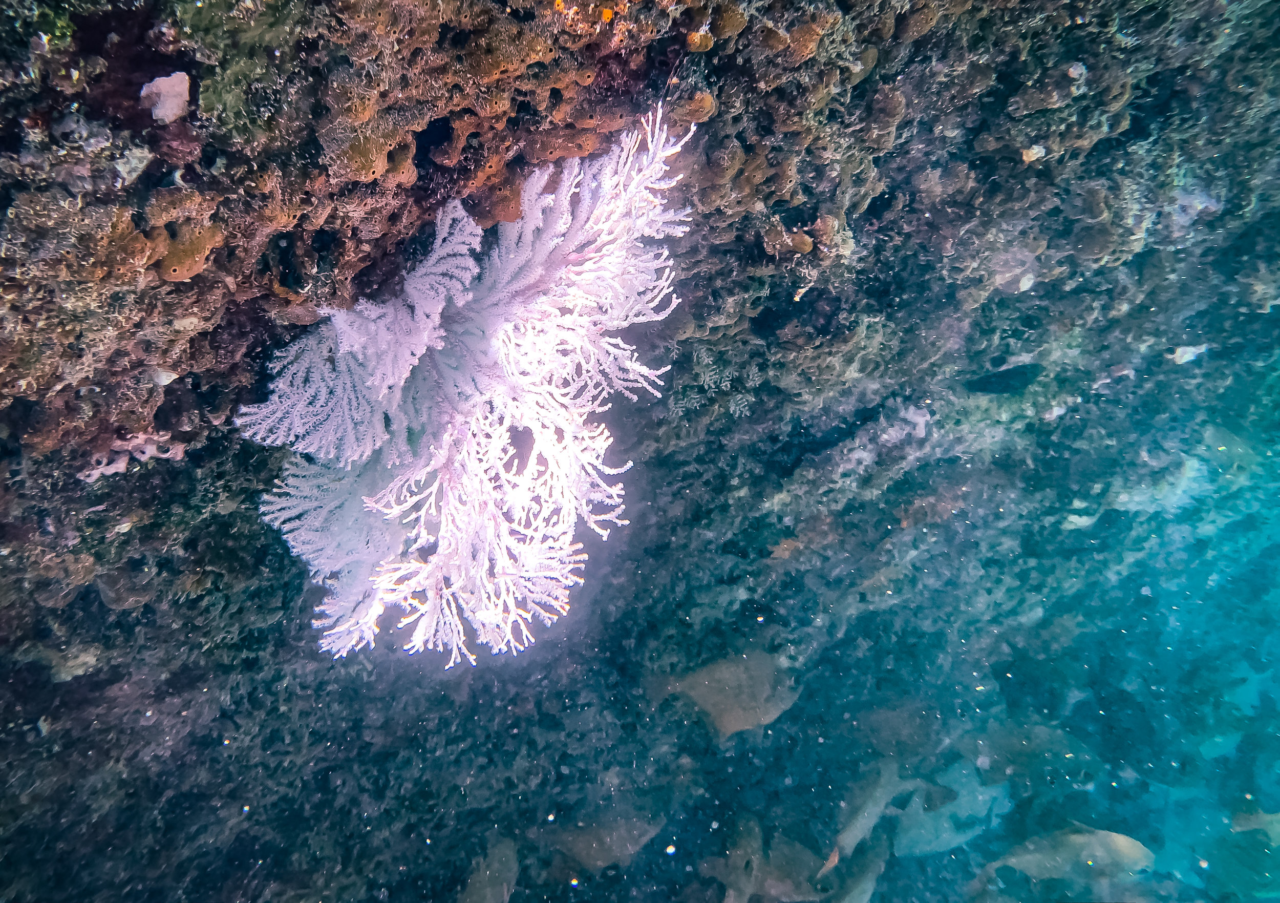
Take a look under water and see what I found…
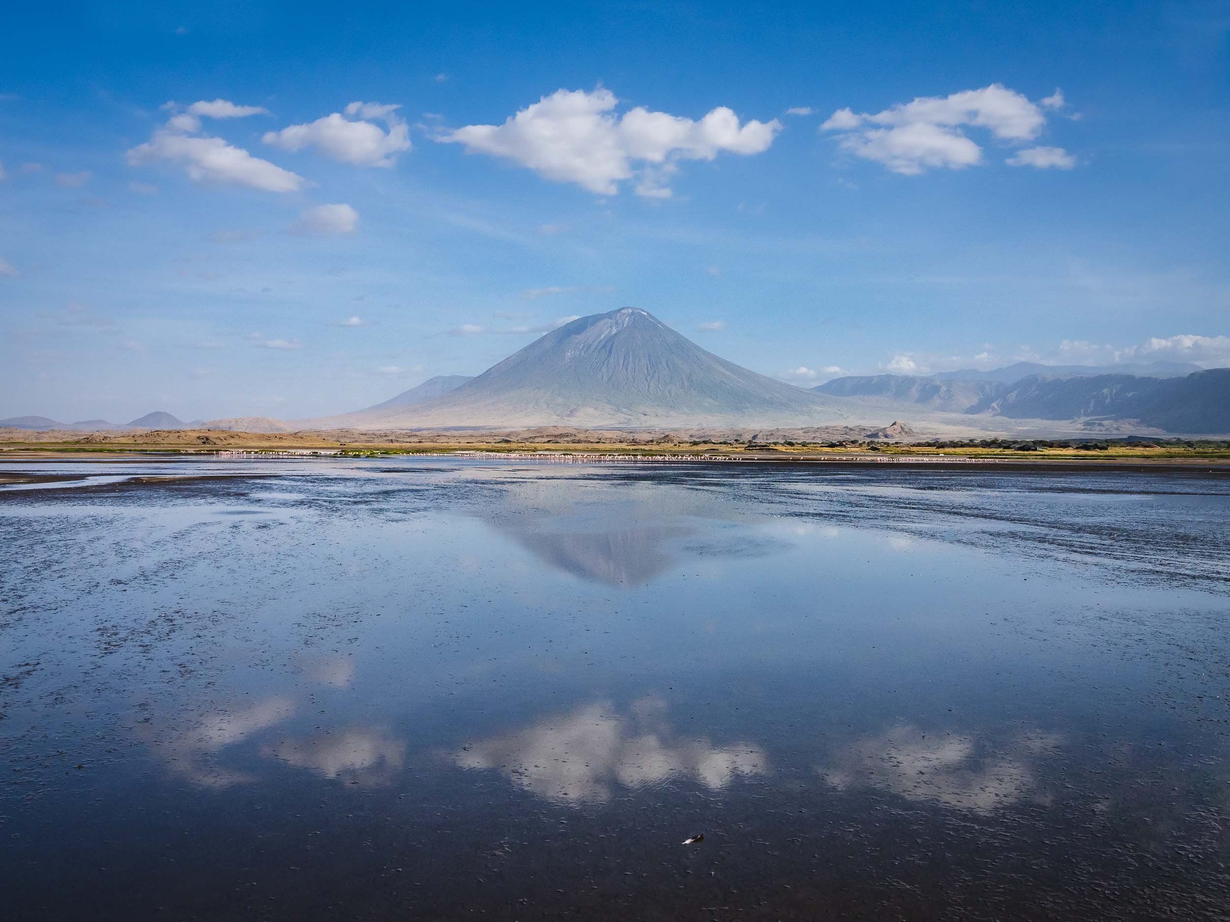
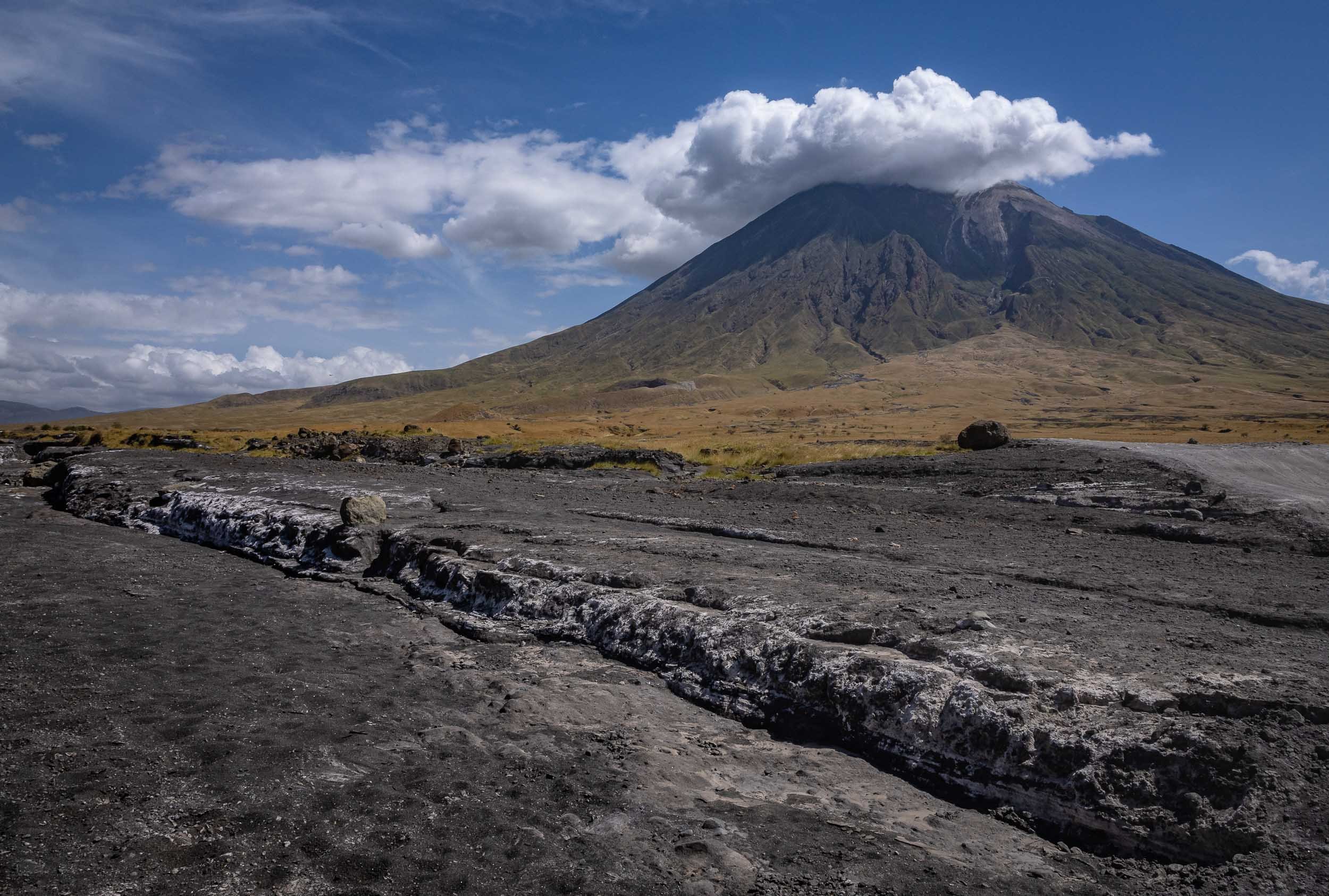
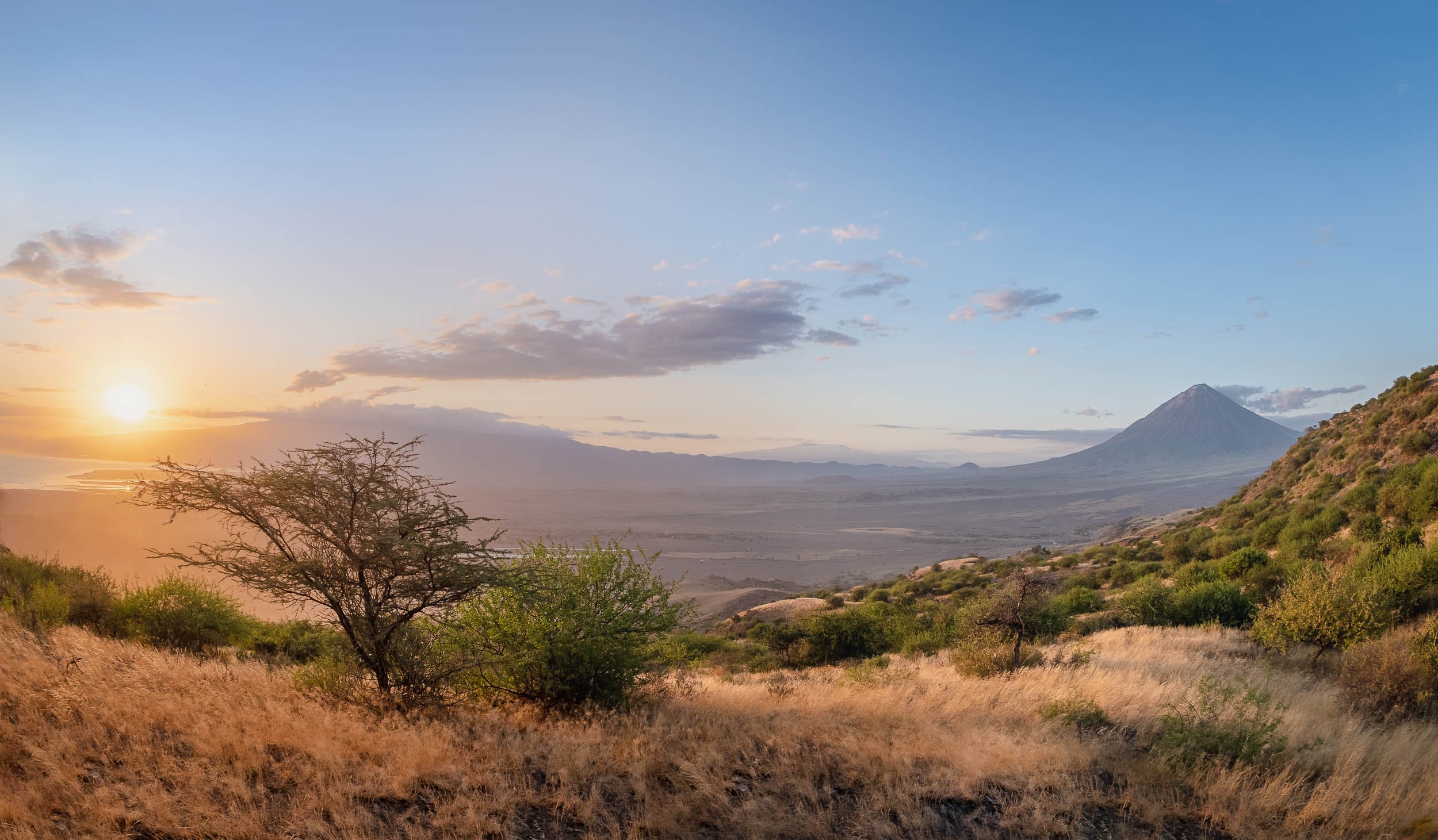
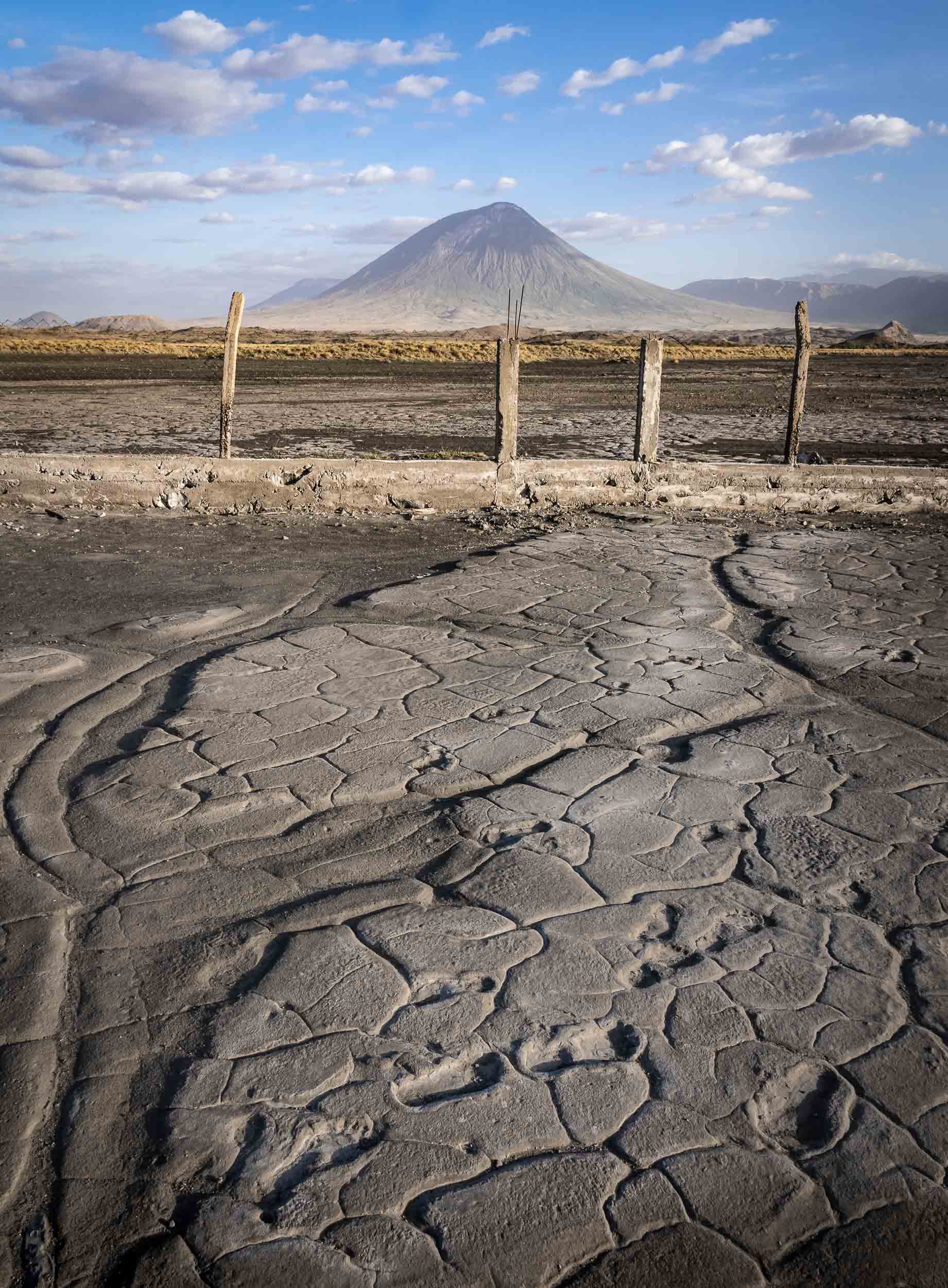
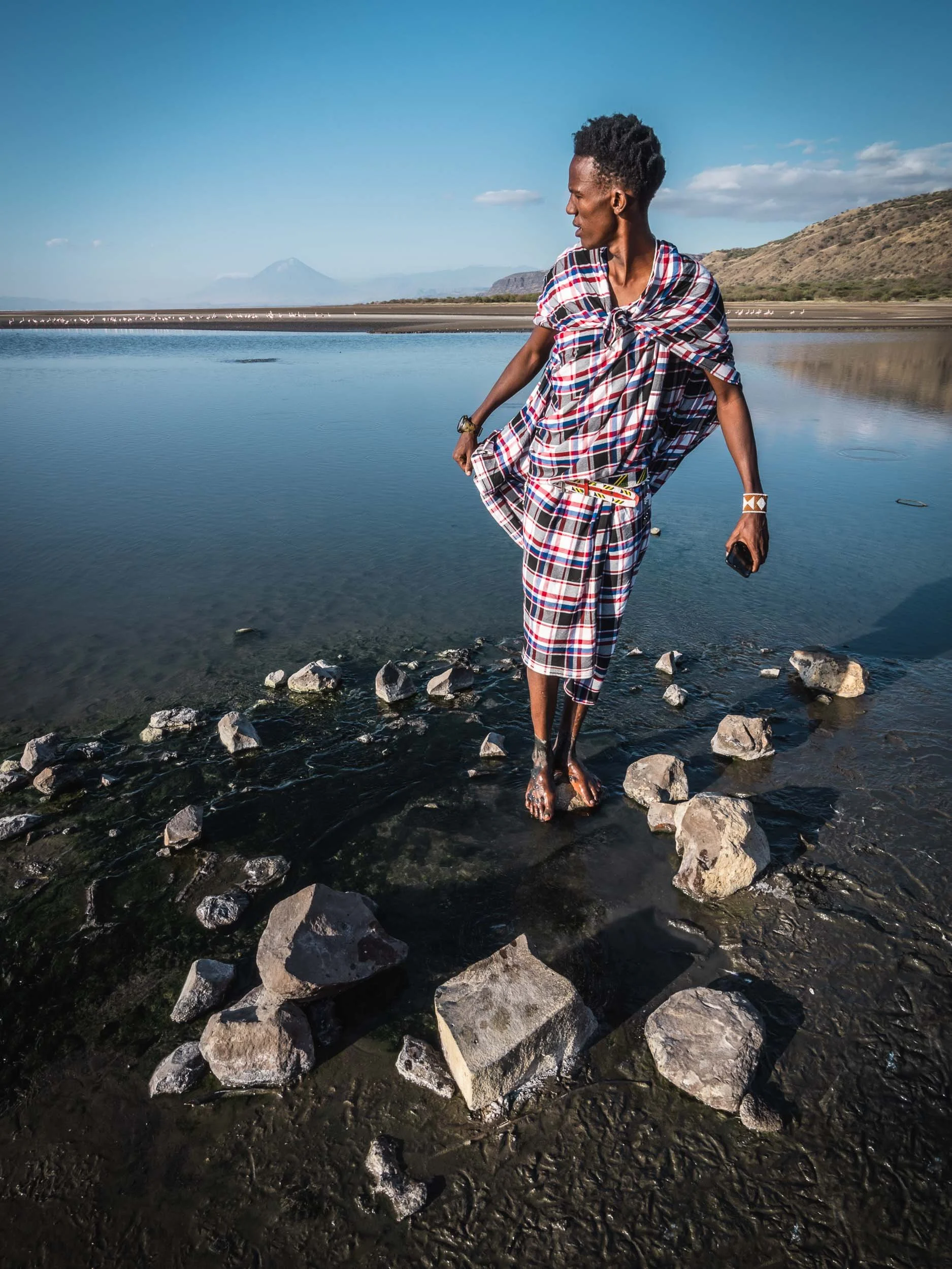
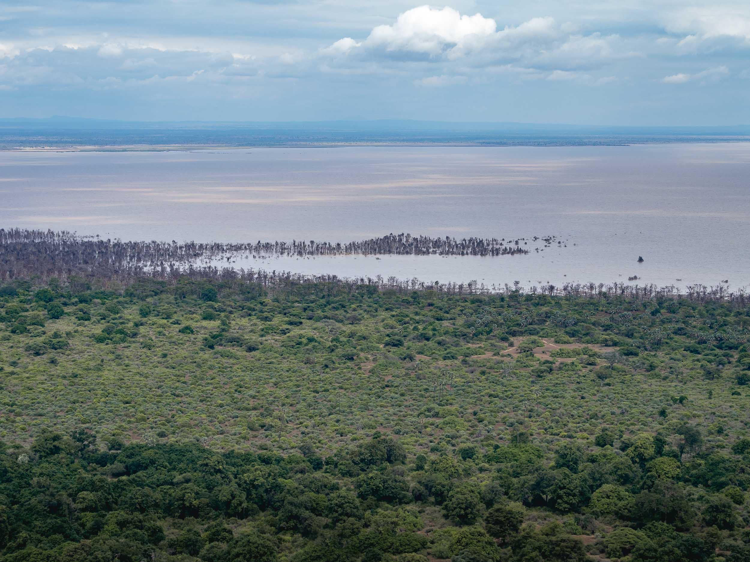
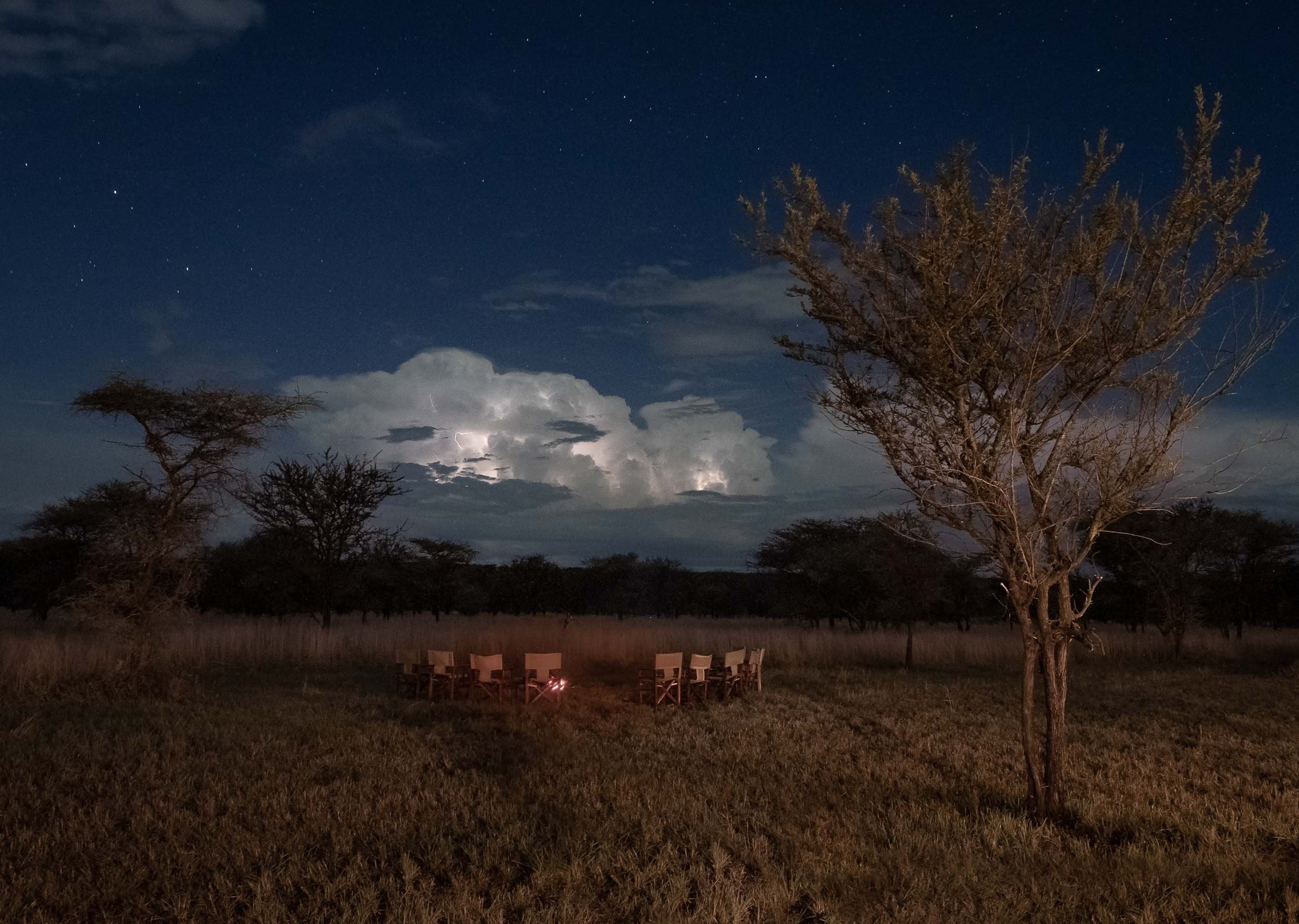
Lake Natron & The Mountain of God
A 6h drive through mostly bumpy dirt roads brought us to Lake Natron by the late afternoon, where I spent 2 days. The area is full of incredible natural wonders to explore, which I did with my great guide Mohammad, and a local Maasai called Mwenga, who was incredibly helpful, knowledgeable and friendly - and became a model for some of my photographs in the process.

The area is also home to the beautiful Ngaresero Waterfalls - a small hike through the canyon rewards you with these views and an optional very wet exploration of a small cave under the waterfall.


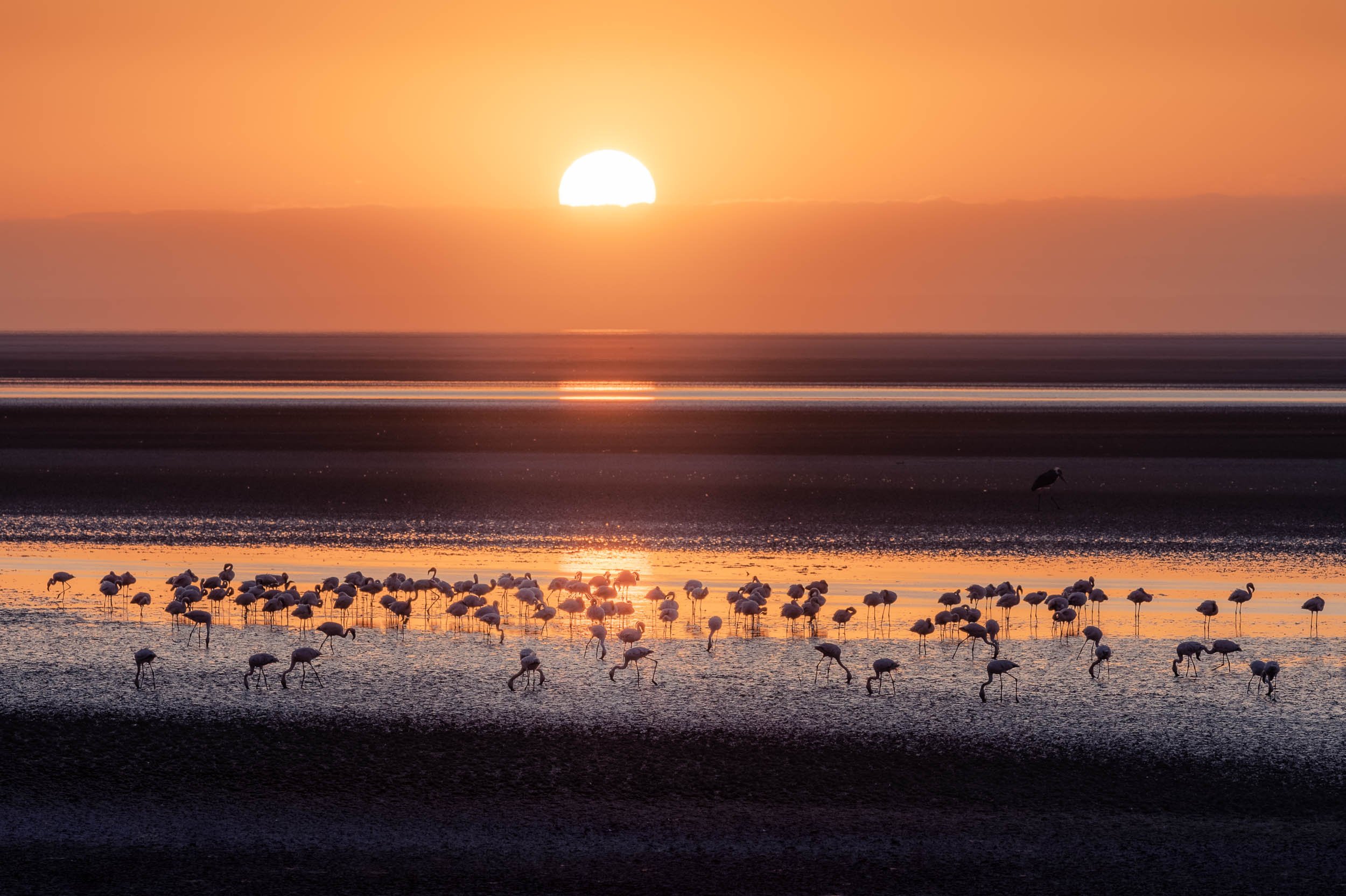
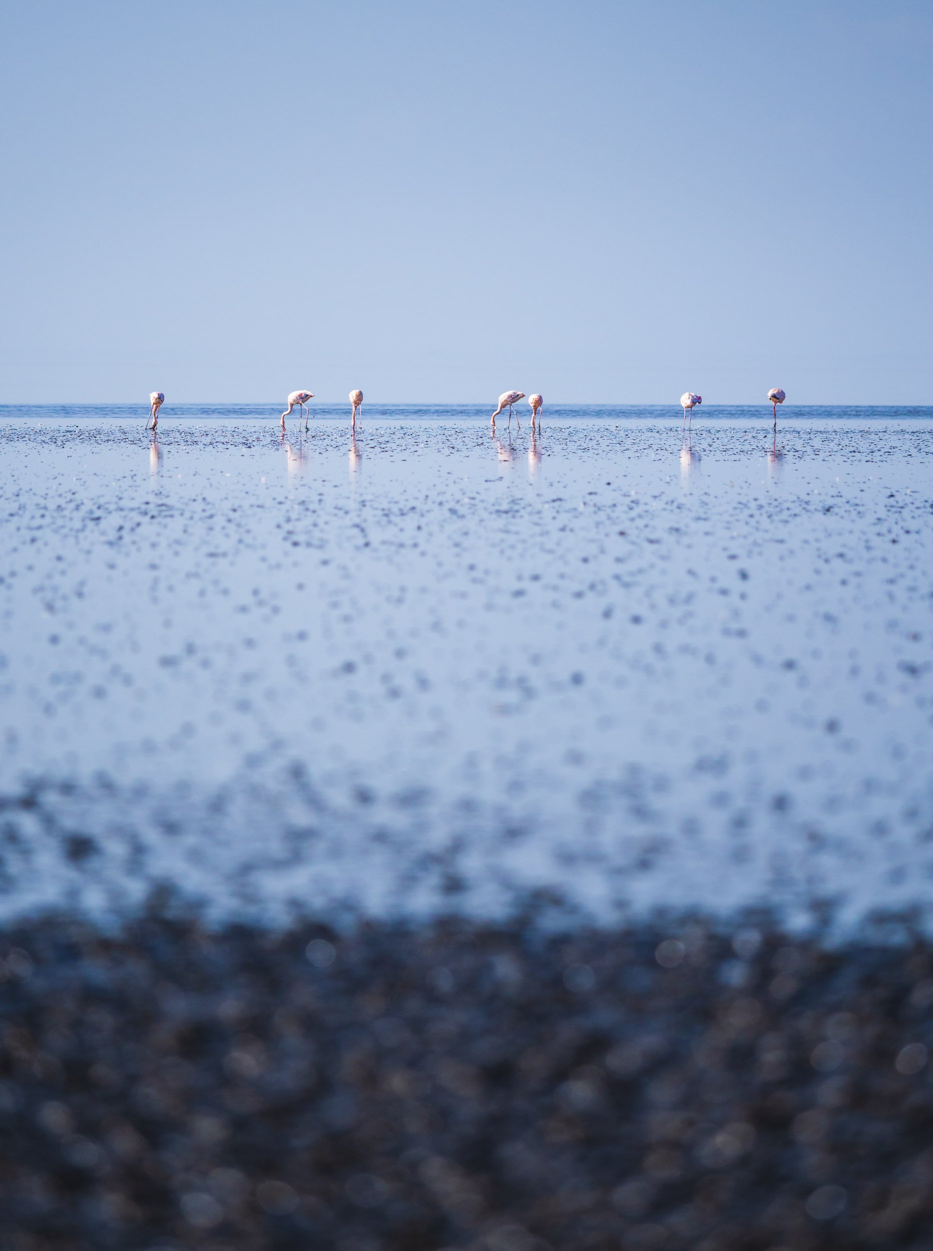
Flamingo Lake with Special Features
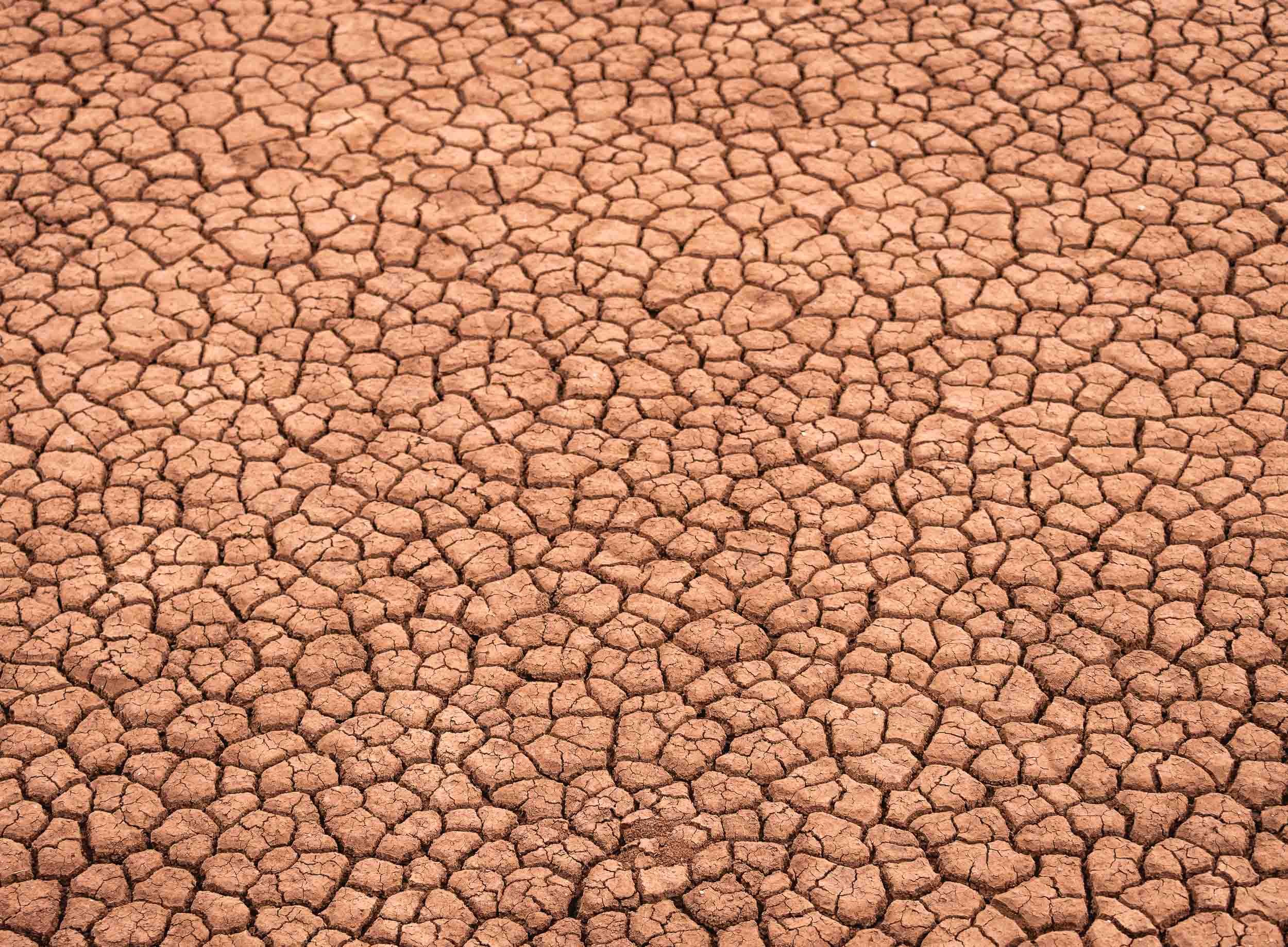
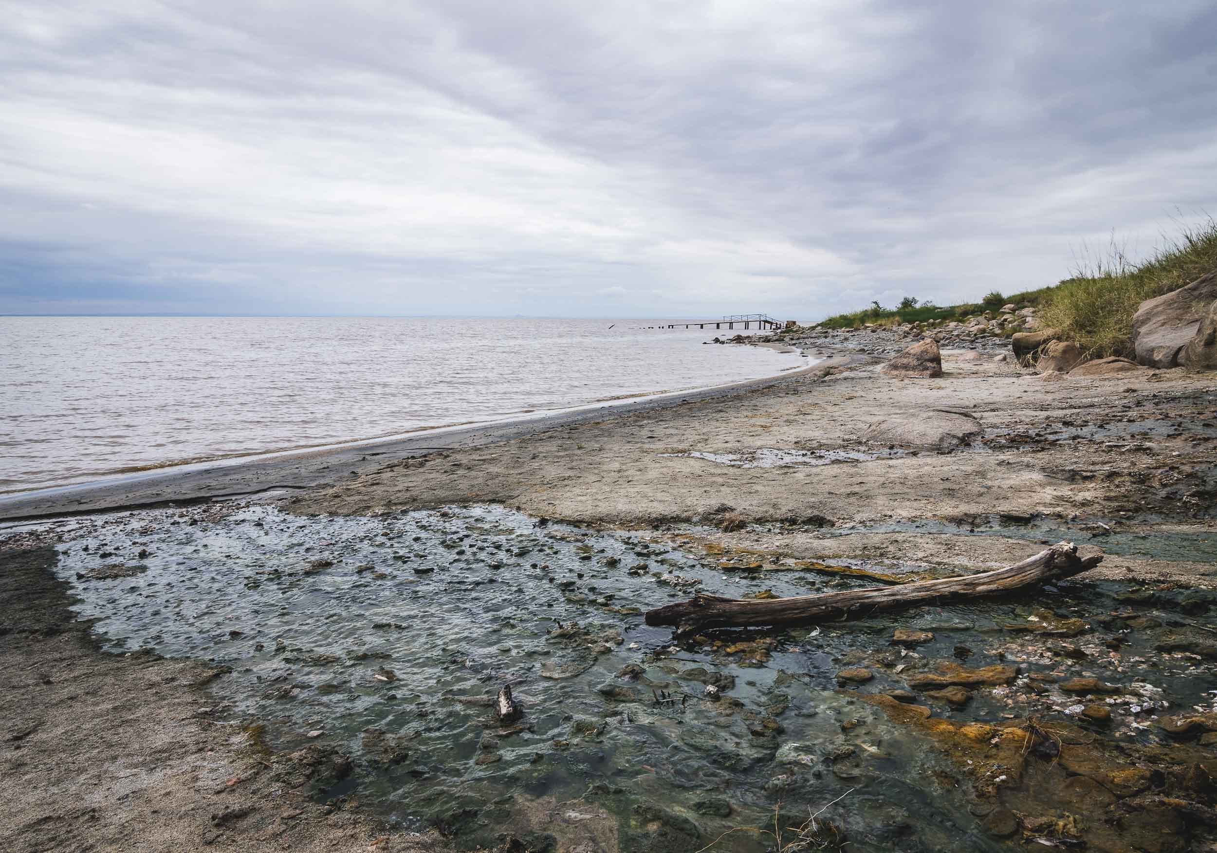
The lake is the only regular breeding area in East Africa for the 2.5 million lesser flamingoes, and also home to Greater Flamingo and many other bird species such as Pelicans. Its high salt content and temperatures up to 60C make it inhospitable for many other animals, including predators, but supports the development of organisms these birds feed on. These organisms are also responsible for the lake’s reddish hues, best seen from space. Despite the lake’s massive size (a maximum of 57 kilometres x 22 kilometres), it is only up to 3m deep.
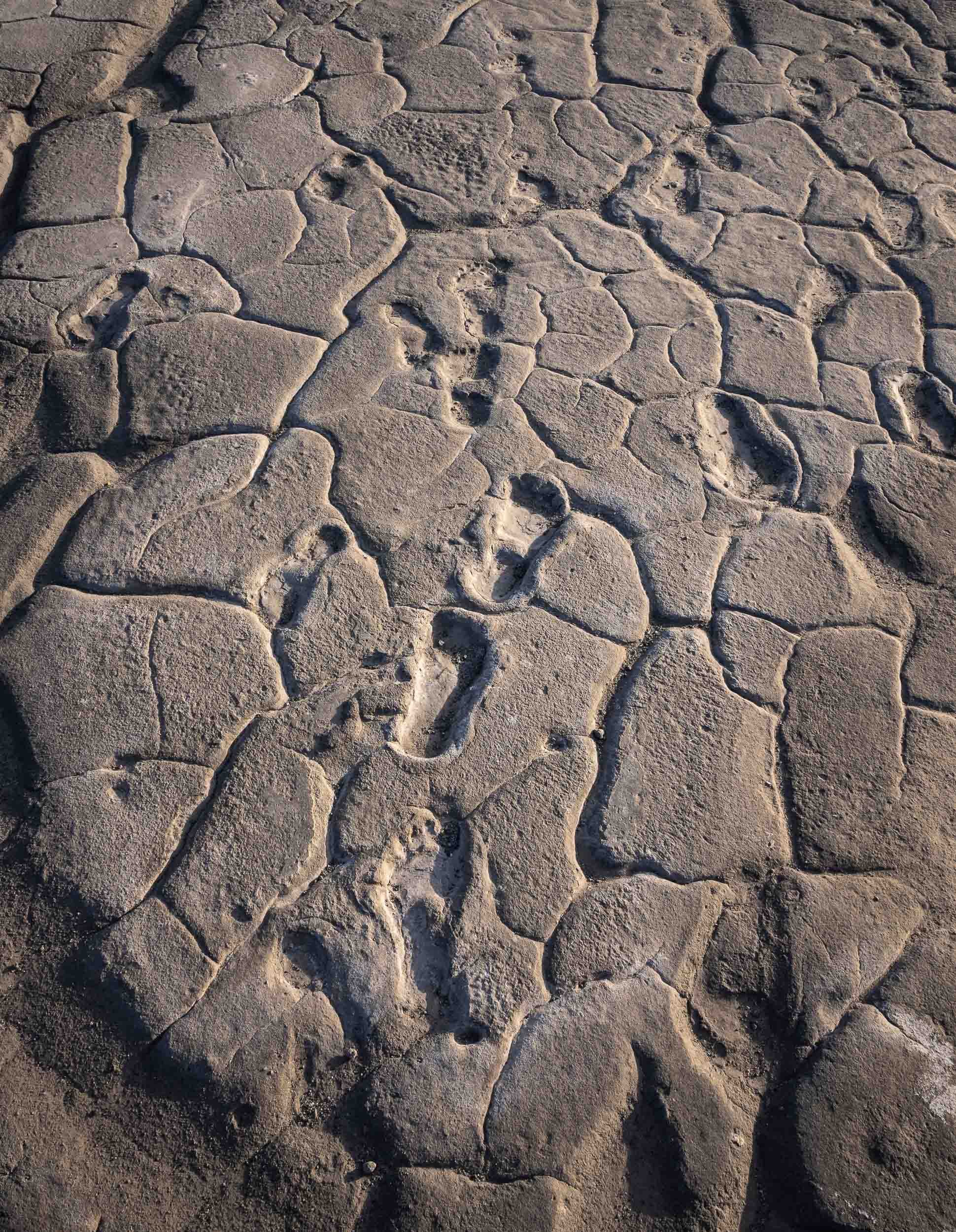
Human Traces
Tanzania’s Wildlife Parks
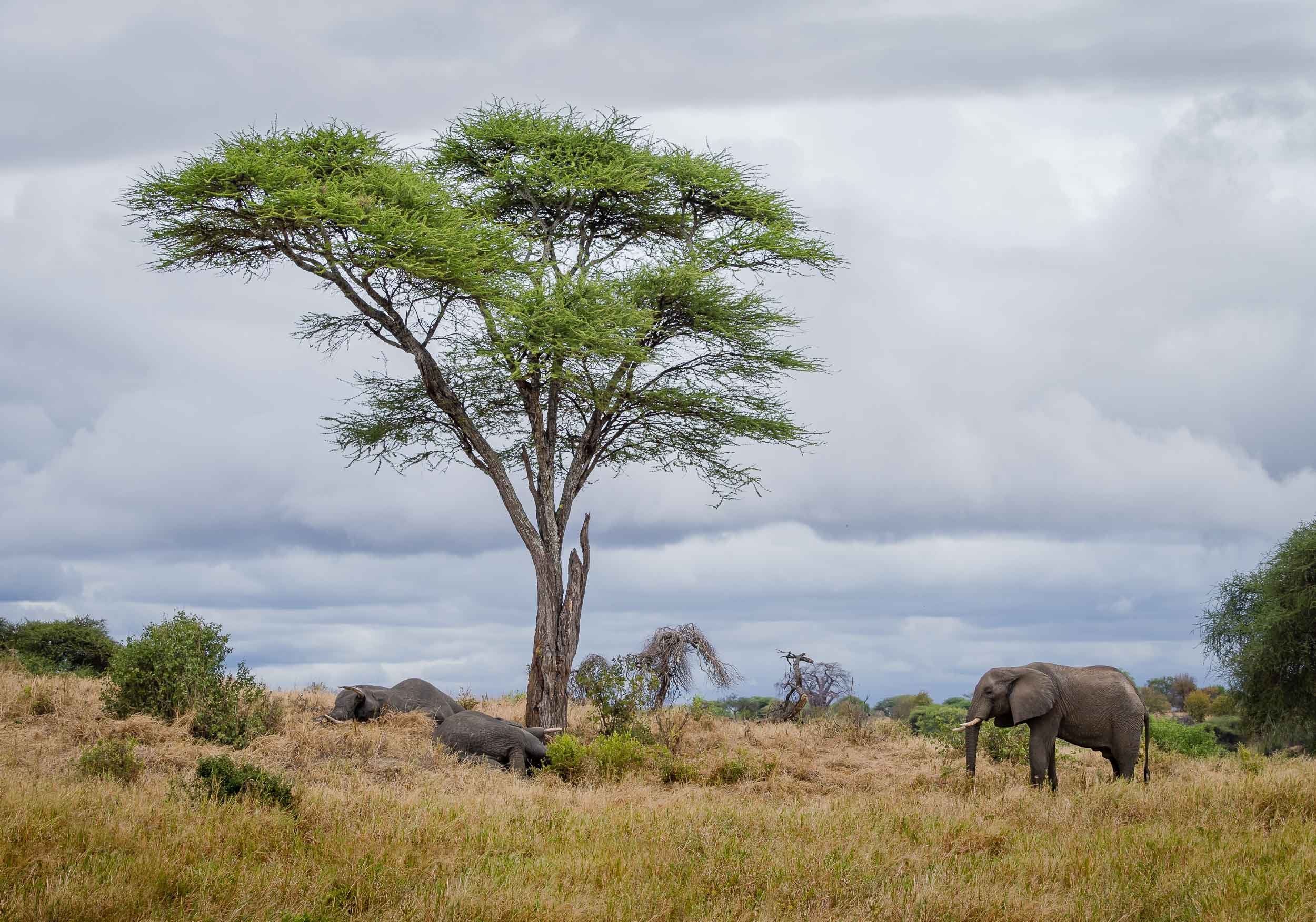
Arusha was the starting point for the second part of my Tanzania trip, a wildlife photography journey with Andrew Goddard, organized by Guiding the Wild. We started the trip through the country’s parks in the north with Tarangire, followed by Lake Manyara and its national park, and the Ngorongoro crater and region, as well as the Serengeti.
Tarangire
An afternoon game drive in the park.


Lake Manyara
A walk on the lake followed by a visit to the thick rainforest of the Lake Manyara National Park, both together a UNESCO Biosphere Reserve.


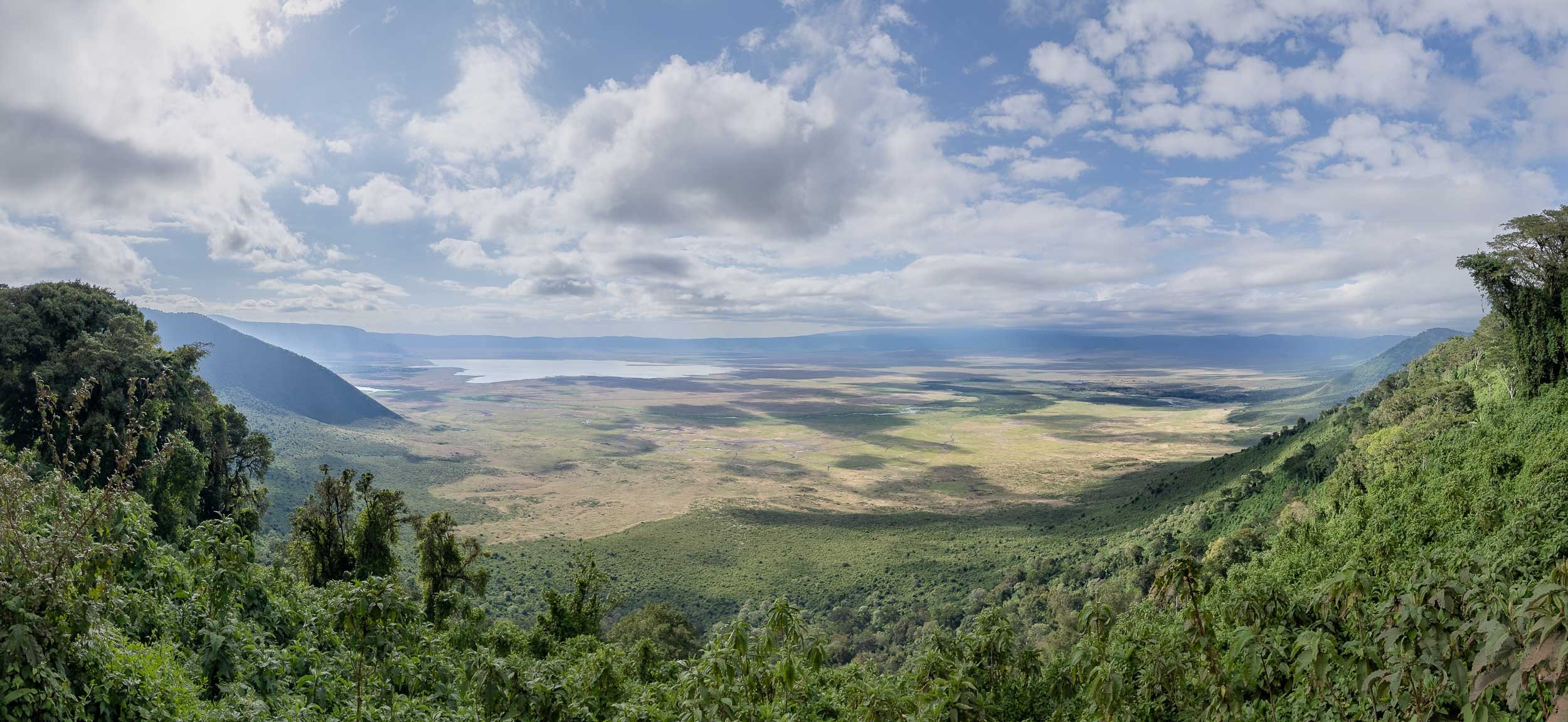
Ngorongoro Conservation Area and its Crater
The highlands and their famous volcano, with the world's largest inactive, intact and unfilled volcanic caldera, were our next destination - a UNESCO World Heritage Site.


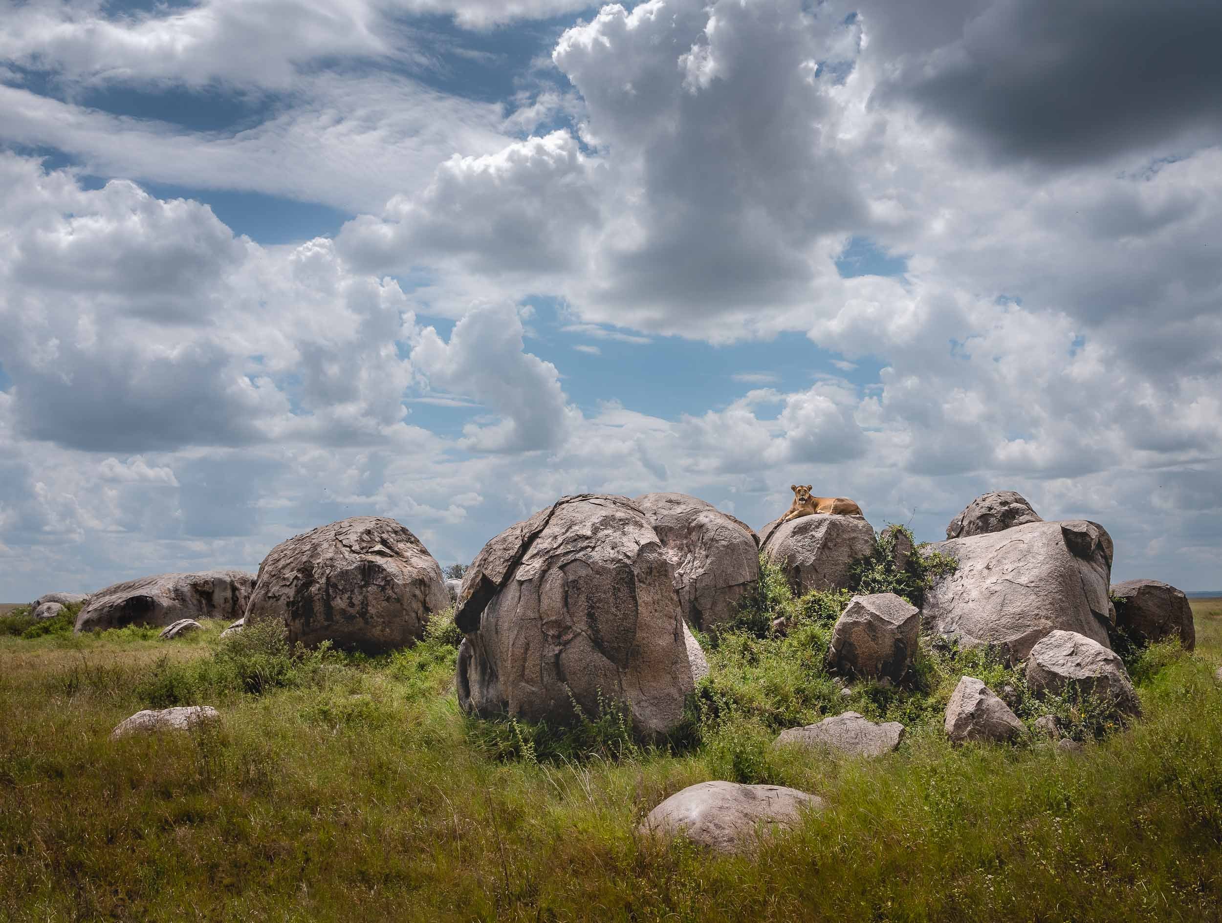
In the Ngorongoro Conservation Area, we encountered this Cheetah mother and her two cubs with a fresh kill near the Ndutu lake. One of the cubs happened to look for some shade under our vehicle for a while, with barely its tail sticking out beside the tire. The mother had a GPS tracker for ongoing research, due to the declining population in the area.


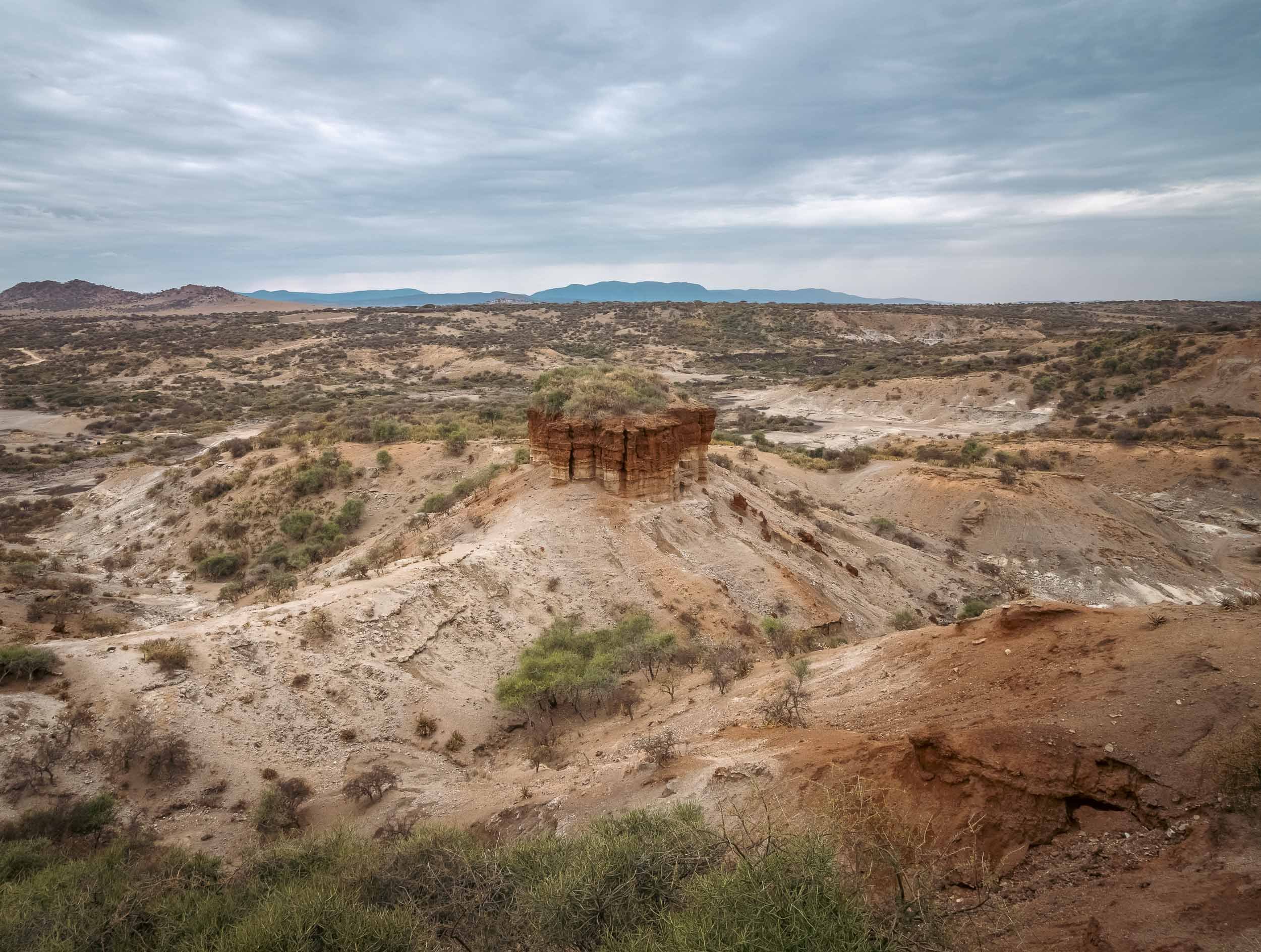
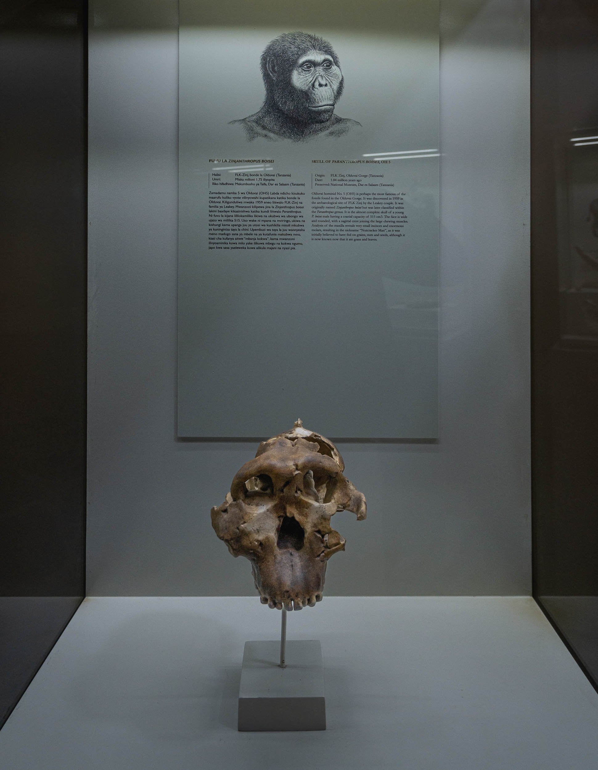
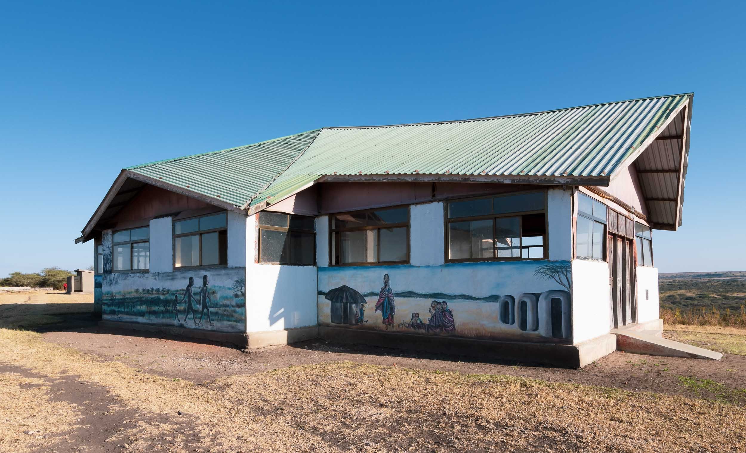
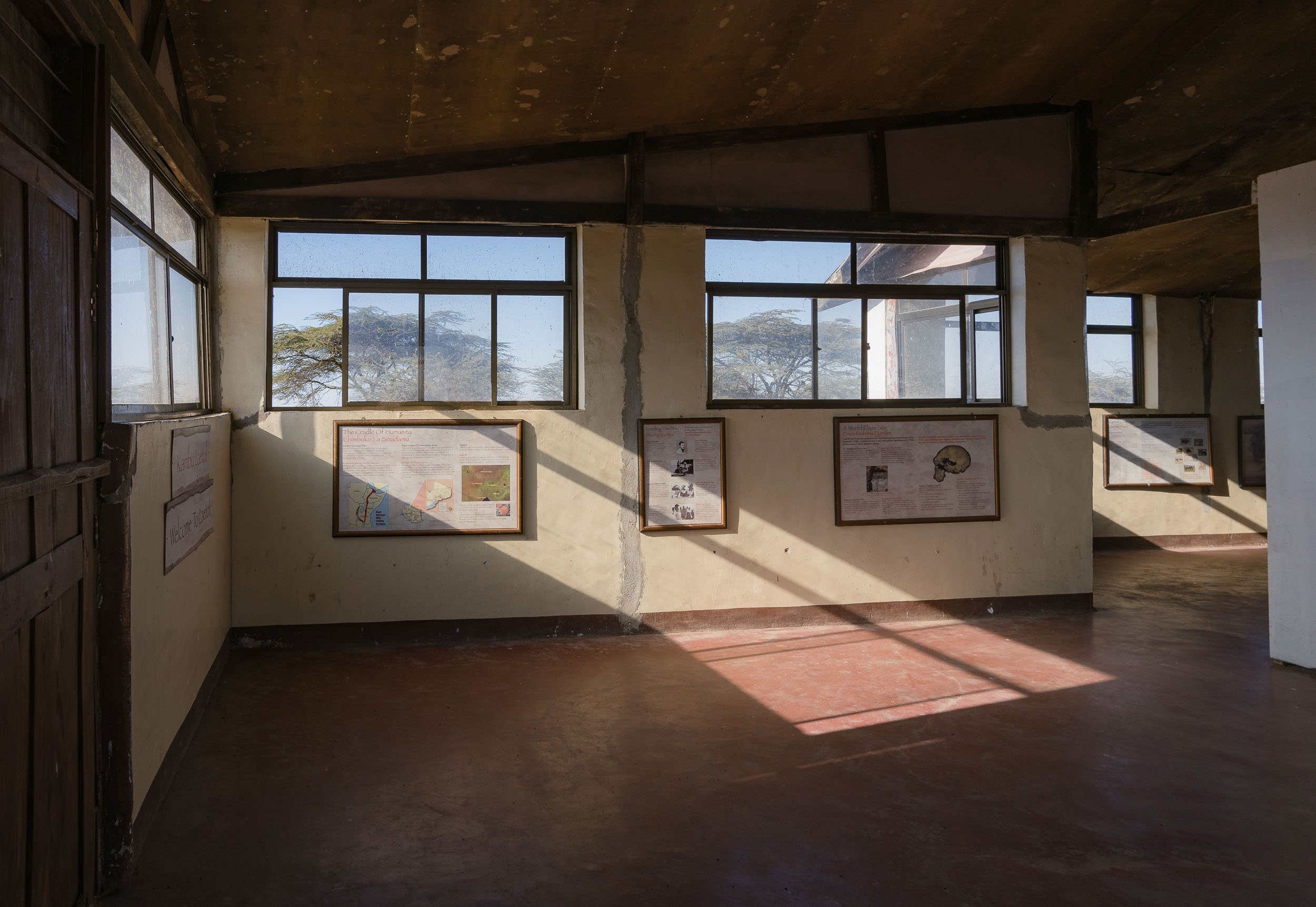
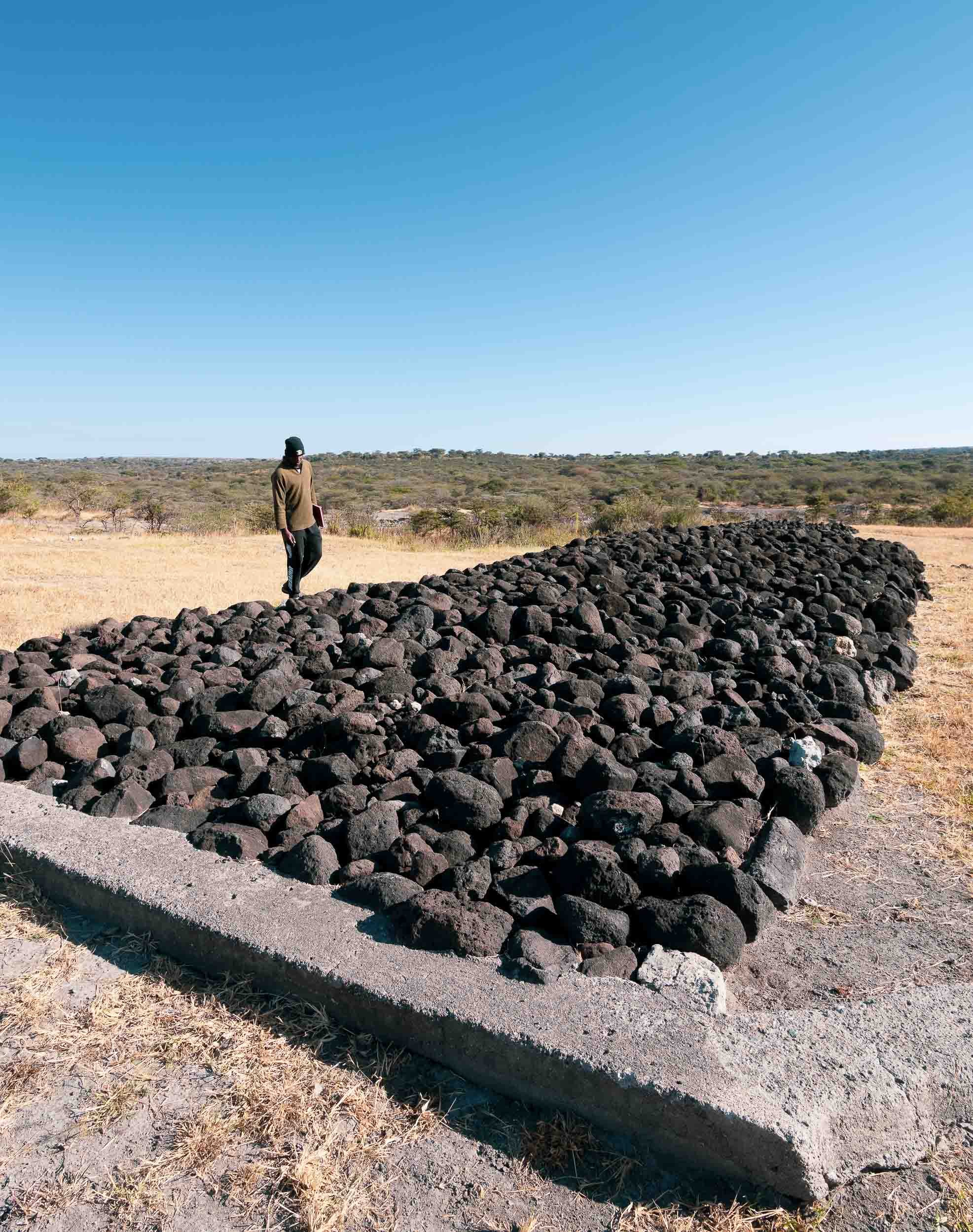
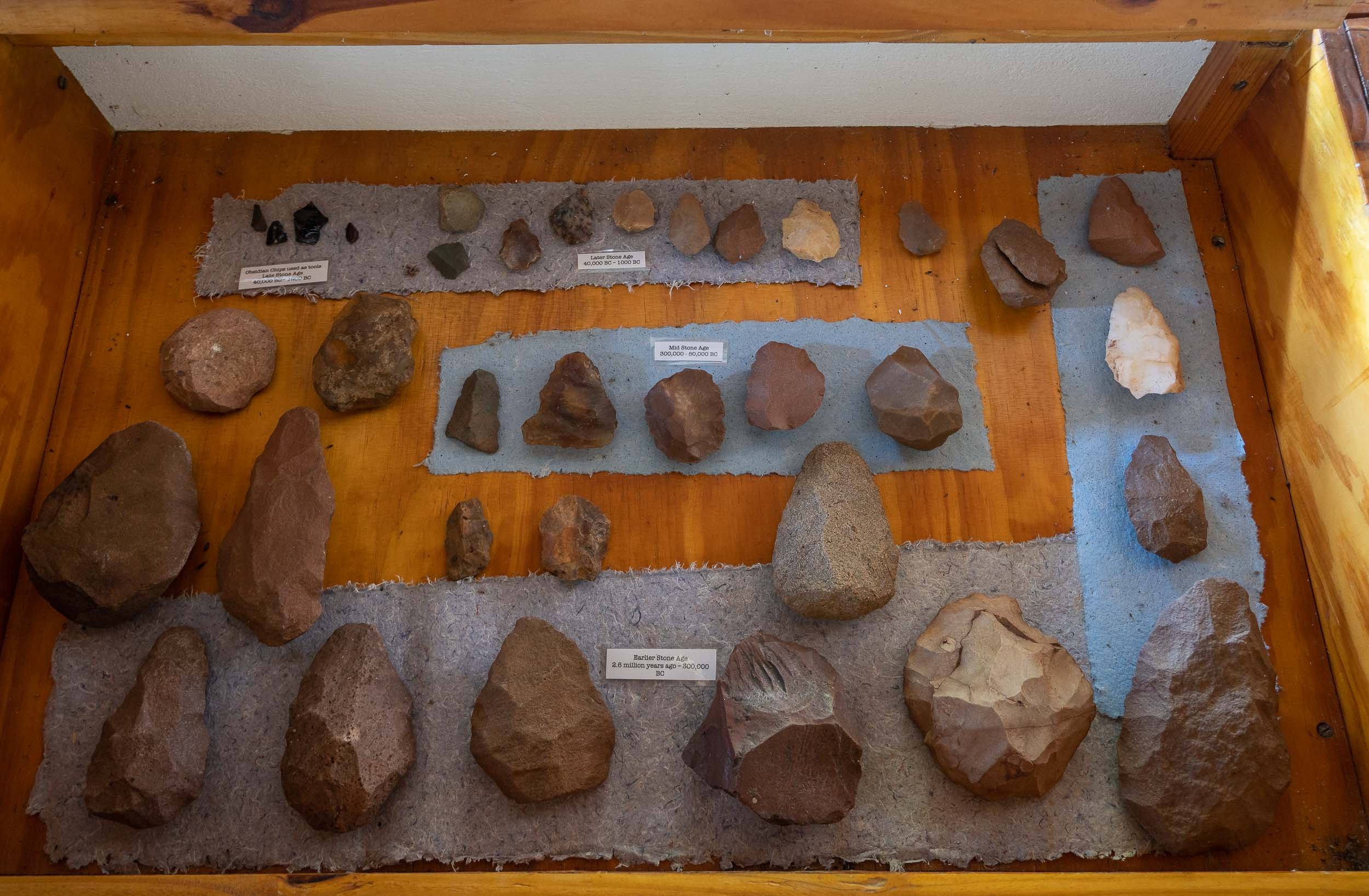
The Seat of Humanity
The Ngornogoro region is also home to Tanzania’s most treasured prehistoric sites, which played an essential role in understanding human evolution. I took some detours from the standard route to reach two such places.
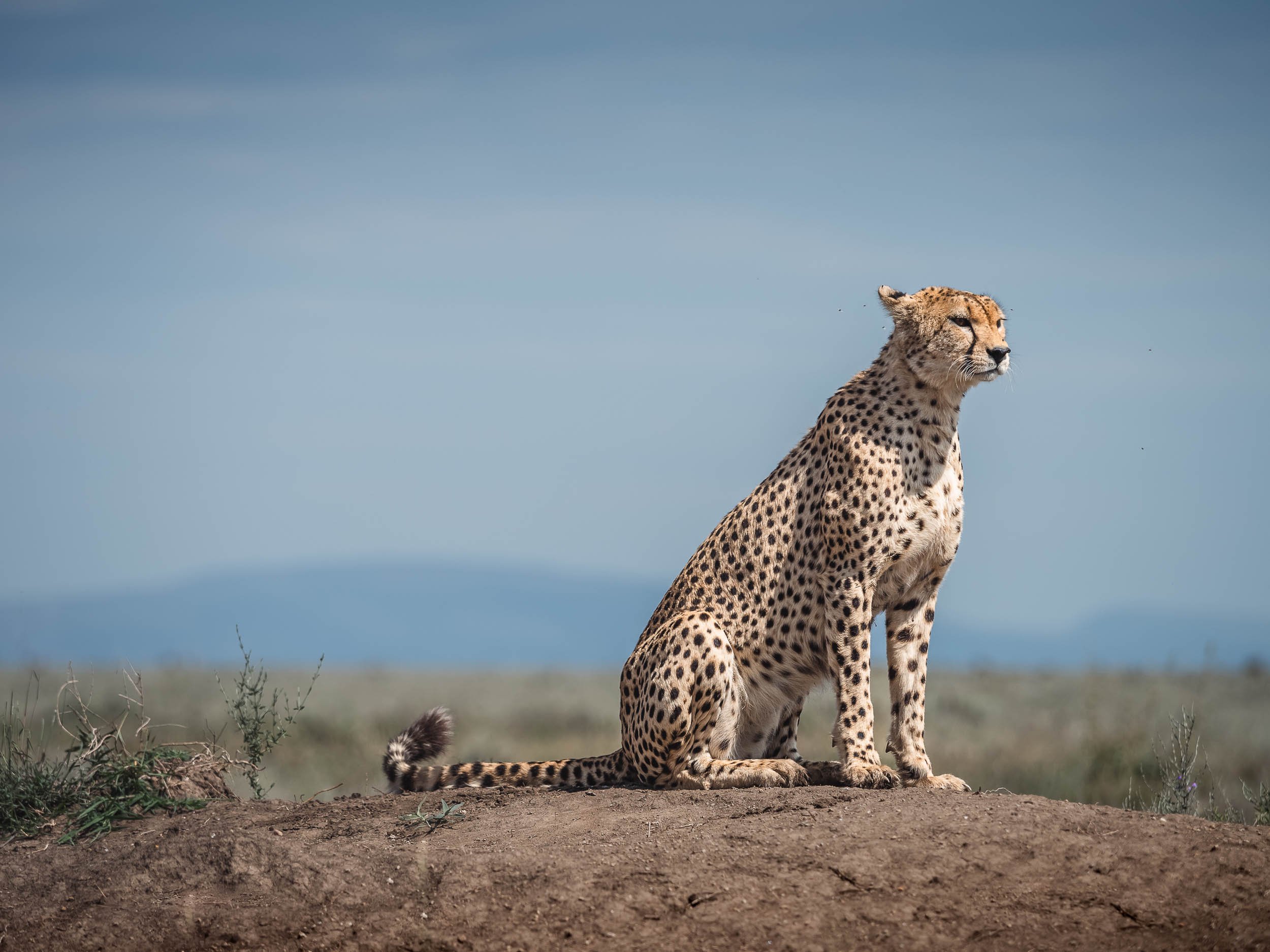
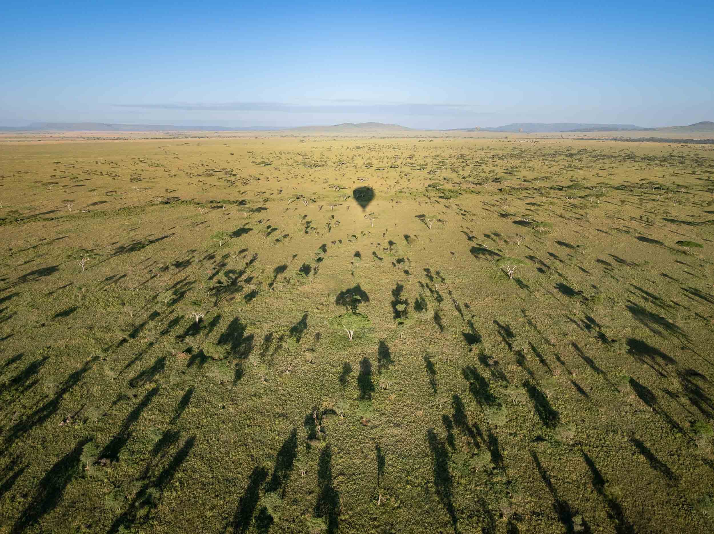
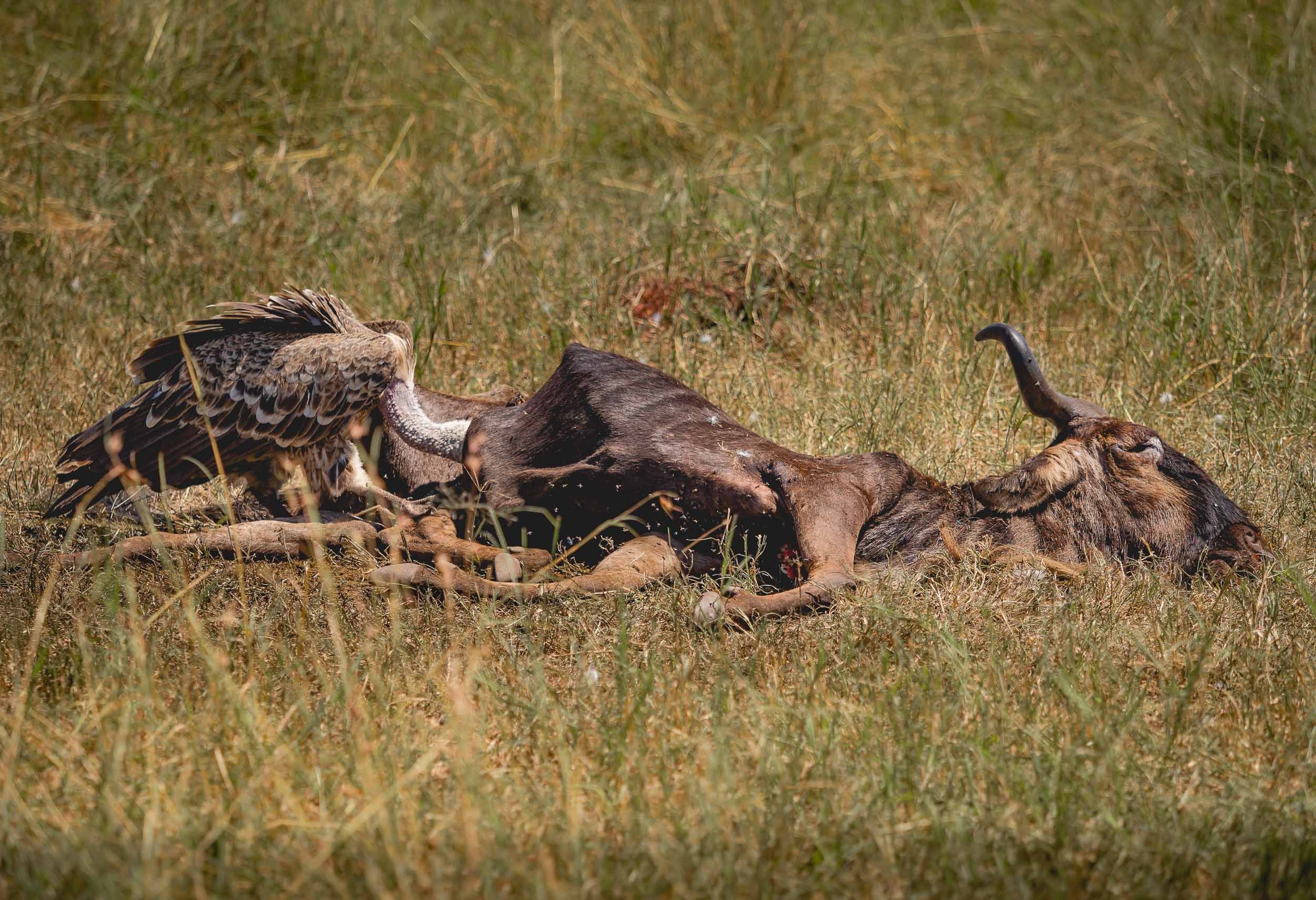
The Serengeti from the Ground - and from Above
A collection of wildlife images from what is maybe the most famous National Park in Africa, covering almost 15,000 sqkm - it is aptly named after the Maasai word siringet, meaning "the place where the land runs on forever".


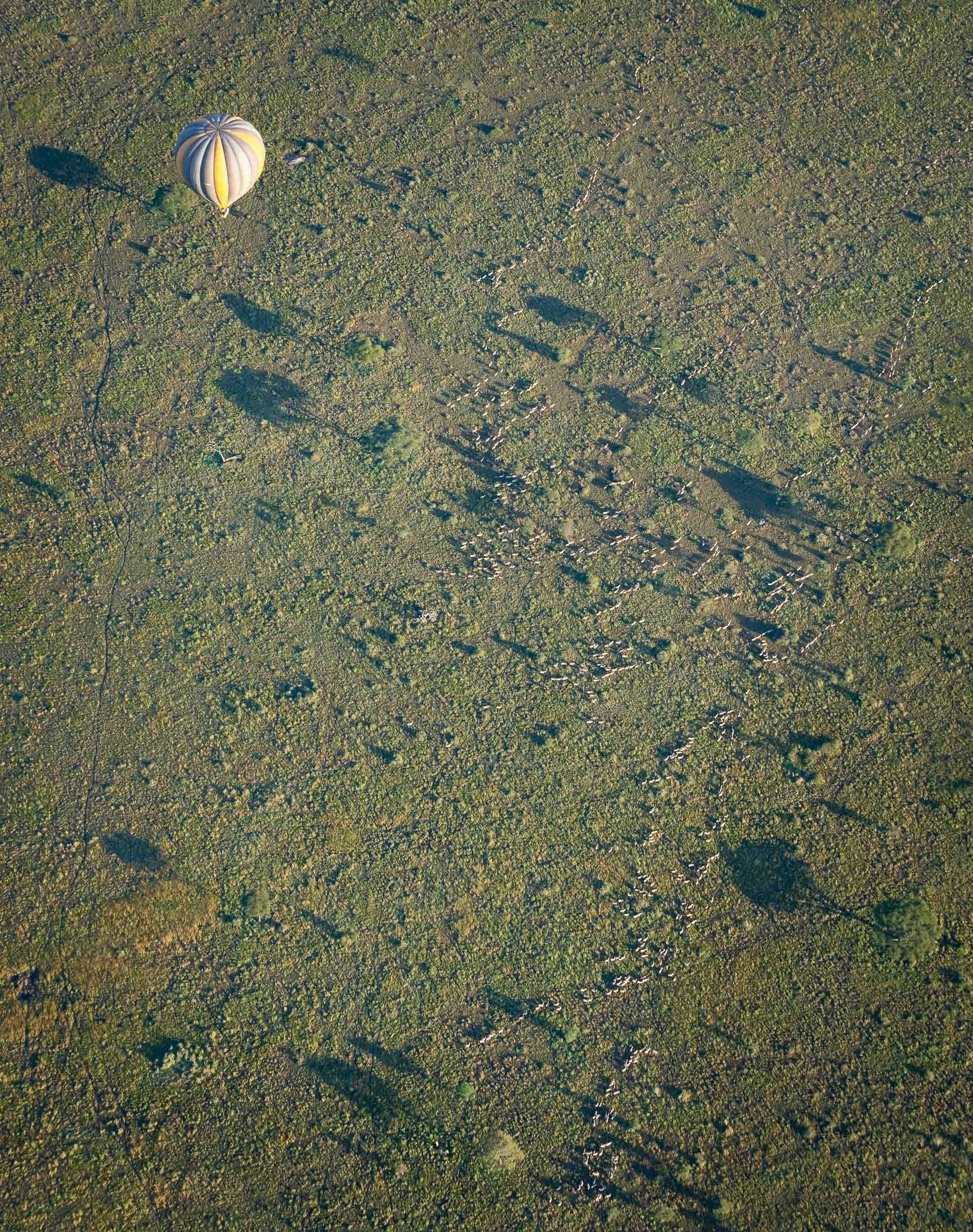
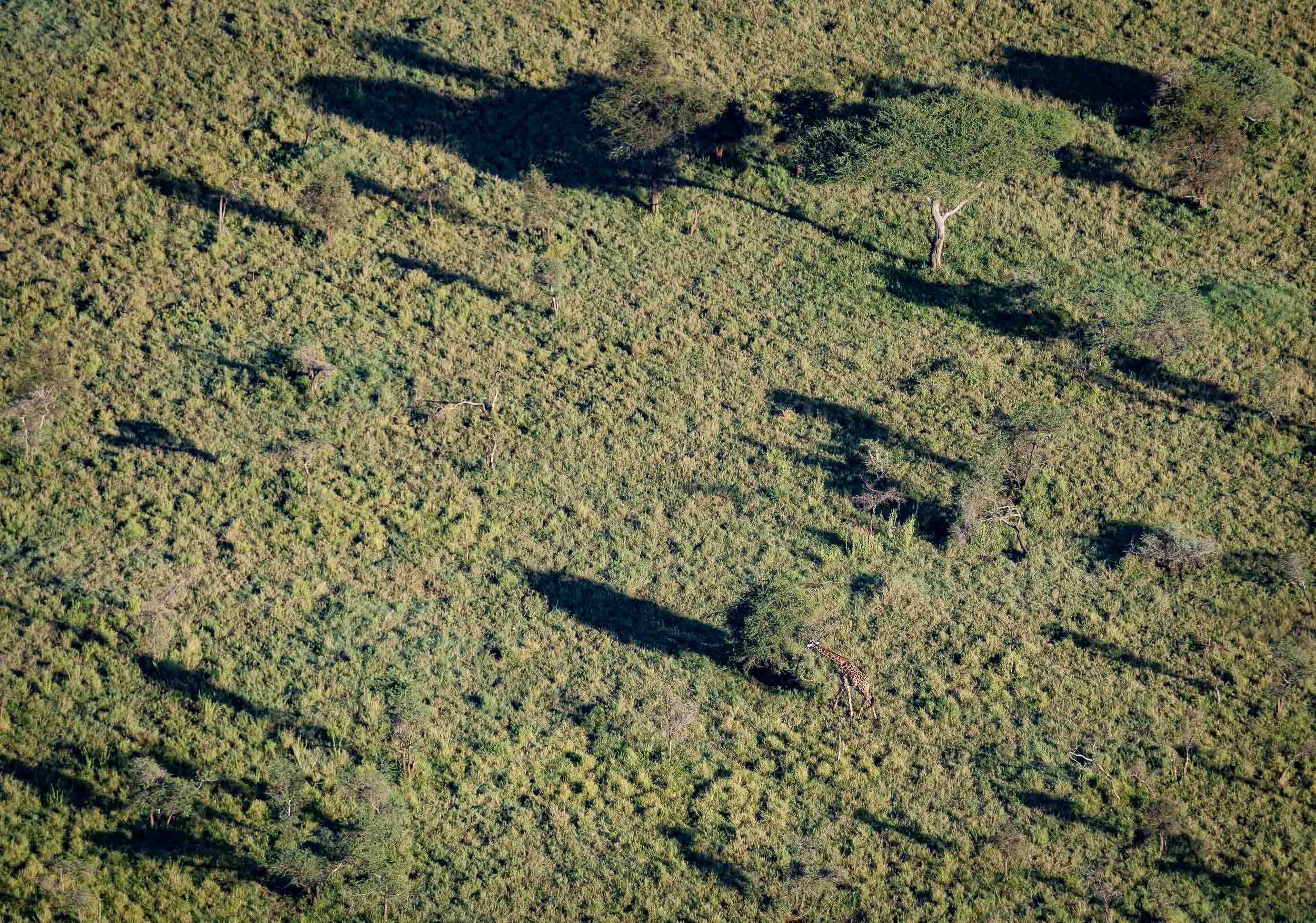
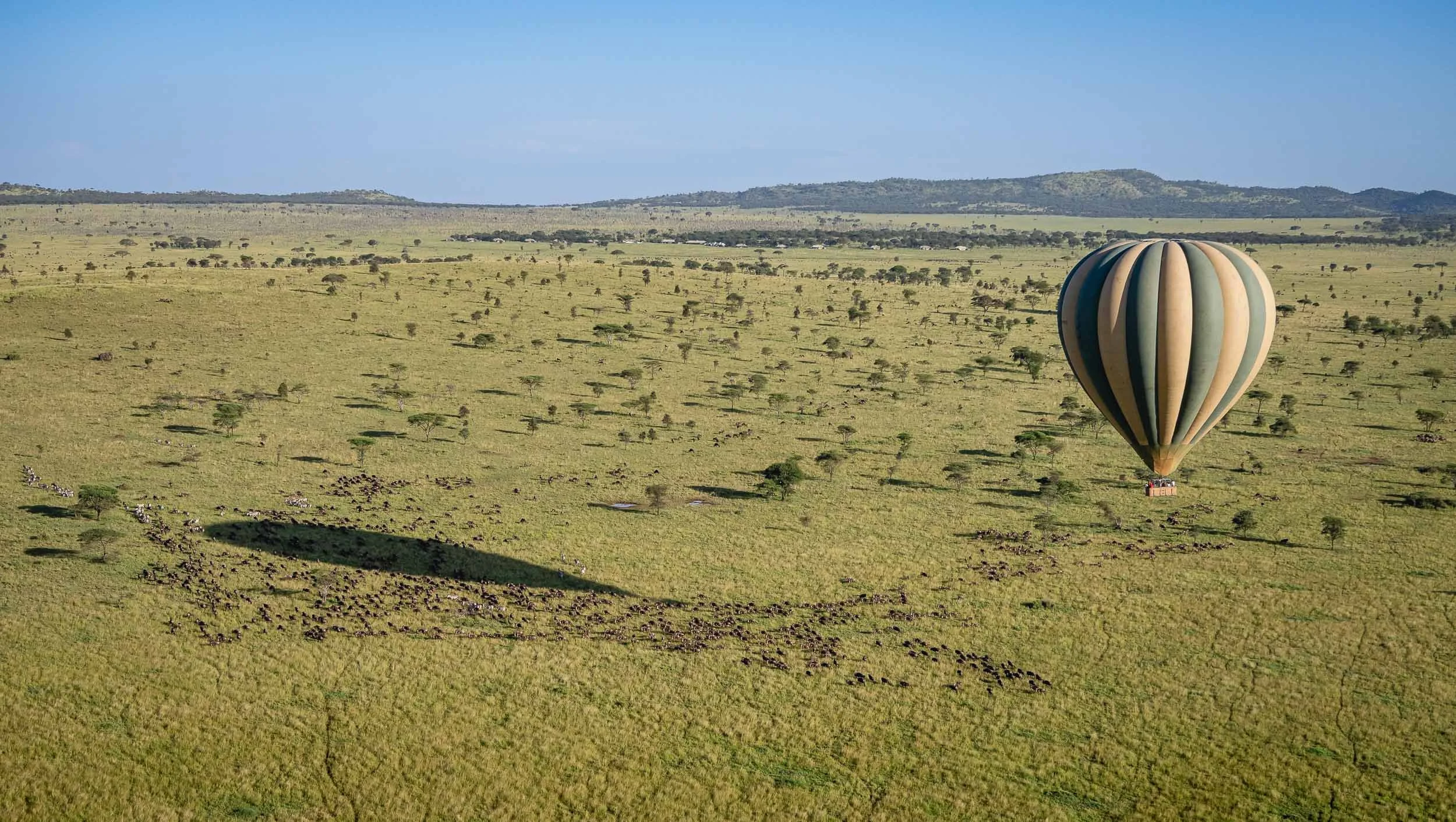
While the Serengeti is impressive from the ground, an aerial view of its vast savannah and many animal herds take things to another level. After a - literally - bumpy start, we had a great balloon flight with Miracle Experience Balloon Safaris.


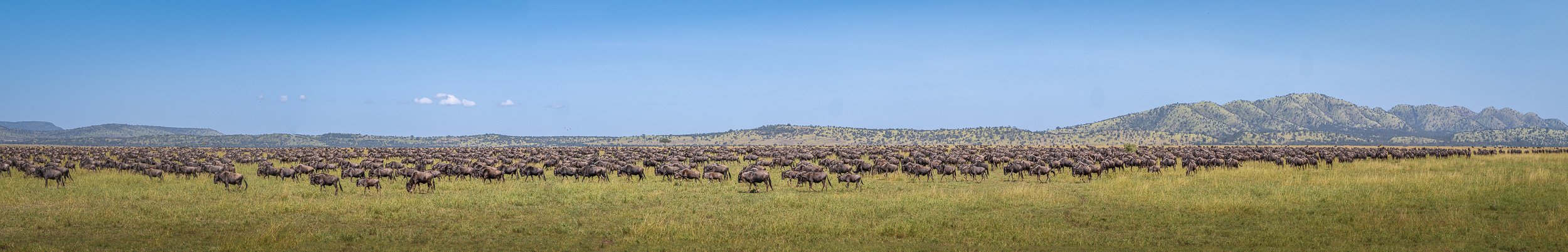
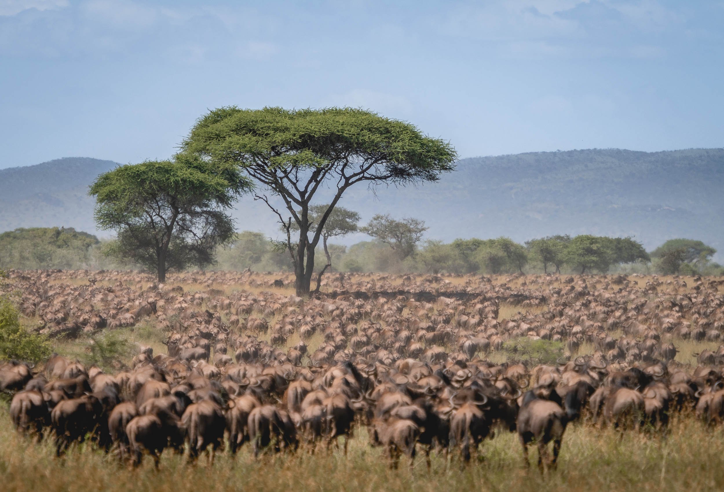
The Great Migration
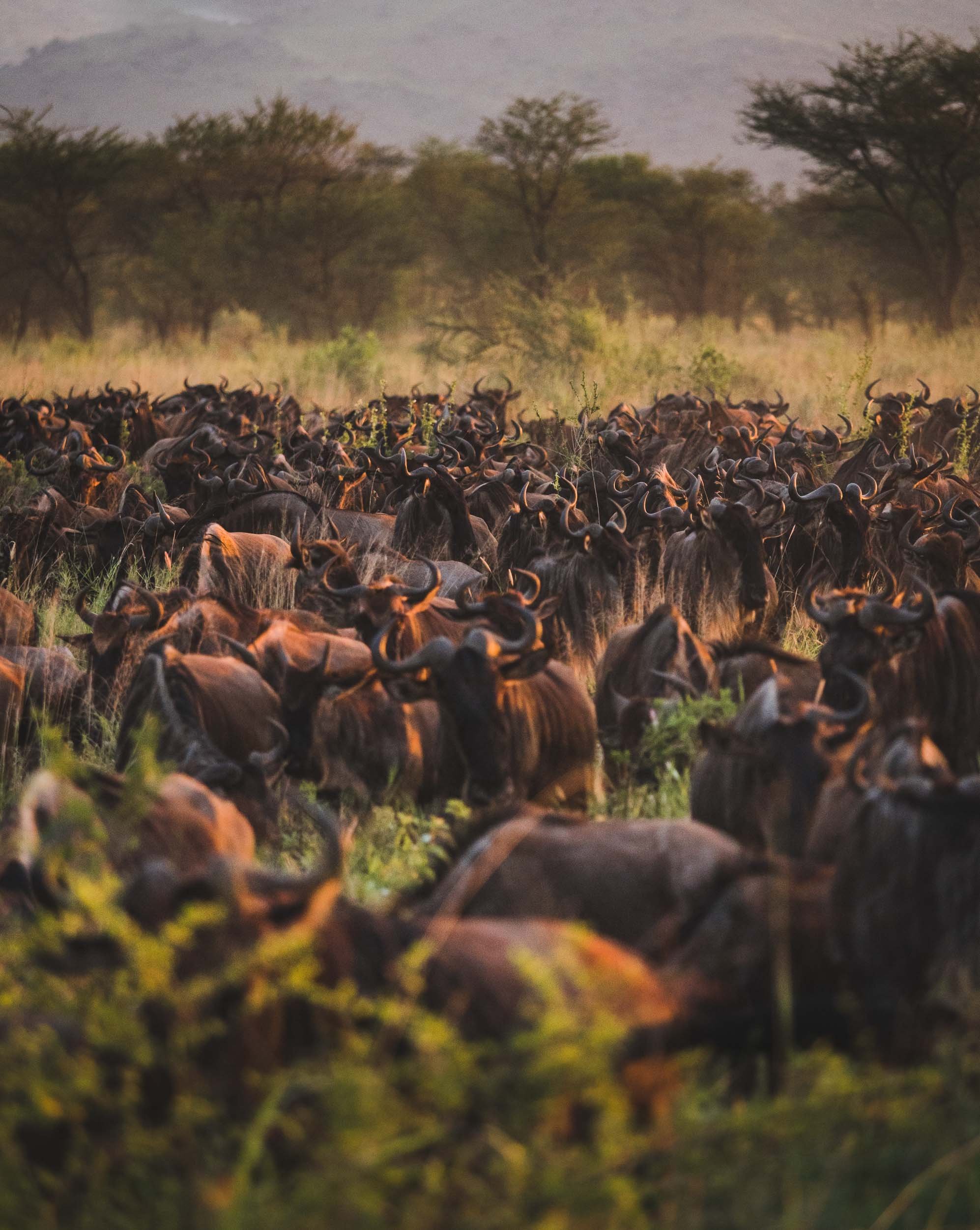
Why we came to the Serengeti: The world’s longest animal migration, with 1.5 million wildebeest and 250,000 zebras following the rains in an 800km circular route every year. We caught it in full swing, with the largest herd we saw approaching 300,000 wildebeest according to our guides - it was an incredible sight difficult to capture in pictures.

My journey wasn’t as long and dangerous - hopefully still enjoyable to follow along.

Botswana - On The River, Above the Ground, And Under The Stars
My time in this landlocked country on south-western Africa was mainly focused on animal photography.

The third destination I visited during my Africa trip, was Botswana. My time in this landlocked country on south-western Africa was mainly focused on animal photography. Having said that, I could not help sneaking in a few rather unexpected Milky Way photos, read on to find out why that was the case.
This trip was with Pangolin Photo Safaris, specifically their 10 day - 3 location trip, which was well organized and covered a variety of wildlife and landscapes.

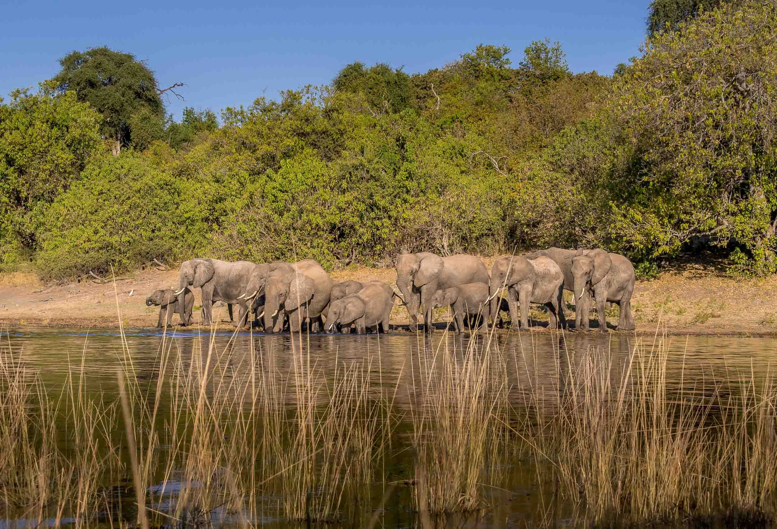
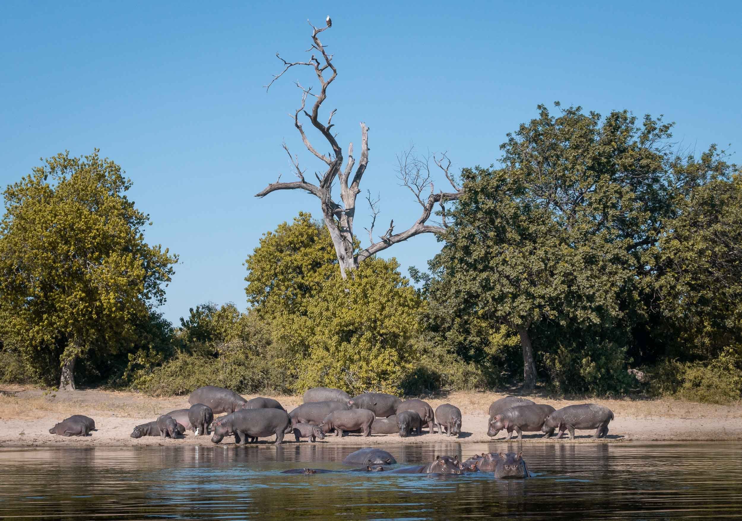
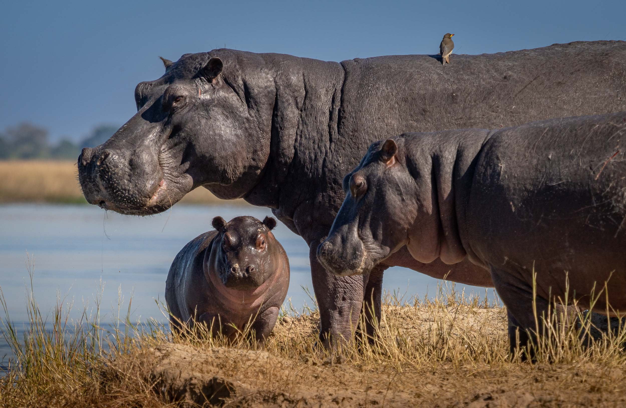
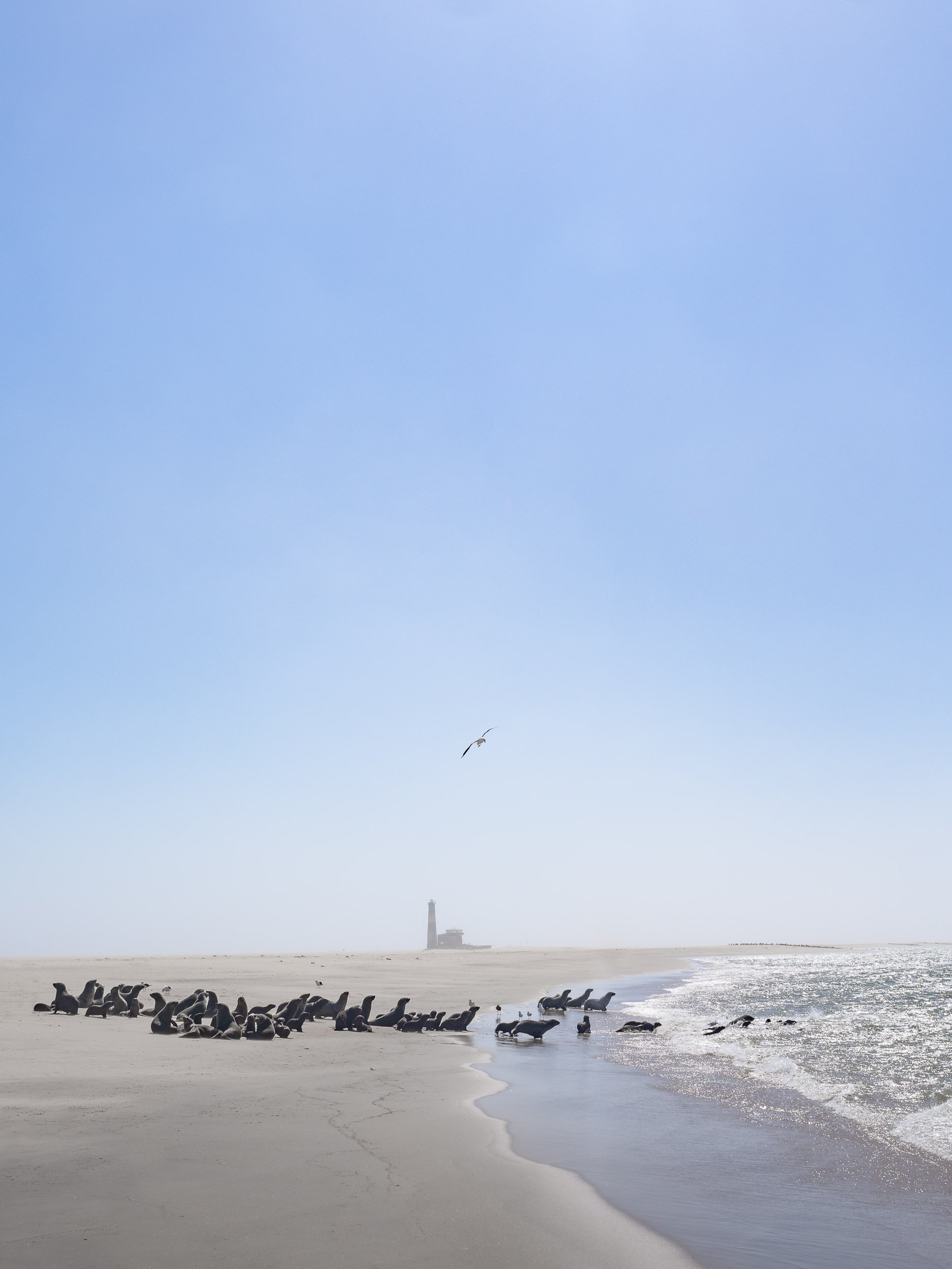
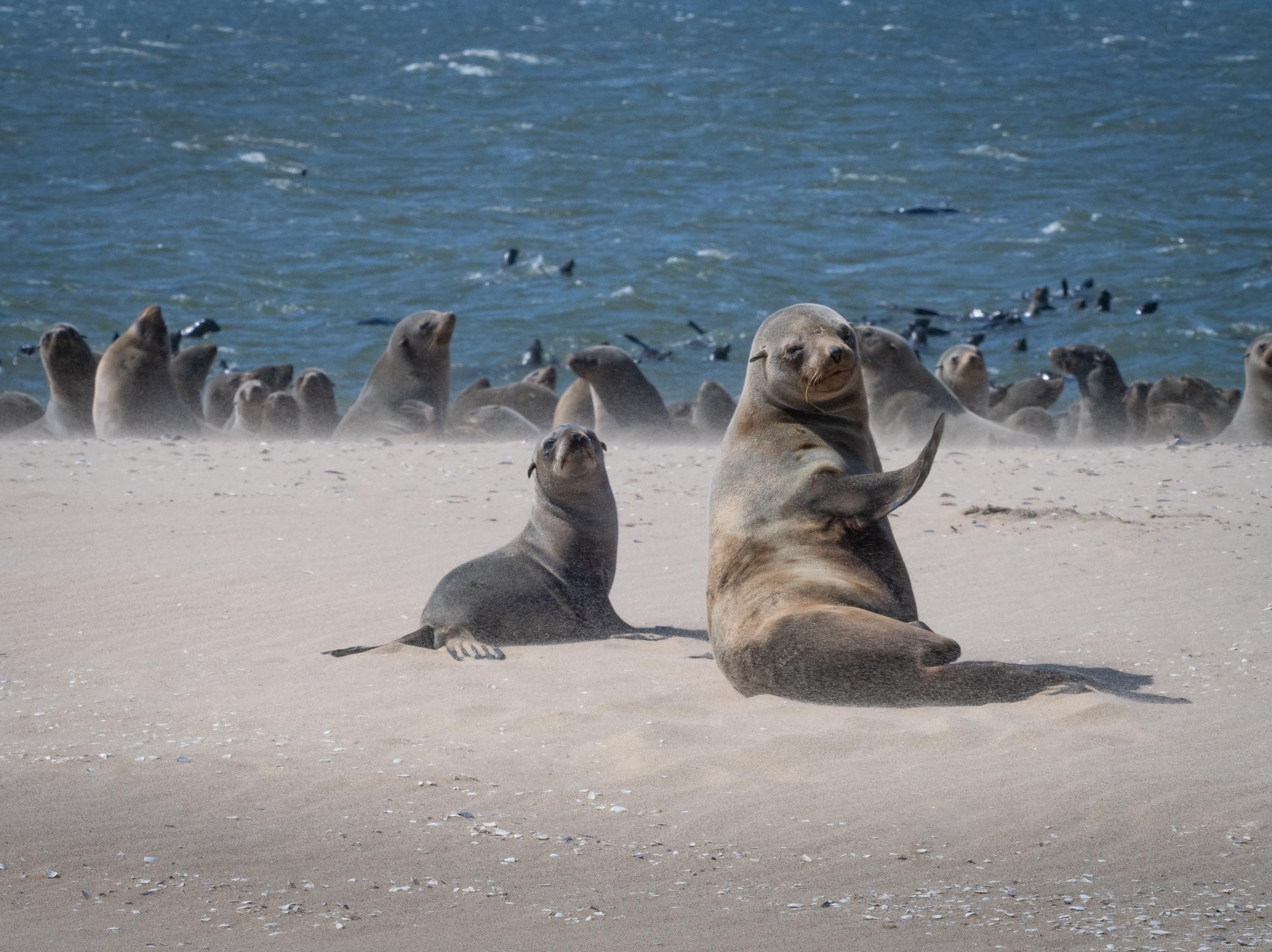
The Chobe River
Over the first 3 days in the country, we spent time on a houseboat cruising and mooring along the Chobe river. In fact, we were anchored on the Namibian side, so one could argue that some of these photos show Namibia, and some show Botswana, depending on which side of the shore the animals stood ;).

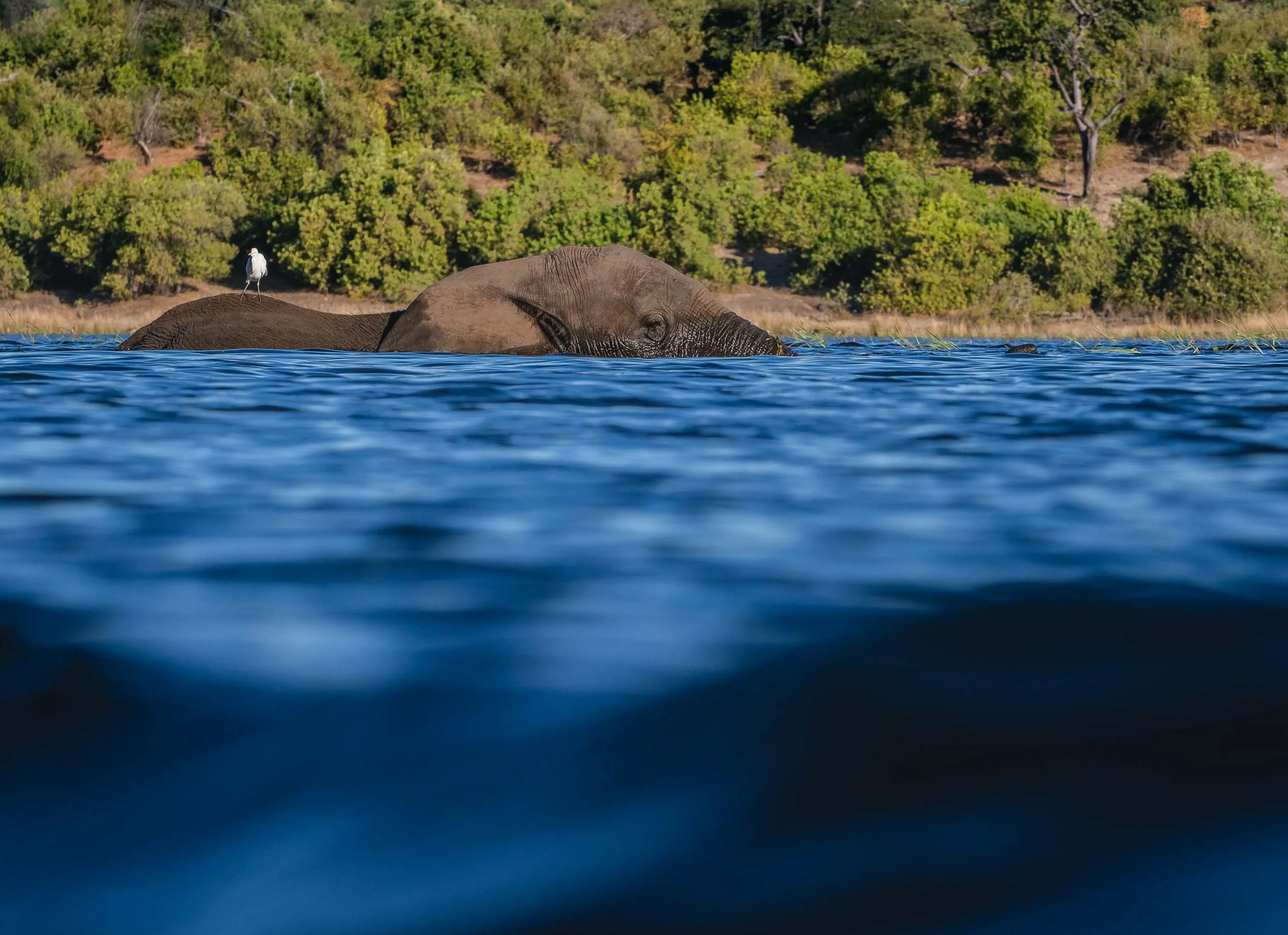
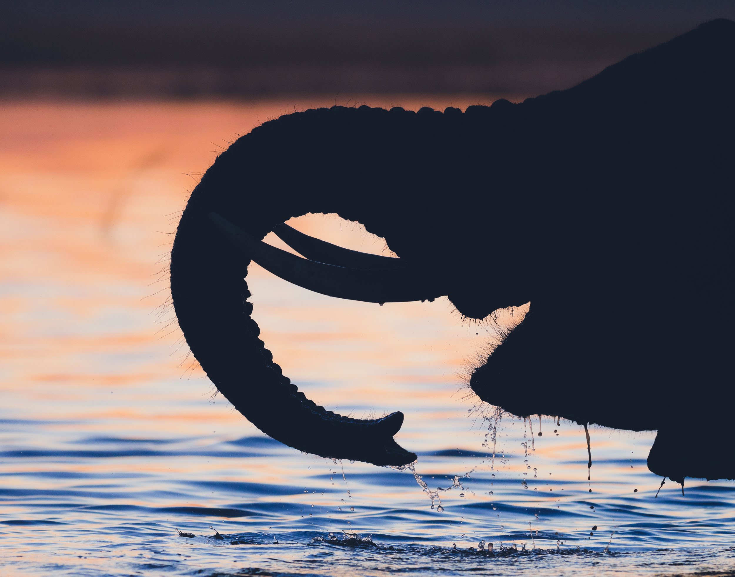
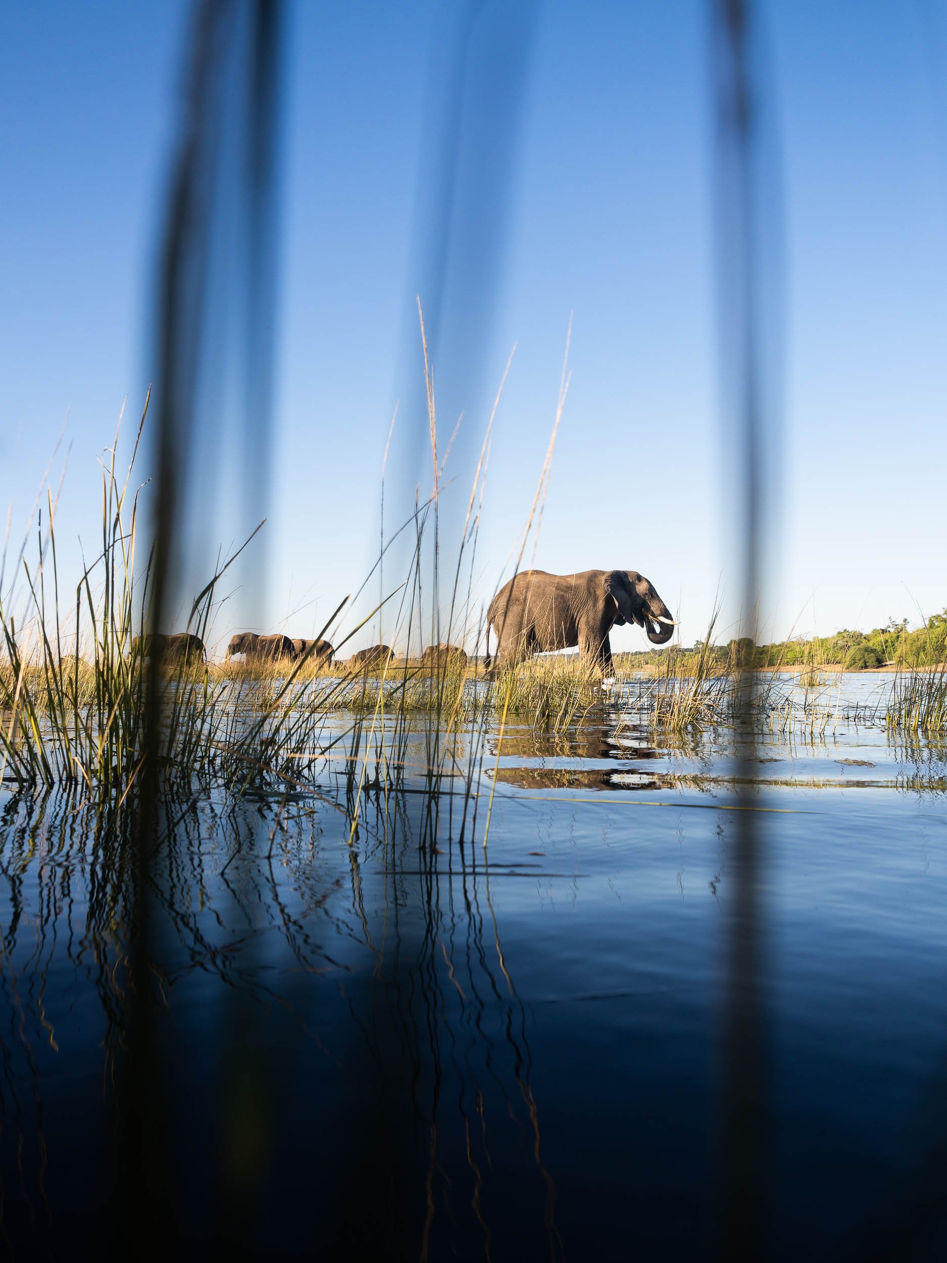
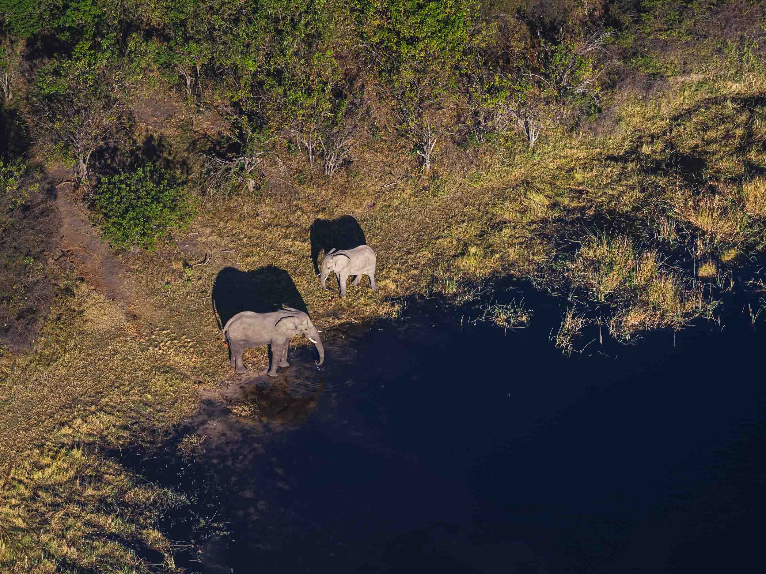
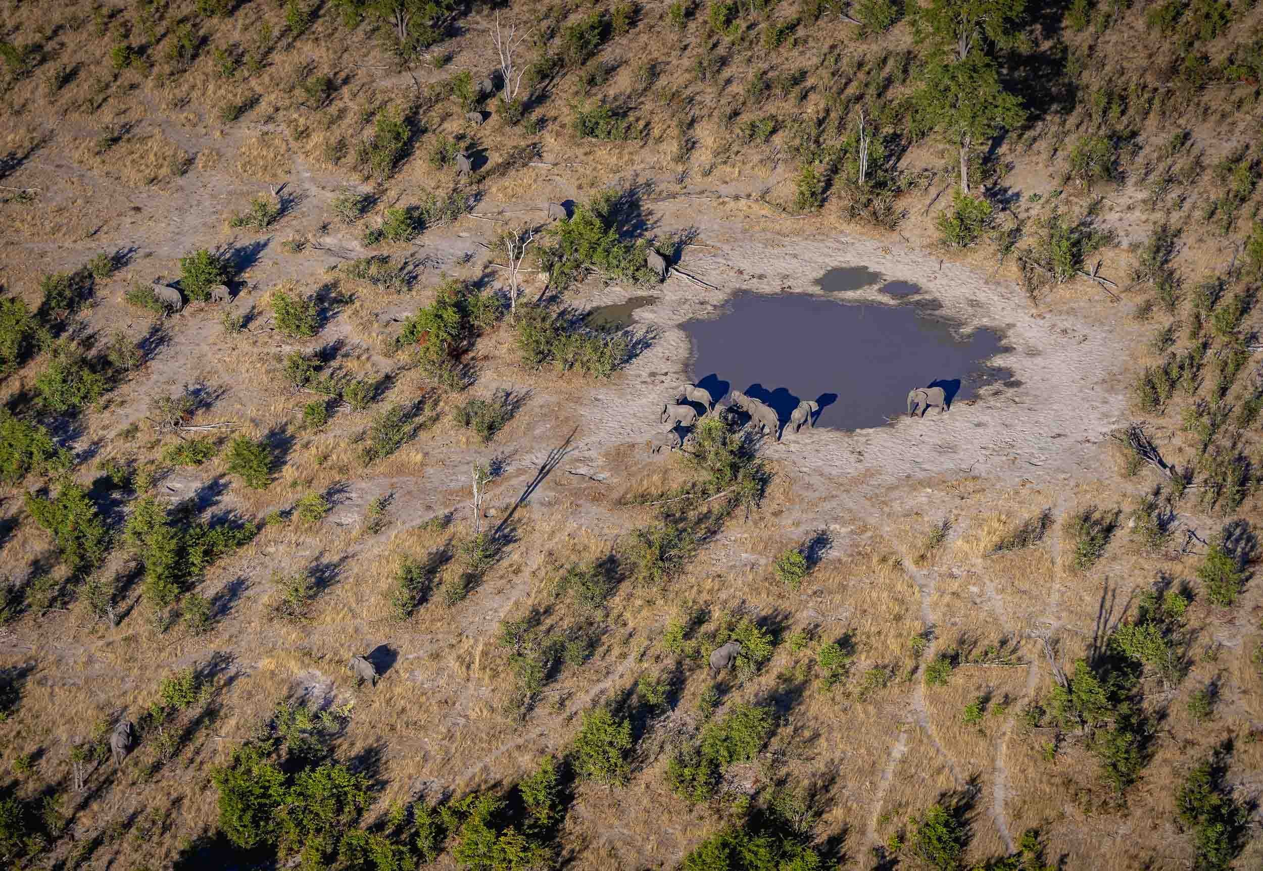
Elephants in the Water
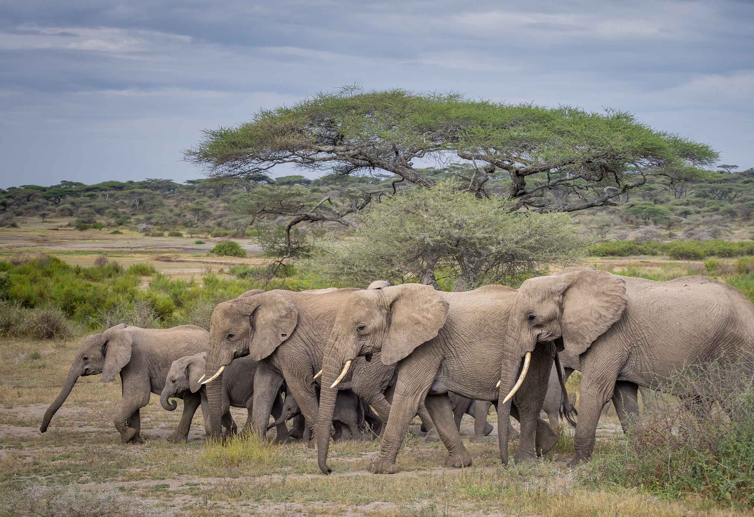
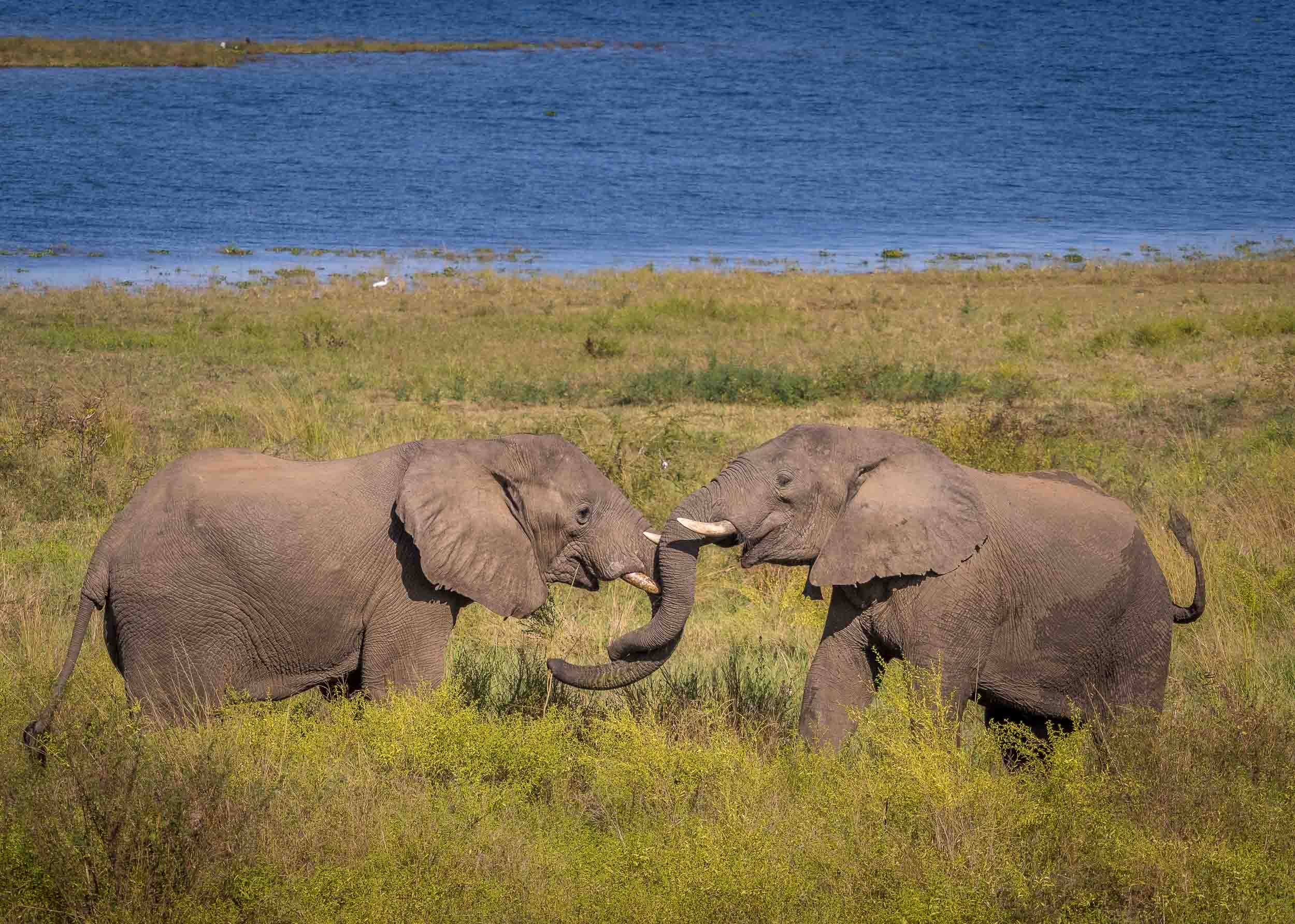
It was the first time I was able to observe elephants in the water, not just bathing and drinking, but properly swimming - in fact, literally under water. The park is widely known for its many elephants. Botswana has the largest elephant population in Africa estimated at over 200,000, to the extent that their presence causes pressure on the environment and other animals, as well as conflict with humans.
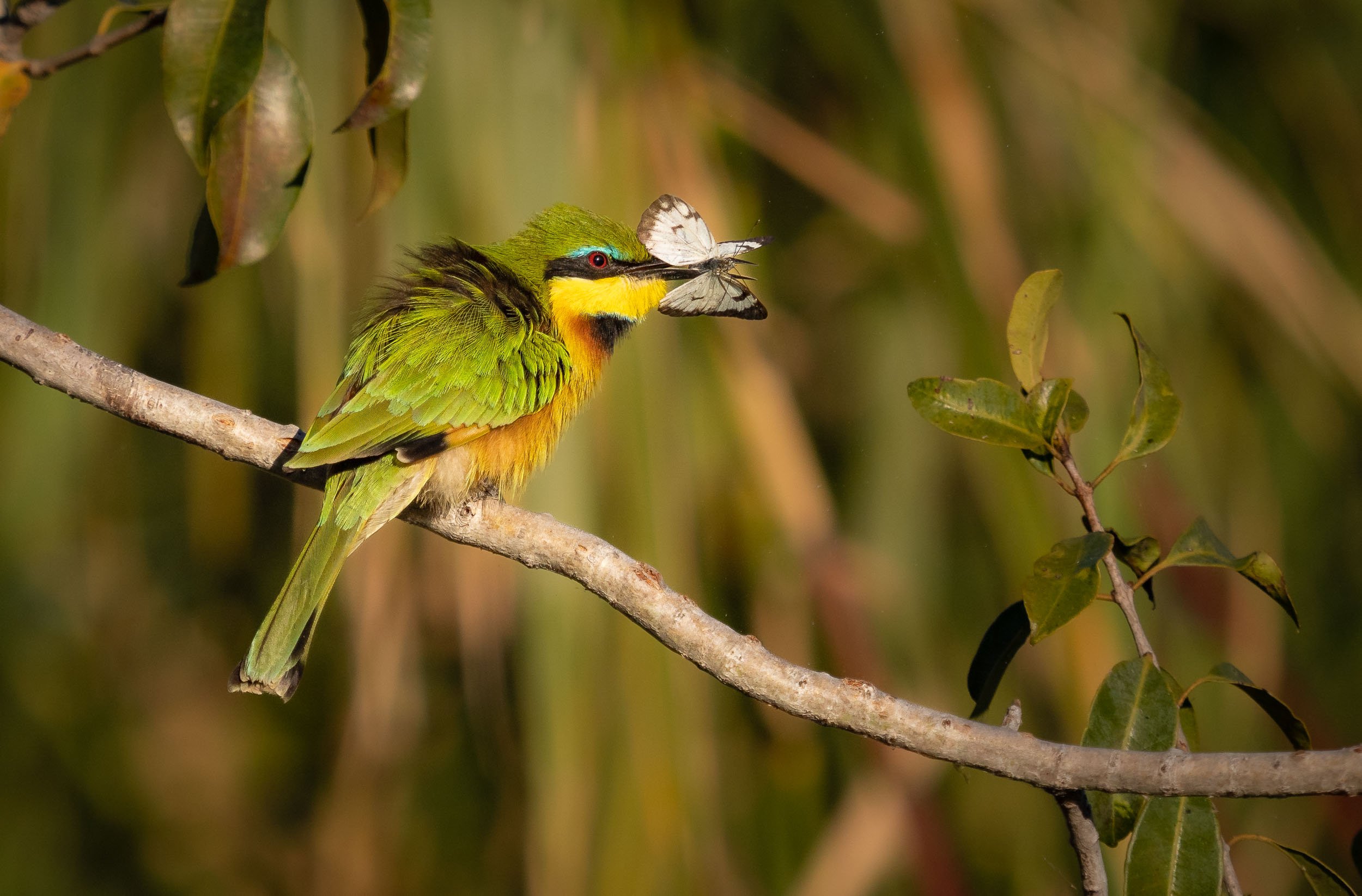
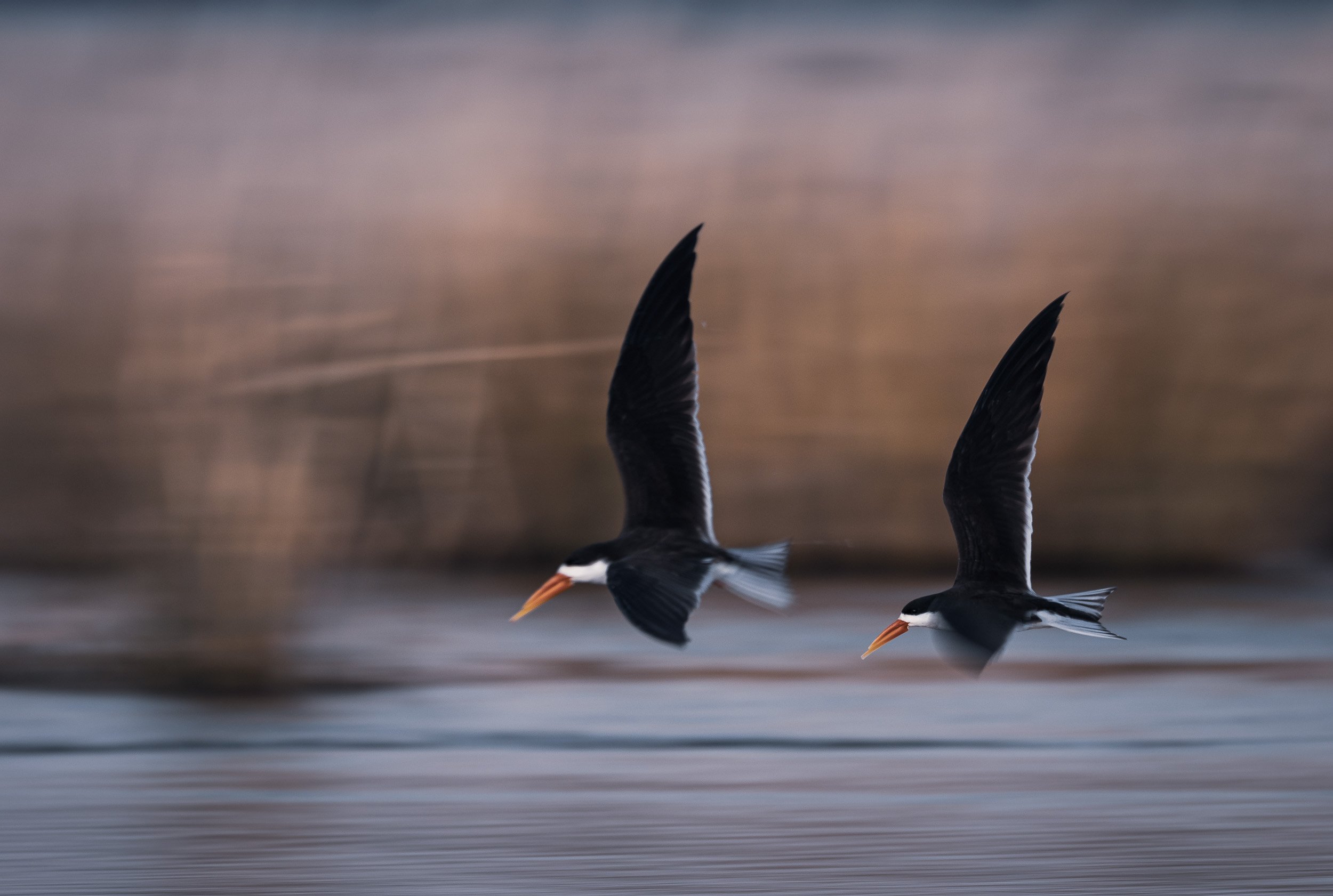
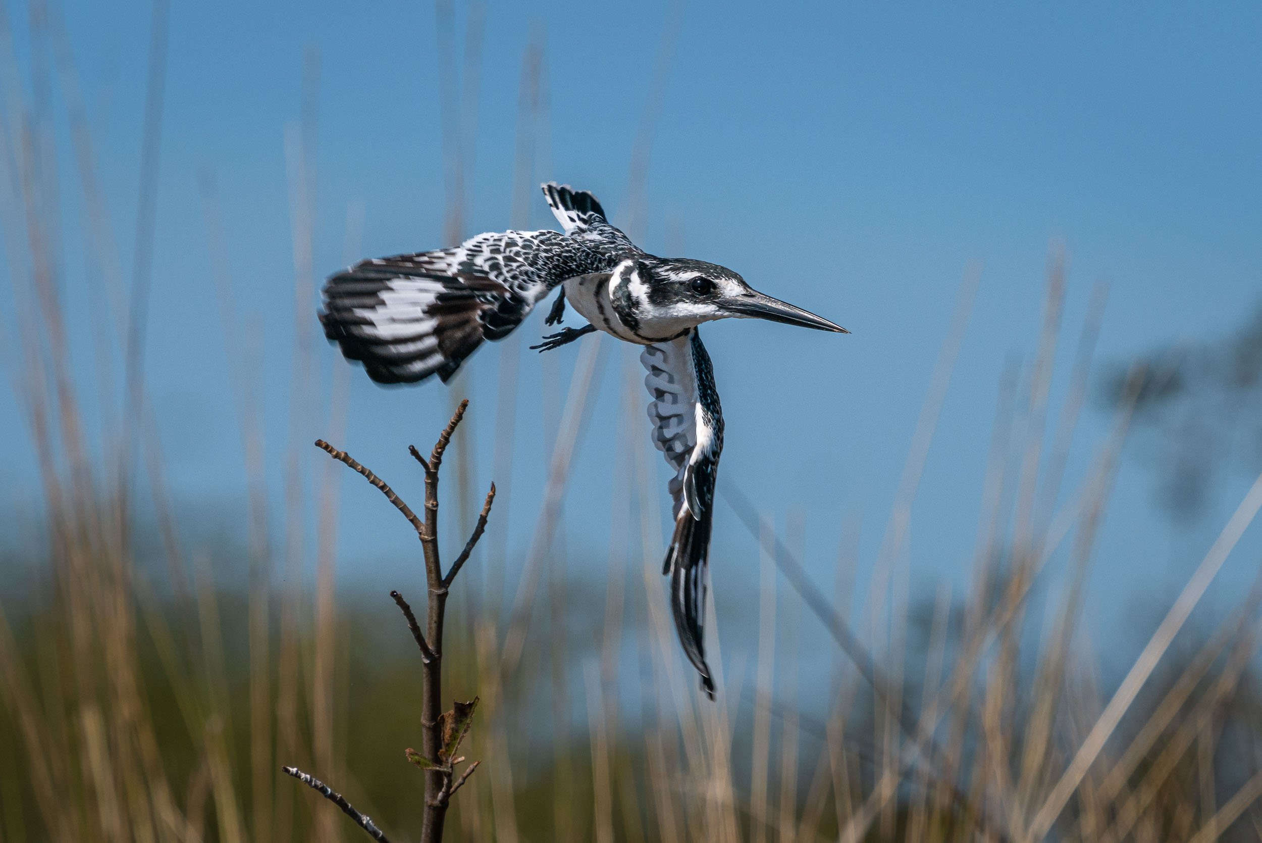
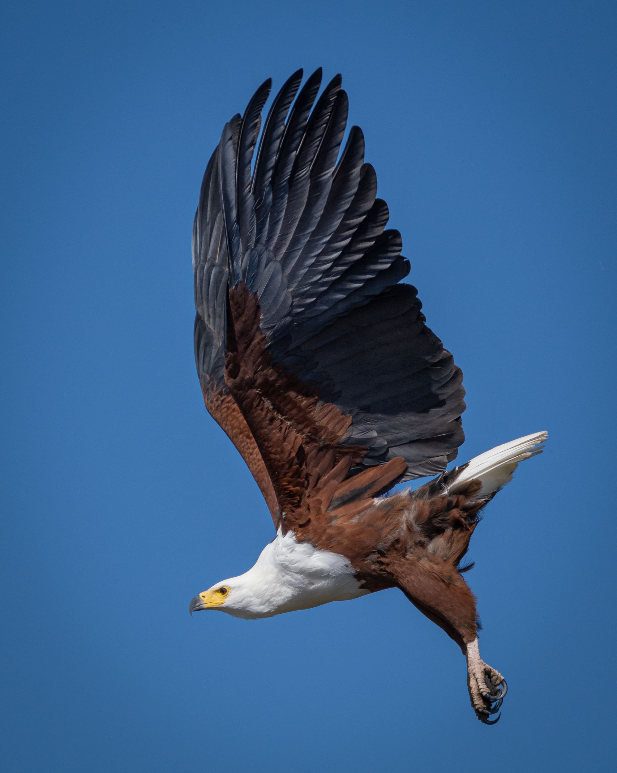
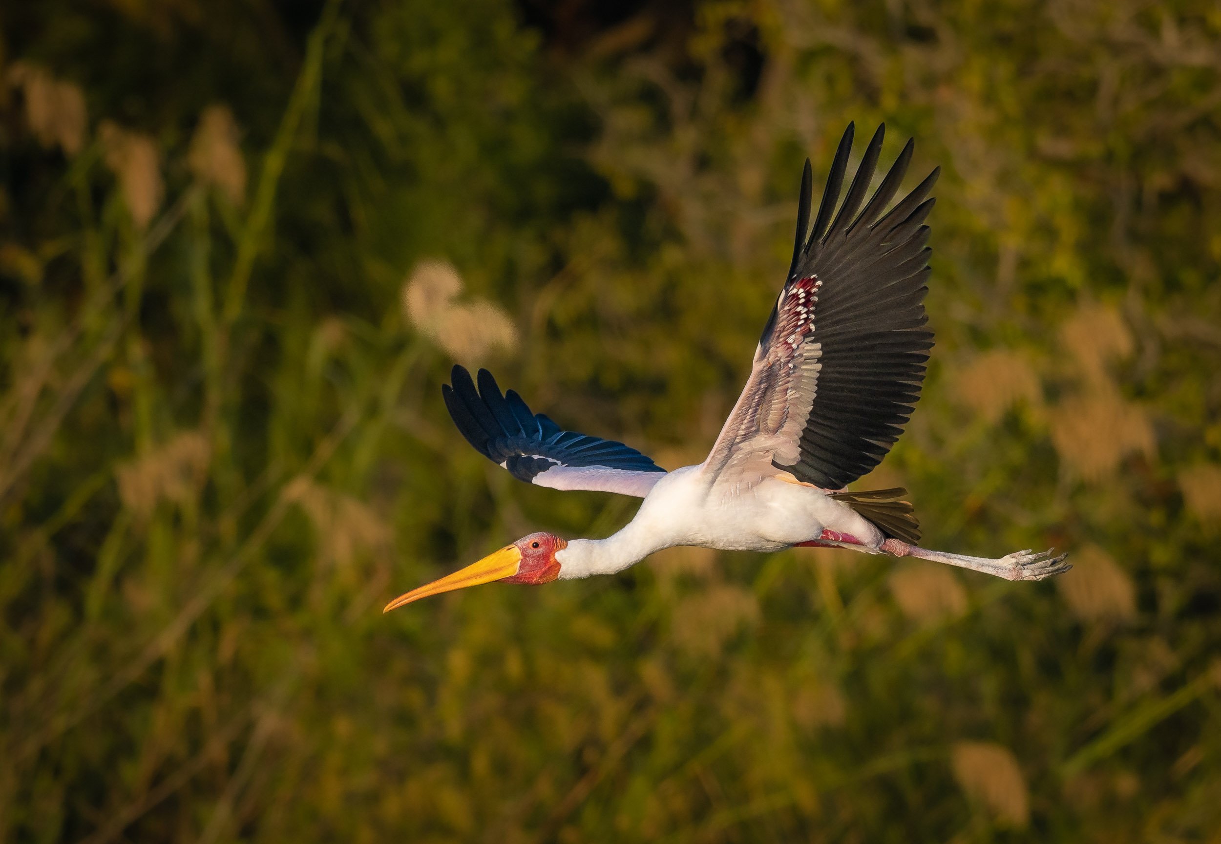
Bird Life
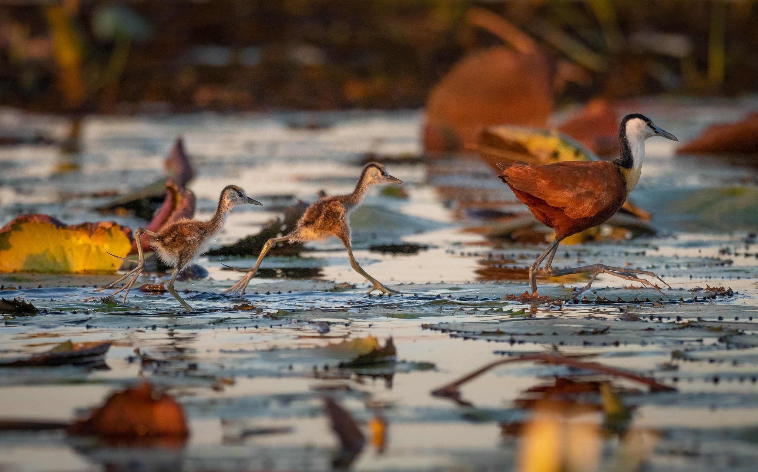
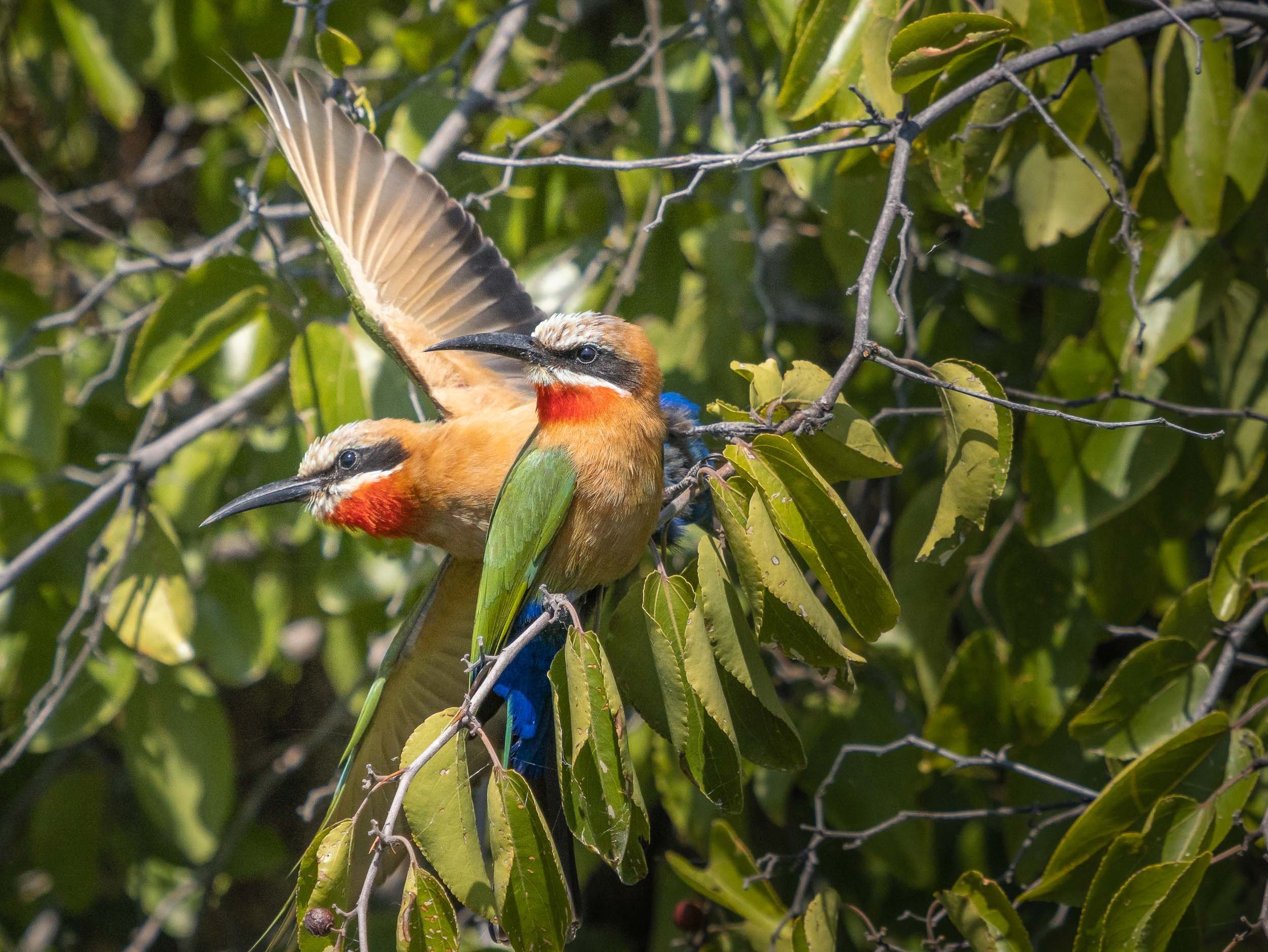
The river has amazing bird life, from Kingfishers, to Fish Eagles, Storks, and Jacanas. Not something I was previously too interested in, but observing their behaviors is intriguing, and trying to catch them in flight is a photographic challenge (which I never shy away from).
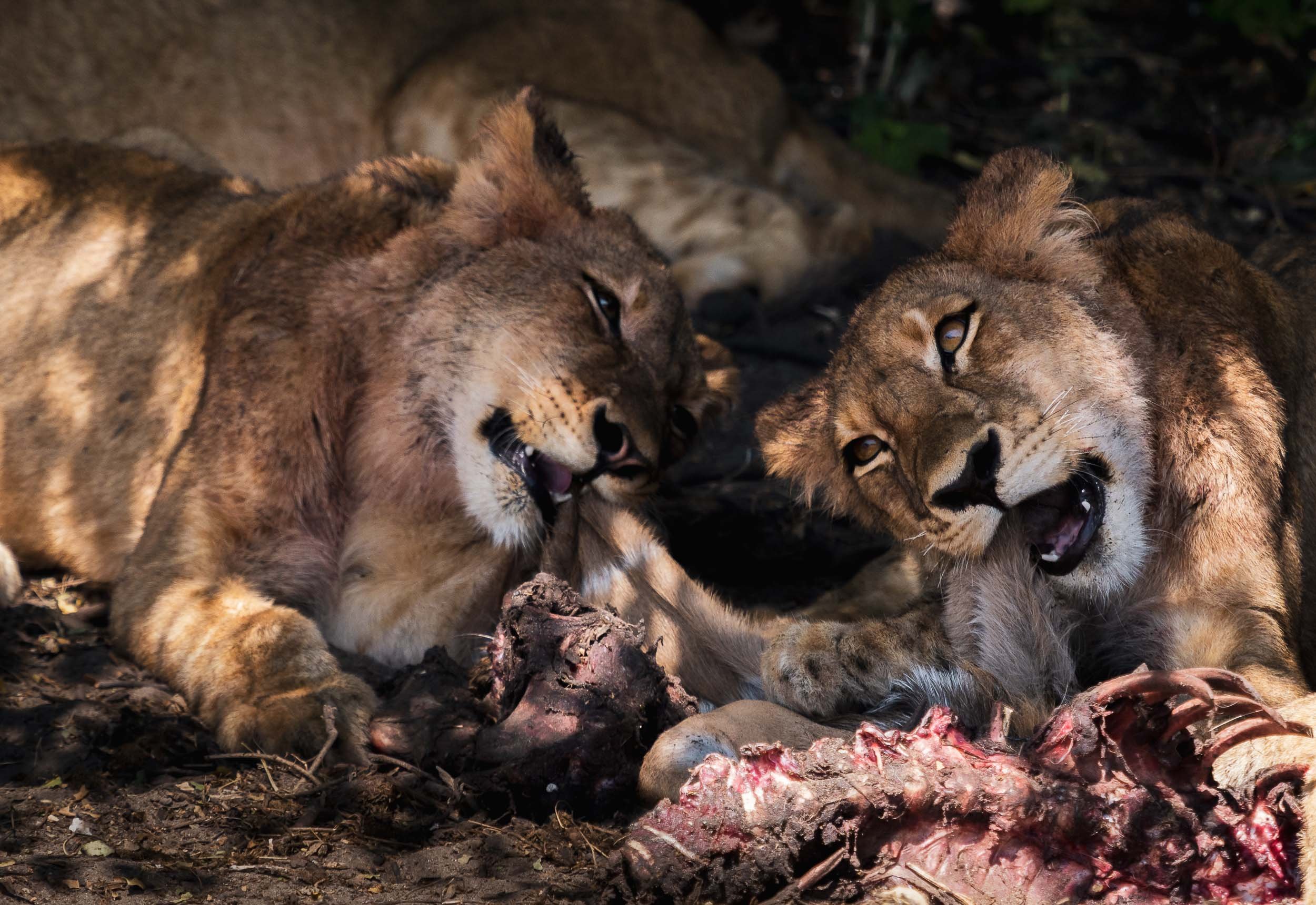
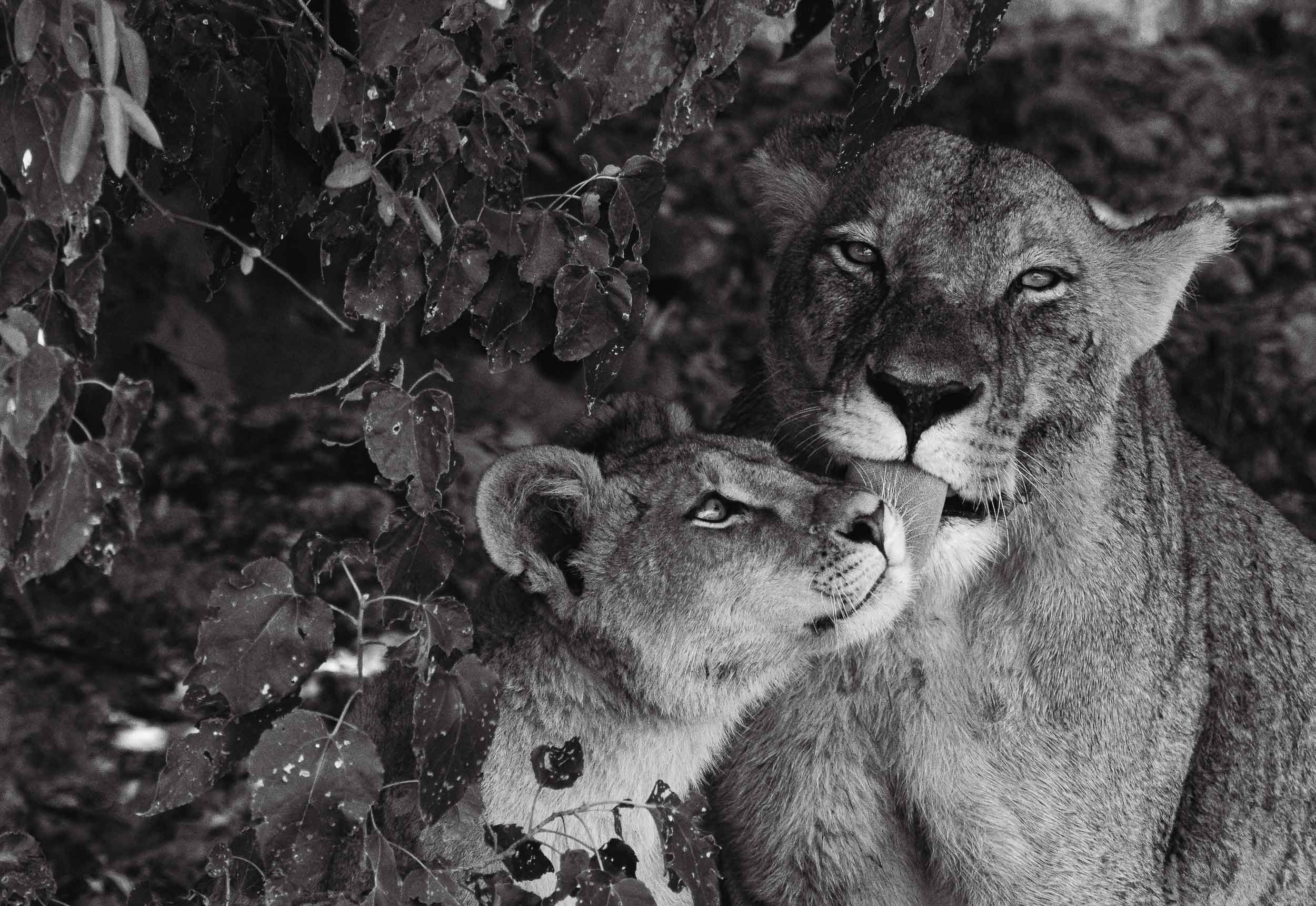
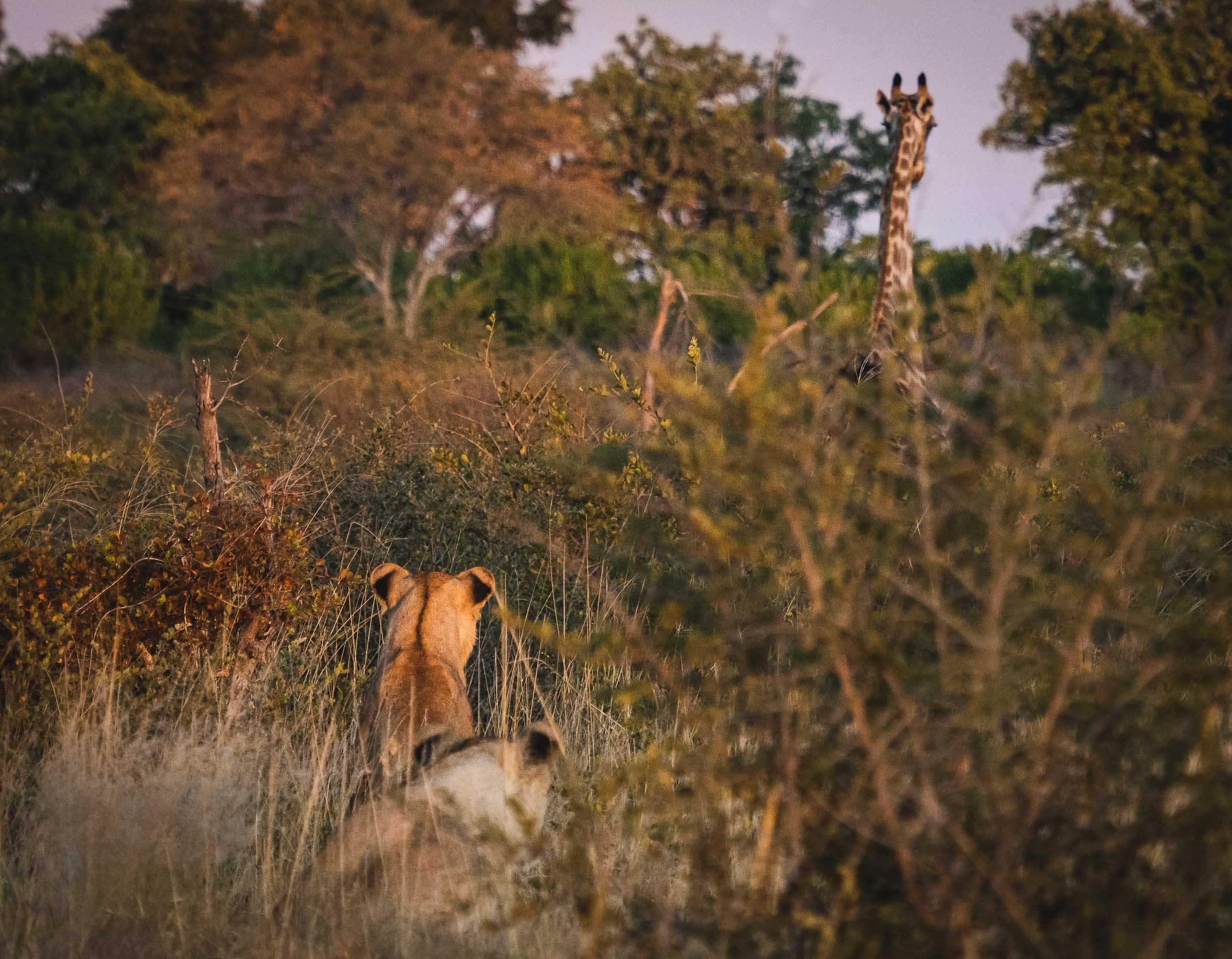
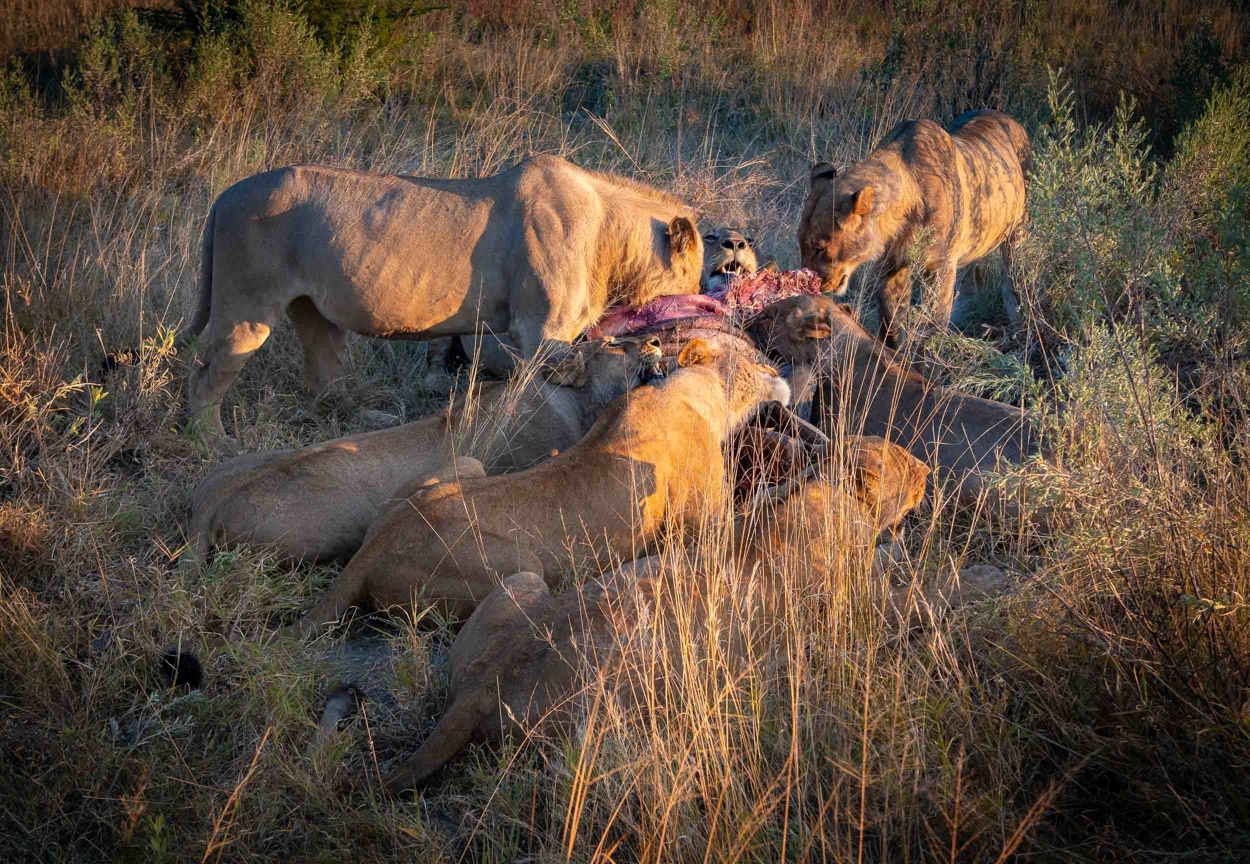
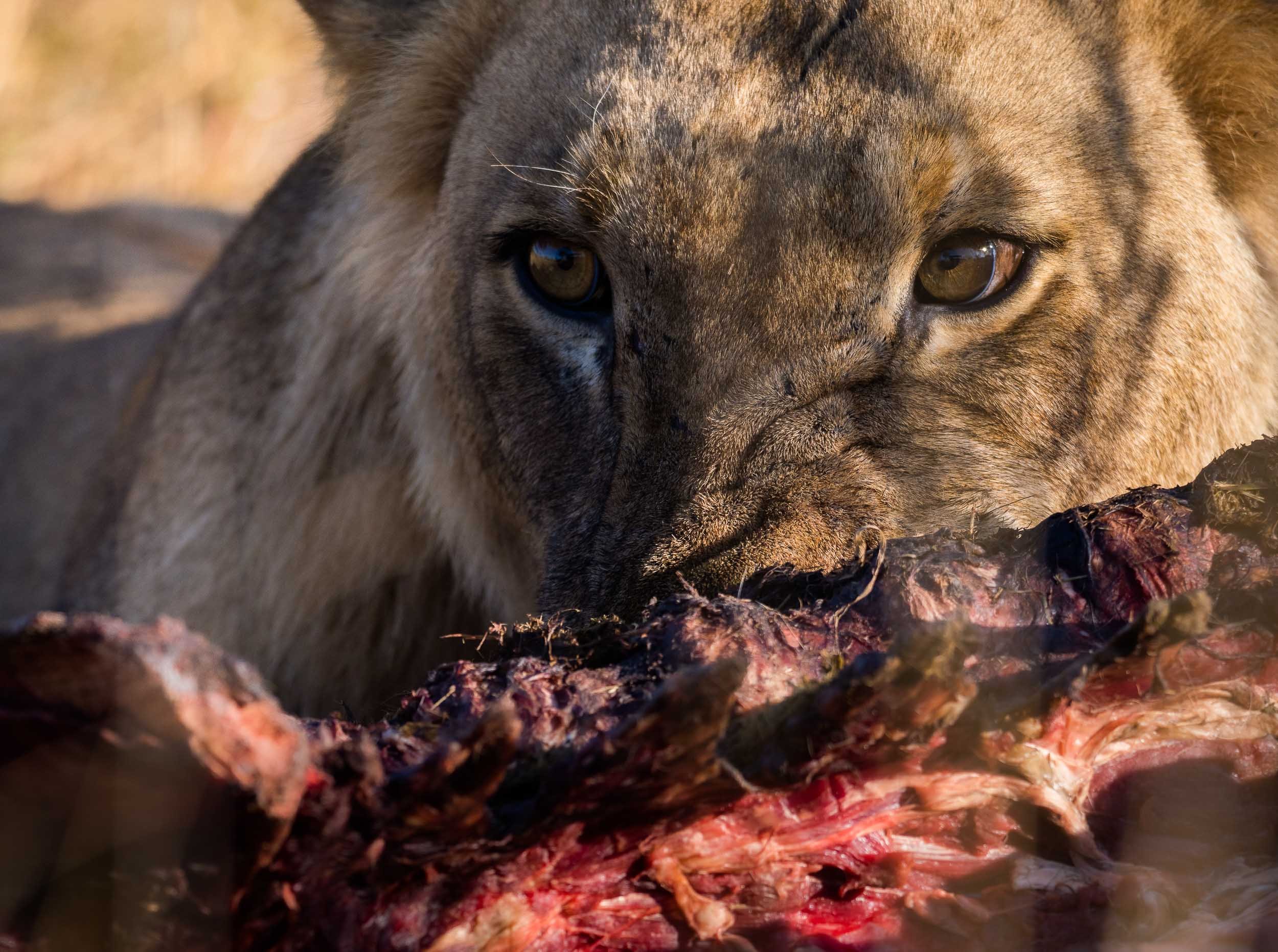
We were also lucky enough to observe some lions with a kill directly under the bushes on the shore.
A few more animals by the water…
The Chobe river is actually the name of the eastern Cuando river, before it flows into the Zambezi. The National Park around it was Botswana’s first, and is its most biologically diverse.


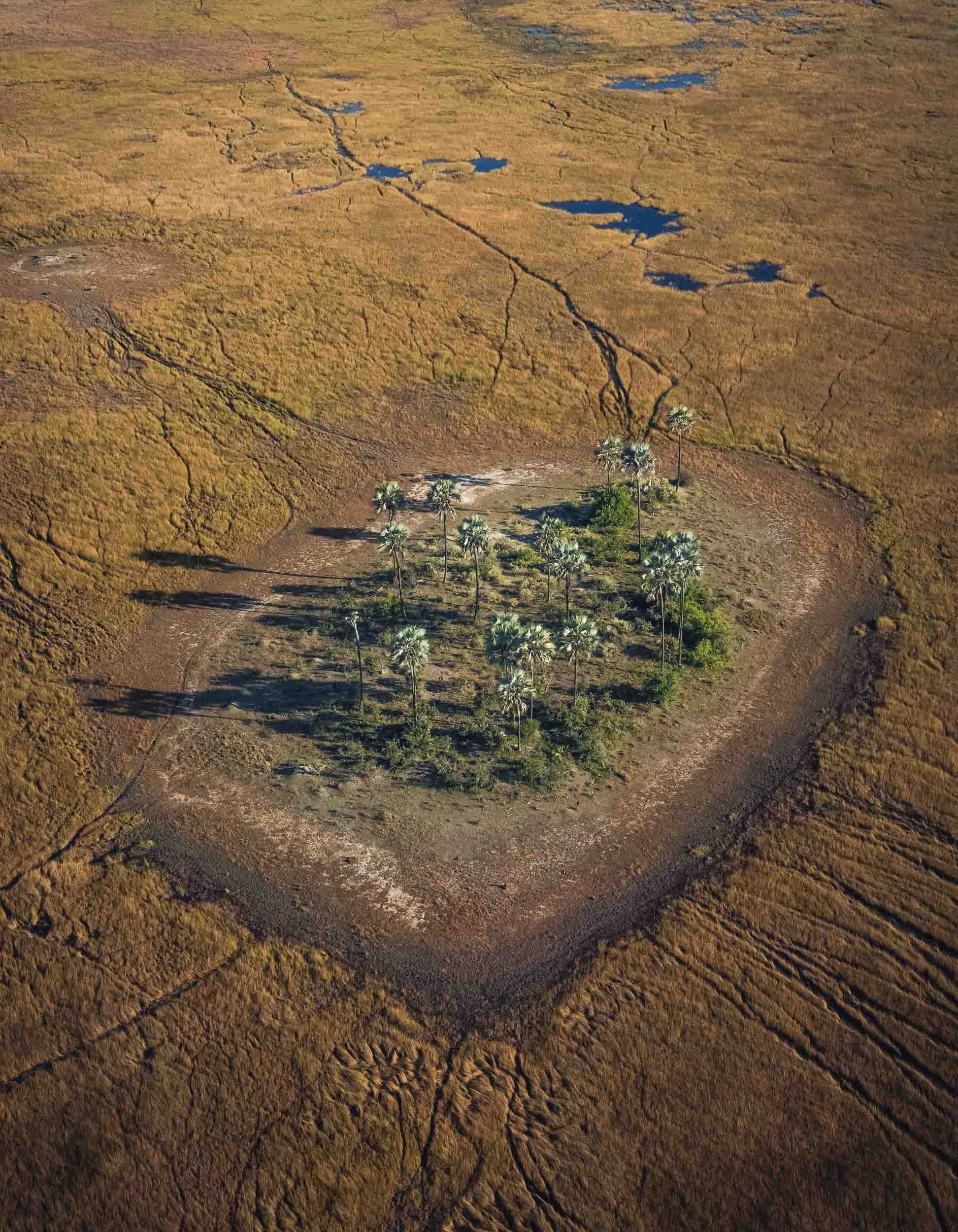
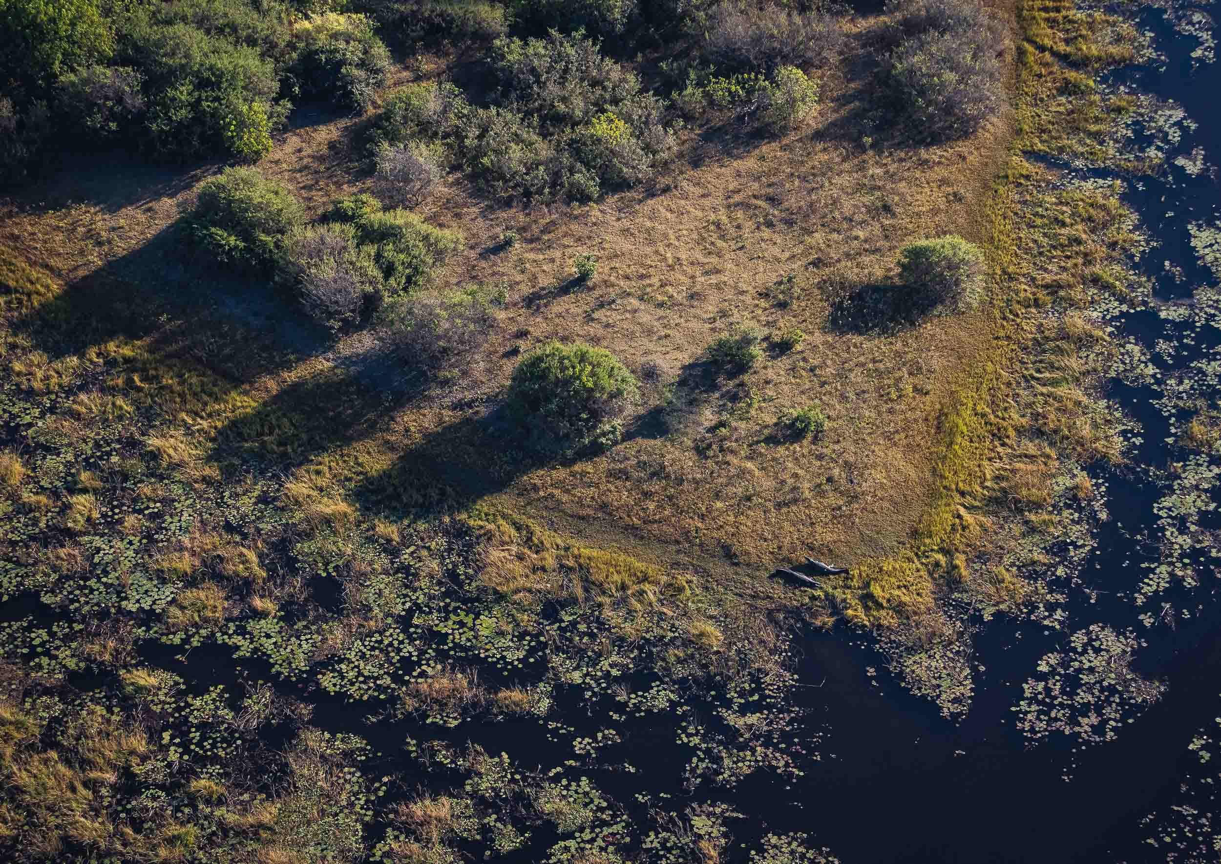
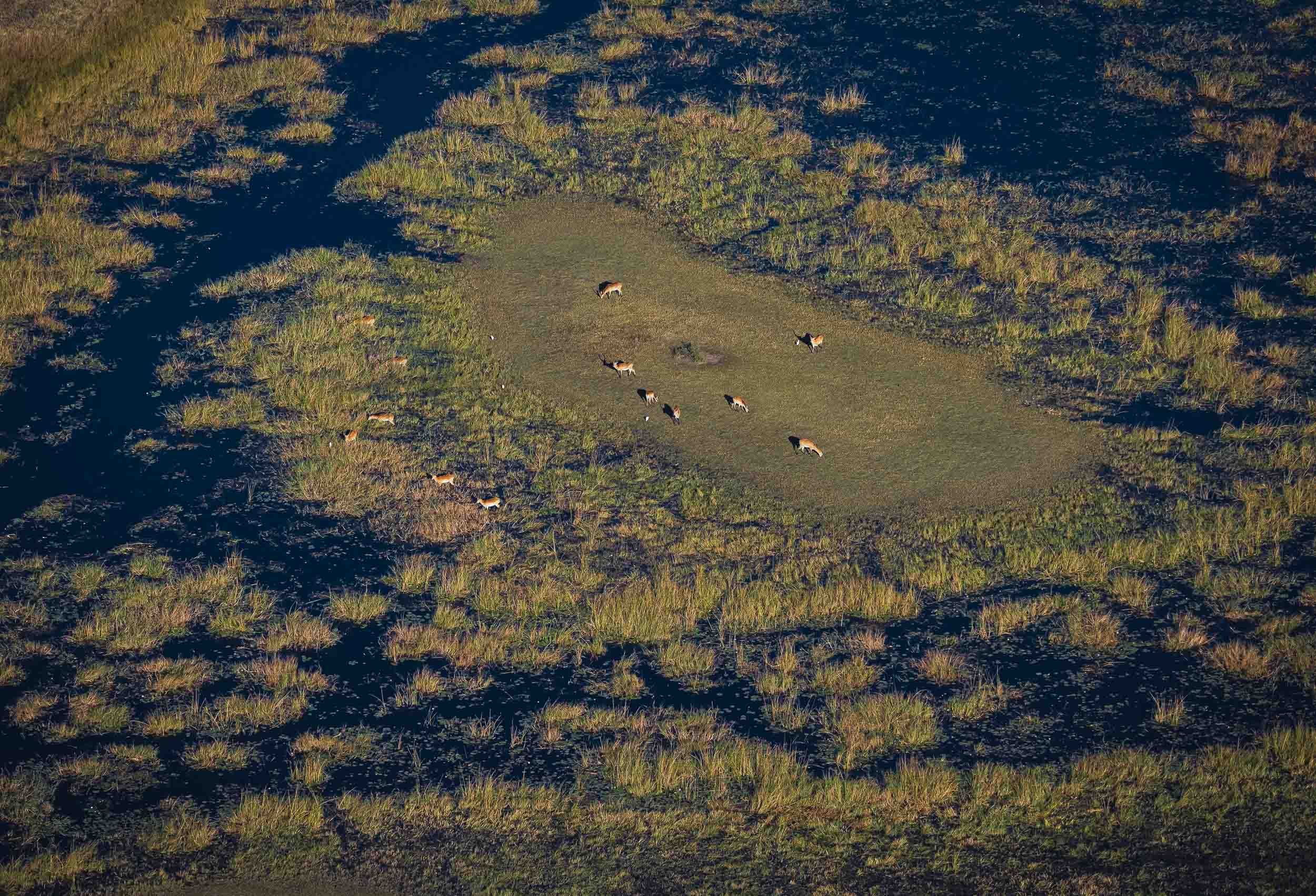
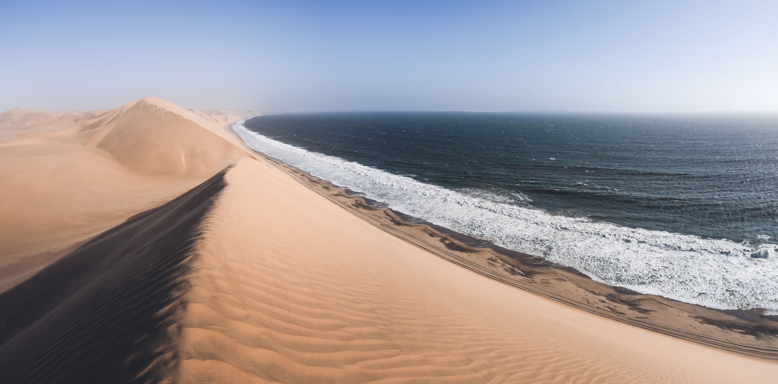
The Selinda Reserve
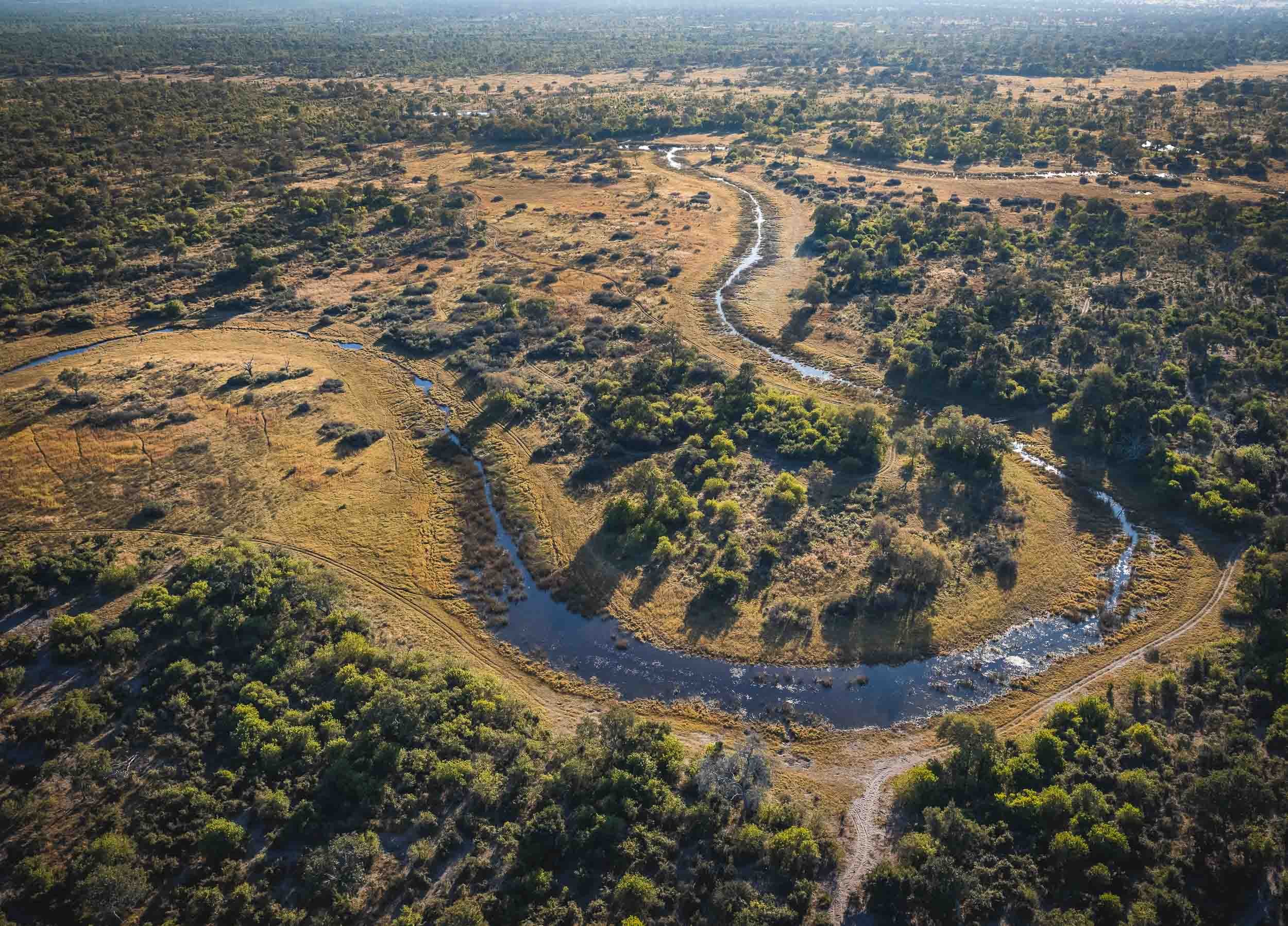
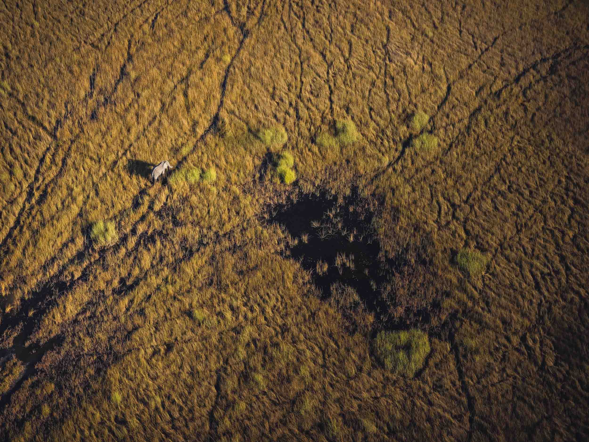
From Chobe we took a short flight to Selinda, a private concession in the greater Okavango Delta region. The Selinda spillway links the Delta with the Linyanti Swamps, and up until 2009 has been dry for decades. Now, its floodplains and channels have water flowing for many months of the year, becoming a home for wide variety of wildlife.
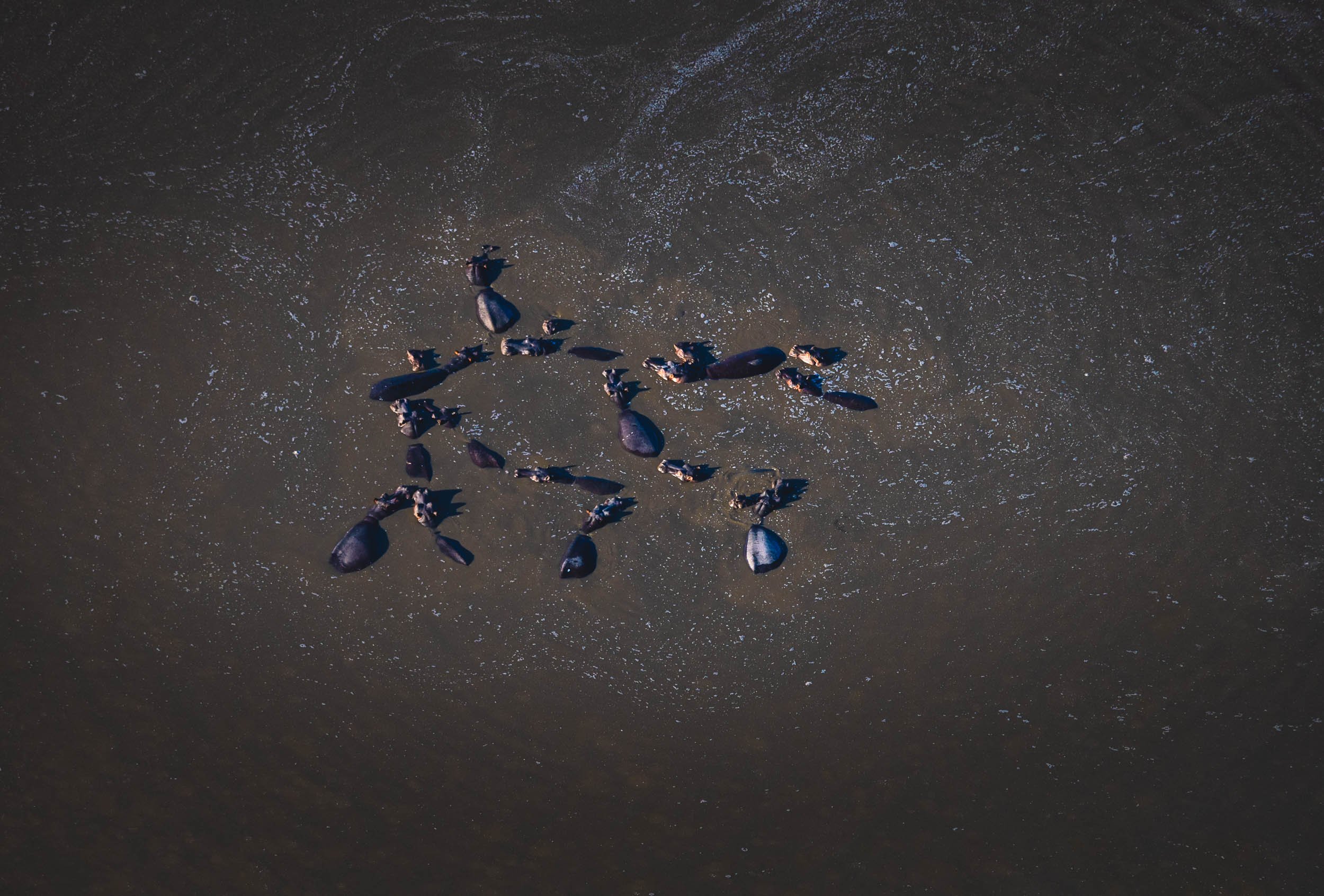
From Above
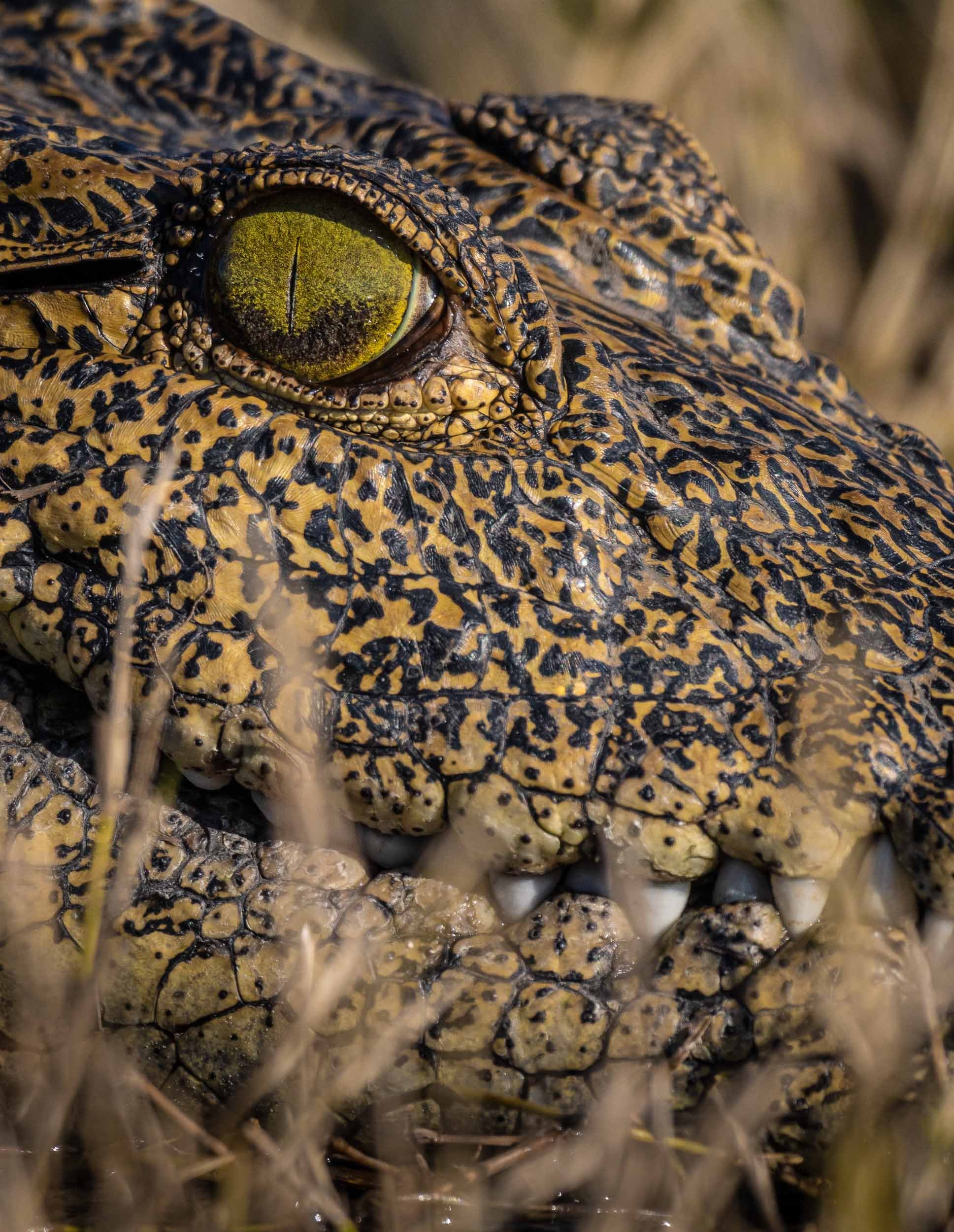
It was a good place for some aerial views, and what’s better for that than a helicopter? A 45min flight above this amazing landscape is the source of these bird’s eye views of elephants, crocodiles, heartbeests, and hippos in their environment.
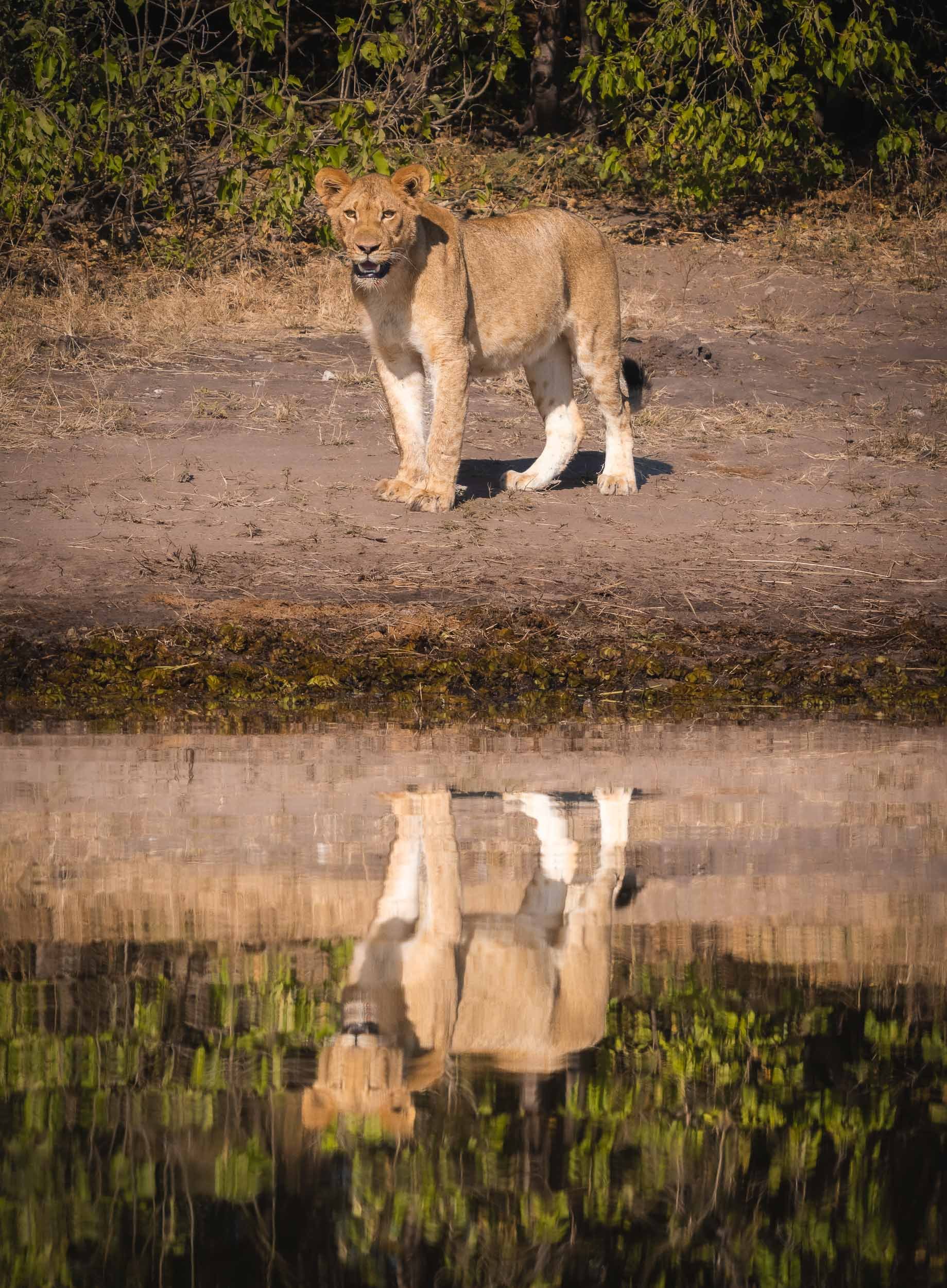
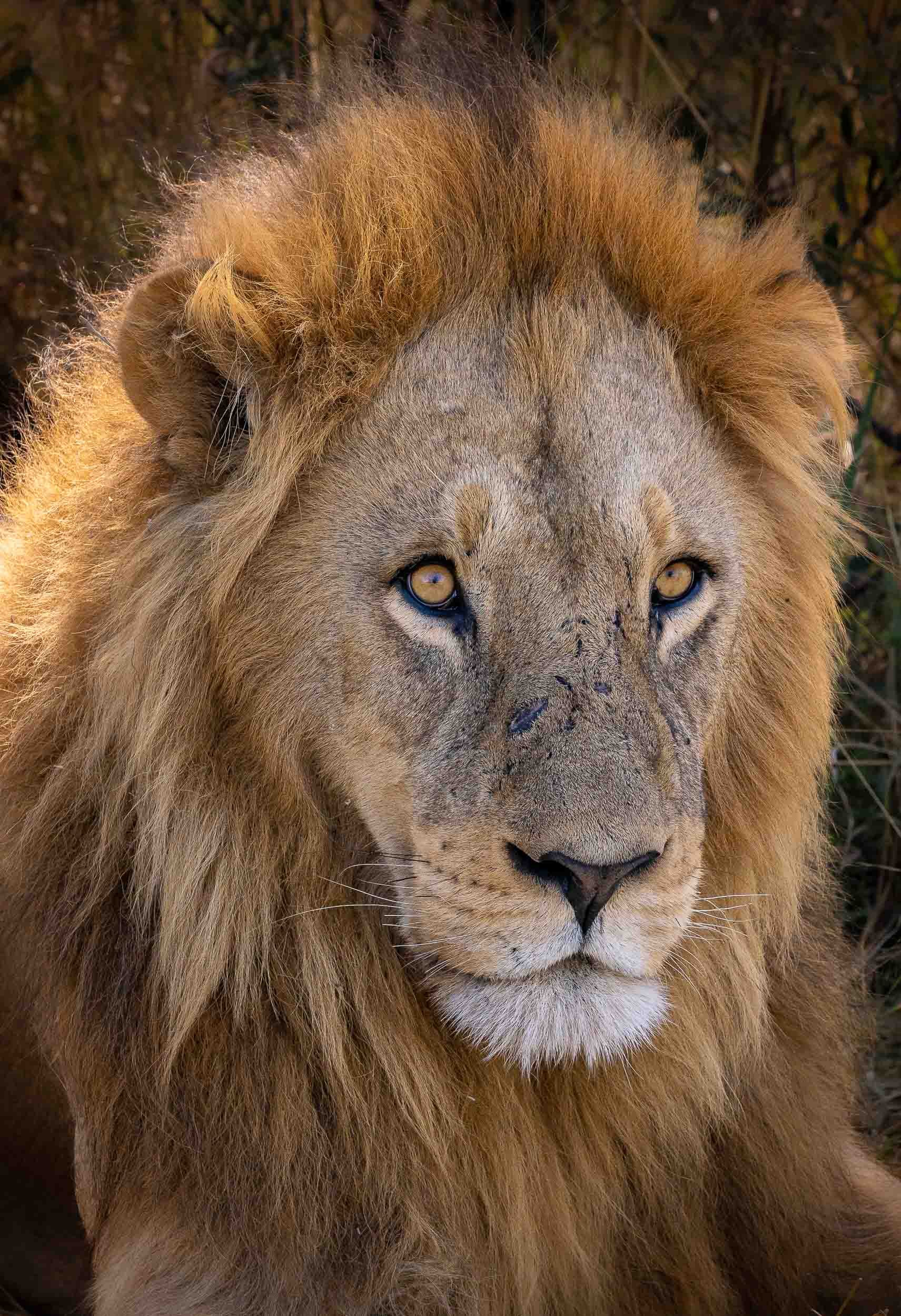
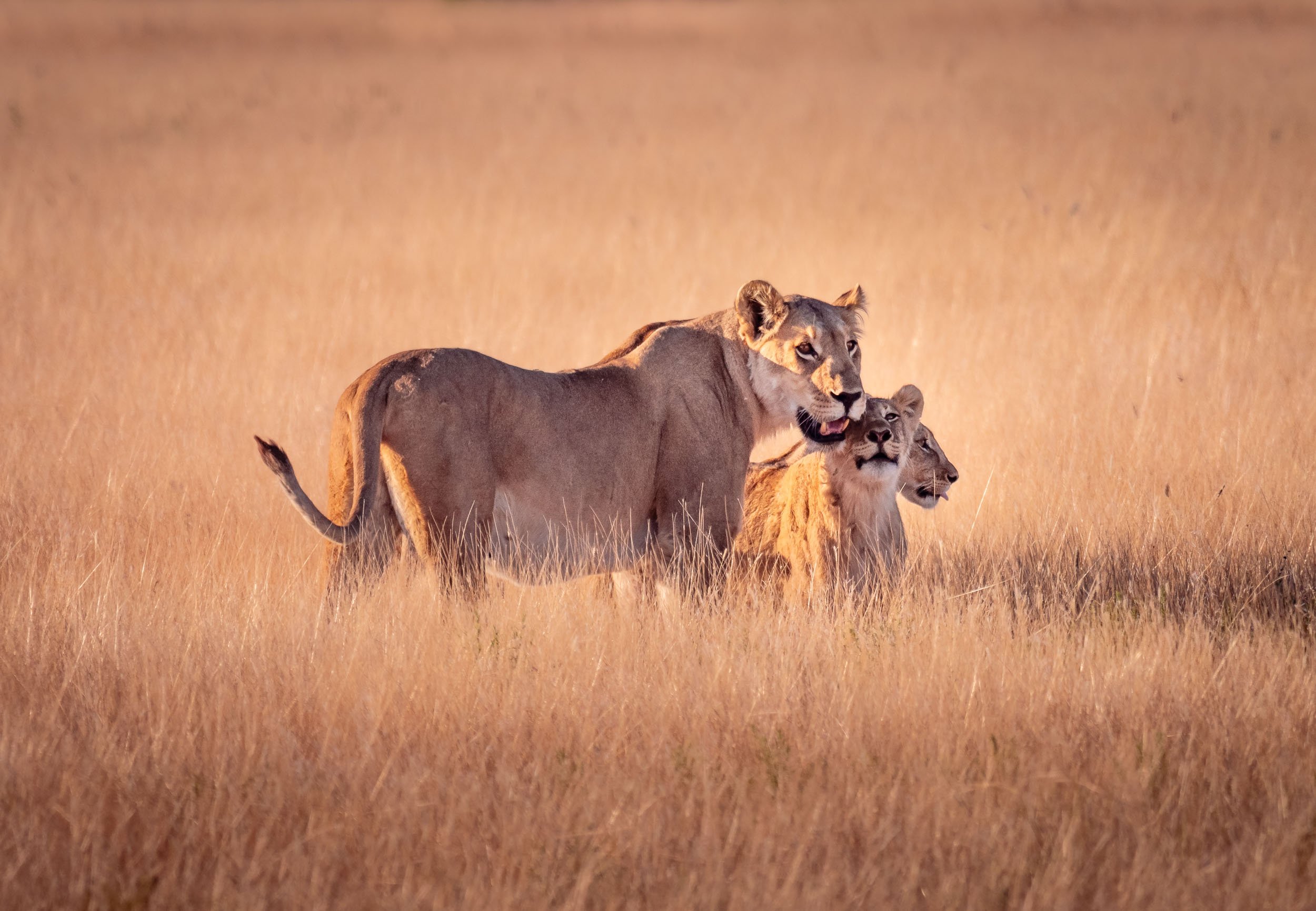
Lions
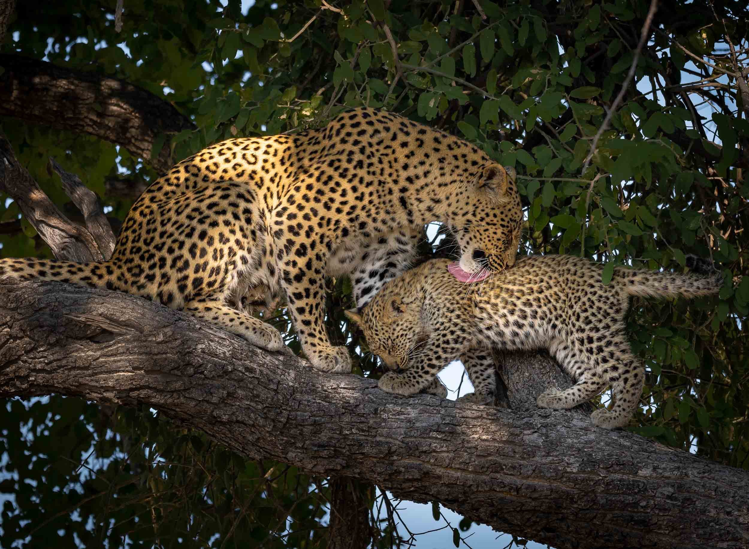
The Leopard
It’s always special to see your favourite animal in the wild, but a sighting like this makes it even more breathtaking. We spent four days, 8 hours a day, looking for this Leopard female and her 3 month old cub. On the very last morning, our guide - Stitcht, who called himself a legend and lived up to it - saw her sitting on a termite mount in the distance. We followed her when she called for her little one, and then climbed a nearby tree. They spent 15 min cuddling and cleaning before she rushed off to try and catch some breakfast, telling her cub to hide in the thick crown of the tree.


Watch them in motion
A few more…


Dinaka
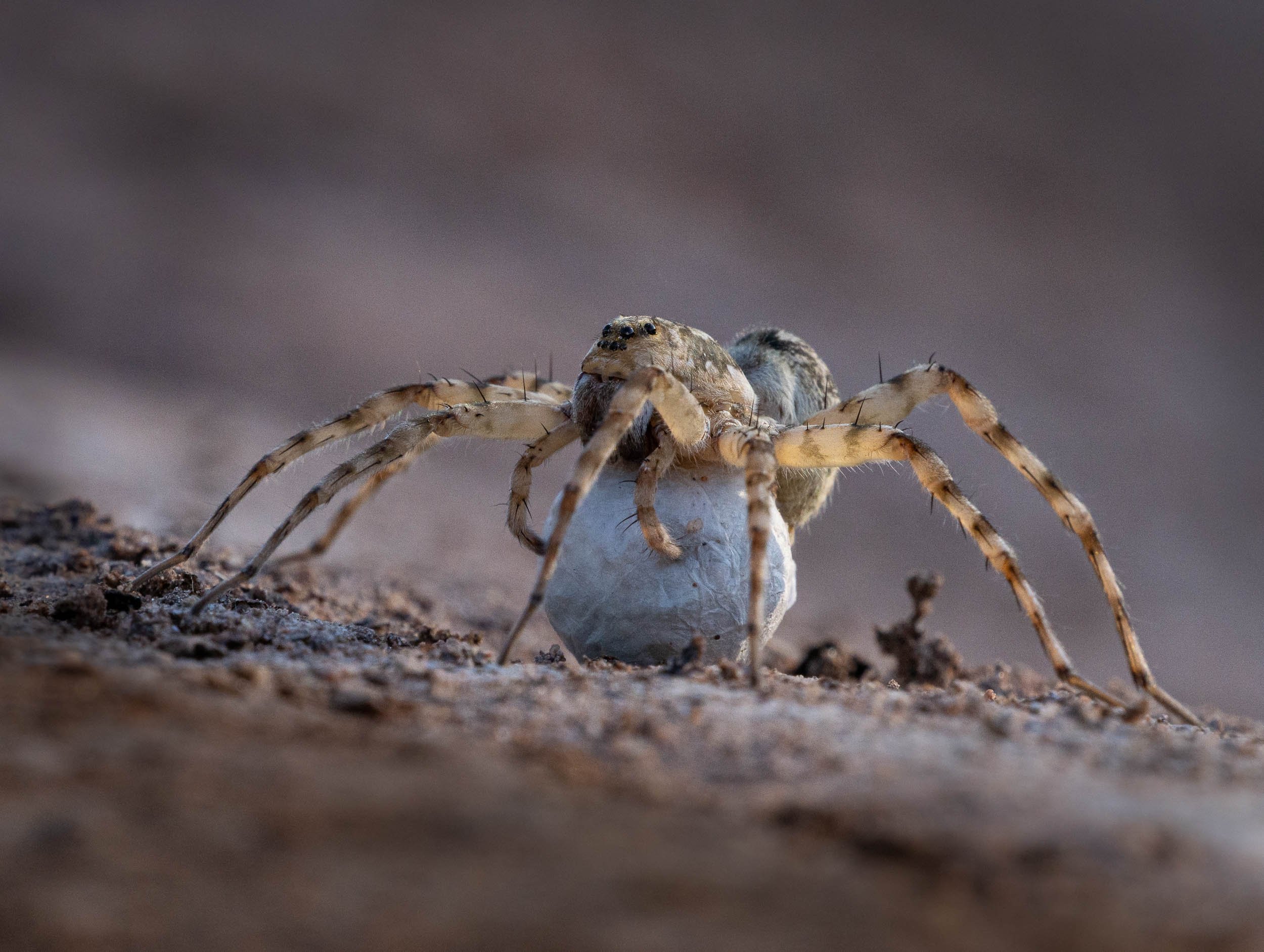
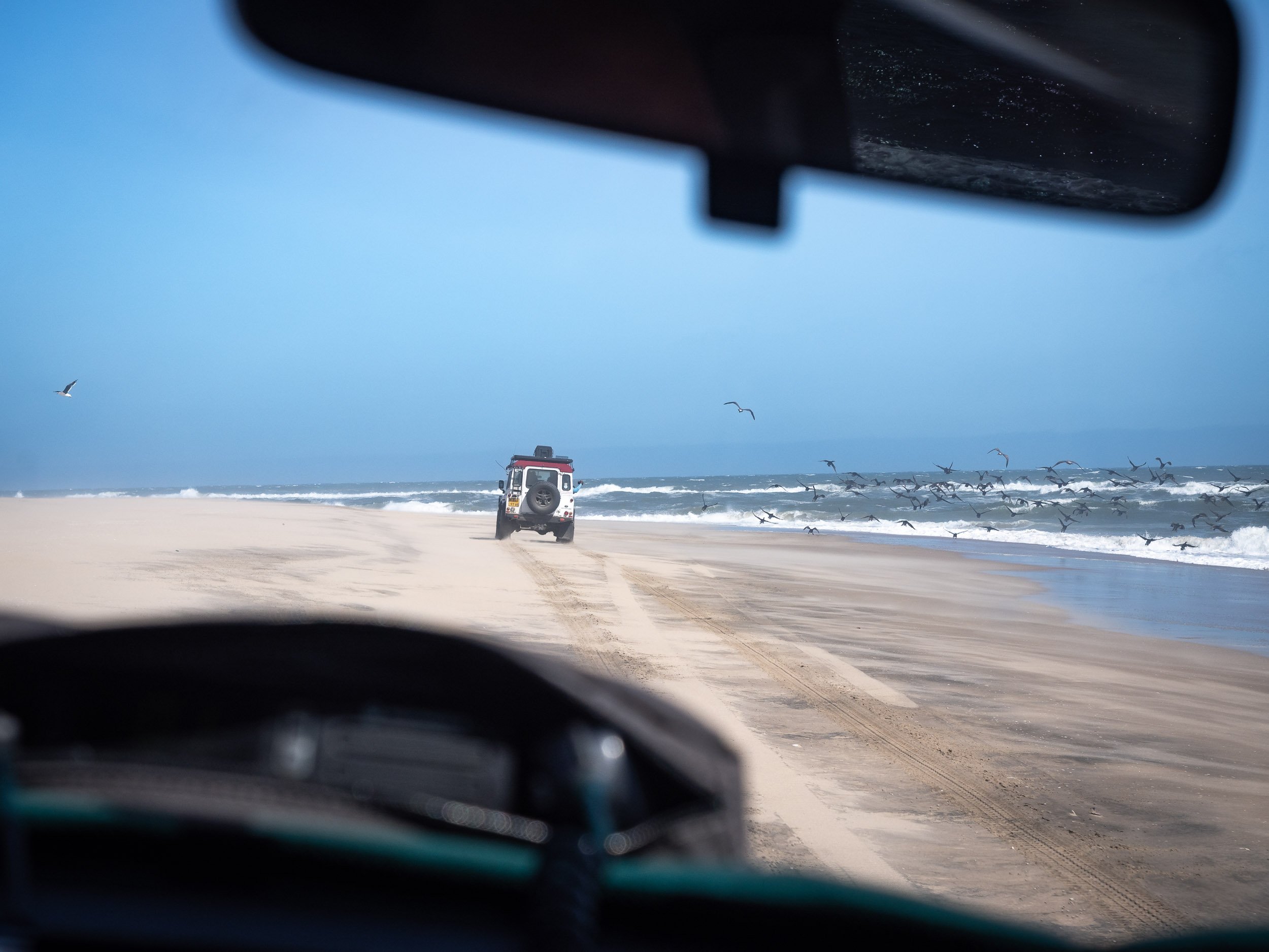
The last stop was in Dinaka, about 100km north of Maun, and bordering the central Kalahari. It’s a dry area this time of the year, but it did have a few special places to photograph from (and sleep in).
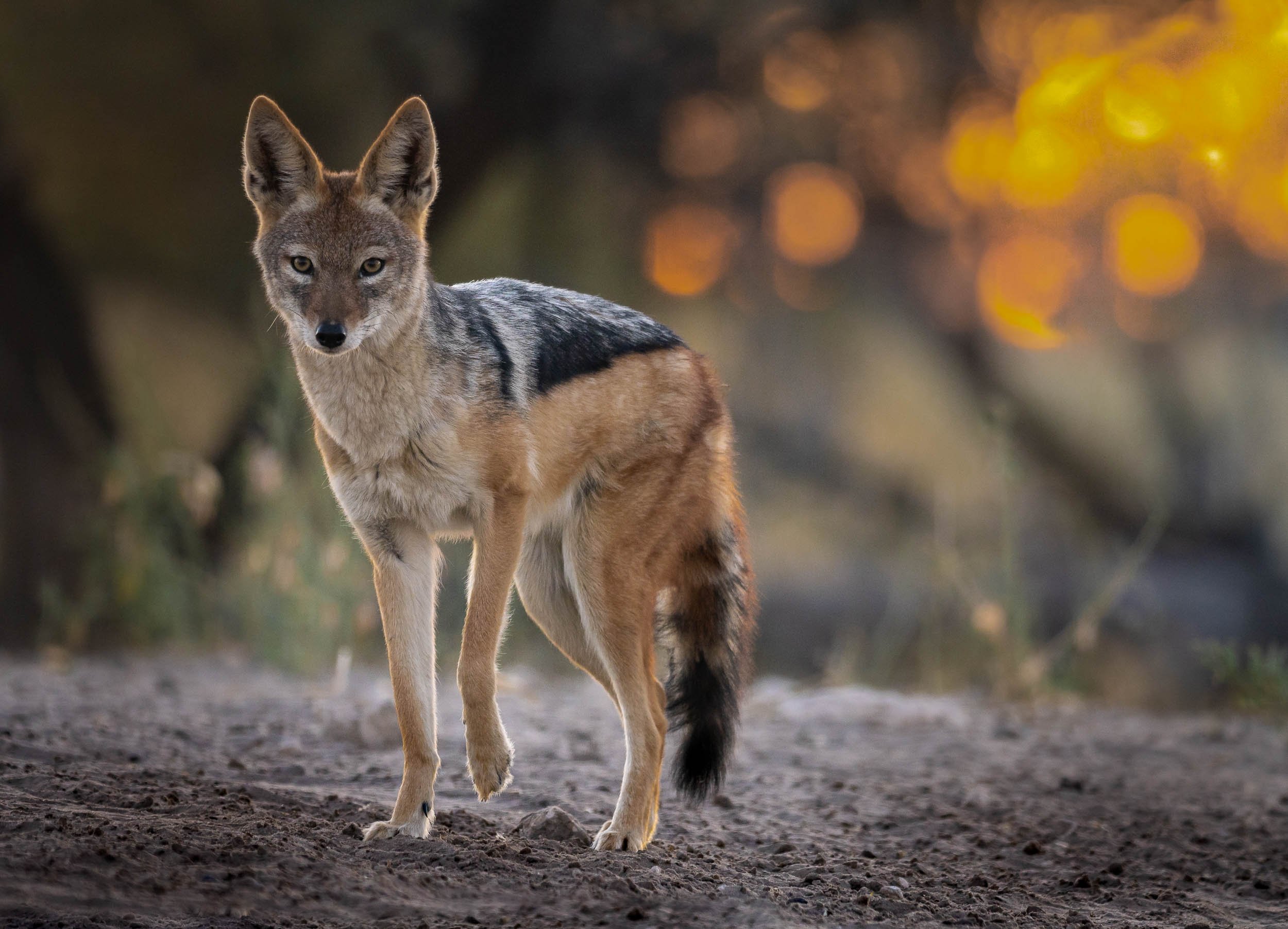
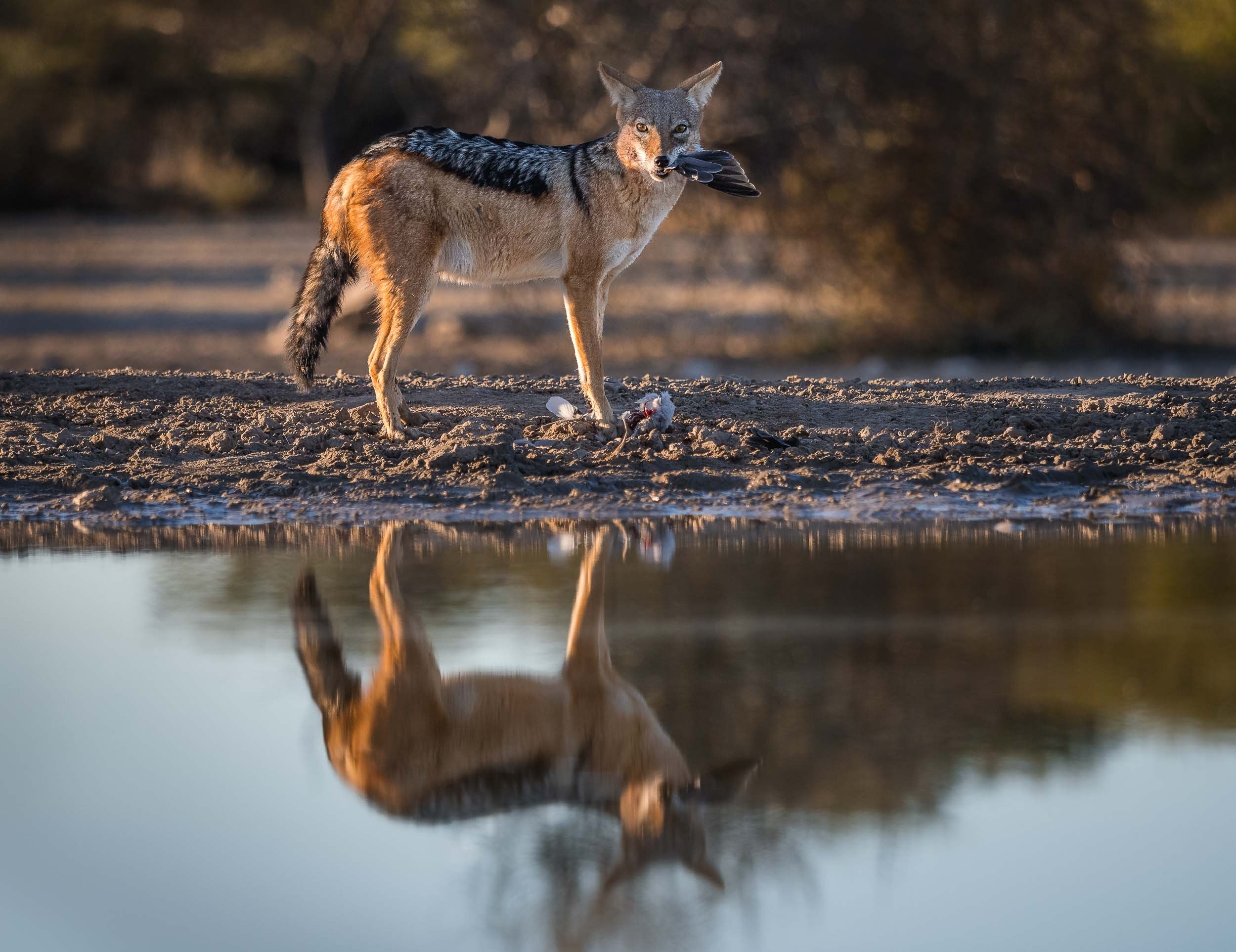
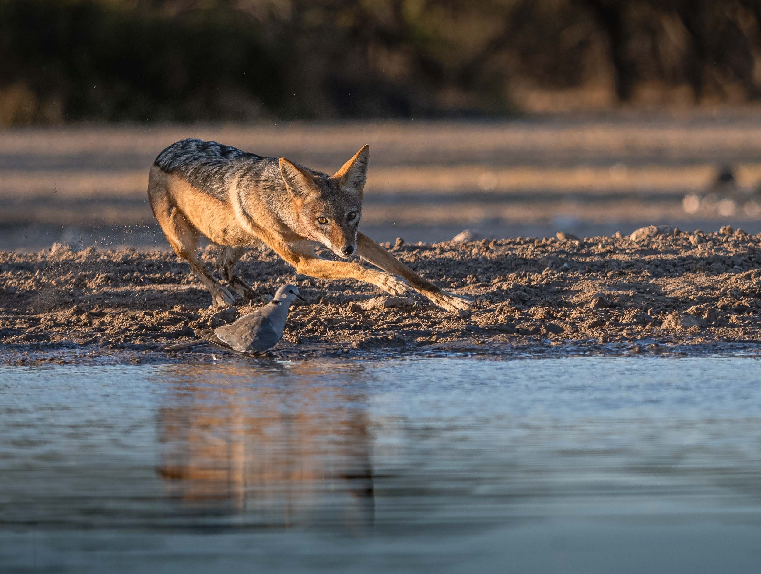
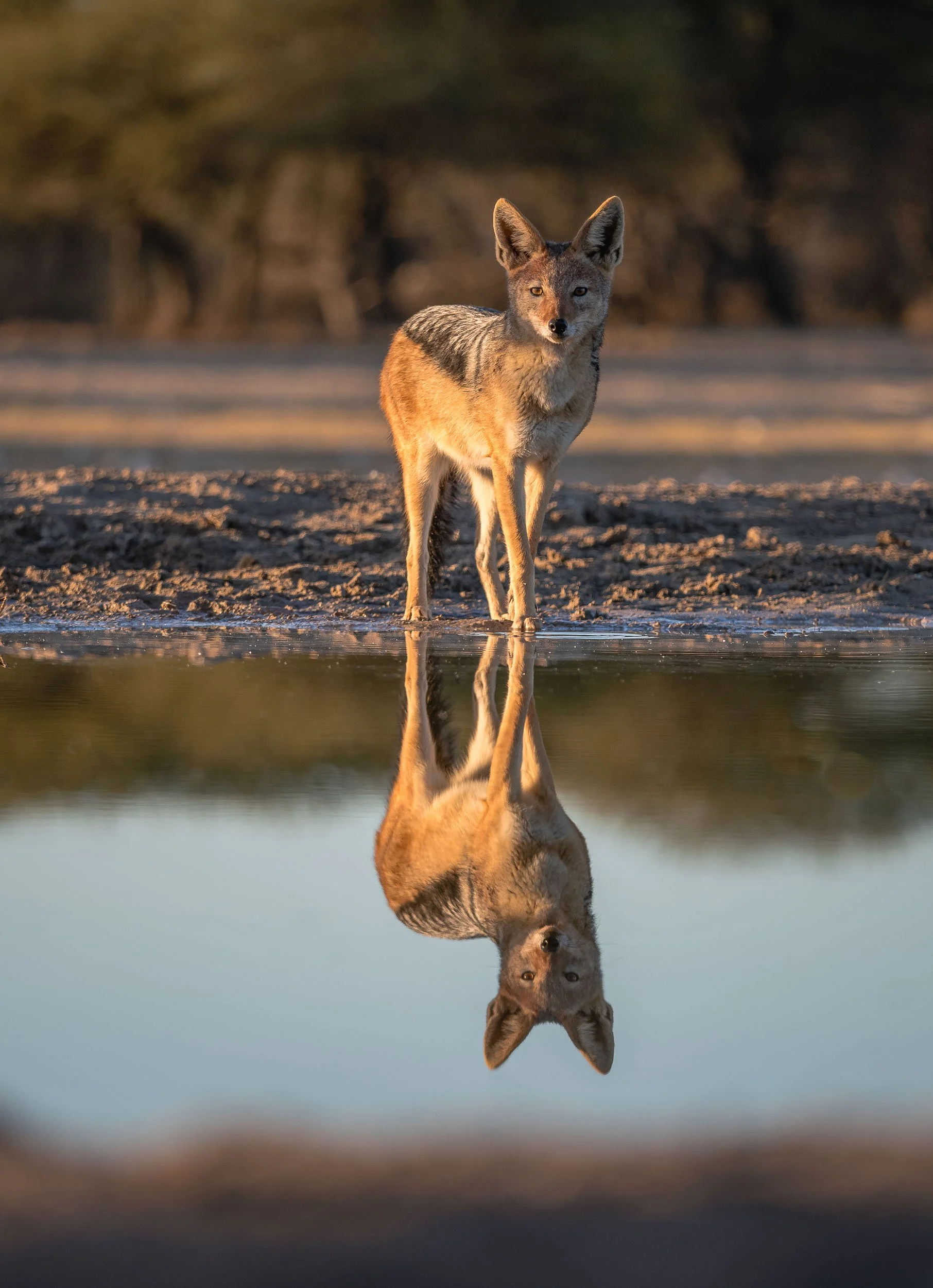
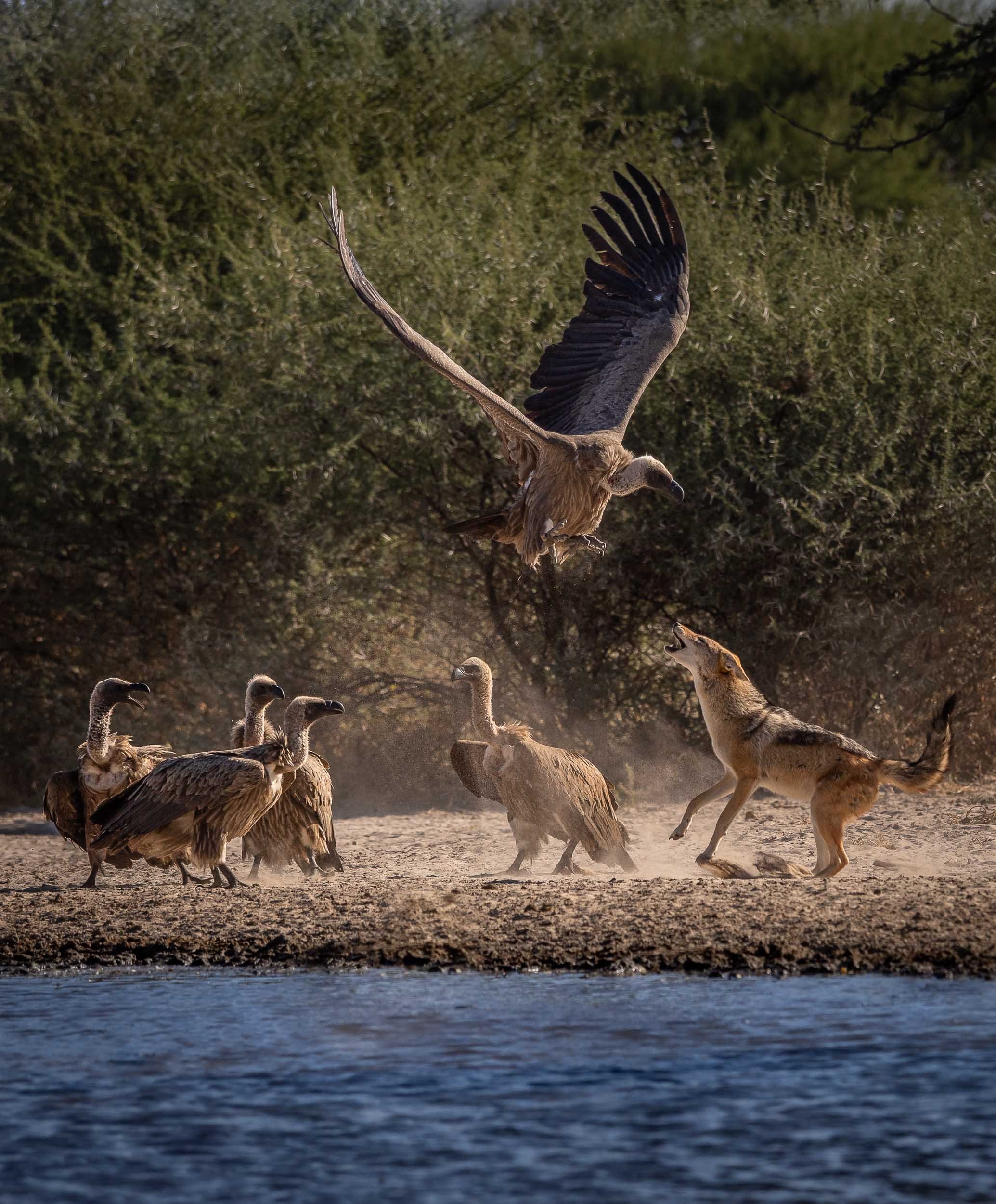
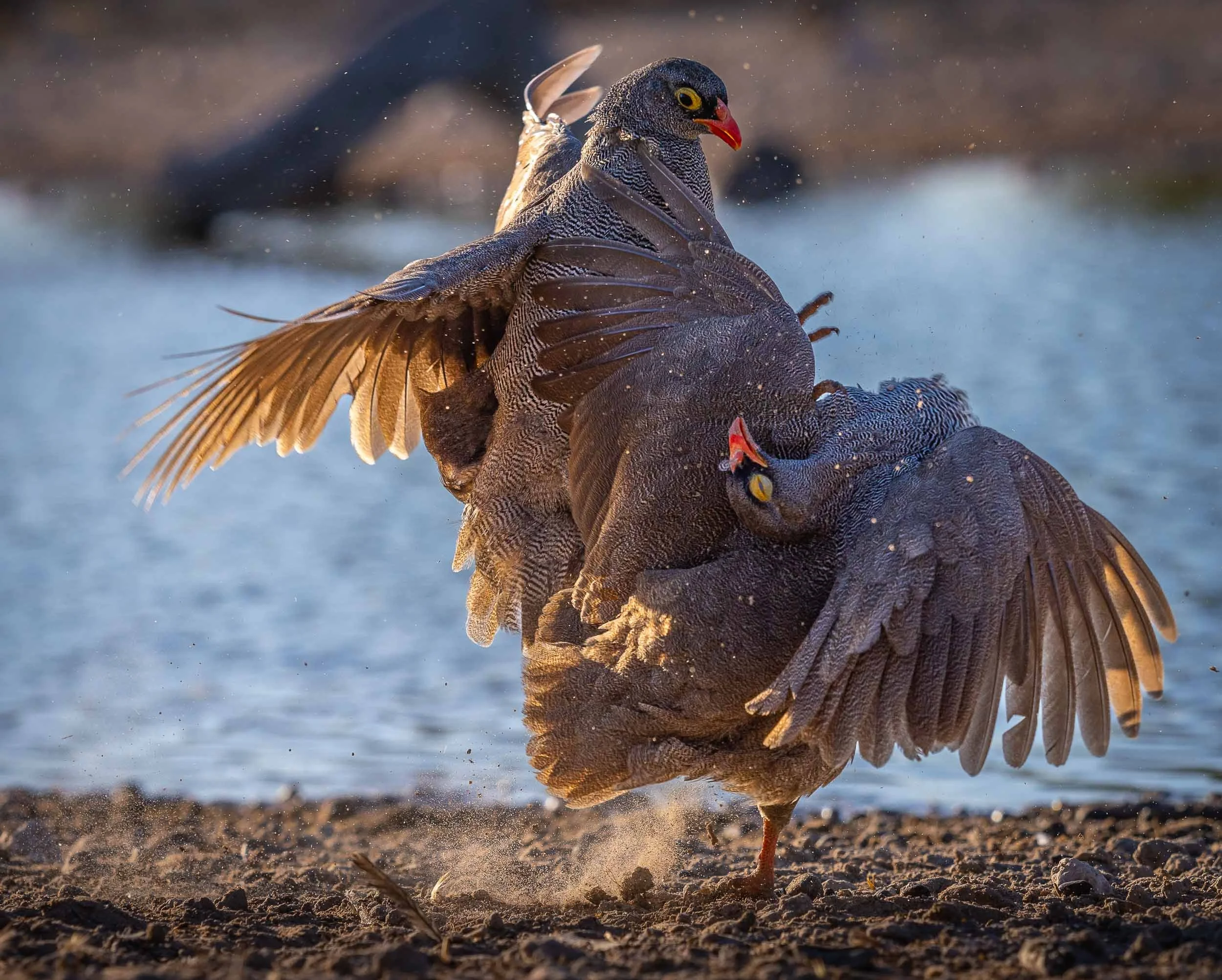
Jackals - Always Up To Something
After having observed them for a good amount of time, these mammals have climbed up in a my favorite animal rating list. A constant source of entertainment, and always giving an impression of being up to no good, I’ve seen these mischievous omnivores catch doves, chase away animals much larger than them, and strut around like they are the kings of Africa.
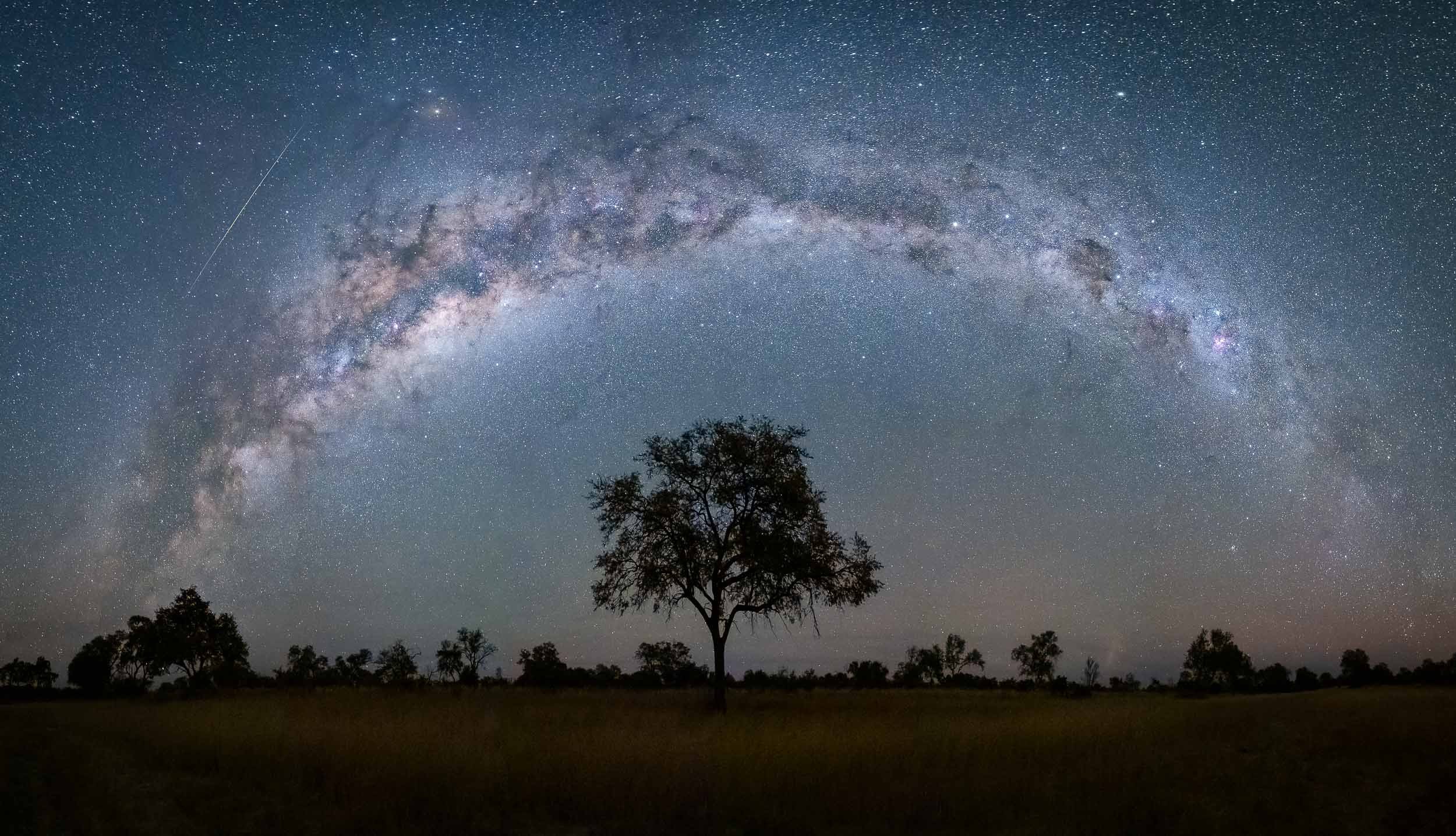
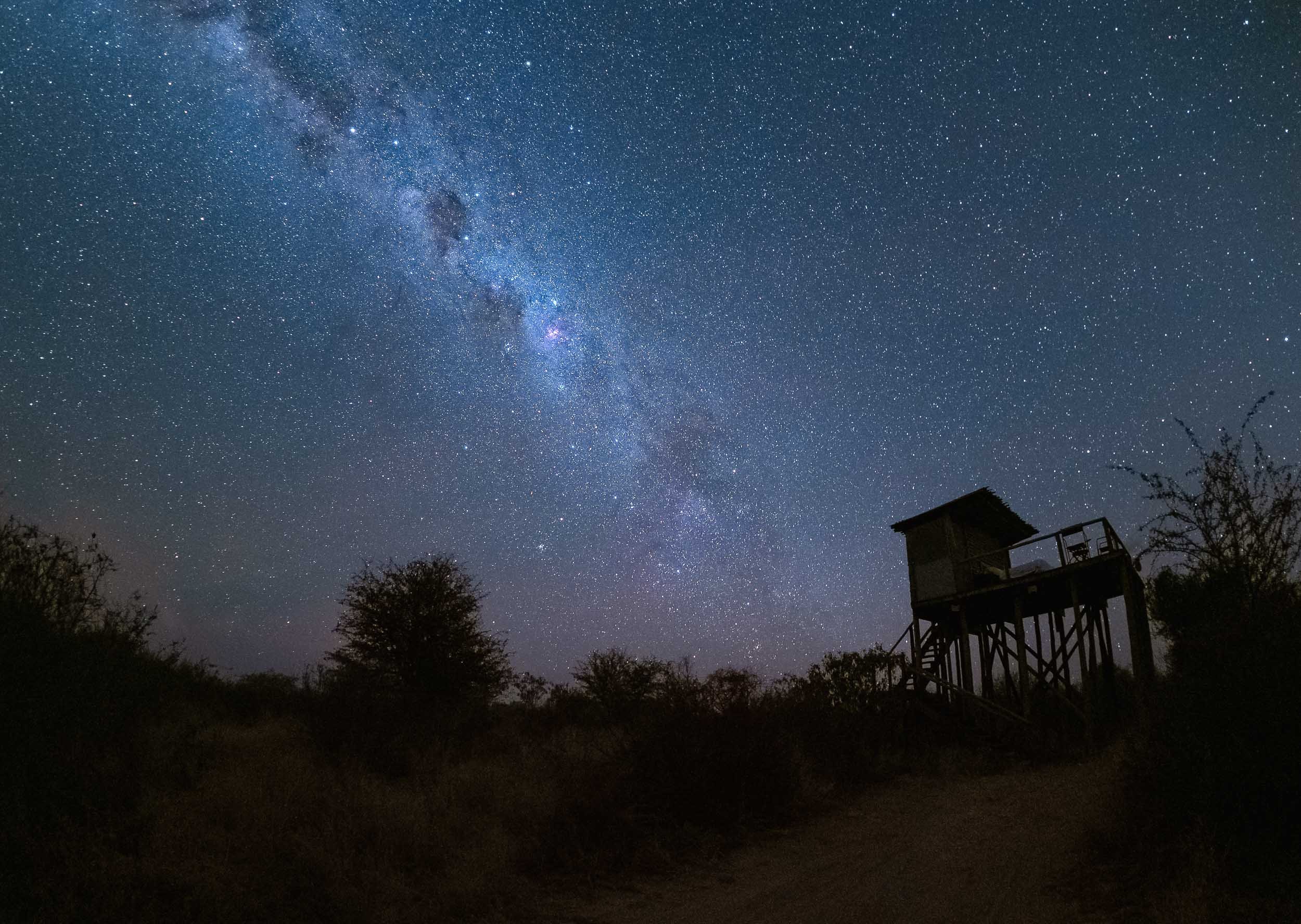
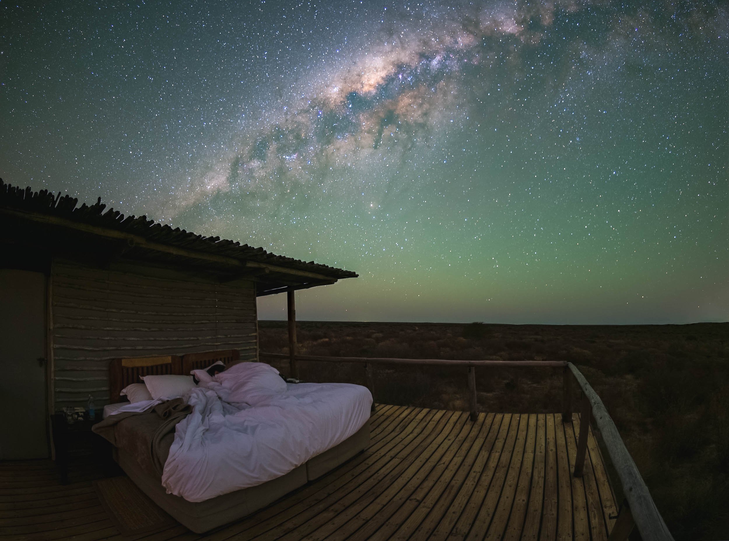
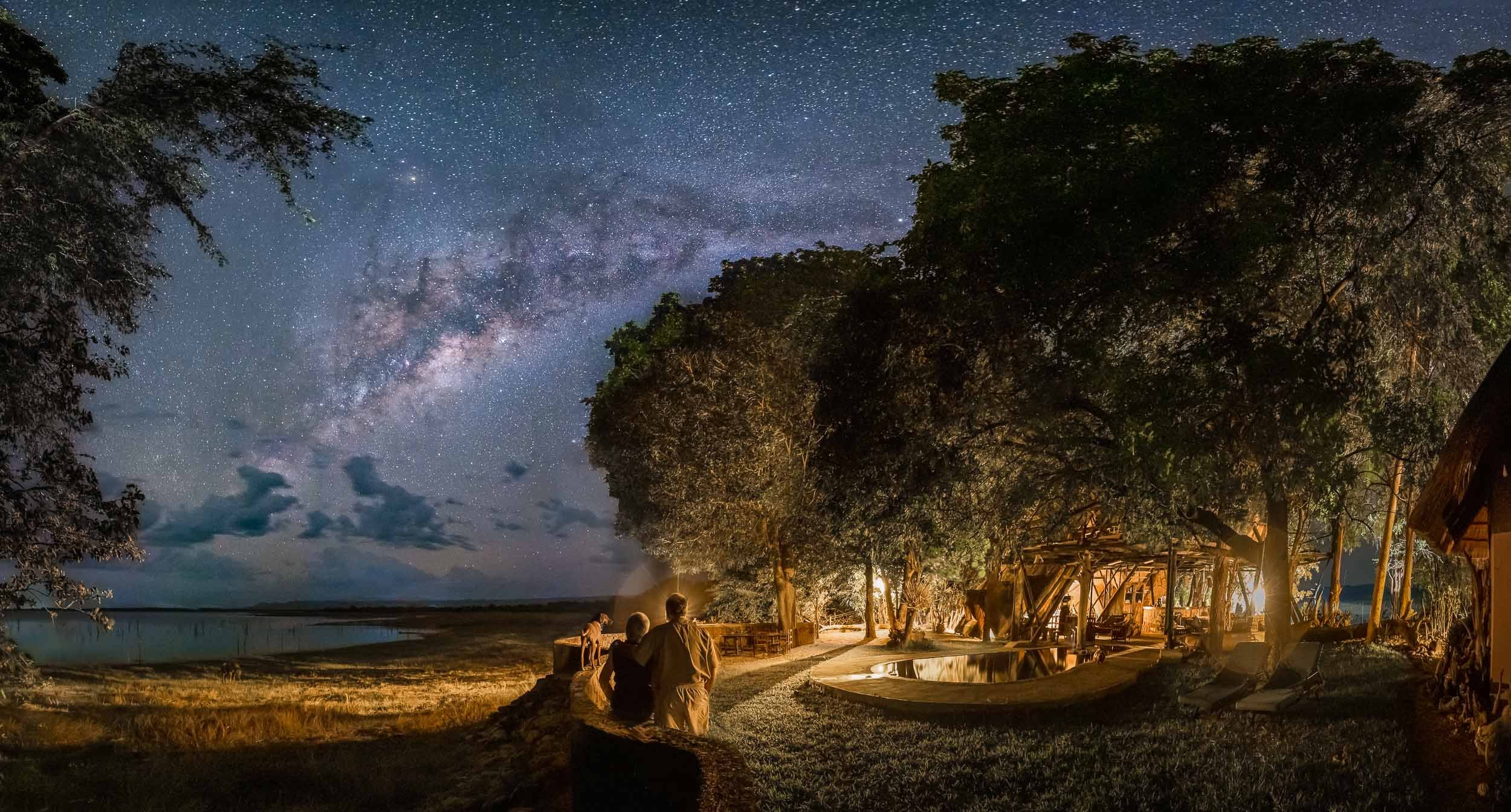
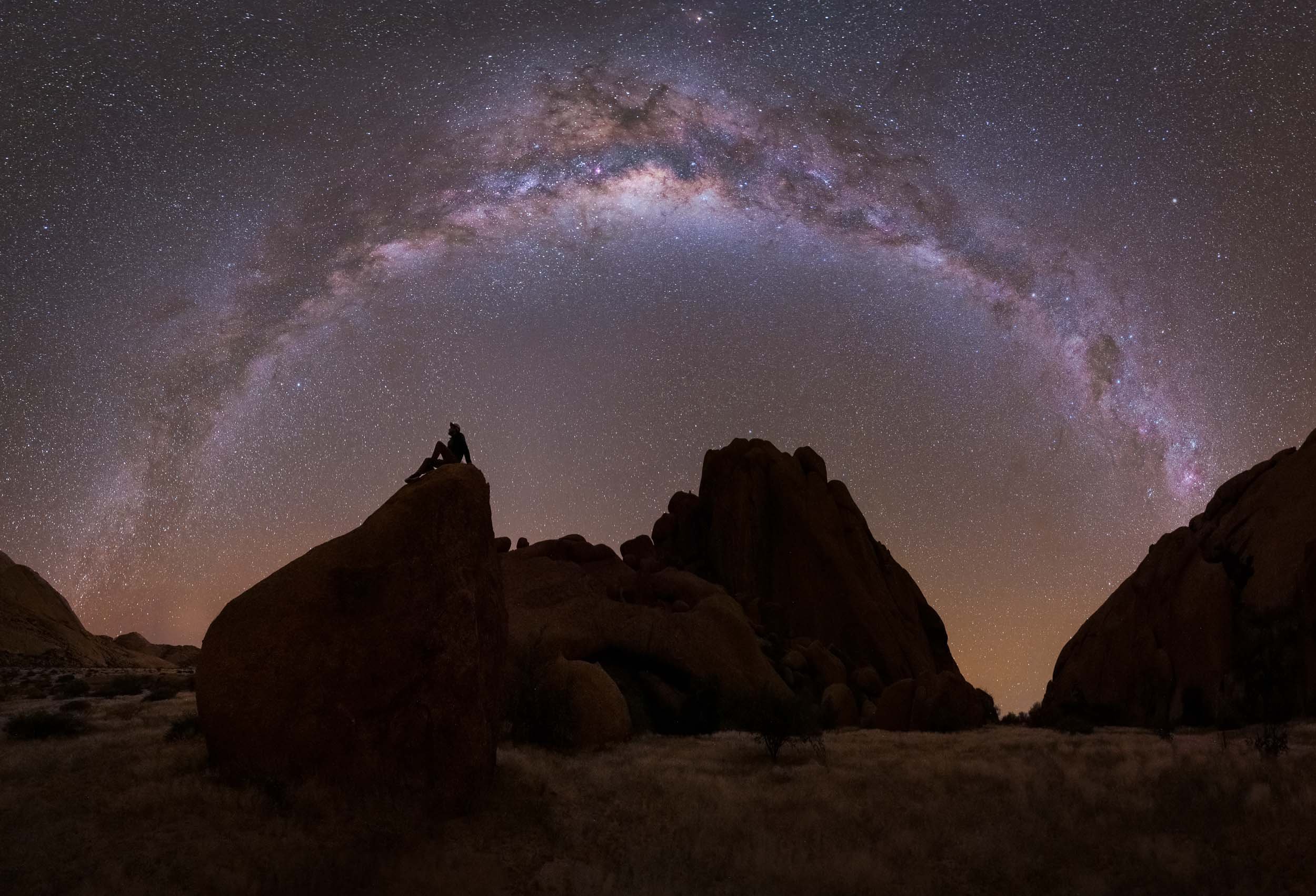
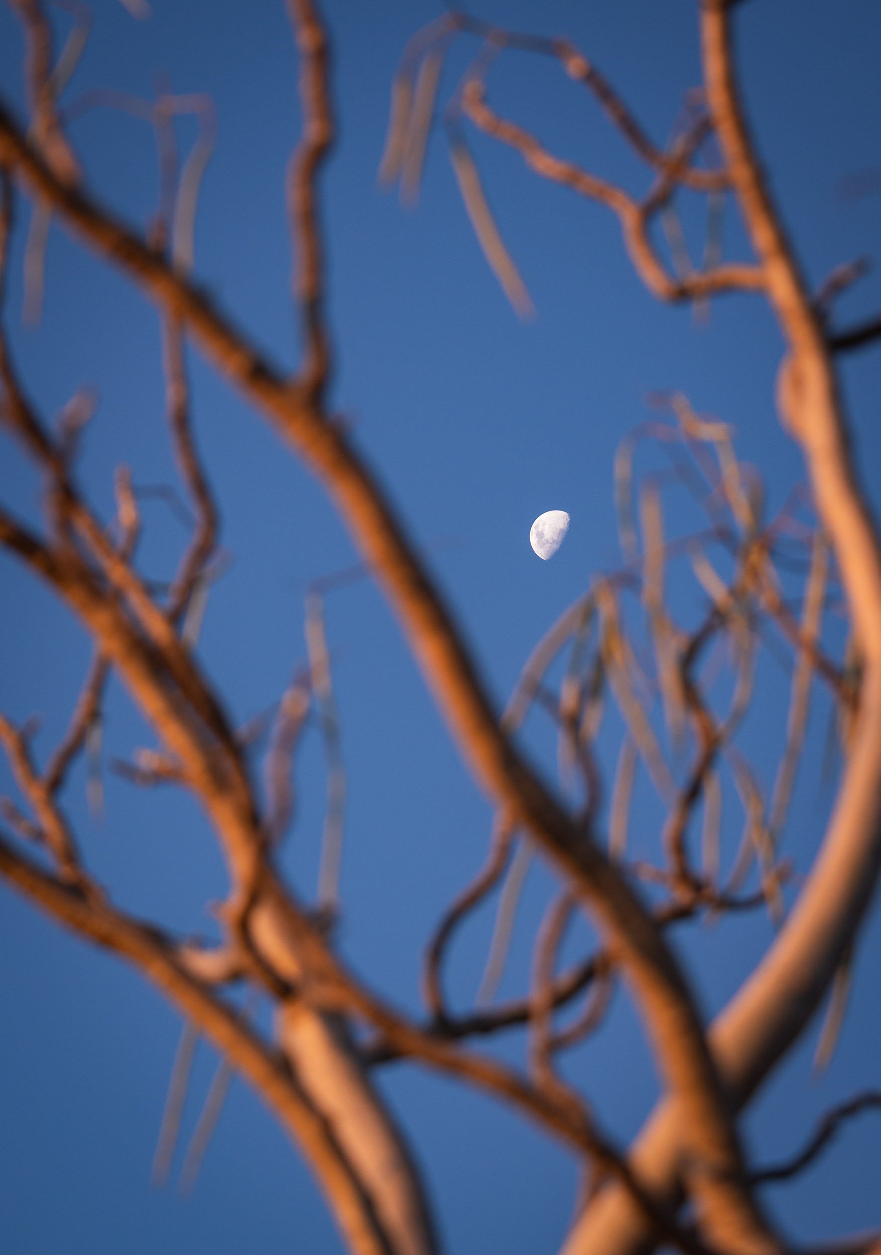
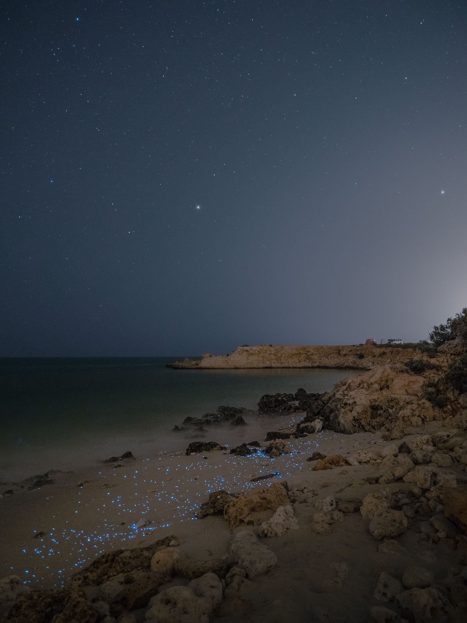
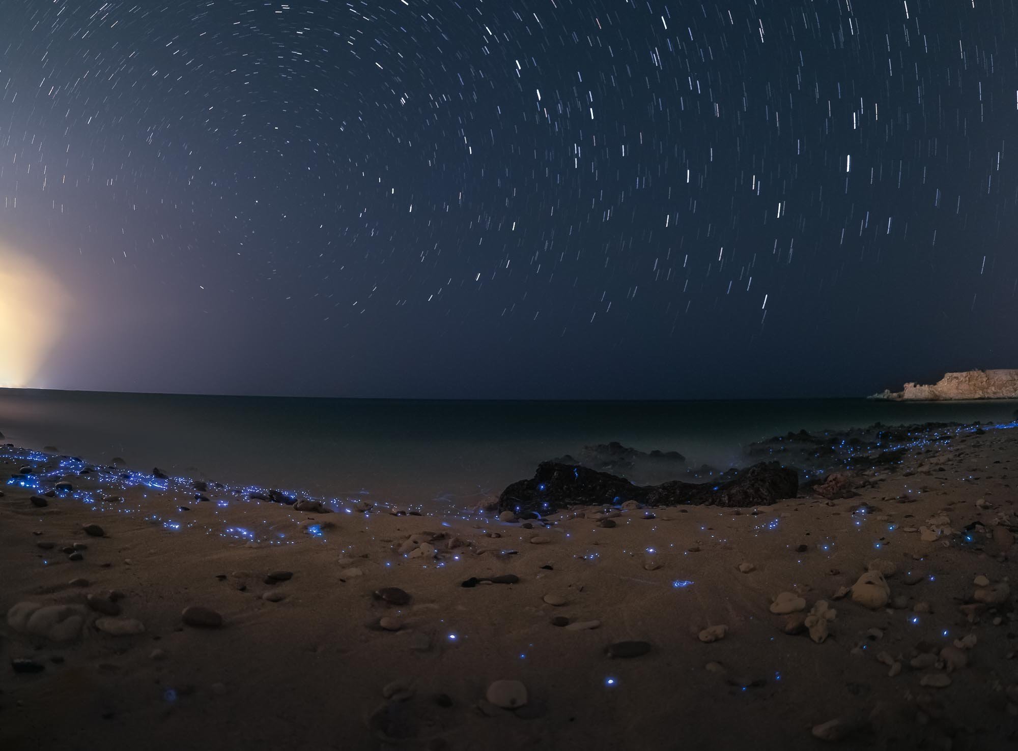
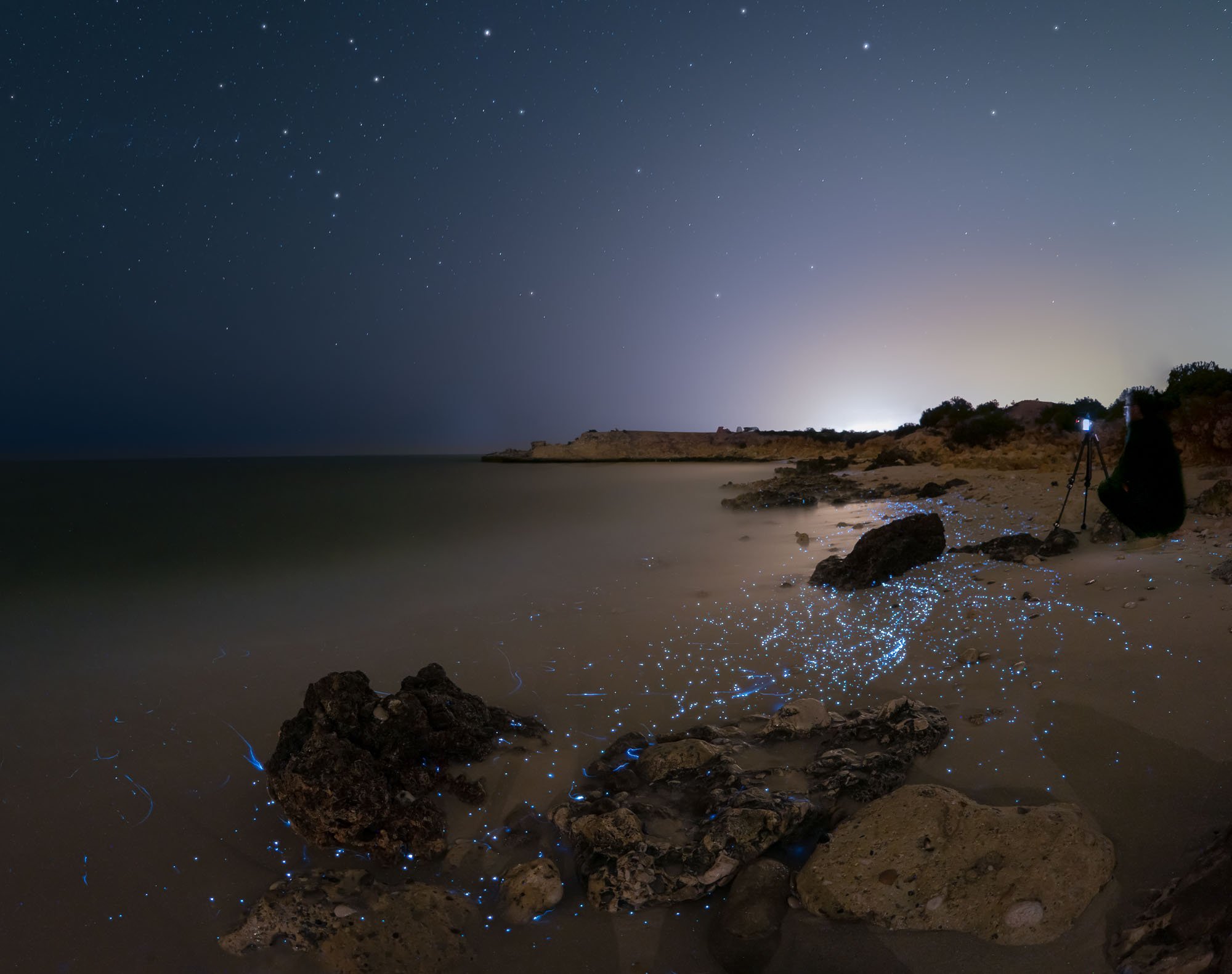
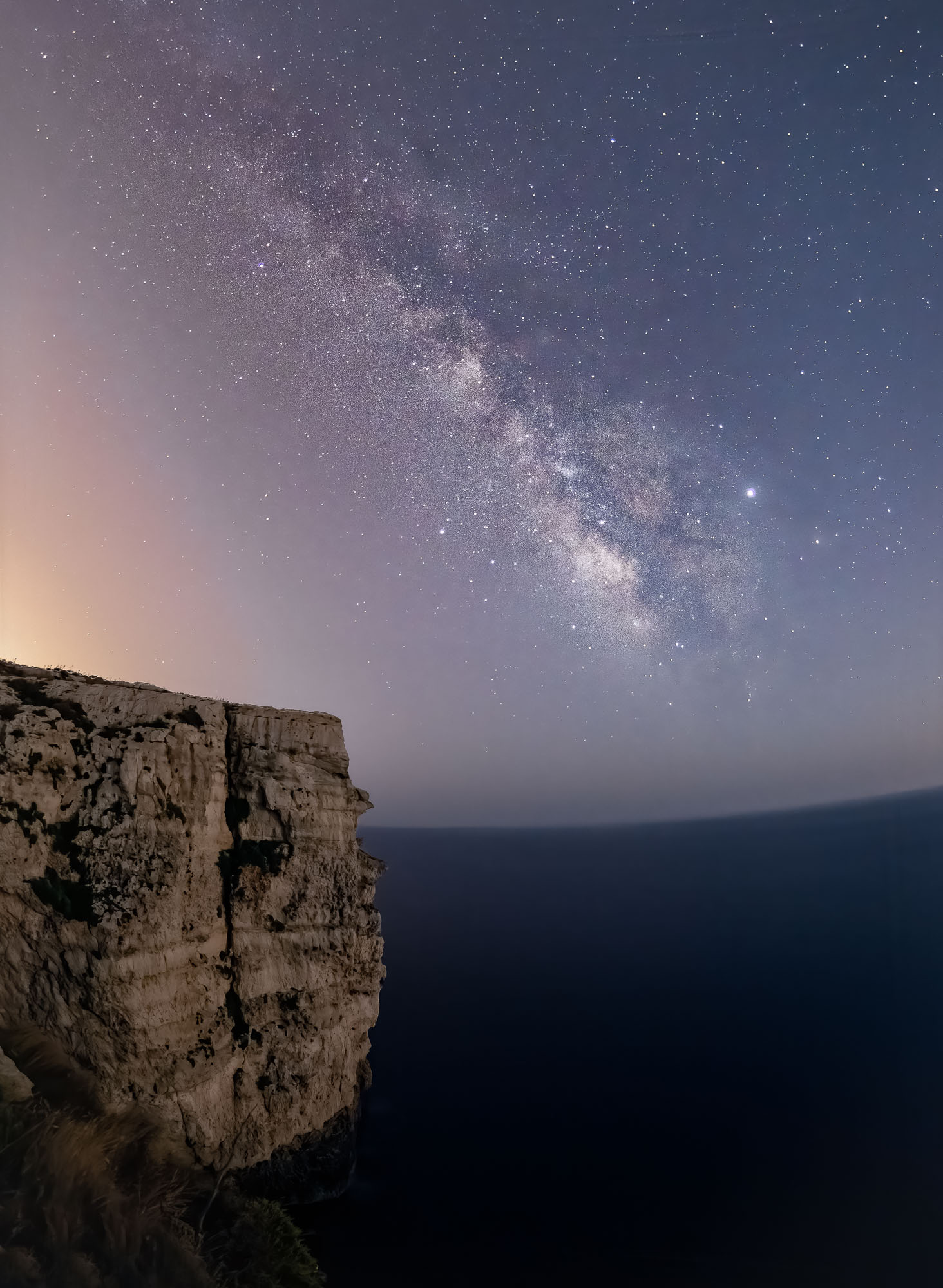
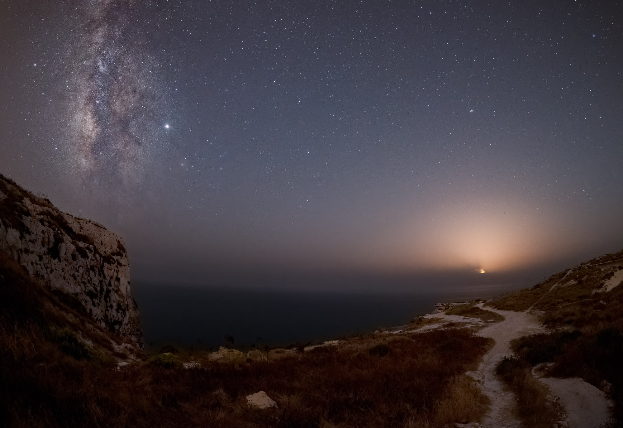
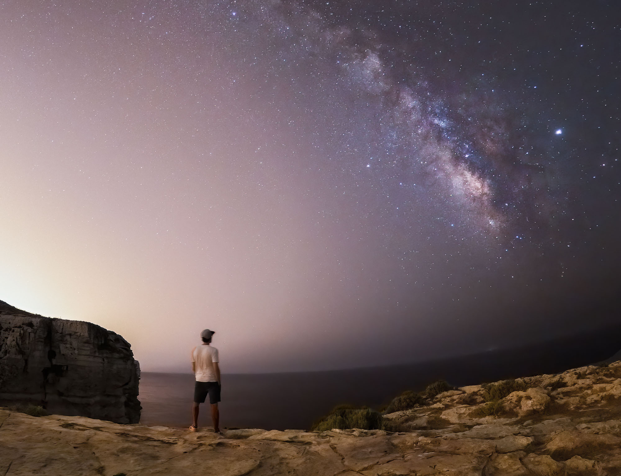
Starry Bedroom
Our lodge offered this special experience: A night under the stars, sleeping on an elevated platform in the bush - an opportunity I couldn’t miss out on, so one evening after dinner, I was dropped off 20min away from the camp to see what it feels like to sleep with a Milky Way view. See below for an impression!

Watch Earth in Motion below…
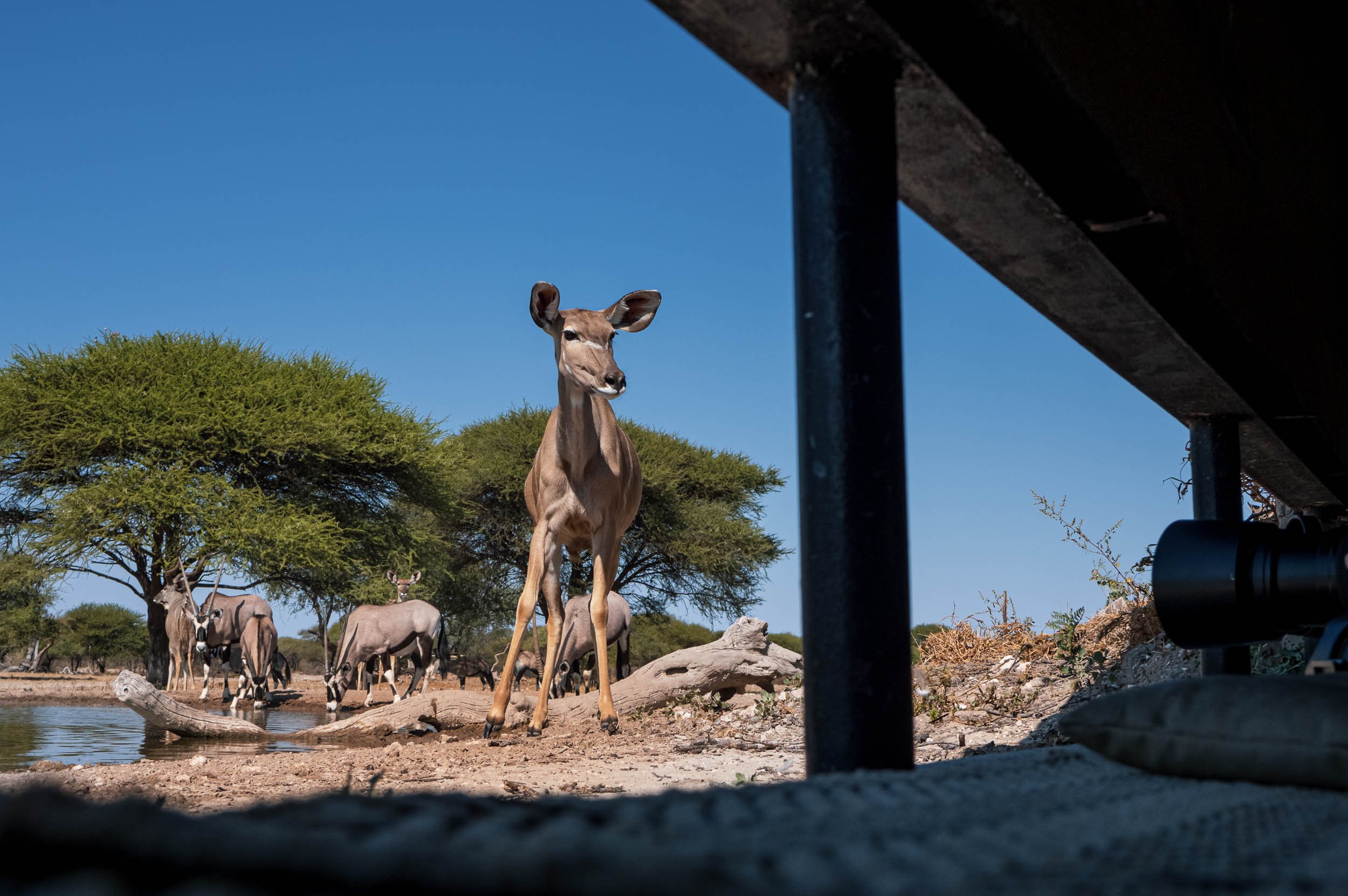
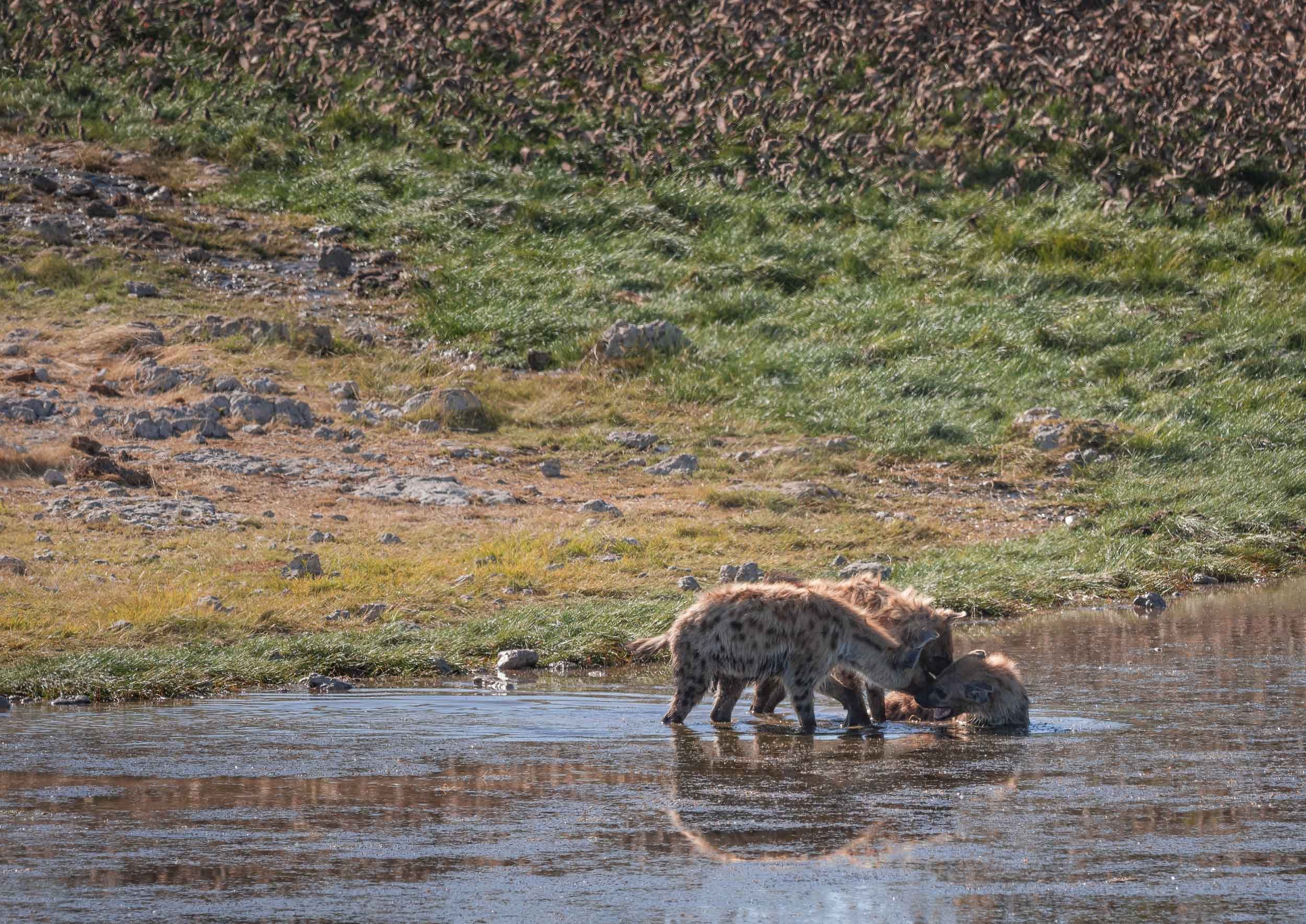
The Waterhole
A second special spot is found a bit closer to the ground - in fact, it’s almost underground: A bunker-type hide to view animals up close at the waterhole, for some ground level perspectives. We spent a lot of time here, watching antelopes, giraffe, jackals and many other animals come to drink and interact without being bothered much by our presence.


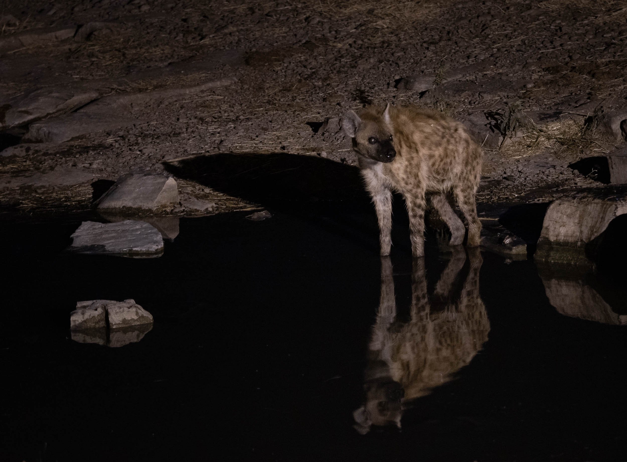
At Night
Private concessions (as opposed to National Parks) often come with the benefit of being allowed to stay out beyond sunset, opening the way for some nightly discoveries…


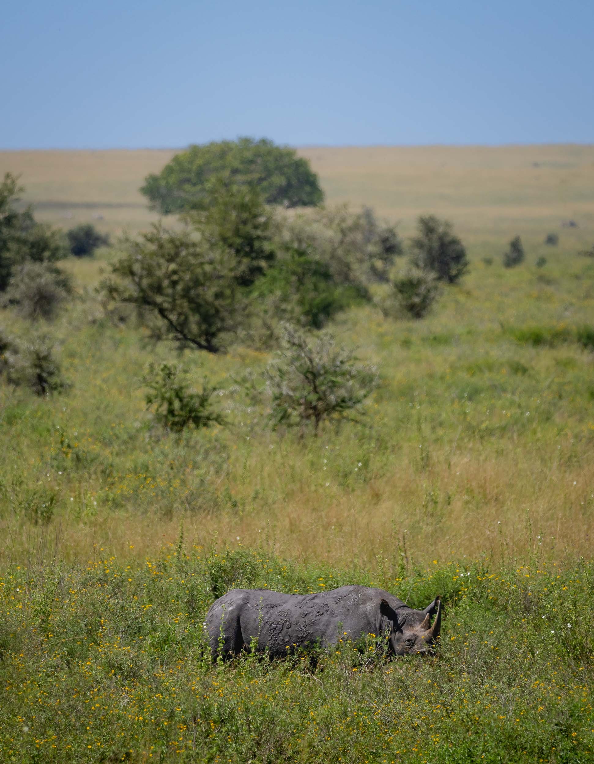
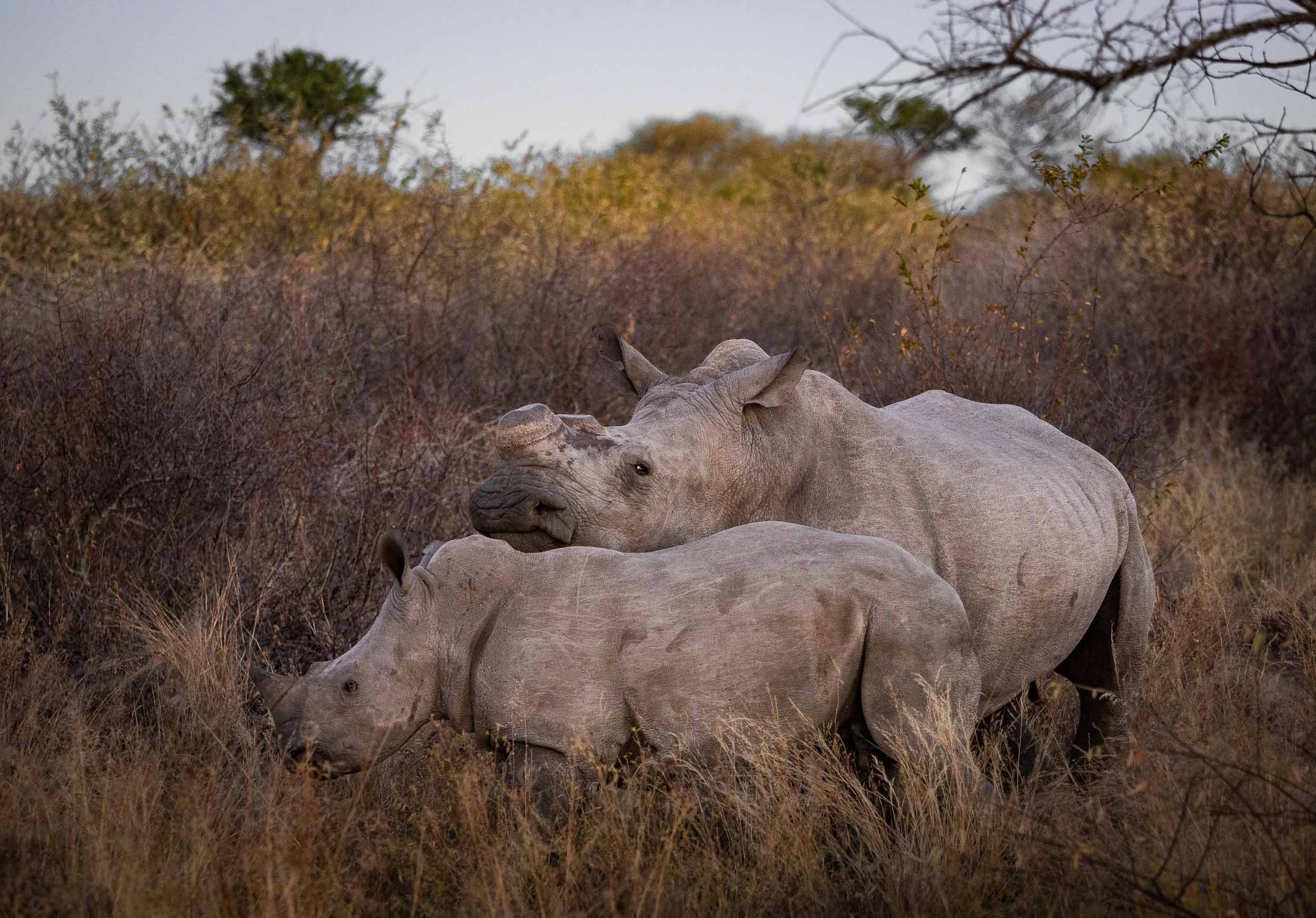
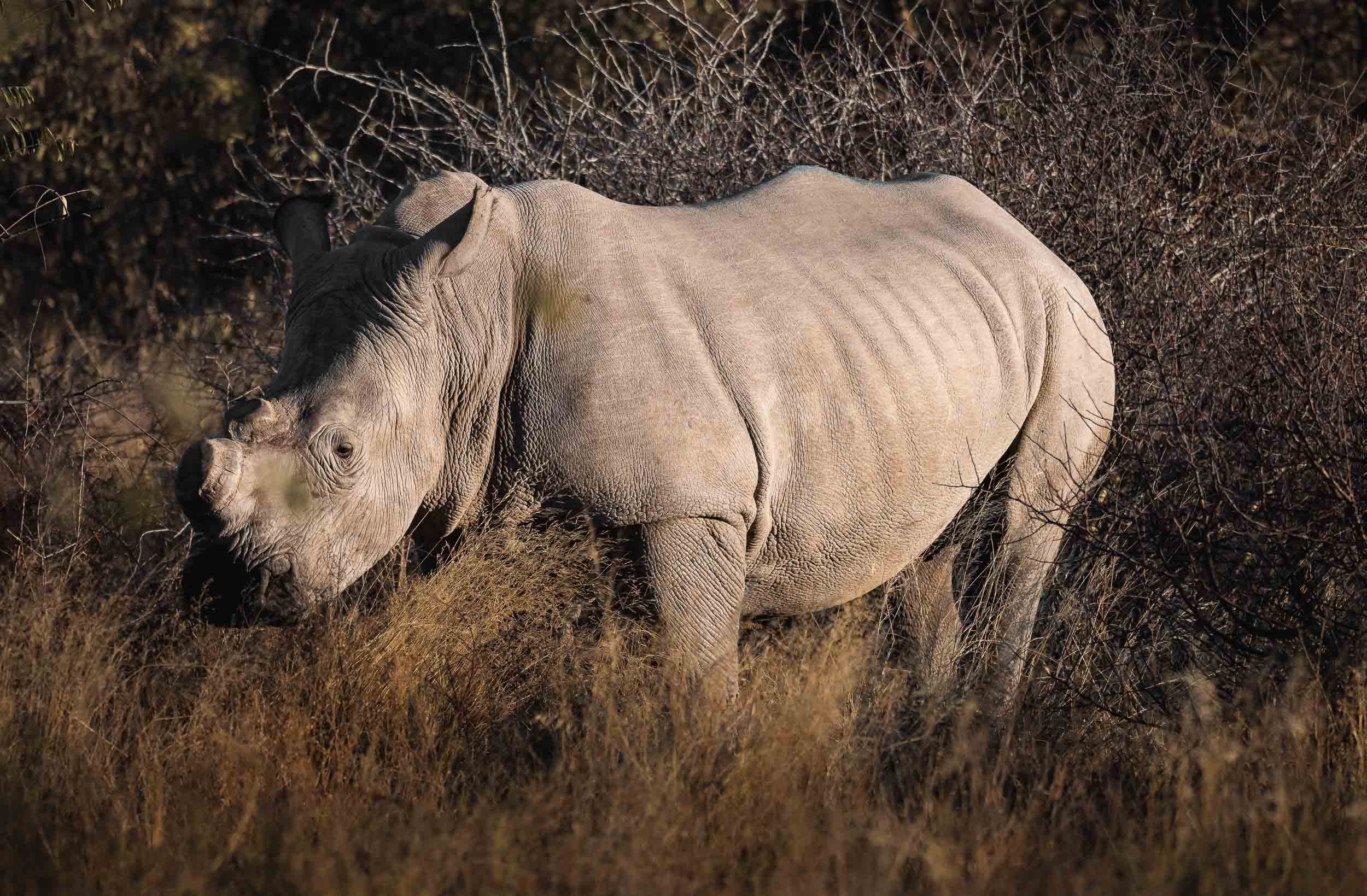
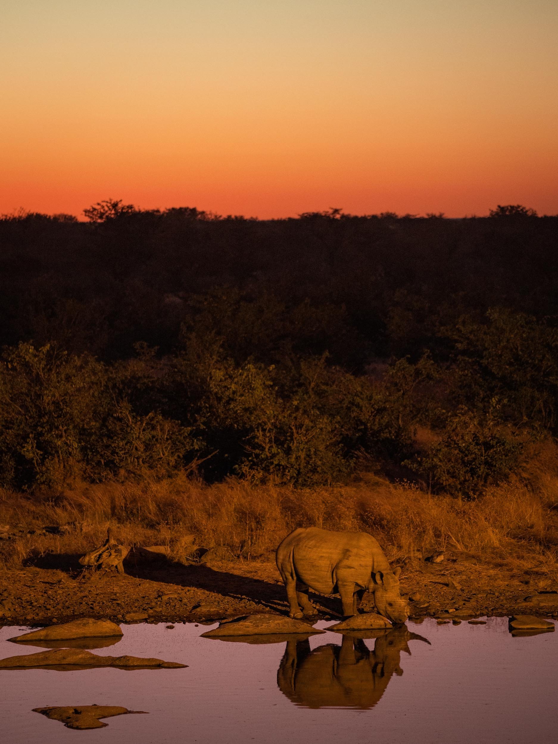
Lastly, the reserve is also home to a population of white rhino, which have been de-horned to deter poachers, a practice that some question in terms of its effectiveness in doing so, as the base is still attractive for the market.
Zimbabwe - Tracking Dinosaurs & Lunar Wonders
The second country of my trip was Zimbabwe - a place which up until planning of this adventure hadn’t really grabbed my attention.

The second country of my trip was Zimbabwe - a place which up until planning of this adventure hadn’t really grabbed my attention. That has definitely changed after spending two weeks in Harare, Mana Pools, Chewore, Kariba, Matusadona and the Victoria Falls. This journey was full of incredible experiences, read on to find out what the country once known as the "Jewel of Africa" had in store.
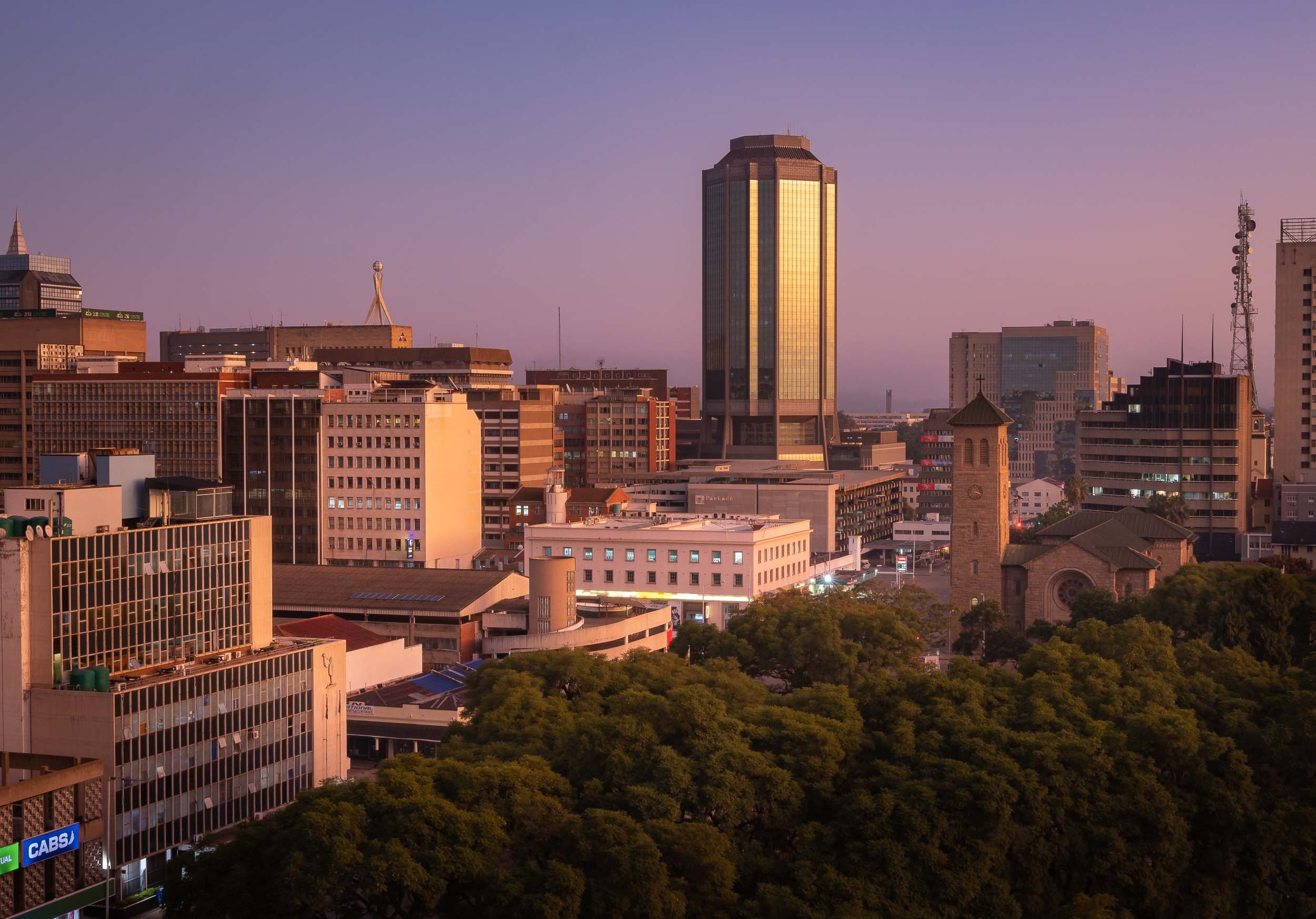
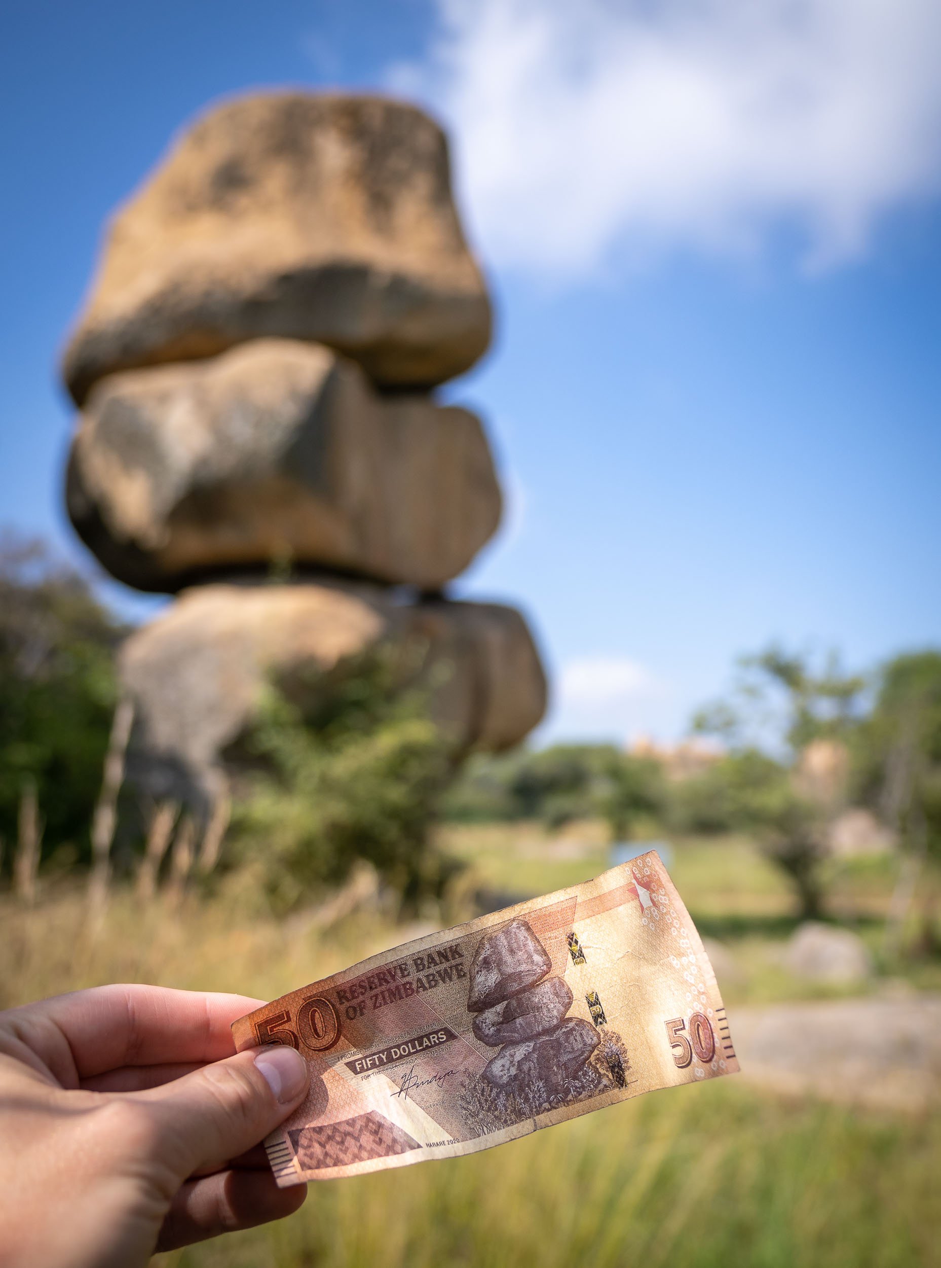
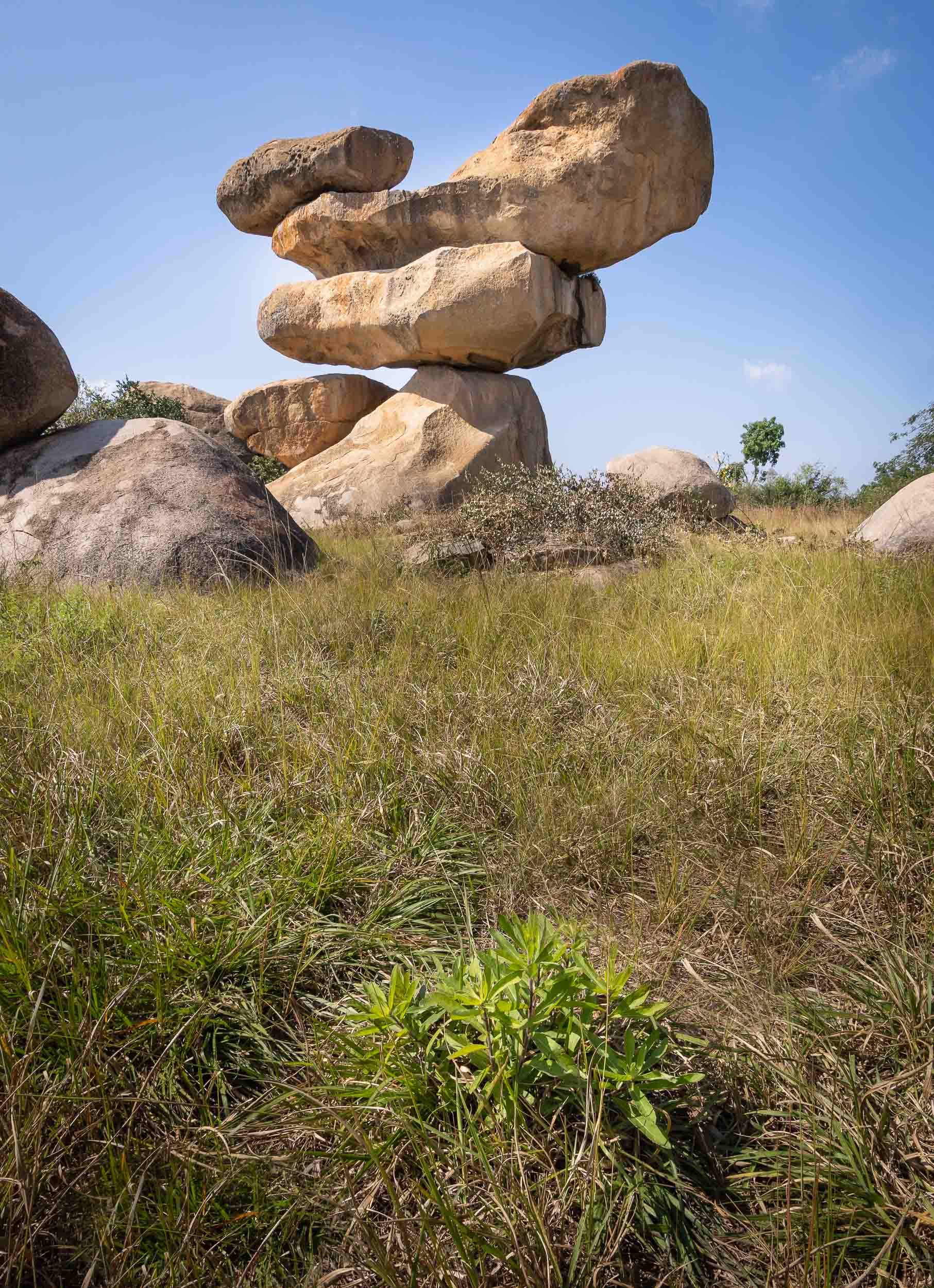
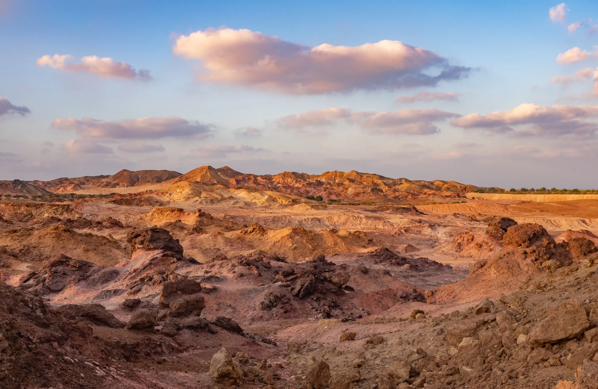
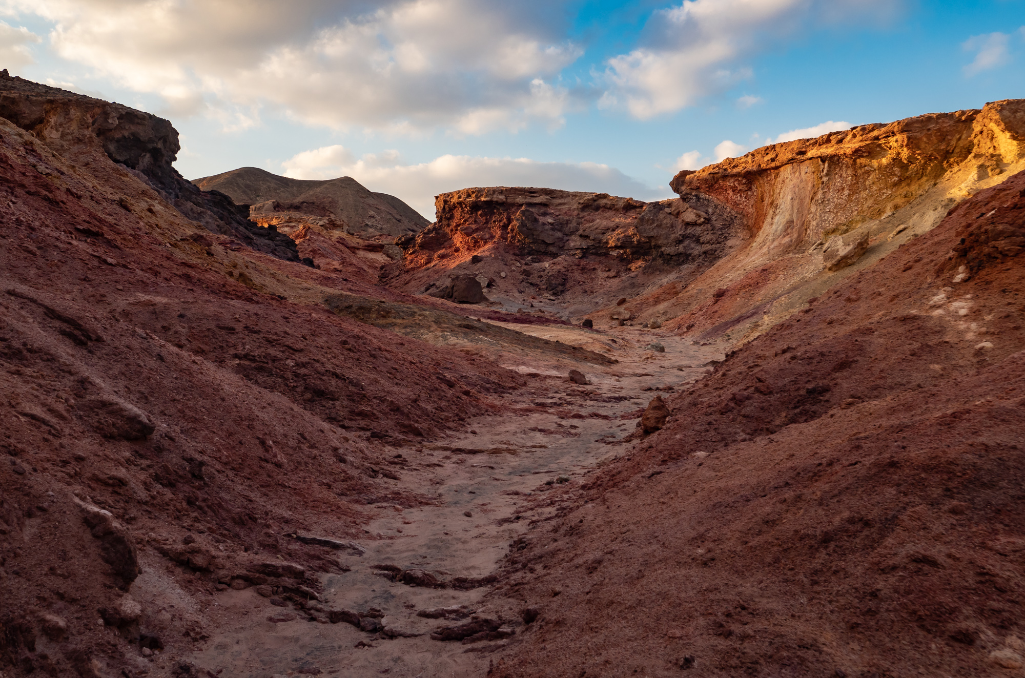
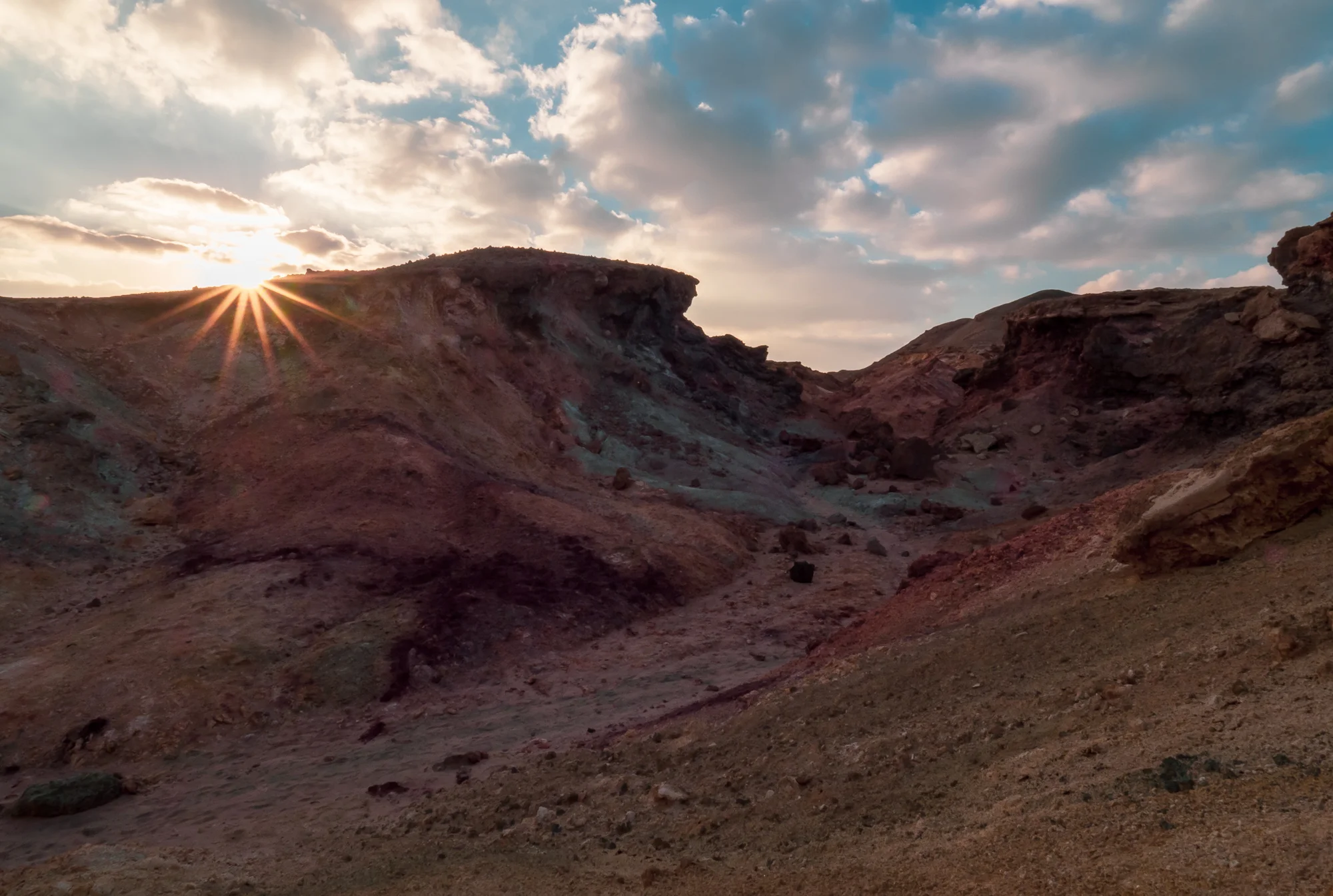
Harare and some unique rocks
I had one day to spend in the capital city before making my way into the northern parts of the country. A brief tour and looking at one of its most unusual sights was all I could fit in.
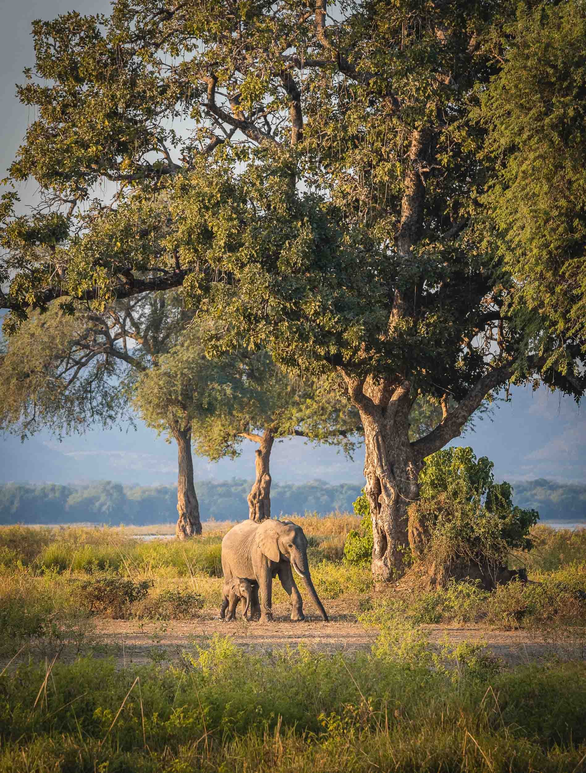
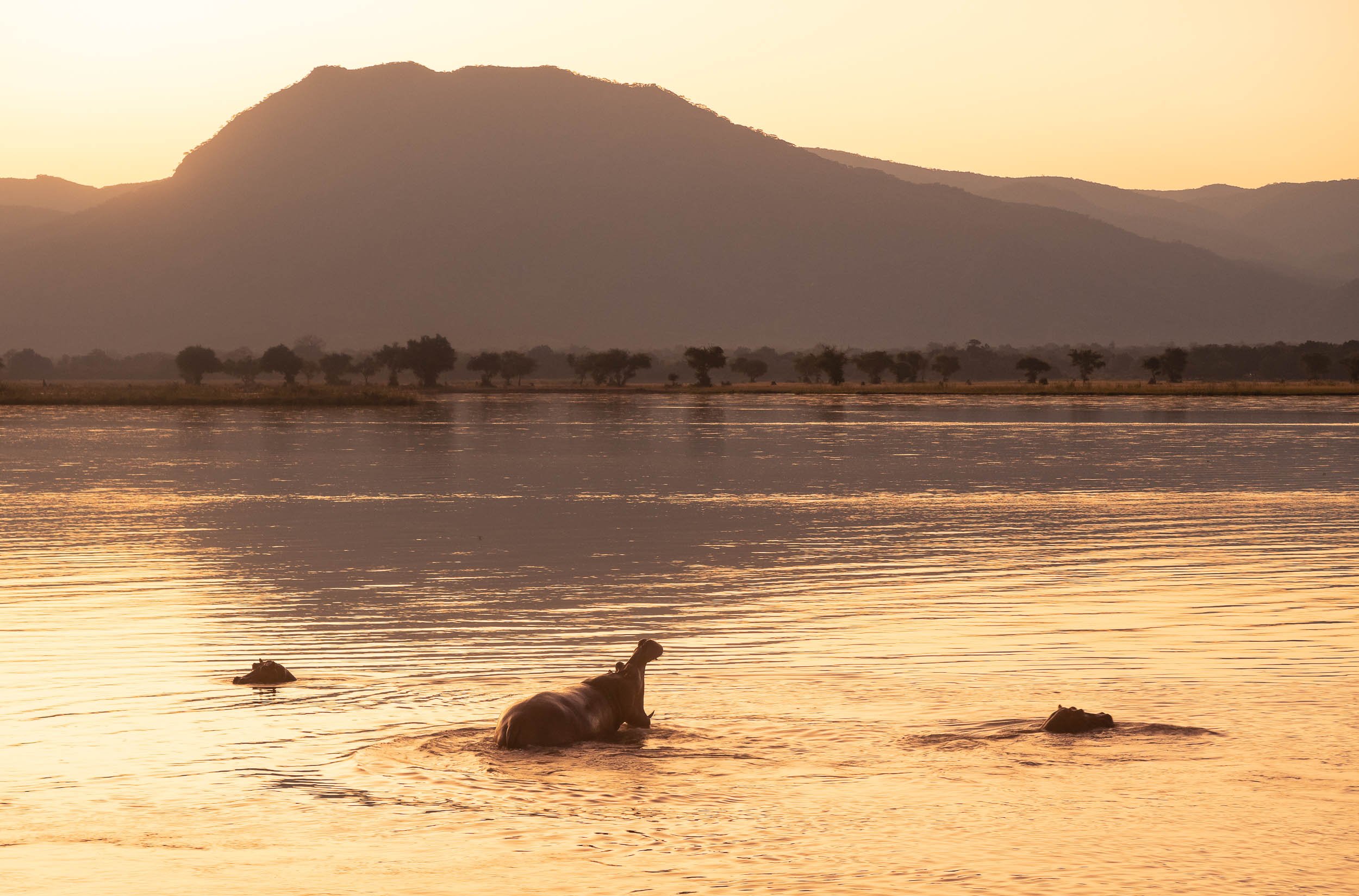
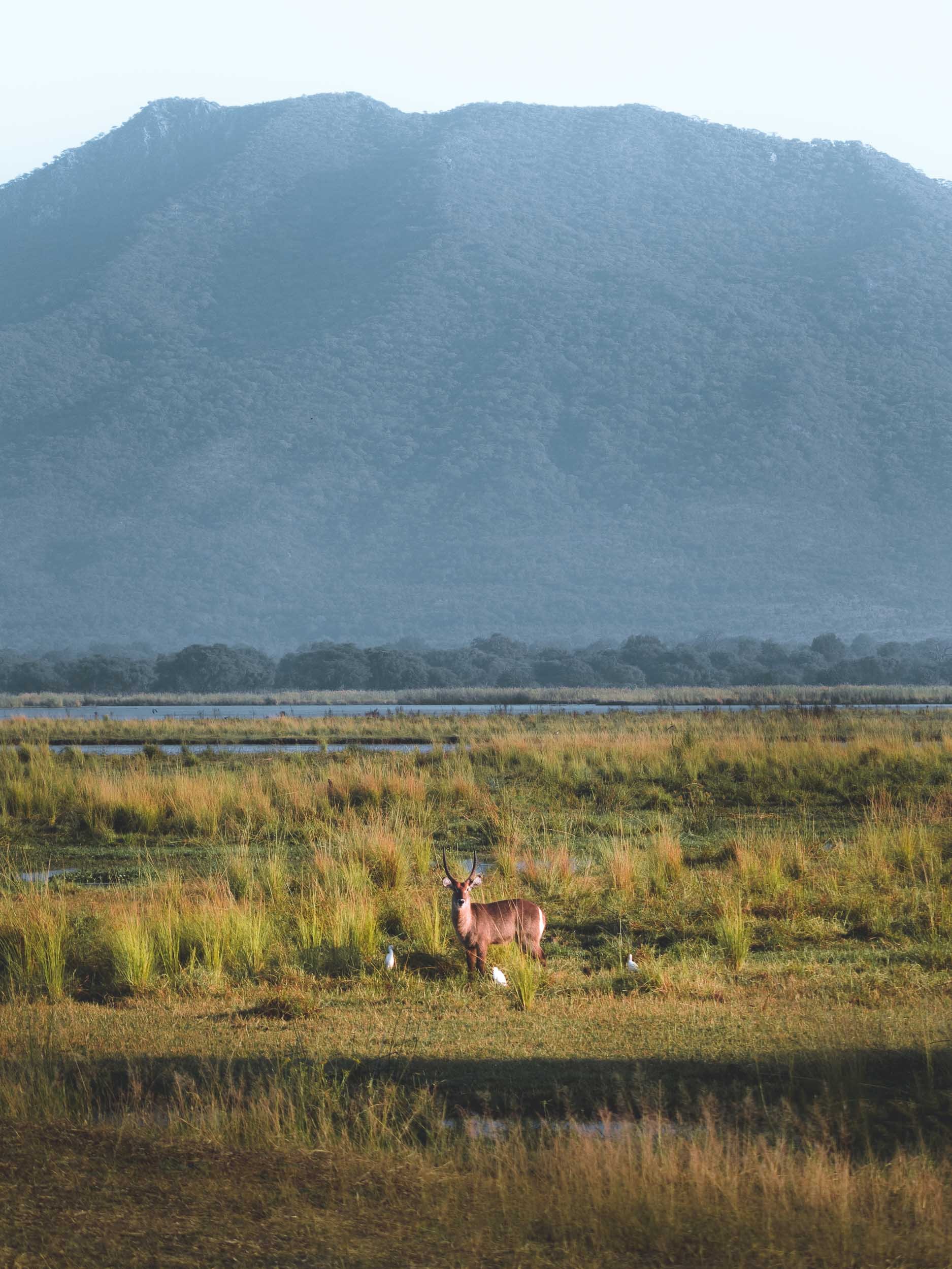
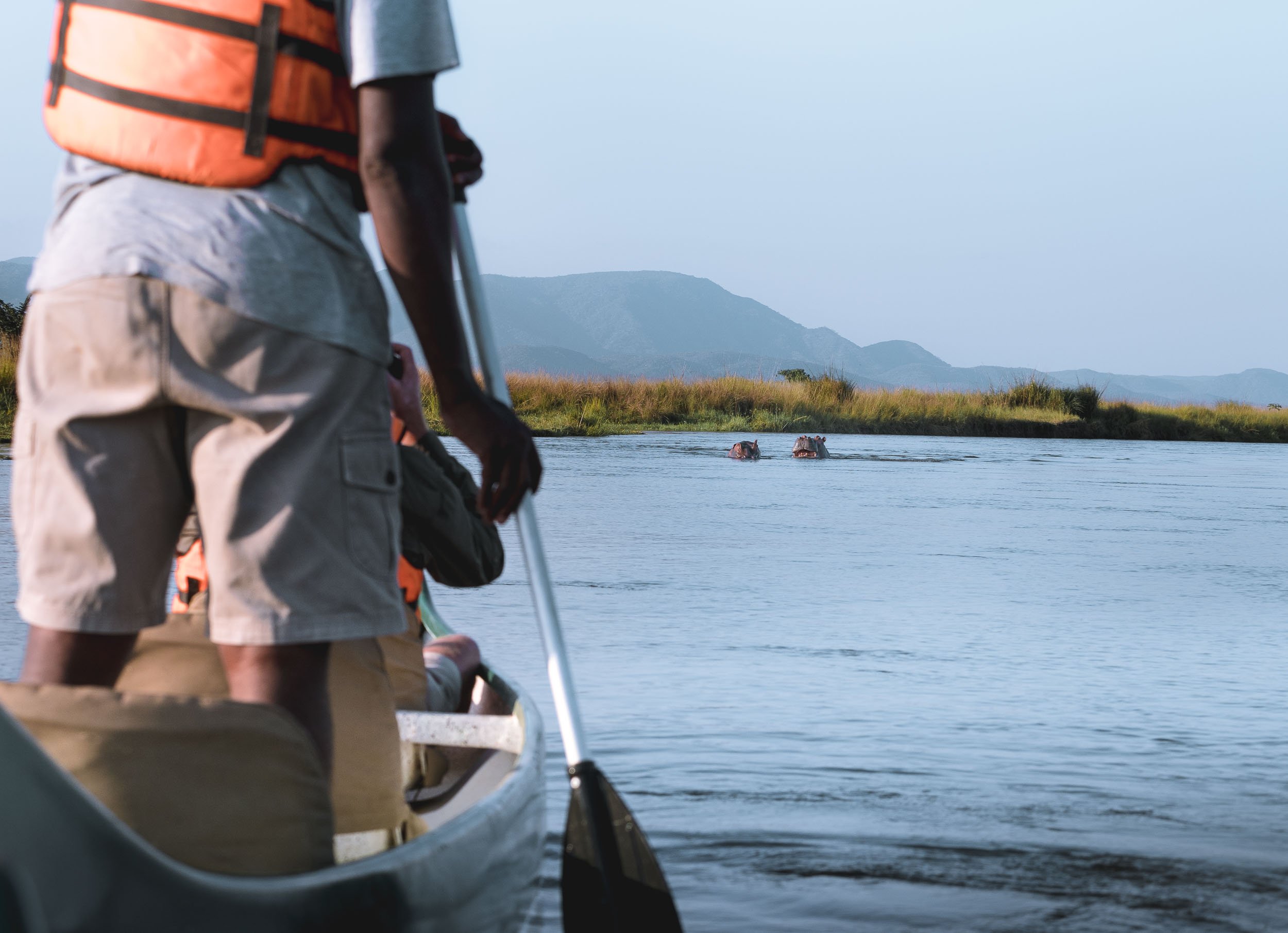
Mana Pools - Wildlife in a different way
I then spent 2 days at Mana Pools National Park in the northern part of the country, bordering the Zambezi river and the Zambian mountains on the other side of its shores. It’s this setting and the fact walking and canoeing are possible here, providing a much more intimate experience than the typical bush game drives, that made this a special place.


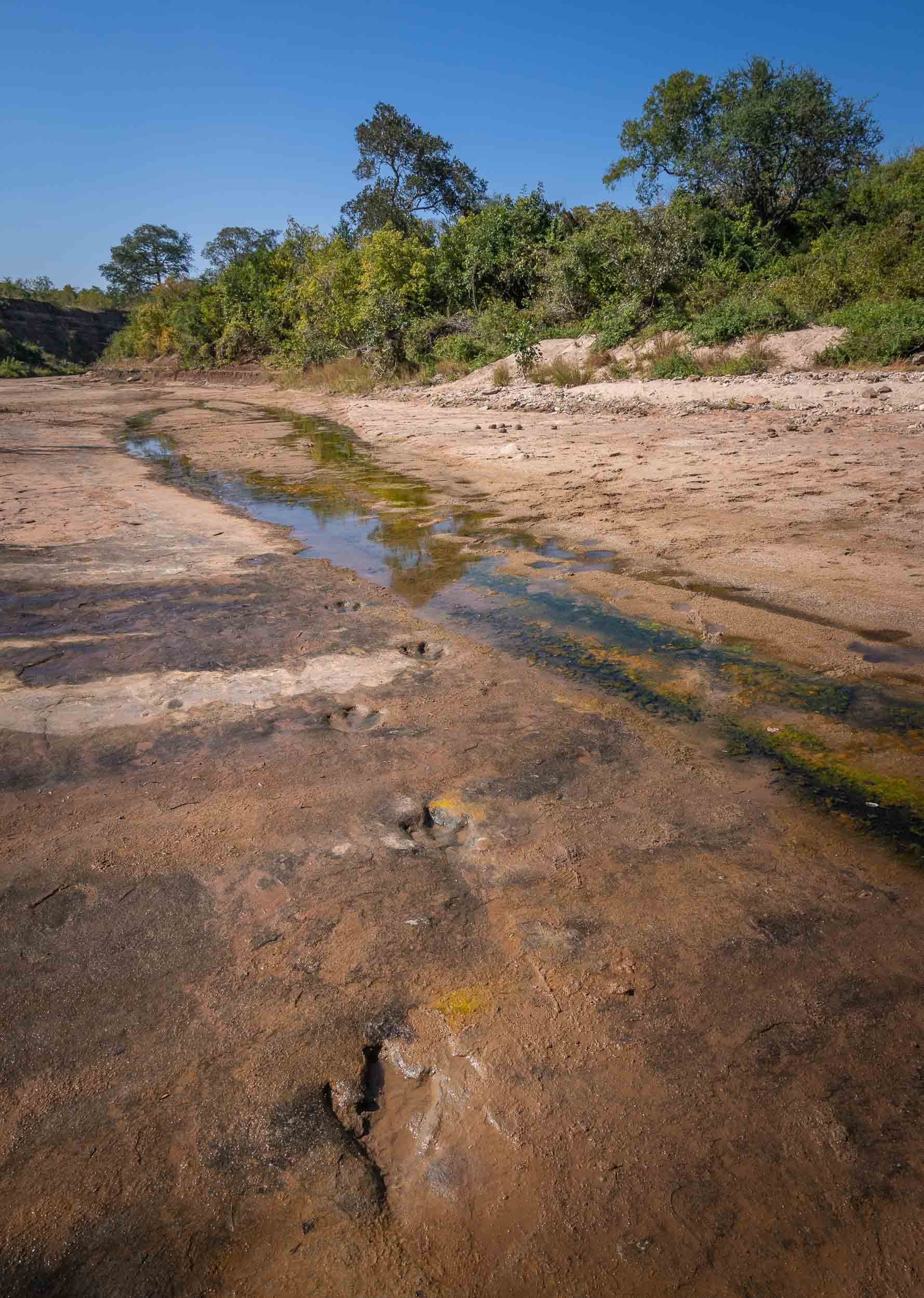
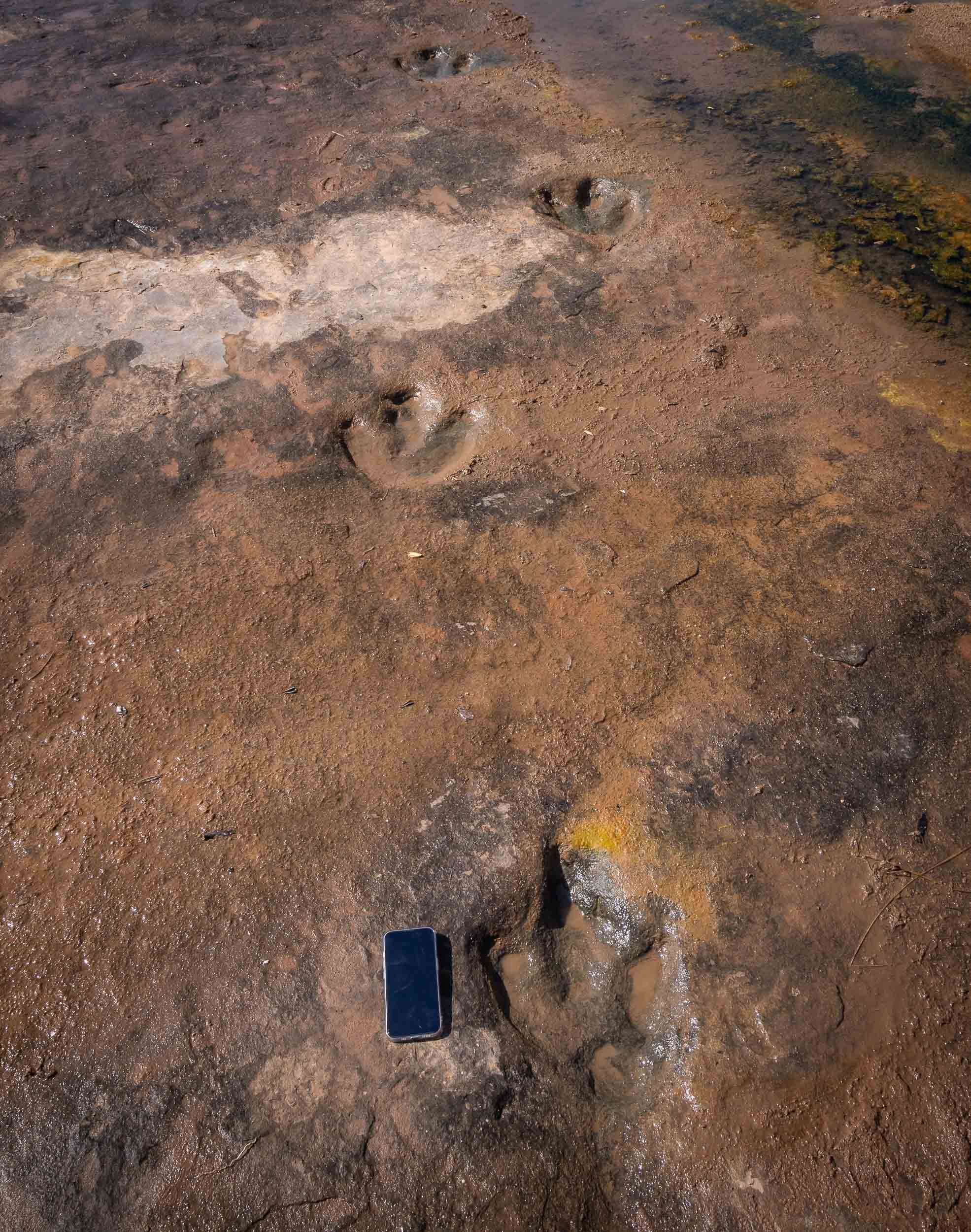
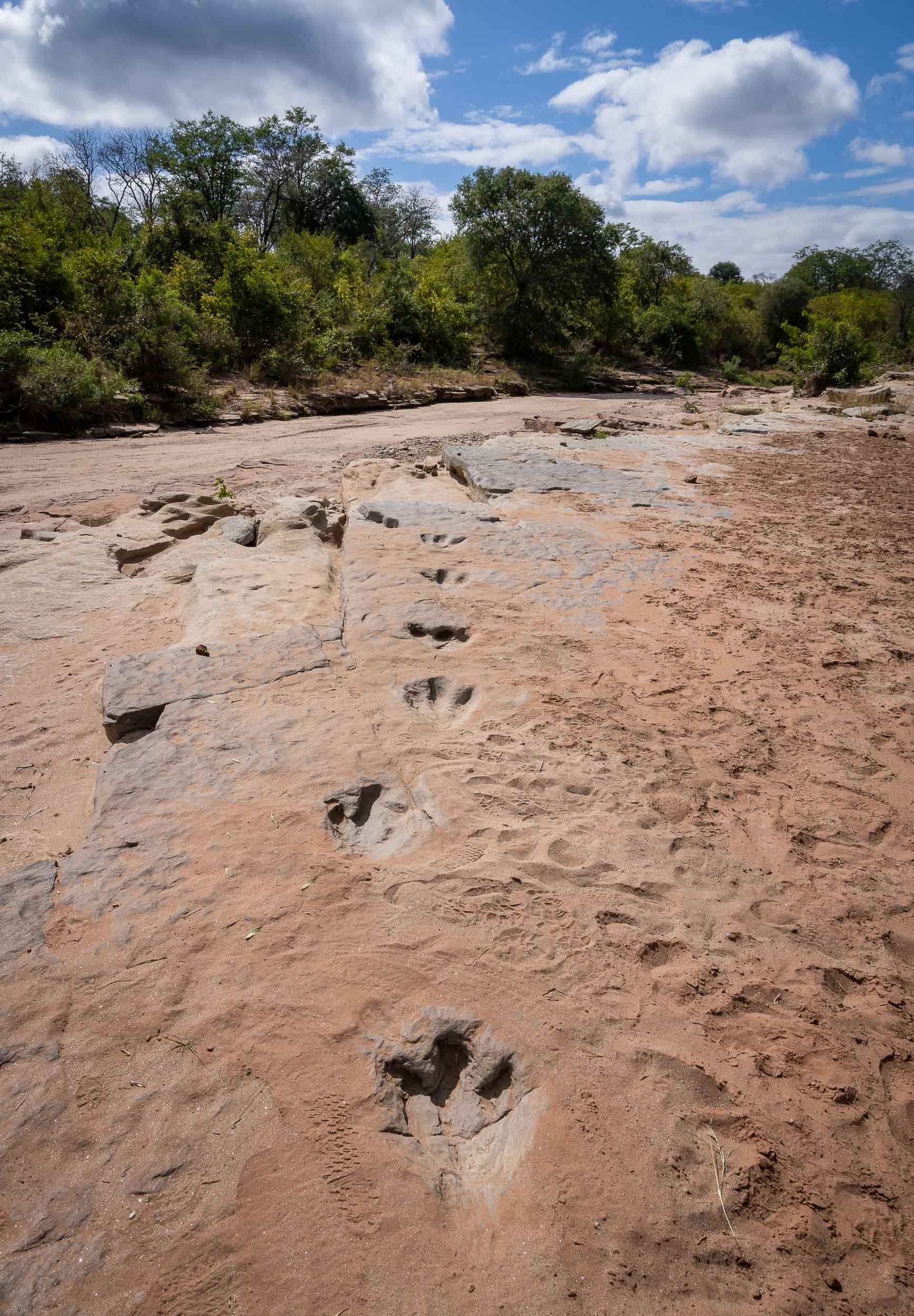
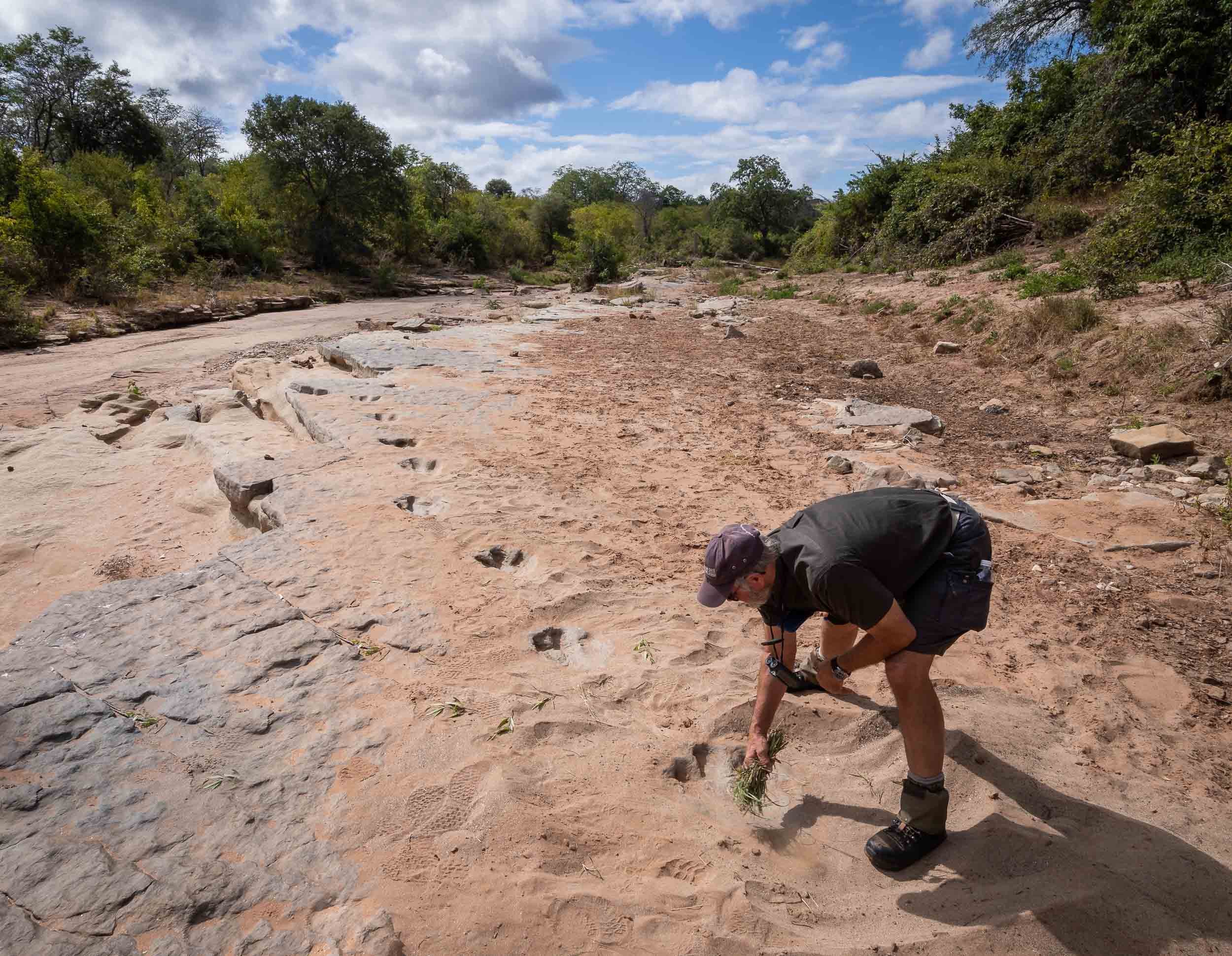
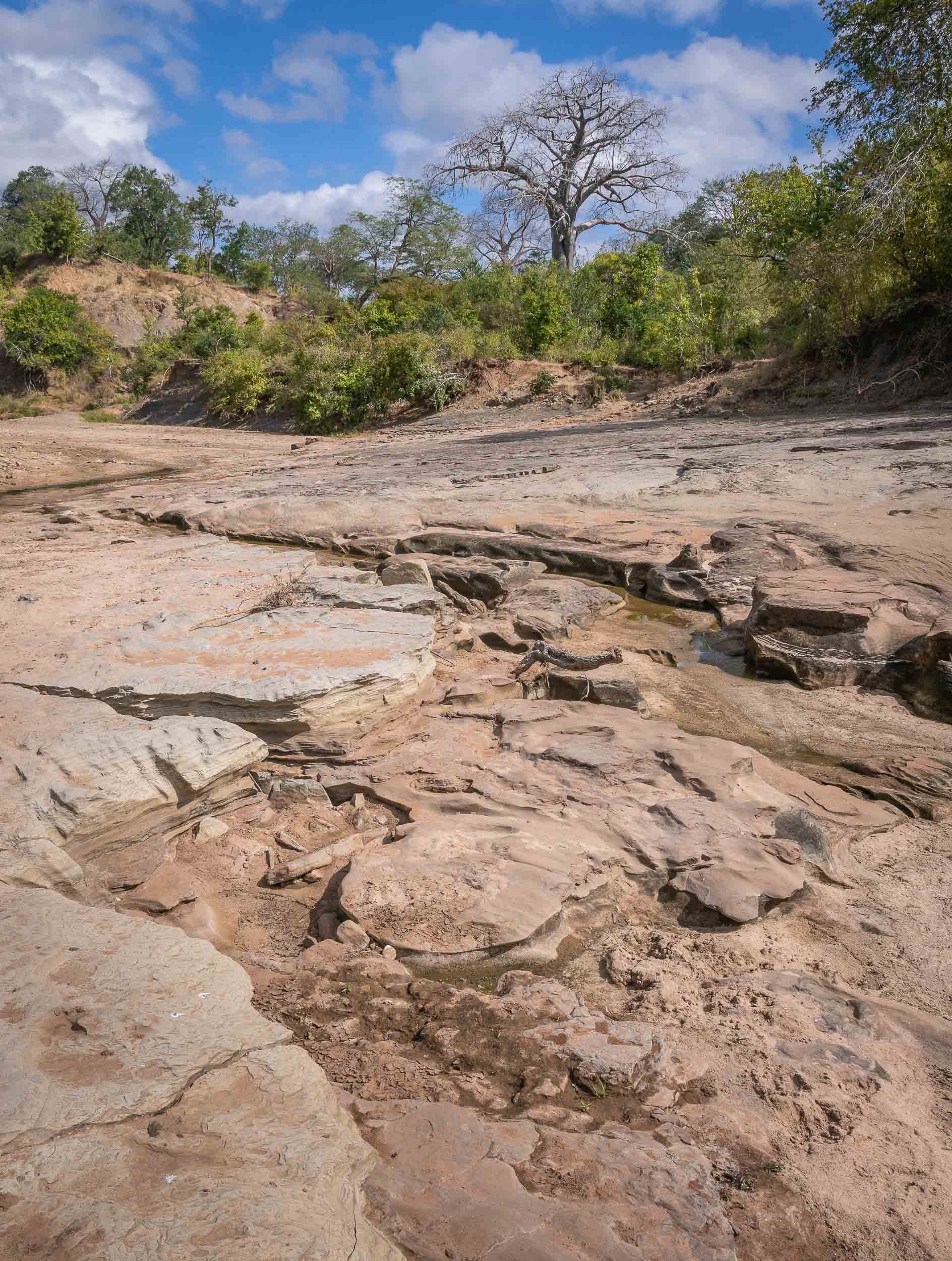
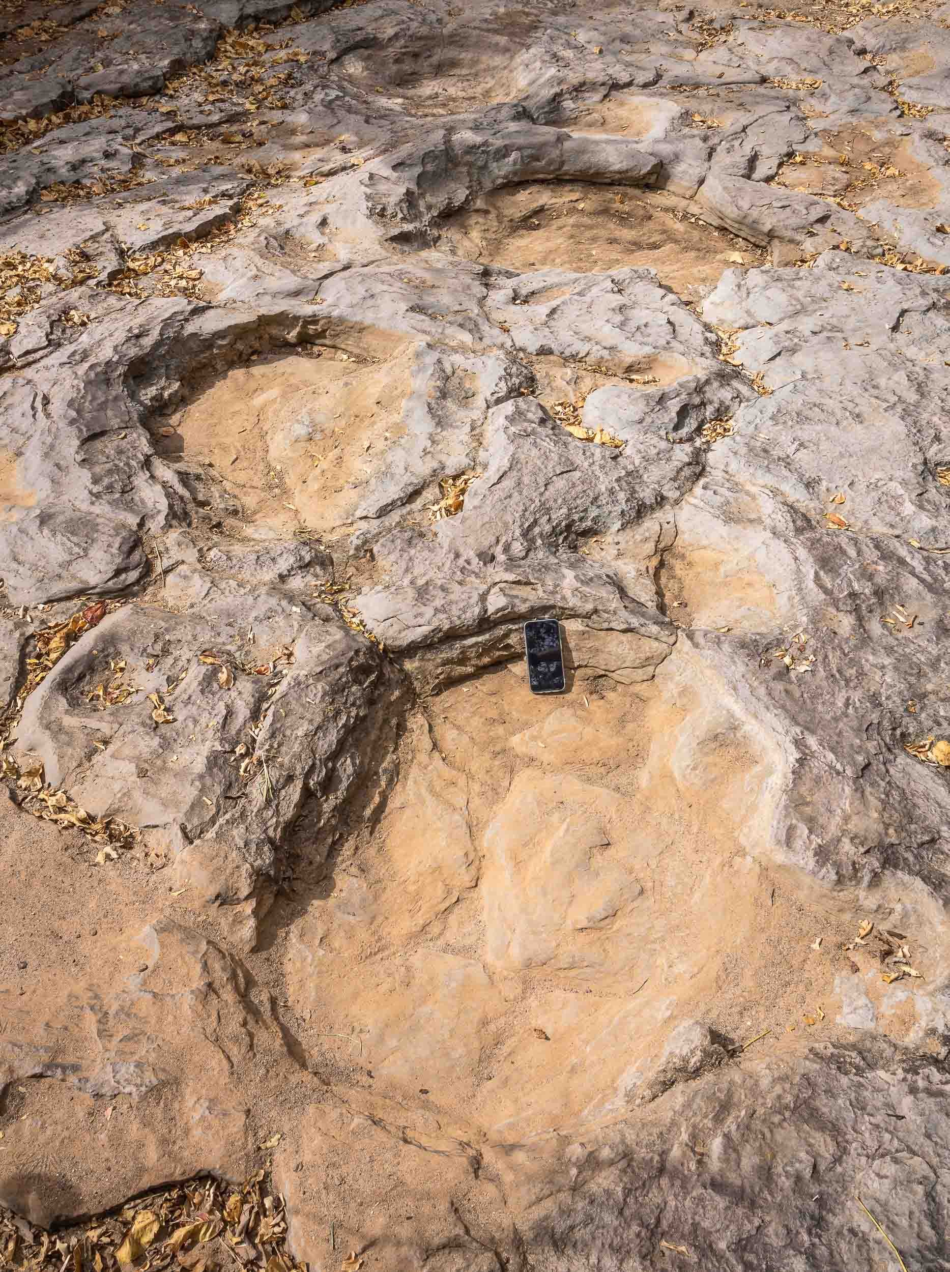
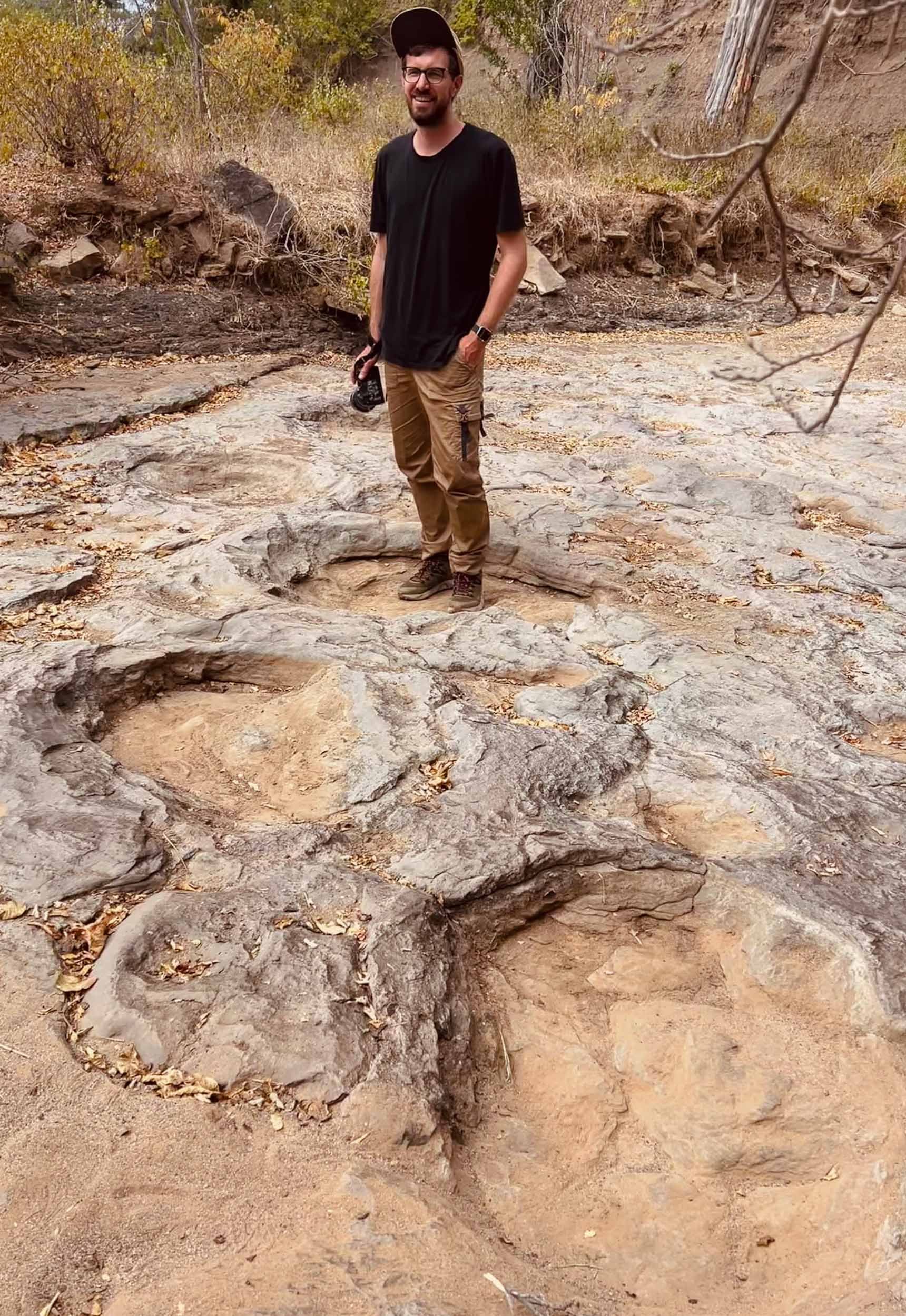
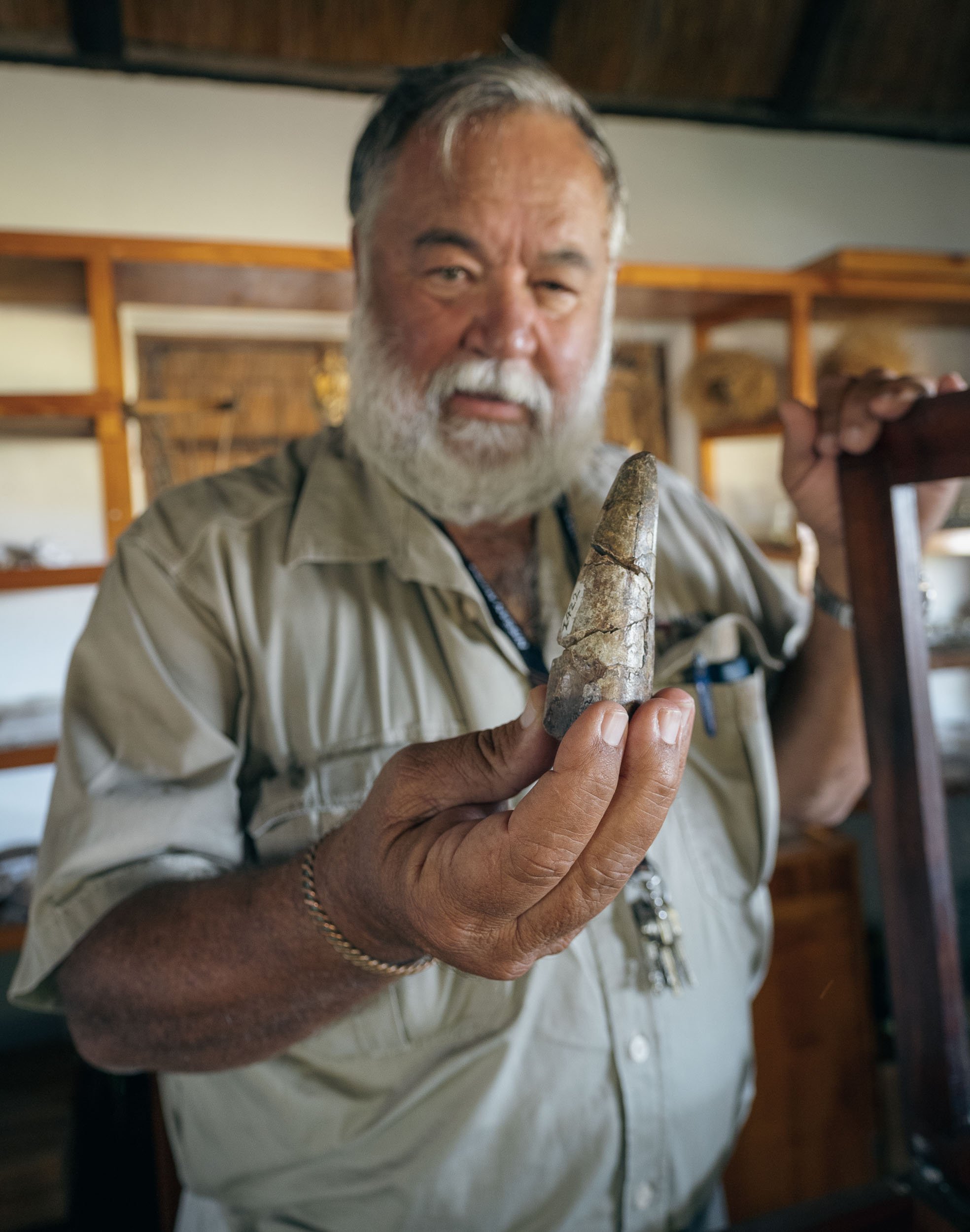
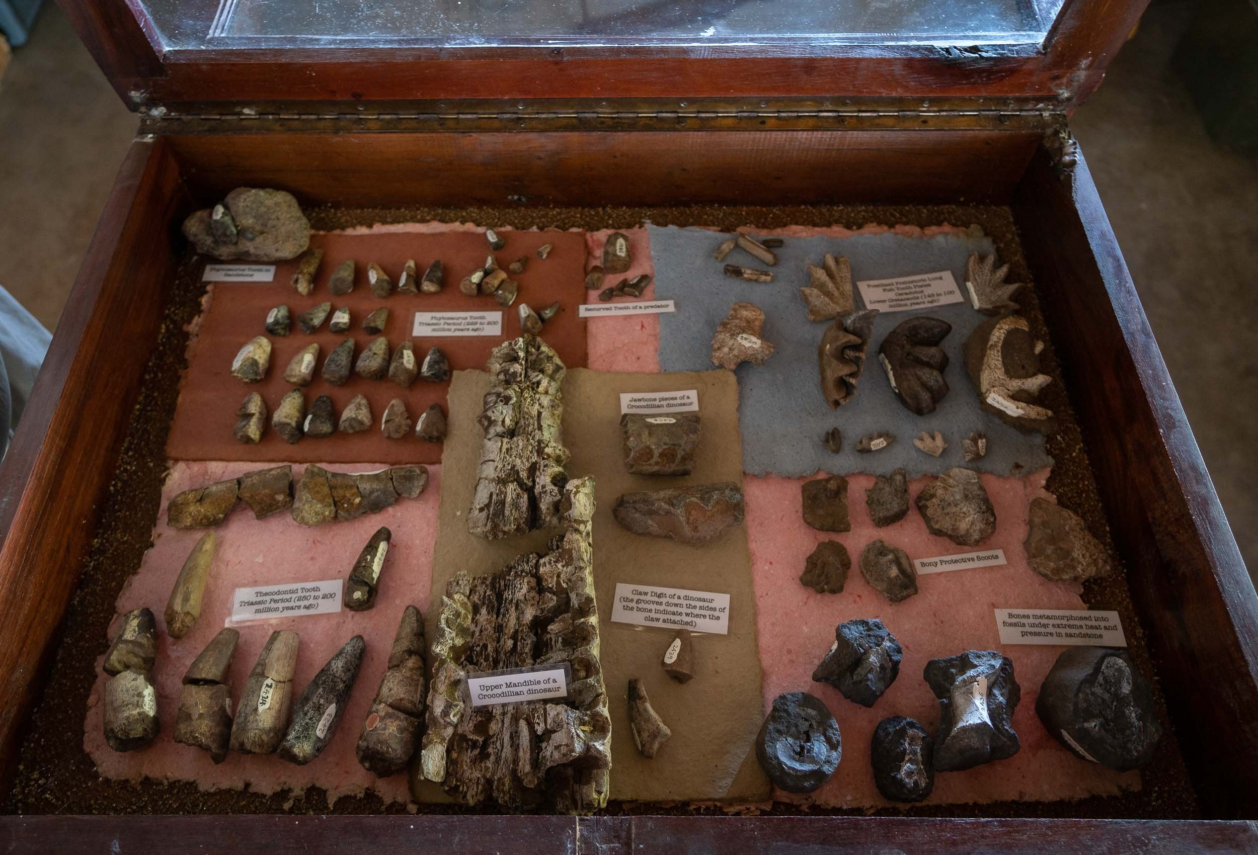
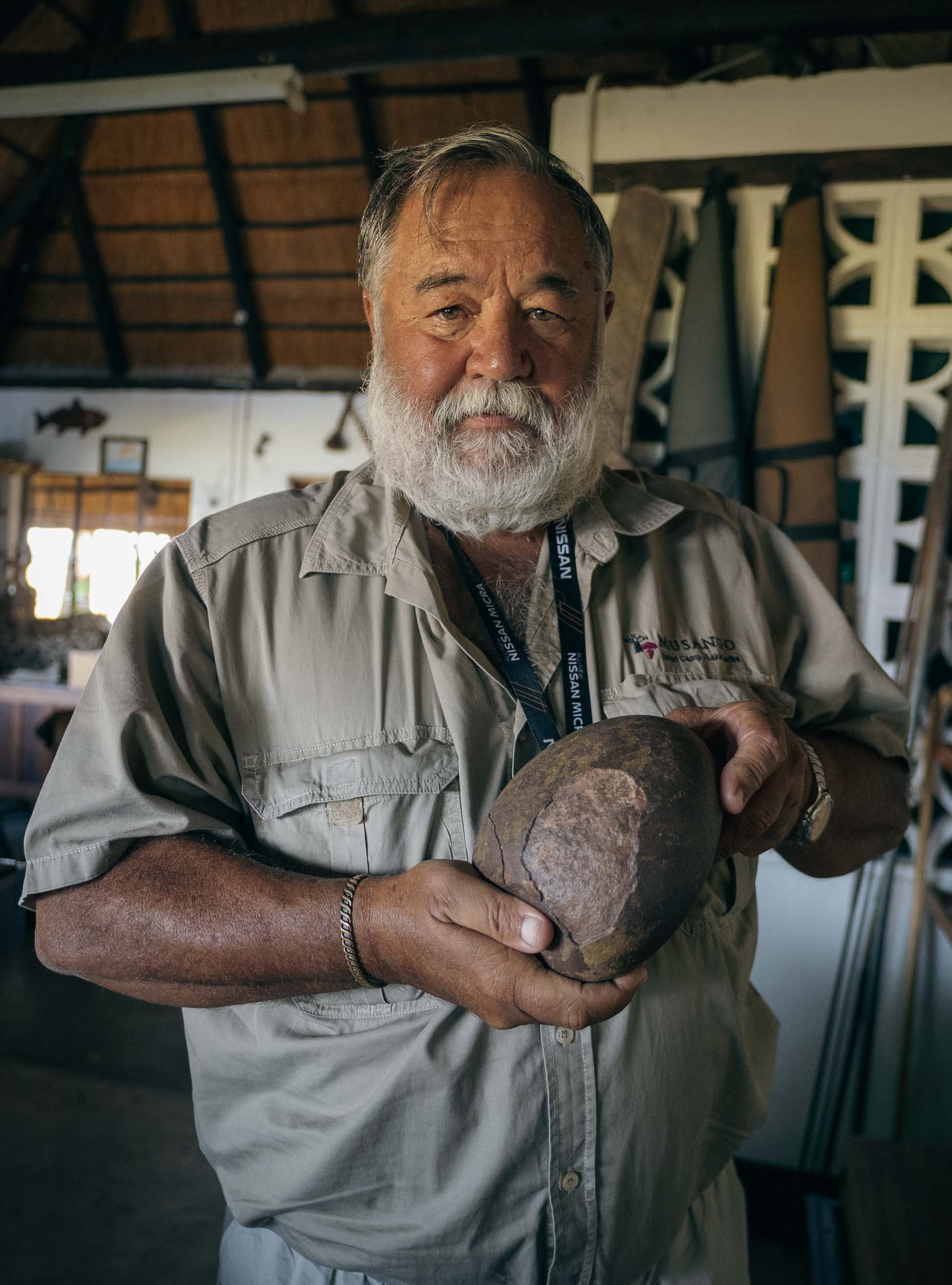
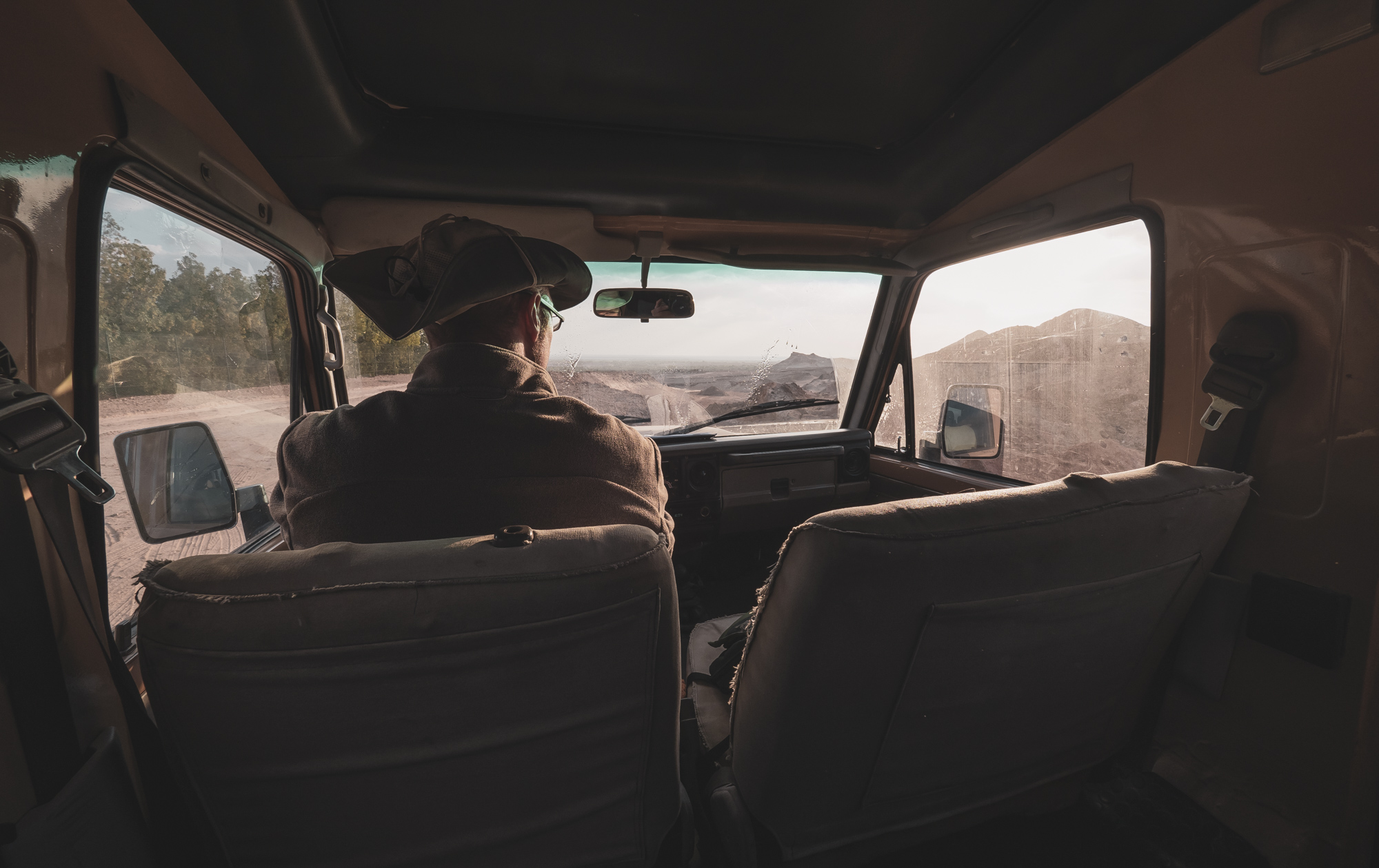
Chewore - Off the beaten, and onto the Dinosaur track
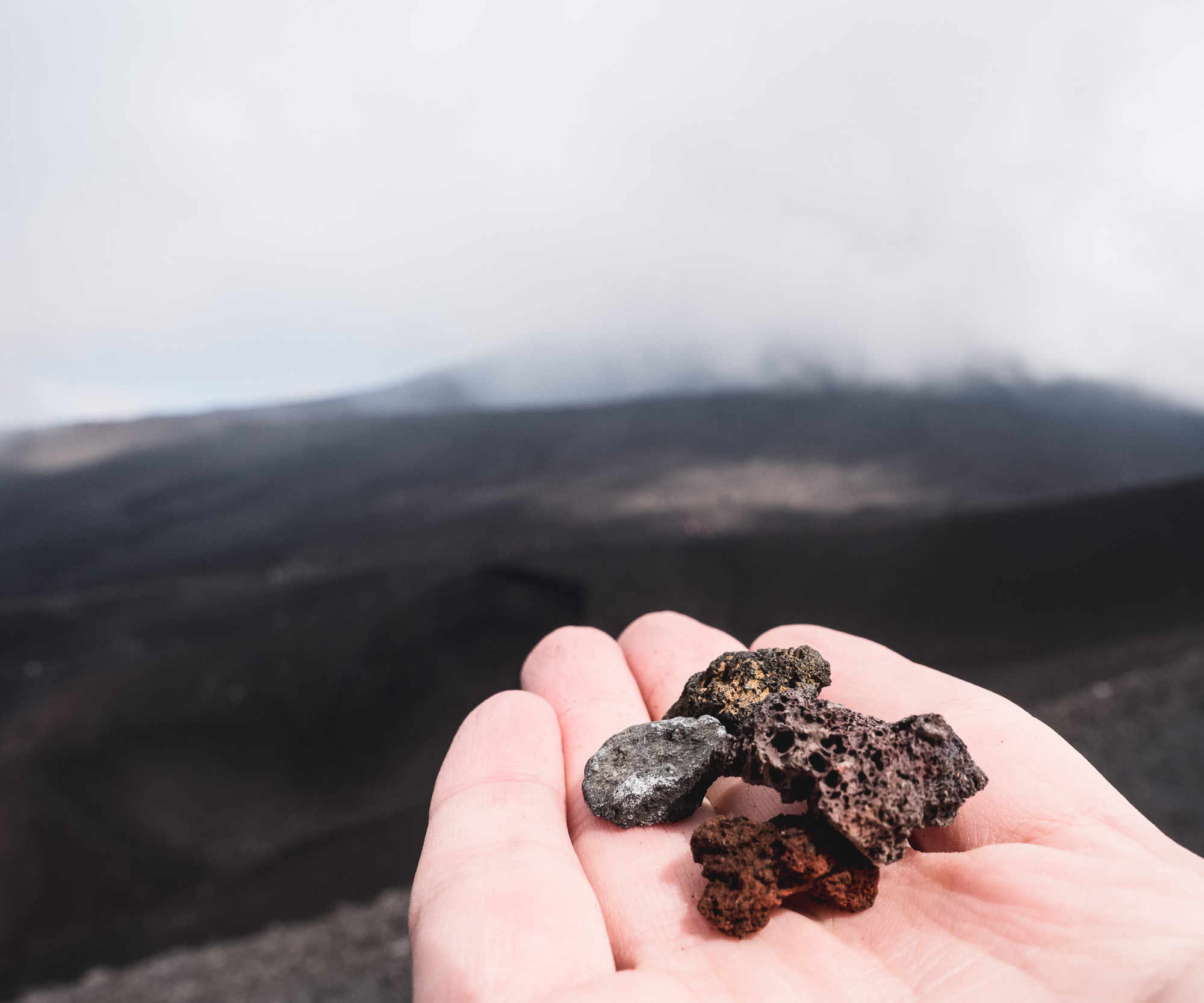
From Mana Pools, it was a good 4h drive on dusty and bumpy roads in a 1960s land cruiser owned by my wonderful host Louisa to a remote hunting concession - here. Hunting wasn’t the reason I kept annoying quite a few people before being able to come here: In fact, this place has some of the most remote and untouched dinosaur footprints in the world, which triggered my interest. Before that though, the universe had another special sight in store .
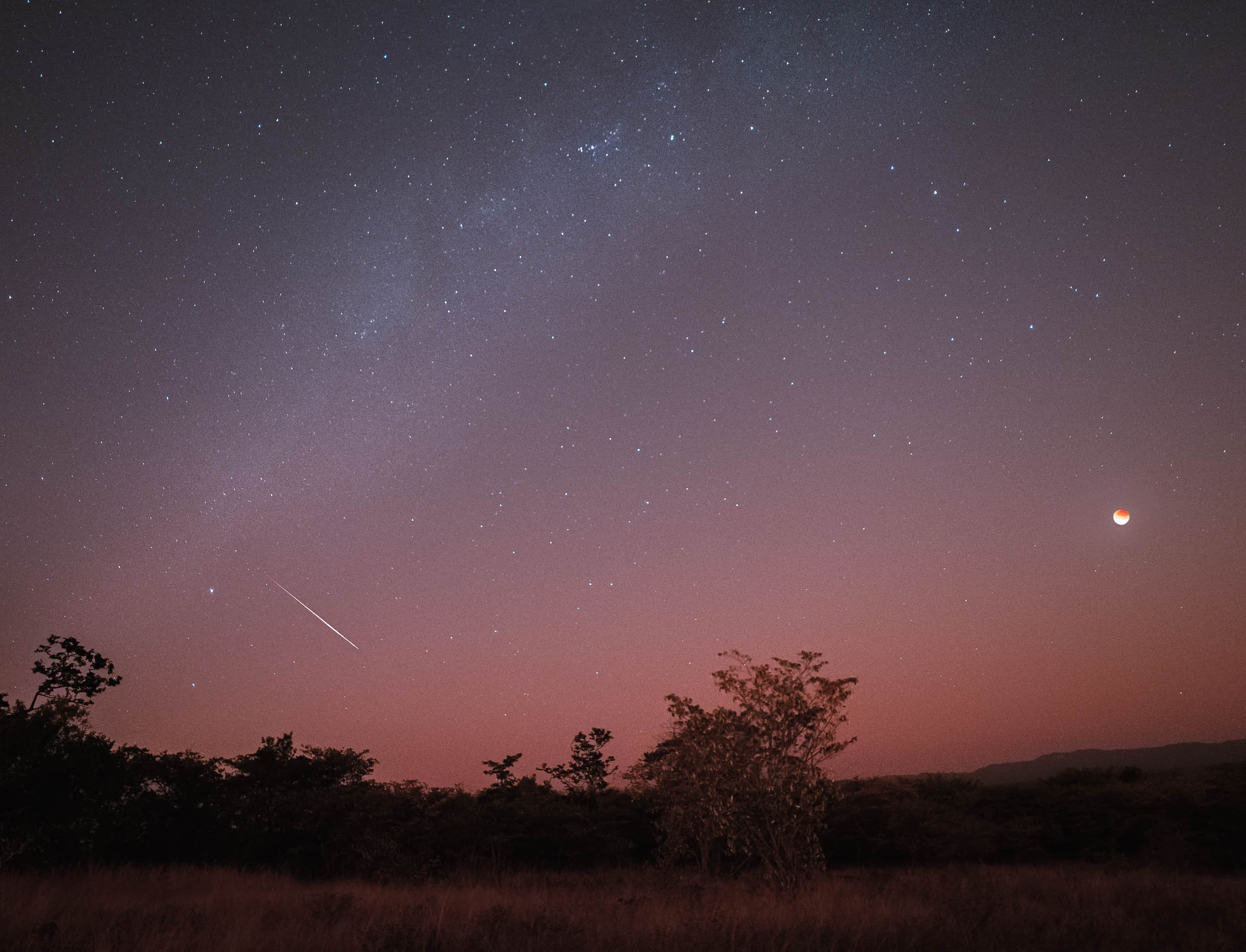
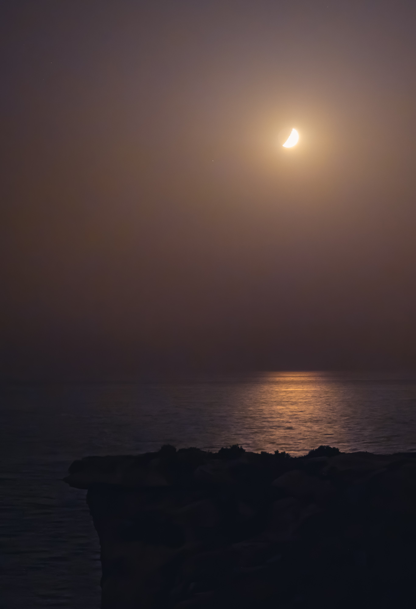
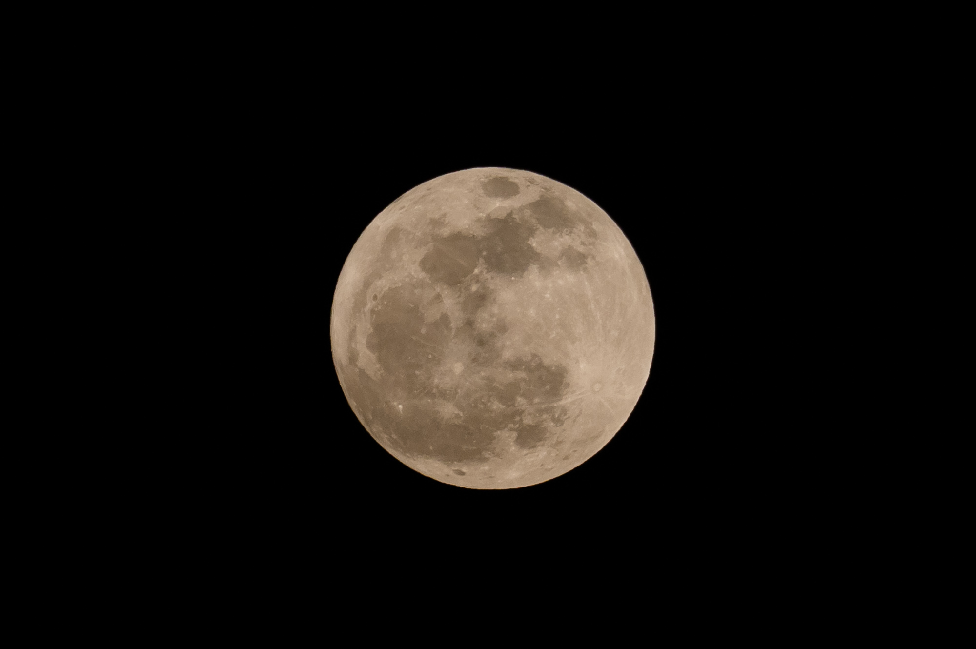
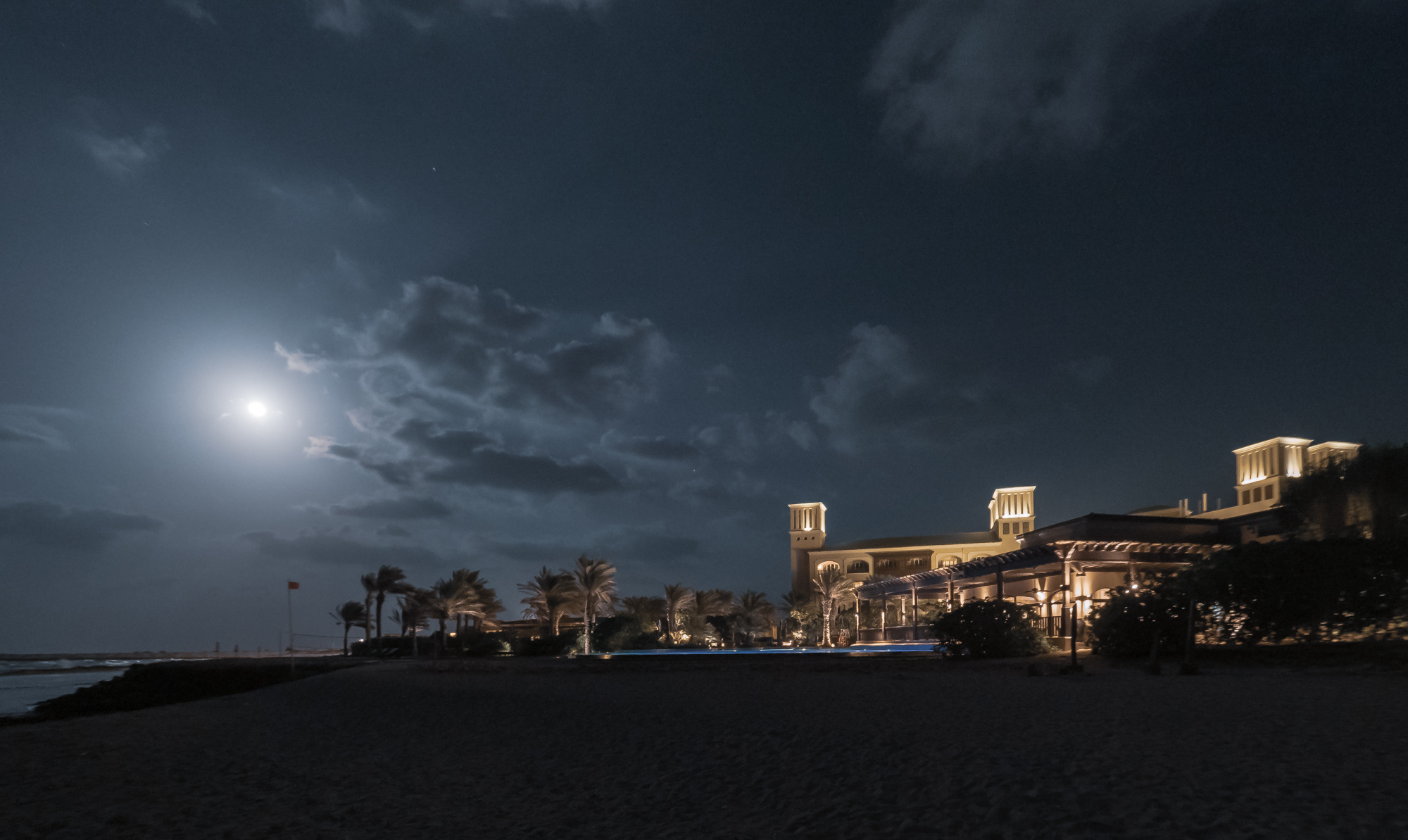
The Lunar Eclipse
My time in Zimbabwe coincided with the a full lunar eclipse on 16th of May, 2022, and luckily our location was just about within the areas of the globe that could experience this rare phenomenon, so I had to find a way to capture it. What a sight it was - and not only that, also an audible experience, as the lions and baboons roared in the background.

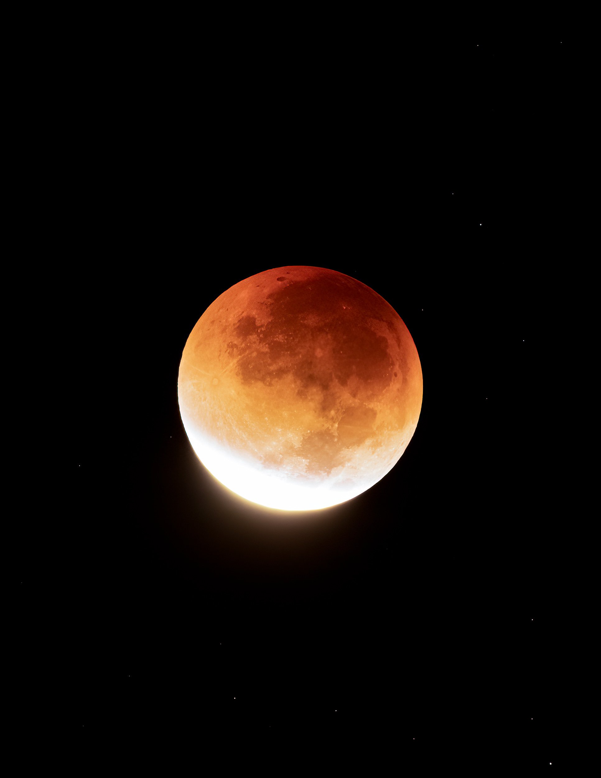
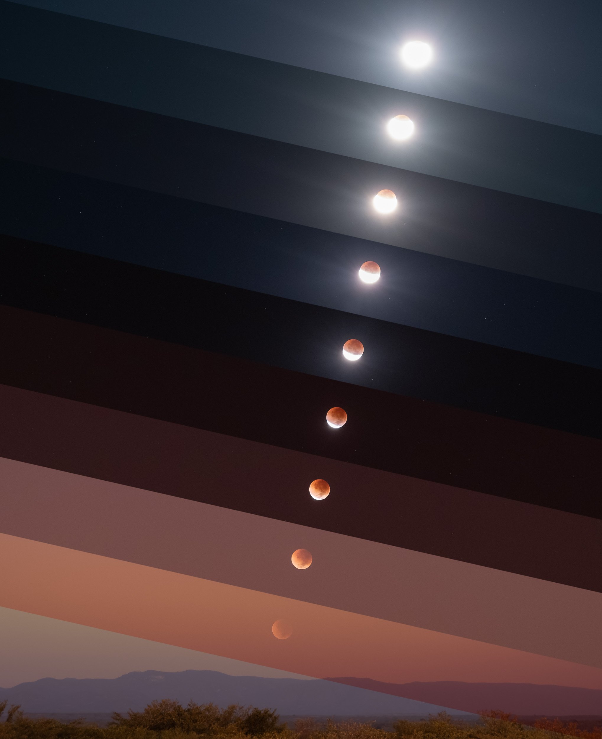
Here’s a timelapse video of the event, both a wider view from 3am to sunrise, and a close up of the eclipse progression.
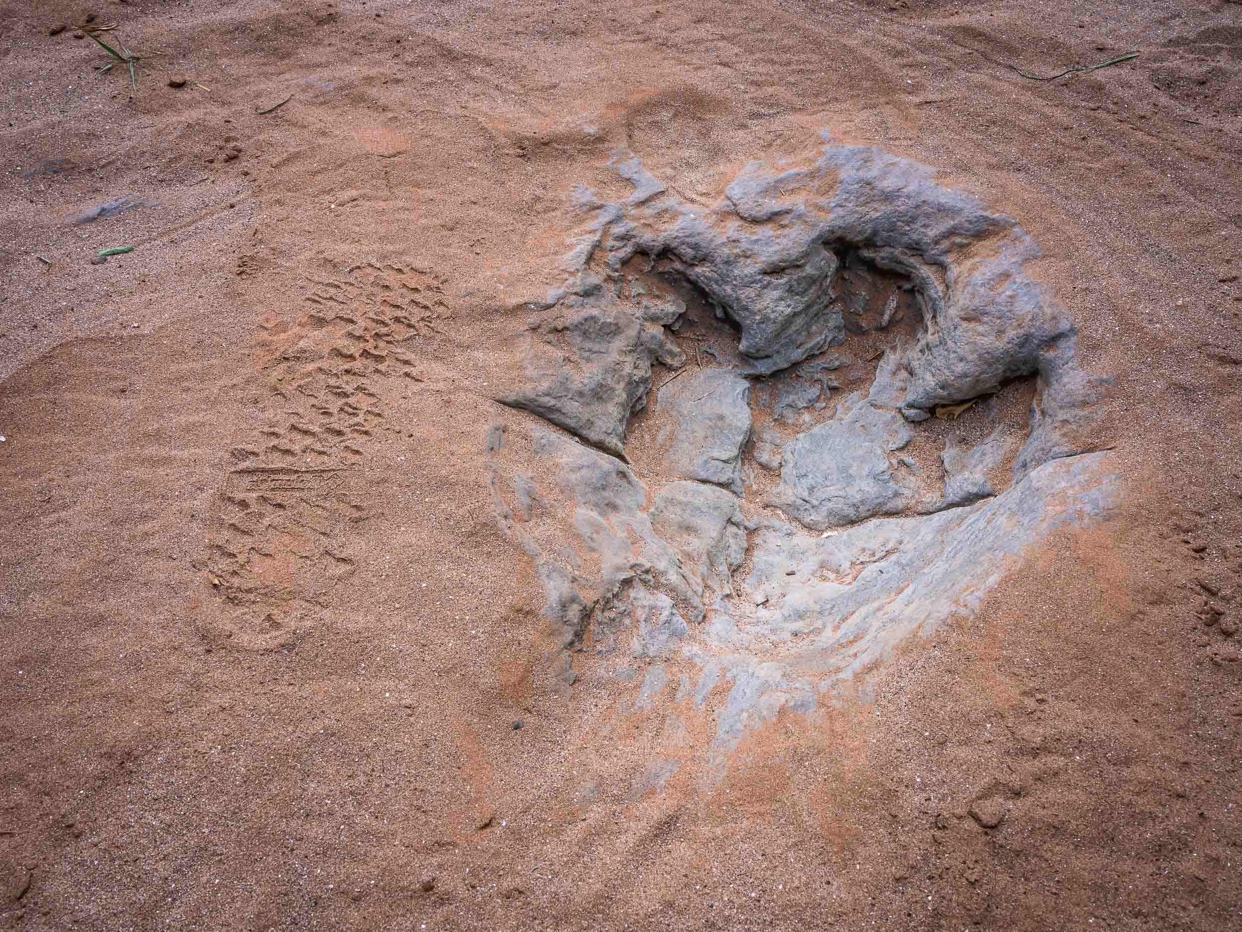
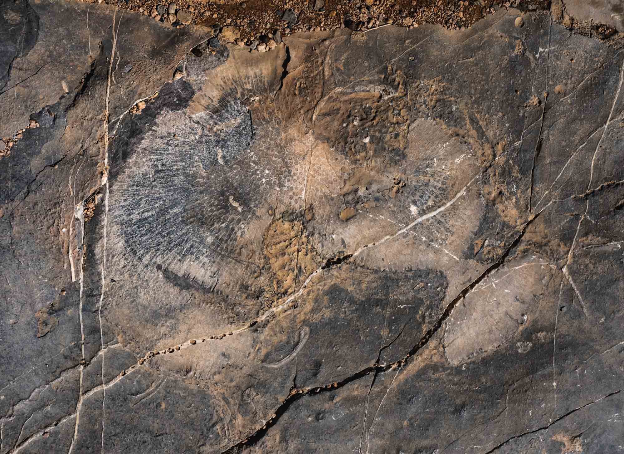
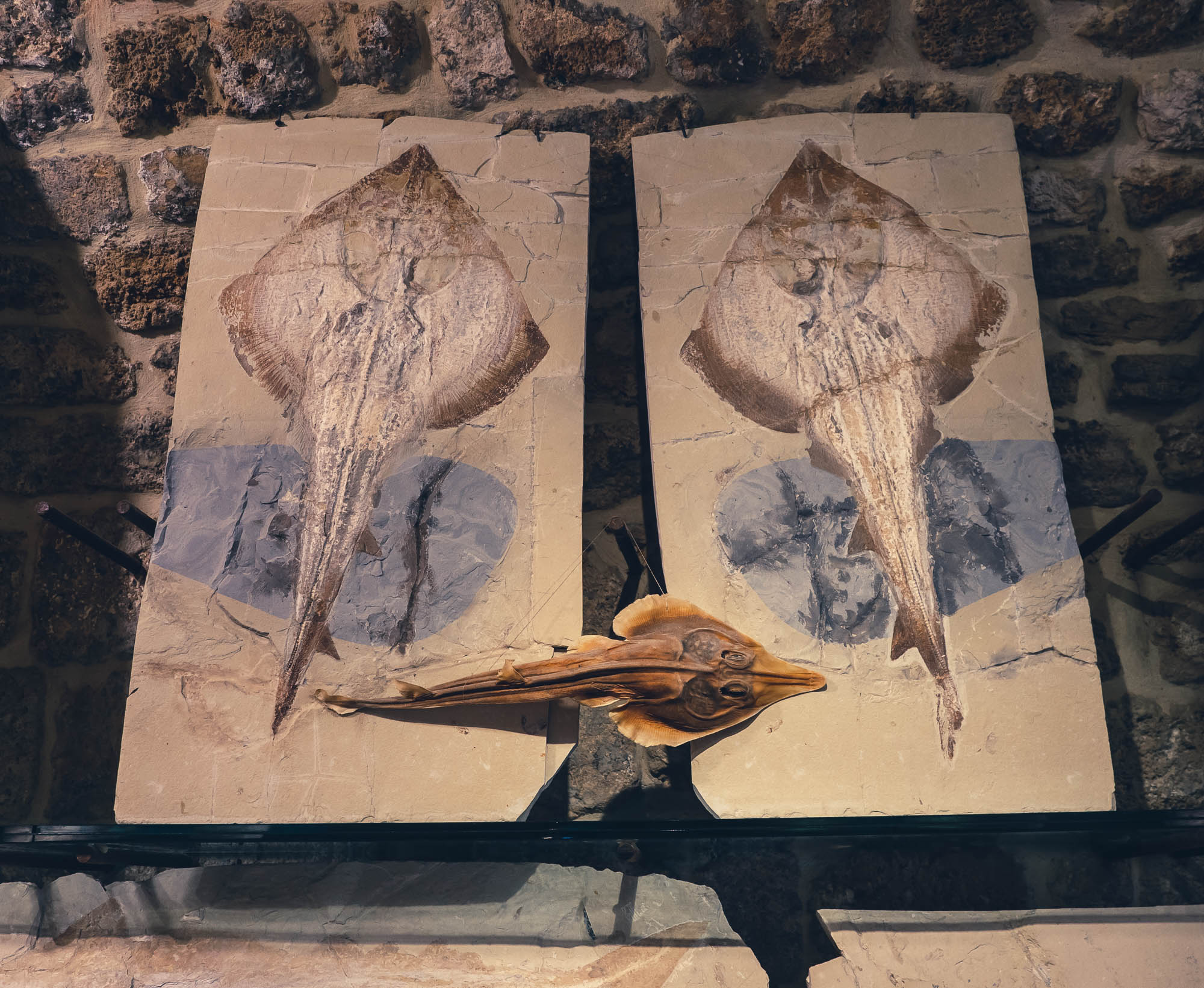
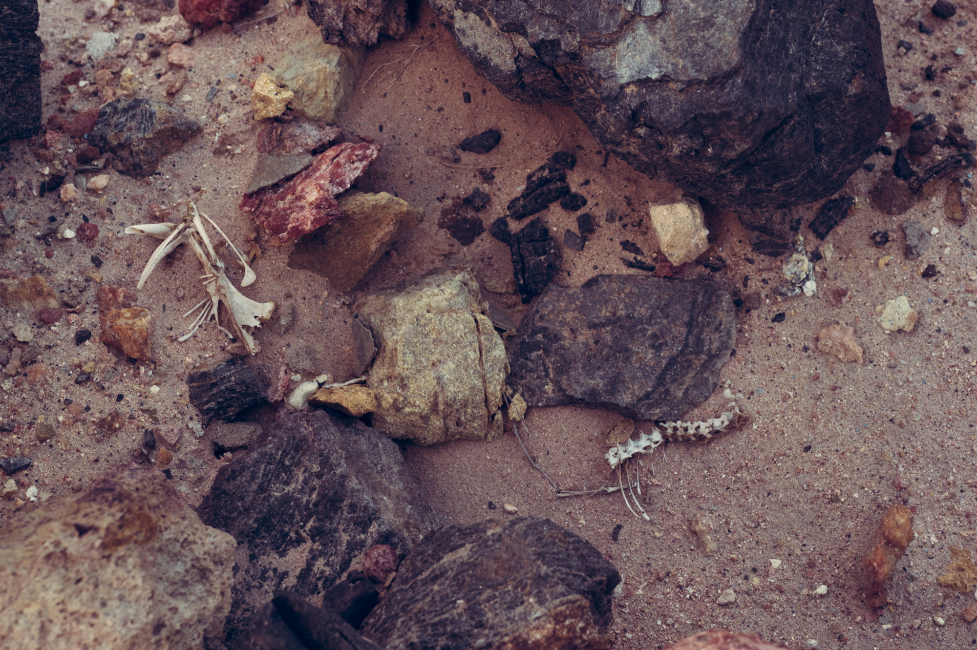
The Dinosaur Footprints
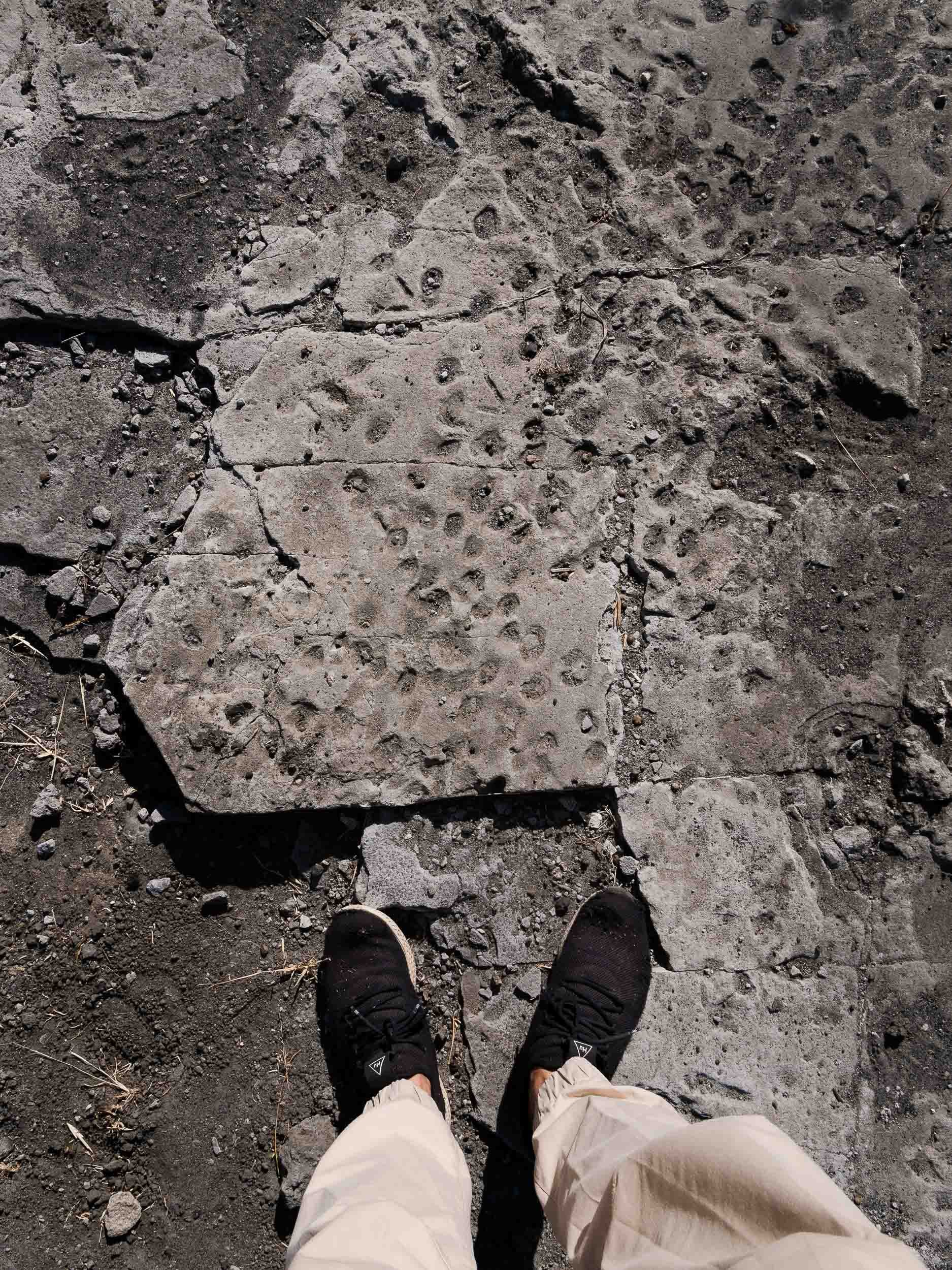
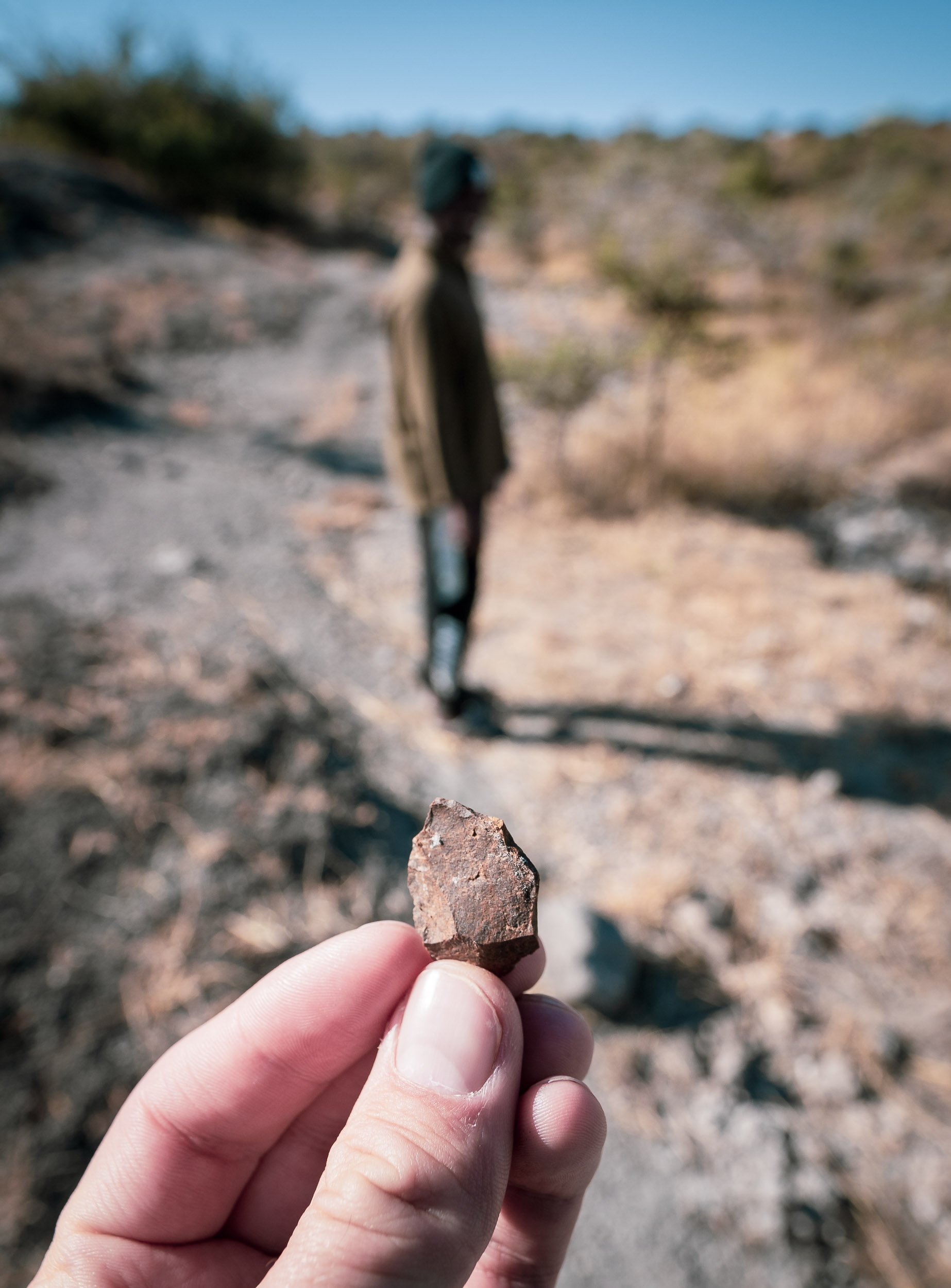
The real reason for venturing this far and deep into the Zimbabwean bush can be found in the next photos. The country and specifically the Chewore area is home to a very special paleontological sight: Dinosaur Footprints from 150 million years ago. It took a large amount of research, planning and nagging to make this happen, but it was definitely worth it and I’m grateful to to everyone who made it possible and was a part of it with all their knowledge, Barry, Louisa and Neil. The owner of the concession estimates only 200 people have ever seen these - 201 now.

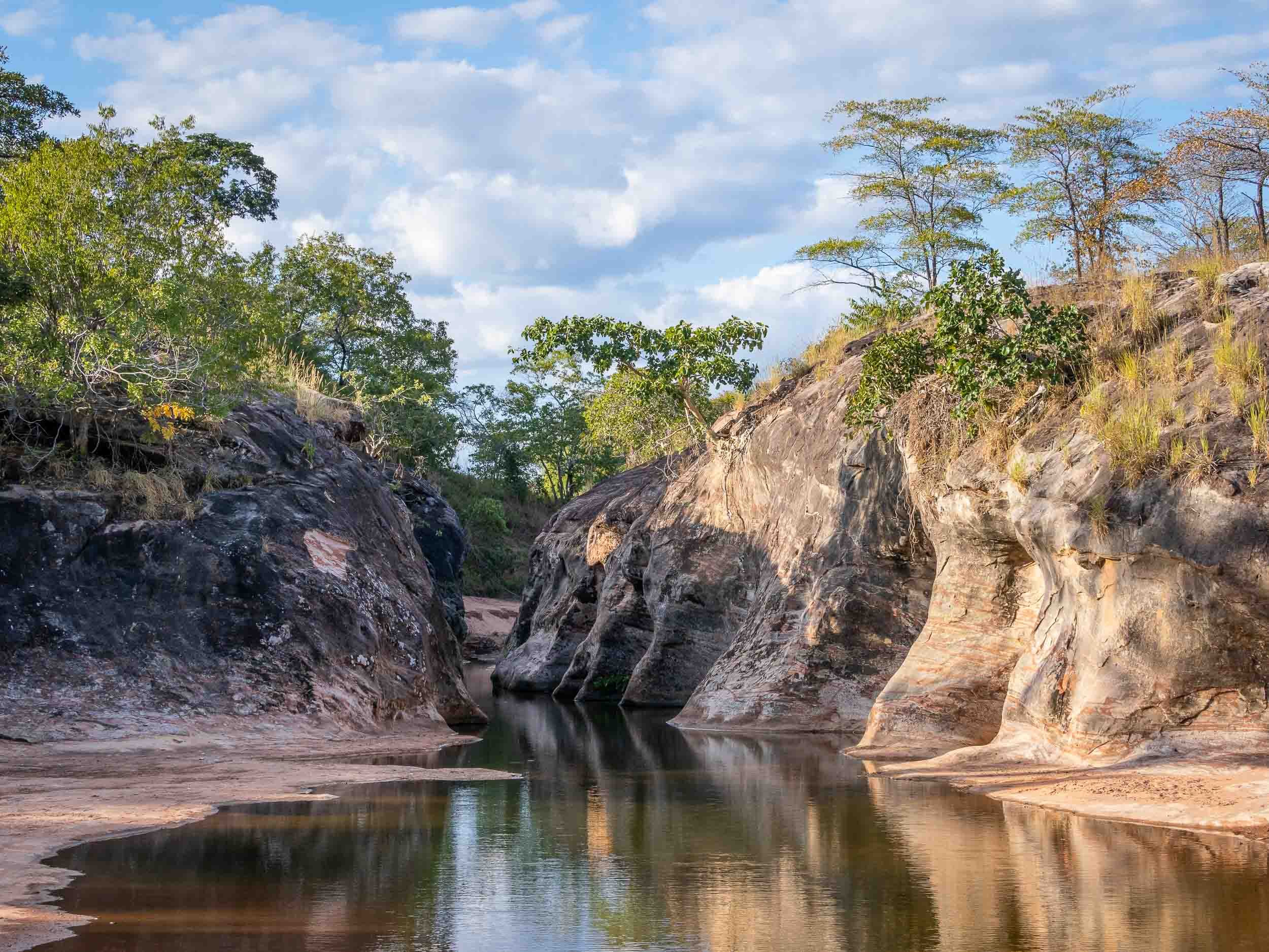
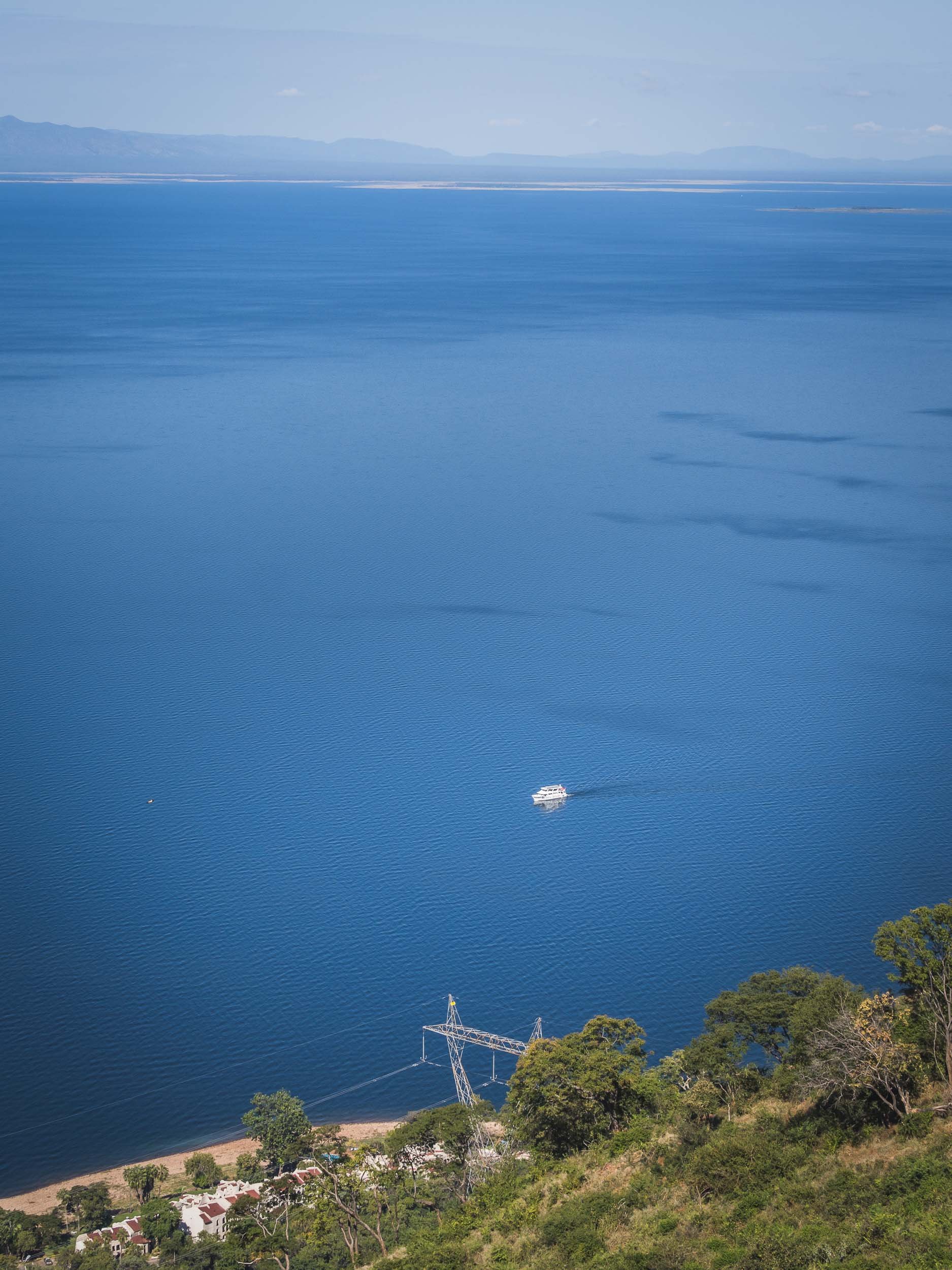
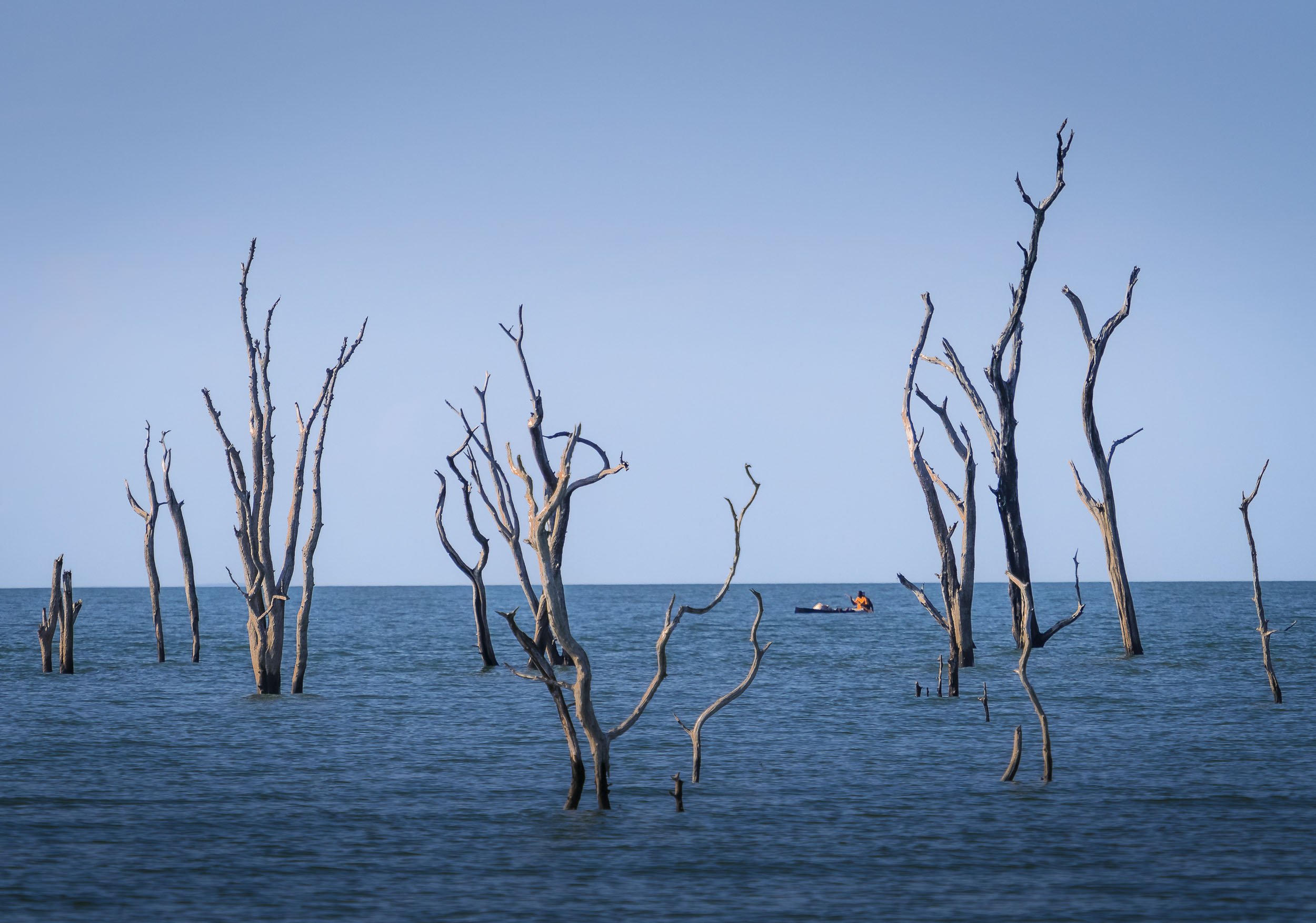
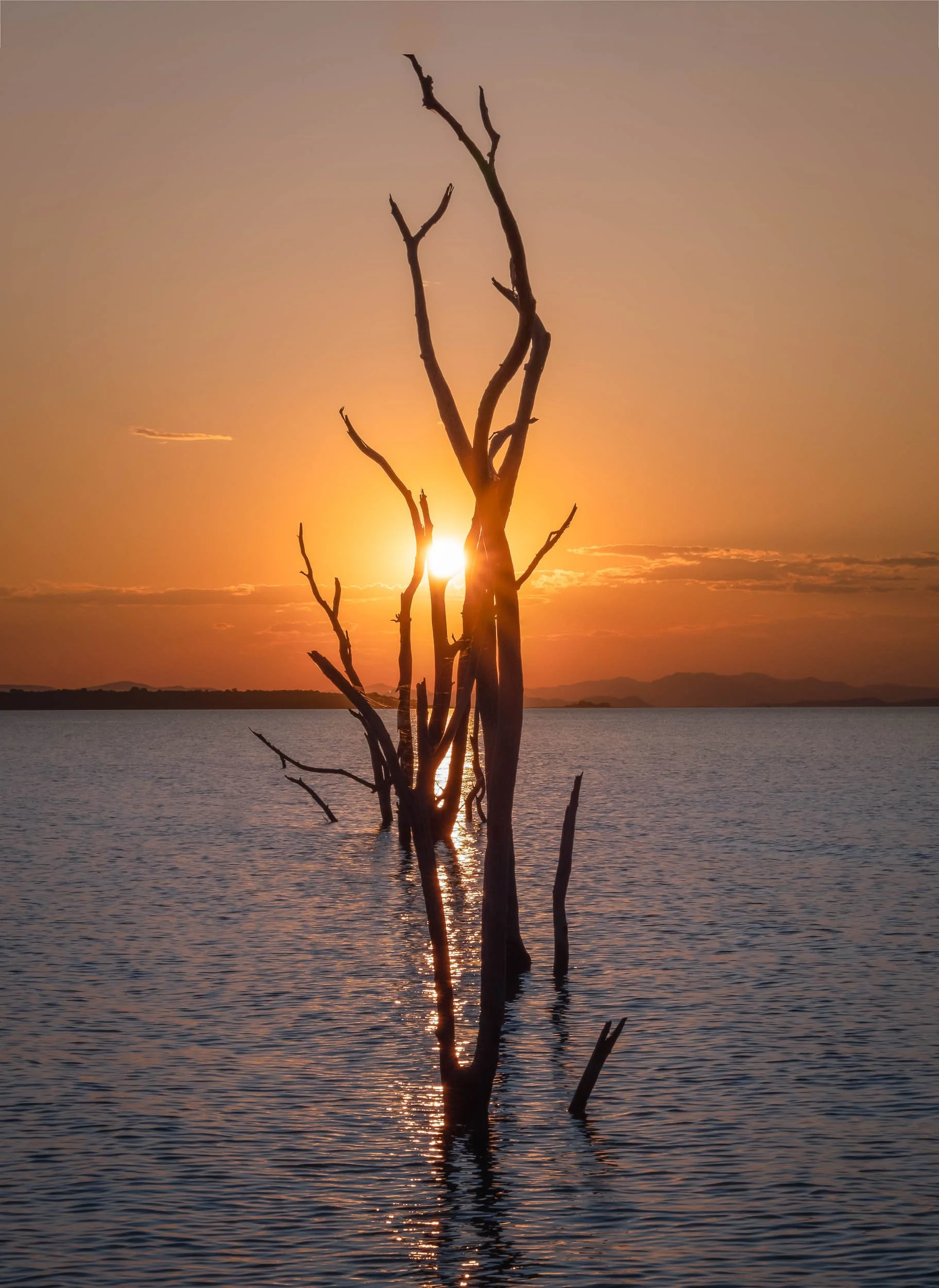
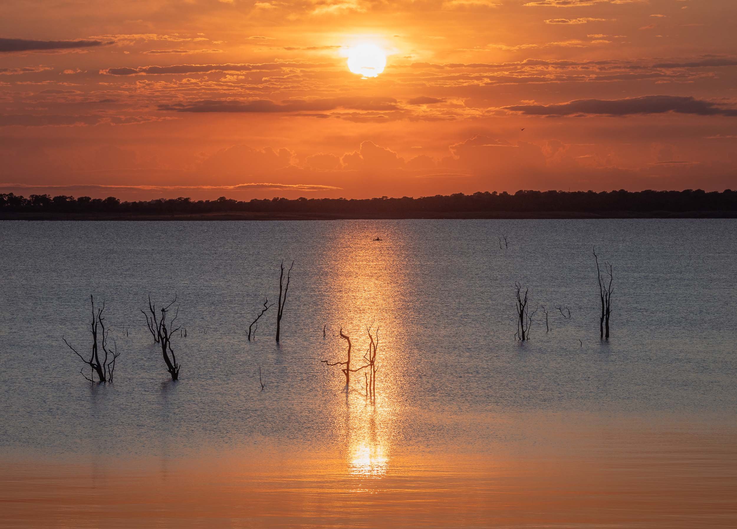
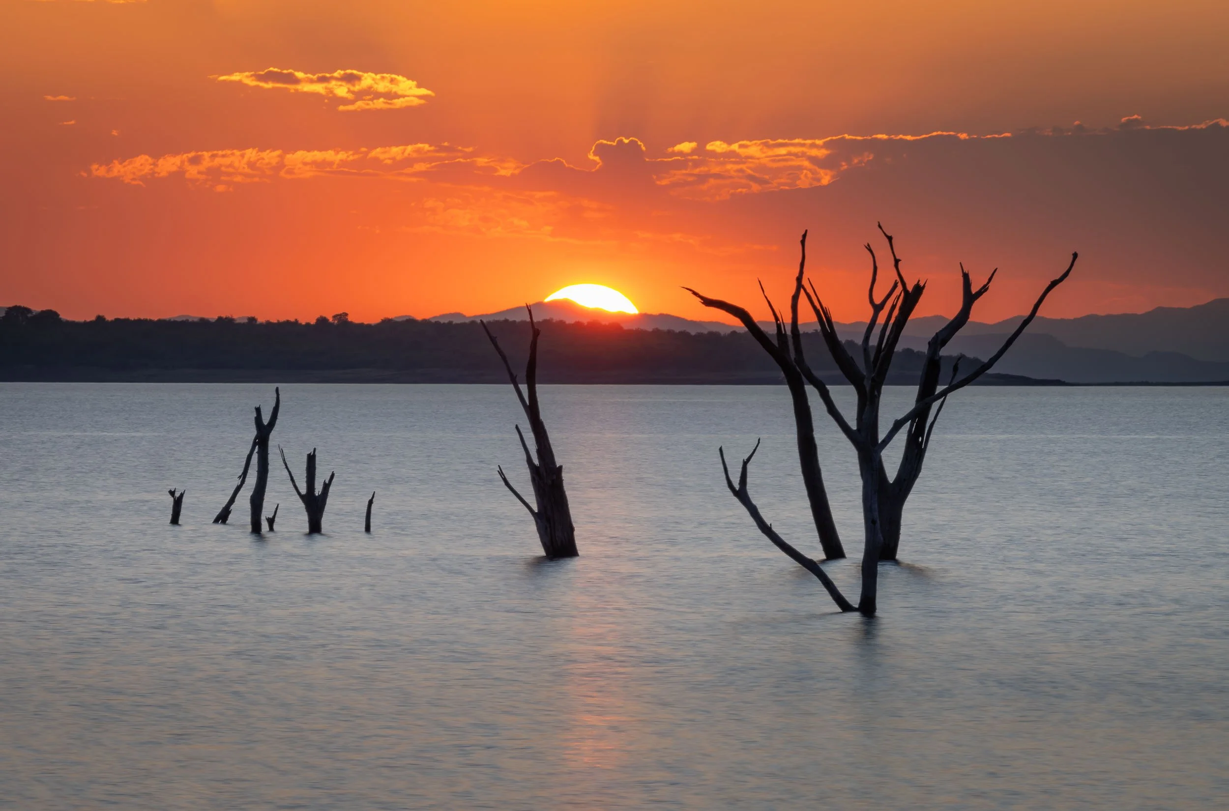
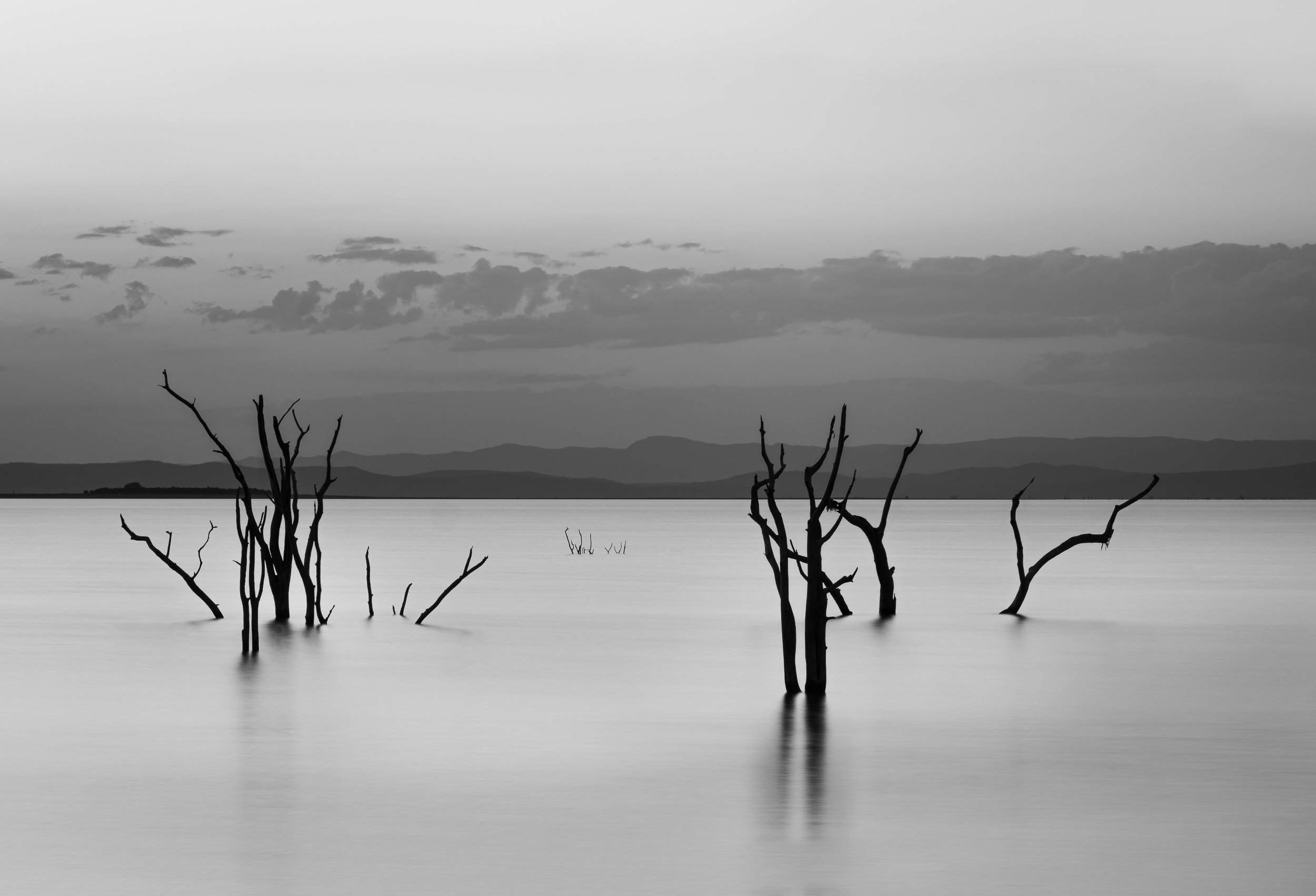
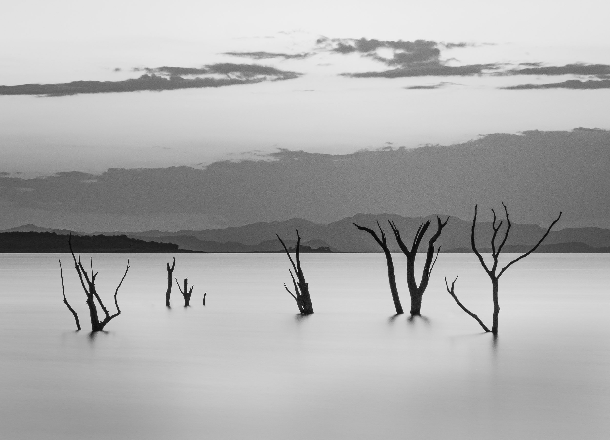
Lake Kariba and the Matusadona
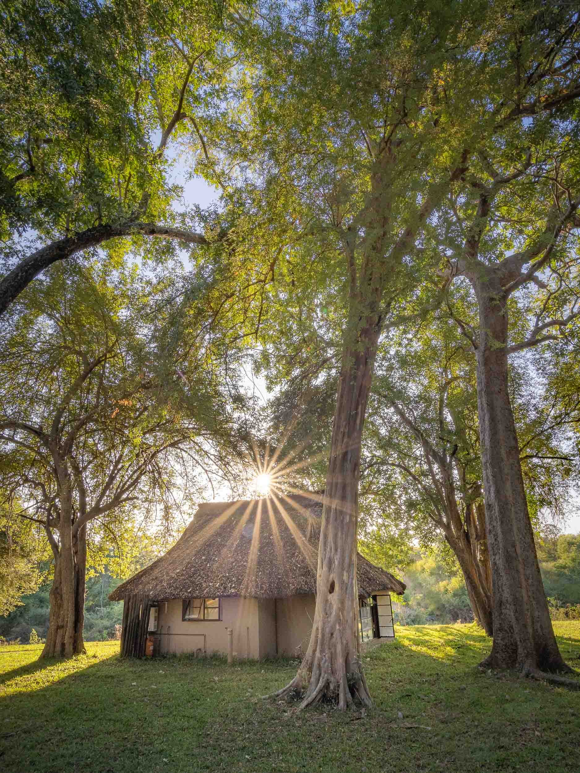
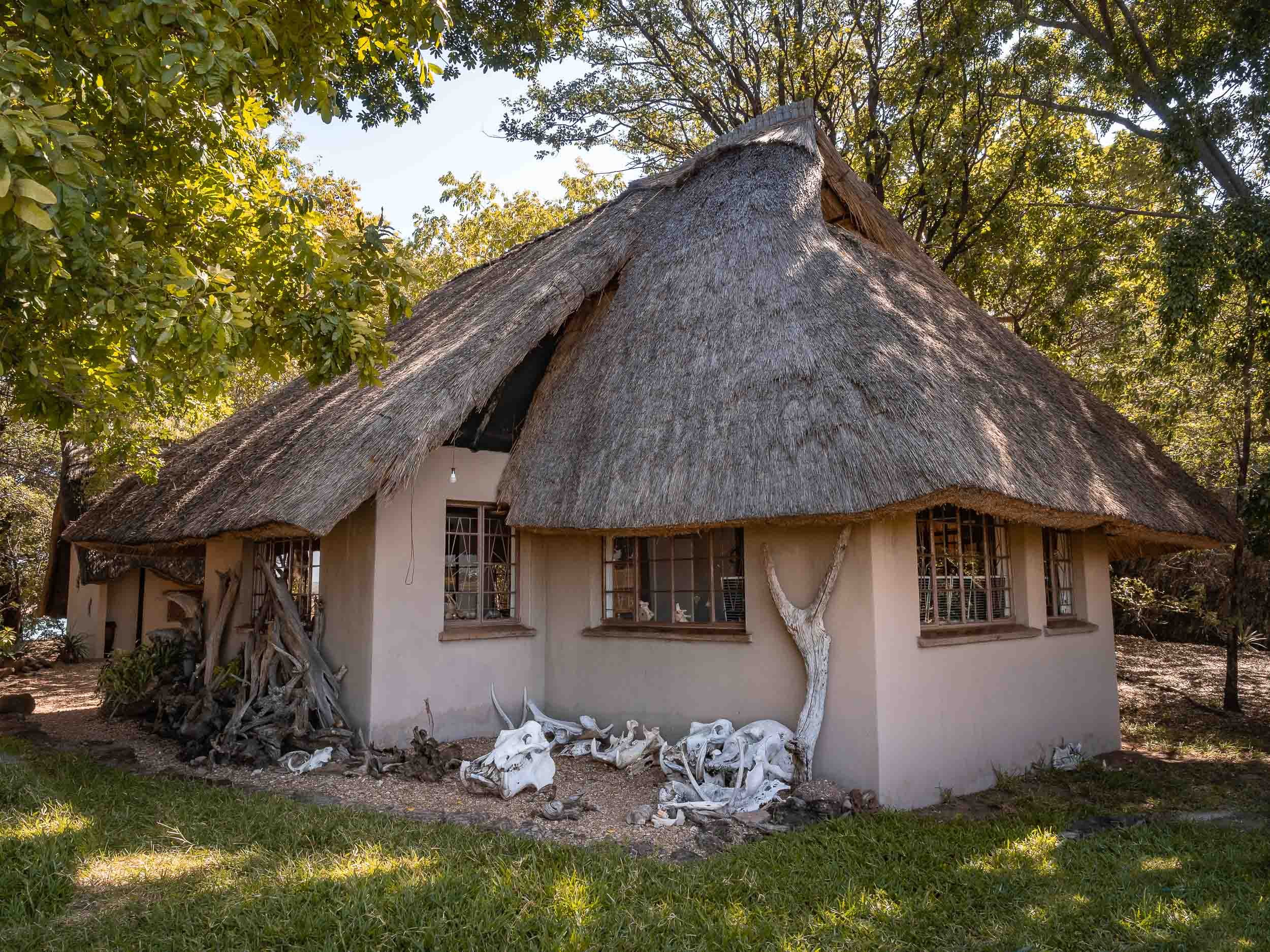
After a long drive, I arrived at Lake Kariba and the Warthogs camp for a few nights on the shores of the world’s largest man-made lake in Musango Safari Camp, both operated independently by incredible people.

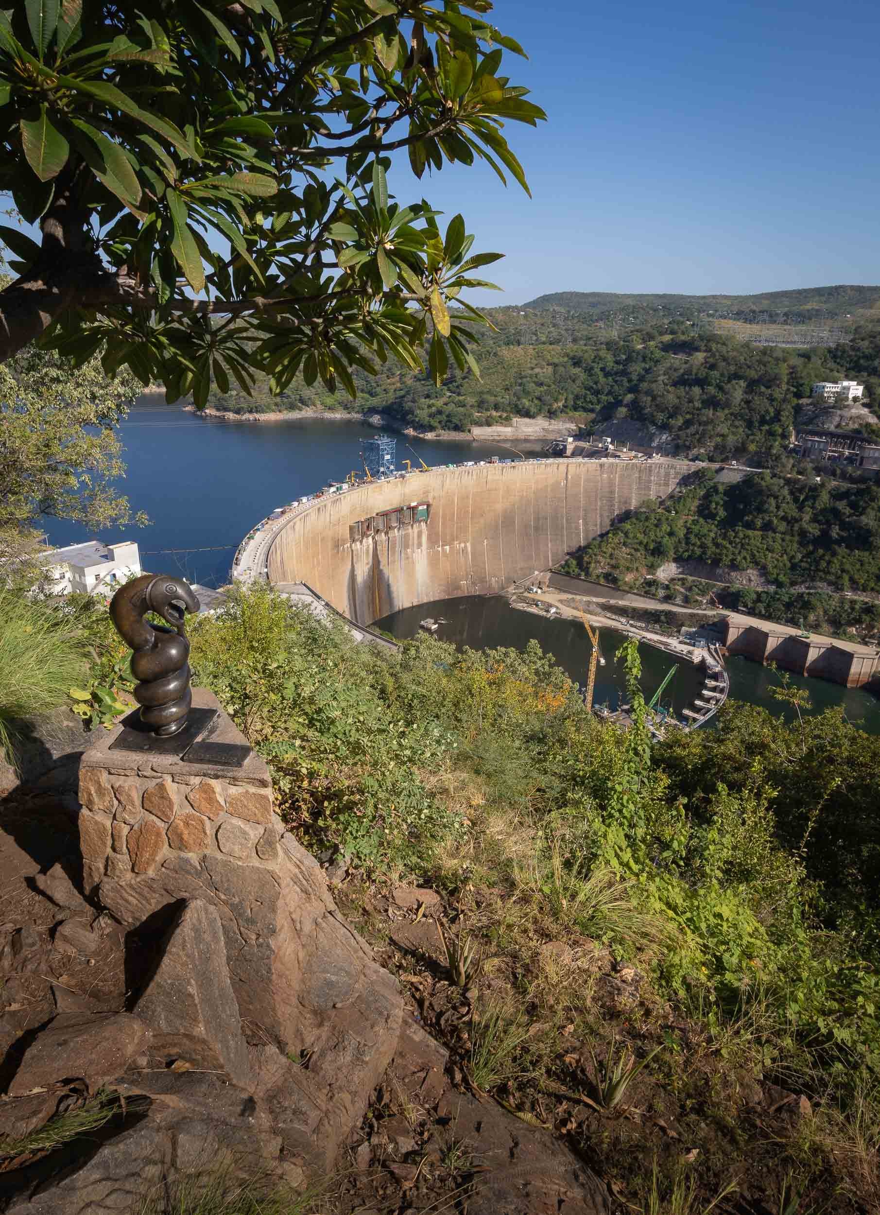
Following my time in Kariba at Warthogs Bush Camp (Elephants and Zebra visit the small pool there to drink!) I moved across the lake into the Matusadona National Park. An hour boat ride took me to a very unique lodge, called Musango, run by its owners Wendy & Steve.

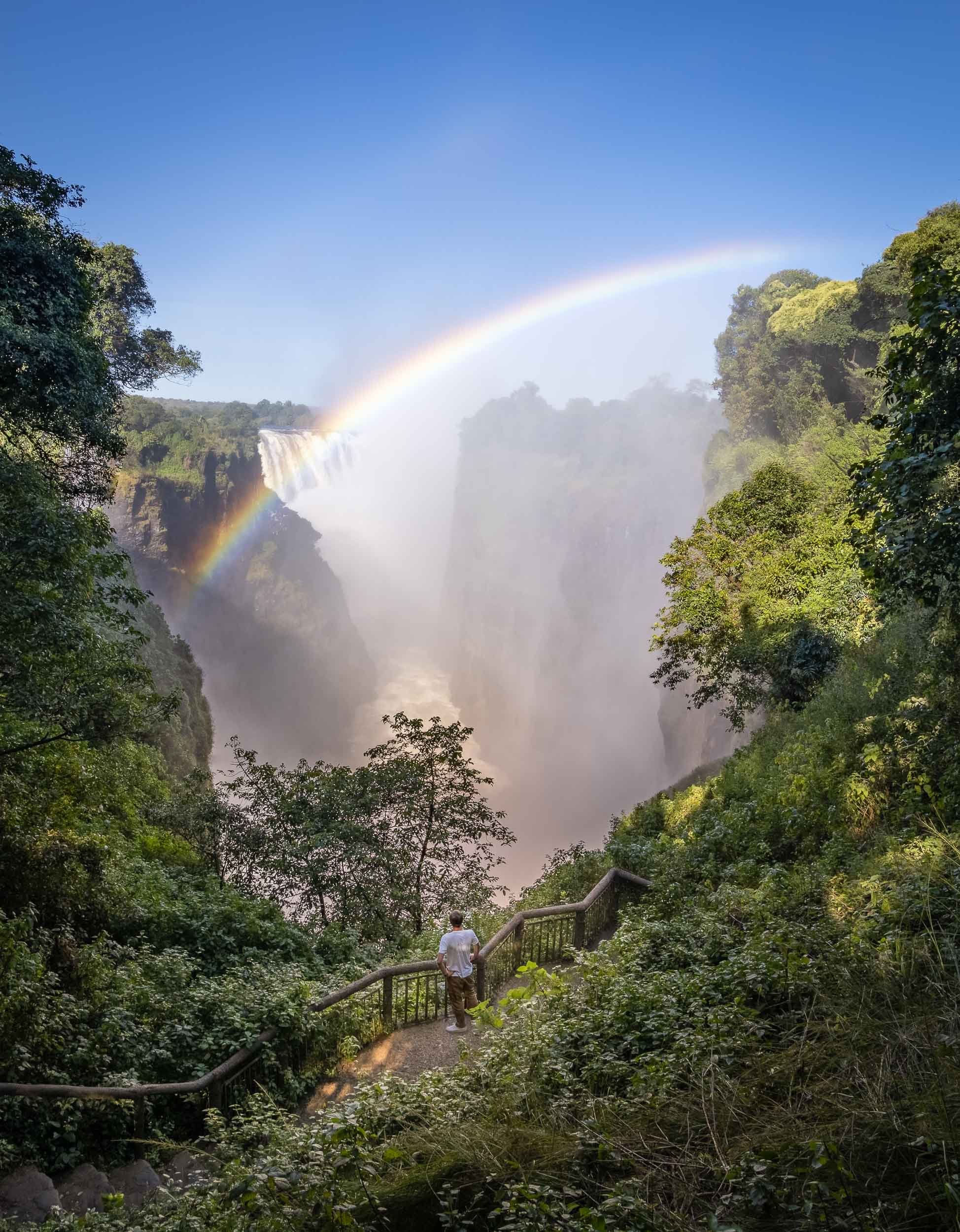
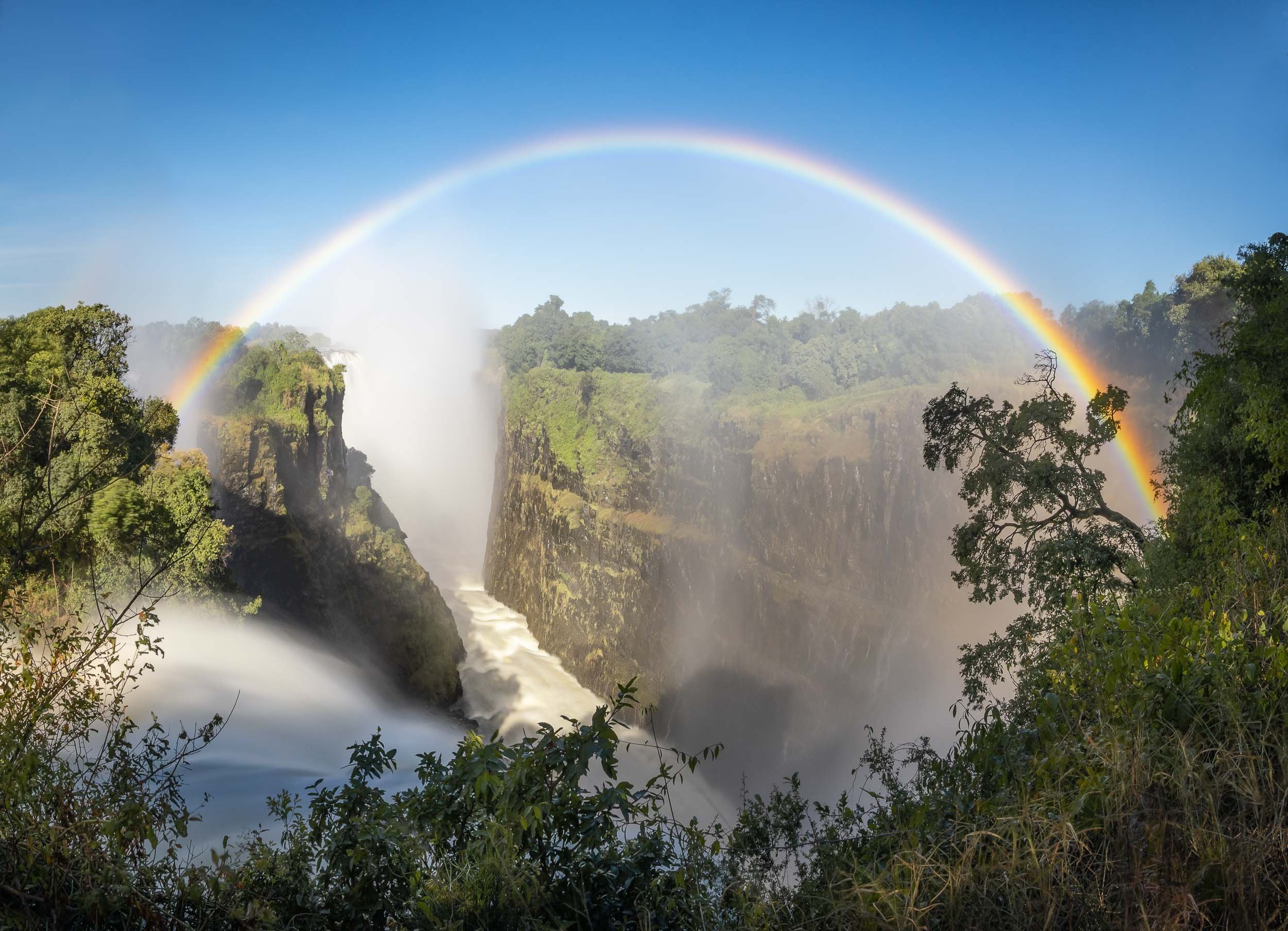
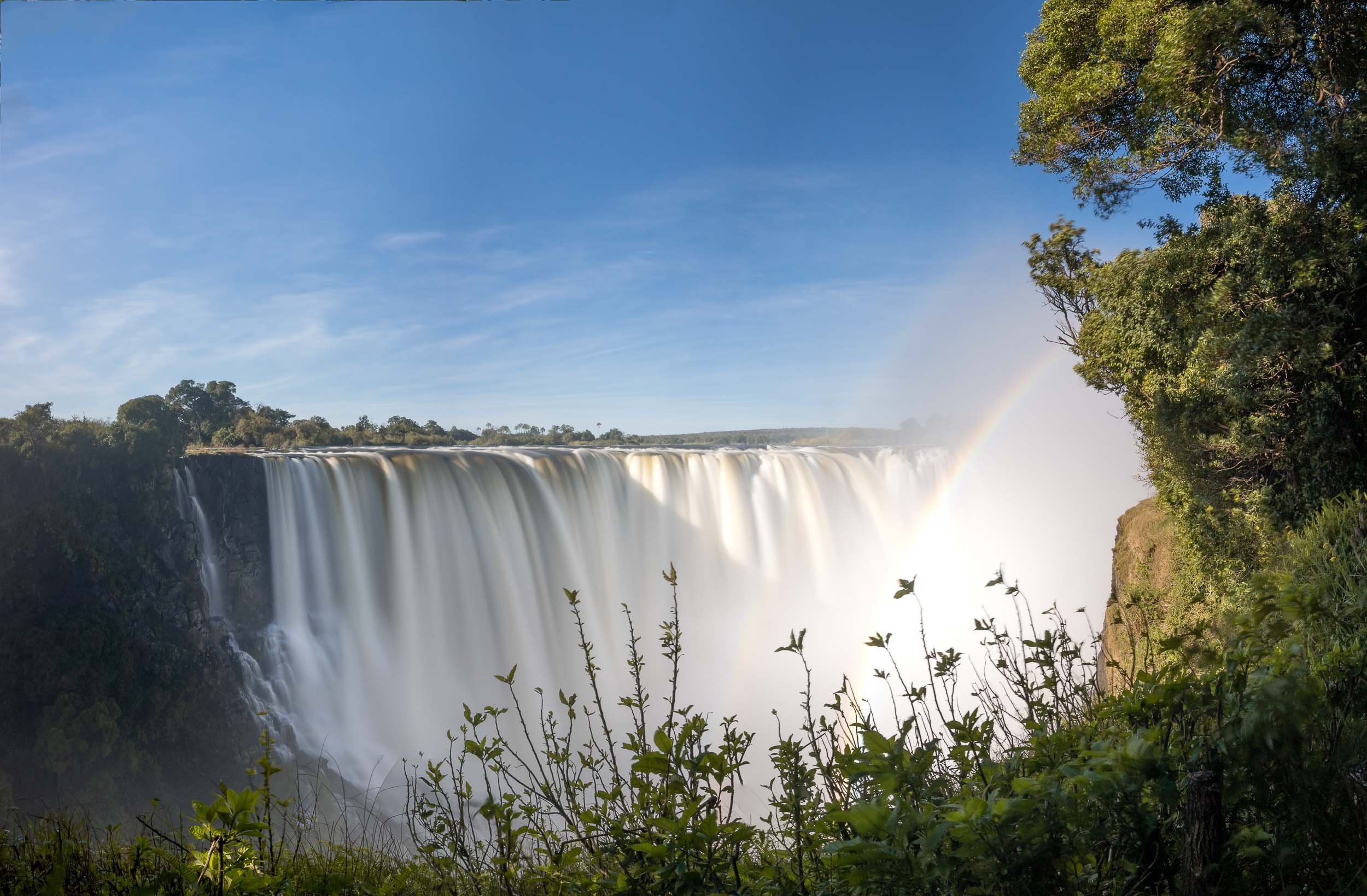
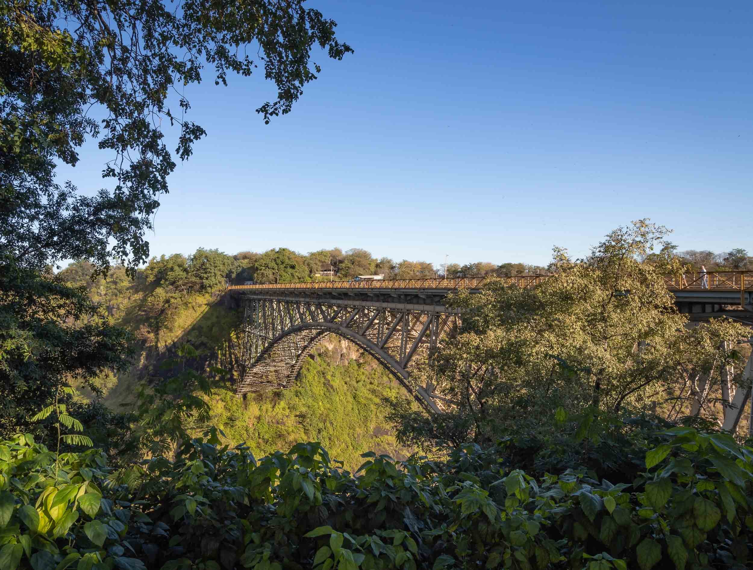
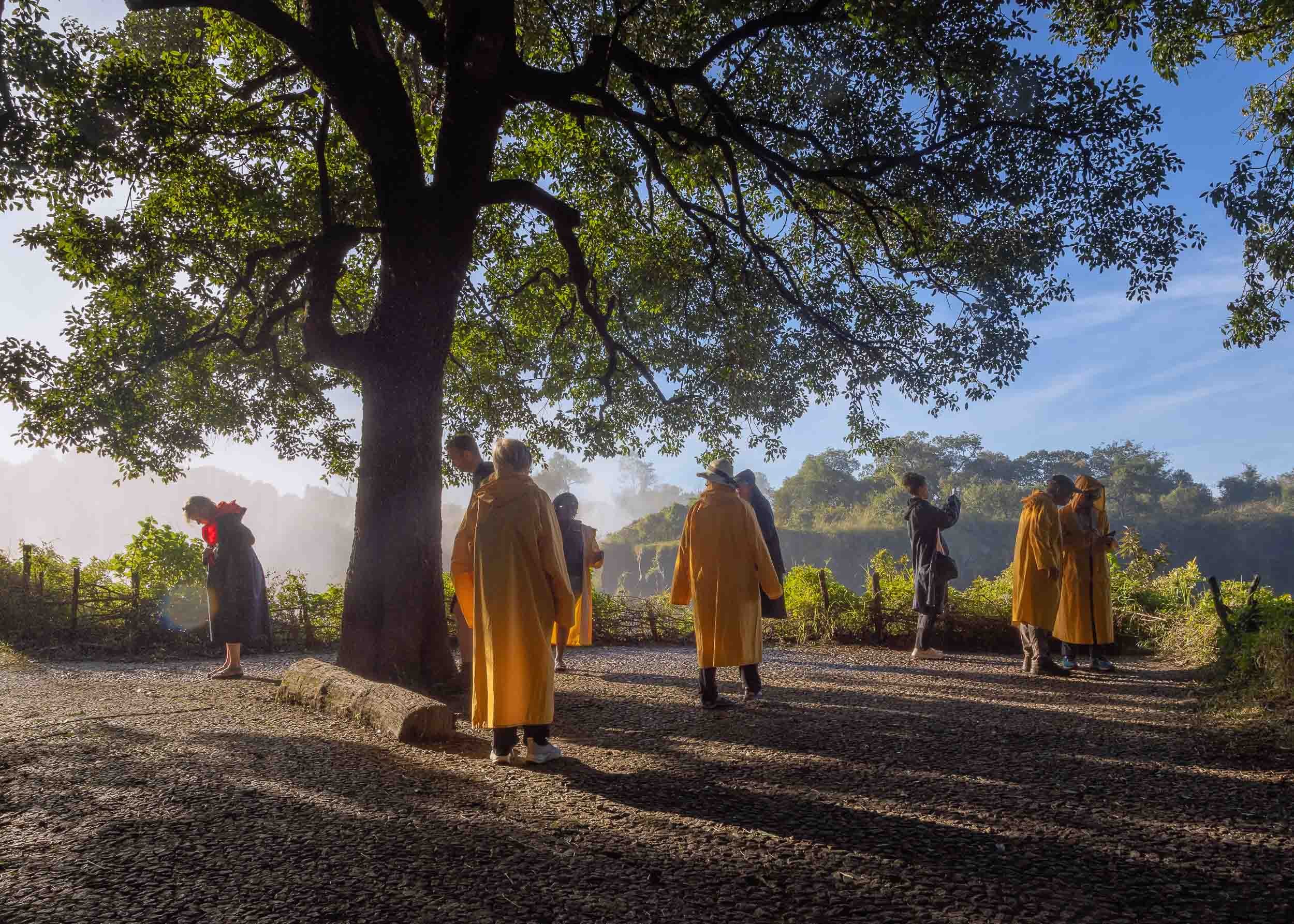
A night at the Falls
Before moving on to Botswana, I had a night at Victoria Falls, my second visit after having explored the Zambian side back in 2011. It is as fascinating now as it was then, and I’m glad to have seen both sides.

That brings us to the end of my trip through Zimbabwe!

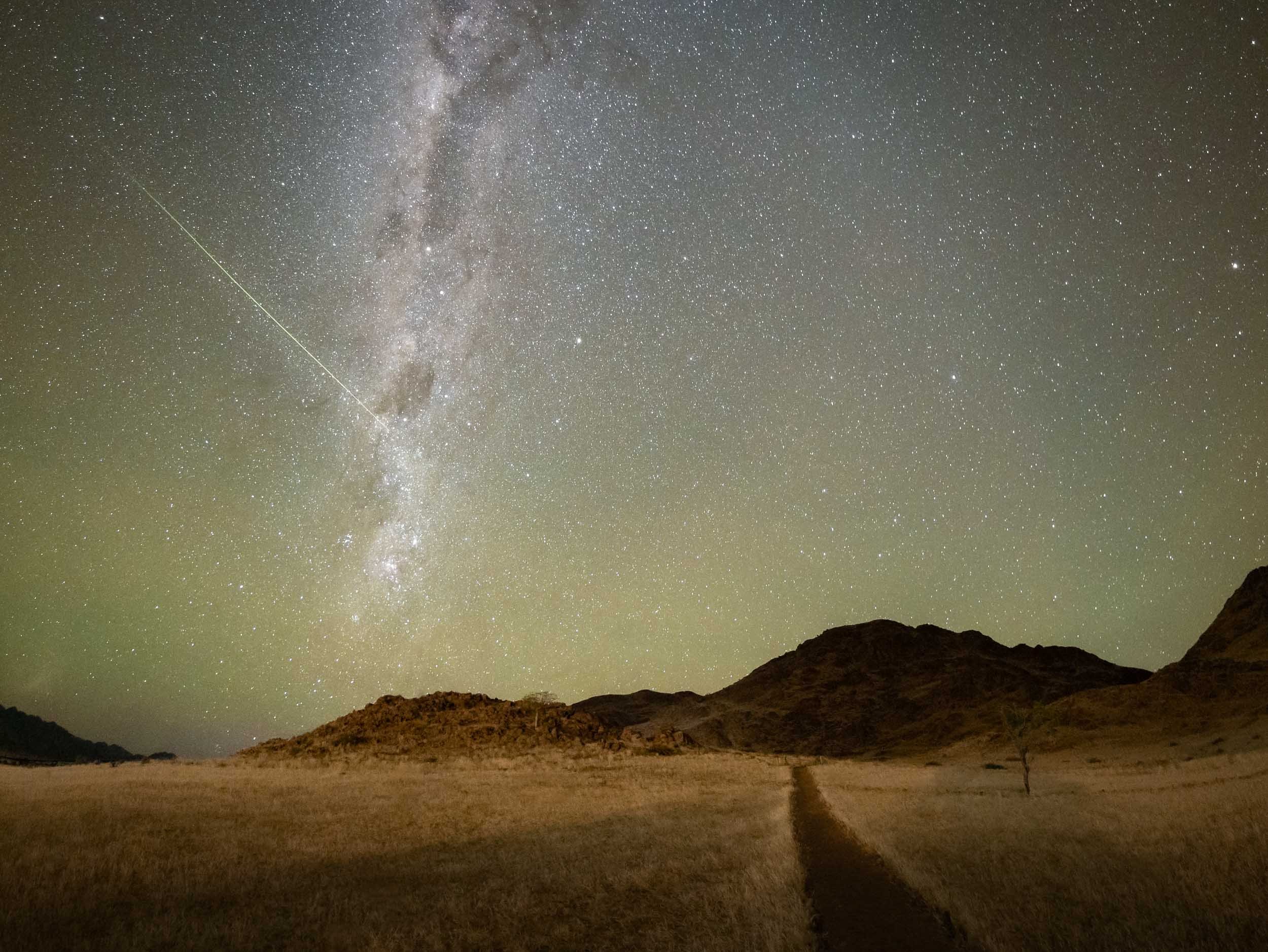
Namibia - The Most Amazing Night Sky, But So Much More
Namibia was the first destination for my two-month-seven-country Africa trip, and maybe the one I was most excited about.
Namibia was the first destination for my two-month-seven-country Africa trip, and maybe the one I was most excited about.

This part of the journey was organised by https://www.stefanliebermann.de, Sony Ambassador for Germany as a 12 day workshop in collaboration with Richard Morsbach, a local tour guide.
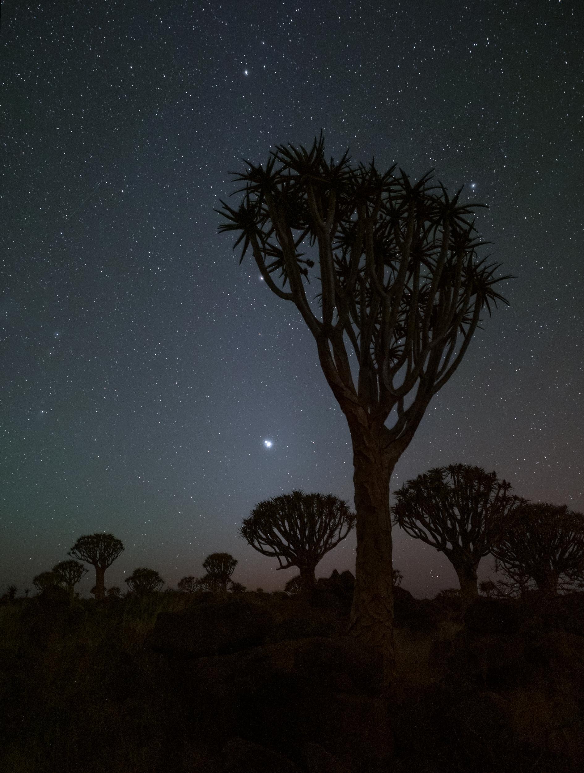
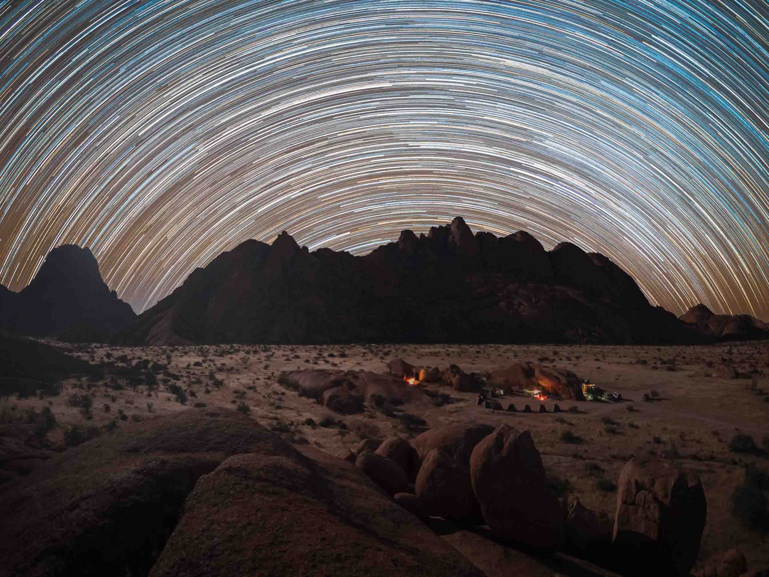
The trip was focused on astrophotography, as Namibia has some of the best dark skies in the world and the Milky Way was visible all night during new moon. We did however also have the opportunity to take some daylight cityscape, sunrise and sunset, wildlife, and landscape images.
Namibia is incredible and definitely a destination I’d come back to. Read on to find out what you can see in this country, and the photos I captured to document it.
You can also head over to my Instagram (www.instagram.com/djflore) and check my Story Highlights for a bit of background info.
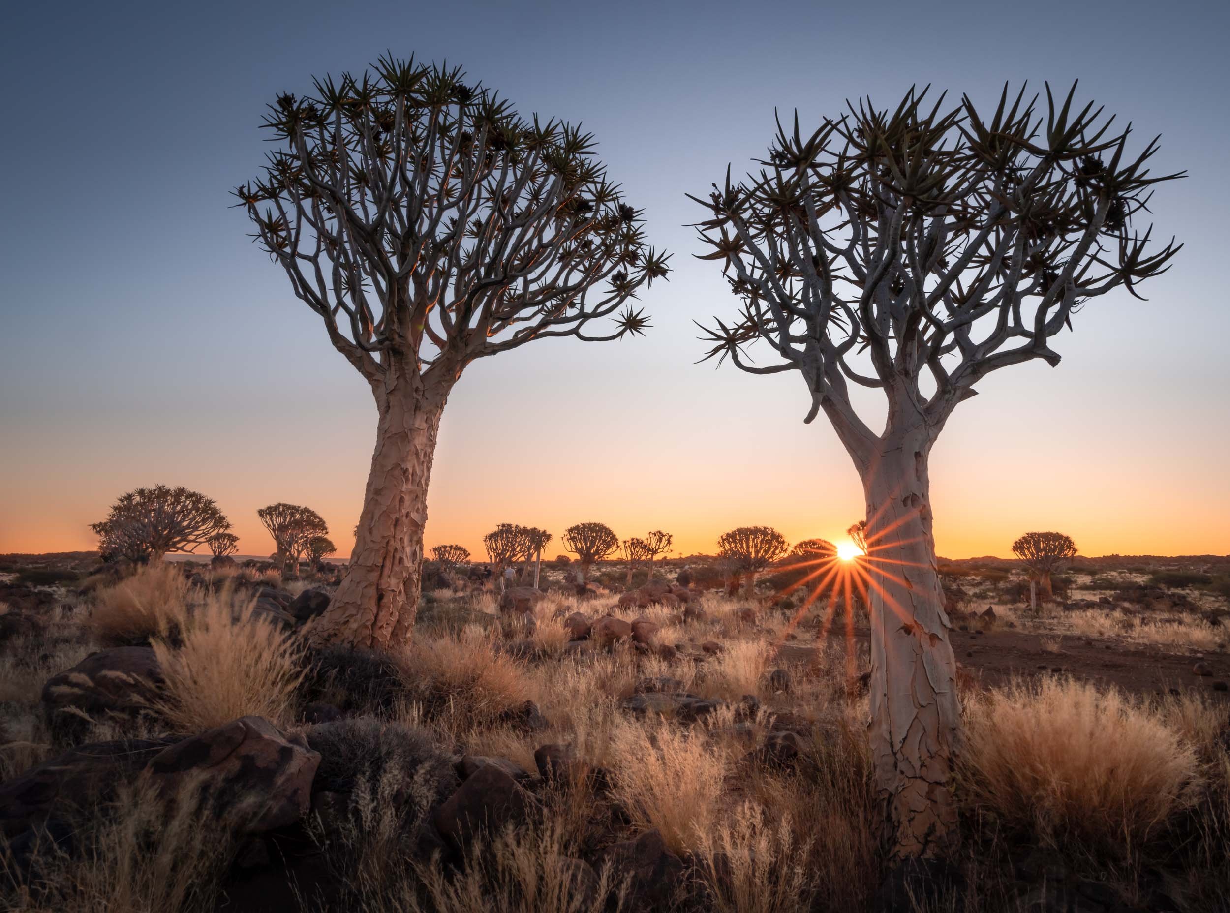
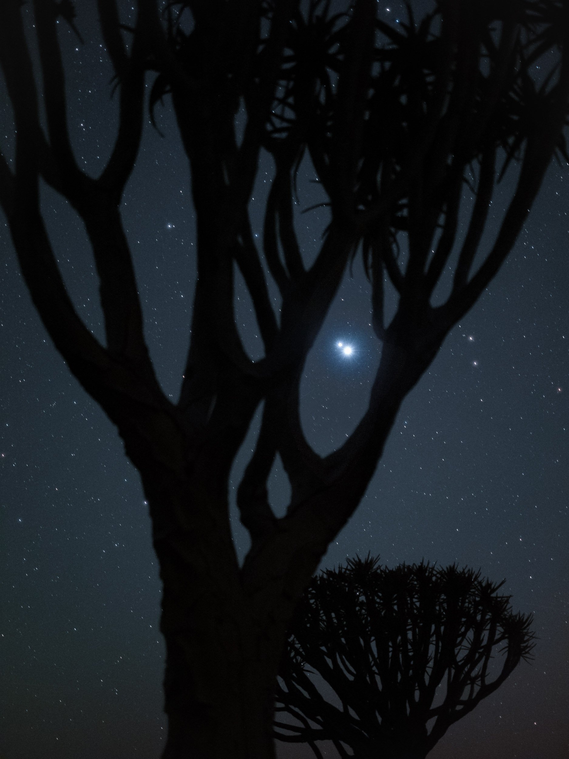
The Quiver Tree Forest
Our first destination after flying into Windhoek was the Quiver Tree Forest, north-east of Keetmanshop, where we arrived just in time for sunset after a 5h drive and lunch break.
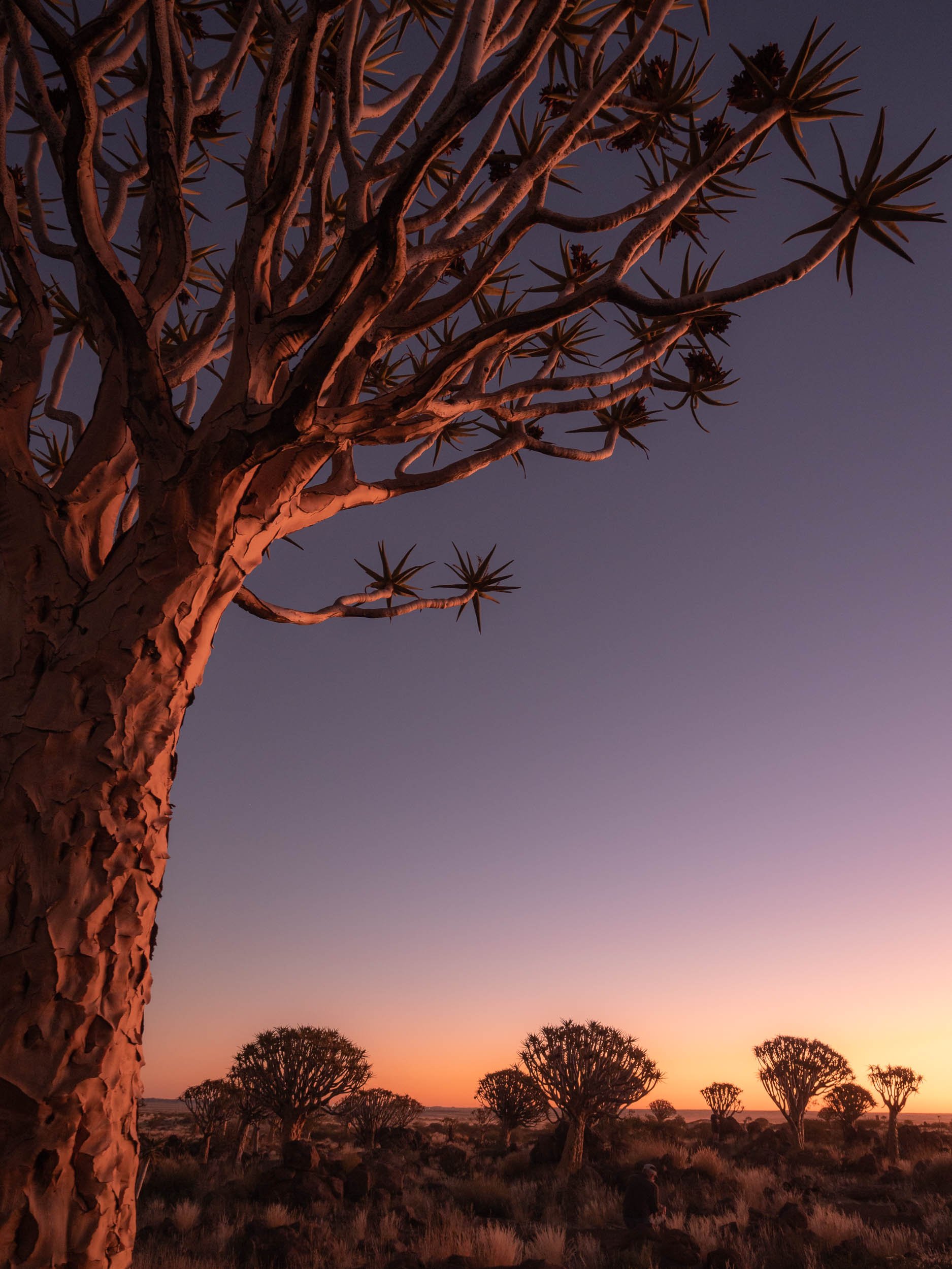
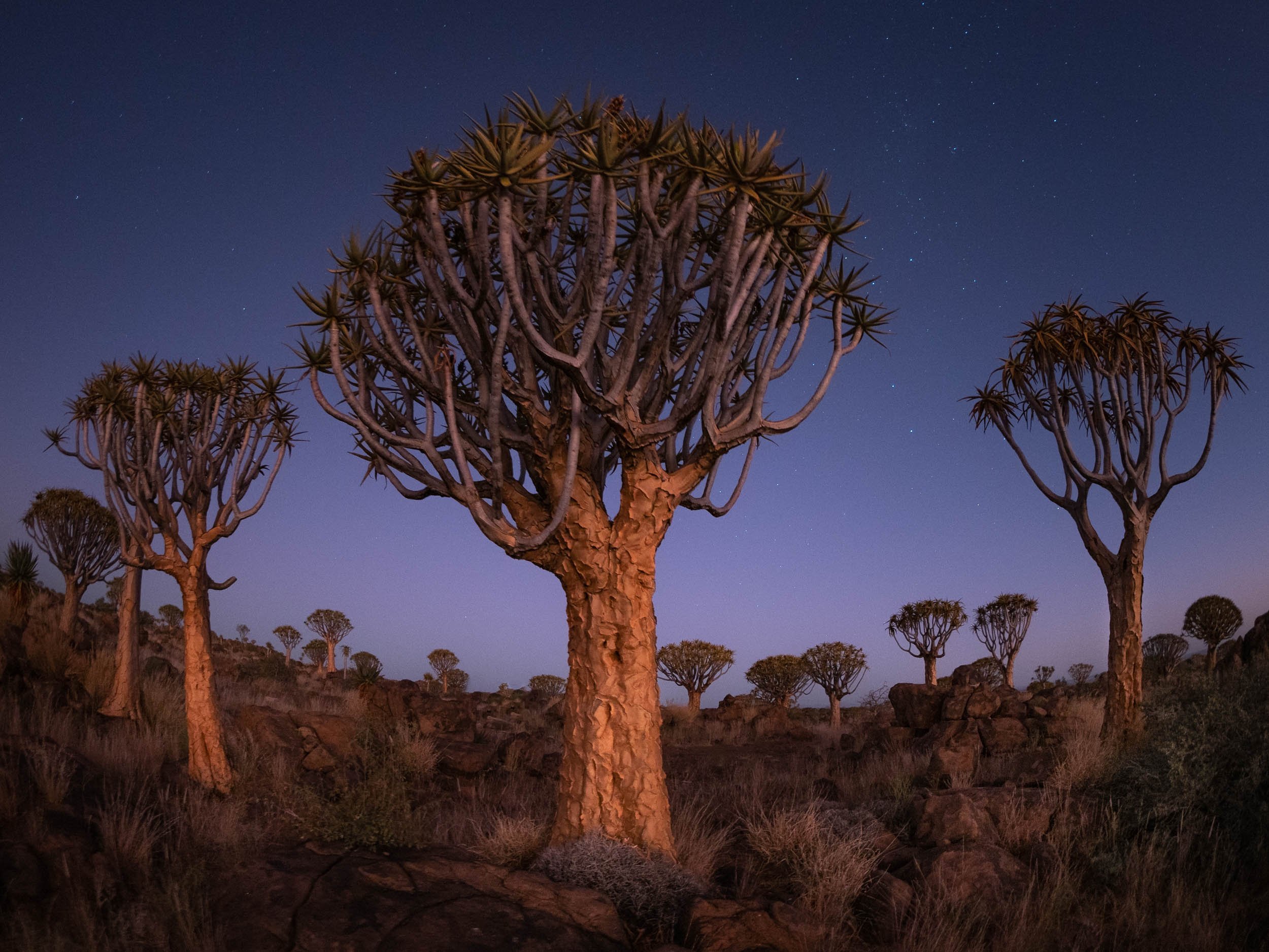


Onwards
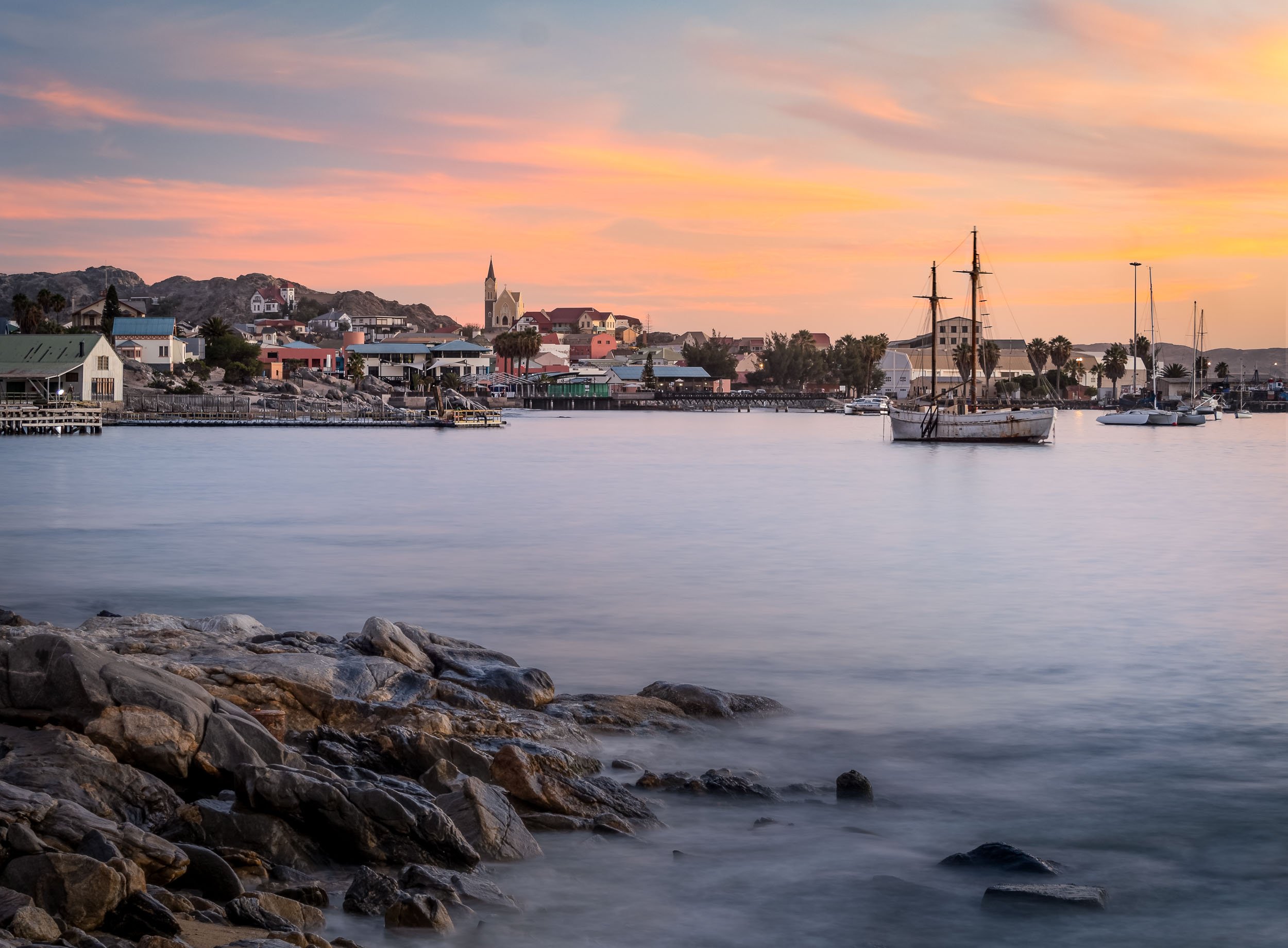
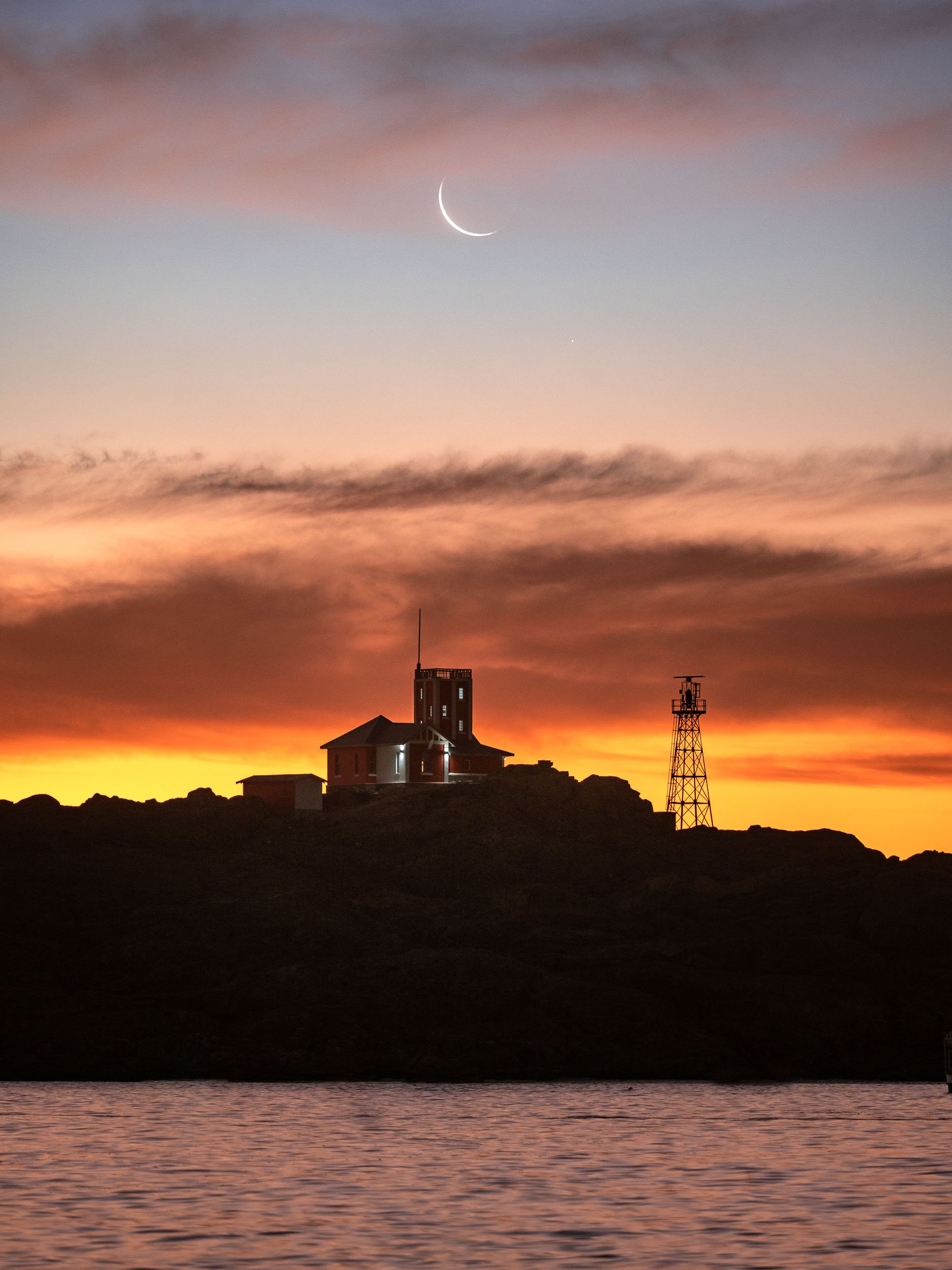
After a sunset, night, and sunrise at the Quiver Trees, we moved straight on to the next spot., Fish River Canyon for a night, and then into Lüderitz, one of the country’s most famous towns.


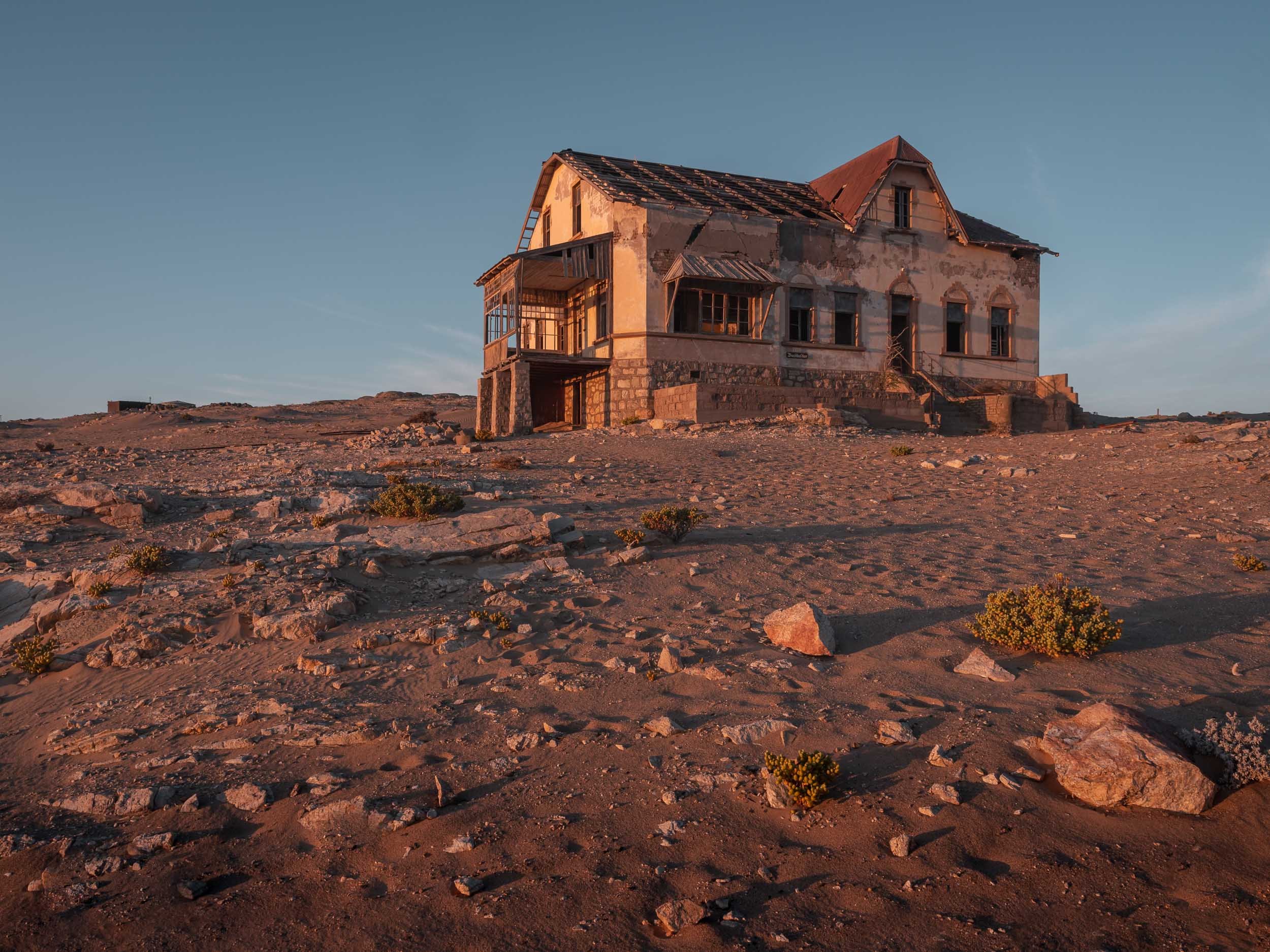
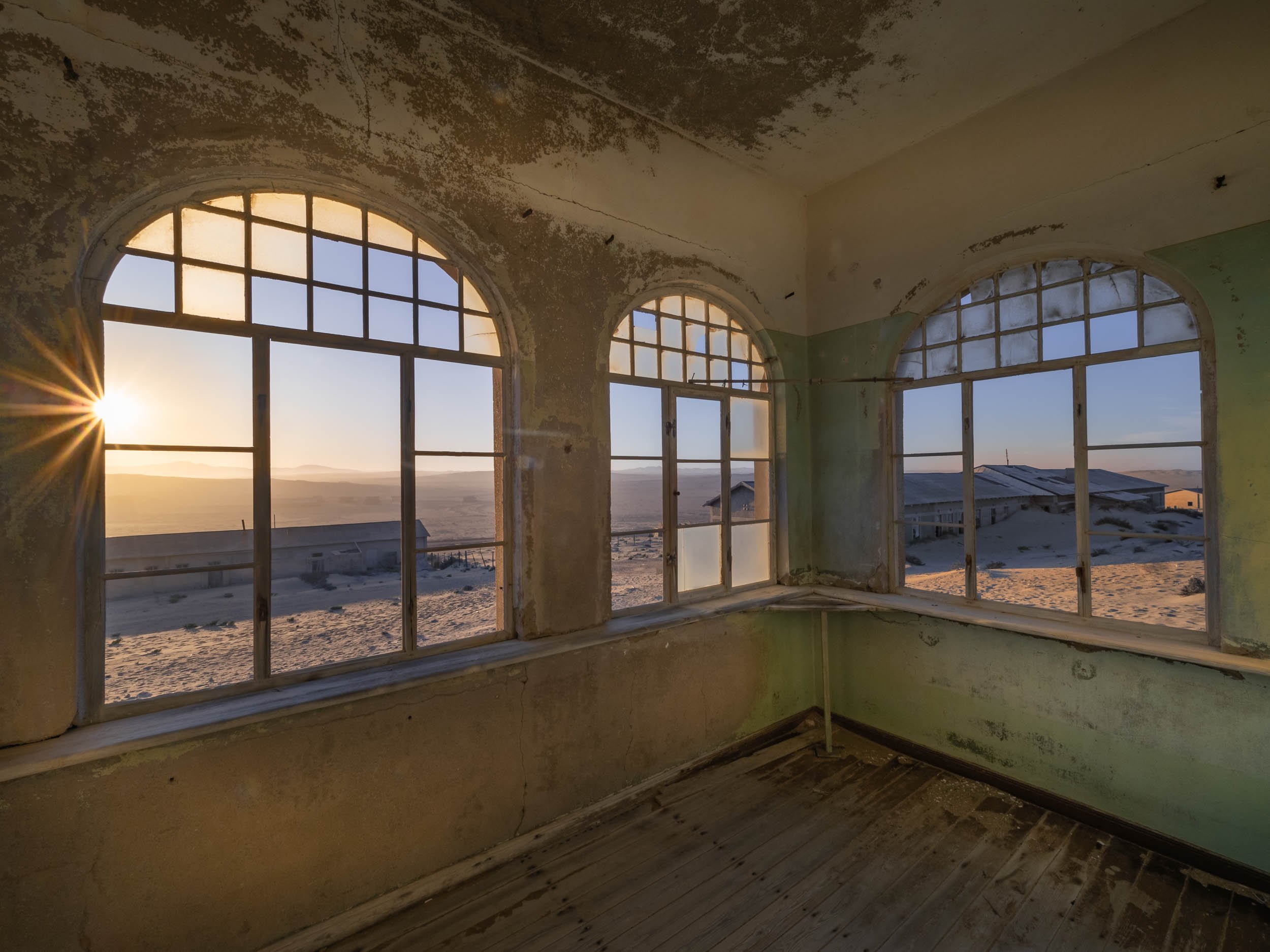
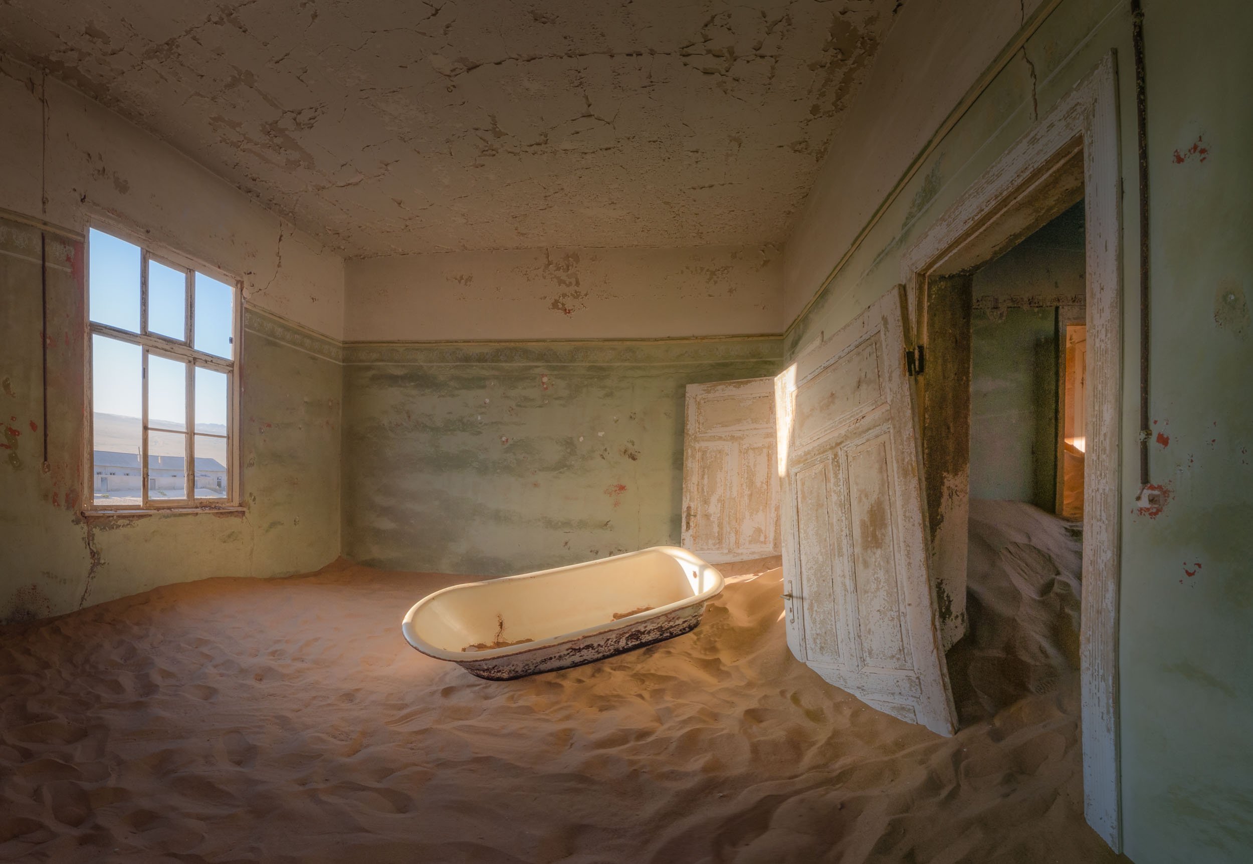
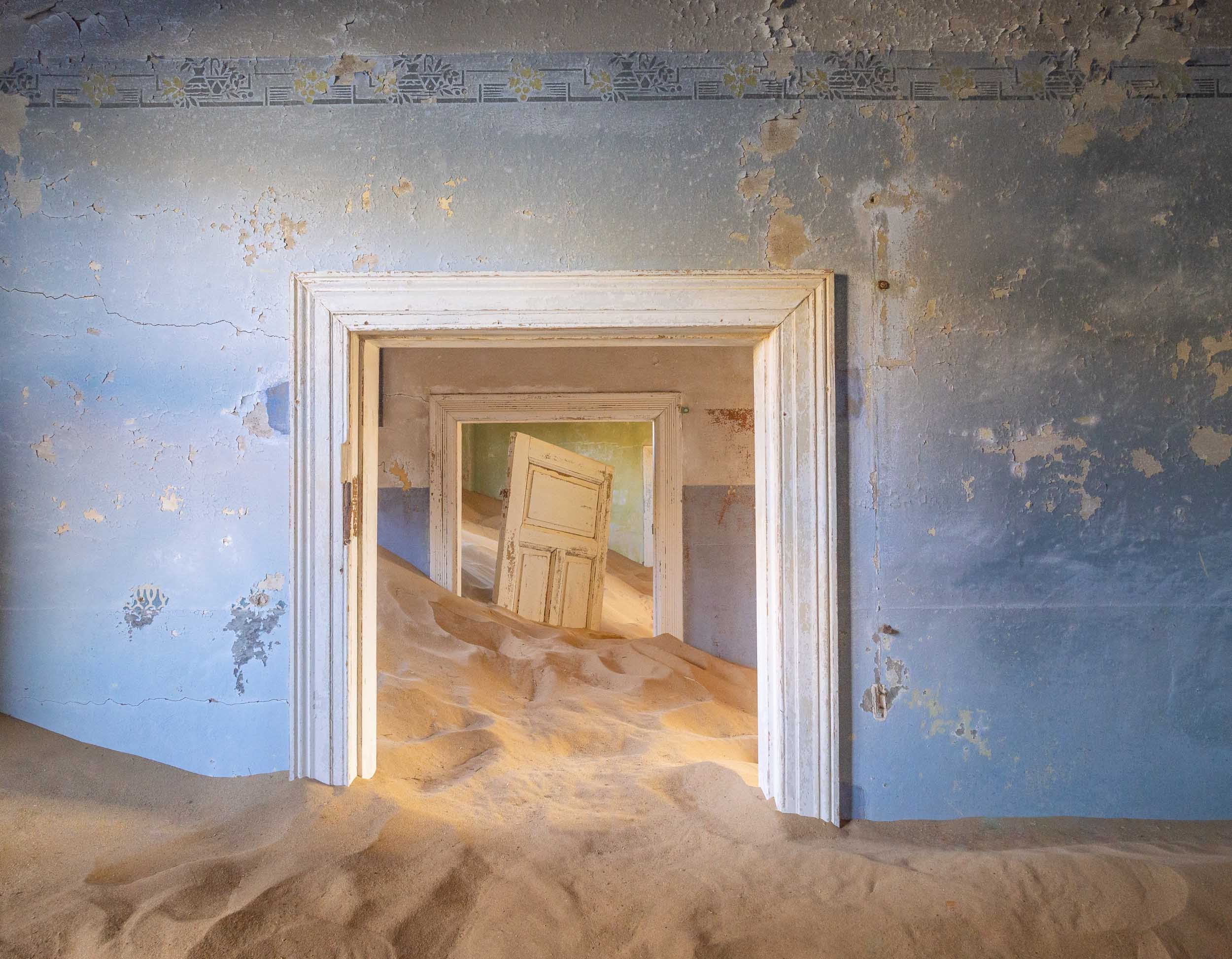
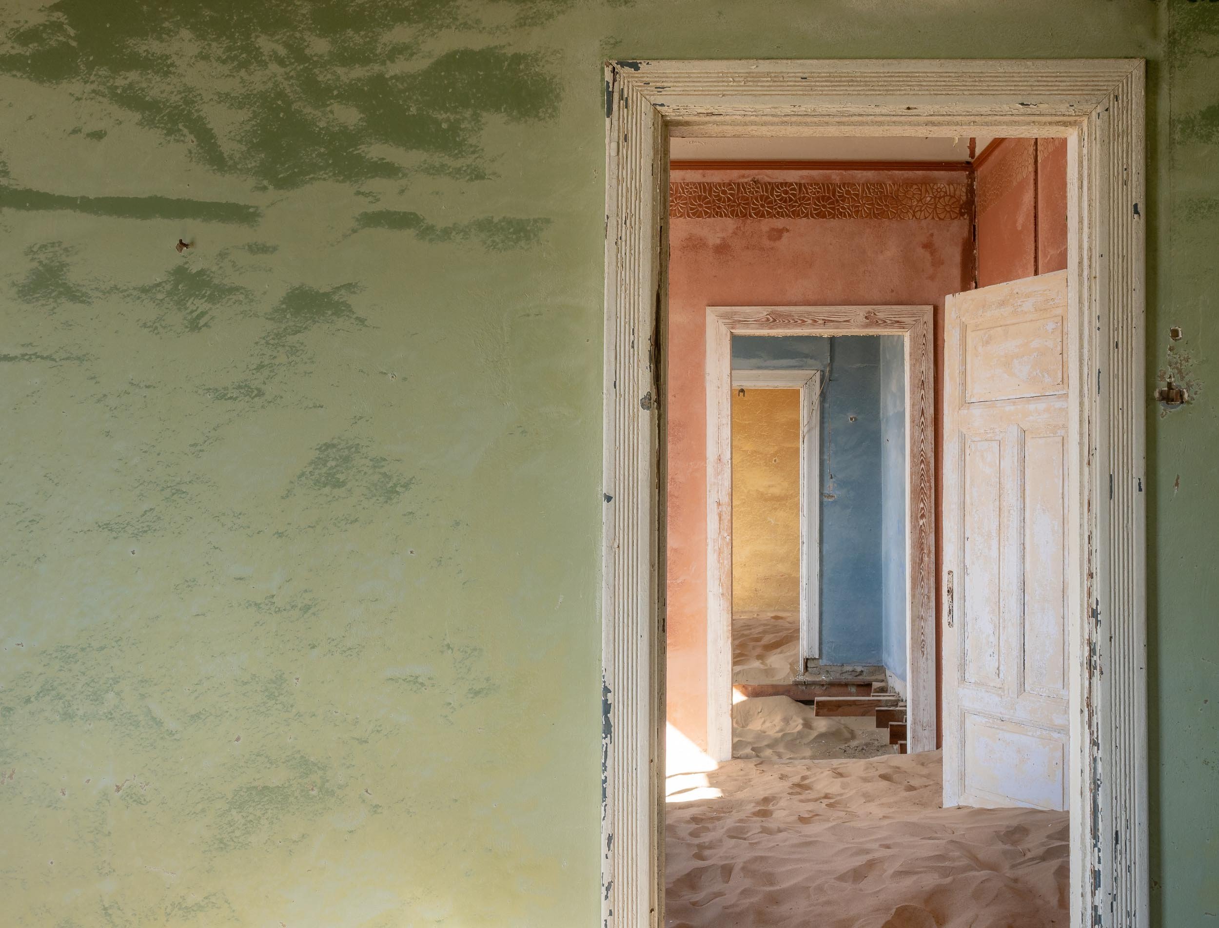
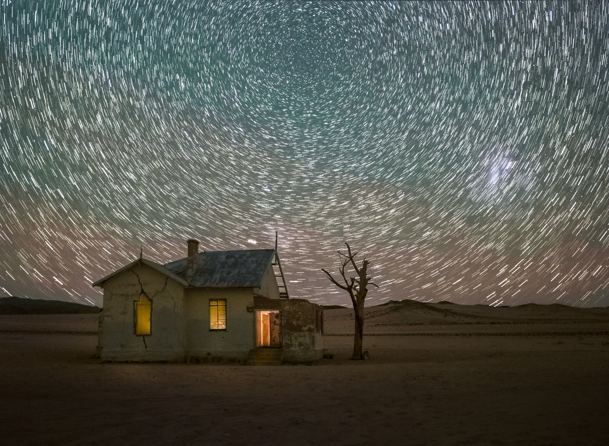
The Abandoned Town of Kolmanskoop
About 10km from Lüderitz you can find one of Namibia’s most popular destinations - a ghost village!

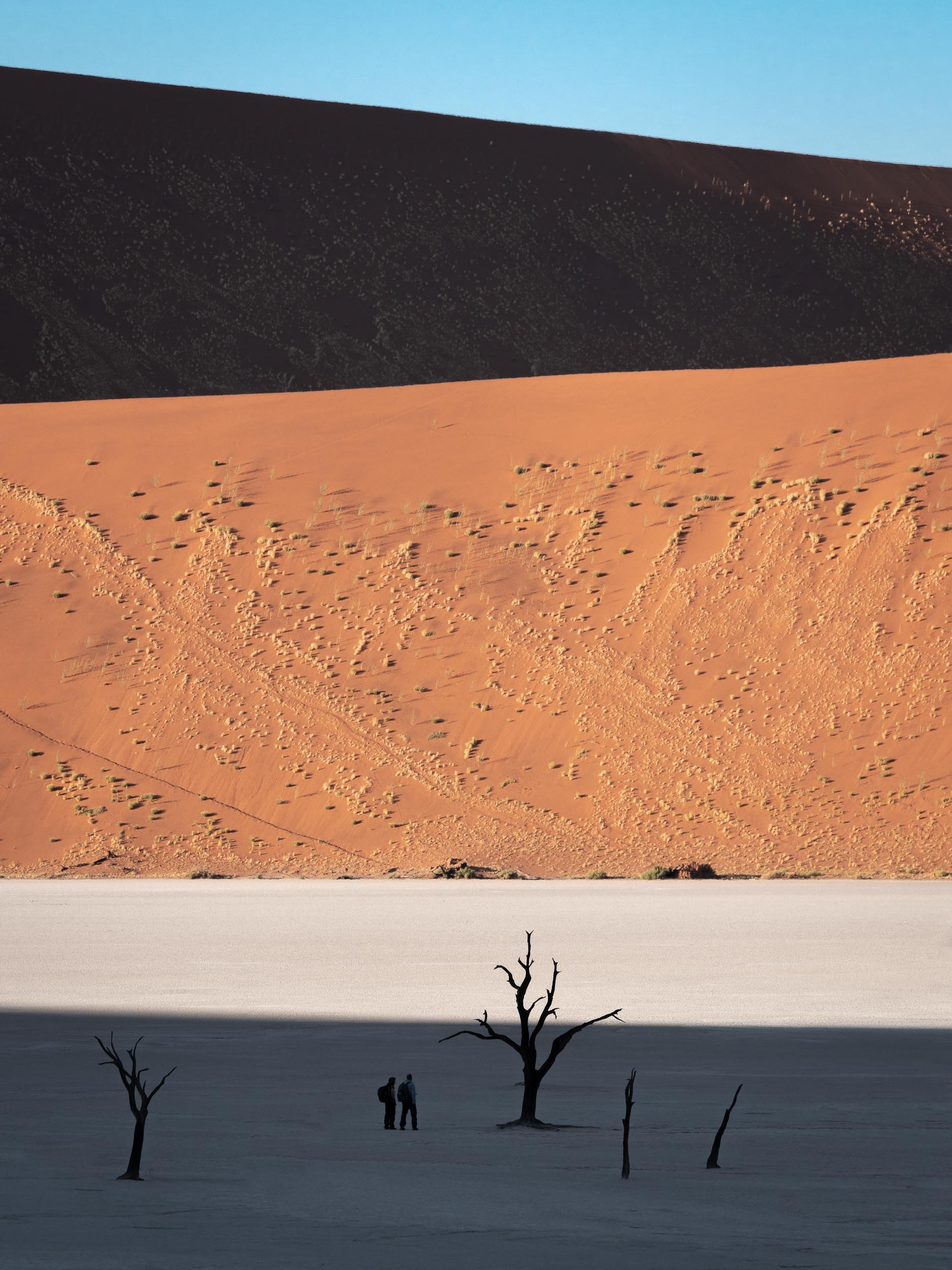
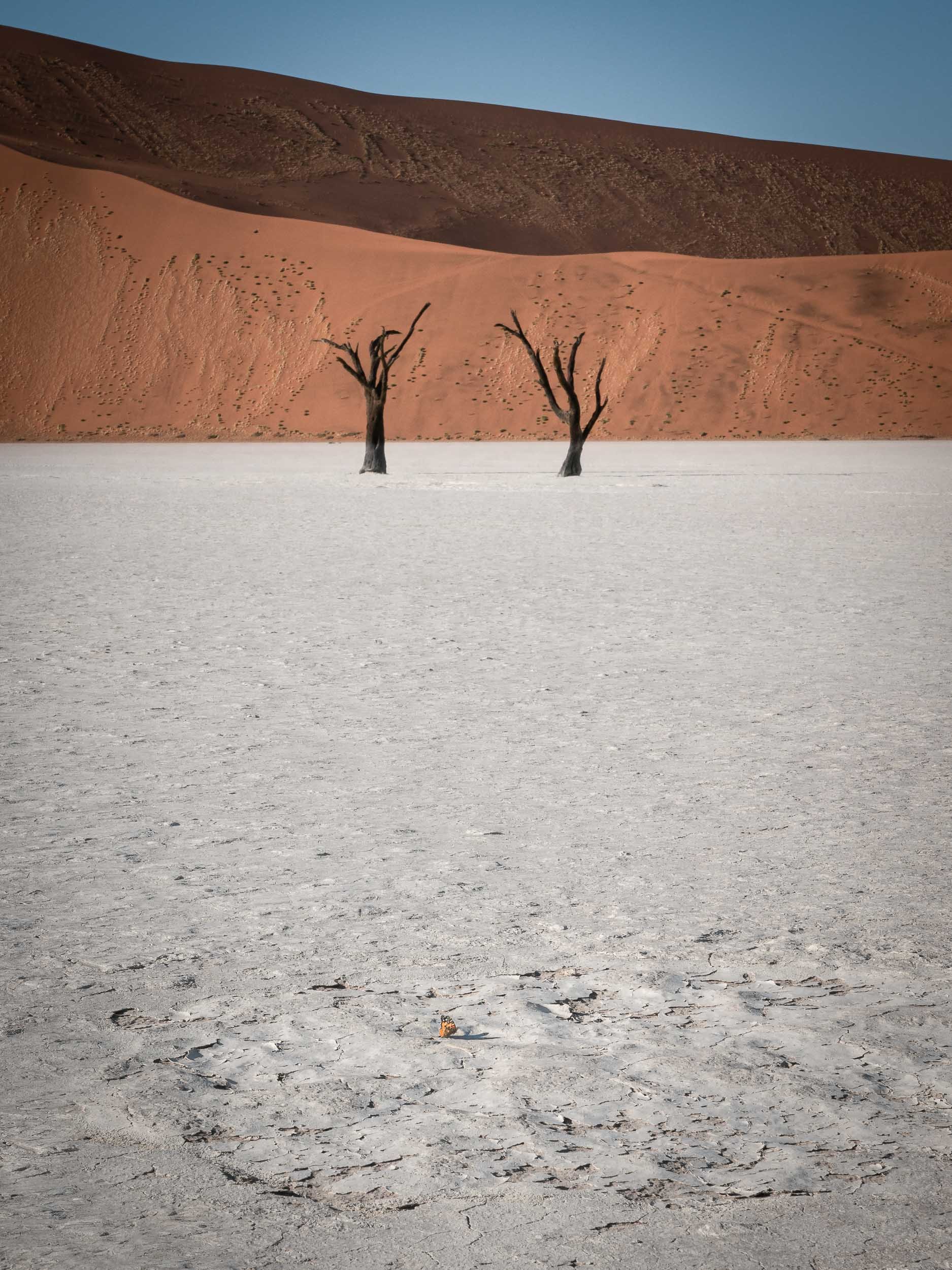
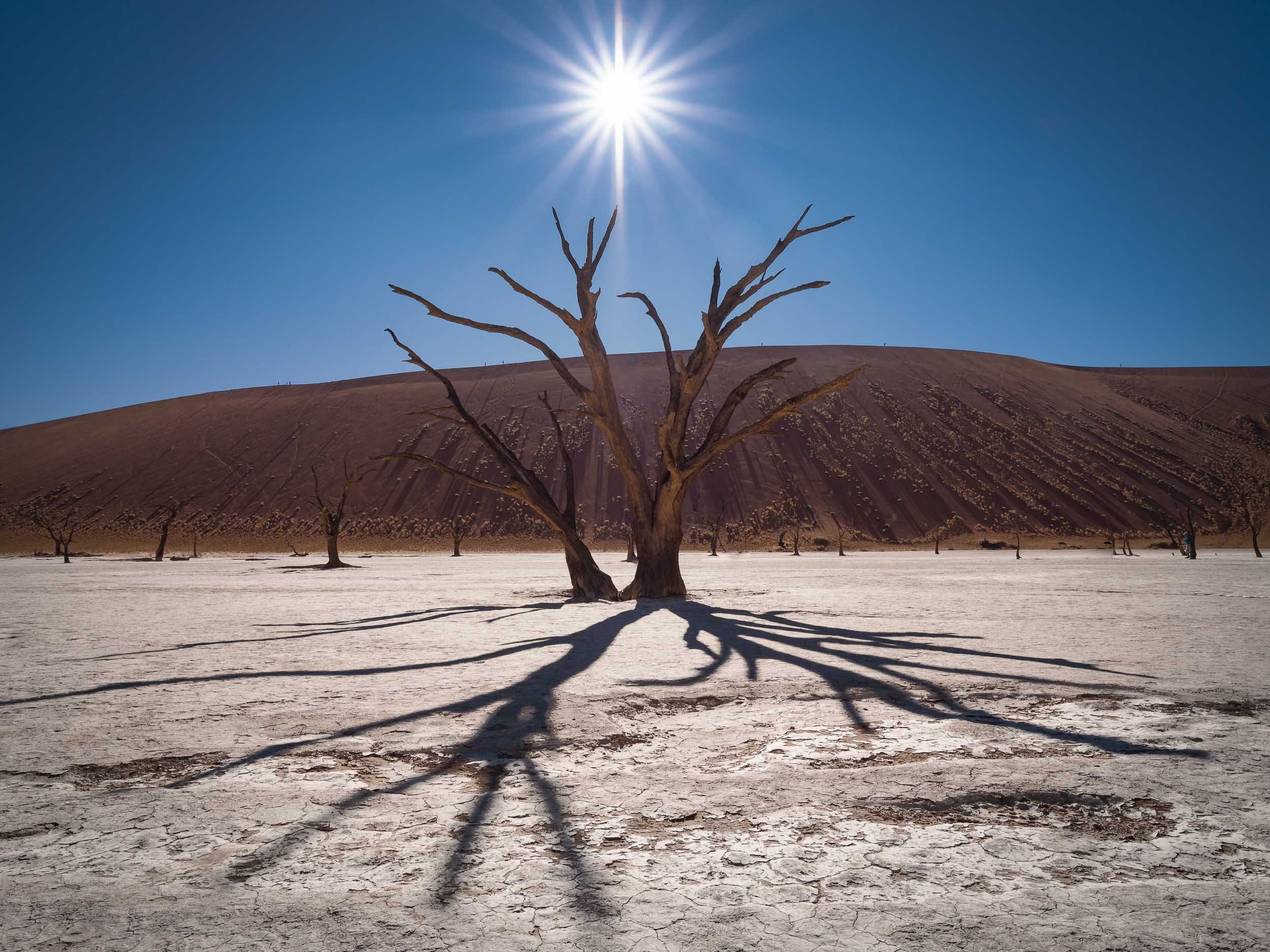
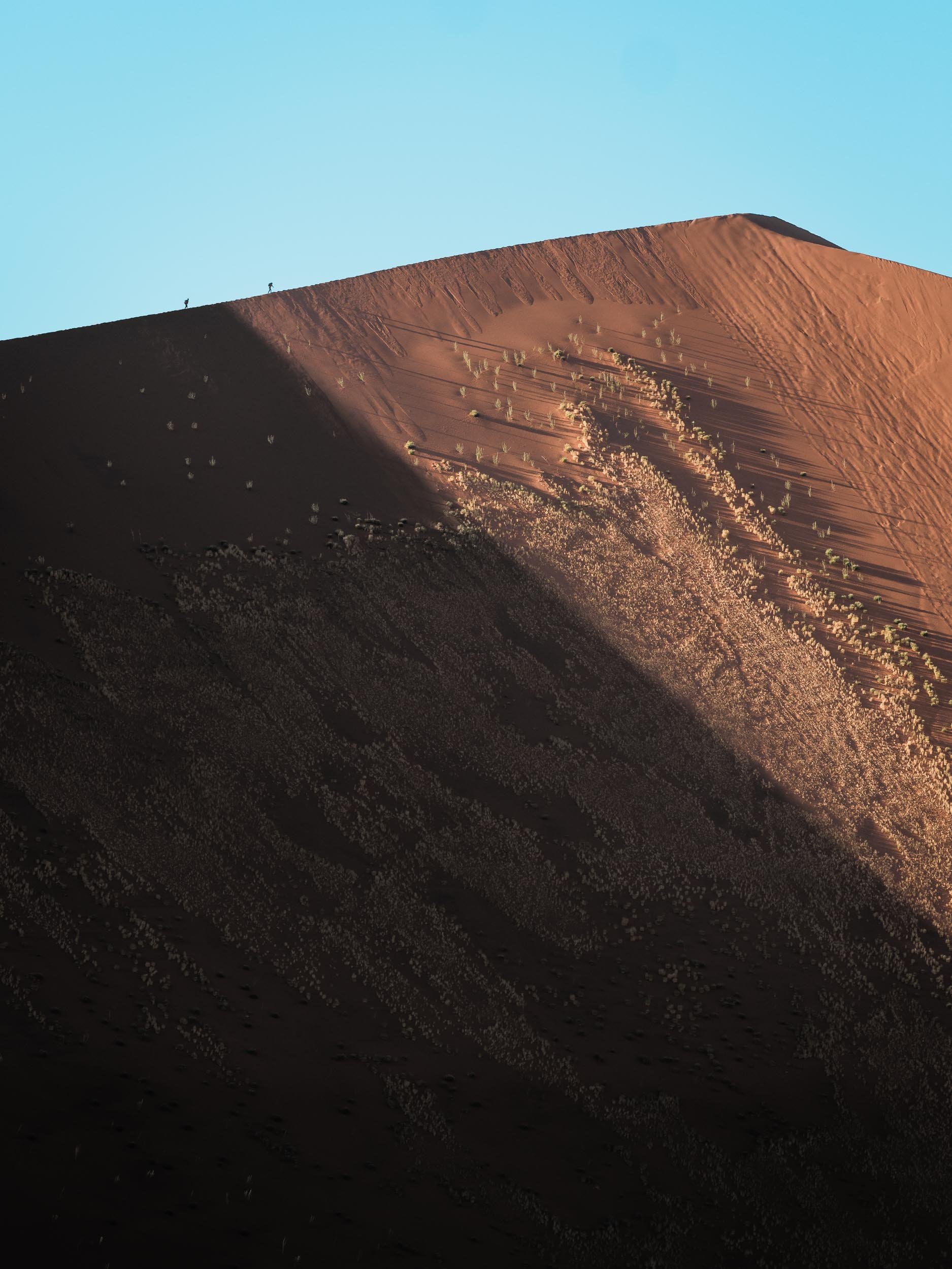
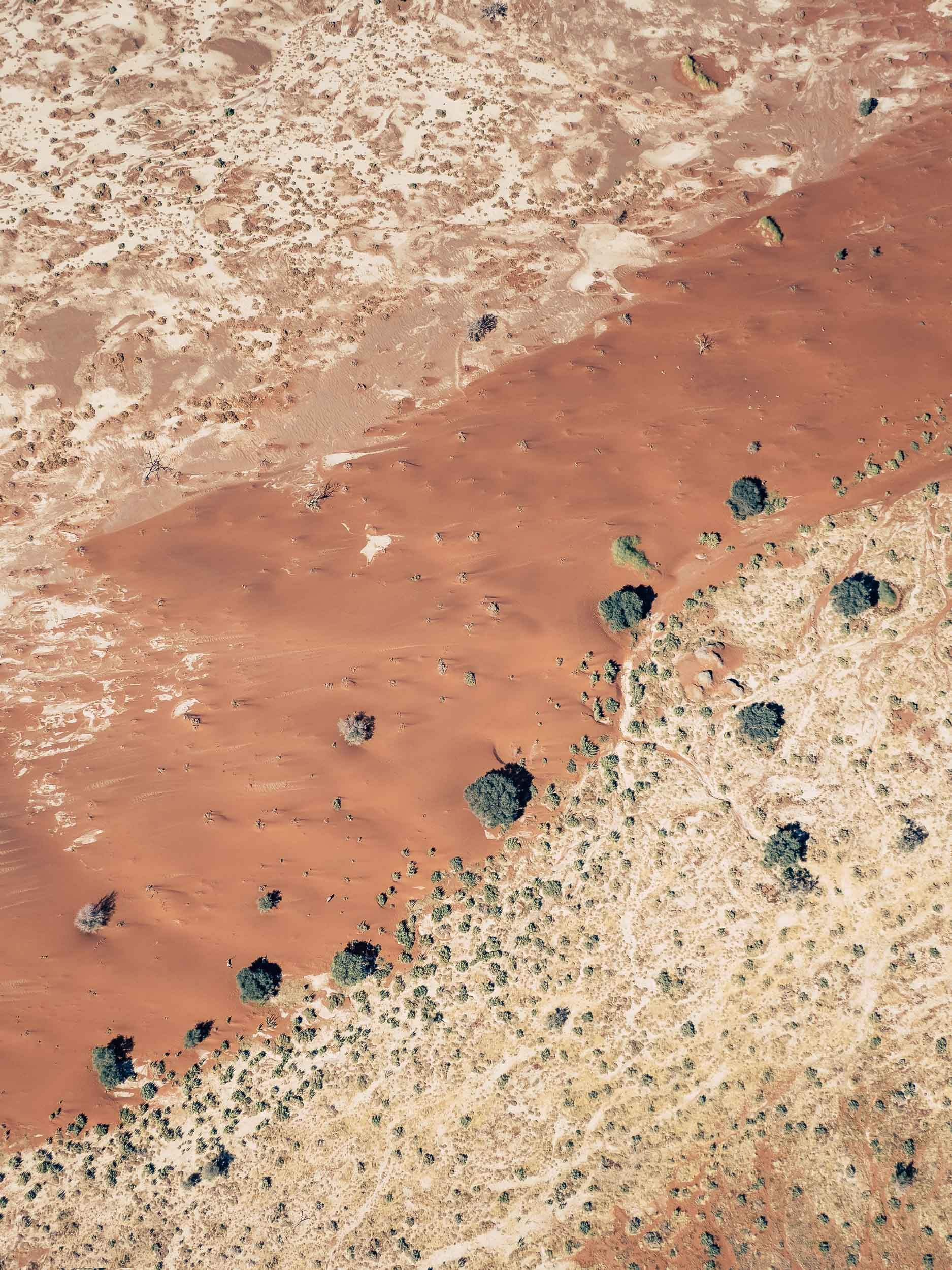
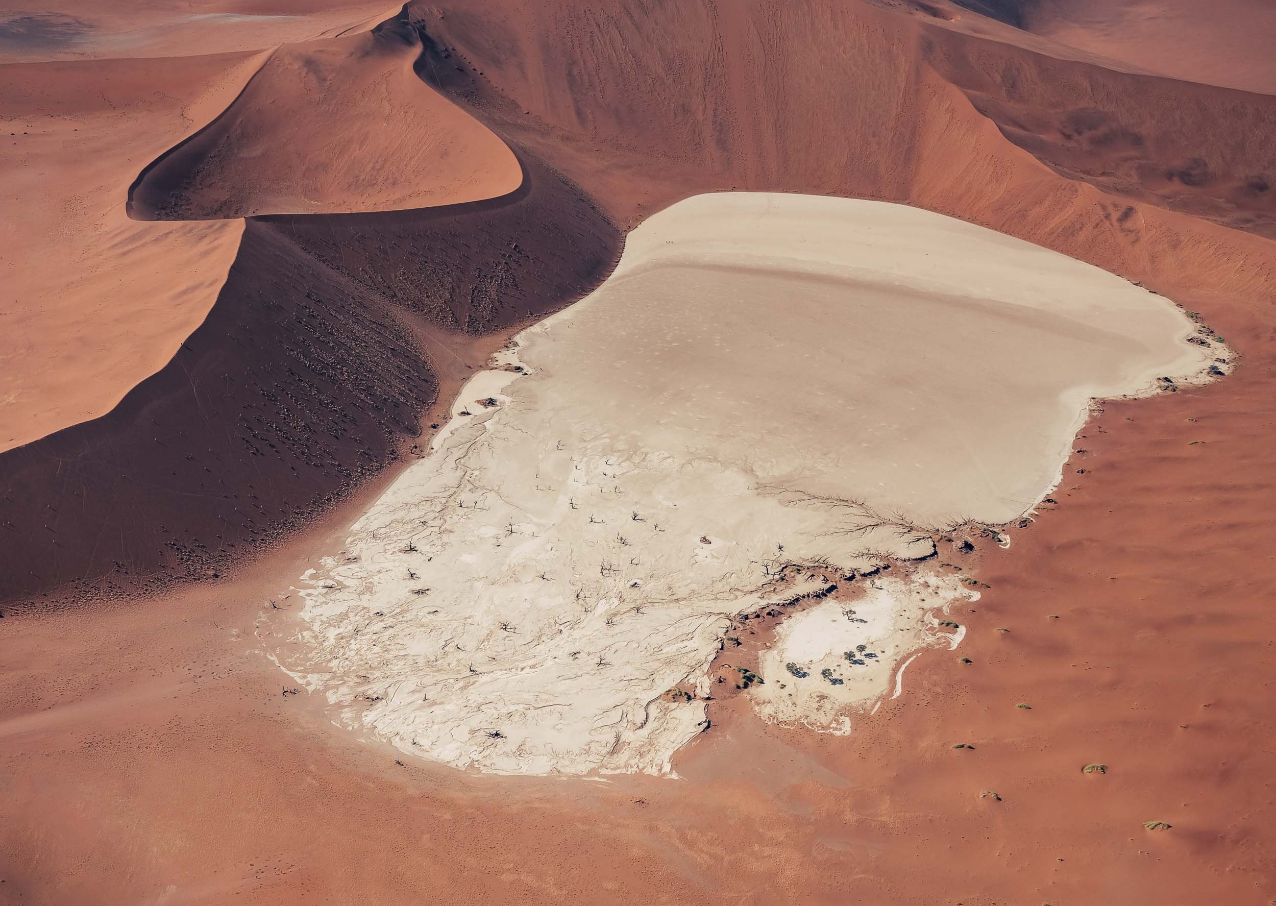
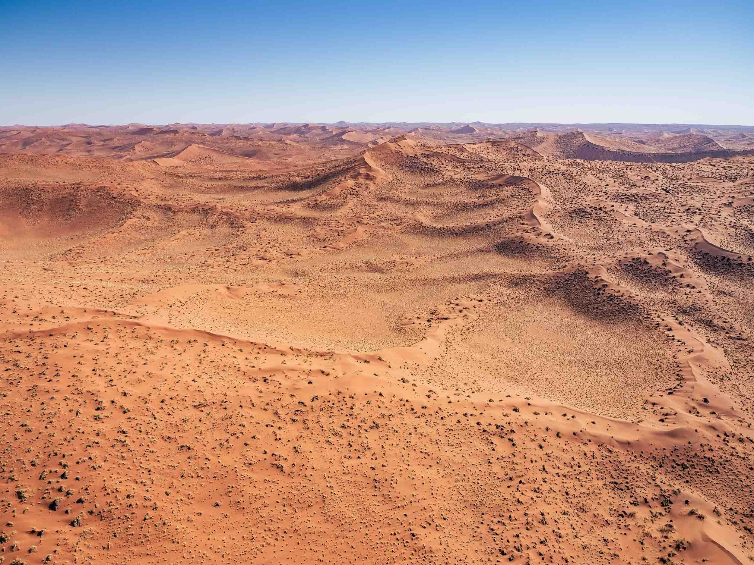
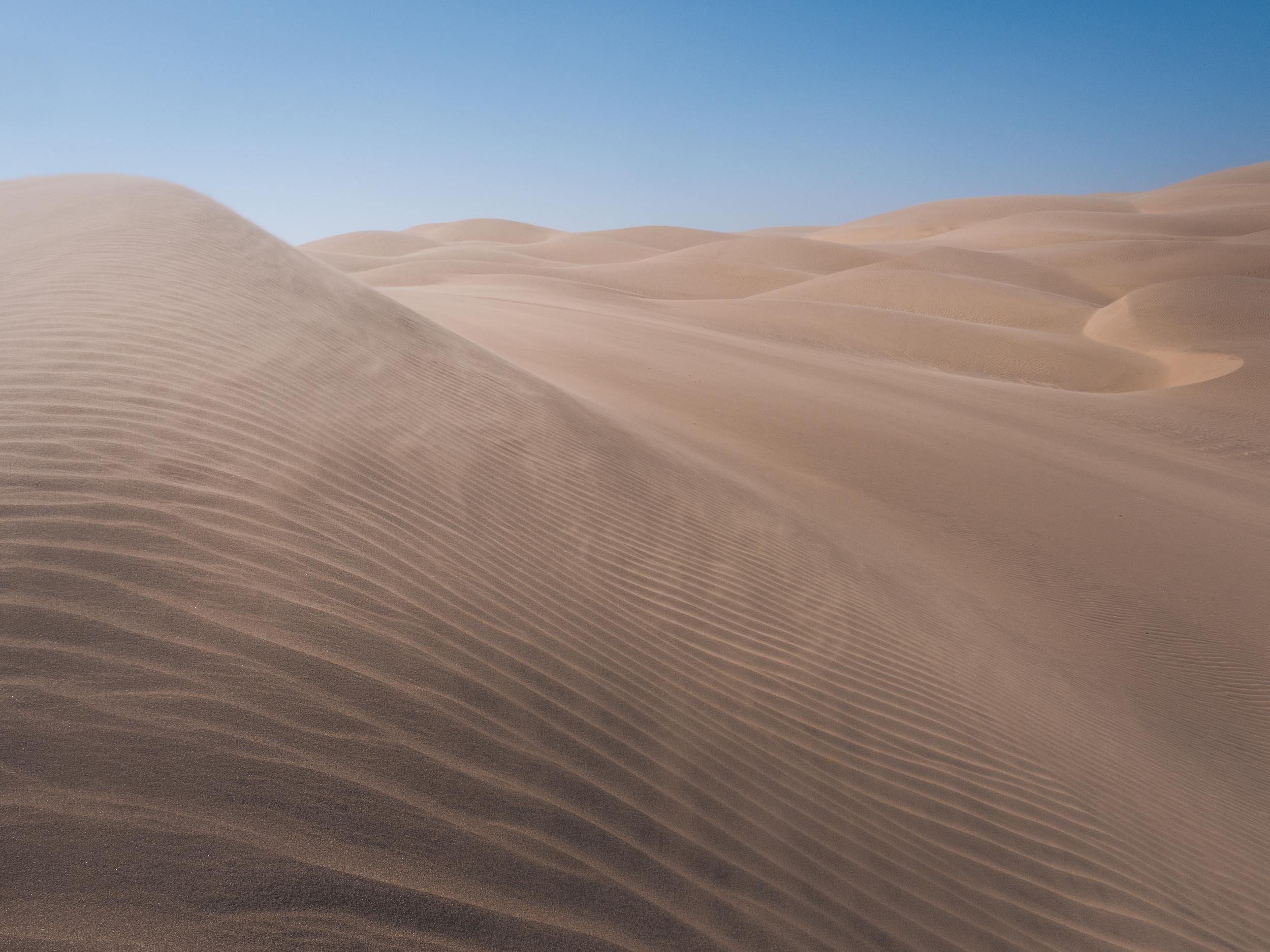
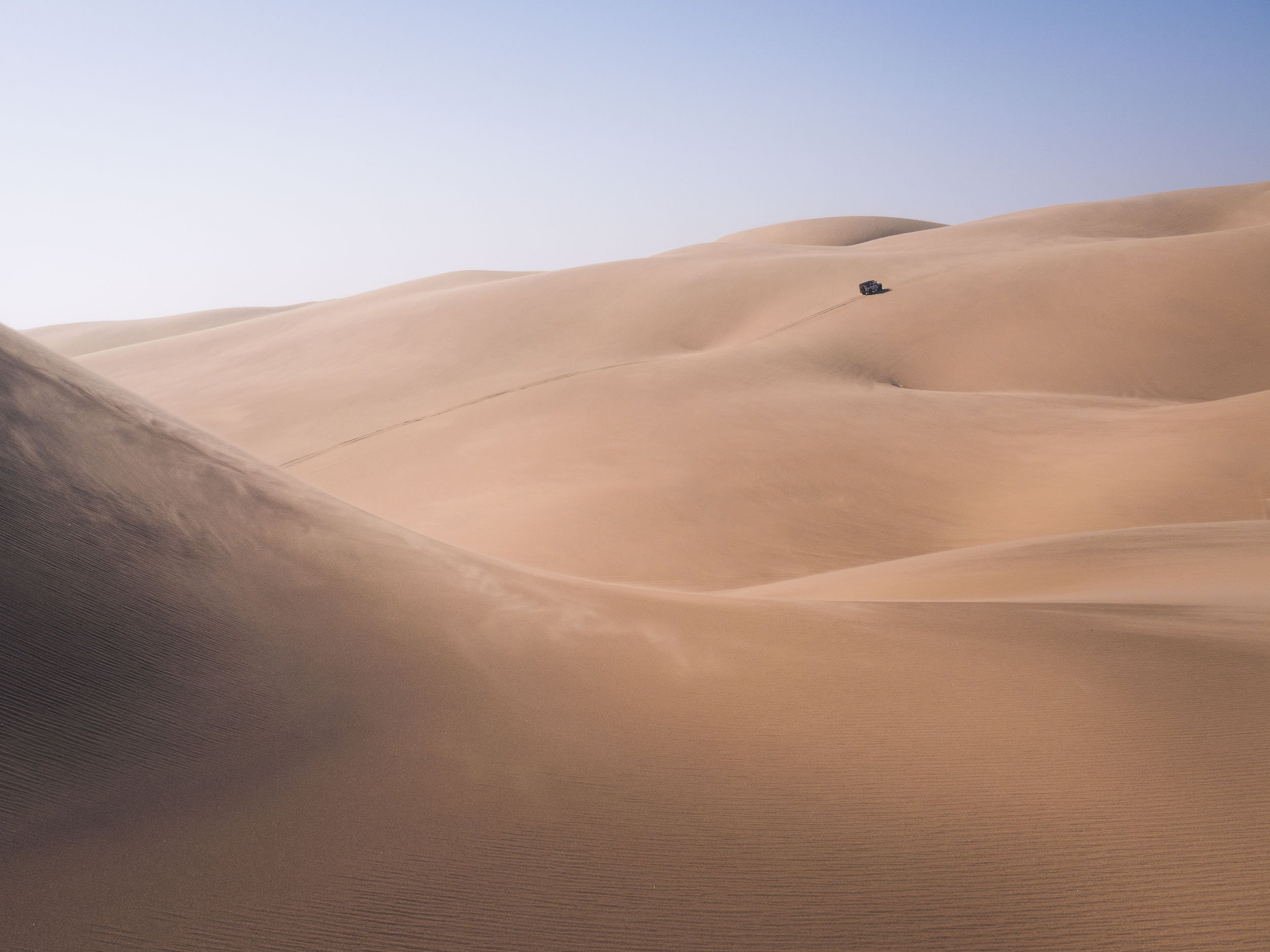
Onwards to Sossusvlei
After Lüderitz and the abandoned town, our next destination was the famous dunes of the Namib Naukluft National Park a bit further north of the country.


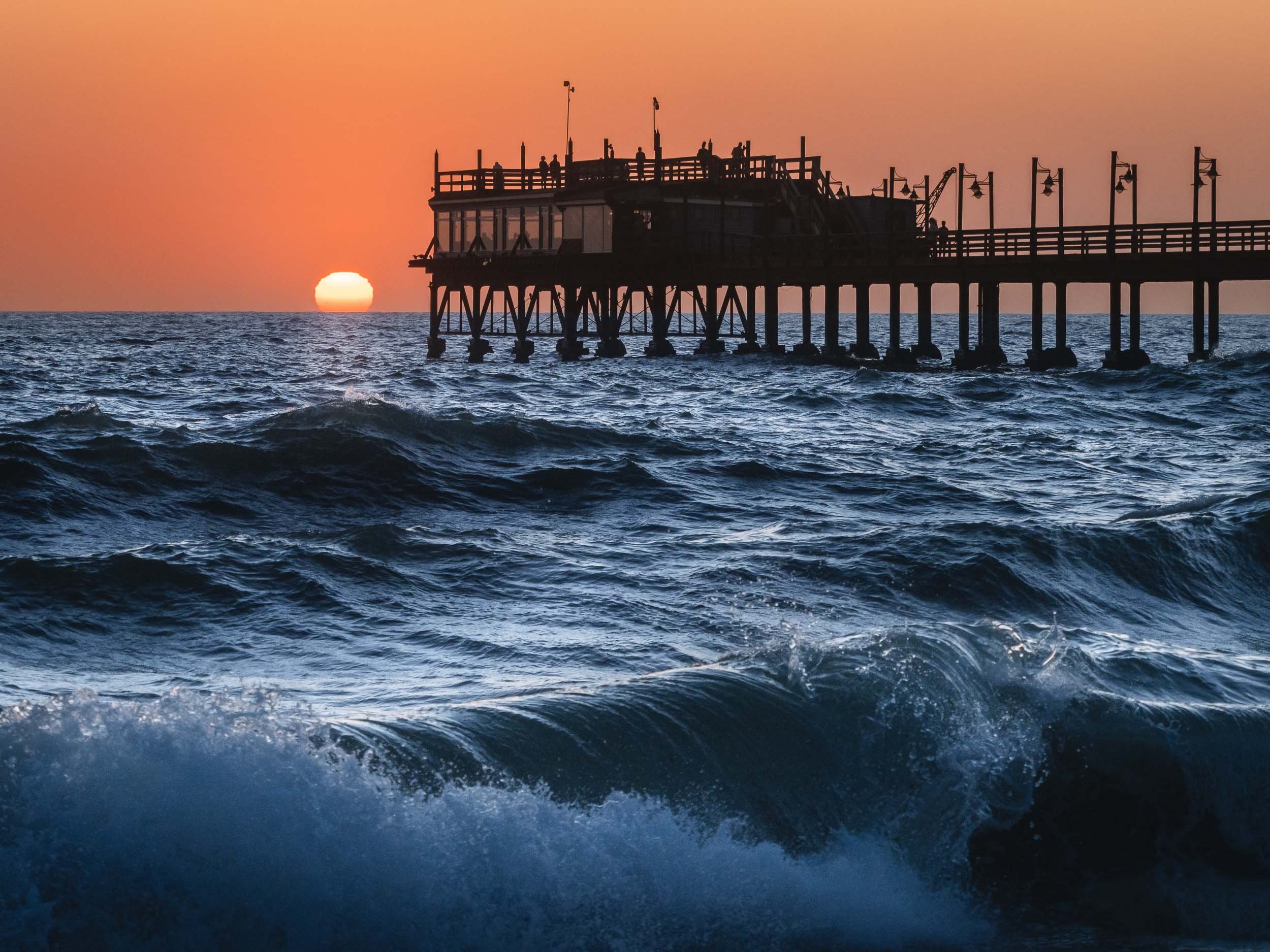
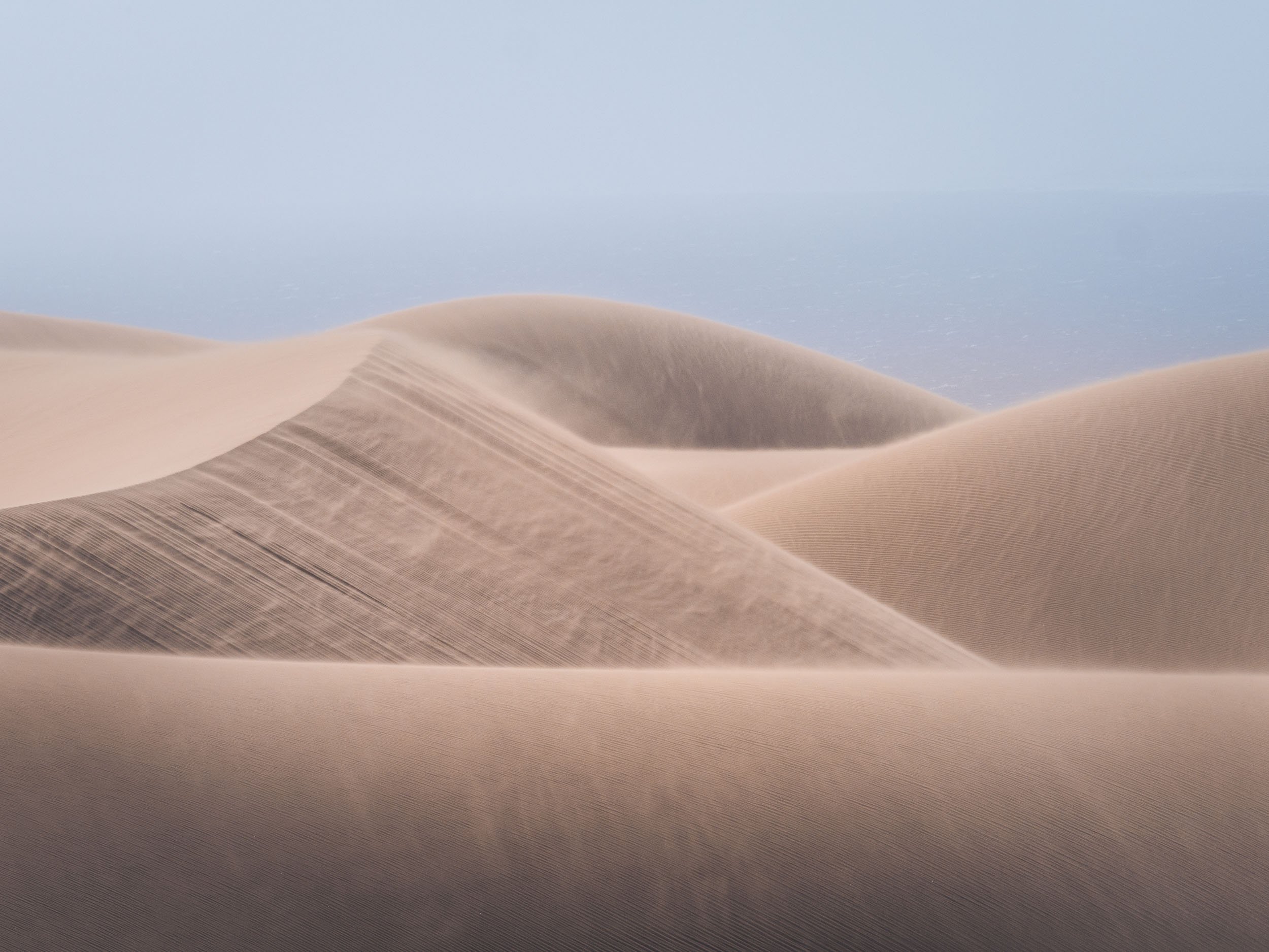
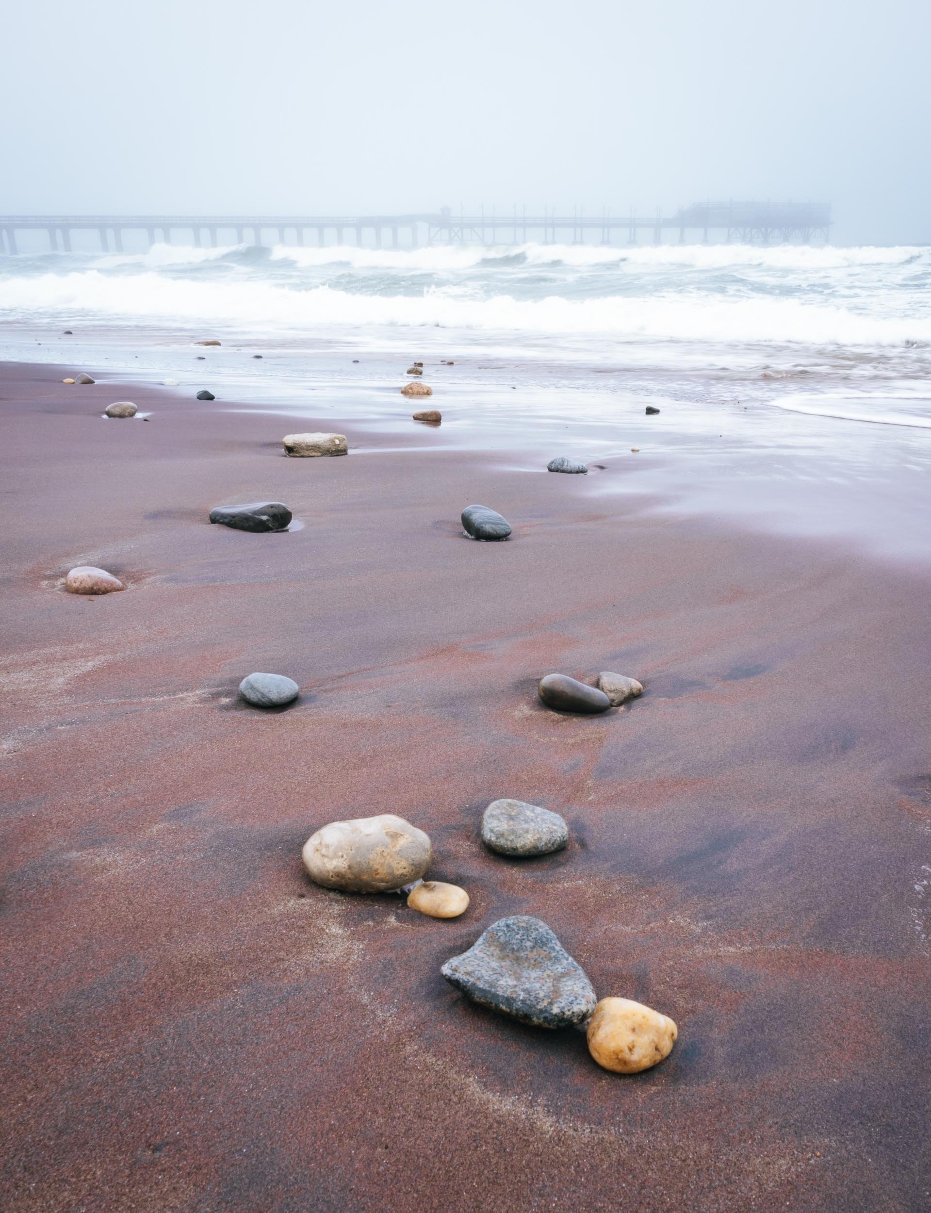
Swakopmund
To the northern end of the park lies this small city and its attractions.

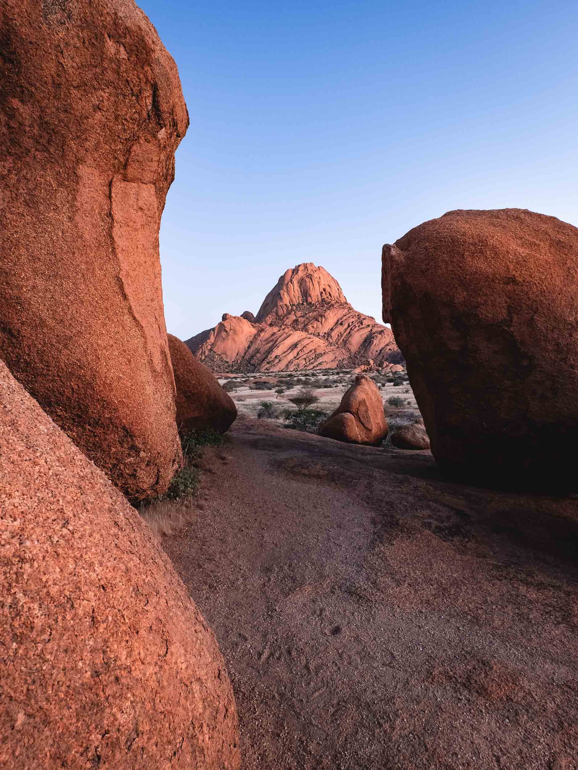
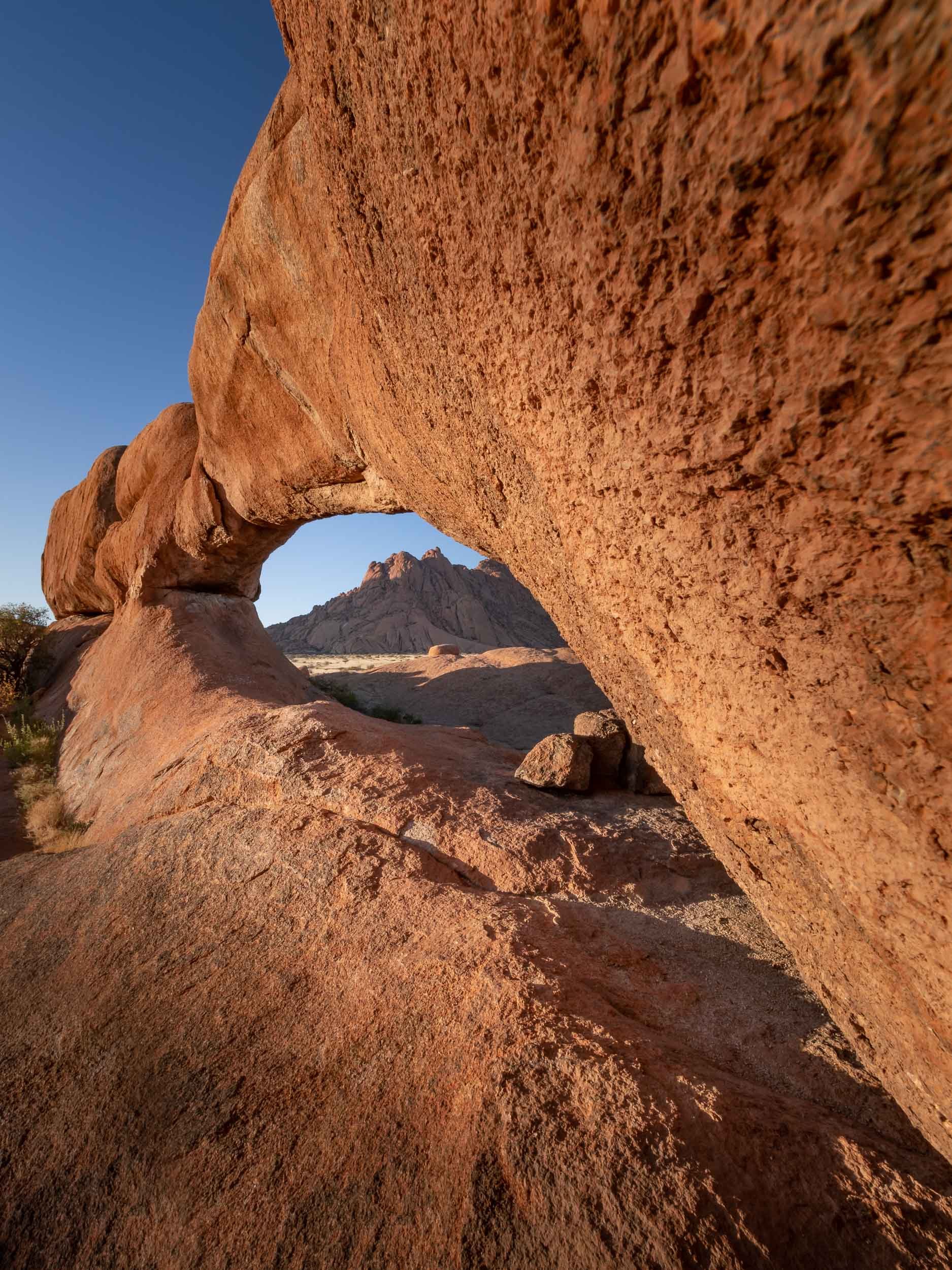
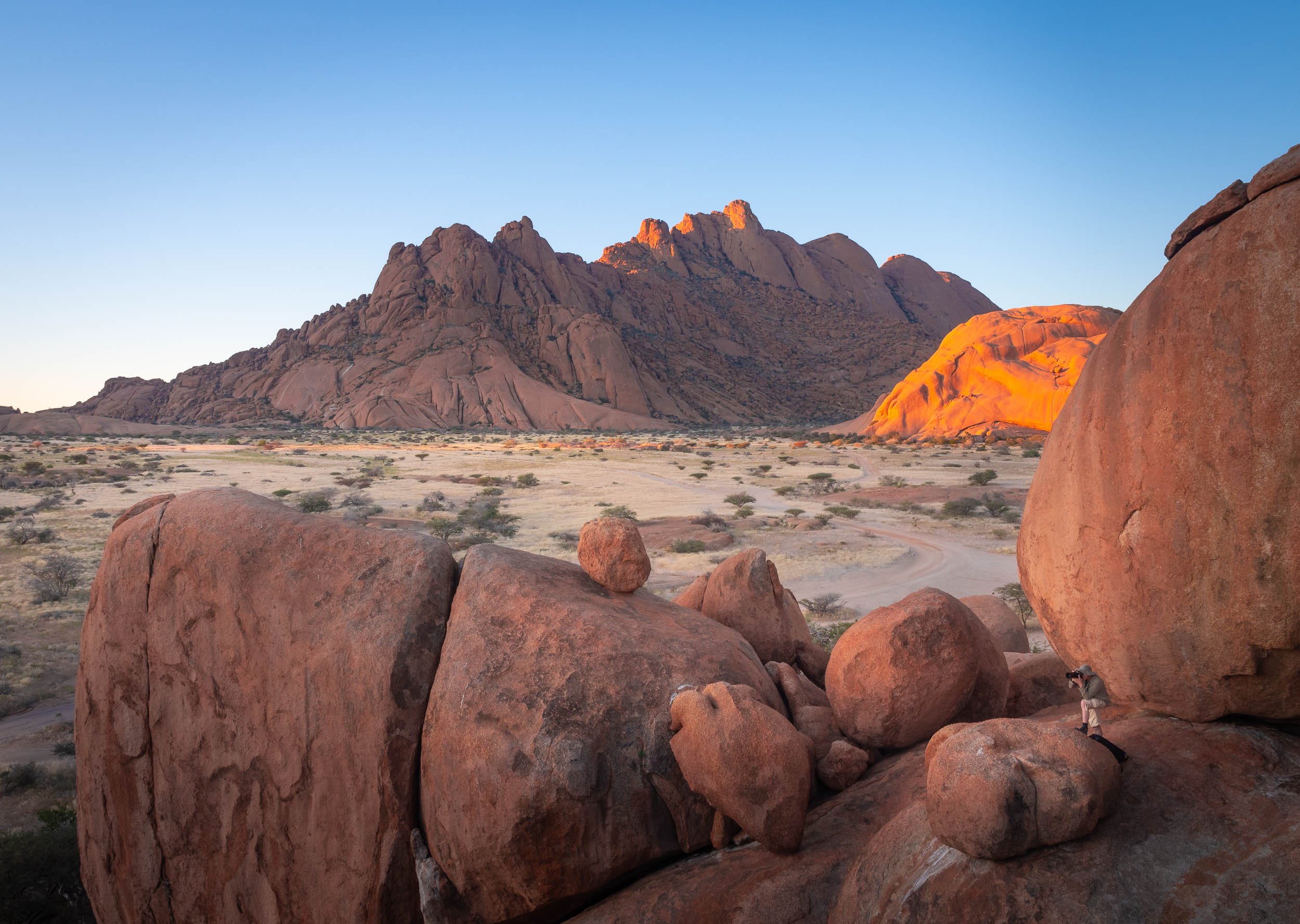
The Spitzkoppe
or Africa’s Matterhorn, as they call it.


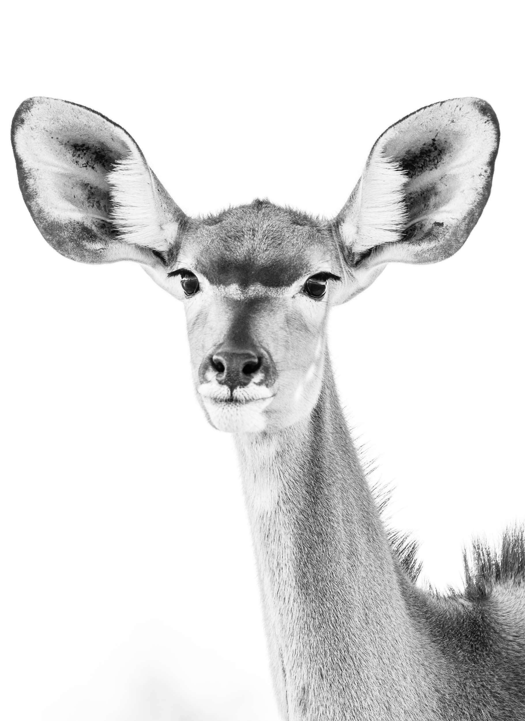
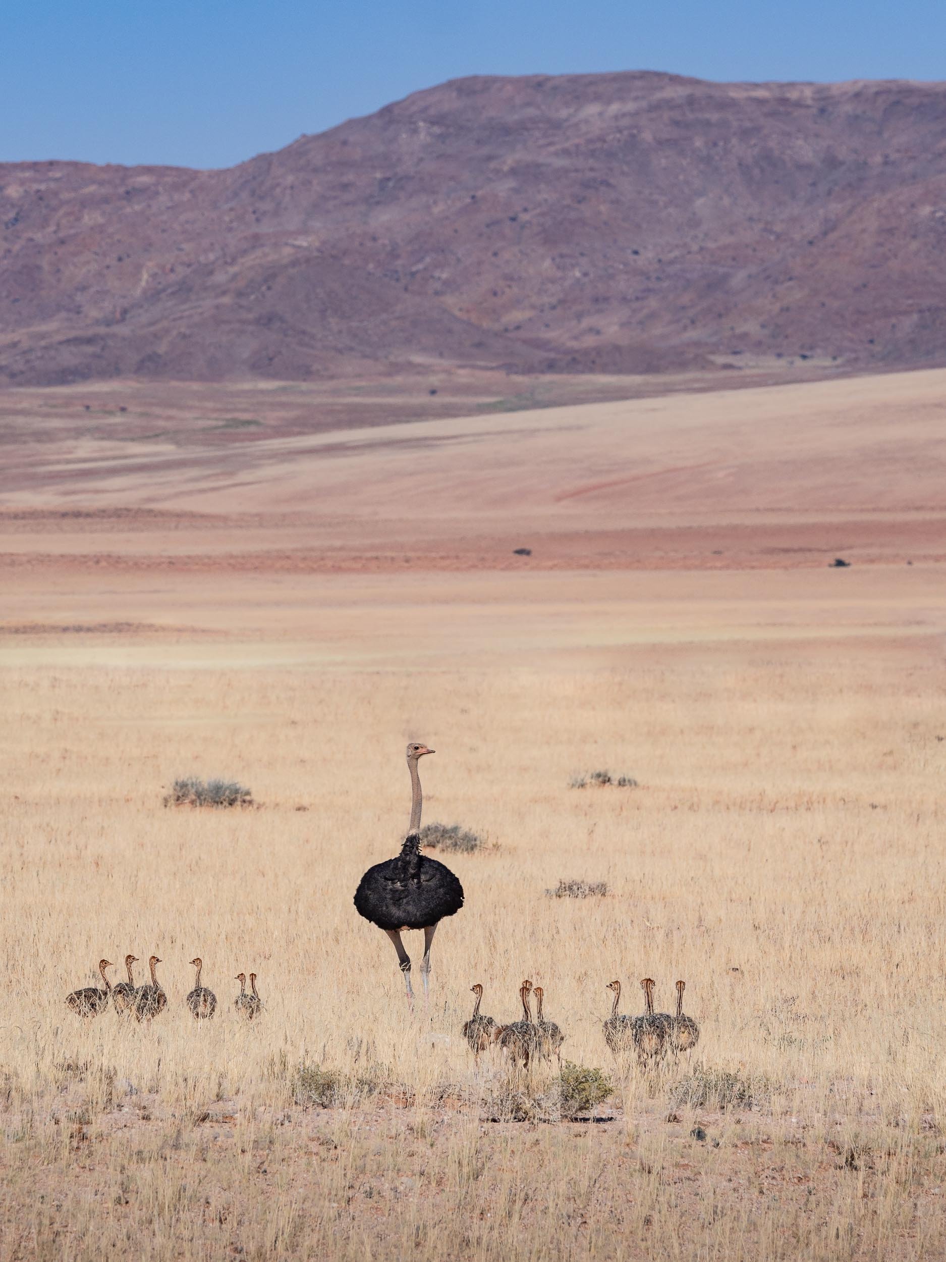
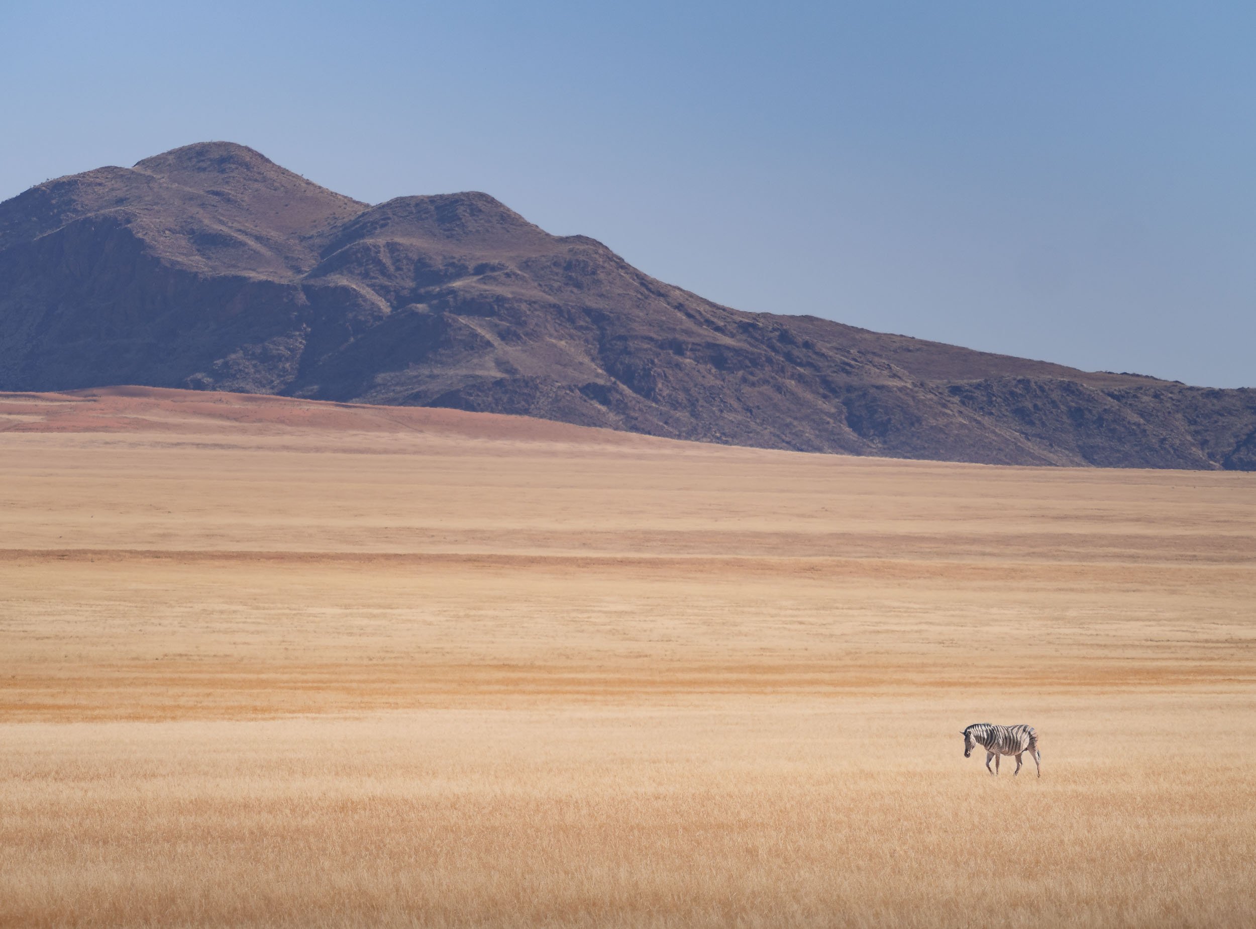
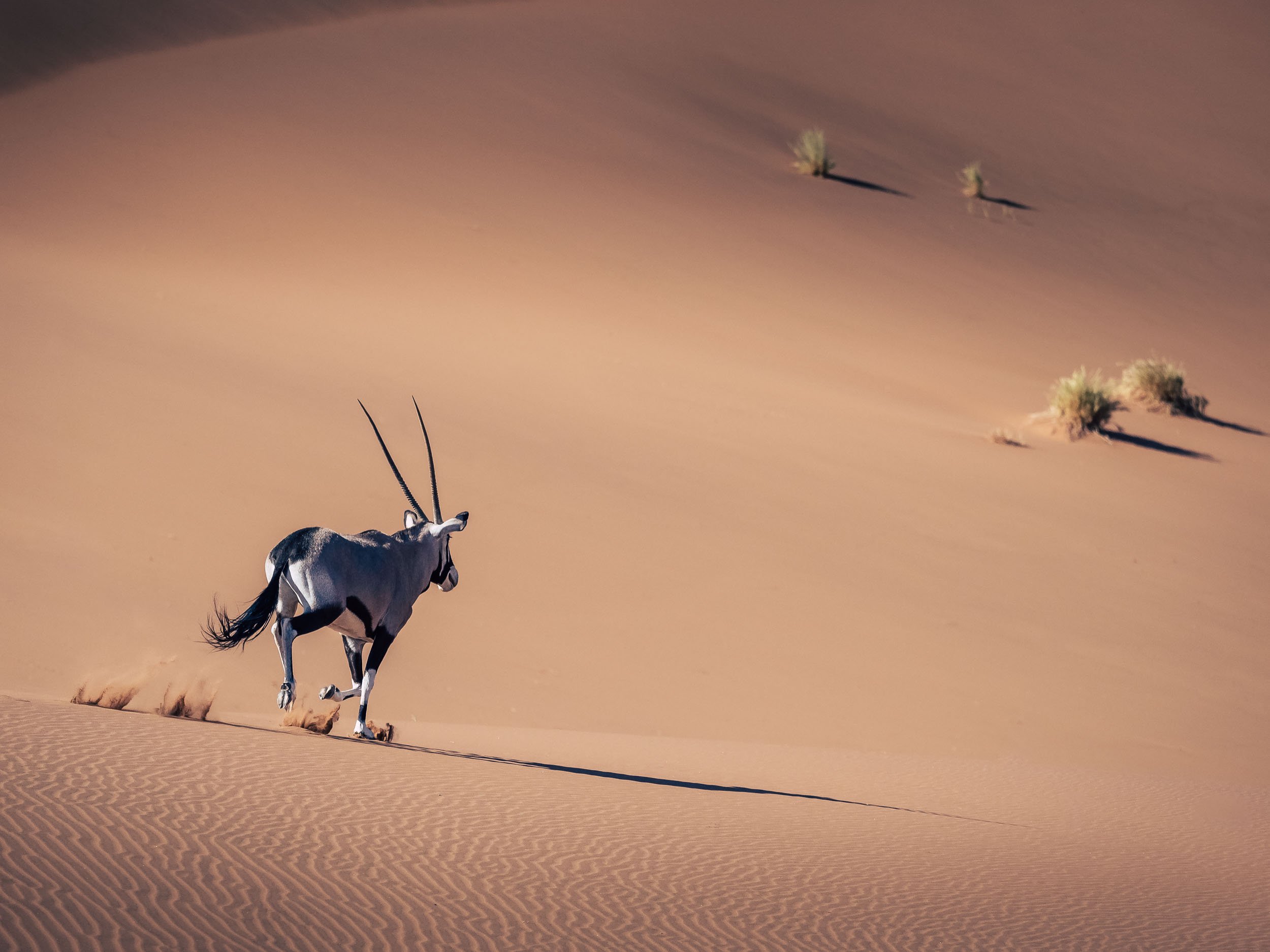
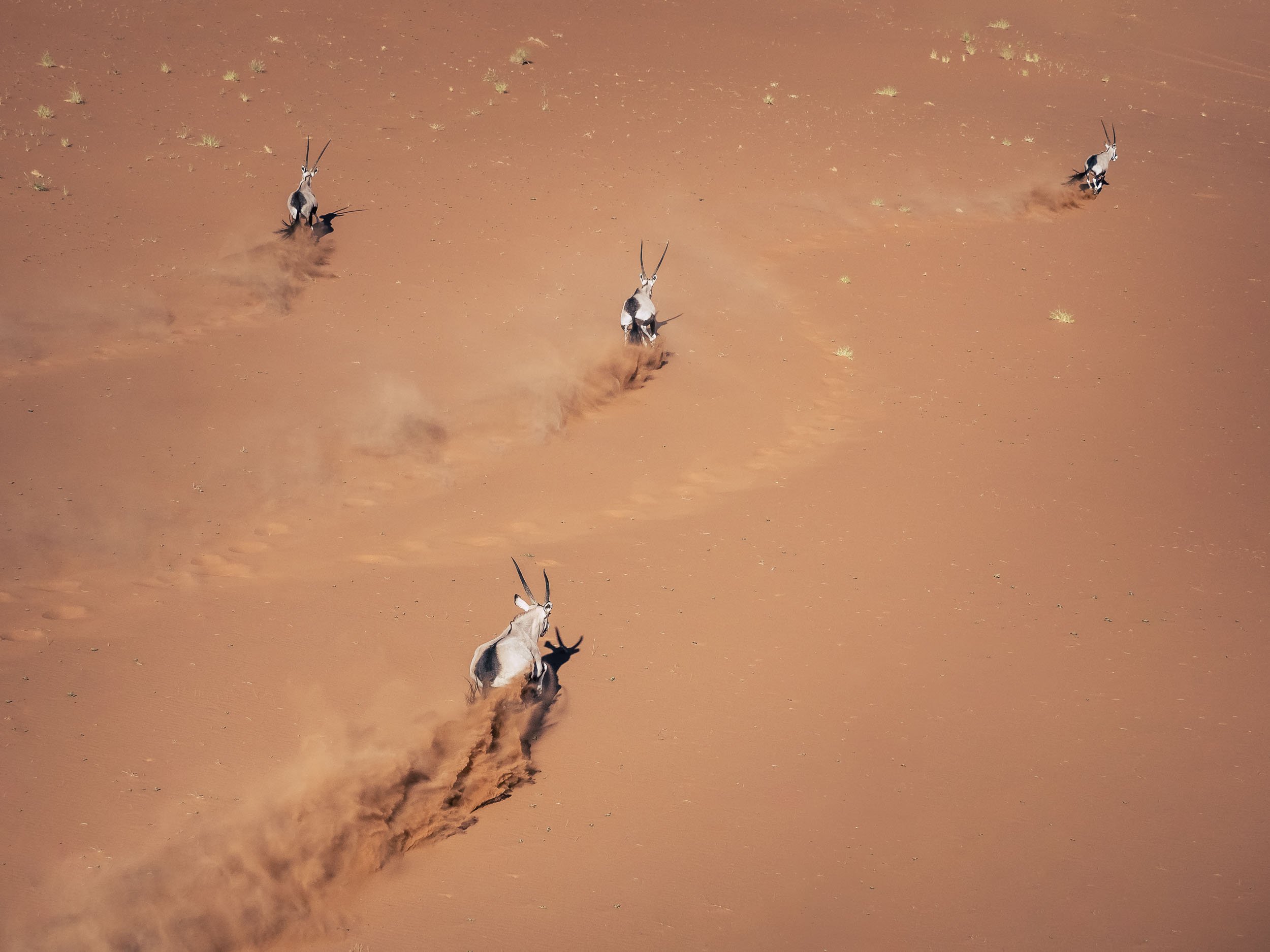
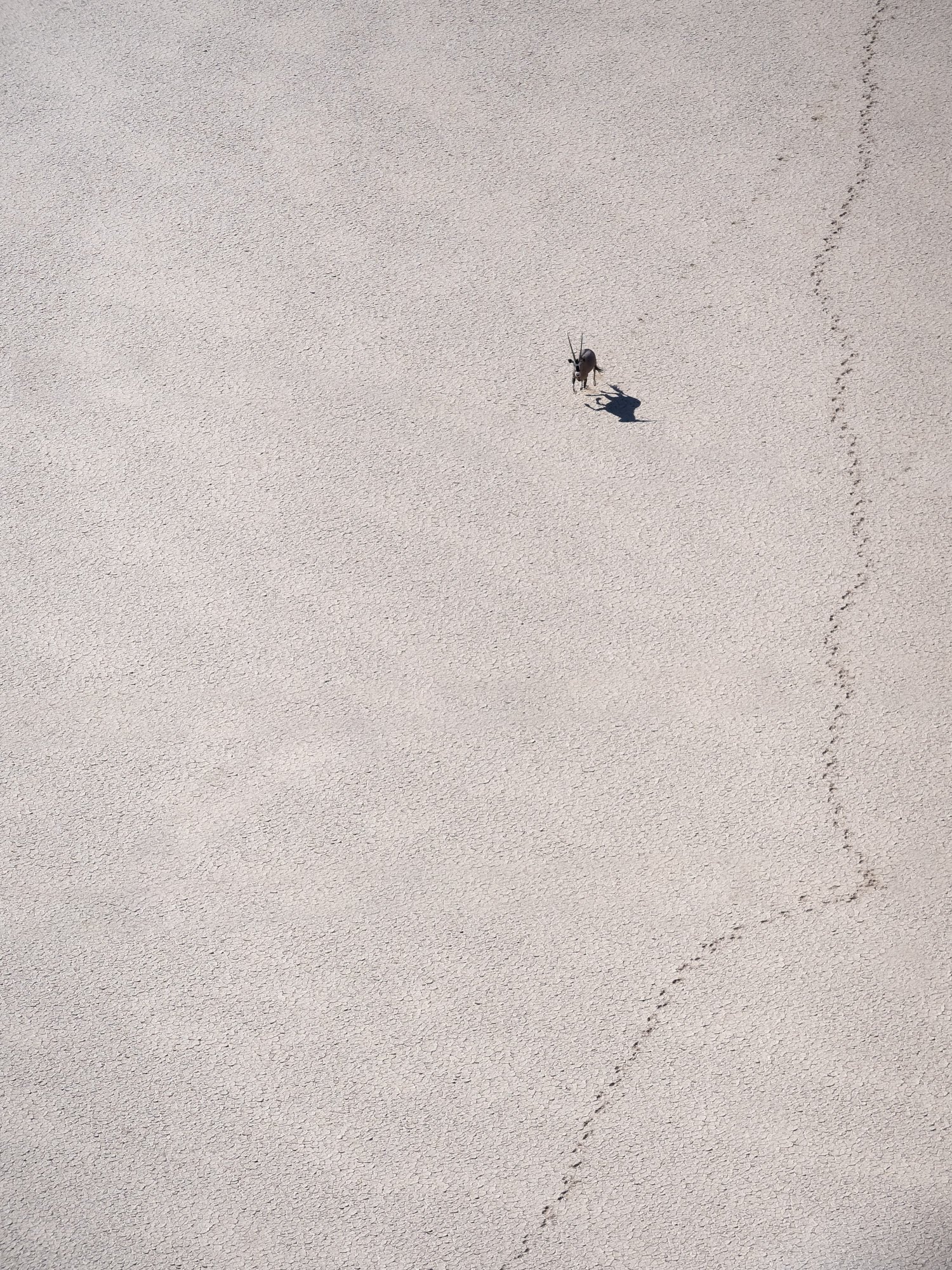
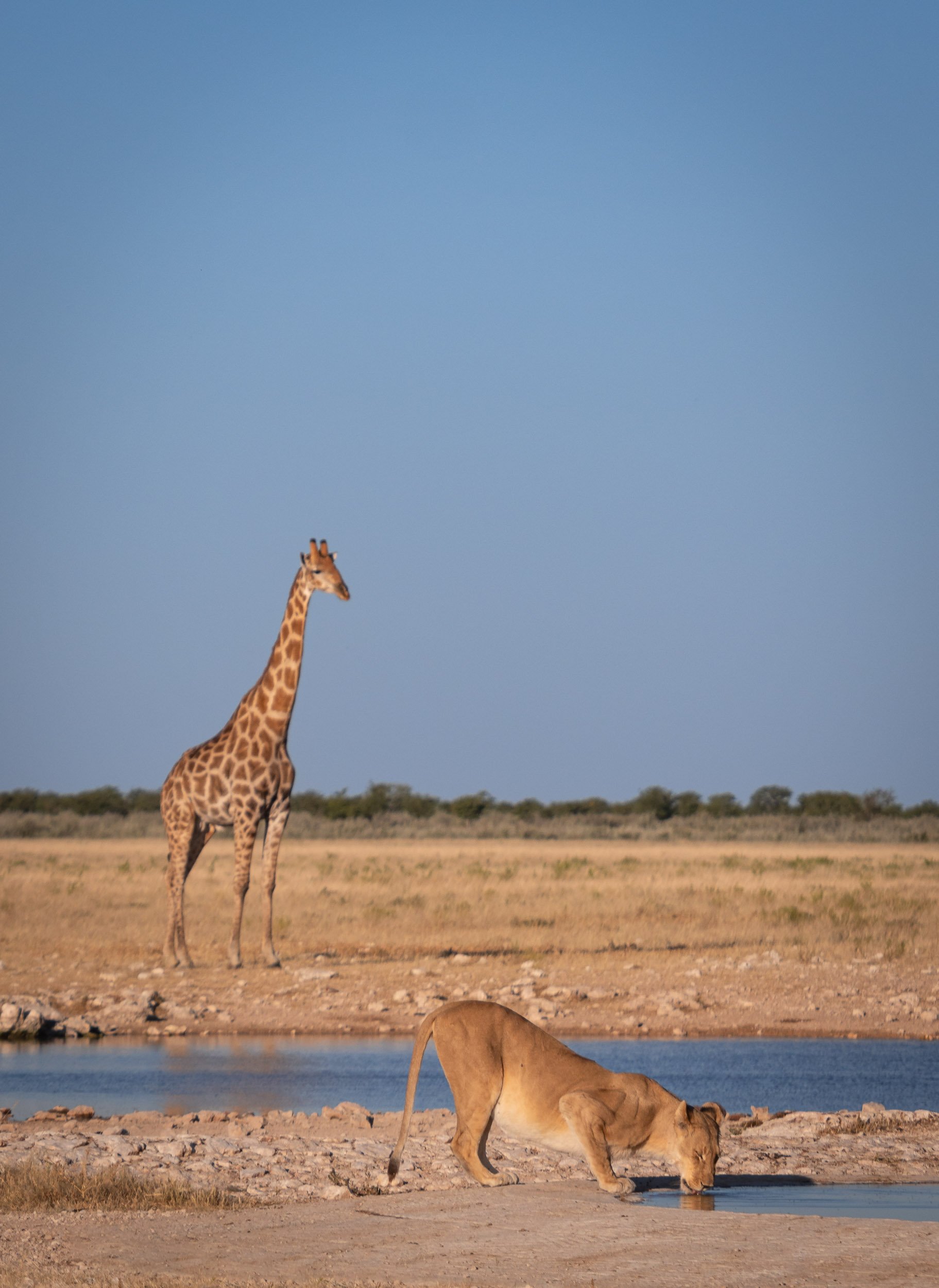
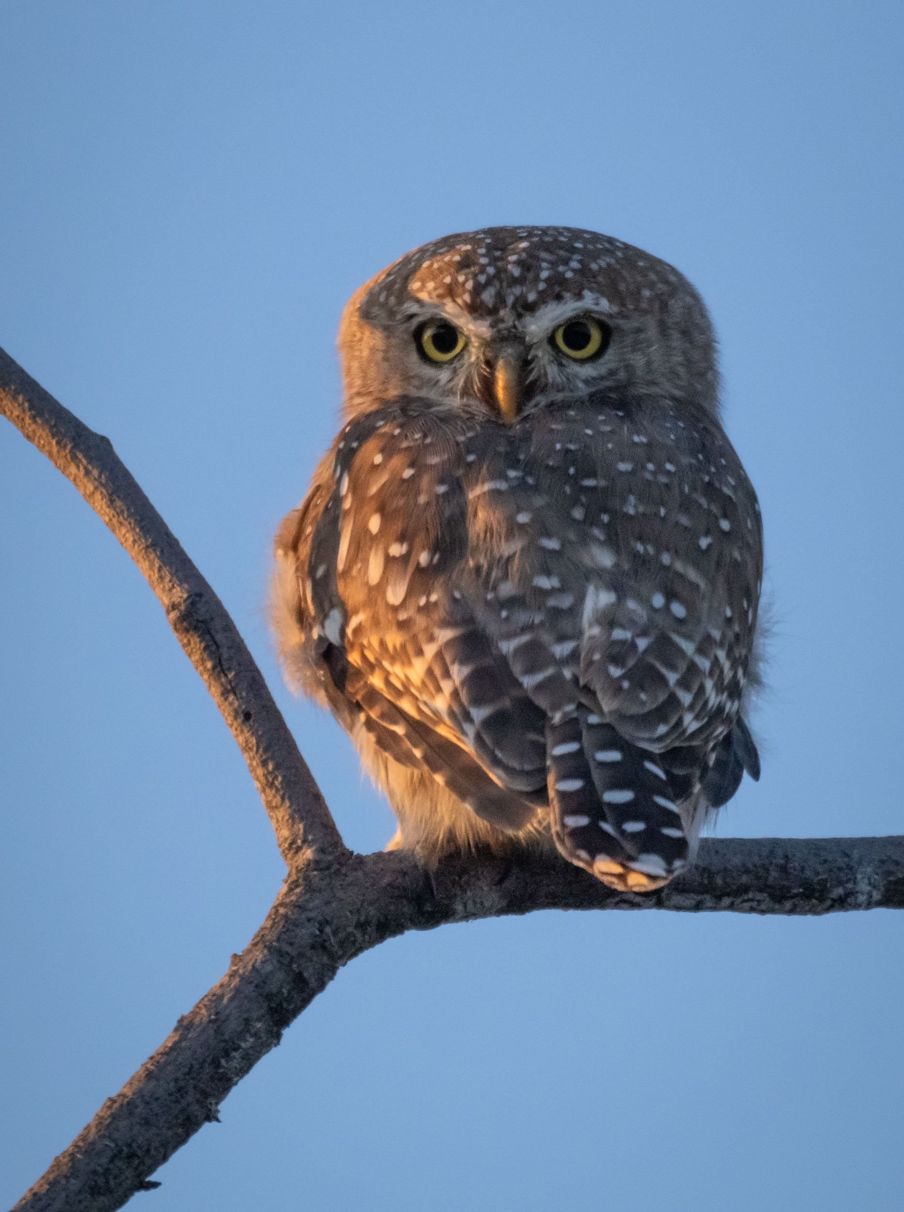
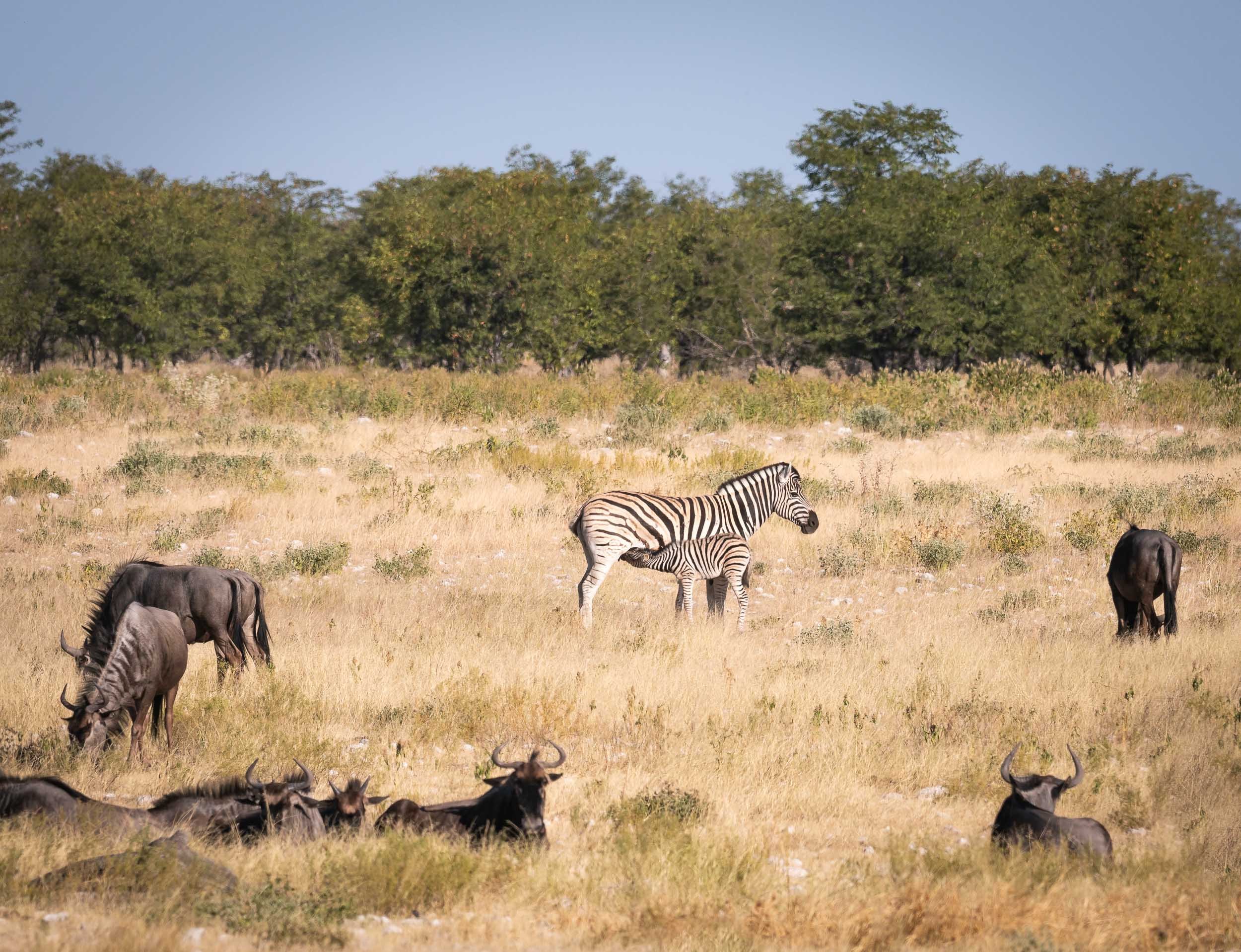
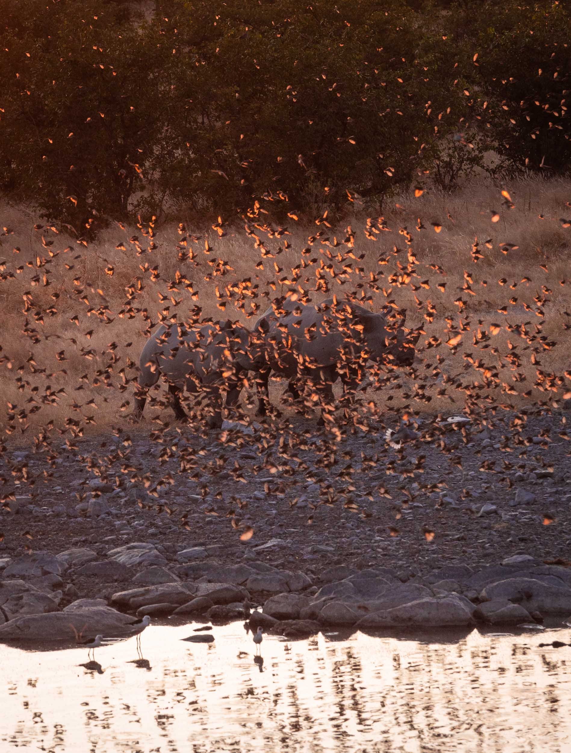
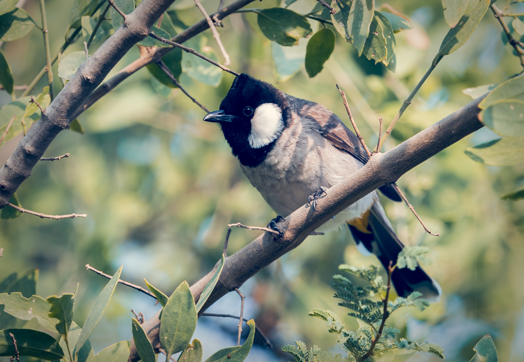
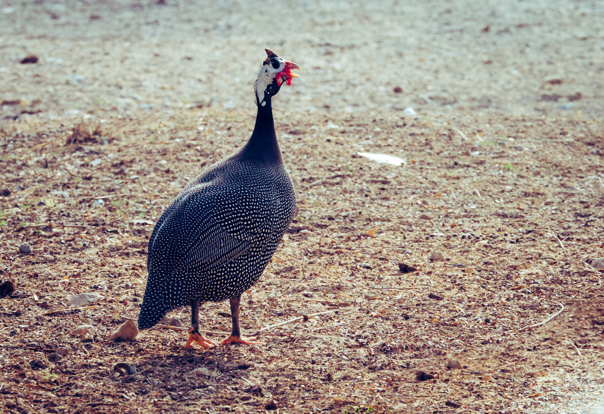
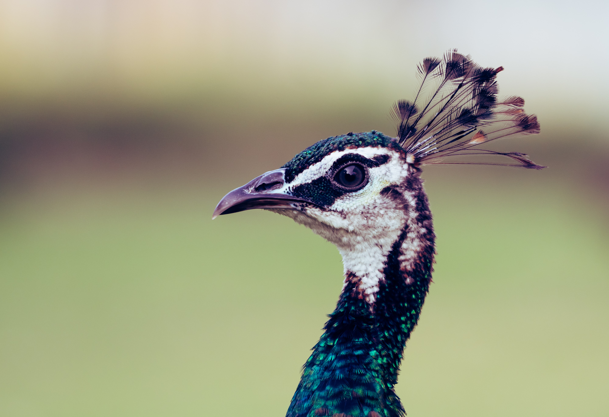
Etosha National Park
Our last destination was in the northern part of the country for some wildlife viewing.
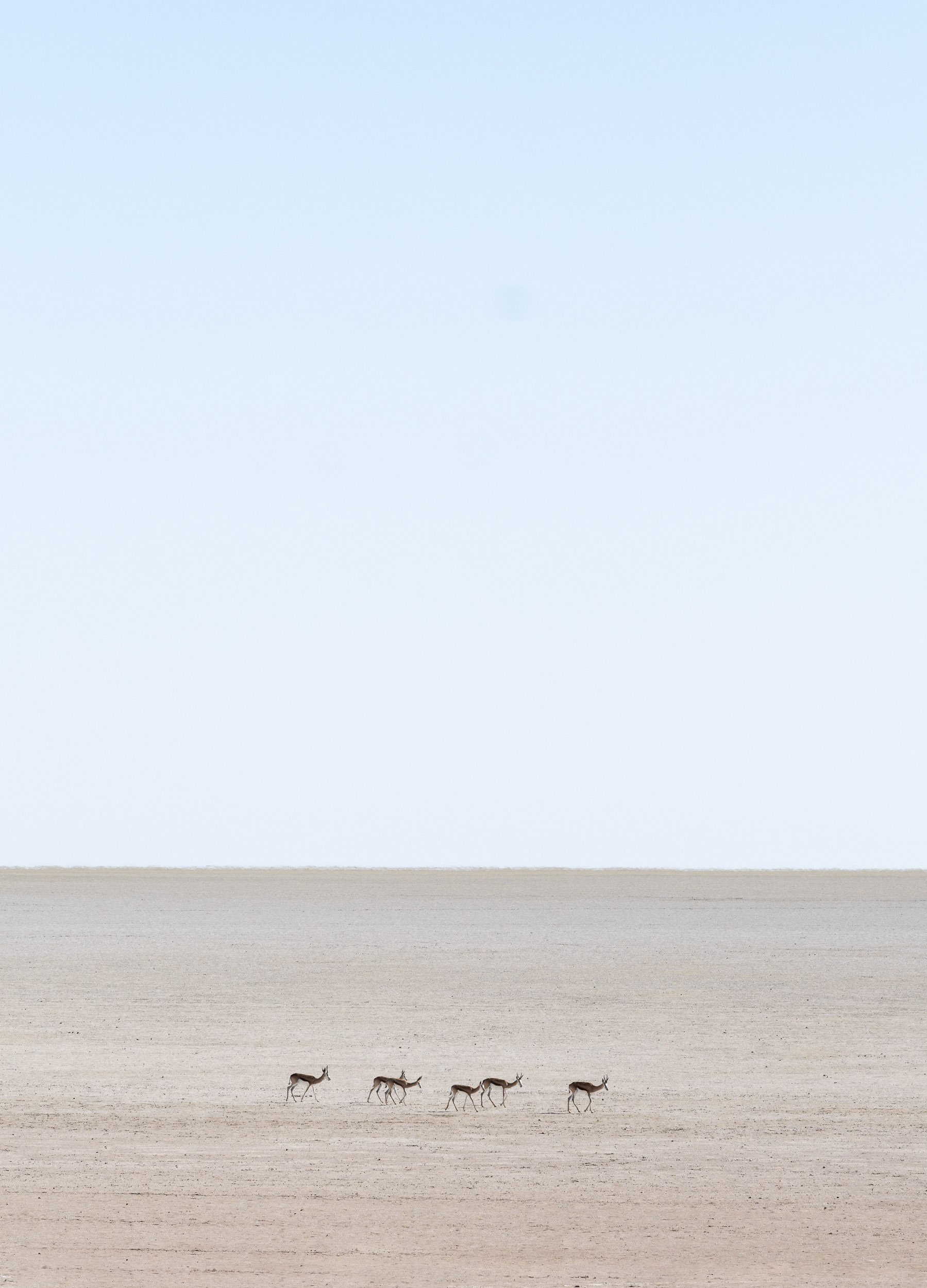
Scroll through the gallery for some of the animals we captured during the 2 days.


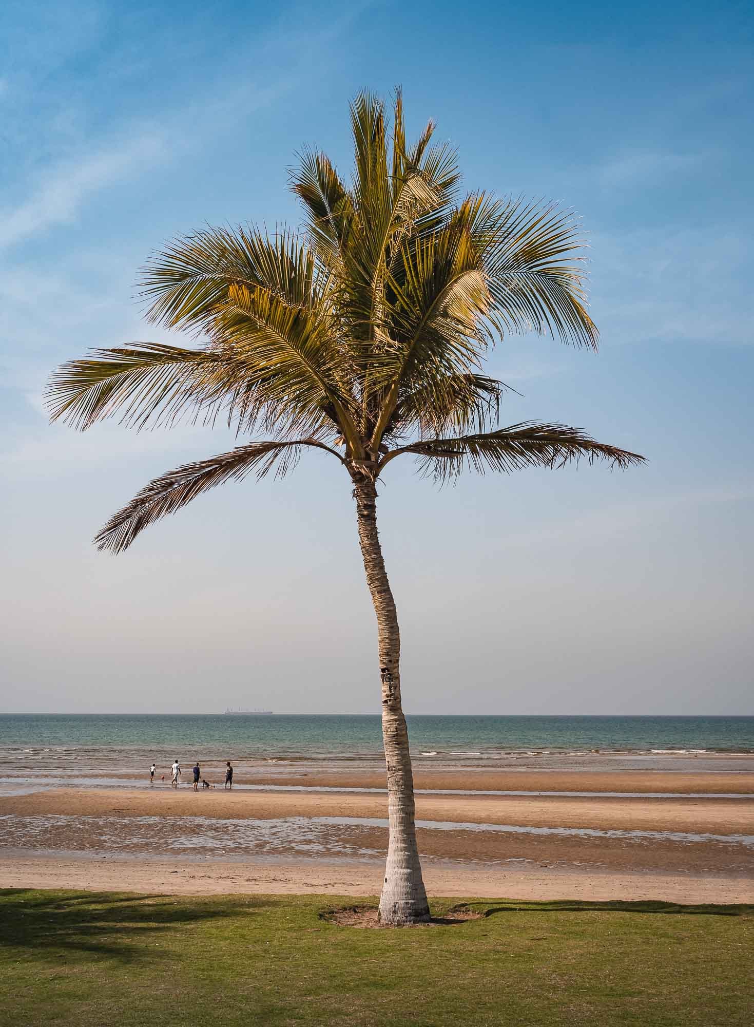
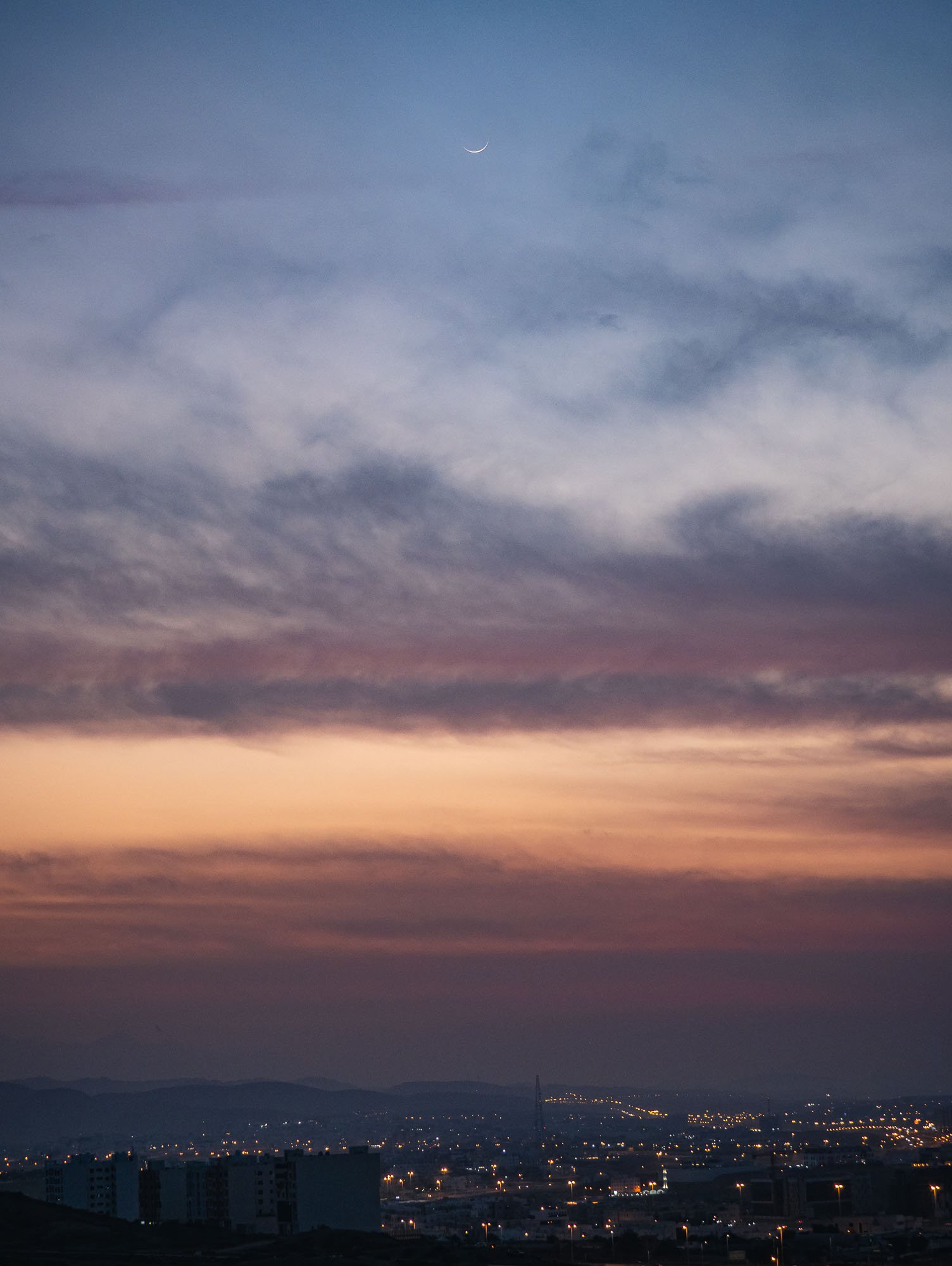
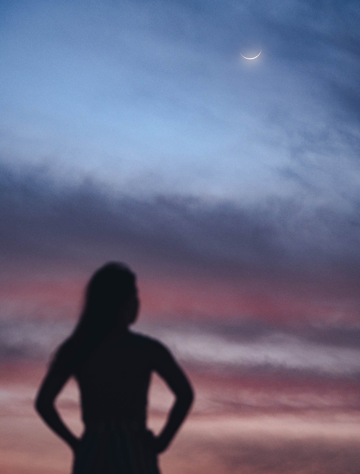
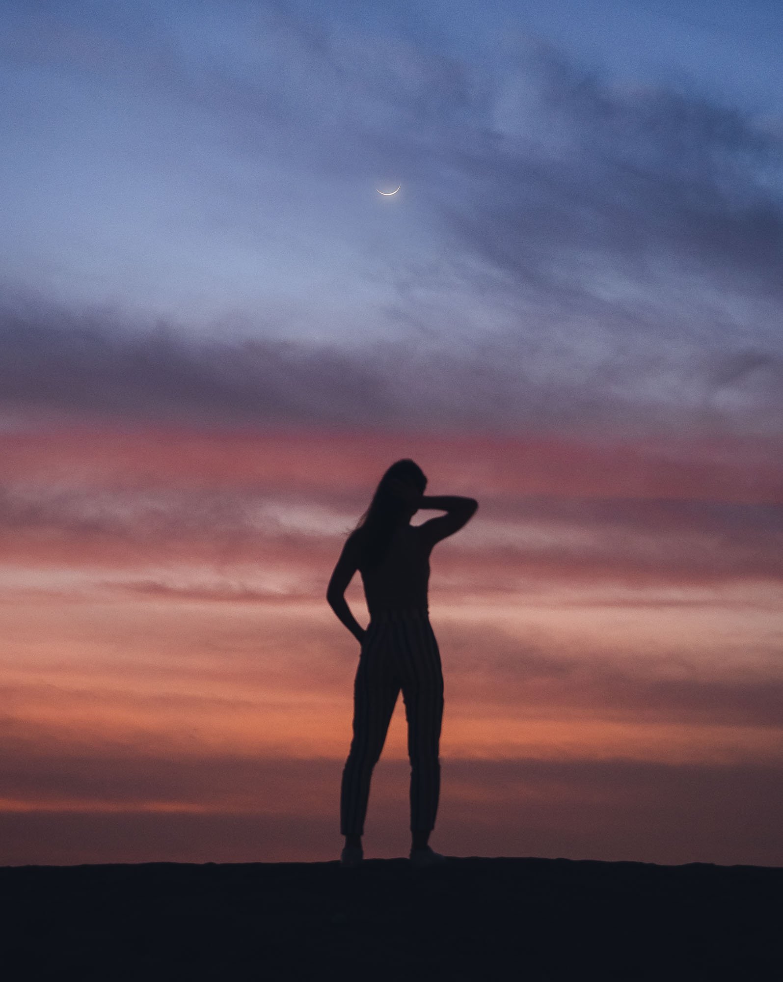
Oman - 7 Days of Authentic Beauty
From Dubai to Muscat and along the coast - an amazing journey of natural beauty, history, architecture, geology and kind people.

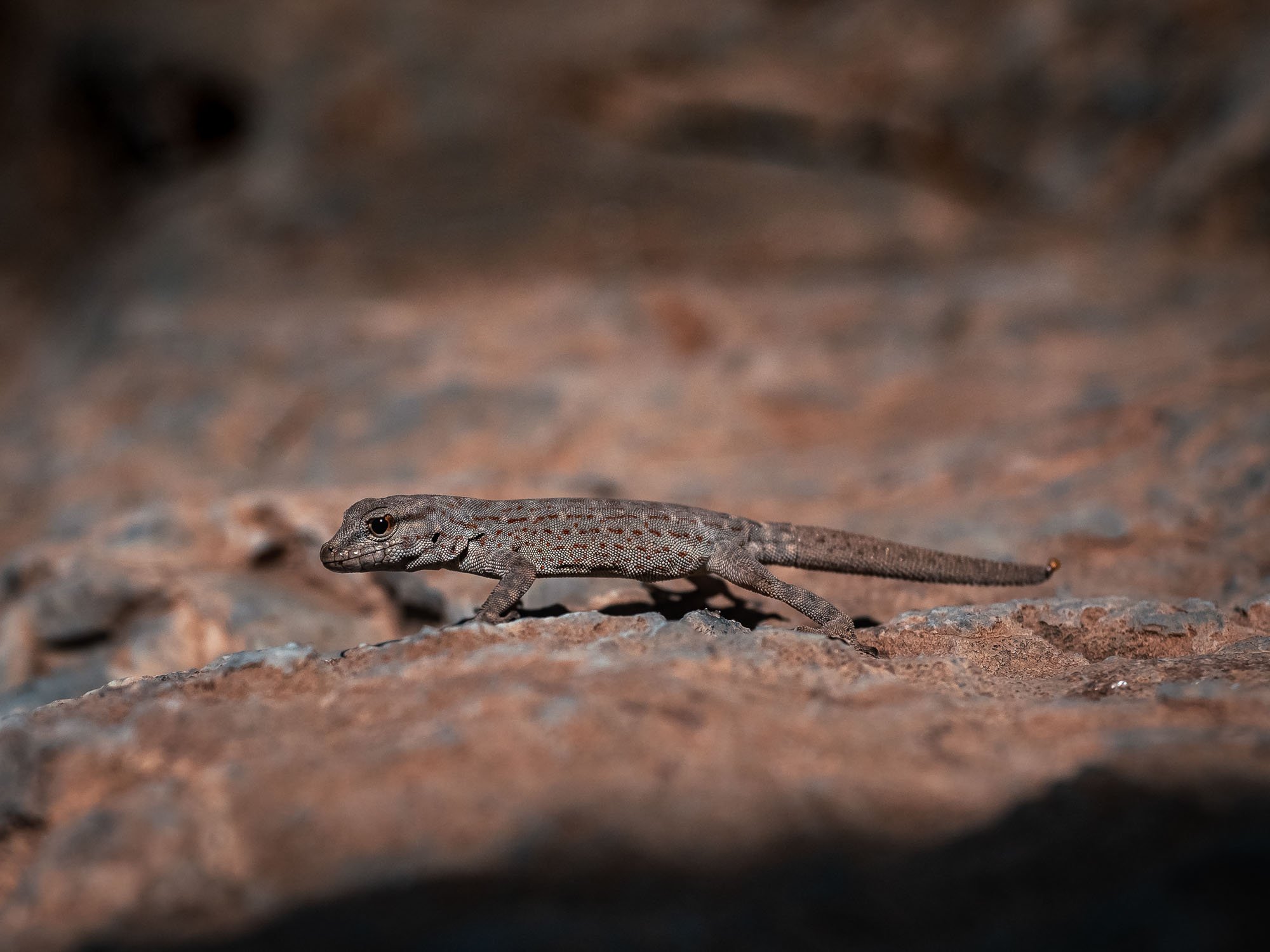
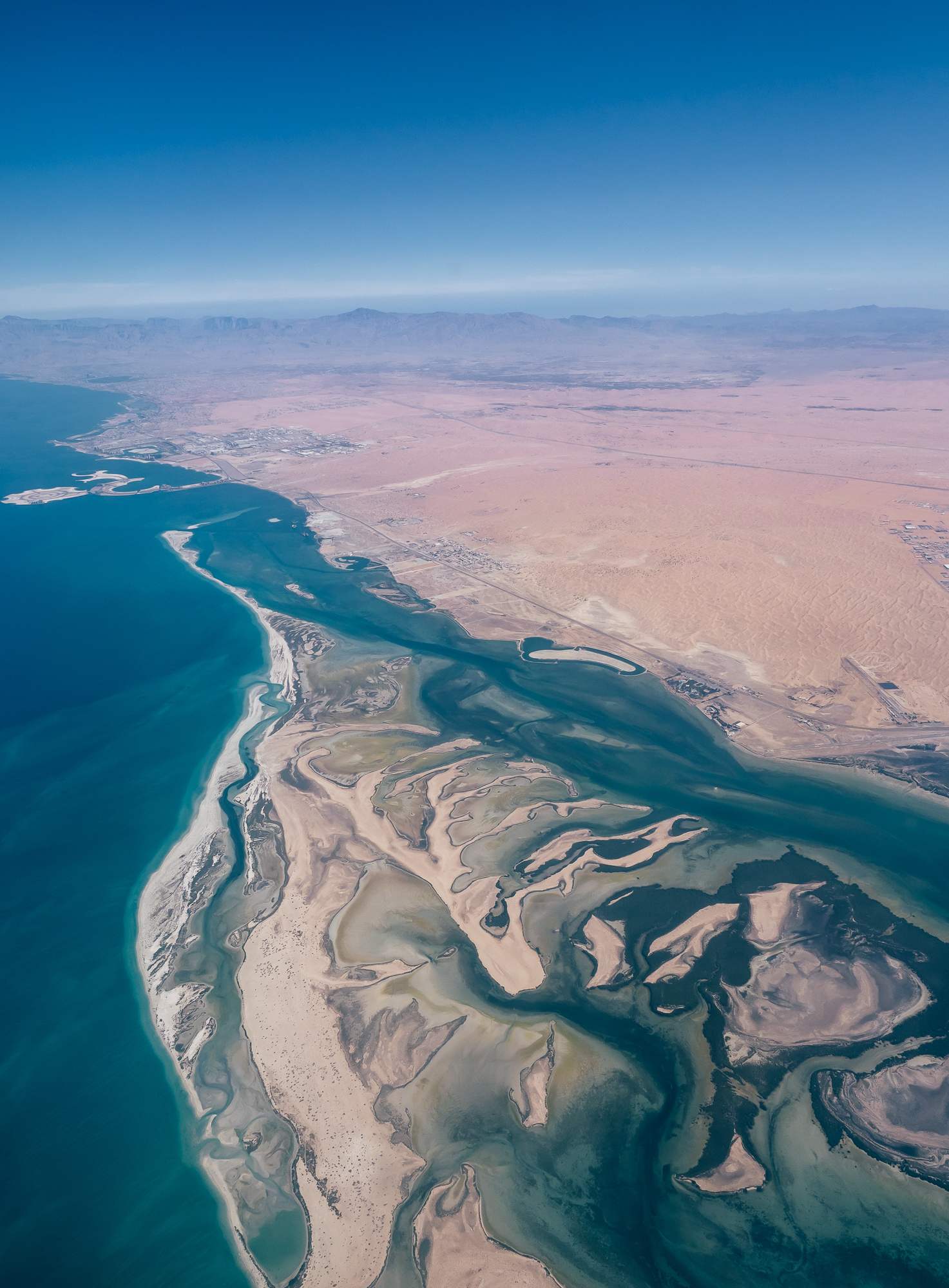
In February 2022 I had plans for a trip to India’s Himalayas, with the goal to take photos of the elusive snow leopard. Owing to various Covid restrictions, this idea unfortunately did not materialize, so it was time to look for another destination. One obvious choice was to look no further than a few hundred kilometers towards the Indian Ocean: Oman. Even though I’ve lived in the UAE on / off for 15 years, so far I had only seen the Musandam part of our neighbor country, and had yet to explore its mountain areas, the coastline, and the capital Muscat.
And oh boy did I miss out! The amount of landscapes, history, people, architecture, and activities you can encounter in just a week, all accessible with easy visa regulations (if you’re a GCC resident especially) and within a few hours drive from Dubai, is incredible.
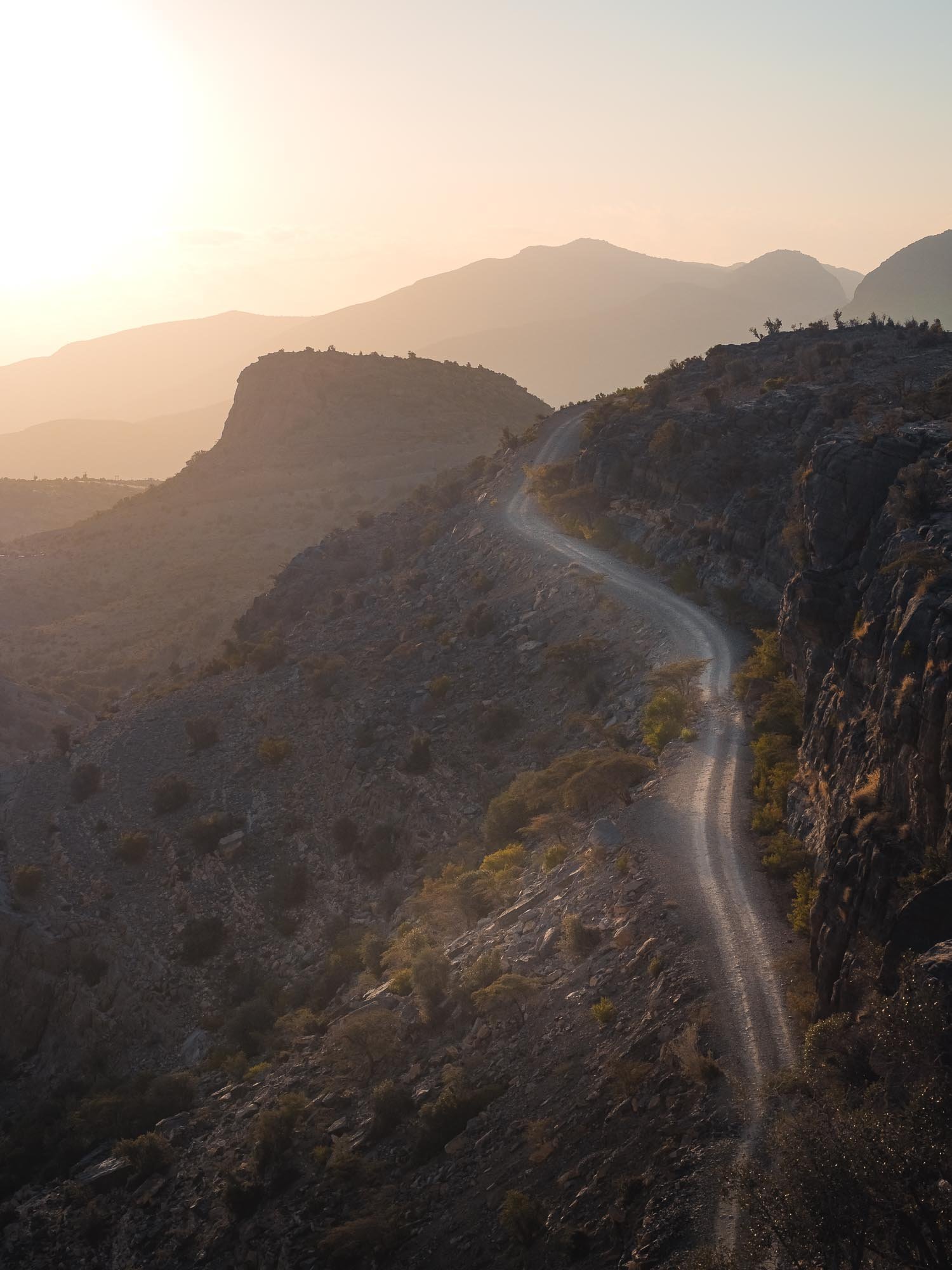
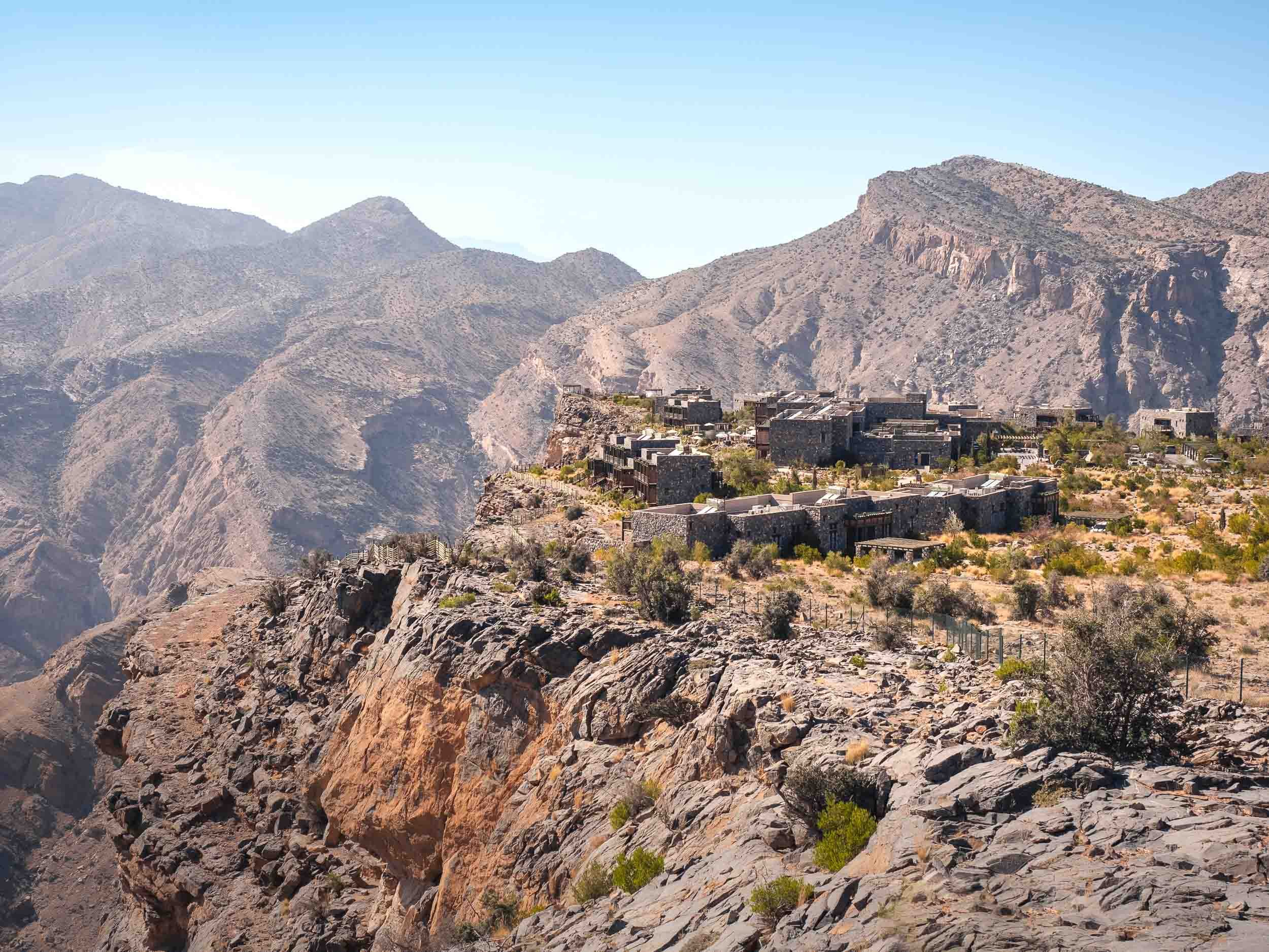
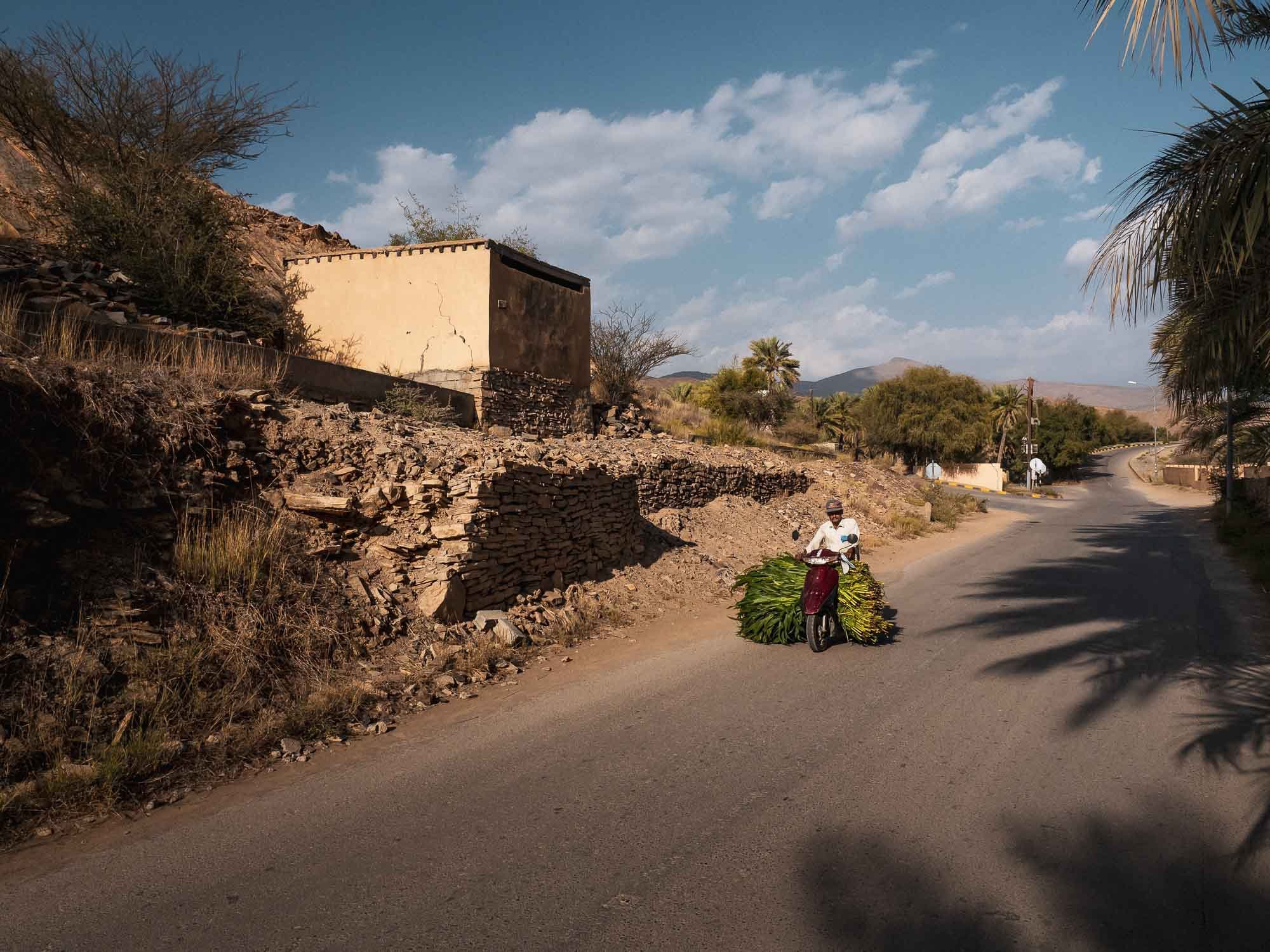
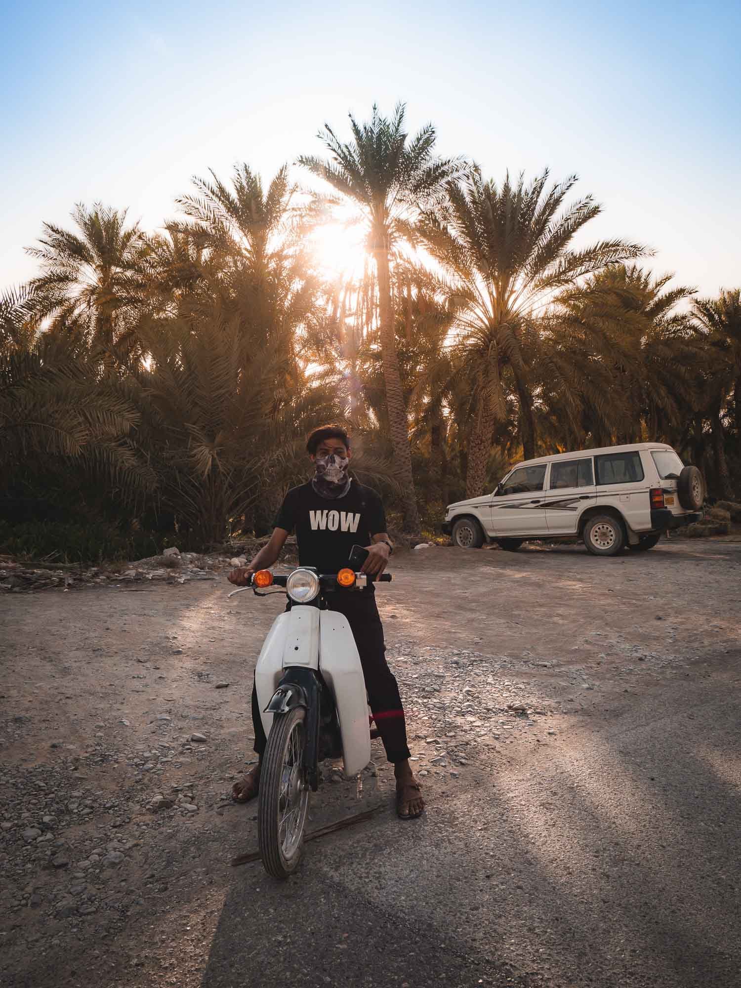
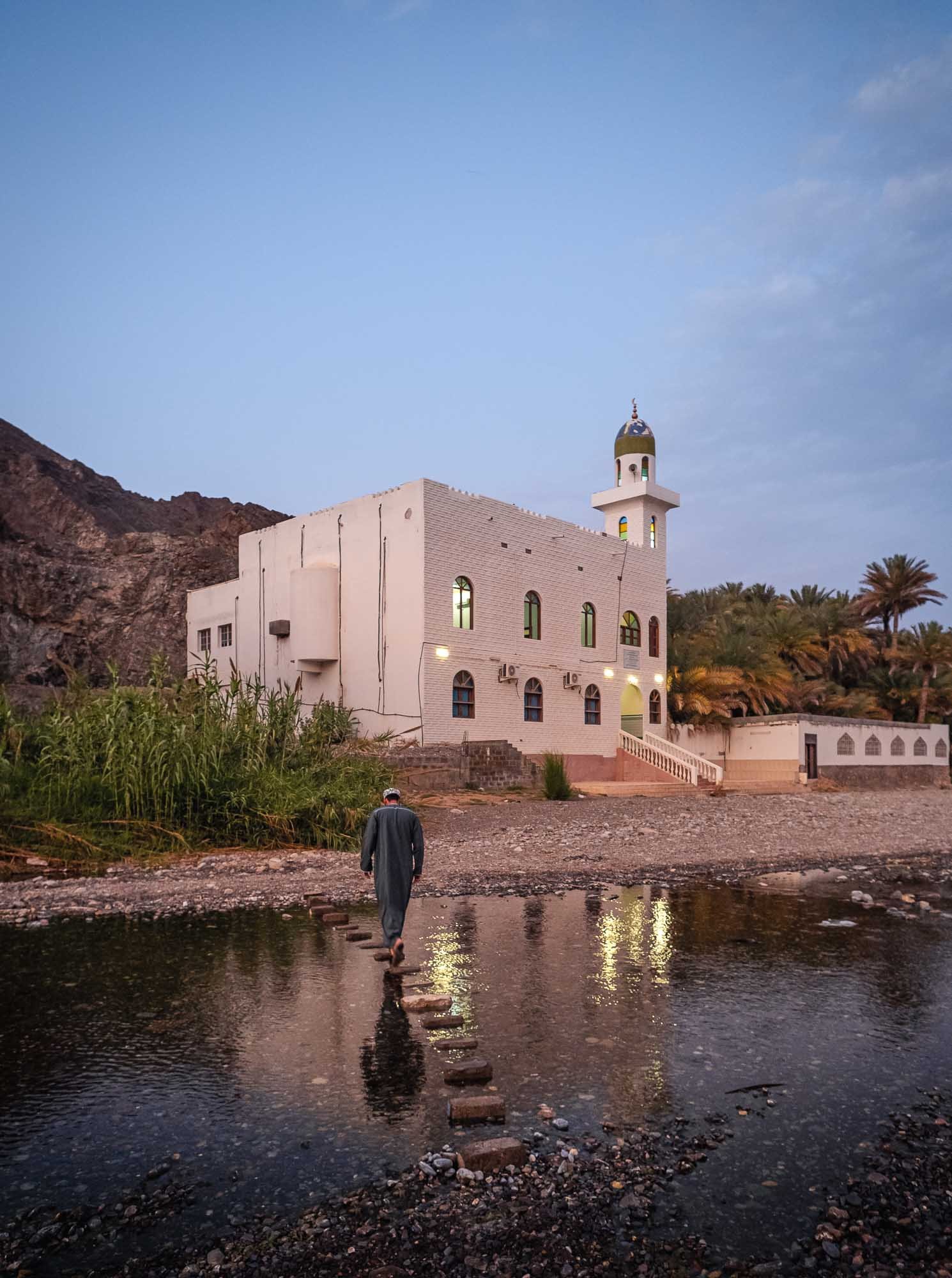
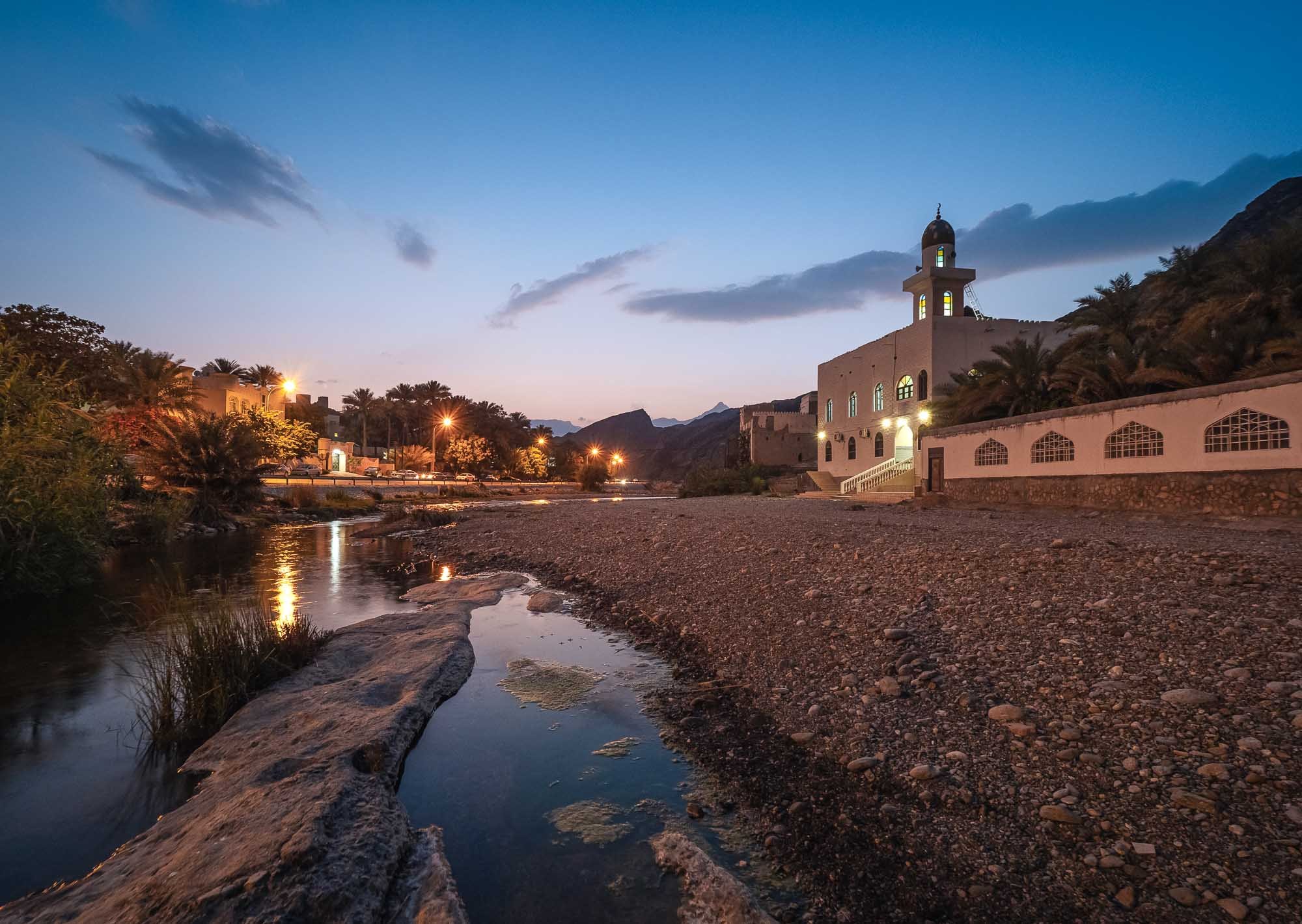
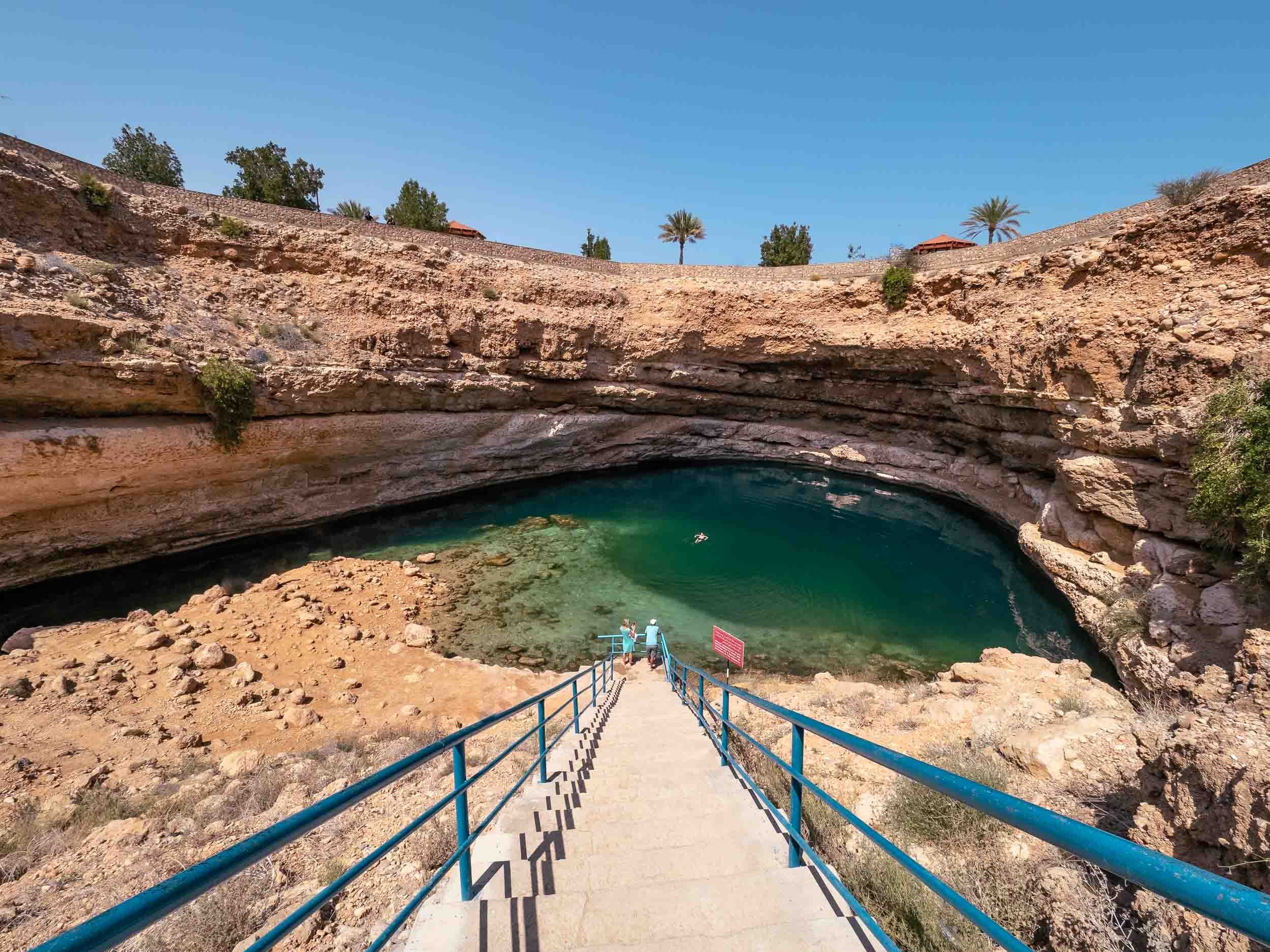
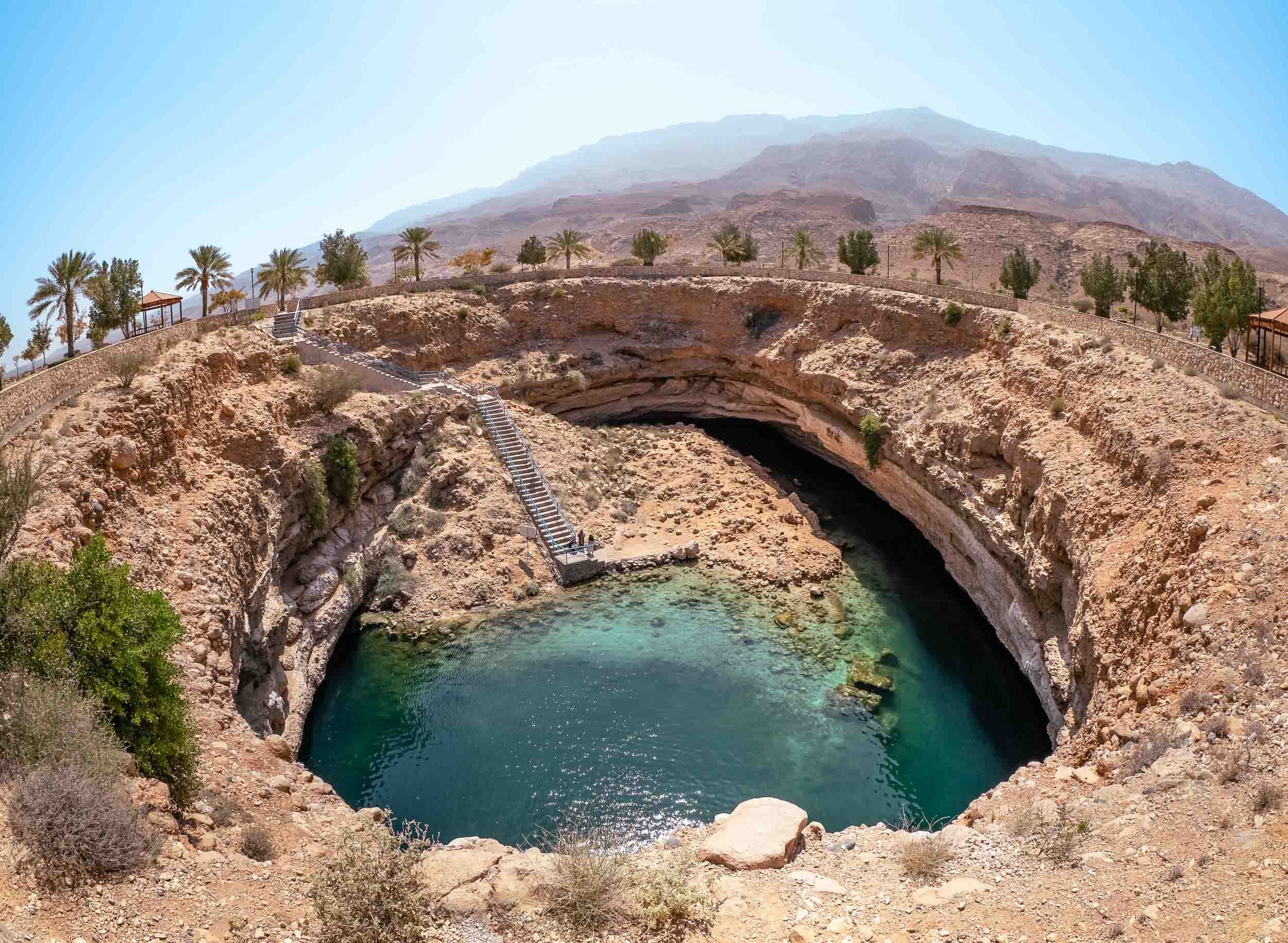
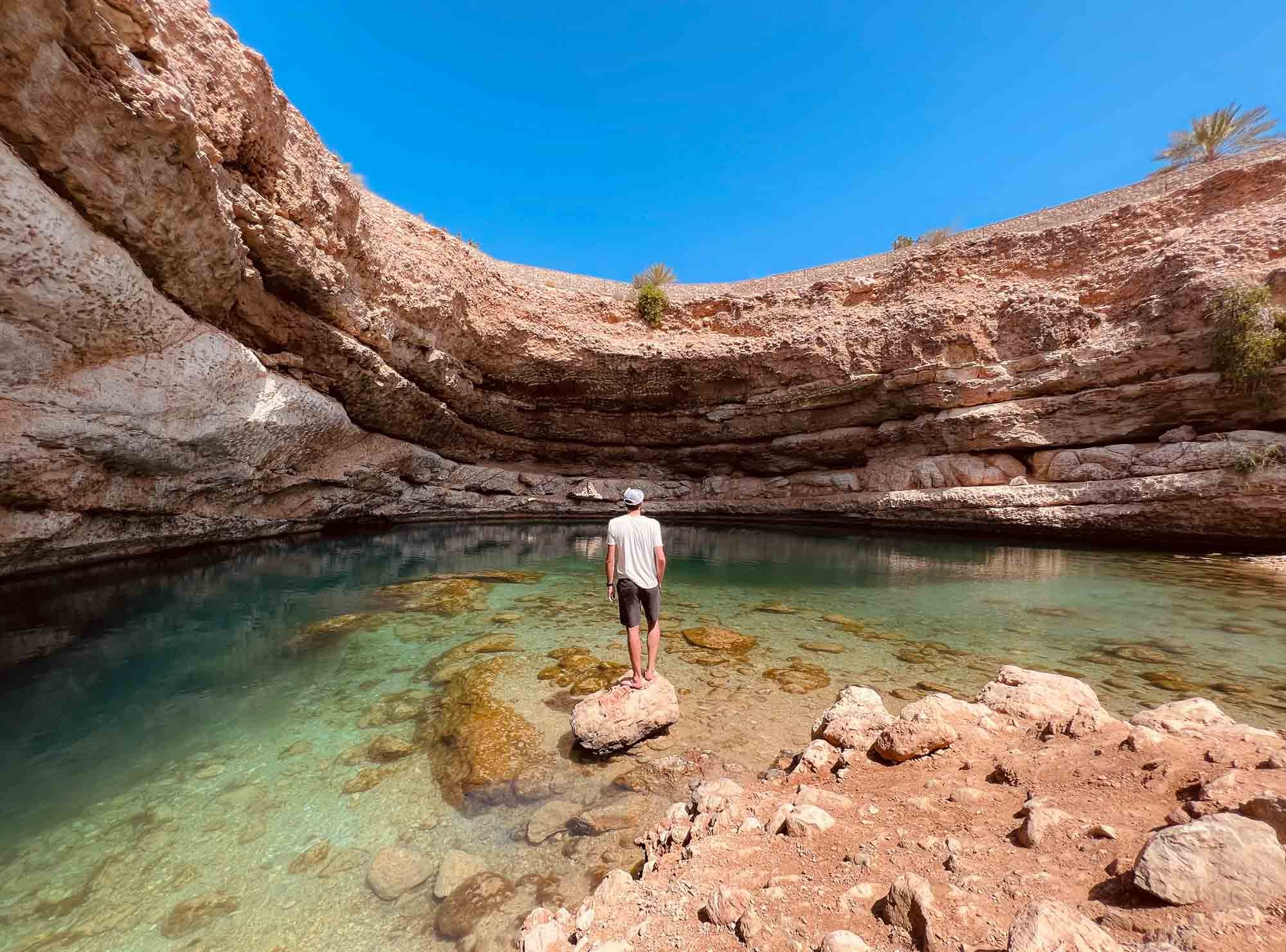
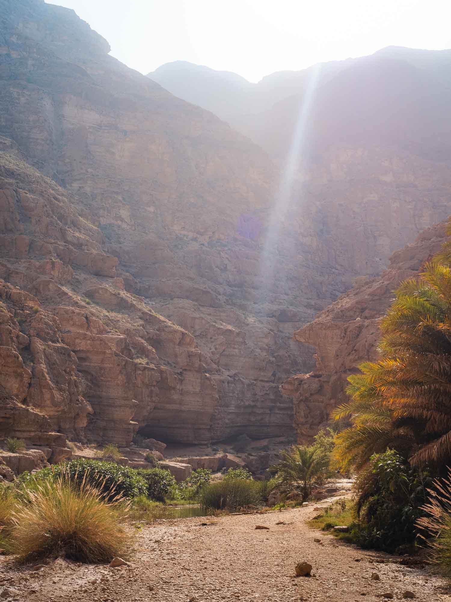
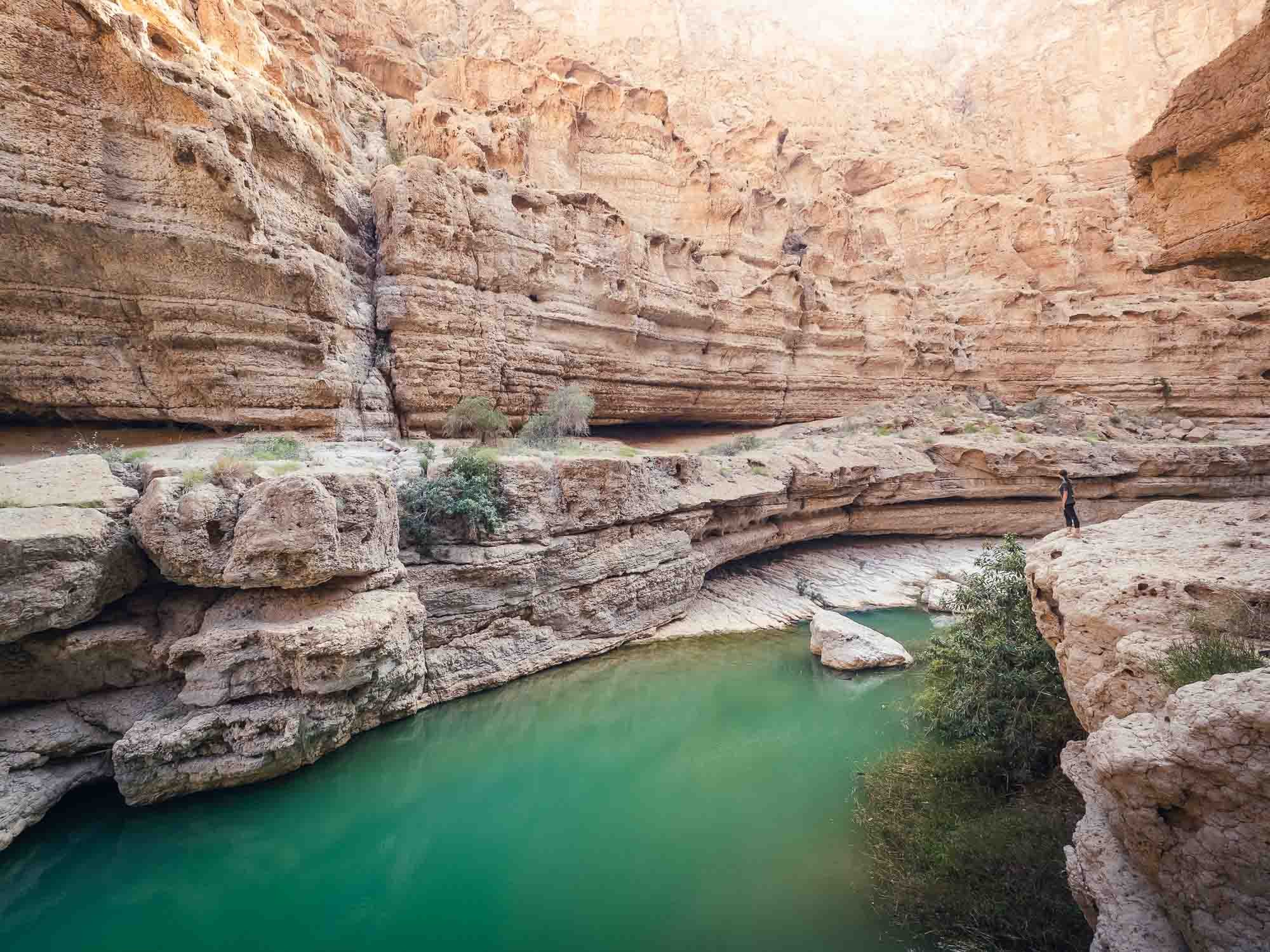
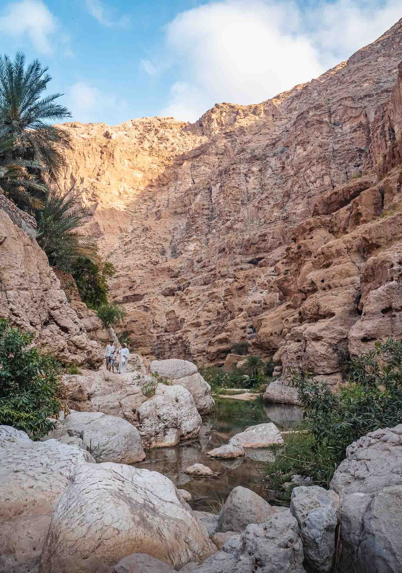
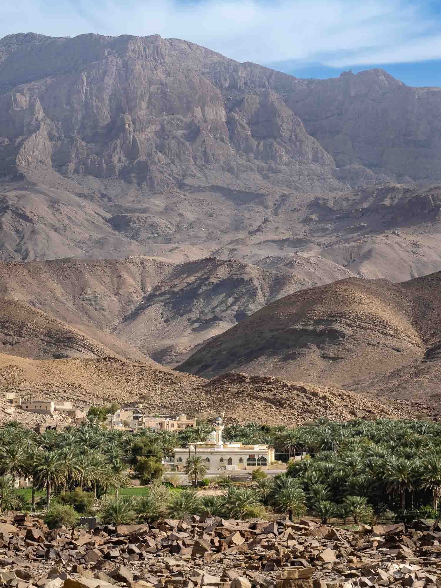
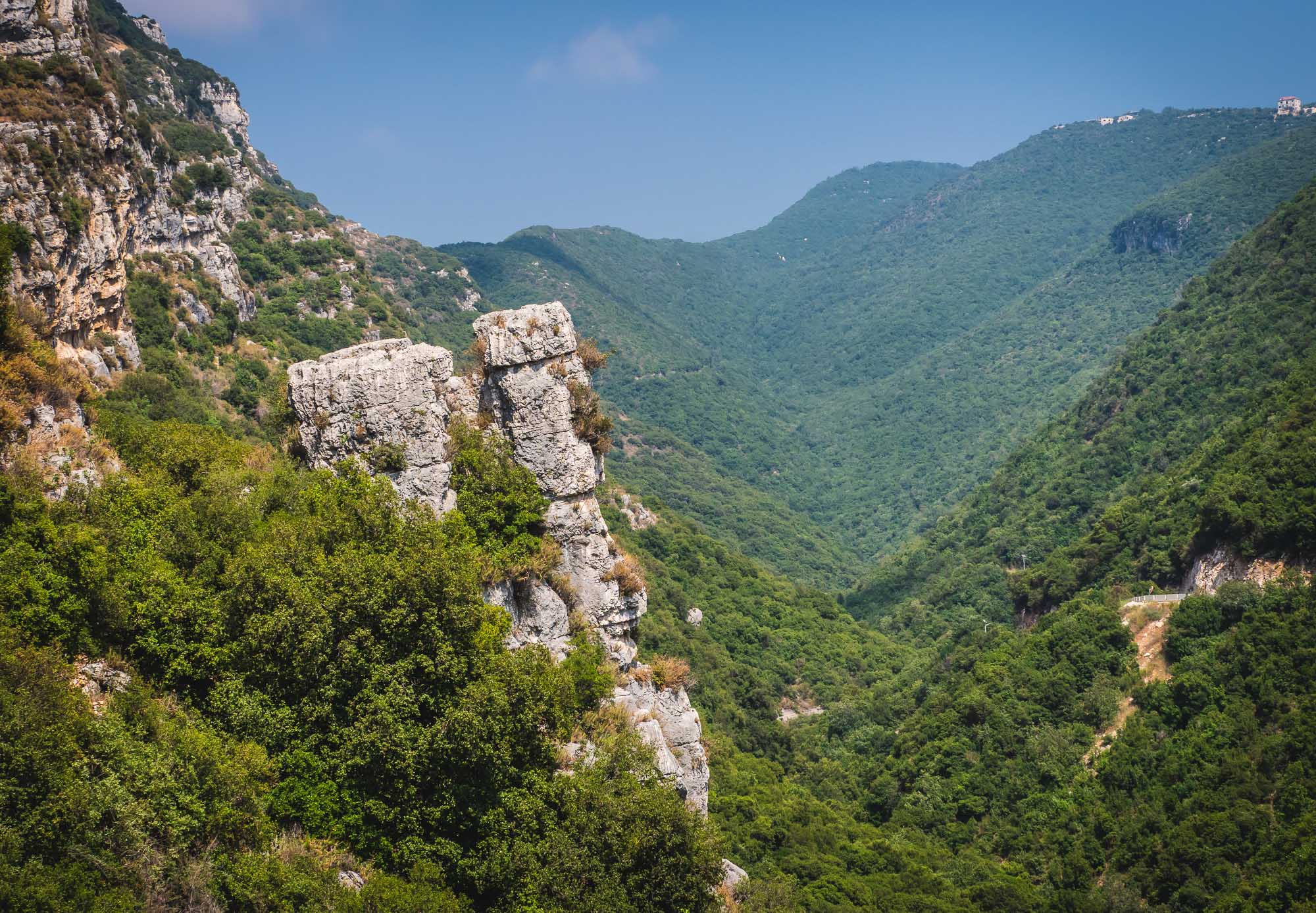
The route took us through the border near Al Ain towards Nizwa, with several stops on the way, before heading up Jebel Akhdar for a couple of nights. From there, onwards to Muscat to explore the city and its surrounding areas, and a day trip southwards along the coast almost until Sur (but not quite) was on the agenda.
Read on to find out about the sights and experiences on the way…
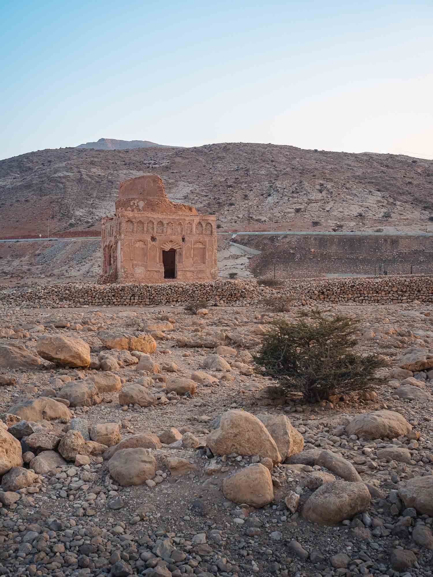
Next up, we had planned to visit the ruins of Salut fort, another important archeological site in the area, but were disappointed to find it is currently closed and under development. Check before you go - and avoid getting a flat tire like we did.
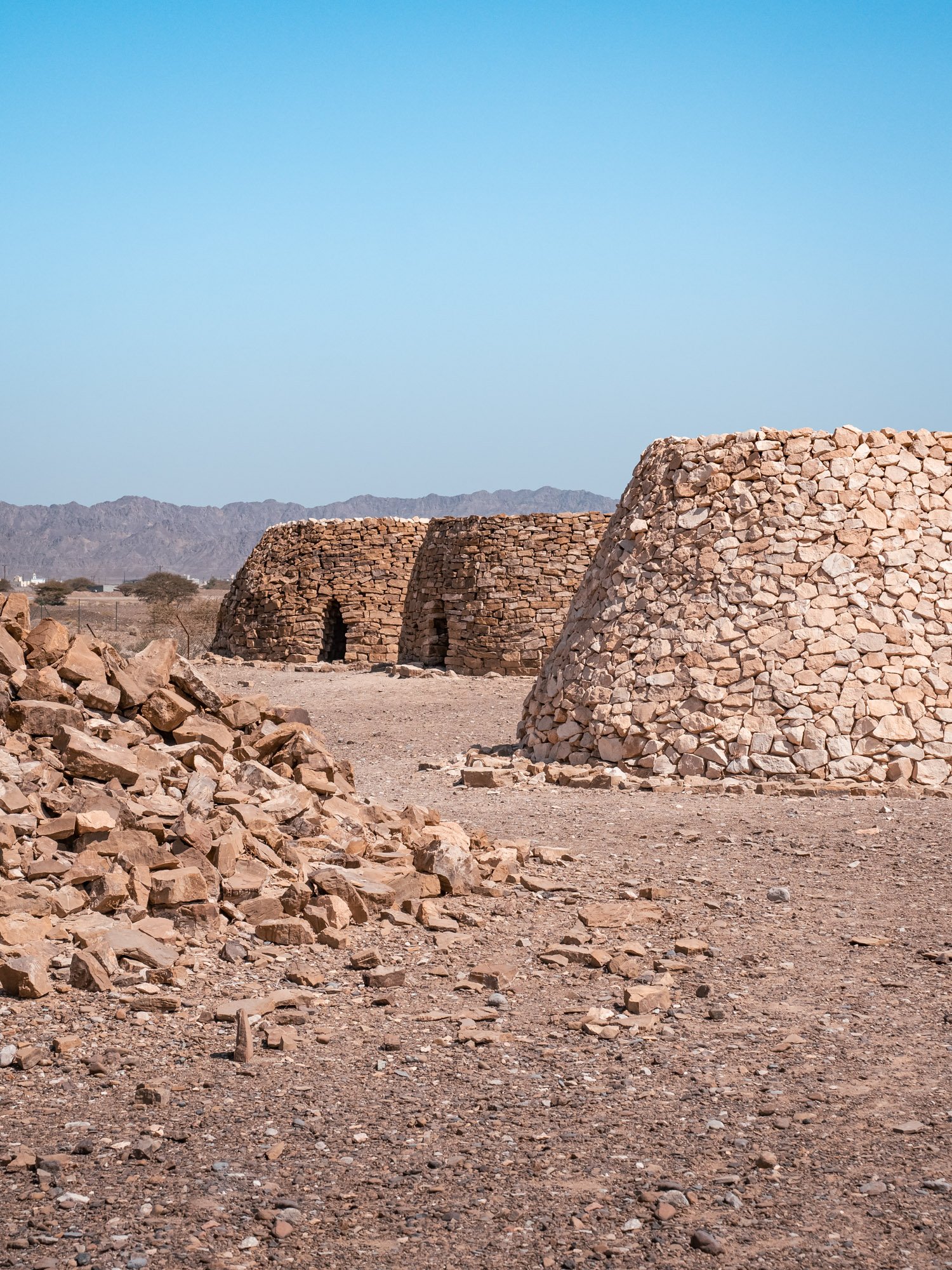
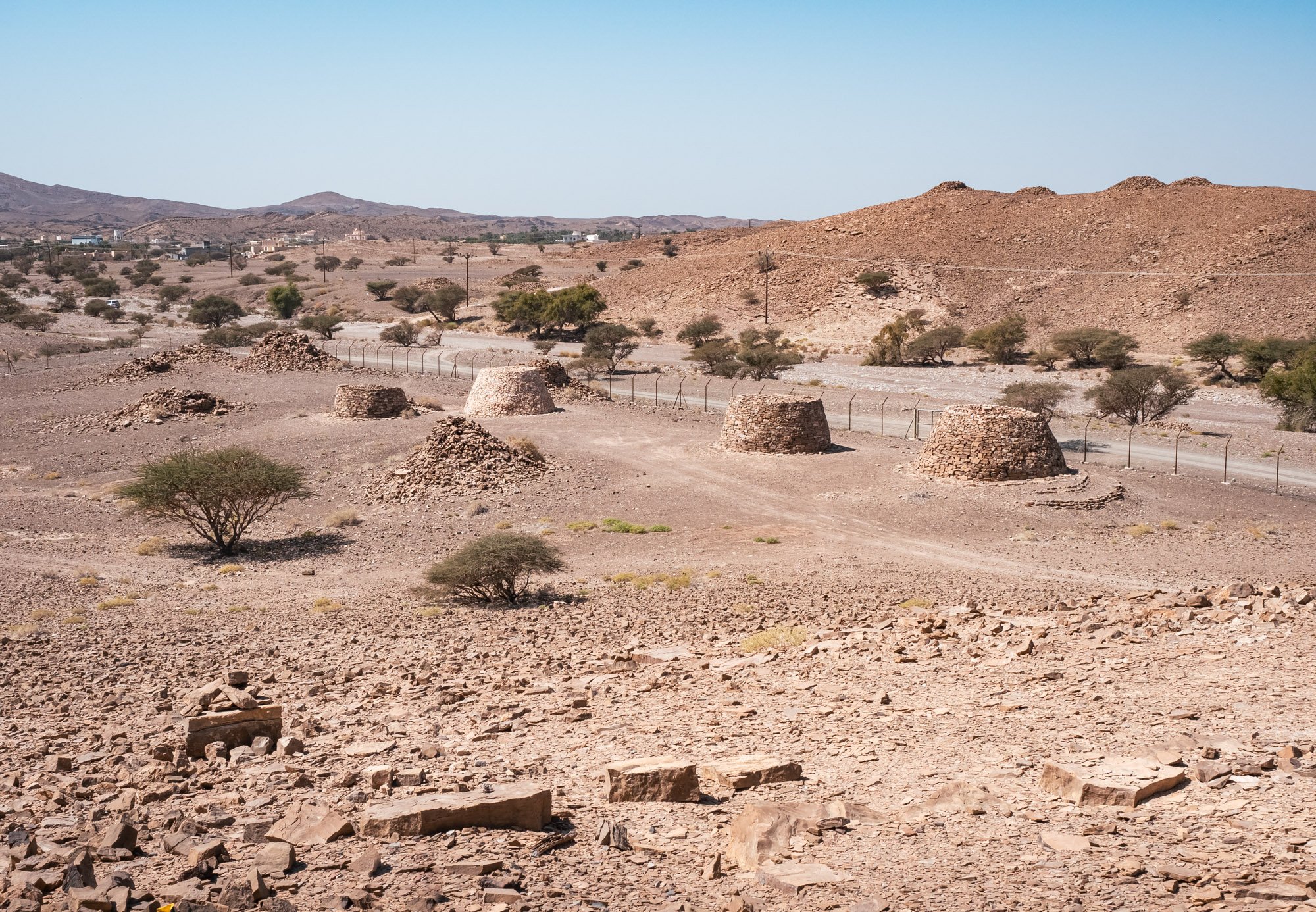
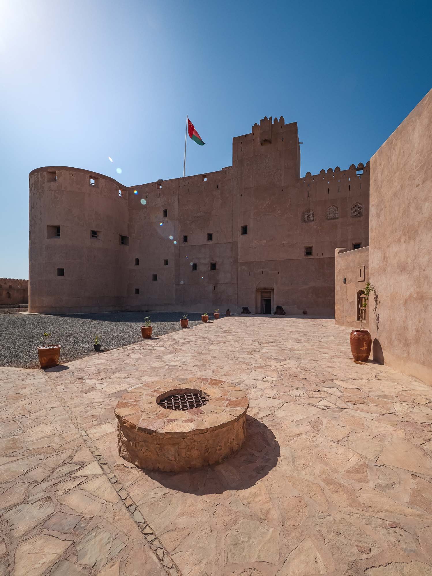
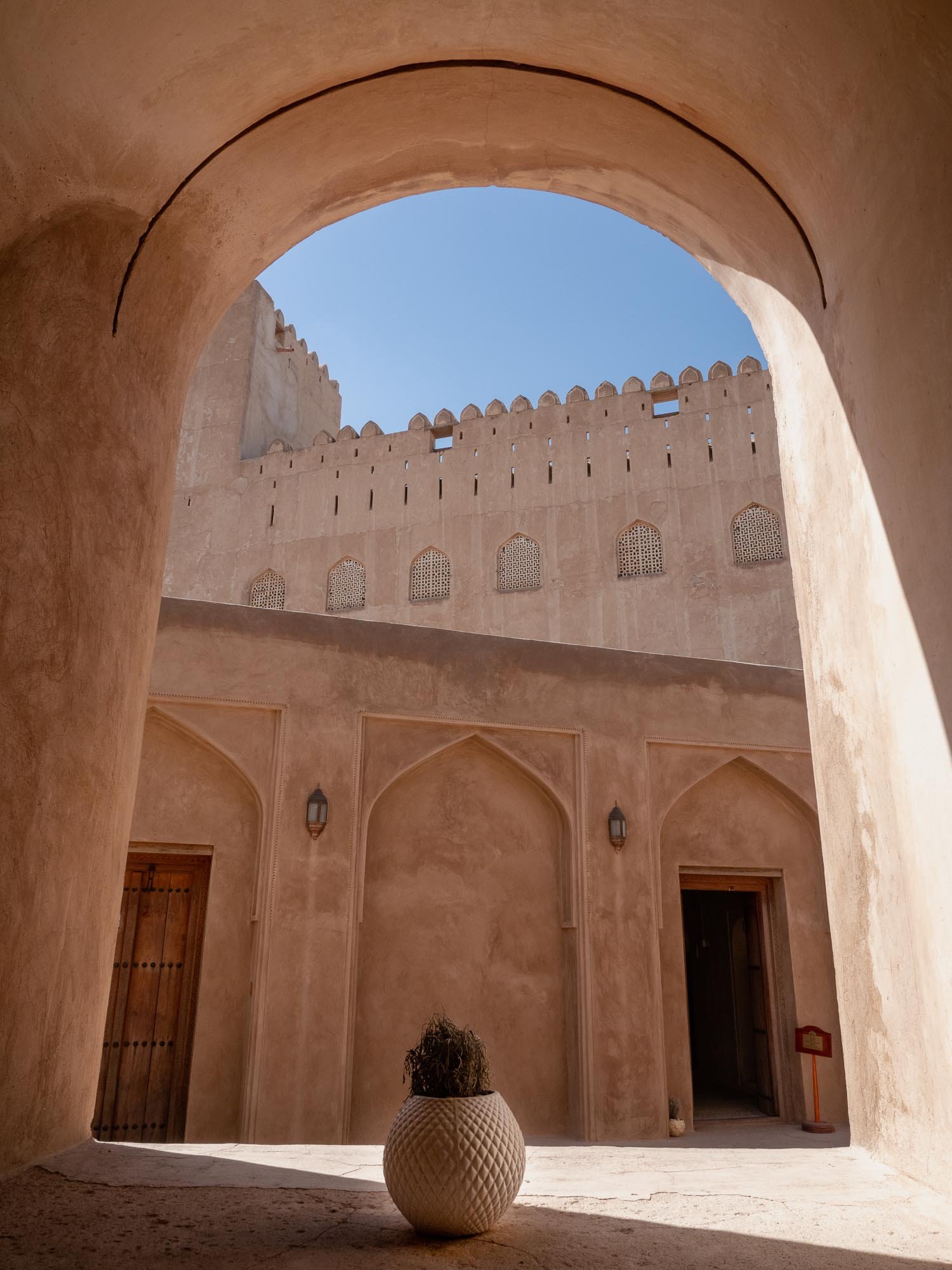
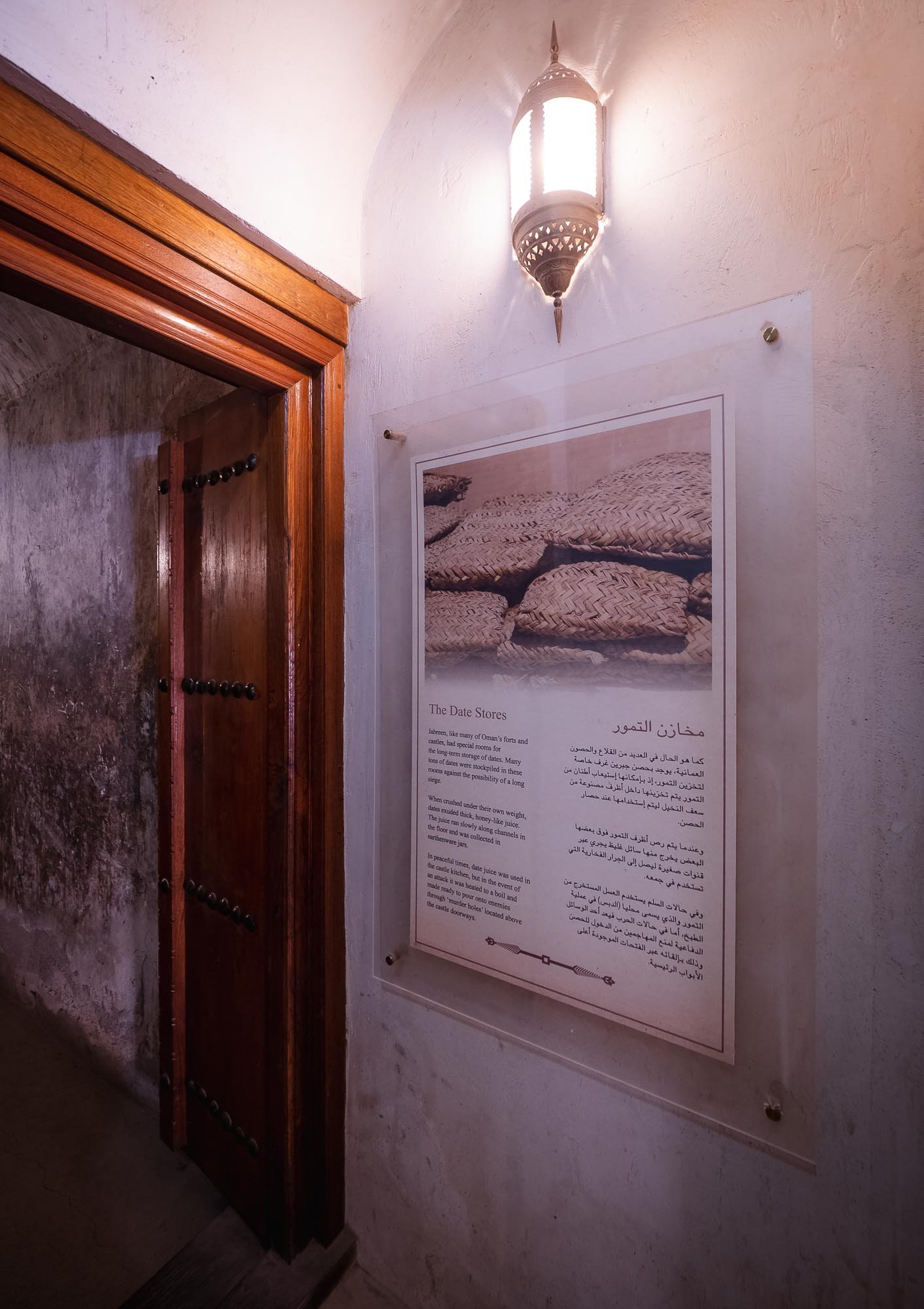
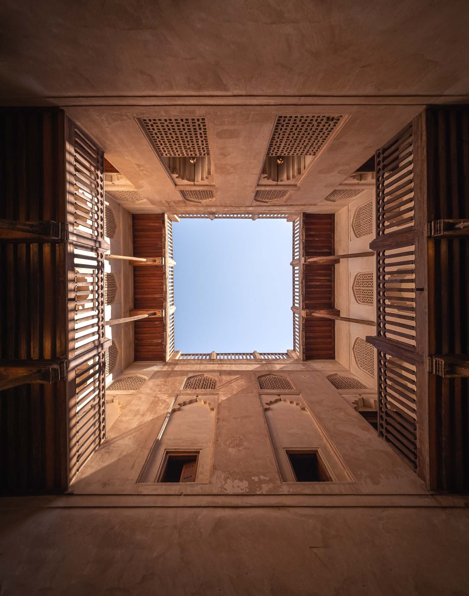
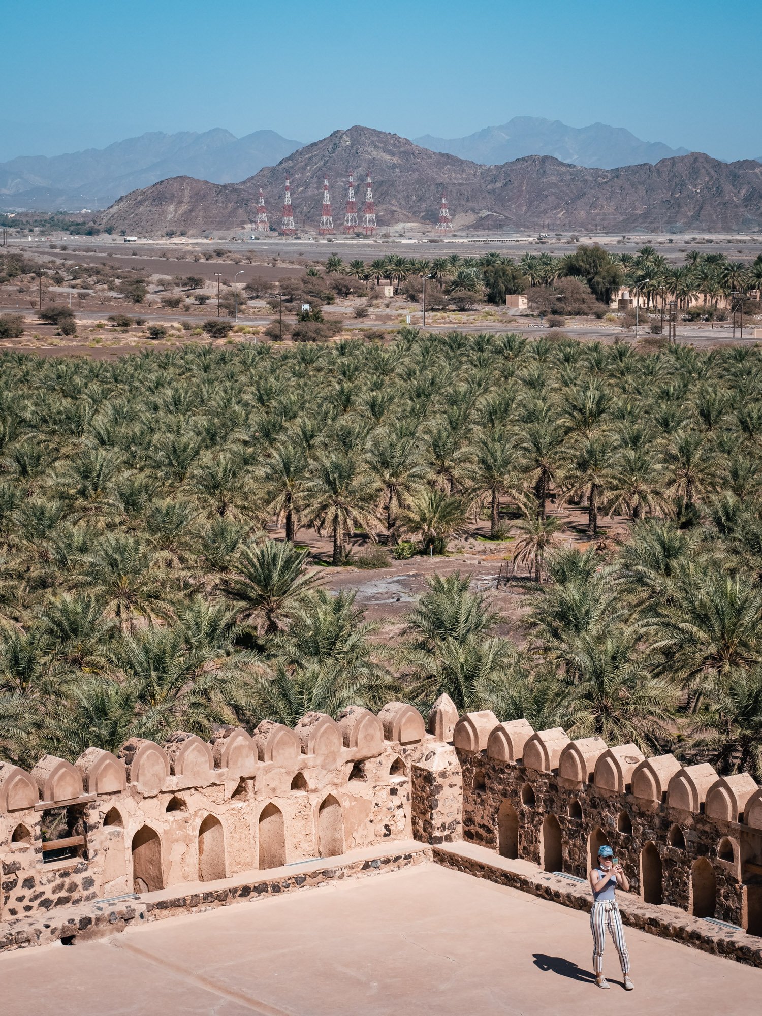
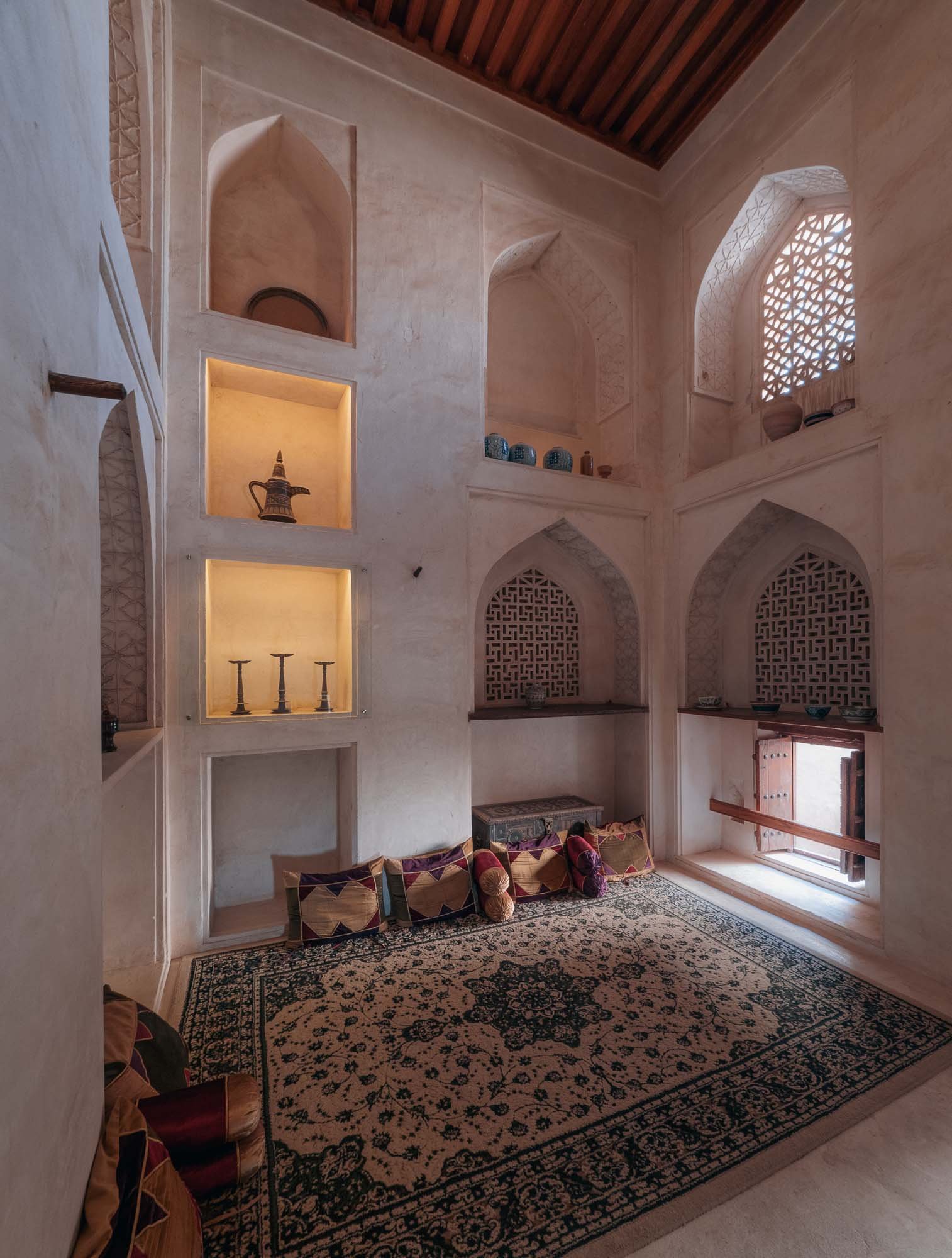
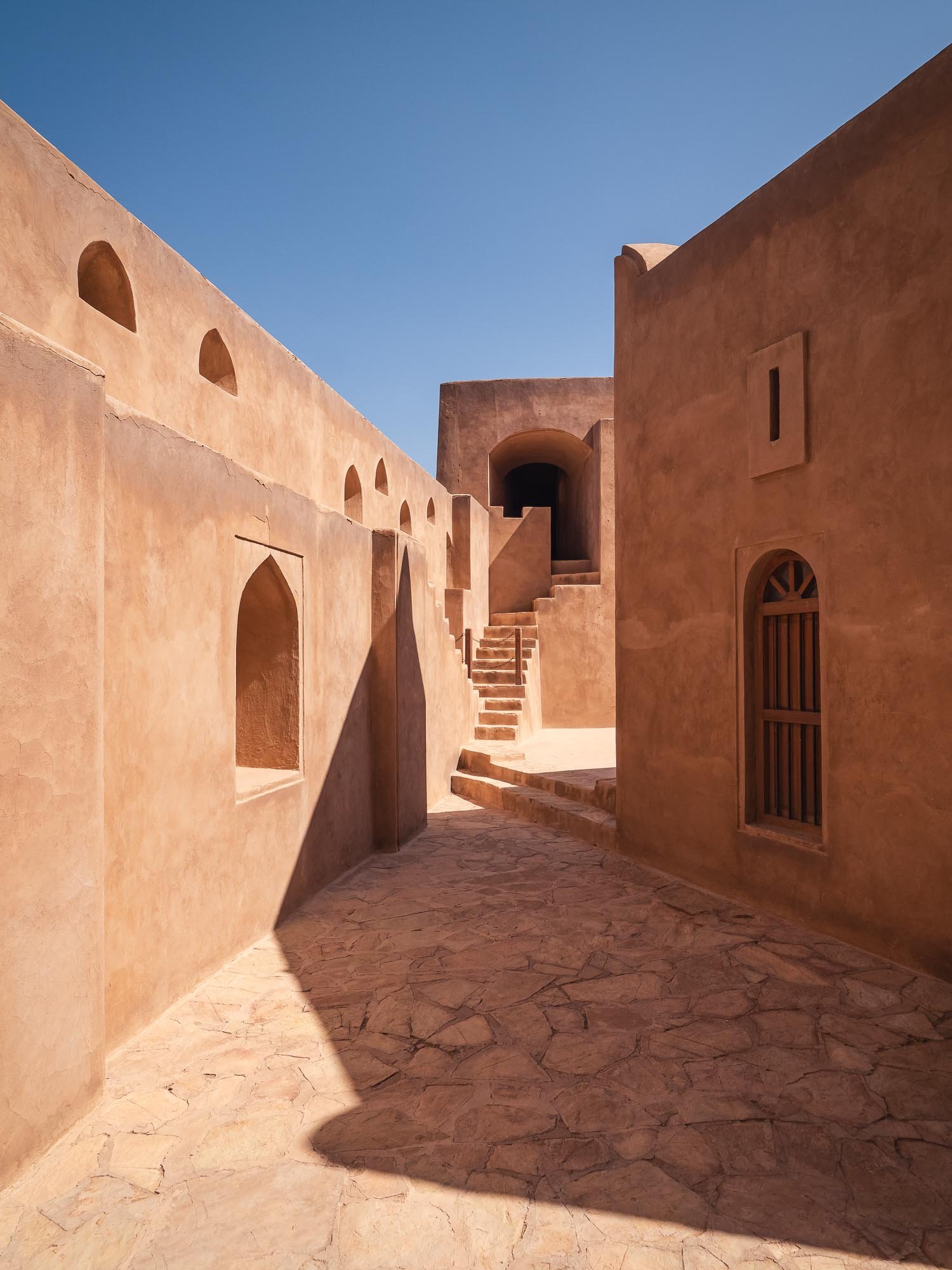
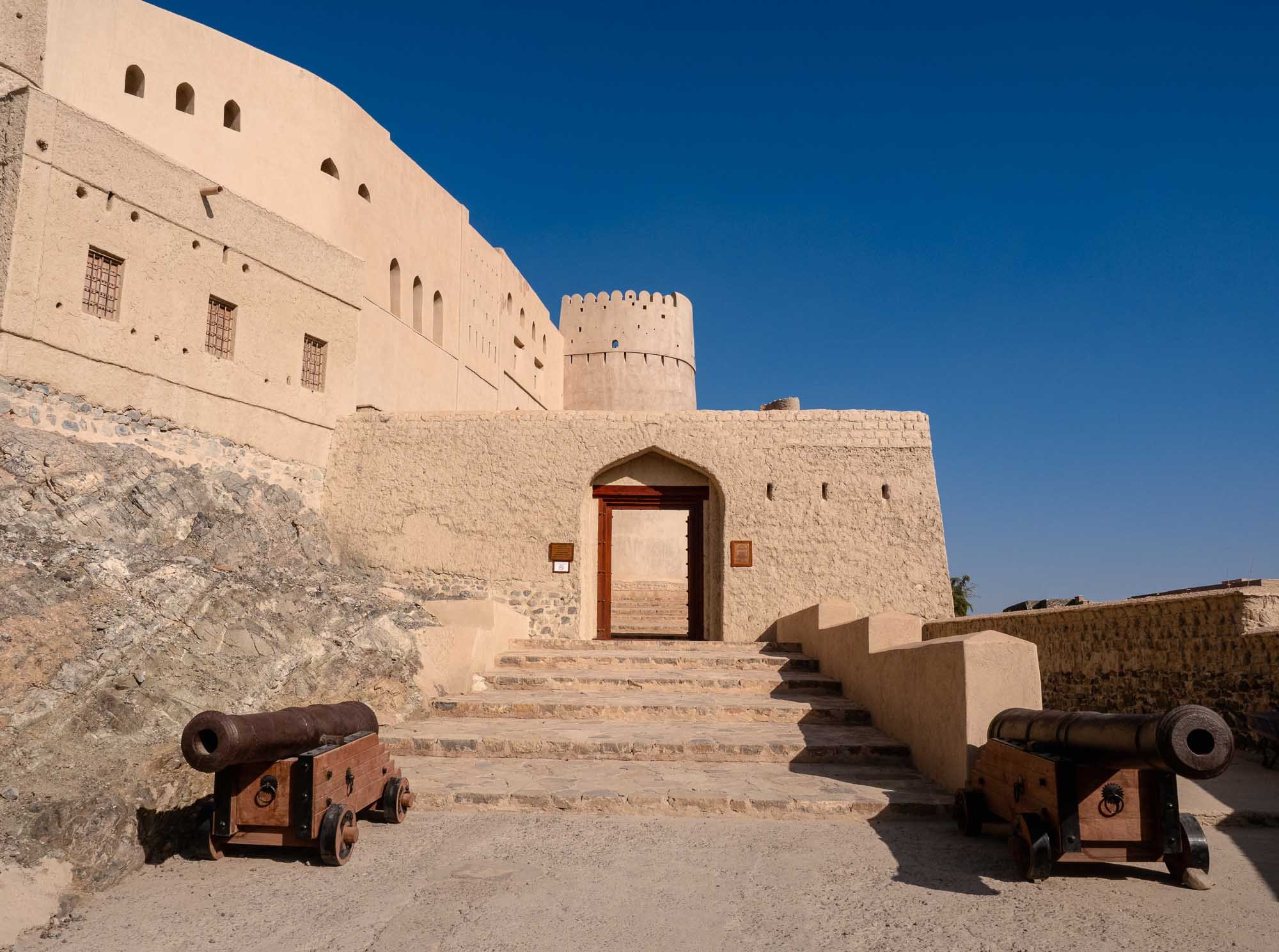
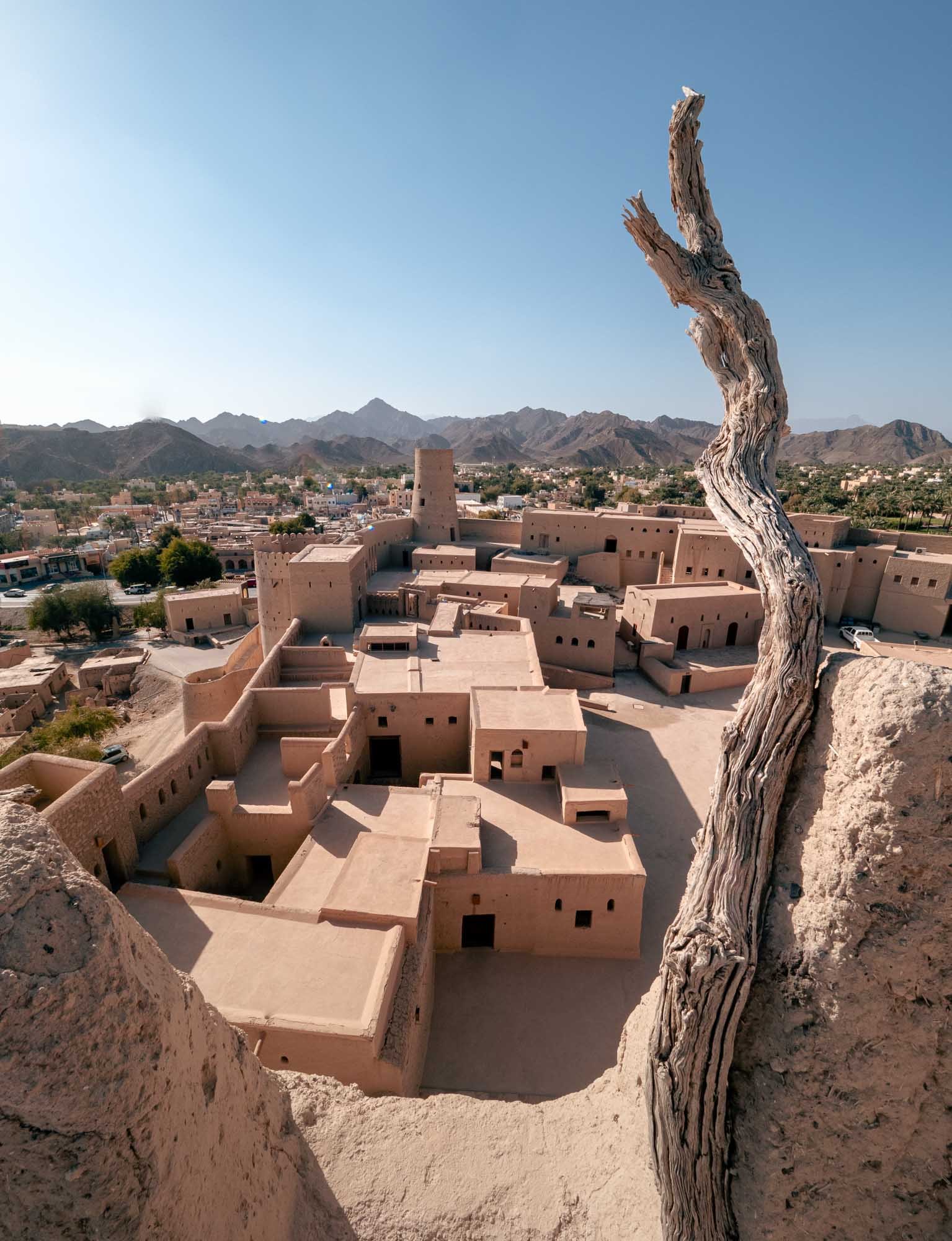
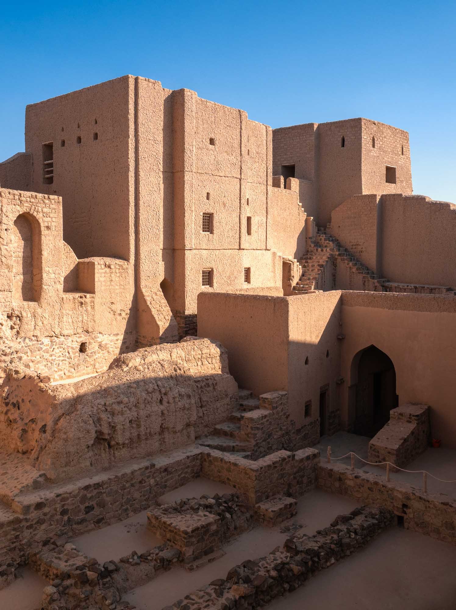
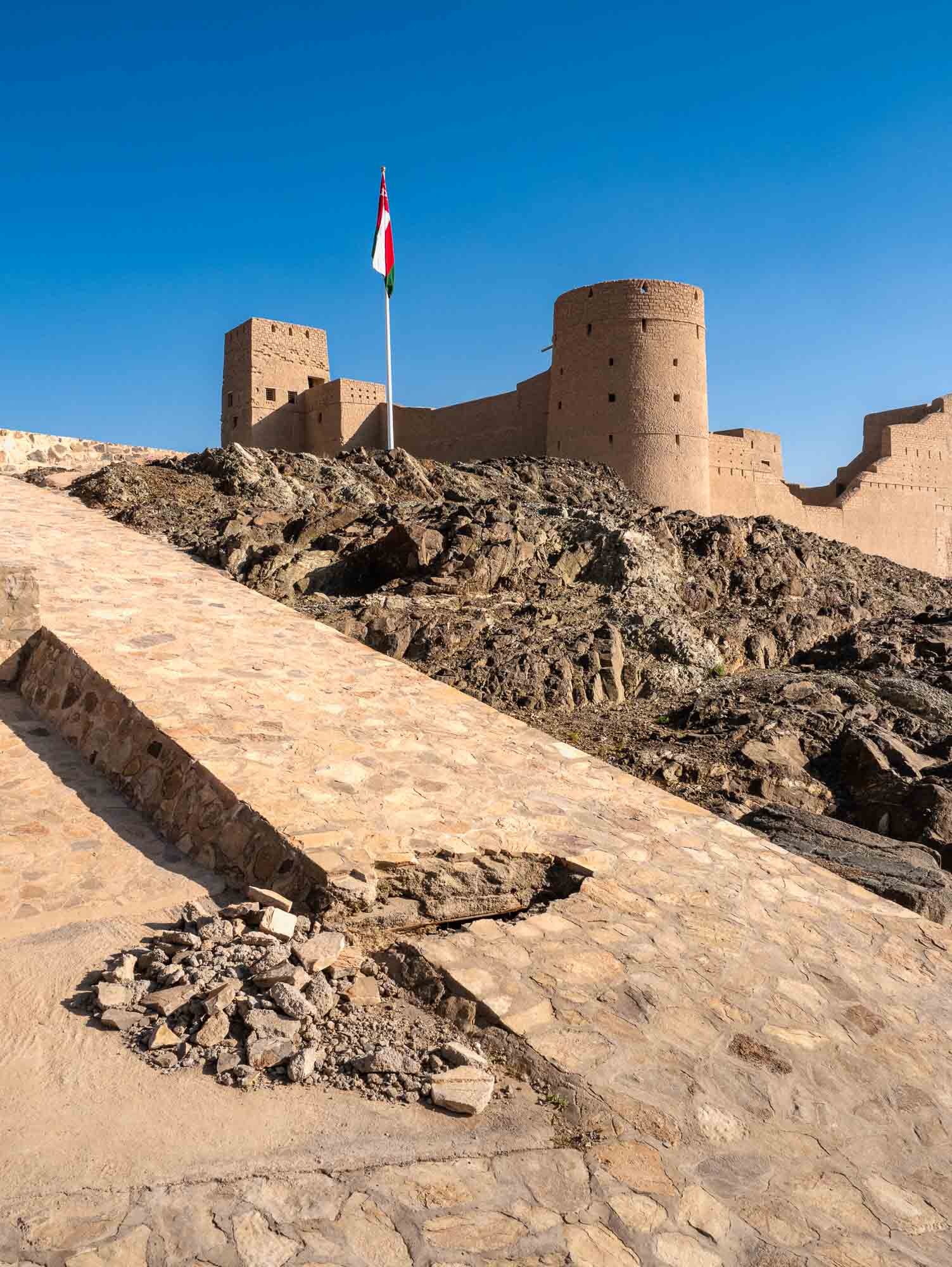
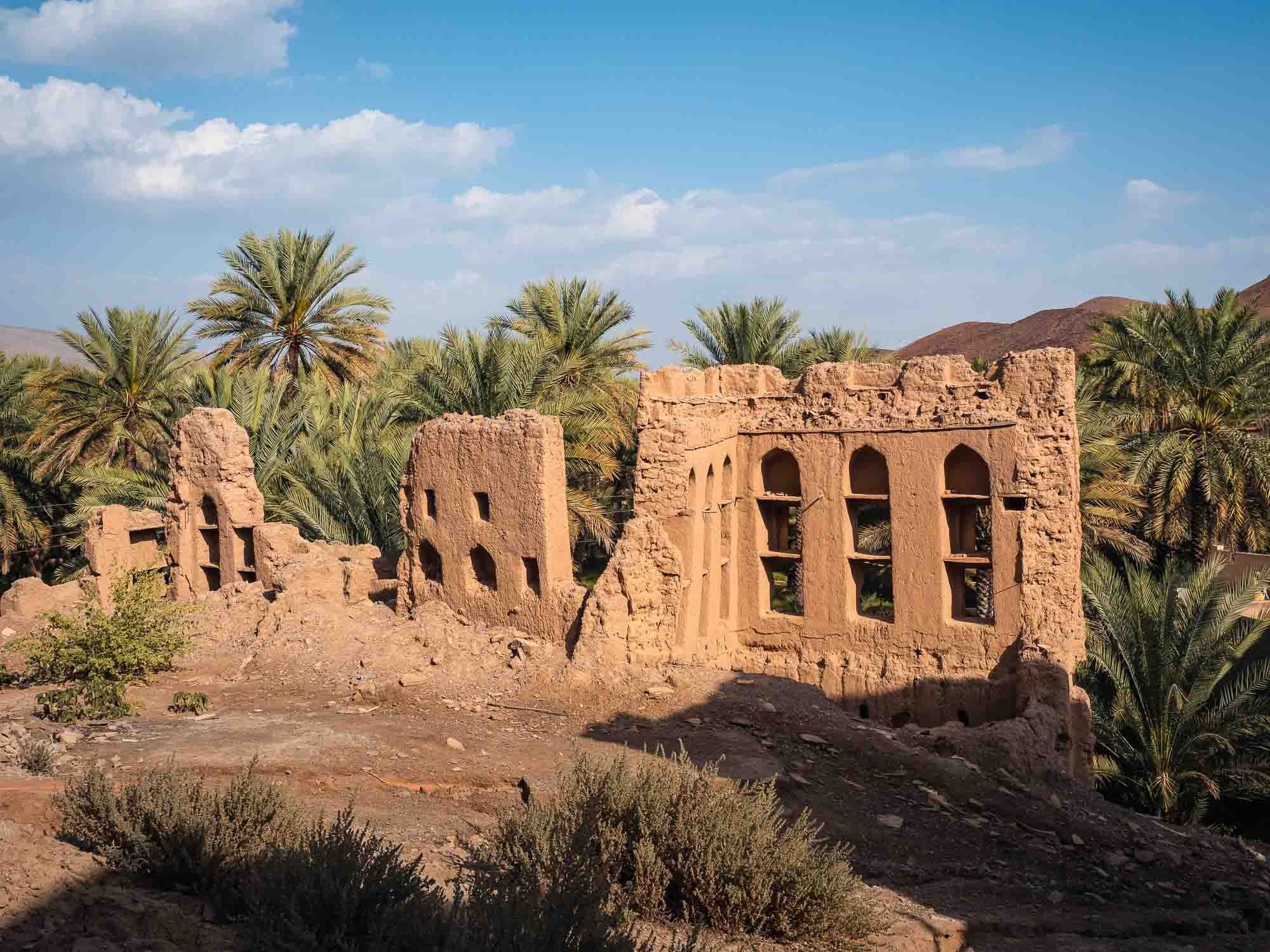
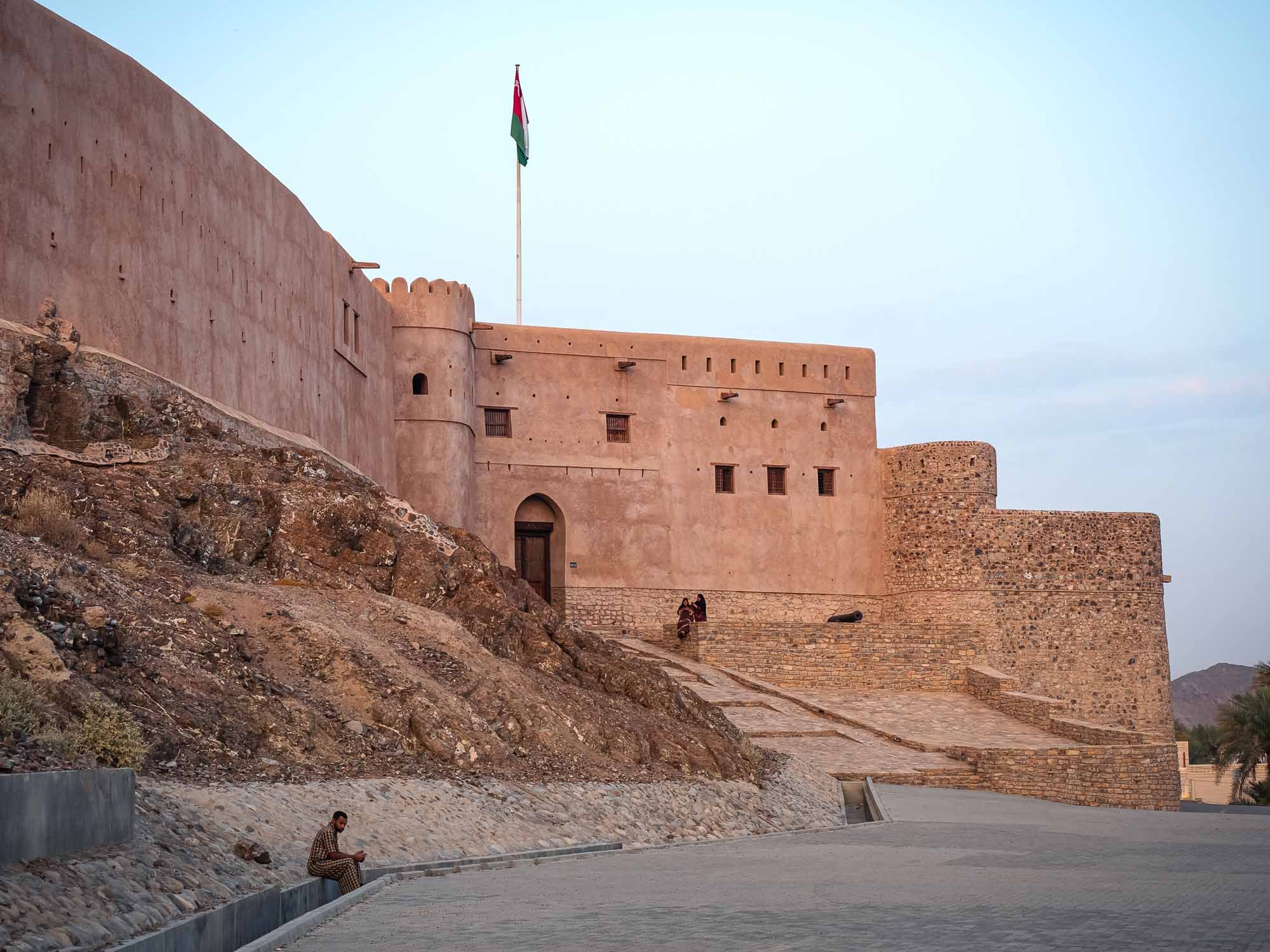
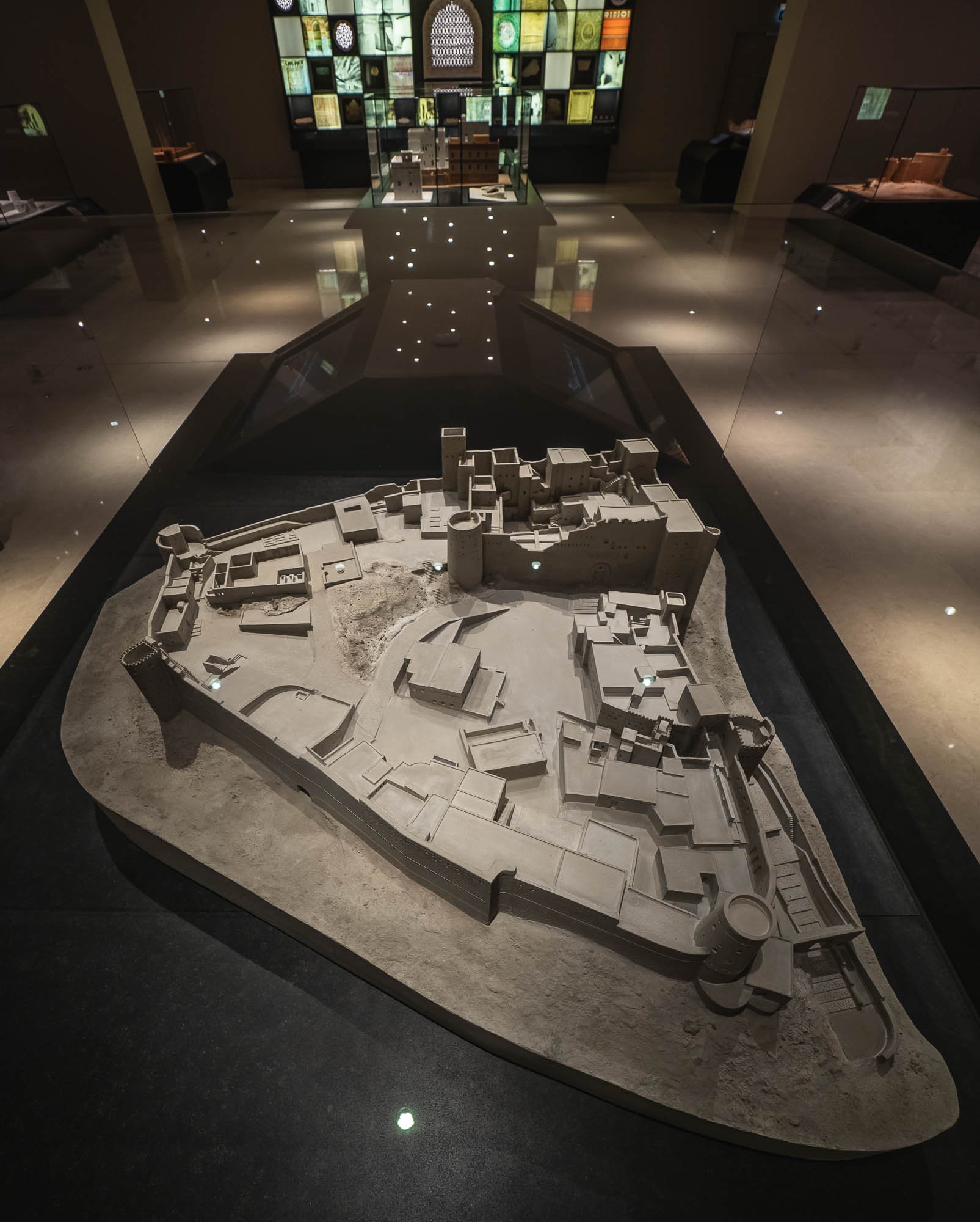
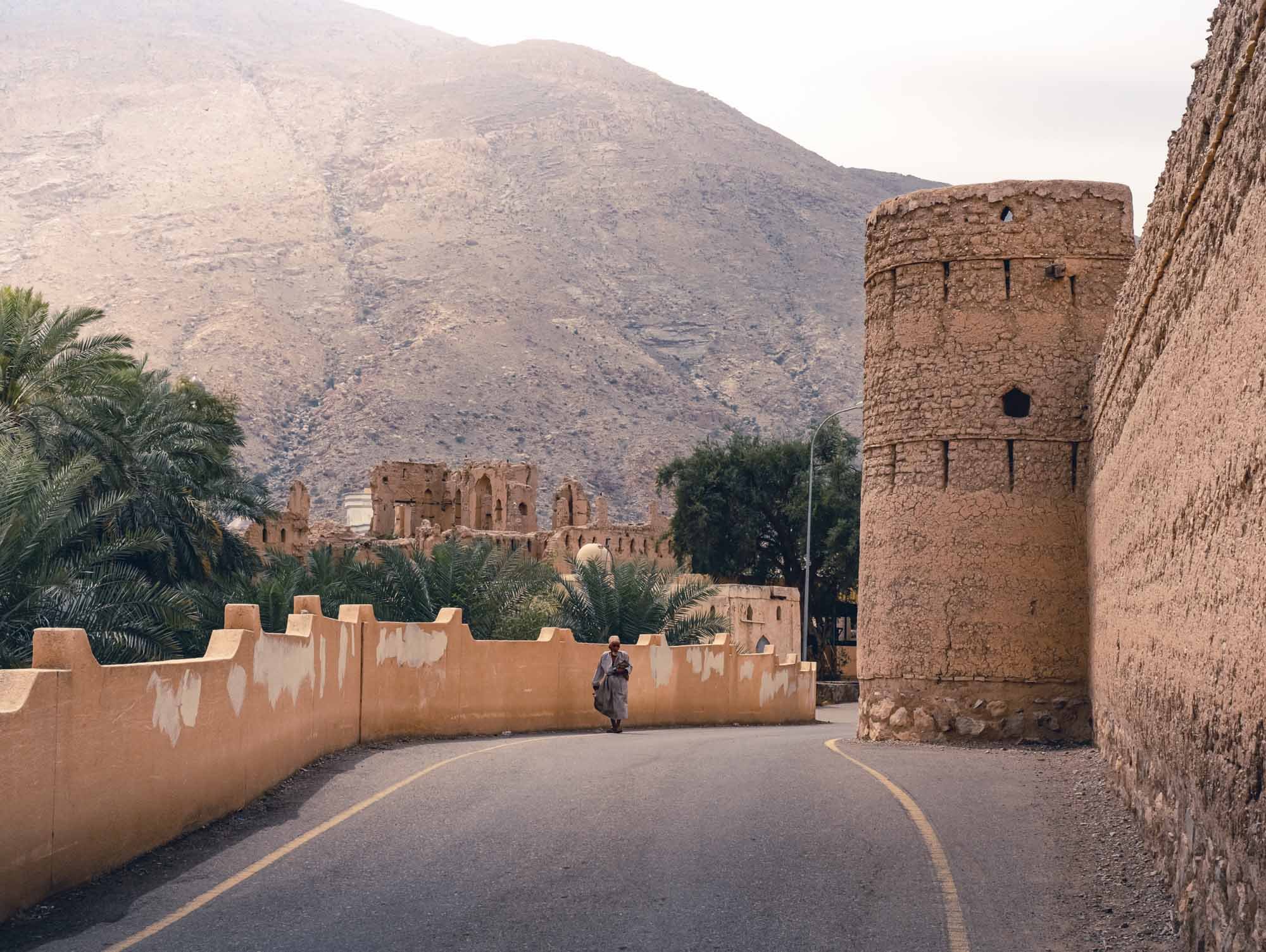
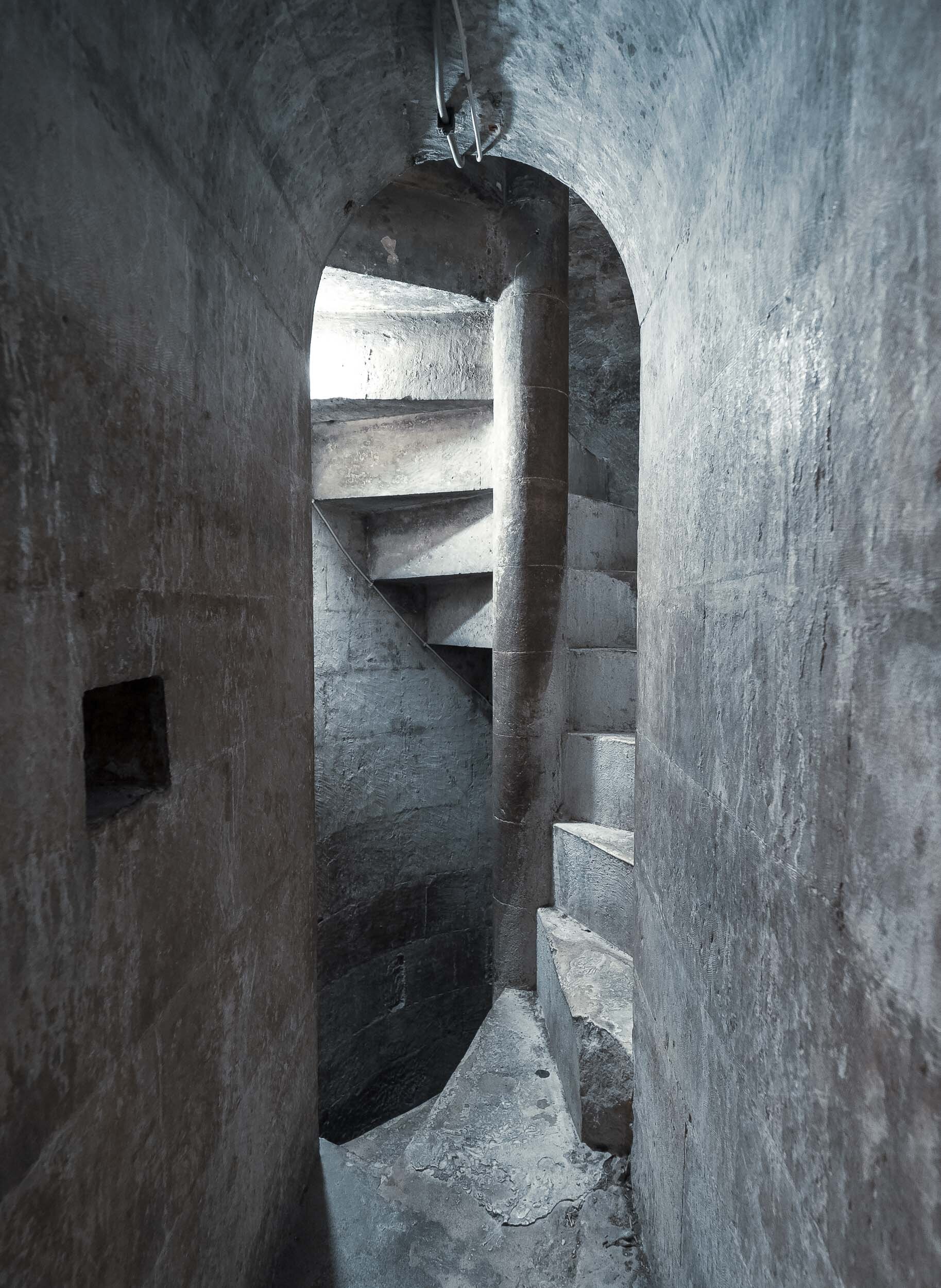
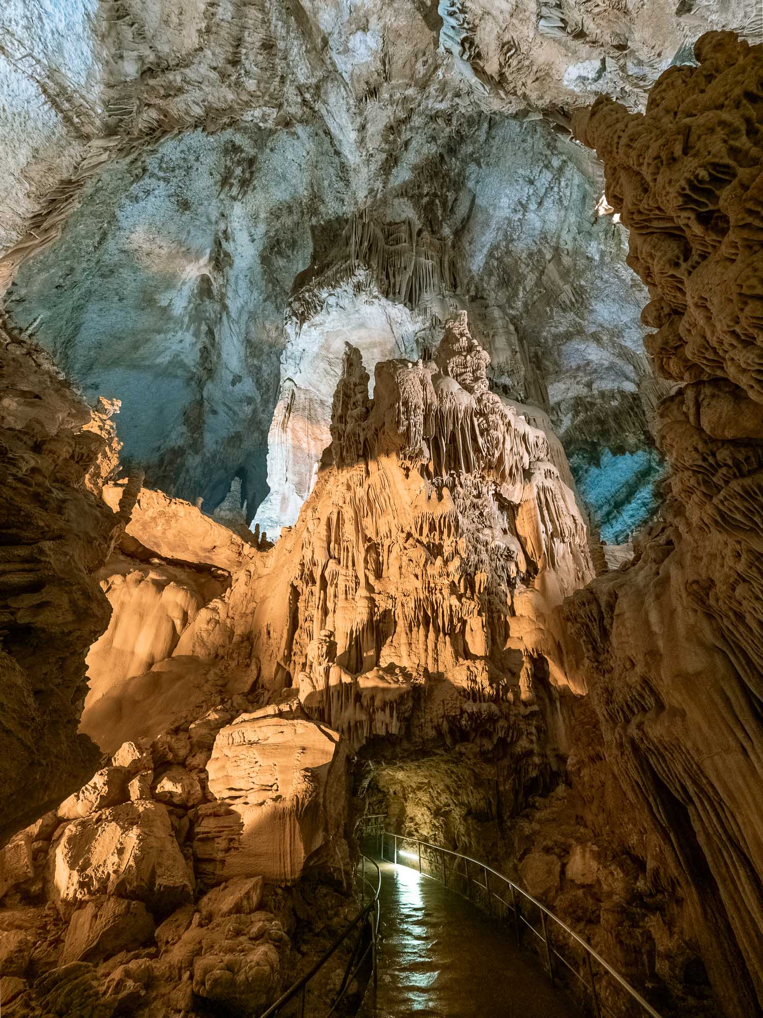
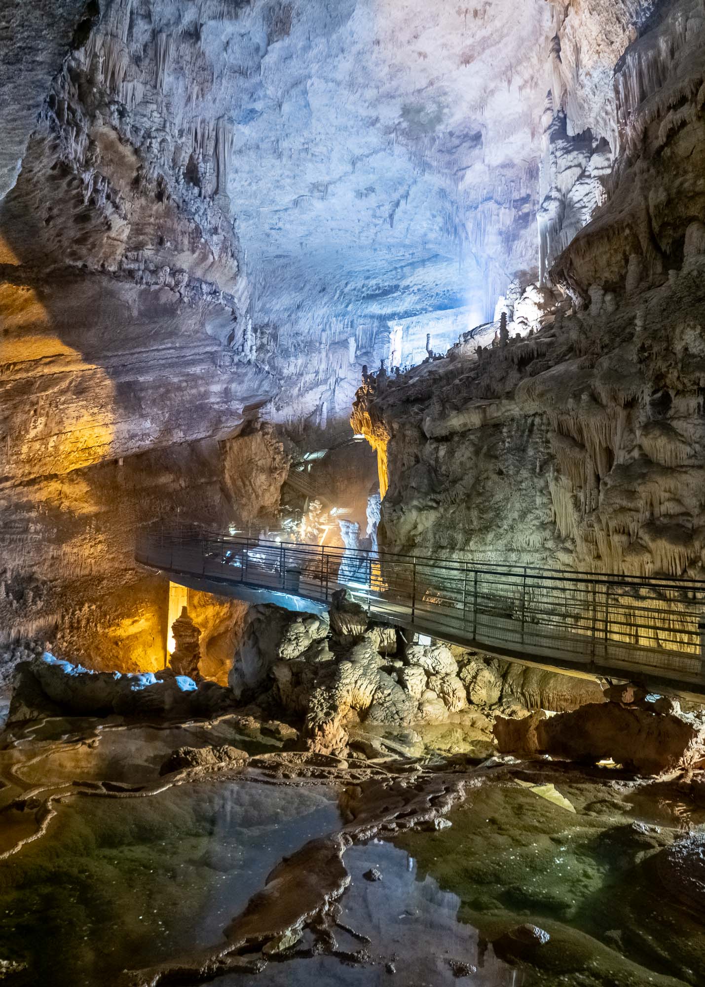
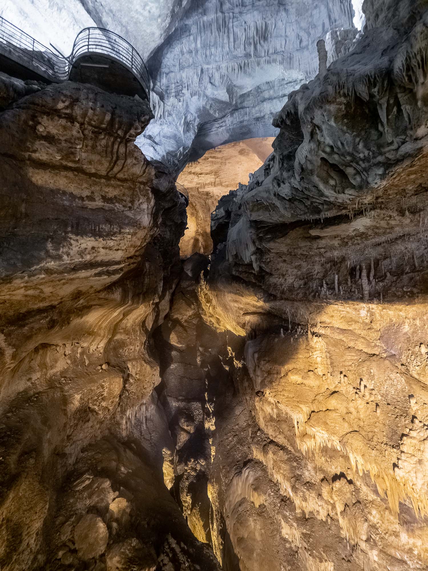
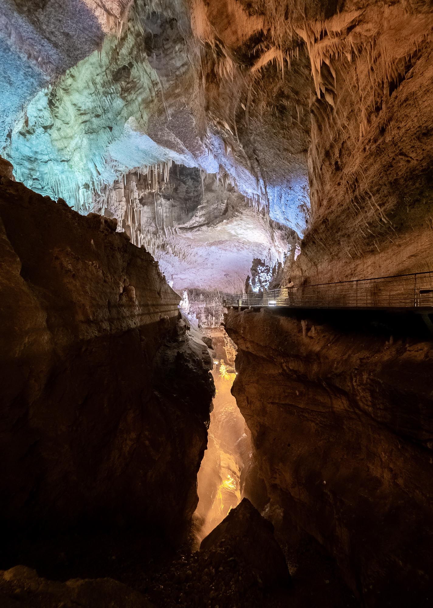
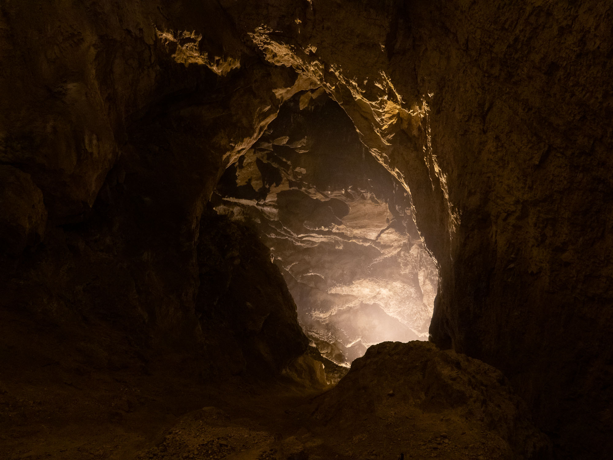
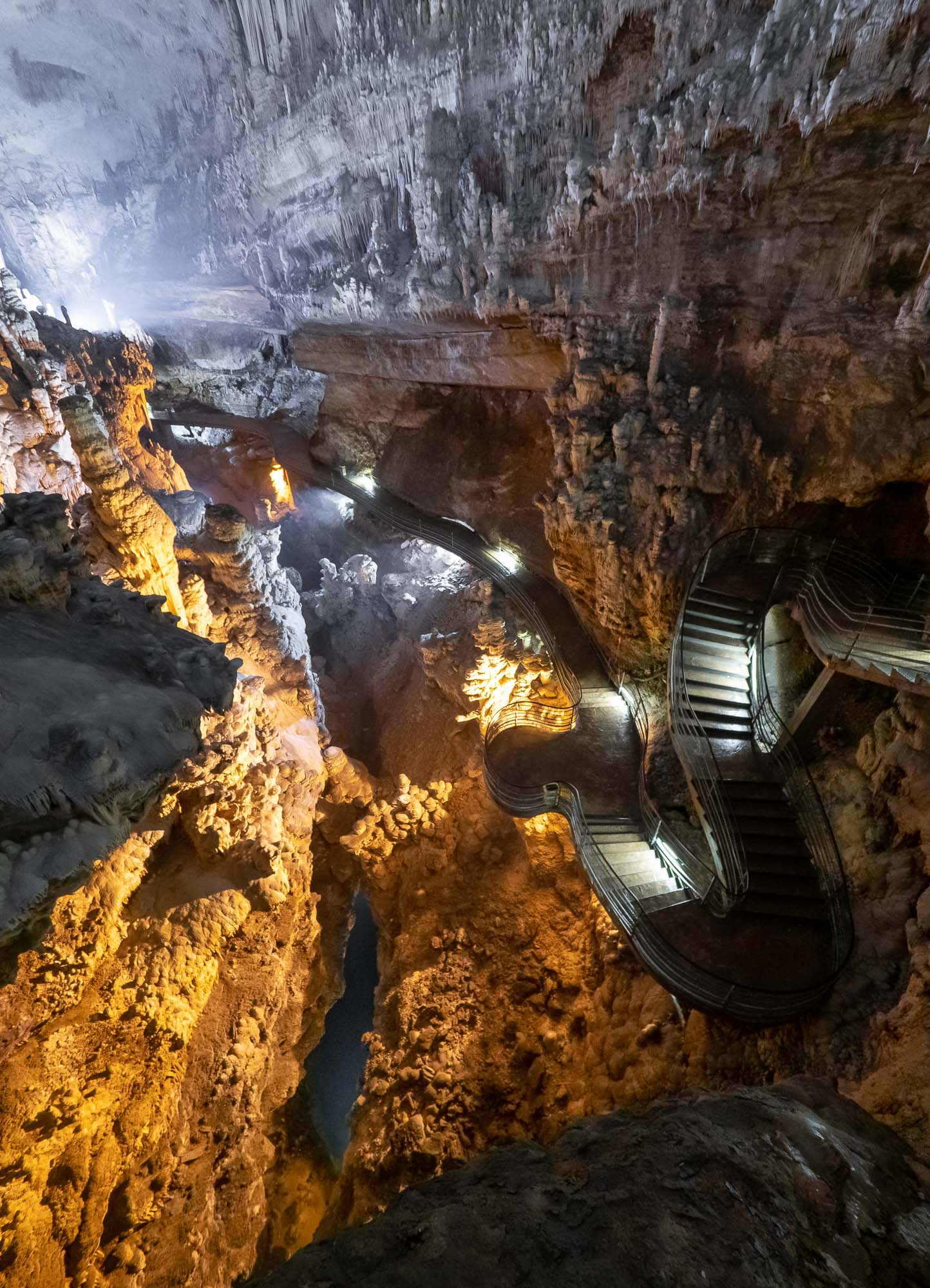
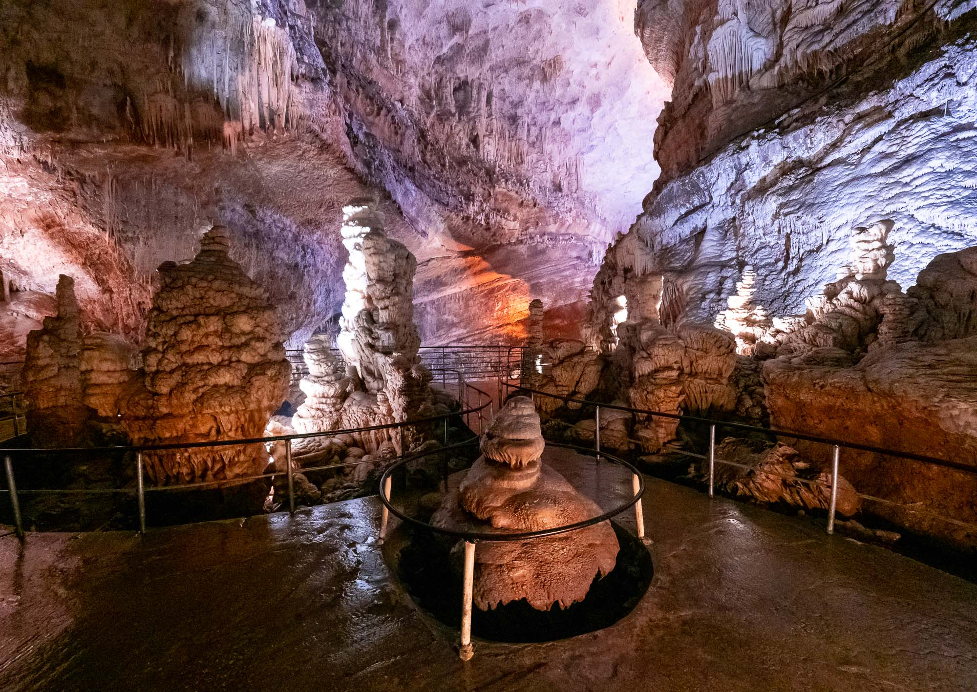
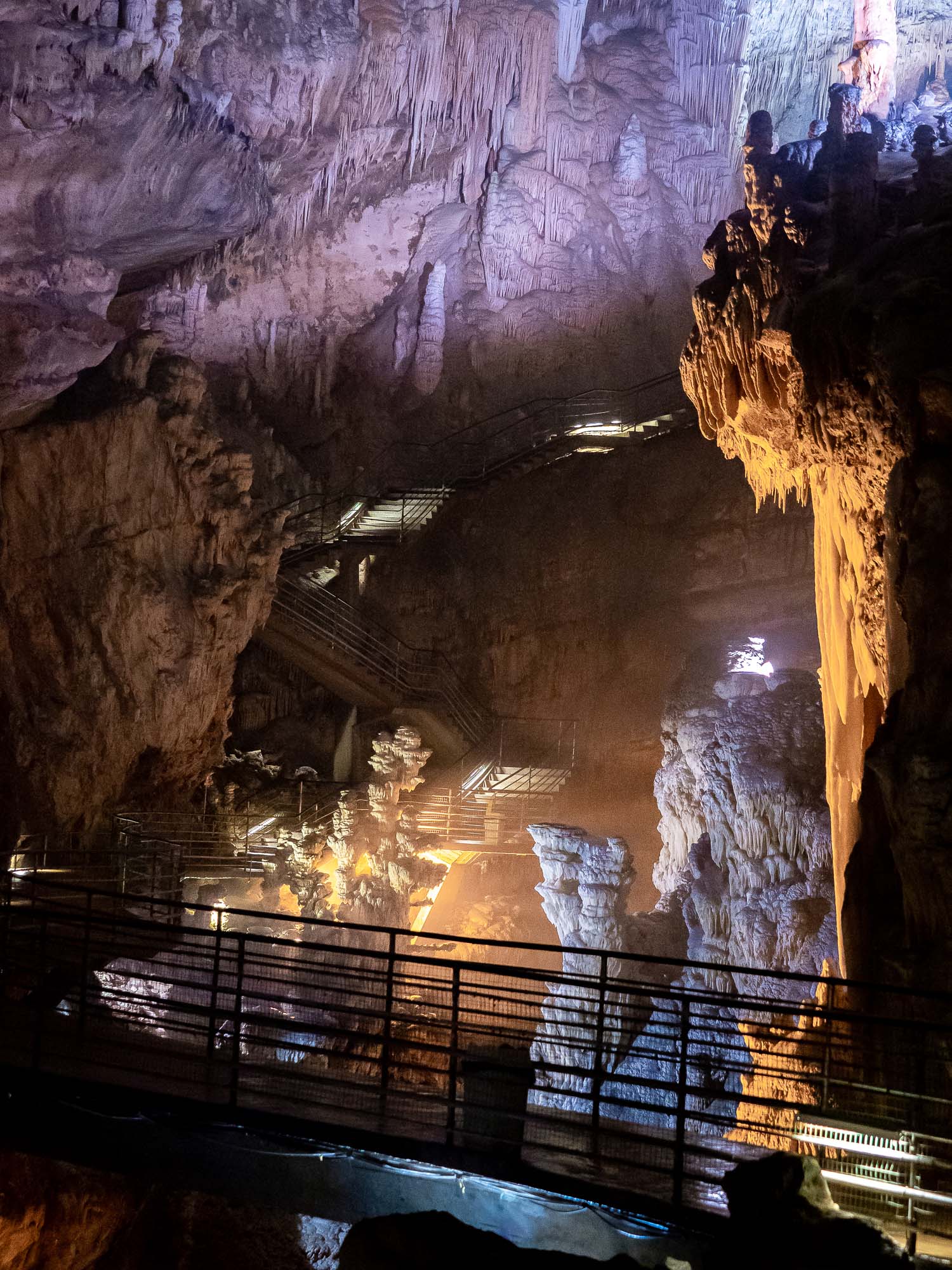
Bahla Fort

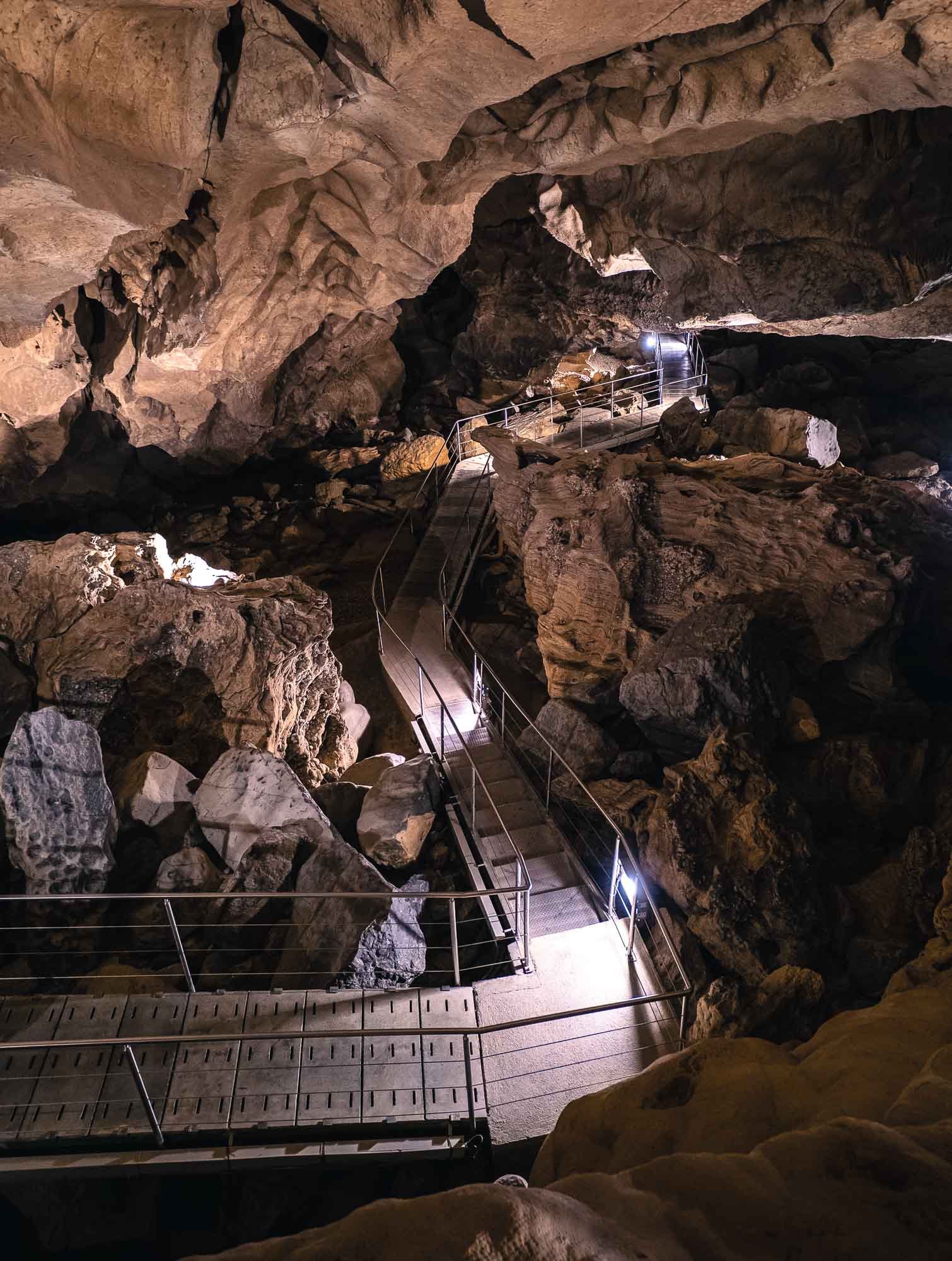
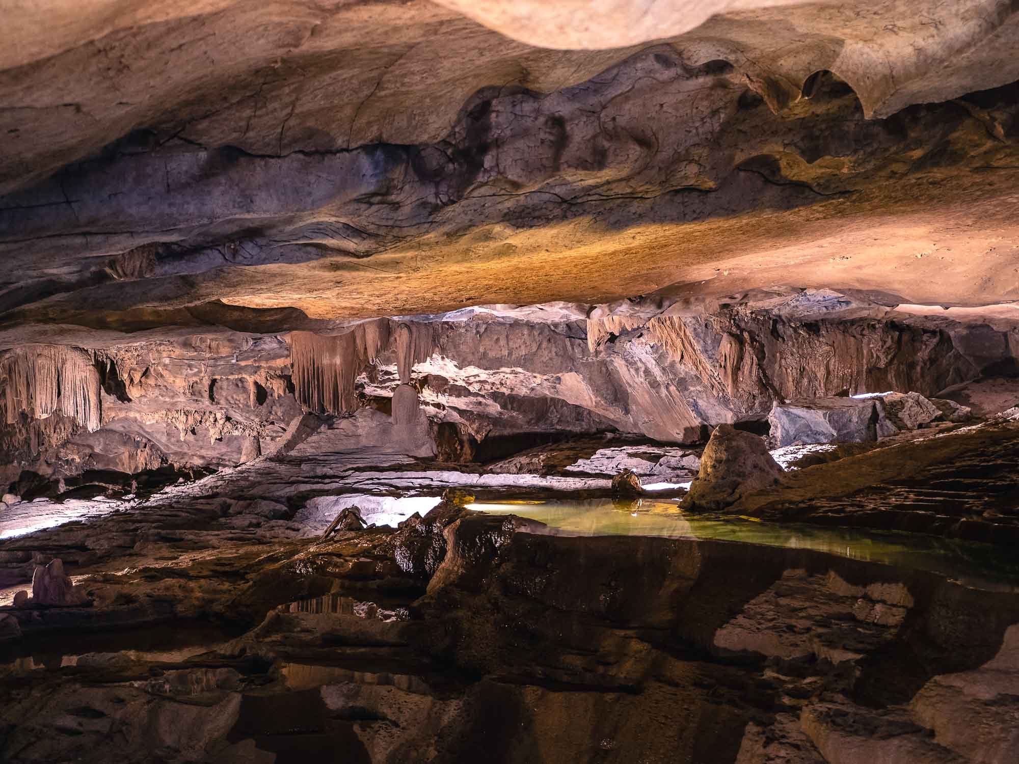
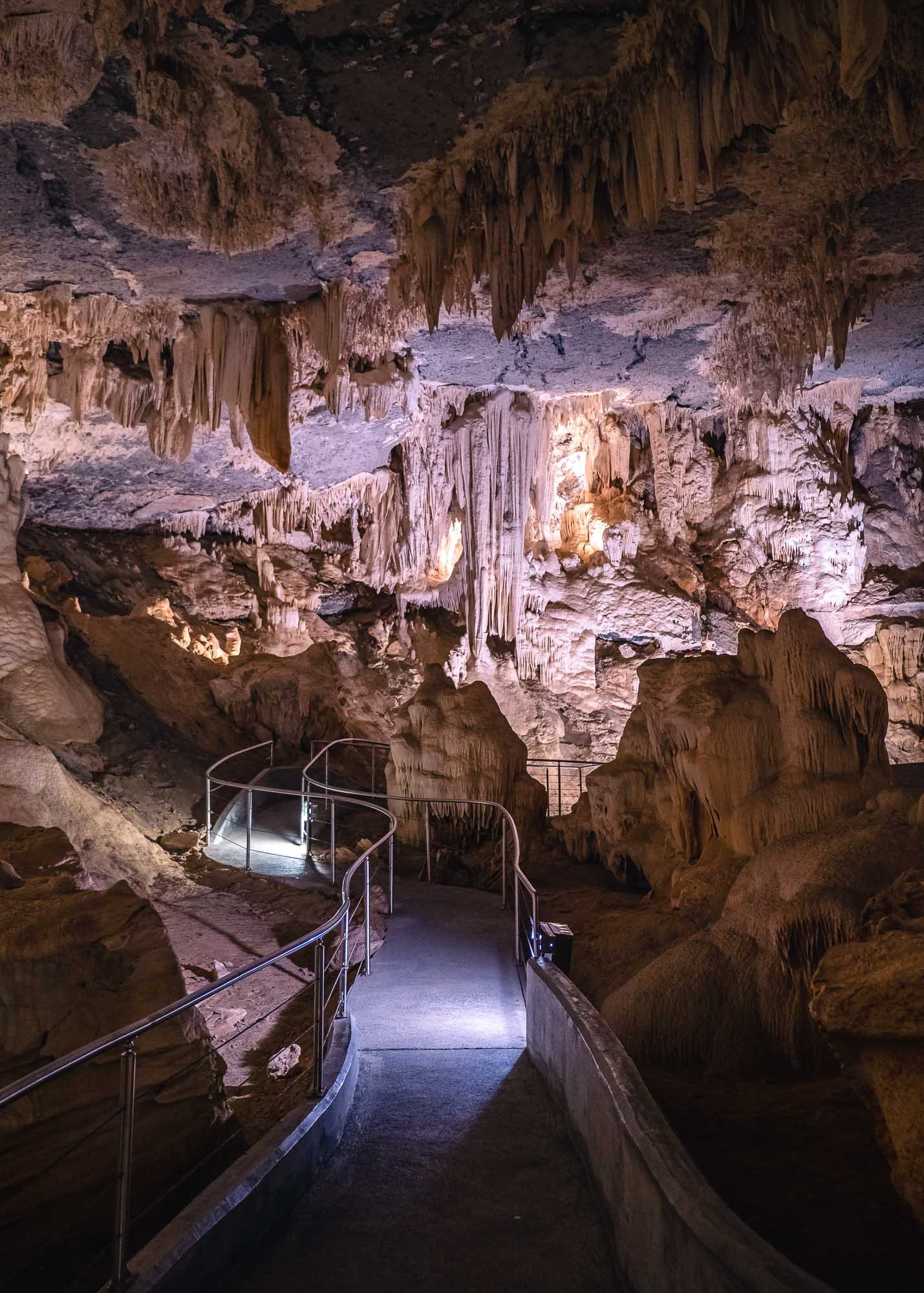
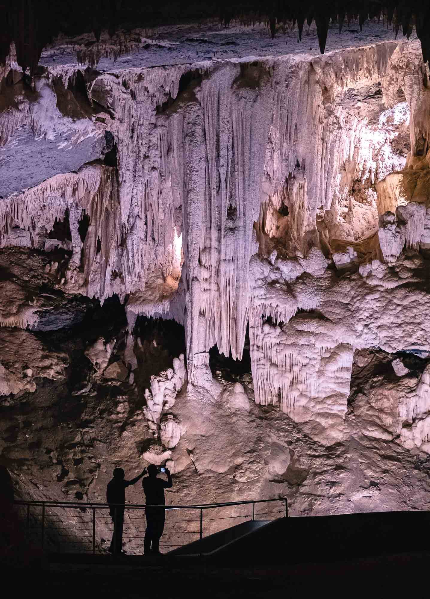
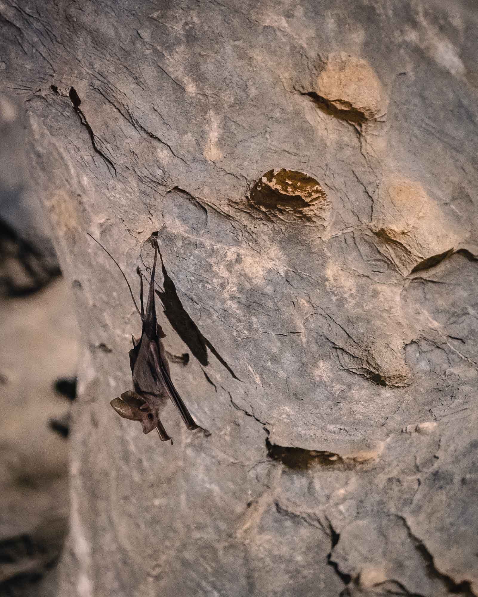
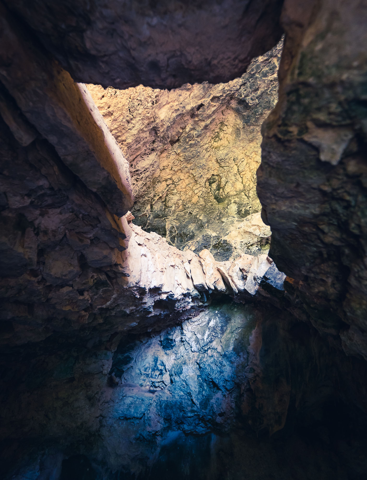
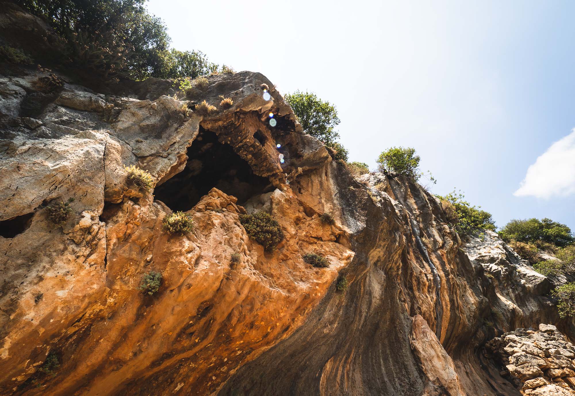
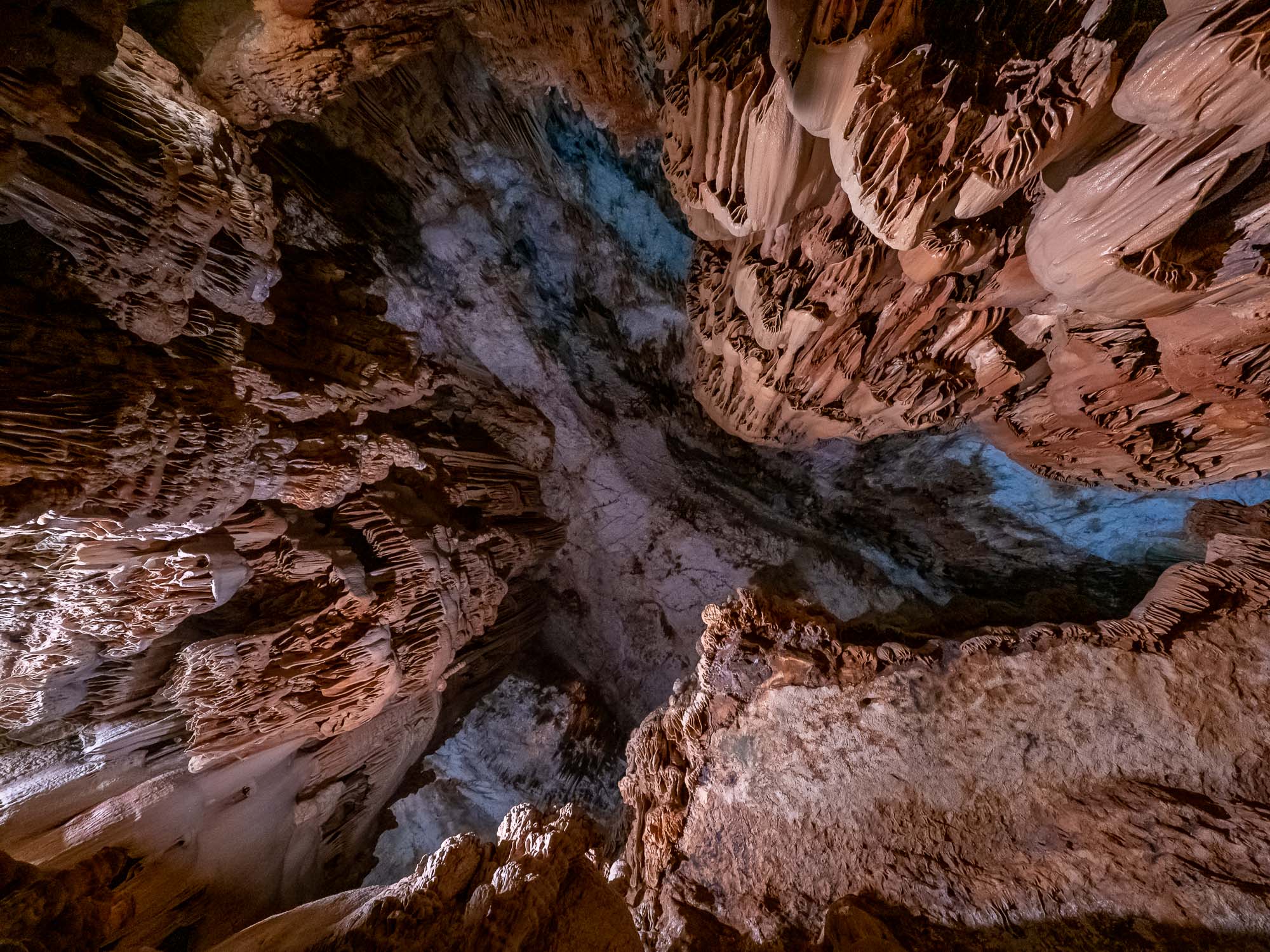
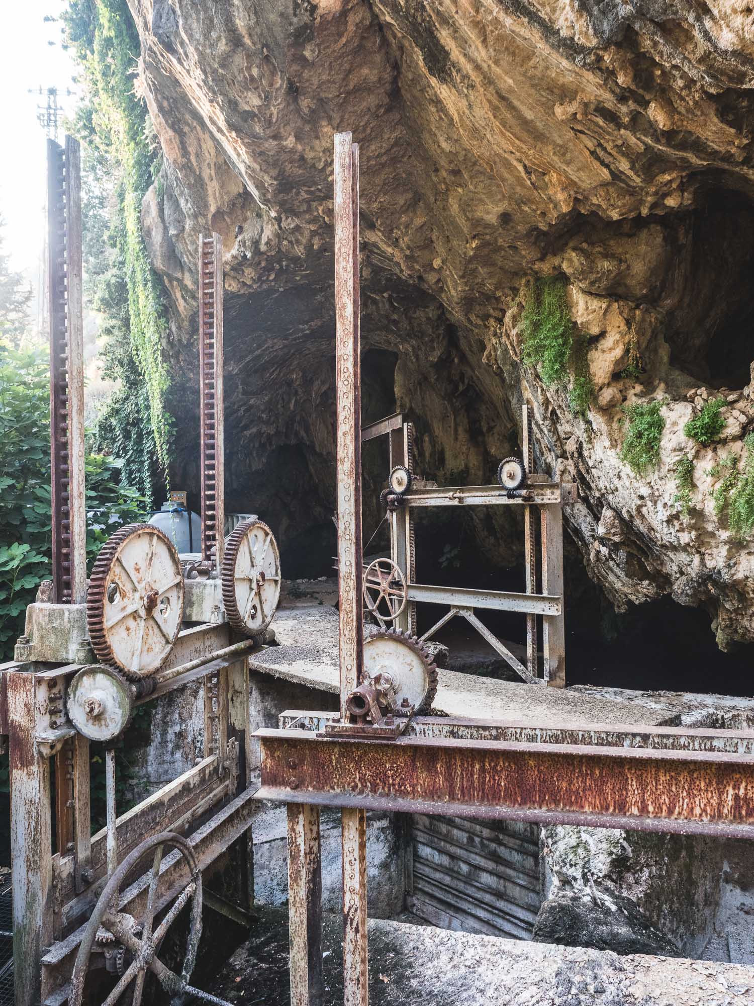
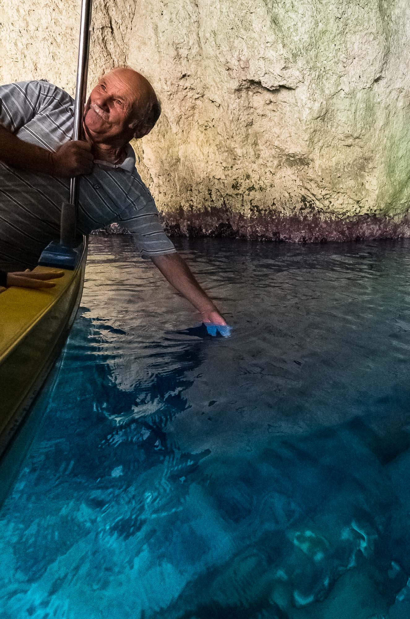
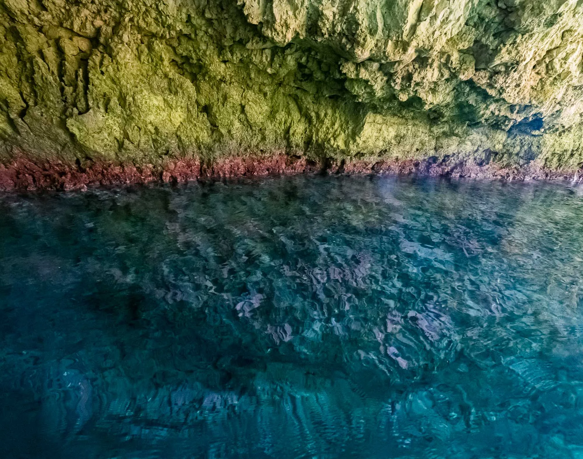
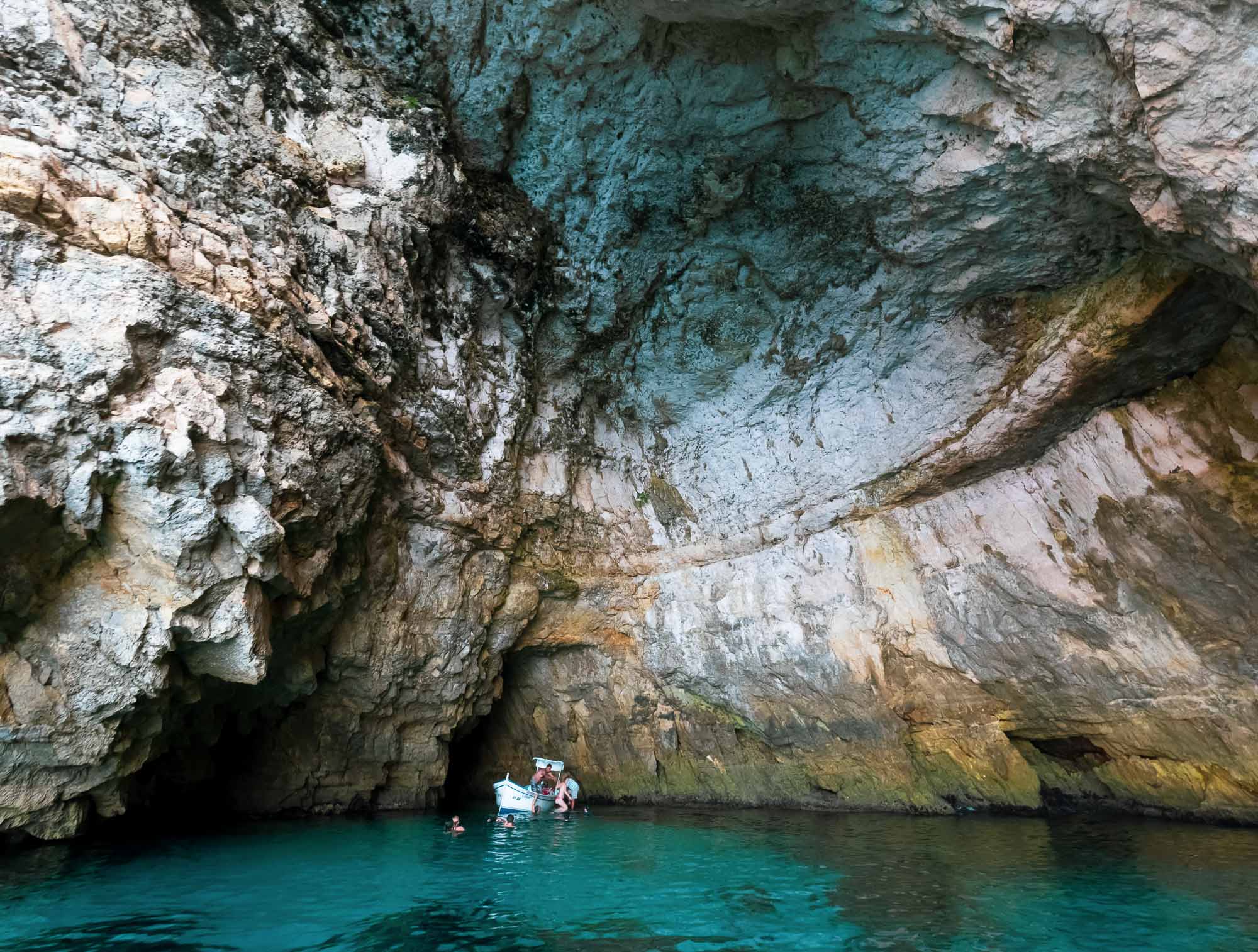
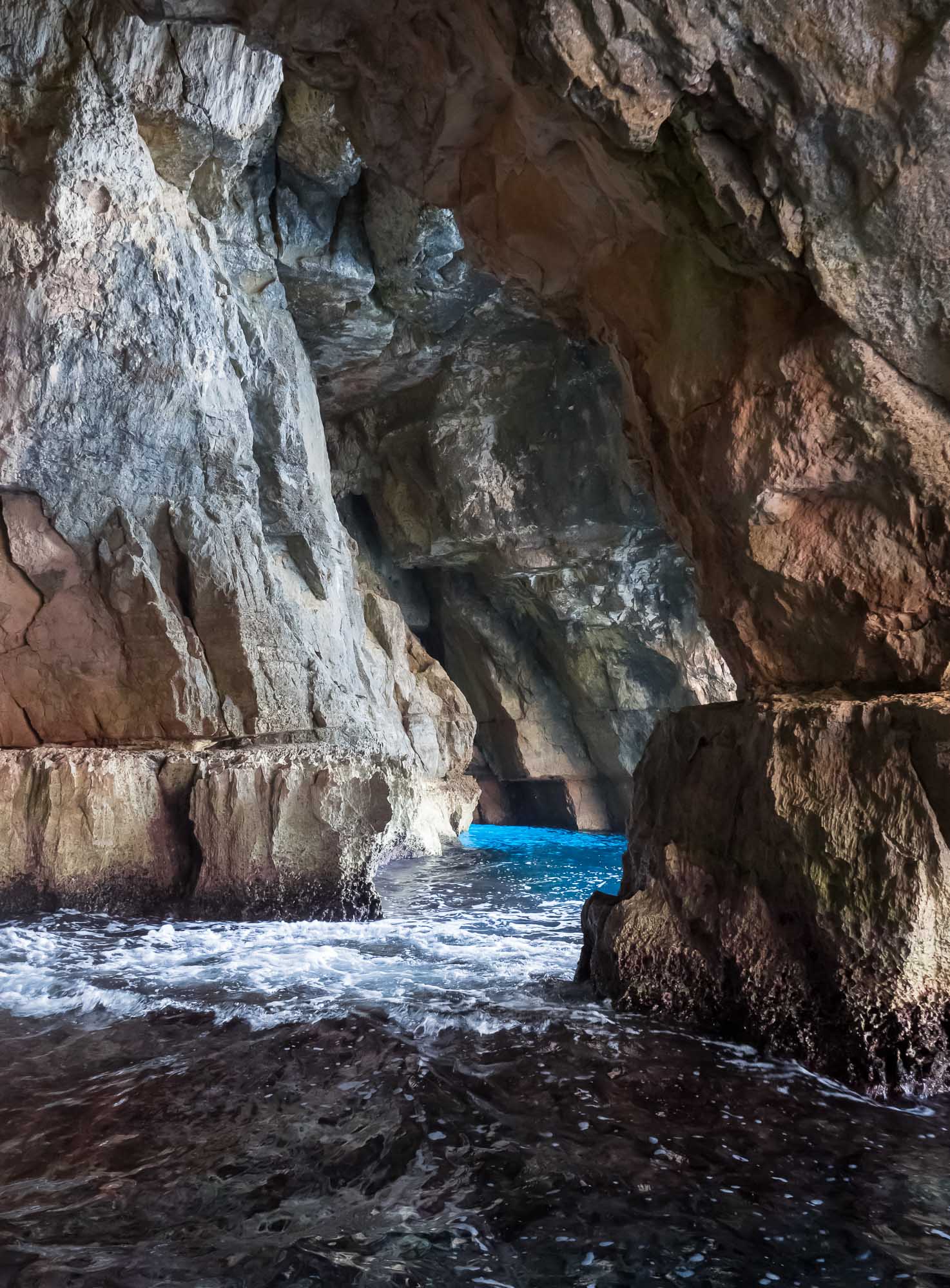
Al Hoota Cave

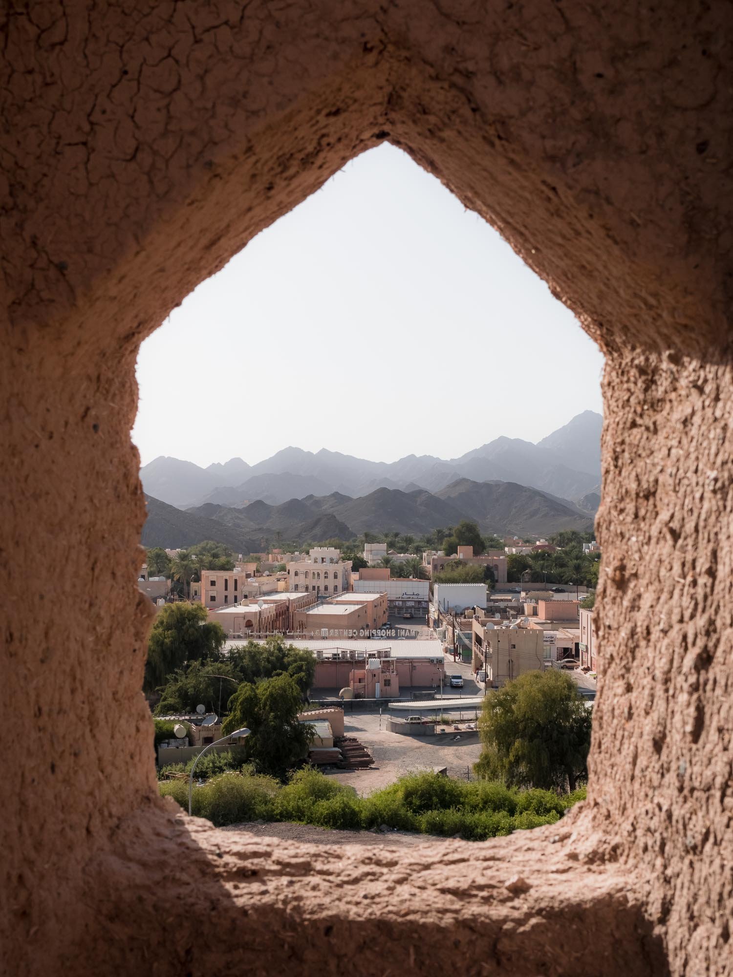
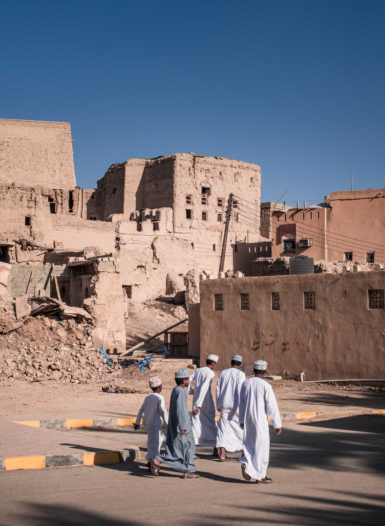
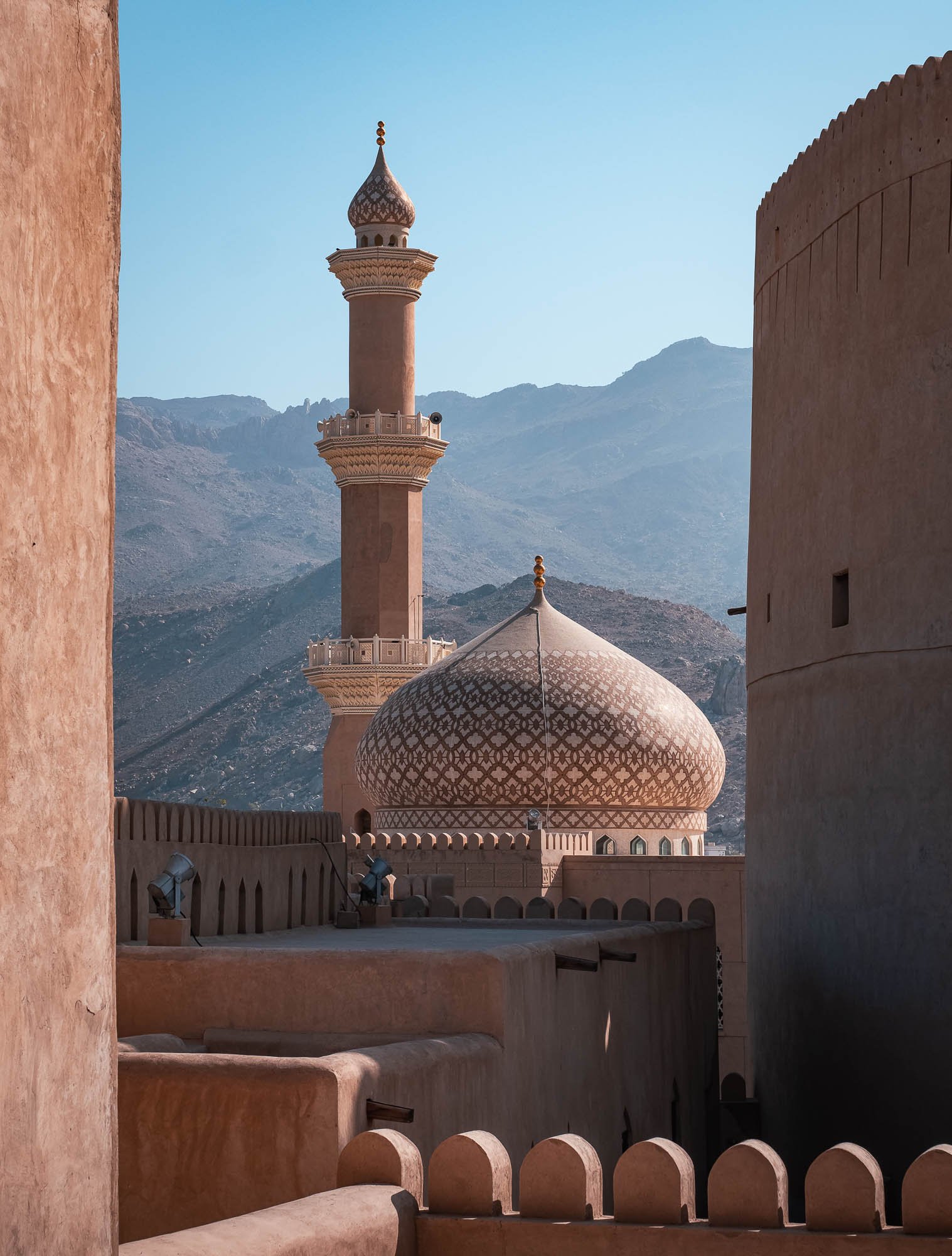
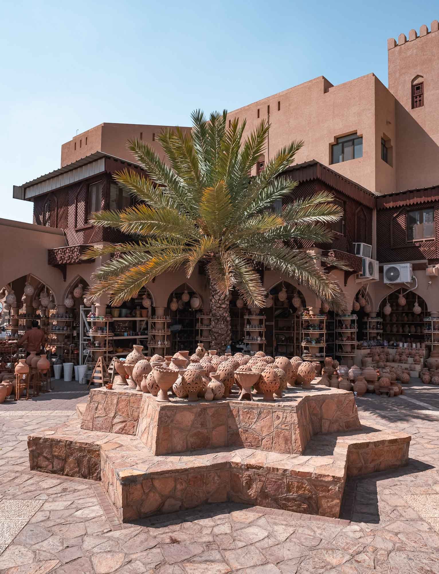
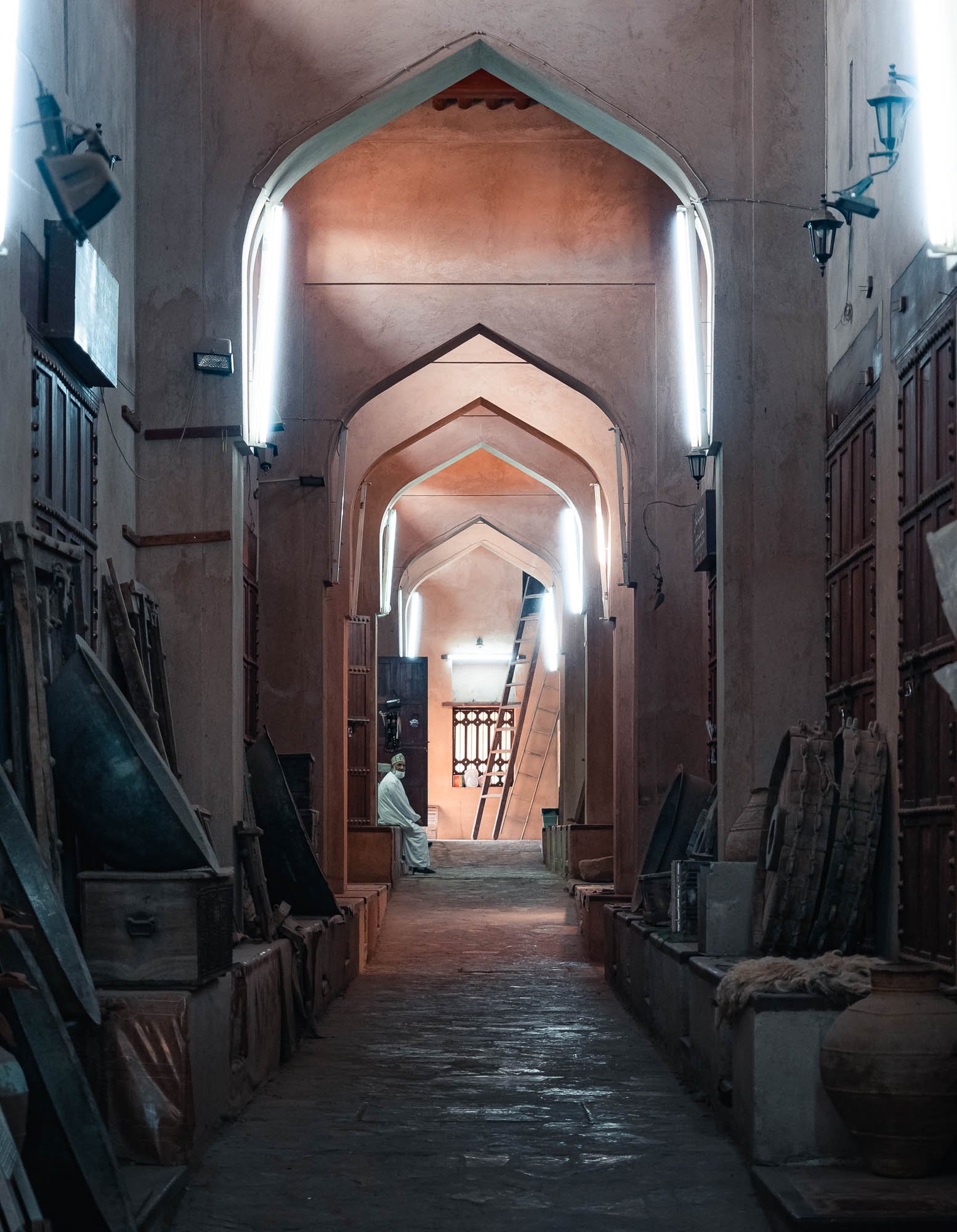
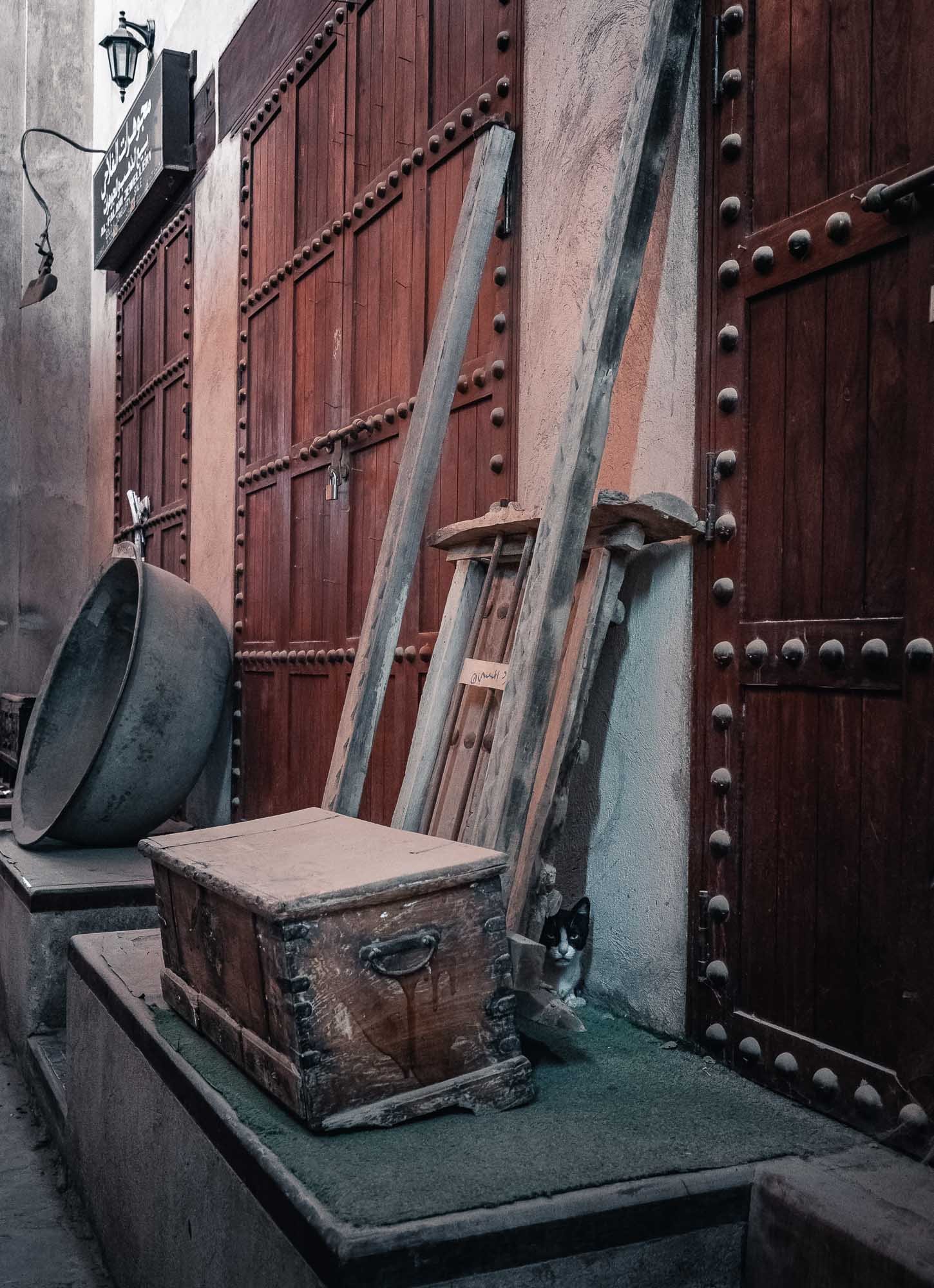
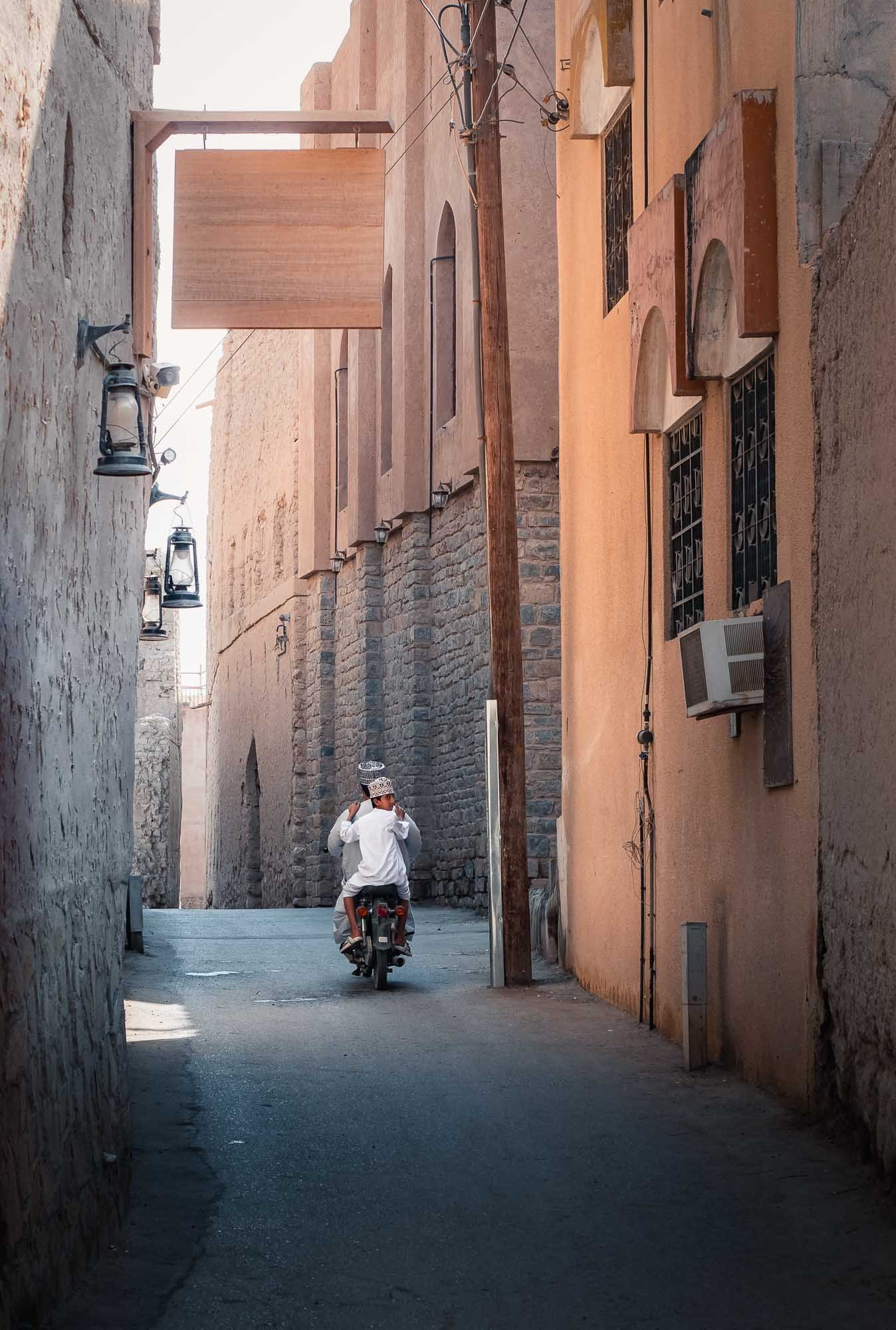
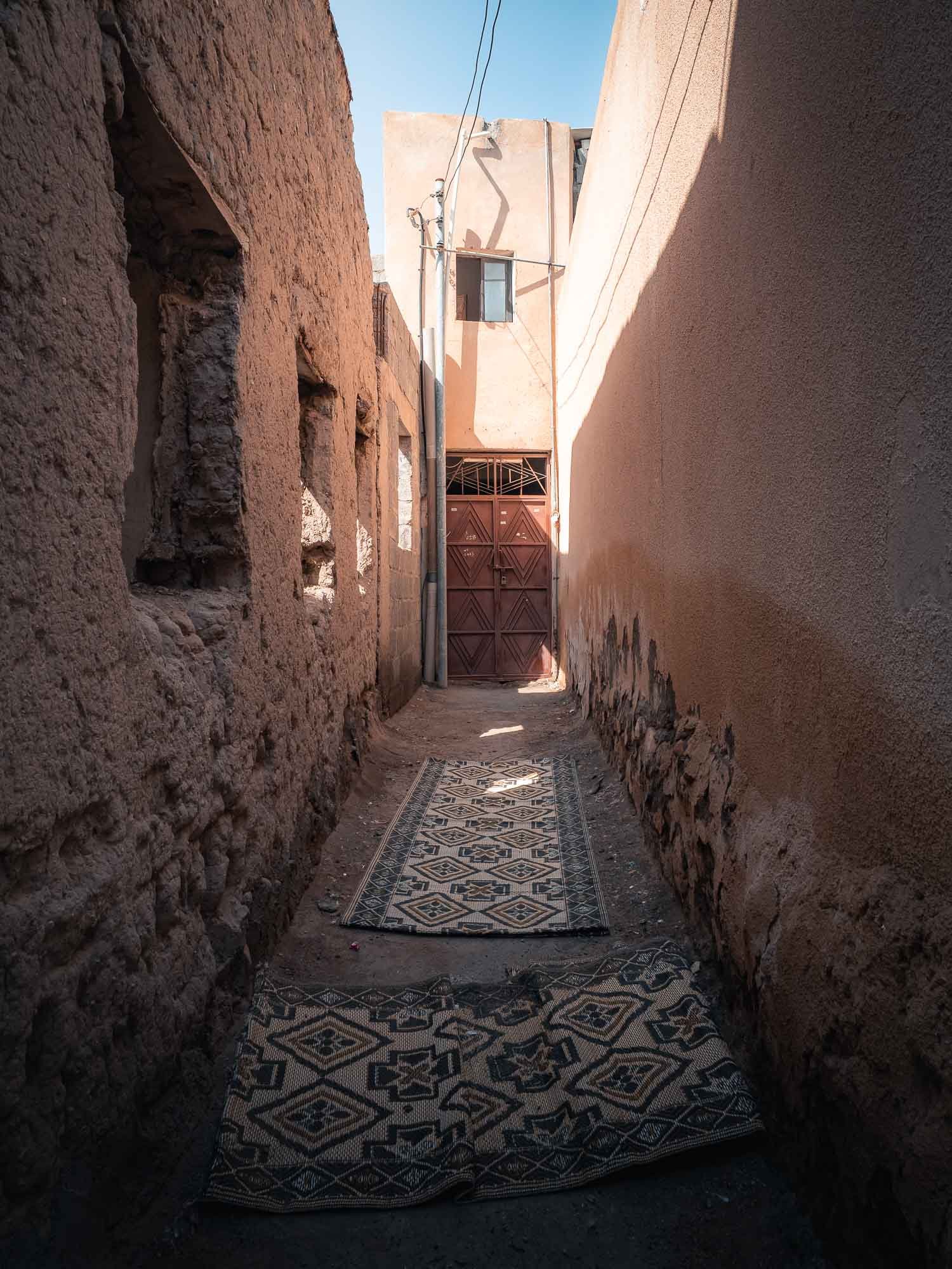
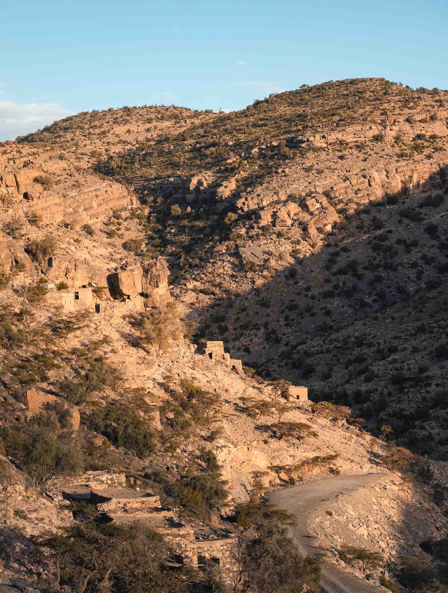
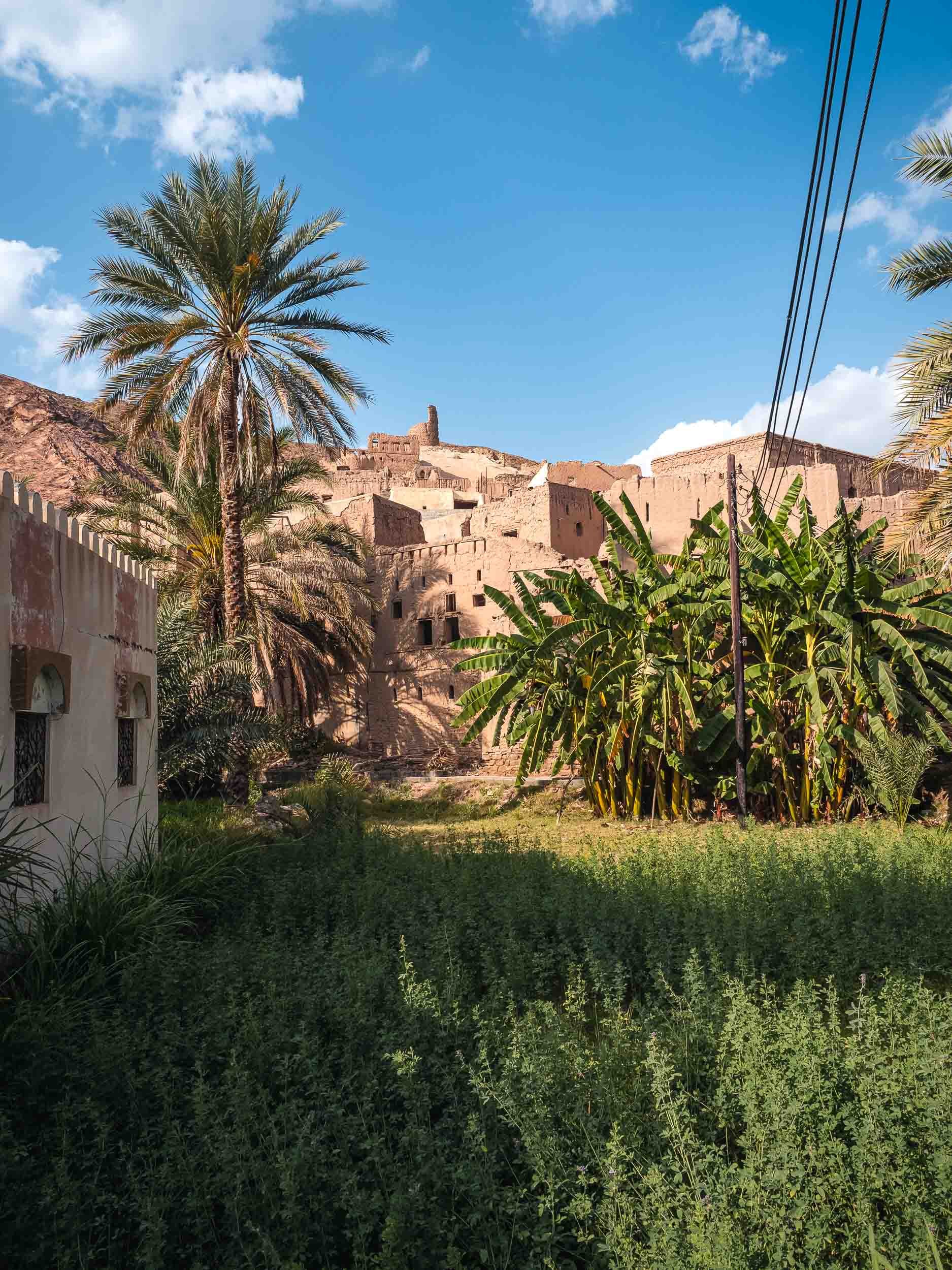
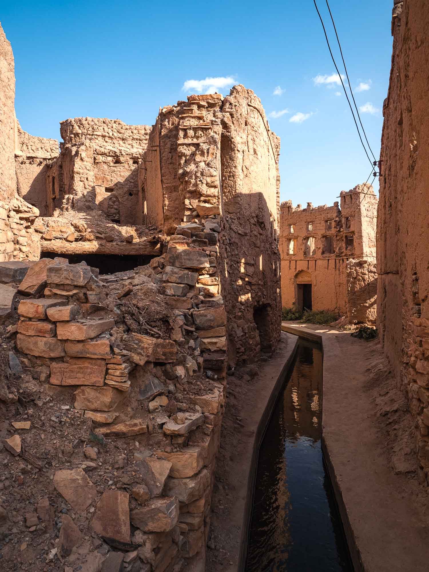
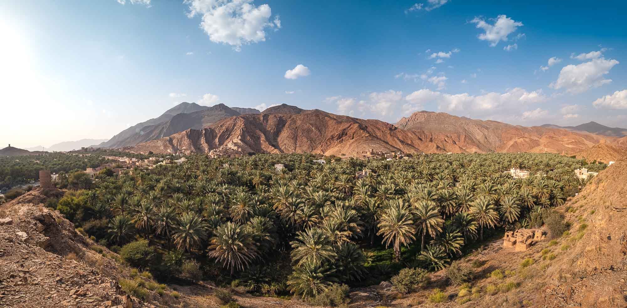
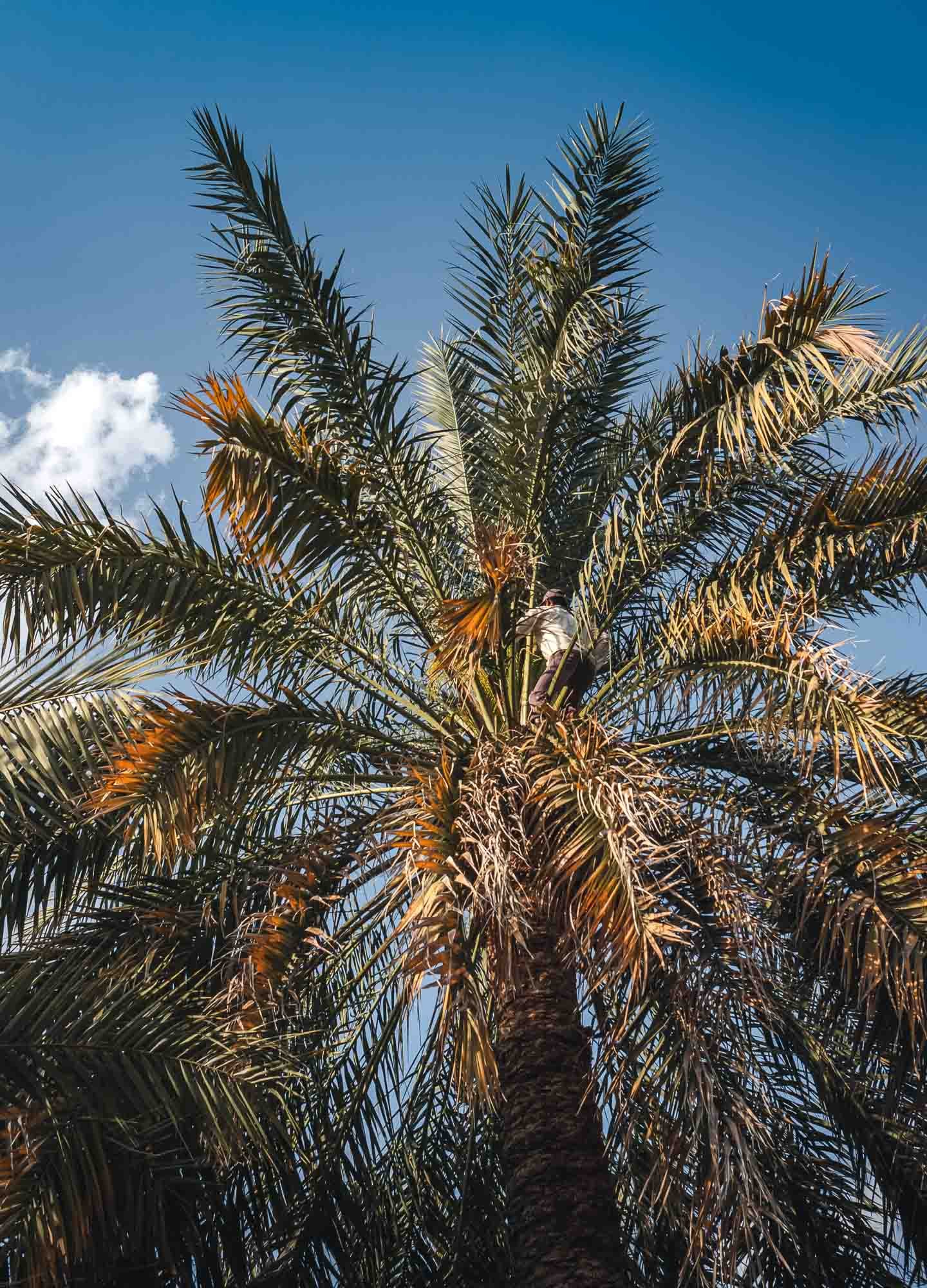
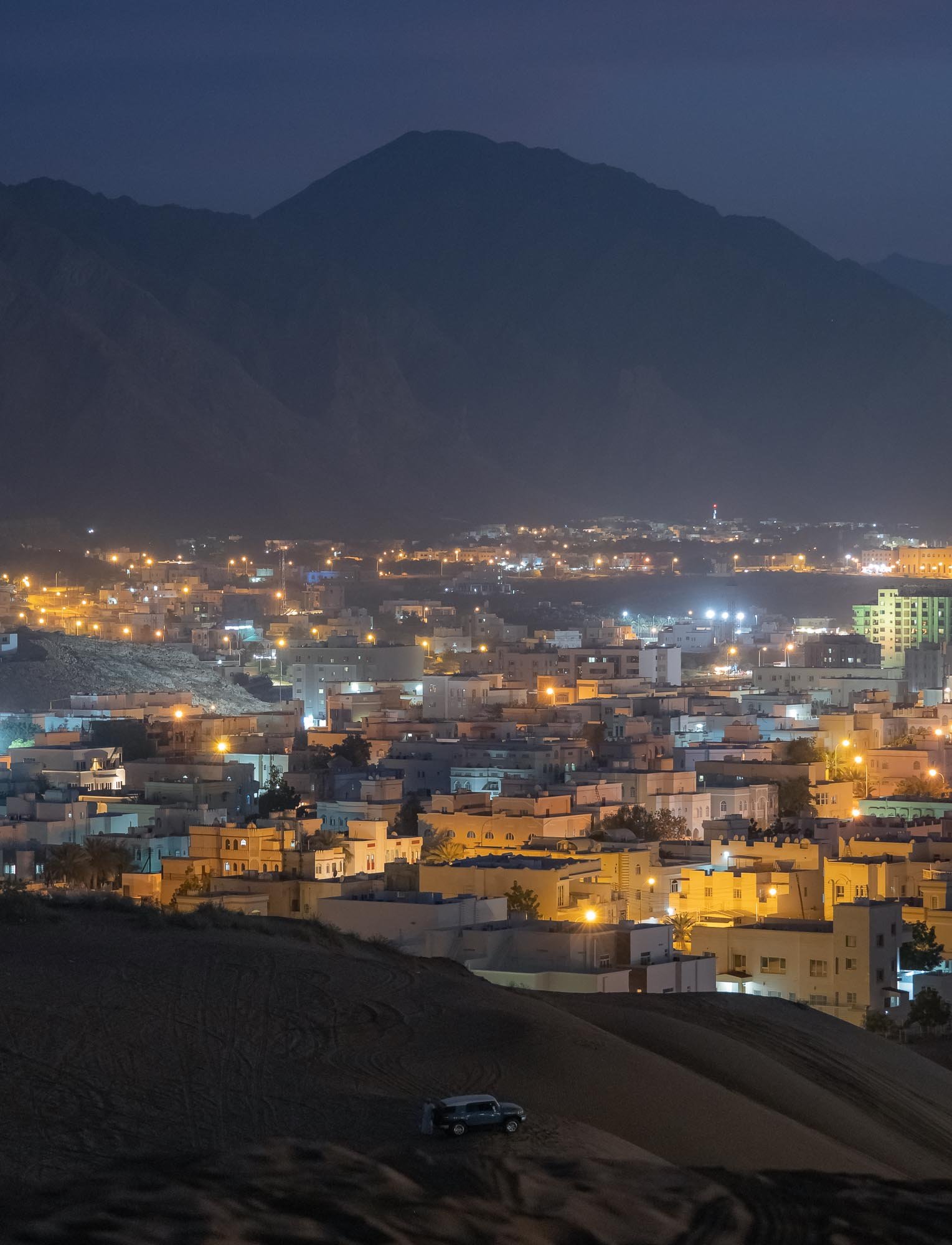
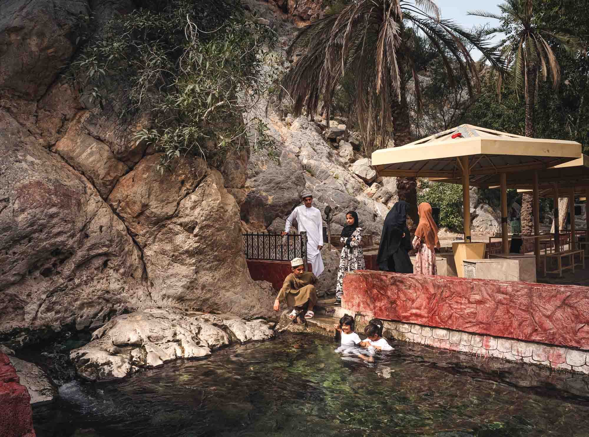
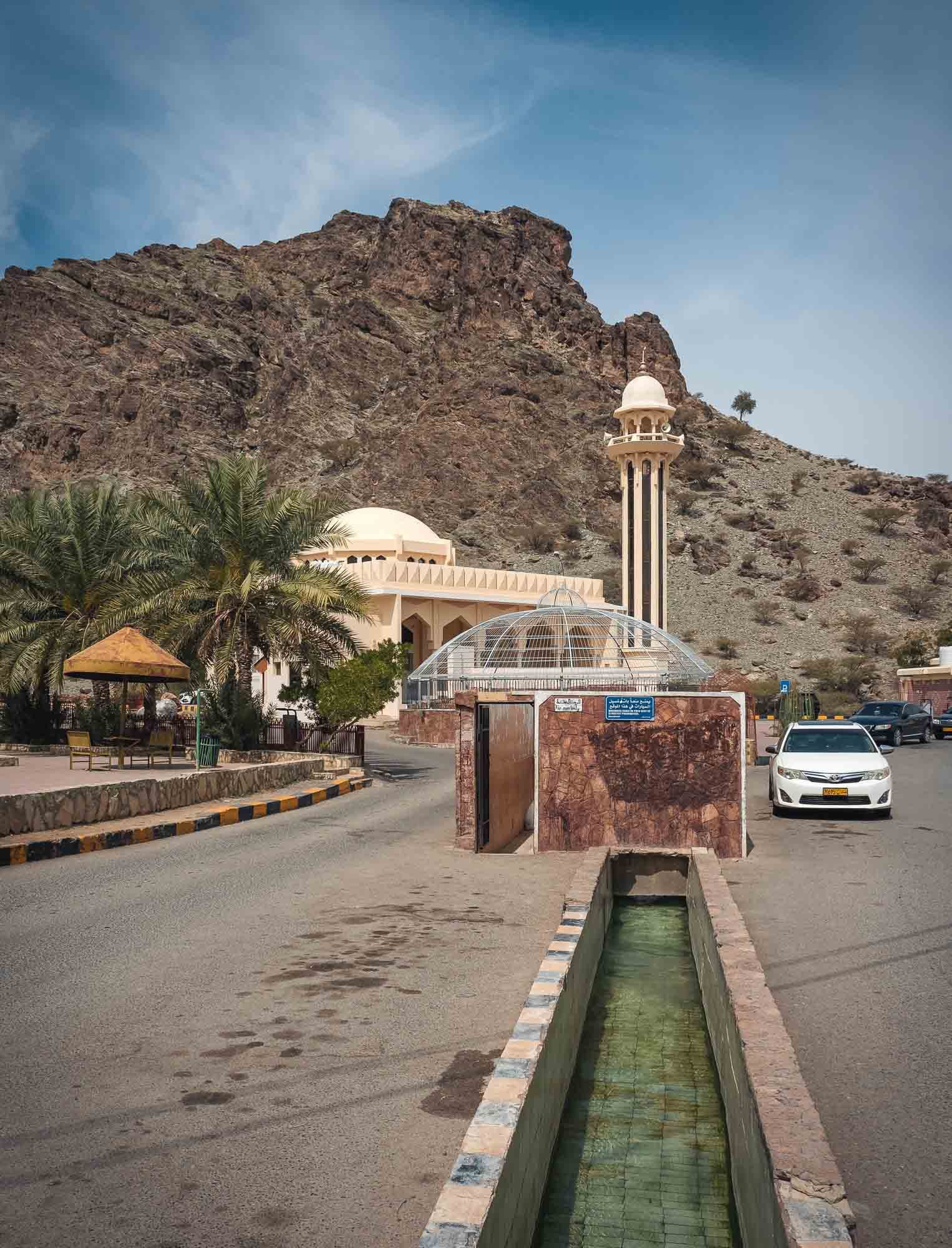
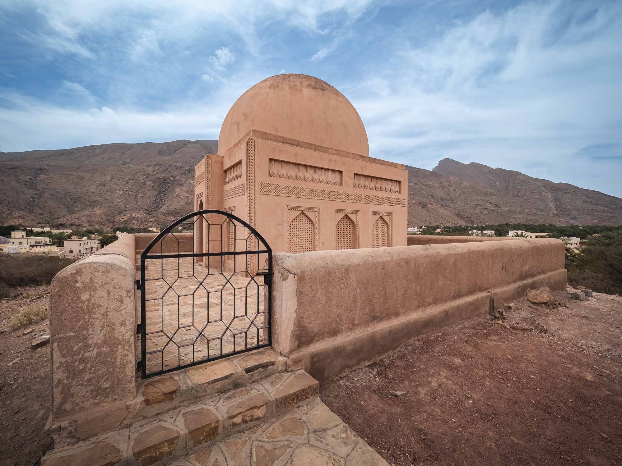
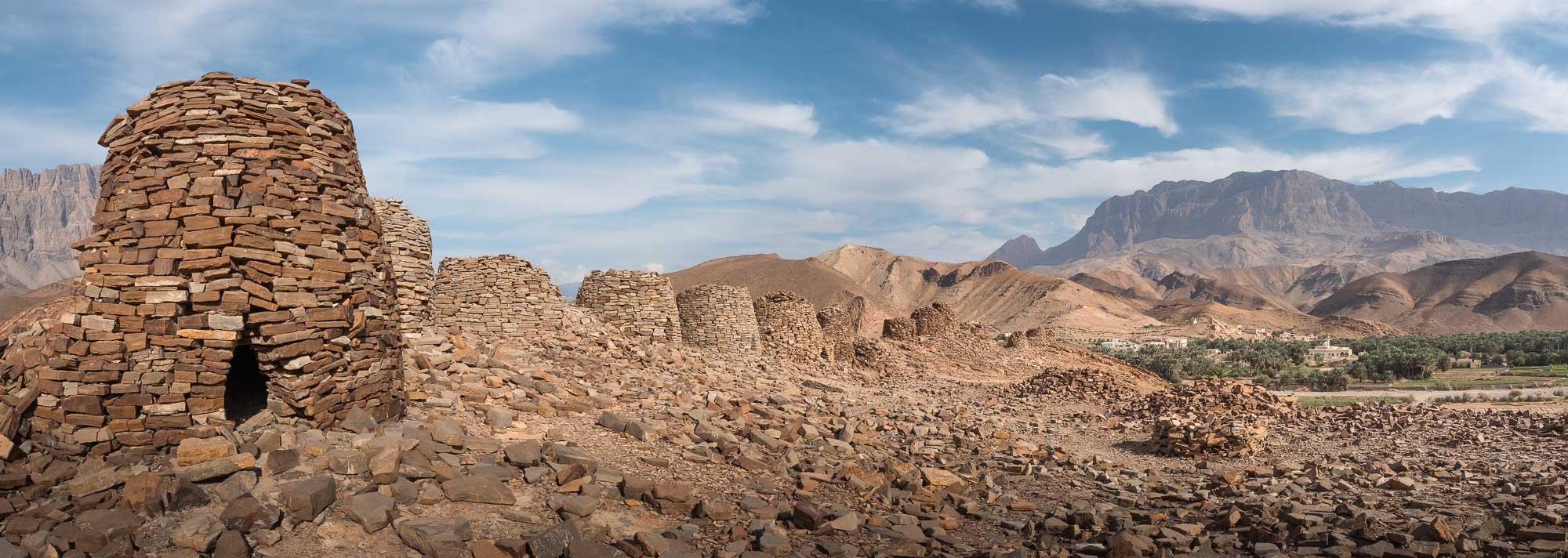
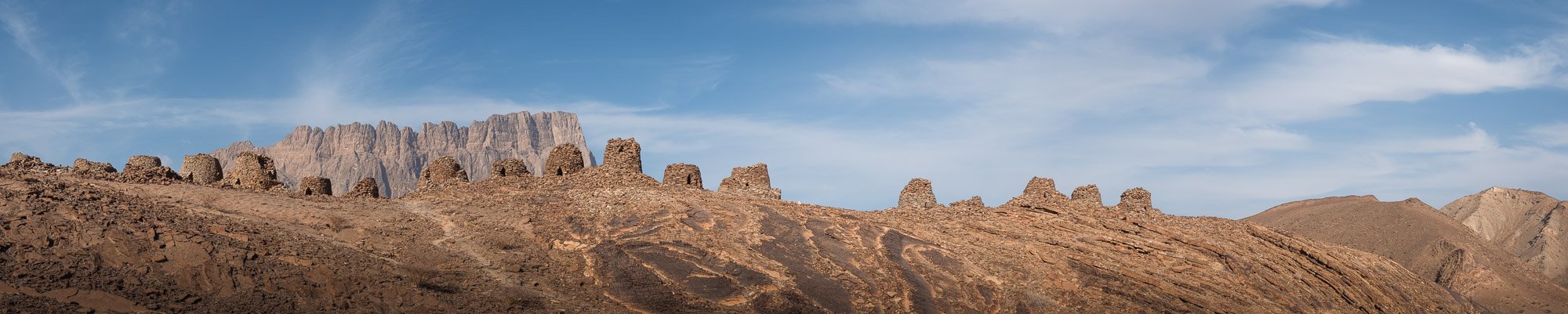
Nizwa
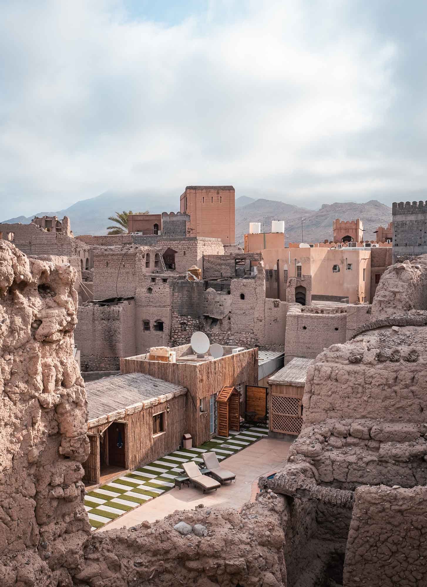

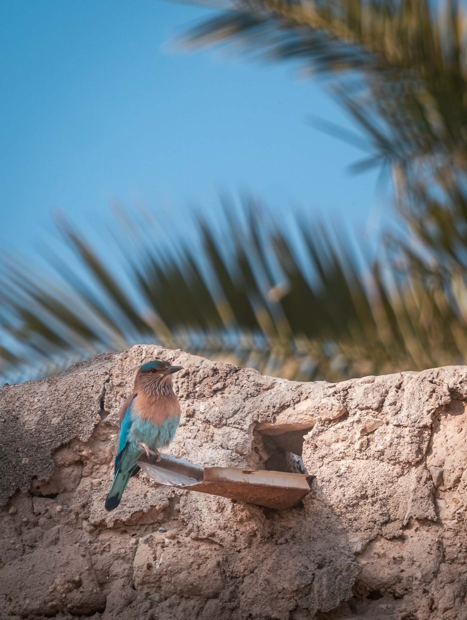


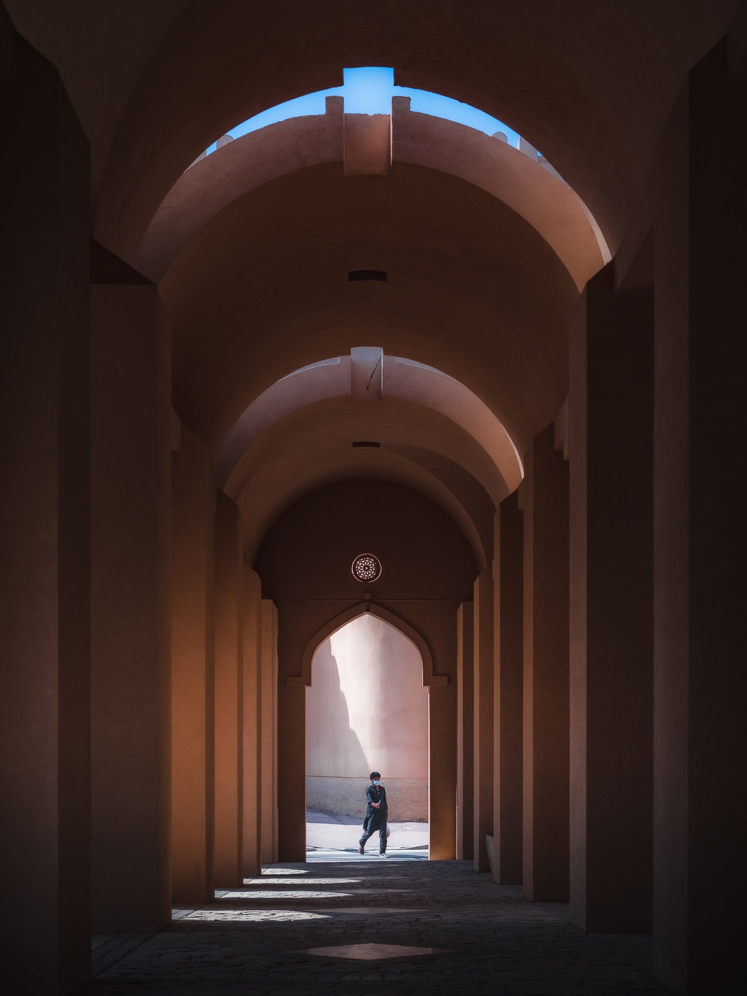
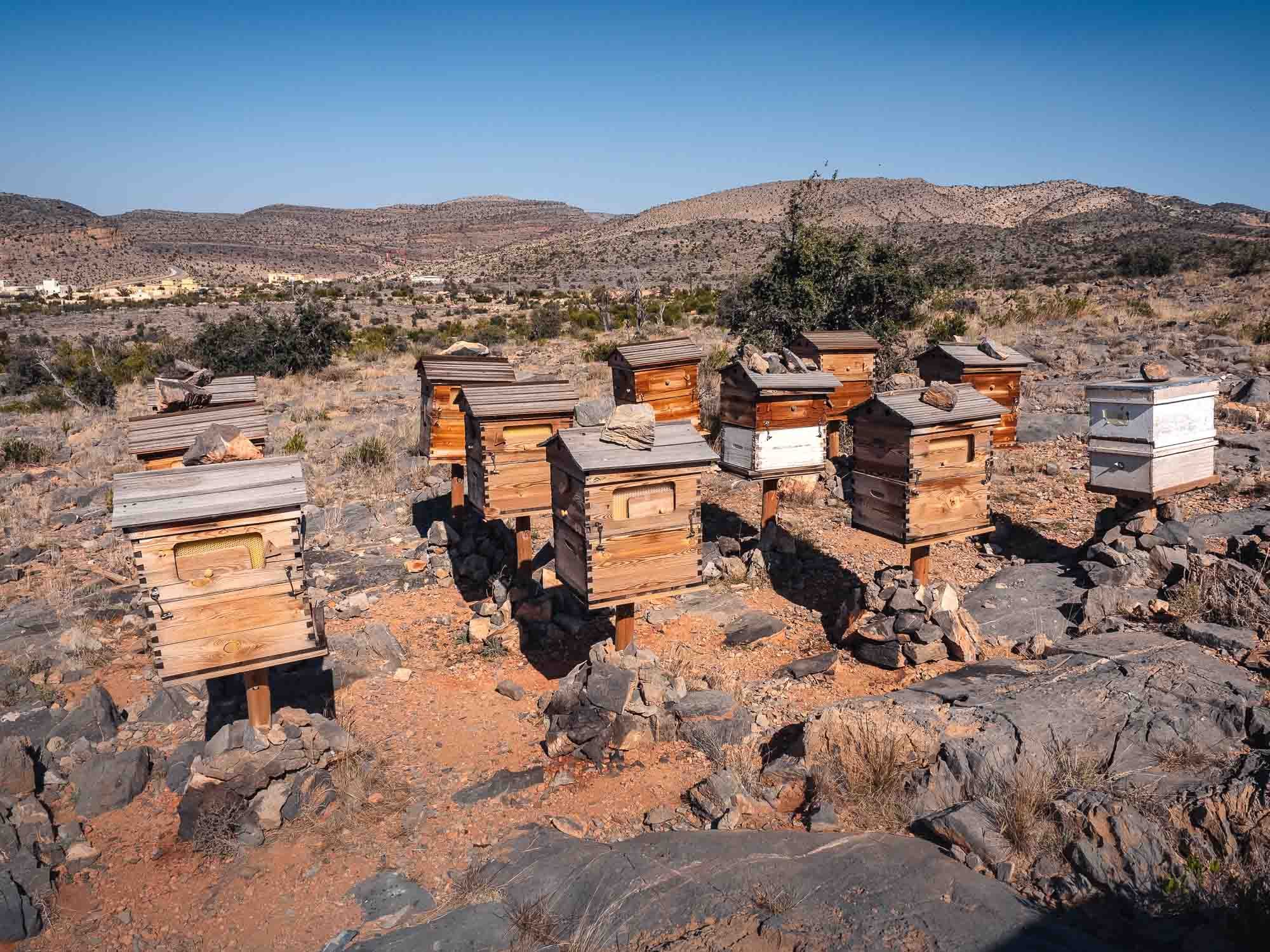
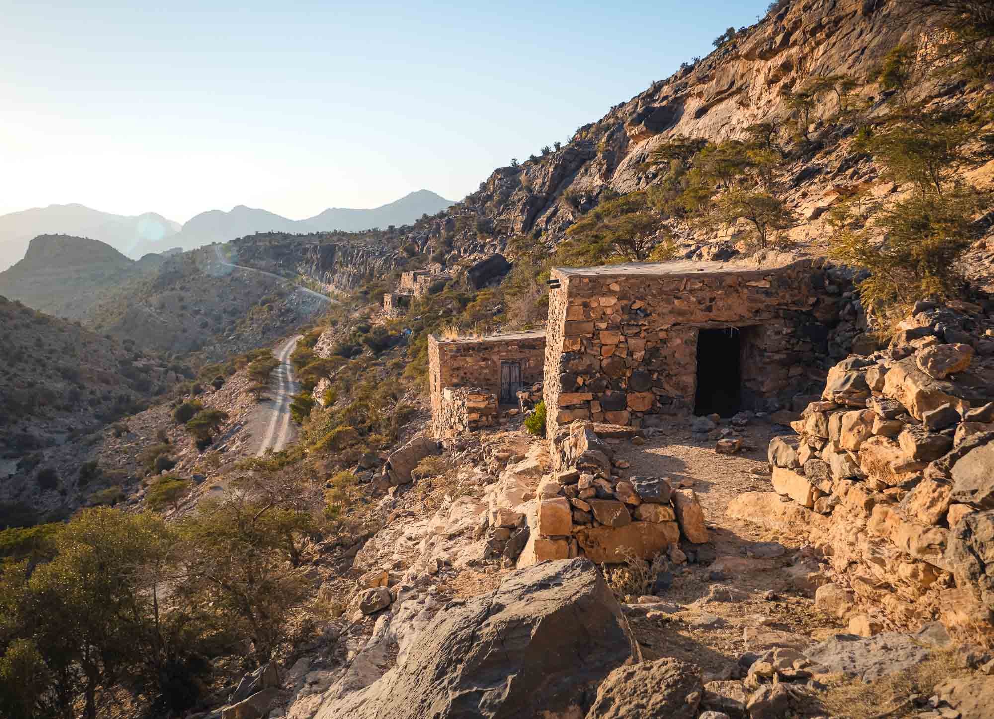
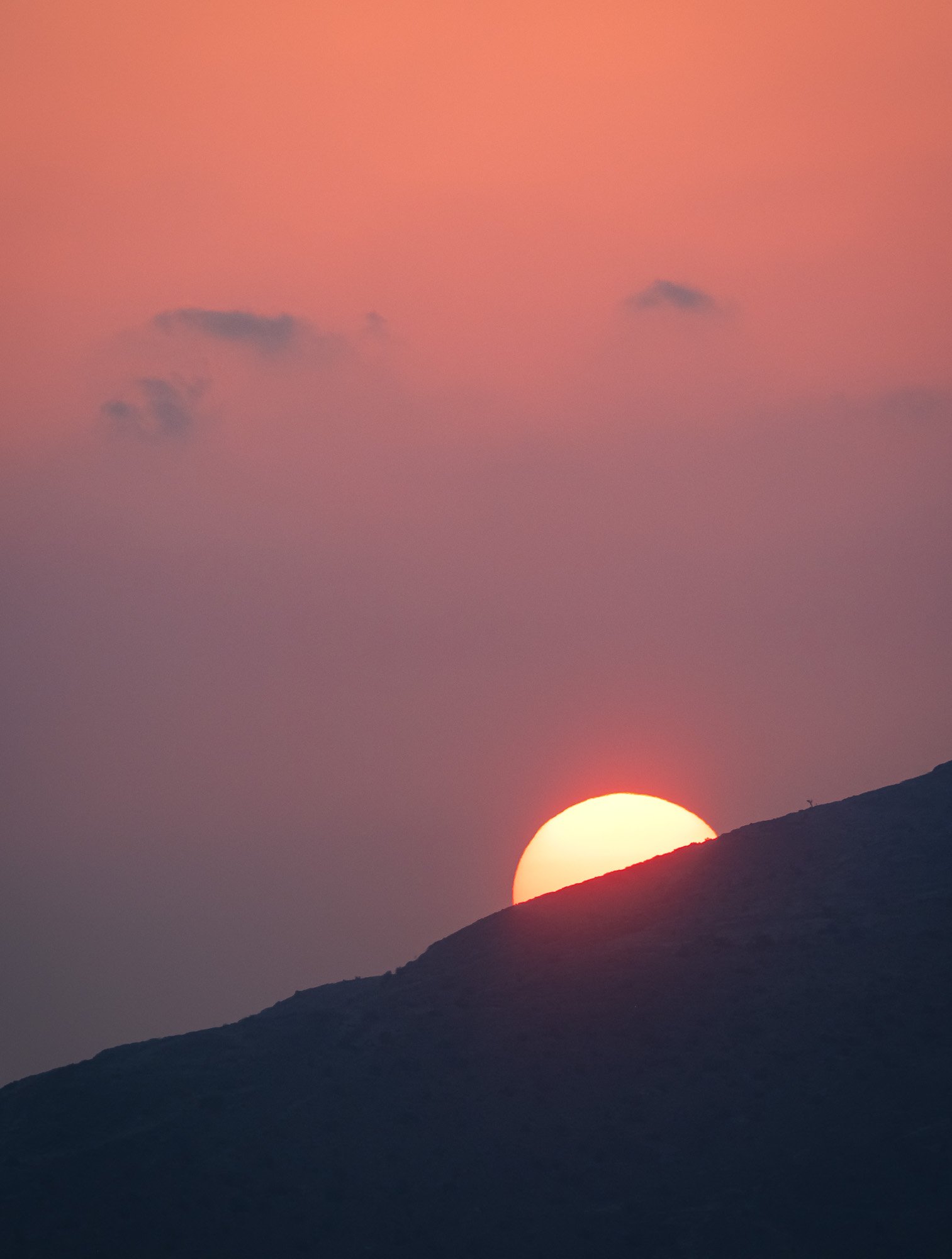
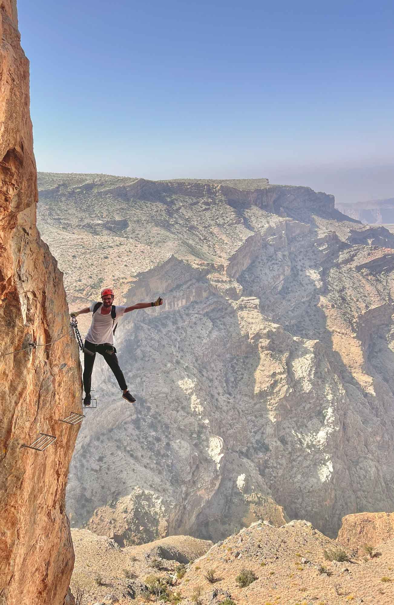
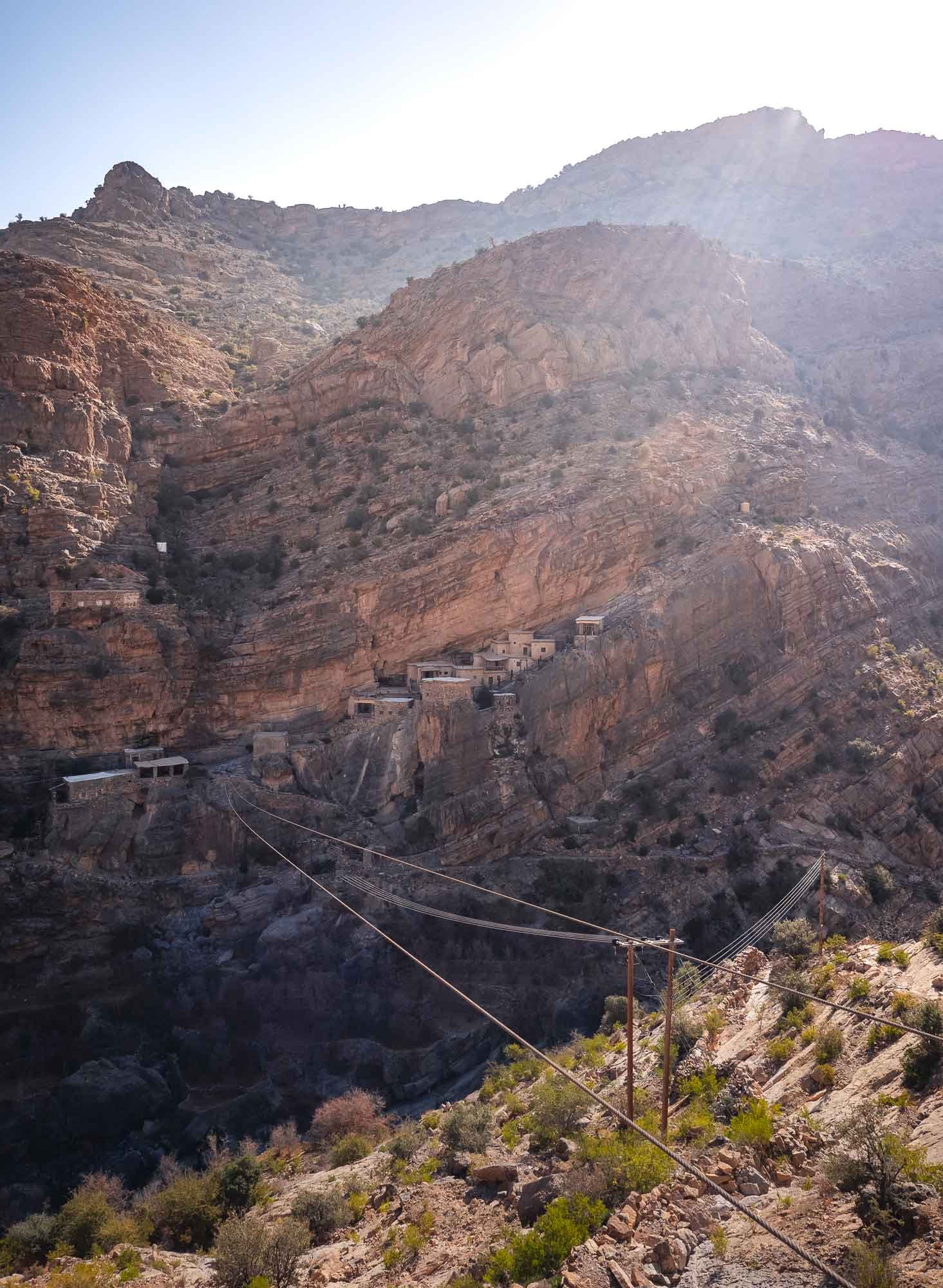
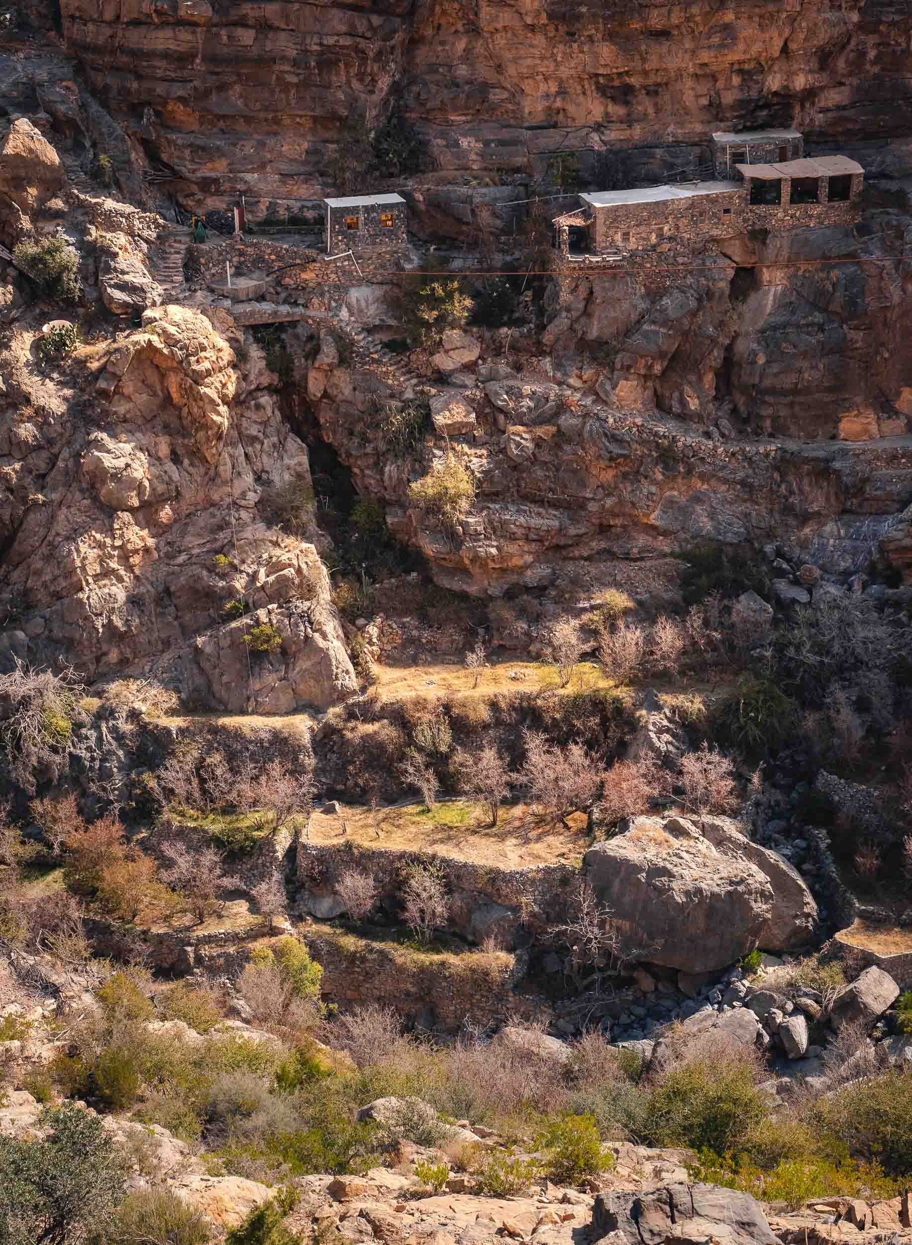
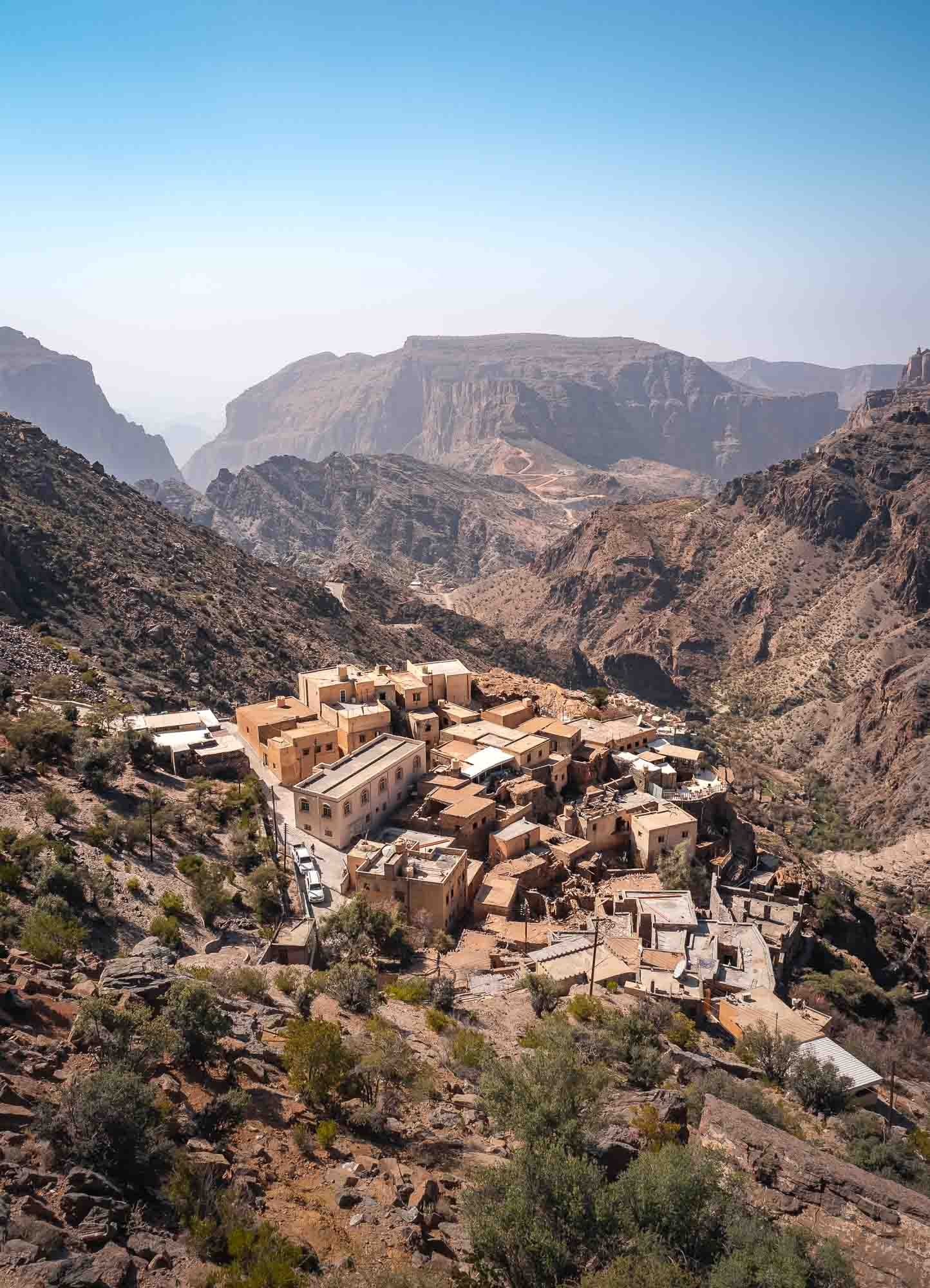
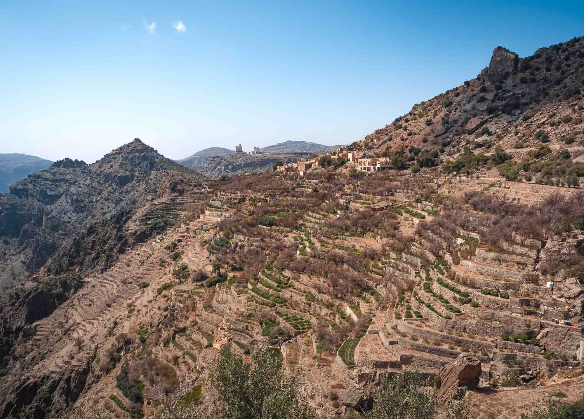
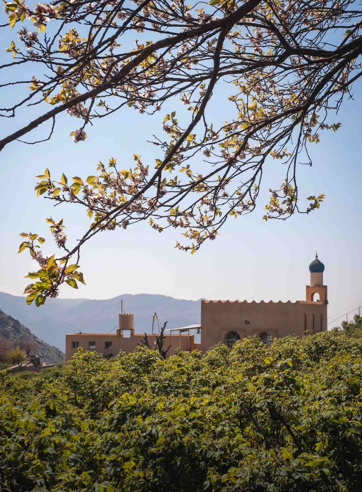
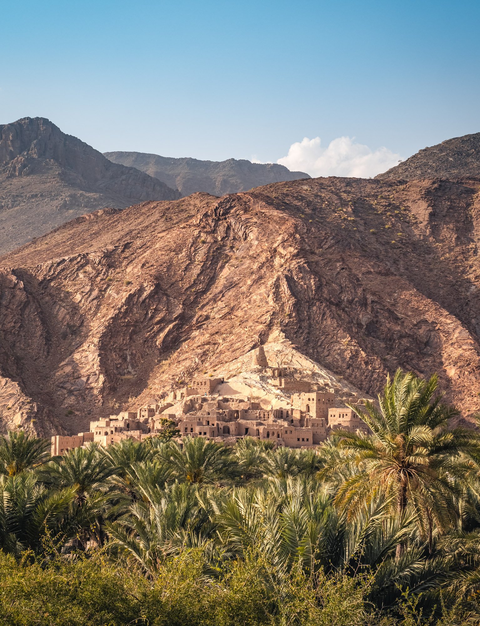
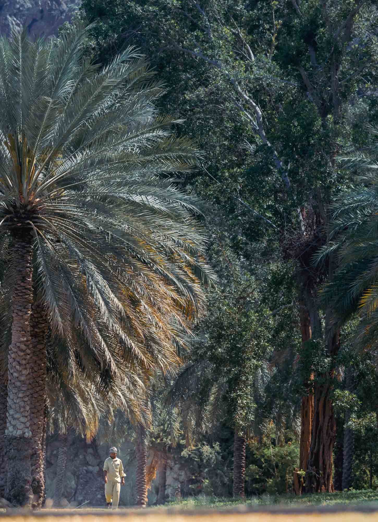
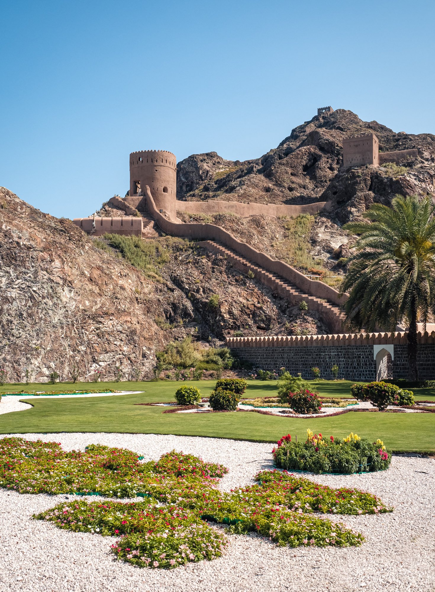
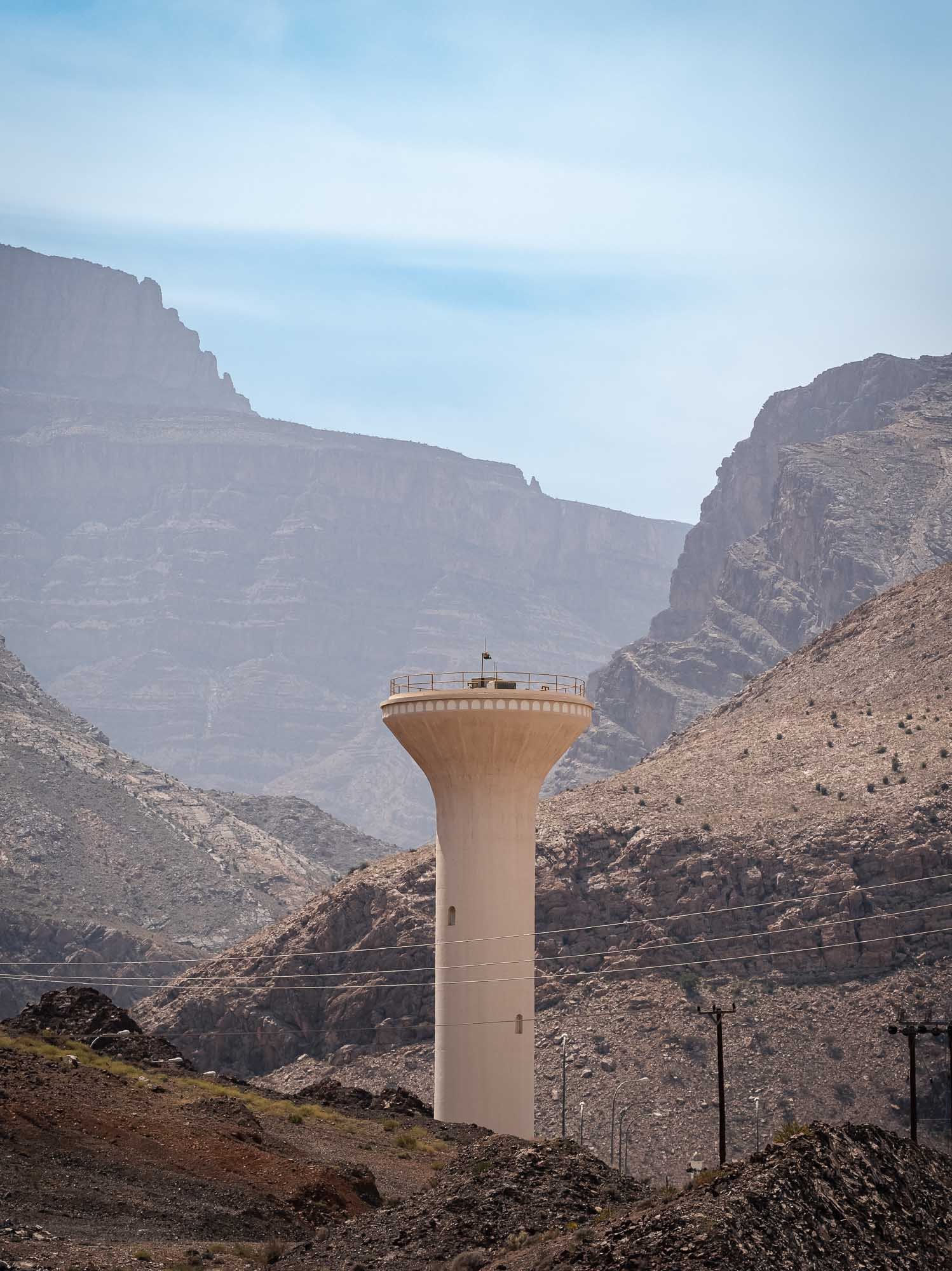
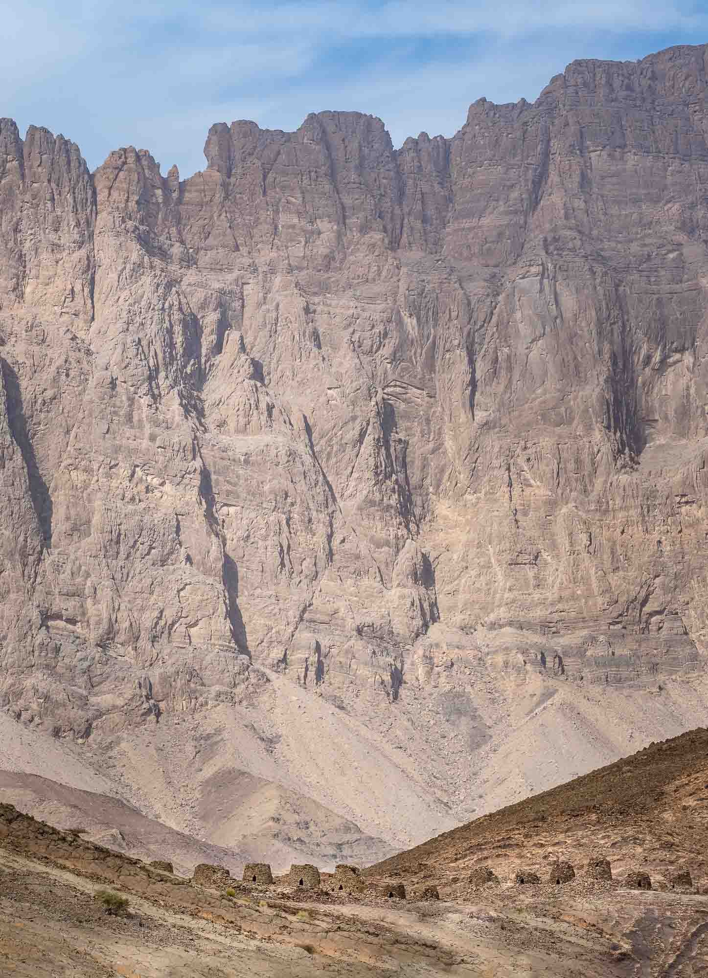
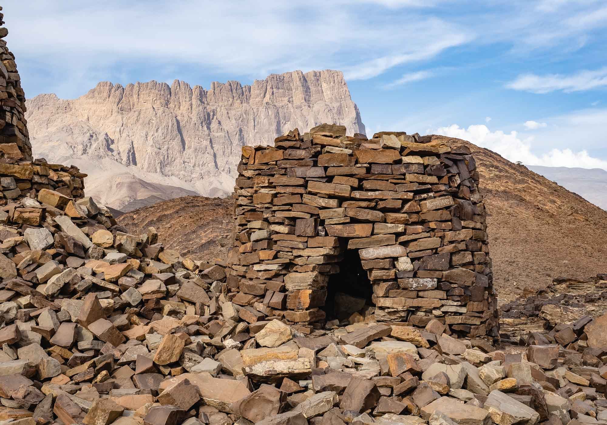
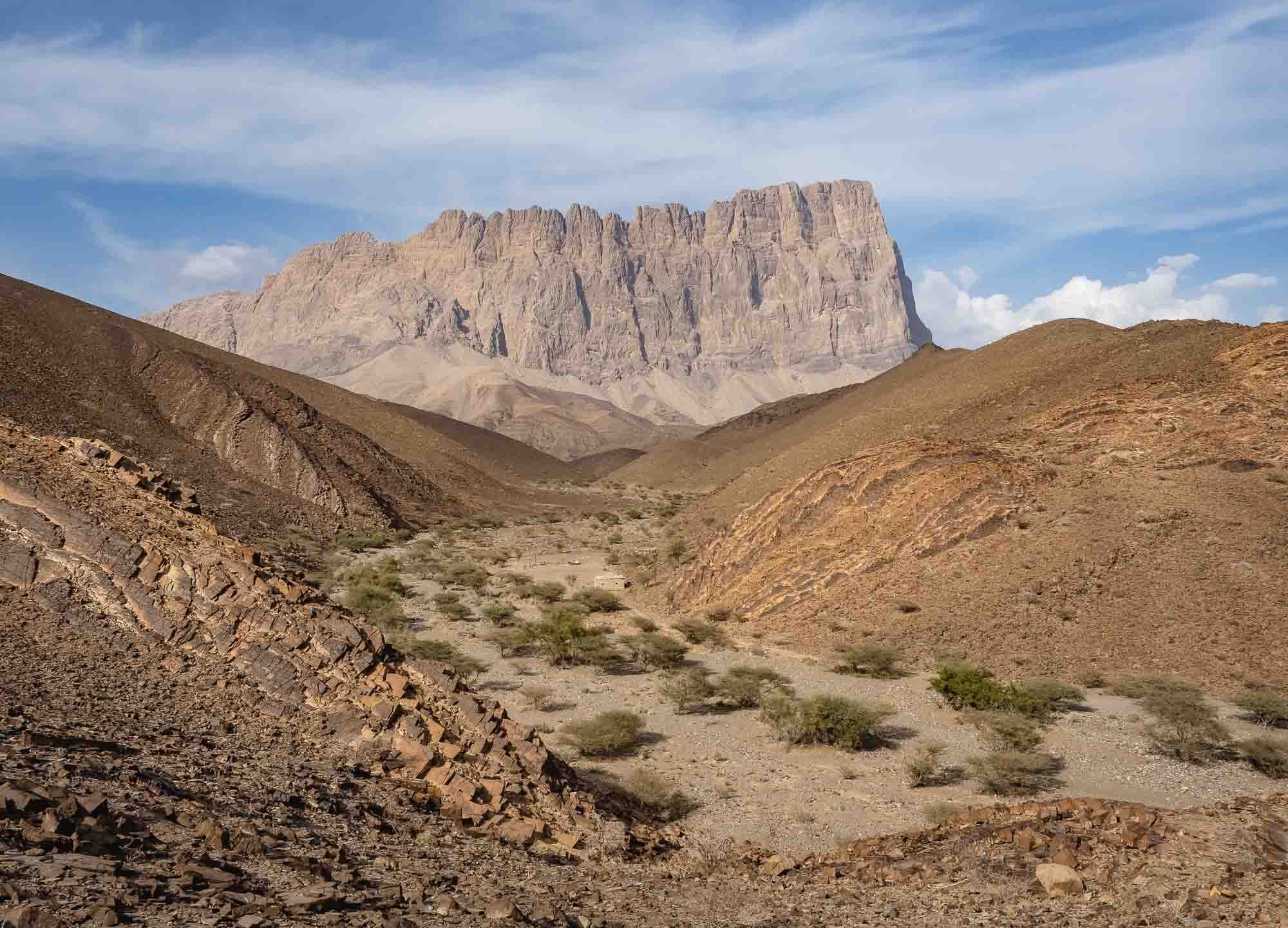
Jebel Akhdar


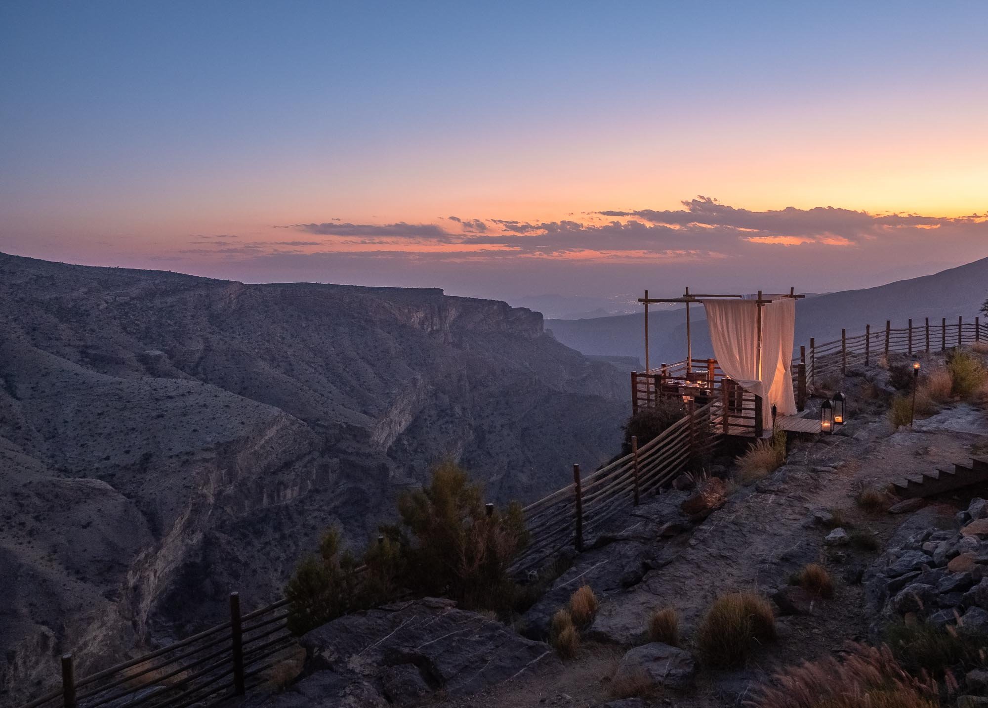
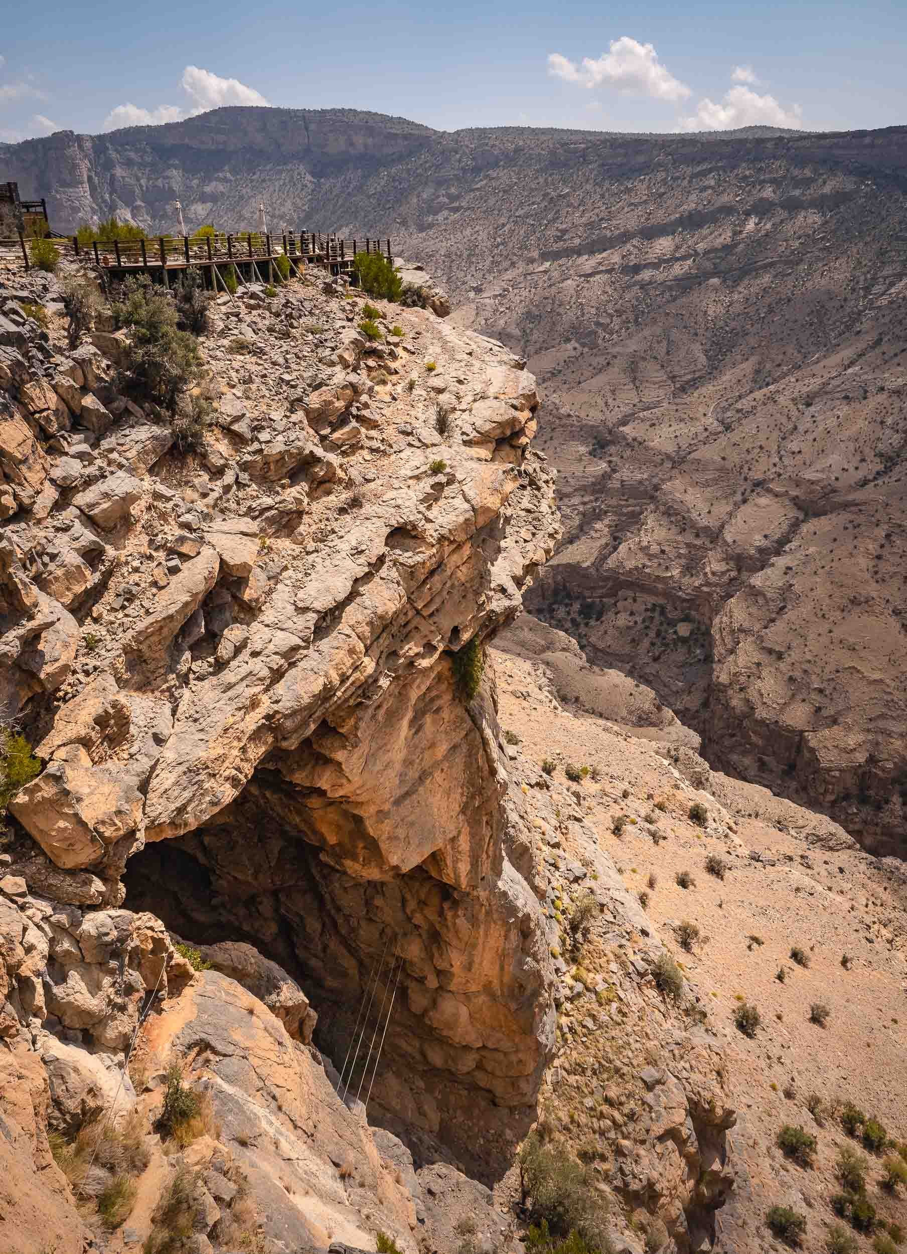
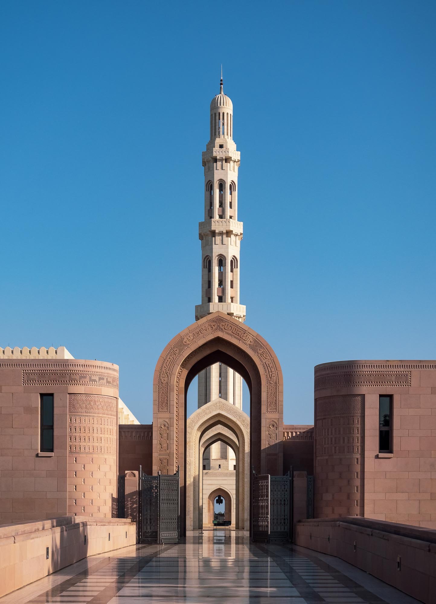
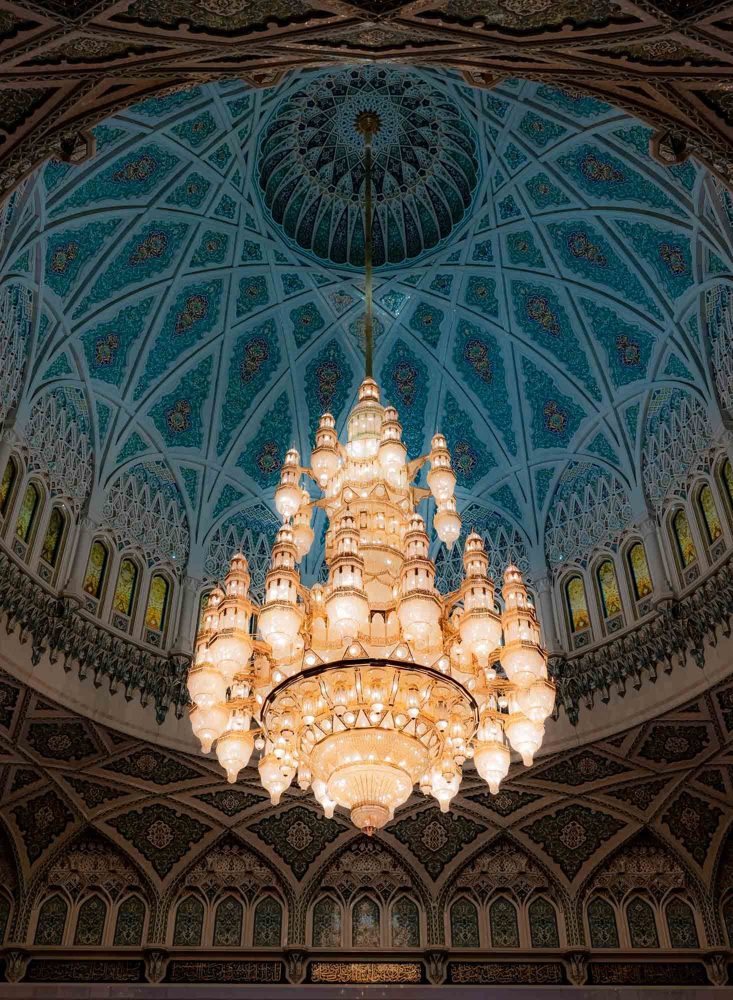
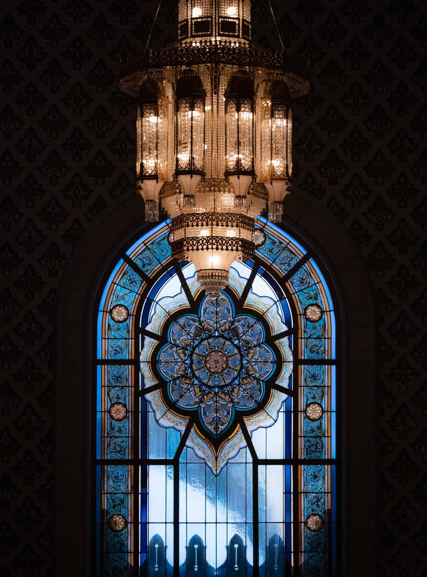
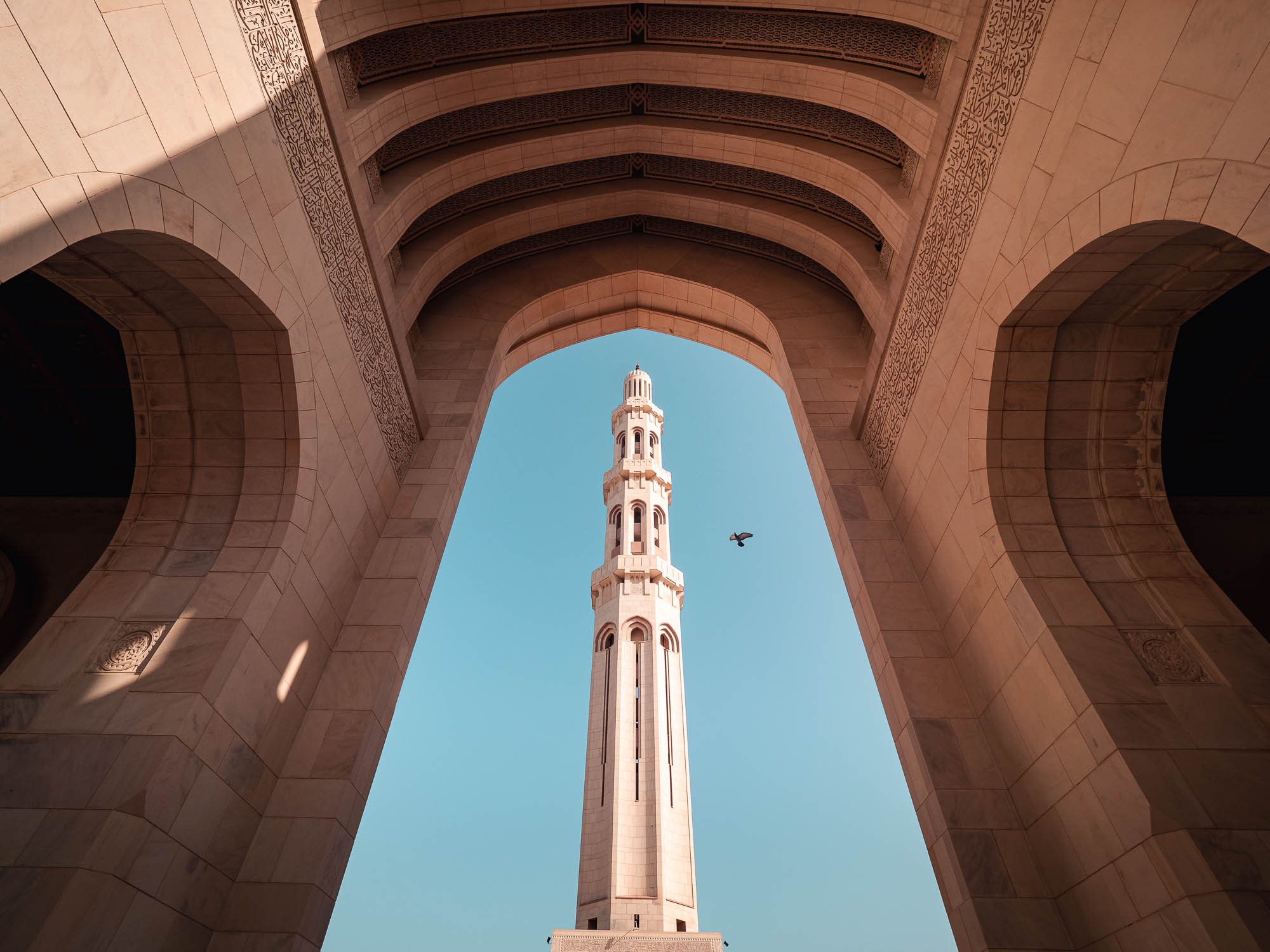
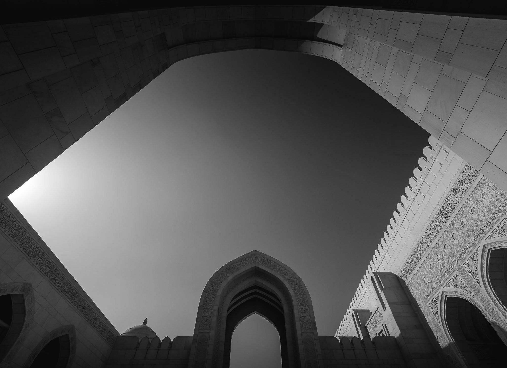
Onwards to Muscat
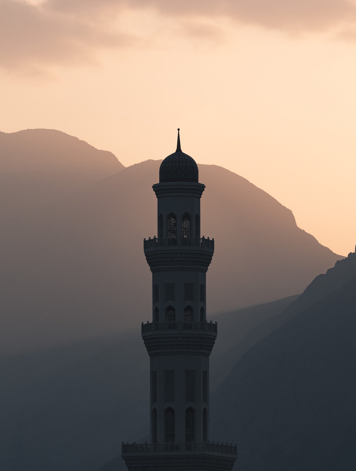
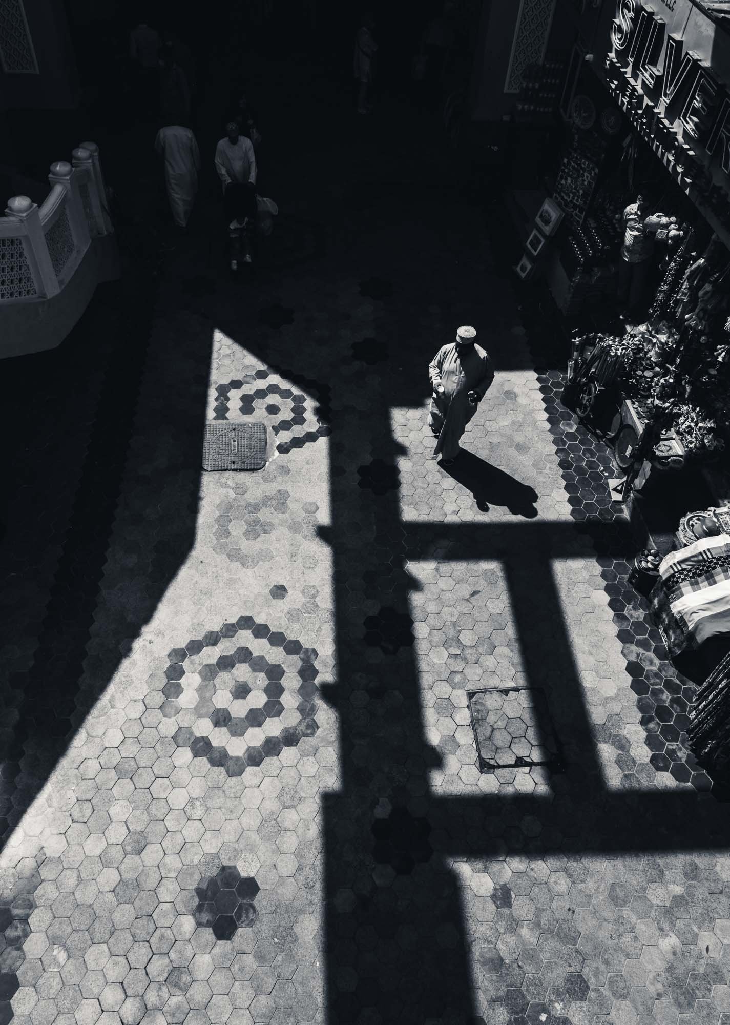
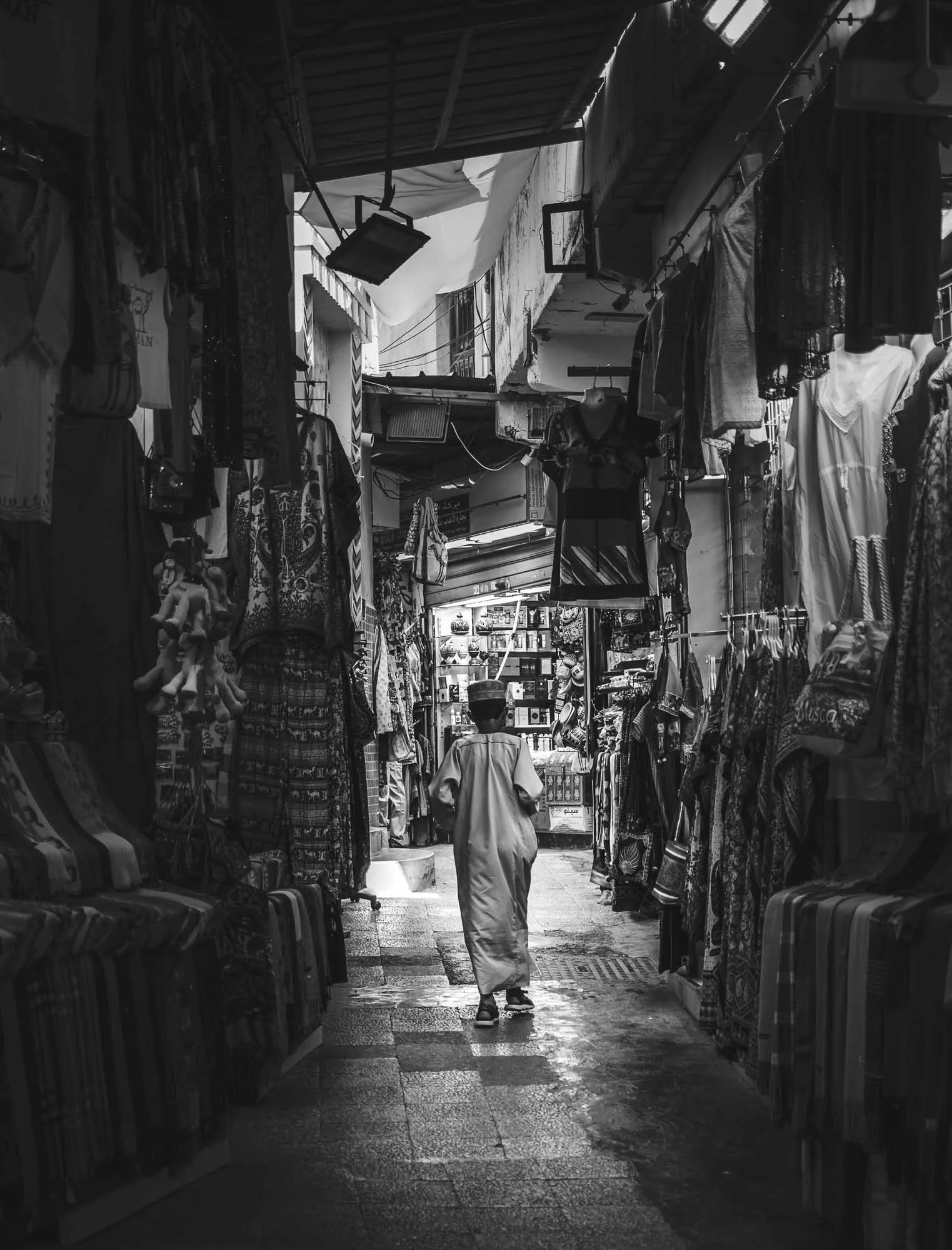
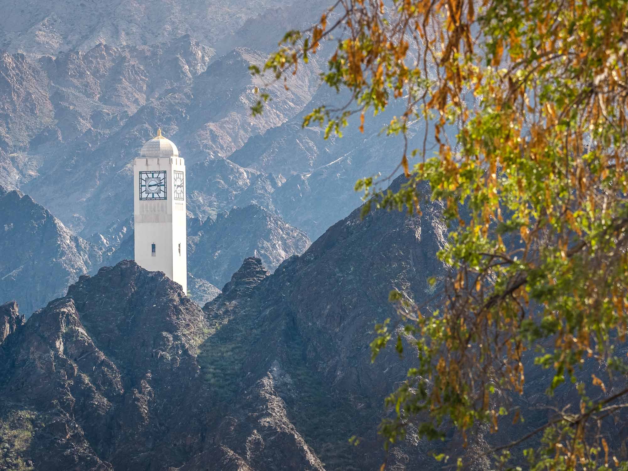
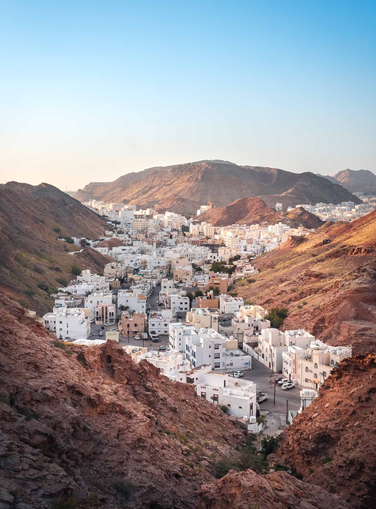
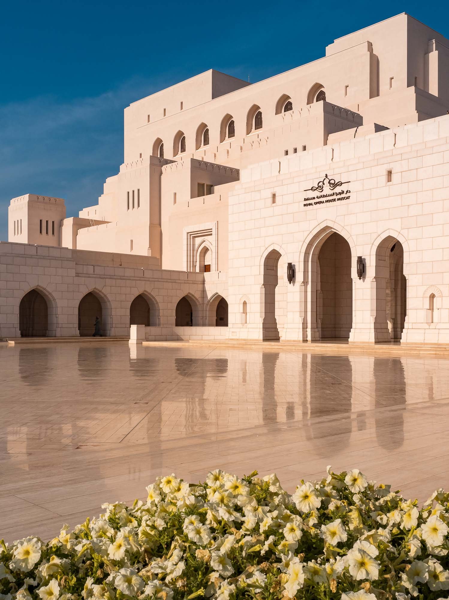
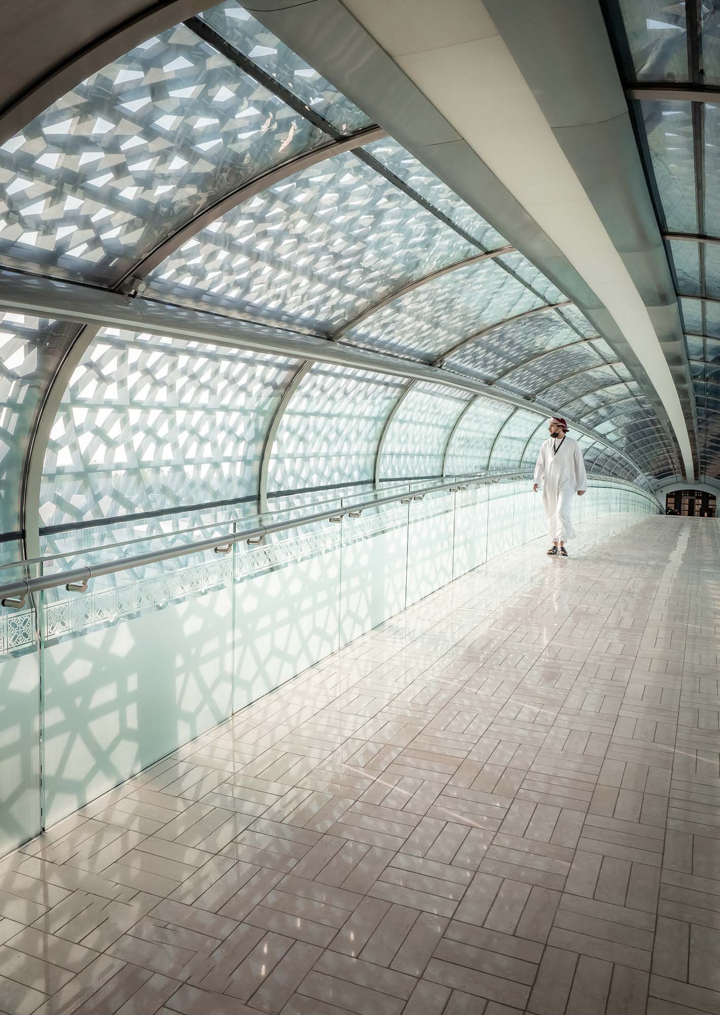
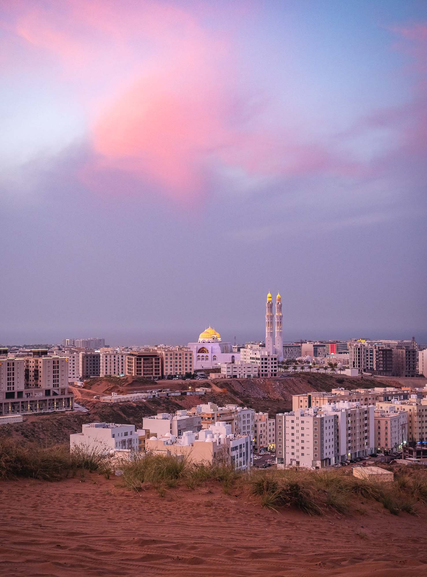
The Capital and its Surroundings
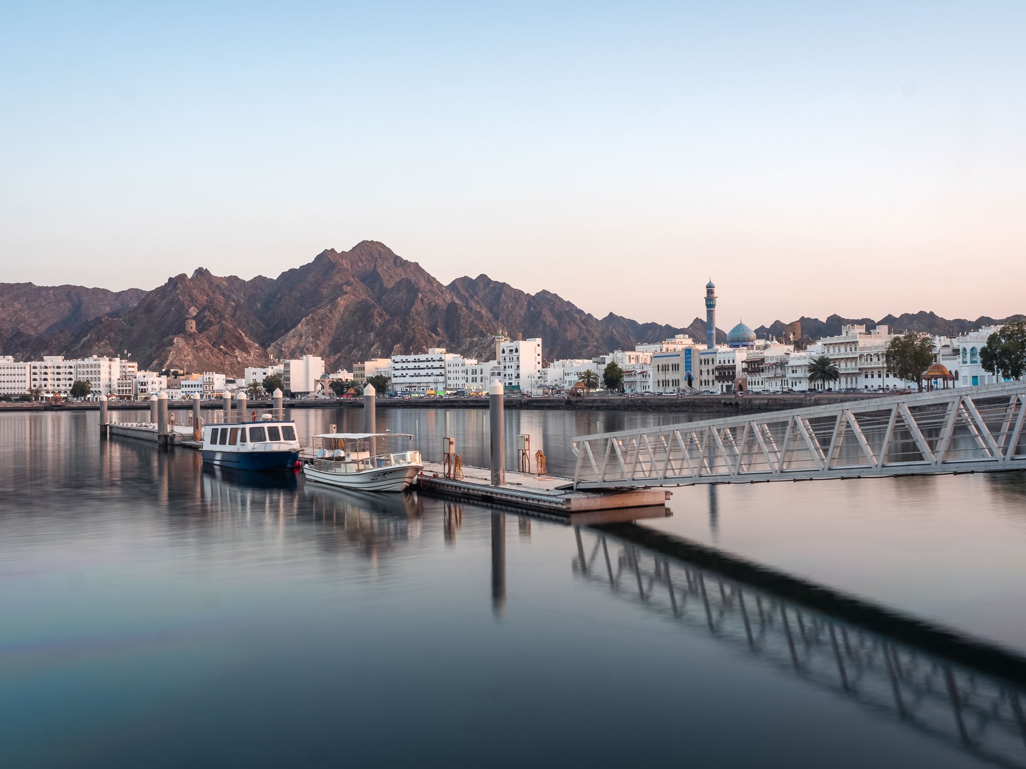
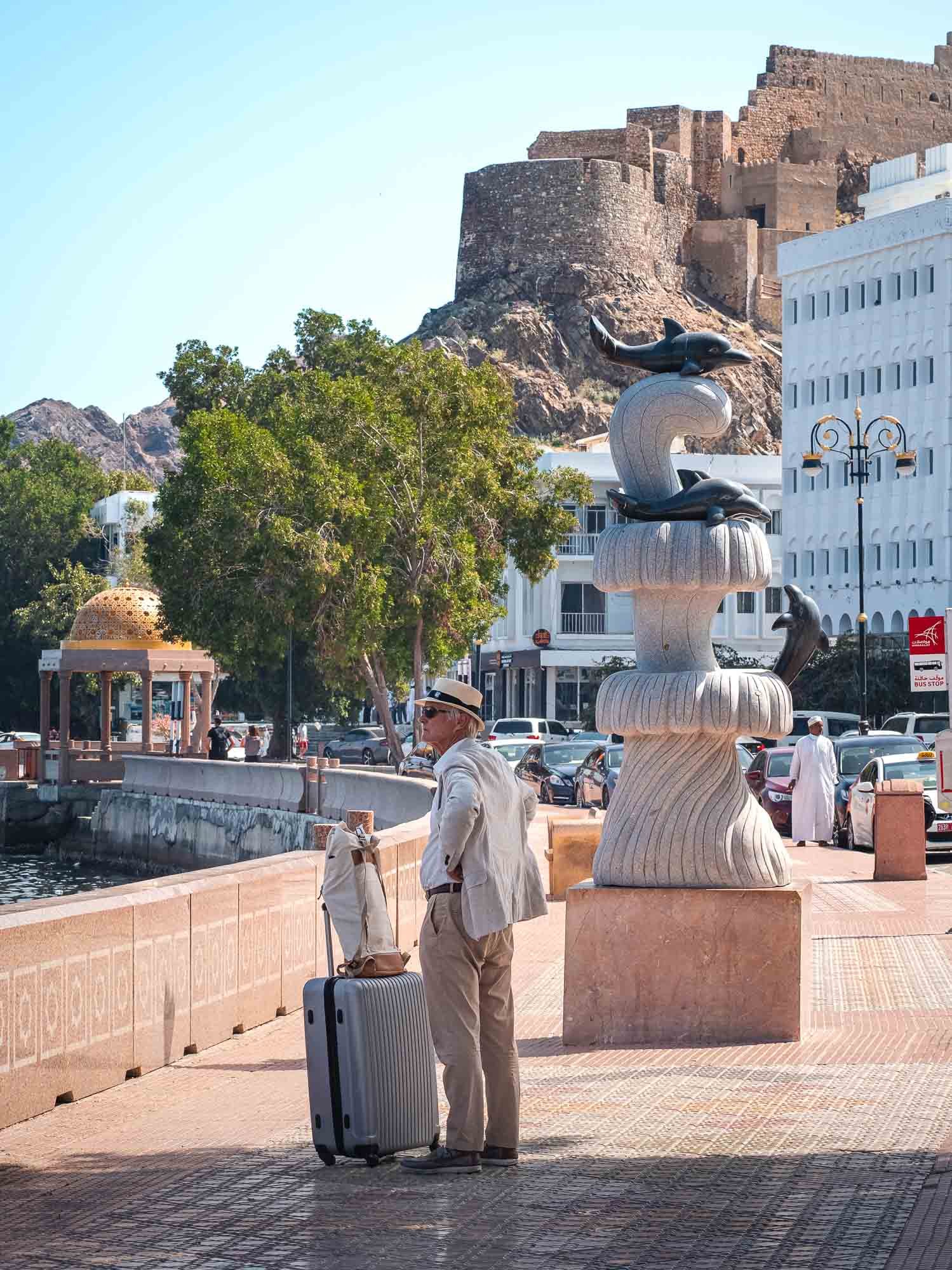
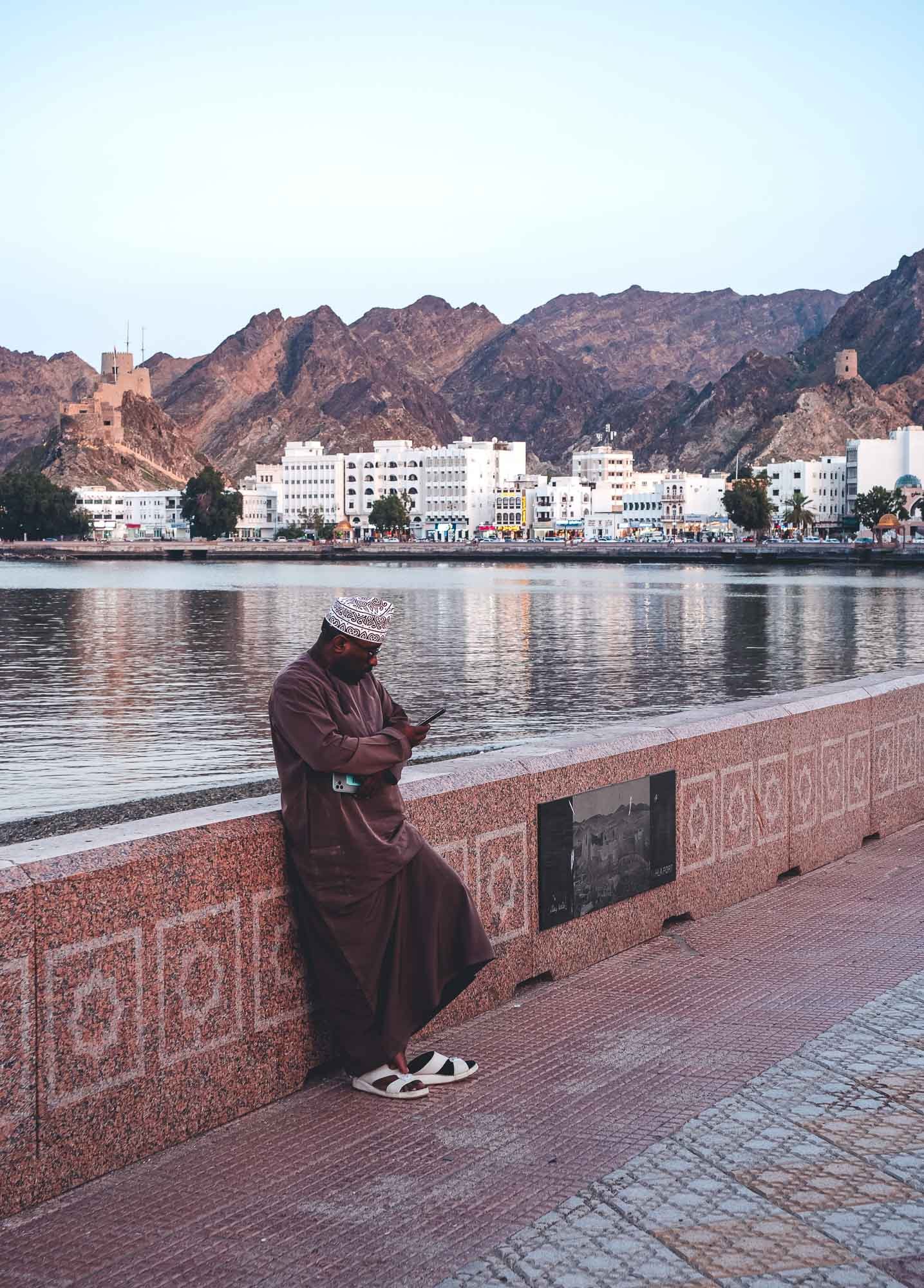
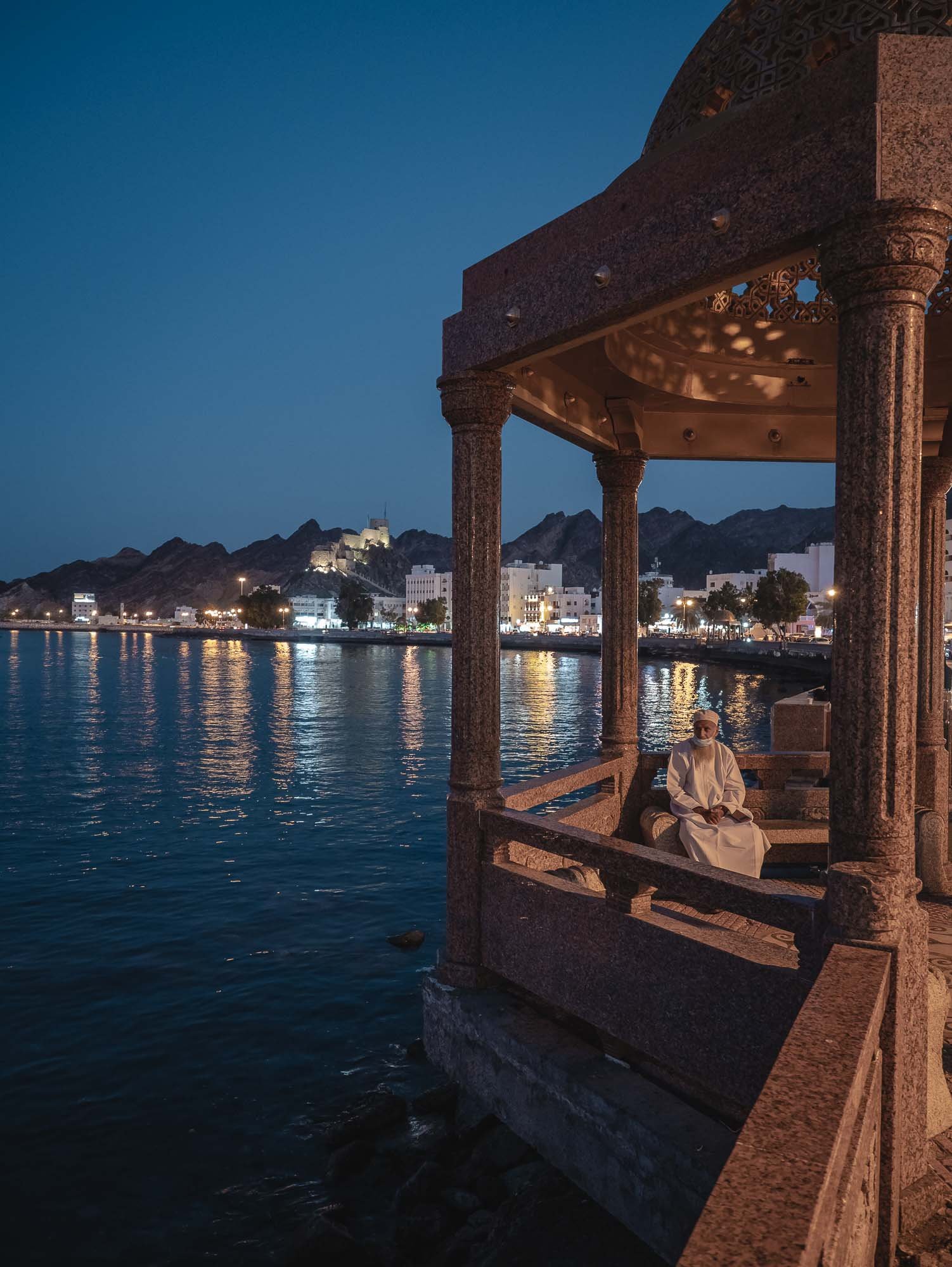
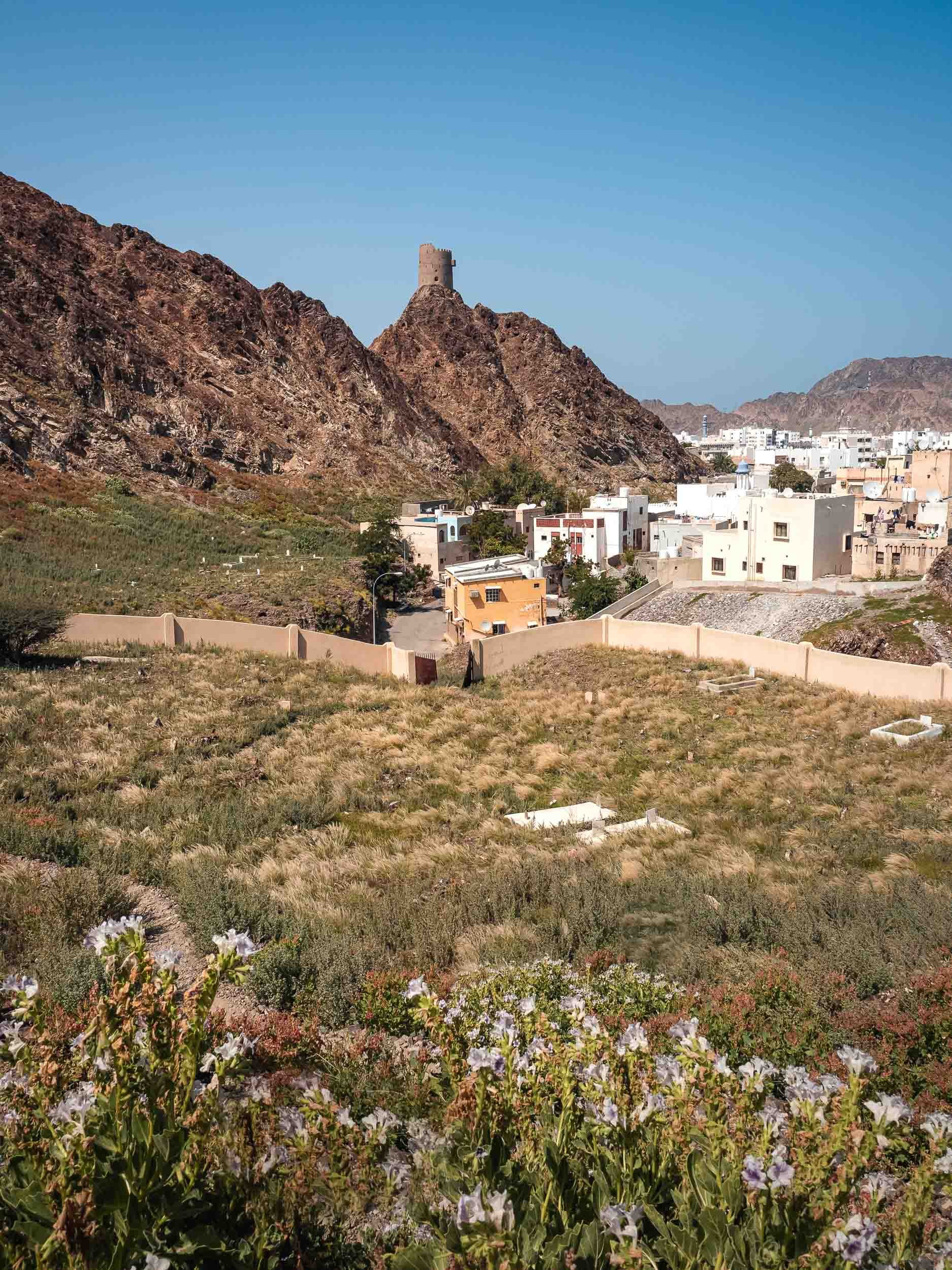
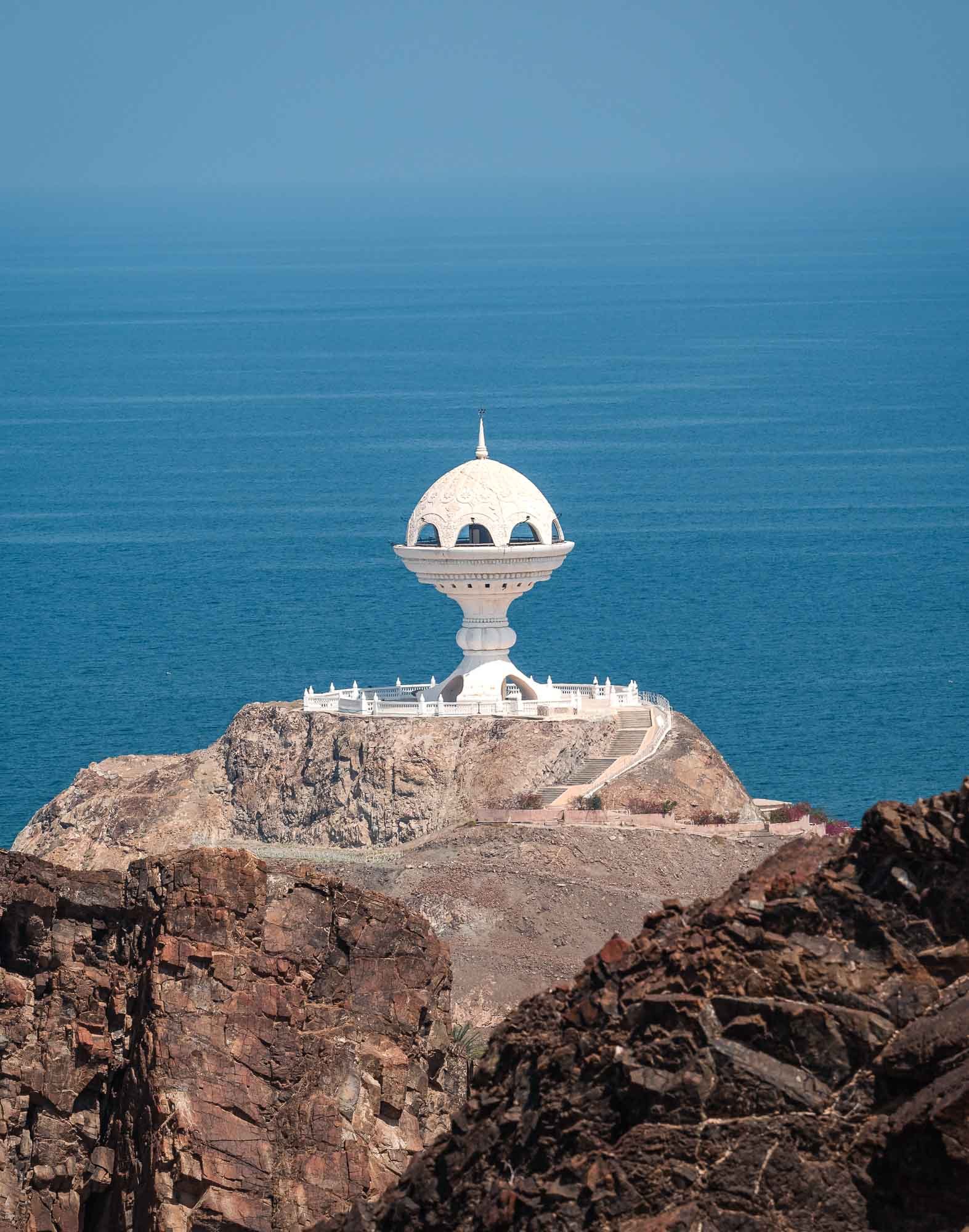
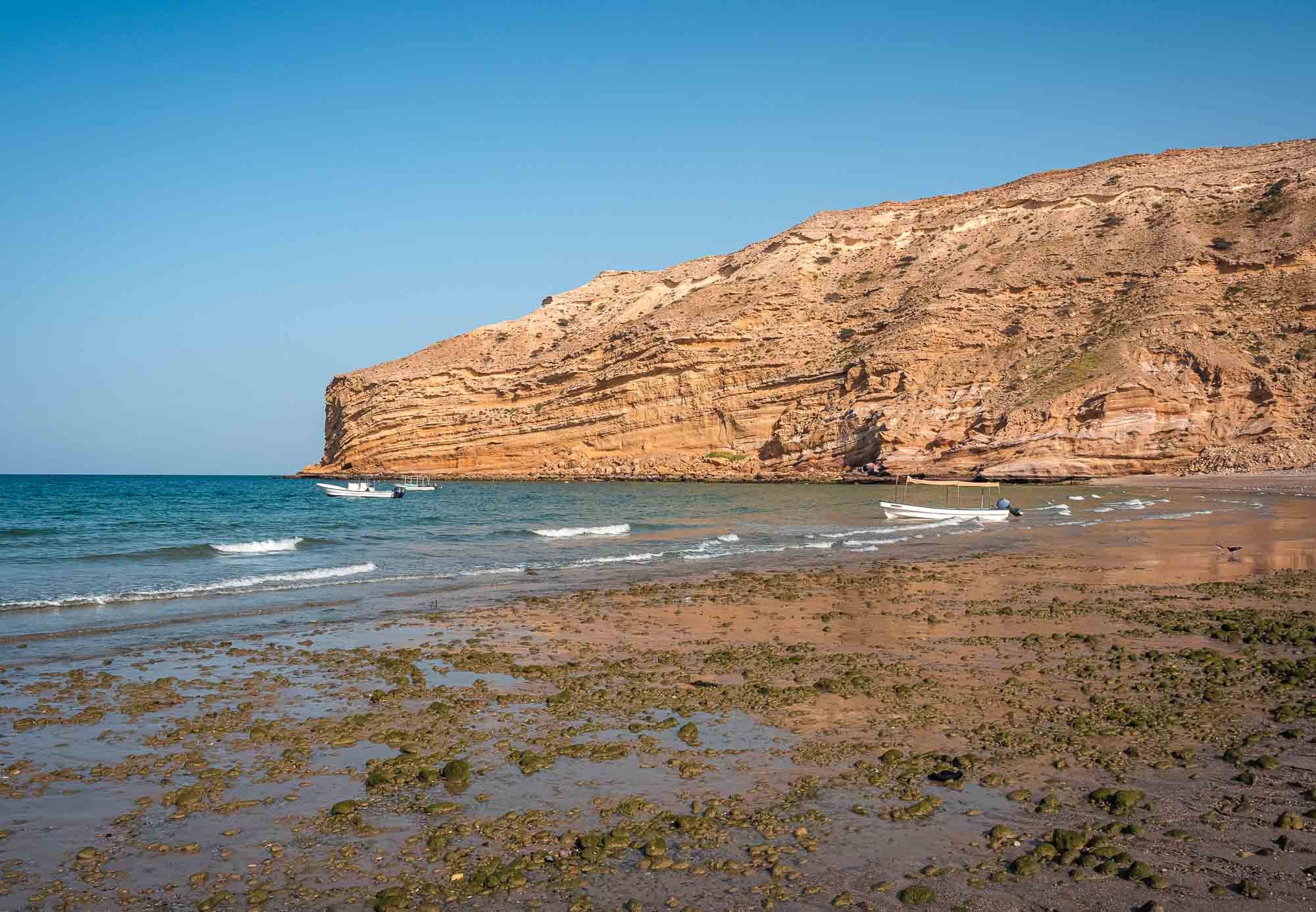
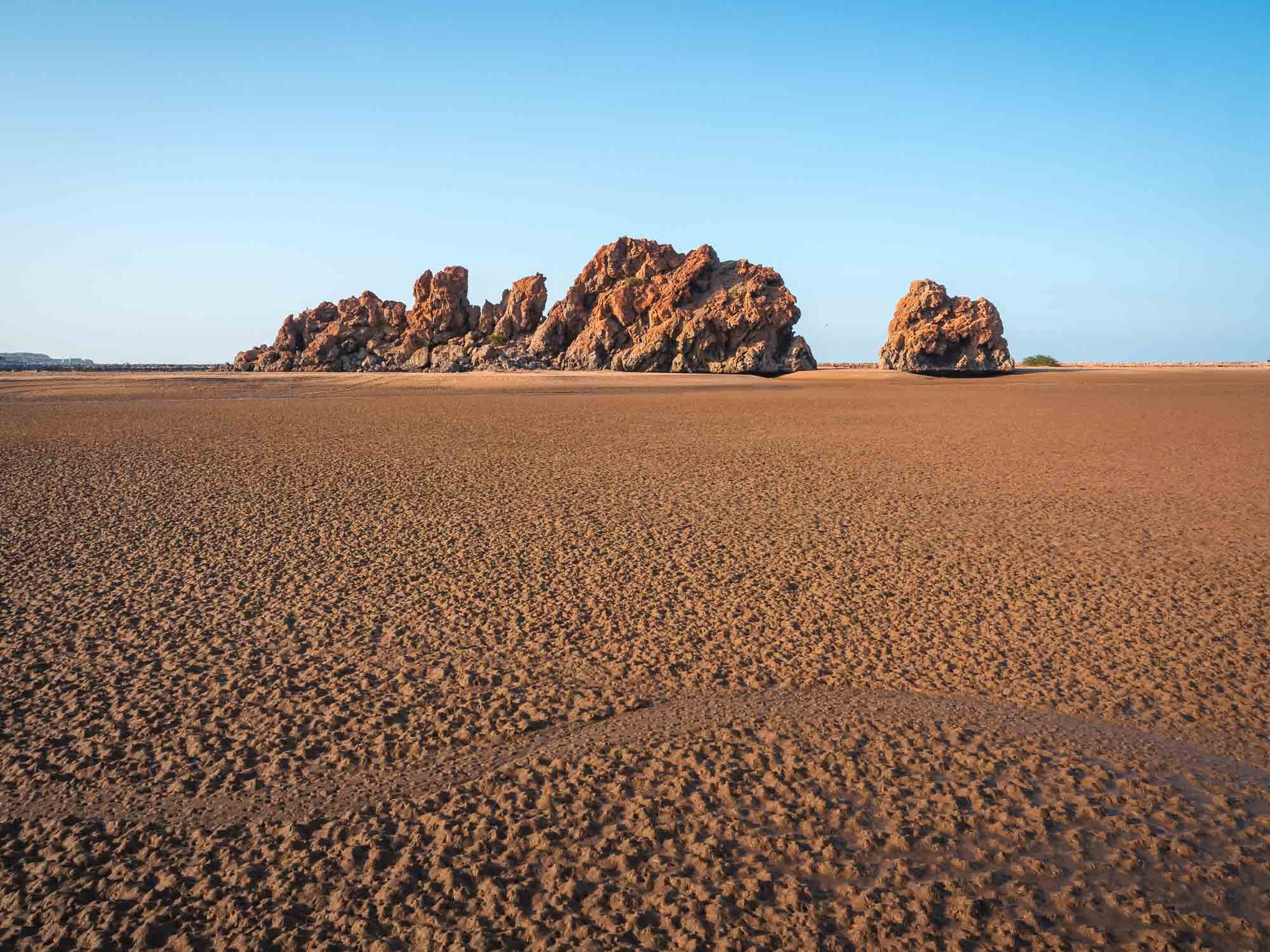
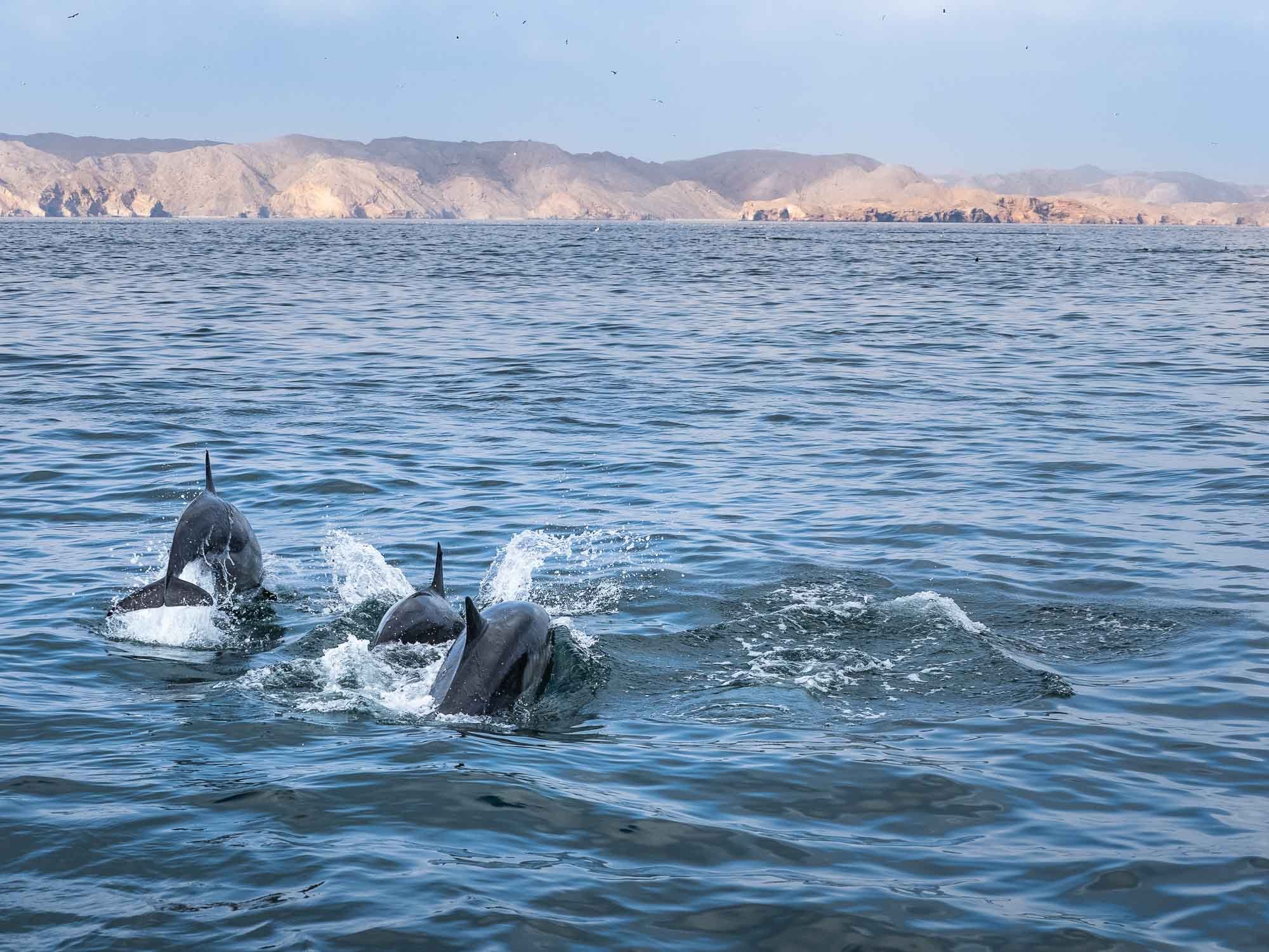
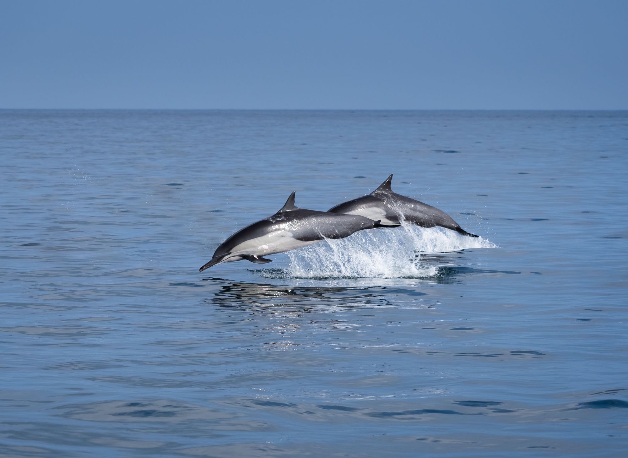
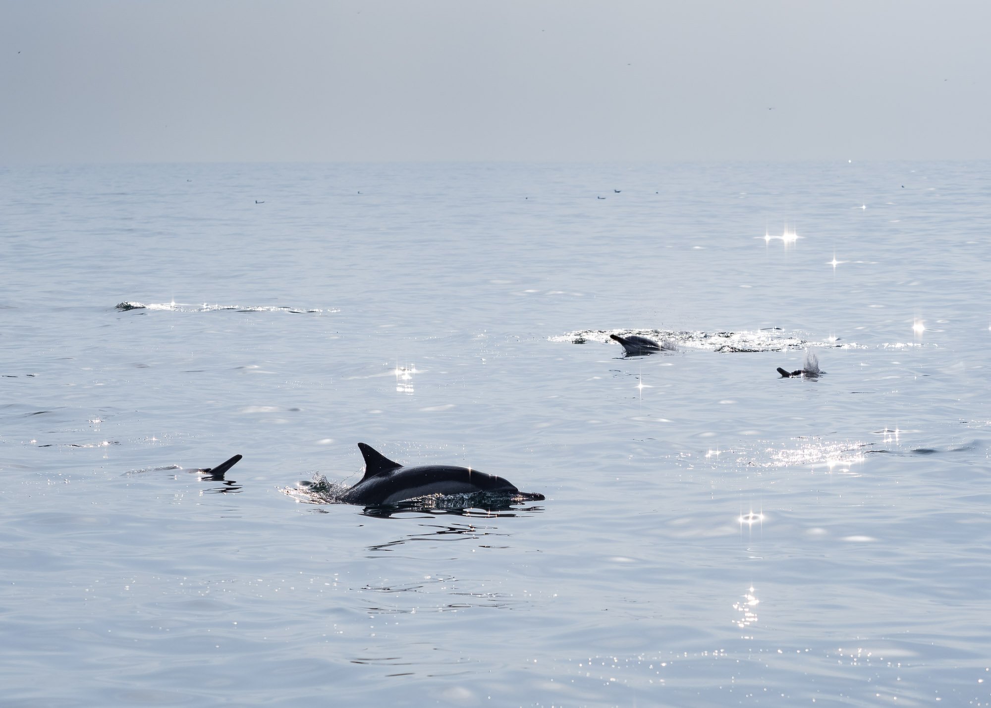
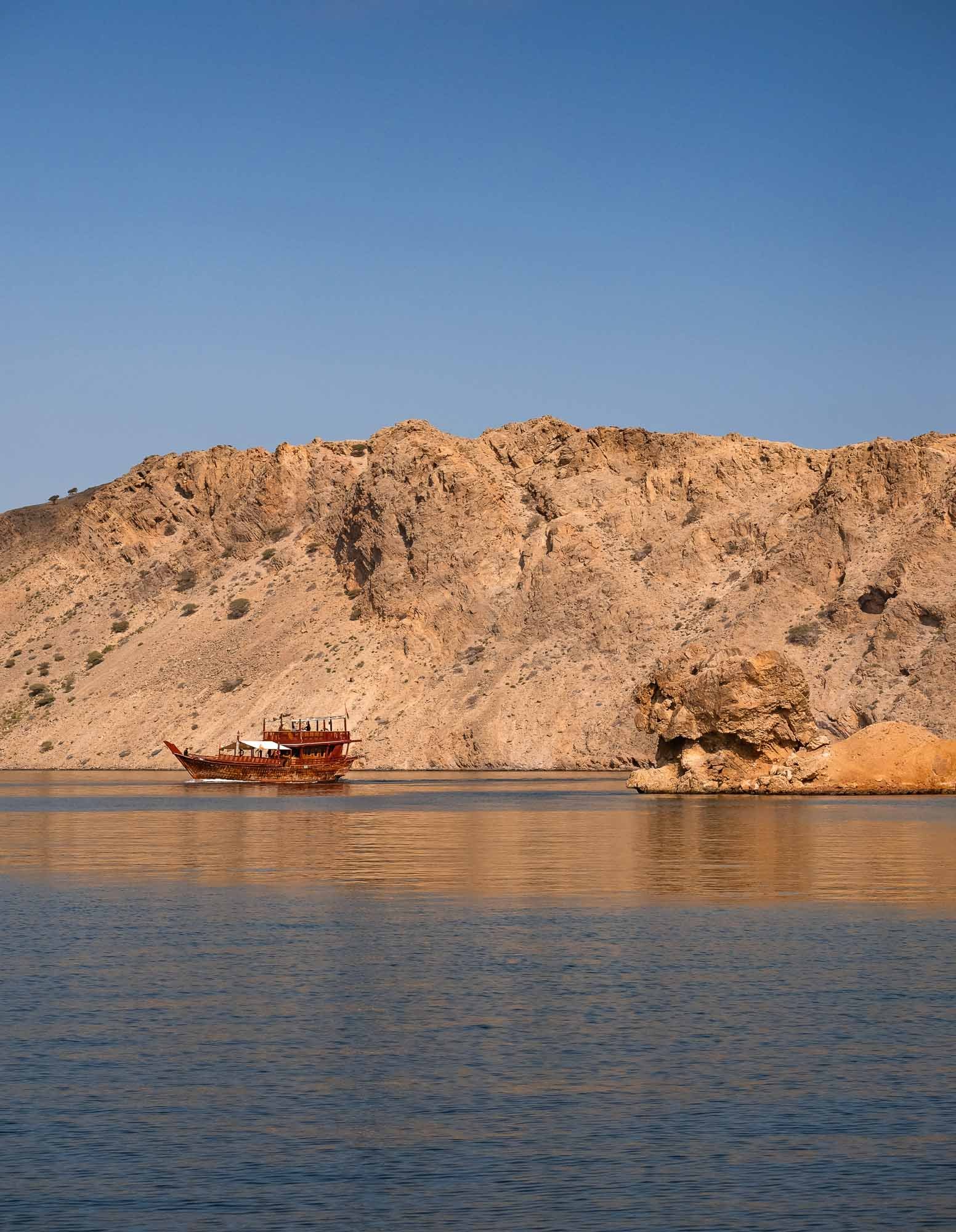
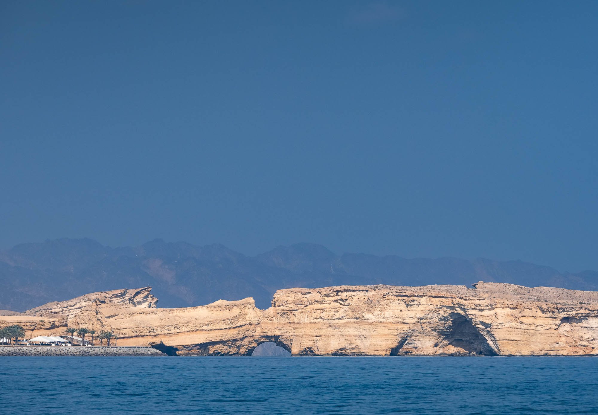
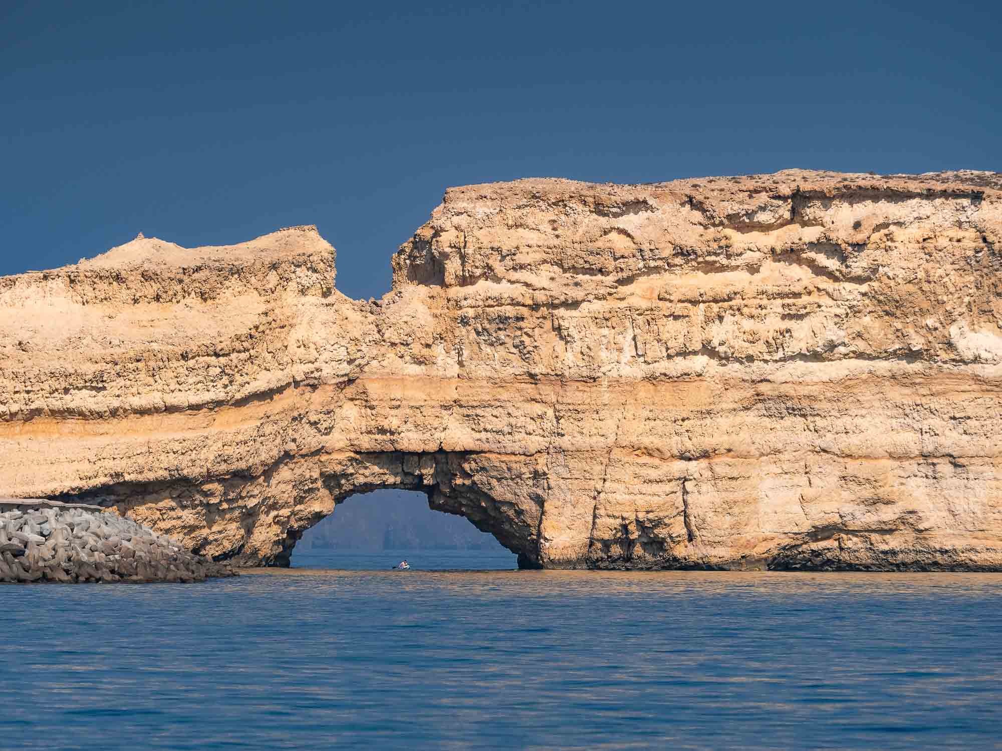
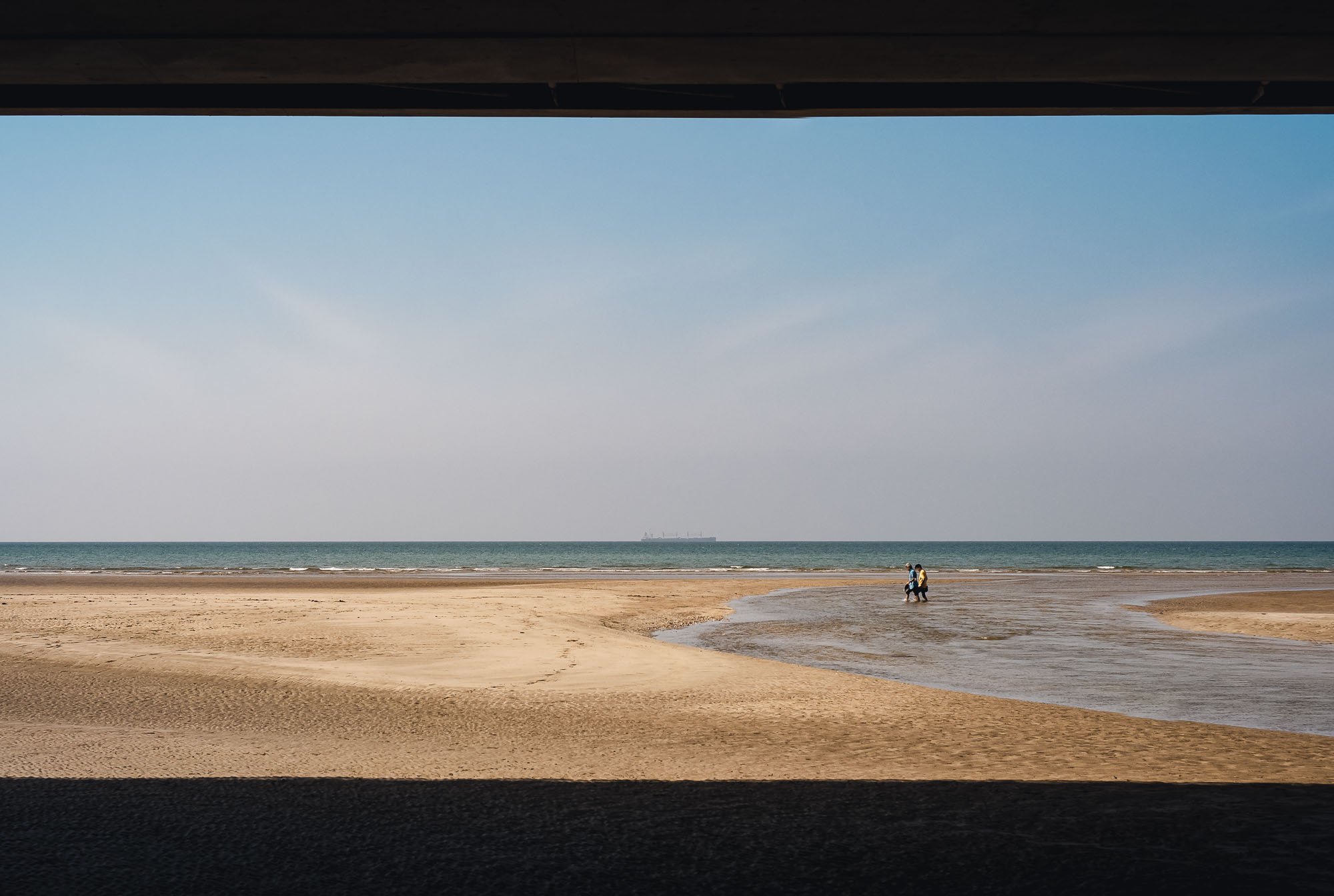
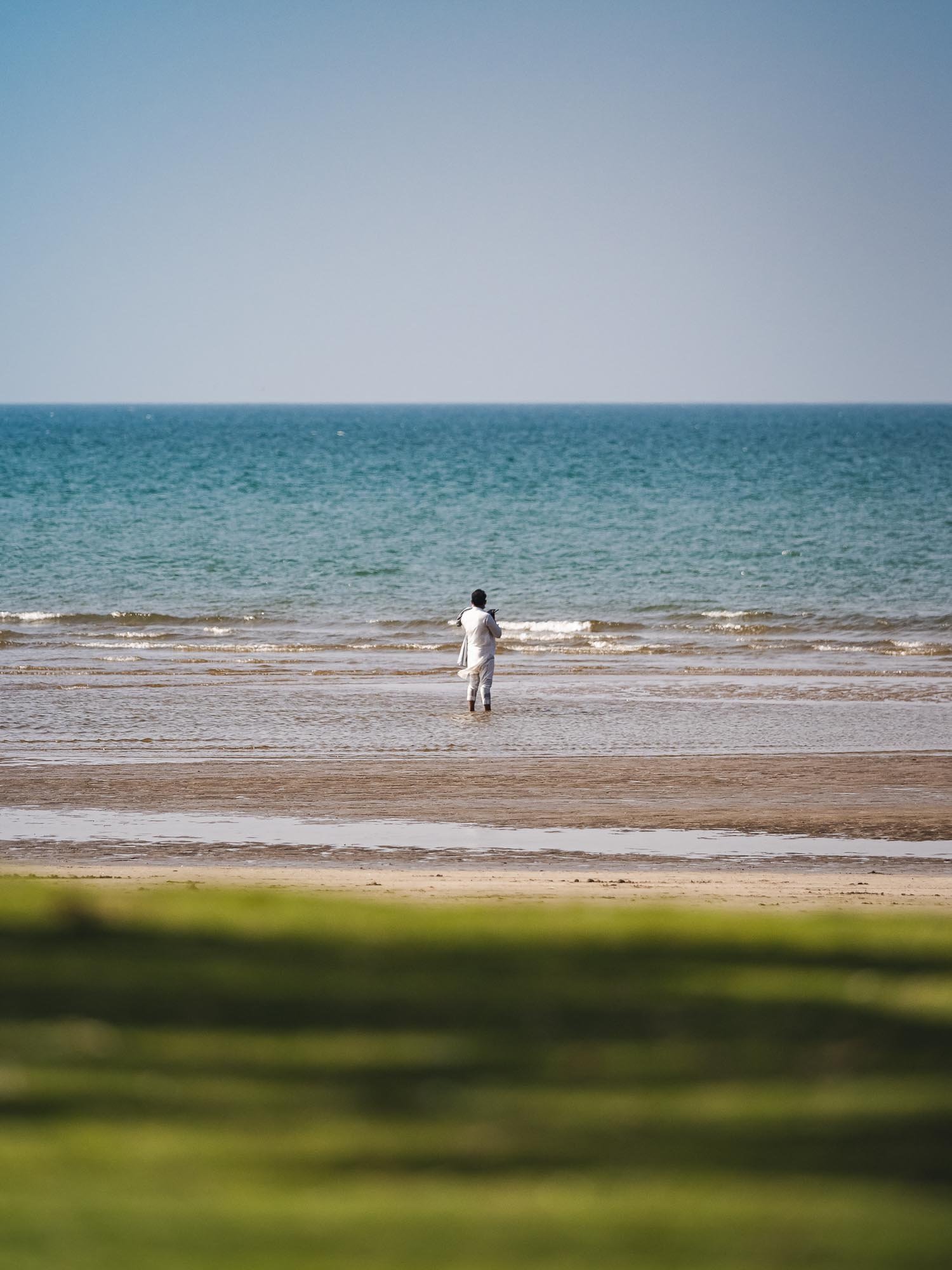
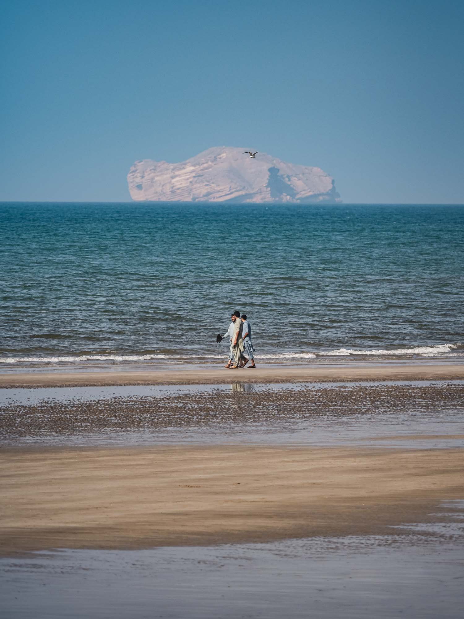
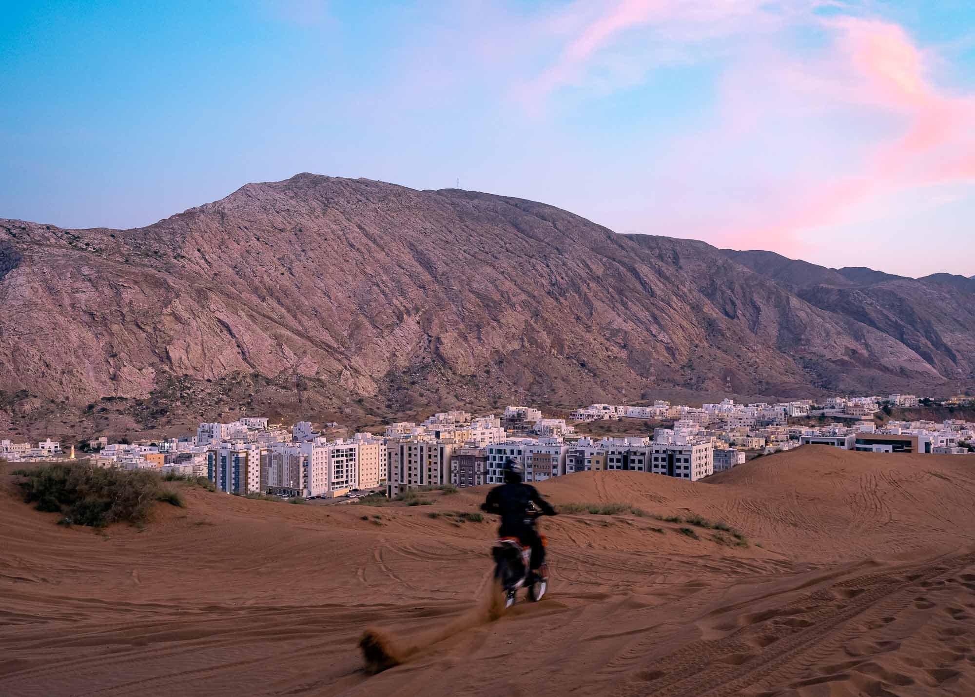
Along the Coast


The Last Day in Muscat


Back to Dubai


I really hope you enjoyed this small documentary series of my trip to Oman. I’ve known about the beauty, geology, and history of the Hajar mountains from exploring the UAE, but Oman really took this to another level. It is probably a good thing for these sites that the country hasn’t had the same level of attention as some other more famous destinations in the Middle East, but on the other hand Oman and its people really deserve to be recognized alongside them. Will definitely come back.

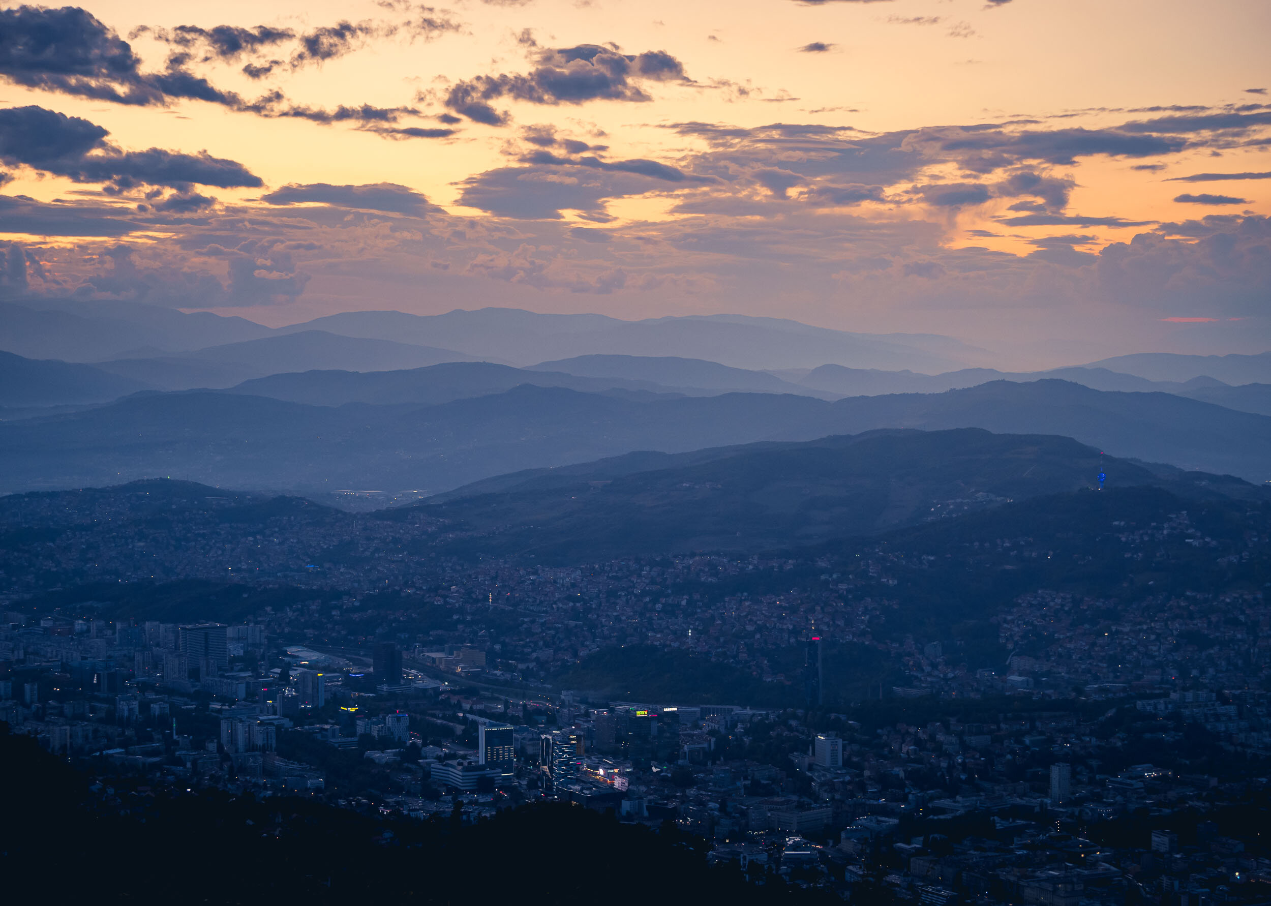
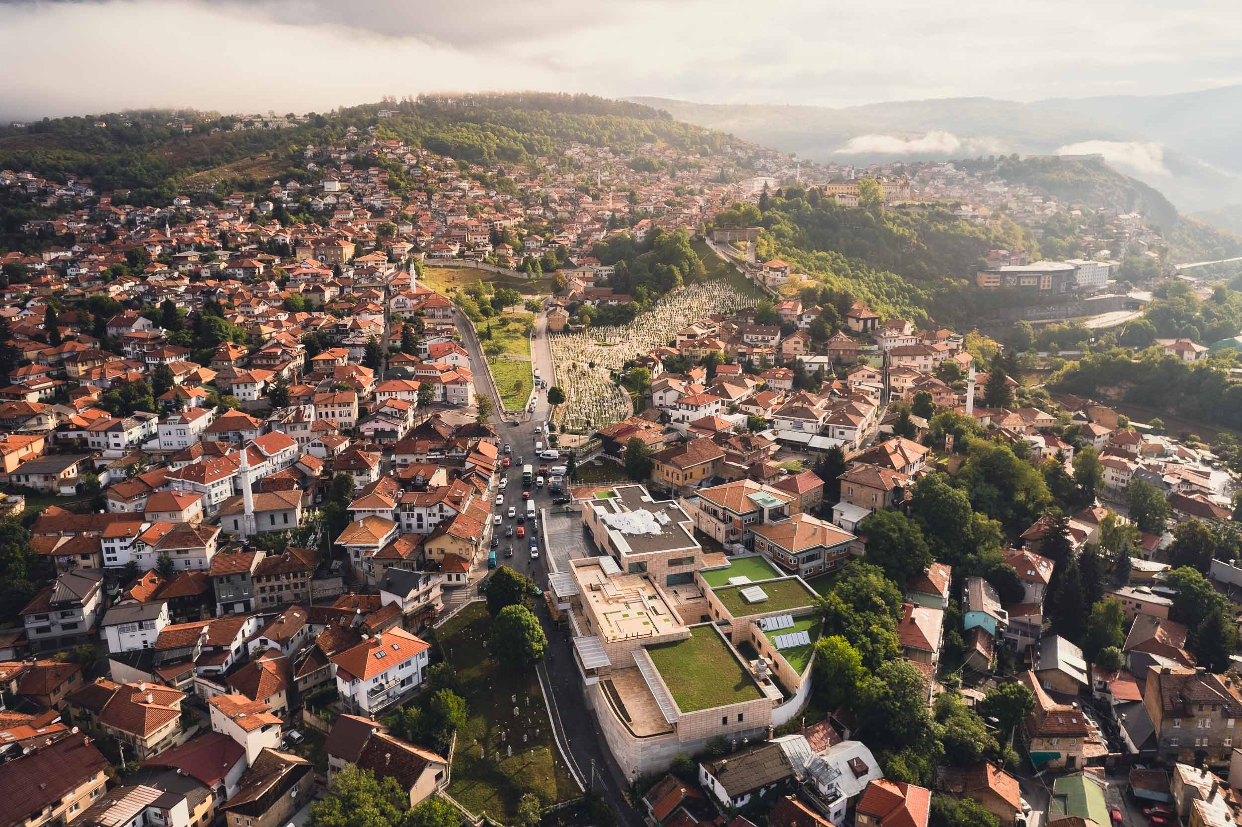
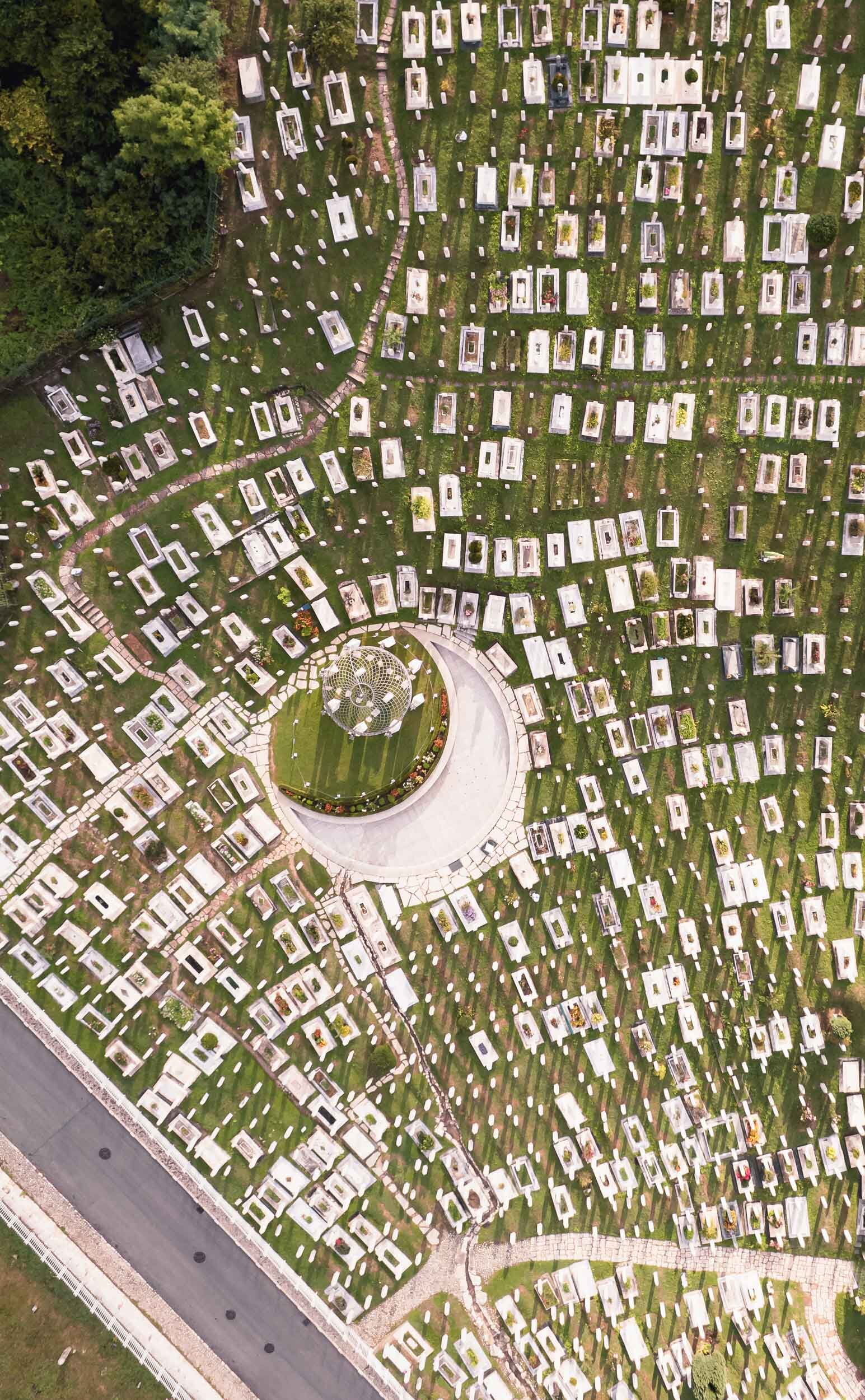
Bosnia & Herzegovina - Polarising Diversity
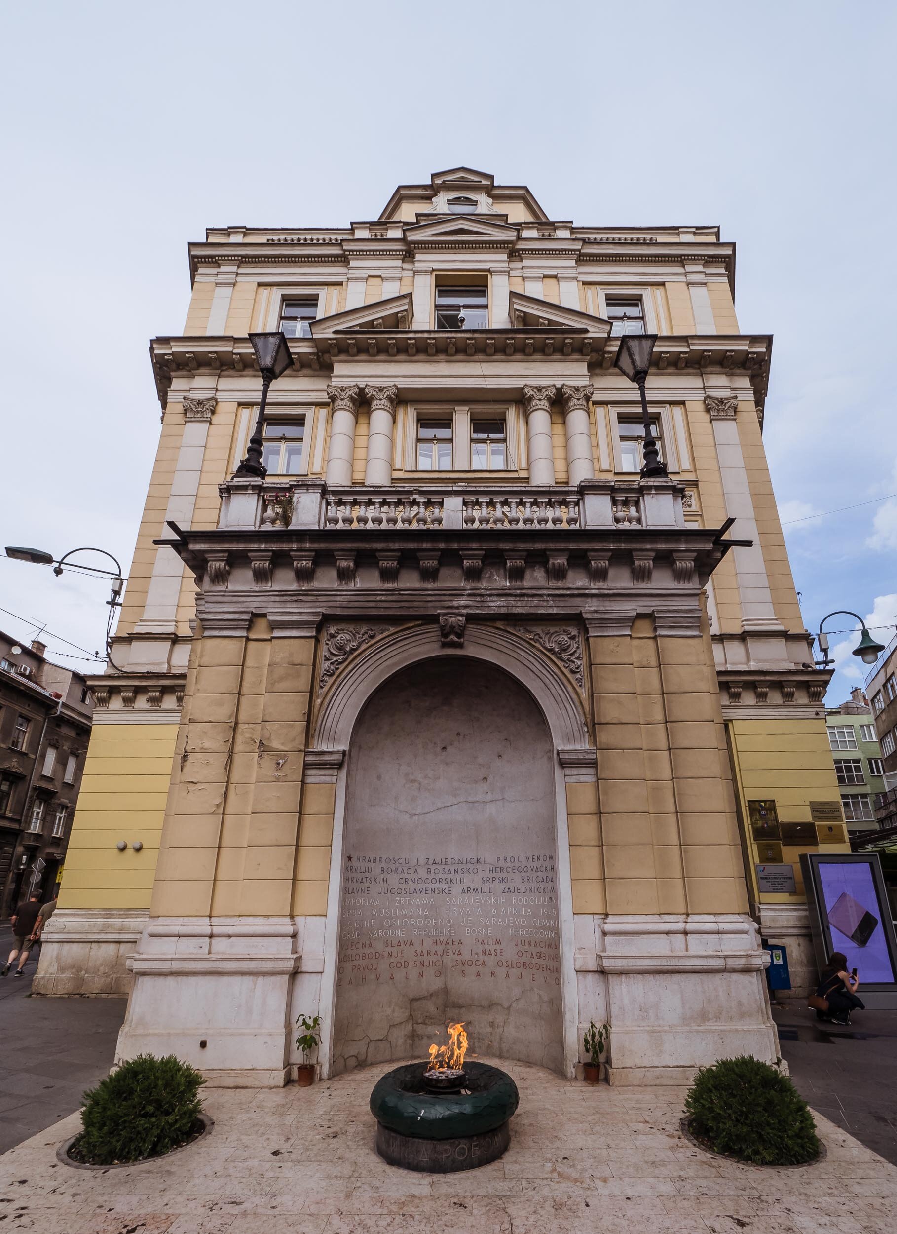
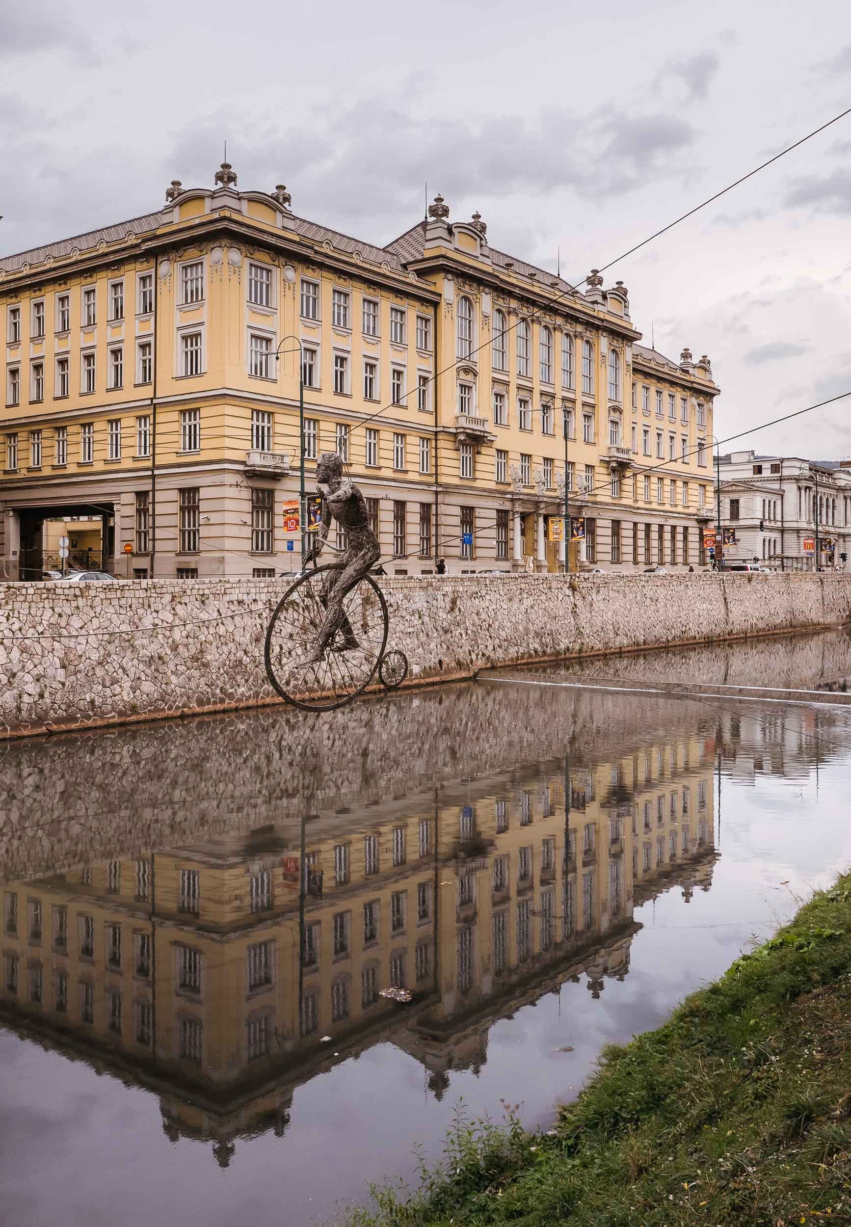
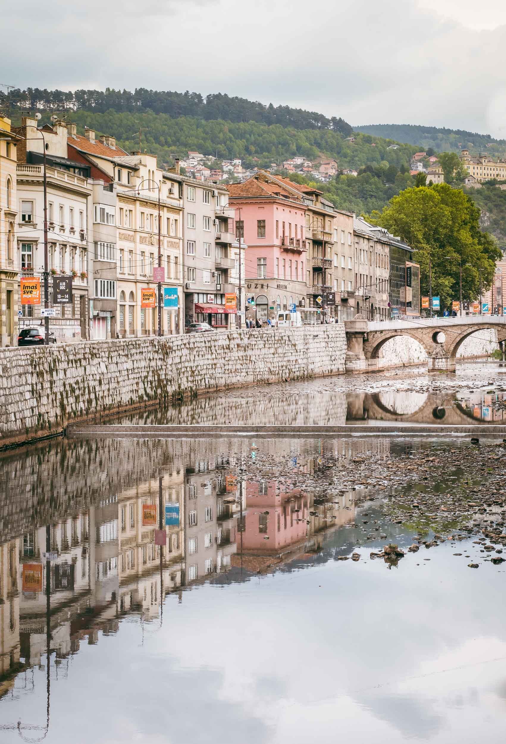
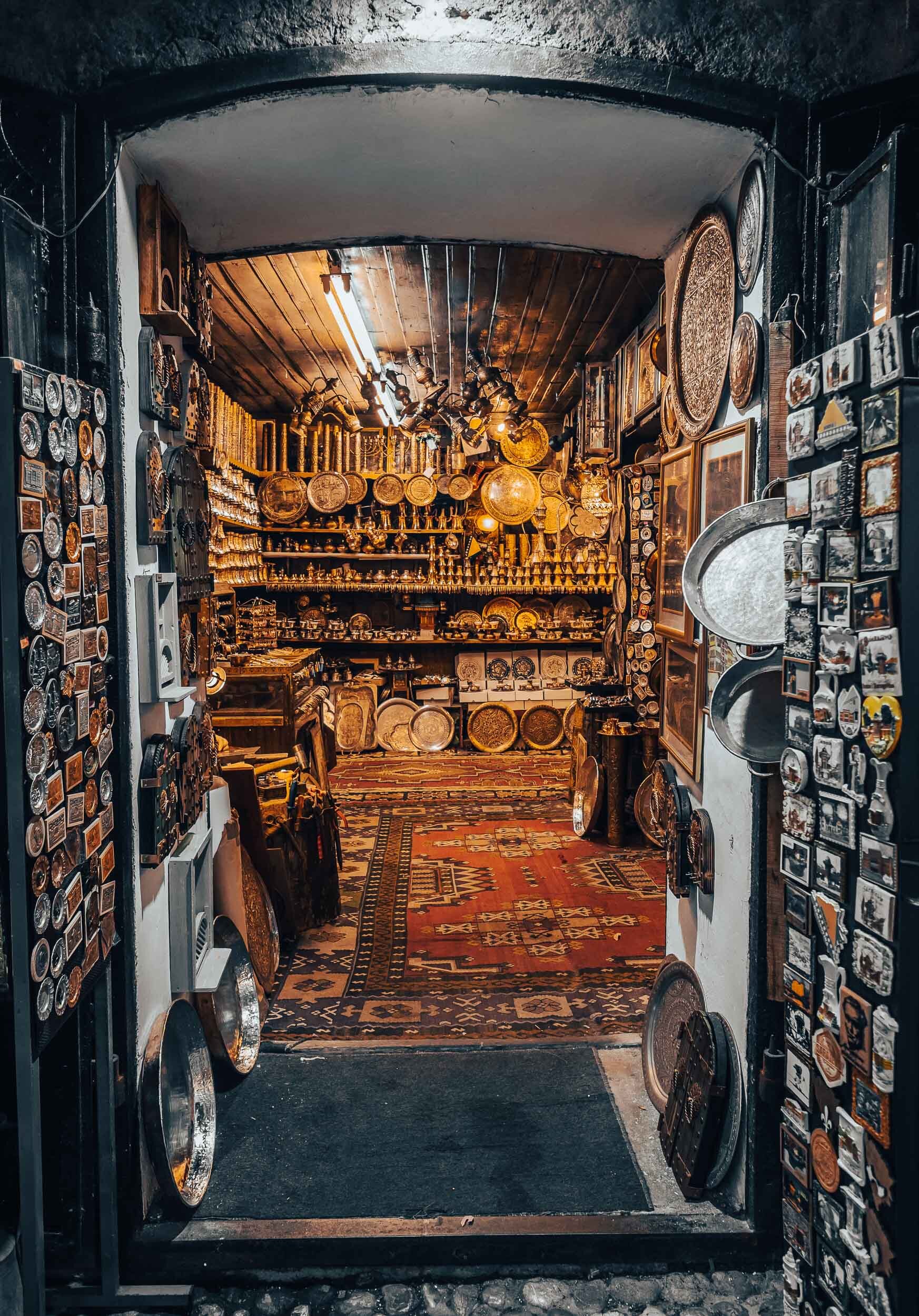
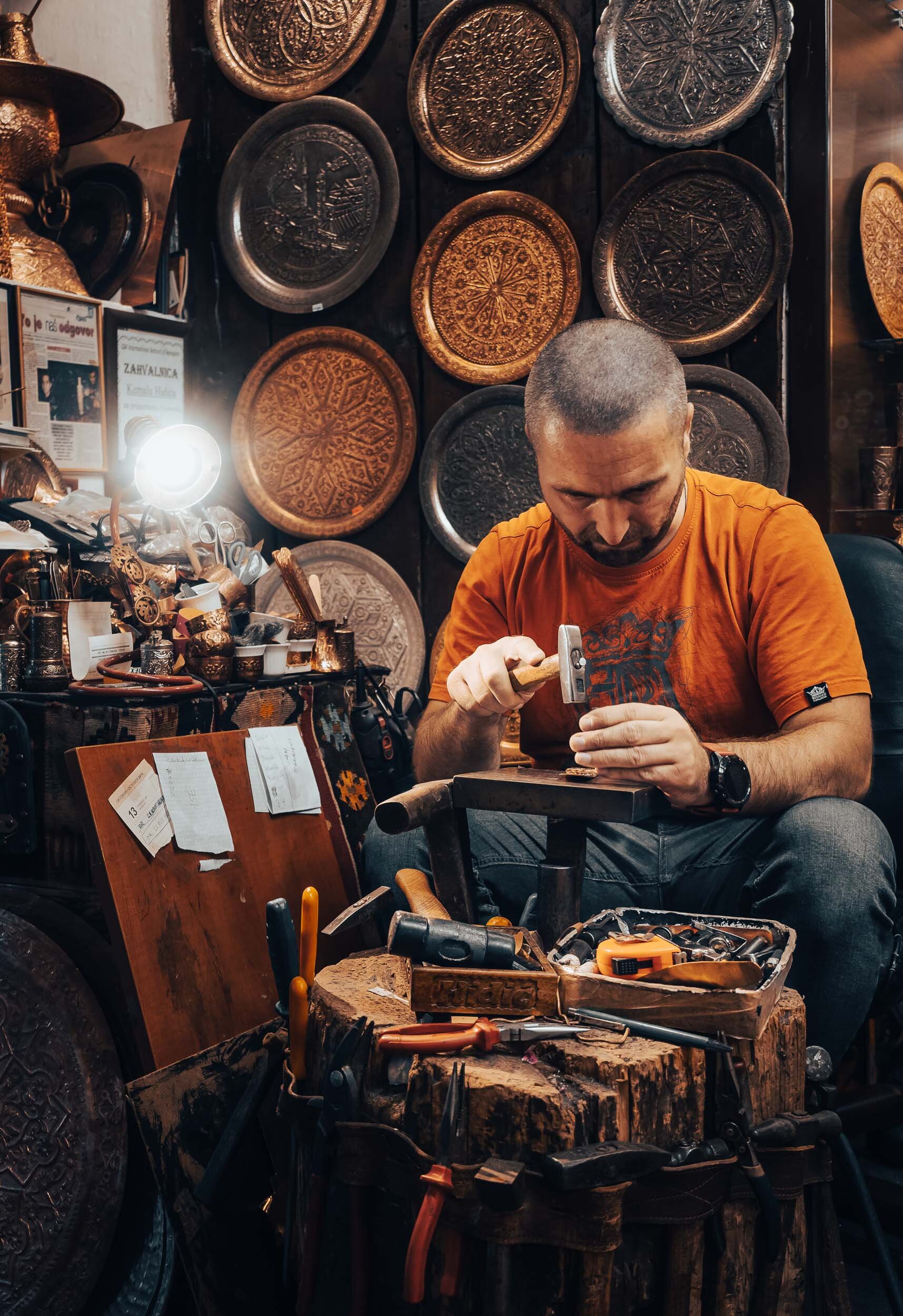
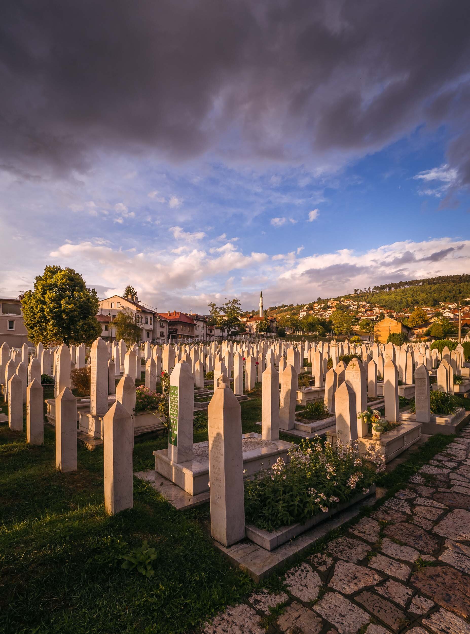
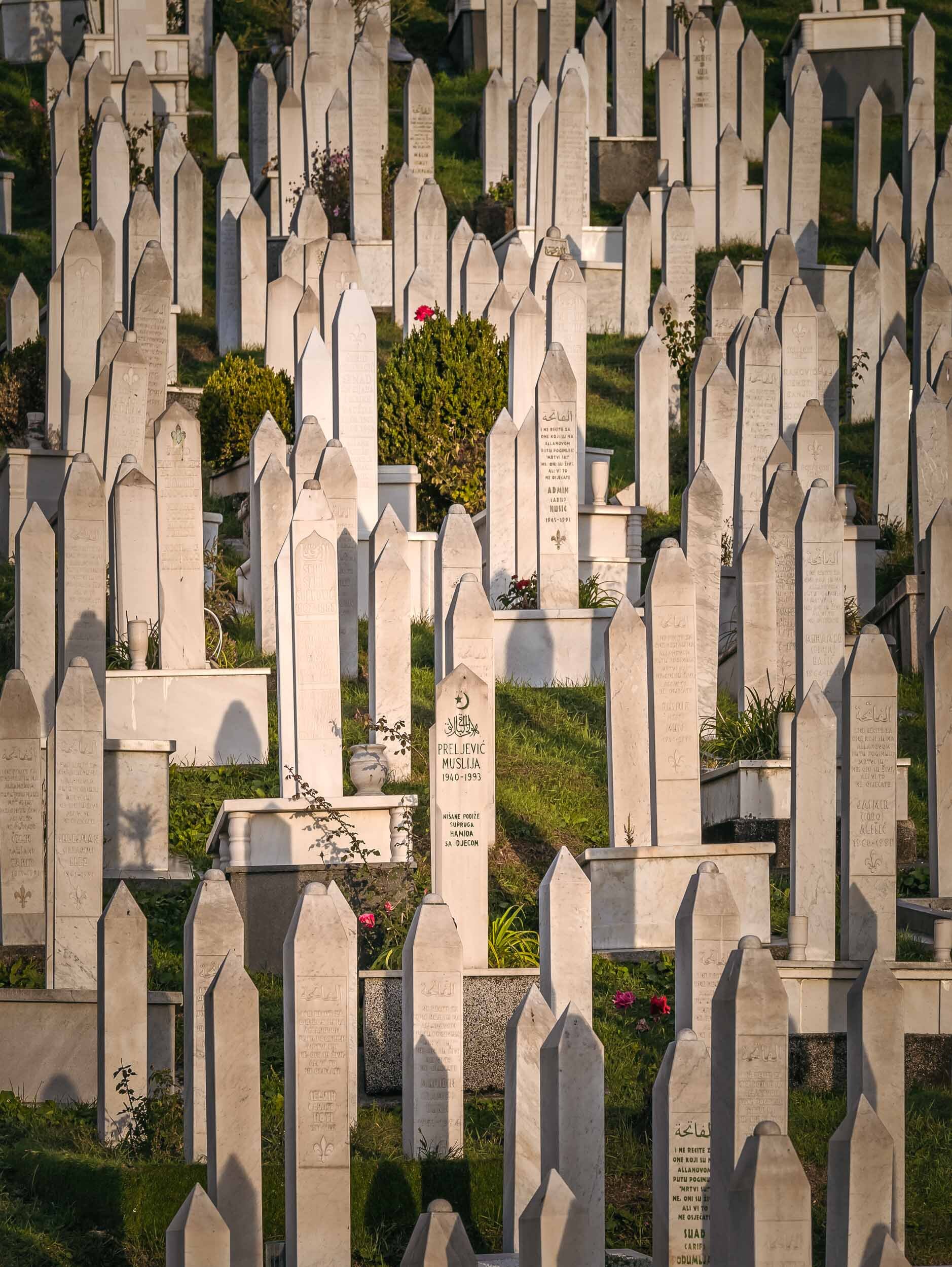
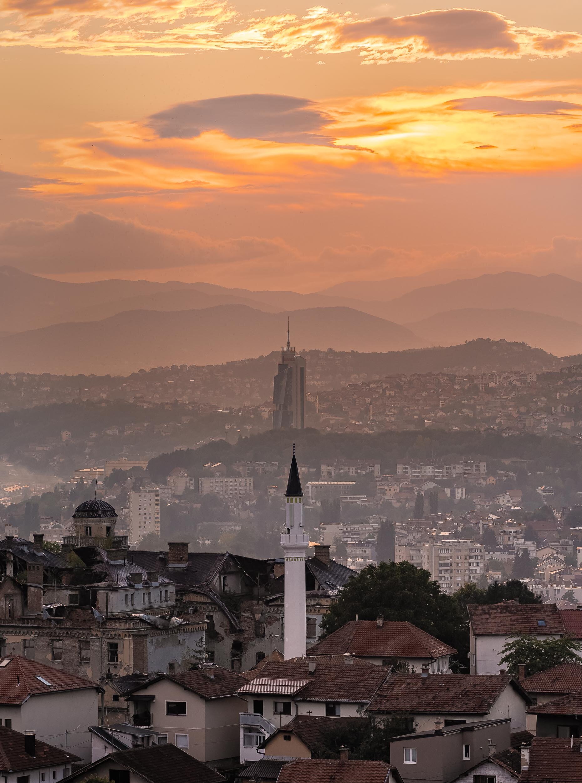
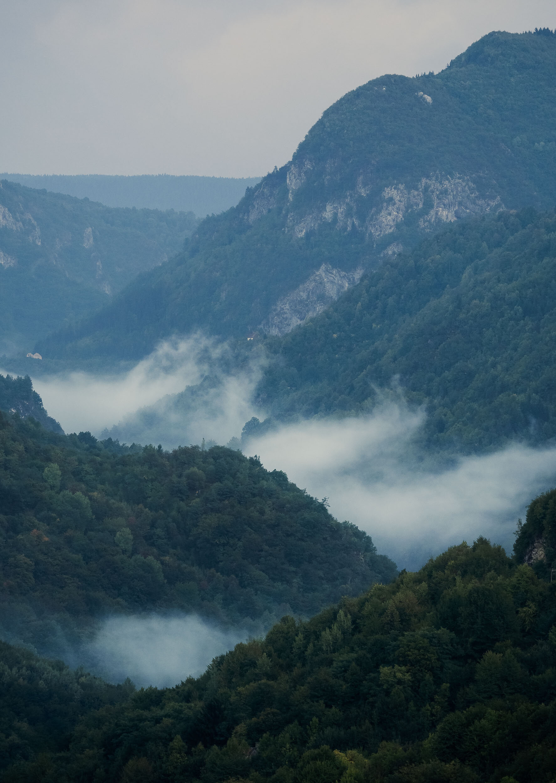
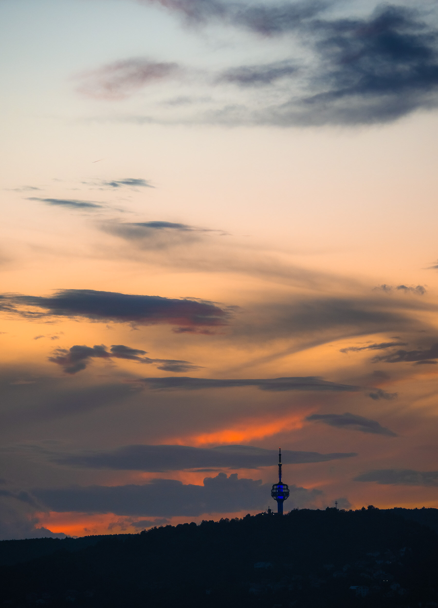
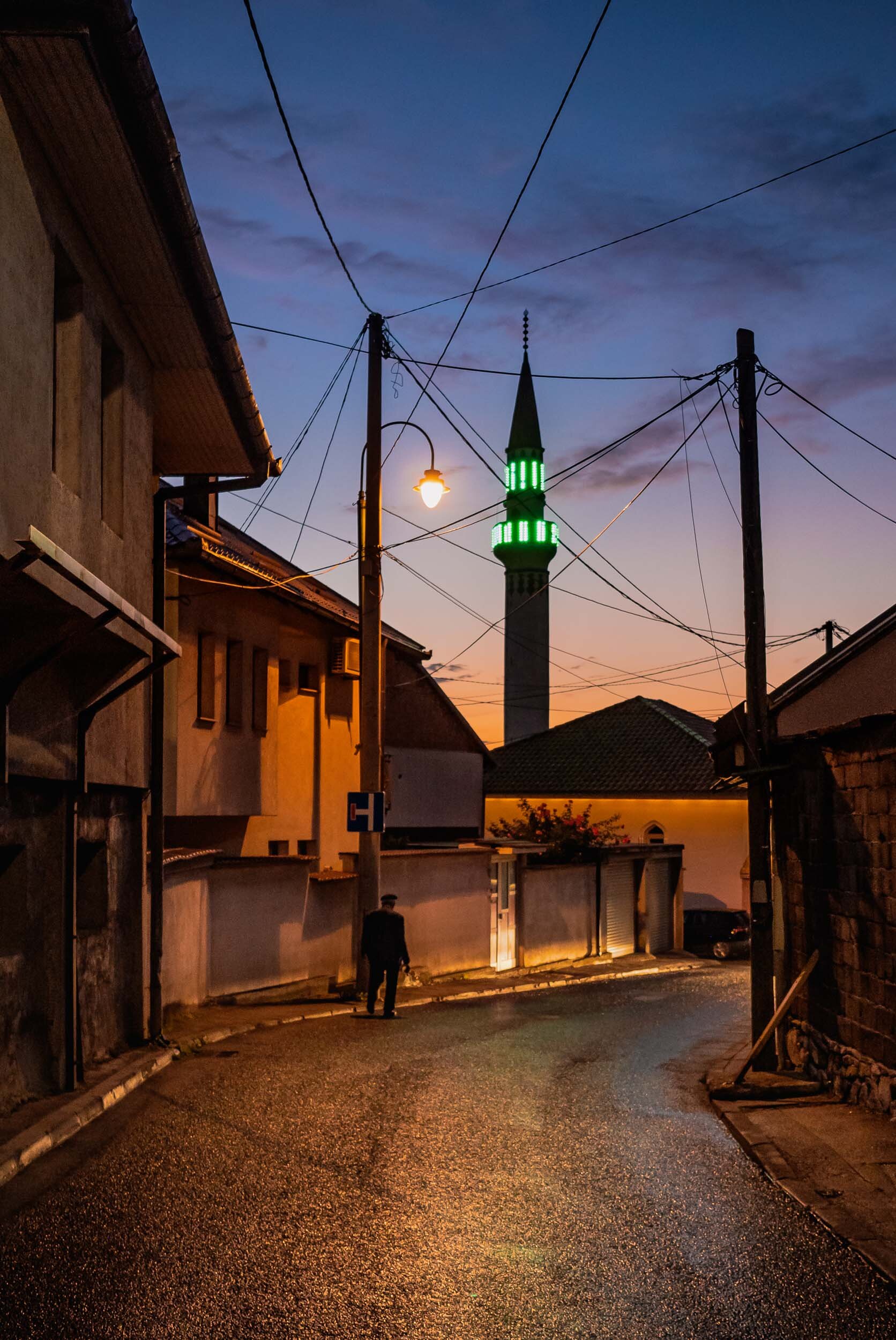
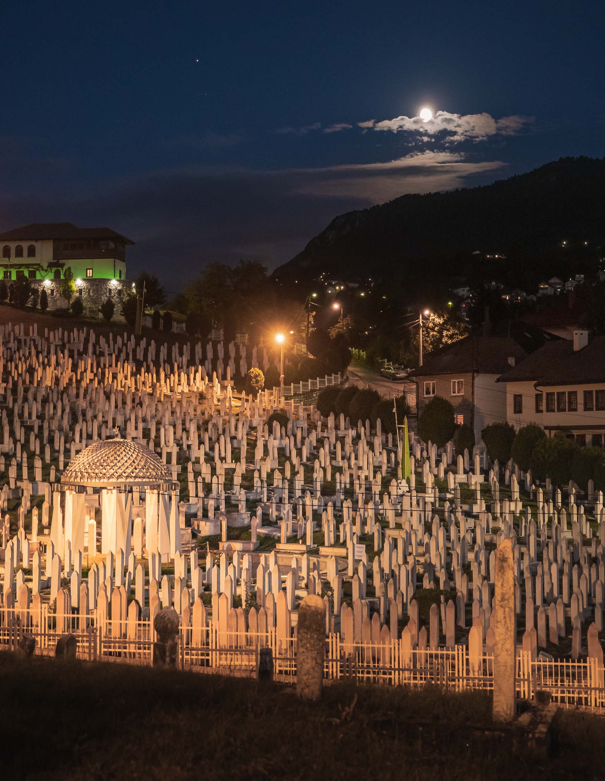
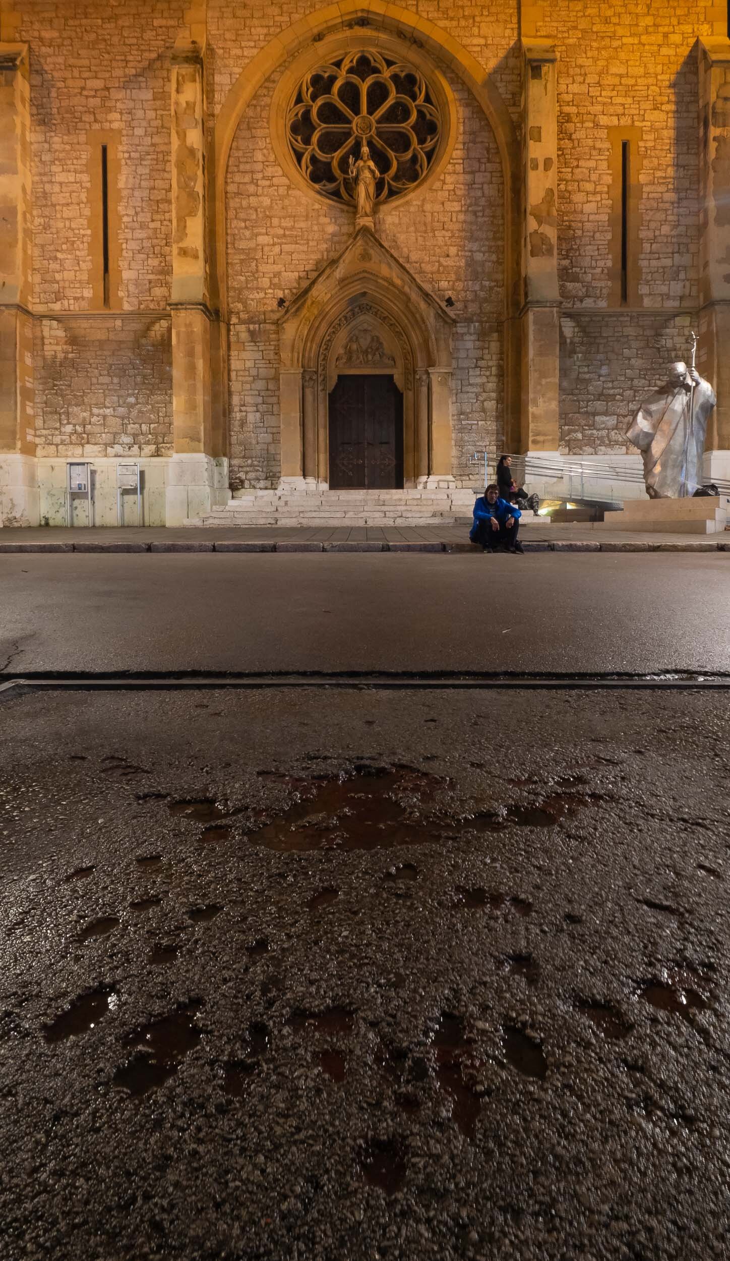
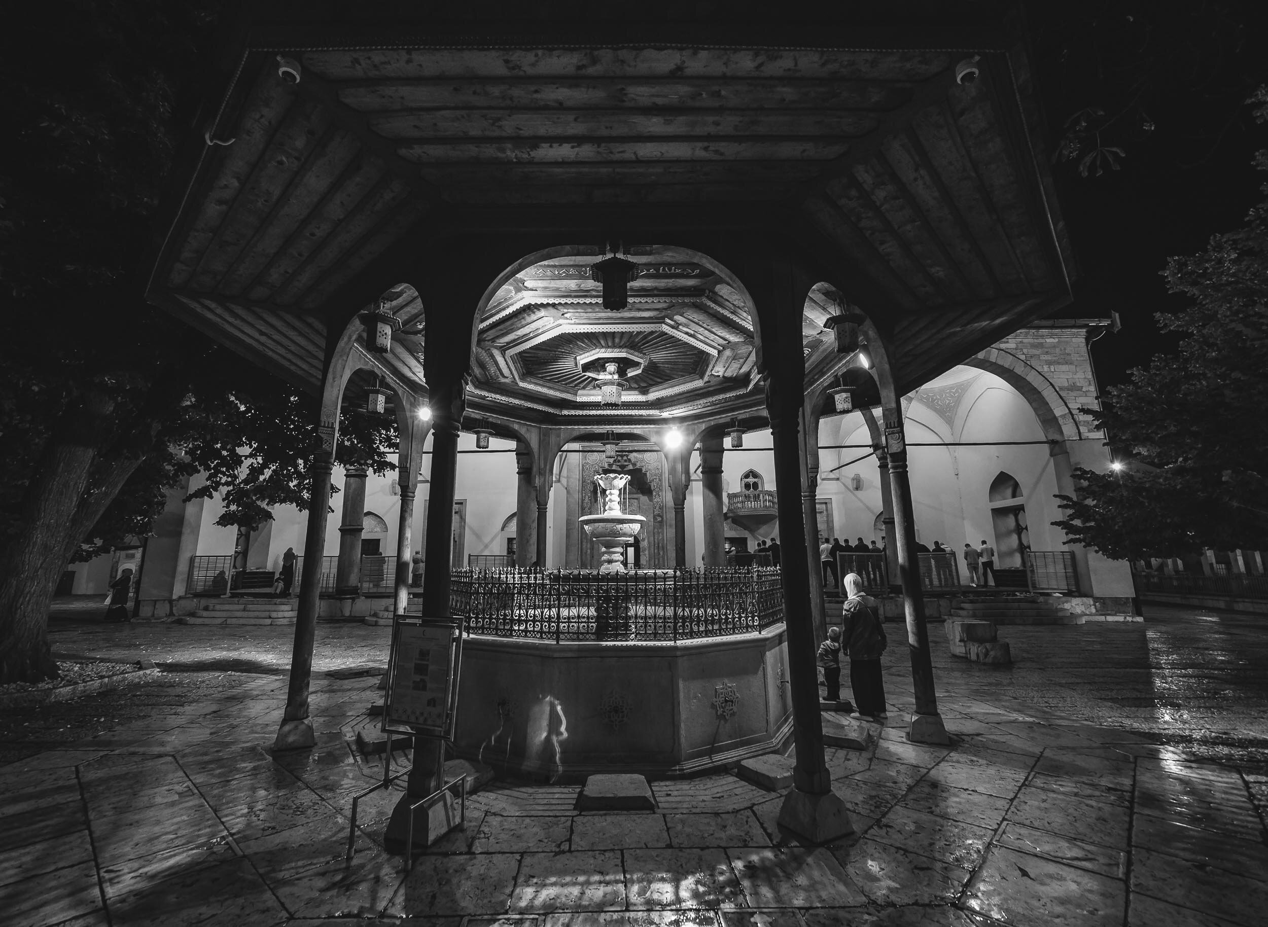
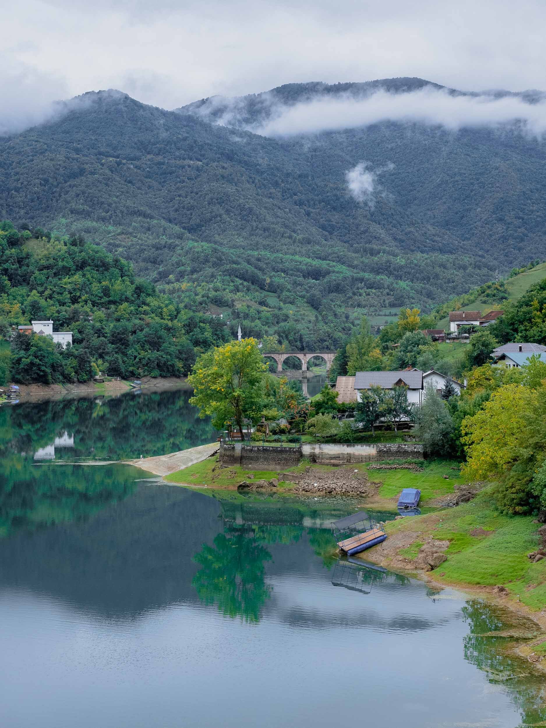
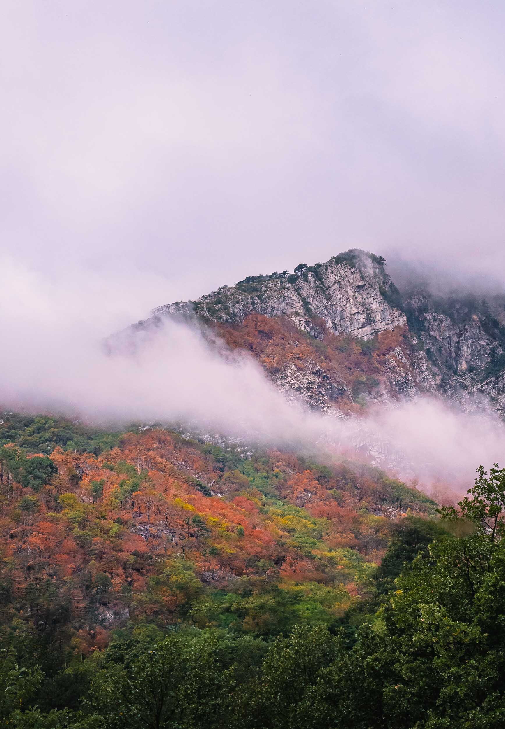
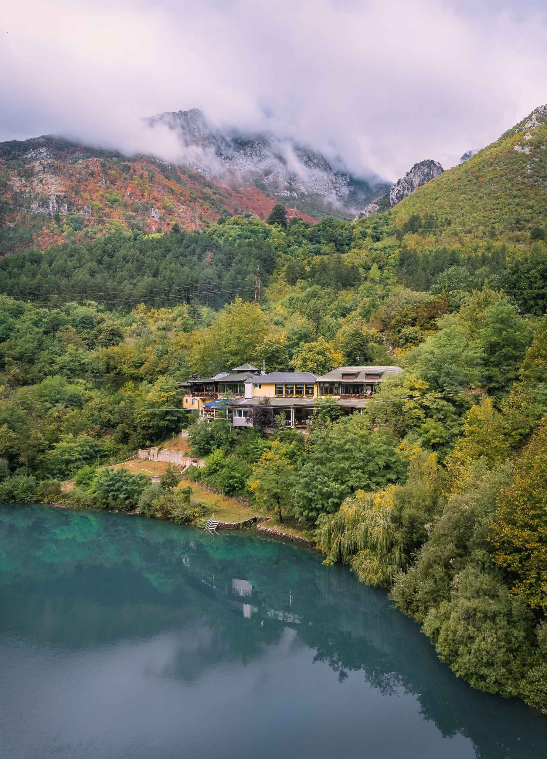
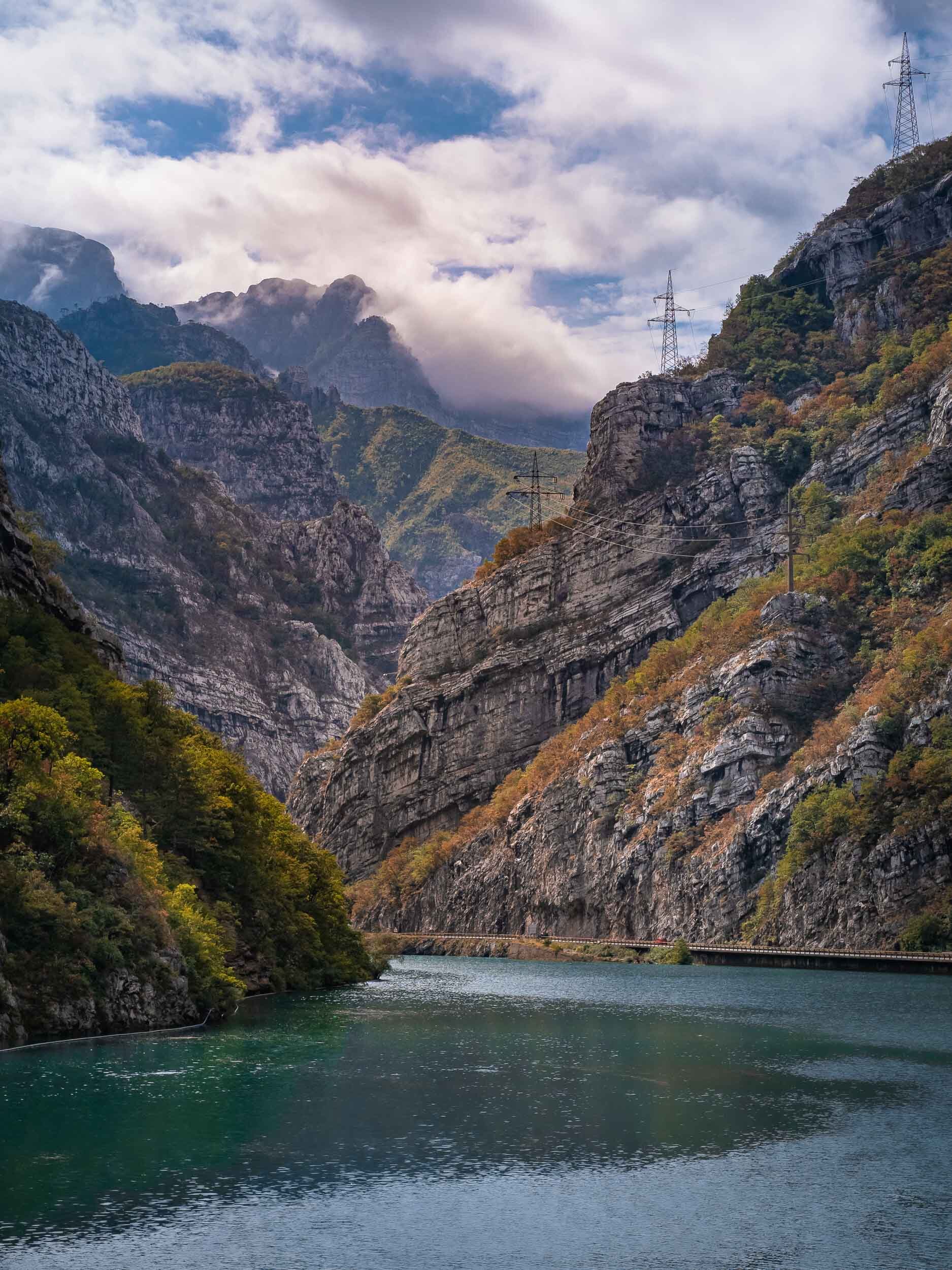
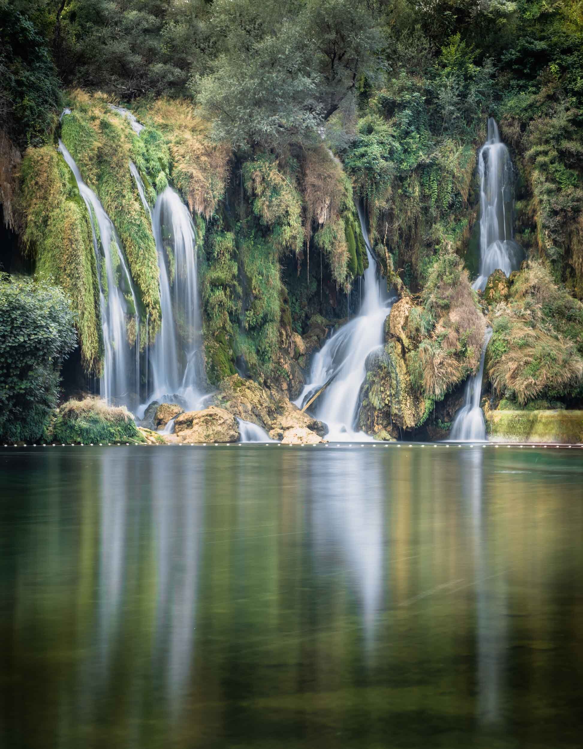
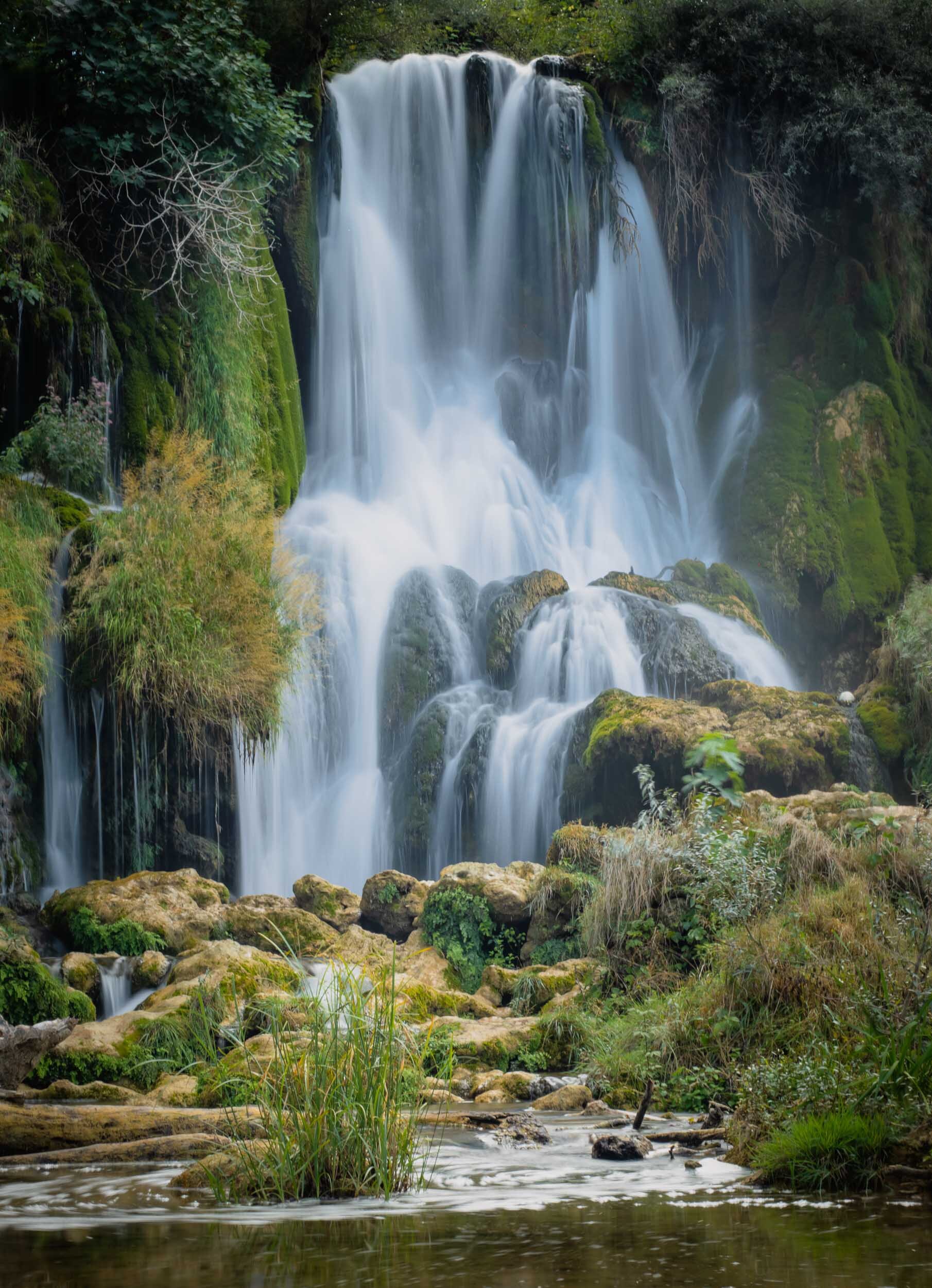
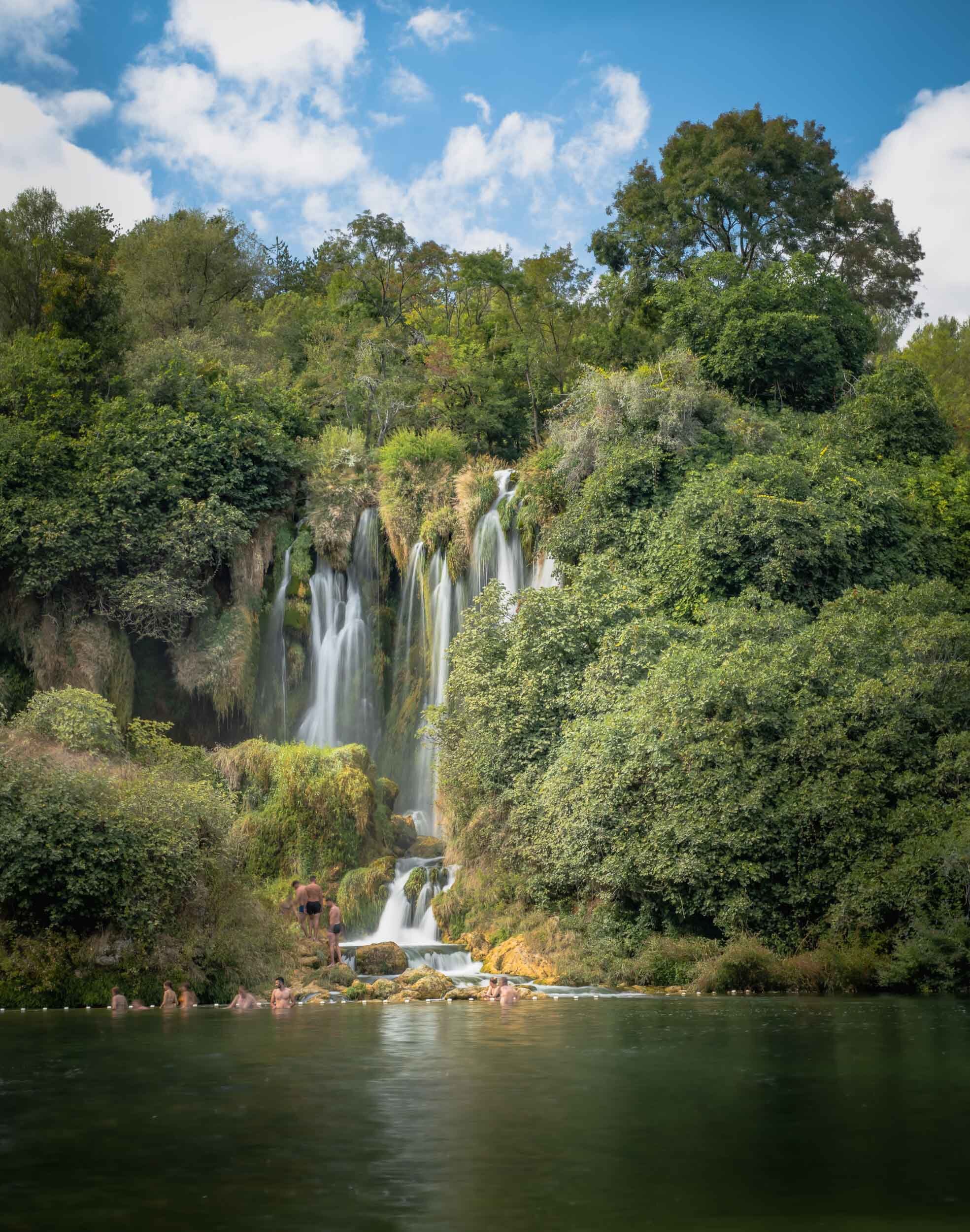
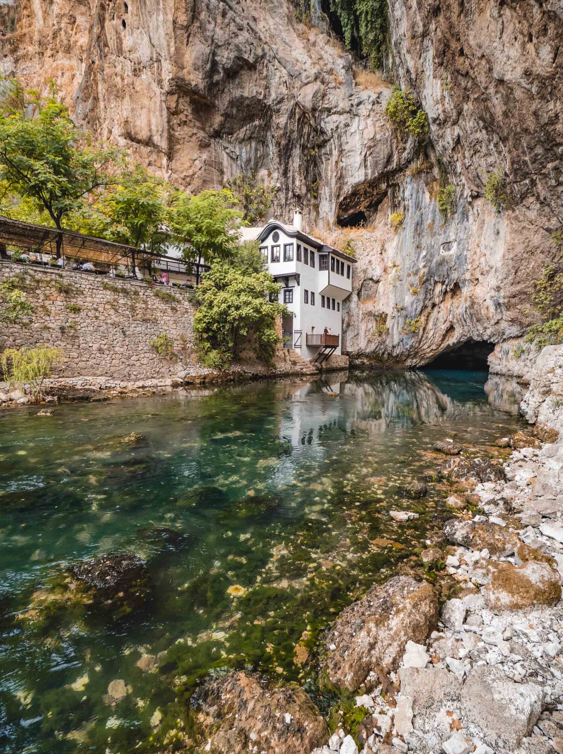
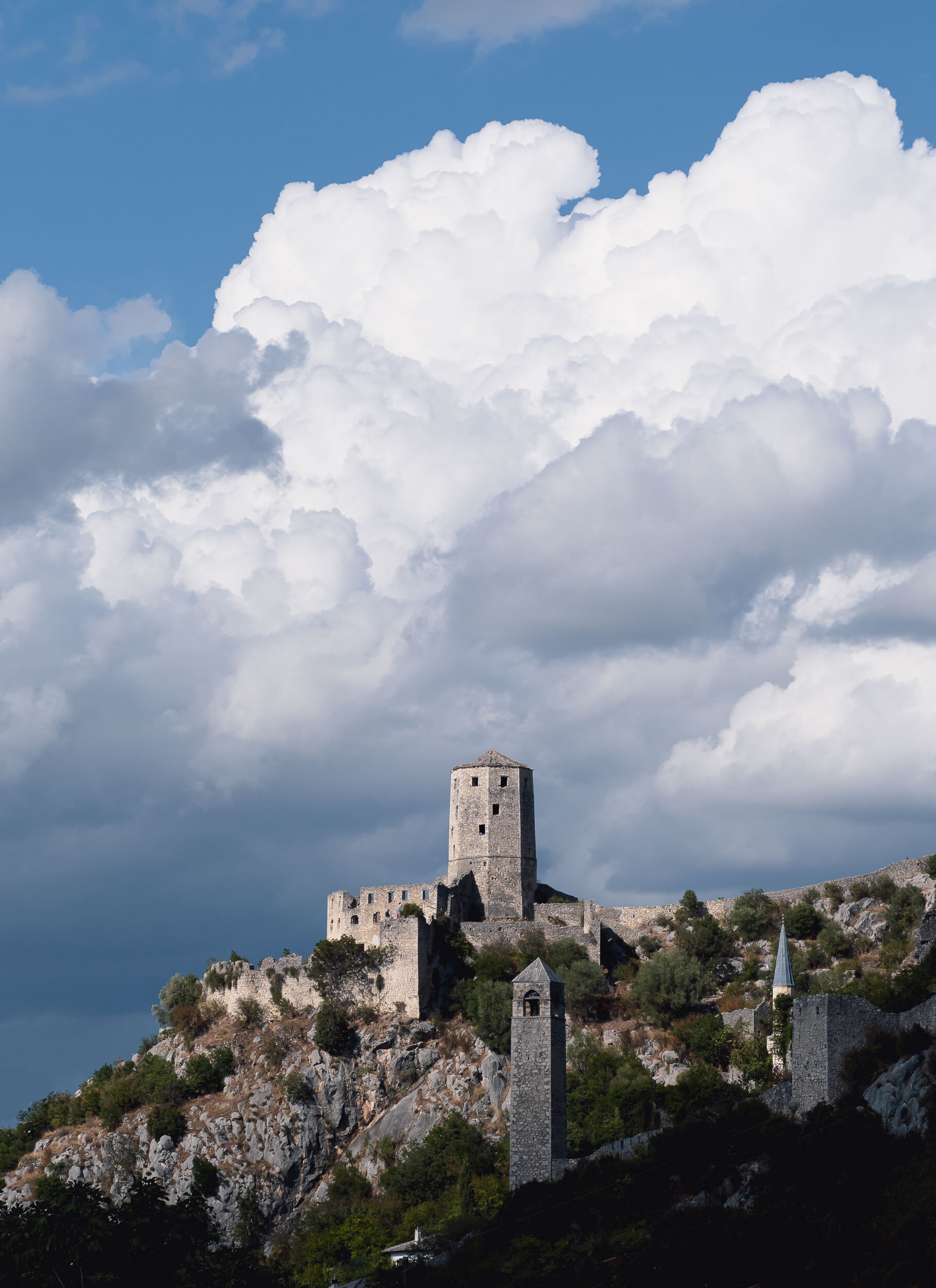
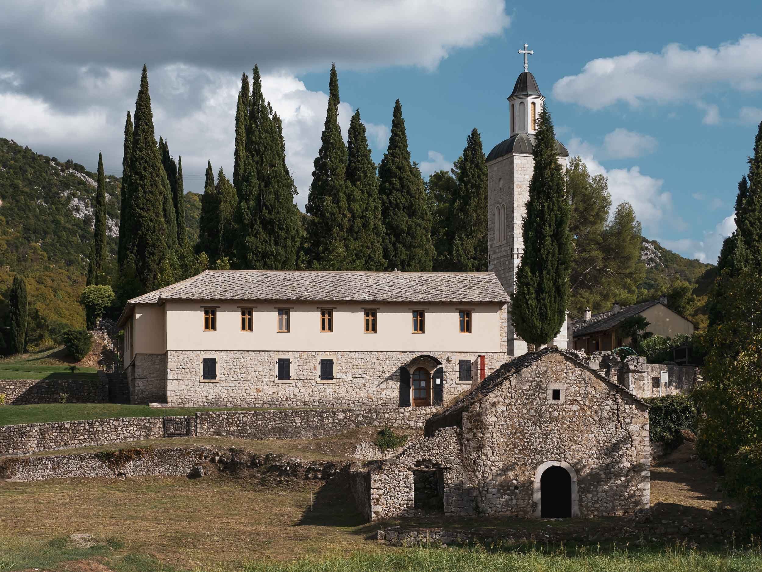
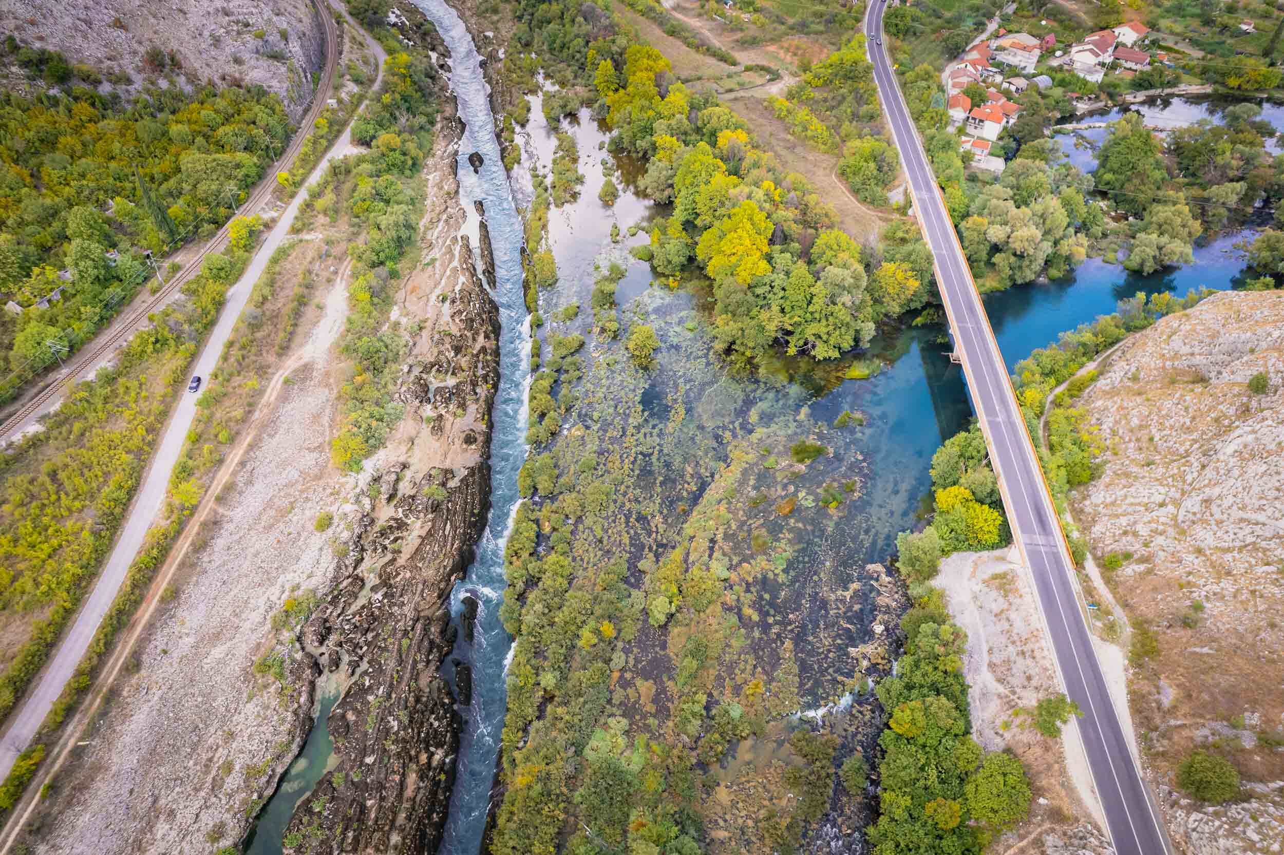
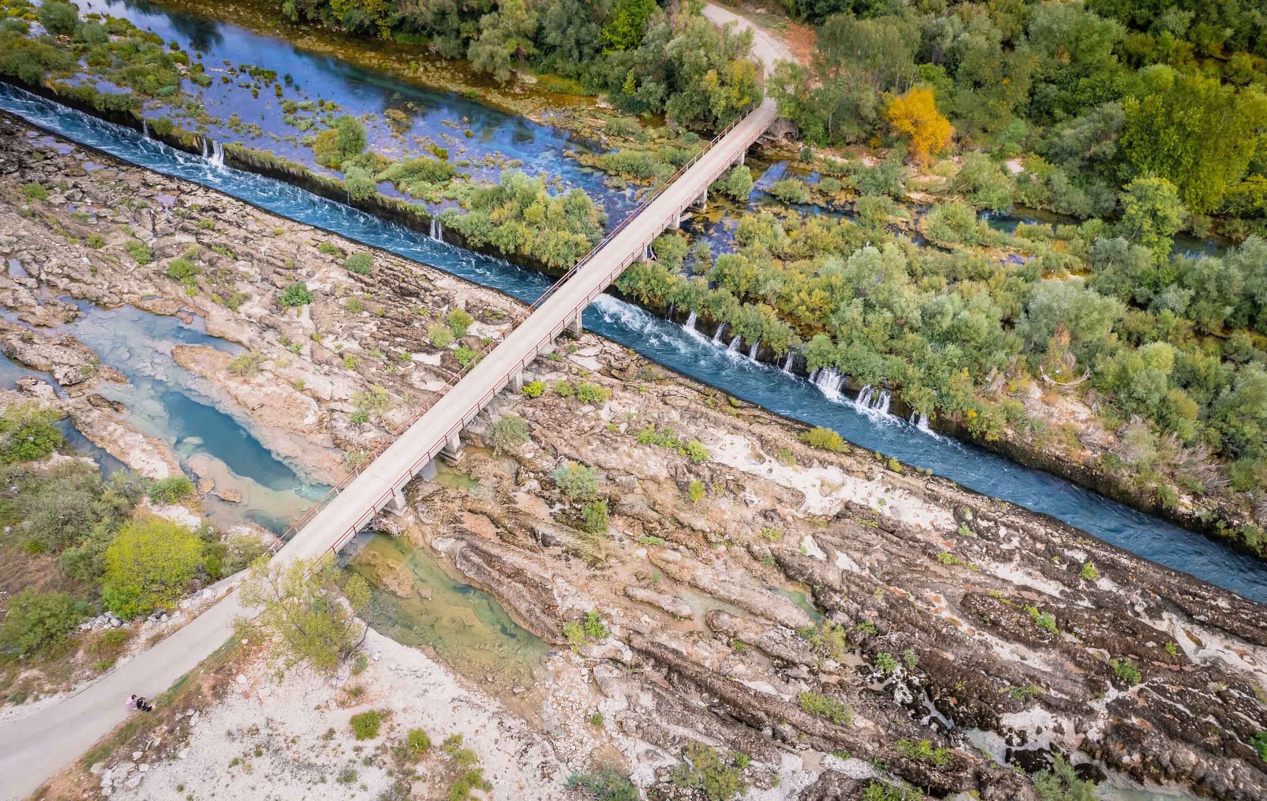
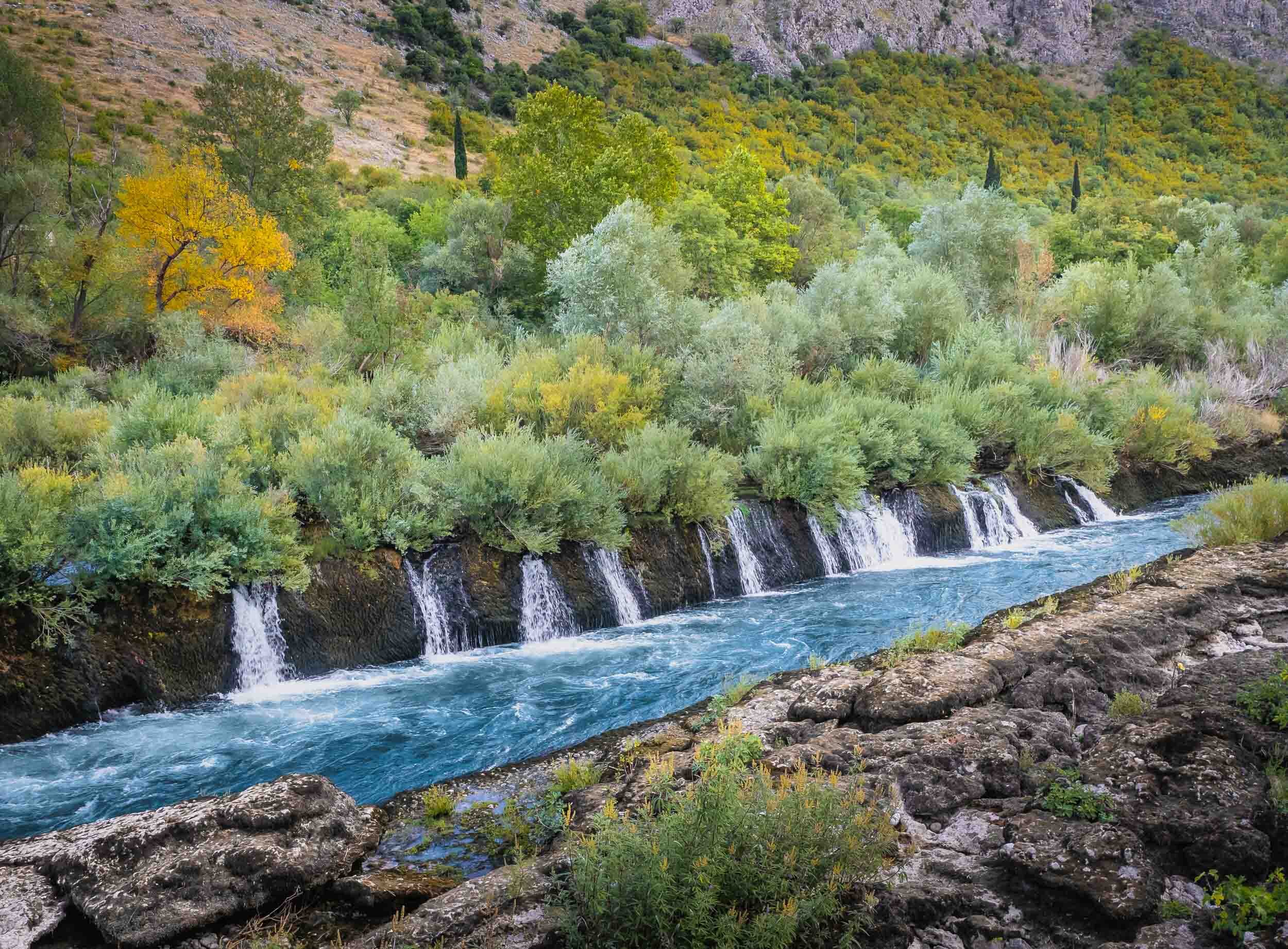
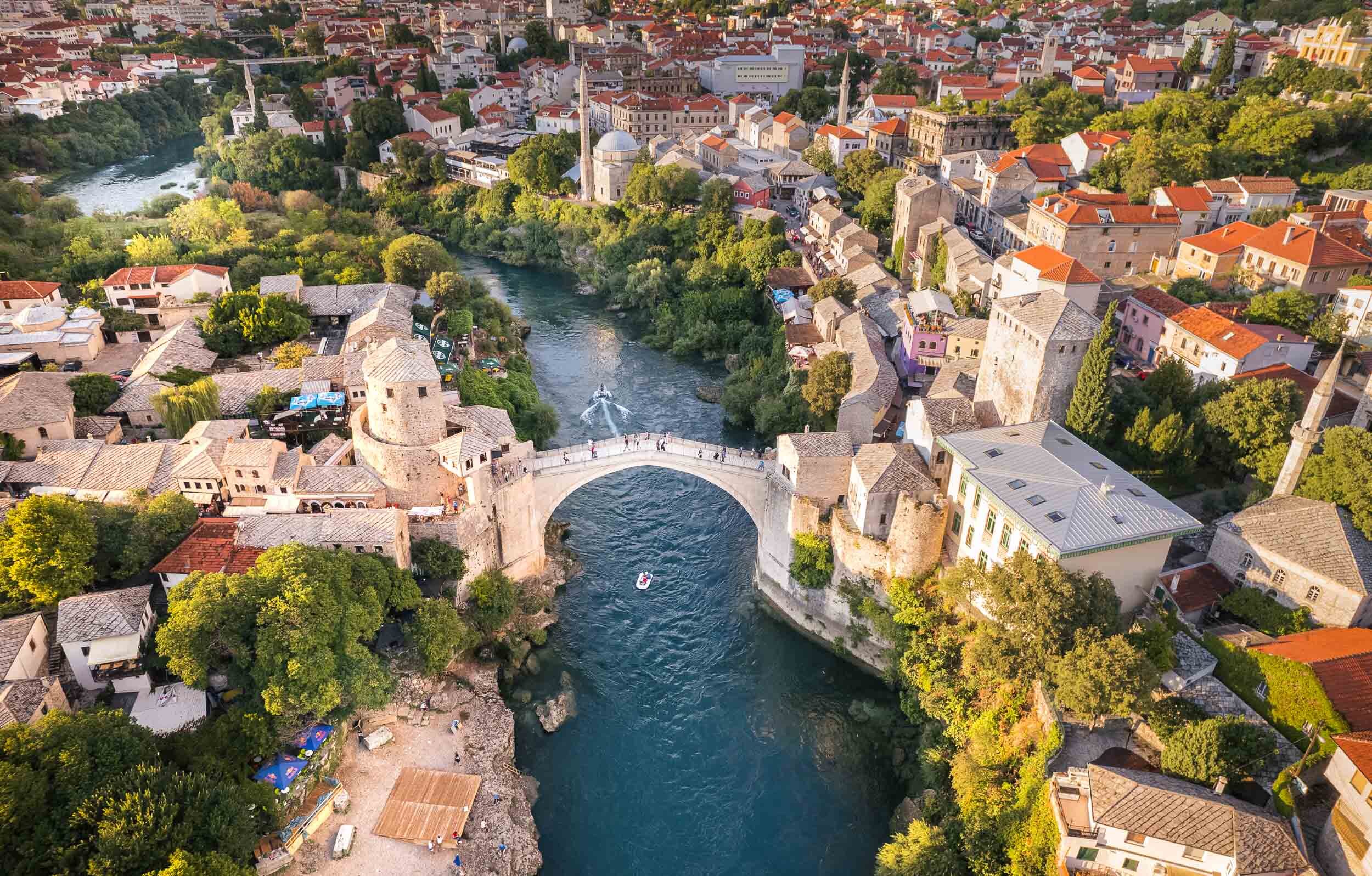
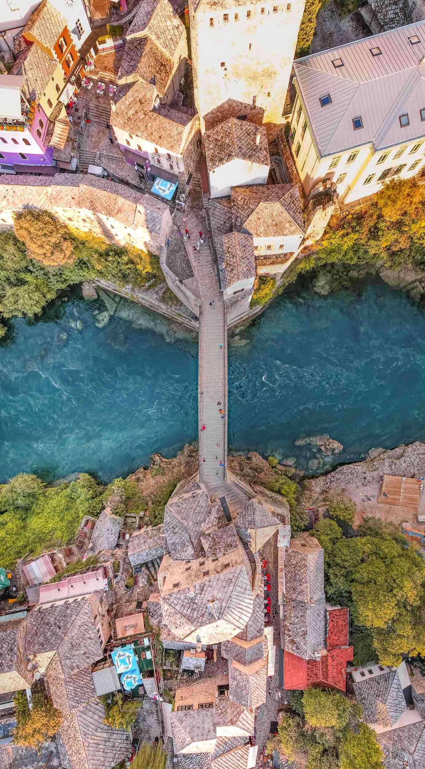
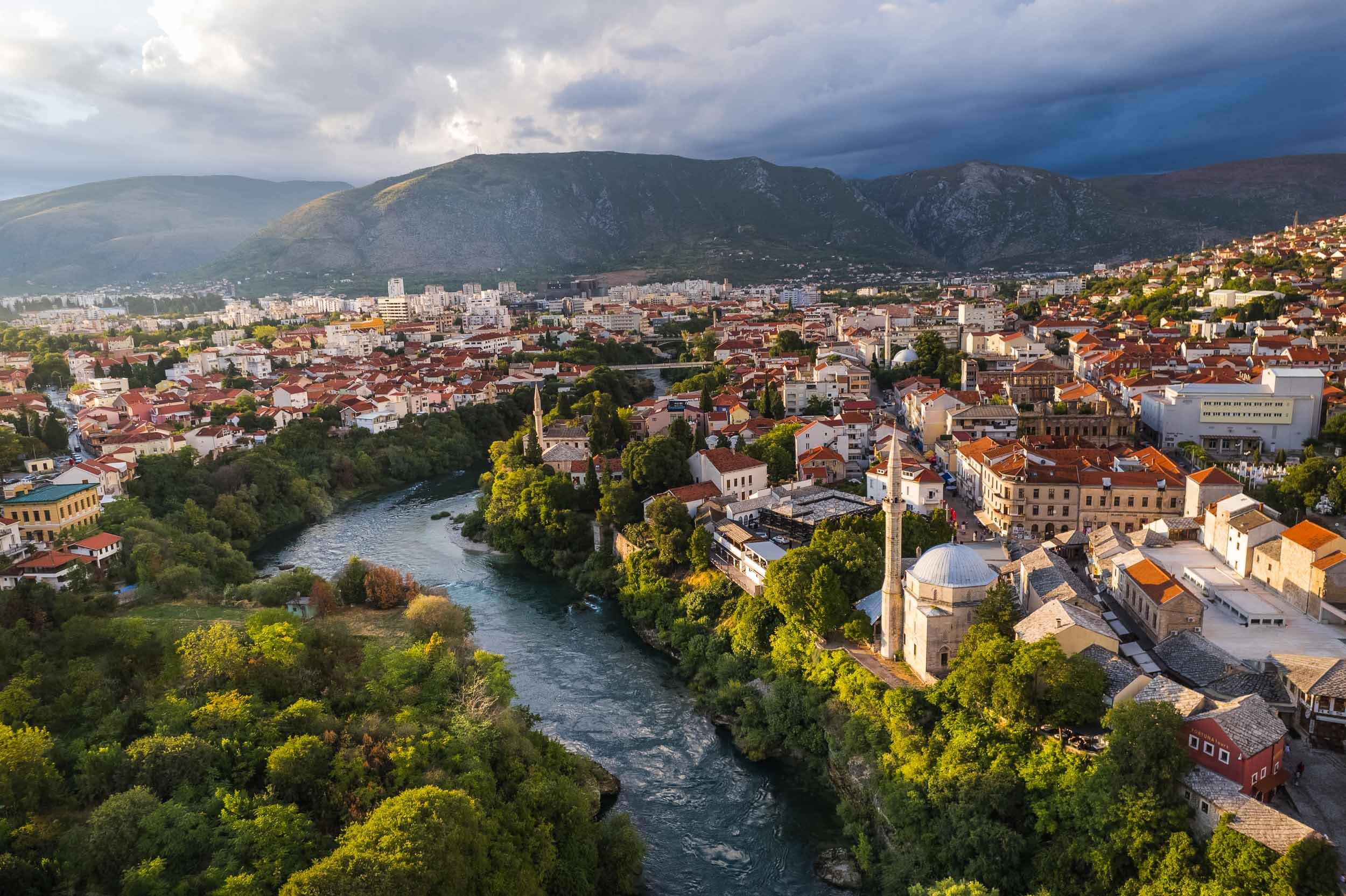
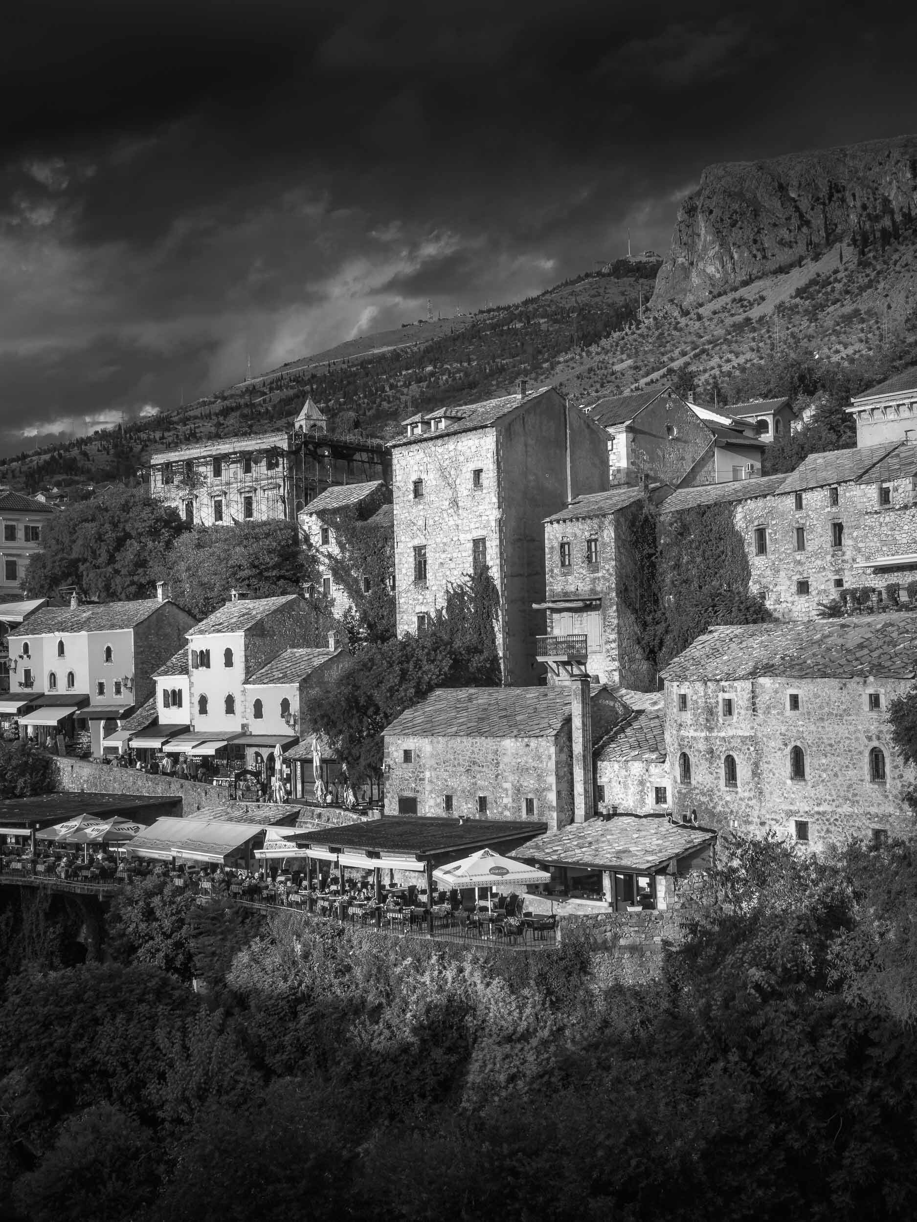
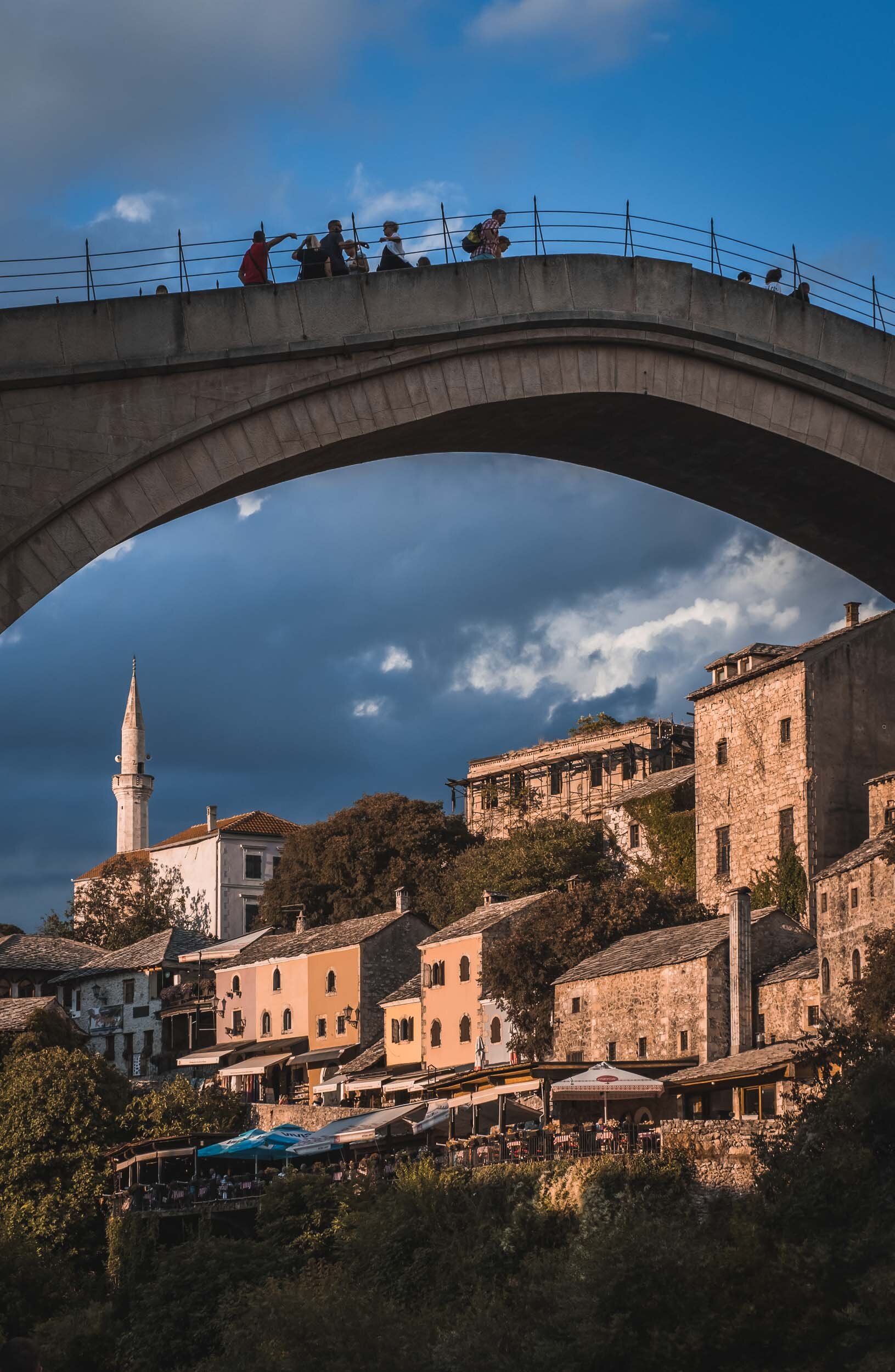
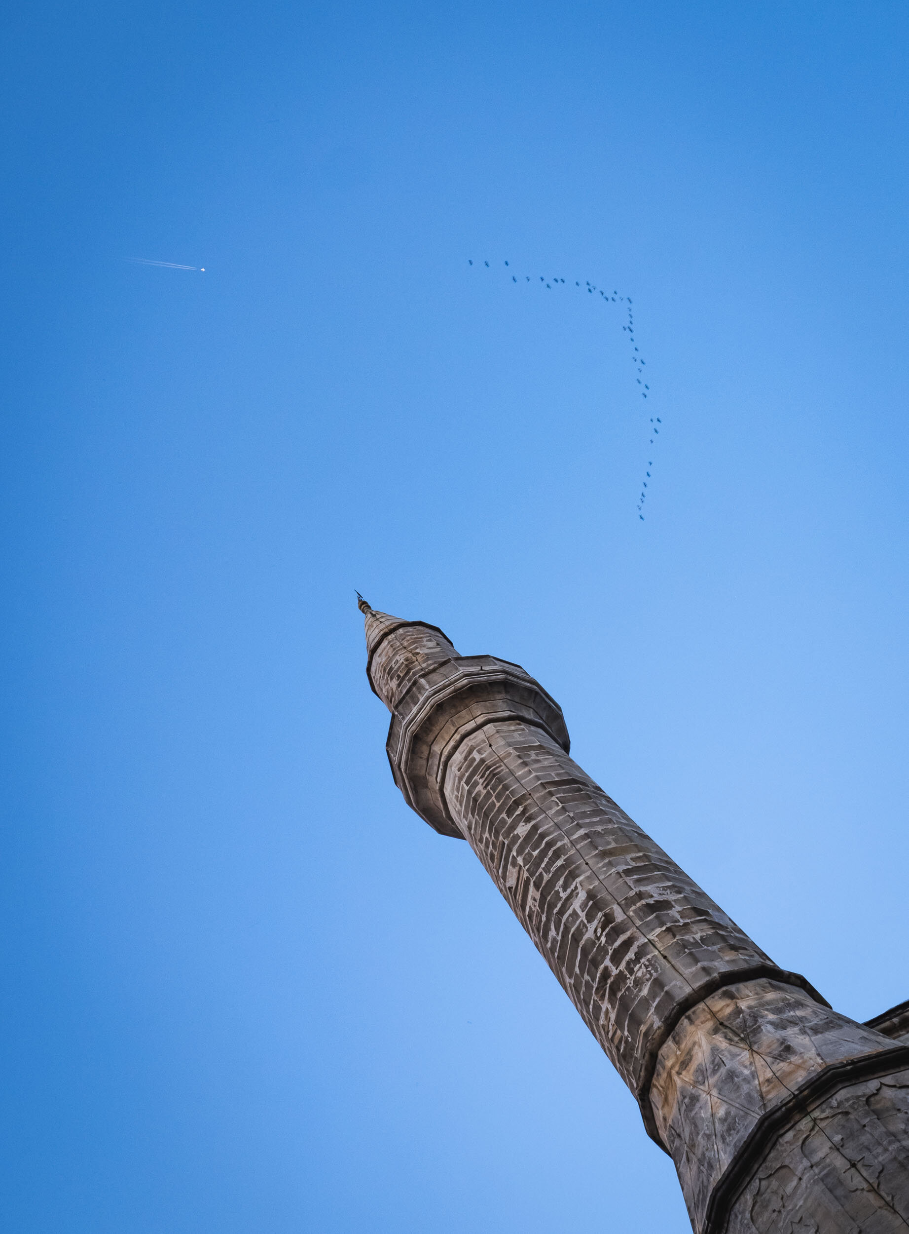
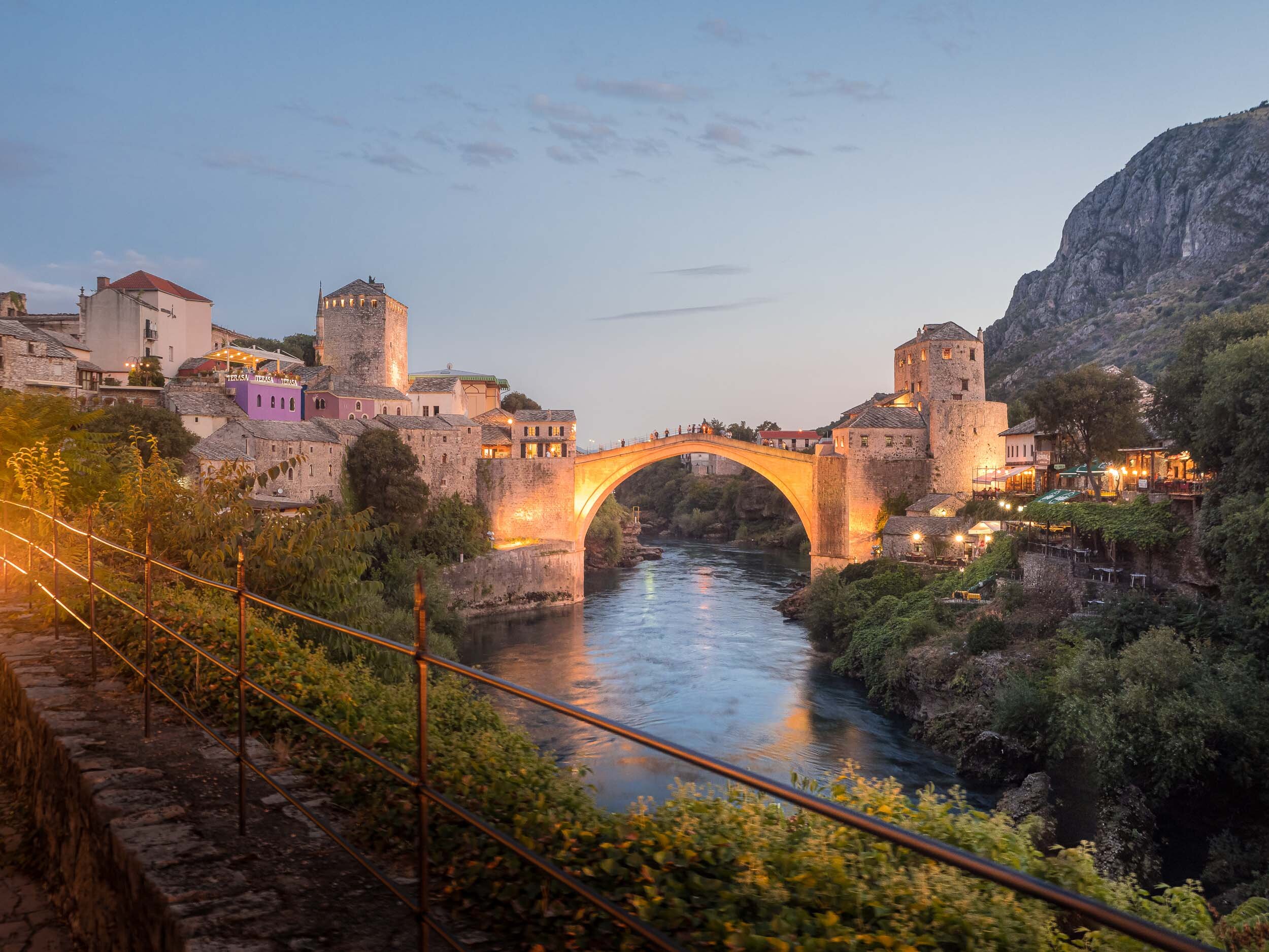
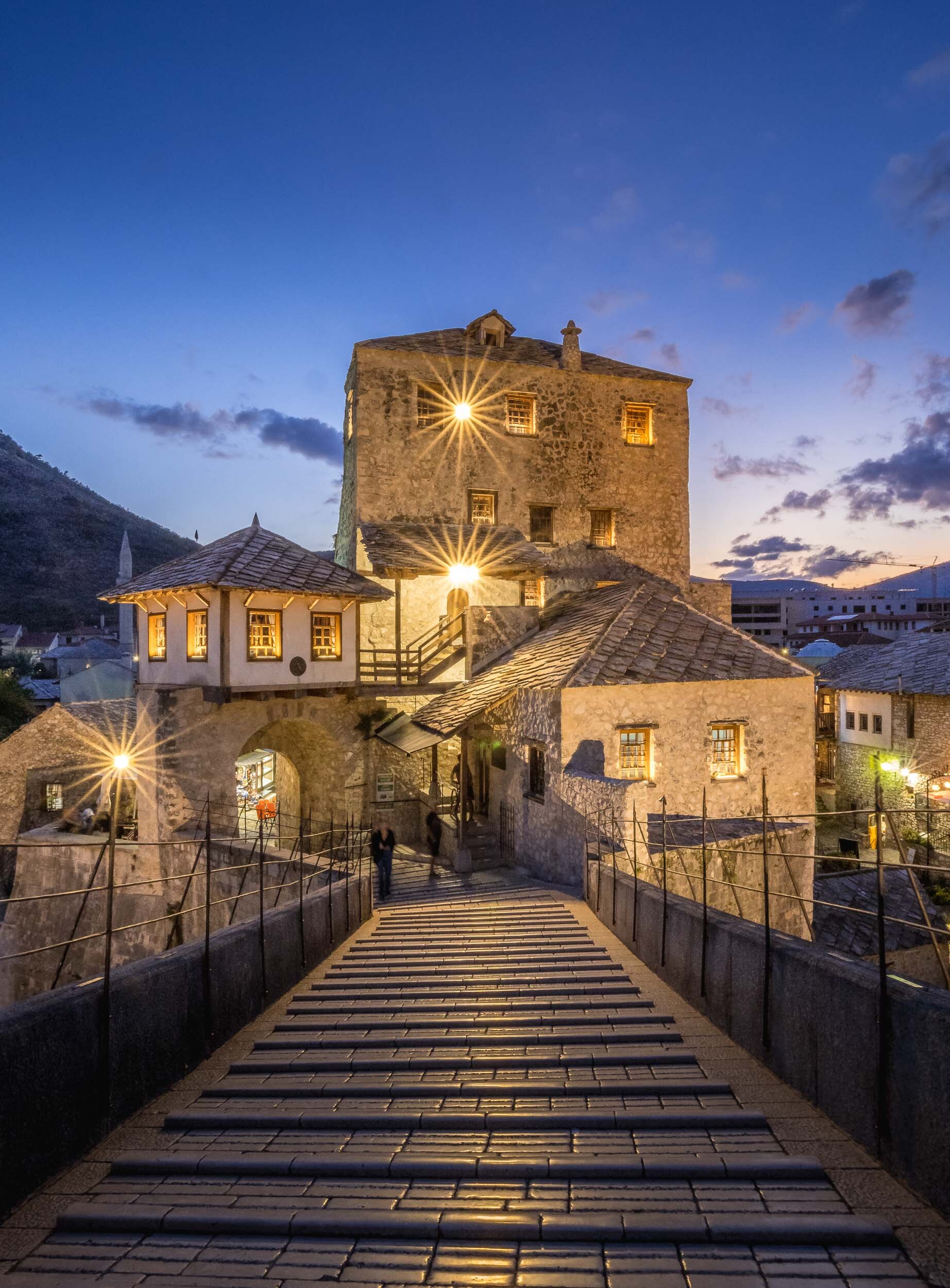
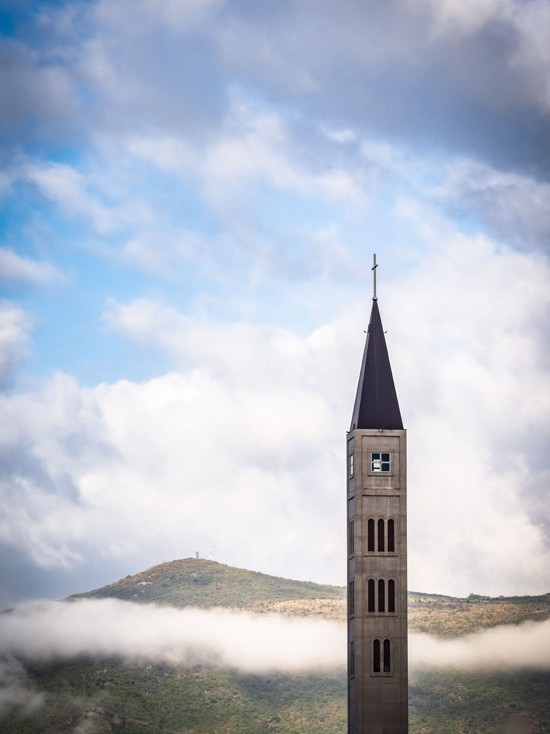
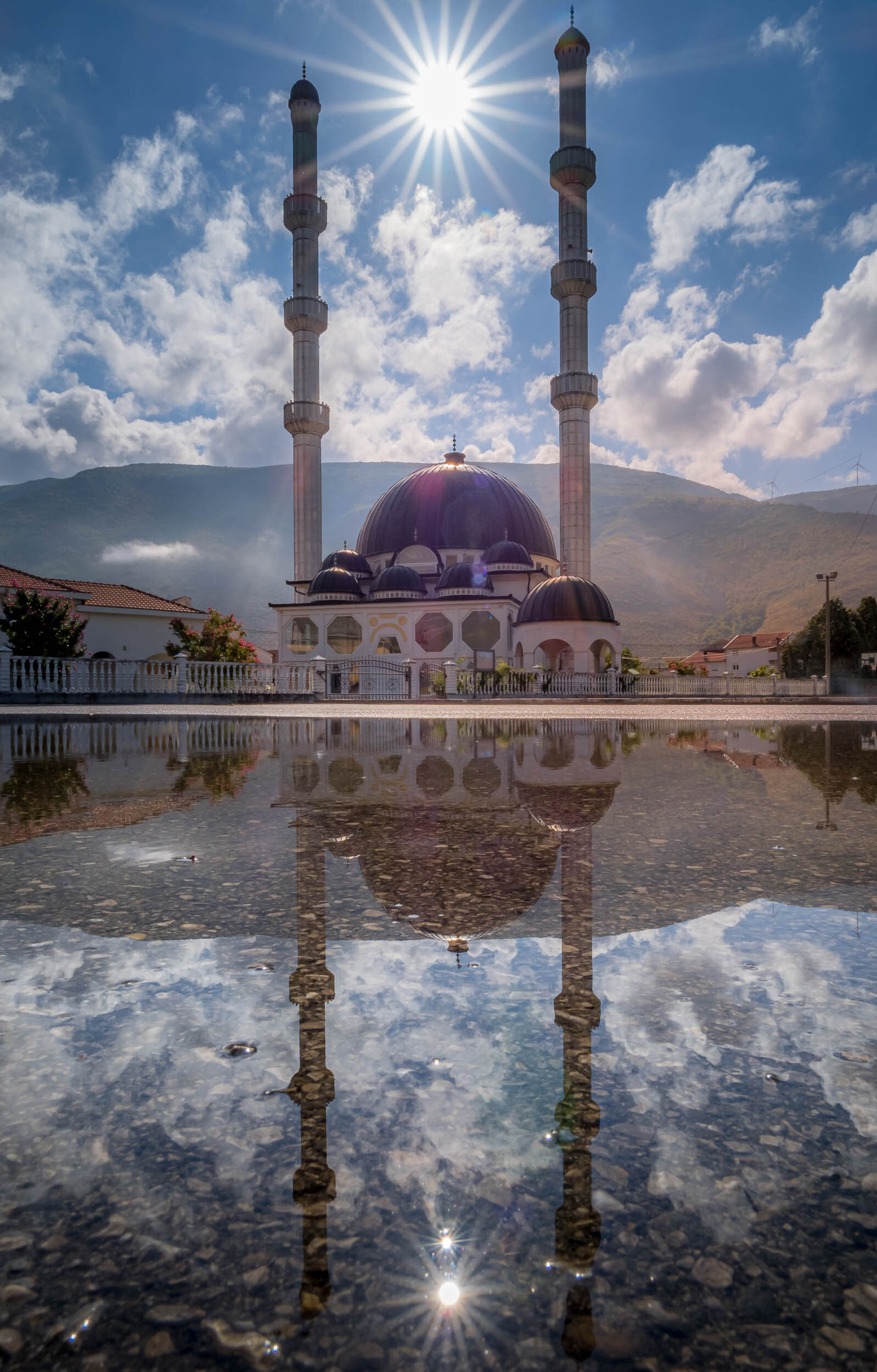
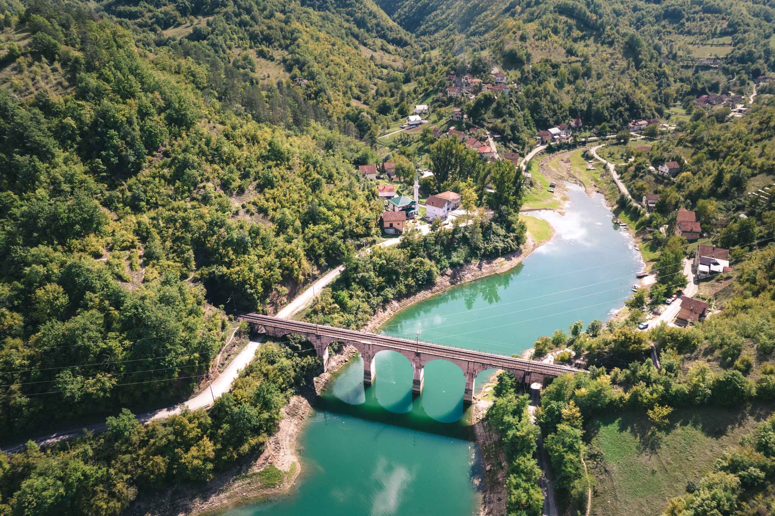
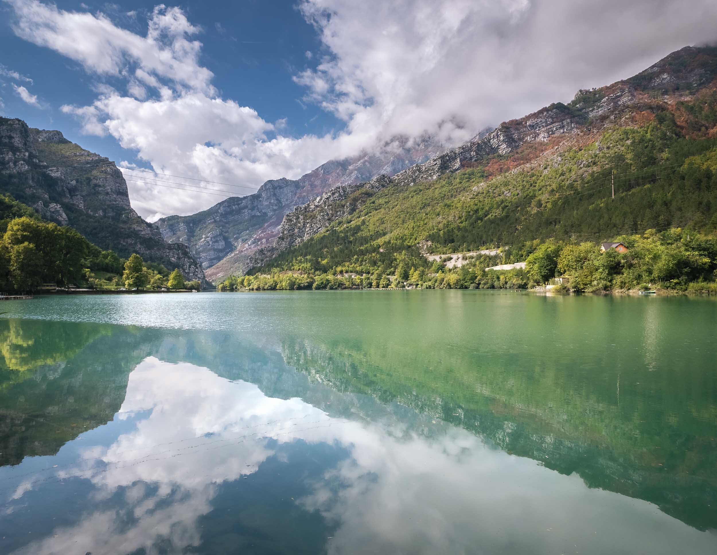
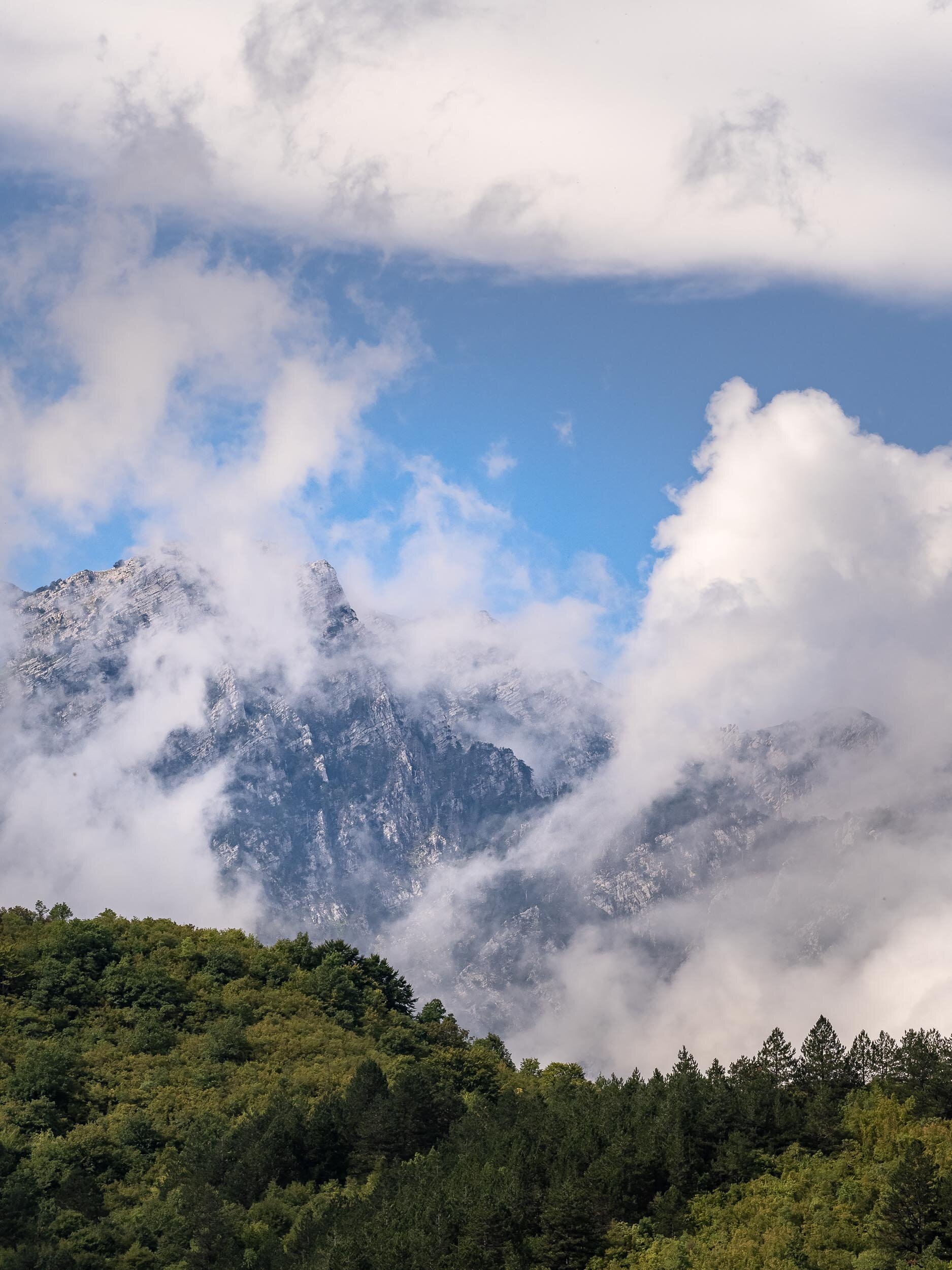
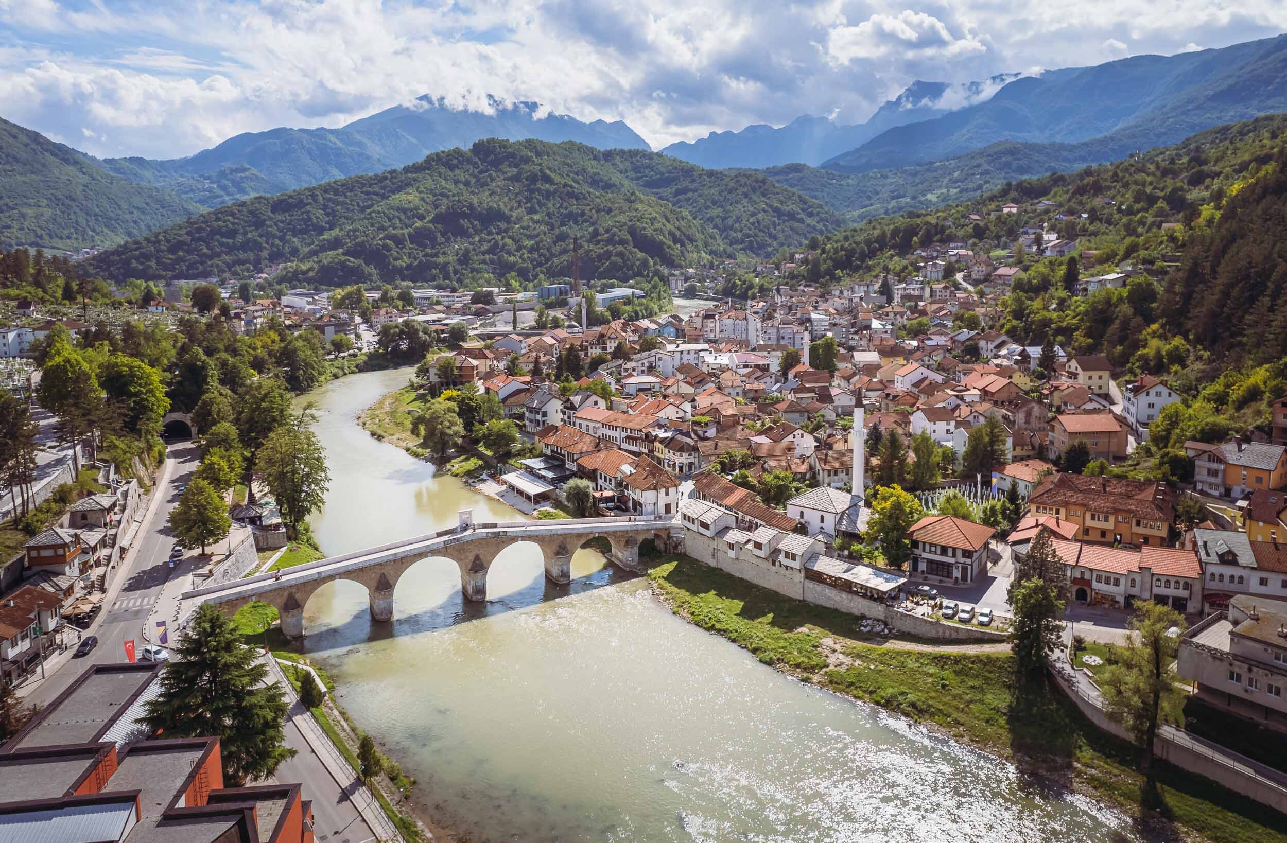
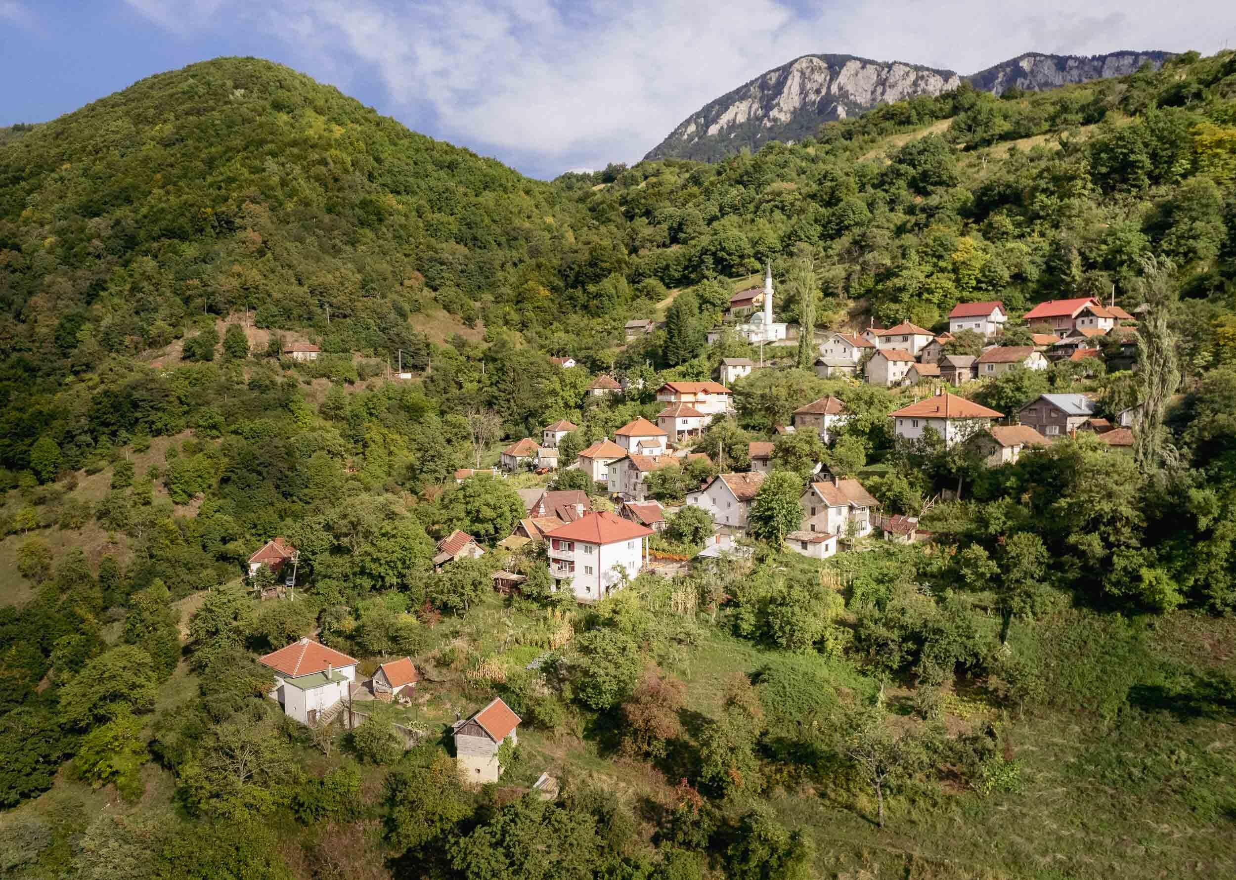
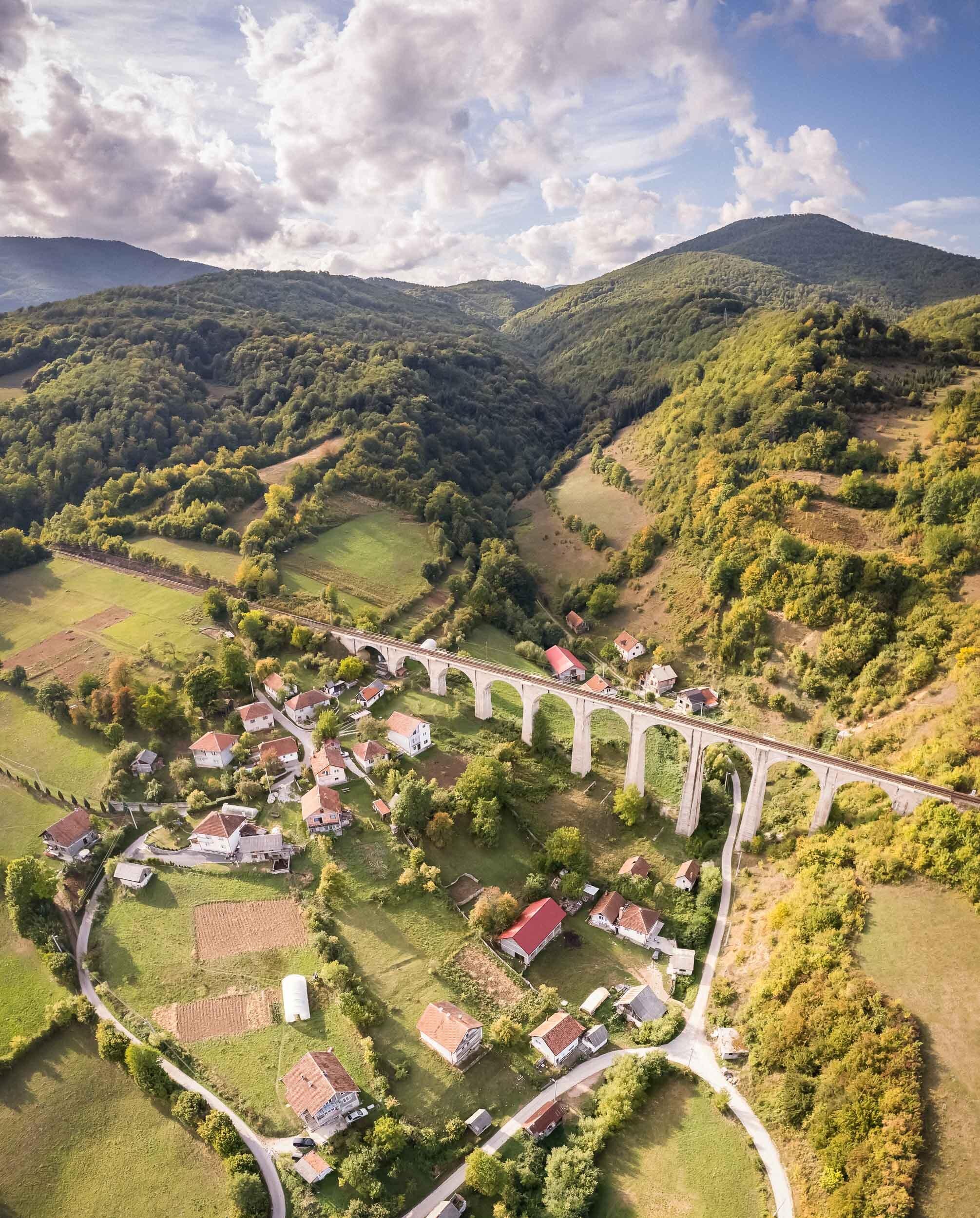
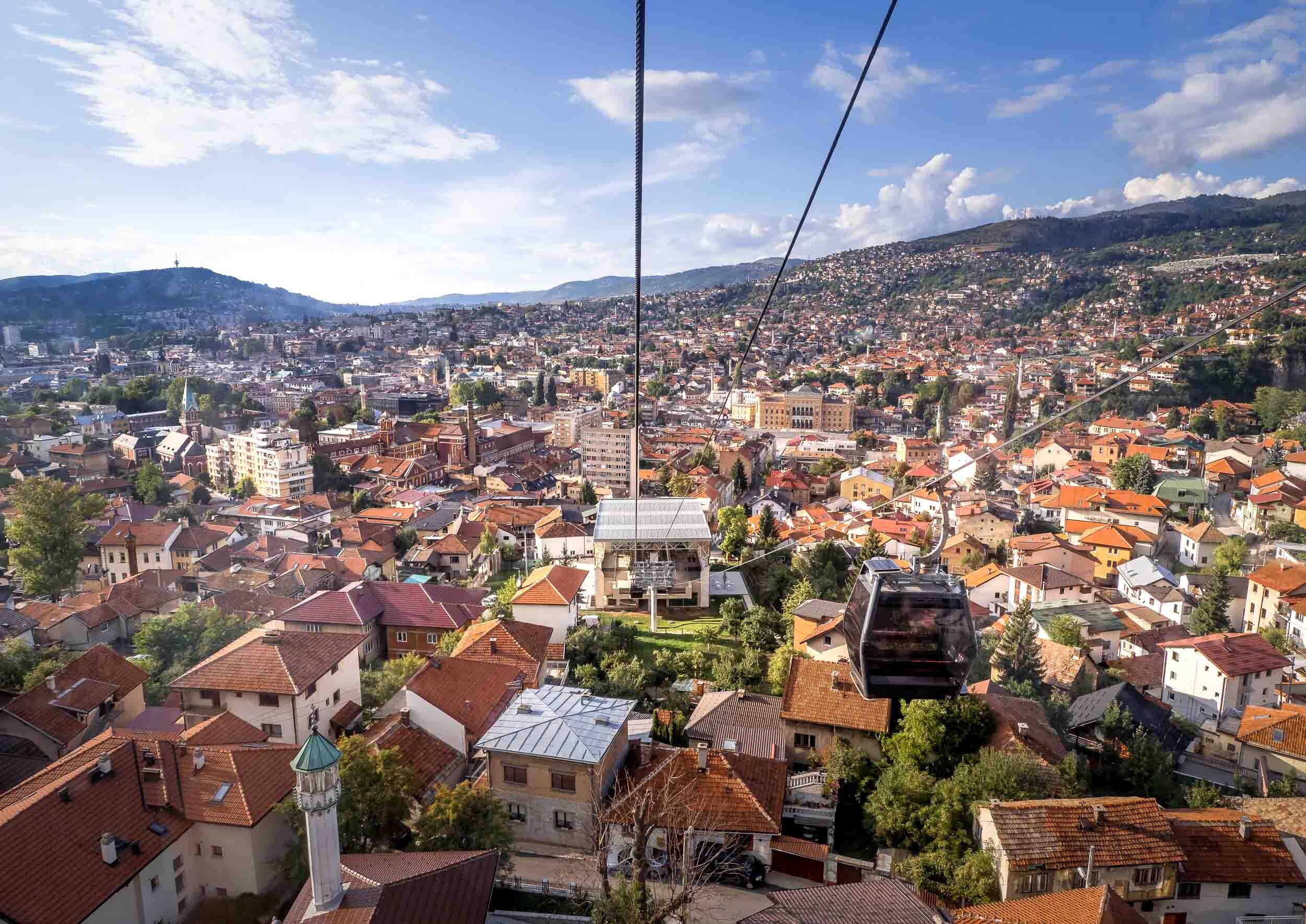
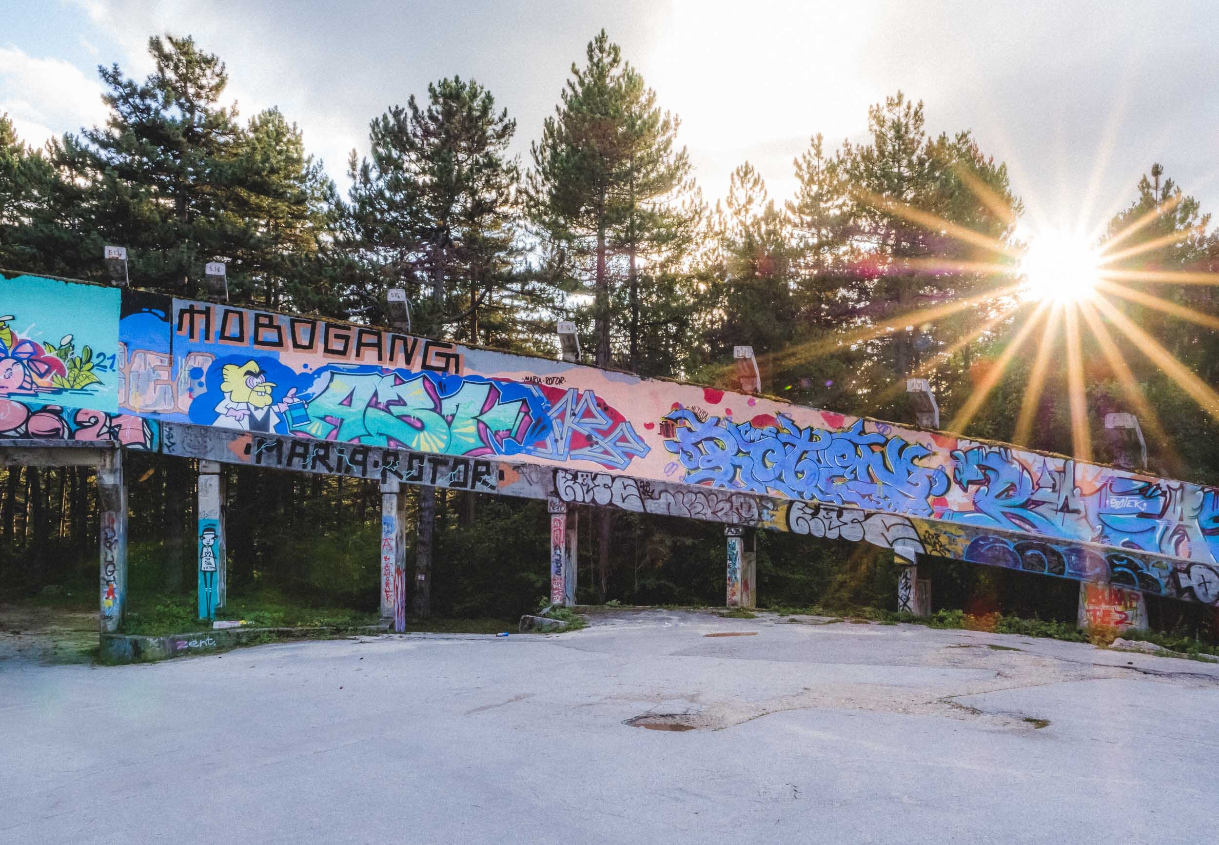
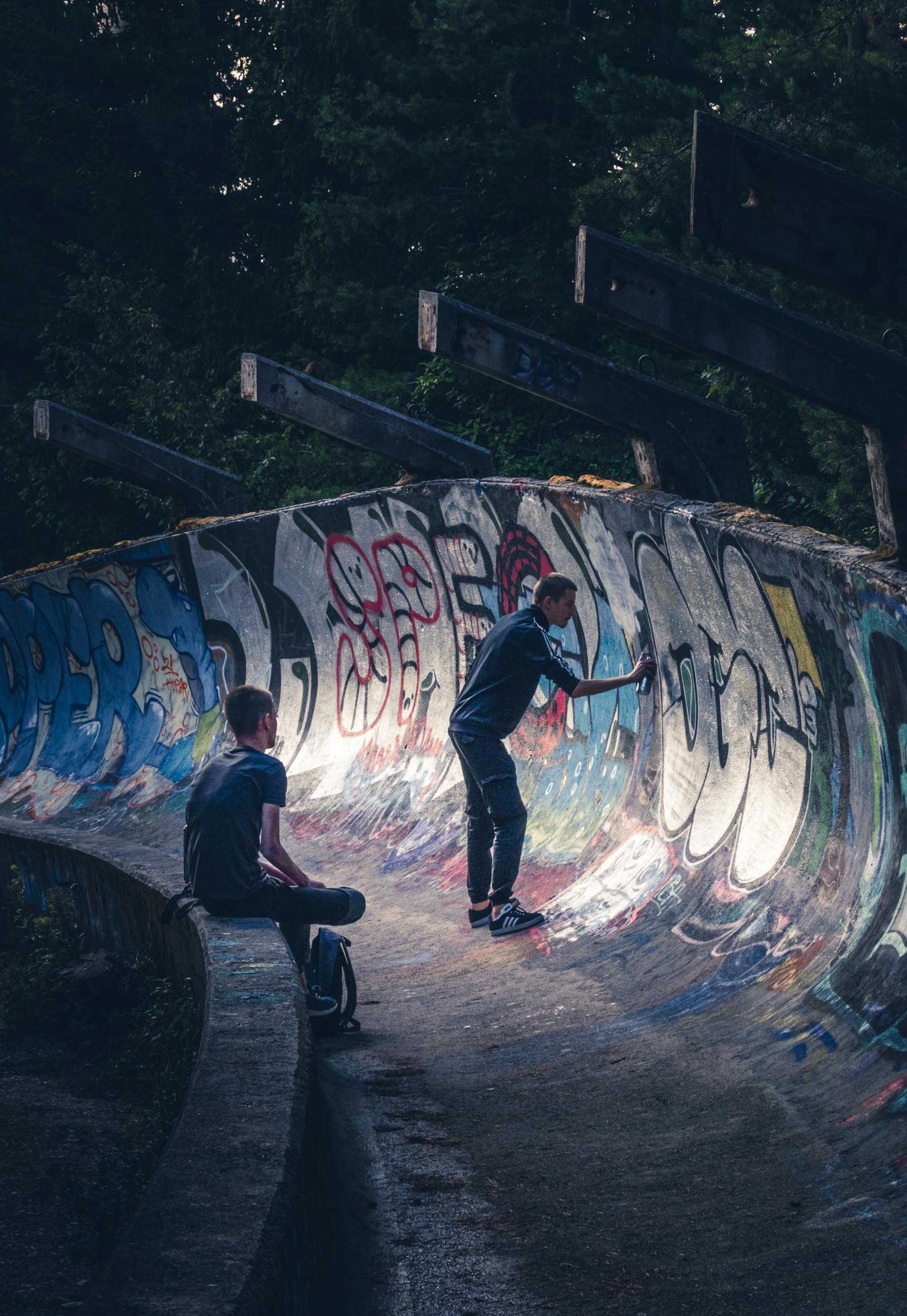
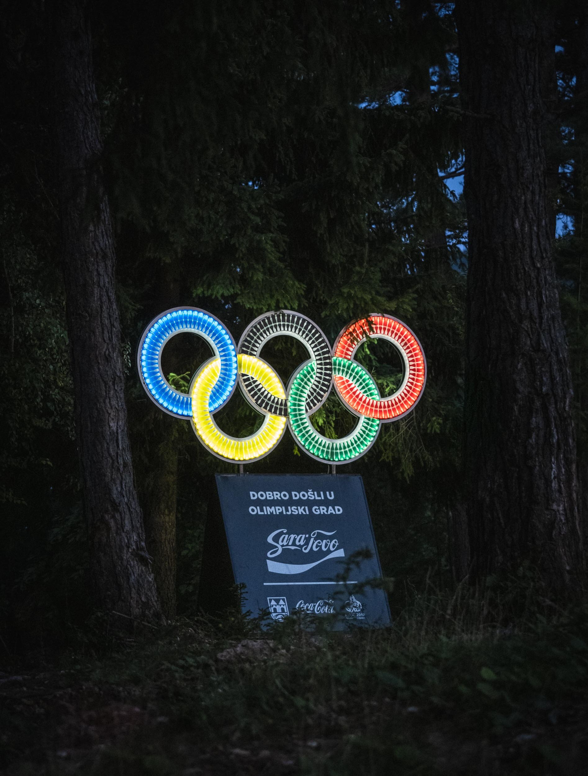
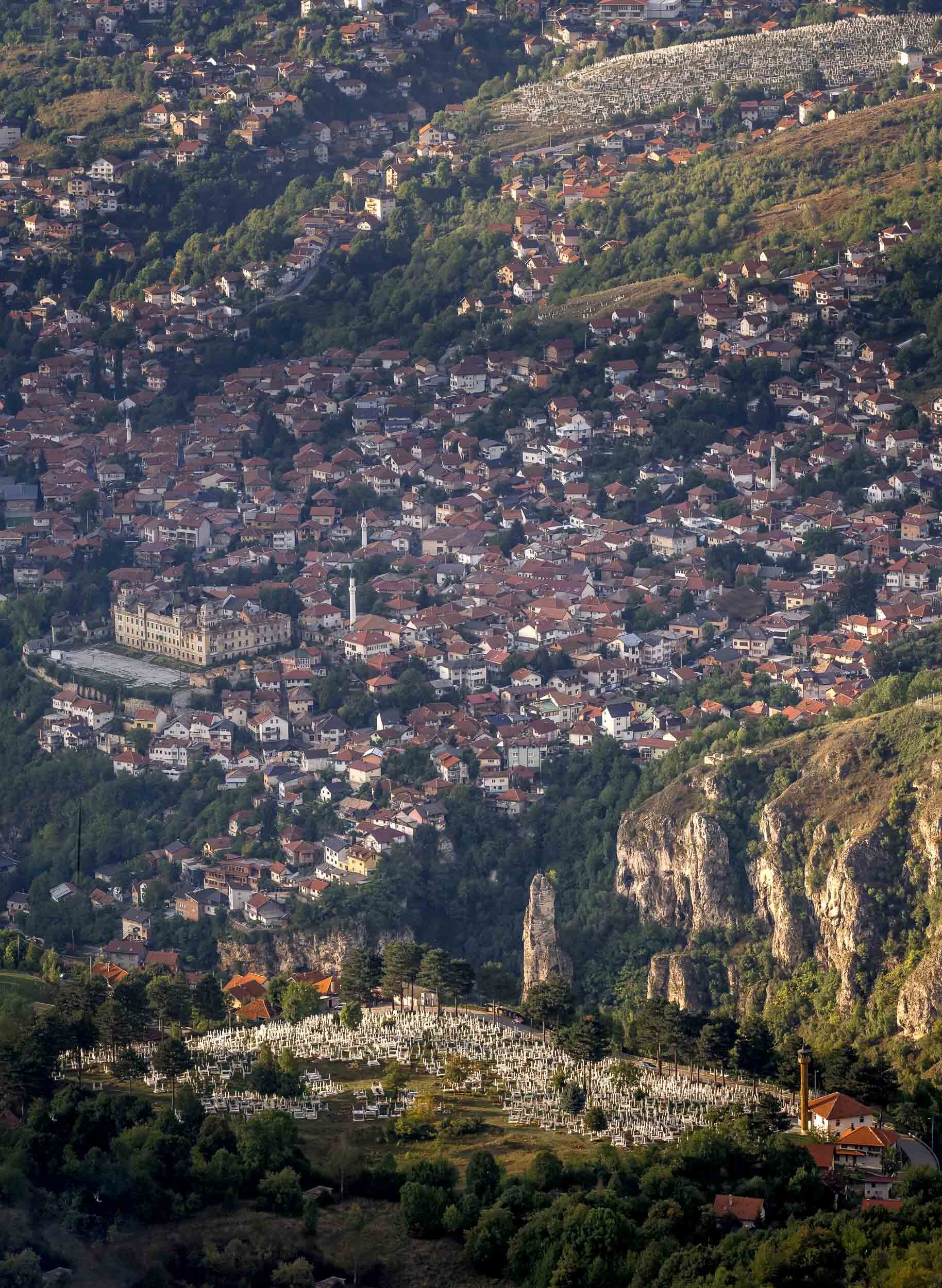
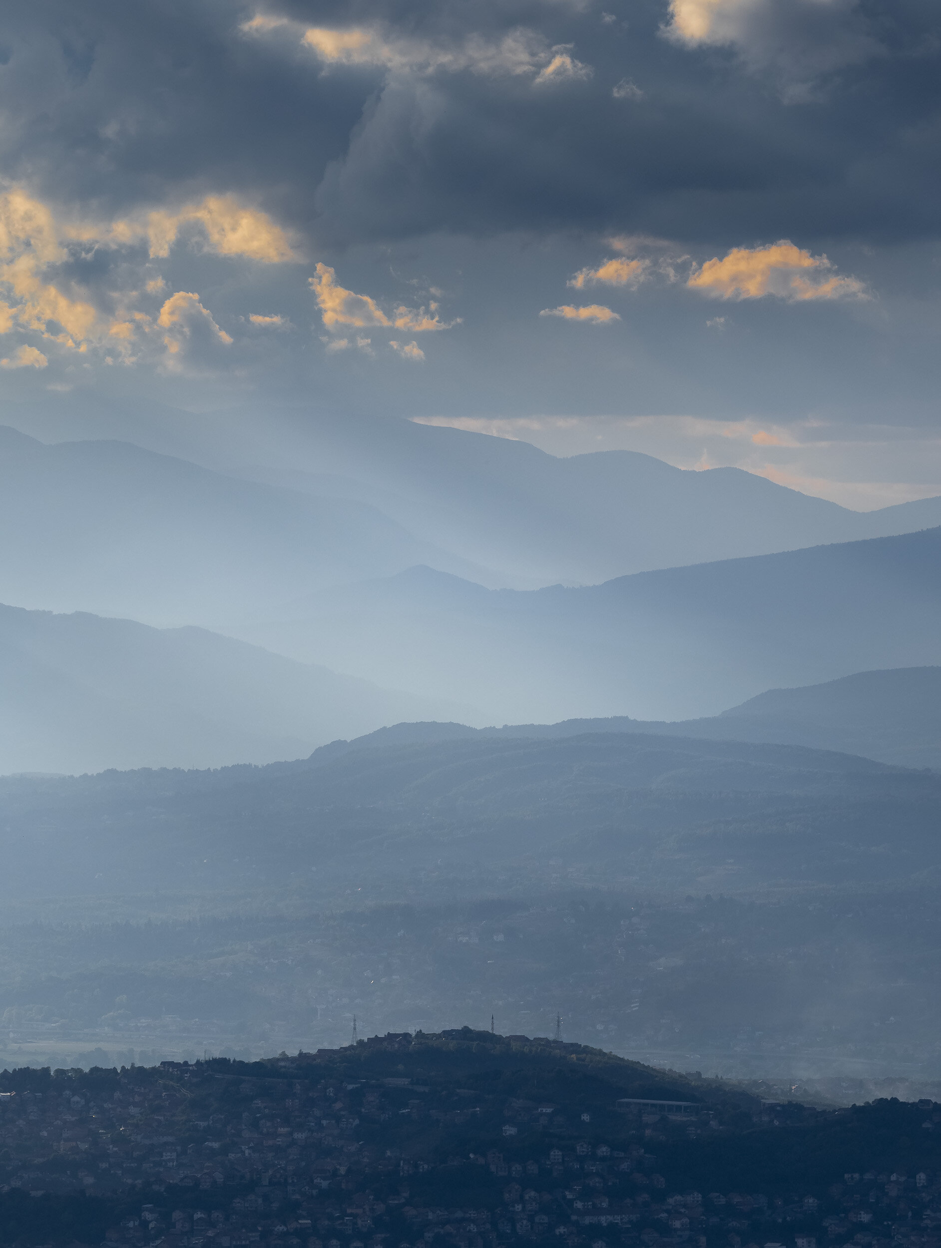
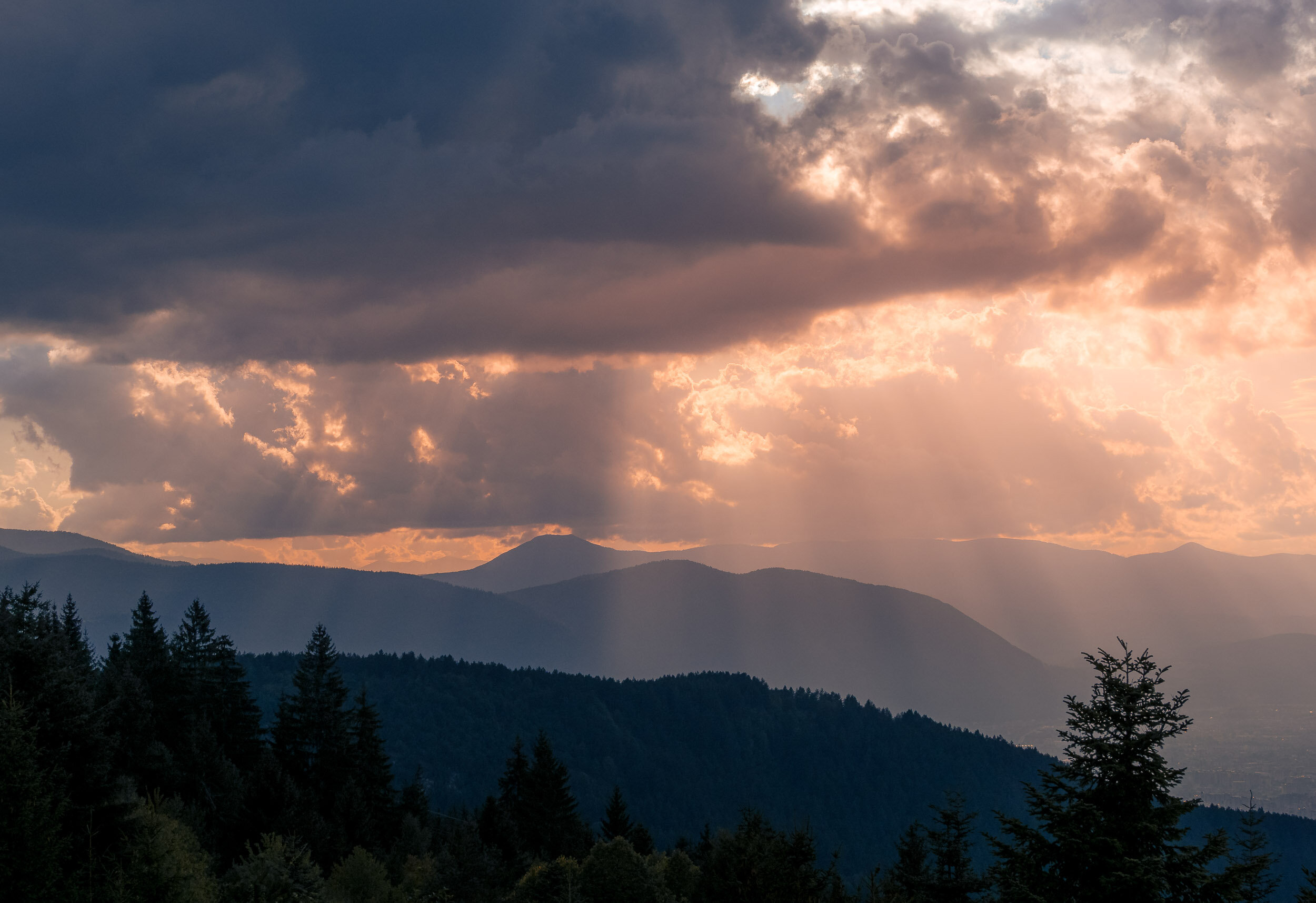
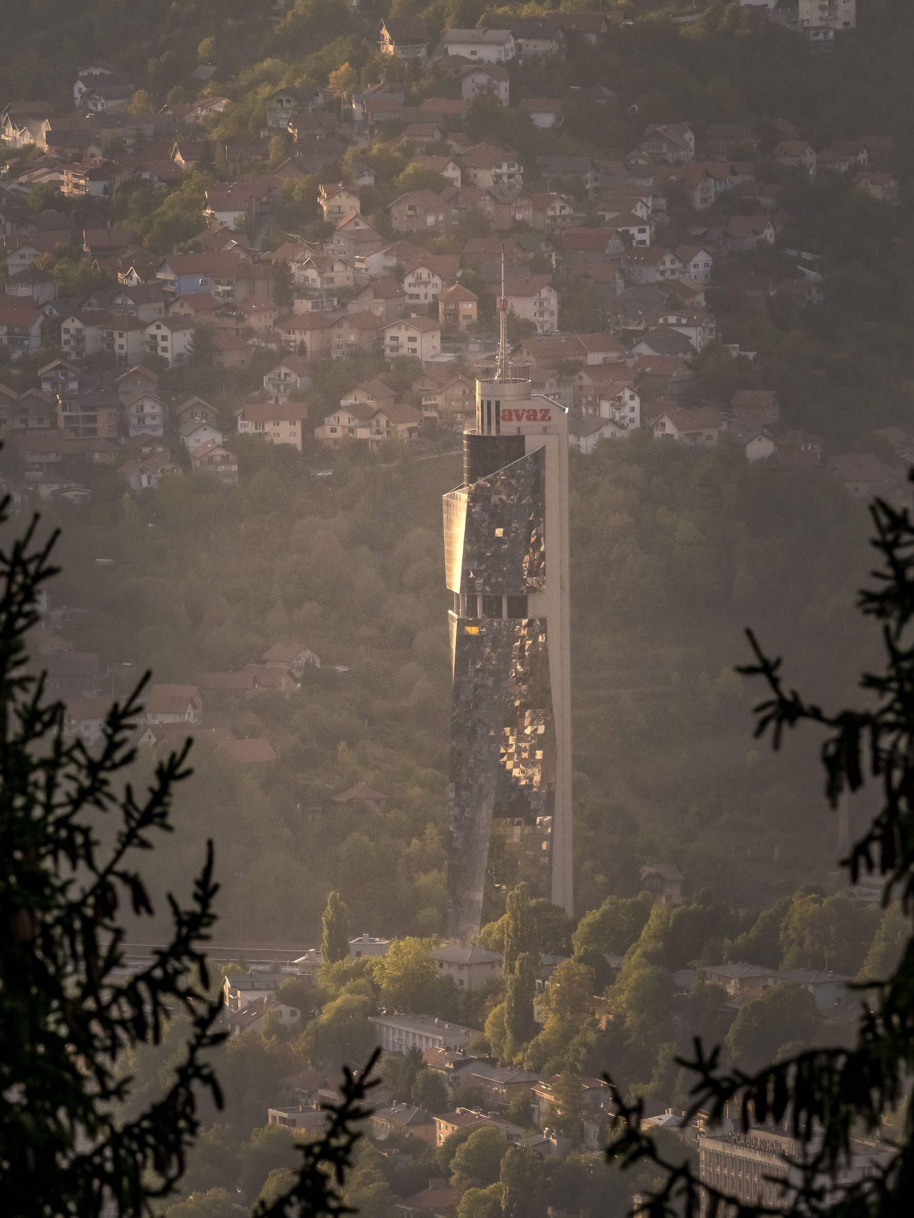
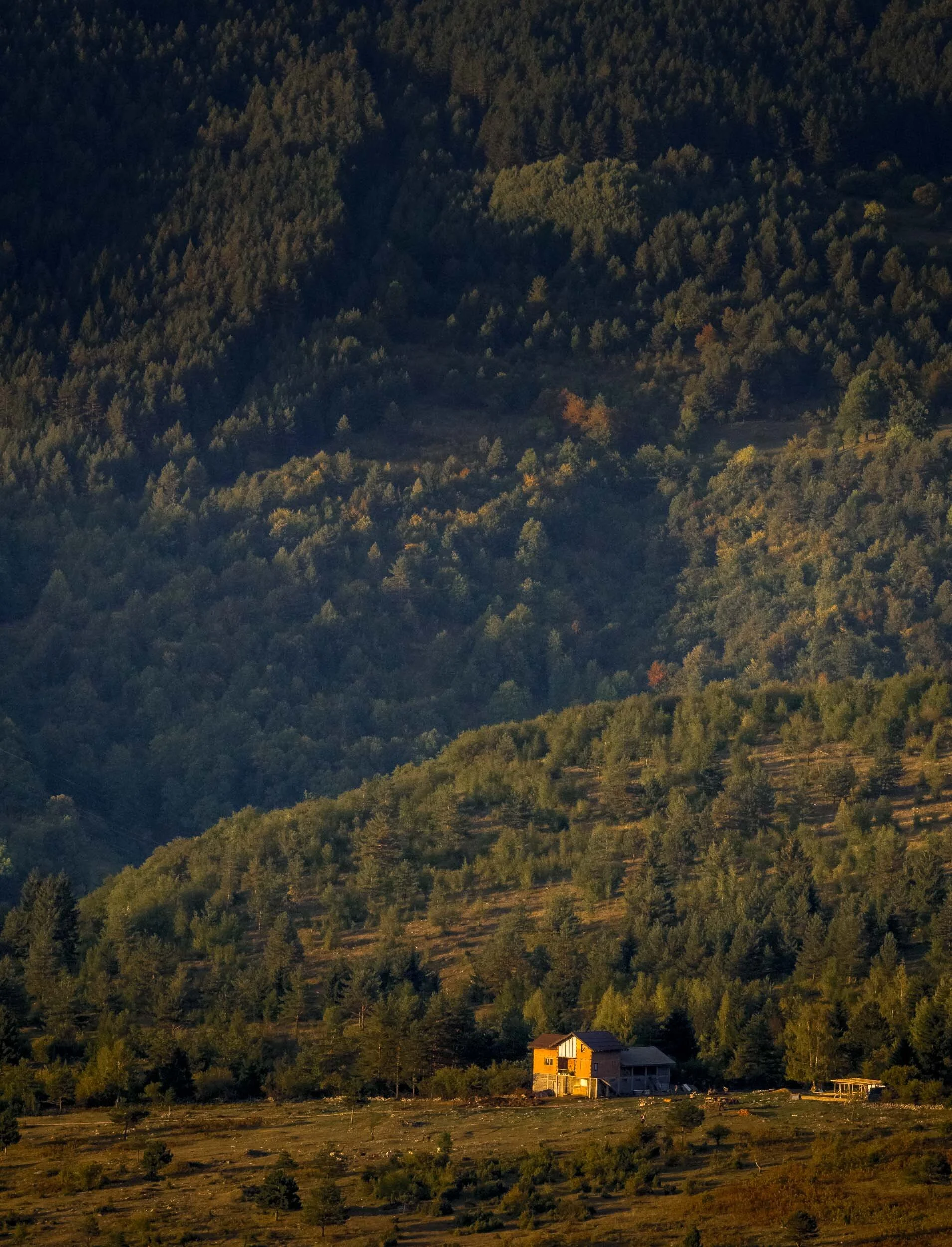
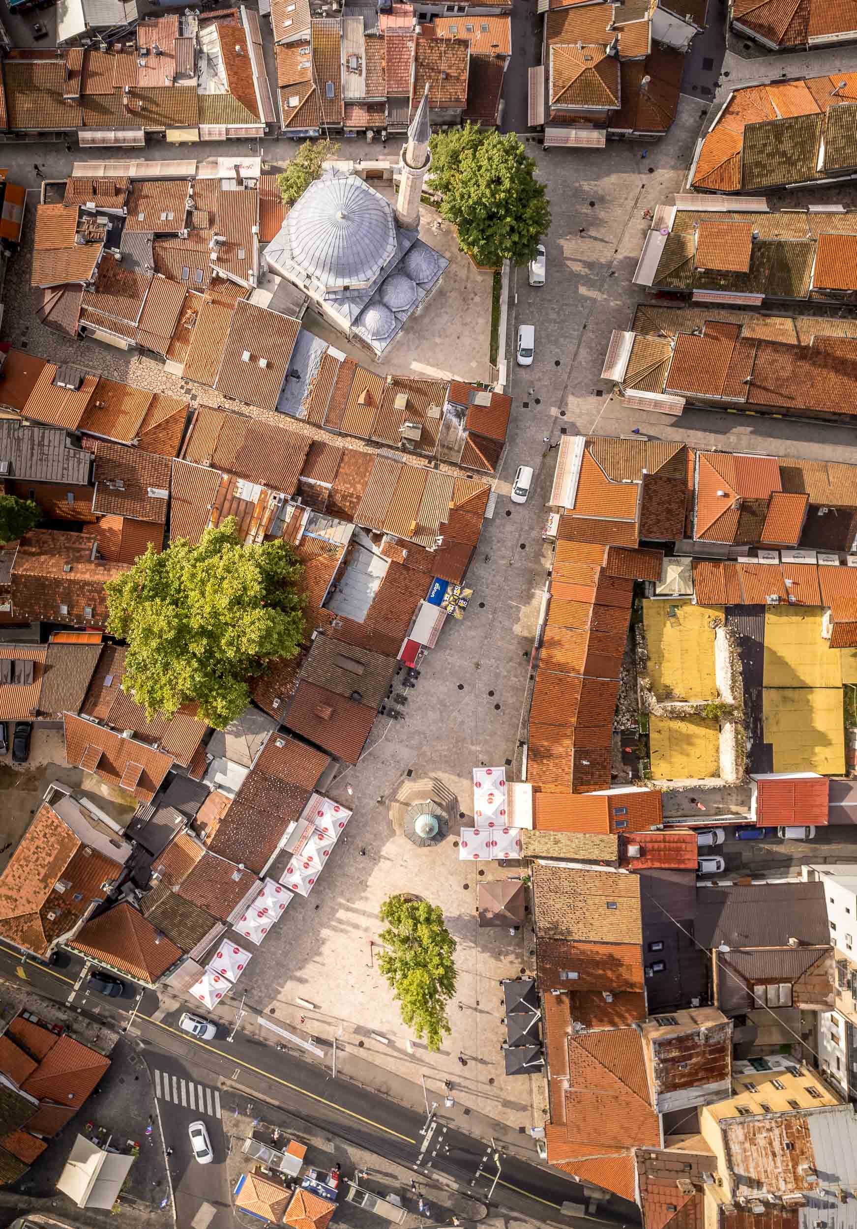
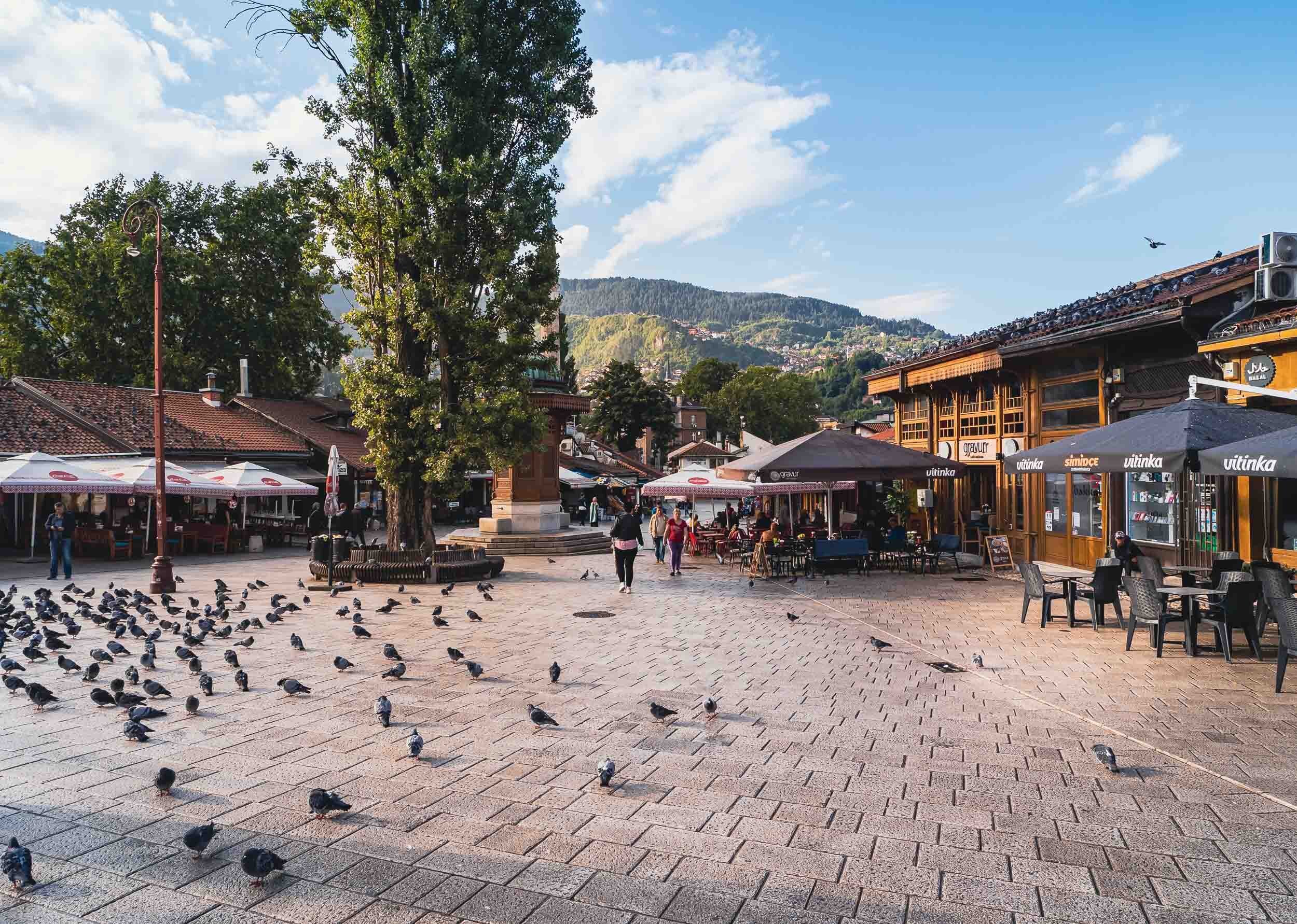
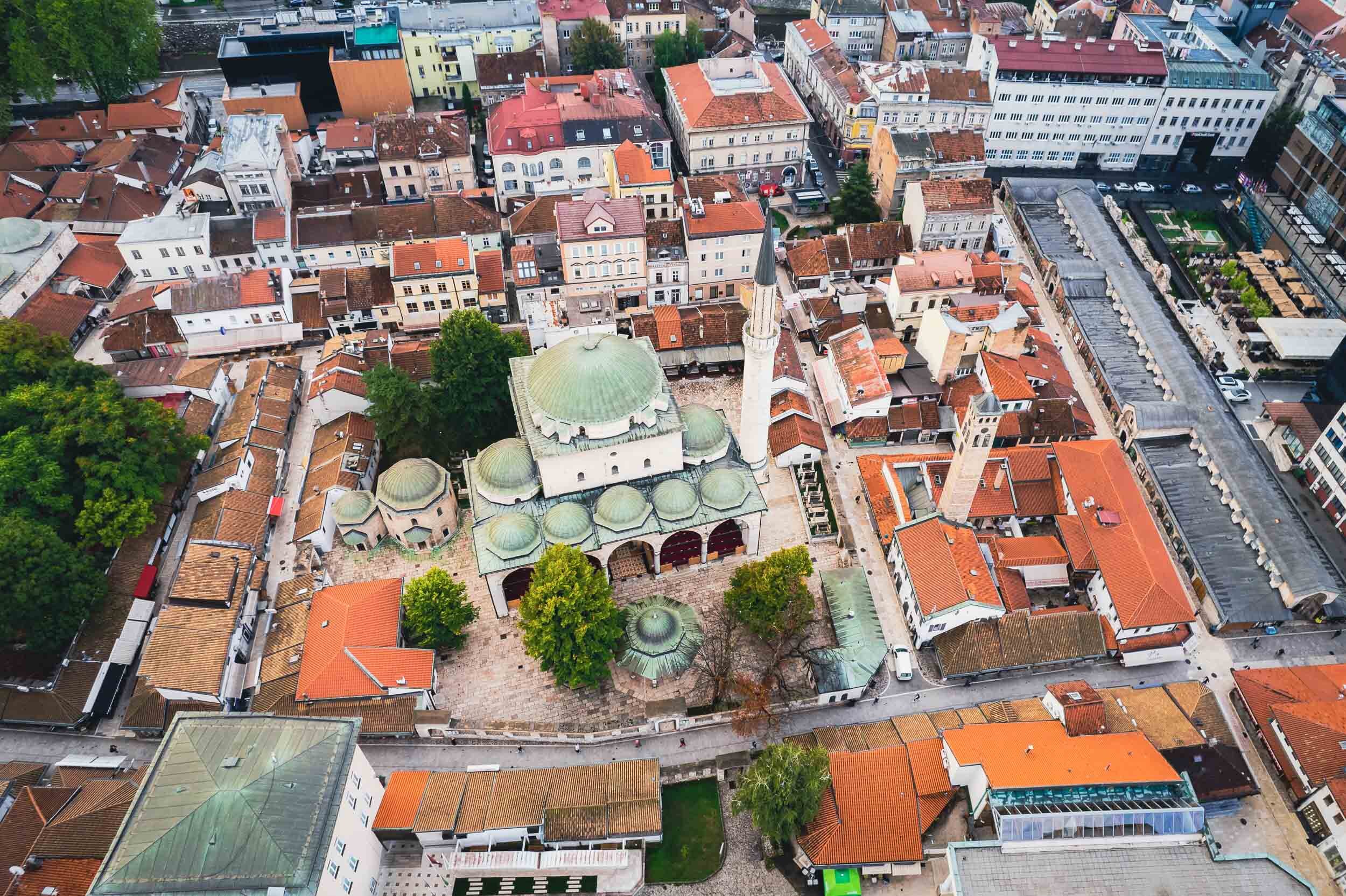
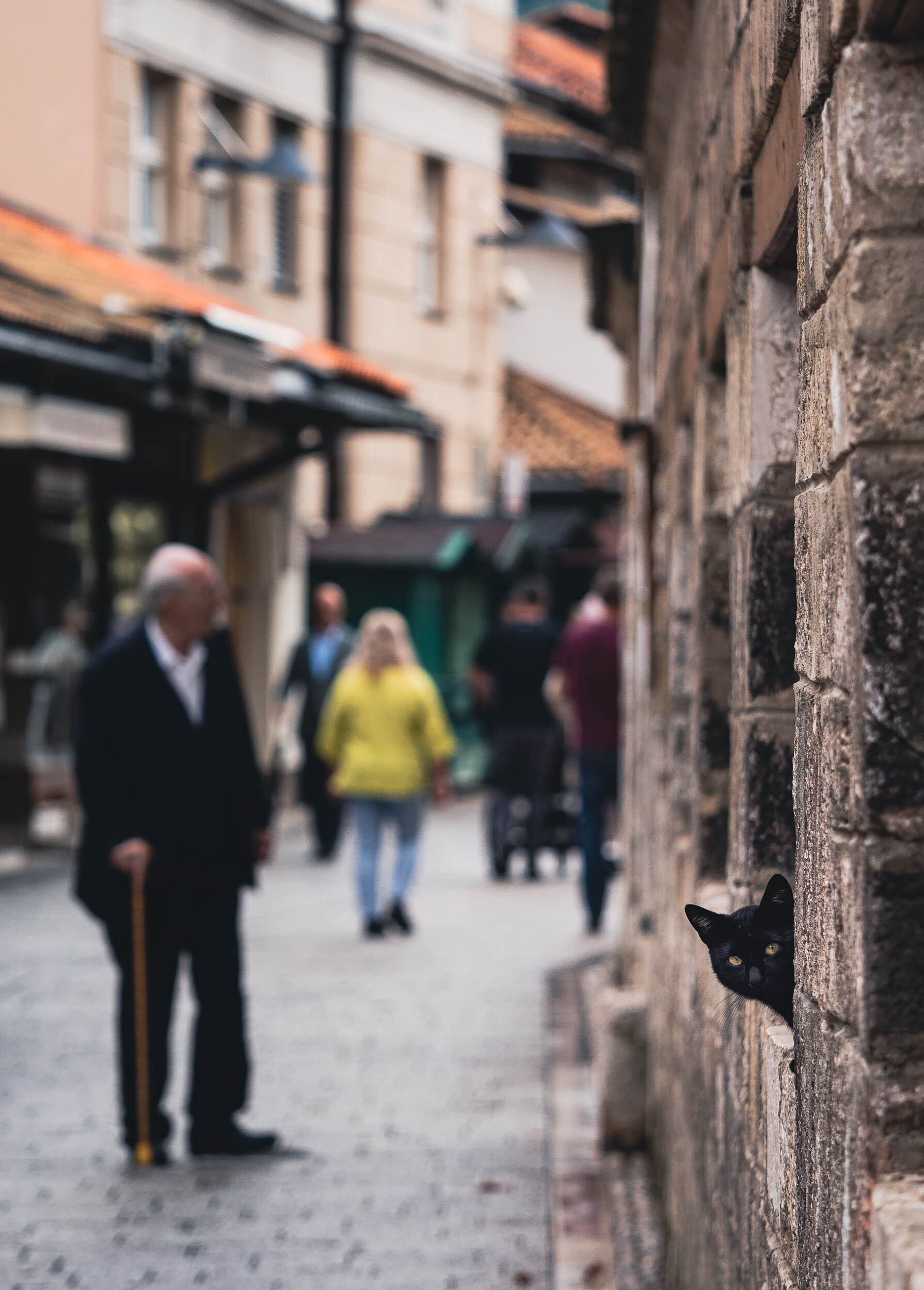
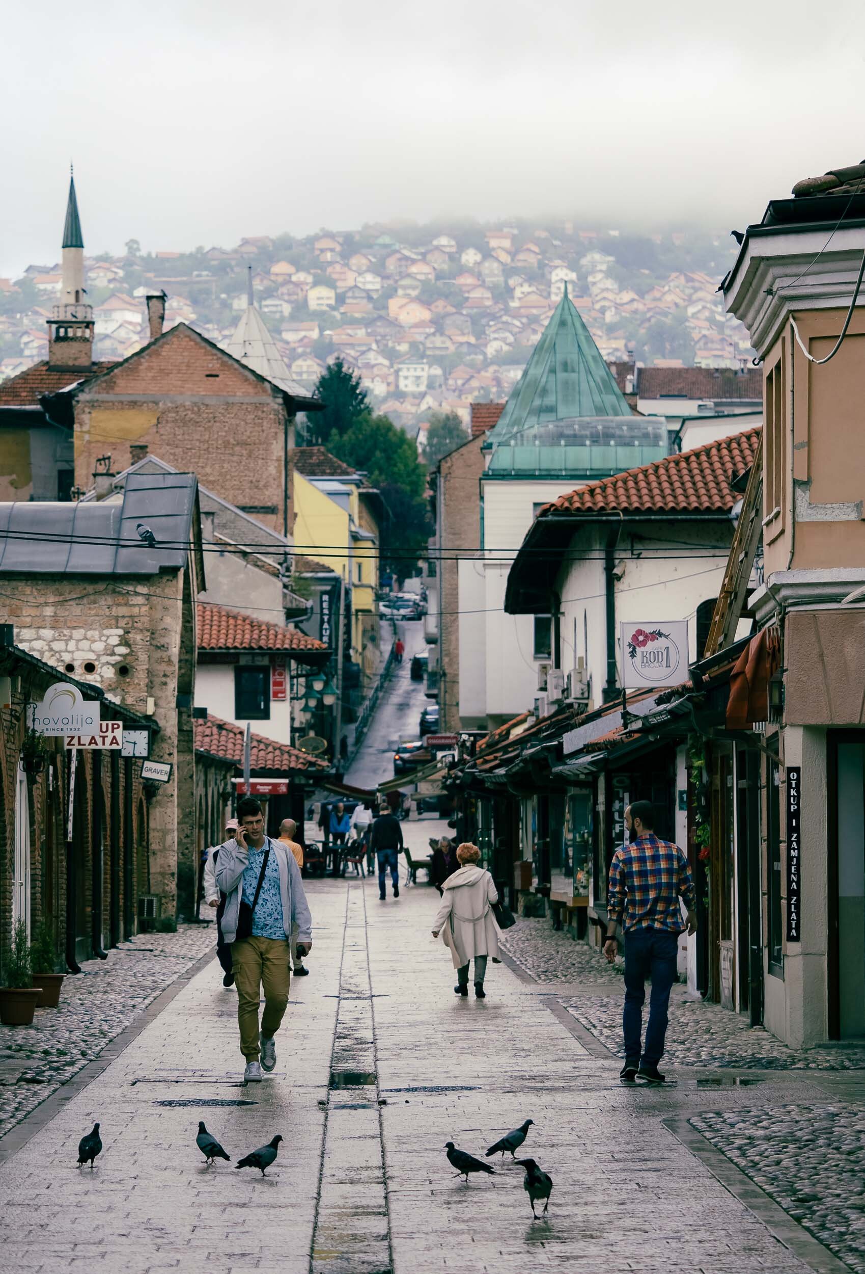
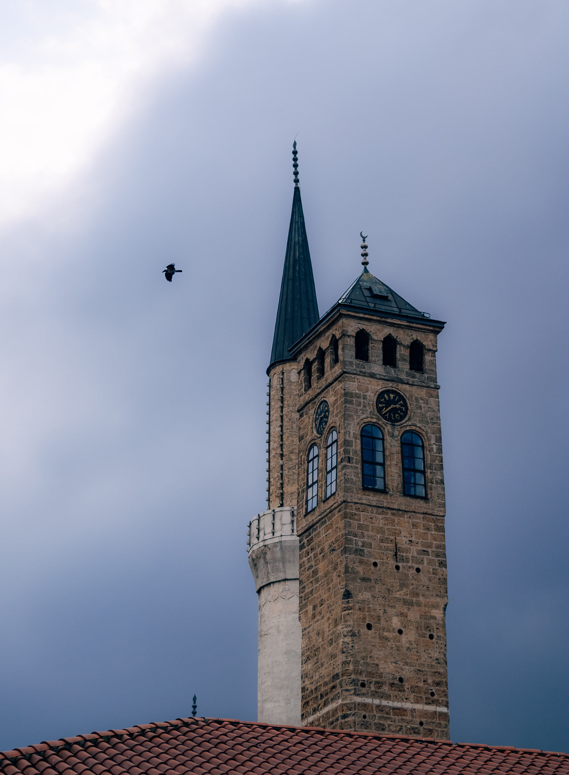
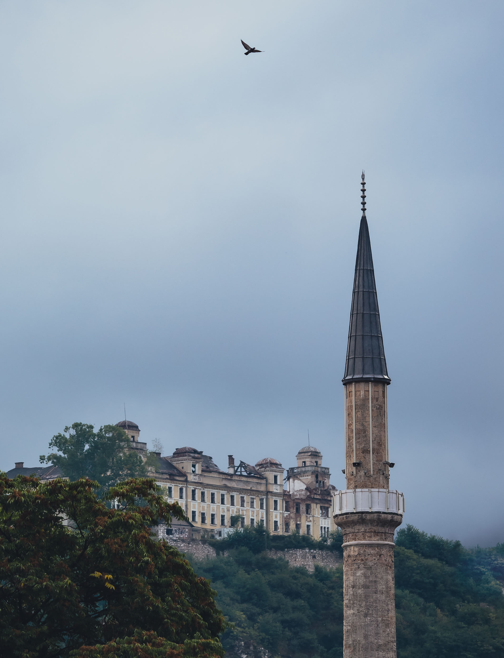
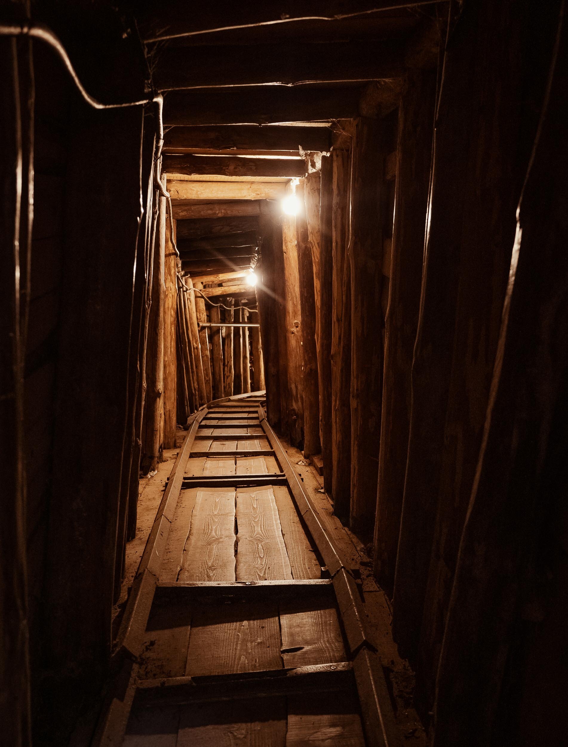
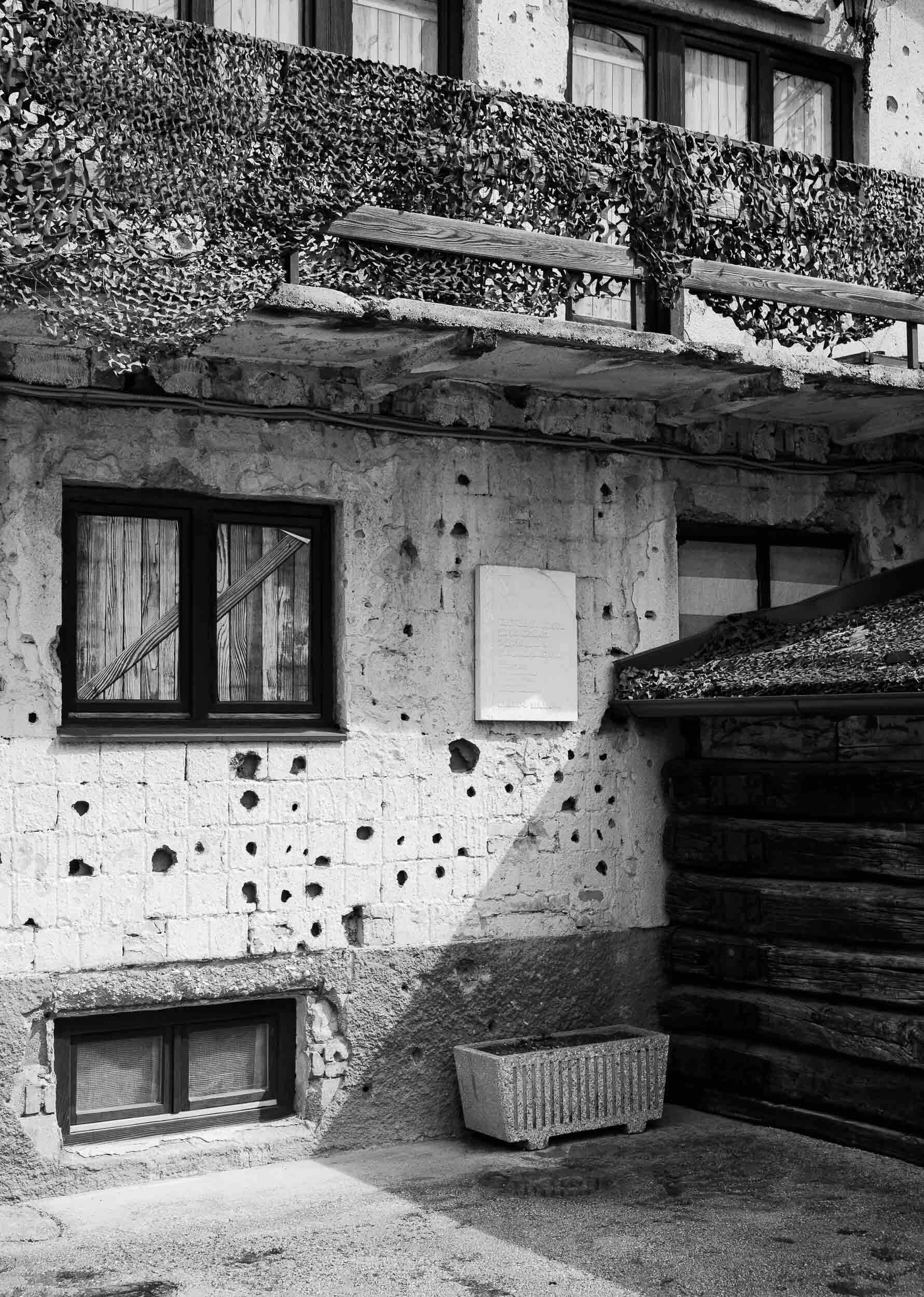
A late summer weekend brought me to Bosnia & Herzegovina, a relatively small and almost landlocked country in south-east Europe.

A late summer weekend brought me to Bosnia & Herzegovina, a relatively small and almost landlocked country in south-east Europe. The trip took us from the capital, Sarajevo, through the mountain ranges along the river Neretva towards Mostar and its surroundings sights and back. The country features impressive diversity in architecture, culture, and people - owing to its troubled past, which is still evident today - which made for a packed three days of sights, many of them well known, and a few unexpected ones.


The Bavarian Alps - Blue Skies and Fluffy Clouds
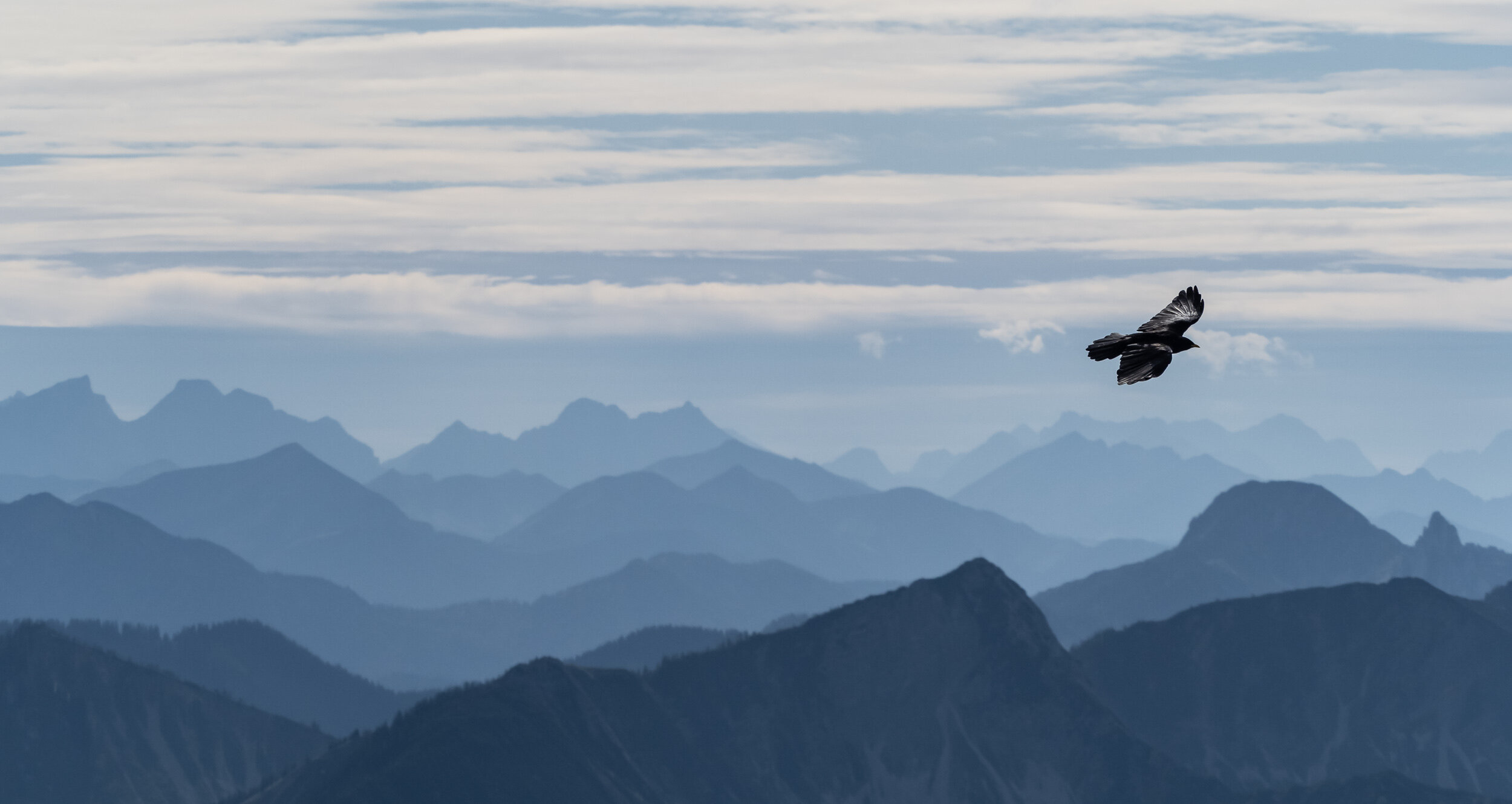
Over the last year I took the chance to photograph a few of the highest peaks of the Alps around my hometown in Bavaria, Germany.

Over the last year I took the chance to photograph a few of the highest (and most accessible - yes I was lazy and mostly used railways and chairlifts to get to the top) peaks around my hometown in Bavaria, Germany. Below is a collection of images from the trips.
Wendelstein
This is one of the highest peaks in the Bavarian Alps, at over 1800m. It features a railway originally built in 1912 on one side, and a cable car on the other, and the top is home to a church, a weather station and an observatory.


Kampenwand
At almost 1700m and an impressive rock formation to top it off, this is a very impressive peak of the Bavarian alps. It features a 12m cross on its peak. A cable car from 1957 takes you close to the top, but the final peak is a steep hike.


Hochries
At just short of 1600m, this is the smallest of the three peaks I’ve visited. It takes a short chairlift and a cable car to reach the top, which offers beautiful views over the valley below. This area is very popular with paragliders.


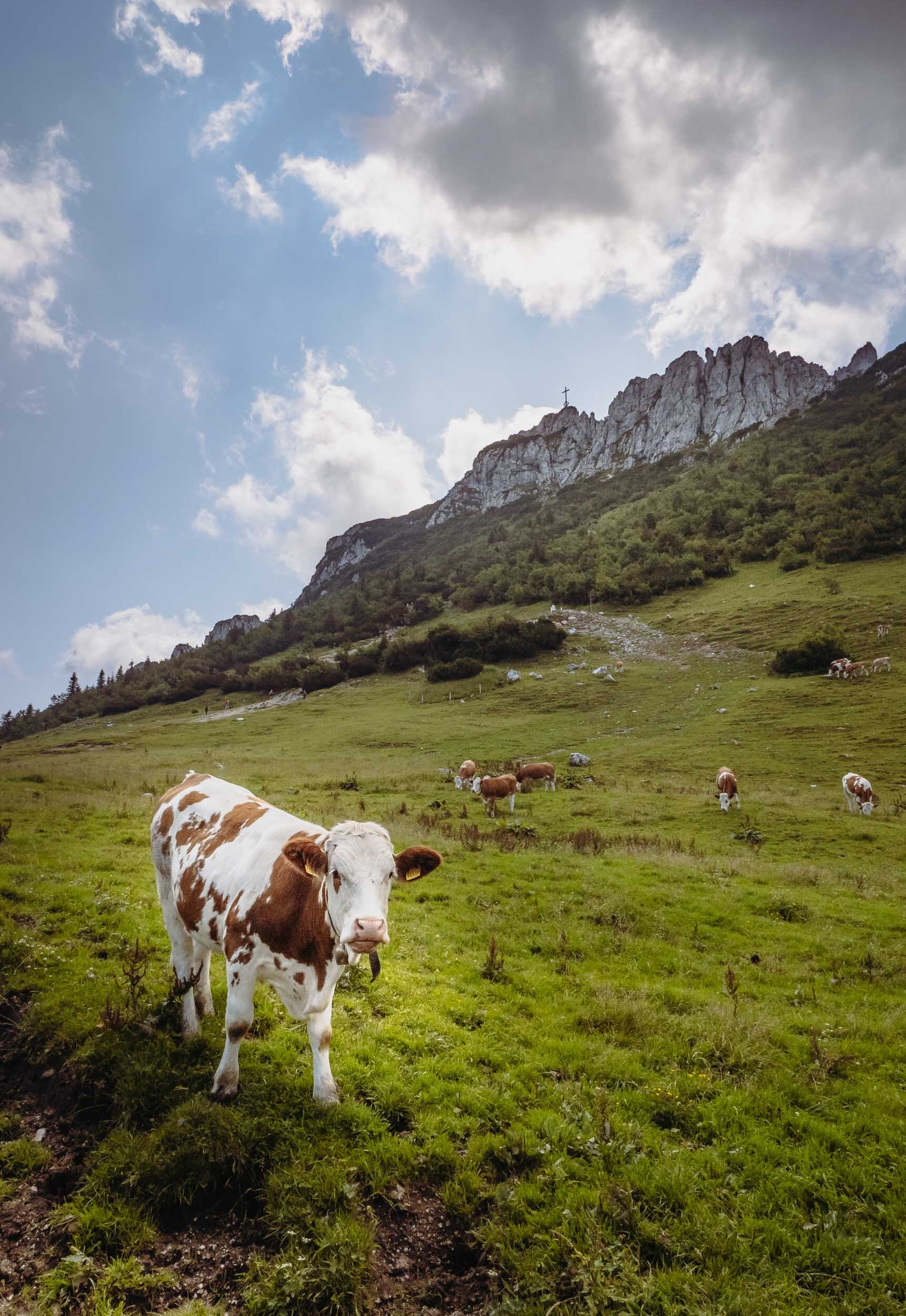
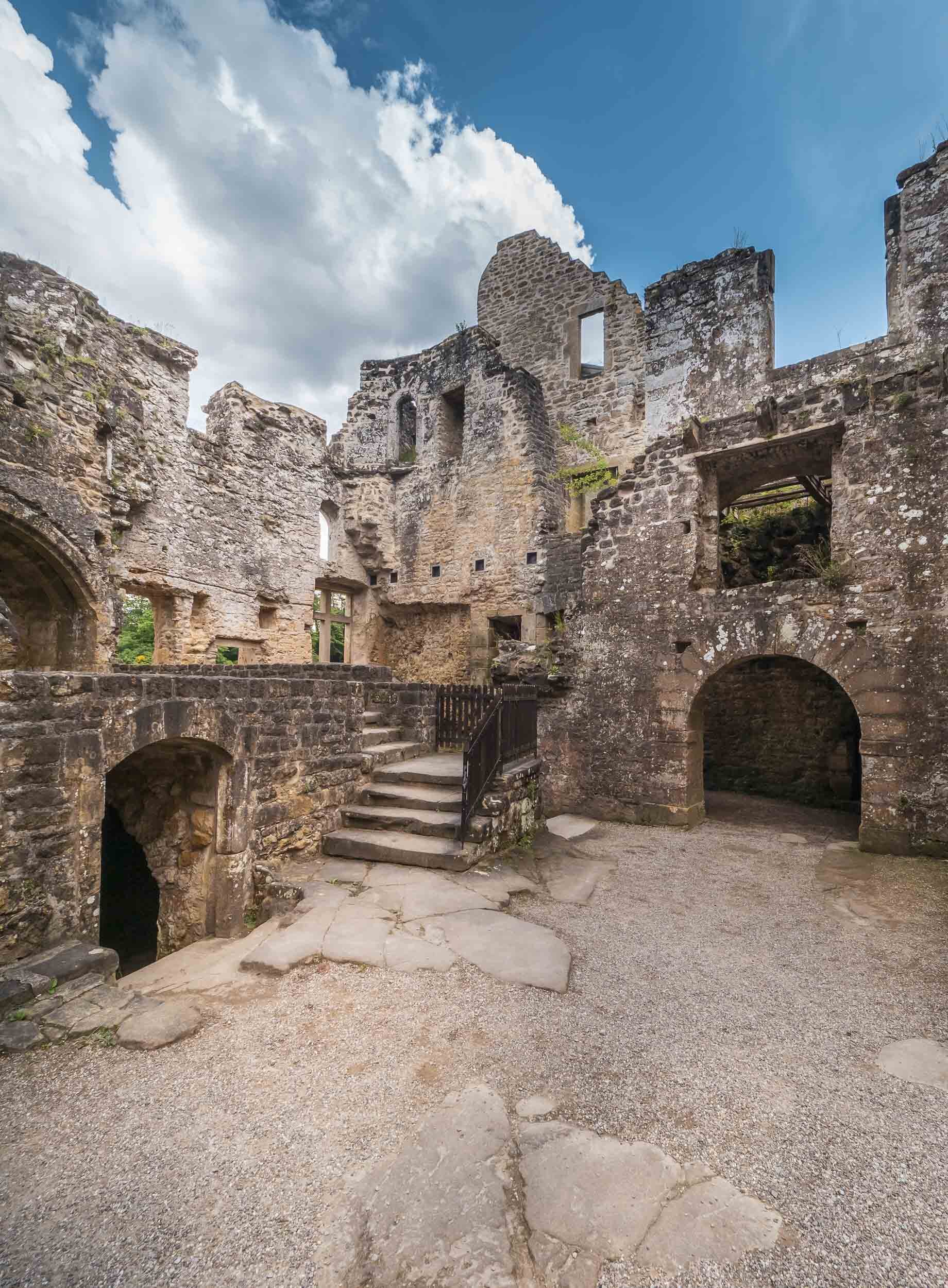
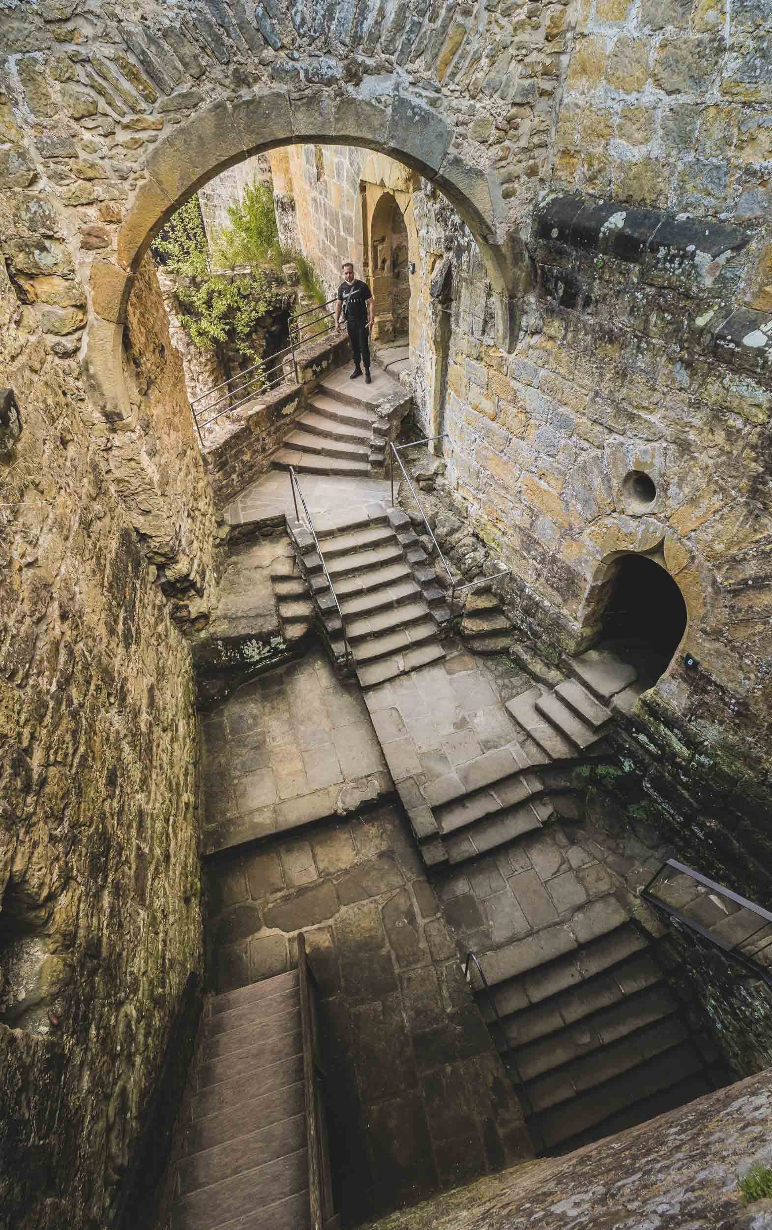
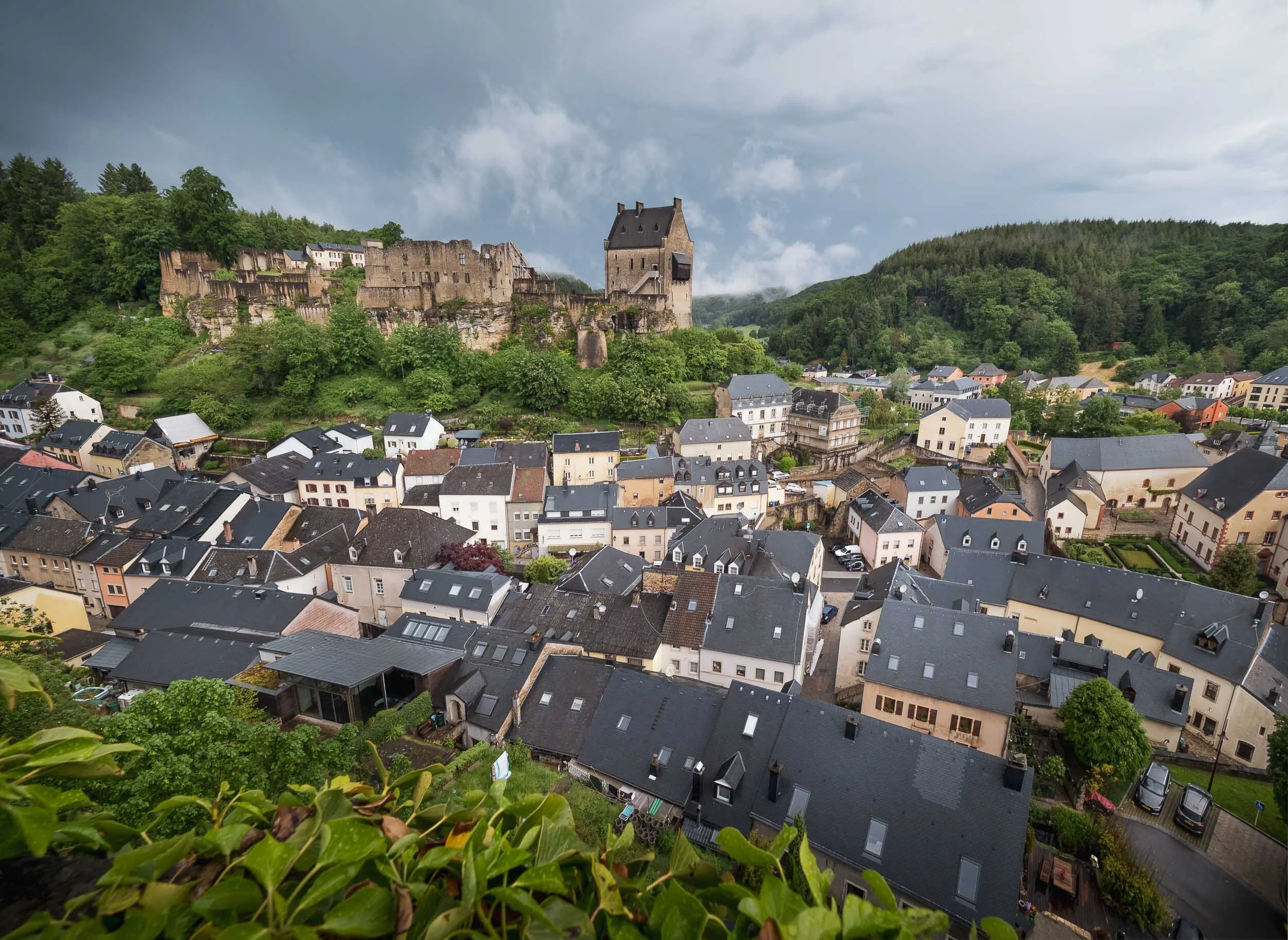
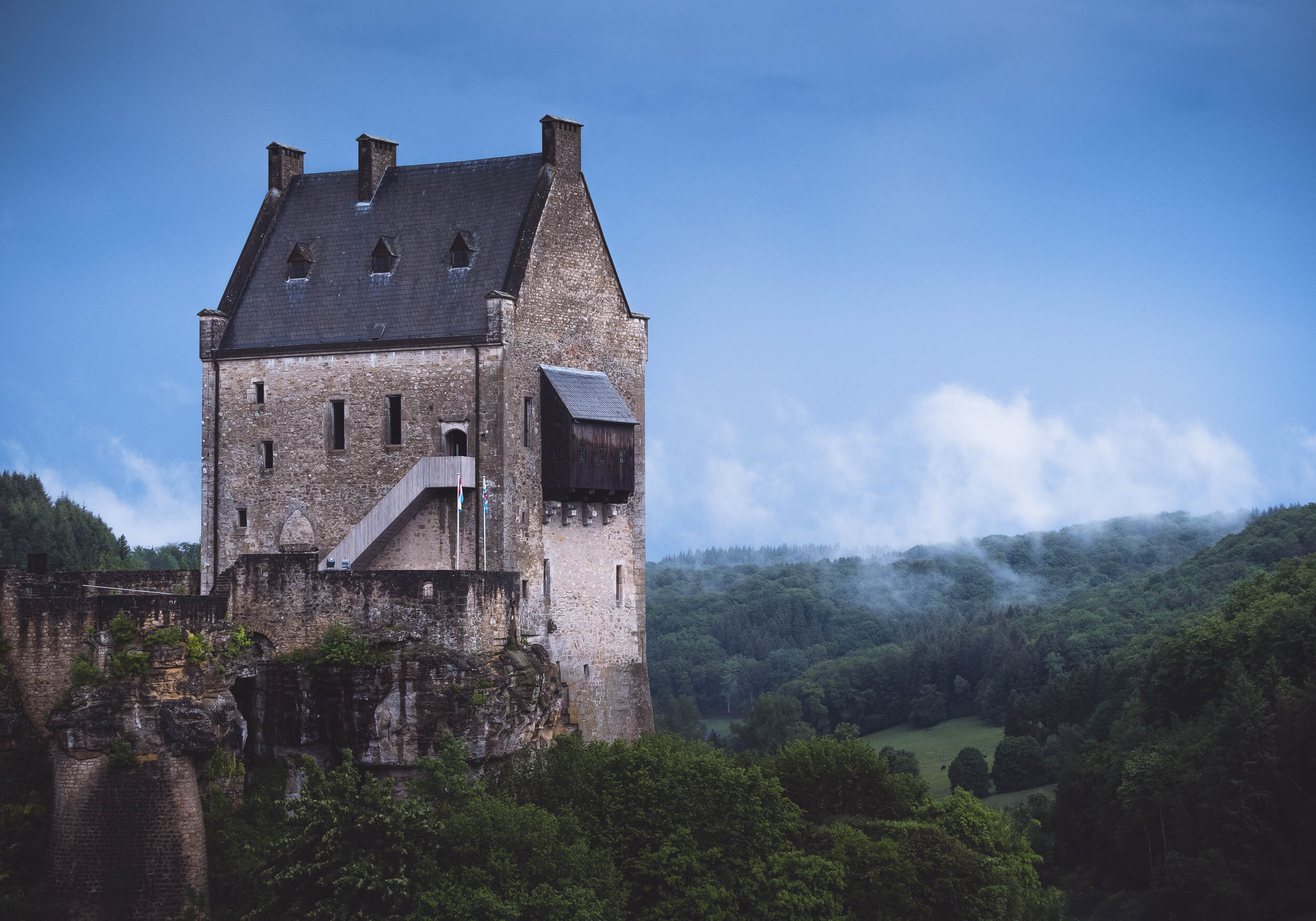
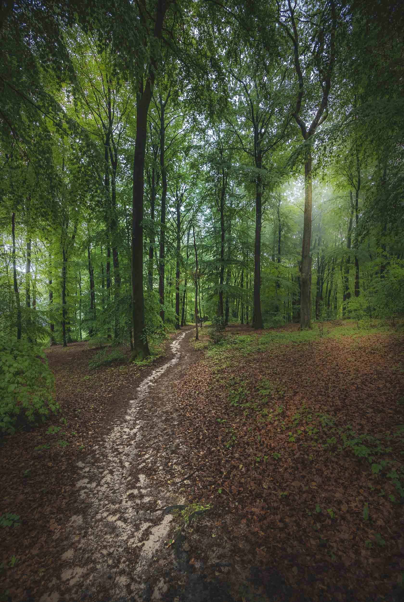
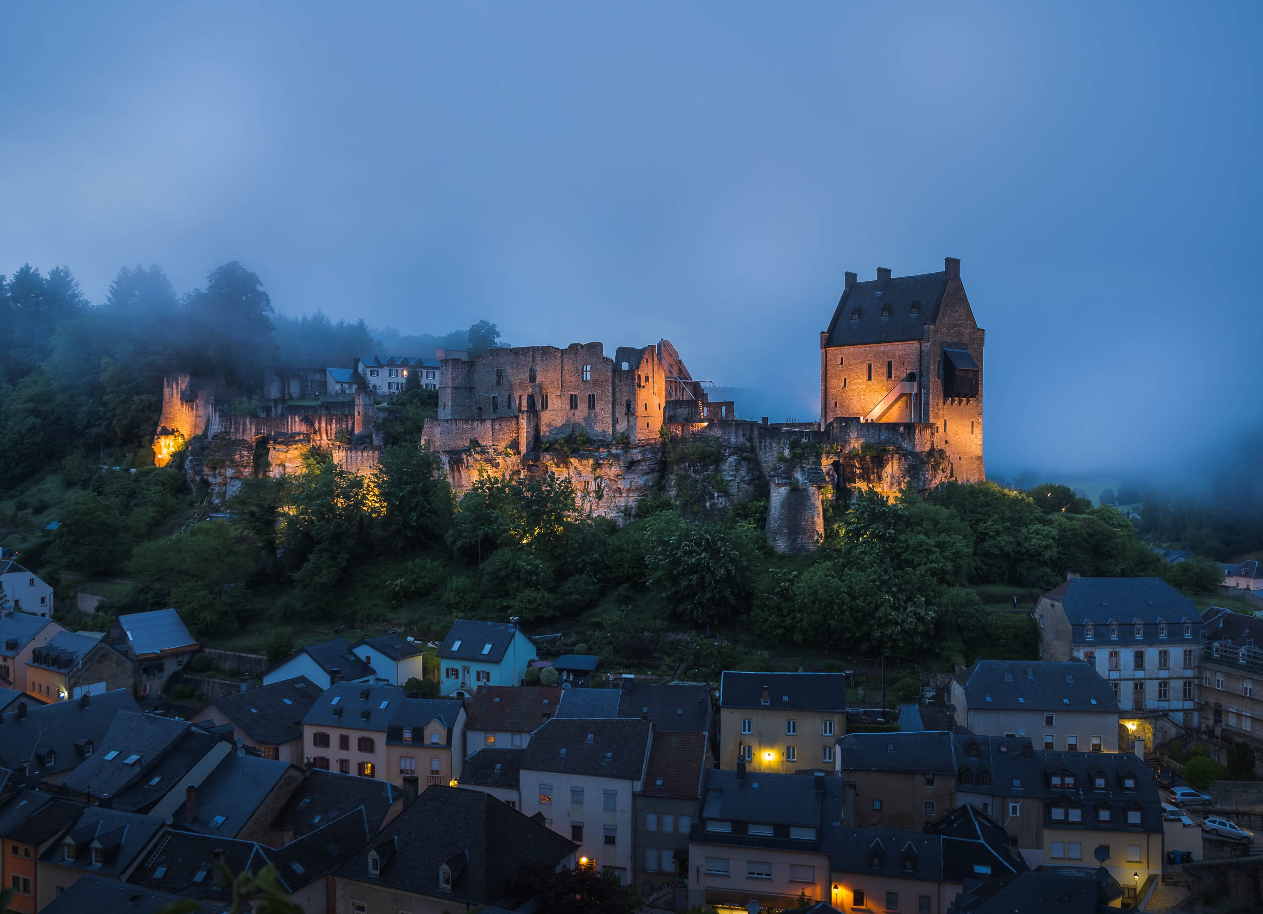
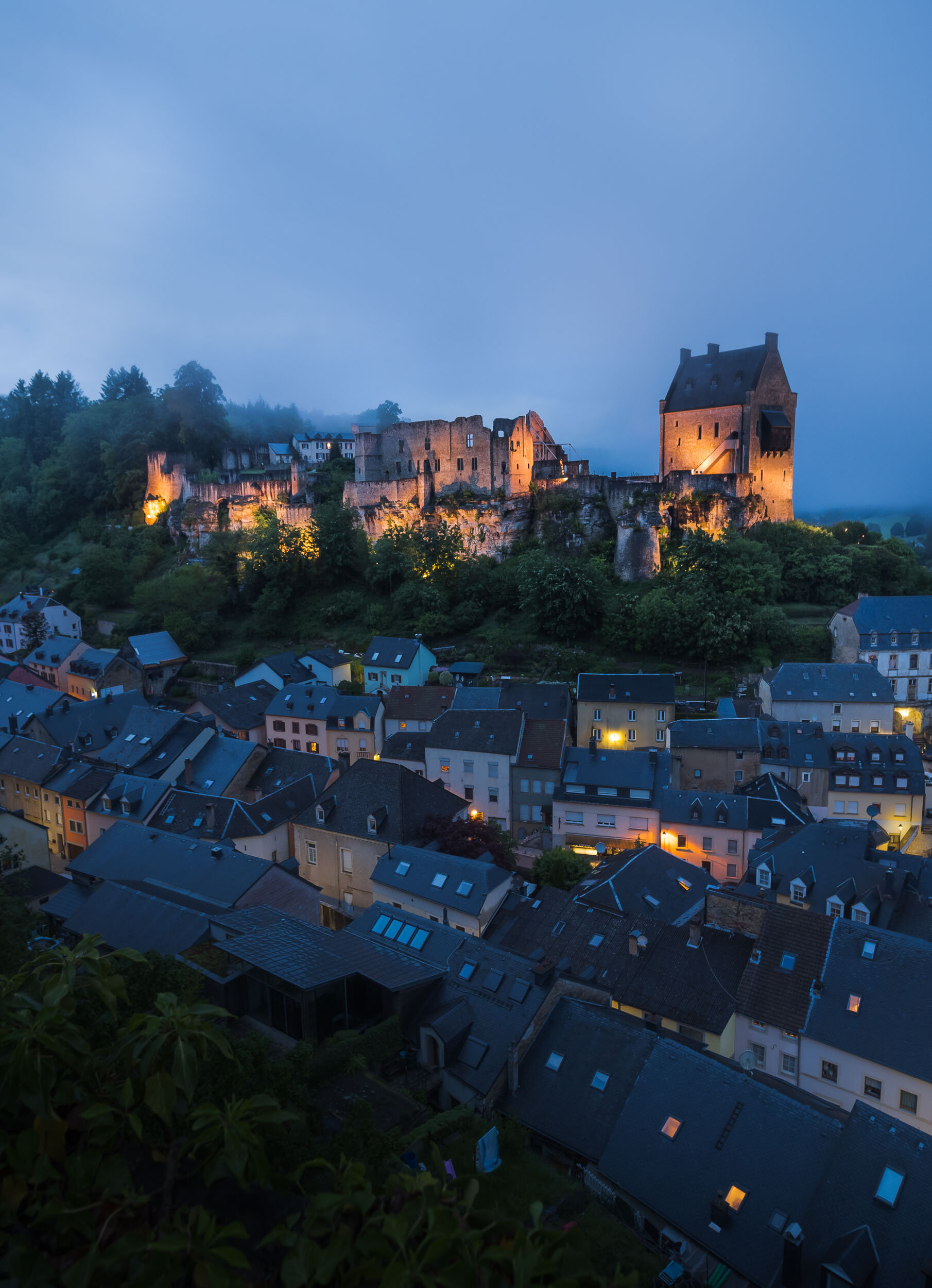
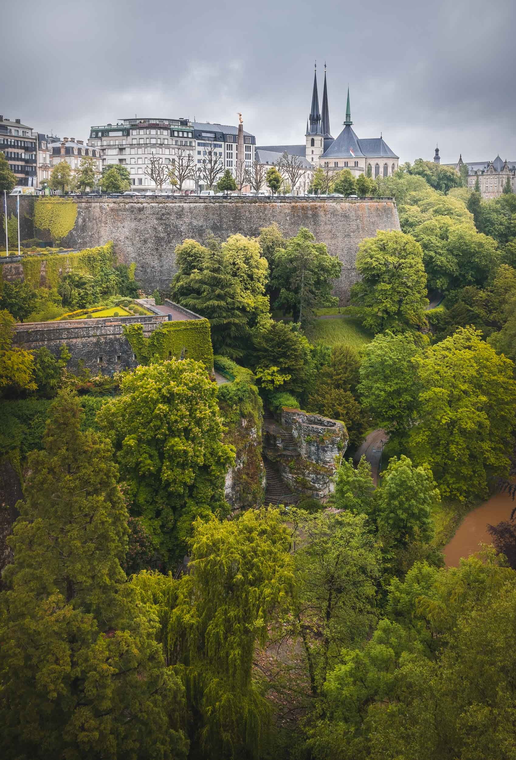
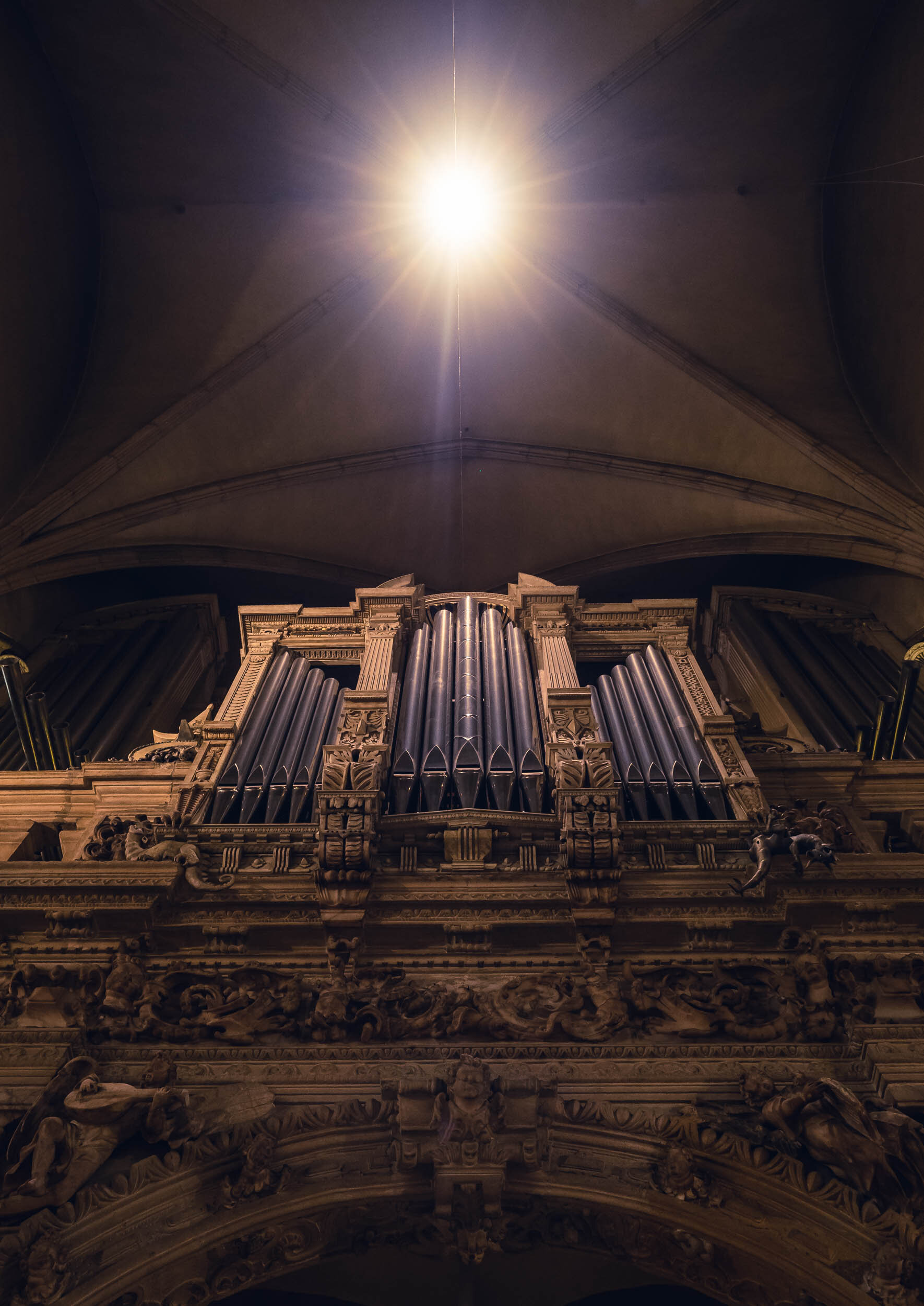
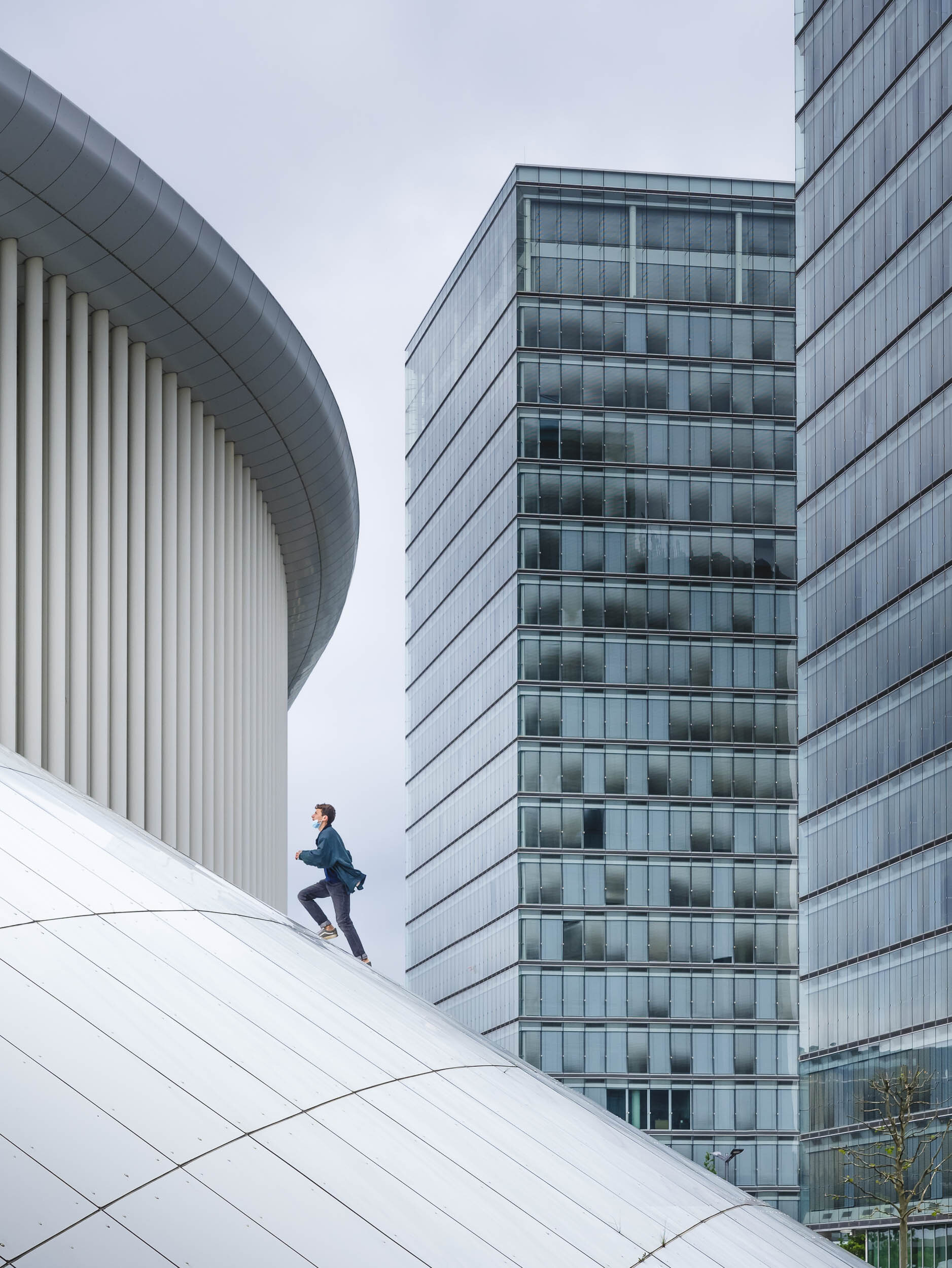
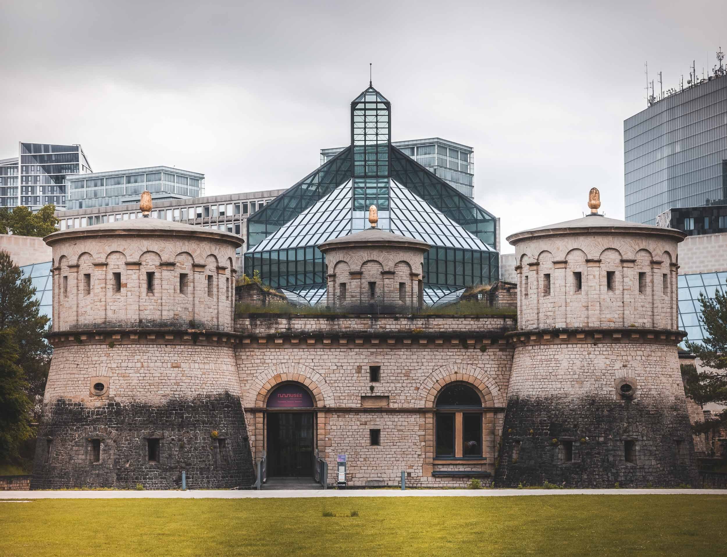
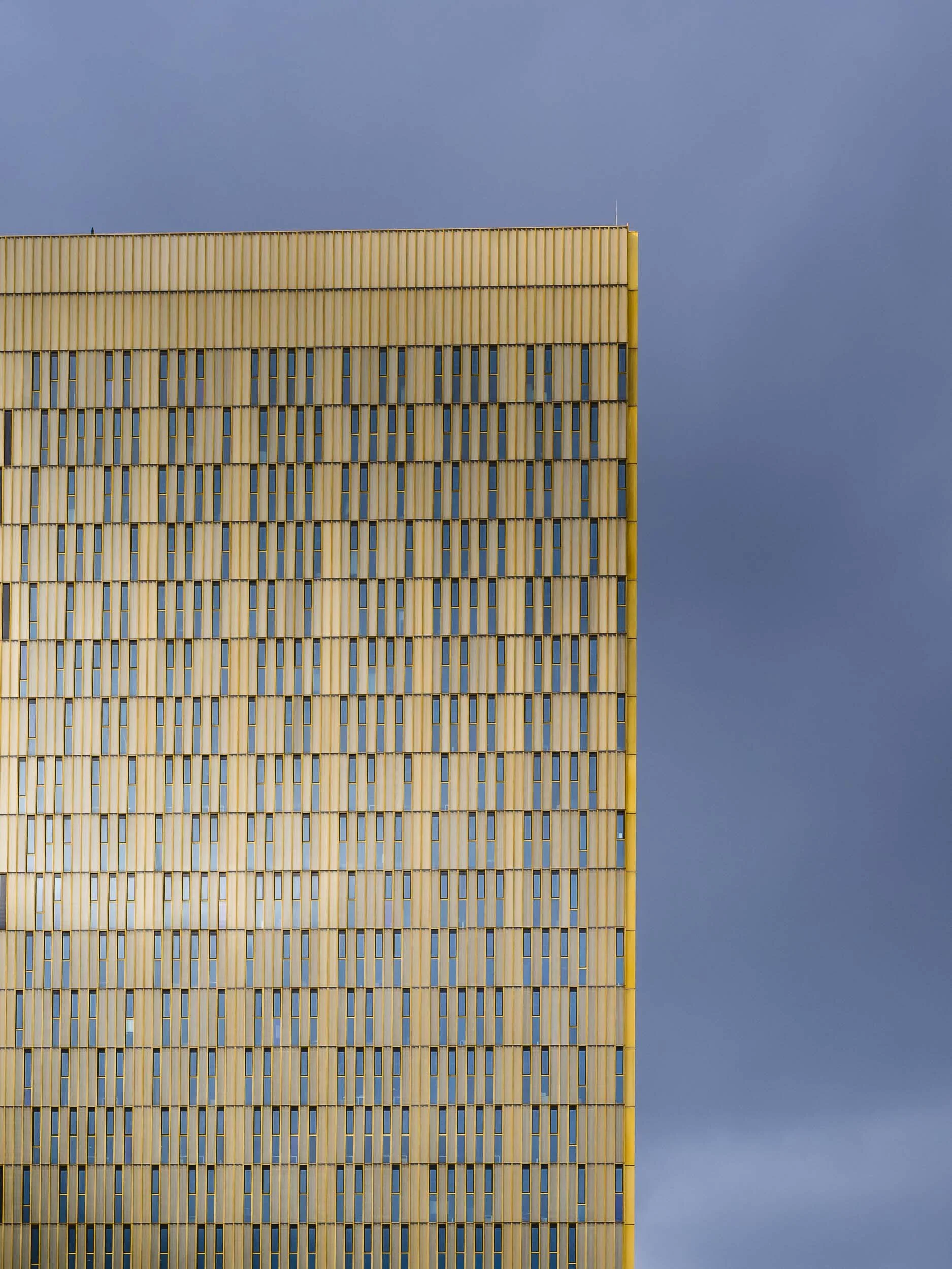
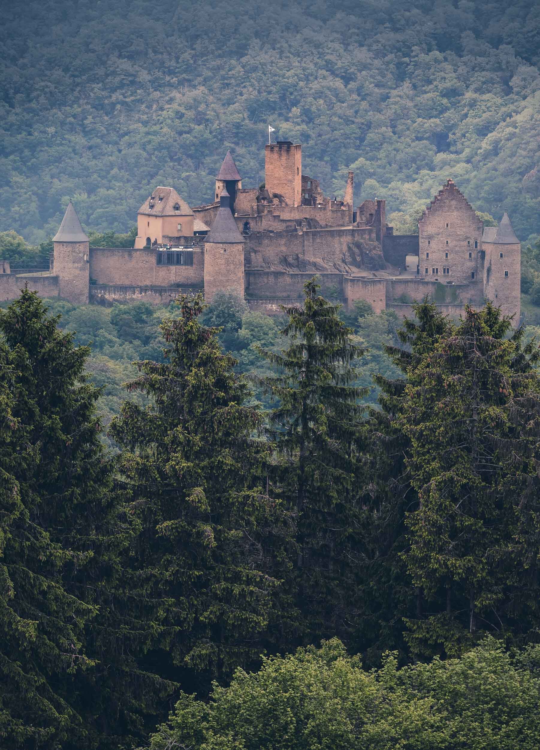
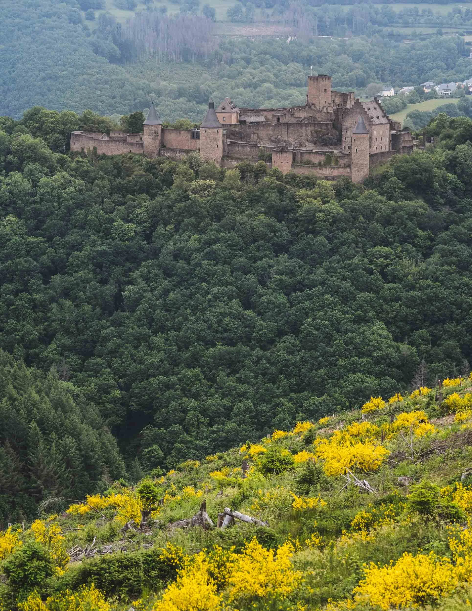
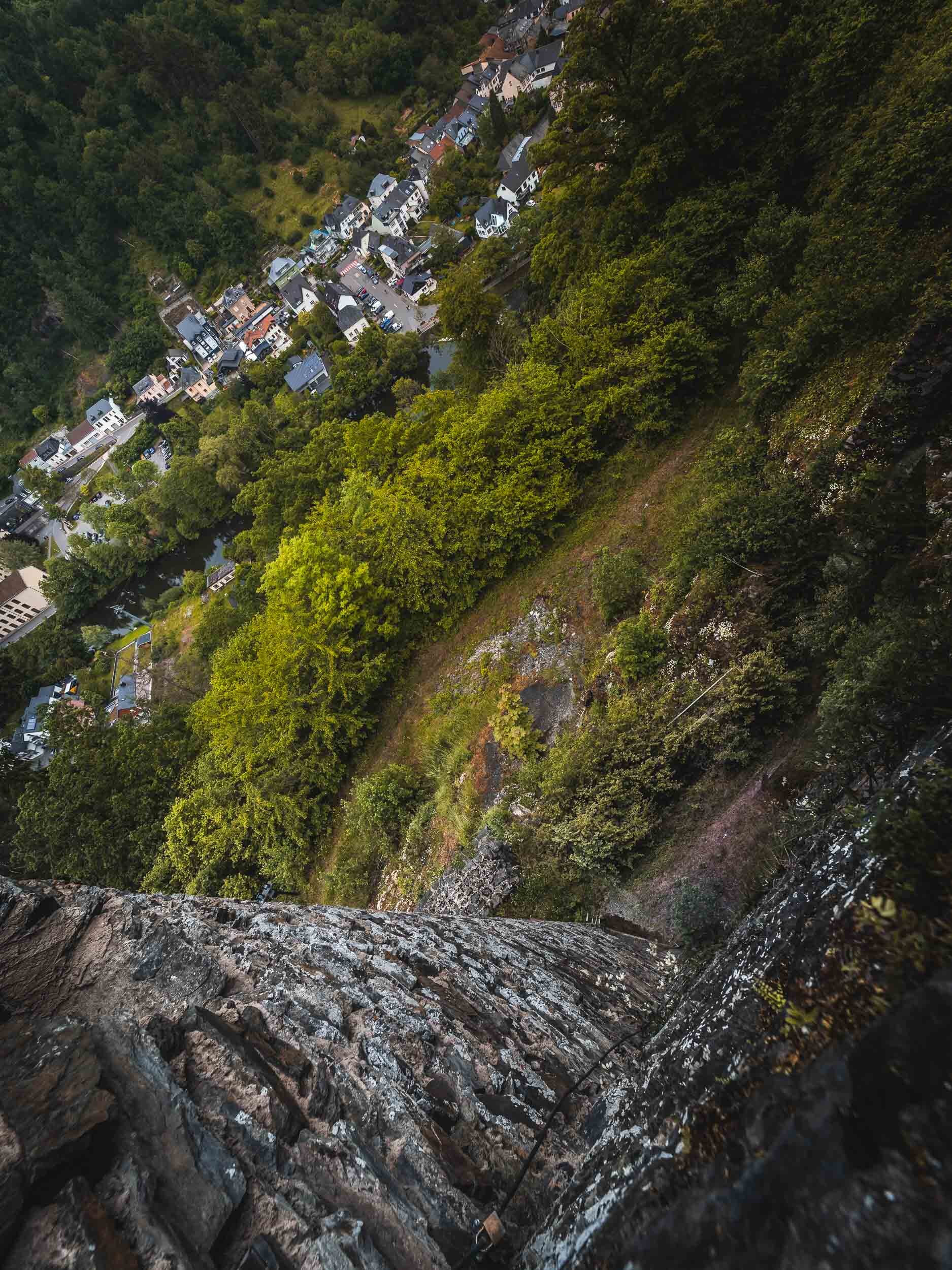
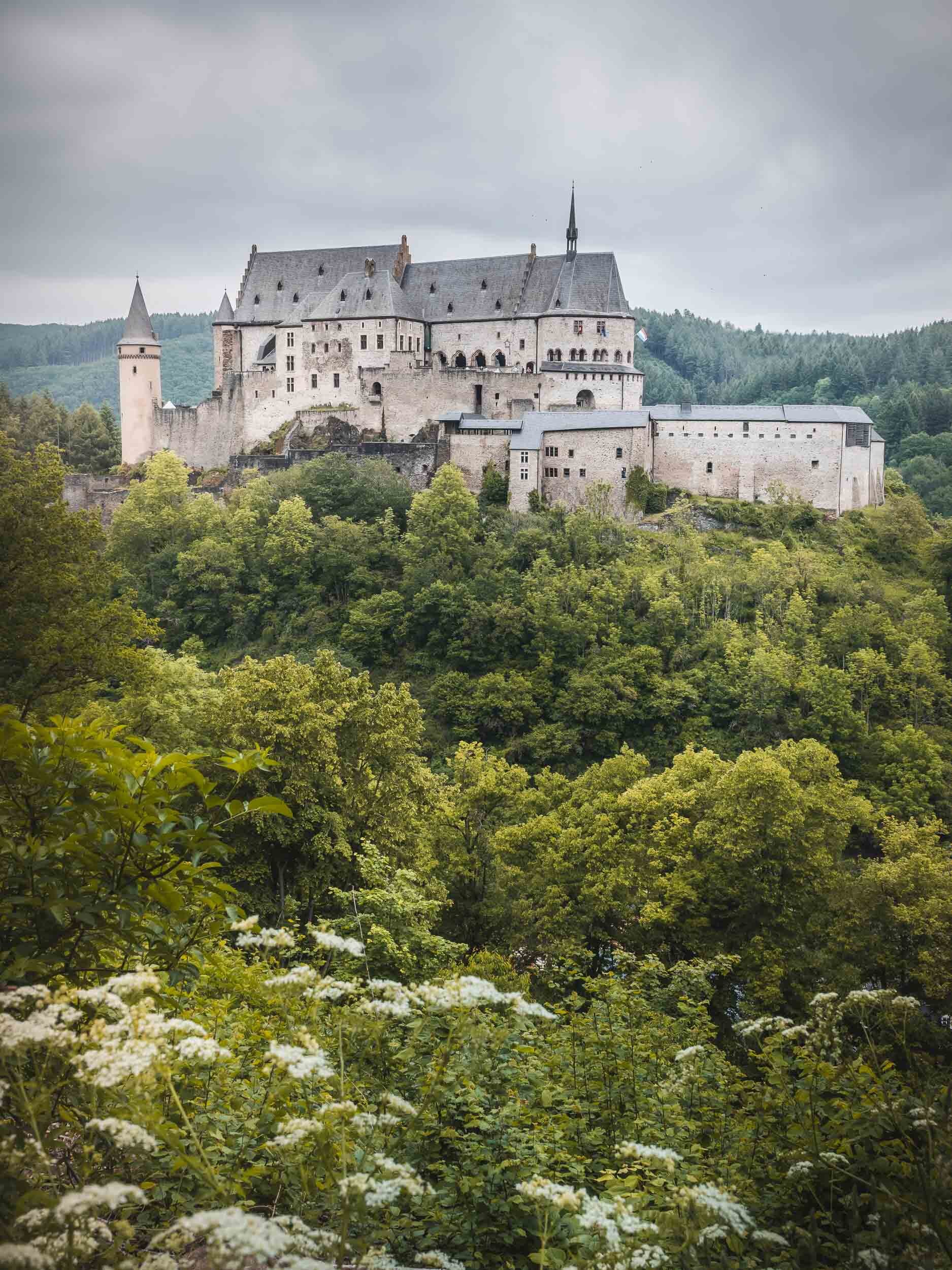
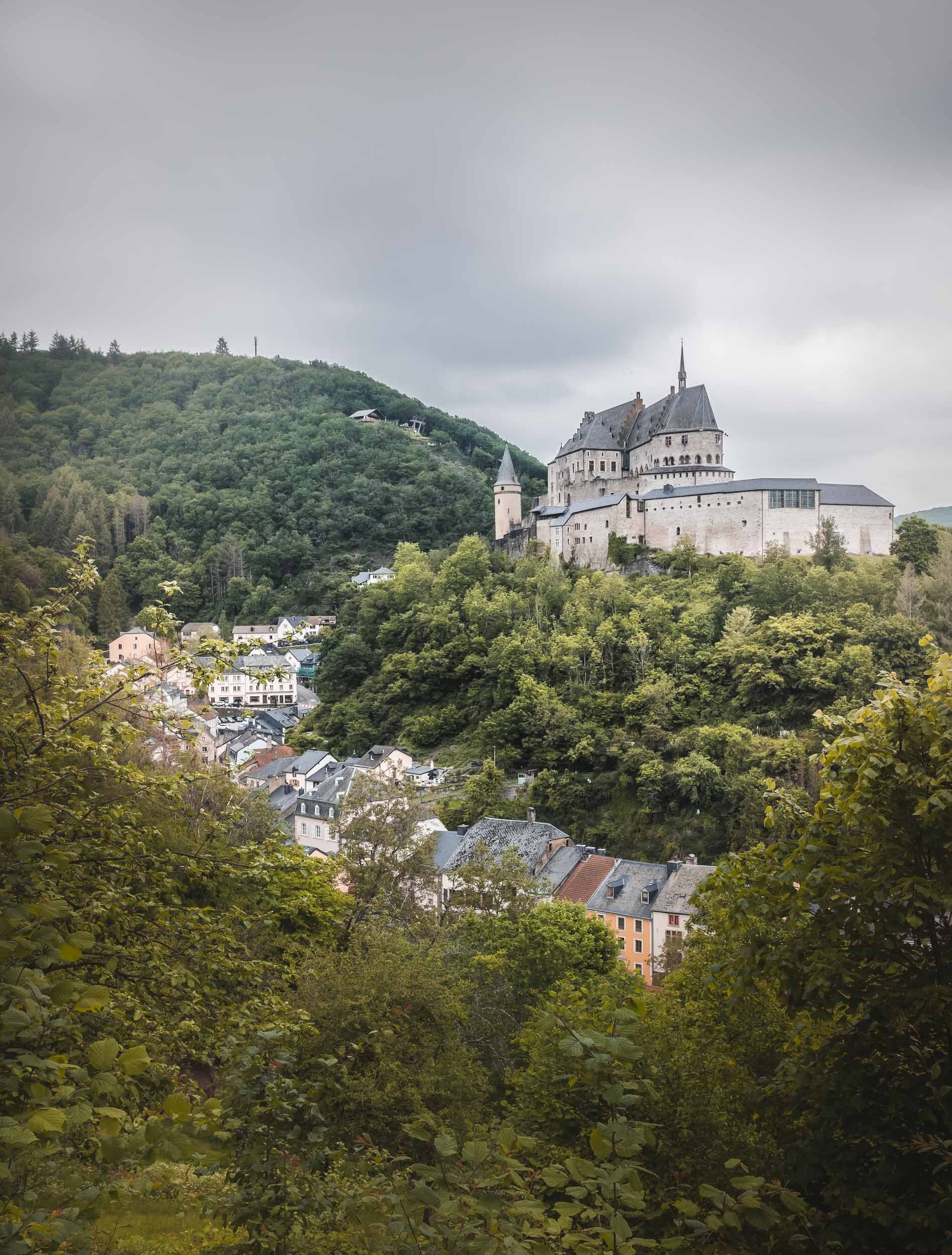
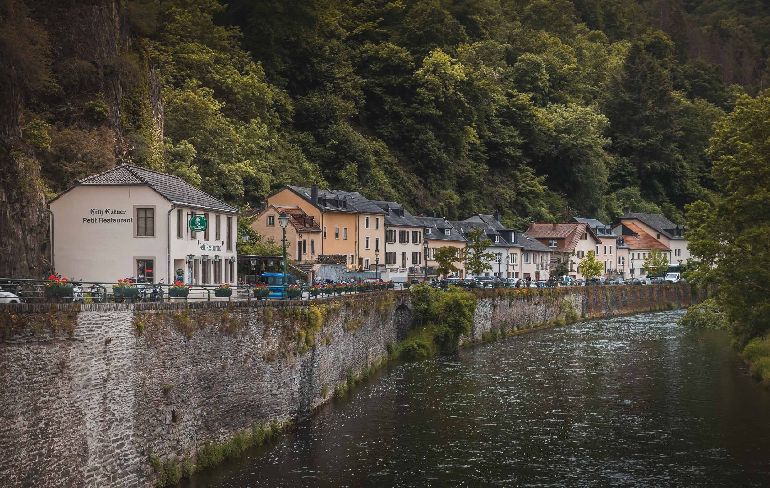
Luxembourg - Small but Special
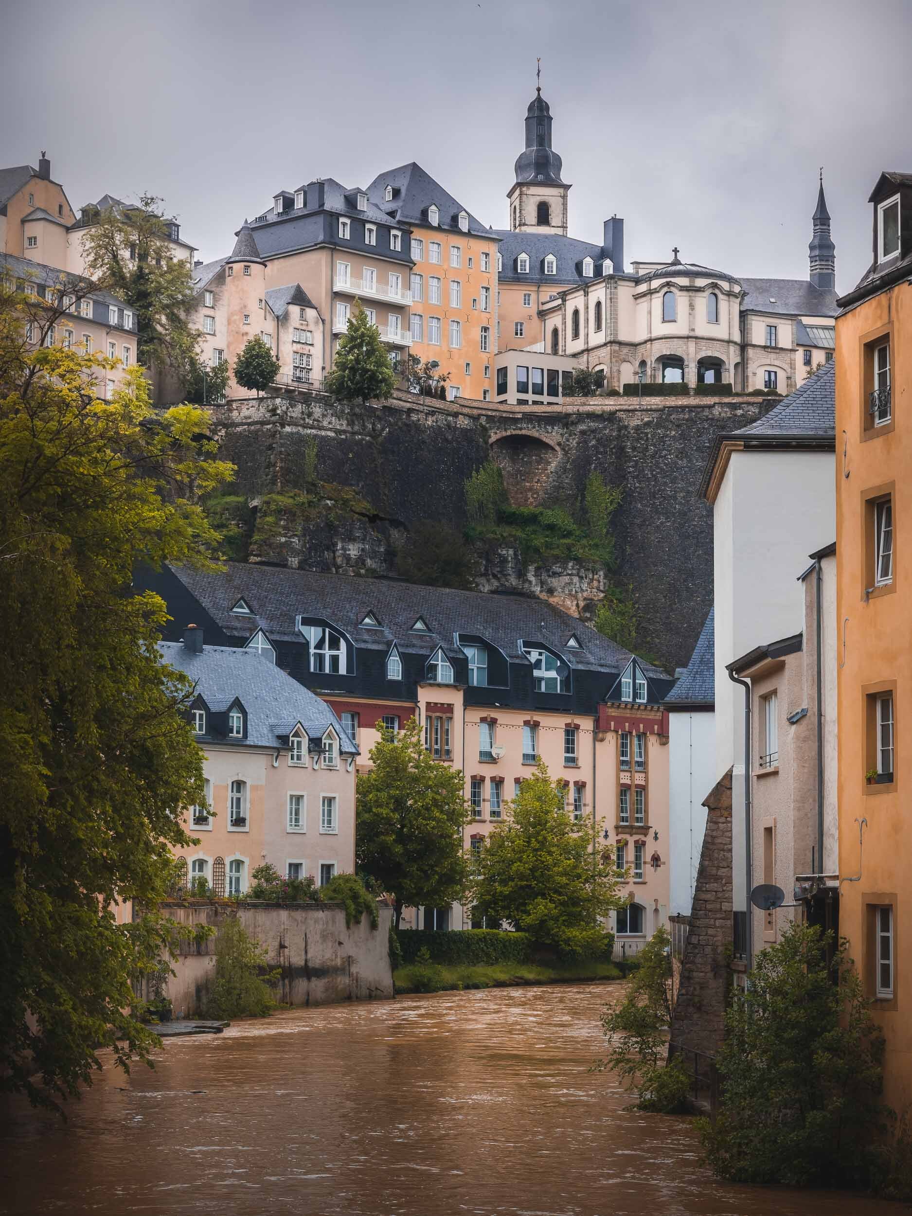
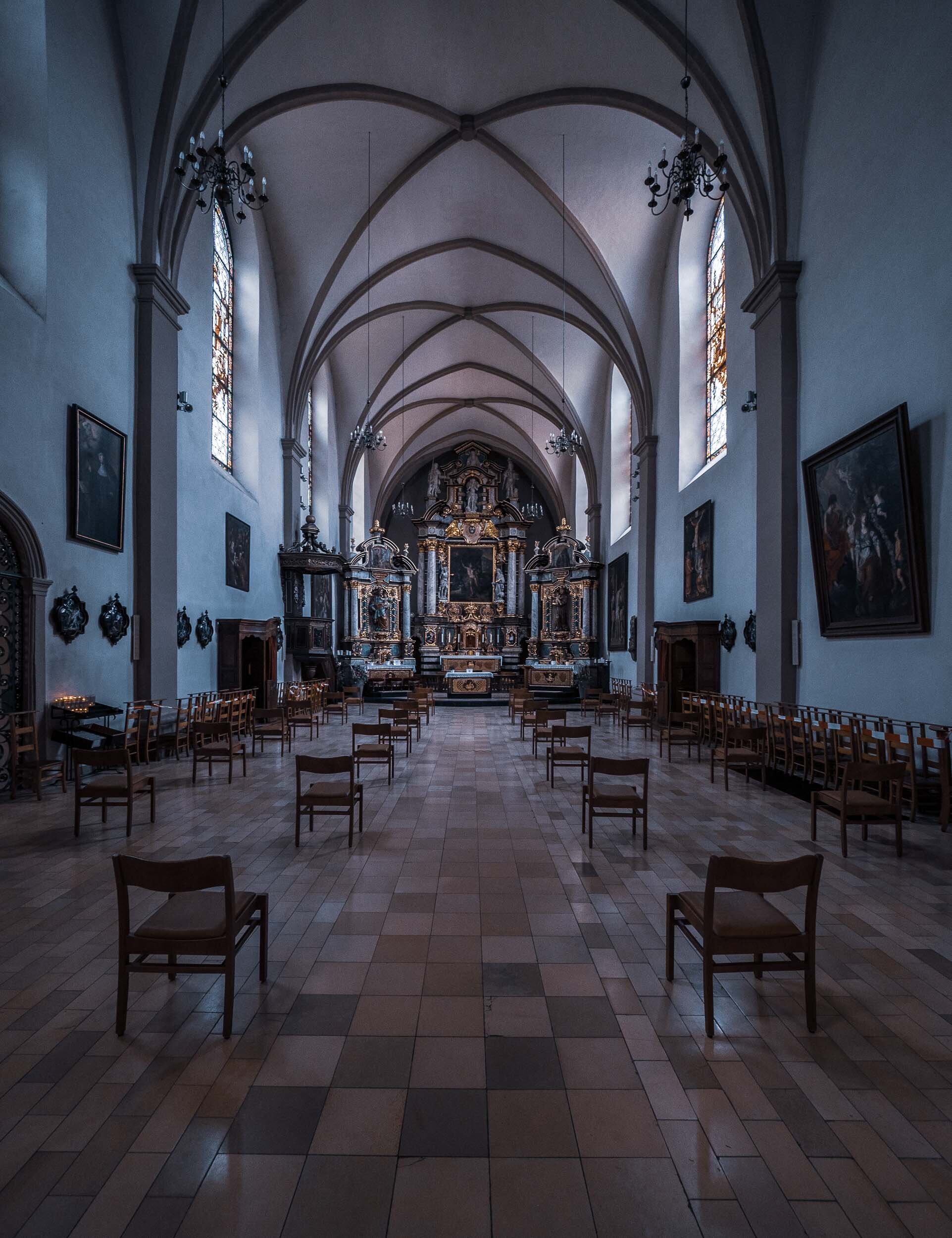
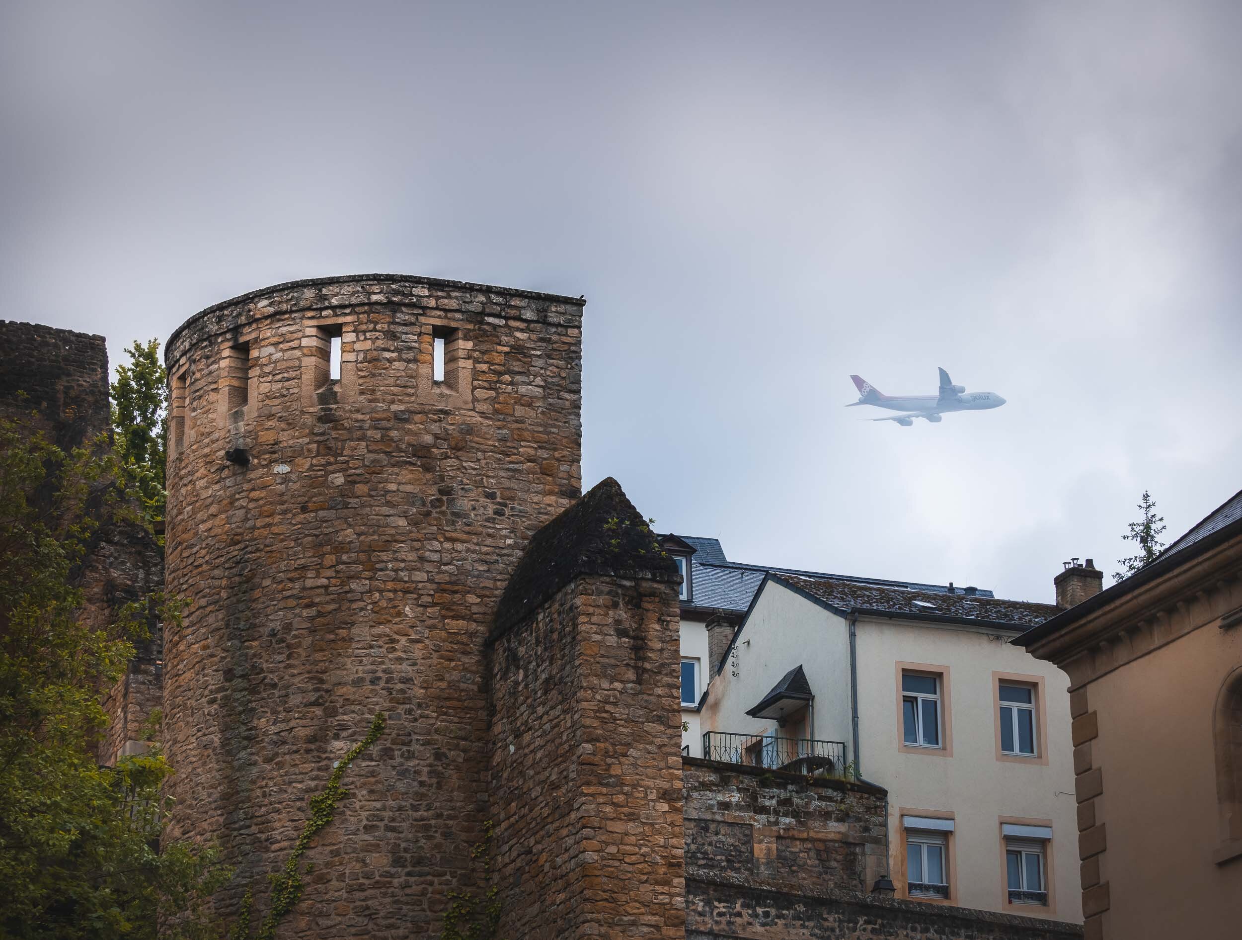
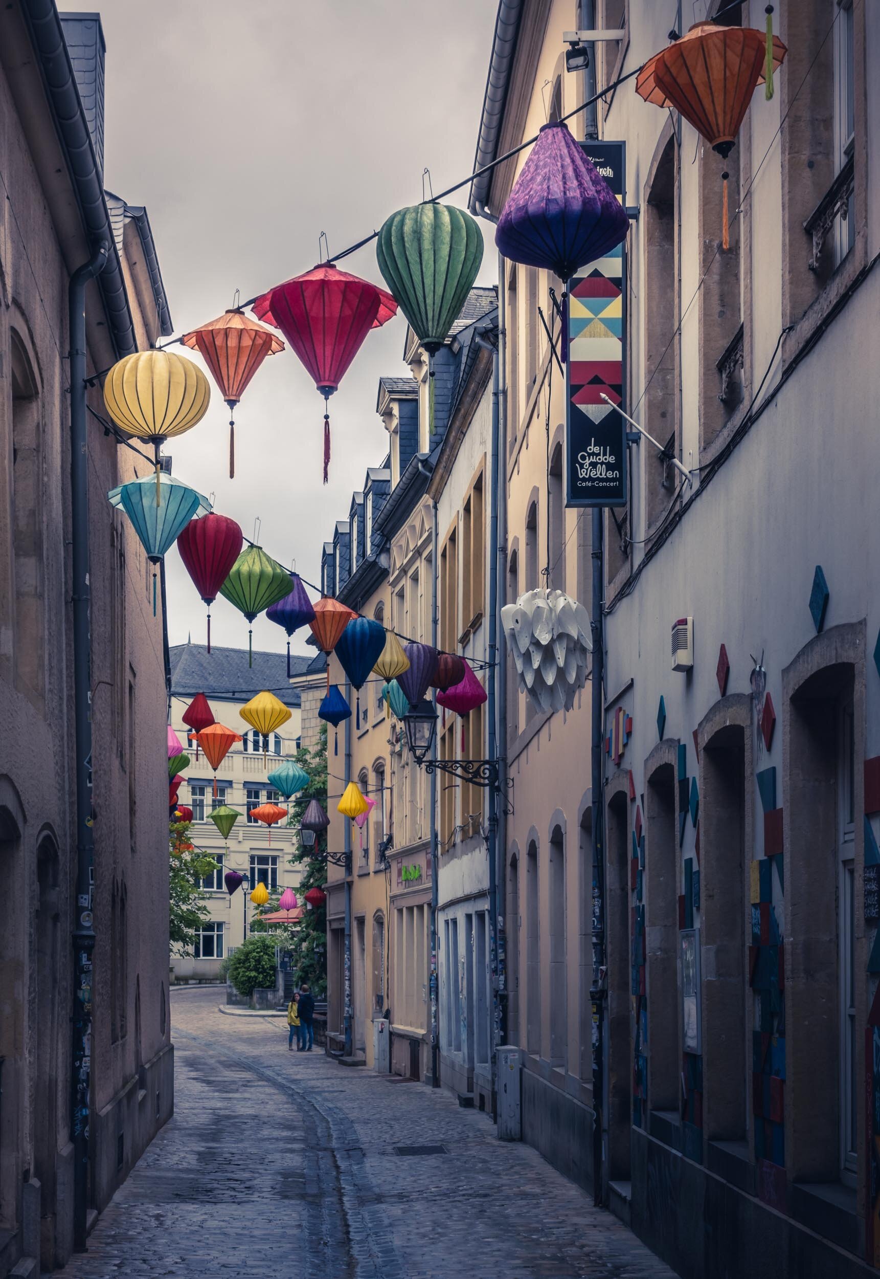
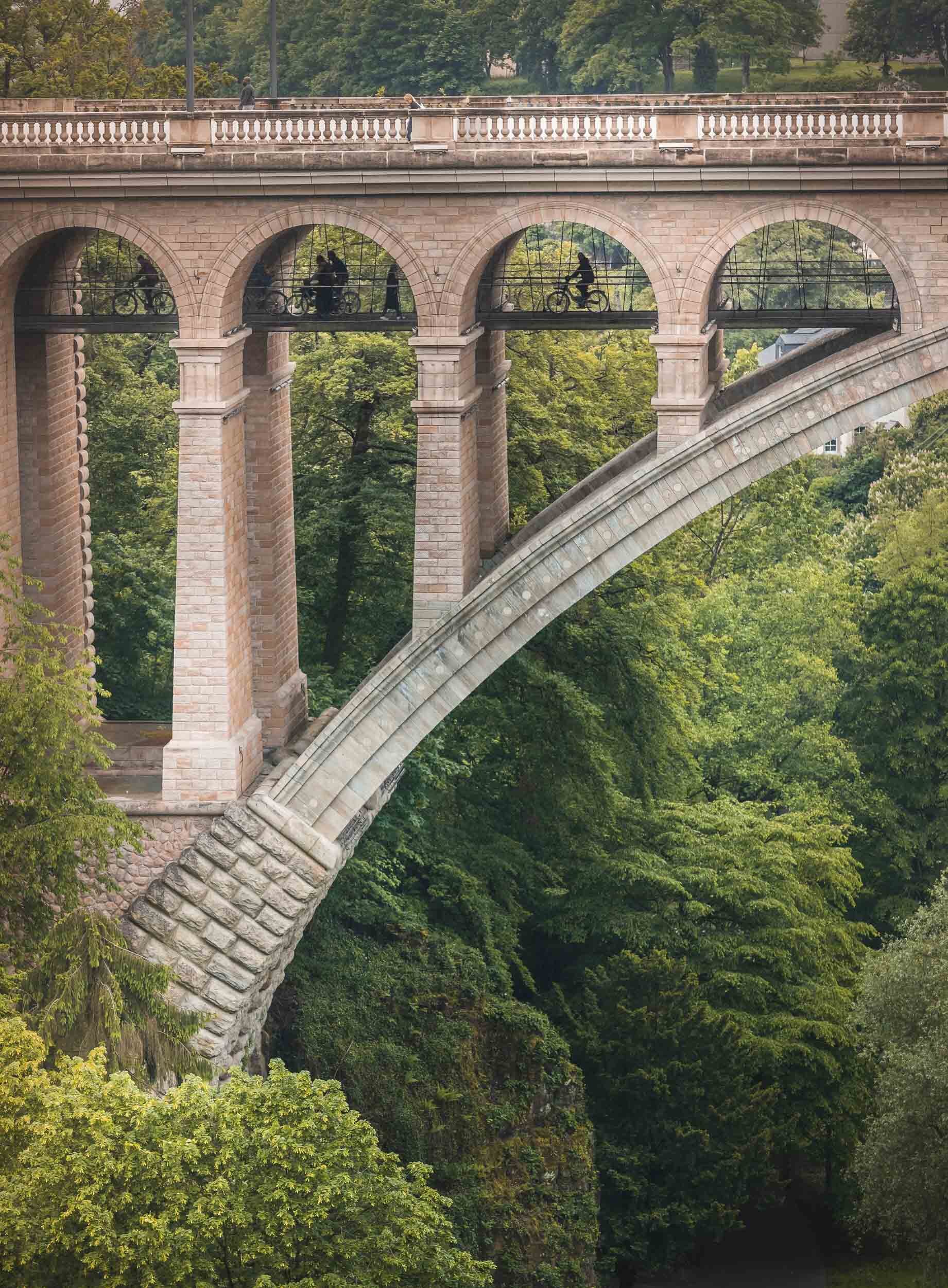
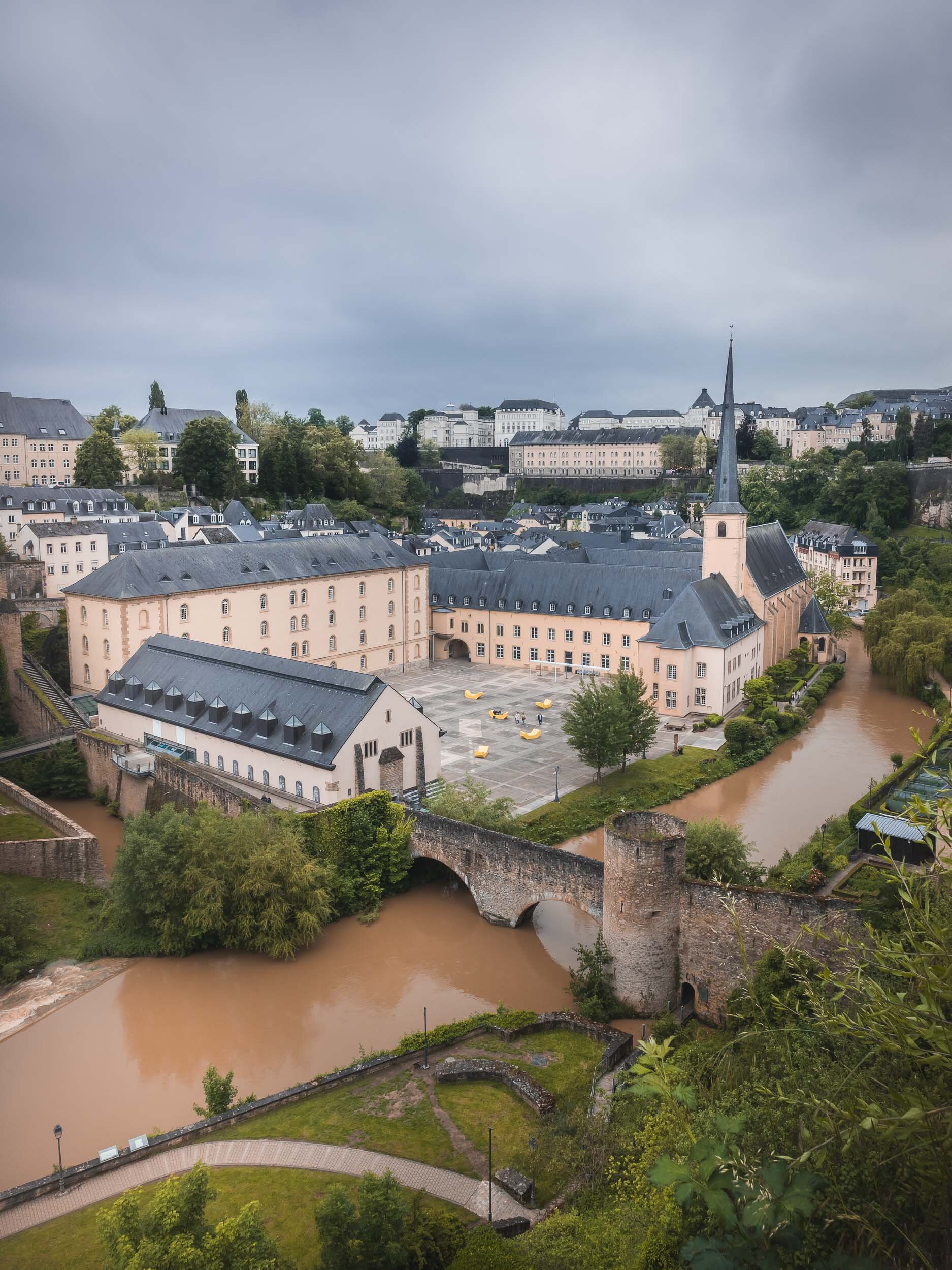
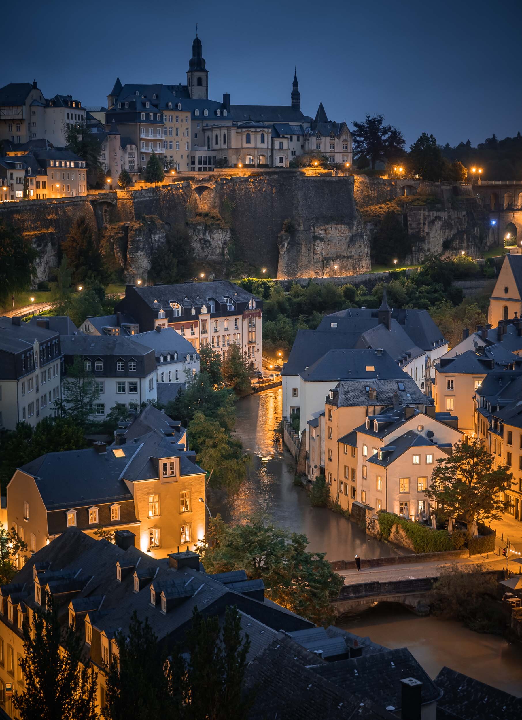
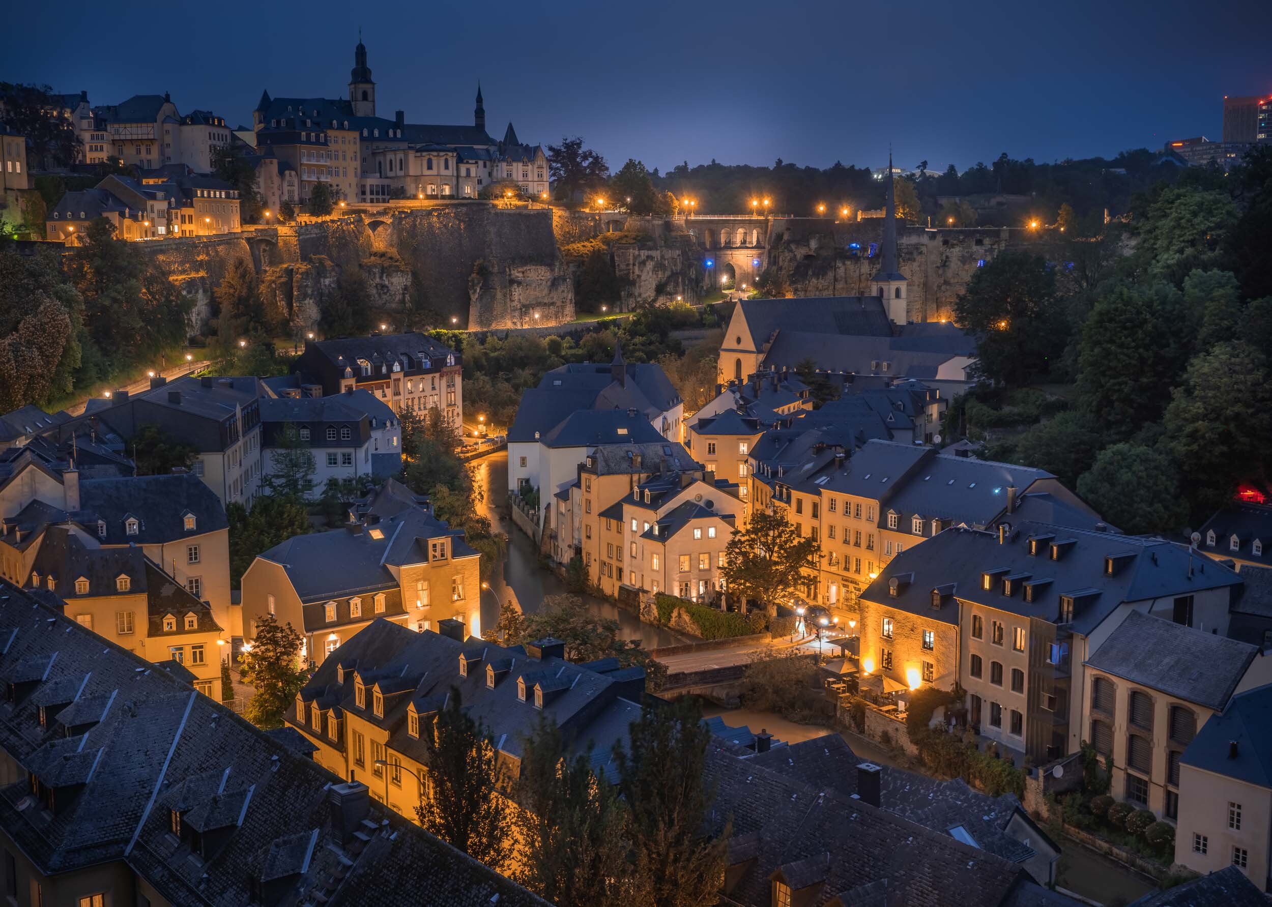
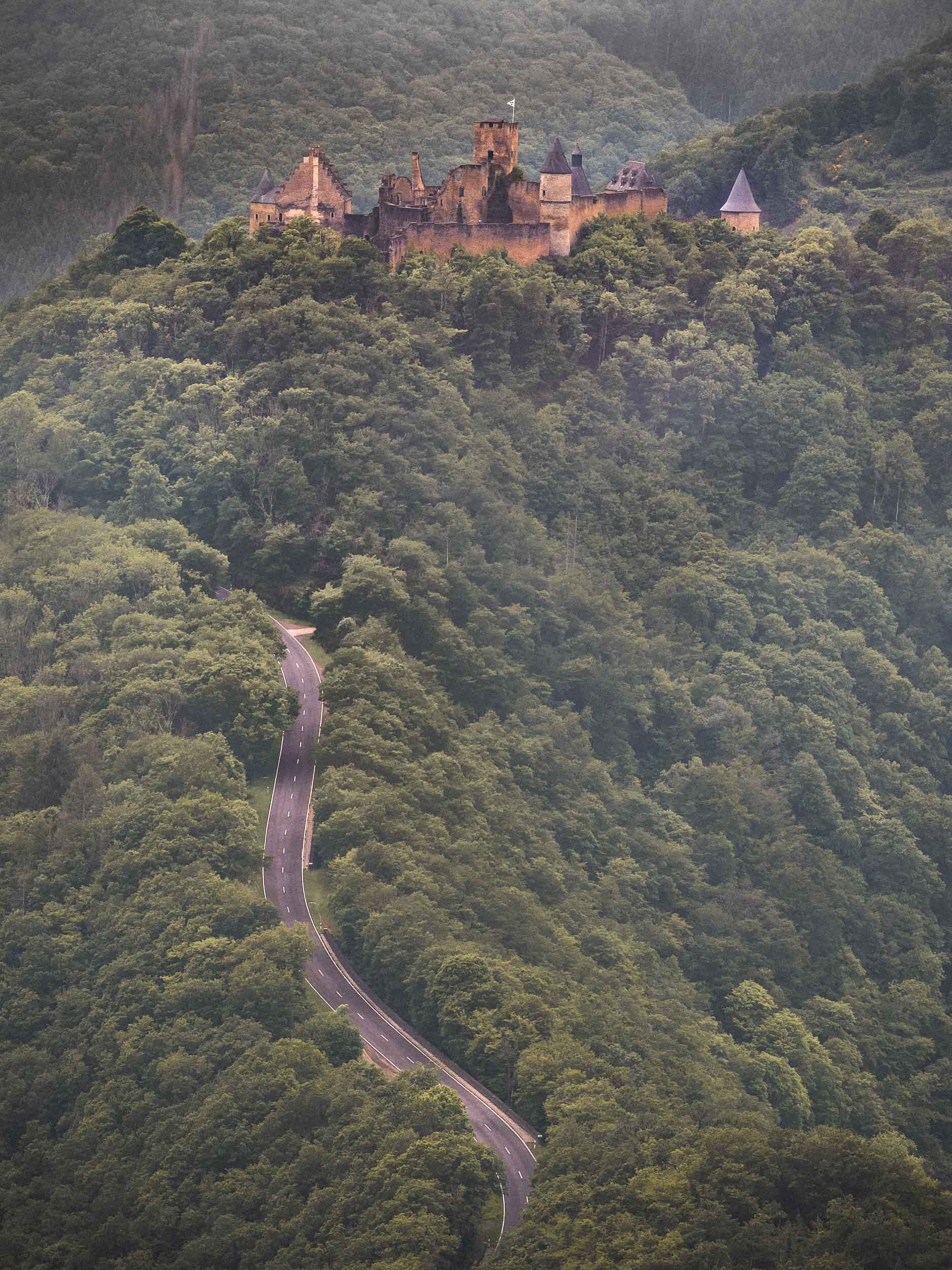
In June 2021 I took the opportunity of borders reopening as the Coronavirus situation improved to visit Luxembourg, one of the last countries in Western Europe that I have not yet had the chance to explore

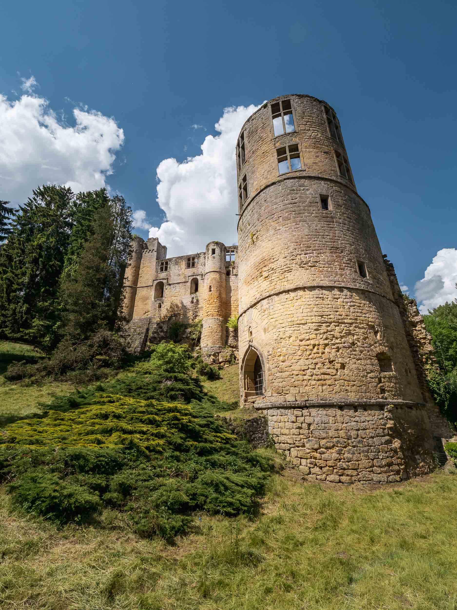
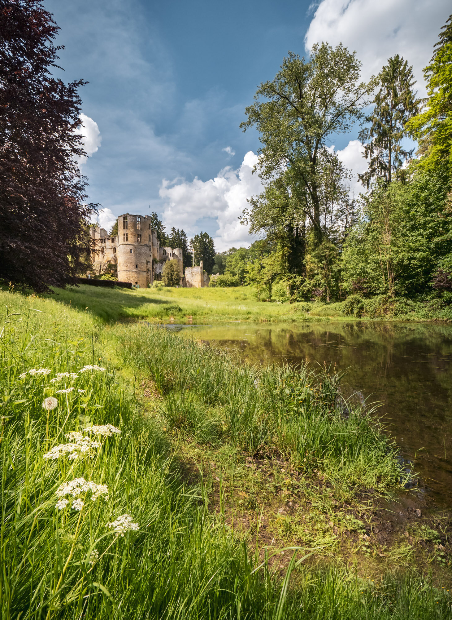
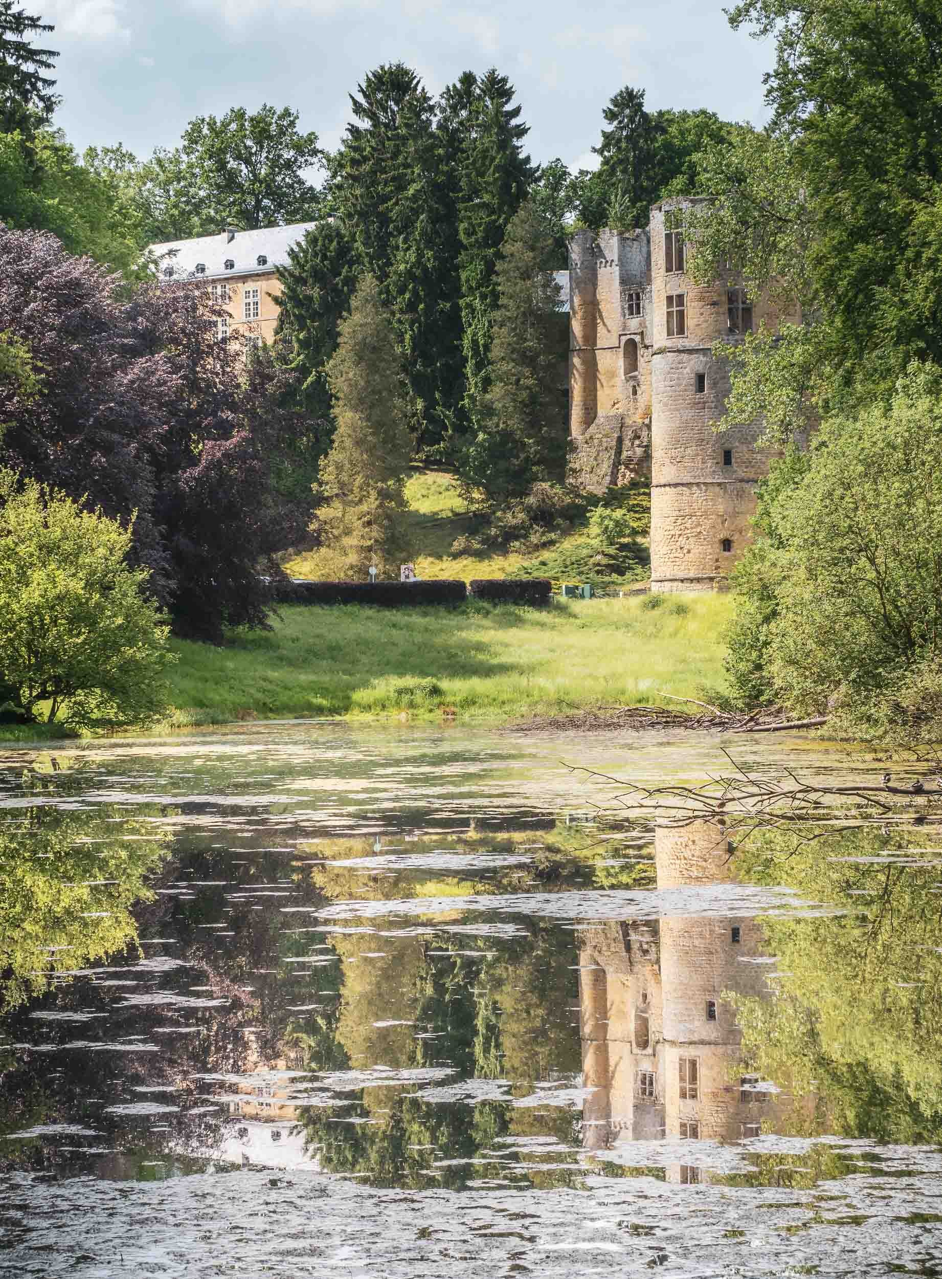
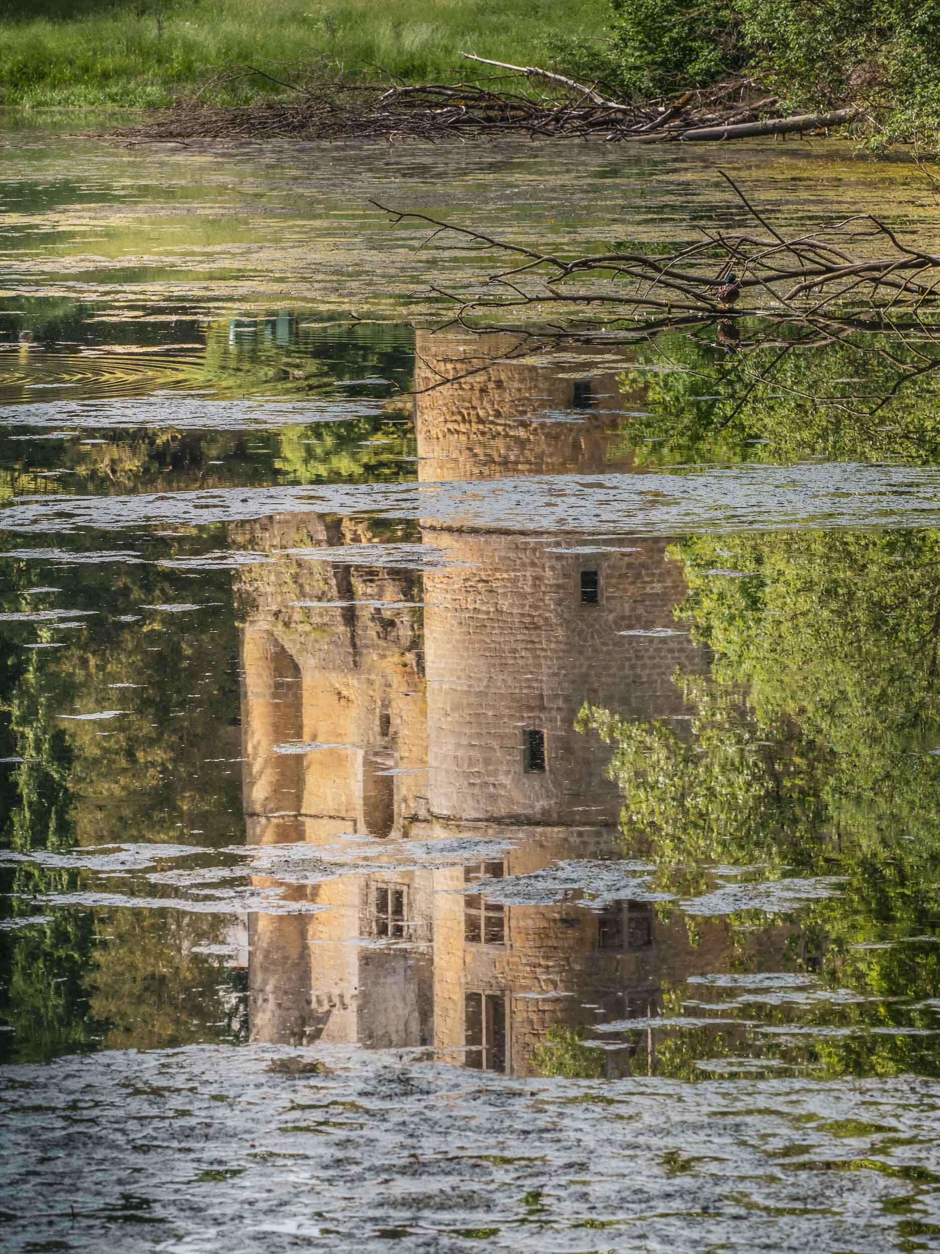
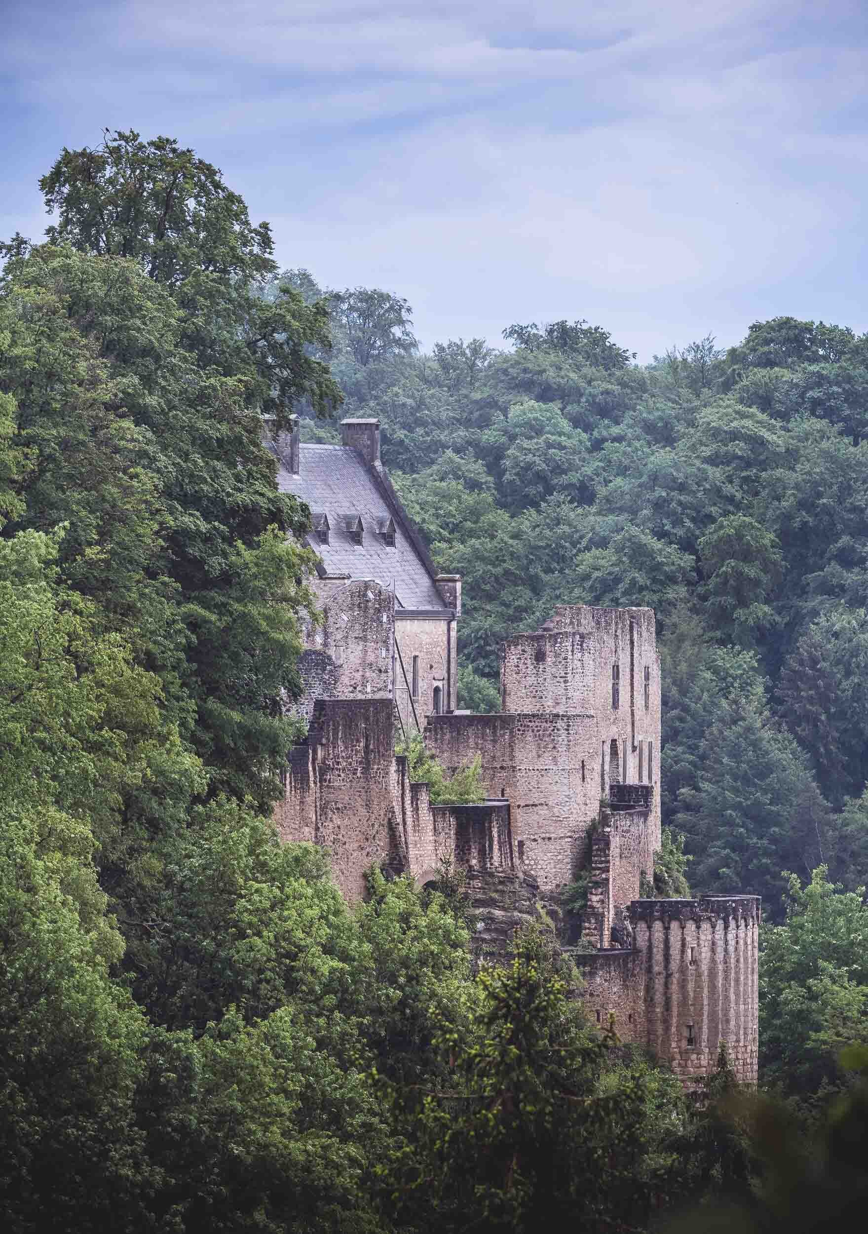
In June 2021 I took the opportunity of borders reopening as the Coronavirus situation improved to visit Luxembourg, one of the last countries in Western Europe that I have not yet had the chance to explore. With less than 1 million people and an area of less than 3000 sq km, it is one of the smallest countries in the world, but at the same time has one of the highest GDP per capita.
Luxembourg features a rich history with many amazing castles dotted around the landscape, and a diverse and multicultural history and presence. Take a look at the photos below to get a glimpse of what I was able to see in 48 hours.


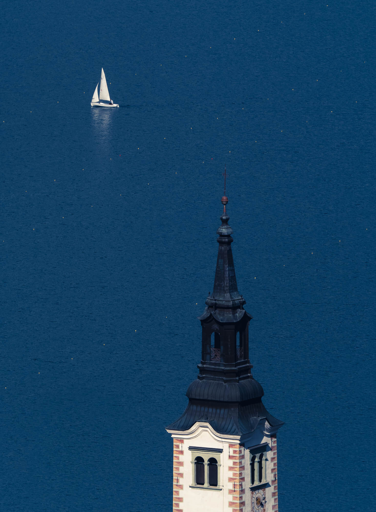
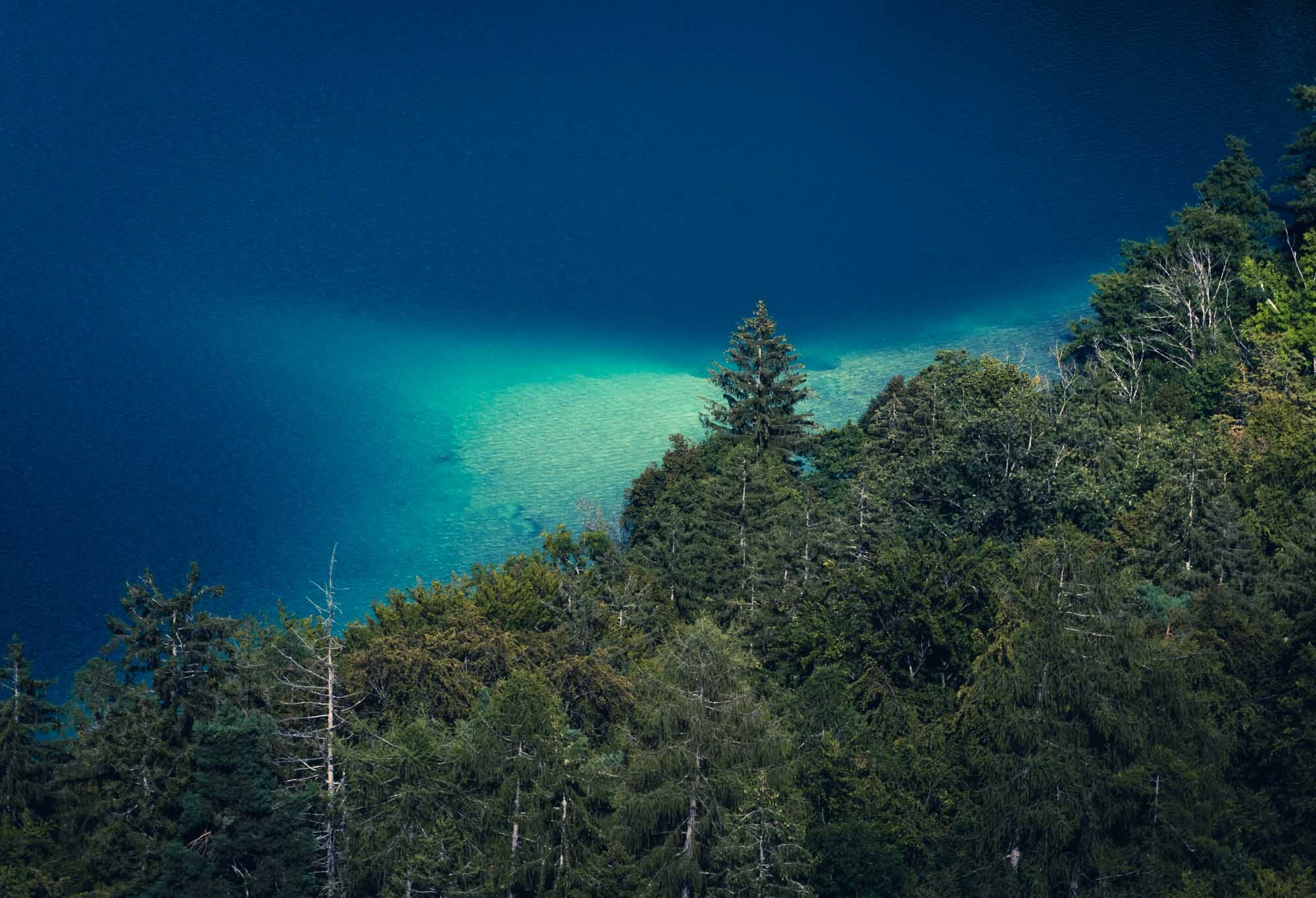
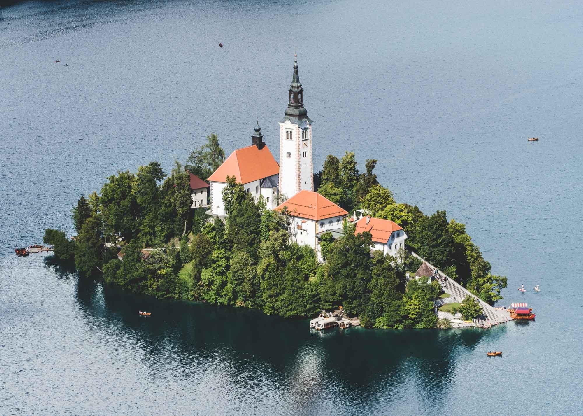
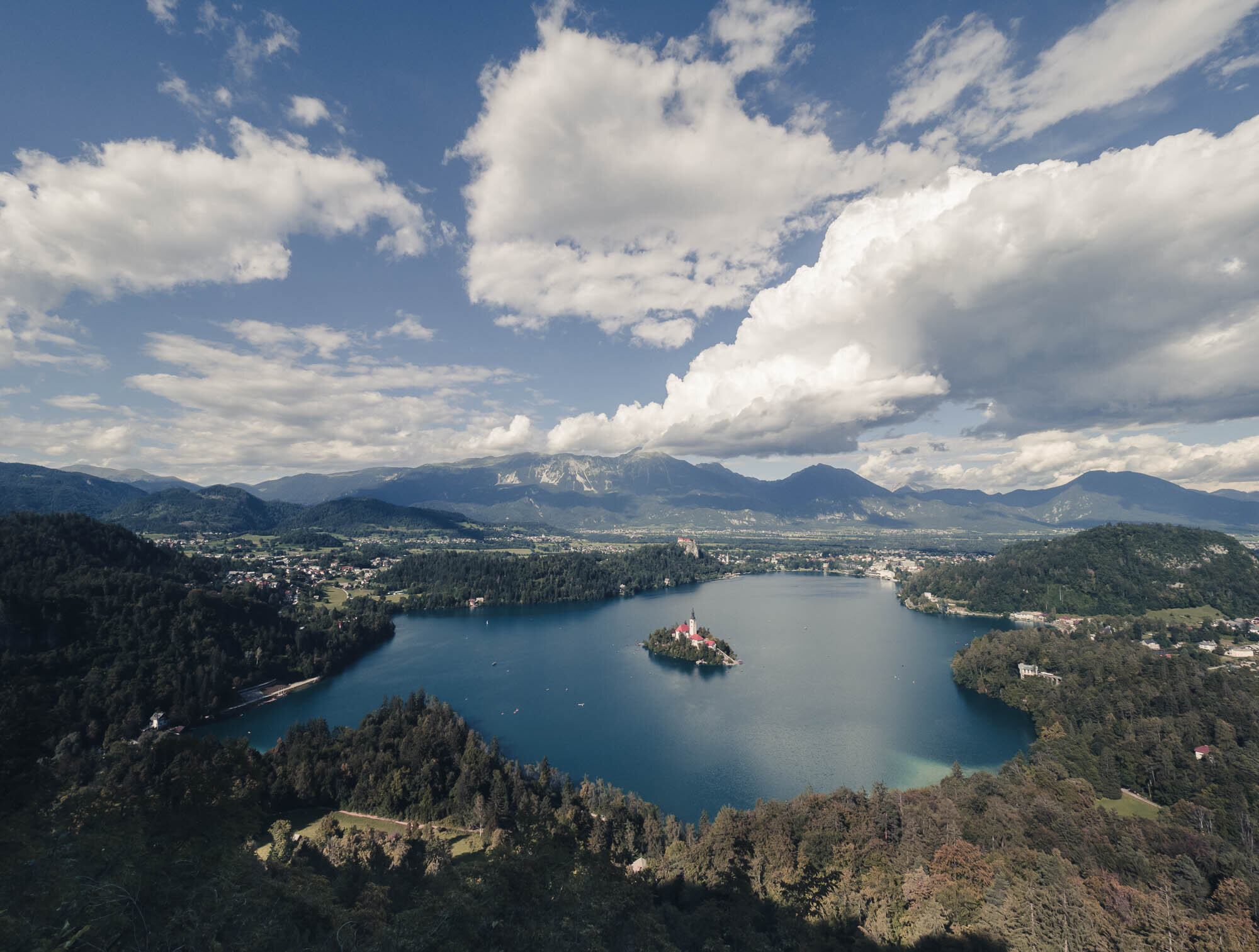
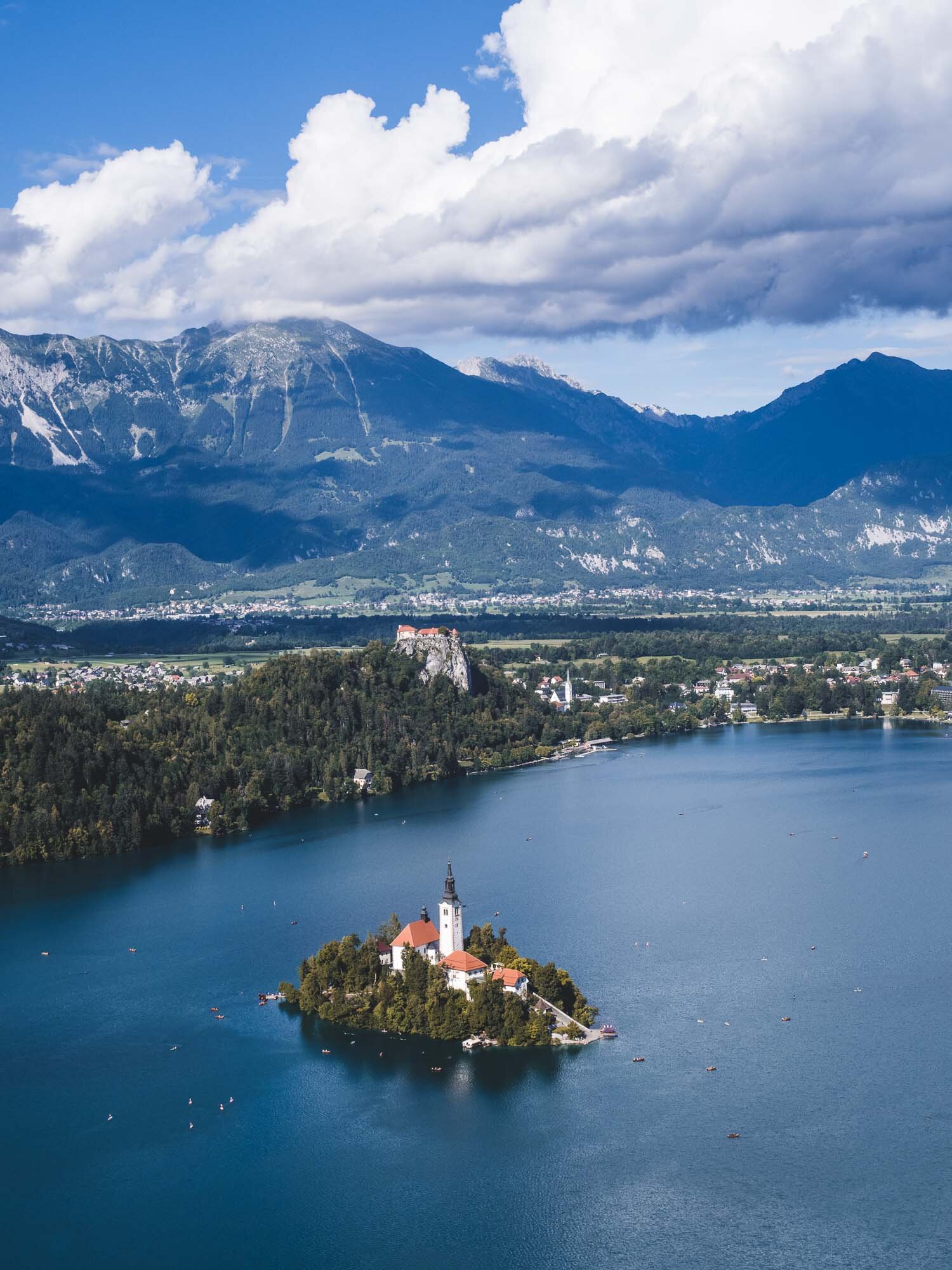
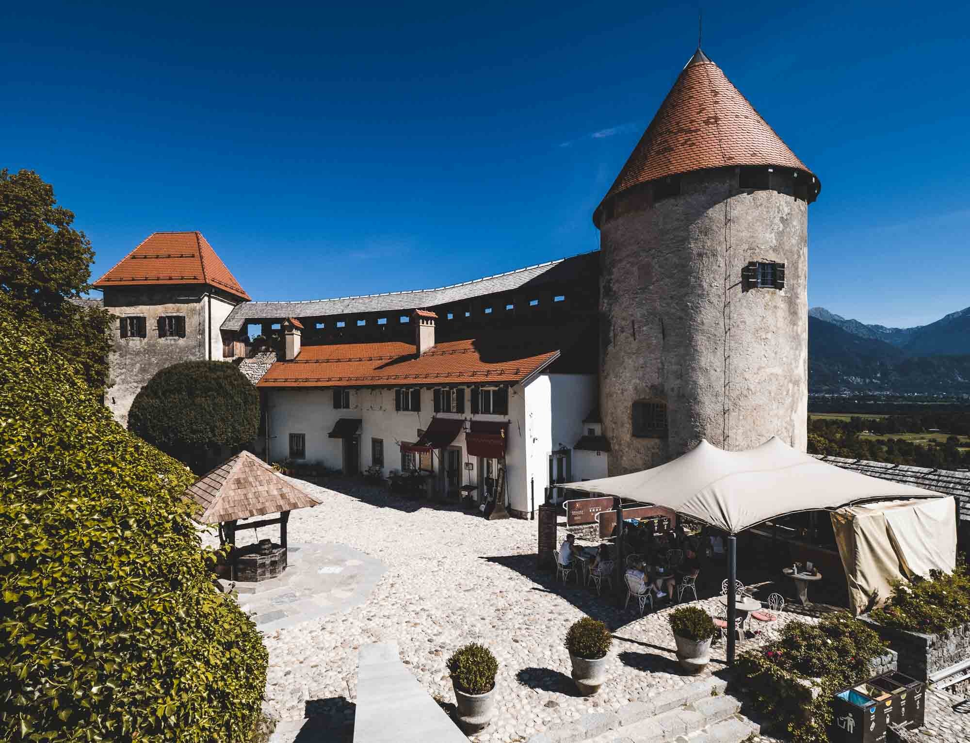
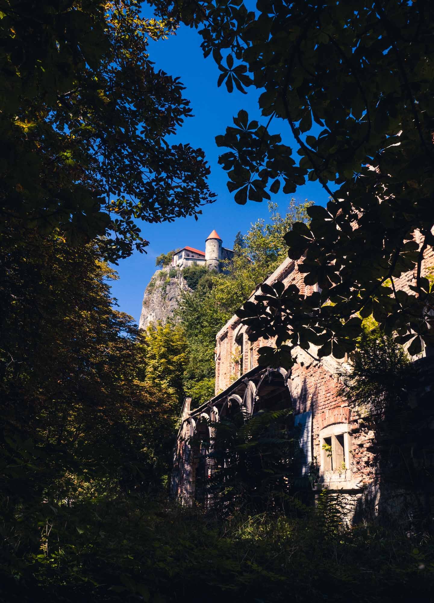
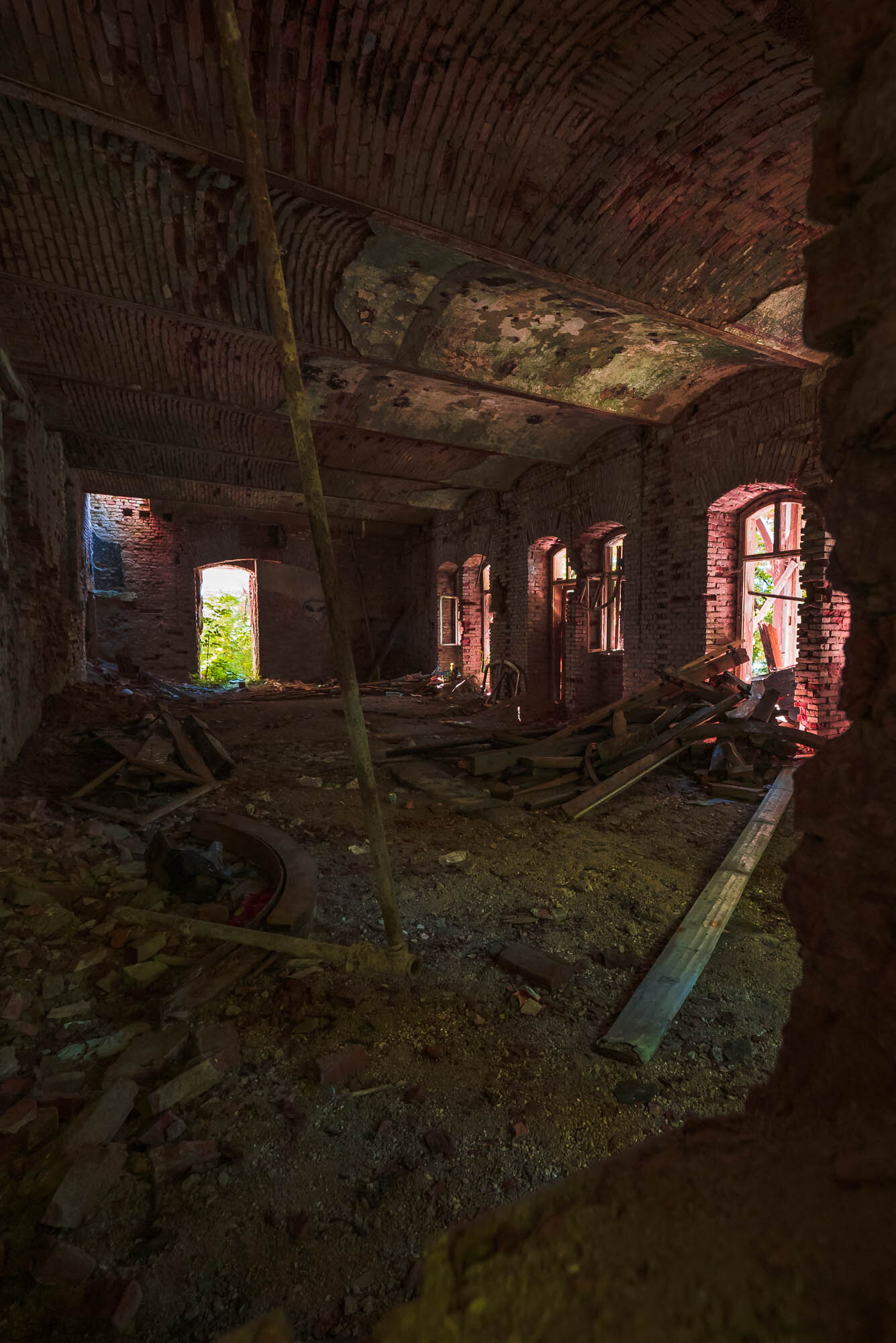
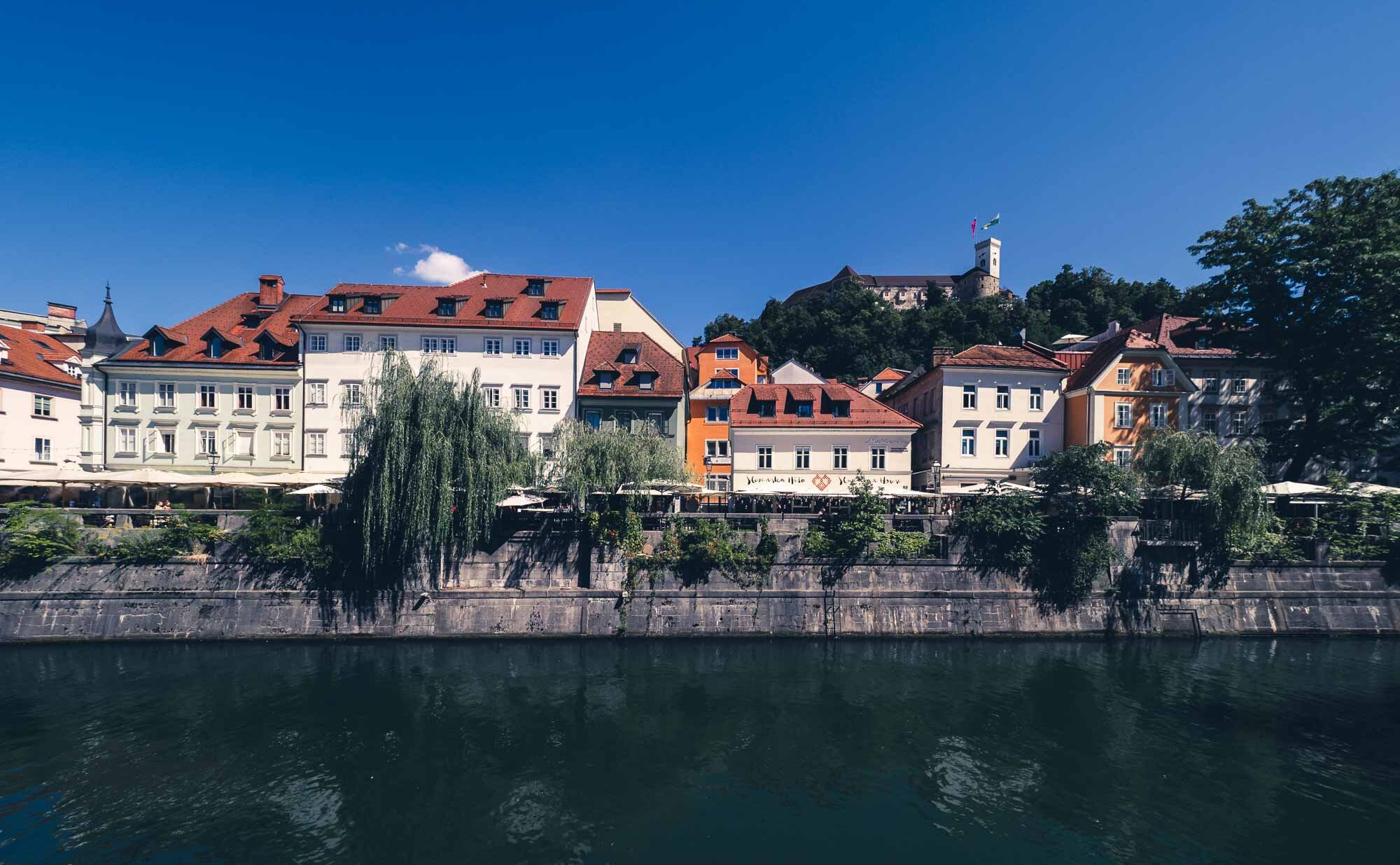
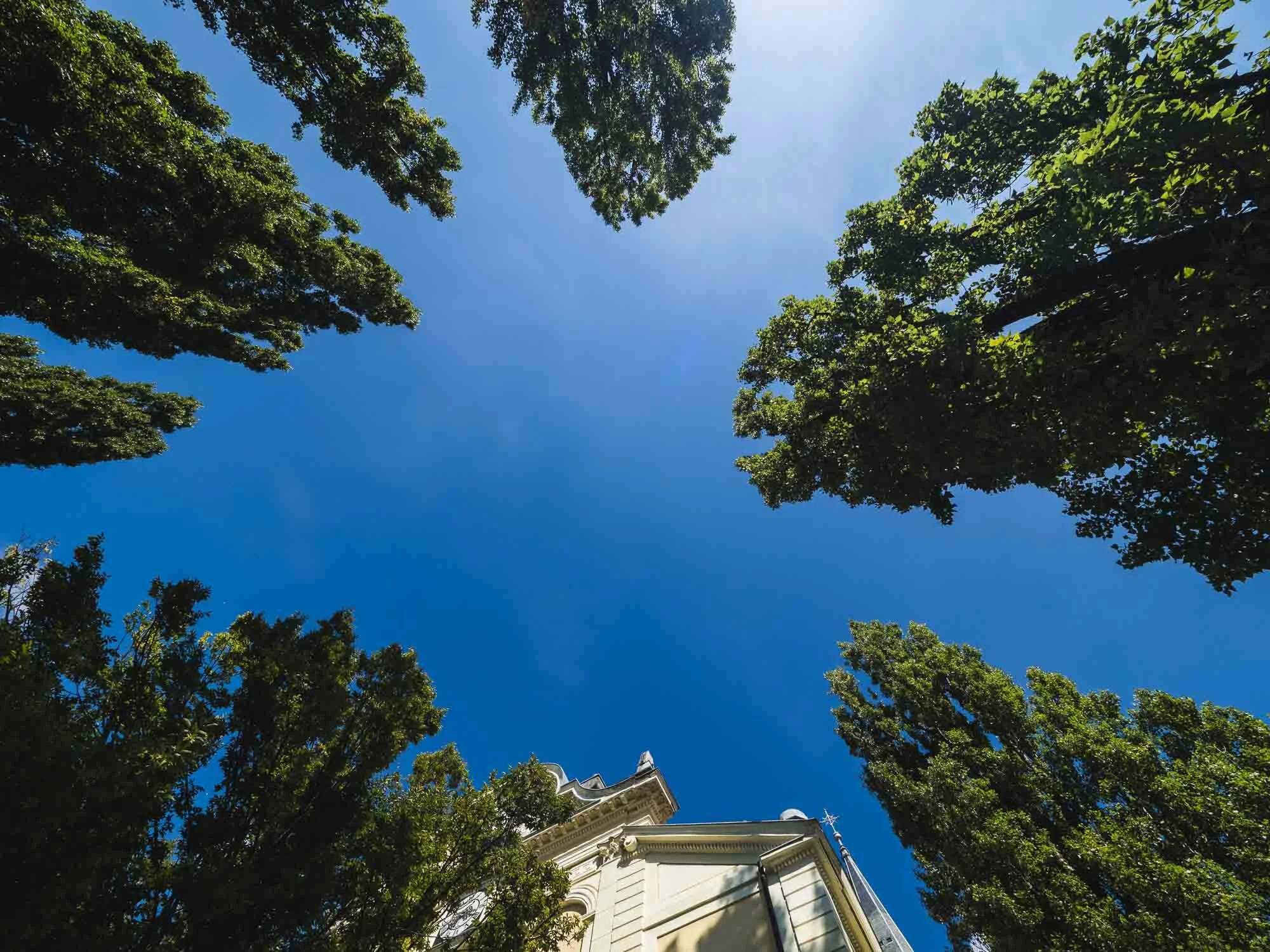
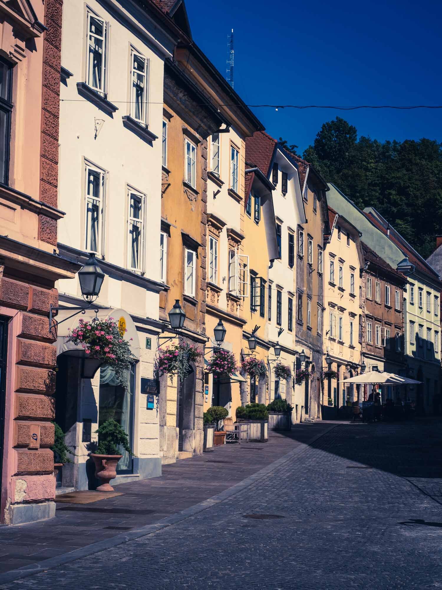
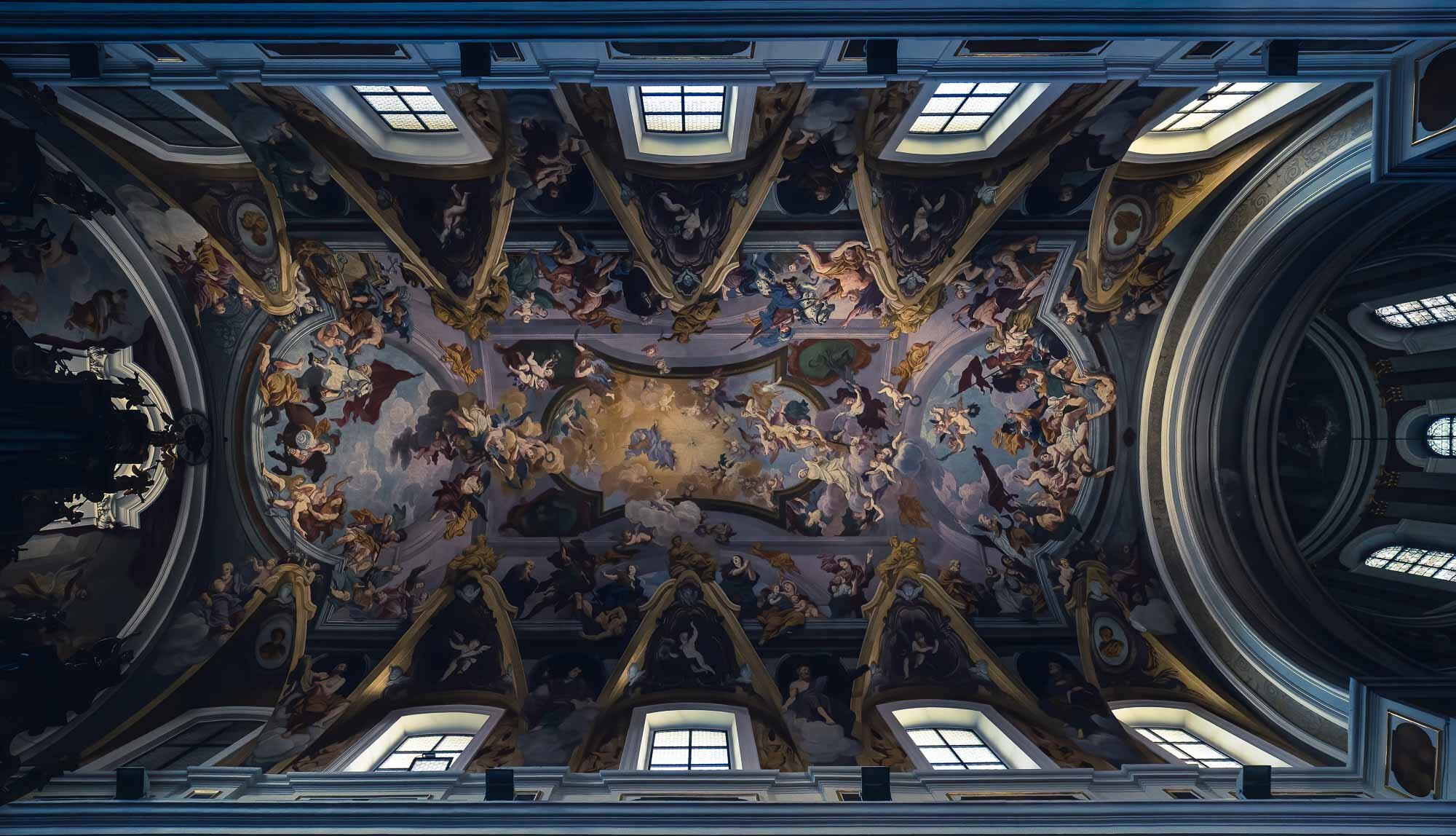
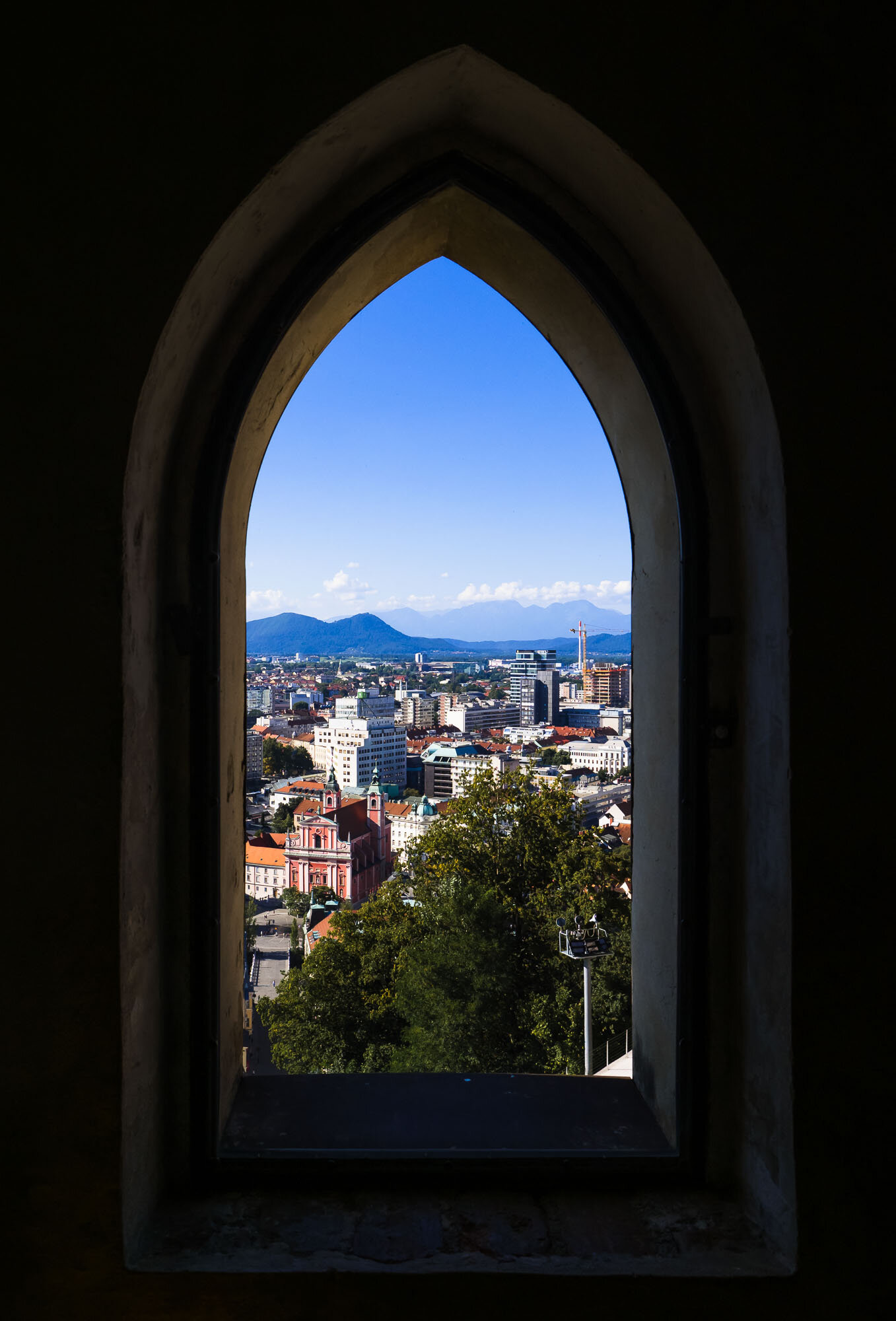
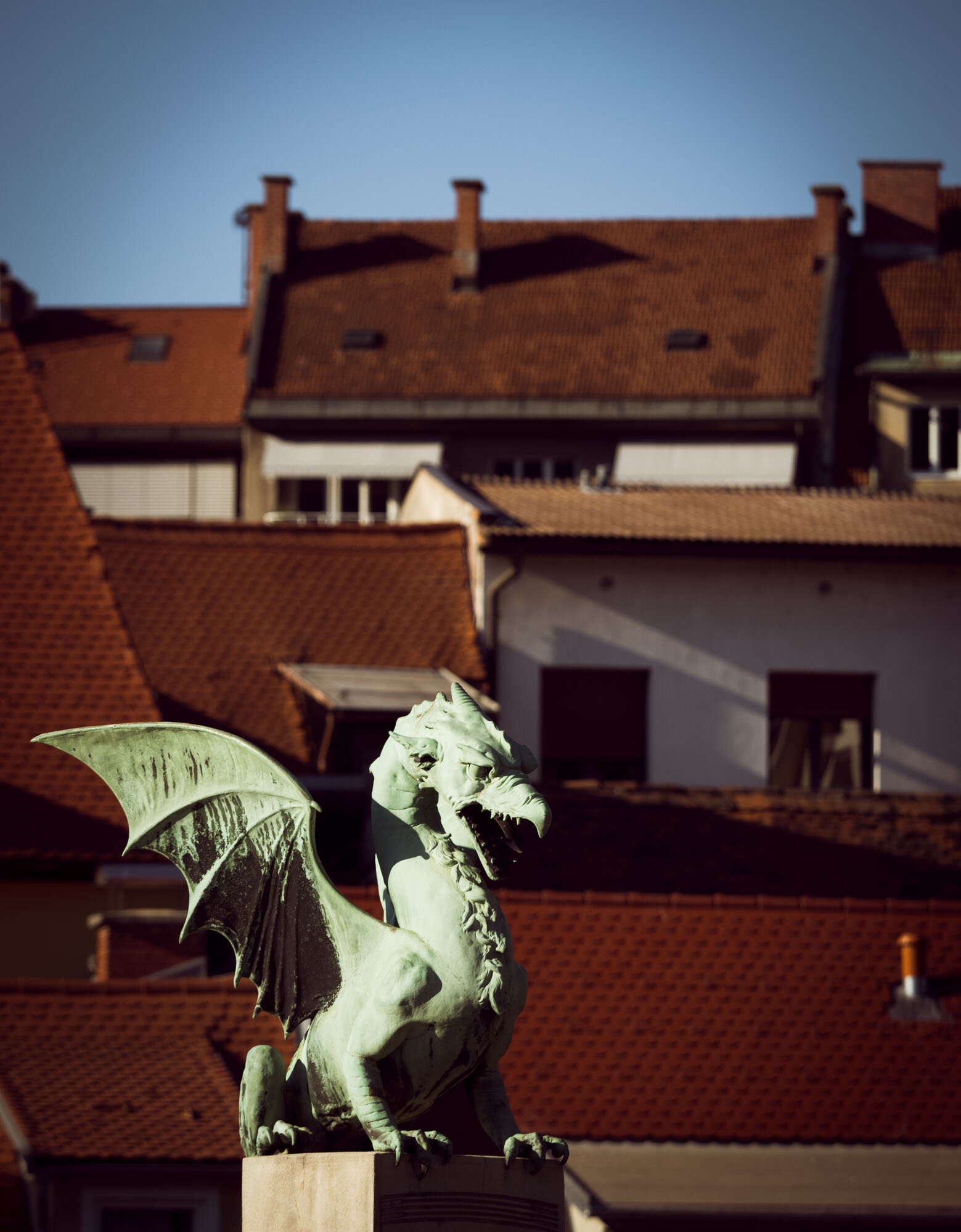
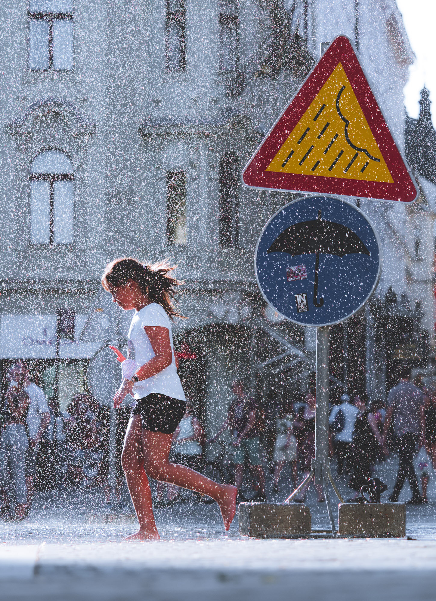
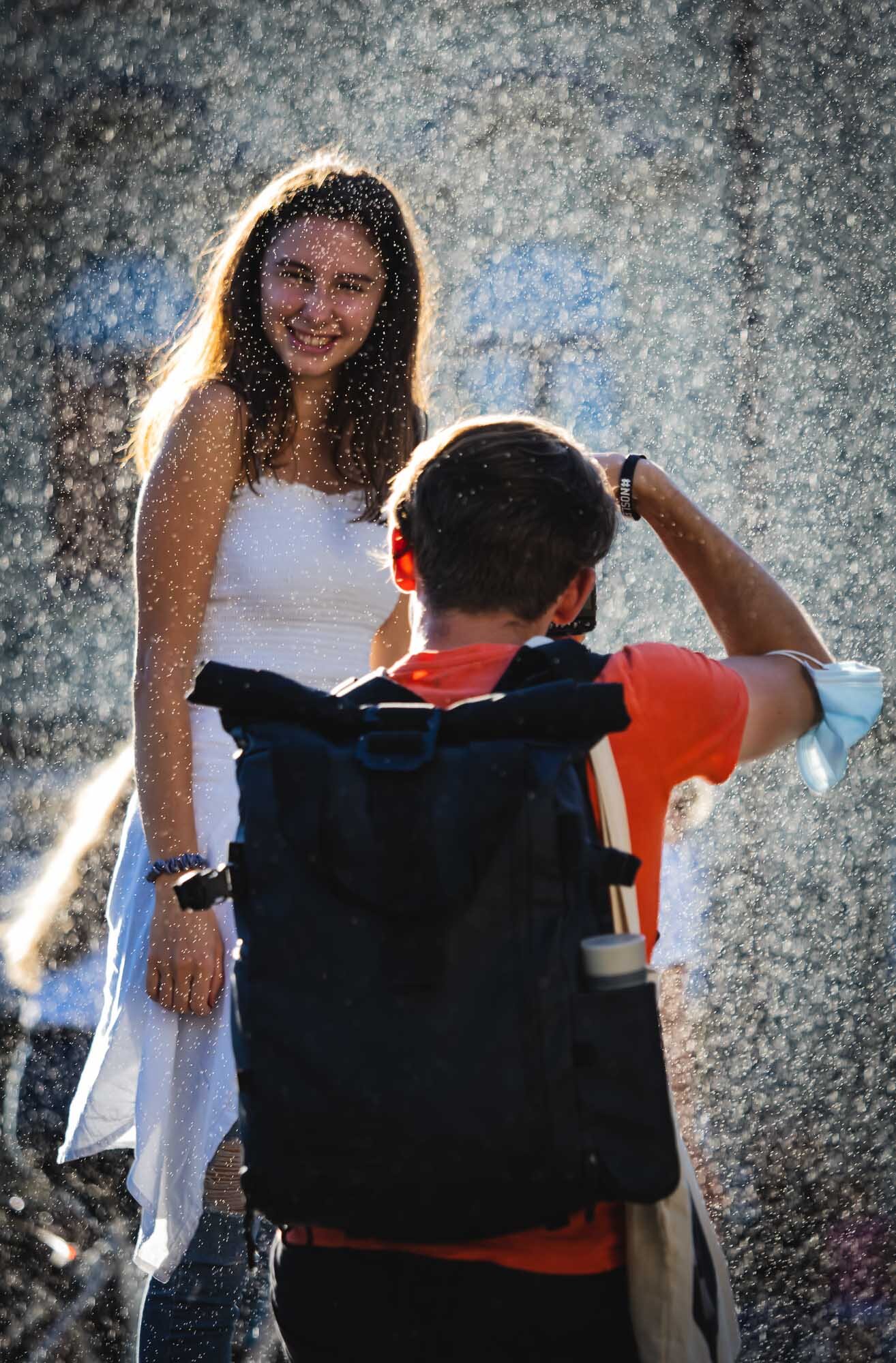
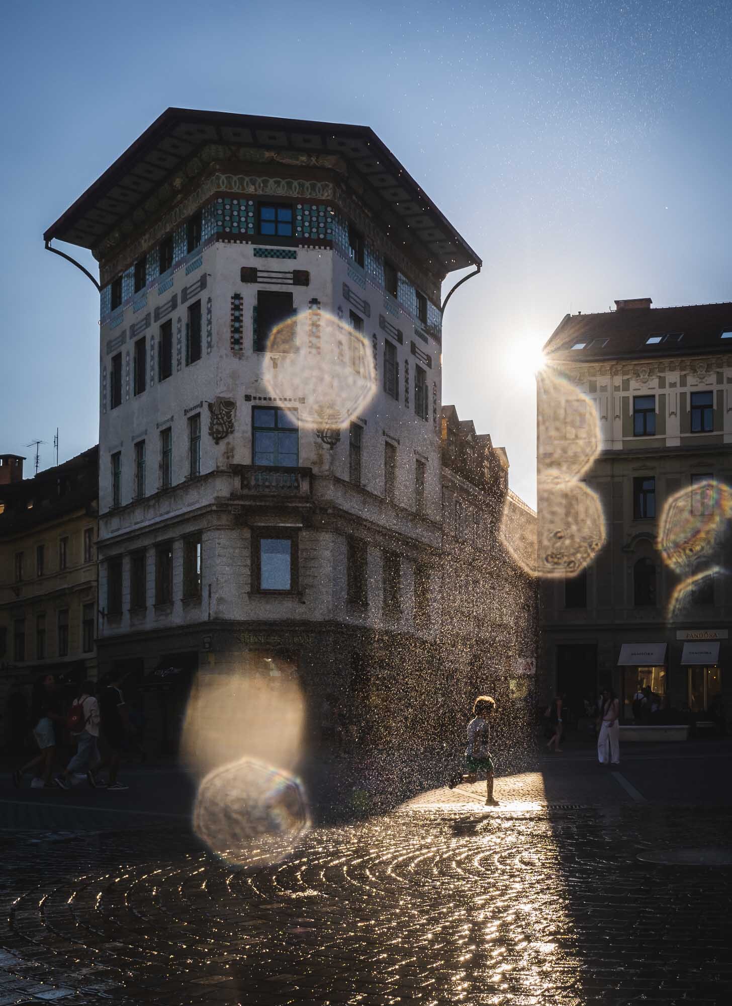
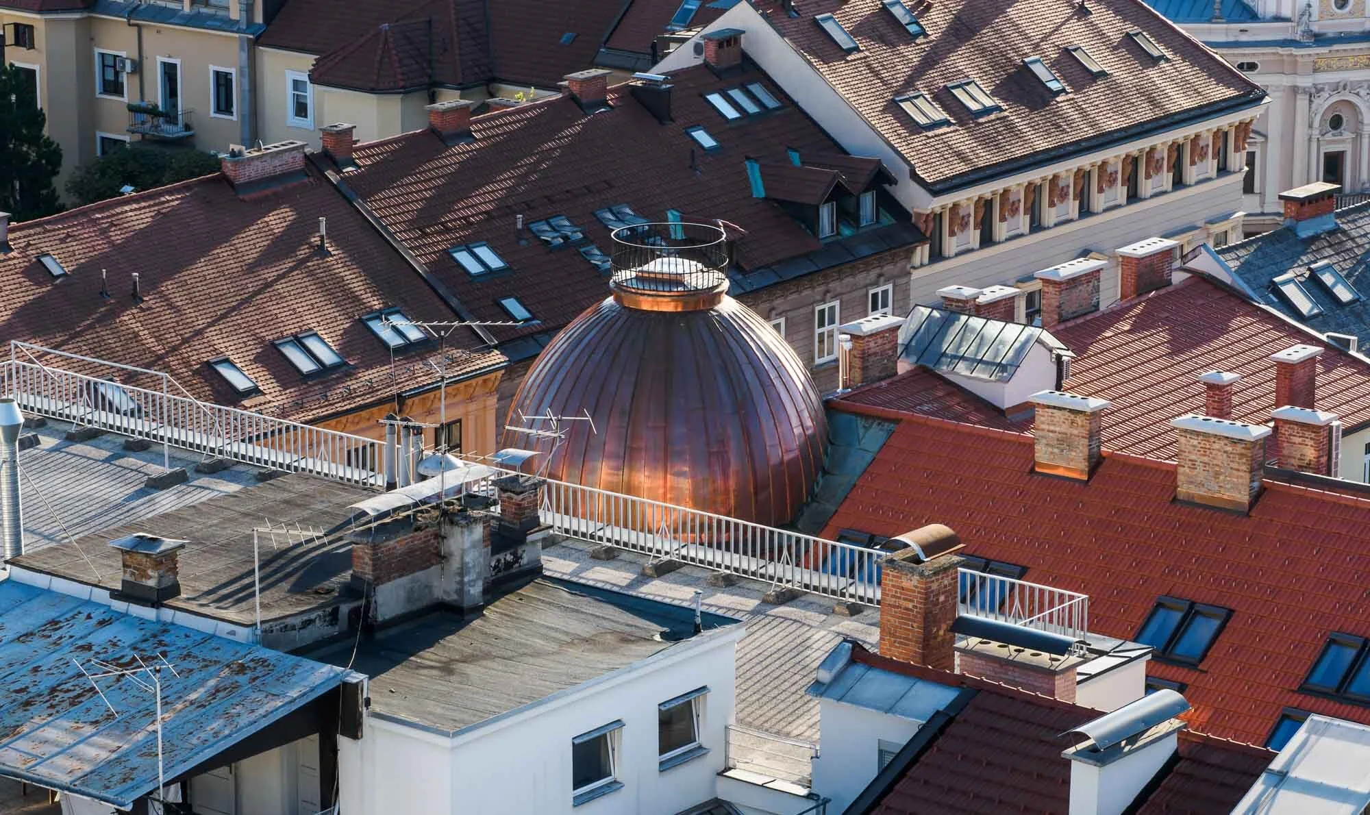
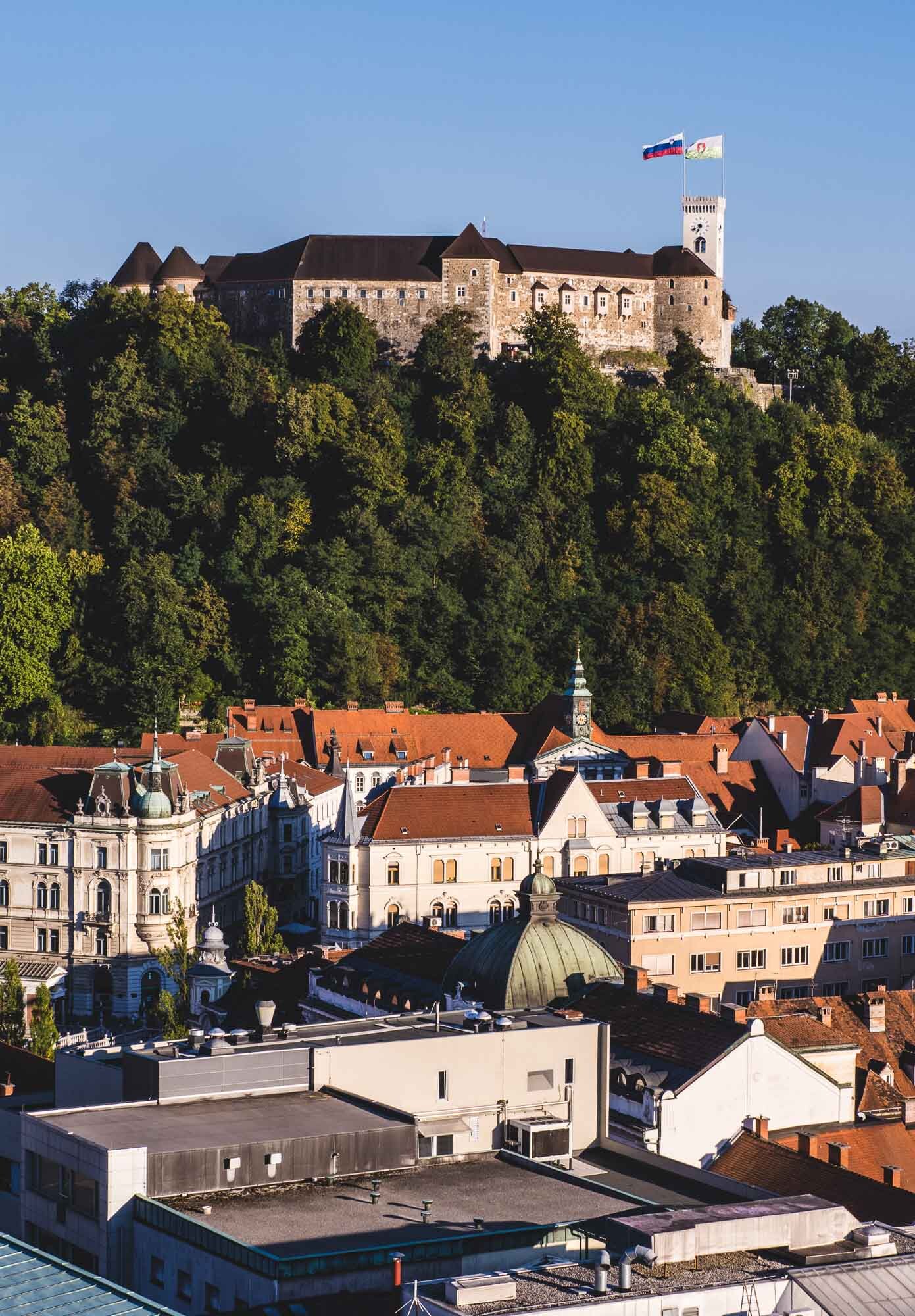
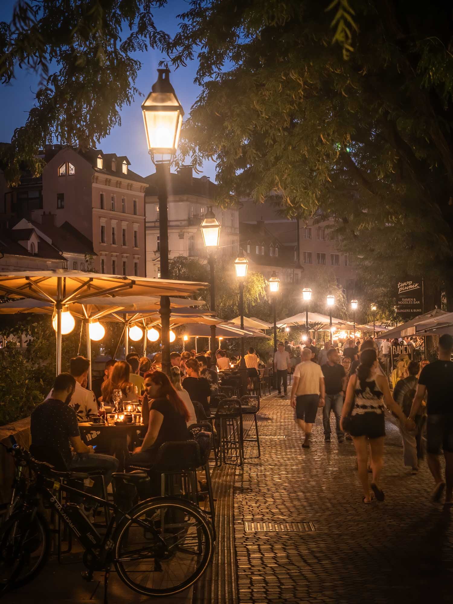
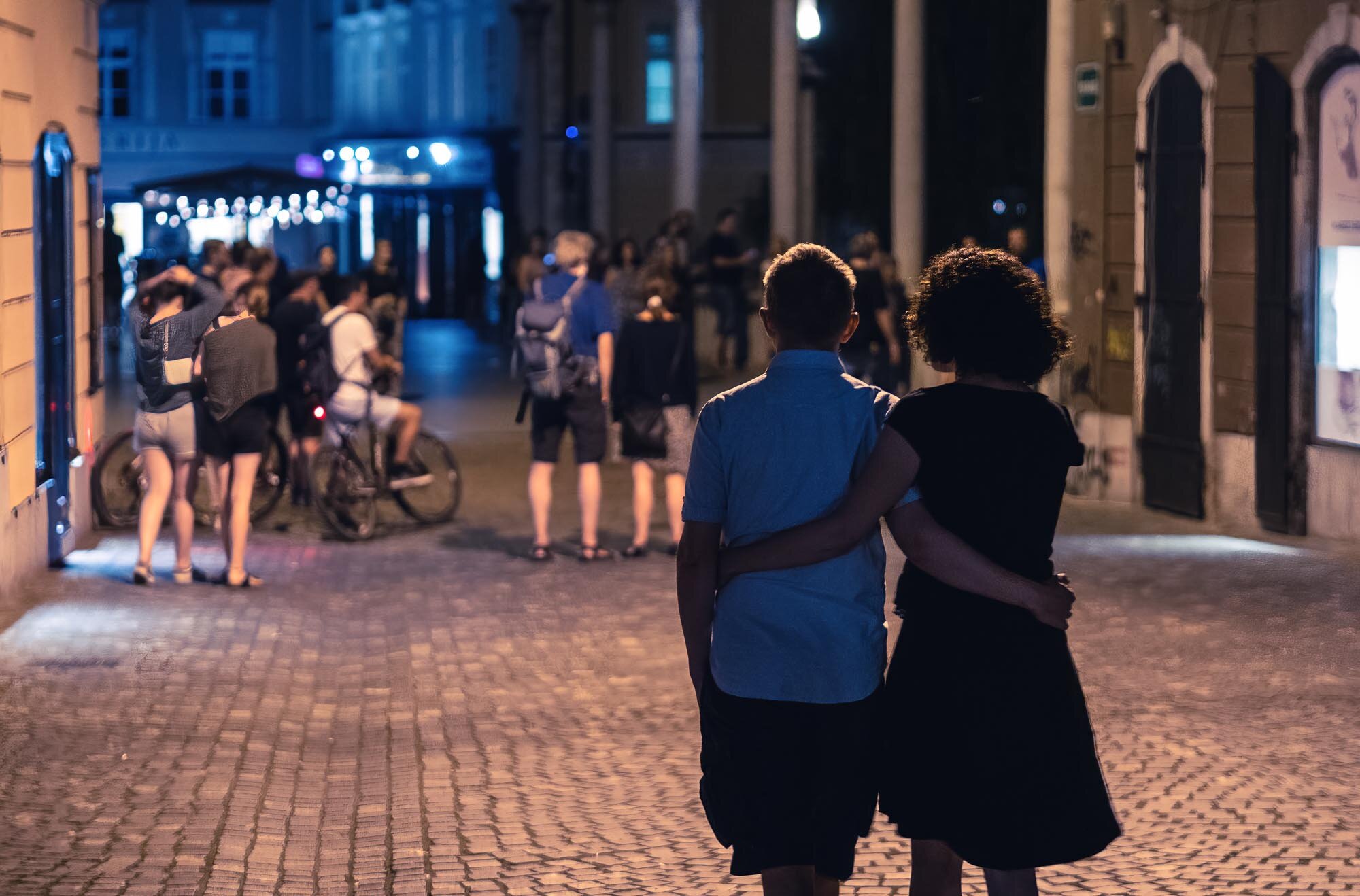
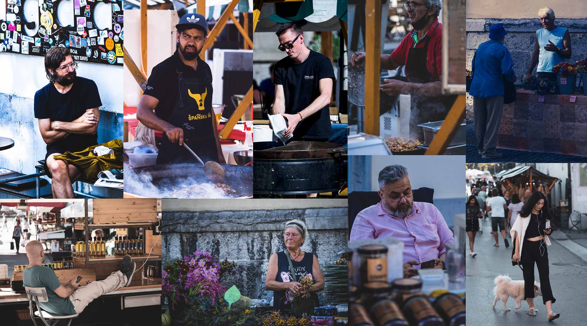
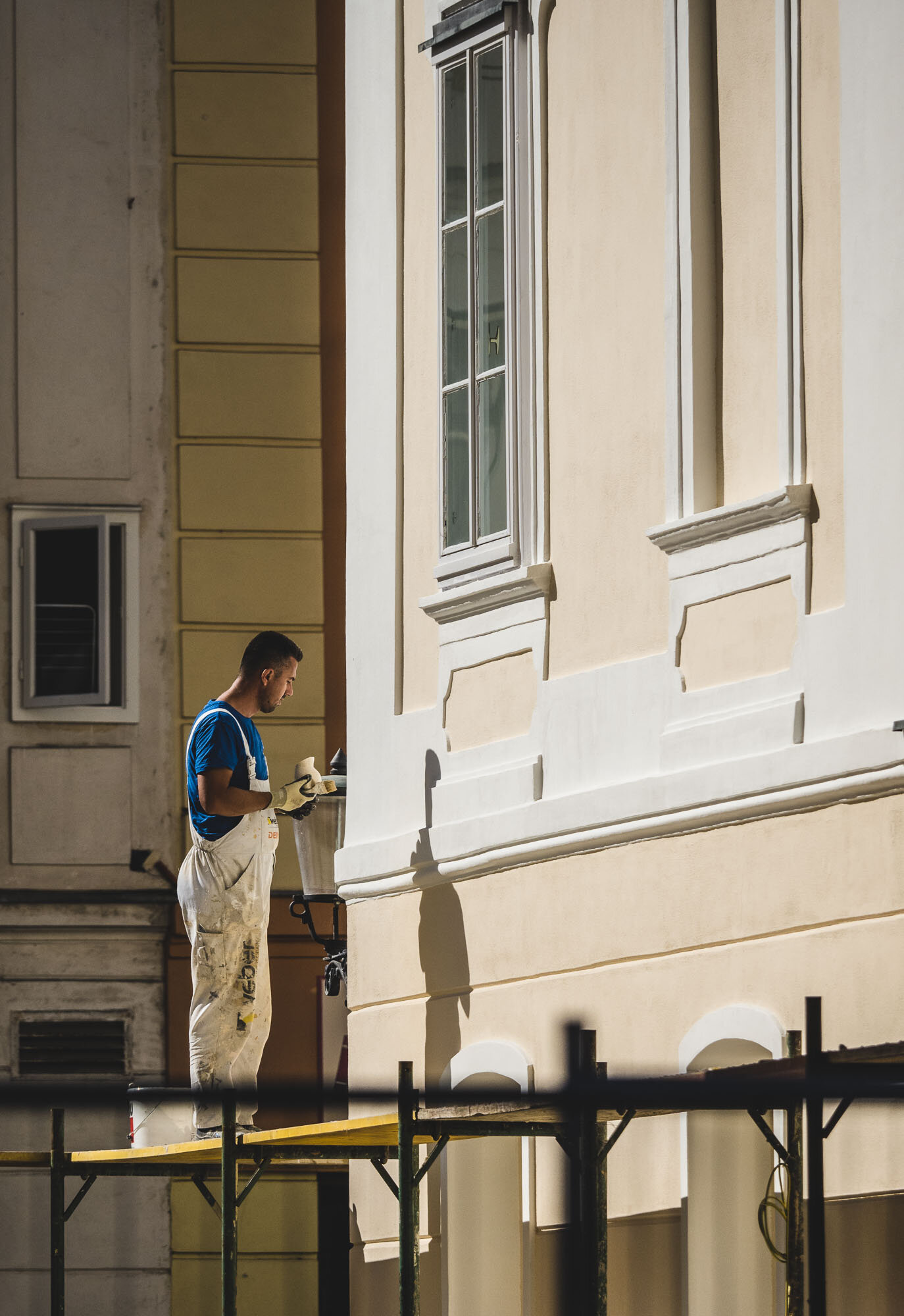
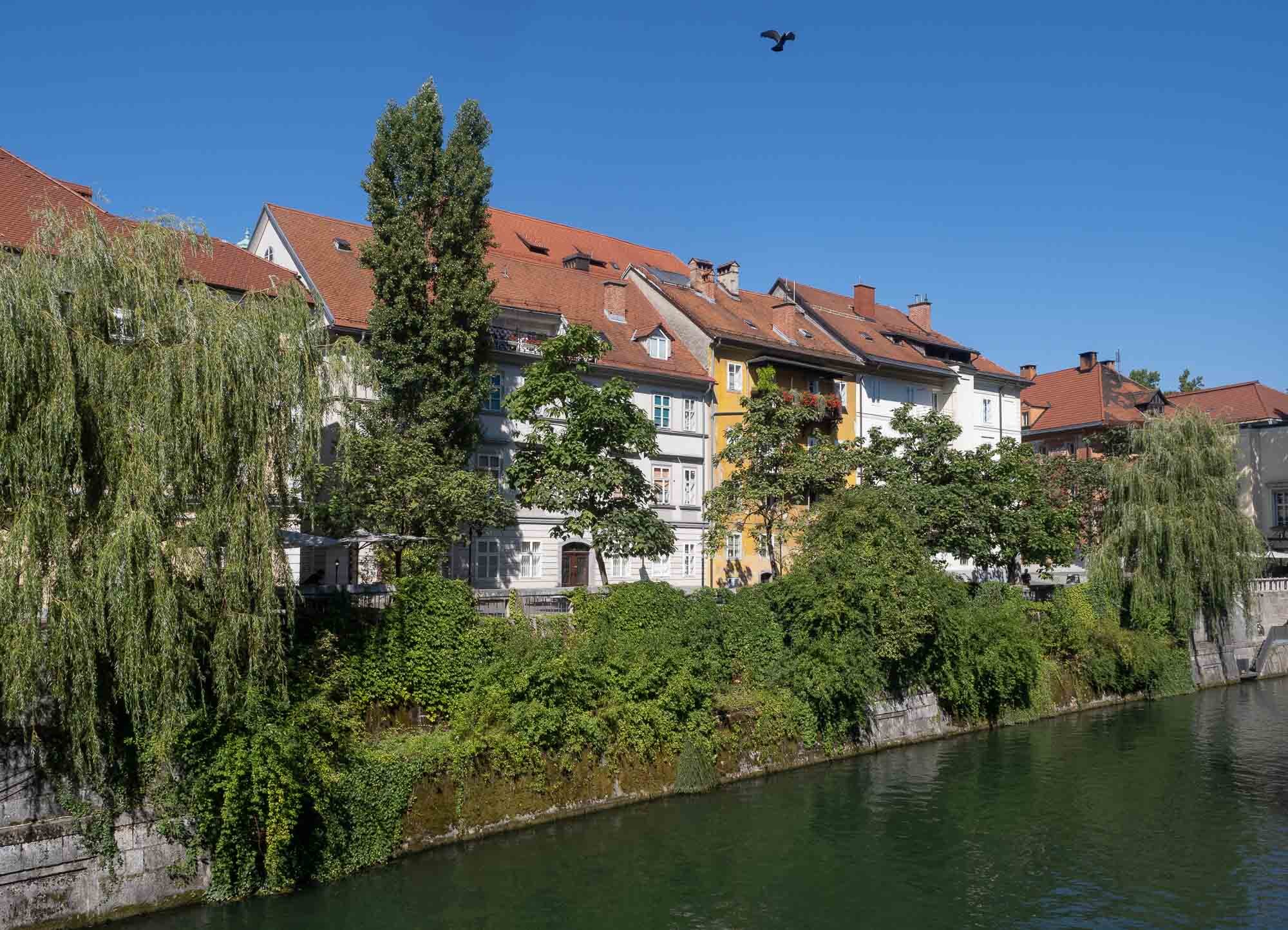
Slovenian Beauty - Lake Bled & Ljubljana
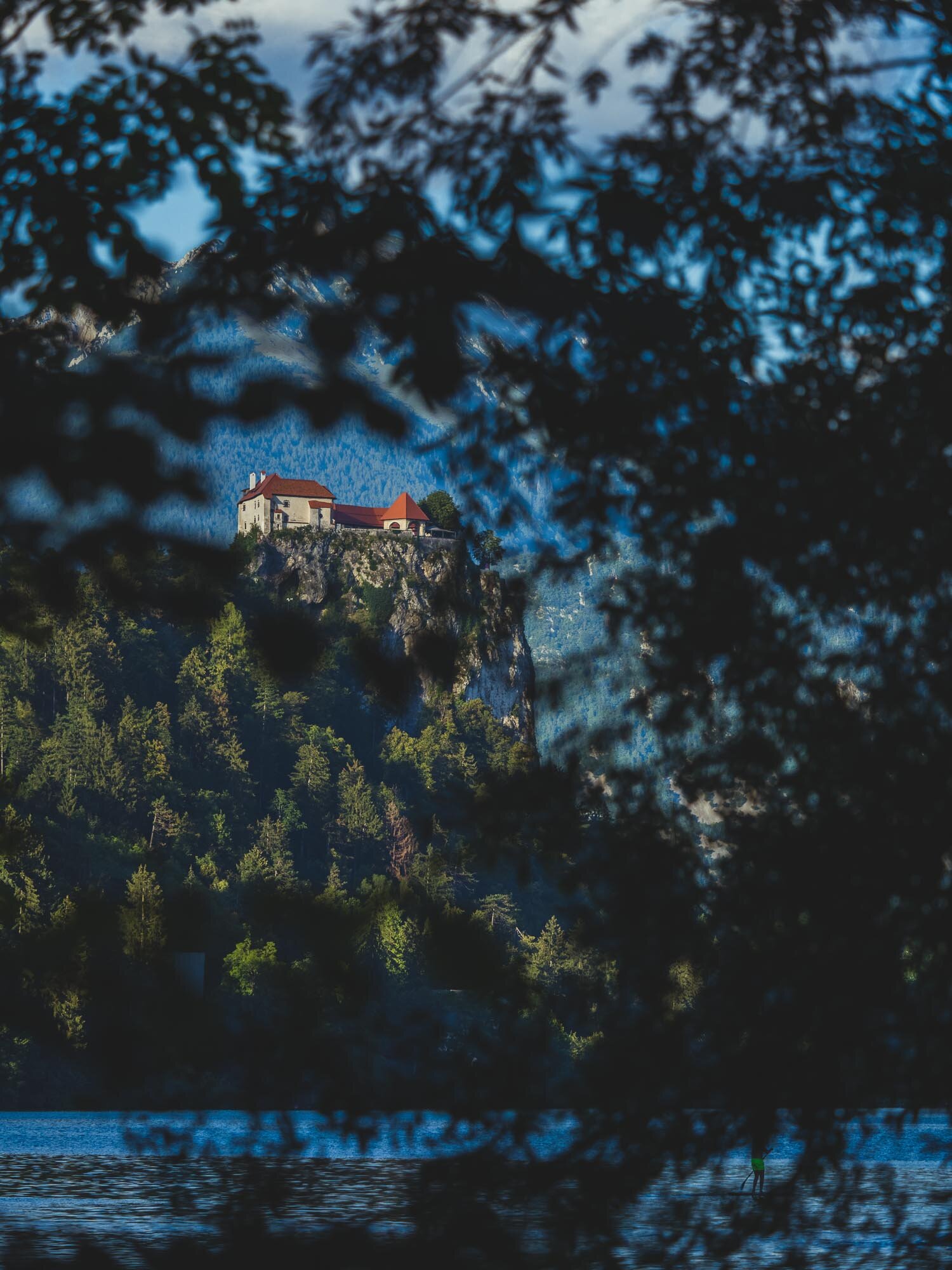
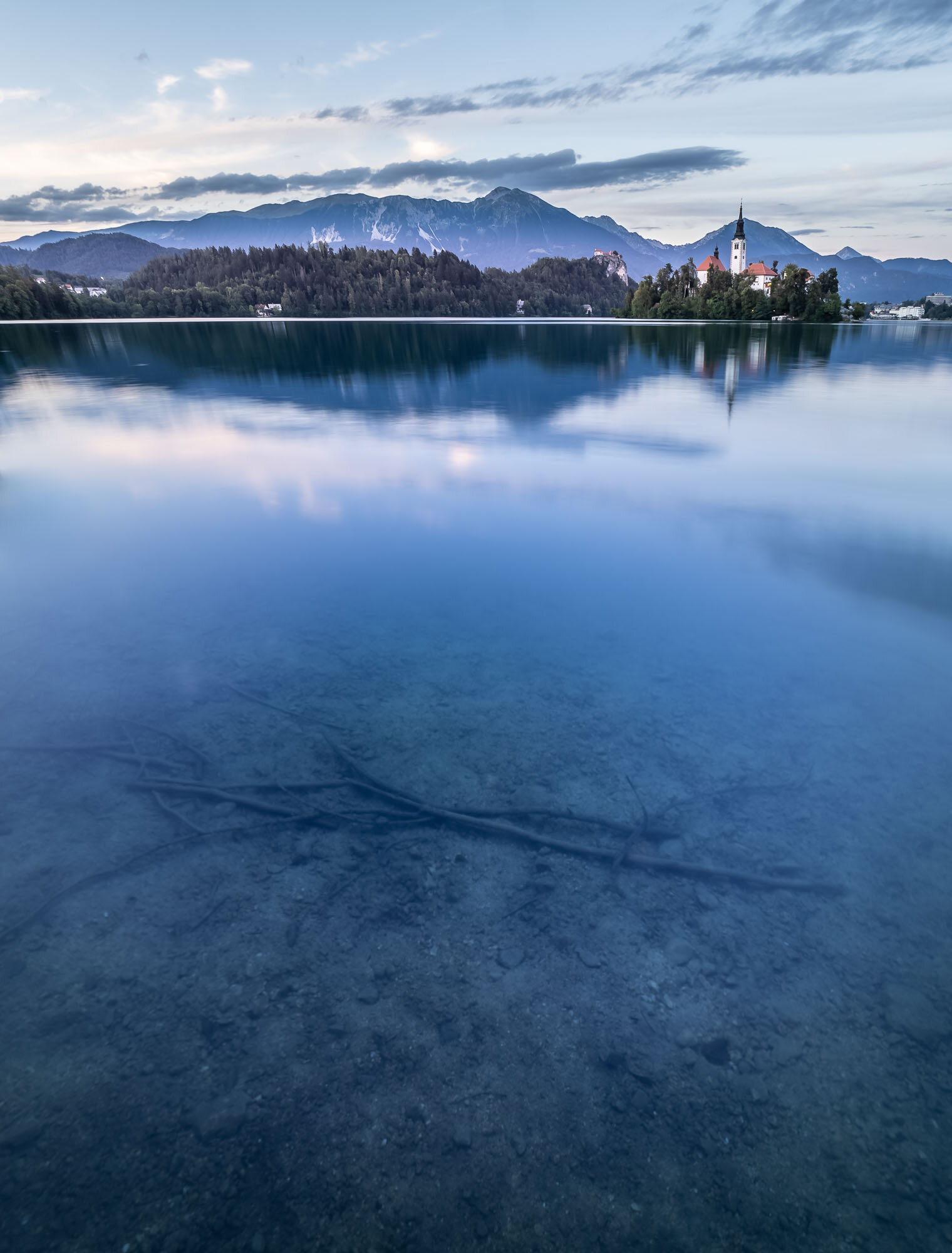
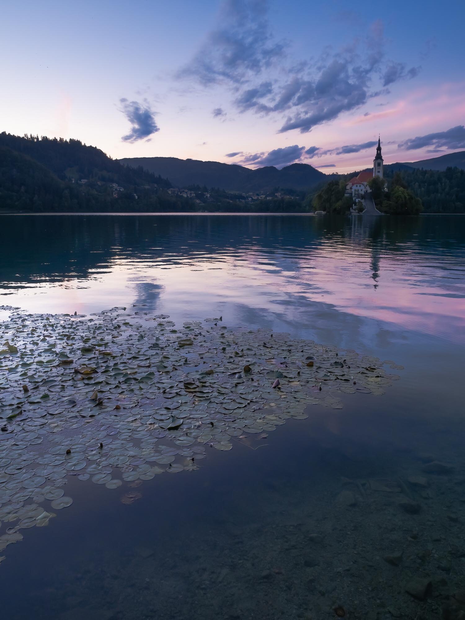
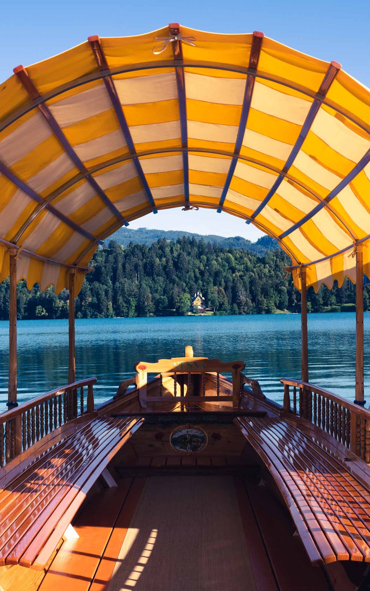
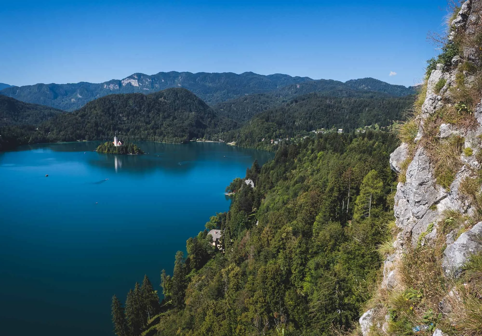
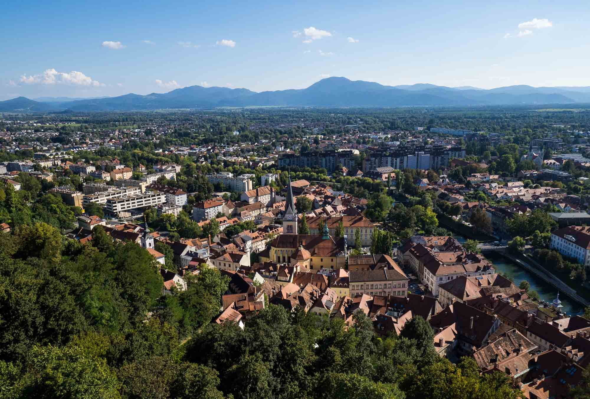
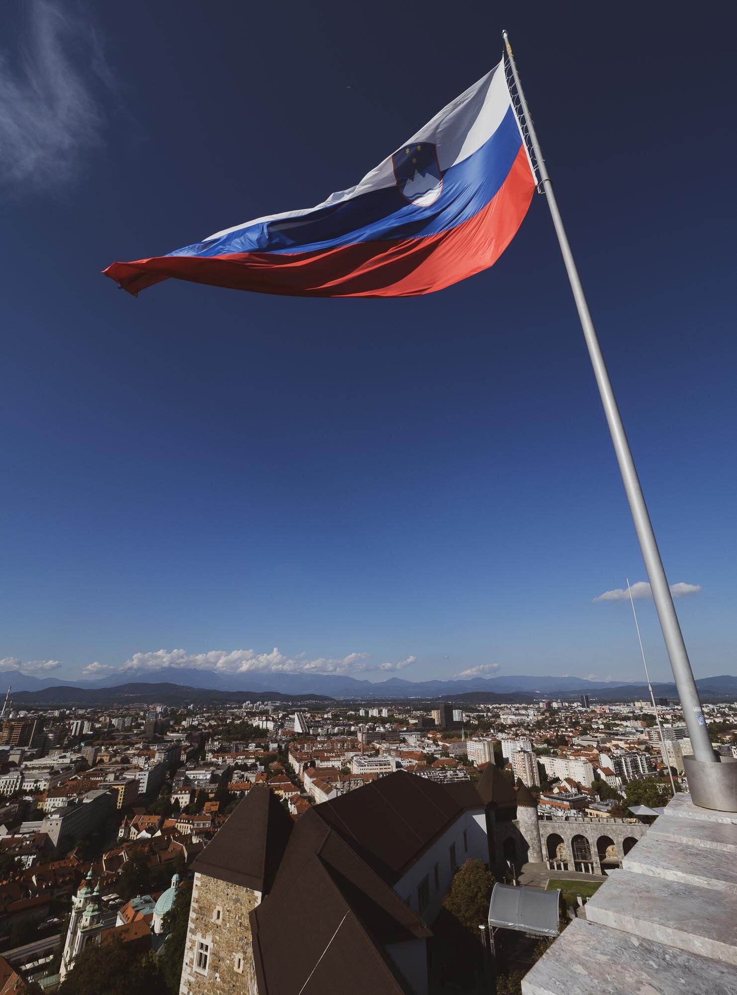
A two day trip to Slovenia brought us to the picturesque Lake Bled with its famous church island, and the beautiful capital Ljubljana.

While travel restrictions with health and safety requirements are still omnipresent, trips within certain countries in Europe are manageable with the right precautions. A two day trip to Slovenia brought us to the picturesque Lake Bled with its famous church island, and the beautiful capital Ljubljana.


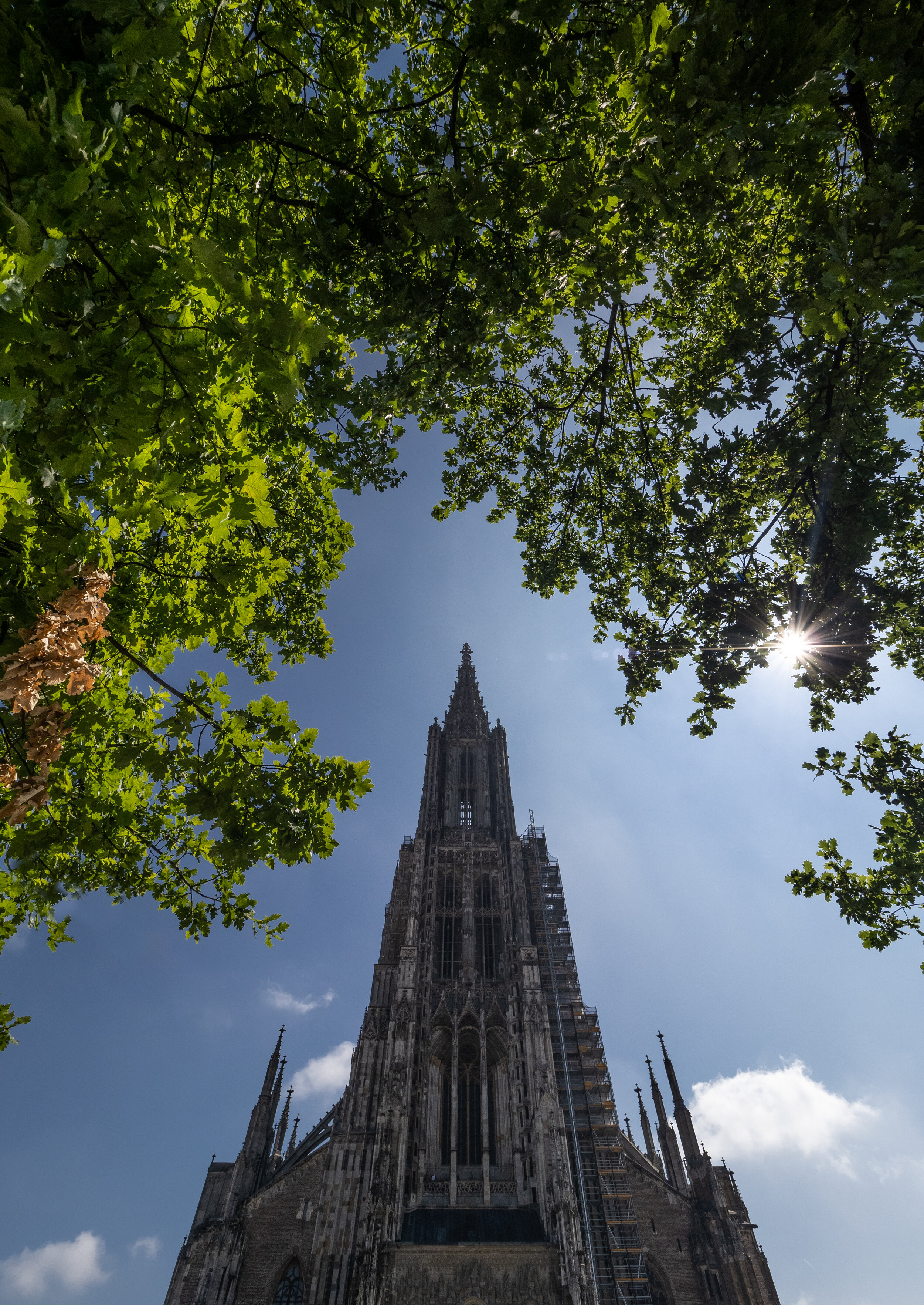
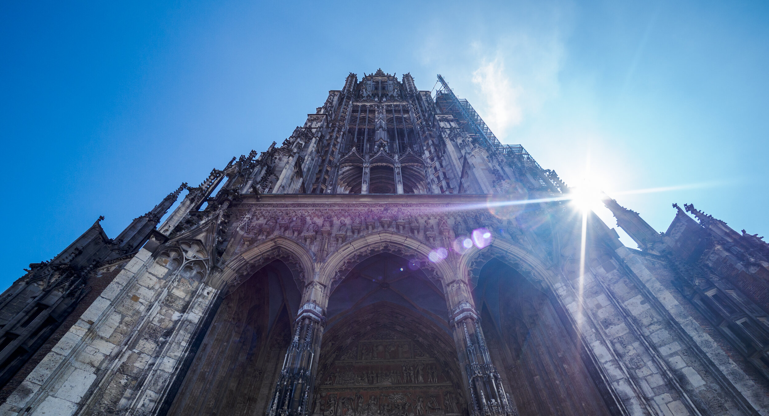
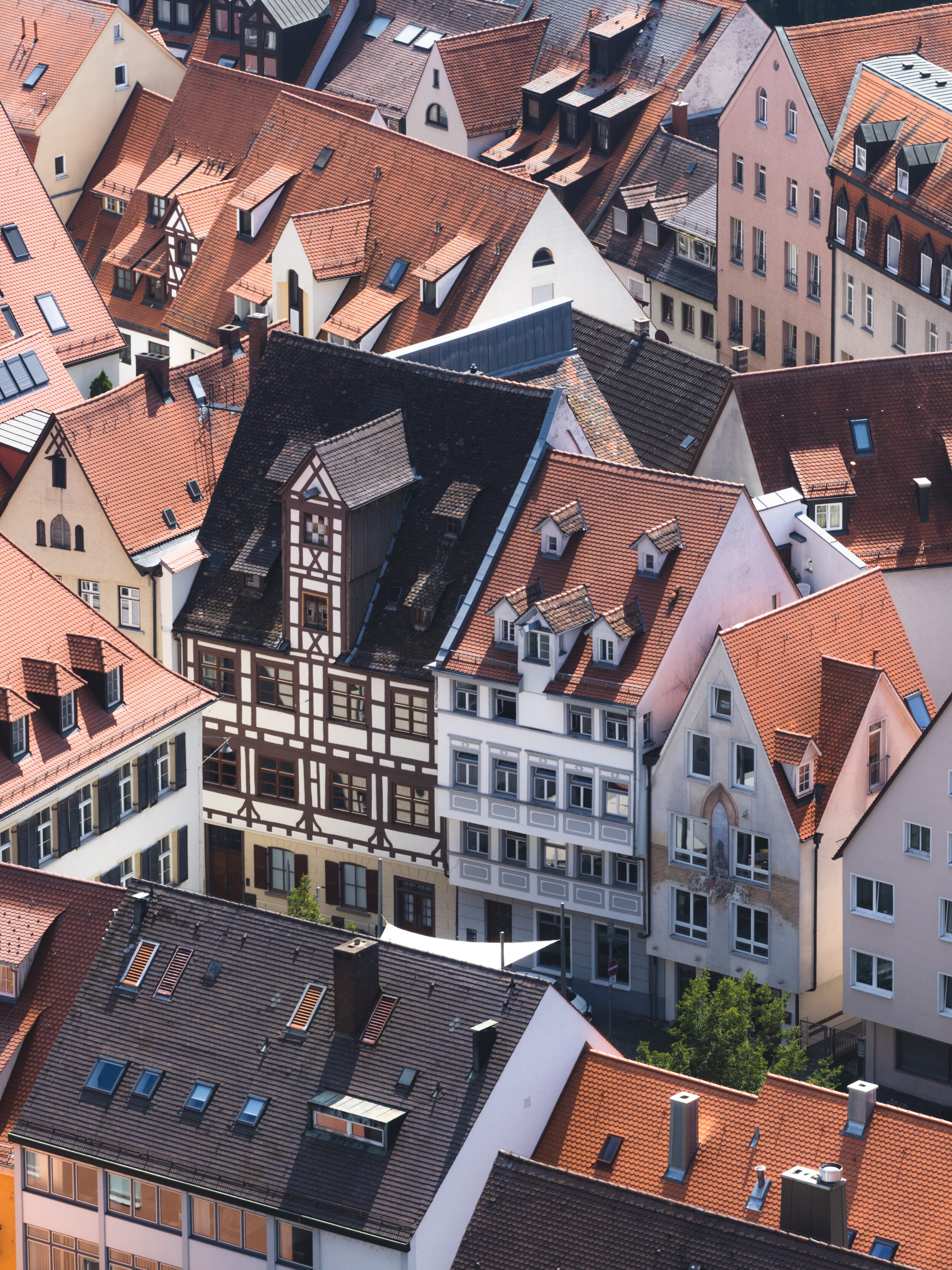
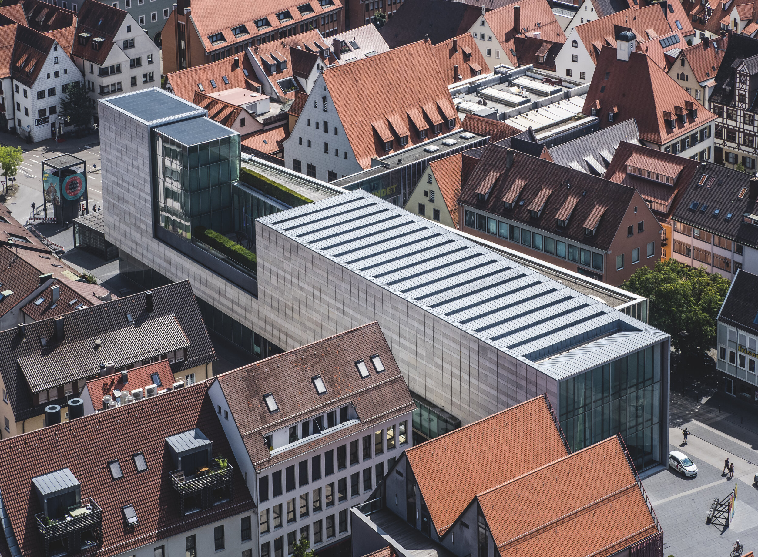
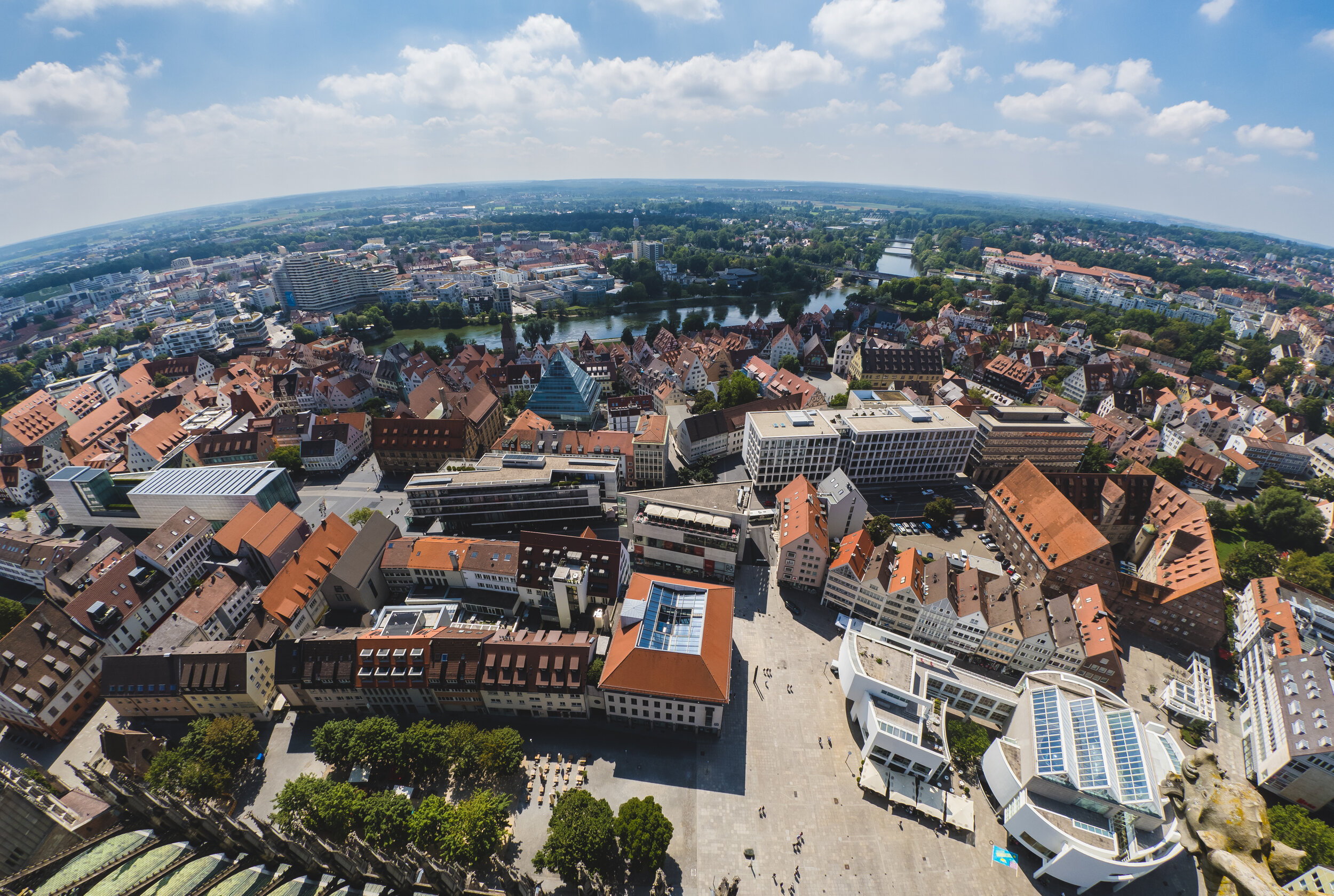
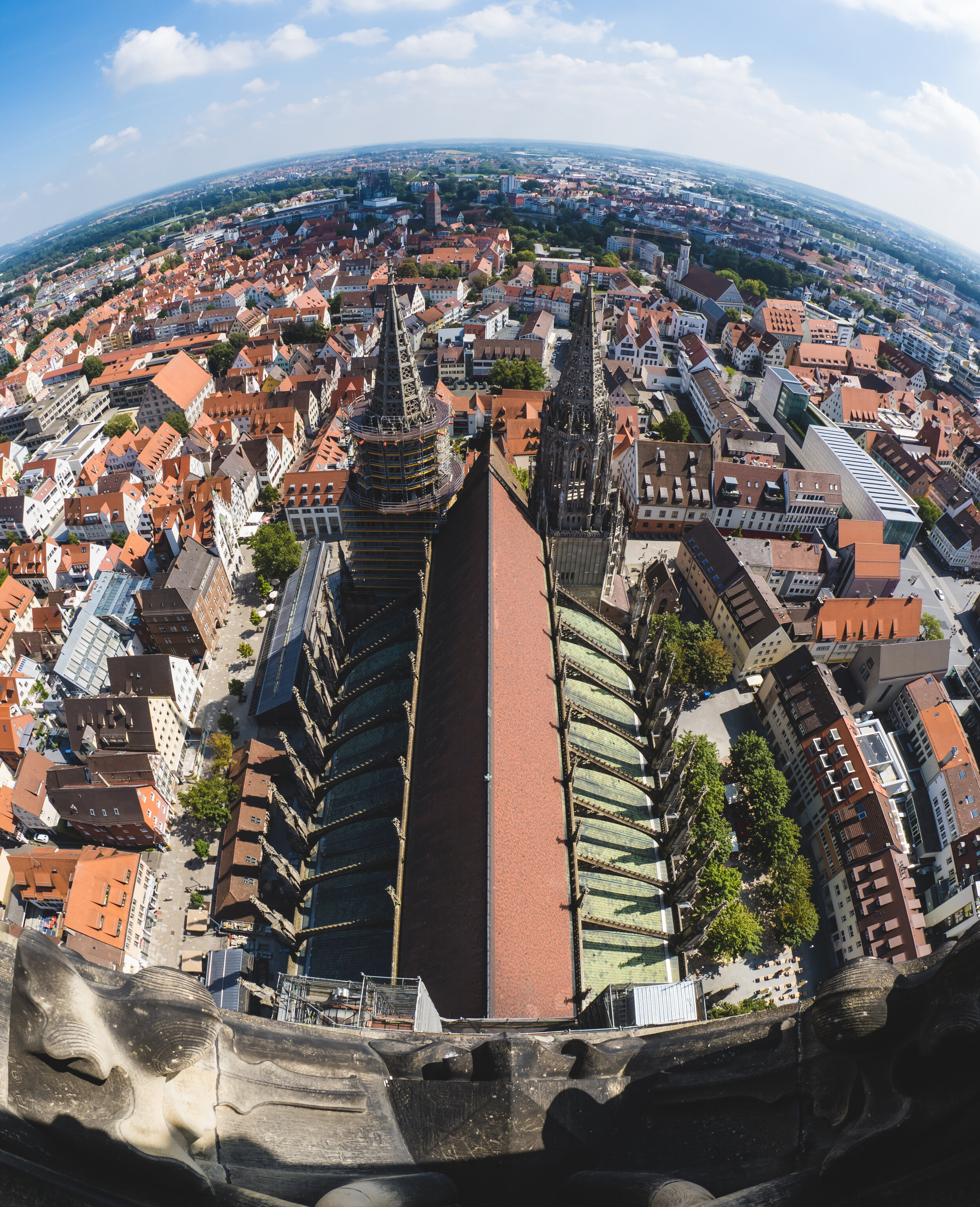
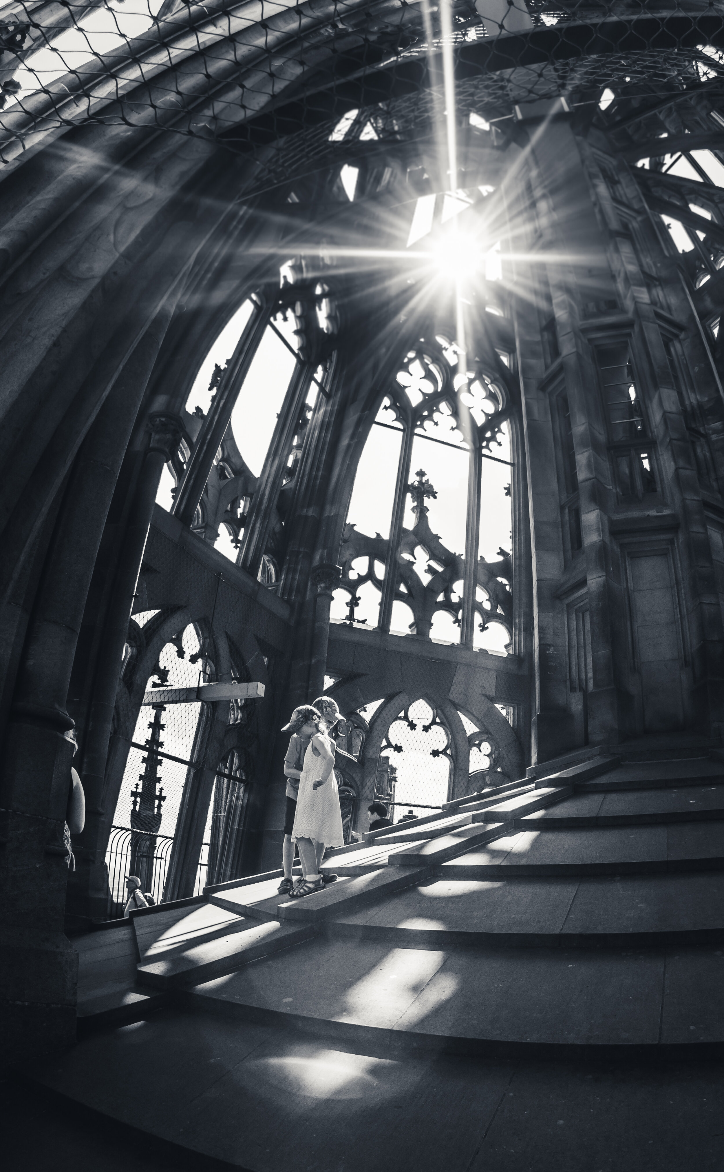
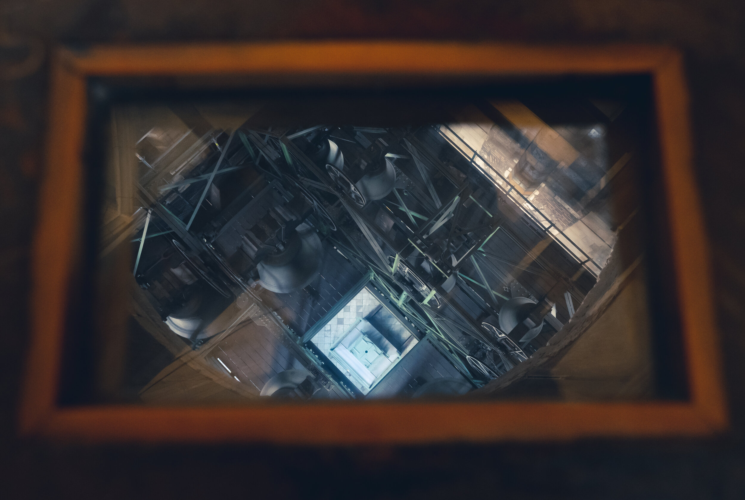
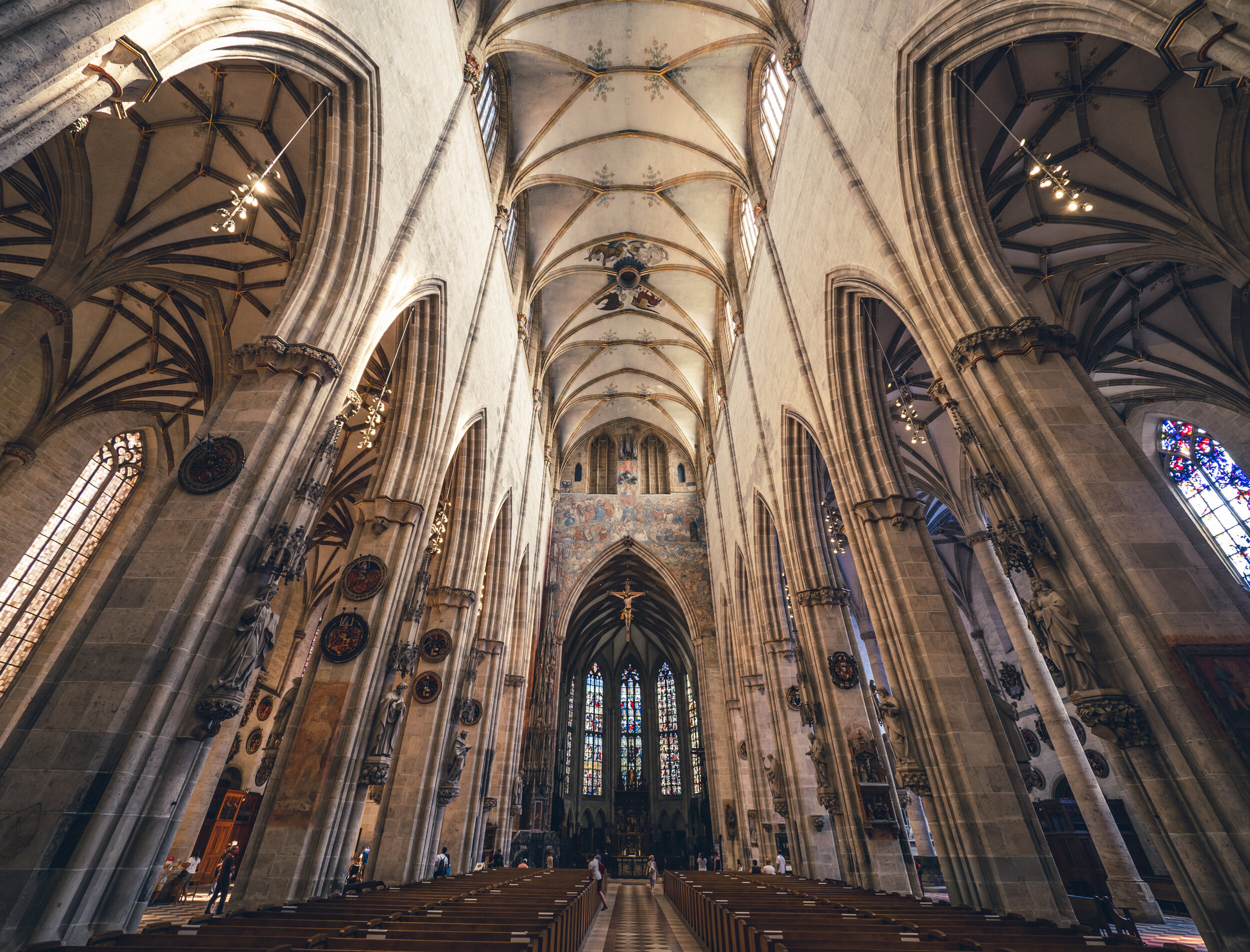
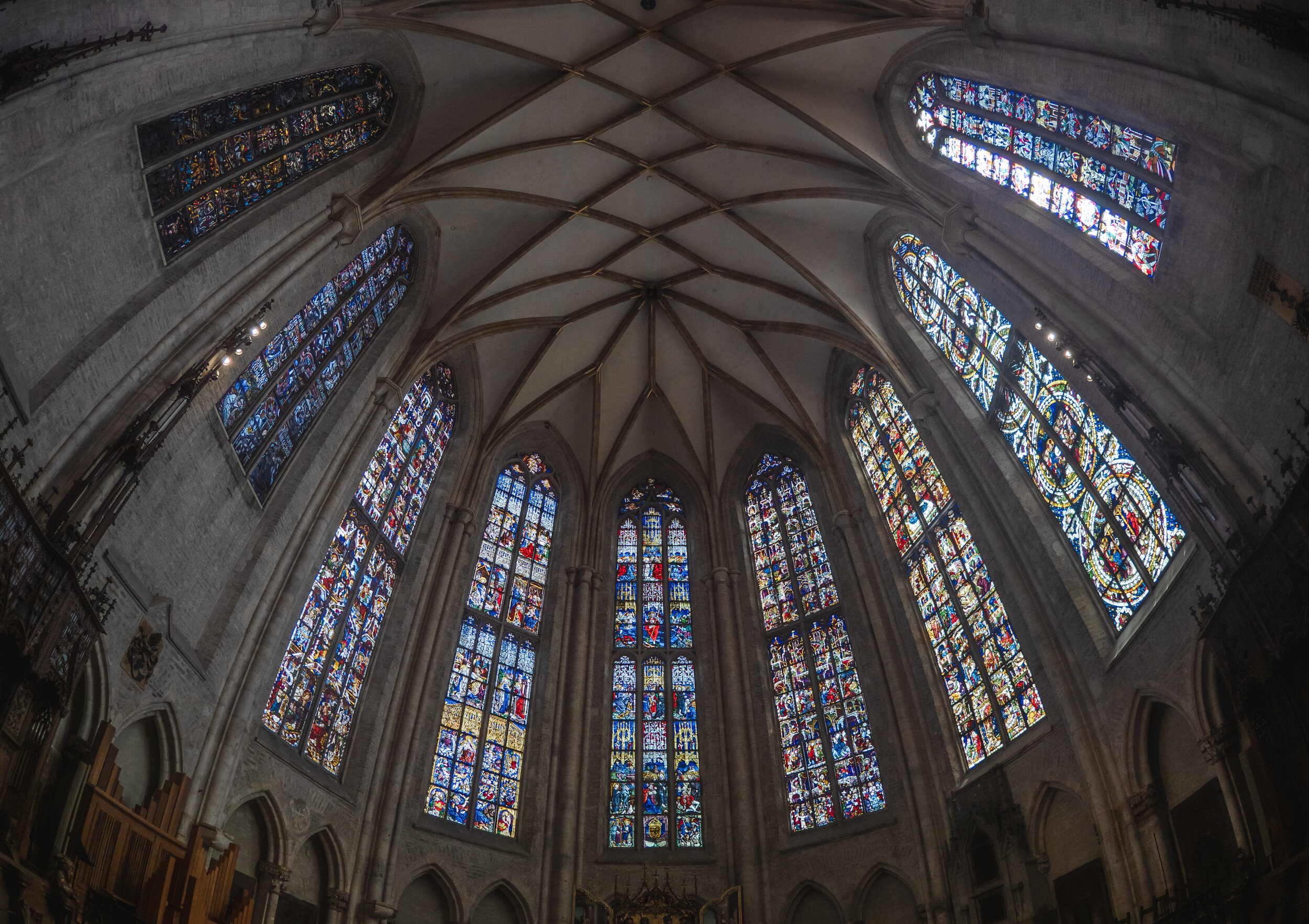
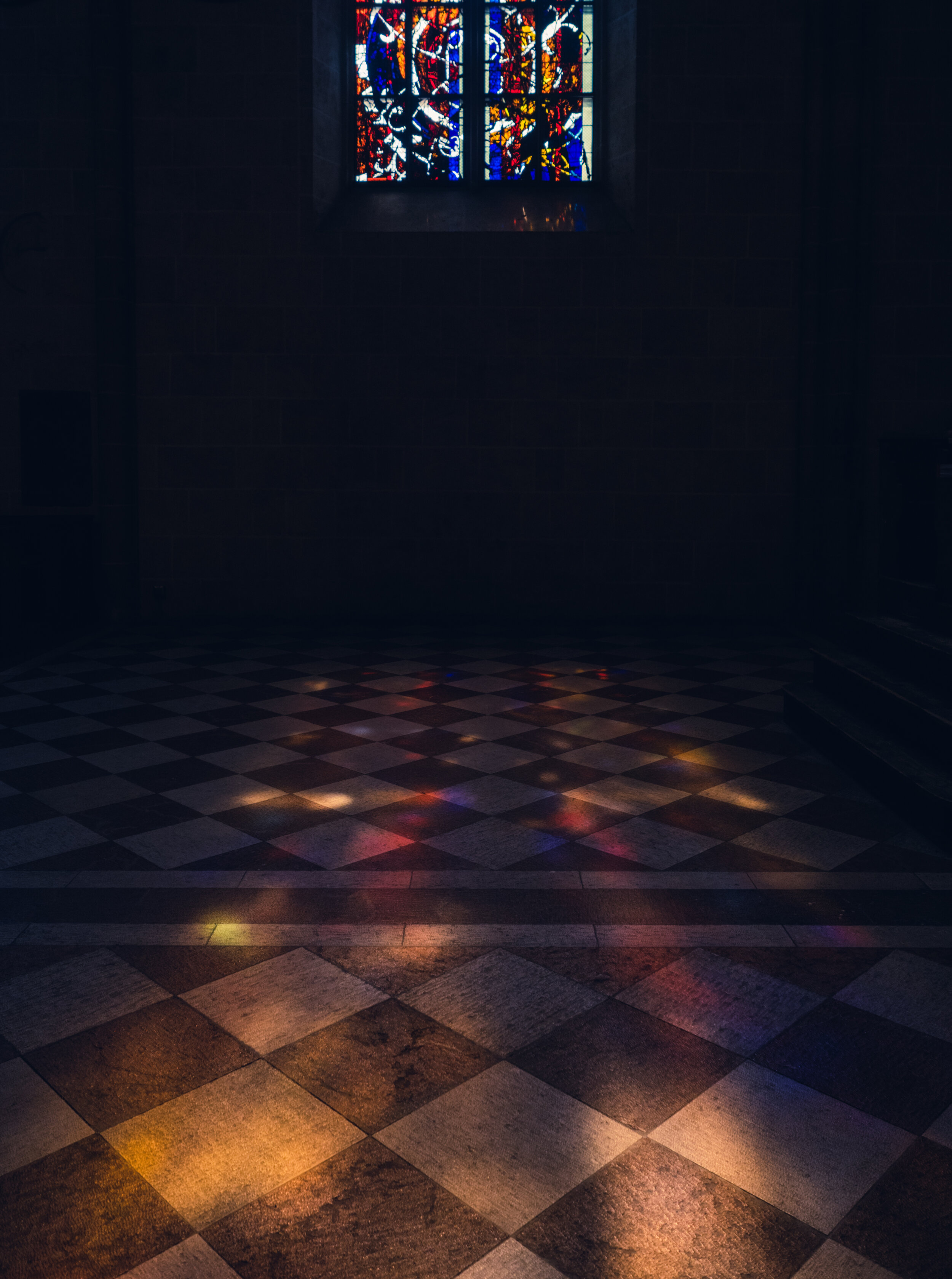
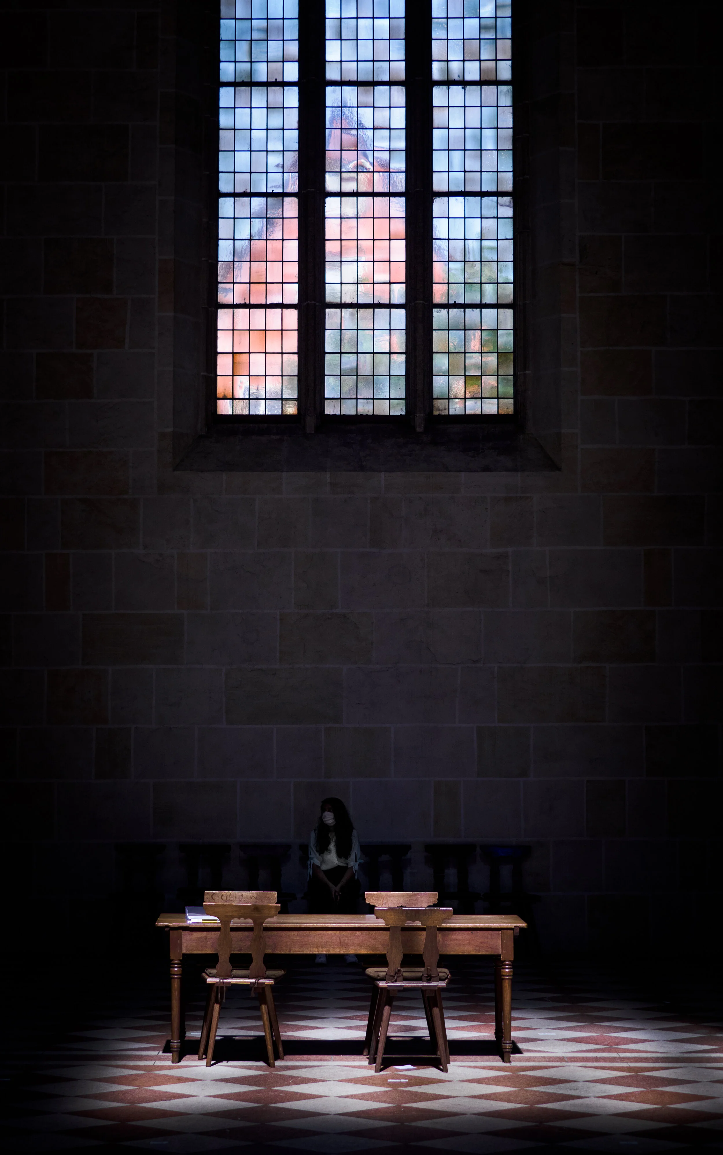
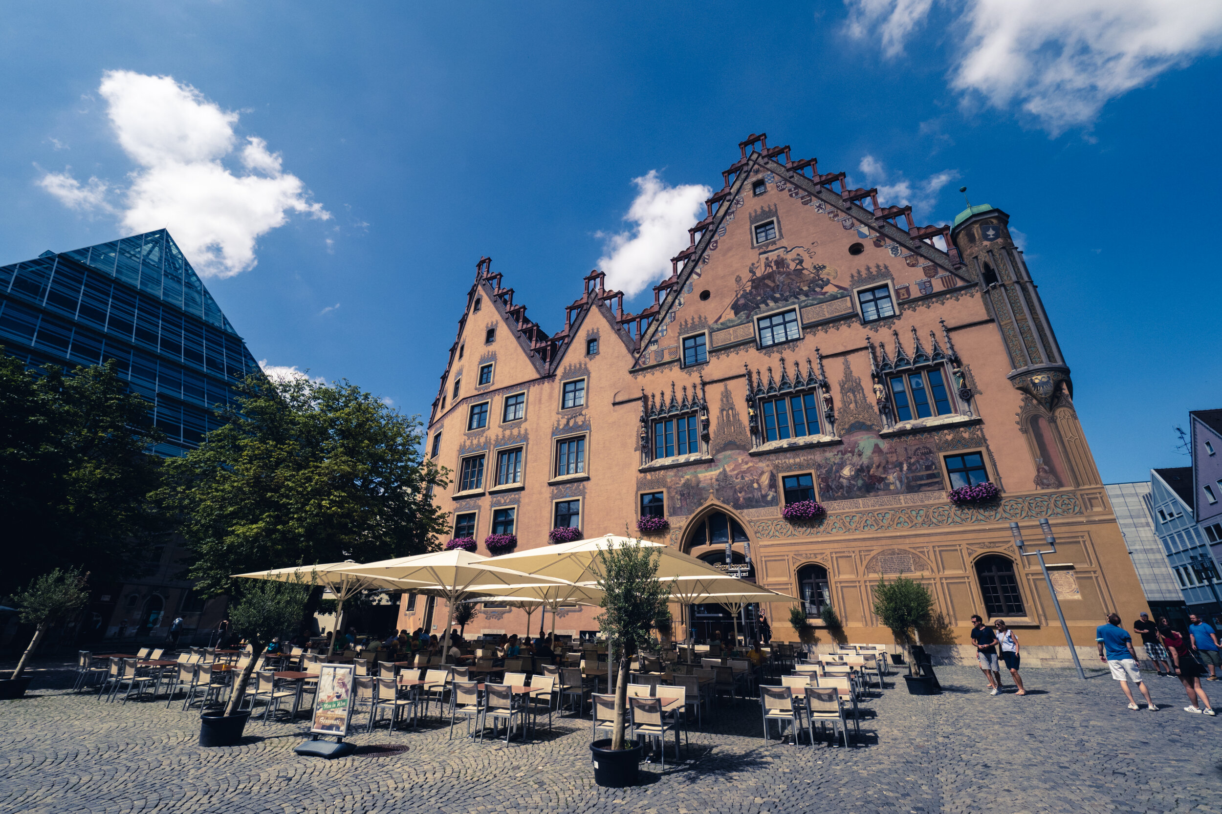
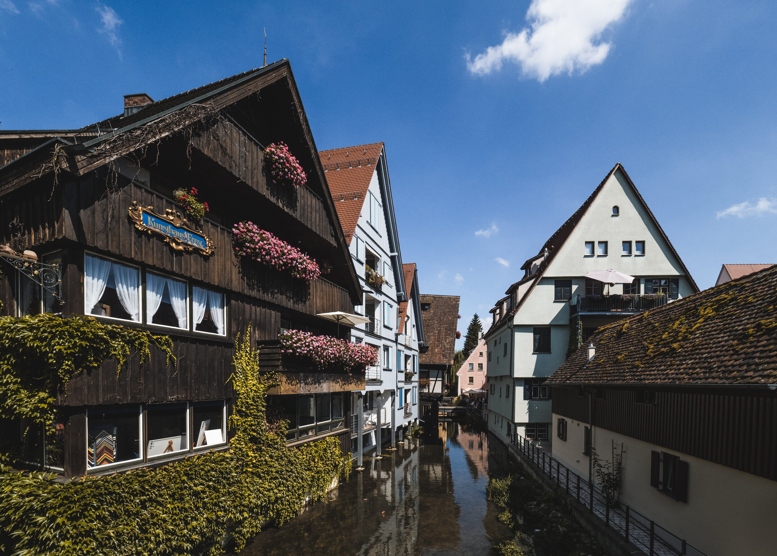
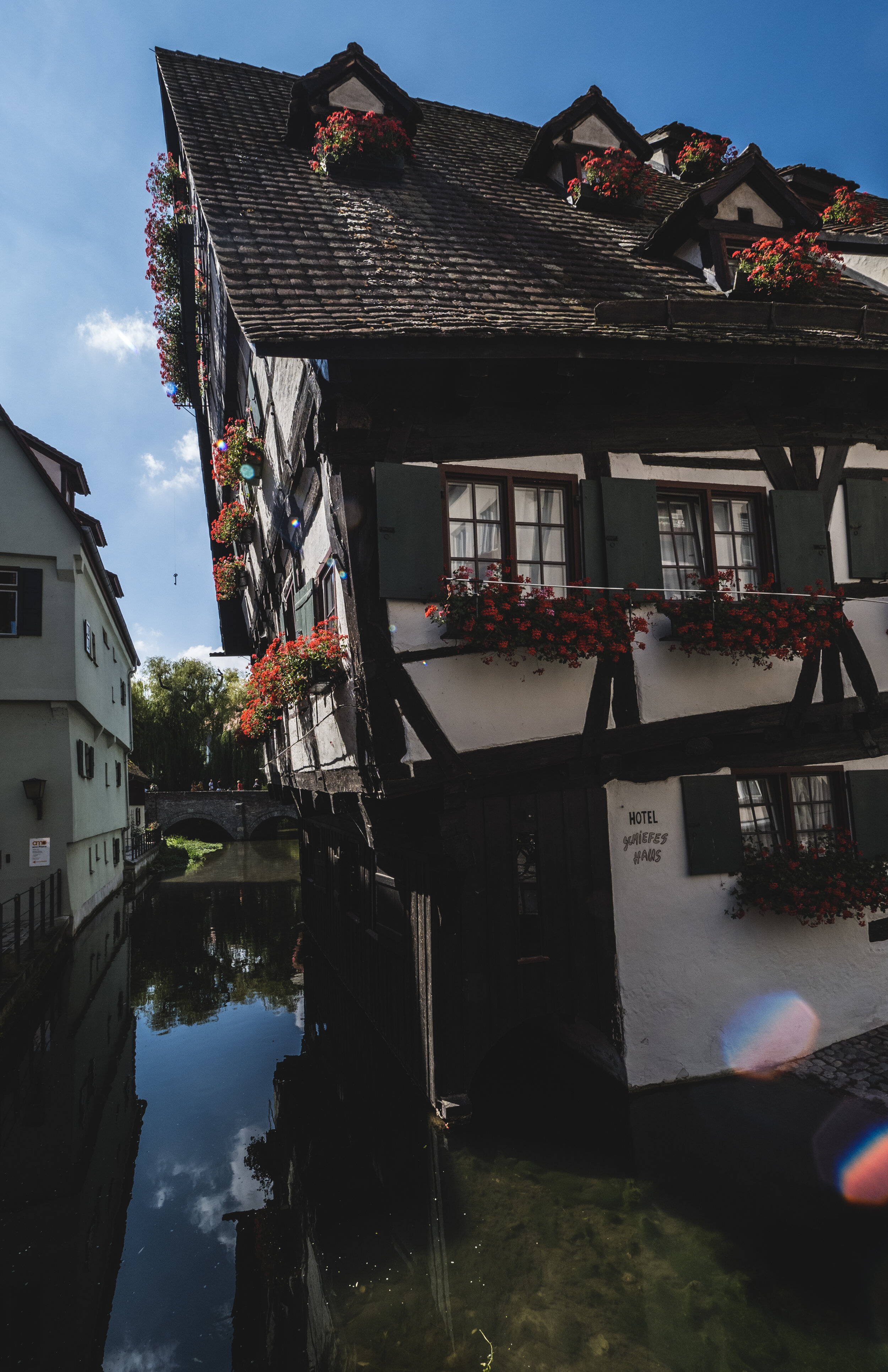
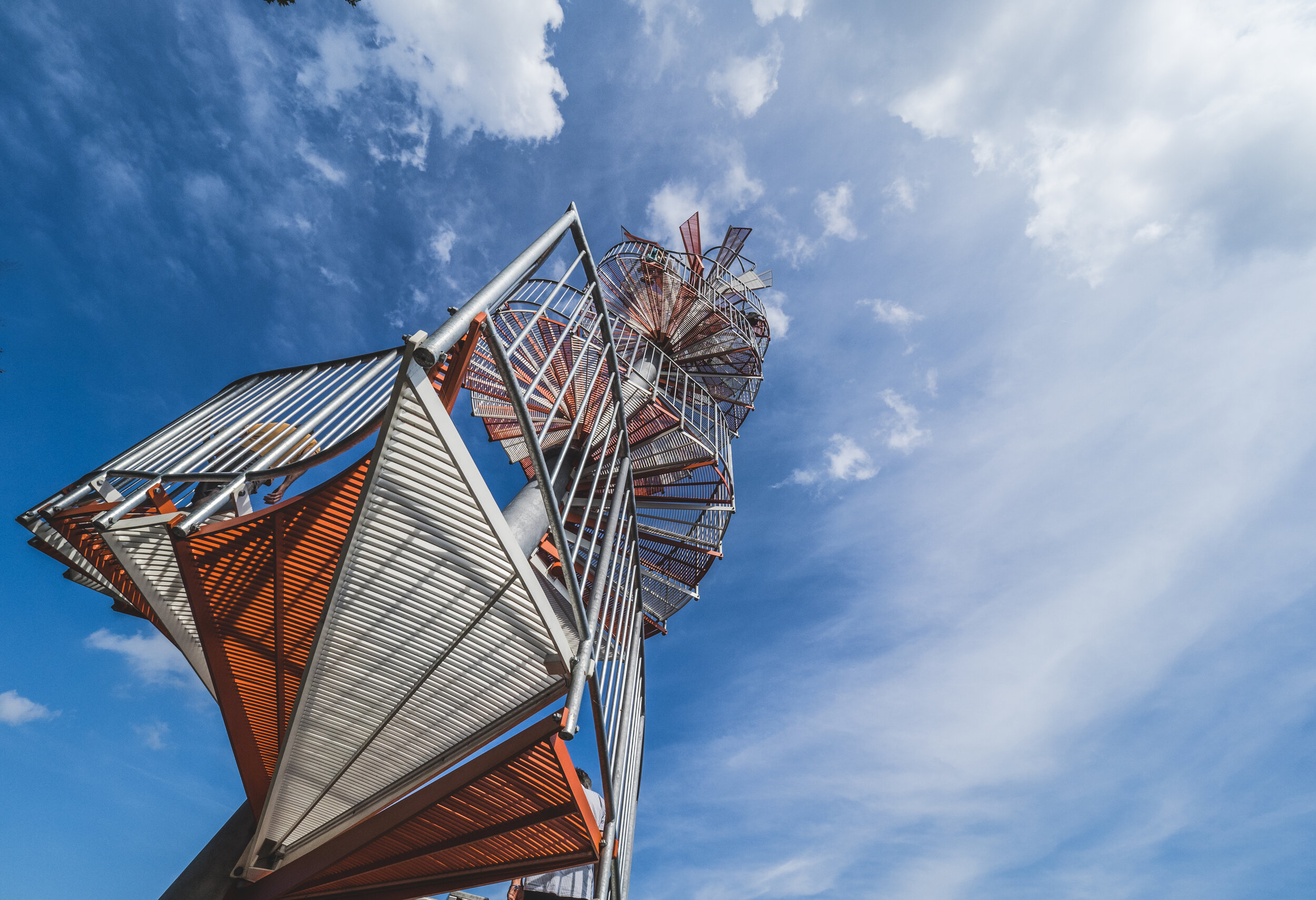
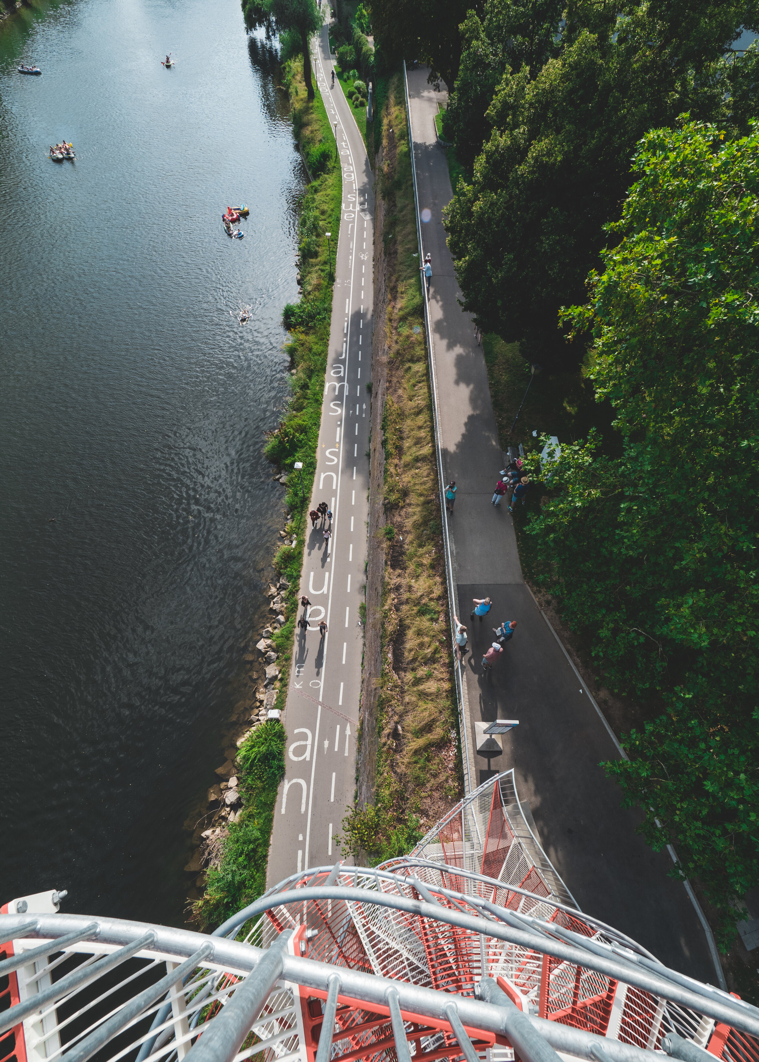
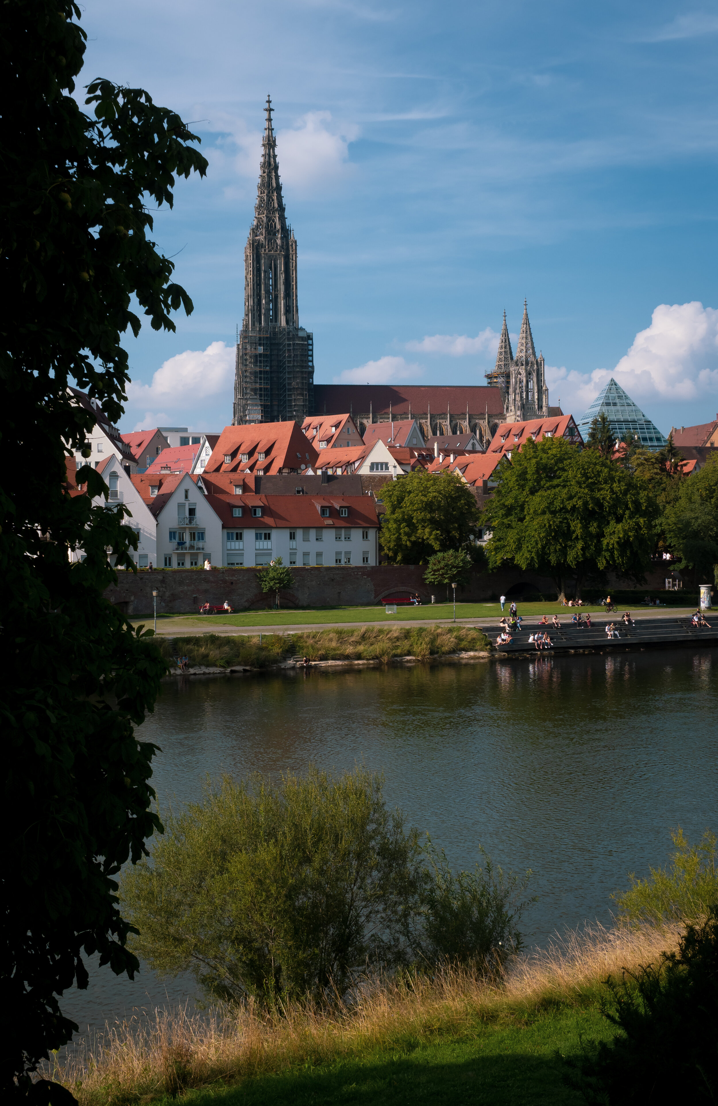
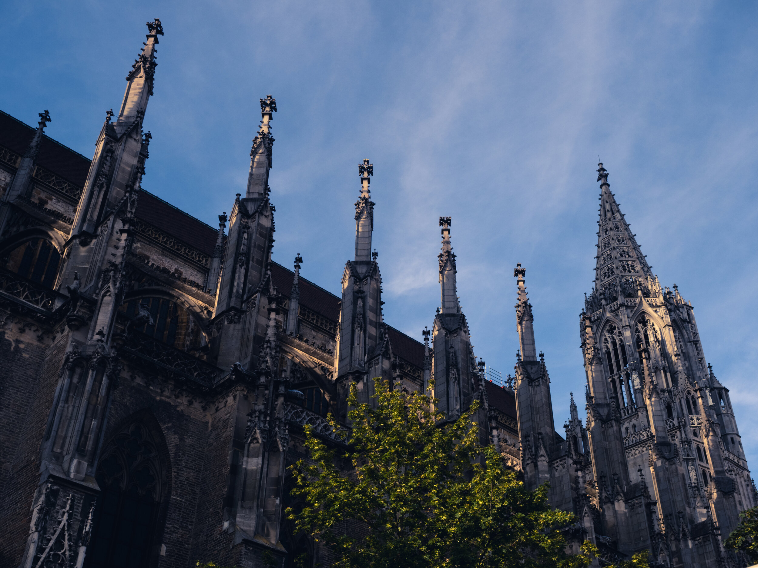
A Day in Ulm and 768 Steps
Escaping the Dubai summer heat to Germany means there are opportunities to explore my home country, which firstly I didn’t do enough, and secondly is very underrated compared to many of its European neighbors.

Escaping the Dubai summer heat to Germany means there are opportunities to explore my home country, which firstly I didn’t do enough, and secondly is very underrated compared to many of its European neighbors. I’m undoubtedly biased, but particularly the southern part of Germany is full of amazing places to explore. Ulm is one of these places, and its landmark attraction, the tallest church in the world, makes it a must see. Combine that with the chance to meet old friends from Dubai, and it becomes a great day indeed.
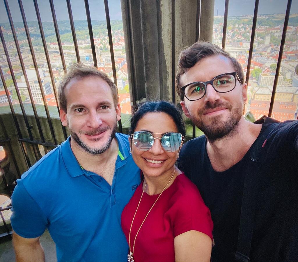
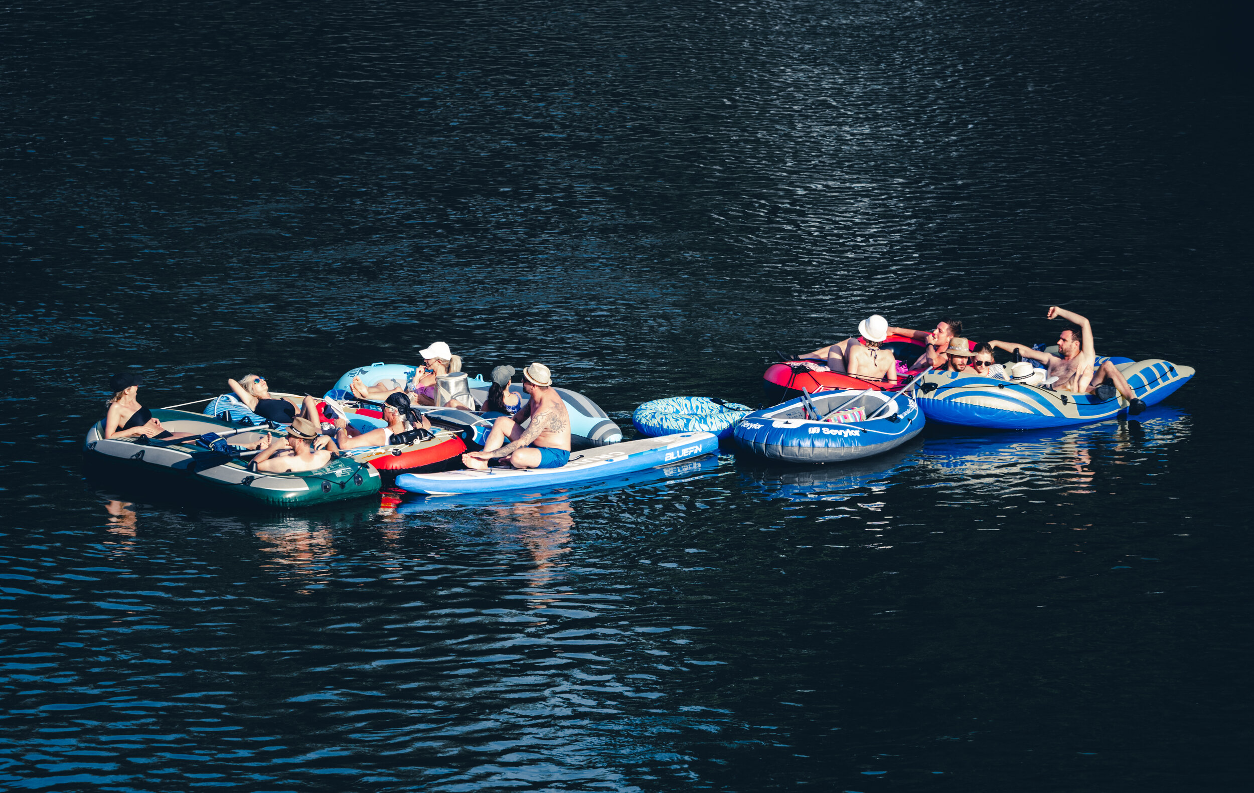
Two Germans, and Simon ;)


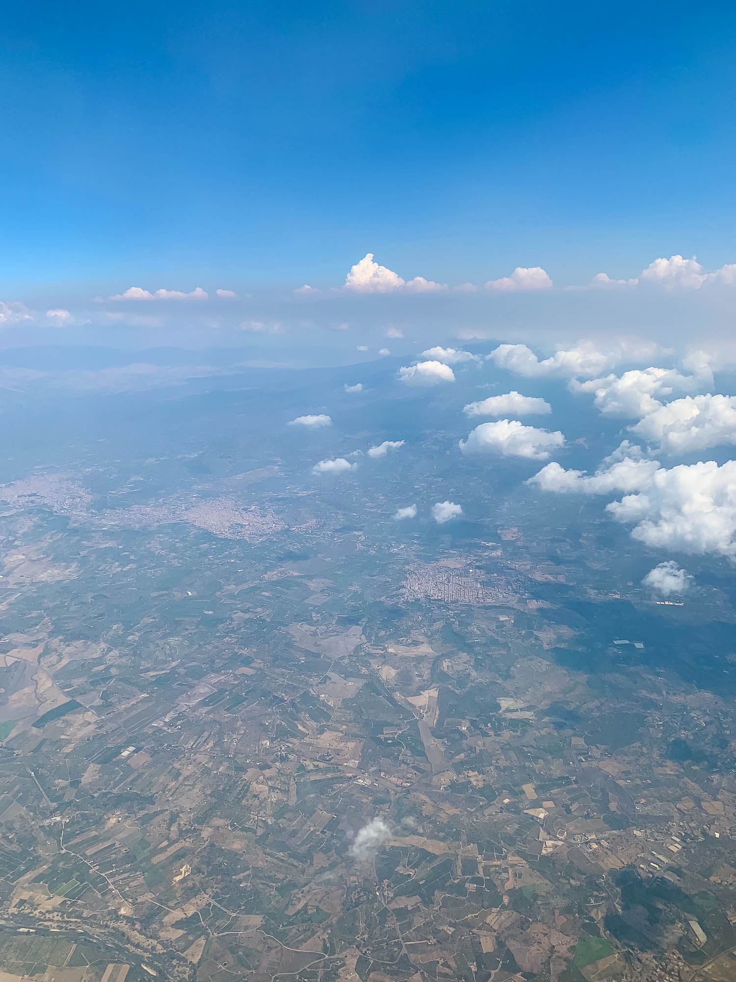
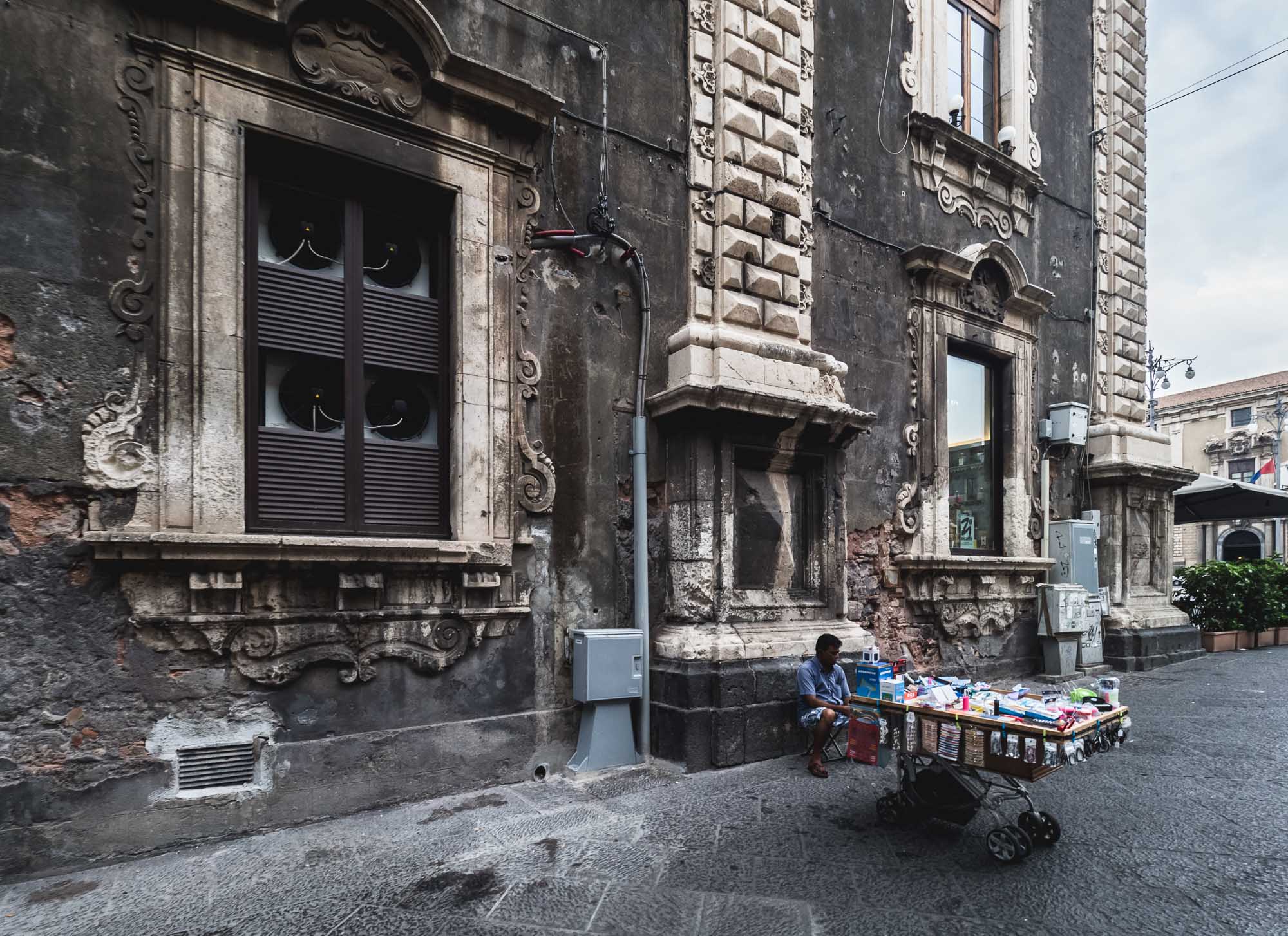
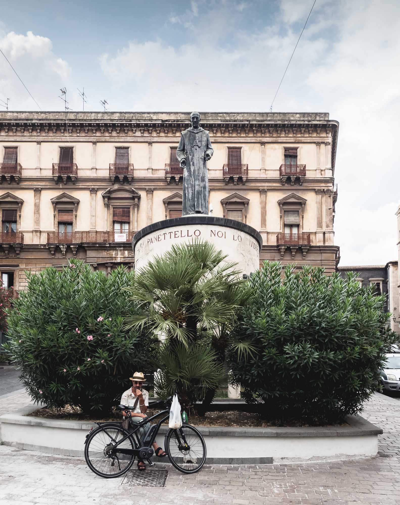
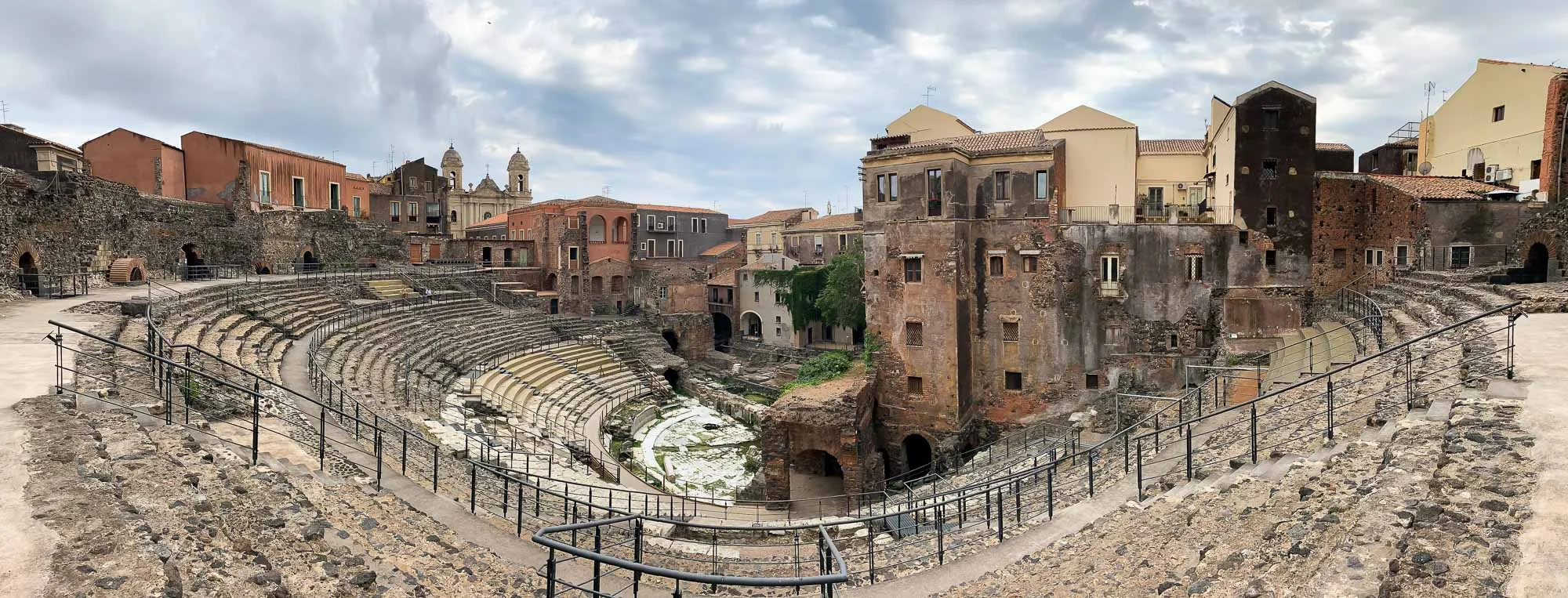
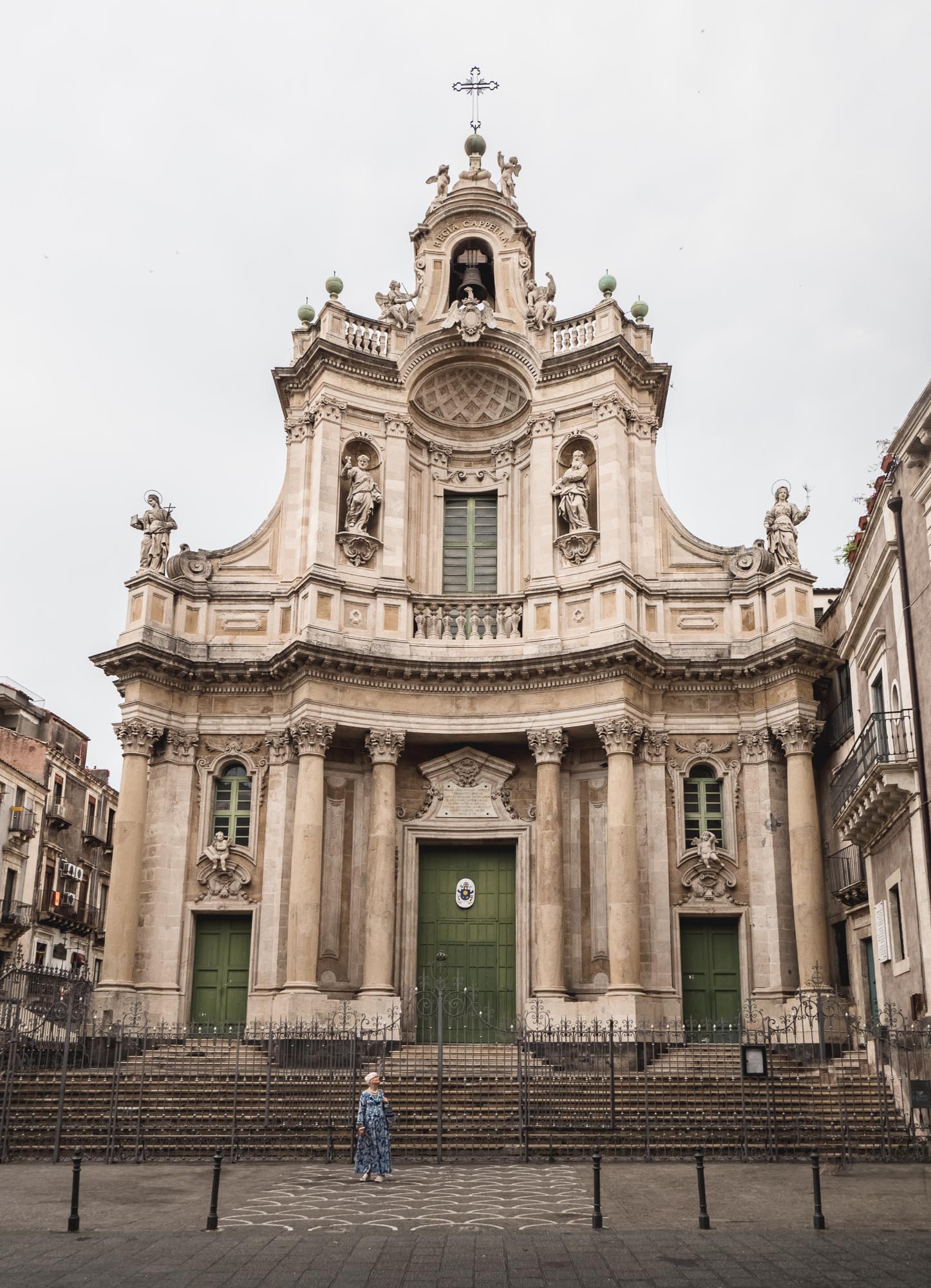
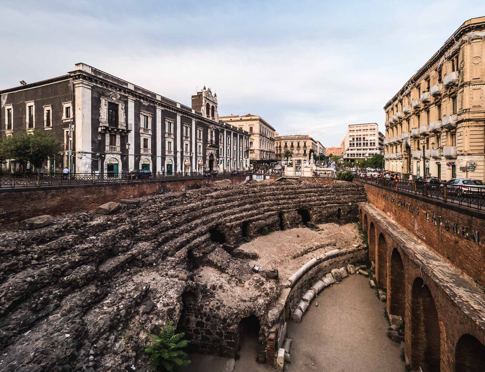
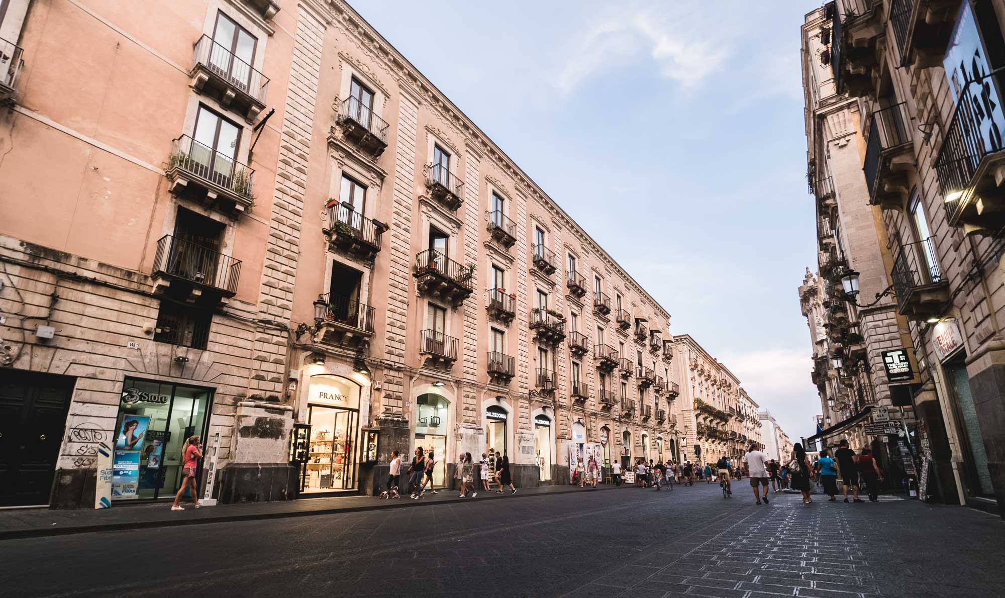
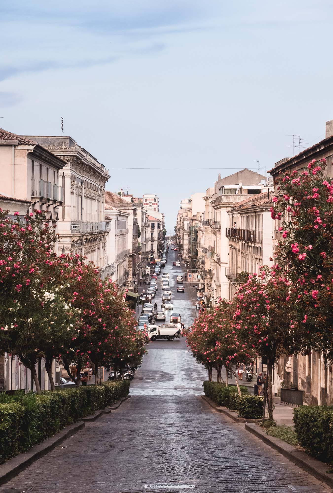
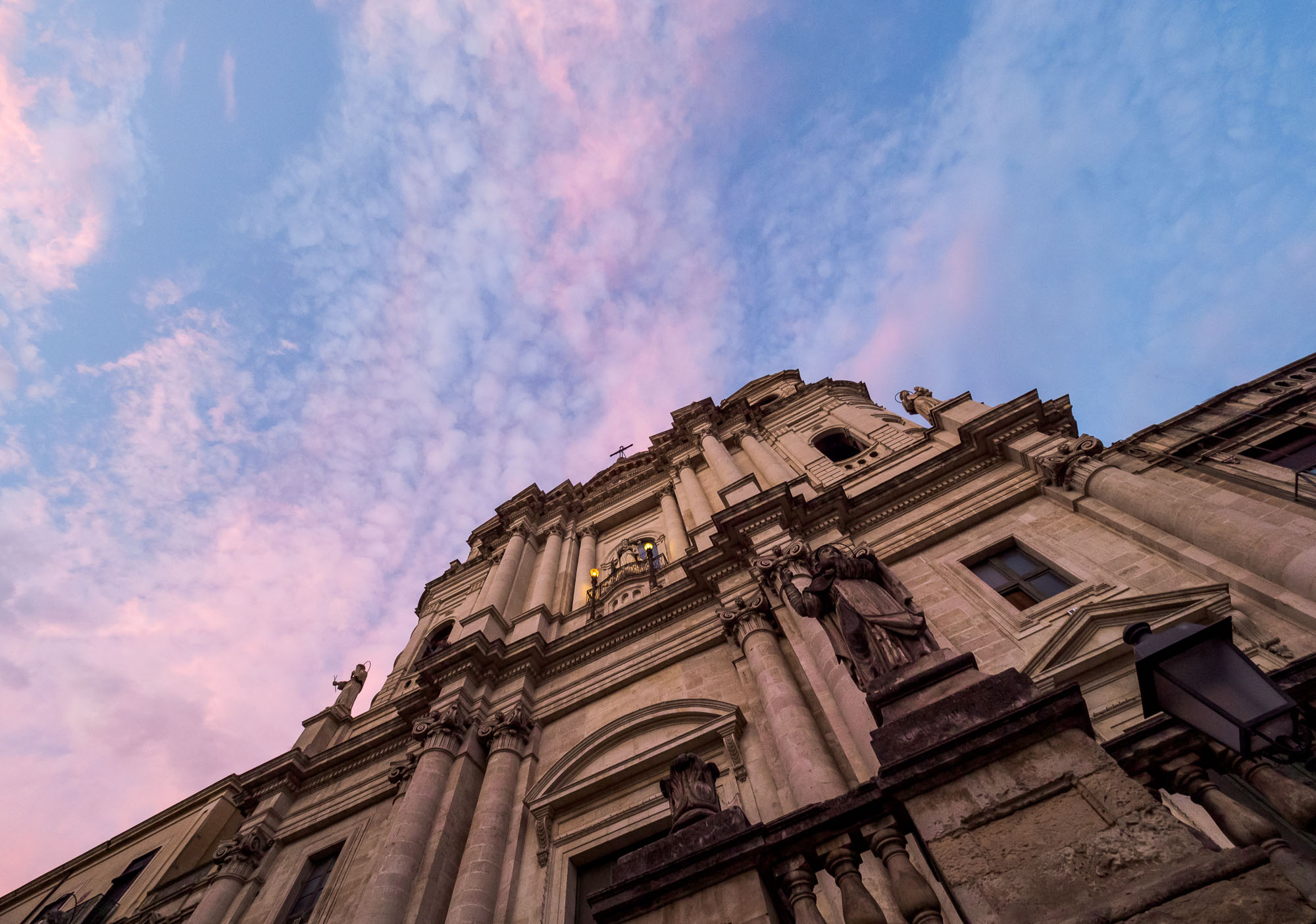
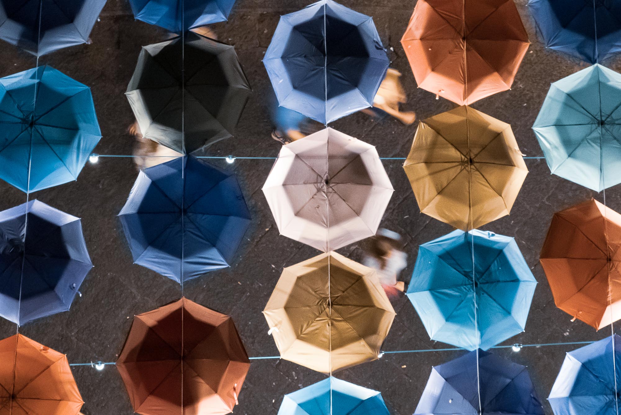
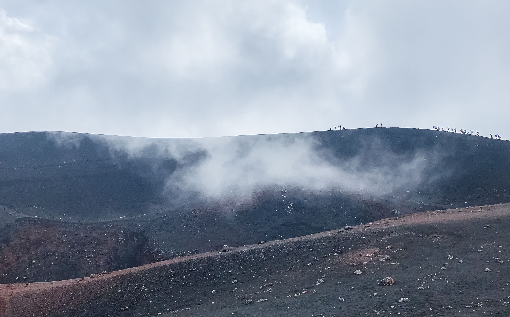
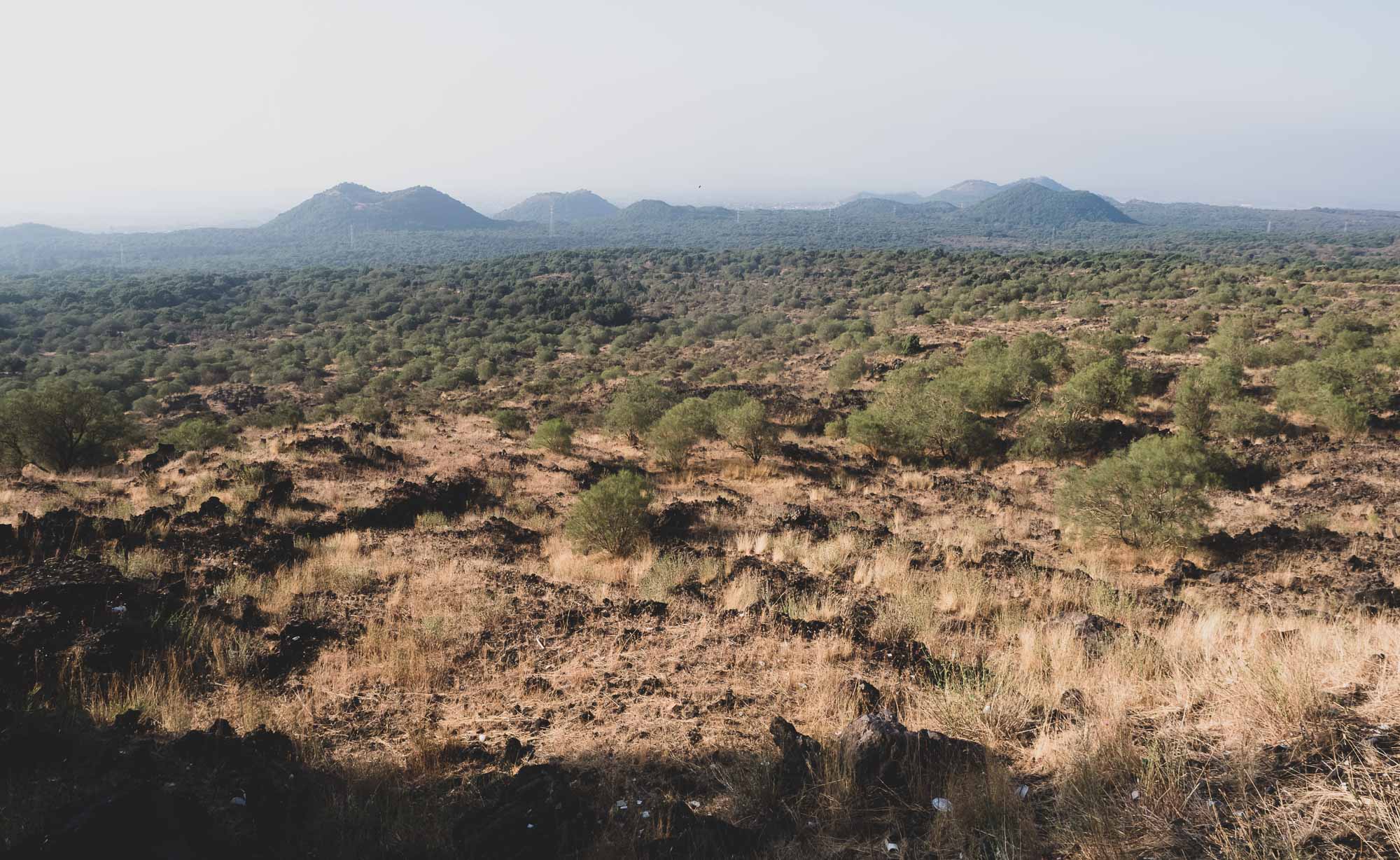
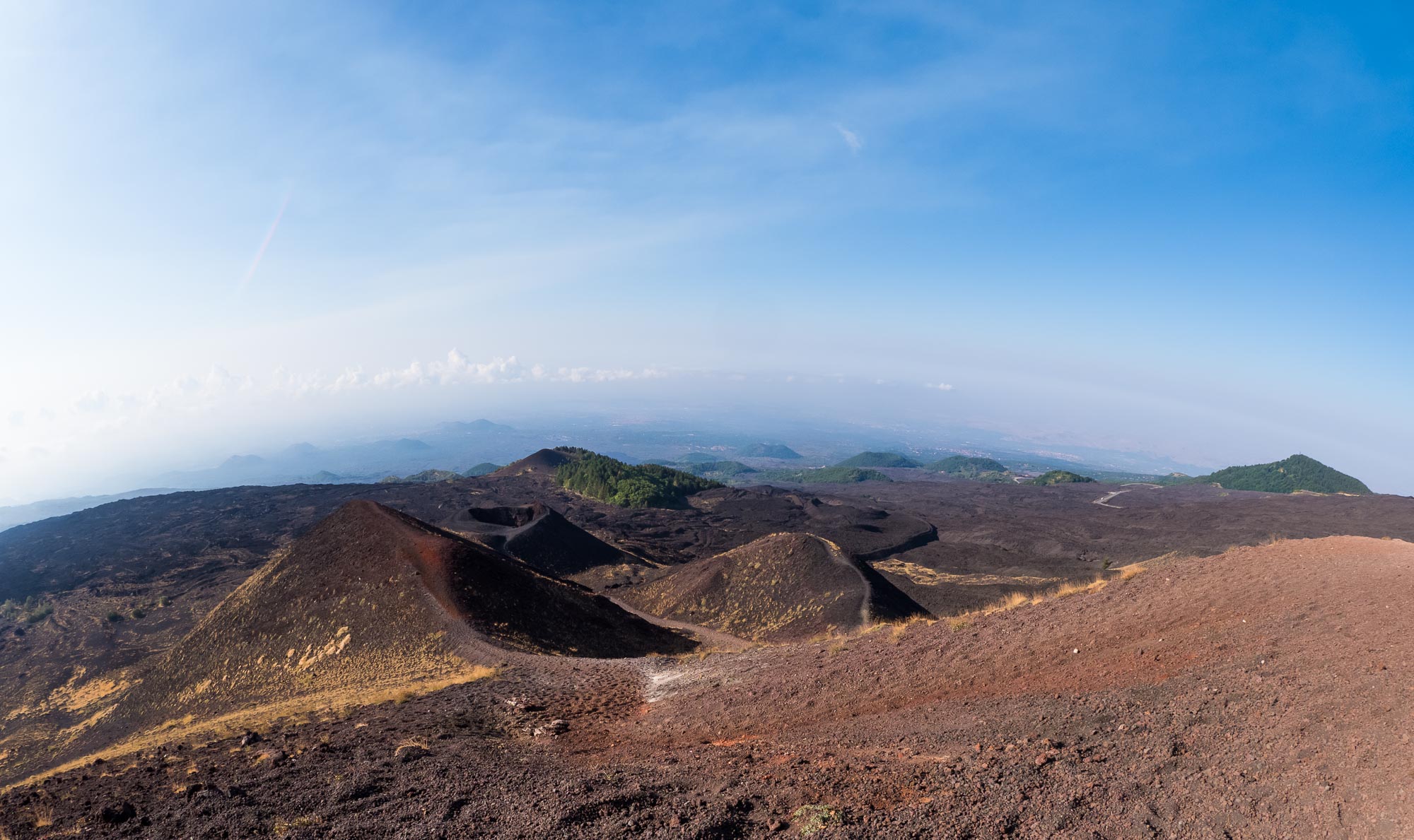
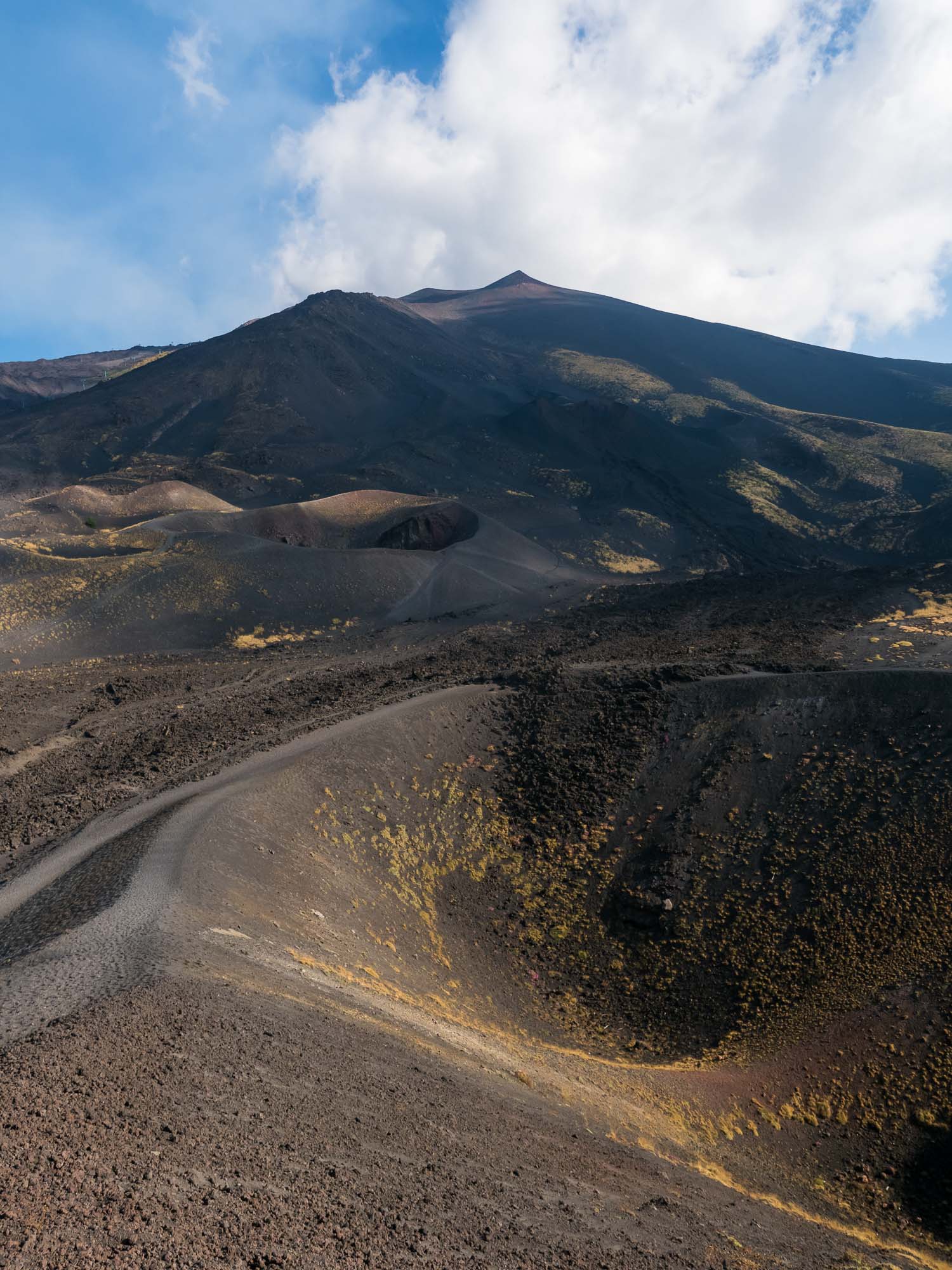
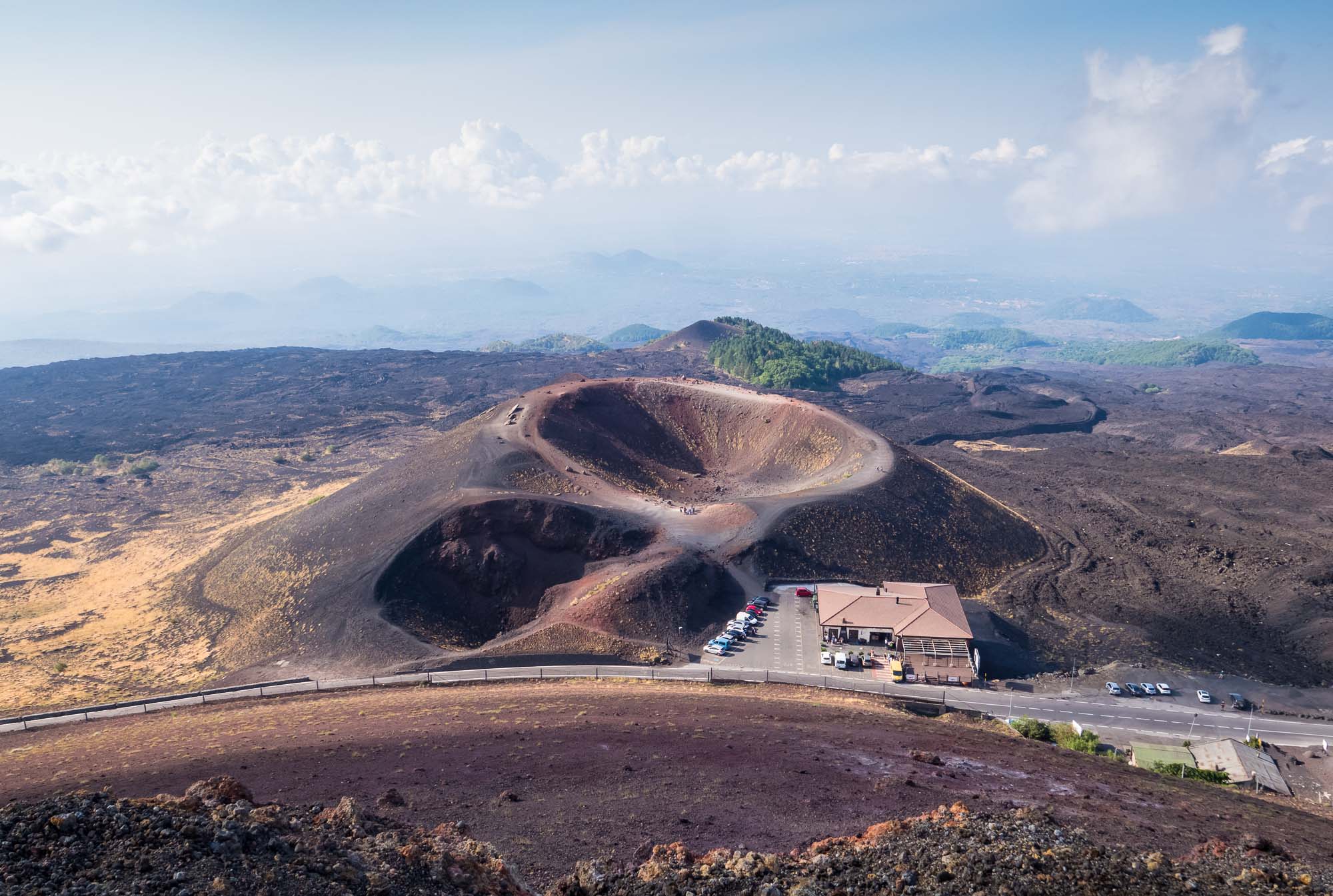
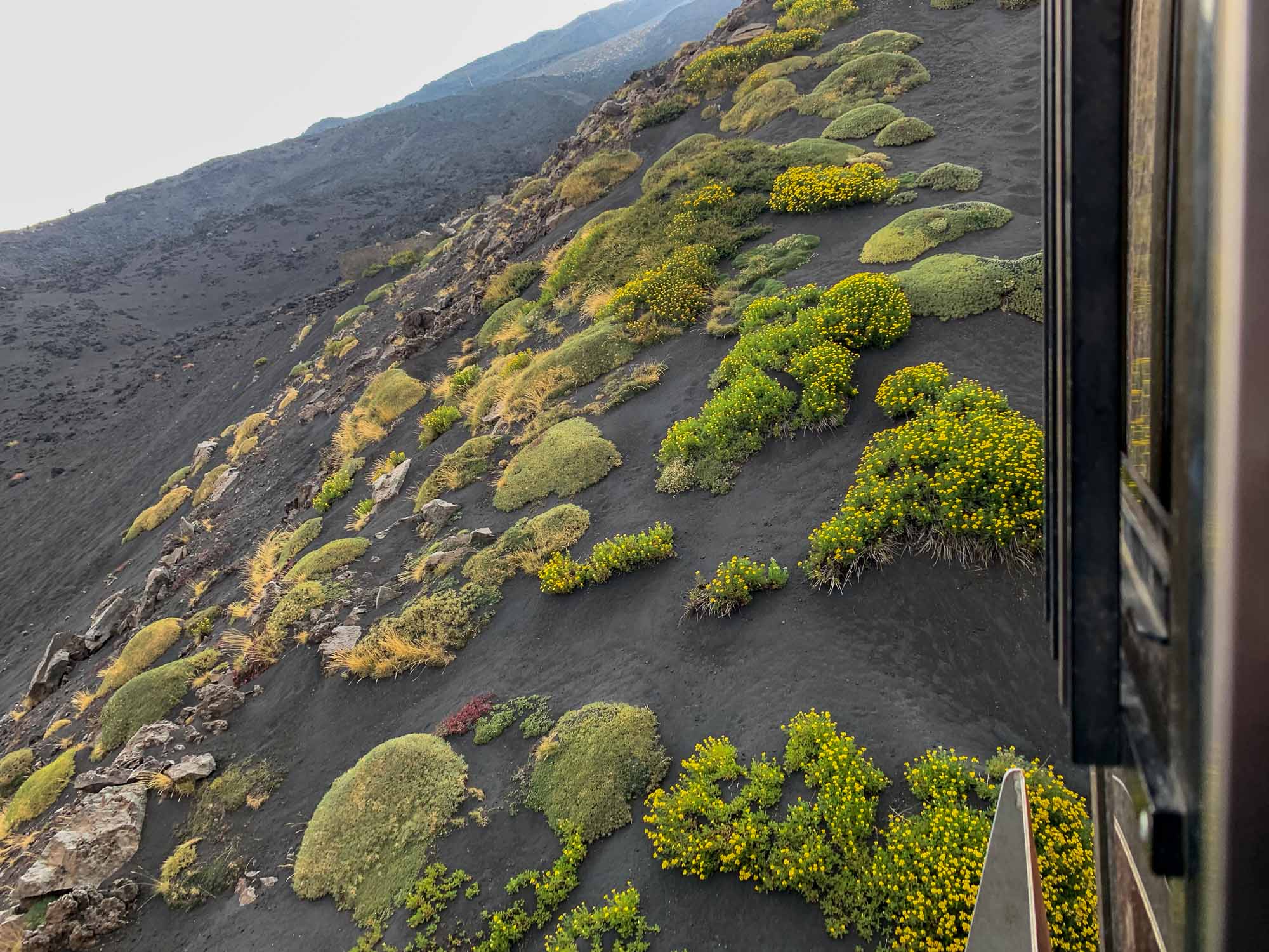
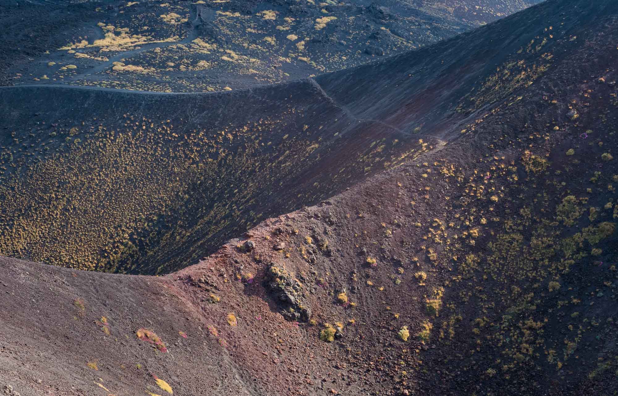
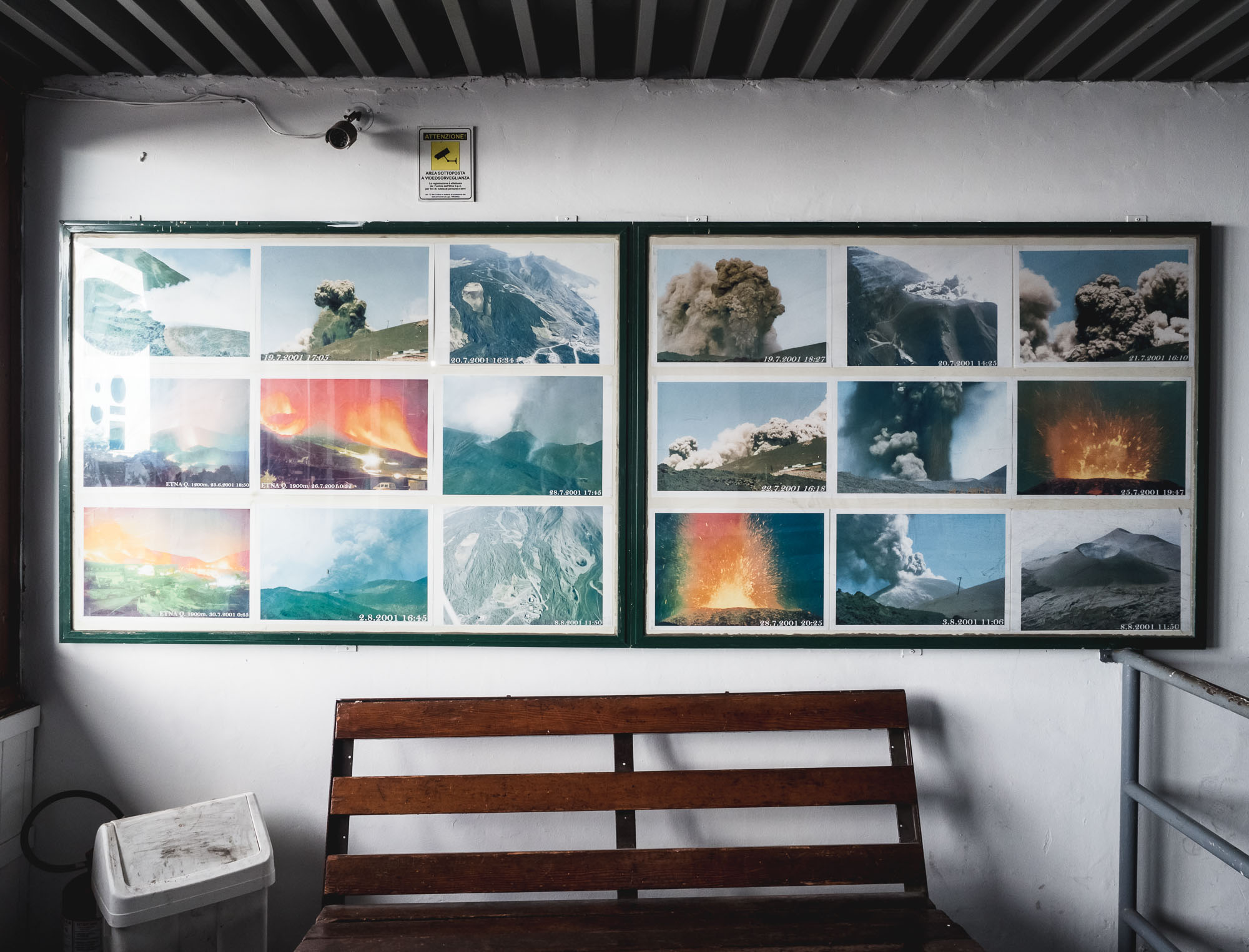
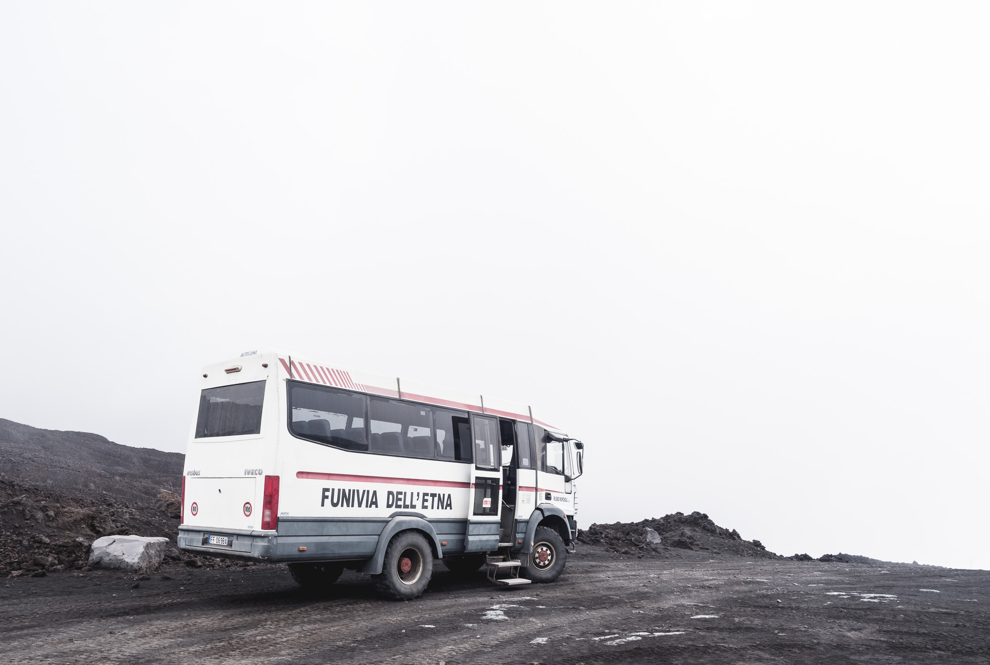
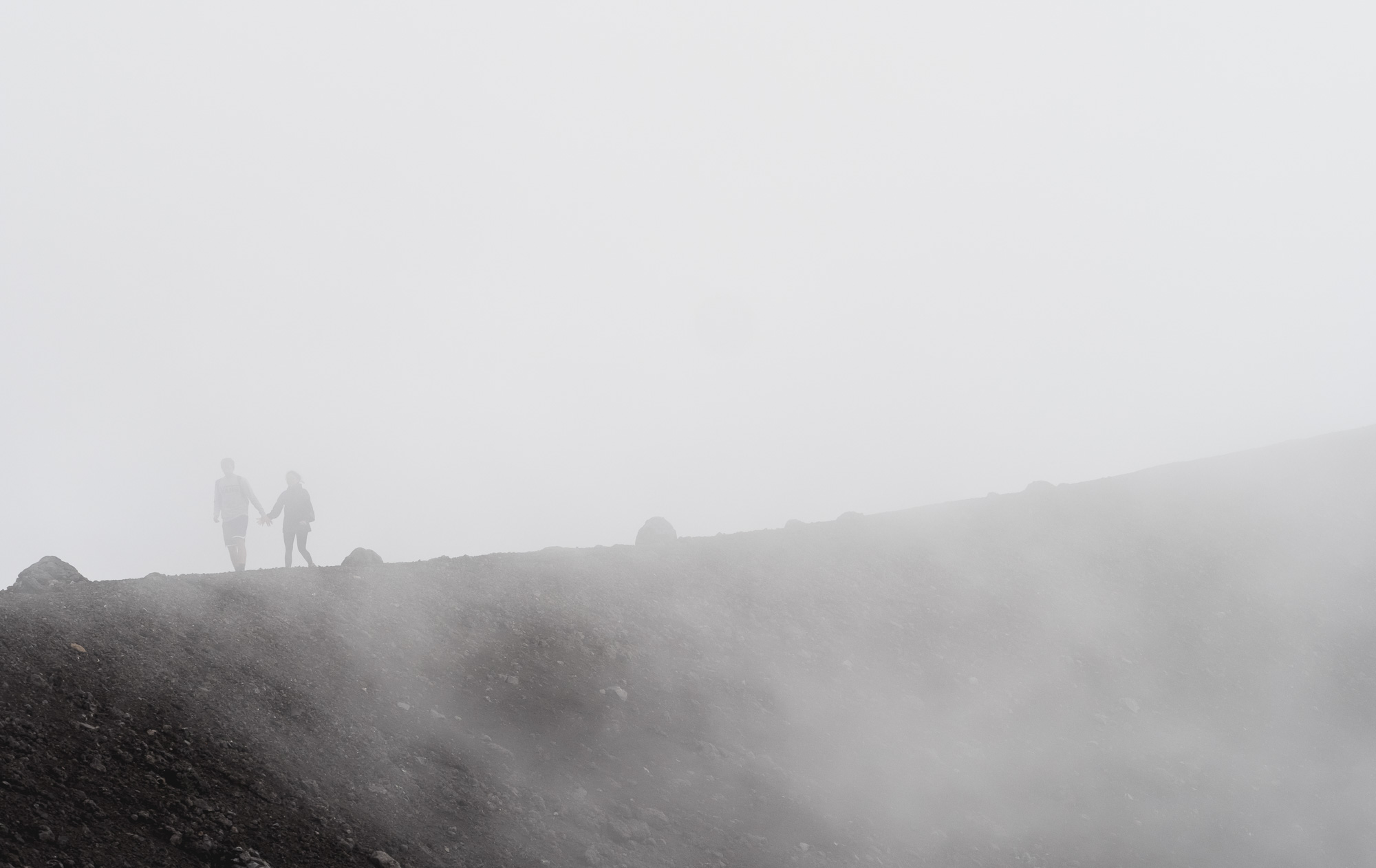
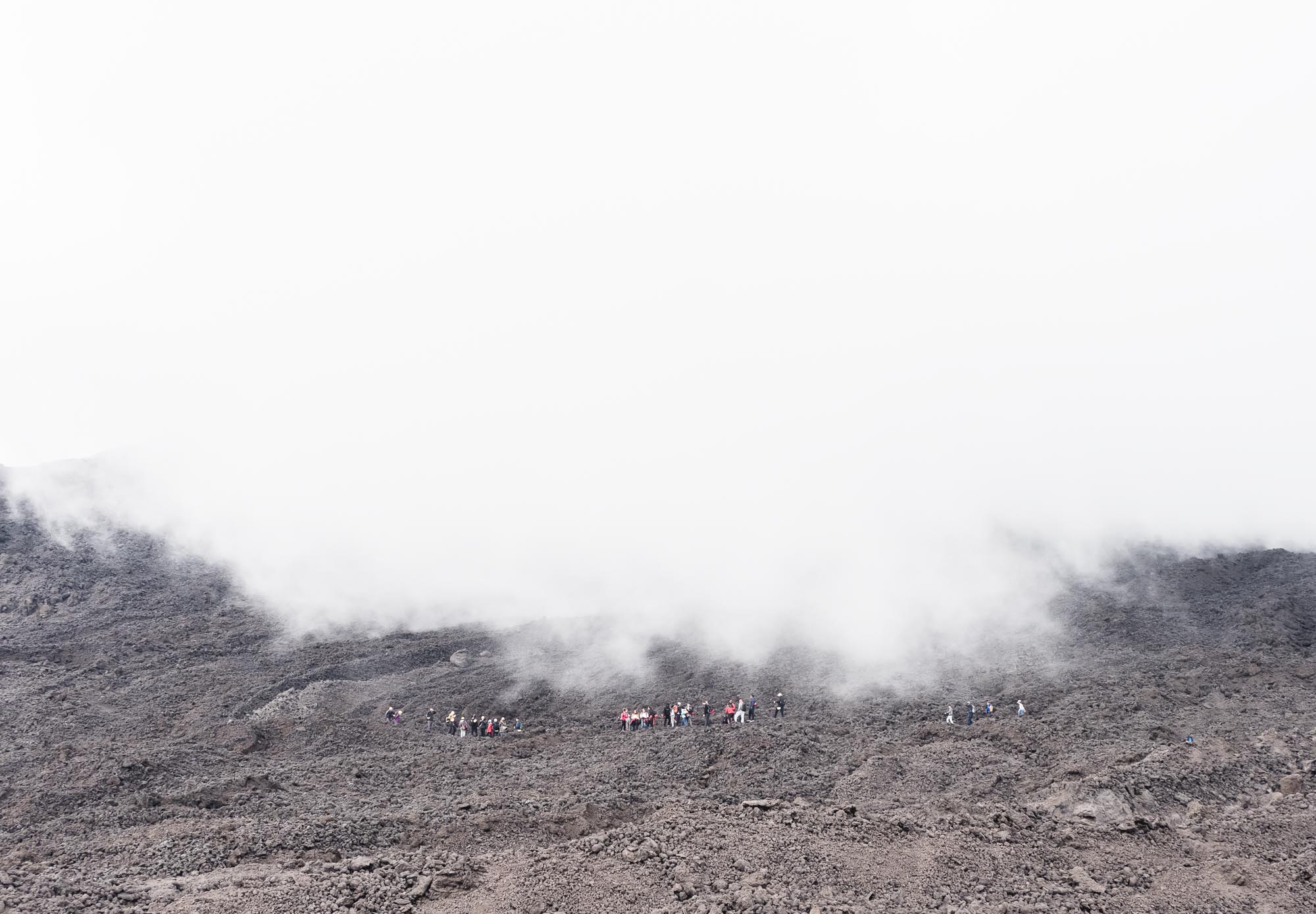
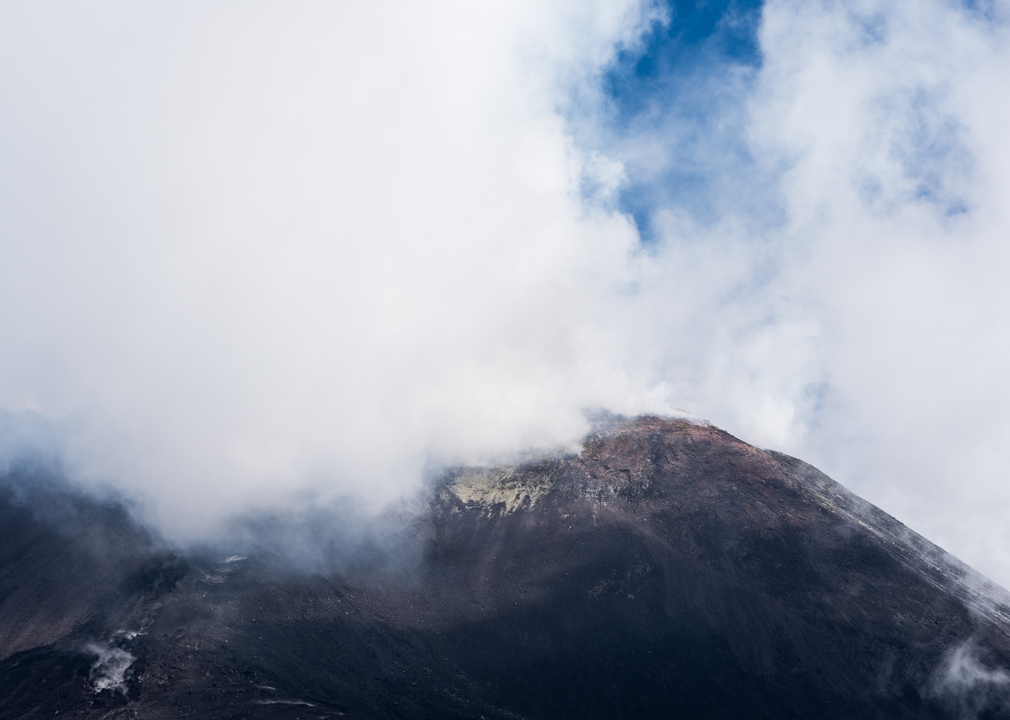
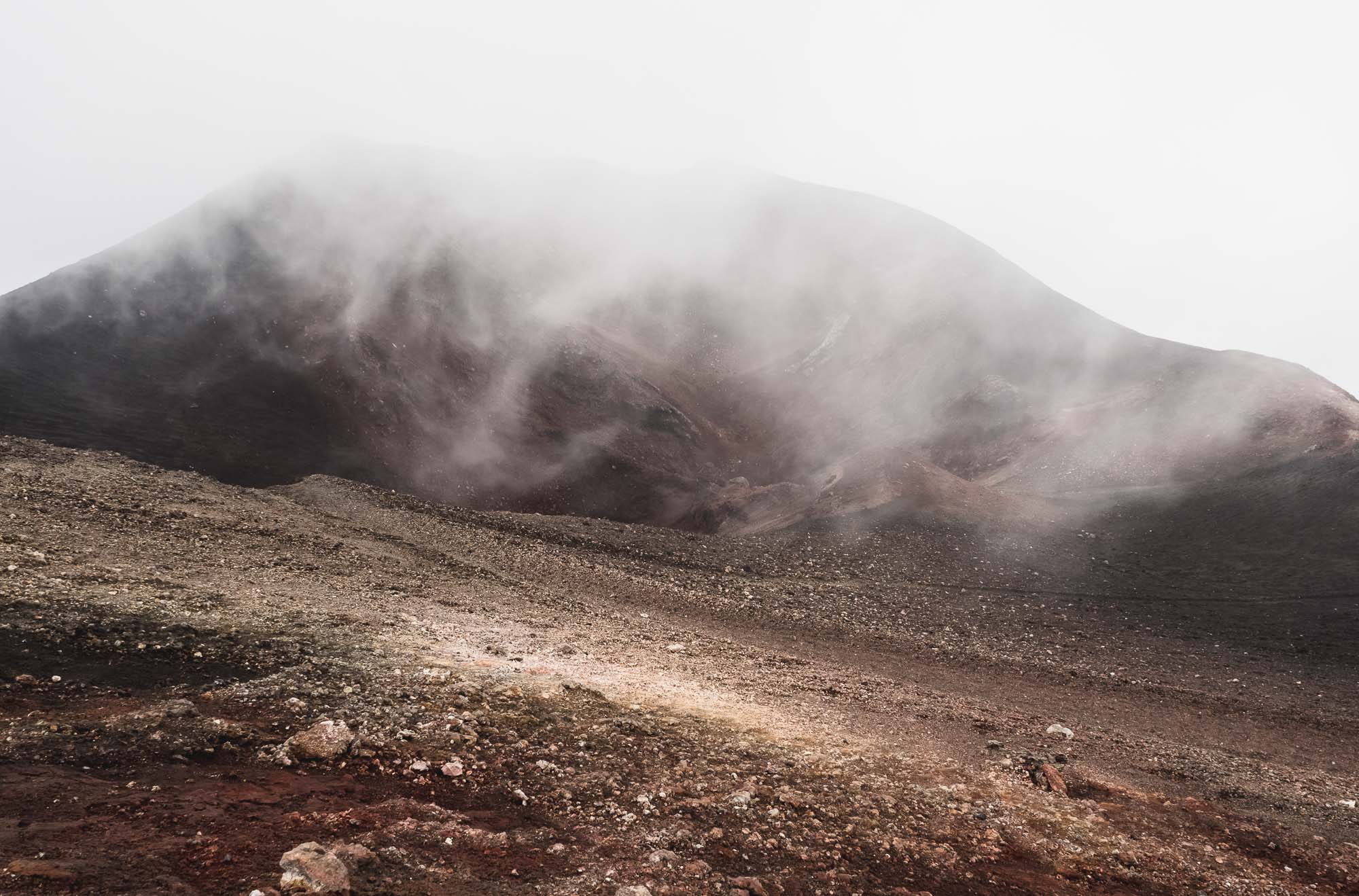
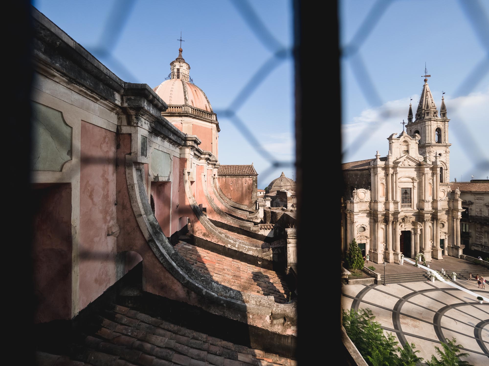
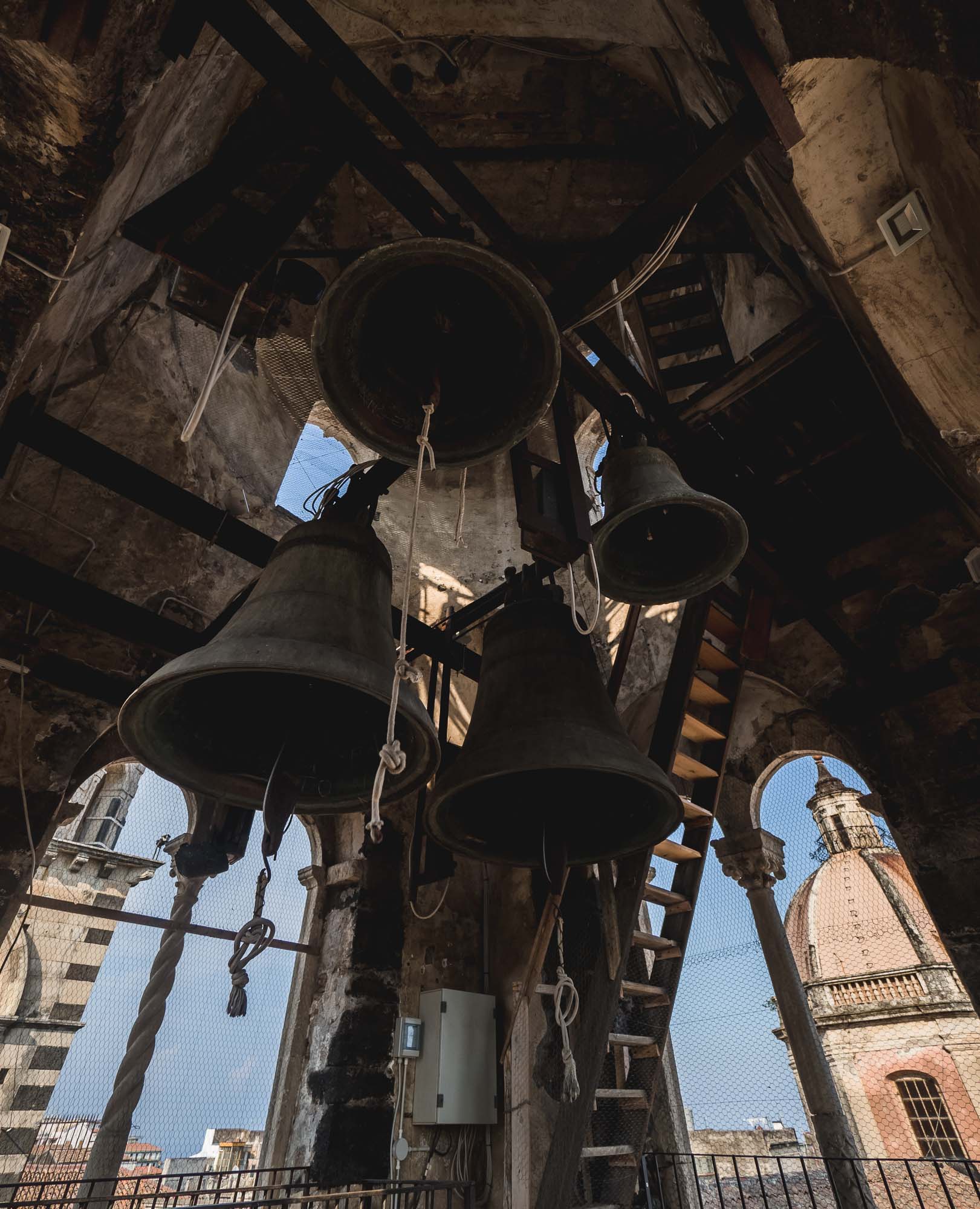
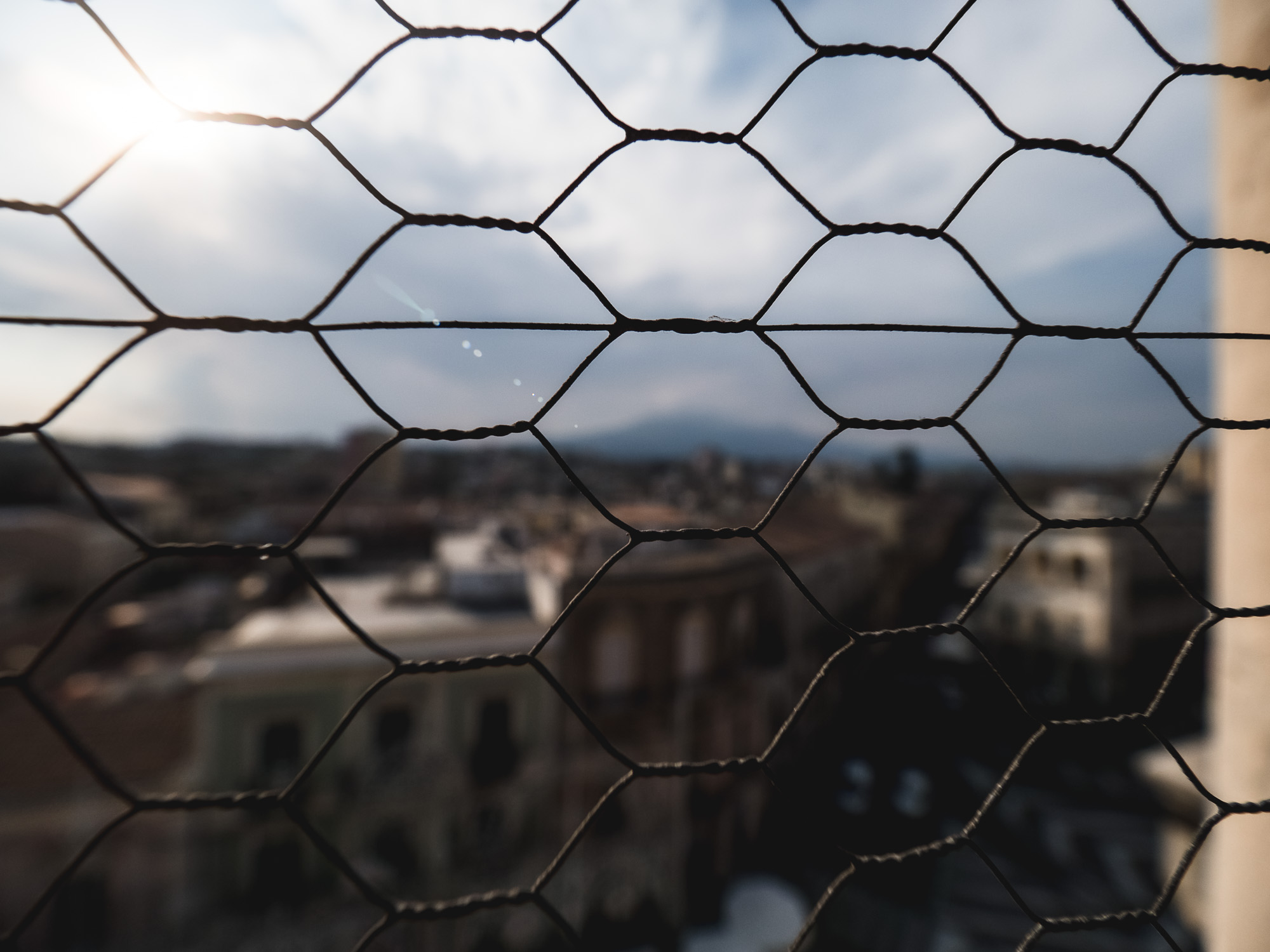
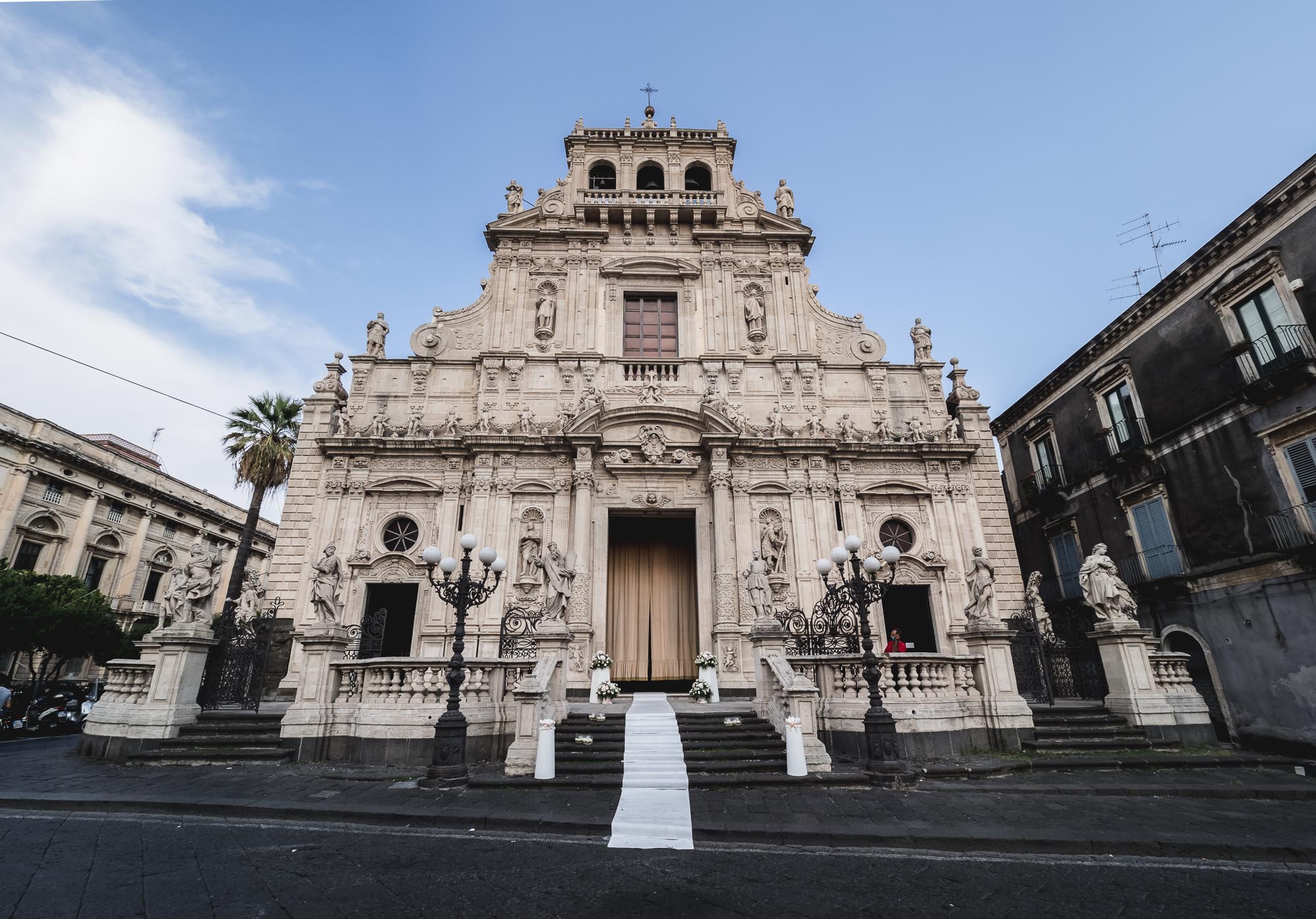
Sicily - Island of Etna
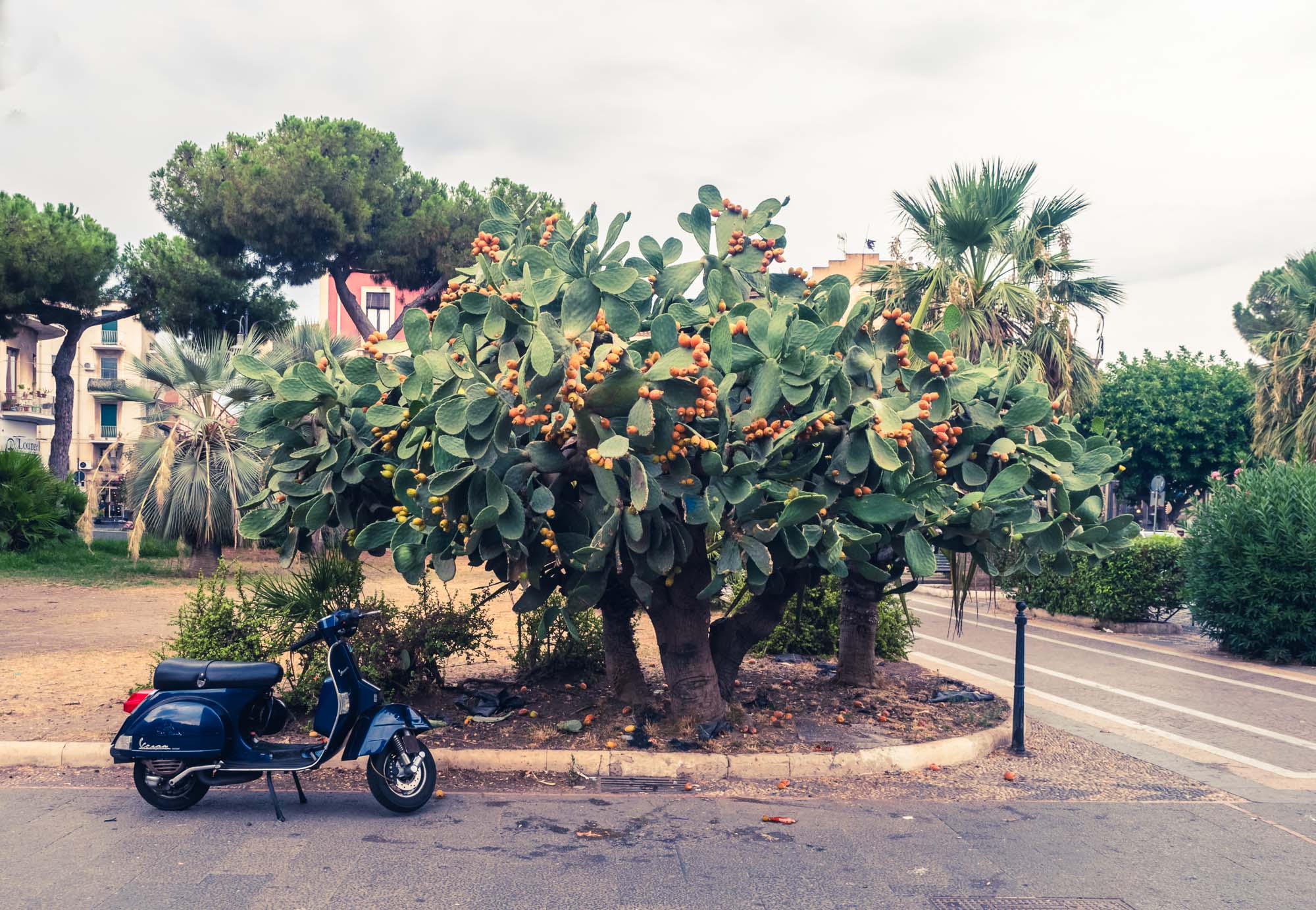
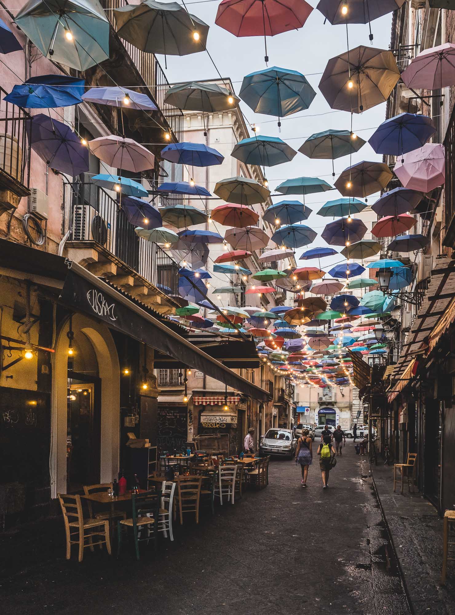
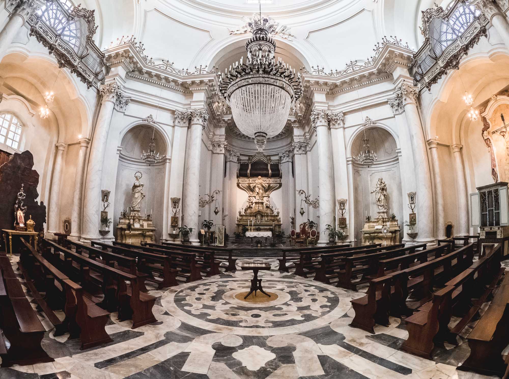
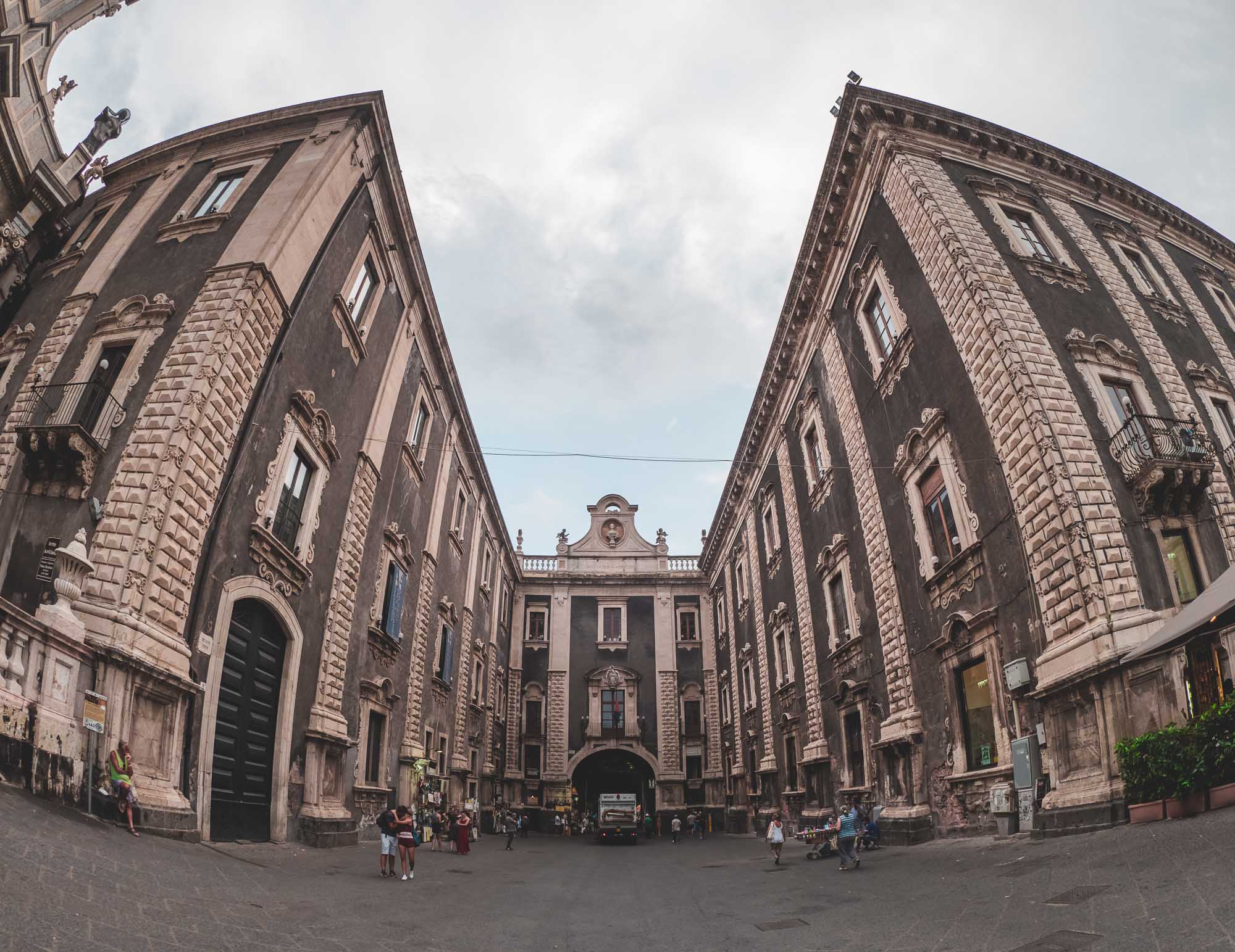
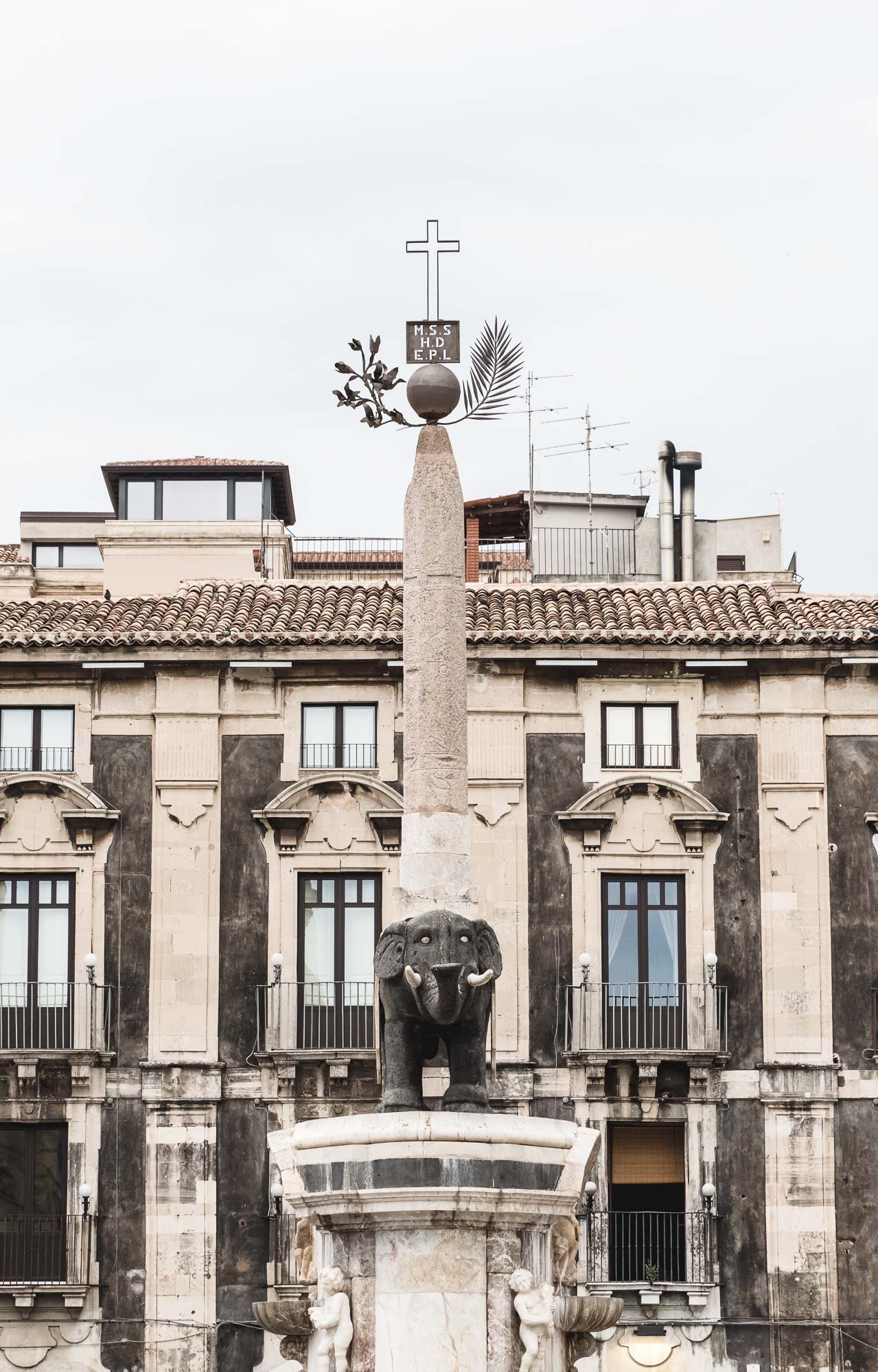
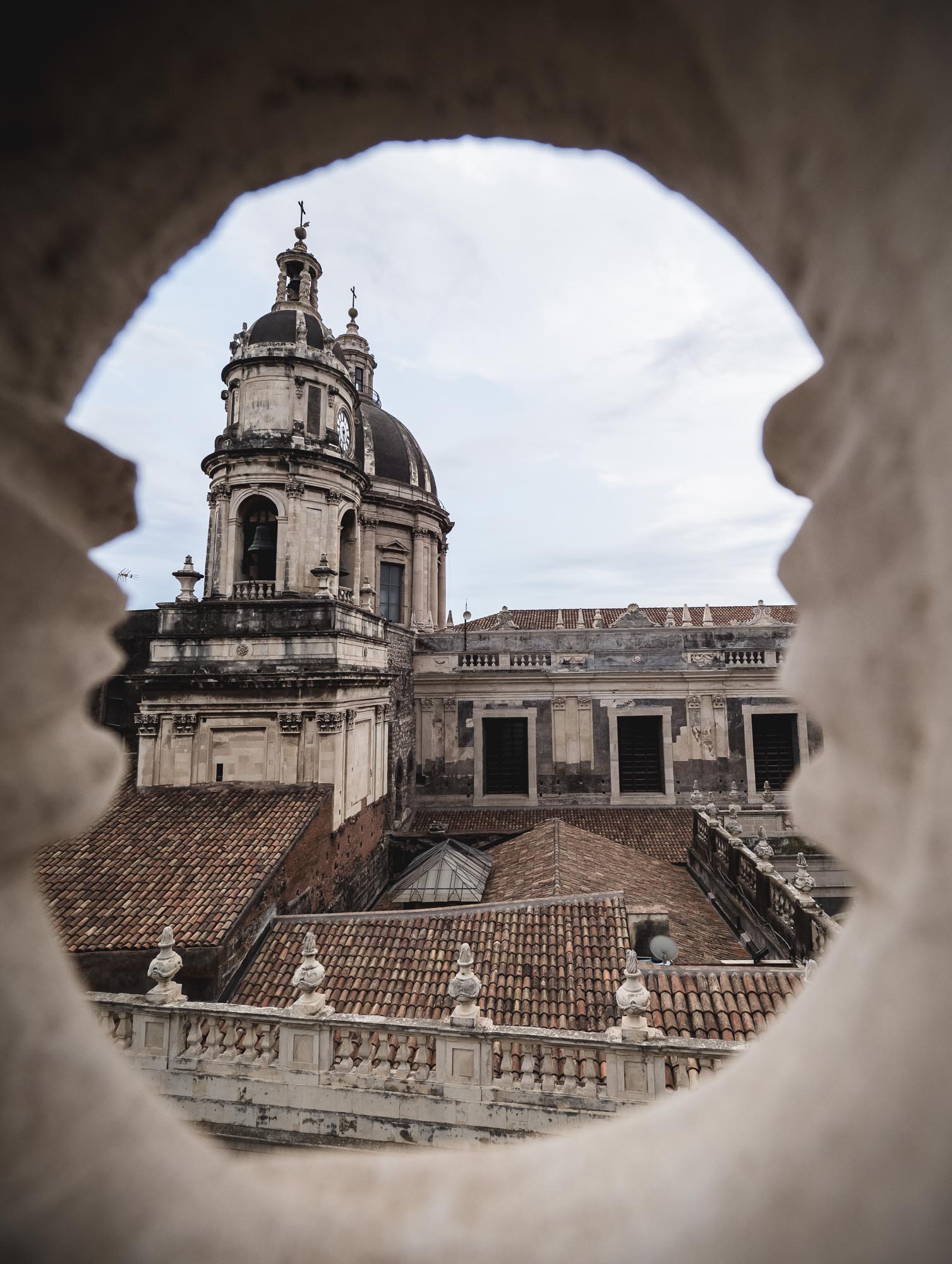
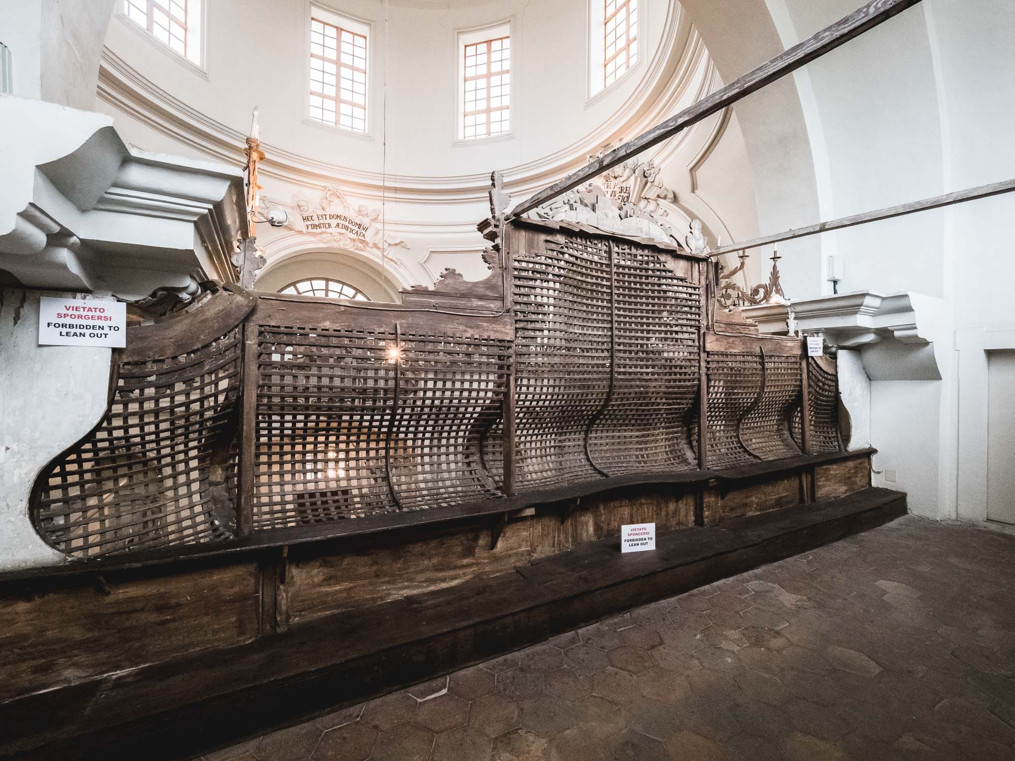
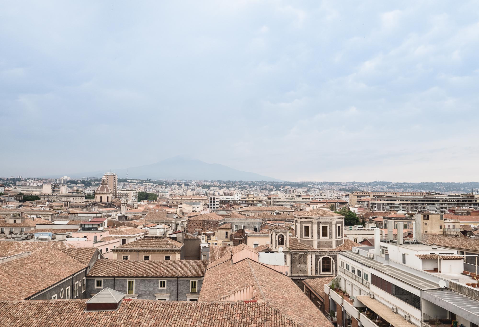
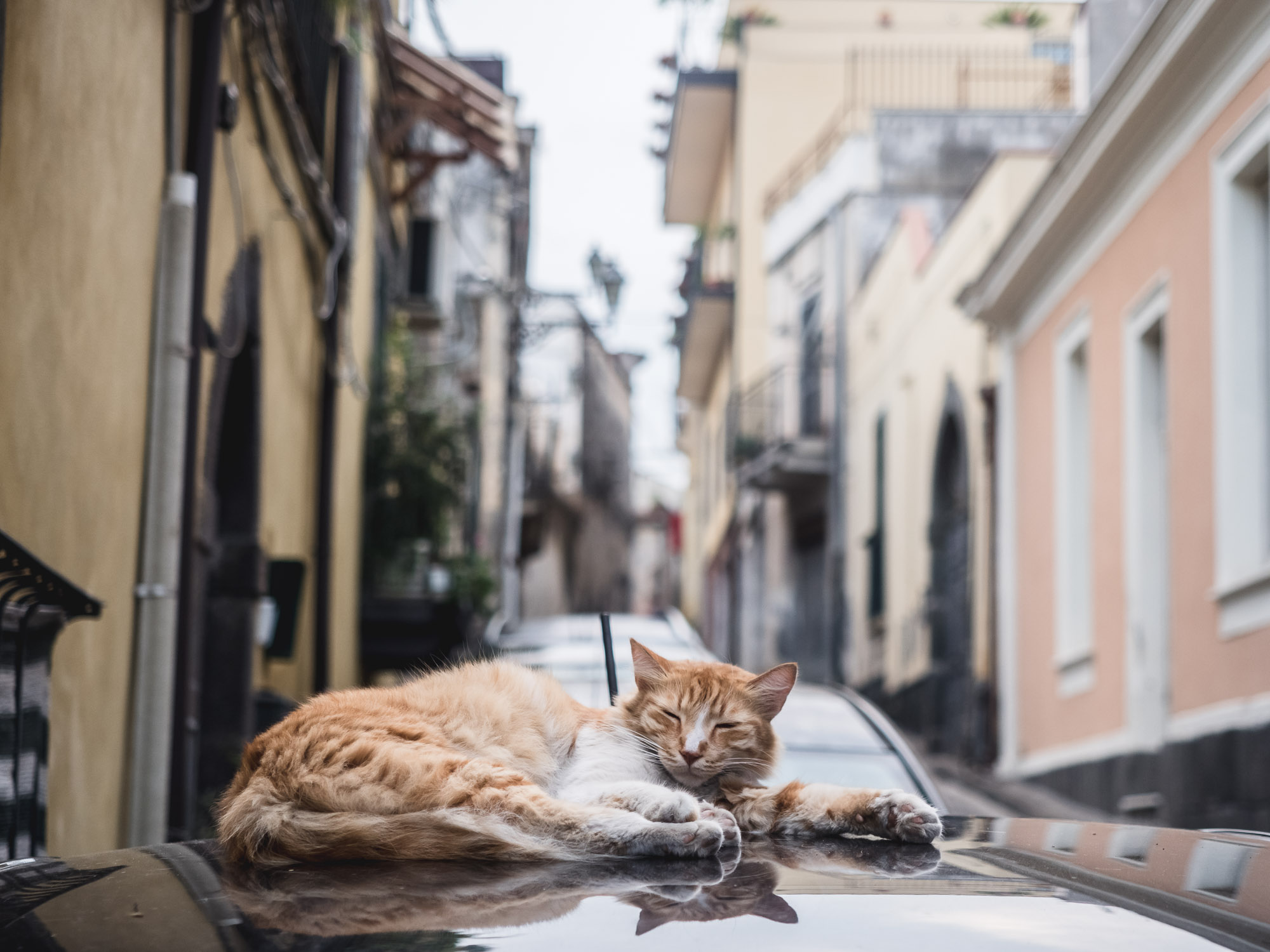
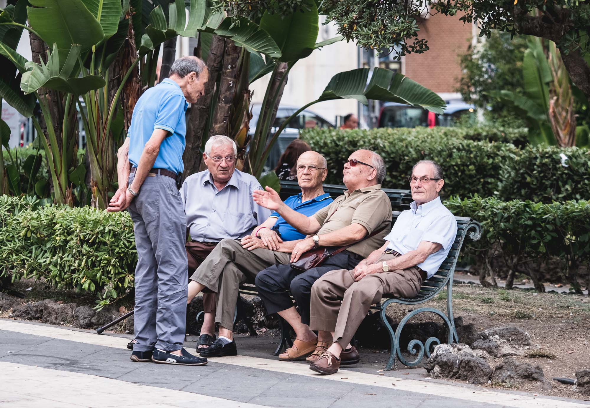
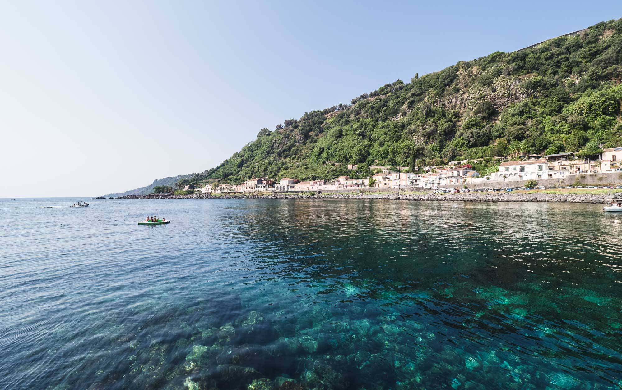
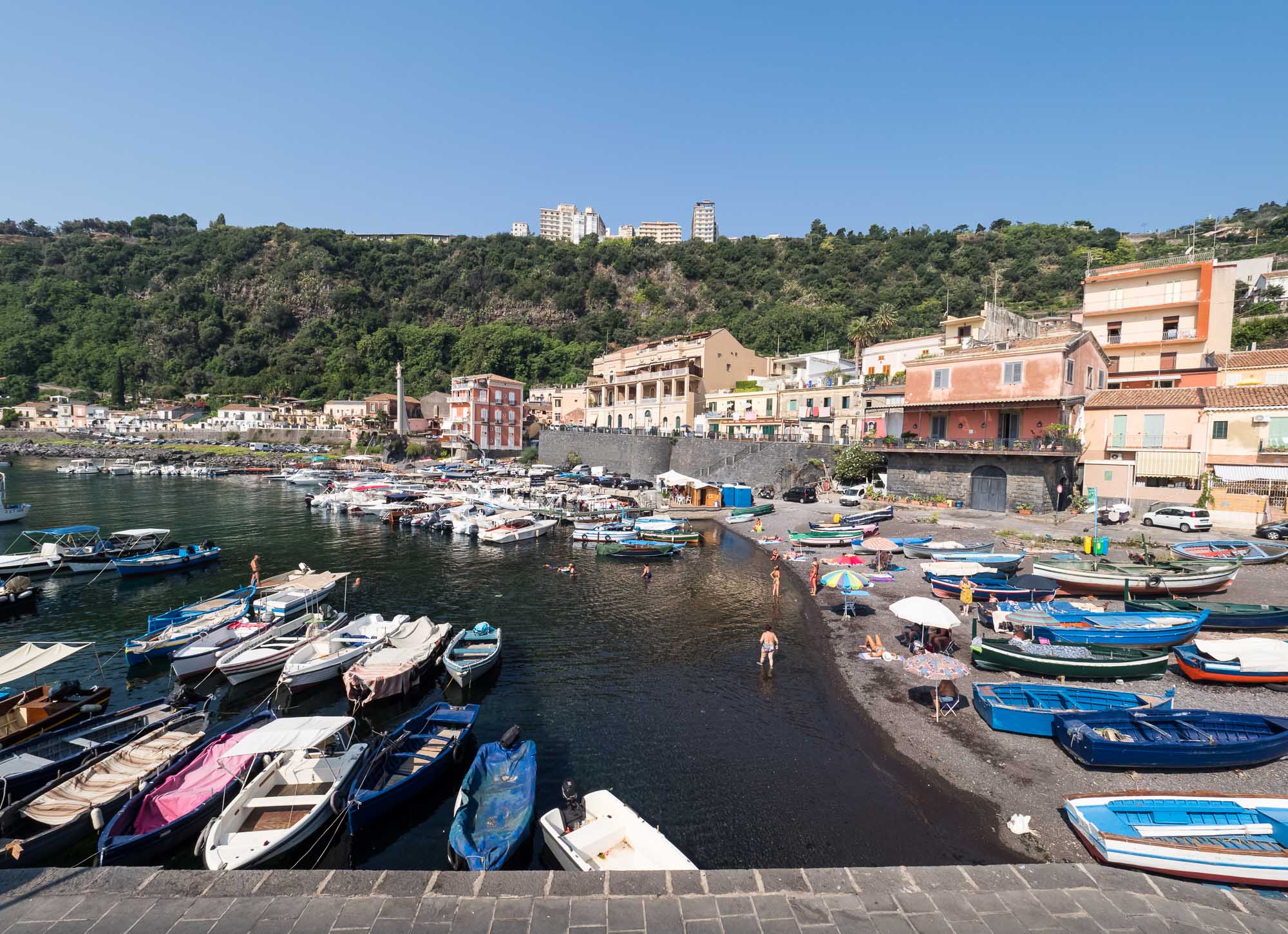
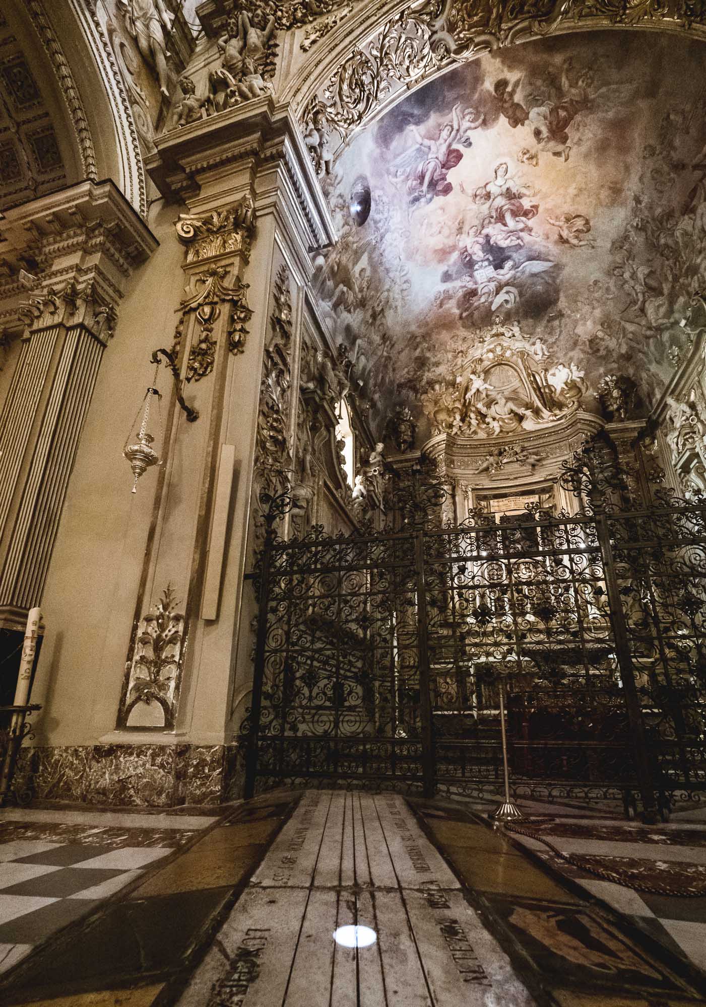
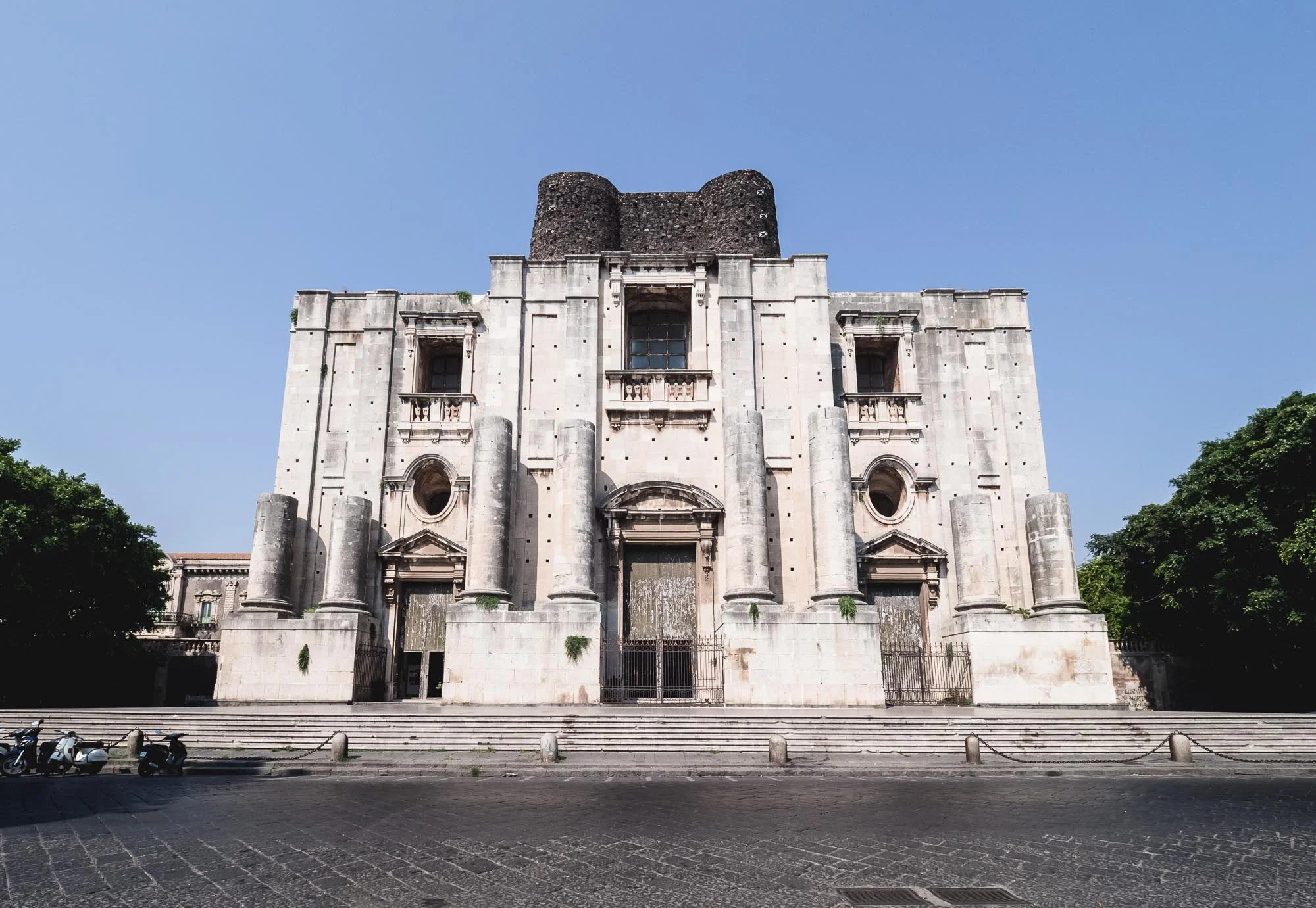
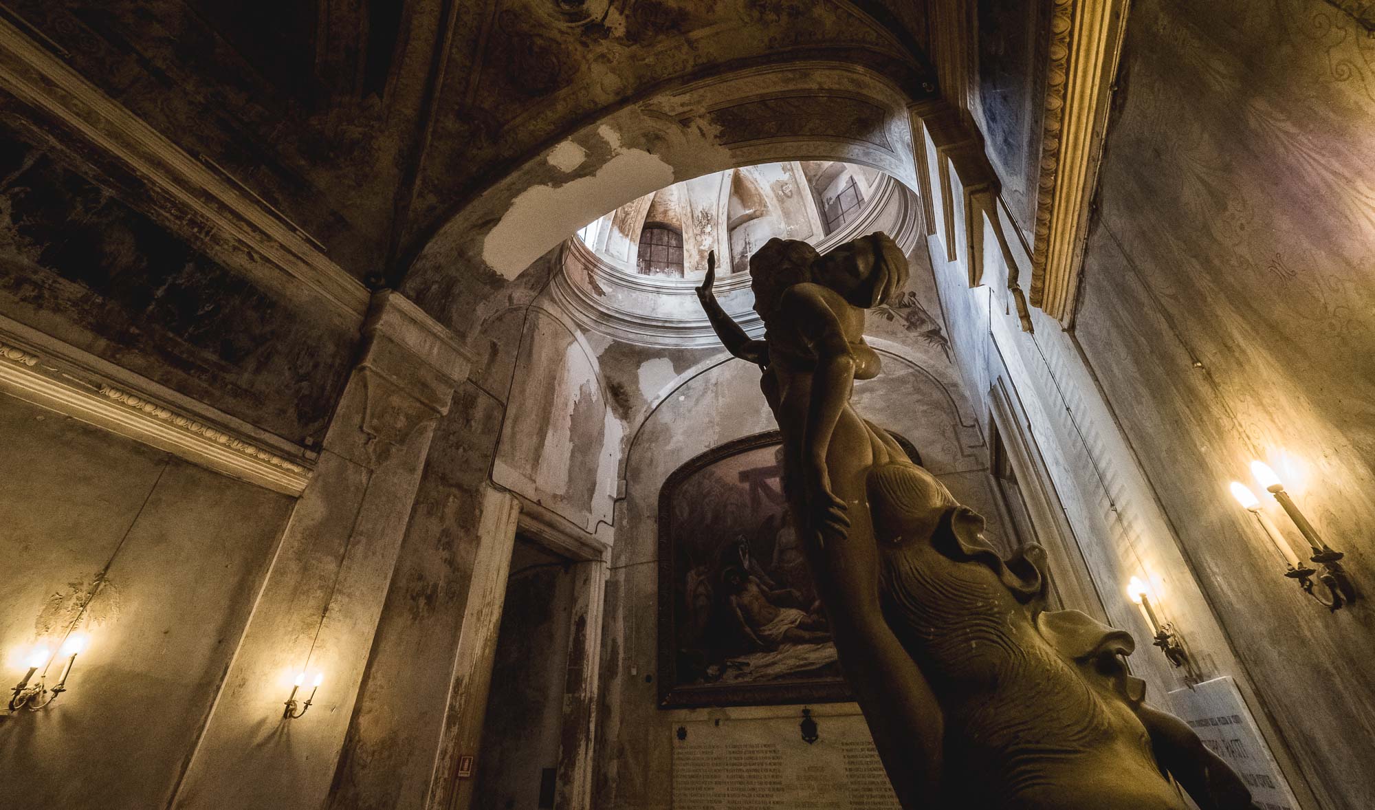
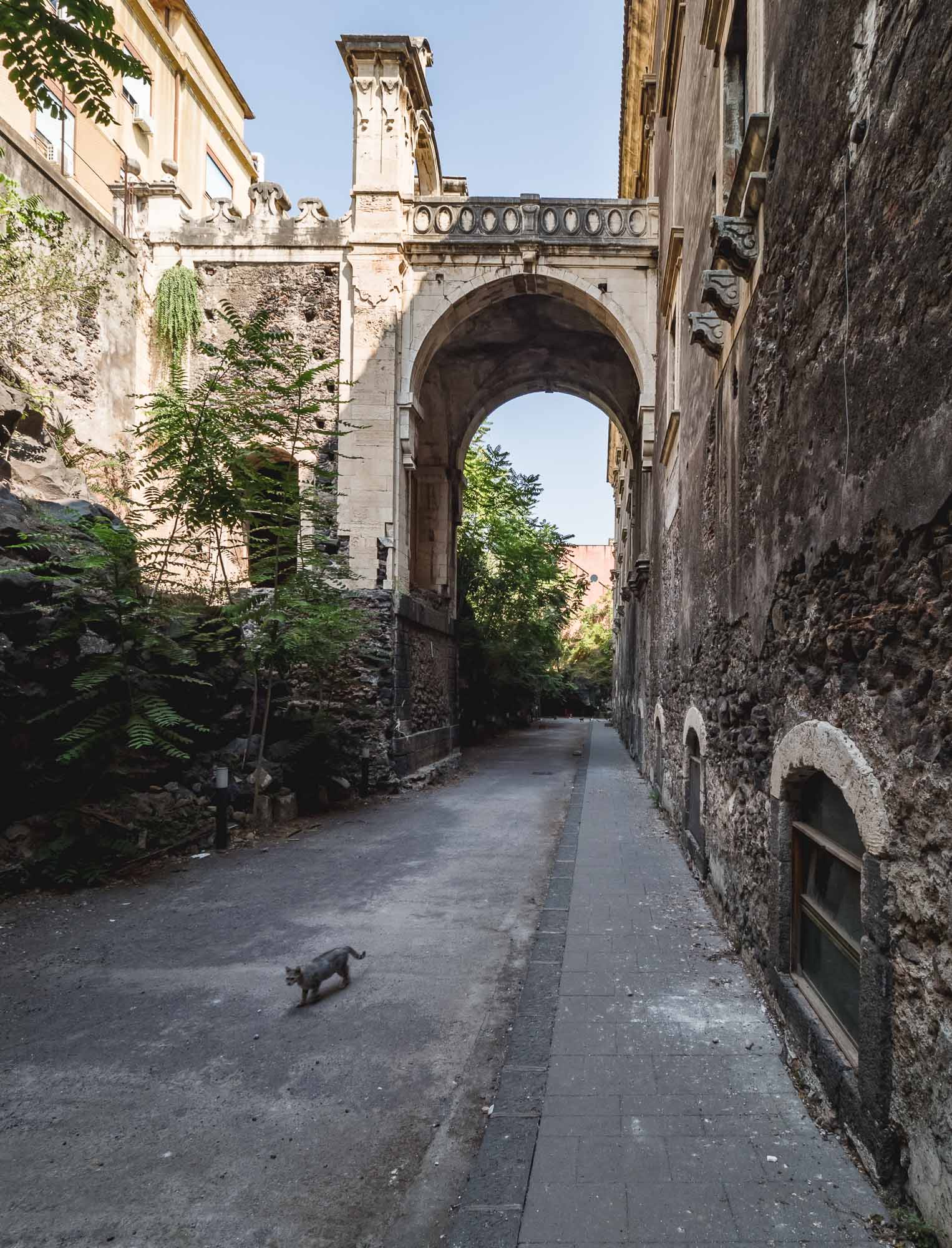
Another beautiful wedding gave me the opportunity to visit Sicily, exploring Catania, hiking Mount Etna, and wandering through Acireale. Unfortunately three days are definitely not enough for the largest island in the Mediterranean, nevertheless you get a taste for the life across the Strait of Messina.
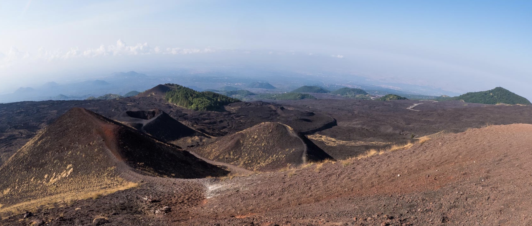
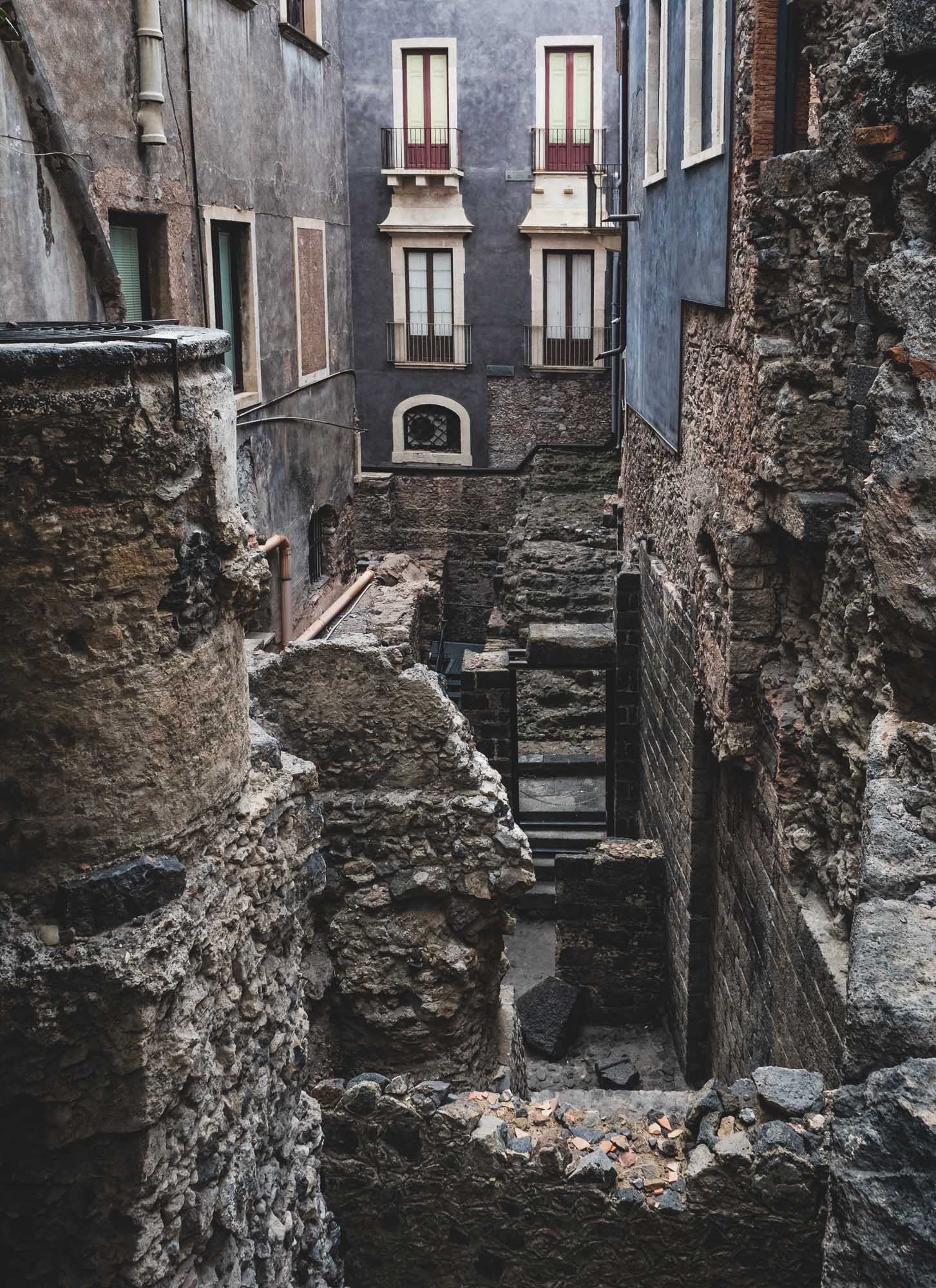
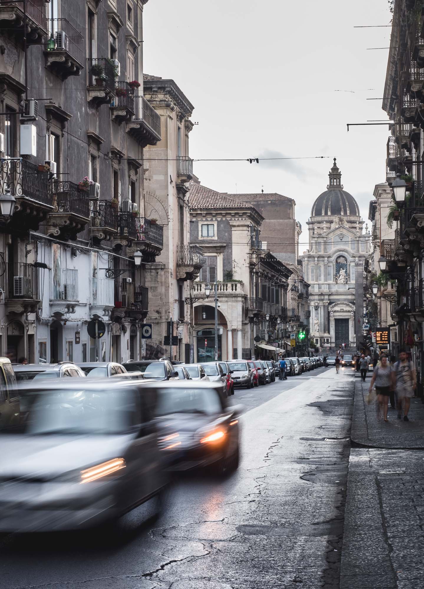
Another beautiful wedding gave me the opportunity to visit Sicily, exploring Catania, hiking Mount Etna, and wandering through Acireale. Unfortunately three days are definitely not enough for the largest island in the Mediterranean, nevertheless you get a taste for the life across the Strait of Messina.


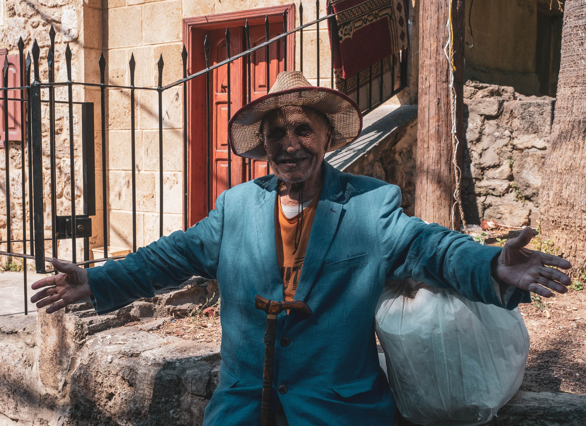
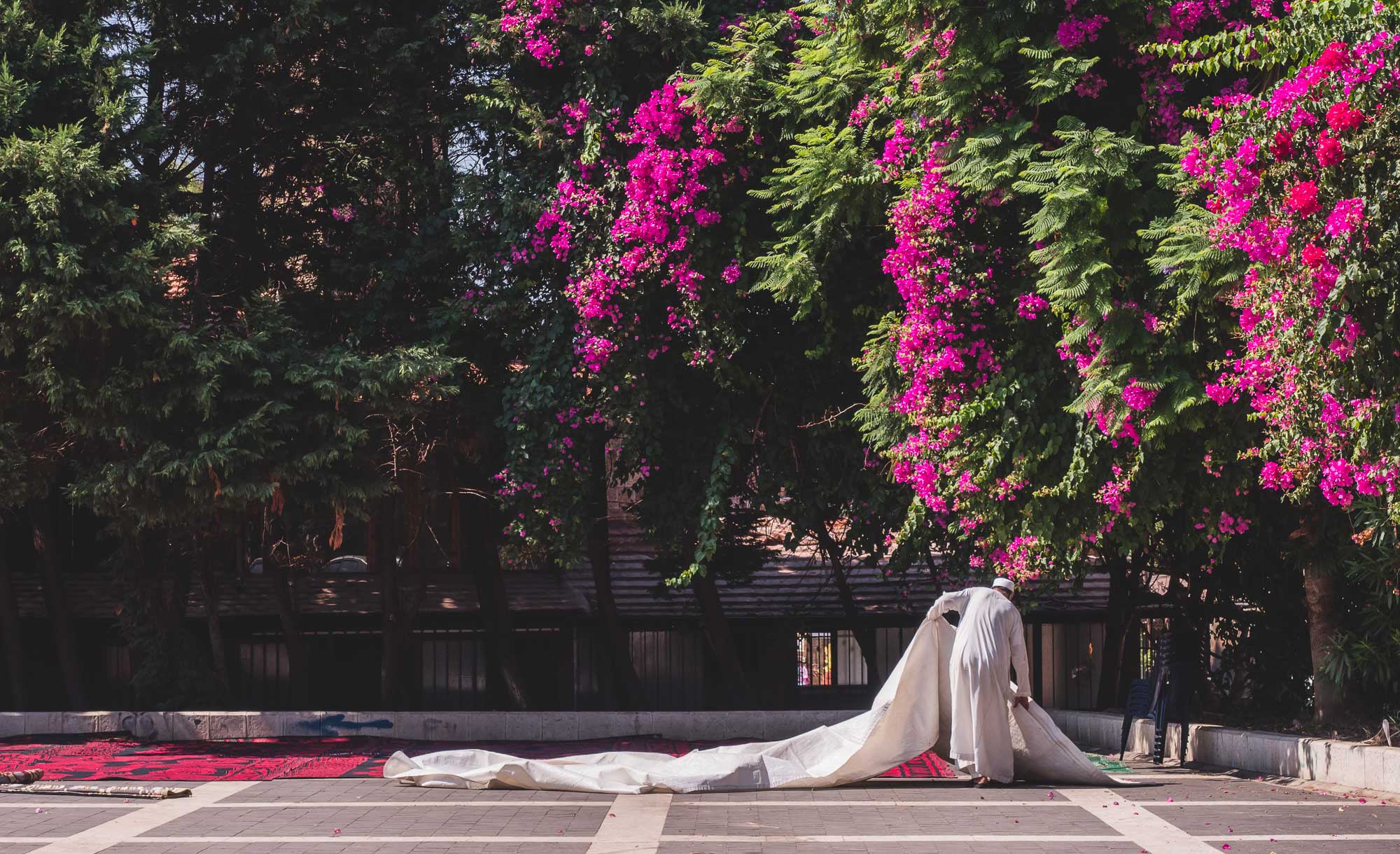
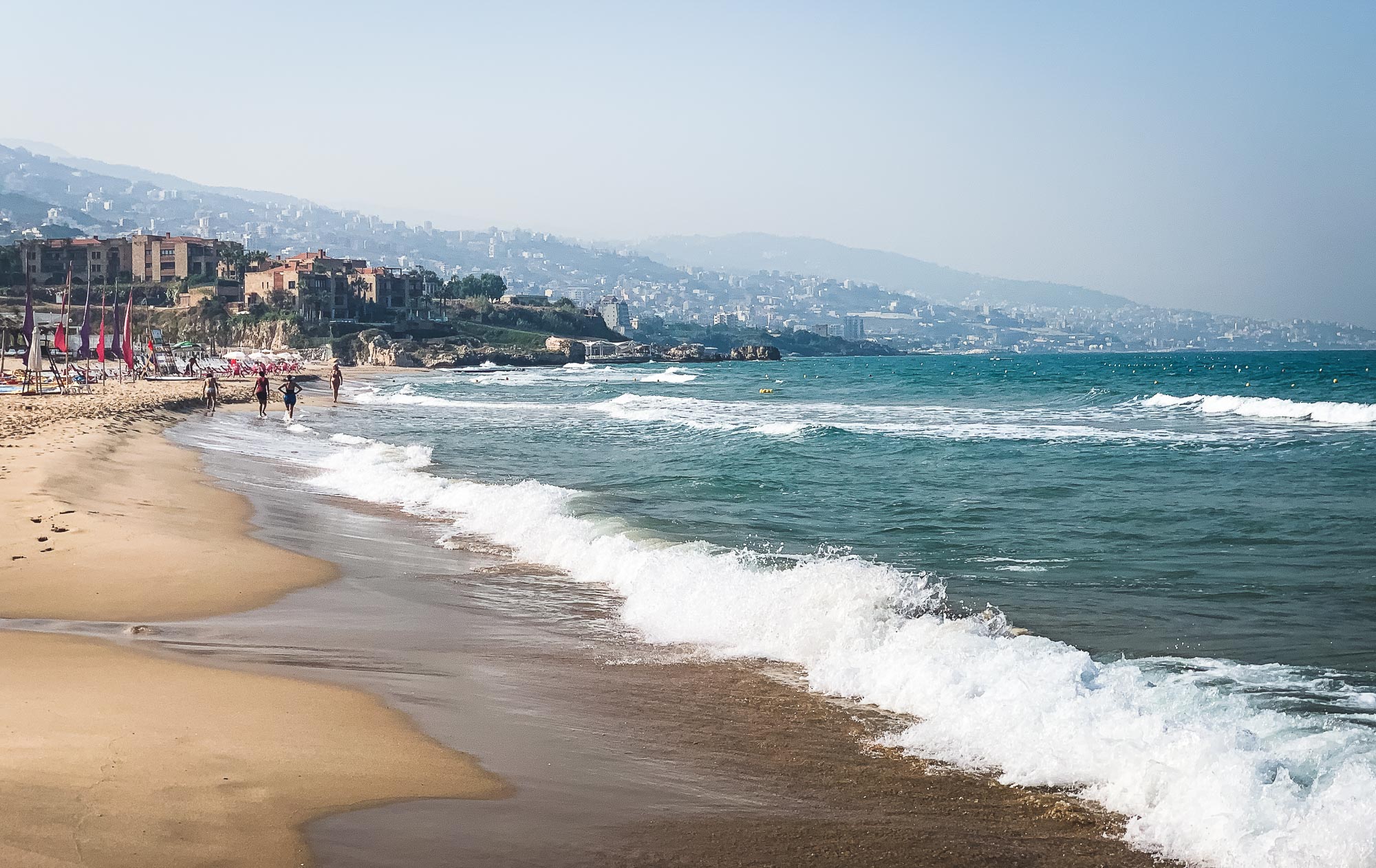
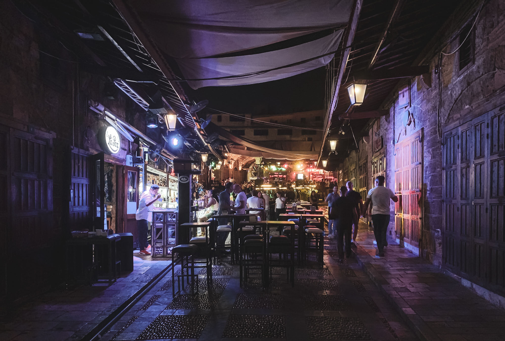
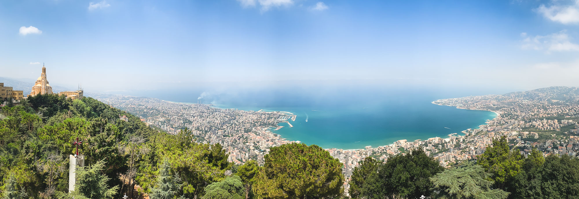
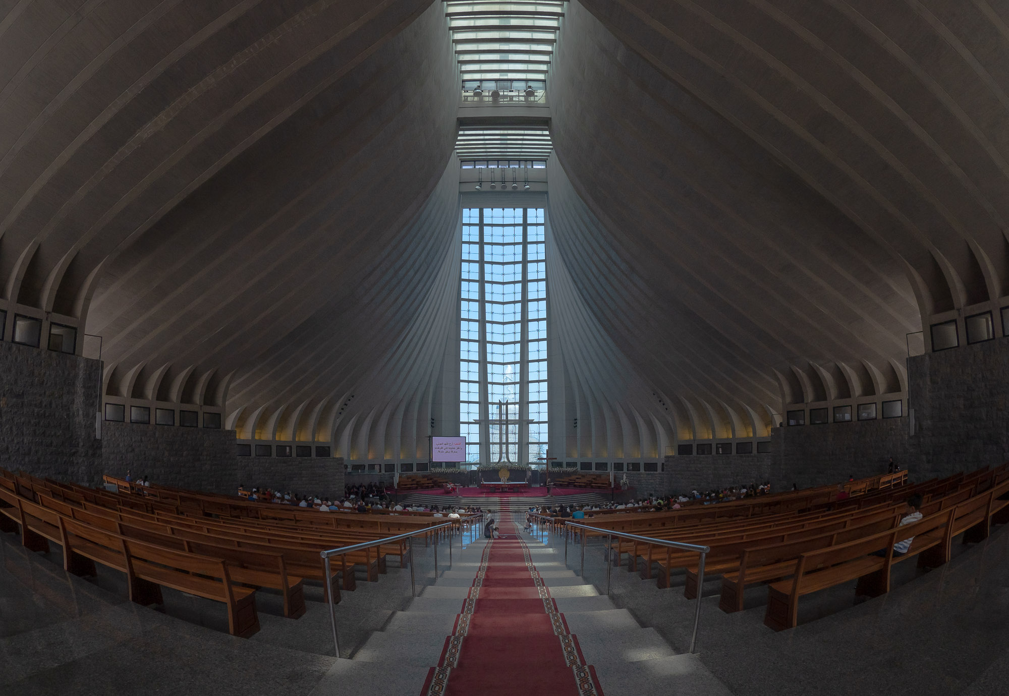
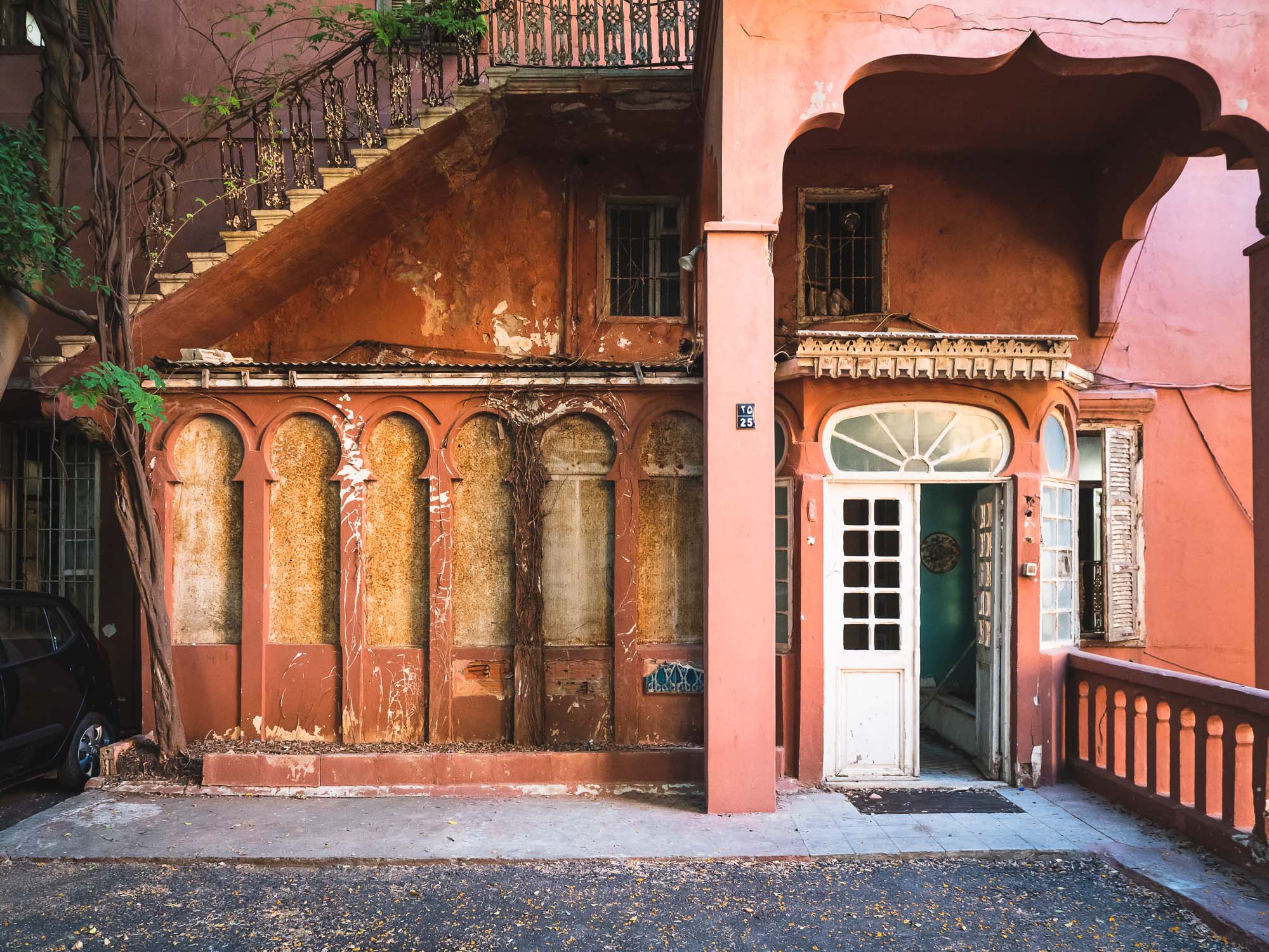
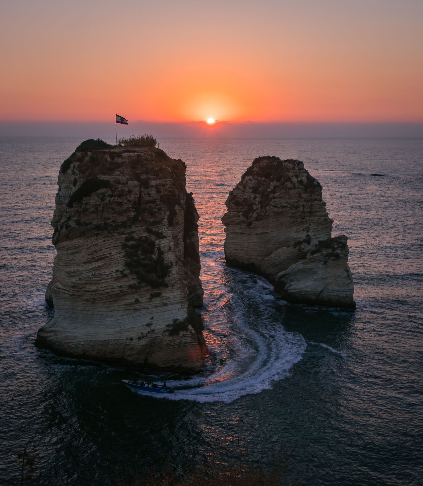
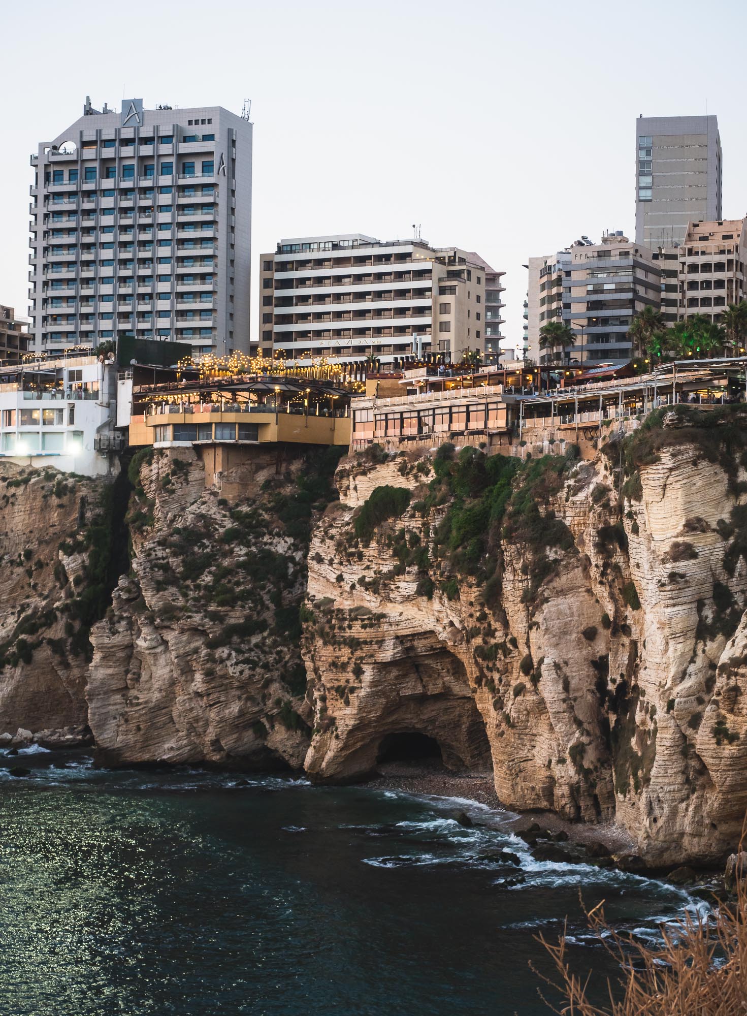
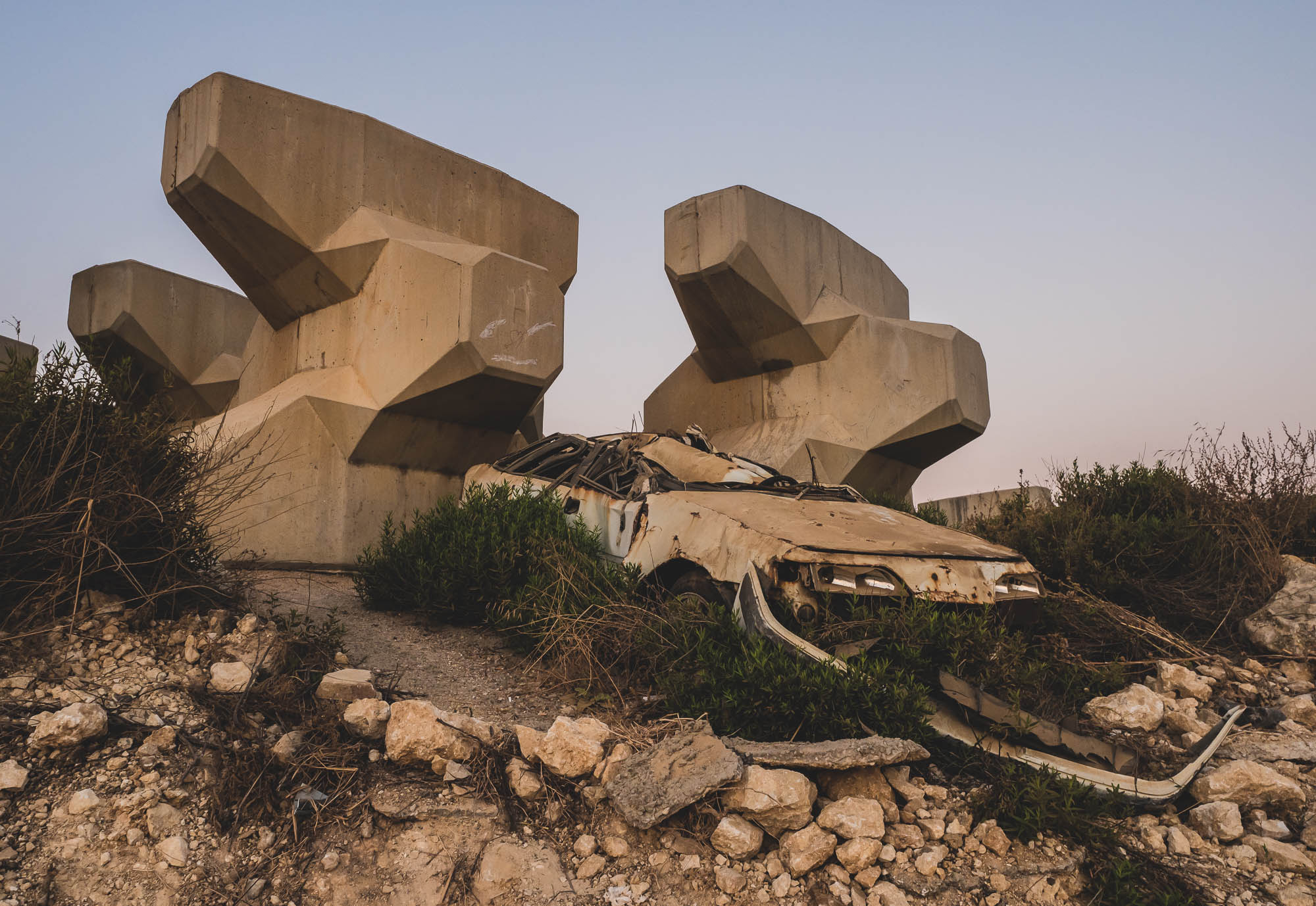
Lebanon - Crossroads of Cultures
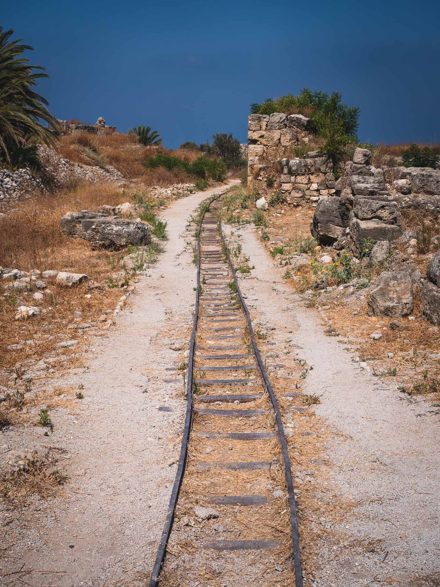
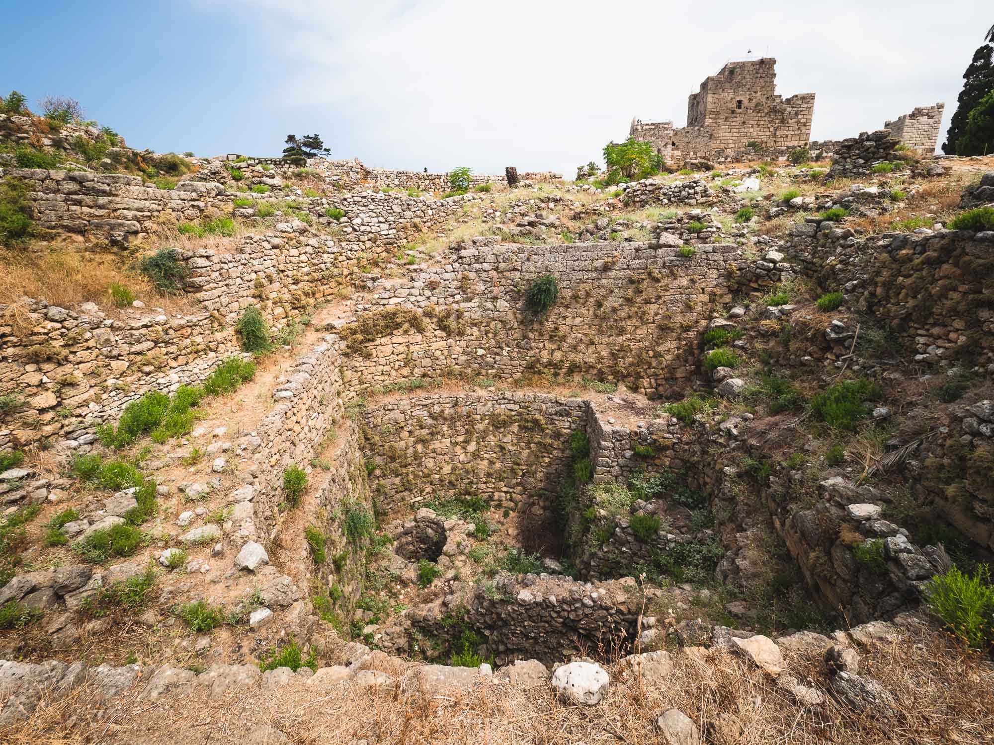
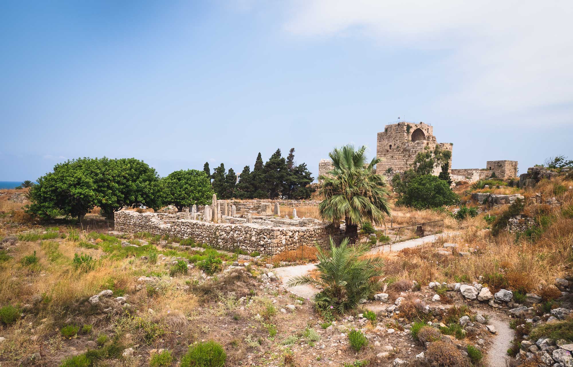
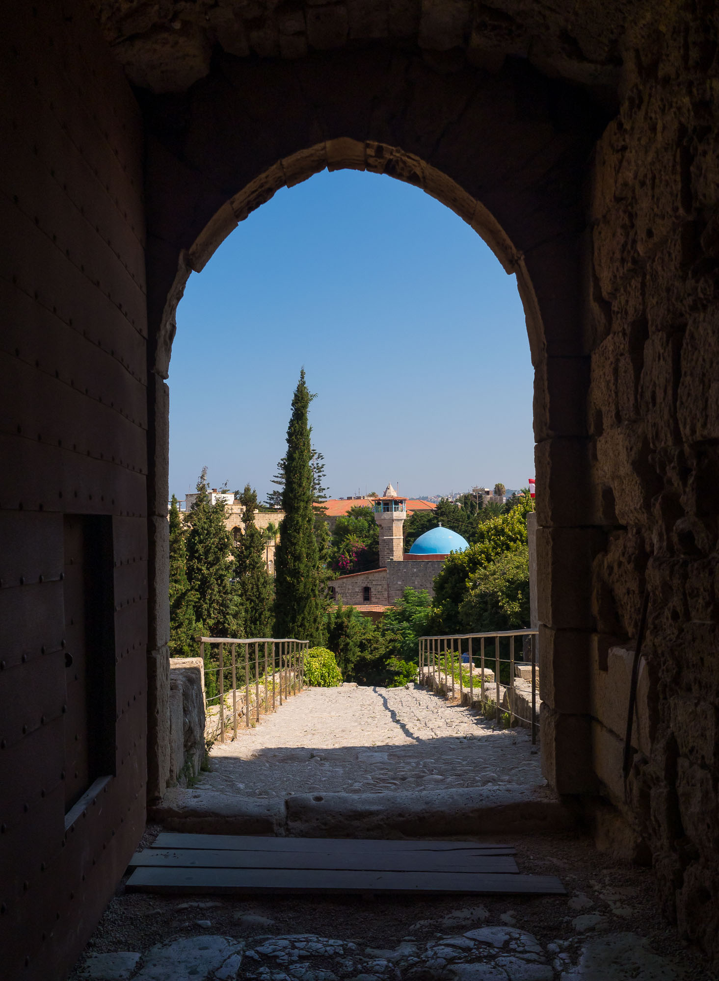
In July 2019, a wedding of one my best friends gave me the chance to visit another country in the Middle East: Lebanon. The history of the country and its natural setting result in a truly diversified experience. Assyrian, Hellenistic, Roman, Phoenician, Persian influences are evident throughout the country, which features everything from beaches, green mountains, nightlife, skiing in the winter, and some of the most impressive ancient sites in the world.
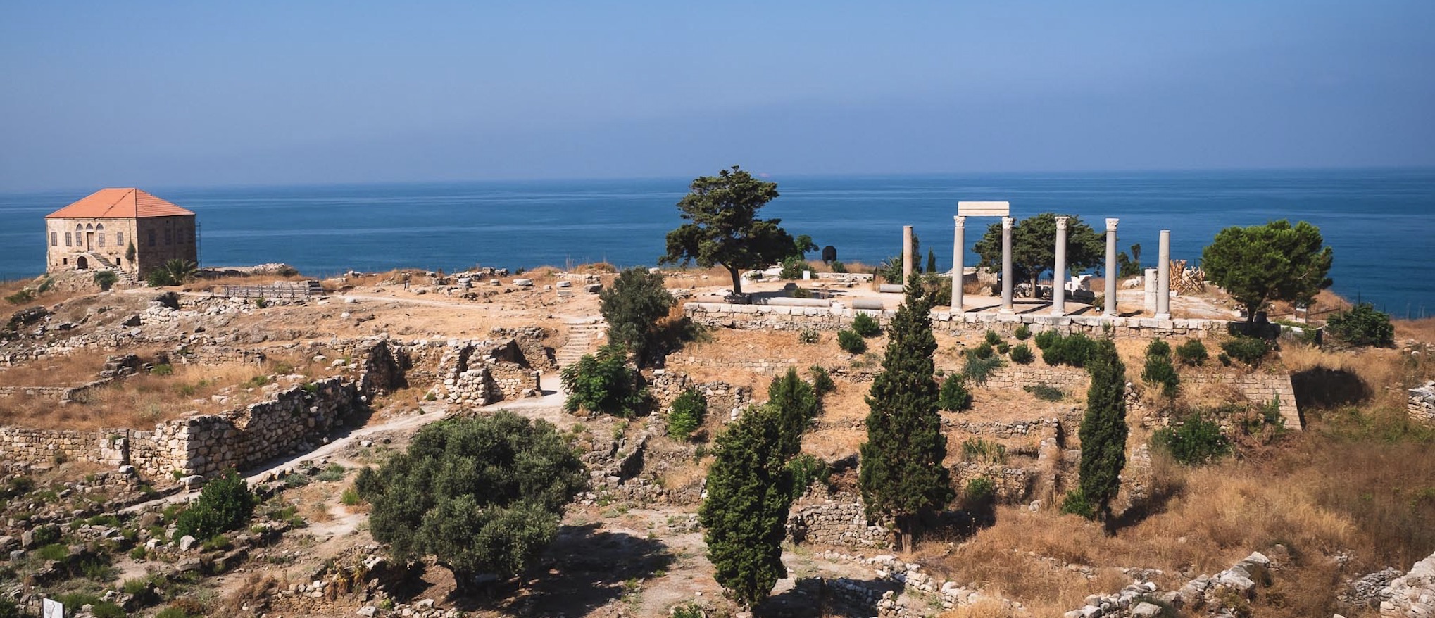
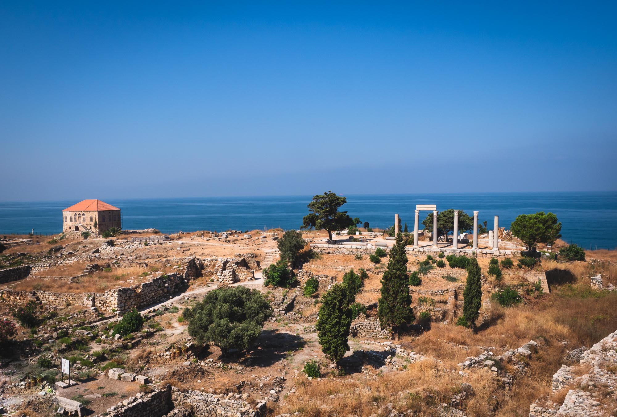
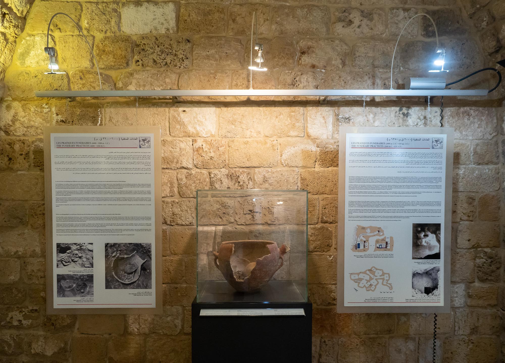
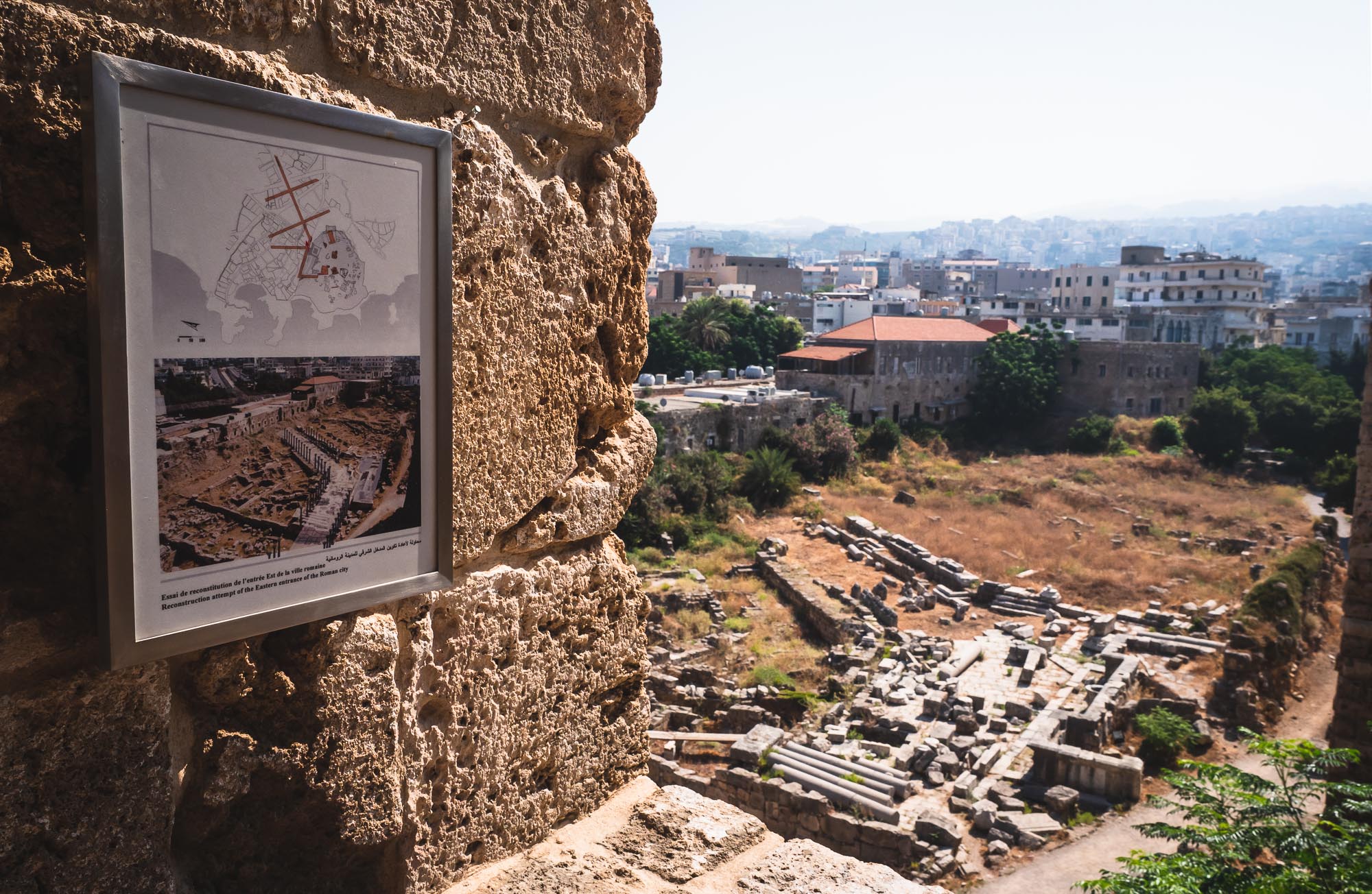
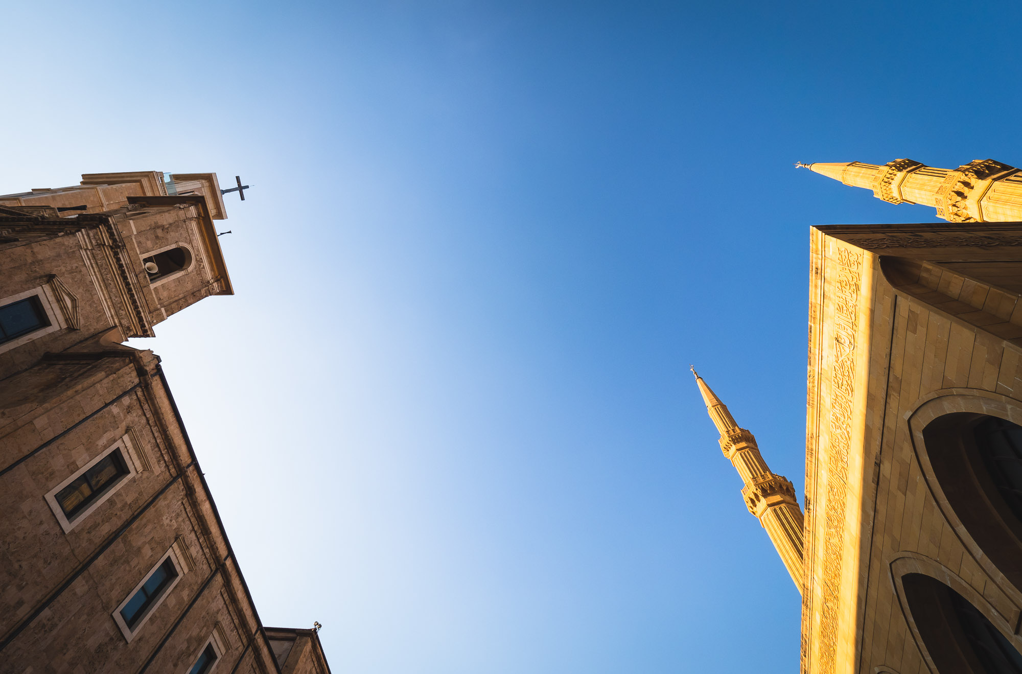
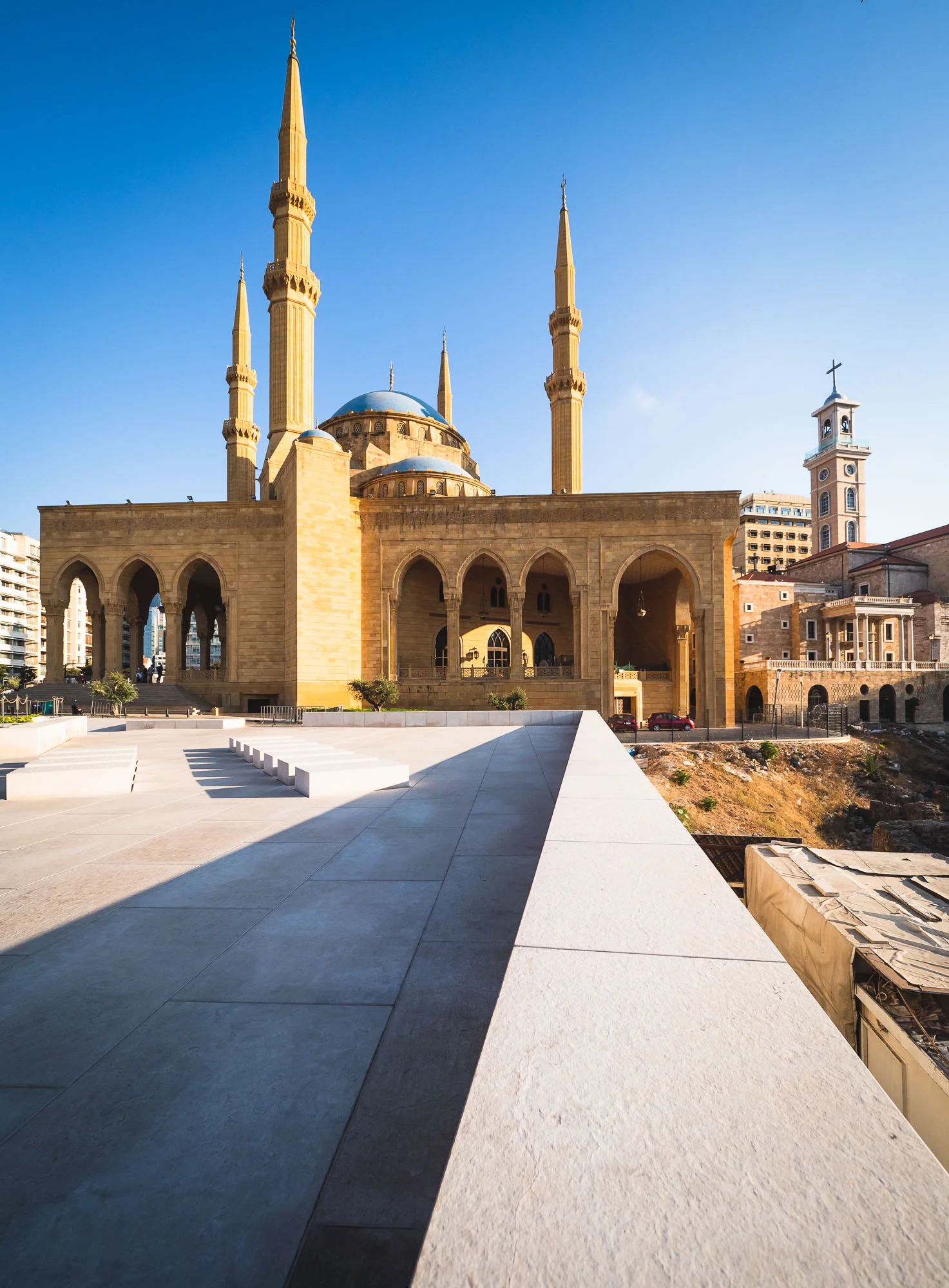
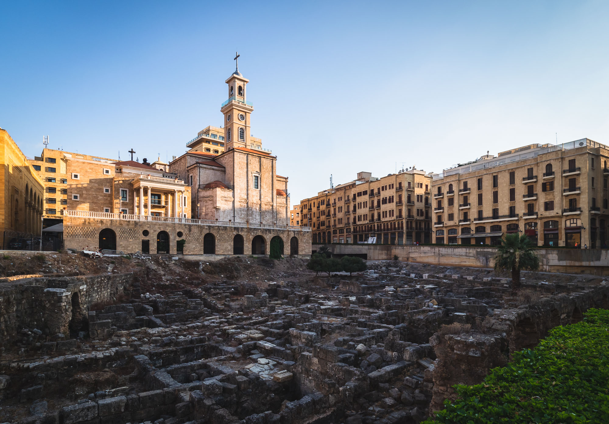
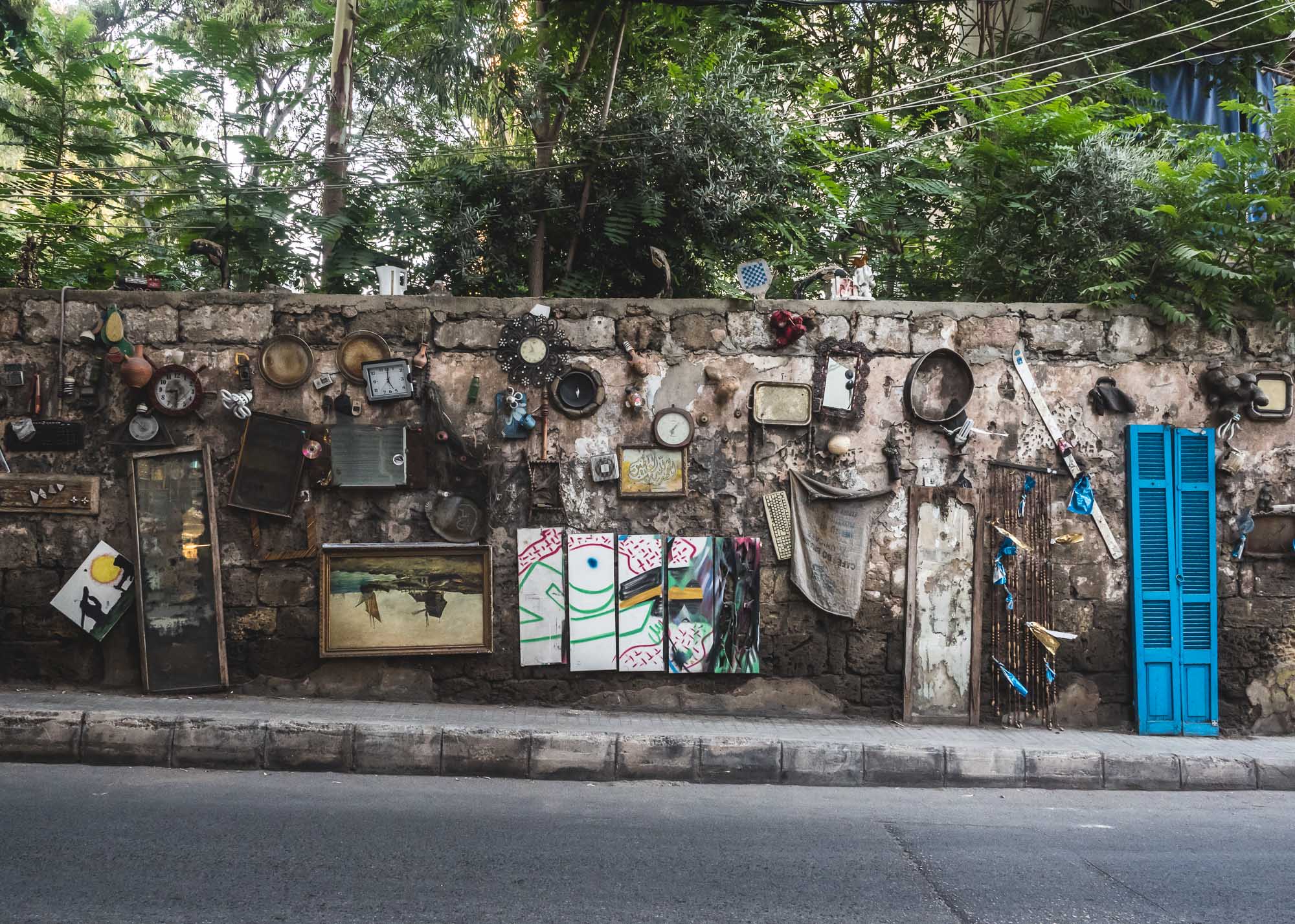
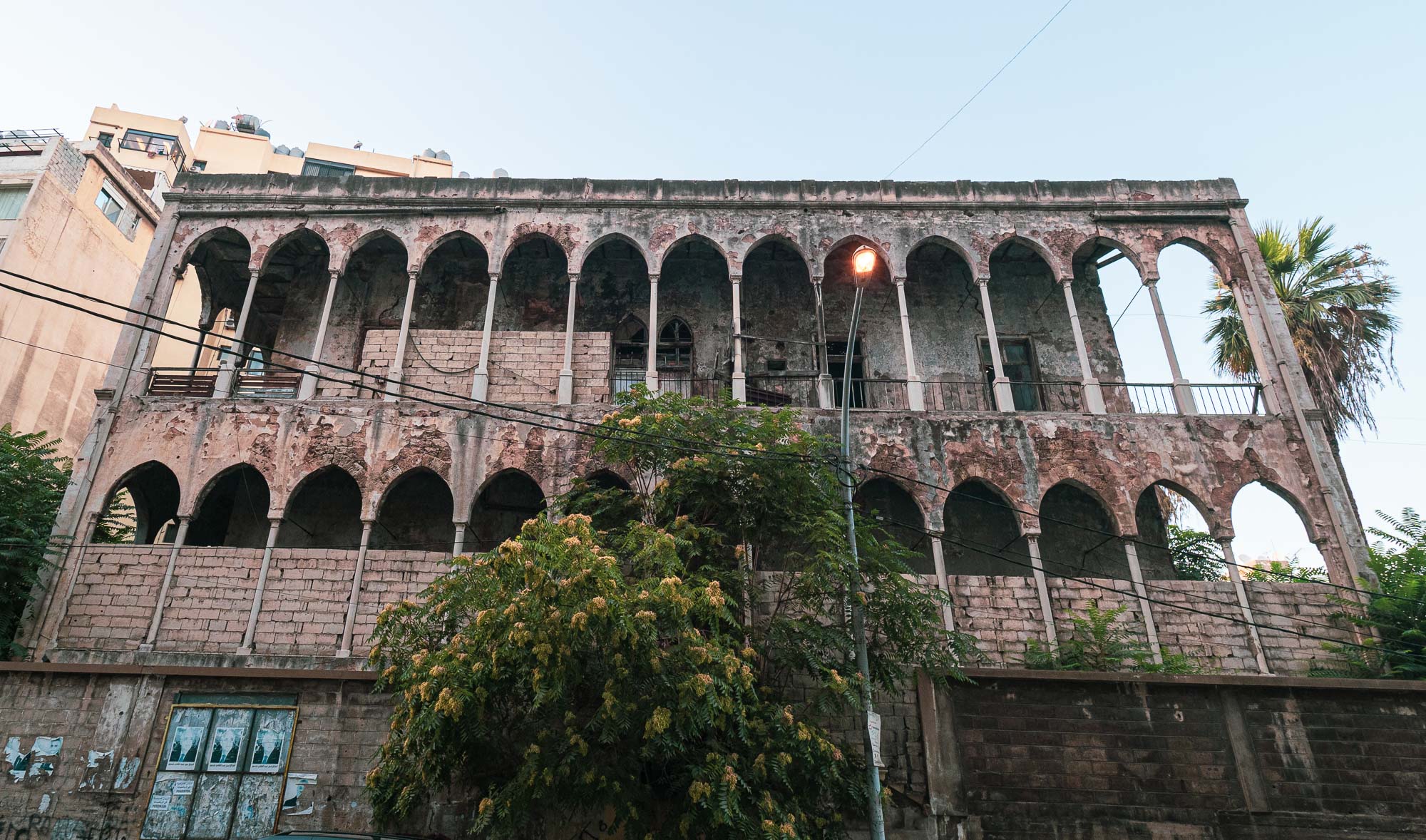
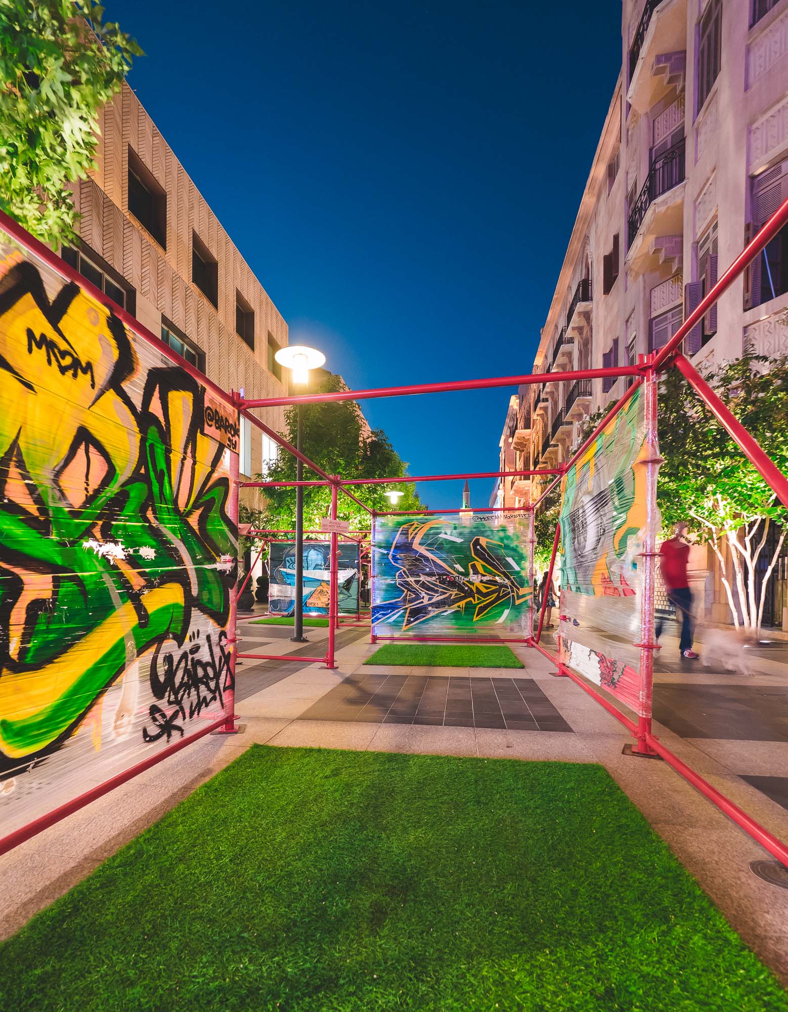
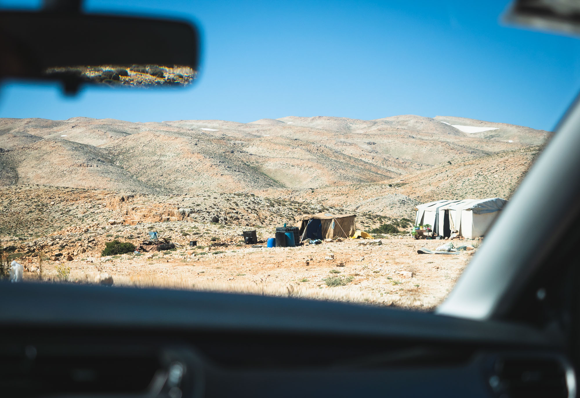
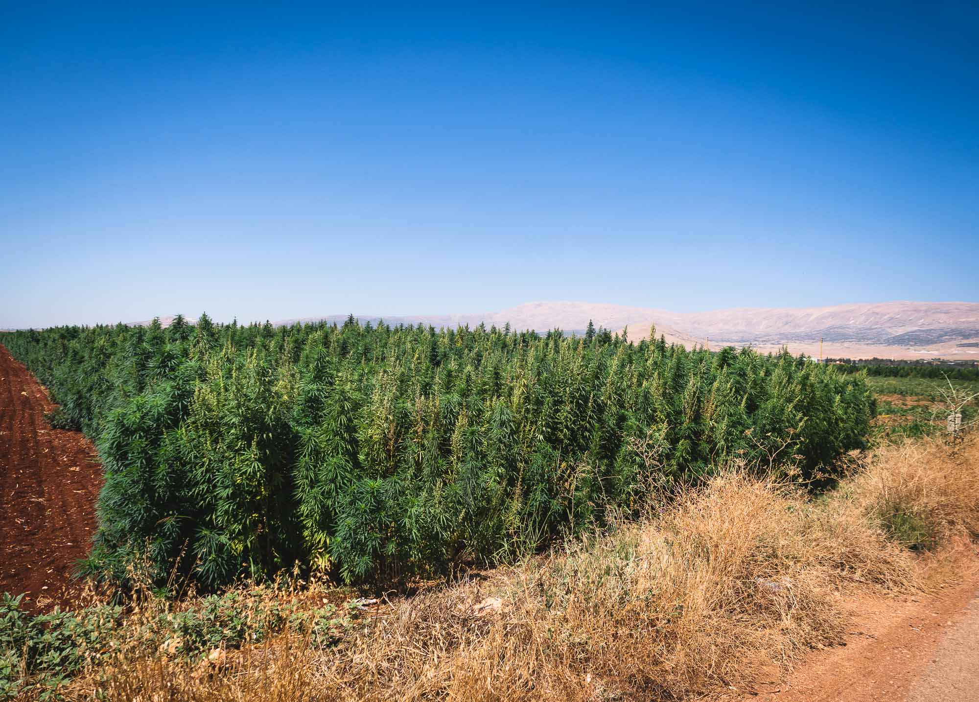
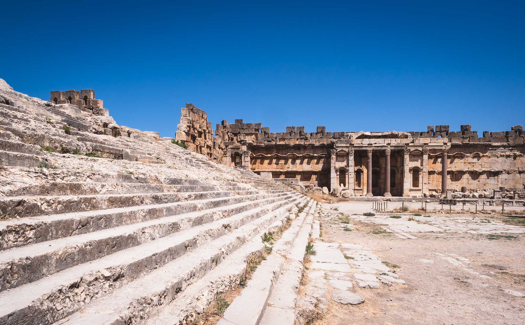
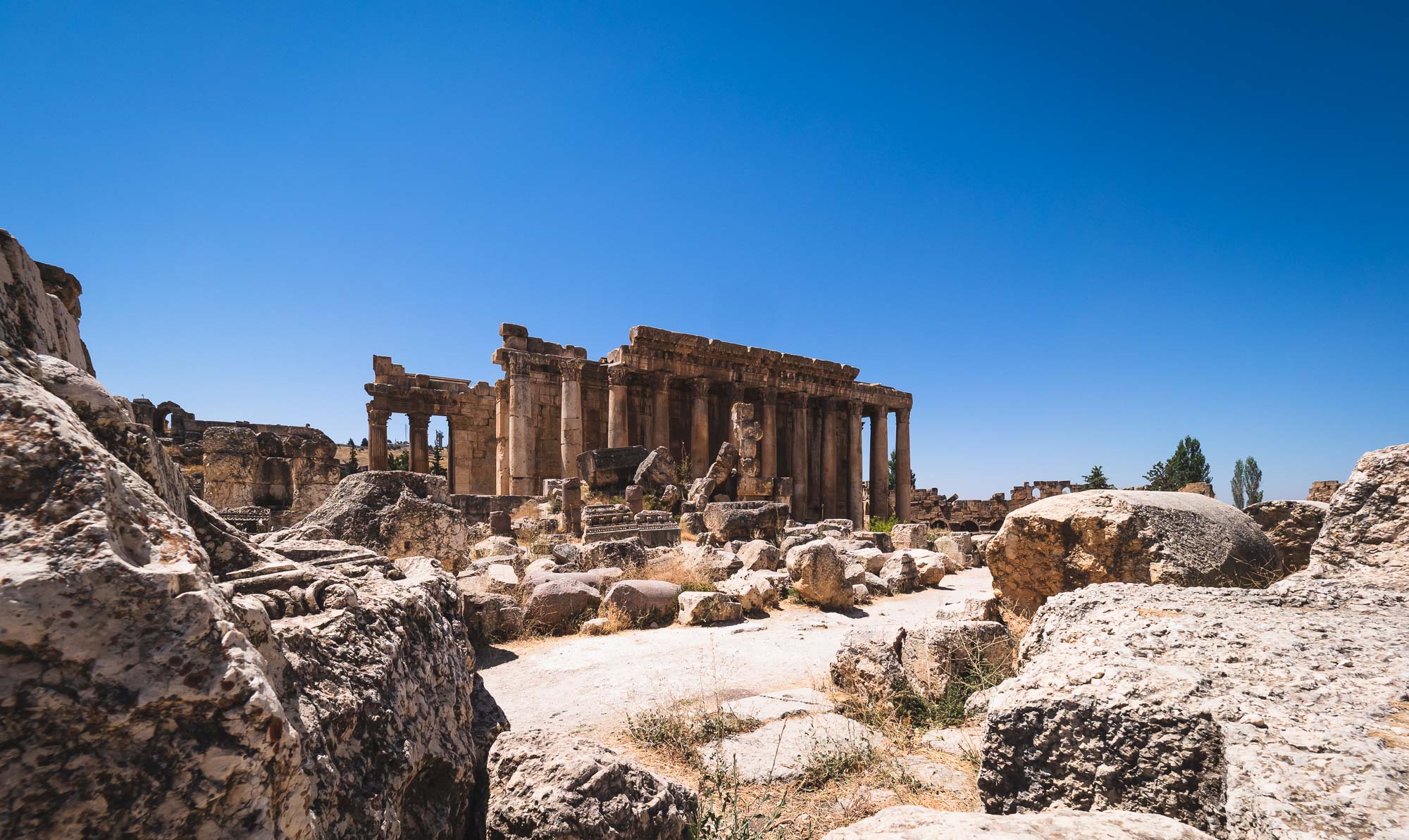
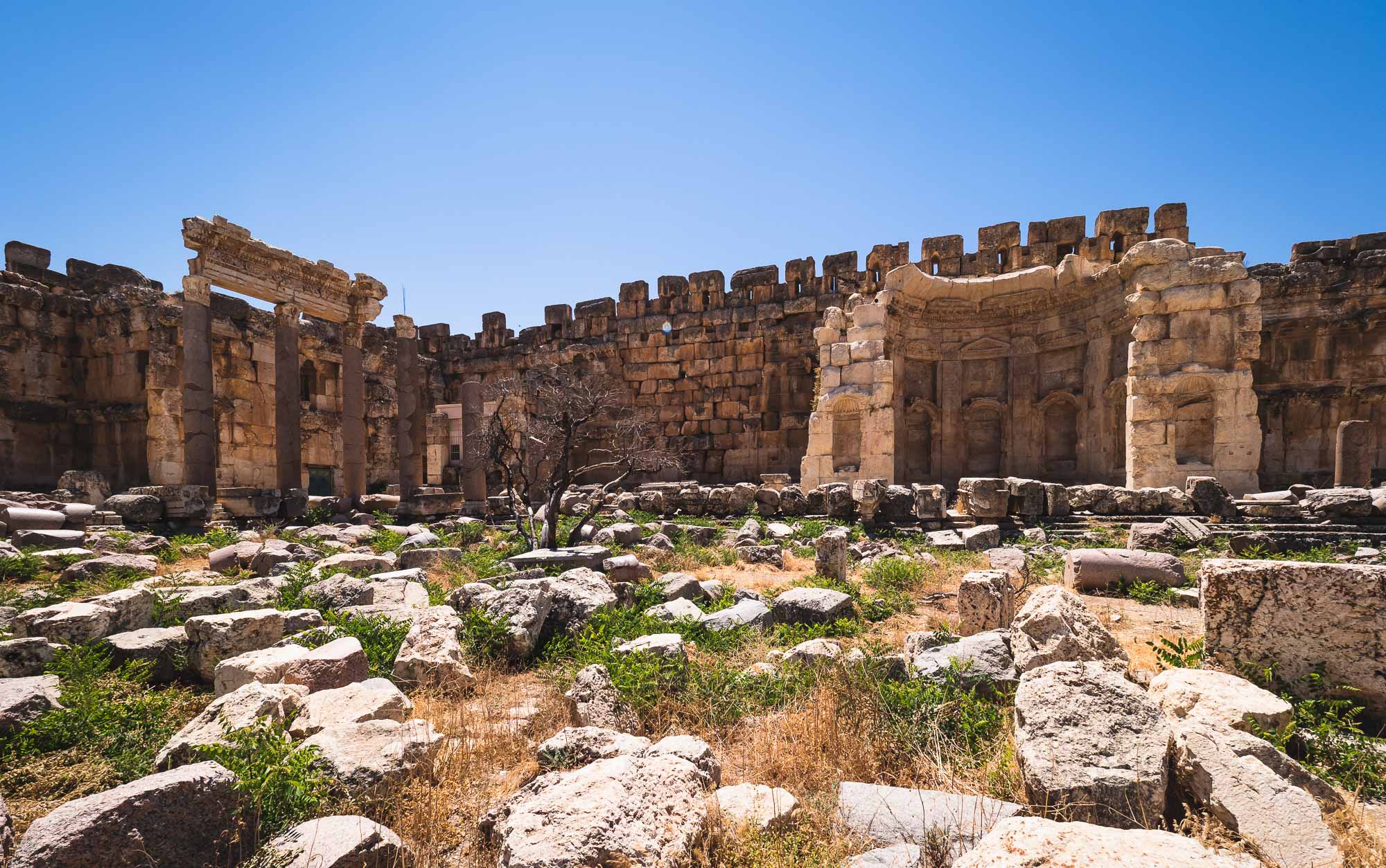
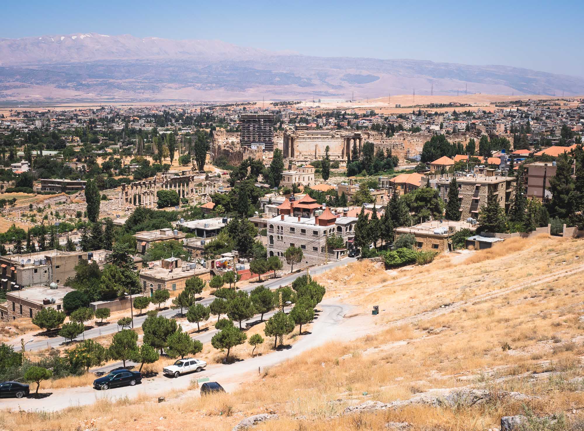
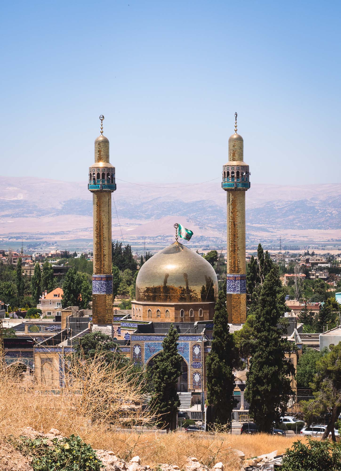
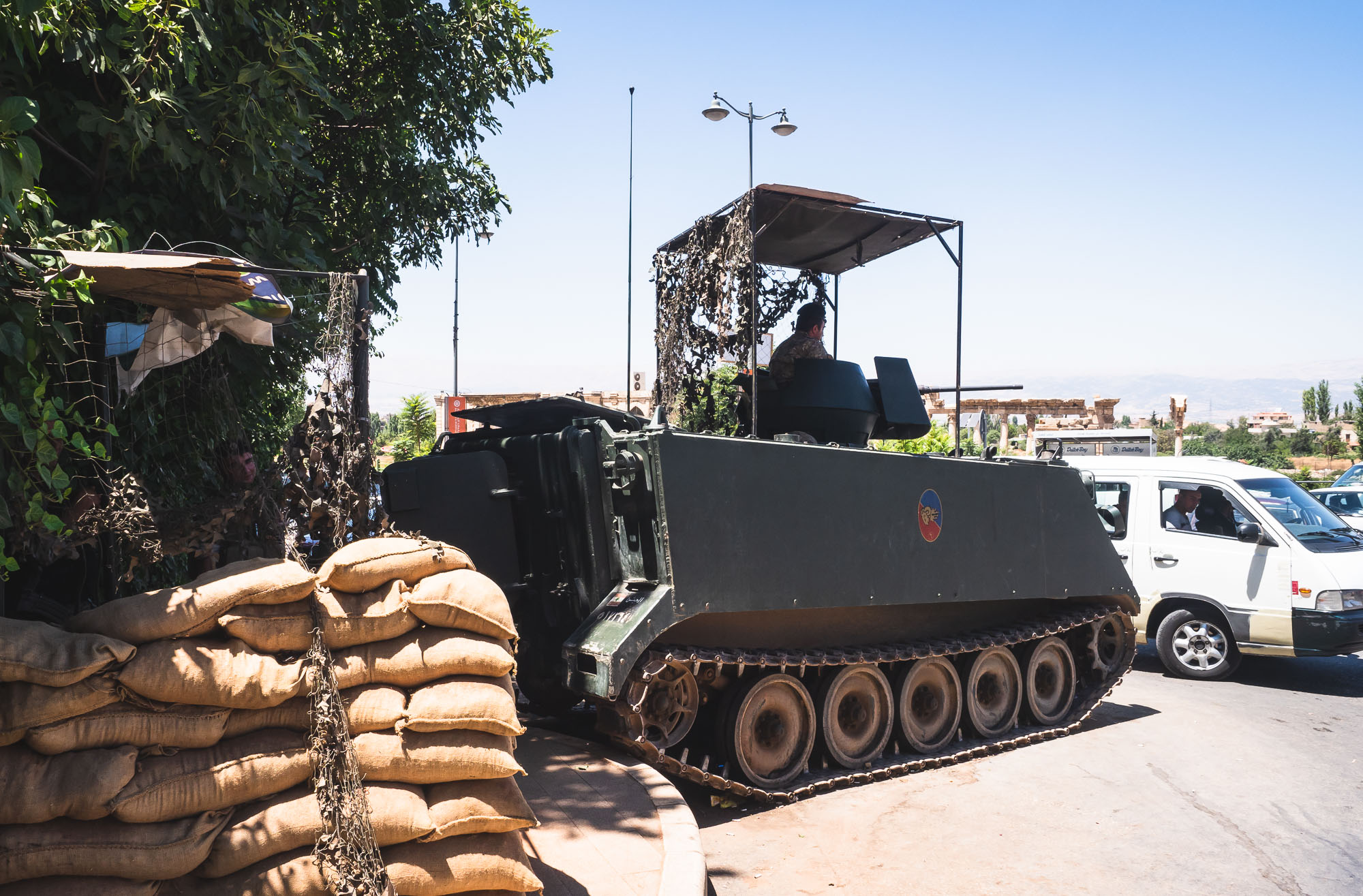
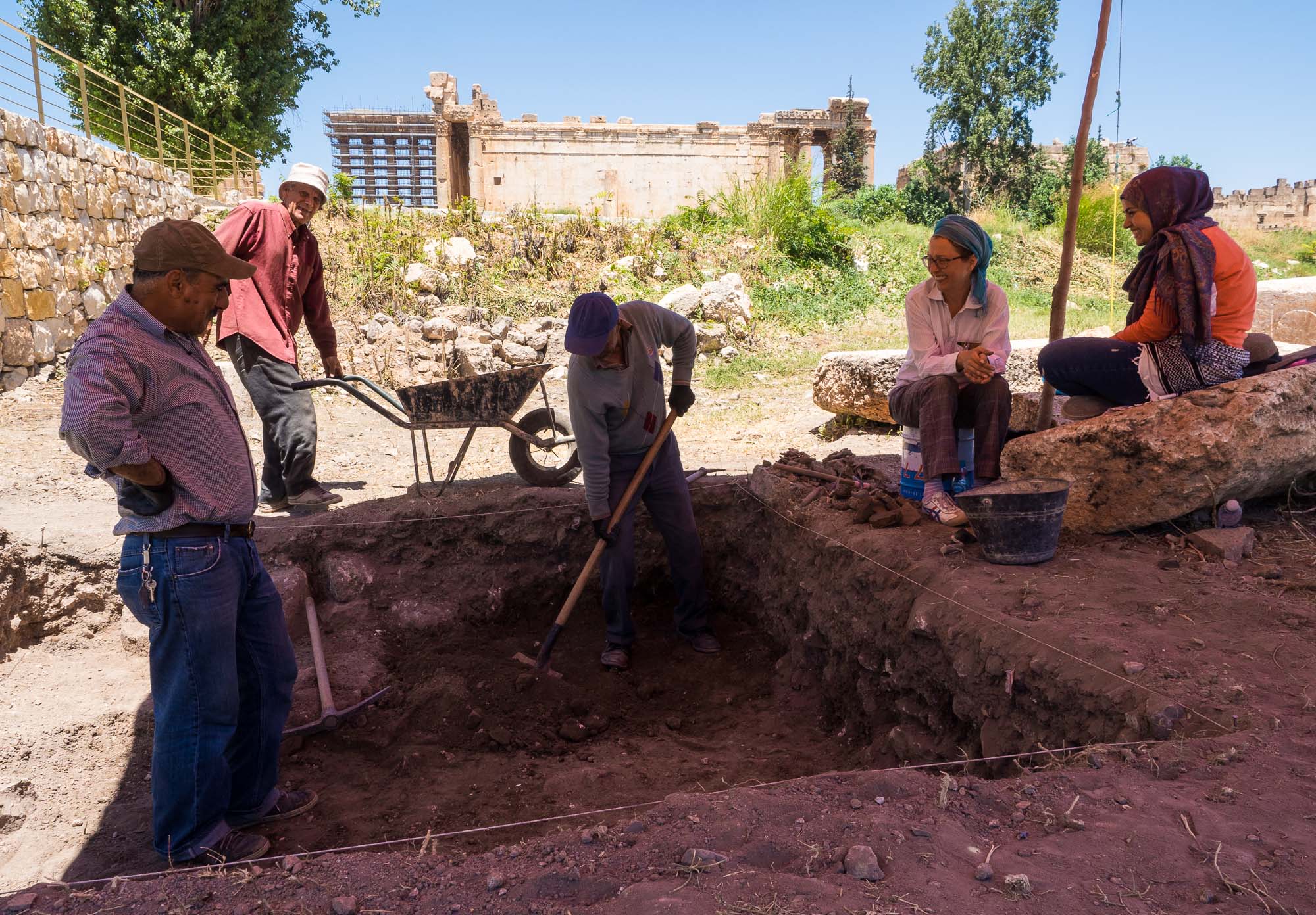
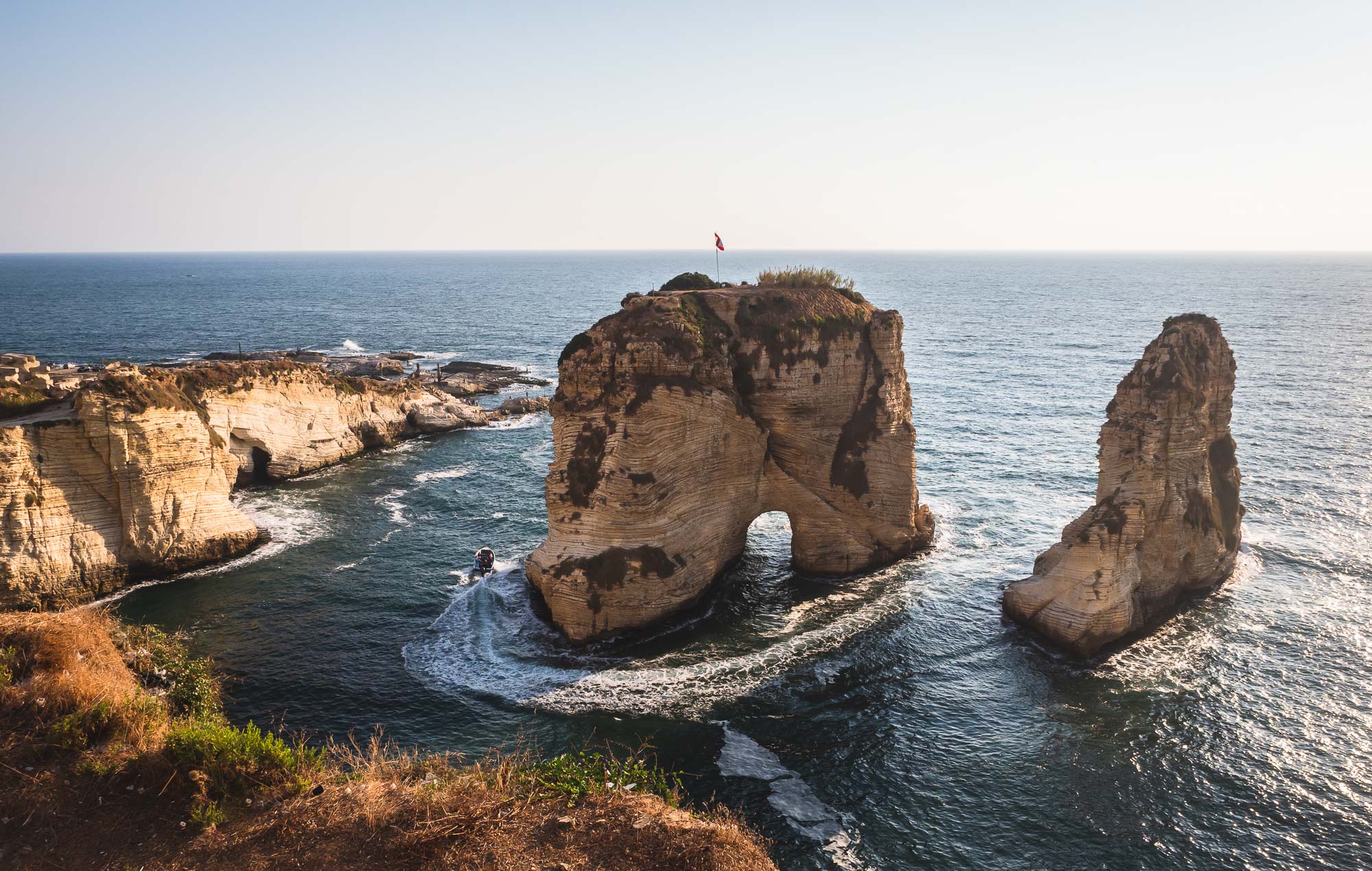
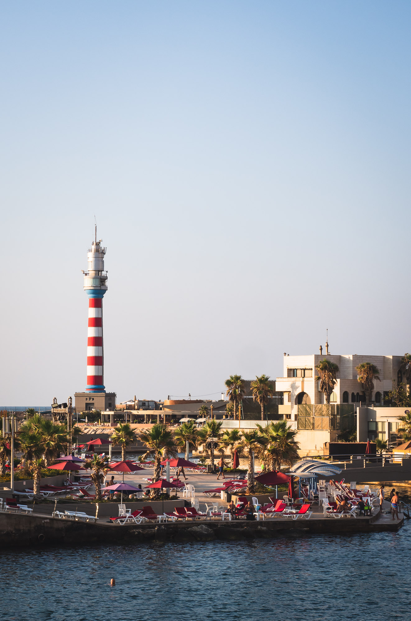
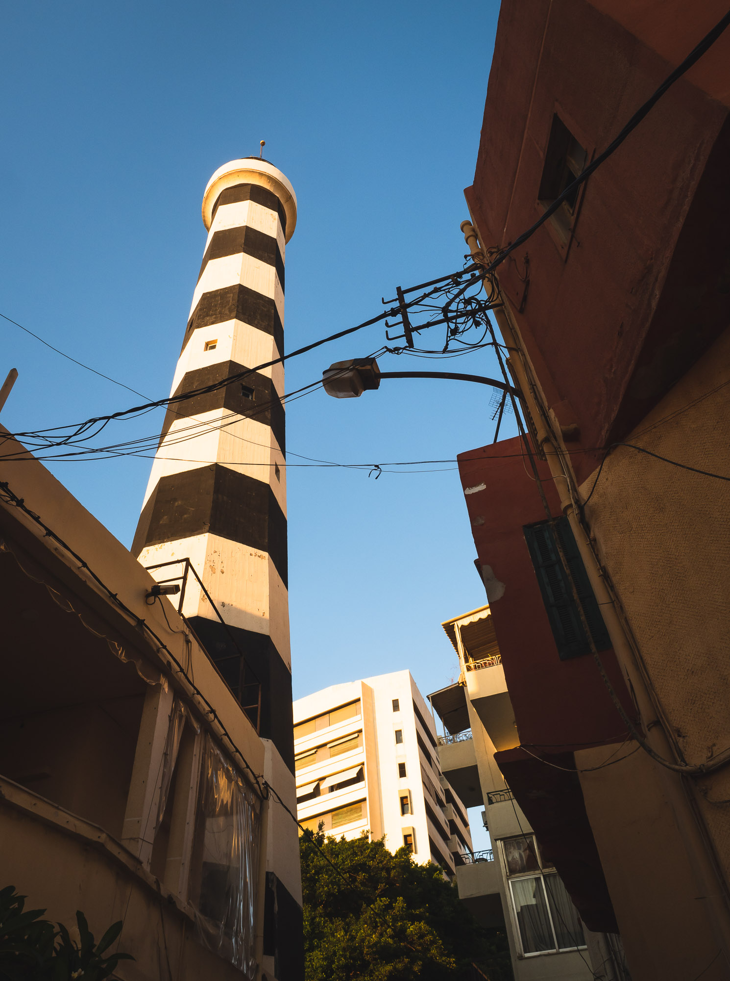
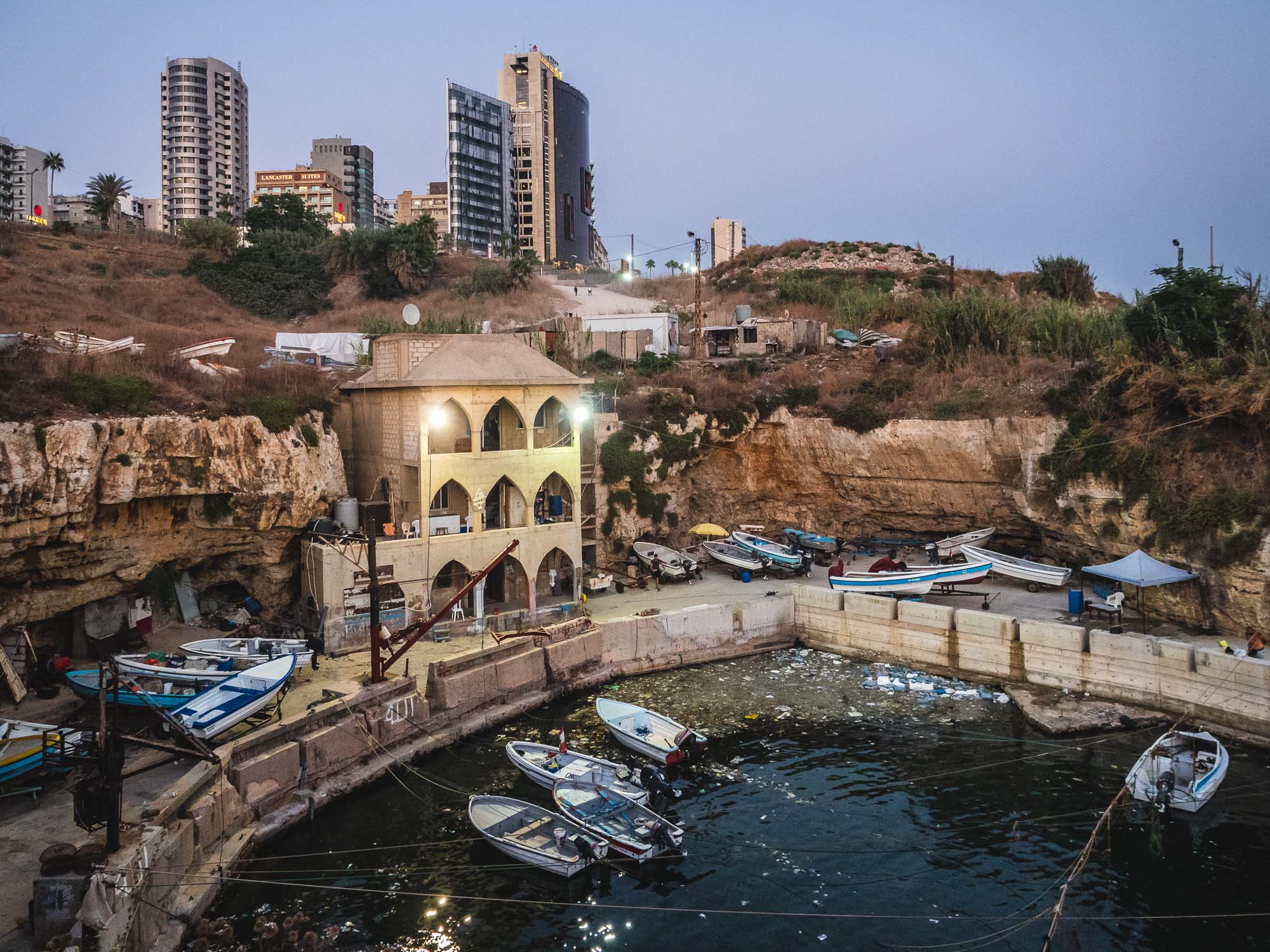
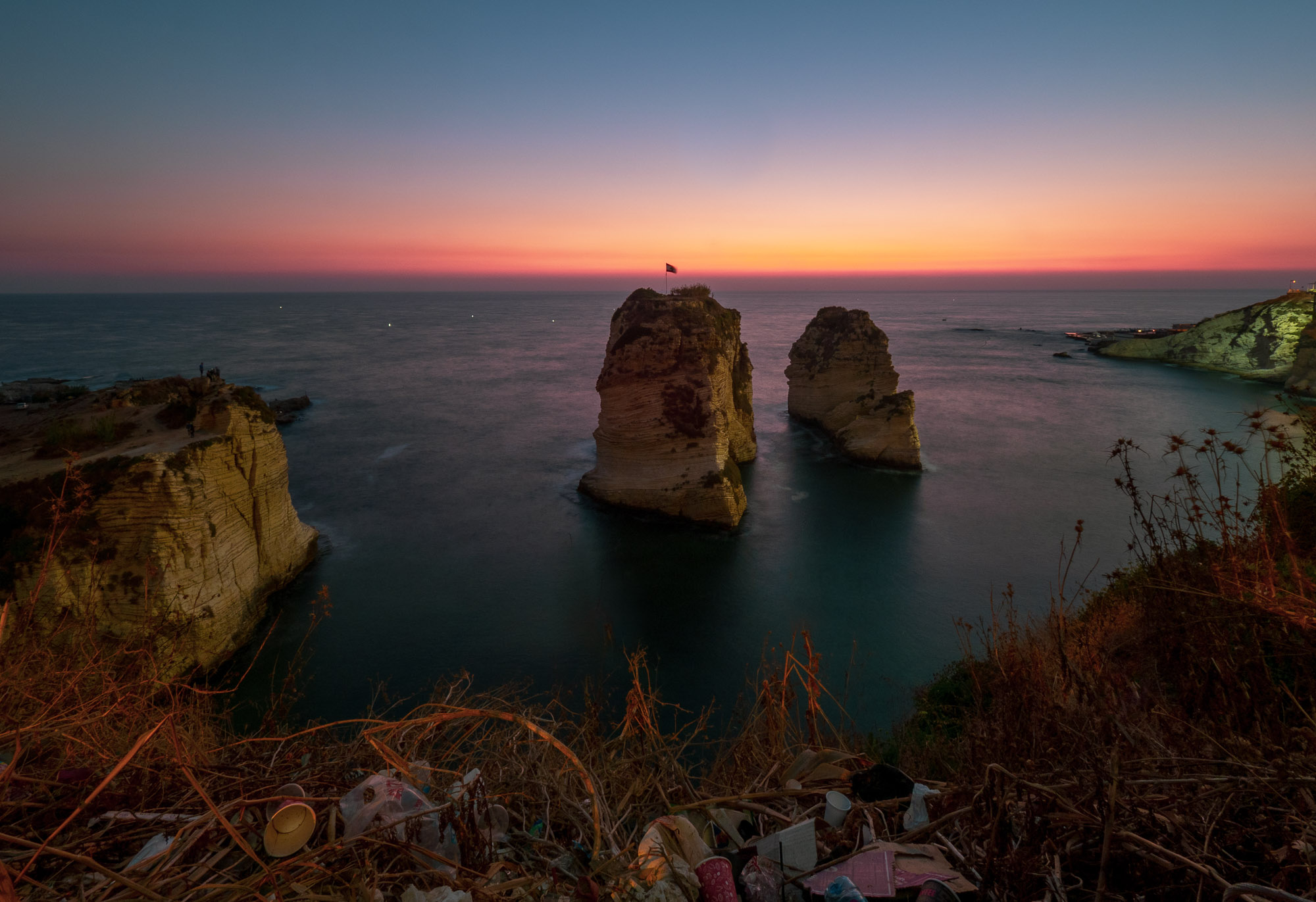
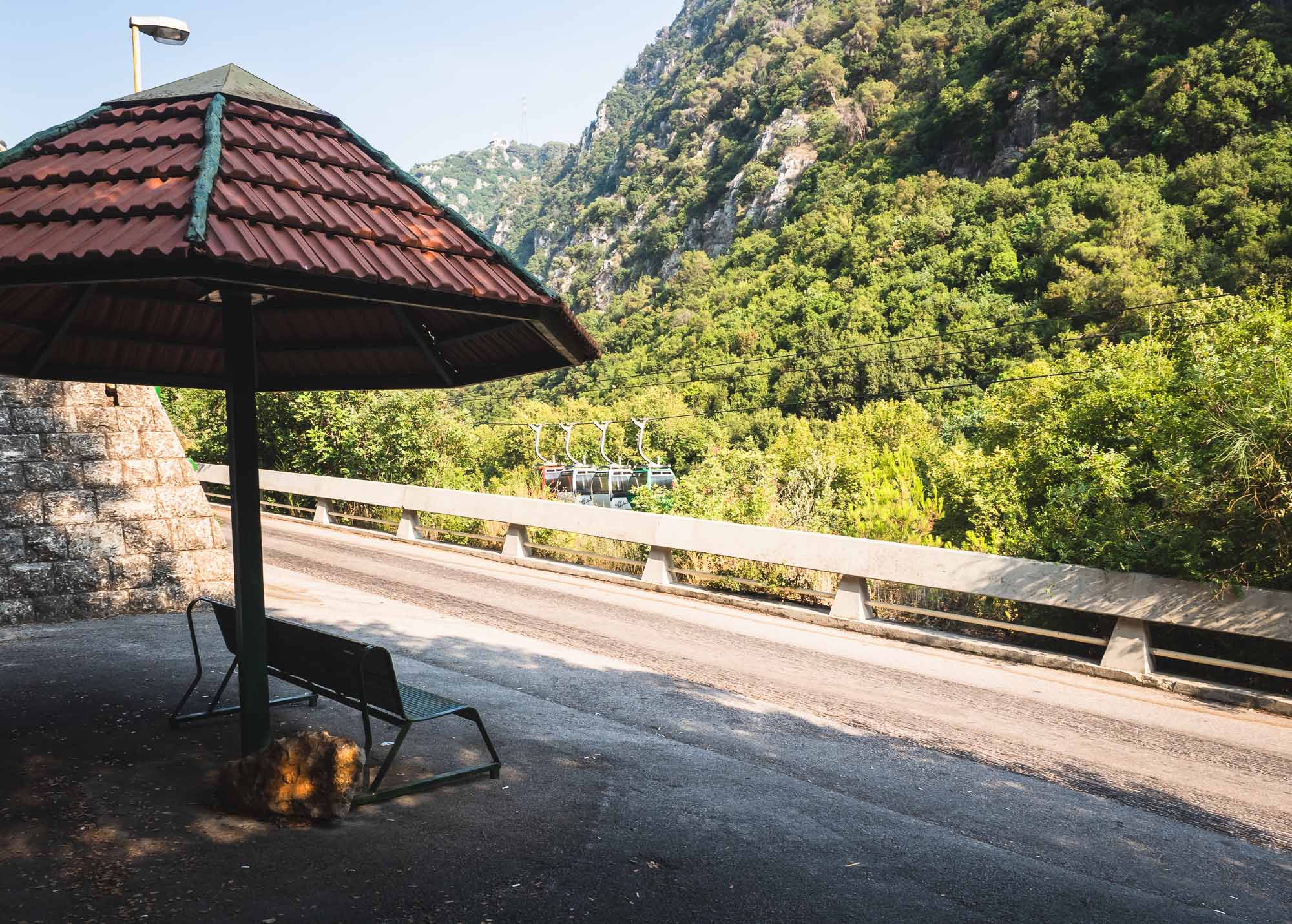
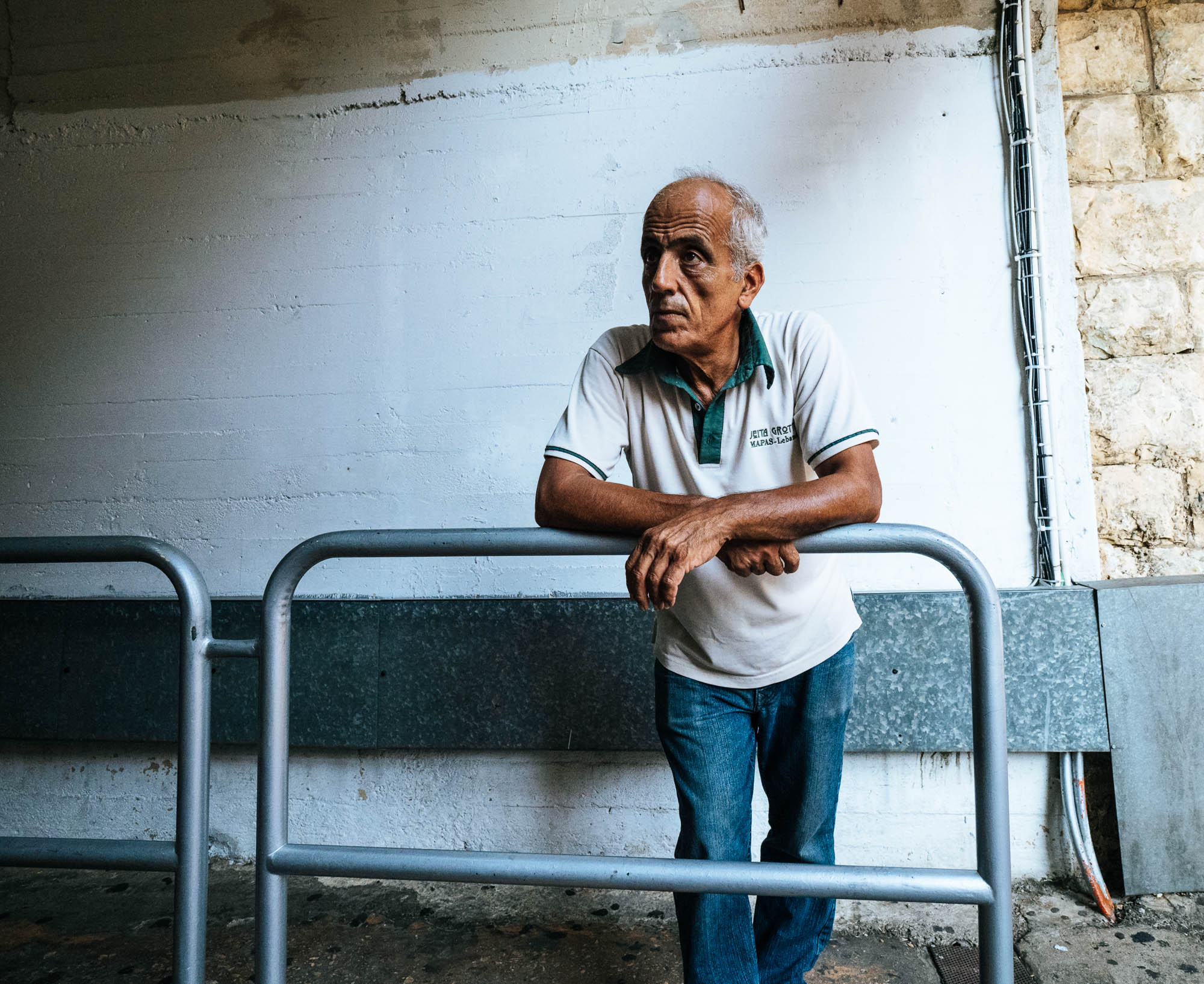
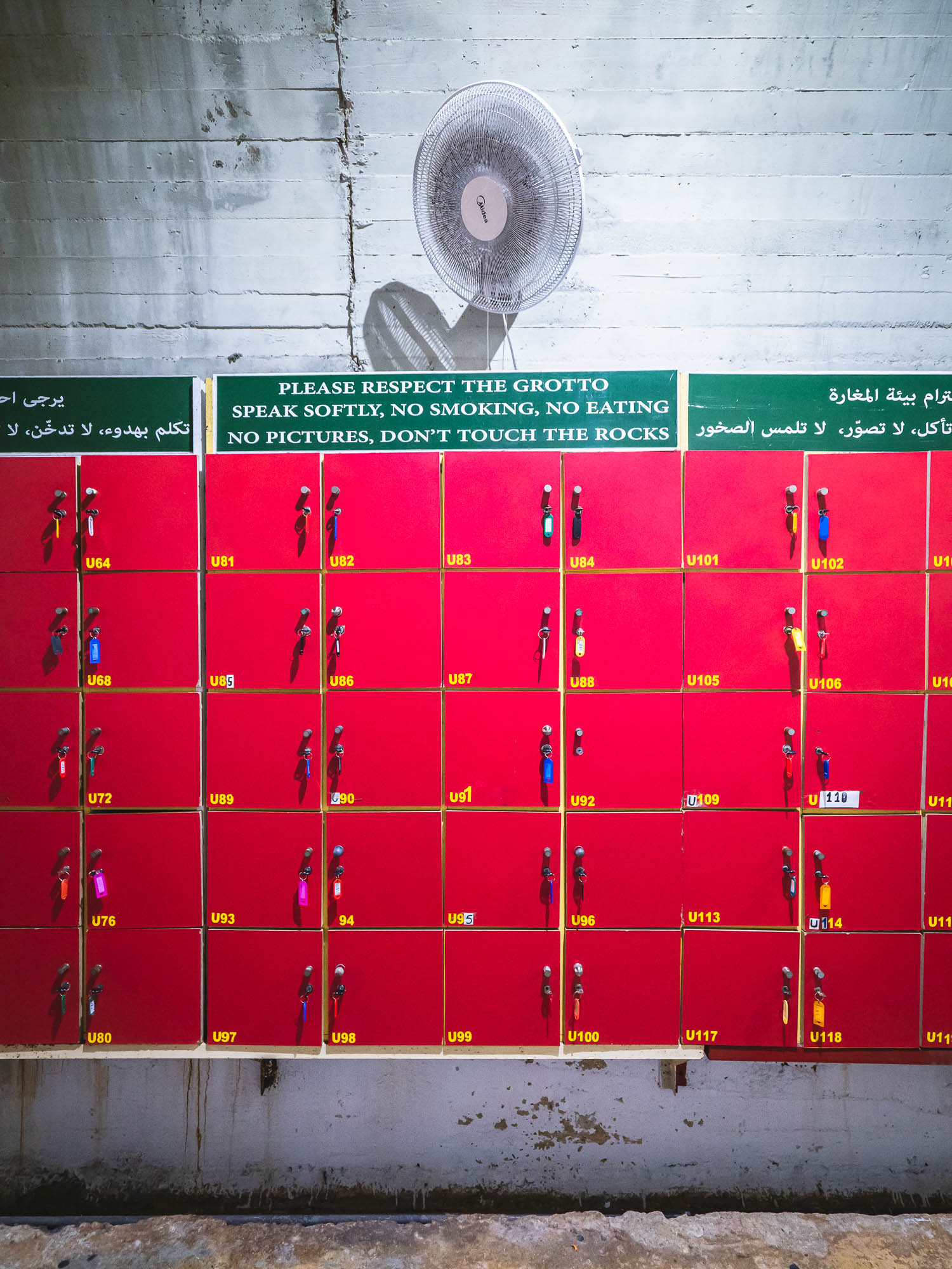
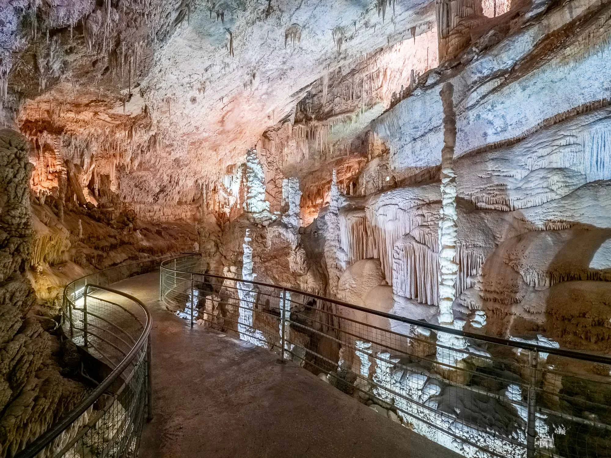
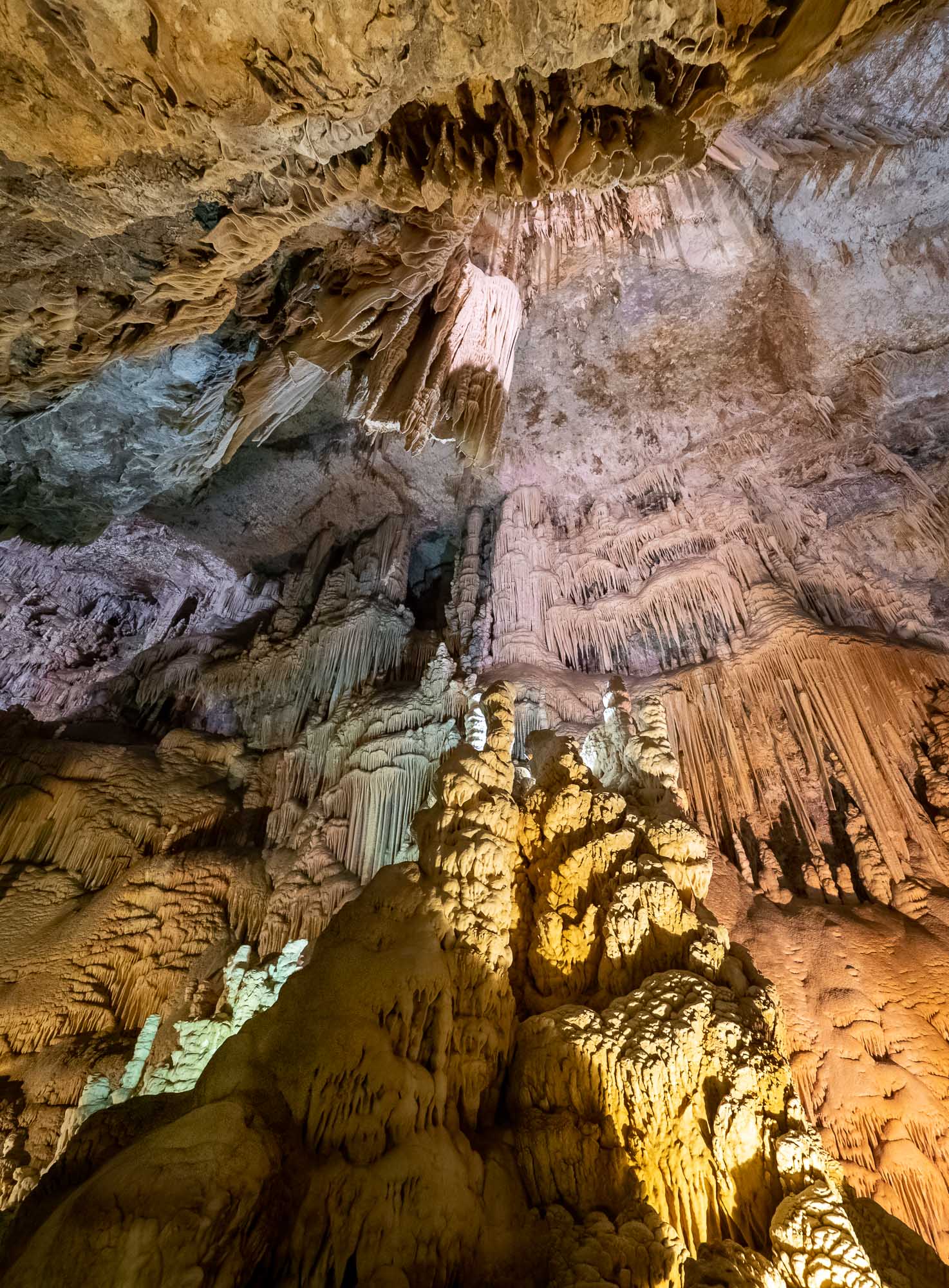
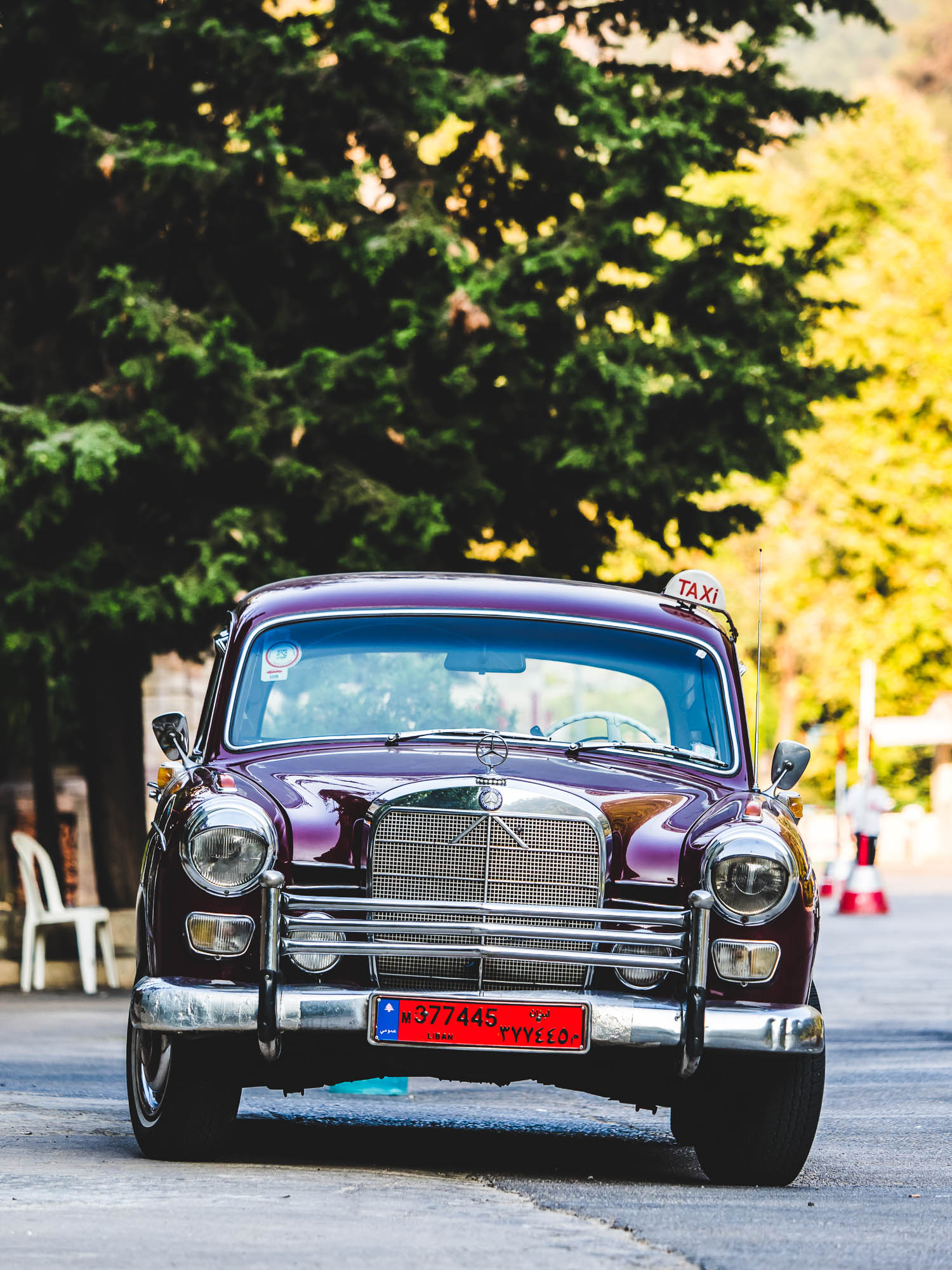
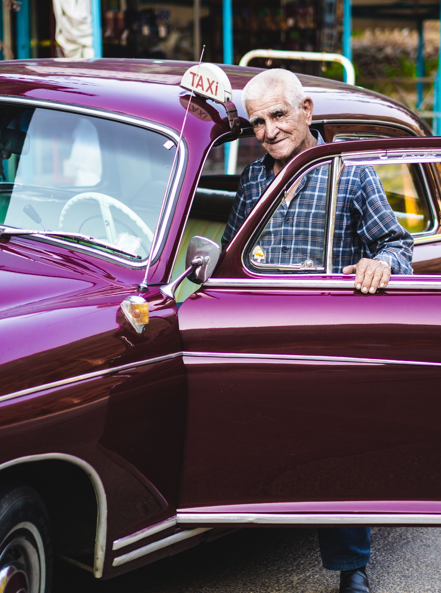
In July 2019 a wedding of one my best friends gave me the chance to visit another place in the Middle East: Lebanon. The history of the country and its natural setting result in a truly diversified experience. Assyrian, Hellenistic, Roman, Phoenician, Persian influences are evident throughout the country, which features everything from beaches, green mountains, nightlife, skiing in the winter, and some of the most impressive ancient sites in the world. While there is work to do to improve the traffic situation and general conditions of its major attractions, and the political situation remains challenging, it’s absolutely worth a visit (or two). During the 5 days, I visited Byblos, Harissa, the Jeita Grotto, Baalbek and explored parts of Beirut. Oh, and even passed by the Casino du Liban, once my mum told me my late grandfather and uncle had been there in the 1970s.


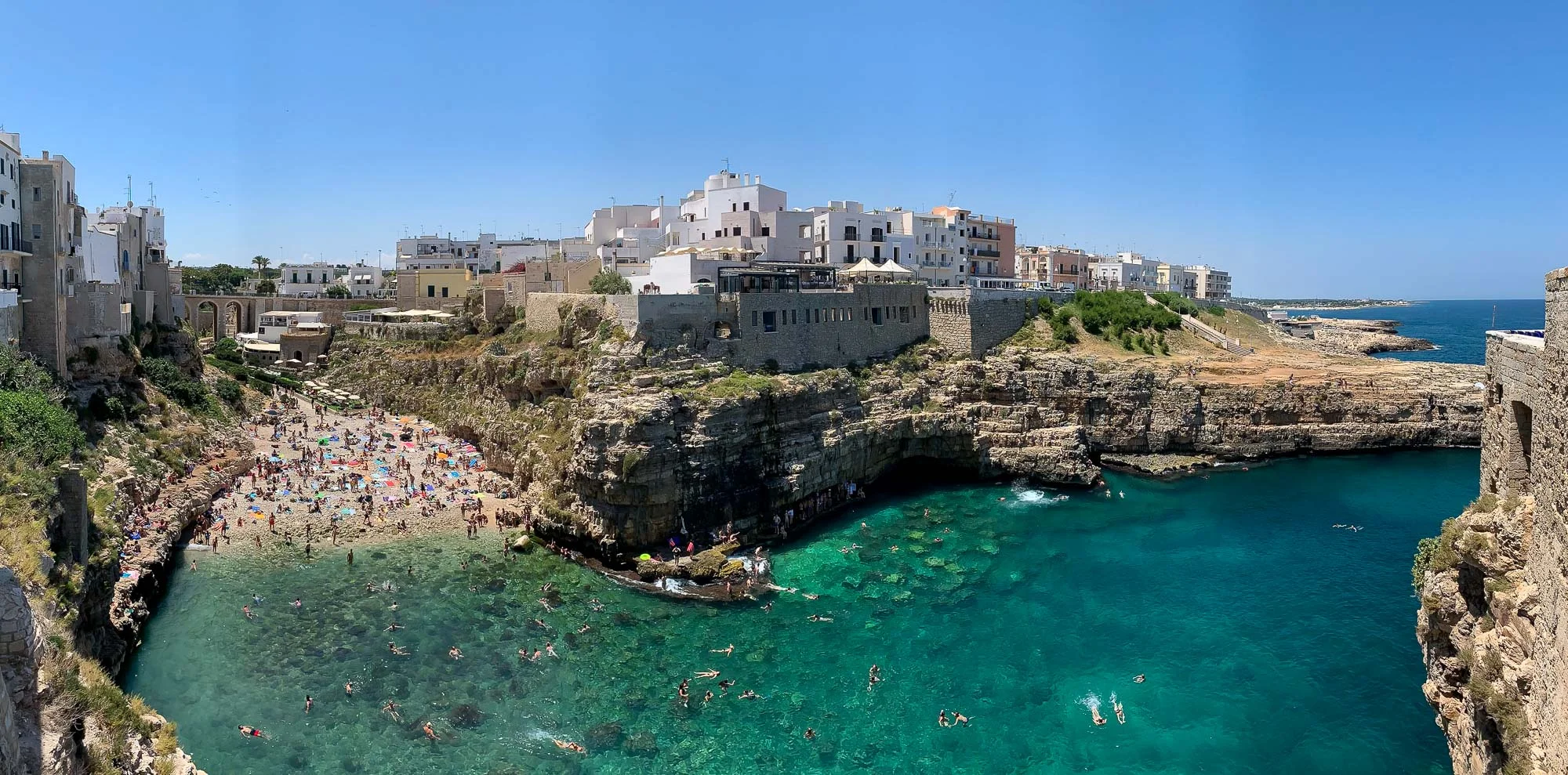
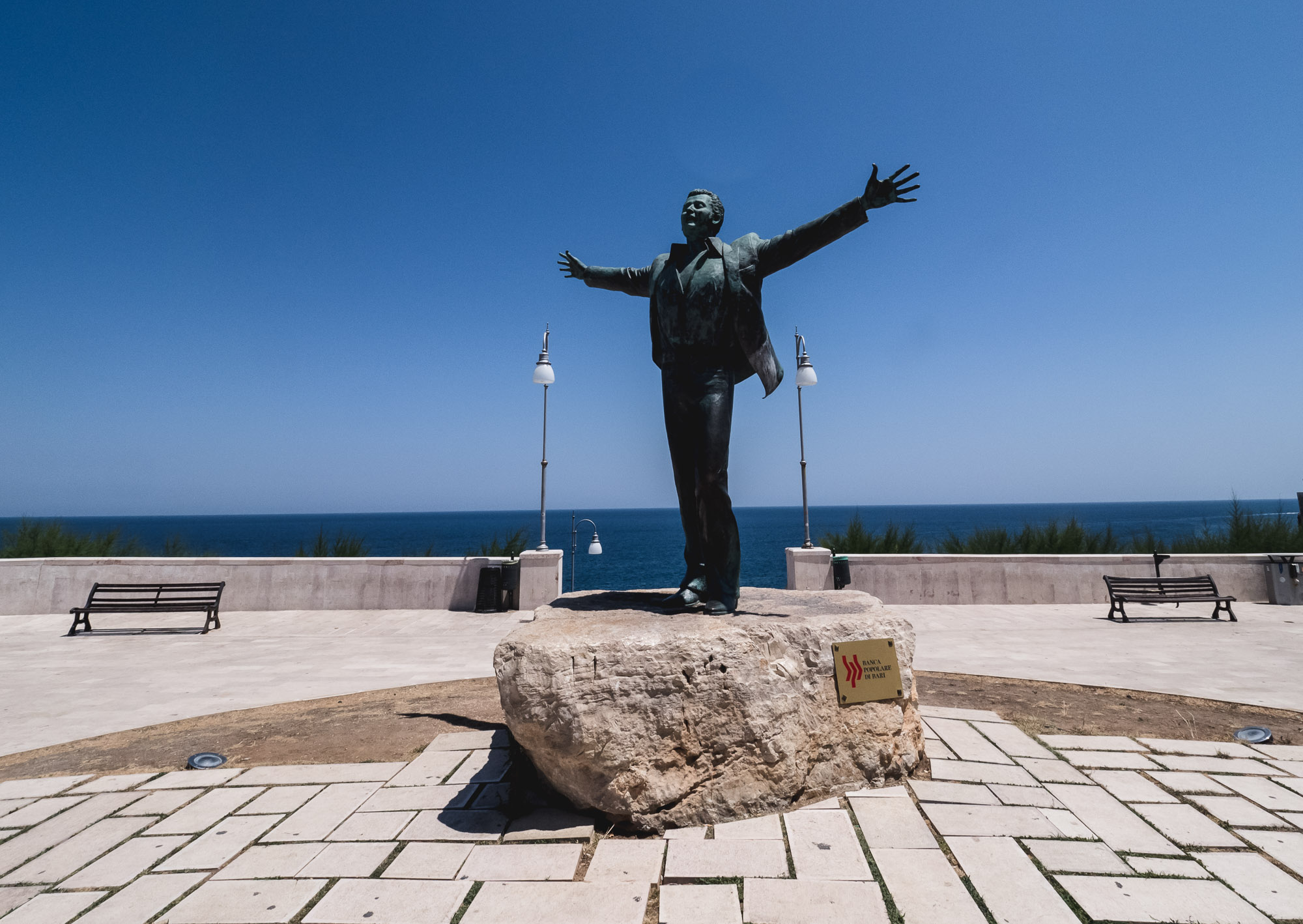
Puglia - Italy's South at its Best
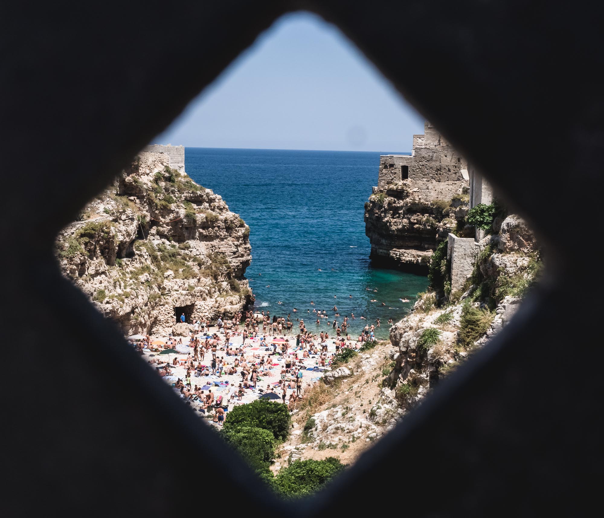
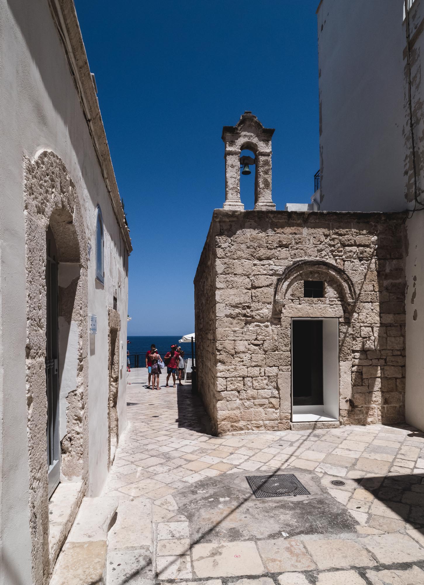
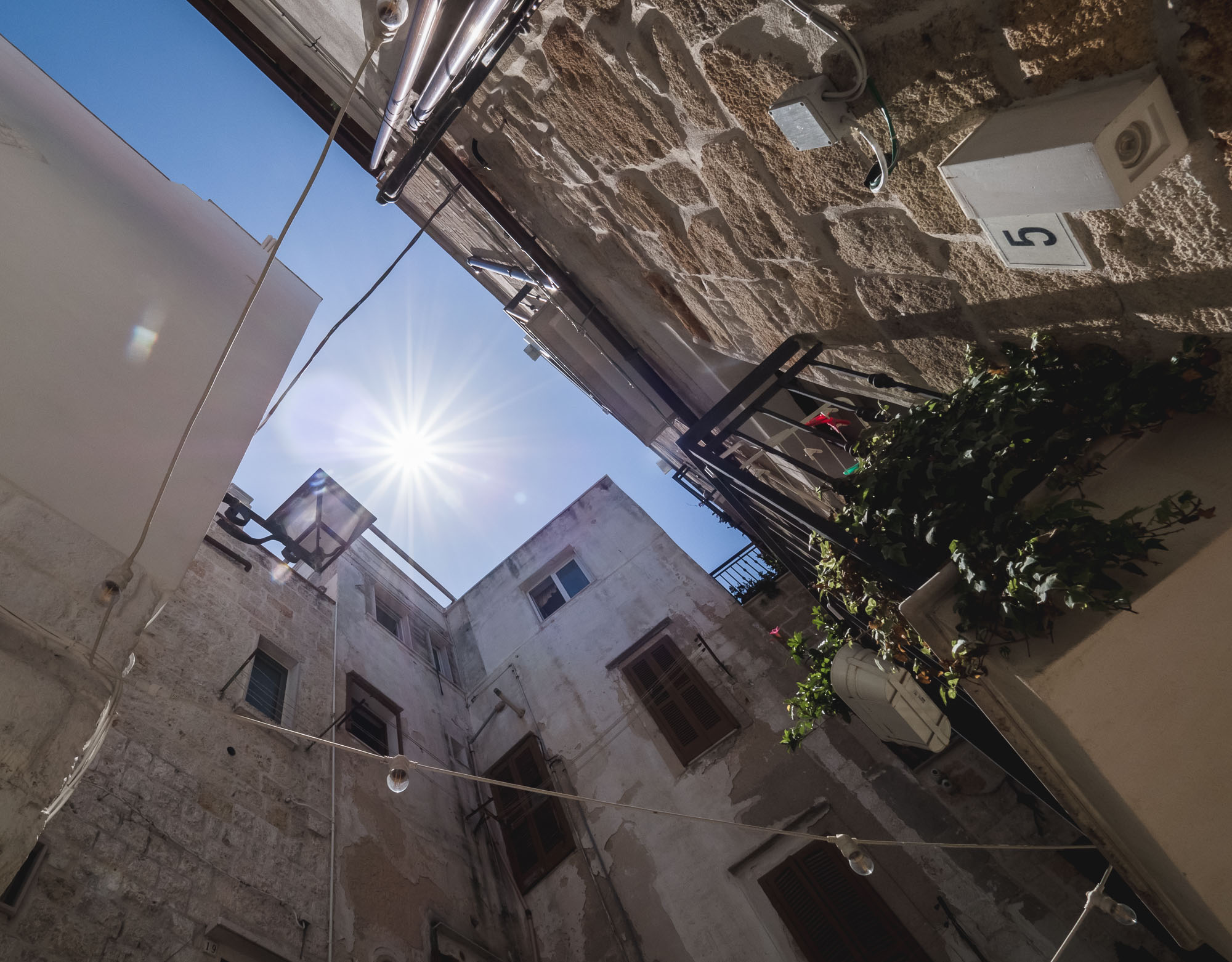
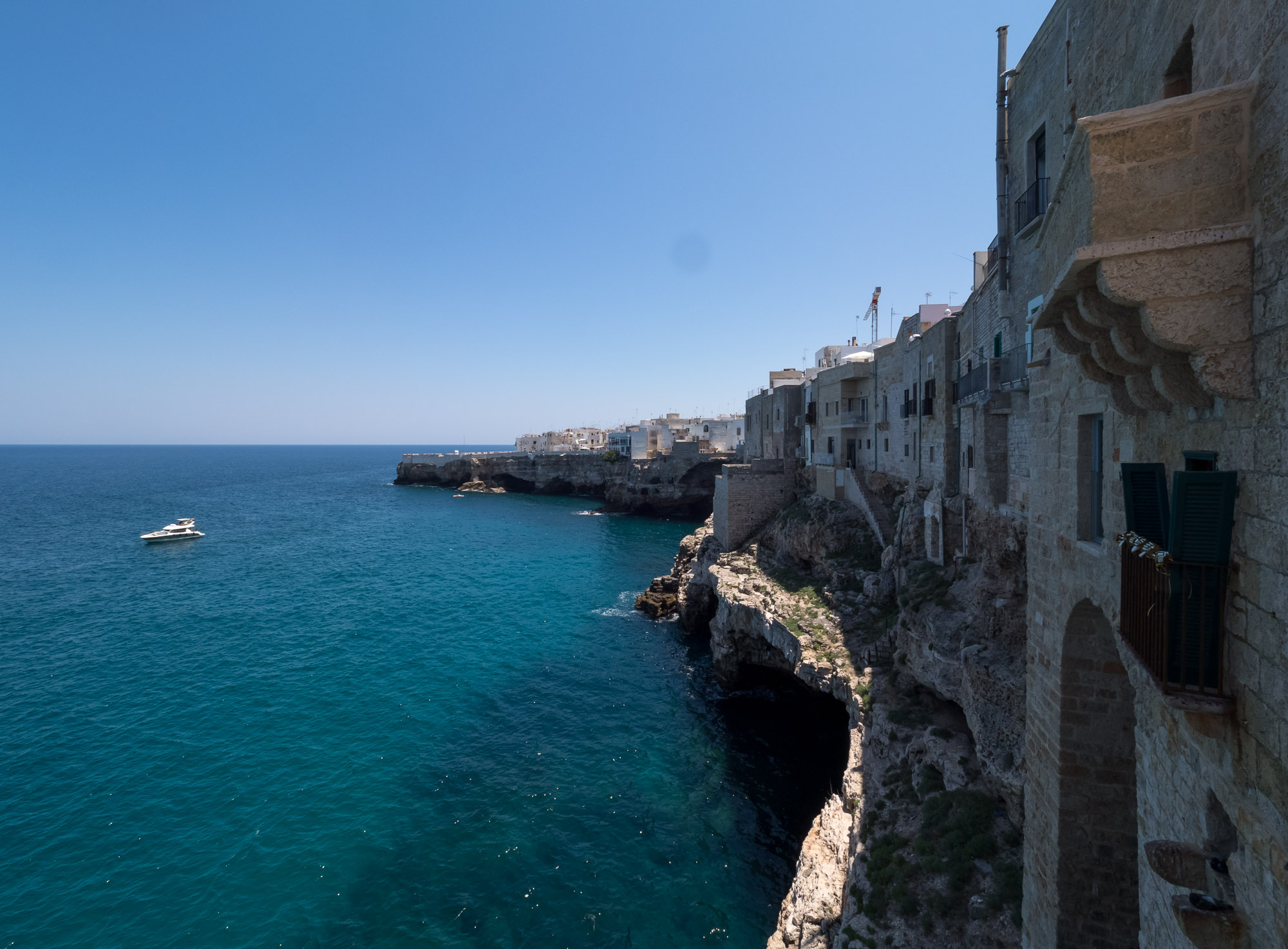
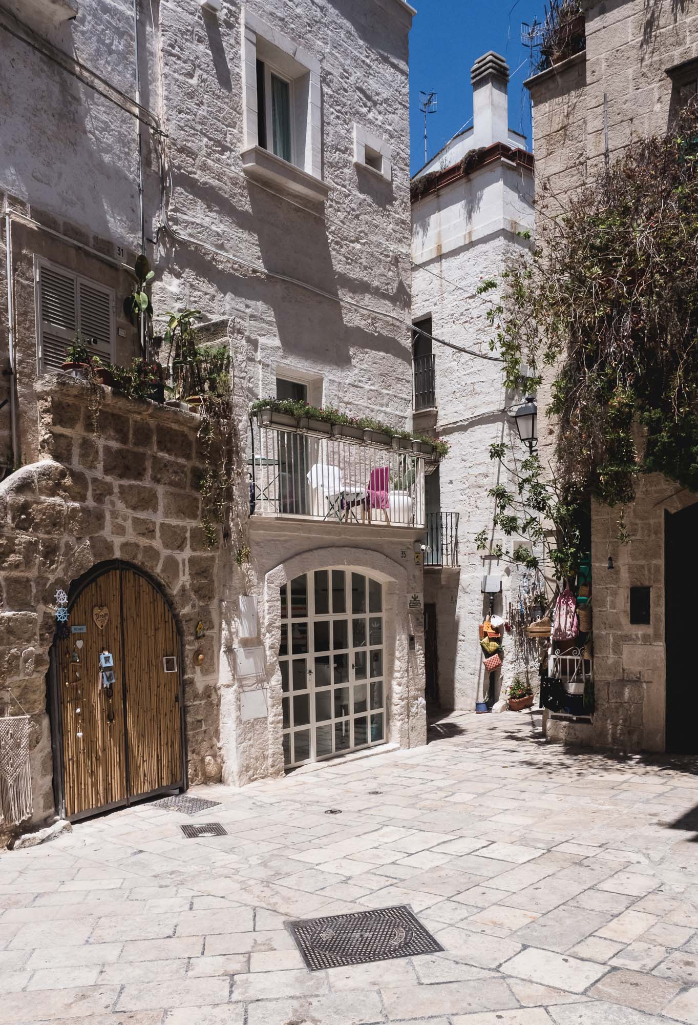
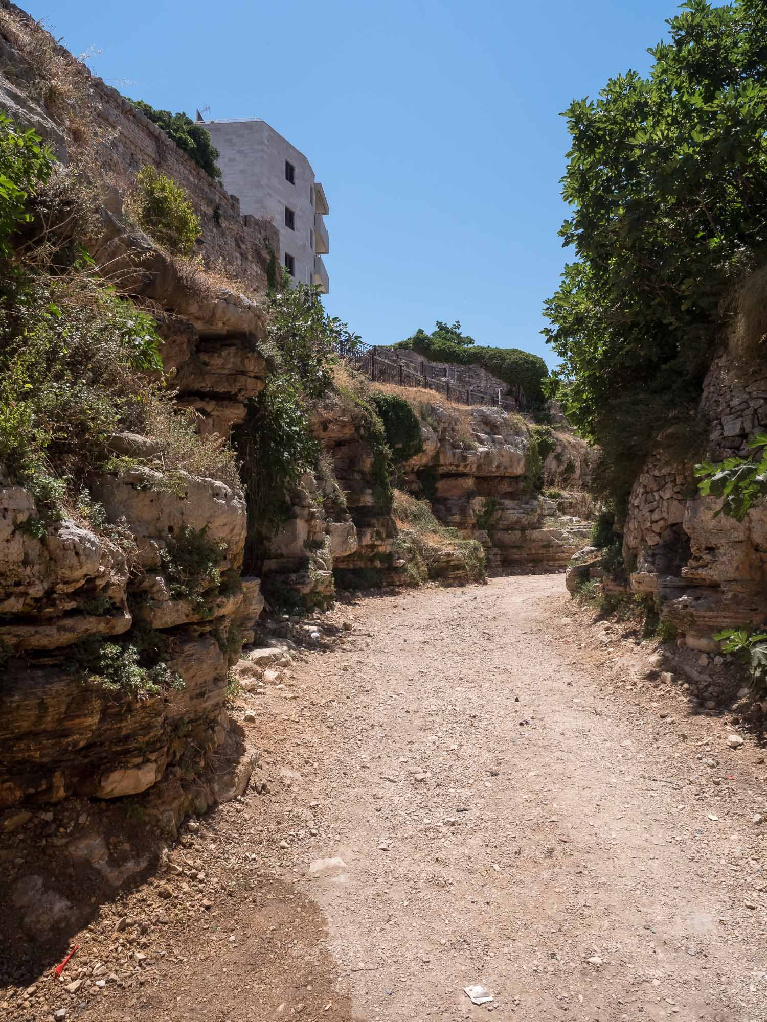
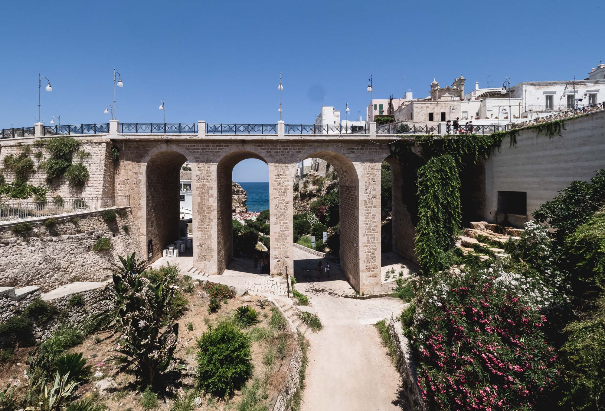
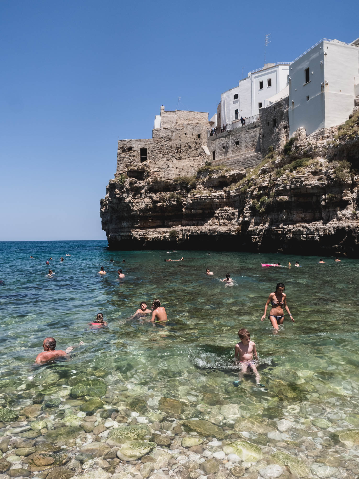
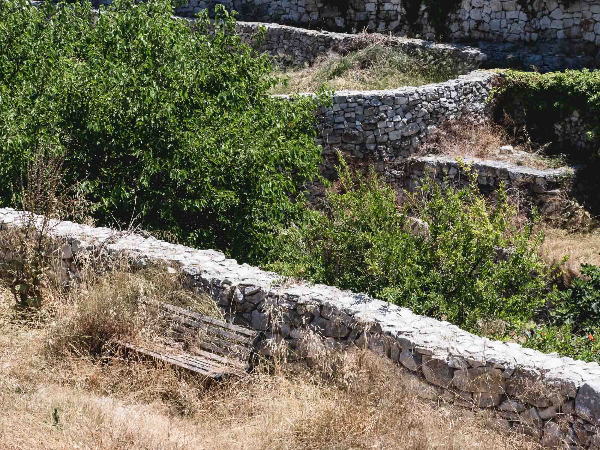
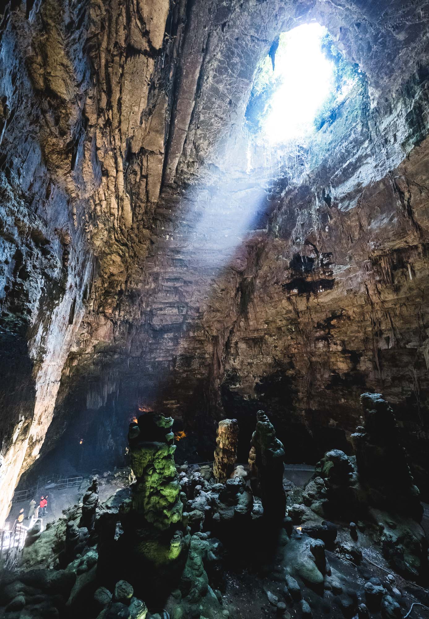
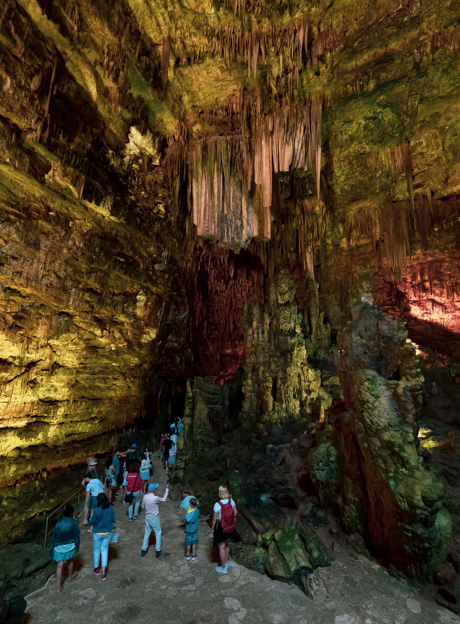
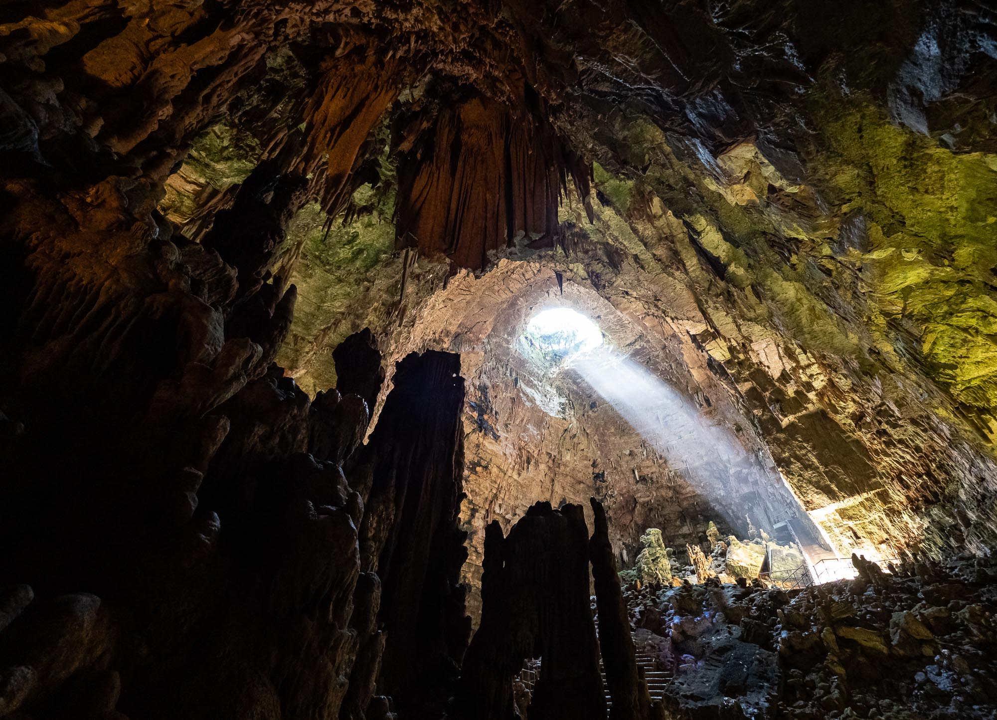
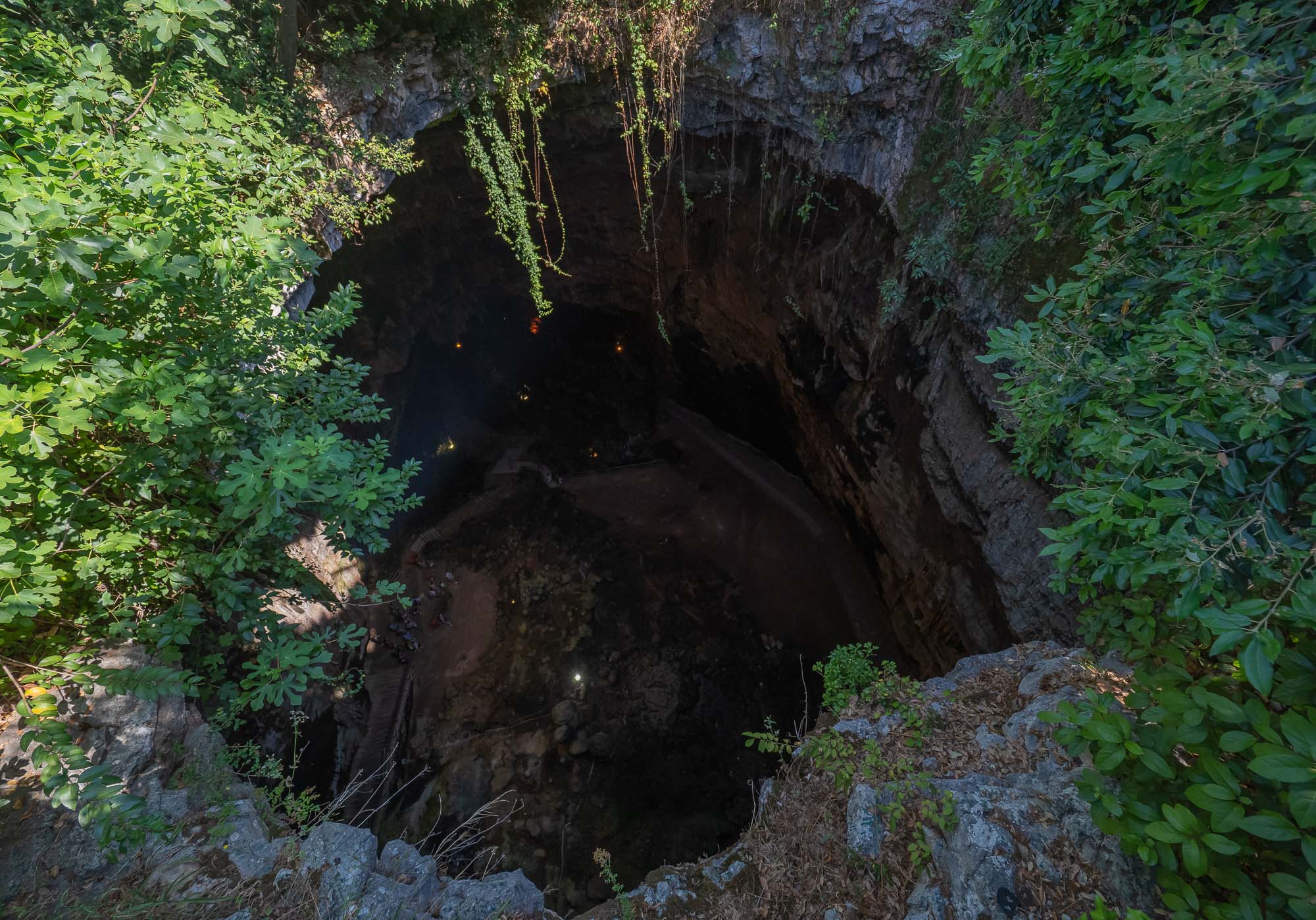
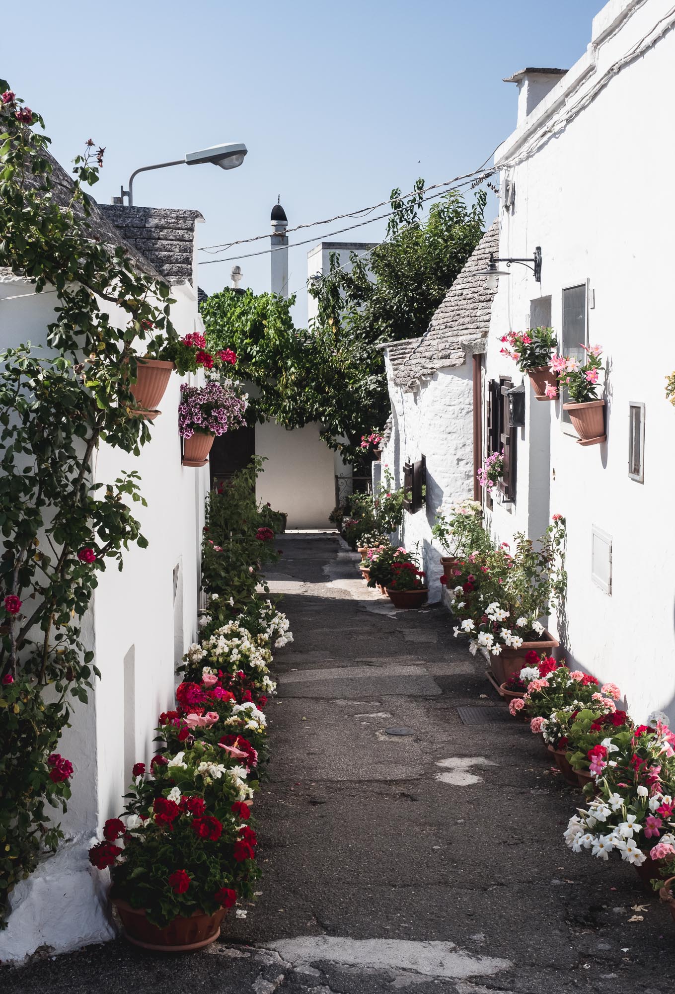
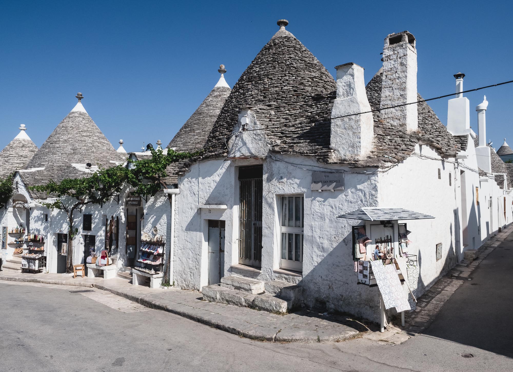
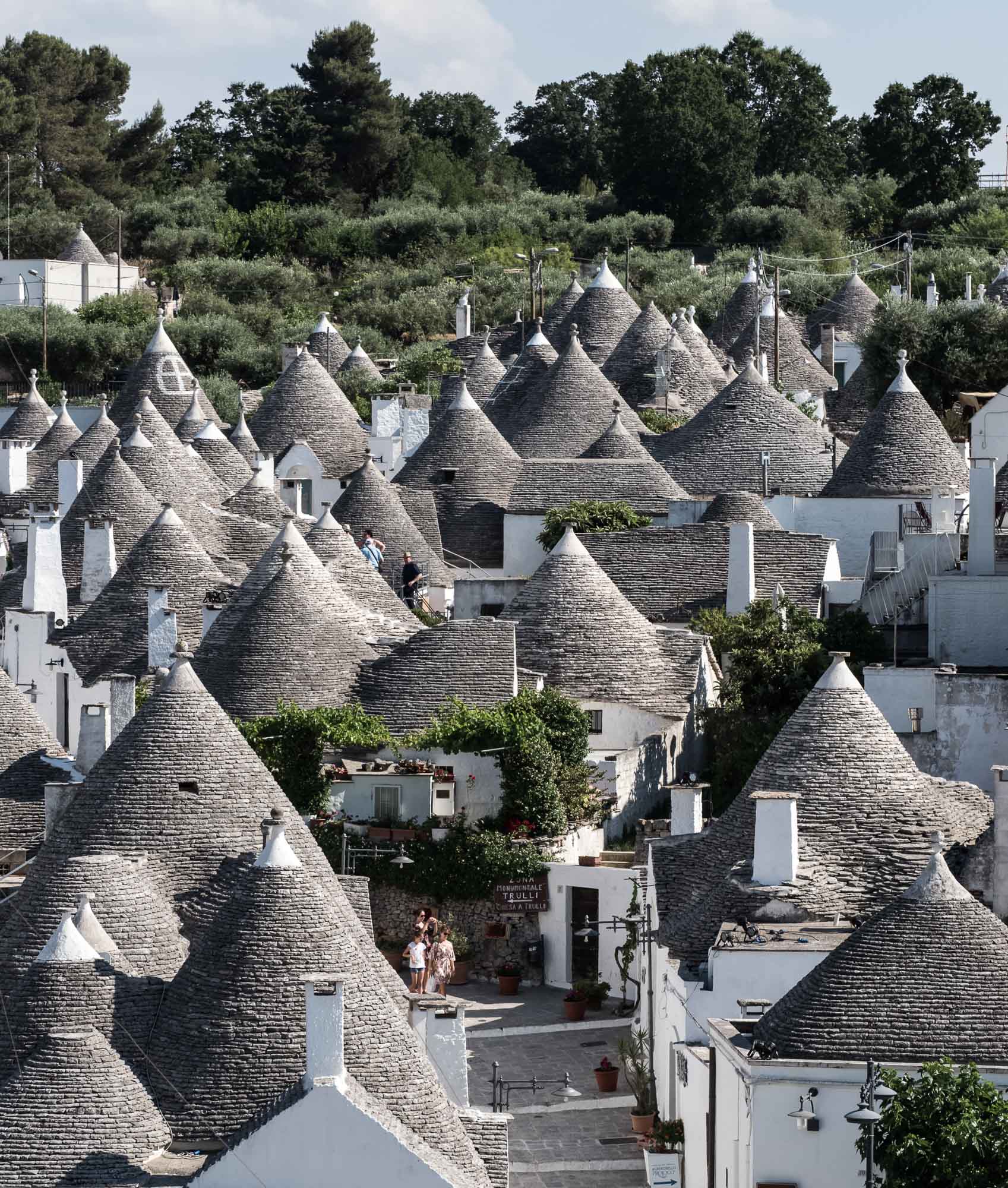
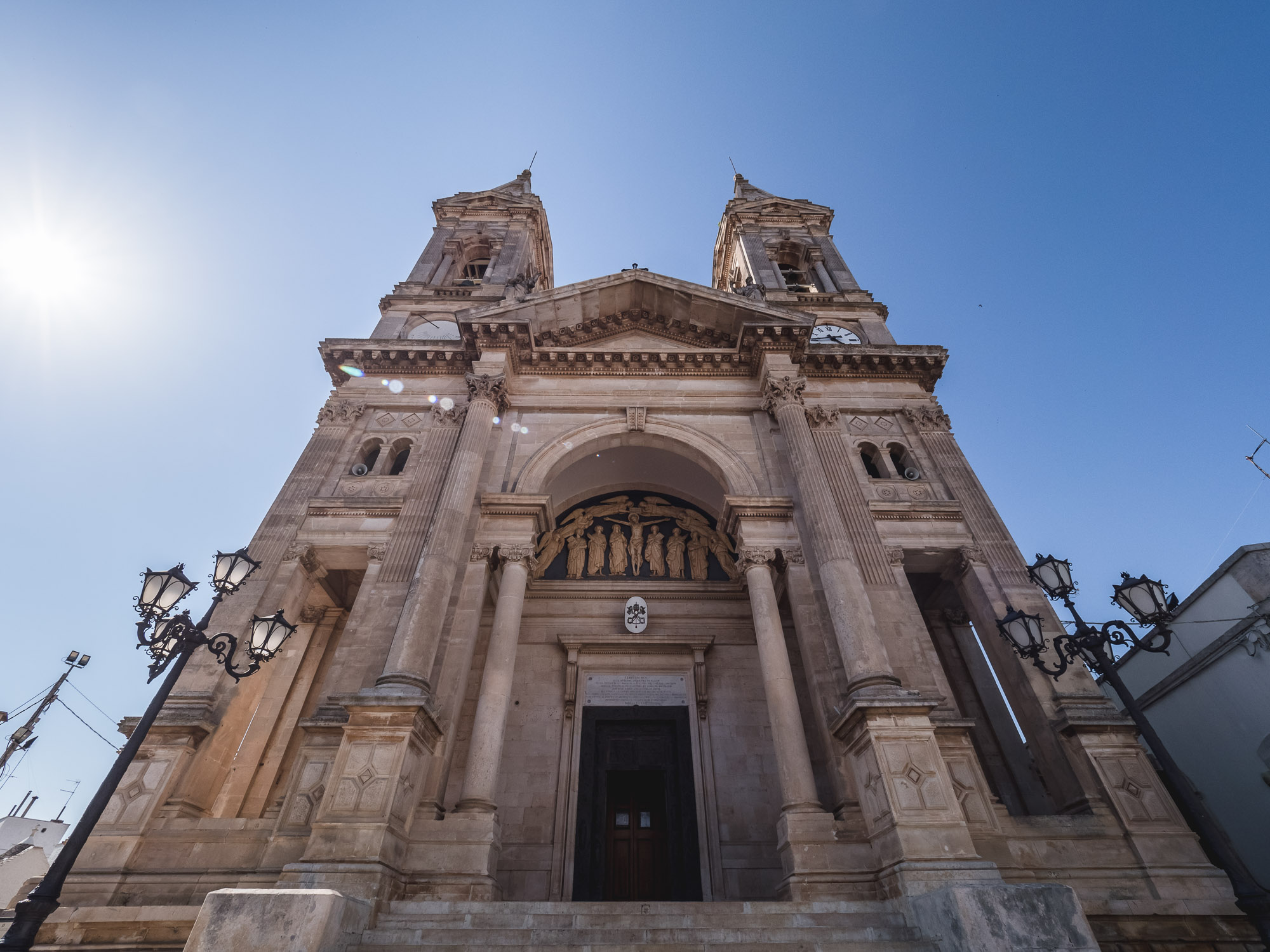
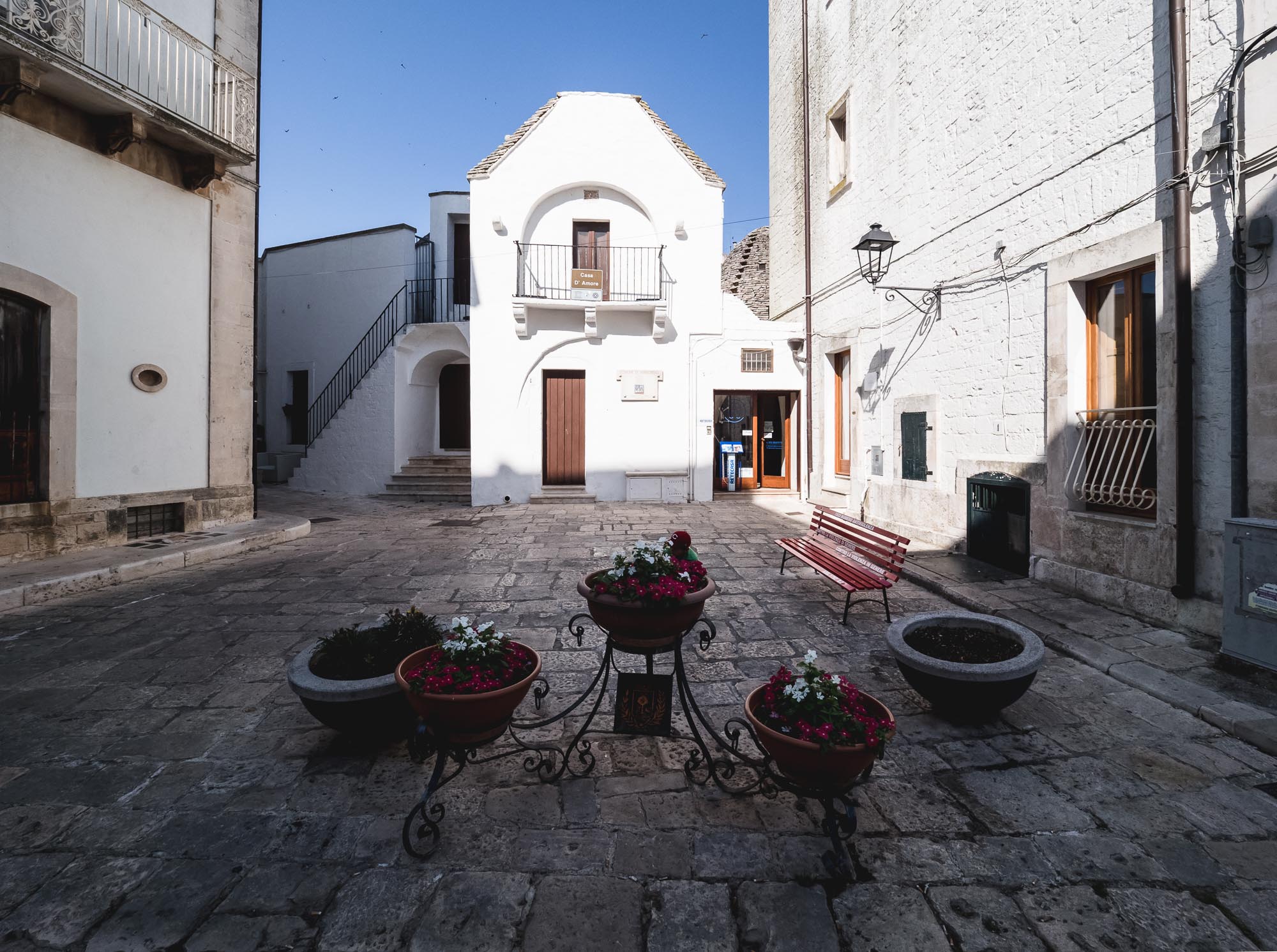
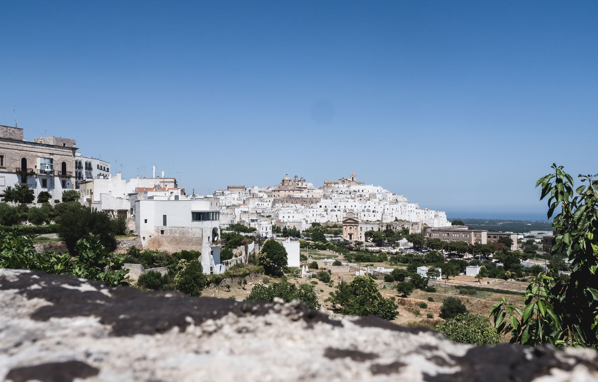
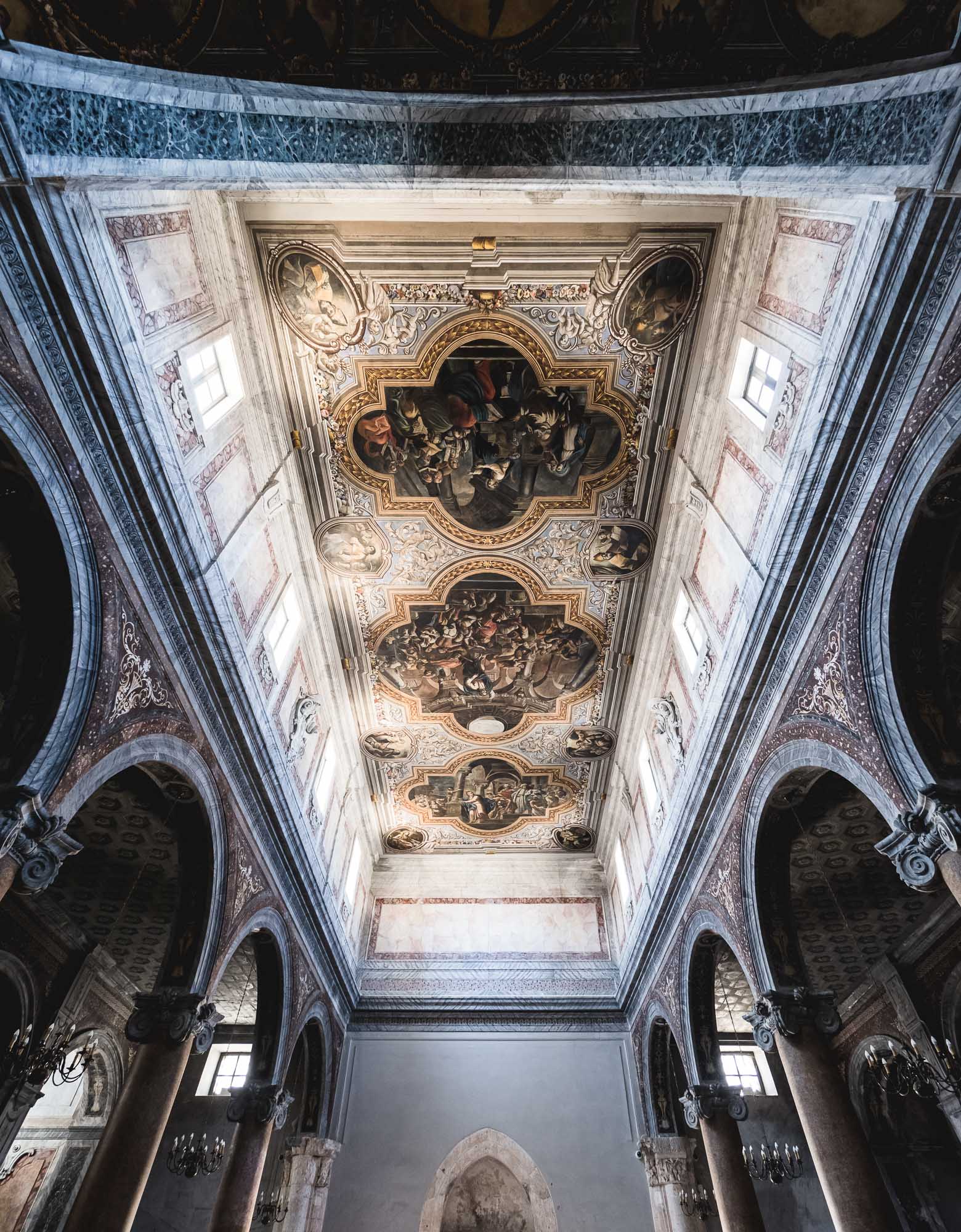
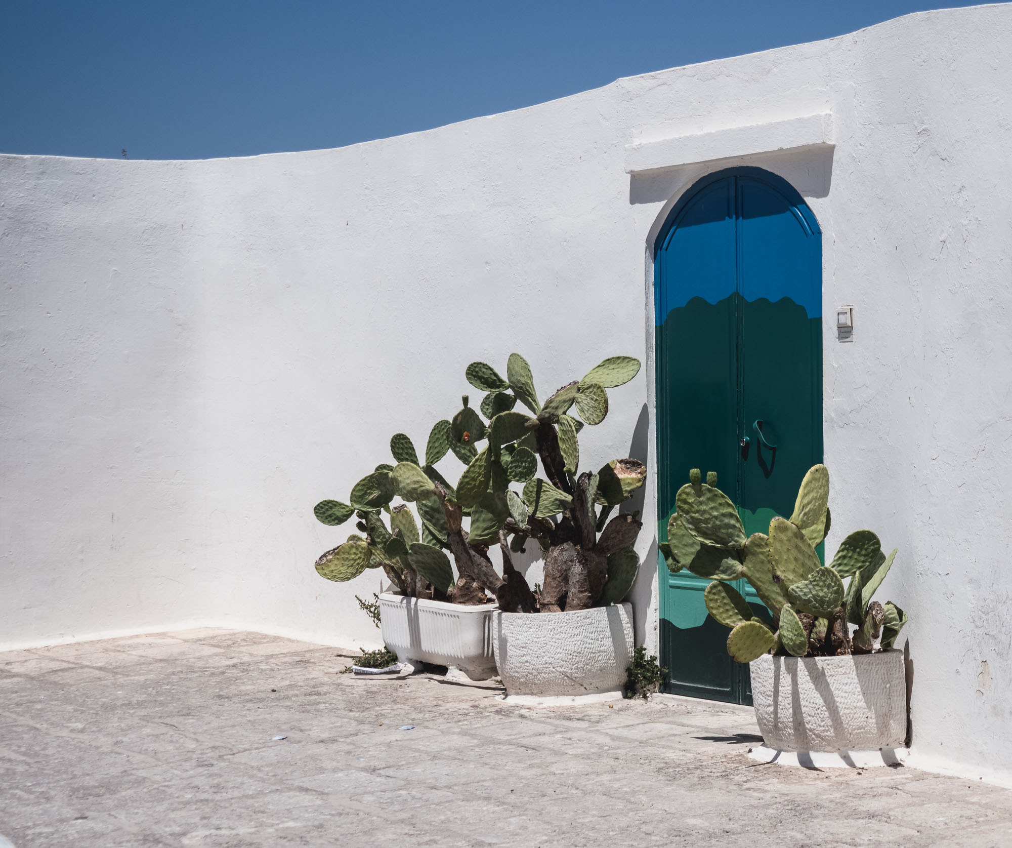
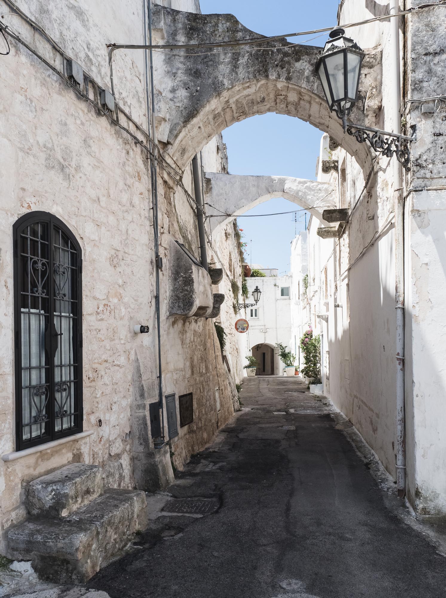
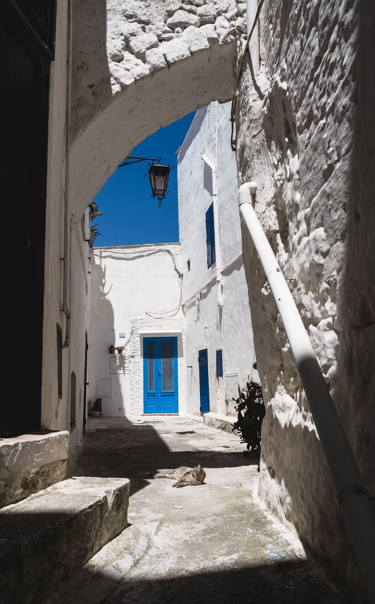
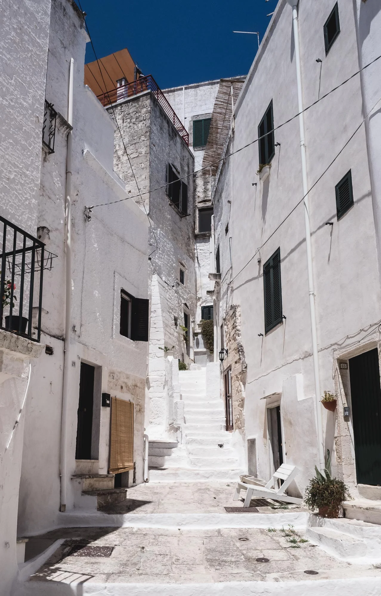
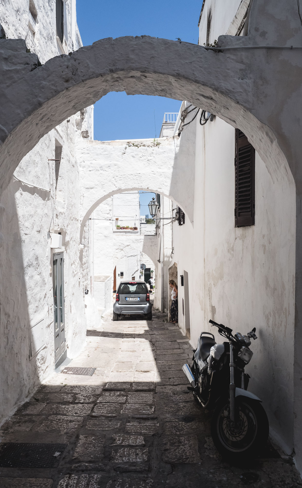
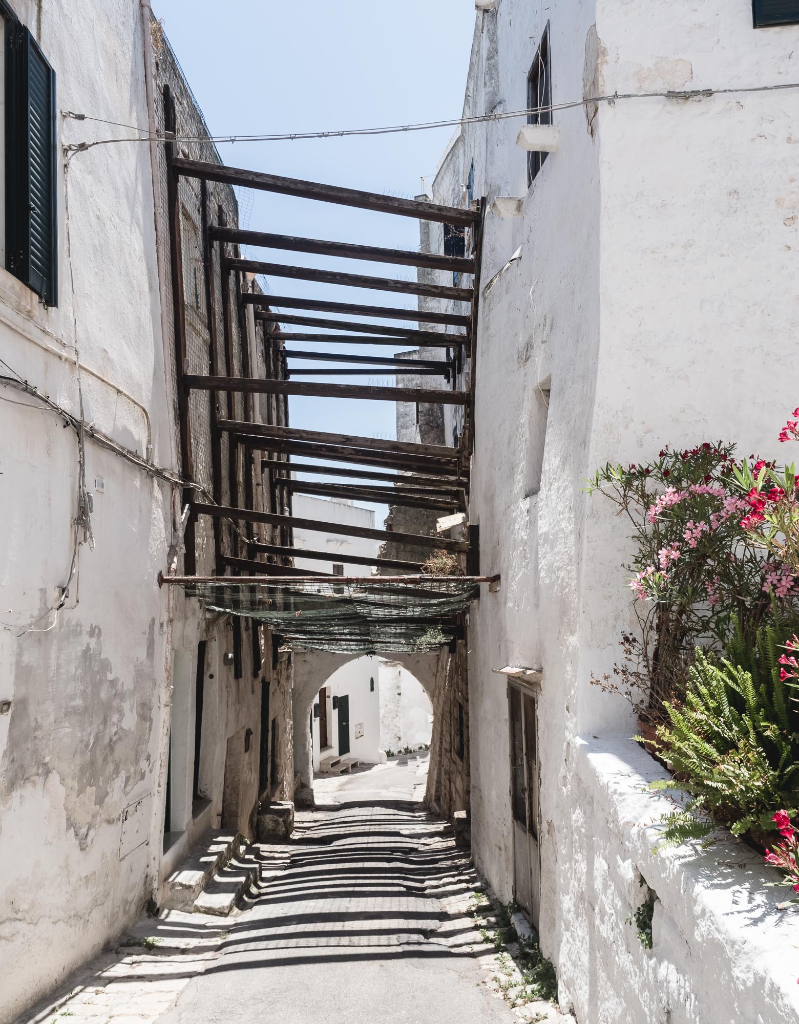
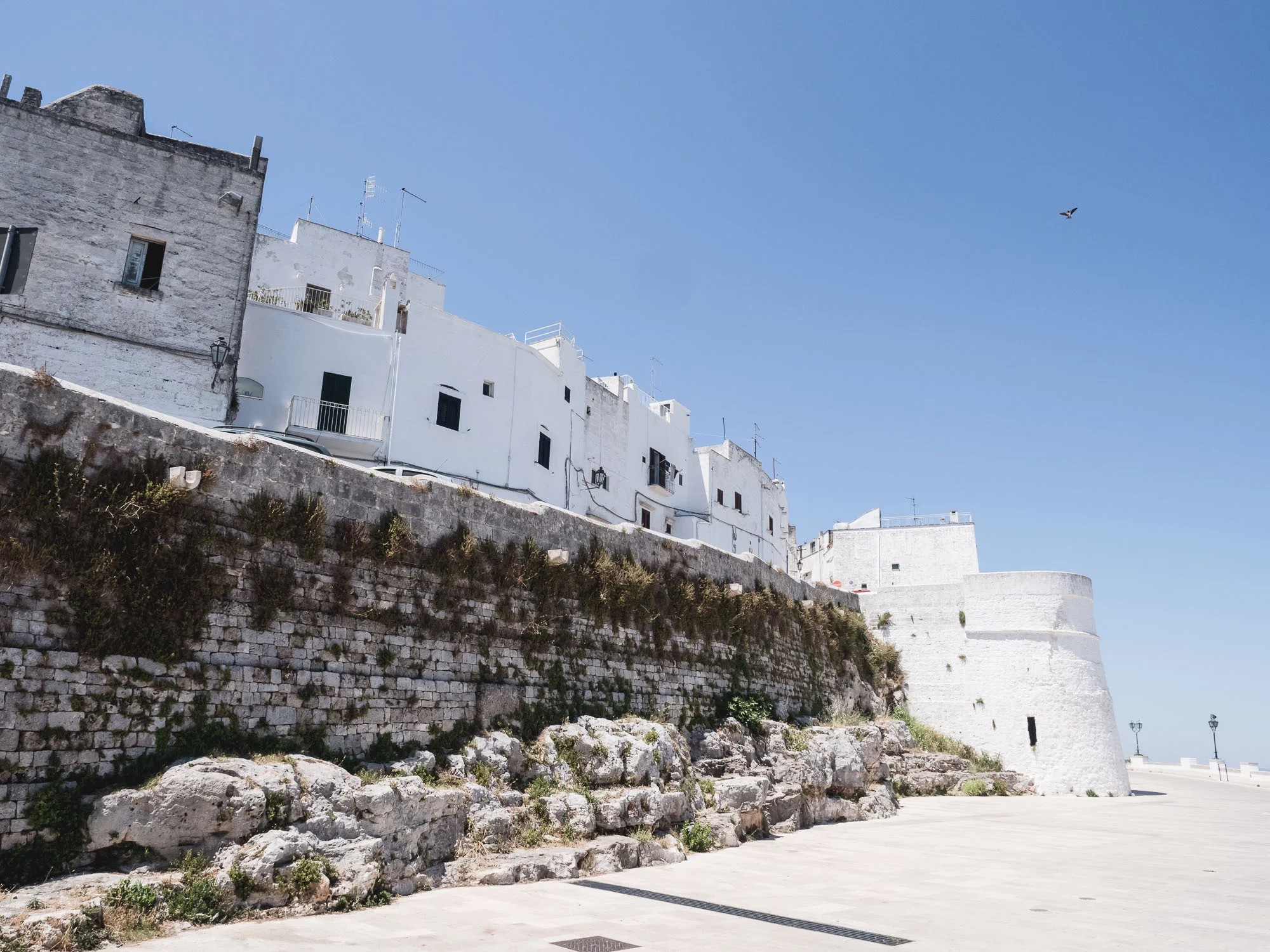
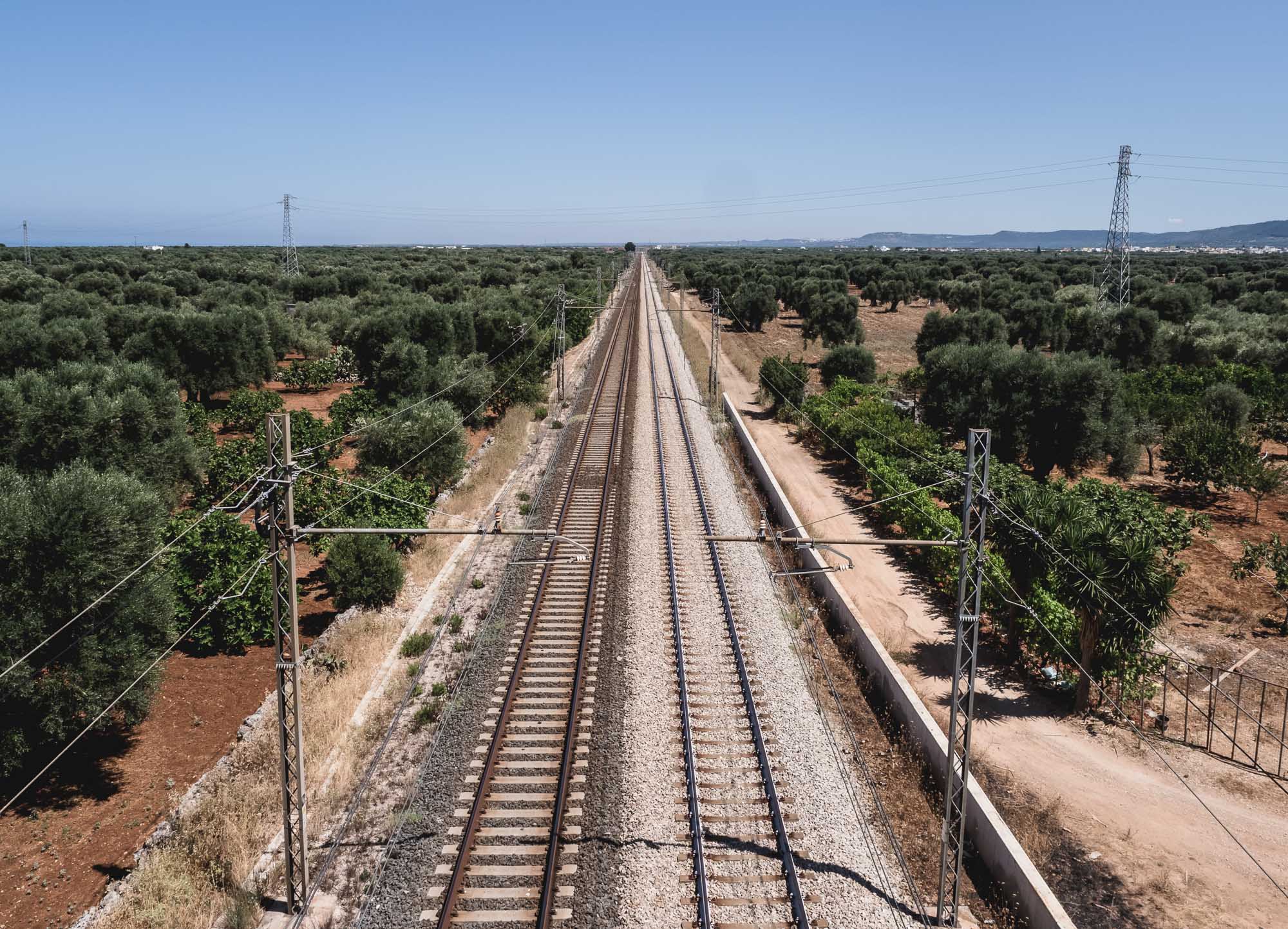
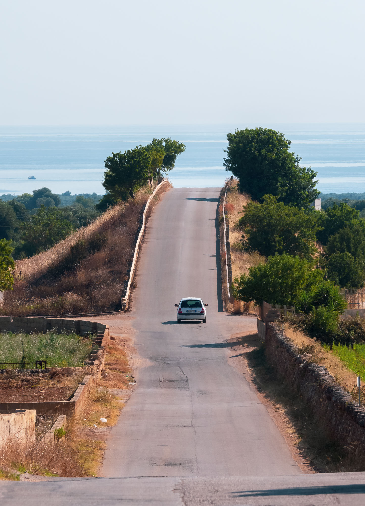
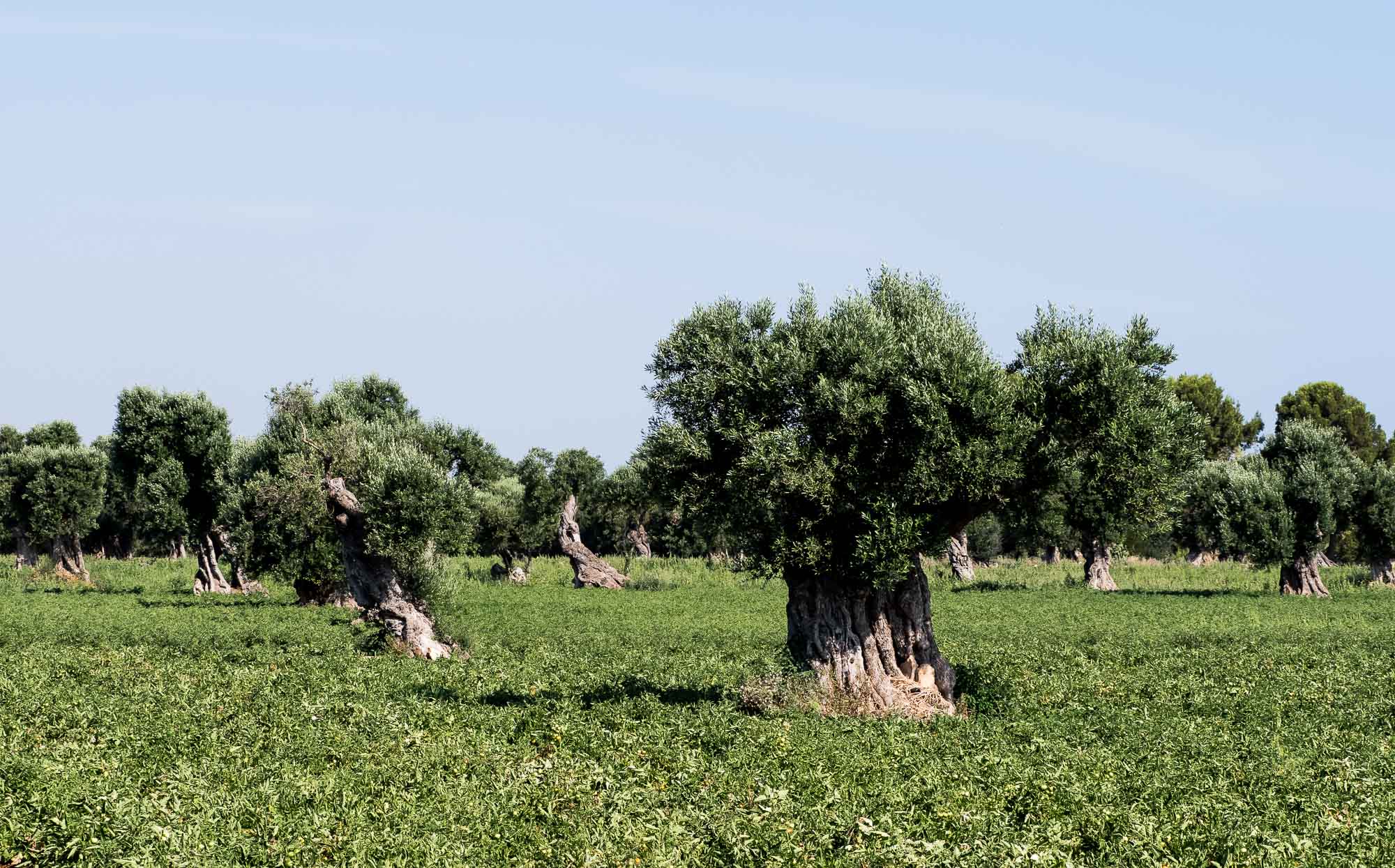
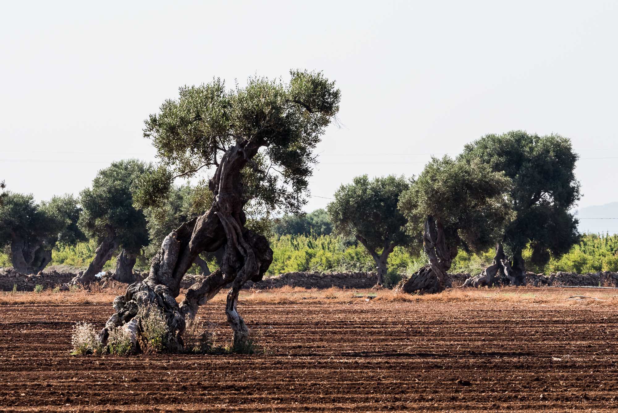
A recent wedding invitation gave me the opportunity to explore the south of Italy a bit more, specifically the region of Apulia, or Puglia in the native language. 2 days of driving from Bari through Polignano a Mare, the Grotte di Castellana, Alberobello with its Trulli houses, and the white city of Ostuni gives you a great impression of the typical architecture, food and nature around this part of Italy.
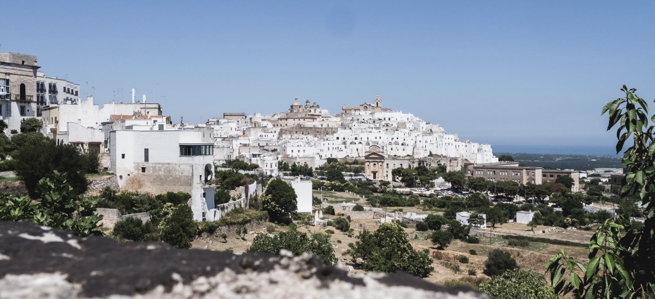
A recent wedding invitation gave me the opportunity to explore the south of Italy a bit more, specifically the region of Apulia, or Puglia in the native language. 2 days of driving from Bari through Polignano a Mare, the Grotte di Castellana, Alberobello with its Trulli houses, and the white city of Ostuni gives you a great impression of the typical architecture, cityscape, and nature around this part of Italy.


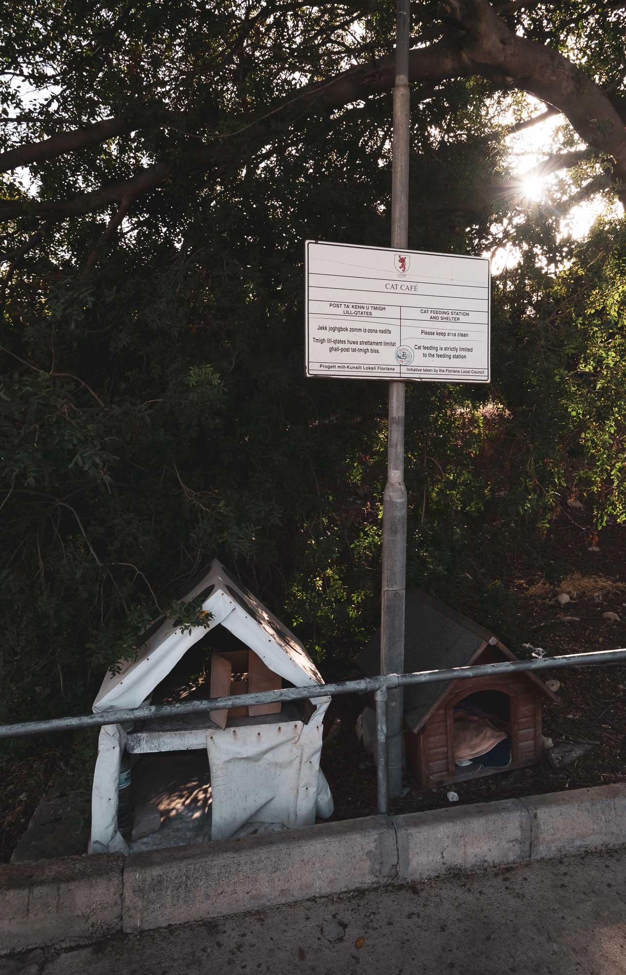
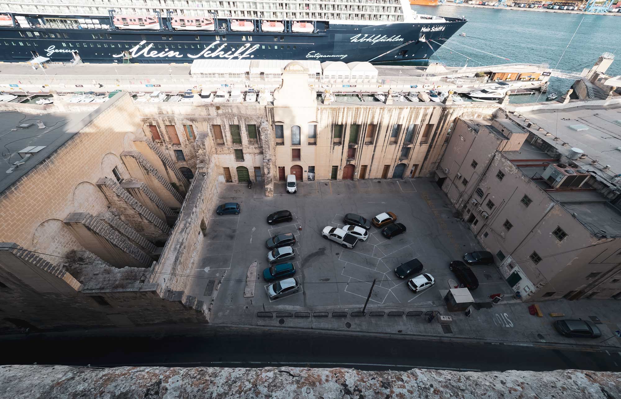
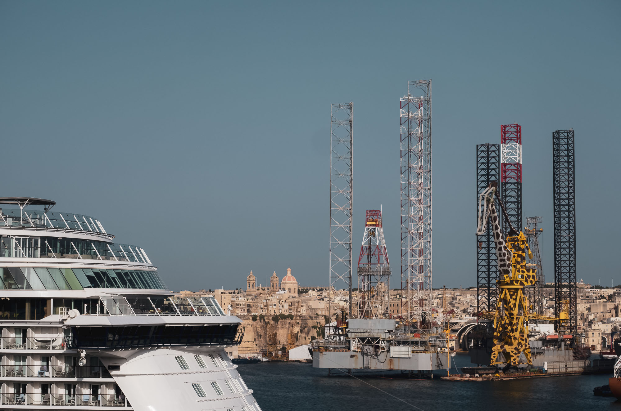
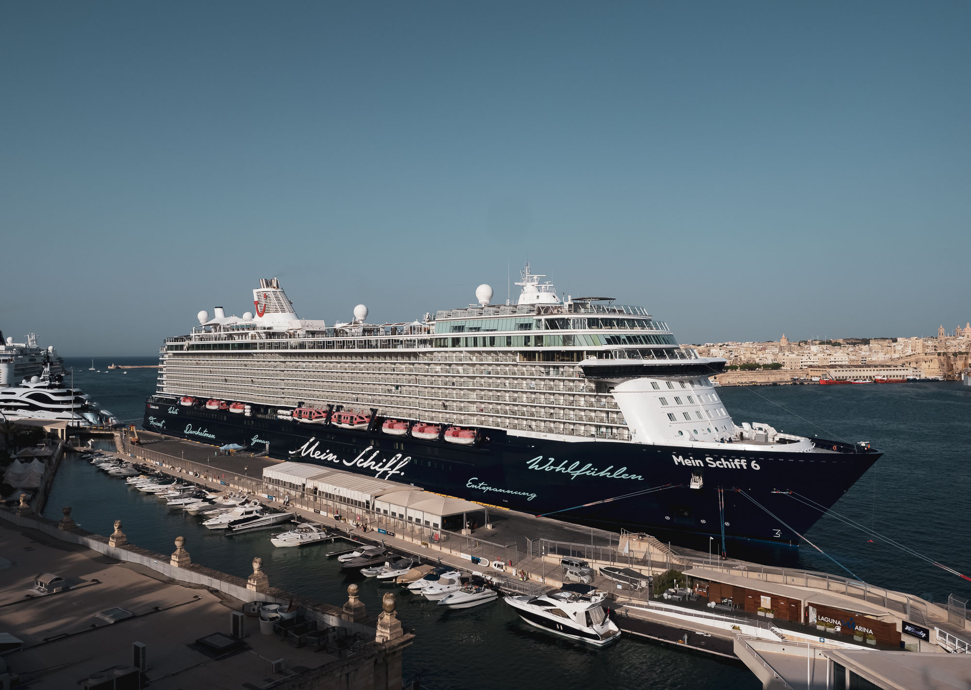
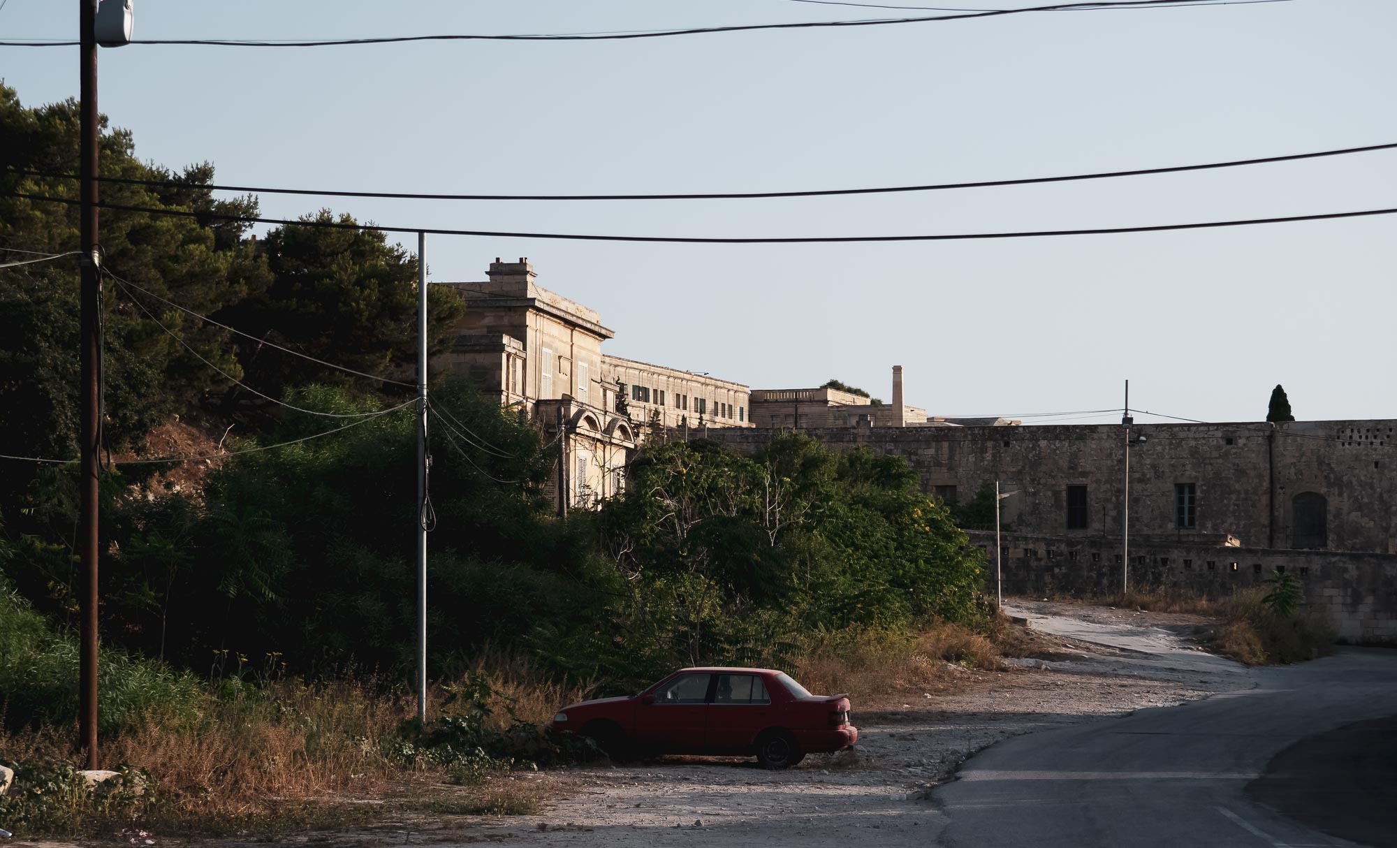
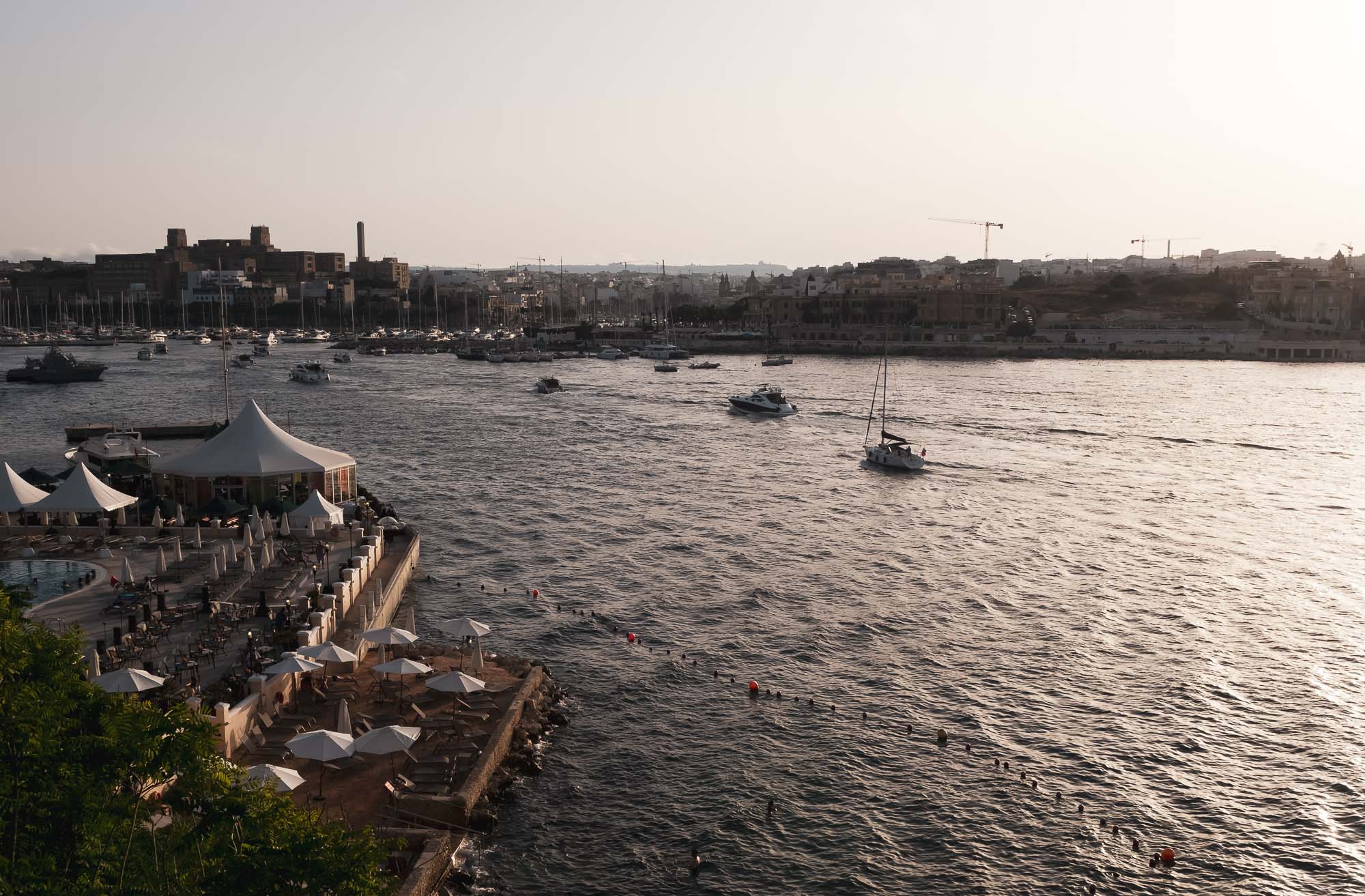
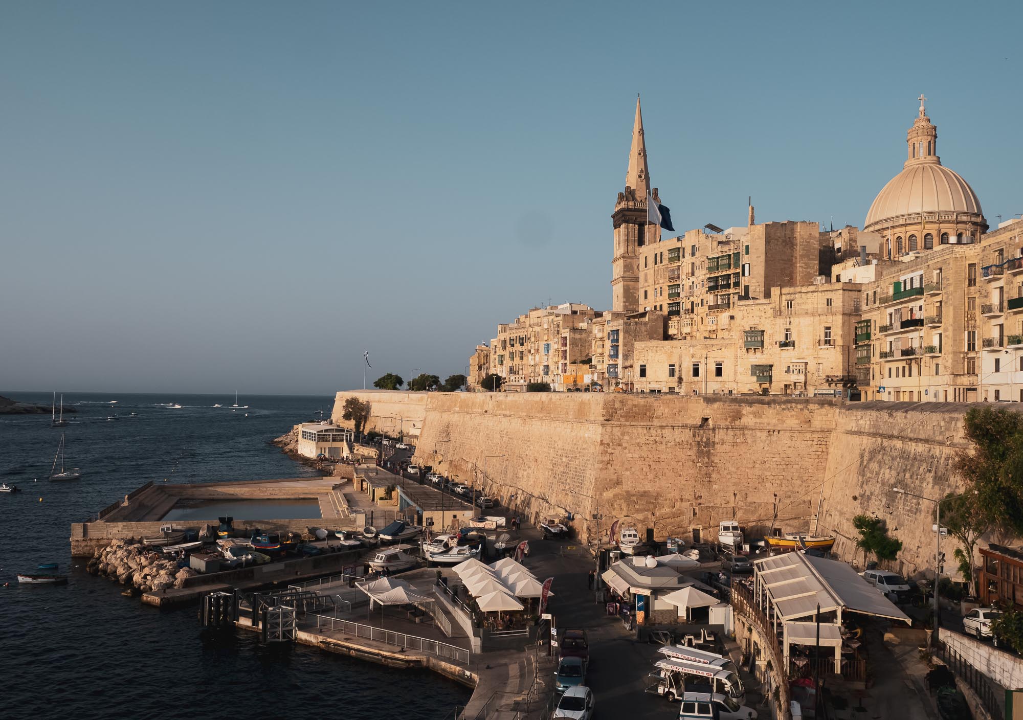
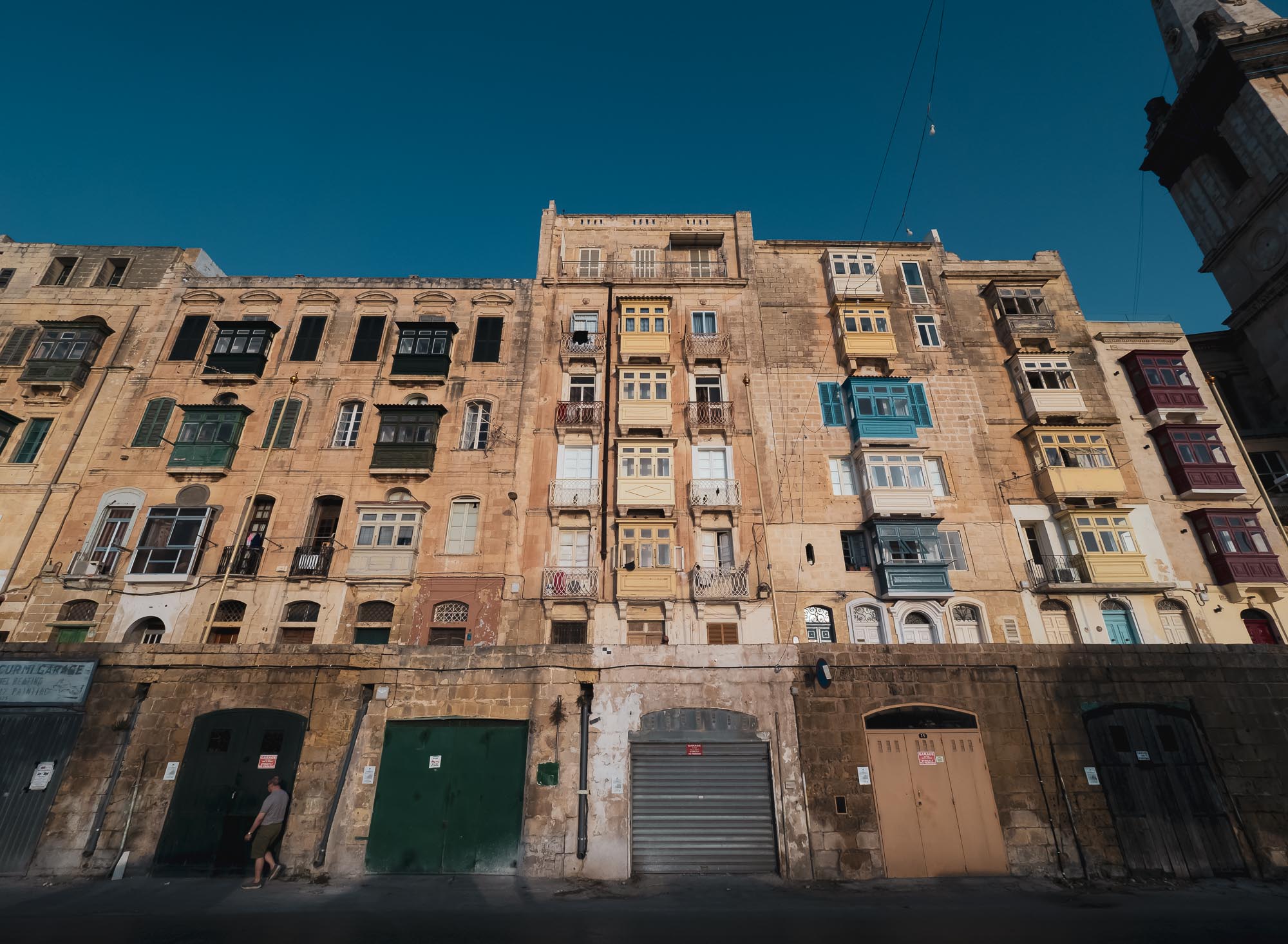
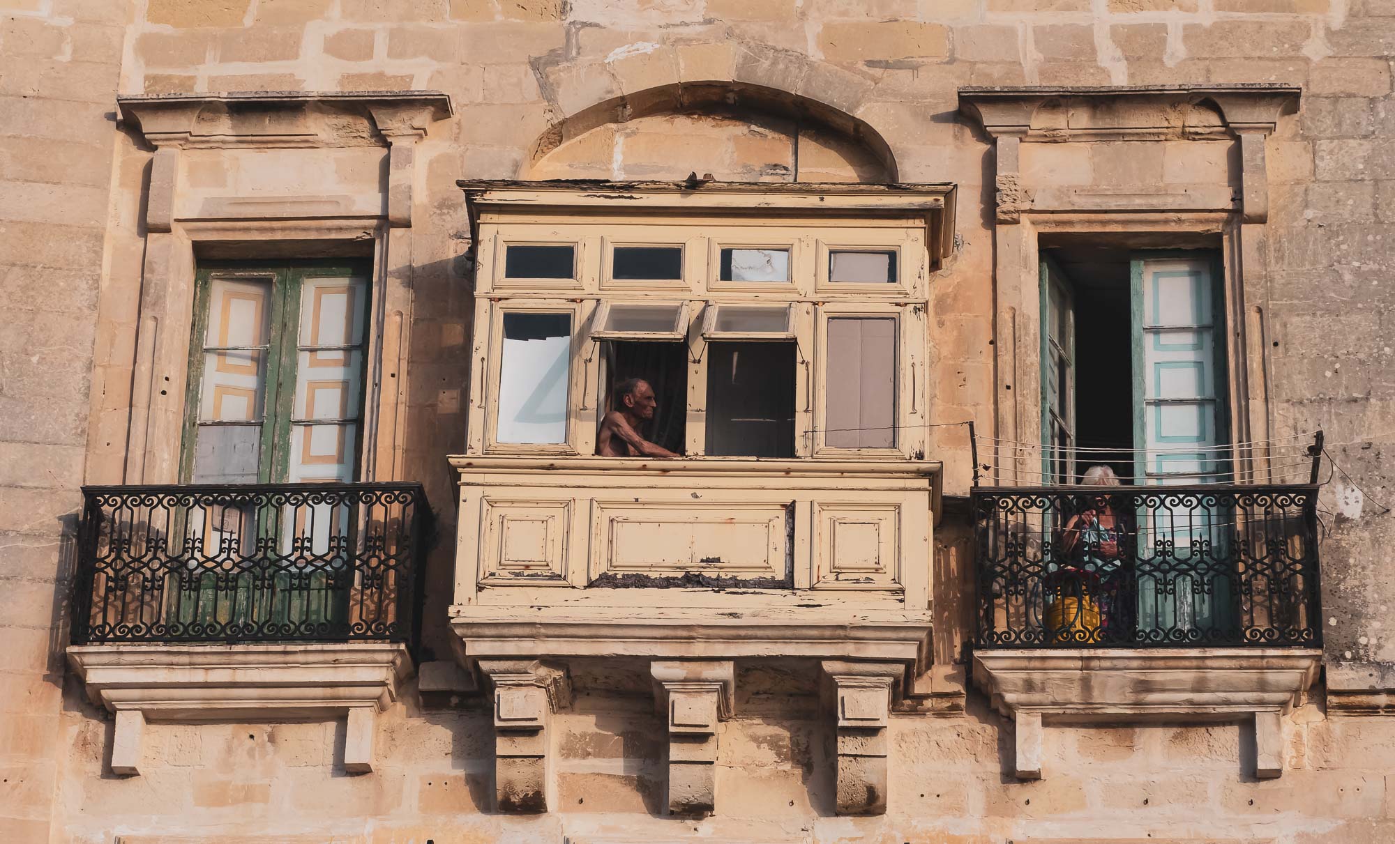
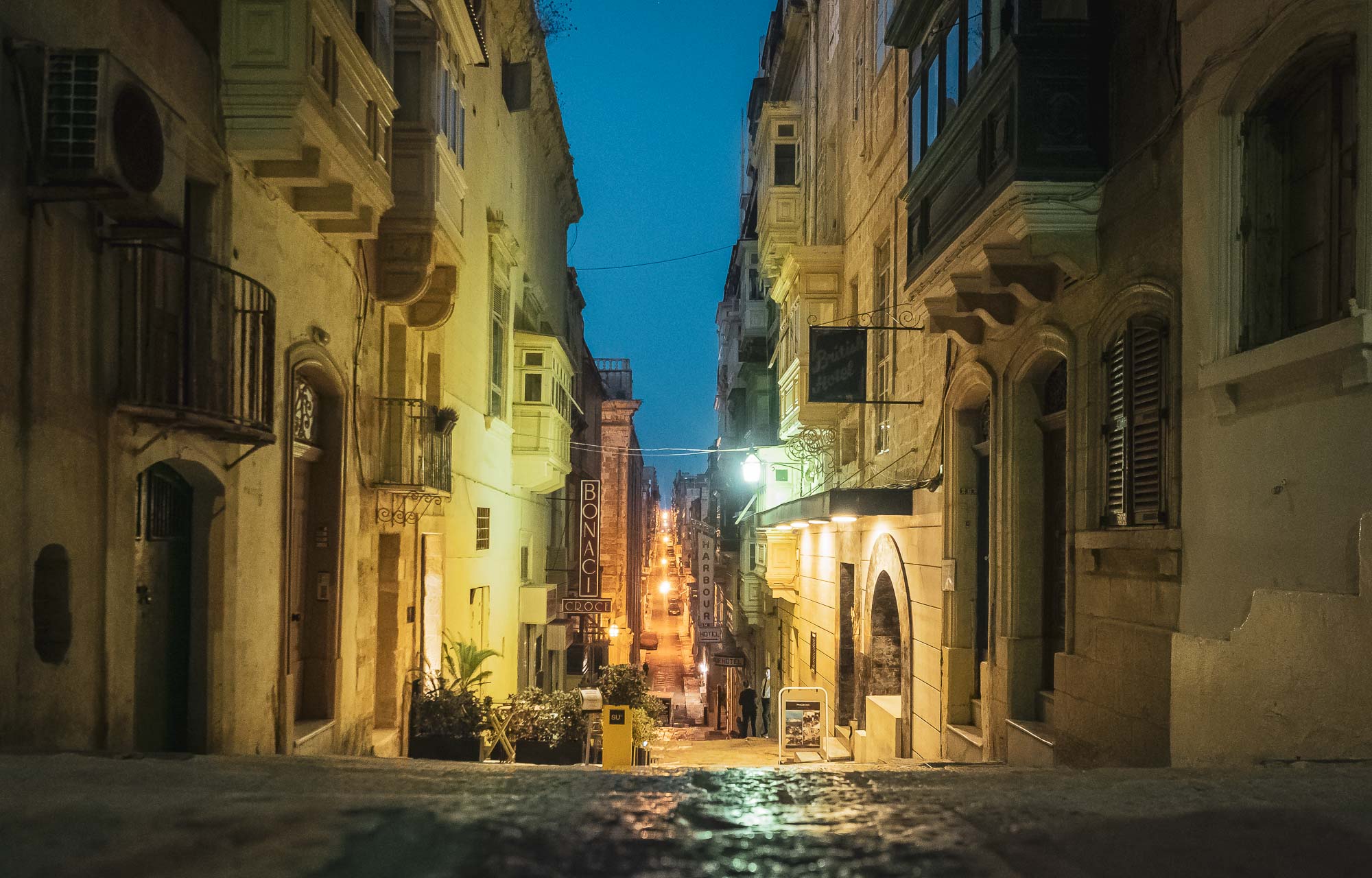
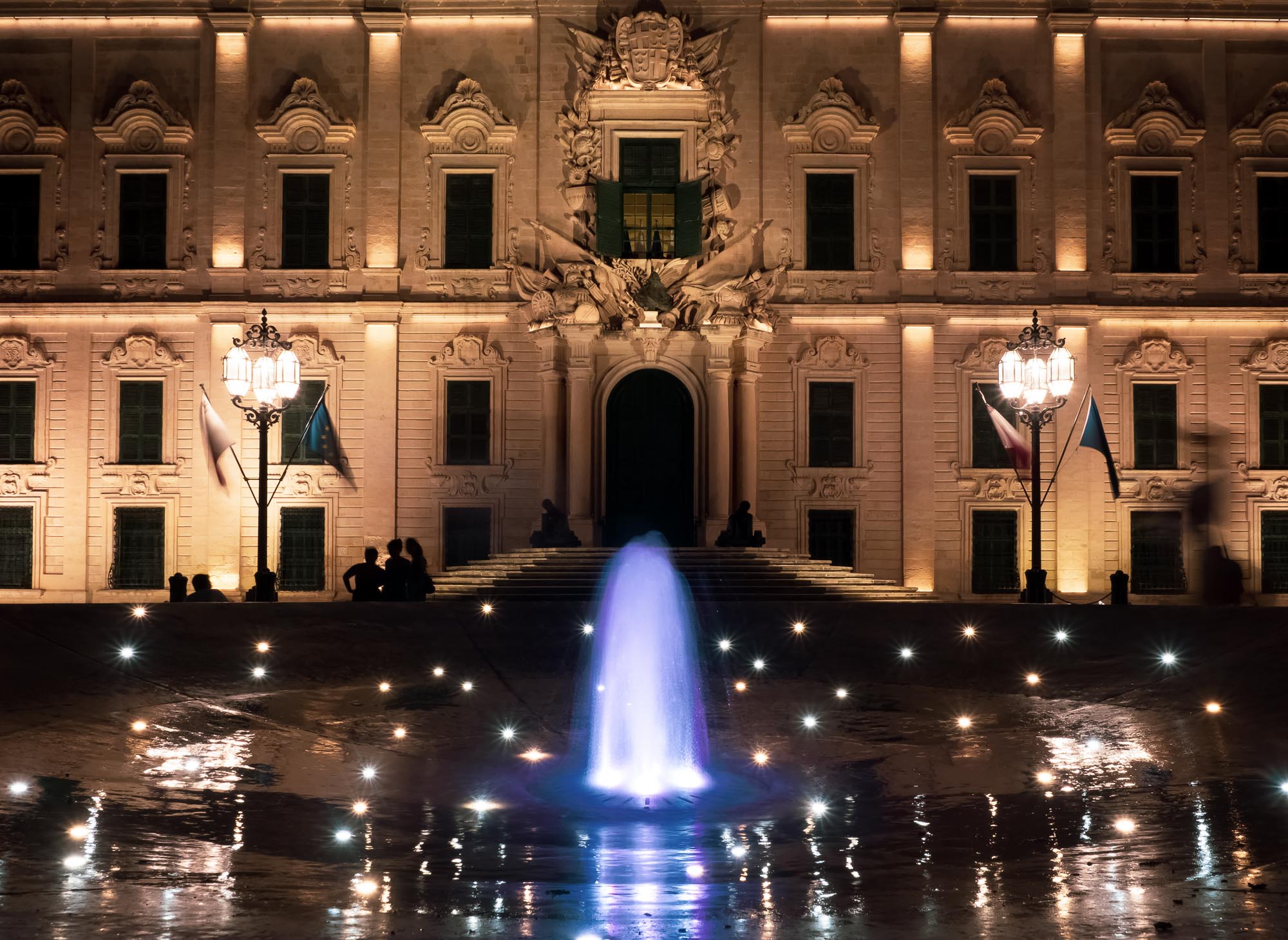
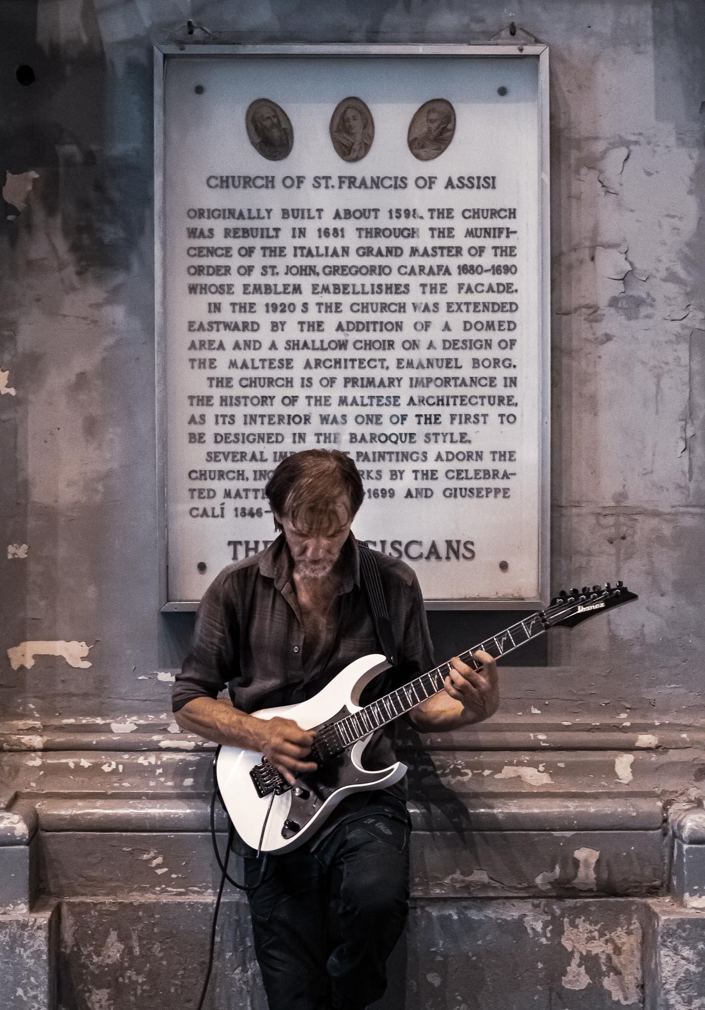
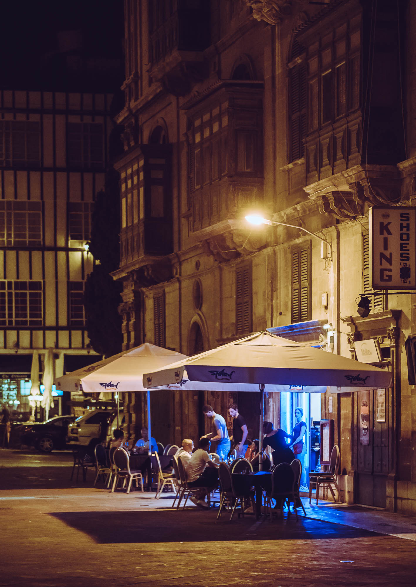
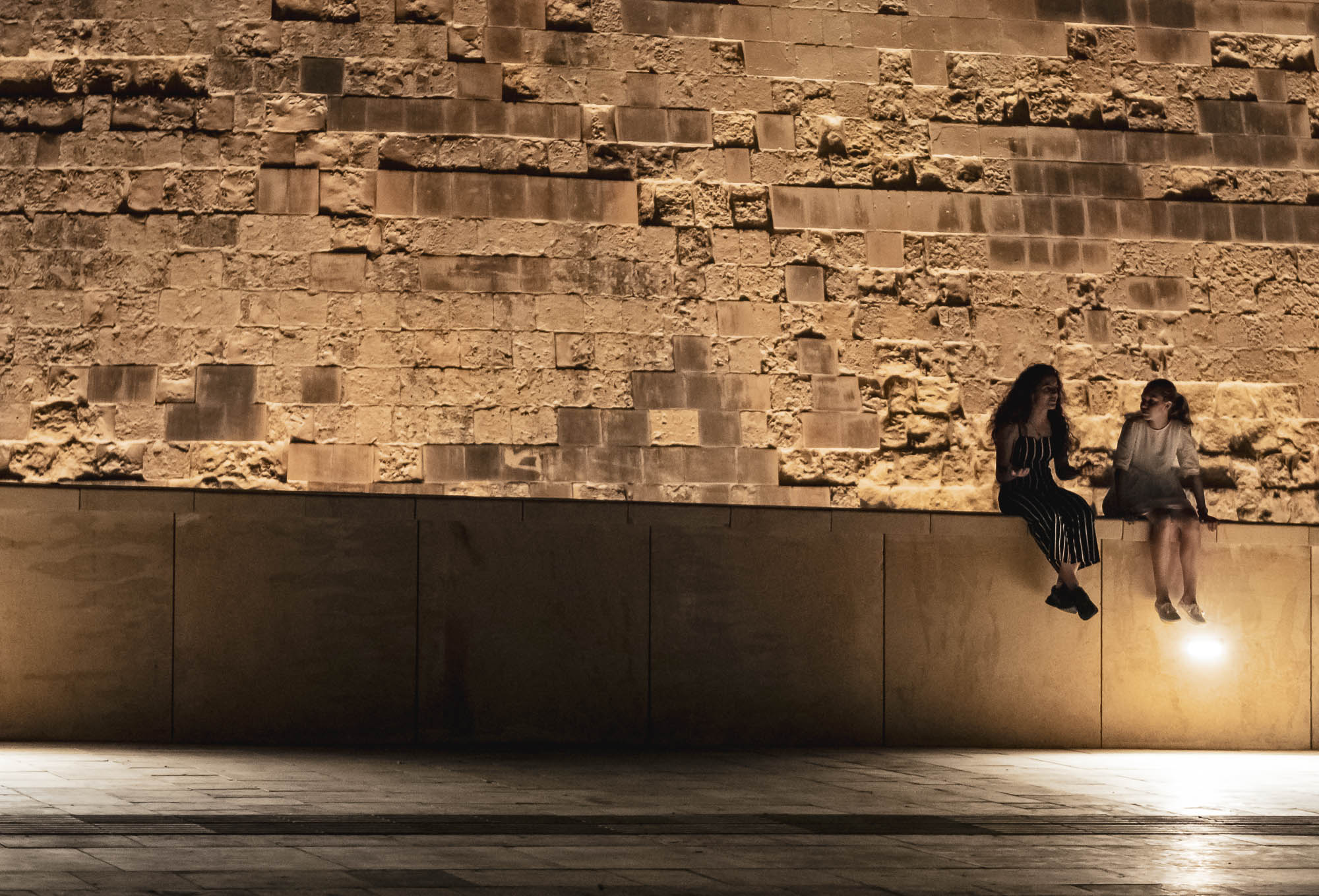
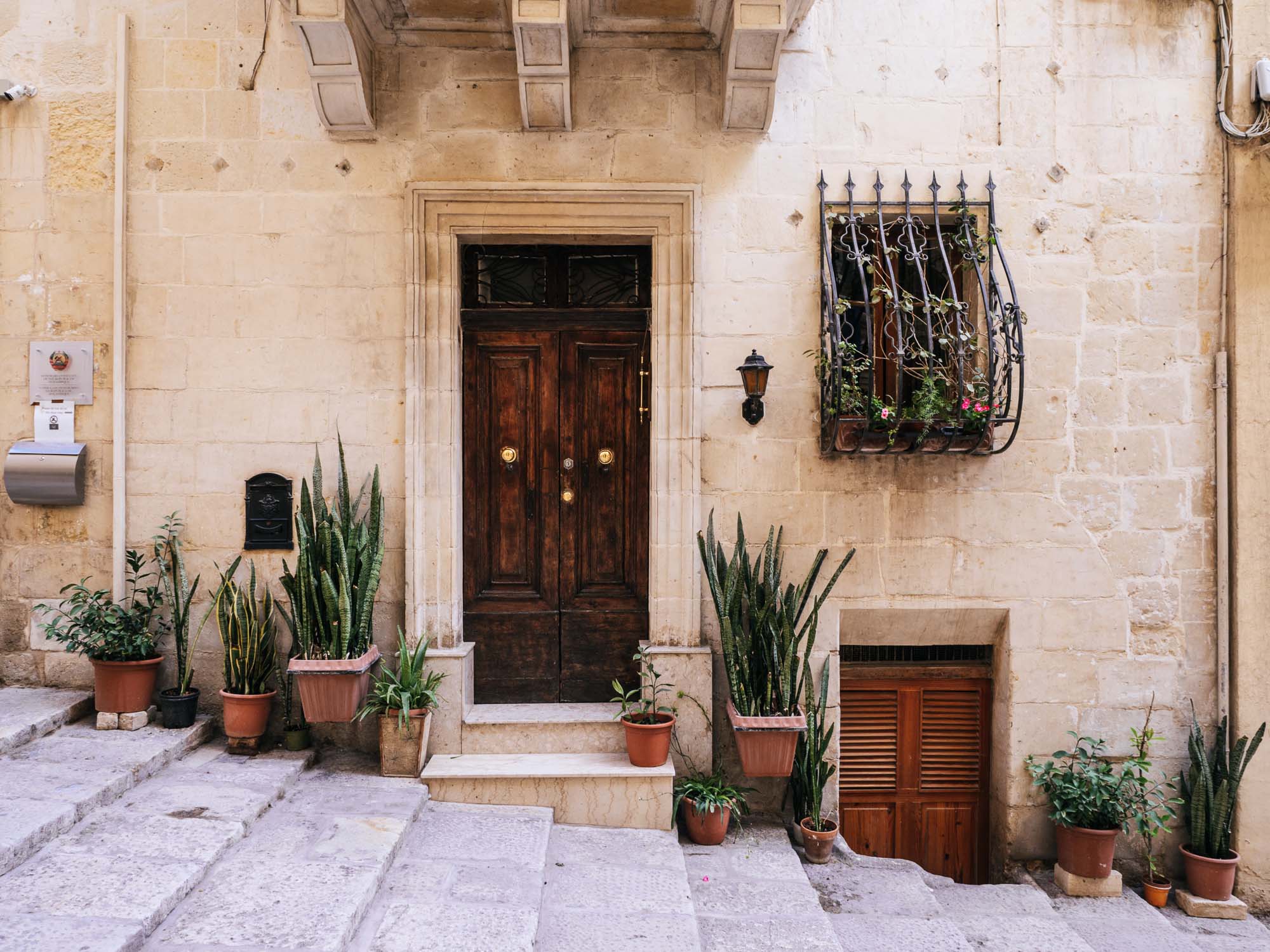
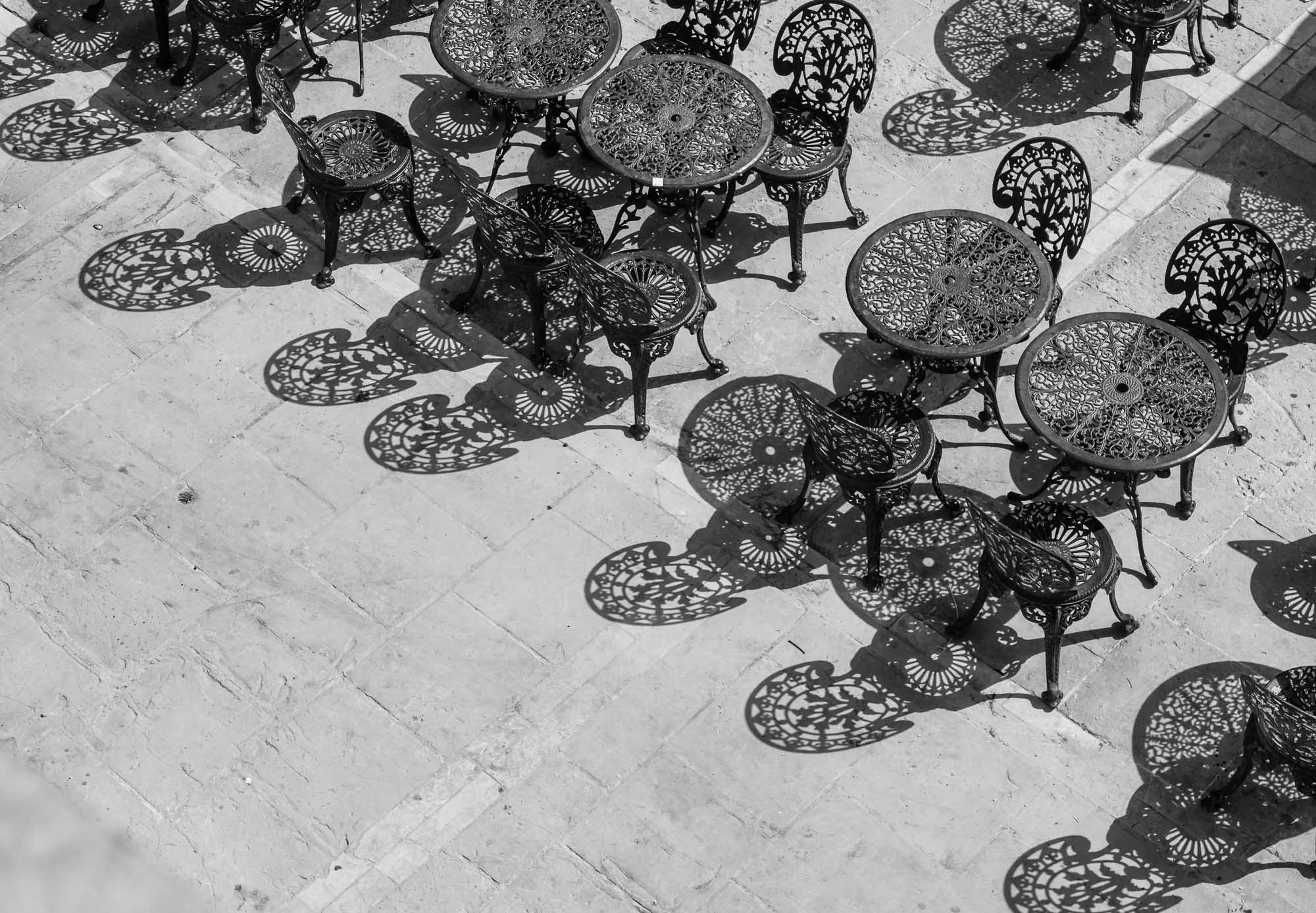
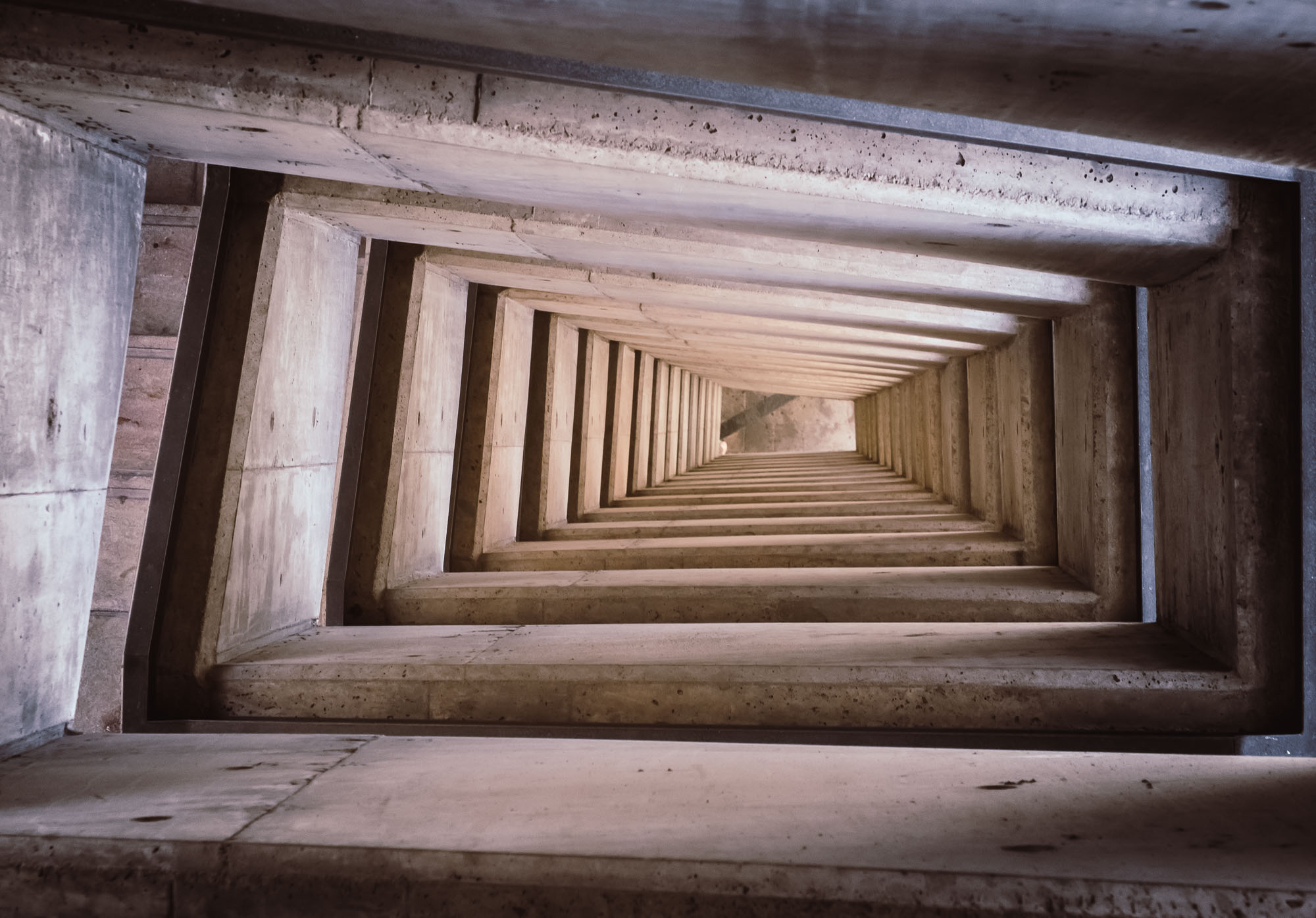
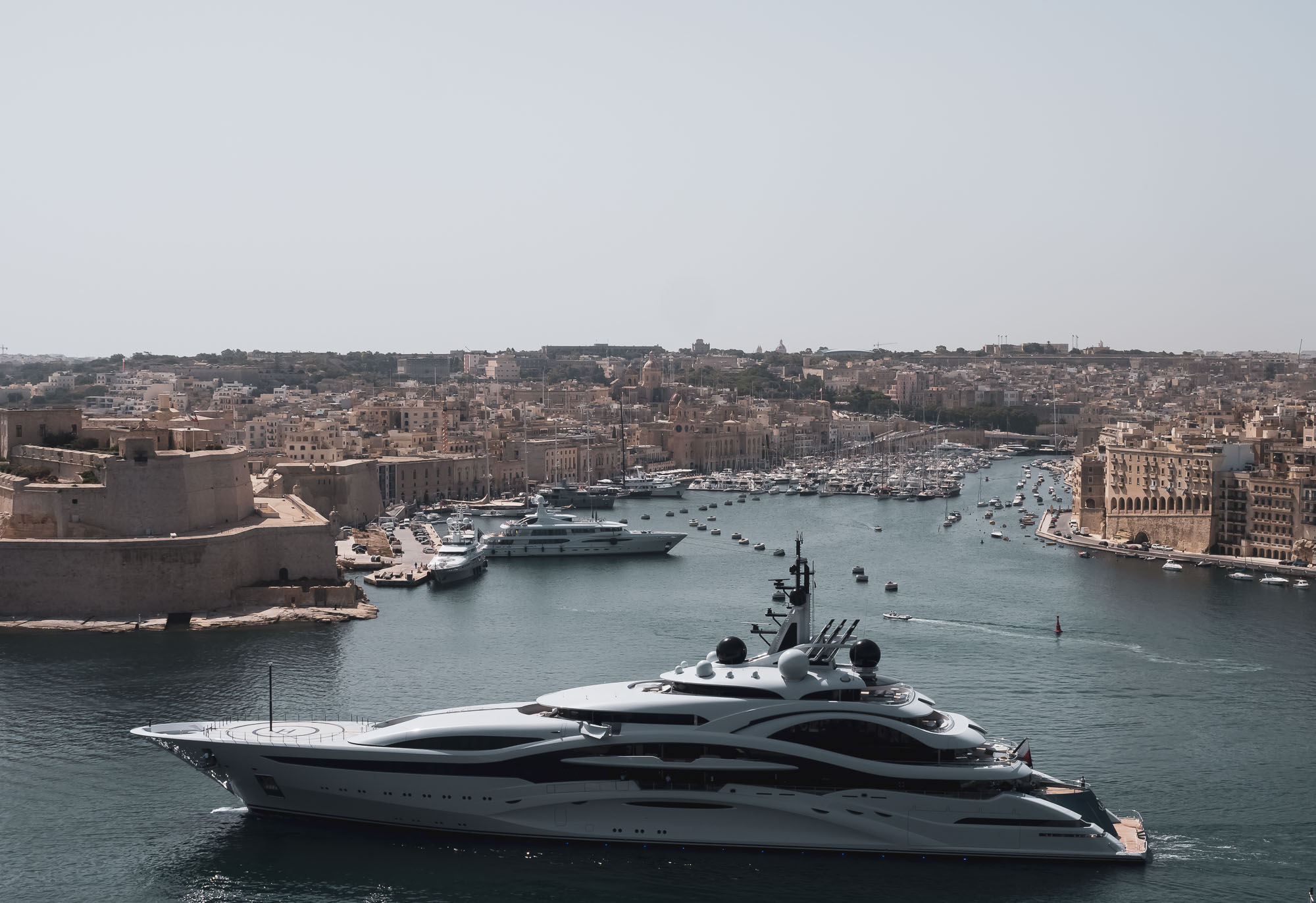
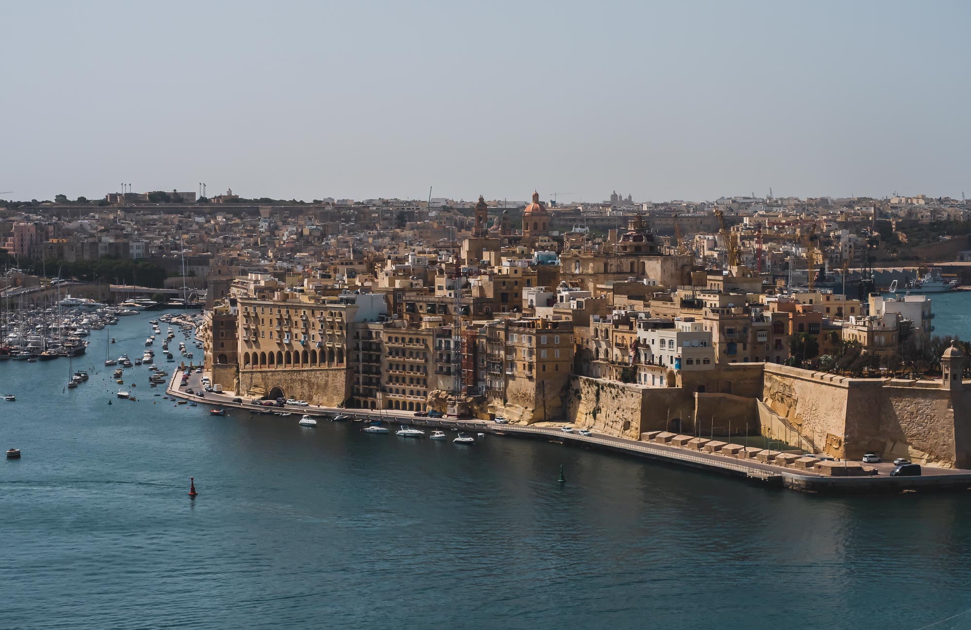
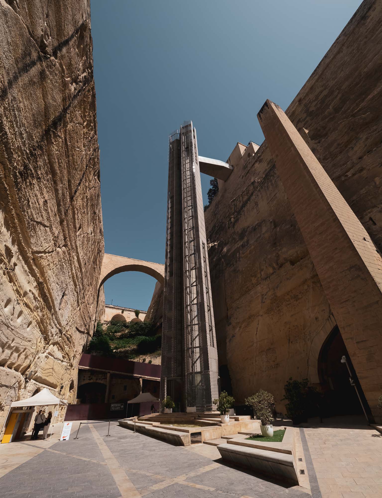
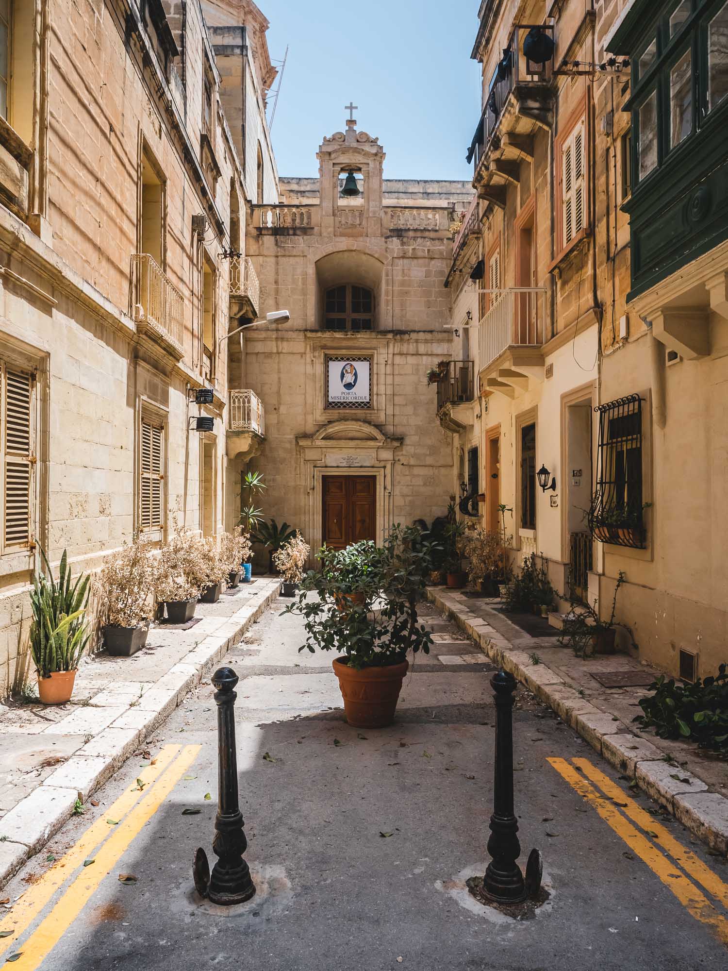
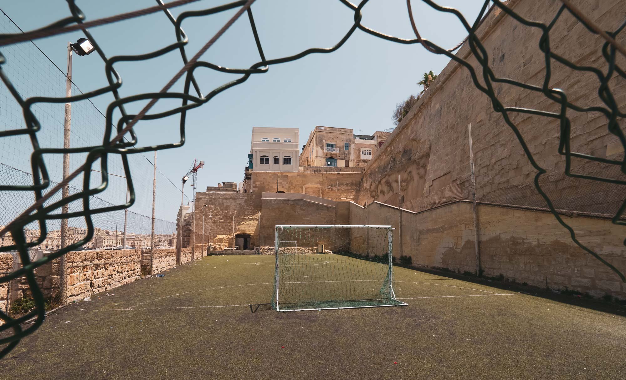
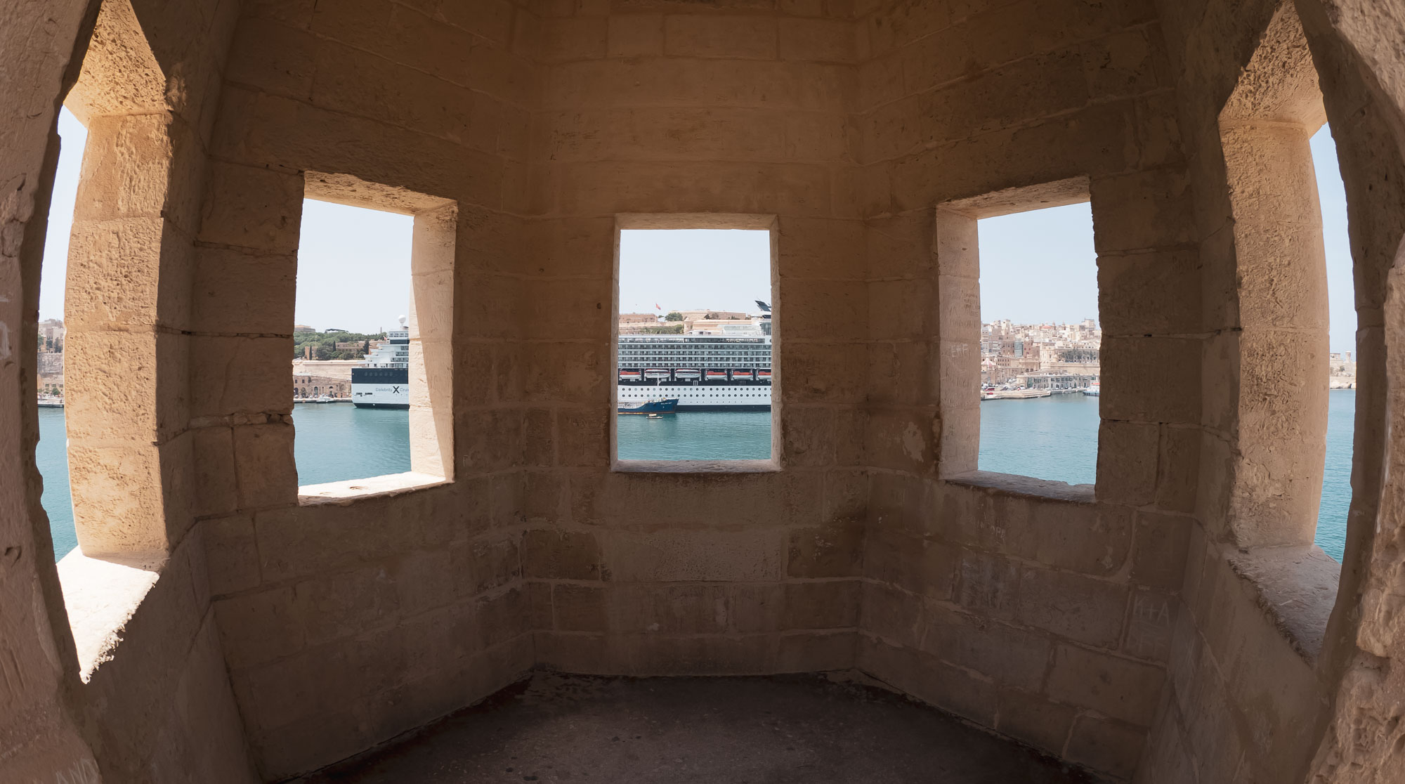
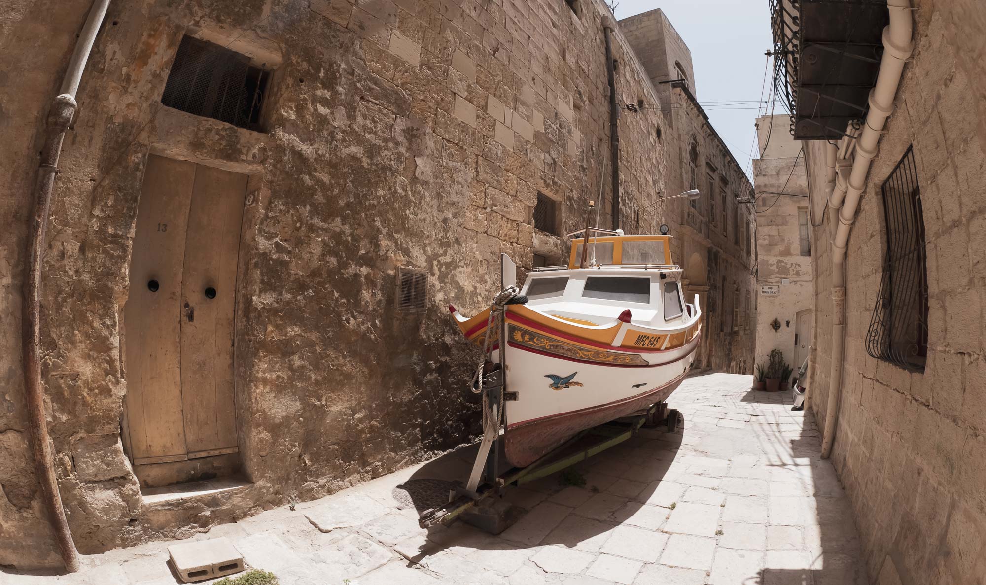
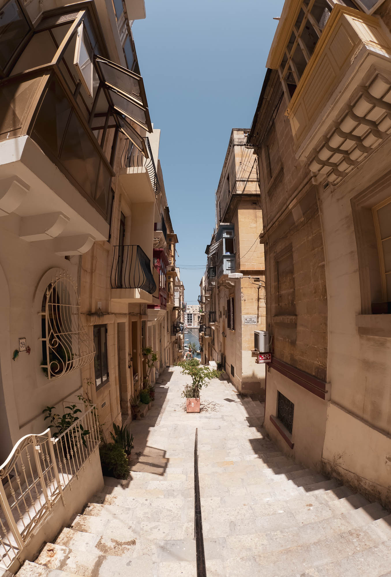
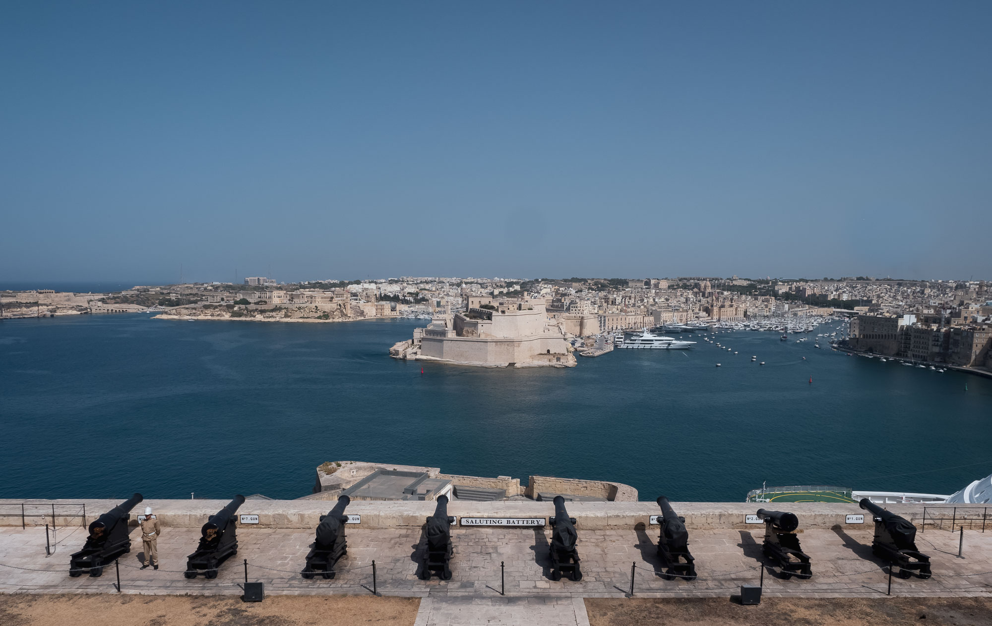
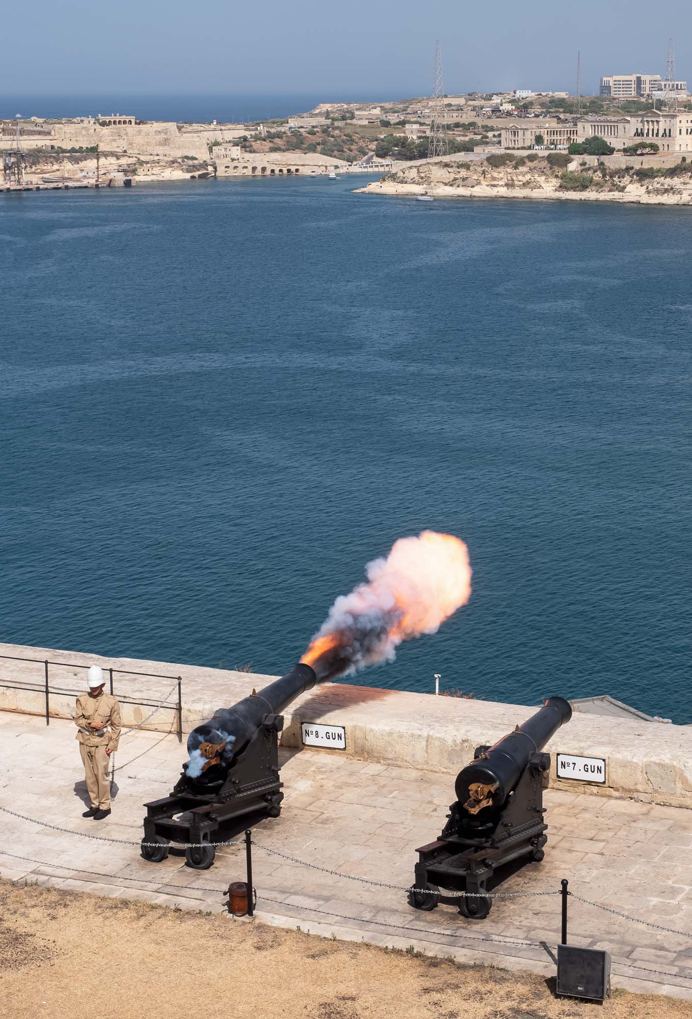
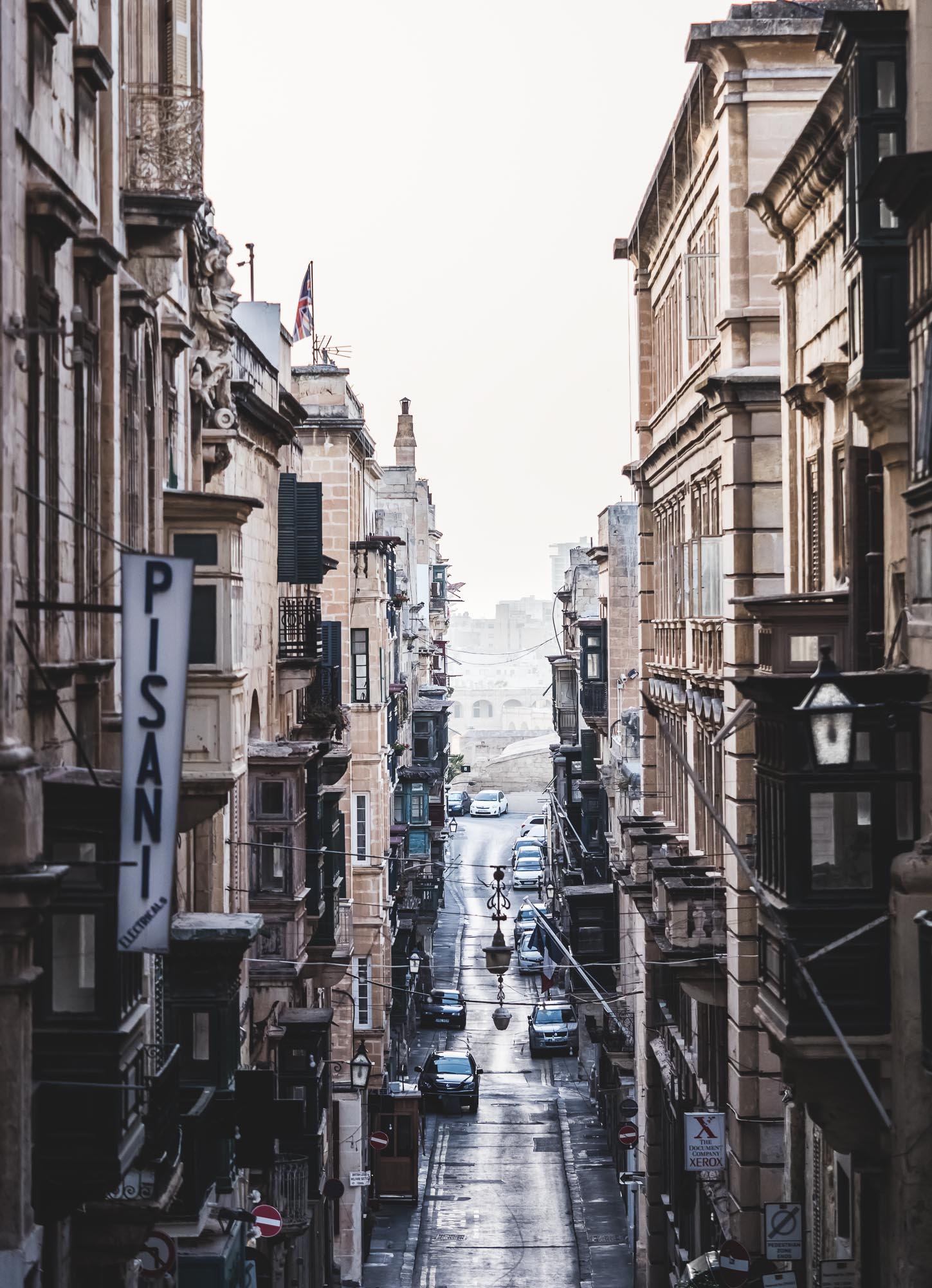
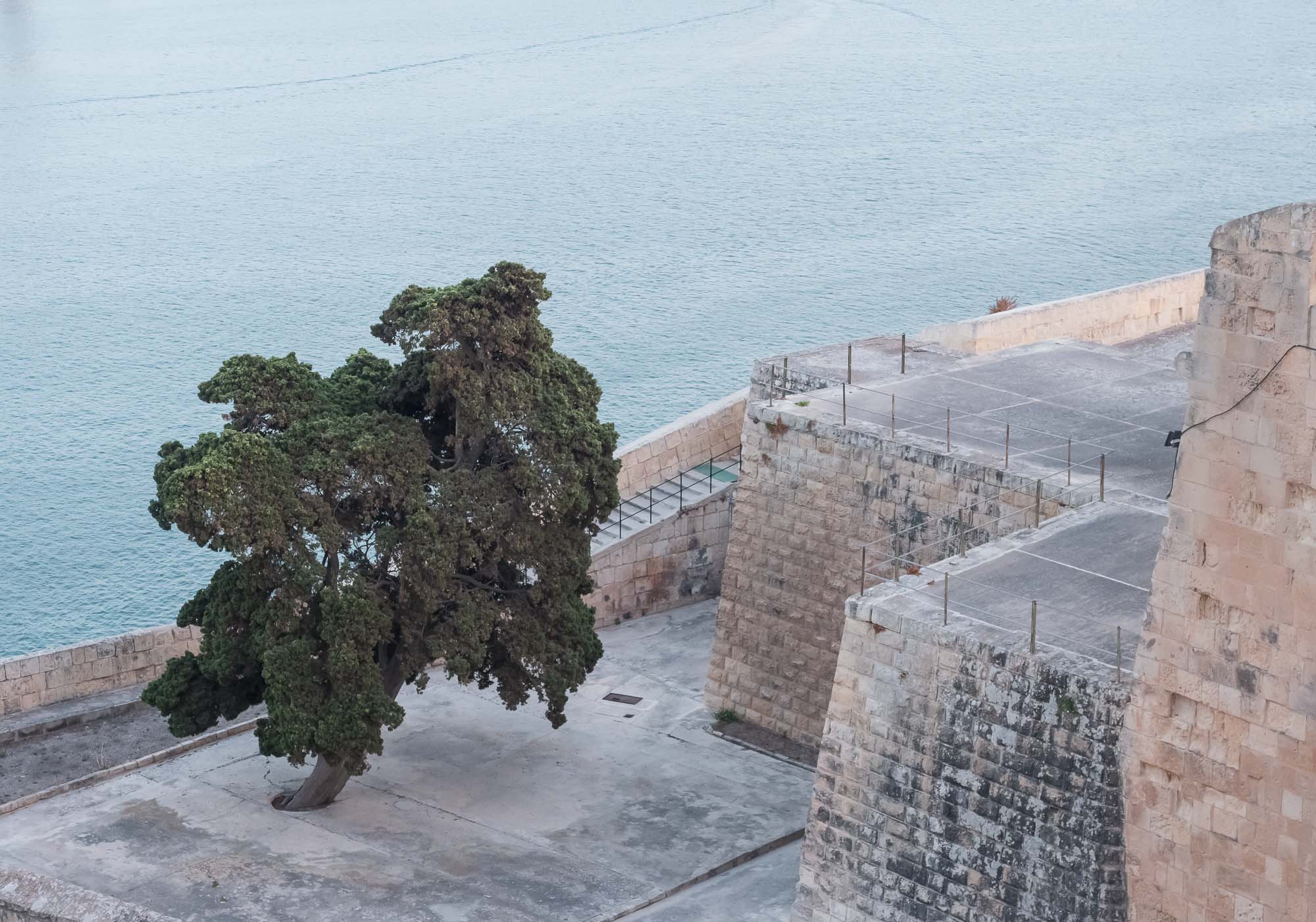
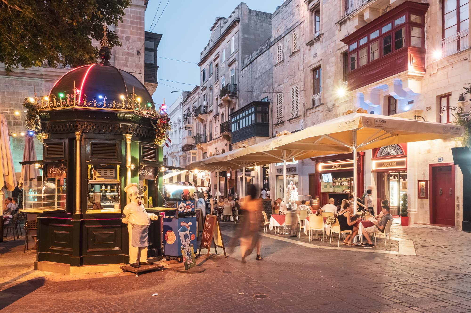
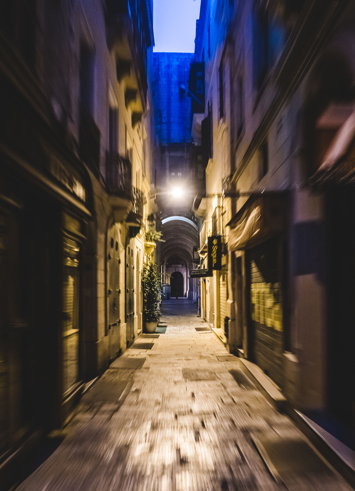
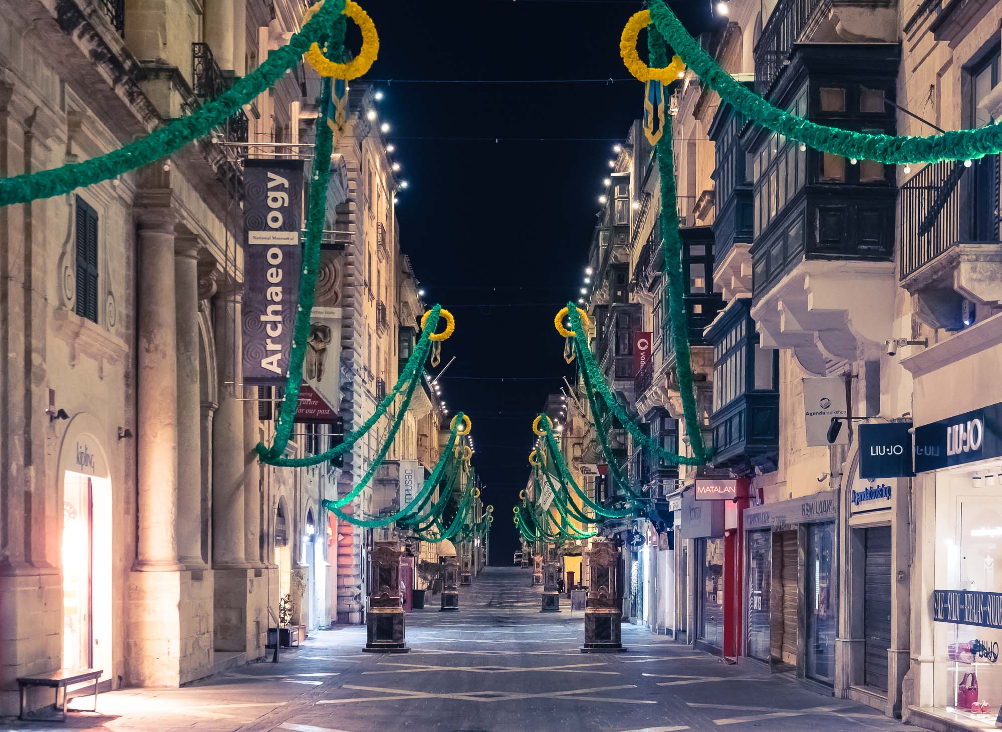
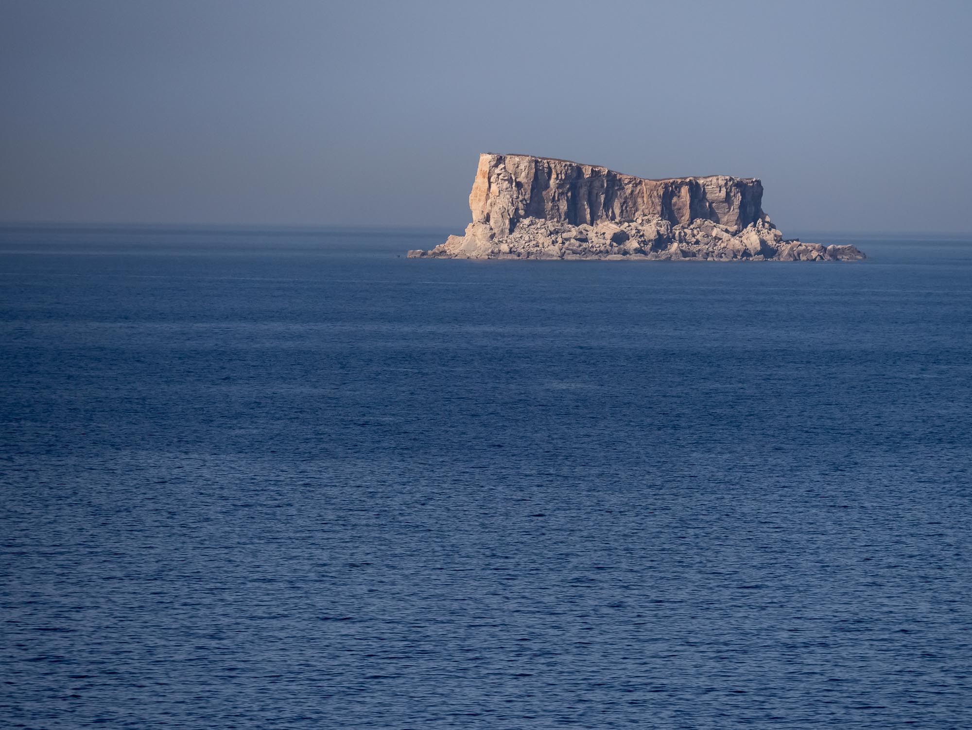
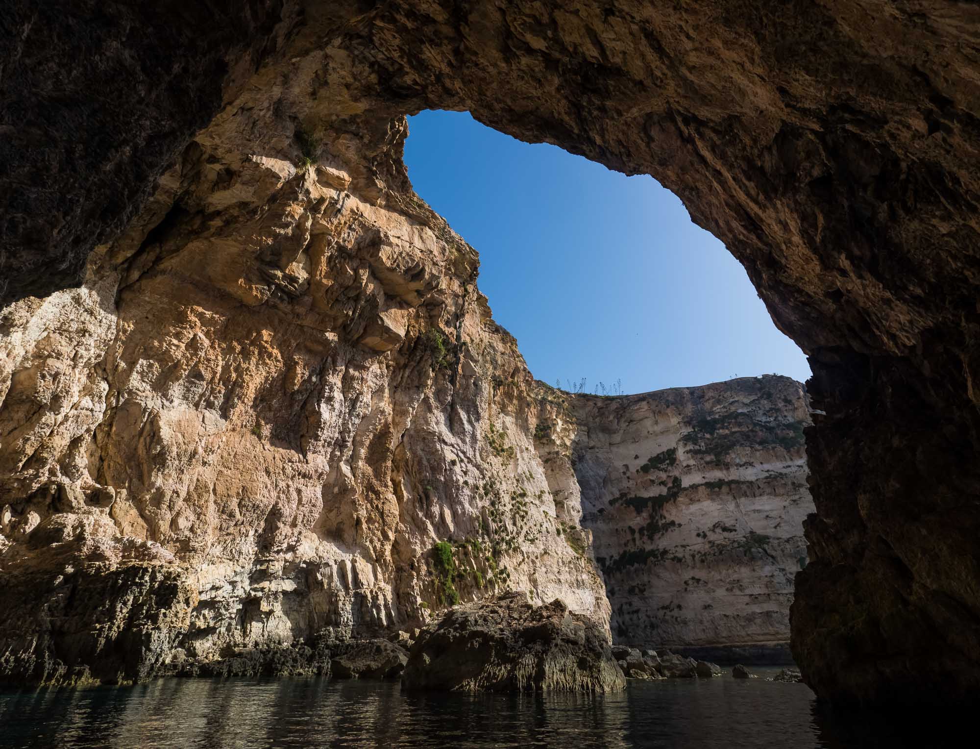
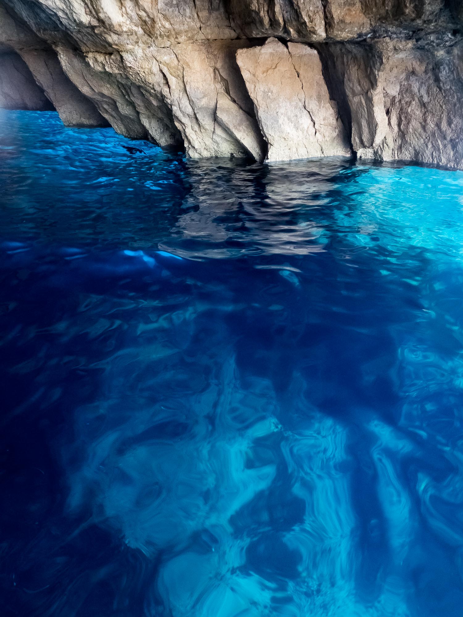
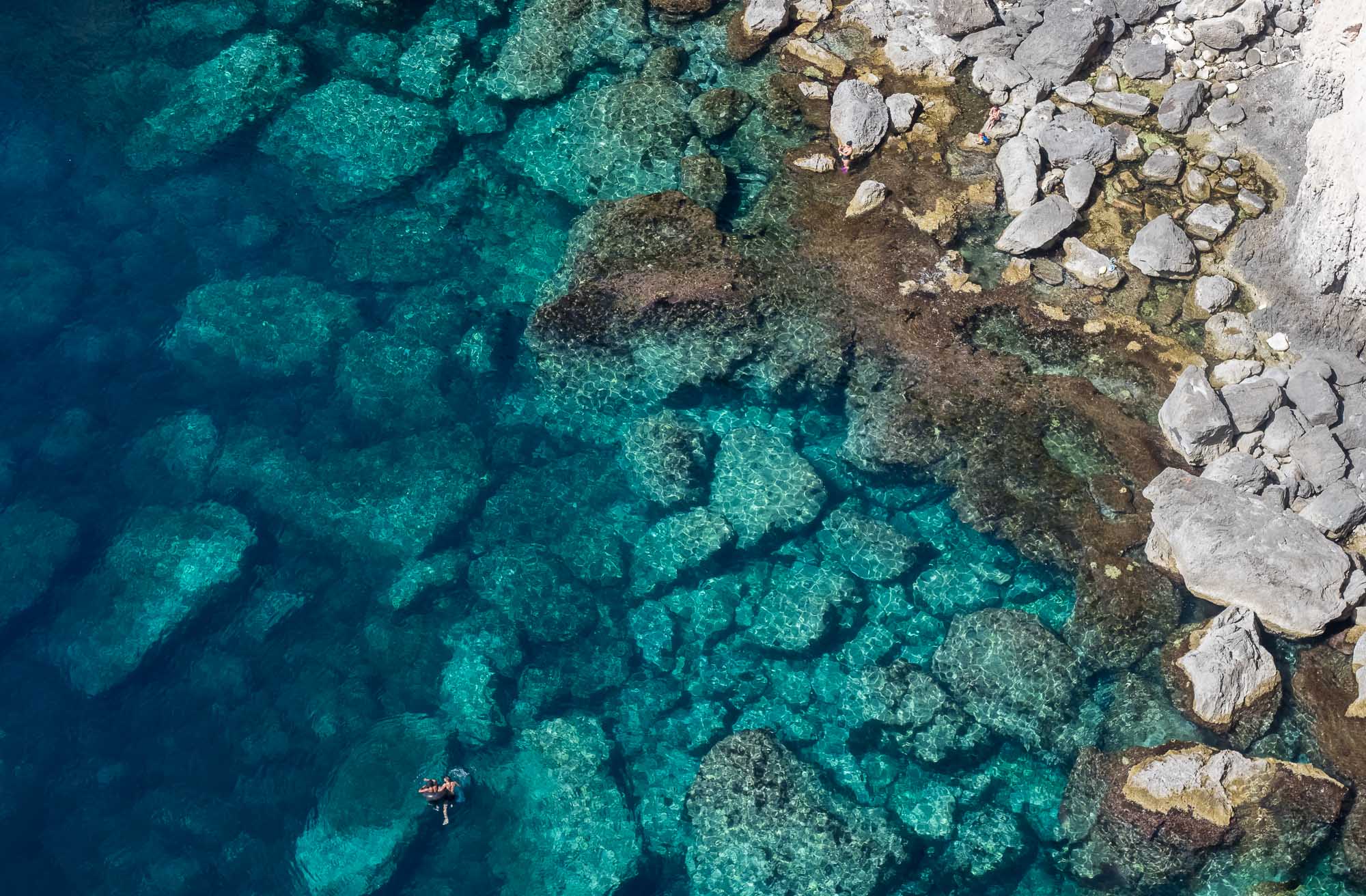
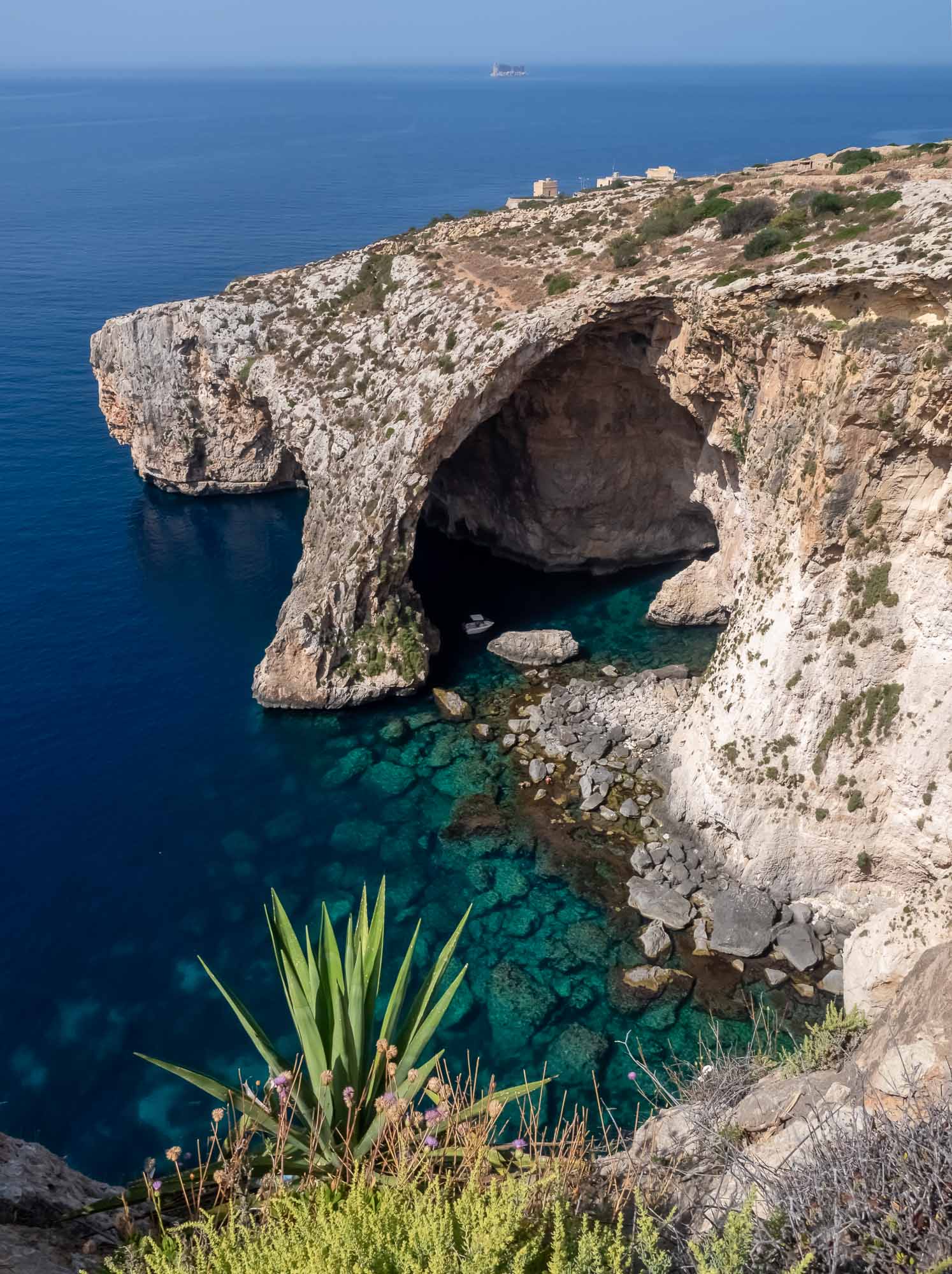
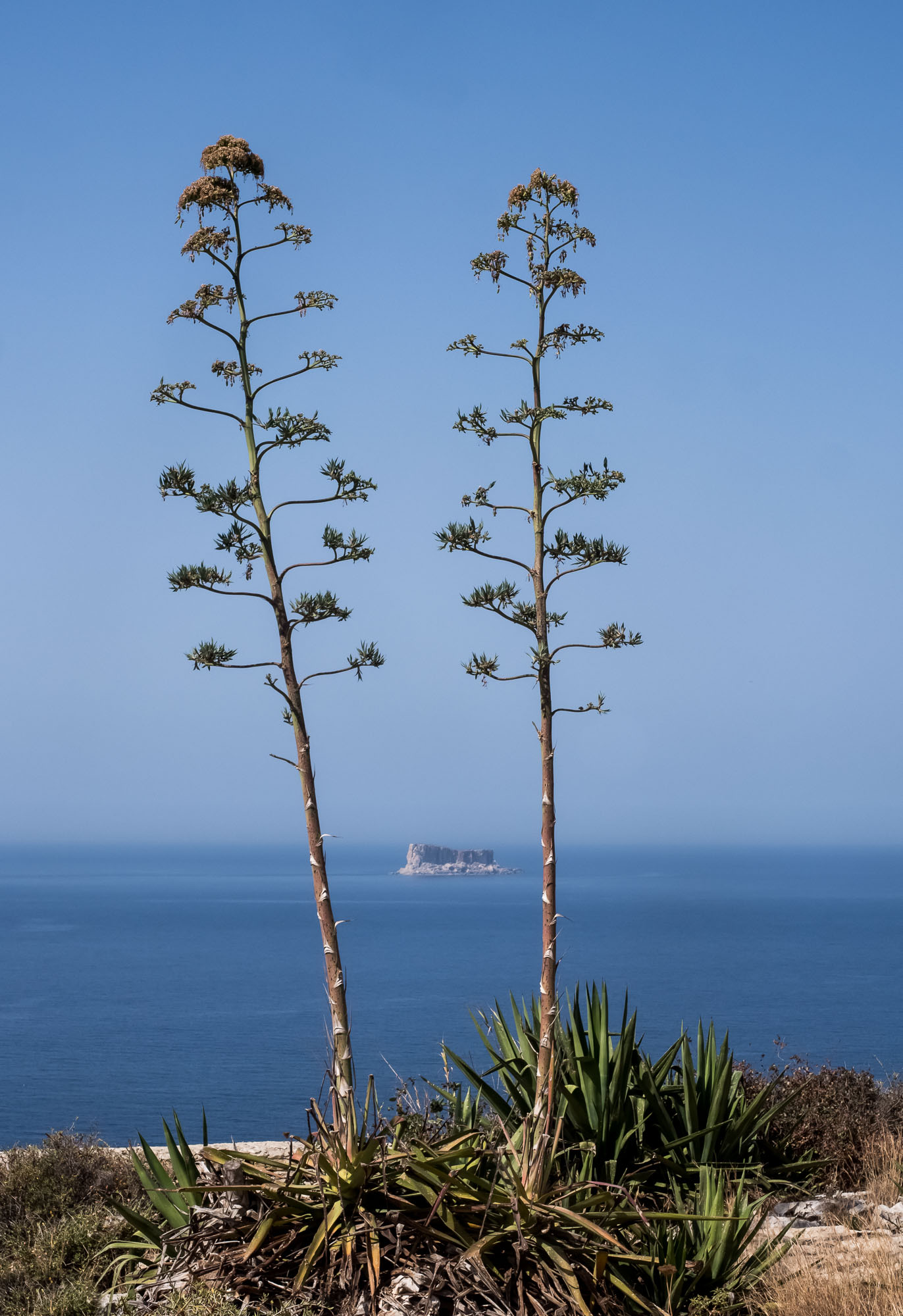
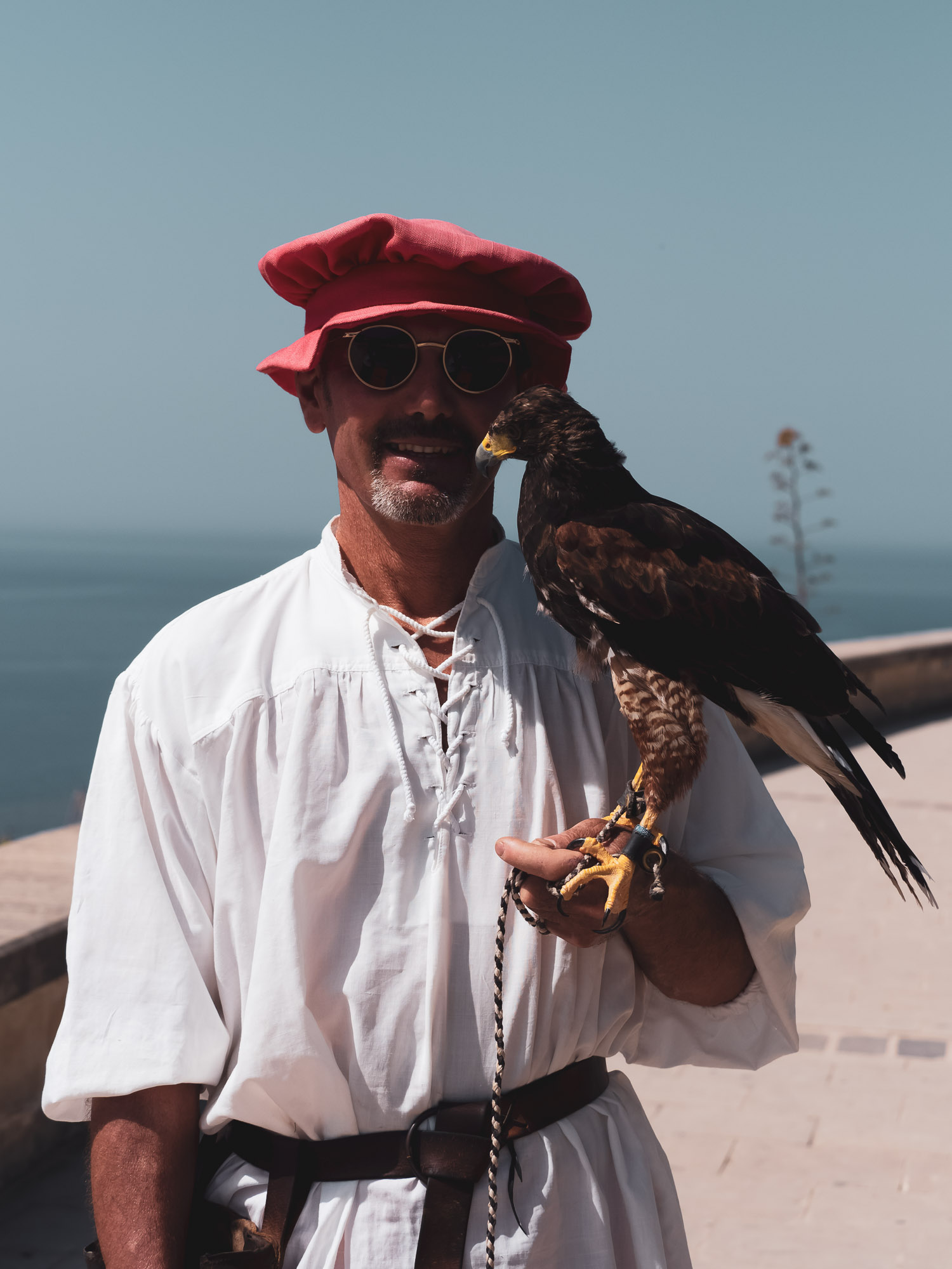
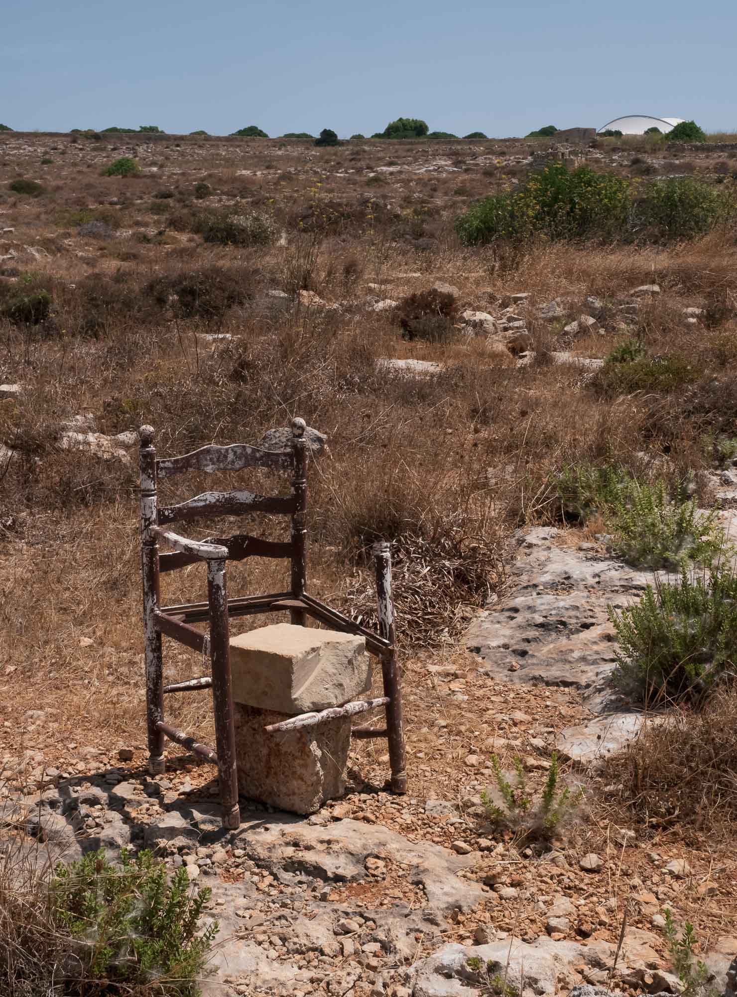
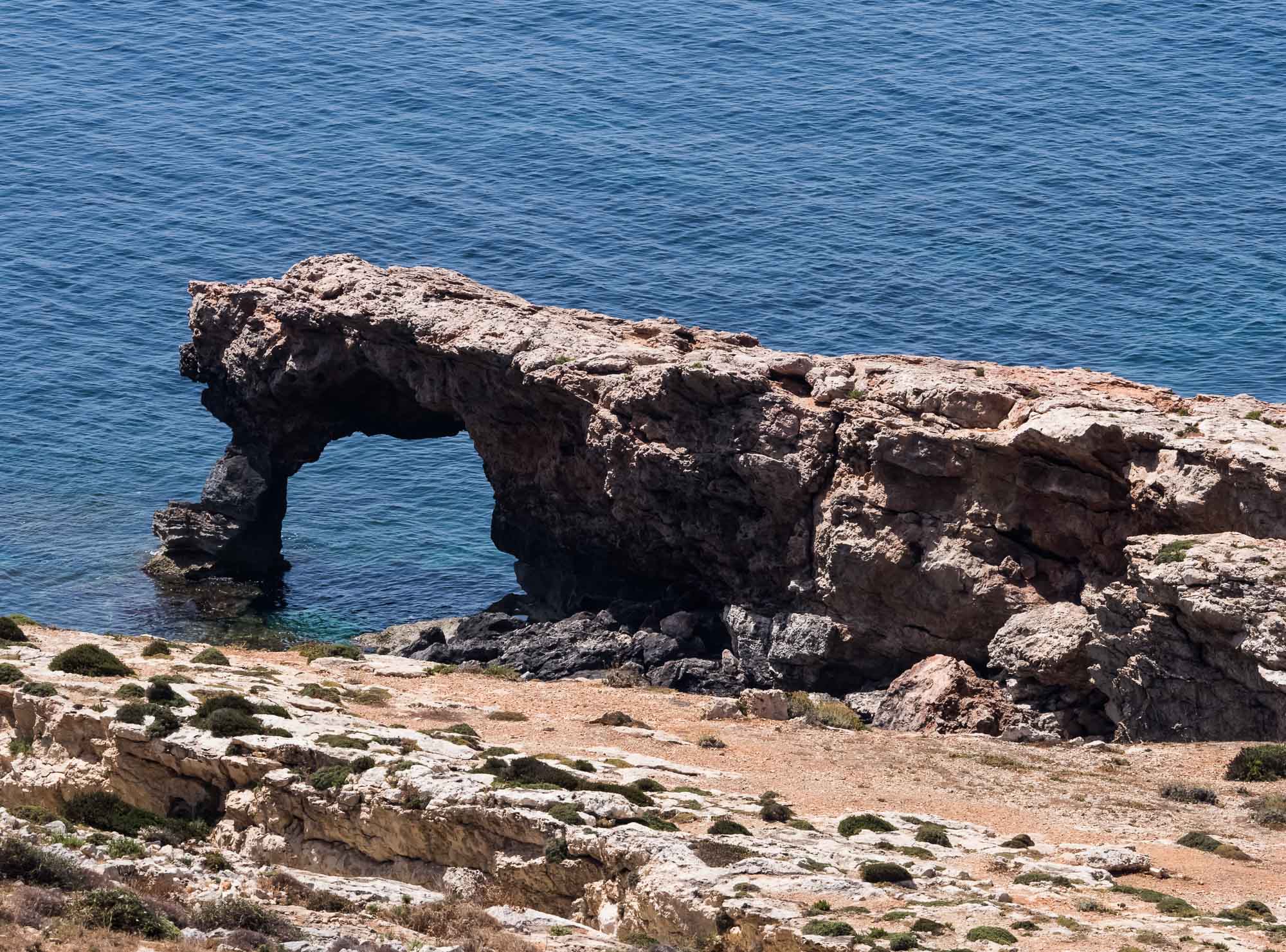
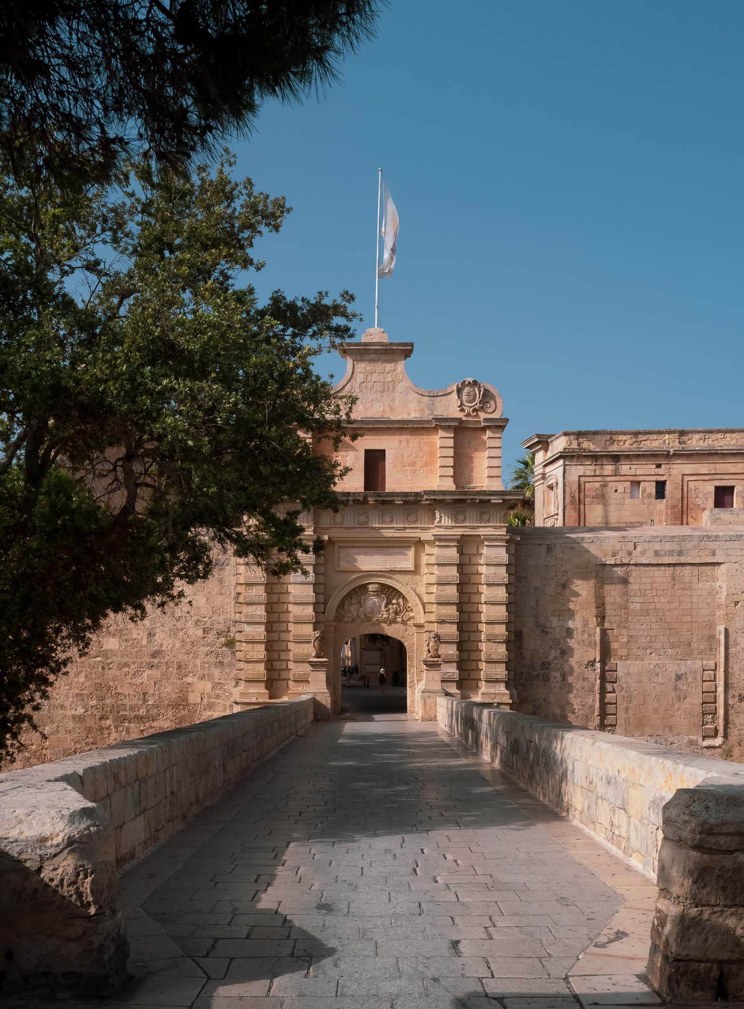
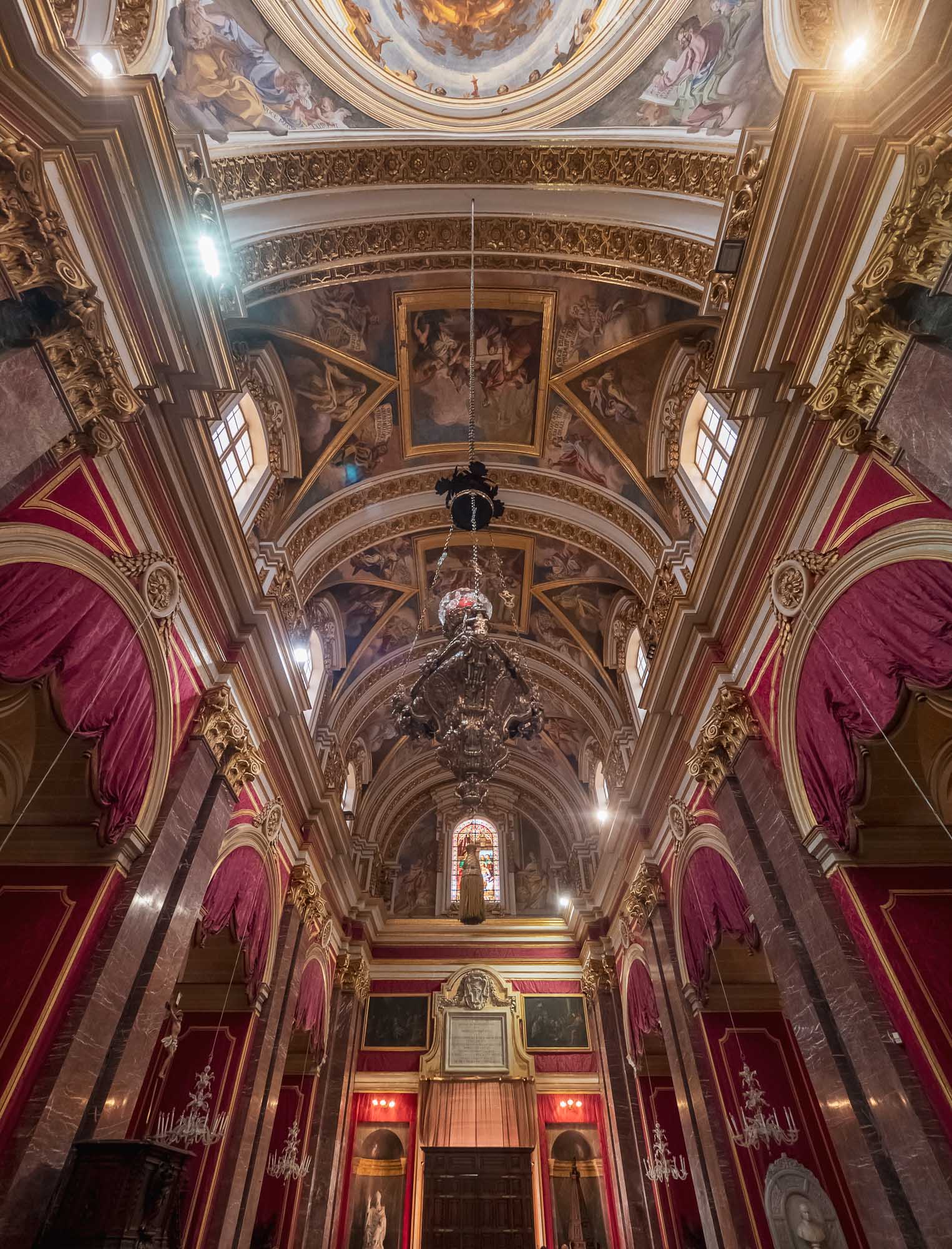
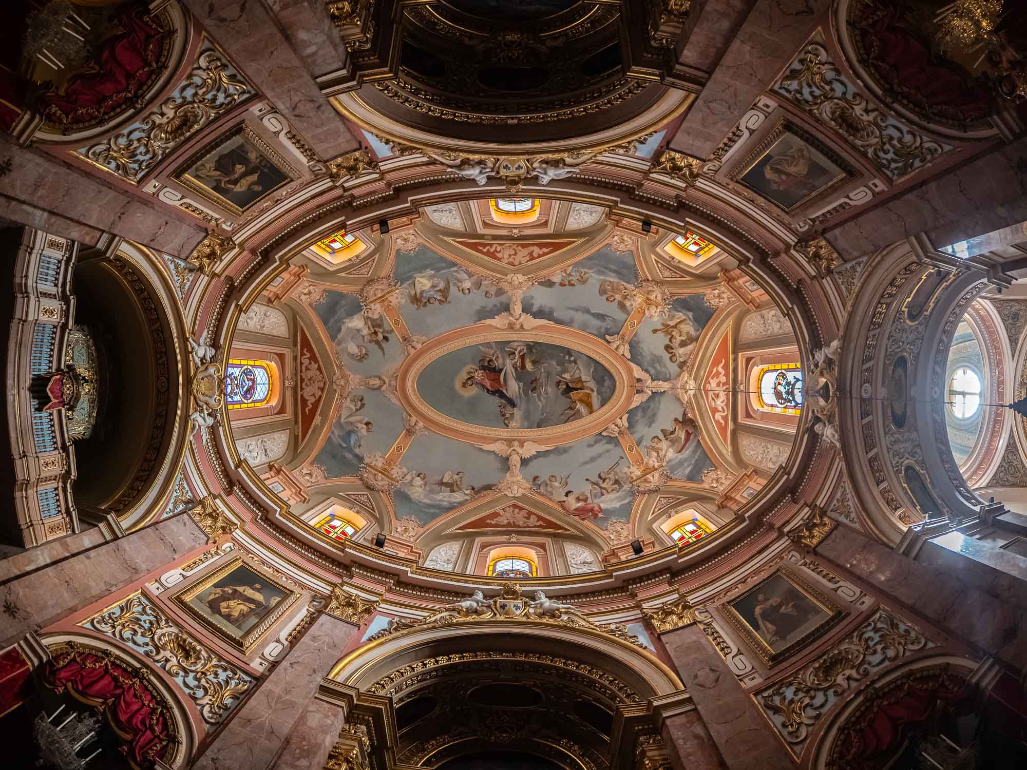
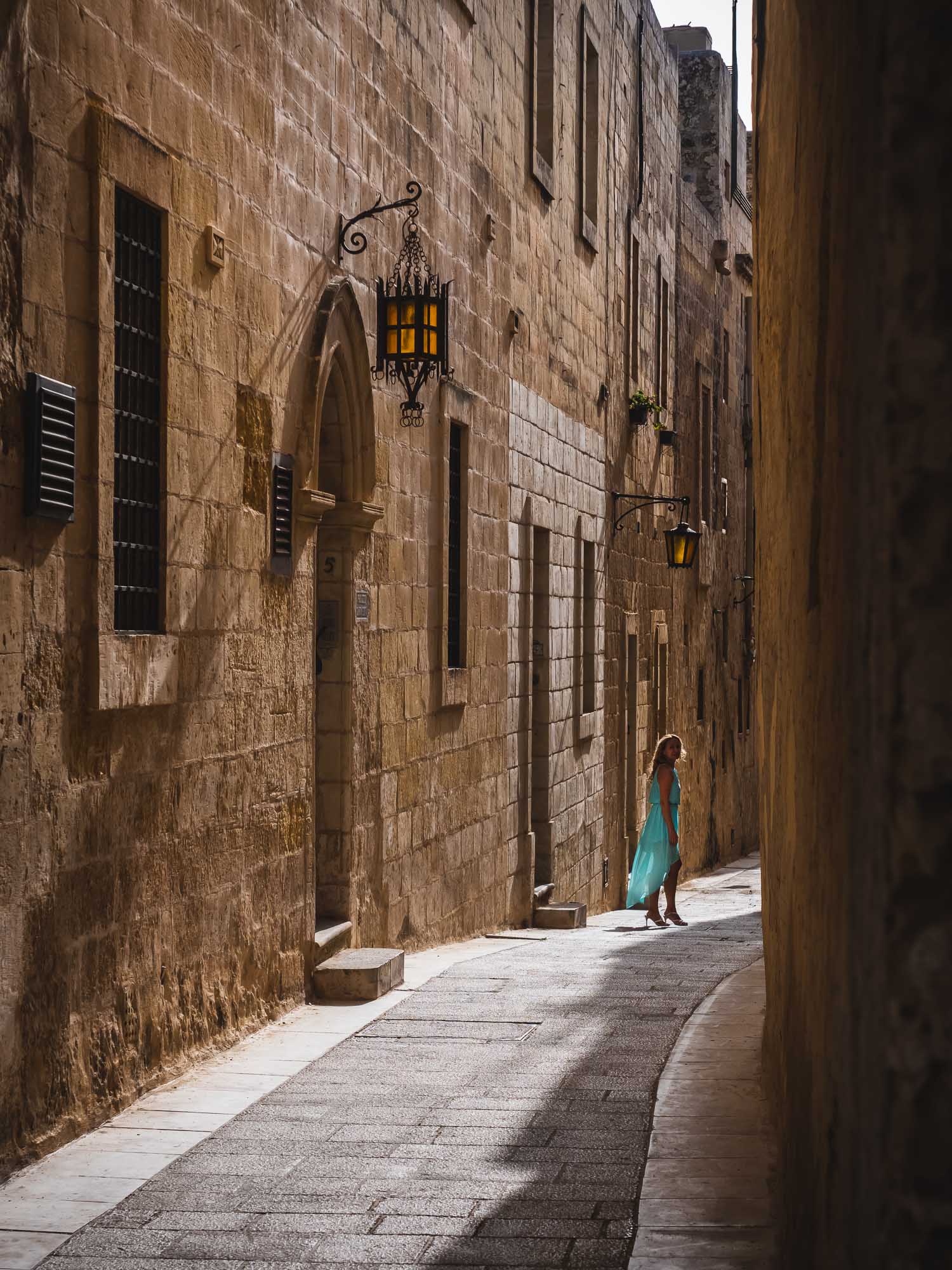
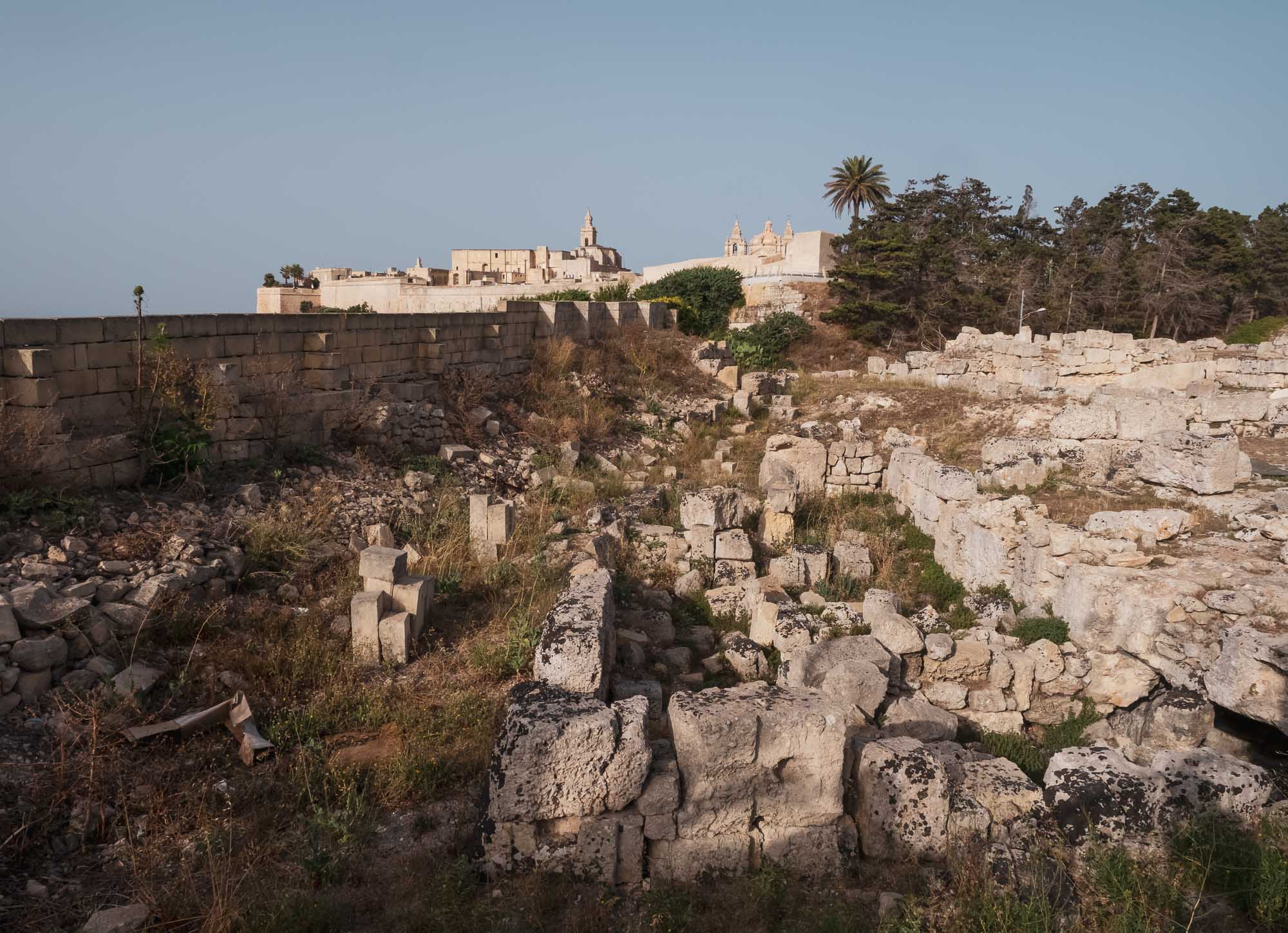
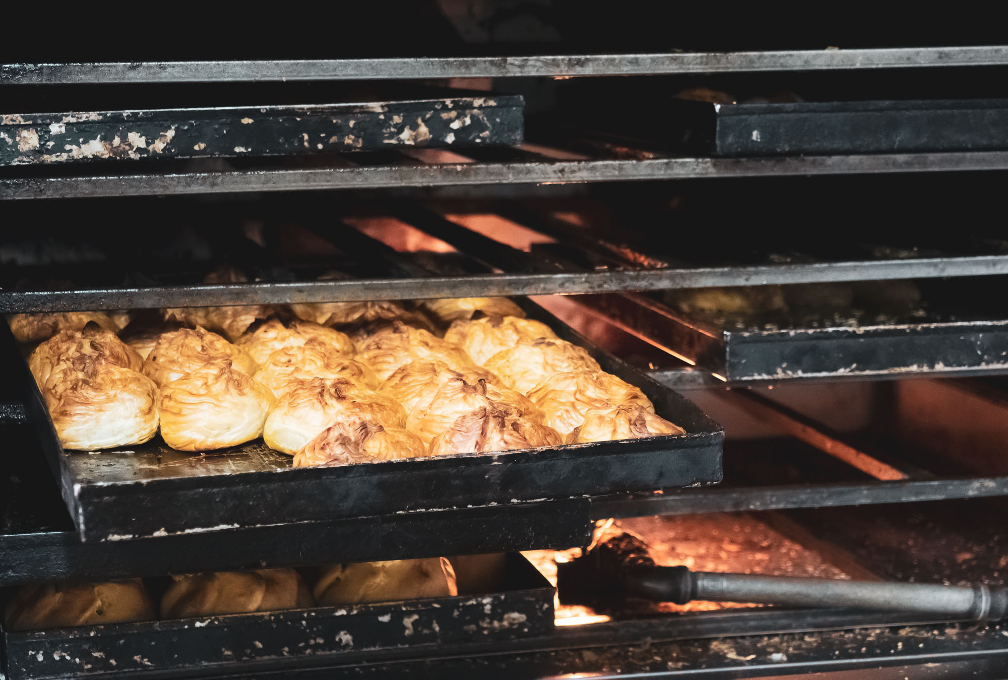
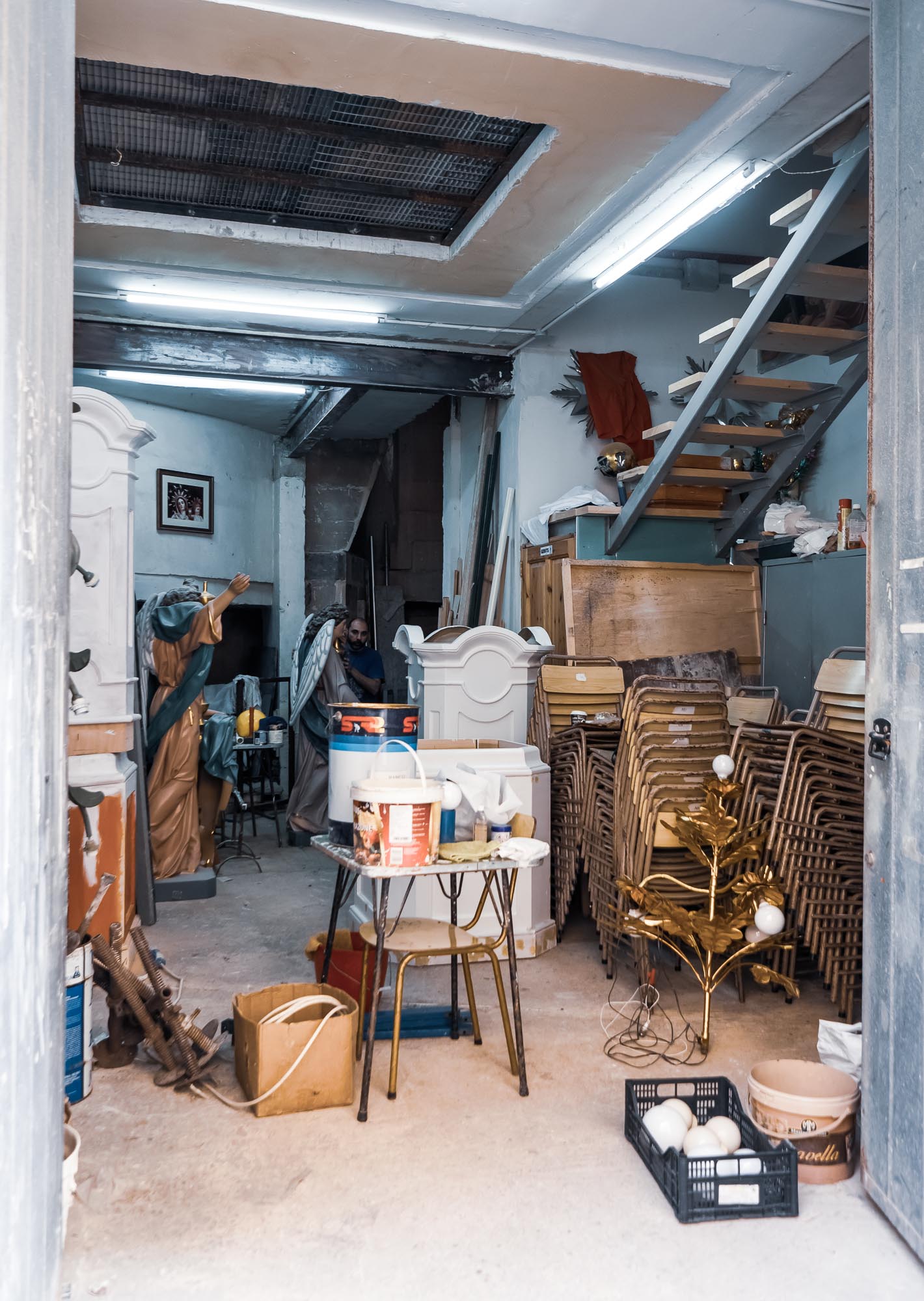
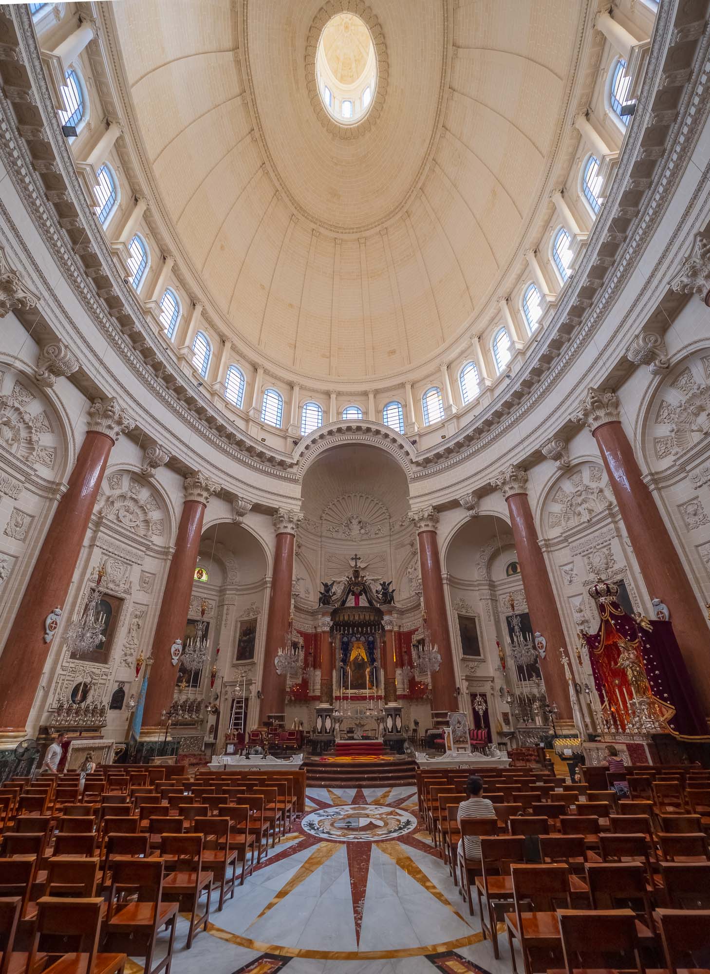
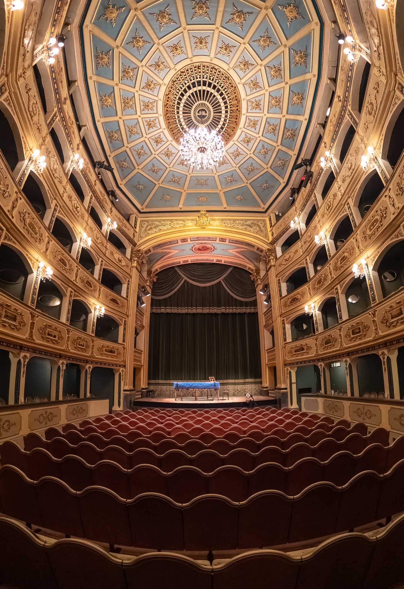
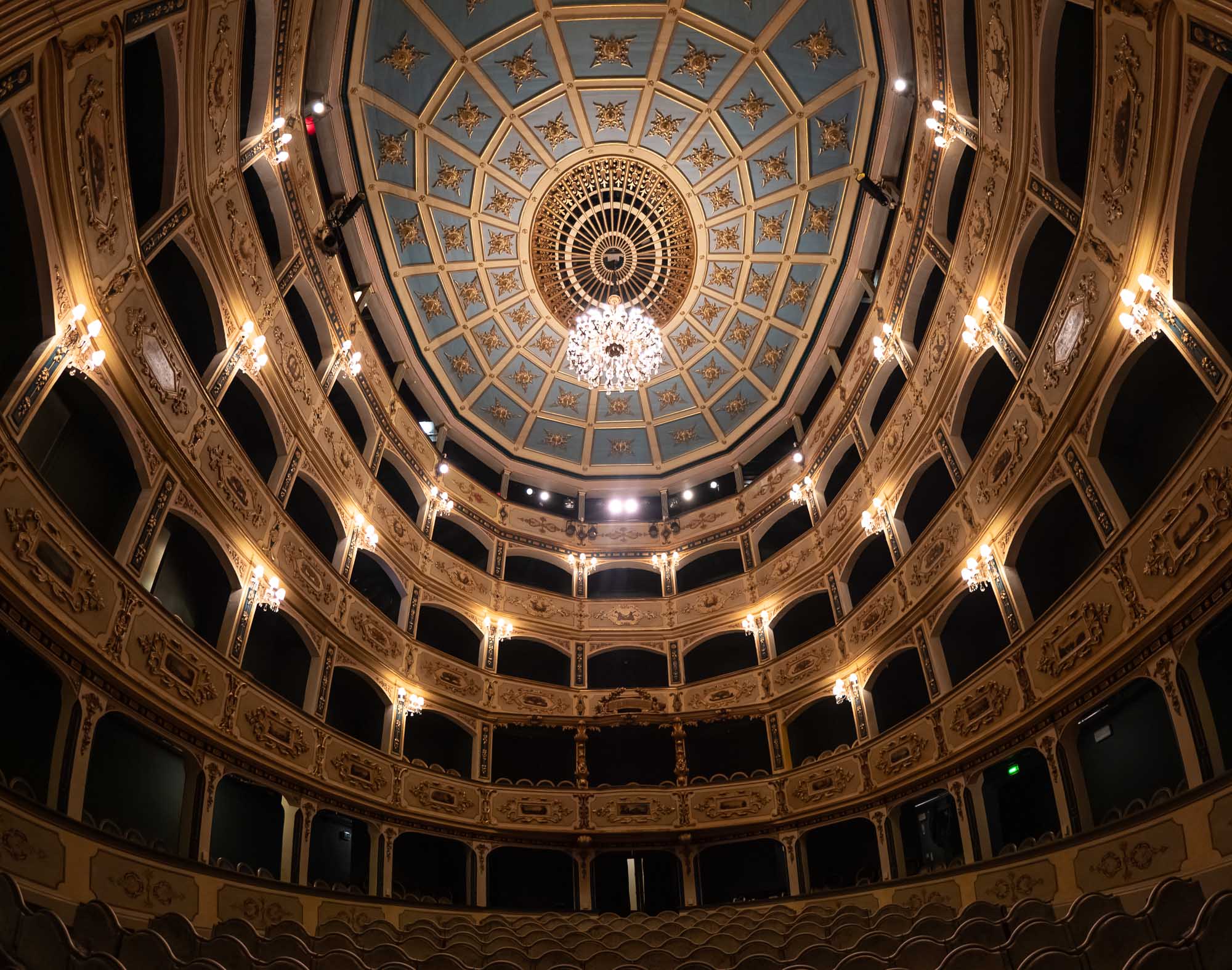
Malta - The Intriguing Island
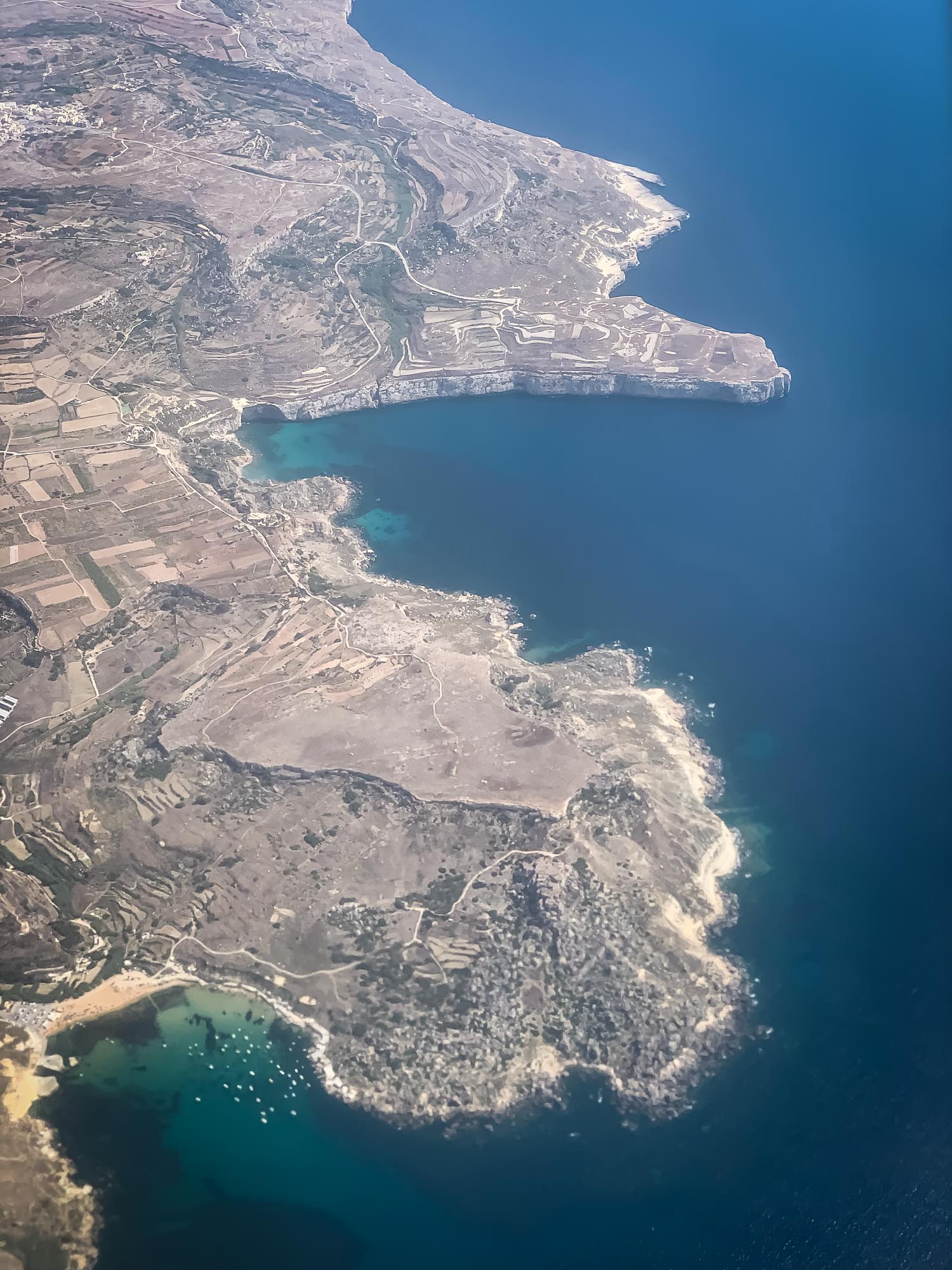
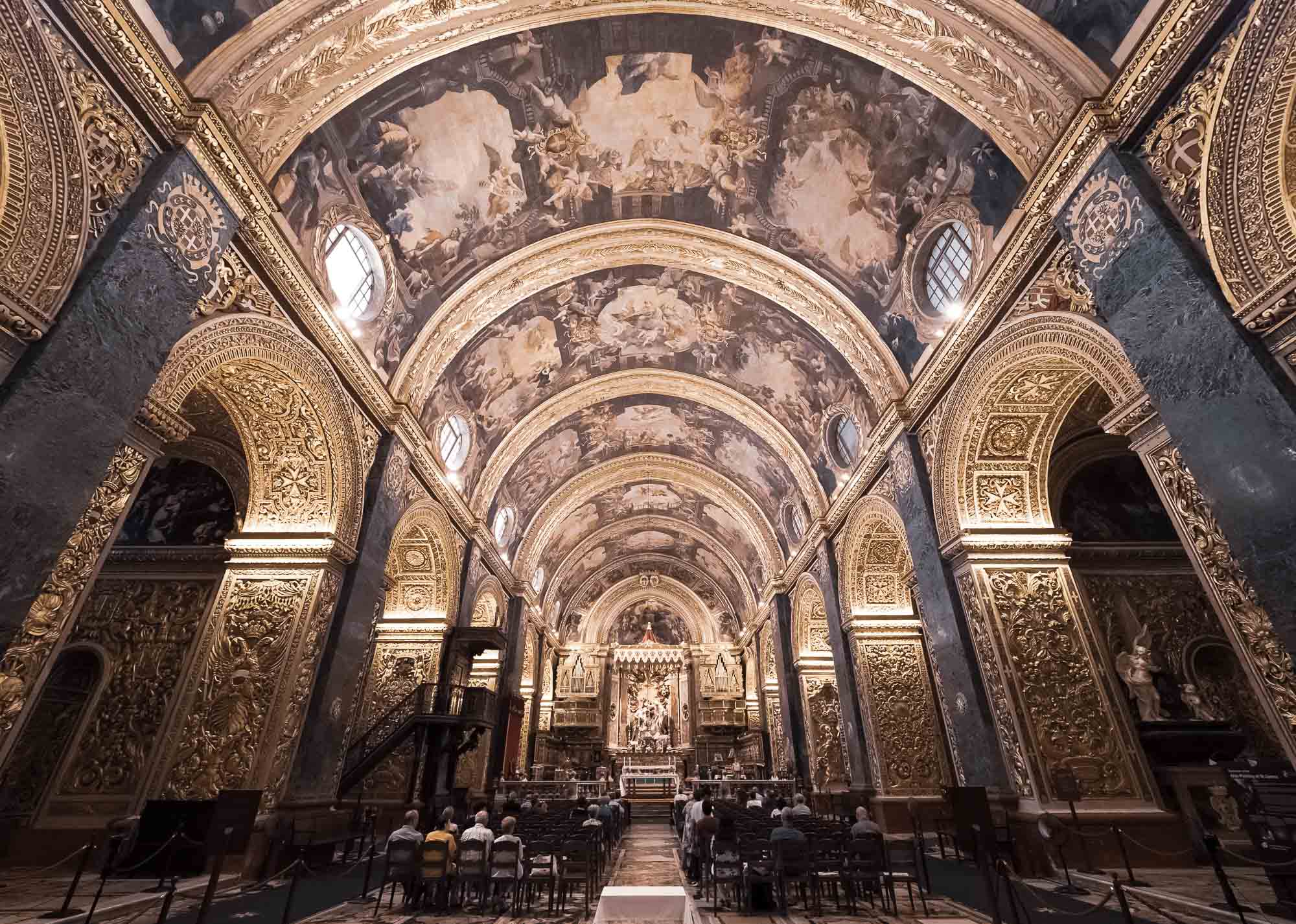
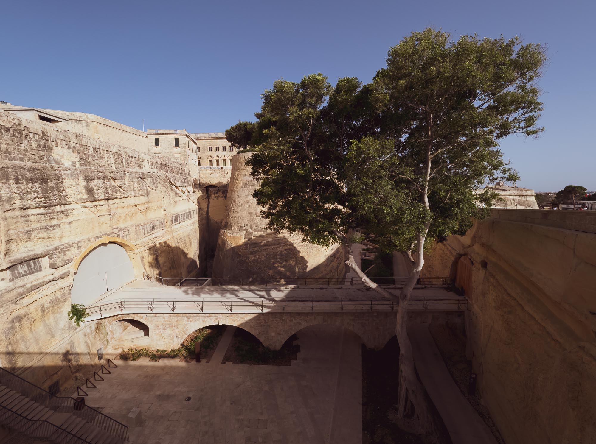
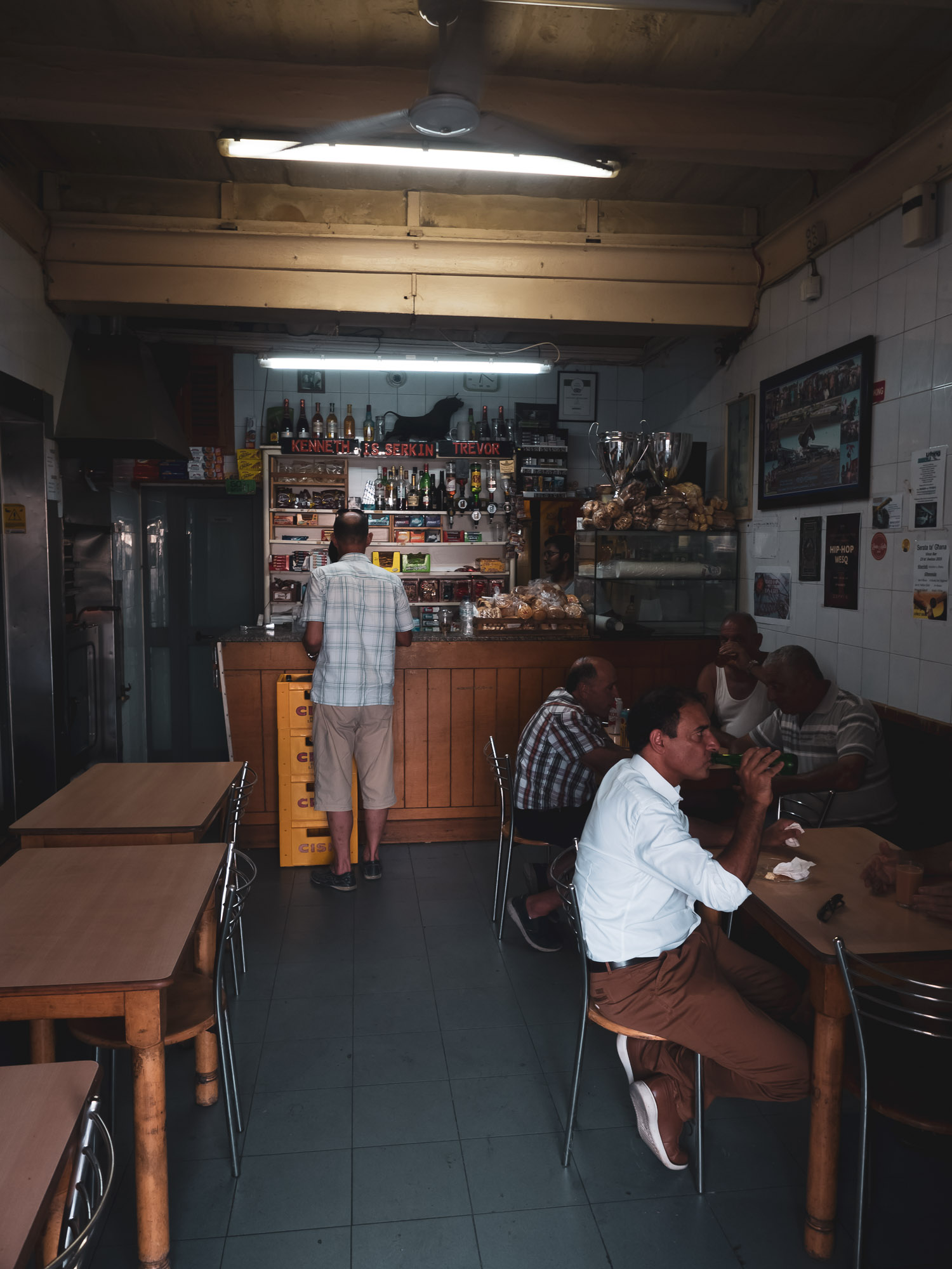
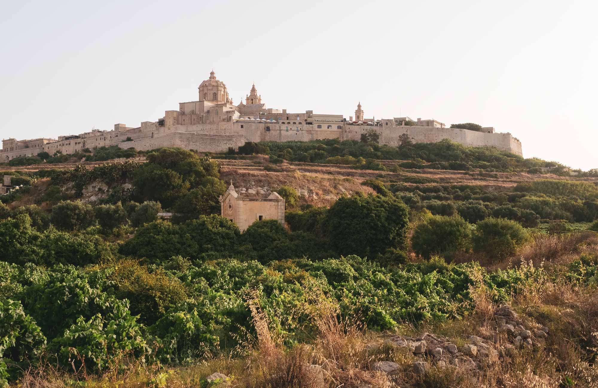
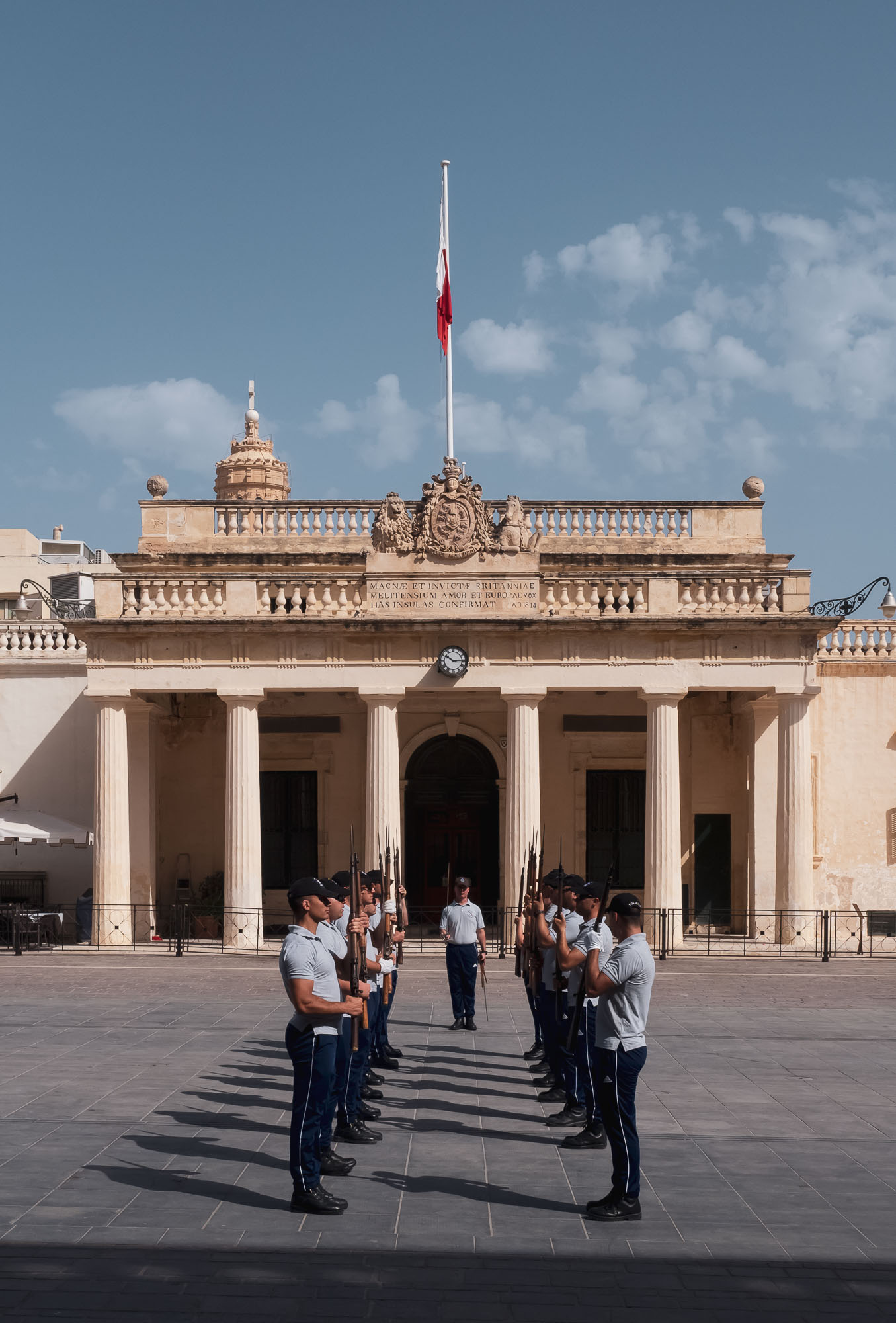
On the way back to Dubai from a wedding in Puglia, I took the chance to stop over on the island of Malta. The small nation in the Mediterranean Sea features rich history, amazing nature, cute cityscapes and more things to see and do than I had expected. Having walked over 50km in just over 3 days, I took a few hundred photos, a short selection is below.

On the way back to Dubai from a wedding in Puglia, I took the chance to stop over on the island of Malta. The small nation in the Mediterranean Sea features rich history, amazing nature, cute cityscapes and more things to see and do than I had expected. Having walked over 50km in just over 3 days, I took a few hundred photos, a short selection is below.


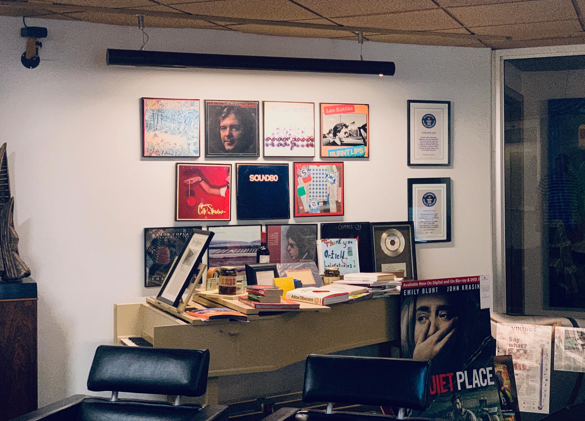
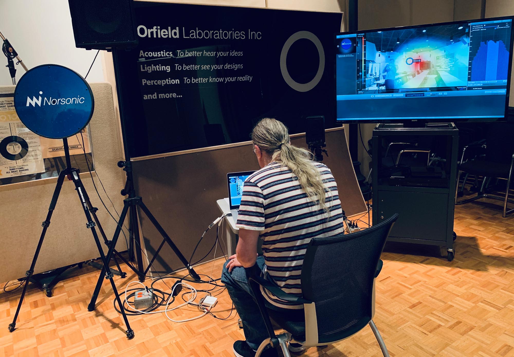
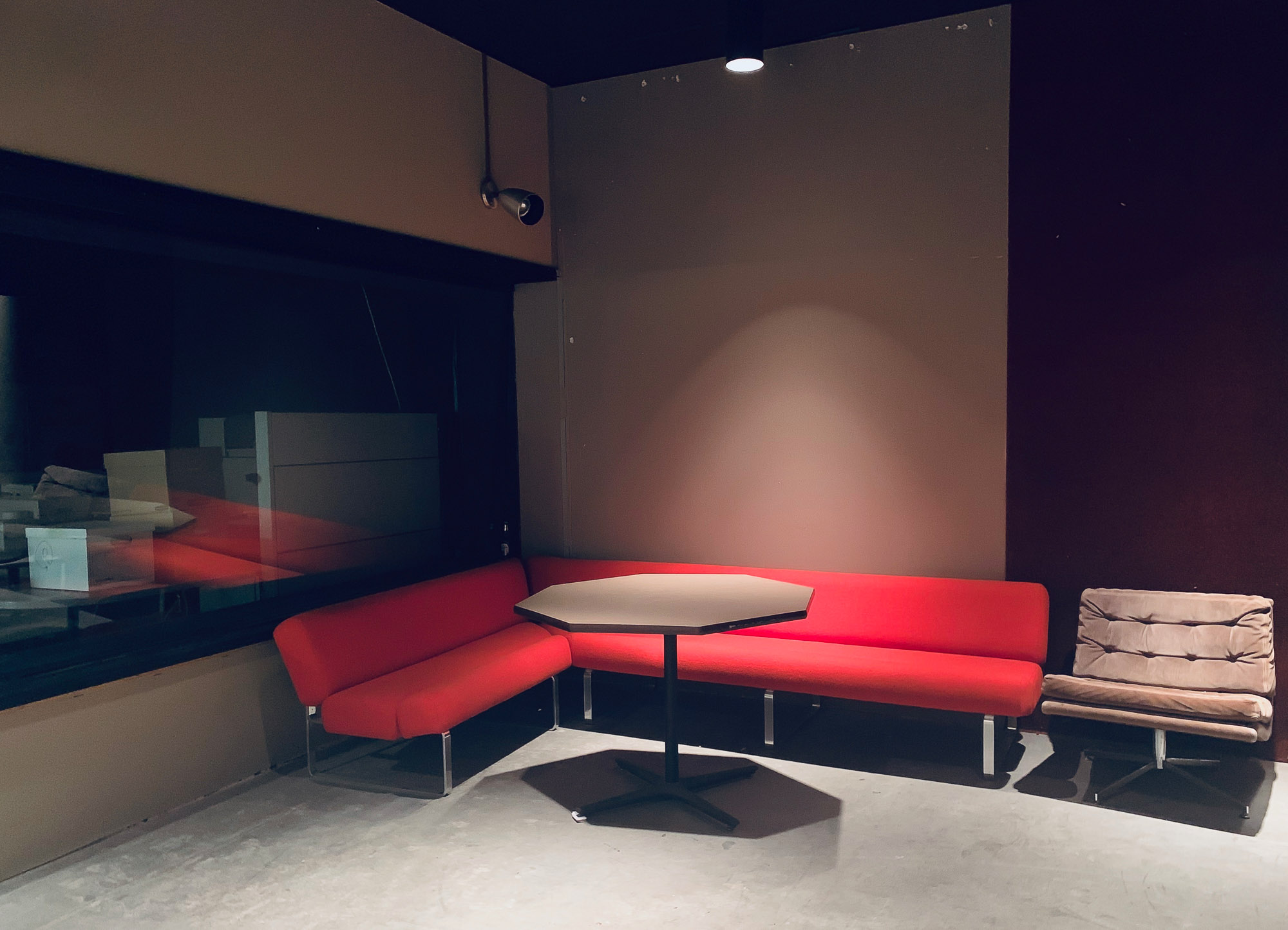
Minneapolis & "The Quietest Place on Earth"
The yearly trip to HITEC - the world’s largest hospitality technology show - this year brought me to Minneapolis, MN, in the United States.
Since I’m always up for exploring a new place, I couldn’t resist to stay an extra day to make the 26h trip from Dubai a little more worthwhile - and it definitely was!
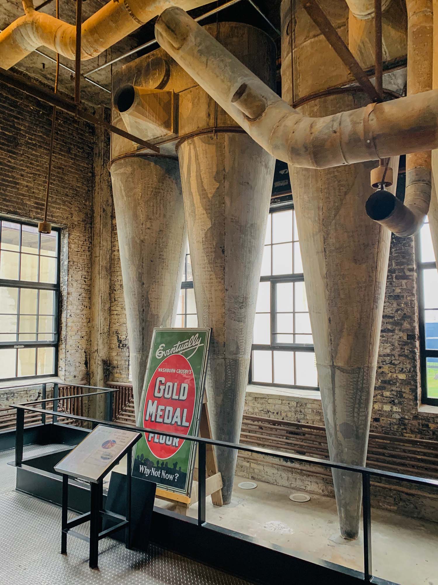
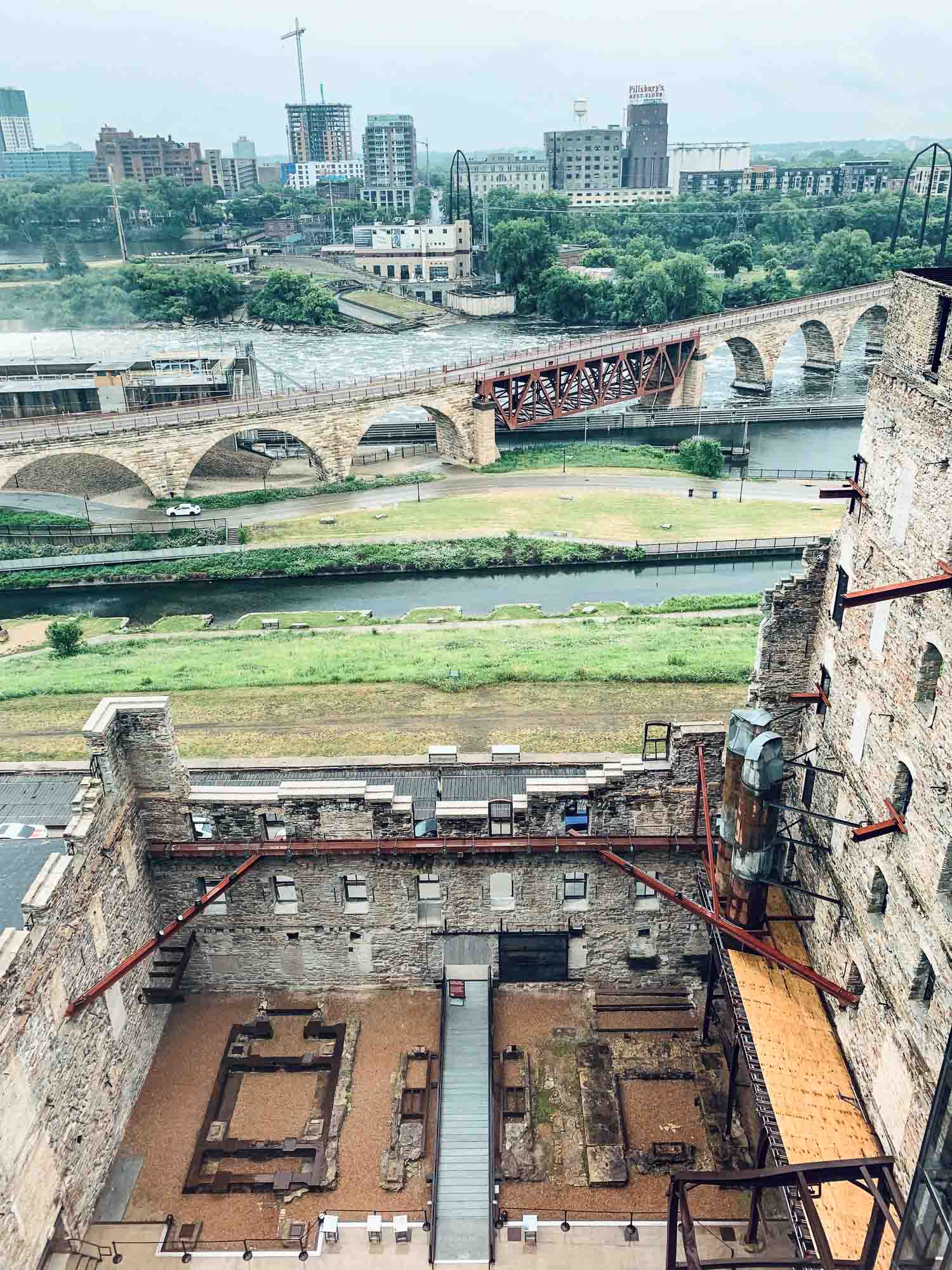
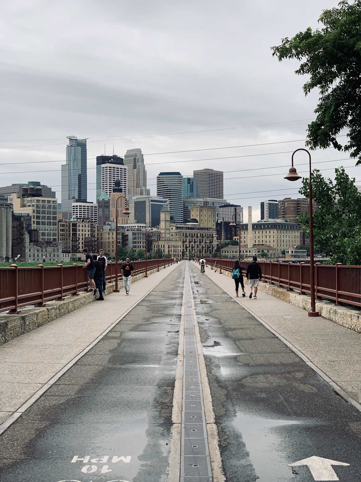
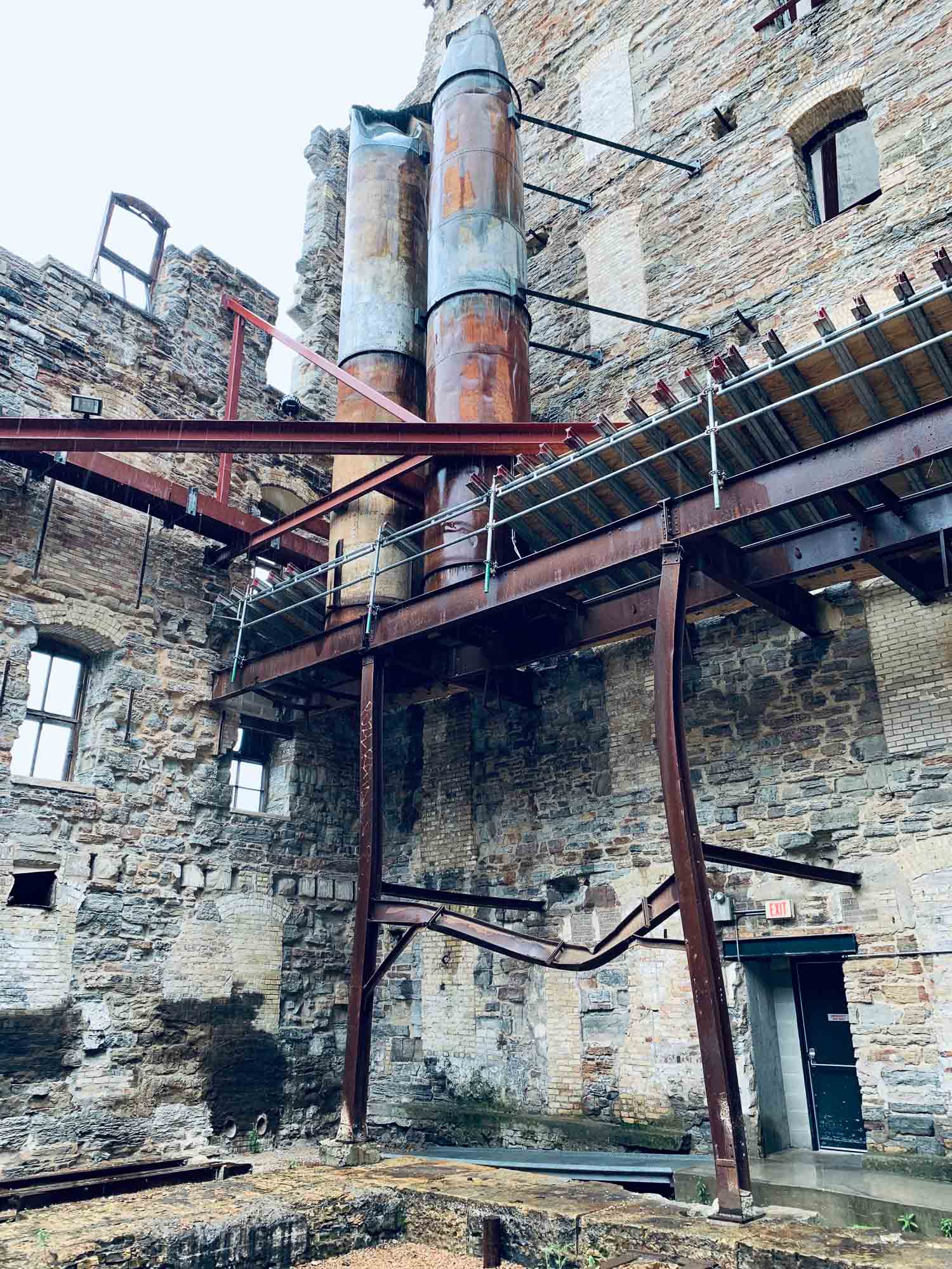
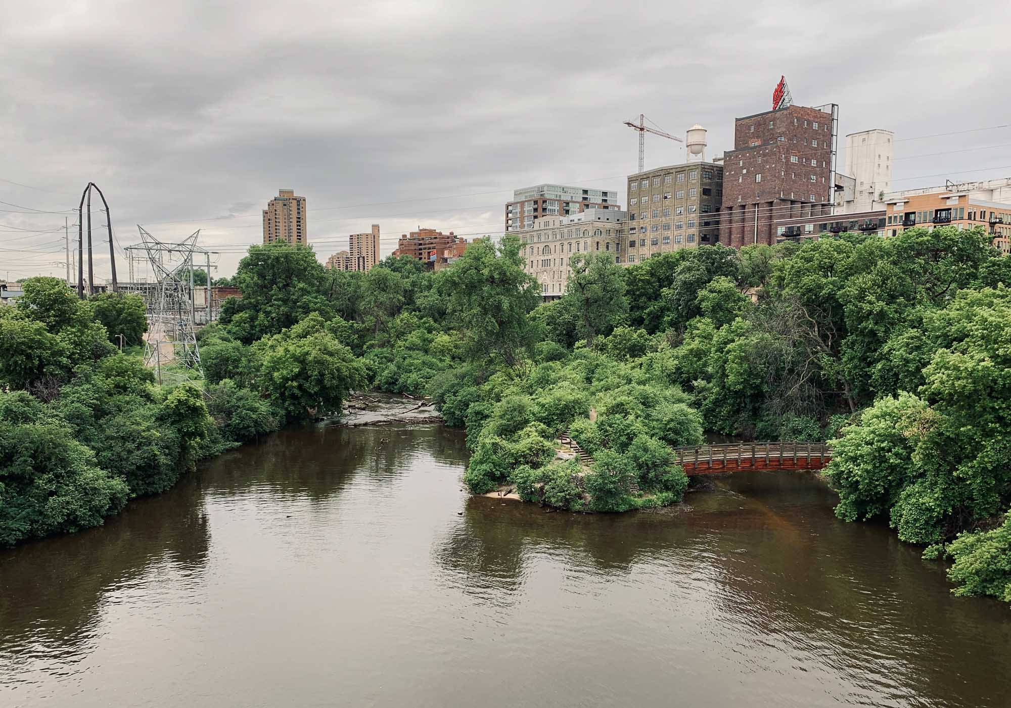
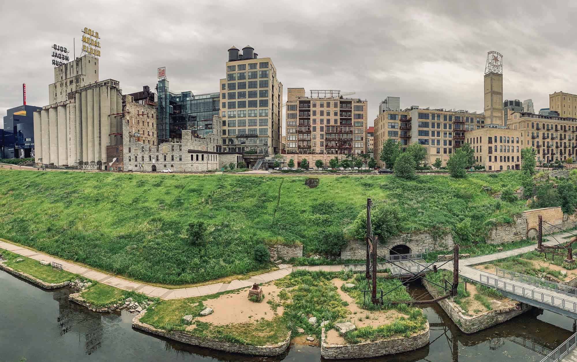
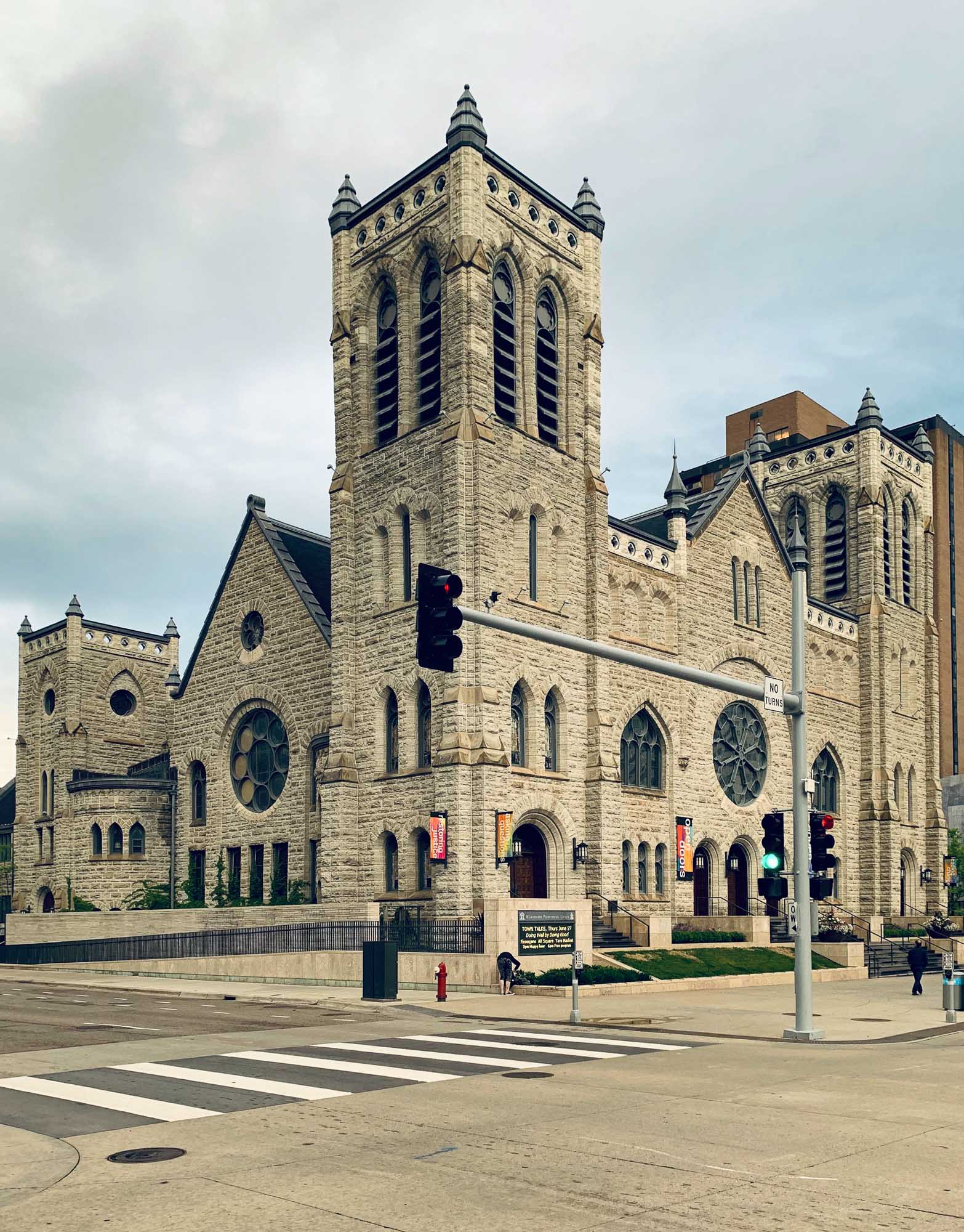
Minneapolis has a rich history as the milling capital of the US, owing to the Mississippi River running through the city, and is home to a few interesting sights.
As I only had a few hours, I didn’t take my camera along, so all the photos here are shot on iPhone XS.


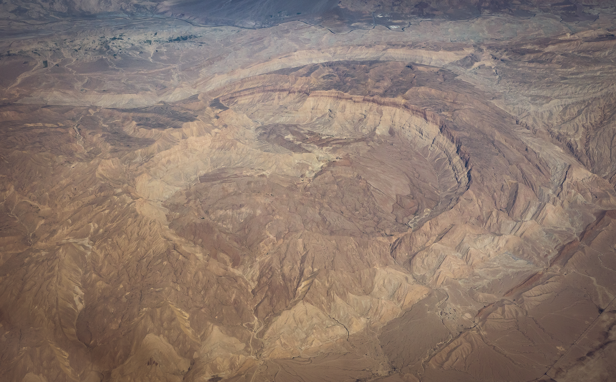
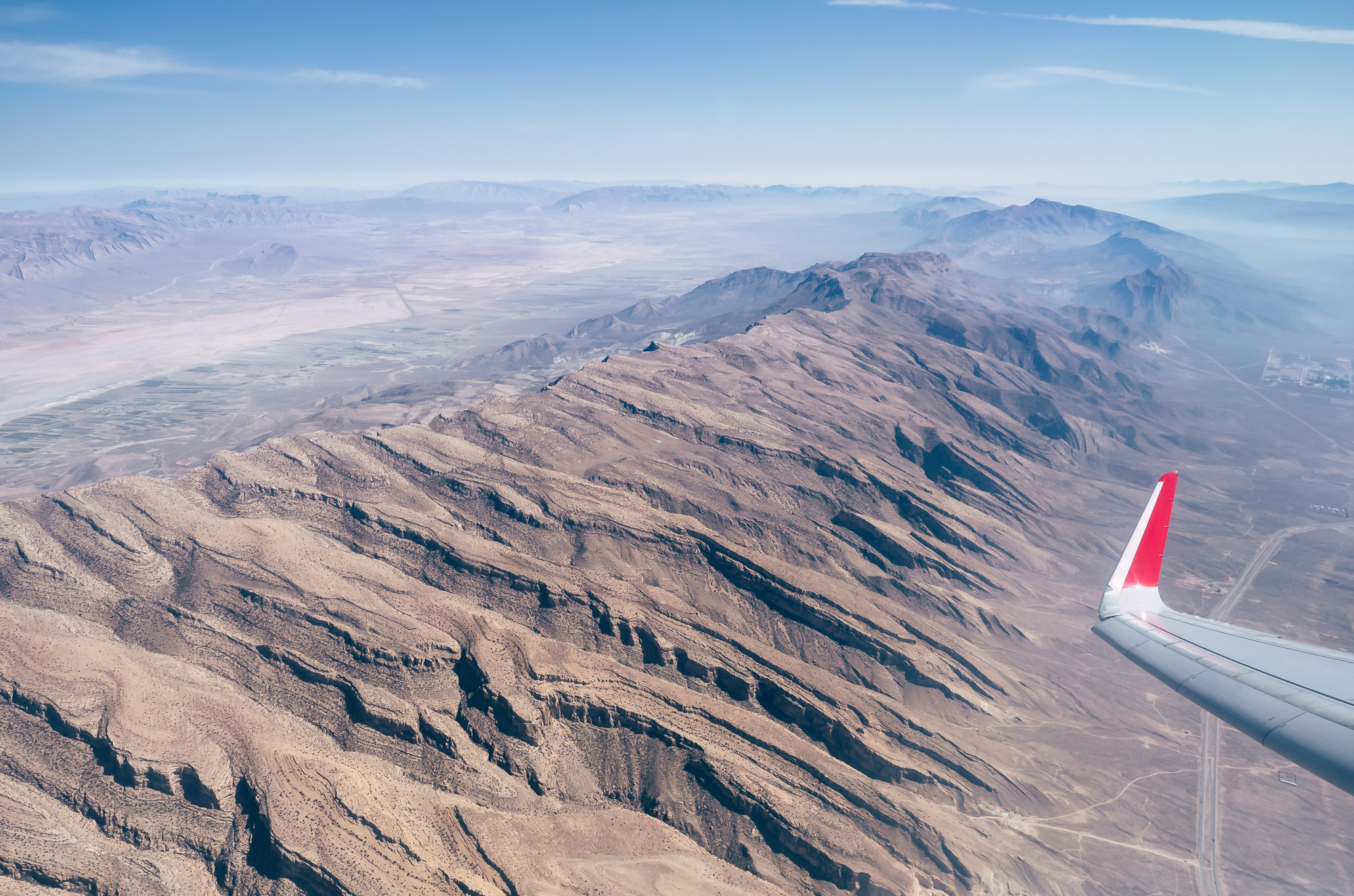
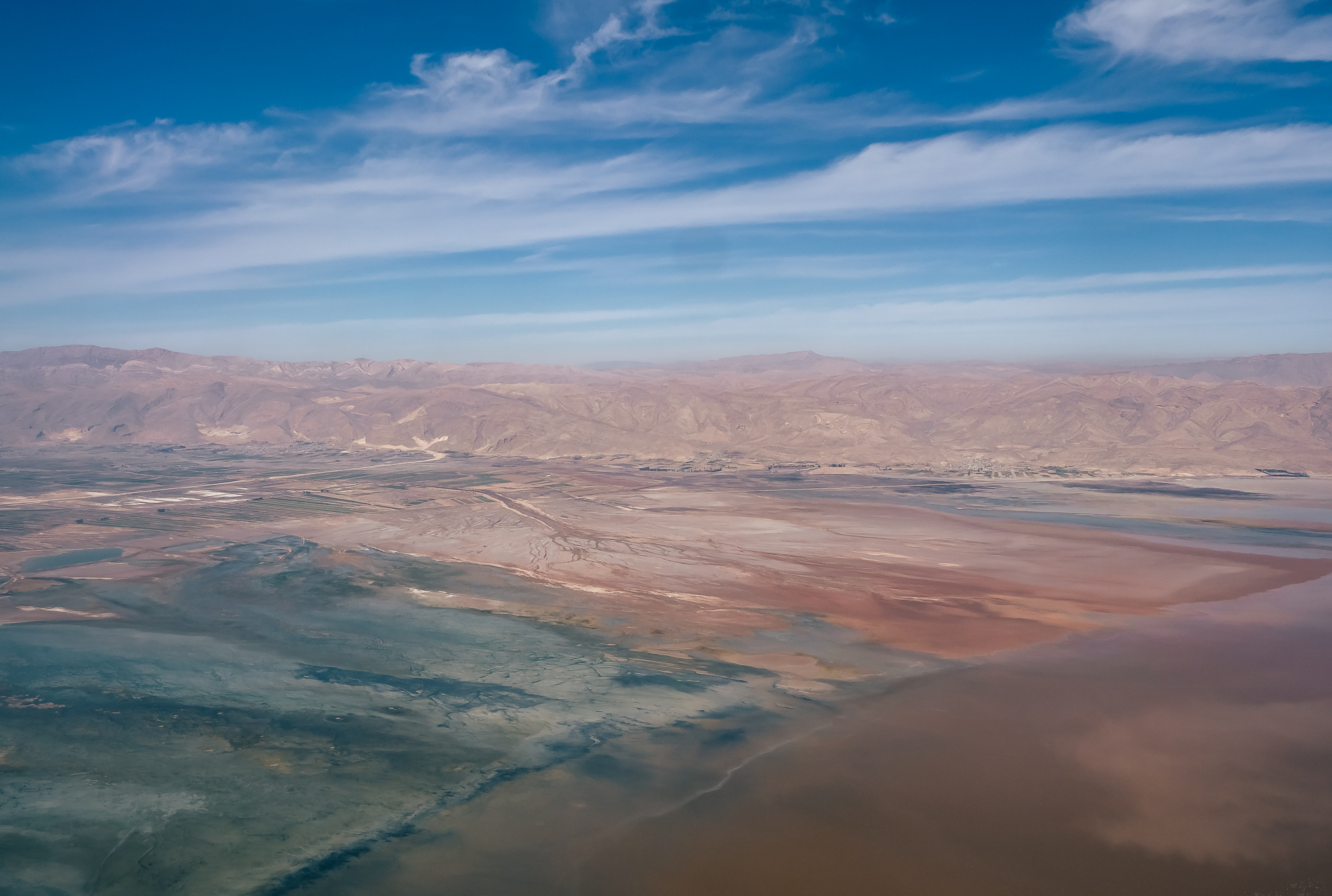
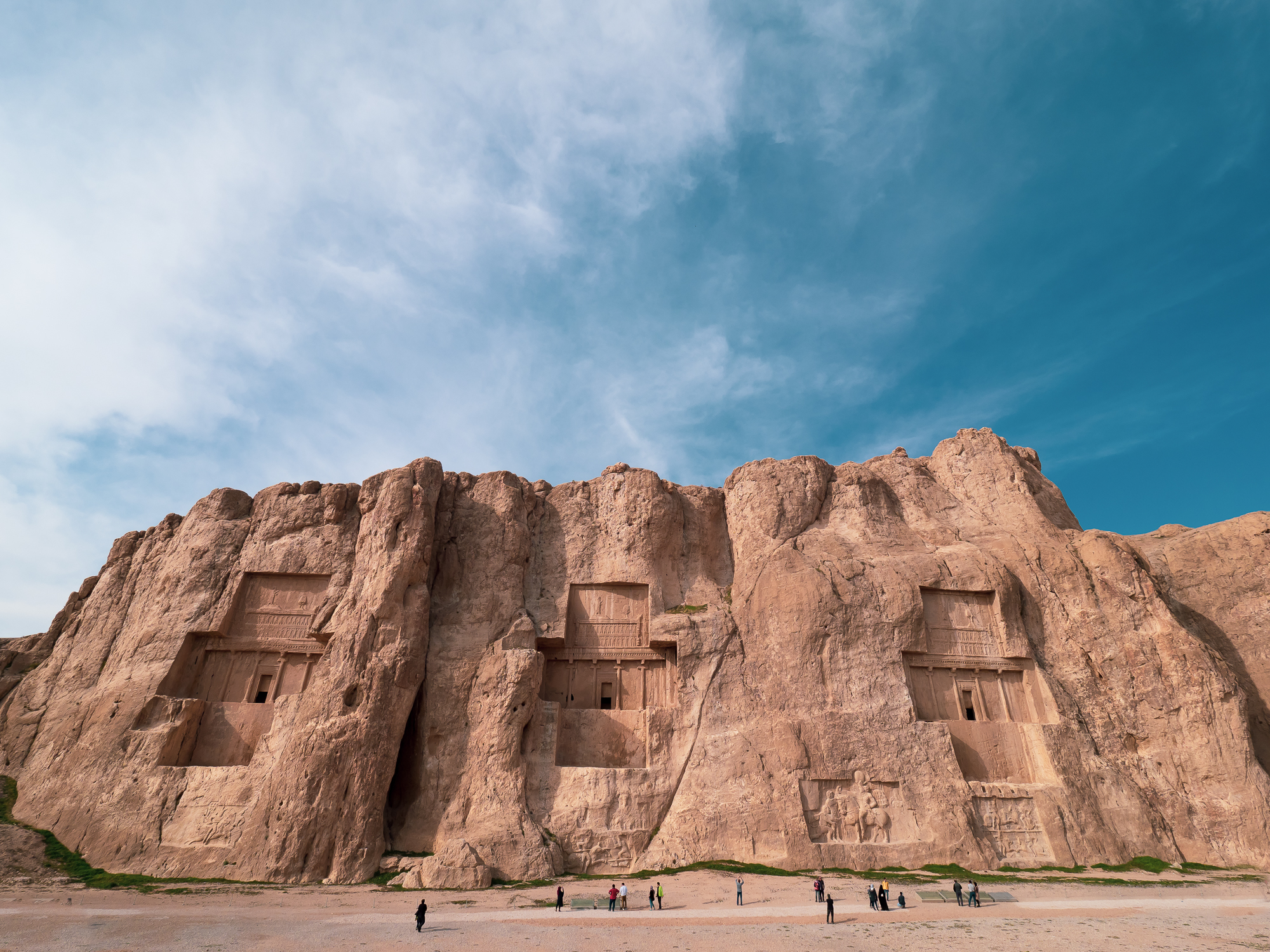
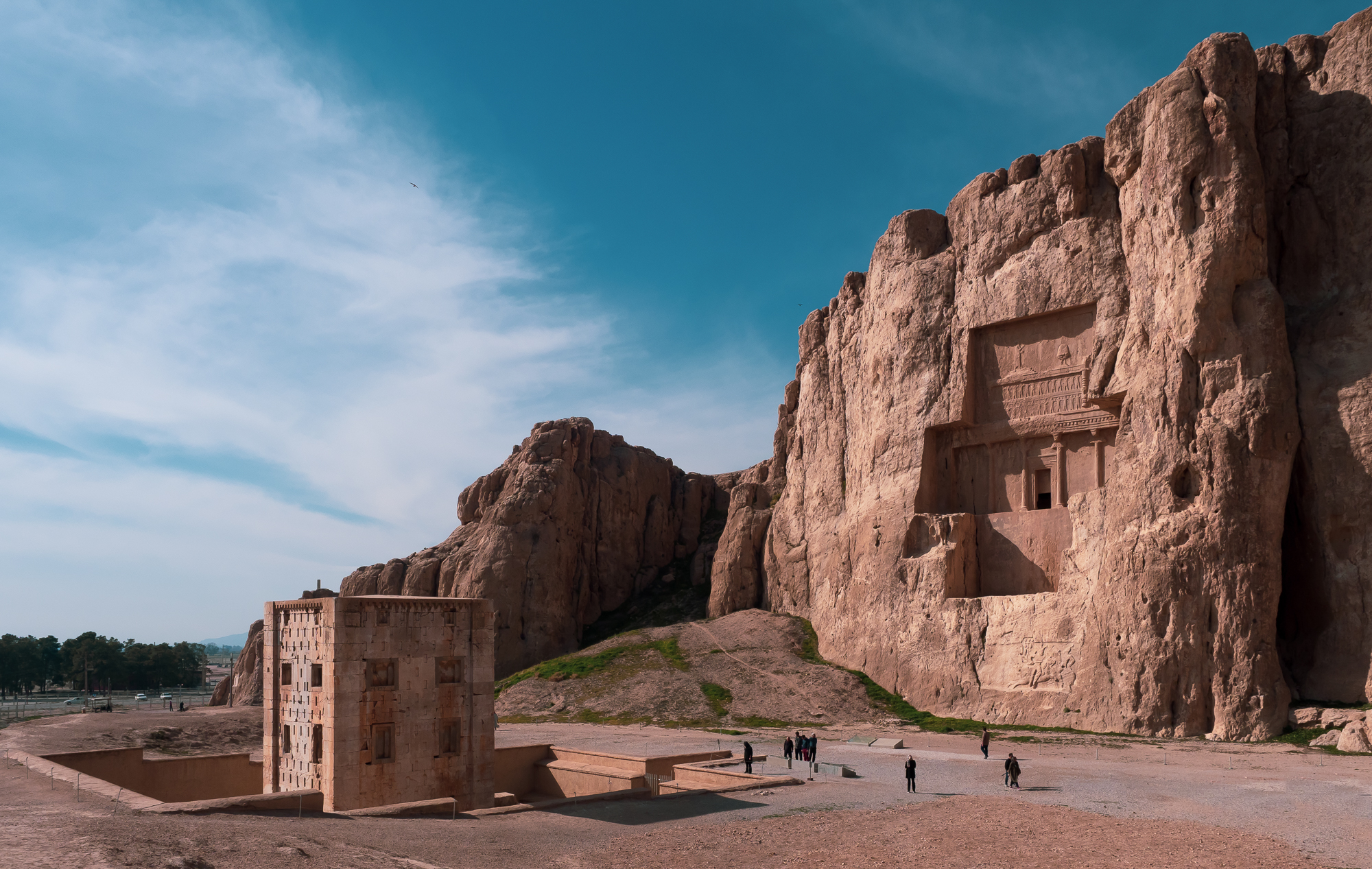
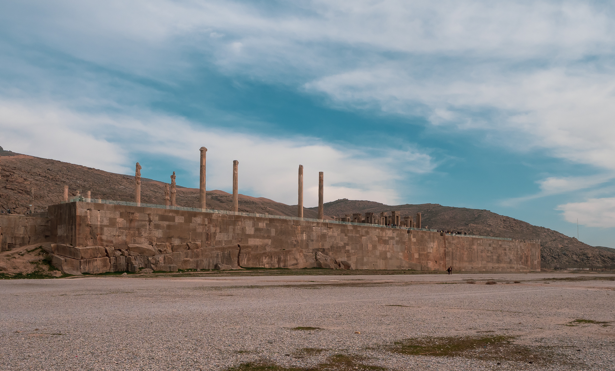
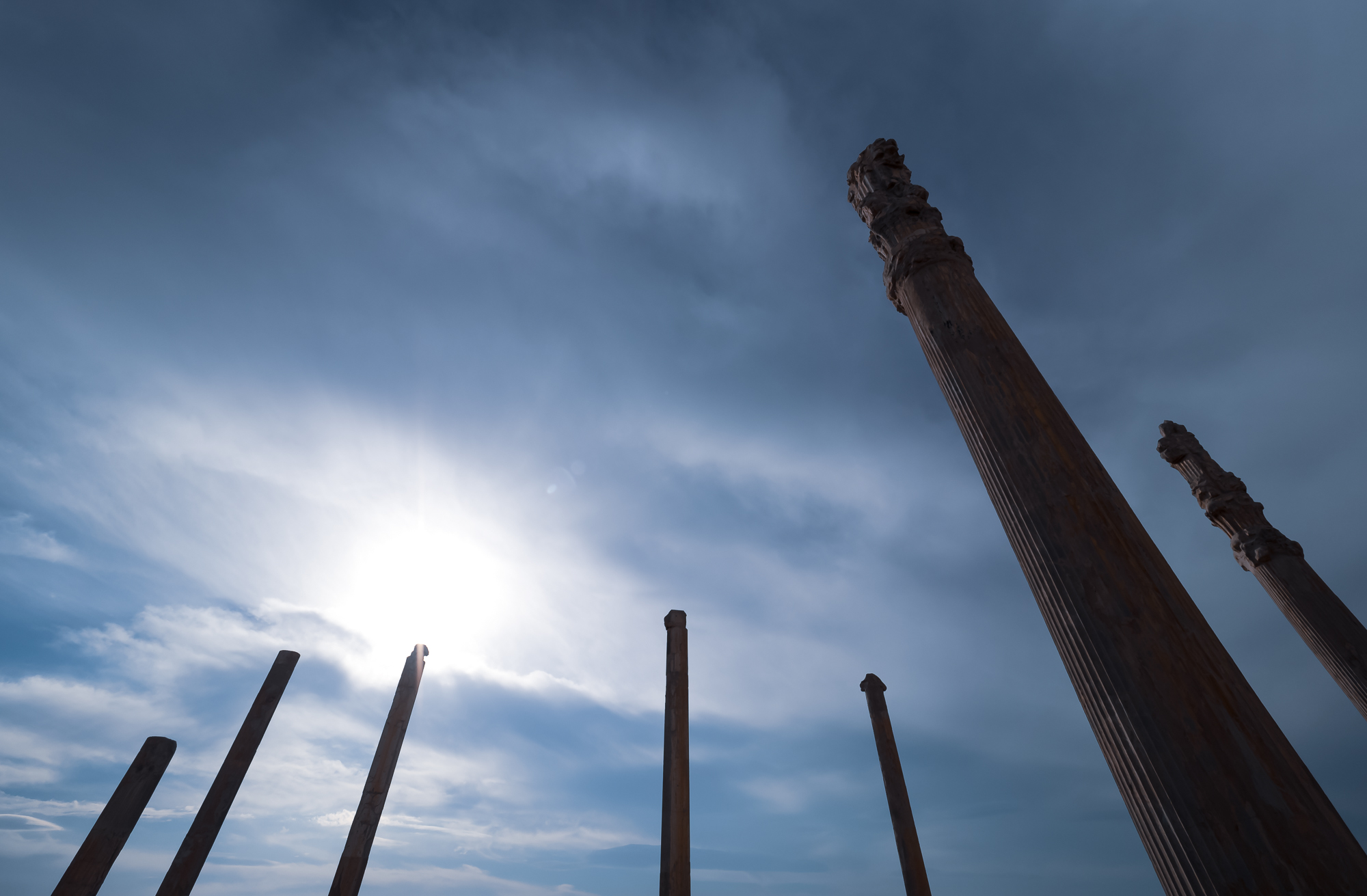
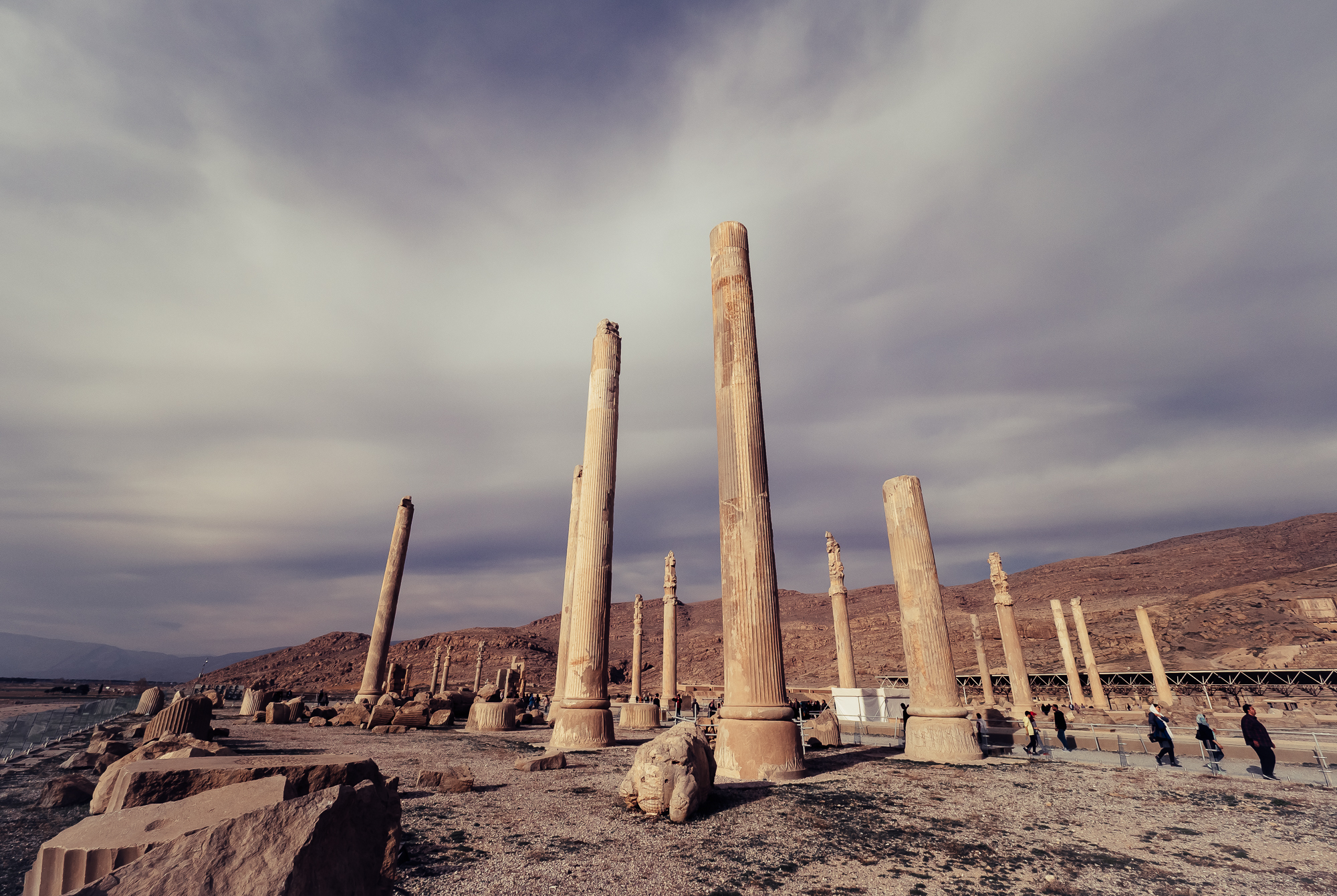
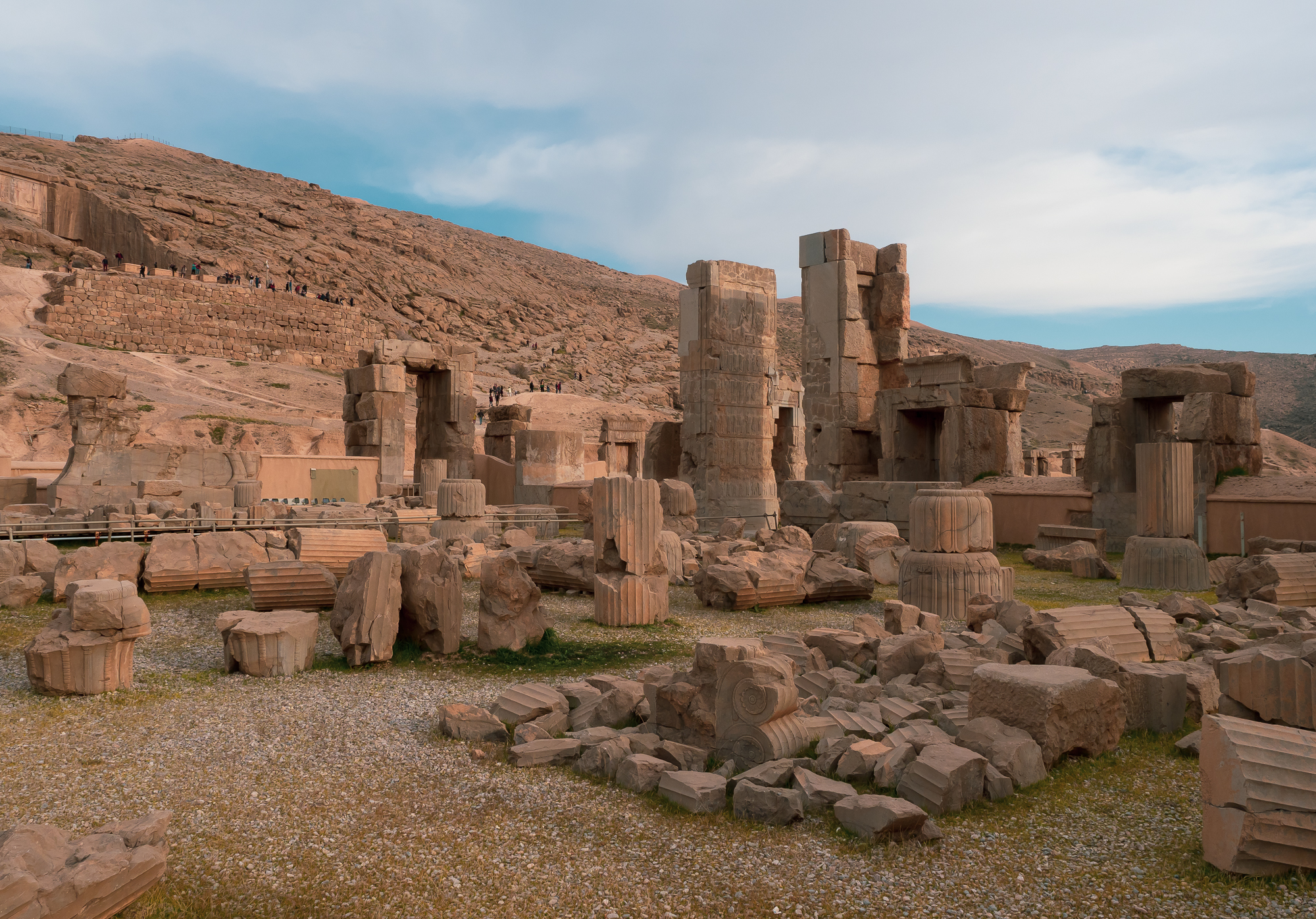
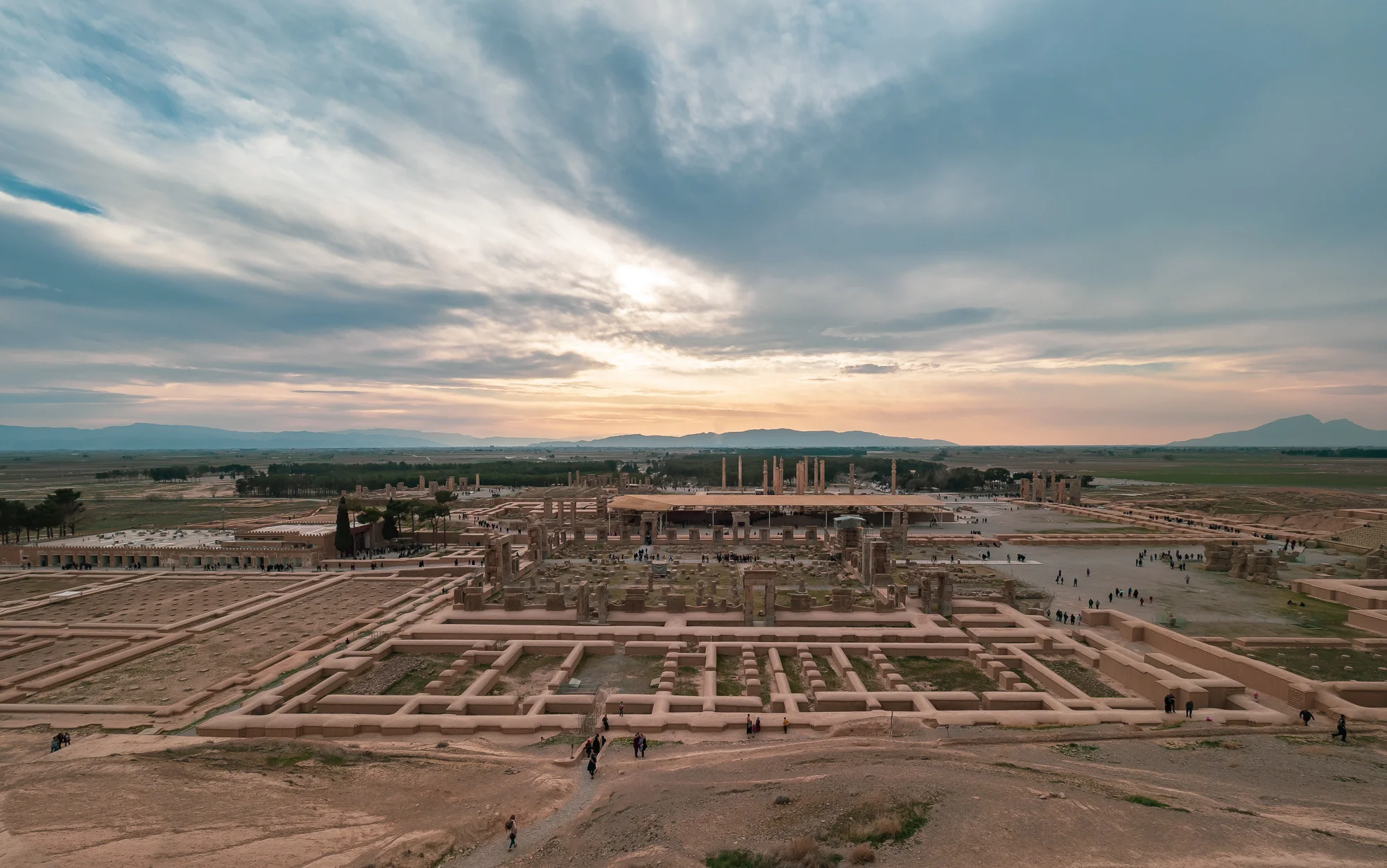
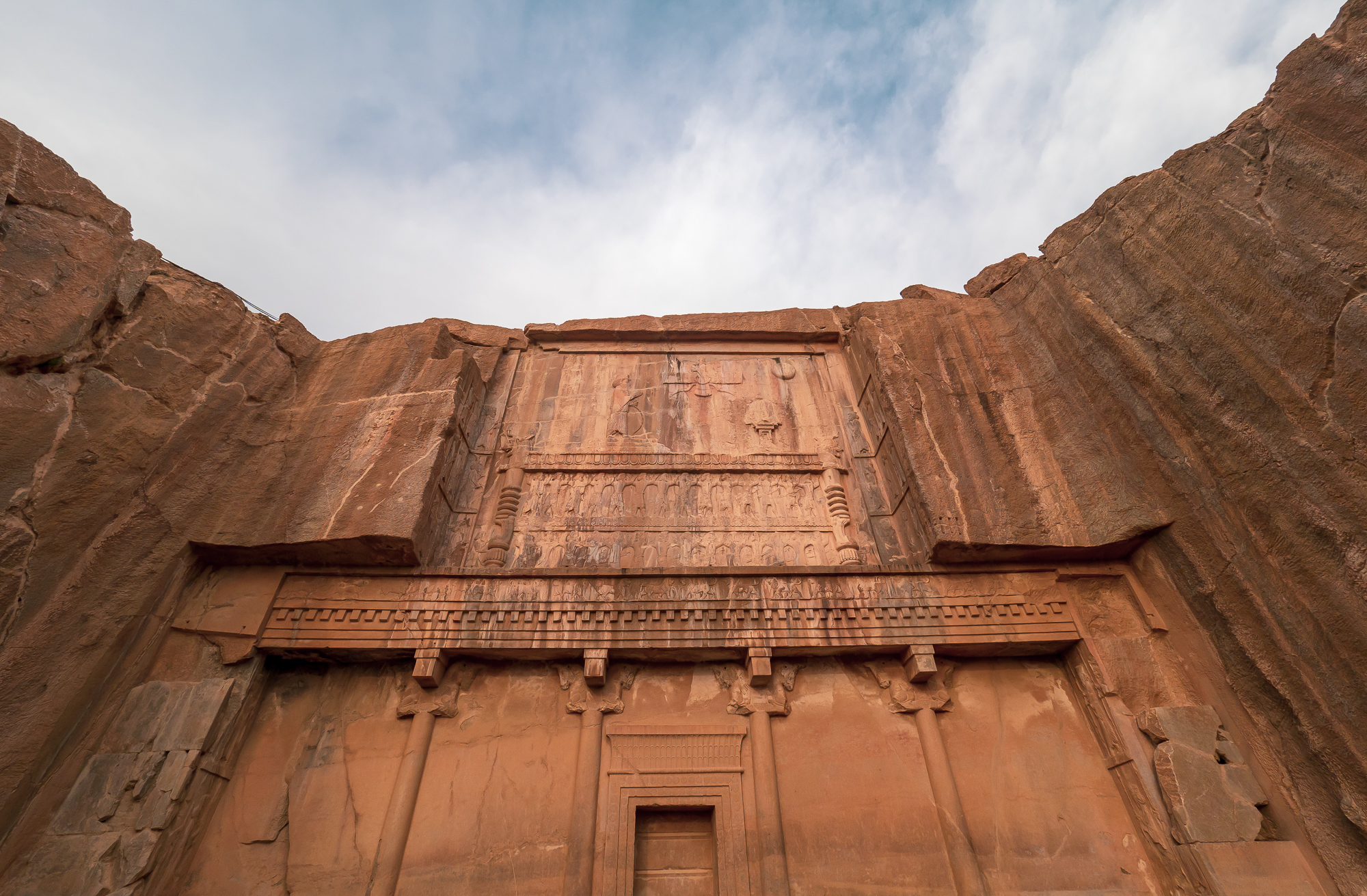
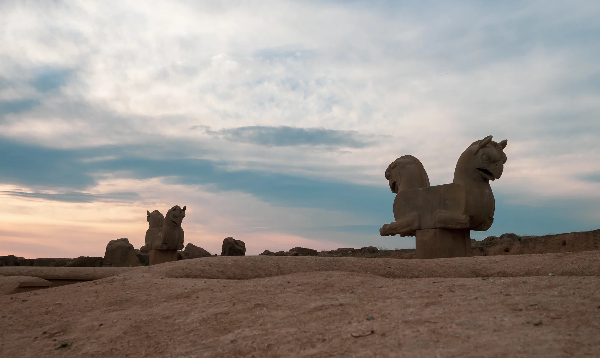
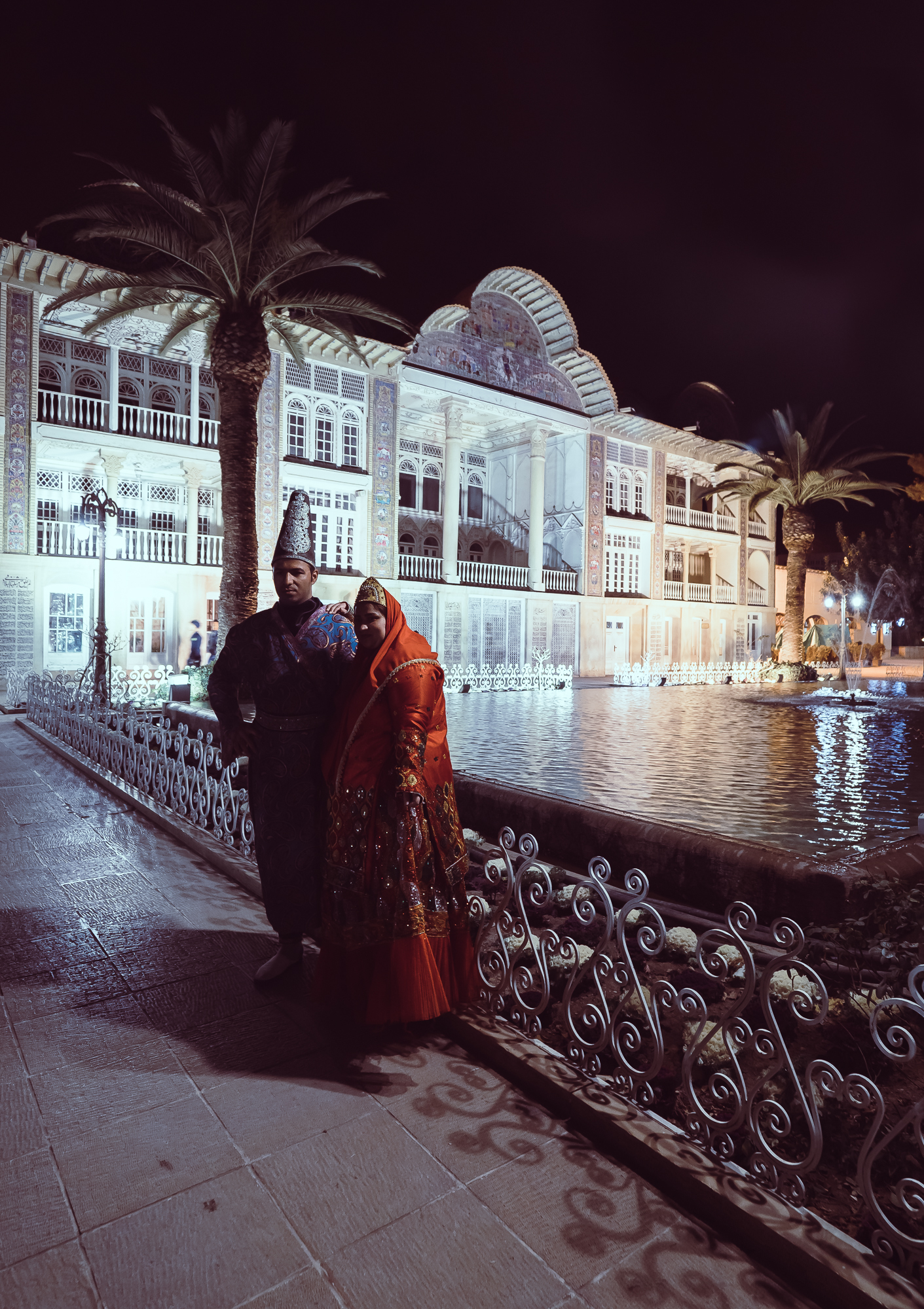
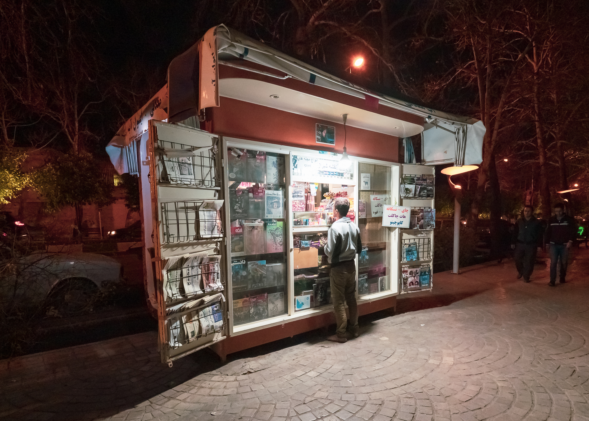
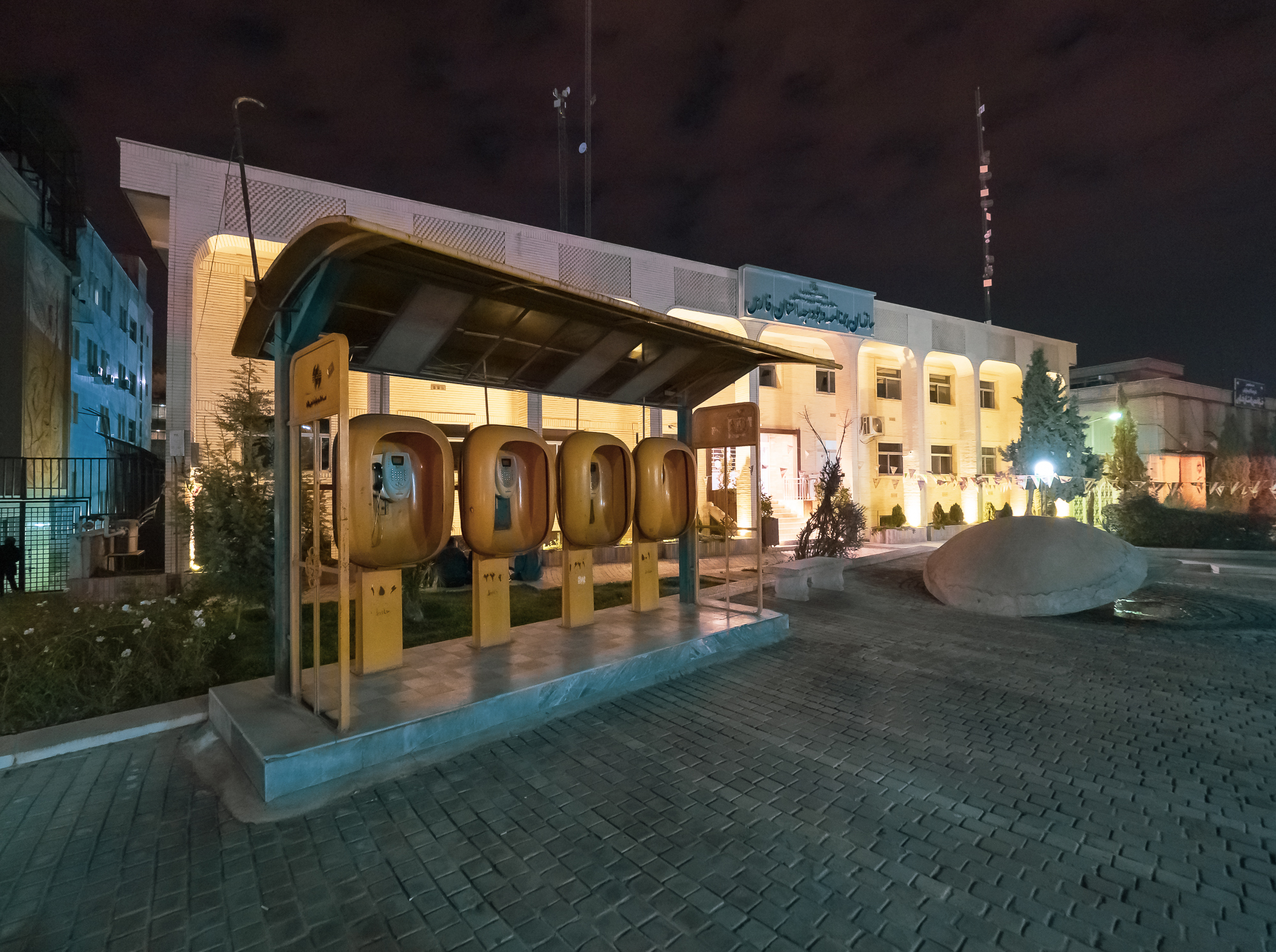
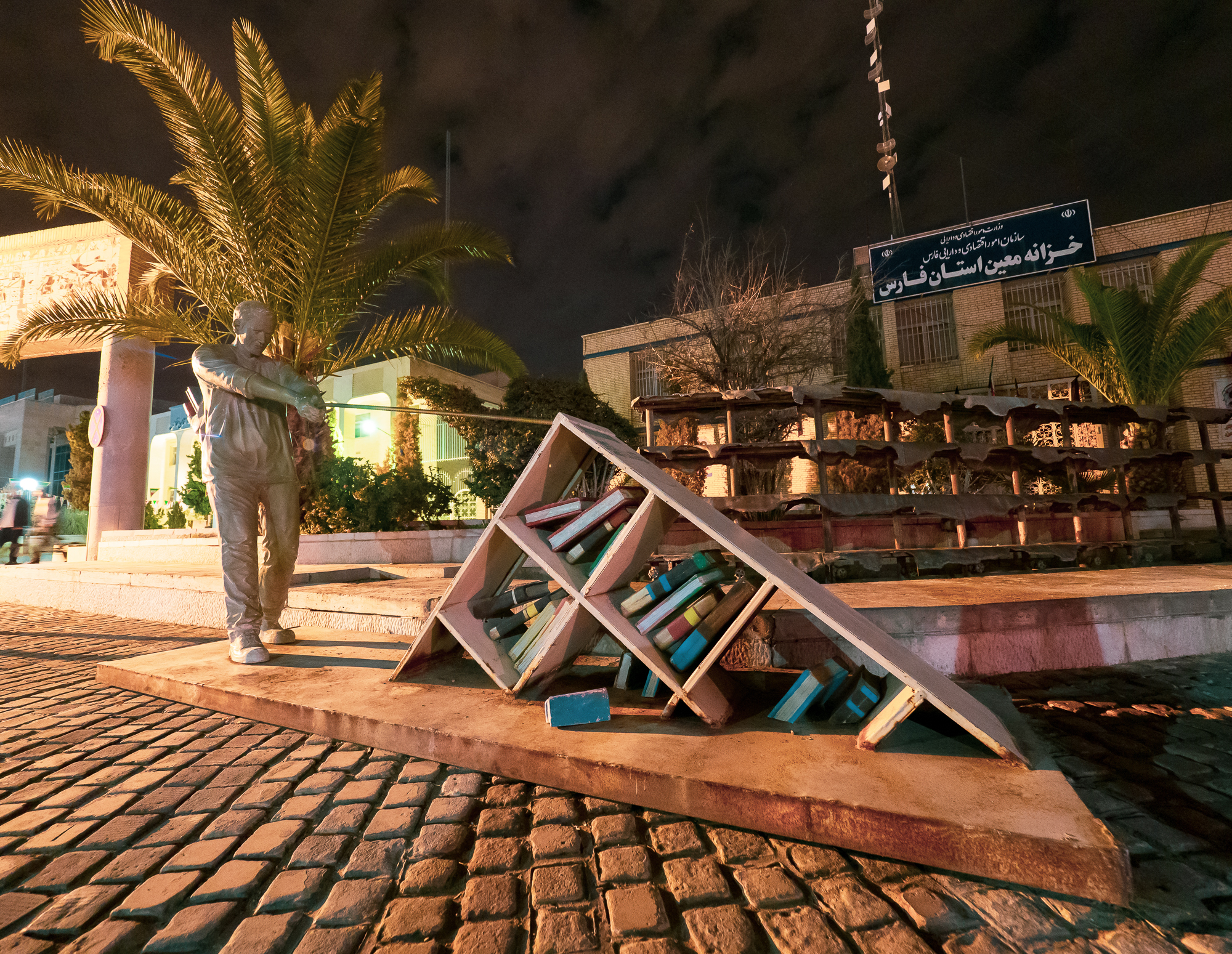
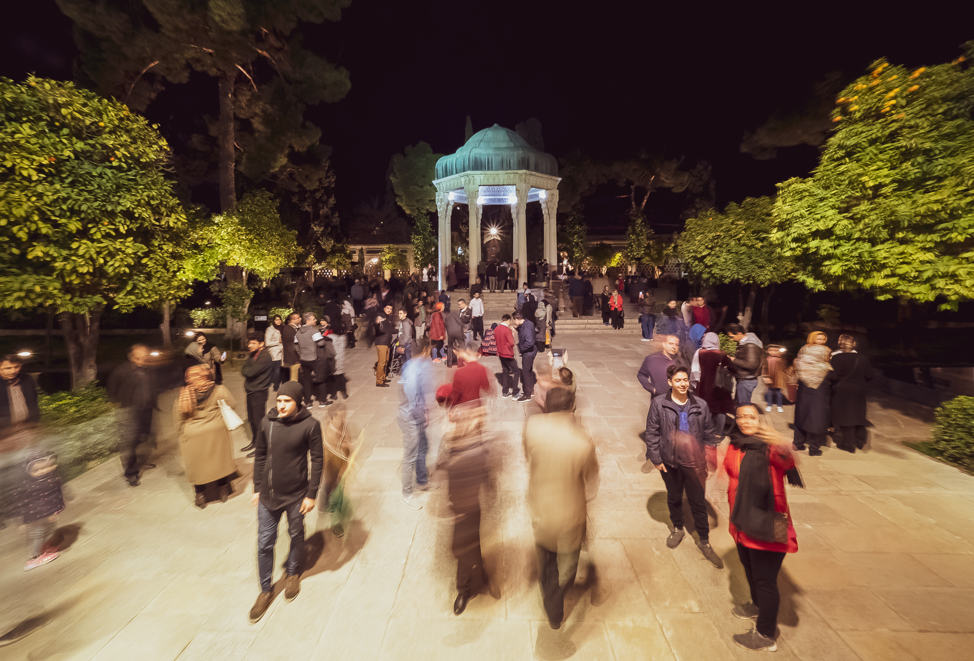
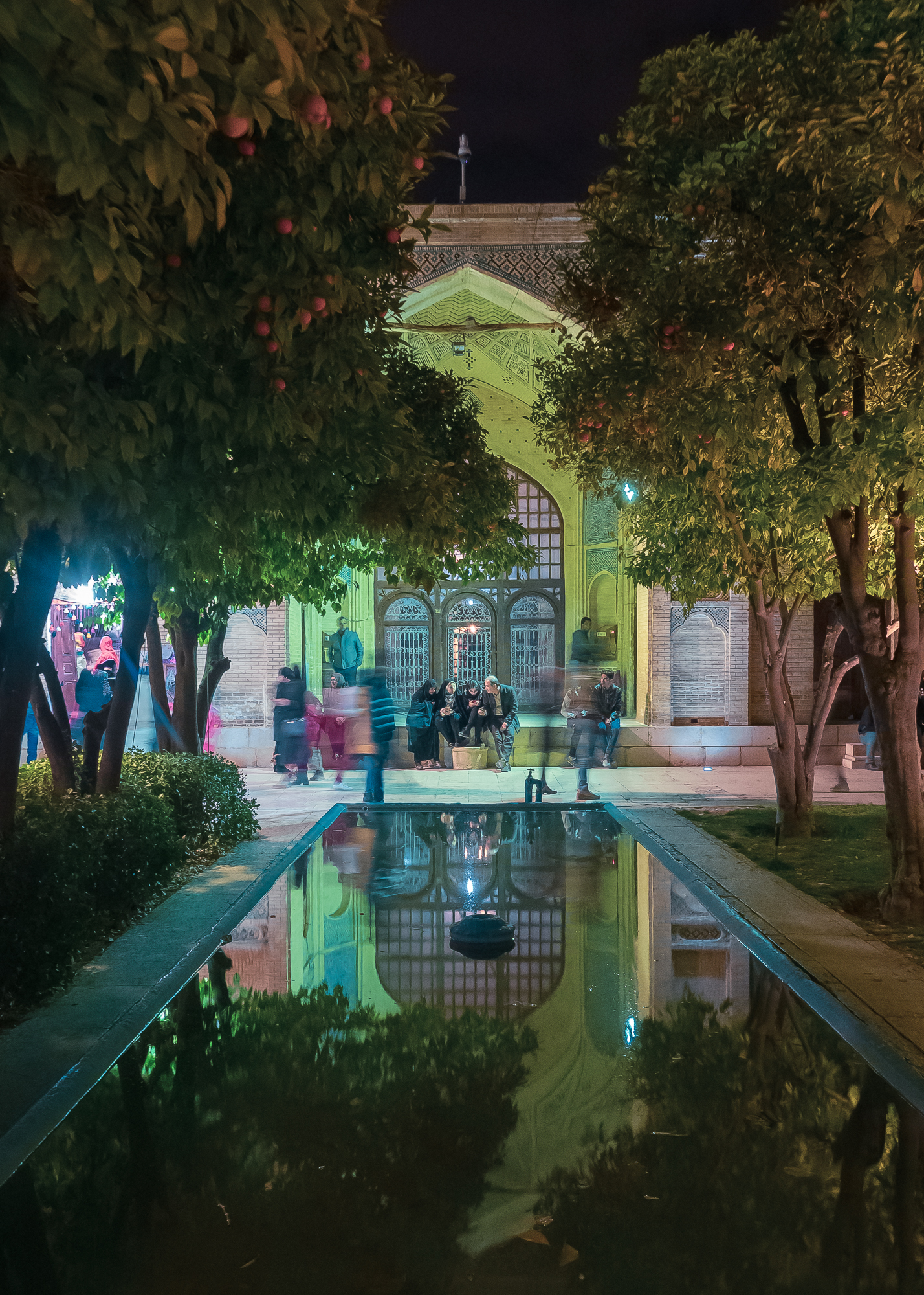
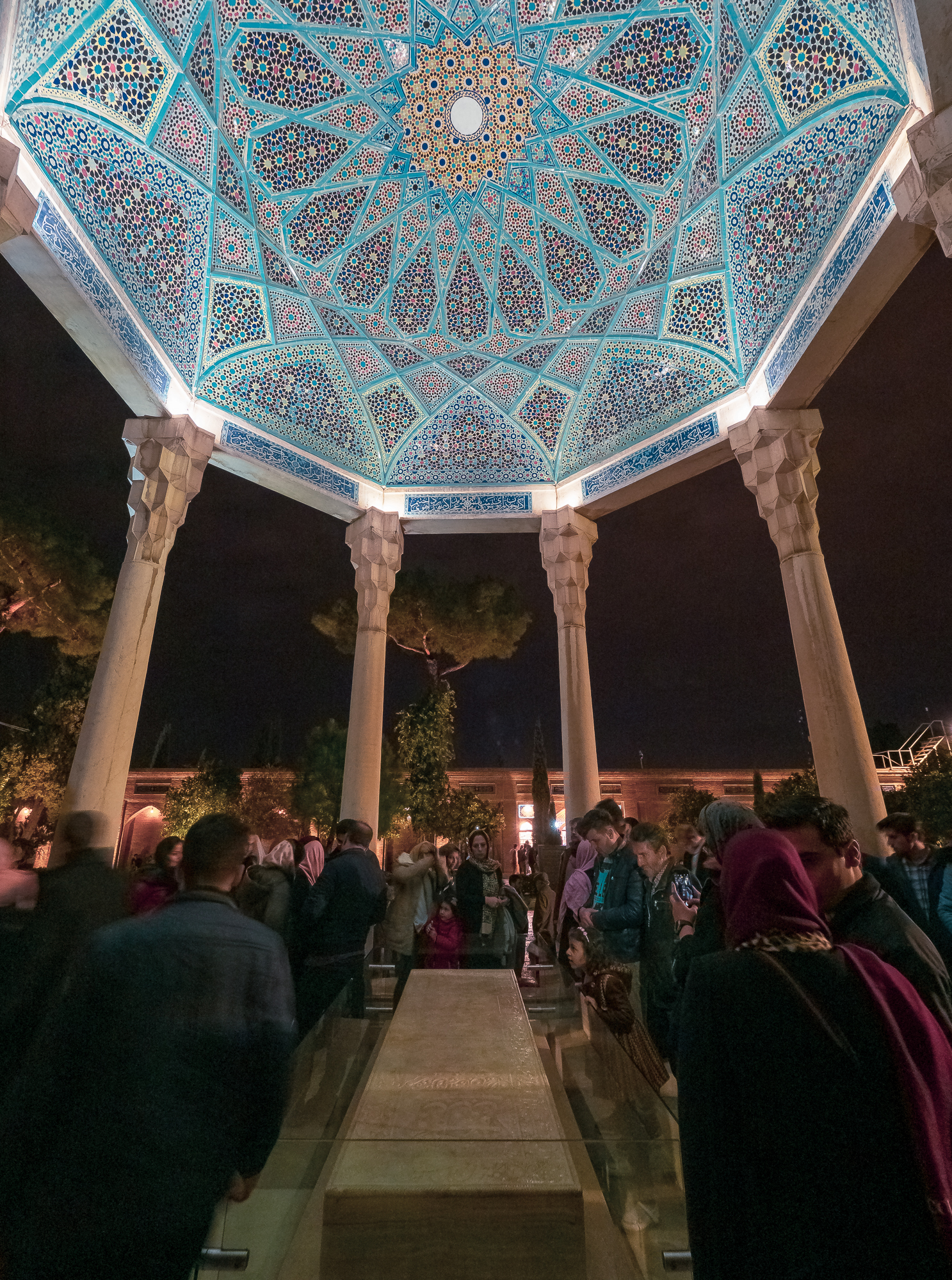
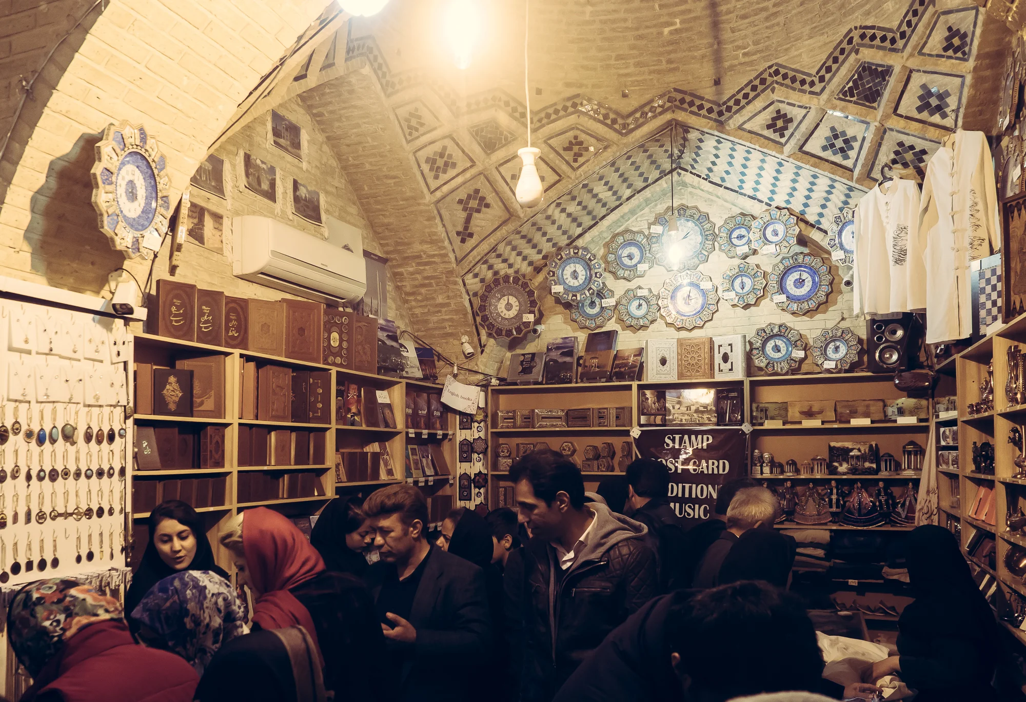
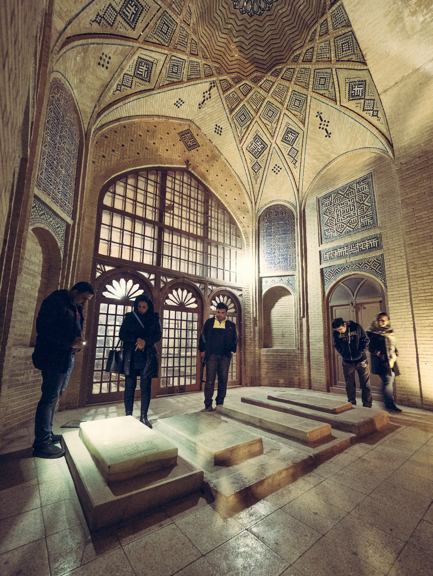
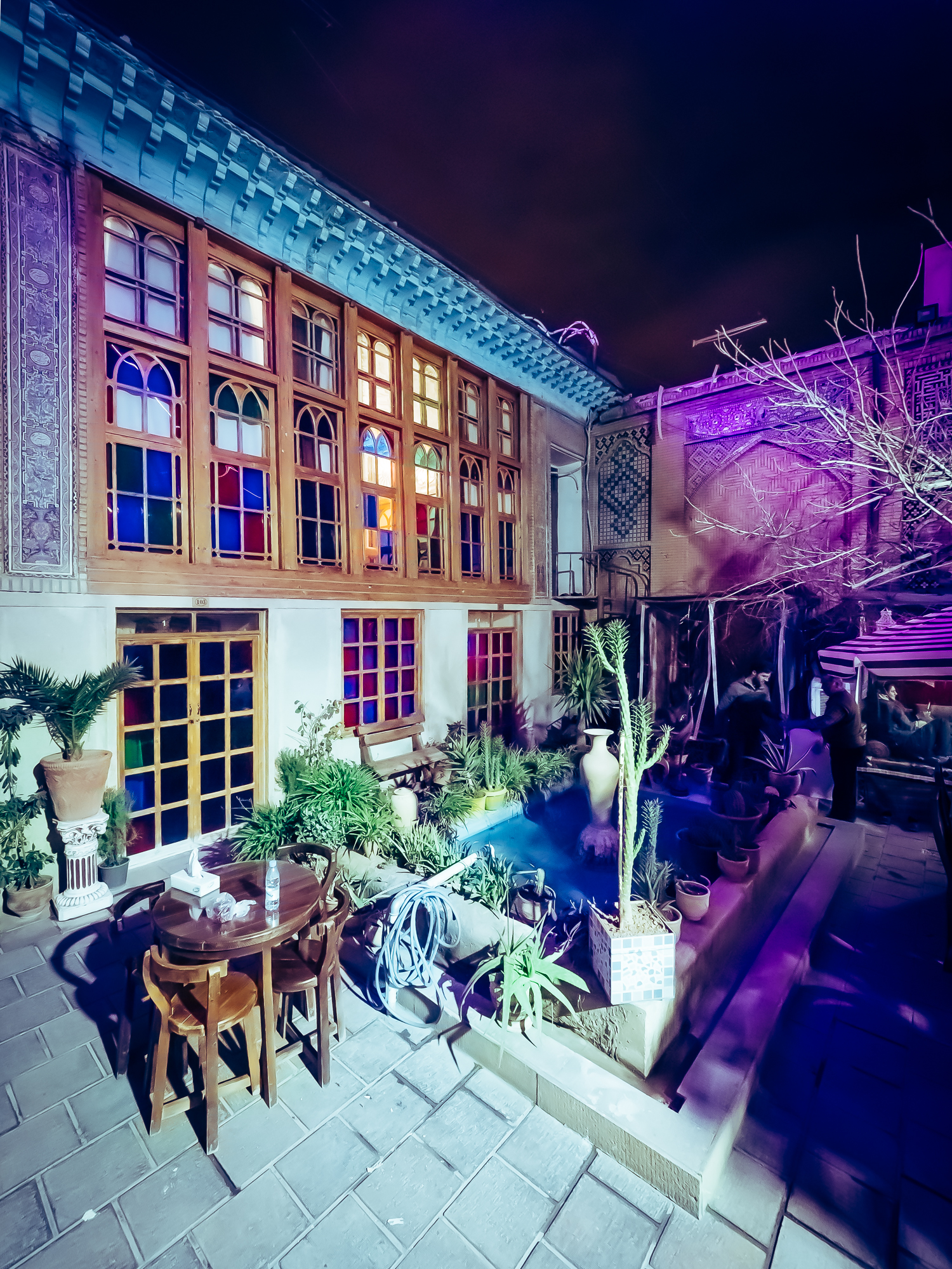
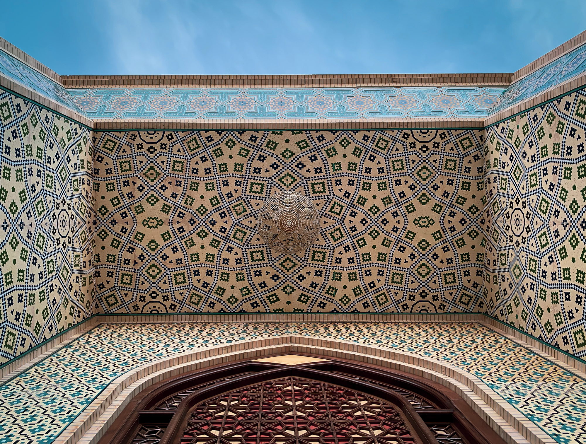
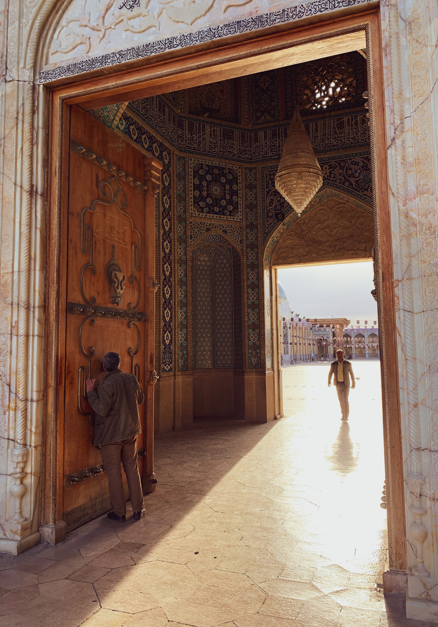
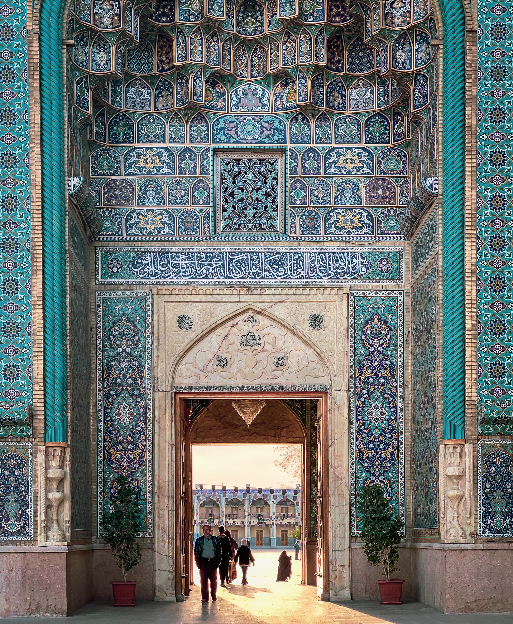
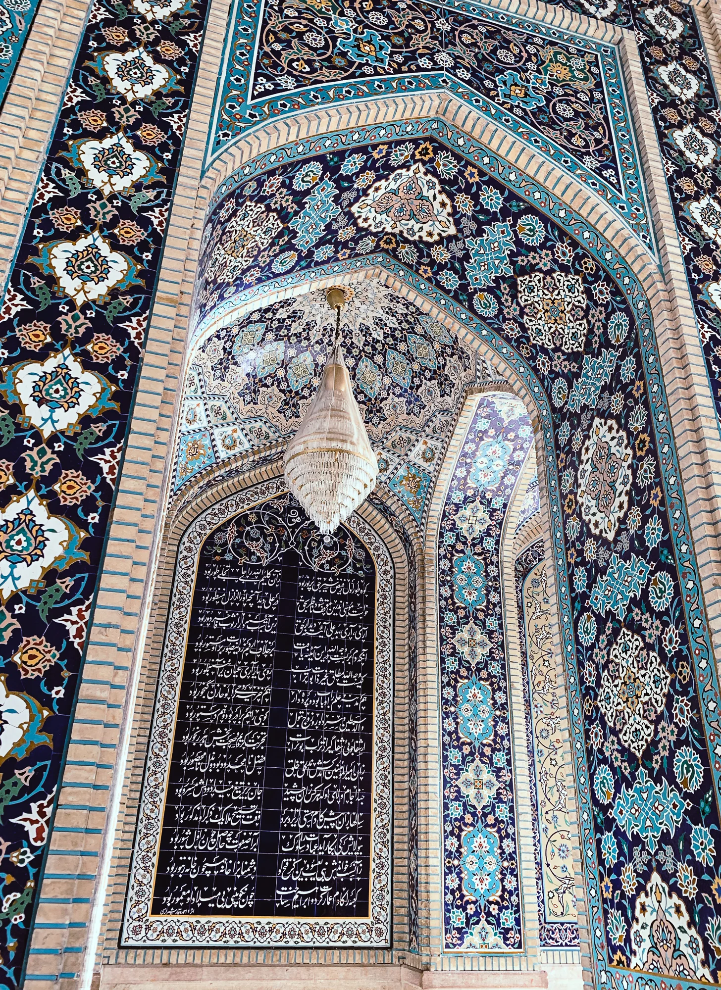
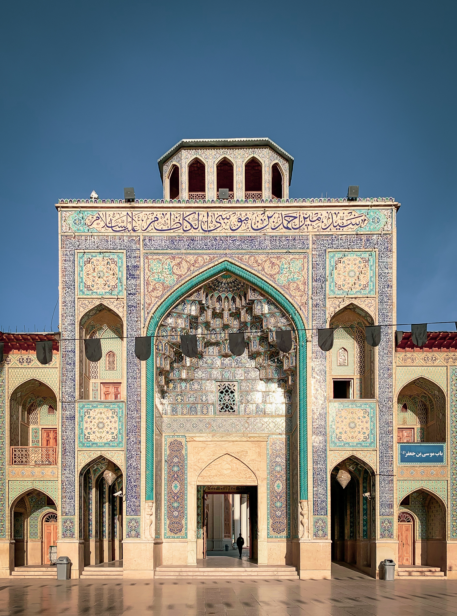
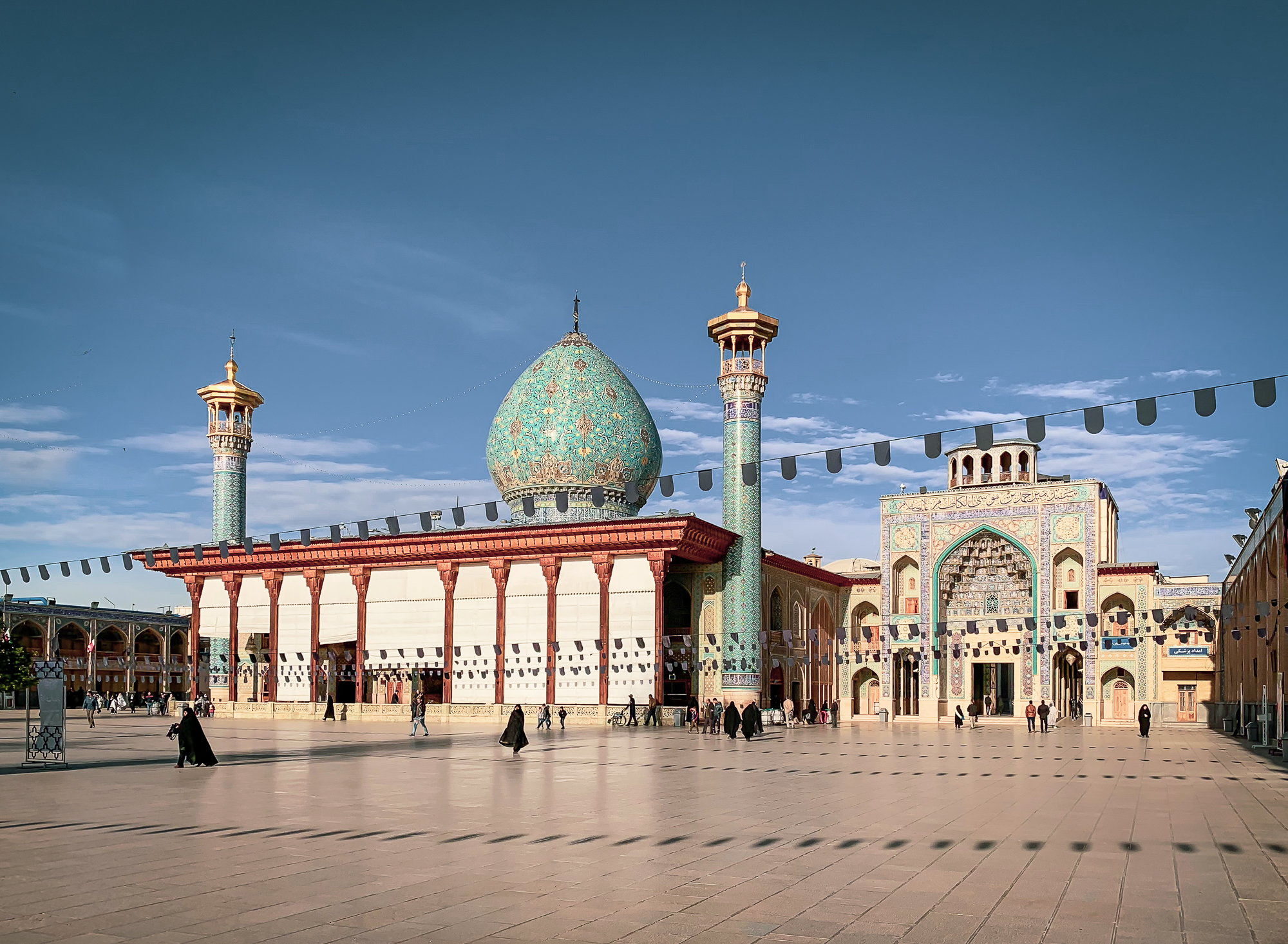
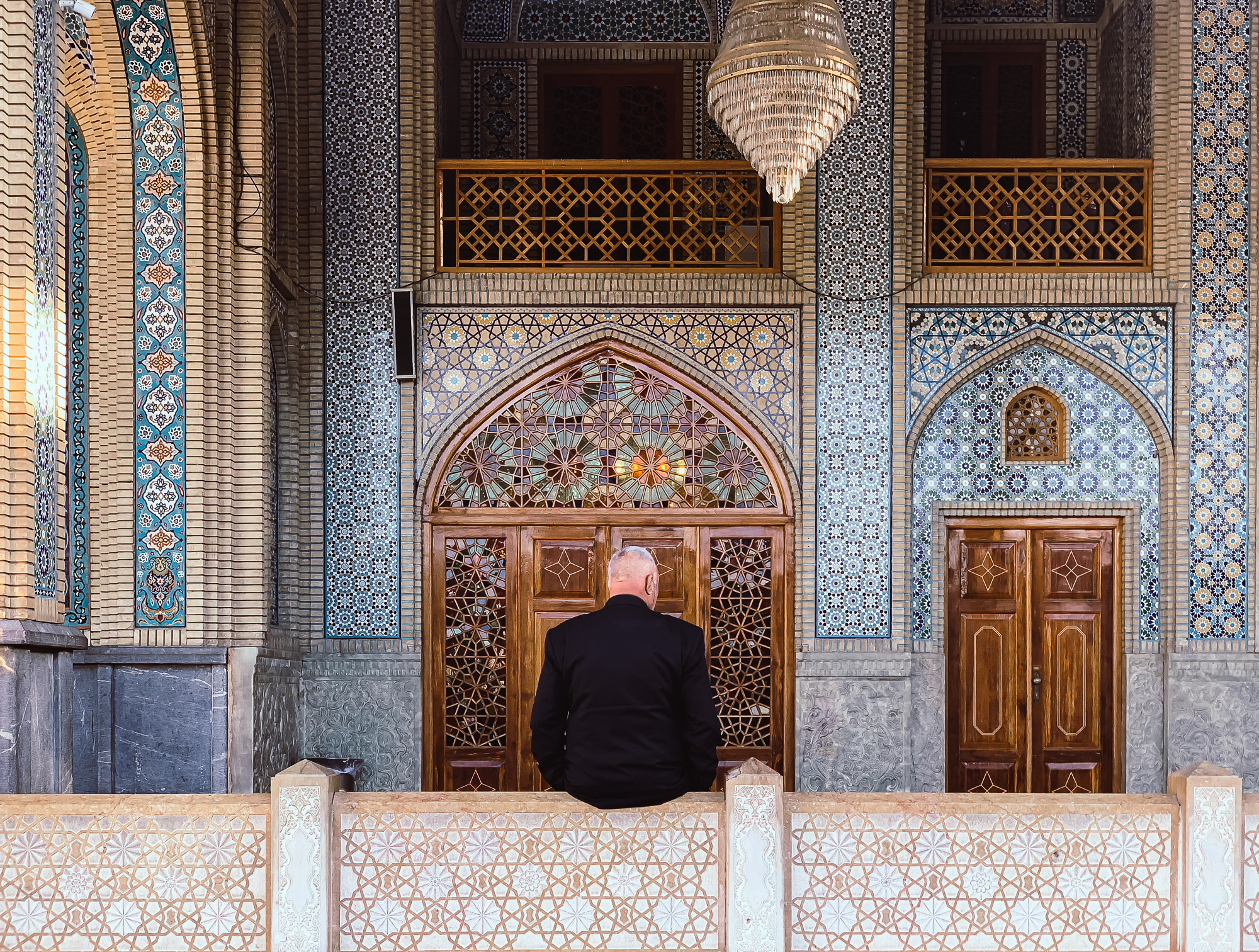
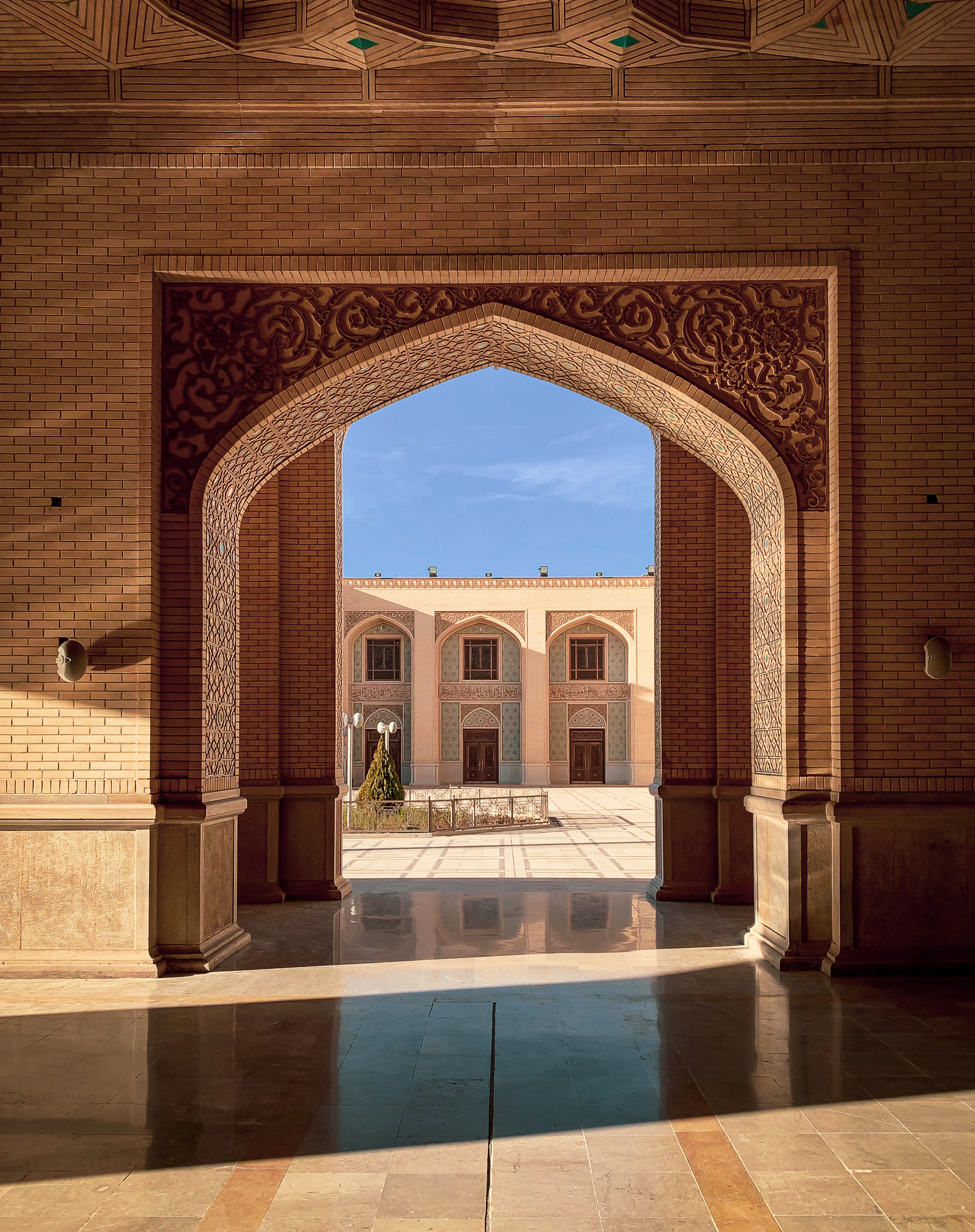
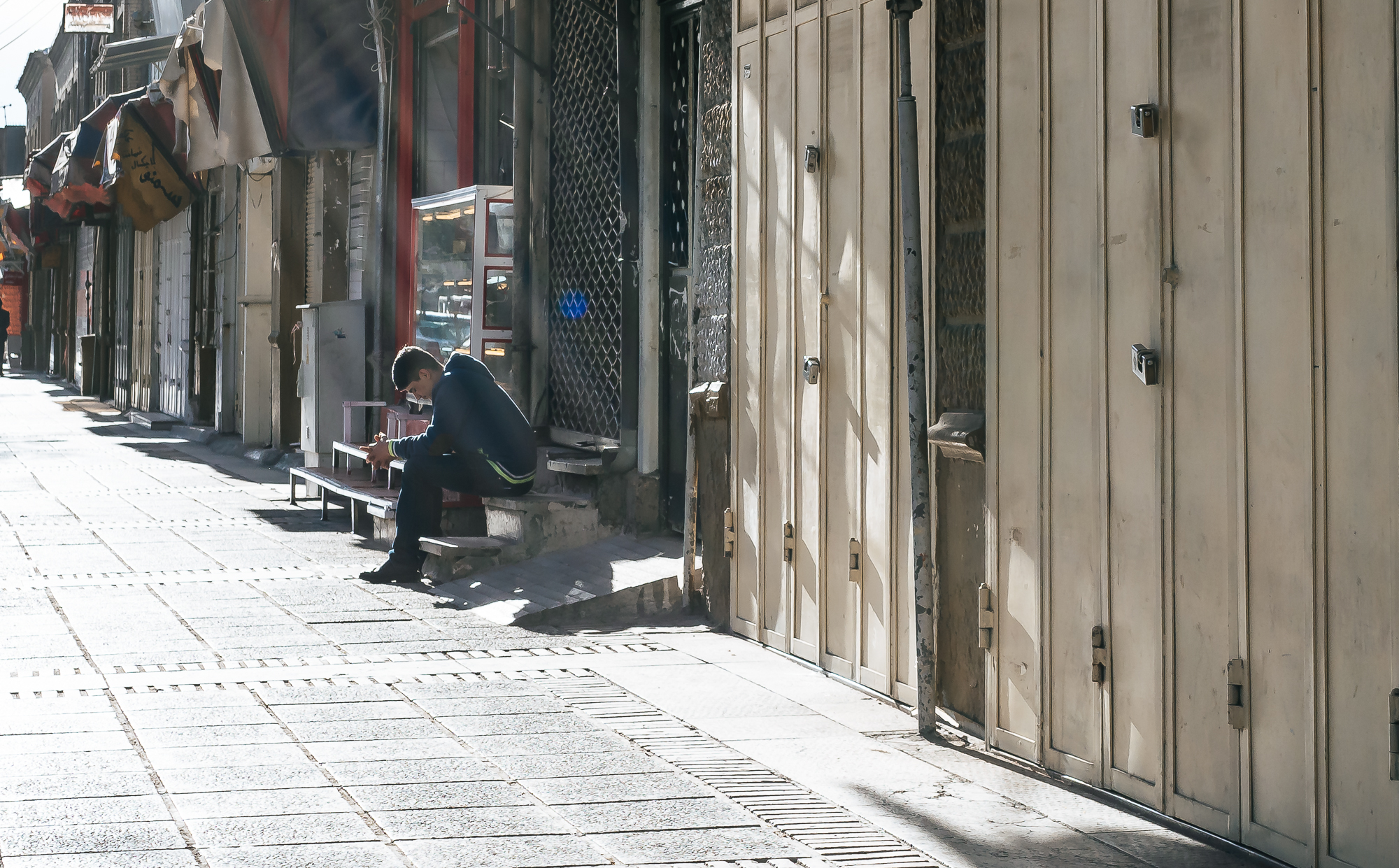
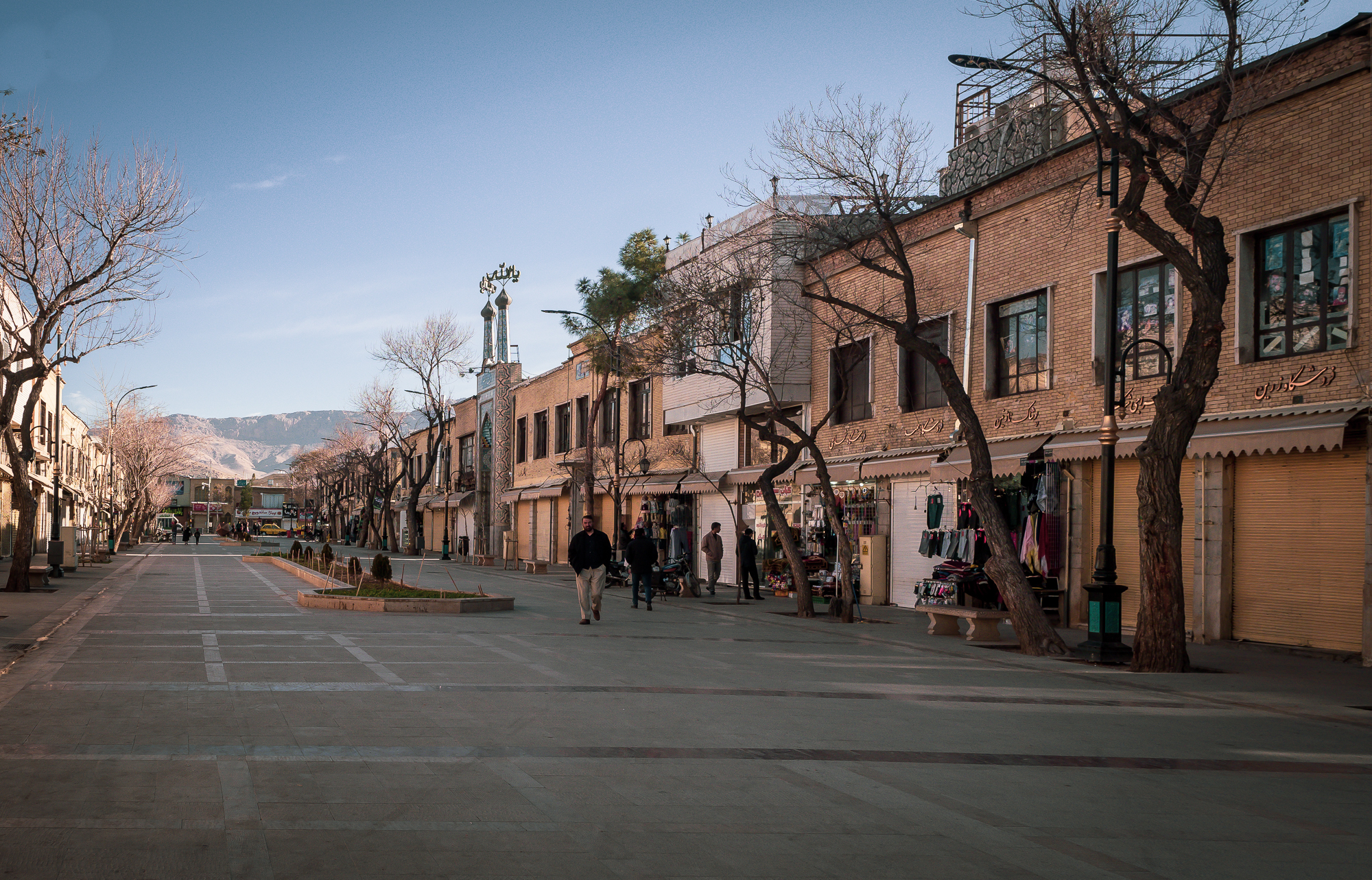
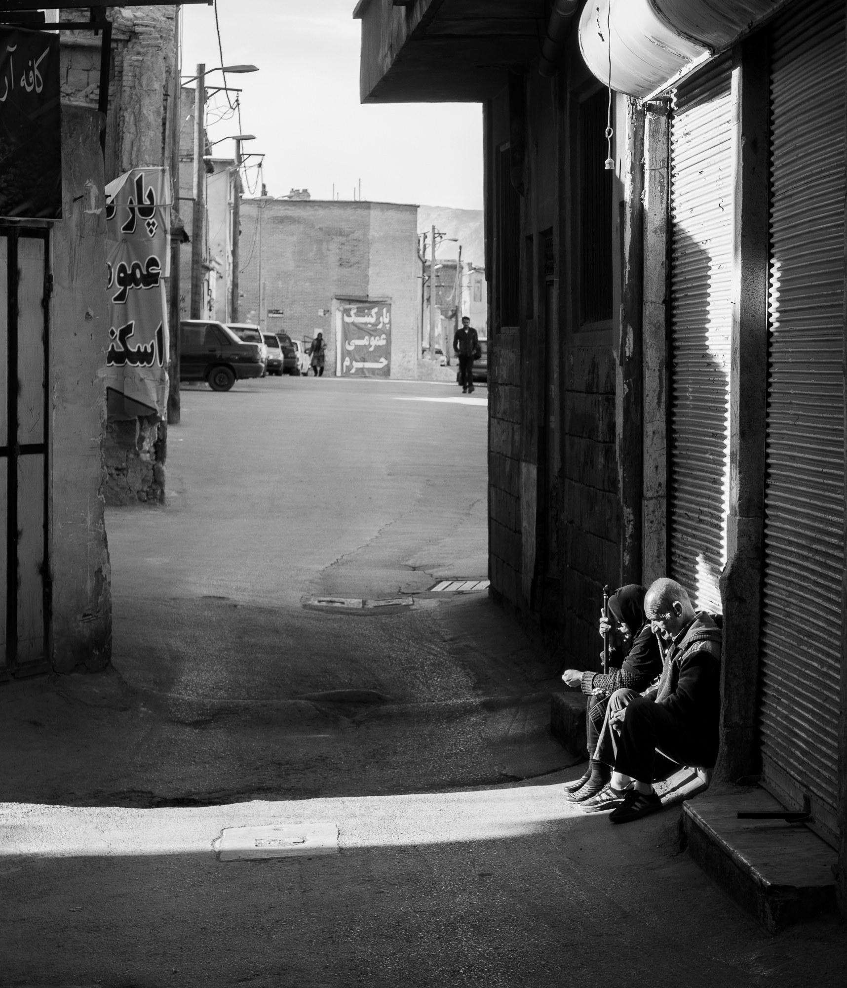
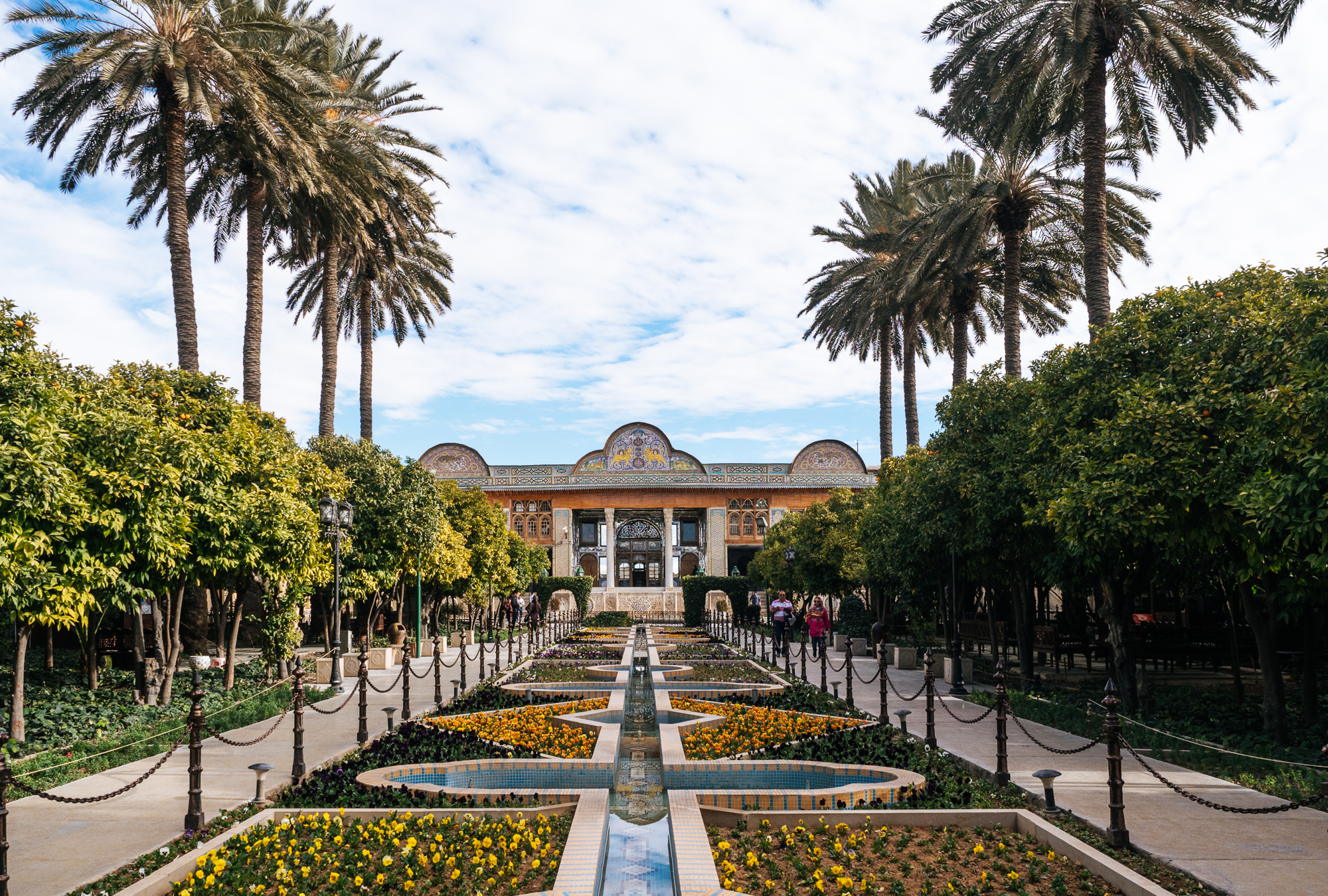
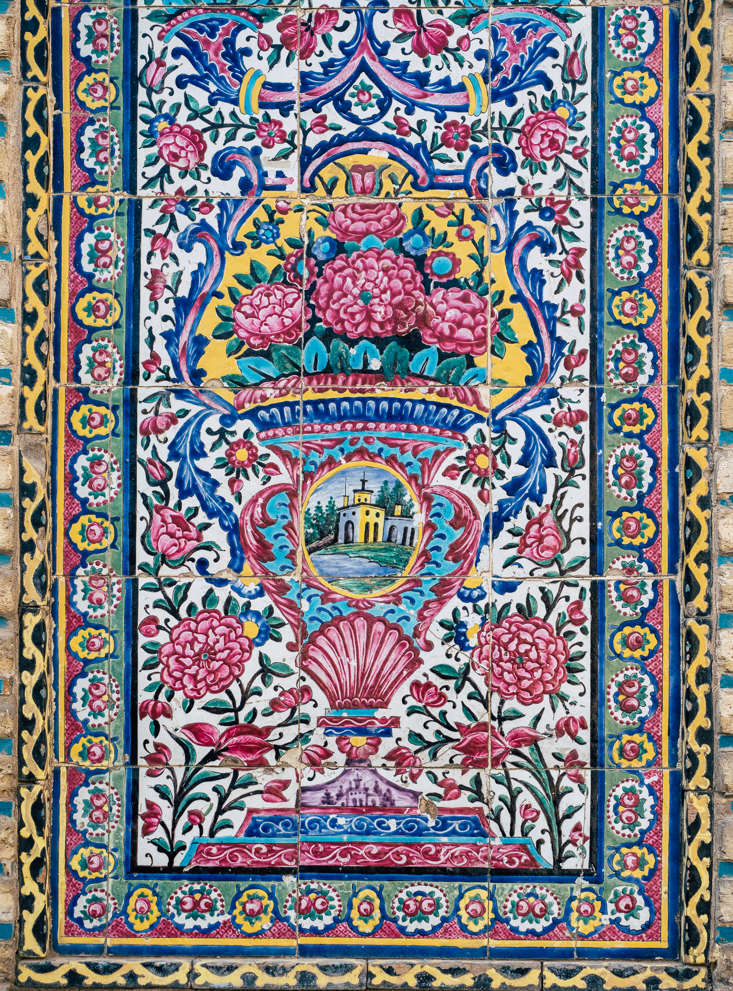
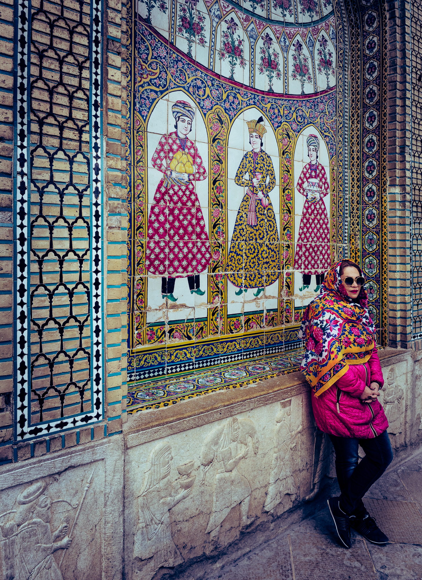
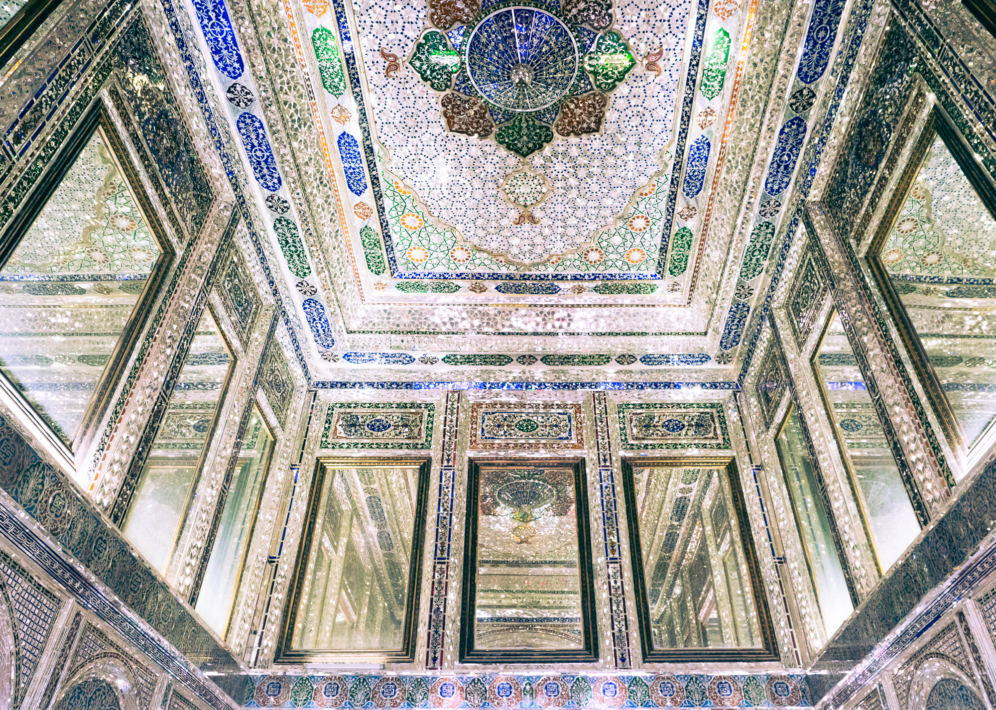
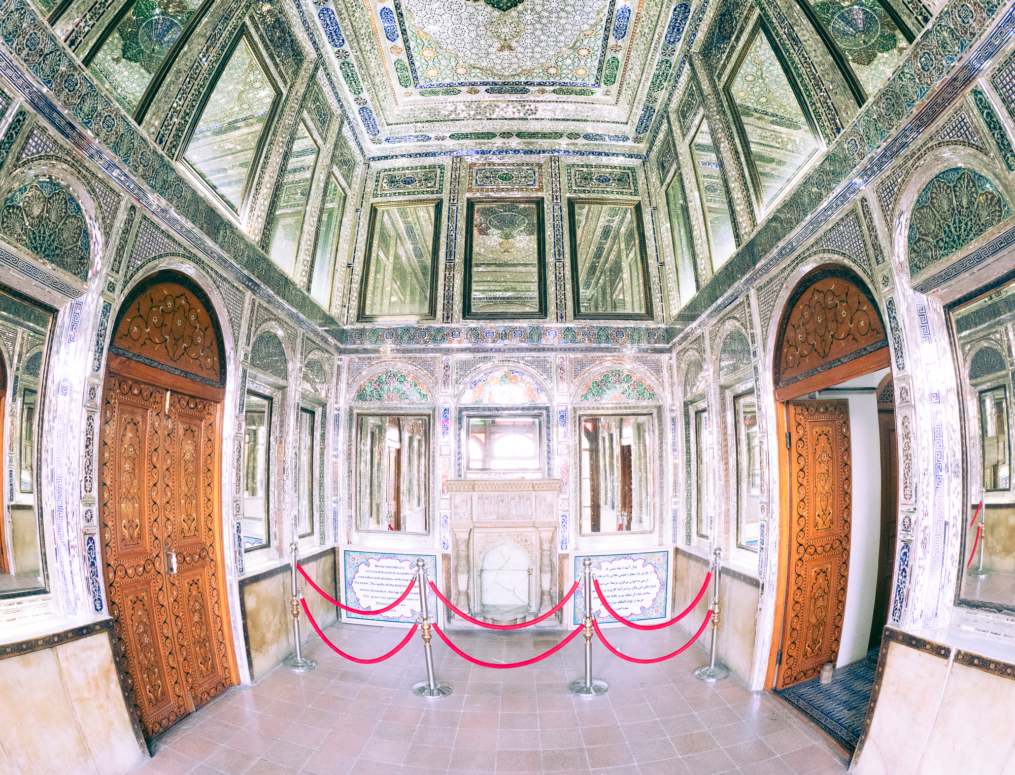
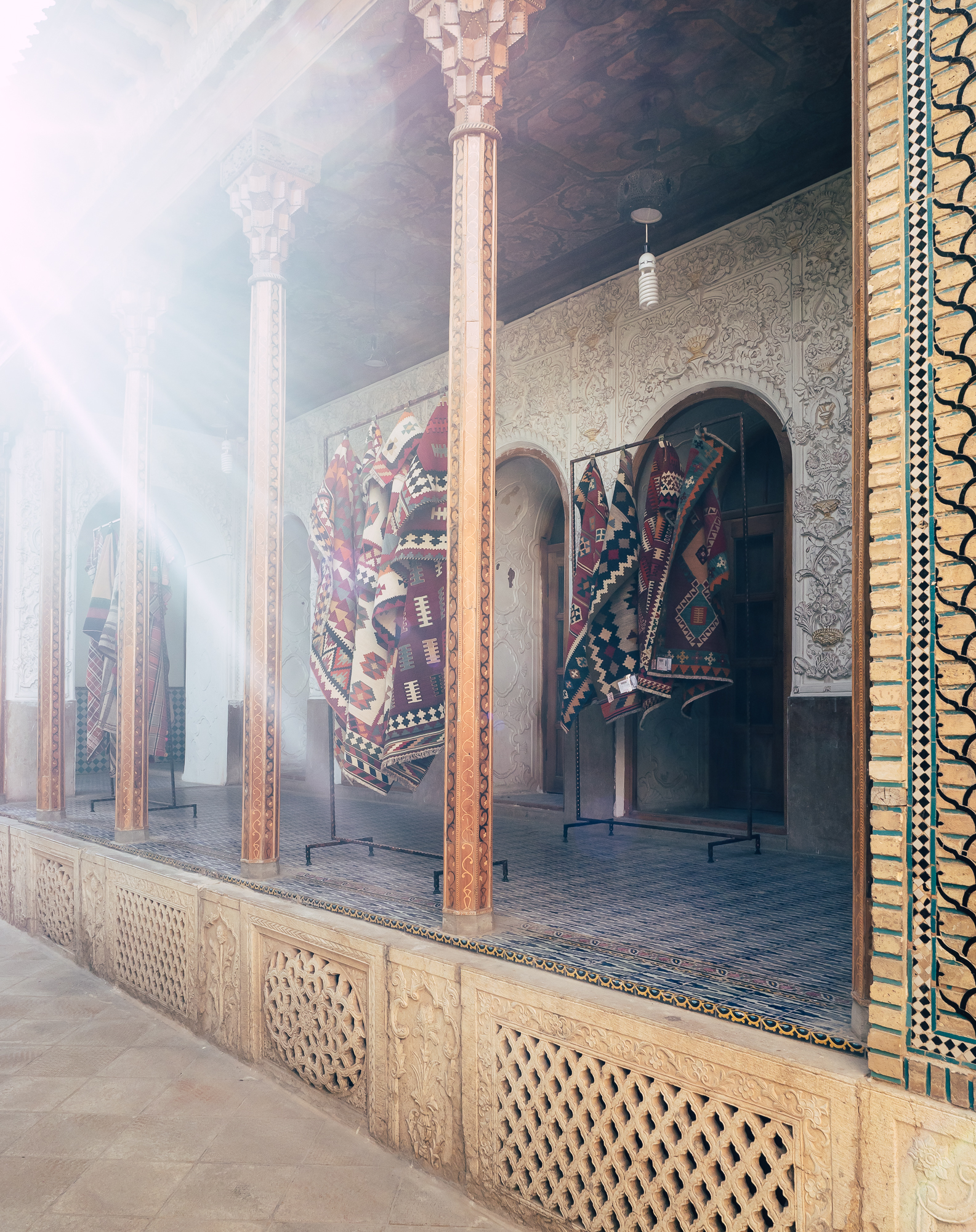
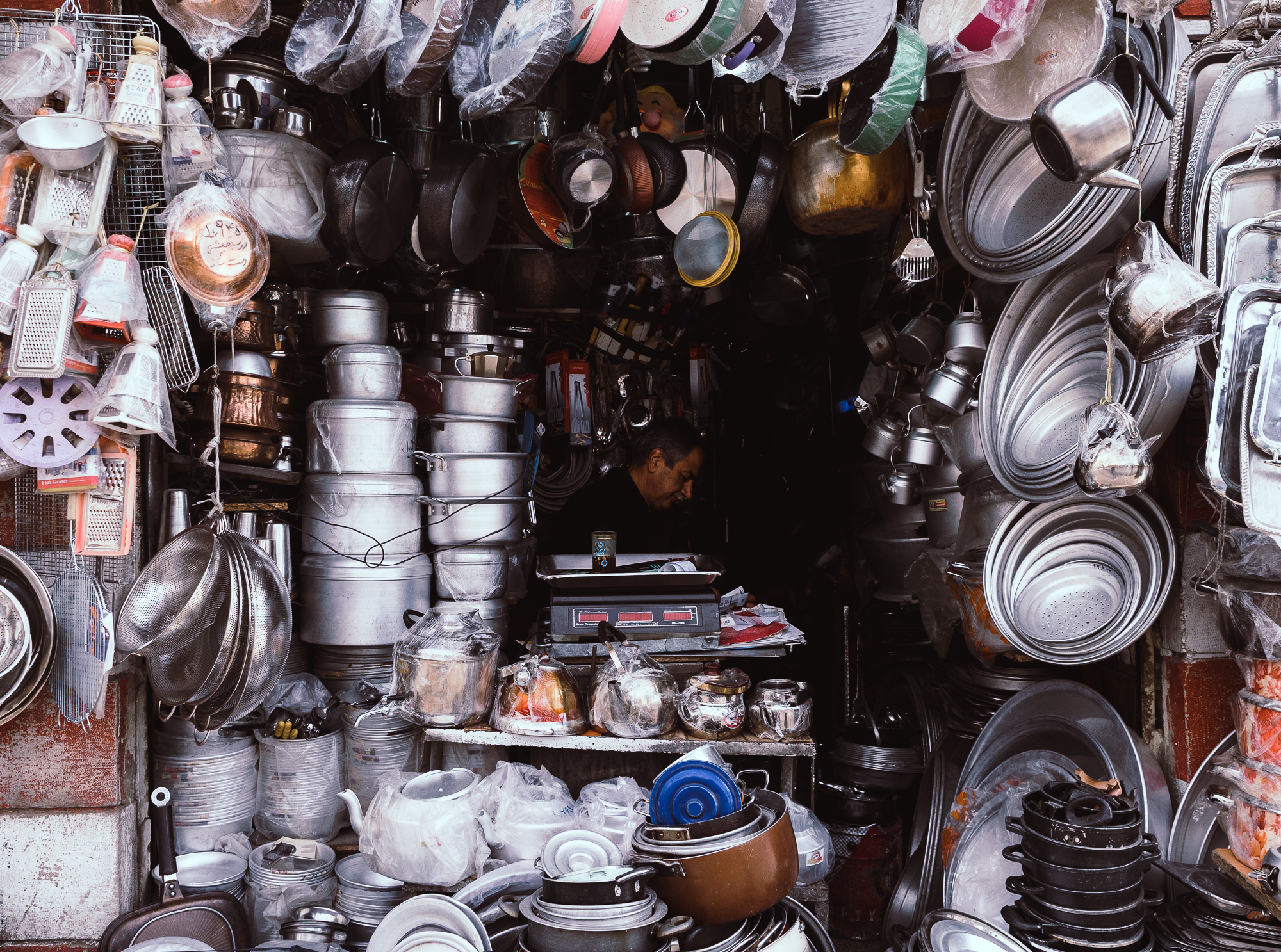
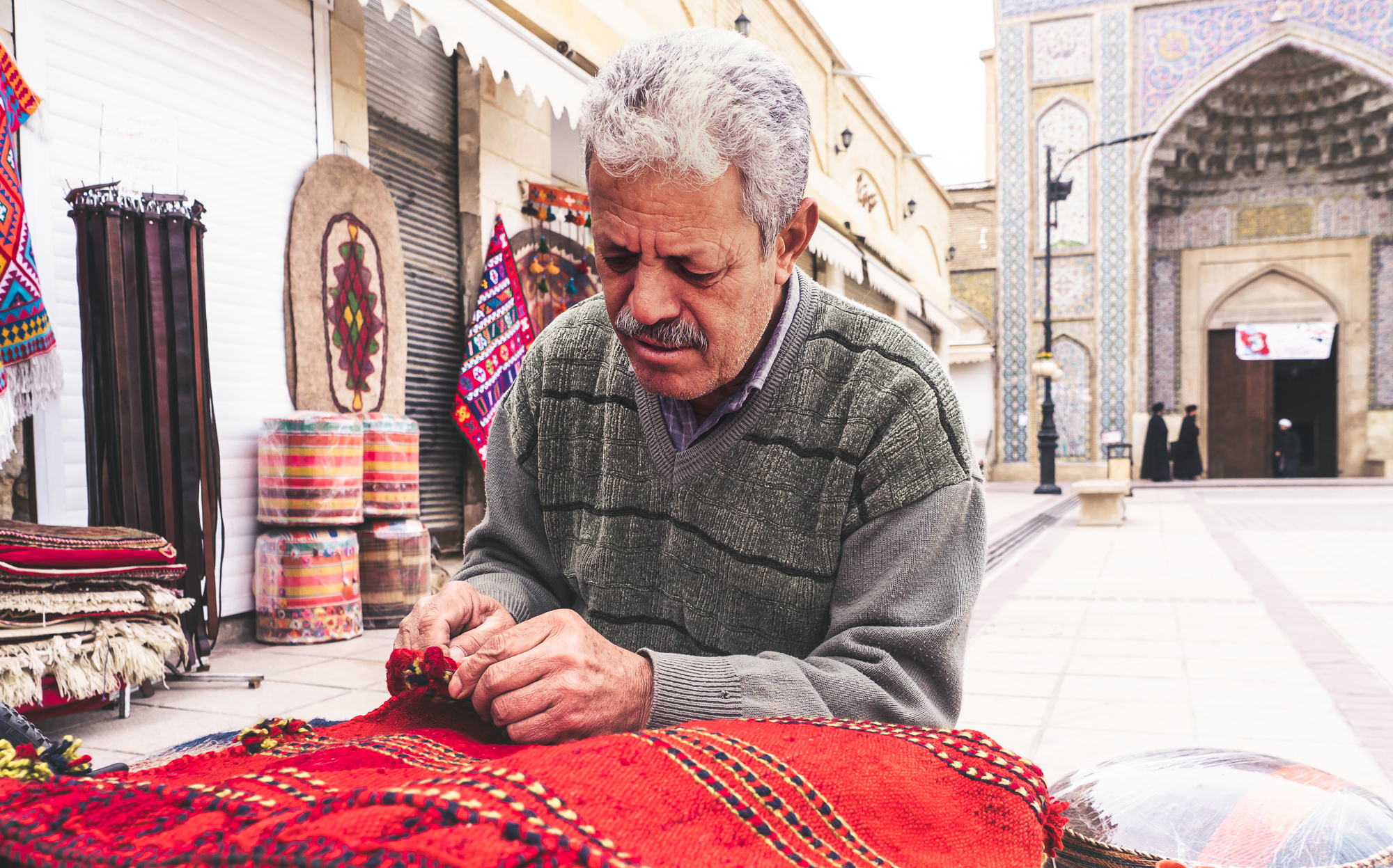
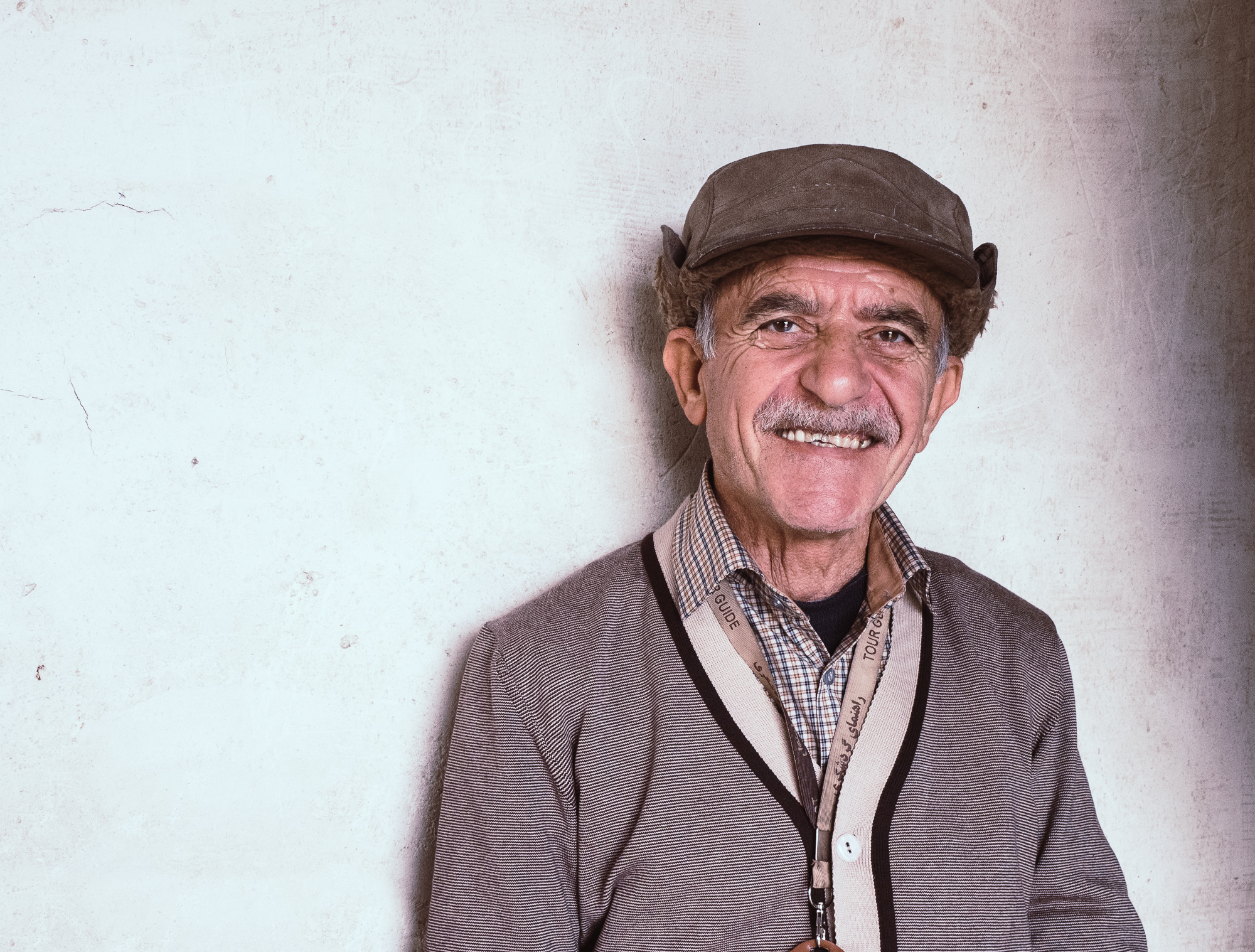
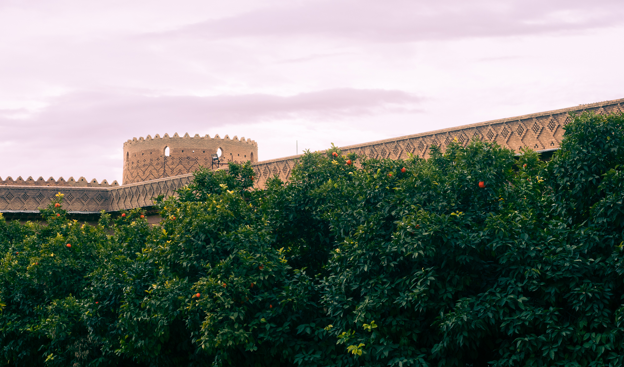
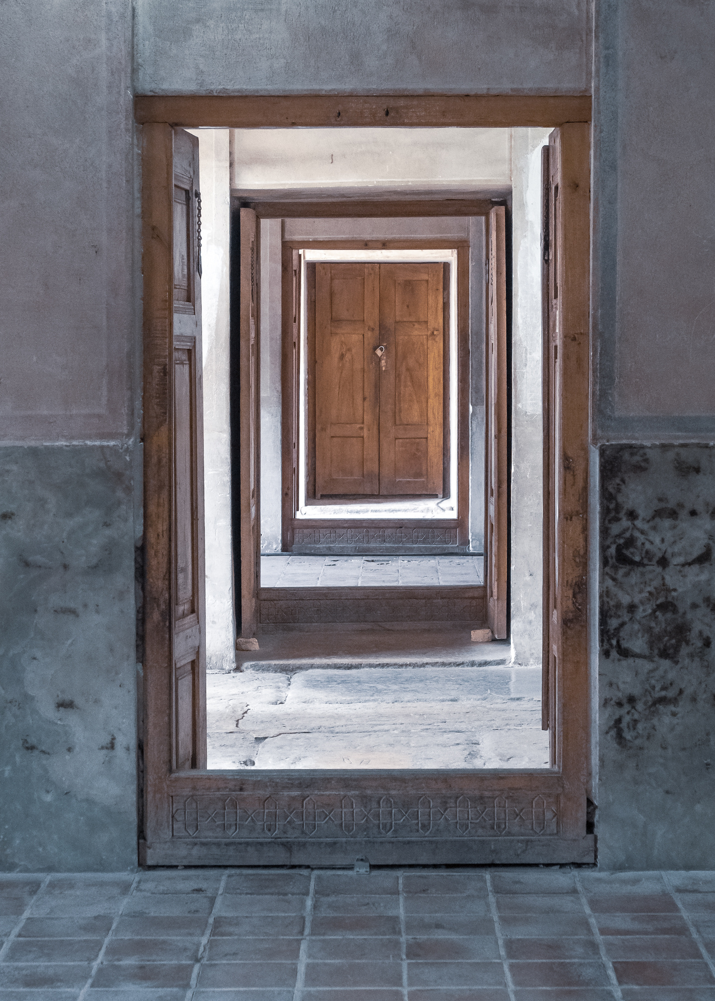
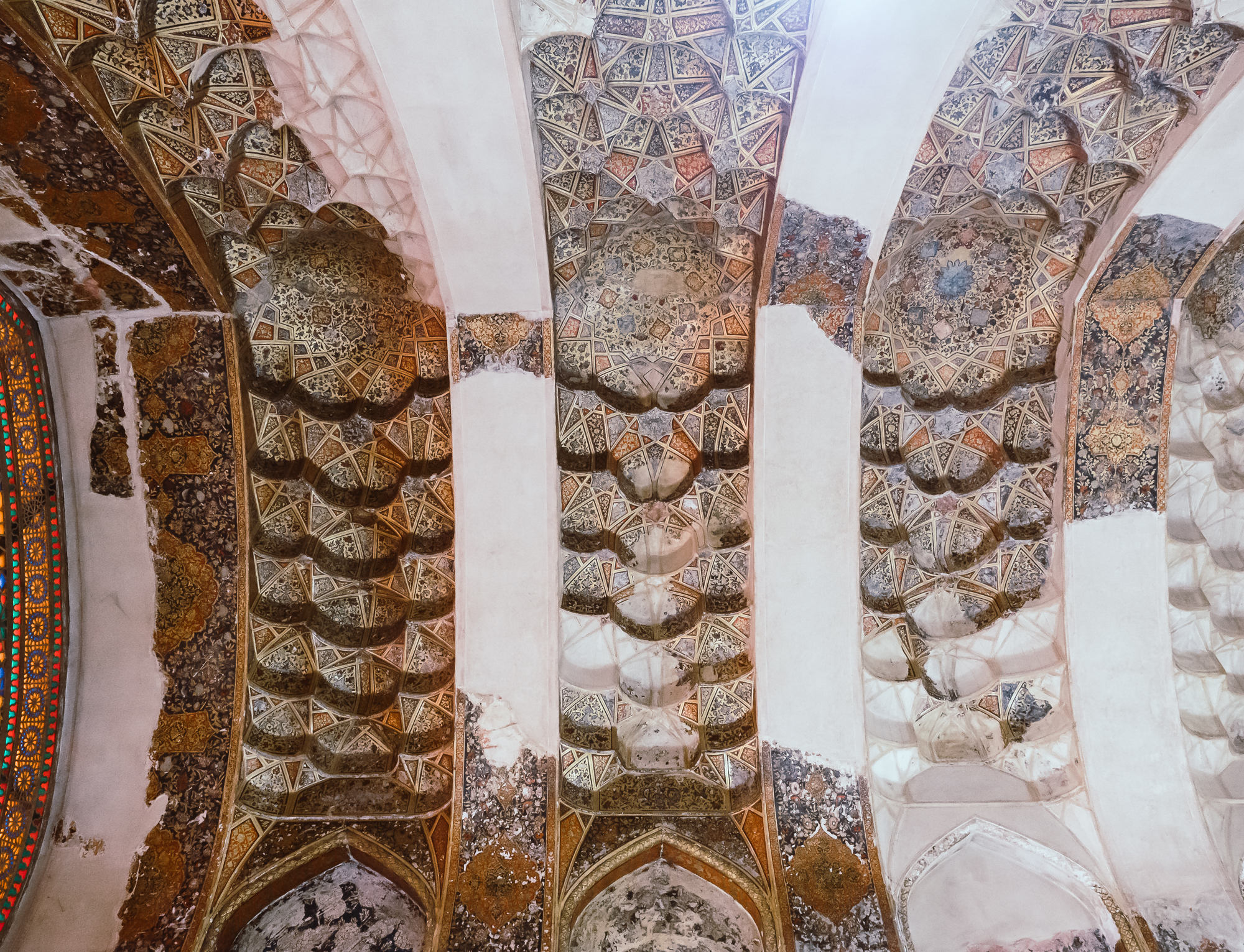
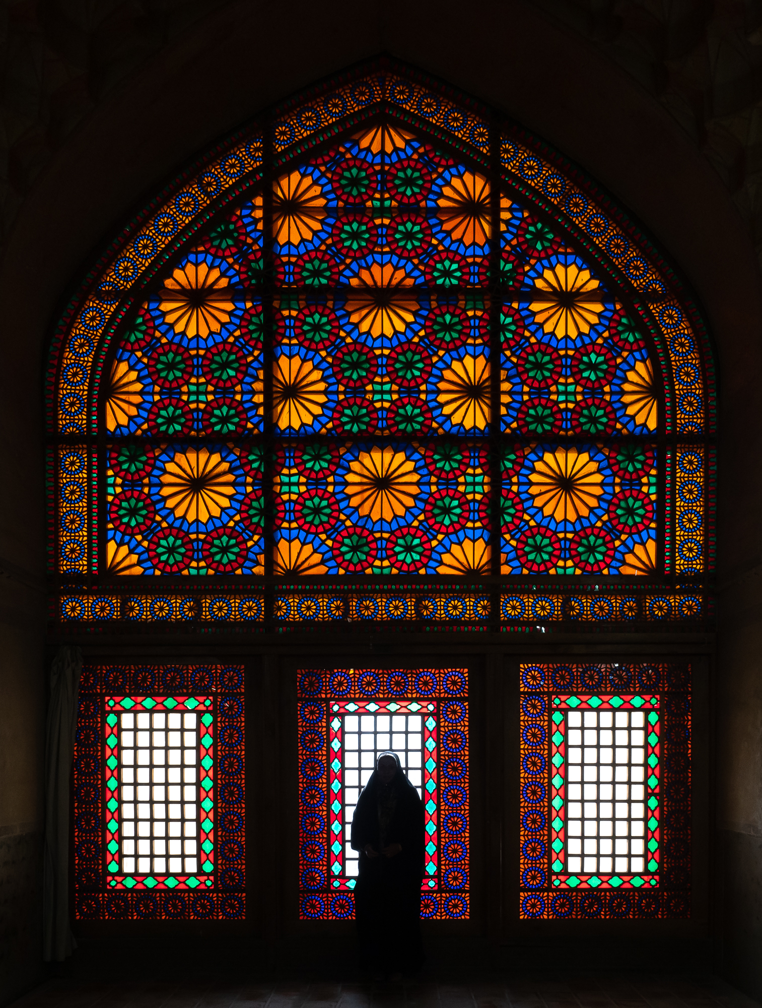
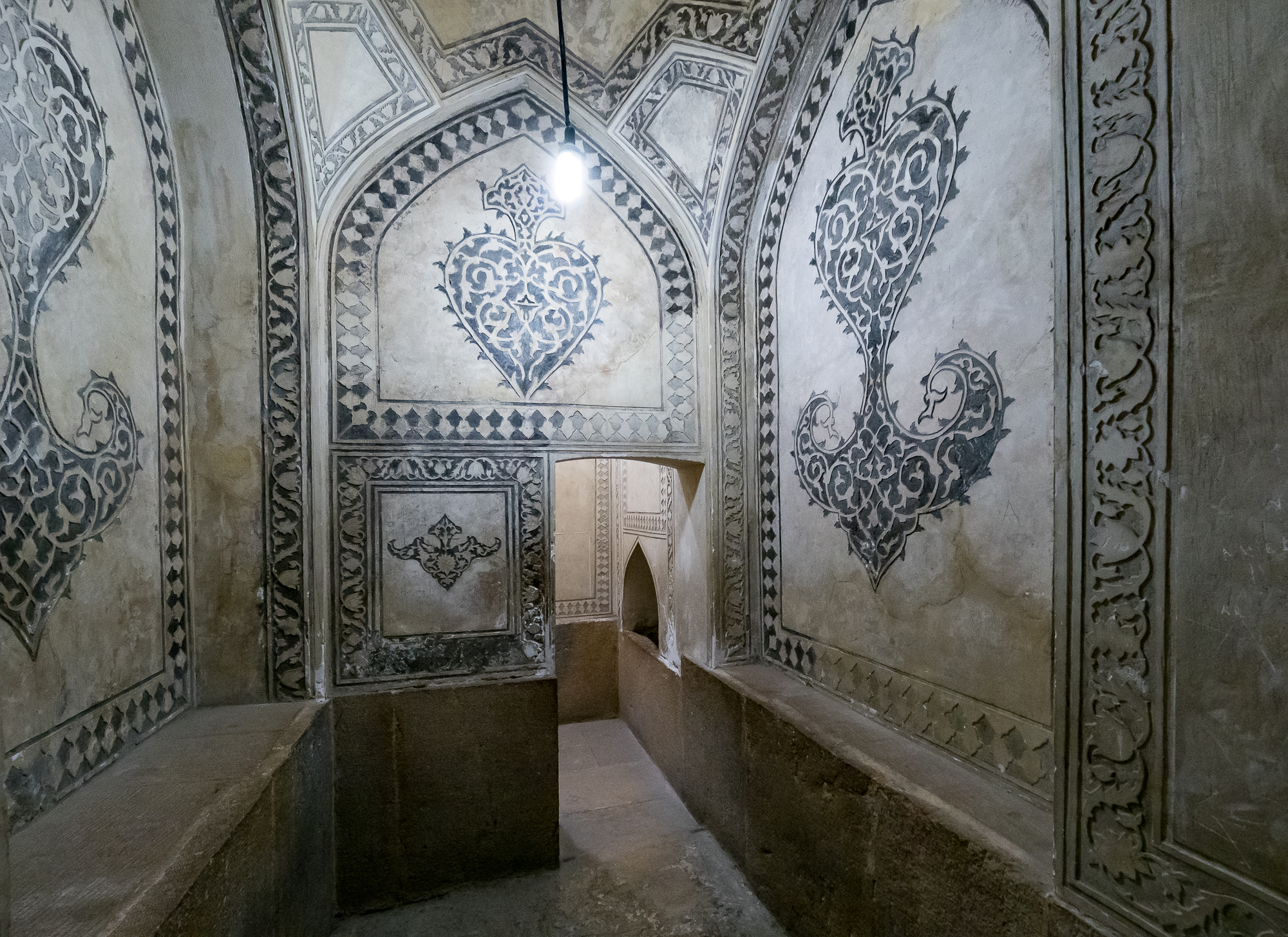
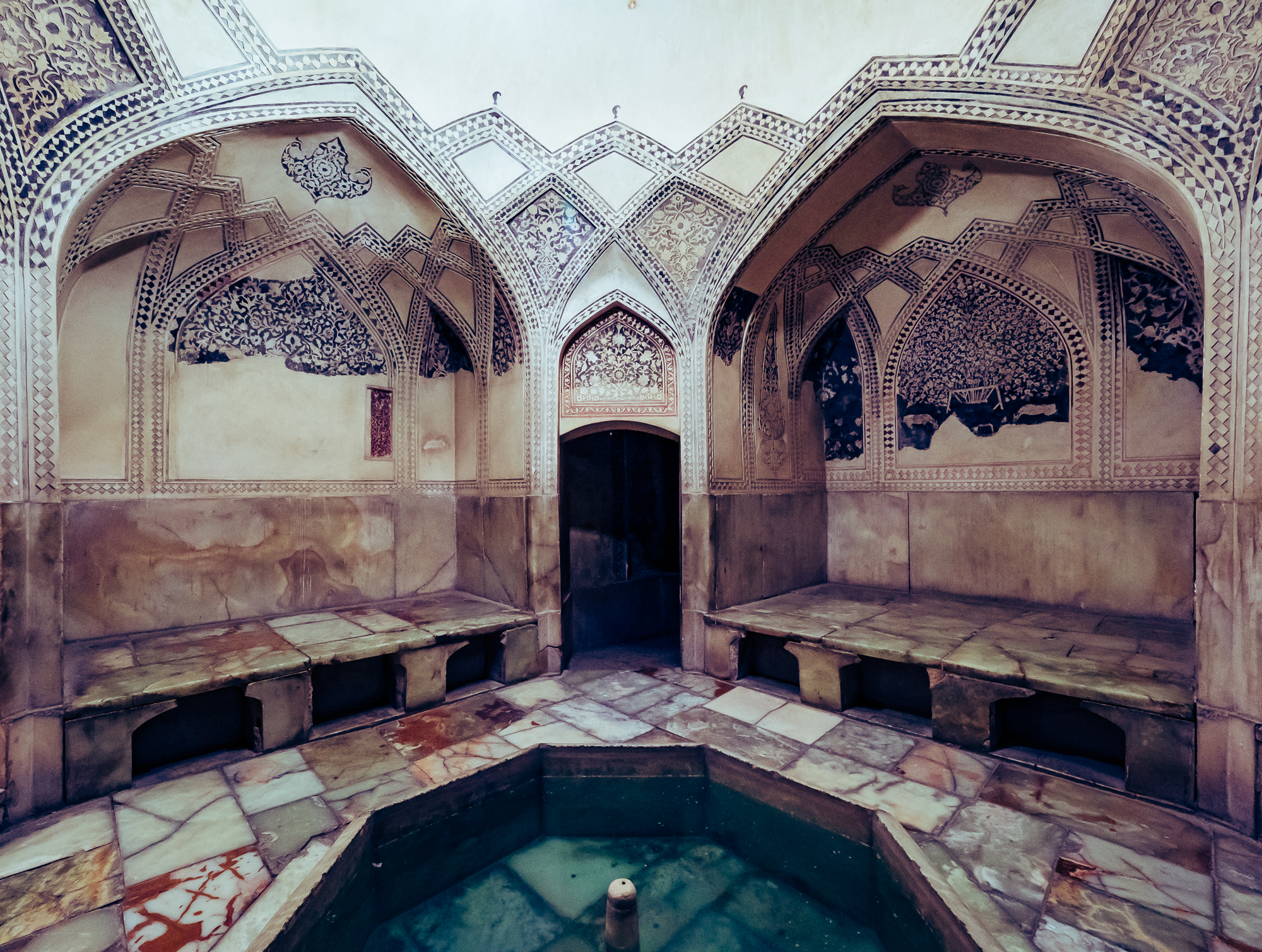
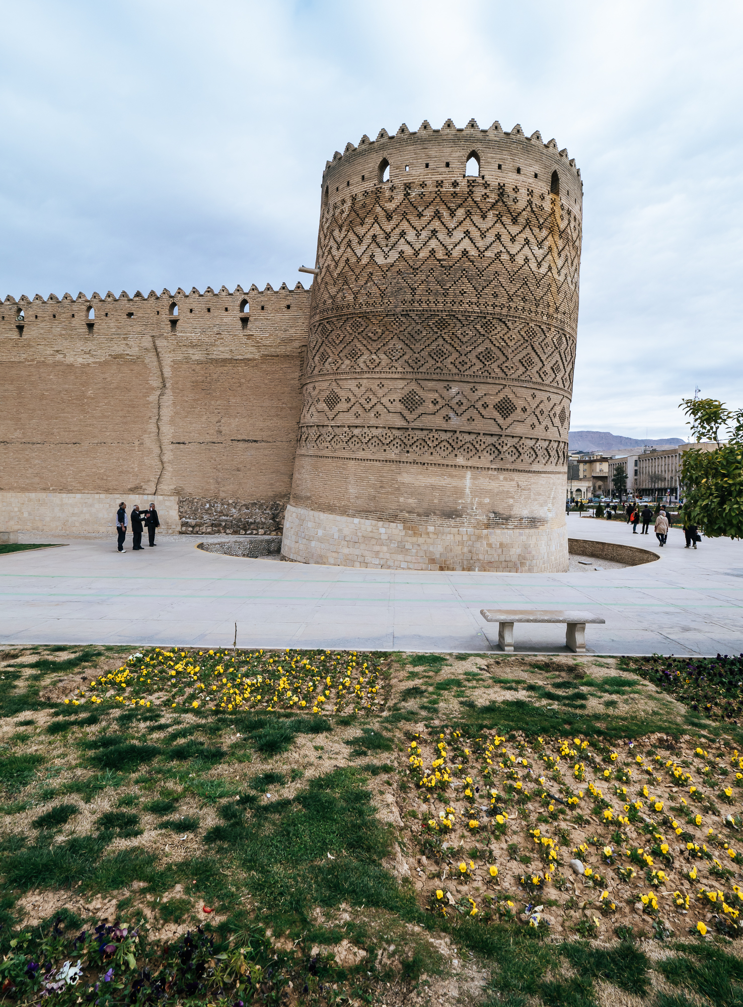
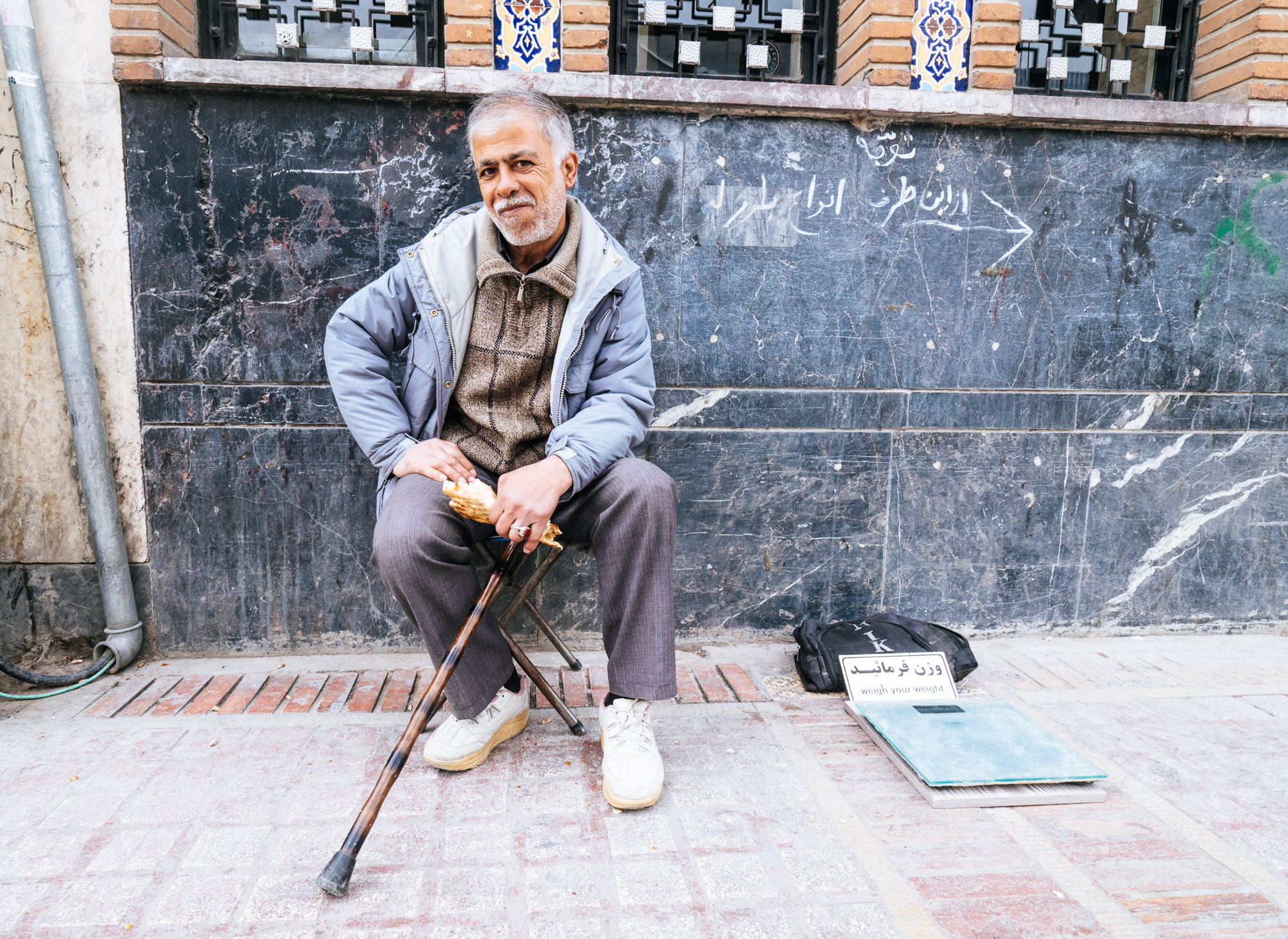
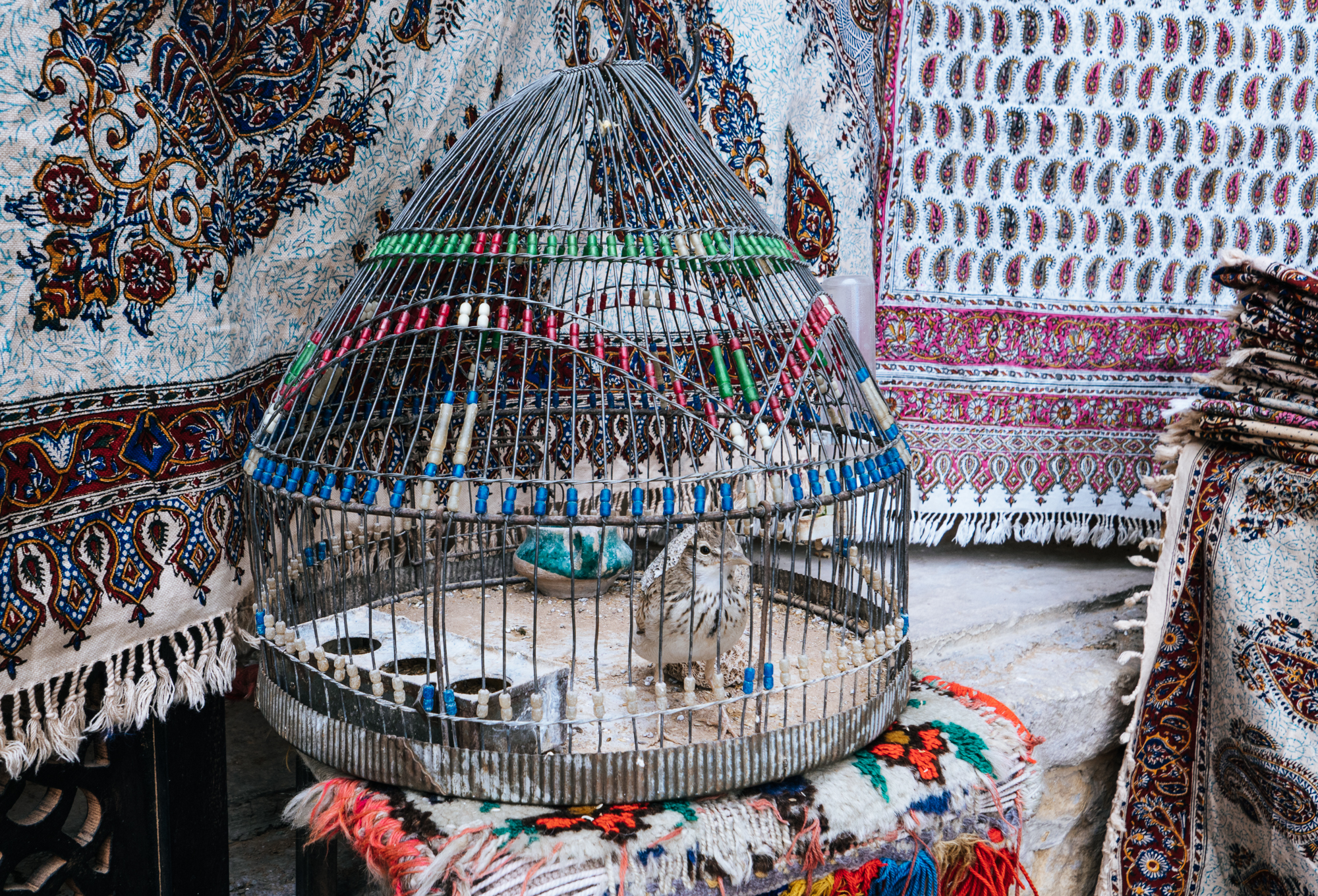
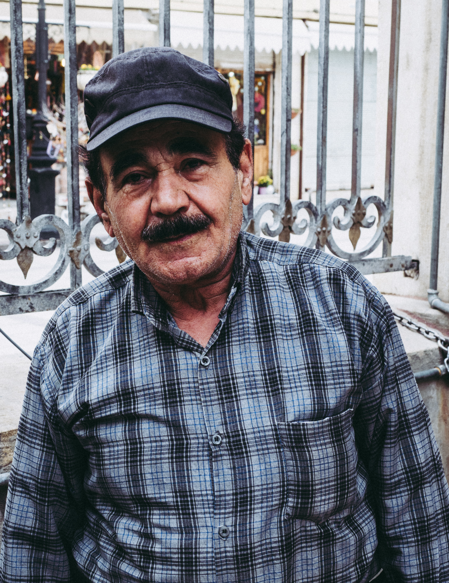
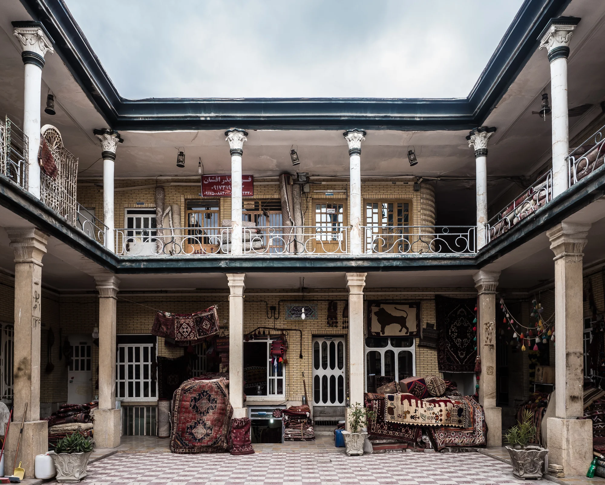
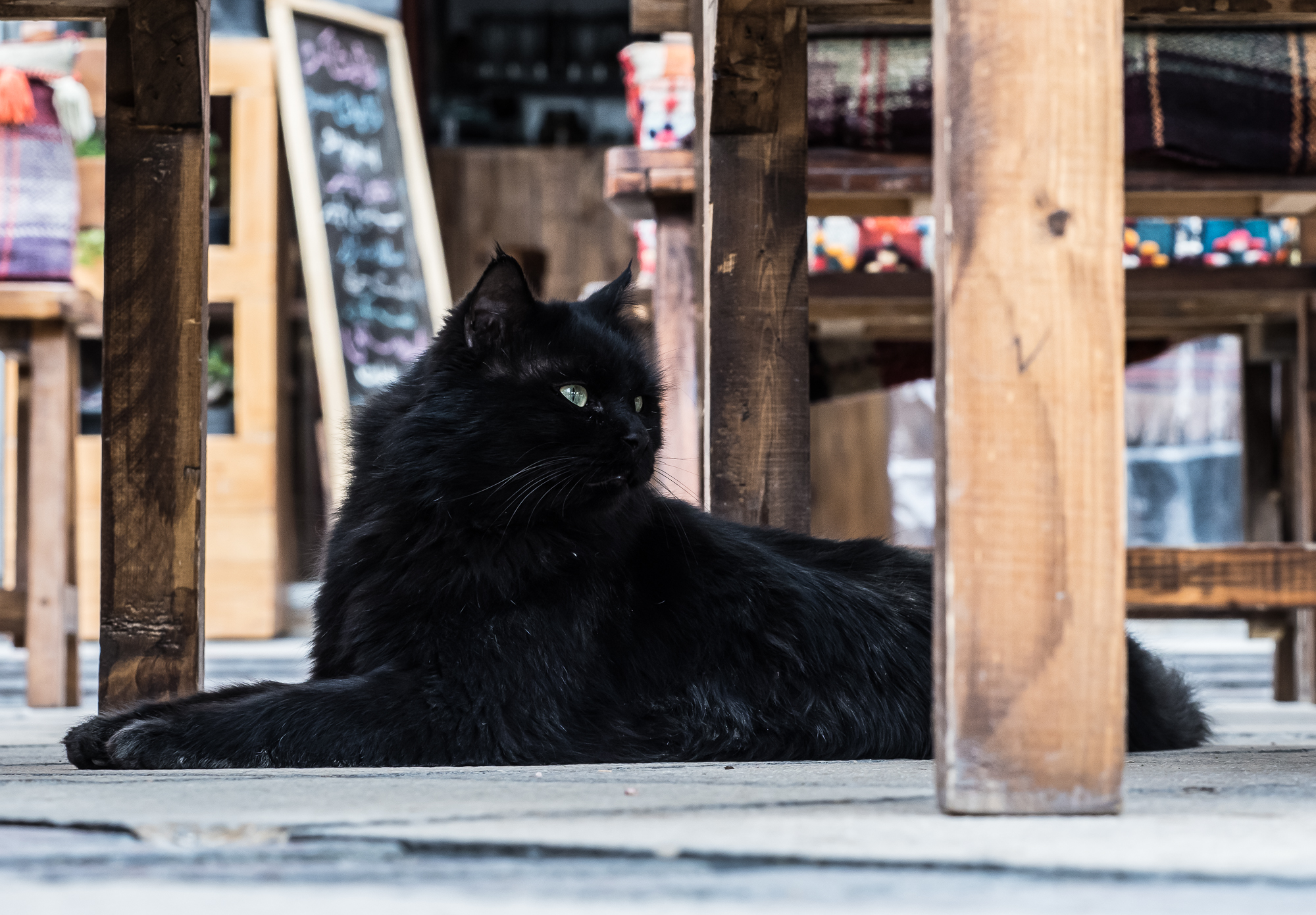
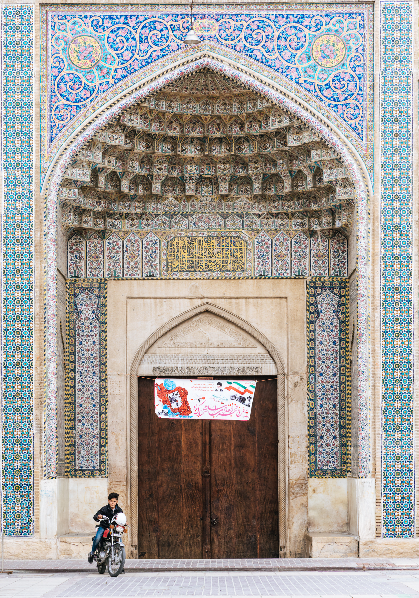
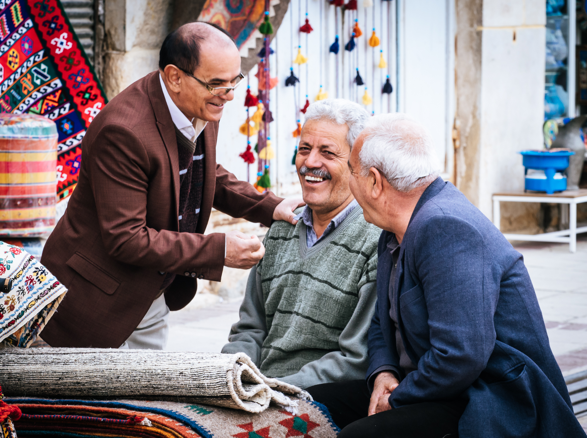
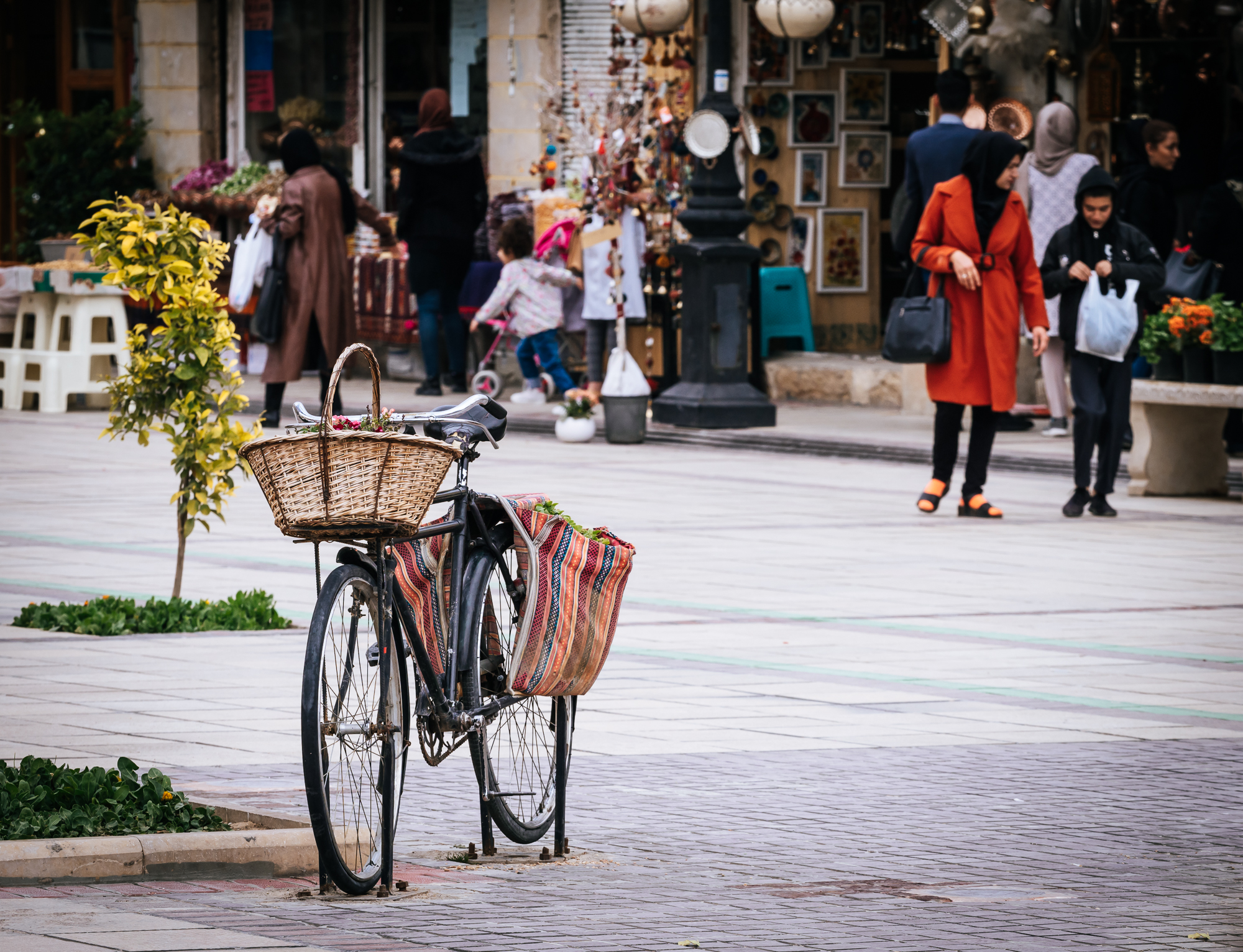
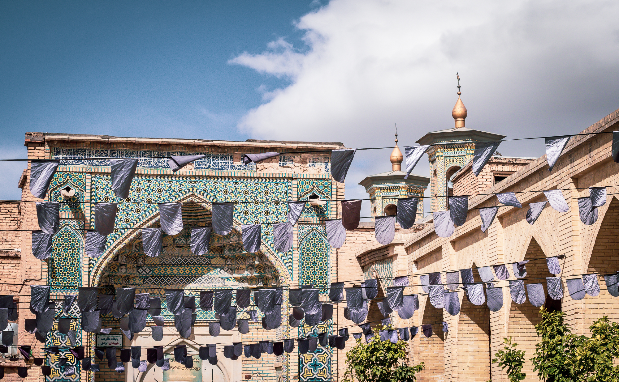
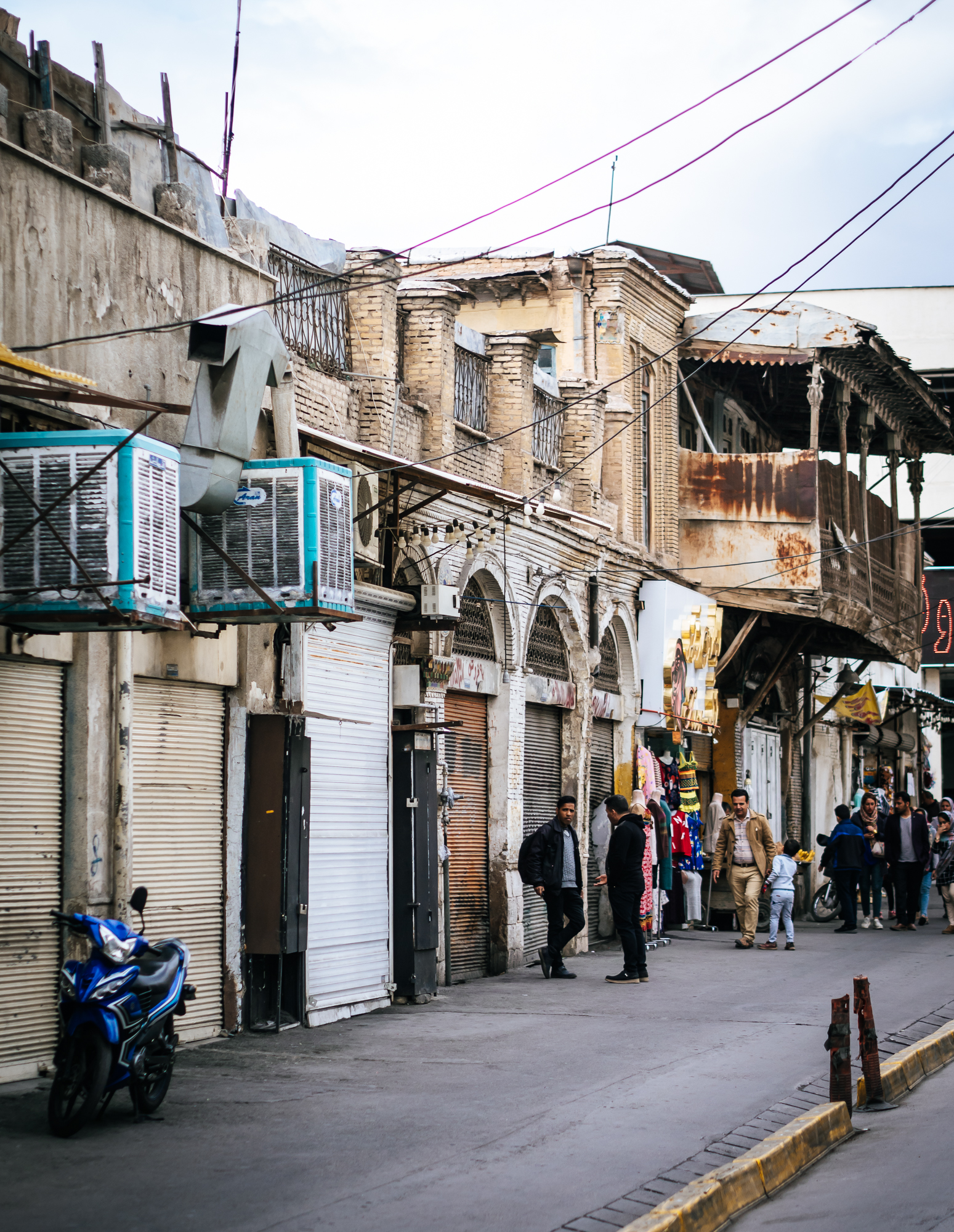
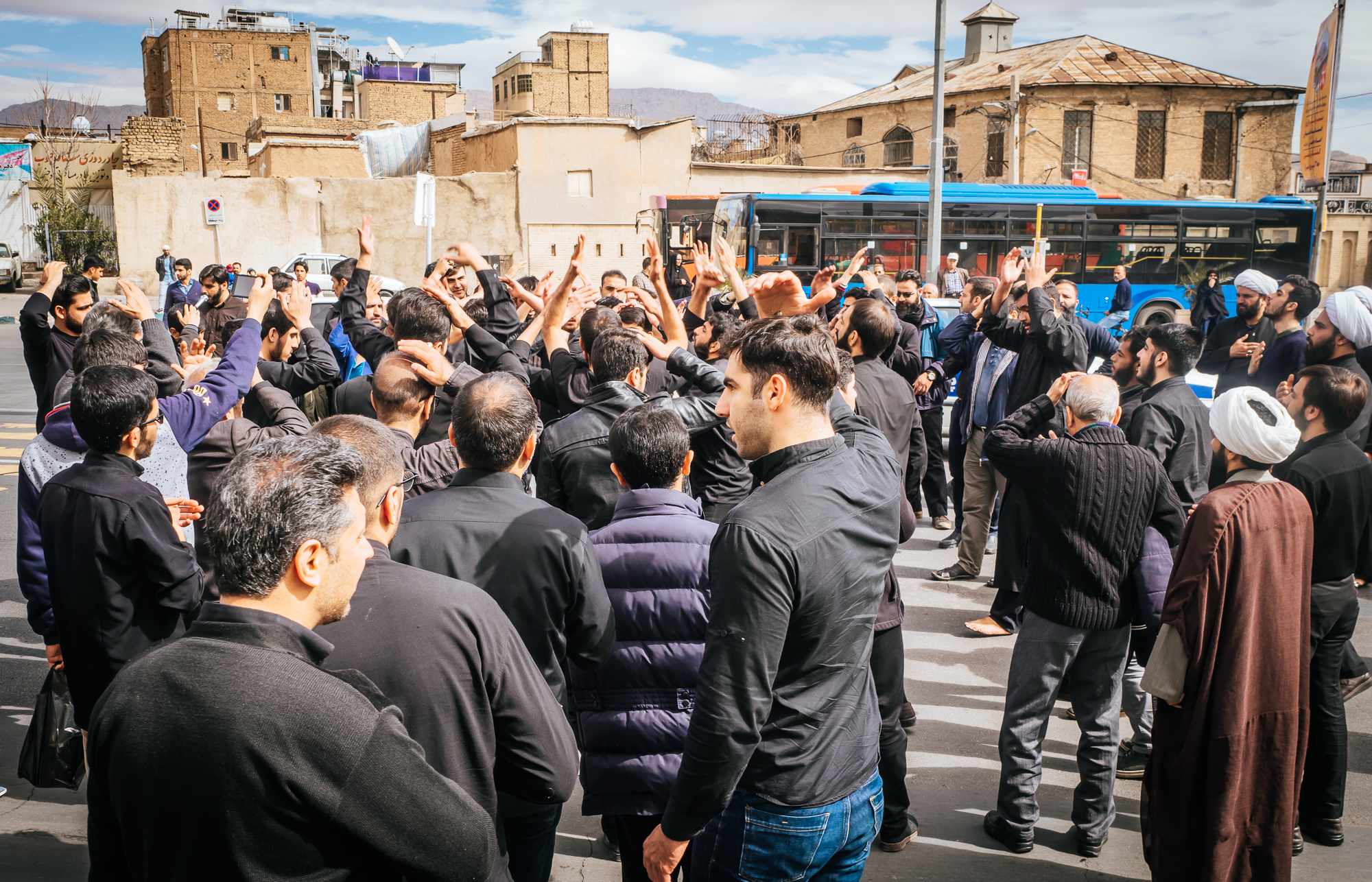
A place that leaves a taste for more - 24 hours in Shiraz, Iran
A short flight from Sharjah took us to beautiful Iran for 24 hours, where we visited the city of Shiraz and the Persepolis. Iran is full of history and culture and its unique rich atmosphere definitely made us keen to come back for more.

A short flight from Sharjah took us to beautiful Iran for 24 hours, where we visited the city of Shiraz and the Persepolis. Iran is full of history and culture and its unique rich atmosphere definitely made us keen to come back.
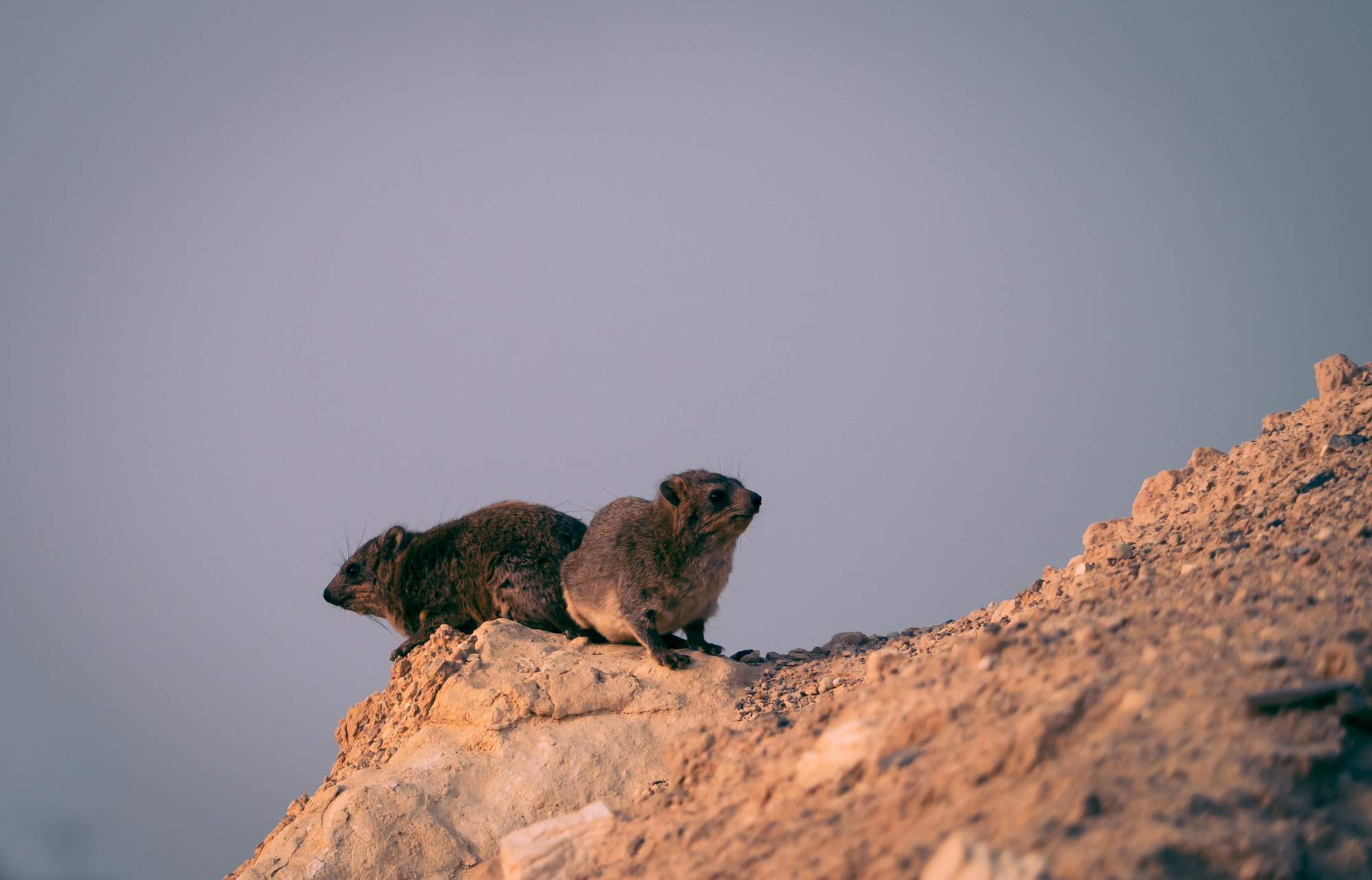
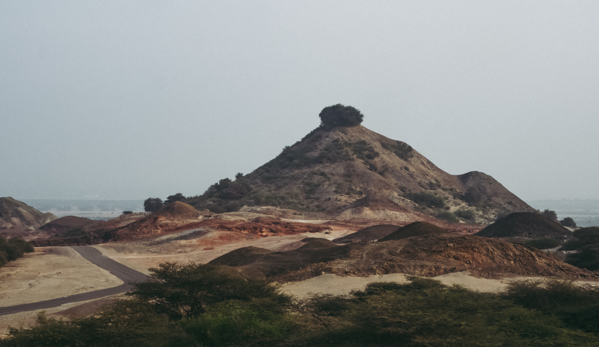
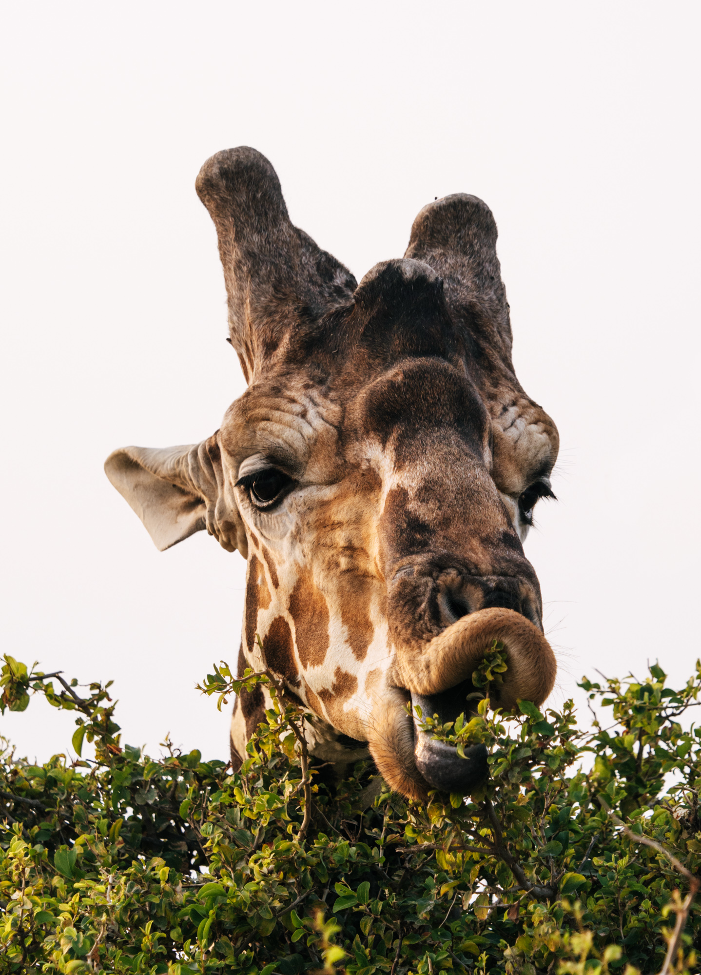
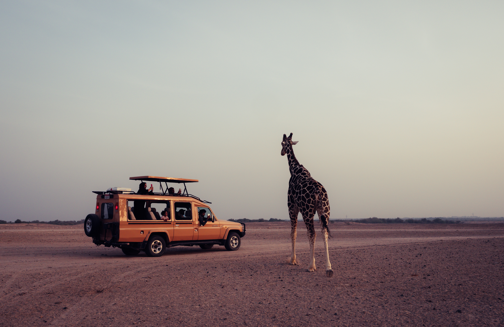
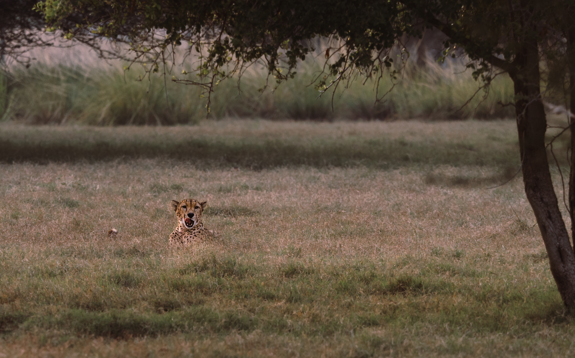
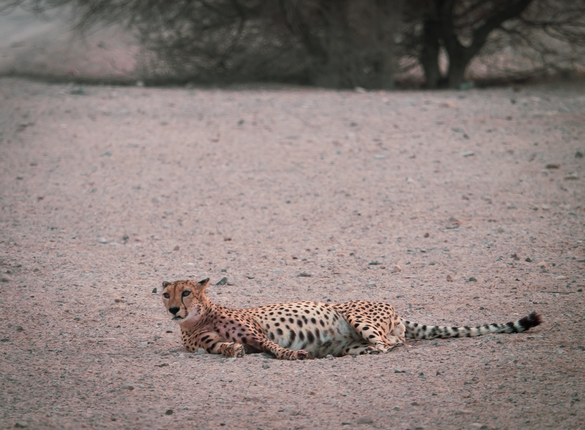
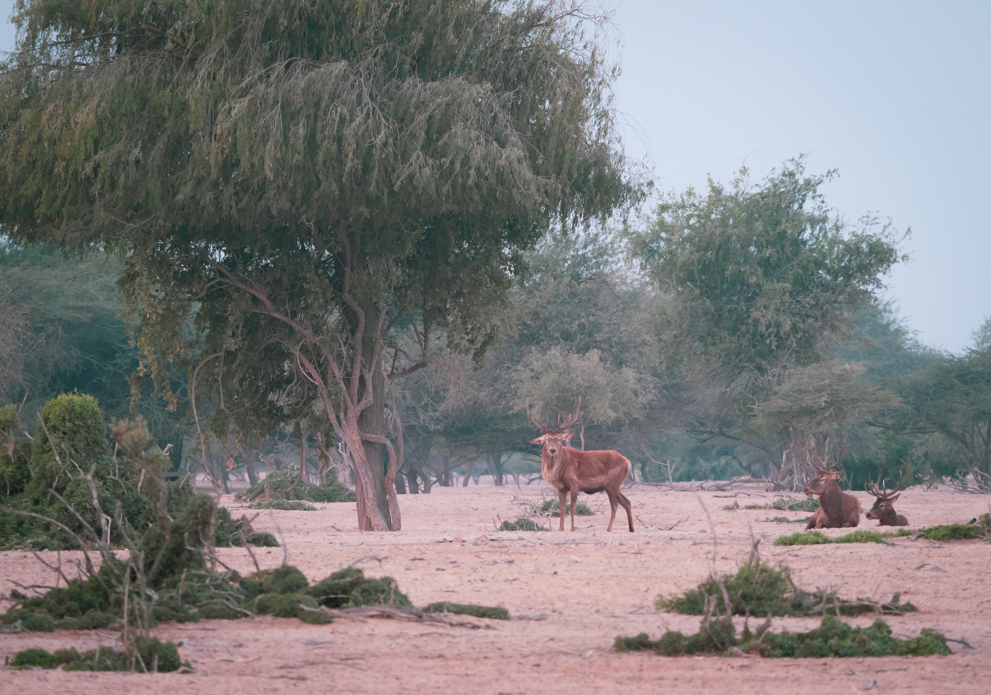
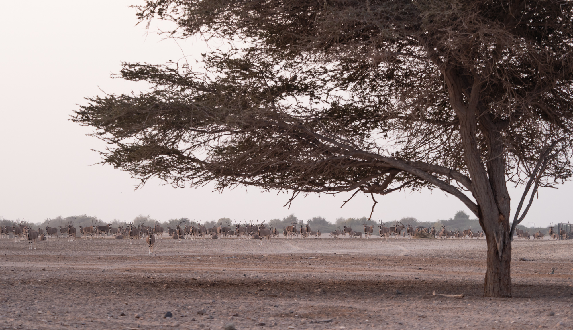
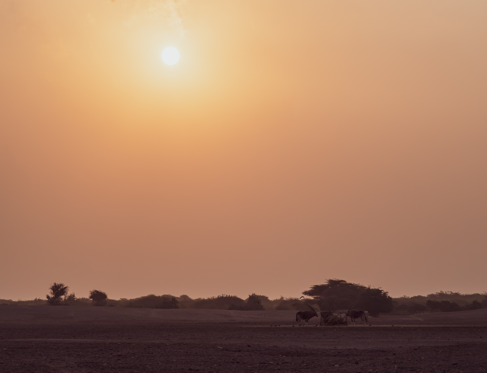
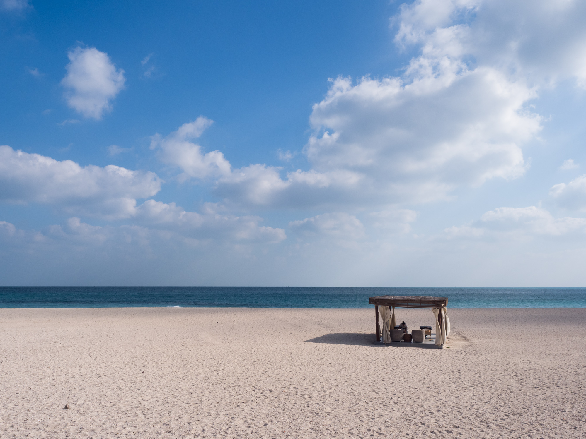
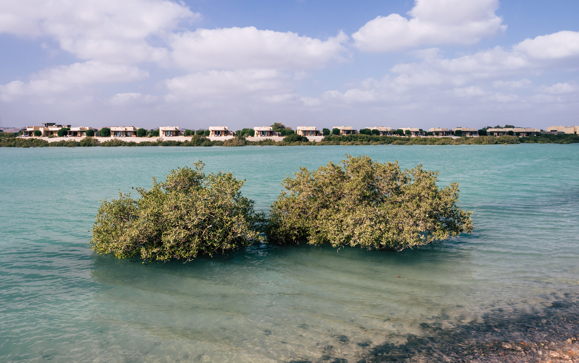
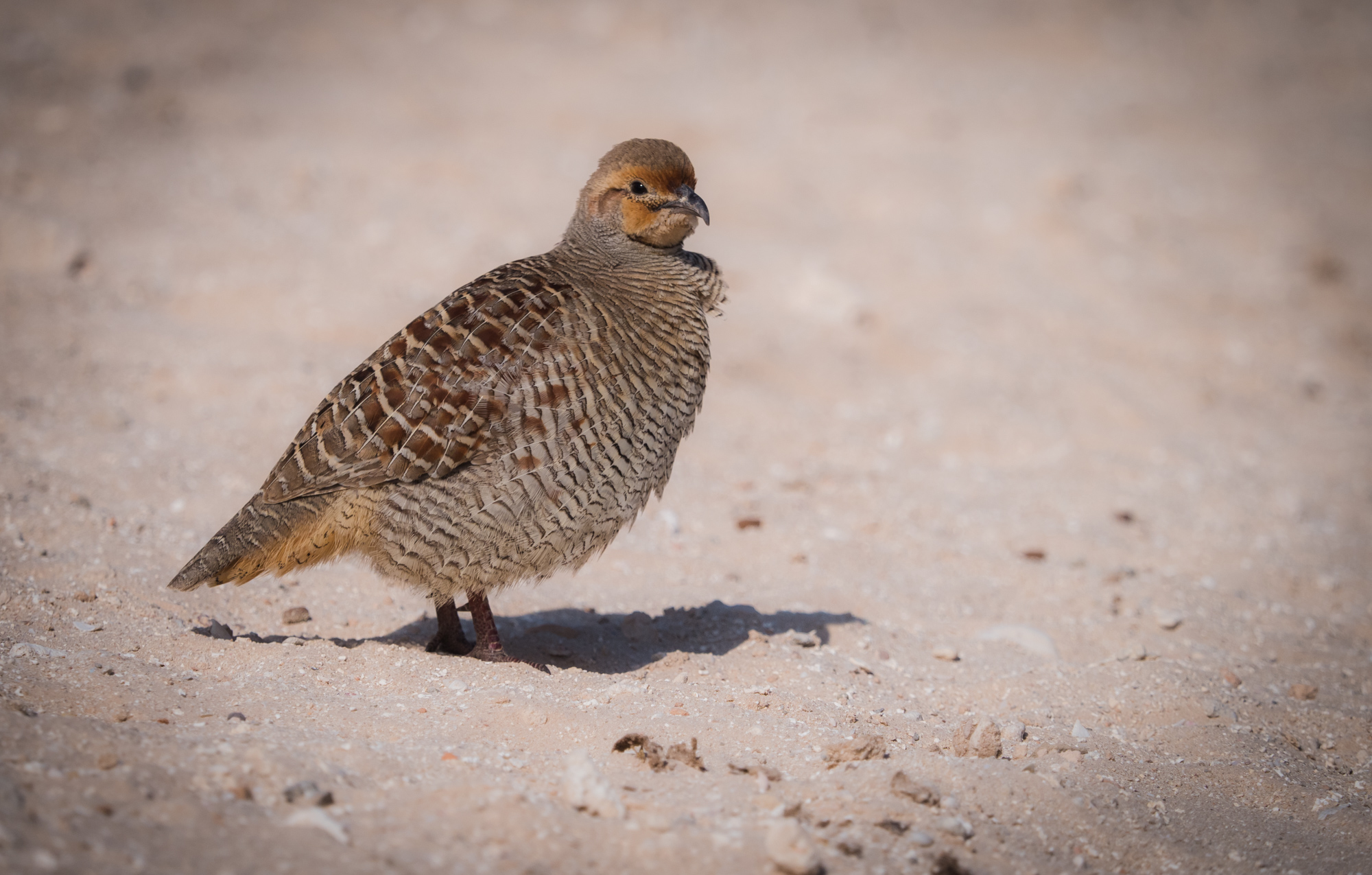
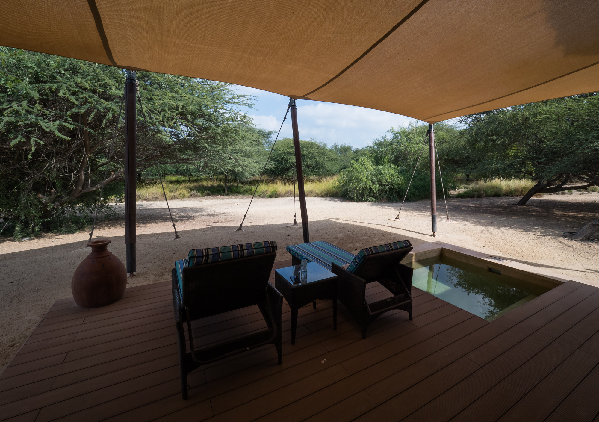
Sir Bani Yas Island - Greening the Desert
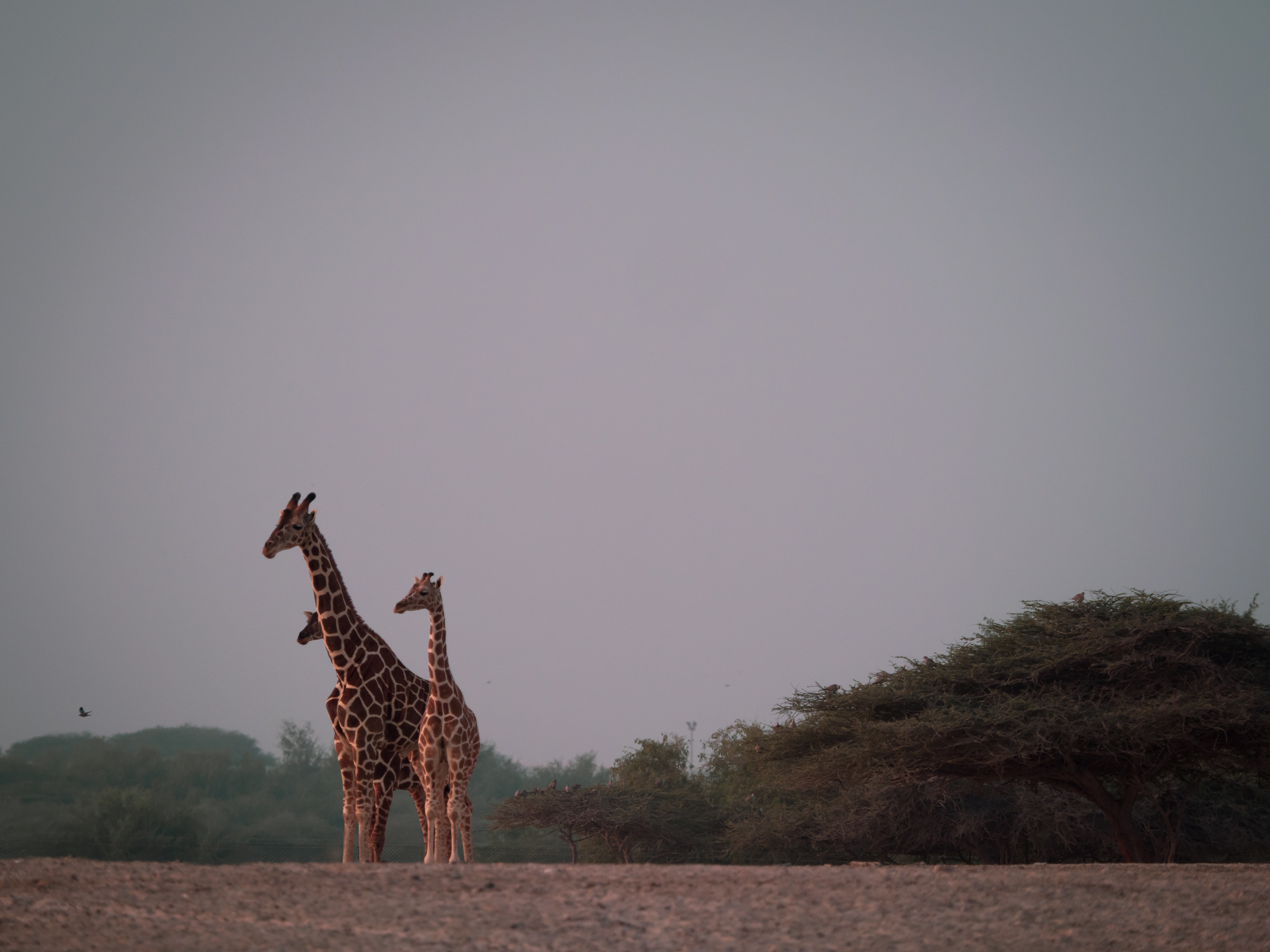
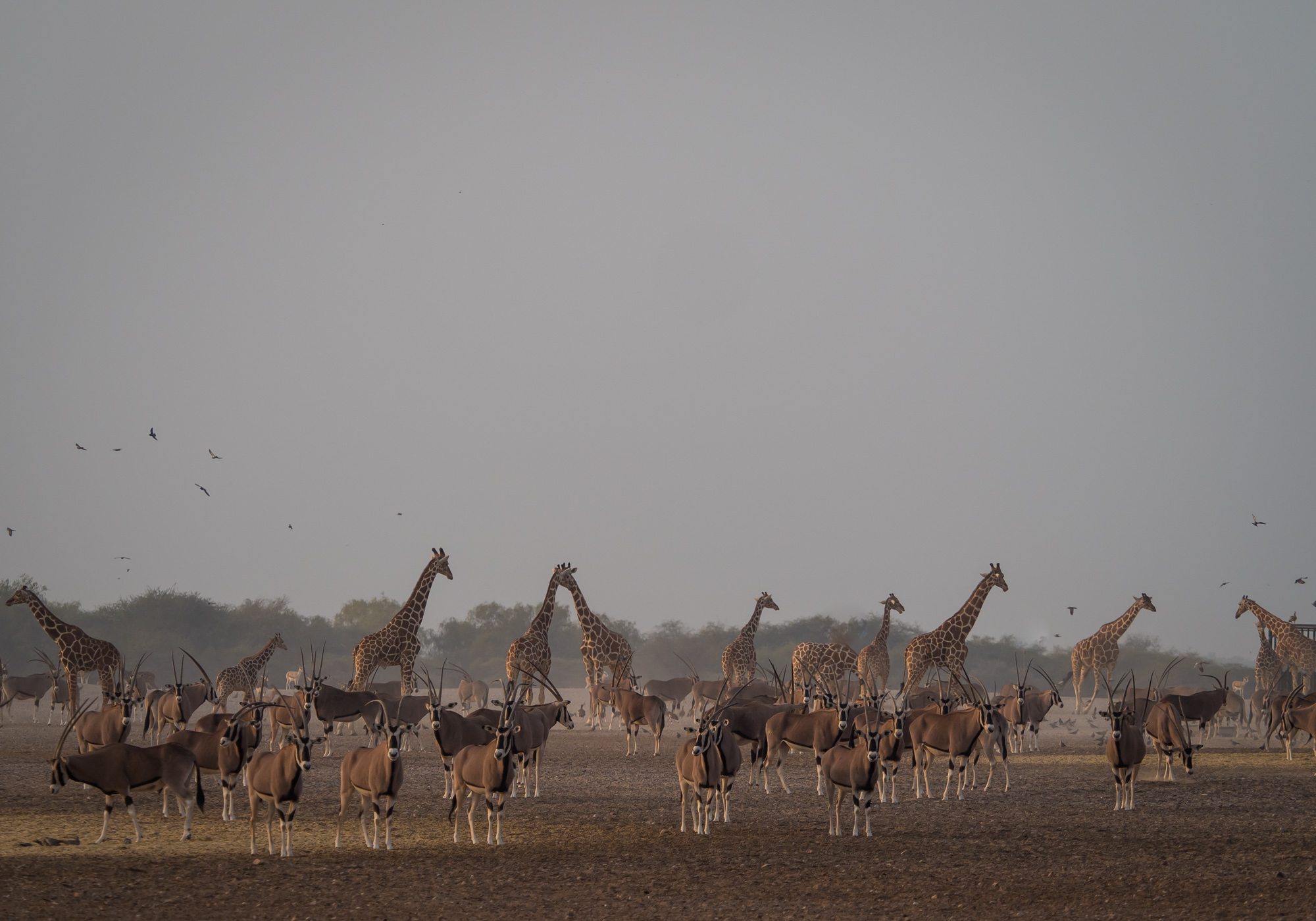
Bani Yas Island has always been on my UAE To Do List. The island is about a 3,5 hour drive and 30min boat ride from Dubai and lies off the coast of Abu Dhabi in the western region. It’s the largest natural island in the UAE. Its rich history, incredible flora and fauna and the story of how it evolved into a major conservation project truly makes it a globally unique destination.

Bani Yas Island has always been on my UAE To Do List. The island is about a 3,5 hour drive and 30min boat ride from Dubai and lies off the coast of Abu Dhabi in the western region. It’s the largest natural island in the UAE. Its rich history, incredible flora and fauna and the story of how it evolved into a major conservation project truly makes it a globally unique destination.


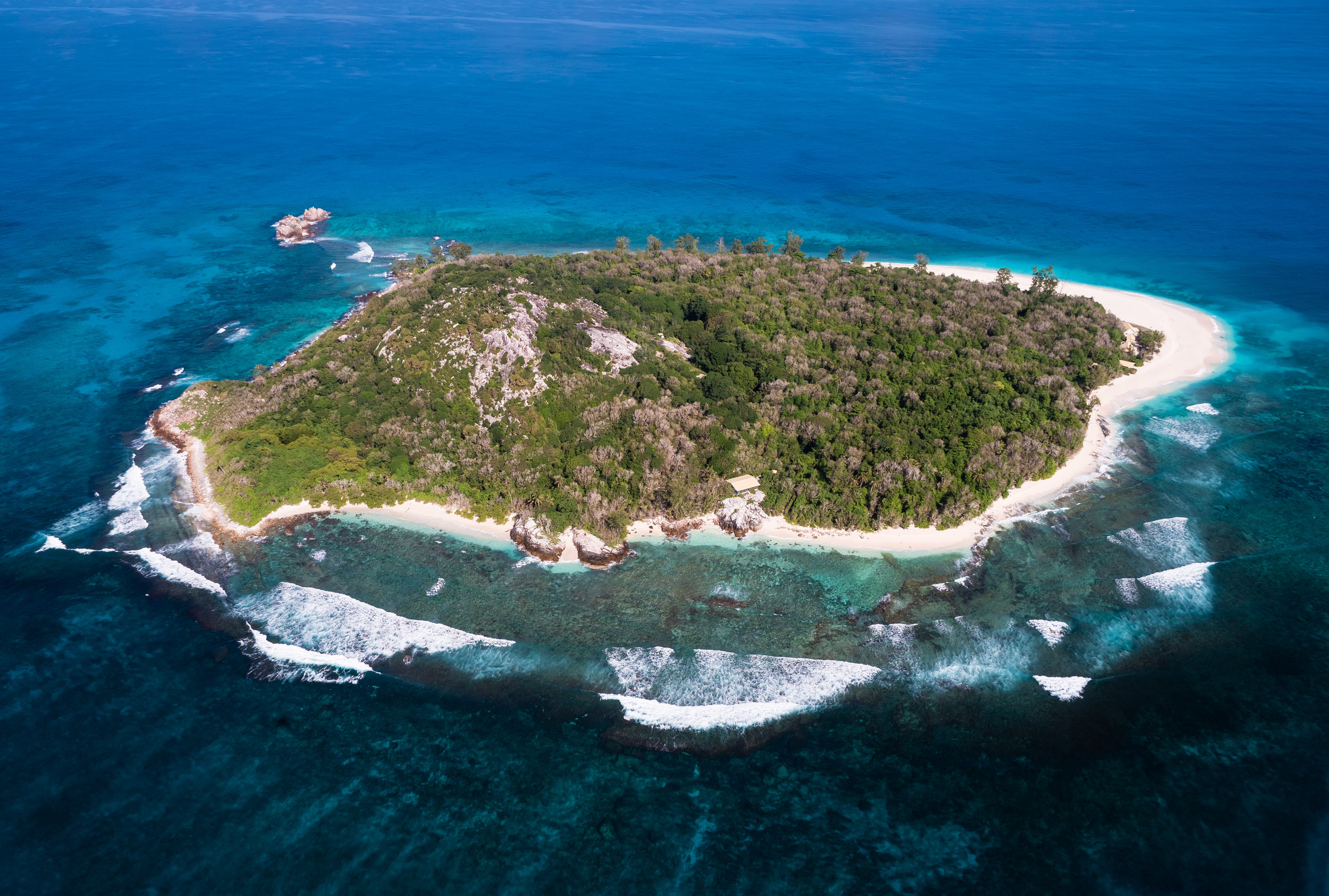
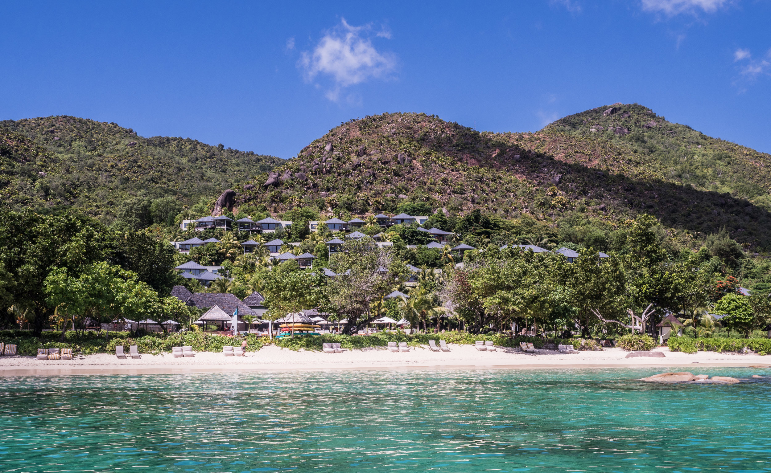
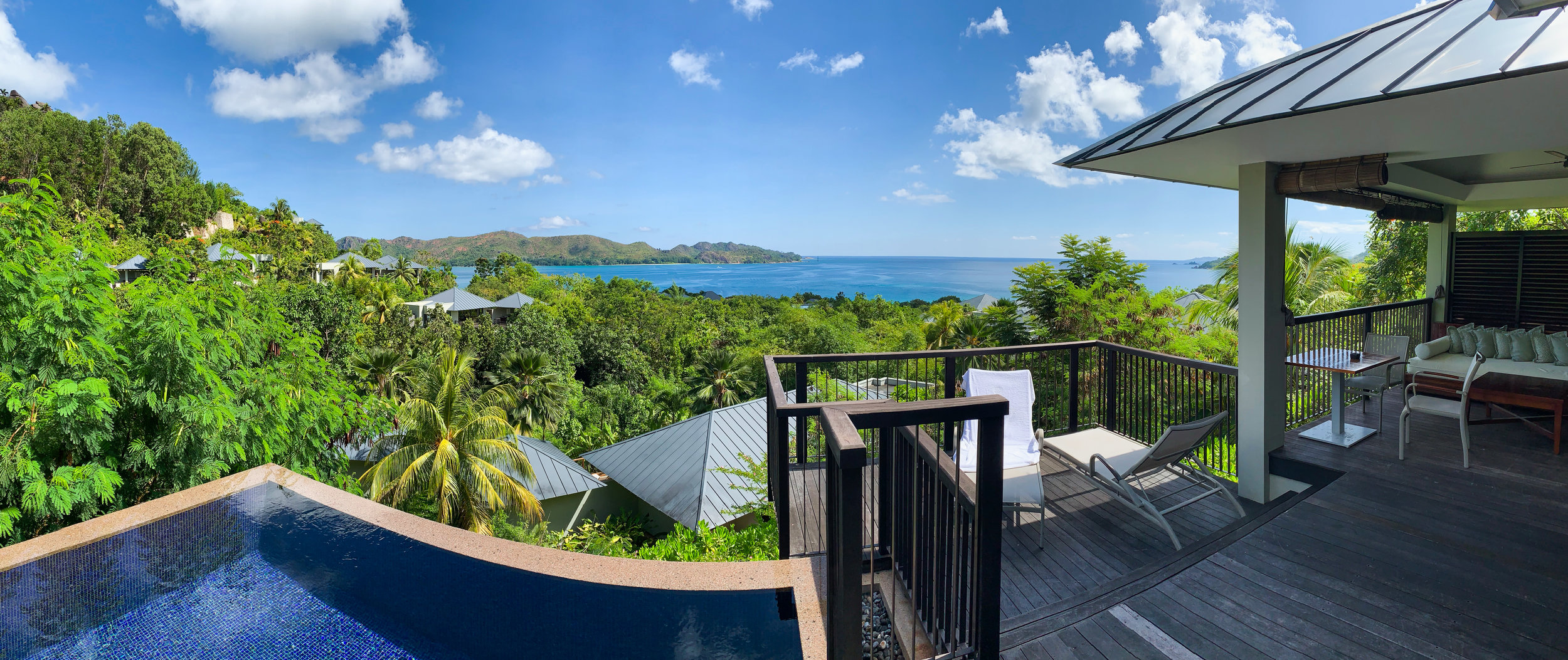
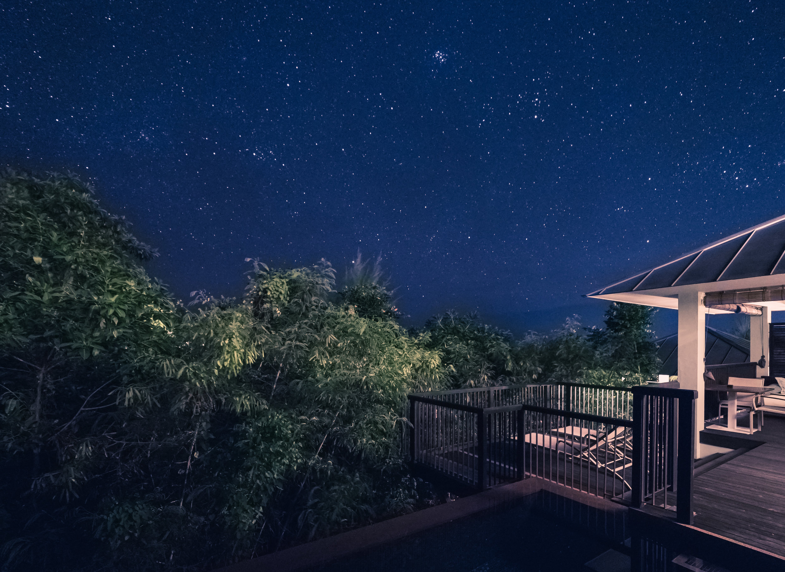
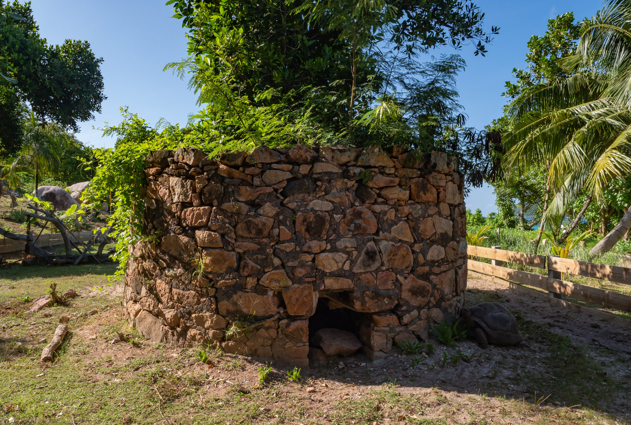
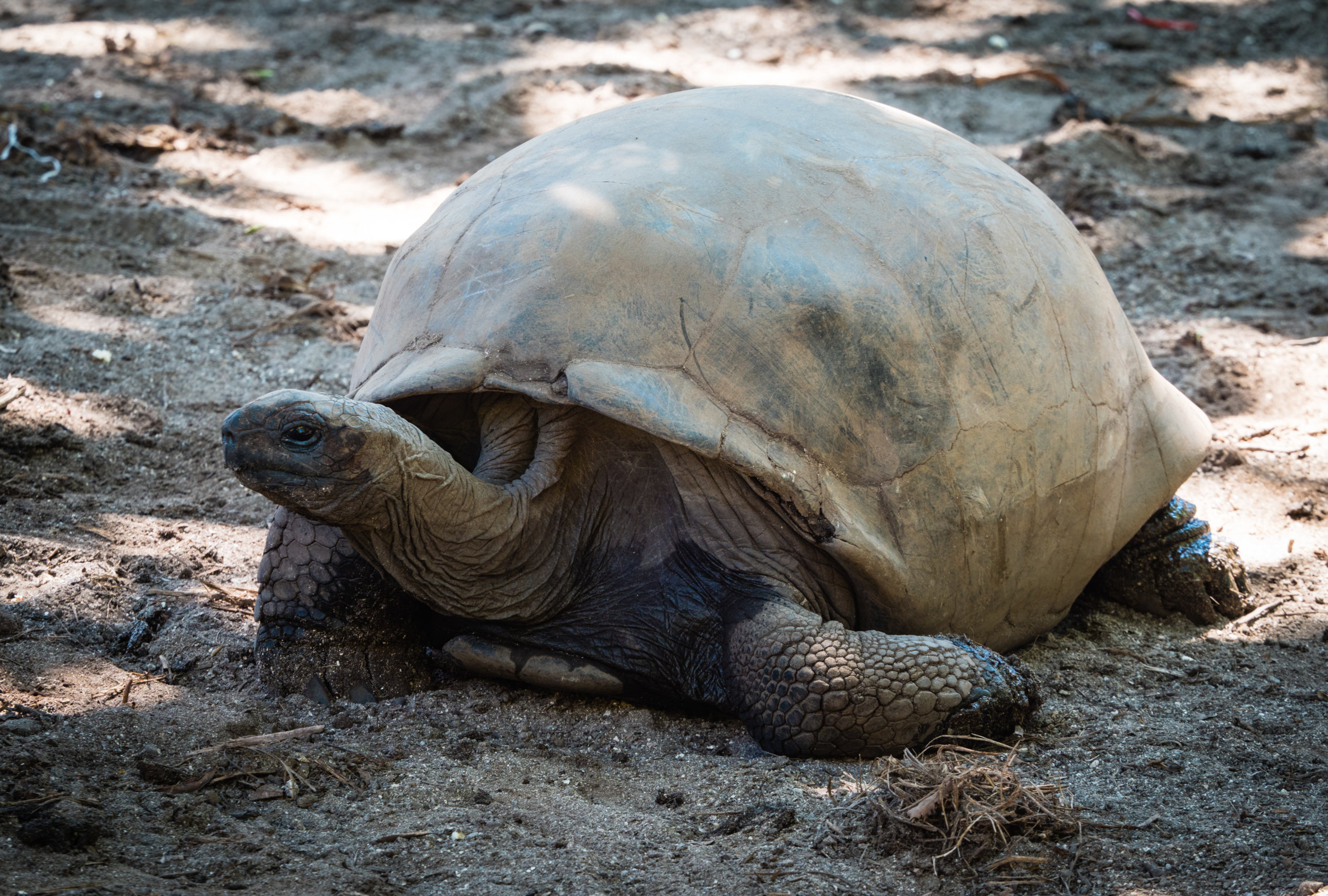
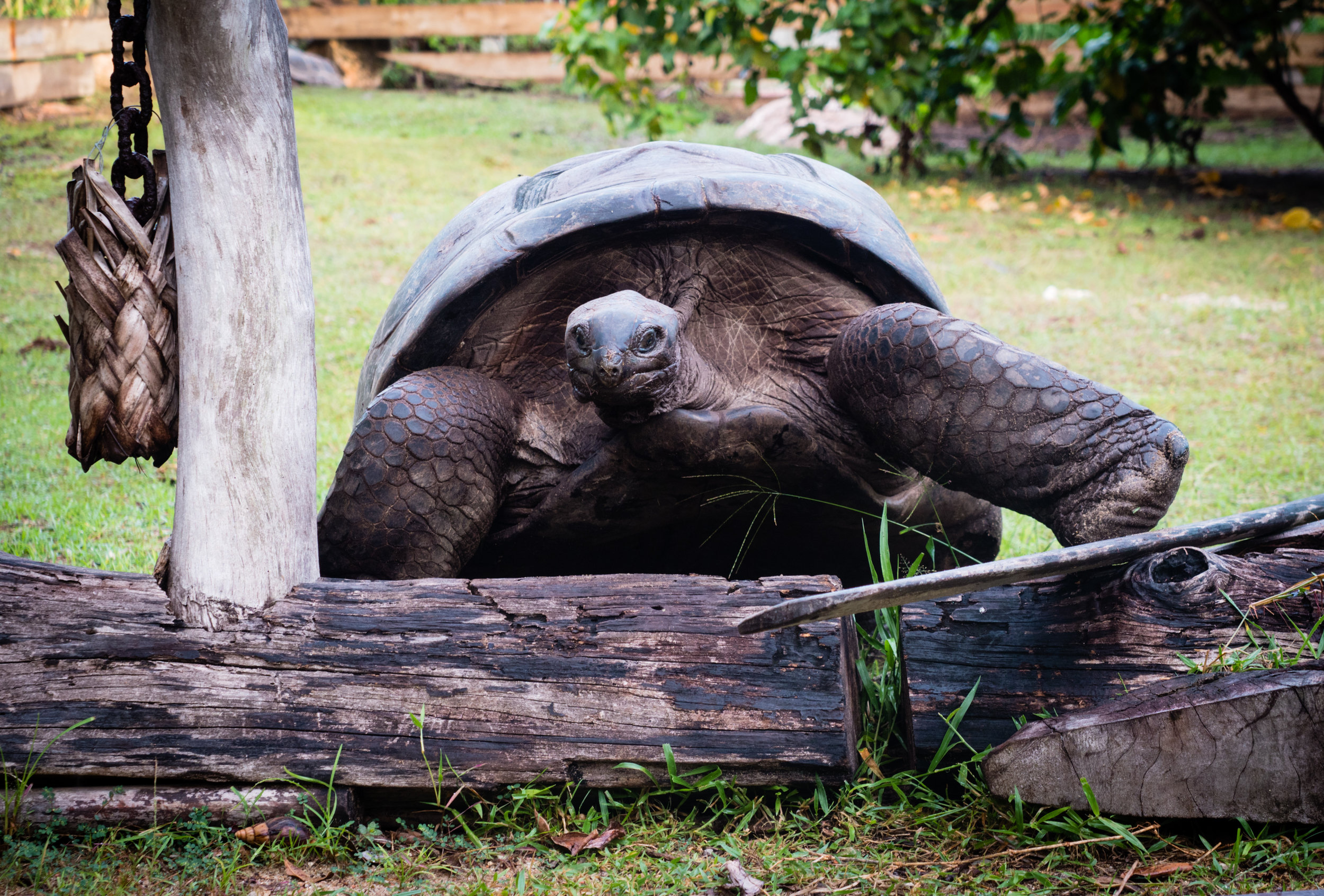
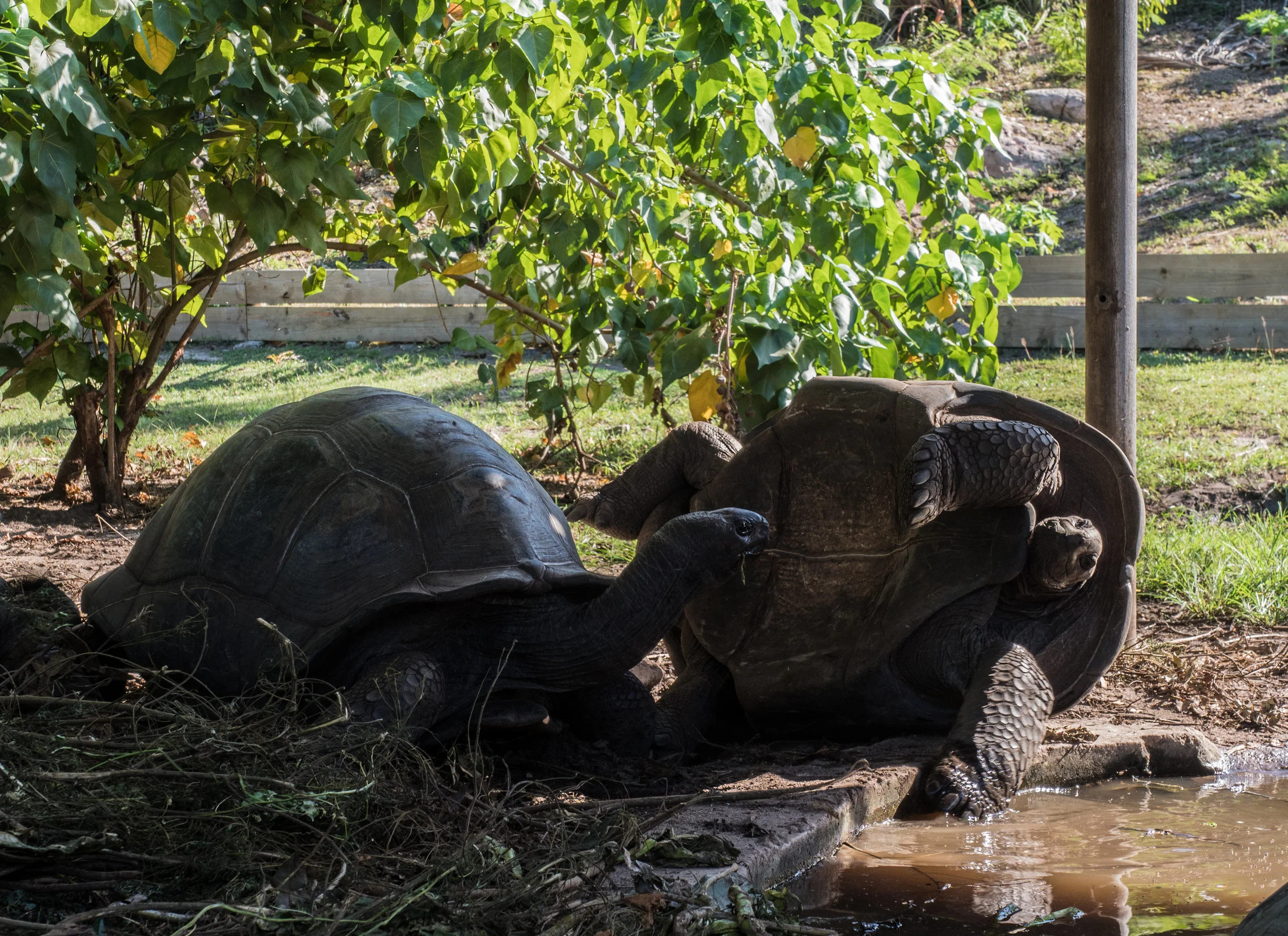
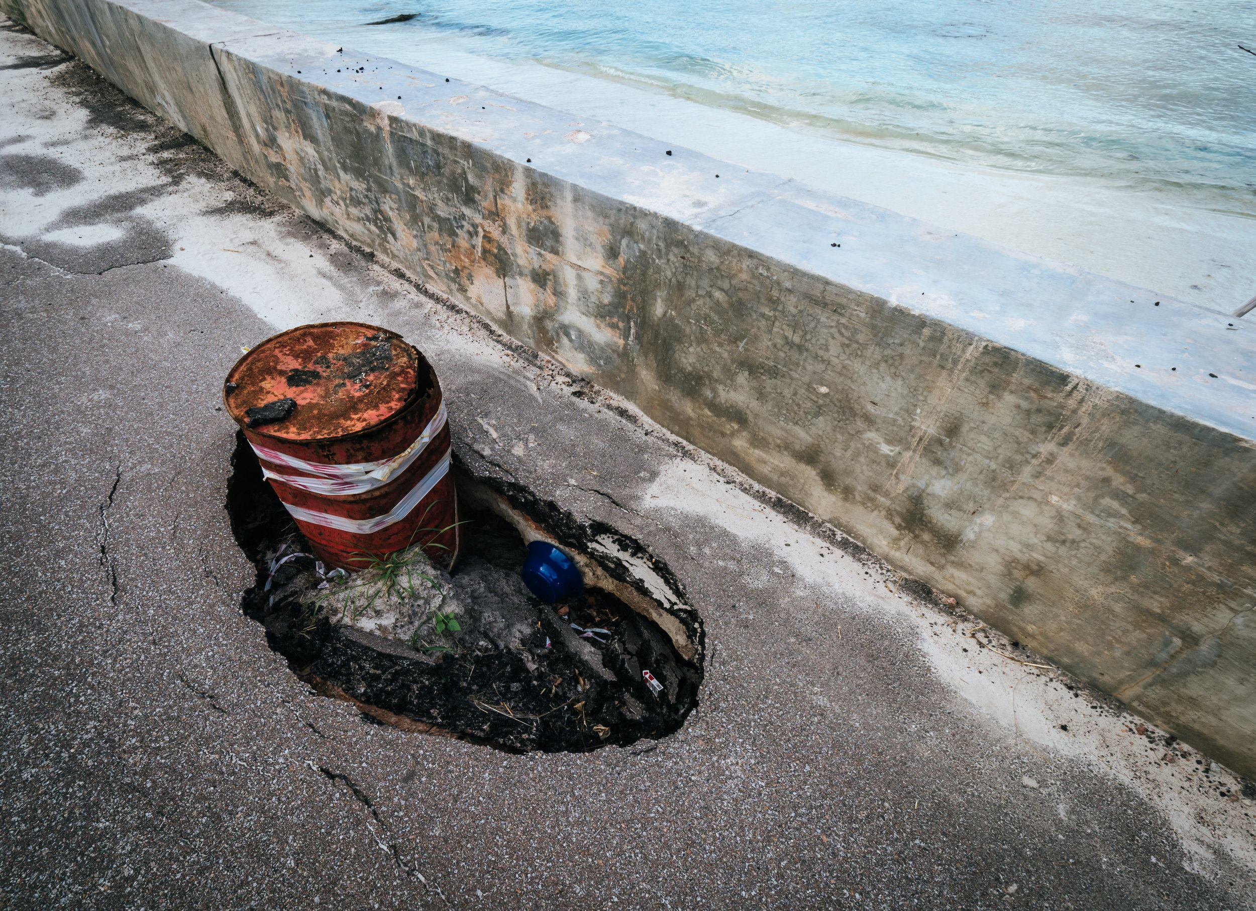
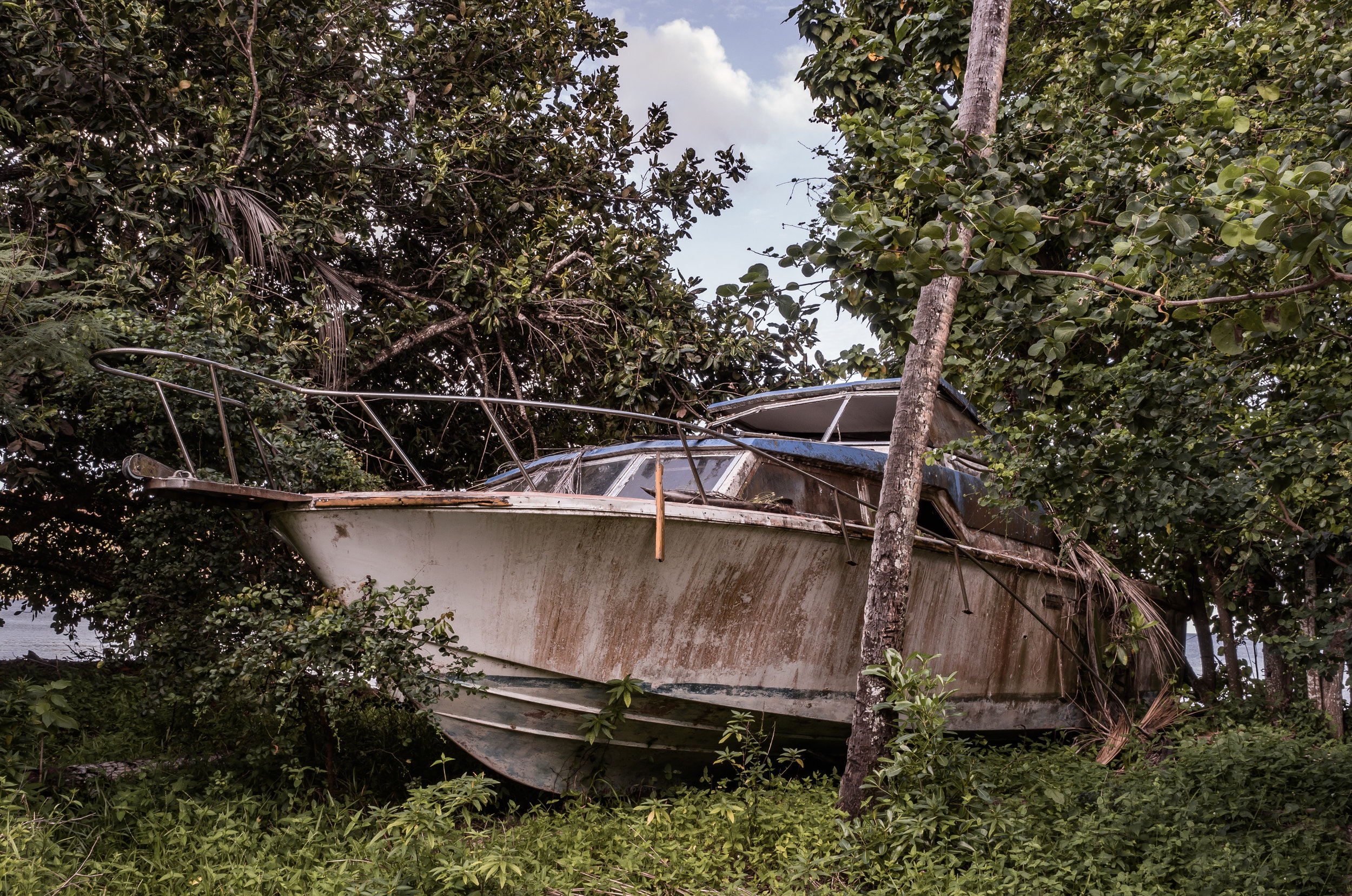
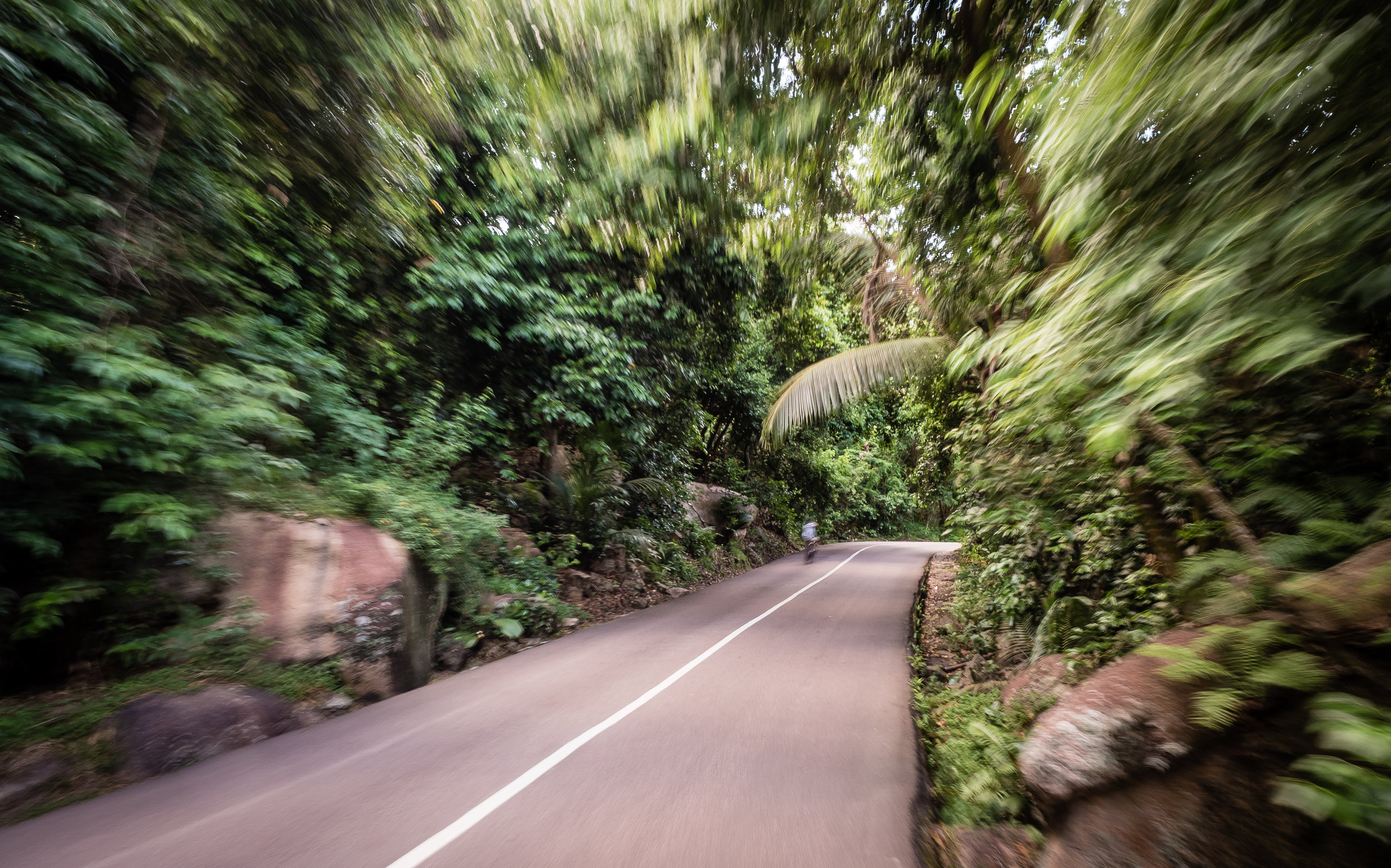
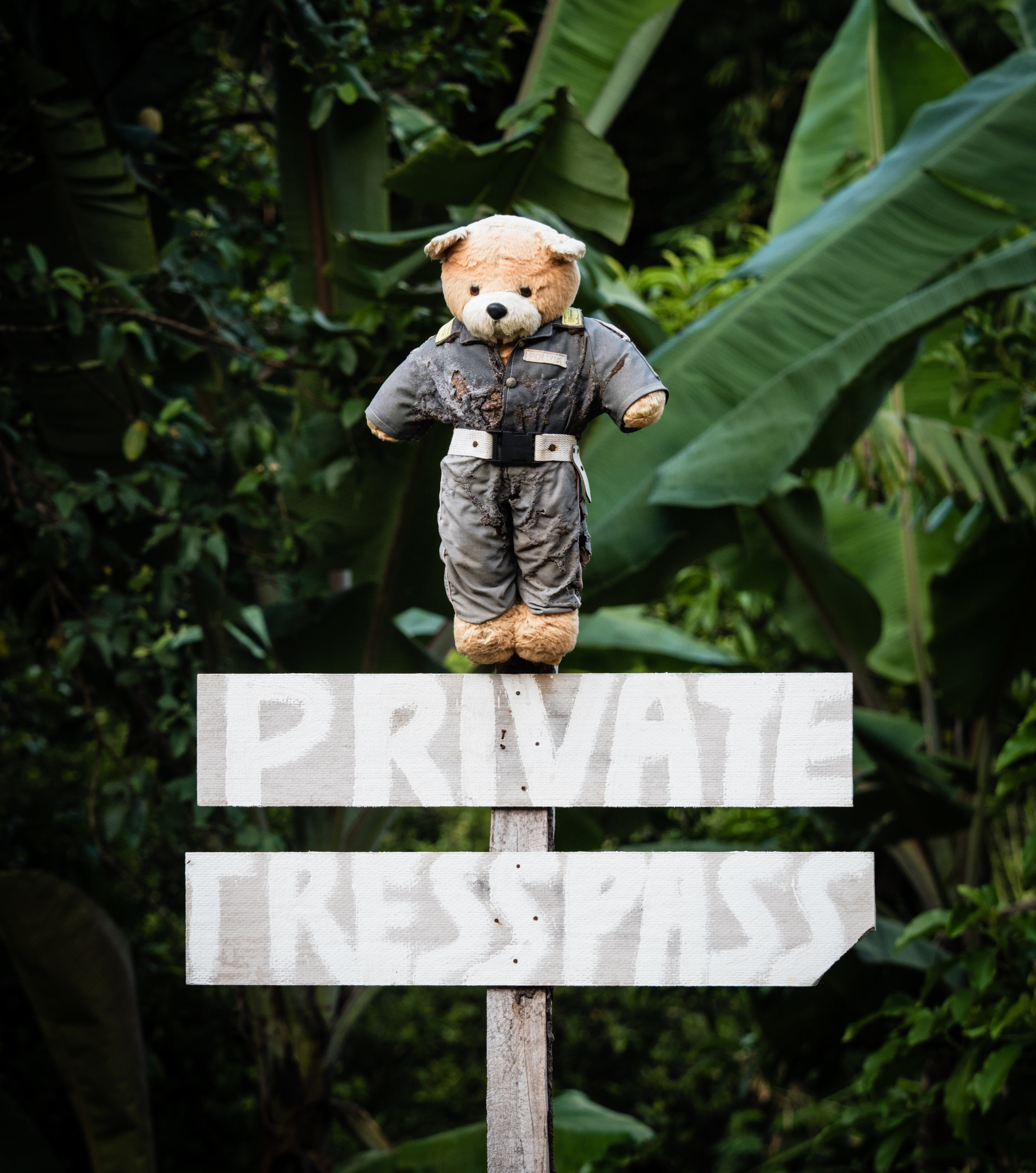
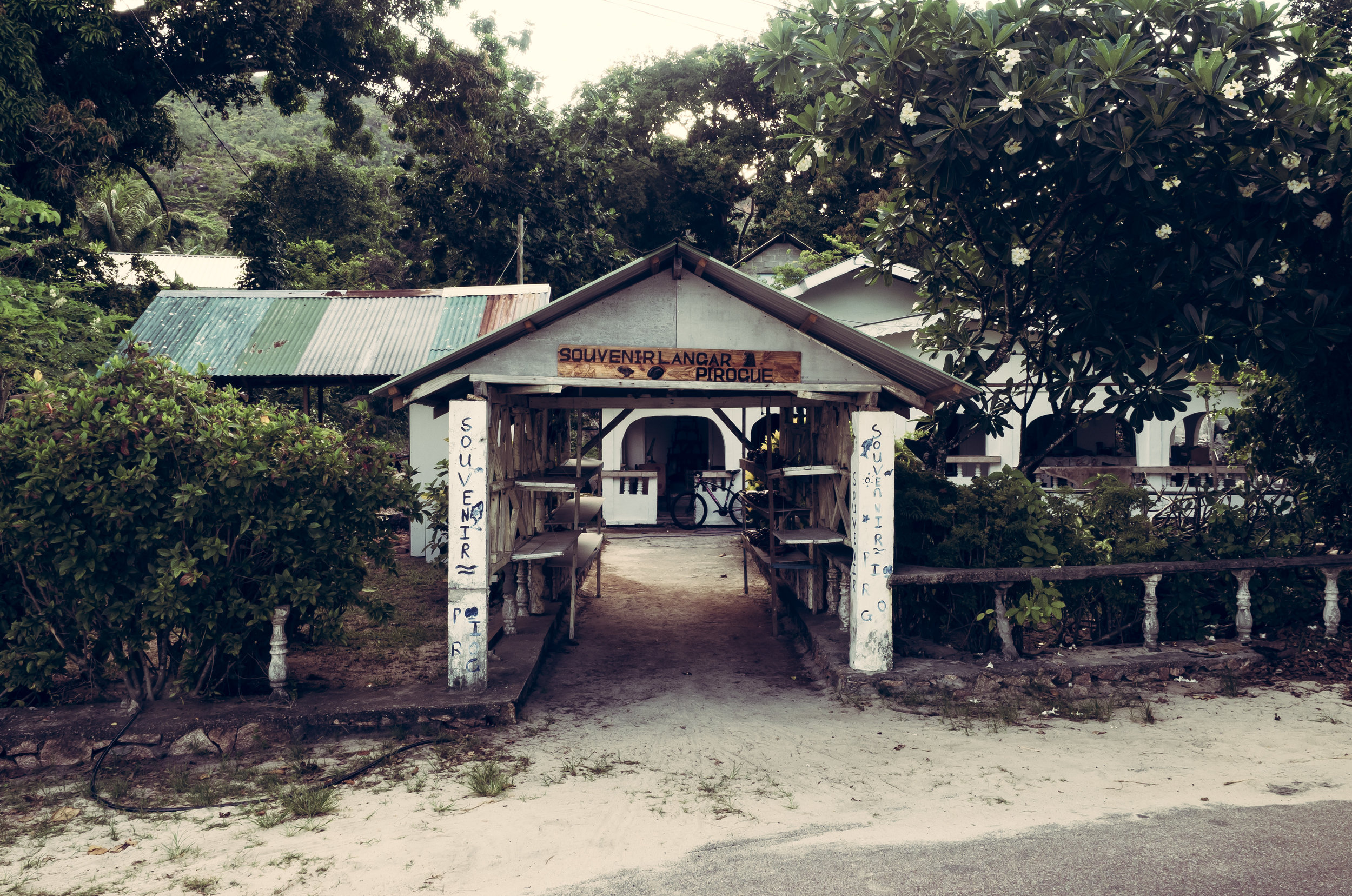
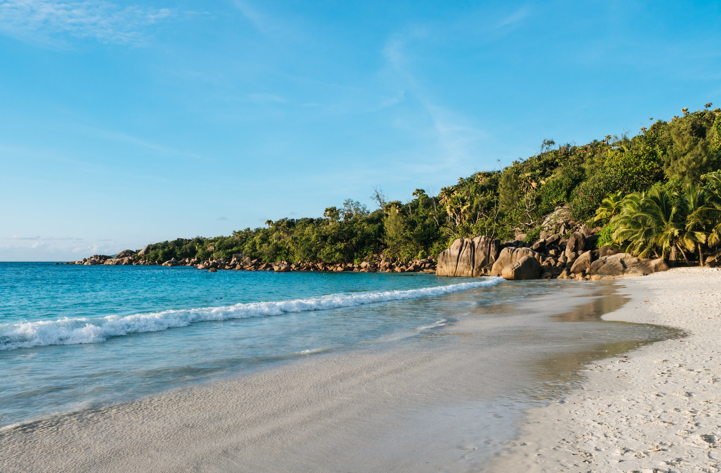
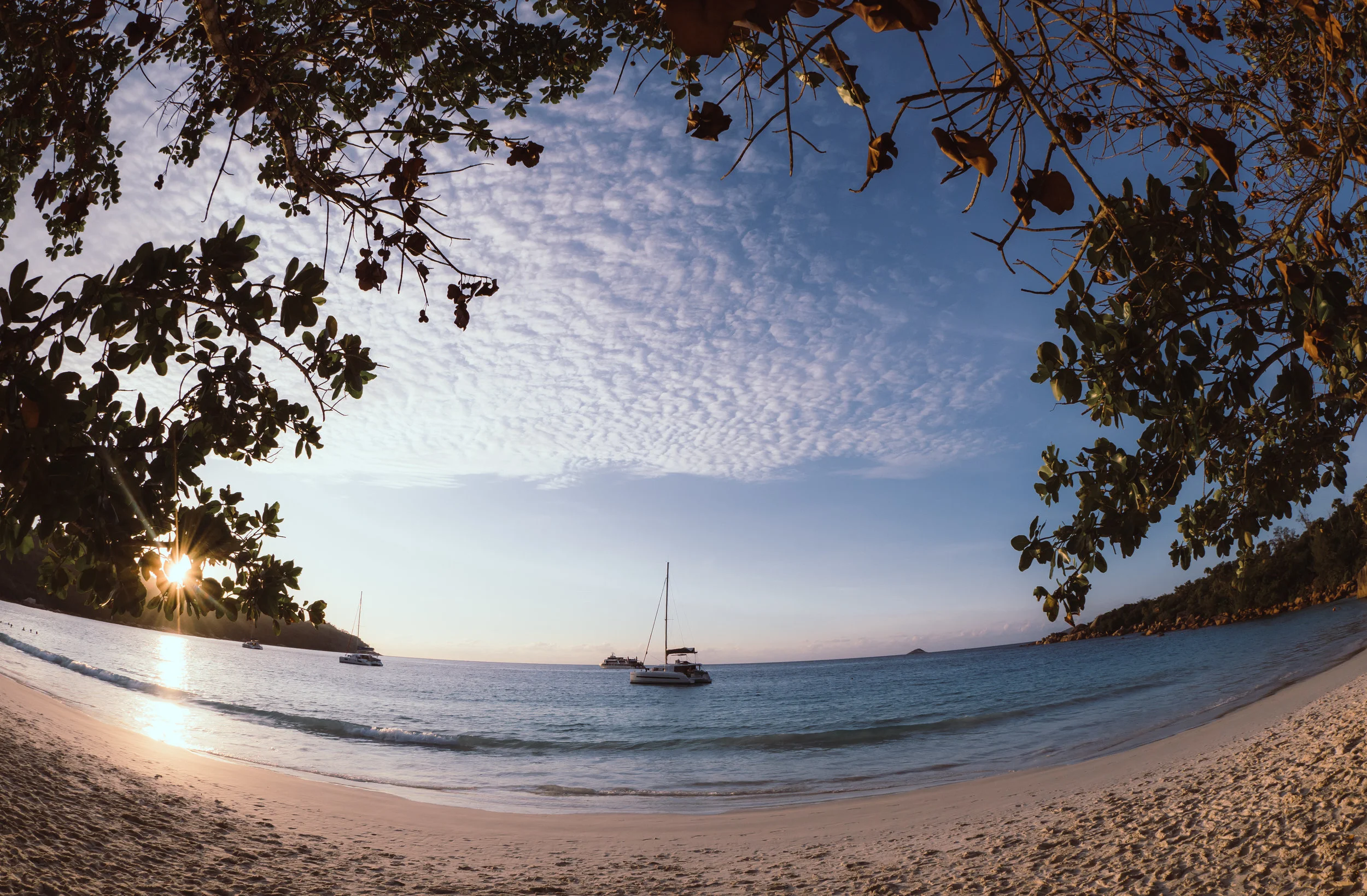
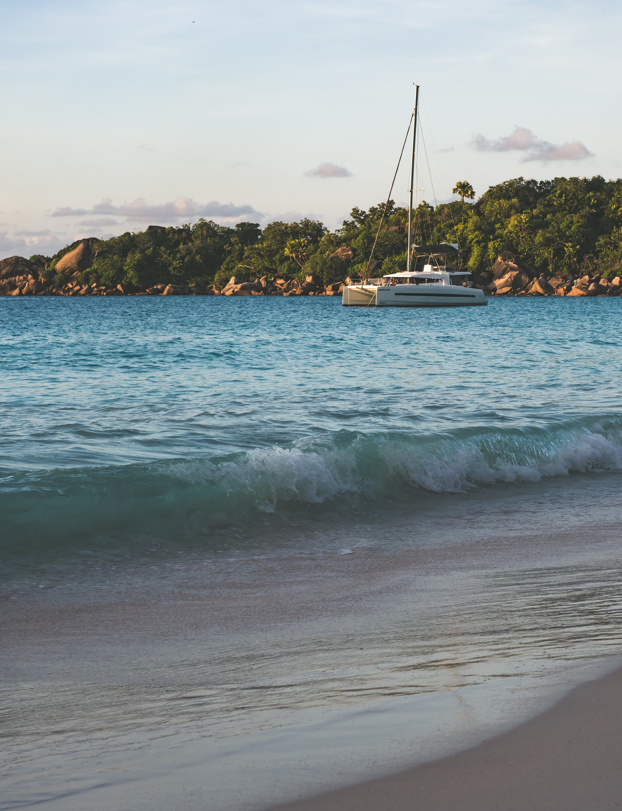
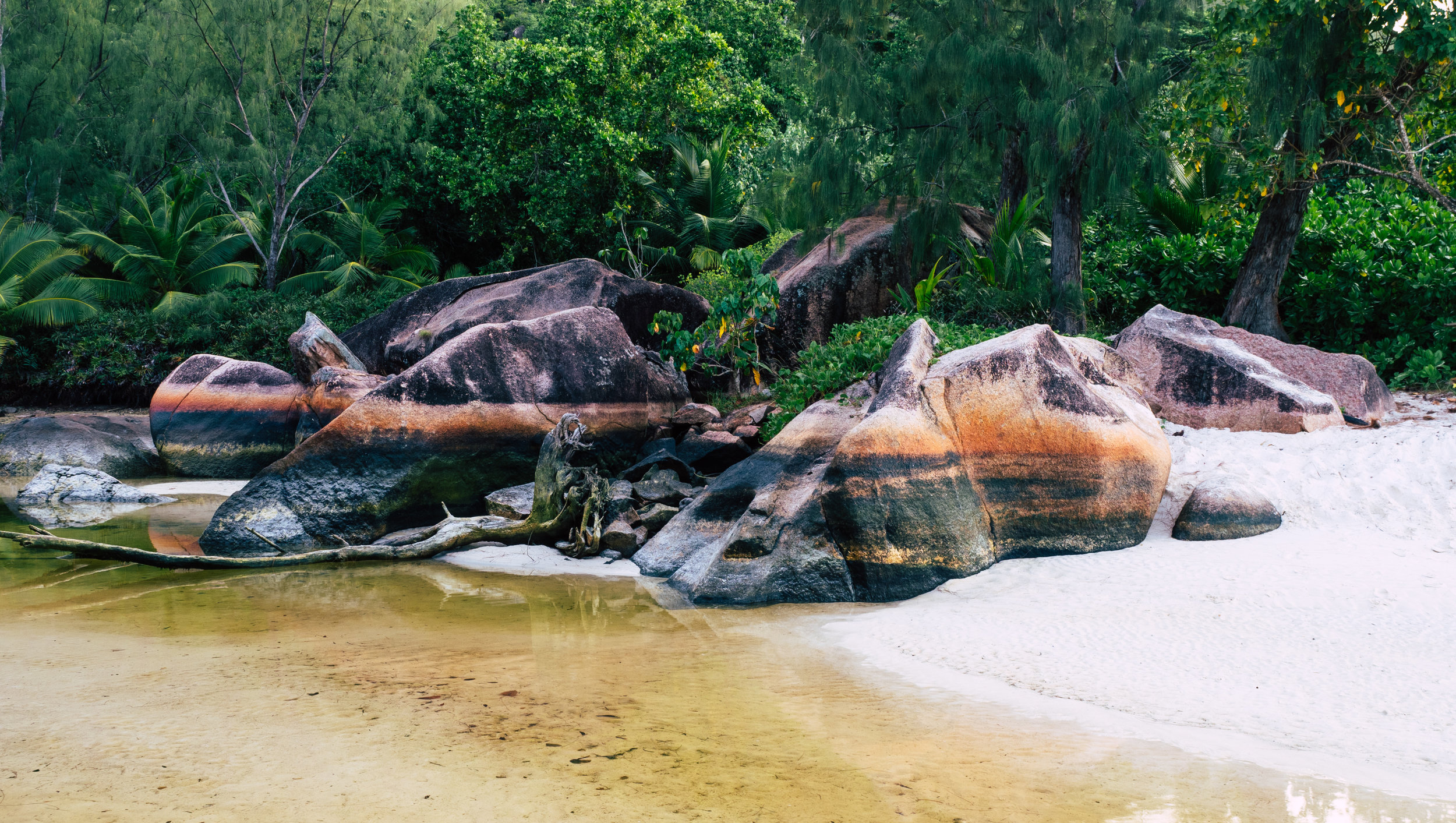
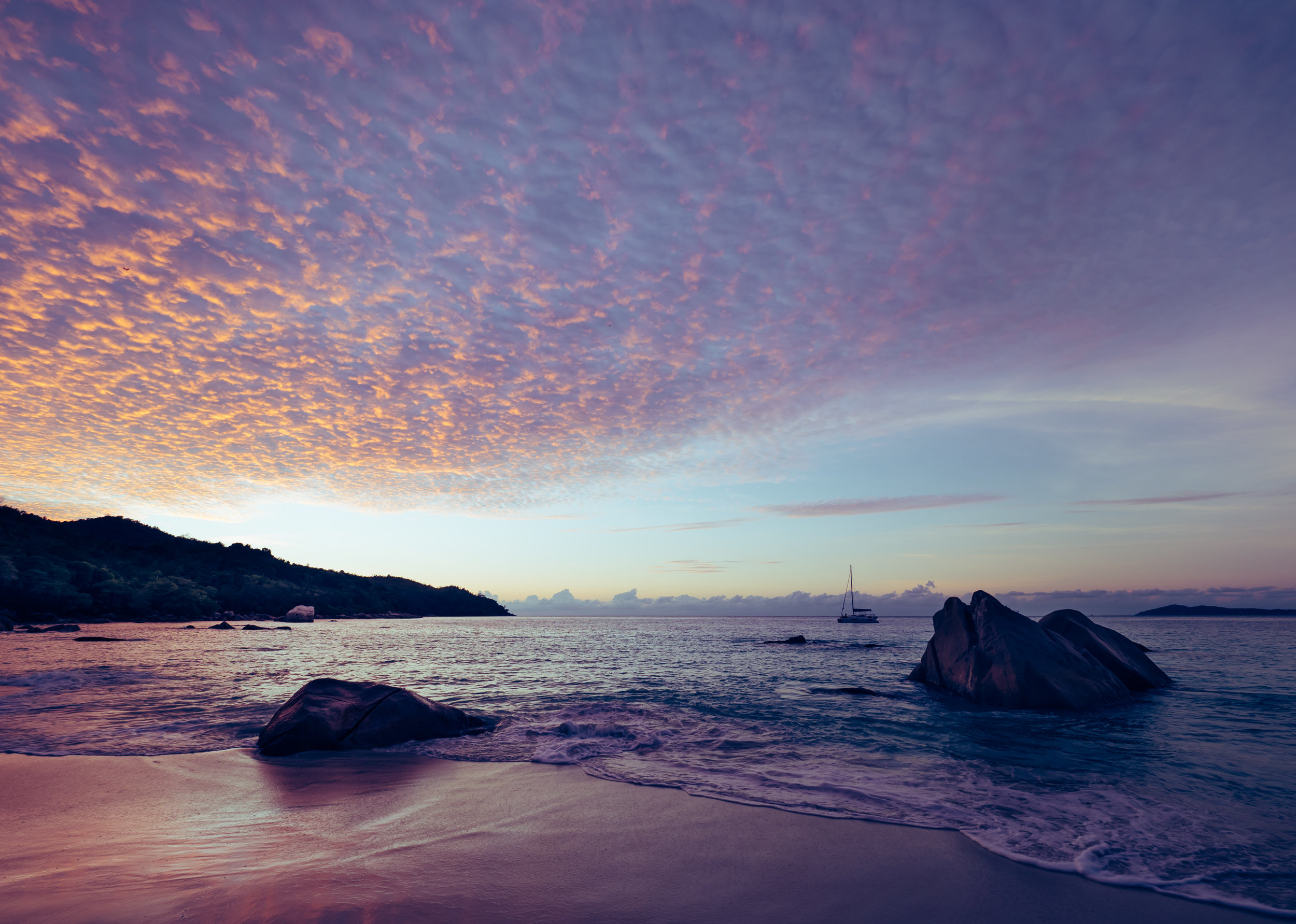
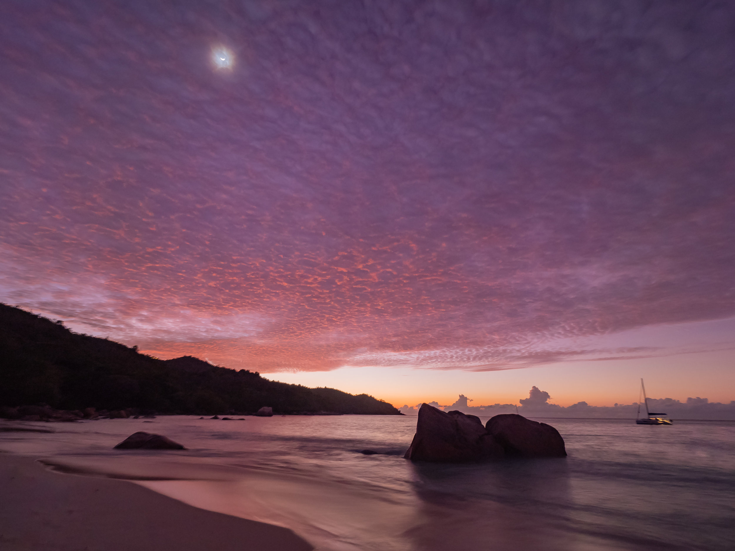
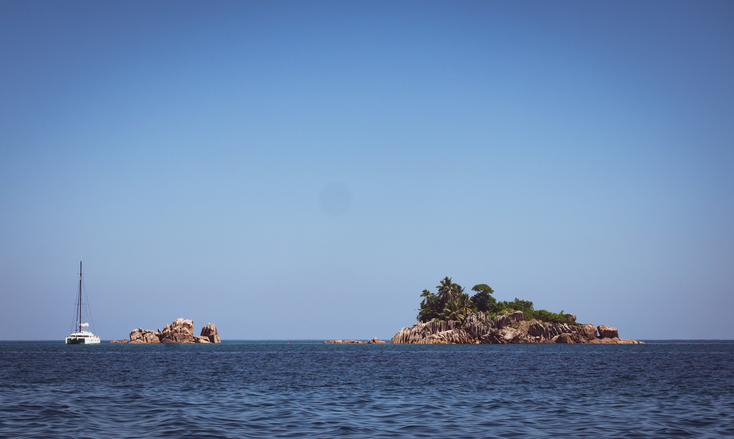
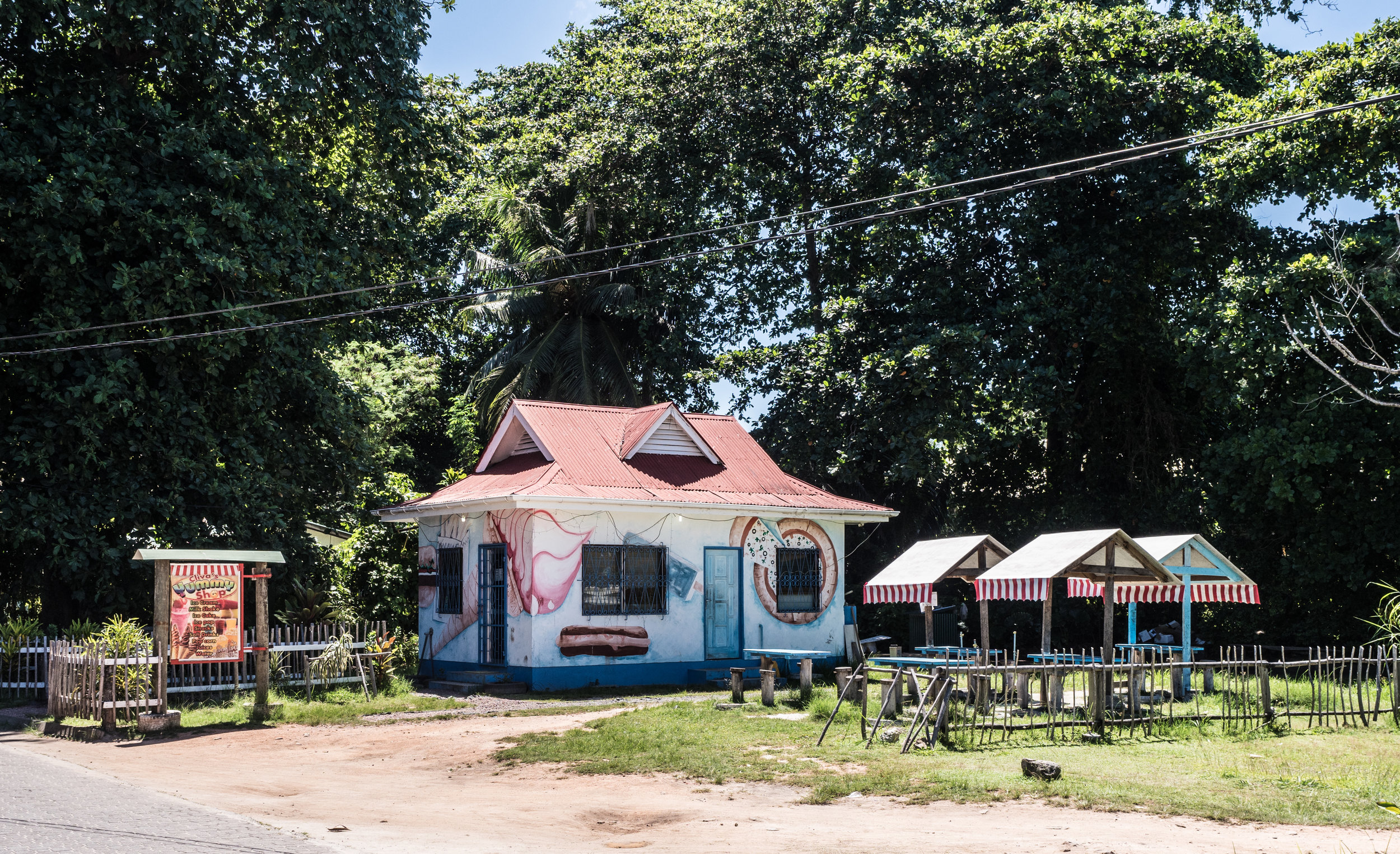
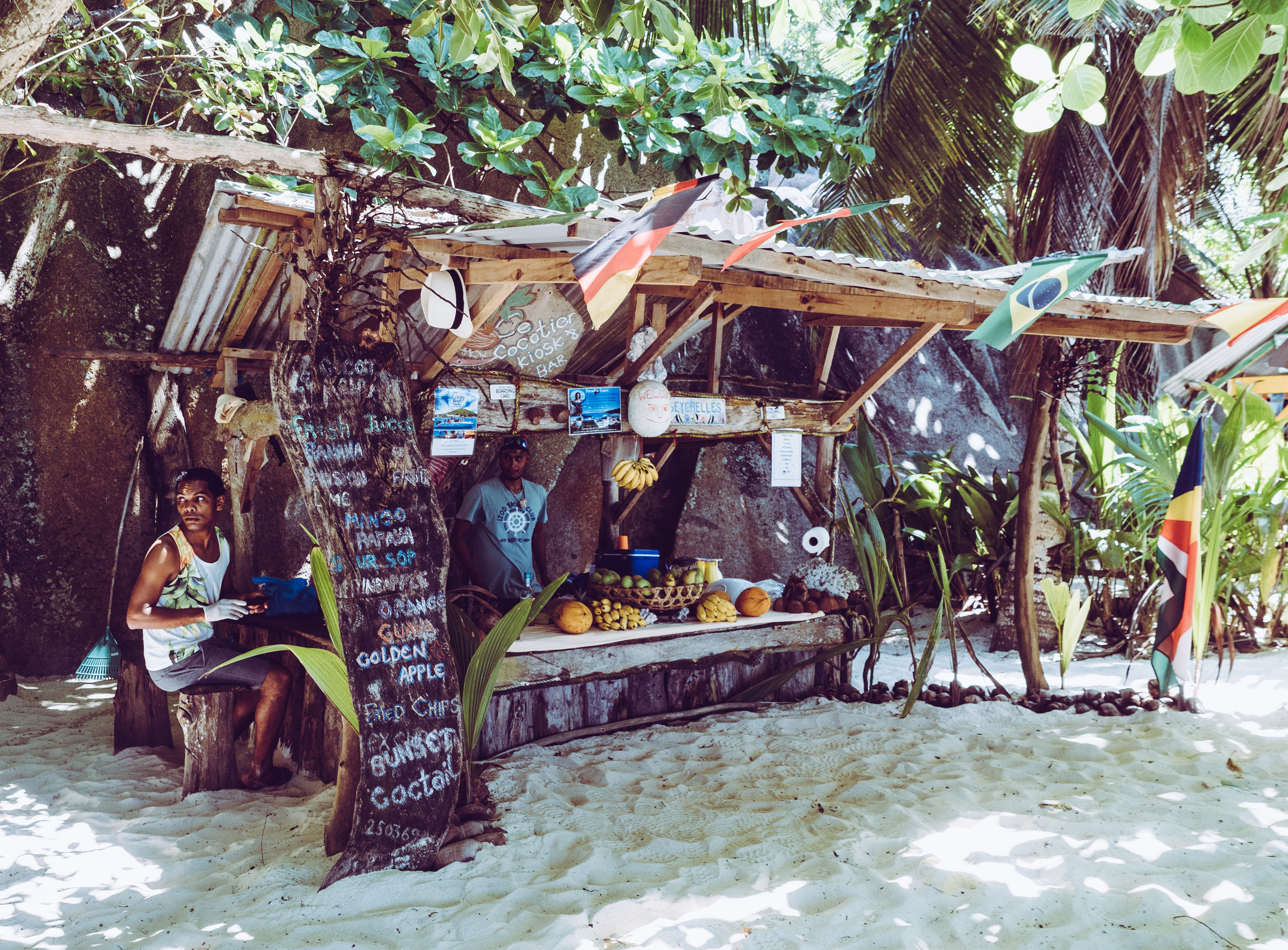
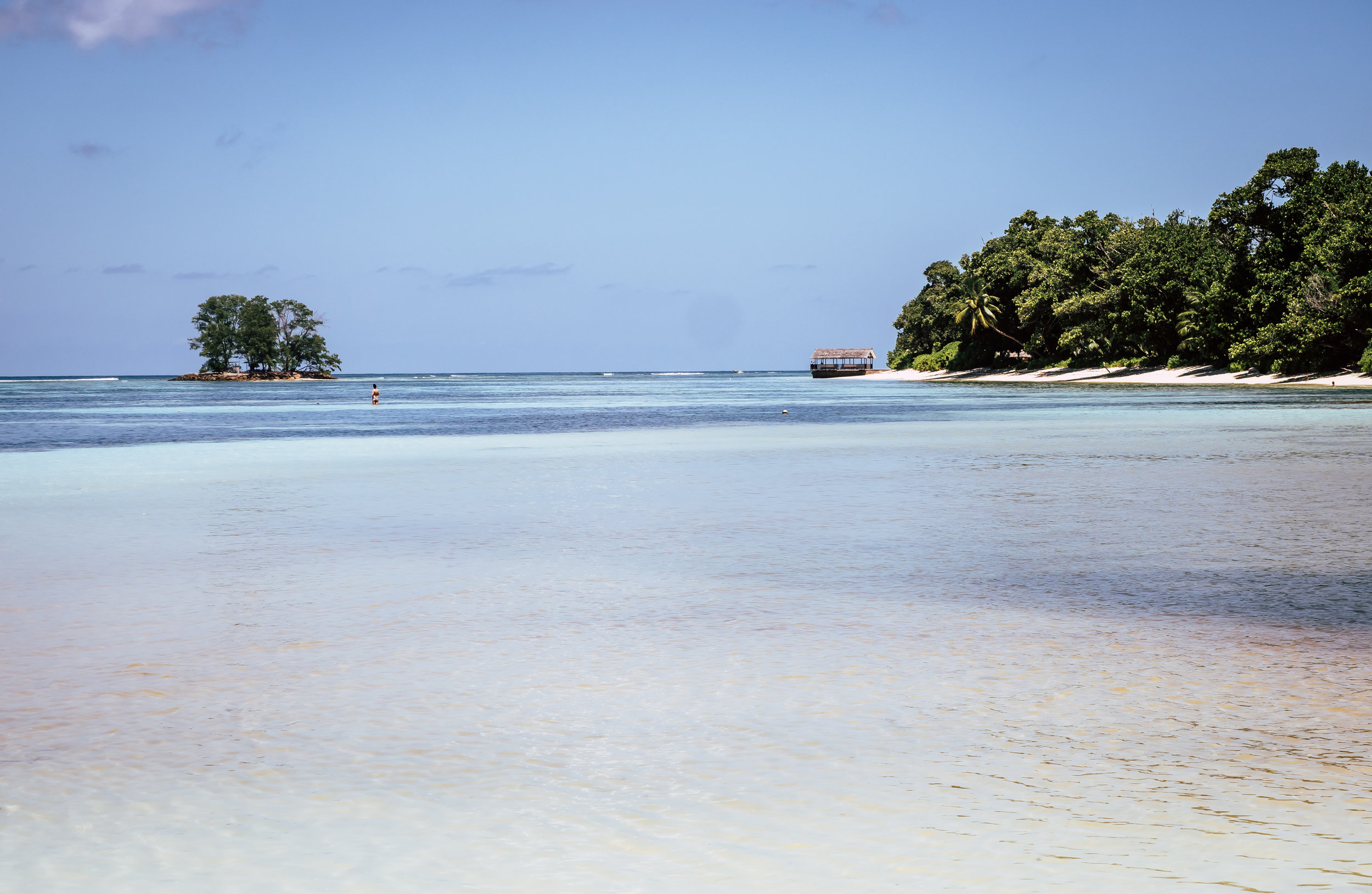
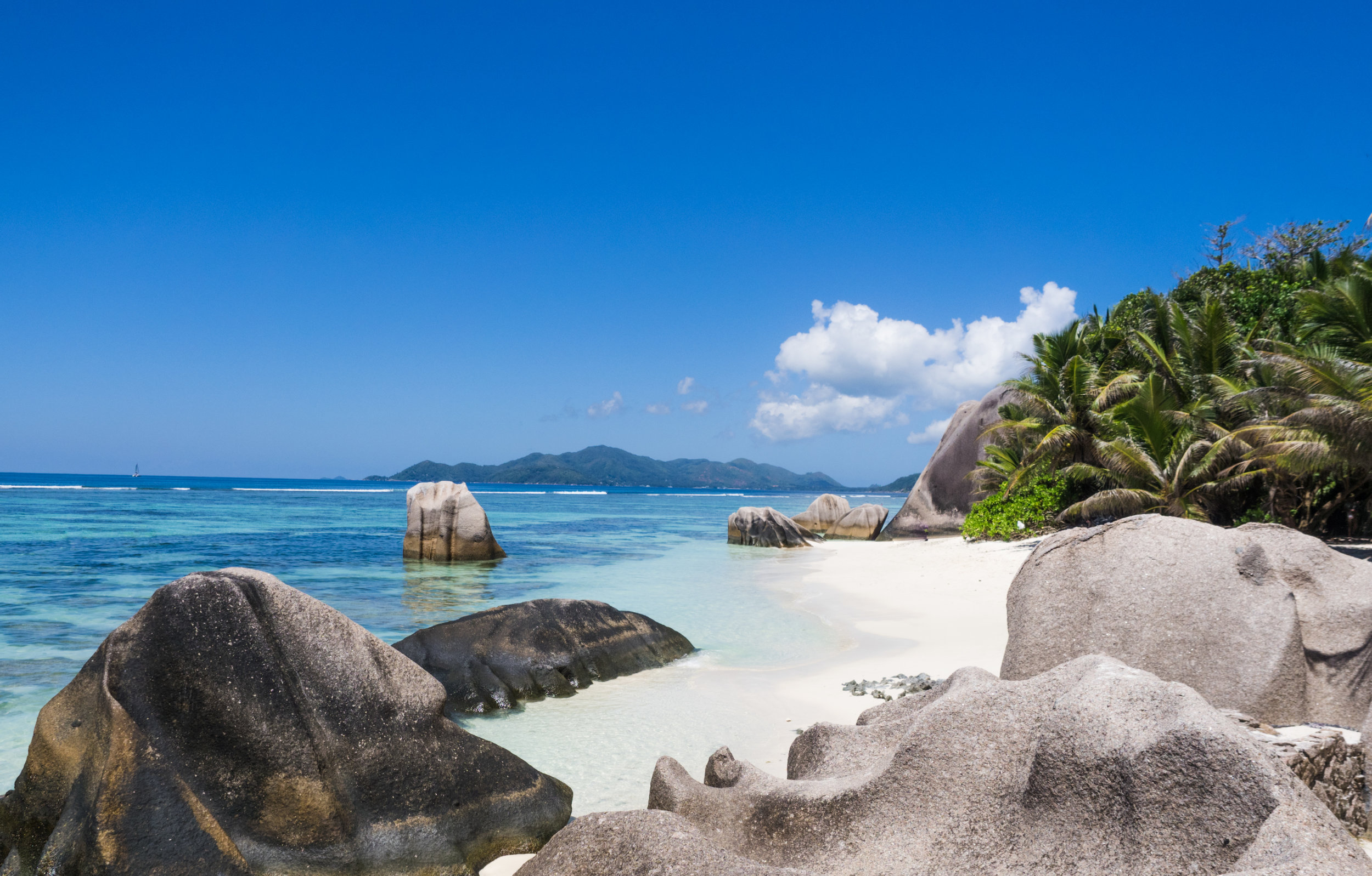
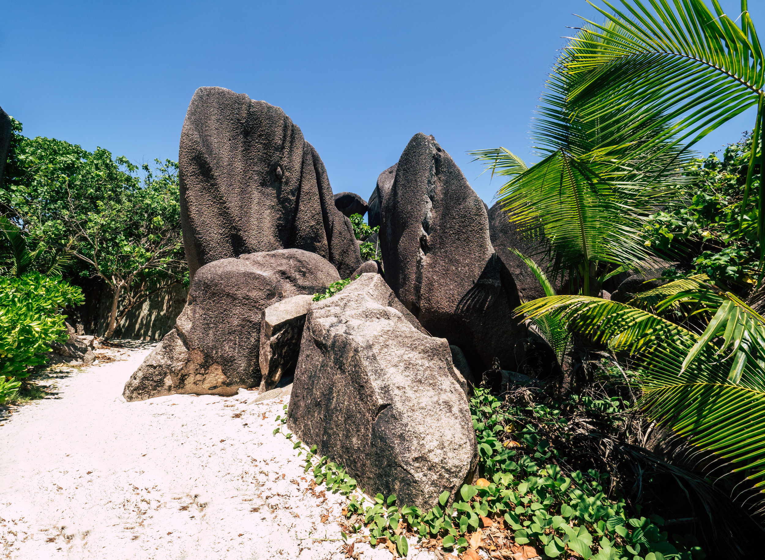
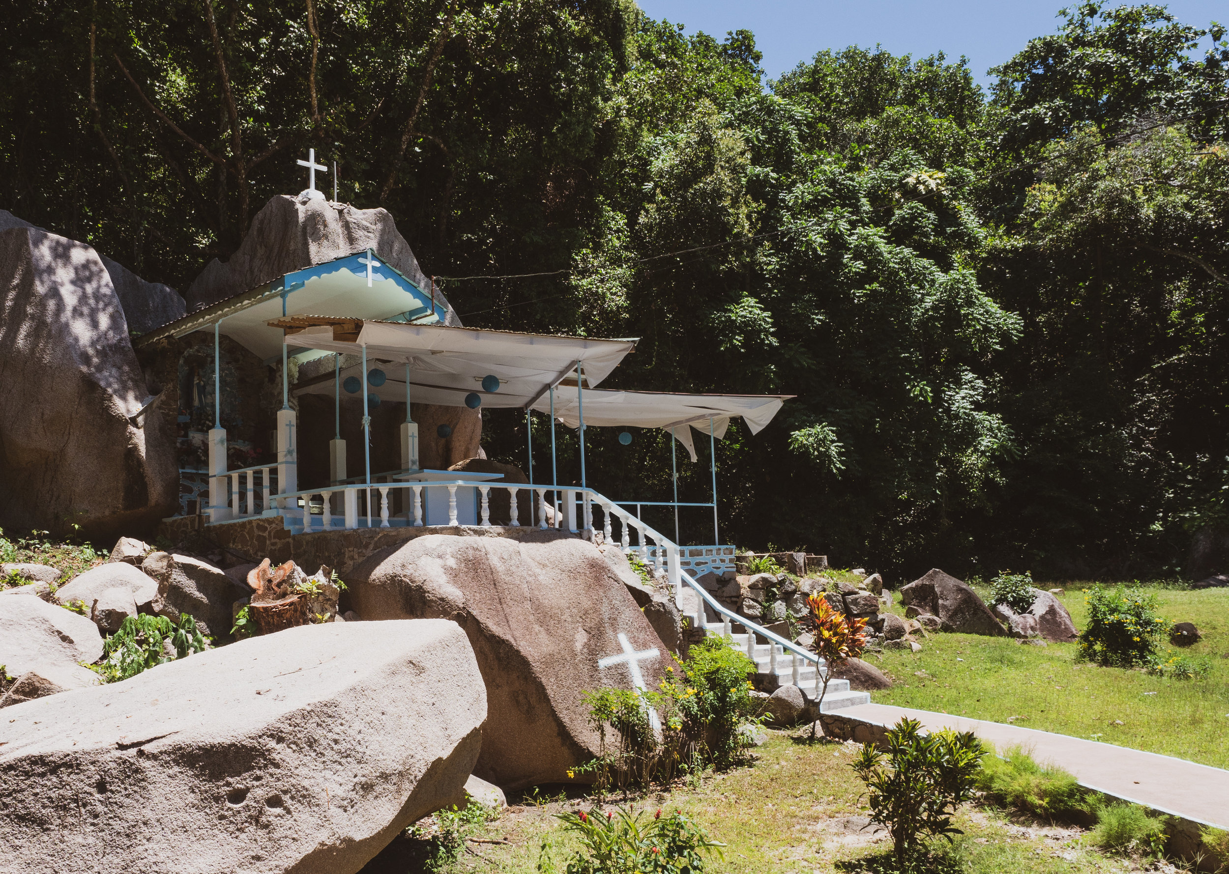
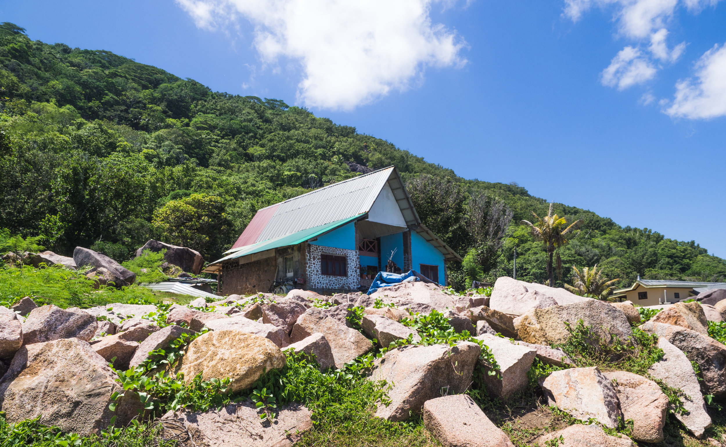
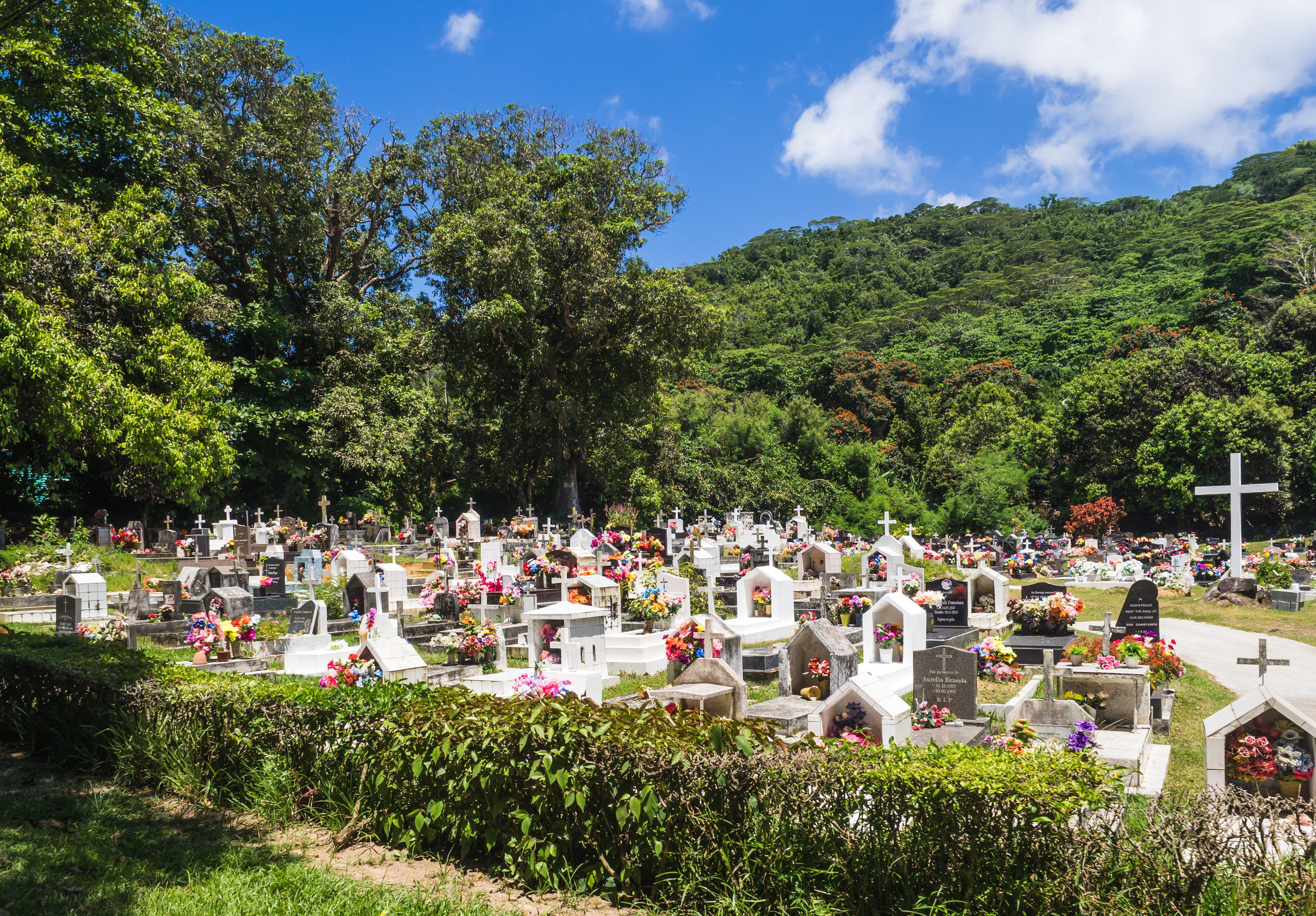
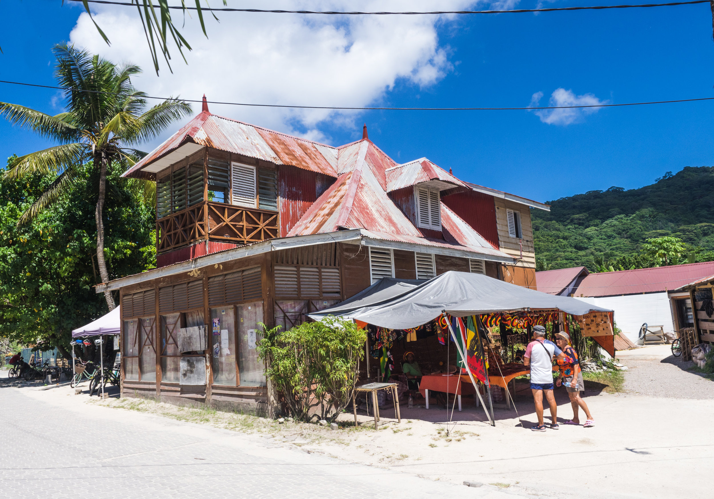
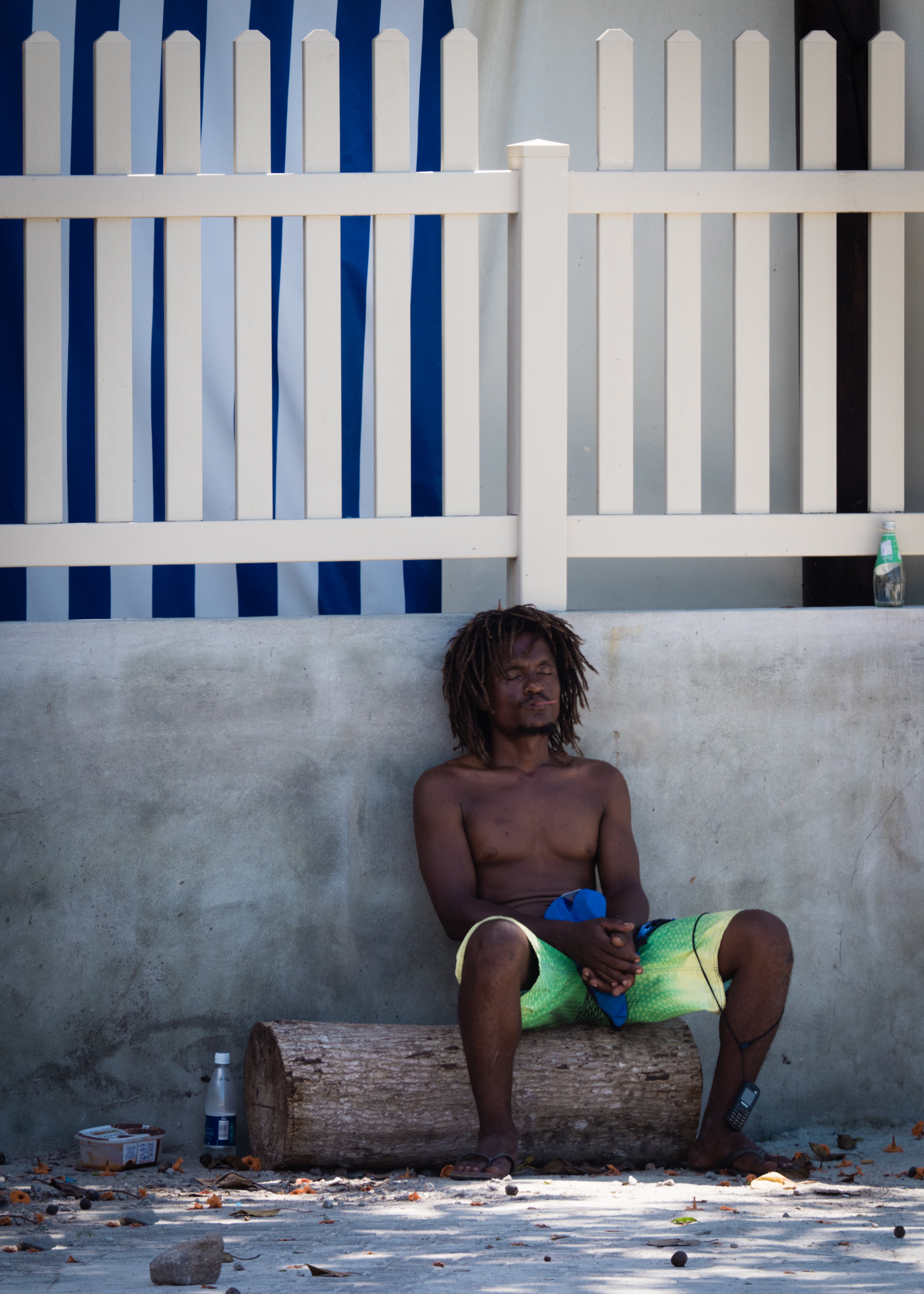
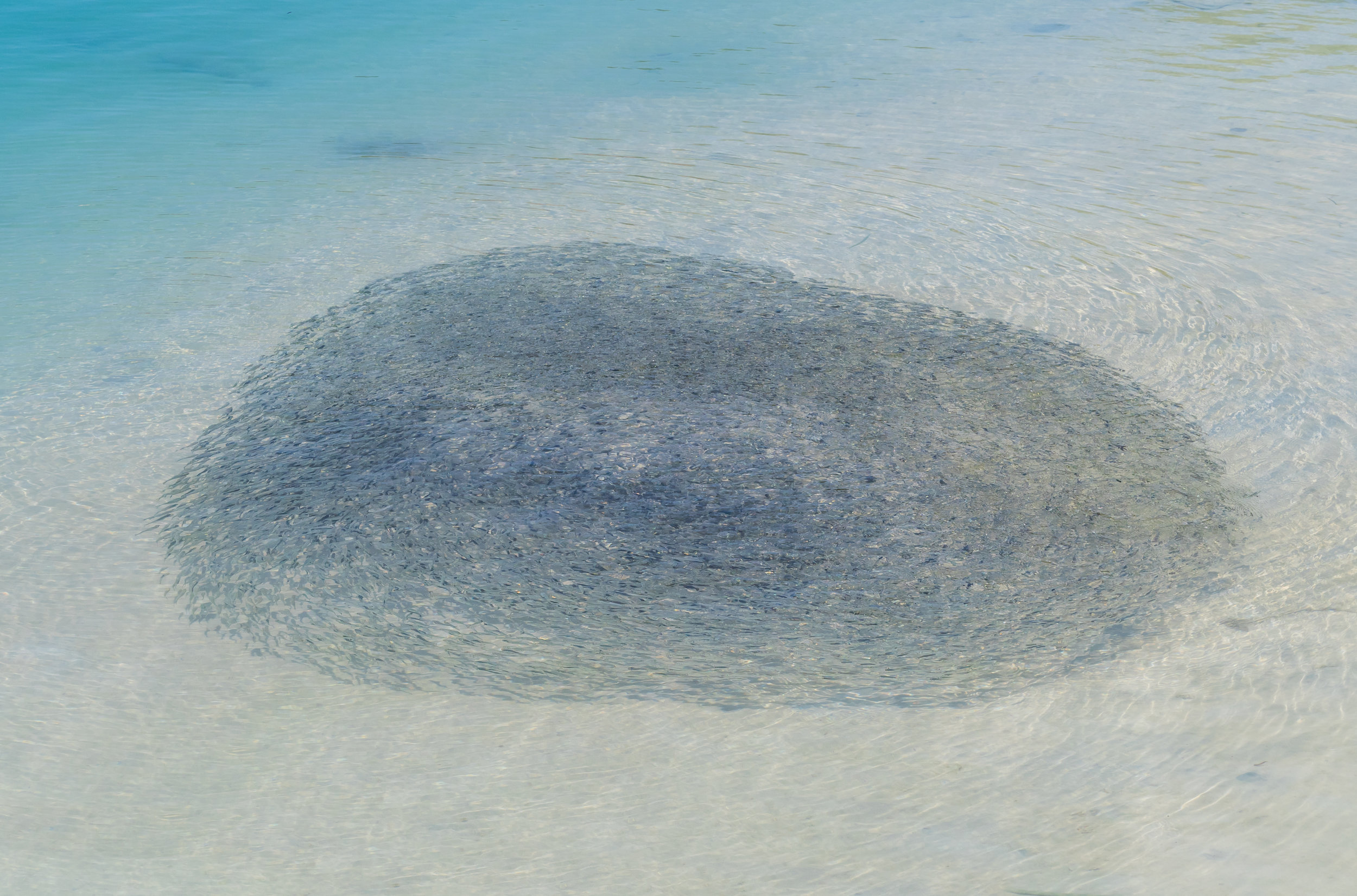
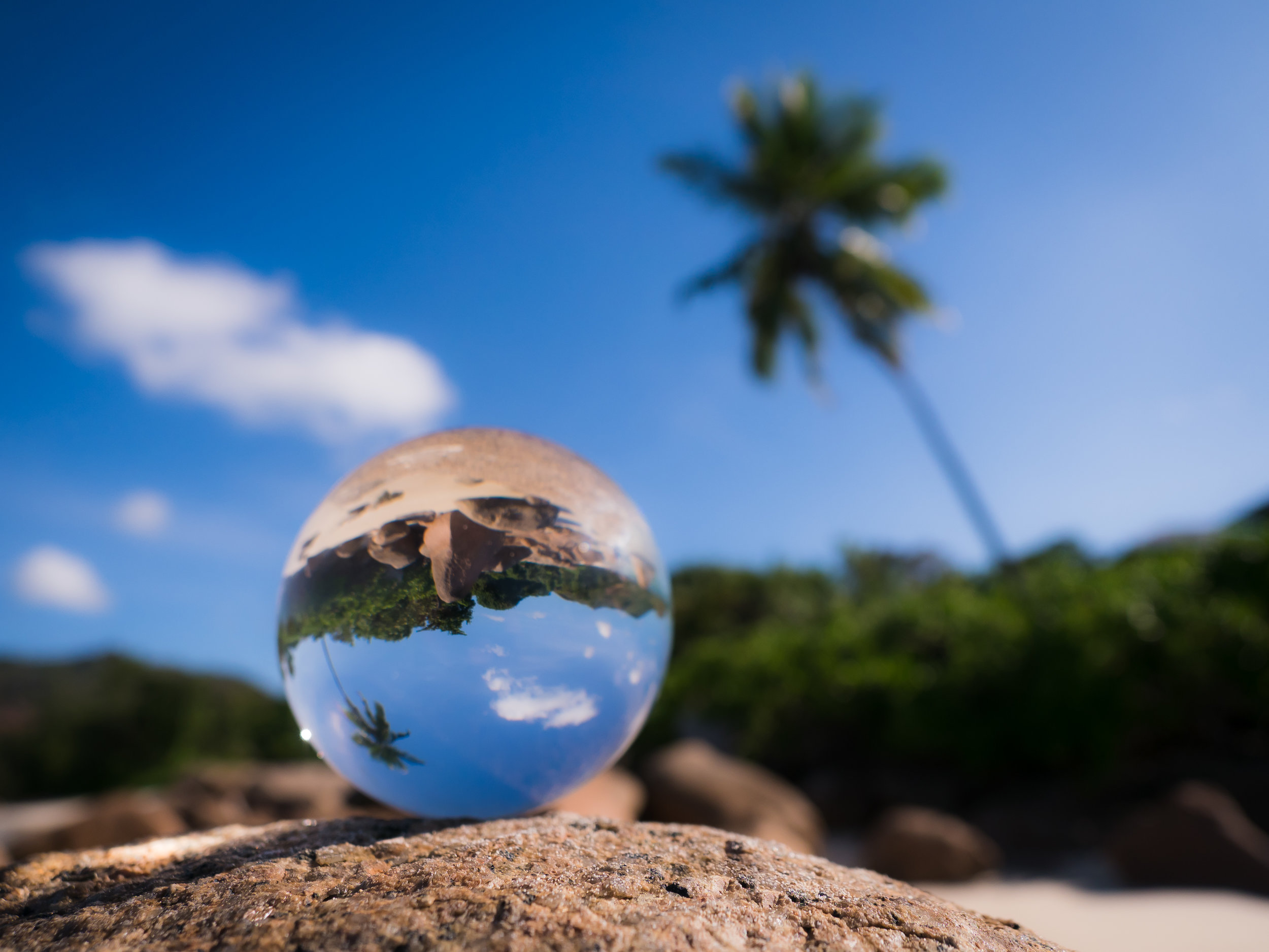
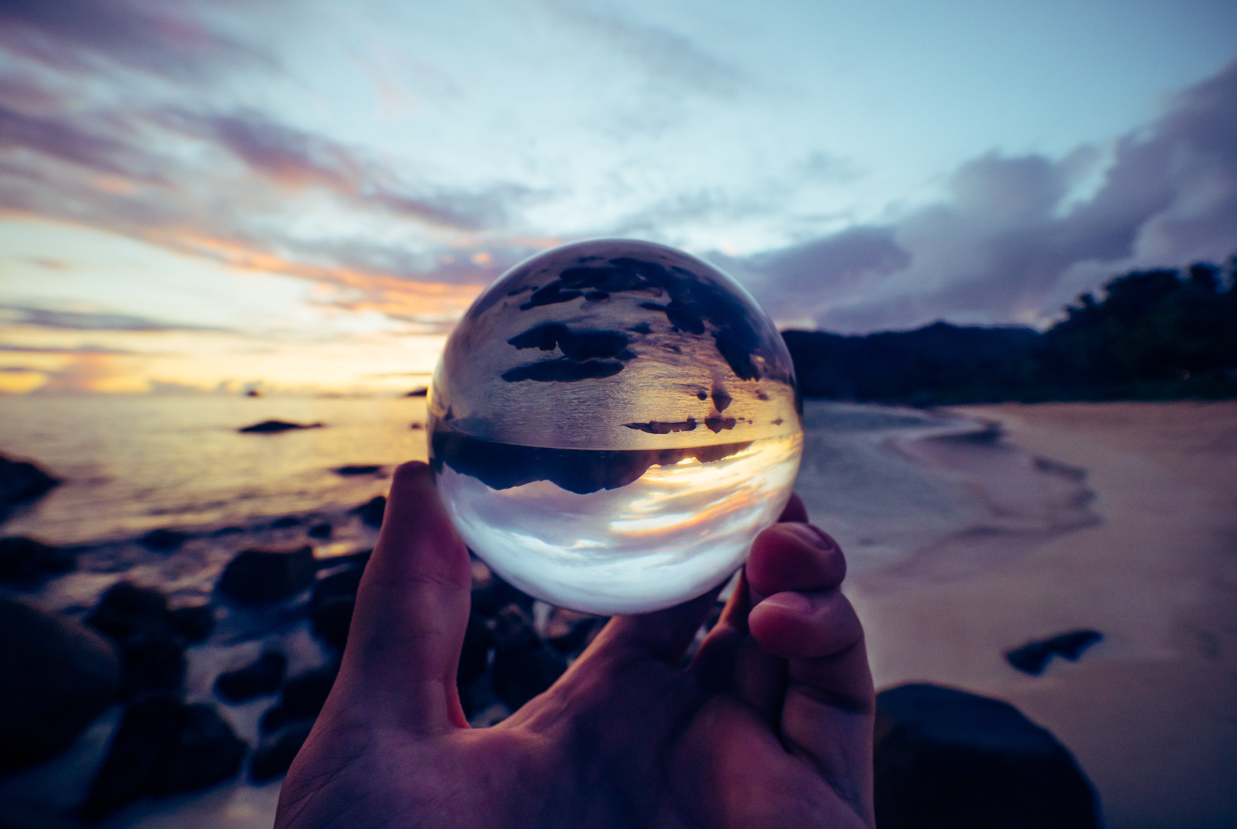
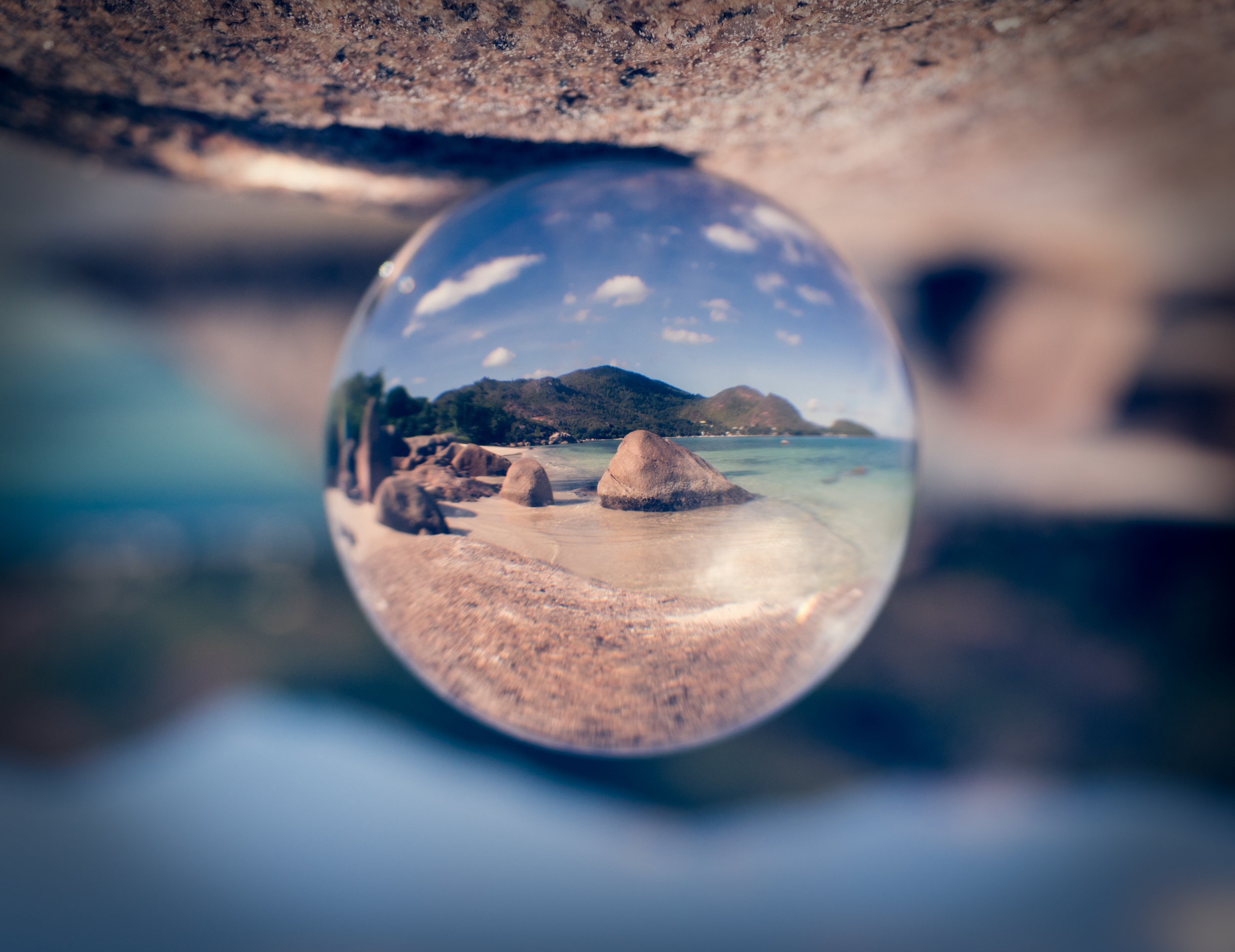
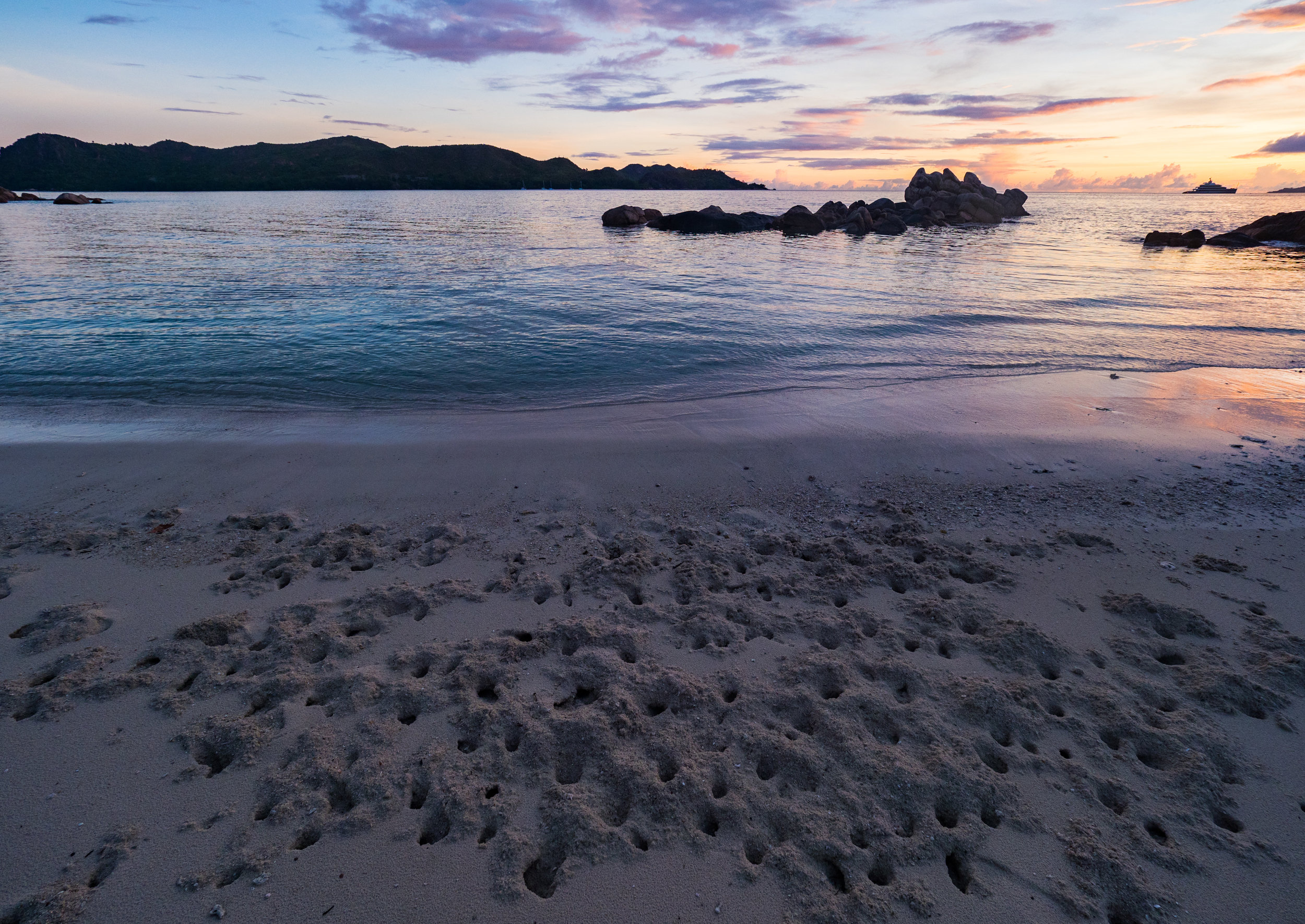
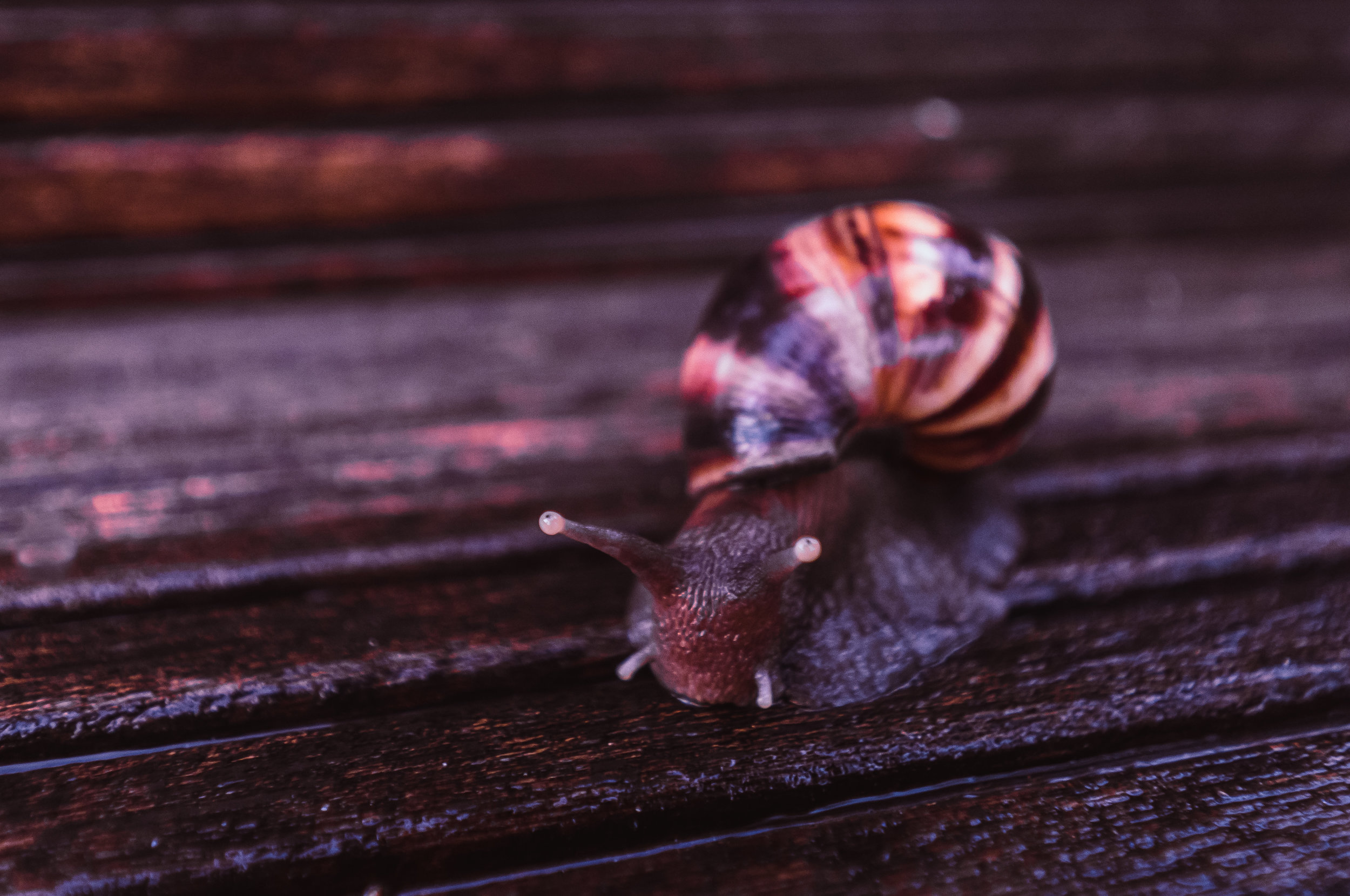
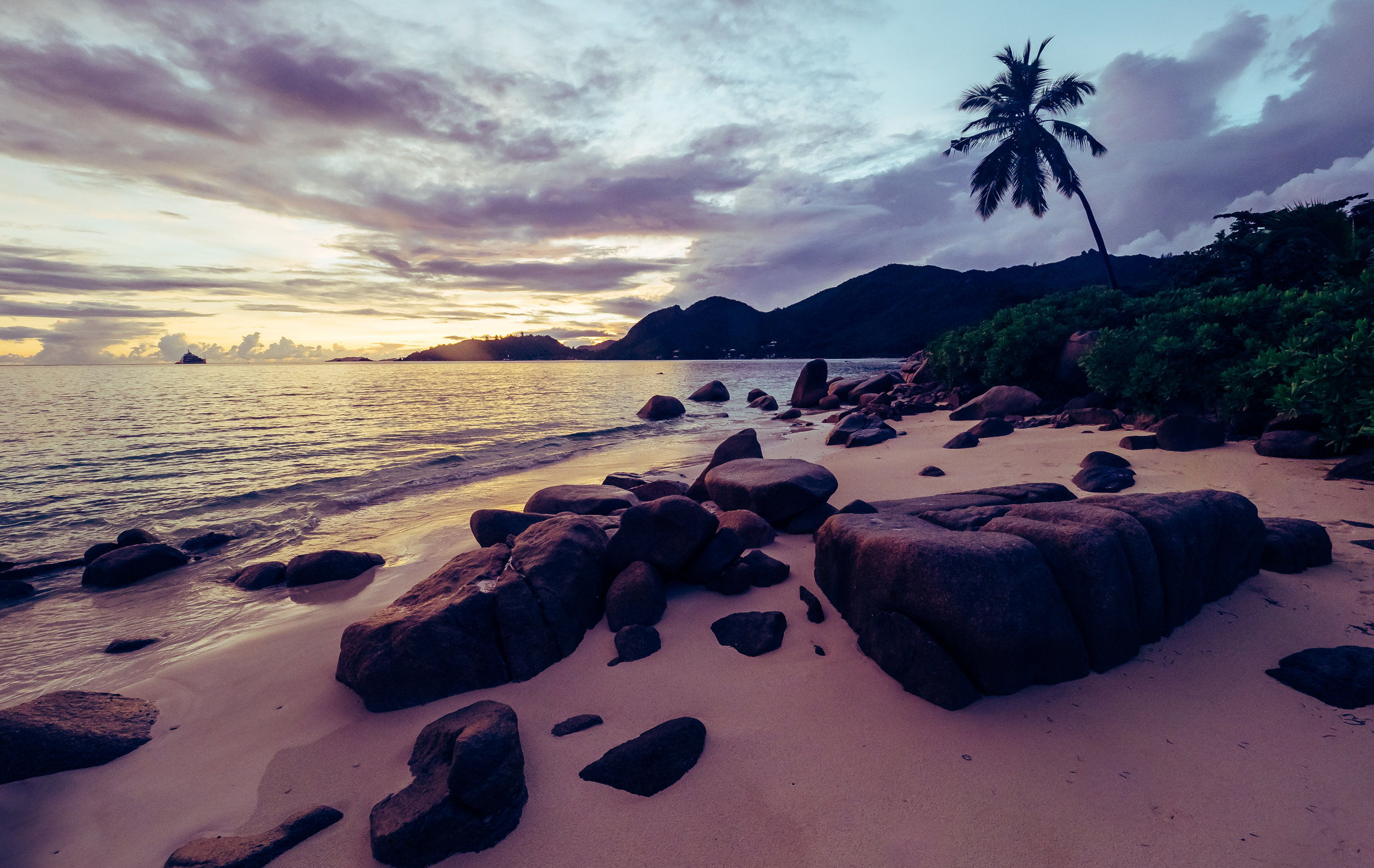
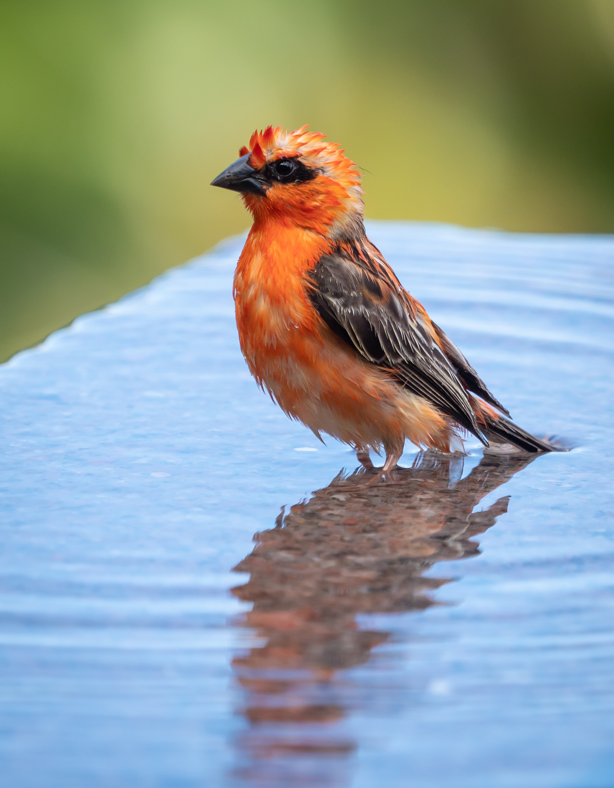
Seychelles - Island Beauty
After my first visit to the Seychelles in 2010, it was time go back for another trip to the Indian Ocean archipelago, this time staying on Praslin island and visiting La Digue, after having seen Mahe and the capital Victoria during my last visit.

After my first visit to the Seychelles in 2010, it was time go back for another trip to the Indian Ocean archipelago, this time staying on Praslin island and visiting La Digue, after having seen Mahe and the capital Victoria during my last visit.