Pacific Island Wonders - Palau
Prepare to see some of the most intense blue and green colours your eyes have ever feasted on in this post! The unknown Republic of Palau in the Pacific about 700km eastwards from the coast of the Philippines is truly home to some of the most beautiful island formations I’ve ever seen…
Prepare to see some of the most intense blue and green colours your eyes have ever feasted on in this post! The unknown Republic of Palau in the Pacific about 700km eastwards from the coast of the Philippines is truly home to some of the most beautiful island formations I’ve ever seen, but it also has an interesting colonial history and a few obscure sights - read on!
Start here - a short clip of some of the most beautiful locations of the Rock Islands in the southern lagoon of the country , starting with the nature reserve of Ngerukewid… more on that below!
What I came for
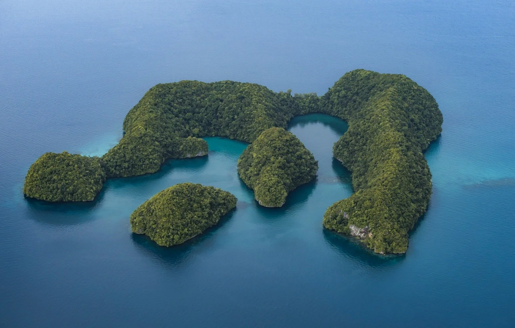
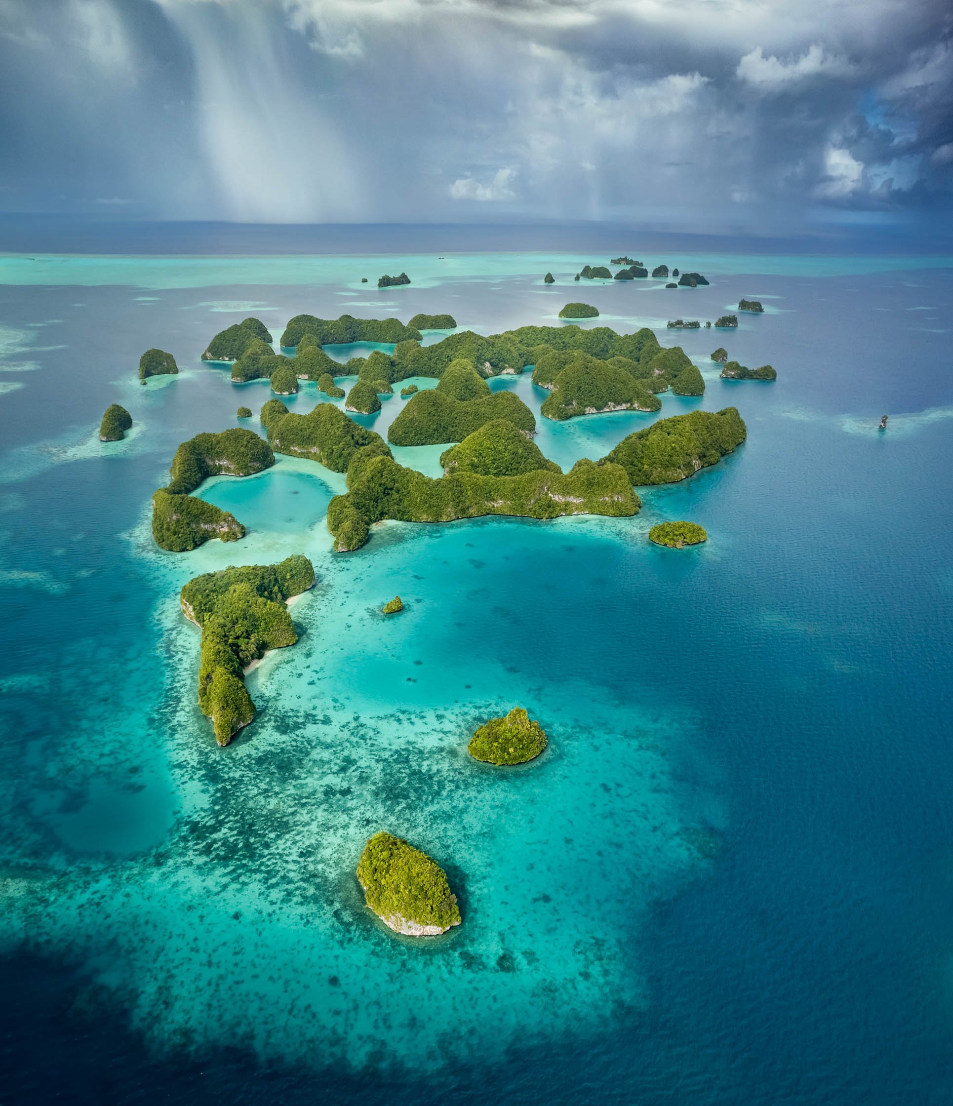
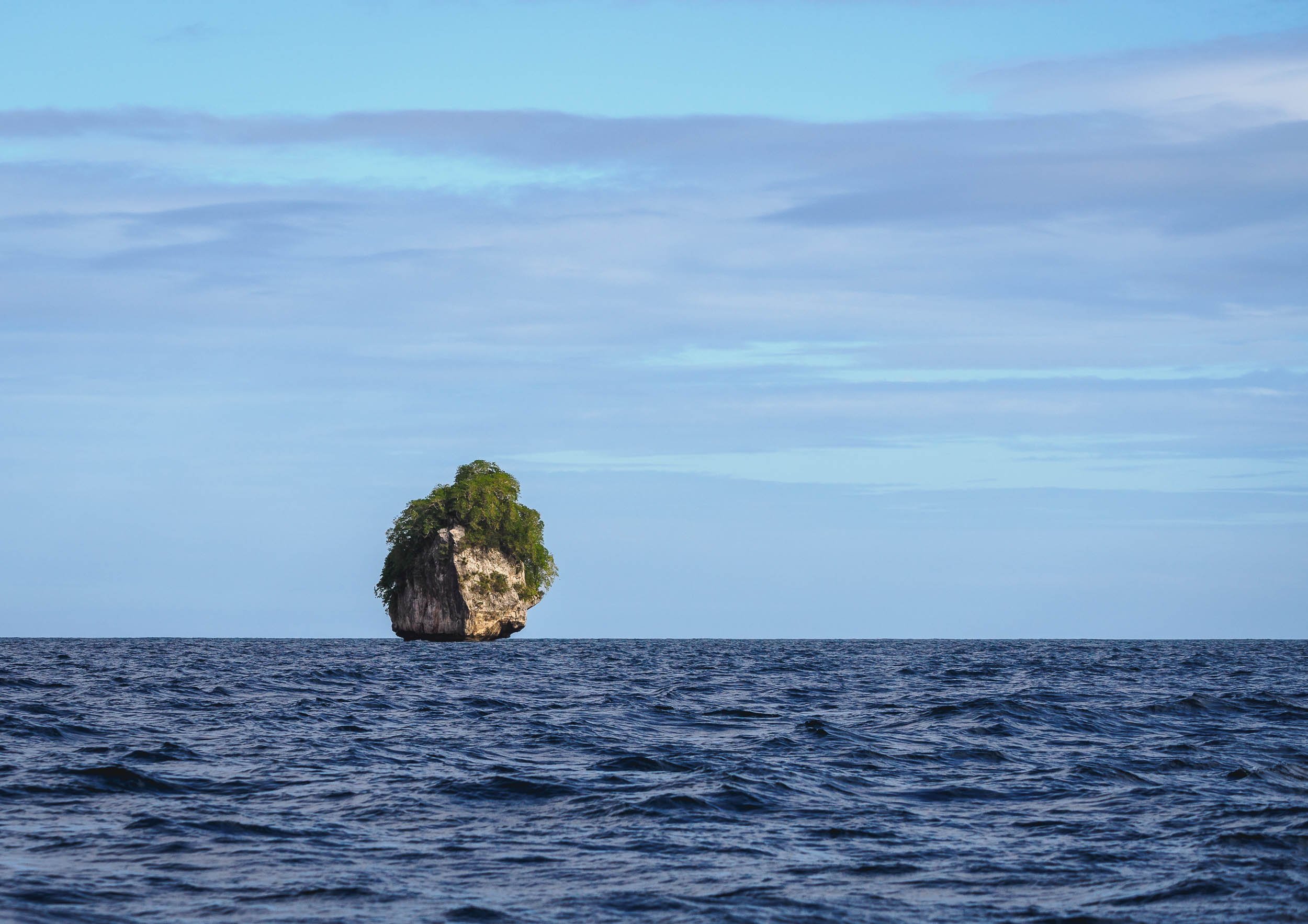
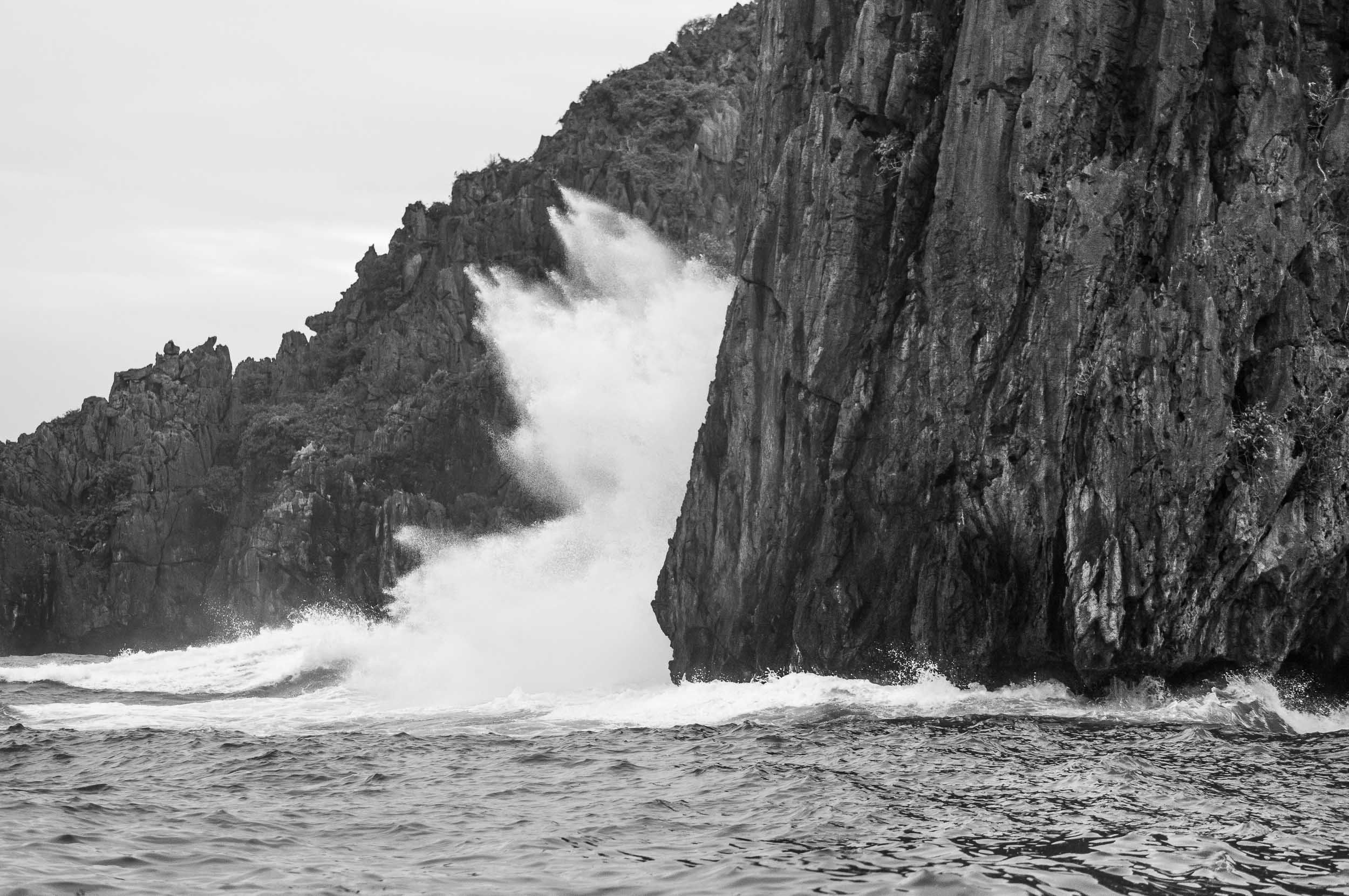
My hero shot, and what I wanted to document during this trip: The incredible islands of Ngerukewid are definitely one of the most beautiful island formations I’ve ever seen and have been declared a nature reserve as far back as 1956, owing to their amazing biodiversity.


15min after the shot!
Getting this photo was one of the main reasons I visited the tiny hardly known island nation in the Pacific, and making it happen proved to be challenging: Difficult and fluctuating weather conditions, having to charter a boat, getting close enough to the reserve boundaries, flying my drone in strong winds and waves, and landing it on the boat‘s sunroof. Of course, I had to get a drone permit as well.
The rain clouds you see in the distance in the final result caught up on us shortly after, and the captain and myself looked for shelter of the waves and rain on a small nearby beach.
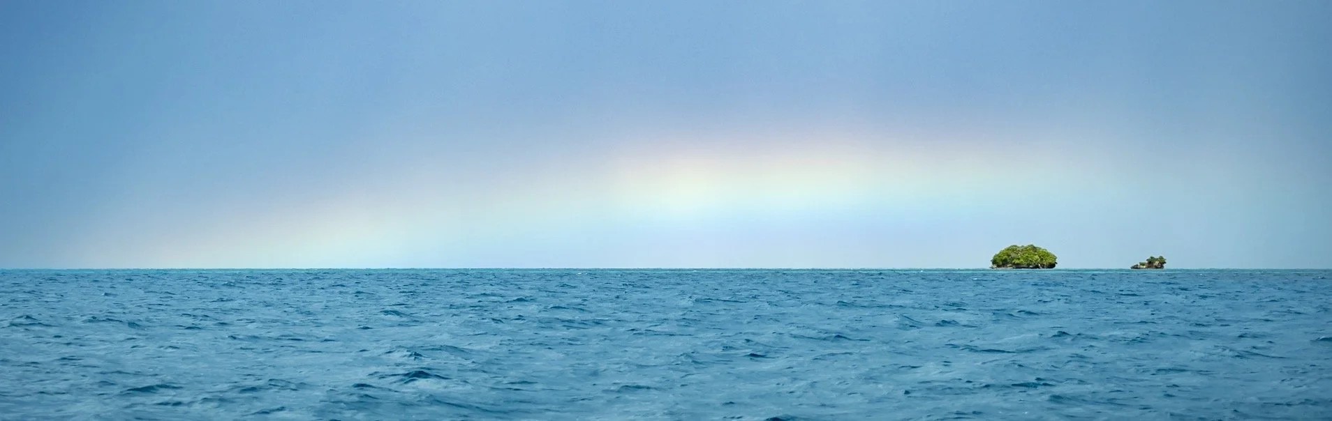
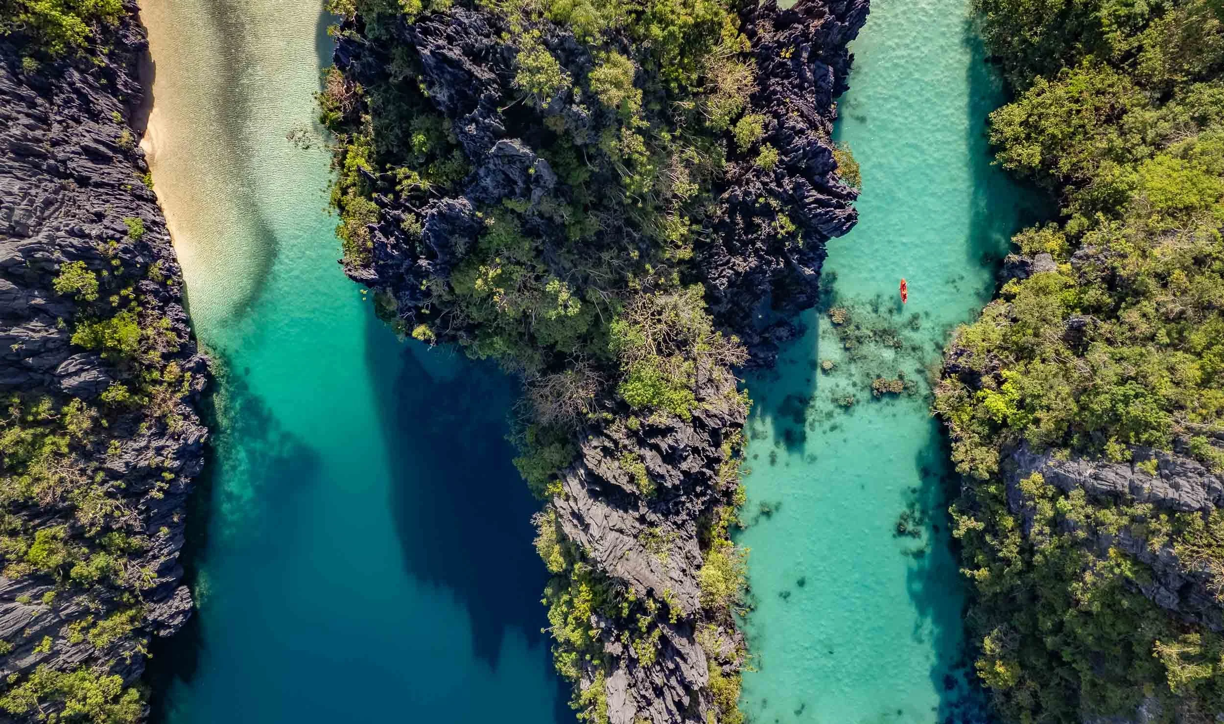
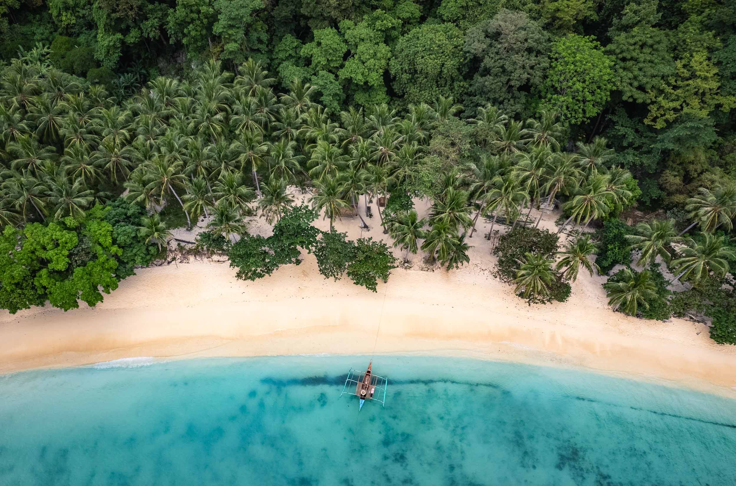
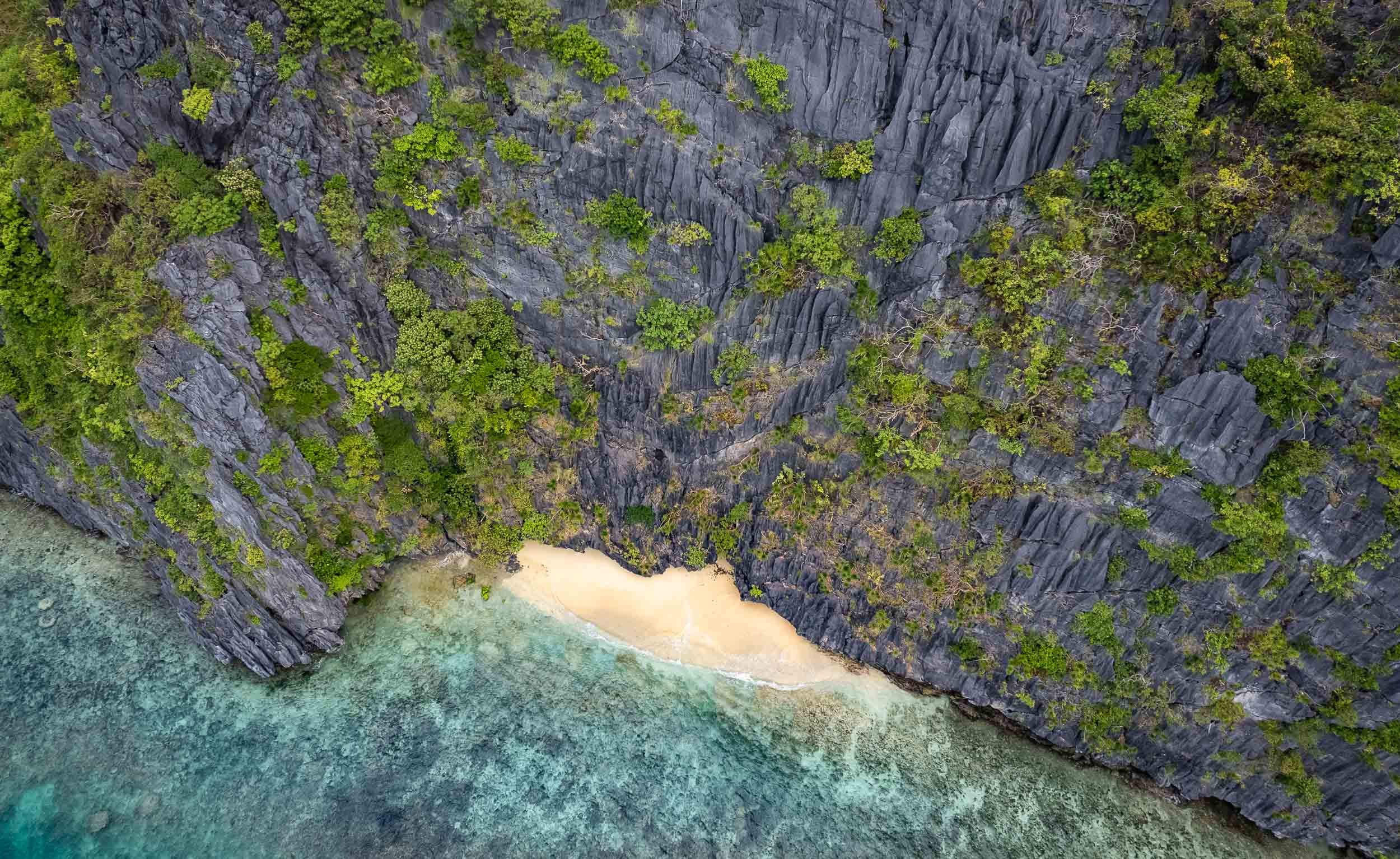
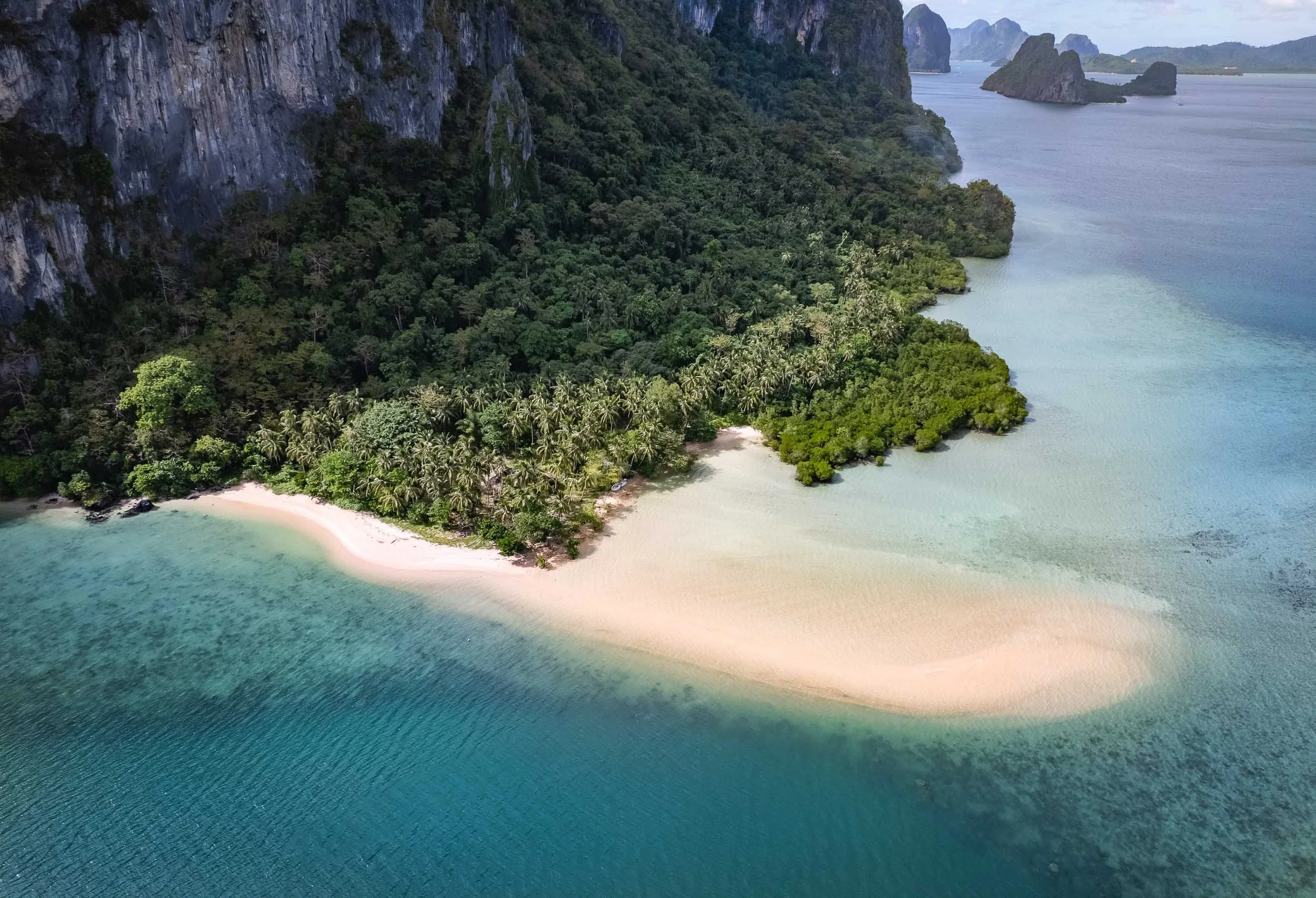
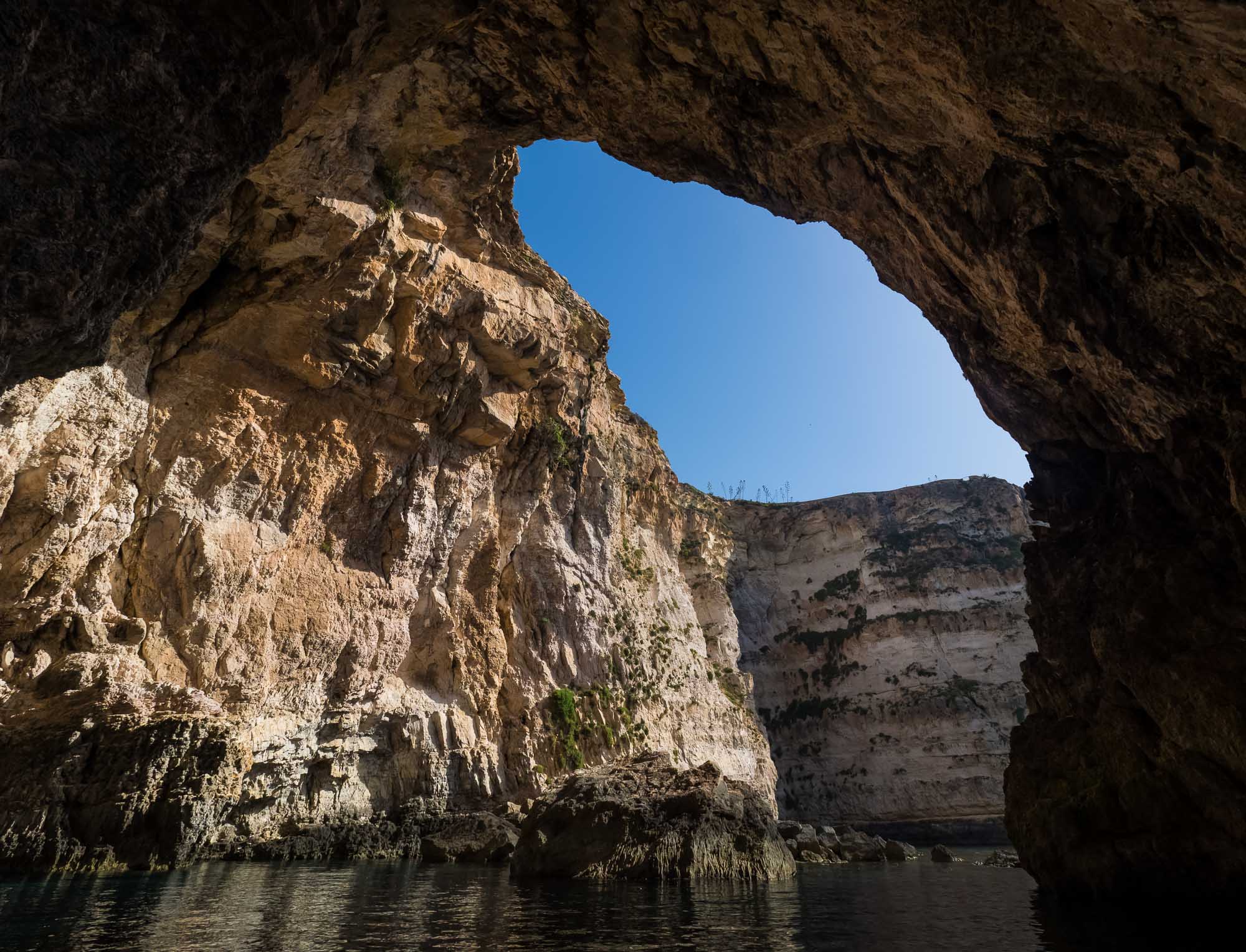
The southern lagoon is full of amazing places, often best seen from the air. Virtually unpopulated, the whole 42 sqkm site was declared a UNESCO World Heritage Site in 2012.


The islands are largely made from coral and limestone, often in beautiful mushroom like formations due to tidal erosion, which also caused this arch.

Goomba Island?
Does anyone else feel like this is straight out of Super Mario? Look at “Goomba” if you don’t believe me…
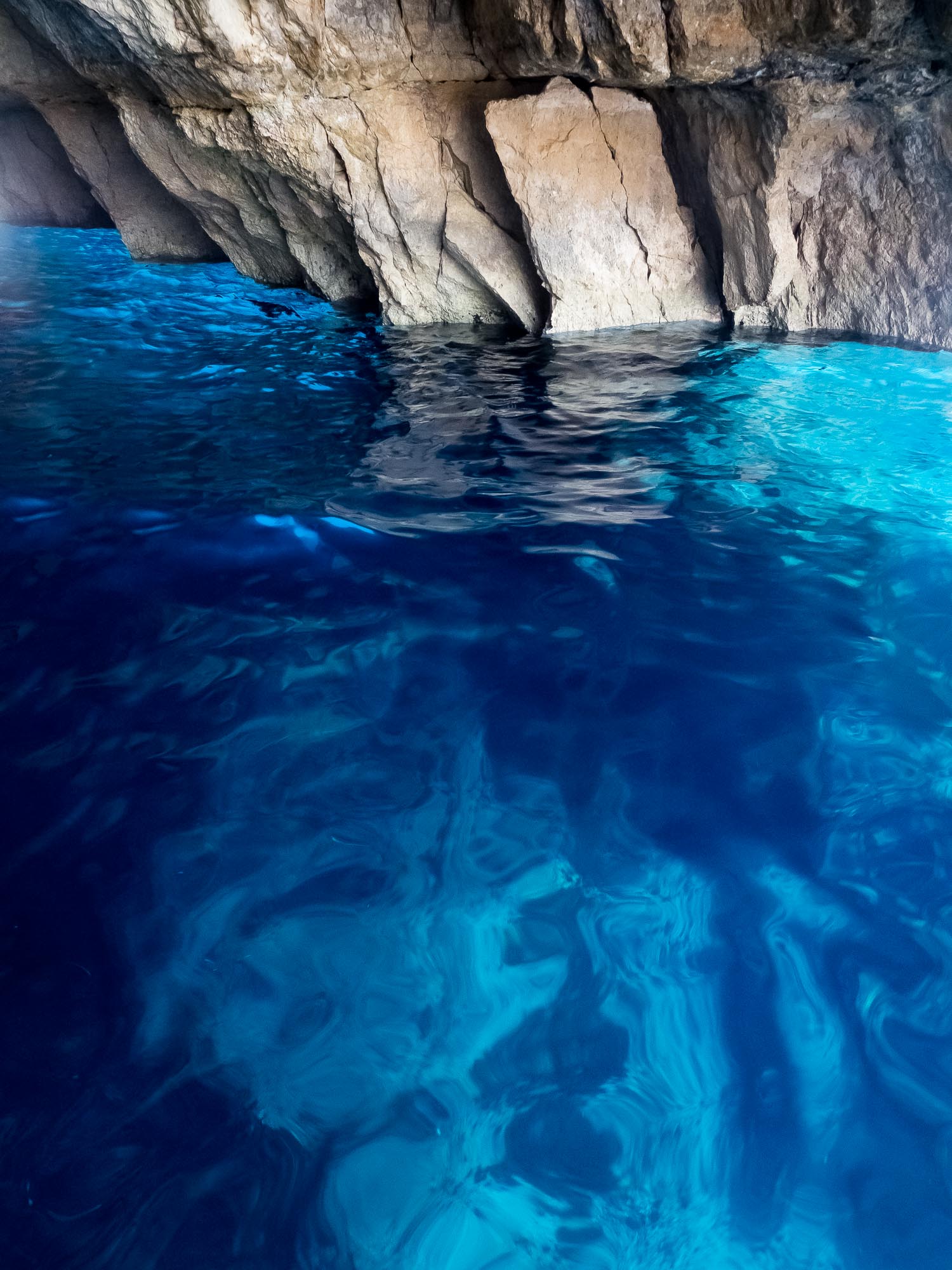
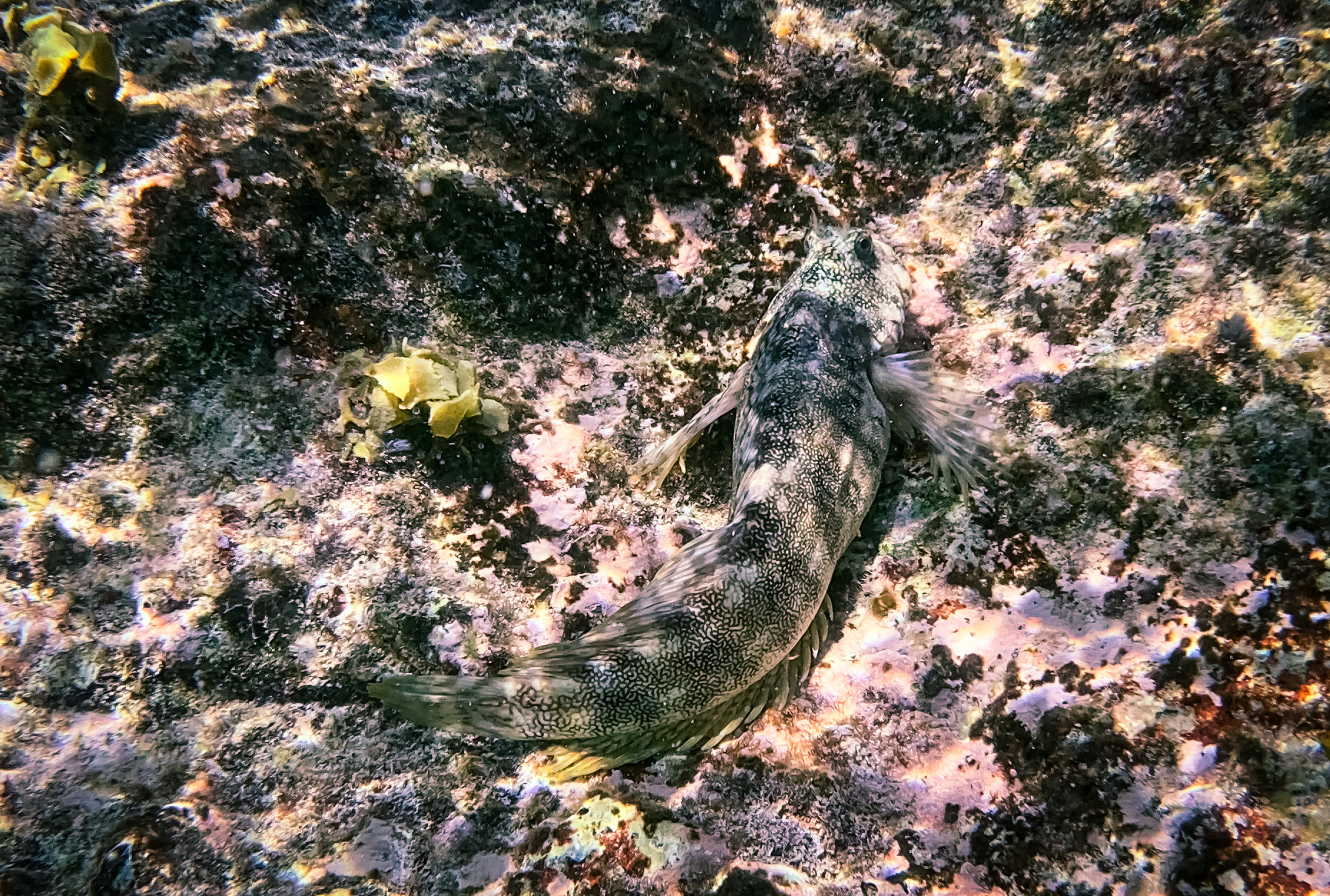
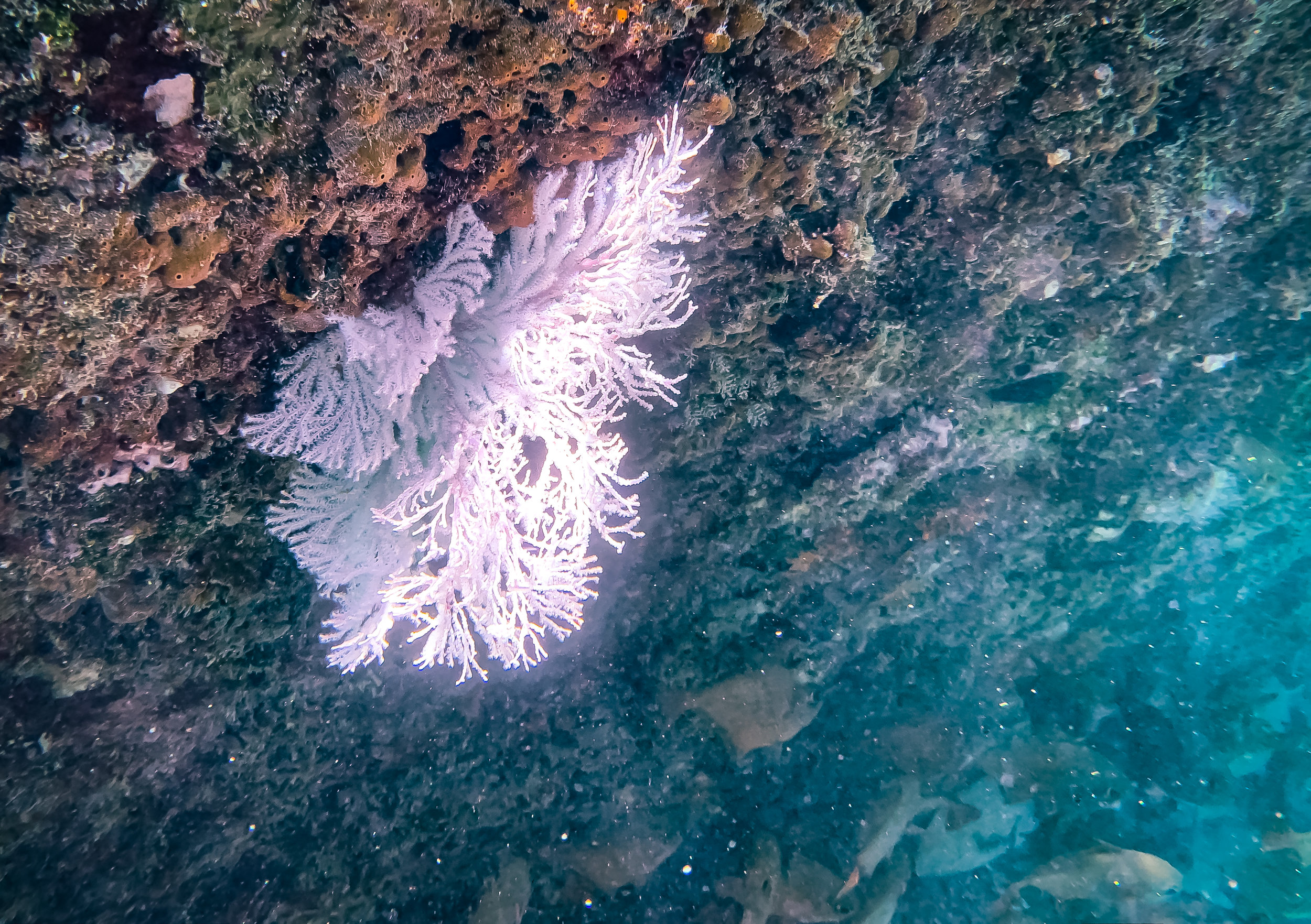
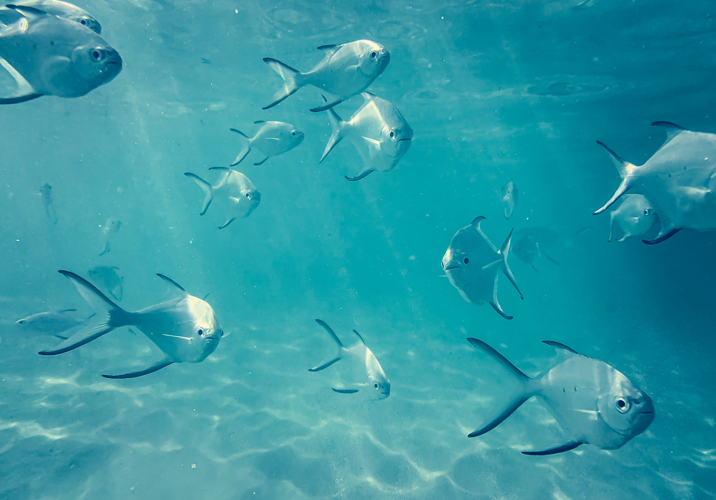
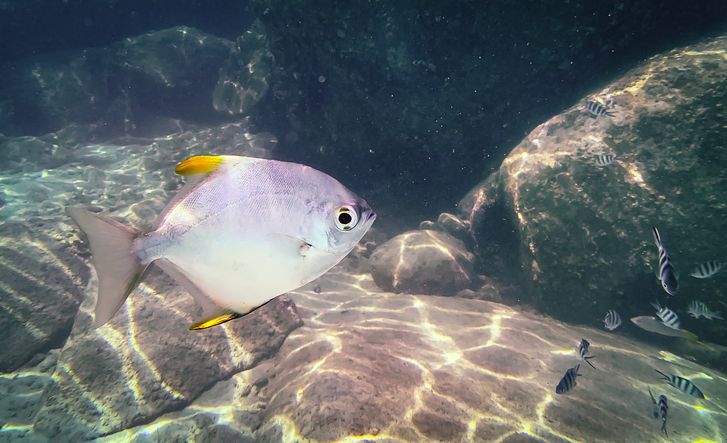
Underwater Wonders
Of course, an ocean paradise like this offers a whole different view when looking underwater - which admittedly wasn’t such a big focus for me on this trip (I have yet to do my PADI, but on the other hand I finally got an underwater camera case - these photos are shot on iPhone though). Nevertheless, some snorkeling is always on the cards.
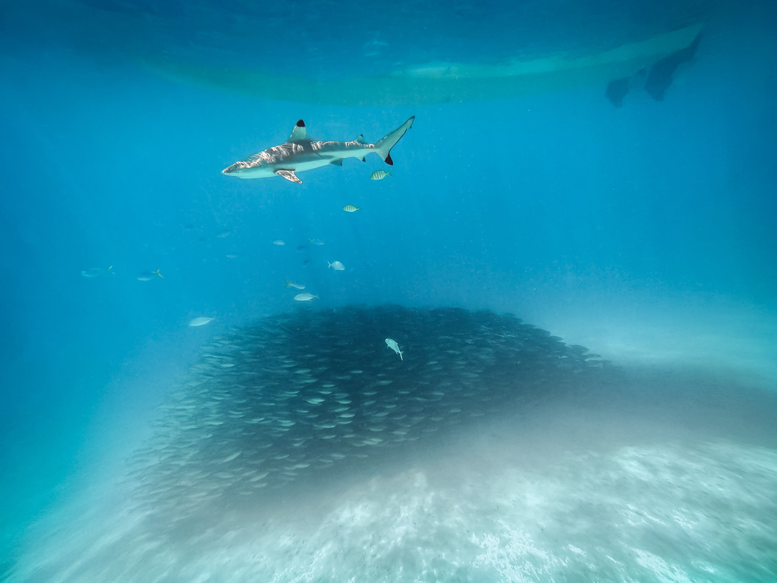
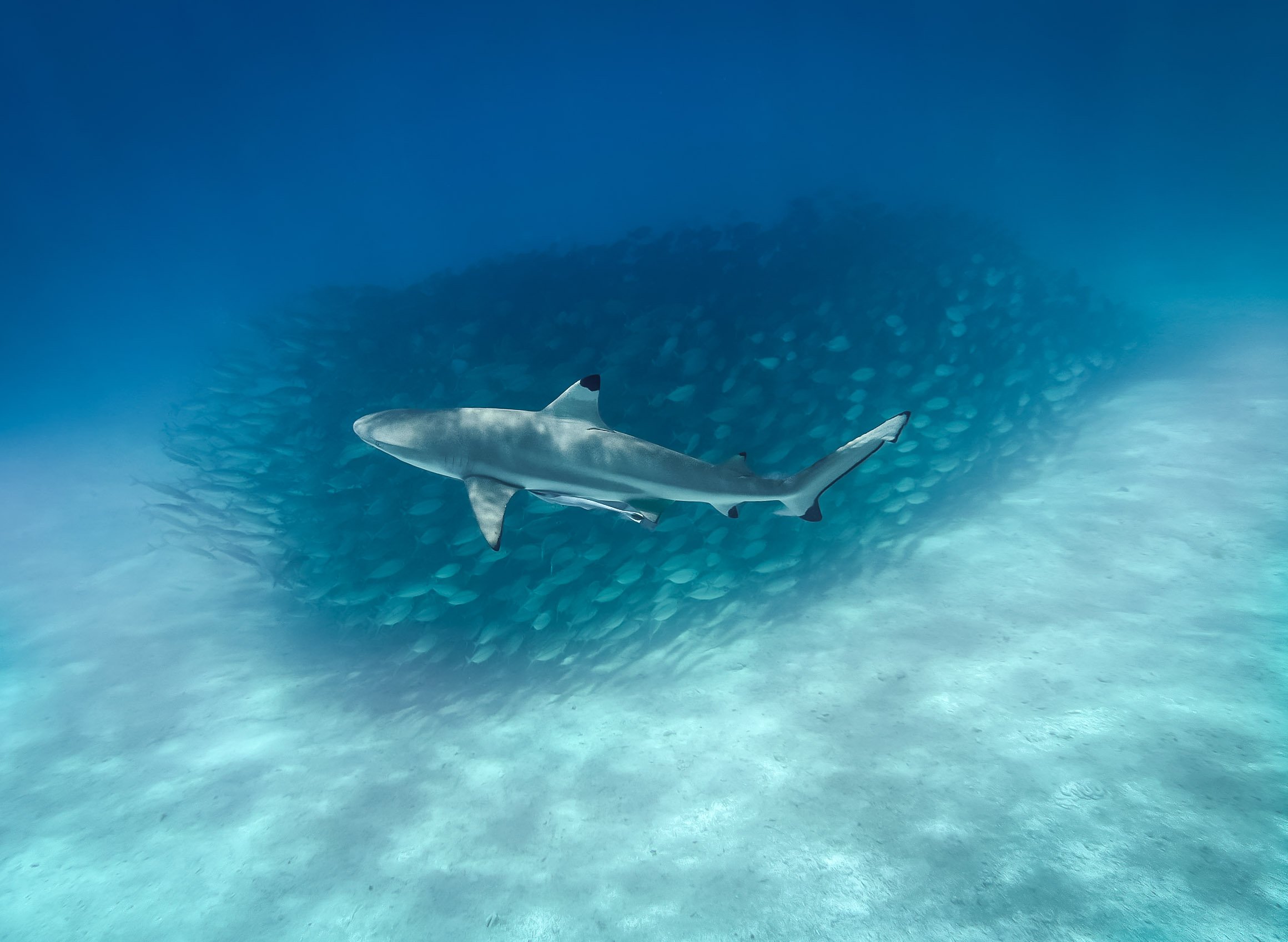
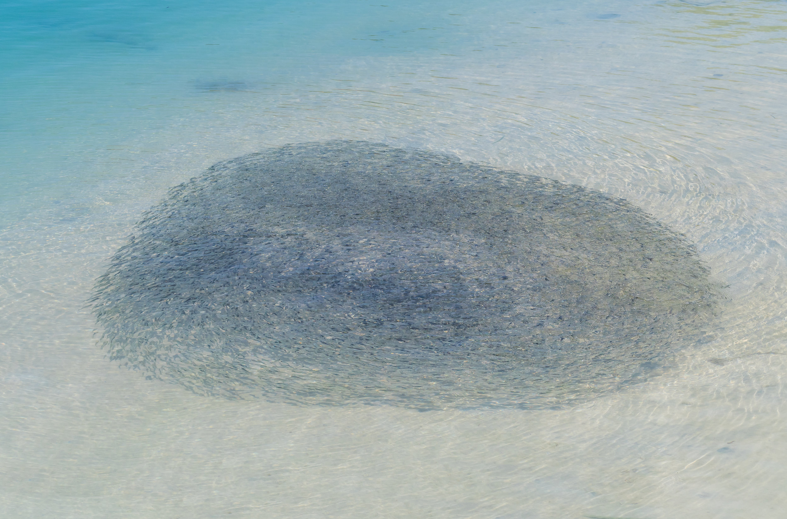
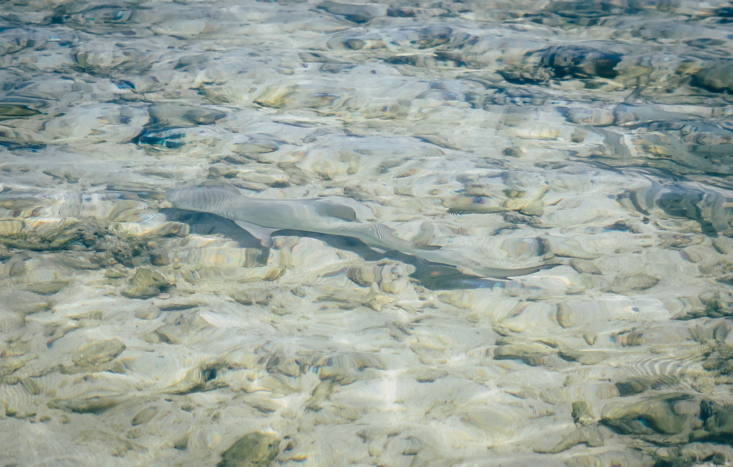
Blacktip reef sharks frequent some of the beach areas in the rock lagoon, allowing you to swim among them. A school of fish found some shelter below our boat, letting me capture these photos.


Palau is also famous for its many marine lakes such as this one - the most well known one is 12,000 year old aptly named Jellyfish lake. It’s home to millions of Jellyfish, specifically the stingless golden and moon jellyfish species - or so it has been for the last years. Unfortunately, the population of golden jellyfish died out almost completely in late 2022, likely due to a rise in water temperatures. This had happened before and they luckily recovered within a few years, but no one knows if this will be the case again.
As a result, snorkeling in the lake was a lot less exciting that it might have been, but I did get to see a few beautiful moon jellyfish individuals, pictured above.

Remnants
Palau’s underwater world is also home to a lot of man-made attractions, albeit unintentional ones. The country was home to fierce battles during the Second World War - this is the coral covered fuselage of a Japanese war plane. The cockpit wasn’t far either.
Lunch spot
This wreck was just a few meters from a small beach where we had our lunch that day - with the backdrop of this beautiful tree slowly shedding some of its orange leaves, creating a beautiful kaleidoscope of colours.


More evidence of the fierce battles that took place here in form of a sunken transport ship, and cannons that were abandoned in small limestone caves on the lagoon entrances. The largest battle that took place here was the US - Japan encounters on Peleliu, which reshaped the geography of the island significantly.

White Rock Lily
The national flower of the country and one of the many endemic plants that occur here.
Back on Land
Palau does have more to offer than its oceanic beauty - the country consists of over 300 islands, while its population of less than 20,000 (!) lives spread out on just a few of them. Koror is the largest city and used to be the capital until 2006, when it was replaced by Ngerulmud on the largest island of Babeldaob in a somewhat odd government plan - more on that below.

Koror–Babeldaob Bridge
The bridge linking Kotor with the main island of the country, built in 2002 with Japanse aid after the previous bridge collapsed unexpectedly 1996.
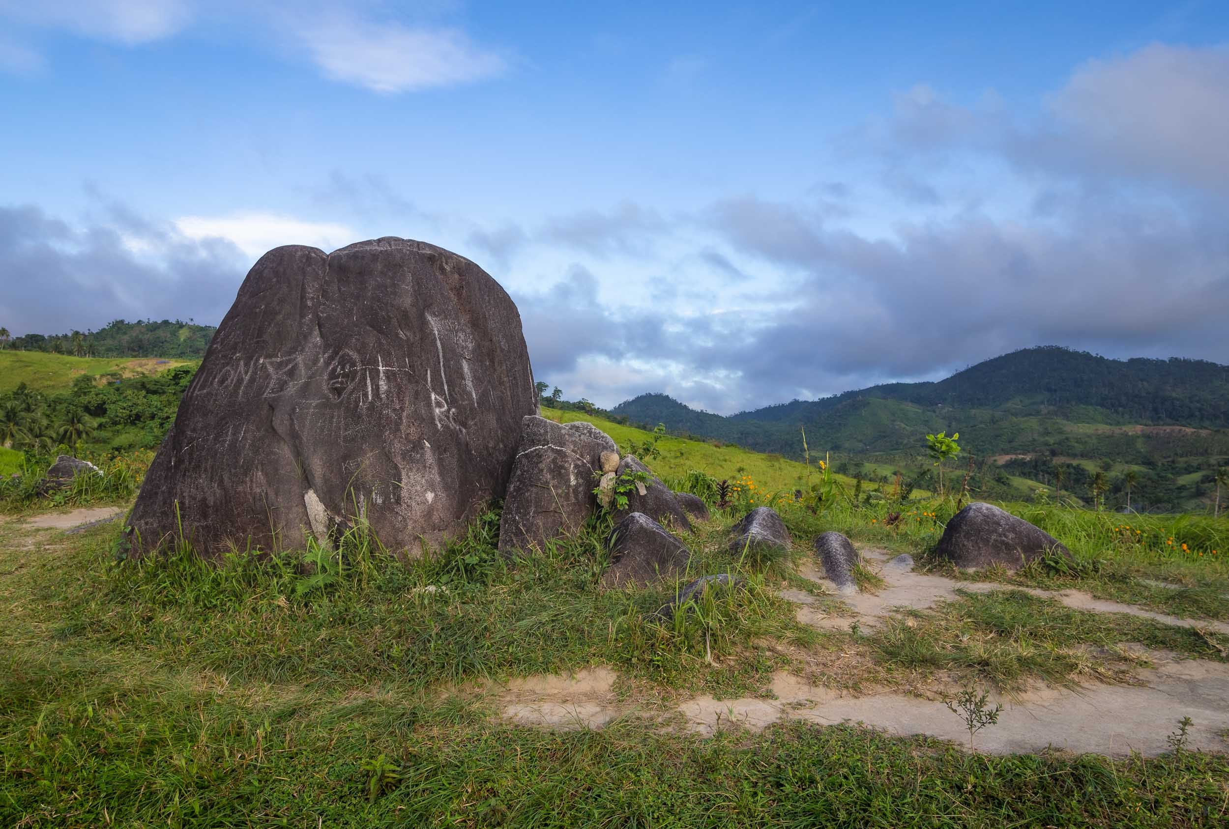
While the last few hundred years of the country have been shaped by Spanish, German, Japanese, and then US colonialism and influences, traces of the native population go back much further than that, and some of it is preserved around the main island of Babeldaob. The most significant evidence dates back over 2000 years ago in form of the Stone Monoliths of Ngarchelong, a collection of stones in the north of the island, not far from the shoreline.

Basalt Monoliths
The stones have been dubbed the “Easter Island of Micronesia” - although I suspect the original is a little more impressive. Their use has not conclusively ascertained, but one theory is that they served as the base for a very large Bai, the traditional meeting house for the locals. Some of the stones have distinctly anthropomorphic shapes, suggesting a different purpose.


A hidden Stone Coffin
The stone coffin of Tet el Bad is located in the village of Ollei - it is on the tentative list as a UNESCO site, but there is literally no information about it available anywhere that I could find - I could barely find the coffin itself. A deserved addition to the list of oddities I discovered during my travels.

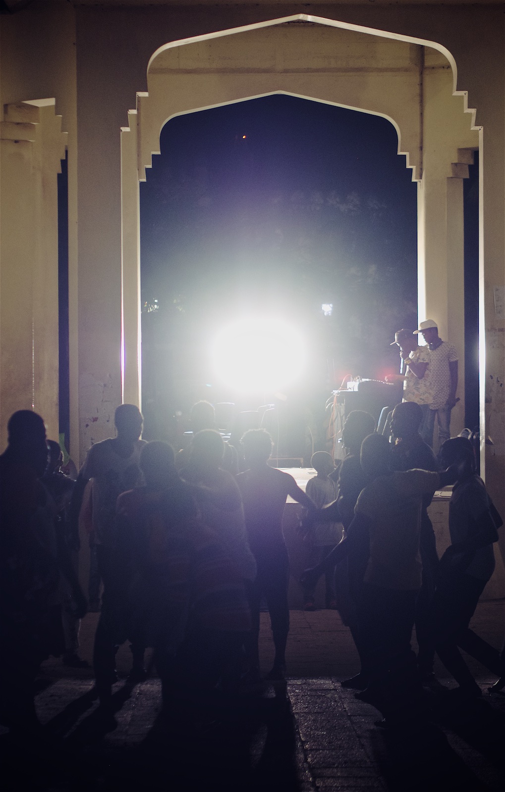
Local Traditions
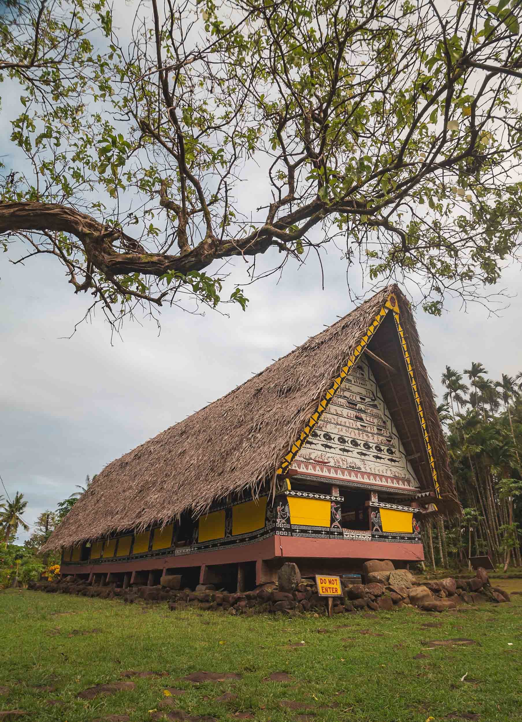
Until today, some local traditions remain active, such as the building of the traditional canoe like war boats. One can be found near Airai, where it is maintained for festivals and races, although it is a dying art today. Luckily even the most obscure topics are often documented nowadays, such as in this paper describing the building process in great detail.


Airai is also home to the oldest Bai ai in Palau, which is still maintained and in use by the local villages, seen on the left here. The right one is located at (interesting) Belau National Museum (Belau is the historic name of the country). Although the Bai is a meeting place for men, Palau’s culture is highly dominated by matrilineal tendencies, evident in practices such as inheritance.

Although there remains a traditional government structure that still influences the country's affairs through its federation of clans, Palau today has a federal government structure that takes the form of a democratic republic. It’s an independent country, but still holds close ties to the US, which provides funding and military support in exchange for its own military rights. The US dollar is the country’s currency and English is widely spoken, although there are still Palauan and other official traditional languages, even Japanese remains an official language in one of the districts.


On the way to Airai lies this abandoned World War II Japanese Communications Center. While there’s a small signboard outside (and an entrance fee to be paid), it is more suitable for an abandoned places exploration than a tourist attraction, offering a few cannons and not much in terms of narrative, but a good chance of getting buried under a crumbling ceiling.
Capital Strangeness
While Koror is the commercial centre (and deserves to be called a city), Palau’s capital Ngerulmud is anything but that - in fact, it is the least-populous capital city of a sovereign nation in the world. Arguably, not one person actually lives in the city boundaries, although the surrounding state is home to a total of just over 300 people. It was created on the basis of the constitution established in 1979, which called for a capital to be established on the main island to avoid concentration of power in Koror. That took way longer than outlined in the constitution, and finally was completed in 2006 at a cost of $45m, through the help of a $20m loan by the Taiwanese government. Brace yourself for what these funds were used for, keeping in mind that the whole country has a population of less than 20,000…

National Capital
Inspired by the Washington Capital building, this complex houses all three pillars of the democratic process.
The parliament is called Olbiil Era Kelulau, which means “House of Whispered Decisions.” It derives from the aforementioned Bais, where the traditional chiefs met to discuss critical topics. During those meetings, no communication that is louder than a whisper is permitted, instead quiet messages are used to negotiate on important topics. Smart approach, although I don’t know if congress functions the same.


The building is in fact not made of massive stone and concrete - it’s publicly accessible and you can walk around in many of the buildings, where I noticed a lot of hollow walls and pillars. It’s also not really suitable for the local tropical climate, mould and ventilation issues have been plaguing it since opening.

More Aerial Glory
I was determined to get more aerial views of the Rock Islands, and have been holding out to get on a plane due to the ever-changing weather conditions. Towards the end of my stay, I took the plunge to fly on a small Cessna with an open door (there are no operating civilian helicopters in the whole of Palau) to get some angles that a drone won’t allow.


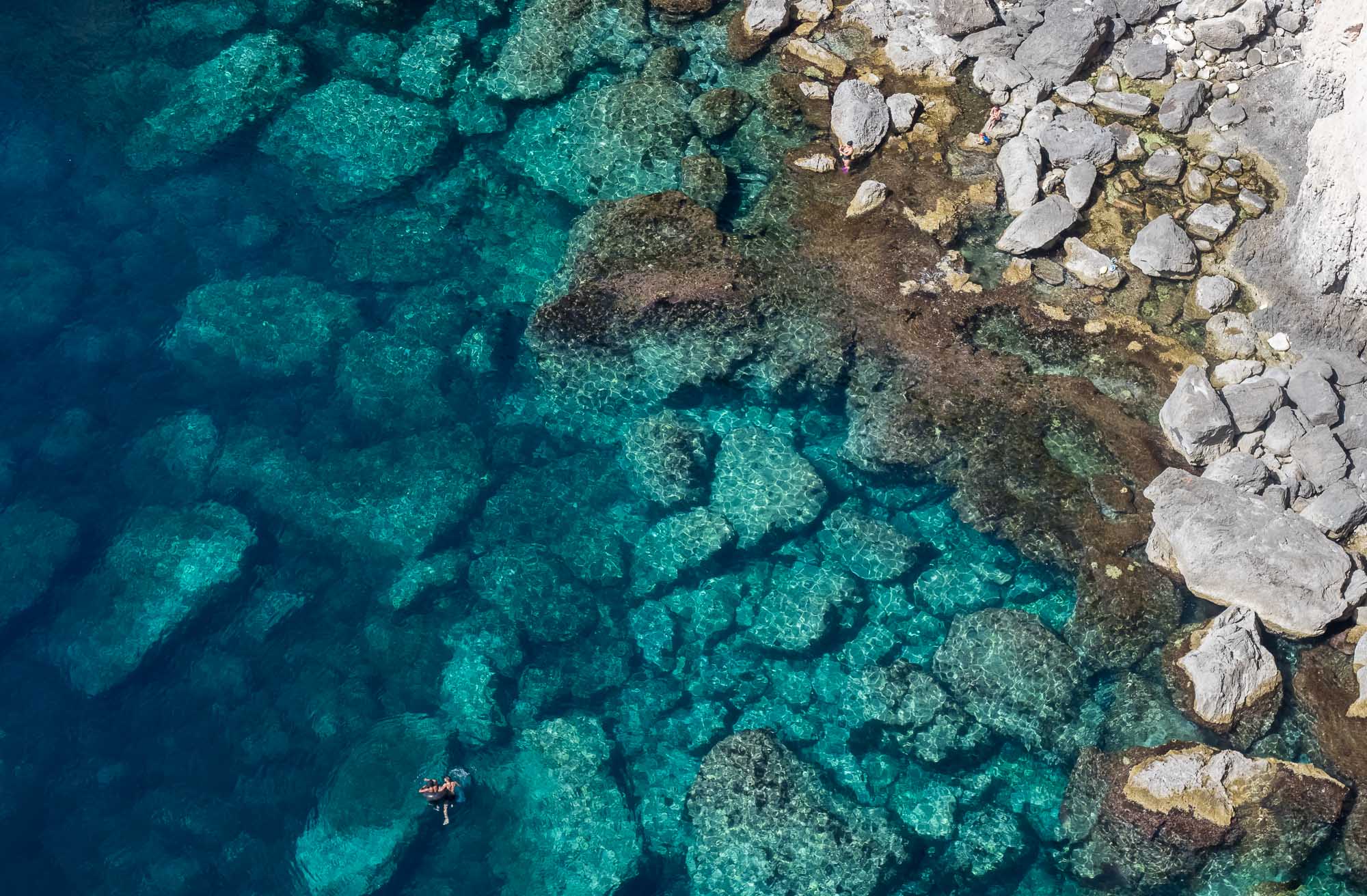
Palau’s environmental governance is extremely strong, it created the world’s first shark sanctuary, and makes visitors sign a “pledge” into the passport stamp upon arrival, vowing to protect the environment during their time in the country. It shows - the beaches and rock island areas are one of the least polluted ocean patches I’ve ever seen. Some top down photos from my flight, showcasing the incredible green and blue hues that make up most of the landscape in the country.

A different kind of galaxy
The turquoise waters above show another one of Palau’s attractions: the so-called Milky Way lagoon. It’s a shallow lagoon where limestone mud has settled on the ground, which can be retrieved with a small dive. The locals use this paste for skincare.


German Channel
This artificial channel was dug while Palau was under German administration in the early 20th century to ease access into the lagoon. Today it’s a popular dive site.

Shapes
A reef lagoon in the shape of a ray.

Reality?
Some of the formations look like they have been artificially rendered, but I assure you this is a barley edited real photo.
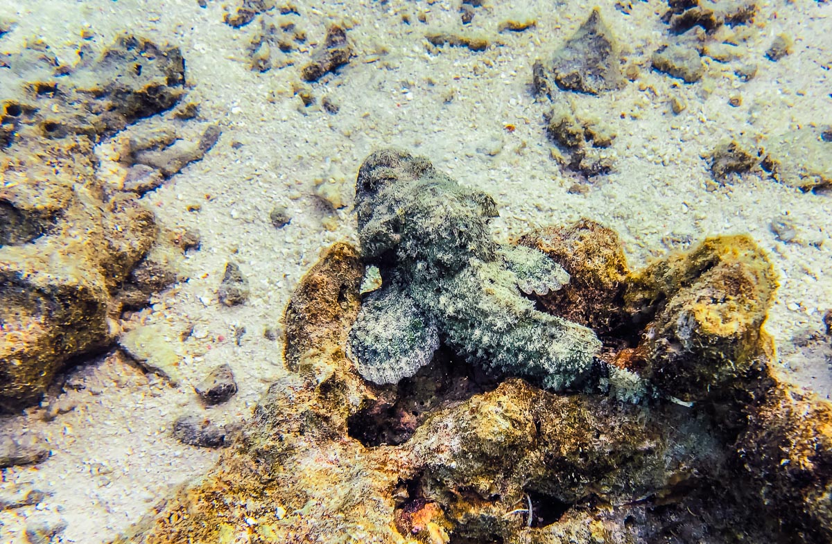
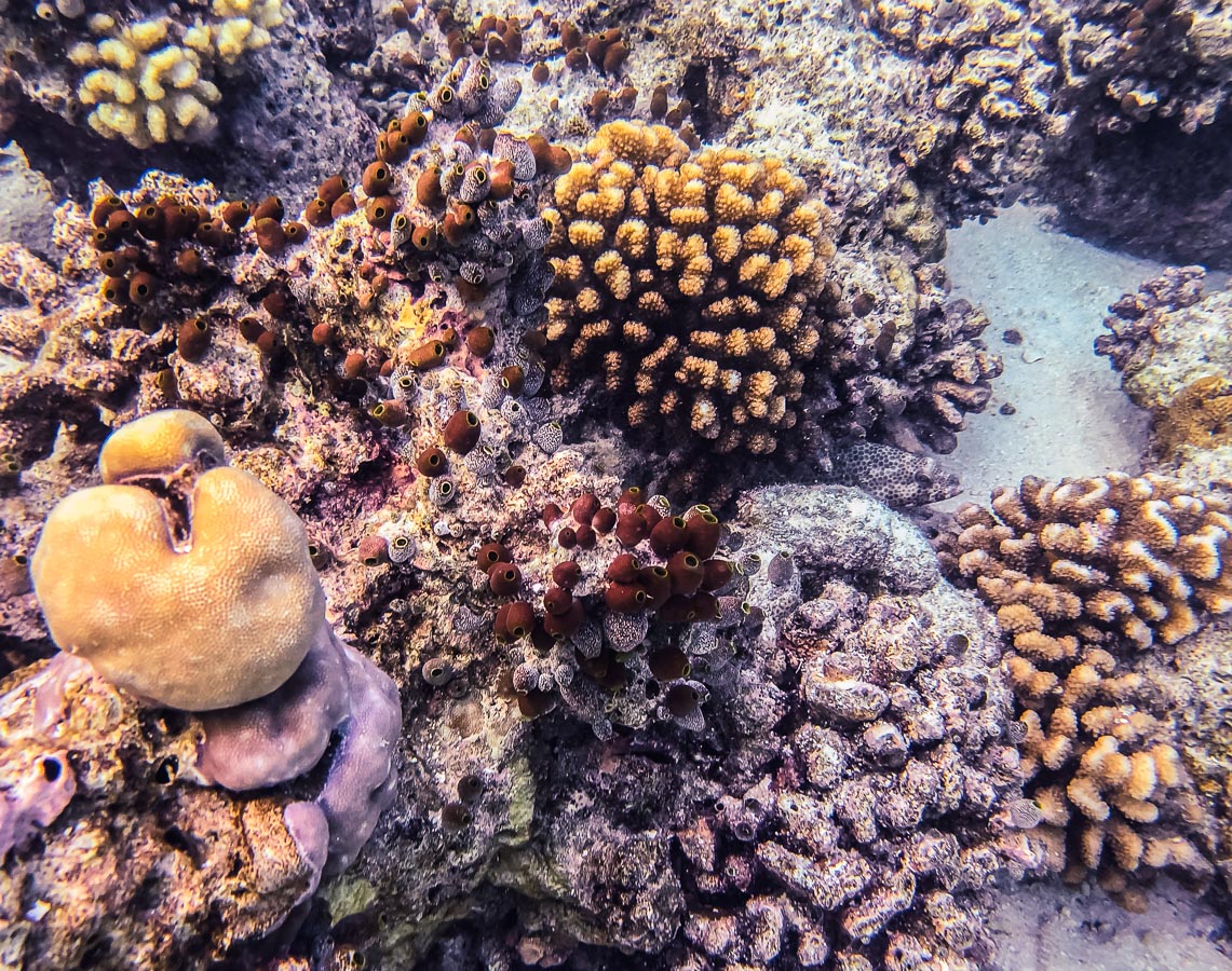
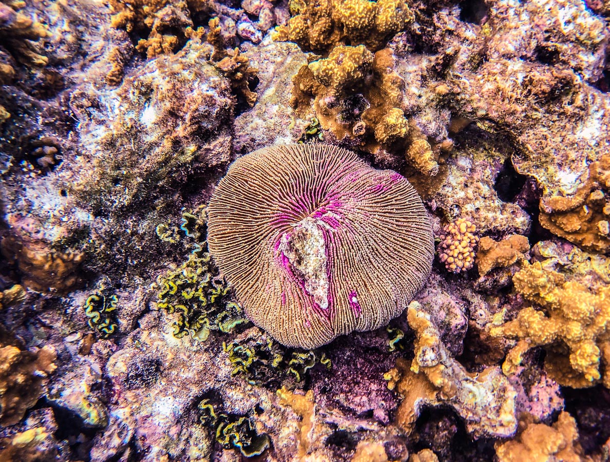
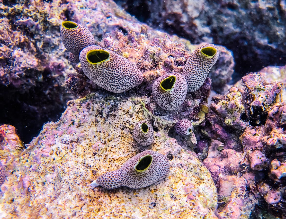
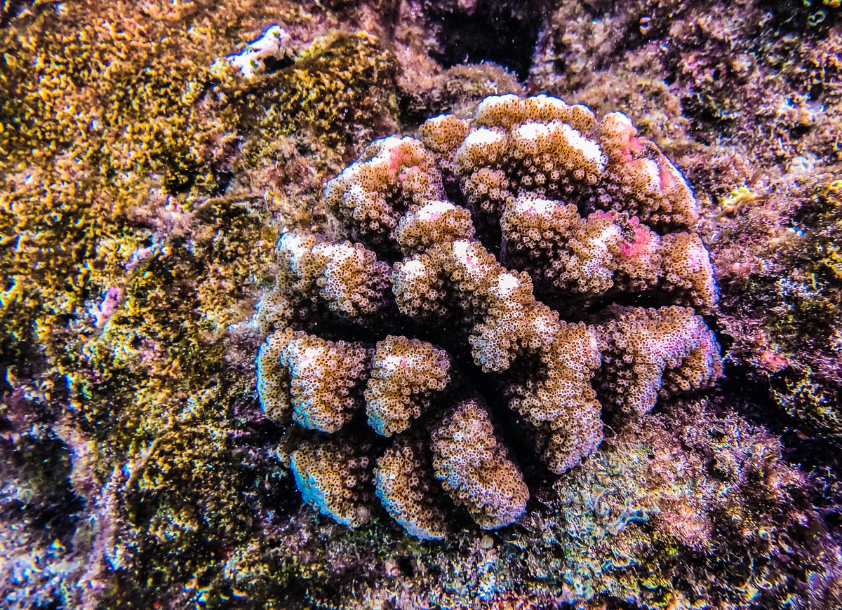
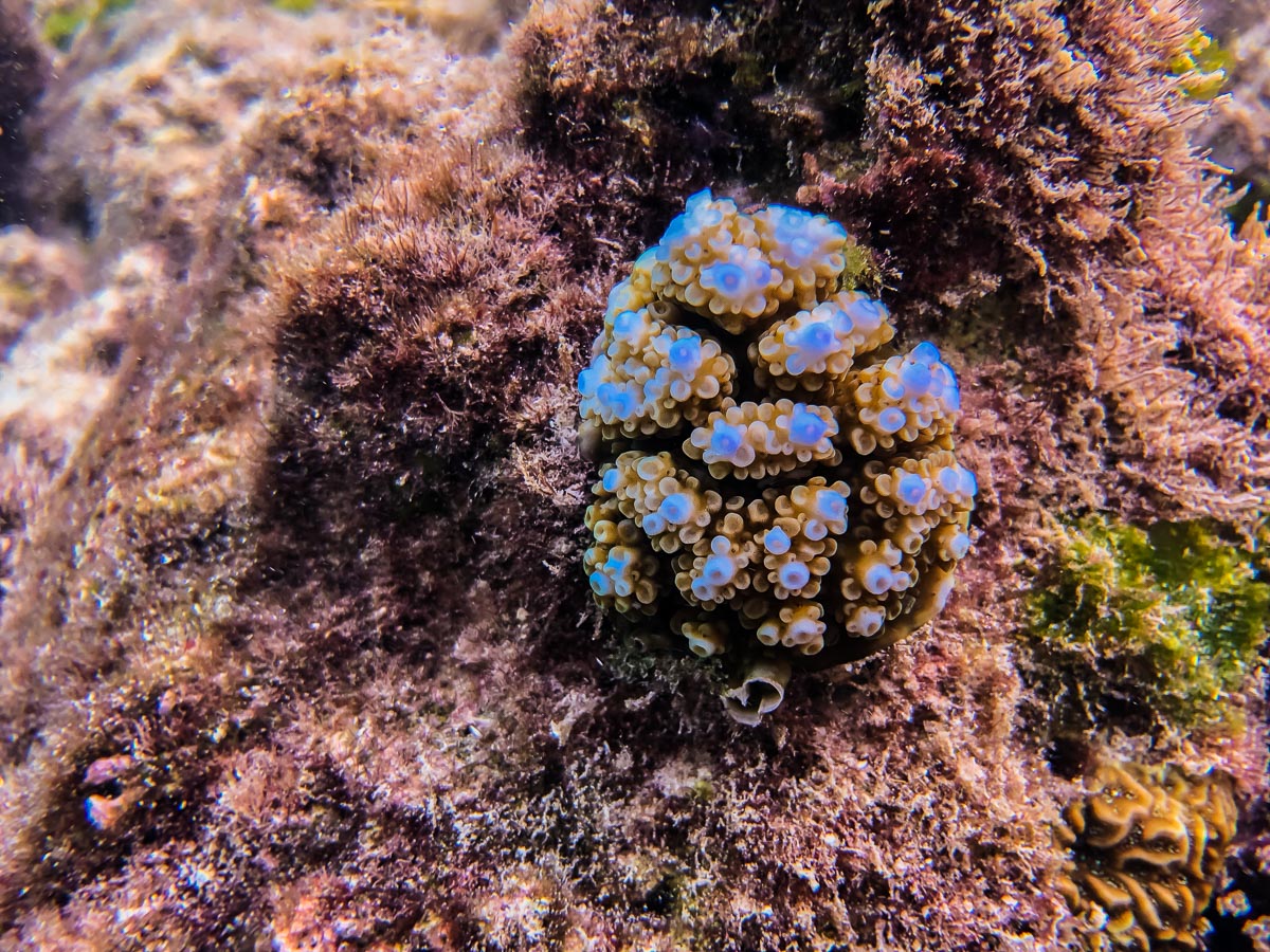
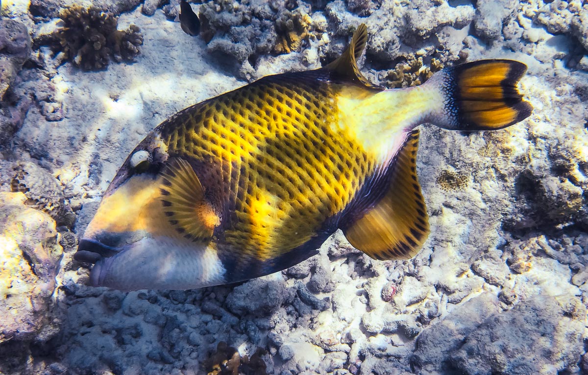
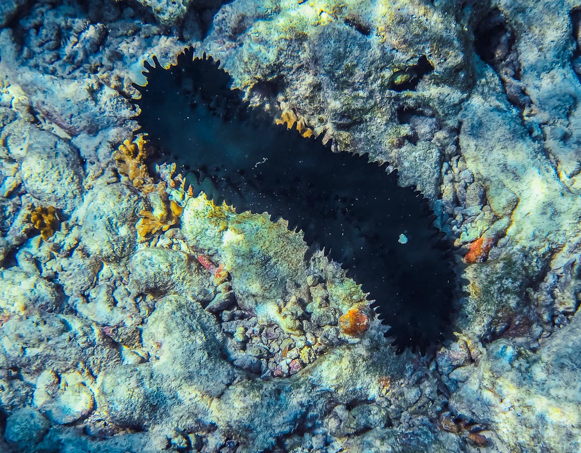
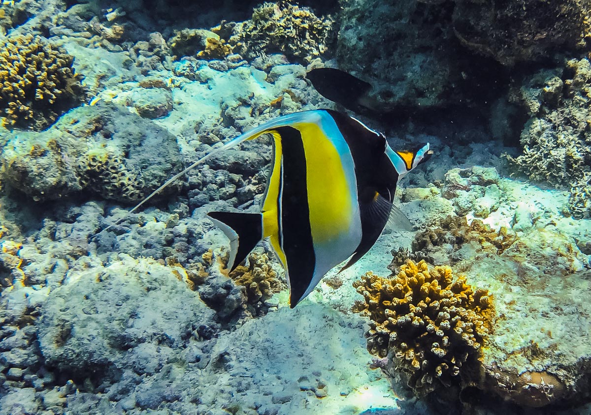
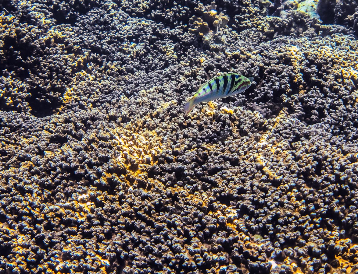
More images of the underwater world, taken on iPhone while snorkeling among some of the reefs in the rock lagoon during a kayak trip.


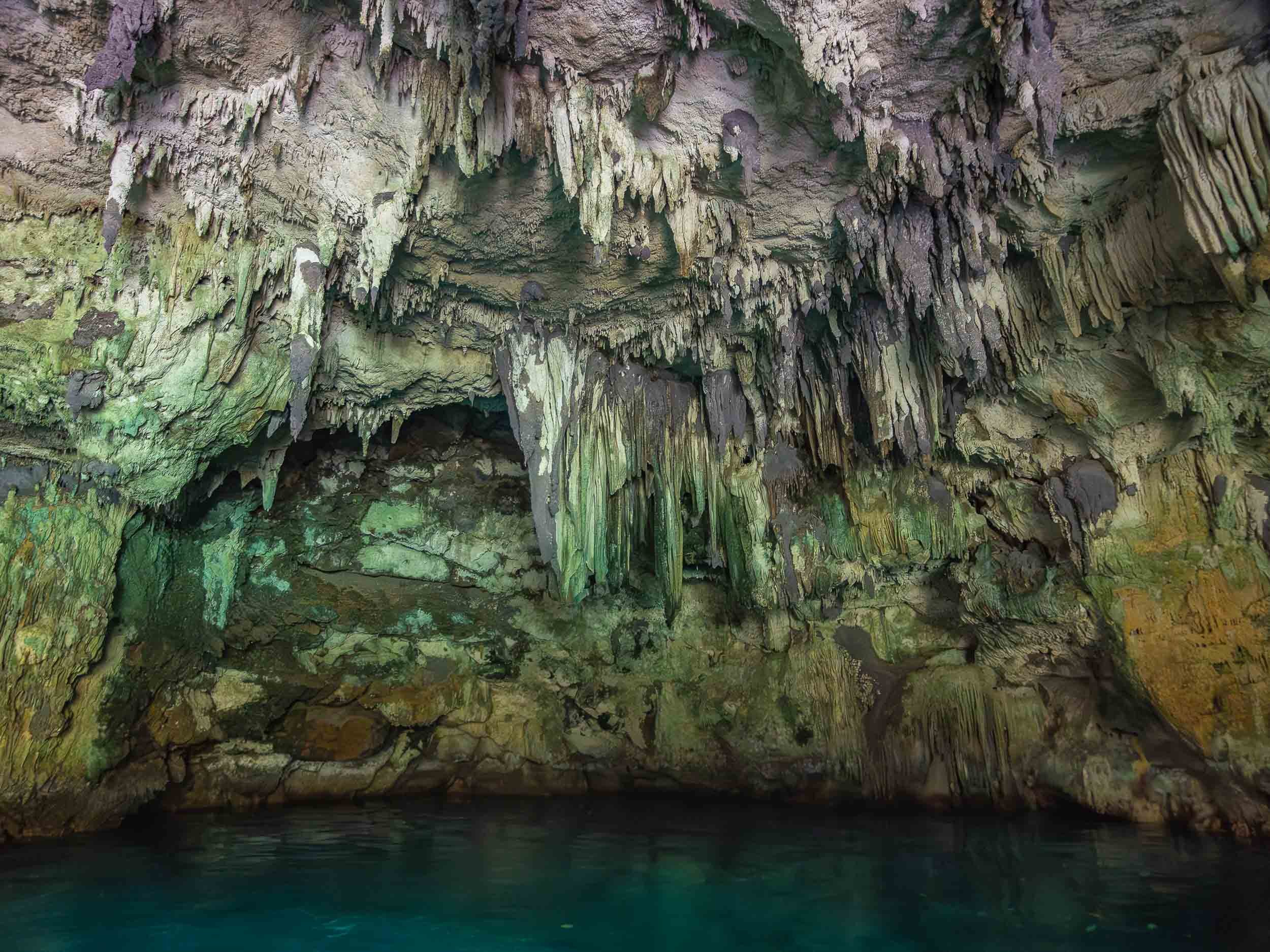
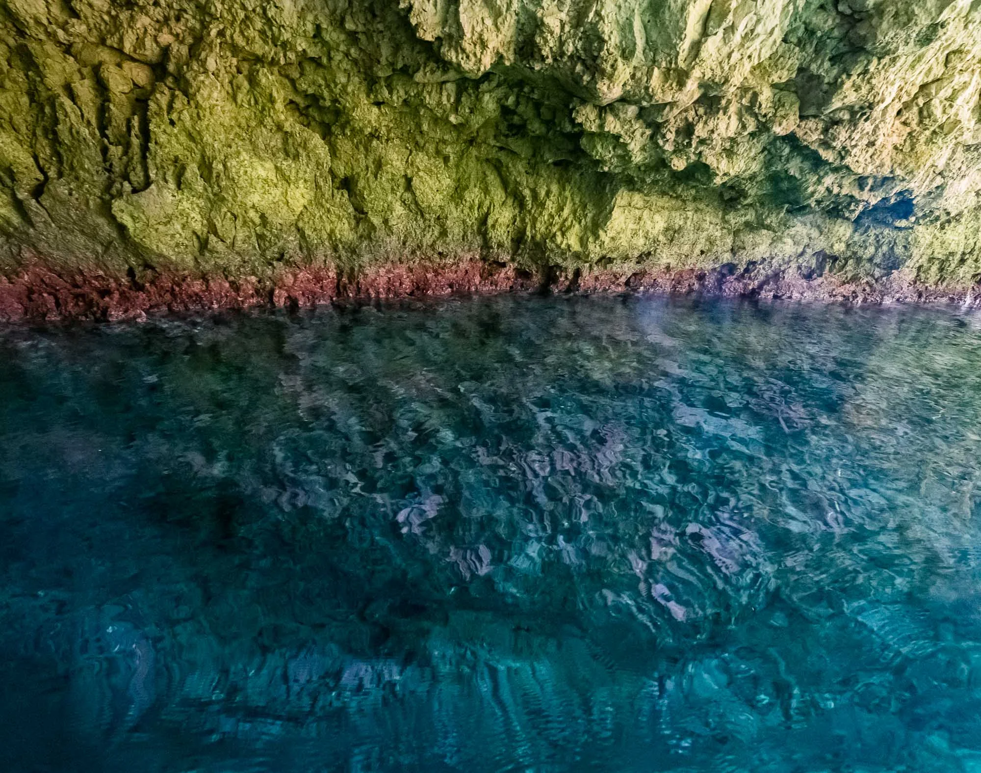
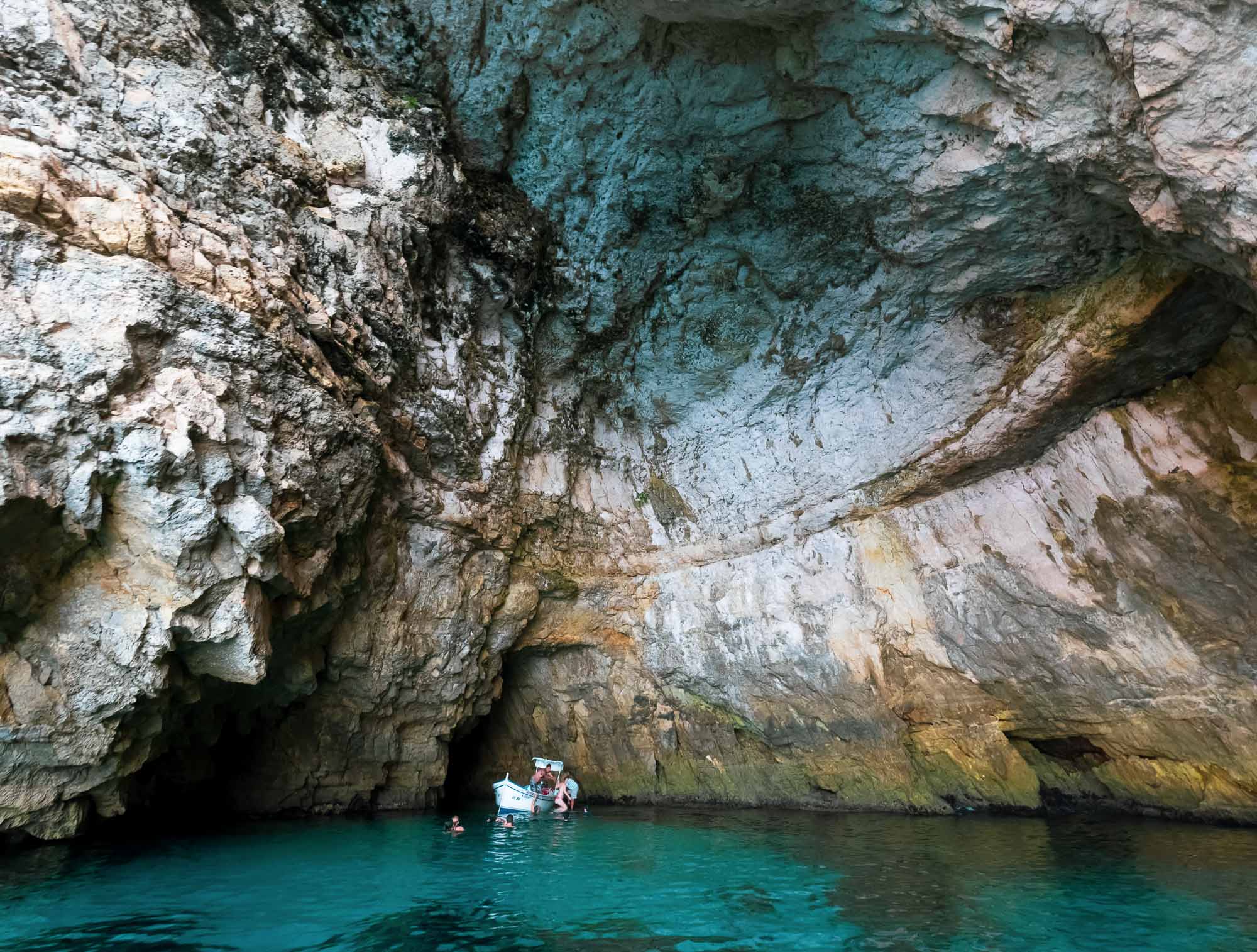
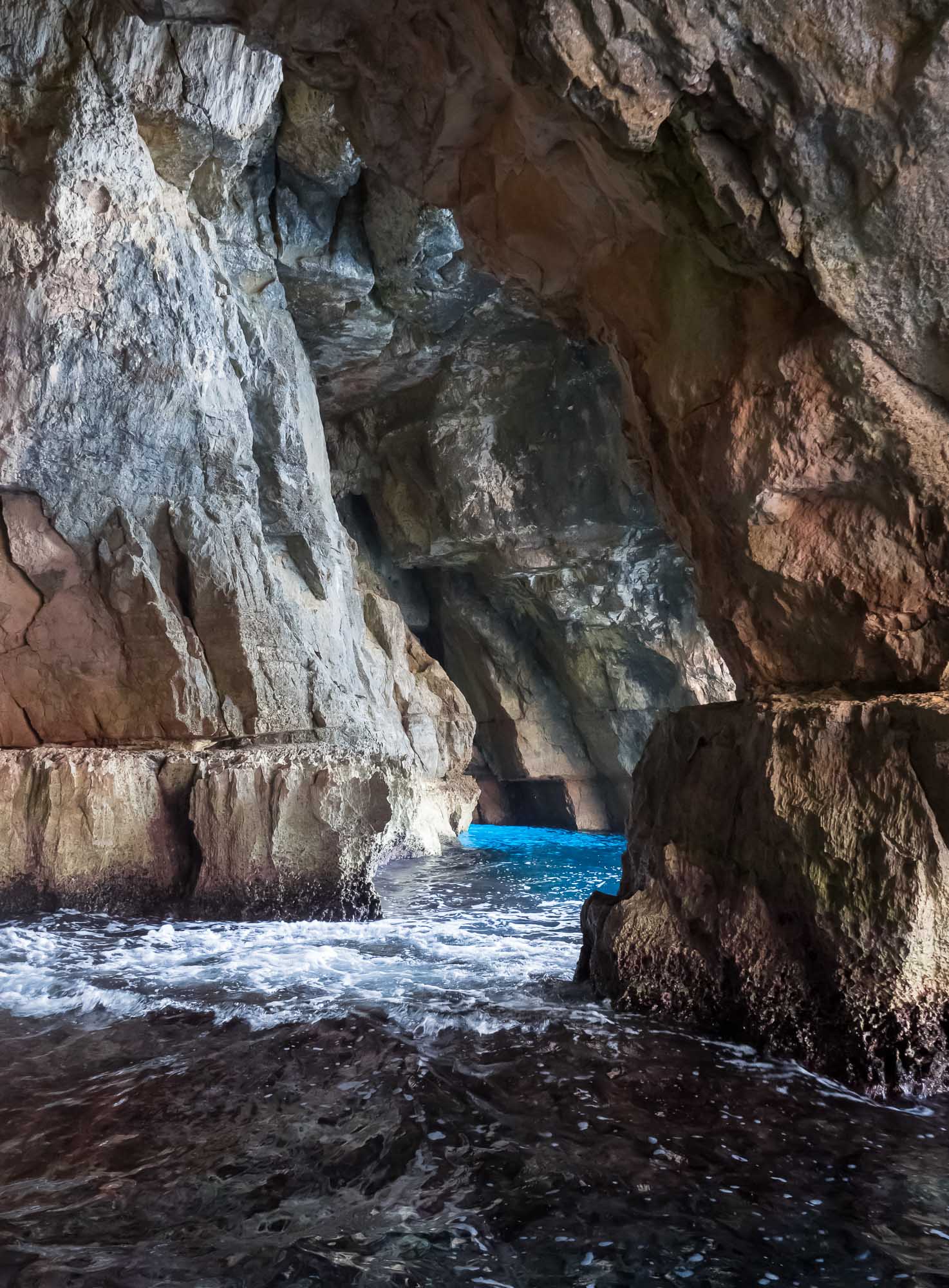
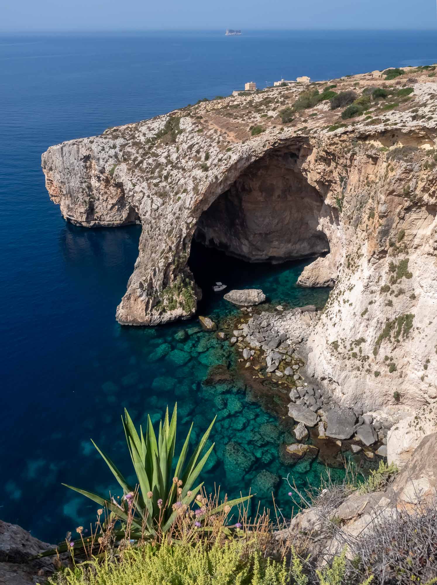
One of the many limestone caves that get carved into the rock formations.
Also came across this incredibly tiny jellyfish, the species of which I cannot determine, with an even tinier fish companion.


And that’s it from beautiful Palau…
Subscribe to my newsletter to get notified and don’t miss out on more Wonders of the Globe.
Other Recent Posts:


Palawan - Gem of the Philippines
Earlier this year I spent a few weeks in the Philippines, exploring Manila, Siargao, Cebu, Bohol, and what was once voted the most beautiful island in the world: Palawan.

Earlier this year I spent a few weeks in the Philippines, exploring Manila, Siargao, Cebu, Bohol, and what was once voted the most beautiful island in the world: Palawan. This large island is home to around 1m people and lies on the very western border of the country.
Start with this short clip for an overview of some of the amazing spots around Palawan!
On the way to El Nido
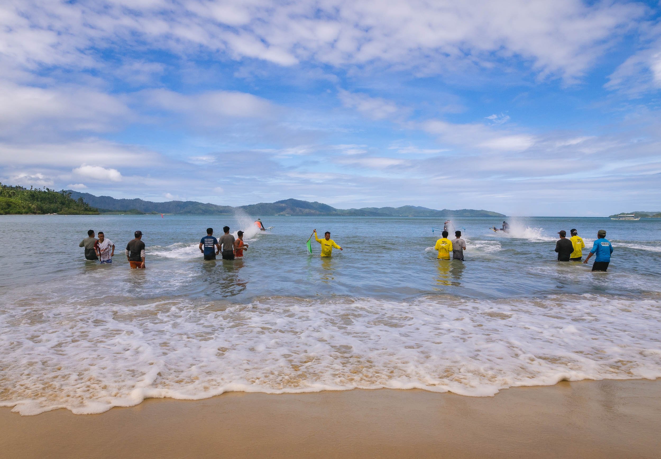
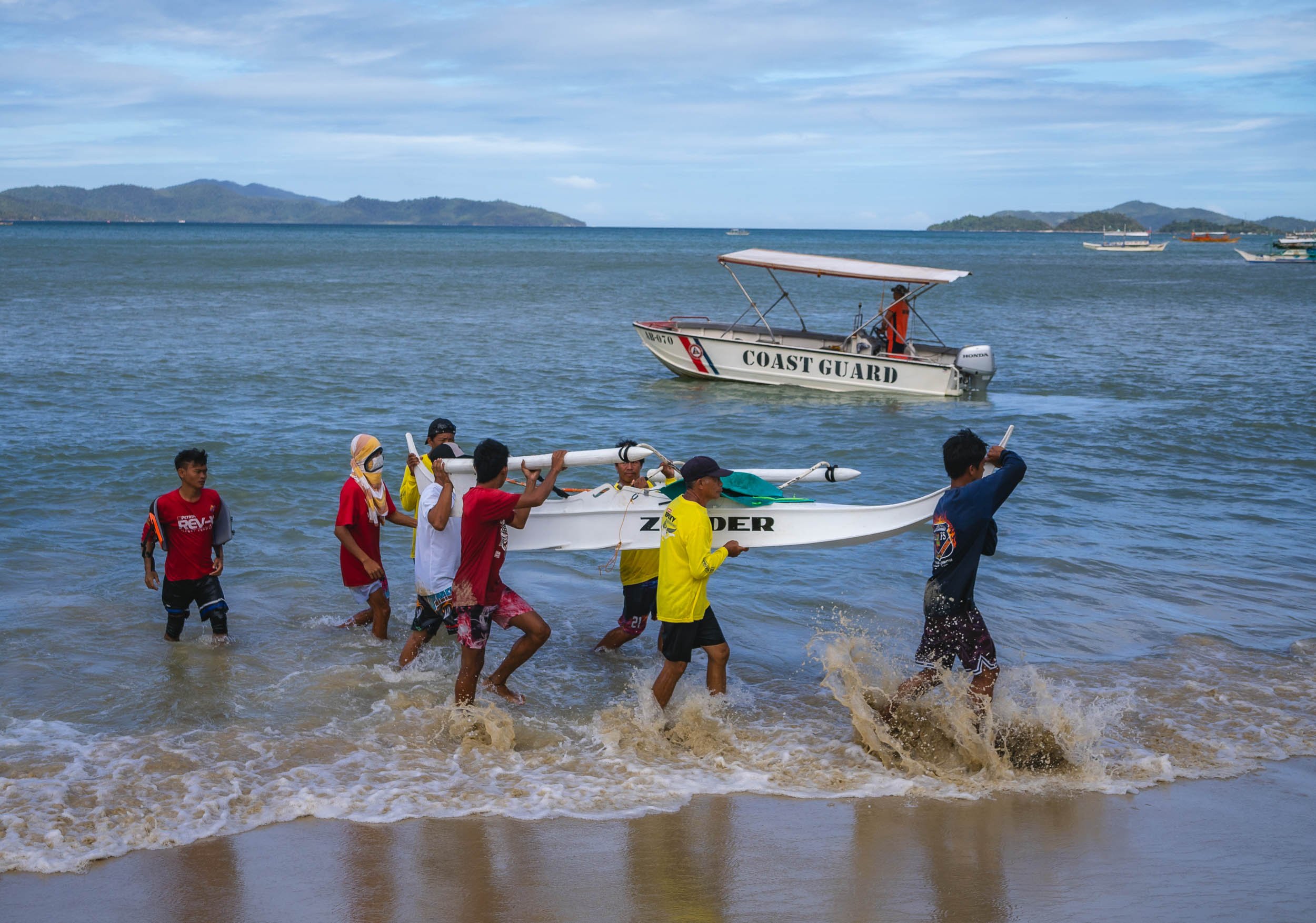
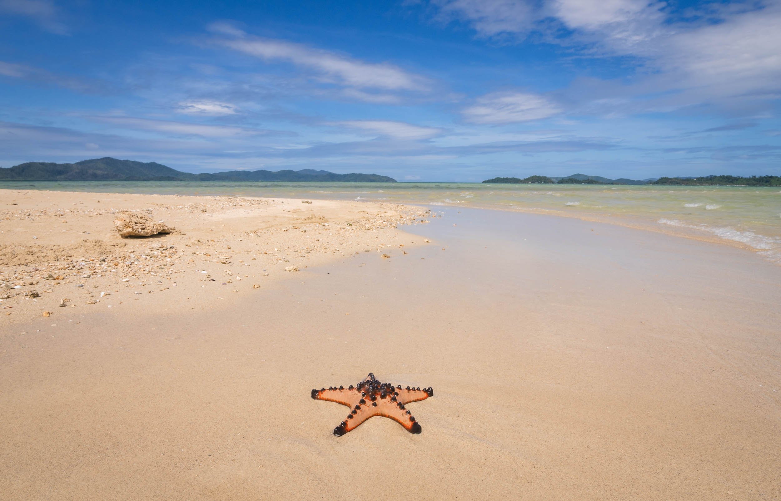
I arrived from Cebu, landing at the airport of Puerta Princesa, which is also the capital and largest city on the island. The plan was to go north towards El Nido, the most well-known area. On the way, a visit to the island’s famous underground river was on the cards - which was cancelled by the coast guard due to high waves. This is not uncommon, keep it in mind and allow enough time to try again - which I managed to do, more on that later. Instead, we stopped in Barton Bay, on the western coast, for a small boat excursion, and got to witness an interesting local event: Racing homemade speed boats.


Port Barton is also home to a small sandbank that frequently sees starfish washed on shore, making for some picturesque scenes, especially if - like me - you’re patient enough to await the right moment with no boats and people around.


Island of Doom
The bay also has a few beautiful islands - one of which became the doom of my drone, which ended up with a low battery in the sea, as the heavy westerly winds didn't allow it to come back in time... Luckily my amazing tour company - more on that later - helped me get a rental for the rest of the trip. Palawan really needs to be seen from the air.


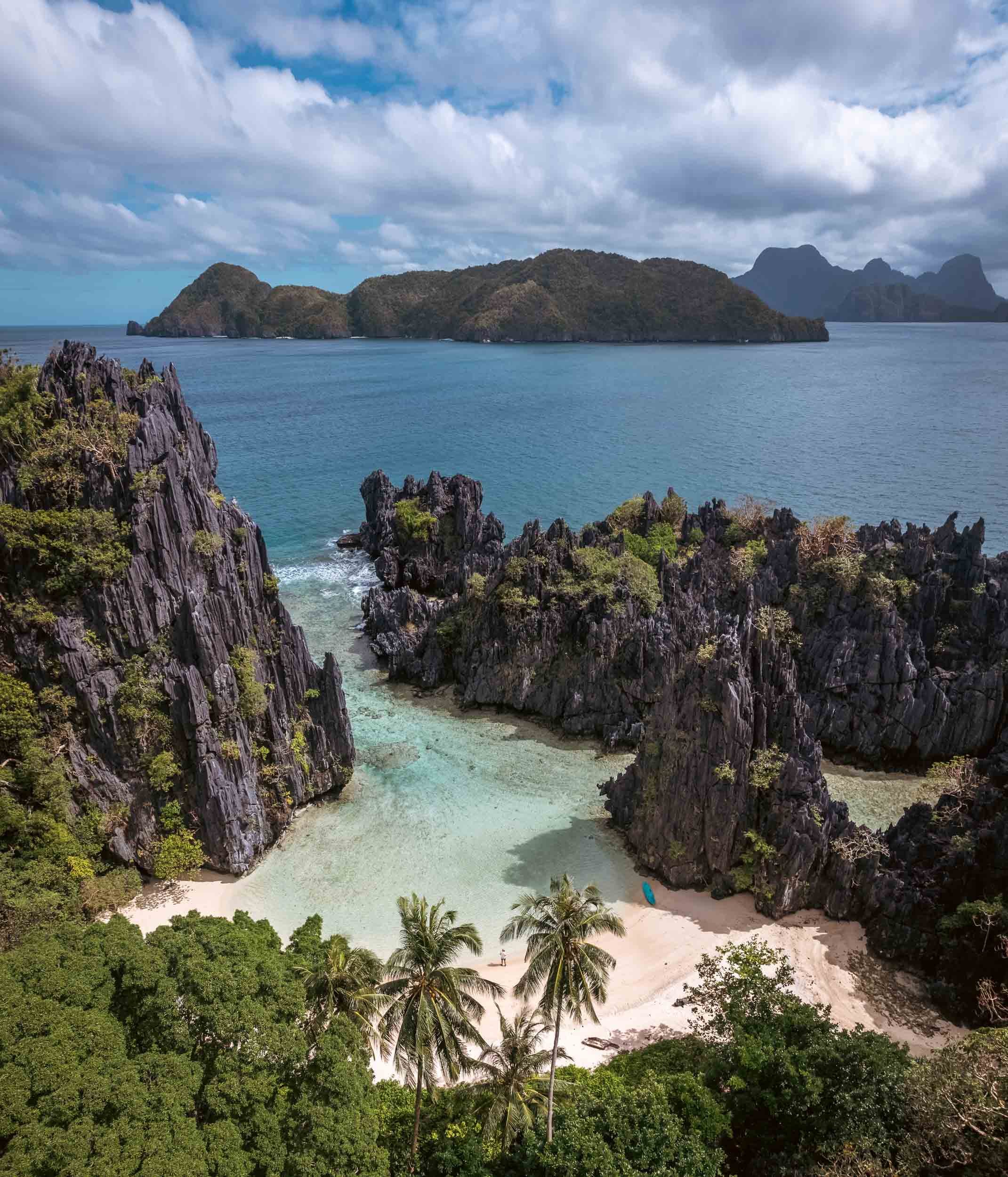
El Nido & The North
Some of the most beautiful land- and seascapes are in the northern parts of the main island, around El Nido. Having researched this area a bit, I knew that most of the very touristy trips follow standard routes, and you can pick A, B, C, or D. Obviously not what I wanted, because that means everyone going to the same places at roughly the same times, and those tours of course also start once people crawl out of their beds rather than at sunrise when the conditions are best and things quiet. So in my usual quest for something a bit more interesting I found a tour company priding themselves in organizing custom trips: Palaweña.
Palawan's landscape is famous for the almost 1800 islands scattered along the coast of the 450km long main island.

The private custom tours paid off (and were super well organized), because we reached many of the best spots around Bacuit Bay, such as the Big Lagoon and its beaches pictured above, before any other boats.


Shimizu Island
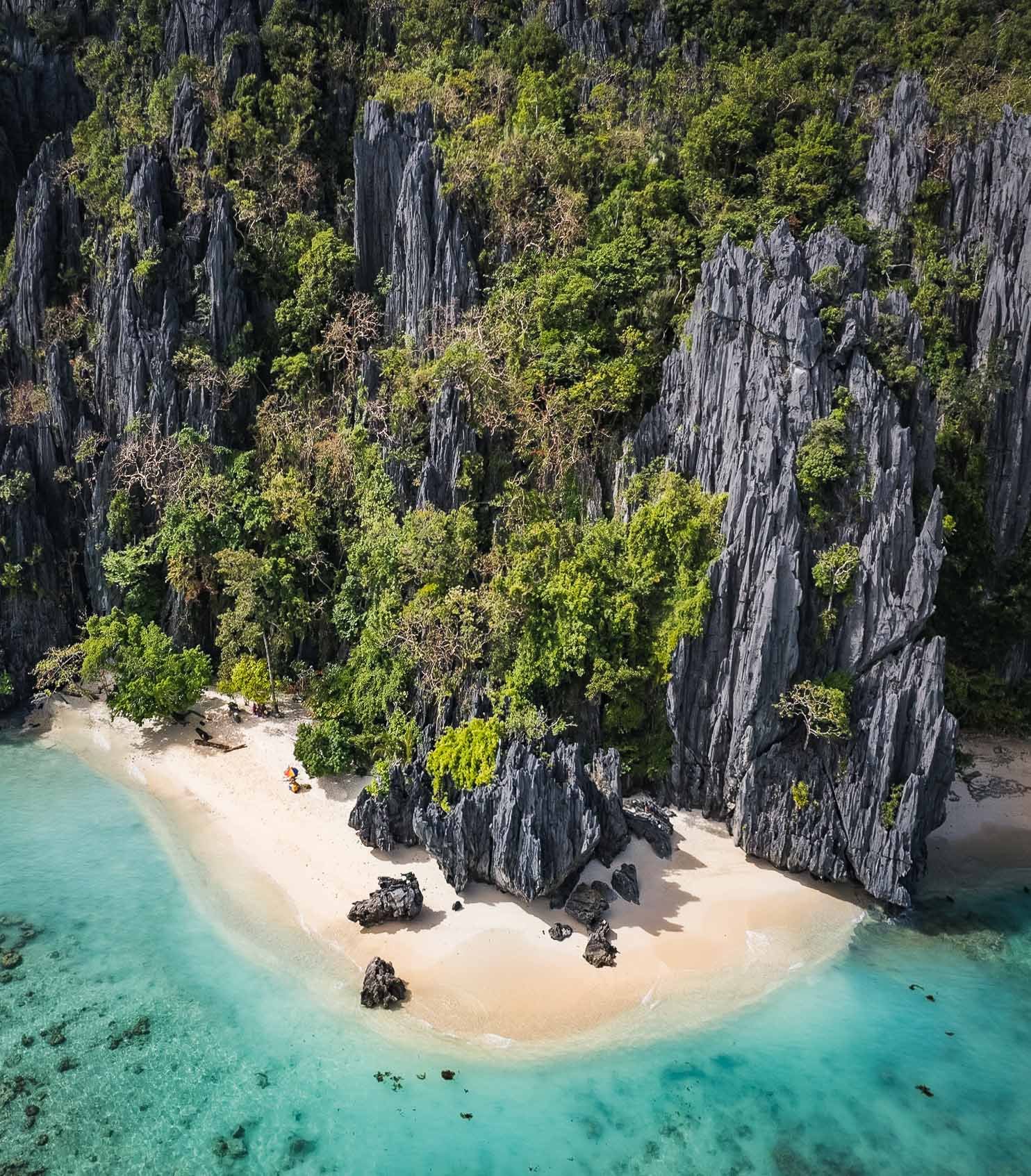
Another of the beautiful limestone cliff islands with their white sandy beaches. Who wouldn't want to set up their umbrella here?

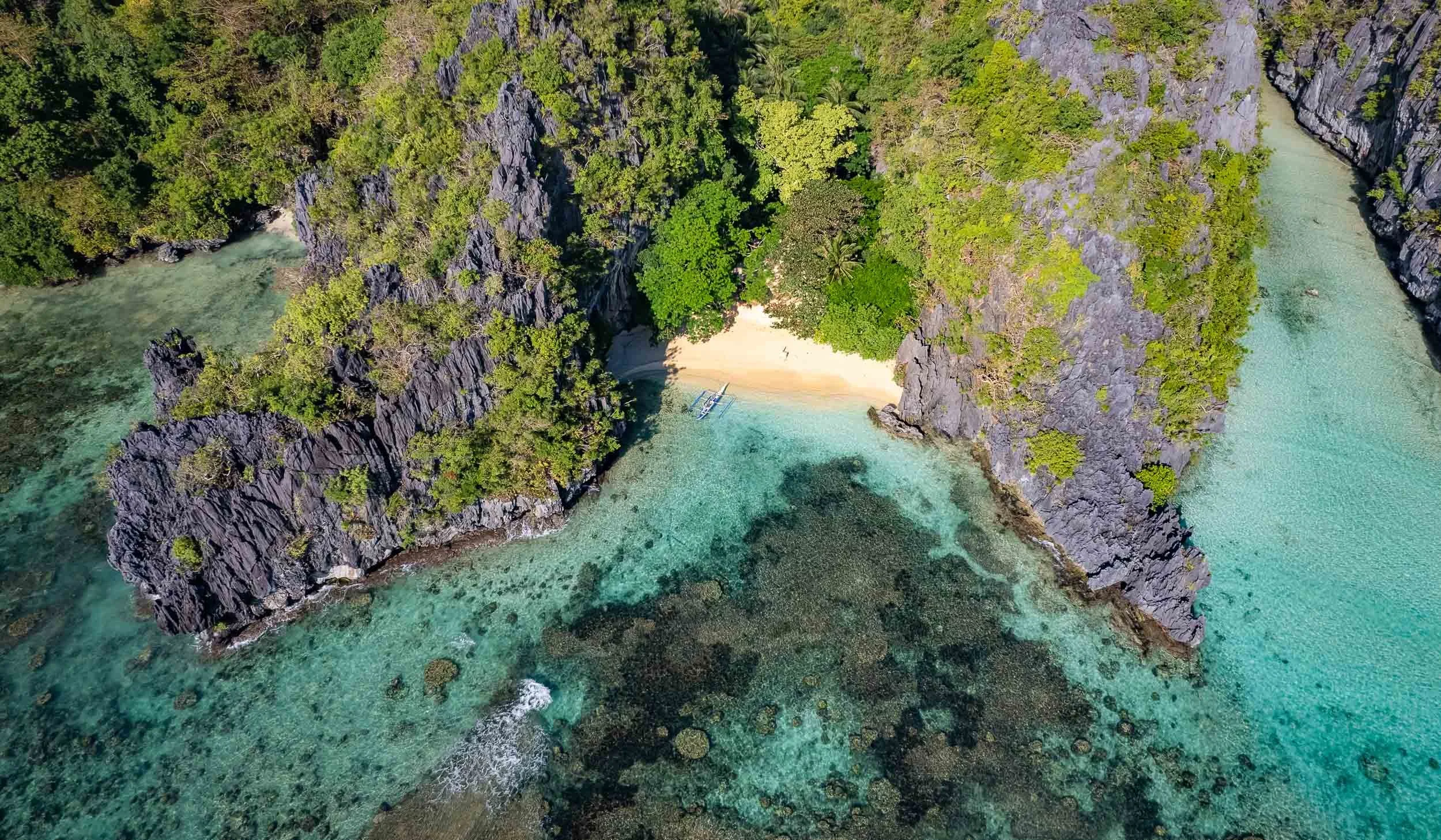
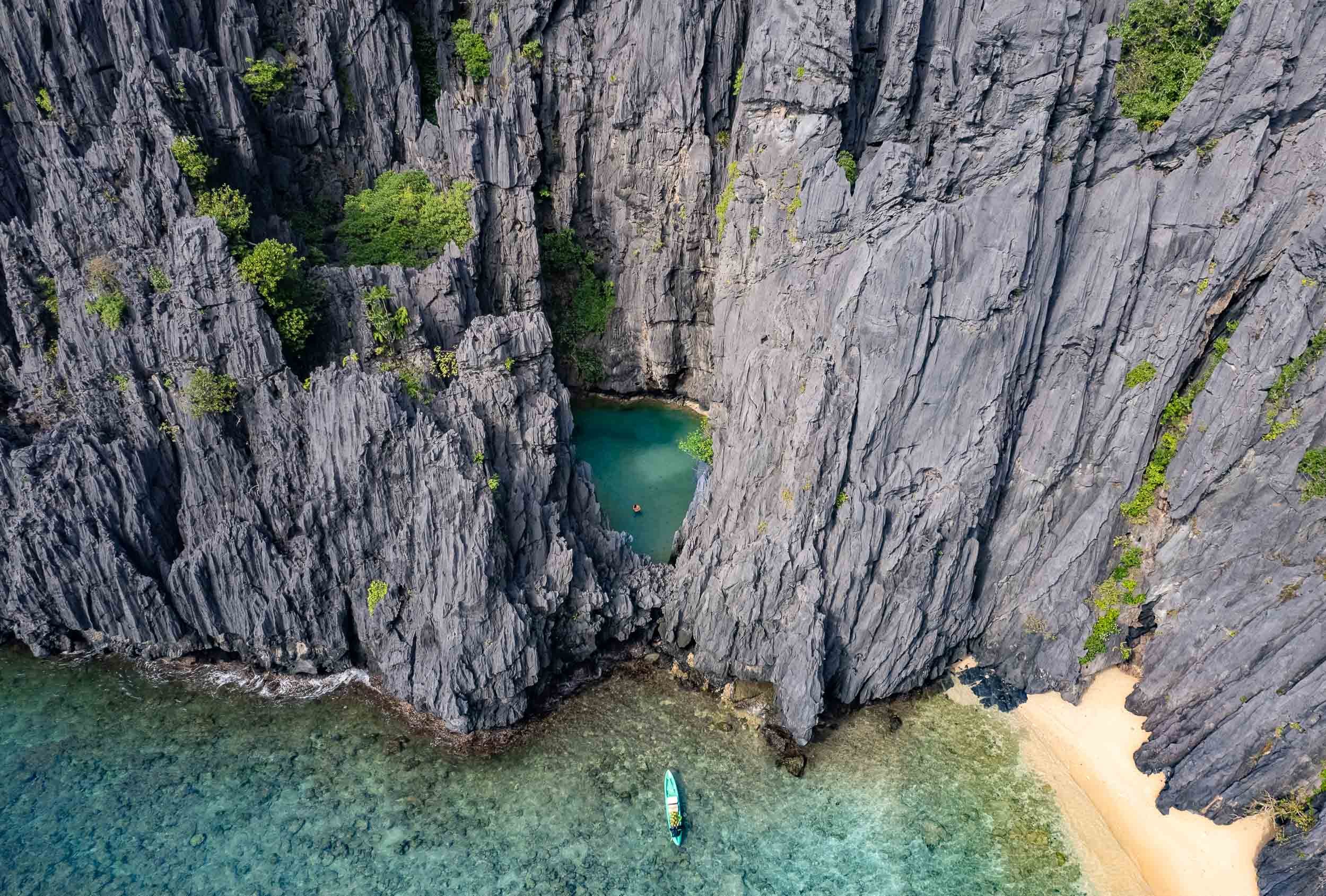
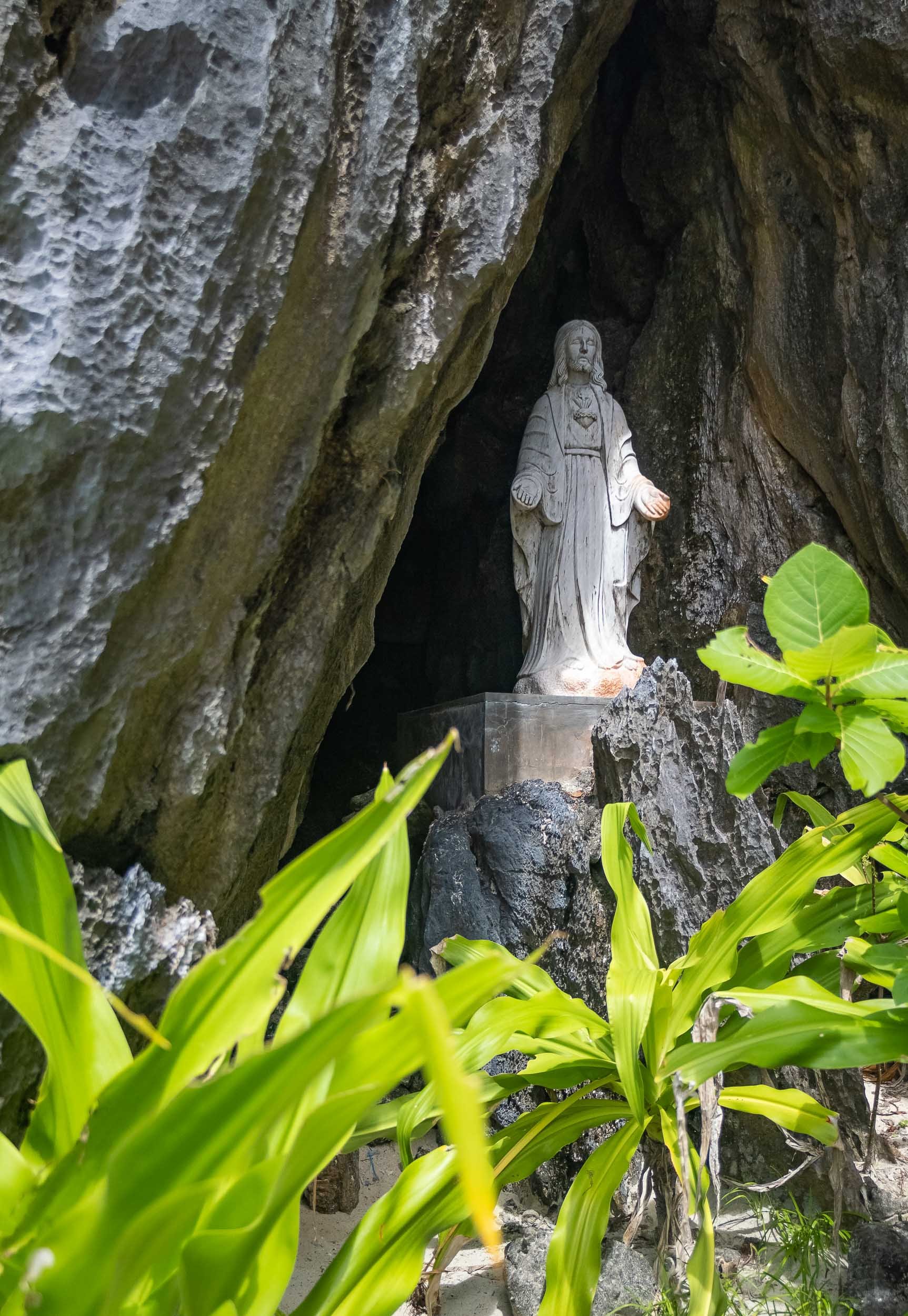
Matinloc Island
A bit further north-west you’ll find a curious man-made spot: An abandoned shrine, built in 1982 between the cliffs and the beach alongside a small villa, and now mainly used for lunch stops and apparently a yearly pilgrimage by the locals.


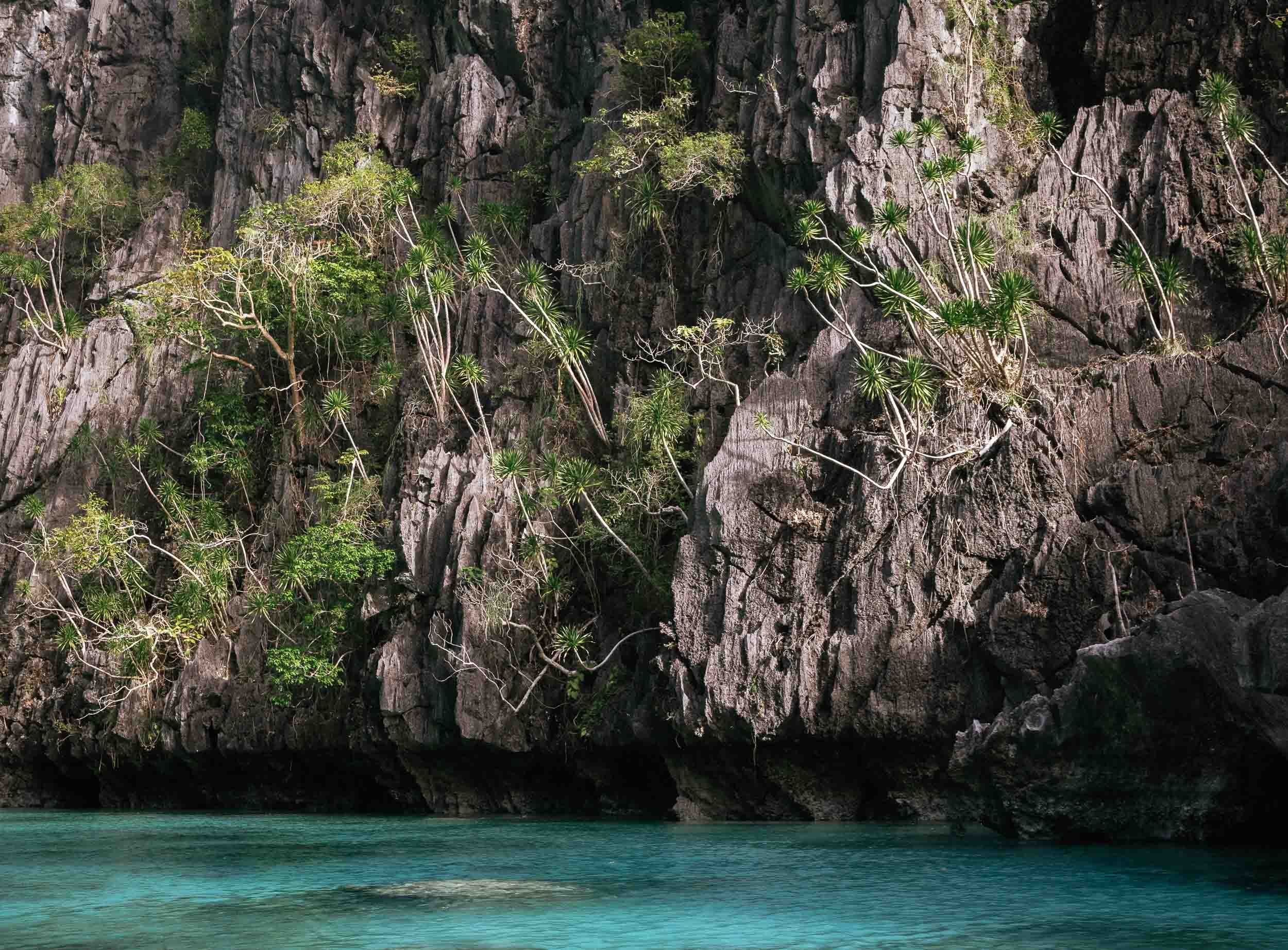
The scale of the limestone formations here is truly amazing, spot the kayak in the second shot!

Different
Geologically speaking, Palawan is very different from the rest of the country, as its rocky island landscape originated from the Eurasian plate, forming this spectacular karst terrain that isn’t found elsewhere in the Philippines.
Another place I was able to enjoy by myself was the Hidden Beach (again part of the creative naming scheme...) on the east side of Matinloc island.


Sunset over Bacuit Bay
El Nido had one signature sunset in store, despite the largely cloudy conditions during my stay. I used it to capture this fisherman returning from the sea in his Bangka.


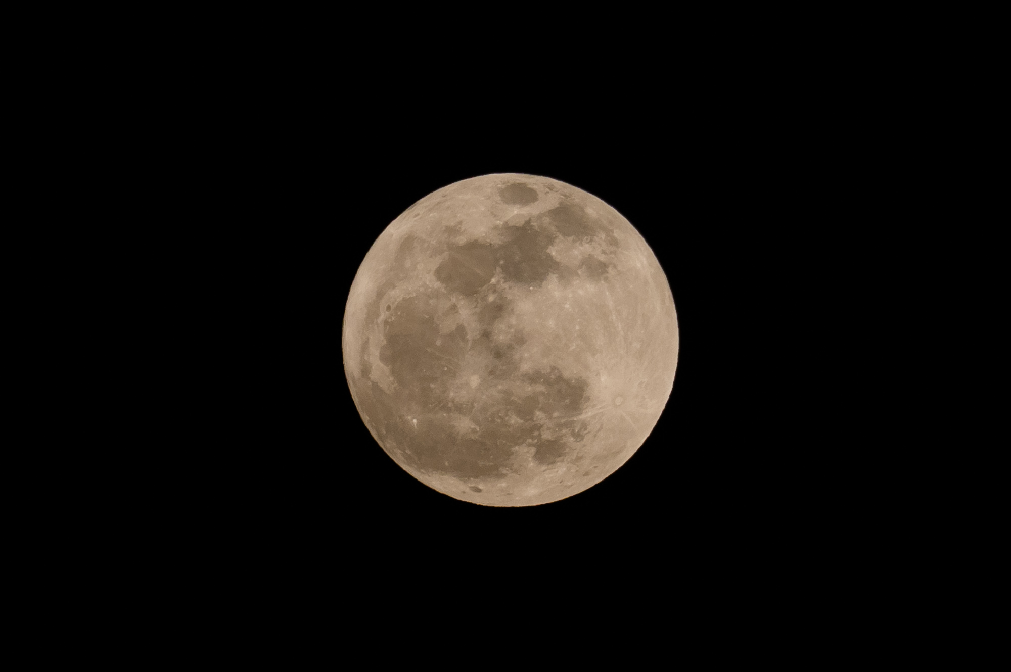
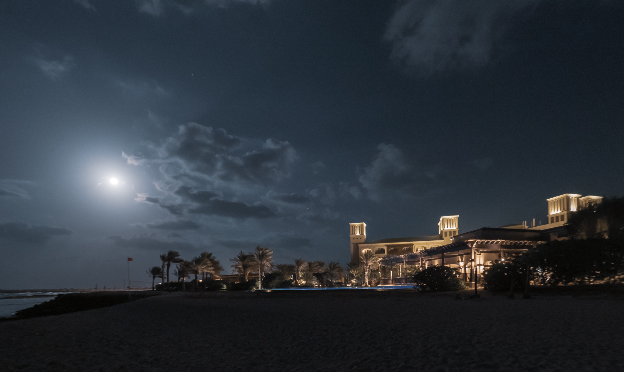
Waxing Moon
Our celestial companion rising on a clearer evening.

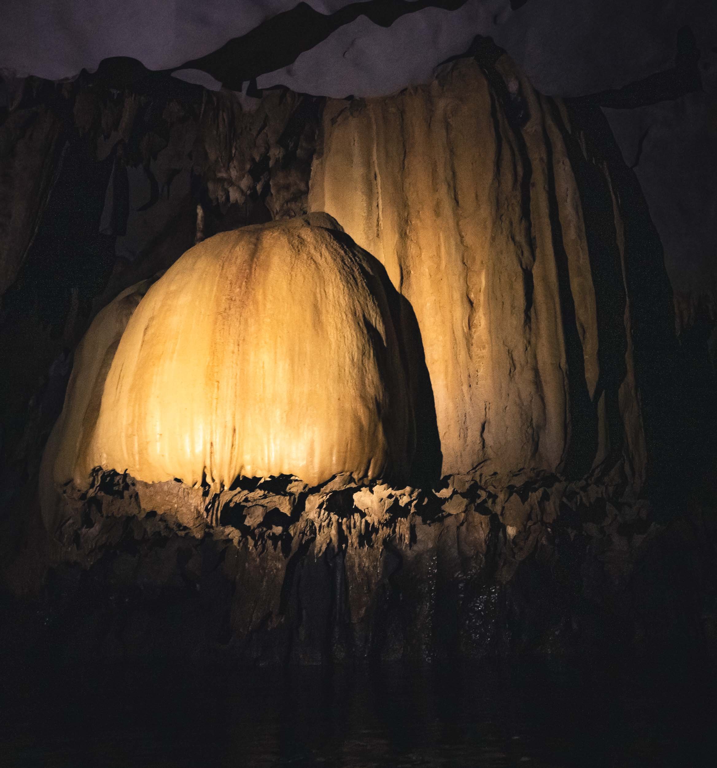
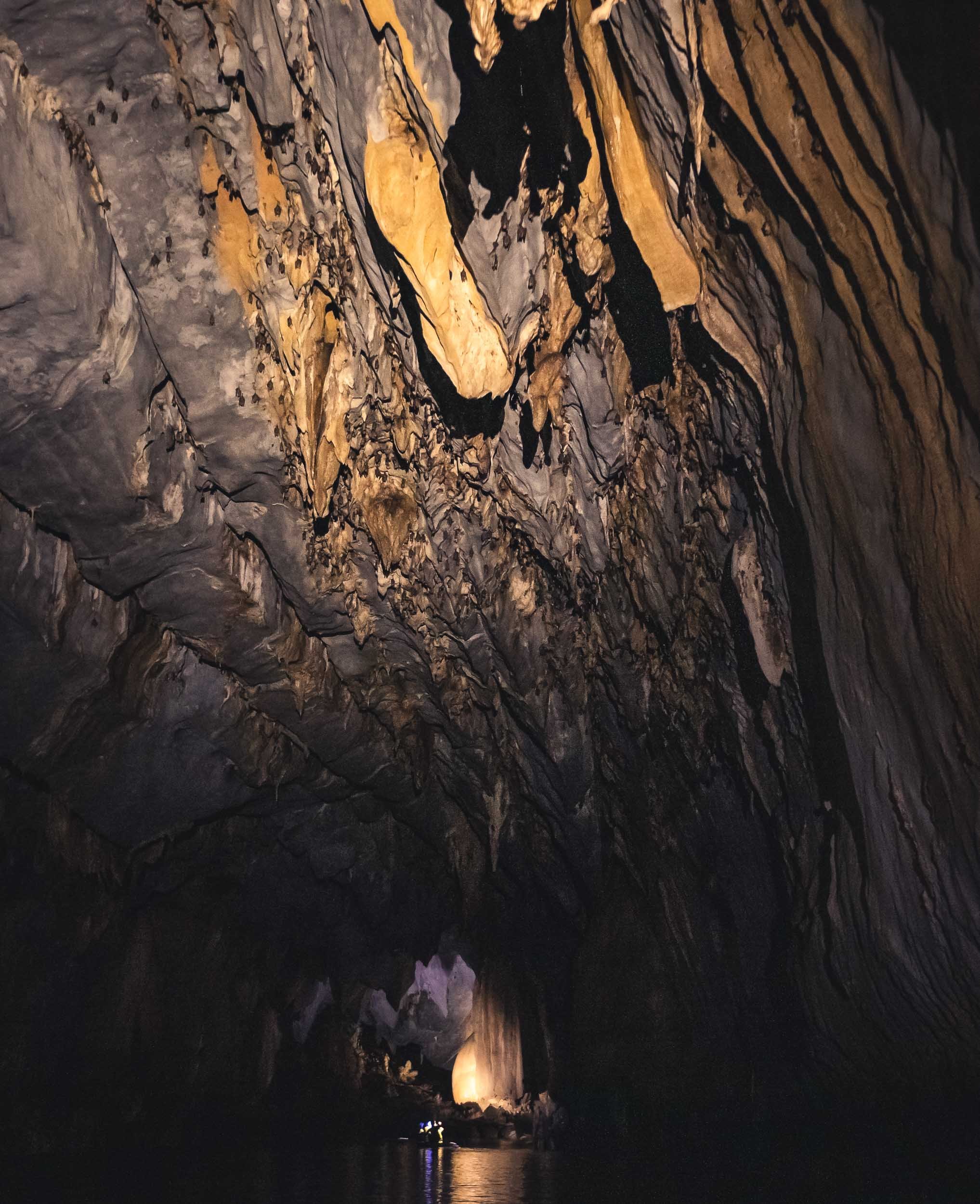
Going Underground
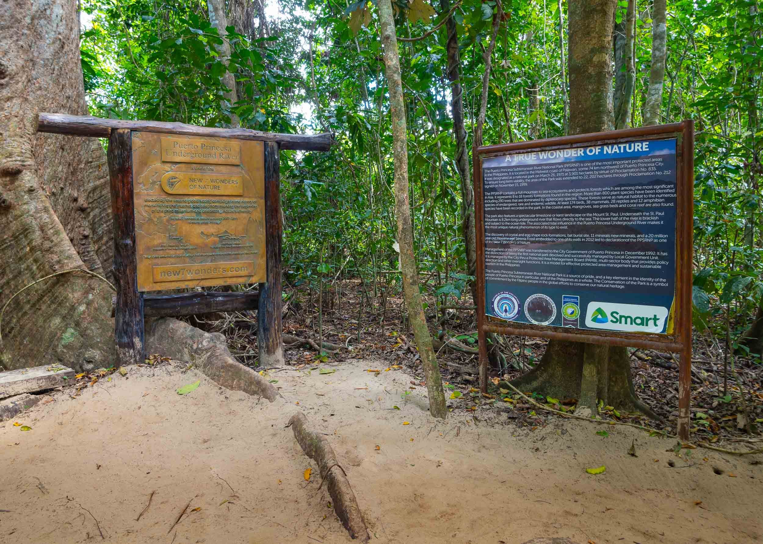
I spent the last day going back to Puerta Princesa for my onward flight, and started very early in El Nido for another attempt to reach and tour the subterranean river. This UNESCO World Heritage Site was once said to be the world’s longest underground river - there seem to be different definitions of this record though.
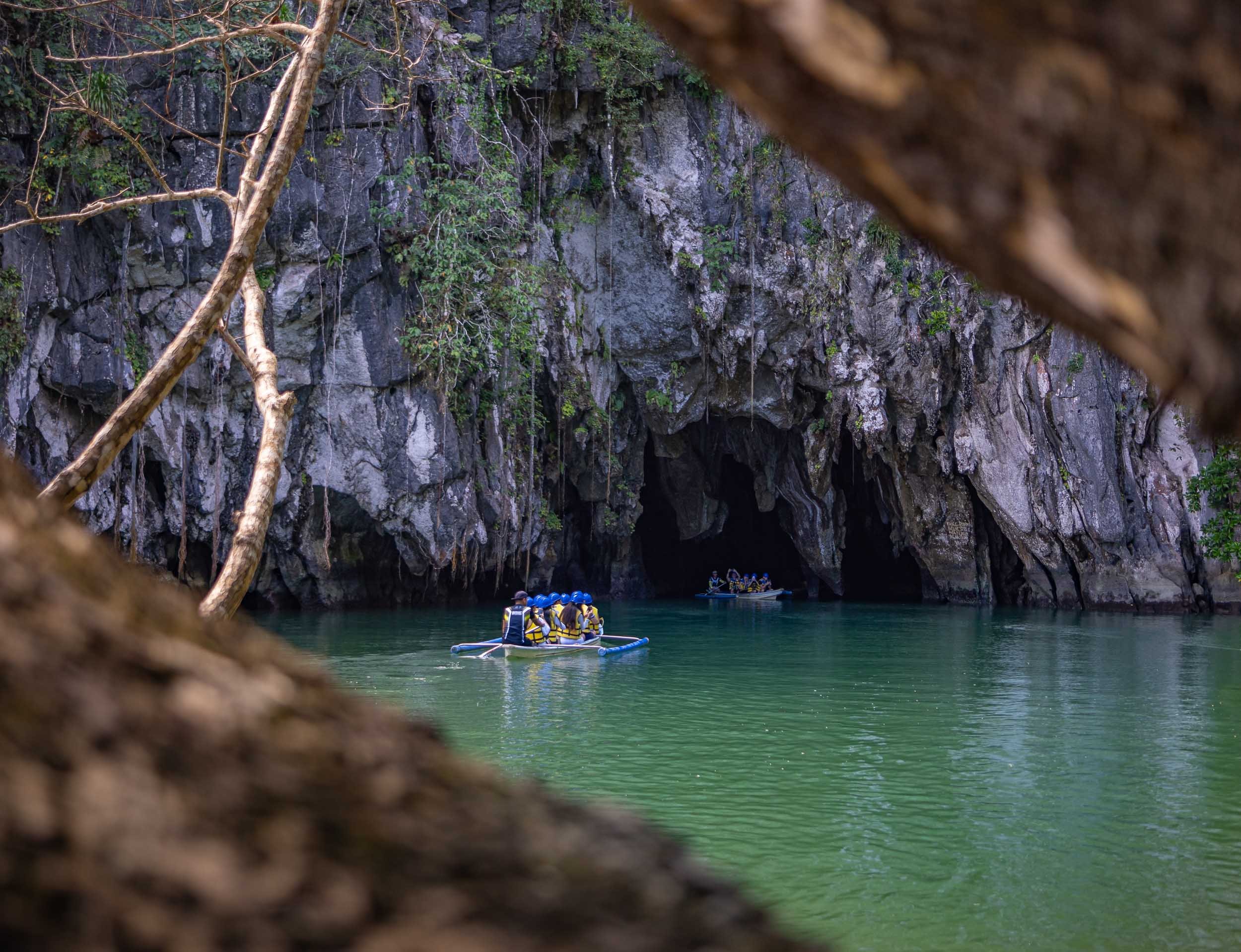


The inside of the cave river becomes completely dark once you go a few hundred meters beyond the entrance, with only the light of the boat captain shining onto the amazing limestone formations. It’s over 8km long, although only the first few kilometers are navigable by boat. The cave network itself reaches even further at 24km length.

Palawan is home to a few special places, and the underground river as well as the limestone cliffs and their hidden beaches and lagoons are truly special. While it can be very touristy, and El Nido town definitely wasn’t my favorite, there are ways to make it a more enjoyable experience, and I can definitely recommend Palaweña to achieve that, one of the best operators I’ve worked with anywhere. Is it my favorite place in the Philippines? I think not, but more on that in another blog entry - subscribe here if you don’t want to miss it.

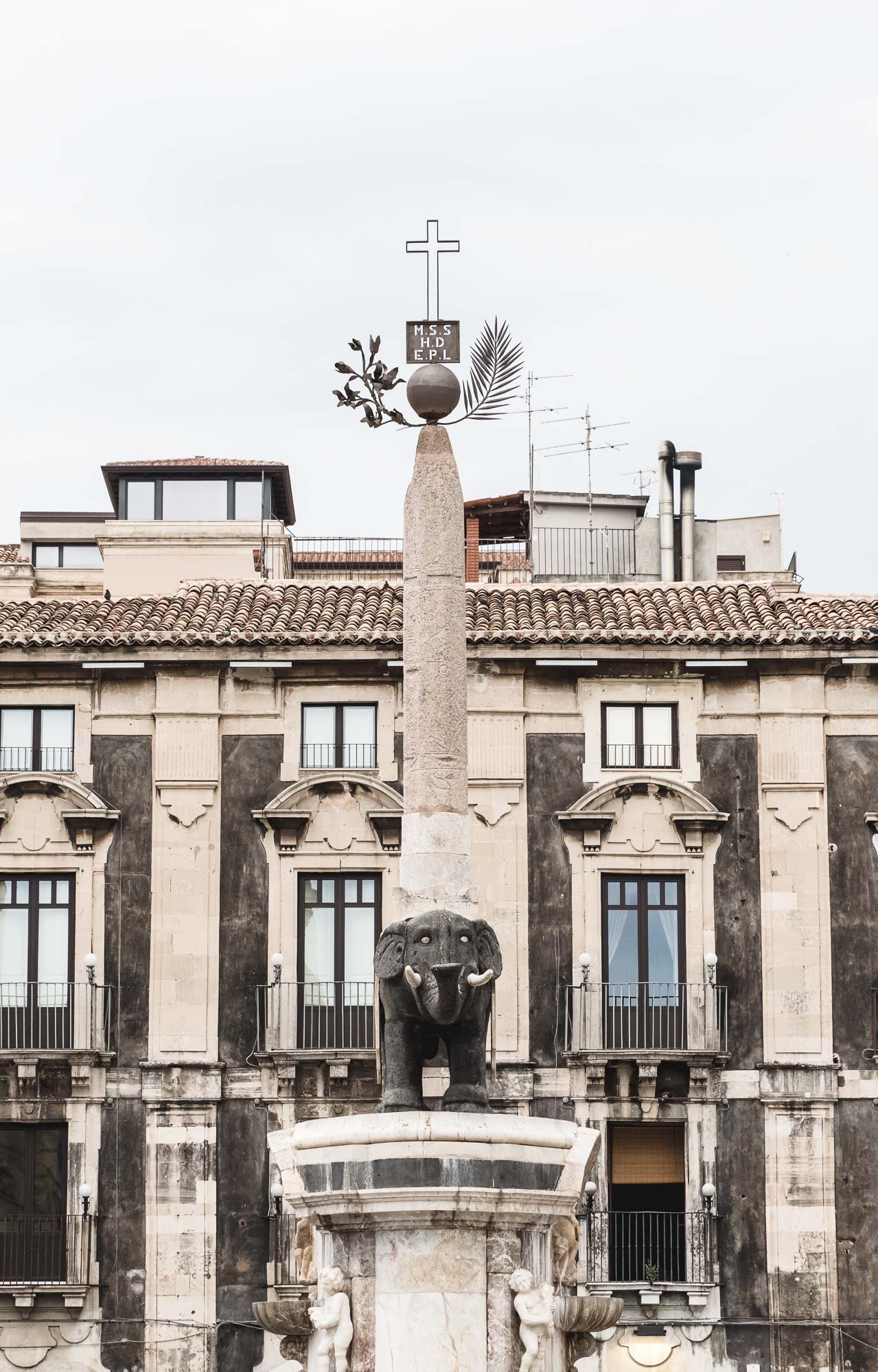
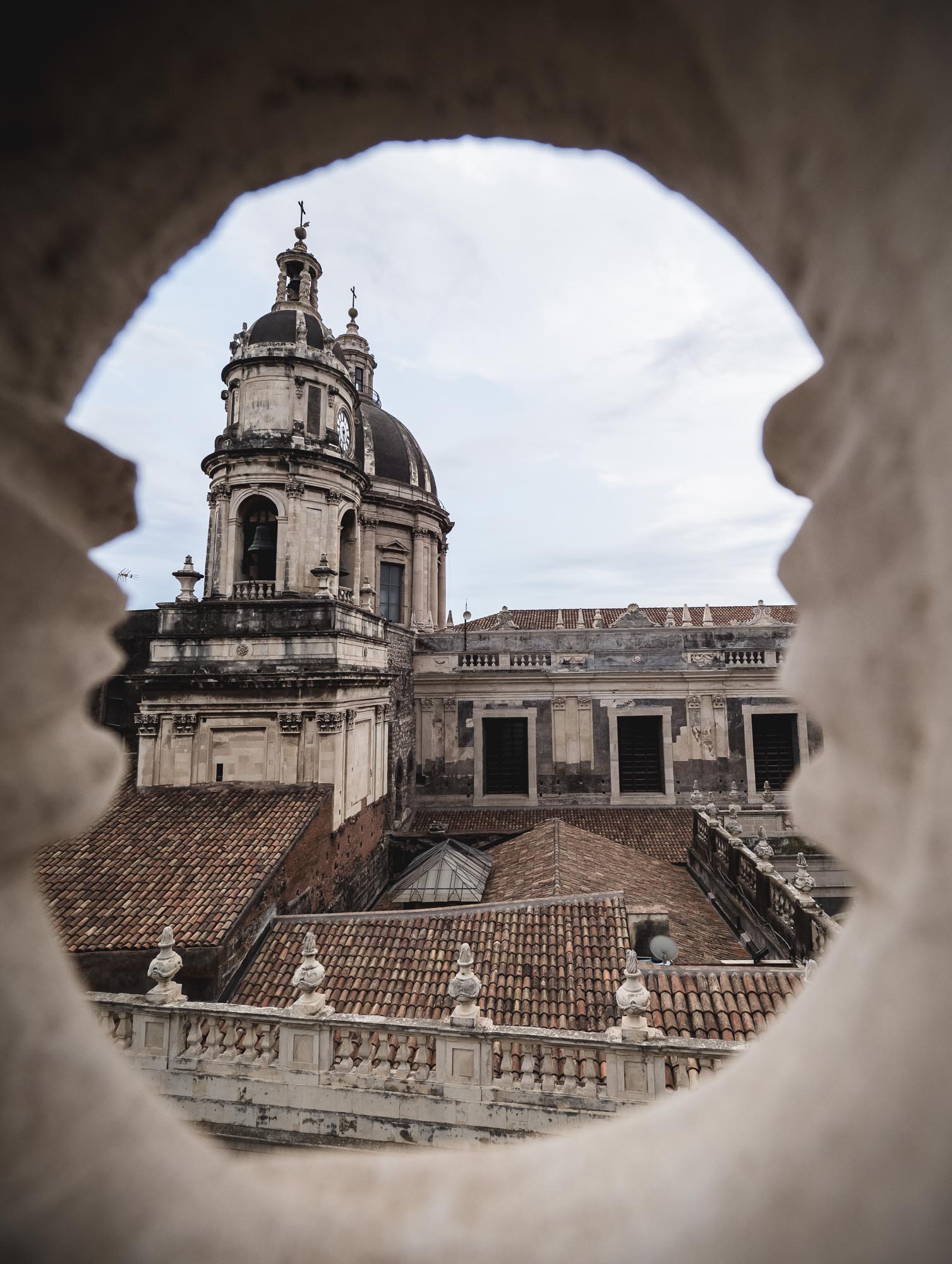
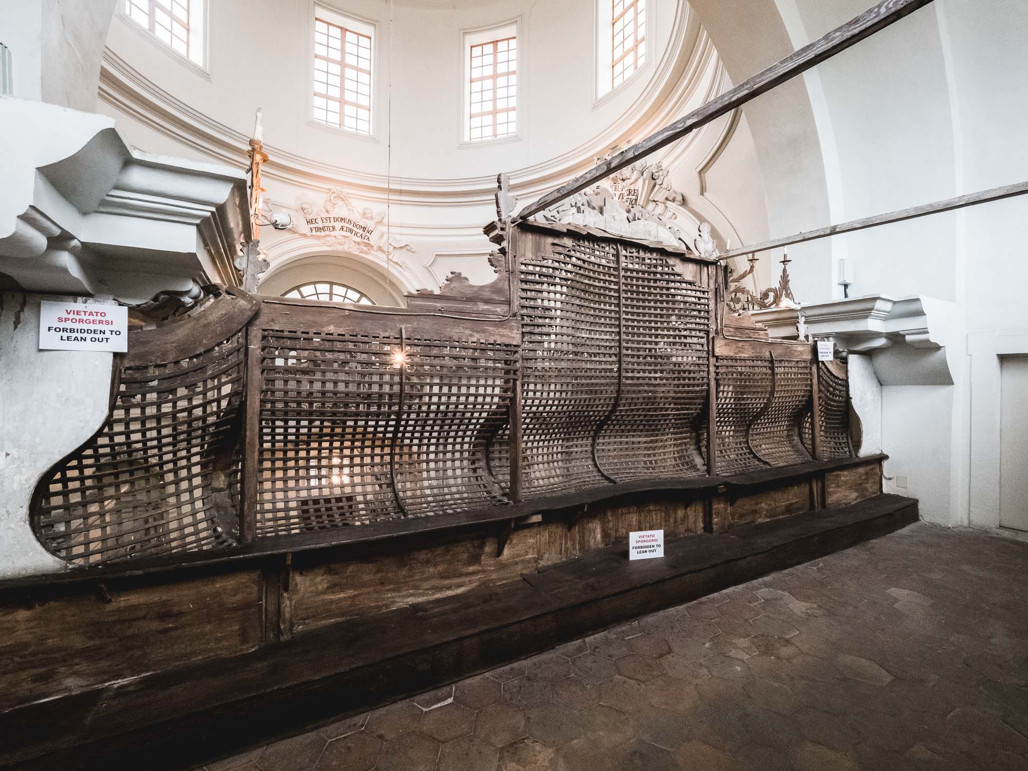
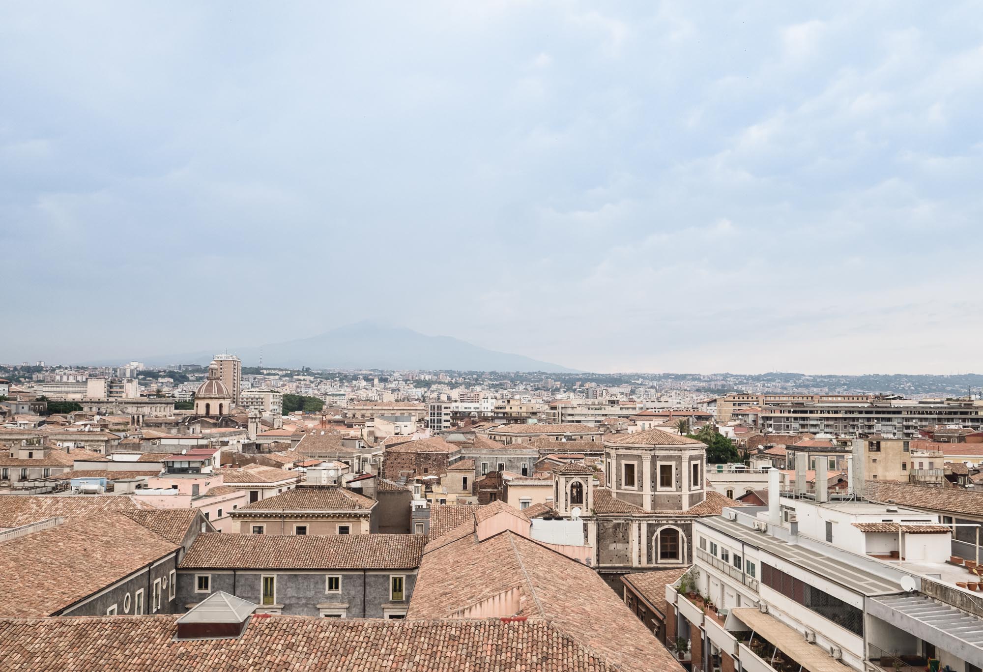
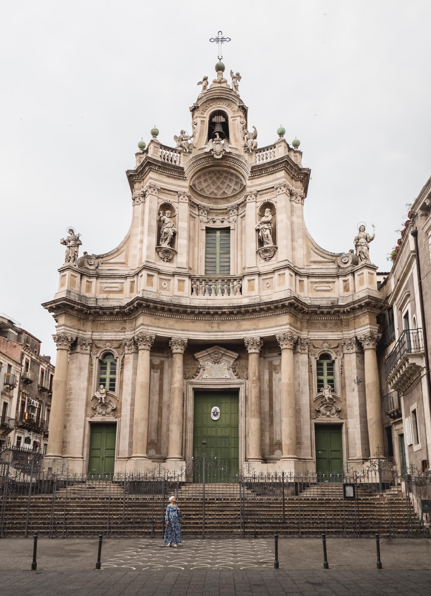
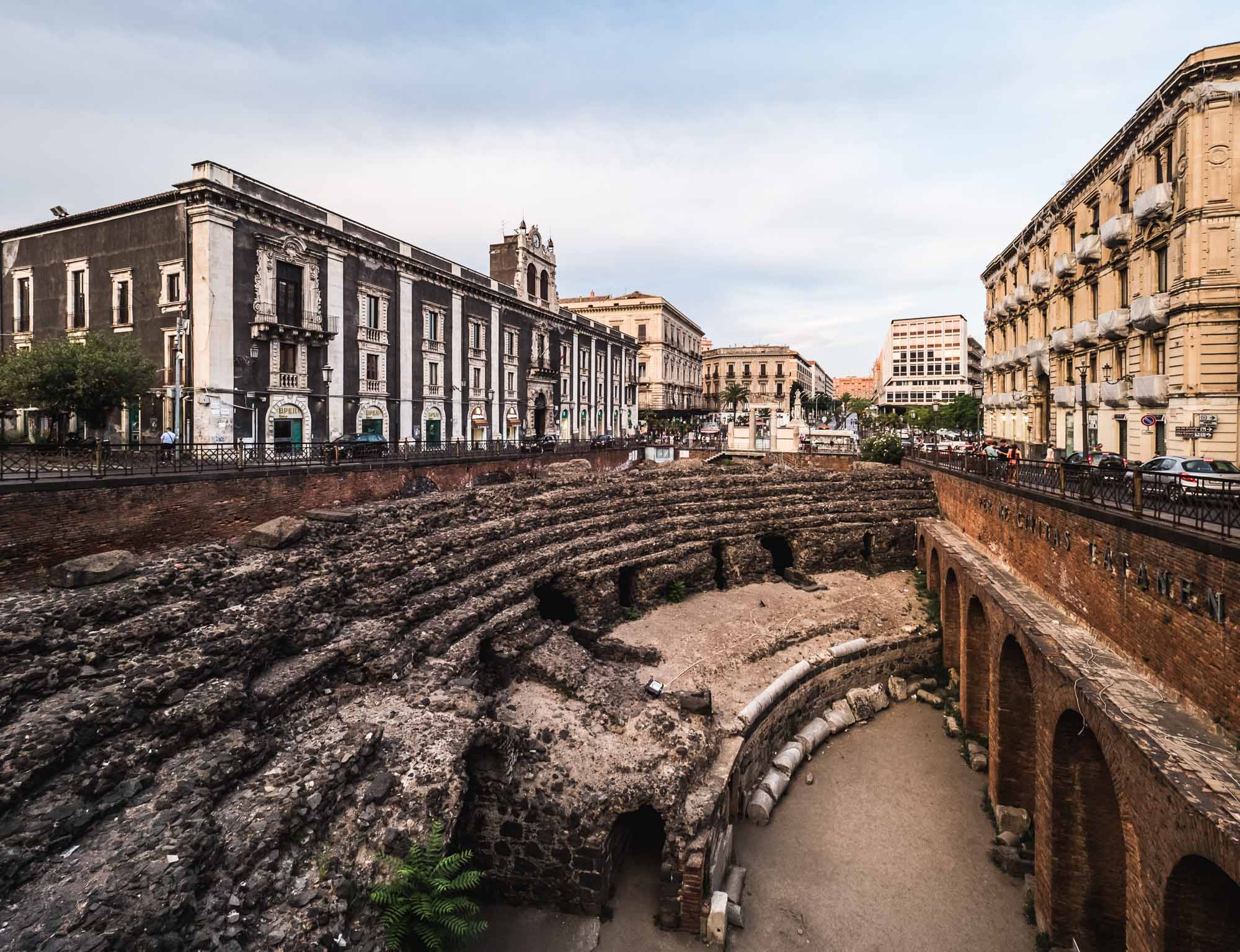
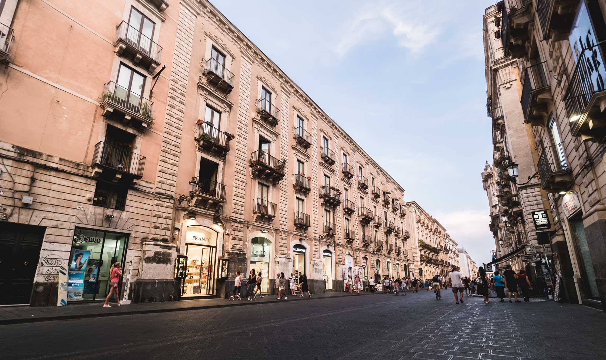
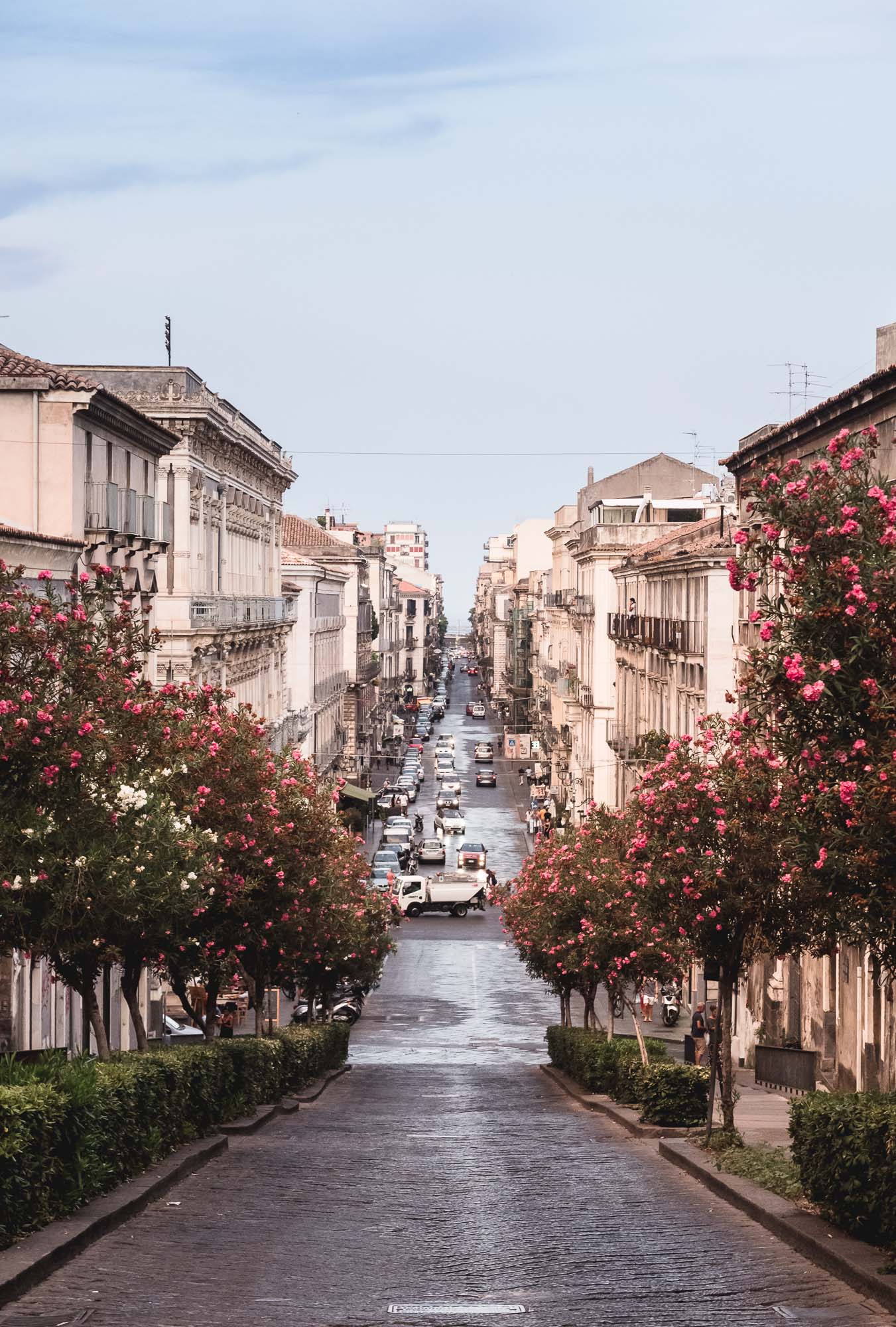
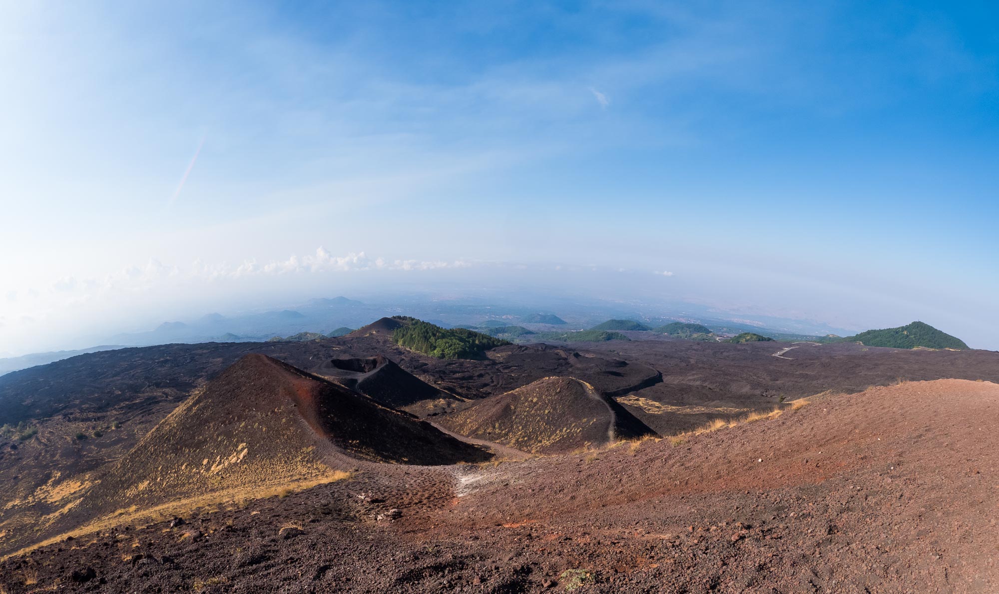
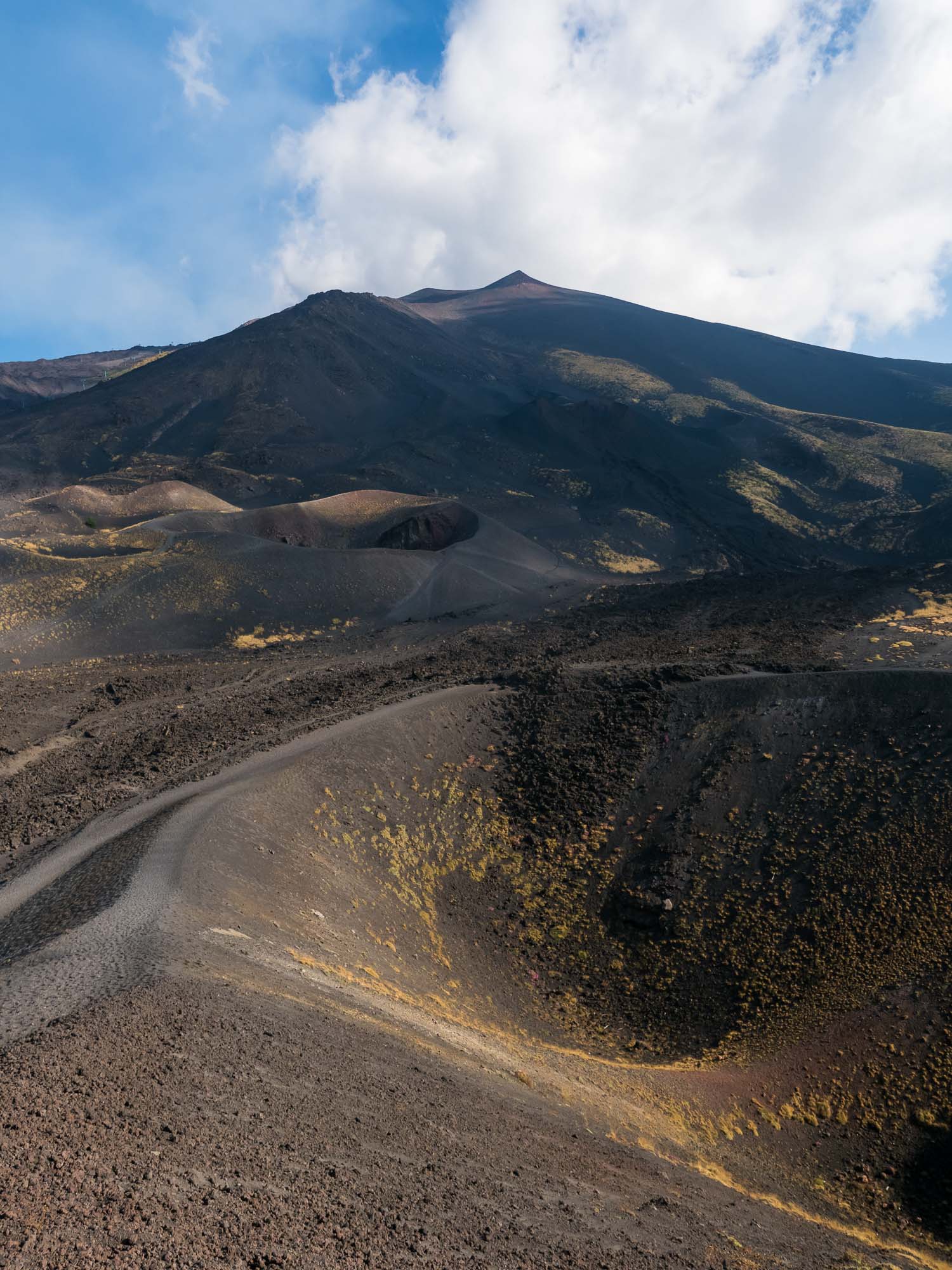
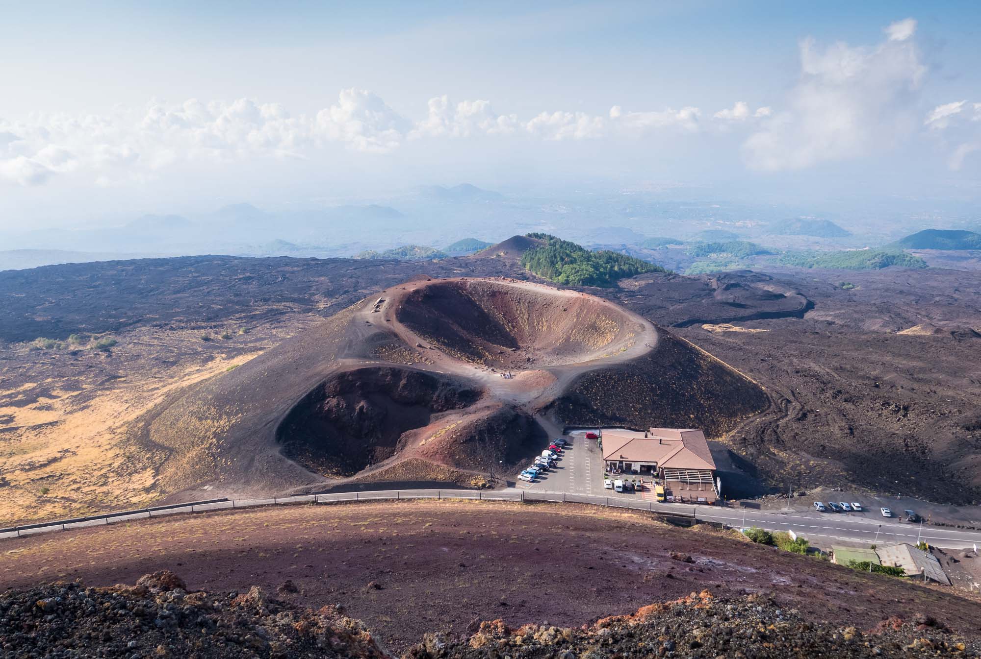
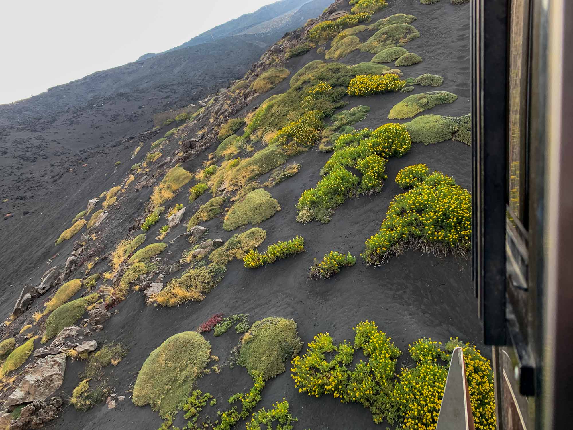
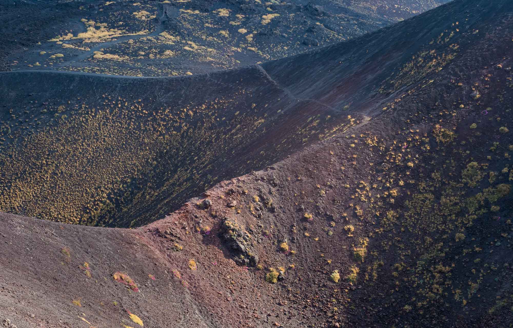
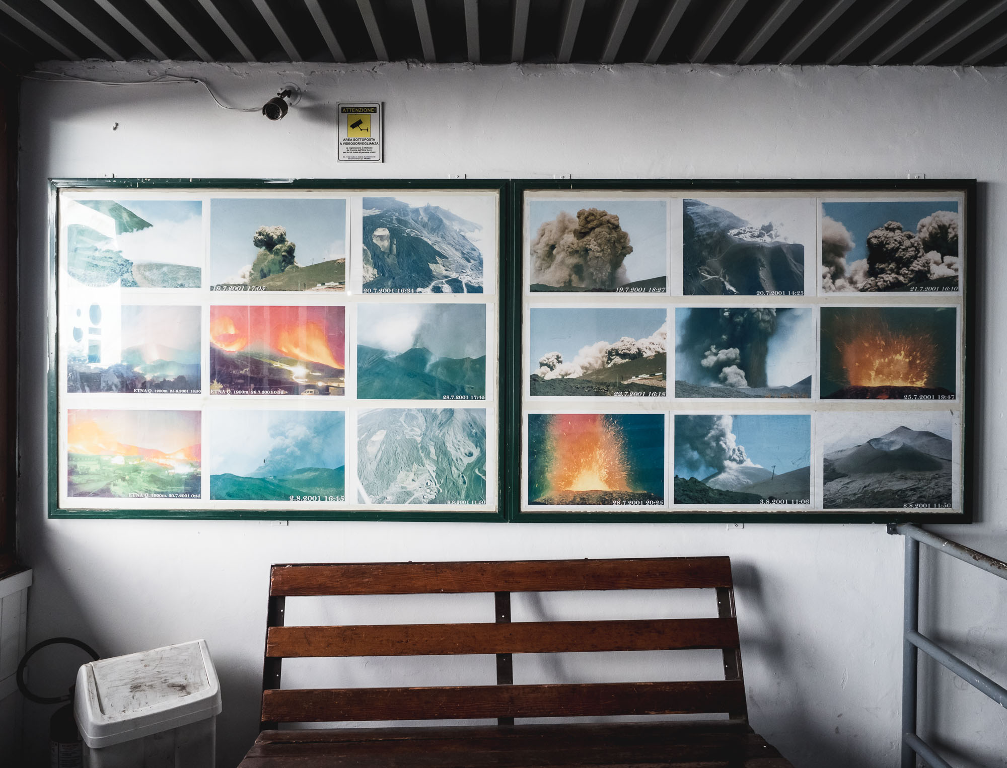
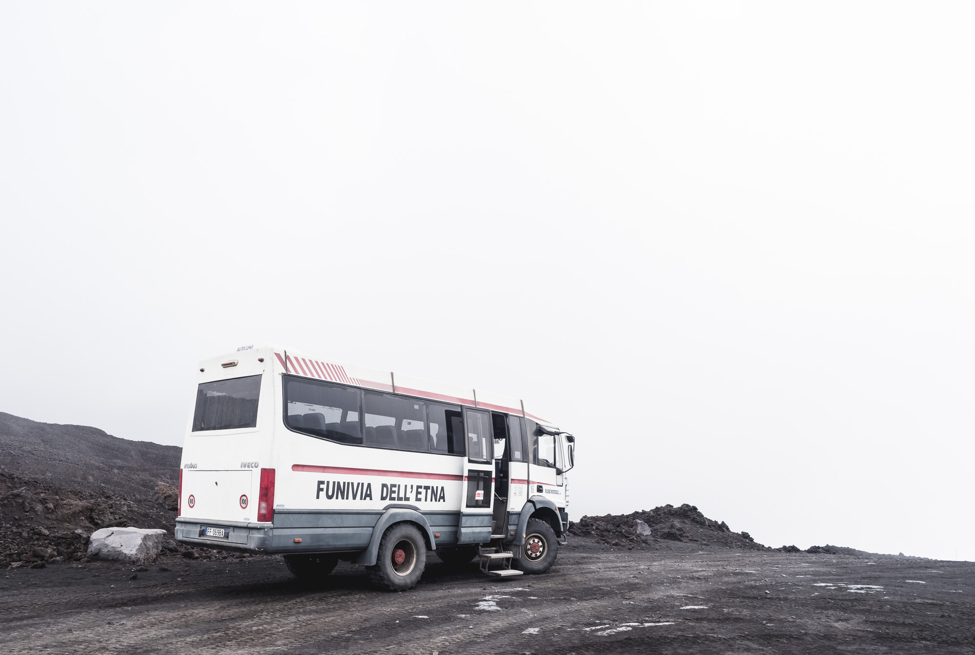
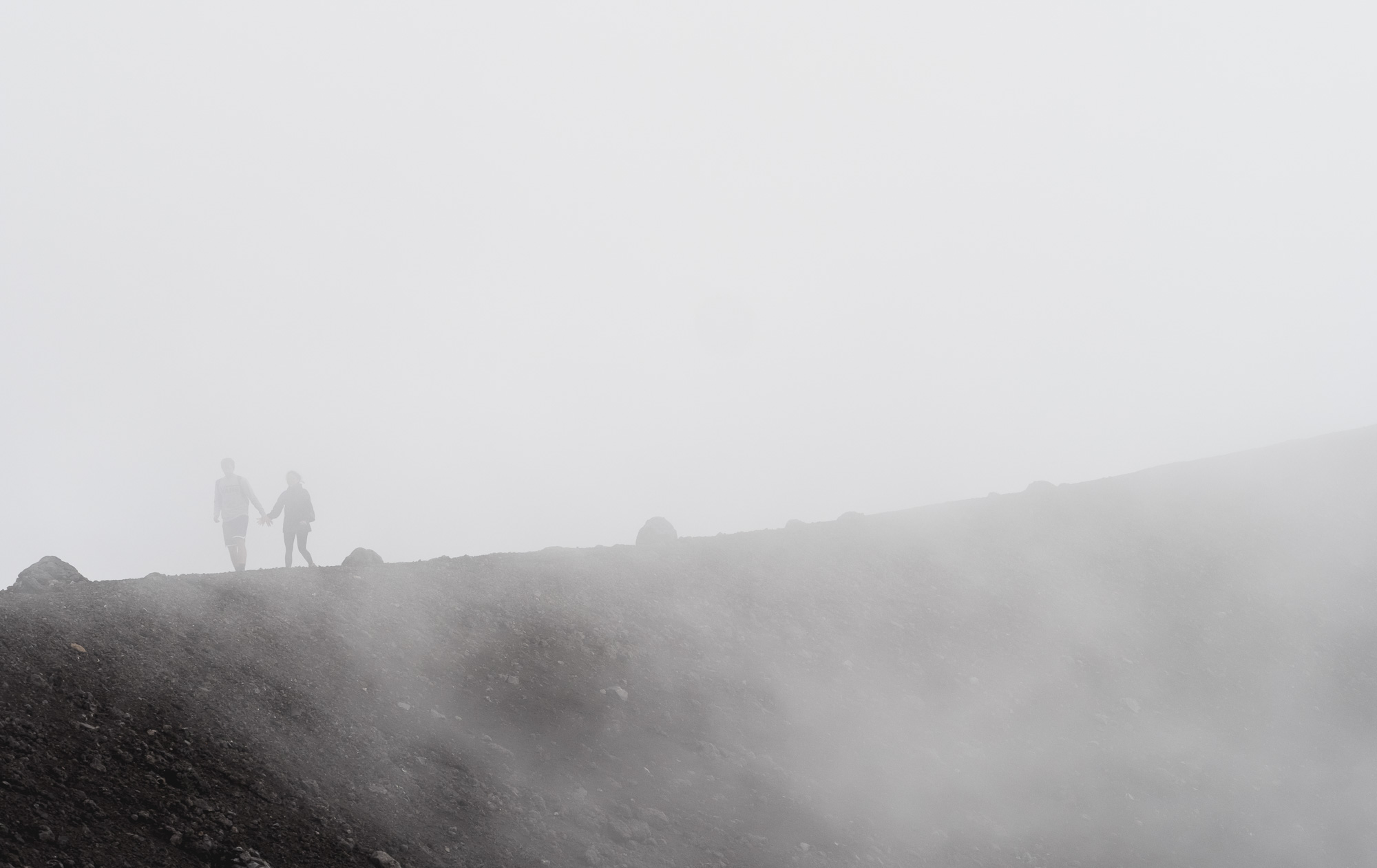
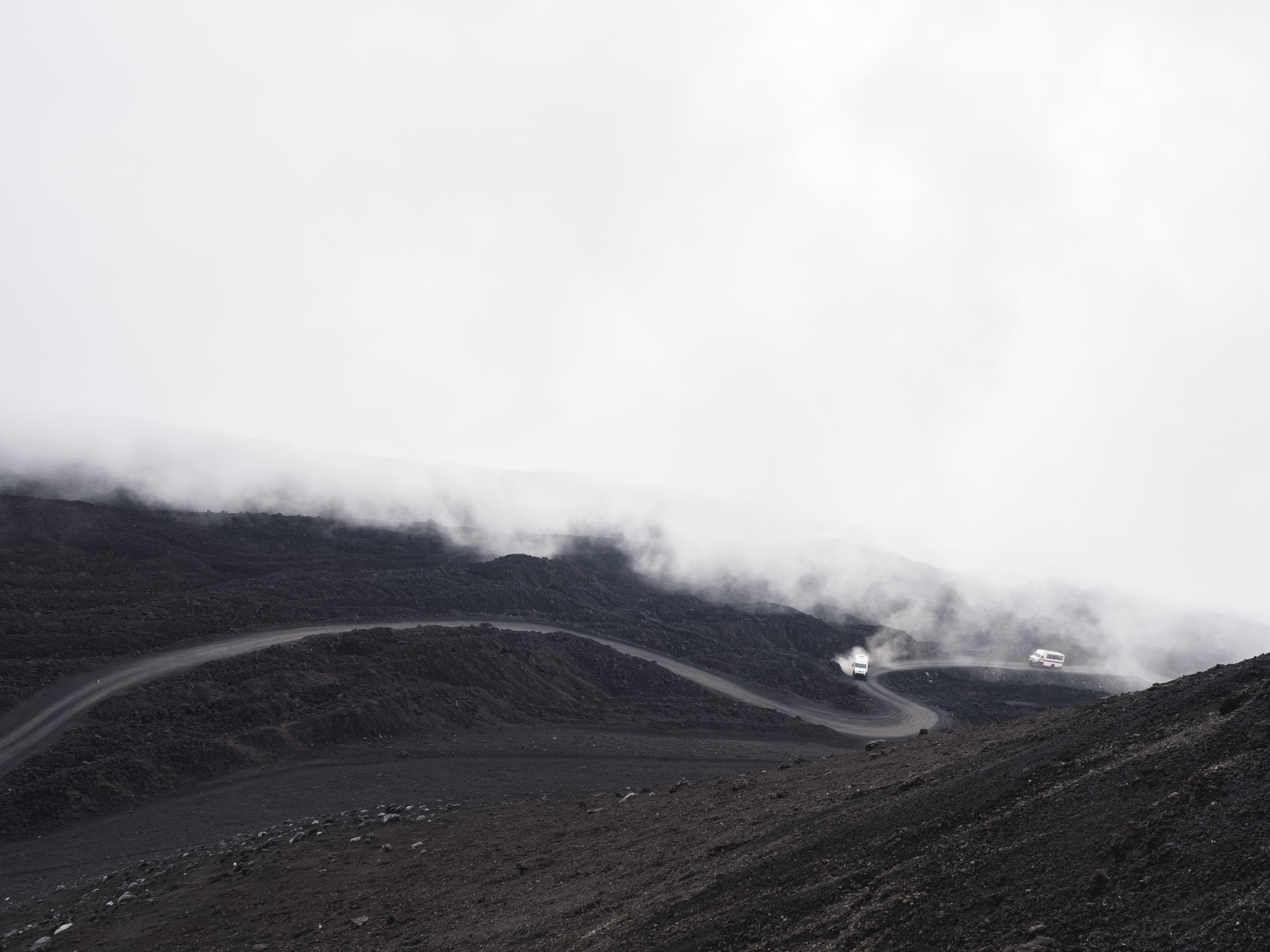
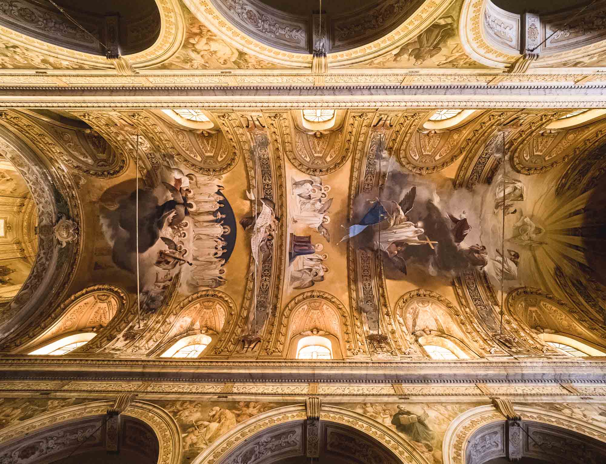
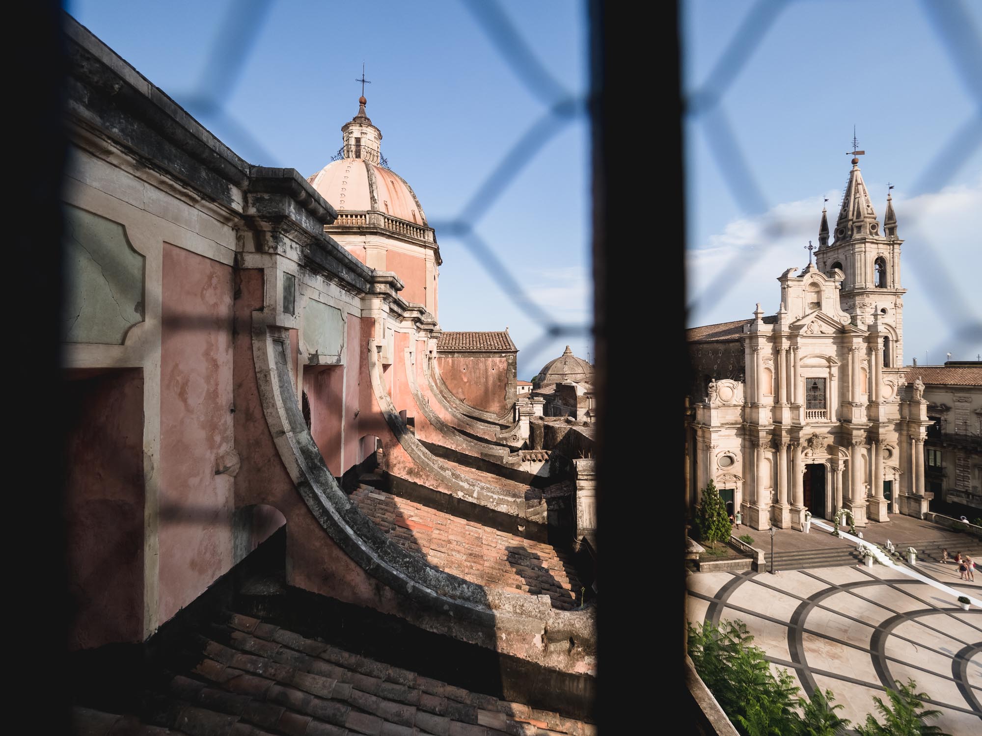
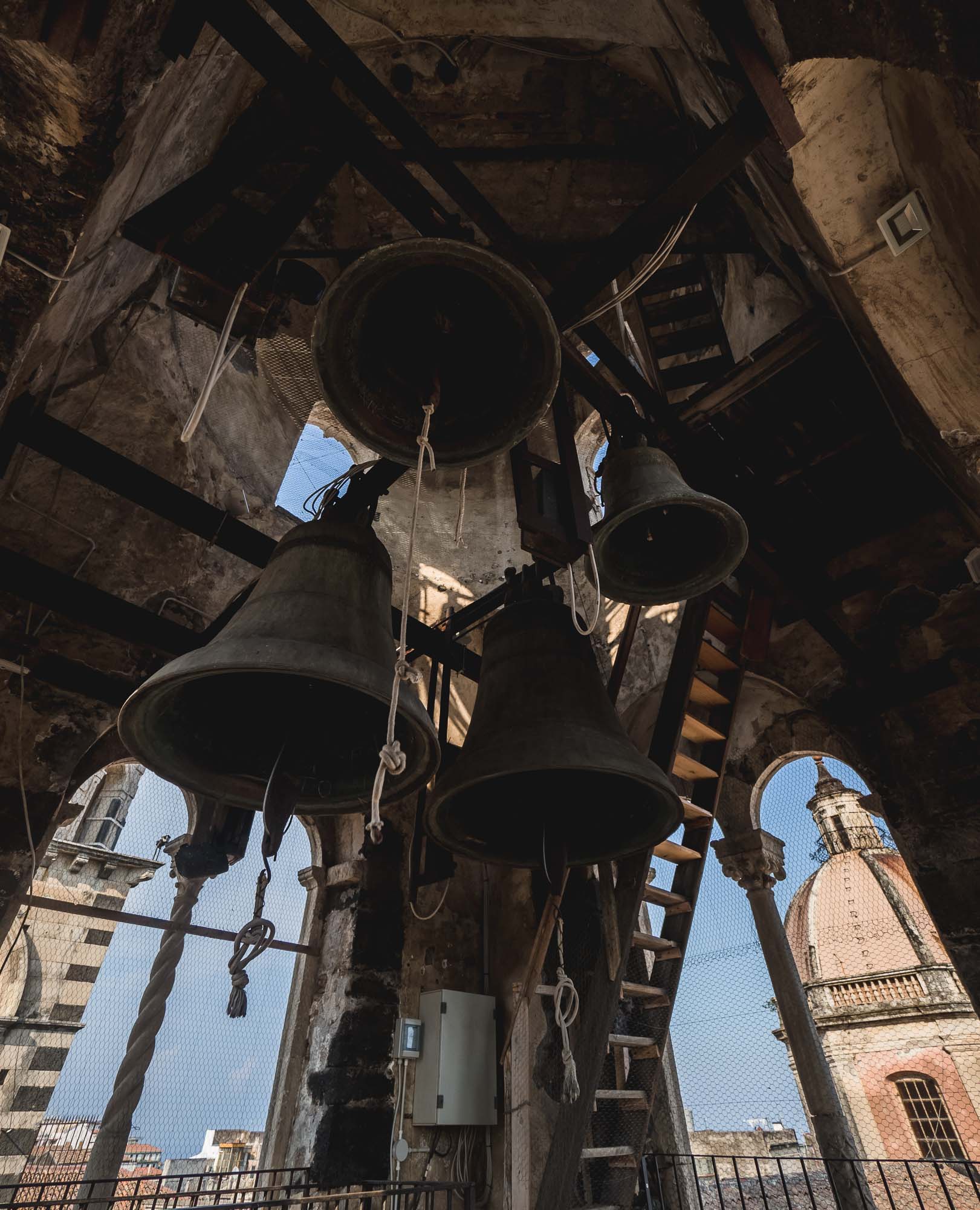
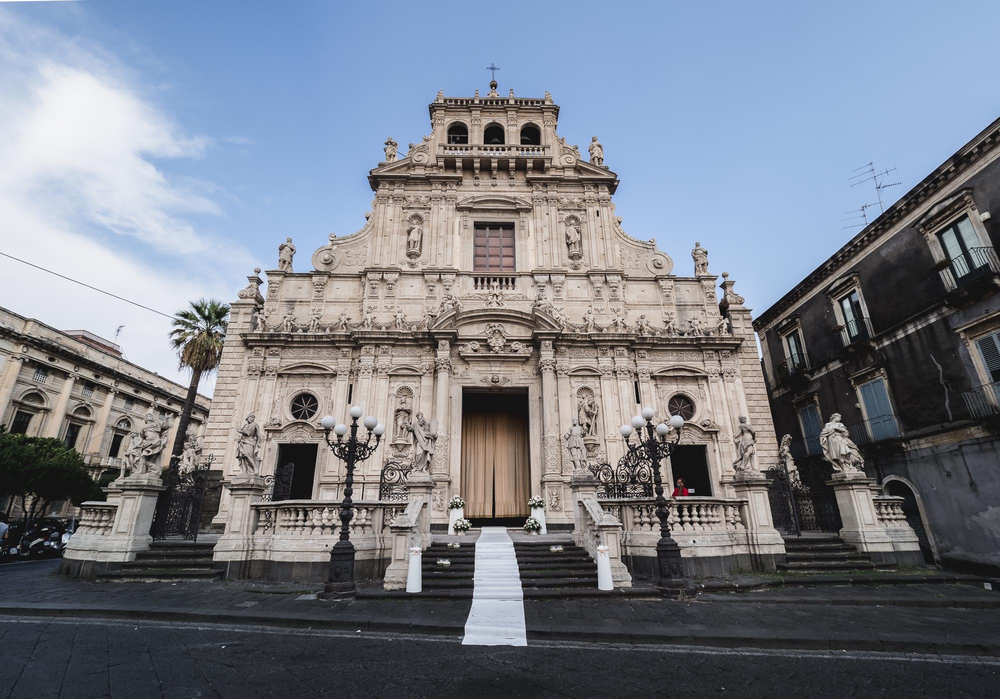
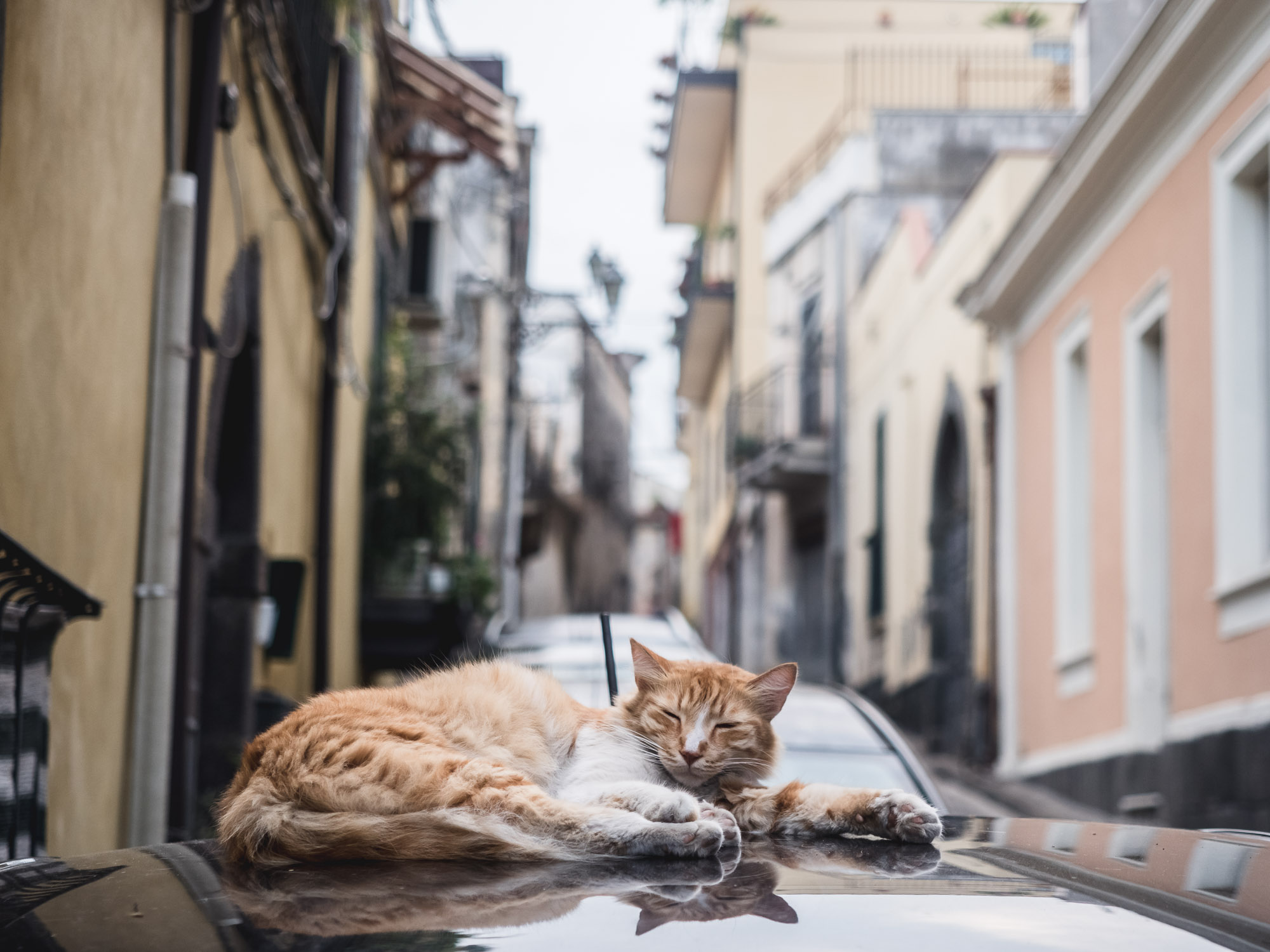
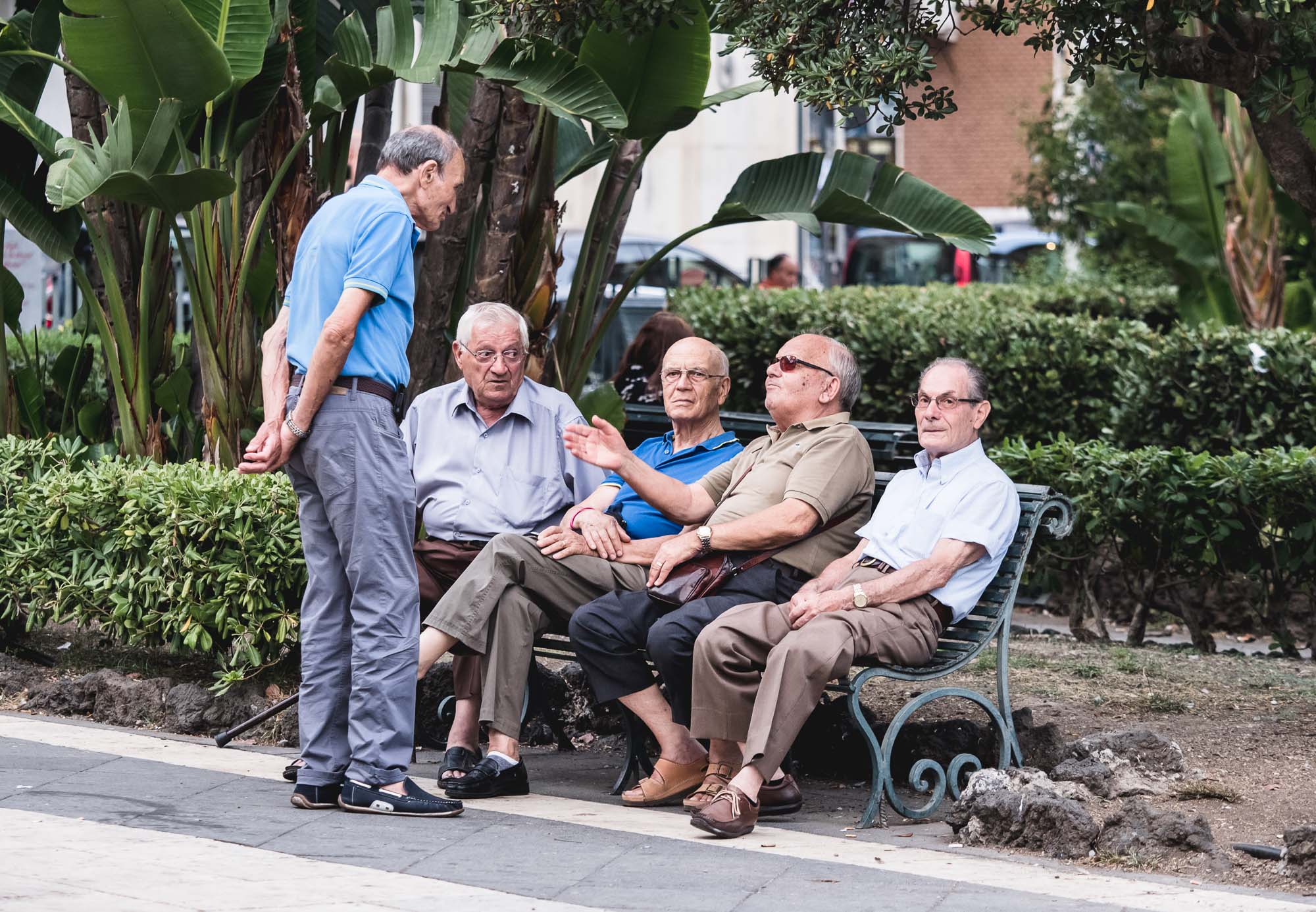
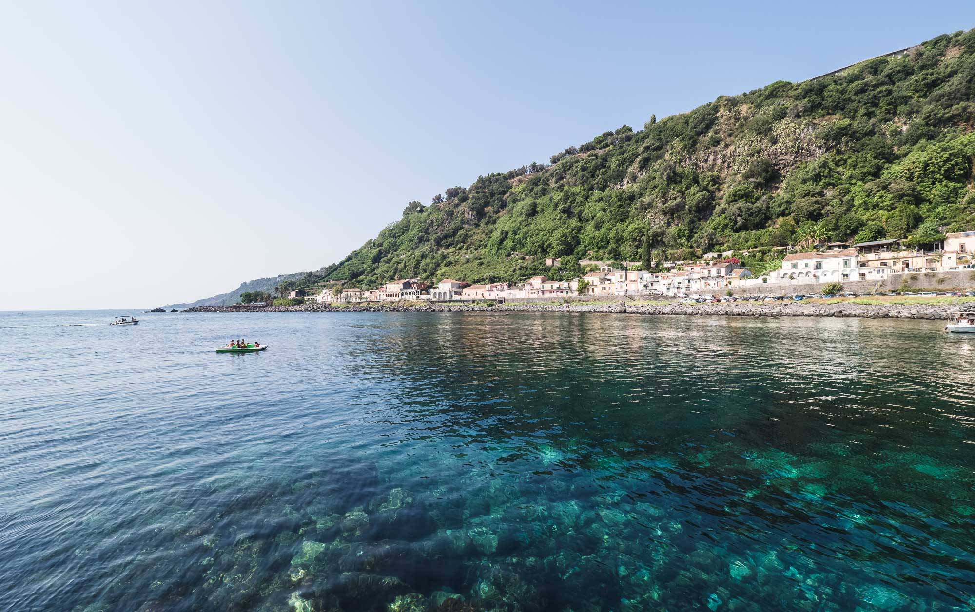
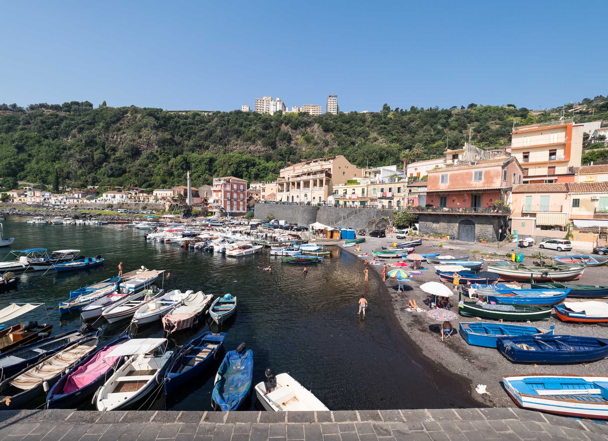
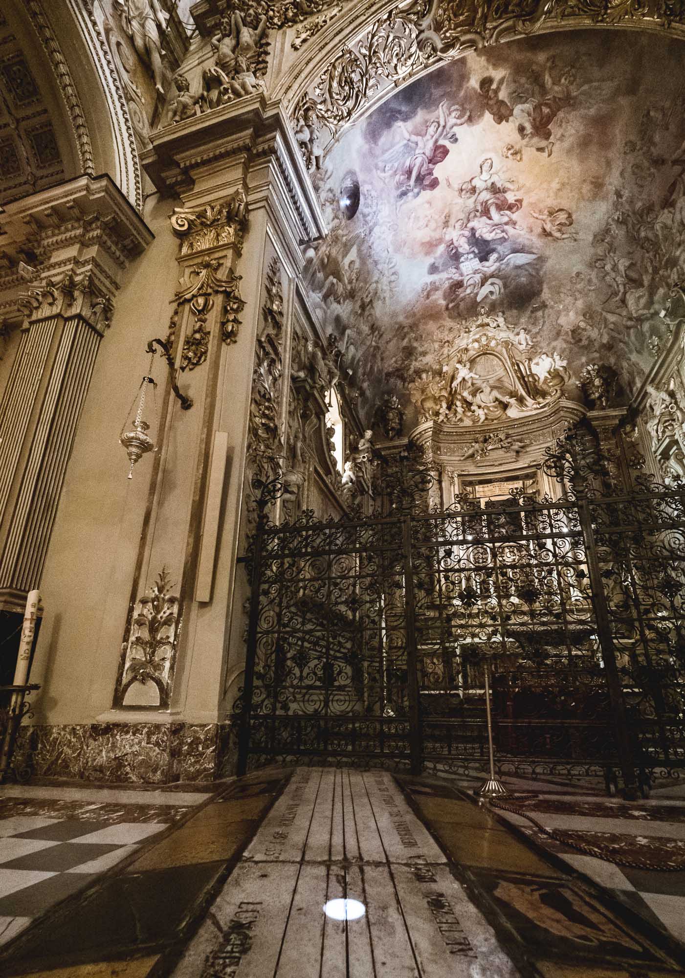
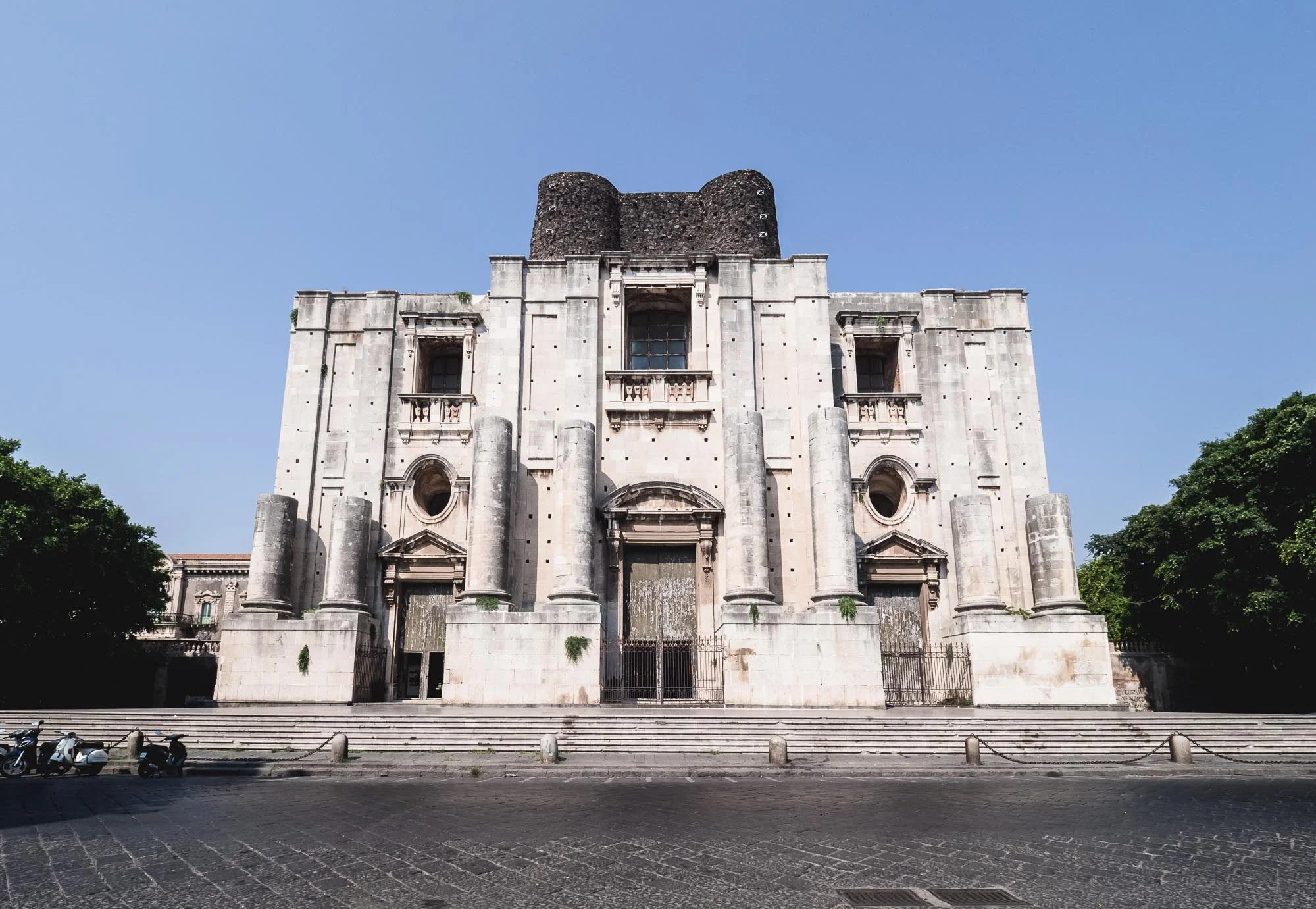
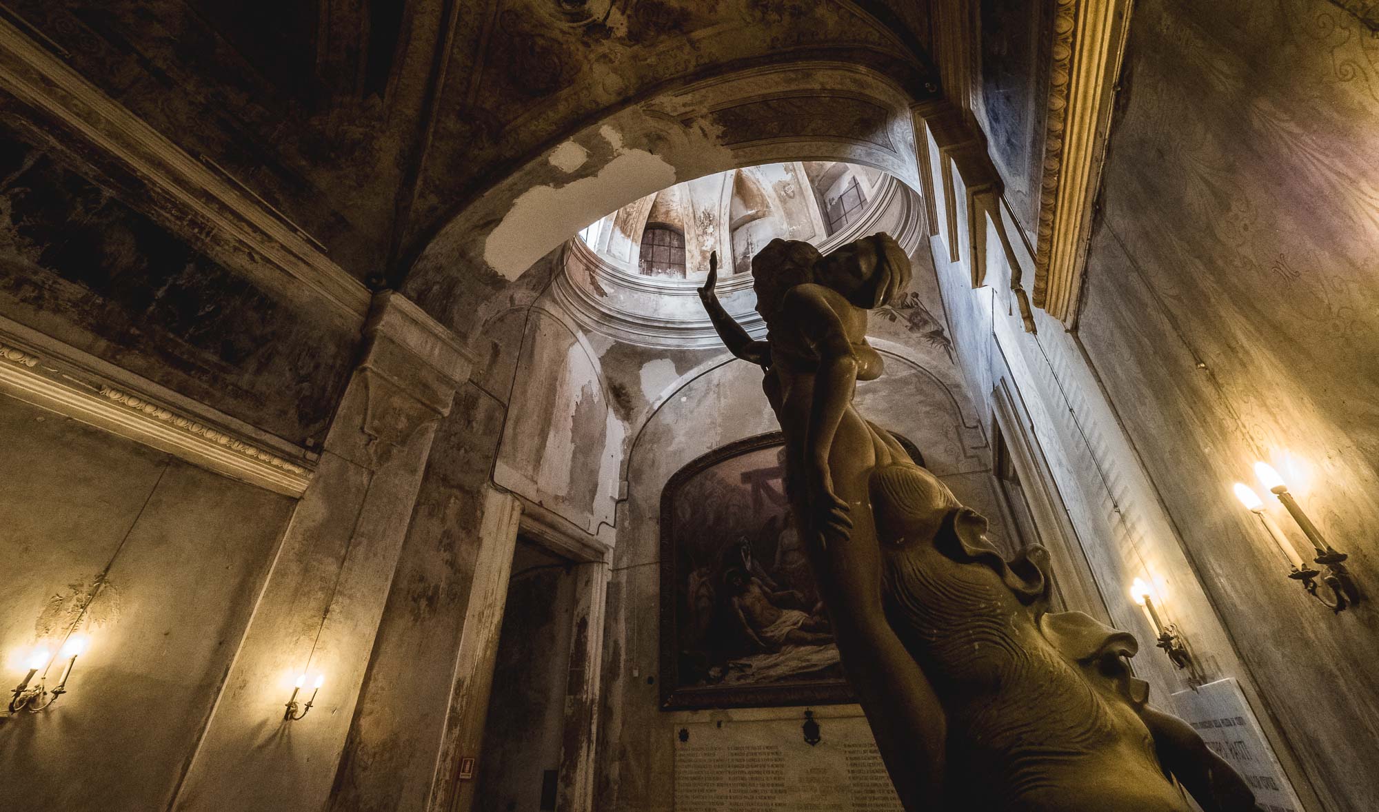
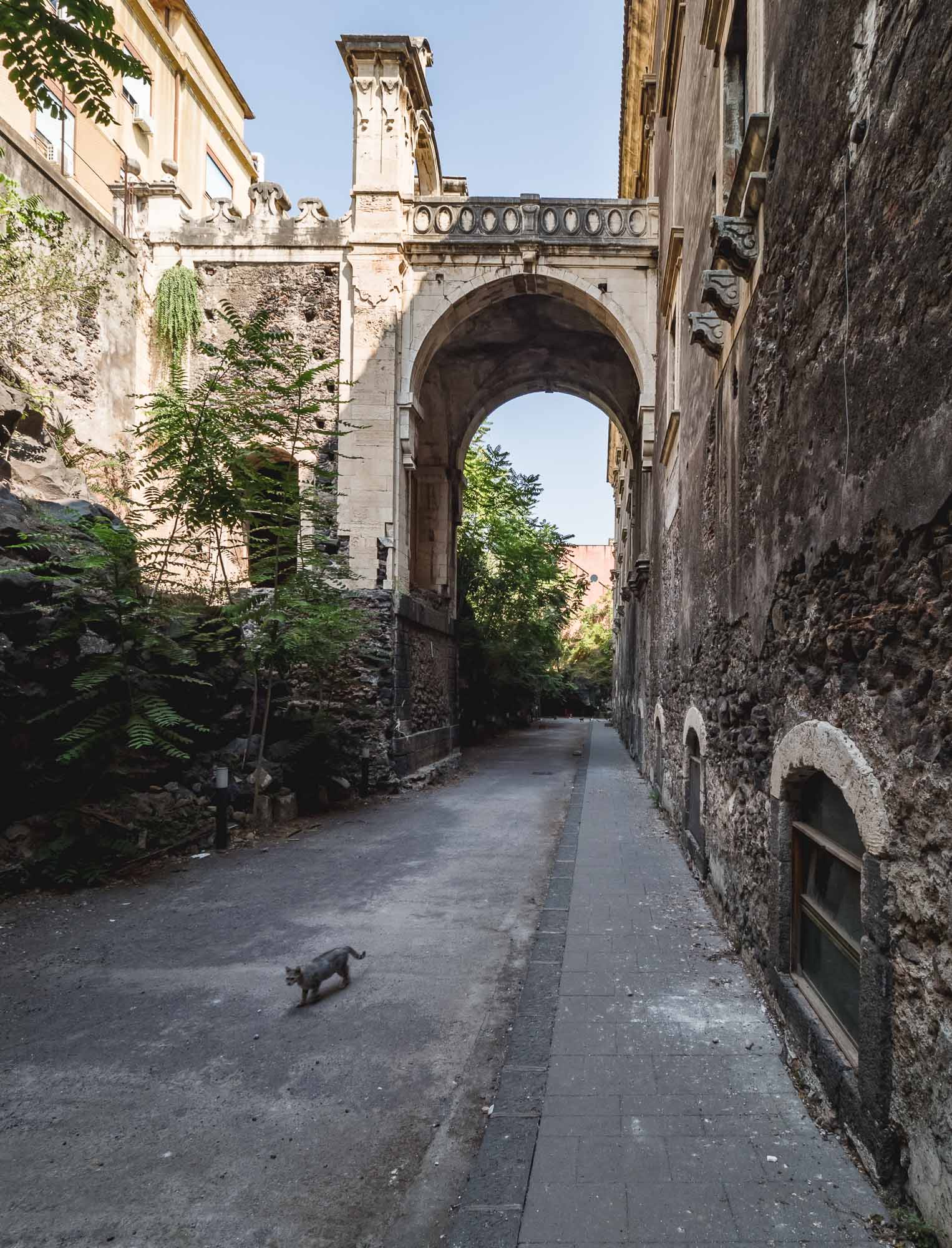
Sicily - Island of Etna
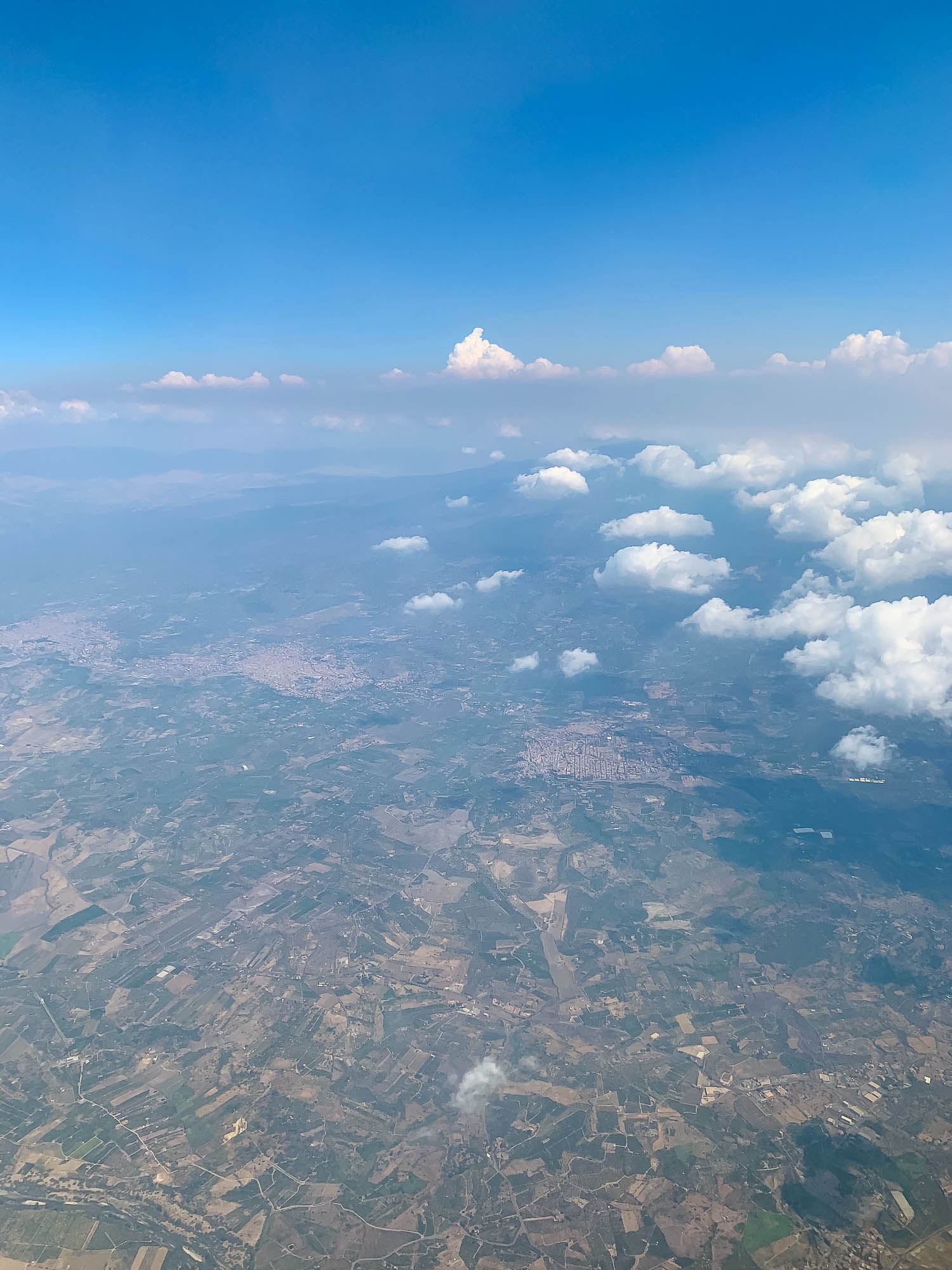
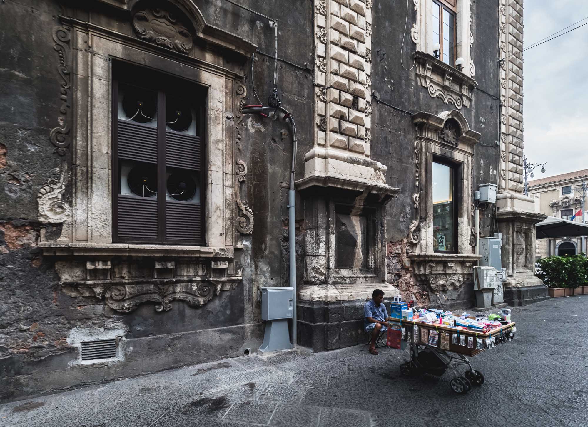
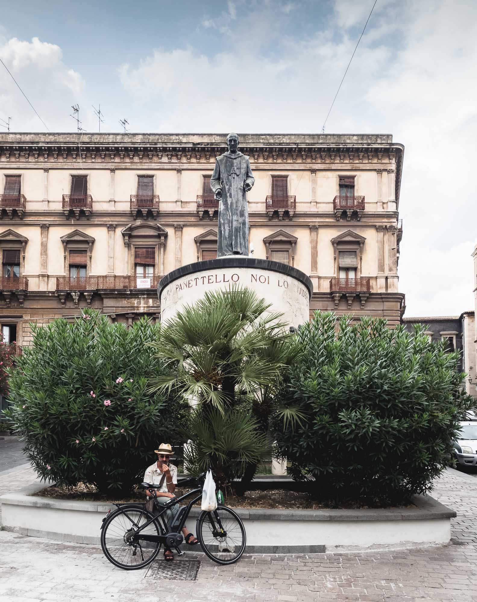
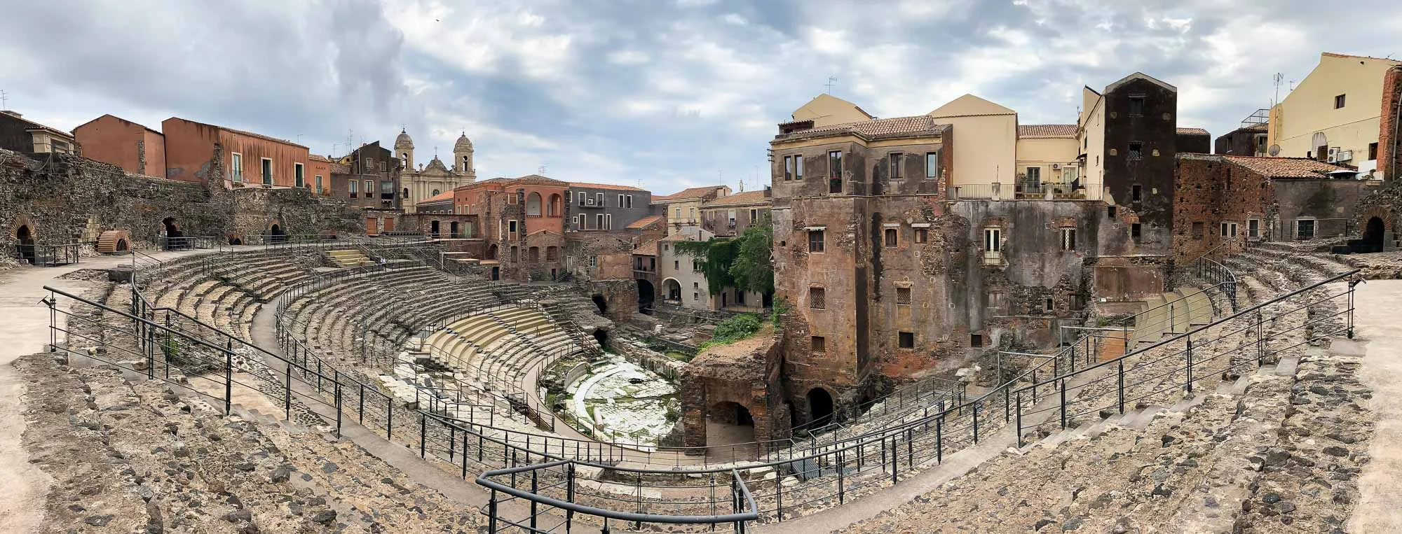
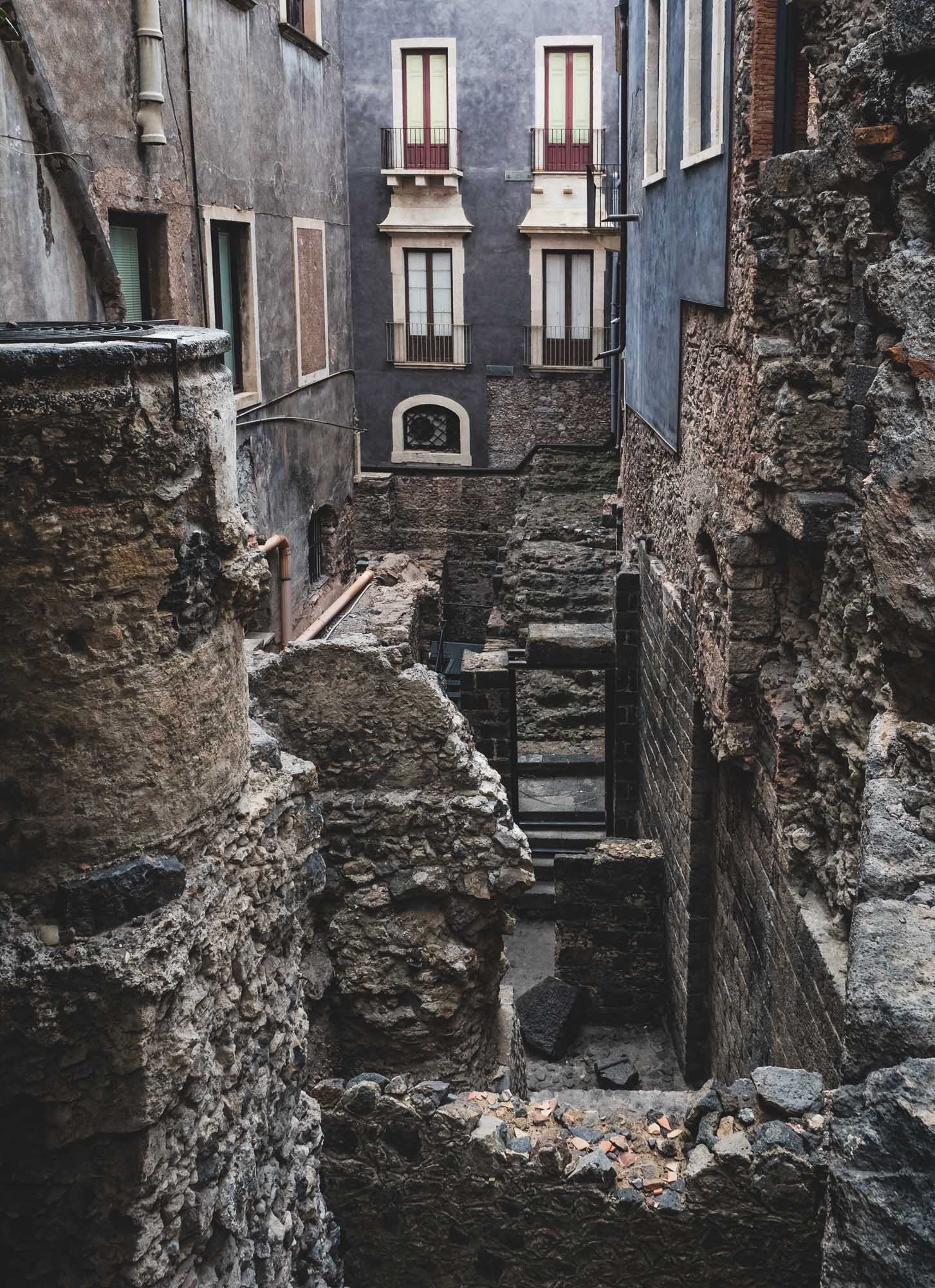
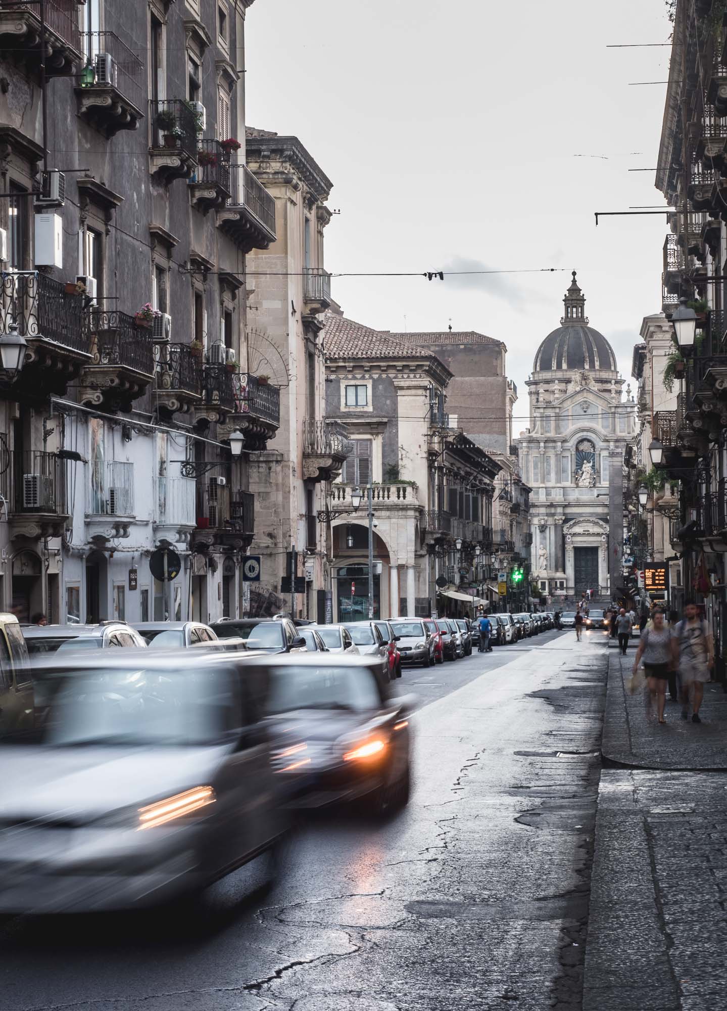
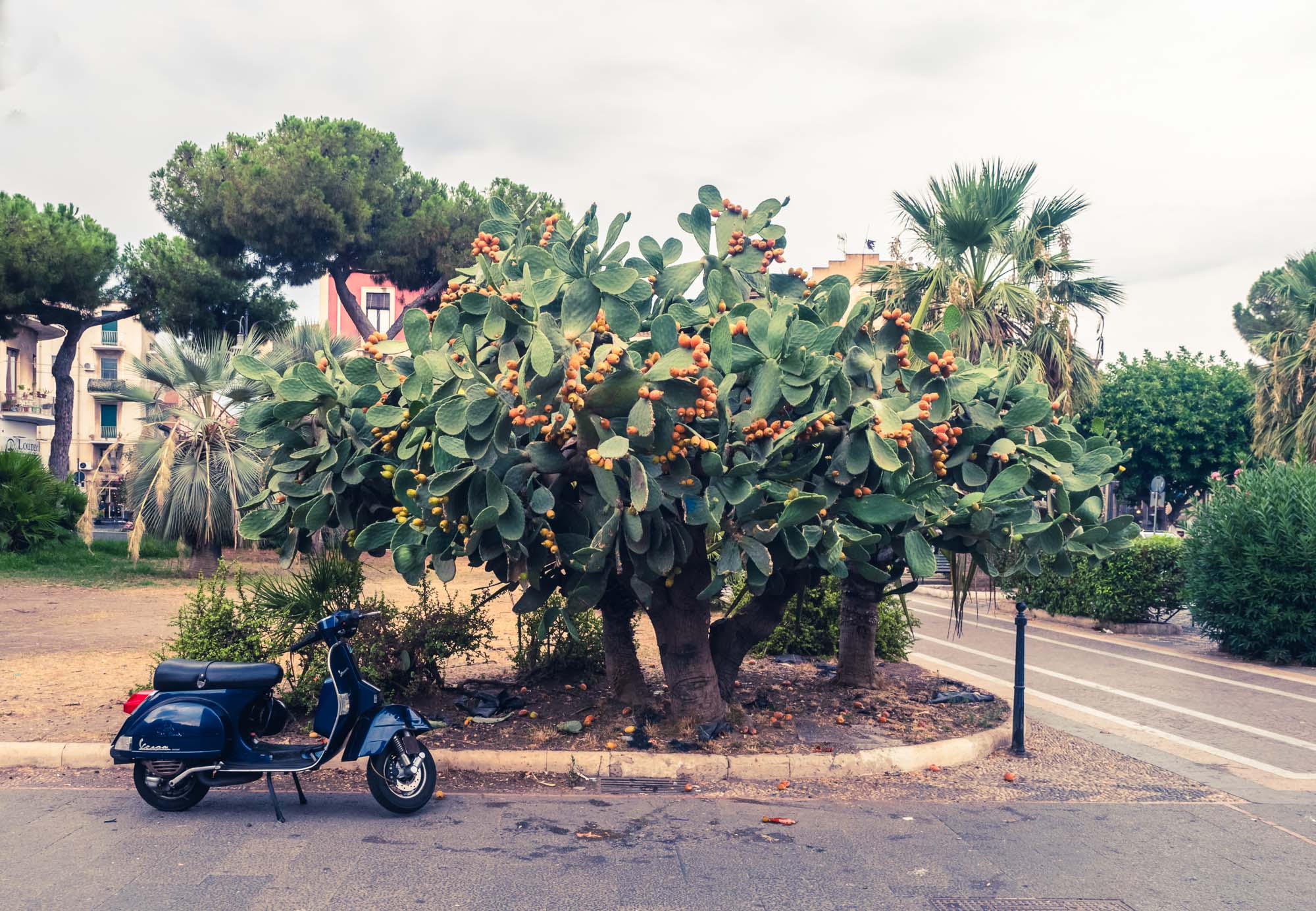
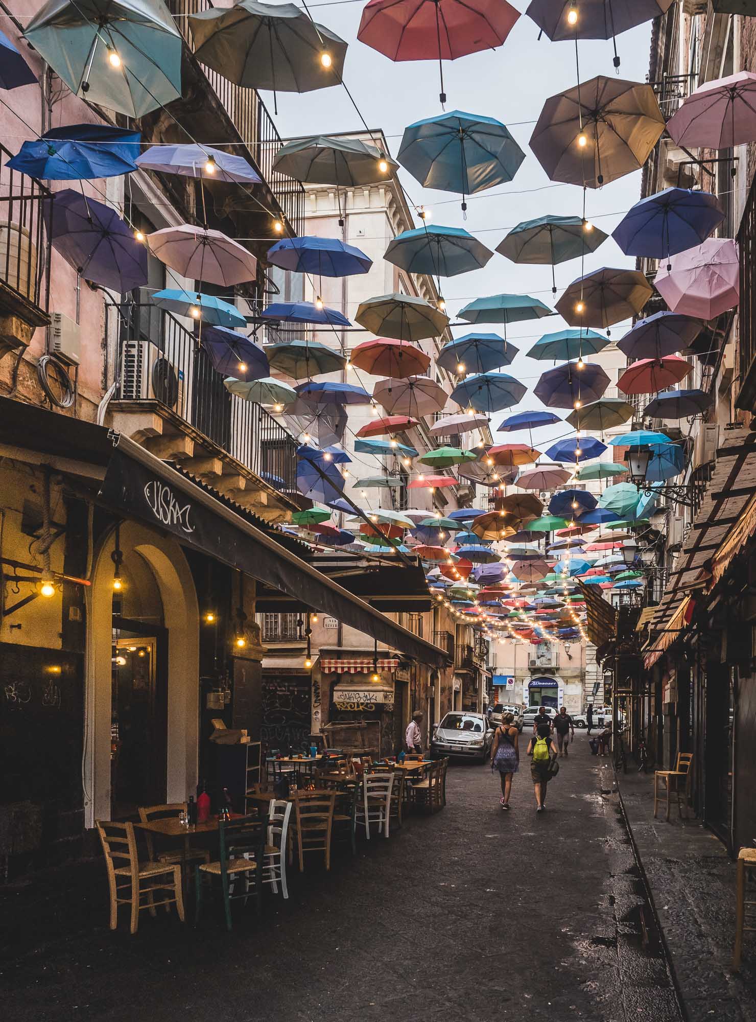
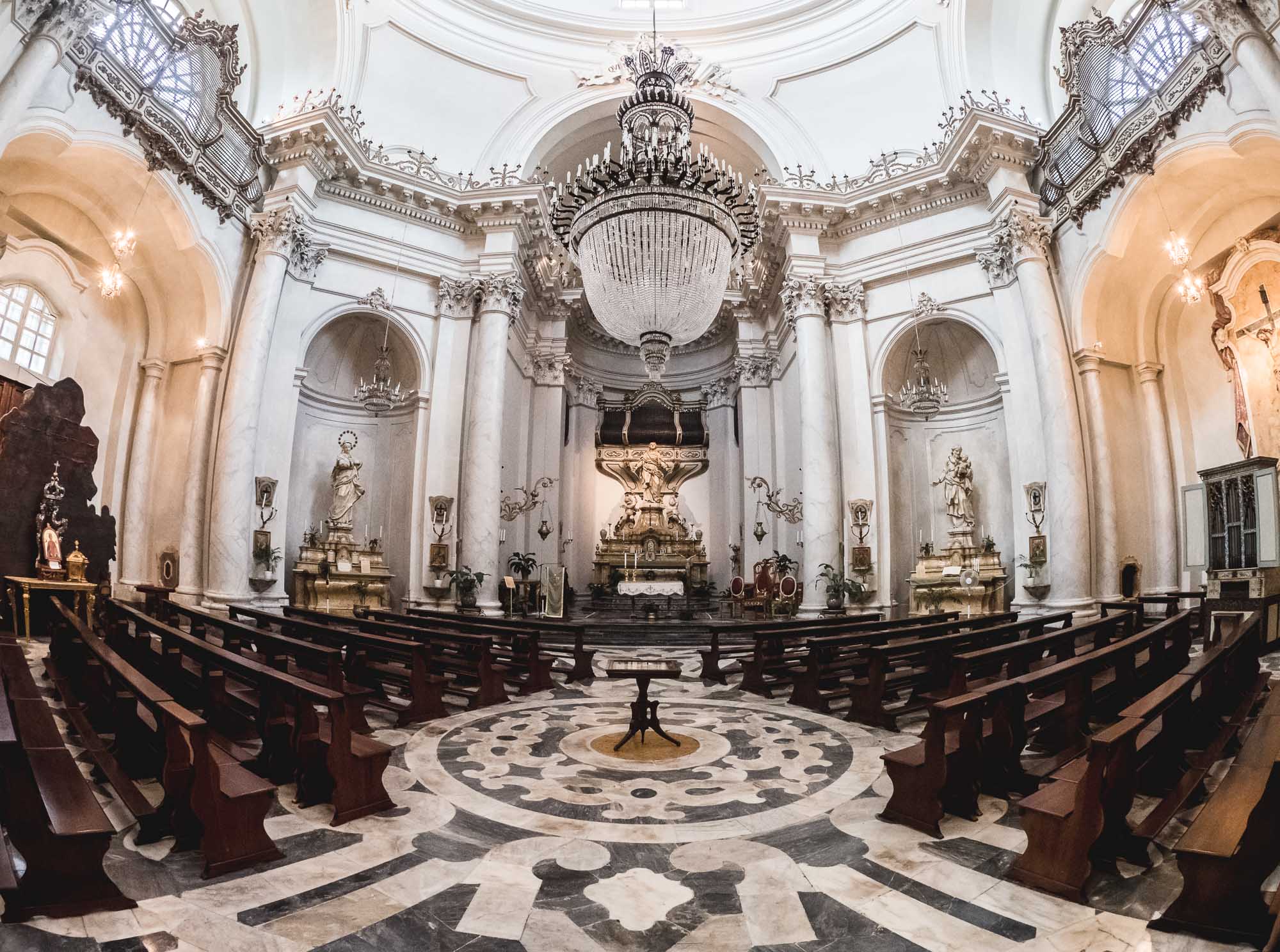
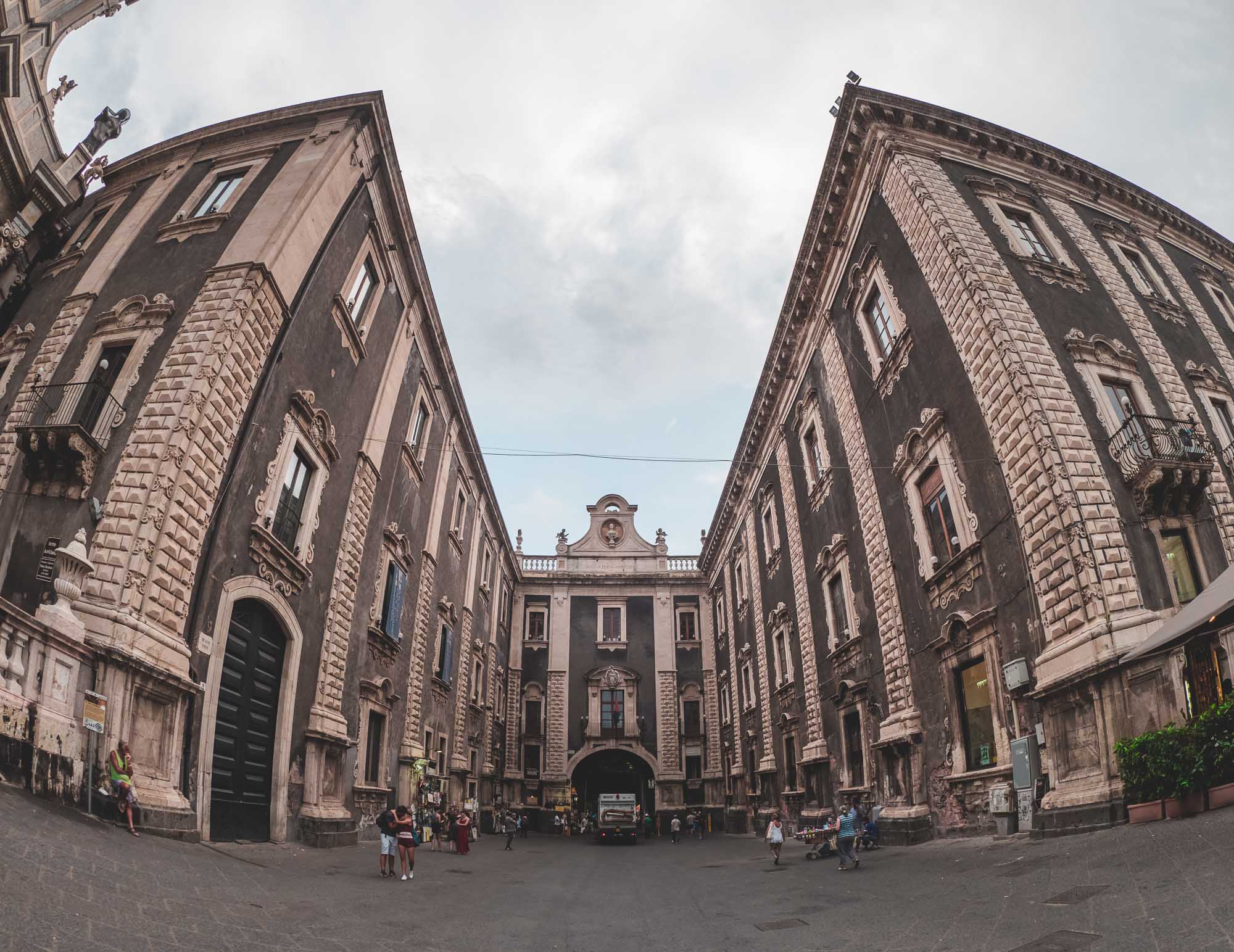
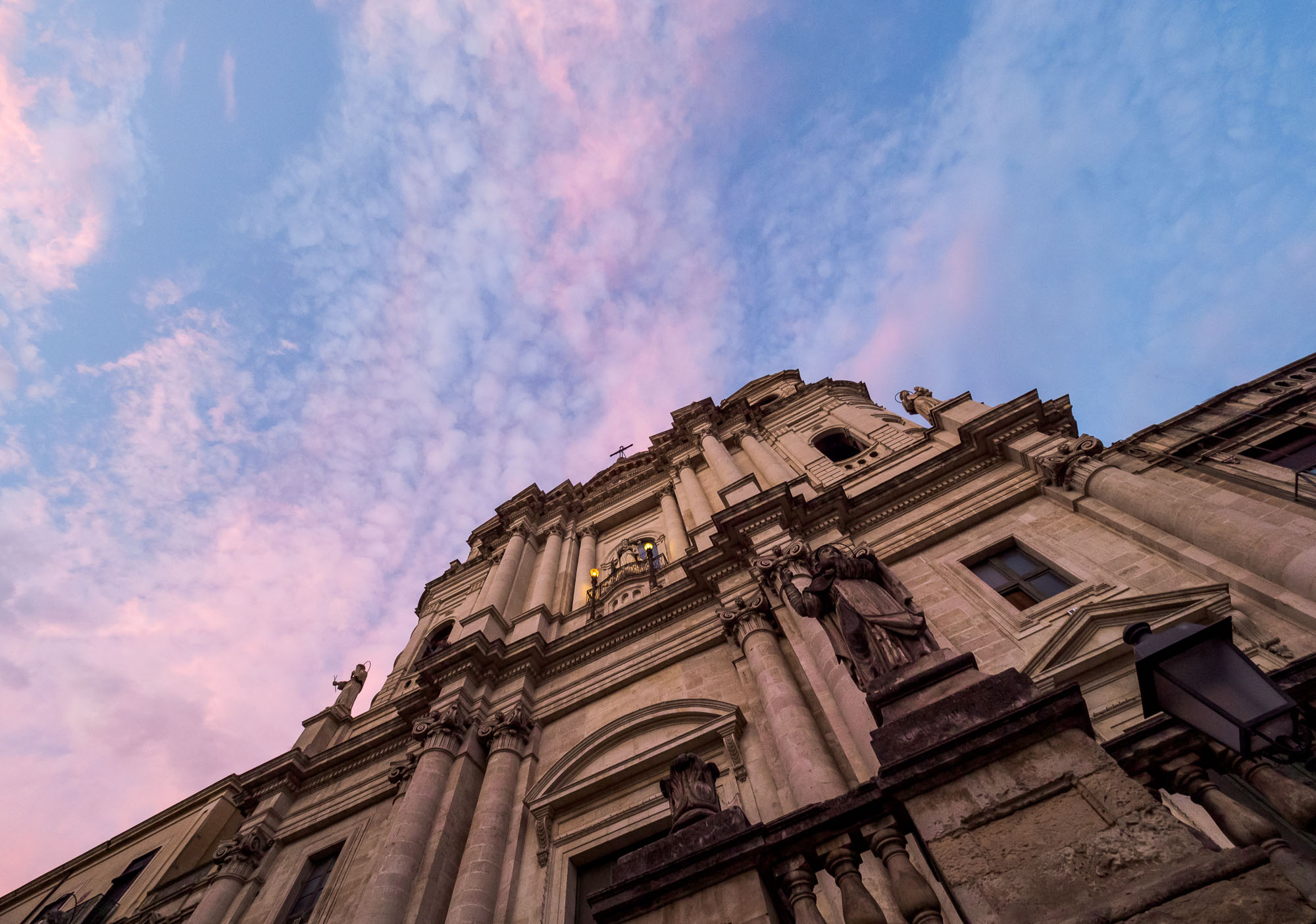
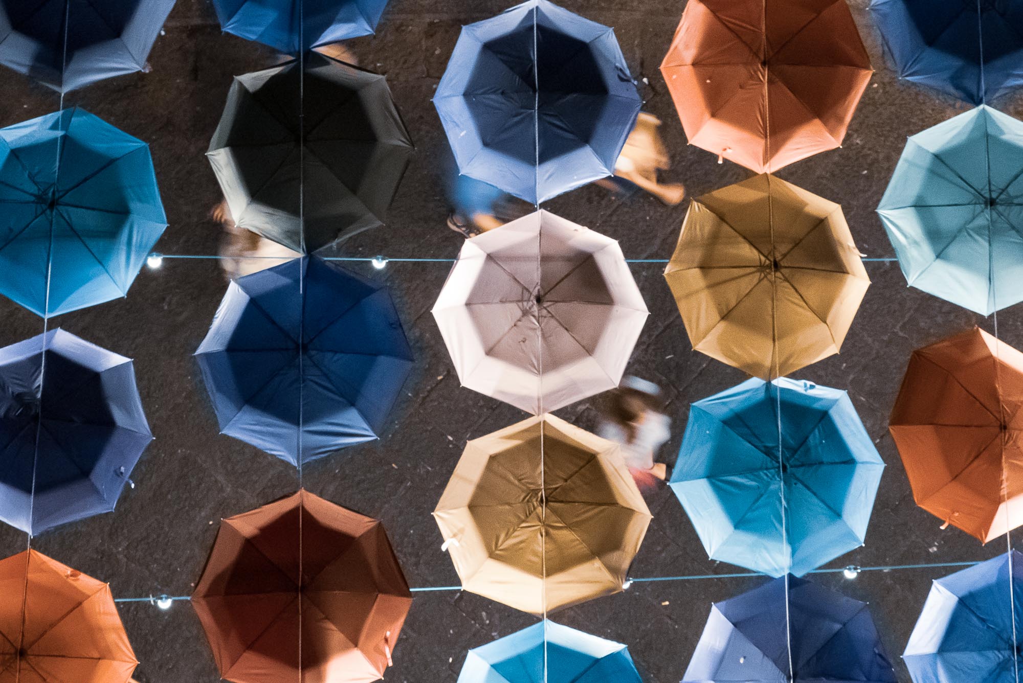
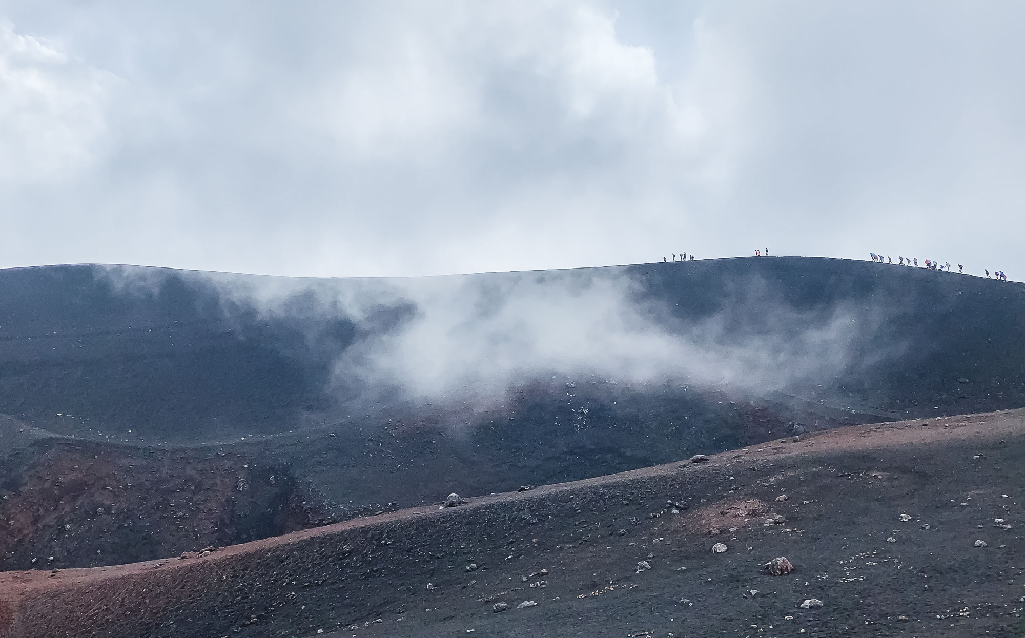
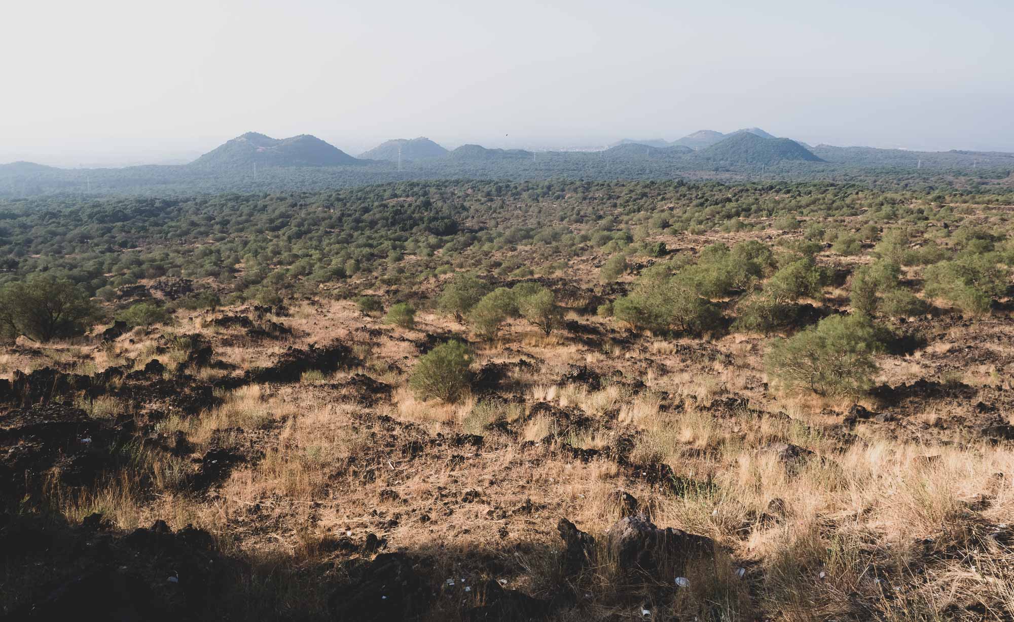
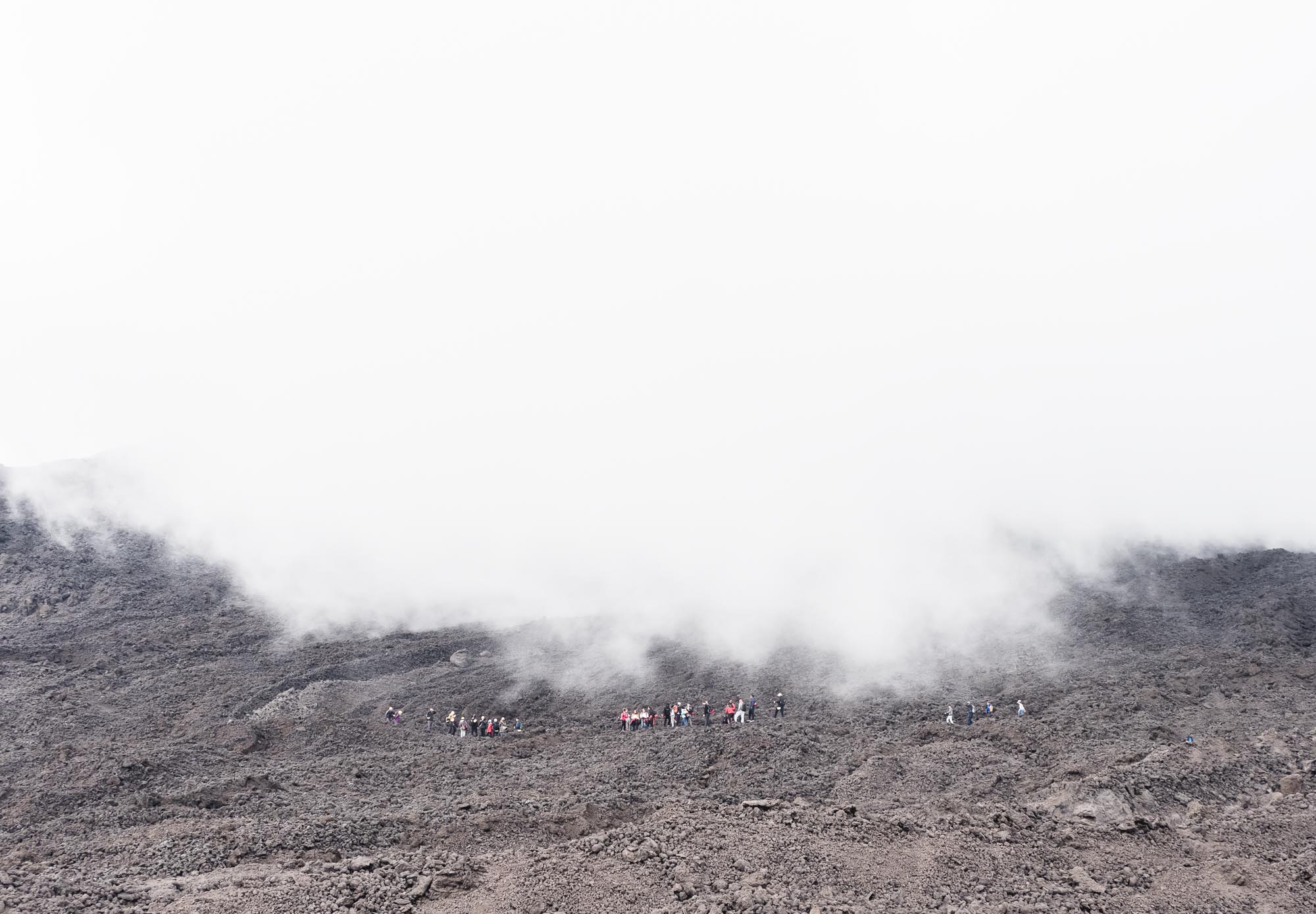
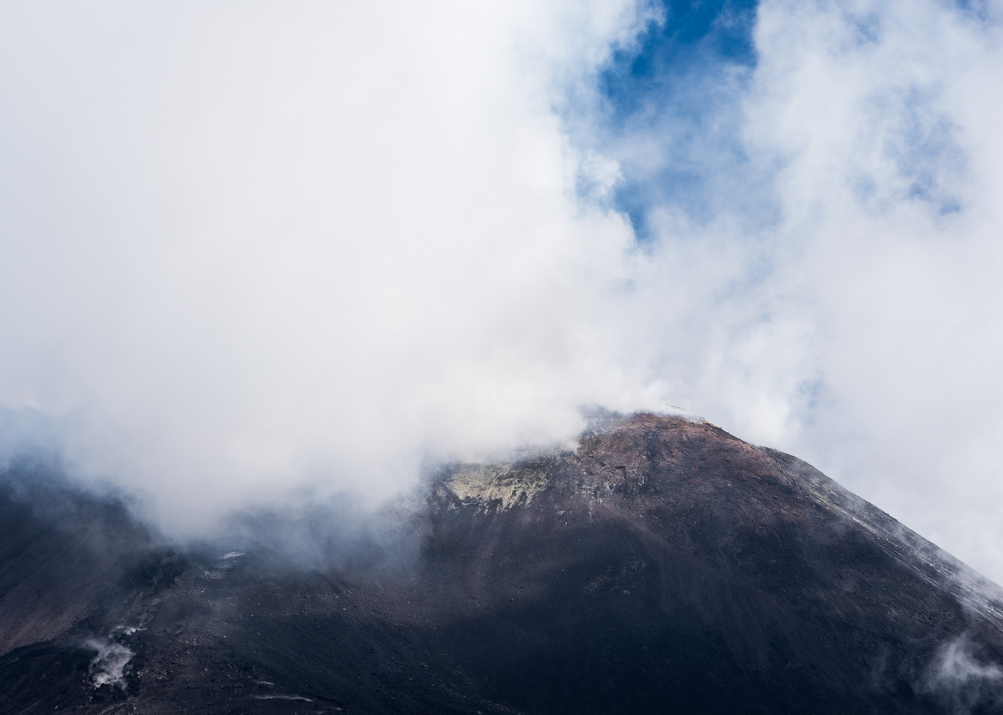
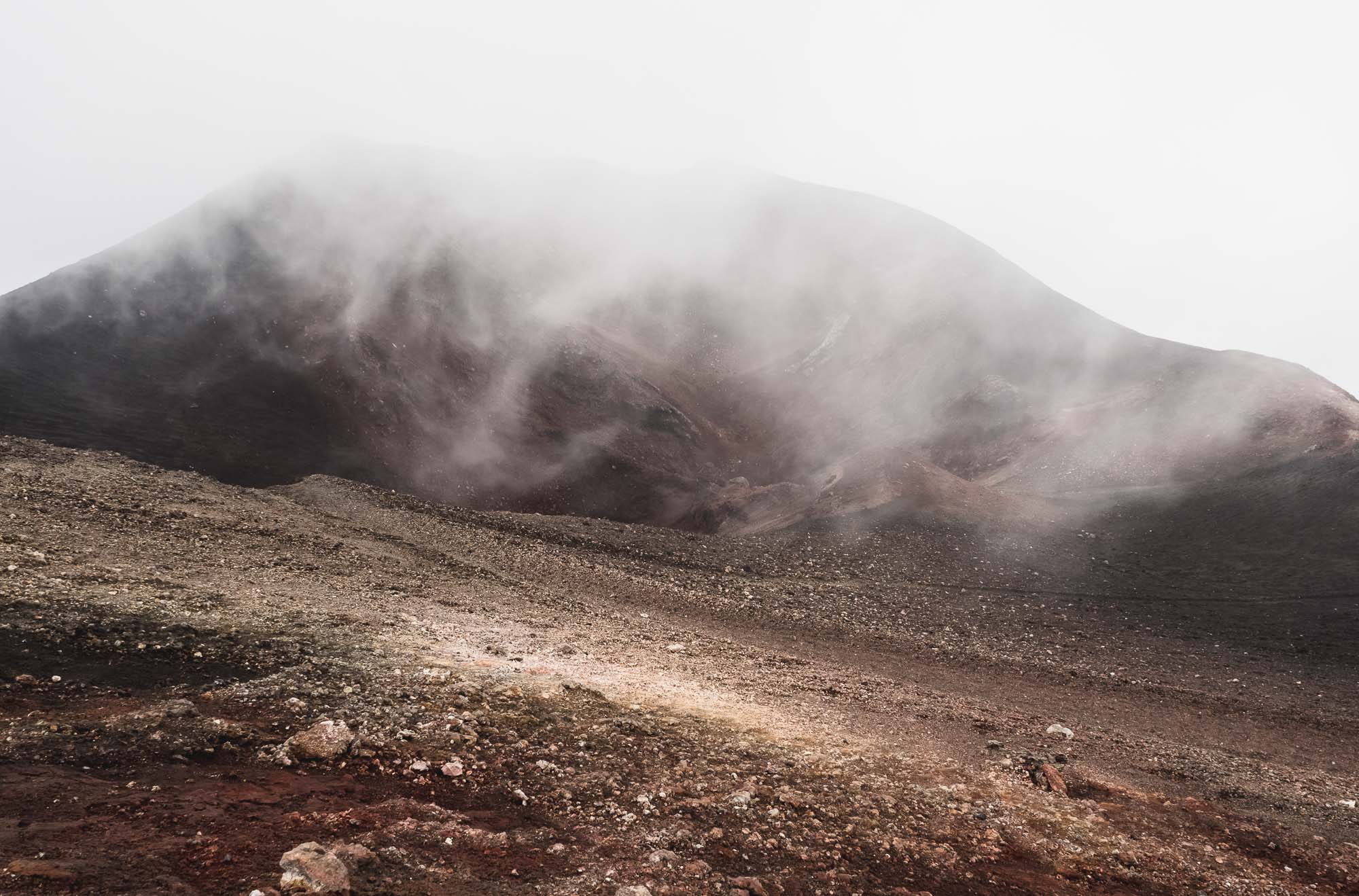
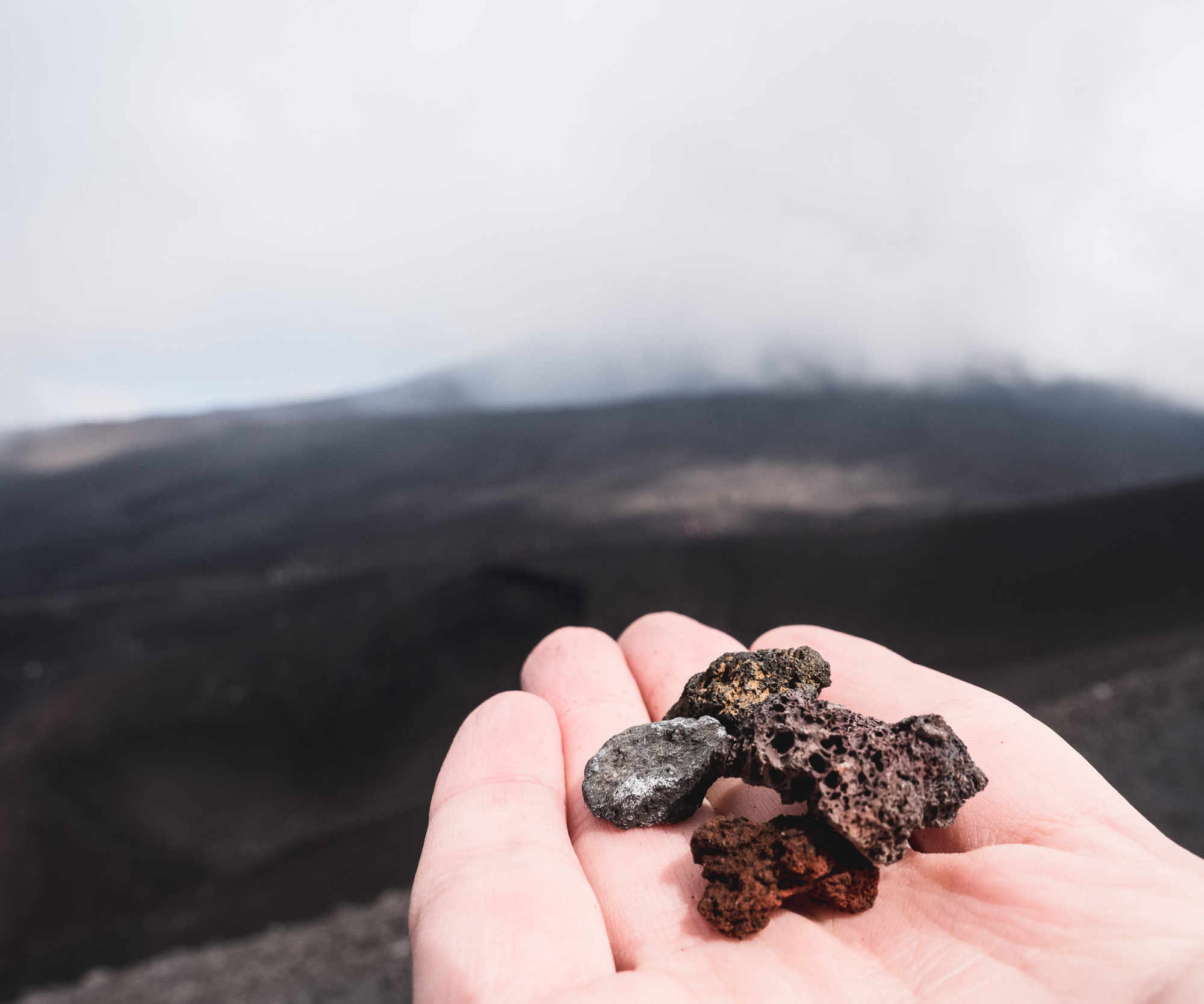
Another beautiful wedding gave me the opportunity to visit Sicily, exploring Catania, hiking Mount Etna, and wandering through Acireale. Unfortunately three days are definitely not enough for the largest island in the Mediterranean, nevertheless you get a taste for the life across the Strait of Messina.
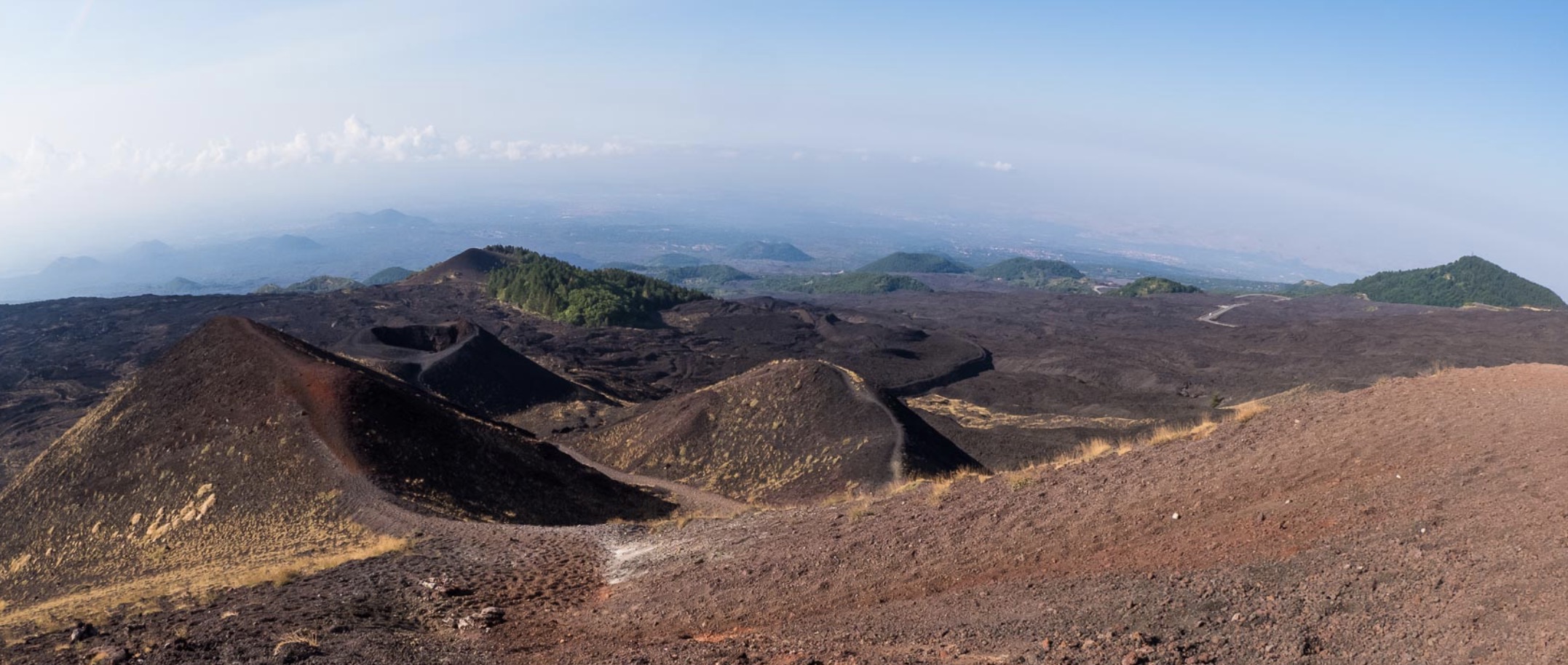
Another beautiful wedding gave me the opportunity to visit Sicily, exploring Catania, hiking Mount Etna, and wandering through Acireale. Unfortunately three days are definitely not enough for the largest island in the Mediterranean, nevertheless you get a taste for the life across the Strait of Messina.


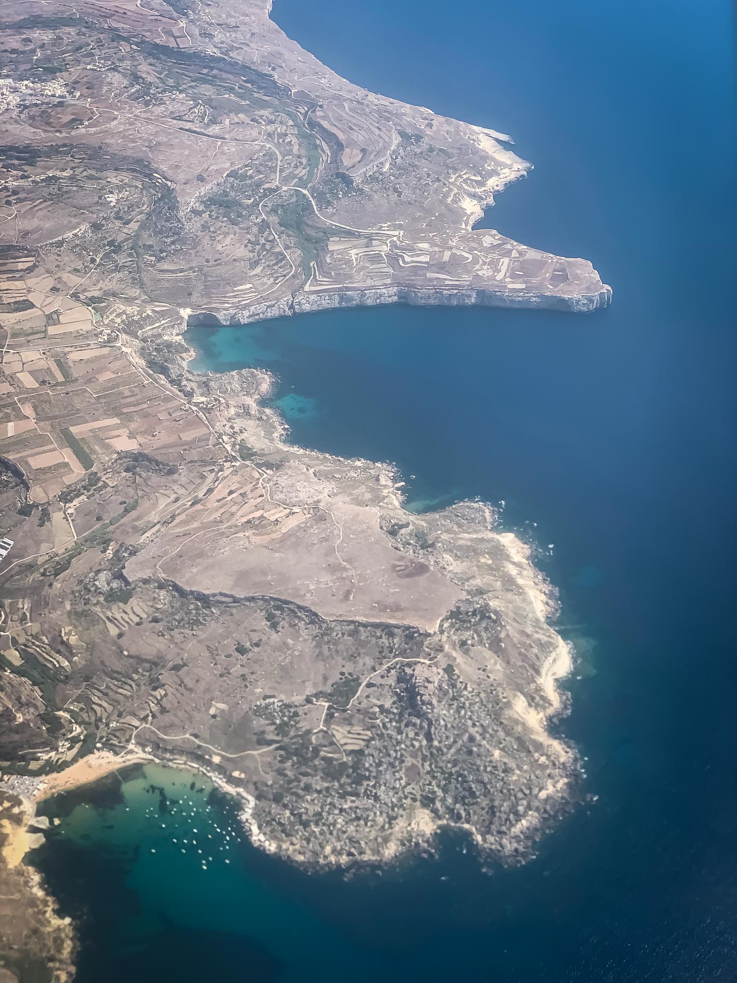
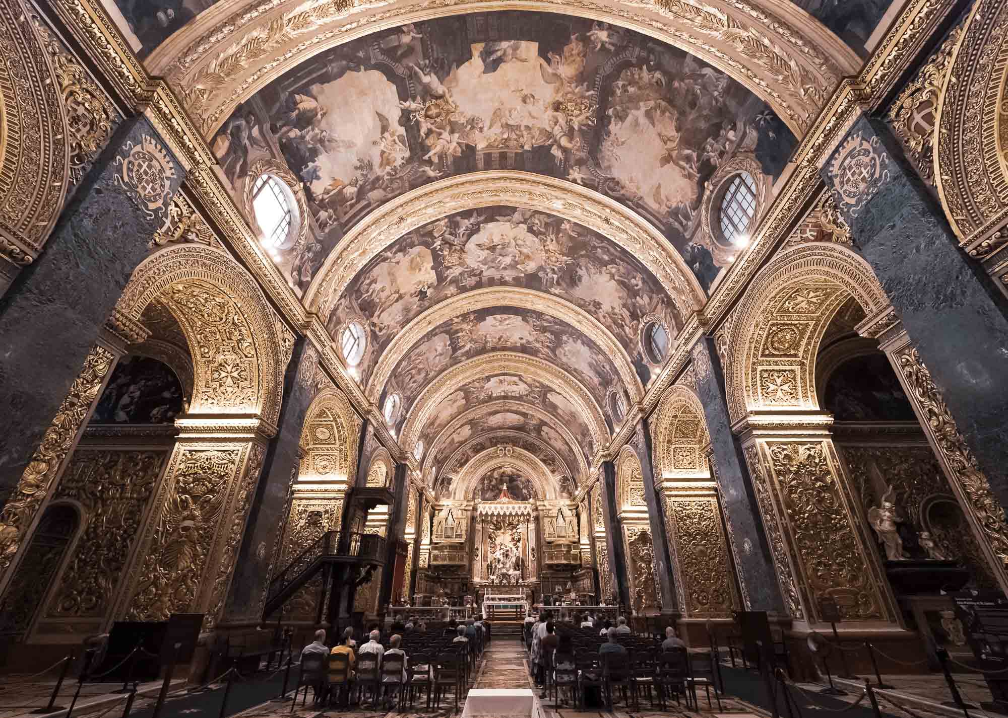
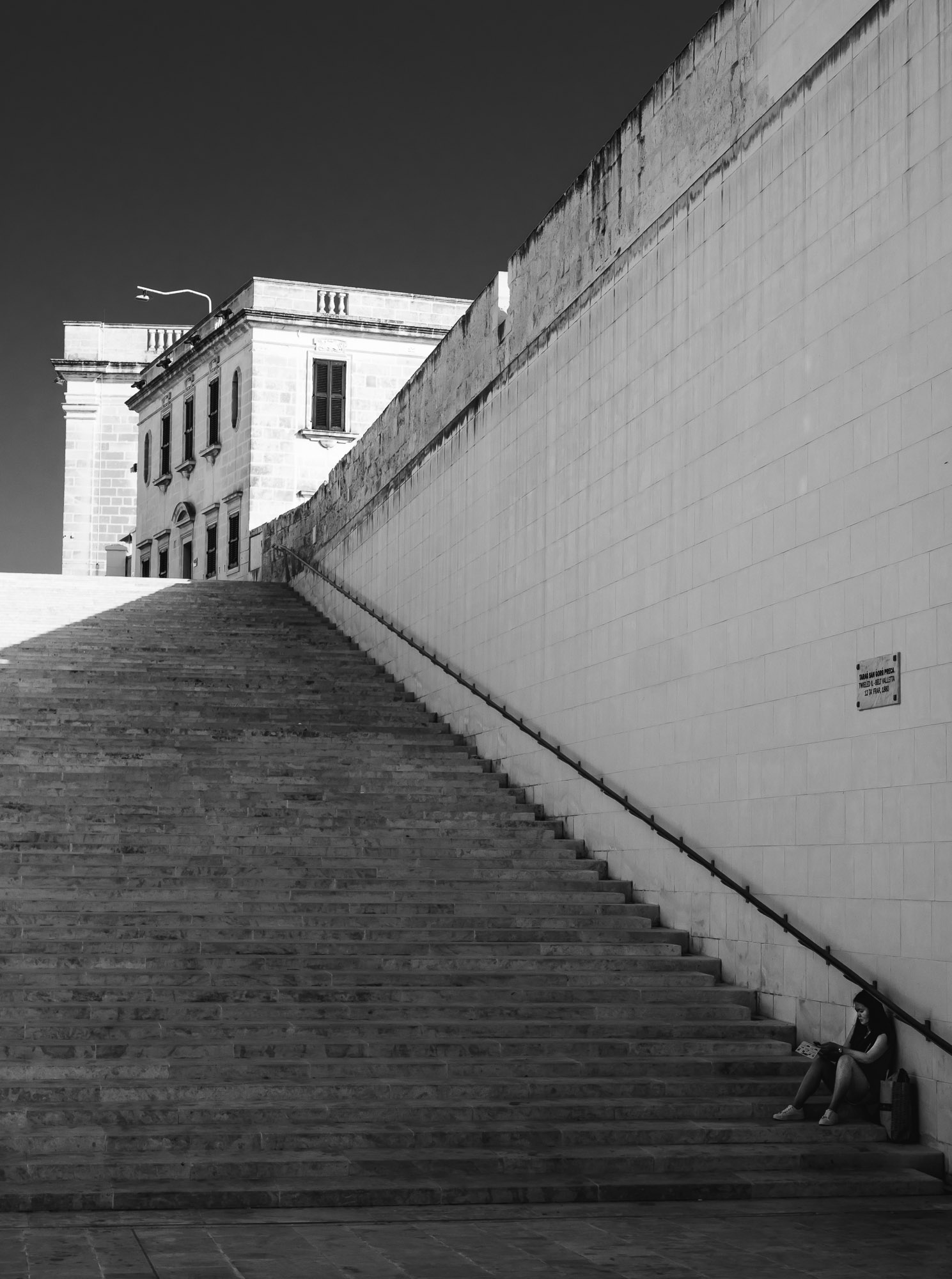
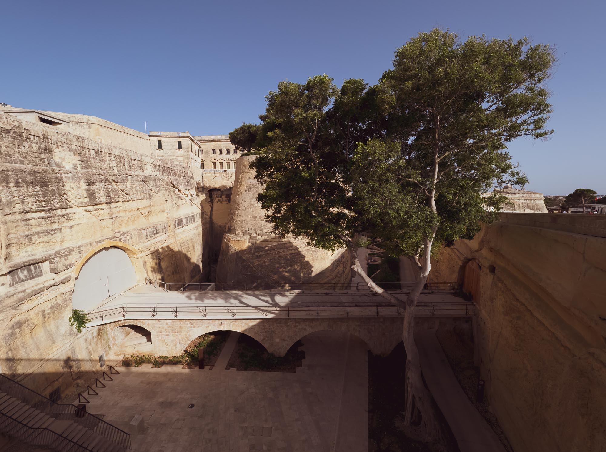
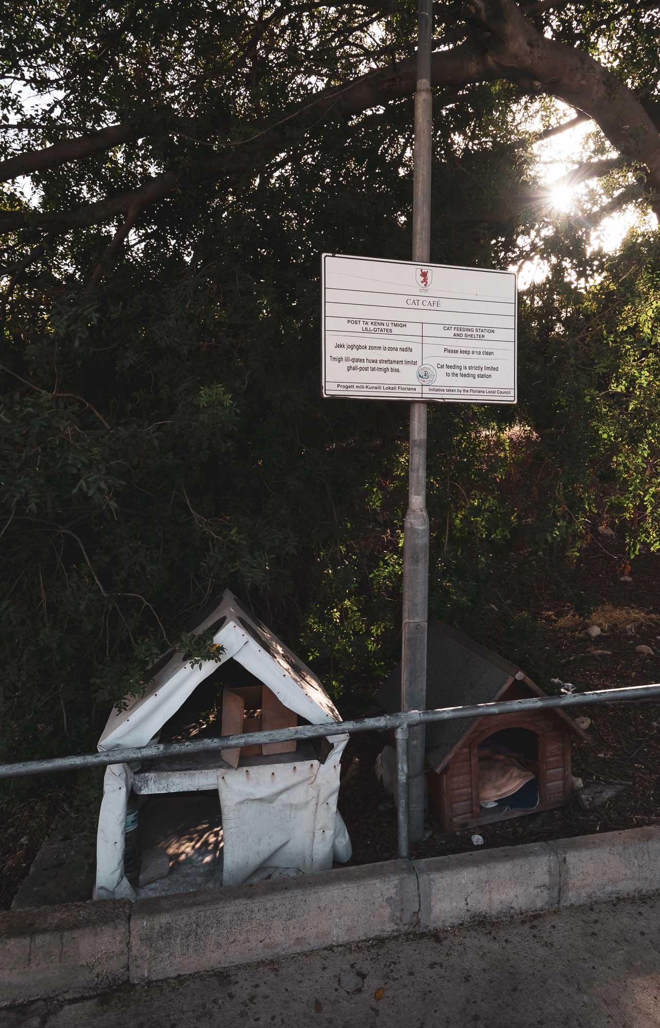
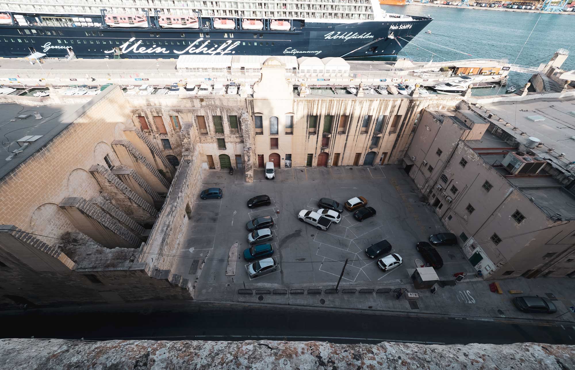
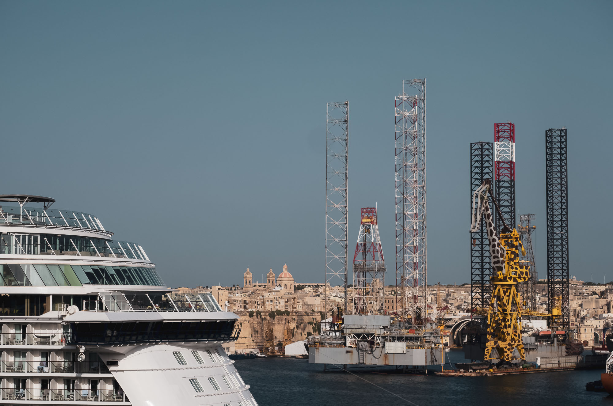
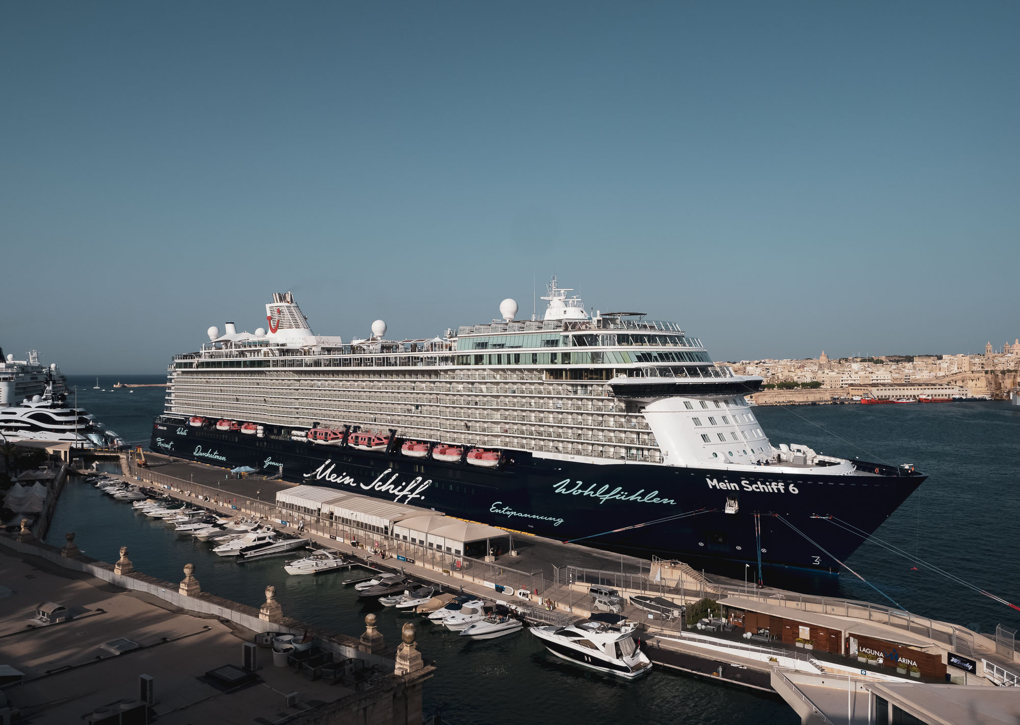
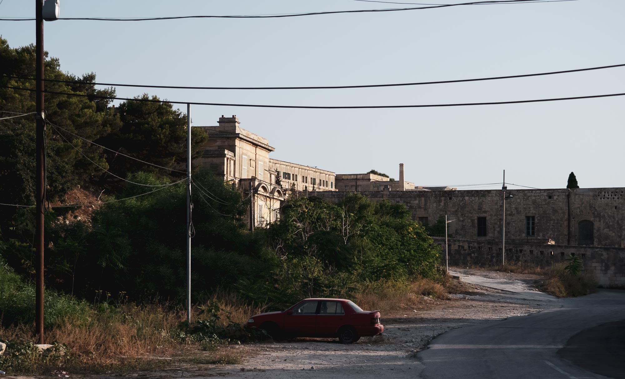
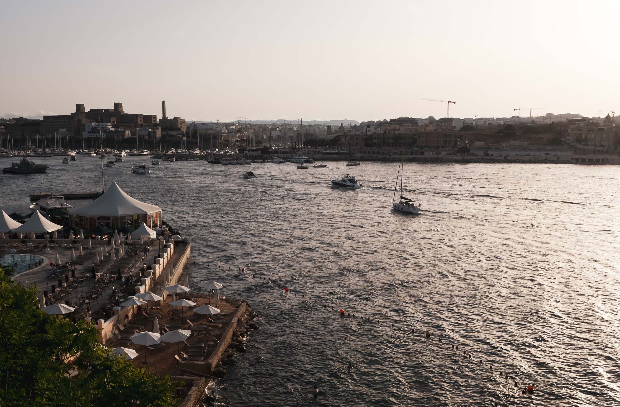
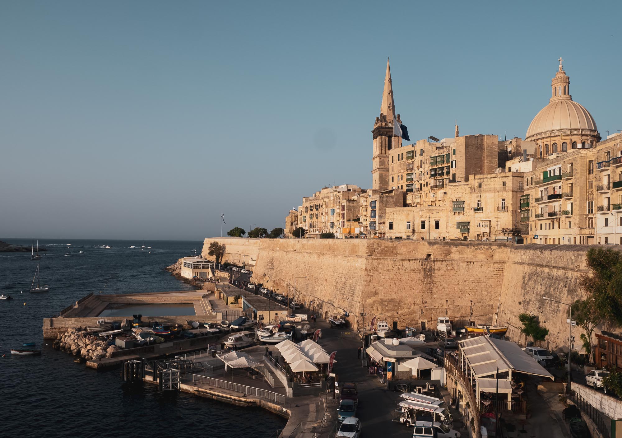
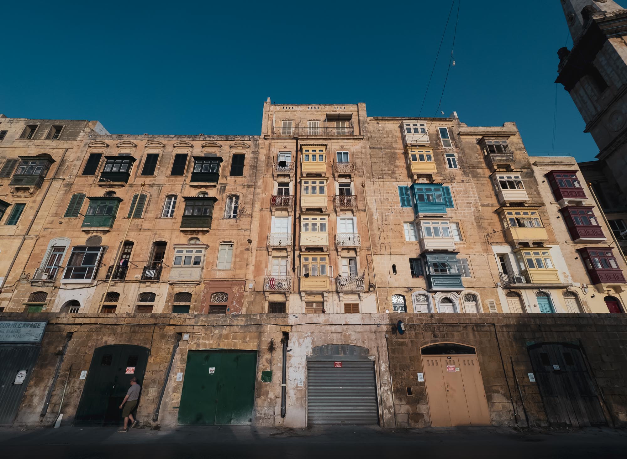
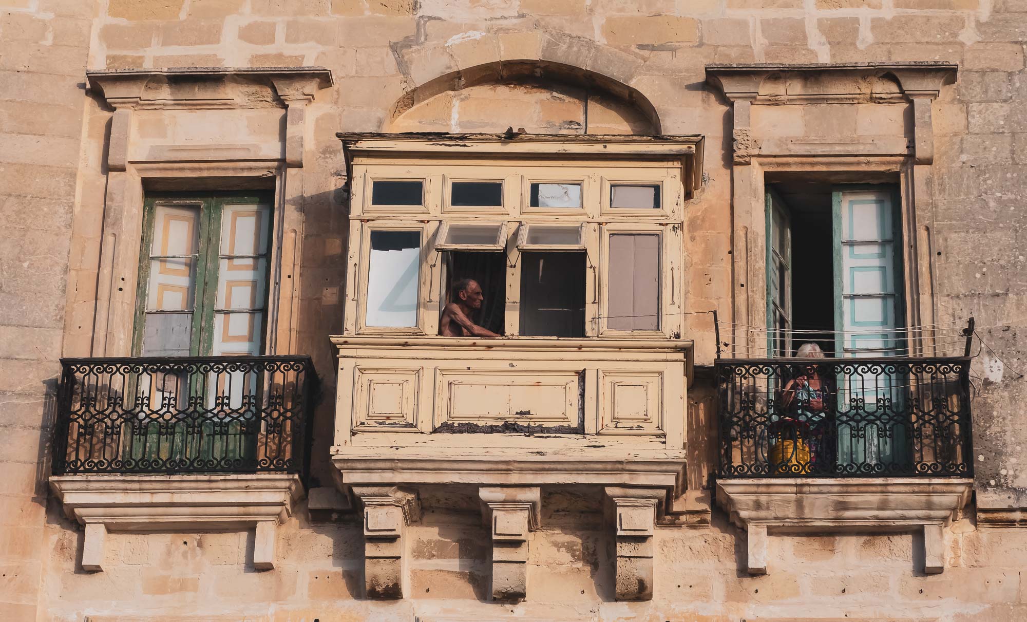
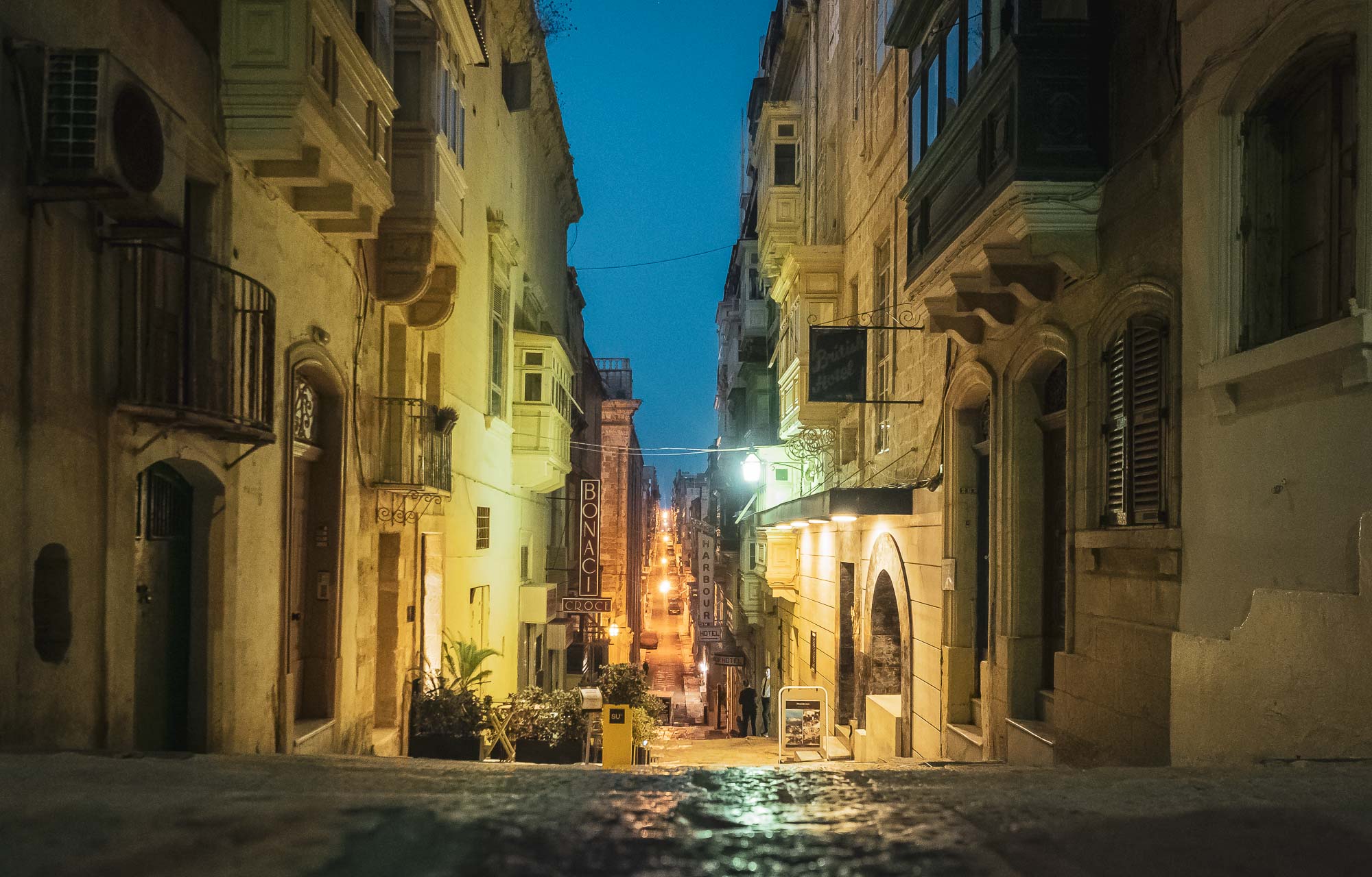
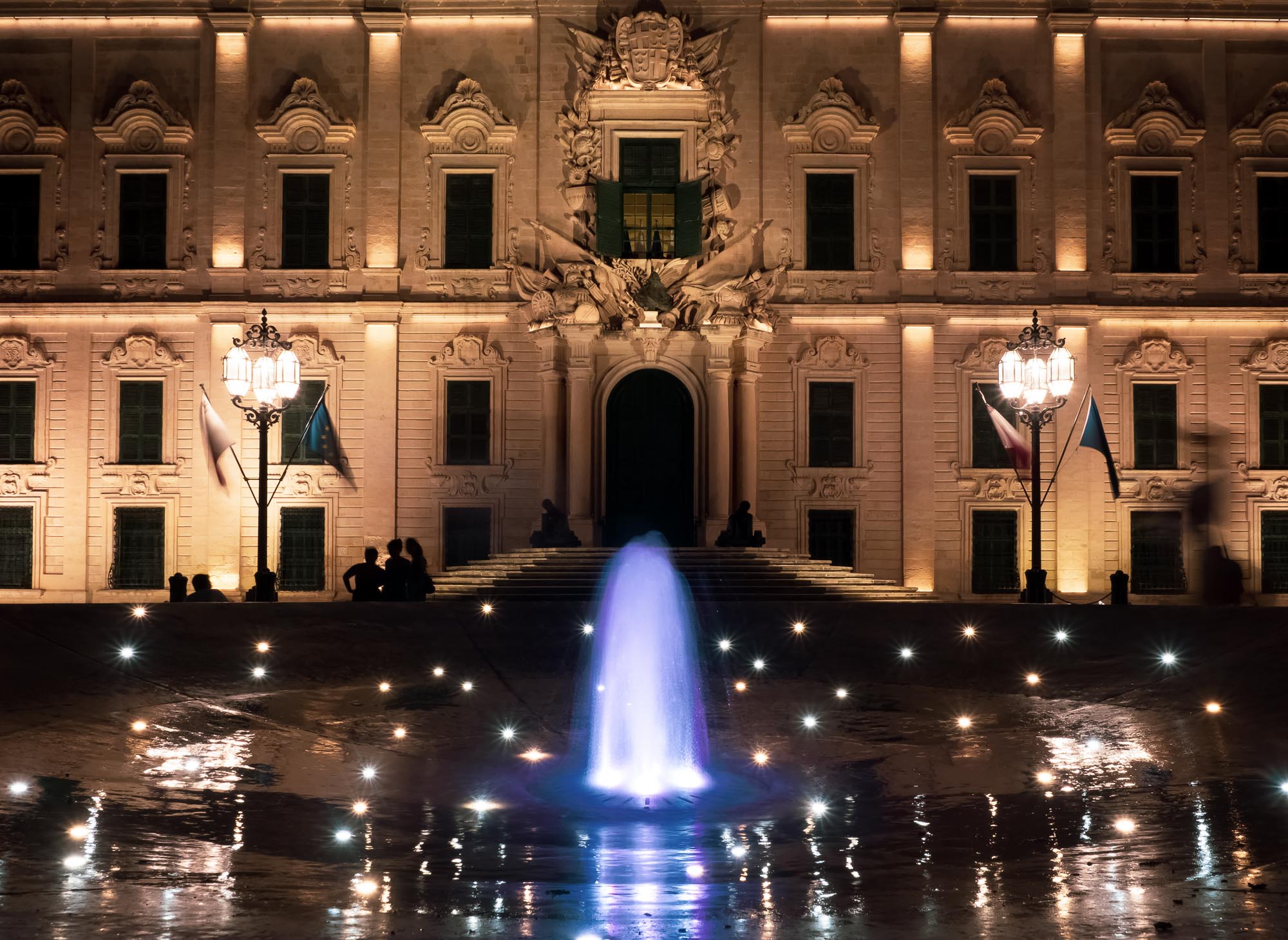
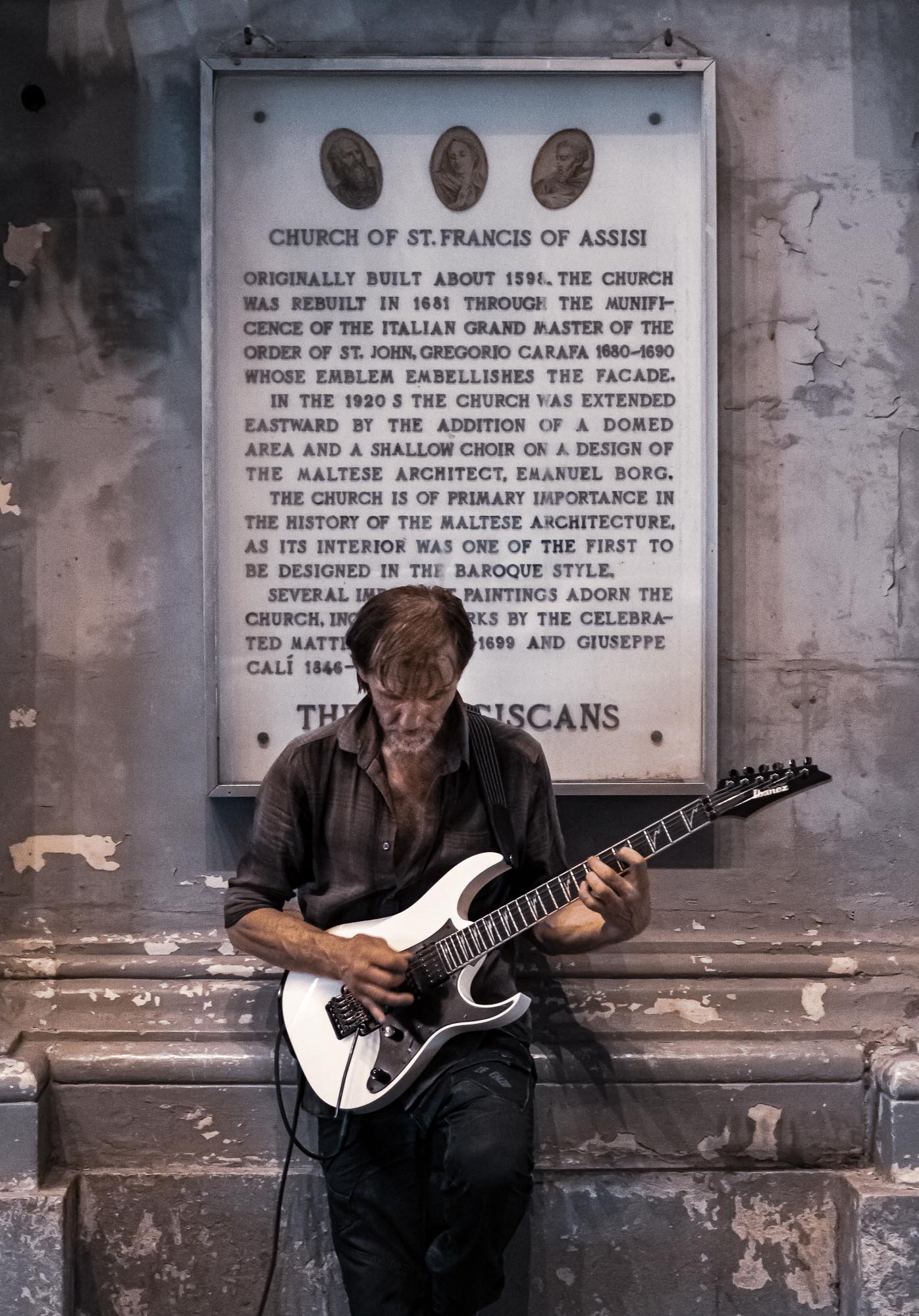
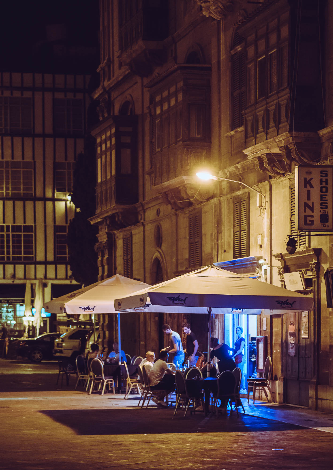
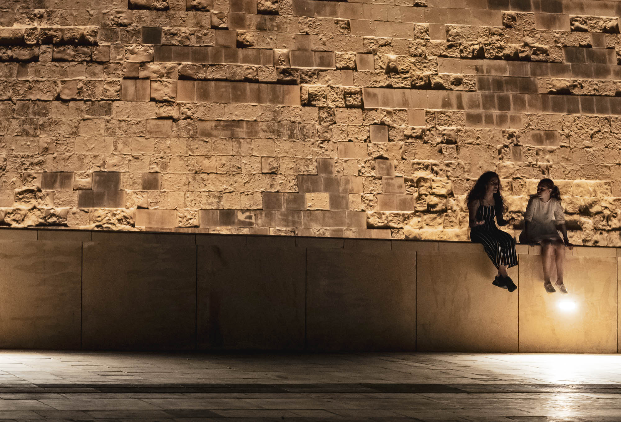
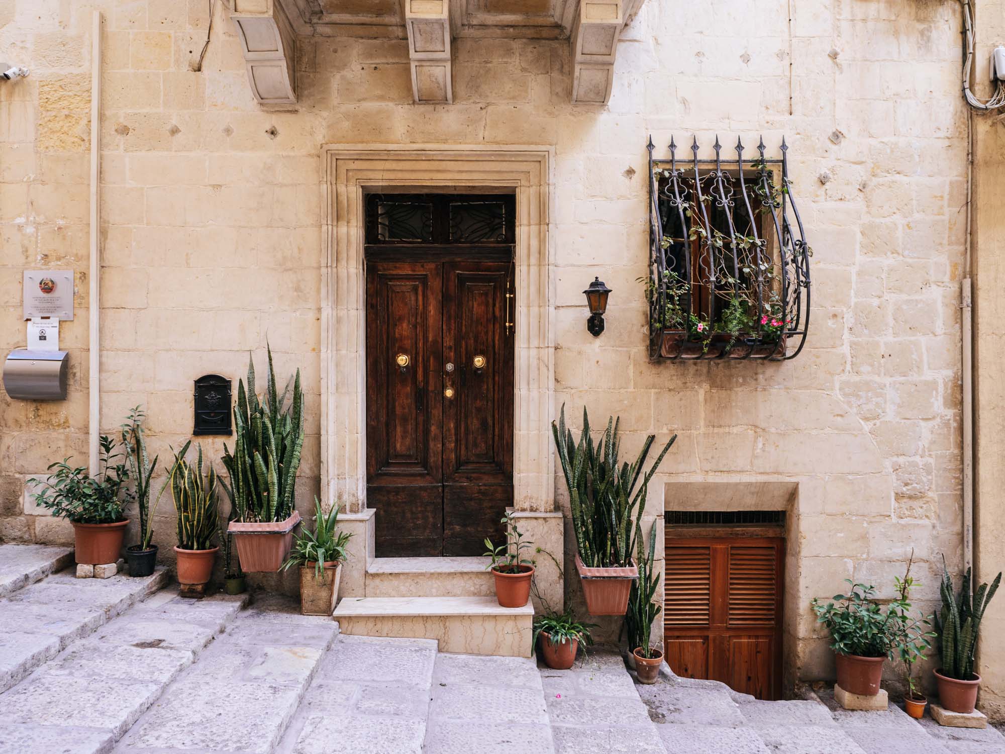
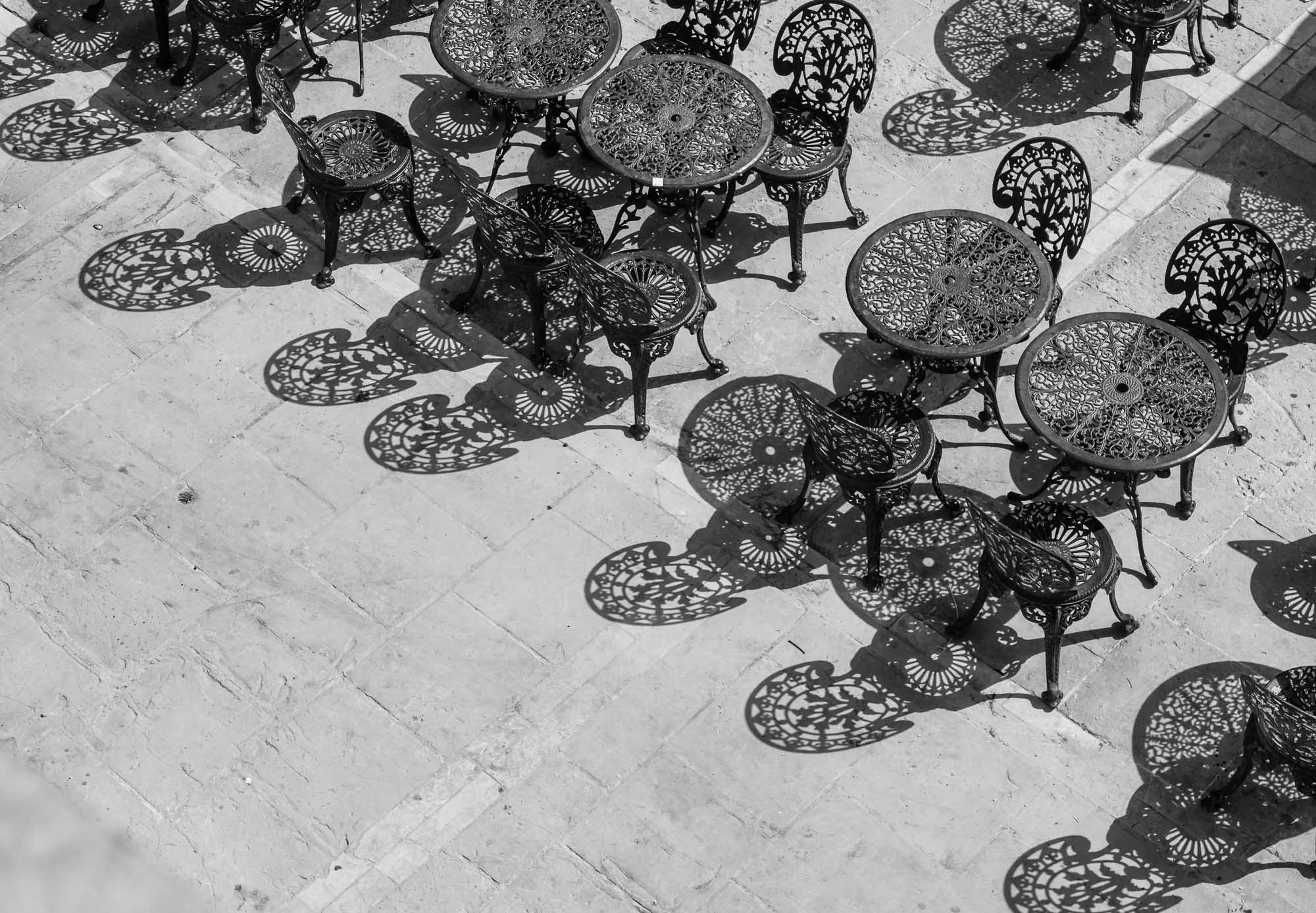
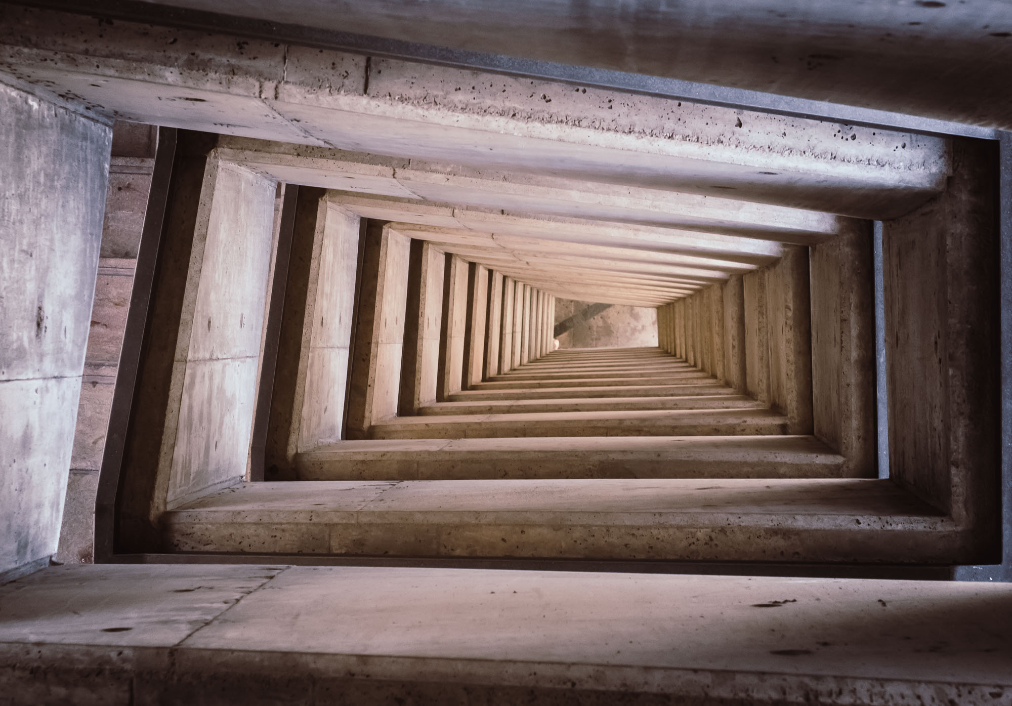
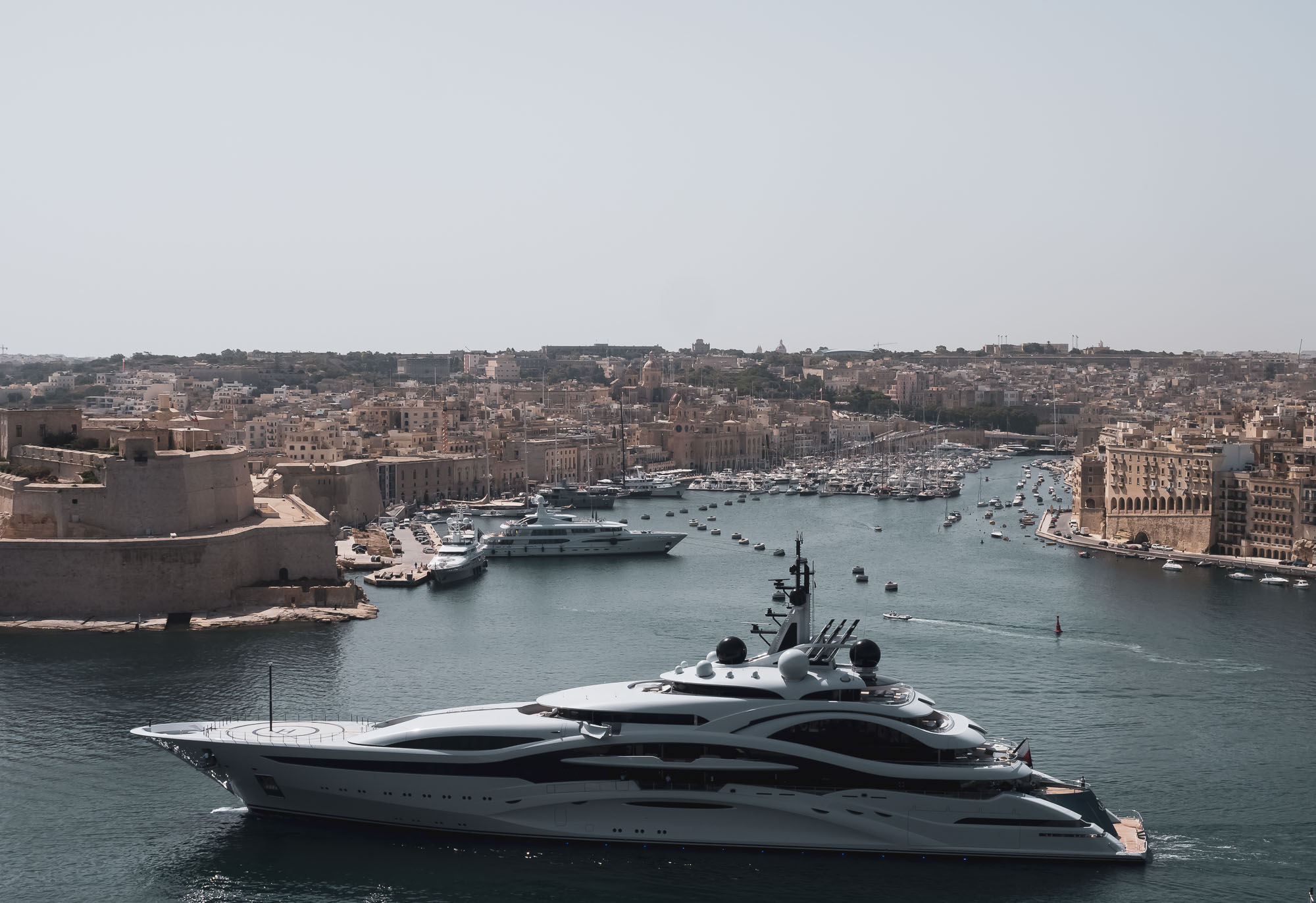
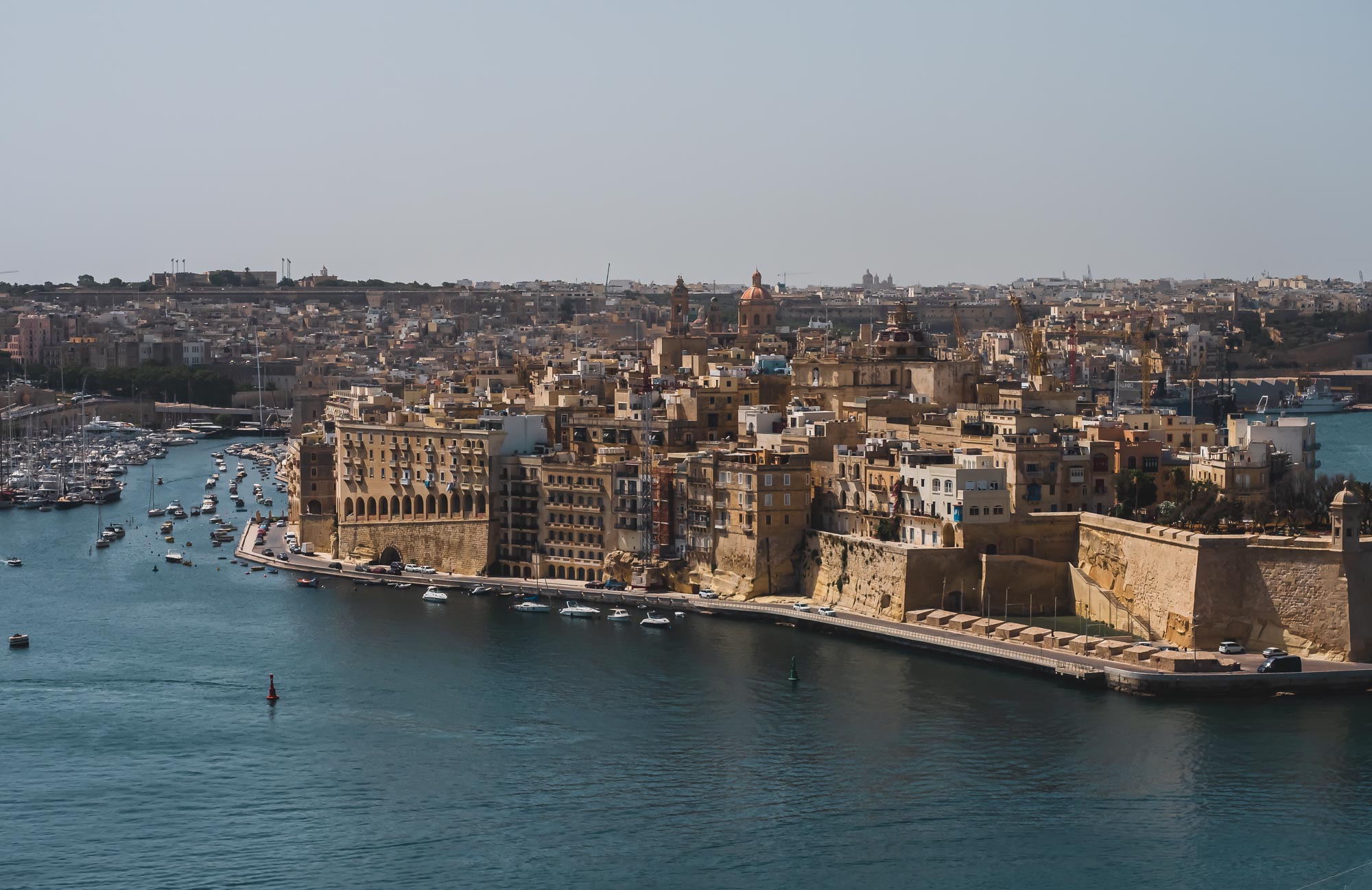
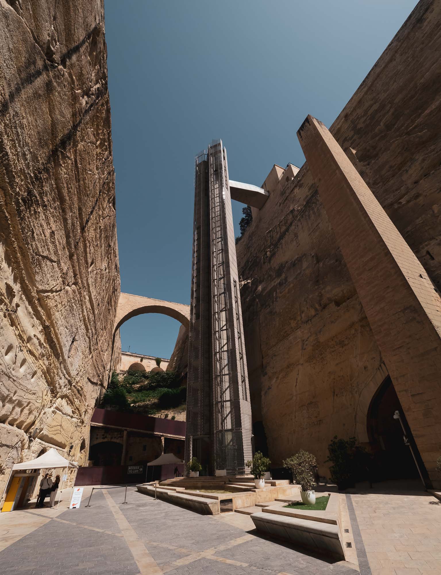
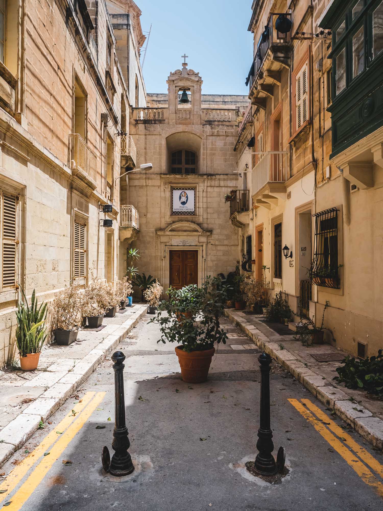
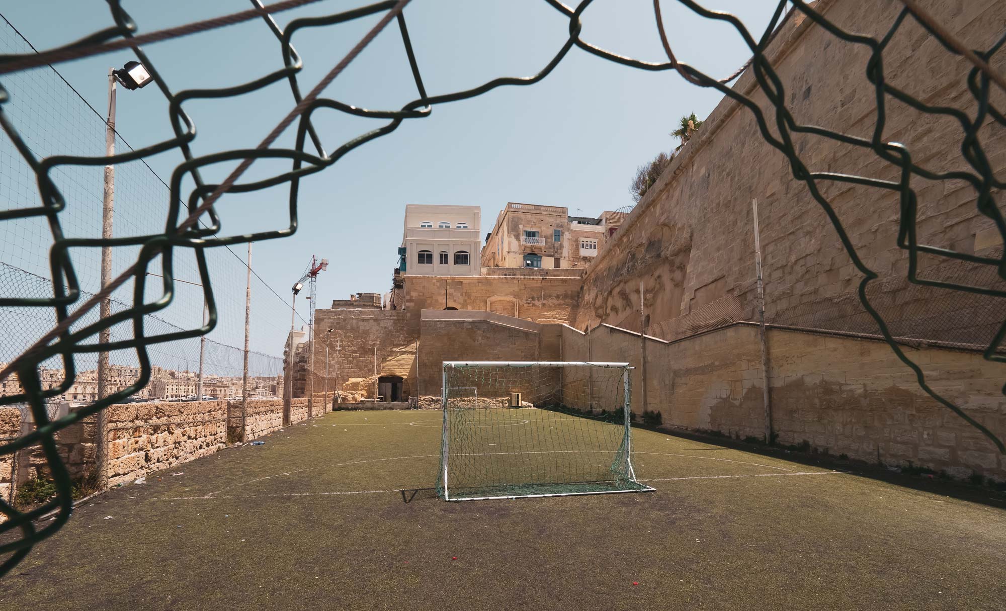
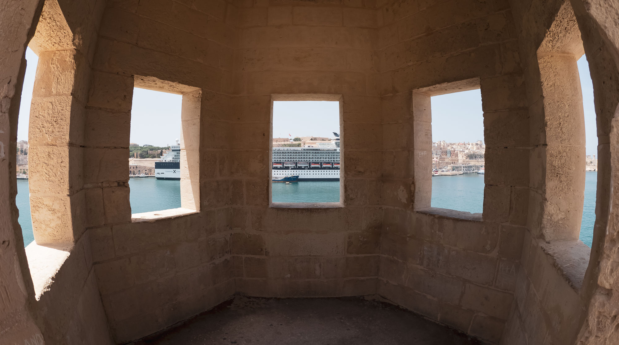
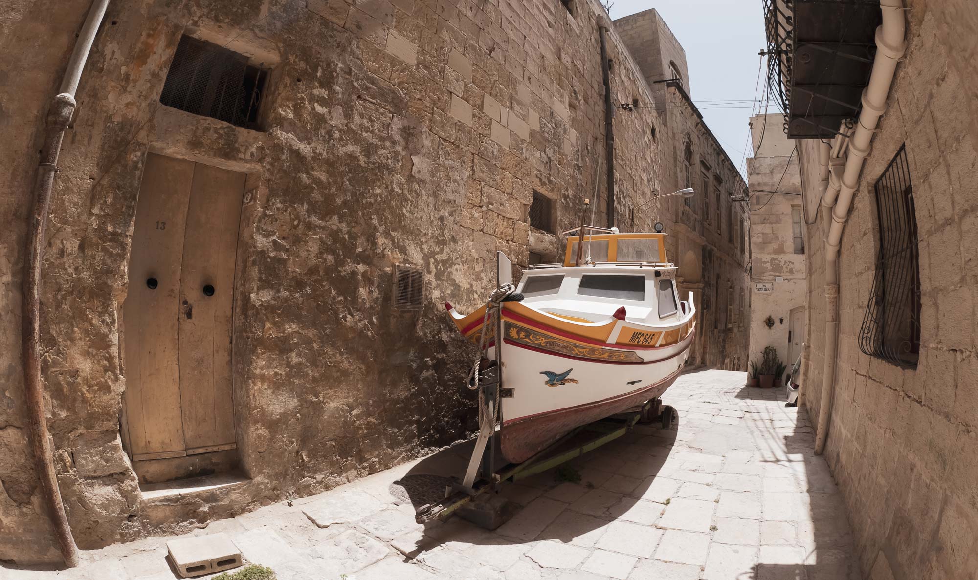
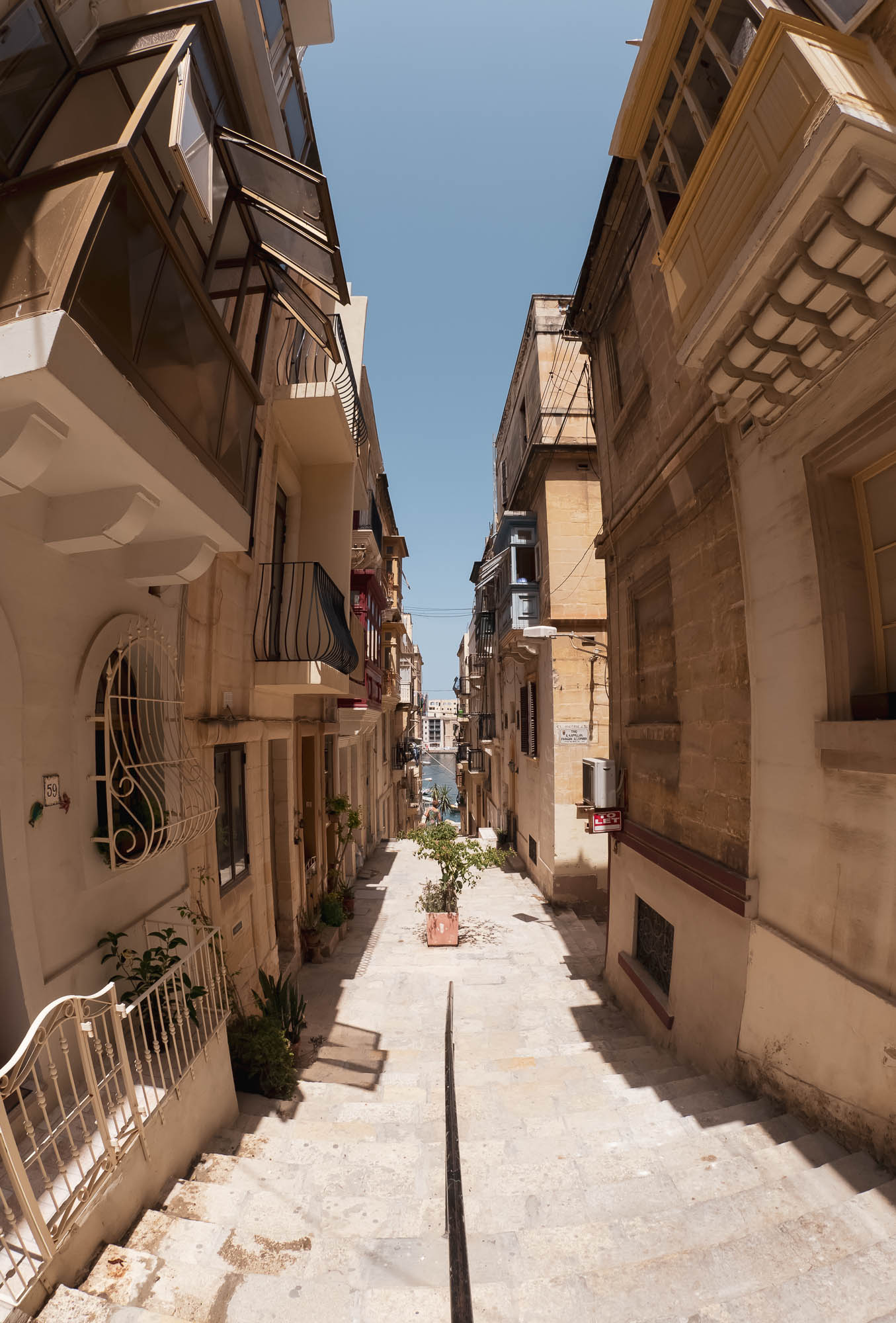
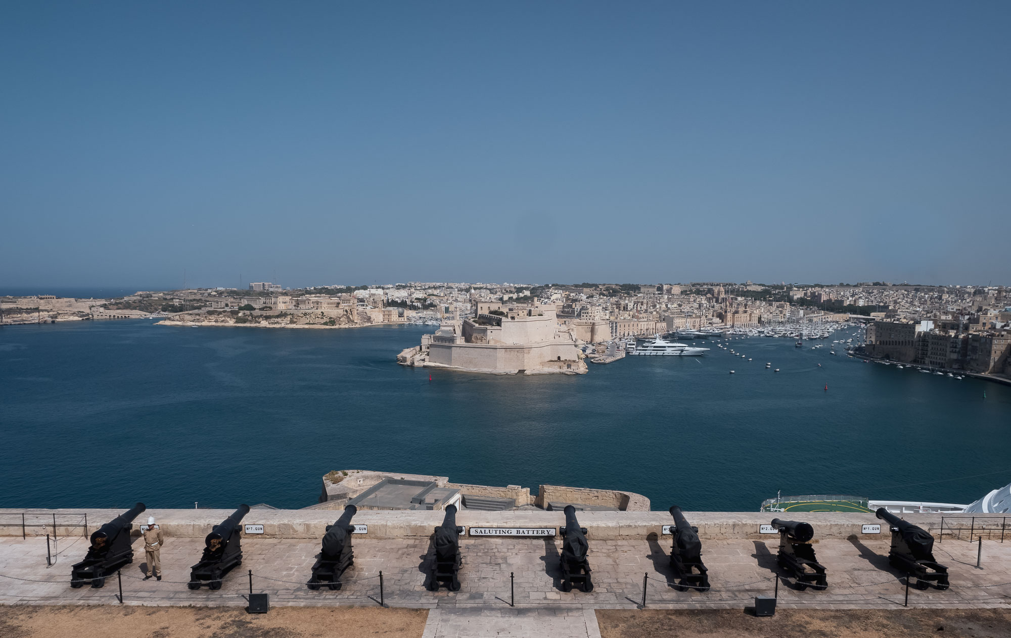
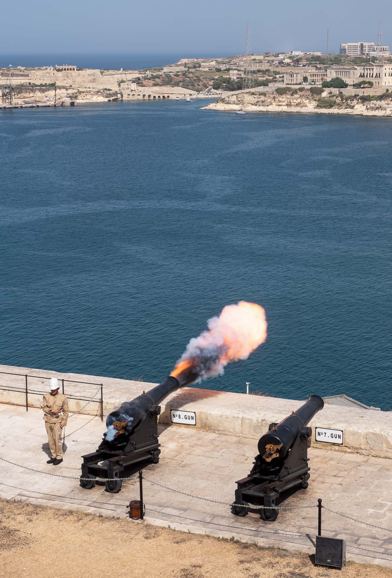
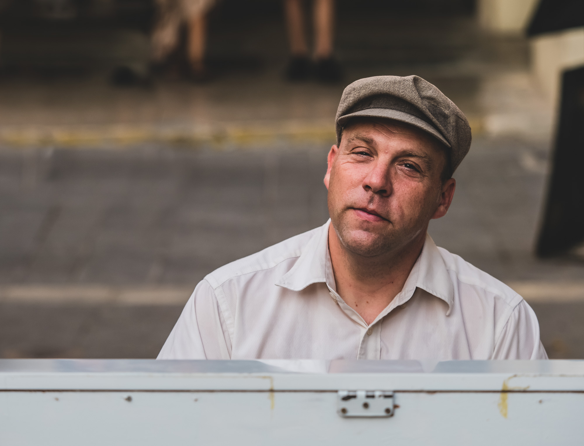
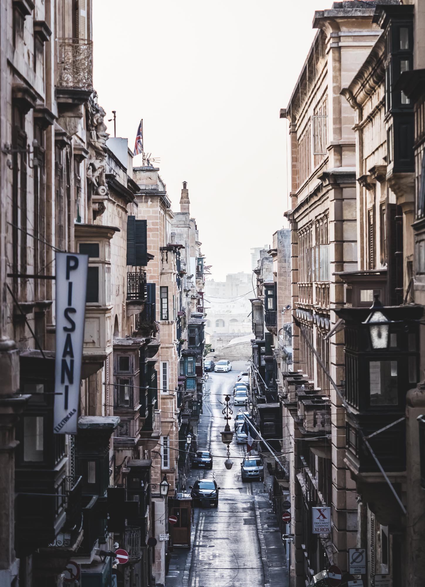
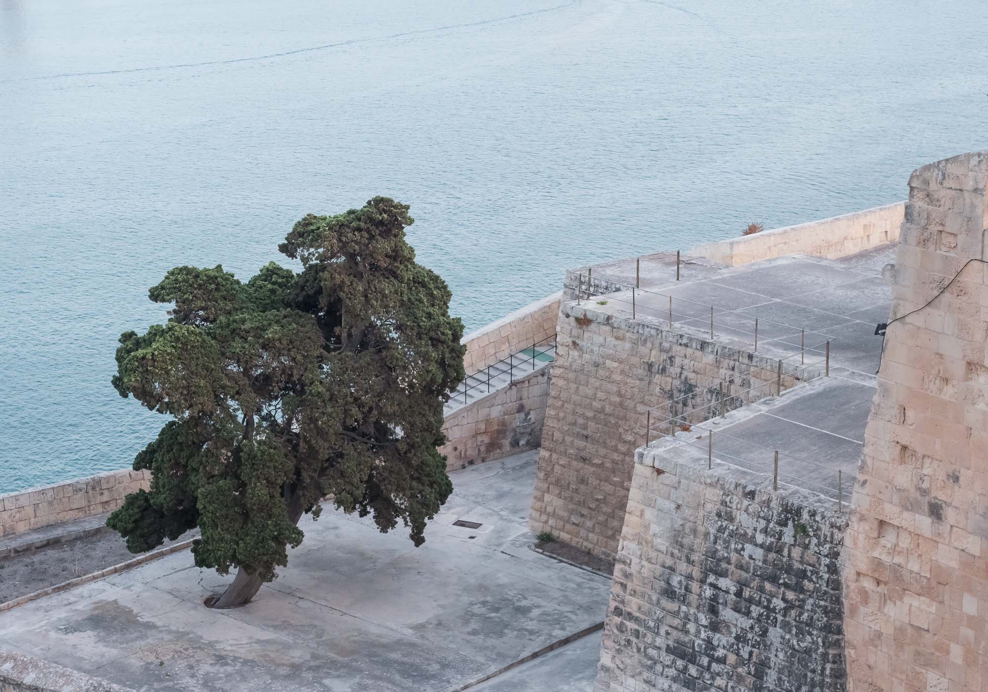
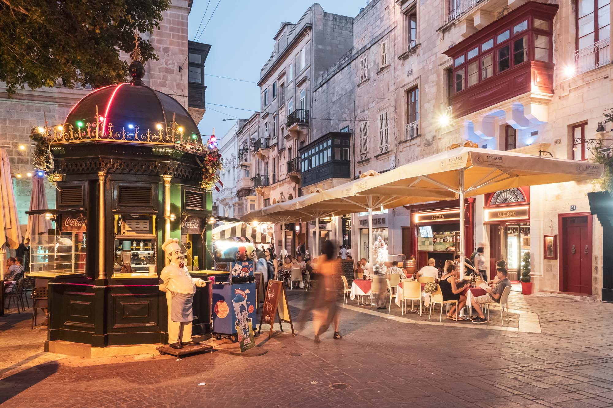
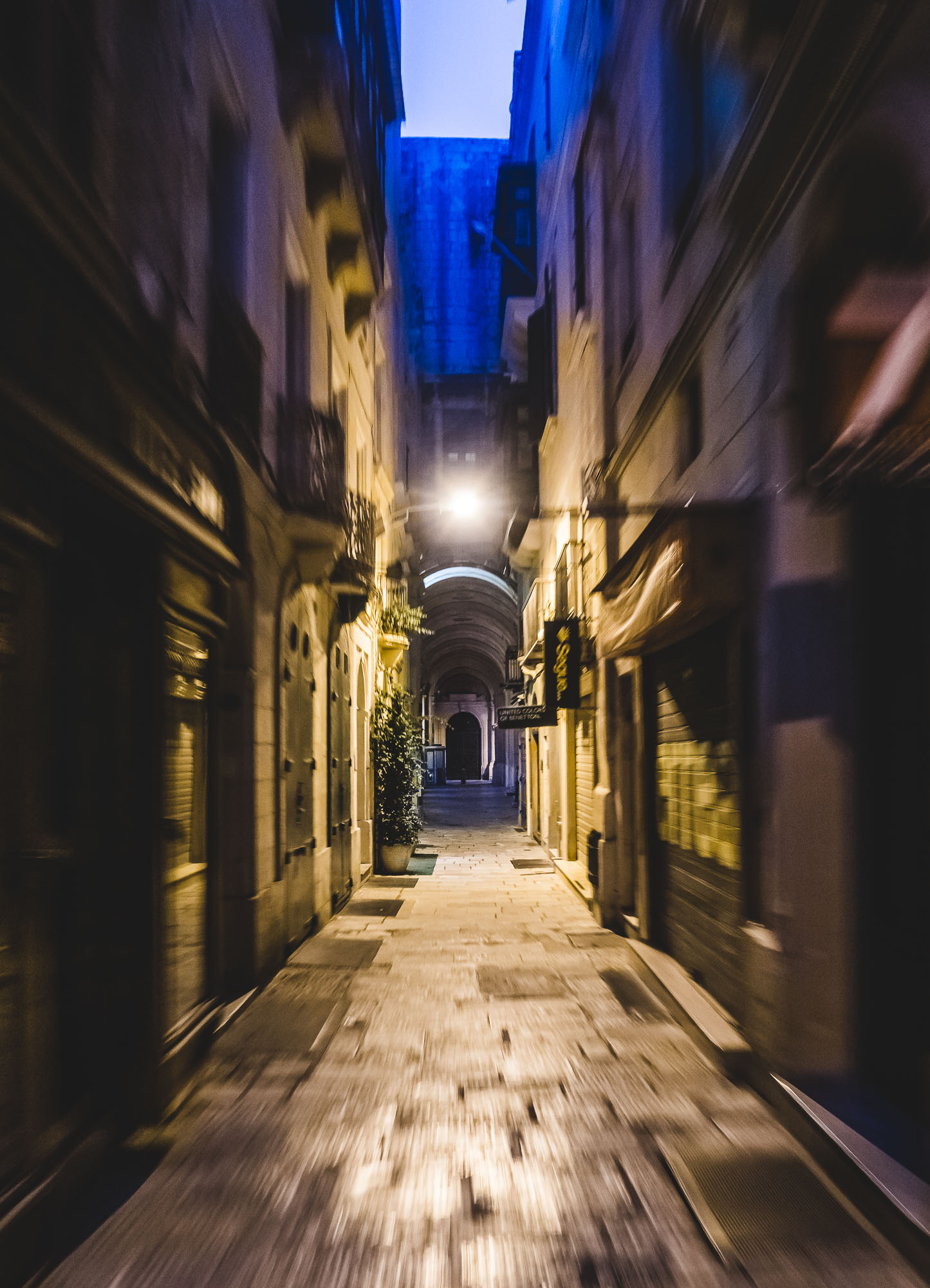
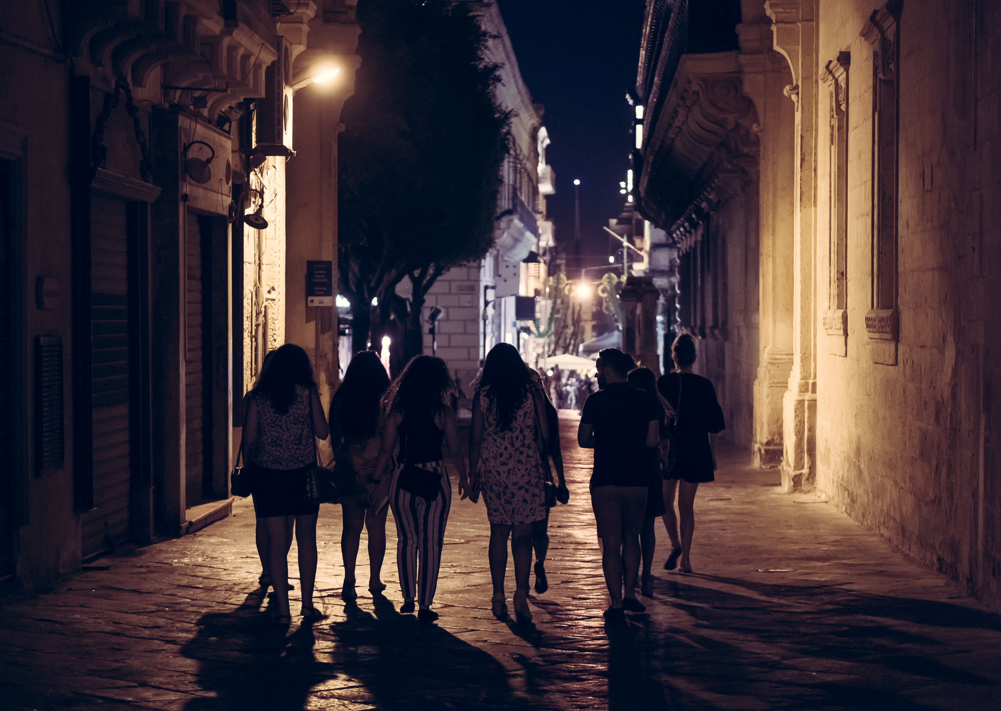
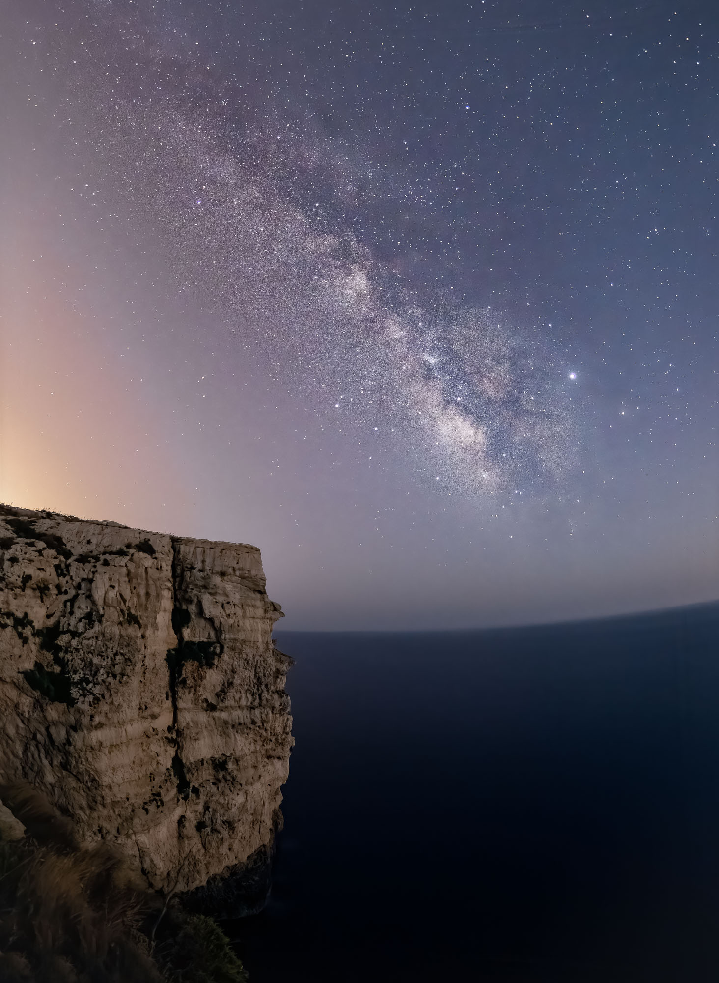
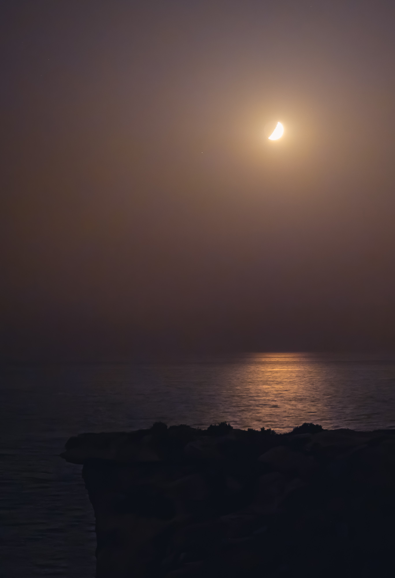
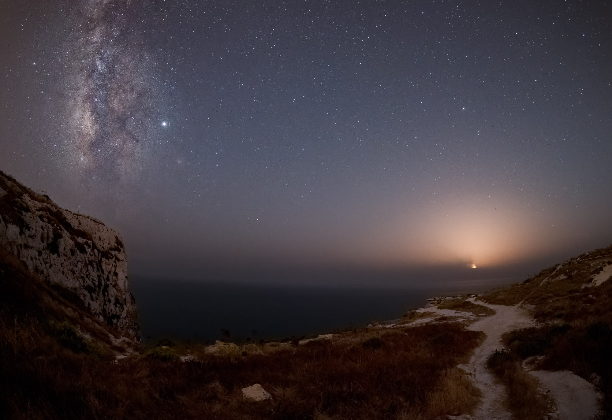
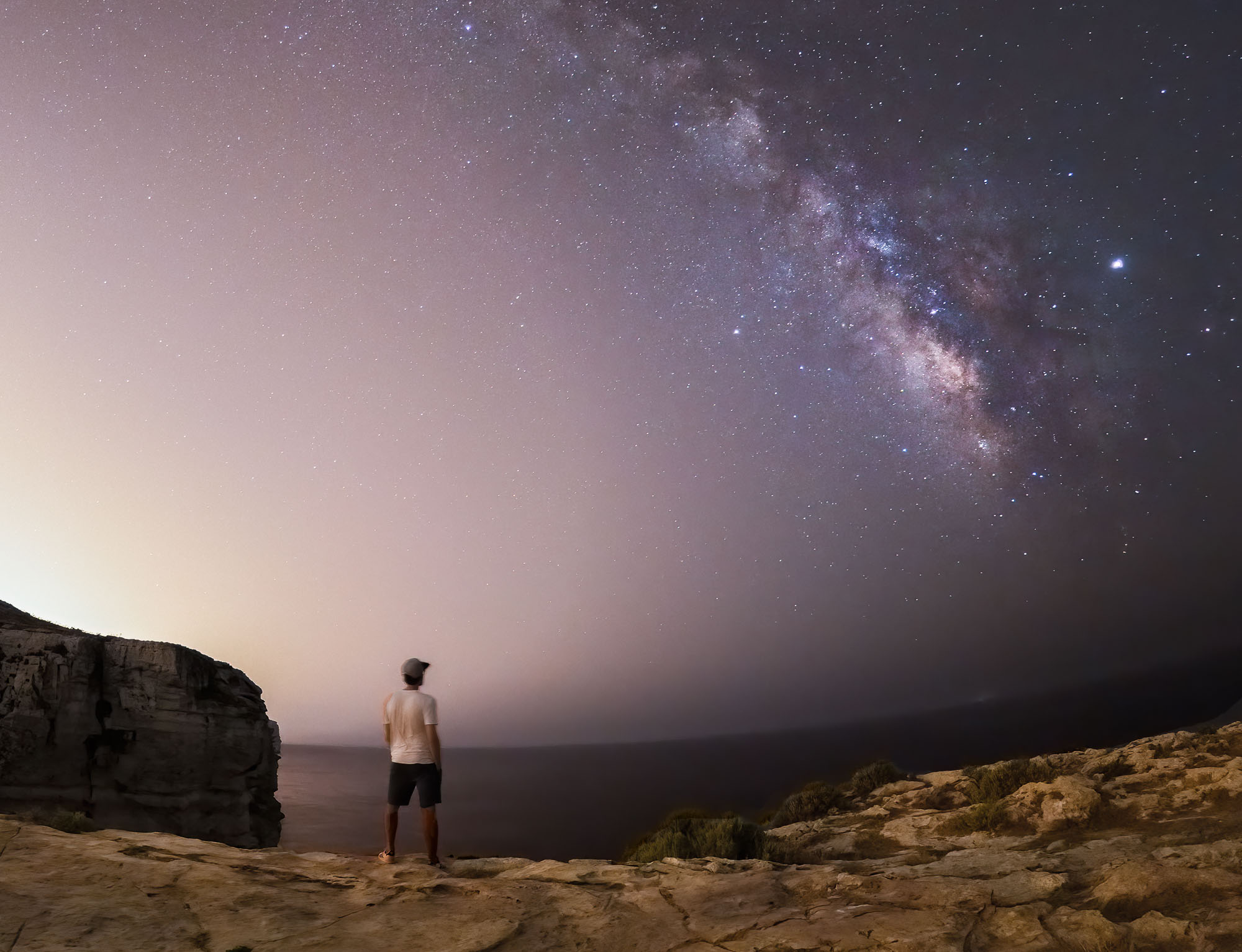
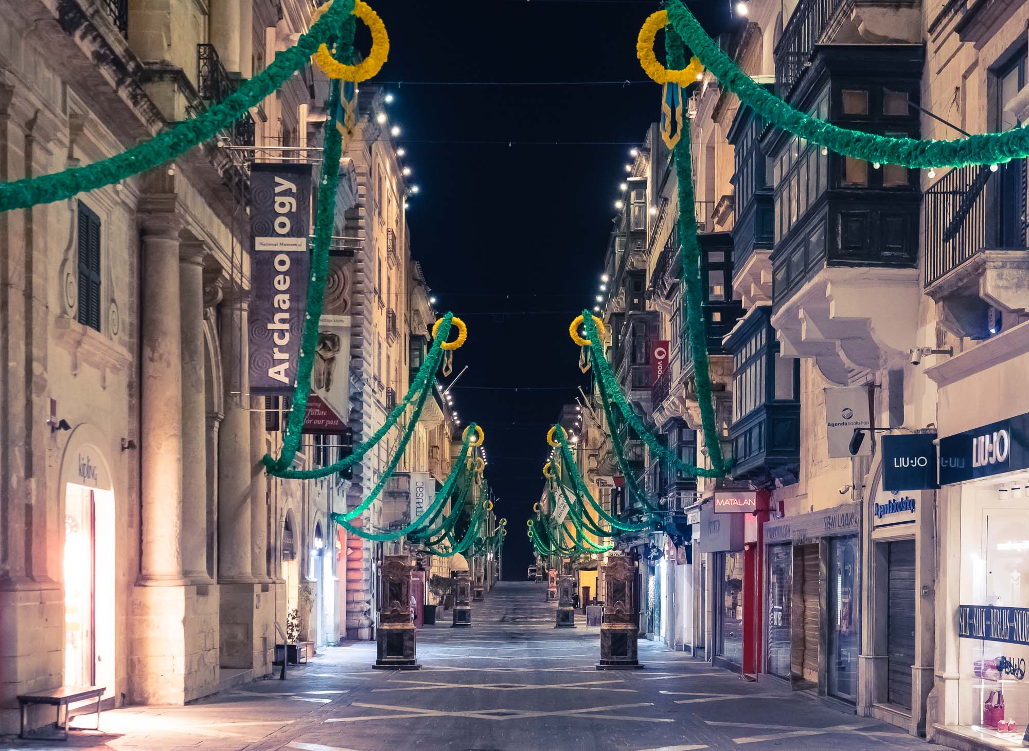
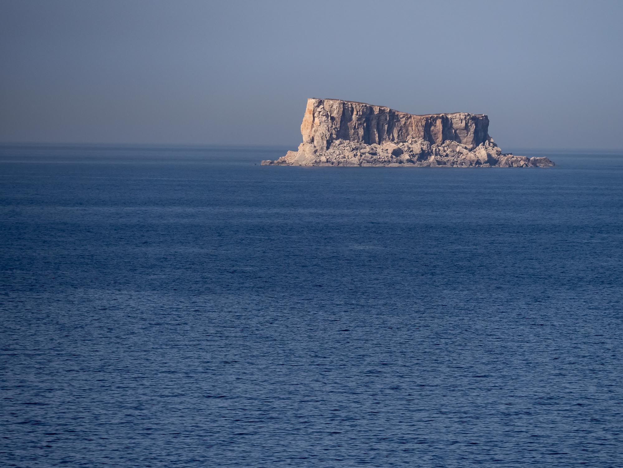
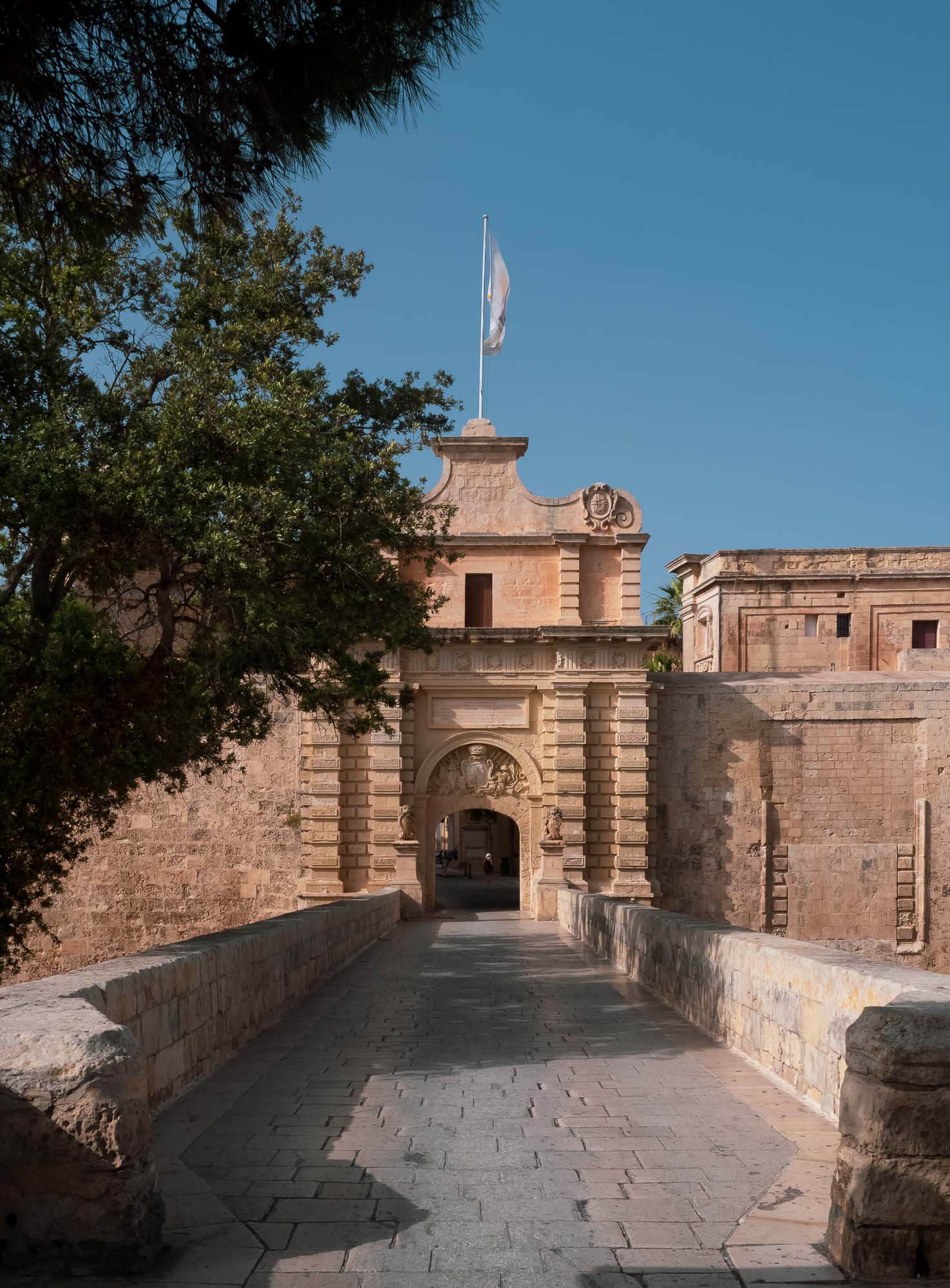
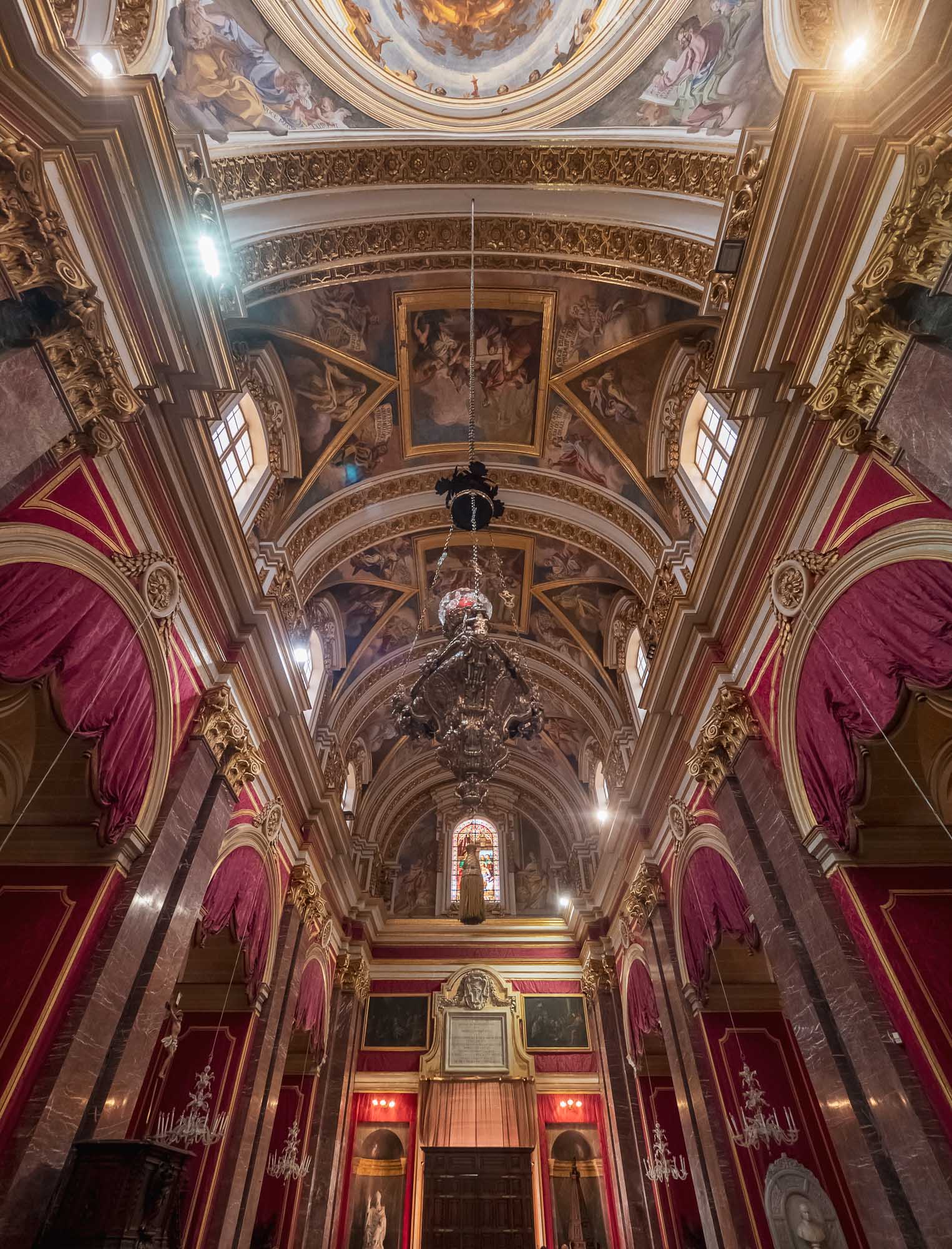
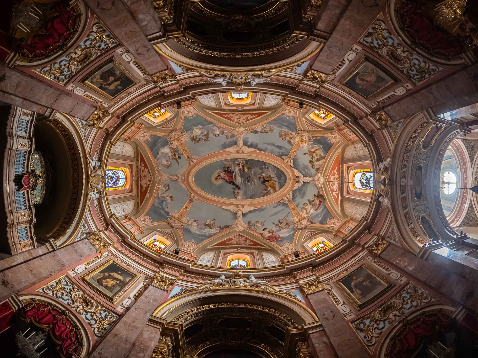
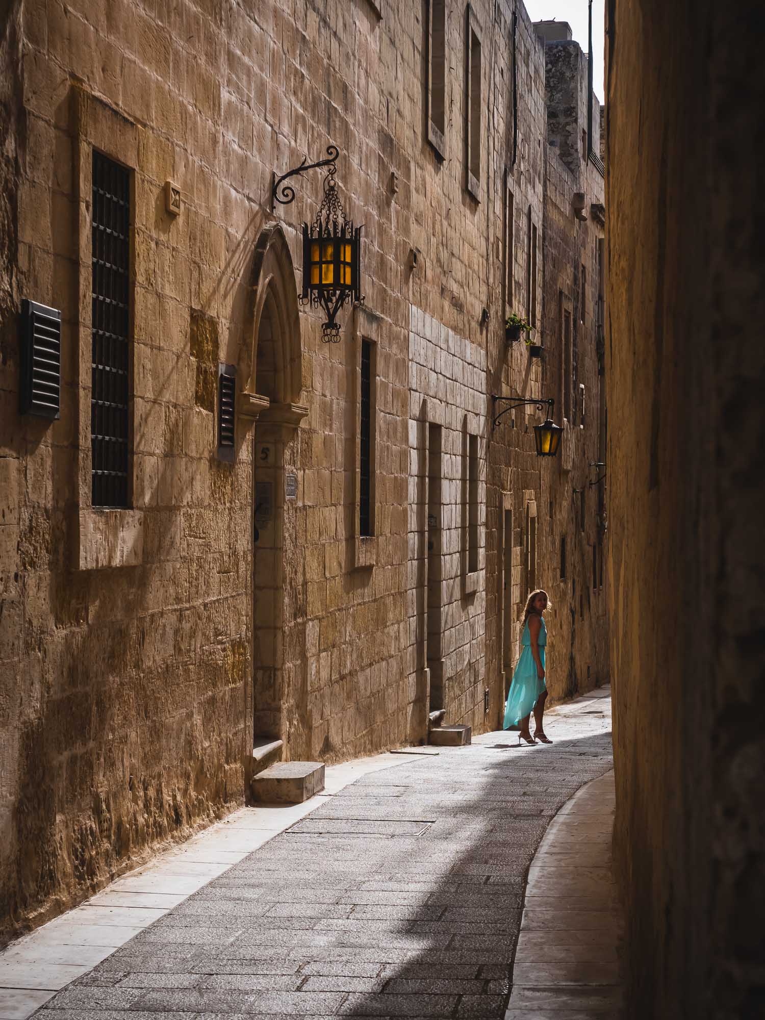
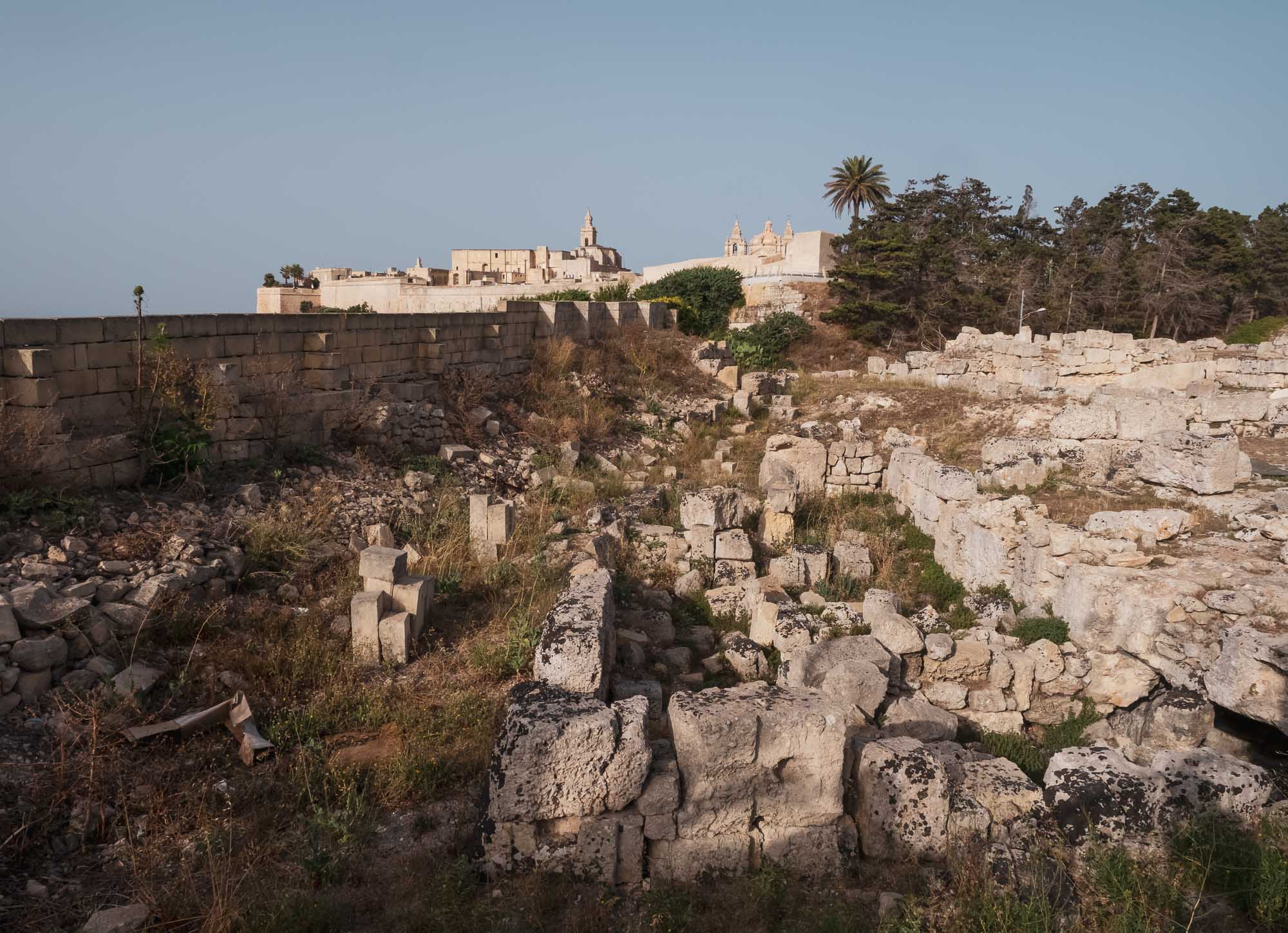
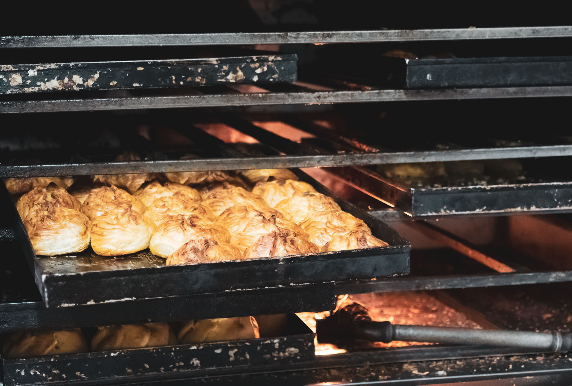
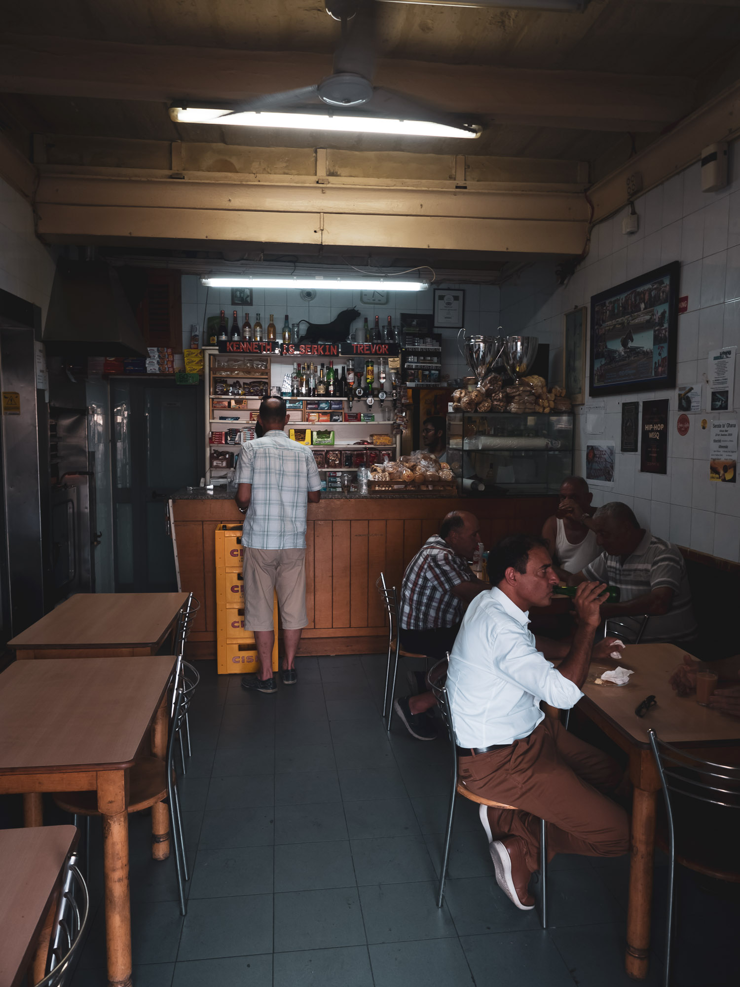
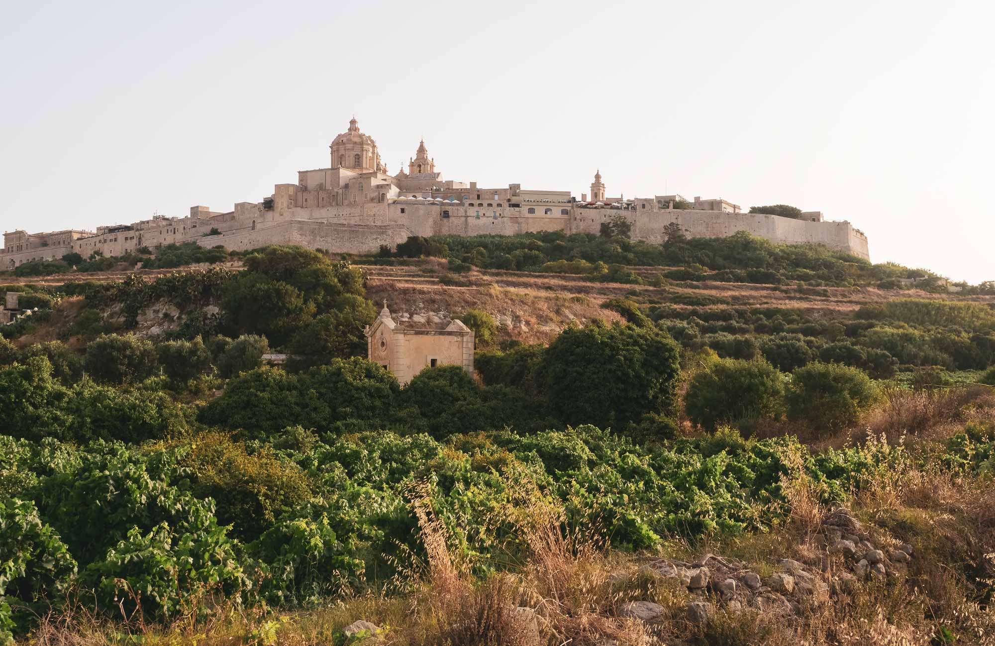
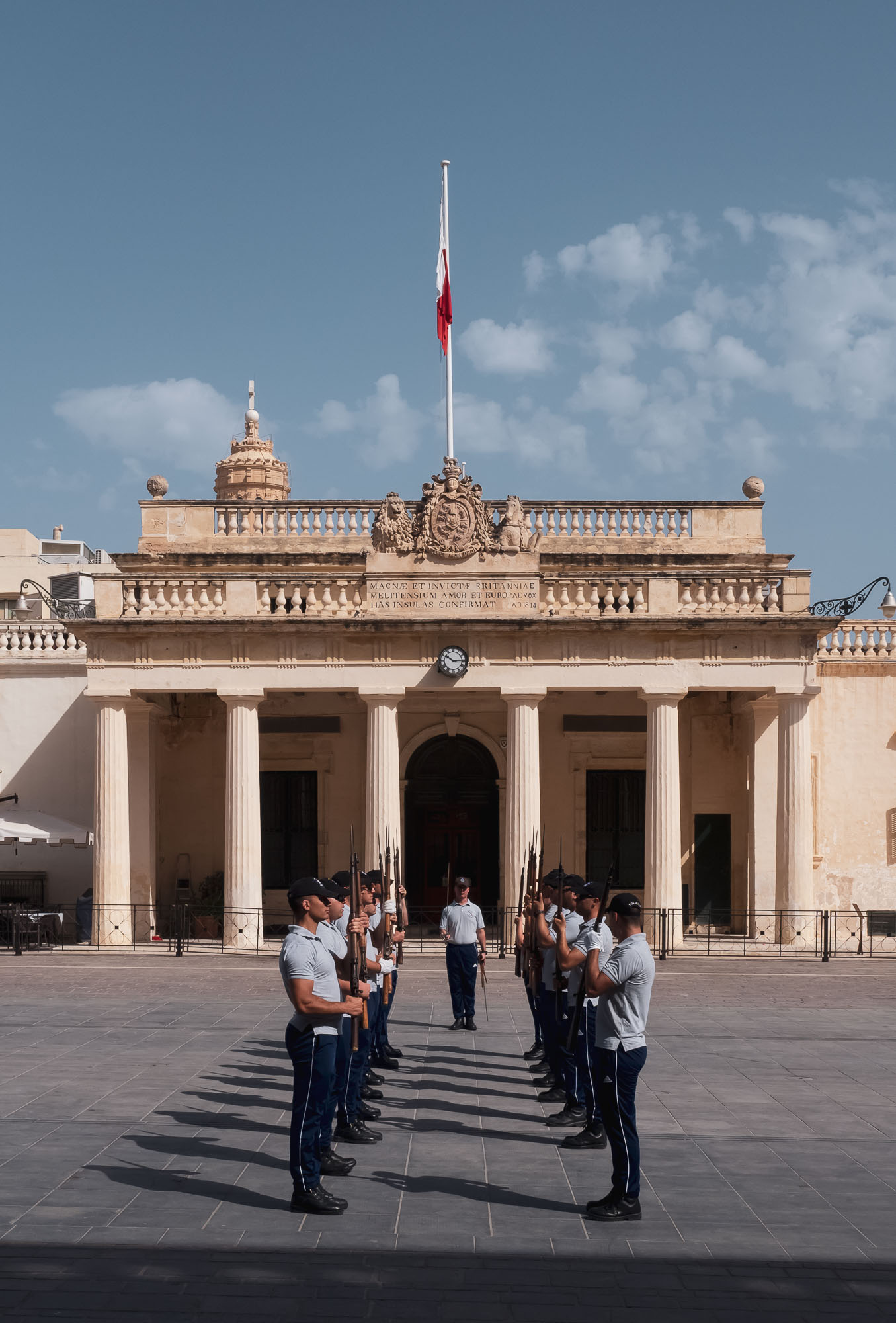
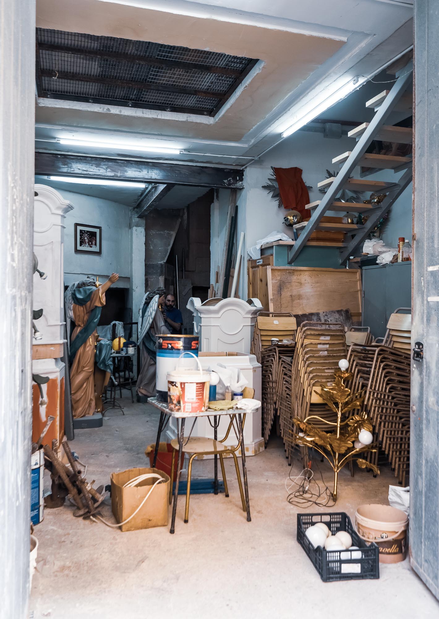
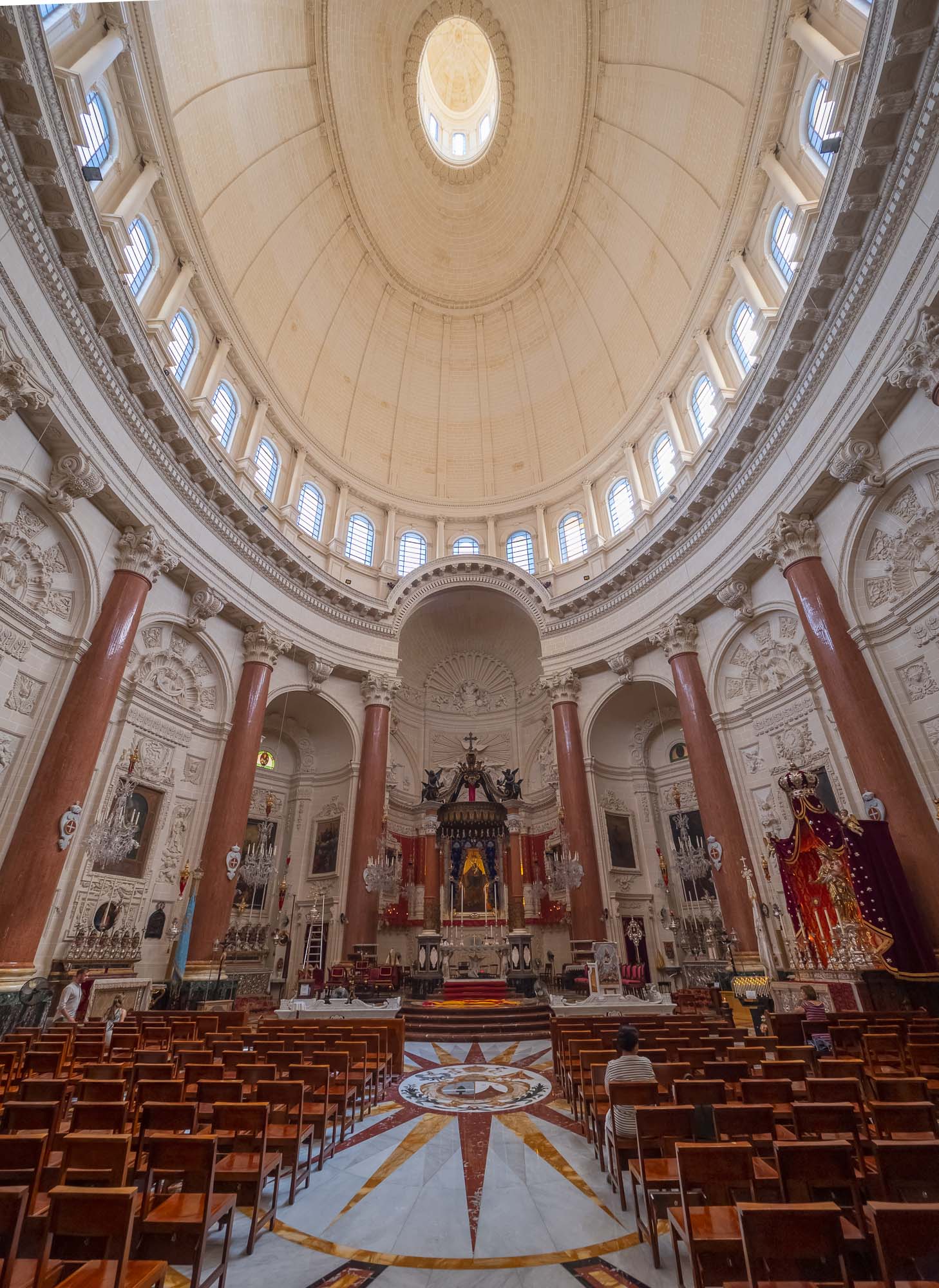
Malta - The Intriguing Island
On the way back to Dubai from a wedding in Puglia, I took the chance to stop over on the island of Malta. The small nation in the Mediterranean Sea features rich history, amazing nature, cute cityscapes and more things to see and do than I had expected. Having walked over 50km in just over 3 days, I took a few hundred photos, a short selection is below.

On the way back to Dubai from a wedding in Puglia, I took the chance to stop over on the island of Malta. The small nation in the Mediterranean Sea features rich history, amazing nature, cute cityscapes and more things to see and do than I had expected. Having walked over 50km in just over 3 days, I took a few hundred photos, a short selection is below.


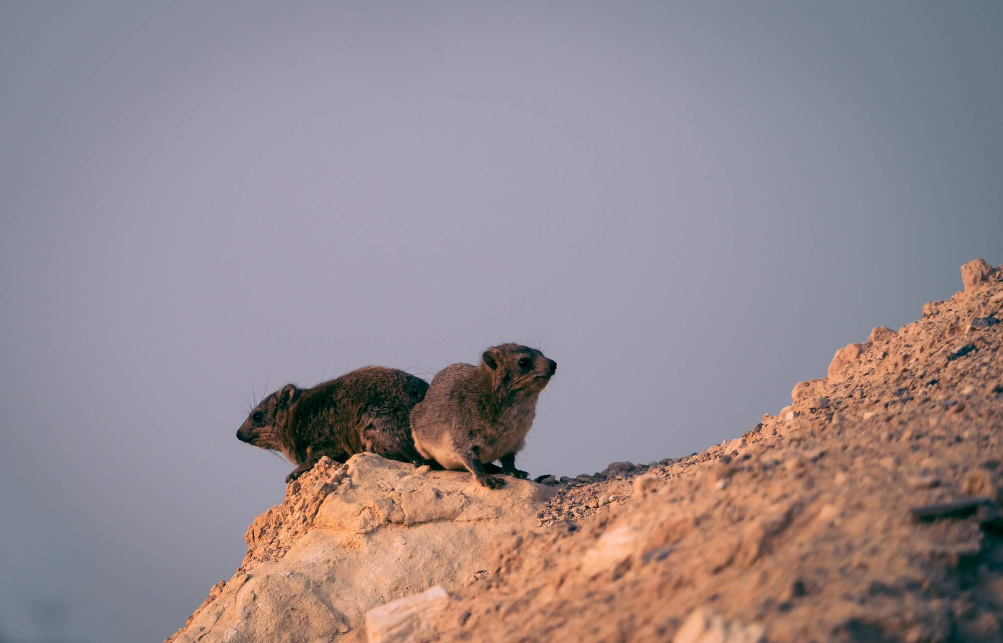
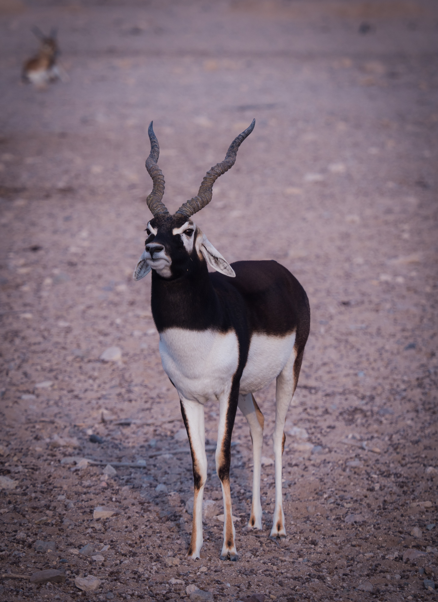
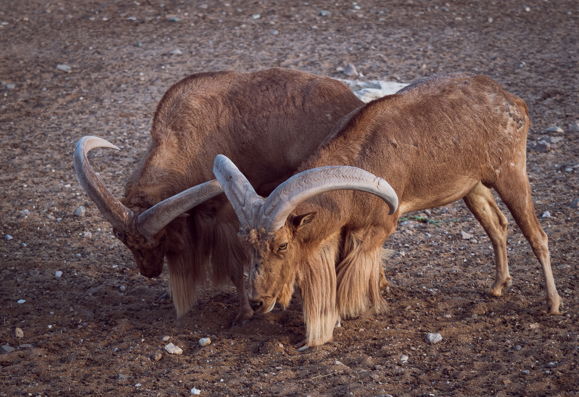
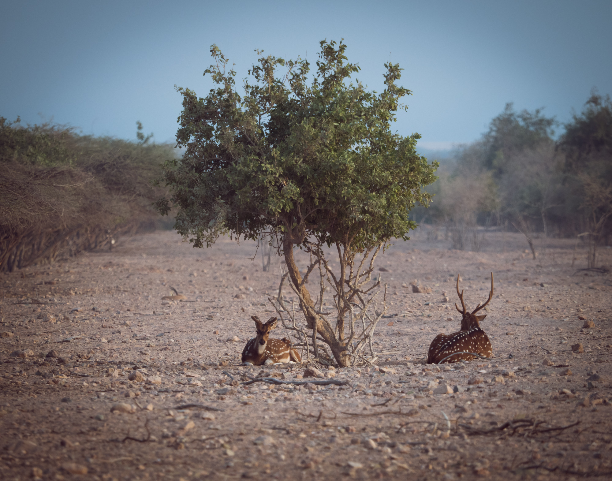
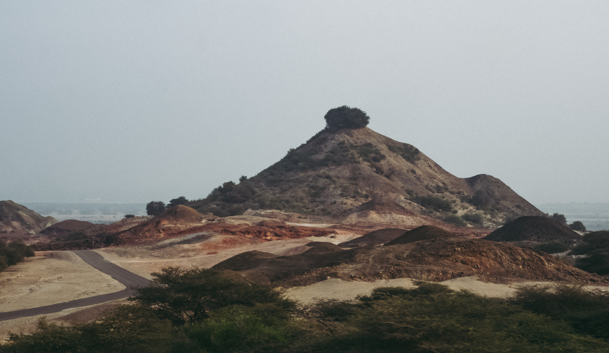
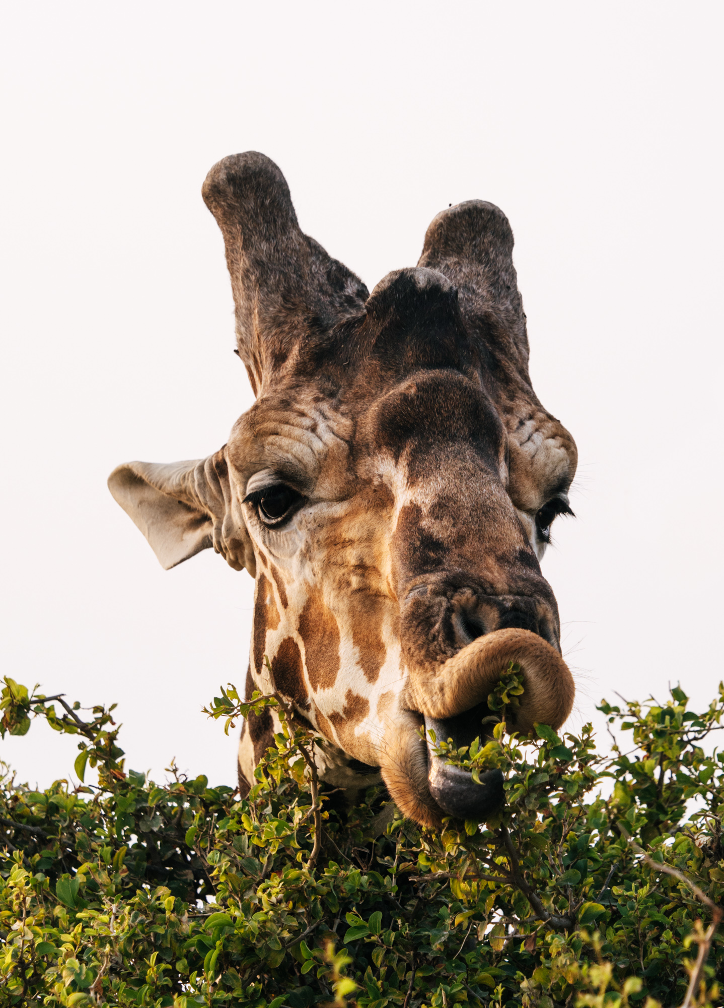
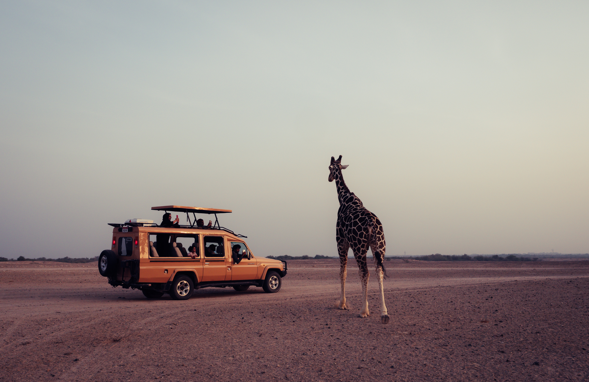
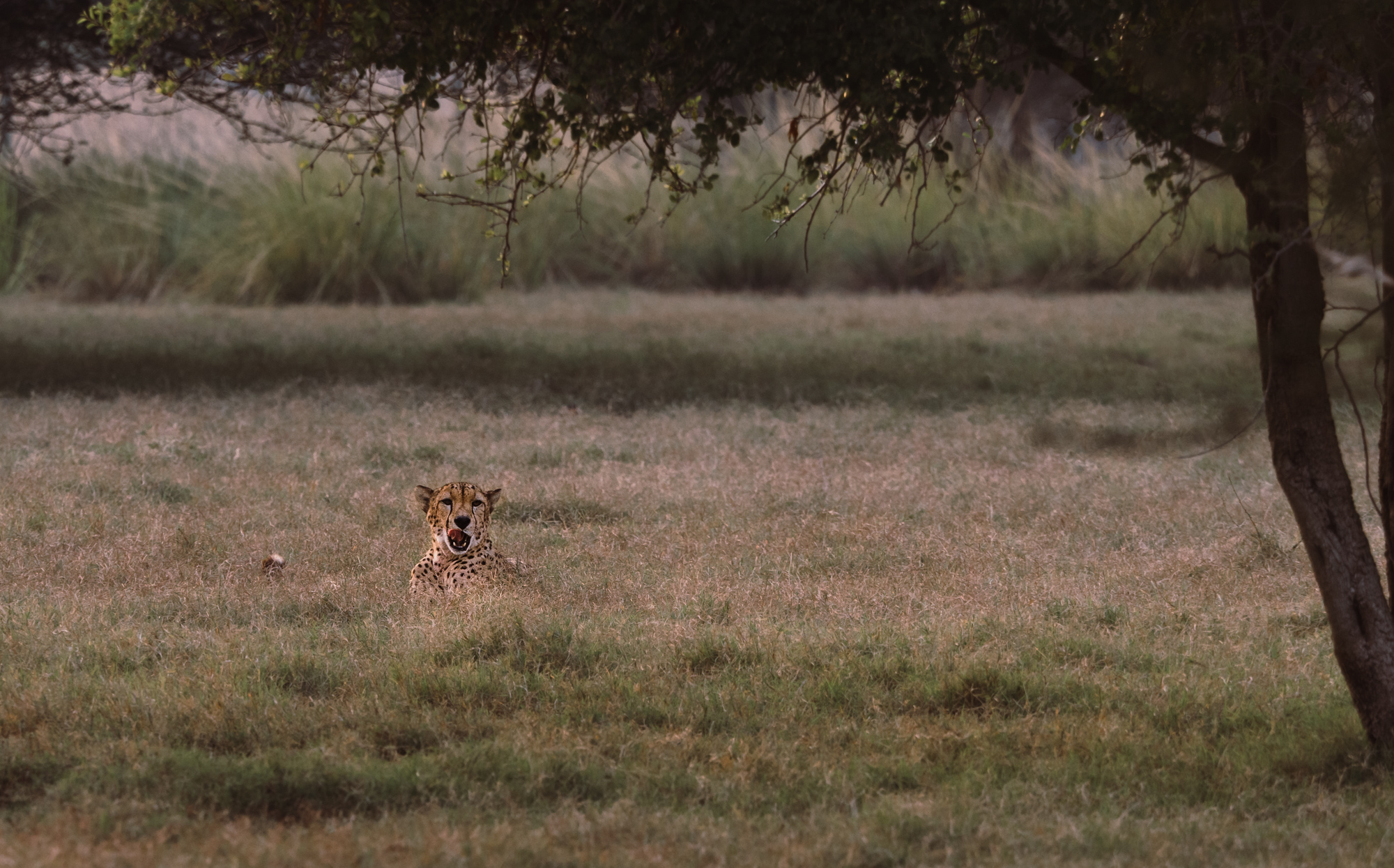
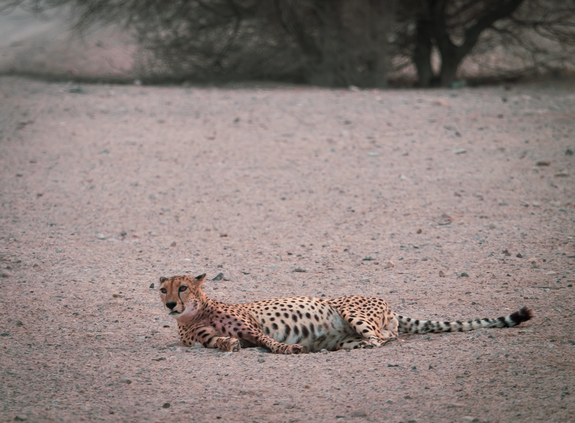
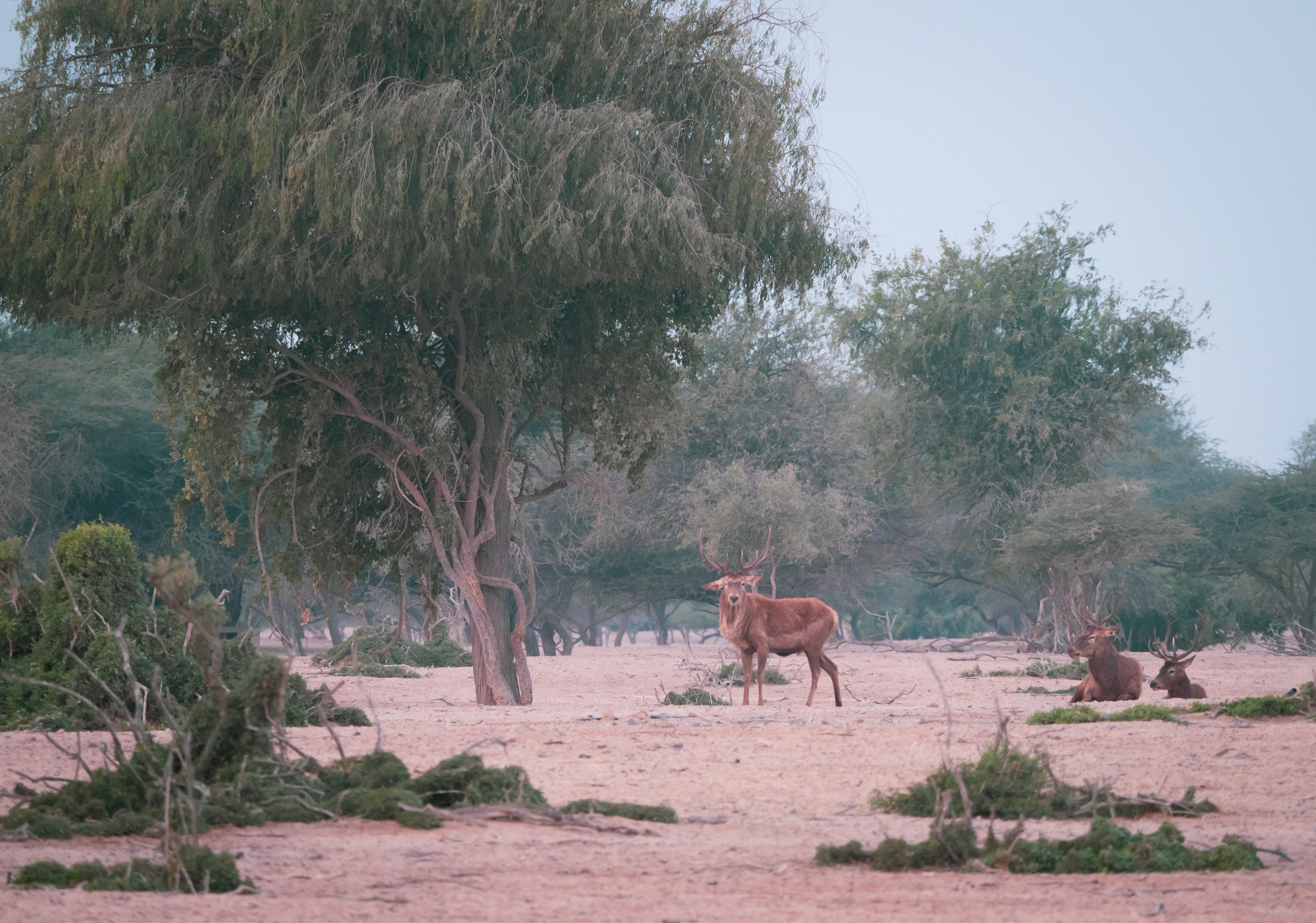
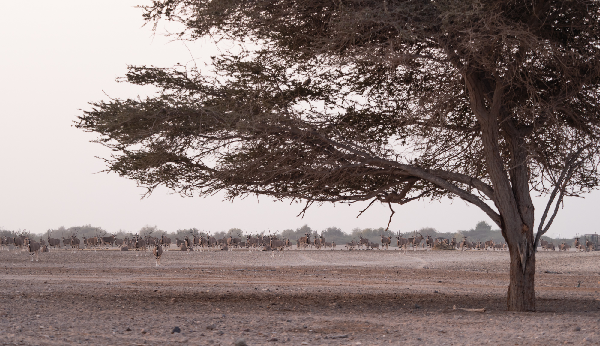
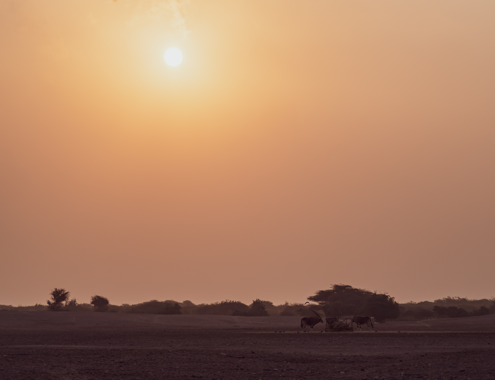
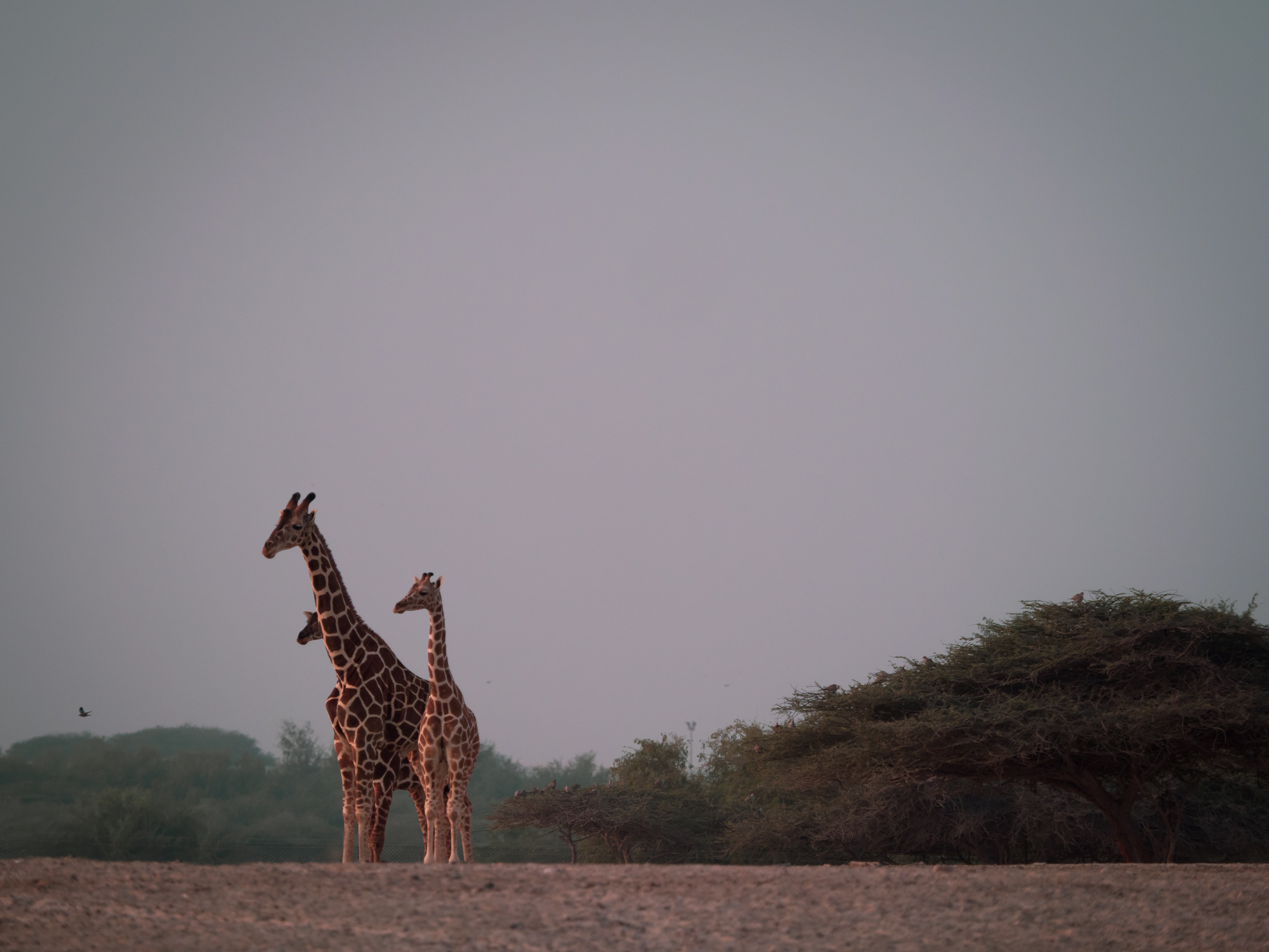
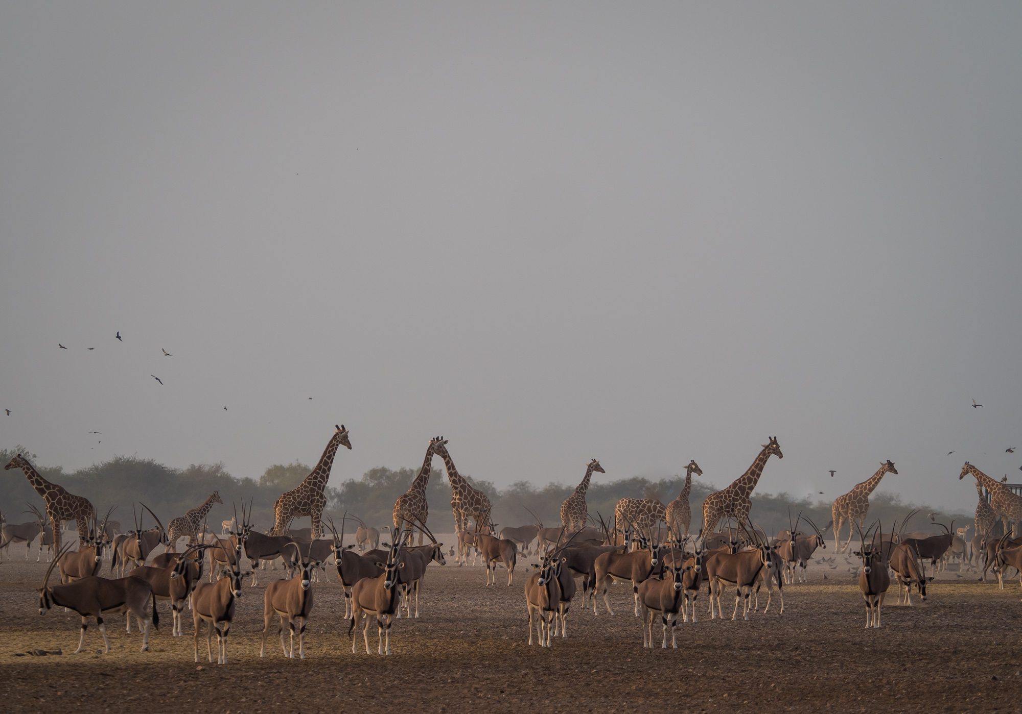
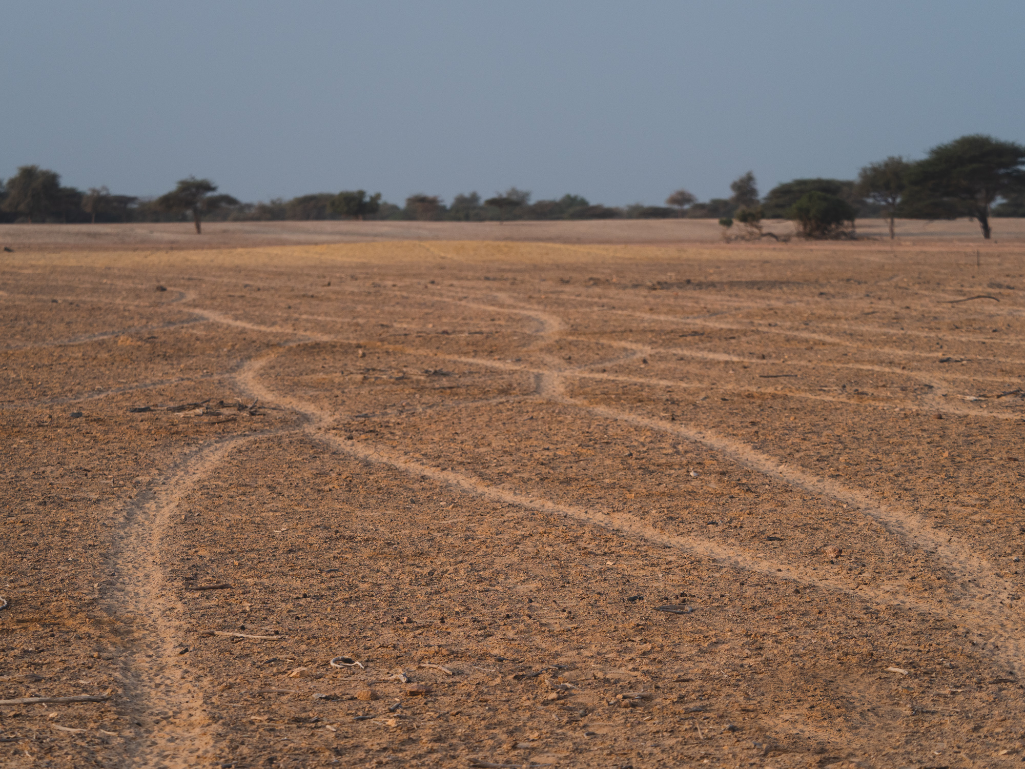
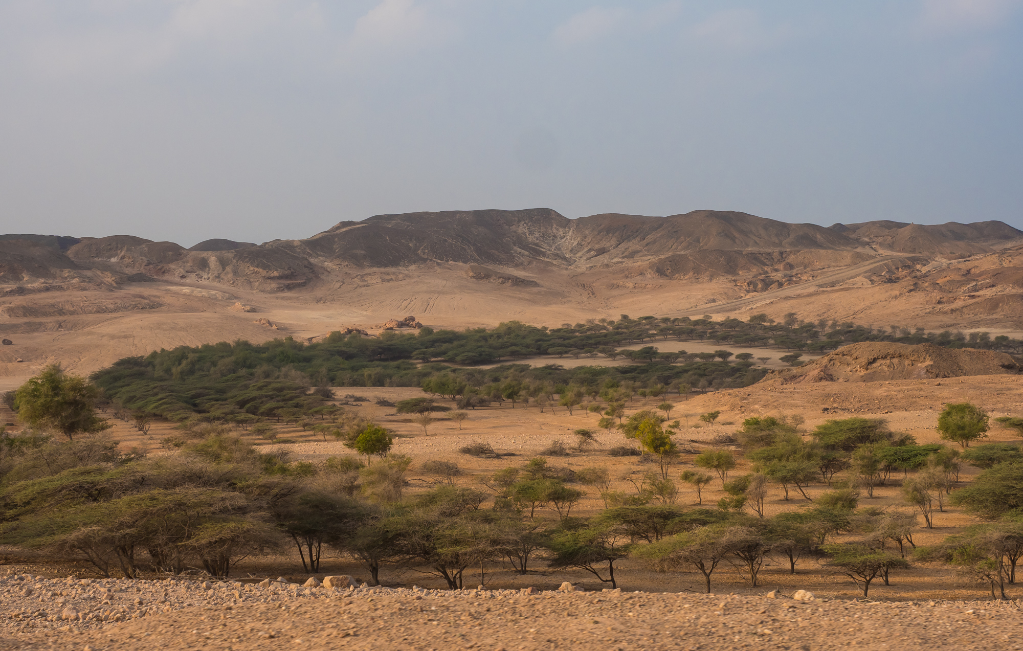
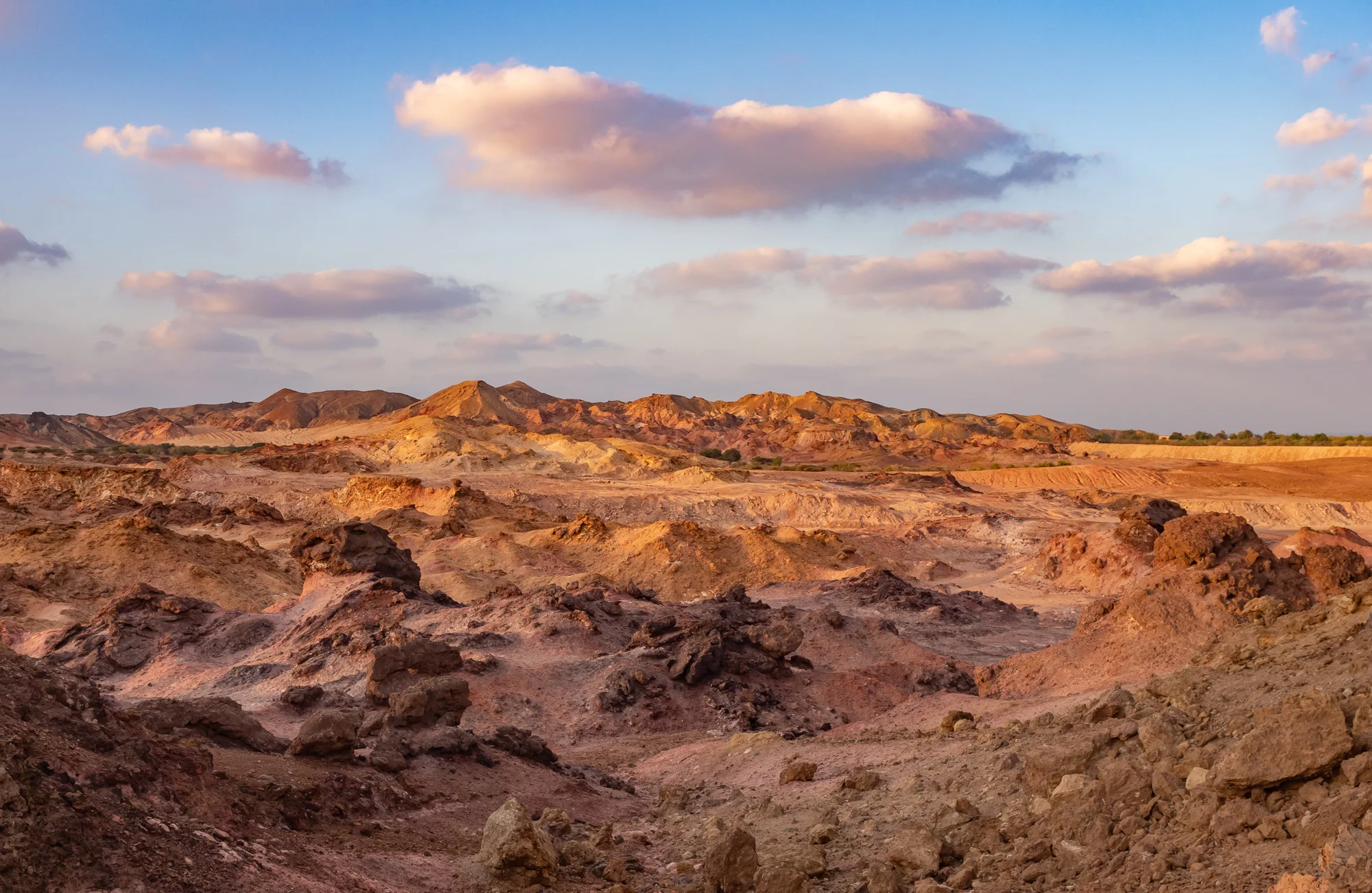
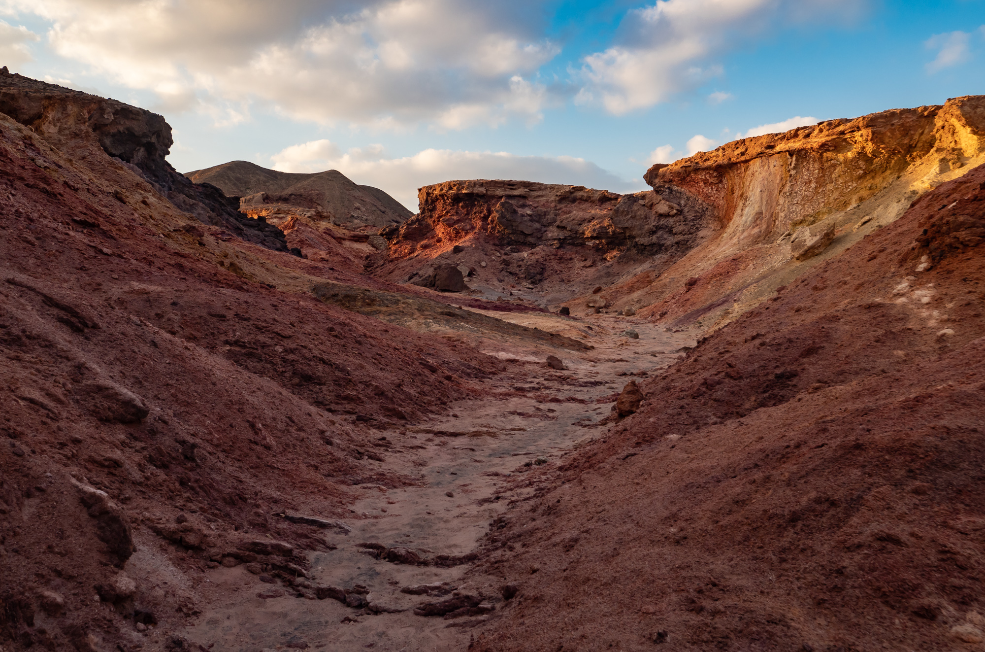
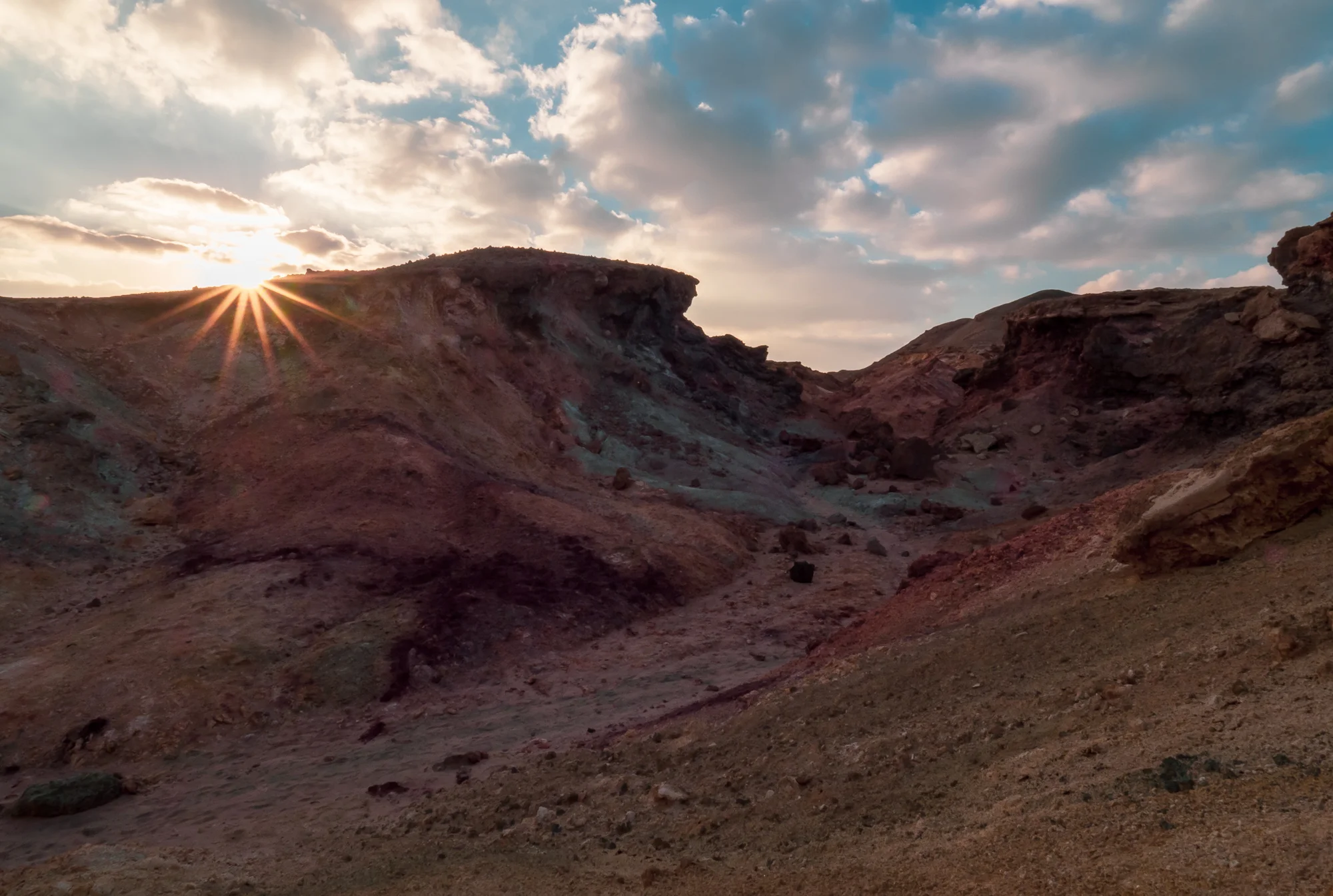
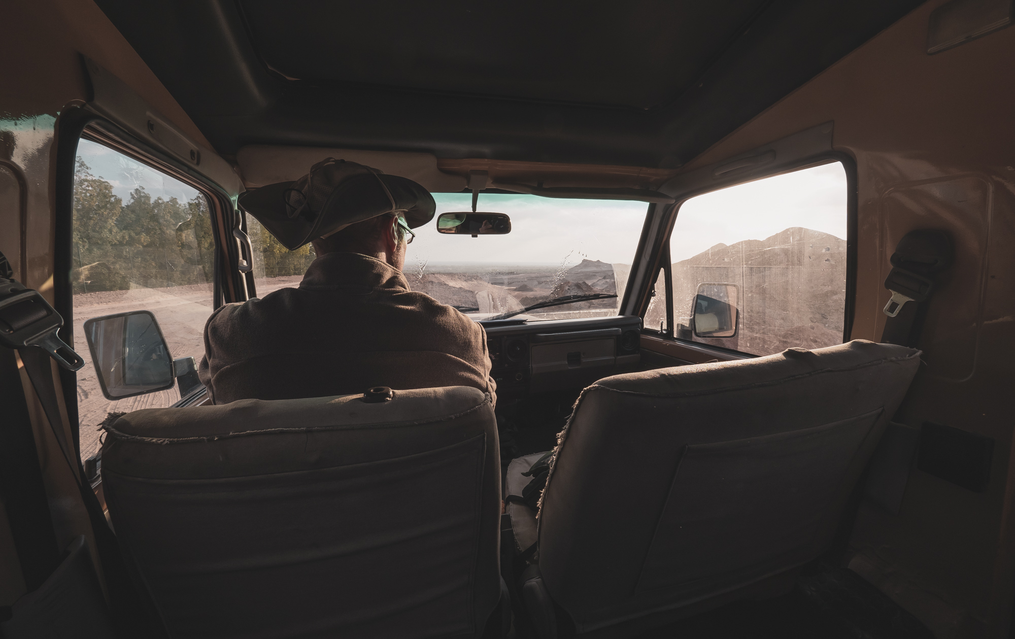
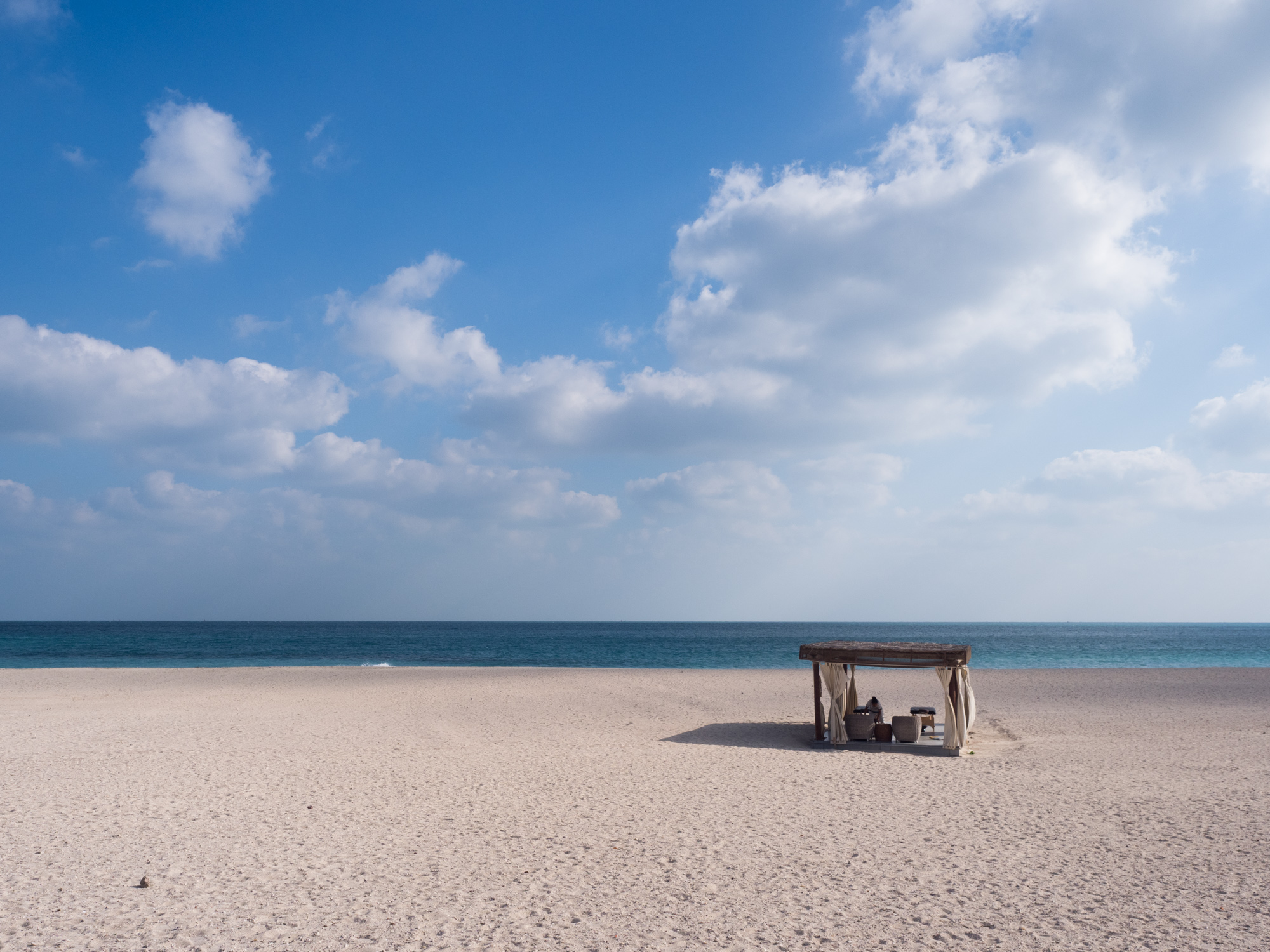
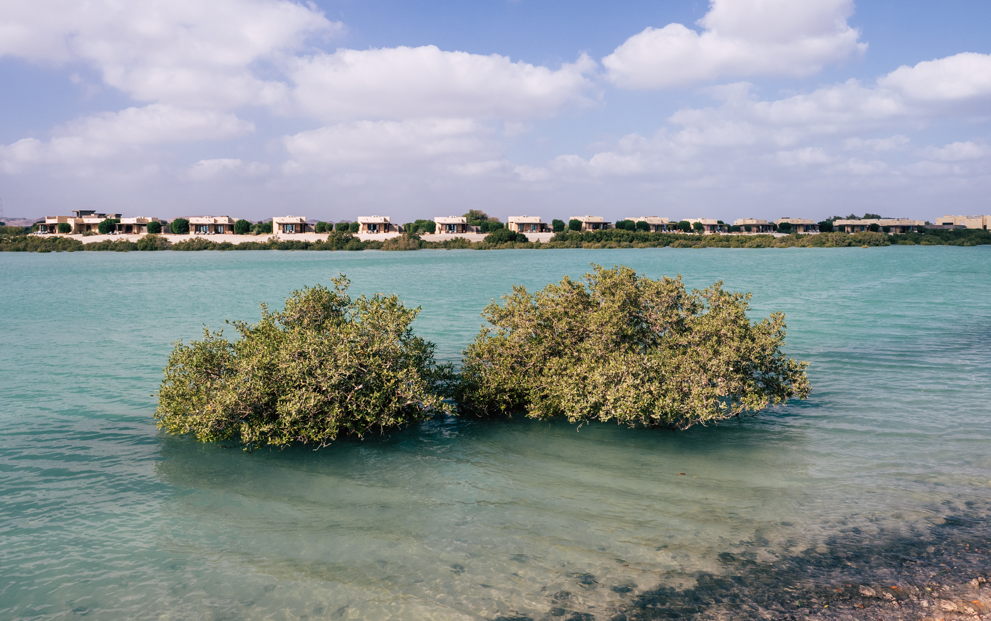
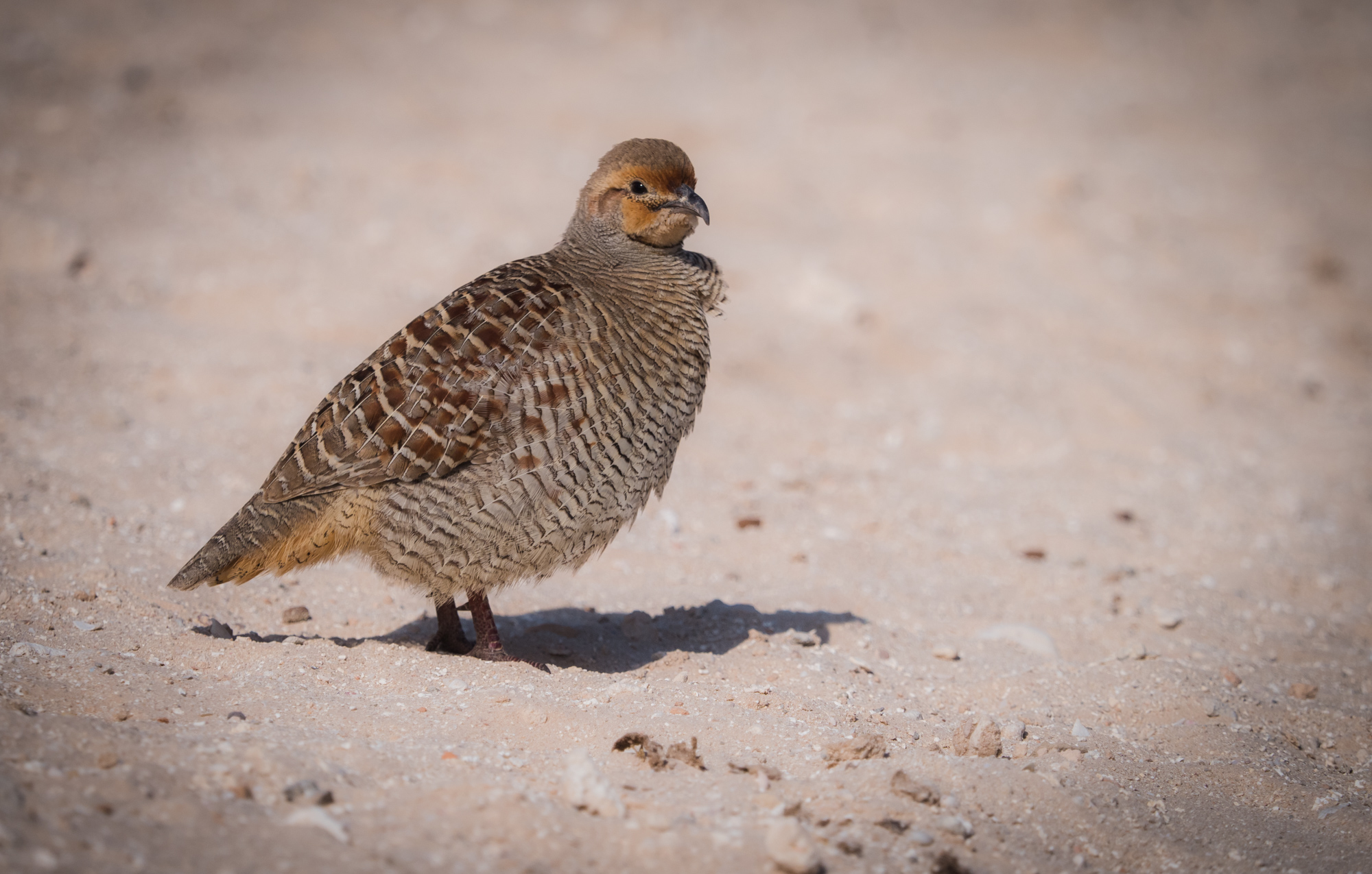
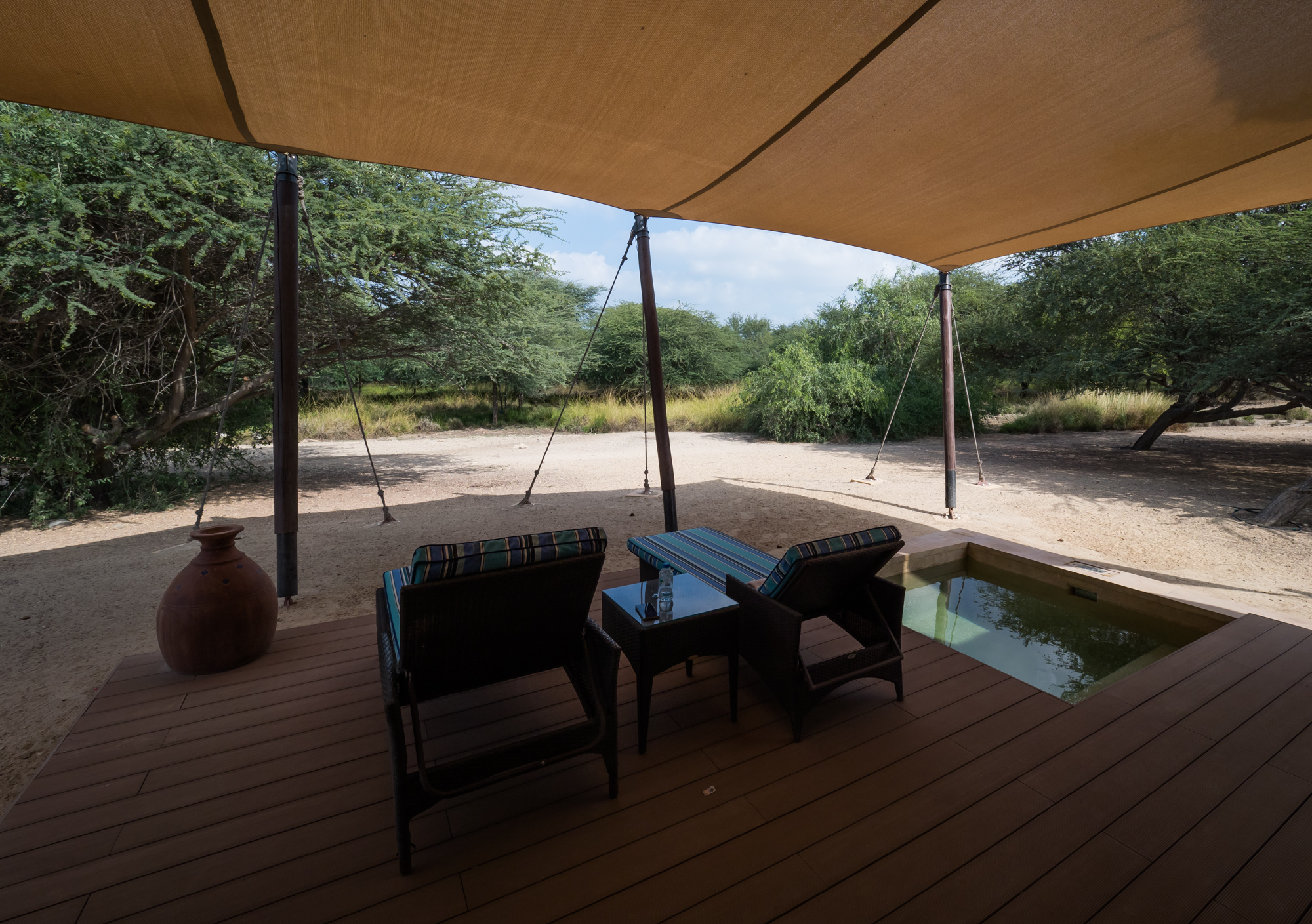
Sir Bani Yas Island - Greening the Desert
Bani Yas Island has always been on my UAE To Do List. The island is about a 3,5 hour drive and 30min boat ride from Dubai and lies off the coast of Abu Dhabi in the western region. It’s the largest natural island in the UAE. Its rich history, incredible flora and fauna and the story of how it evolved into a major conservation project truly makes it a globally unique destination.

Bani Yas Island has always been on my UAE To Do List. The island is about a 3,5 hour drive and 30min boat ride from Dubai and lies off the coast of Abu Dhabi in the western region. It’s the largest natural island in the UAE. Its rich history, incredible flora and fauna and the story of how it evolved into a major conservation project truly makes it a globally unique destination.


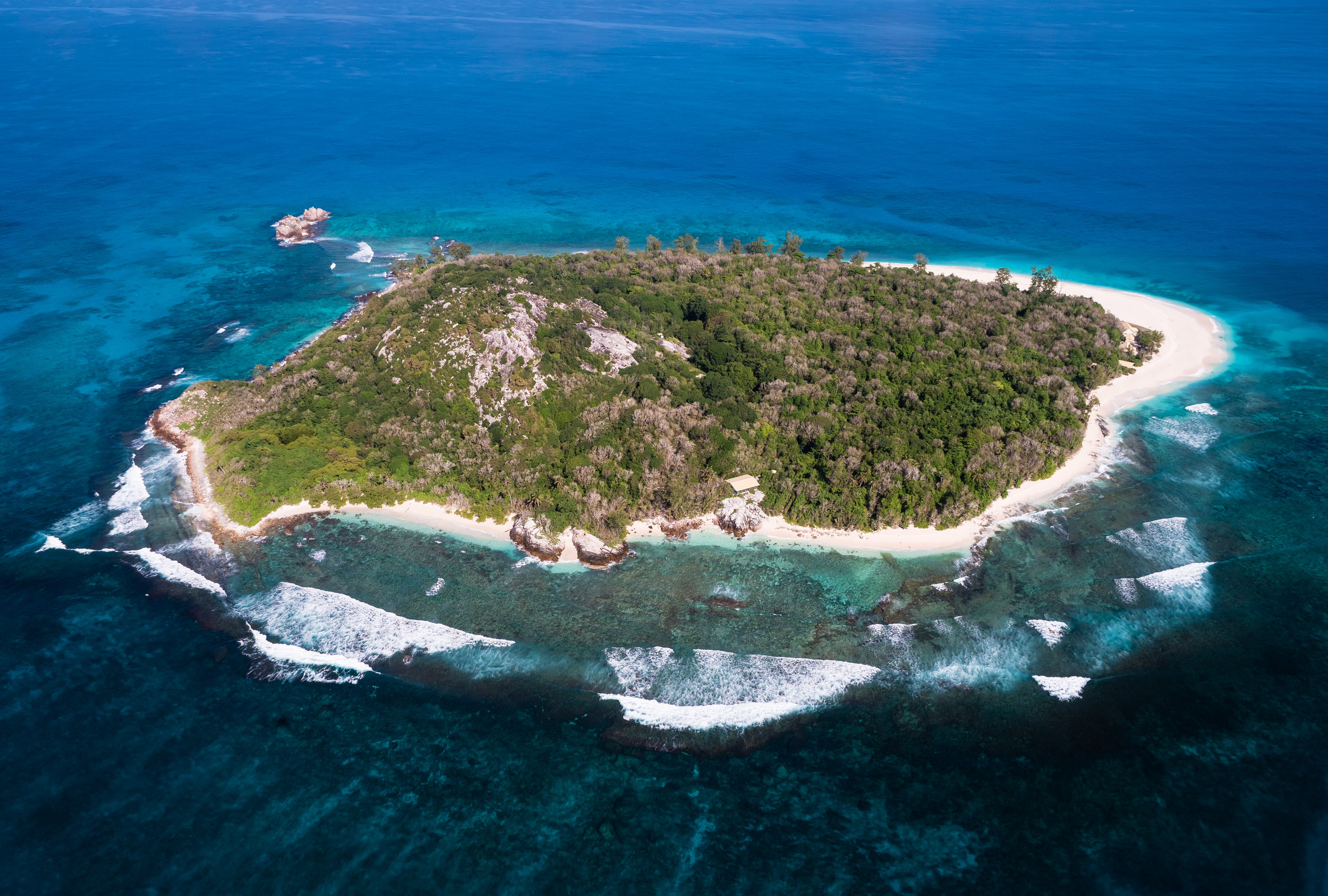
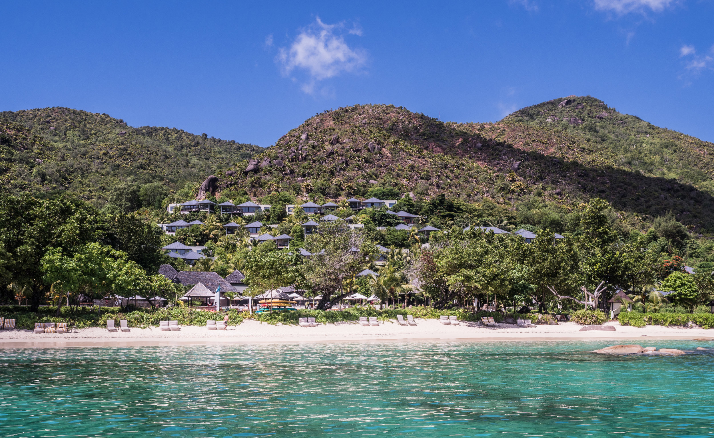
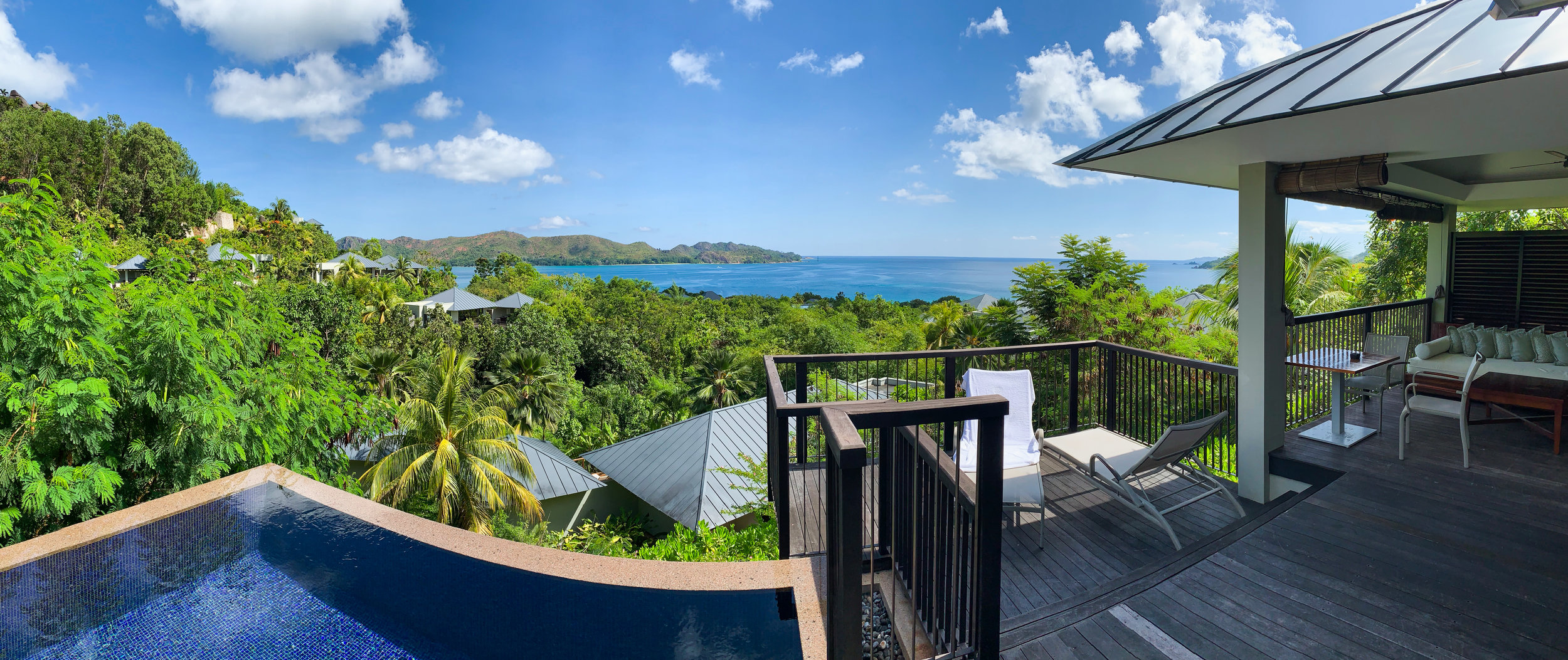
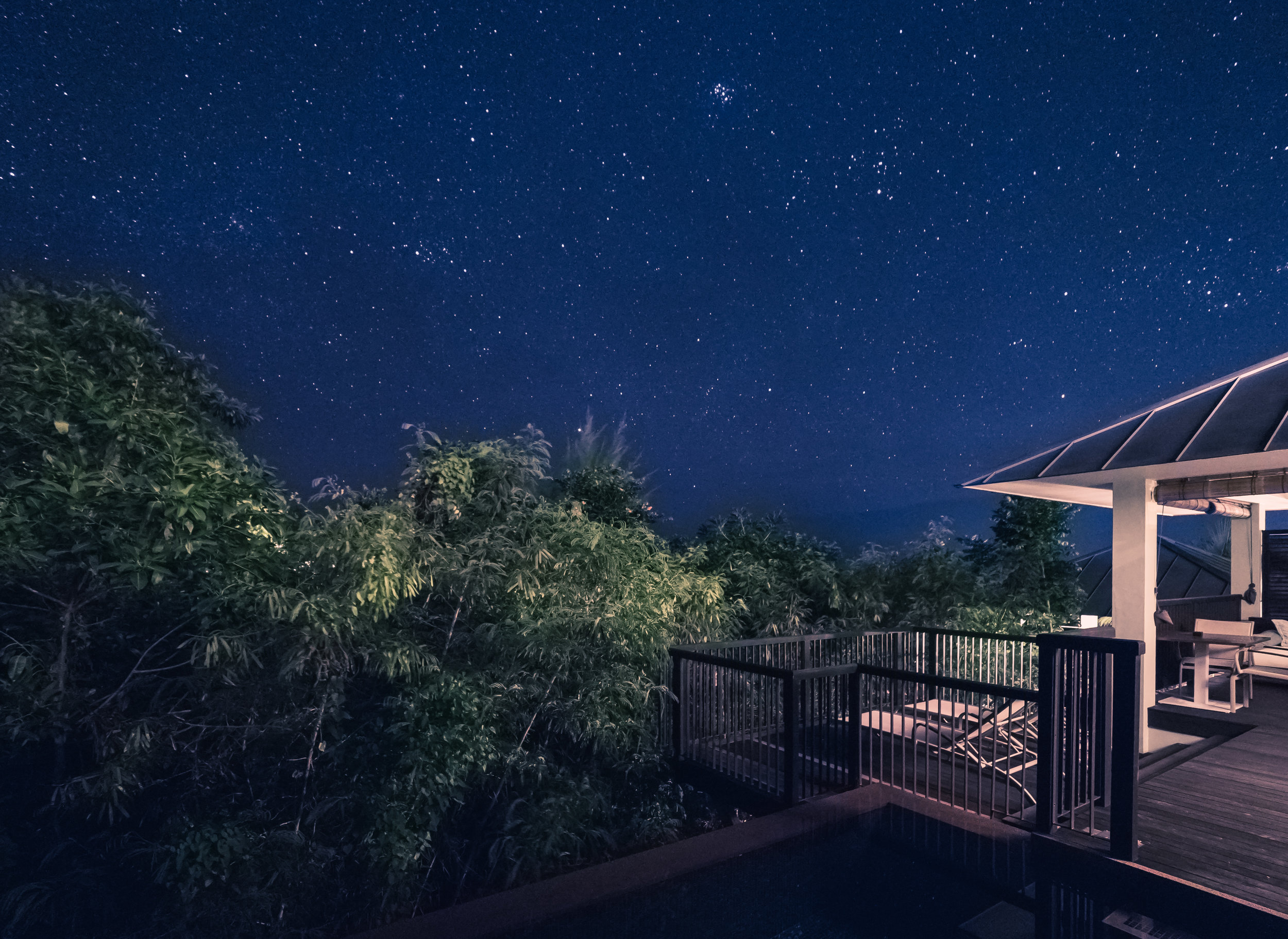
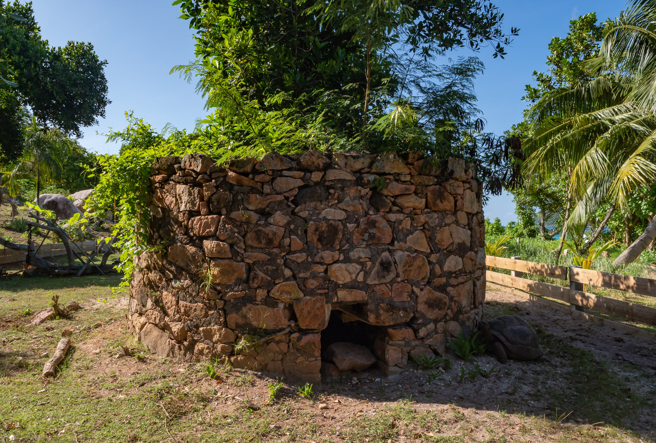
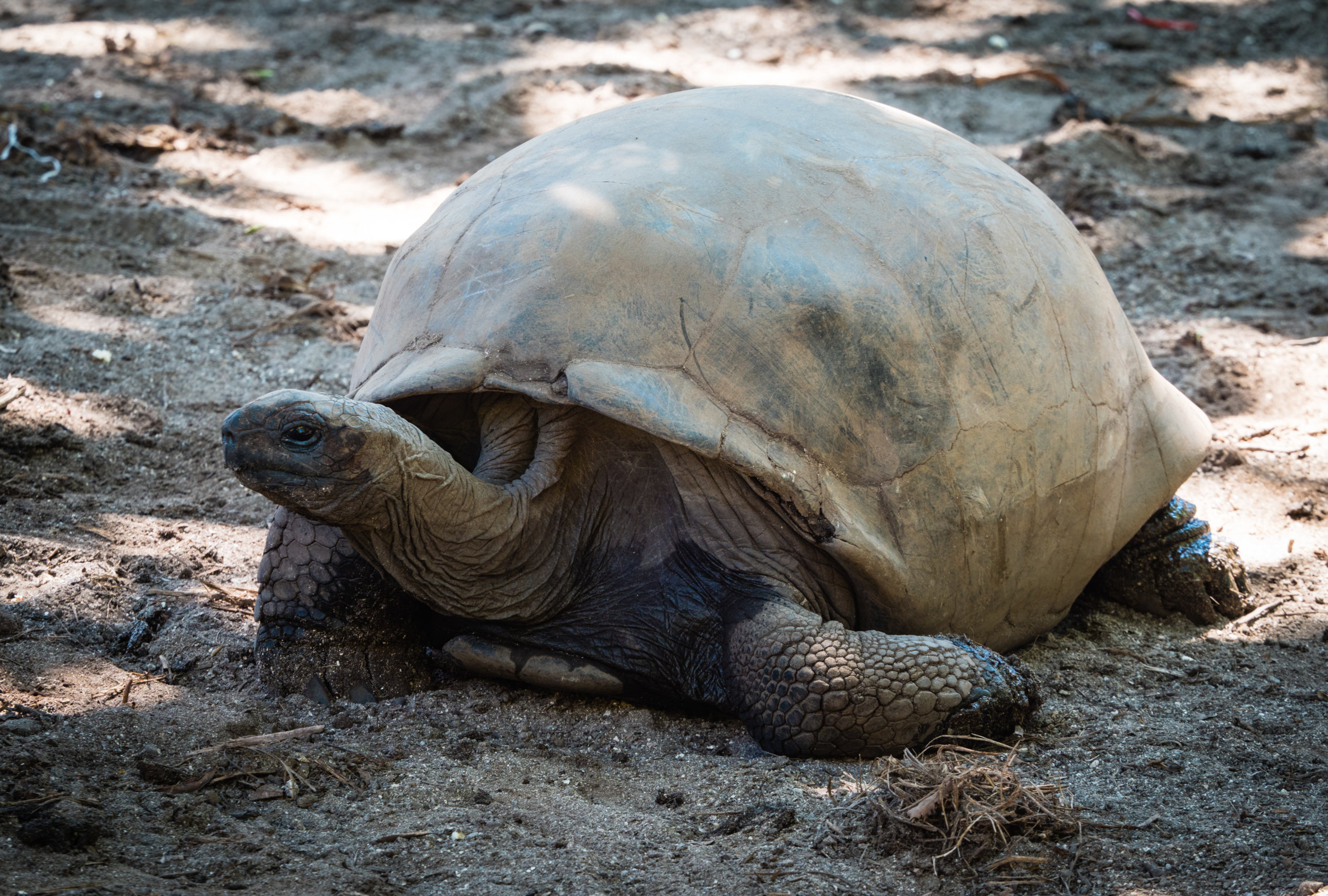
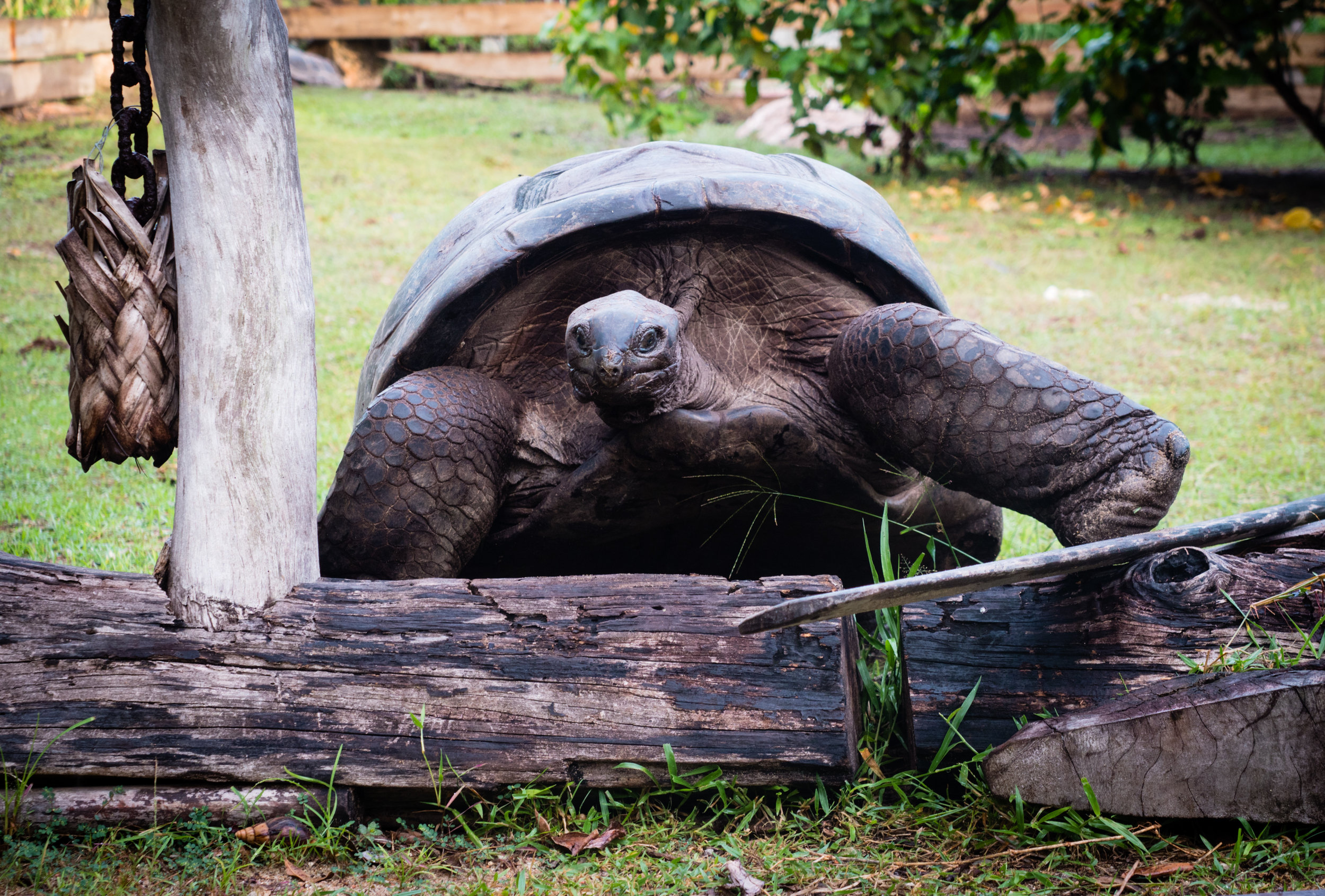
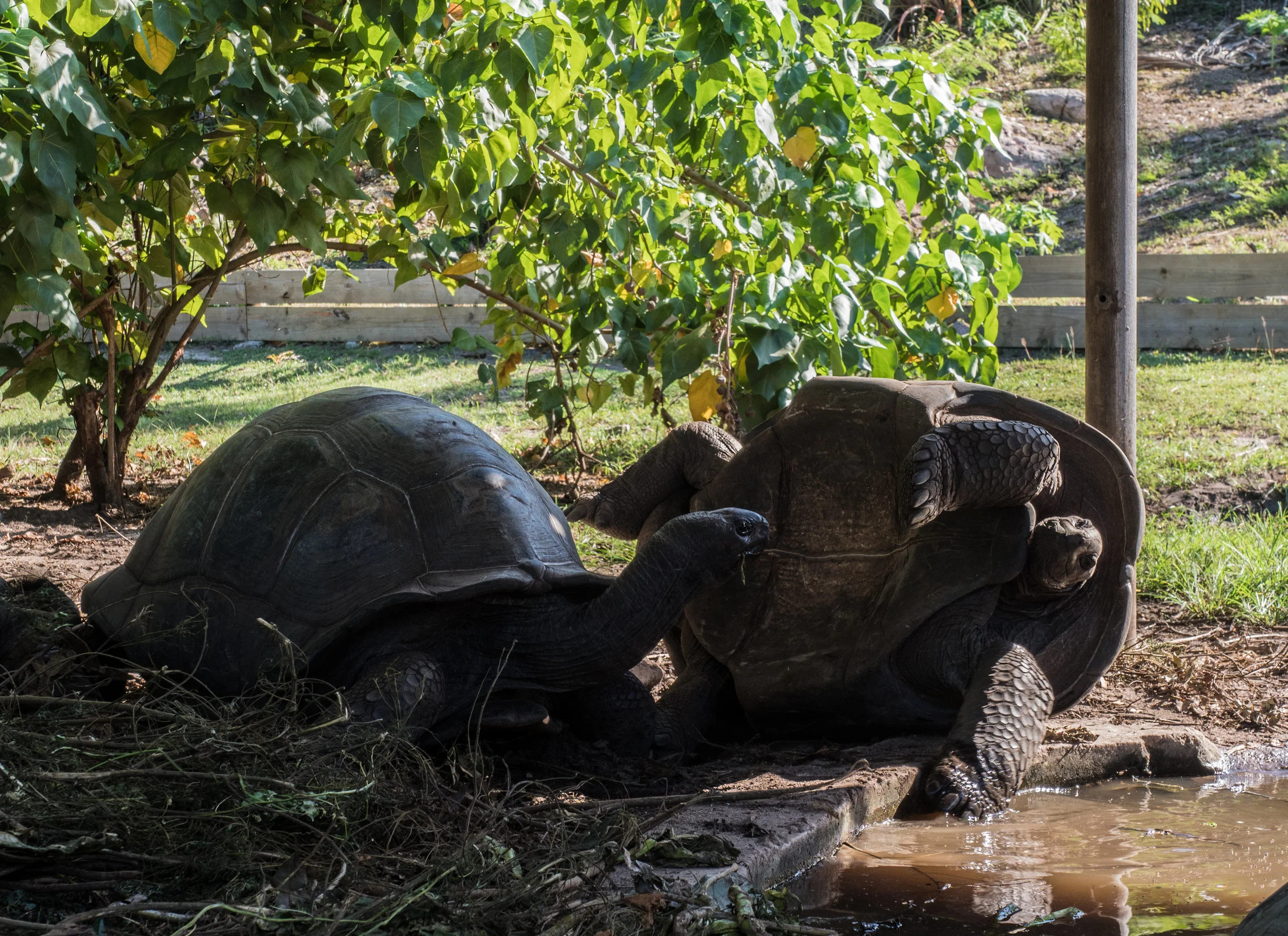
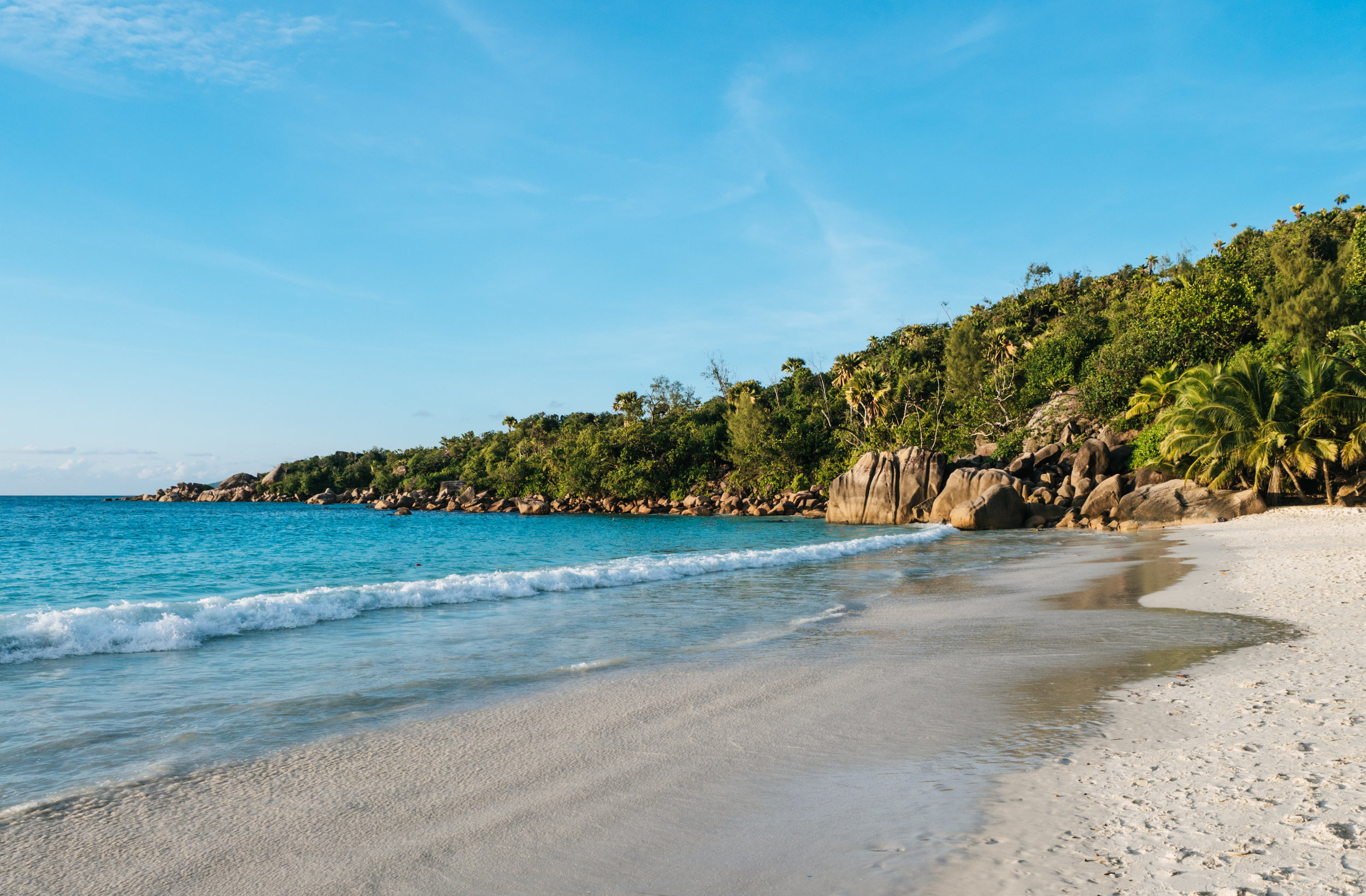
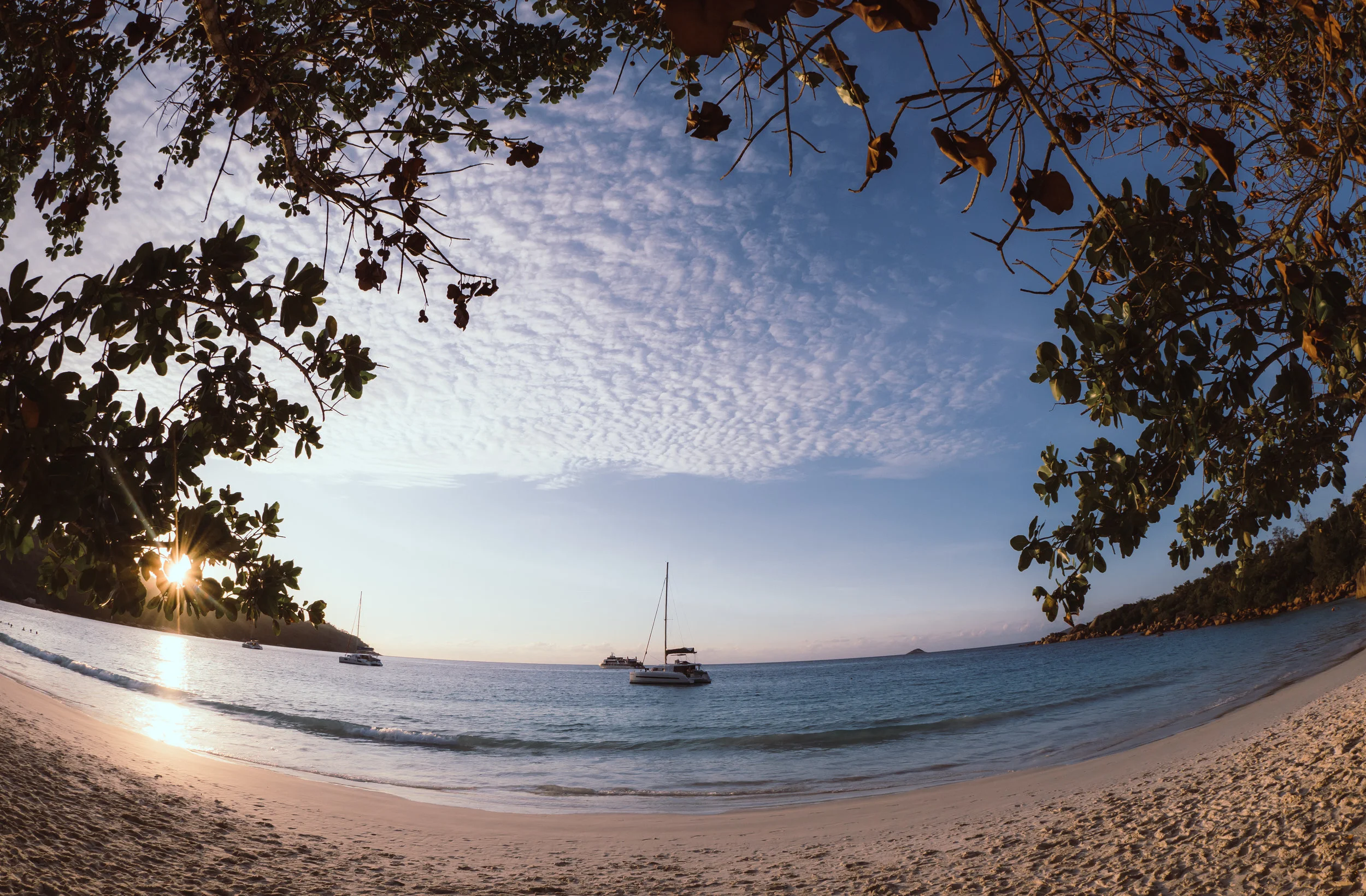
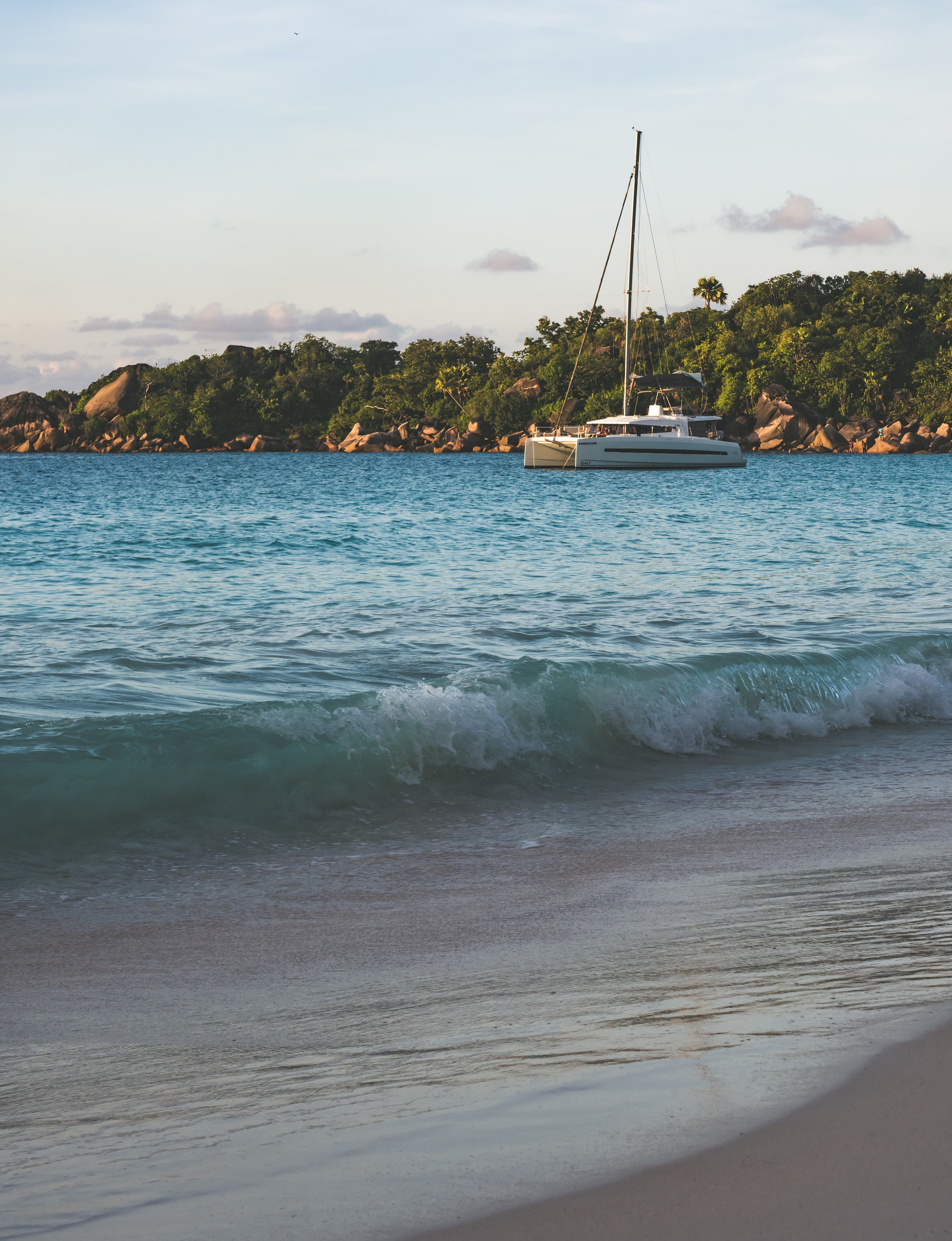
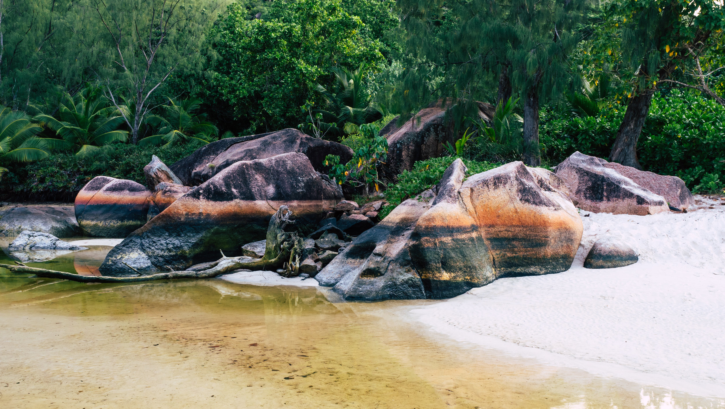
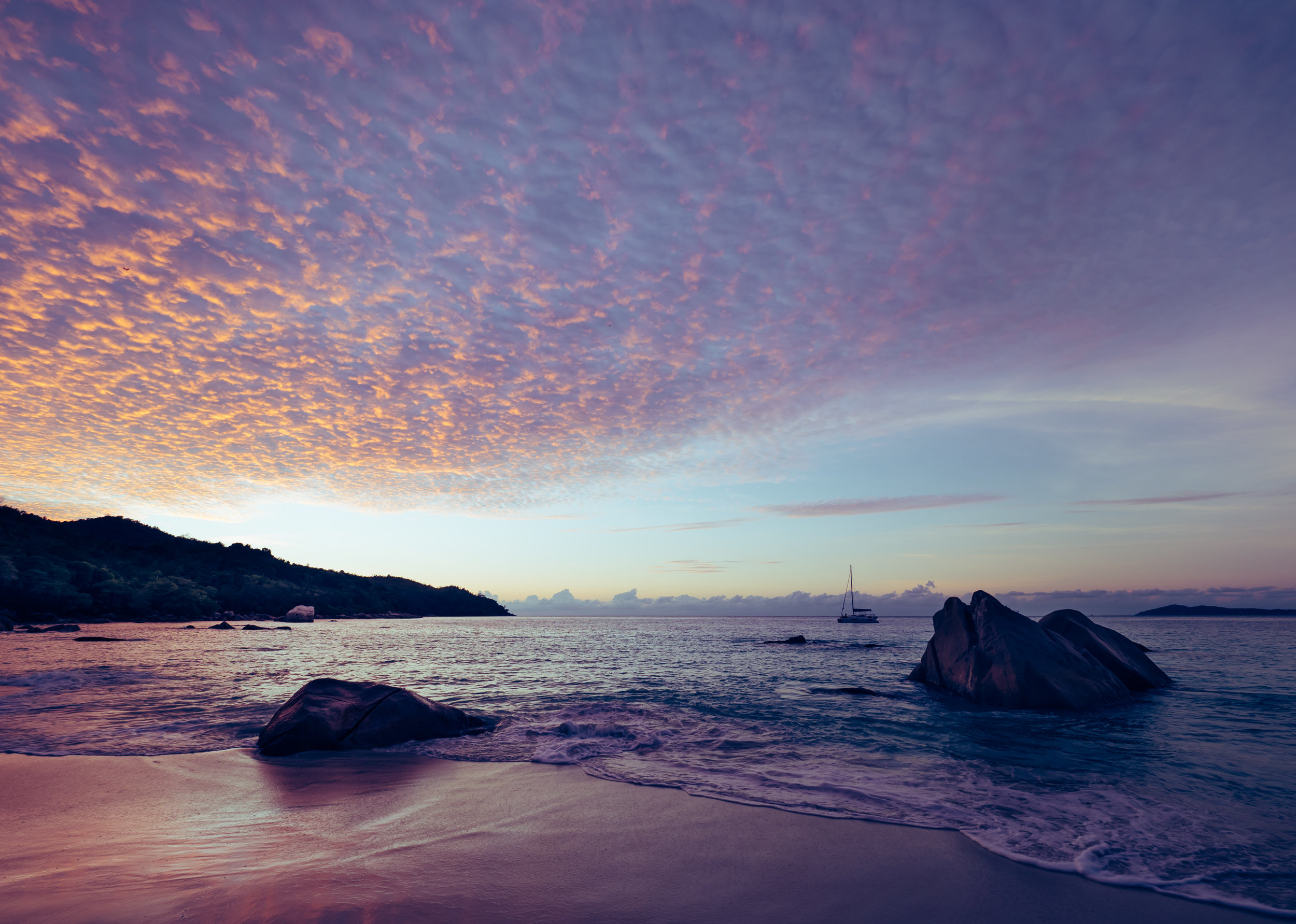
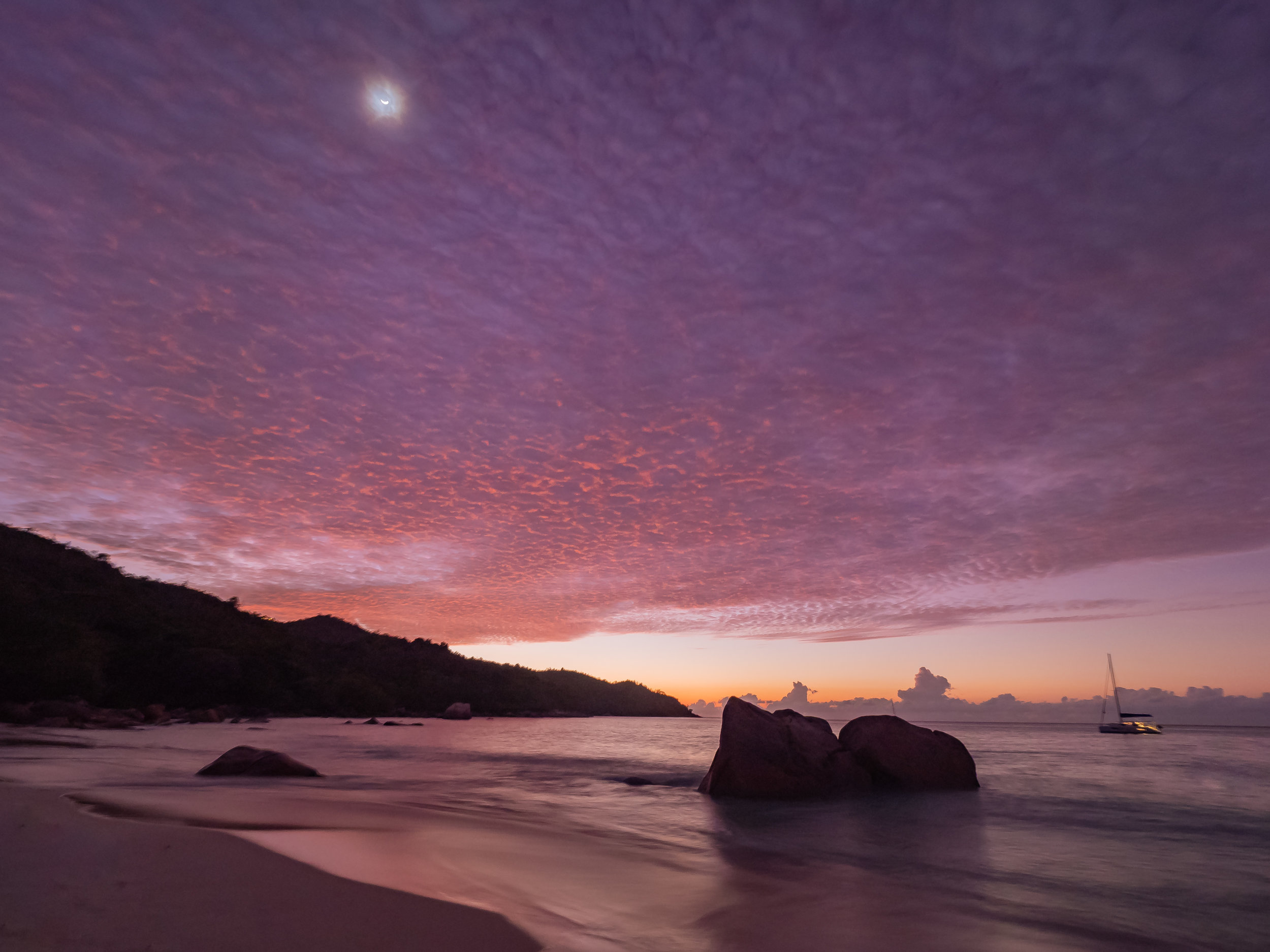
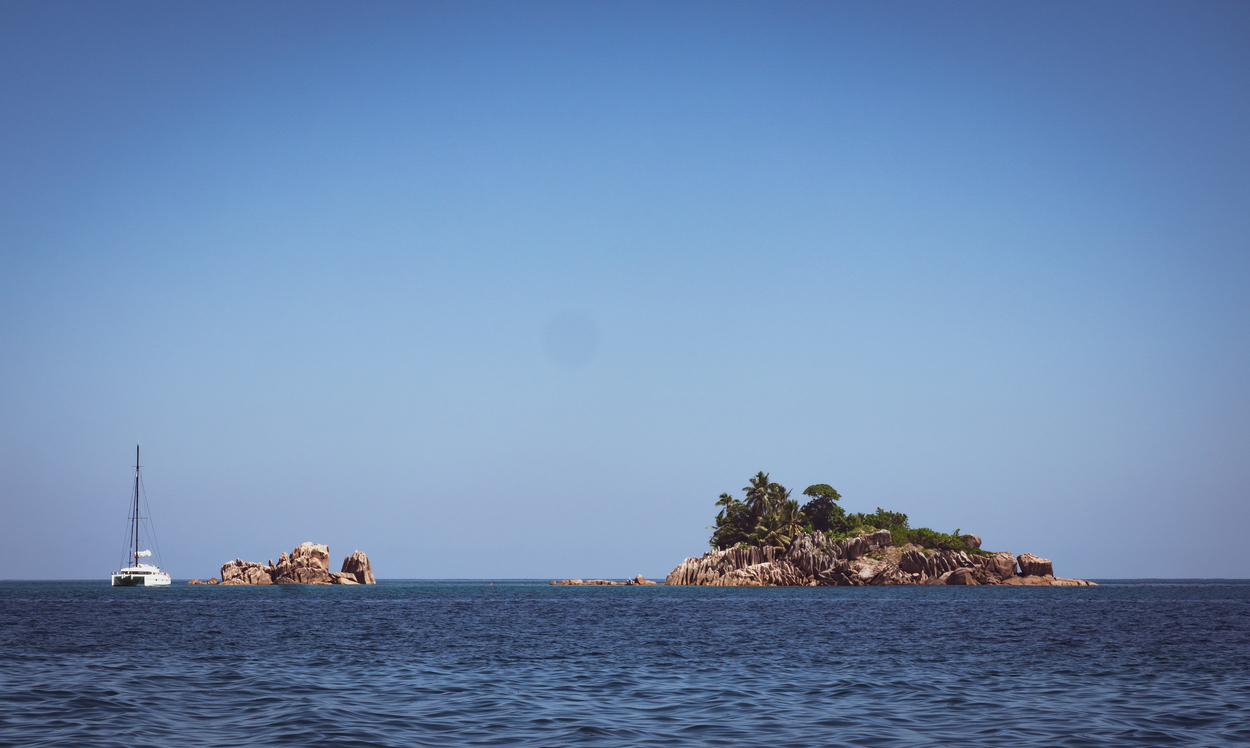
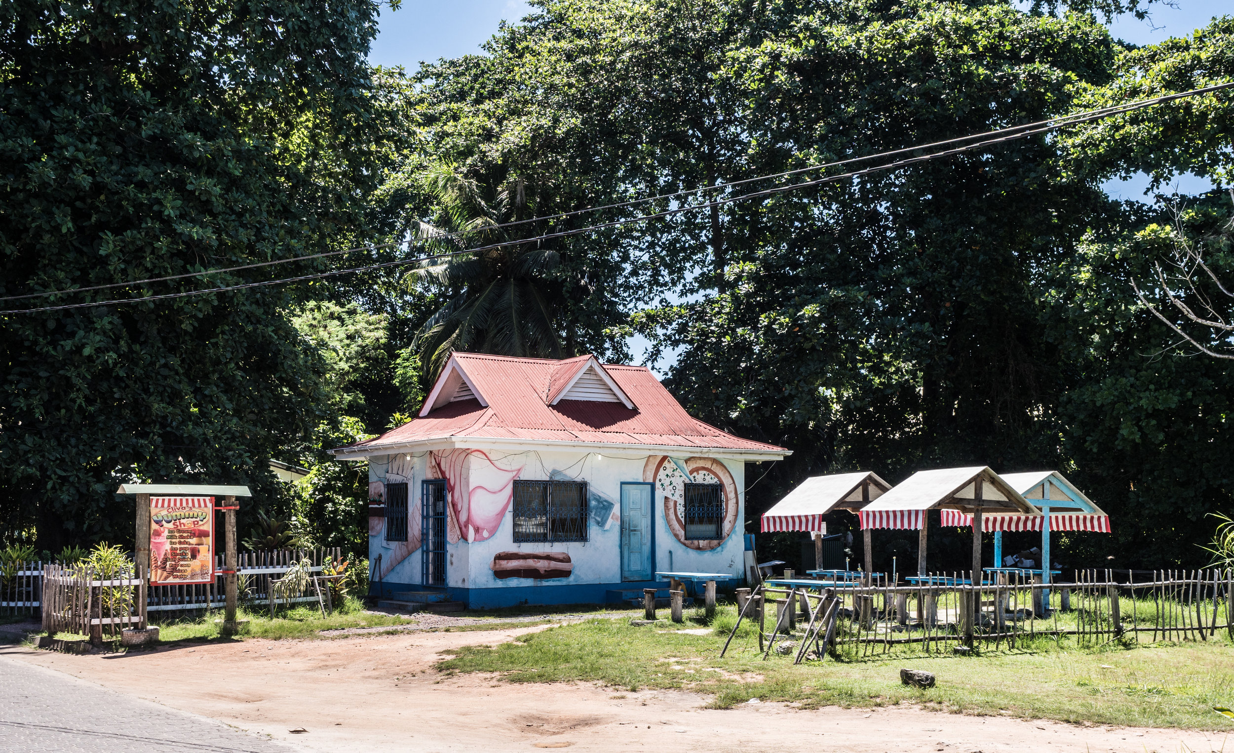
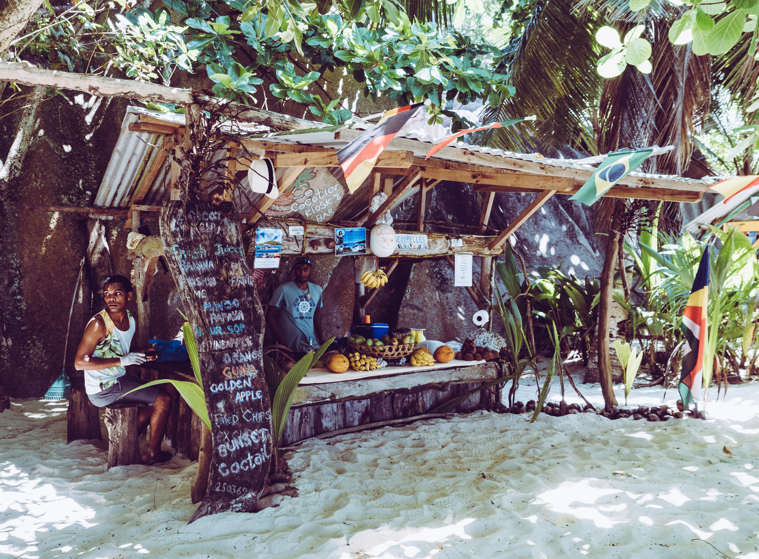
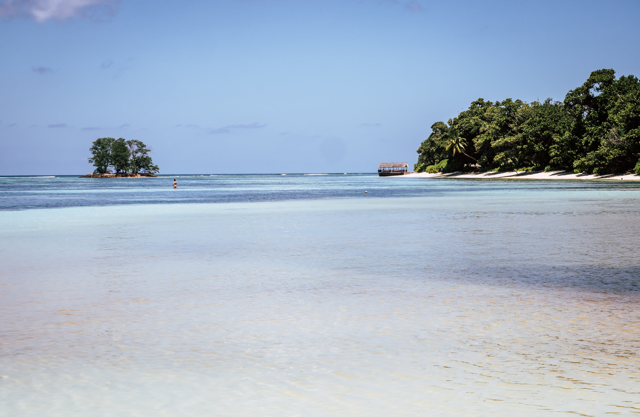
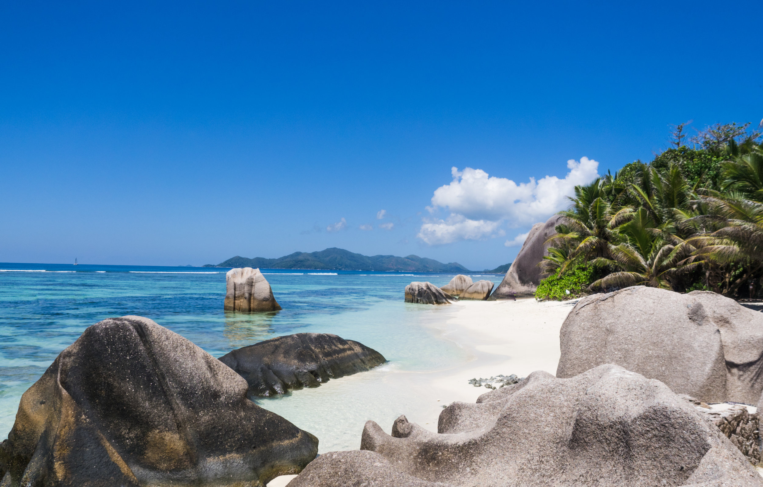
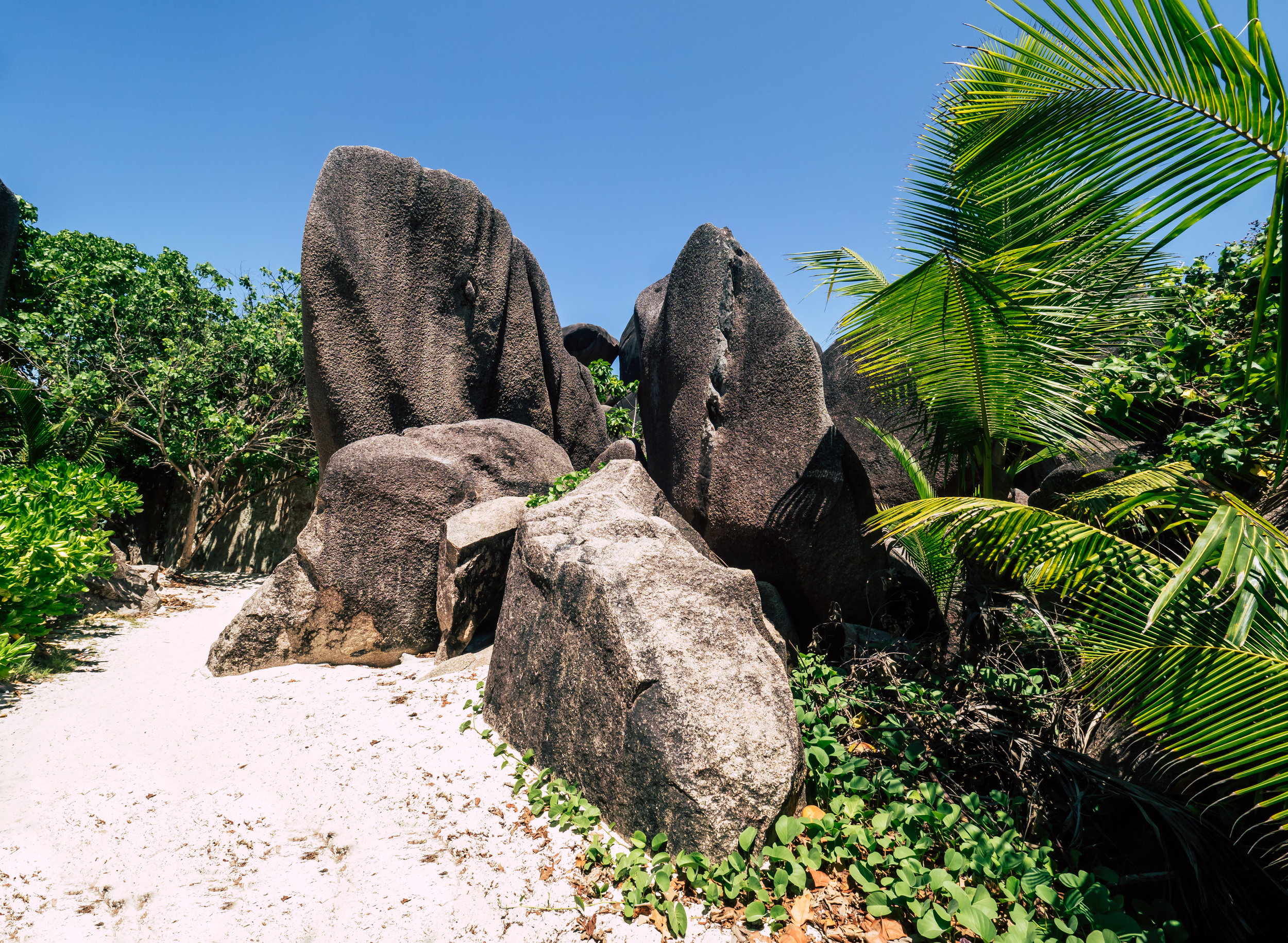
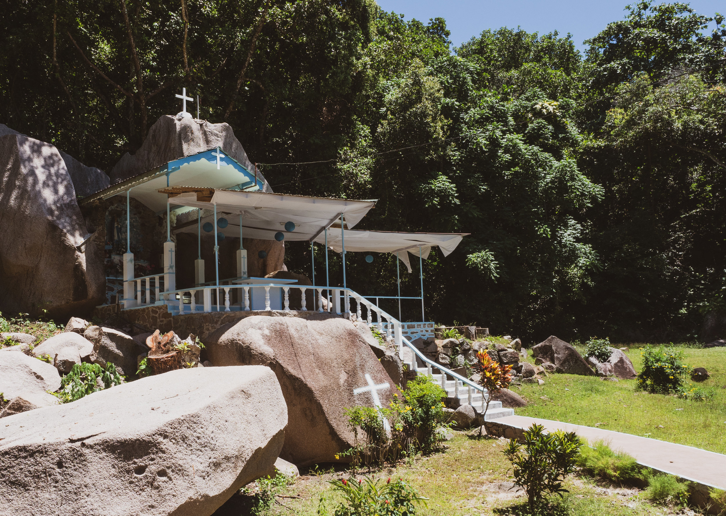
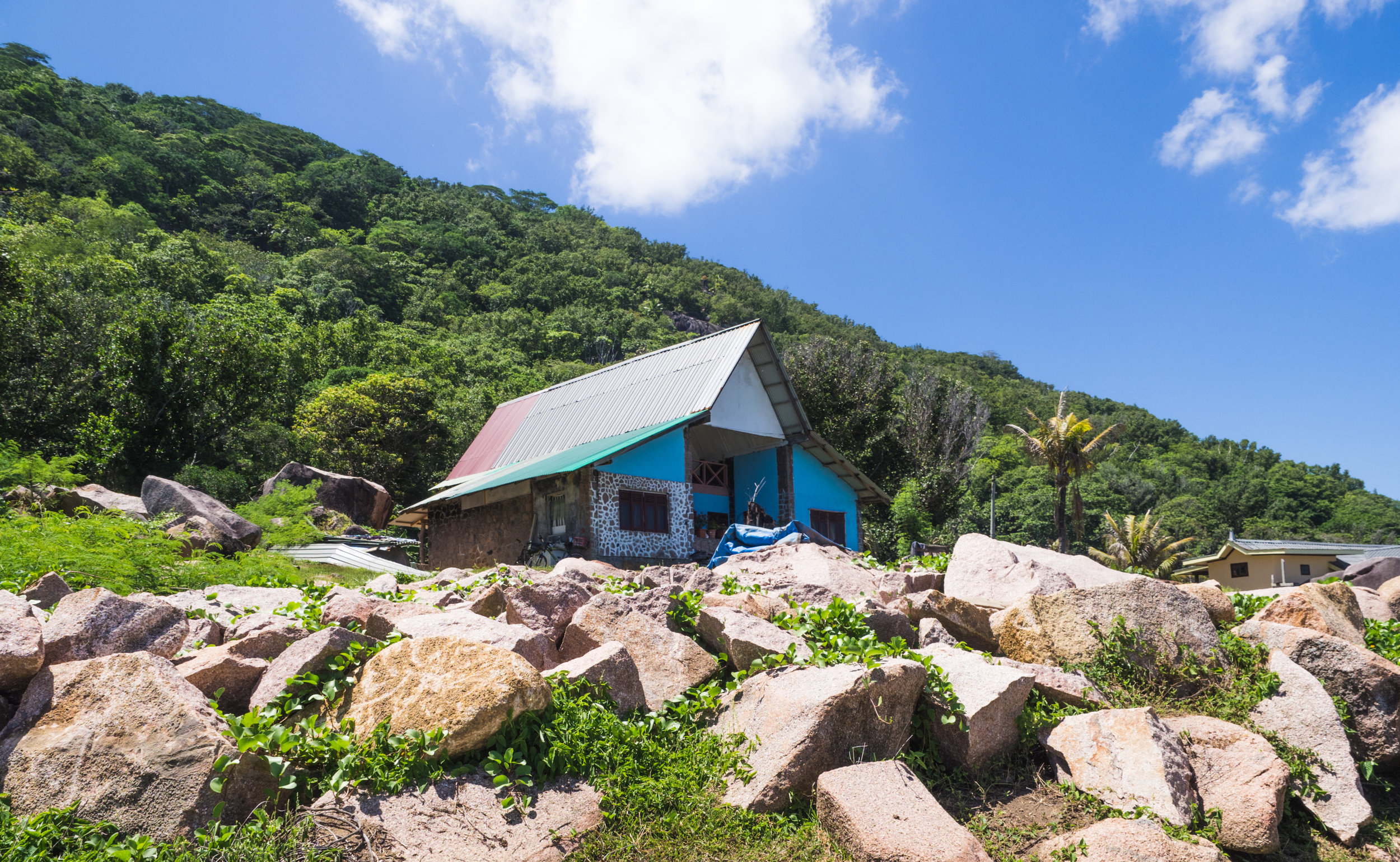
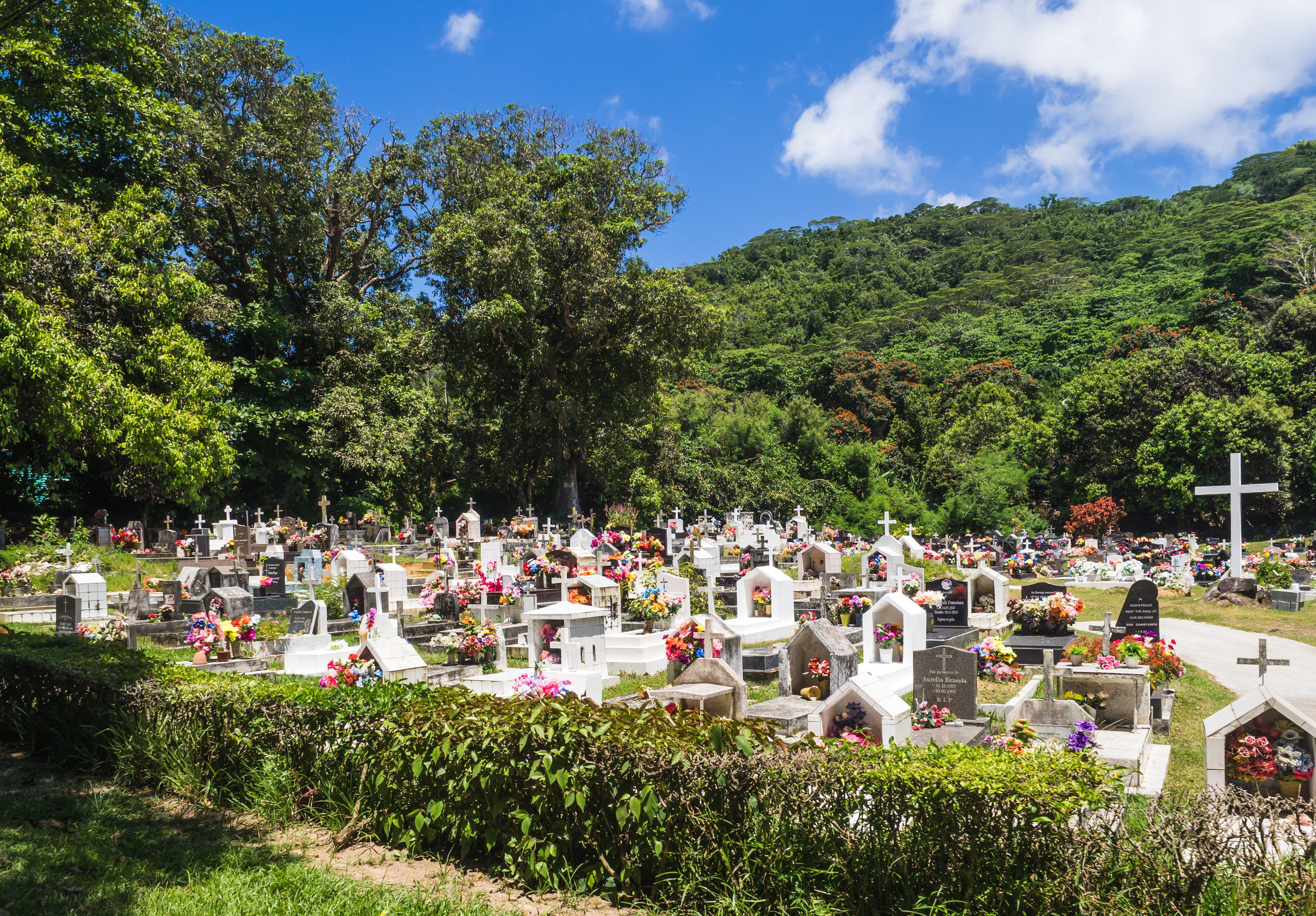
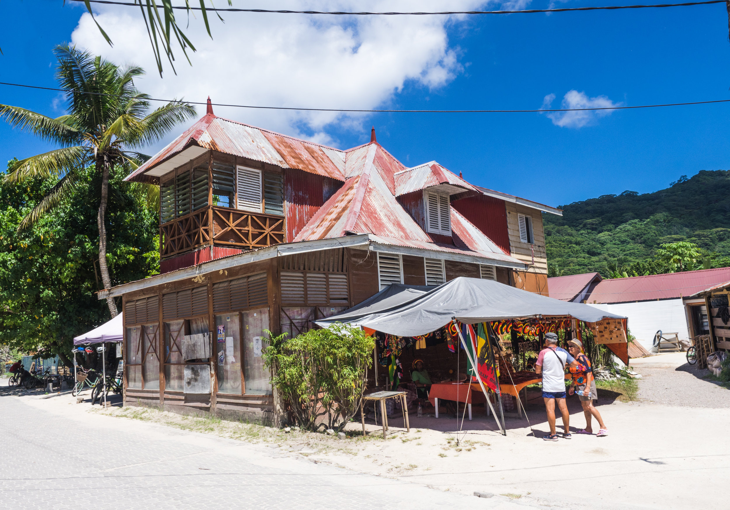
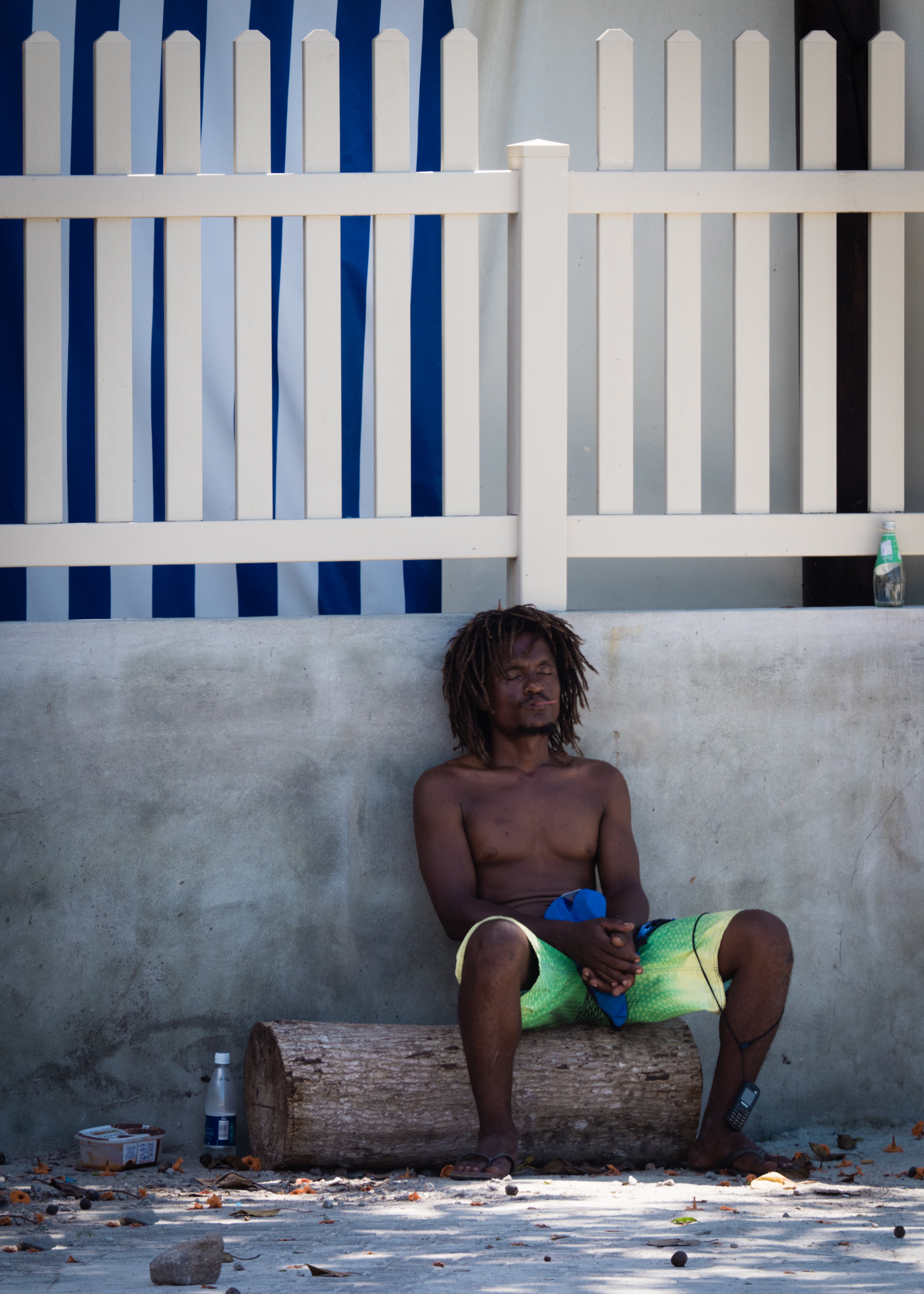
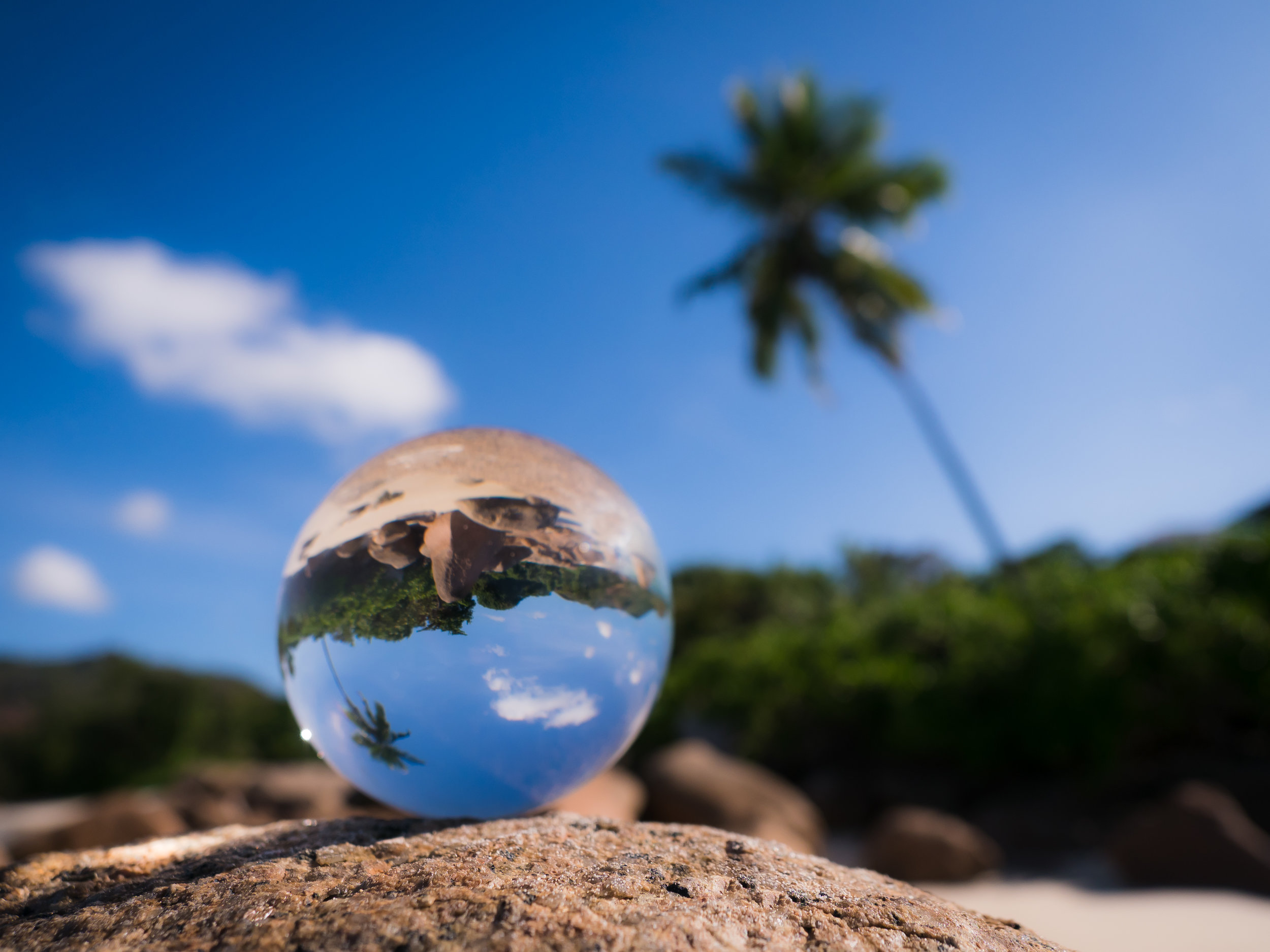
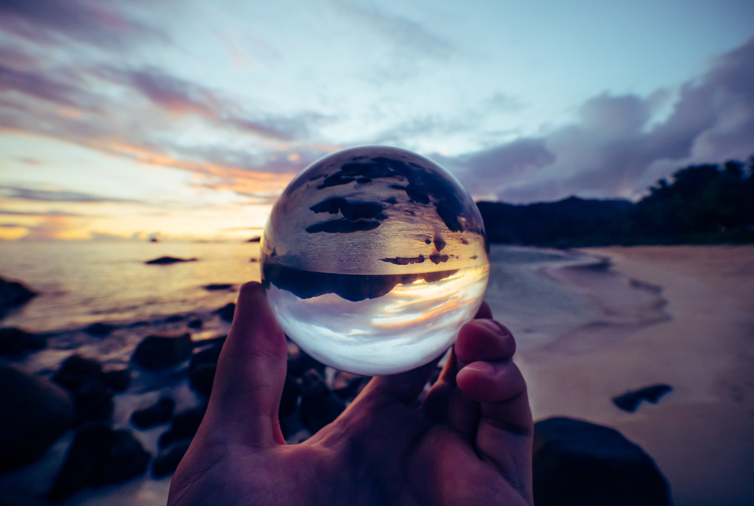
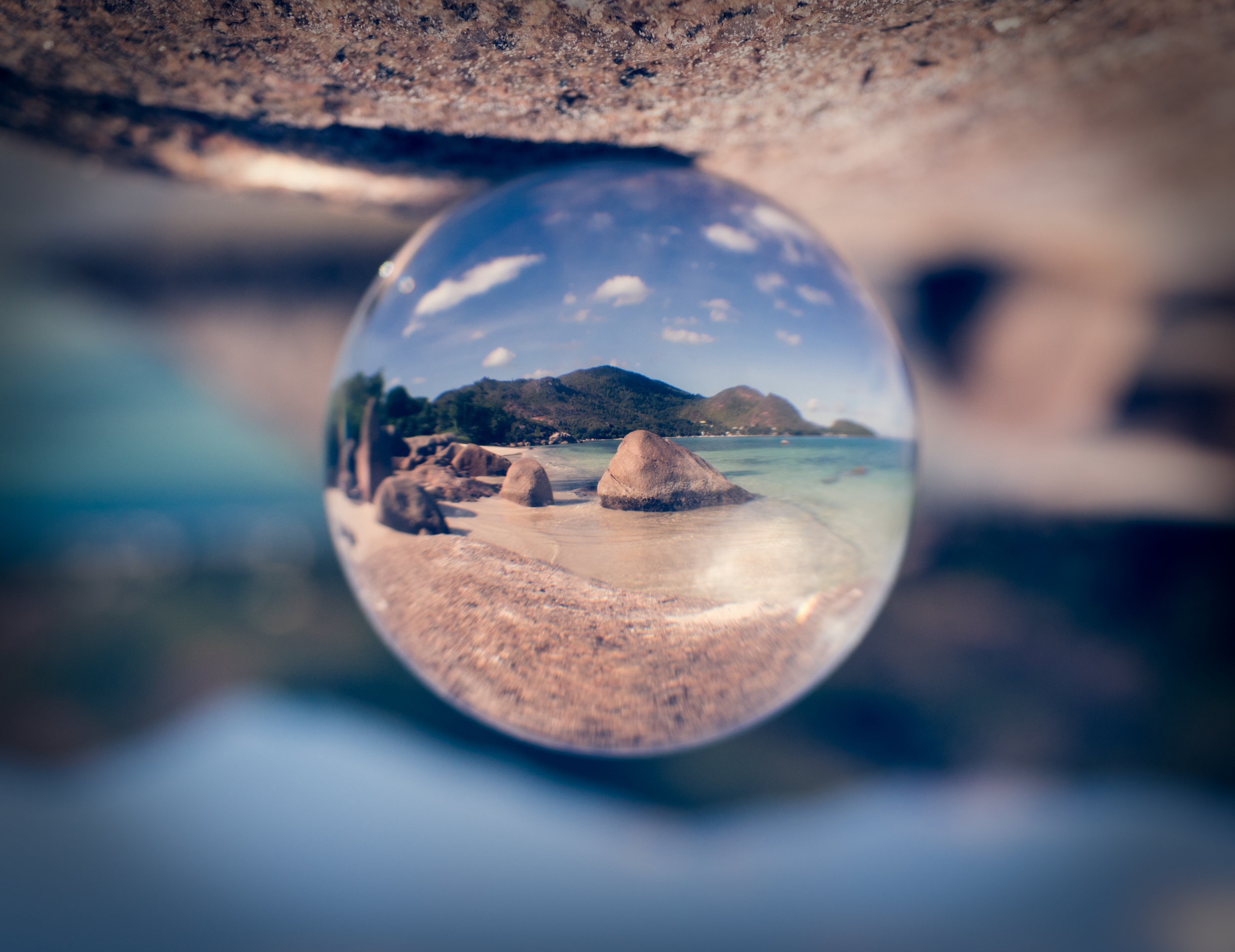
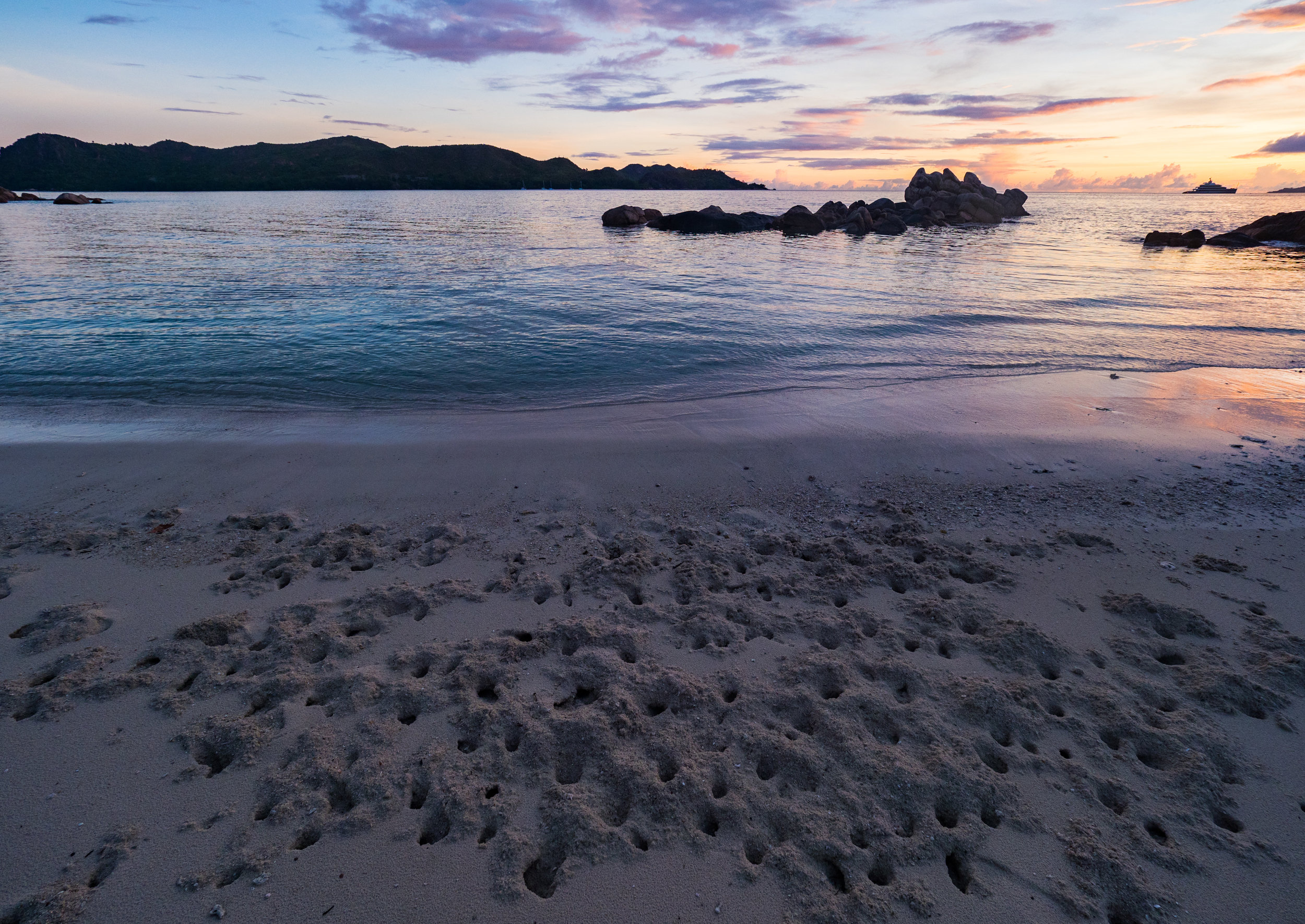
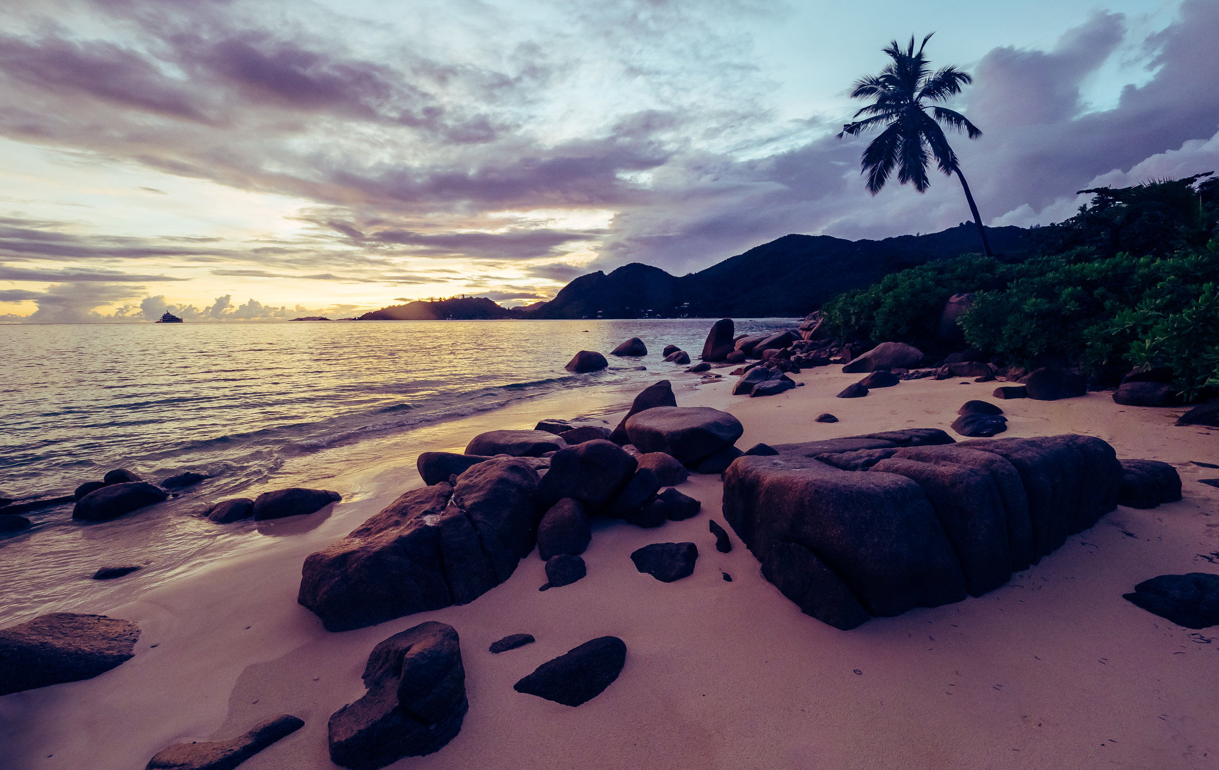
Seychelles - Island Beauty
After my first visit to the Seychelles in 2010, it was time go back for another trip to the Indian Ocean archipelago, this time staying on Praslin island and visiting La Digue, after having seen Mahe and the capital Victoria during my last visit.

After my first visit to the Seychelles in 2010, it was time go back for another trip to the Indian Ocean archipelago, this time staying on Praslin island and visiting La Digue, after having seen Mahe and the capital Victoria during my last visit.


The iPhone X and the Maldives Underwater World
A week of relaxing in the Maldives with some snorkeling and the iPhone X resulted in the shots below - took the phone under water without a case, around 1-2m deep.

A week of relaxing in the Maldives with some snorkeling and the iPhone X resulted in the shots below - took the phone under water without a case, around 1-2m deep. These photos were taken at Jumeirah Vittaveli.


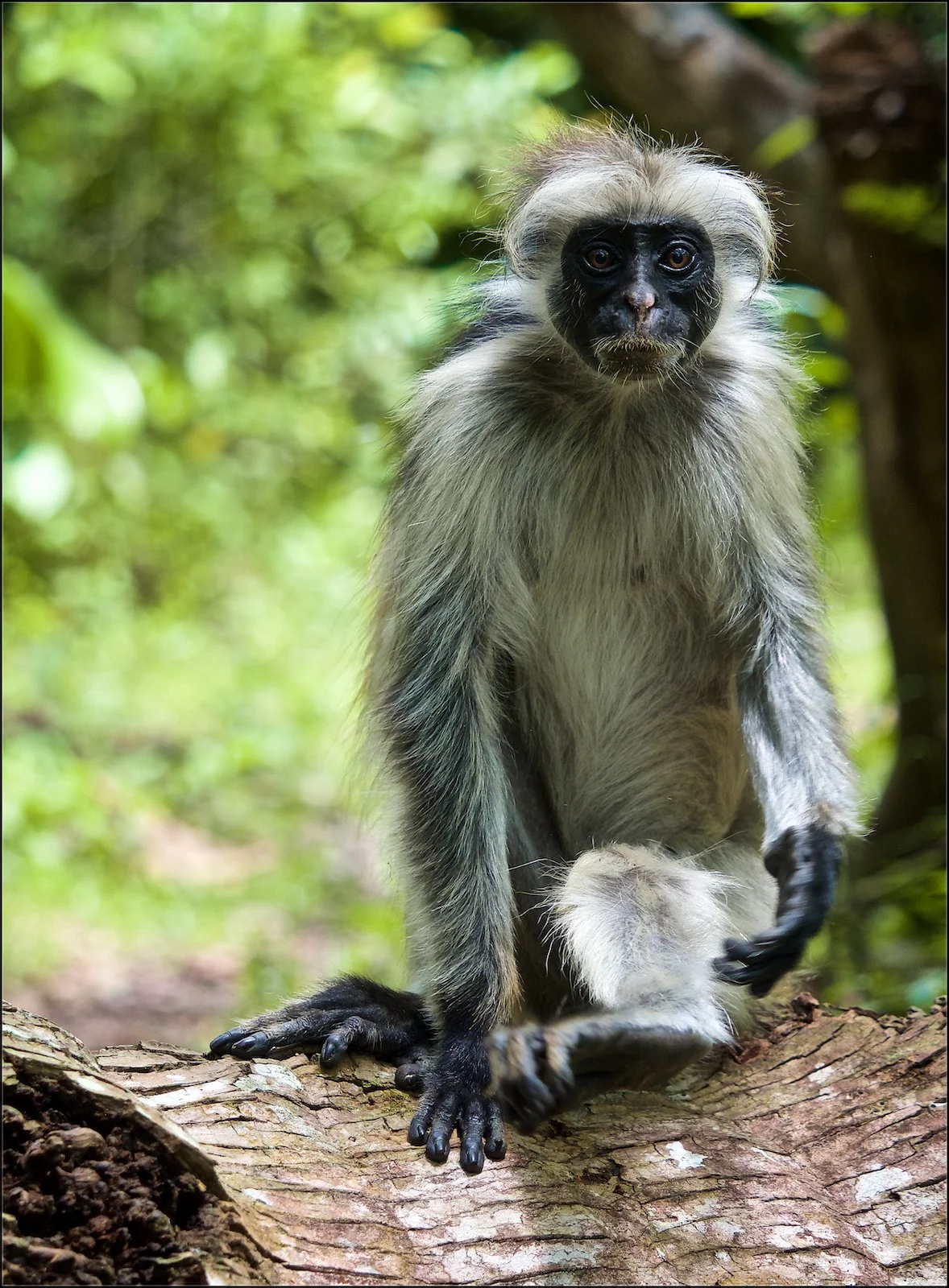
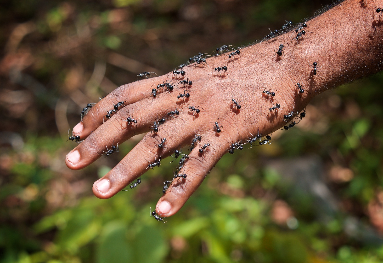
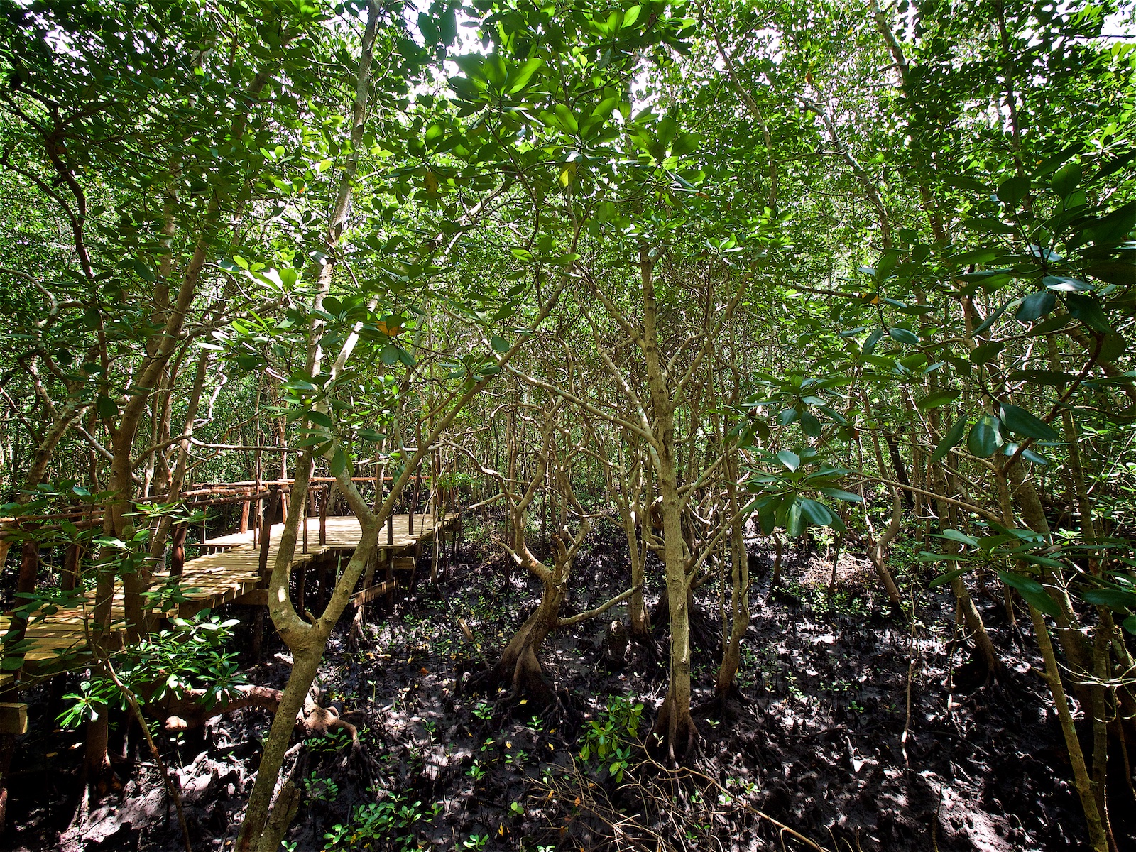
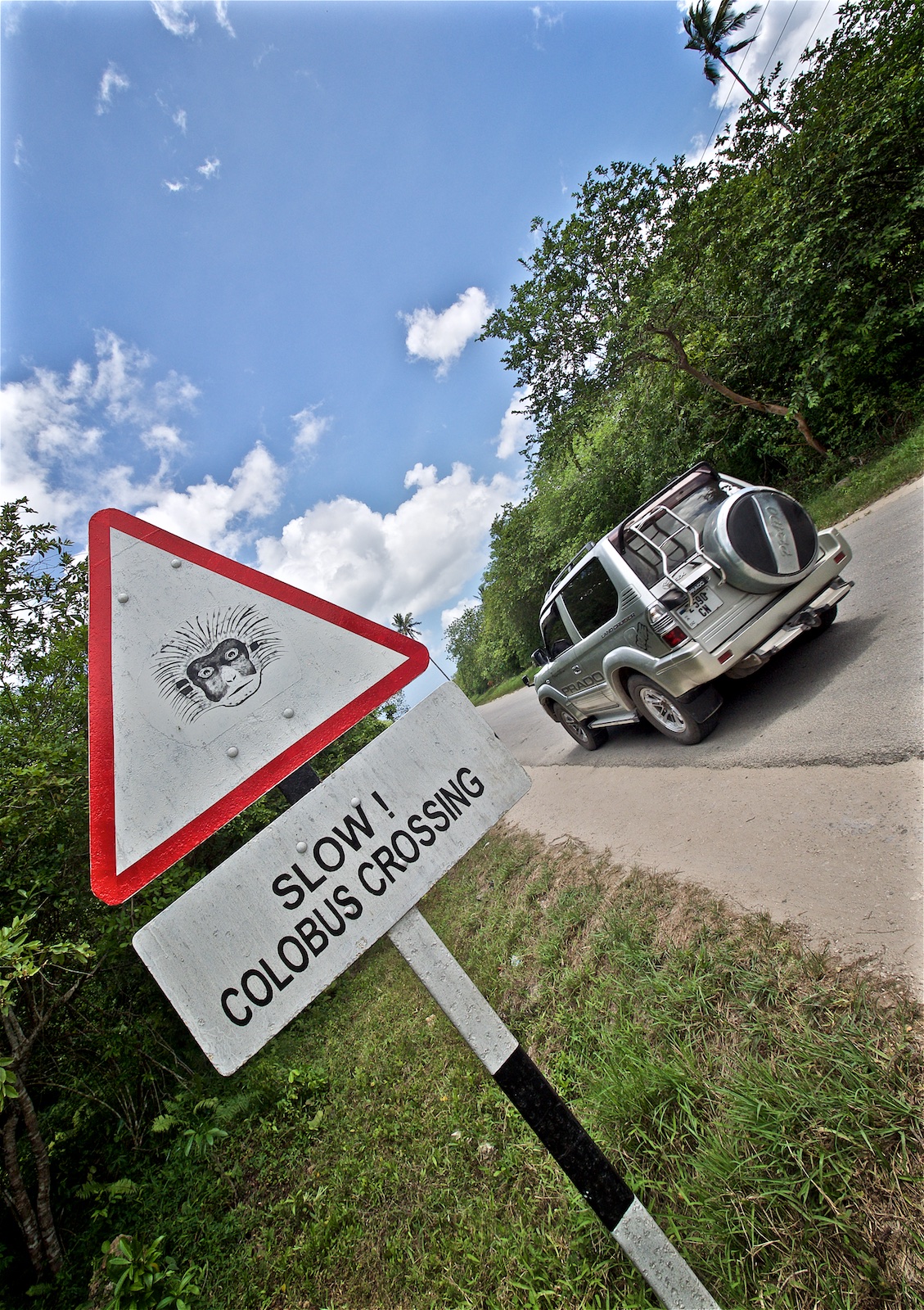
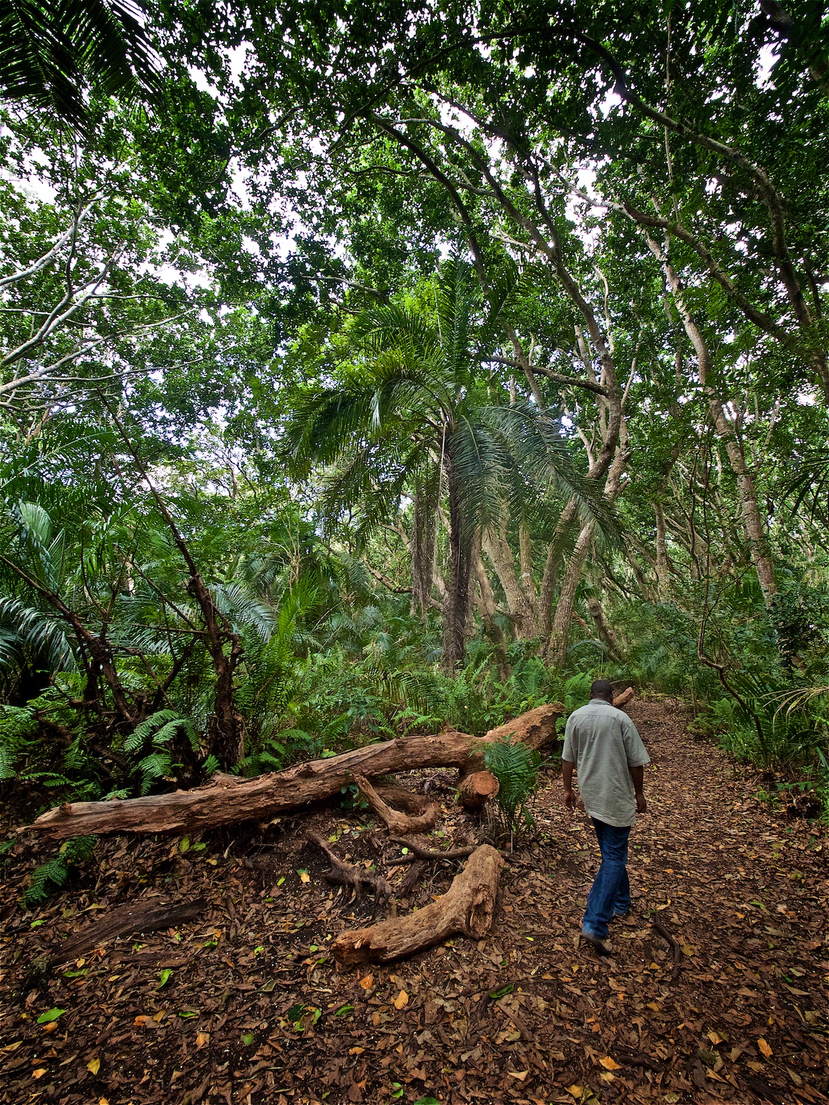
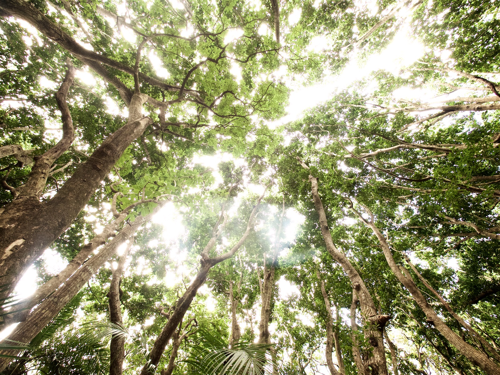
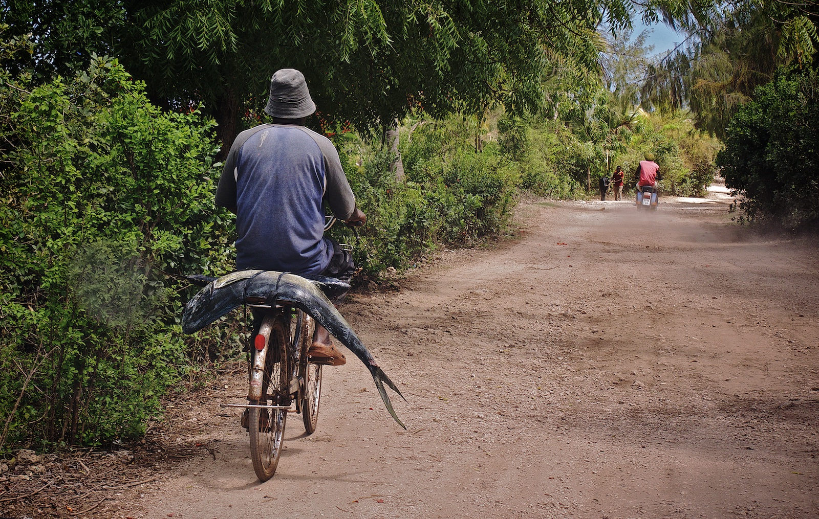
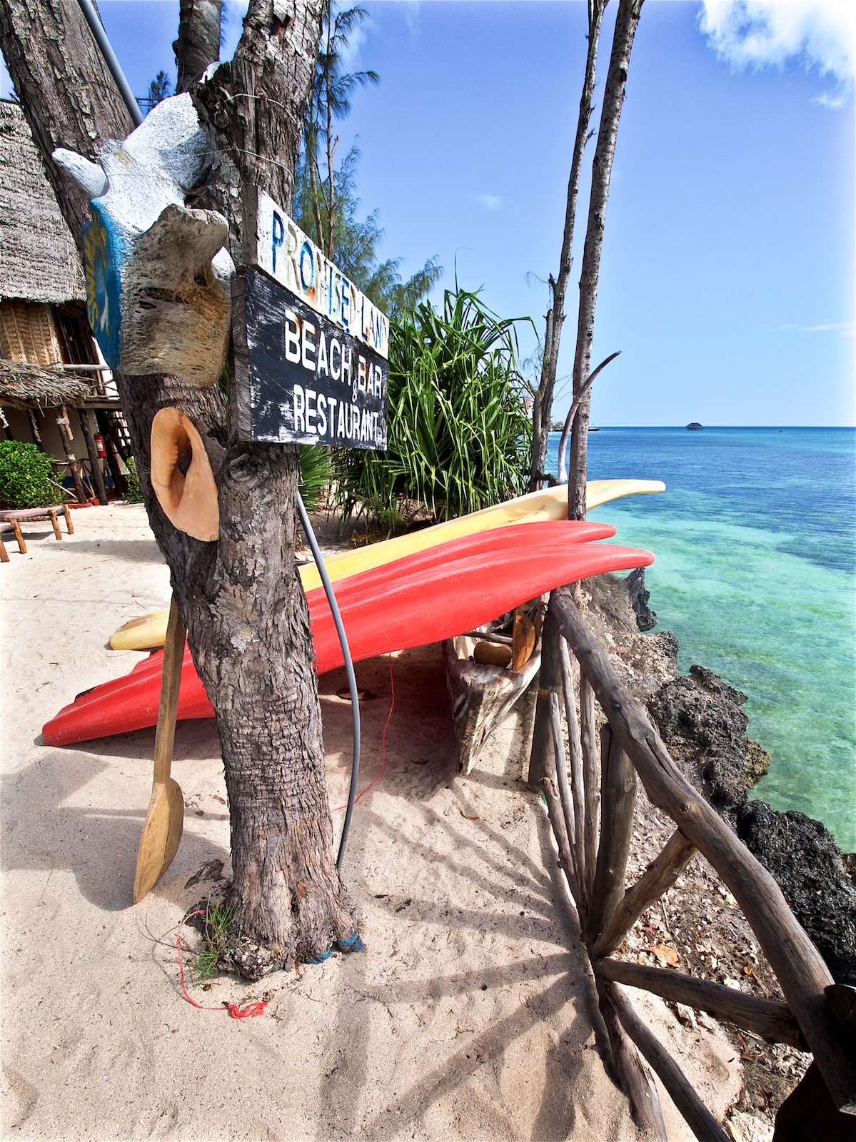
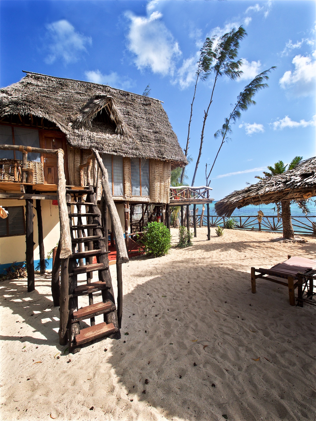
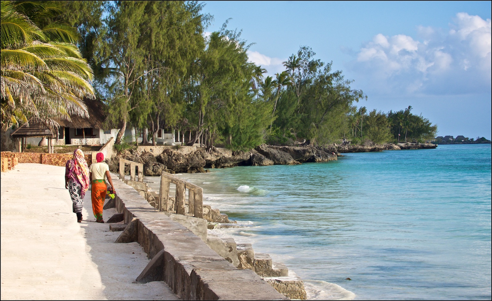
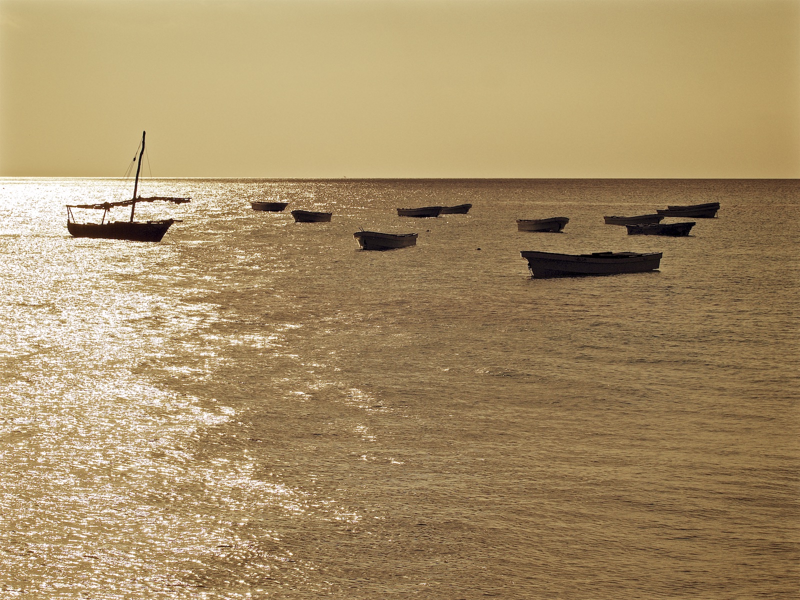
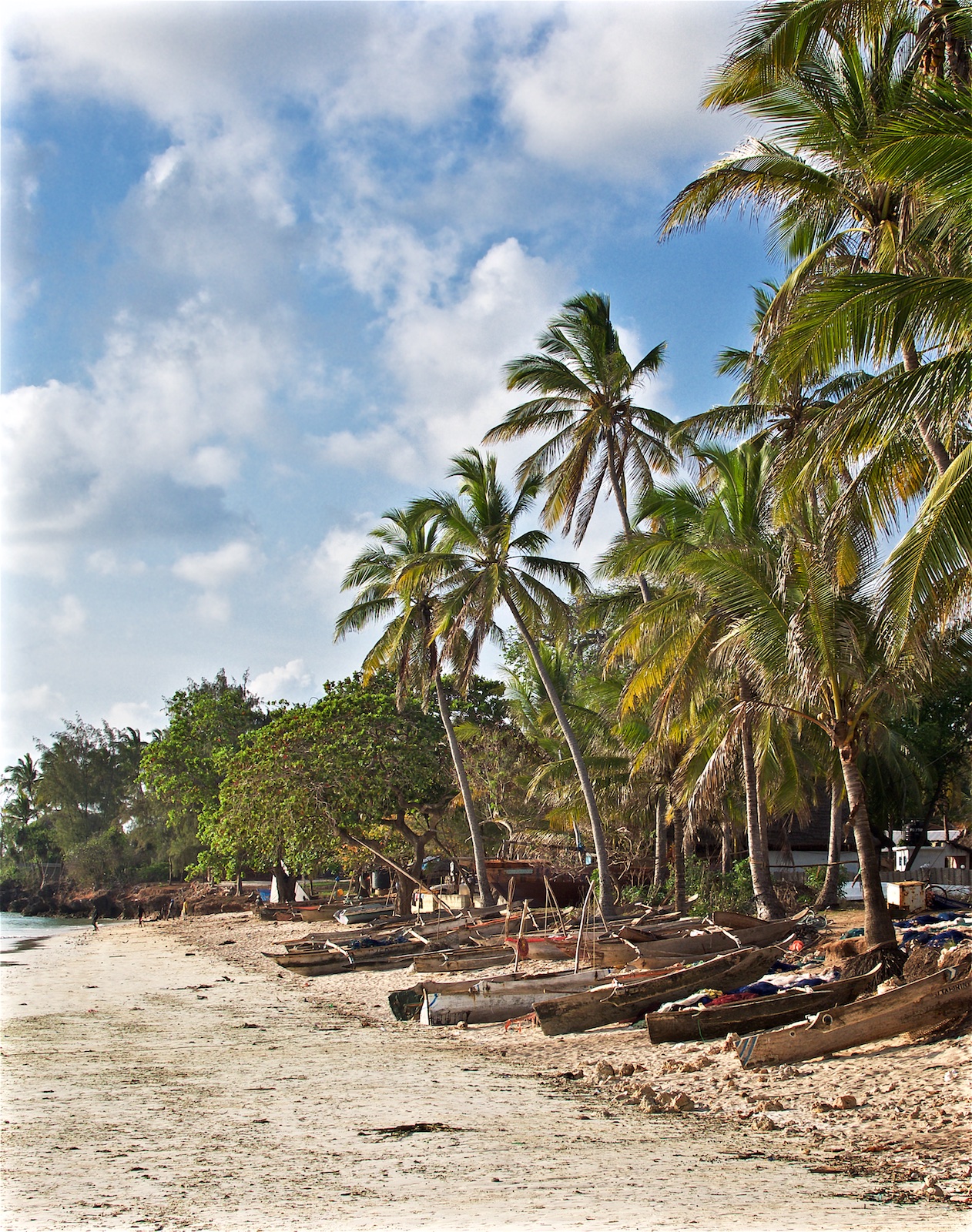
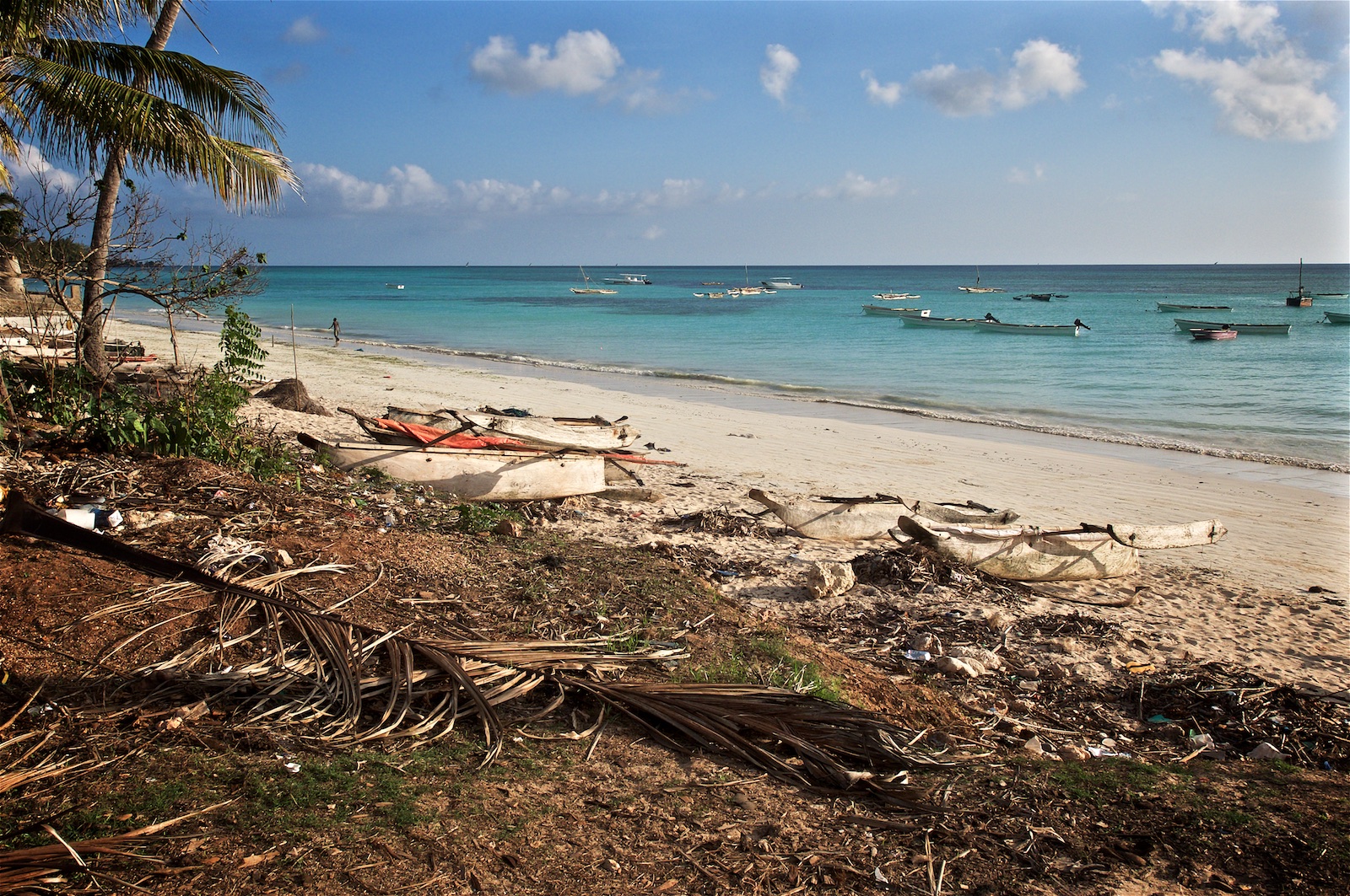
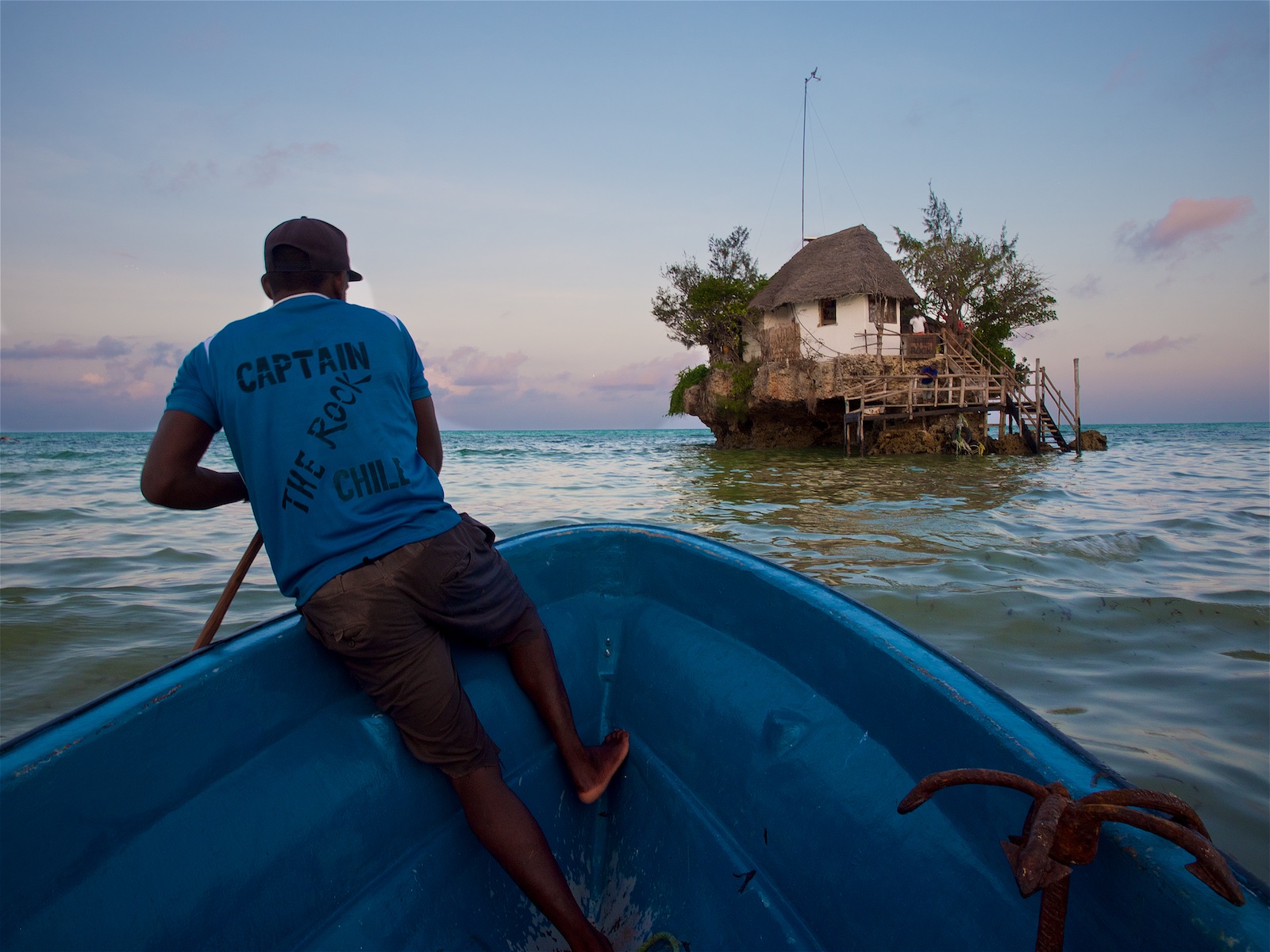
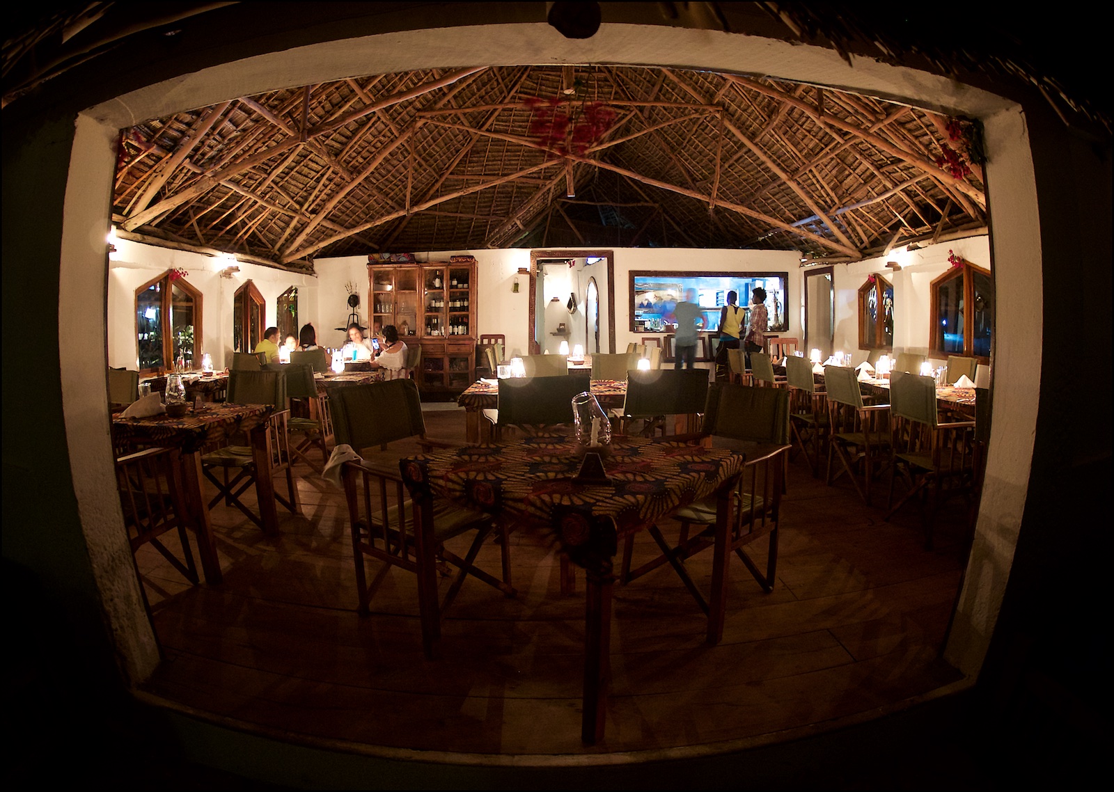
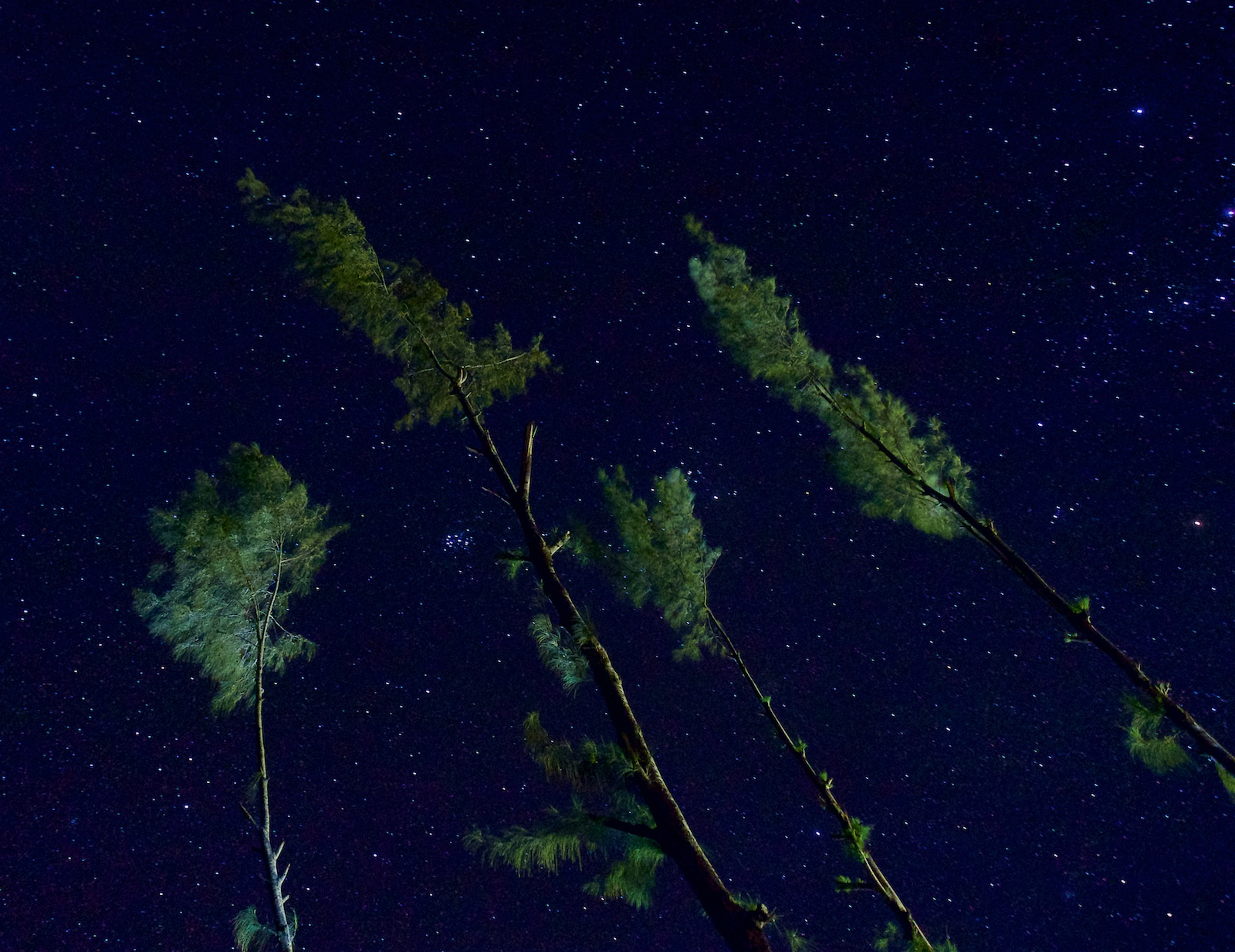
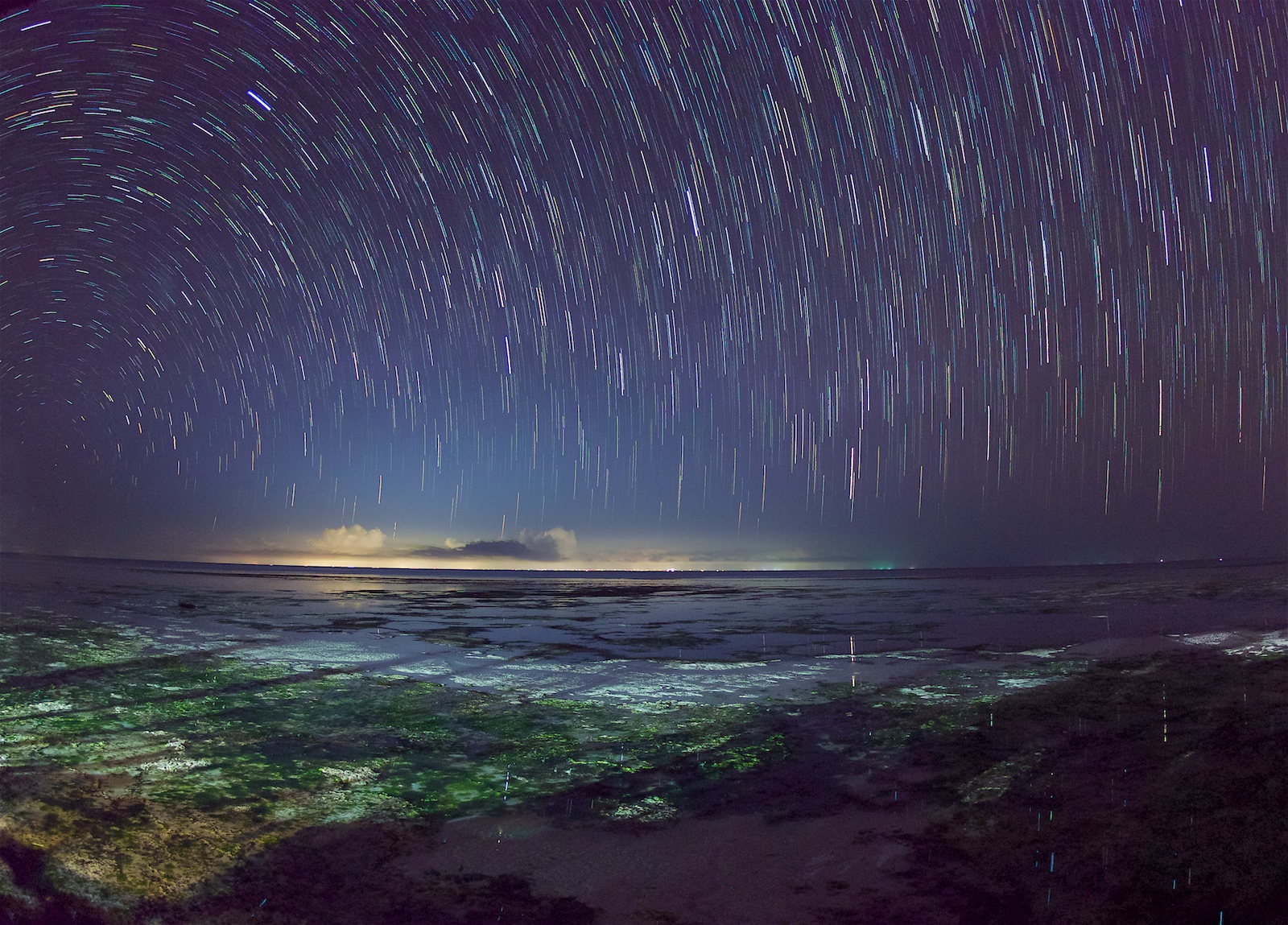
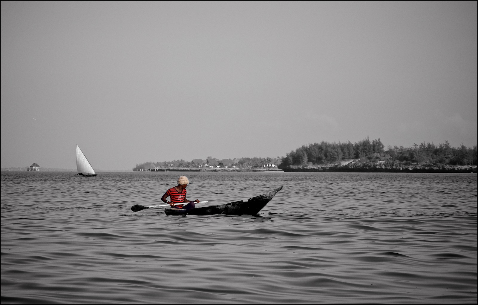
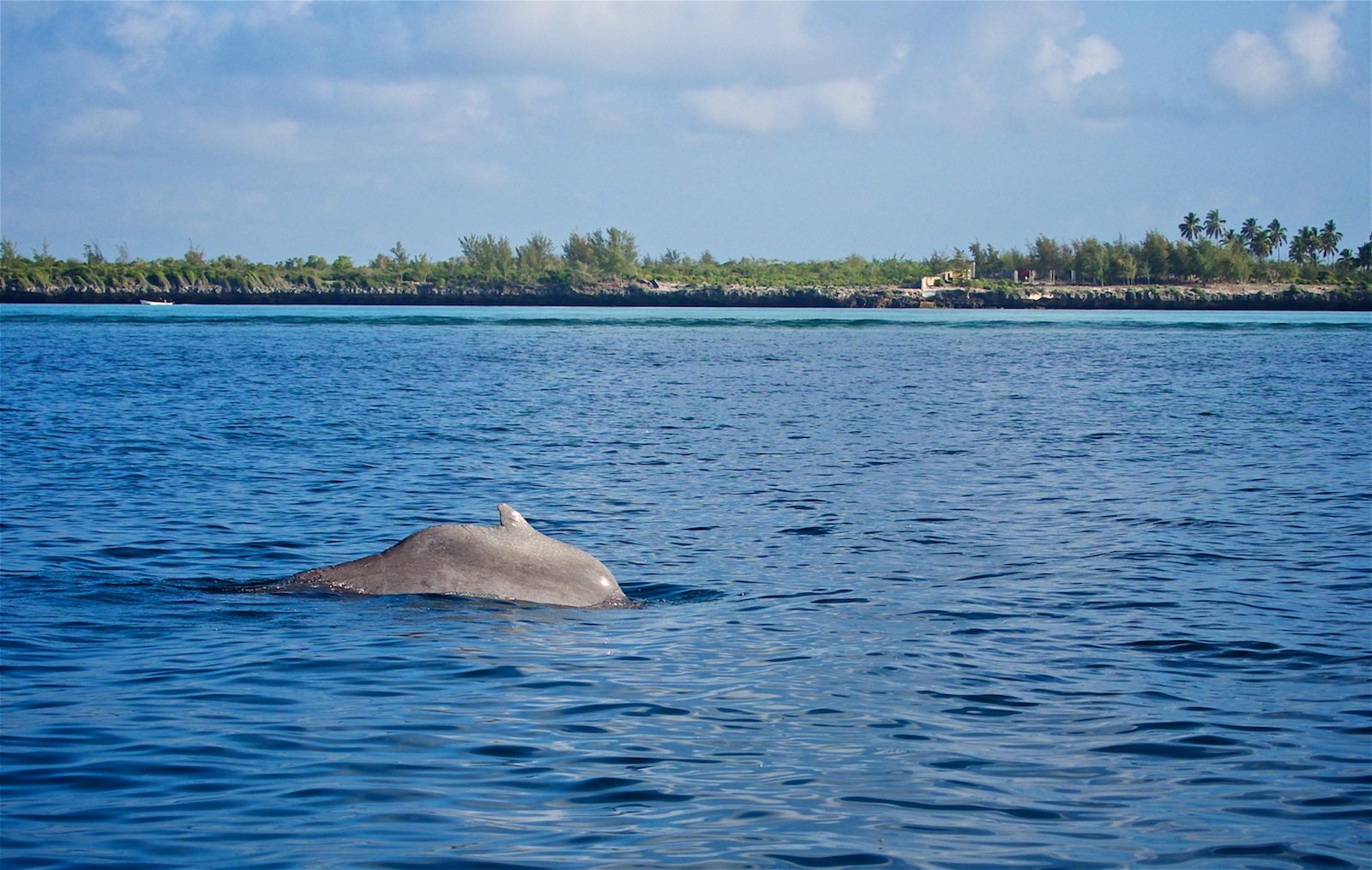
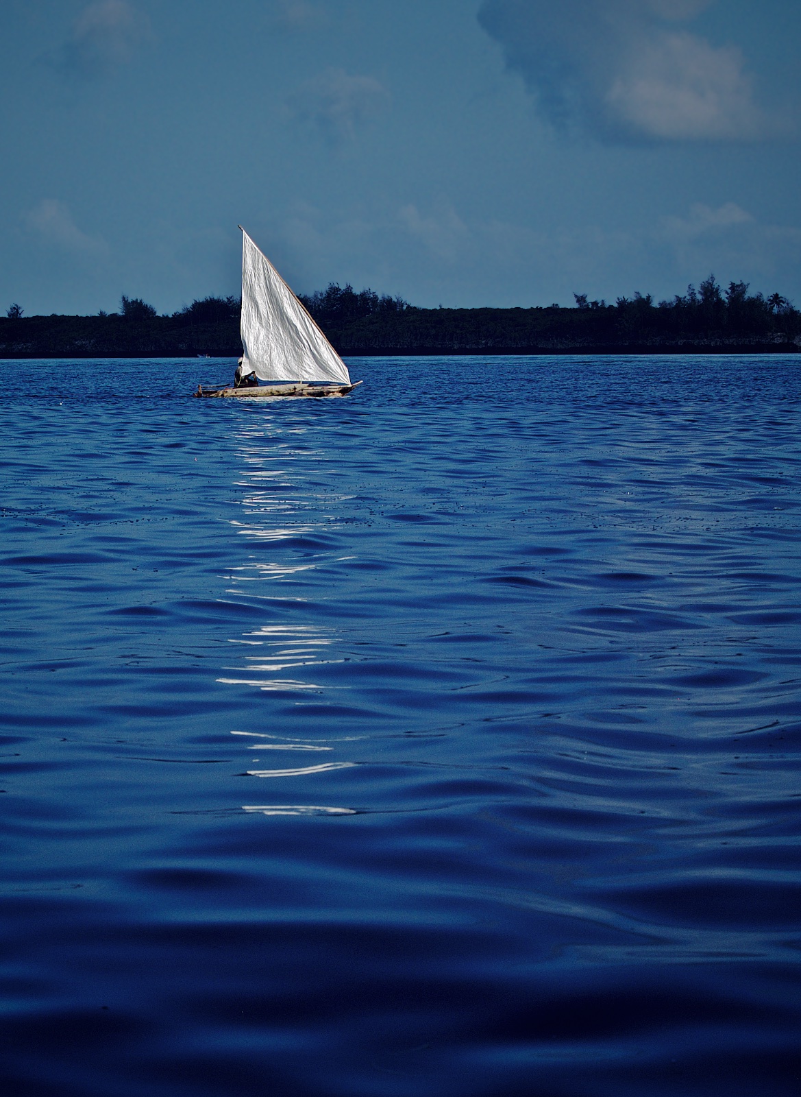
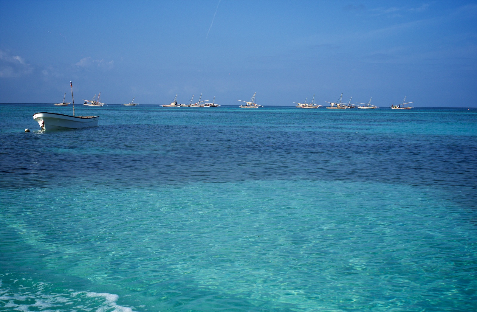
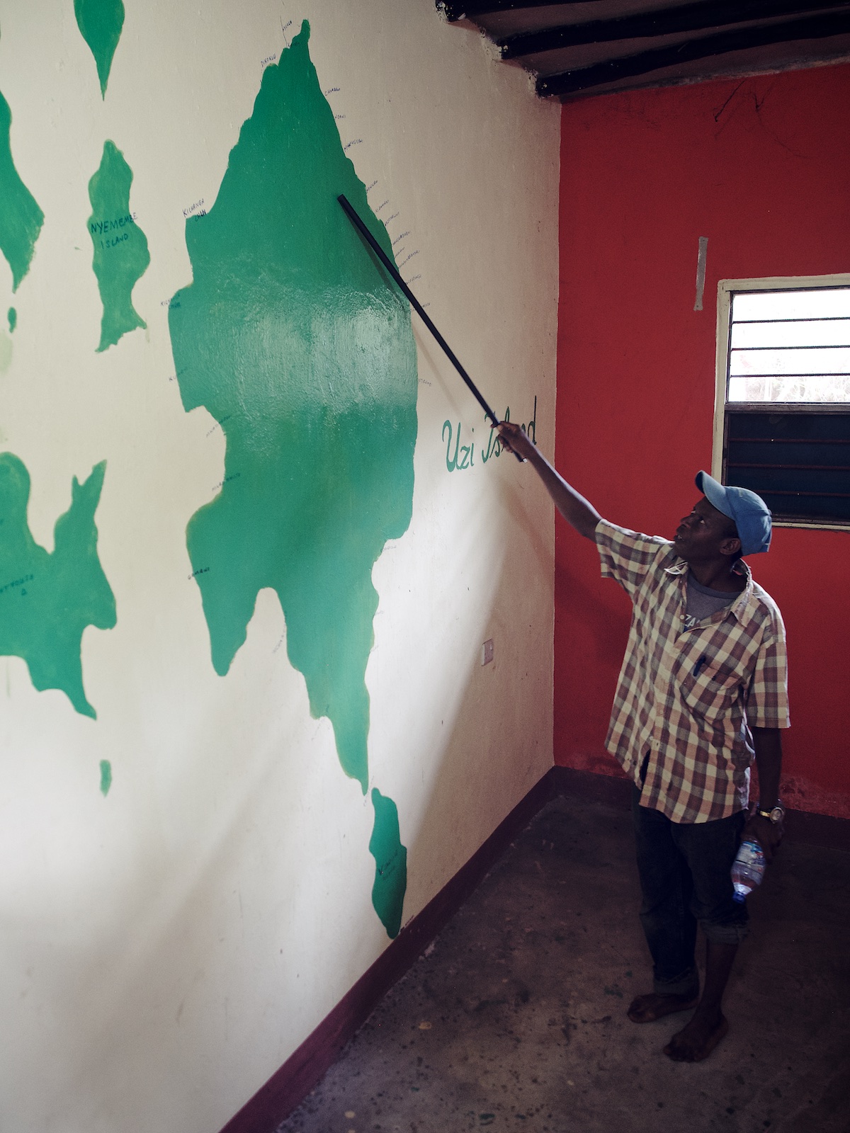
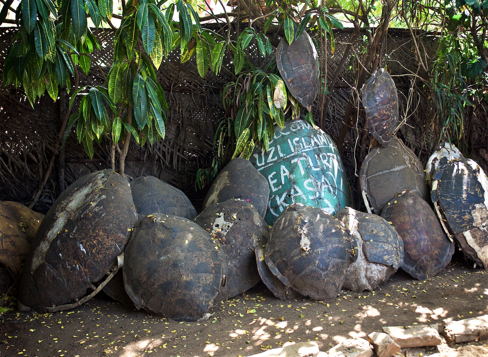
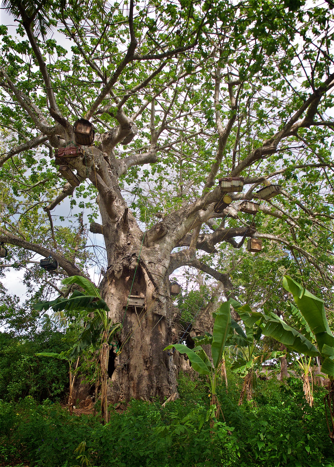
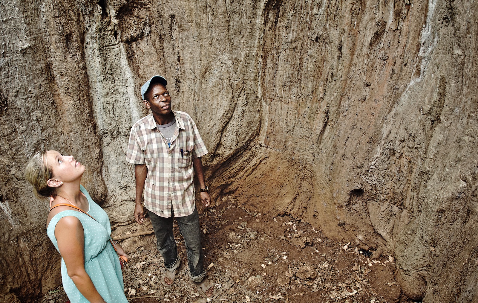
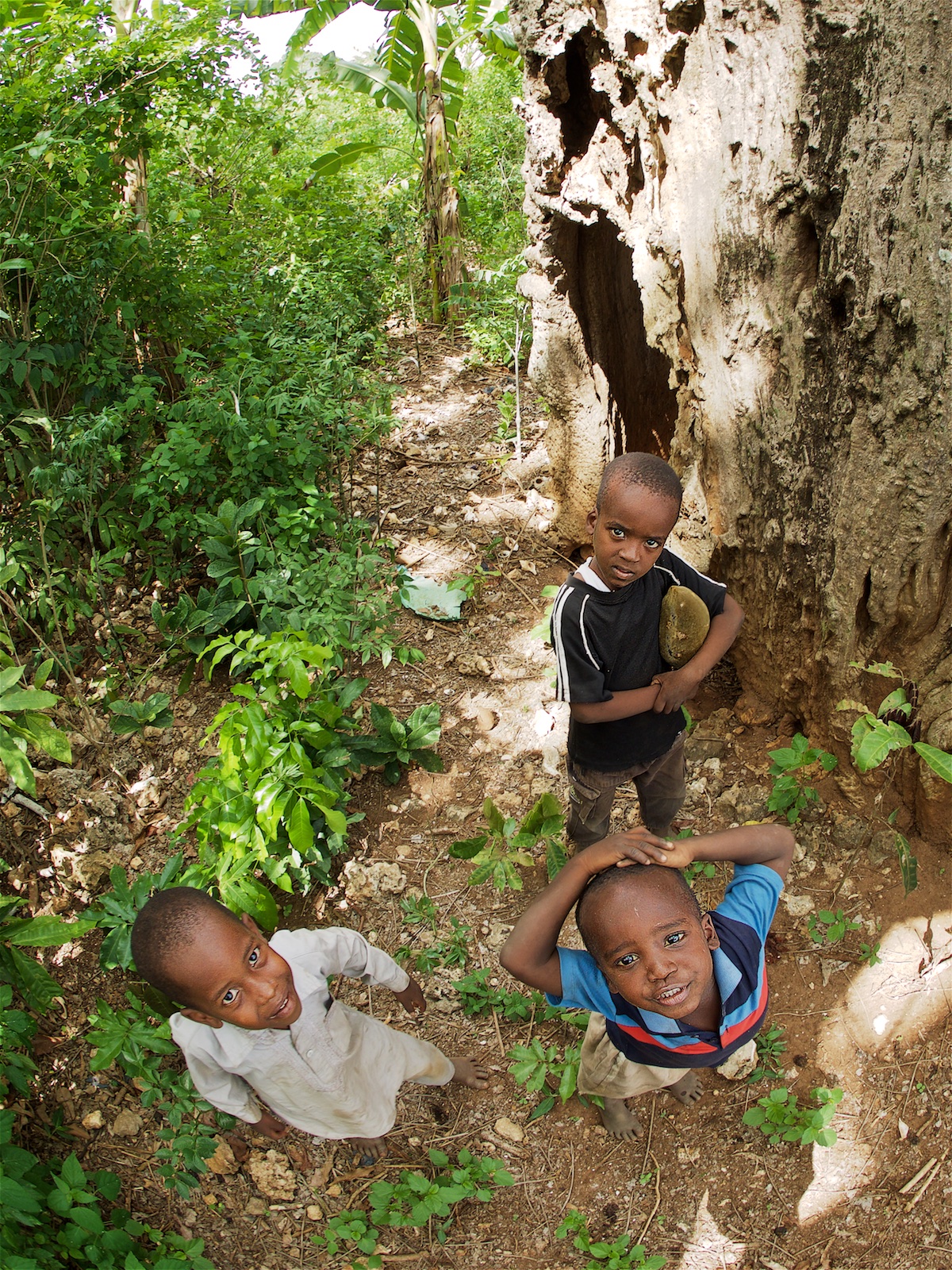
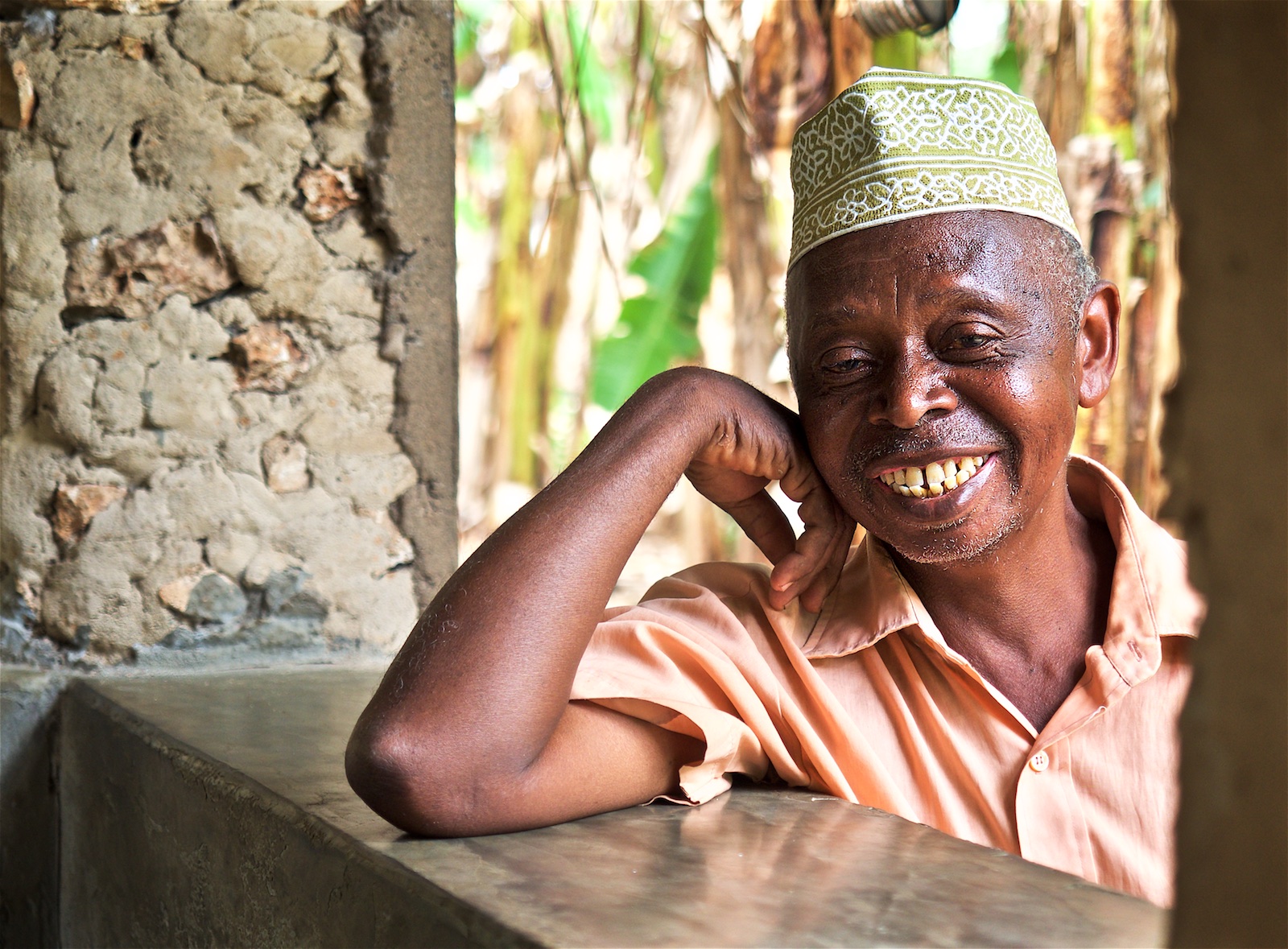
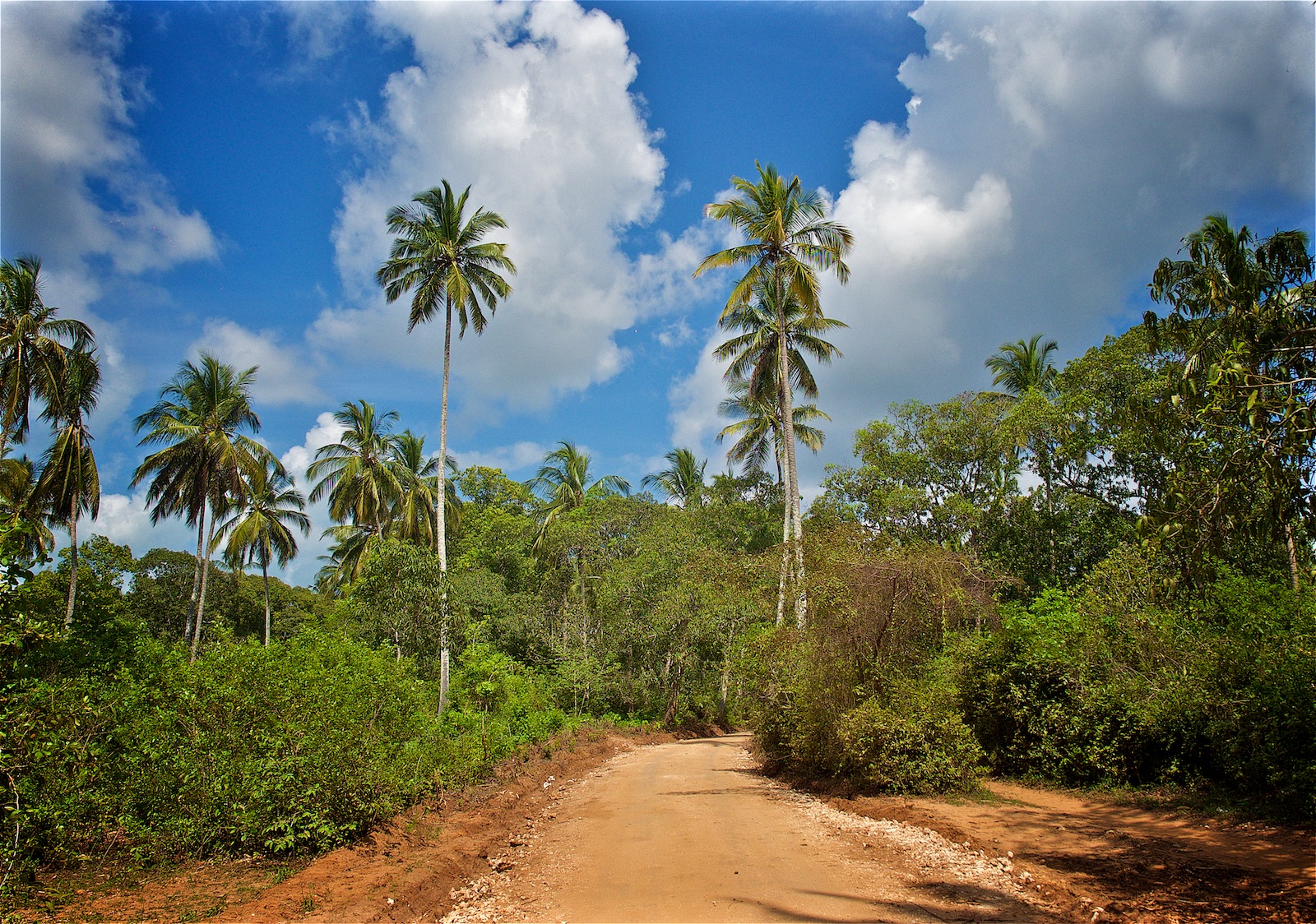
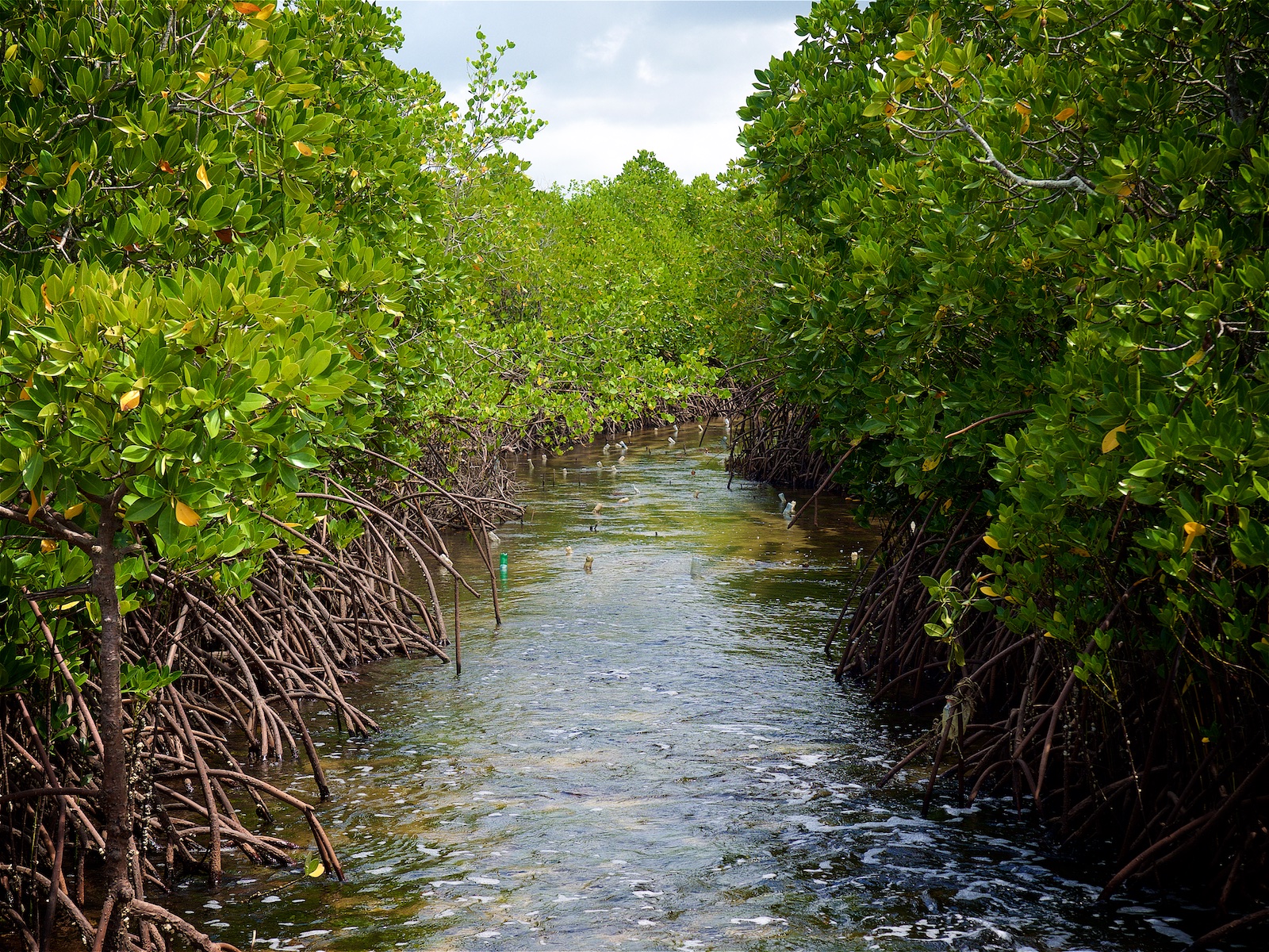
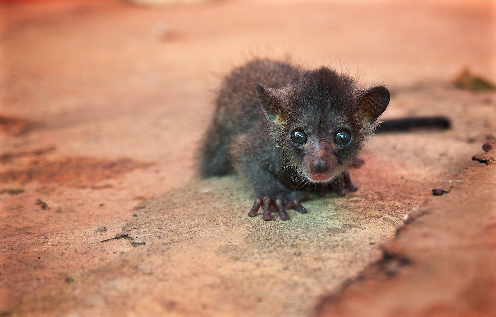
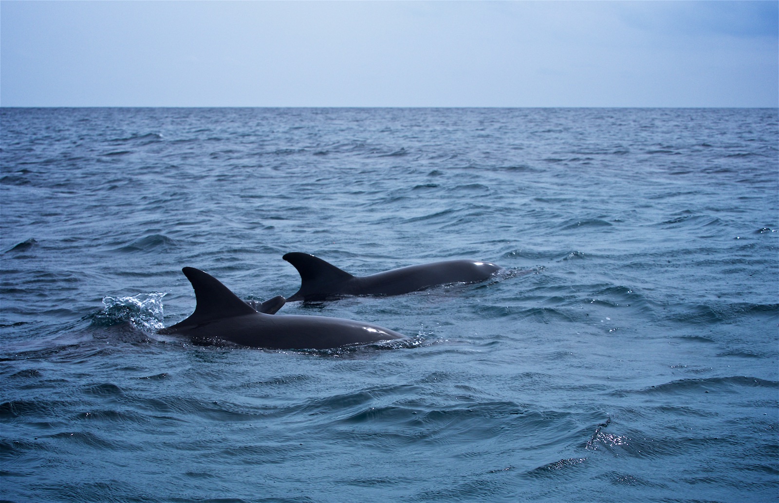
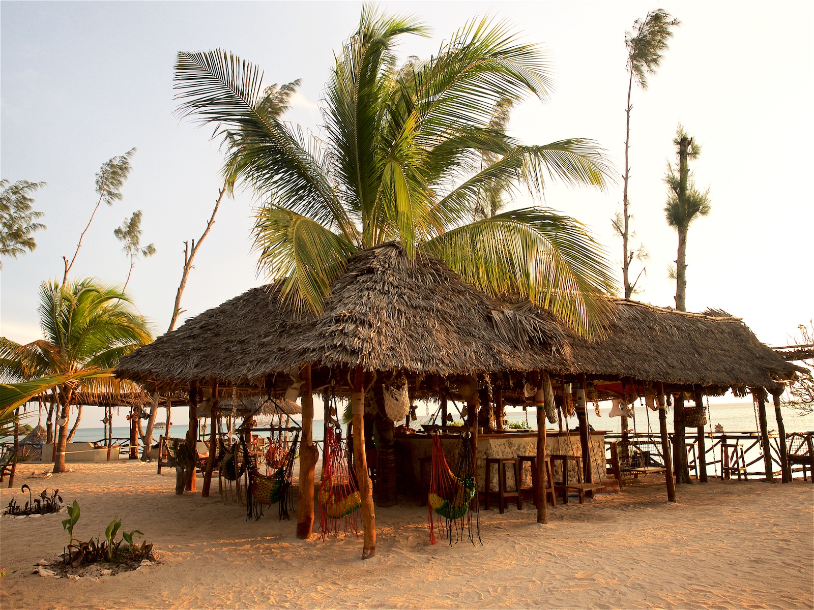
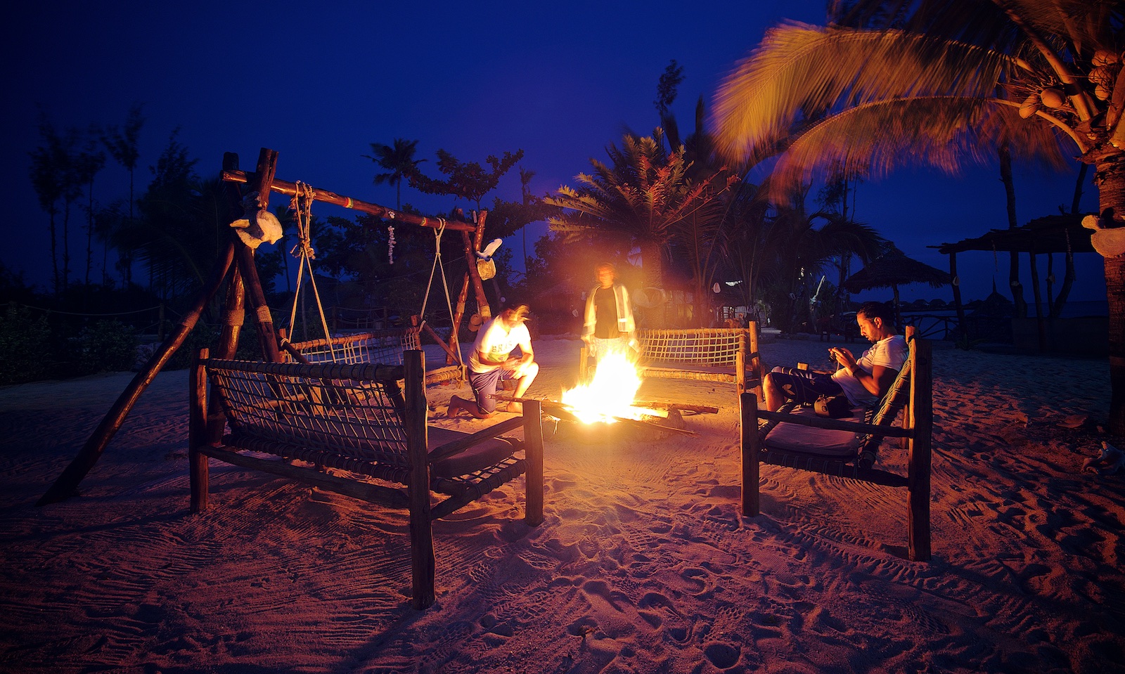
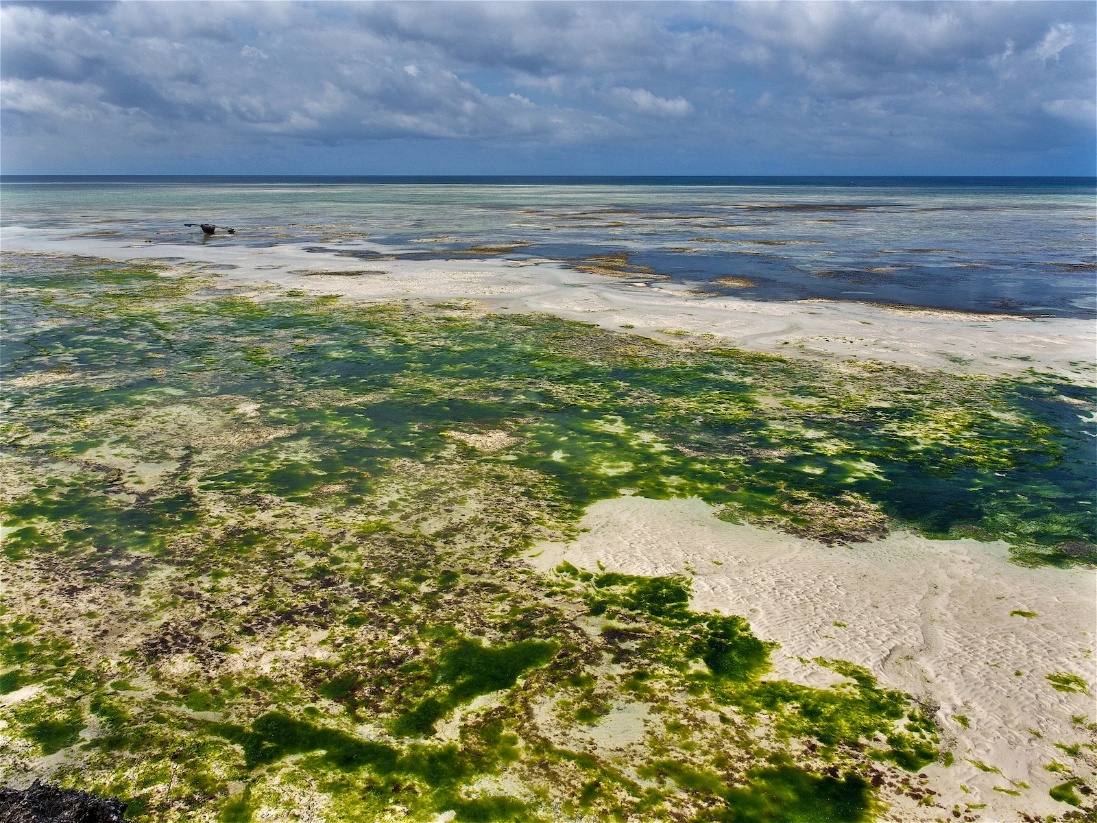
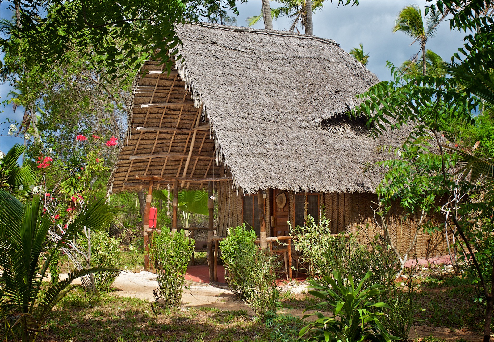
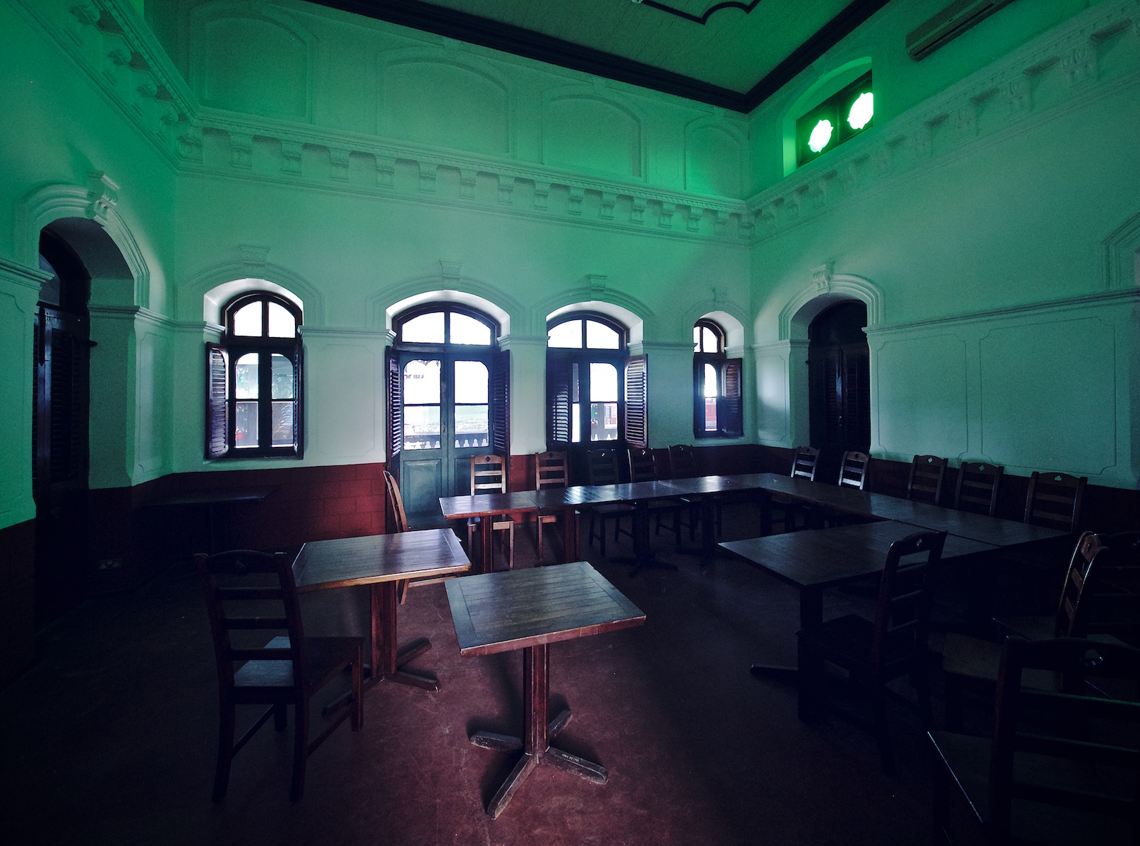
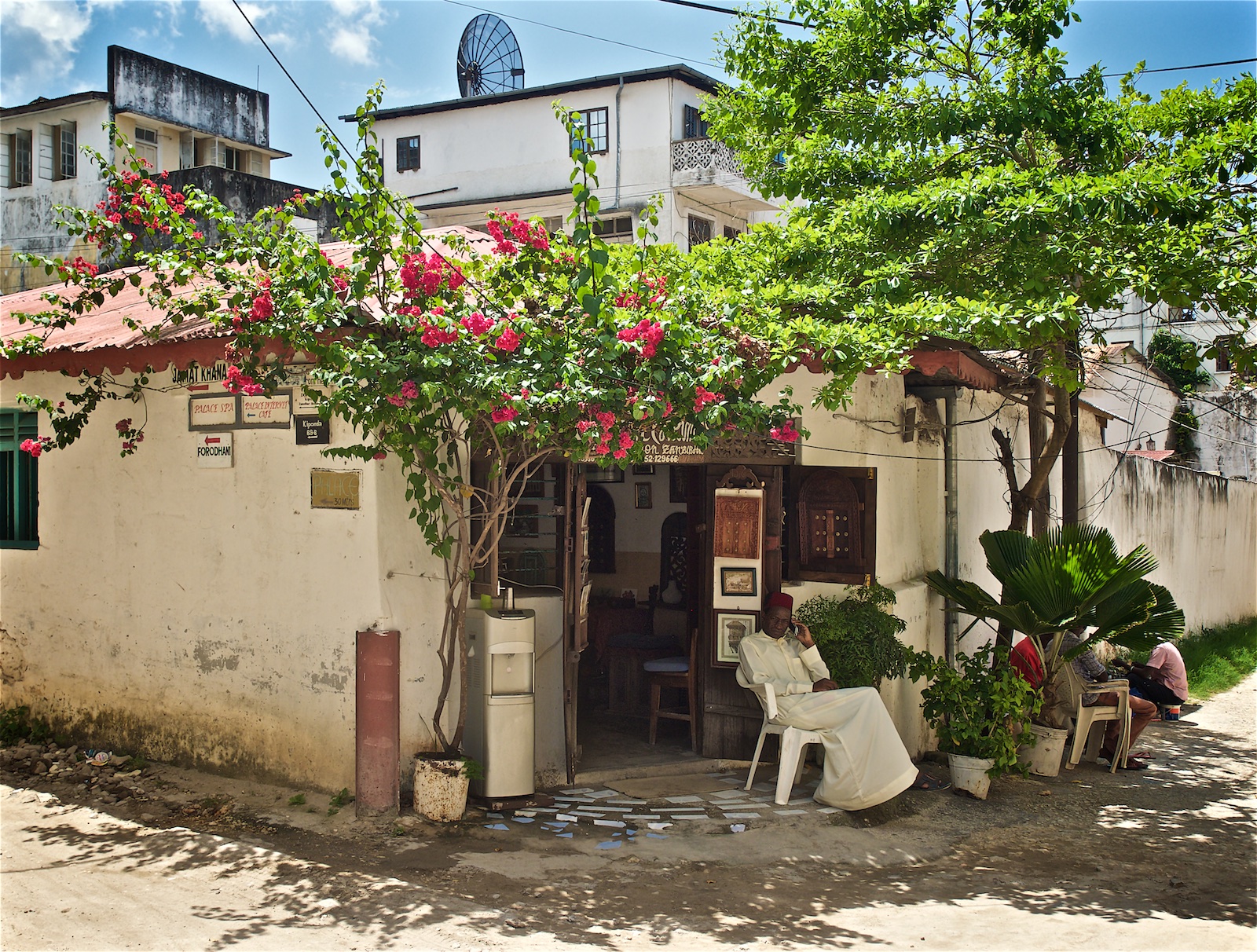
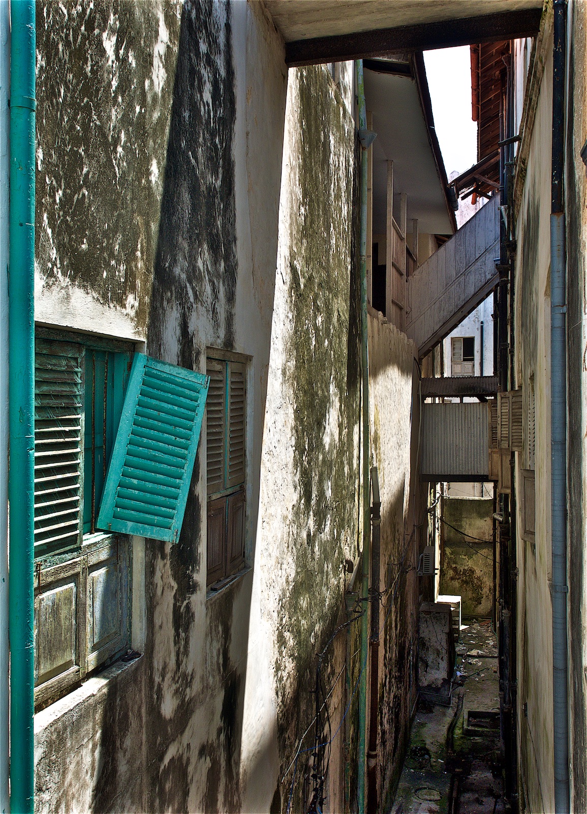
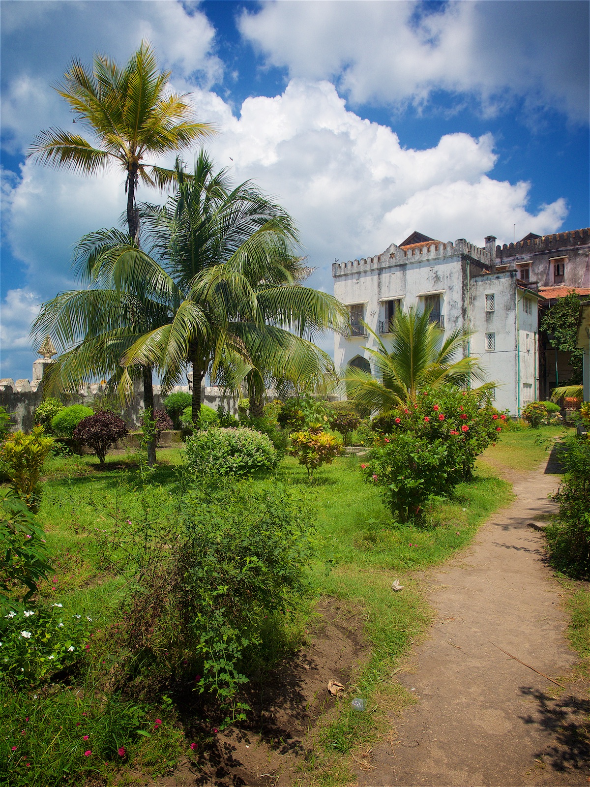
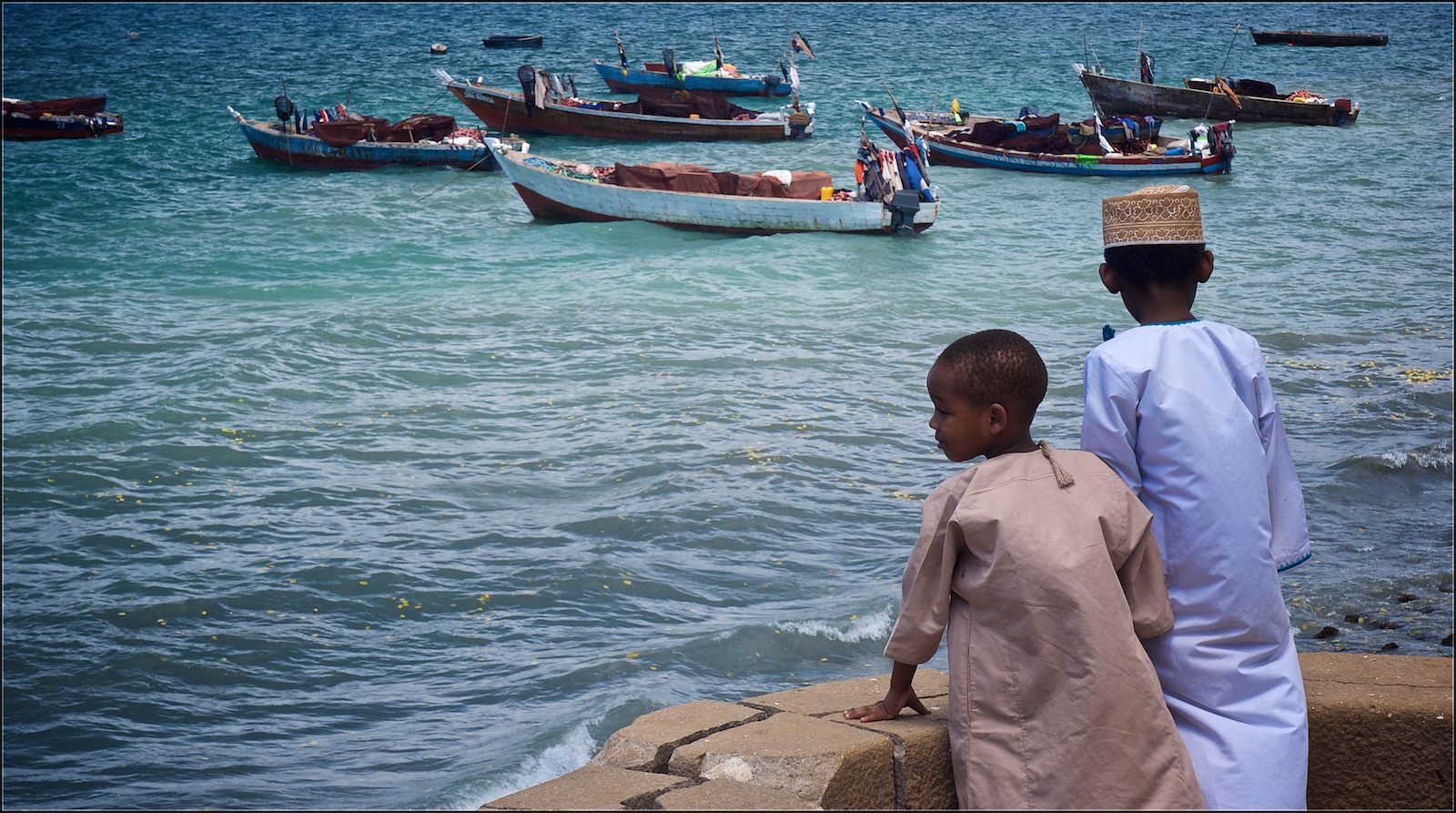
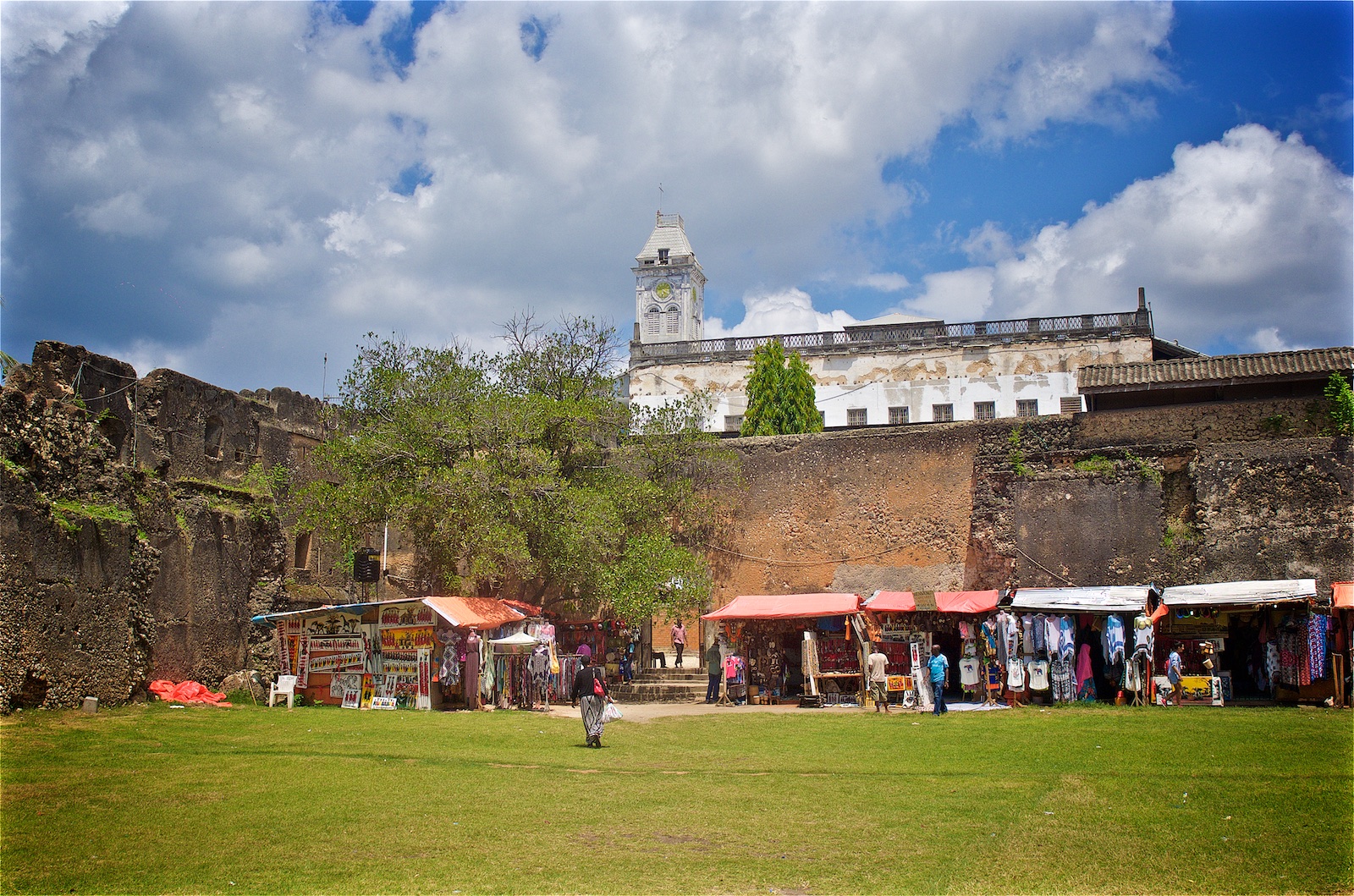
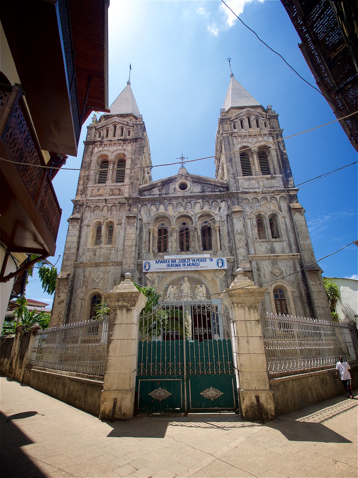
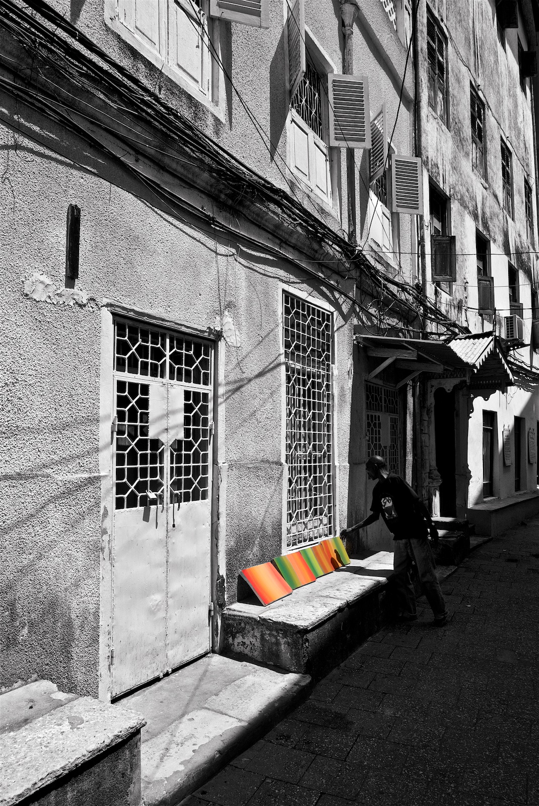
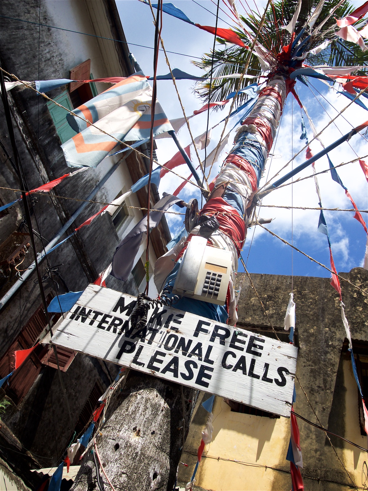
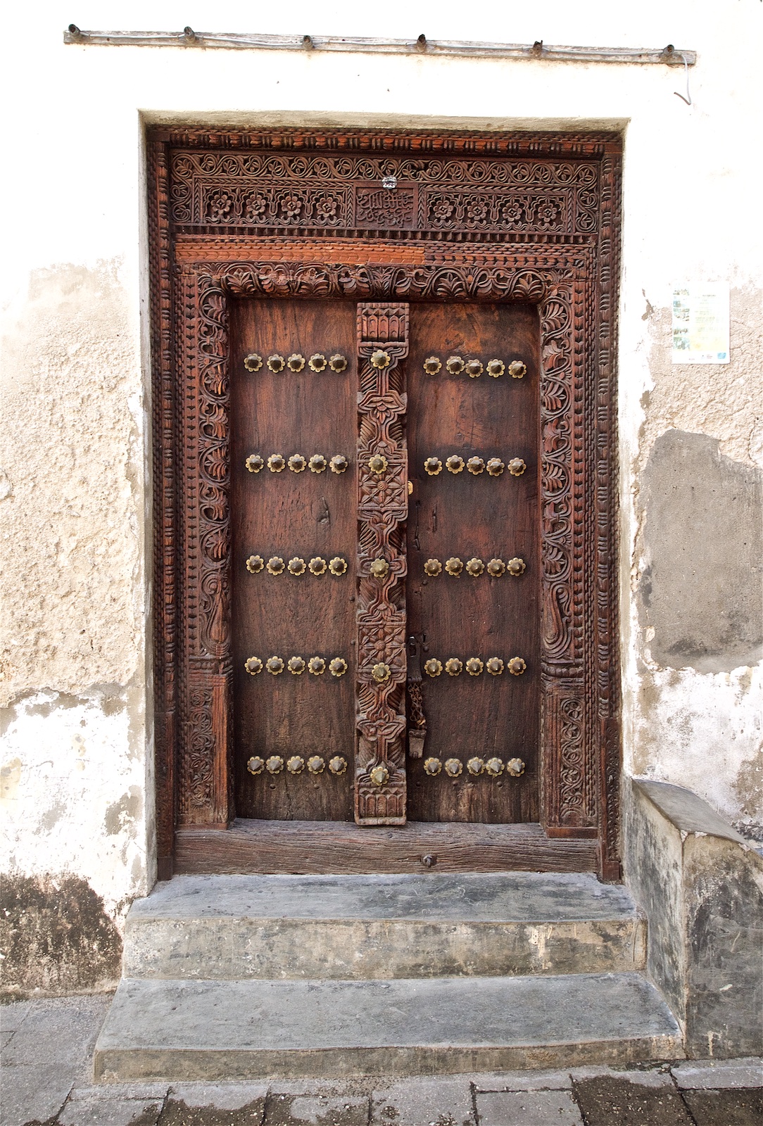
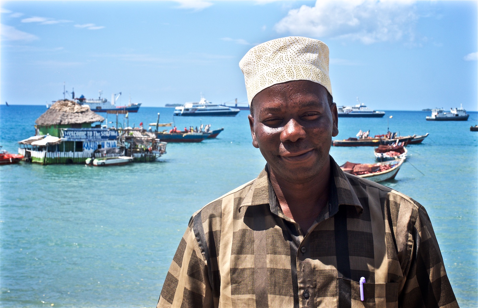
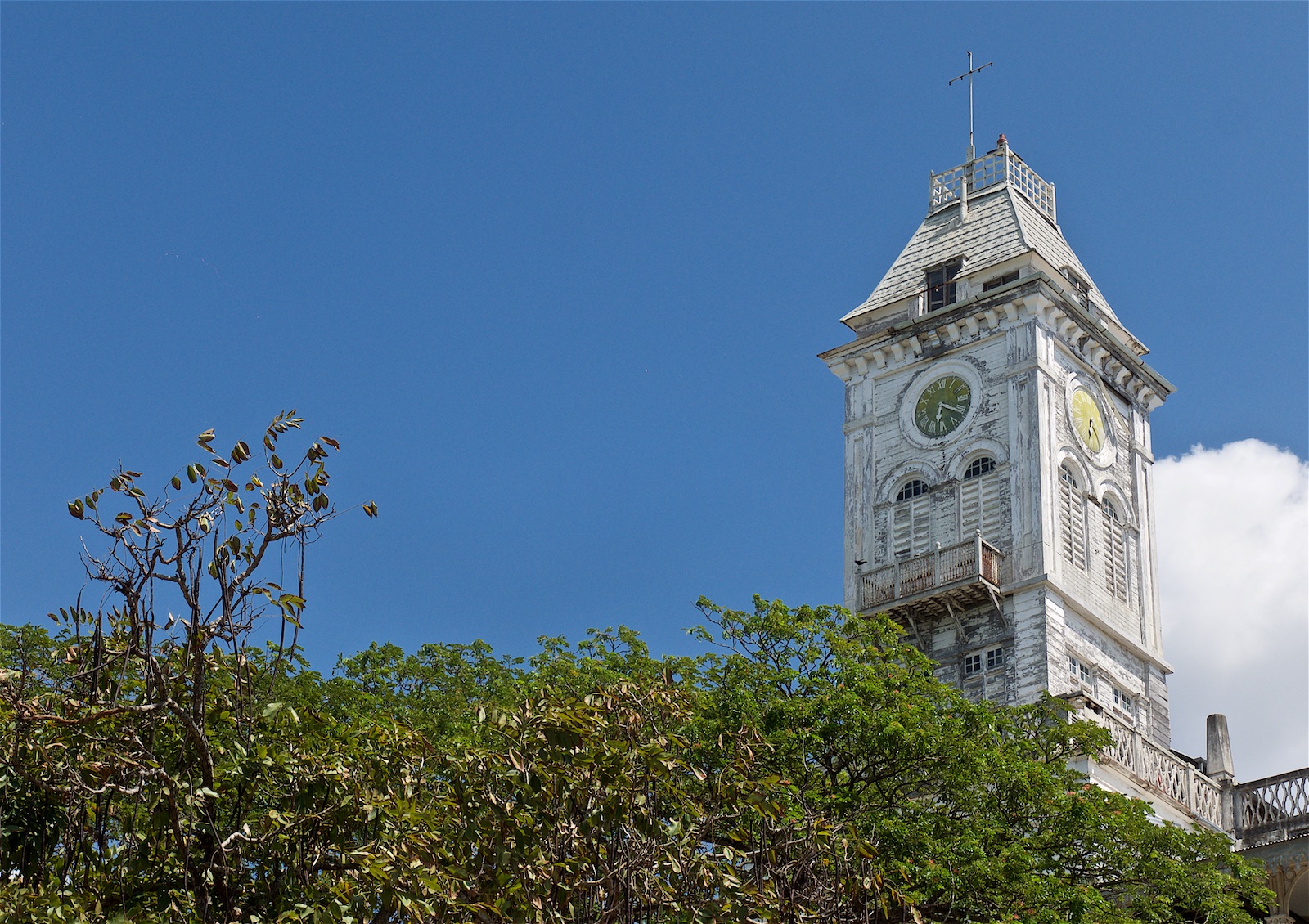
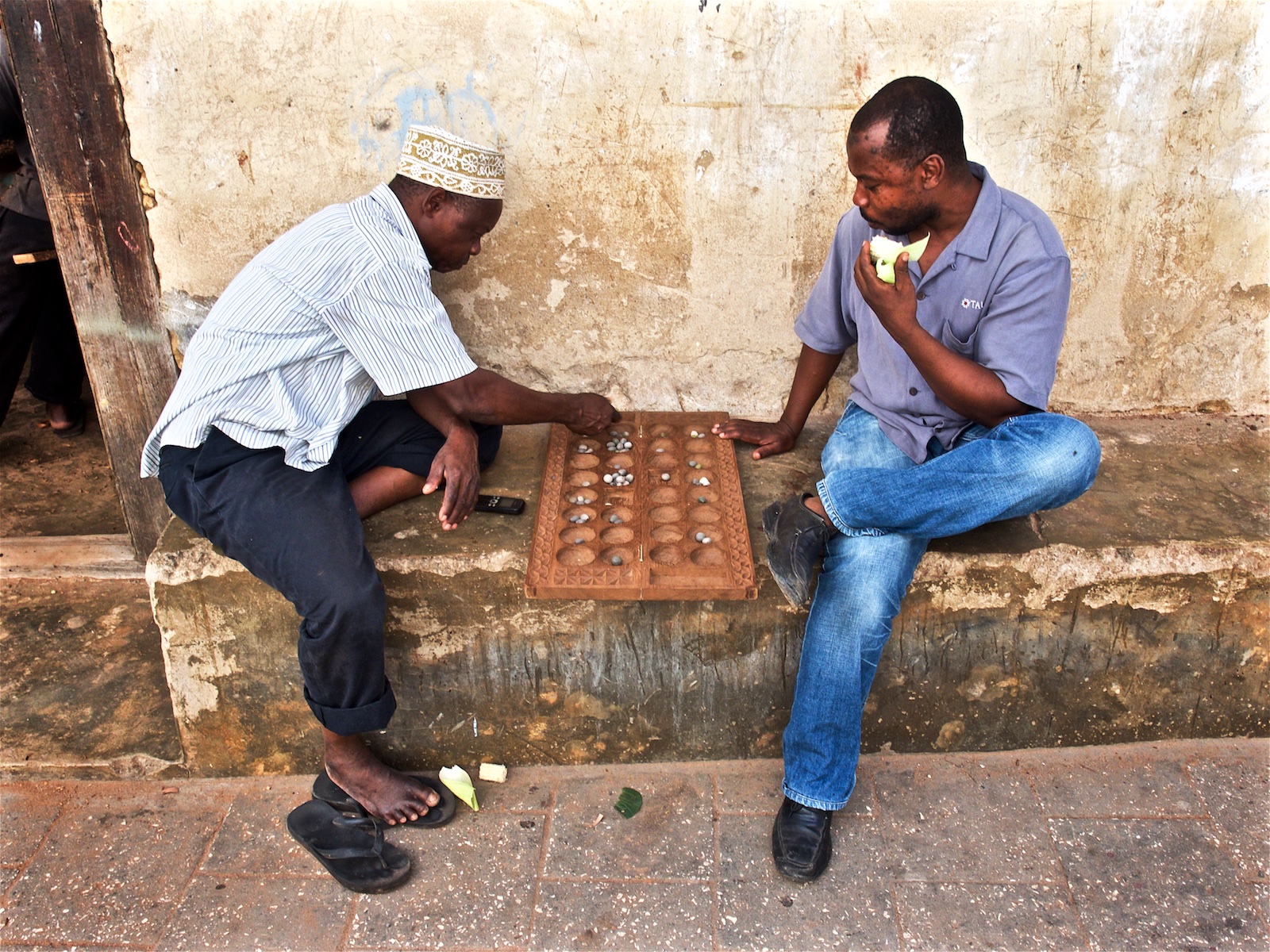
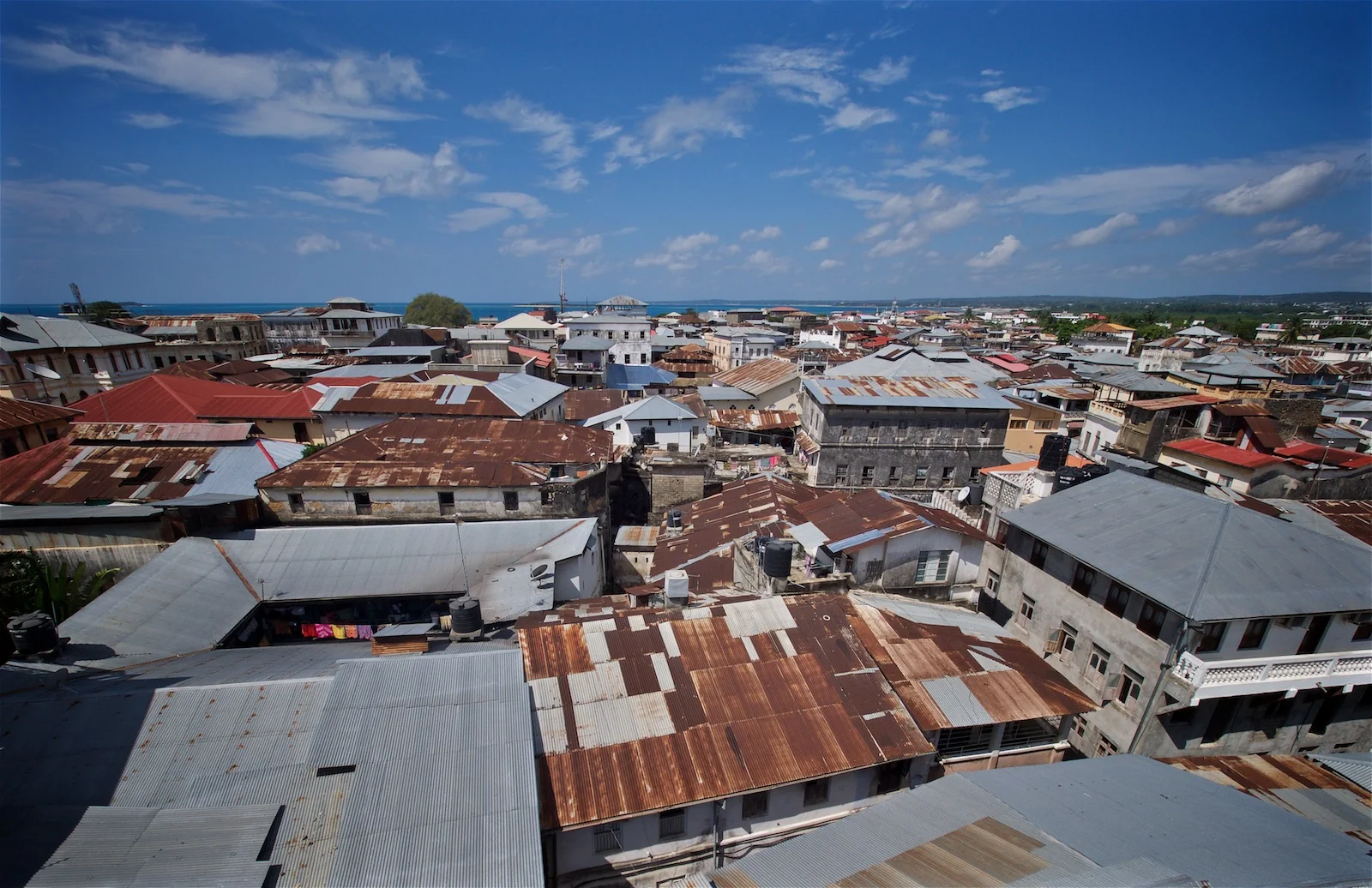
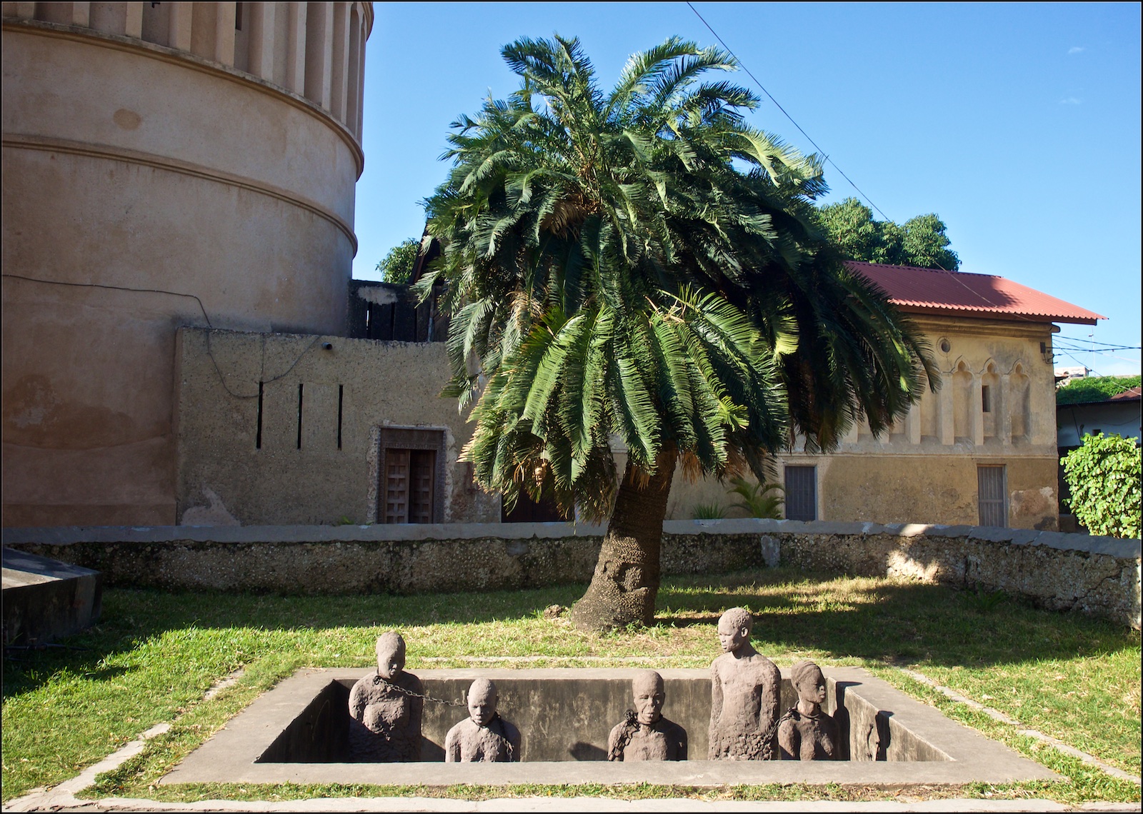
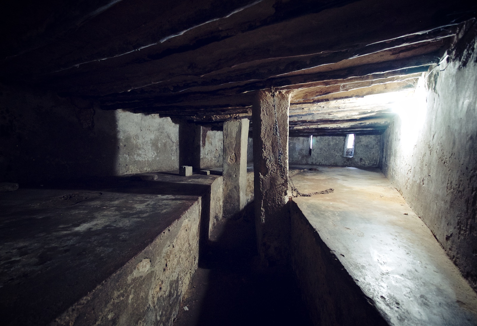
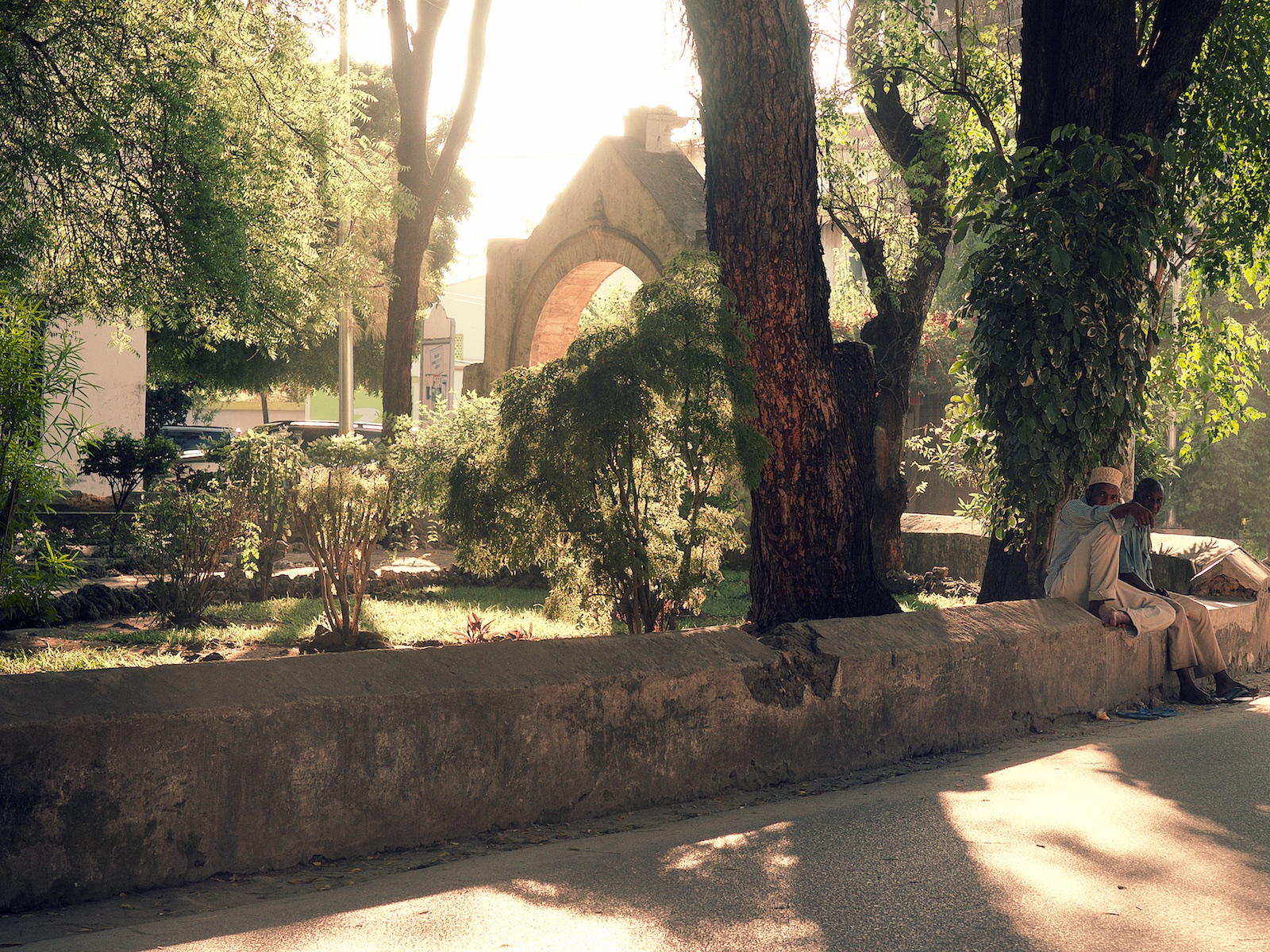
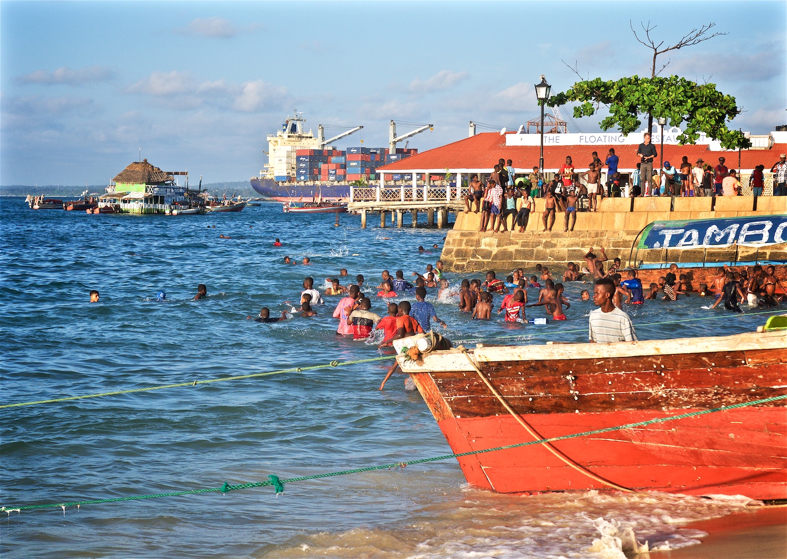
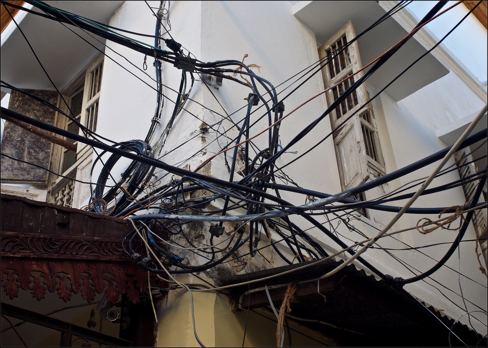
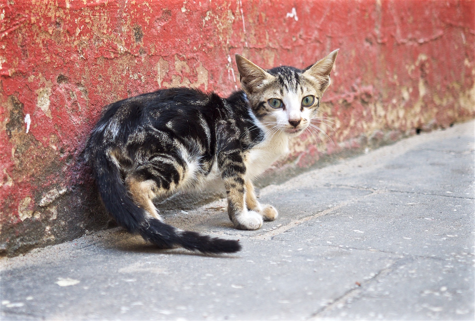
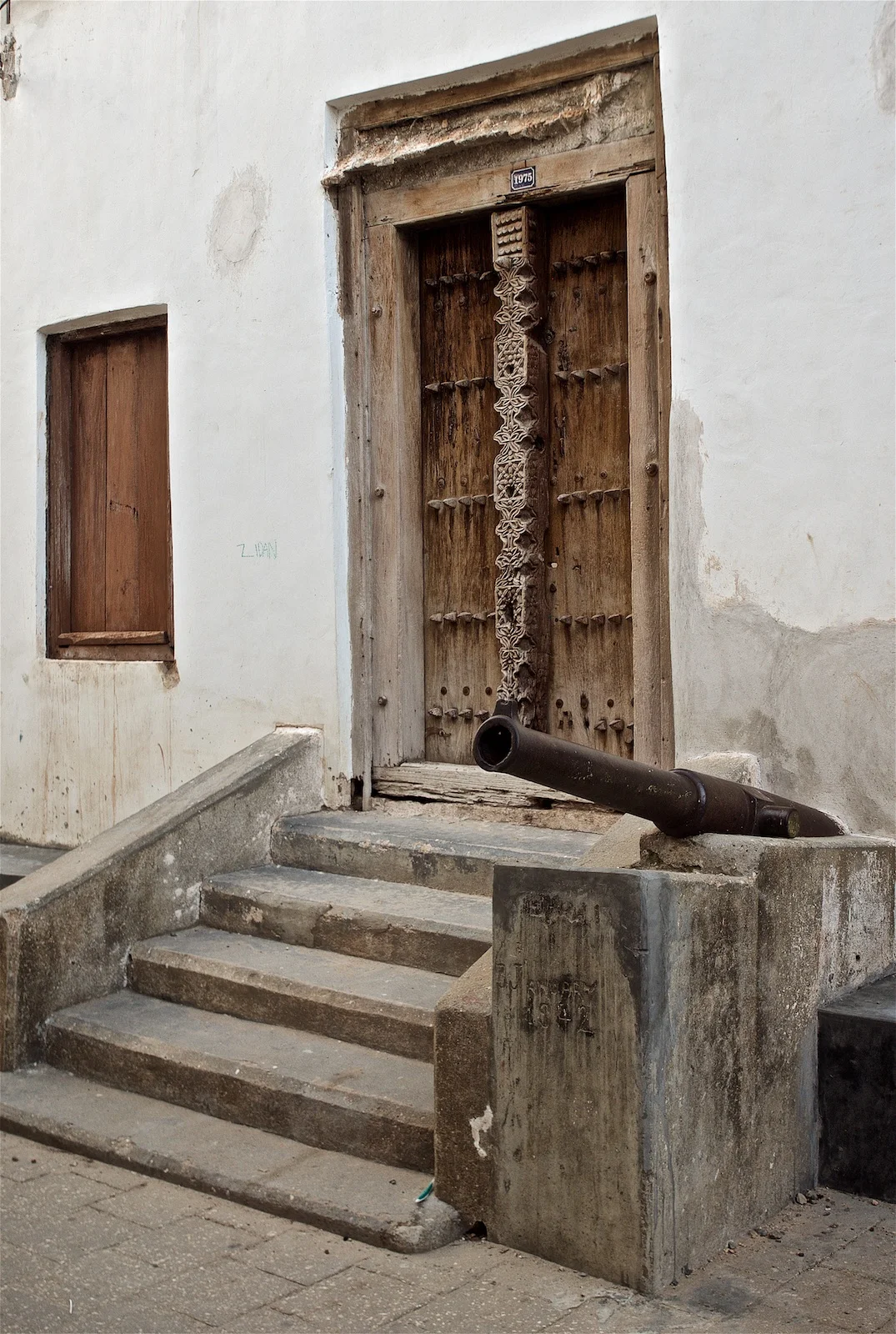
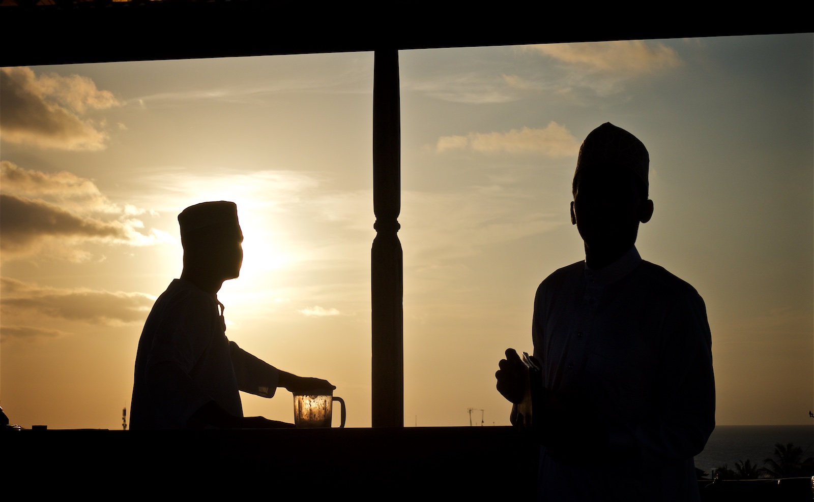
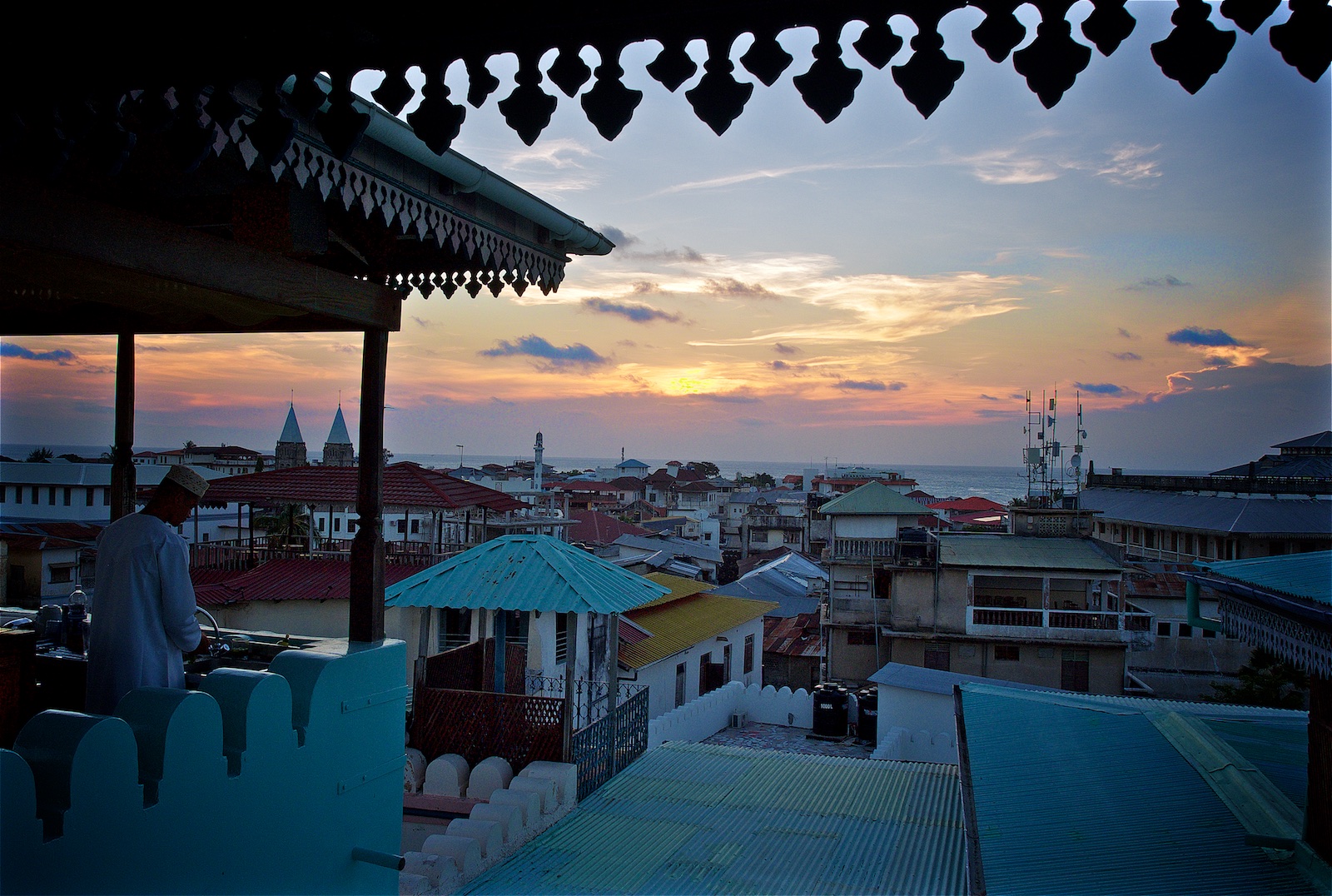
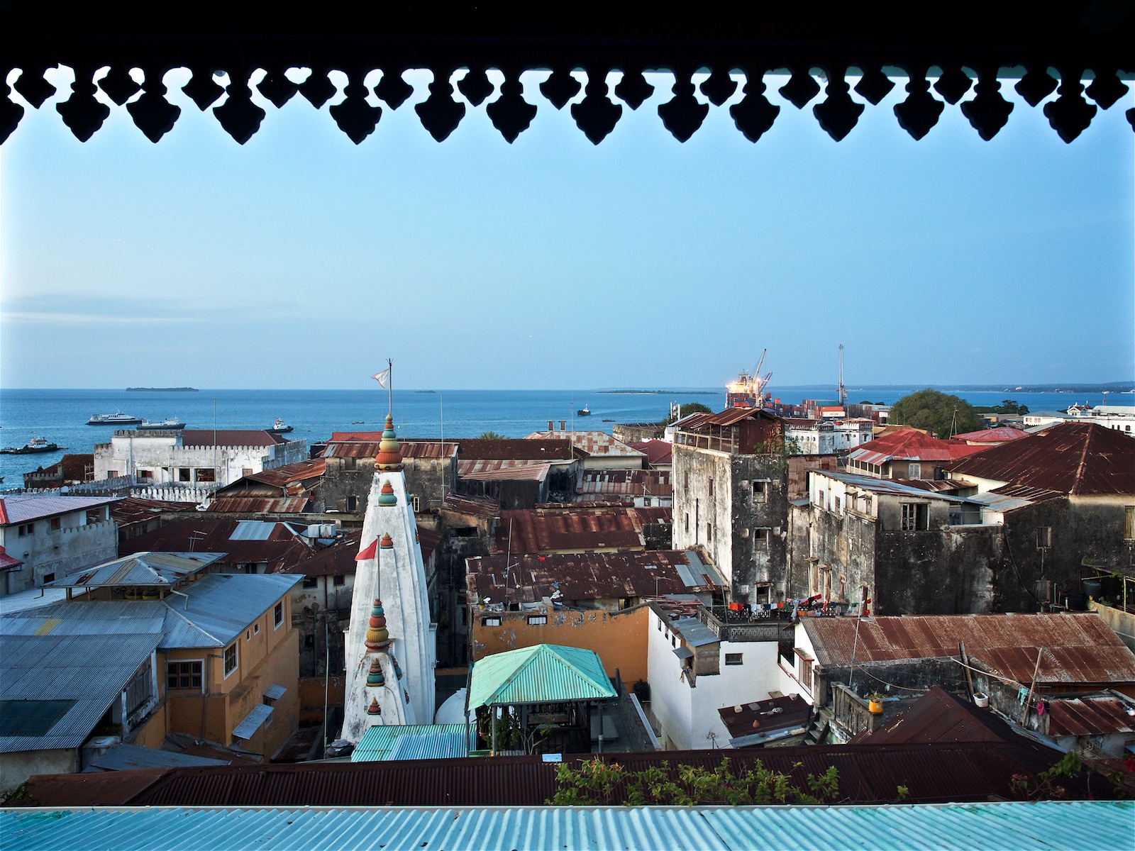
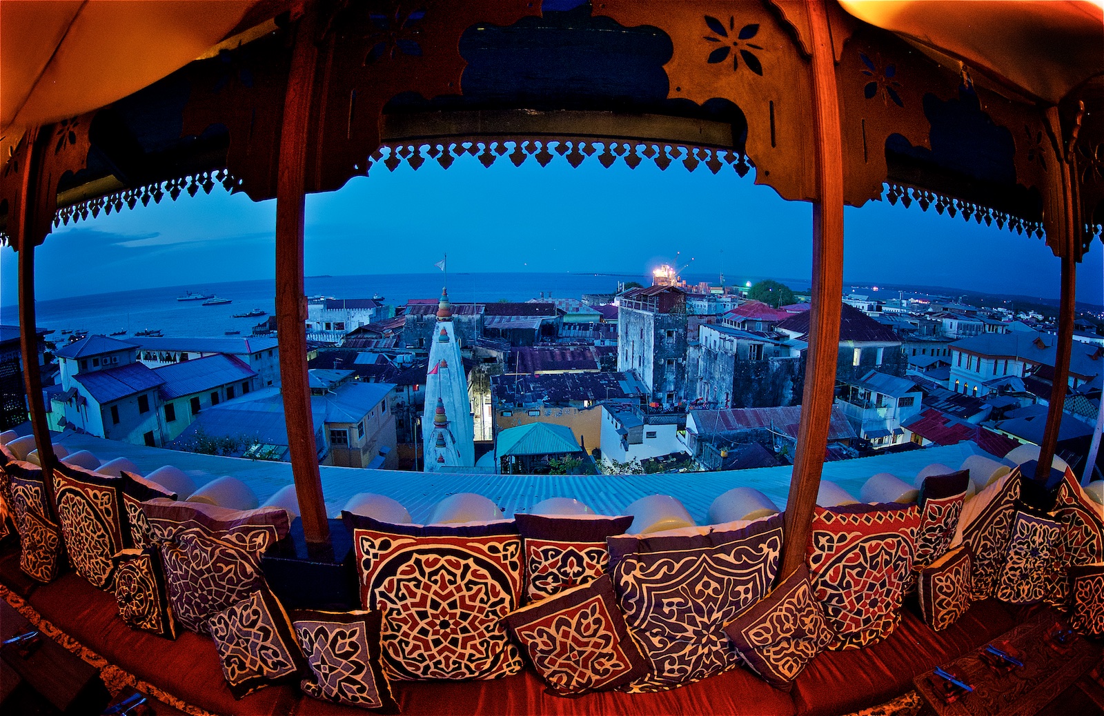
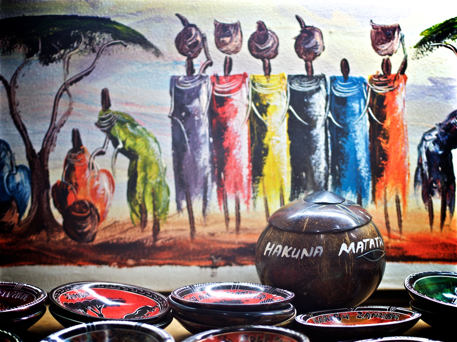
Zanzibar - Island Bliss
The last trip for 2016 took me to Tanzania, more specifically the islands of Zanzibar. This beautiful archipelago just off the east cost of Africa offers a unique mix of Swahili roots, island lifestyle, arabic influences and a rich, albeit troubled history.
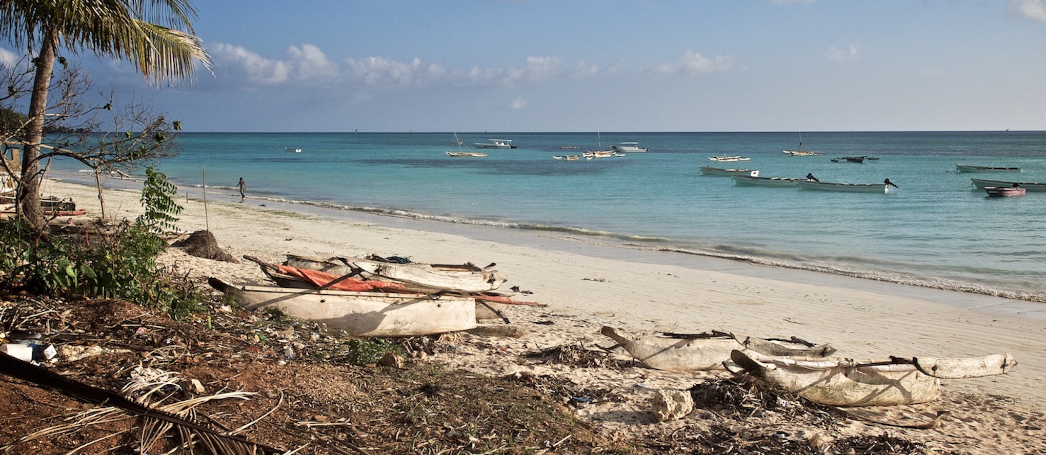
The last trip for 2016 took me to Tanzania, more specifically the islands of Zanzibar. This beautiful archipelago just off the east cost of Africa offers a unique mix of Swahili roots, island lifestyle, arabic influences and a rich, albeit troubled history.