
Mongolia - Vast Steppes & Nomadic Cultures
Mongolia’s vast landscapes, rugged mountains, beautiful deserts, and nomadic people have long been on my list for exploration

Mongolia’s vast landscapes, rugged mountains, beautiful deserts, and nomadic people have long been on my list for exploration (although that list is long, frankly). In August 2023 that opportunity came when I spent a couple of months in Asia and there was an open slot on Daniel Kordan’s Mongolia tour. I rarely go on guided group photography tours during my travels, as I often find them limiting in flexibility and scope, but the dates fit, and this tour definitely had some great aspects to it that are more difficult to achieve solo. In addition, it was led by my good friend from Dubai, Andy Marty, and also allowed me to fit in a short stopover in Beijing.
Mongolian Moments - Watch this to get an Overview
The White Stupa
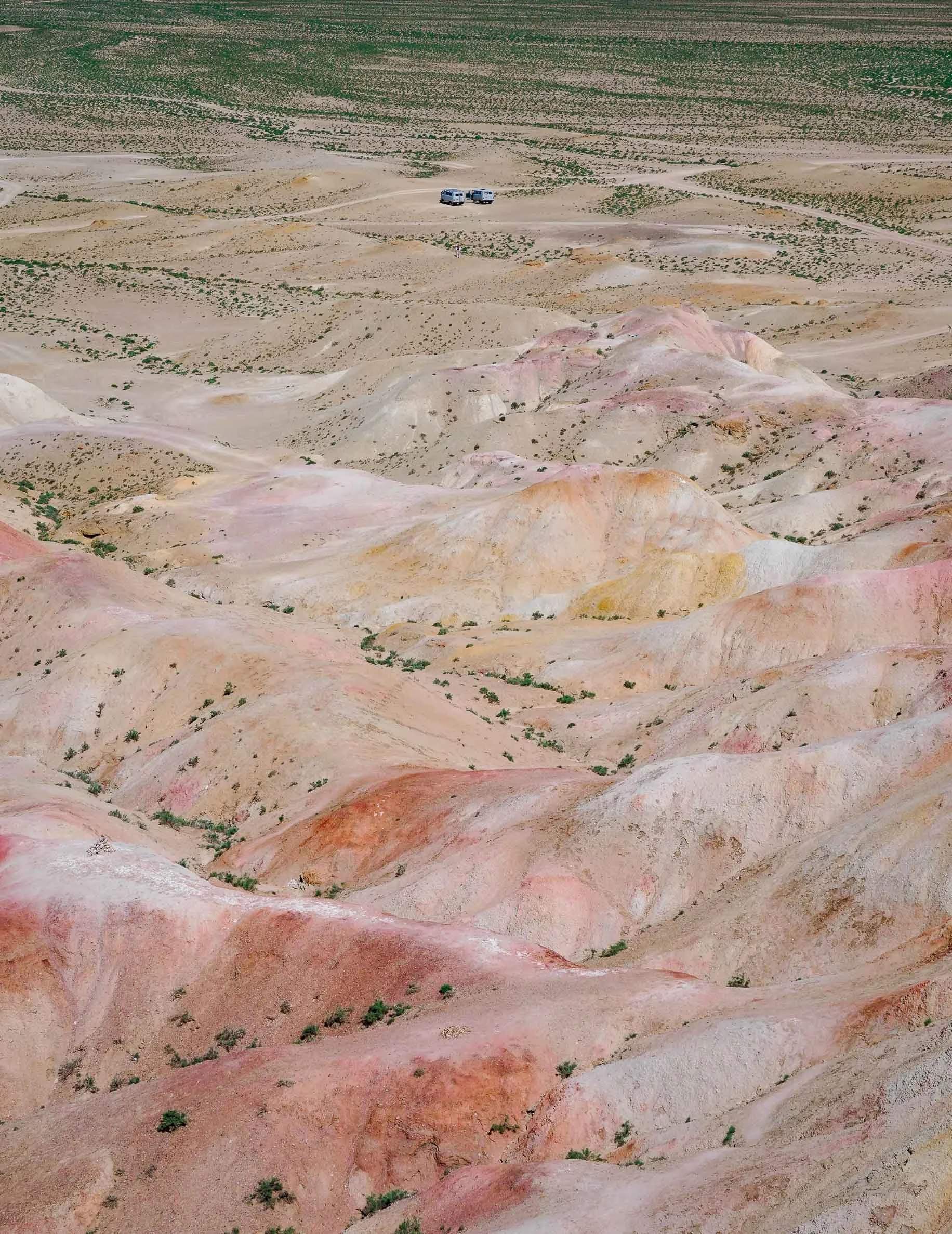
We started our tour from the capital and by far the country’s largest city, Ulaanbaatar, but immediately went south for several hundred kilometers, with the first goal being Tsagaan Suvarga (White Stupa) - an eroded cliff that was once the floor of an ocean.
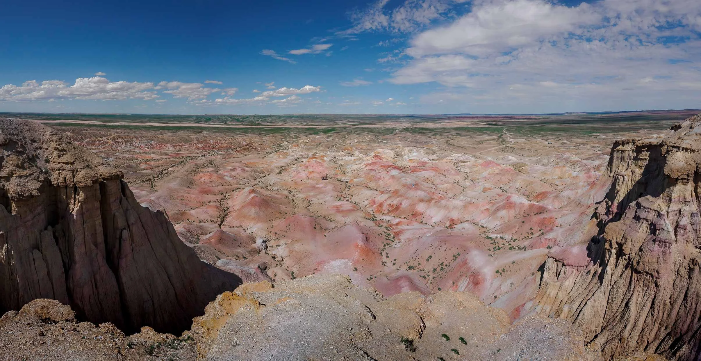
The ancient seabed is now a limestone escarpment covered with minerals. Oxygen exposure over millions of years then created this colourful scenery.


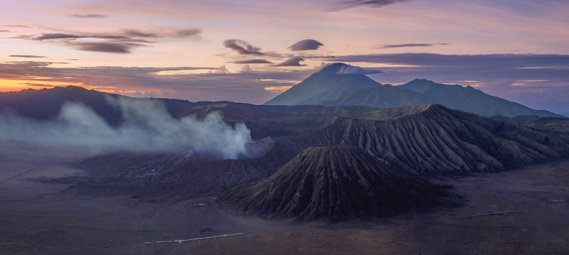
We continued our way onwards to the south and further west, with the final destination being the sand dunes of the Gobi desert, getting ever closer to the borders with China, one of Mongolia’s two mighty neighbors - the other being Russia in the north. Together, they make it the world’s largest landlocked country. As we approached our camp for the night, we got the chance to stop for a beautiful sunset…


… which quickly turned into a heavy storm, with rainclouds approaching in the distance.

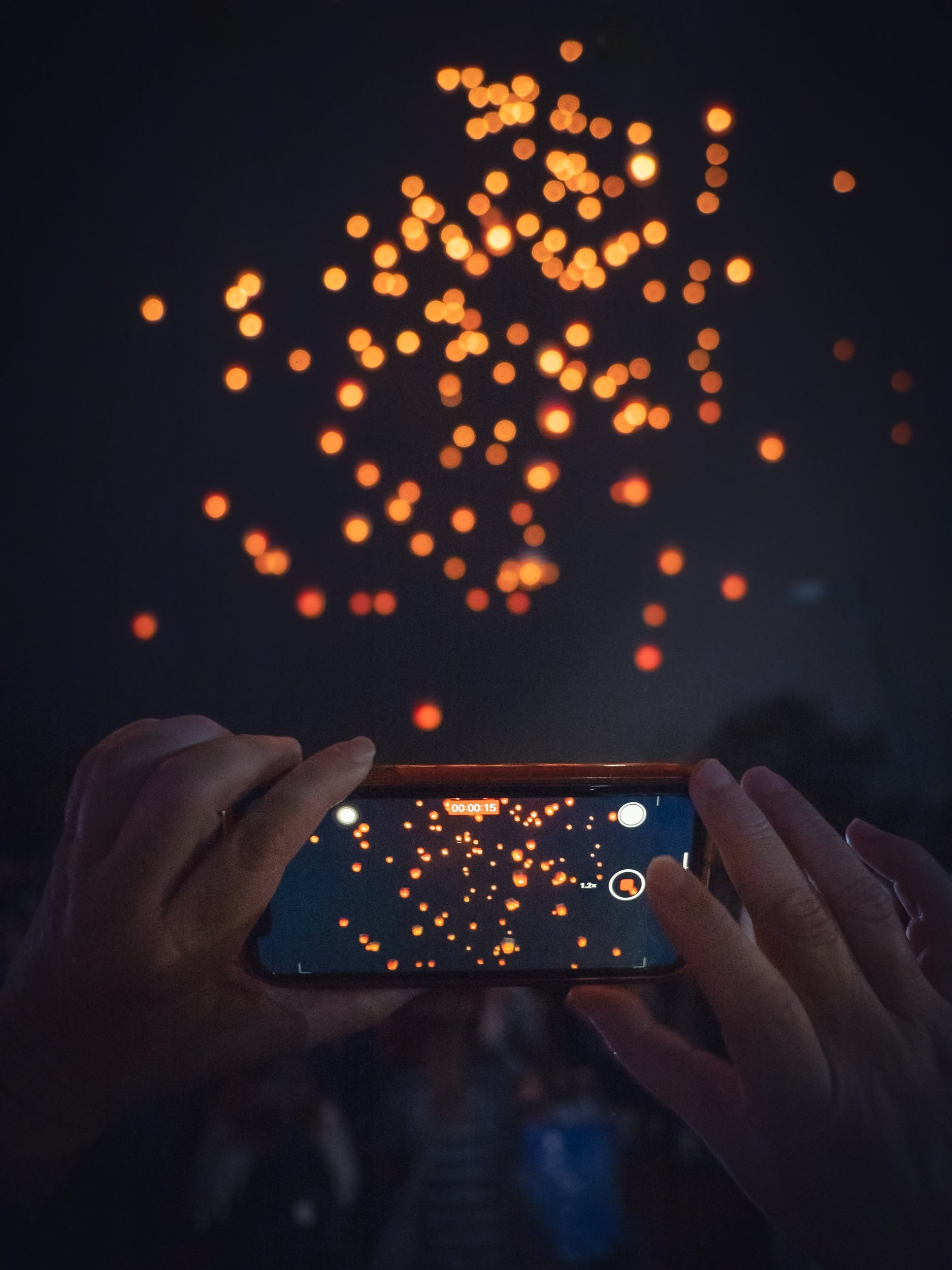
As we arrived at our “hotel” for the night - one of the many ger (a traditional yurt-like tent still commonly used by the locals) camps that are dotted around the landscape, the rain clouds turned into thunder and lightning. Of course I couldn’t resist, threw the luggage into the ger, and set up the camera before the rain arrived. Using Olympus’ amazing Pro Capture feature makes catching lighting relatively easy in many situations, without having to set up triggers or even a tripod - these were handheld at 1/5s exposure!


Highways
Distances are vast with very little infrastructure - understandable, given that it’s the most sparsely populated country on earth (just over 2 people per sq km.) Although, the country’s road network has been increasing rapidly, the majority of the roads that do exist are not yet paved, making driving a bit of an adventure.

It’s not unusual to drive for dozens of kilometers through empty steppe, with nothing more than a few animals to see. The layers of diverse landscapes make up for it, such as here as we slowly approached the tall dunes of the Gobi desert.
The Gobi Desert - Dunes for Days

The Gobi Desert is one of the world’s largest. The majority of its landscape is not actually characterized by sandy areas, but instead features dry steppe and exposed rock. Having said that, the tall dunes, for example here around Khongoryn Els, make up some of its most beautiful scenery and we spent a few nights here to capture their shapes around sunset and sunrise.


Bactrian Camel Herders
A local family with their herd of bactrian camels joined us in the dunes to add a human element, and bring some scale to the photos. Bactrian camels have been domesticated in Mongolia for thousands of years - today, only very few truly wild individuals of a separate species survive, and these are critically endangered.


The endless shapes and flowing patterns of these dunes make for countless compositions and different abstract motives, especially as the light slowly illuminates their sharp edges.


The camels have been essential for providing clothing, sustenance from milk, and transportation for many nomadic people of the region for centuries. They are well adapted to the climate, with a long fur coat during the -40C winters, which they shed during summers when the temperature can reach 50C.

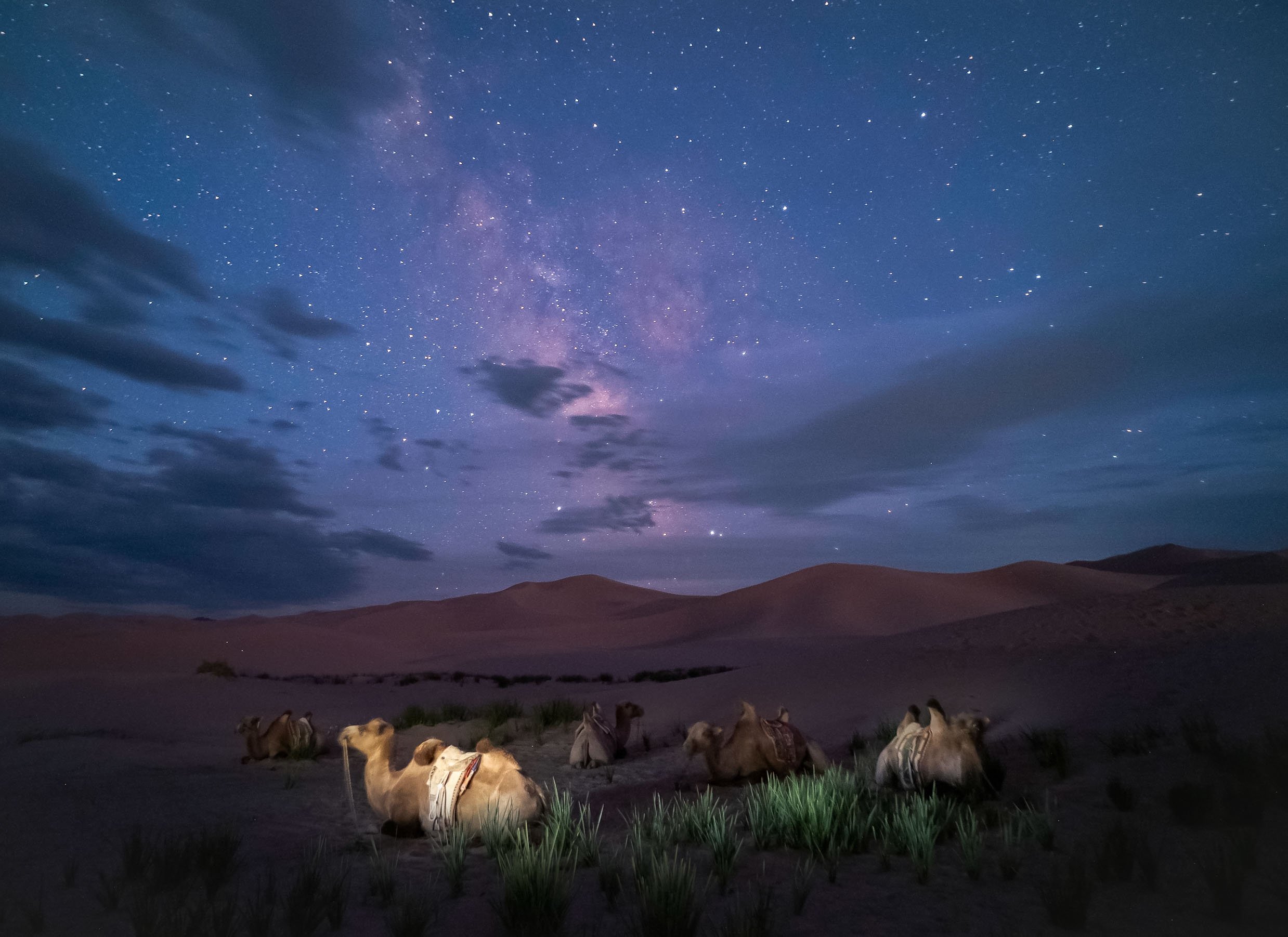
As the sun set and darkness creeped in, we had a short window to capture the Milky Way over the dunes before the moon rose.

Greenery in the Desert
Aside from the Bactrian camels, horses are also often kept by the nomadic people of the region. A river runs at the foot of the dunes in the north, creating green pockets of grass and scrubs for them to graze on.

The Flaming Cliffs
Home to the world’s first discovery of Dinosaur eggs.
As we left the dunes of the Gobi Desert, our route back to Ulaanbaatar had another stop in the plan, which was not only interesting to me from a photographic point of view, but also due to its geological and archeological history 🦖.


After a small break at a local well in the steppe of the desert, where the nomadic families raise drinking water for their horses and camels, we arrived at the so-called Flaming Cliffs: A geological locality from the Cretaceous period, deriving its name from the red glow the rock formations exhibit, especially during sunset - luckily the time when we were there.


Beyond their obvious beauty, this area is where some of the most significant fossil artifacts in the world were discovered: The very first finds of several dinosaur species, as well as the first-ever fossilized dinosaur nest, including the matching Oviraptor eggs. Another incredible paleontological find includes a pair of fighting dinosaurs, now immortalized as a statue on the small museum built on the site.


Nightly Exploration
After discovering these beautiful nearby rock formations during the day, an idea for some nightly adventure emerged: The result was some drone light painting as the Milky Way rose, with the odd meteor and a nice green airglow adding a little bit of extra interest.
It meant the night before our final drive to the capital was short (very short), but we got some fun images to take away.


The Bayan-Ölgii Province - Home of the Eagle Hunters

After a night in Ulaanbaatar, the next destination was the very western region of Mongolia close to Kazakhstan (although the two countries do not share a border): a two hour flight brought us to the province of Bayan-Ölgii. The reason? To spend time with the infamous Eagle Hunters of the local nomadic tribes that once settled here after leaving the east of Kazakhstan for political reasons. Even today, the vast majority of the population is Kazakh, Mongolian is not the primary language, and Islam is strongly represented here.

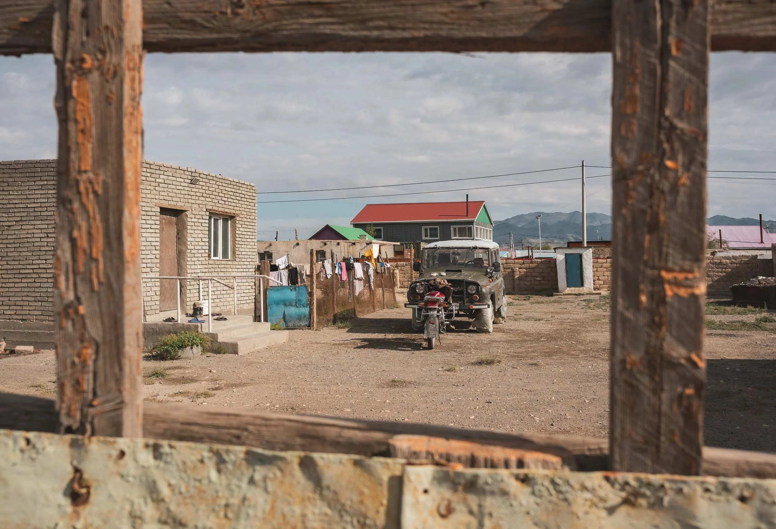

While the city is small and life is quiet and traditional, during summer time people still gather and go out. The winter tells a different story (from what I heard), as temperatures drop to -30C, running water becomes an exception, and power cuts occur regularly.

The city centre is home to a few abandoned structures from the former Soviet era, like this one, which was once seemingly a high school.
The outskirts of Ölgii feature a common sight in Mongolia, very different from traditional city structures: small houses with gerts owned (and sometimes occupied) by the local families, dotted in the yards. Even today, 30% of the population falls under the “nomadic” category, regularly and seasonally moving between locations.


Our primary purpose here was found a little bit outside the city, in the endless hilly landscapes of the area, where nomadic people live with their animal herds - and in some cases, with their eagles.

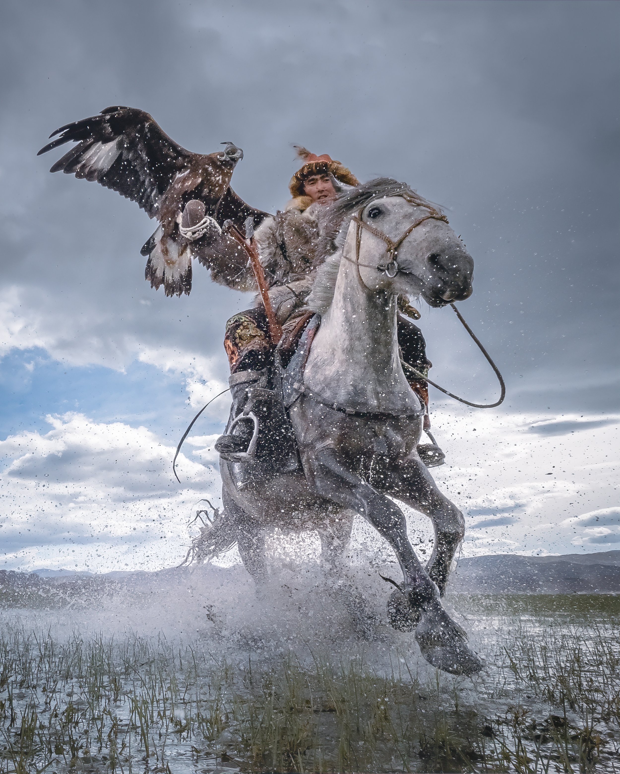
Golden Eagles
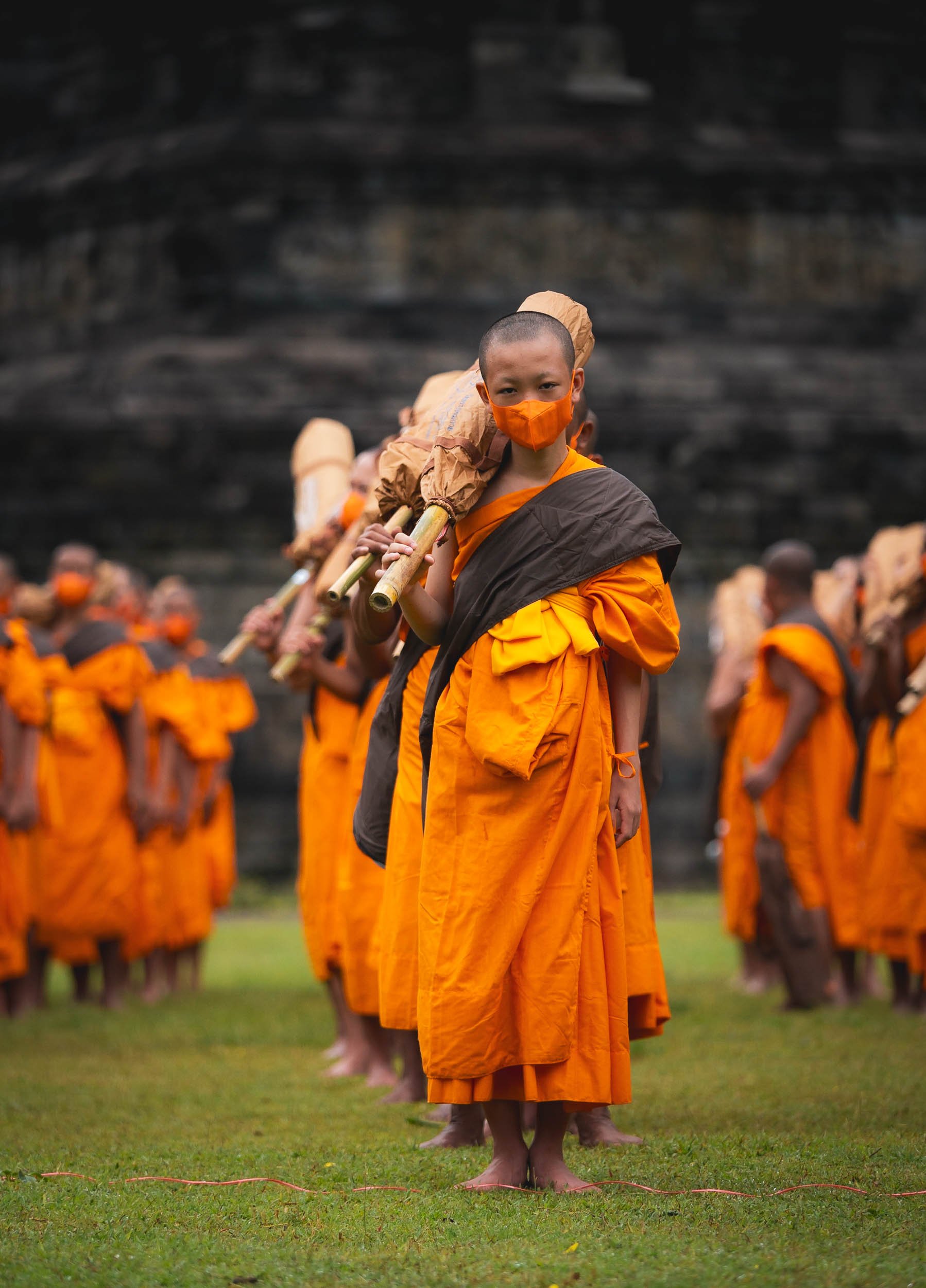
About 250 such Eagle Hunters are said to live in the area and still practice a tradition that goes back thousands of years: utilizing Golden Eagles for hunting foxes, hares, and other animals in the winter months, primarily for fur to make clothing items.


For the last 25 years, a festival takes place every year in October, where participants show off their skills and get judged on agility, speed, accuracy, and also style and dresses. While this has created a new income stream for the local population, especially after media coverage over the last 10 years, it is said that over the years the eagles utilized for the festival have been raised, trained, and kept differently than the ones actually used for real hunting in the winter, for example by ensuring they are accustomed to crowds. Even among the human component of the equation, the emergence of the festival and its associated tourism industry has changed the perception and purpose of eagle hunting, reducing the focus on its original purpose in exchange for winning competitions and gaining recognition.

Entrance
Aside from being able to take these portrait photographs here, the experience of spending time with the family in their gert and sharing a meal with them was a special privilege.


While the practice of eagle hunting is male-dominated, women can be found among the Eagle Hunters, and kids start learning to ride horses and care and interact with the large birds (their wingspan reaches 2 meters) at a very young age, albeit often beginning their journey with a falcon instead. Daiynbek Ay Moldir is one of the most famous Eagle Hunters of her generation, having won prizes at just 13 years old - and she definitely has the skill (and humor) of a champion.


We had plenty of opportunities to observe the Eagle Hunters in action, skillfully managing both horse and eagle in a coordinated union.


Smiling Faces
This got a little messy at times, but everyone still clearly enjoyed themselves. Although I can’t vouch for how the horses and eagles felt, there was clear evidence that it’s a respectful and caring relationship between animal and human.


In Action
Seeing these Eagle Hunters practicing their craft was impressive, and I wanted to try and convey the sense of power and energy in my photos from a new perspective. Using a remote controlled camera on the ground allowed me to get much closer to the action for a new angle.

Unfortunately time was not on my side and as a result I only had a couple of attempts to get these photos - while not exactly as good as I think they could be, I’m still happy to have been able to document this sight in a way that has not been done before. Take a look at the video below to get an idea of the behind the scenes!

Serik Jenisbek
One of the most well-known champion eagle hunters of the area.


We visited a few different locations in the beautiful Altai mountains ranges, which created a perfect backdrop straight from a movie set.

The Eagle Hunter’s Parade


Before making our way back, the opportunity to once more capture some Milky Way photos in the dark skies of the small city’s outskirts could not be missed.
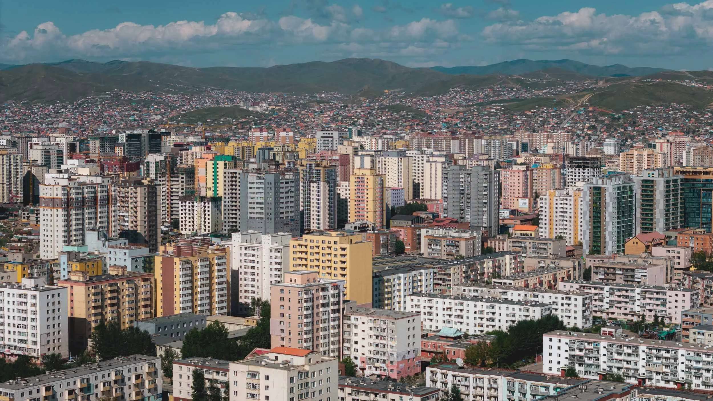
Impressions from Ulaanbaatar
The capital is also by far the largest city in the country. With 1.6m inhabitants, over half of the population lives here. It’s a relatively modern and clean city with a mix of traditional vibes, paired with modern architecture, and remnants of soviet influences.

While August is quite an enjoyable time to visit Ulaanbaatar - or most of the country for that matter - it does hold the title of the coldest capital in the world, with temperatures regularly dropping to 40C below 0 in the winter months.


Parliament of Mongolia
The building is adorned with a huge statue of Genghis Khan in the centre, the first Mongol Emperor and responsible for making it the largest land empire in the world in the 13th century.
While I didn’t explore much of the city, I did want to visit the Natural History Museum of Mongolia and get a few more glimpses at its paleontological treasures, of which there are quite a few, including the fossilized dinosaur eggs and many well preserved skeletons. Unfortunately the museum itself doesn’t have a lot of English descriptions and background information.


And that was the end of my time in Mongolia - but it’s another country that has so much to offer (and much of it unexplored) that I definitely want to see more: finding snow leopards, experiencing the gobi desert covered in snow, exploring more amazing geological features, and witnessing the nomadic culture are all reasons to come back.
Subscribe to my newsletter to get notified and don’t miss out on more Wonders of the Globe.
Other Recent Posts:


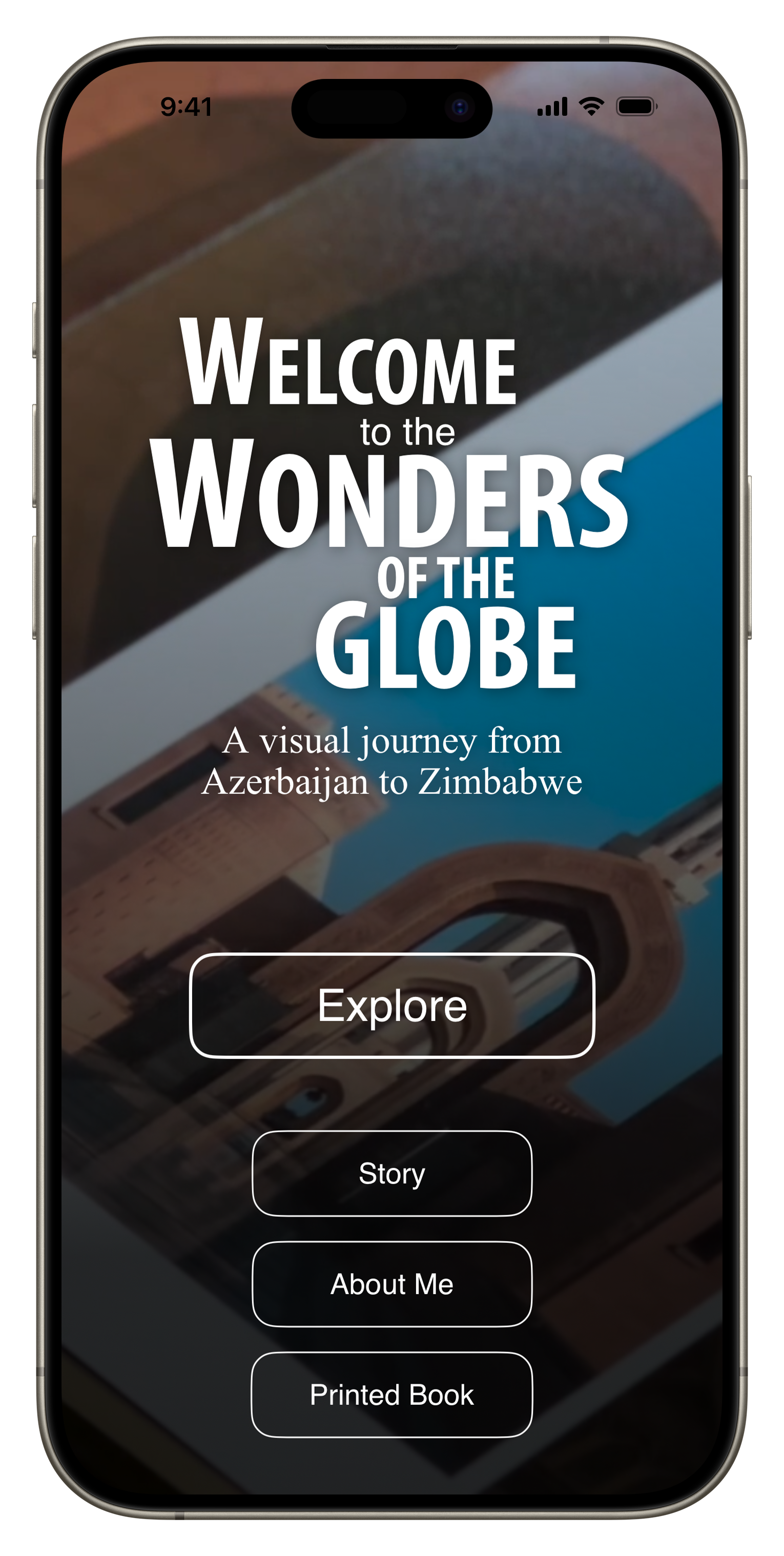
The “Wonders of the Globe” App
Creating a digital version of my photo book “Wonders of the Globe” as a native iOS app.
As some of you may have seen, I recently self-published a photo book called “Wonders of the Globe”, documenting some of the amazing places I had the privilege to see and photograph, and - as is often the case with my projects - just to see “what it’s like” to design, compile, write, print, and sell your own photo book.
The Book
It was an interesting experience, with quite a bit of trial and error, a few learnings, and also a look at the economic realities. I did everything in house, including building the website and ordering capability, which nowadays is pretty straight forward thanks to places like Squarespace, and Stripe (which this page is built on).
I’ve been making and selling prints for a long time and have always enjoyed seeing photography in physical form, rather than just on screens. At the same time, there are many things that a print or book just can’t represent the same way as digital art - something I’ve been toying with as part of my NFT series.
For Wonders of the Globe, creating a digital version was on the agenda from the beginning, but what exactly it would look like only evolved out of my desire to finally get my hands dirty writing code, and the fact there are now AI tools to help you make that a little easier.
For most of my “regular” career I’ve been really involved in software development, be it apps for hospitality, or energy management systems for buildings, always managing or working closely with engineers. That gave me a lot of insight into everything from UI and UX designs, databases, App stores, embedded development, architecture for cloud platforms, etc, and I’ve picked up a fair bit of knowledge in the process.
But I always had the urge to start creating a piece of software from scratch myself (aside from making a few websites) and this was the opportunity to do just that. Having been a follower of Apple and user of their products for a long time, the only real option for me was to start with their platform, and getting to know Swift UI, the latest programming language for its products (and one of the easier ones out there, also thanks to Apple’s ecosystem).

Main Goals
My primary idea behind creating a digital version included the following:
Be able to update the content regularly, so that owners of the physical copy can also get access to new photos
Include some interactive features like Maps for each spot, and a table of contents
Be able to link to relevant blog entries for some of the photos
Add some behind the scenes and supporting videos
Make it work on iPhone, iPad, Mac, and the Apple Vision Pro
For the App to work offline

The Journey
So in October 2023 I started teaching myself Swift UI using Apple’s Swift Playground App, a simple playful way to learn basic concepts on business logic and layout. It also includes a few examples on building grids and image-based layouts, which was very helpful.
From there, I soon moved over to Xcode, Apple’s integrated development environment, and started building the structure of the app. My goal was to build a completely native app, not using any third party tools.
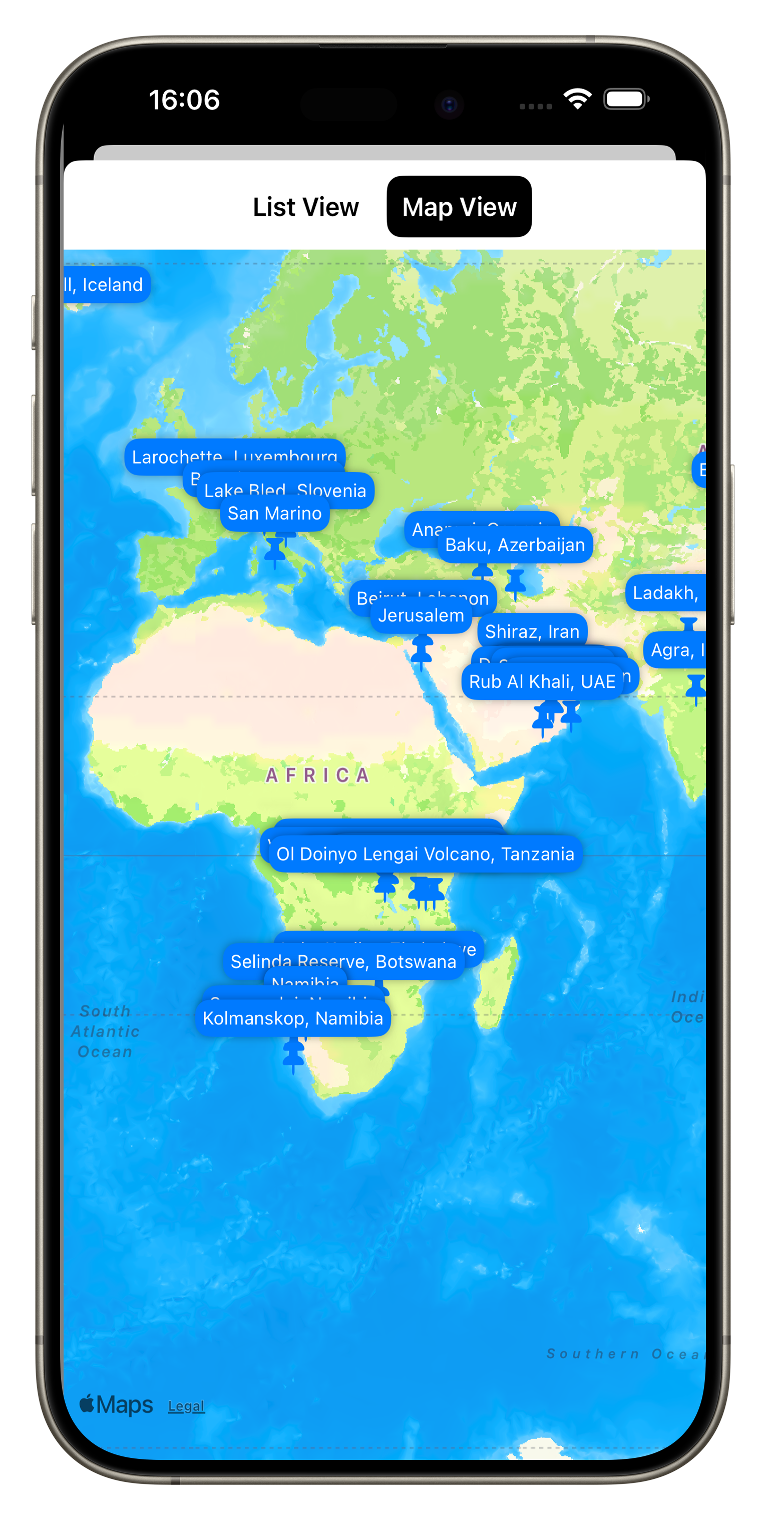
The basic structure of the app was built relatively quickly, including a homepage, some supplementary pages, and the main book section. Over time I added a map view, table of content function, and a favorite function for the user to mark and recall interesting pages quickly.
My past experience came in handy in designing a scalable, flexible, and maintainable system that would allow me to manage the book content in one place (I chose a simple JSON file) and minimizing the number of layouts for individual “pages” of the book. I built generic layout views depending on the number of images on each page and their aspect ratio (I ended up with 11 for 54 pages, which probably could have been reduced further with some optimization), and rendered all other common elements such as the buttons and text overlay separately.

A few things that stood out to me: It was quite simple to add basic animations and effects such as blurs and backgrounds to create a bit more visual interest. A lot of built in tools like navigation links, sheets, and tab views simplify creating the main structural elements and views significantly.
On the other hand, there were several things that proved to be more of a headache than I anticipated, for example managing performance of image loading and thumbnails, and particularly gestures for zooming, panning, swiping, and their interaction / conflicts - this took way more time than I had expected, just to replicate what the built in Photos app can do. Making simple image layouts that scale and resize nicely was also more challenging than on many common web platforms. There are still a few aspects in the app around these features that are not ideal.

The biggest initial hurdle for me was understanding how to build the data model out of the JSON file, i.e. the piece of code that holds all the book information and images, and can be accessed and updated by different parts of the app. Once that was figured out though, it became quite easy to add new pieces and create a flexible infrastructure.

AI Help
ChatGTP also proved to be incredibly helpful in fixing issues or suggesting minor improvements to my code. As of December 2023, version 3.5 often produced more helpful output than ChatGTP 4 for specific code level requests, while generic questions produced better answers with version 4, partly owing to its more recent training data set.
While it was 100% necessary to have an understanding of the architecture, code, best practices, and an overall vision of the app, it definitely saved me dozens of hours in debugging and researching certain features of the programming language.
A draft version of the App was finished in early January, when I asked a few friends to beta test them using Apple’s TestFlight App (a simple way to get feedback and allow others to access your app without making it public). I also used the Xcode simulator to run it on older devices and different screen sizes, including iPad and Mac, to see how the layouts would work.
I fixed a few minor issues and submitted the app to the AppStore shortly after, just needing to add promotional text, screenshots, privacy policy and manage some administrative aspects, plus setting the price. As my main goal was to create the app as a companion for the physical book, I chose to make it free for owners of the book, and have everyone else who wants it pay $2.99 - whether anyone will do so remains to be seen, but art should have value.
After an initial rejection based on rule 4.2 (the app should serve a purpose that is more advanced than a simple website), I explained to App review some of the features of the app that cannot be replicated on a website easily (favorite function, offline caching, etc), and they accepted the next revision.
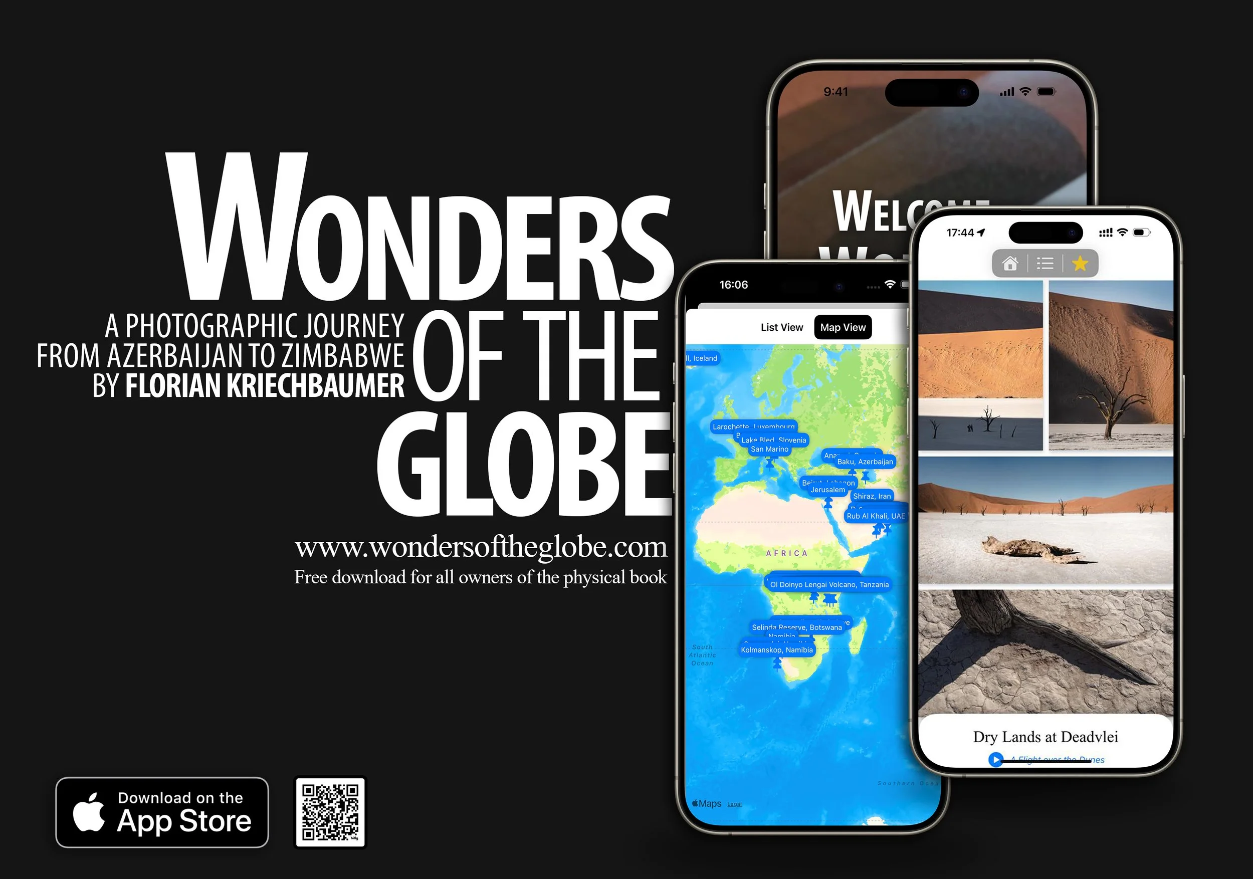
As a result, the app is now live on the App Store - tap on the image above to see and download it. If you’re an owner of Wonders of the Globe, you should receive a code that enables a free download, if not, please contact me.
While this is a first version of the app and it is admittedly quite simple, I have a few more features in mind for upcoming releases:
Landscape mode support (for now the App works only in Portrait orientation)
A better layout for iPad and larger screens (I really want to test it on Apple Vision Pro as well)
A home screen widget with a random new photo from the portfolio every day
Being able to add new content without needing a new version of the app (this will require me to build a server side interface, let’s see if that’s something I want to tackle!)
For now, it’s been a nice project the hopefully brings some enjoyment to a few of you.
Subscribe to my newsletter to get notified and don’t miss out on more Wonders of the Globe.
Other Recent Posts:
A First Glimpse of Thailand
Some impressions from Phuket and Bangkok - from rare apes, to temples, and trains through tree tunnels and markets.

Although I spent a few weeks in Thailand in July and August of 2023, they happened to be less focused on exploring and travel. Nevertheless, both Phuket (where I mainly worked on my doctorate application, about which I might write at some point here) and Bangkok (which was more of a transit stop to recover from two previous trips I have yet to write about) had a few sights to offer that I did want to make time for and document. Read on to find out what they are…
Phuket


While Phuket is famous for many things - some more questionable than others (I did visit Patong but couldn’t get myself to take photos there. It does have a nice German restaurant though…) - one of its main attractions are the nearby islands of Phi Phi. Didn’t visit those either, but whenever I’m in a destination during full moon I try to look for some possible compositions. In this case, the rise of our lunar companion happened to be aligned pretty well with the Phi Phi islands in the distance, which meant I was out in the humidity to capture it rising over the Andaman sea just after sunset.
Phuket is home to a few more famous islands, among them the so-called James Bond island, locally called Khao Phing Kan, a limestone formation featured in The Man with the Golden Gun.

The Gibbon Rehabilitation Project
Another famous sight of Phuket are its many animal attractions. Sadly, they originate from a sad past that is still not fully eradicated, namely monkeys, apes, snakes, elephants, and other animals serving as tourist entertainment with very little care for their welfare. The situation has improved drastically over the last decade, for instance its much criticized zoo hosting tigers and bears in small concrete cages and charging tourists (who were stupid enough to pay) to pose with them, was finally closed down in 2022. Elephant riding and half-drugged loris are still things that exist on the island though - on the other end of the spectrum, a place that is countering and trying to reverse some of the effects of this issue is the Gibbon Rehabilitation Project.
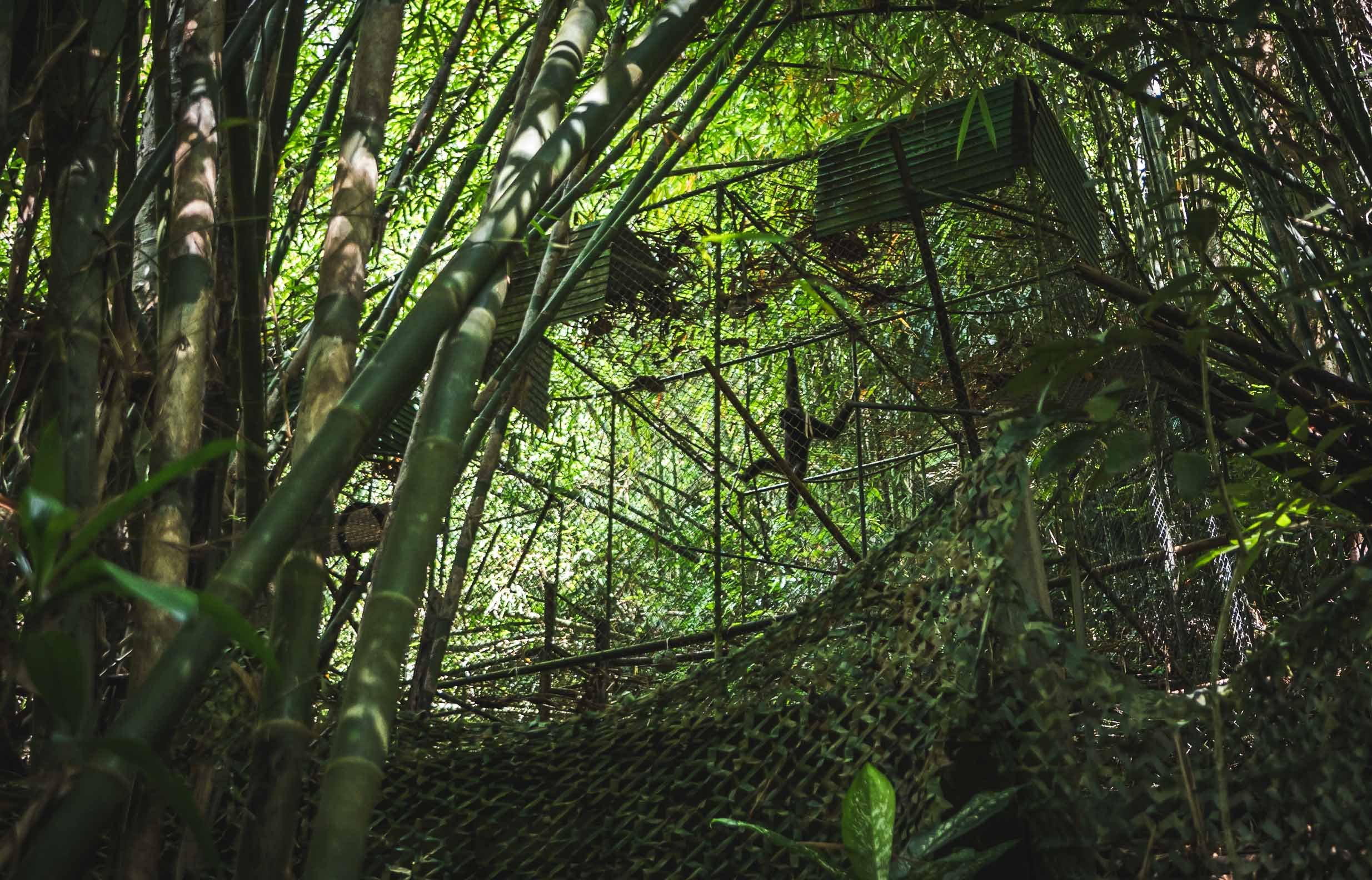
A visit to this place (a maximum of 10 people are allowed per day) is really interesting, with a personal small group tour that involves making food and actually delivering it to the apes, helped by our very knowledgeable guide called Thanaphat (who’s been amazing, and his story is worth listening to). Gibbons have been extinct in the wild on the island, and are now, through great and lengthy efforts, slowly being re-introduced into the last remaining rainforests that still exist here. In the past, they were home to tigers, leopards, and more species, whose habitat has made way for human development.
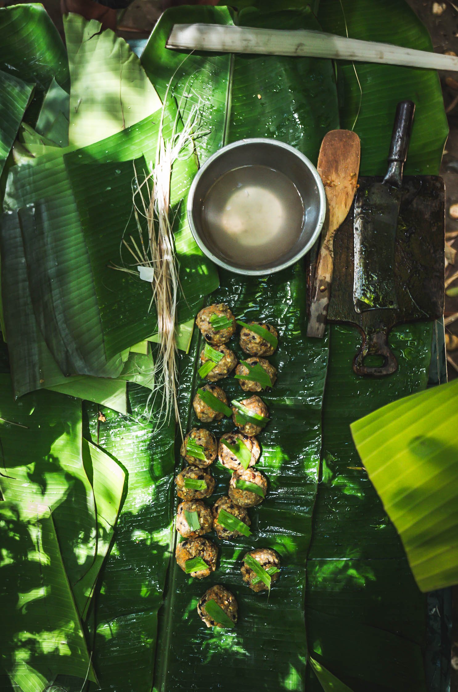
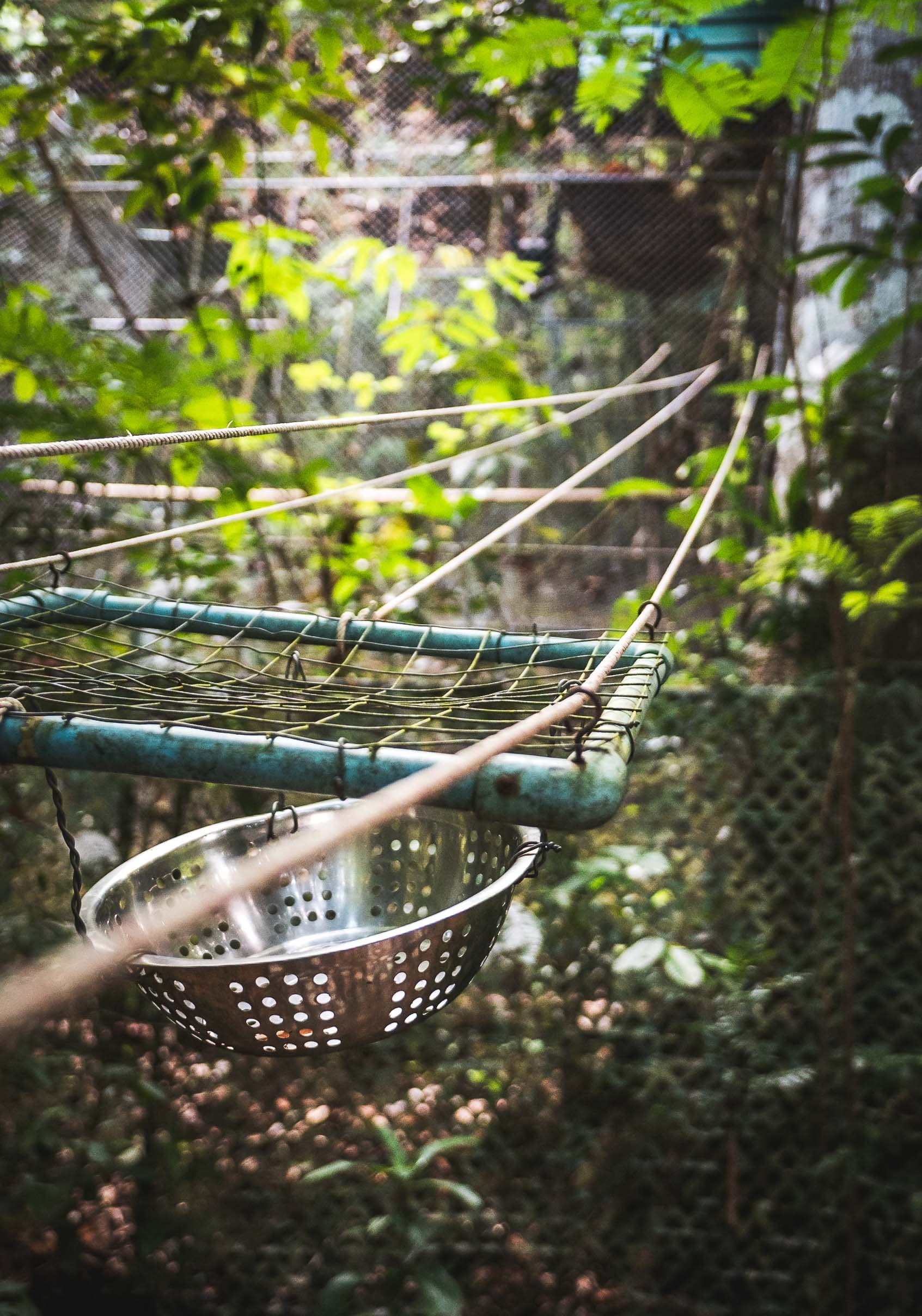
There’s no direct contact with the animals, and feeding is accomplished via a rope pulled up to the cage. At the same time, visitors are asked to fill out the daily observation sheets for “their” gibbon, which helps the local volunteers and members of the project to assess the ape’s development and readiness for release. Often, that readiness is never reached, the amount of time these gibbons spent in human captivity for the benefit of tourists makes them completely dependent and they come back from their release sites.

While gibbons are apes and thus part of the same family as humans, they are classified as “Lesser” apes, as opposed to the Great Apes like Gorillas. Nevertheless most of the species are now endangered, some of them critically so, making it worthwhile to support organizations like this one - adopt a gibbon!
A Sanctuary for Giants
Phuket is also home to countless elephant attractions - many of them designate themselves as “sanctuaries” for the many elephants that have spent their lives as tourist attractions or were chained and beaten to perform work in the forests and farms of the island. There are still black sheep, but it seems many of those establishments are now run in a reasonable way, do not allow elephant riding, don’t chain them, and provide food of sufficient quality and amount (an elephant eats up to 150kg a day), and space for their elephants. Given the rapid decline of elephants in Thailand (from 50,000 in the middle of last century to 3,500 nowadays, with less than 500 truly wild ones) they arguably do a necessary job.
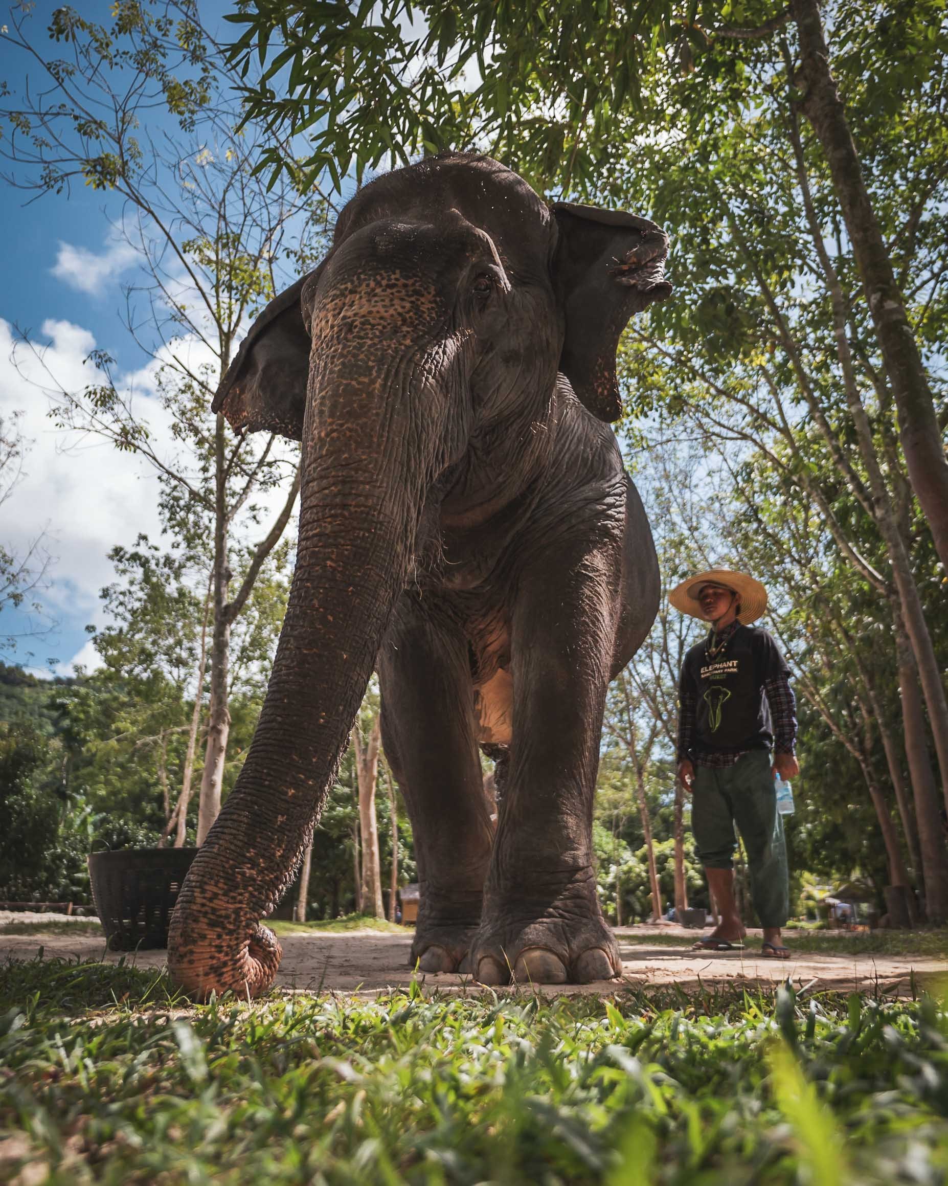

I went to visit the Green Elephant Sanctuary Park, established by a Swiss national, and while it’s a tourist destination with groups, it doesn’t feel crowded and there’s room for personal interaction and some education. The owners have also established a clinic for elephants, which they are trying to get more funding for.


Ever since my encounters in Kenya I’ve developed a much deeper appreciation for these animals, and while the Asian elephant is different from their African counterparts, their intelligence and social bonds shine the same way.

Care Quarters
The employees and mahouts (carers) live on site with the animals, spending the whole day with their elephants, allowing two tourist interactions daily.

Bath time
The visit ends in the big water pond of the site, where you can help the elephants cool down from the island’s hot and humid weather. Watch your camera…

Majestic
Not many animals make you feel the same way when you stand in front of them.
Elephants are the national animal of Thailand and prominently feature across many cultural aspects in the country - more on that later.
I might be back in Phuket one day to explore its islands and take more photos of the old town, which features a beautiful collection of sino-portuguese mansions and several buildings dating back to the time of European and Chinese influence. For now, let’s continue with the capital.
The (Temple) Capital
Home to over 10 million people (and much more in the metro region), Bangkok has endless sights: Its street life, museums, temples, and skyline definitely mean you can spend countless hours exploring and looking for photos. On the other hand, its insane traffic, disorganized urban planing (it lacked proper zoning until very recently), and hot humid weather (coupled with my exhaustion from a few previous trips) meant I didn’t quite have the urge to see or take photos of it all. Nevertheless, below are some of my favorites, with the best (for me anyway) saved for last.

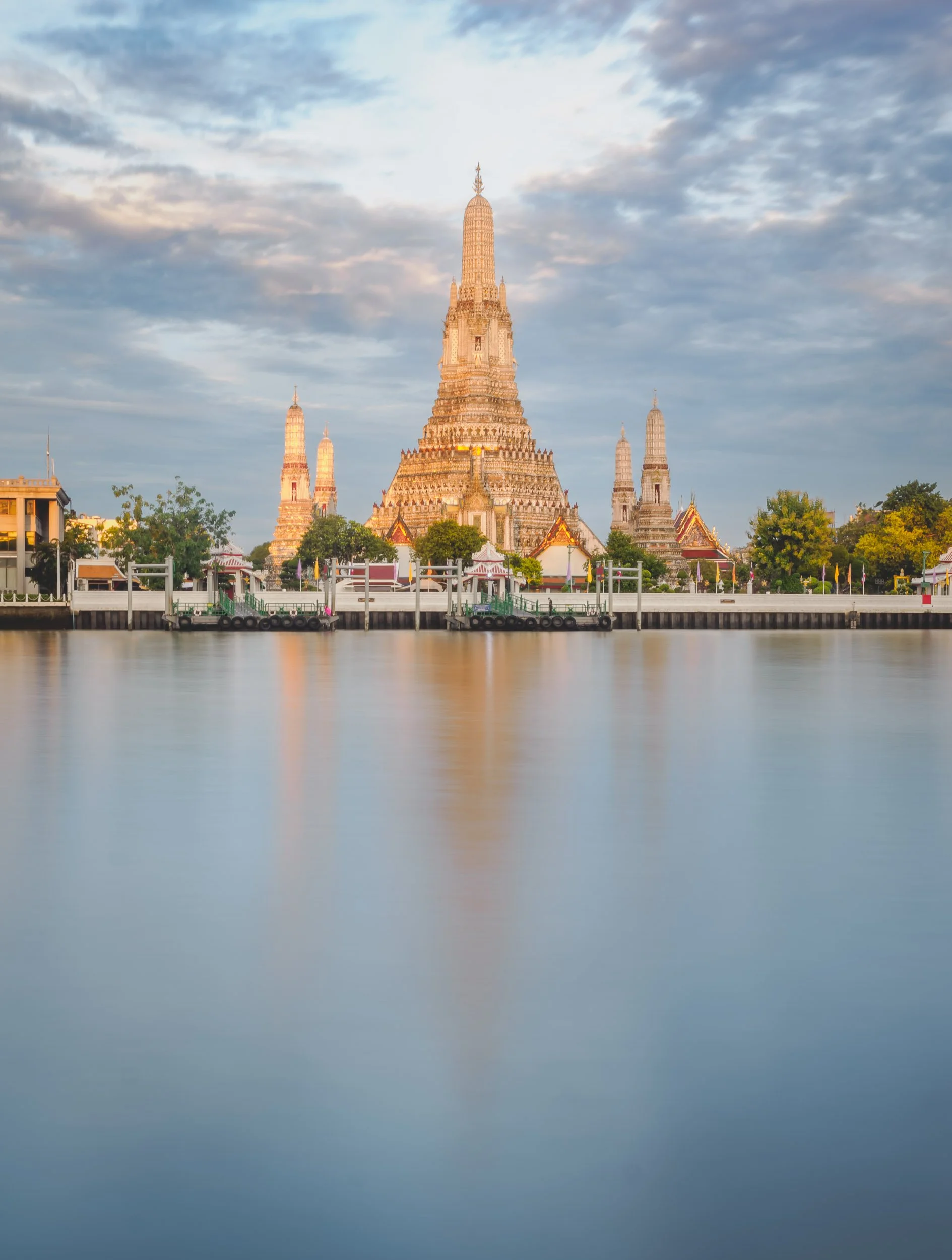
It’s impossible to miss the many amazing temples in the city, and some of the most beautiful ones were also on my list to visit. Wat Arun (above) was one of them, although I only photographed it from opposite the Chao Phraya river. This temple with its beautiful porcelain encrusted pagoda is almost 400 years old.

Wat Suthat Thepwararam Ratchaworamahawihan
Don’t ask me to pronounce it, but this was maybe my favorite temple in the Phra Nakhon area, where many of them can be found.


The temple is famous for its interior featuring beautiful murals and drawings depicting various scenes from Buddhist narratives and history. It is designated as a royal temple of the first grade, one of ten such temples in Bangkok.


Wat Ratchabophit
Another beautiful temple close by with its 43m tall golden chedi, and beautiful tiled exterior walls.


Wat Pho
A temple with an easier name and one of the oldest and largest complexes in Bangkok was the last I visited (although there are another half a dozen beautiful ones to be explored in the area).


The temple was originally completed in the 16th century, before the city was the capital.

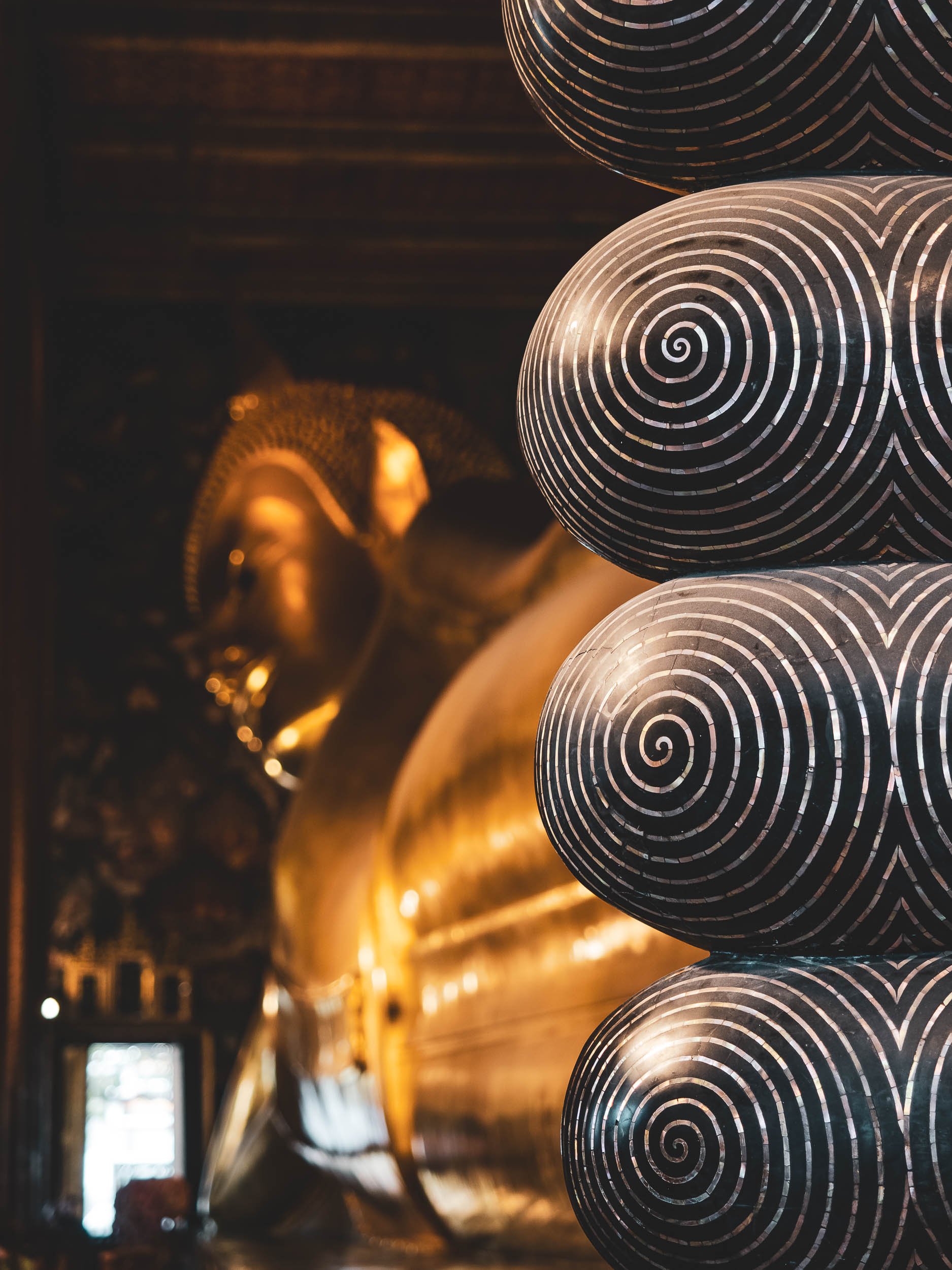
It’s home to over 1000 buddha images, but none are as well known as the huge reclining version, situated in its own chapel. Added in 1832, it’s 15m high and 46m long, and was made of brick, which was then plastered and covered in gold. The toes visible on the right are in-laid with mother of pearl.
It was time to leave the city for a day trip, trying to see two of its (potential) photographic points of interests to the west. Honestly speaking, neither of them quite fulfilled that promise, as both spots lost a lot of their natural charm and origins, having turned into a pure tourist destination.

Mae Klong Railway Market
The first destination was a village in the province of Samut Songkhram, about 1,5h drive. It's famous for its railway which literally runs through the local market for the last 500m before reaching the station and going back.


Arriving very early (before the first train) means you get to see the locals going about their business, buying and selling vegetables, meat, fish, and a few other random items. Many of the tables and goods are literally placed on top of the train track - as you’ll soon discover, in a manner that’s very flexible if required…


Coming Through
Shortly before the train arrives, the speakers announce it to the merchants (and the sightseers), who within a couple of minutes fold their sunroofs backwards, pull in the tables (which are mounted on wheels) and position their trays and plates in a way that the train will just have enough clearance to avoid dragging a few veggies along to the station.

Tight Spaces
The photos barely do justice to how tight the spots left and right of the track can become, as sun shades, tables, tourists, seller, buyers, and goods get squeezed into small stalls. While the train moves slowly, I did see one or the other anxious person and a few sellers shouting at people (they seemed to have an eye for which tourist was prone to get run over by a train).

The Aftermath
Once the train passed, you’ll see the hundreds of tourists that squeezed into the stalls either side coming out on the tracks, which just an hour earlier were home to a calm local market. I can’t blame them, it’s definitely an interesting spectacle to observe, and I was one of them, but I can’t say it was particularly enjoyable at this point.
Hence it was time to leave, and move on to another type of special market - a floating one. Called Damnoen Saduak, it’s probably the most famous of its type, and thus admittedly most likely to be touristy as well.

Damnoen Saduak Floating Market
Not far from the train spectacle lies another spot that was once only a way for locals to sell their goods. This time from a boat, moving along the channels and selling to people on other boats or on the shoreline. While the Mae Klong Railway market does preserve some of the original spirit (until the train arrives), this one has become nothing more than a tourist attraction by now.
This “market” is also still home to the aforementioned animal attractions that are still common in Thailand, with large snakes meant to attract tourists who are asked to pay to have them draped around their necks (and plenty did…), and I also spotted a loris being offered to visitors for posing. While for the snake and loris it’s definitely abuse, it didn’t seem to bother this cat luckily.


There is very little left of what I can imagine was once a very interesting genuine market experience, but by walking along the canals I did manage to capture a few impressions of vendors that probably offered their goods to people other than tourists many years ago, and still make and sell their local dishes.


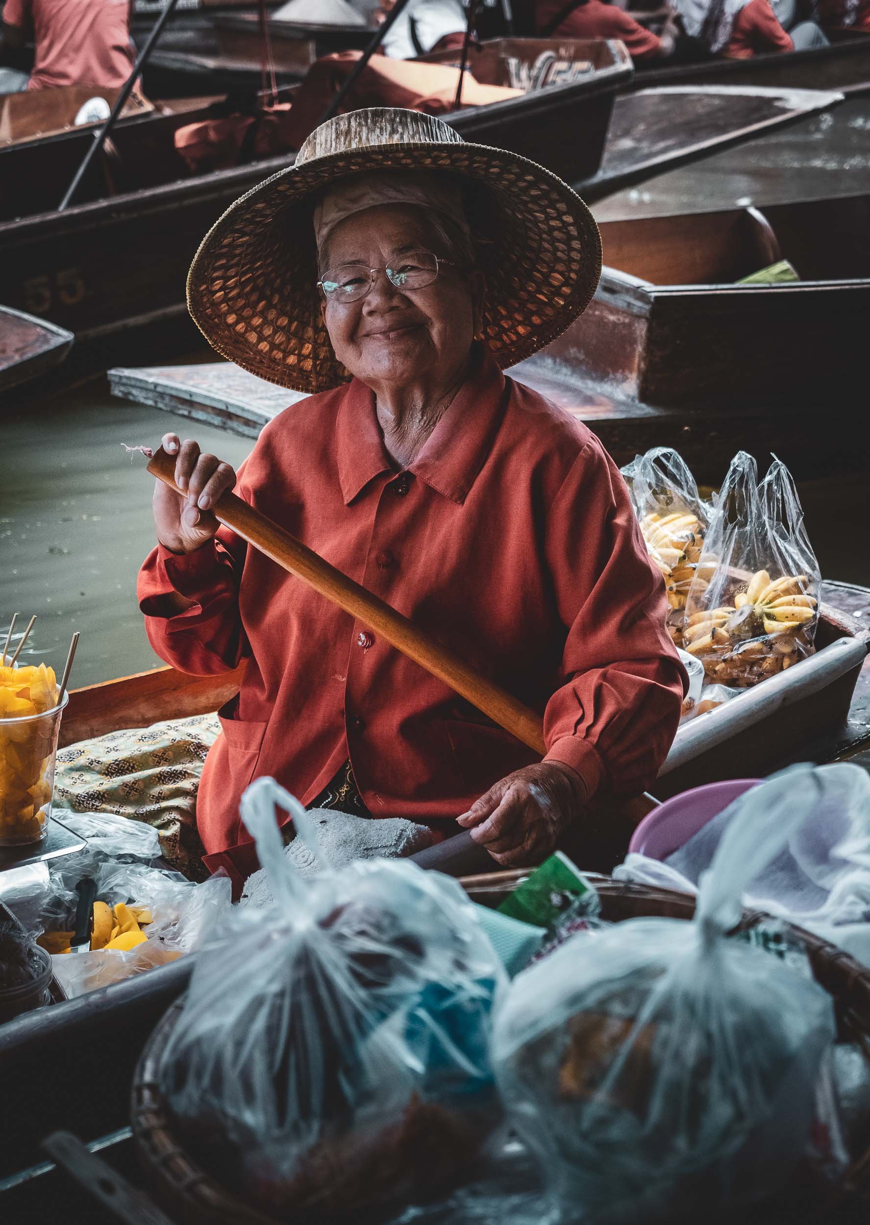
From what I gathered through my guide, the other markets of similar nature in Bangkok aren’t very different, but I did hear that some of them still have days where local trade takes precedence over tourism - need to find them on the next visit! I definitely didn’t spend too much time at Damnoen Saduak and would recommend a quick stop at best, if you happen to visit the train market (which somehow is still worth it).


Back in Bangkok, the usual rain clouds decided to unleash some torrential rains over part of the city, but stopped before sunset, giving me the opportunity to get some cityscape photos from the rooftop of the Banyan Tree hotel (including the endless traffic below)


Erewan Museum
A very different kind of temple awaits on the southern outskirts of the city. The 250 ton, 29m tall, three headed bronze elephant statue on its roof ensures you can’t miss it, but also holds a surprise inside…

… which is that you can take a small spiral staircase up one of the elephant legs, leading to the actual chapel in the belly, adorned with various art pieces, Buddha images, and representations of the solar system.
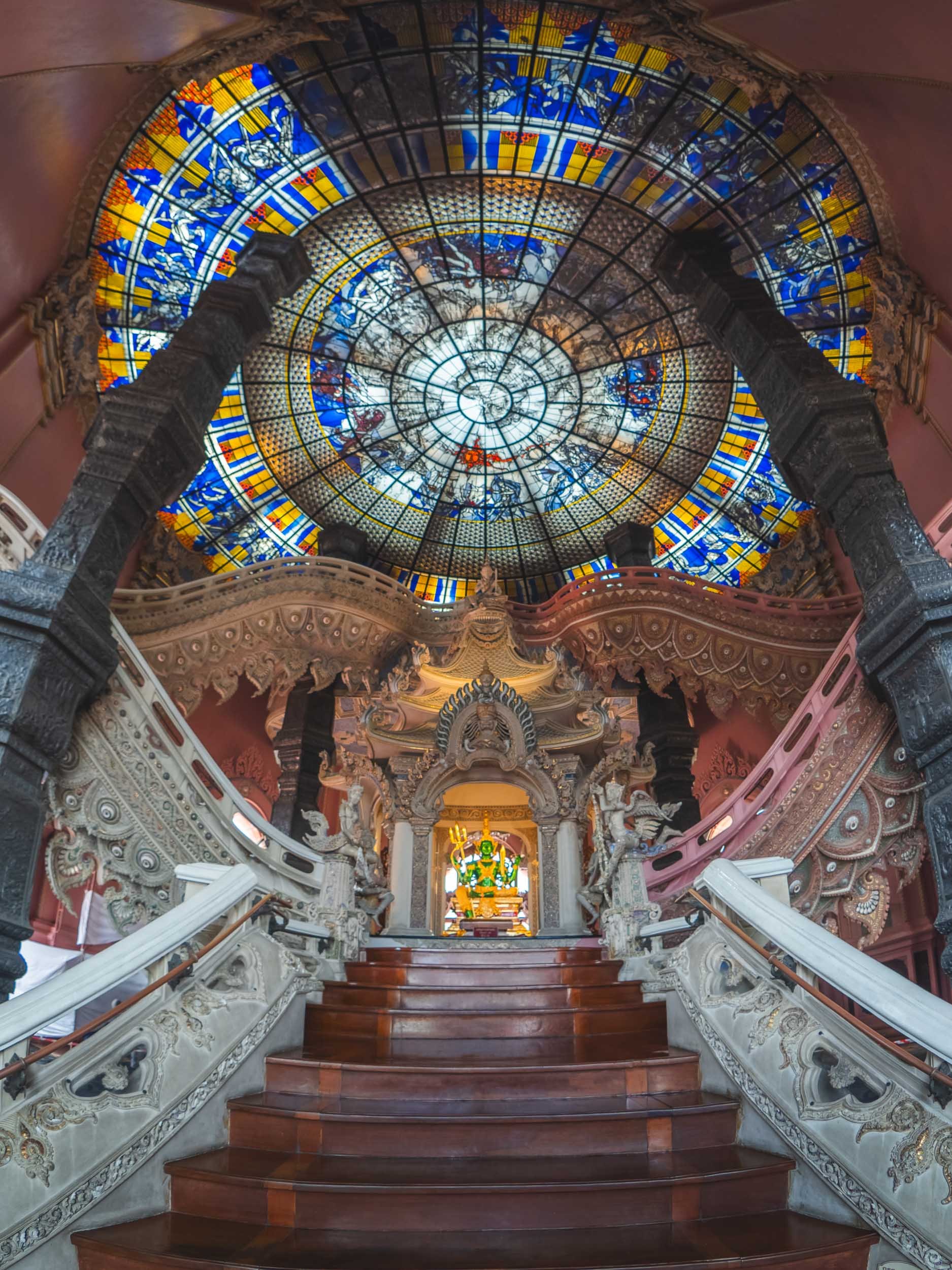
Below this world of the heavens lie the human and the underworld. While the Erewan museum was privately built to house an art and antique collection, the three-headed elephant also acts as a symbol of the cosmography in Hindu mythology. Its gardens are also worth a stroll, with plenty of small rivers, waterfalls, sculpted plants, and - you guessed it - a lot more elephant representations.

Chinatown
Yaowarat Road, the centre of Bangkok's Chinatown. Chinese immigrants historically formed the majority of the city's population.


The history of the city since it became Thailand’s capital in 1782 (then still the Siamese Kingdom) is filled with immigrant populations from different parts of Asia, including large Vietnamese and Malay communities, and it remains a cosmopolitan city today. Fun fact: The city changed its name several times throughout the course of history, and its full ceremonial Thai name features a mind-boggling 168 letters, earning it a place in the Guiness World Record as the longest place name.


Into the Night
Bangkok’s nightlife is meant to be legendary - for better or worse - and has earned it the nickname “Sin City of Asia”. I wouldn’t be able to judge that 😇 but I did enjoy a walk around after sunset to capture some of the neon lights and rain puddles.


The neon sign forest seen from one of the elevated train stations, which can provide interesting photo opportunities of the streets below, and is also a good option to make your way through the city and (partly) escape the traffic.

Infrastructure
Bangkok now has four different mass transit systems, the first of which started operating in 1999 - most of it runs above ground, often built on top of major roads like here, and some of the transfer station hubs are 4 or 5 floors tall.

Biggest Buddha
After 5 years of construction in between the network of canals in the oldest part the city, there now stands a giant Buddha in glowing gold. 69m tall and costing more than 3m USD, it was completed in 2021.
It’s part of the 400 year-old Wat Paknam Phasi Charoen temple. Large buddha images have remained a popular attraction in Thailand, and often bring significant income for a temple or even revive a whole district.
Please take a moment to spot the cat in the image on the left below ;)


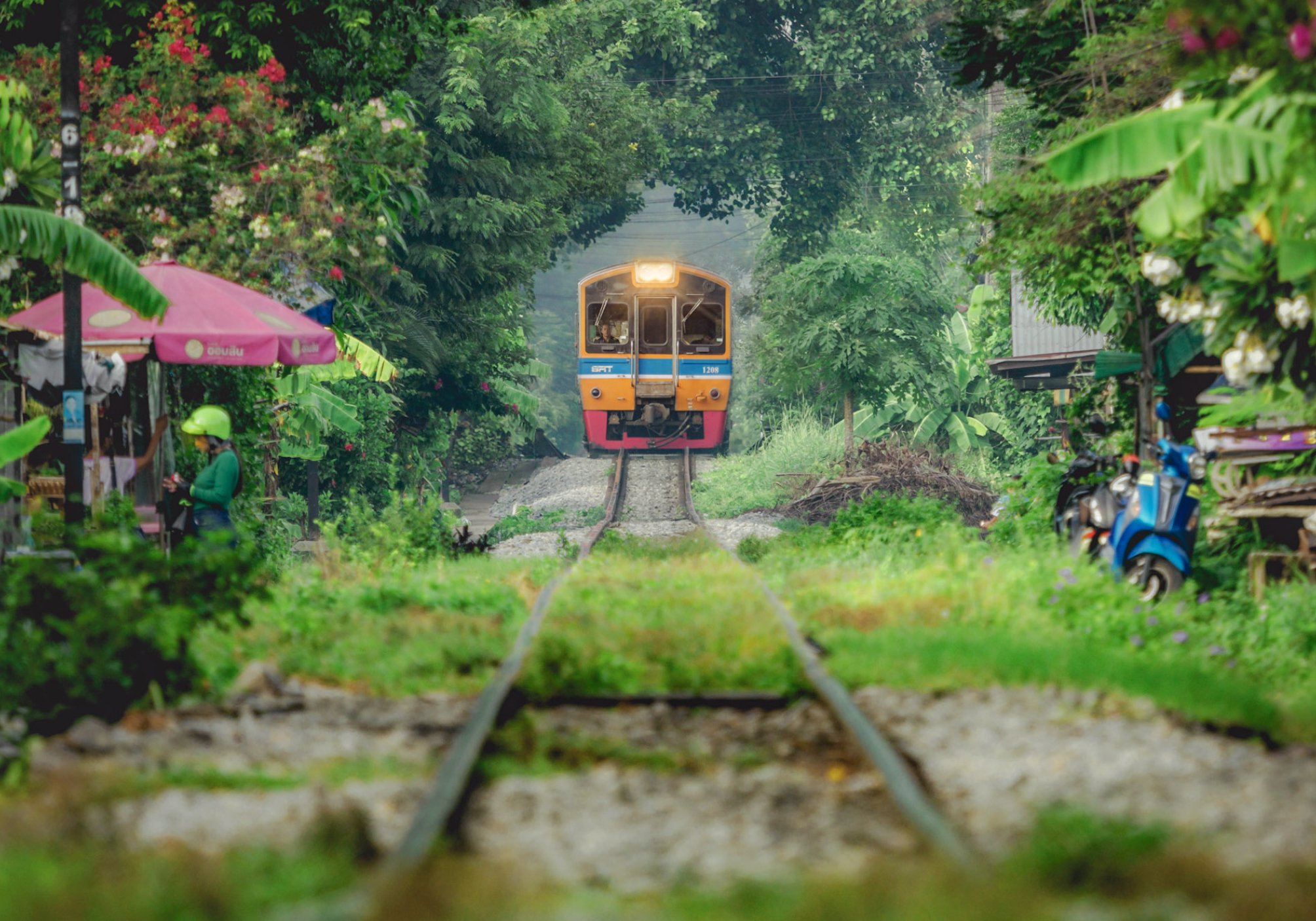
Train Tree Tunnels
My favorite place in the city was a little away from its hustle and bustle, in the outskirts around the Chom Thong area. Here, the early morning hours see people get ready for work, kids preparing for school, merchants opening their shops, and monks heading to the temples, in a somewhat quieter and greener atmosphere than most of the rest of the city.
The main attraction for me though was the local train line running through the area and past the dispersed shops and little stations along its track. During the morning hours, a few commuter trains slowly make their way through, and you can catch some great compositions.

In several places along the few kilometers of tracks I followed, trees have formed their own little tunnels (probably with some human encouragement to make way for the train). Either way, this is maybe my favorite photo from Bangkok.


Out of the way!
People got used to life along the tracks, and so did the conductors and operators.
There’s definitely more to see in Thailand, but for now this is all I had to show you!
Subscribe to my newsletter to get notified and don’t miss out on more Wonders of the Globe.
Other Recent Posts:

Taiwan & The World’s Most Dangerous Festival
Moon landscapes, fireworks shot at you, UFO houses, and a 500m tall building on an earthquake fault line - there’s a lot to see in this blog post!

Earlier this year I had the chance to spend a week in Taiwan (or the Republic of China, as it is officially called), starting in the south and making my way way north on the westerly, more populated, side (the east with its beautiful countryside is still on my list). What drew me to Taiwan was the Beehive festival - which has nothing to do with our striped flying friends at all. Read on to find out what this insanity is all about!
Start here with a few video impressions from some of the experiences that you can have in just a few days on the island.
Southern Sights
I arrived to Taiwan from Palawan, one of the Philippines’ most beautiful islands, flying to the country’s largest city on the southern tip, Kaohsiung, with a plan to experience some of its sights and festivals while making my way north to Taipei, the capital.
On my arrival I first wanted to visit the landscape of badlands in this area, often called Moon World due to their interesting rock formations.


There are different areas with these mudstone formations sculpted by years of wind and erosion, the most famous and easily accessible one is in Tianlao, seen above.


Colorful Nights of Tainan
After that, I spent an evening in the city of Tainan, exploring some of its famous old streets from the Qing Dynasty with their picturesque shops and lantern-lined streets. Especially around the time after Chinese New Year, decorations were in full swing - even extending to our furry companions.


Pastime
Like every Taiwanese city, Tainan is home to plenty of these little stores. Claw machines and their similar variants can be found everywhere, and took over a little less than 10 years ago. The craze has died down a bit since then, but they still act as a source of income for their owners and the landlords renting the space to them. Guess who needed a lot of coins during his stay in the country…
On the next day, I visited the Wushantou Reservoir, the largest of its kind in Asia when it was completed in 1930. Its interesting shoreline patterns gave it the nickname Coral Lake, and it’s a popular recreational spot today. The hazy weather made photography a little tricky, but I could still see where it got its name from.


Madou Daitian Temple
Not far from the reservoir lies this rather unusual temple with its beautiful colored roof ornaments, originally constructed in the 17th century, but rebuilt and expanded several times.

🐉
Its most recognizable feature is arguably this large dragon, with a 76m long tunnel leading up to the head through different heaven and hell worlds (shown in rather detailed questionable animatronic presentations) before spitting you out at the mouth, where stairs lead back down.
A small ceremony was being filmed while I was there, which allowed me to get a few traditional casual portraits.


The Yanshui
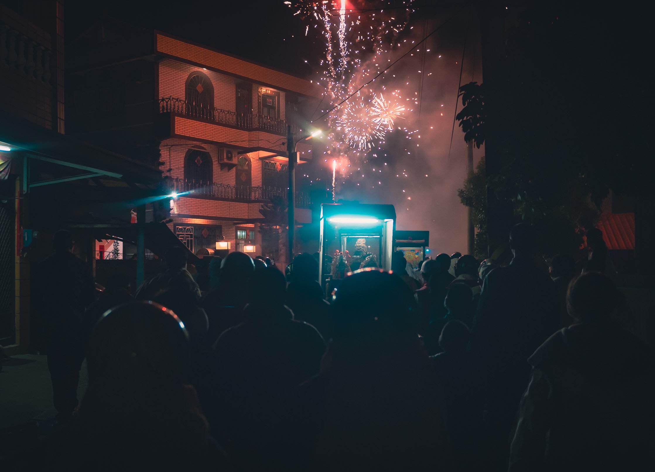
Beehive Festival
.
In the afternoon, it was time to prepare for the main event, and what really drew me to visit the south of Taiwan during this time of the year. A tiny town in the Yanshui province, about 30km north of Tainan, turns into one of the most insane festivals on the planet. Let’s start from the beginning: As the story goes, in 1885 the area suffered from a cholera outbreak that couldn’t be contained. The solution people turned to - as they often do in times of despair - is a higher power: The god of war, Guandi. To appease him to help drive out the disease, his palanquin (little carts with the statues inside seen on the top right and in some of the photos below) were paraded through the streets, with firecrackers set off to rid the town of the plague.
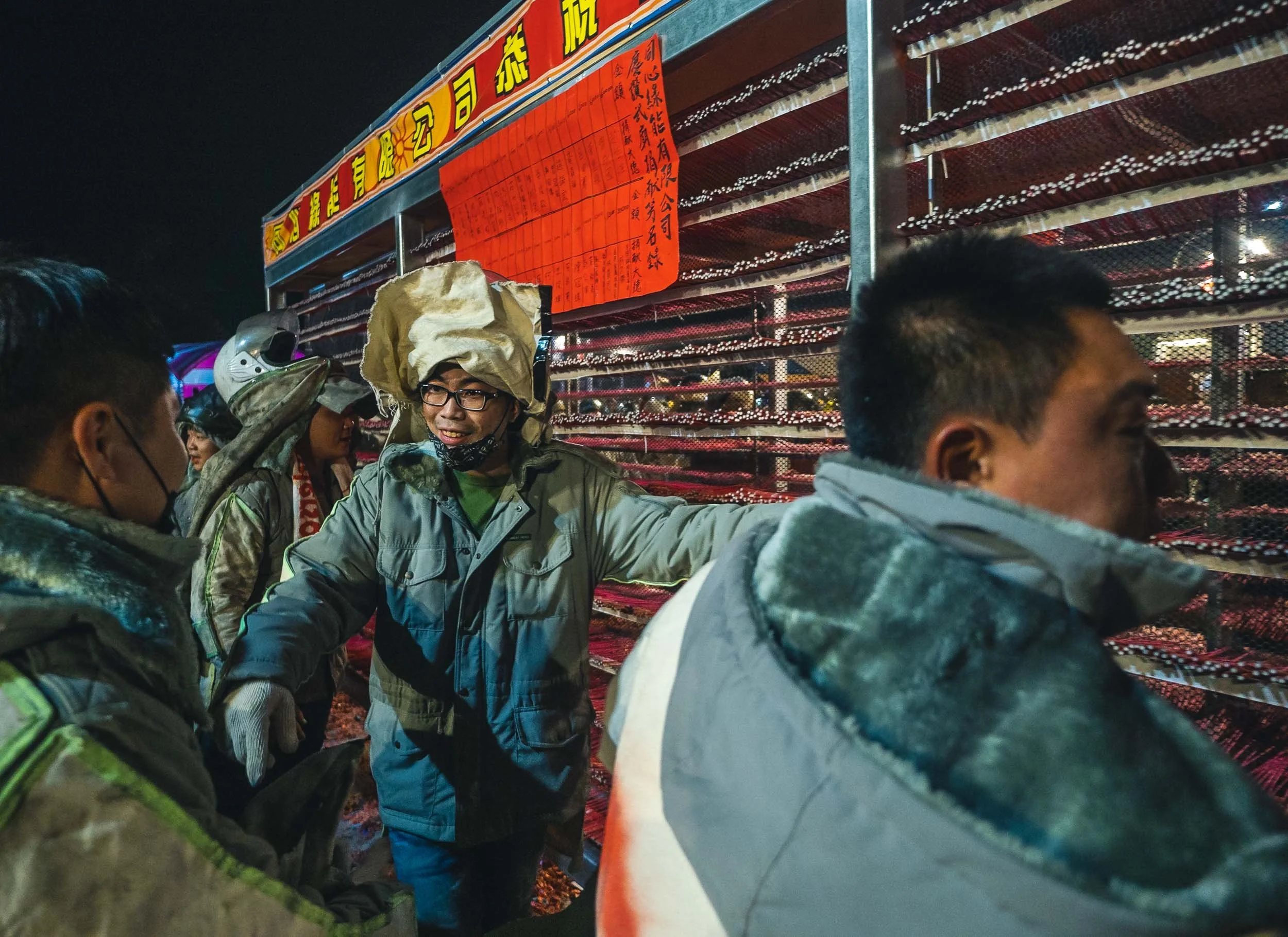
Preparation
Since then, local residents prepare for this yearly celebration far in advance, setting up the firework displays, mainly in square clusters full of bottle rockets: the so-called Beehives. The largest ones are the size of a truck, and people try to outdo themselves every year, storing the precious creations in their garages and living rooms - literally! - hidden from view until the big day. Millions of crackers are attached by hand to the metal and wooden frames that later get pulled out on the streets.


Living with Fire
One can only hope that smoking is banned in this house until the big day, but from what I saw in terms of safety, this assumption is questionable.

Lined Up
Guandi's palanquins are ready to go in front of the Wumiao temple, where the procession starts.
Judging from what I experienced a few hours later, my guess is that this futile attempt to protect the car parked on this street with a few card boxes would not prove to be a very successful strategy.


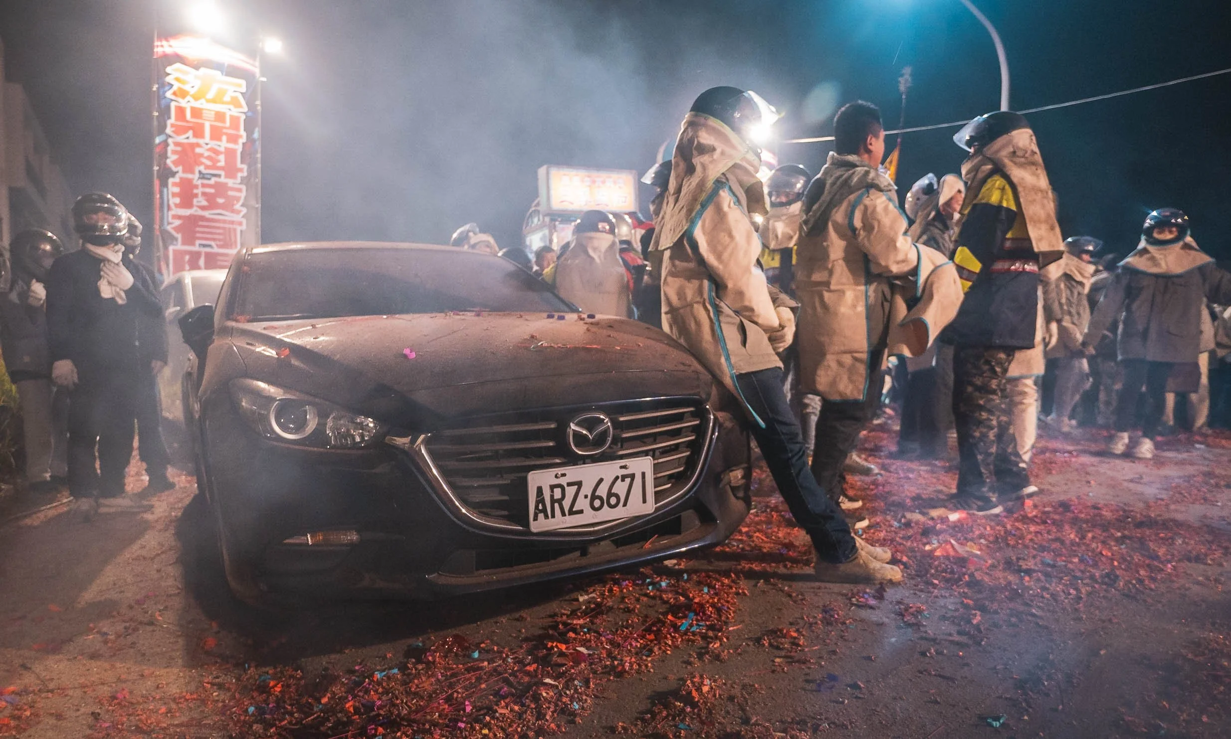
The world’s most dangerous festival
Having seen the preparations, it was time to ensure our own safety with a little bit more seriousness than I had in mind a few hours earlier. It’s not surprising that every year people get injured, suffer burns, or lose their hearing when attending these celebrations. Full body cover, helmet, ear protection, and ensuring there are no gaps where a rouge cracker could enter and explore next to your eardrum, are mandatory. I was still wondering how my camera would fare in this mess, but at the least I had a UV filter to protect the front lens.


Warm Up
As a little introduction you could get yourself draped in chains of crackers and then literally be set on fire. I’d rather watch from a distance. For now that was still an option.
The Main Event
And then it started. The palanquins got in line, the crowds gathered, and we were off - at this point I didn’t quite know what to expect yet…

I soon had a better idea. As the parade started to make its way through the streets, occupant of the nearby houses were throwing chains of crackers onto the carts, dancing and jumping while people ignite them under their feet. In the background, fireworks are shot into the sky and the spectacle turns into a constant stream of noise, smoke, and flashes - and your own attempts to escape the worst of it while you admire the proceedings (and in my case, try to get some photos).

As we moved through the streets with dozens of carts and thousands of people split into a few groups, we occasionally reached a small open space, such as the front yard of a temple, and things came to a halt. This is when I realized it was the moment the big guns would come out - it was time for a beehive.


The Signal
After praying and burning joss paper in front of the deity, the rocket tower is ignited, and the blasting begins. For a few minutes, thousands of bottle rockets shoot out into the crowds from either side. Getting hit is considered a charm of good luck, so the bravest of the onlookers position themselves just in front of the tower, bearing the brunt of the explosives.


The spectacle is a deafening scene of shrieking angry rockets looking for a target, low, high, wide, and far, while the smoke slowly penetrates your helmet and makes your eyes water as you look to escape the crowd into a safer spot.

Take a look at this little clip to get a feeling for how these moments look like in action.
Dark Souls
At times being part of this procession through the streets felt like a mixture of joining a cult, being part of a video game, a war zone, or a post-apocalyptic movie scene. It’s surreal.
The parade of carts with the venerable Guandi moves through the entire town, before the celebrations settled in the town centre, where more beehives are brought out, and more rockets are shot into the sky (you get the theme by now).


Into the Night
Some of the firework displays here eclipsed anything I had ever seen before in size, color, variety, frequency, and noise.

Through the Neighborhood
A pit fire for joss paper was ignited by these onlookers as the procession passed their home.

Side Entertainment
If you needed a break from fireworks, the small public square had a DJ booth and dancing girls to round up the celebrations - don’t ask me how that relates to the traditional cultural background of the festival 😉
Do you think all of this was a little much? Well, I should tell you, this was the “slower” day - the next day is the actual original traditional event date, with more people, bigger beehives, and growing craziness. The main reason I didn’t stay for that was due to the fact it traditionally coincides with Lantern Release Day in the north of Taiwan, which I wanted to see as well. In hindsight, it was probably a good idea to start gradually - but I’m pretty sure I’ll be back for the full extravaganza… It becomes a little addictive after you overcome the first shock (and survive the first bottle rockets hurling towards you).

Clean Up
Water and shovels were always on hand to extinguish the occasional fire that broke out among the leftover unexploded fireworks, street side shrubs, or pieces of clothing.

Saved
Kyle, my trusty companion, was happy to have his protective equipment. Despite that, we still left with some bruises, comparable to a few proper paintball hits.
Time for some Peace and Quiet
We left Yanshui a little after midnight towards the mountain regions of Alishan, feeling relieved to be alive, counting bruises, desperate to clear the smoke from our clothes and bodies, and give our ears and eyes some respite. The next day was going to be a long one, as we made our way straight to the very northern tip of the island for Pingxi’s Sky Lantern Festival.

Before that though, I wanted to enjoy a quiet sunrise among the beautiful tea plantations of the highlands of Alishan, a picturesque area in the centre of Taiwan.


A pleasing contrast to the previous night, the central mountain ranges and eastern coasts (which I didn’t see much of) are very different than the highly populated west side, and full of natural beauty and a calmer life.


Cheery Blossom
The season was upon us, and we discovered the occasional hint of color on our way.
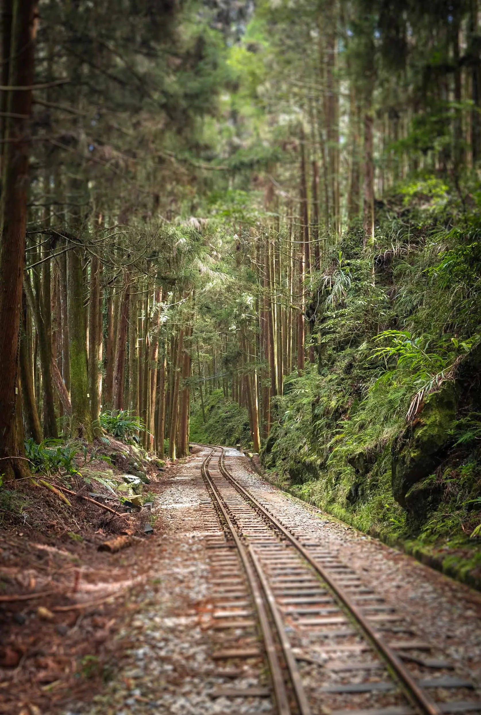
Forest Railway
Not far from this area is one of Taiwan’s amazing narrow gauge forest railway tracks. We walked along these tracks near the Erwanping scenic area for a bit, looking for a very special tree…
Namely, this amazing giant cypress, growing around a huge boulder into the sky. I couldn’t find out how old it is, but it must be several hundred years, and is truly a special sight. We spent a few minutes here, and then had to move on quickly, to make it north in time for the lantern festival.


Pingxi
Lantern Festival
.
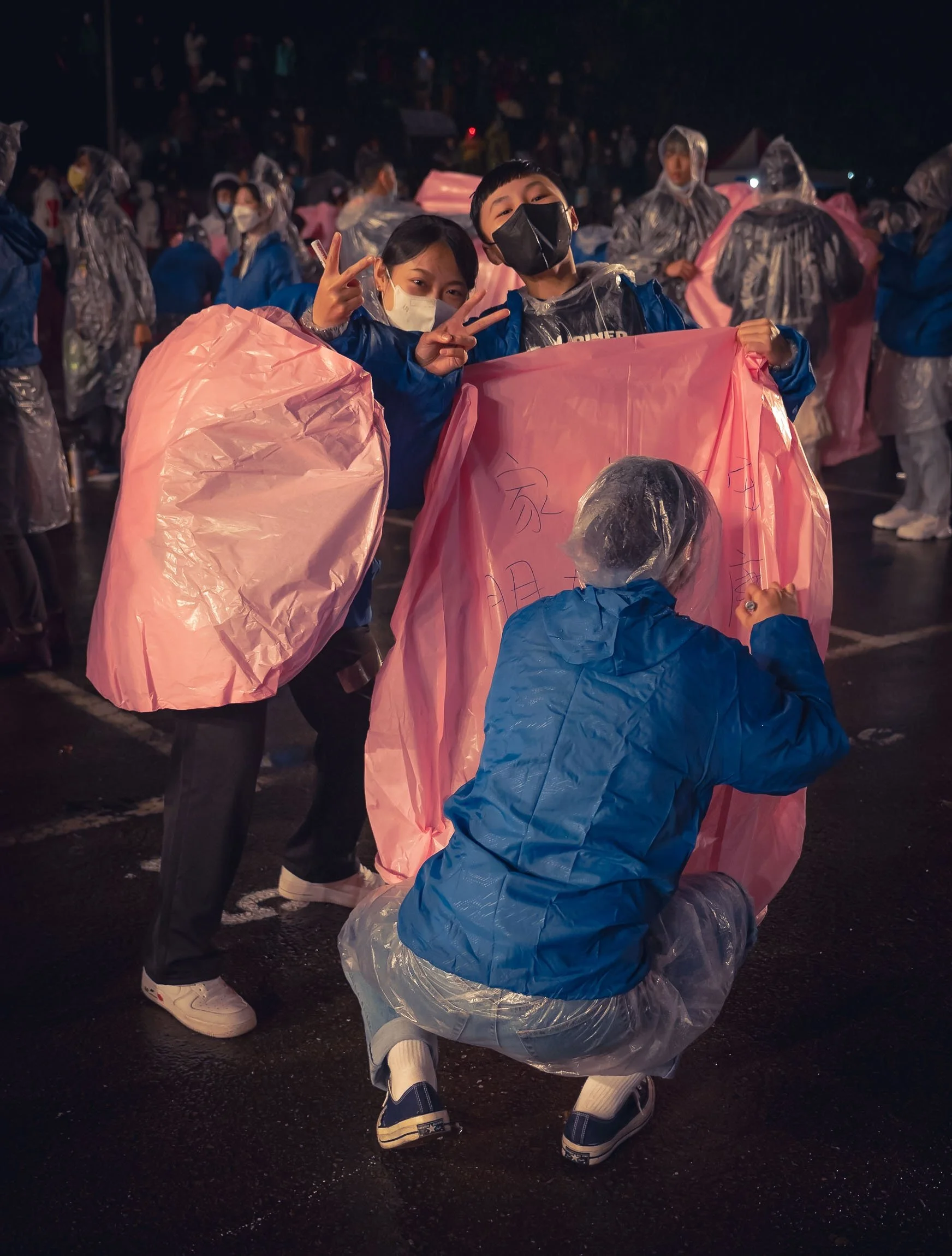
Taiwan loves lanterns - they’re everywhere - and on one special day of the year many of them get released into the sky at this lantern festival in the small town of Pingxi.

Busy Affair
Although there are several rounds of releases with dozens of lanterns each, and each lantern often with a group of several people, the festival always sells out its permits way in advance, with only a few tickets available on site. This leads to many people buying and releasing their lanterns “unofficially” in the surroundings.

A Good Spot
Access to the releases is quite strictly organized by slot numbers, and my last minute plan to go to Taiwan didn’t do me any favors. Visiting the organizer’s office and begging for a way to take photos did help though - being one of the only Westerners I spotted around may also have played a role 📸.
The idea of the festival is for wishes of good luck and prosperity to be written on the lanterns by their respective owners before sending them into the sky.

Singers and other artists perform in between the releases, making it quite an entertaining evening. They get to release the large primary lantern in each round.

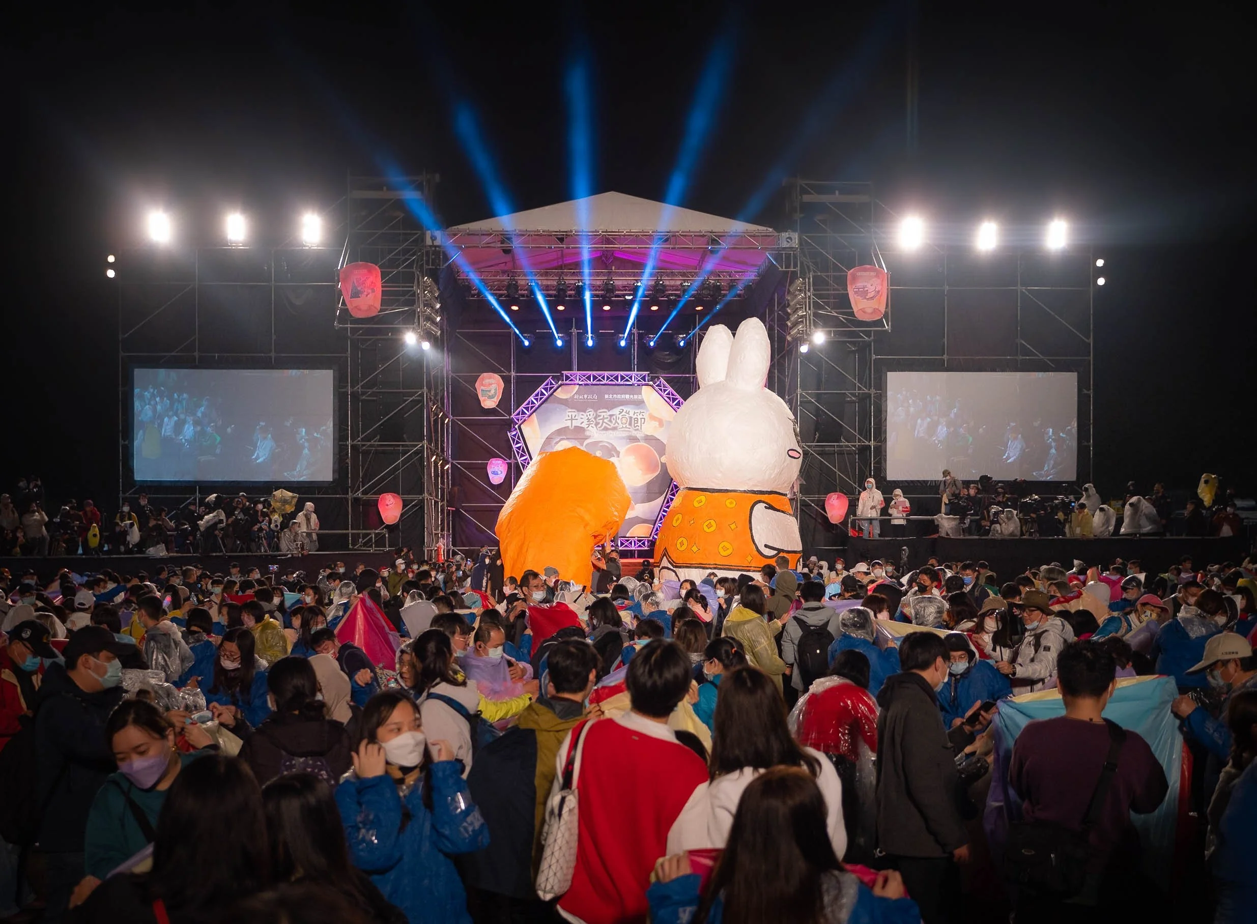
Year of the Rabbit
Each group of lanterns uses different colors and follows its own theme, but the evening culminates in the final release, representing that year’s animal in the Chinese zodiac calendar with a huge lantern.
Rain isn’t ideal when releasing lanterns made of thin film meant to fly in the sky based on the buoyant force of hot air, so one or the other didn’t quite make it, and came crashing down in a rain of burning pieces - I almost felt transported back to the Beehive festival …

The Aftermath
The next morning shows the real consequence of the festival, with colorful remains all around the nearby forests. Even though the majority of the lantern material is biodegradable, the frame and other pieces linger in nature for a long time, something the organizers should find a better solution for.


Divine Trees of Qilan
The next morning had one more destination in store before heading to Taipei, and it was the only time I had a chance to visit the eastern coast. The road up the hilly landscapes makes for a motion sickness inducing drive, but the idea of seeing some of the few remaining Taiwan red and yellow cypress giants was worth it. A lot of these trees have been logged during the Japanese occupation, and only very few aged 1000 years or more (which gives them the “Divine” status) remain. Over 50 of them can be found in this area alone.
Shortly after we arrived for the small hike through the tree garden, clouds started to reach us at an altitude of around 1700m, making for a beautiful soft atmosphere. The largest of these trees have sign posts on them and are named after Chinese people of historic significance. They often reach more than 30m into the sky, with diameters as wide as a human is tall. The longest standing tree here is over 2500 years old.


The path is about 2 kilometers long and passes almost all the divine trees. It’s a beautiful forest trail, which we had all to ourselves until a small bus with a guide sporting a megaphone arrived (yep, that happened - so try and avoid it).

The Male Tree
No need to explain this naming methodology any further. Let’s move on.

Tapei
Arrival in Taiwan’s capital city, which, going by municipal boundaries, is actually not its largest with a population of 2.5m. That title goes to New Taipei City, with 4m people, more or less surrounding Taipei itself.


Tapei 101
As a skyscraper geek, visiting the former world’s tallest building was obviously on my list, but the 508m tall tower decided to hide in a blanket of low clouds most days.

Blossoming between the Clouds
As my time in Taipei was slowly coming to an end, I had to try my luck and made my way to the tower on a somewhat overcast day - and ended up having just a few moments in between the clouds.


The view from the bottom shows the curled ruyi figures above the entrance and at each of the stacked repeating sequences, often said to resemble the bamboo stalk (or a stack of Chinese take out food boxes, your pick).

Balance
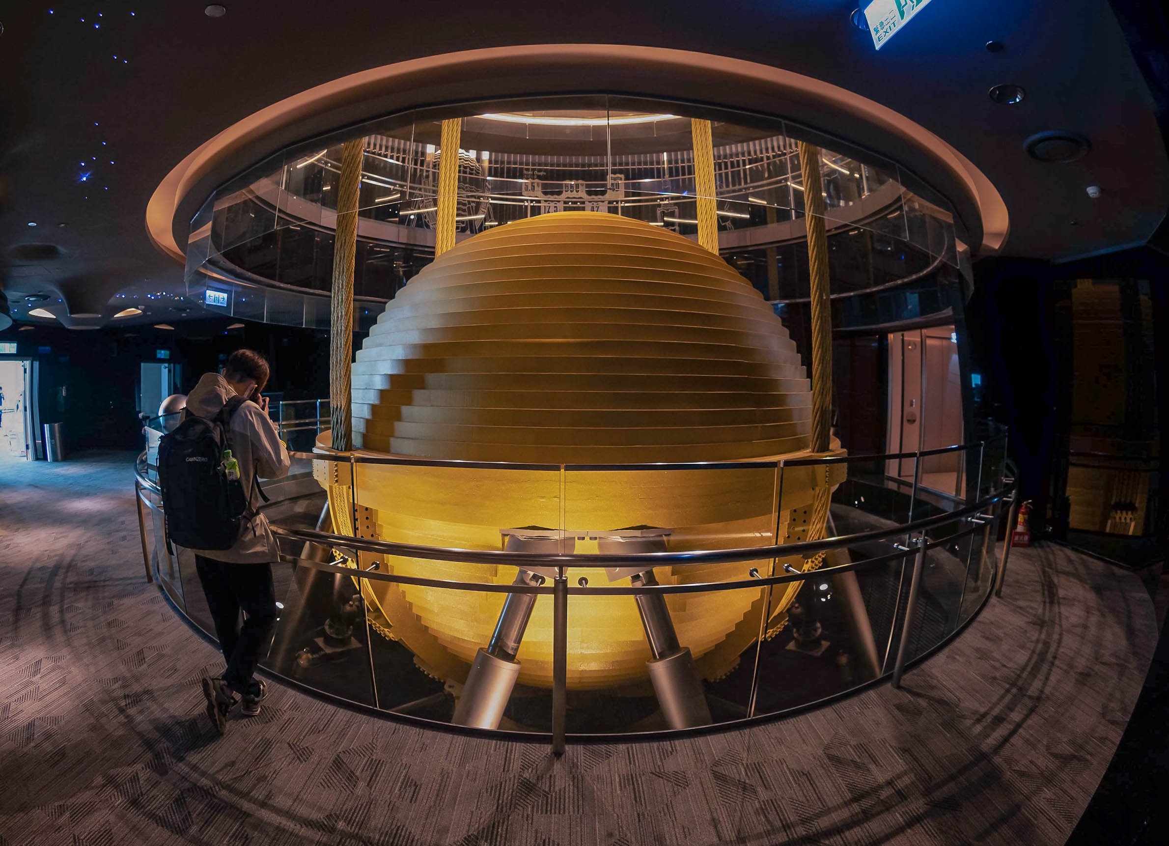
The most special aspect of Taipei101 is its structural design. The tower literally sits on a major earthquake fault line and in a typhoon zone, so aside from its extremely deep foundation and heavy interior columns, this 660 ton tuned mass damper counters the building’s motion. In 2015 heavy winds caused the damper to sway by a full meter, its largest ever movement. The damper has become a tourist attraction in itself.
While the panoramic photo at the beginning of this section was taken from Fuzhou Shan Park to the south, another nice and easily accessible (through a small hike) viewpoint of the skyline is the Elephant Peak in the lower hills a bit further east of the city centre.


Ciyou Temple
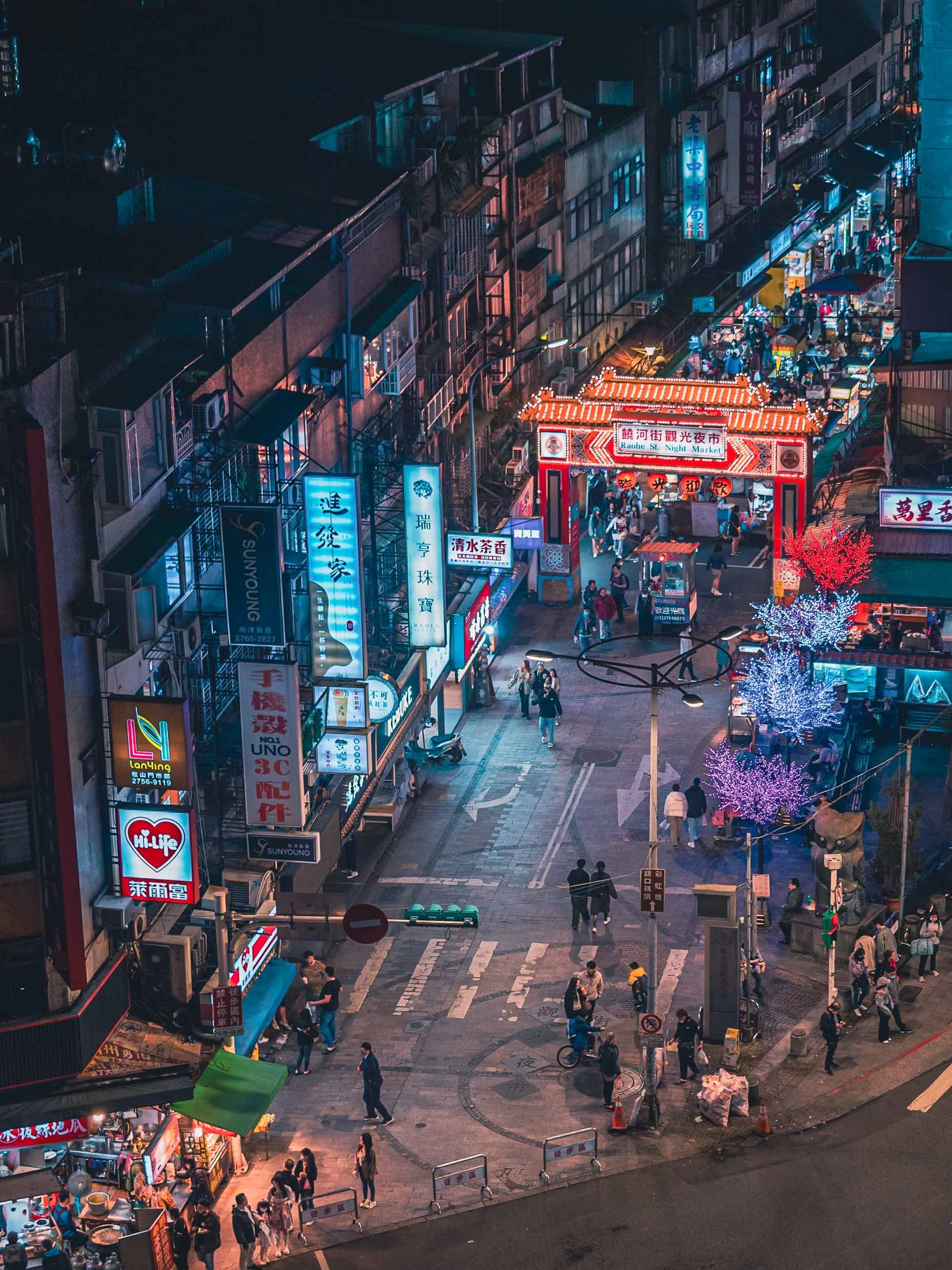
One of my favorite temples in the city was this one at the entrance of the Raohe Night Market, originally built in 1753.


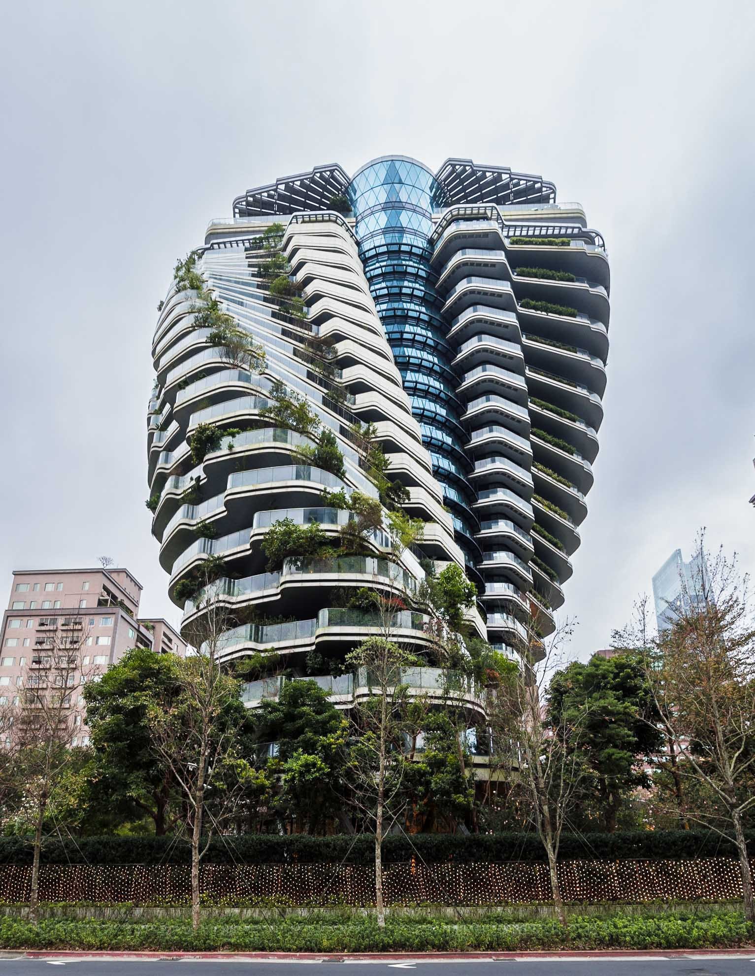
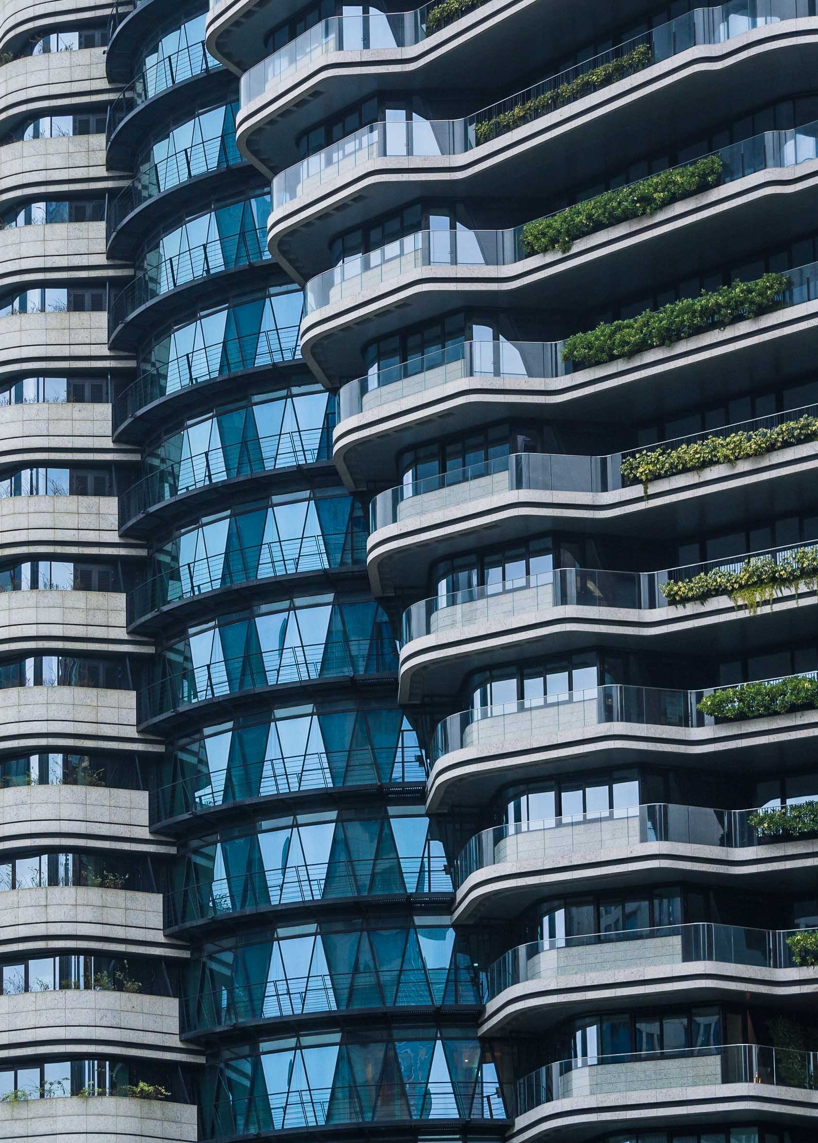
While the temple features a lot of intricate ancient details, another more modern architectural gem can be found in proximity to Taipei 101. The Agora Garden tower resembles the structure of a DNA helix and features 20,000 shrubs and trees.
Taipei is a great city to explore, with many beautiful alleys, neon-lit streets, bustling markets, intricate buddhist and taoist temples, architecture blending the old and the new, and a mix of north-Asian cultures that altogether result in its own heritage and atmosphere.


Northern Sights
I had time for one more rainy day trip, making my way to the very northern coast of the island, passing by the colorful houses of Zhengbin near the port city of Keeling.
My primary target was a visit to the retro-futuristic remains of the Futuro houses at Wanli village. About a dozen of these, together with several Venturo style houses, were once built here. Their story online is inconsistent, but most likely this happened in the 1980s, before they were abandoned some 10 years later.


The original style was developed by Finnish architect Matti Suuronen, but the whimsical flying saucers never quite became the reality of the future. Nevertheless I could have spent hours here, but the pouring rain got the better of me quite quickly.

Futuro
The state of the houses is a far cry from the techno-utopian promise they once carried, although I did spot one or two examples that were in a more habitable state - in fact, one looked like it was restored and occupied.

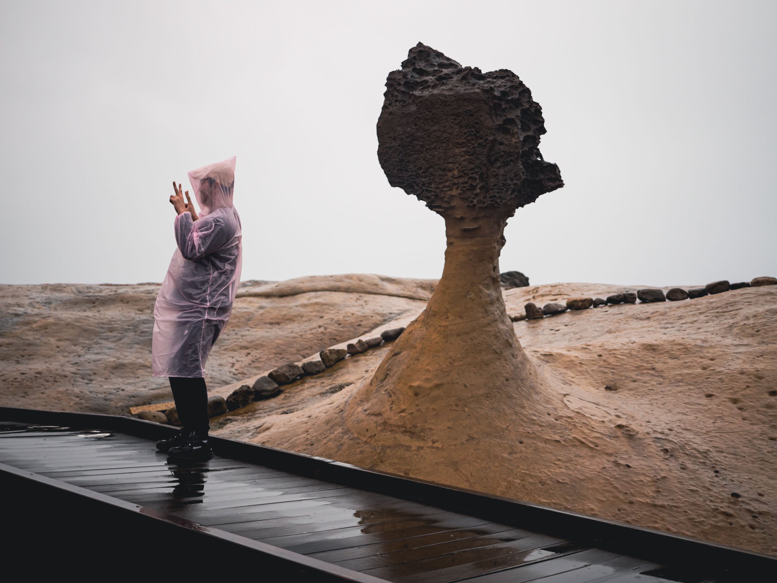
Yehliu Geopark
The last destination for the trip was this mile long cape stretching into the East China See, which features a curious assembly of hoodoo style rock formations that have slowly emerged through limestone erosion.


Nature has done some great work here, creating everything from oddly shaped holes in the coastline to a flip-flop style shoe outcrop, as well as beautiful colored patterns in the sandstone, and a human sized formation that is said to resemble a woman’s head: the famous “Queens Head’, standing like a sentinel with the dozens of tourists wanting to take their photo next to it.


Until Next Time
I think my story in Taiwan isn’t quite over yet - exploring the east coast and another visit to the Yanshui Beehive Festival are still buzzing in the back of my head.
Subscribe to my newsletter to get notified and don’t miss out on more Wonders of the Globe.
Other Recent Posts:
Java’s Volcano Heaven - Indonesia Part 2
The world's most populous island is full of amazing places - some of which I managed to visit.
Java is - unbeknownst to many - the world's most populous island and - maybe more well known - full of amazing places. I spent around 10 days here during my time in Indonesia (see also my blogs on Flores Island & Komodo, and subscribe for more upcoming ones, including a trip to the Orangutan’s of Borneo) and was visited some of the sights this home to over 150 million people has to offer.
Start here for a few aerial impressions, and read on to learn (and see) more about each of those incredible spots, and a few more…
I came to Java by car ferry from Bali, and had a short night before a 3am alarm to make it to the starting point of the trail that takes you up an amazing volcano formation, on the very eastern edge of the looooong island.

The Ijen Volcano Complex
Blue fire and an acidic lake await

This may be unsurprising to some of you, but I was the first tourist that day to complete the 2h hike and still got to witness a bit of starry night above the smoke filled caldera. After a few minutes though I started the 45min hike down into the dark crater to find the infamous blue fire and see the acidic lake up close.
The way down is not that simple if you arrive before blue hour, because it’s completely dark in the crater, there is hardly a recognizable path, and you scramble over rocks and slippery steep sections. The photo below was taken after I had already arrived at the bottom and the sky slowly developed a purple hue. You’ll notice a few flash lights on the edge at the top just starting to make their way down - arriving early has the benefit of a few undisturbed moments to take in the bizarre scenery, before the very small space at the bottom of the lake gets a little crowded.


Equipped
This last part of the adventure also requires you to wear a proper gas mask, as the sulfuric gases make it almost impossible to breathe otherwise once you get close to the lake - trust me, I tried.

Blue Flames
Ijen volcano is famous for its blue fire - one of only two places in the world where such a phenomenon occurs permanently. The blue flames originate from sulfuric gas that escapes from the cracks at very high temperatures. A rumor told me that the blue fire isn’t very active these days, so better check before you go (and if it is, go soon to witness it in case it’s too late some day).


The same gas is actually channeled through pipes at this spot to support sulfur mining, which has happened here for many decades. The yellow bricks that develop after the molten sulfur hardens are then transported by workers up the crater and down the mountain. While - from what I heard - this work is paid comparatively well, it’s also dangerous and very strenuous. The laborers fill the baskets with 70kg or more of hardened sulfur, and then complete the entire journey to deliver it at the foot of the mountain to get paid. Most of them do it twice a day.


The workers and various researches sometimes cross the crater lake that developed here in these kind of self-made barrages - a dangerous affair, given that the lake is considered the largest highly acidic crater lake in the world, with a ph of <0.5.


When you arrive in the darkness it’s actually difficult to understand the scenery around you and how this otherworldly environment really looks - only as I walked back up was it bright enough to grasp the scale of the crater, the lake, and the amount of smoke escaping from the cracks and pipes where the sulfur is mined. Look closely and you see the small barrage from above at the shore of the lake.
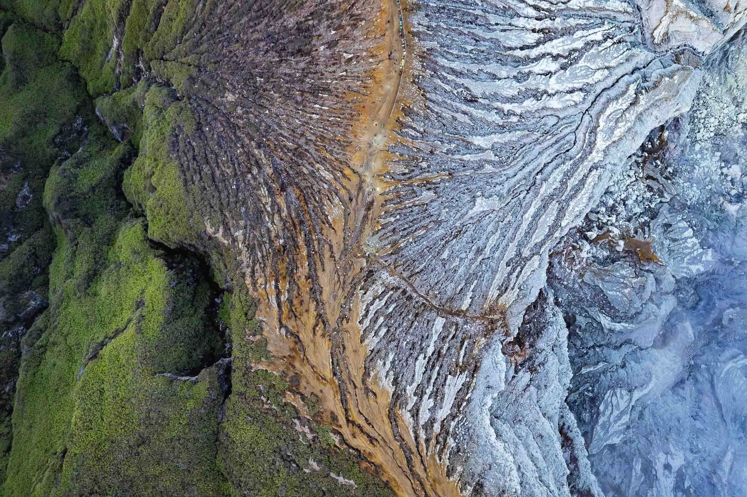
Abstract
Once I made it back up the sun had come out and I had a moment to fly the drone, capturing this abstract top down view of the crater’s edge, with the mountain on the left and the path towards the lake on the right. The small colorful dots at the top centre are the carts of the workers. Look closely and you’ll see some yellow spots, showing the sulfur rocks they had carried up already.

Shadow
Our home star was still low, so the nearby Merapi volcano, part of the Geopark Ijen is situated in, cast its huge shadow over us.

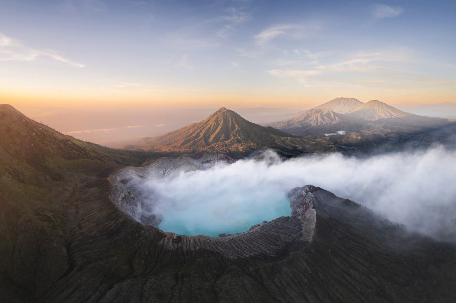
Bromo
Another volcanic wonder.
Straight after climbing down from Ijen a long drive westwards took me to Java’s most famous volcanic landscape: The National Park of Bromo Tengger Semeru. I arrived just after this beautiful sunset, and would go explore this area the next morning before sunrise.

Volcano-ception
This place is home to five volcanos (four of which are active) that have developed inside the caldera of another huge ancient volcano, with another volcano - Semeru - towering above them in the distance. Yup.
While I wasn’t lucky enough to experience the beautiful sight of the ancient caldera filled with a layer of fog (it wasn’t the right season), the conditions up there are always incredible, making for some very atmospheric photos around sunrise.


Semeru in Action
The tallest of the volcanoes in this area at over 3600m had just started to erupt in December 2022 a few days before I was there, and huge ash clouds developed from its crater in the distance that morning. If by now you are thinking “there are a lot of volcanoes here”, you are right - the entire island of Java is of volcanic origin, and there are no less than 45 active ones.

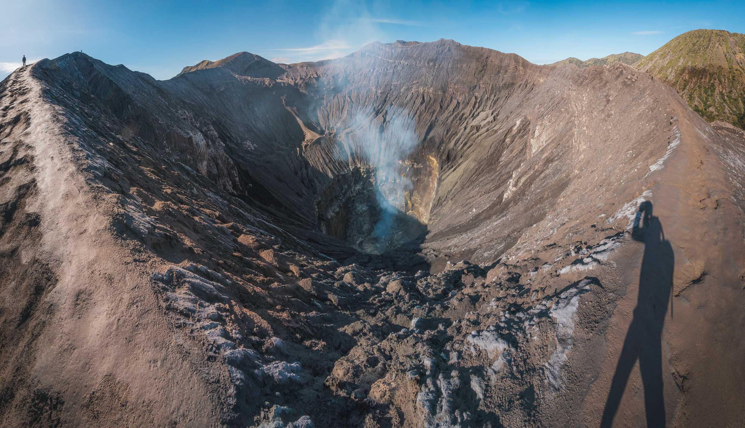
While Semeru is about 20km further south, Bromo is the most active of the volcanoes inside the actual caldera, and depending on the wind conditions you’ll need to watch out for the smoke and gases that emit from the crater - access to Bromo closes regularly due to safety concerns.


It is a relatively easy climb up a few hundred stairs (visible on the right photo in the corner on the bottom right) once you make it through the so-called “Sea of Sand” - the sand filled caldera - in one of the dozens of modified Jeeps the locals use to transport tourists. It can get busy here, but as always, arriving early and taking an extra little hike along the crater rim will bring you some peace and quiet - can you spot me (and my shadow) in the left photo?


The base of Bromo is also home to a rather interesting Hindu temple built in 2000, visible on the bottom in this photo - who thought it would be a good idea put a temple there I wonder? The Tengger people in this area are one of the last remaining Hindus in Java, which is overwhelmingly muslim. There is a small offering installed at the edge of the crater to please their sacred mountain.

Two of the aforementioned Jeeps making their way through the Sea of Sands in the distance, with the rugged slopes of Bromo in the foreground, seen from the crater’s edge.

For a touch of color after all that brown and grey around the volcano these four wonderful ladies posed happily in the sand canyon as I was leaving.

A Splash
Speaking of colours, I then made my way to the city of Malang, which is home to an interesting set of villages, namely Kampung Tridi (left), Warna Warni (top), and Biru Arema (bottom right), which have turned their districts into a little paradise of colours.

Pioneers
As the story goes, Kampung Warna Warni was the original of the colorful villages in Indonesia. While one might dismiss it as a tourism stunt, the idea actually came from a few students who wanted to revitalize this community, which had fallen into disarray, poverty, and pollution, alongside the nearby river. In 2015 they partnered with a local painting company and the resulting work didn’t just bring in tourists (who pay a small entrance fee) but also revitalized the surrounding community and created a social obligation to beautify and maintain the environment. It became a successful role model for the village across the river, and another one across the bridge, as well as a few others in the country.

Kampung Tridi is connected to Warna-Warni by a small footbridge. Both of the village are full of small whimsical details, murals, and friendly locals.


It’s an interesting thought to imagine how the world would look if all our cities were so colorful, considering the sea of brown and grey surrounding these villages. I happened to get another glimpse at the colorful roofs when I left Malang by train (excellent way to travel in Java!) on my way westwards towards the Special Administrative Region of Yogyakarta.


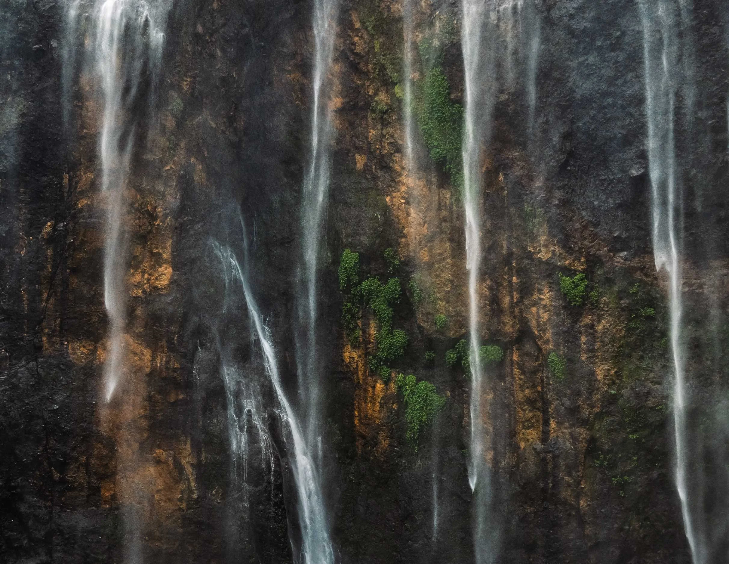
Tumpak Sewu
Before moving on though I got to experience what is probably the most incredible waterfall I’ve ever been to, about 3 hours south east of Malang. The active Semeru volcano mentioned earlier providing a beautiful backdrop.
The way down to the falls is a tough affair - it takes at least 30 minutes over muddy semi-paths, climbing long rope assisted vertical ladders, stepping on metal brackets fixed into the side of the canyon, crossing the river by jumping from stone to stone, and then being totally soaked by the waterfall’s wind induced layer of rains and fog at the bottom. But the views are worth it (I still thought so after the way up, but was less convinced then). Pro tip: It seems the descent on the eastern side is a little easier than the one I took, but who wants that?

My guide posing in the rain for scale here.


The views from above are equally amazing though, even more so with a drone, but the viewing platform on the side of the canyon also provides some nice angles and opportunities to set up a tripod for long exposures.


The conditions changed quite a bit during the few hours I spent here, depending on the wind direction and the flow of the river. On top of that, as the sun moves across the horizon, the angle of the omnipresent rainbows shift as well, creating ever so slightly different compositions. A place you could come back to many times. An extra bonus - I was there on a regular weekday morning (not even that early) with almost no people - a very different picture compared to some of the (comparably boring) waterfalls in Bali.

What’s in a Name
Tumpak Sewu loosely translated means "a thousand waterfalls" in the Javanese language - an apt description.
What a place. Just missing some dinosaurs!


Back in Malang I took the aforementioned train onwards to the west into Central Java, more specifically the Special Region of Yogyakarta. A kind of unique autonomous province of Indonesia, the Sultanate has a few distinct administrative powers owing to its former status is an independent kingdom before it joined the Indonesian independence movement after the Second World War.

Prambanan
Three religious sights were on my mind for this part of the island, starting with the 9th century Prambanan temple, the largest Hindu temple in ancient Java and the second largest in the world. It’s dedicated to the Hindu trinity of God as the Creator (Brahma), the Preserver (Vishnu) and the Destroyer (Shiva). My hopes for some good photos were slightly destroyed by the weather, as I only had a few minutes before the pouring rain kicked in.


UNESCO World Heritage Site
The temple and its many beautiful reliefs have been inscribed since 1991. The pattern of lion in niche flanked by kalpataru trees is one of the most common panels in the temple.
The temple compound lay more or less abandoned for over 1000 years and lost a lot of its individual temples - there were 240 in total - as people used the stones for other construction or collected them. Only in the 1930s an effort to properly reconstruct it started, which is ongoing until today. An earthquake caused significant damage in 2006, and various volcano eruptions pose a constant danger to the site.


Standing Out
I once again had the chance to add a dash of color when I came across another group of four ladies that were happily swinging their umbrellas to pose for me.

Last Moments
The rain took over shortly after, and although I’m not one to shy away from some water, this storm was a bit too much for my camera to handle, and marked the end of my time here.

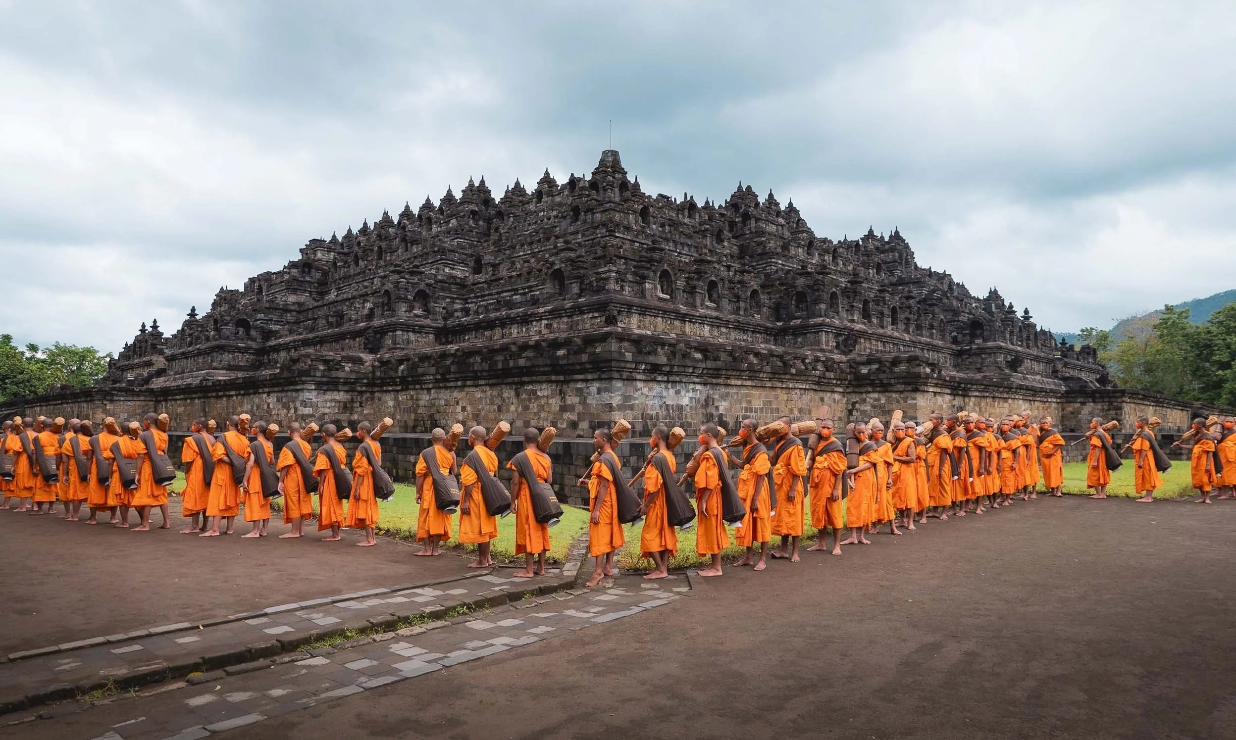
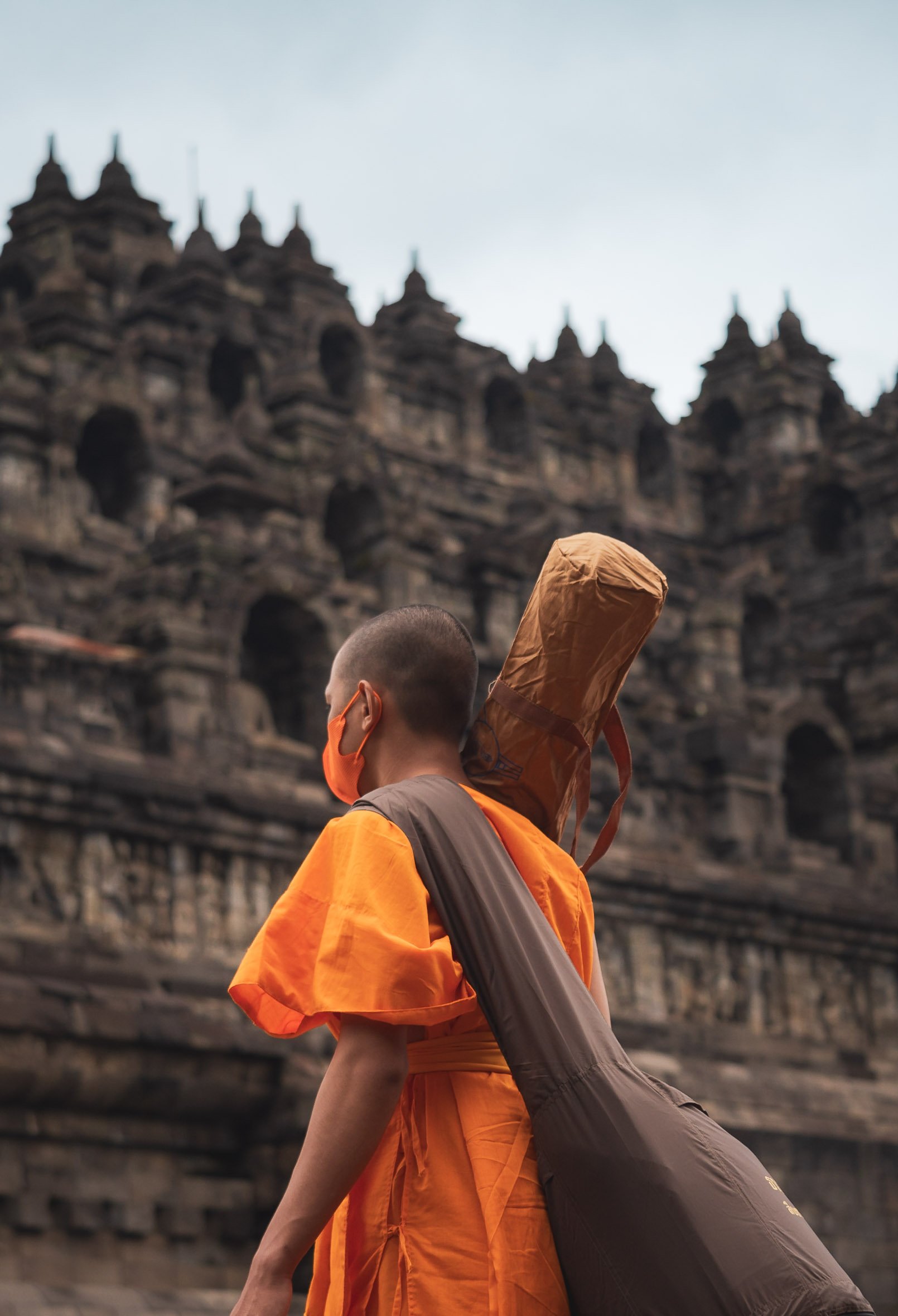
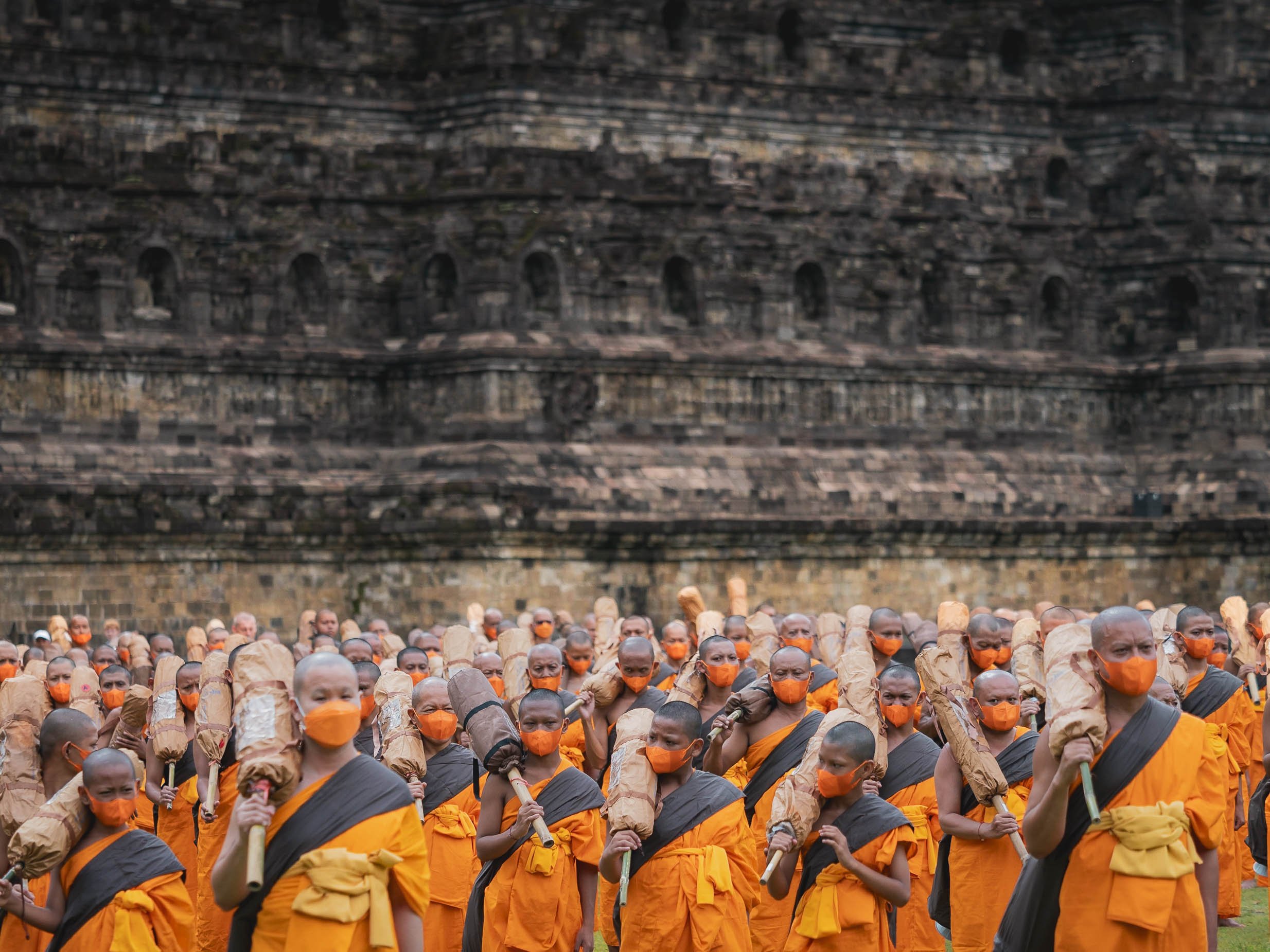
Borobudur
Next on my list was the world’s largest Buddhist temple, another UNESCO World Heritage Site and situated a bit further north near the city of Magelang.
Just like Prambanan, Borobudur was also lost to civilization and abandoned for hundreds of years in the jungle under volcanic ash. It was in fairly poor condition when re-discovered, to the extent that it was suggested to simply transfer the remains into a museum and rebuild them there. Followed by decades of looting the temple was finally restored in the early 20th century, but deteriorated quickly again, necessitating a more permanent in-depth restoration in the late 1970s.

It’s rather difficult to get nice photos of the temple from a distance, owing to the thick and high vegetation around it, and while beautiful drone shots exist, getting a permit proved difficult, and I tend to avoid breaking the local rules, especially around religious sites.
On top of that, climbing the temple was not allowed, owing to several restoration and cleaning projects. This used to be possible in the past, and from what I know, was allowed again shortly after my visit.

Procession
Despite those disappointments, I did get lucky with something else: Shortly after my arrival early morning, a procession of Buddhist monks made their way to the temple as part of their ordination ceremony. It made for a pretty extraordinary sight with the traditional buddhist dresses of 100s of pilgrims contrasting the temple.
Borobudur’s architecture consists of six square and three circular pyramid layers with originally 504 buddha statues. Its design is closely aligned with Buddhist beliefs and cosmology.
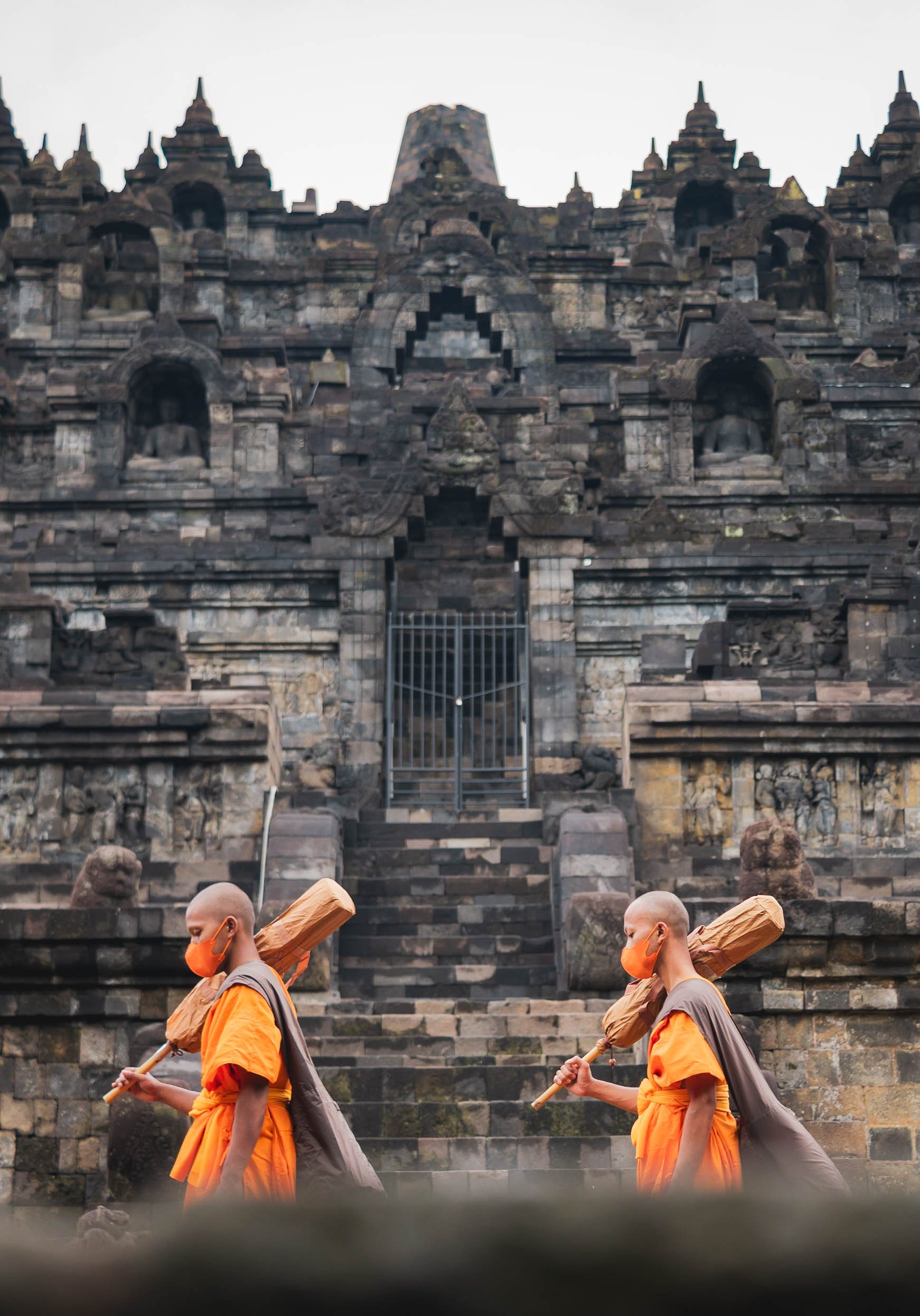

Climbing to the Top
The monks of course were allowed to take the steps up the temple, seen here from the mouth of the Chicken Church I visited later (yes, you read that right, just continue below…)

Gereja Ayam
That brings us to the last of the temple trio on my route - and while the above is its official name, calling it the Chicken Church is just inevitable, although the real design intent was to resemble a dove with a crown as a symbol of peace and coexistence.
The story of this poultry shaped religious institution goes back to a dream of a man called Daniel Alamsjah, whose divine visions made it his mission to establish a cross-cultural sanctuary for anybody seeking some spiritual guidance. The mission proved difficult, first due to protests by the locals who assumed he wanted to build a Christian church in a muslim neighborhood, then the complexity of permits, the need for money, and his general lack of experience with building projects.
It took 20 years until his idea become an avian inspired reality. Then international media attention and the shooting of a famous Indonesian movie started to draw in more tourists and he could charge a small entrance fees and complete his dream, including a visitor cafe (the food quality of which is luckily in stark contrast to its location at the butt of the chicken rear of the building).

From the Chicken’s Mouth
The interior is fully built up from basement to the top with various exhibits and prayer rooms, and you can climb inside the head for a view down the hill. If look really closely you can see a small hint of Borobudur on the middle right - this is where the above photo of the temple was taken from.
Once I had found my spiritual home here, I concluded my time in Java with a night in Semarang, where I got to just briefly glimpse at some of its remaining colonial Dutch architecture, before making my way to Borneo via a short flight over the Java Sea.

The Capital
While I didn’t end up in Jakarta on this part of the trip, I had a short layover a few weeks later. I didn’t find the time (and energy) to take a lot more photos of the city then, other than some snaps from the pool level of my hotel - including them for sake of completeness 😉

Indonesia is incredible, and the amount of natural and cultural variety is enormous - I spent more than 6 weeks here, literally on the road every day, and definitely want to come back.
Subscribe to my newsletter to get notified and don’t miss out on more Wonders of the Globe.
Other Recent Posts:
Pacific Island Wonders - Palau
Prepare to see some of the most intense blue and green colours your eyes have ever feasted on in this post! The unknown Republic of Palau in the Pacific about 700km eastwards from the coast of the Philippines is truly home to some of the most beautiful island formations I’ve ever seen…
Prepare to see some of the most intense blue and green colours your eyes have ever feasted on in this post! The unknown Republic of Palau in the Pacific about 700km eastwards from the coast of the Philippines is truly home to some of the most beautiful island formations I’ve ever seen, but it also has an interesting colonial history and a few obscure sights - read on!
Start here - a short clip of some of the most beautiful locations of the Rock Islands in the southern lagoon of the country , starting with the nature reserve of Ngerukewid… more on that below!
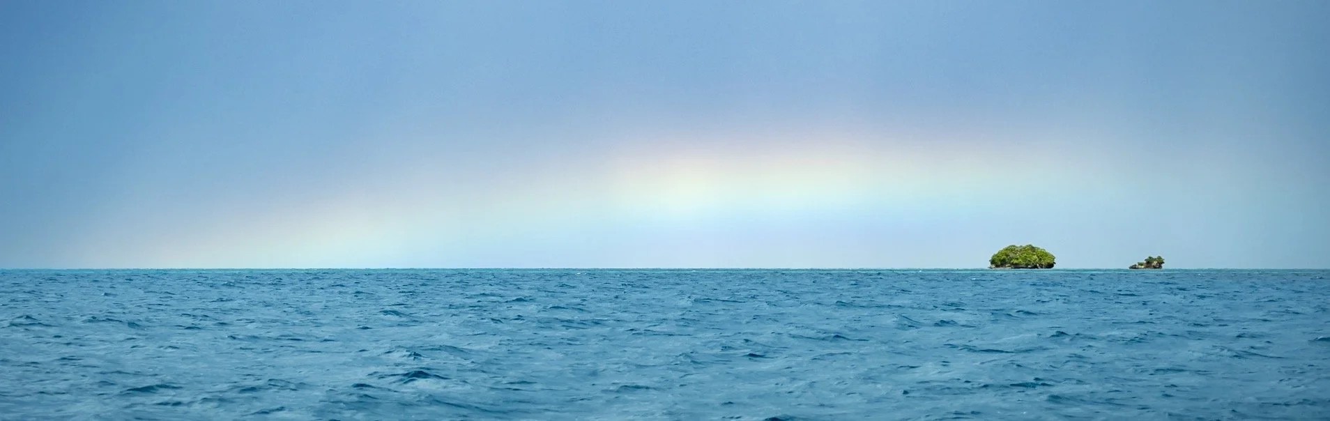
What I came for
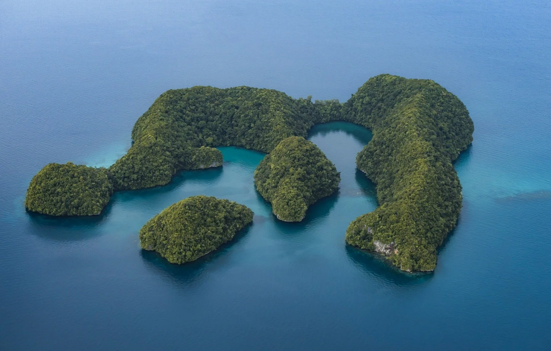
My hero shot, and what I wanted to document during this trip: The incredible islands of Ngerukewid are definitely one of the most beautiful island formations I’ve ever seen and have been declared a nature reserve as far back as 1956, owing to their amazing biodiversity.


15min after the shot!
Getting this photo was one of the main reasons I visited the tiny hardly known island nation in the Pacific, and making it happen proved to be challenging: Difficult and fluctuating weather conditions, having to charter a boat, getting close enough to the reserve boundaries, flying my drone in strong winds and waves, and landing it on the boat‘s sunroof. Of course, I had to get a drone permit as well.
The rain clouds you see in the distance in the final result caught up on us shortly after, and the captain and myself looked for shelter of the waves and rain on a small nearby beach.
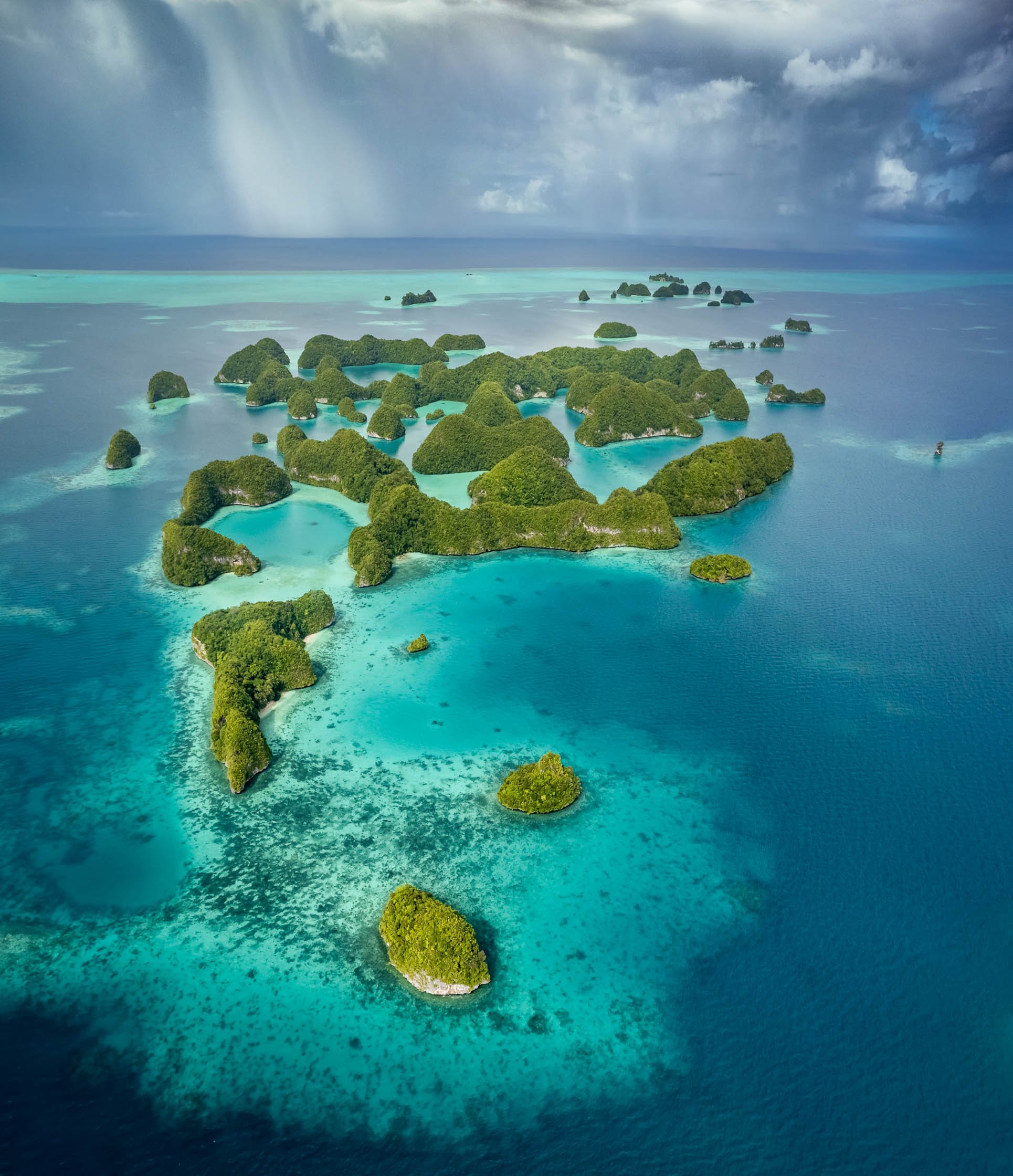
The southern lagoon is full of amazing places, often best seen from the air. Virtually unpopulated, the whole 42 sqkm site was declared a UNESCO World Heritage Site in 2012.


The islands are largely made from coral and limestone, often in beautiful mushroom like formations due to tidal erosion, which also caused this arch.

Goomba Island?
Does anyone else feel like this is straight out of Super Mario? Look at “Goomba” if you don’t believe me…
Underwater Wonders
Of course, an ocean paradise like this offers a whole different view when looking underwater - which admittedly wasn’t such a big focus for me on this trip (I have yet to do my PADI, but on the other hand I finally got an underwater camera case - these photos are shot on iPhone though). Nevertheless, some snorkeling is always on the cards.
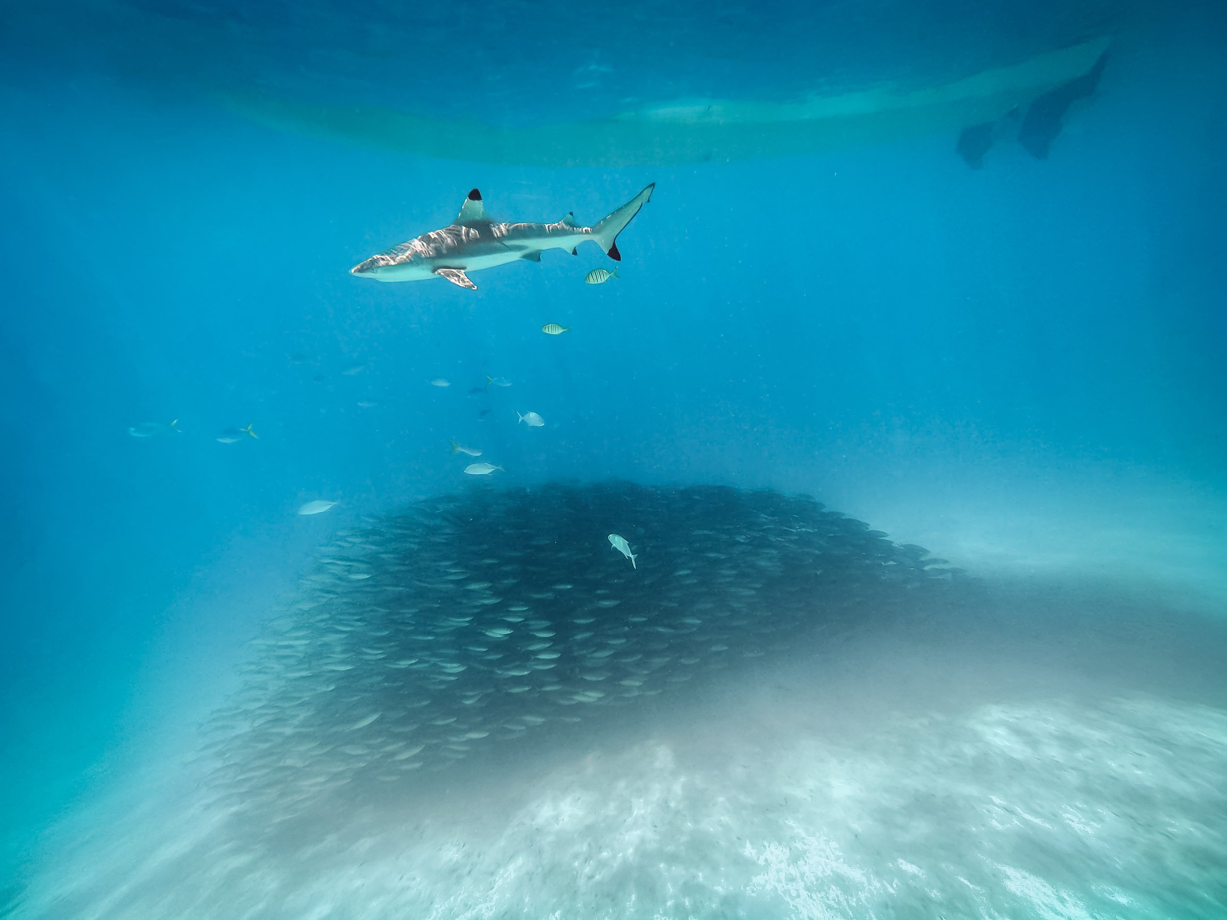
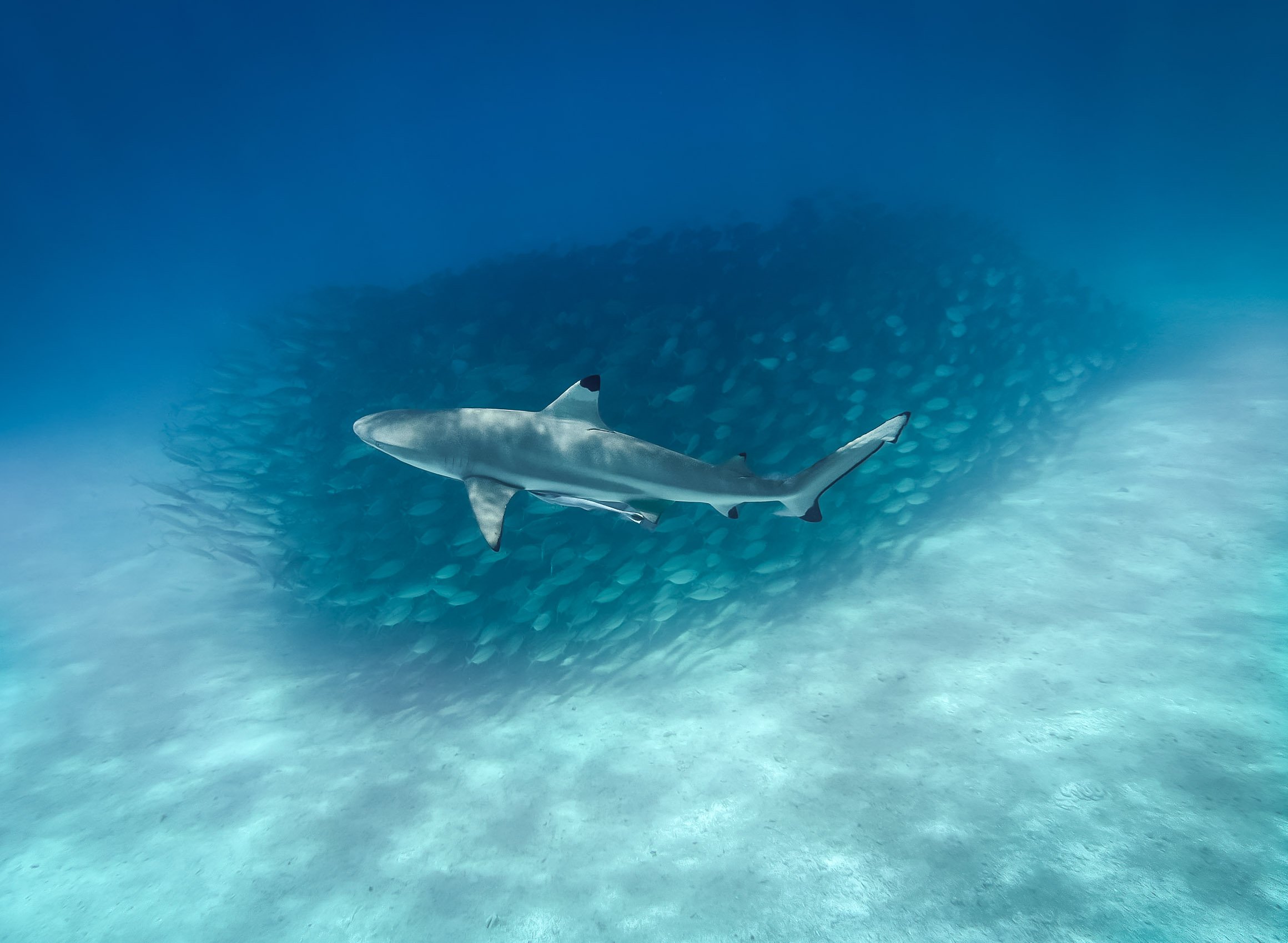
Blacktip reef sharks frequent some of the beach areas in the rock lagoon, allowing you to swim among them. A school of fish found some shelter below our boat, letting me capture these photos.


Palau is also famous for its many marine lakes such as this one - the most well known one is 12,000 year old aptly named Jellyfish lake. It’s home to millions of Jellyfish, specifically the stingless golden and moon jellyfish species - or so it has been for the last years. Unfortunately, the population of golden jellyfish died out almost completely in late 2022, likely due to a rise in water temperatures. This had happened before and they luckily recovered within a few years, but no one knows if this will be the case again.
As a result, snorkeling in the lake was a lot less exciting that it might have been, but I did get to see a few beautiful moon jellyfish individuals, pictured above.

Remnants
Palau’s underwater world is also home to a lot of man-made attractions, albeit unintentional ones. The country was home to fierce battles during the Second World War - this is the coral covered fuselage of a Japanese war plane. The cockpit wasn’t far either.
Lunch spot
This wreck was just a few meters from a small beach where we had our lunch that day - with the backdrop of this beautiful tree slowly shedding some of its orange leaves, creating a beautiful kaleidoscope of colours.


More evidence of the fierce battles that took place here in form of a sunken transport ship, and cannons that were abandoned in small limestone caves on the lagoon entrances. The largest battle that took place here was the US - Japan encounters on Peleliu, which reshaped the geography of the island significantly.

White Rock Lily
The national flower of the country and one of the many endemic plants that occur here.
Back on Land
Palau does have more to offer than its oceanic beauty - the country consists of over 300 islands, while its population of less than 20,000 (!) lives spread out on just a few of them. Koror is the largest city and used to be the capital until 2006, when it was replaced by Ngerulmud on the largest island of Babeldaob in a somewhat odd government plan - more on that below.

Koror–Babeldaob Bridge
The bridge linking Kotor with the main island of the country, built in 2002 with Japanse aid after the previous bridge collapsed unexpectedly 1996.
While the last few hundred years of the country have been shaped by Spanish, German, Japanese, and then US colonialism and influences, traces of the native population go back much further than that, and some of it is preserved around the main island of Babeldaob. The most significant evidence dates back over 2000 years ago in form of the Stone Monoliths of Ngarchelong, a collection of stones in the north of the island, not far from the shoreline.

Basalt Monoliths
The stones have been dubbed the “Easter Island of Micronesia” - although I suspect the original is a little more impressive. Their use has not conclusively ascertained, but one theory is that they served as the base for a very large Bai, the traditional meeting house for the locals. Some of the stones have distinctly anthropomorphic shapes, suggesting a different purpose.


A hidden Stone Coffin
The stone coffin of Tet el Bad is located in the village of Ollei - it is on the tentative list as a UNESCO site, but there is literally no information about it available anywhere that I could find - I could barely find the coffin itself. A deserved addition to the list of oddities I discovered during my travels.

Local Traditions
Until today, some local traditions remain active, such as the building of the traditional canoe like war boats. One can be found near Airai, where it is maintained for festivals and races, although it is a dying art today. Luckily even the most obscure topics are often documented nowadays, such as in this paper describing the building process in great detail.


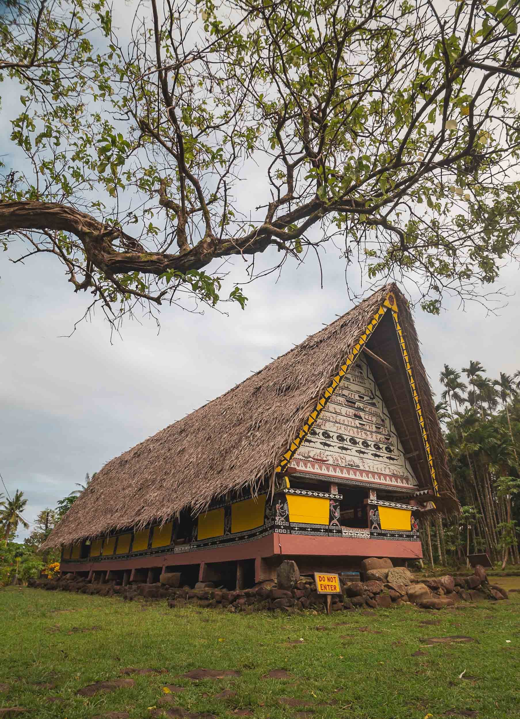
Airai is also home to the oldest Bai ai in Palau, which is still maintained and in use by the local villages, seen on the left here. The right one is located at (interesting) Belau National Museum (Belau is the historic name of the country). Although the Bai is a meeting place for men, Palau’s culture is highly dominated by matrilineal tendencies, evident in practices such as inheritance.

Although there remains a traditional government structure that still influences the country's affairs through its federation of clans, Palau today has a federal government structure that takes the form of a democratic republic. It’s an independent country, but still holds close ties to the US, which provides funding and military support in exchange for its own military rights. The US dollar is the country’s currency and English is widely spoken, although there are still Palauan and other official traditional languages, even Japanese remains an official language in one of the districts.


On the way to Airai lies this abandoned World War II Japanese Communications Center. While there’s a small signboard outside (and an entrance fee to be paid), it is more suitable for an abandoned places exploration than a tourist attraction, offering a few cannons and not much in terms of narrative, but a good chance of getting buried under a crumbling ceiling.
Capital Strangeness
While Koror is the commercial centre (and deserves to be called a city), Palau’s capital Ngerulmud is anything but that - in fact, it is the least-populous capital city of a sovereign nation in the world. Arguably, not one person actually lives in the city boundaries, although the surrounding state is home to a total of just over 300 people. It was created on the basis of the constitution established in 1979, which called for a capital to be established on the main island to avoid concentration of power in Koror. That took way longer than outlined in the constitution, and finally was completed in 2006 at a cost of $45m, through the help of a $20m loan by the Taiwanese government. Brace yourself for what these funds were used for, keeping in mind that the whole country has a population of less than 20,000…

National Capital
Inspired by the Washington Capital building, this complex houses all three pillars of the democratic process.
The parliament is called Olbiil Era Kelulau, which means “House of Whispered Decisions.” It derives from the aforementioned Bais, where the traditional chiefs met to discuss critical topics. During those meetings, no communication that is louder than a whisper is permitted, instead quiet messages are used to negotiate on important topics. Smart approach, although I don’t know if congress functions the same.


The building is in fact not made of massive stone and concrete - it’s publicly accessible and you can walk around in many of the buildings, where I noticed a lot of hollow walls and pillars. It’s also not really suitable for the local tropical climate, mould and ventilation issues have been plaguing it since opening.

More Aerial Glory
I was determined to get more aerial views of the Rock Islands, and have been holding out to get on a plane due to the ever-changing weather conditions. Towards the end of my stay, I took the plunge to fly on a small Cessna with an open door (there are no operating civilian helicopters in the whole of Palau) to get some angles that a drone won’t allow.


Palau’s environmental governance is extremely strong, it created the world’s first shark sanctuary, and makes visitors sign a “pledge” into the passport stamp upon arrival, vowing to protect the environment during their time in the country. It shows - the beaches and rock island areas are one of the least polluted ocean patches I’ve ever seen. Some top down photos from my flight, showcasing the incredible green and blue hues that make up most of the landscape in the country.

A different kind of galaxy
The turquoise waters above show another one of Palau’s attractions: the so-called Milky Way lagoon. It’s a shallow lagoon where limestone mud has settled on the ground, which can be retrieved with a small dive. The locals use this paste for skincare.


German Channel
This artificial channel was dug while Palau was under German administration in the early 20th century to ease access into the lagoon. Today it’s a popular dive site.

Shapes
A reef lagoon in the shape of a ray.

Reality?
Some of the formations look like they have been artificially rendered, but I assure you this is a barley edited real photo.
More images of the underwater world, taken on iPhone while snorkeling among some of the reefs in the rock lagoon during a kayak trip.


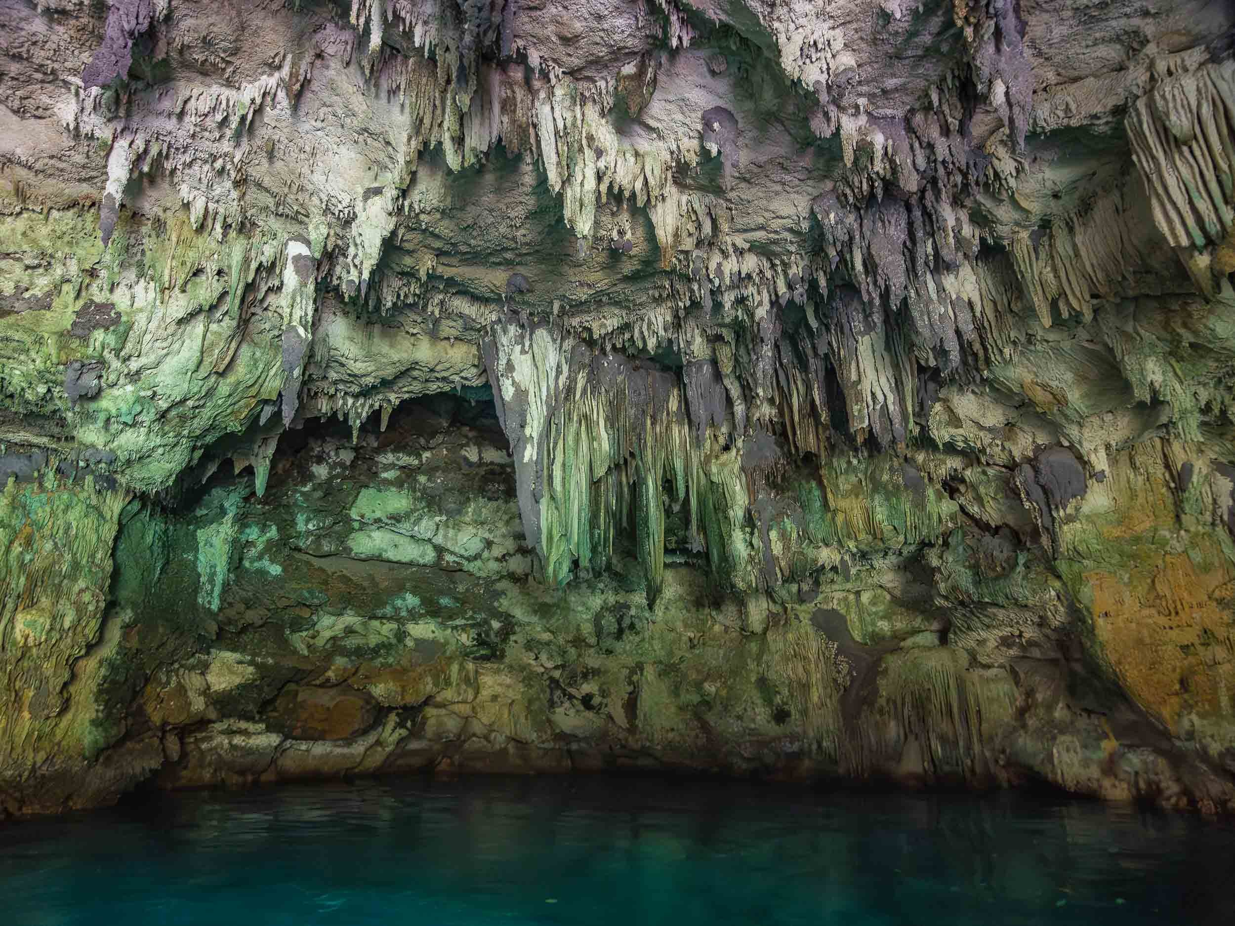
One of the many limestone caves that get carved into the rock formations.
Also came across this incredibly tiny jellyfish, the species of which I cannot determine, with an even tinier fish companion.


And that’s it from beautiful Palau…
Subscribe to my newsletter to get notified and don’t miss out on more Wonders of the Globe.
Other Recent Posts:

Jordan - From Salty Seas and Dramatic Deserts
A rich history, natural attractions, and dark night skies - what’s not to like?

I’ve wanted to visit Jordan for many years, and despite its proximity to Dubai it took until now - when I’m not actually living in Dubai - to make it happen. Its rich history and natural attractions didn’t disappoint, and on top of that, the dark skies of its deserts meant some Milky Way photography was on the cards. What’s not to like?
Petra - The Ancient Capital
The first part of my trip lead me to the capital of the Nabateans - the historic Kingdom that ruled this area more than 2000 years ago until the Romans took over. Their centre was the famous city of Petra. My time here (and in Wadi Rum) was spent in a small group as part of a trip organized by Benjamin Barakat, which really helped to get access to some of the best spots, with great local guides.
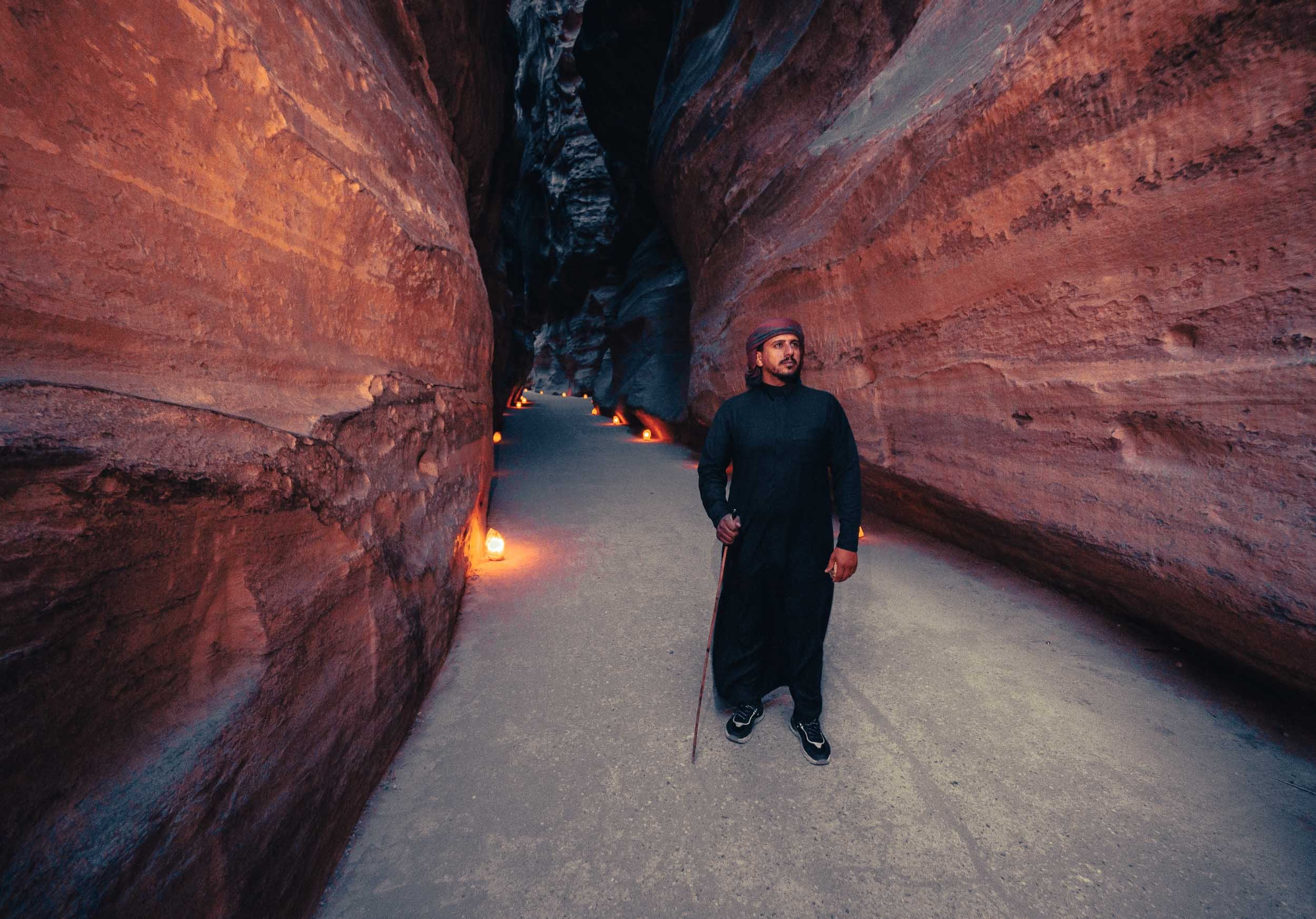

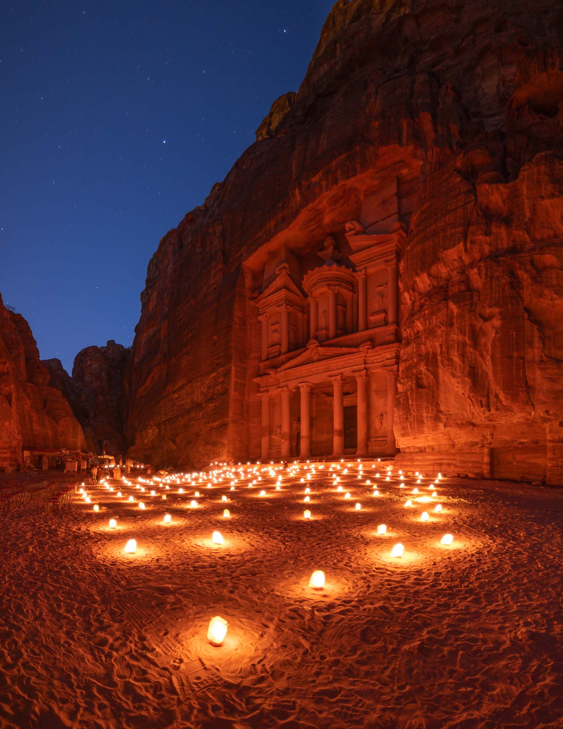
With the right timing - such as being the first one to arrive in the morning when the gates open at 6am (in the summer) - you can experience this place in peace and quiet, which adds to the awe-inspiring grandeur of the sandstone carved structure built 2000 years ago.


More than the Treasury
As I’ve alluded to, there’s more to experience in Petra than just the Treasury, which admittedly got a lot of the attention in popular culture, such as being featured in the original Indiana Jones movie. In fact, there’s a lot more to see, and if you want to soak it all in, you better be prepared to hike. I did 32km in one day, but it was worth it to explore the many Hellenistic facades, the tombs, and the amazing theatre, for instance.


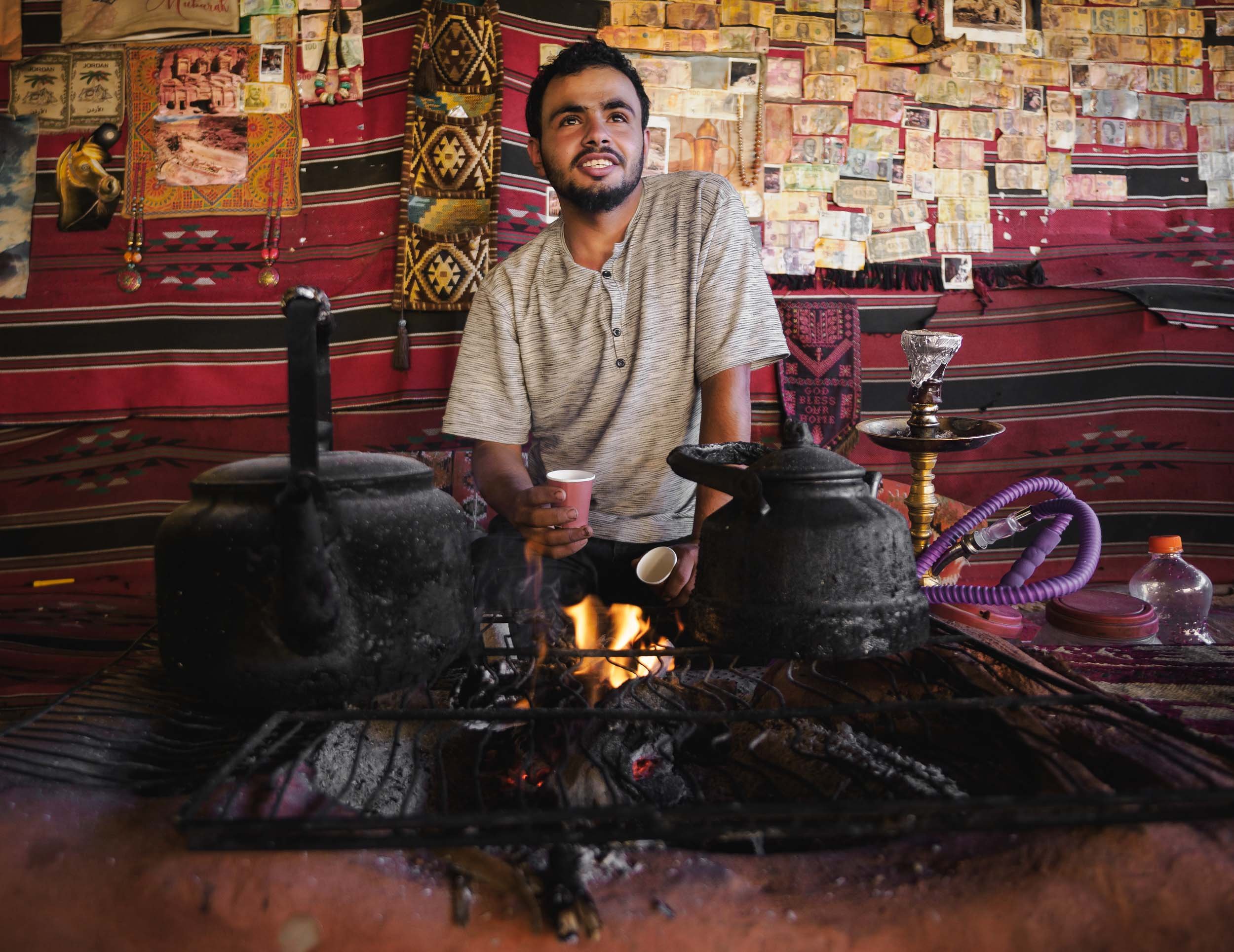
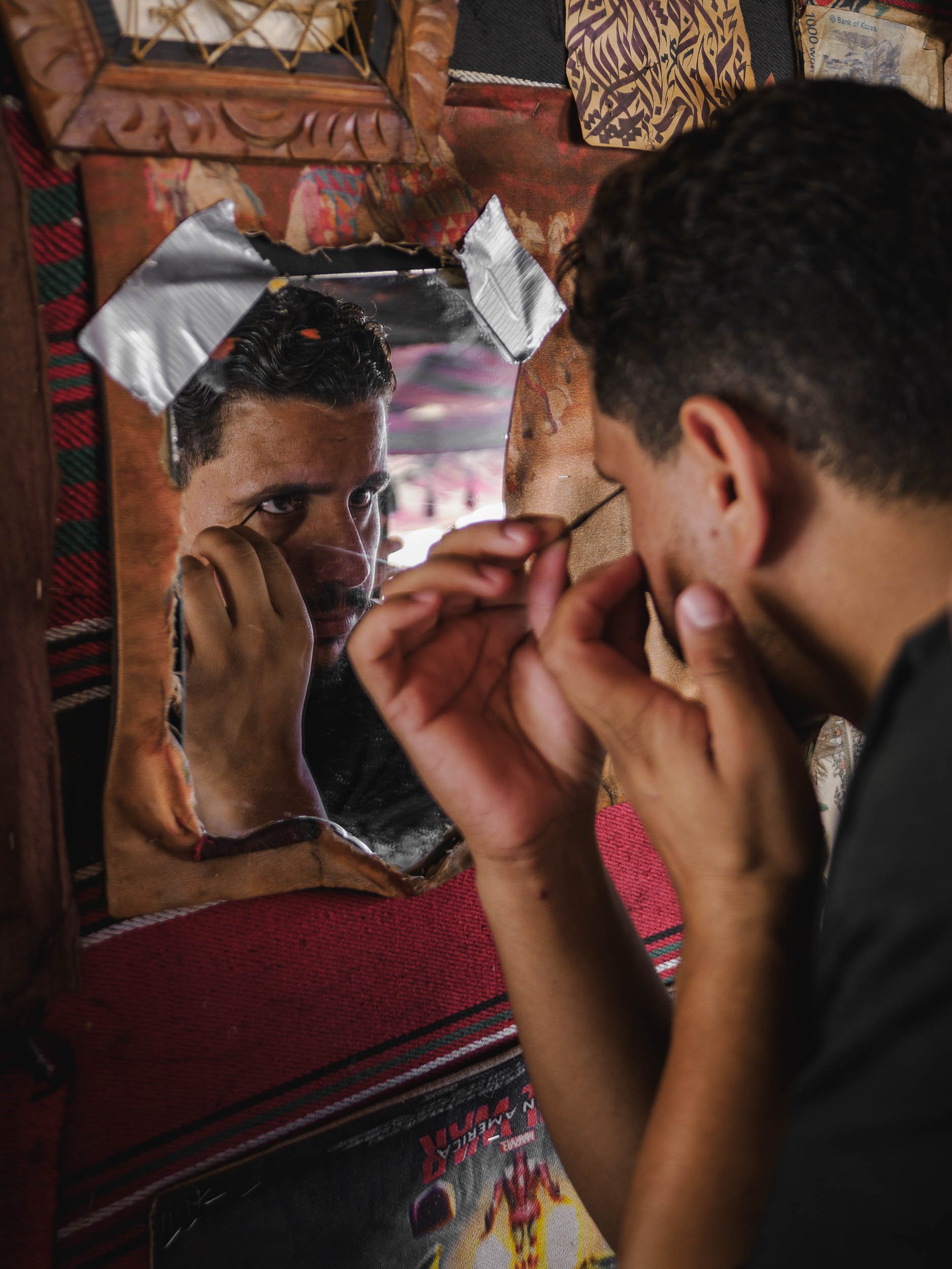
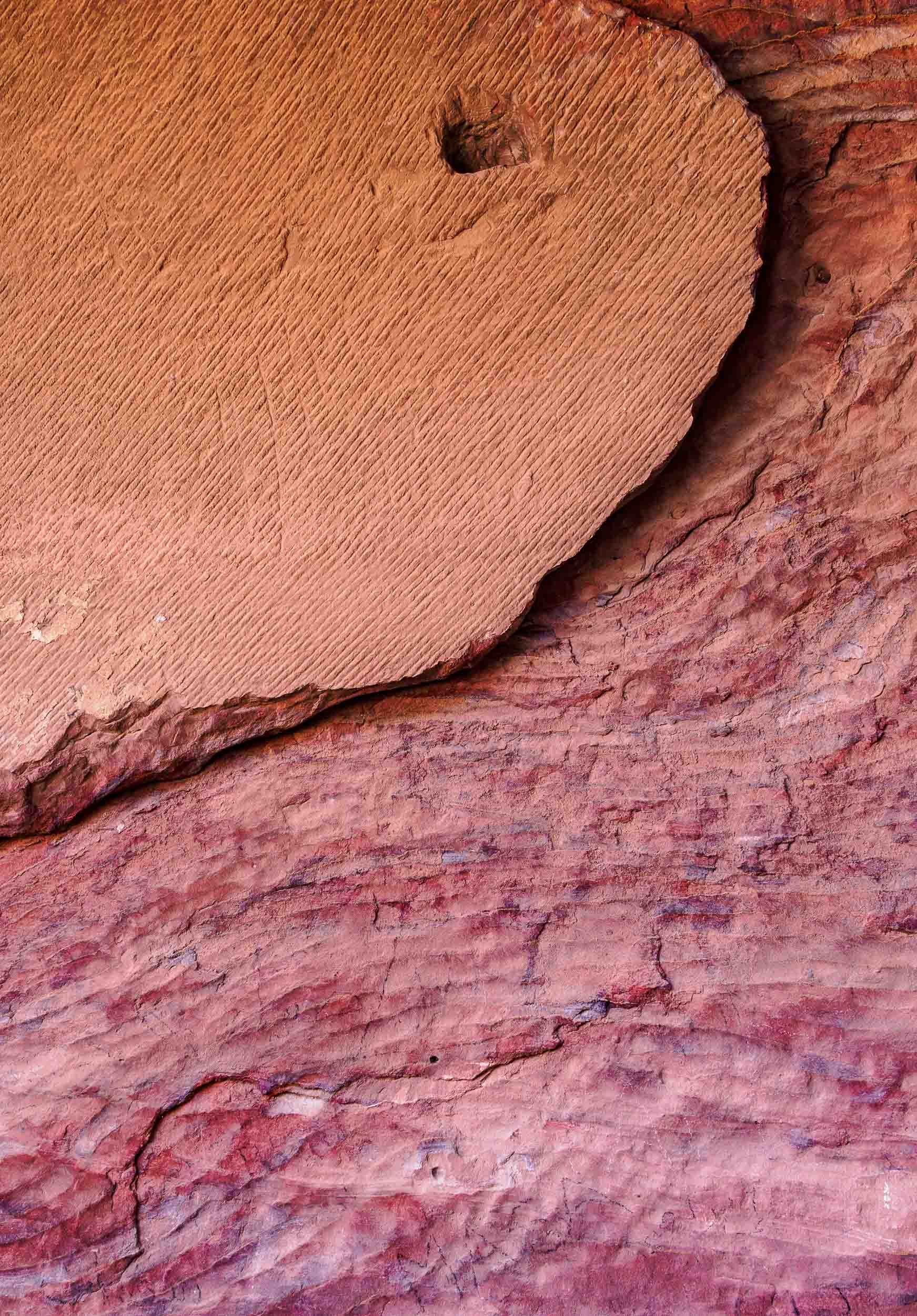
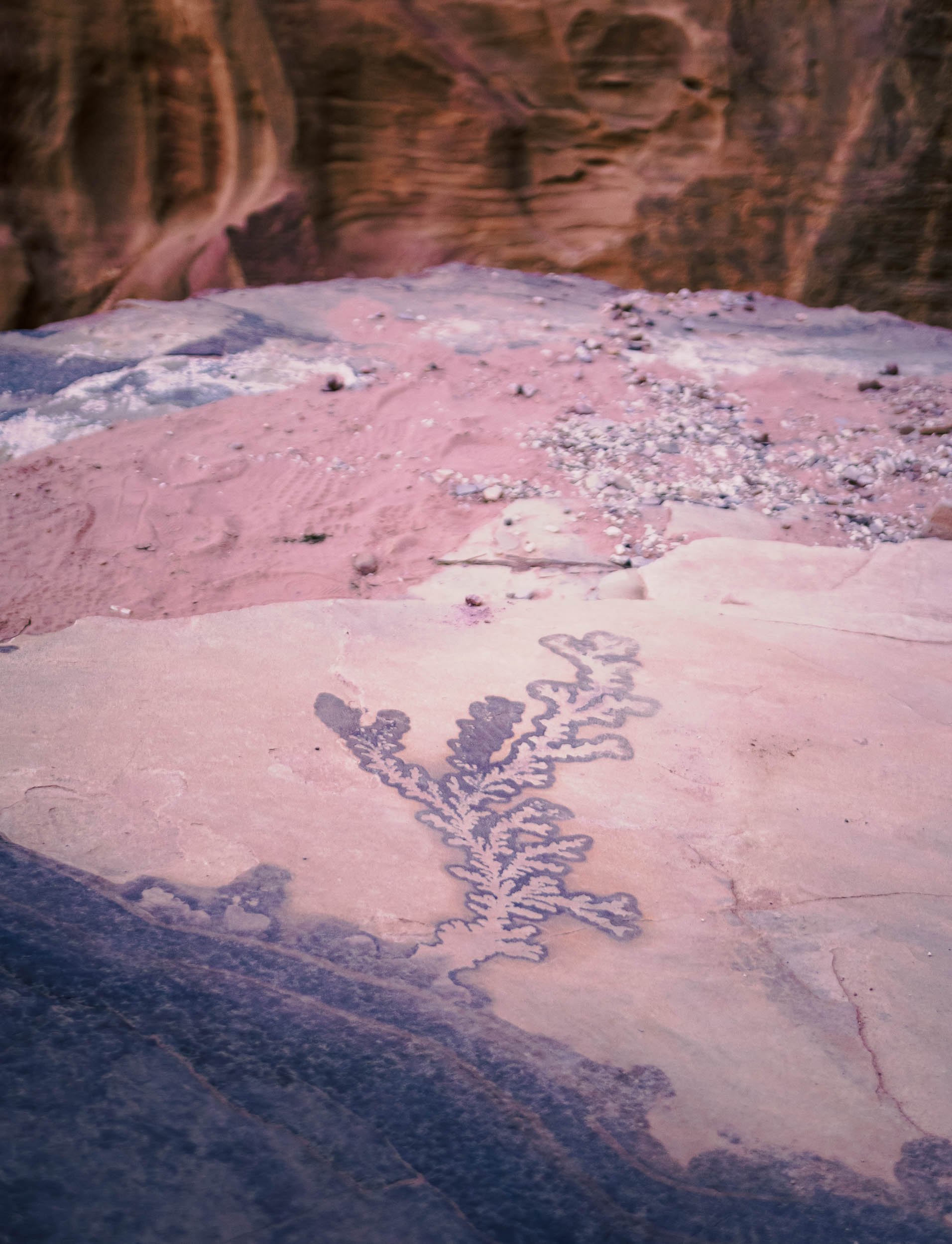
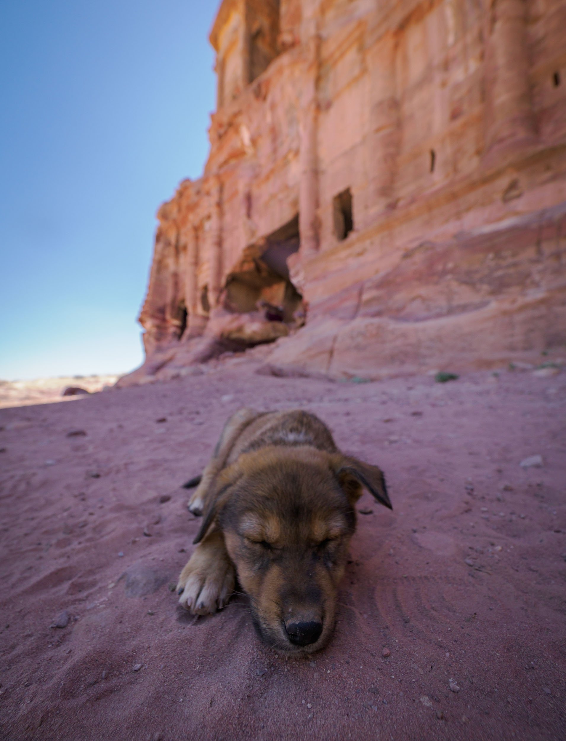
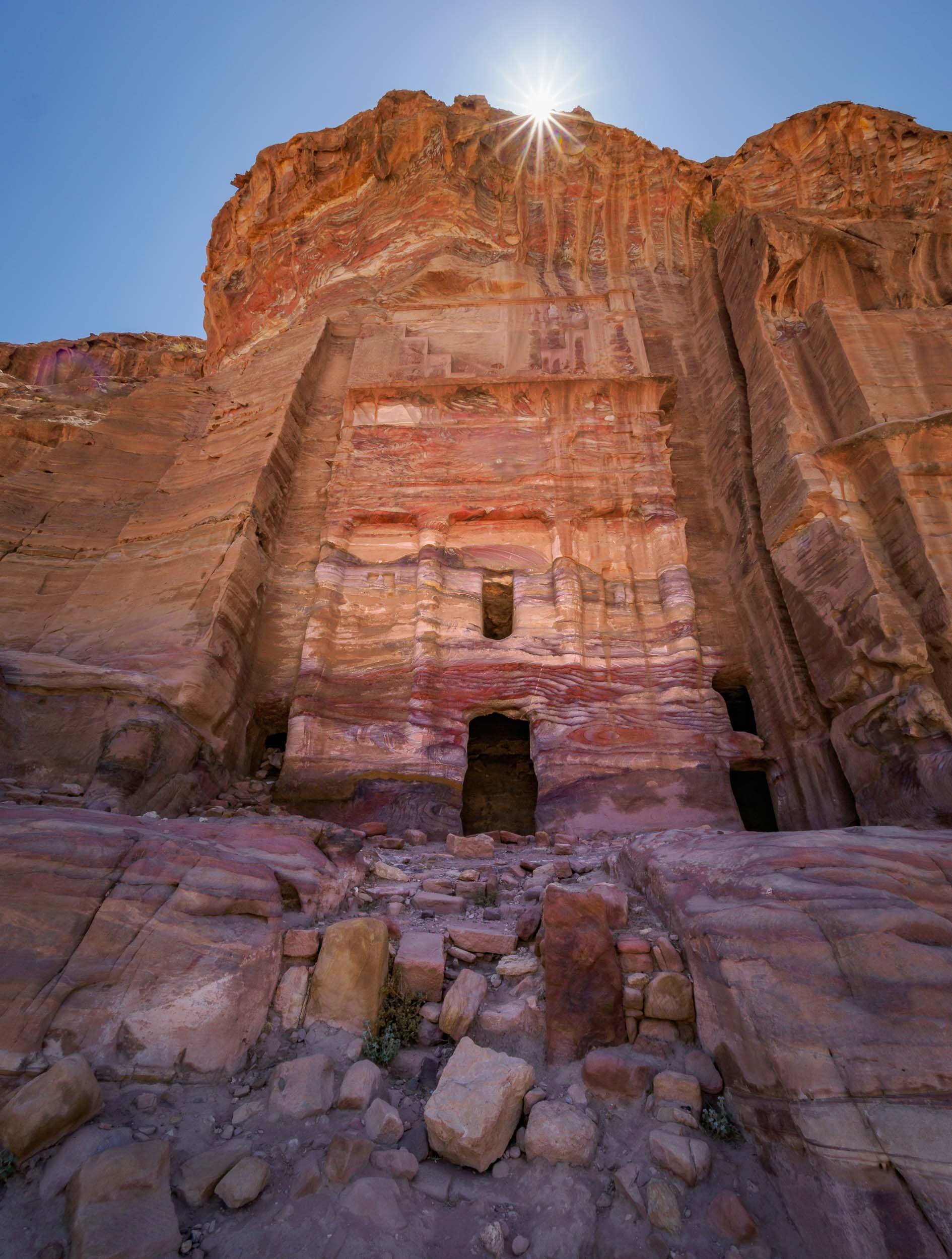
The Monastery
Maybe it’s simply the feeling of reward after the two hour journey to reach this place, but the Monastery might be my favorite structure in Petra. It was carved in the mid first century AD and follows the mixed architectural style that was characteristic for the Nabateans.


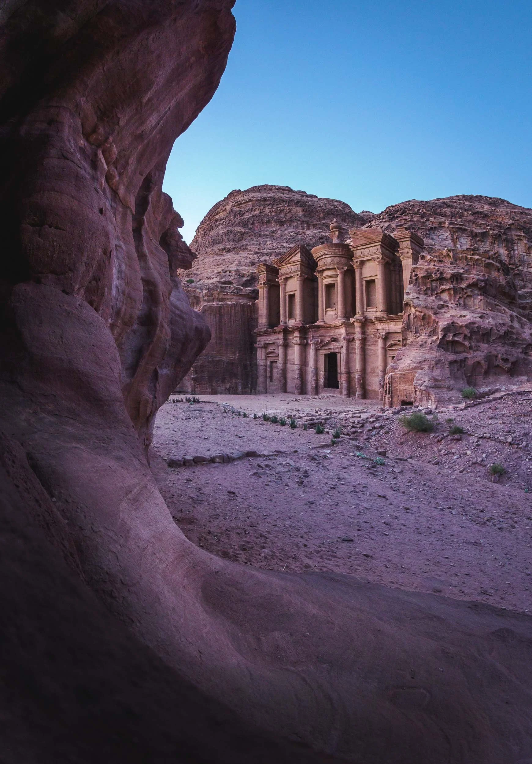
We were lucky to spend the sunset and early night here, allowing us to capture the structure in its best light and get a few star trails as well. It also meant that there were barely any other people left except us and the Bedouins… which couldn’t resist showing us their daring climbing skills.
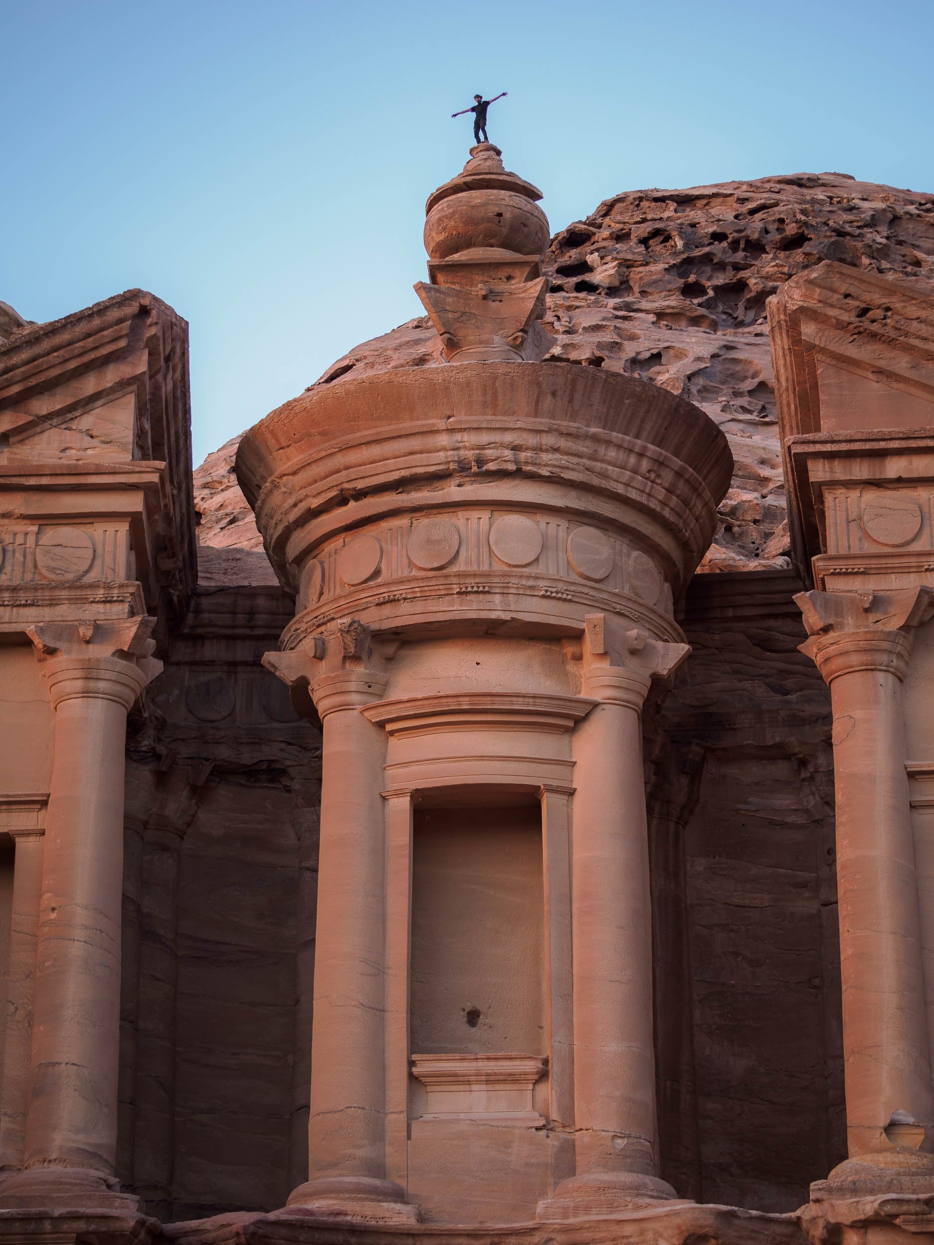

I couldn’t help but join them, and being up on the roof of the Monastery was an incredible feeling, but also one that reminded me that I have a healthy respect for heights - while I sat on the edge, you bet I didn’t follow that jump. Take a look at the video below and decide for yourself…
Wadi Rum - Mars on Earth
Another two hours further south of Petra lies one more of Jordan’s six UNESCO World Heritage Sites (Petra being one as well), and another one that has been featured in quite a few famous movies, such as Dune and The Martian. The original legendary appeal of Wadi Rum comes from the tales of Lawrence of Arabia though, which kick-started the tourism industry here.

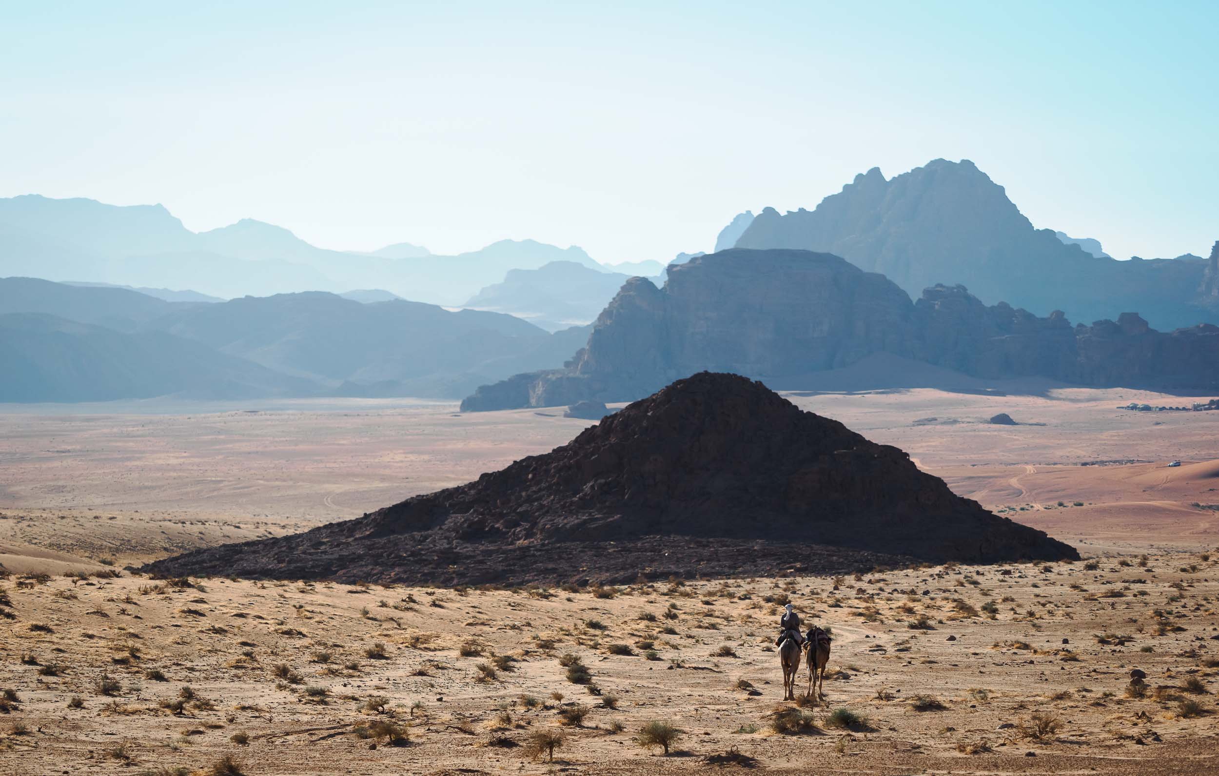
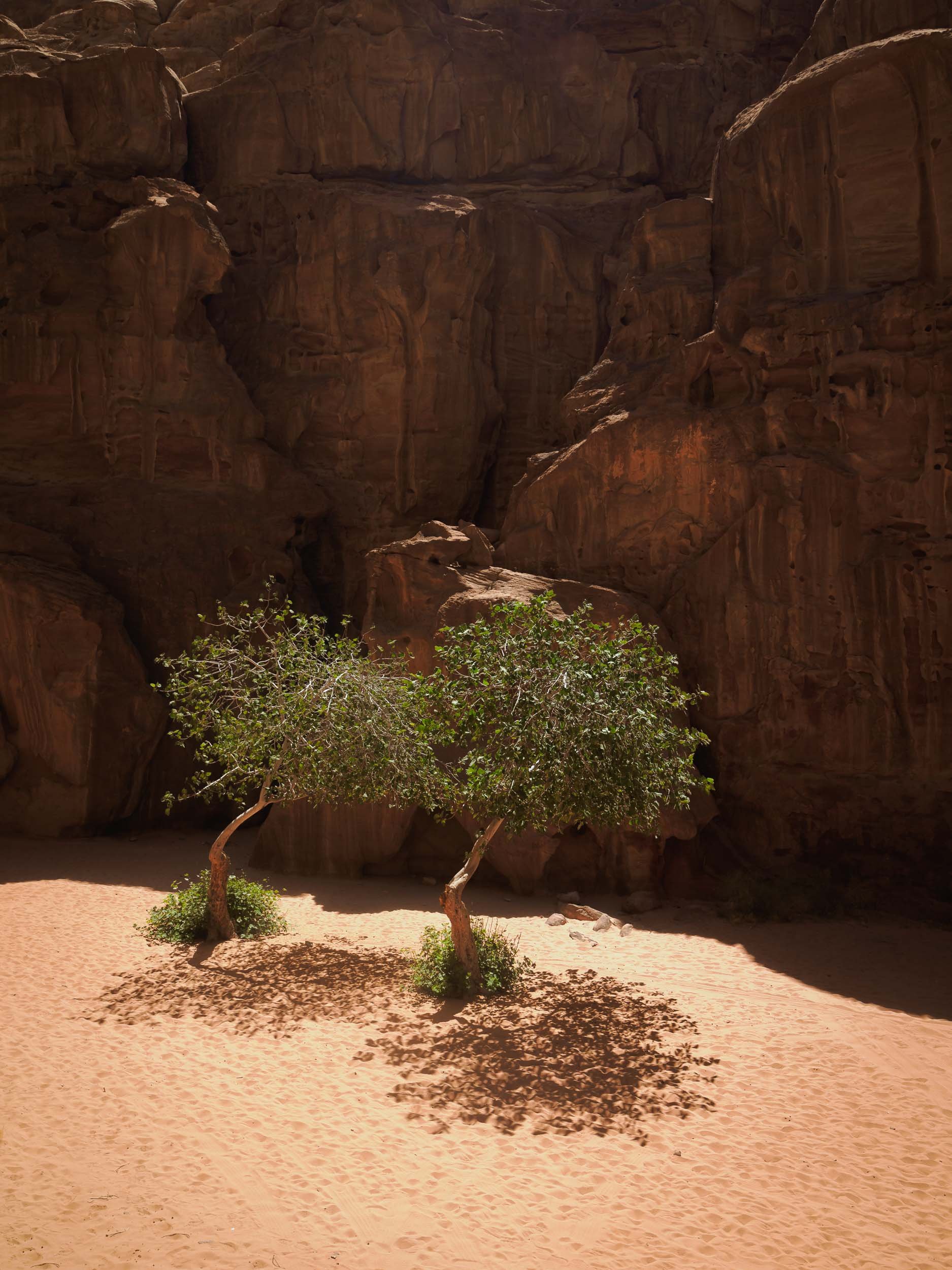
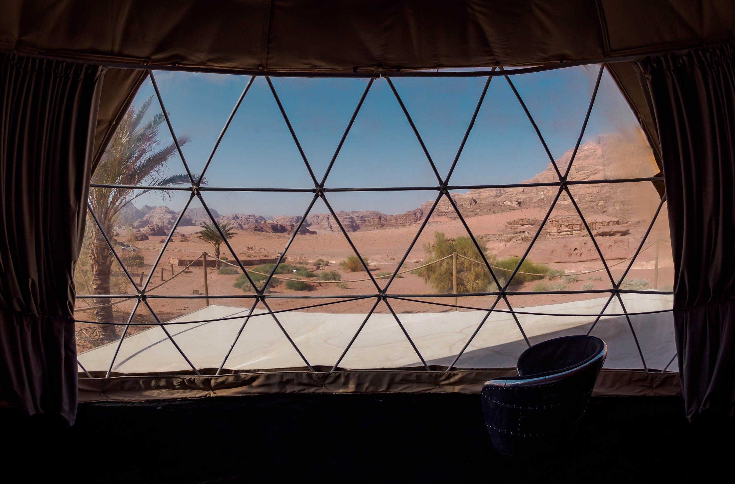
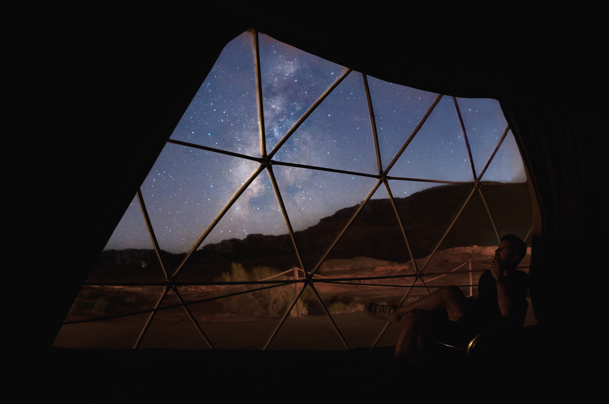
The first night took us out to a beautiful arch (one of many) not too far from the camp, and it was time for the first Milky Way session (also one of many)!
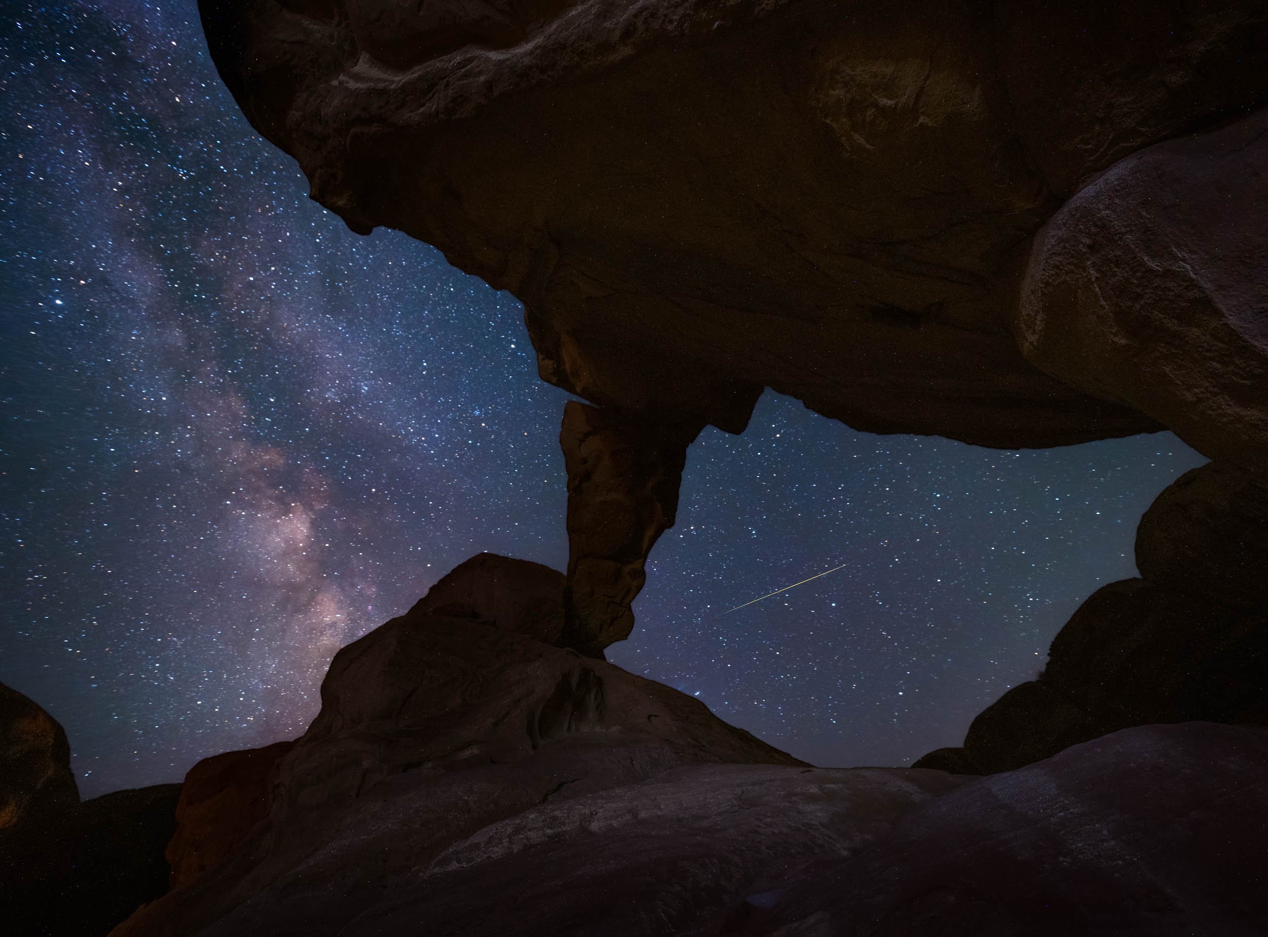

Another arch was on the cards for the following night, in fact, there are two different ones in this spot just a hundred meters apart. Paradise of rock formations!
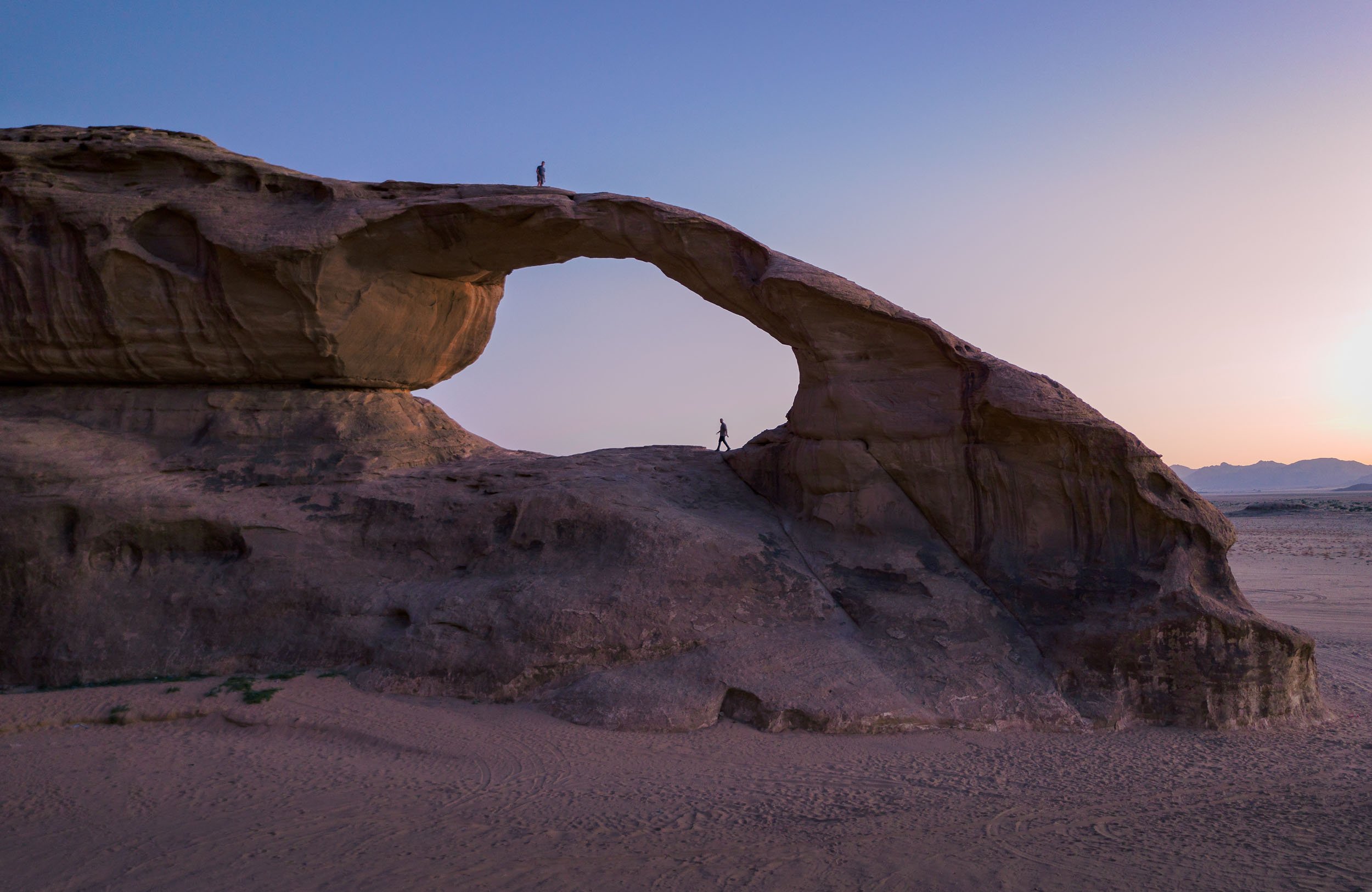


Luckily there were a few cats around for company while one waits for the camera to finish taking 3 hours of exposures…
Our last night here was spent heading out to a few nearby dunes for sunset, joining our guides and their camels for dinner. The camel is a favorite animal of the Zalabieh bedouins that are resident here, and a symbol for male pride.
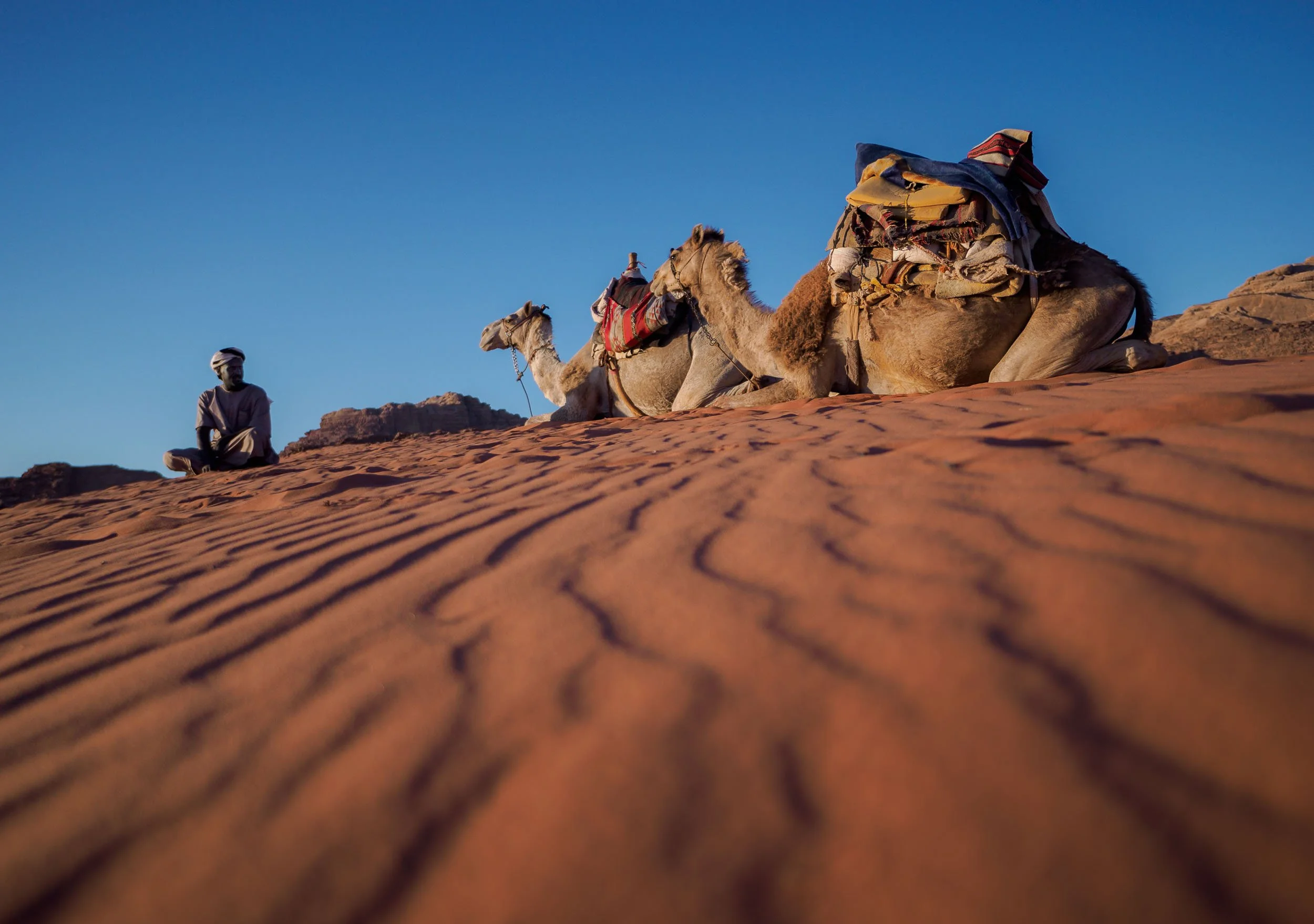

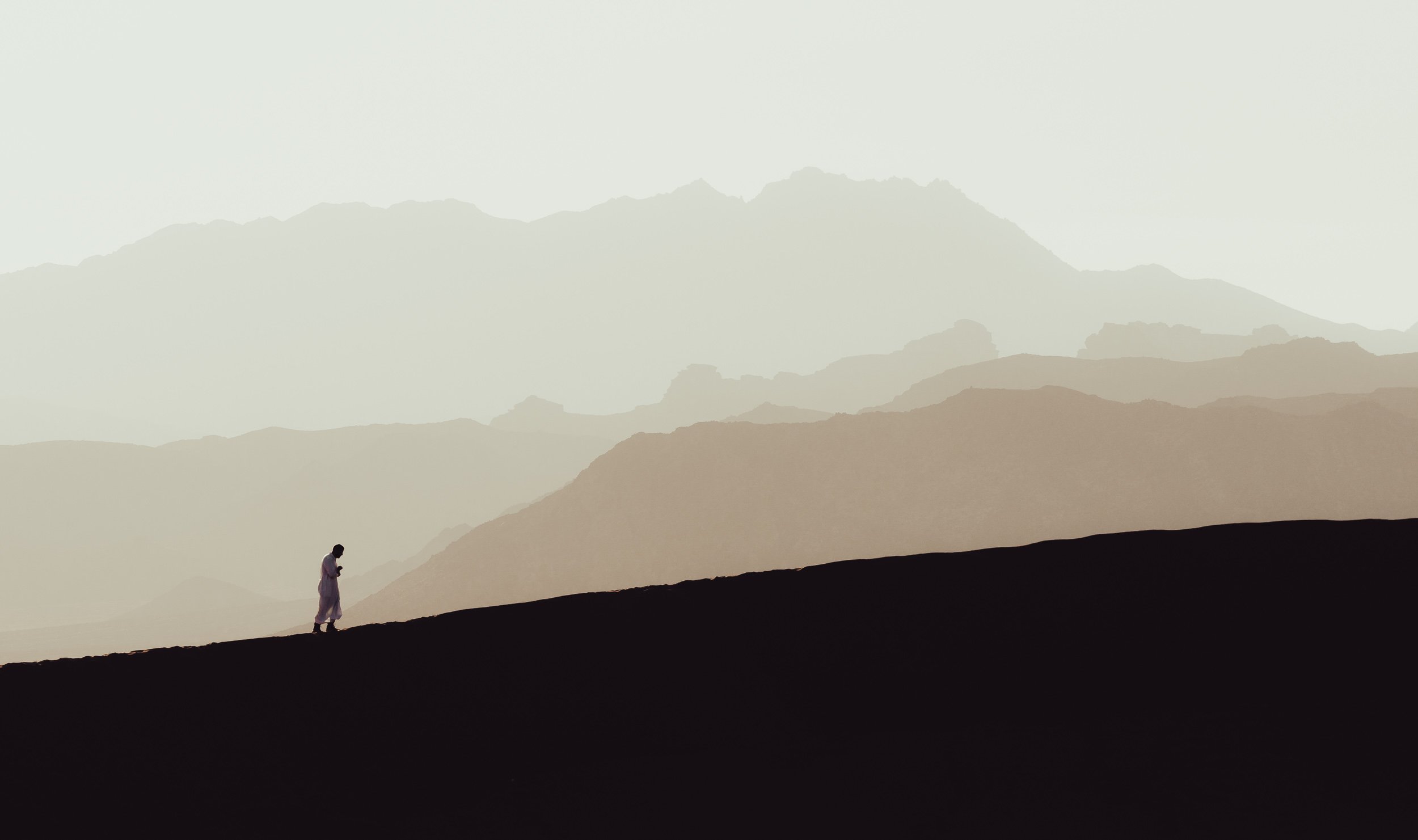

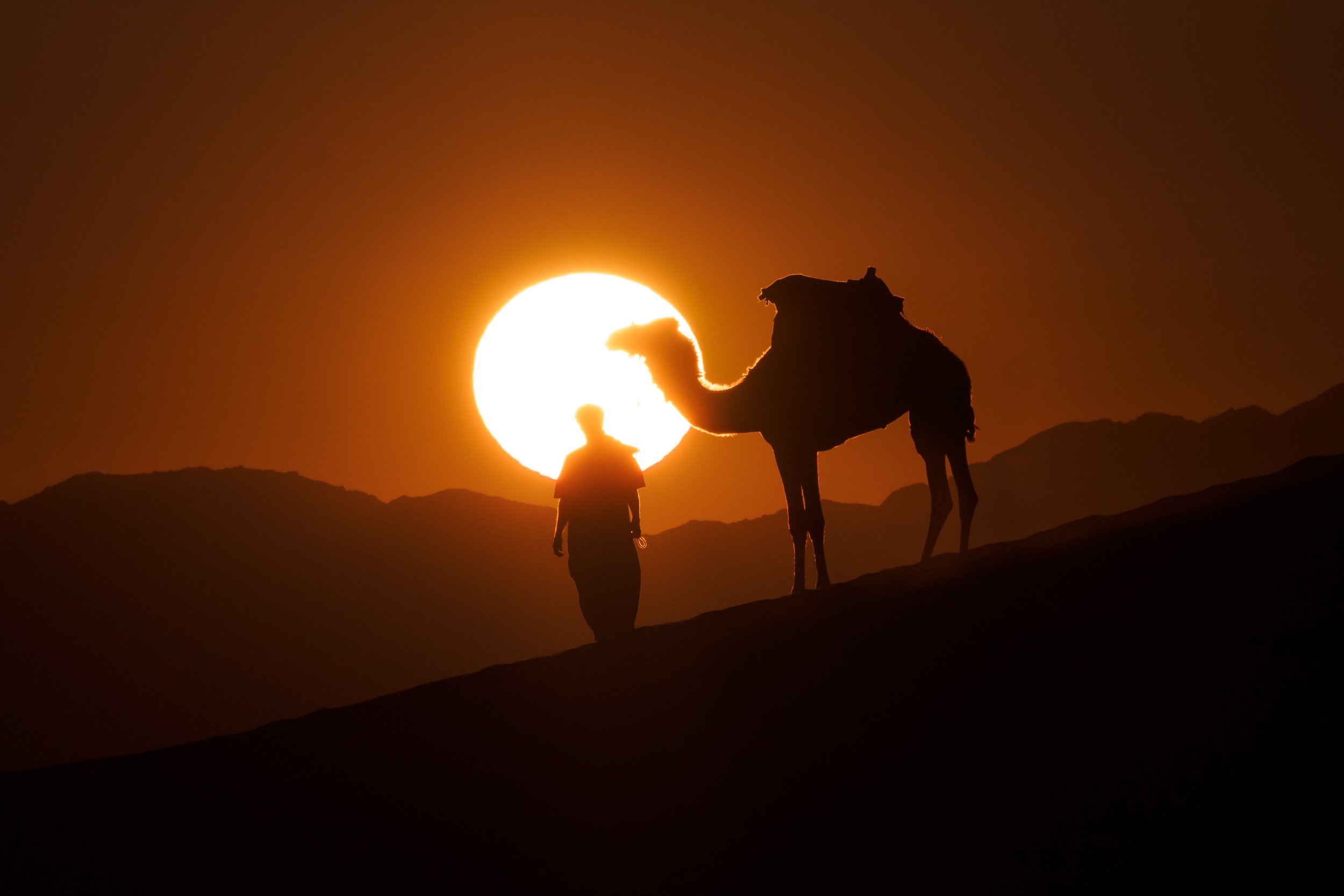
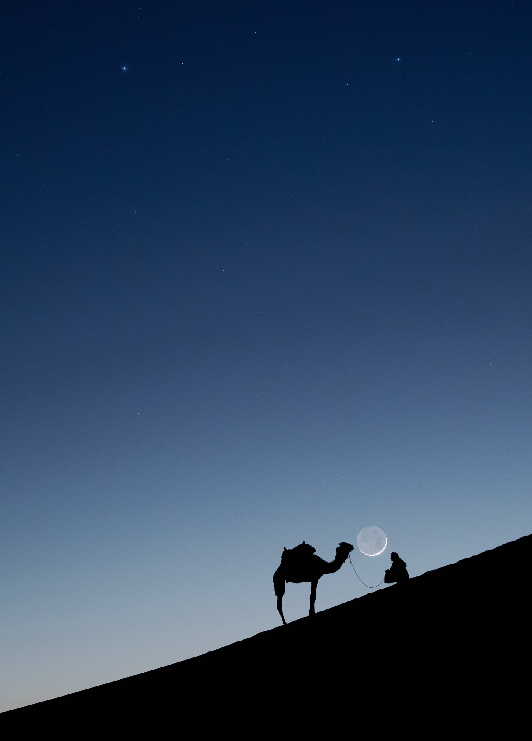
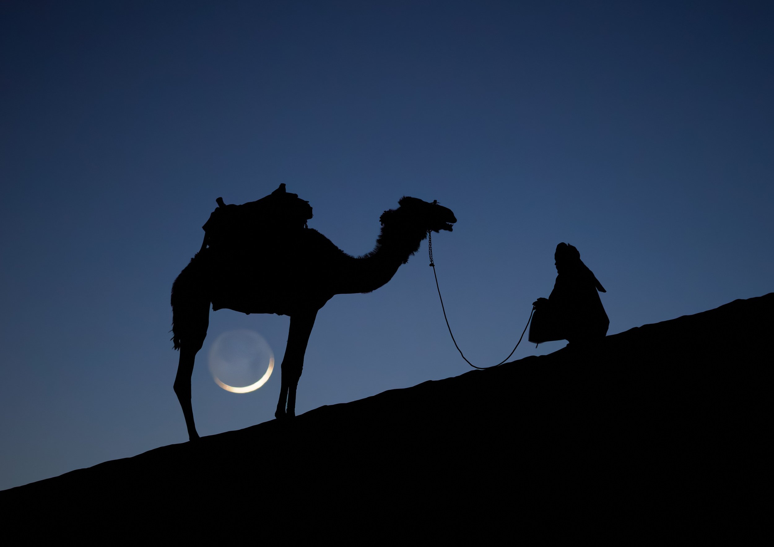
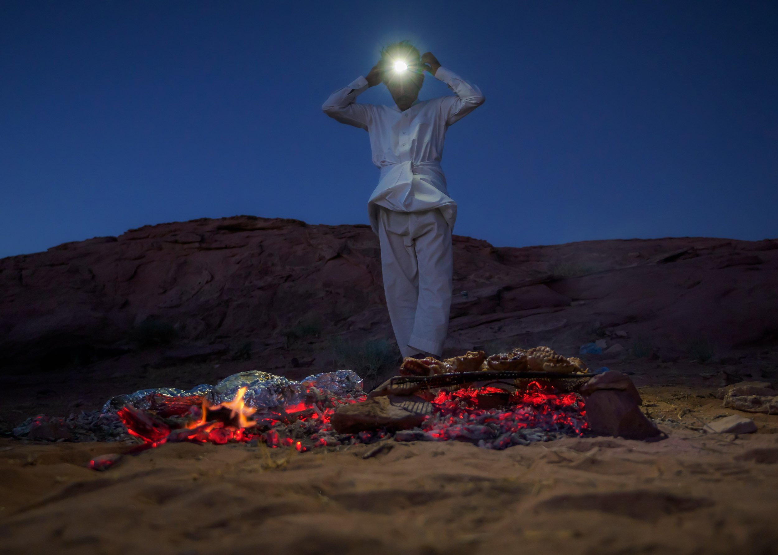
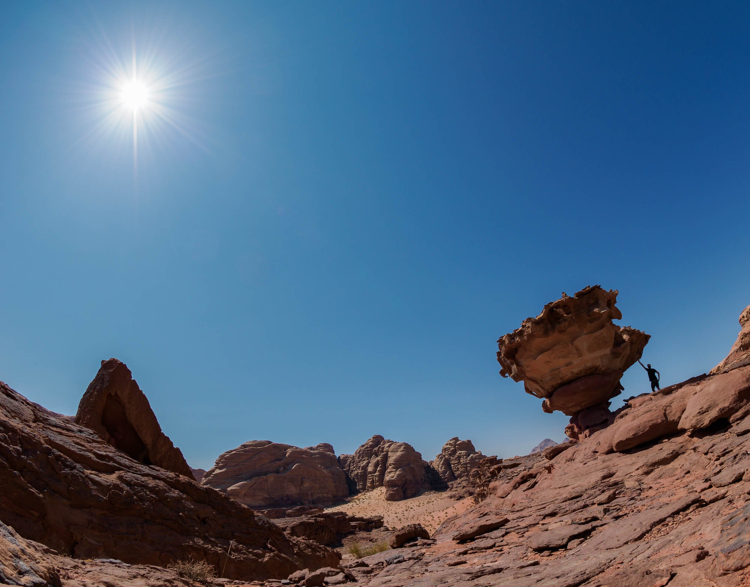
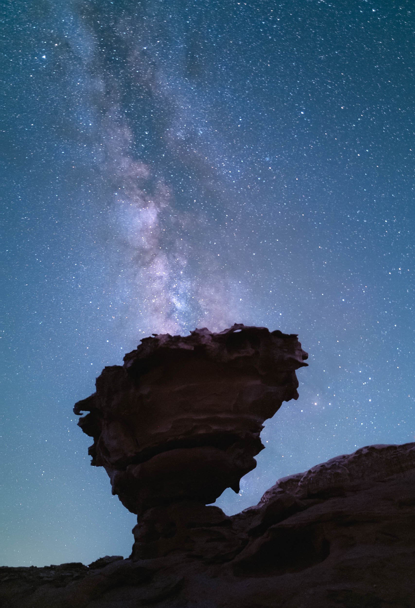
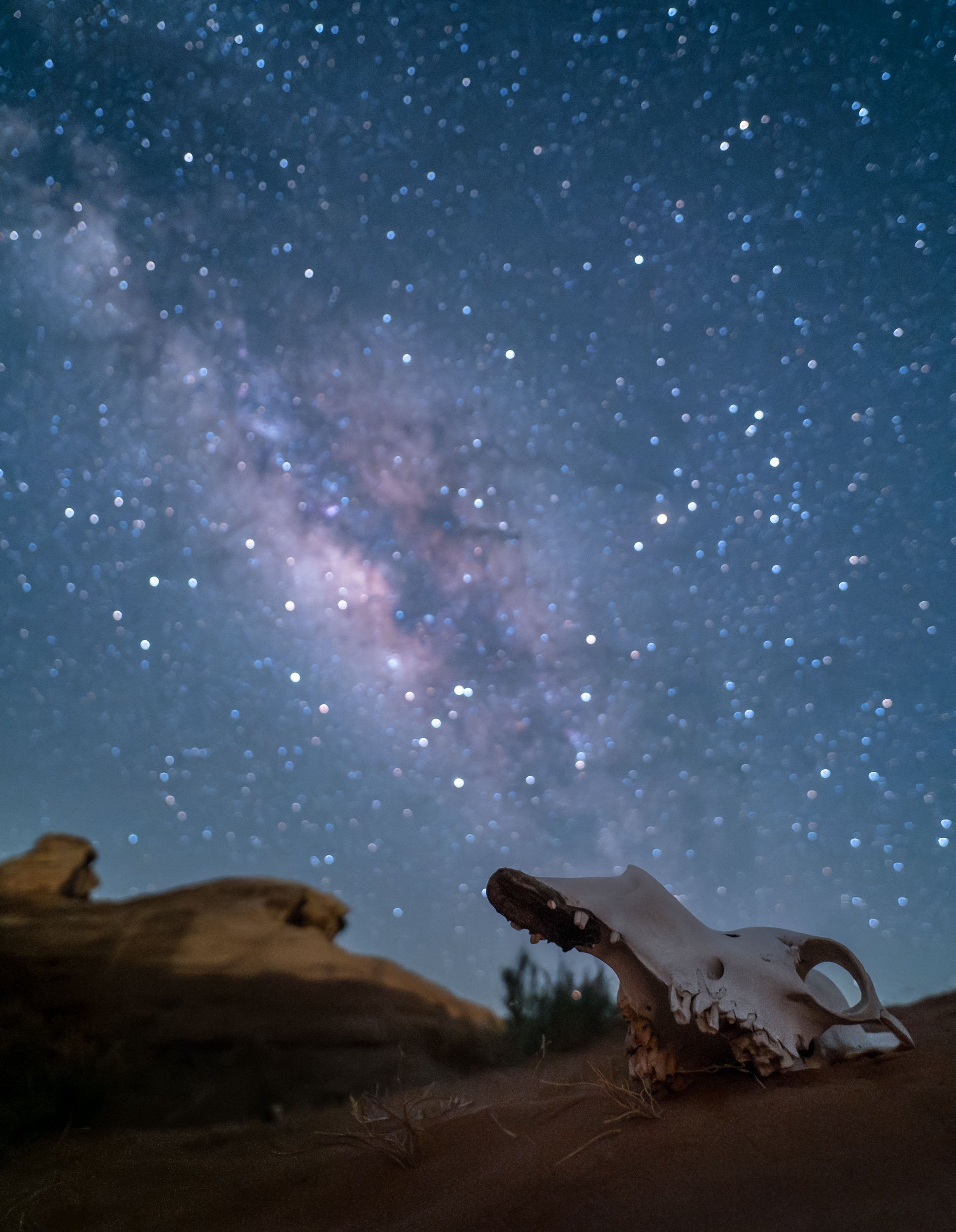
While I was off to take these photos, I set up another camera on my star tracker (the Benro Polaris) to take a timelapse sequence while the tracker was counteracting the rotation of the earth, effectively canceling it out and showing how our home planet makes its way through the galaxy.
The Final Morning in Wadi Rum
While drones are not allowed without a (very difficult to get) permit from the government, luckily there are other ways to see places from above, which I took advantage of before having to leave this incredible landscape.
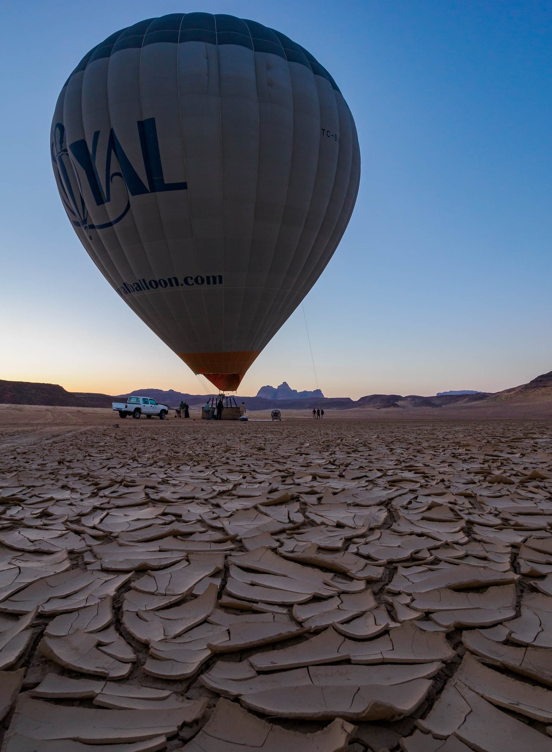
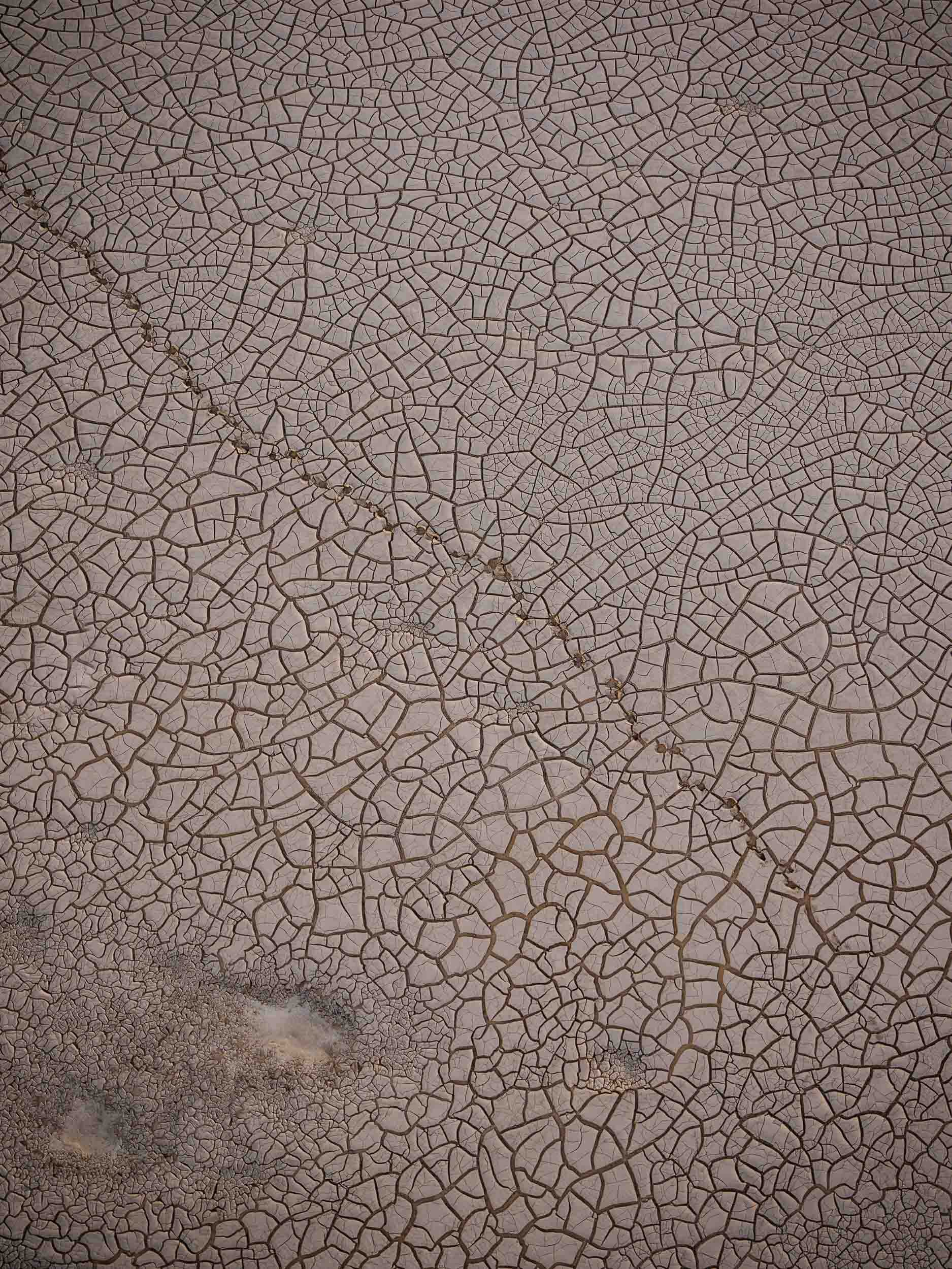

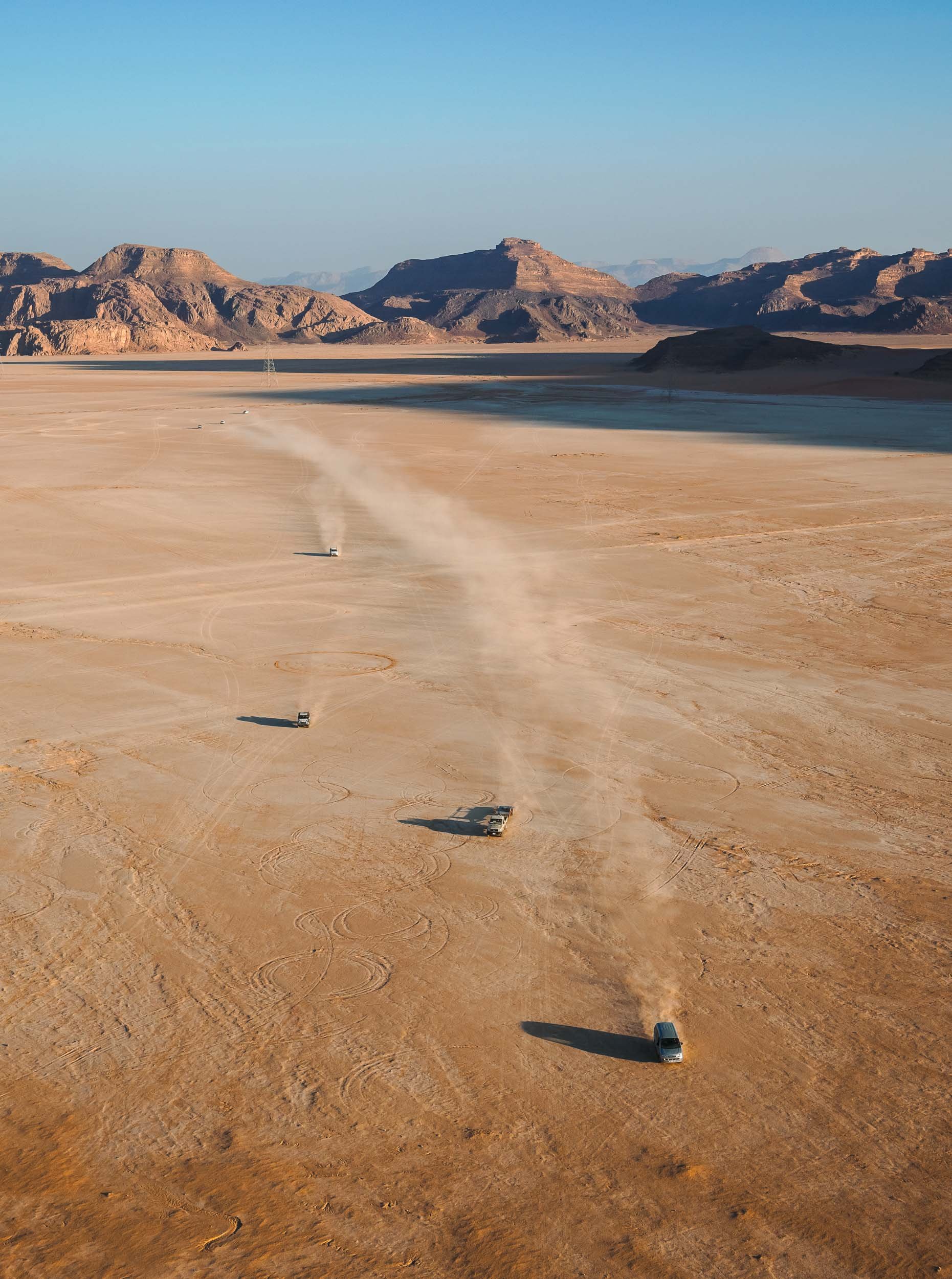
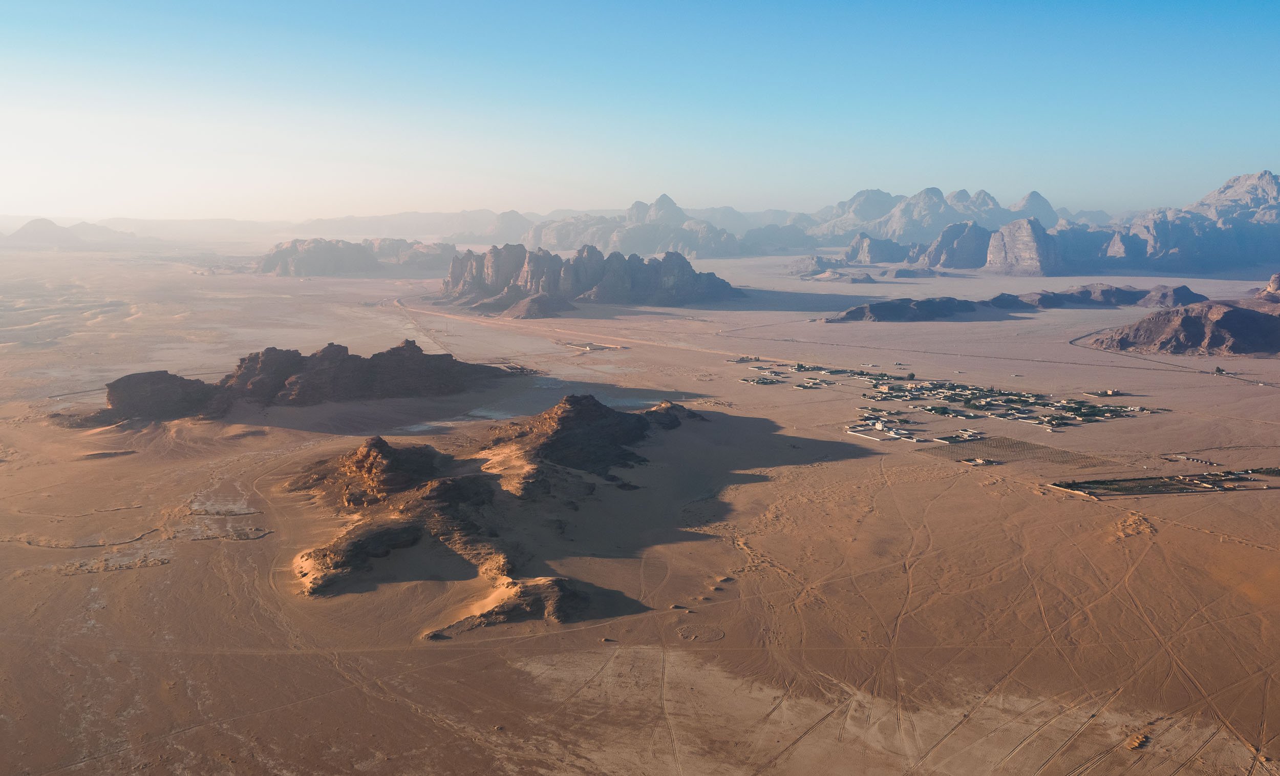
Back to the North
At this point I said goodbye to Benjamin and the group and continued the journey back into the northern parts of the country on my own, hoping to explore the ancient historic and a few more natural sites.
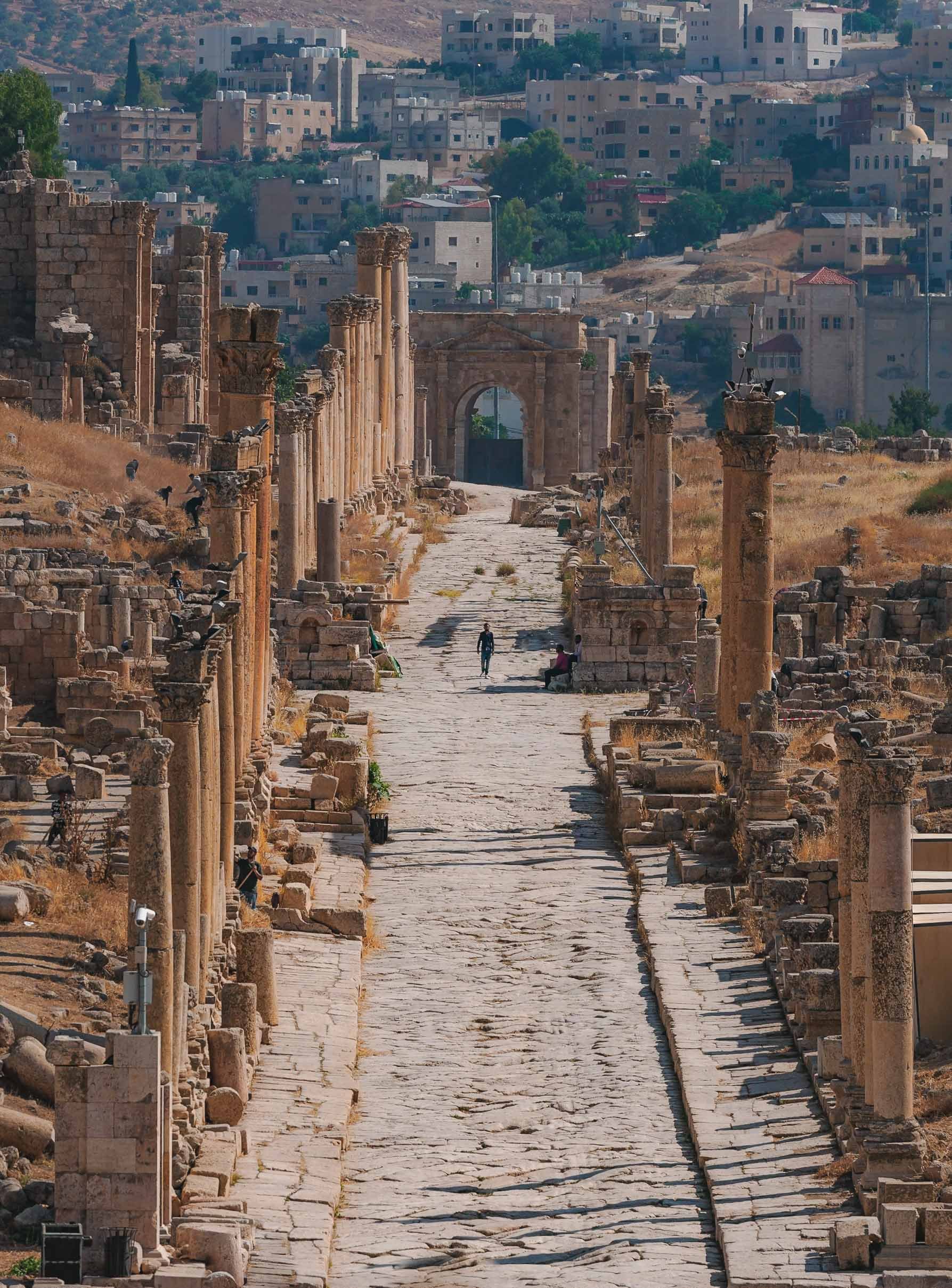
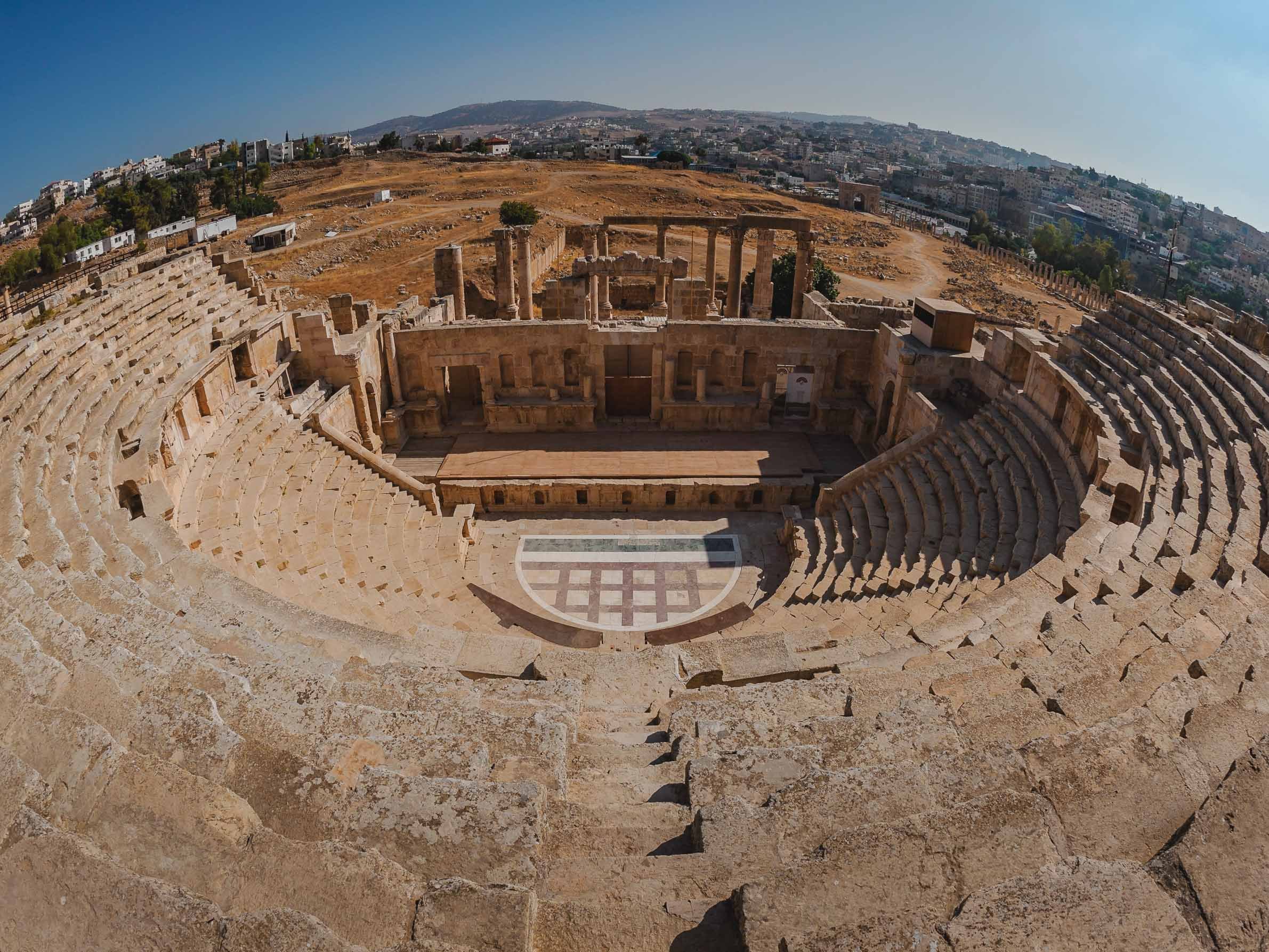


The Salty Sea
Heading back south, my next destination was the Dead Sea - one of the world’s saltiest water bodies and the lowest point on earth, at almost 450m below actual sea level. The water level falls at an alarming rate, dropping around 1 meter per year. Its high level of salinity (more than 10 times of a normal ocean) means there is no life to be found in and around it, and that swimming is more like floating - you can’t sink here.
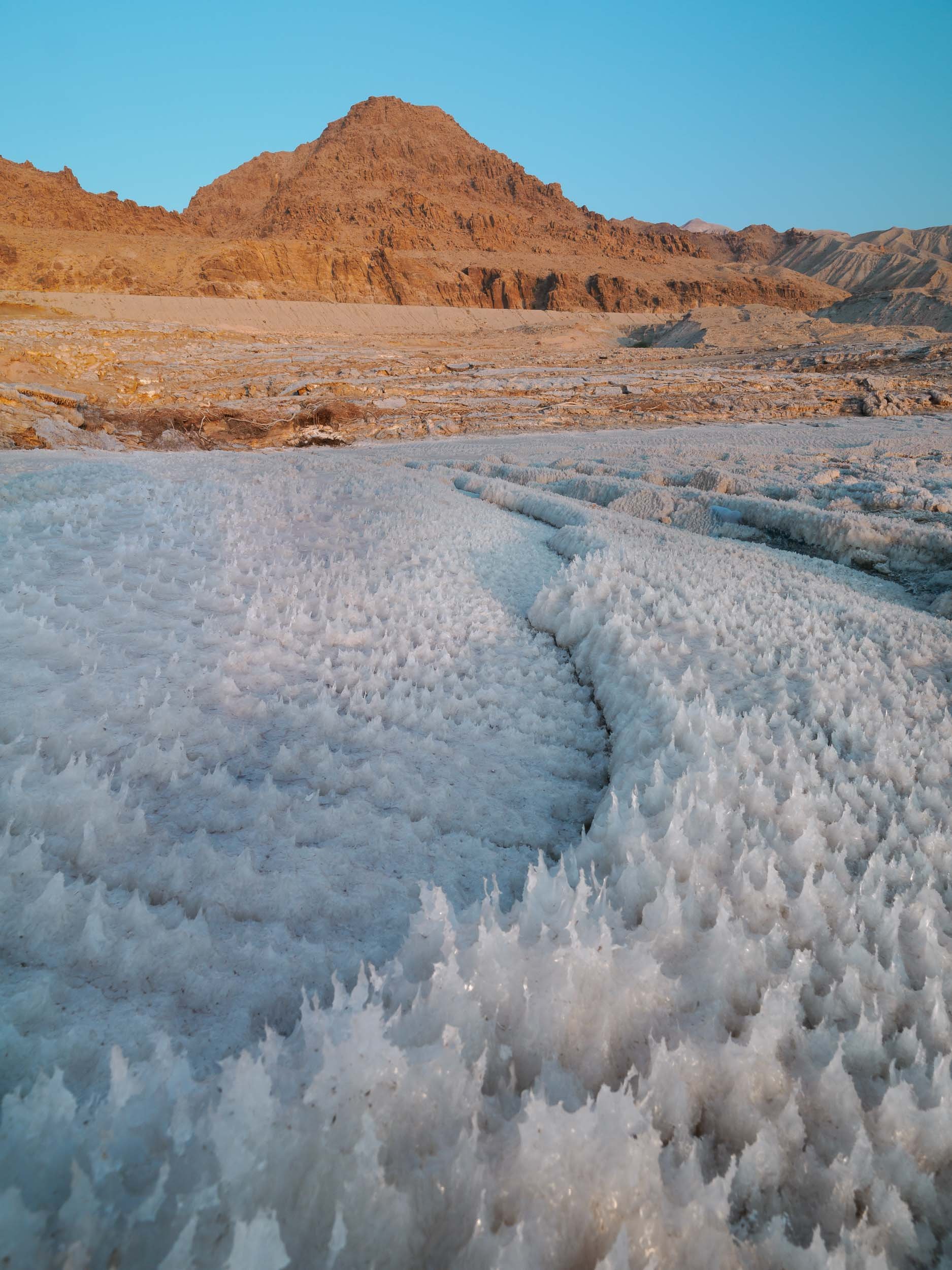
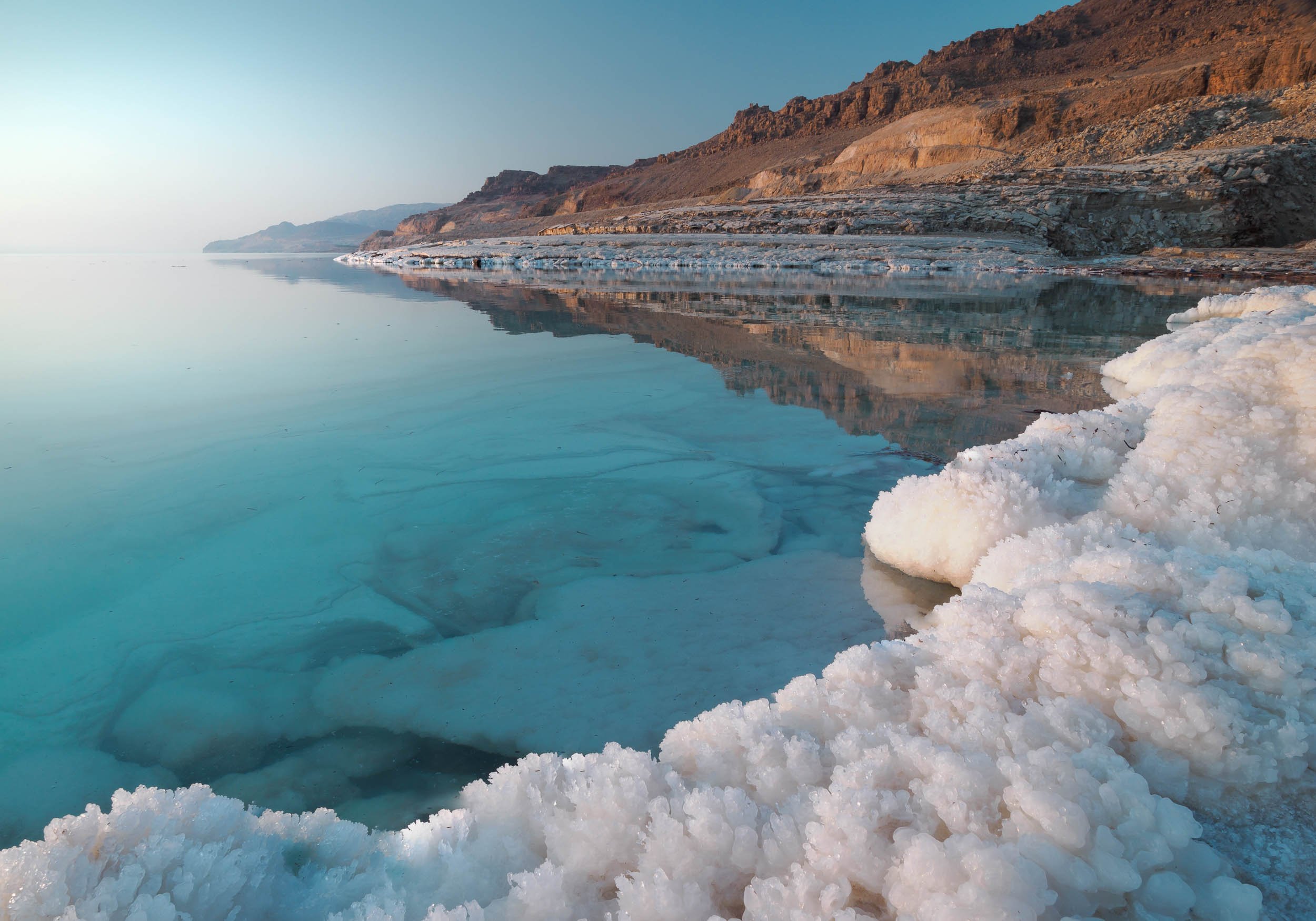
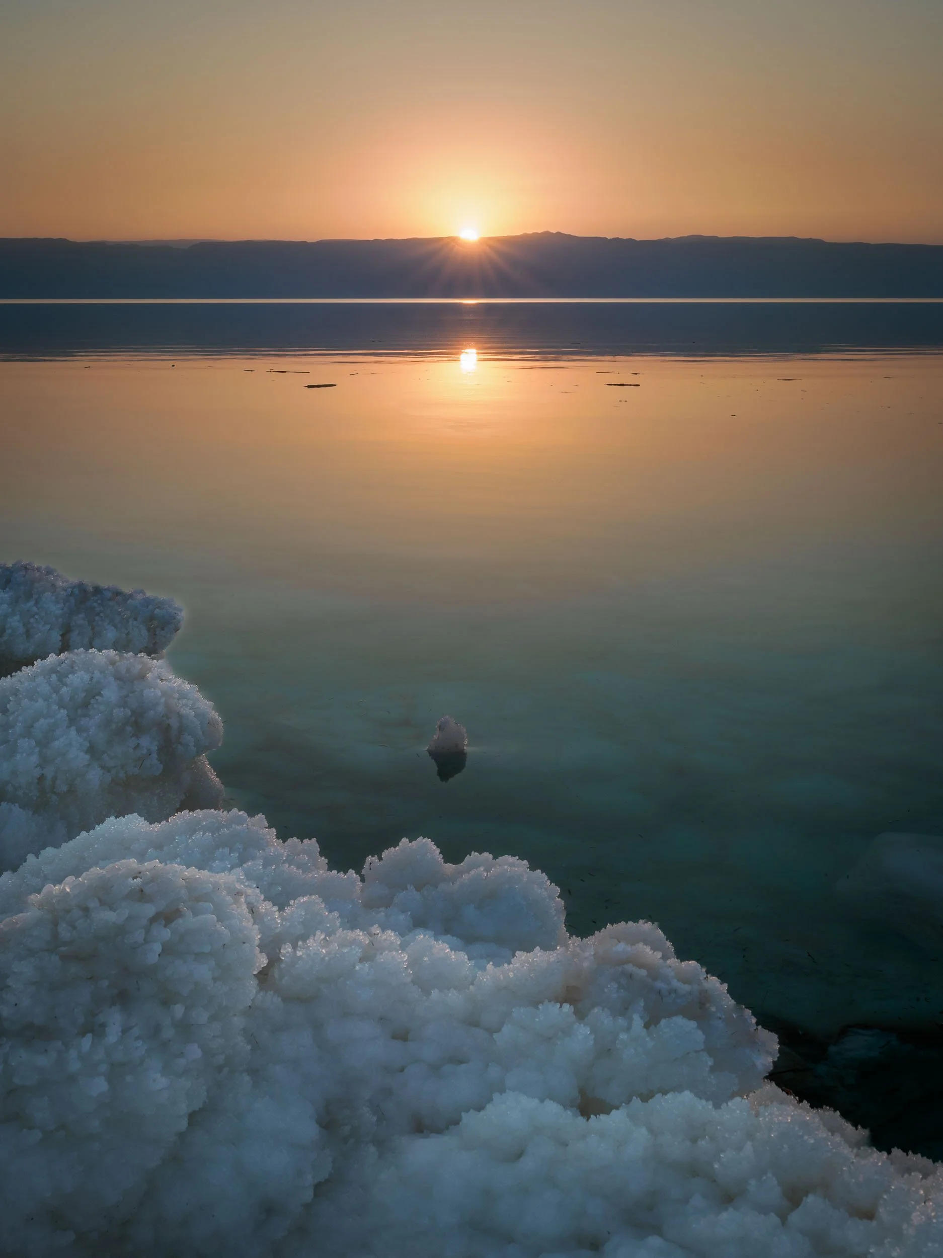

While originally a single body of water until the 1970s, the southern section of the Dead Sea (which is in fact a lake) is now completely separated from the northern part, and divided into commercially used evaporation pools to extract and produce chloride. The future of the northern part is not clear, some say it will eventually dry up completely, others believe this is unlikely due to the continued inflow of water, and the reducing evaporation rate that will eventually match the inflow. Commercial projects to save the lake at its current levels, such as a canal from the Red Sea, have been announced but never actually made significant progress.

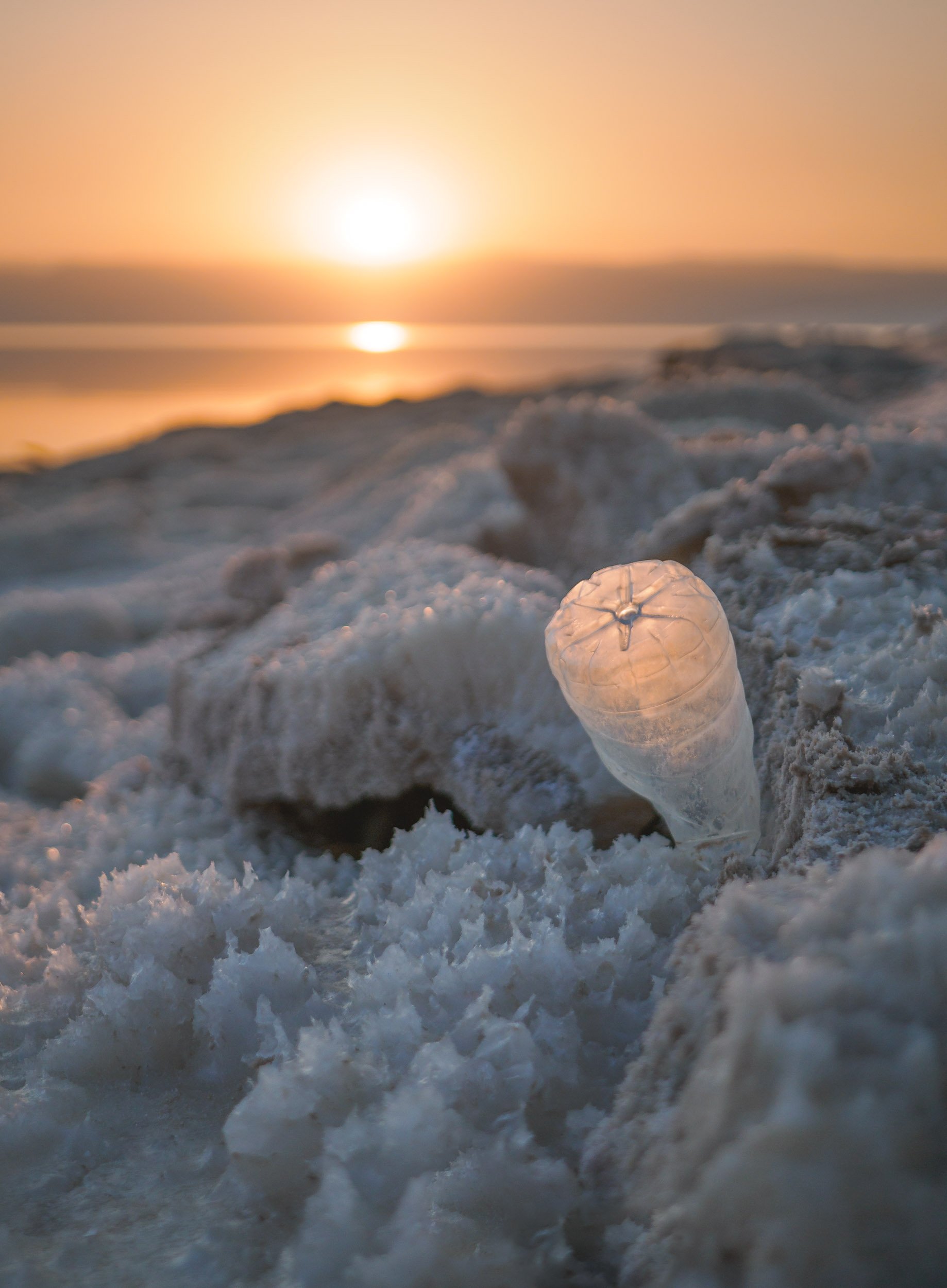
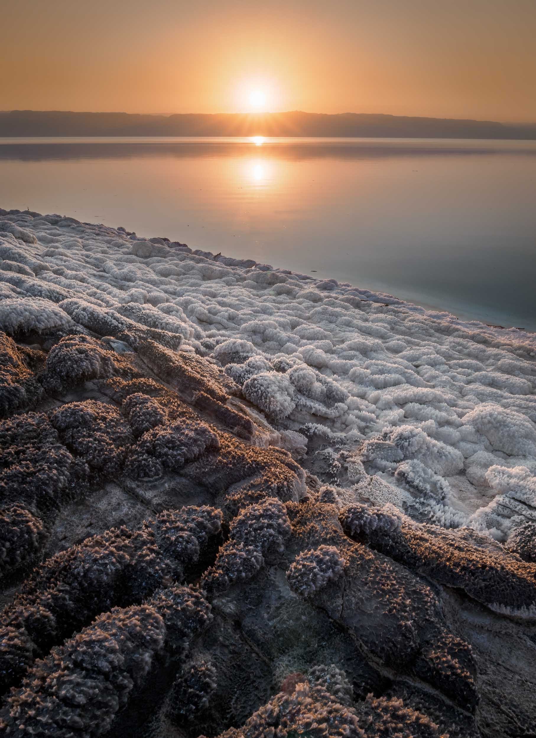
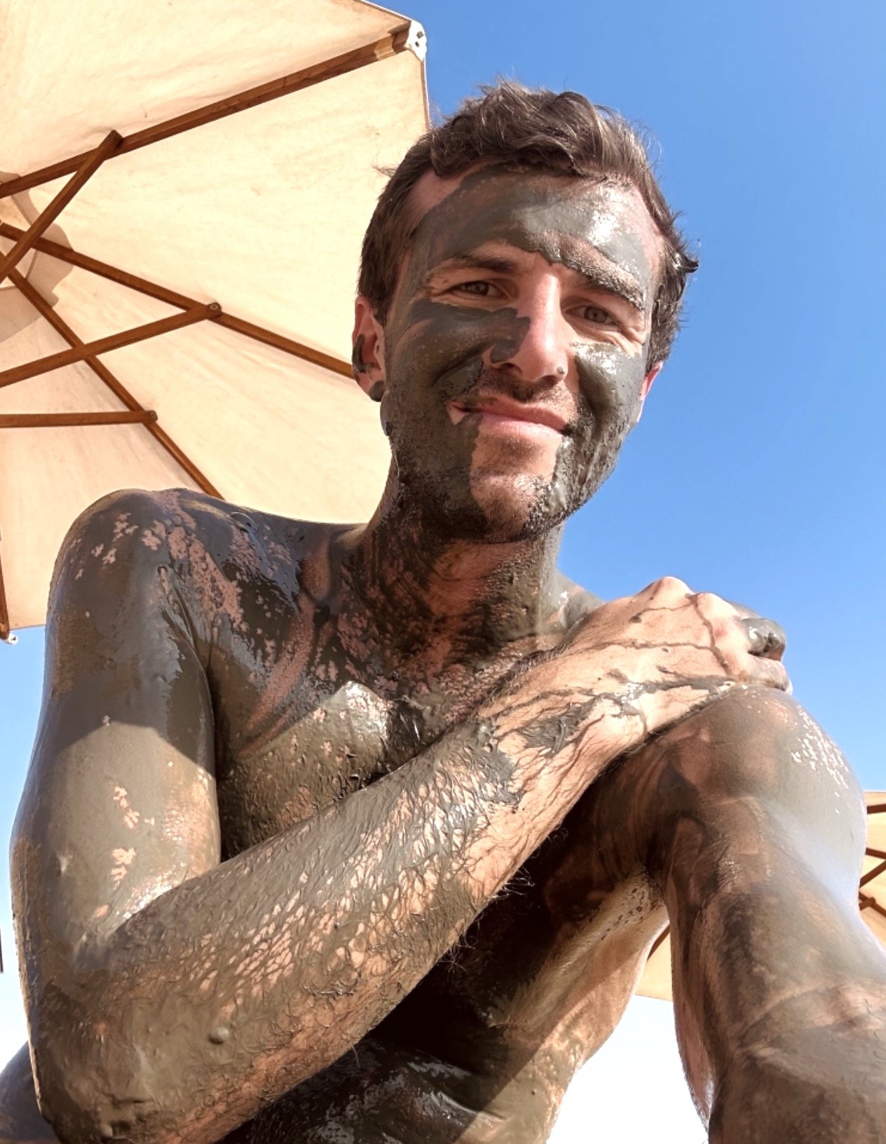
Wadi Mujib
On the shores of the Dead Sea lies a beautiful biosphere reserve around a river that empties into the lake, with options for hiking and canyoning.
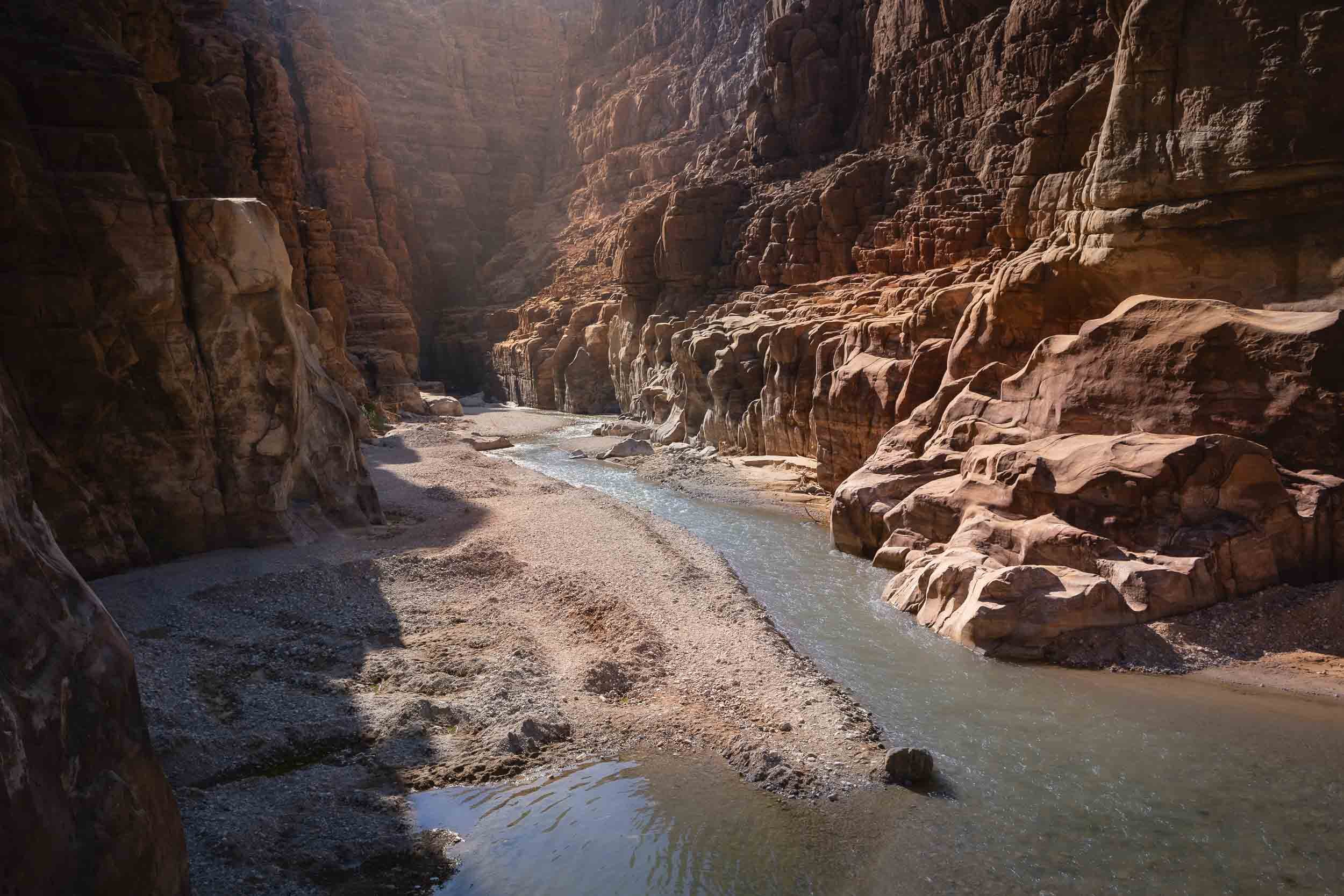

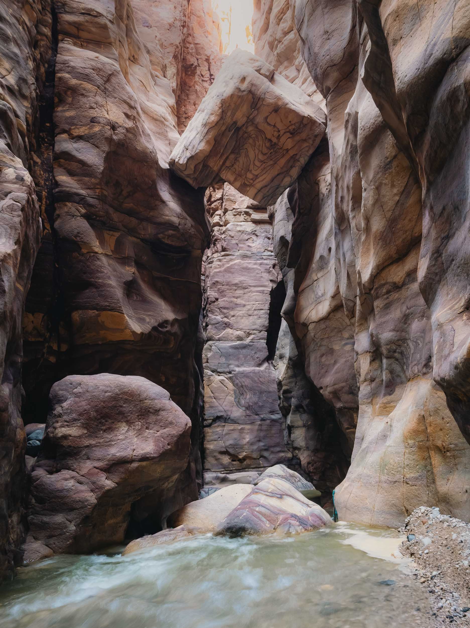
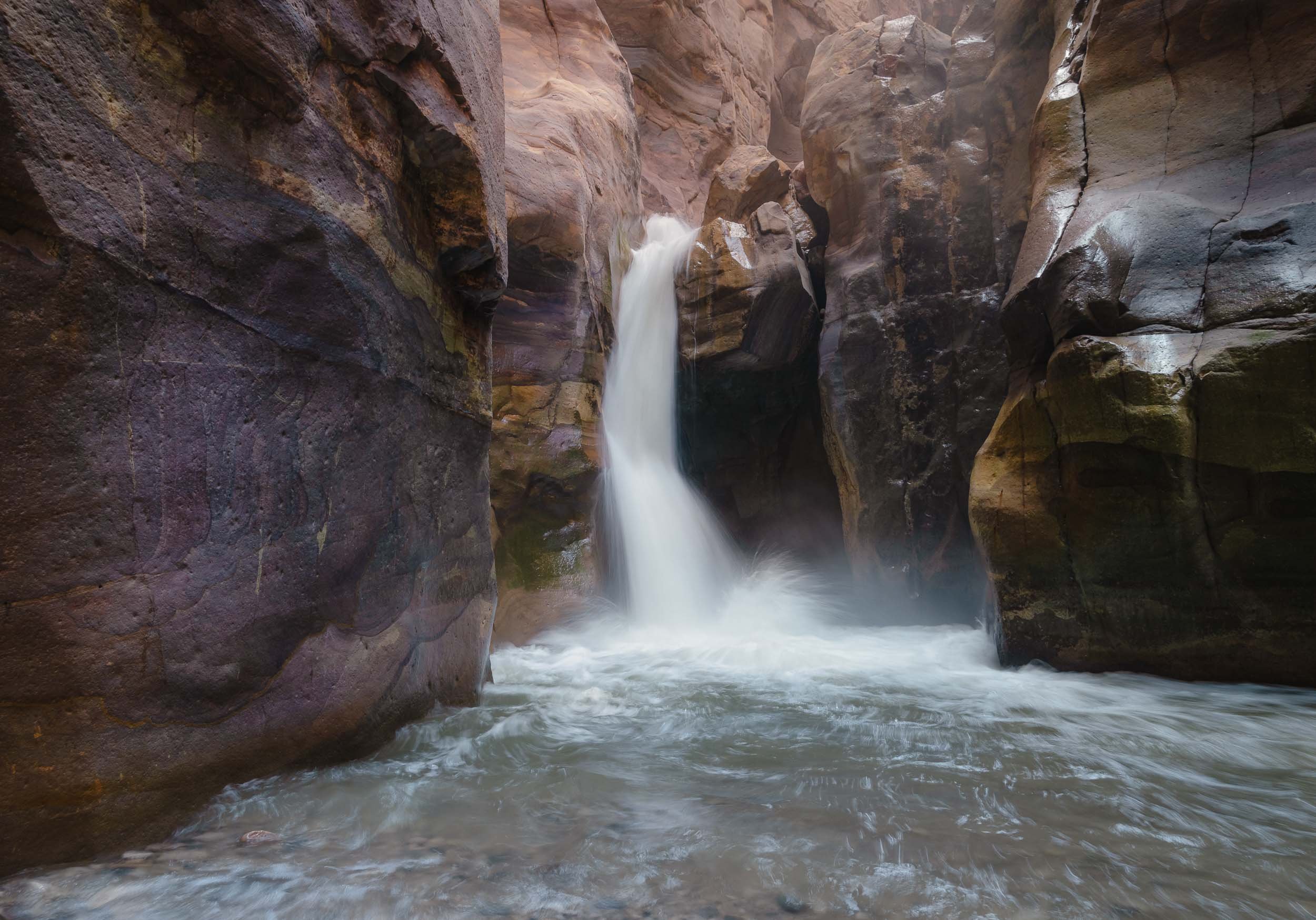
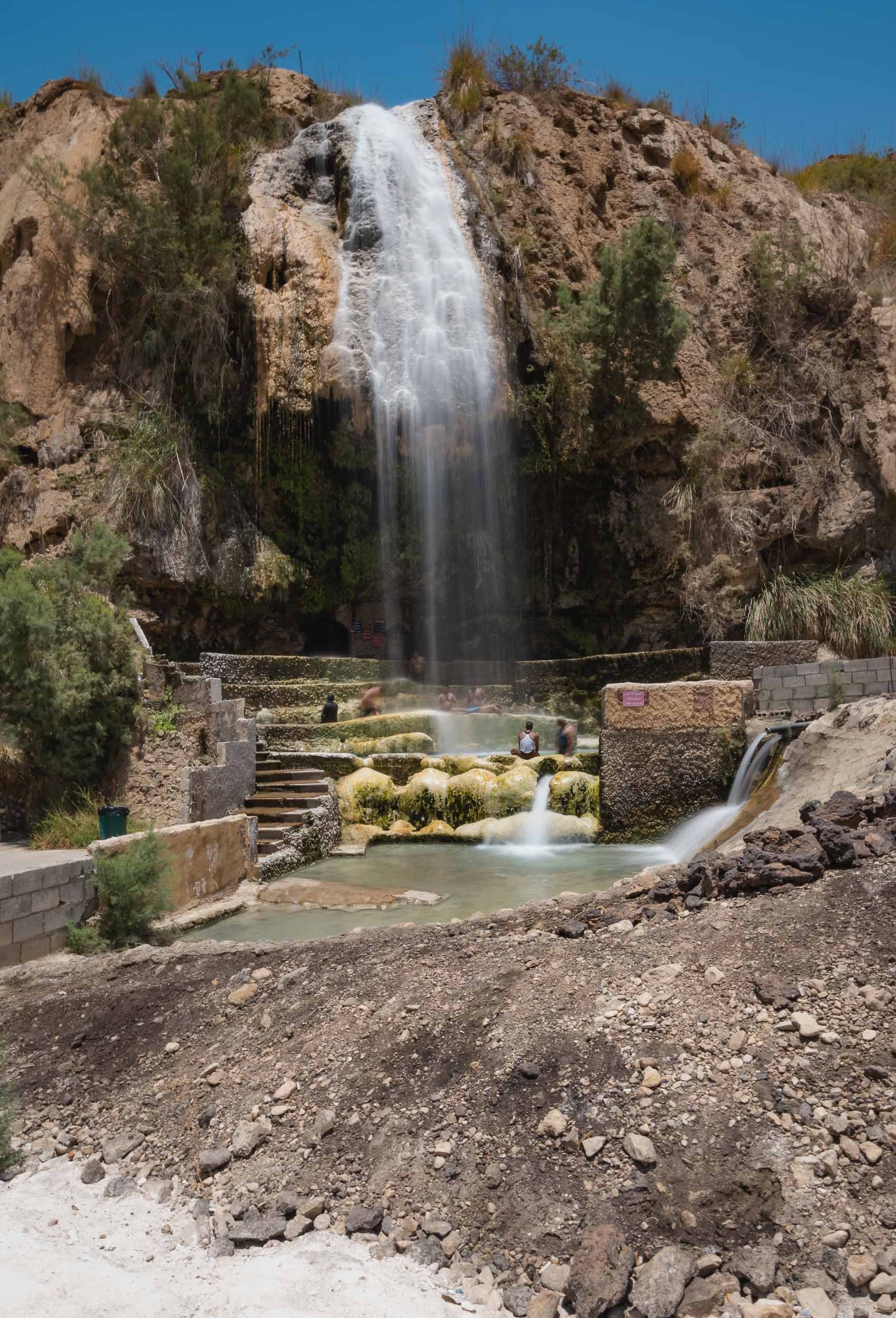

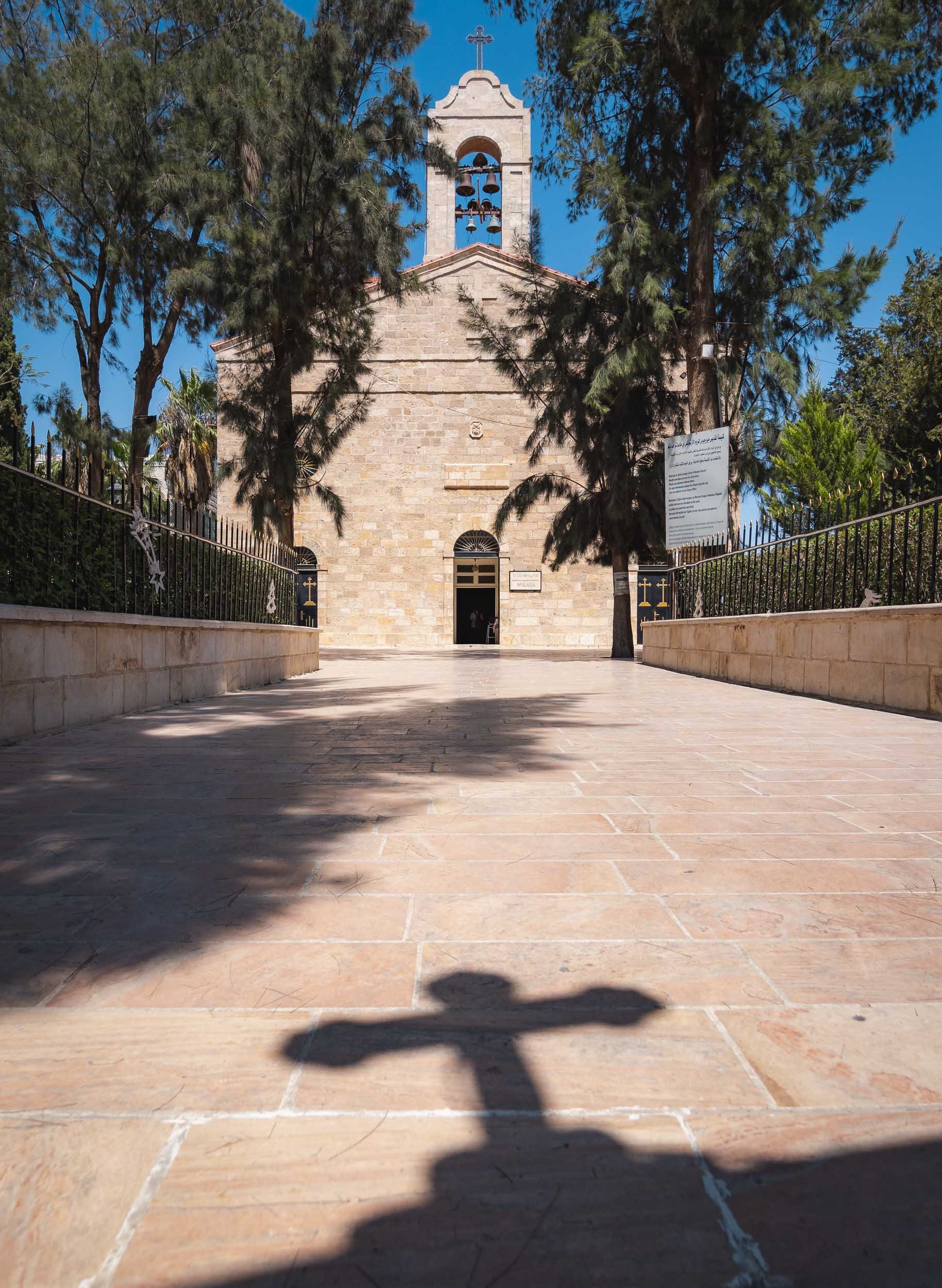


It's this 6th century map of the Holy Land, which represents the oldest surviving overview of the area, including old Jerusalem seen above. The representation was shown to be very accurate, occasionally even guiding excavations and research in certain areas.
Glimpses of Amman
I didn’t spend all that much time in Jordan’s capital, but of course had explore the citadel towering over the slopes that Amman has evolved on - originally, the city was built on seven hills. Excavations in the area found evidence of settlements dating back all the way to the Bronze Age, 4000 years ago.

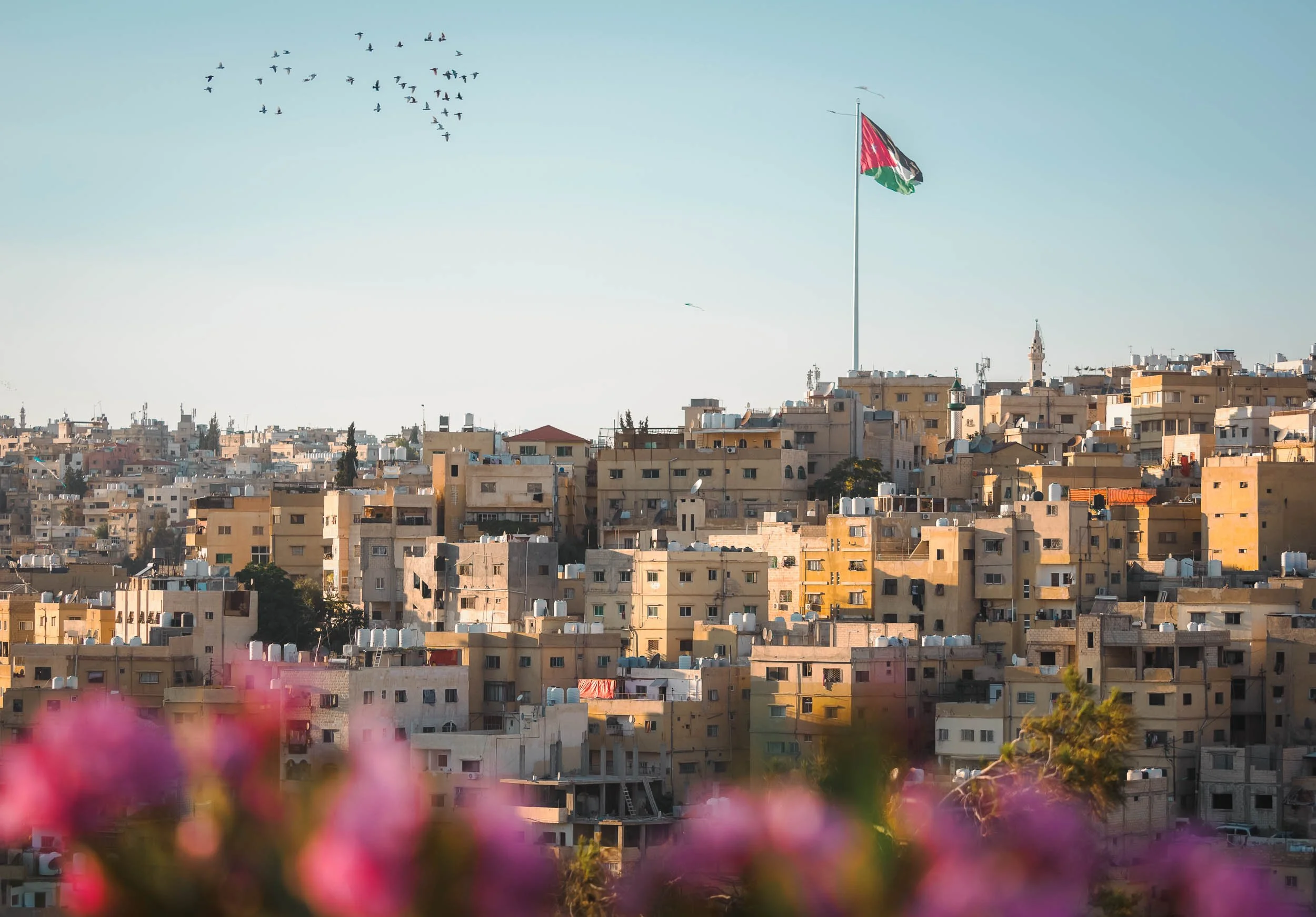

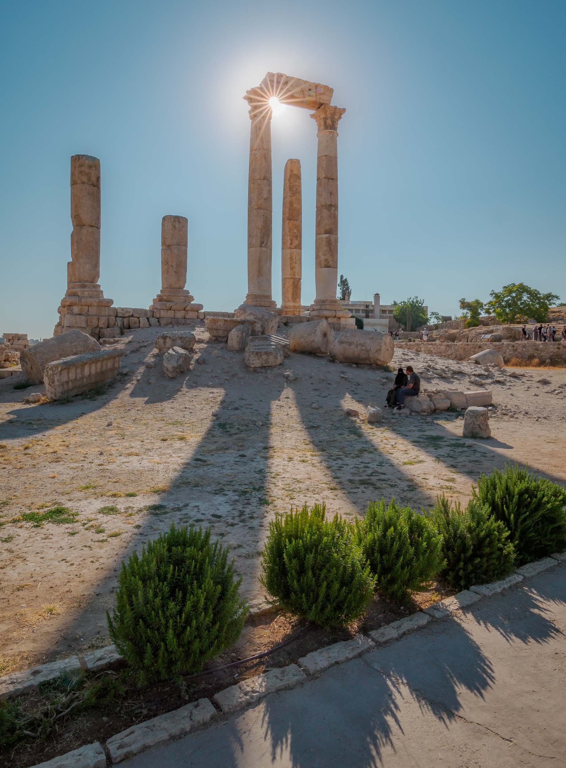
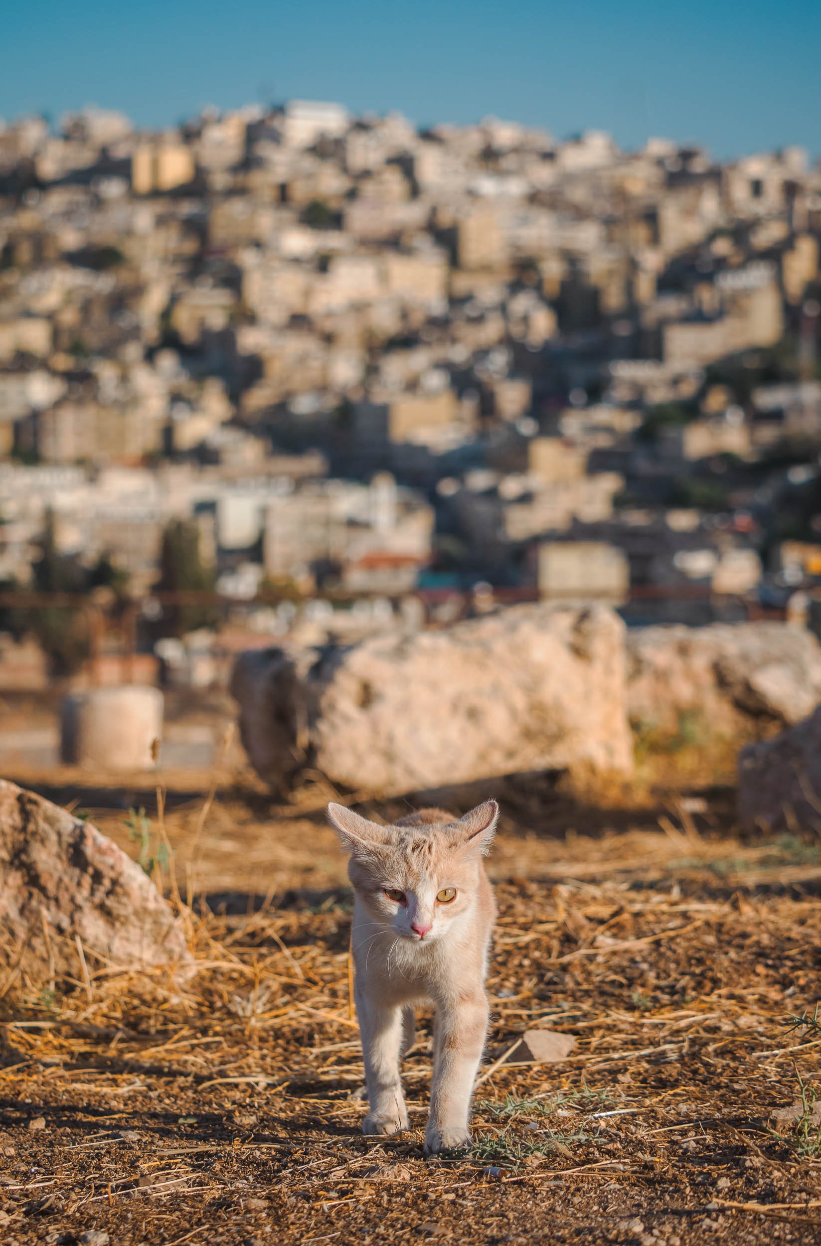


Final Stop
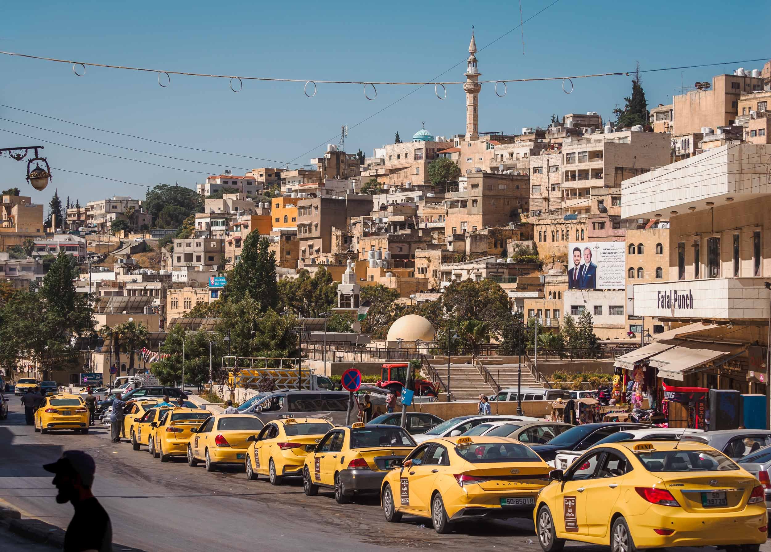


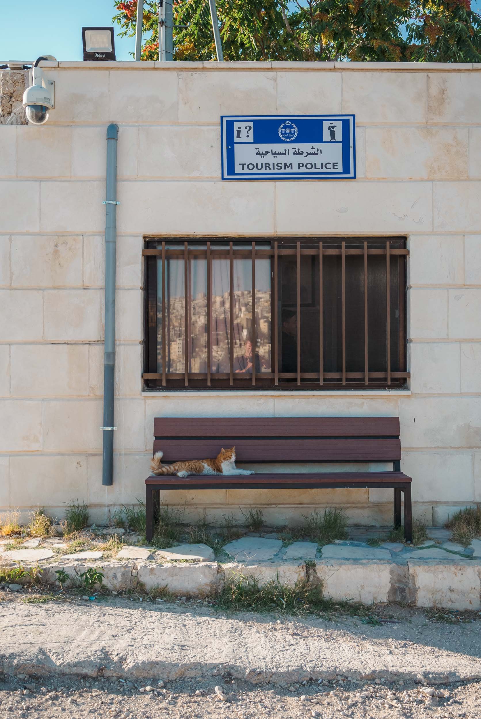
And that was my trip to Jordan - as always, you can subscribe for the next updates here or take a look at some of my favorite photos in my Portfolio. If any of the images here catch your eye and you think they’d make for a good piece of art on your wall, I make custom signed prints, just get in touch!


Palawan - Gem of the Philippines
Earlier this year I spent a few weeks in the Philippines, exploring Manila, Siargao, Cebu, Bohol, and what was once voted the most beautiful island in the world: Palawan.

Earlier this year I spent a few weeks in the Philippines, exploring Manila, Siargao, Cebu, Bohol, and what was once voted the most beautiful island in the world: Palawan. This large island is home to around 1m people and lies on the very western border of the country.
Start with this short clip for an overview of some of the amazing spots around Palawan!
On the way to El Nido
I arrived from Cebu, landing at the airport of Puerta Princesa, which is also the capital and largest city on the island. The plan was to go north towards El Nido, the most well-known area. On the way, a visit to the island’s famous underground river was on the cards - which was cancelled by the coast guard due to high waves. This is not uncommon, keep it in mind and allow enough time to try again - which I managed to do, more on that later. Instead, we stopped in Barton Bay, on the western coast, for a small boat excursion, and got to witness an interesting local event: Racing homemade speed boats.

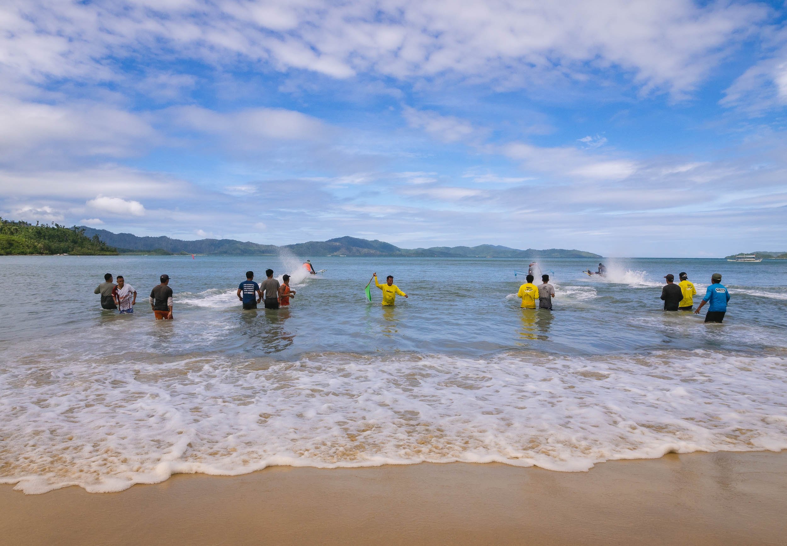
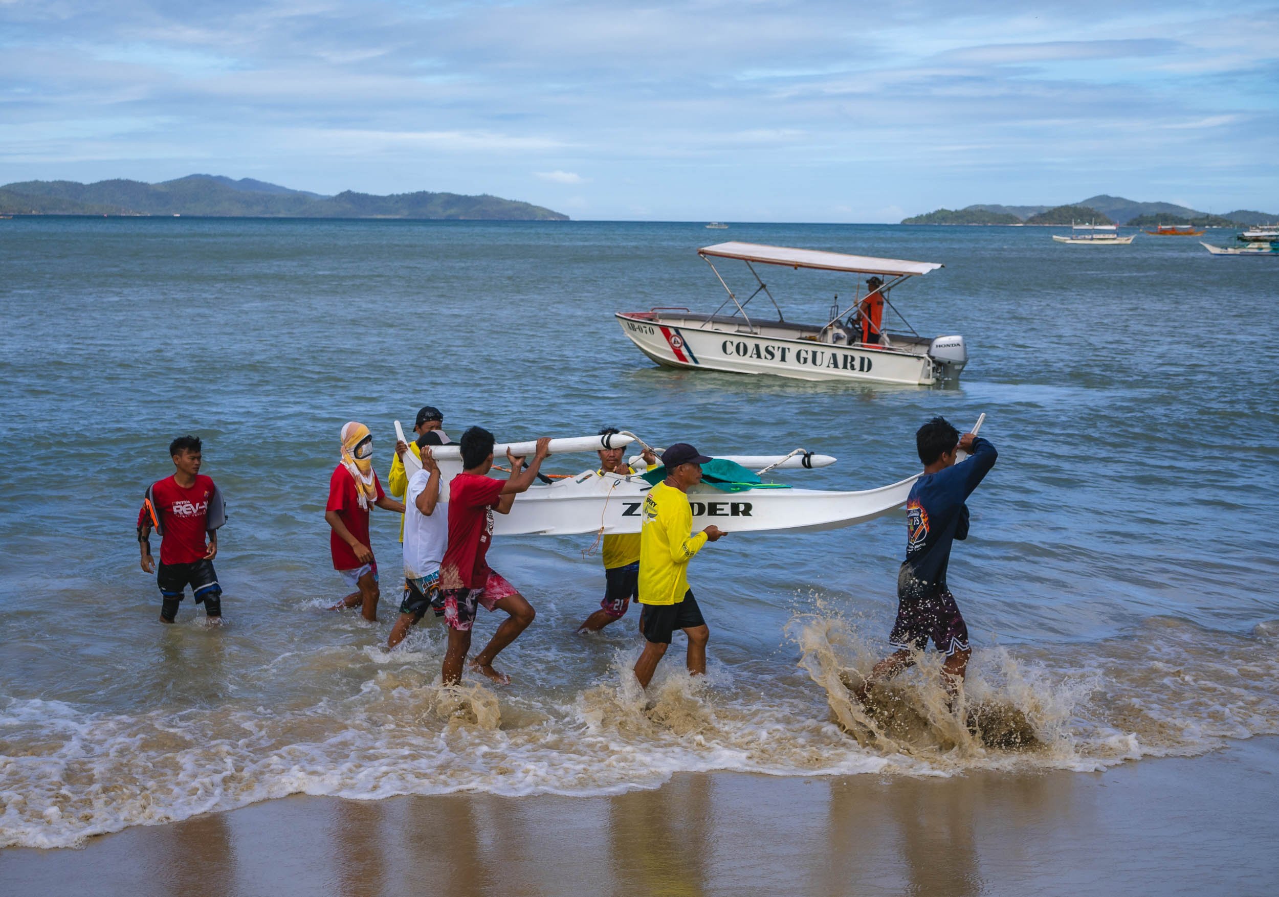

Port Barton is also home to a small sandbank that frequently sees starfish washed on shore, making for some picturesque scenes, especially if - like me - you’re patient enough to await the right moment with no boats and people around.


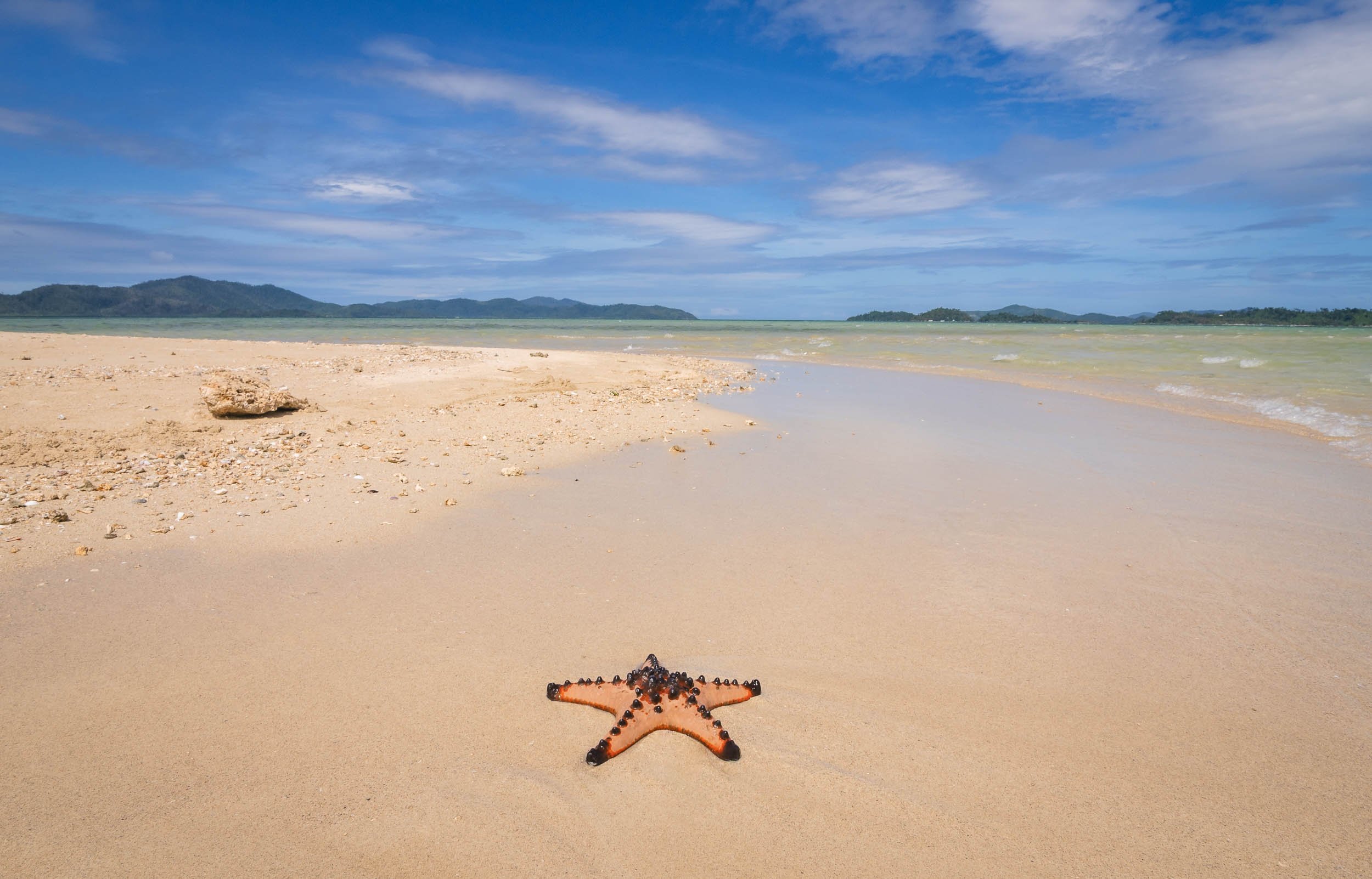


Island of Doom
The bay also has a few beautiful islands - one of which became the doom of my drone, which ended up with a low battery in the sea, as the heavy westerly winds didn't allow it to come back in time... Luckily my amazing tour company - more on that later - helped me get a rental for the rest of the trip. Palawan really needs to be seen from the air.

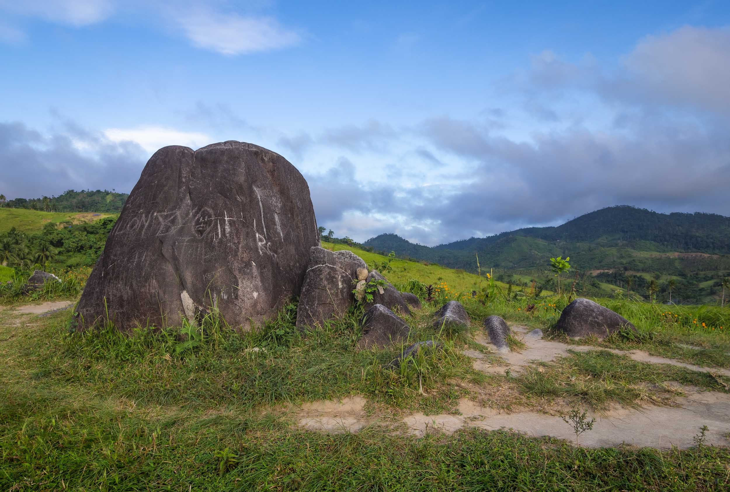

El Nido & The North
Some of the most beautiful land- and seascapes are in the northern parts of the main island, around El Nido. Having researched this area a bit, I knew that most of the very touristy trips follow standard routes, and you can pick A, B, C, or D. Obviously not what I wanted, because that means everyone going to the same places at roughly the same times, and those tours of course also start once people crawl out of their beds rather than at sunrise when the conditions are best and things quiet. So in my usual quest for something a bit more interesting I found a tour company priding themselves in organizing custom trips: Palaweña.
Palawan's landscape is famous for the almost 1800 islands scattered along the coast of the 450km long main island.

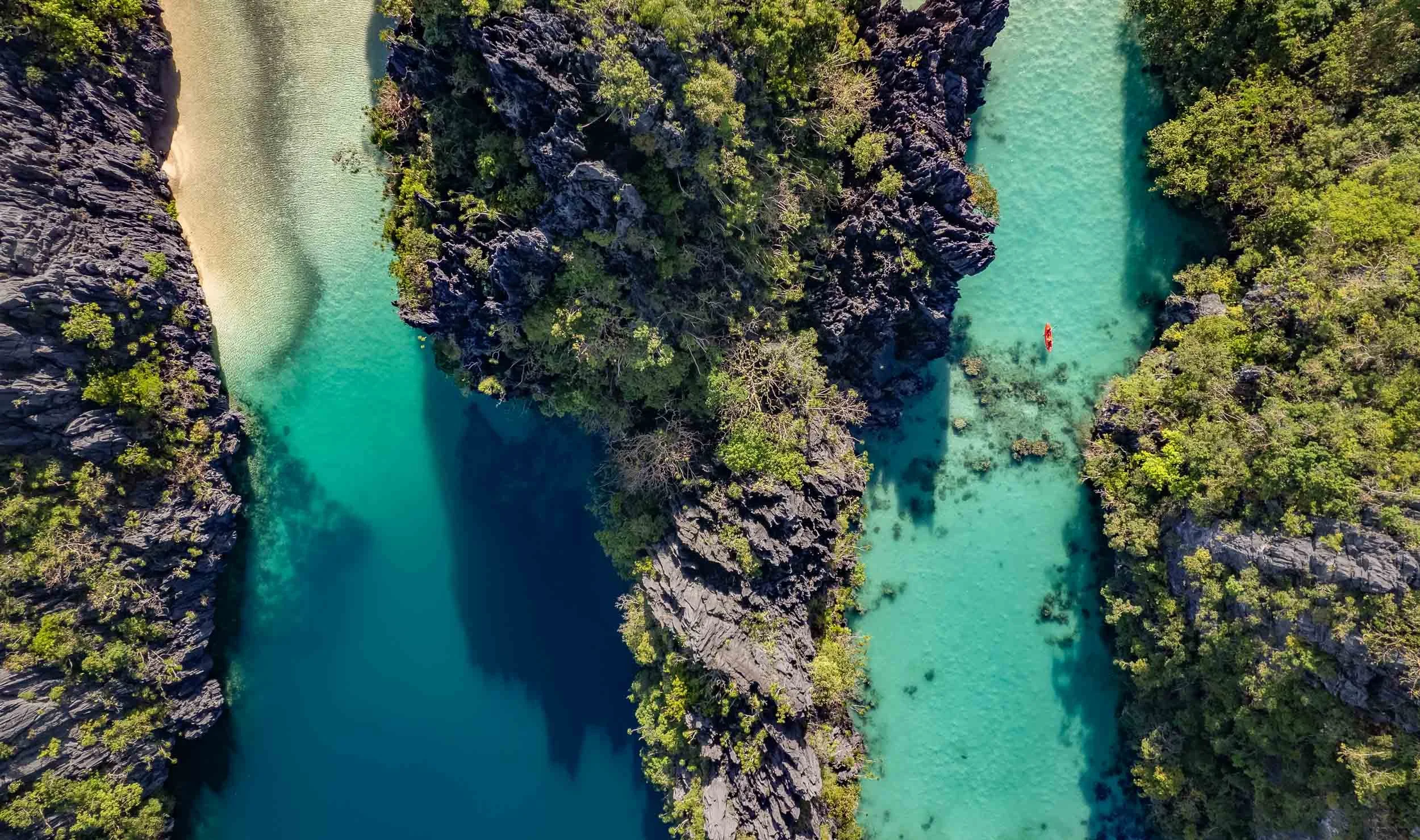
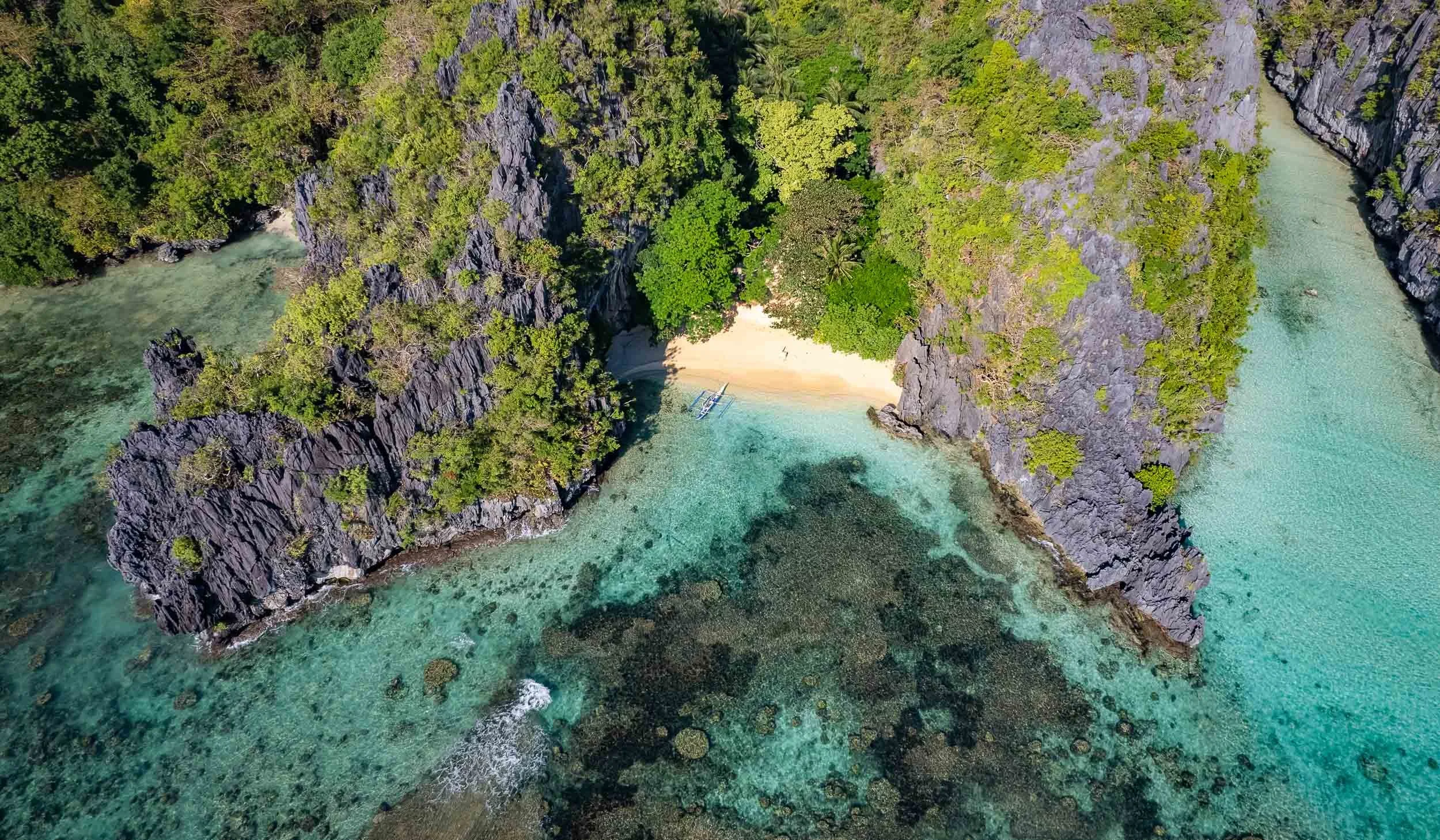
The private custom tours paid off (and were super well organized), because we reached many of the best spots around Bacuit Bay, such as the Big Lagoon and its beaches pictured above, before any other boats.


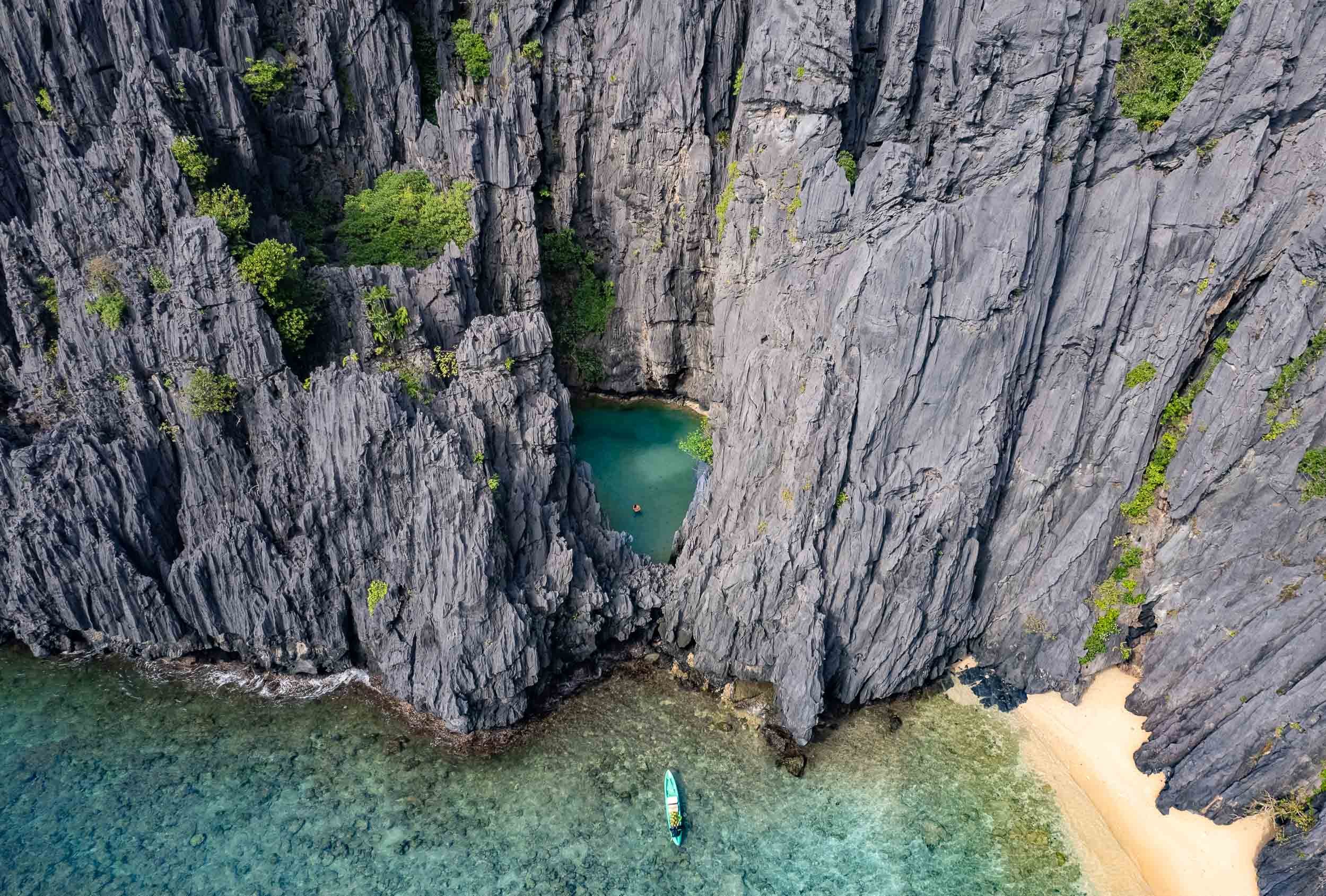

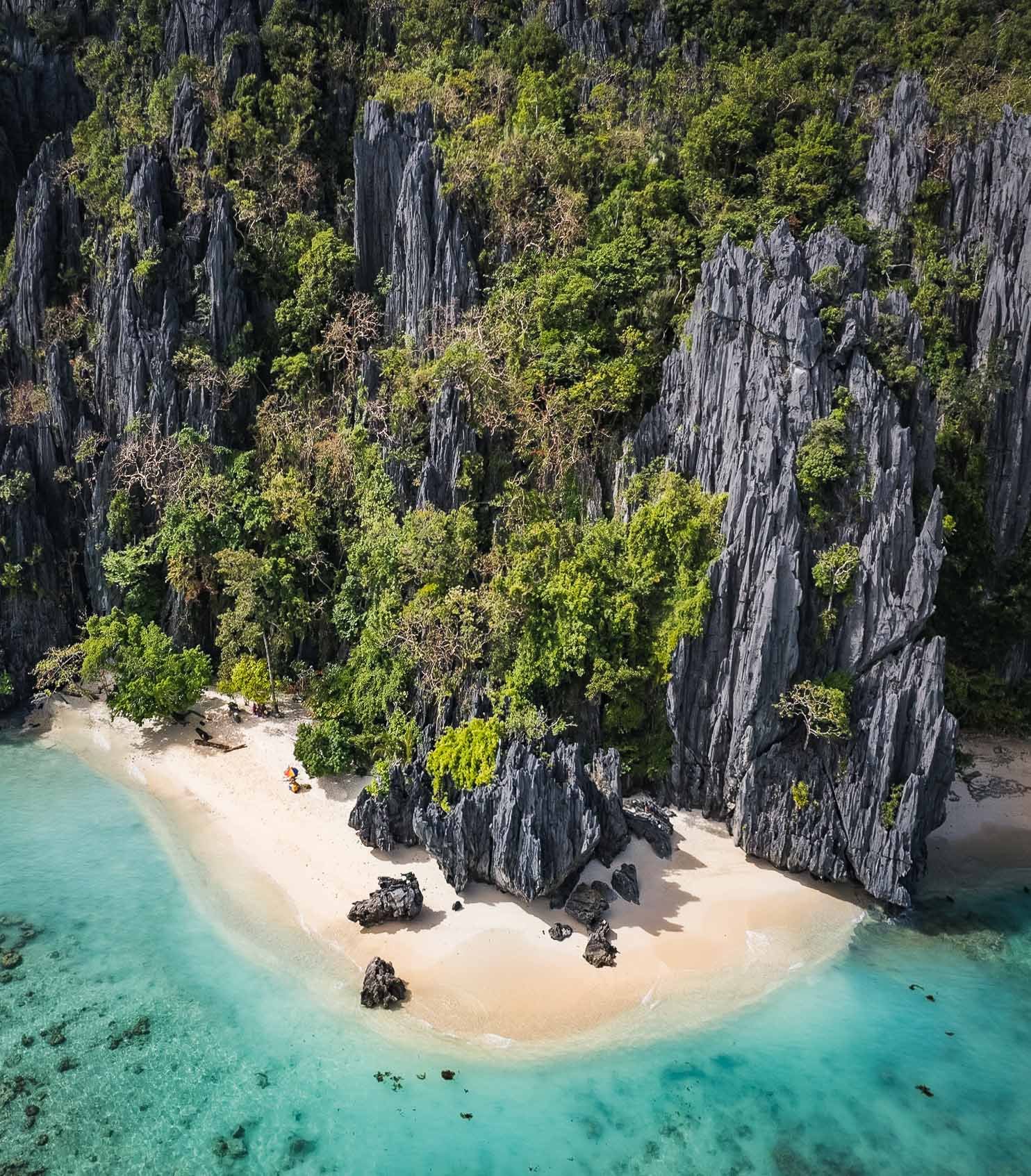
Shimizu Island
Another of the beautiful limestone cliff islands with their white sandy beaches. Who wouldn't want to set up their umbrella here?

Matinloc Island
A bit further north-west you’ll find a curious man-made spot: An abandoned shrine, built in 1982 between the cliffs and the beach alongside a small villa, and now mainly used for lunch stops and apparently a yearly pilgrimage by the locals.

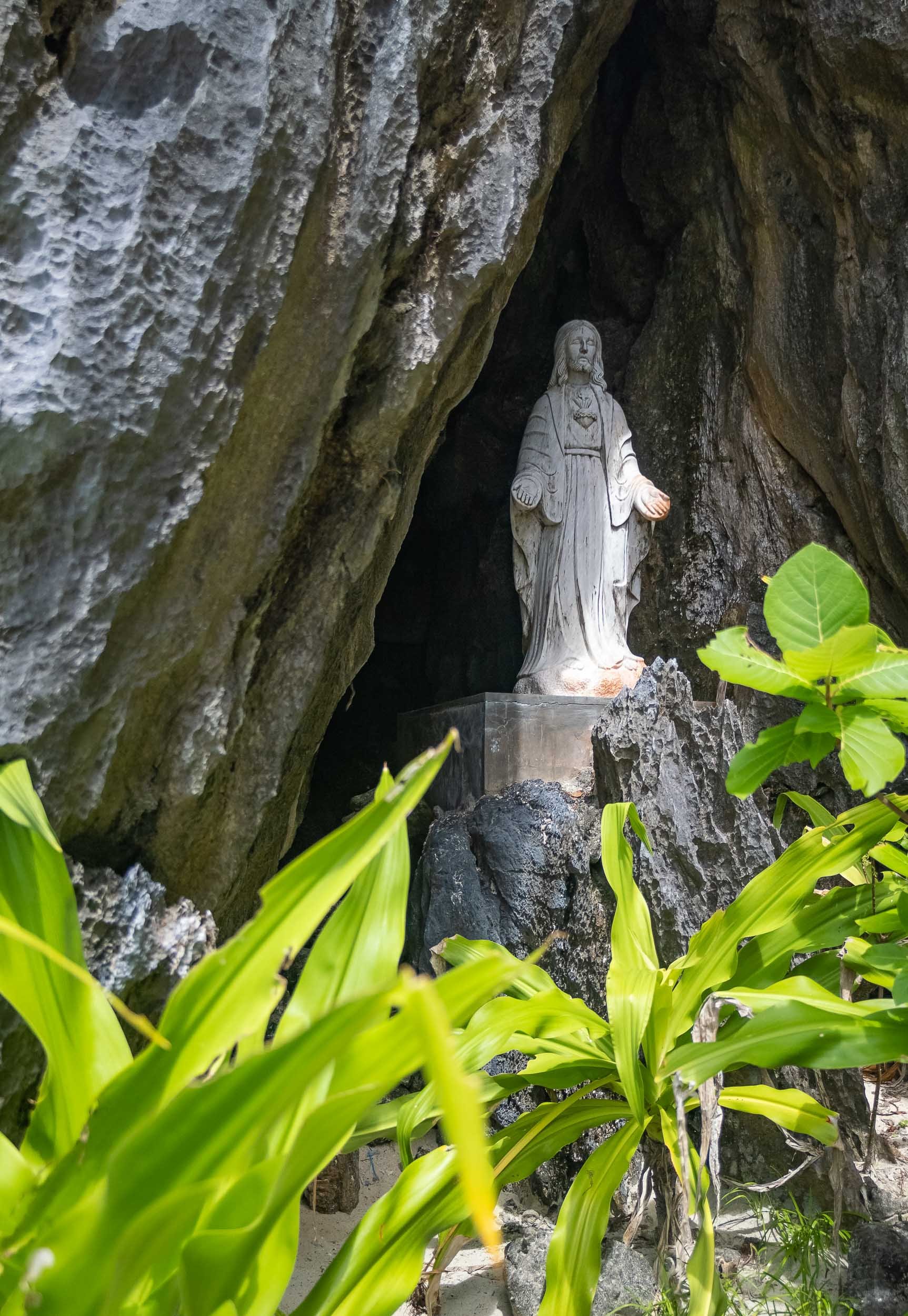


The scale of the limestone formations here is truly amazing, spot the kayak in the second shot!
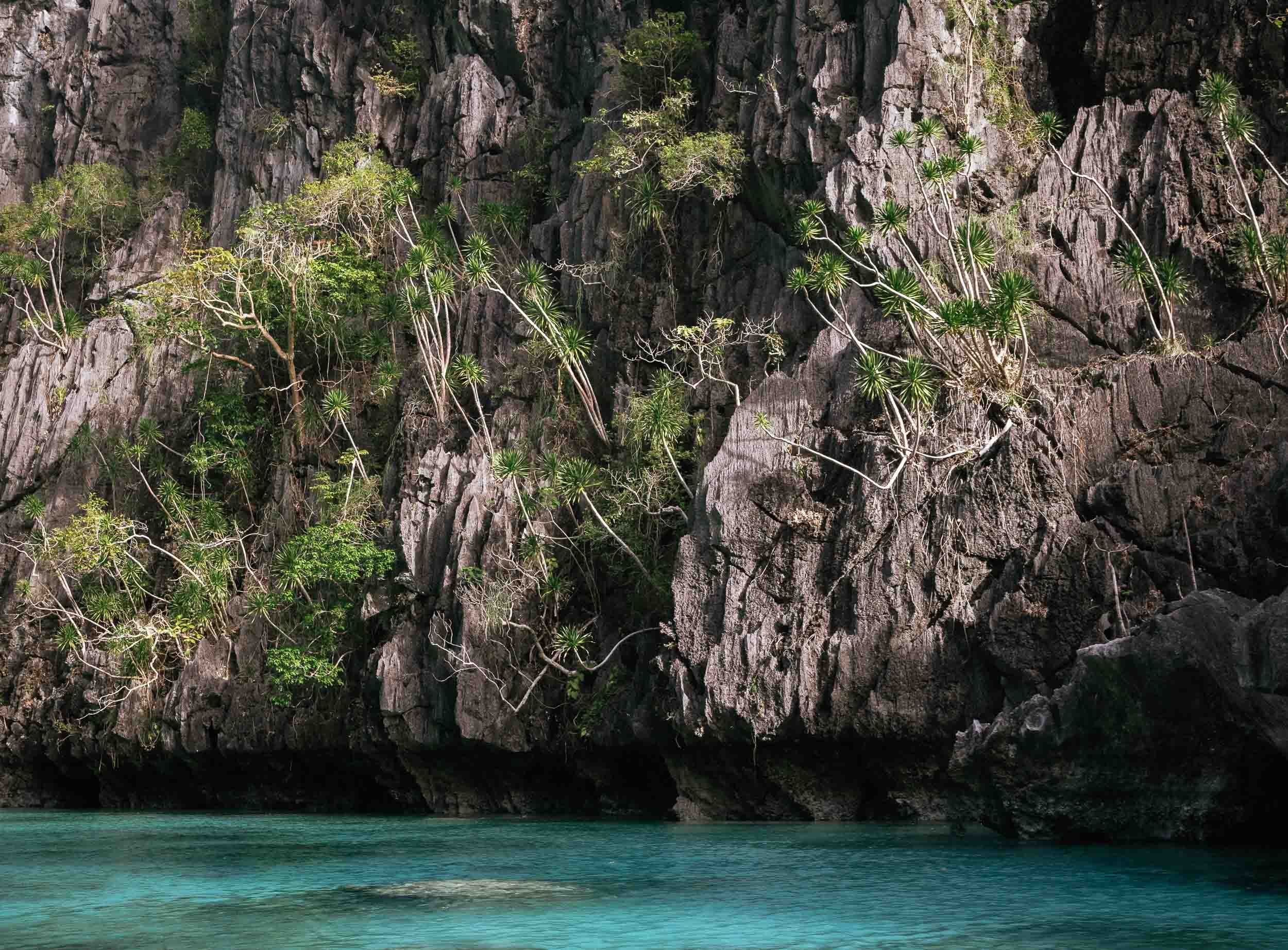
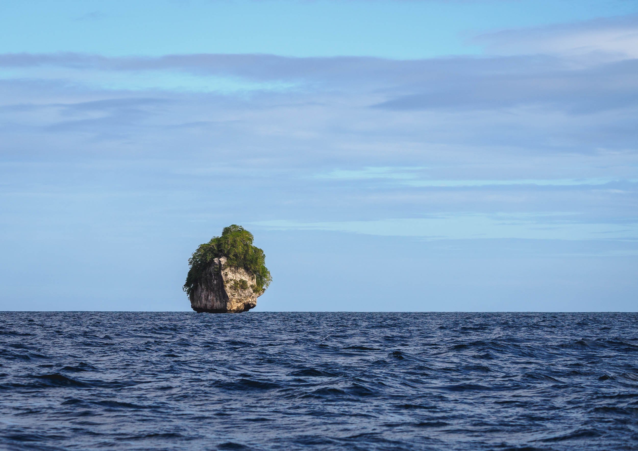
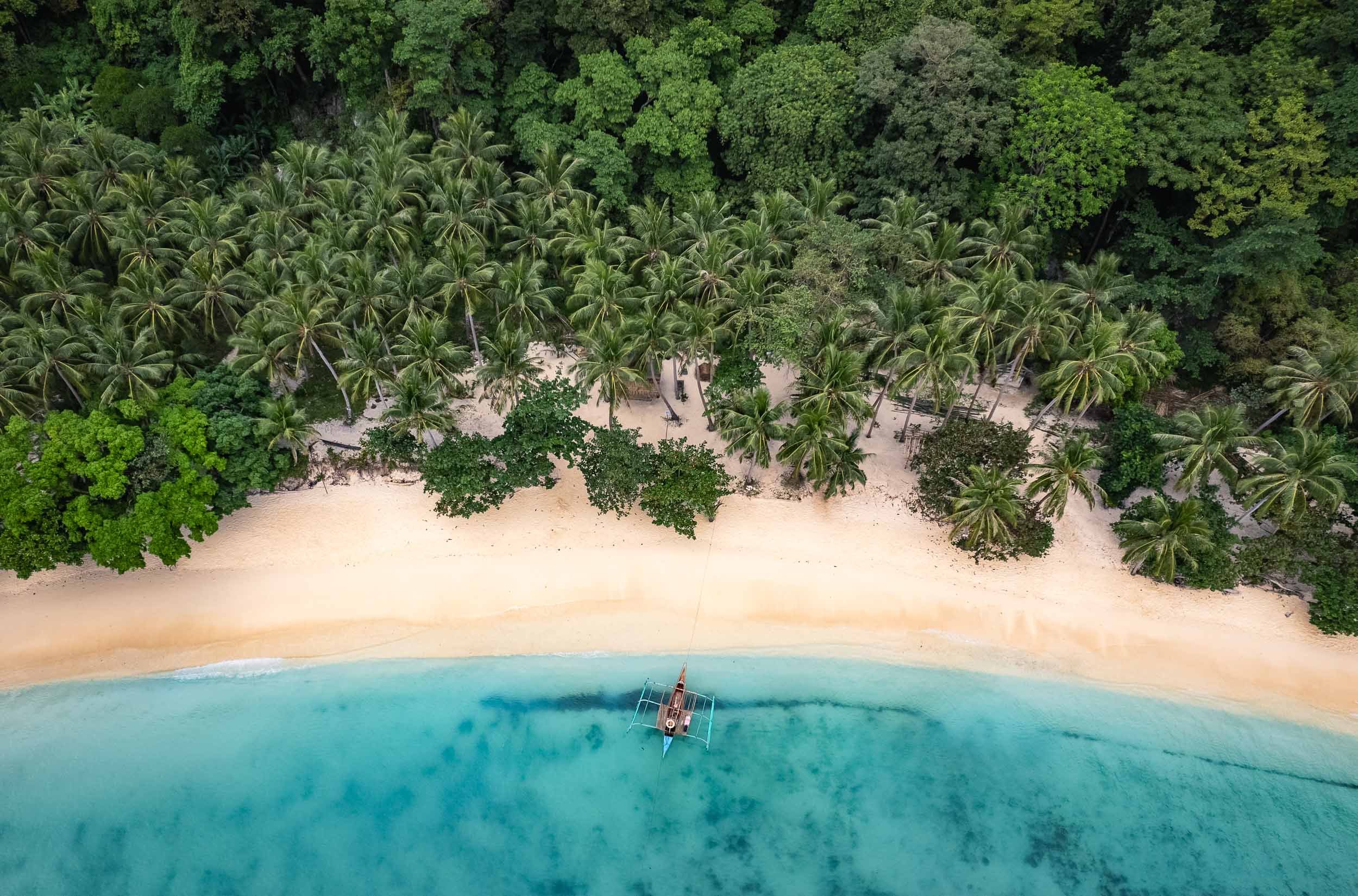
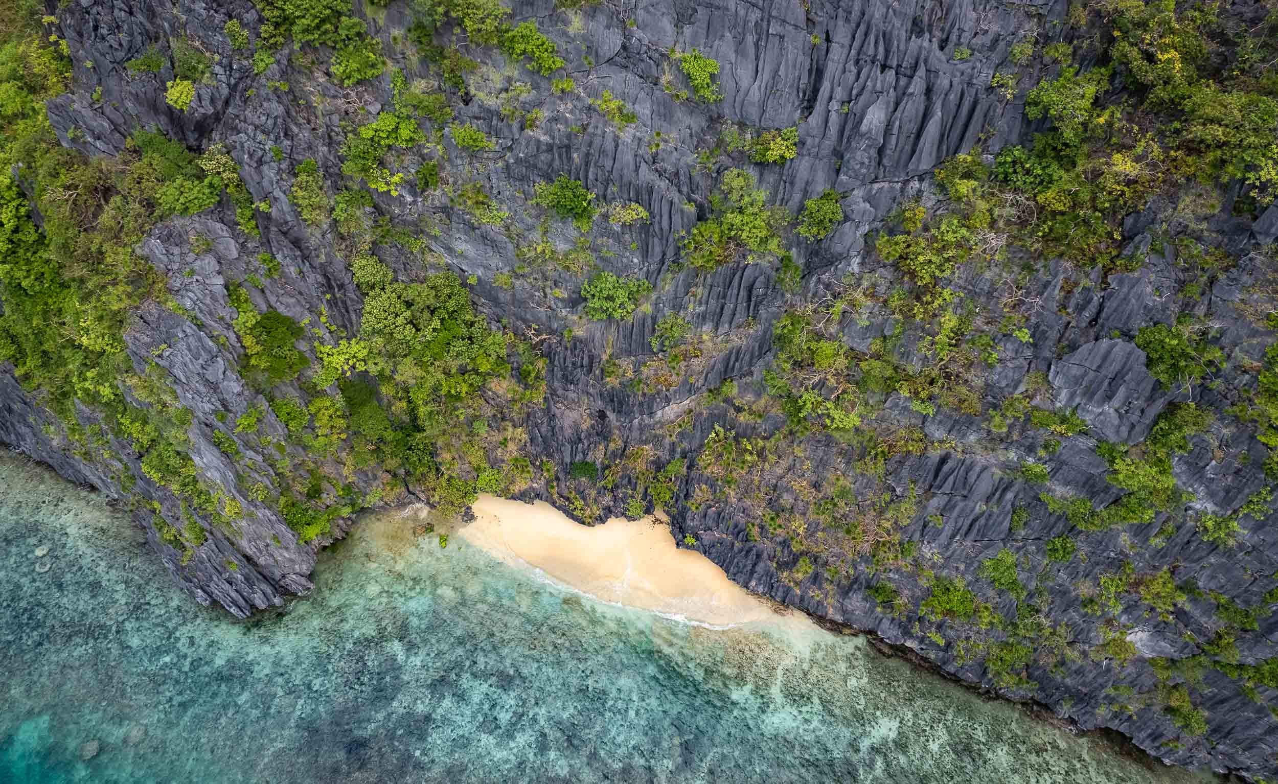

Different
Geologically speaking, Palawan is very different from the rest of the country, as its rocky island landscape originated from the Eurasian plate, forming this spectacular karst terrain that isn’t found elsewhere in the Philippines.
Another place I was able to enjoy by myself was the Hidden Beach (again part of the creative naming scheme...) on the east side of Matinloc island.


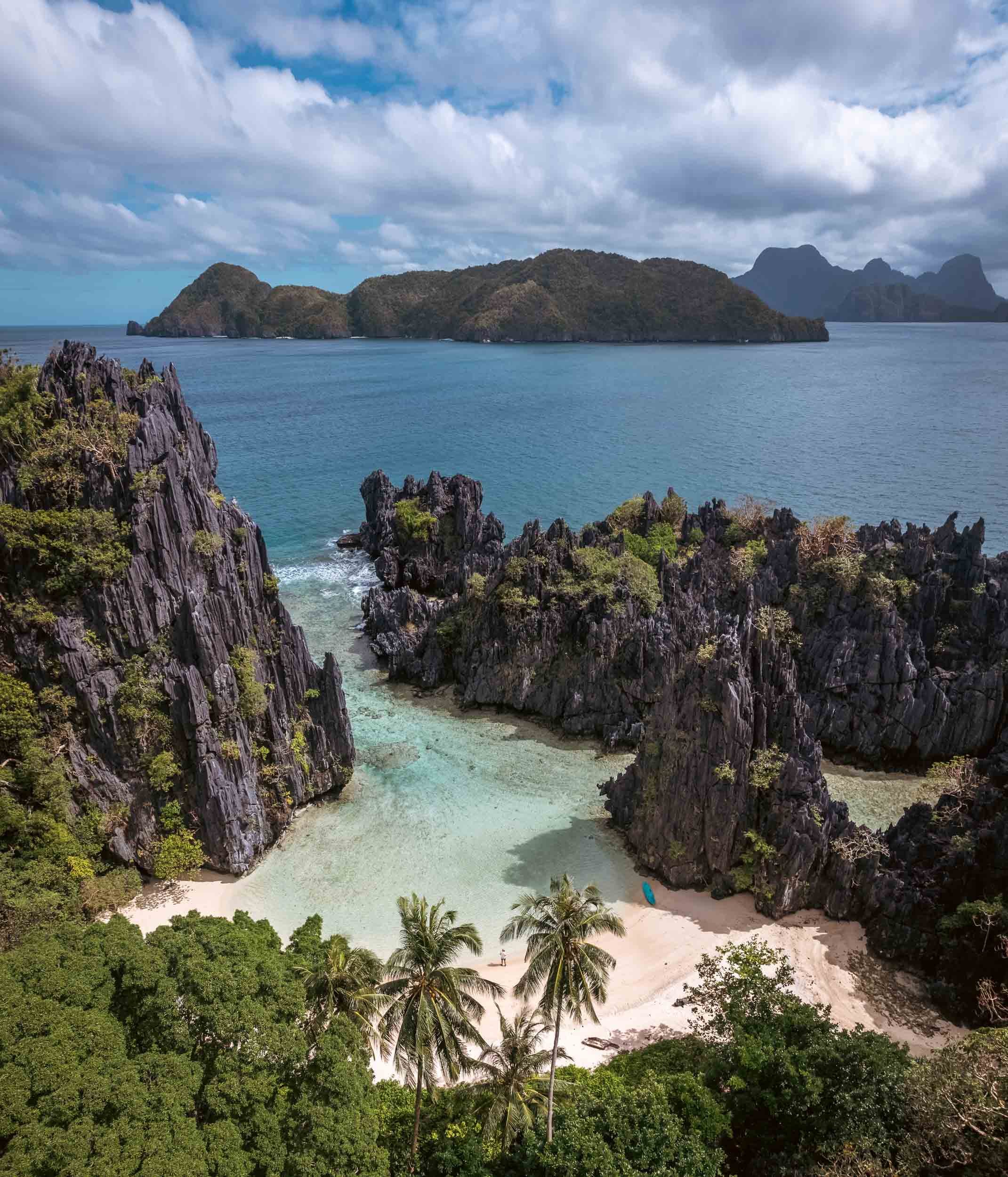
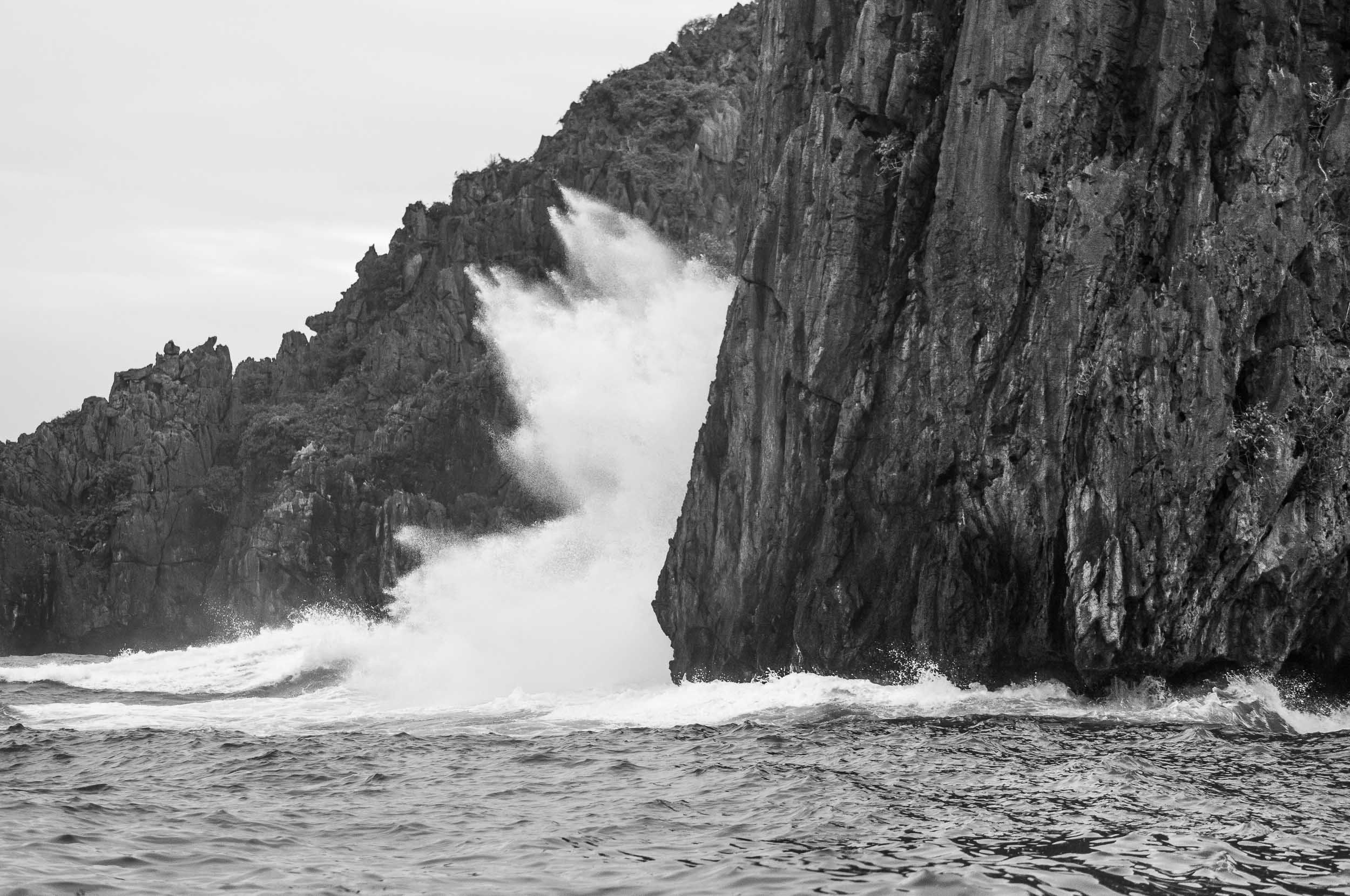

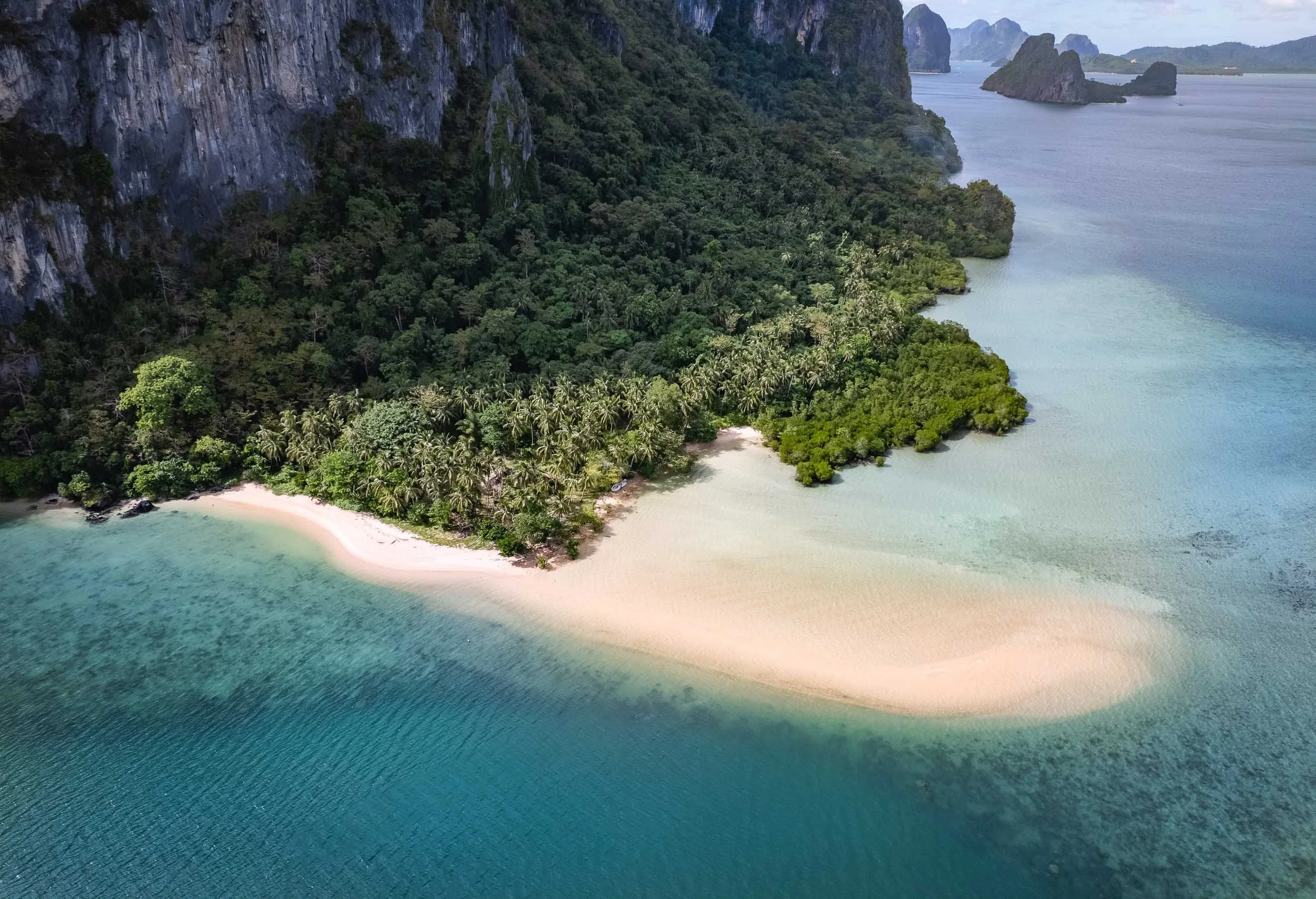


Sunset over Bacuit Bay
El Nido had one signature sunset in store, despite the largely cloudy conditions during my stay. I used it to capture this fisherman returning from the sea in his Bangka.


Waxing Moon
Our celestial companion rising on a clearer evening.

Going Underground
I spent the last day going back to Puerta Princesa for my onward flight, and started very early in El Nido for another attempt to reach and tour the subterranean river. This UNESCO World Heritage Site was once said to be the world’s longest underground river - there seem to be different definitions of this record though.
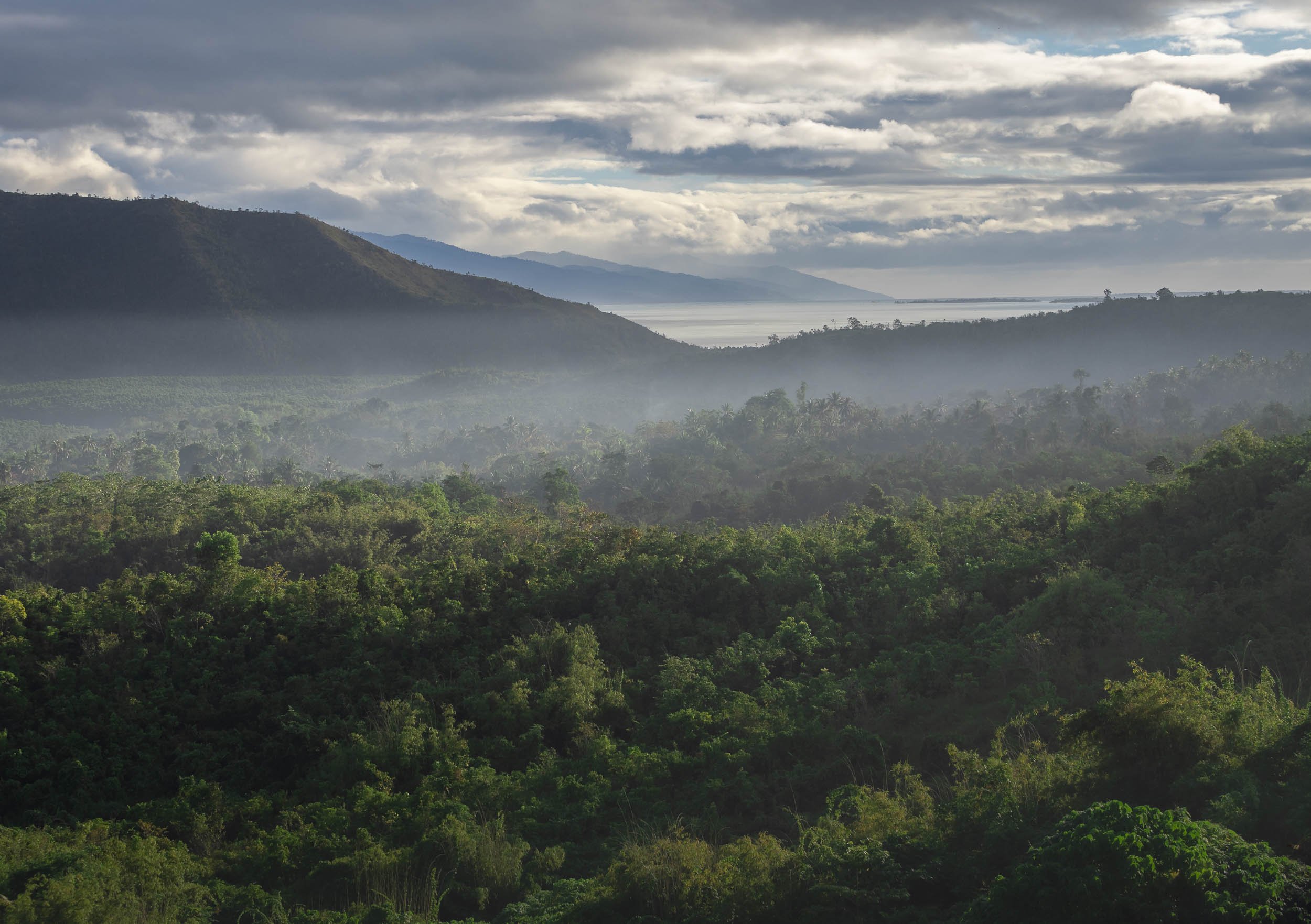
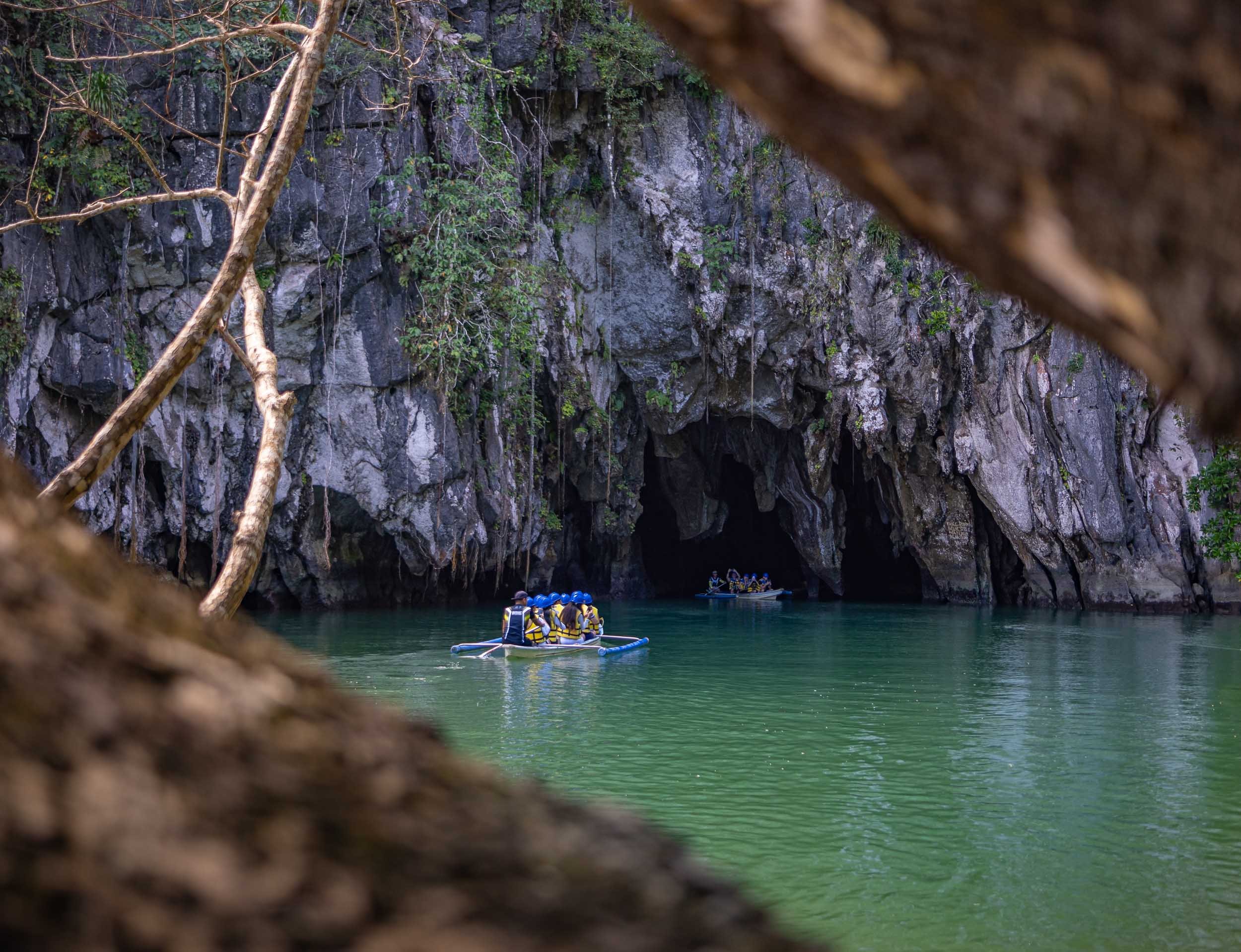


The inside of the cave river becomes completely dark once you go a few hundred meters beyond the entrance, with only the light of the boat captain shining onto the amazing limestone formations. It’s over 8km long, although only the first few kilometers are navigable by boat. The cave network itself reaches even further at 24km length.
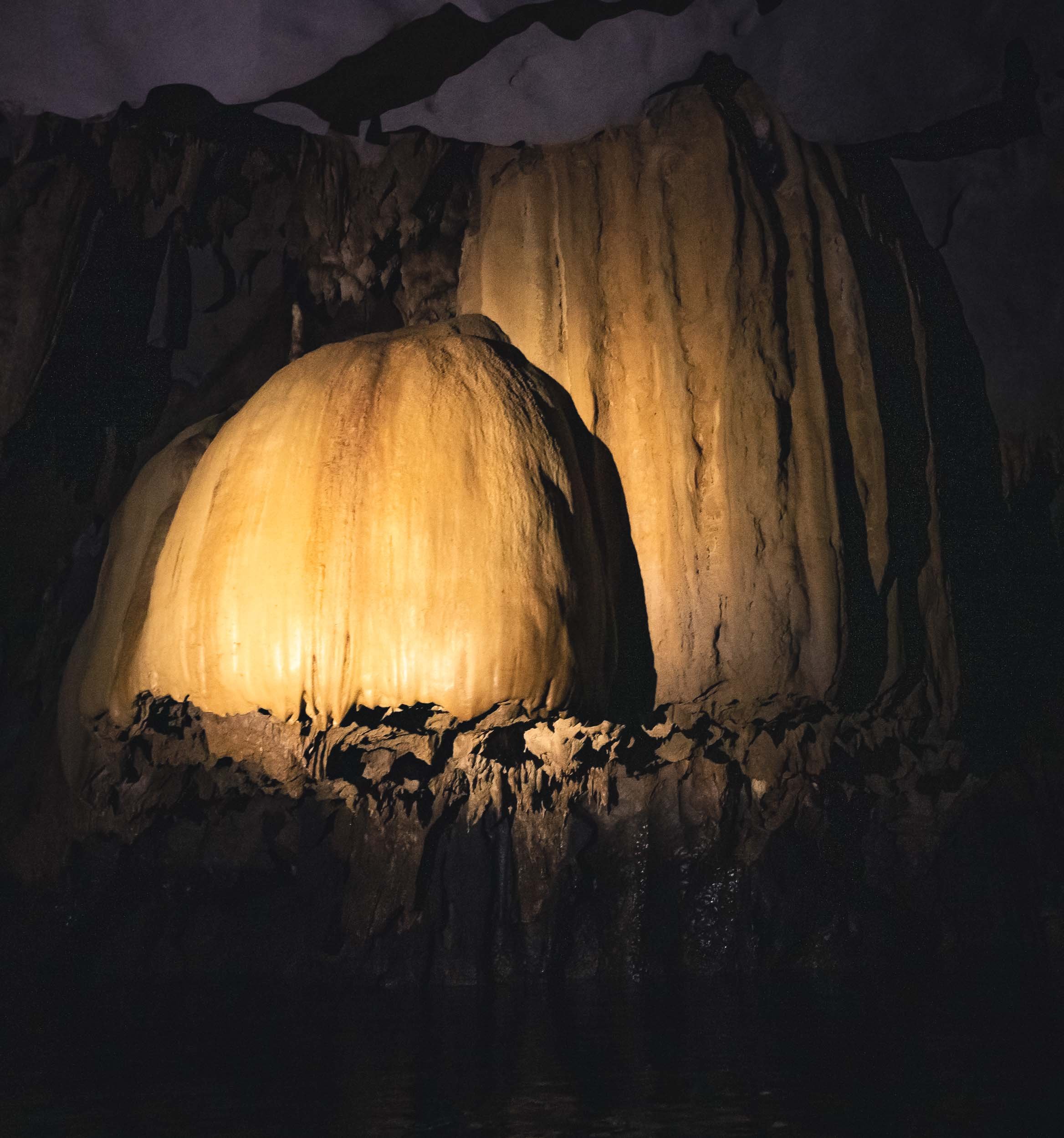
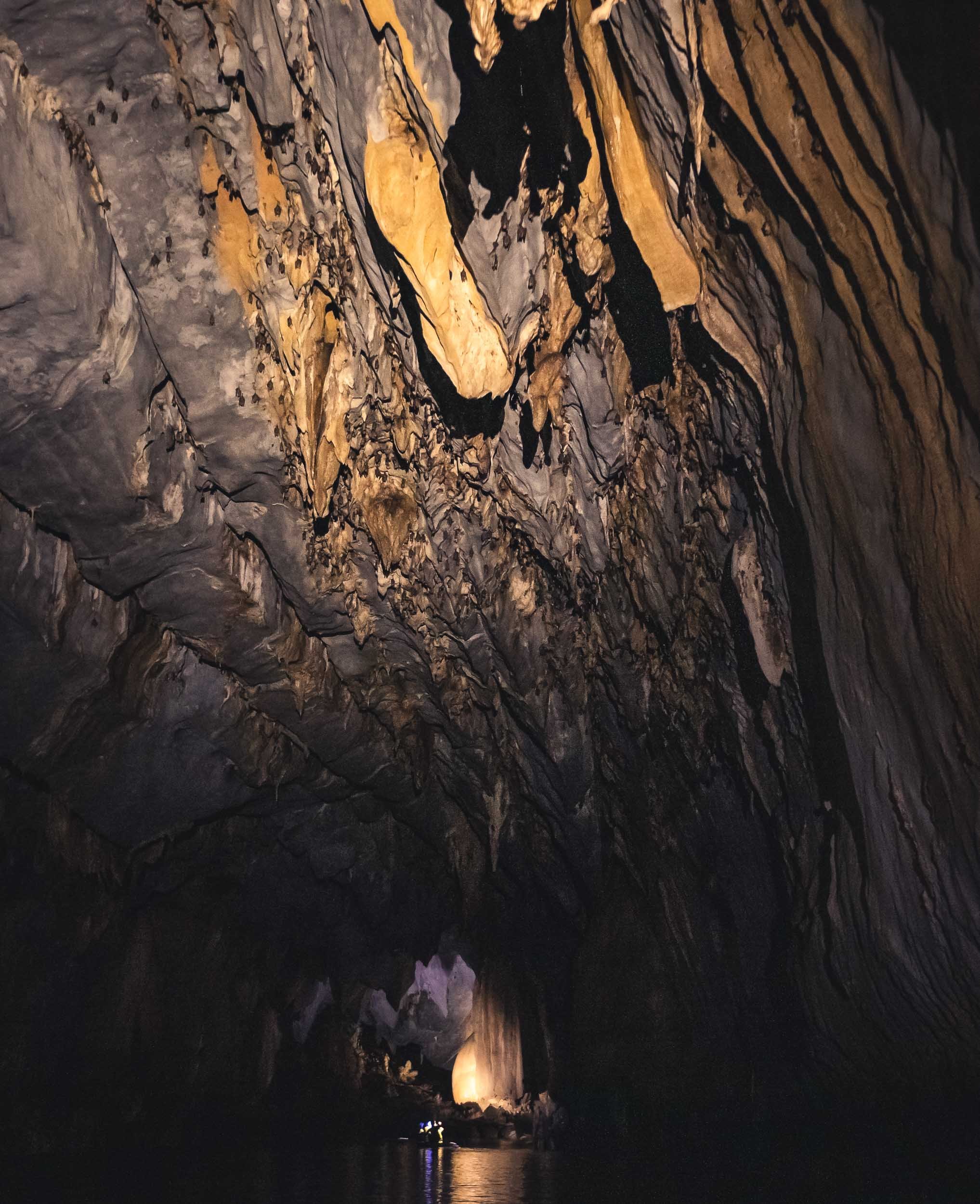
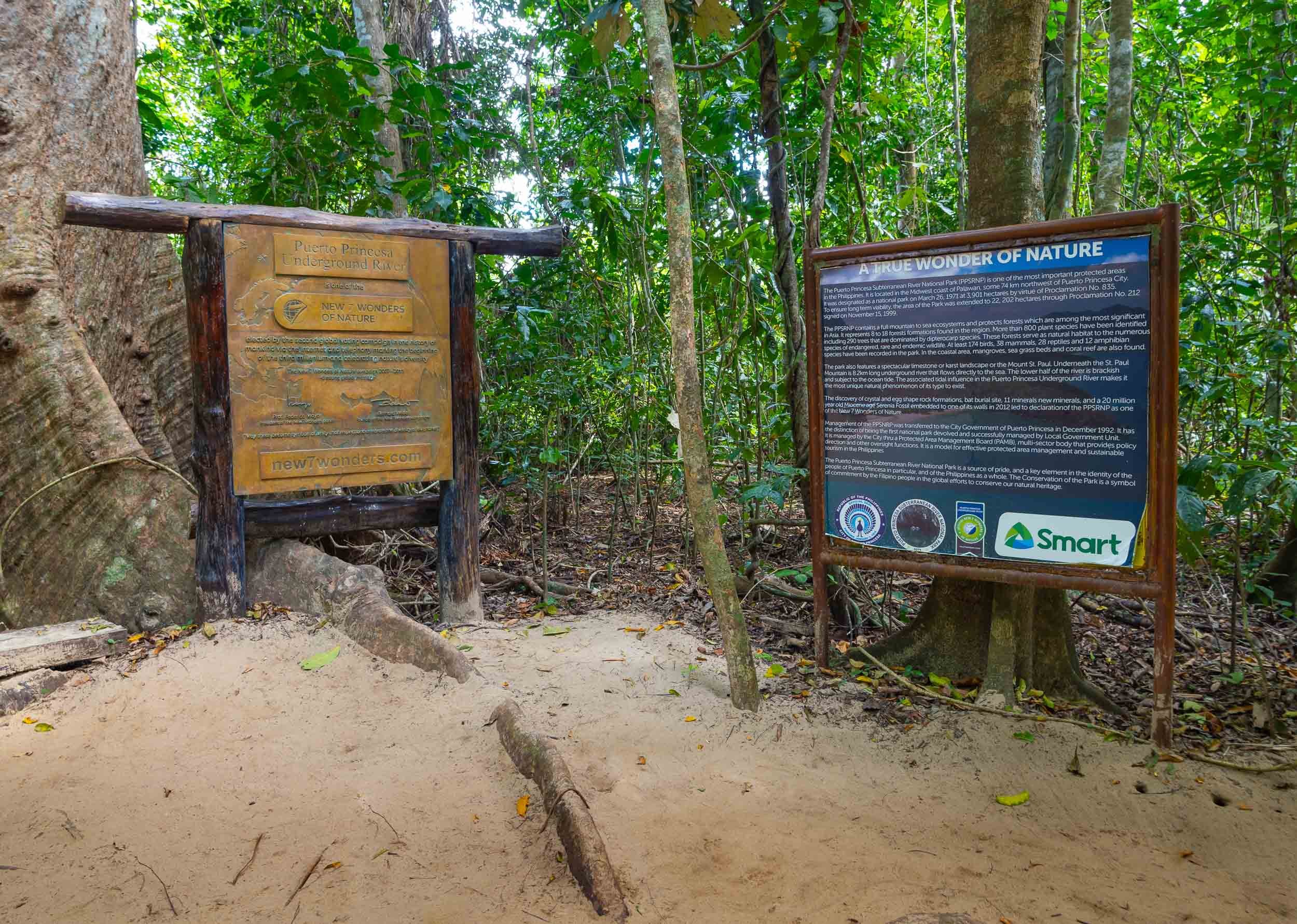

Palawan is home to a few special places, and the underground river as well as the limestone cliffs and their hidden beaches and lagoons are truly special. While it can be very touristy, and El Nido town definitely wasn’t my favorite, there are ways to make it a more enjoyable experience, and I can definitely recommend Palaweña to achieve that, one of the best operators I’ve worked with anywhere. Is it my favorite place in the Philippines? I think not, but more on that in another blog entry - subscribe here if you don’t want to miss it.

Chasing Orcas & Auroras - Northern Norway
A successful expedition to find and swim with Orca whales, and chase the Northern Lights.
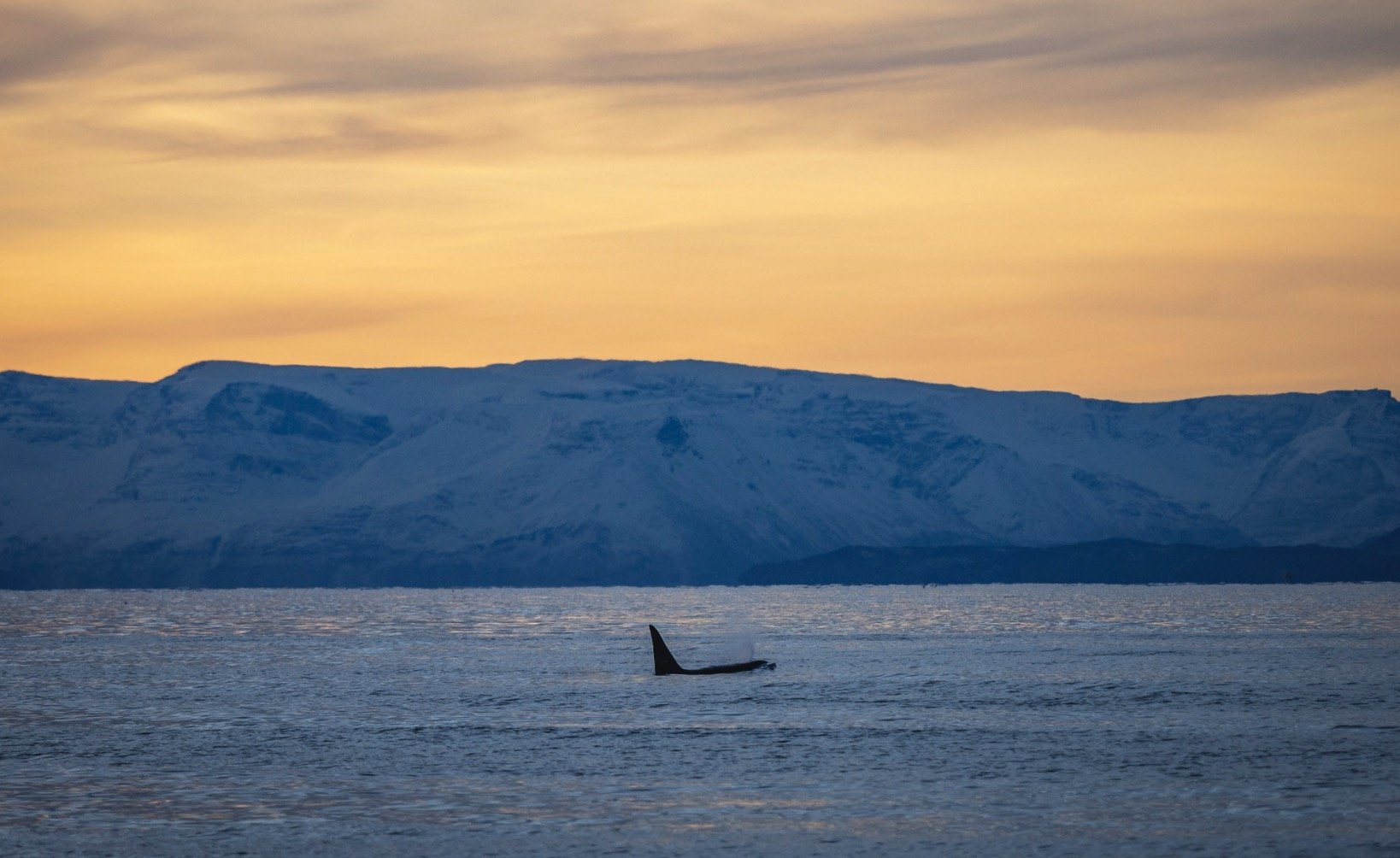
In the quest to go through my backlog of images and stories, here’s another adventure from late 2022 - exploring the north of Norway on the lookout for Orca whales, and hoping to see some Northern Lights on the way.
We started our trip from Tromso, taking a bus to Skjervoy, a small town in the northernmost part of Norway, far beyond the Arctic circle, where we boarded our boat, the Bergsund - home for the next week. Organized by https://www.orcanorway.info, this expedition is focused on finding orca around the fjords, and if the conditions are right, get into dry suits (or wet ones if you’re experienced), jump into a small dhingy boat, and with a bit of luck, snorkel and swim next to these amazing creatures. The time on the boat also includes several sessions by Pierre Robert de Latour, the “Orca Whisperer”, which culminate in the USEA certification for participants and really helps understand the behavior of orca in the wild.
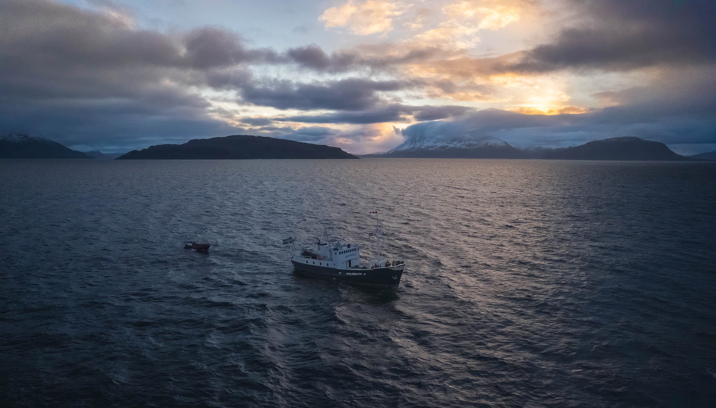
On the Lookout
The daily ritual is trying to spot pods of orca whales in the vast sea around the boat - not an easy task, as they can travel very quickly and spend long stretches under water. We had a lucky mascot though that seemed to have helped a bit.
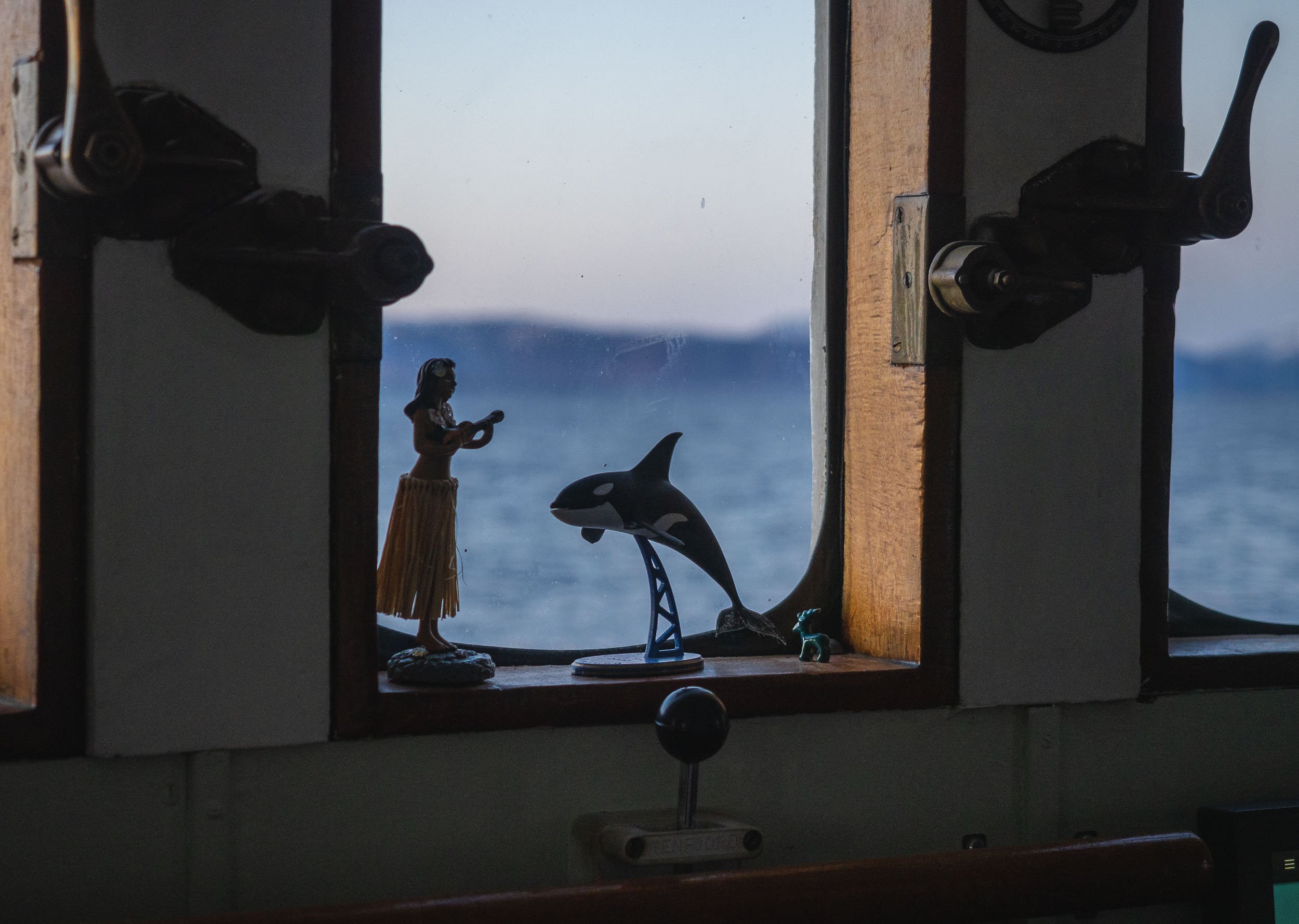
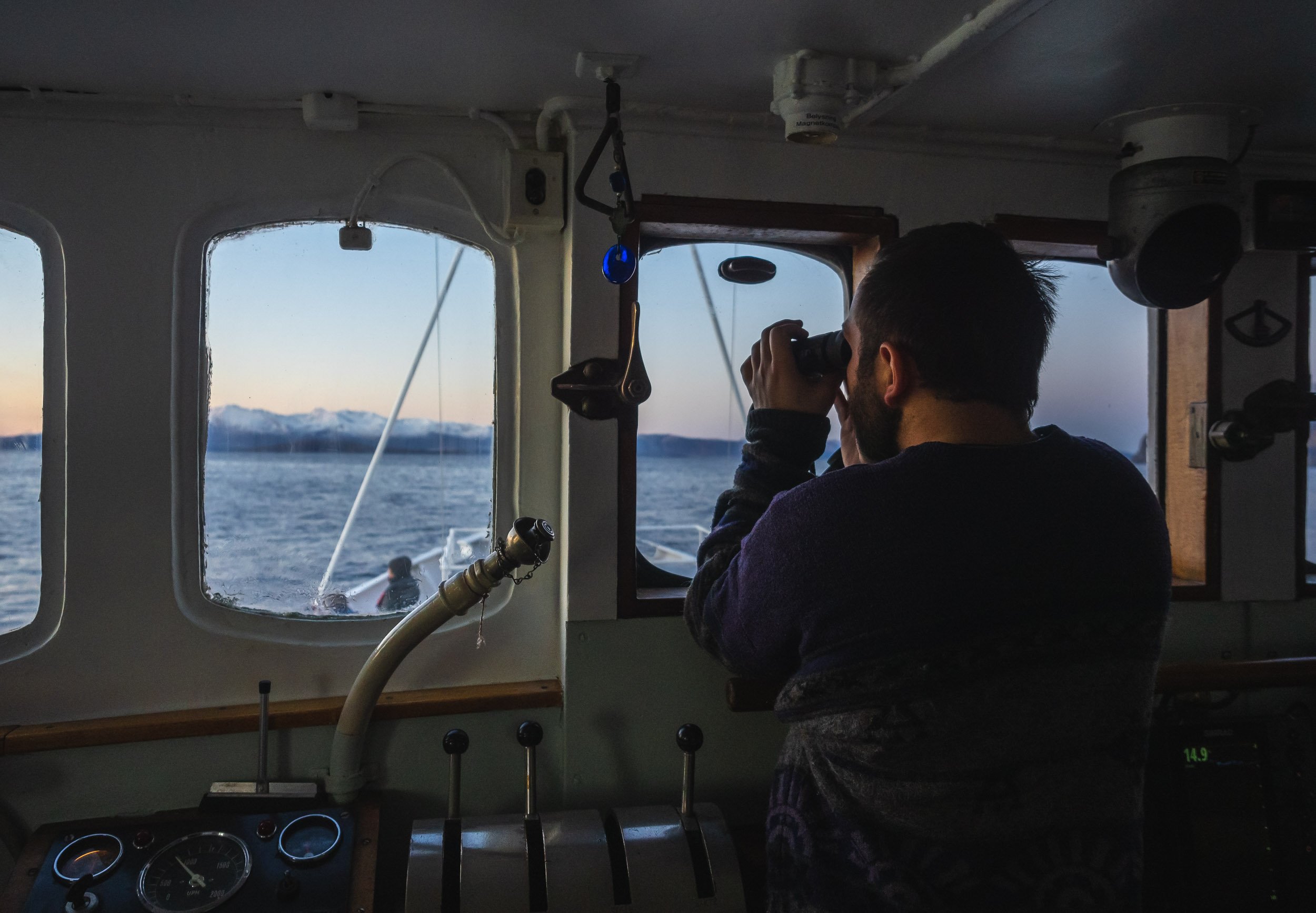

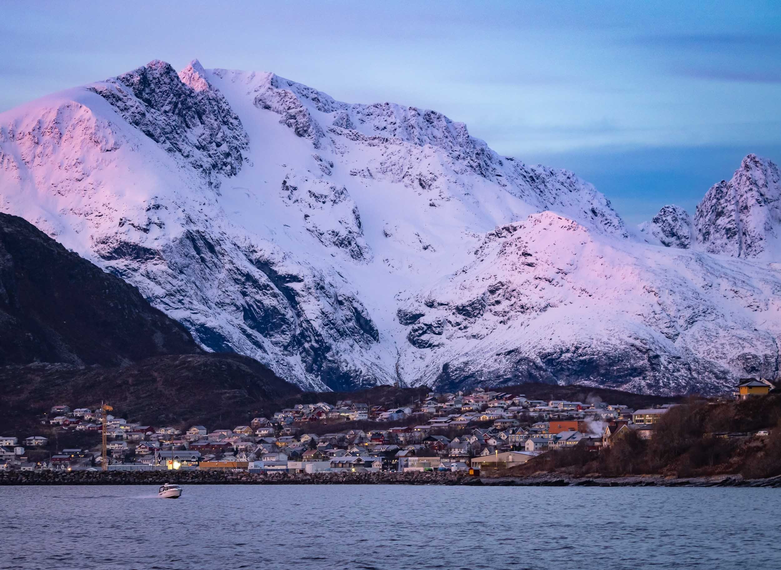
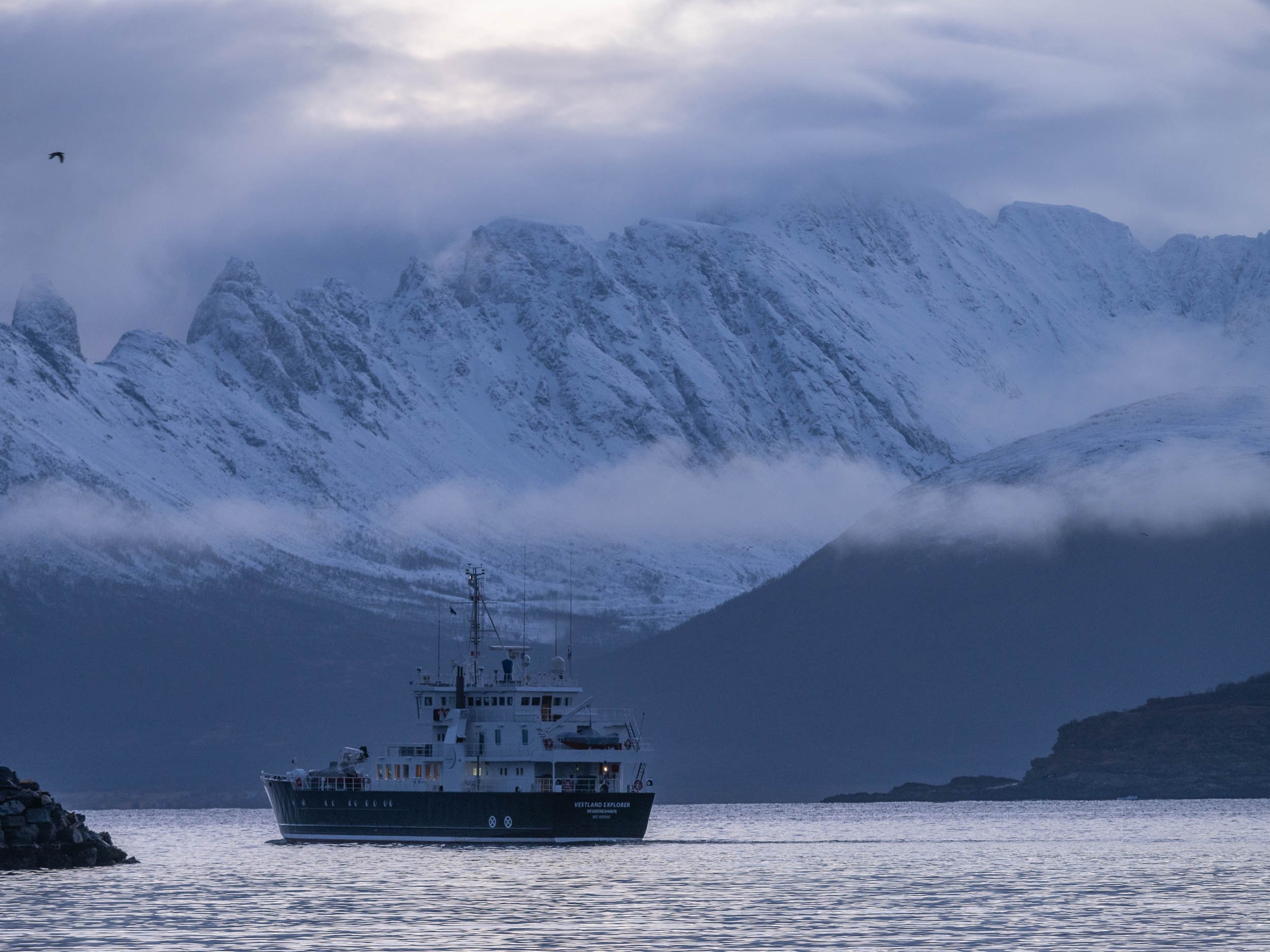

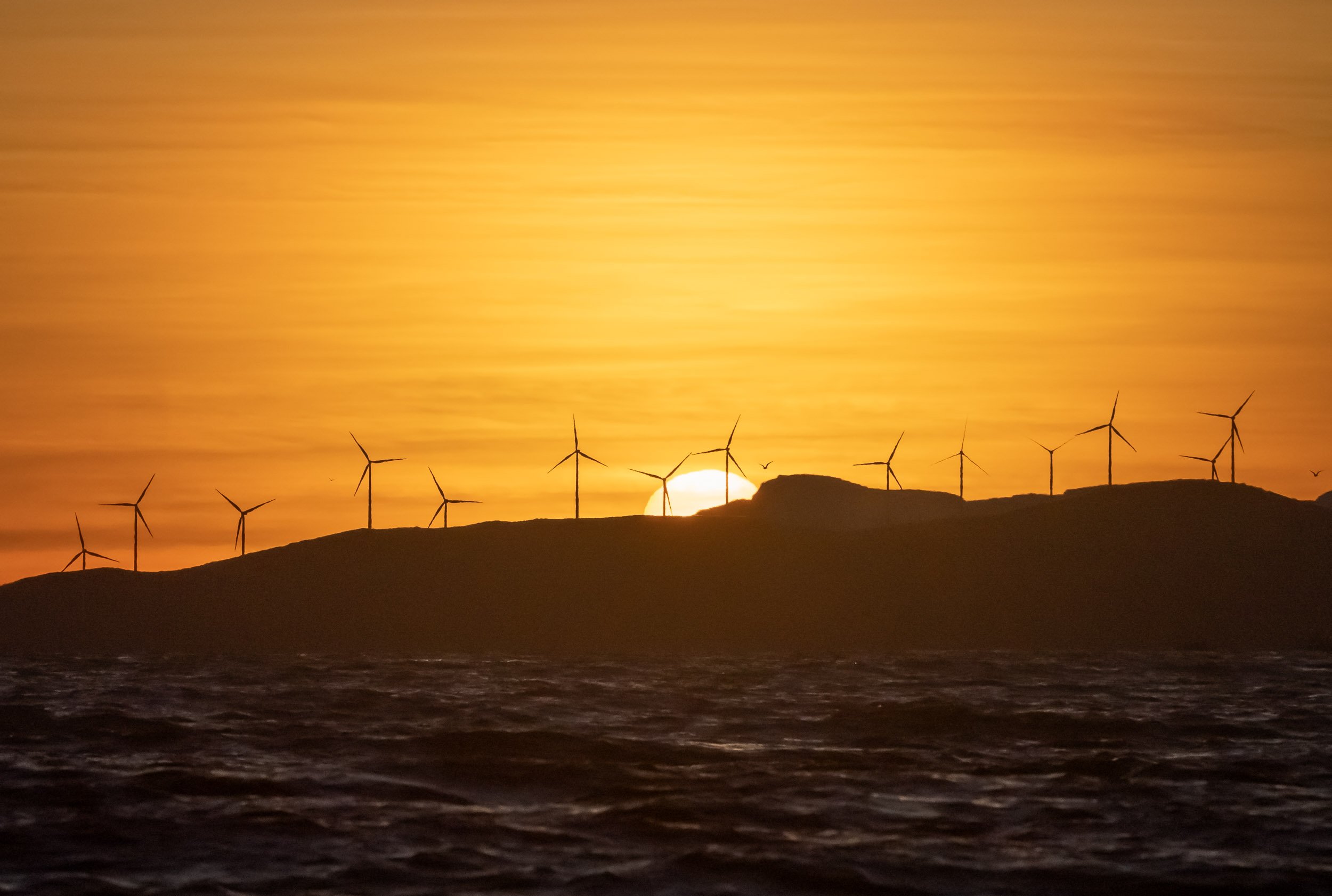
Humpbacks All Around
Aside from orcas, the area is home to a few groups of humpback whales during this time of the year. We had two great encounters, once from the boat and a bit of distance (the weather was not great) and once in the water, as they were feeding alongside the orca whales. The feeling of these creatures diving up a few meters away from you and whacking their flukes on the water is...intimidating to say the least.
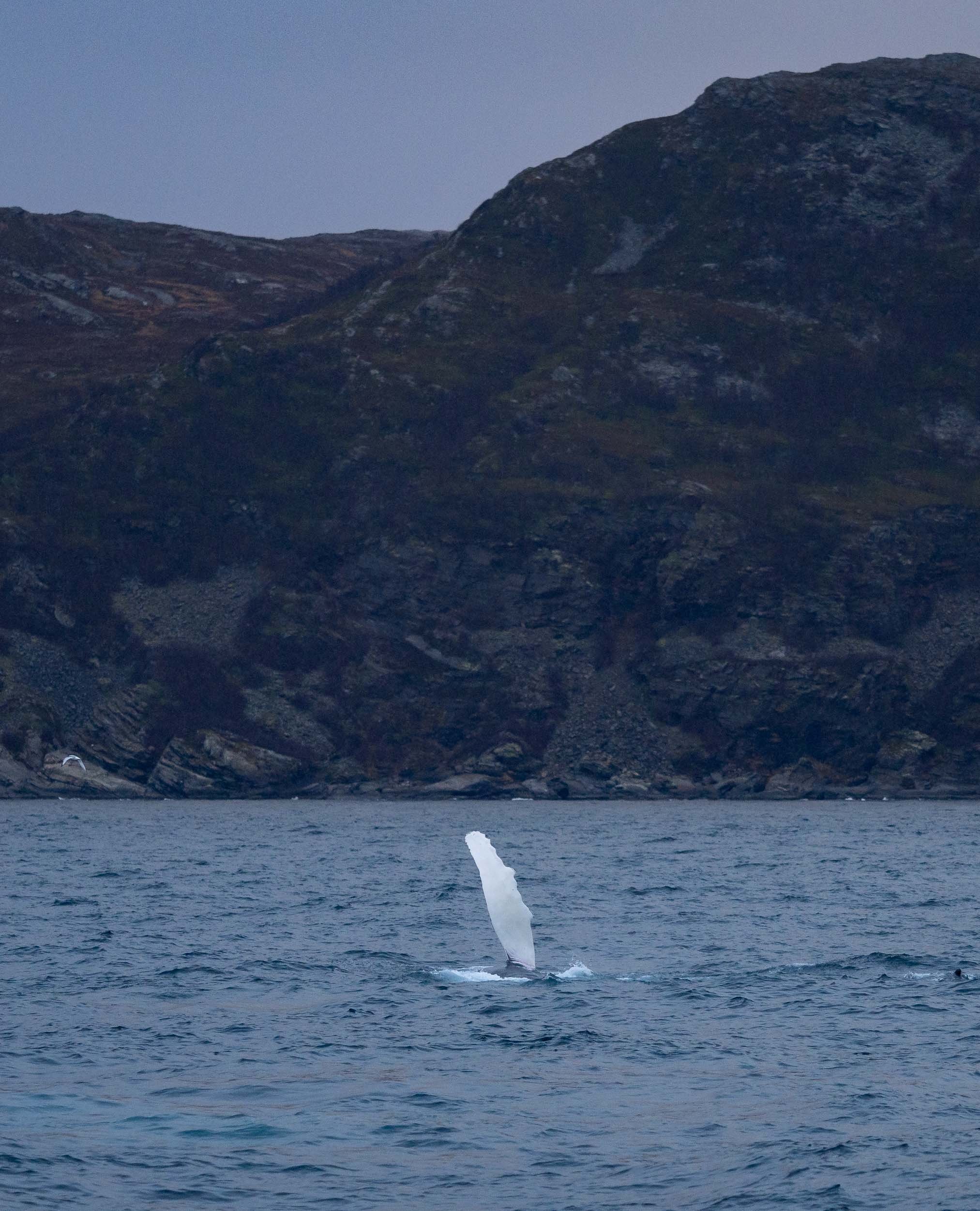
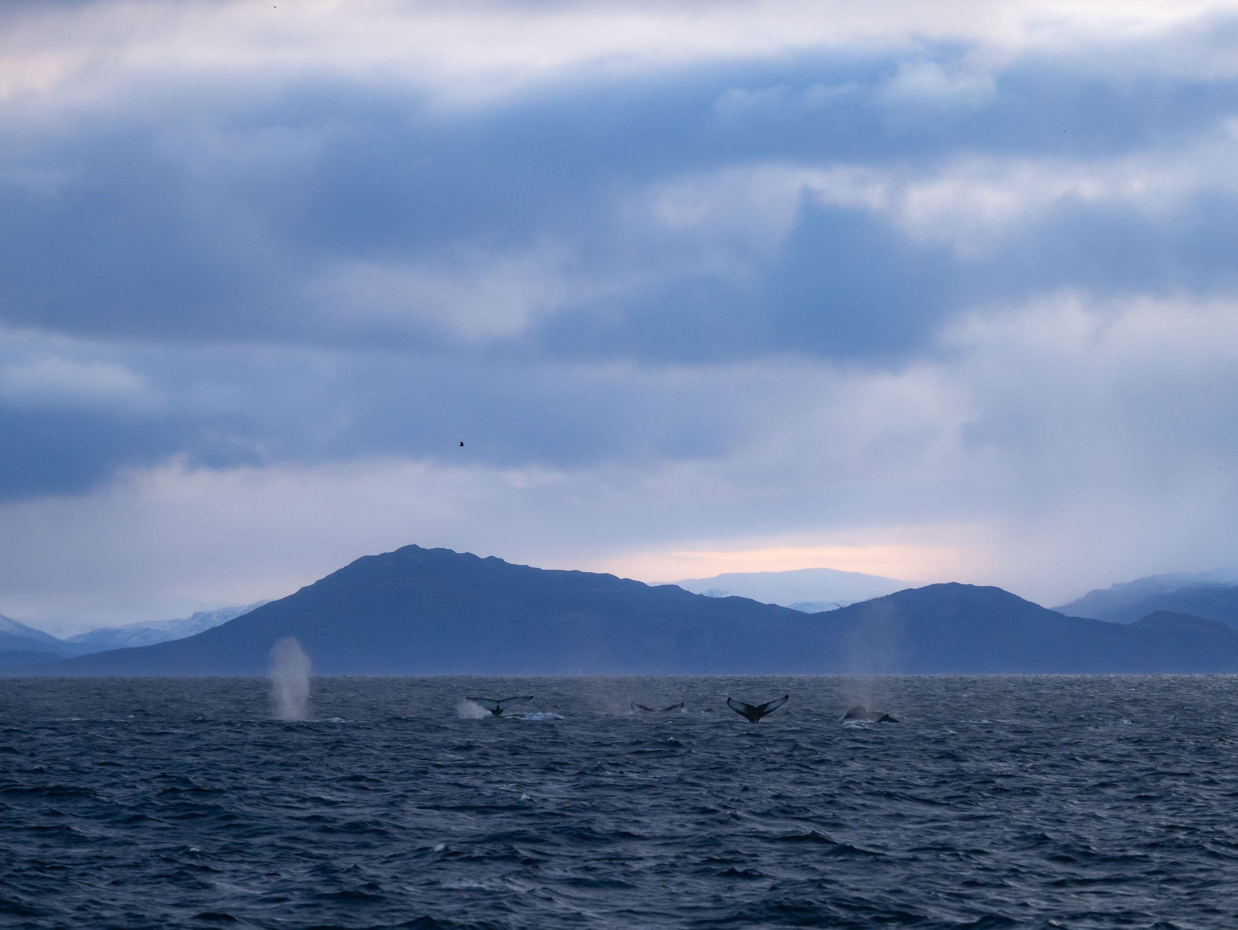
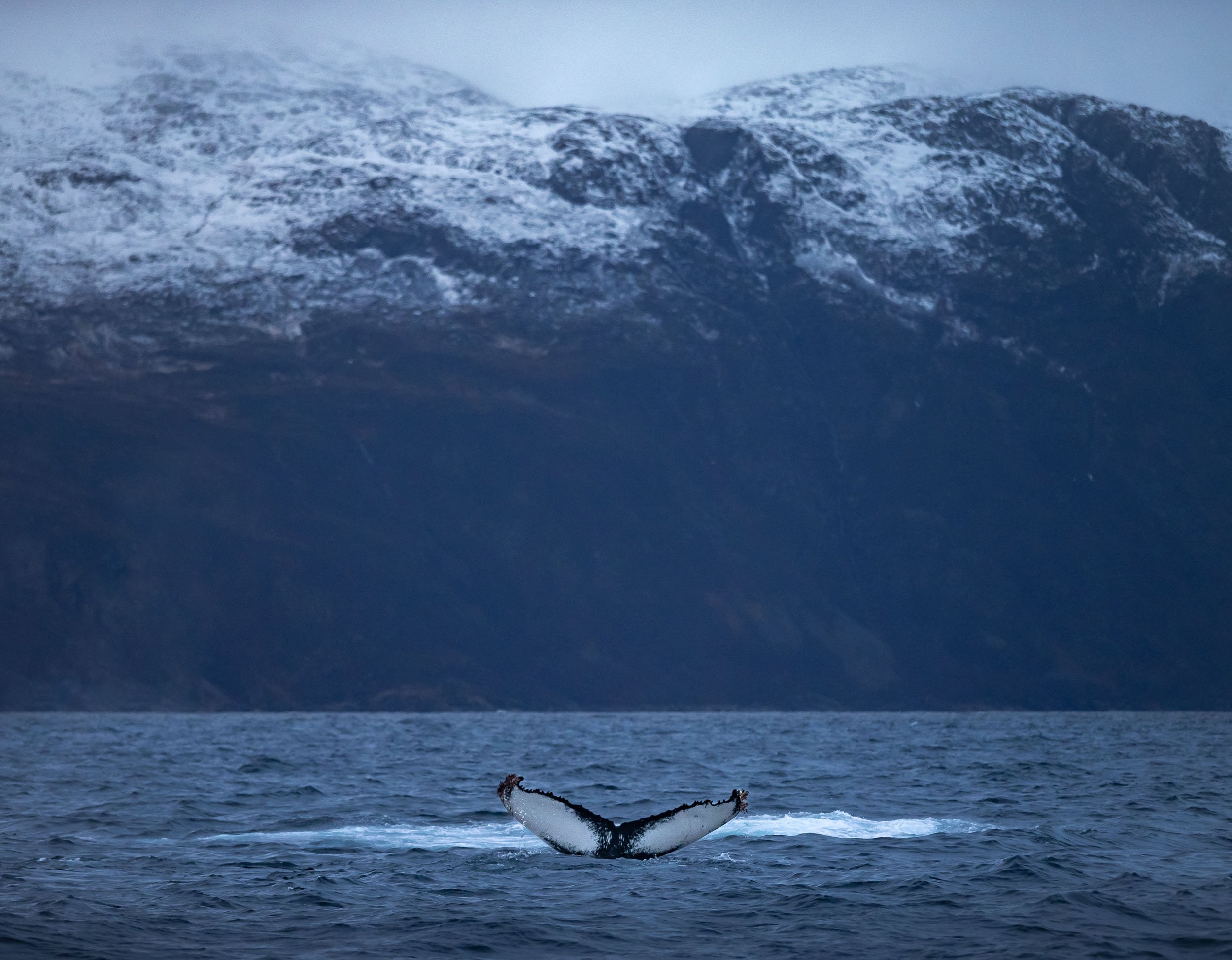
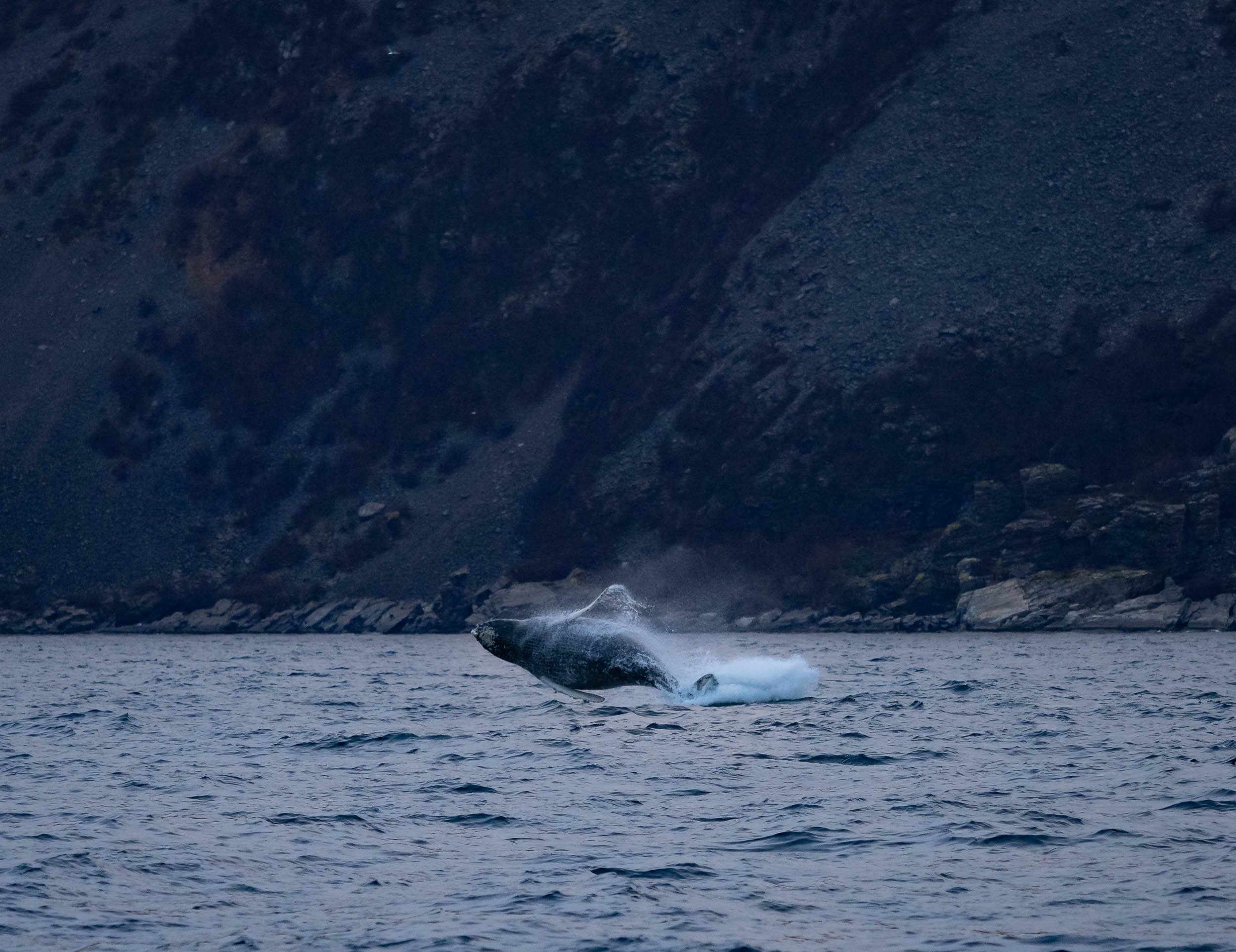
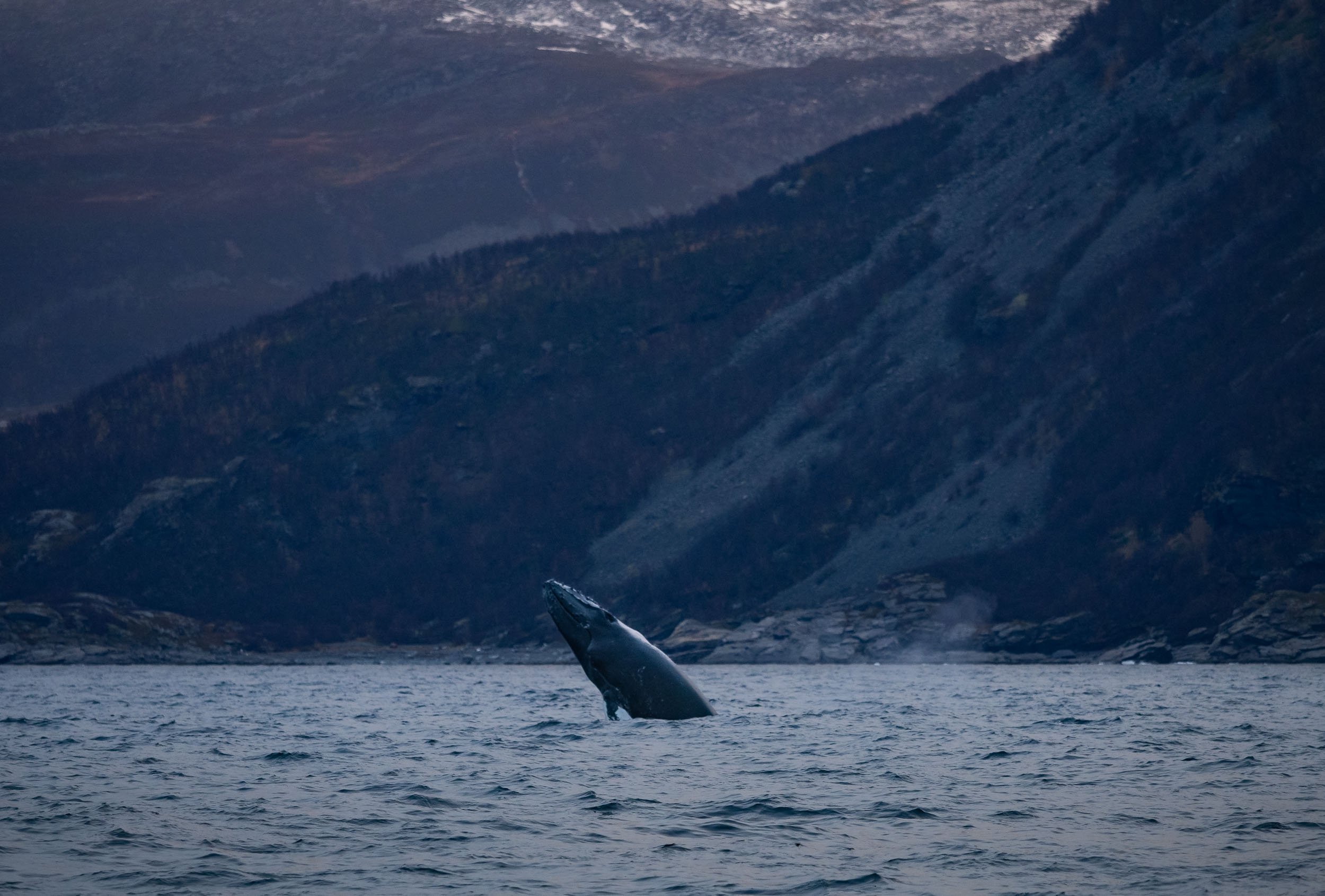
Humpbacks breach frequently, and throw their bodies out of the water. Impressive, considering they weigh 40 tons and grow around 15 meters in length. This juvenile had not quite reached those numbers yet though.
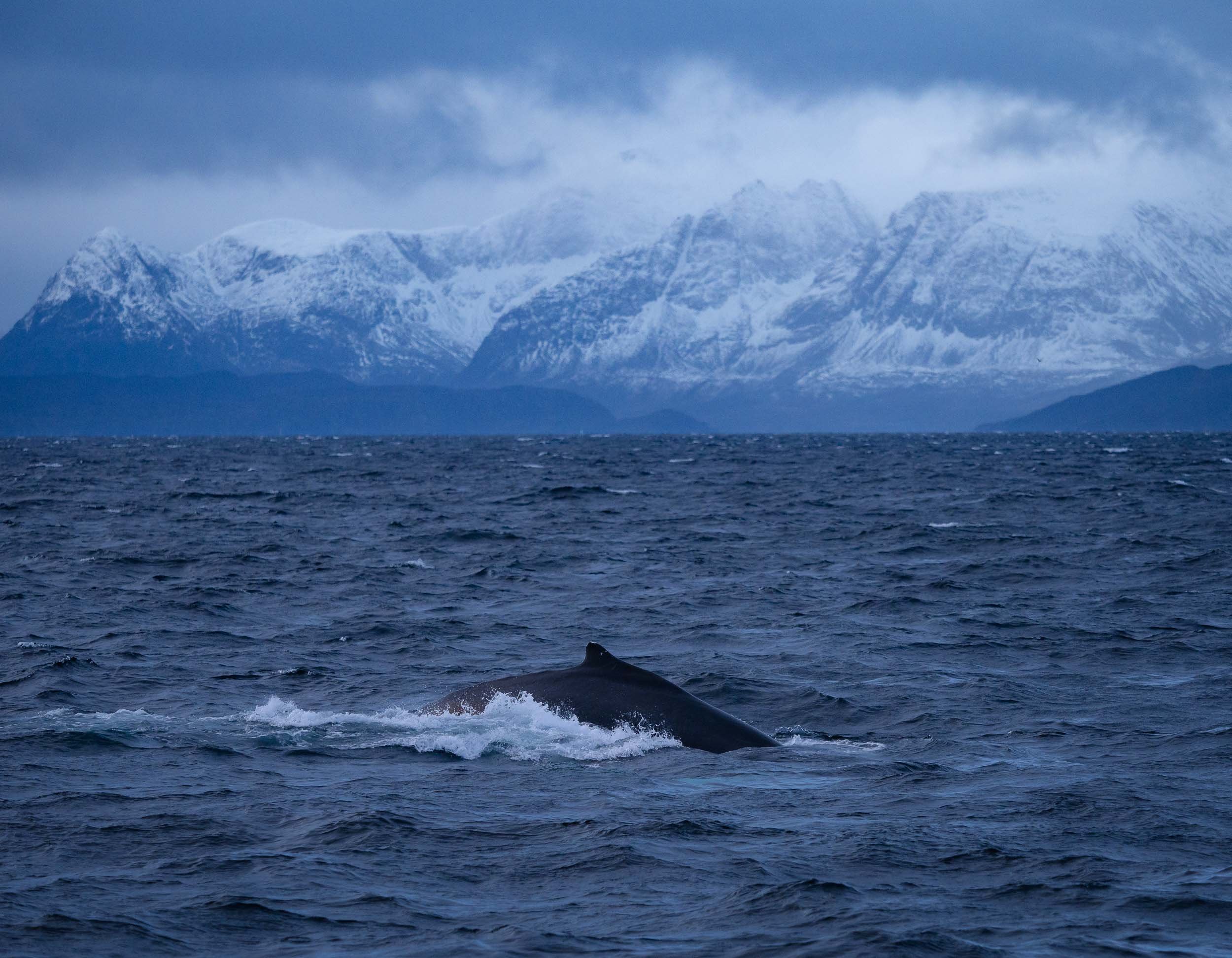
Orca Encounters
The excitement when seeing them from a distance and being lucky enough to get close is difficult to describe. Their elegance in the water, social interactions, curiosity, and just sheer size makes them one of my favorite animals - as is often the case with wildlife, experiencing it in its natural environment provides a very different perspective to documentaries or zoos and changes your relationship to these animals forever.
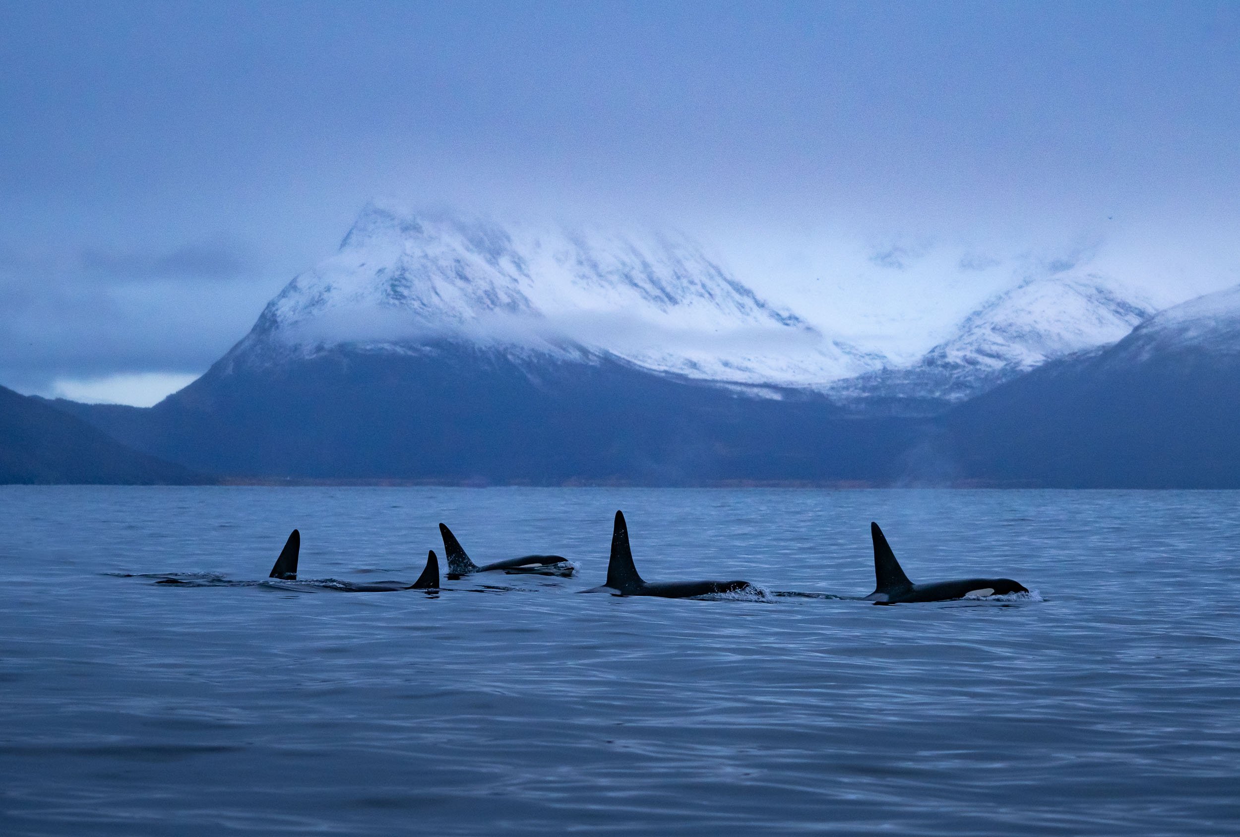
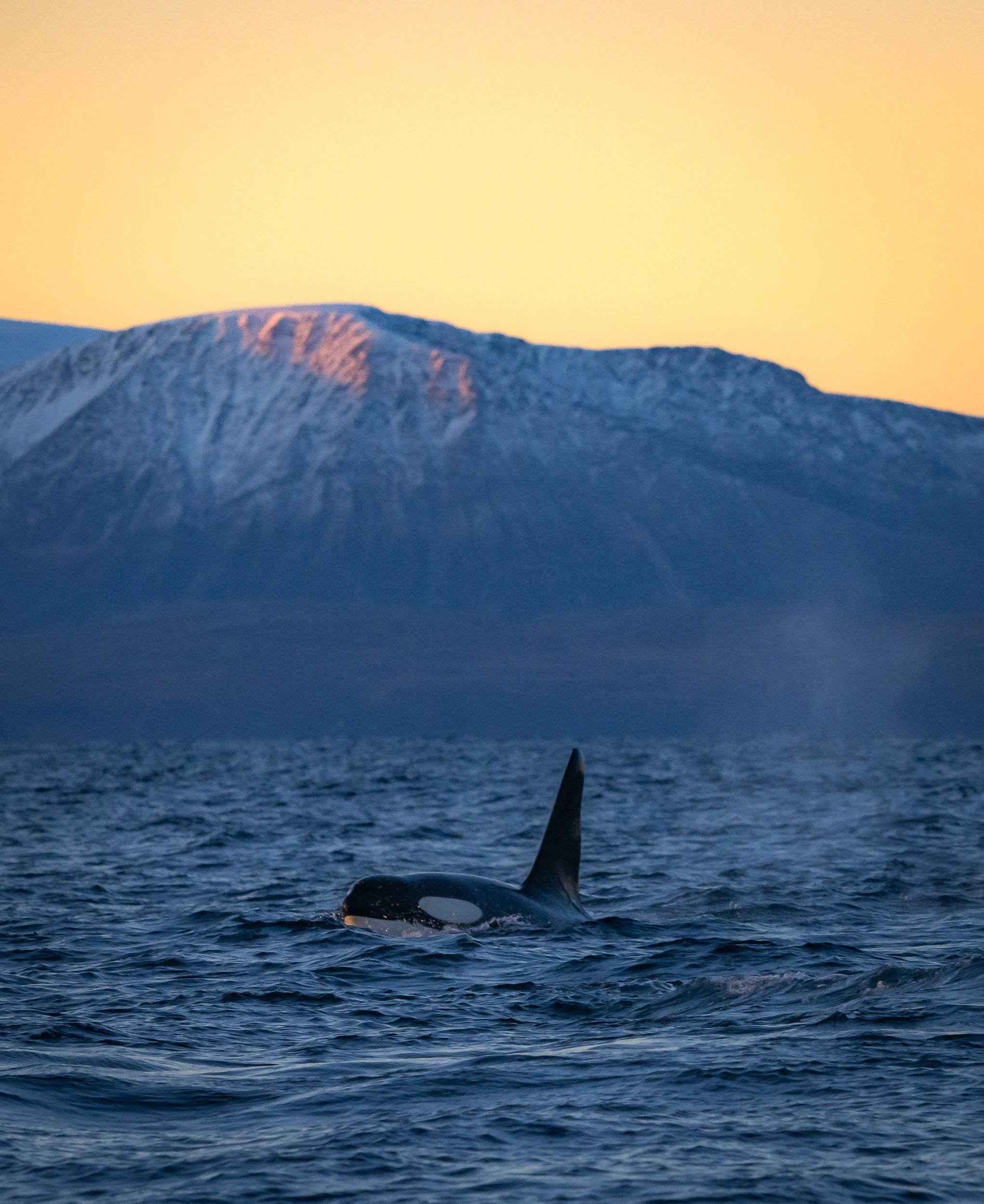


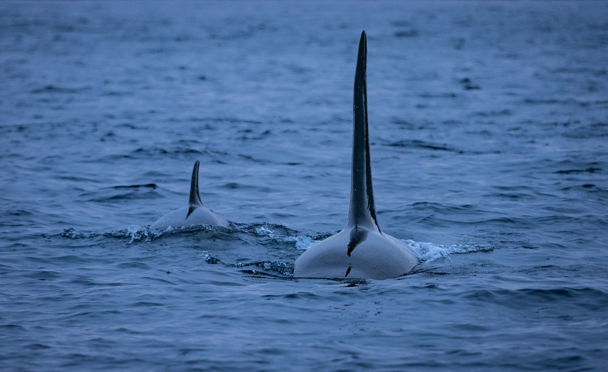
Landscapes of the North
Even on days without wildlife encounters, the stunning fjords all around make for amazing scenery, either bathing in the low sun - there are only a few hours of sunshine each day this far north in the winter - or covered in clouds and adorned by dramatic overcast skies.
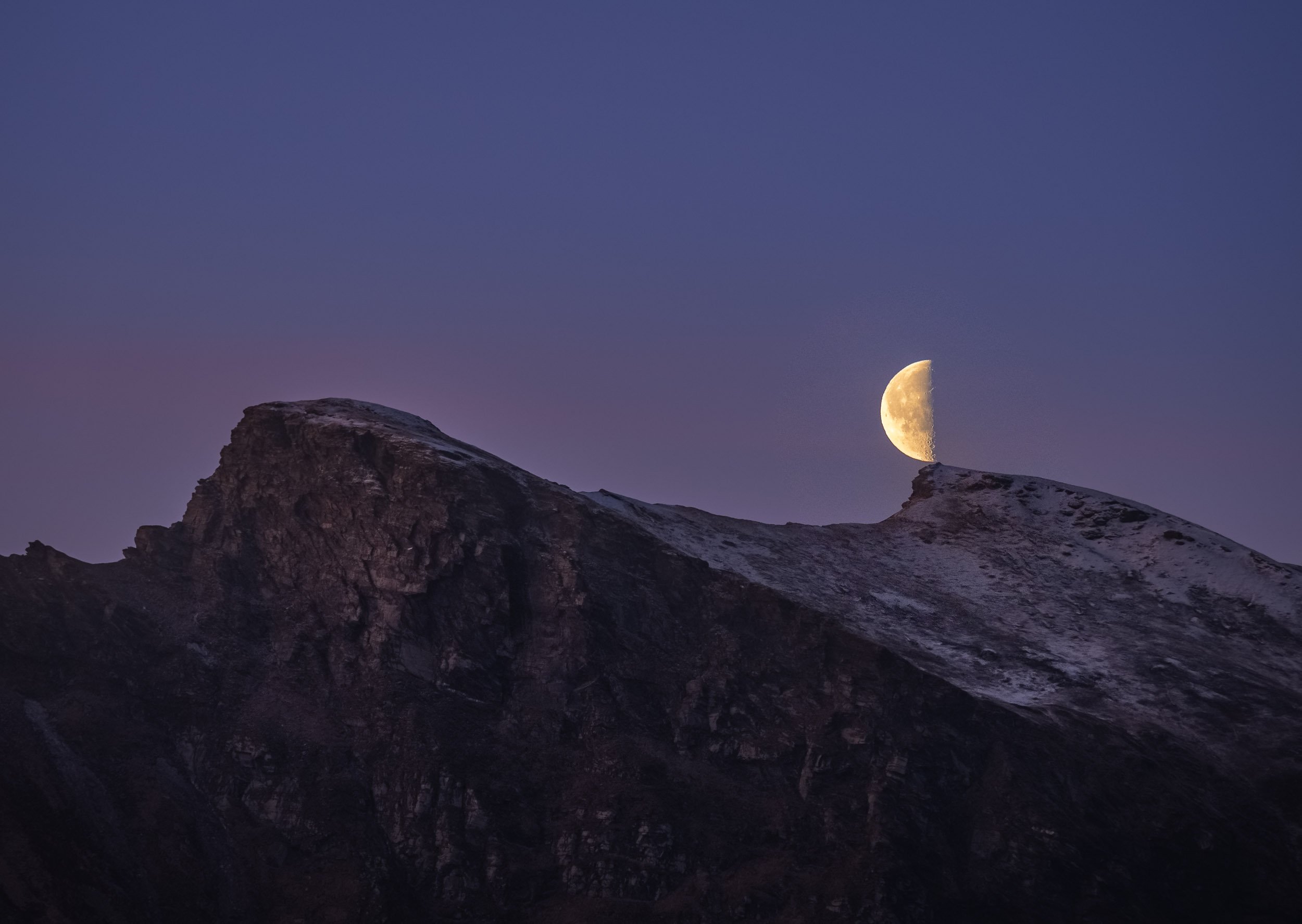


The light hits different up here…
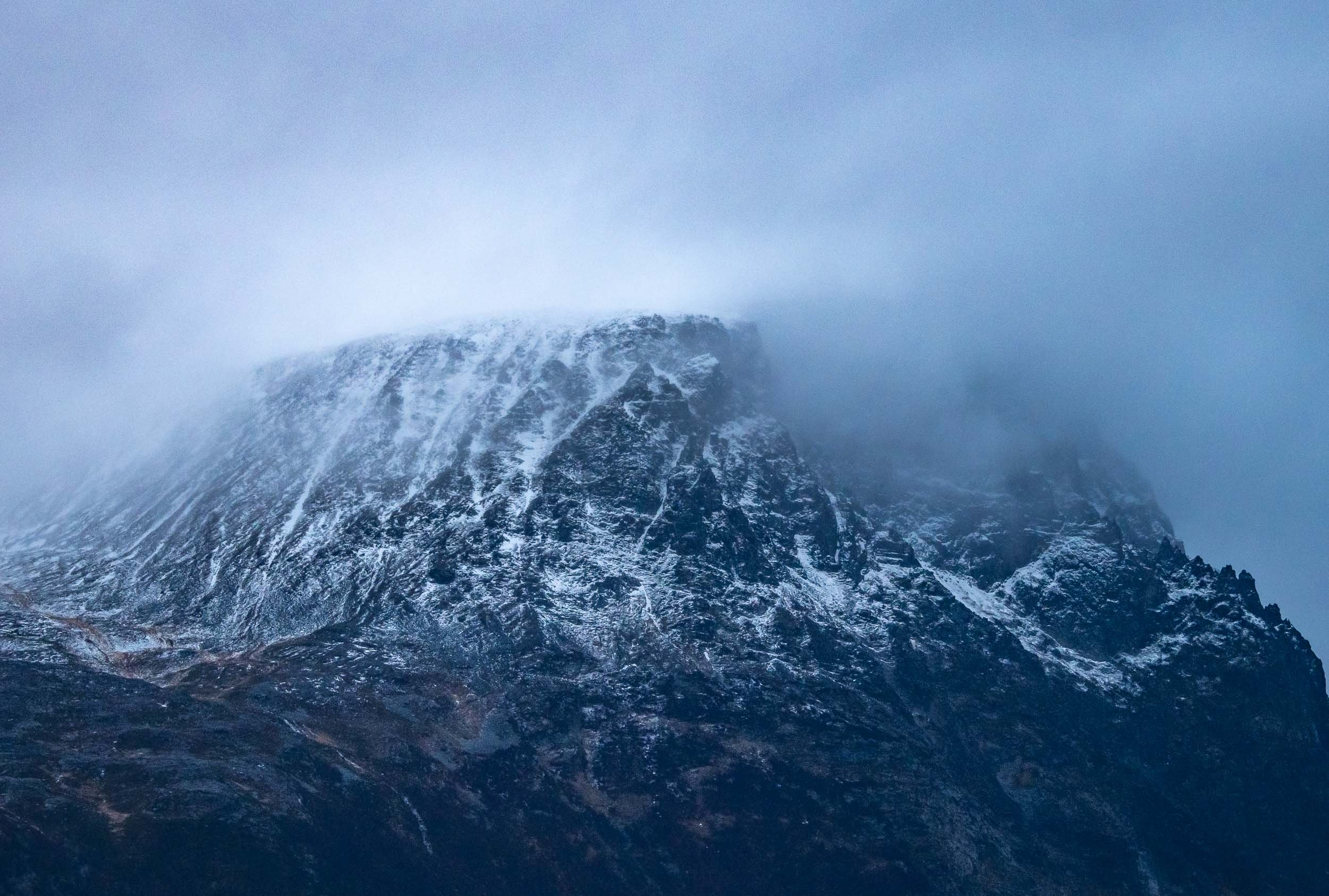
Green Nights
We docked in a few different harbors for the night during the expedition, and had a good chance to see some Northern Lights - of course I couldn’t resist and went out to capture some of the colorful magic in the sky when the conditions were right.

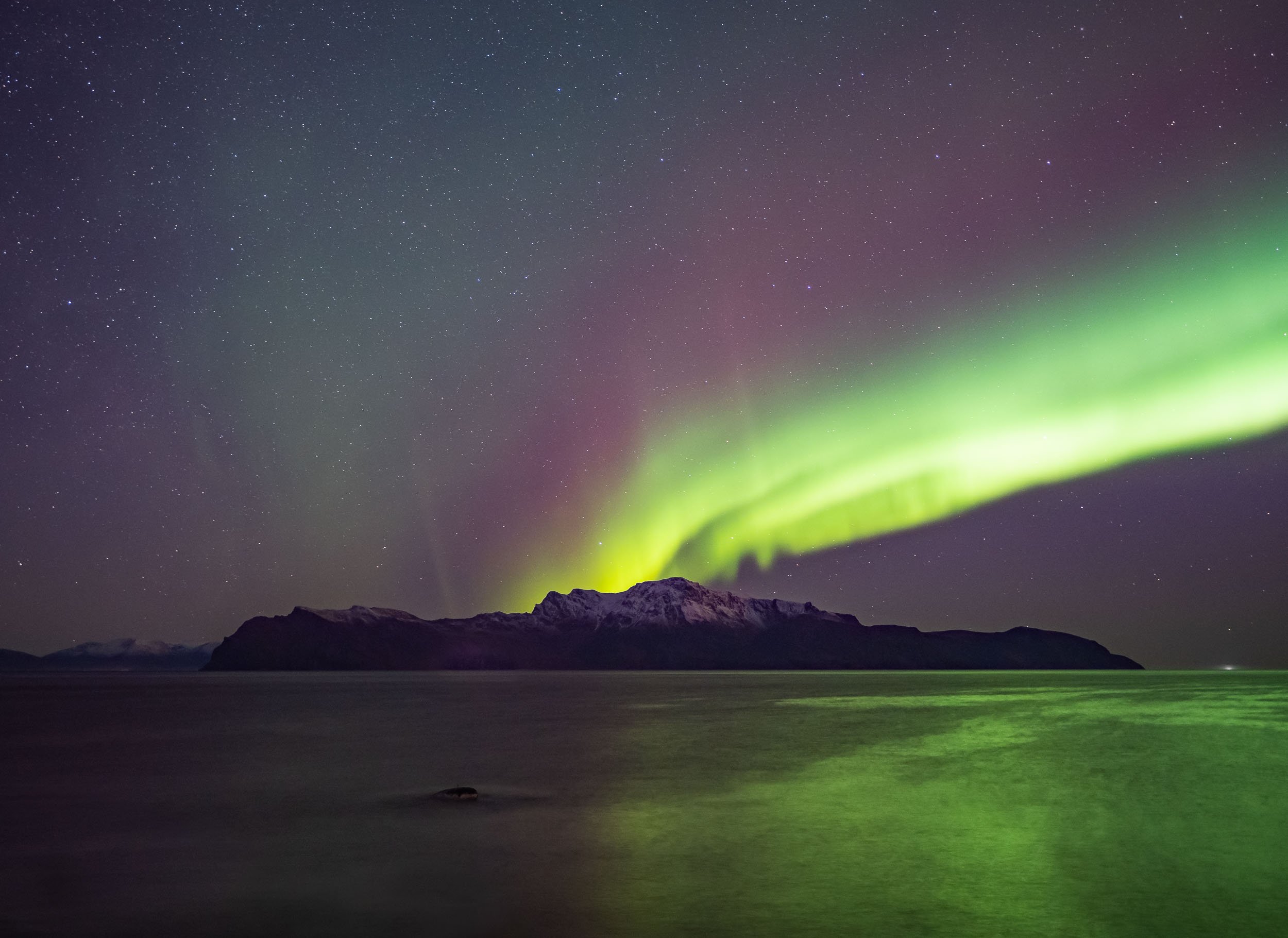
A short timelapse from the same spot. You’ll see my tiny self appear on the bottom right for a few frames at the end.
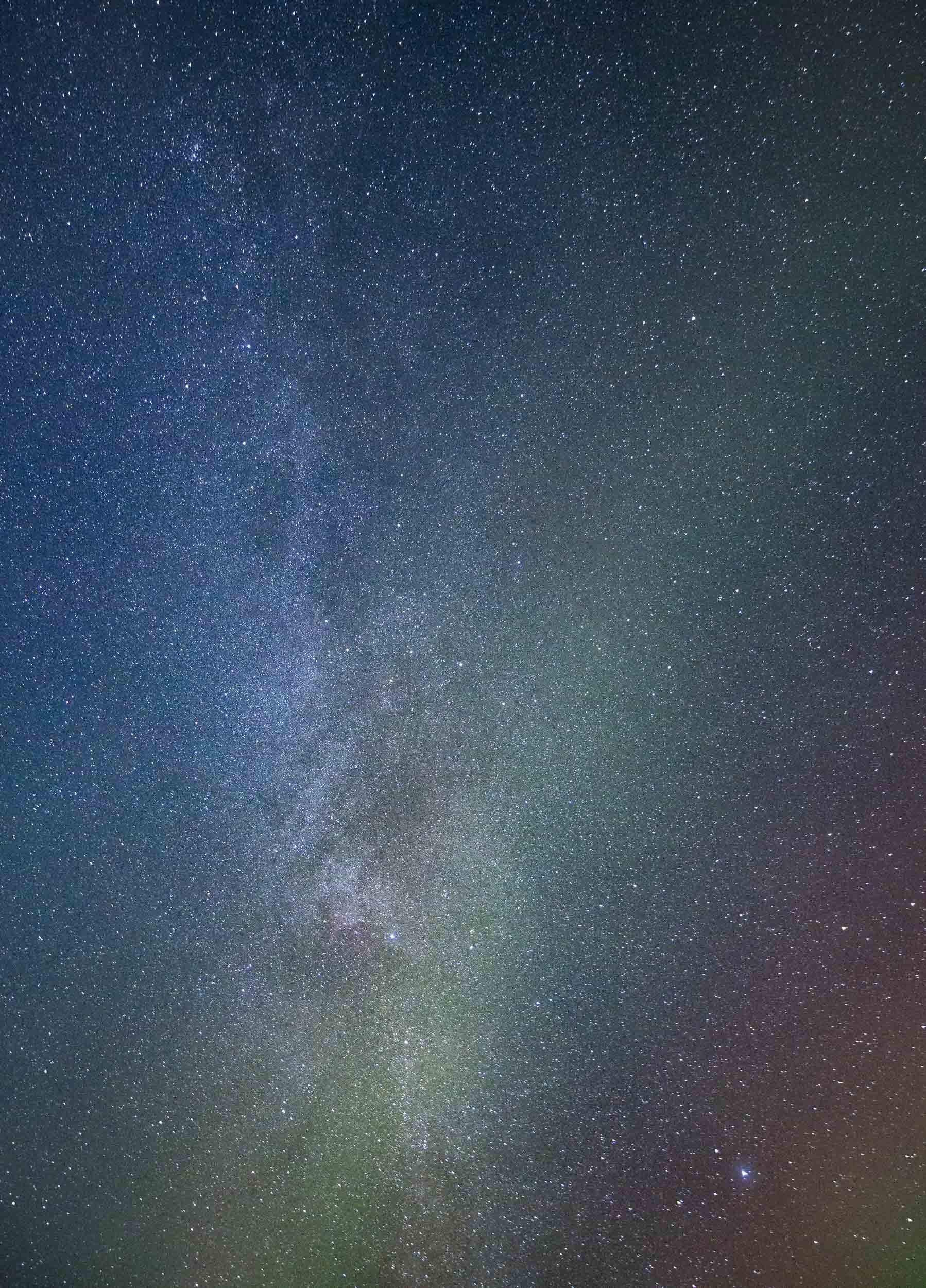
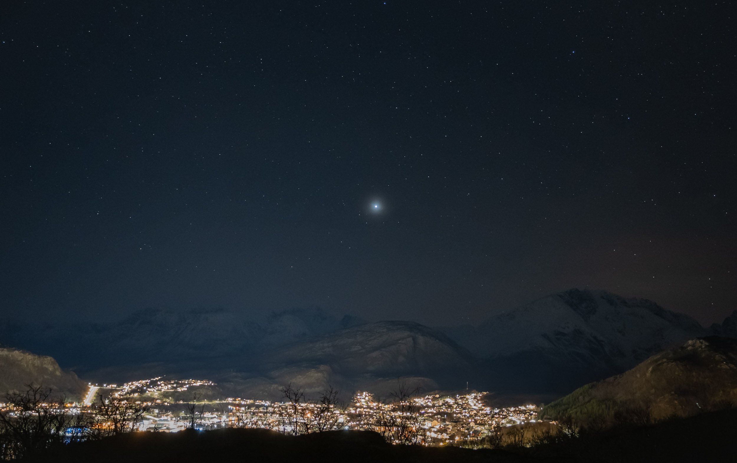
In the Water - The Main Event
Of course, the highlight of this trip was jumping into the water, knowing (or hoping) that there are orca whales that pass you close enough to see them, or even stick around while they are feeding. That sounds simple in principle, but it's often hard to anticipate their movement, approaching carefully and always ensuring to not interrupt their behavior with the dhingy.
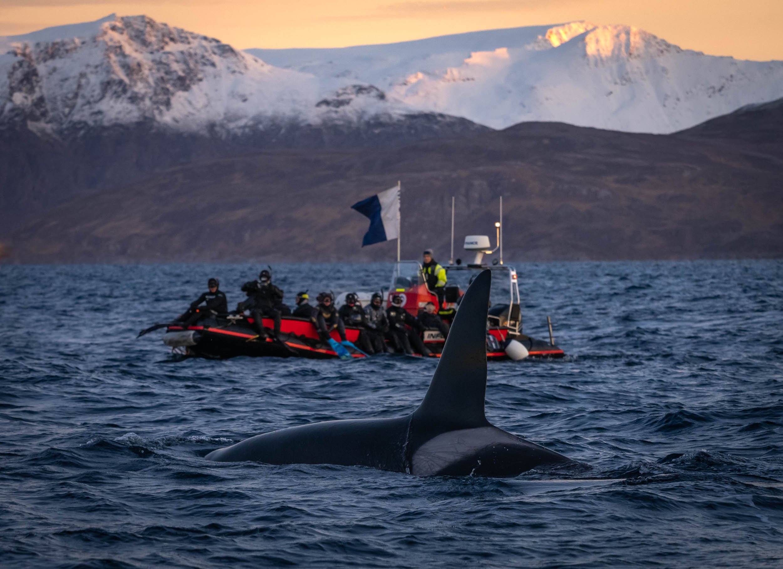
The encounters are unpredictable and often very short - by the time you move around in your (huge, buoyant) dry suit, the animals might have reached the coast of Alaska 😉 and you’re only worried that none of that ice cold (5C) water enters the suit you have to wear for the next five hours.
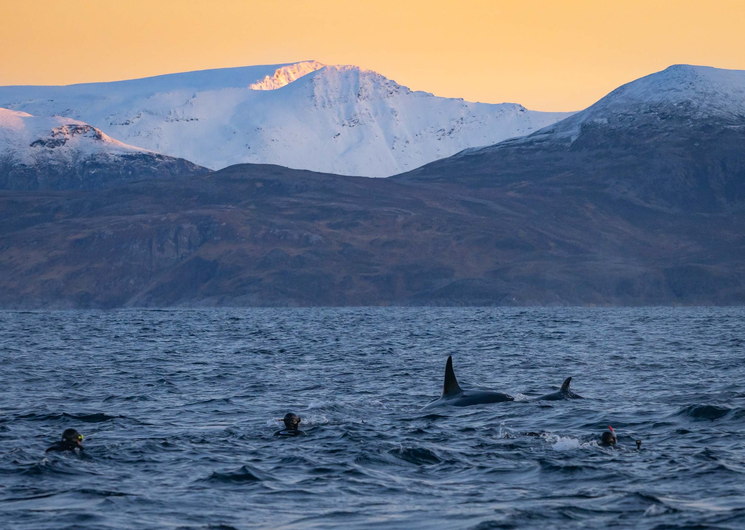
I took all my under water footage with the iPhone in a case. This in principle delivers better results than a GoPro (and a more pleasant focal length) but it took me time to figure out how to avoid focus hunting and in general dealing with the new environment. Rest assured, next time I’ll know better and will have an underwater case for my trusty Olympus camera… Regardless of the photographic outcome, this was truly a privileged wildlife encounter, and ranks high up there for me, maybe only topped (if that) by my time with Craig, the elephant with the largest tusks in Africa.
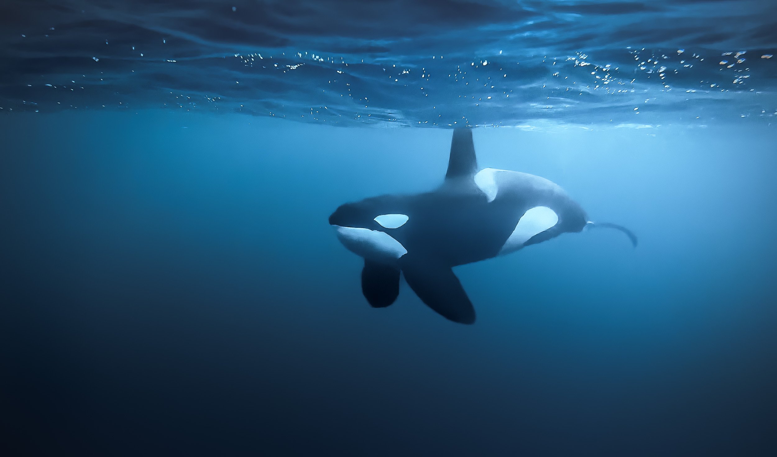
We had a few amazing encounters, including a feeding where a pod of orca started to work the bait ball. They surround a school of herring and use tail slaps to stun them, then calmly feed. The orcas were joined by a number of humpbacks, and it became a frenzy that was difficult to grasp. This was also the only moment where our guides wisely decided we should leave the water, not due to any aggression, but because a humpback fluke isn’t something you want to be any closer to than necessary. Despite that, I never had the feeling of being in danger. The approach Orcanorway takes is full of respect and appreciation for these animals, and unlike many other such encounters around the world, sanctioned and licensed by the local government.
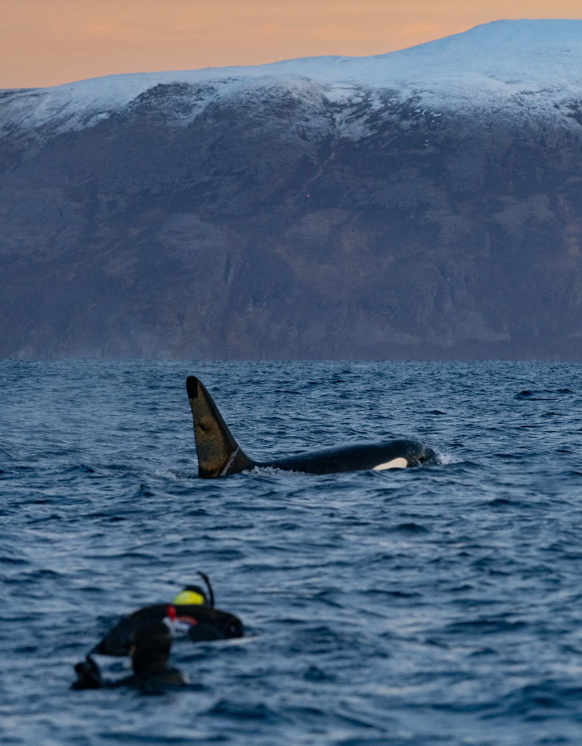
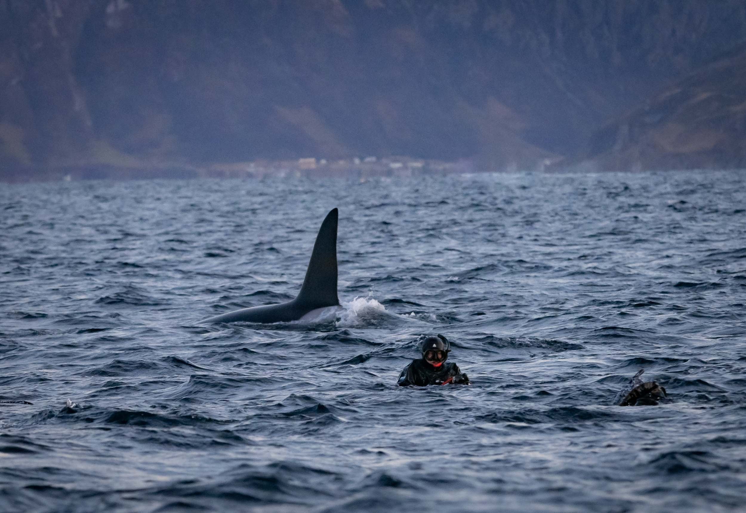
Contrary to the reputation that’s associated with killer whales (it’s in the name already…), there has not been a single documented intentional attack of an orca on a human in the wild. Every incident occurred in captivity, and it’s not surprising given the conditions these jailed individuals have to live in for large parts of their lives.
Last Light in Tromsø
After a week on the boat it was time to head back to Tromso - which greeted us with a display of strong Northern Lights, easily outperforming the city’s light pollution. I spent one more day in the city before moving on to Finland (another blog in the backlog).


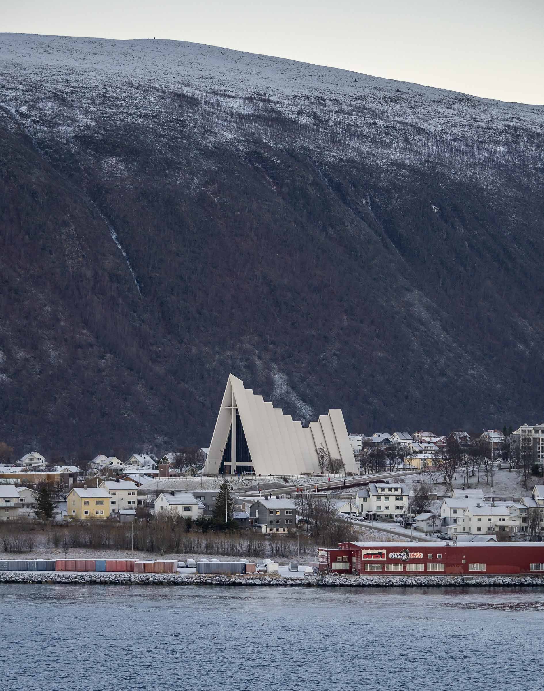
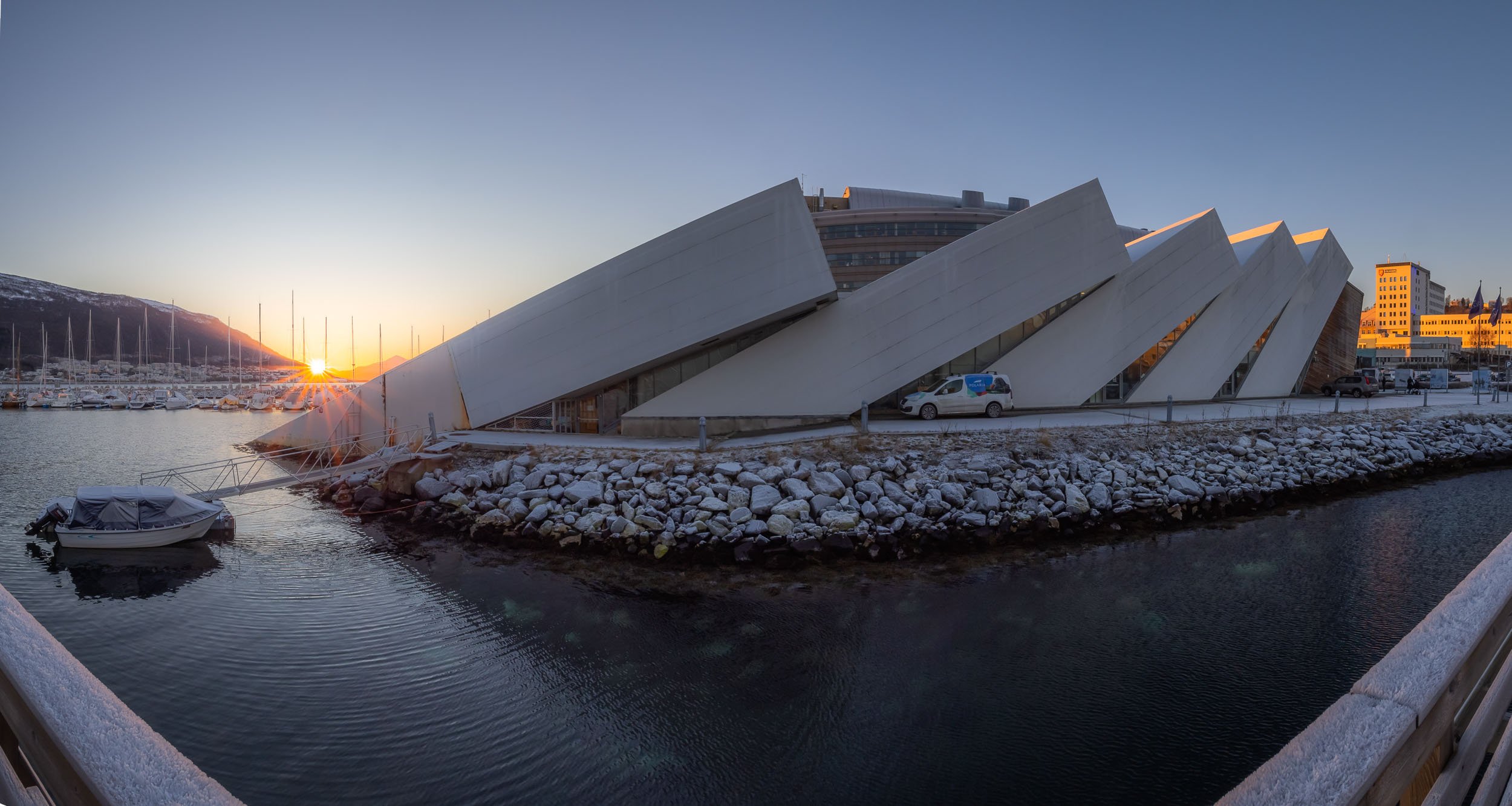
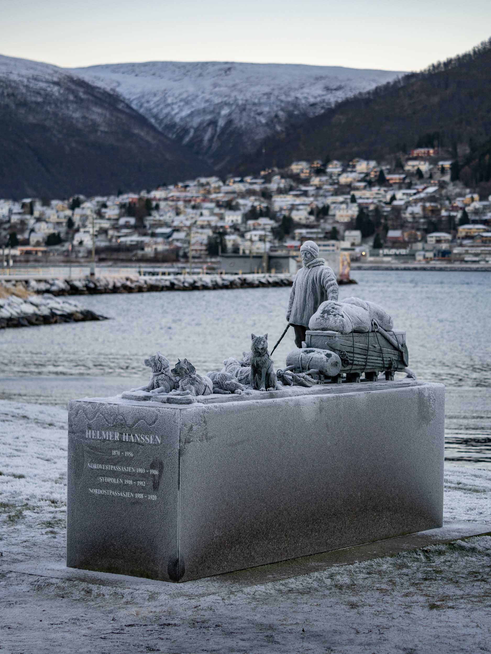
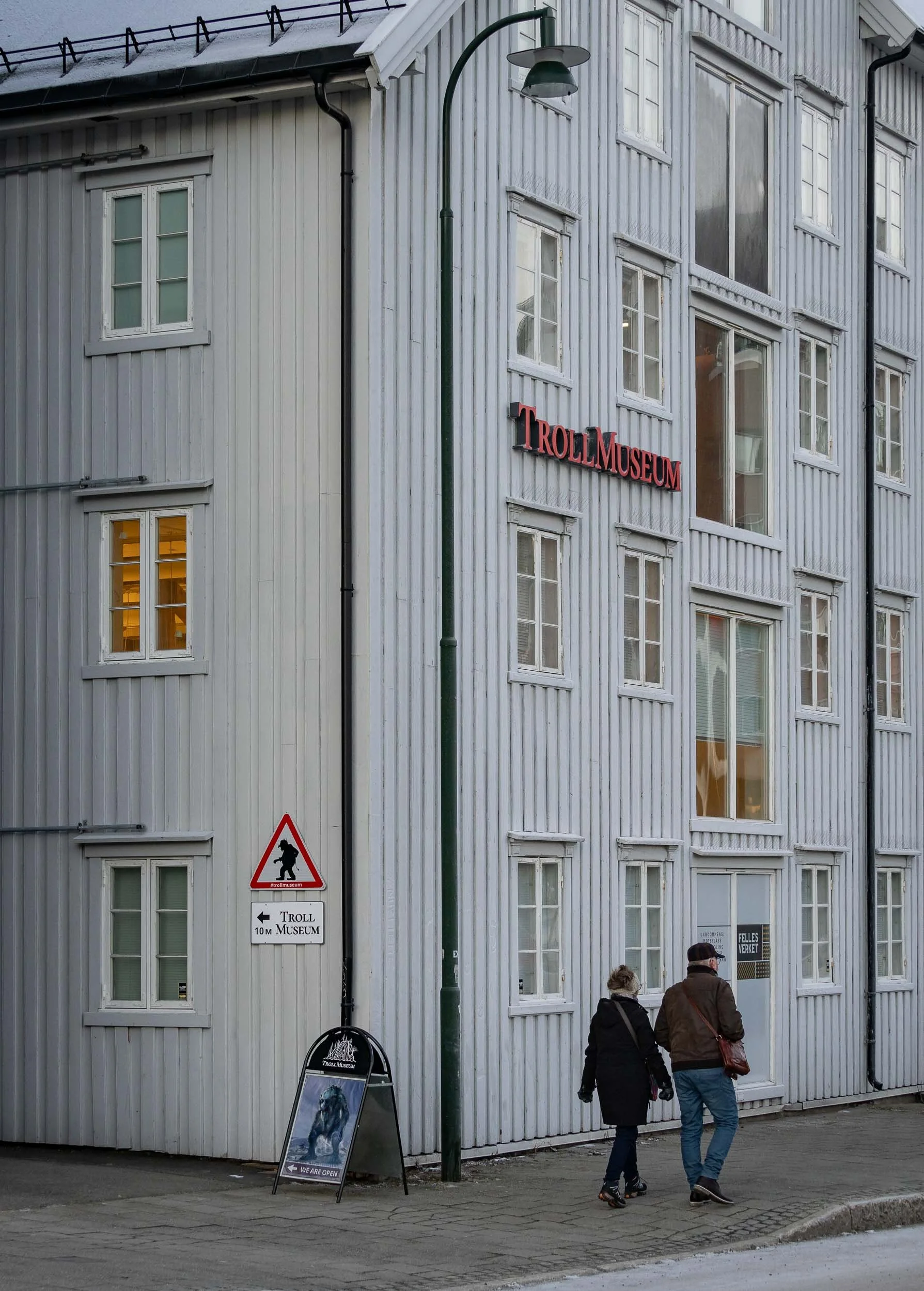
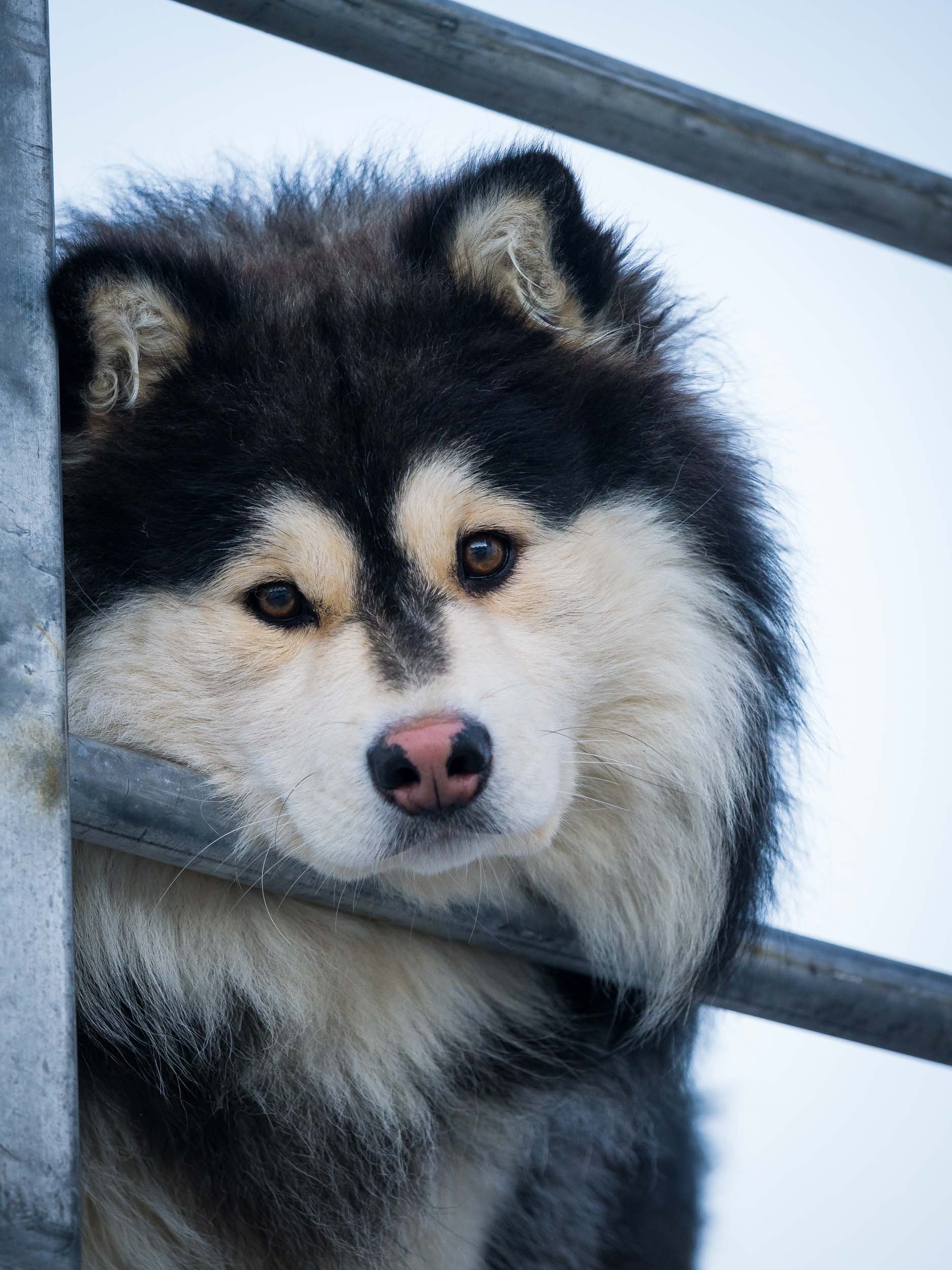
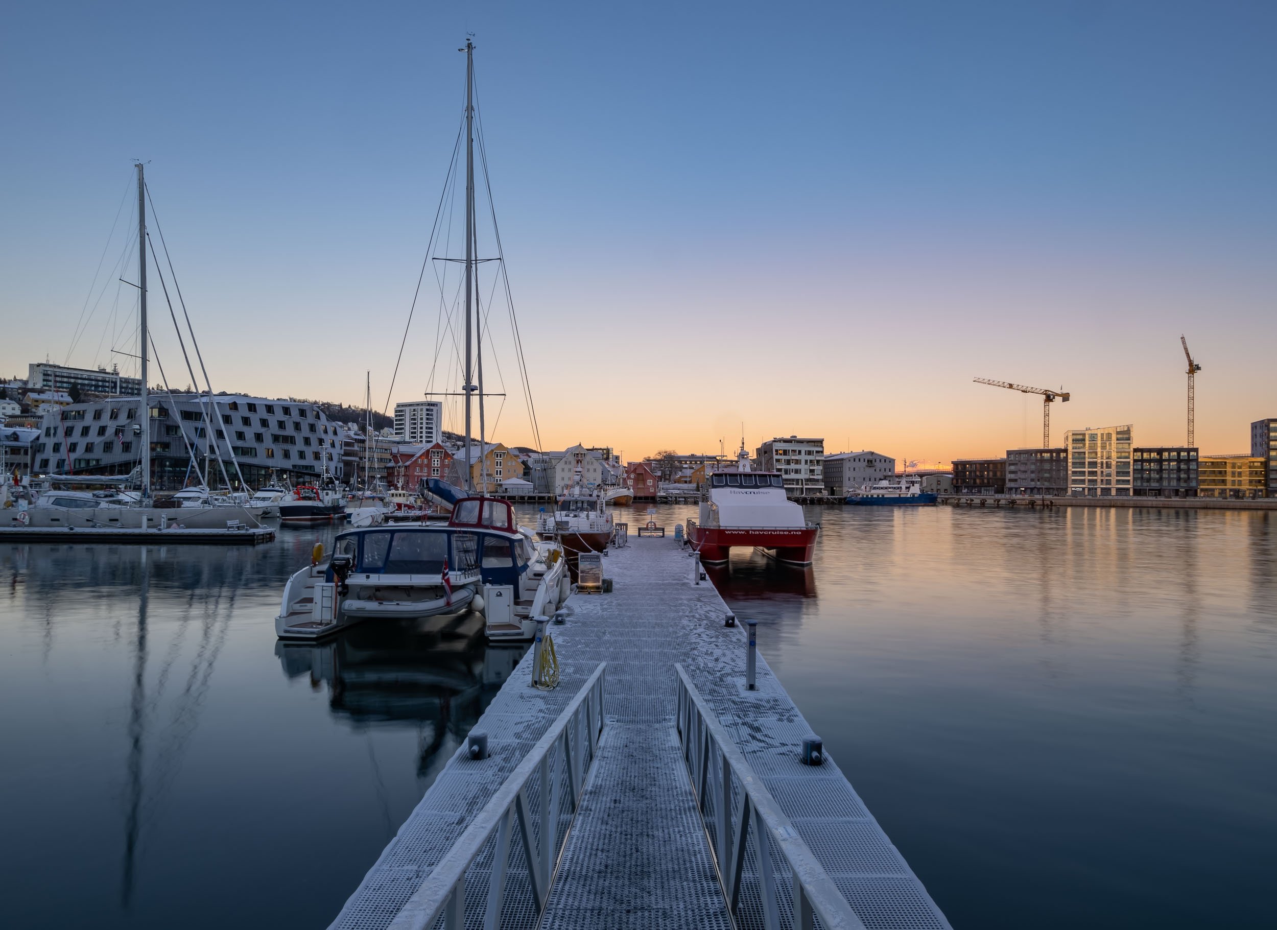

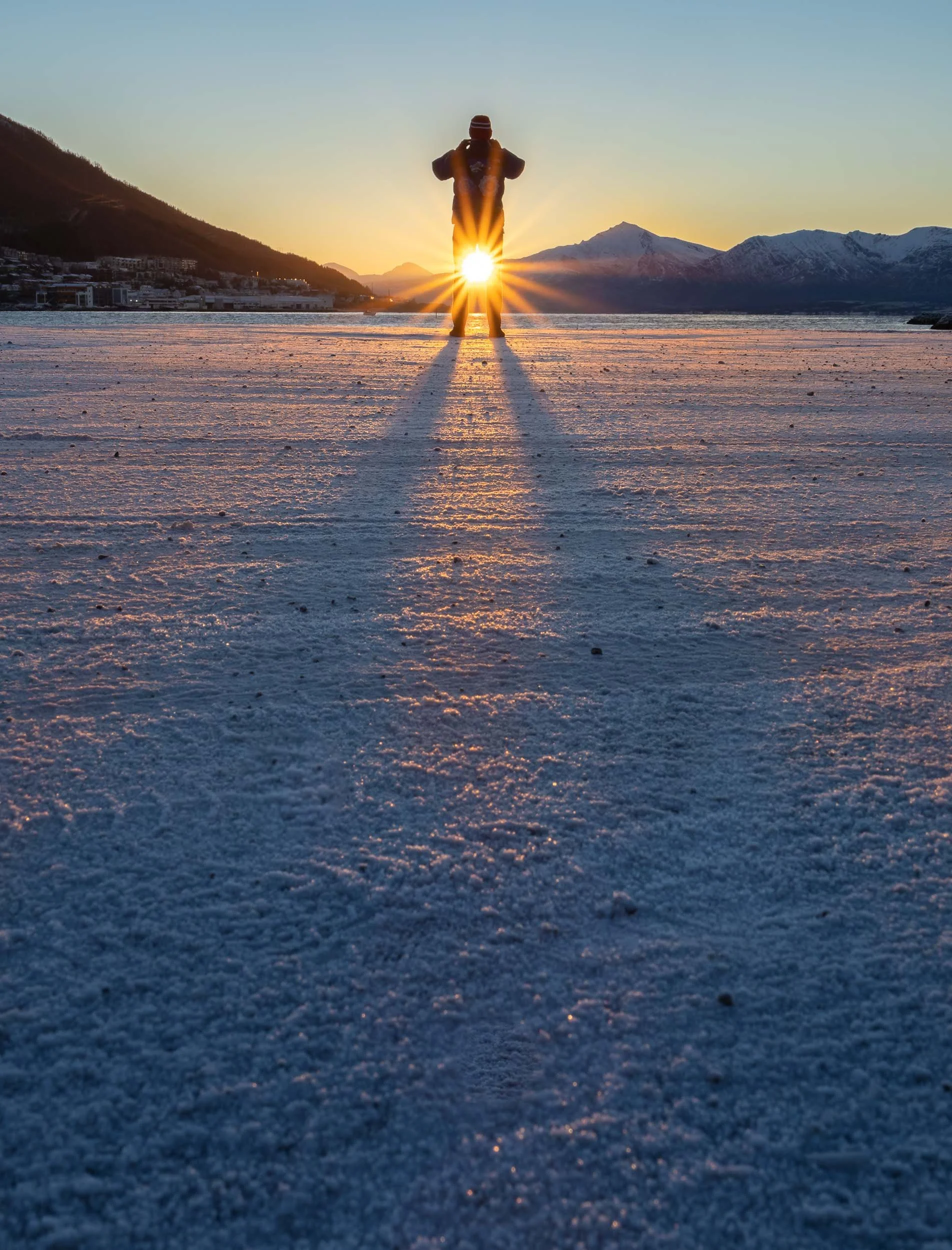

A Final Glimpse
This was taken at pretty much exactly at 12 noon on November 19th, 2022 - just 1 week later, the sun would no longer rise for another 6 weeks or so, only leaving a few hours of blue light during the day for Tromso’s population of 65,000.
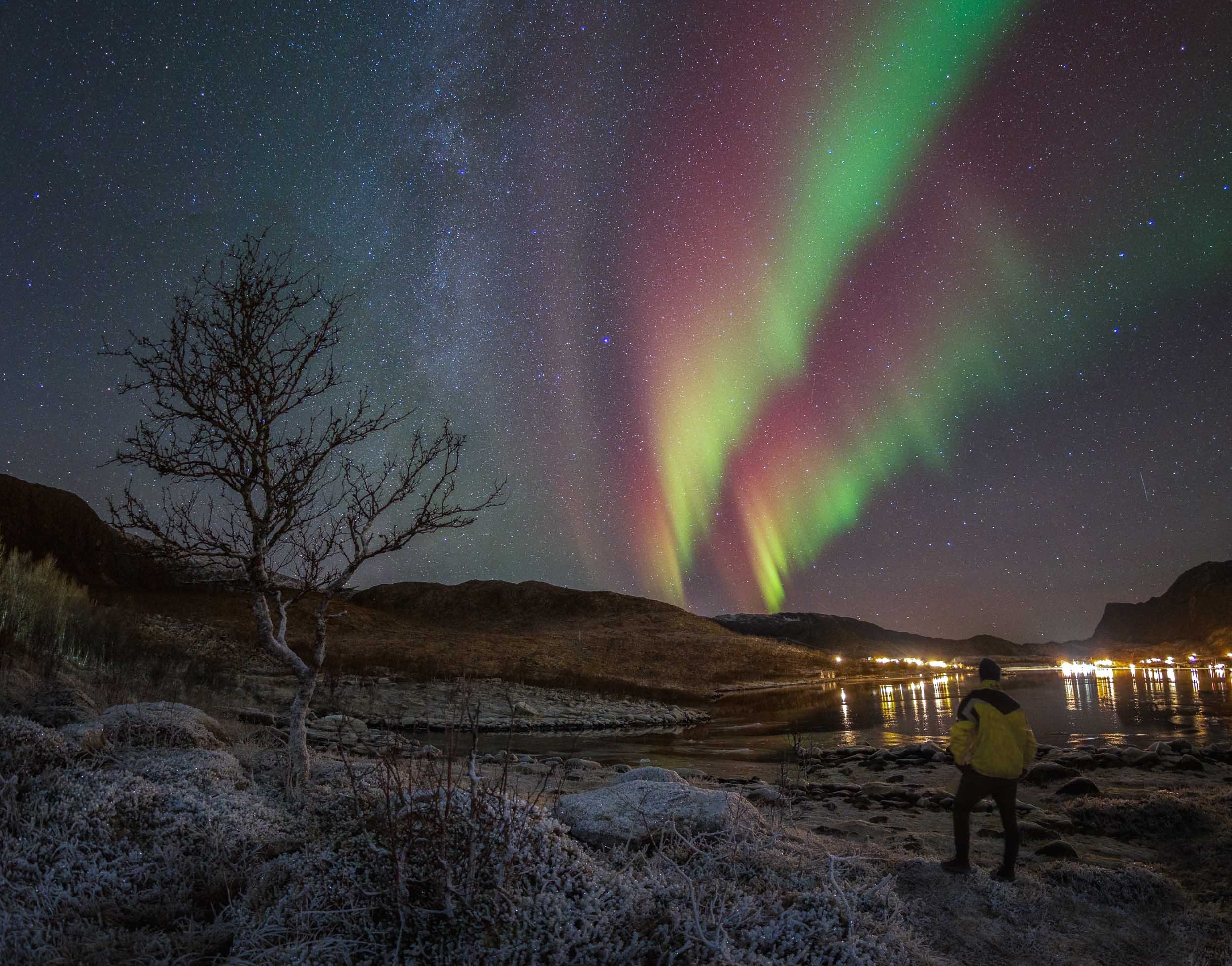
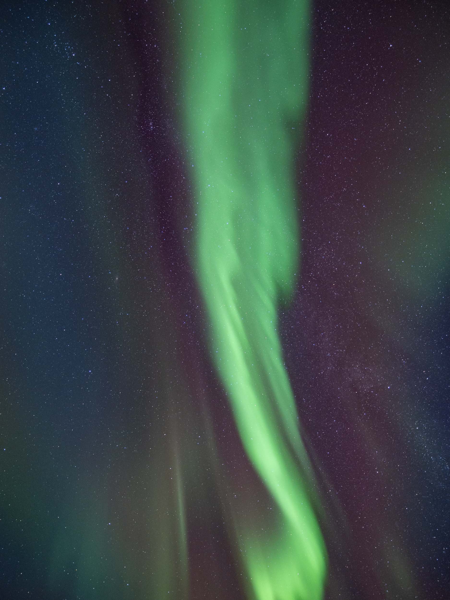

Flores Island & Komodo - Indonesia Part 1
Exploring Flores island and the bordering Komodo National Park, part of the Lesser Sunda Islands in eastern Indonesia.
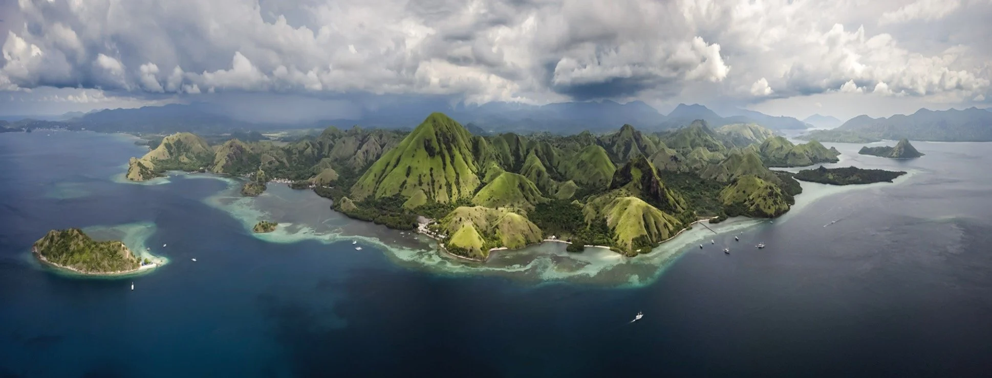
The amount of photos and videos I took over my 6 weeks in Indonesia has been slightly overwhelming, which is one of the reasons this blog didn’t see any of them yet. There are just too many incredible places to experience and document in this amazing country! We’ll start with the western part of Flores island (my kind of name) and the bordering Komodo National Park, part of the Lesser Sunda Islands in eastern Indonesia. I spent 6 pretty packed days here, 3 of them on a boat around the islands - take a look!
The video below will give you a pretty good overview of some of the most interesting places you get to explore in this part of Indonesia.

Ende & Kelimutu
My flight took me to the town of Ende, pretty much in the southern center of Flores (and I didn’t go much further east). The goal was to start with hiking up the Kelimutu Volcano in the first night. On the way, we stopped at some of the beautiful typical rice terraces, and the local Saga and Wologai villages to see some of the traditional houses common to the island.


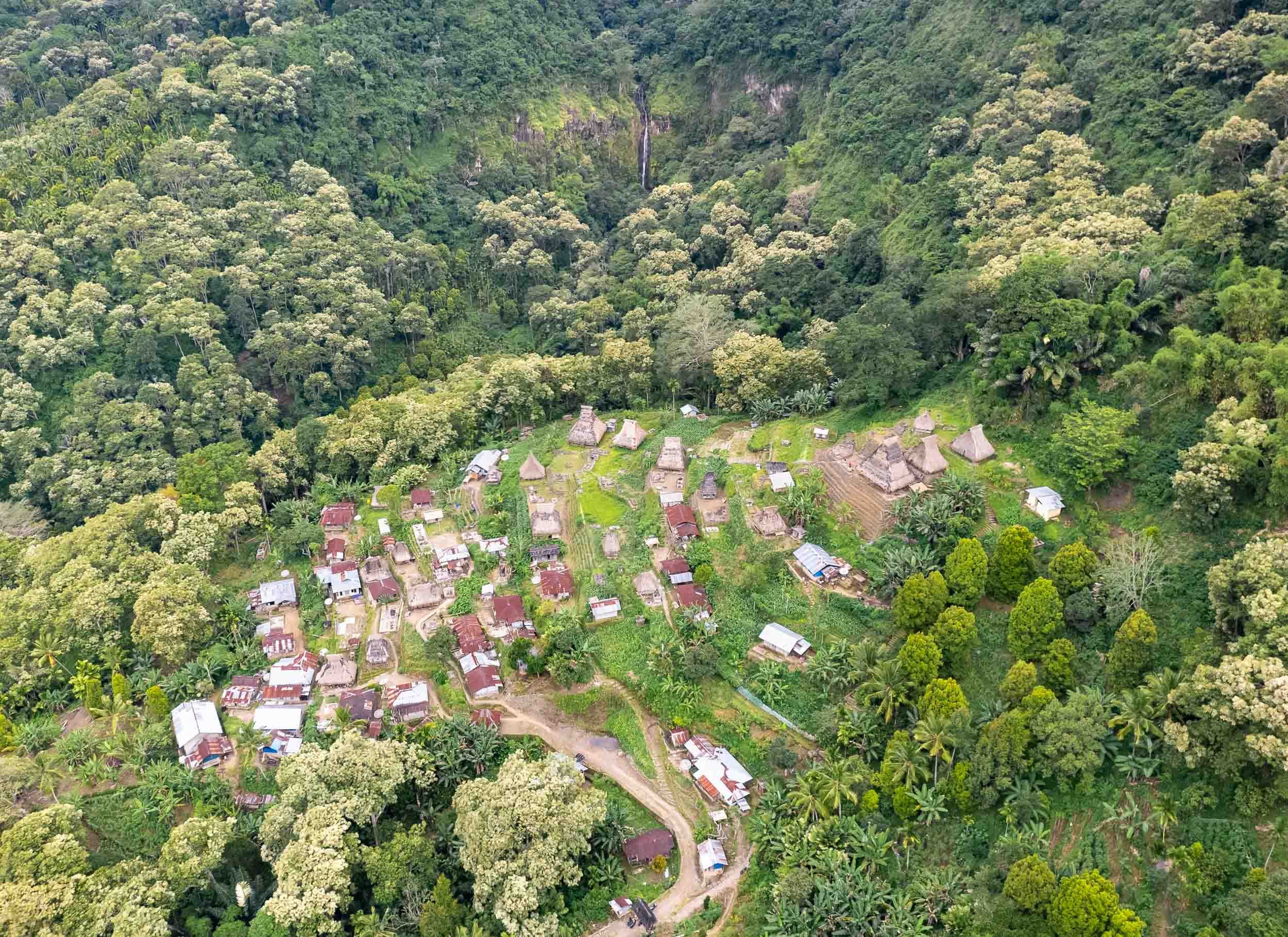


The thatched roofs of Wologai village, one of the many traditional places where you can still observe the daily life of the locals. The houses follow the Lionese architectural style and the village is said to be 800 years old.
Kelimutu - Volcano of the Dead
An early start around 3am ensured that we’d reach the Kelimutu Volcano with its three lakes for sunrise. After an hour hike, the stairs along the last few hundred meters to the crater’s edge lead us into colorful clouds, which slowly faded away as the sun rose.


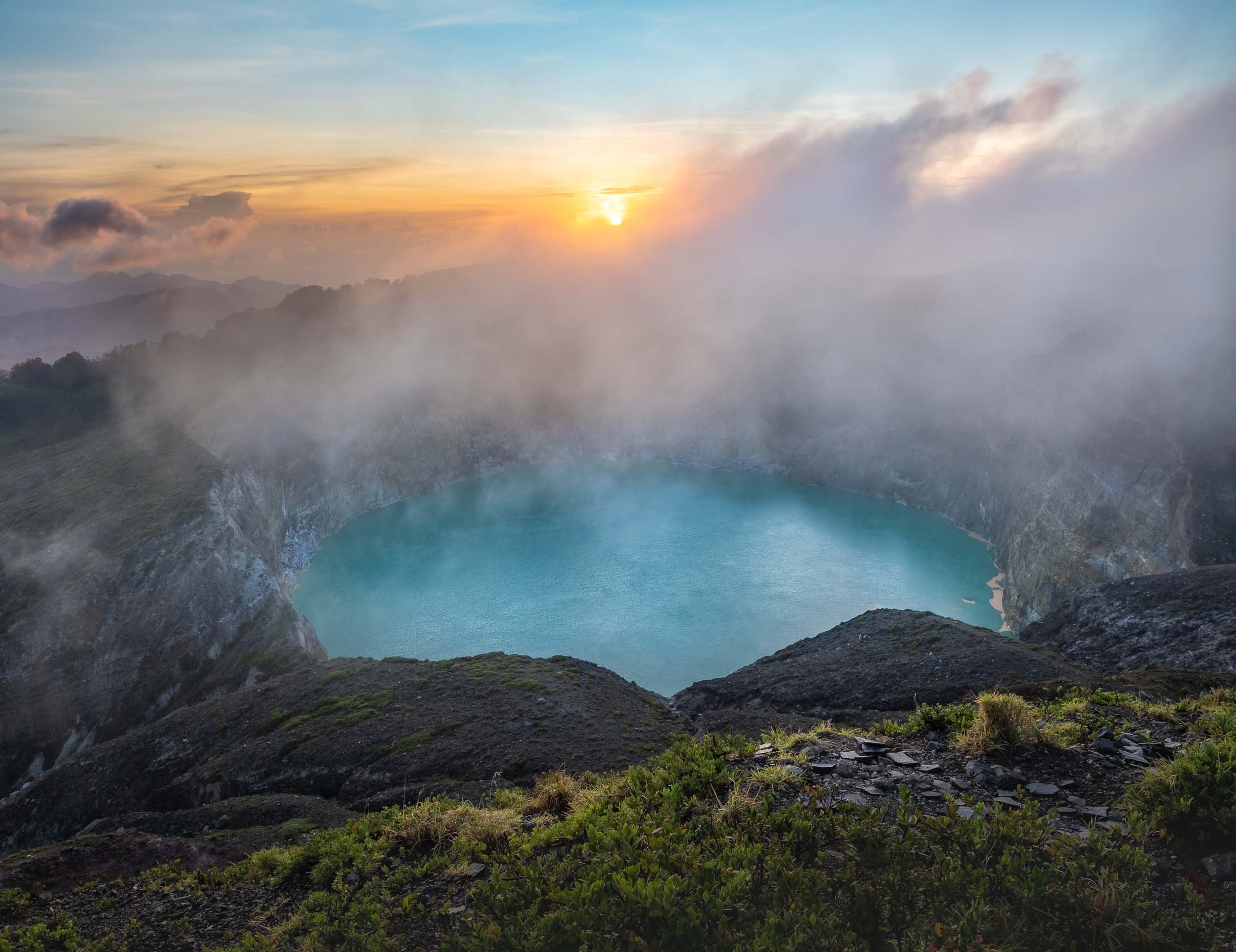
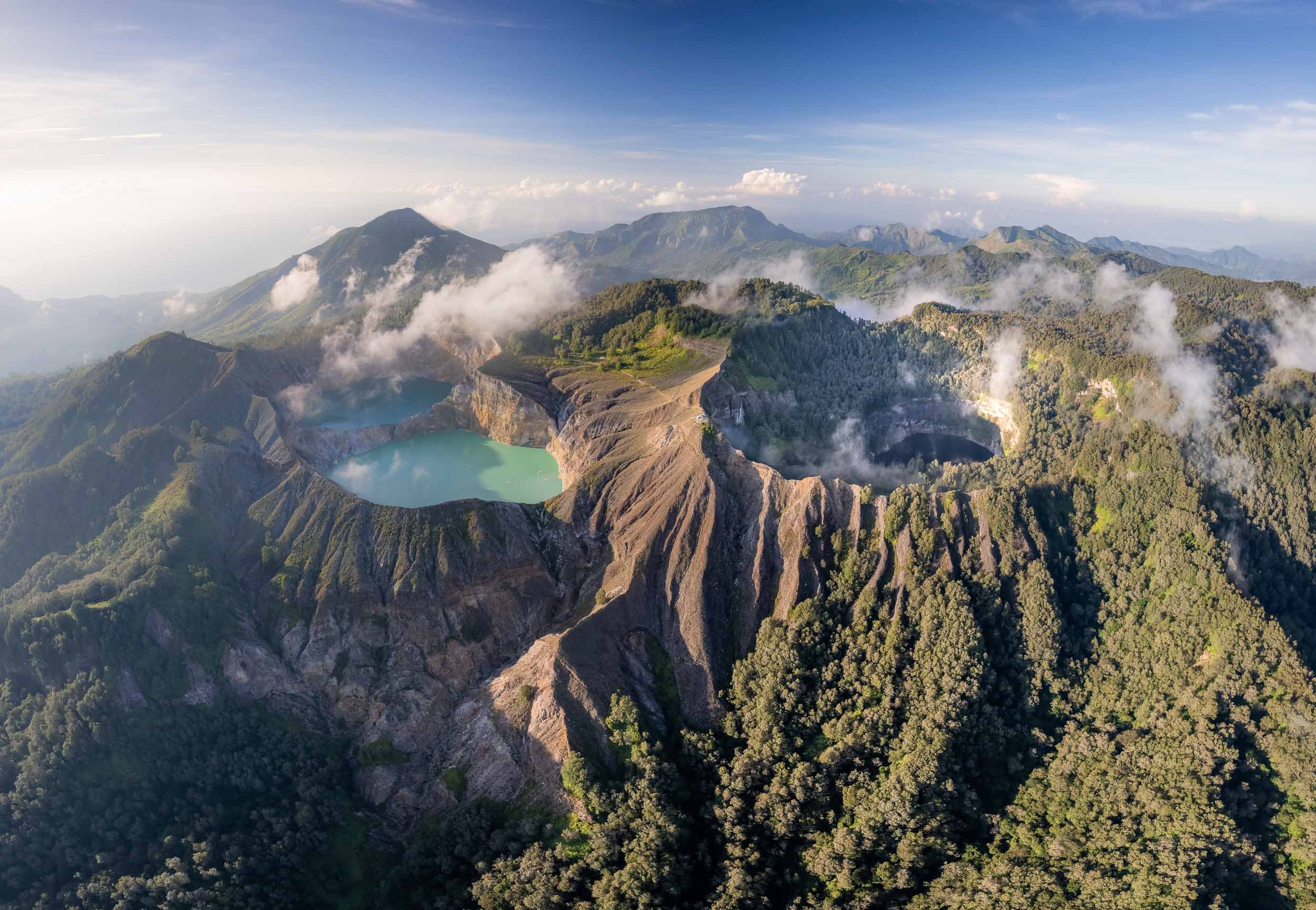
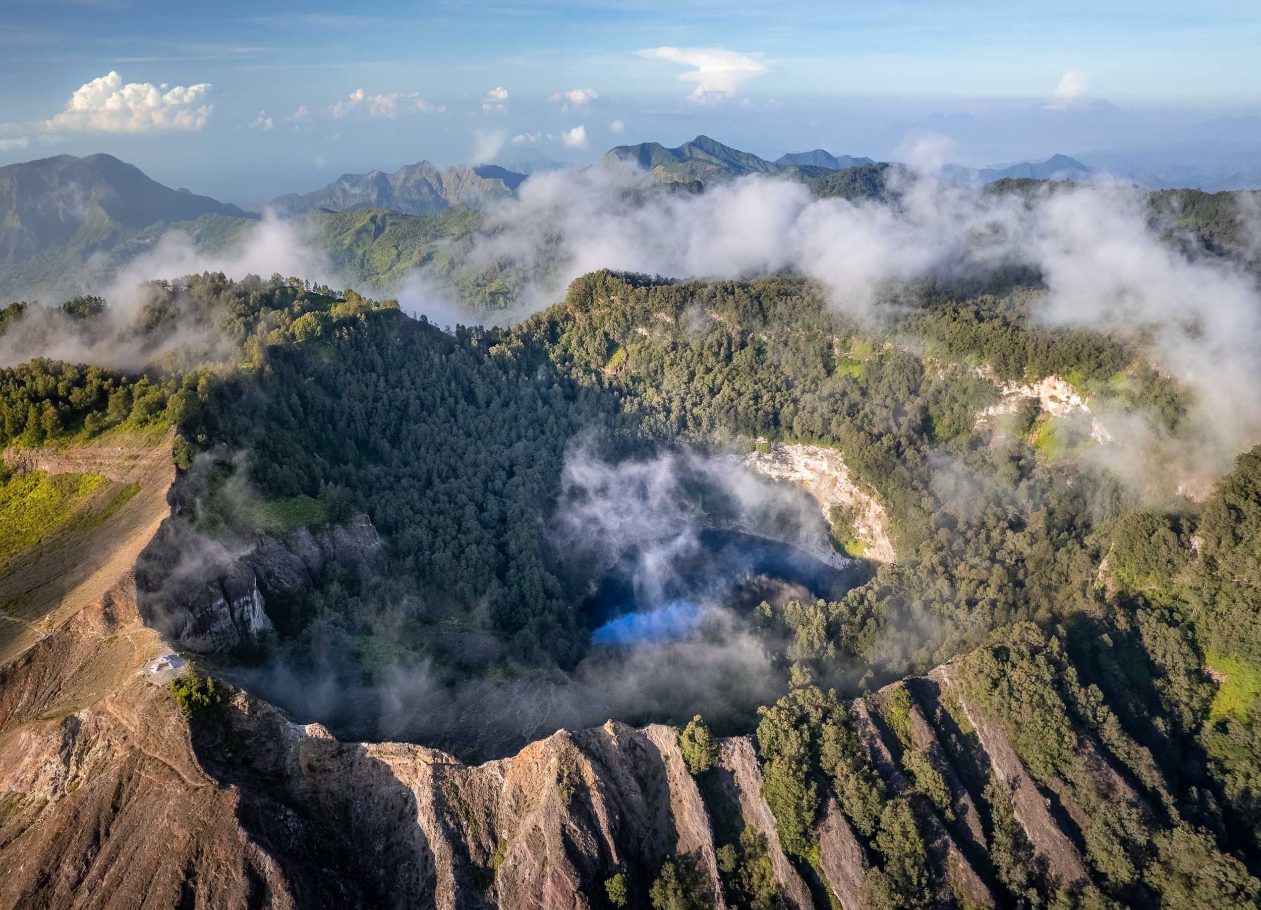
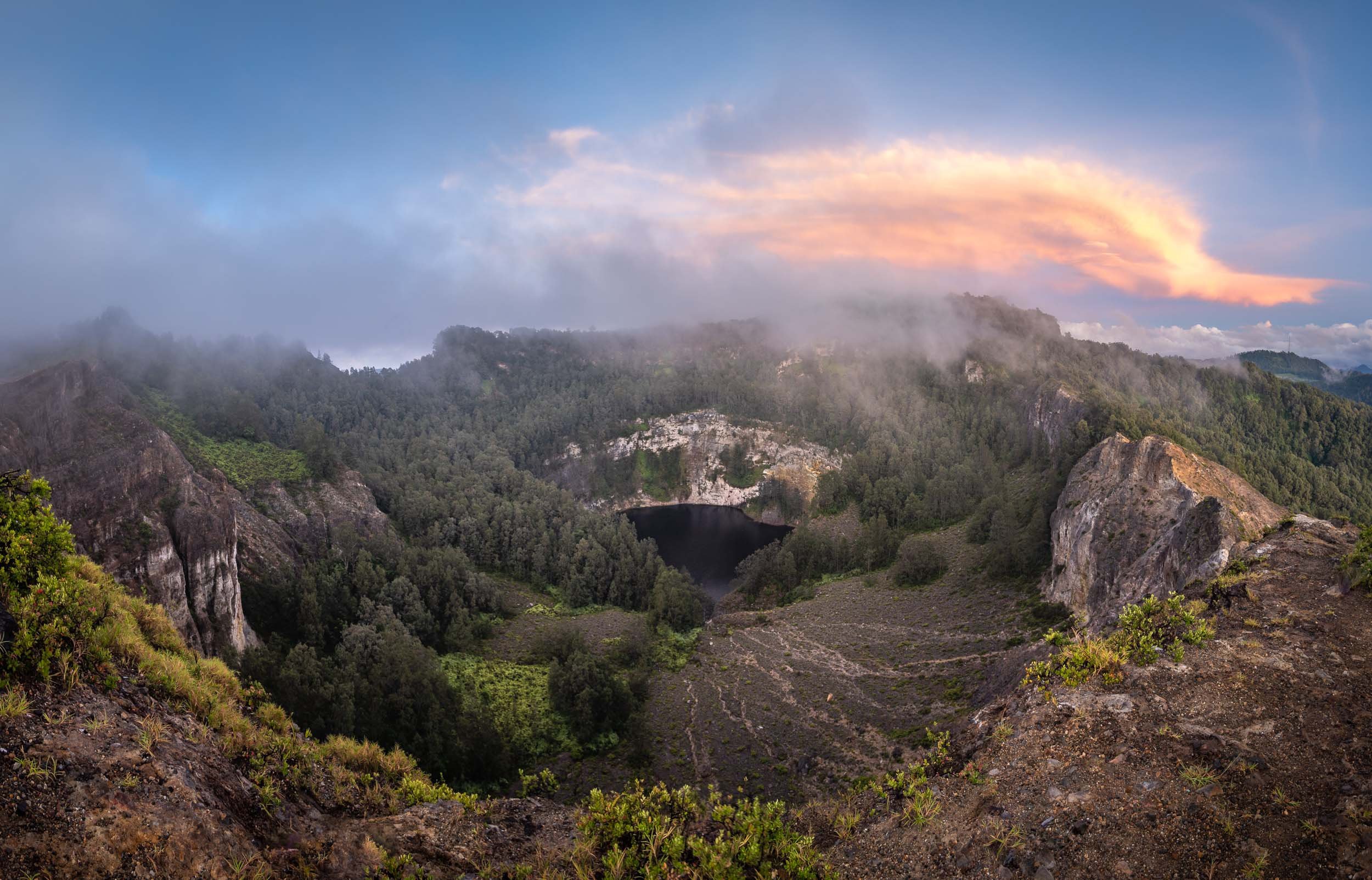
Close ups of the crater lakes, showing the smoke over the water and their different hues. Between January and November 2016, the colors of the crater lakes are said to have changed six times.

The way down leads through the Kelimutu National Park and its beautiful flora and fauna.


The Blue Stone Beach
We continued our journey in the morning after returning from the volcano. On the coastline in the south of the island lies another colorful phenomenon….
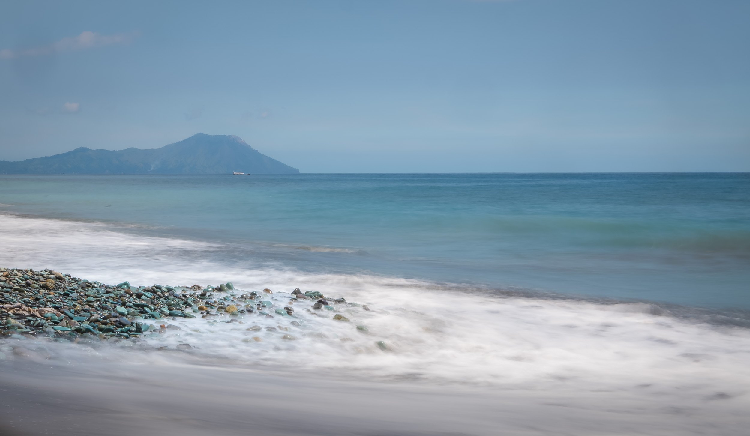
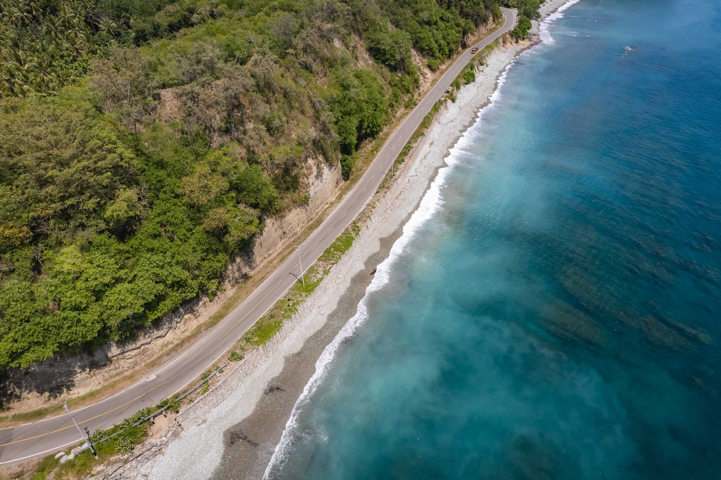
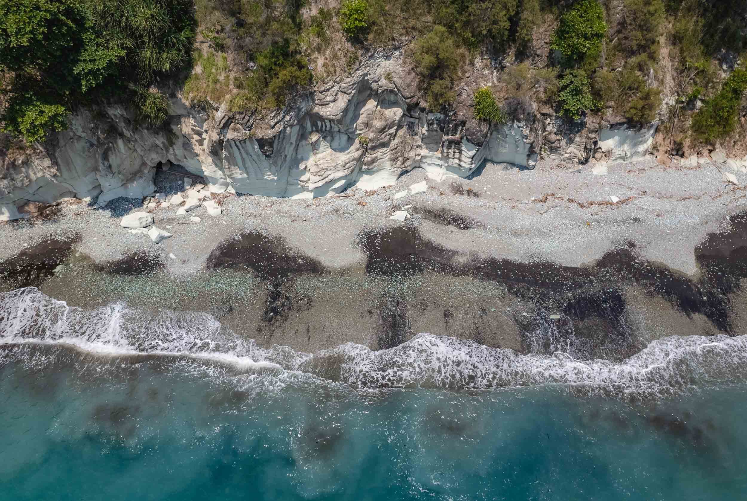


Volcano Village
Near the town of Bajawa lies the the small traditional village of Bena, one of the primary remnants of the preserved Ngada culture in the region.
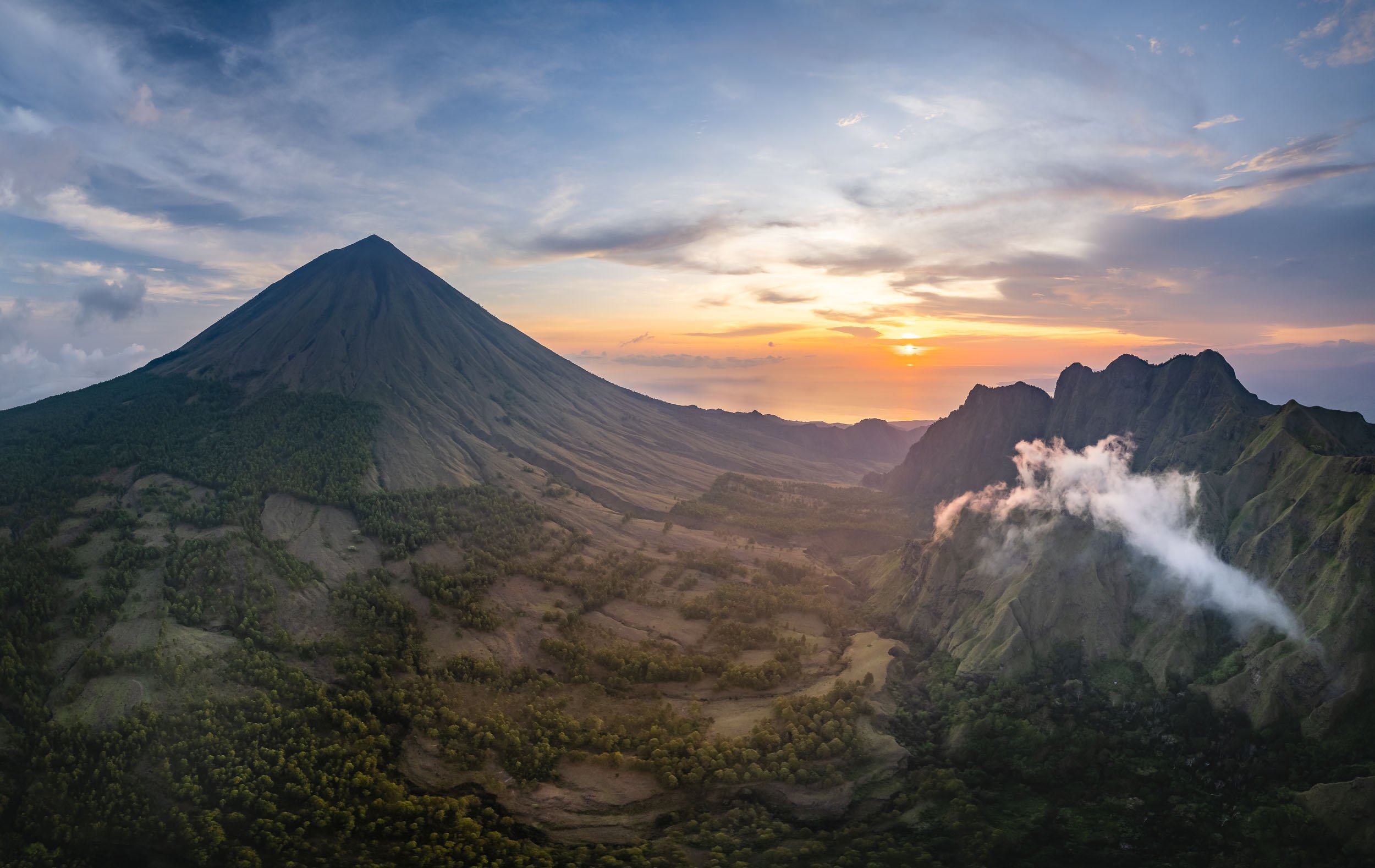
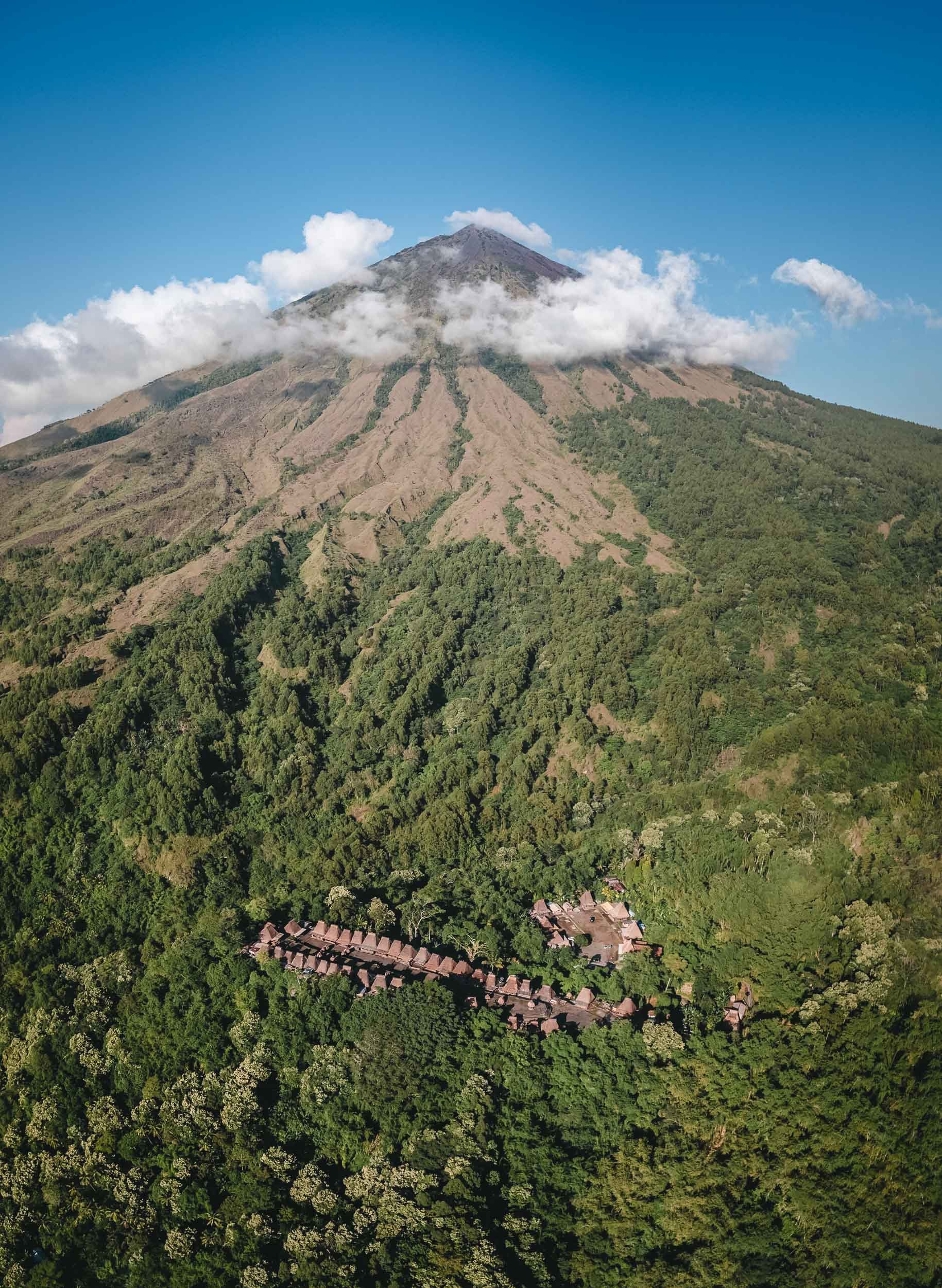
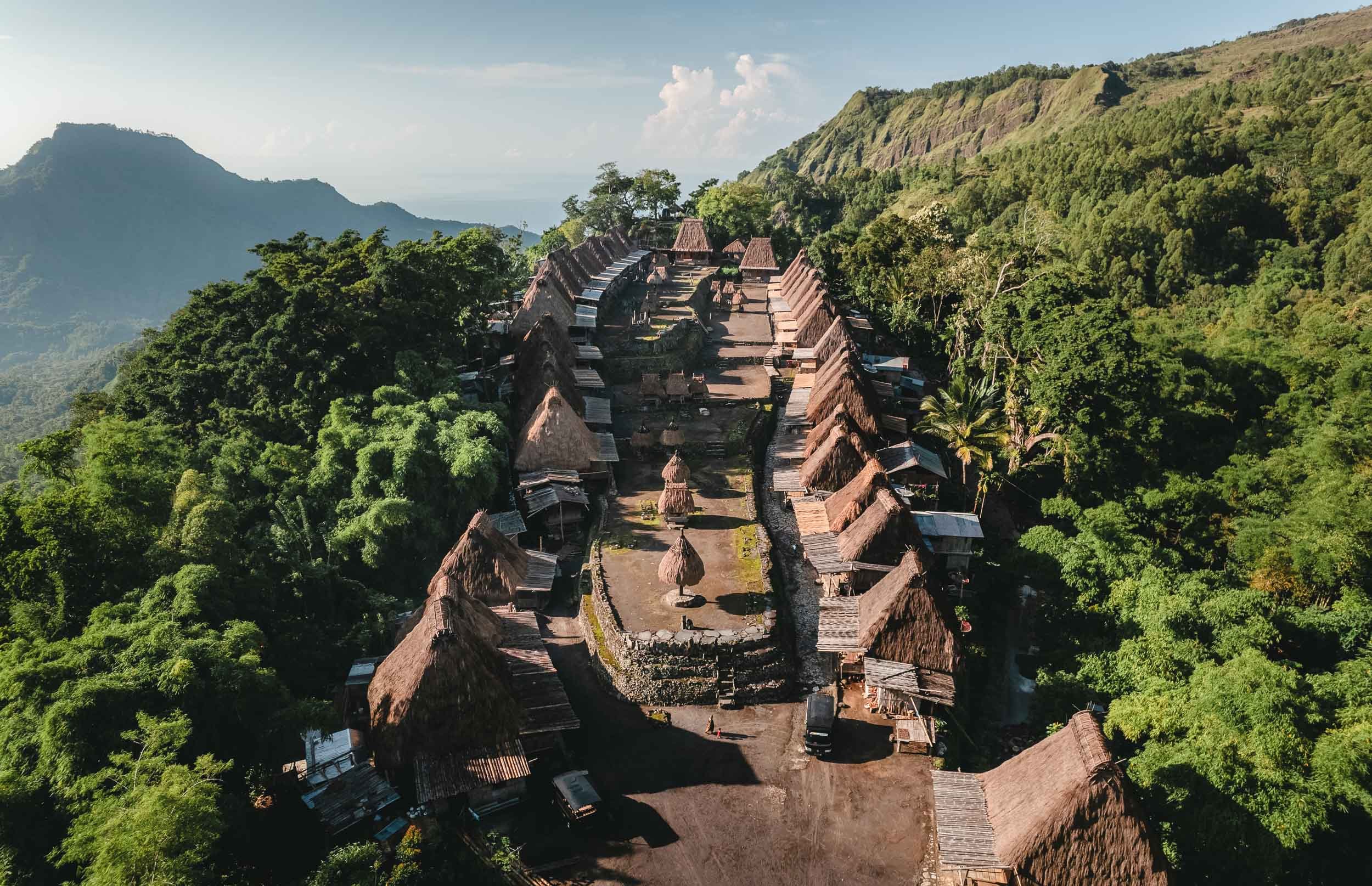


The Ngada traditions date back 1200 years and can still be observed in the village, even though some of the locals now focus on selling souvenirs to tourists.
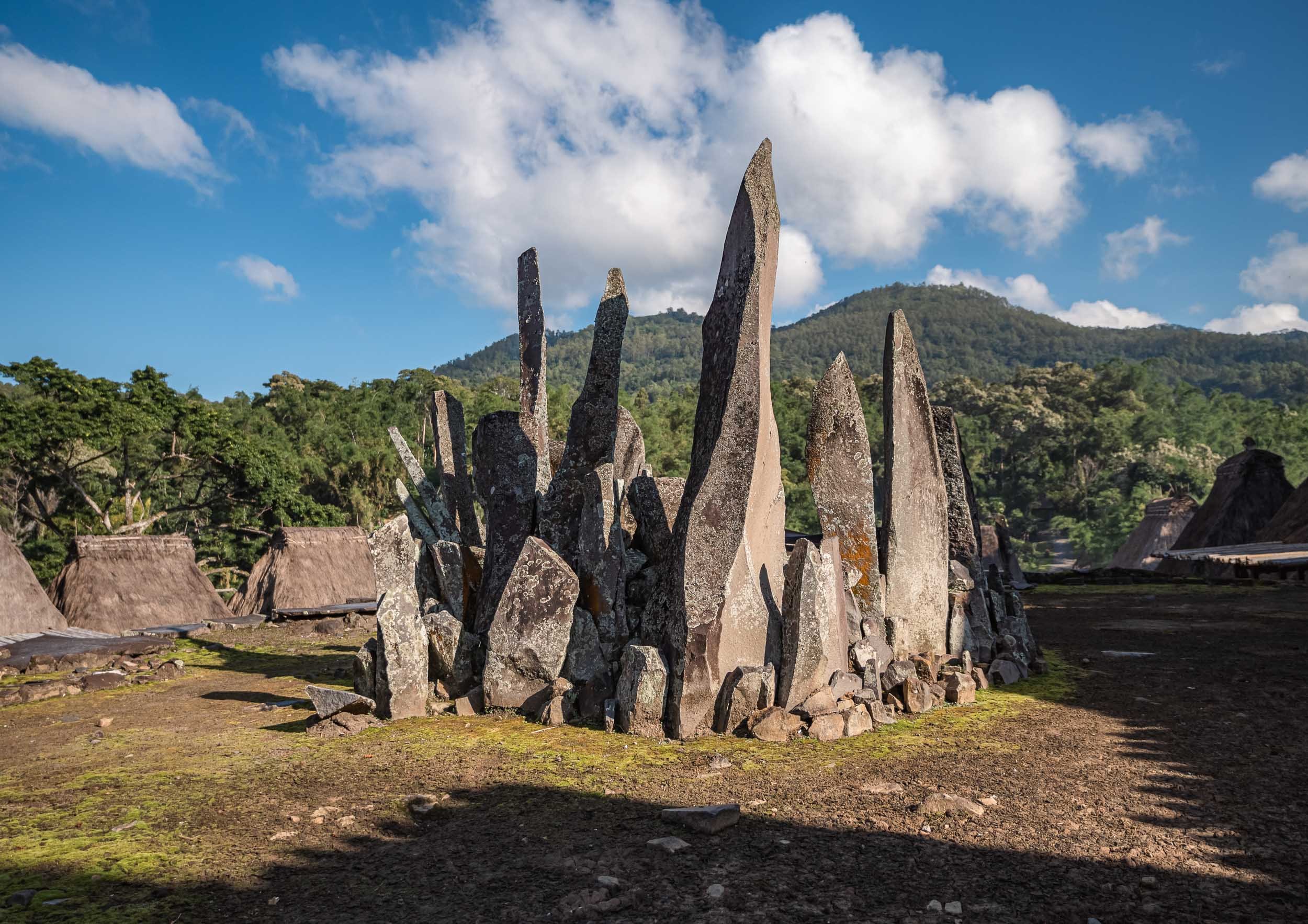
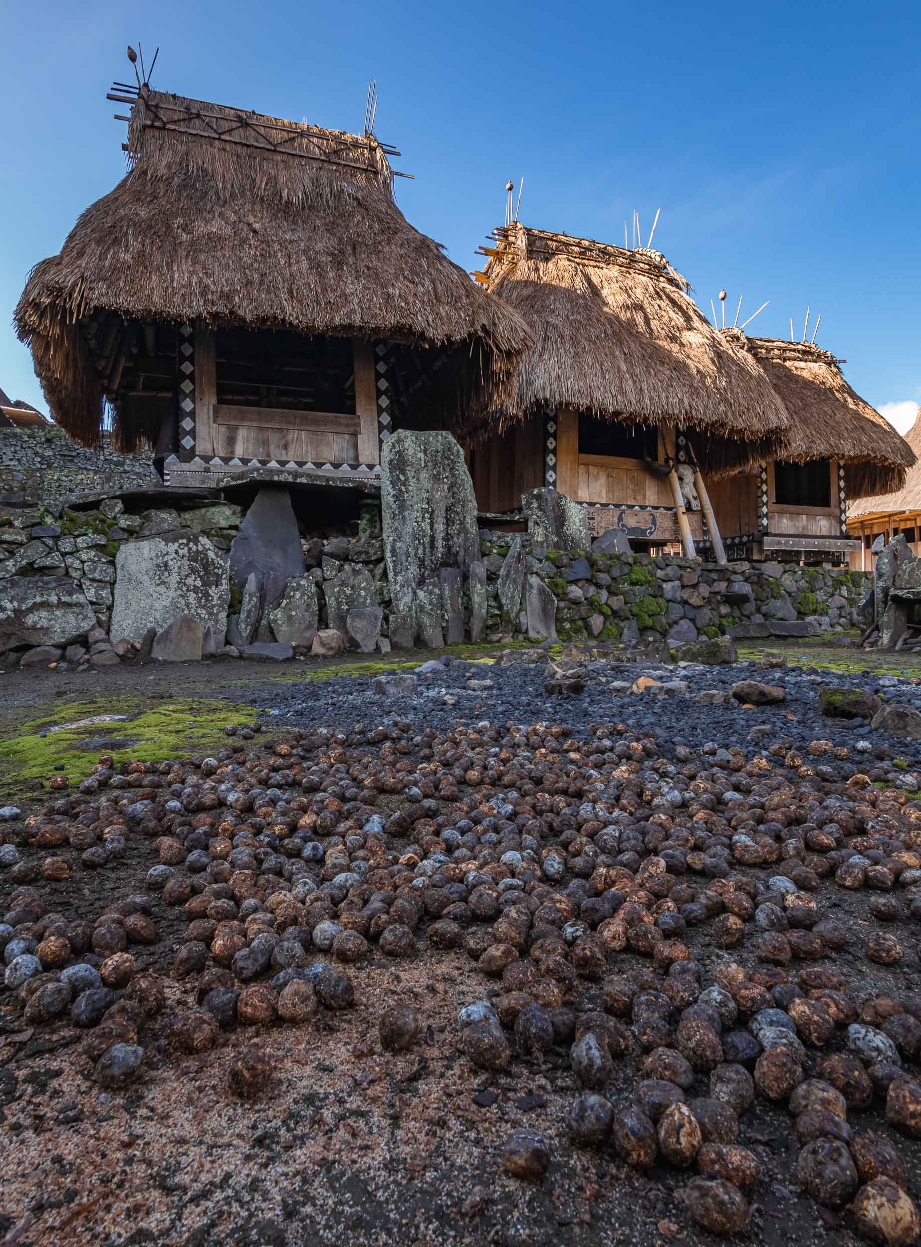


Some of the local villagers in the town - arrive early morning to observe some of the daily rituals.
From Bajawa to Ruteng
The road westwards led us past a small local distillery making Arag and fresh palm juice. The owner insisted on showing me how they are harvesting the fruit from the palm trees, climbing up to the top with a cigarette permanently attached to his lips. Understandable I suppose, he needed his hands free.


Some of you might know that I don’t drink (or like) alcohol, but of course I couldn’t refuse a sip after I saw the effort that went into making it. Let’s say it won’t change my stance, but on the other hand it wasn’t the worst alcohol I tried in Indonesia. More on that in another blog (watch out for my time in Borneo).
The clay oven powering the distillery. The entire process is based on locally made tools and tricks passed down through generations, such as these bamboo pipes.
The rain forest lake of Ranamese was our next stop, and rainy it was indeed. A small dry window in the clouds allowed me to get some aerial photos of this beautiful calm spot along the hilly road.
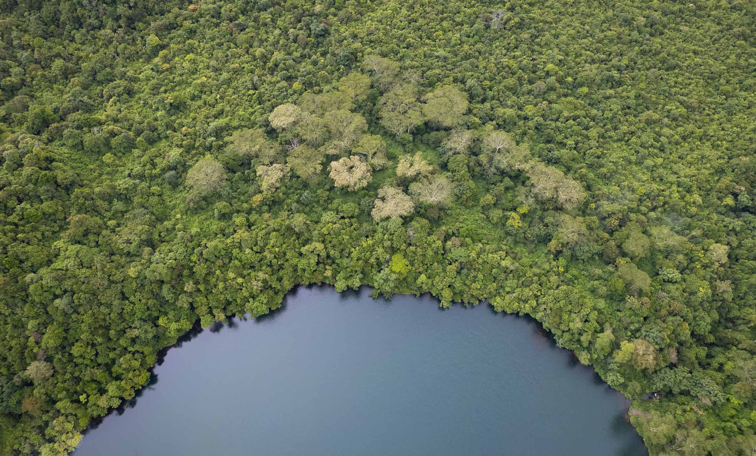
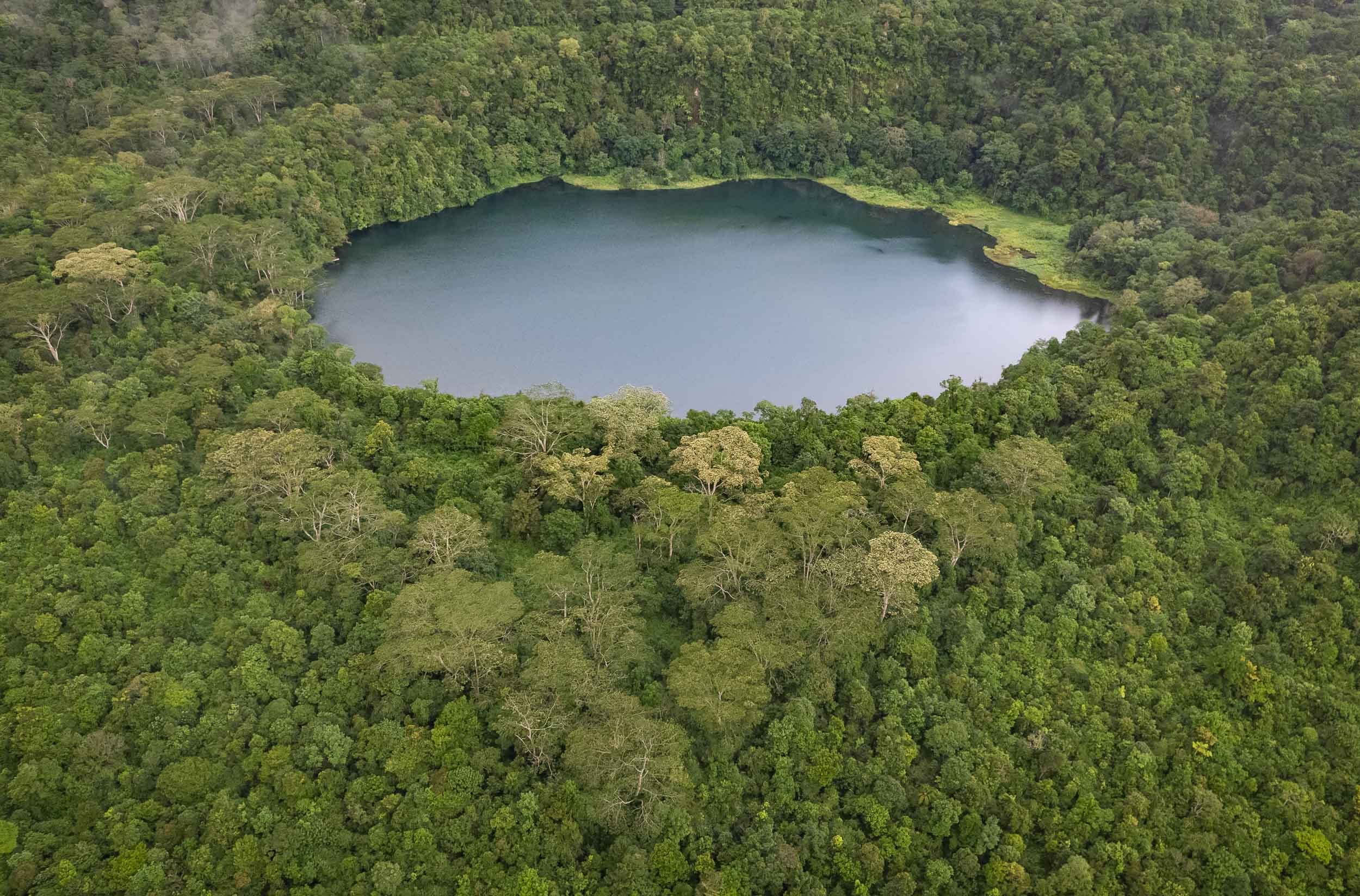
The Spider Web Rice Fields - Lingko
Heading west towards Labuan Bajo takes you past one of Flores’ most amazing attractions, the incredible rice fields shaped like spider webs. A visit during the right time of the year will allow you to see a green paradise full of rice plants, but the views during harvest as seen here are equally interesting.

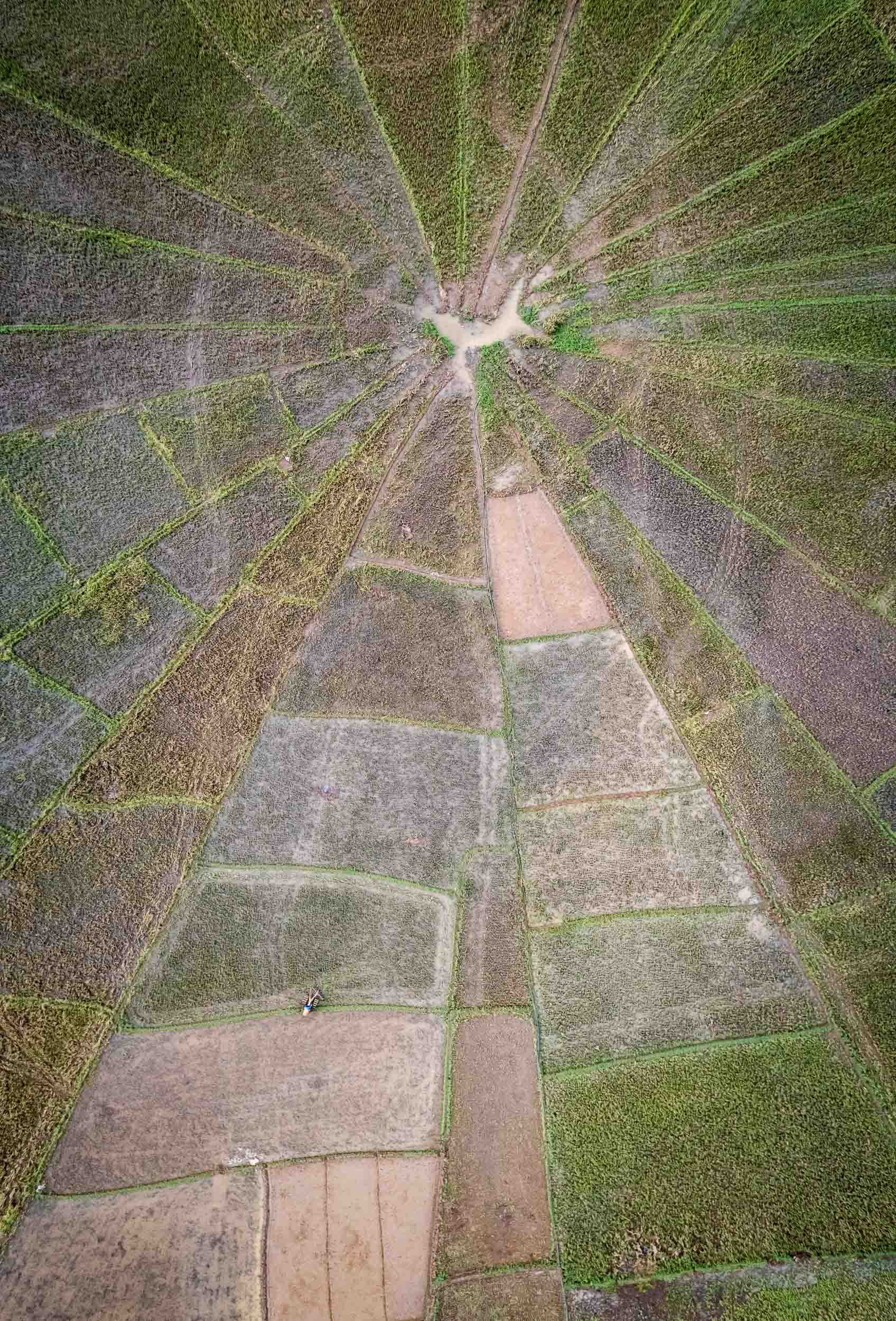
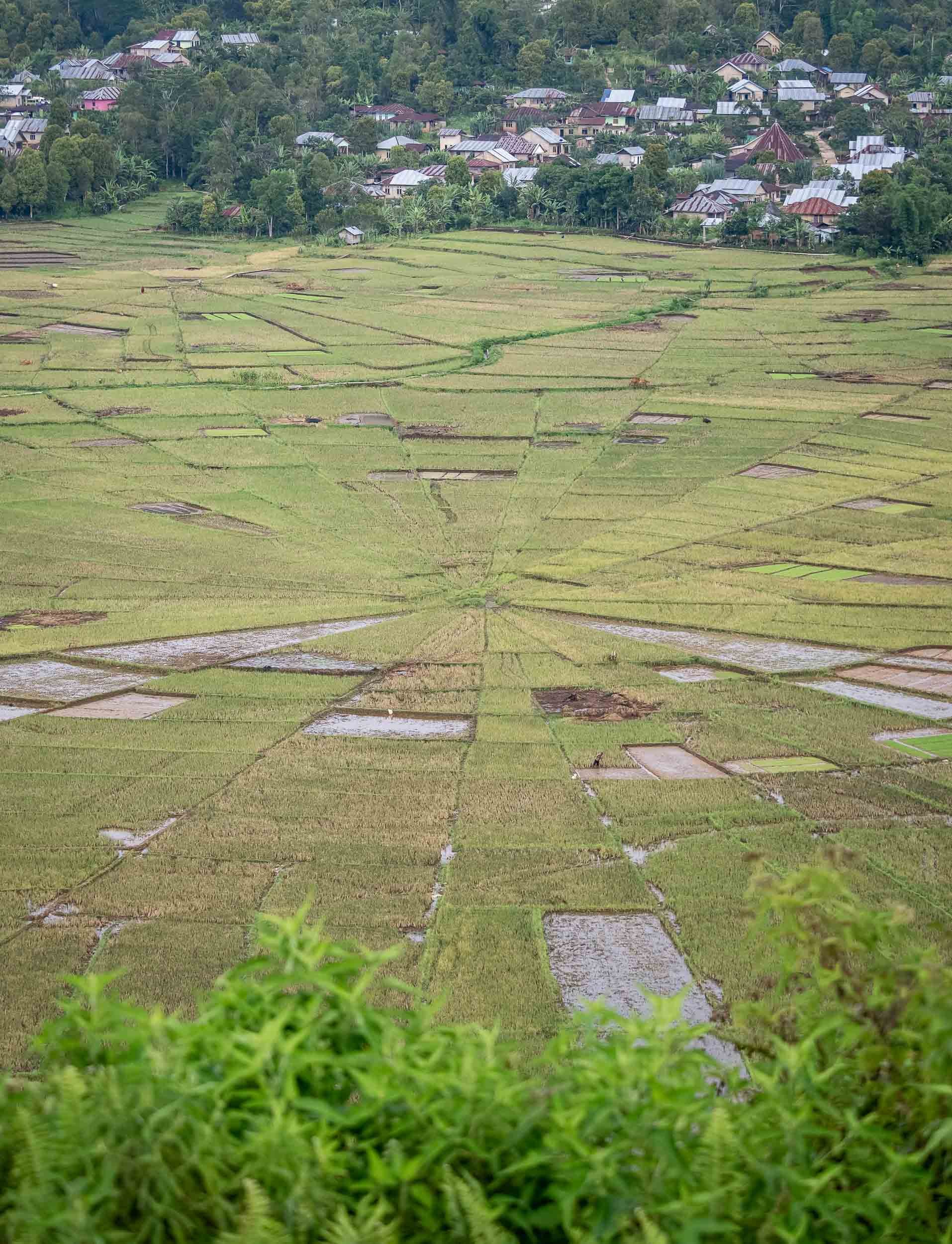
Island Life and Dragon Hunt
From Labuan Bajo the trip continued straight onwards, boarding the houseboat that would be my home for the next 3 days, sailing around the islands of the Komodo National Park.
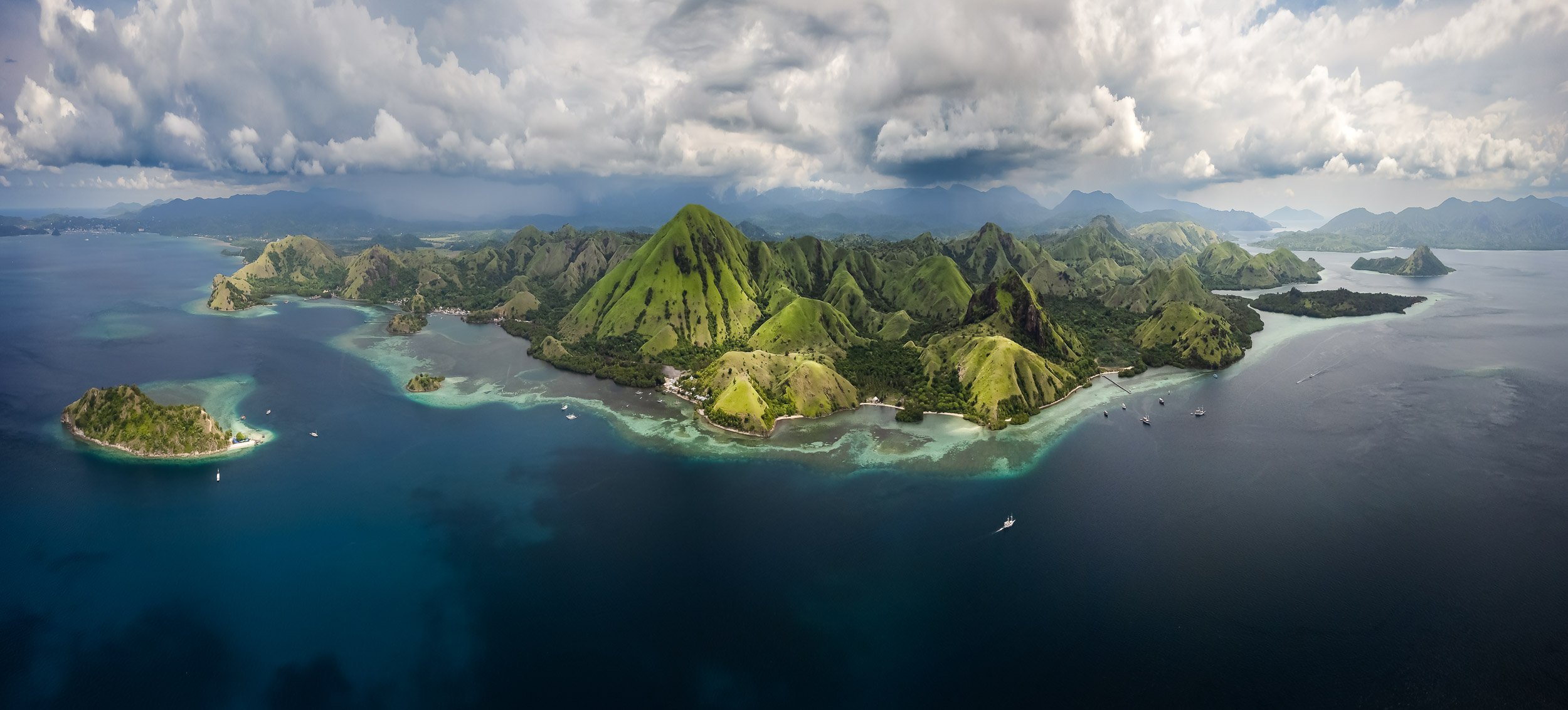

Padar Island
One of the larger islands in the archipelago is also one of the most beautiful. The views are worth the sunrise hike to the top - the earlier, the fewer people (as always).
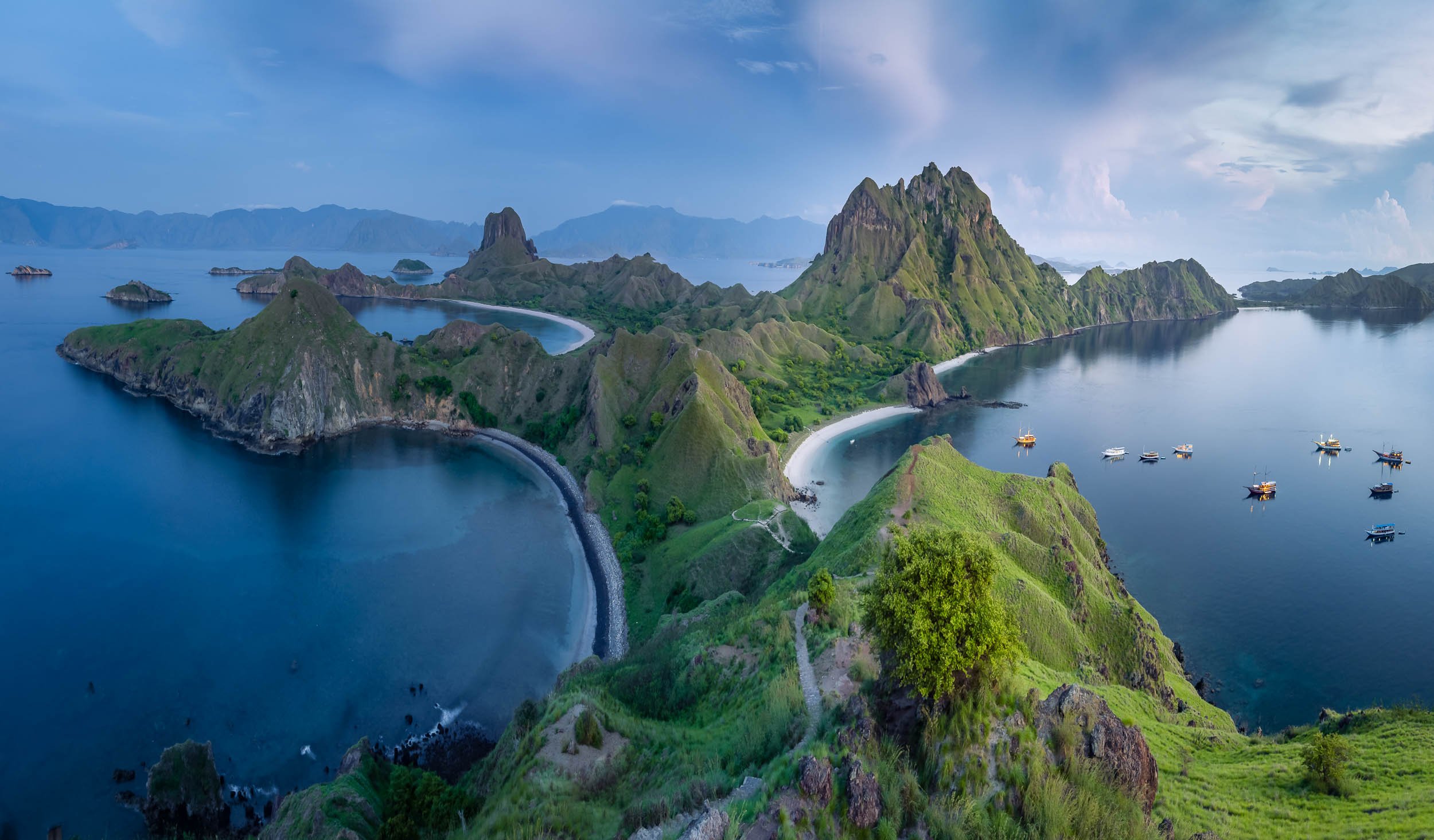
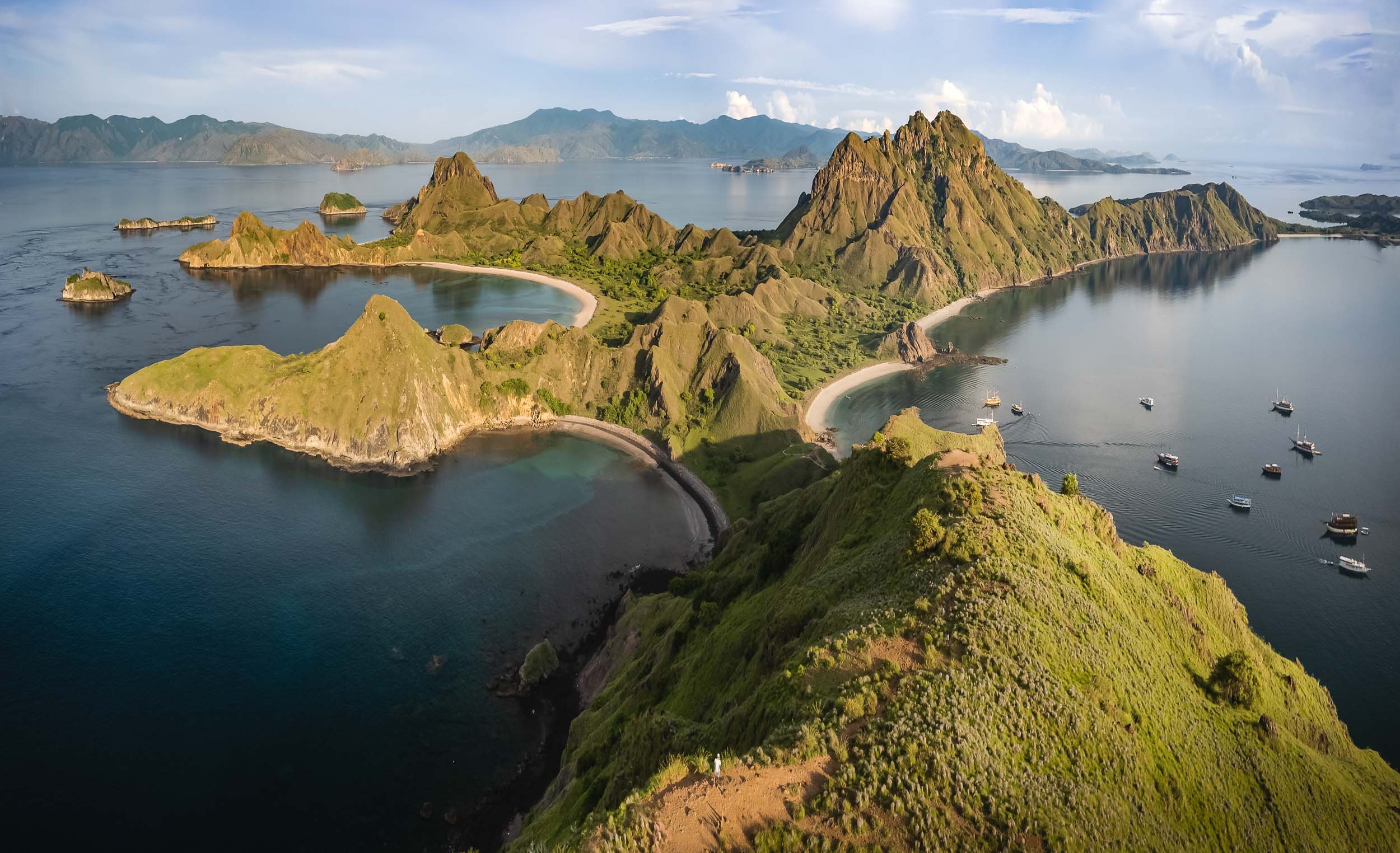
Flore and Fauna are abundant, from deer to wild boar, as well as dolphins, and a large coral variety. Seeing deer on the beach felt slightly odd to me at first, having always associated them with forests.


The Last Remaining Dinosaur
Of course, the primary wildlife people want to see in Komodo National Park are the namesake dragons. It’s an apt description for these animals. This is the only region where the largest lizard in the world can still be found on a handful of islands, with around 3000 endangered individuals still surviving in the wild, most of them on Komodo Island.
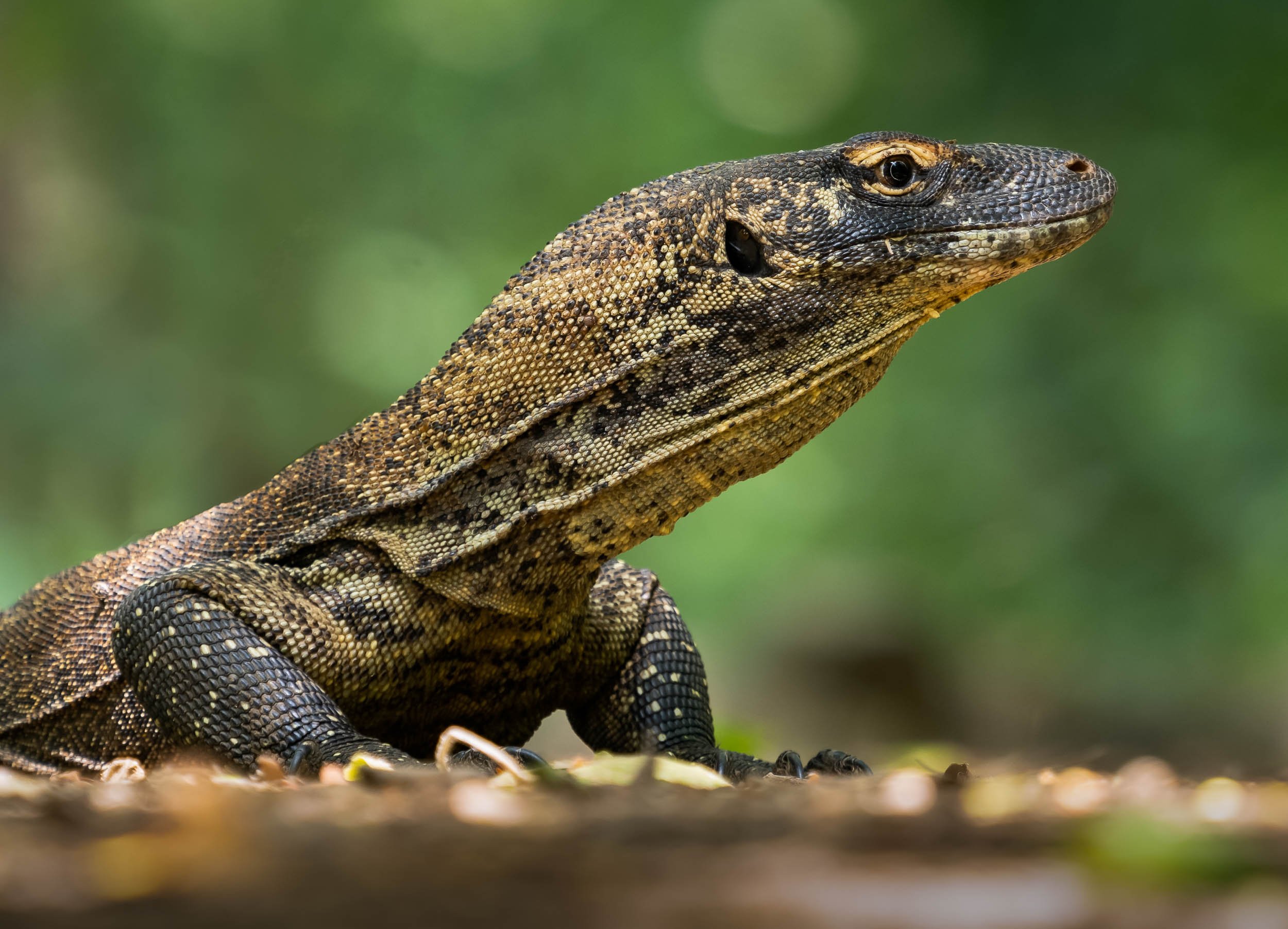
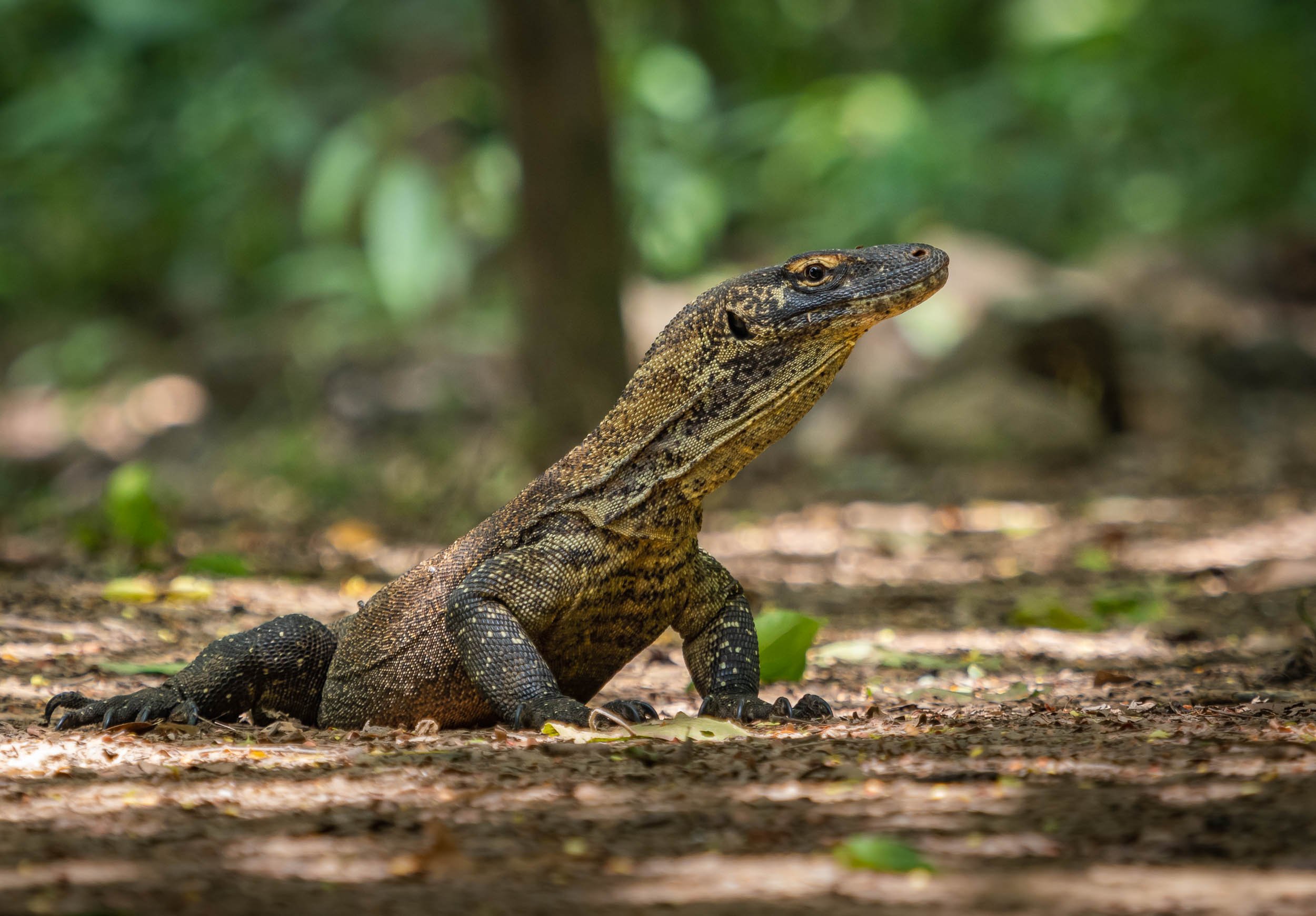
Once I made it to Komodo Island, your time is limited as you walk through the forest with a guide in search of some of these magnificent animals, but luckily I did get to spot a few…Nevertheless, I’d recommend two tours and possibly visiting another island such as Rinca to increase your chances for nice observations (and photos).
We found two very large individuals close to the beach, observing them at rest for a while, before one of them got up and moved into the forest. This was my chance to capture some photos of them in action, with their large tongue leading the way, and them to their prey - in fact, they can sense almost 10km away in good conditions.


Through the Island Maze
Onwards through the island maze of Komodo, landing on Kanawa island, which was once home to a beautiful small resort.
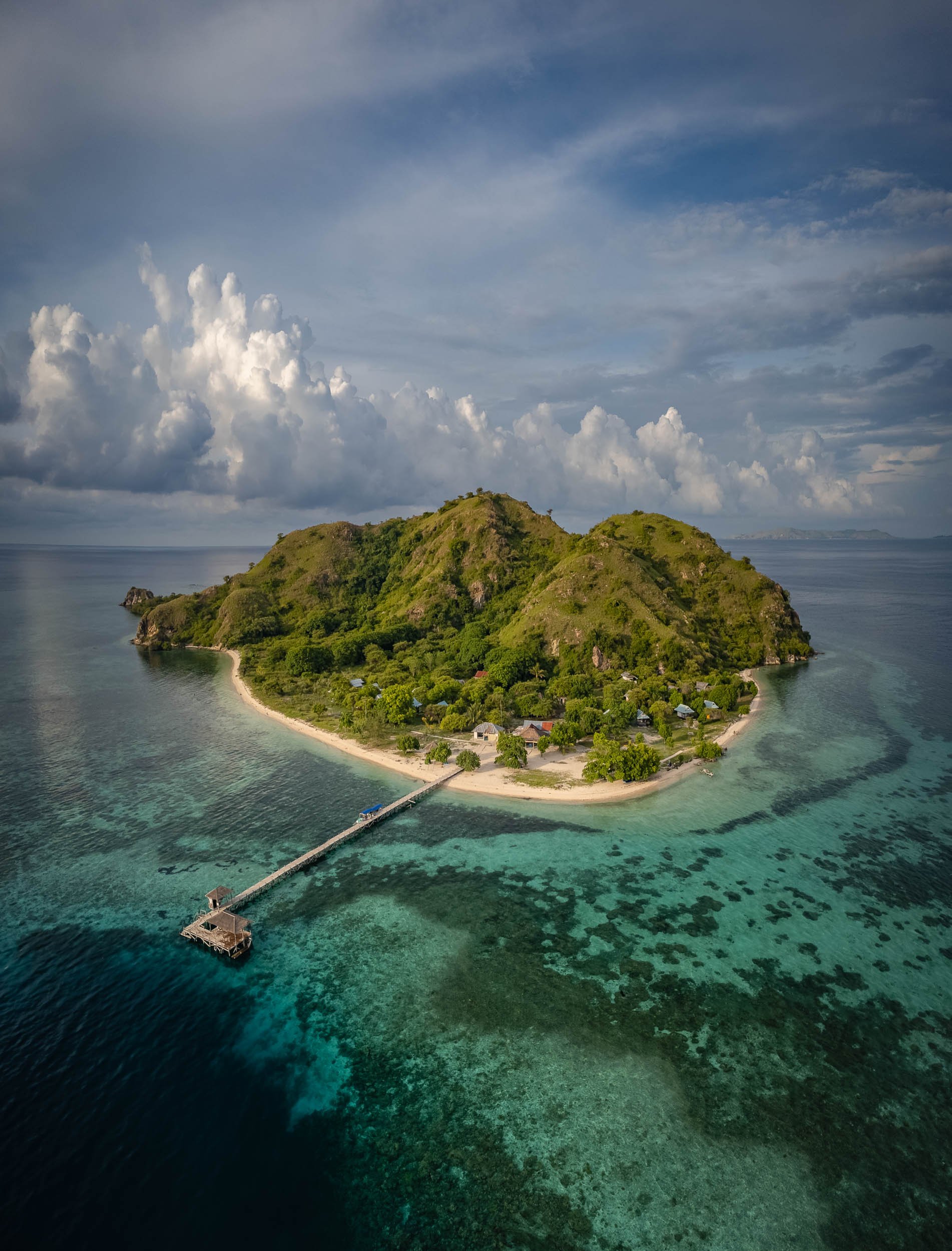


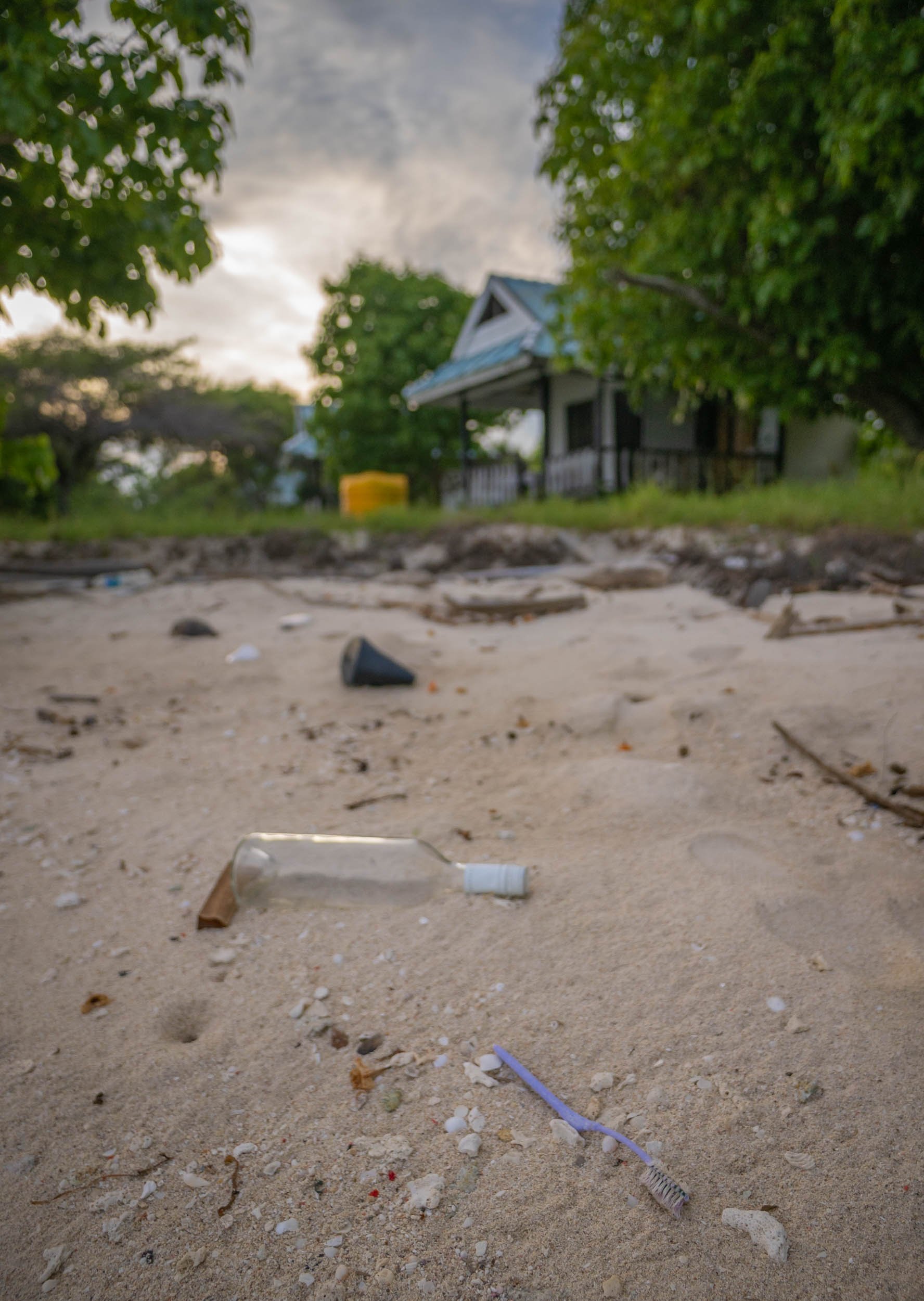
The resort is no longer operating and what must have been cute little villas are now decaying, but resourceful locals have turned the beach into a makeshift bar and lounge place.
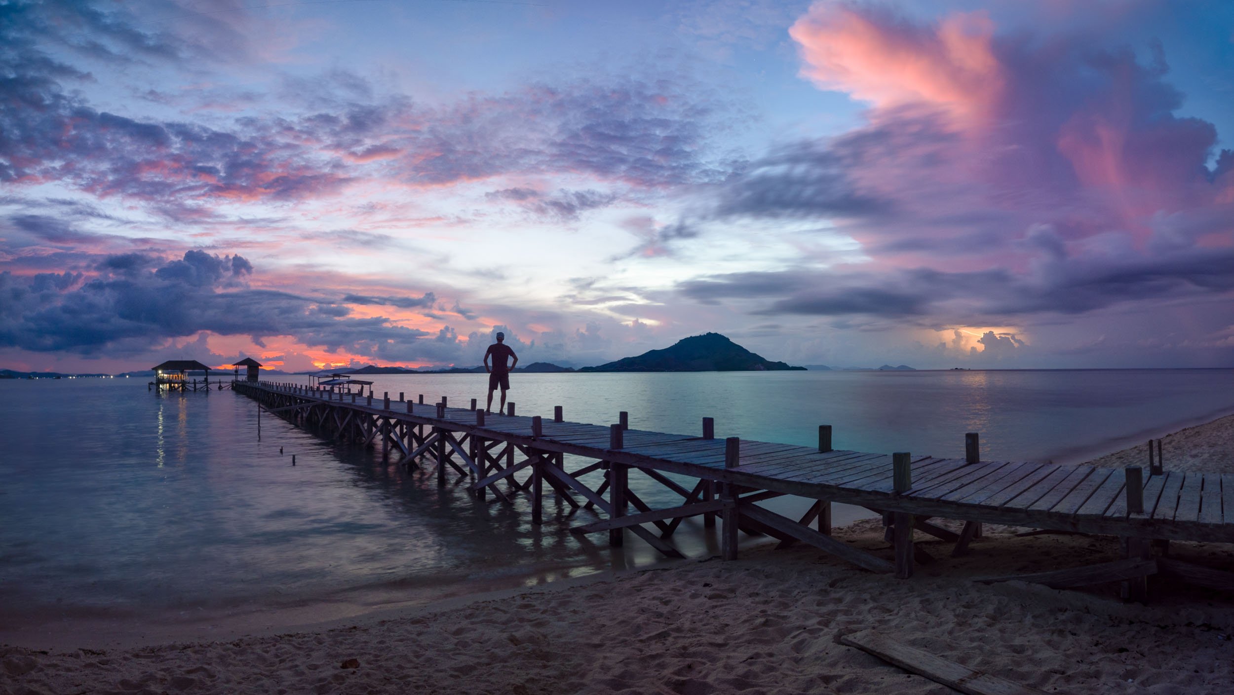
A Floating Fishing Village
Pulau Mesa is one of the few inhabited islands in the park. In fact, it is almost completely built up and home to a population of around 1500, the Bajau people - all of them extremely friendly and curious. I spent half a day exploring here and would definitely recommend visiting.
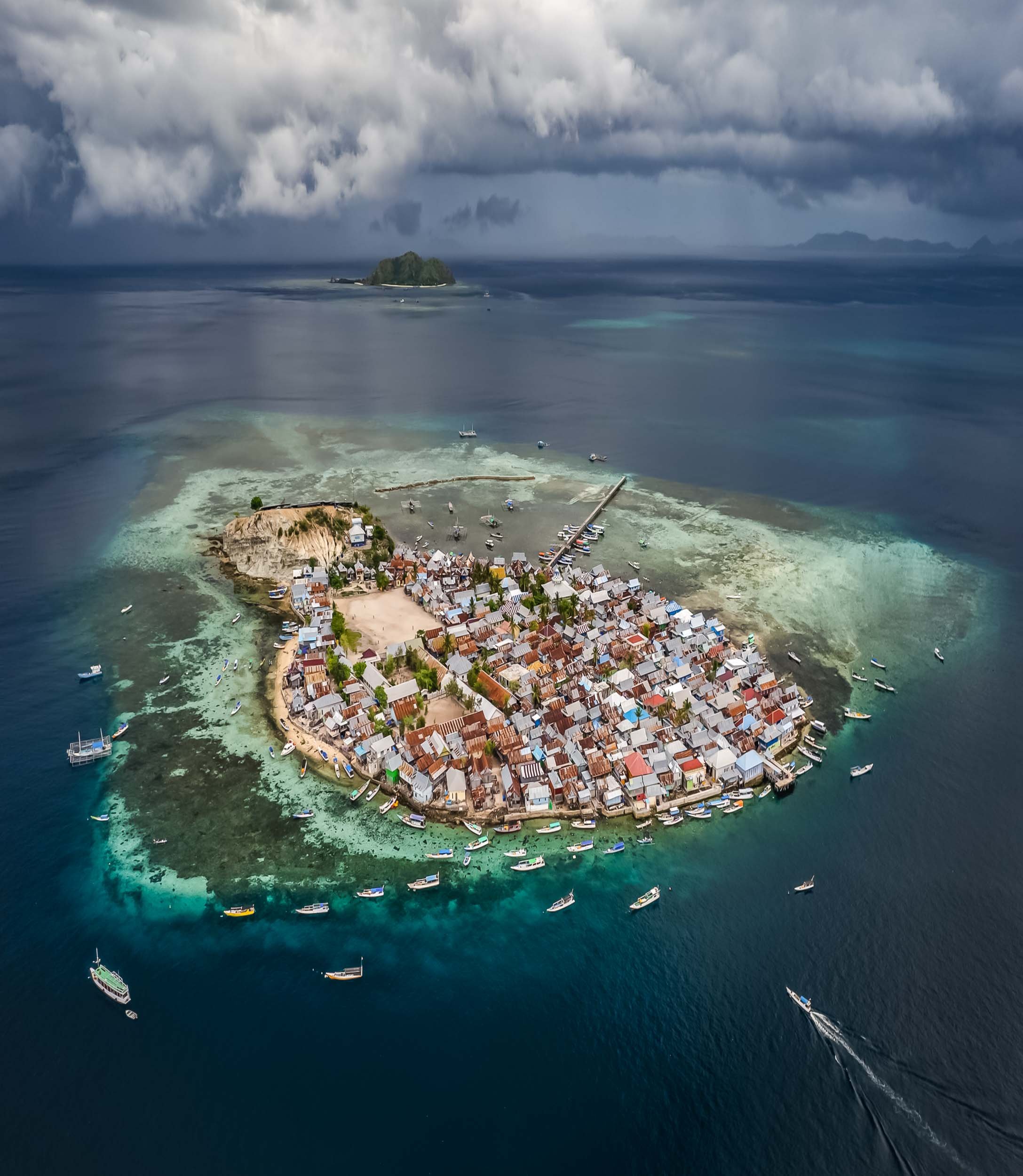
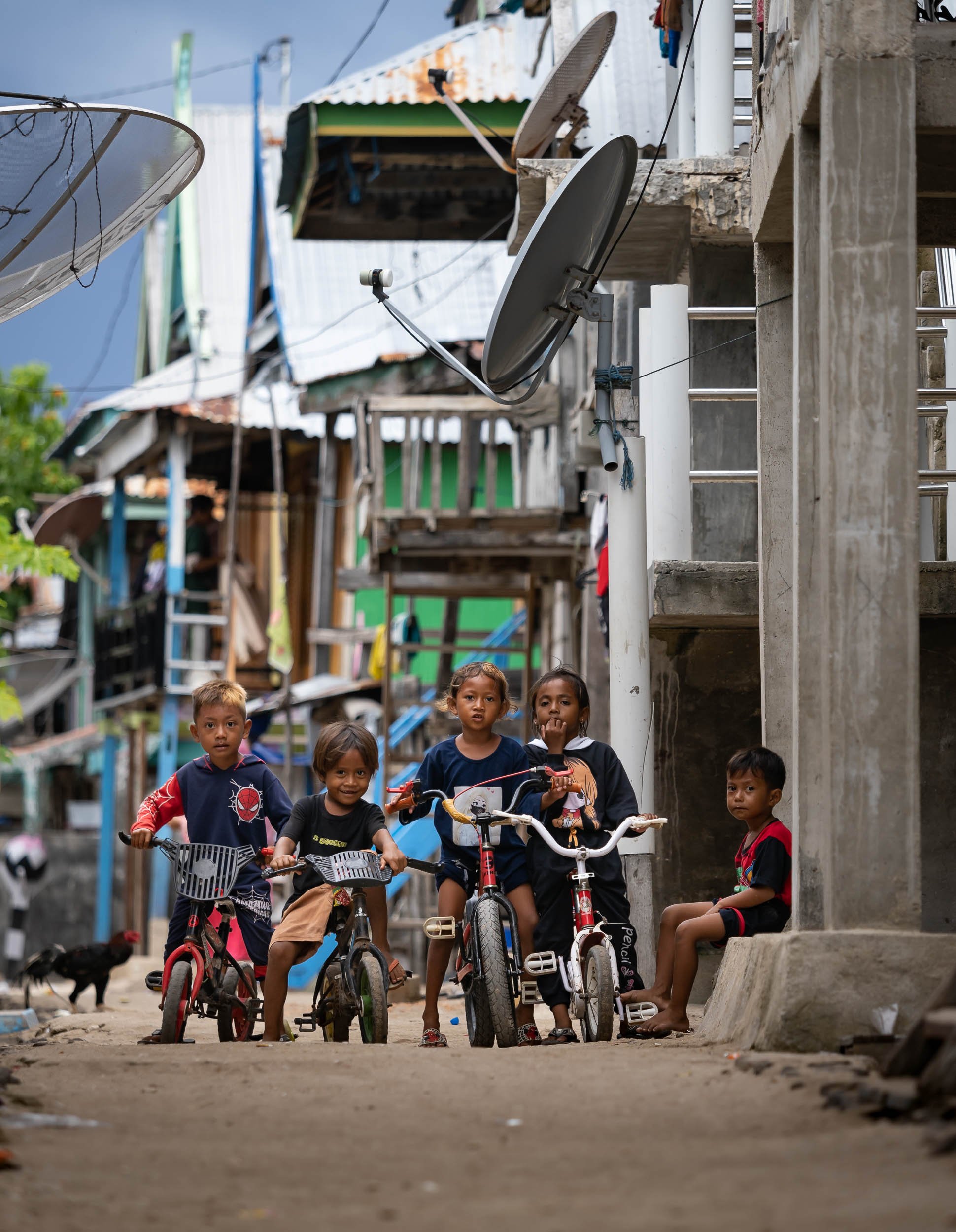


The island life is simple but happy, and people were always curious and friendly. It was one of my favorite towns in Indonesia.
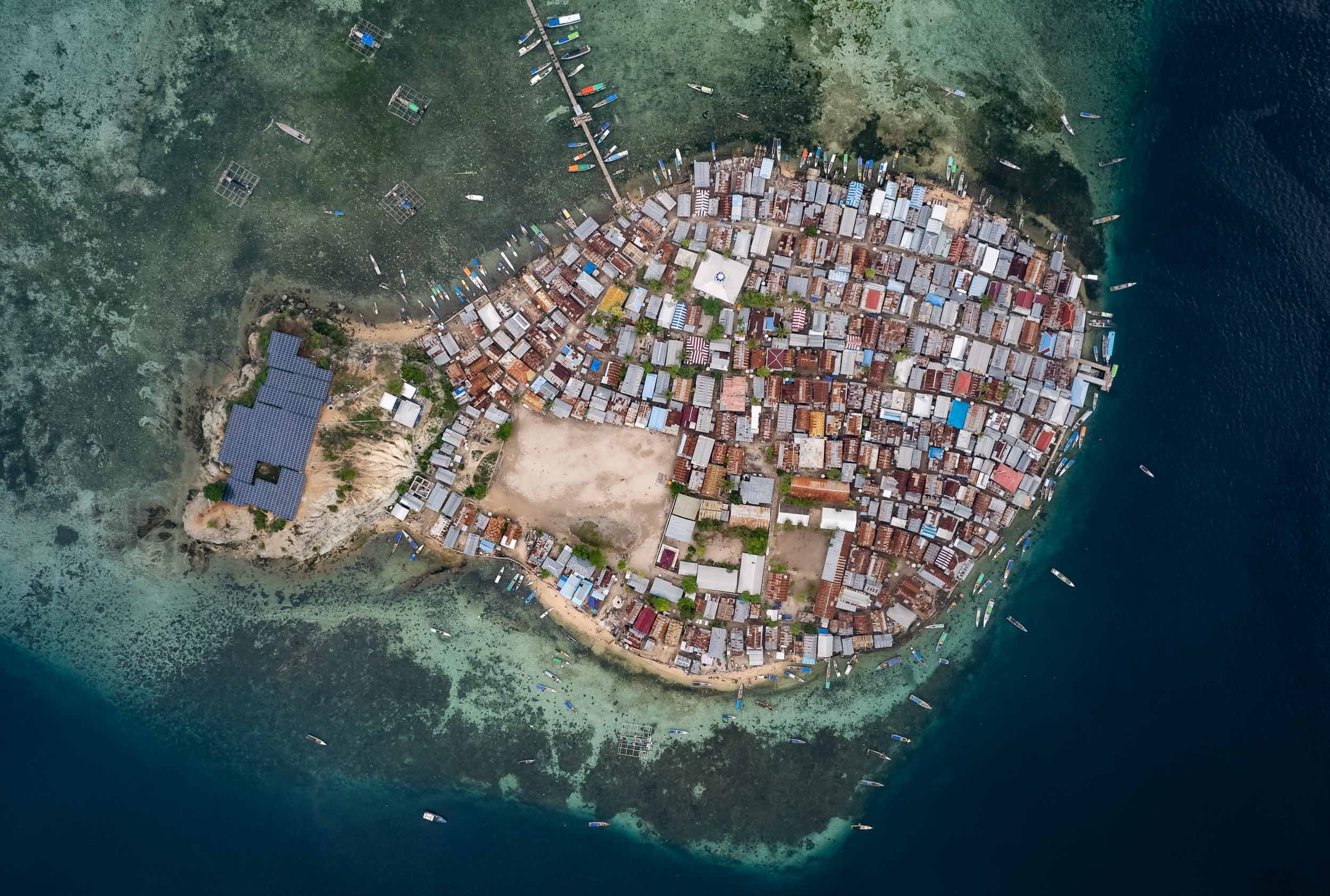


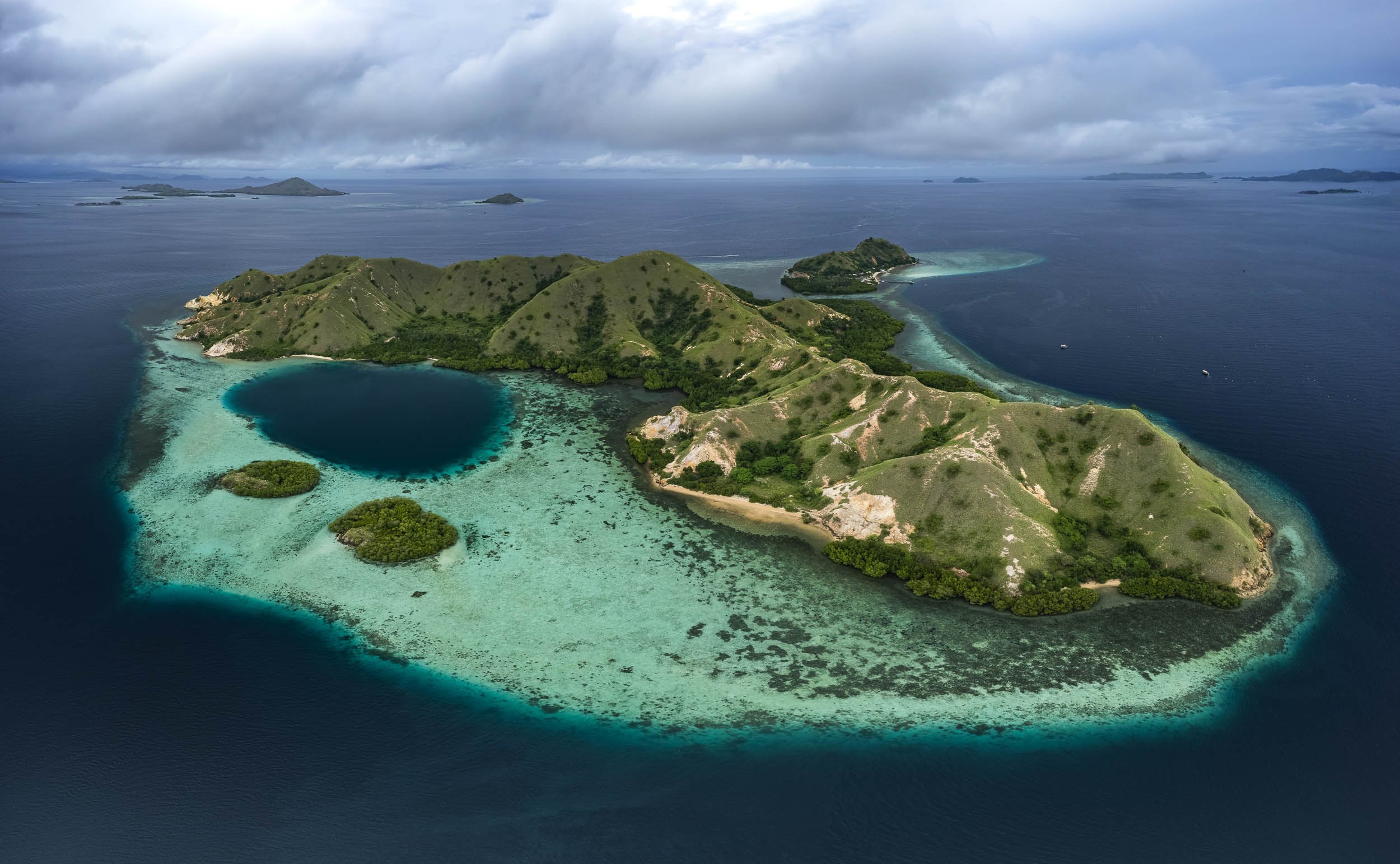
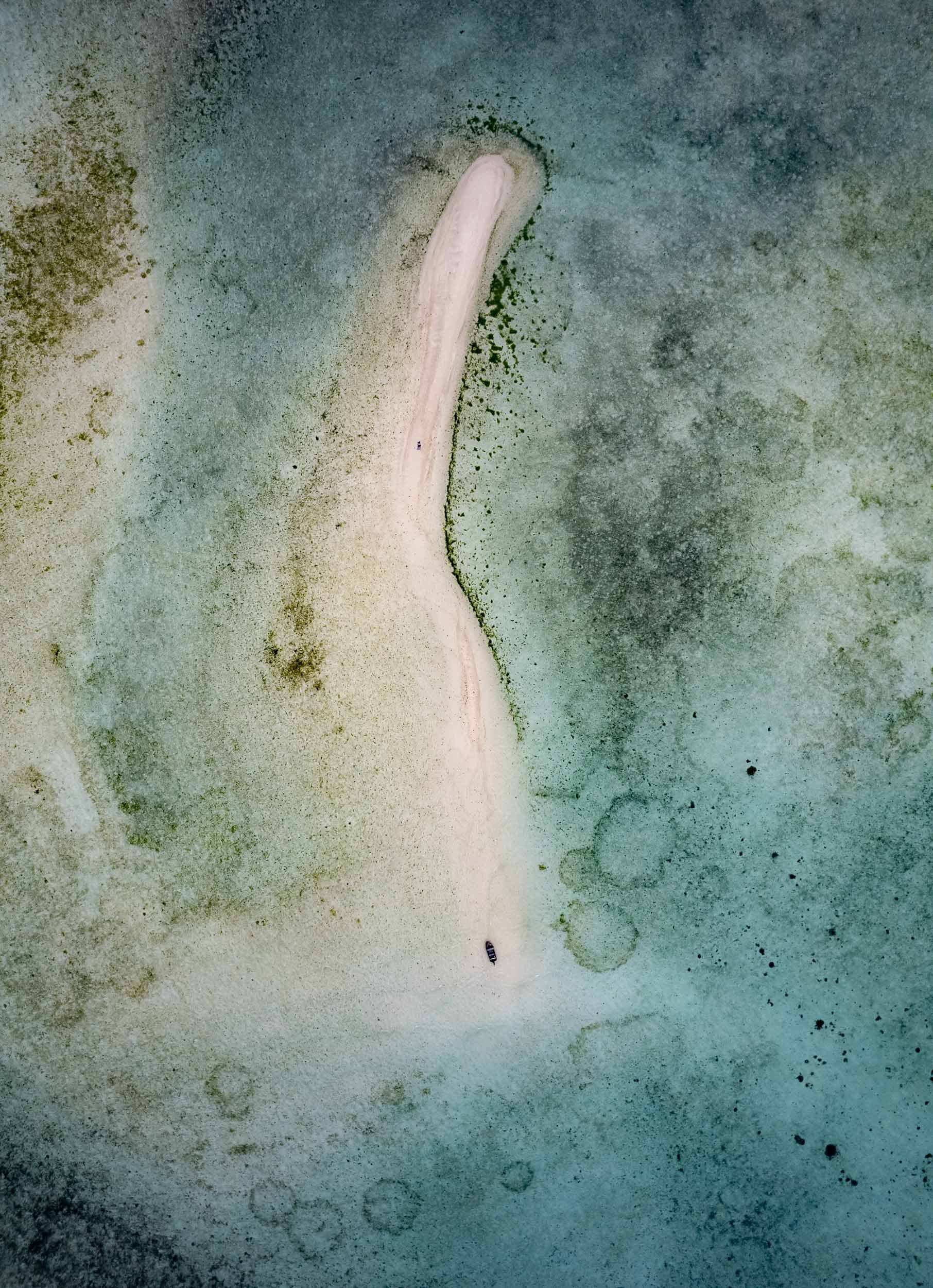
Subscribe to my newsletter to get notified and don’t miss out on more Wonders of the Globe.

The Abode of Peace - Brunei
Welcome to one of the more obscure countries on this planet, one of its last remaining absolute monarchies, and a nation forging its own path on the island of Borneo: Brunei Darussalam.

Welcome to one of the more obscure countries on this planet, one of its last remaining absolute monarchies, and a nation forging its own path on the island of Borneo: Brunei Darussalam. Once a thriving empire, its influence has declined over the centuries, but natural resources meant its population of less than half a million people now enjoys a very high living standard. I spent a few days here, including New Years Eve, which in Brunei is just like any other evening - that may be an odd choice for some, but I had a burger for dinner and was in bed by 11pm, perfect start into 2023.
The Capital
My starting point was the capital, Bandar Seri Begawan (ever heard of it?). A walk the centre around reveals… not too much, but there are some interesting places and local life to observe.
Royal Regalia
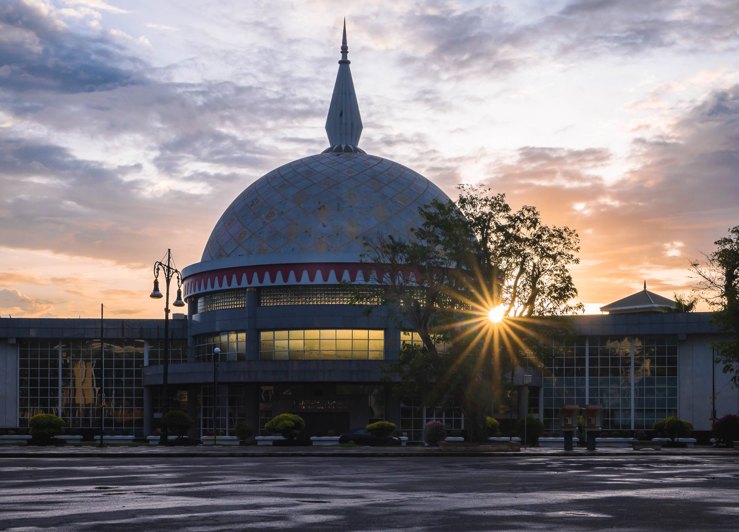
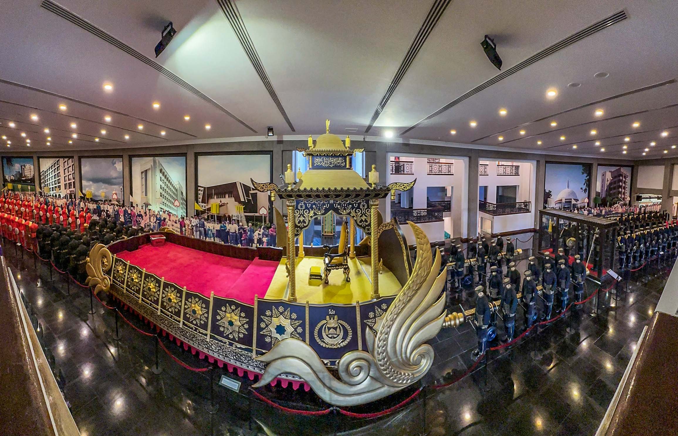
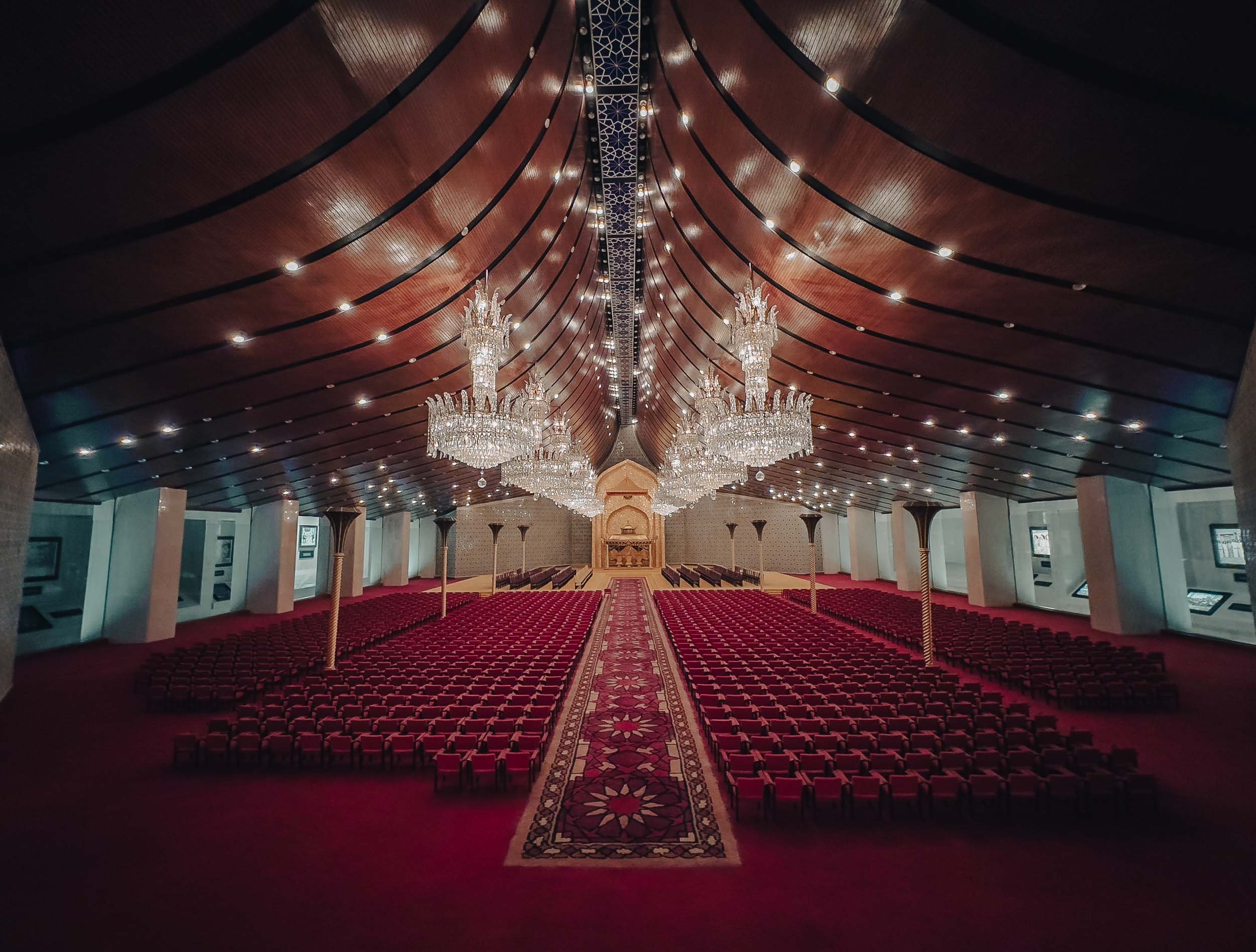
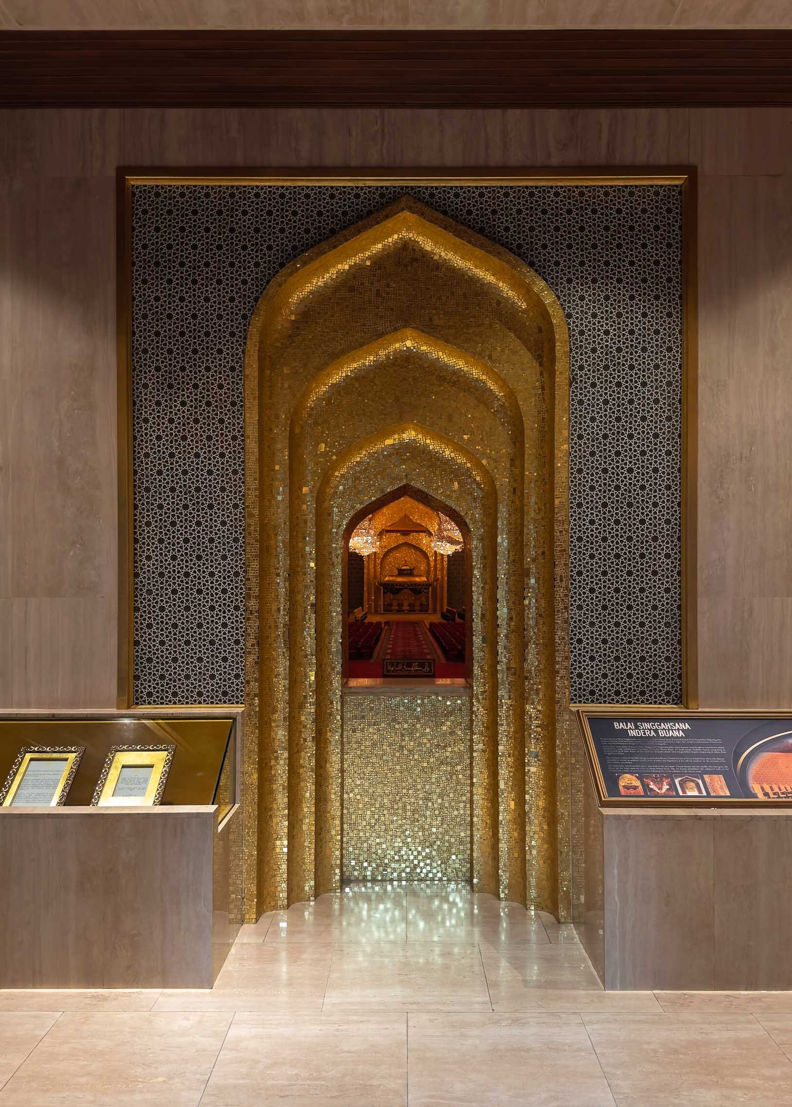
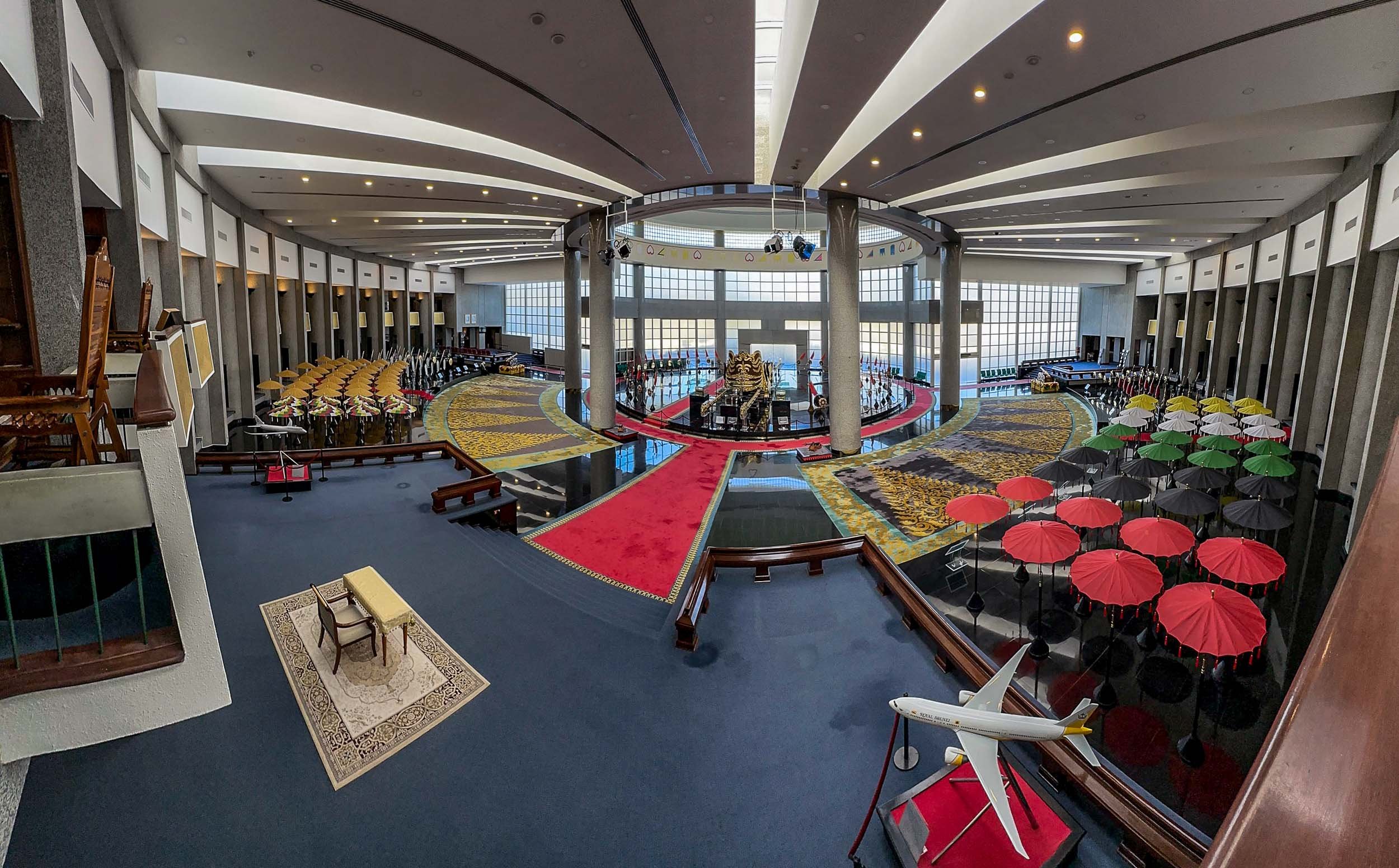
The Main Sight
The city’s most recognisable landmark, and arguably its most beautiful, is the Omar Ali Saifuddien Mosque, serving as the symbol of the Islamic faith in Brunei.
In fact, a dedicated frame was set up for people to take photos with it in the nearby park on the shores of the Sungai Kedayan river.

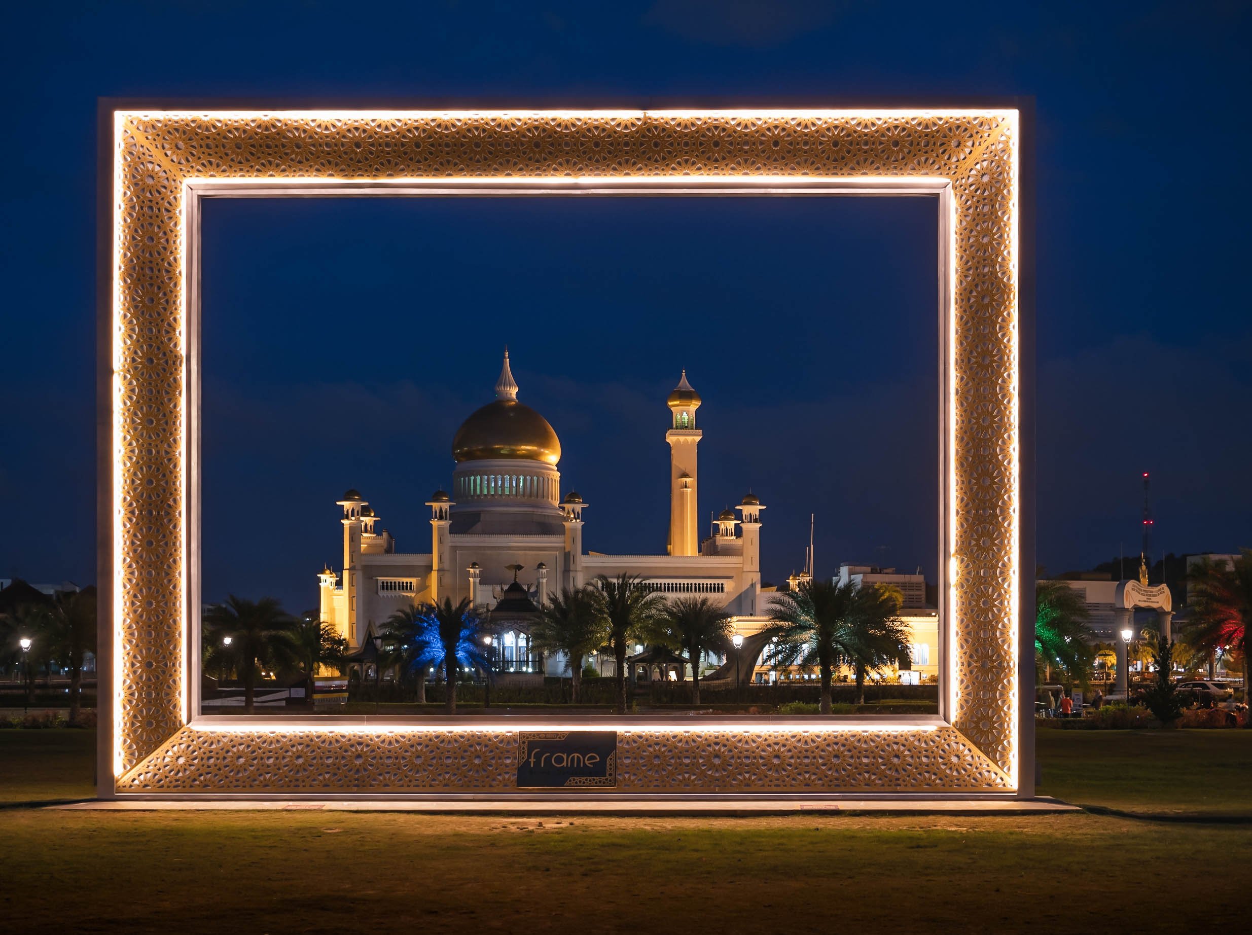
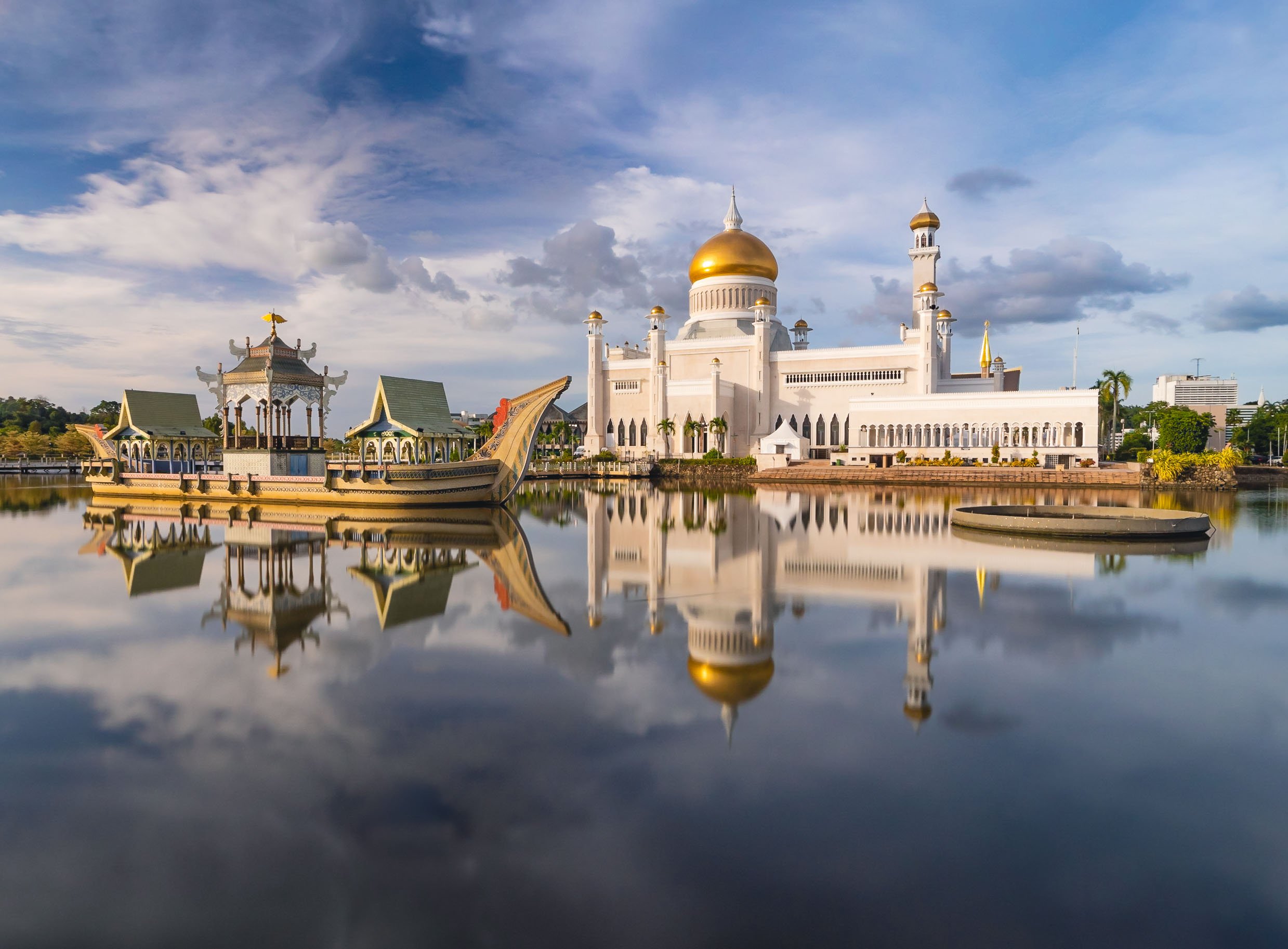
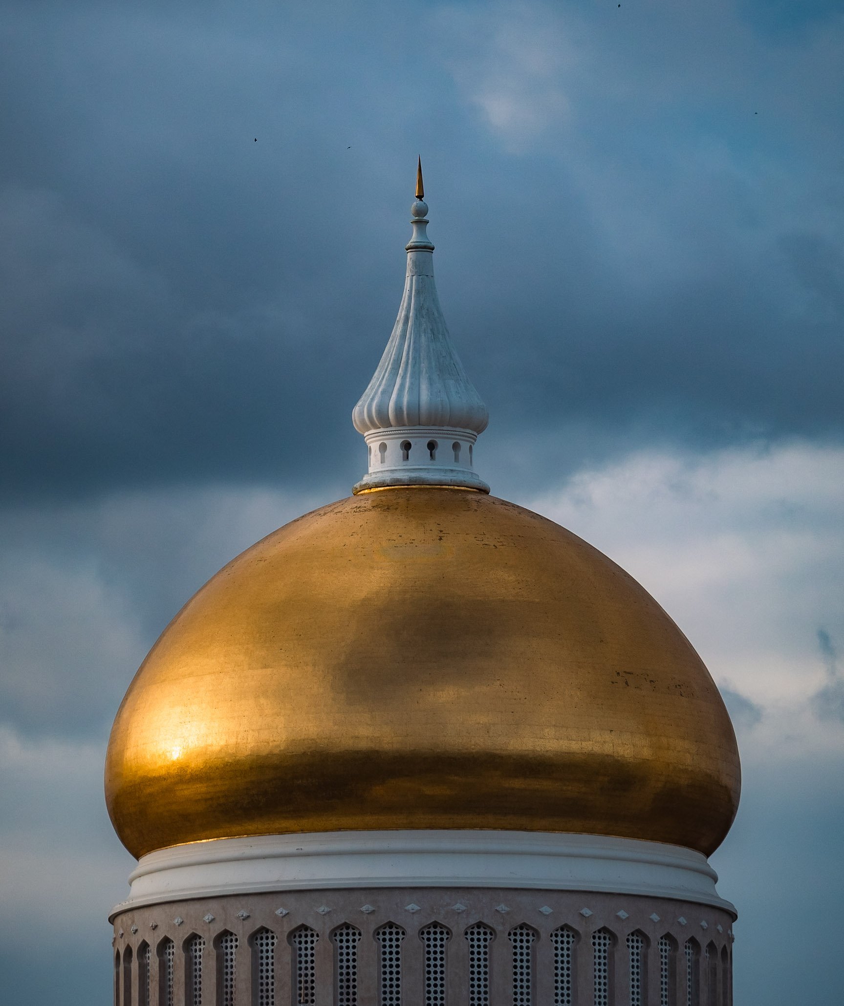
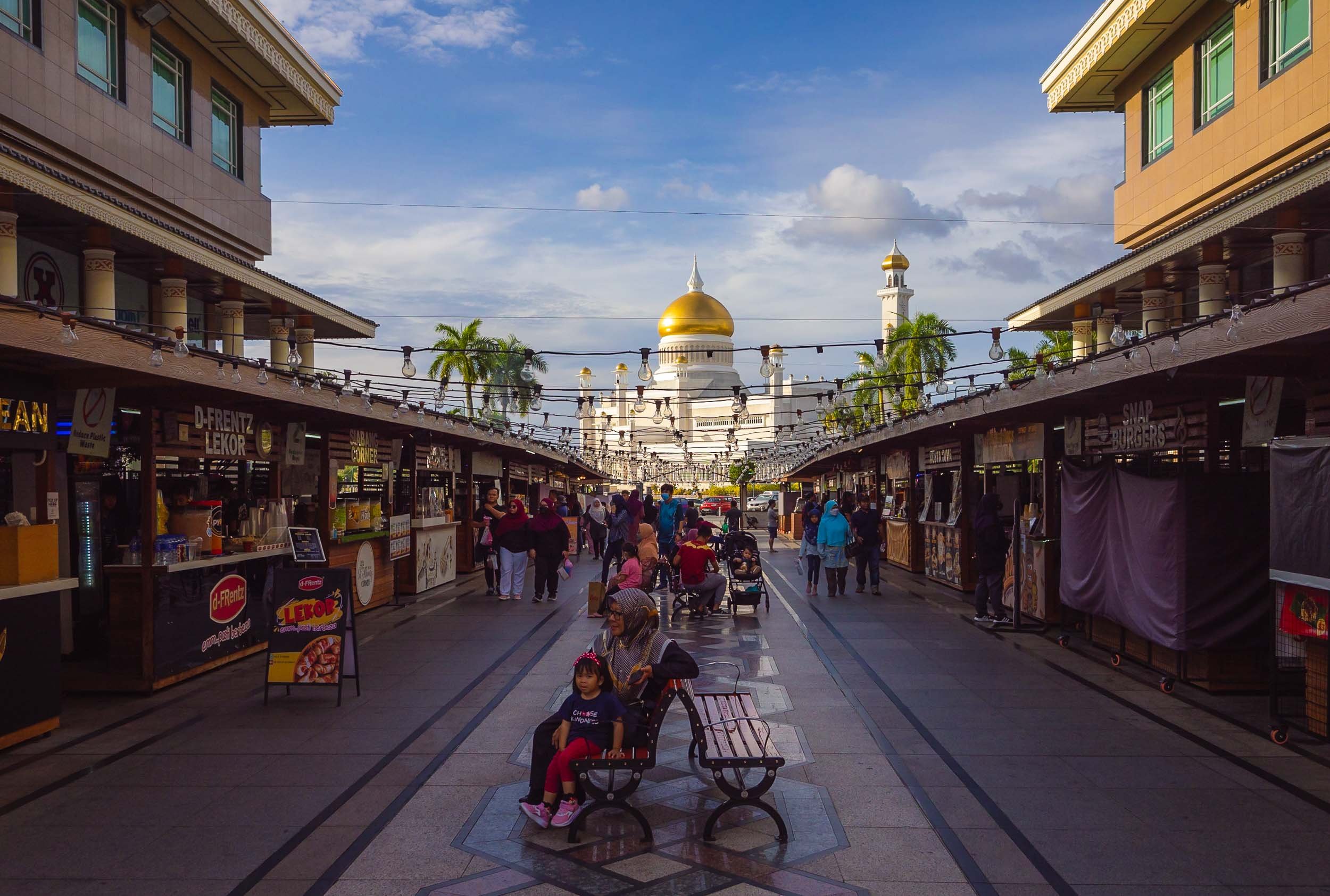
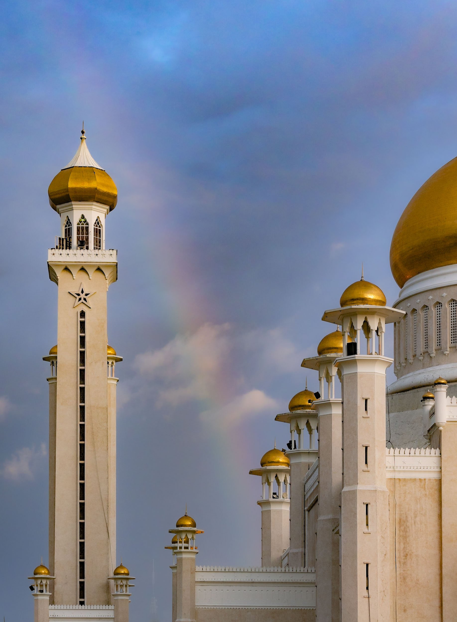
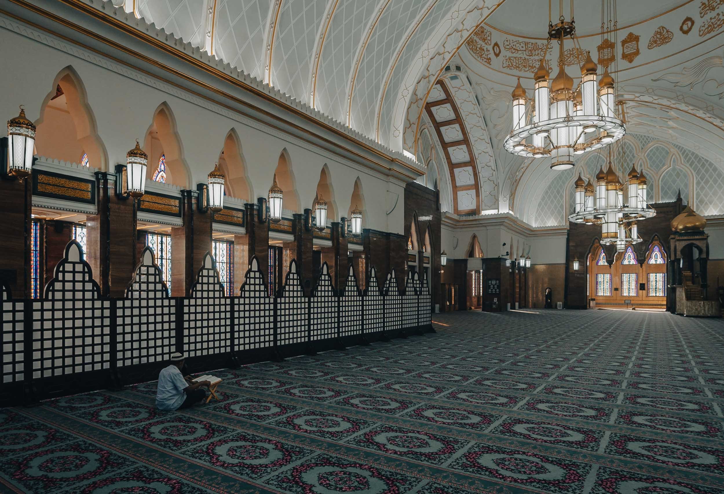
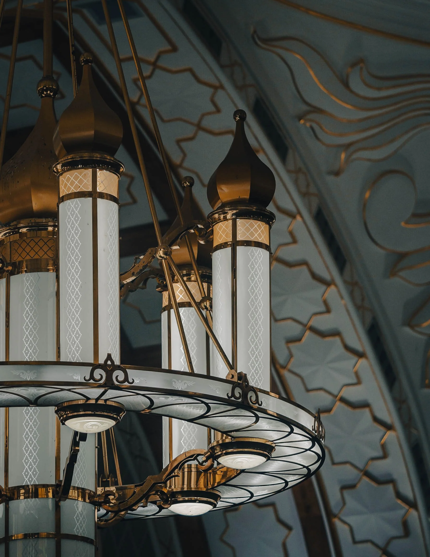

While Islam is the primary religion in the country, freedom of faith is permitted by the constitution, with some limitations. The buddhist temple of Teng Yun is one of the most prominent non-Muslim religious buildings.


Looking south over the Brunei river reveals a bridge called Raja Isteri Pengiran Anak Hajah Saleha Bridge - I’m glad they kept the name simple for every day directions. It is the second-longest single-pylon cable bridge in the world and 157m tall. I couldn’t help but notice that the golden dome closely resembled the one on Saifuddien Mosque.


The night market at Gadong with its variety of multicultural street food - Brunei has to import 60% of its needs. The biggest ethnic group is Malay, making up over 60% of the population, and only a very small portion of indigenous people. The balance is a mix of origins, including a large number of expats.


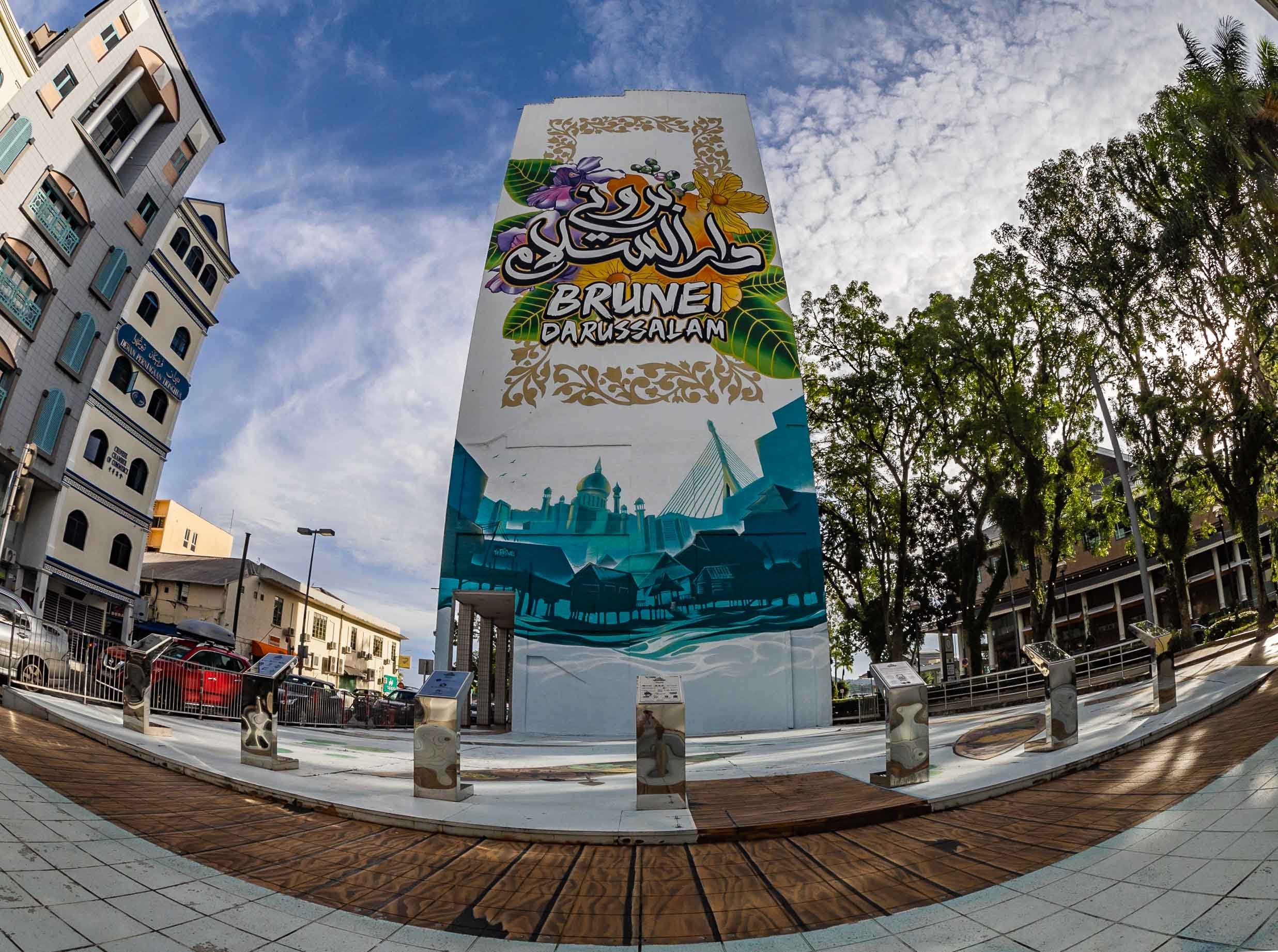
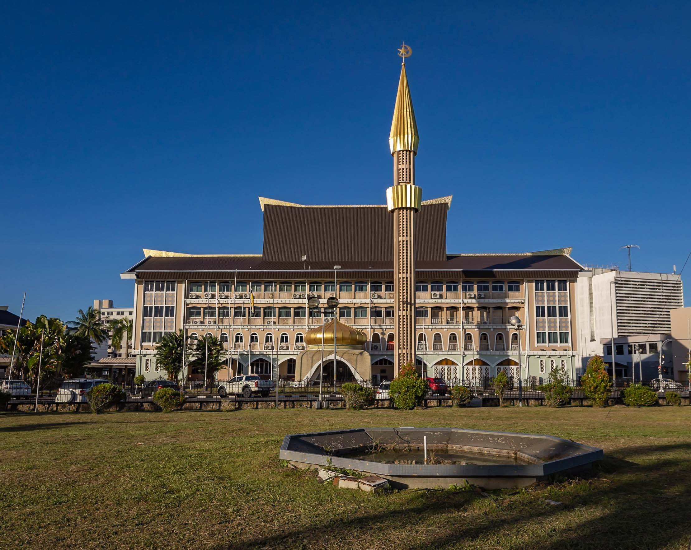
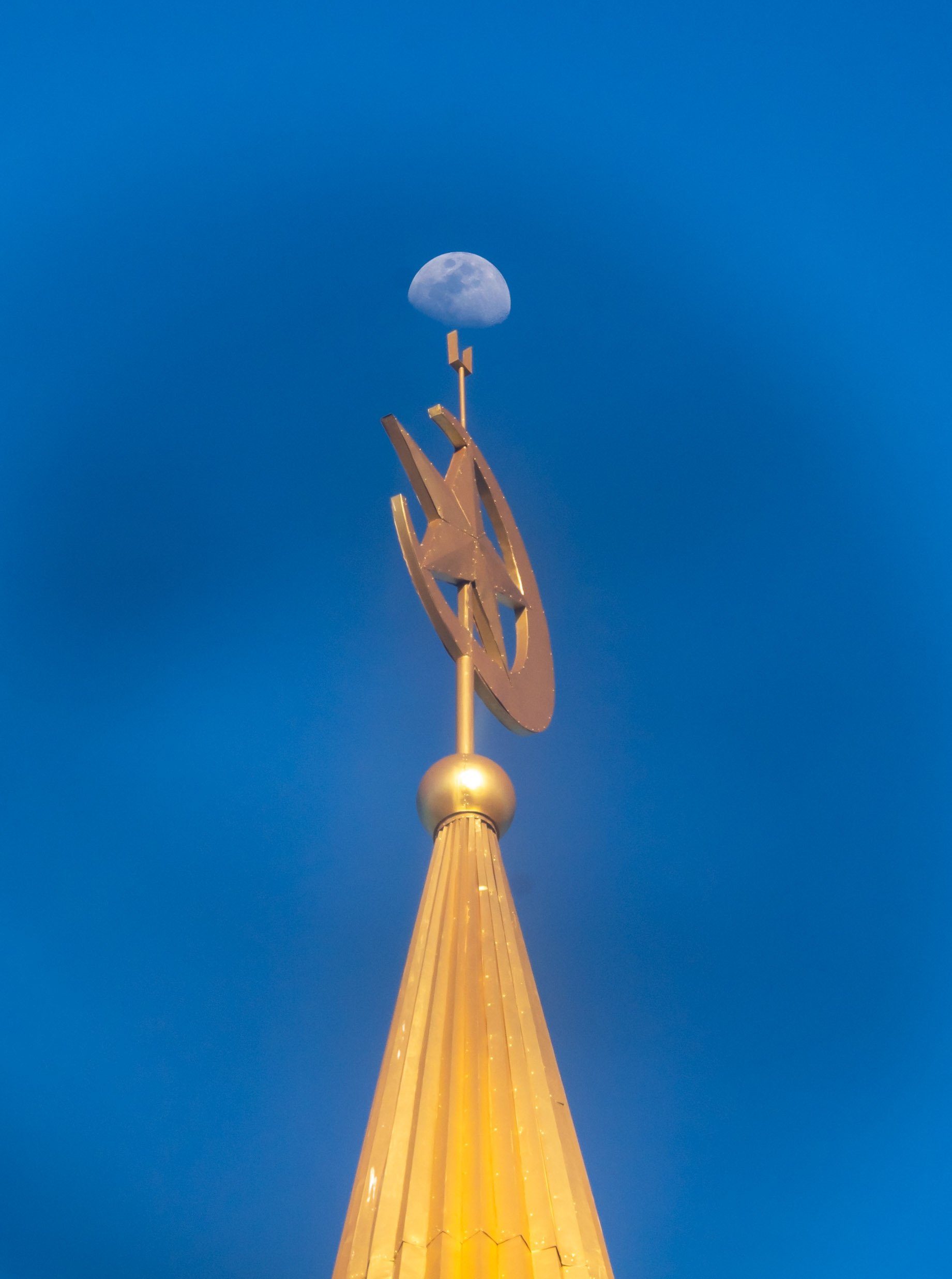
Kampong Ayer
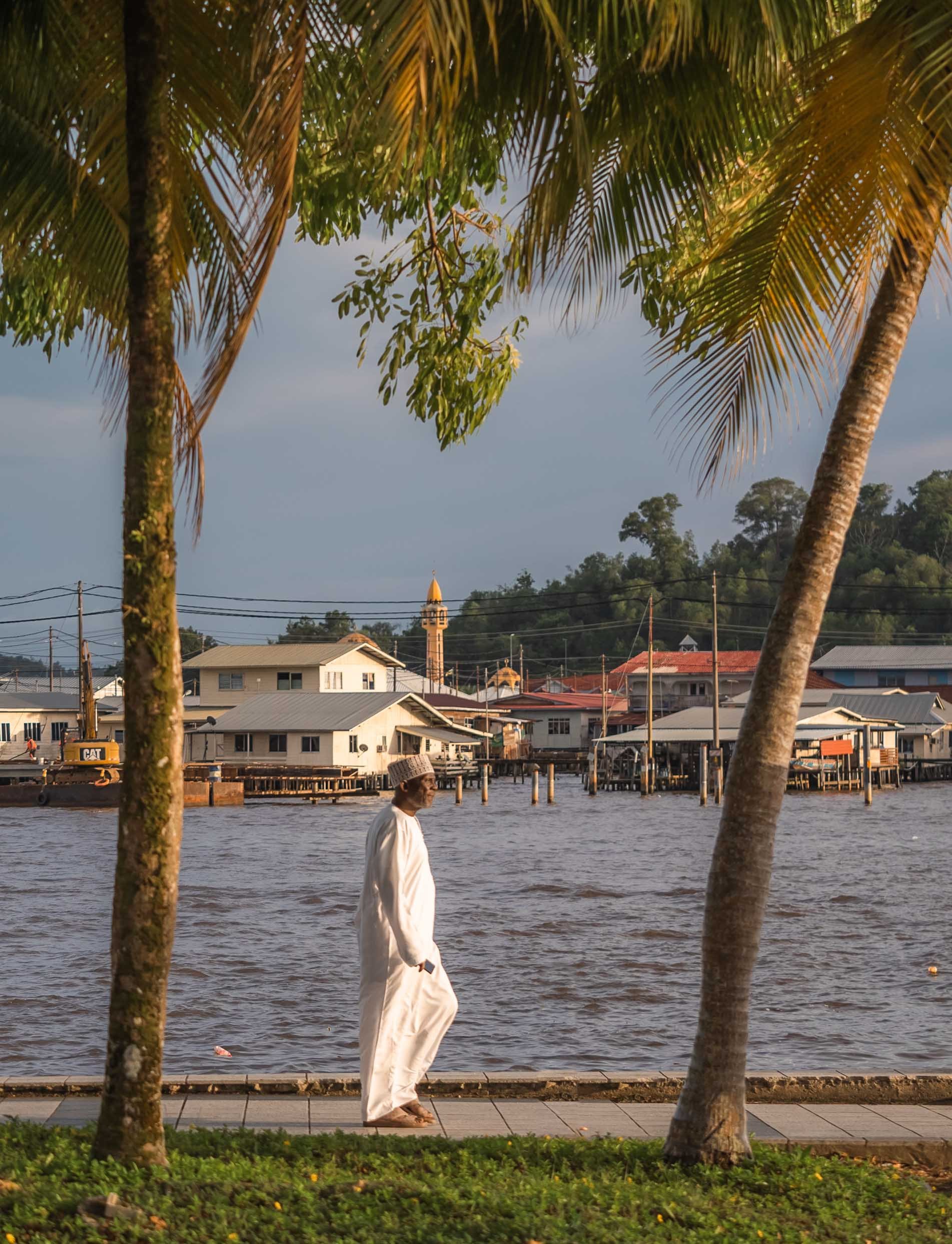
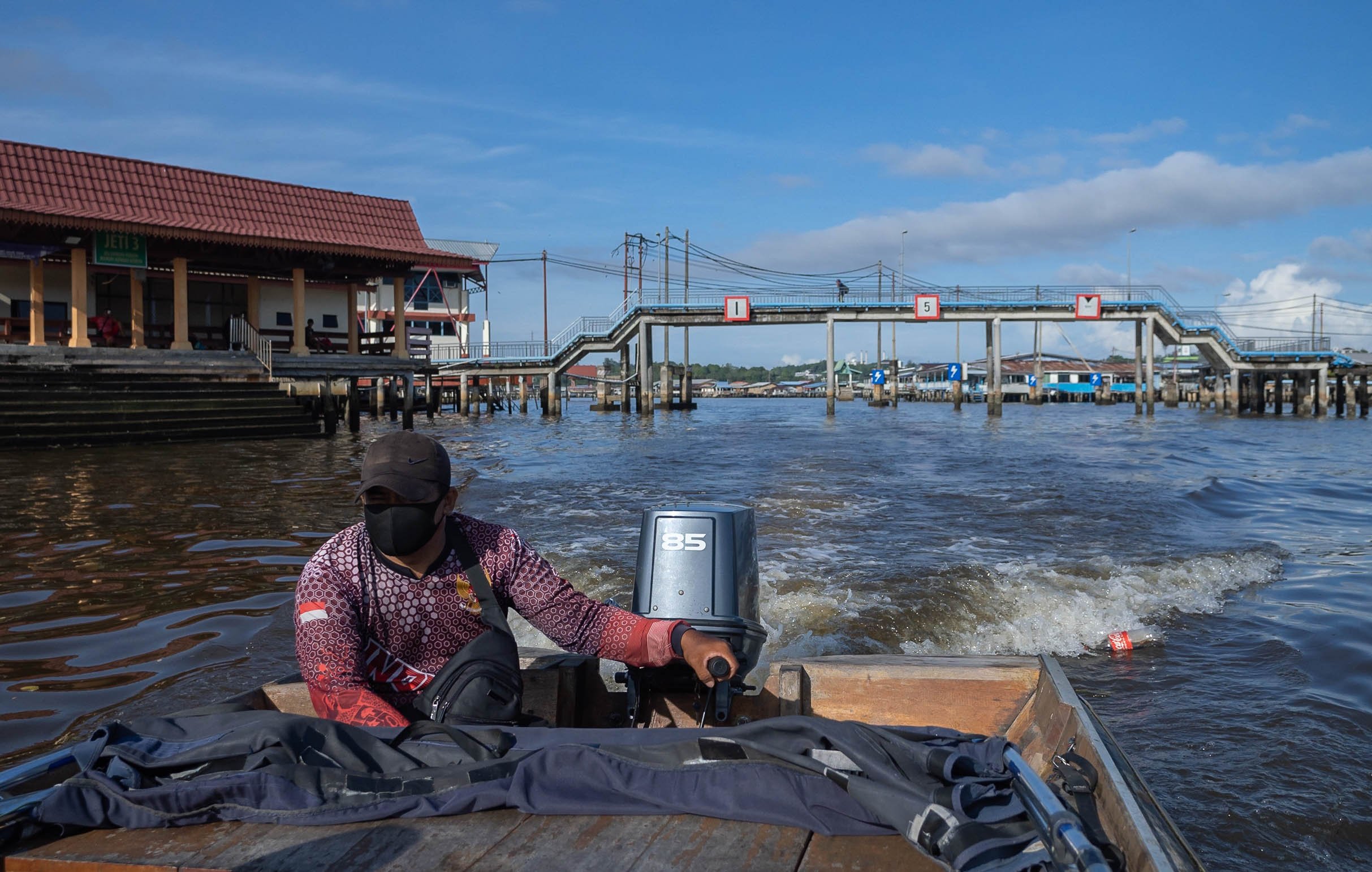
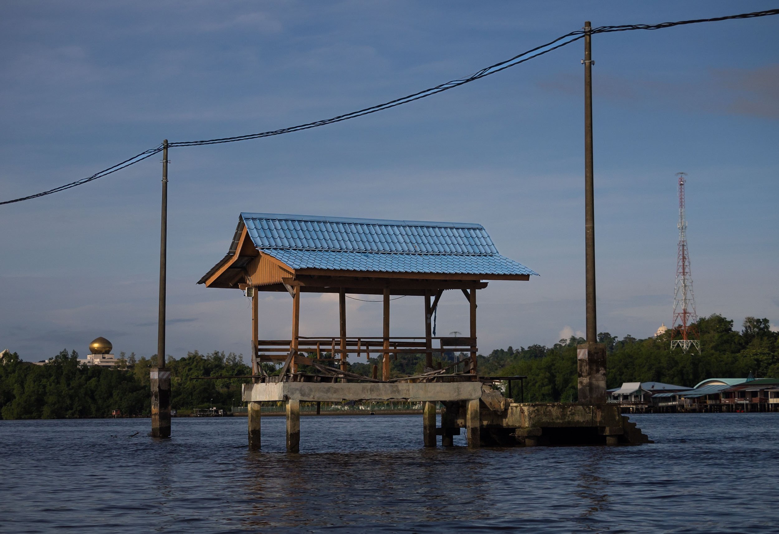


In fact though, a large portion of the village is as busy as ever, and includes floating mosques, schools, gyms and more.
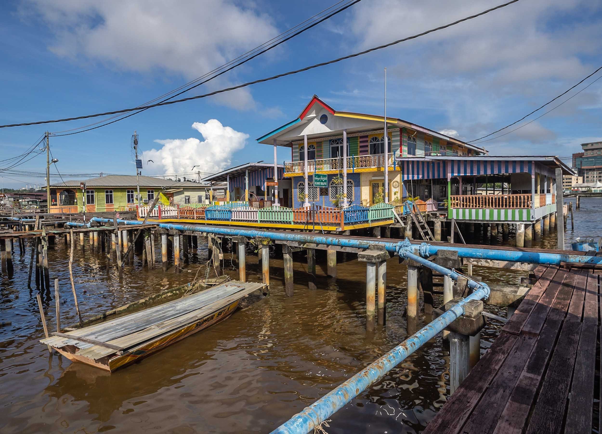
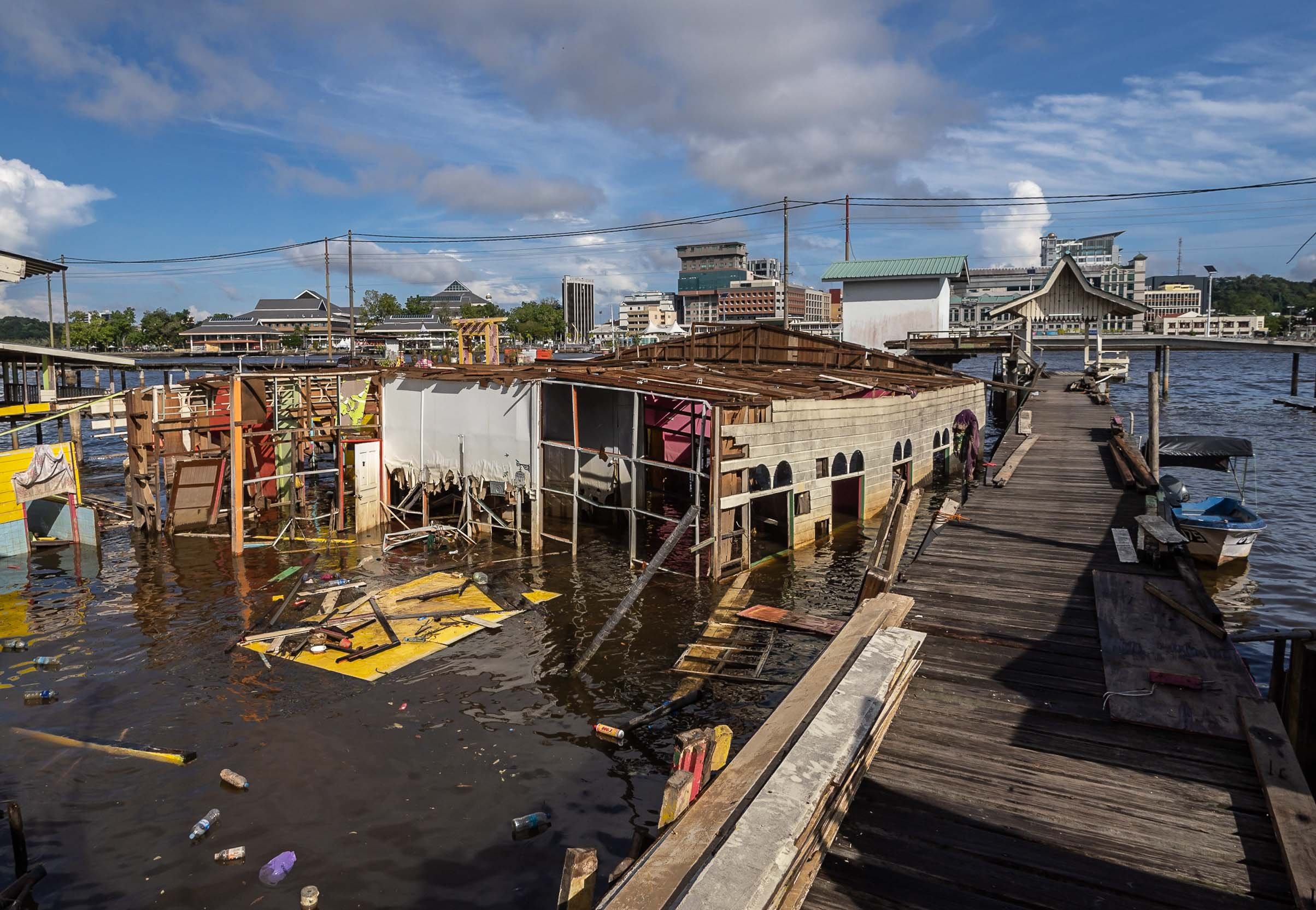
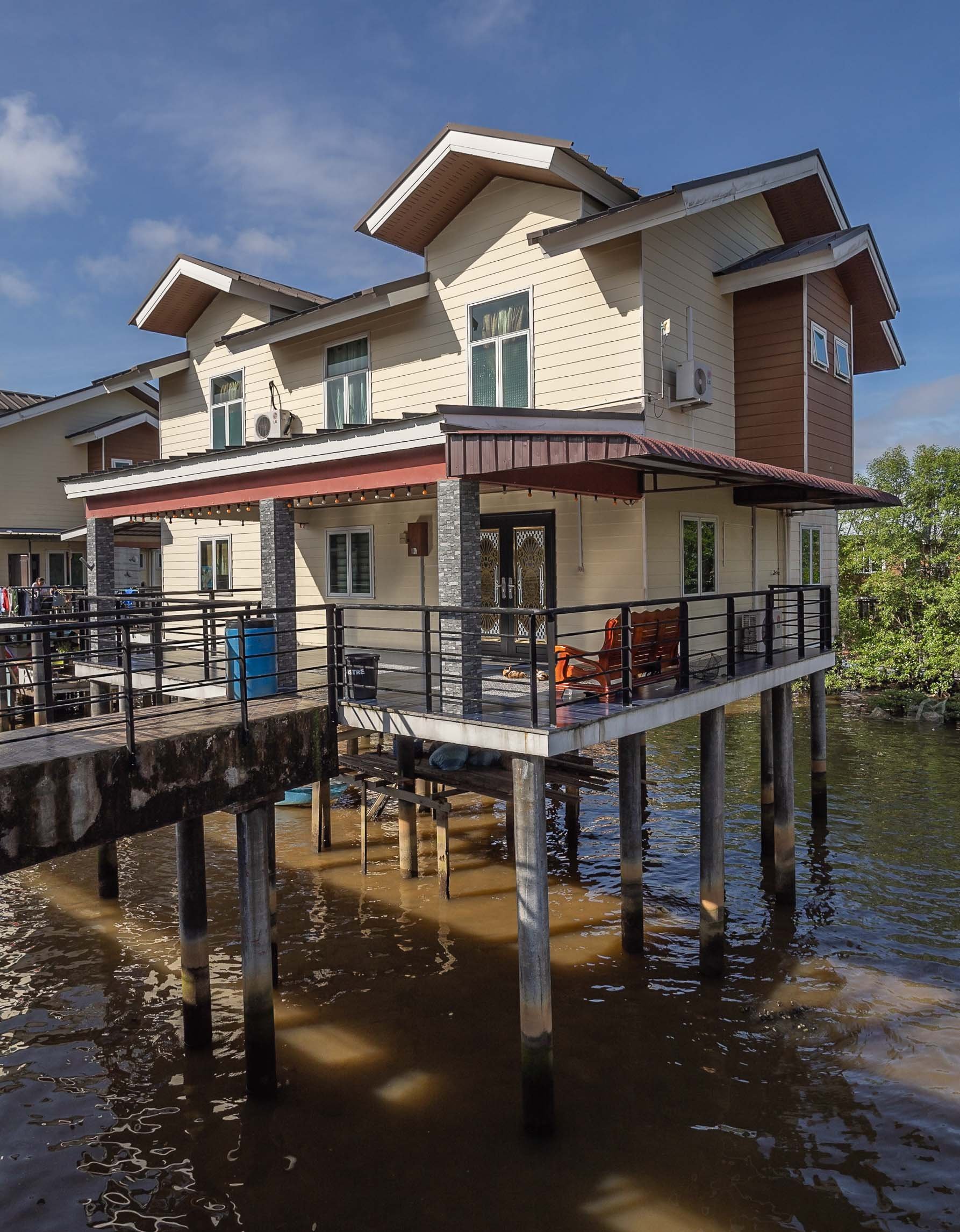

More City Sights
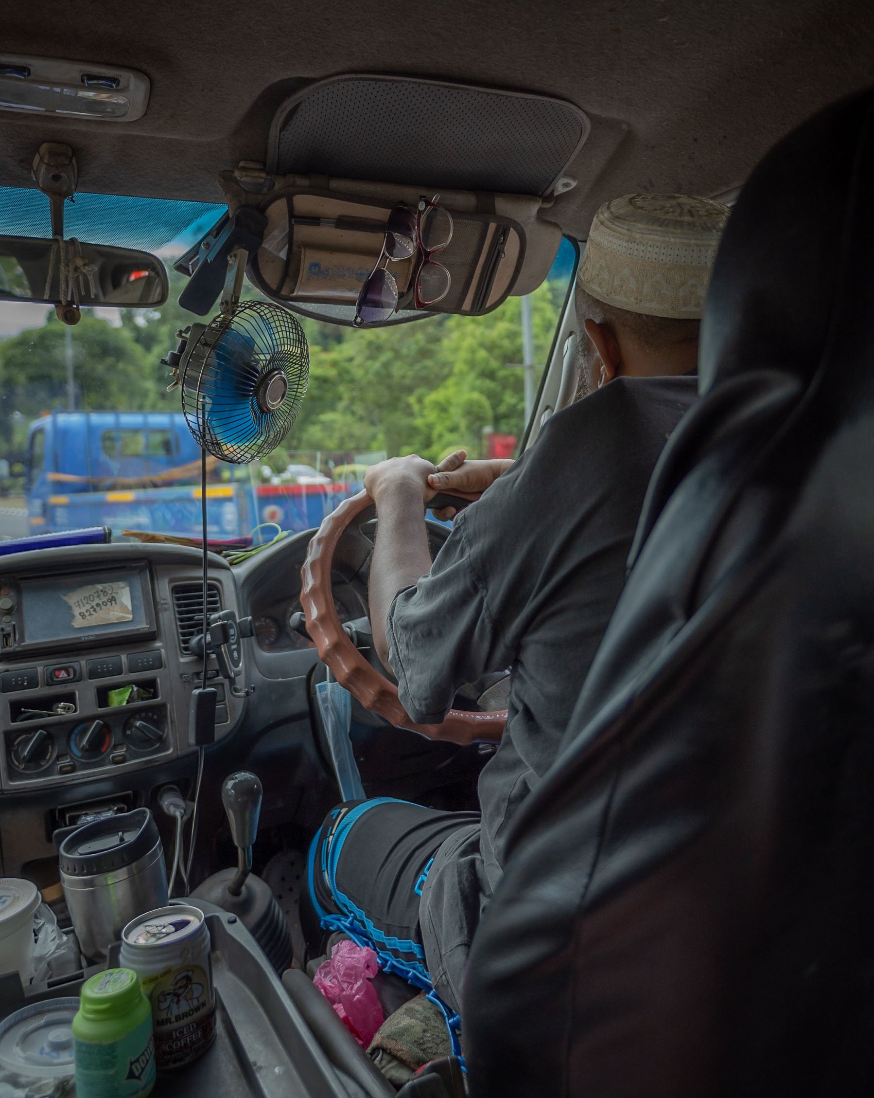
Jame 'Asr Hassanil Bolkiah Mosque
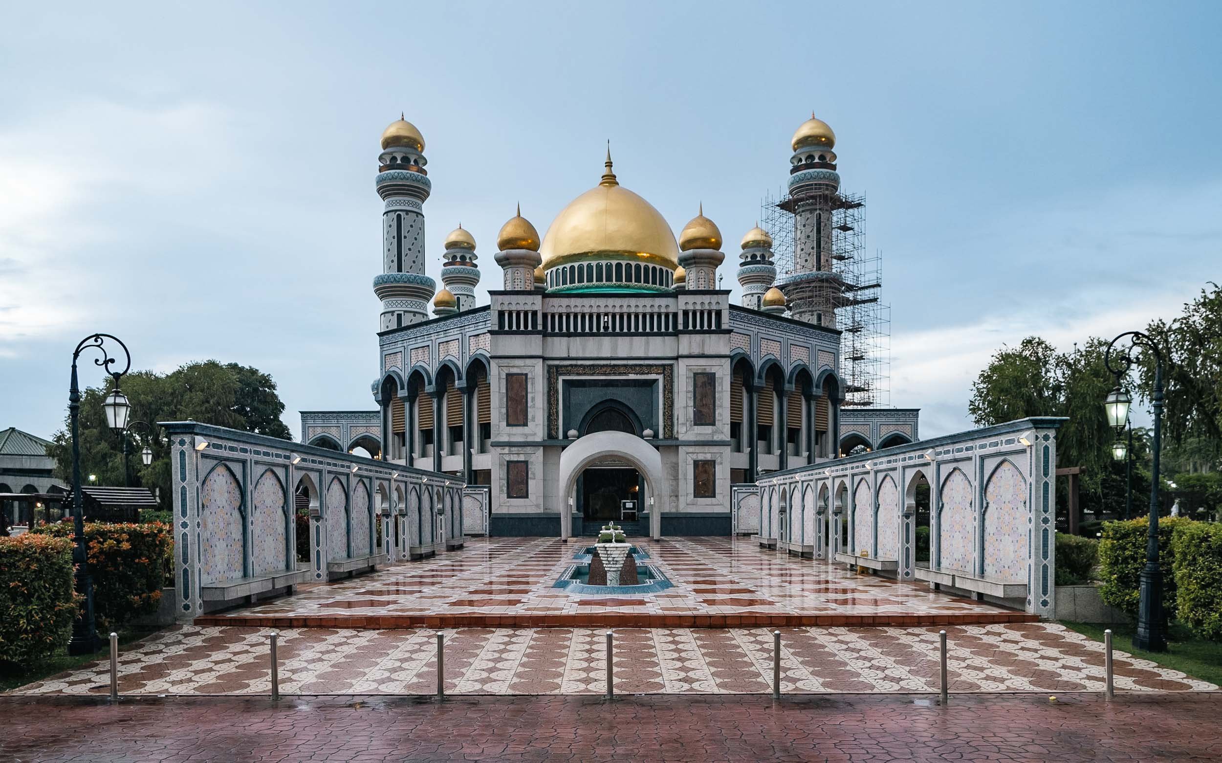
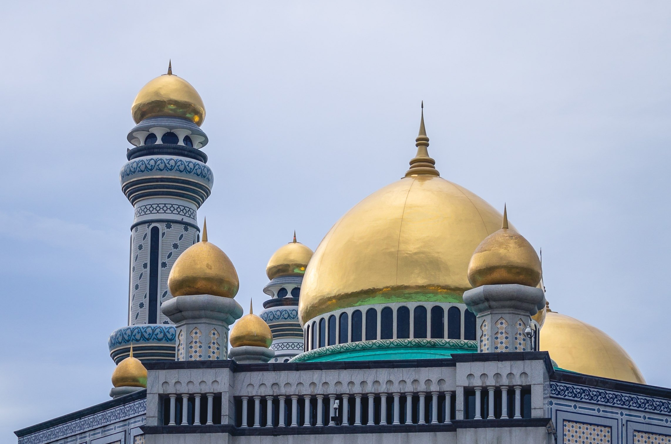
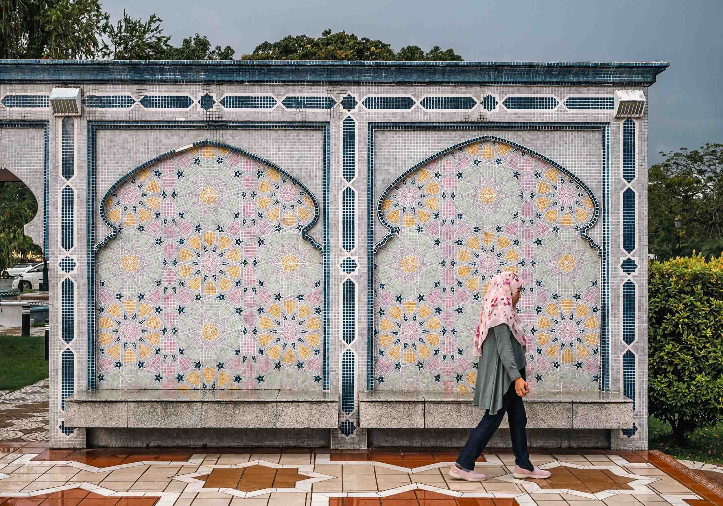
Ash Shaliheen Mosque
Yet another mosque - they are some of the most interesting attractions in Brunei. This one is said to follow Moroccan style, and was designed by an Egyptian architect. It’s possible to visit, and the interior courtyard with its retractable roof is worth seeing. It’s also located in the government district, which featuring a number of peculiar architectural styles for the various ministries and offices.


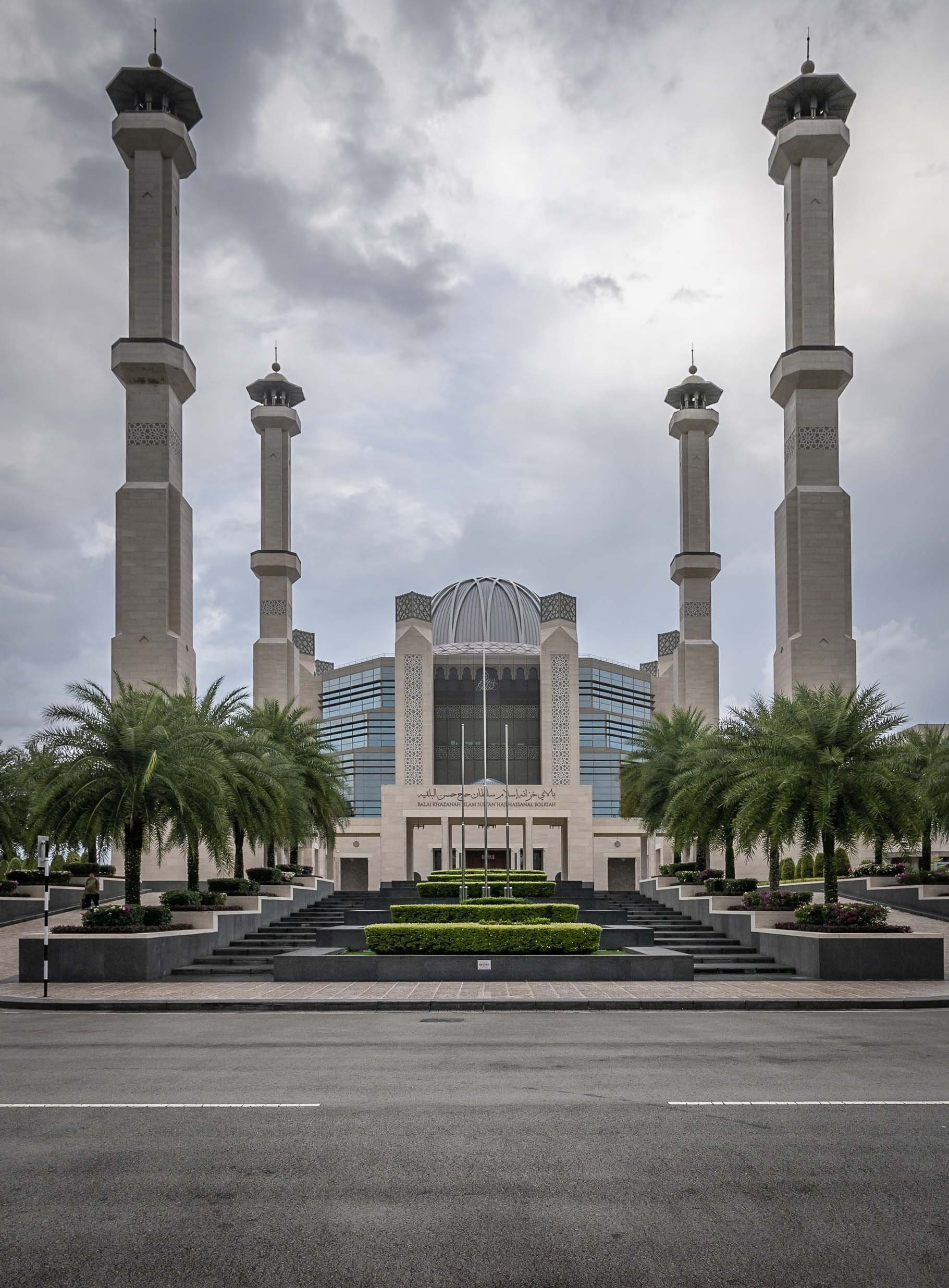


Unfortunately I couldn’t make it in time to go inside and visit, but it houses a large collection of manuscripts and artworks, for instance. The exterior was likely equally fascinating to me though.
Palaces
A strange and seemingly abandoned building can be seen from certain angles in Brunei - this place was allegedly built for the Sultan's ex-wife, but stopped after the divorce. Its status is unclear, but it is said the interior is almost complete and follows similar architectural approach as the outside - a mix of classic European and Russian styles.


Record Breaking
The actual palace of the Sultan of Brunei, called Istana Nurul Iman or the Light of Faith, is on yet another level - it is considered the largest residential palace and single family building in the world. The cost at its completion in 1984 was USD 1.5Bn, with a floor space area of over 200,000 sqm - it contains 1,788 rooms, of which 257 are bathrooms. It also houses the banquet room seen as a model in the Royal Regalia museum. The palace is also home to the infamous car collection of the Sultan and his brother (a whole different character, worth reading up on). Most of those cars are said to slowly fall into decay due to the lack of care these days, but no one knows for sure.
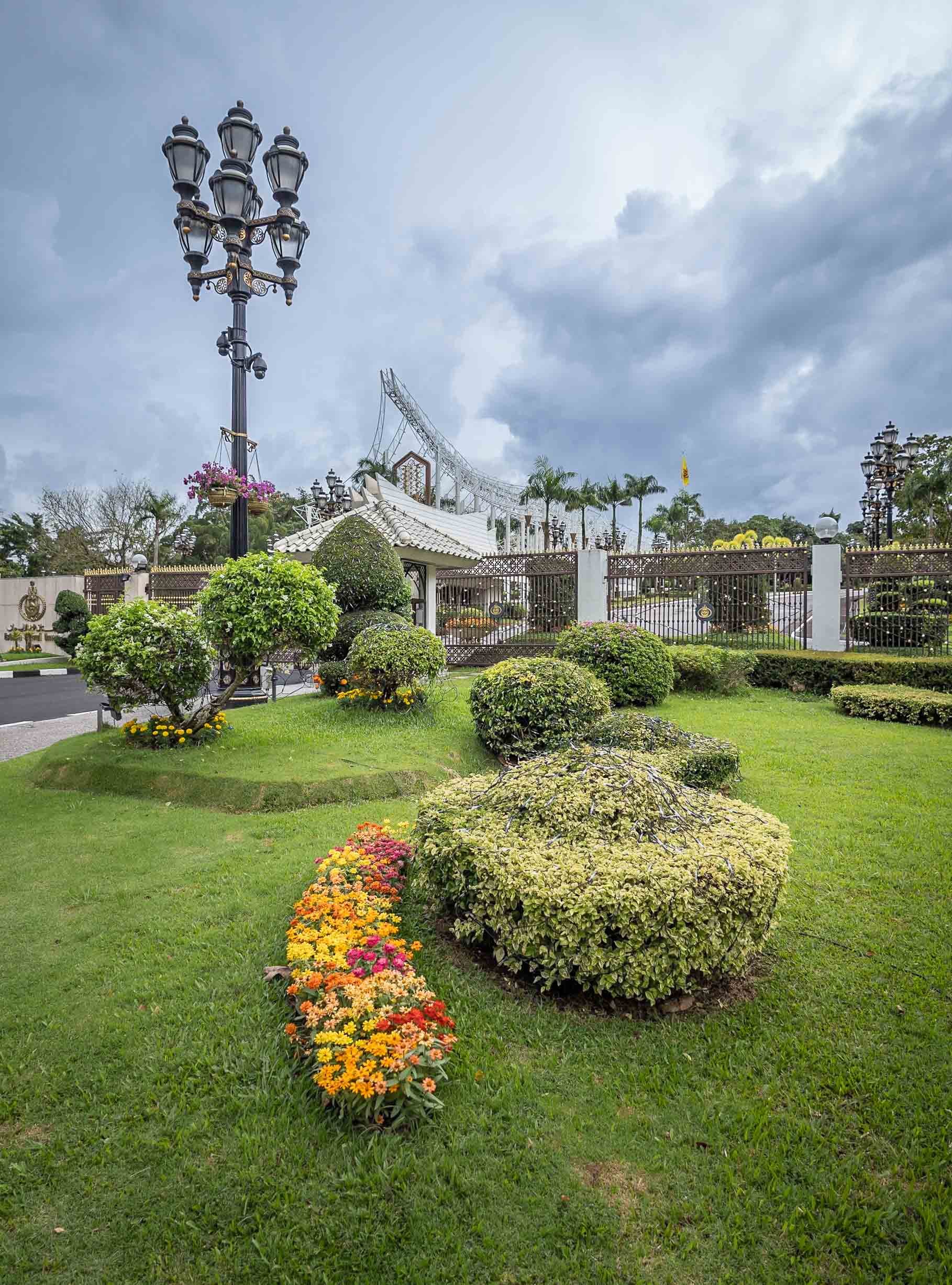
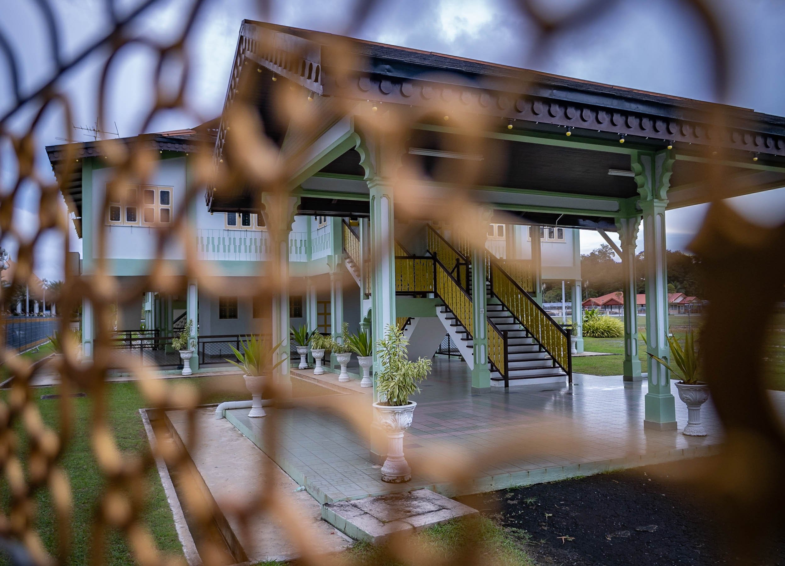
And Further Around
Frankly, there isn’t toooo much to see beyond the city boundaries, but there are a few nice beaches and several rivers in the largely untapped forest. Unlike much of the rest of Borneo, which is part of Malaysia and Indonesia, Brunei’s portion hasn’t been tapped for Palm Oil and other plantations. These photos were taken from the shores of the The Empire Brunei hotel, the country’s only real high end luxury property, 20min from the city.


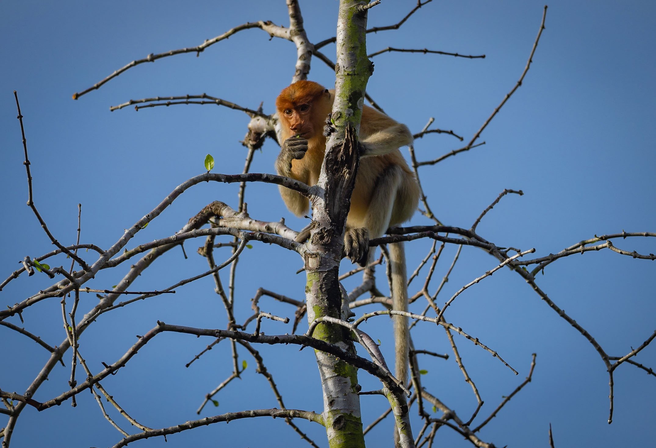
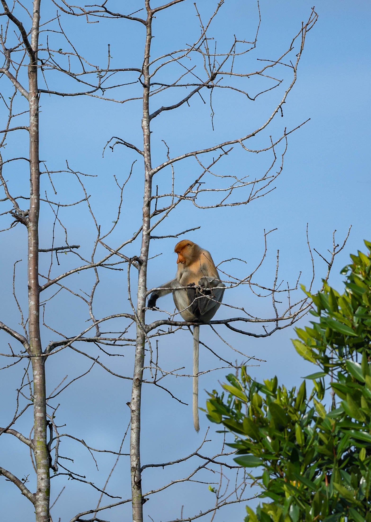

Copenhagen - The world's most livable city?
this was a title given to Denmark’s capital in 2013 by Monocle owing to its urban, cultural, and environmental planning

Well, this was a title given to Denmark’s capital in 2013 by Monocle owing to its urban, cultural, and environmental planning and is often echoed in many other city rankings. I visited in November 2022 to gain my own impressions, and finally got around to documenting some of them here.
The visit started with a big disappointment, being that Tivoli, one of the world’s oldest and most famous theme parks, was closed during my time here. This wasn’t really evident at all from the website, Google entry, or anywhere else, and so finding the doors closed wasn’t a happy start to the trip - even a visit to the nearby Lego store (Denmark is where Lego was invented) couldn’t quite help.
Instead onwards to the city’s aptly named “Round Tower”.


Some views from the top of the 1642 tower.
Church Galore
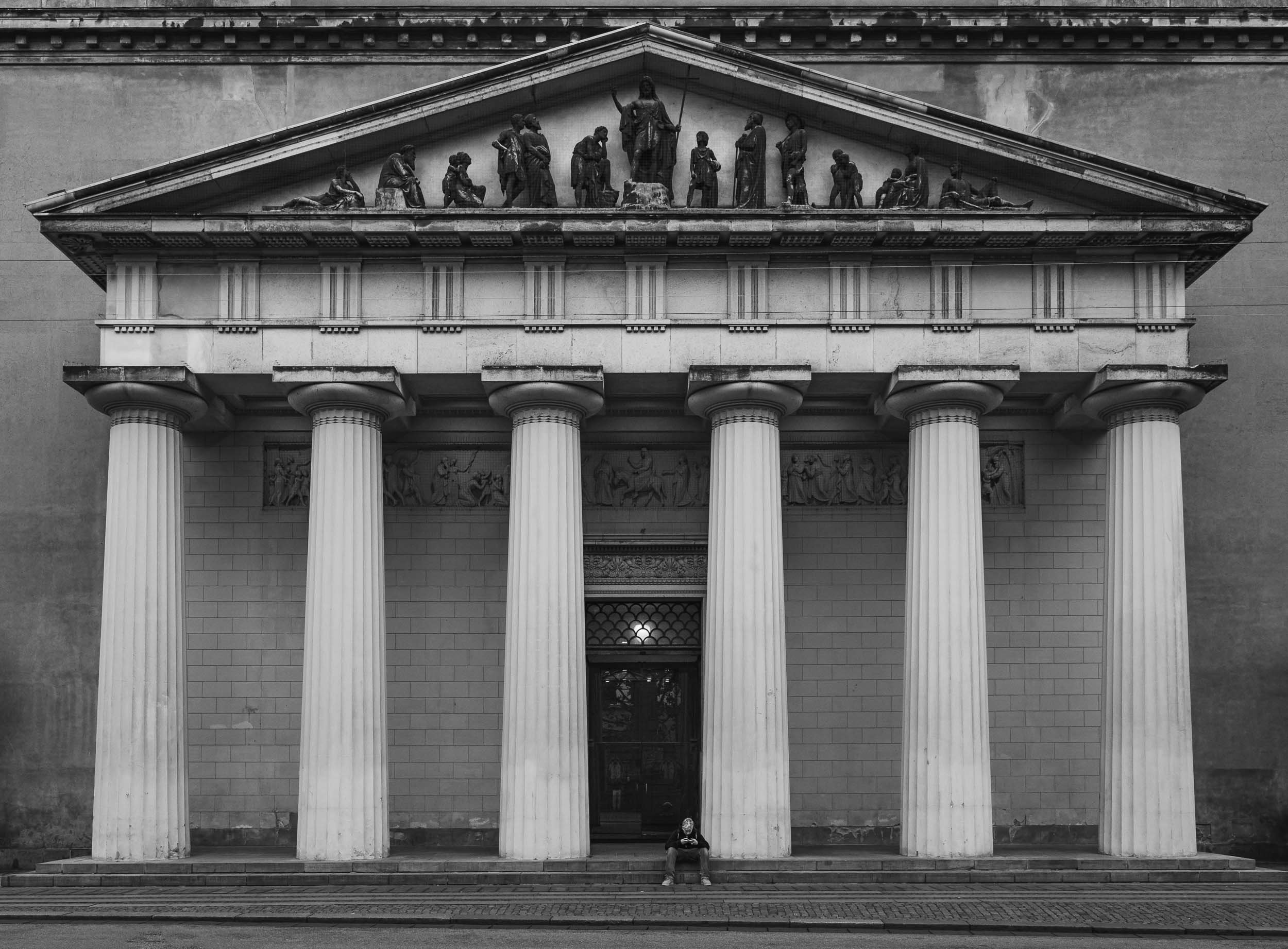

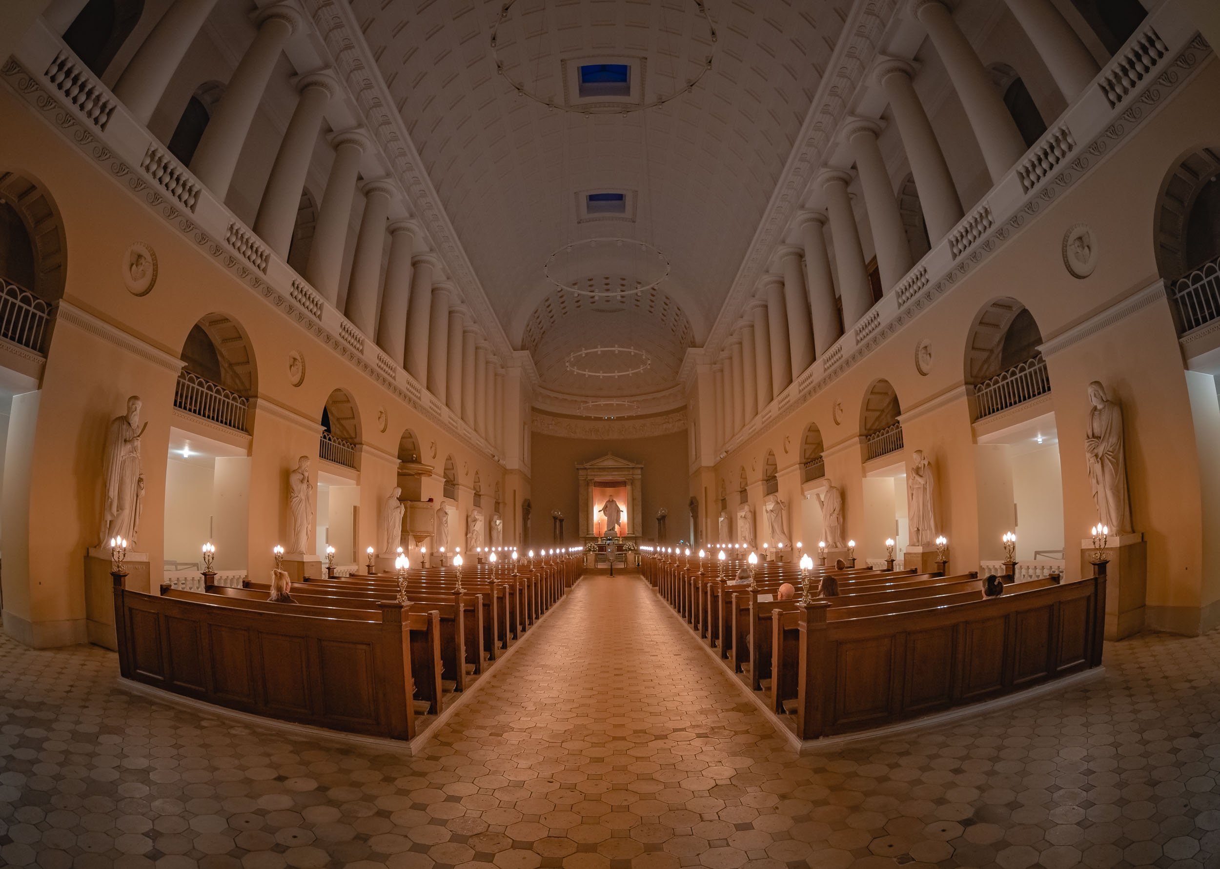
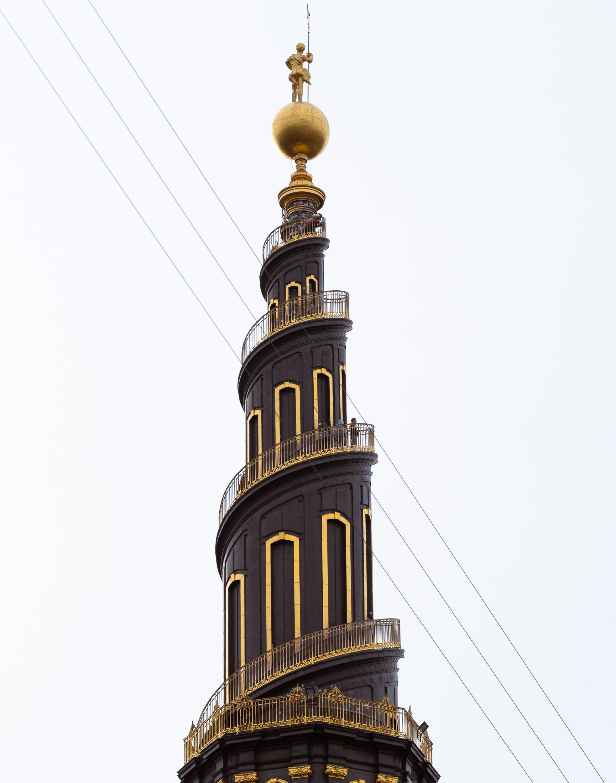
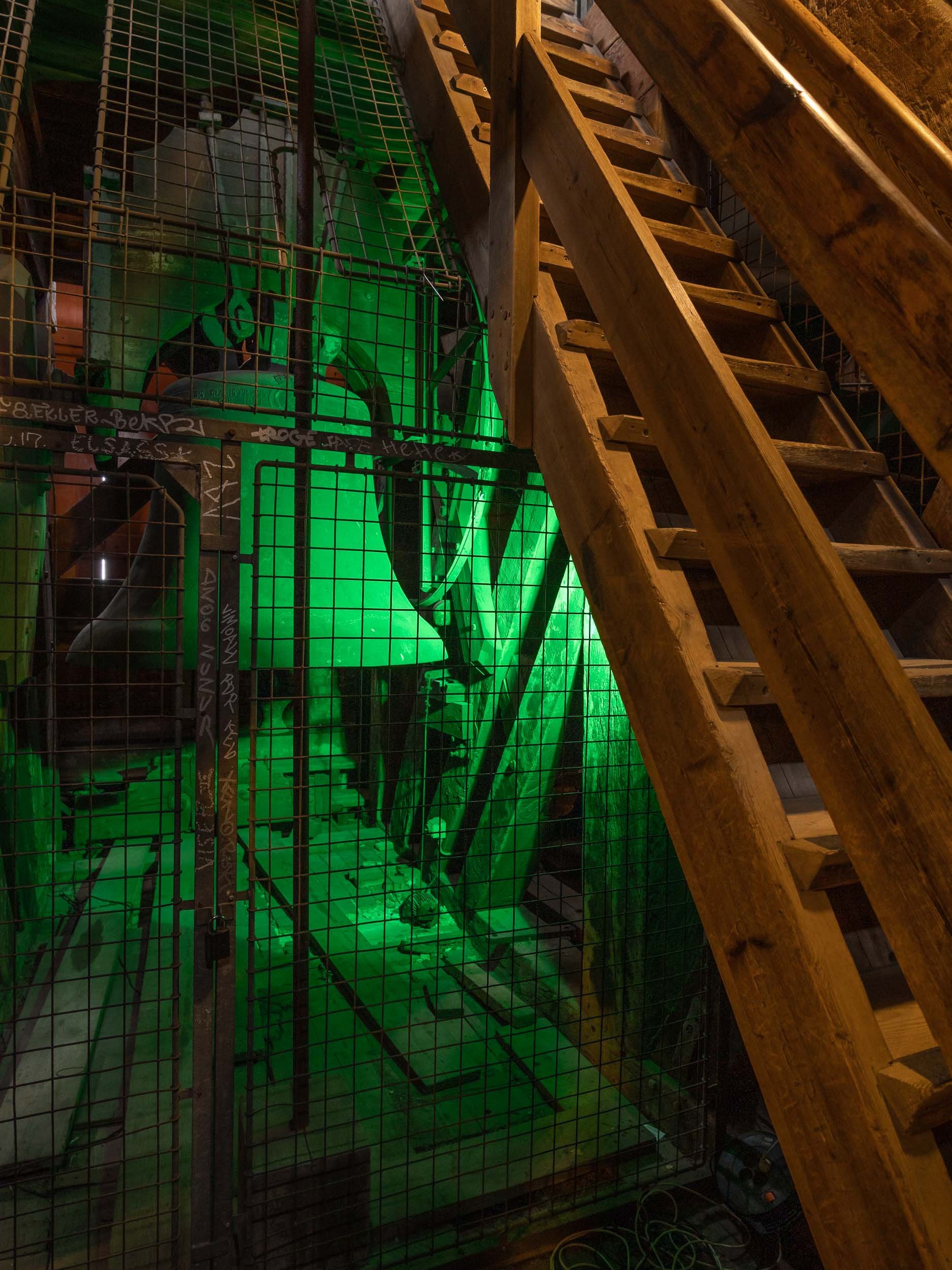
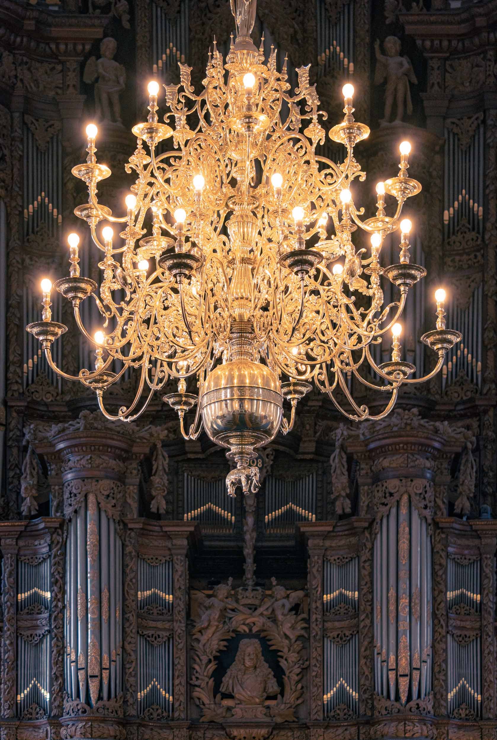
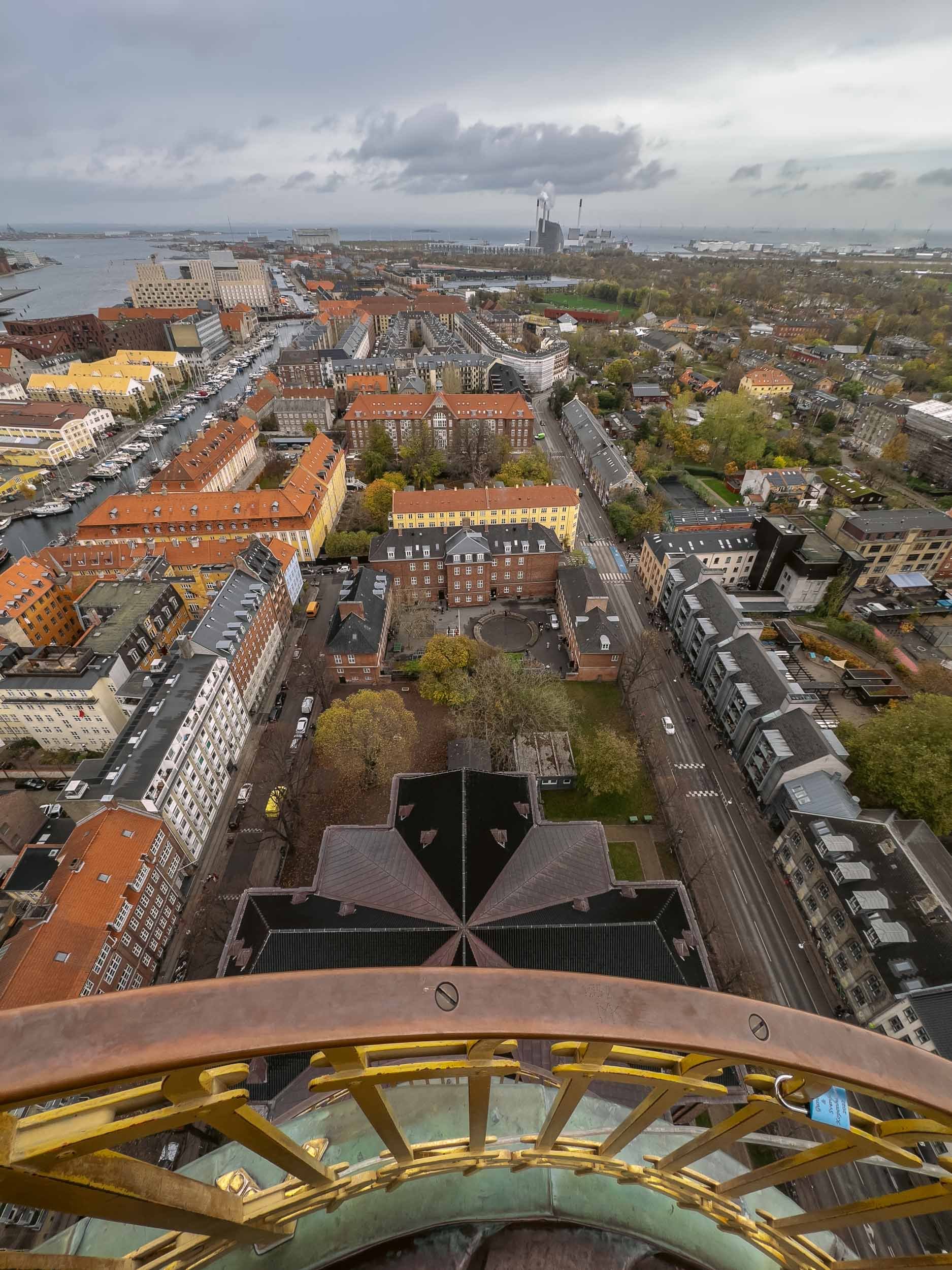
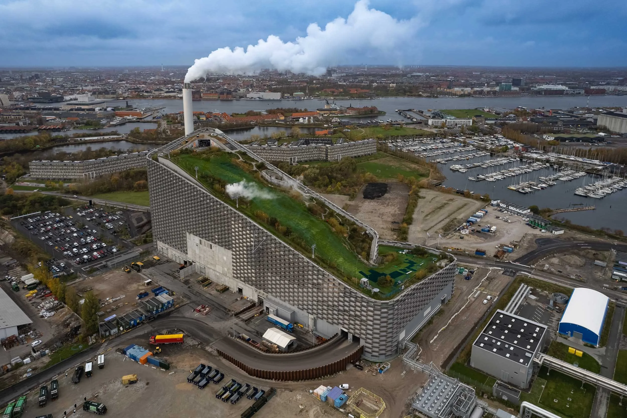
Evening Impressions & Nyhavn
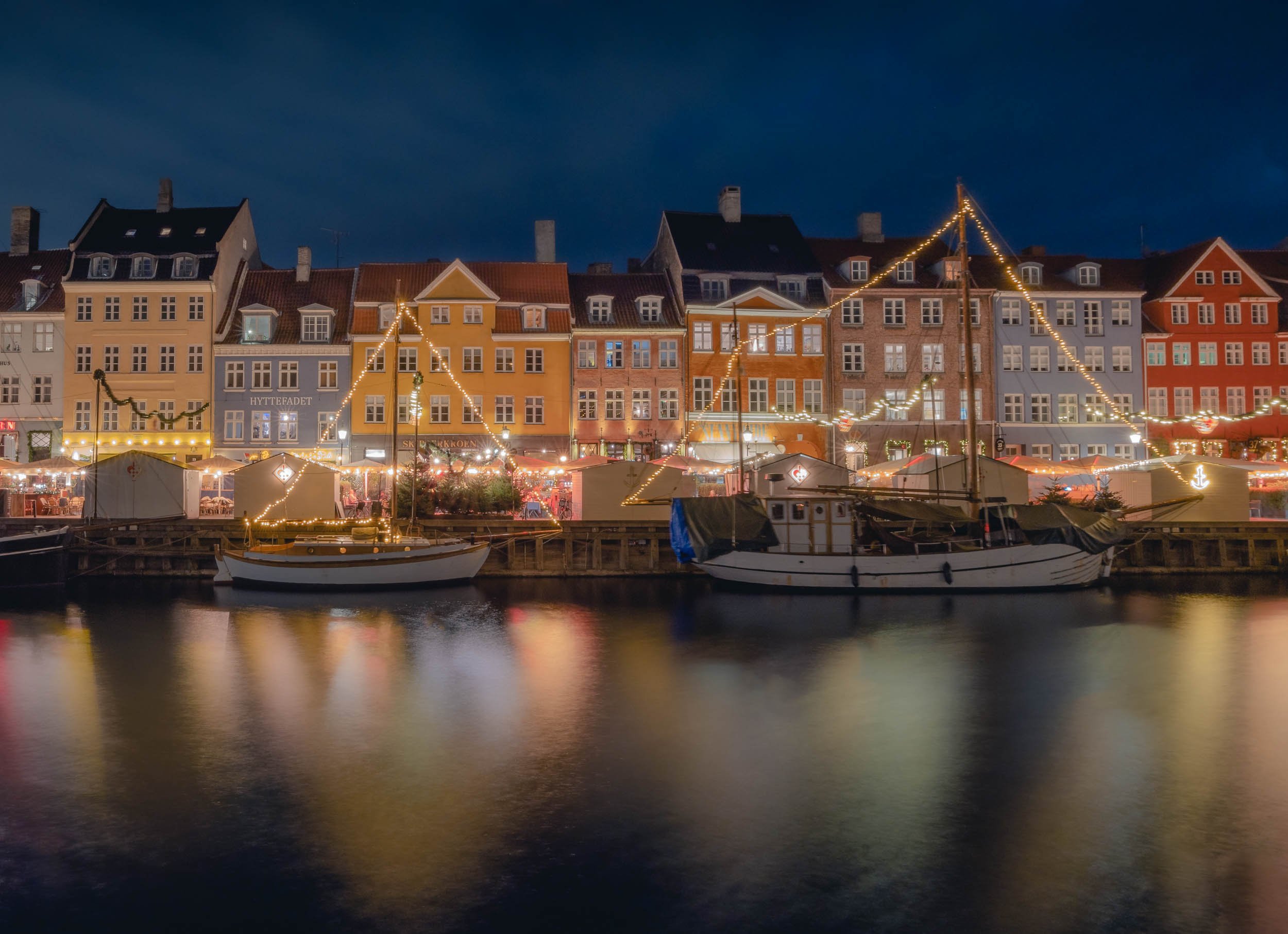

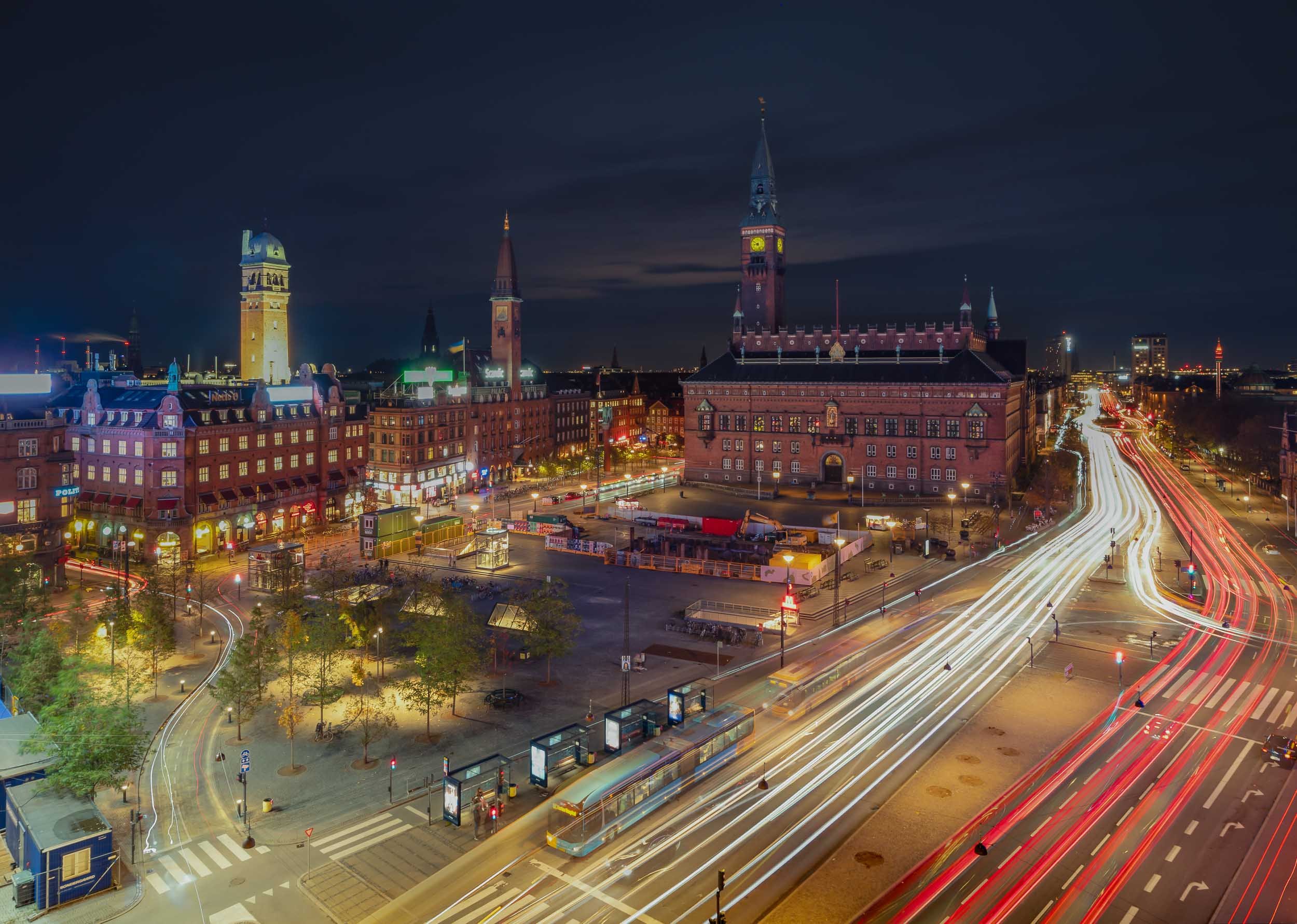
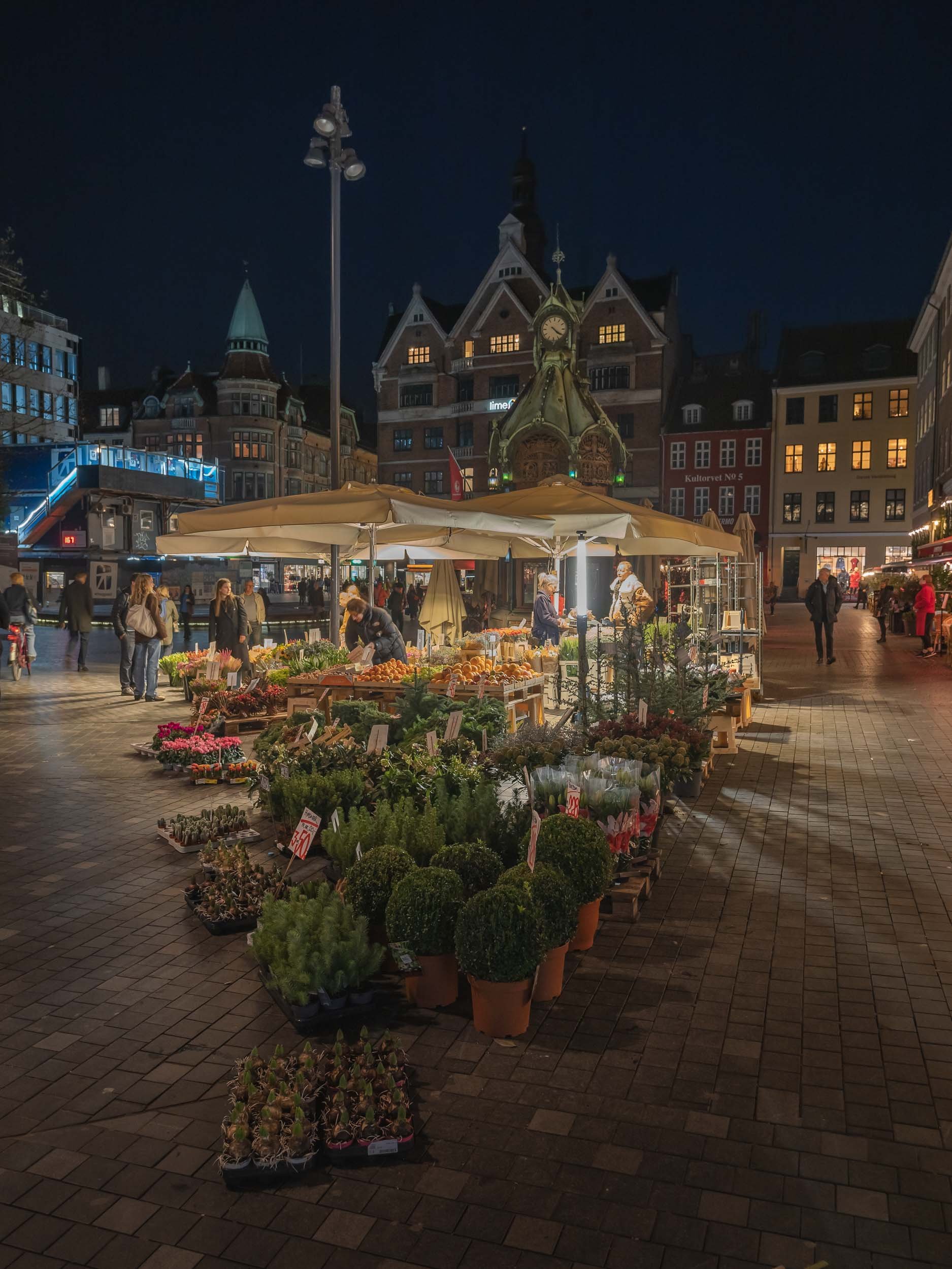
On the next morning, I had what is arguably the city’s most picturesque area on the agenda - as always, arriving before sunrise has its benefits, and I caught a quiet Nyhavn canal when it was still empty and with some nice reflections in the calm water.
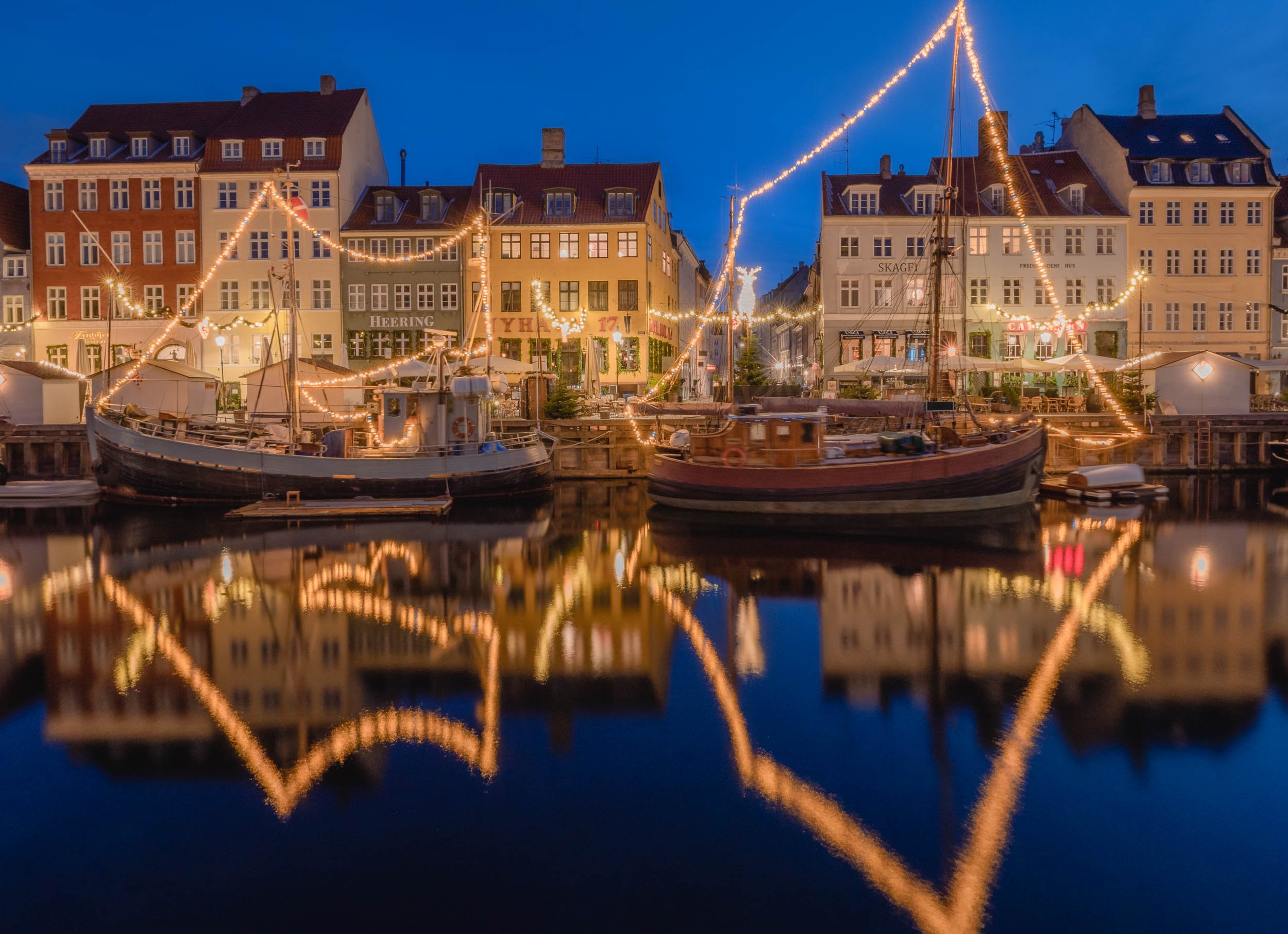

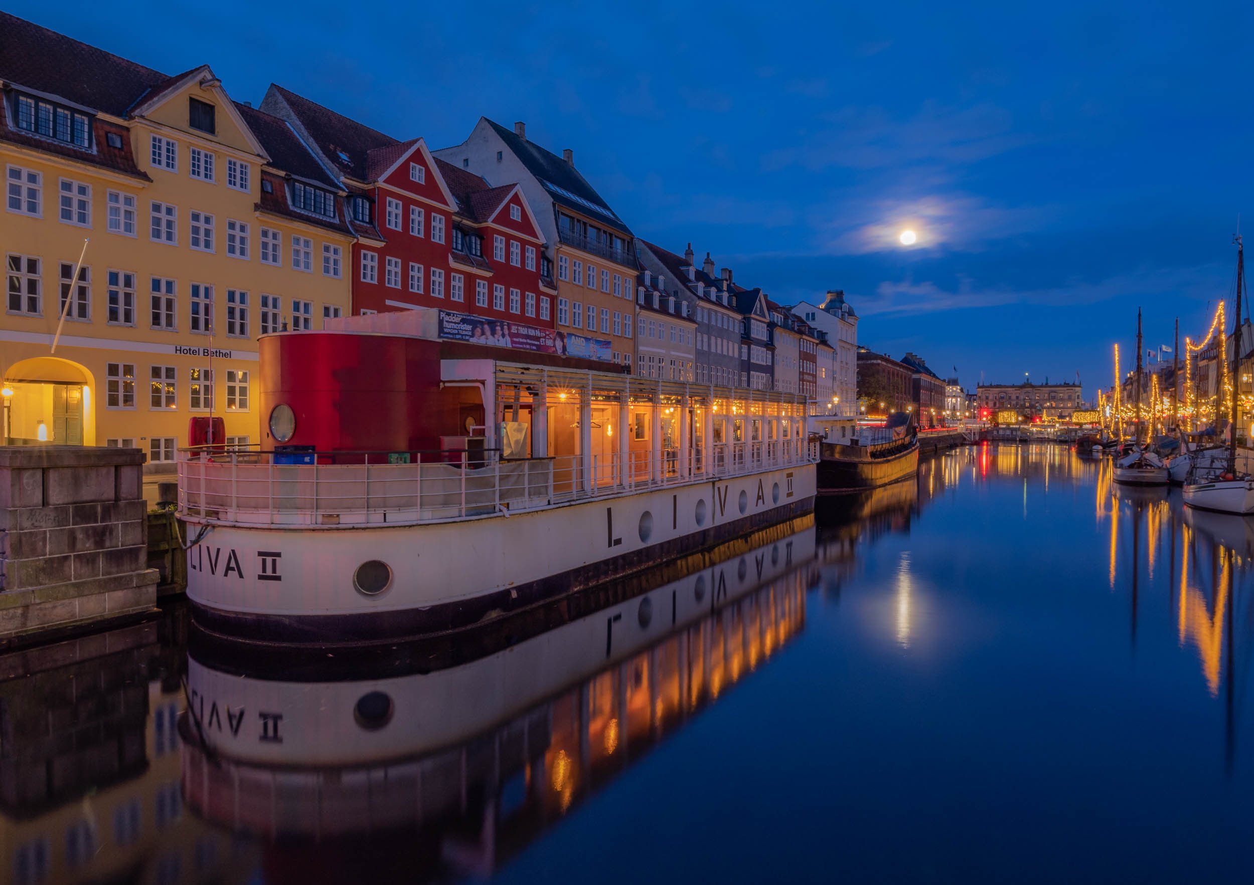


The Mermaids
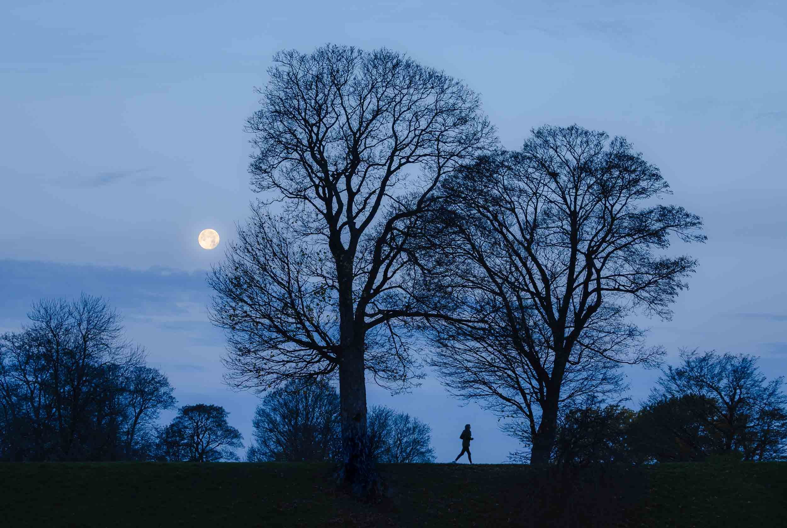
Wait a minute, mermaids plural? Yes, because aside from the very famous The Little Mermaid bronze statue by Edvard Eriksen, there is indeed a second less famous modern interpretation of it not too far along Copenhagen’s waterfront.
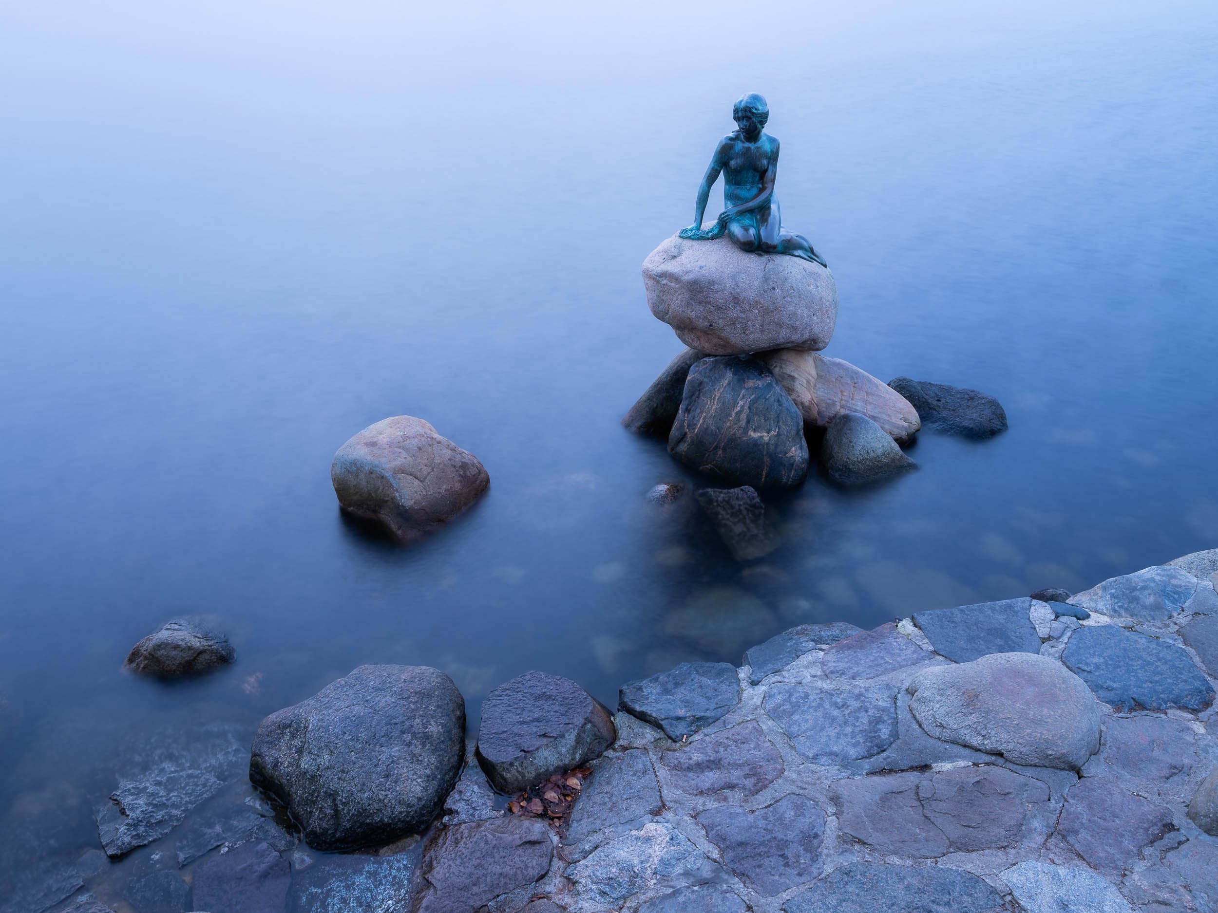


The second version is the Genetically Modified Little Mermaid, a sculpture that’s part of a 2006 series by Danish professor Bjørn Nørgaard, with the intention to create a kind of postmodern look at the changes in society.
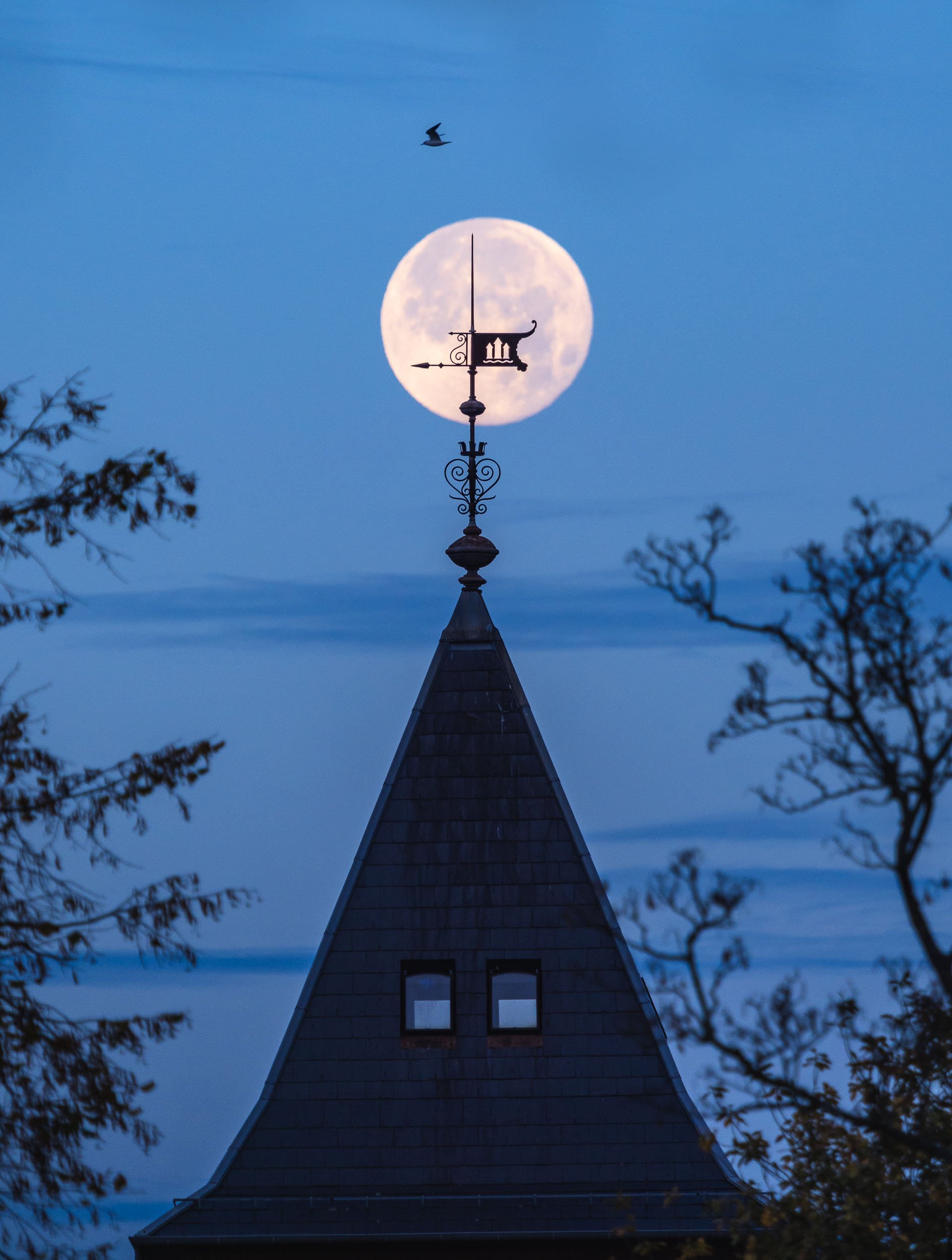
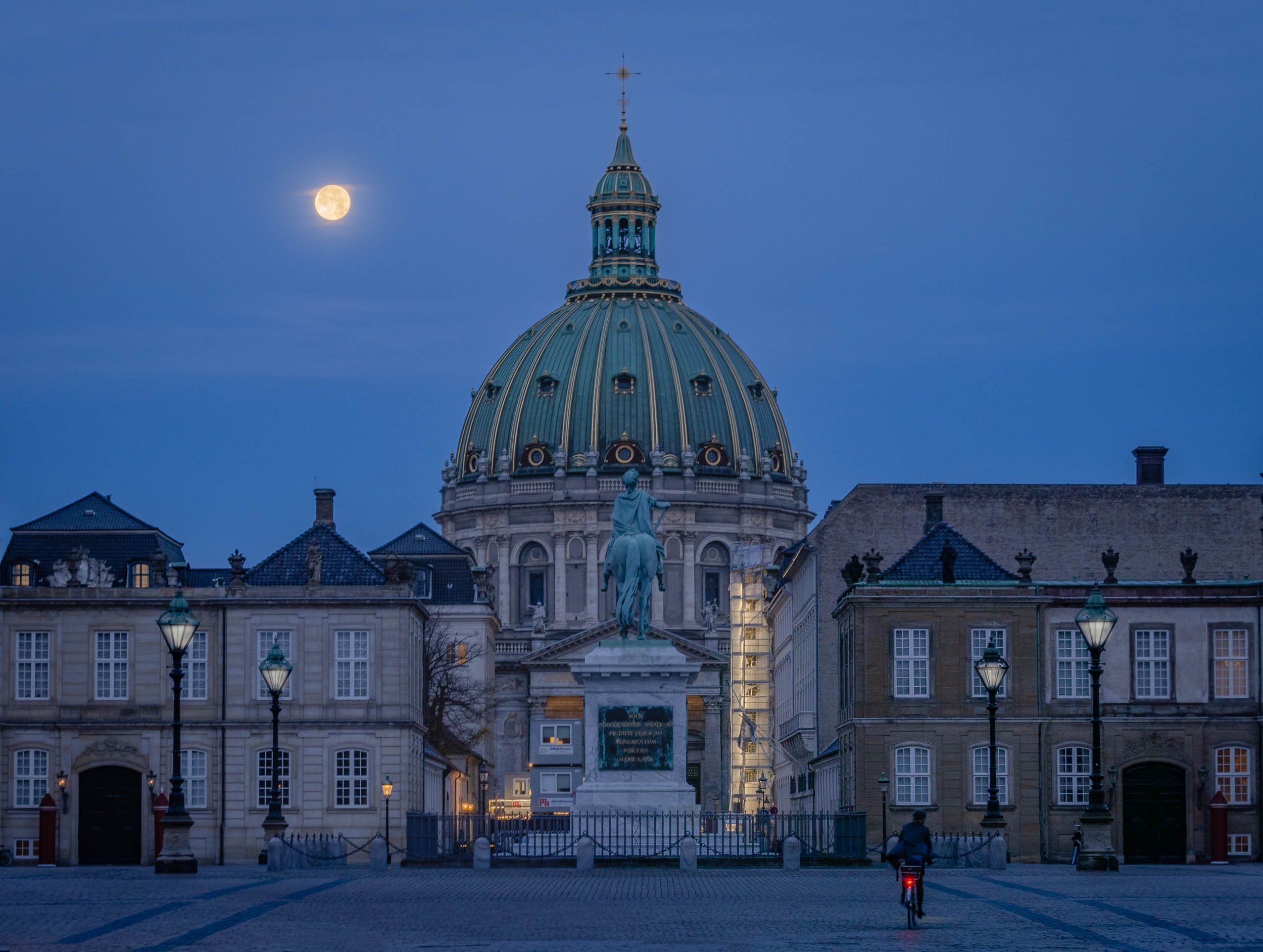
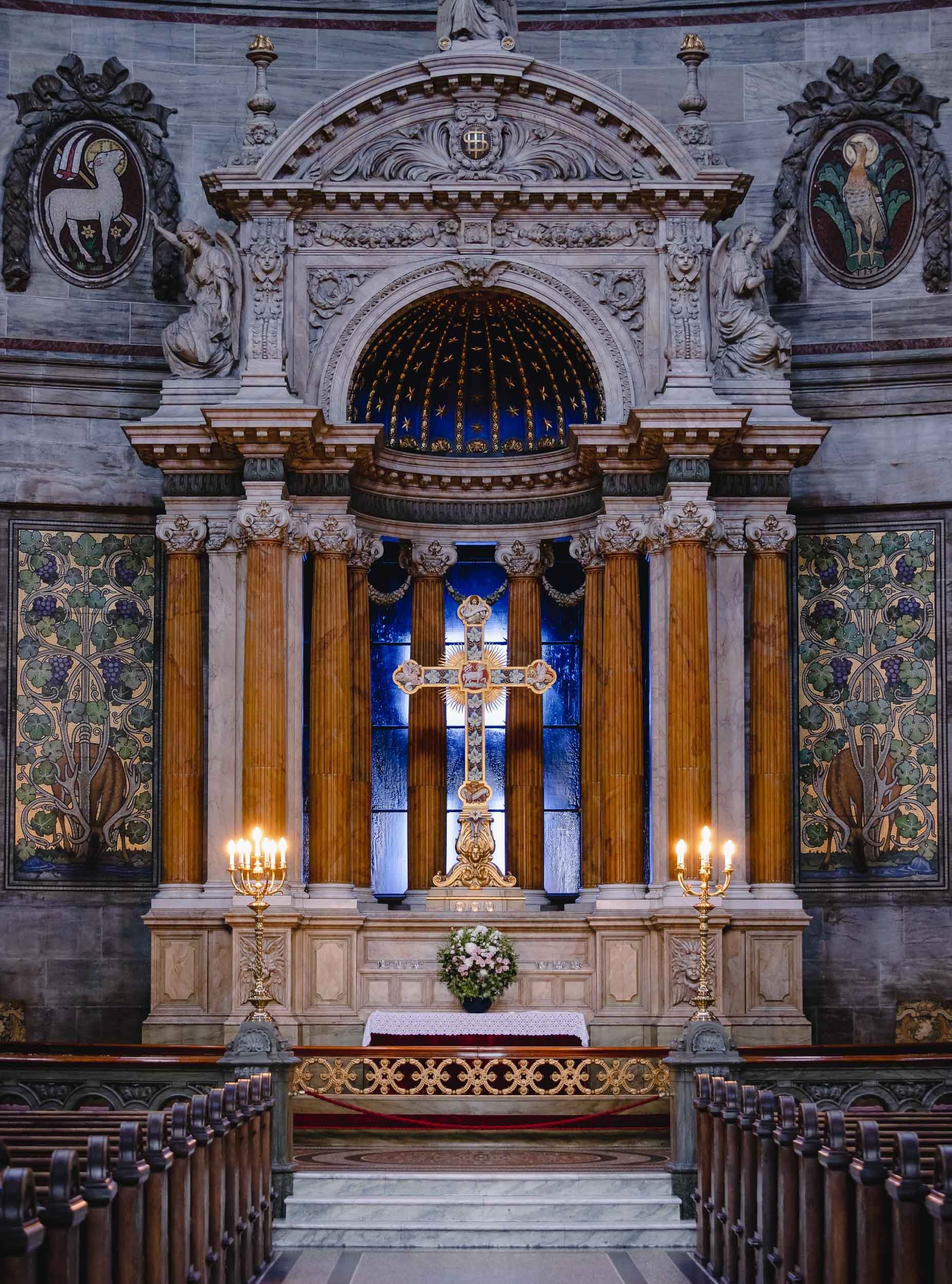
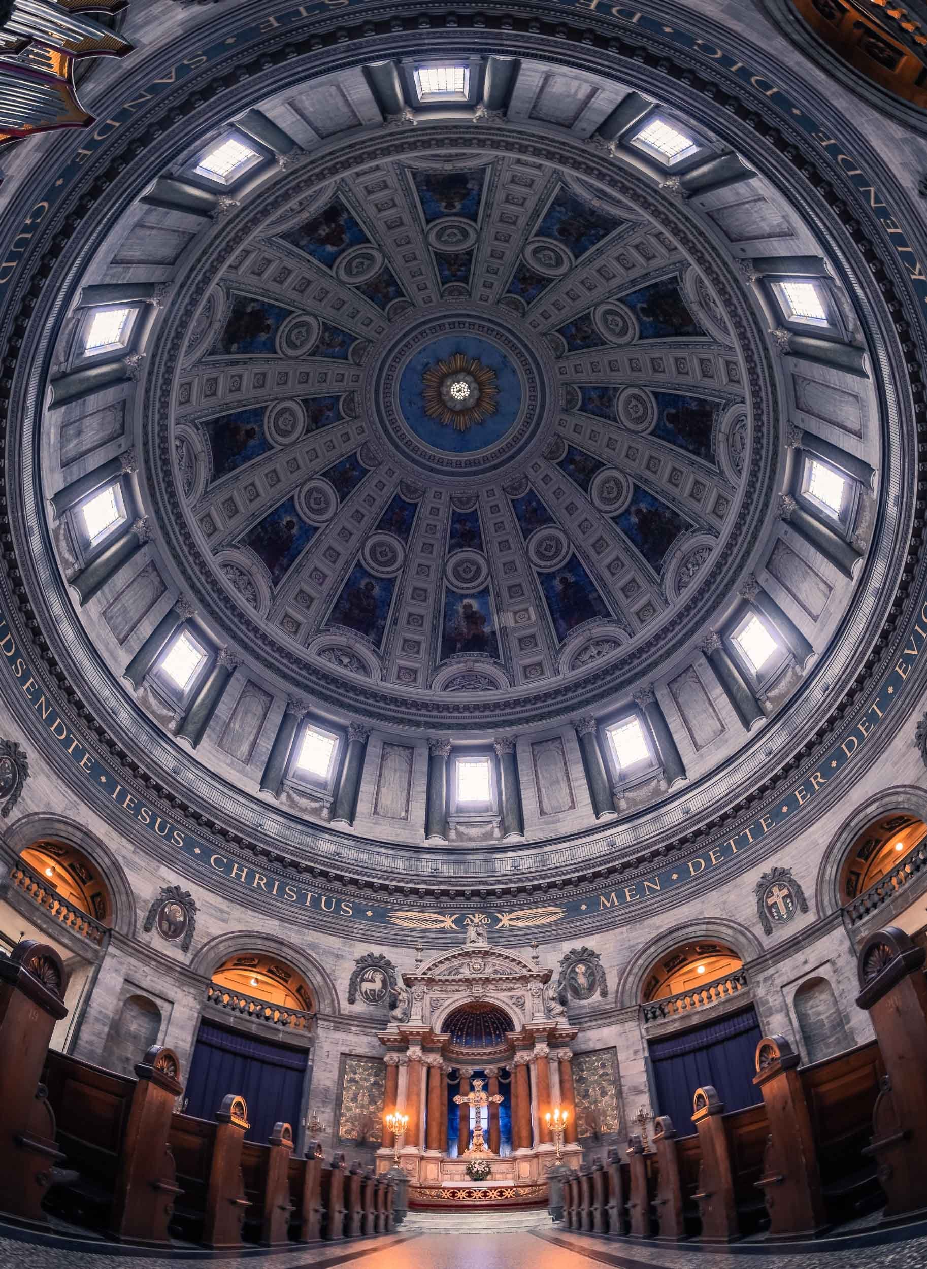
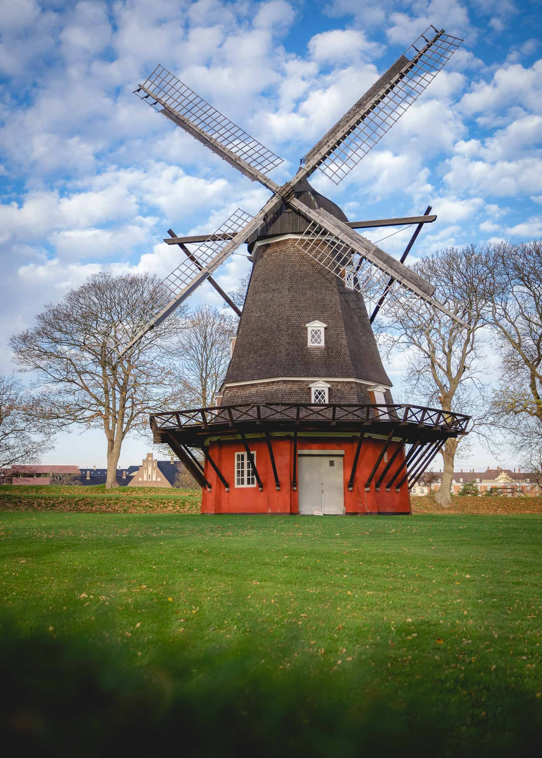


As well as the long yellow houses of Nyboder, once used as naval accomodation and today being restored as regular housing.
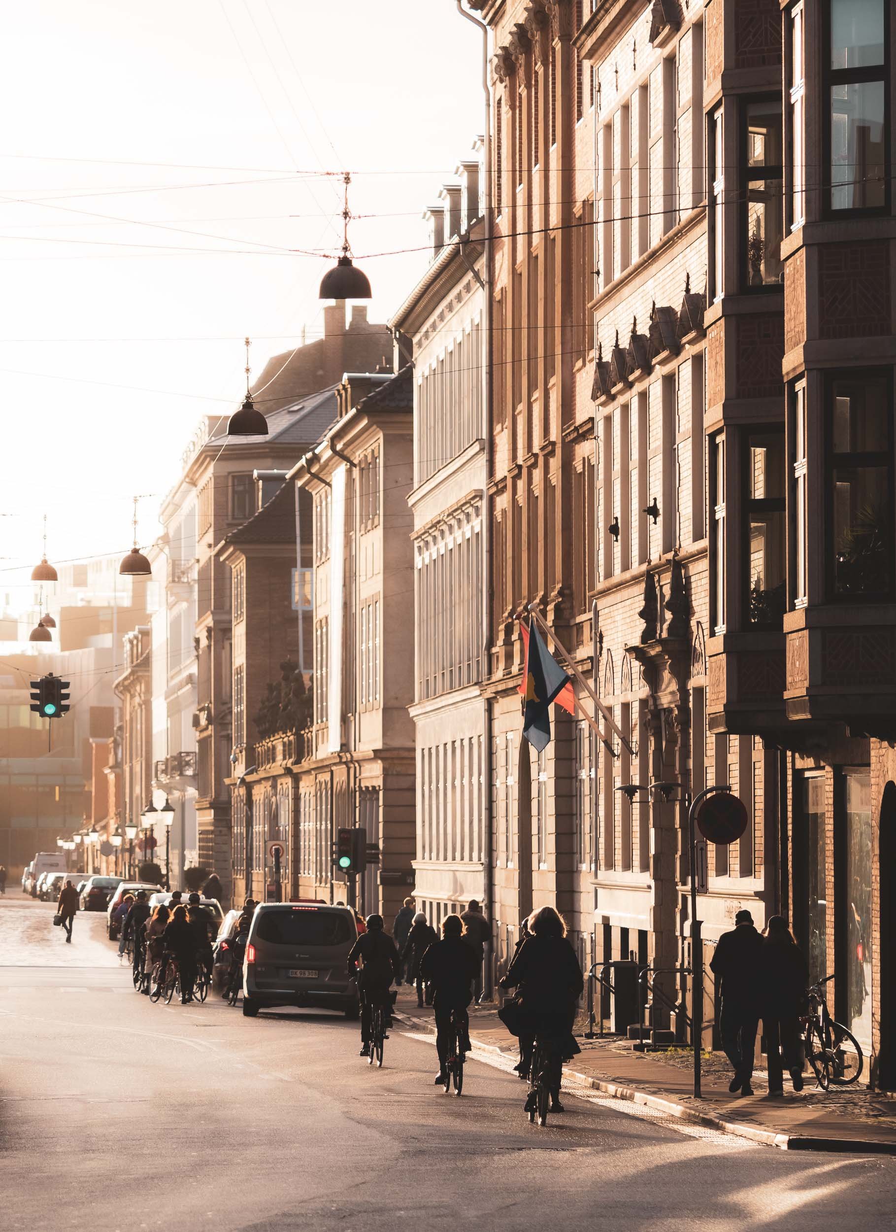
Not only Churches…


The mixed use towers opened in 2016 and were designed by Lene Tranberg.
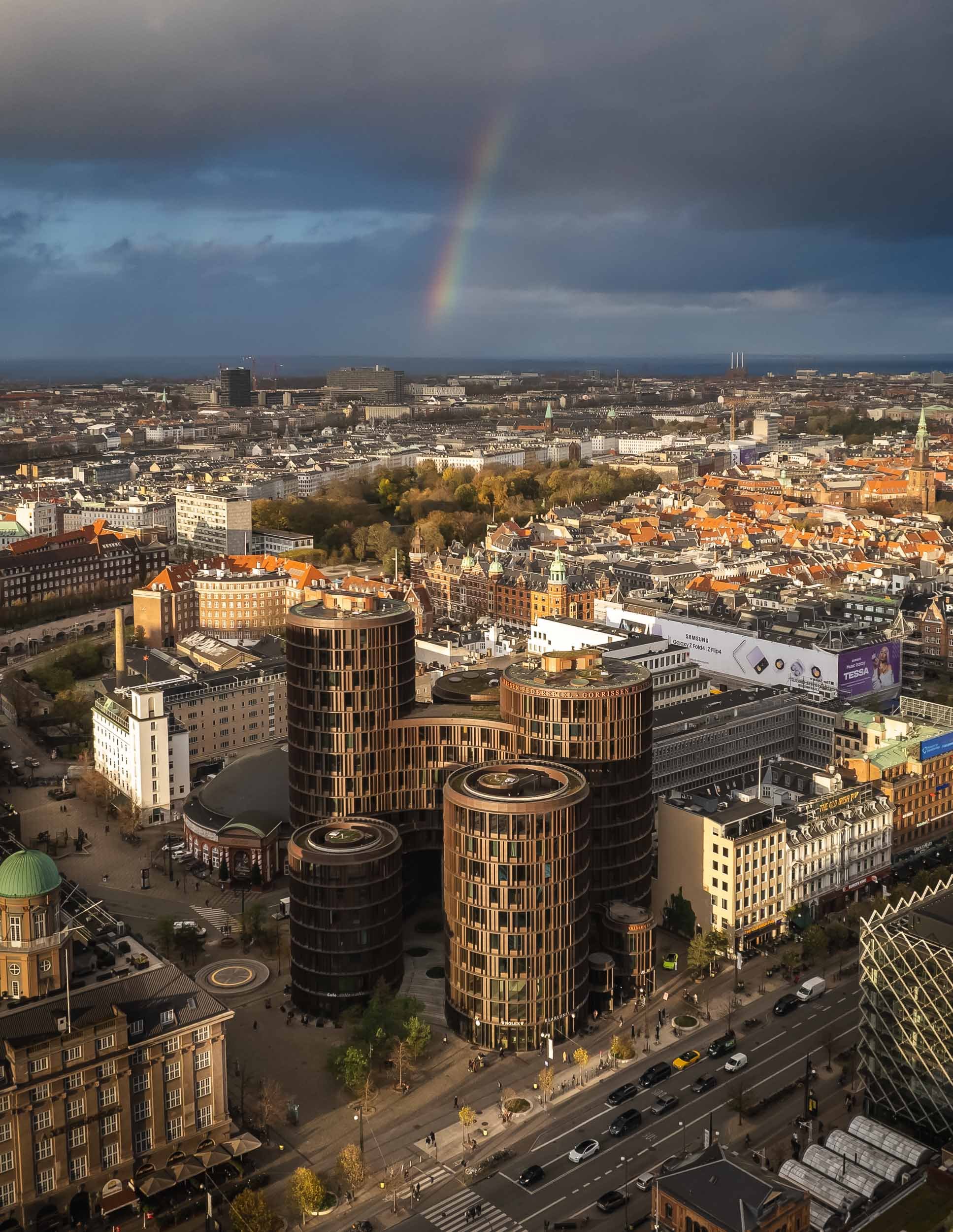
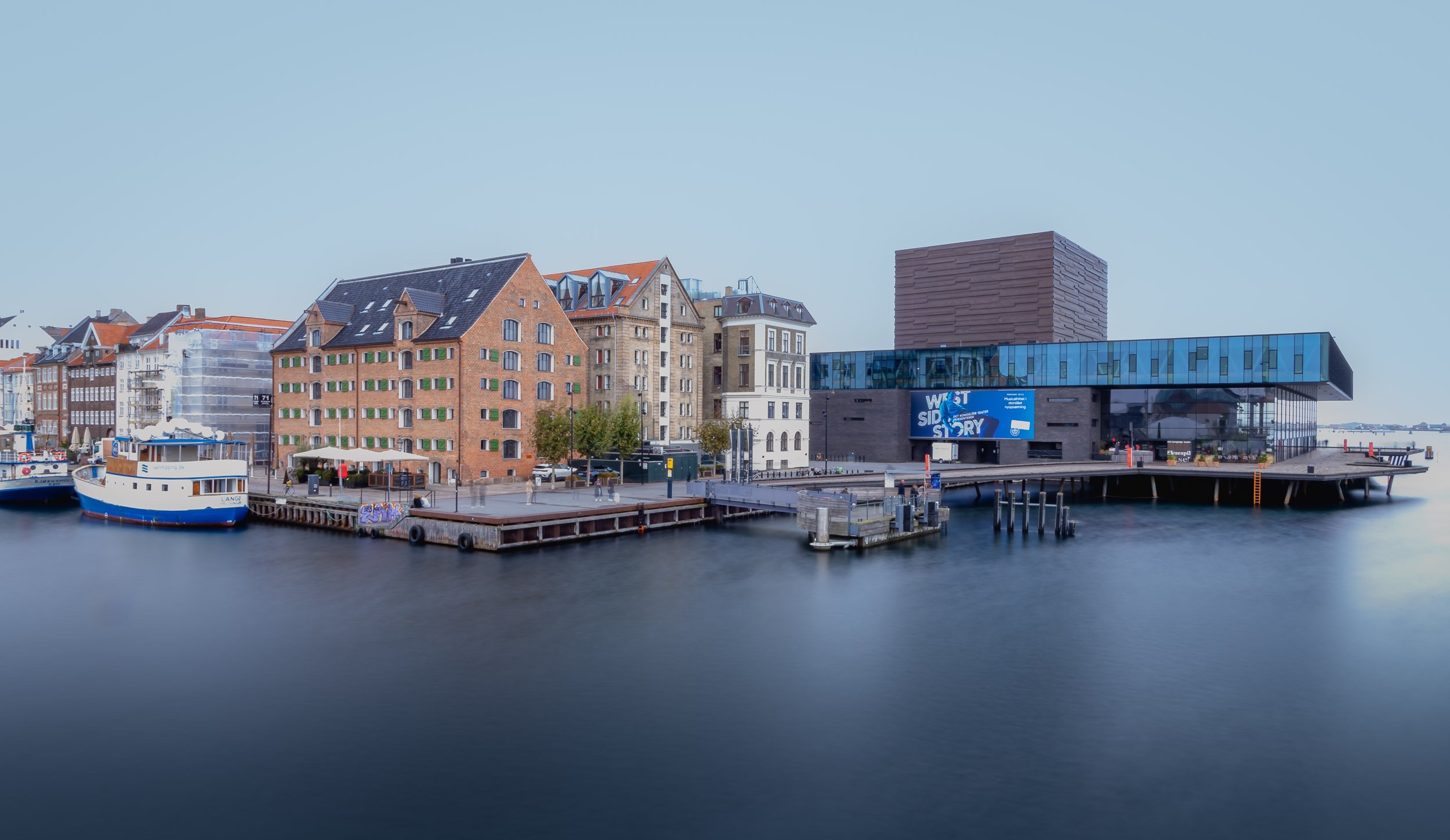
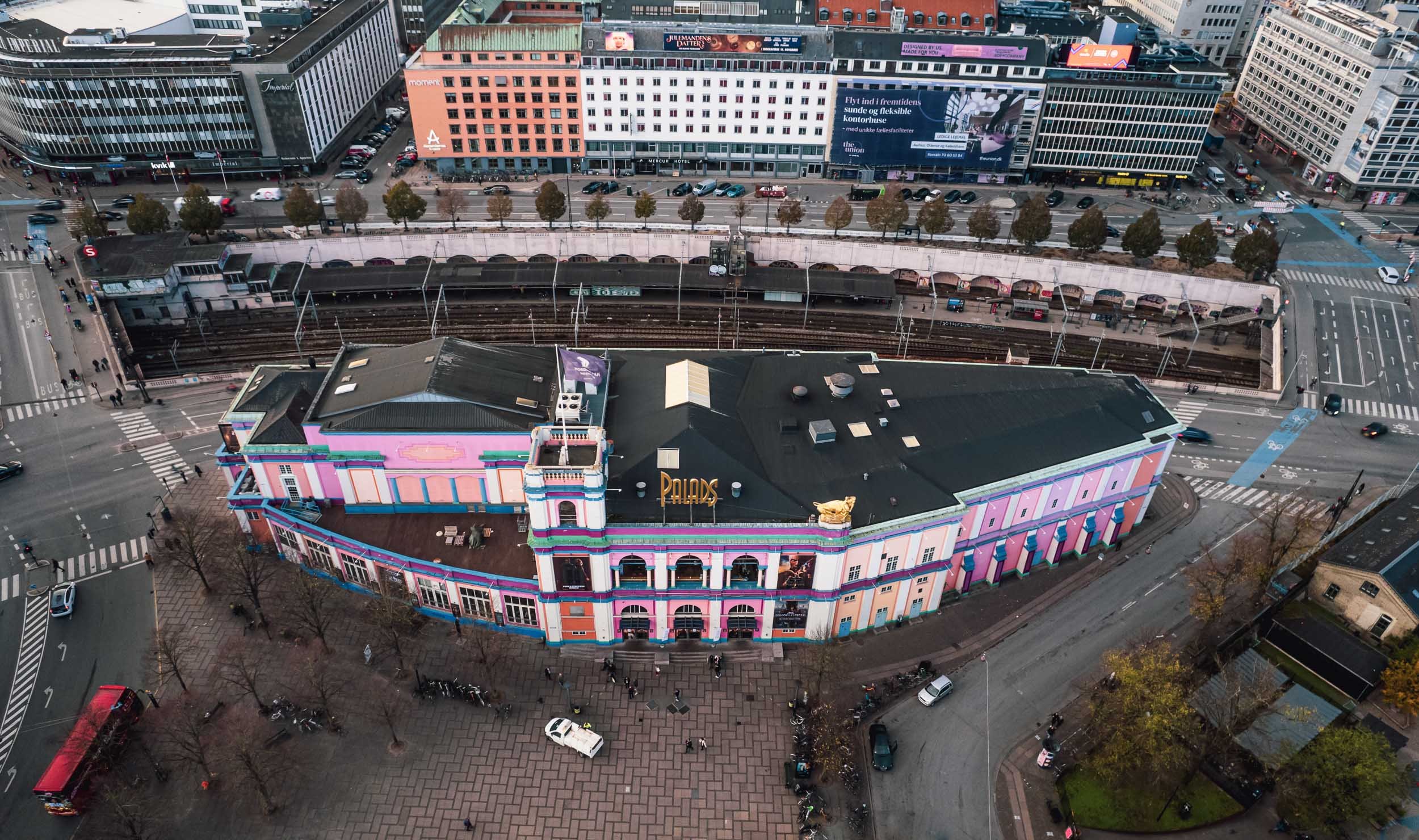
Copenhagen City Hall
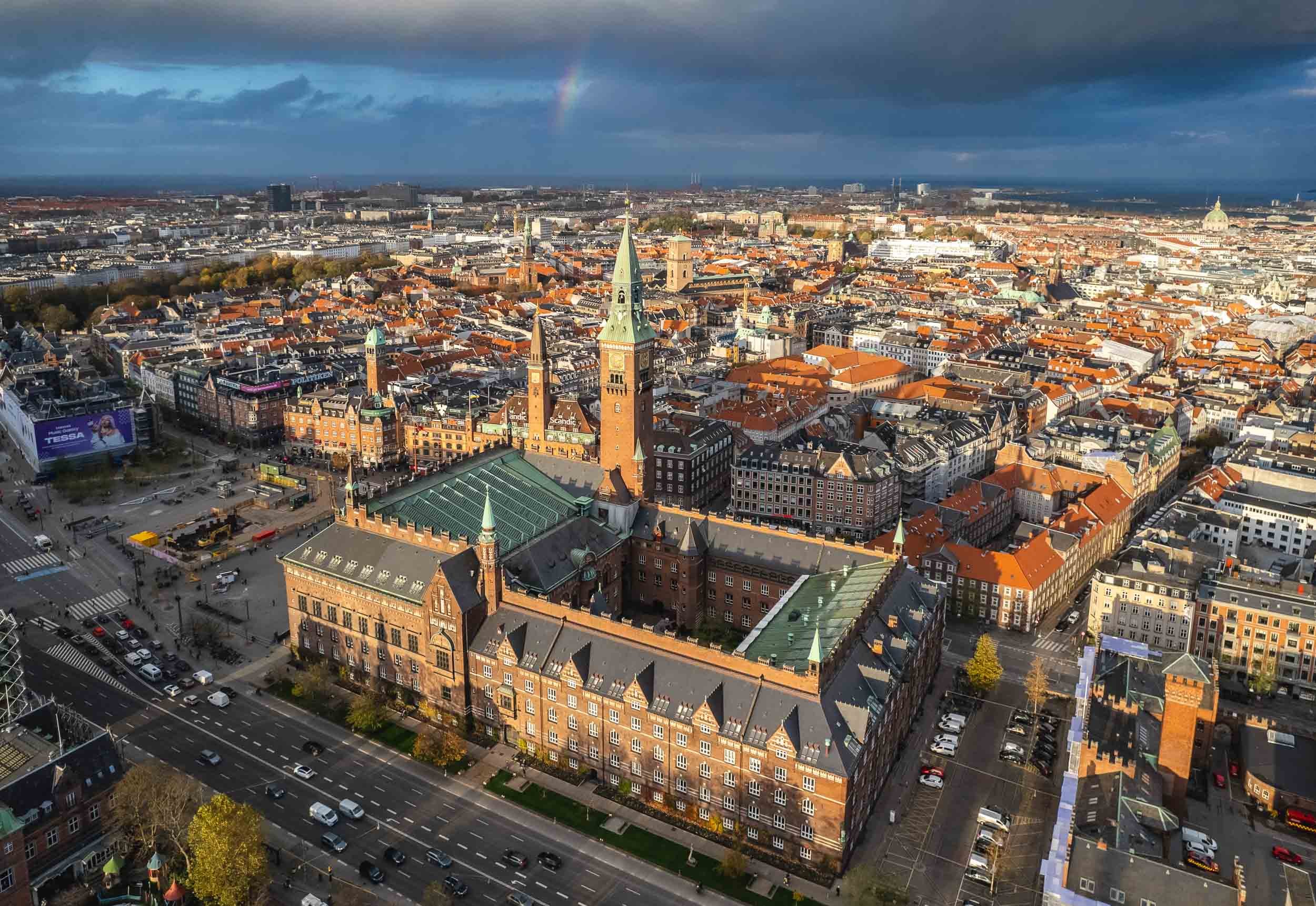
Aside from the views from above, another reason is the interesting interior…


… but primarily the amazing World Clock by Jens Olsen.
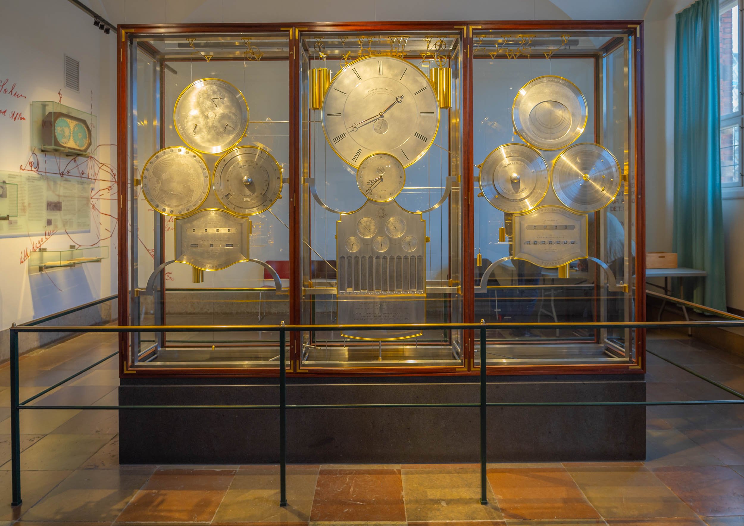

Rosenborg Castle and Christiansborg Palace
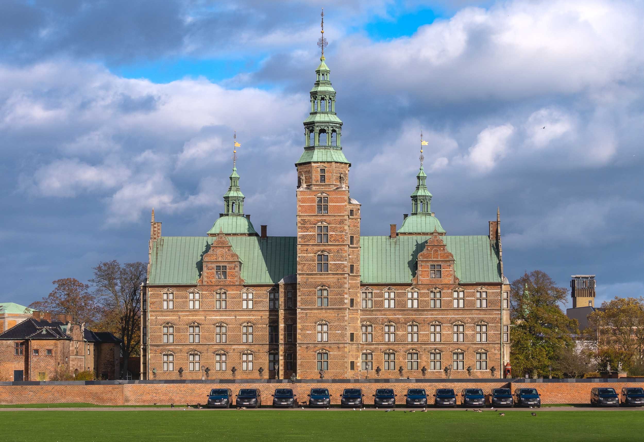

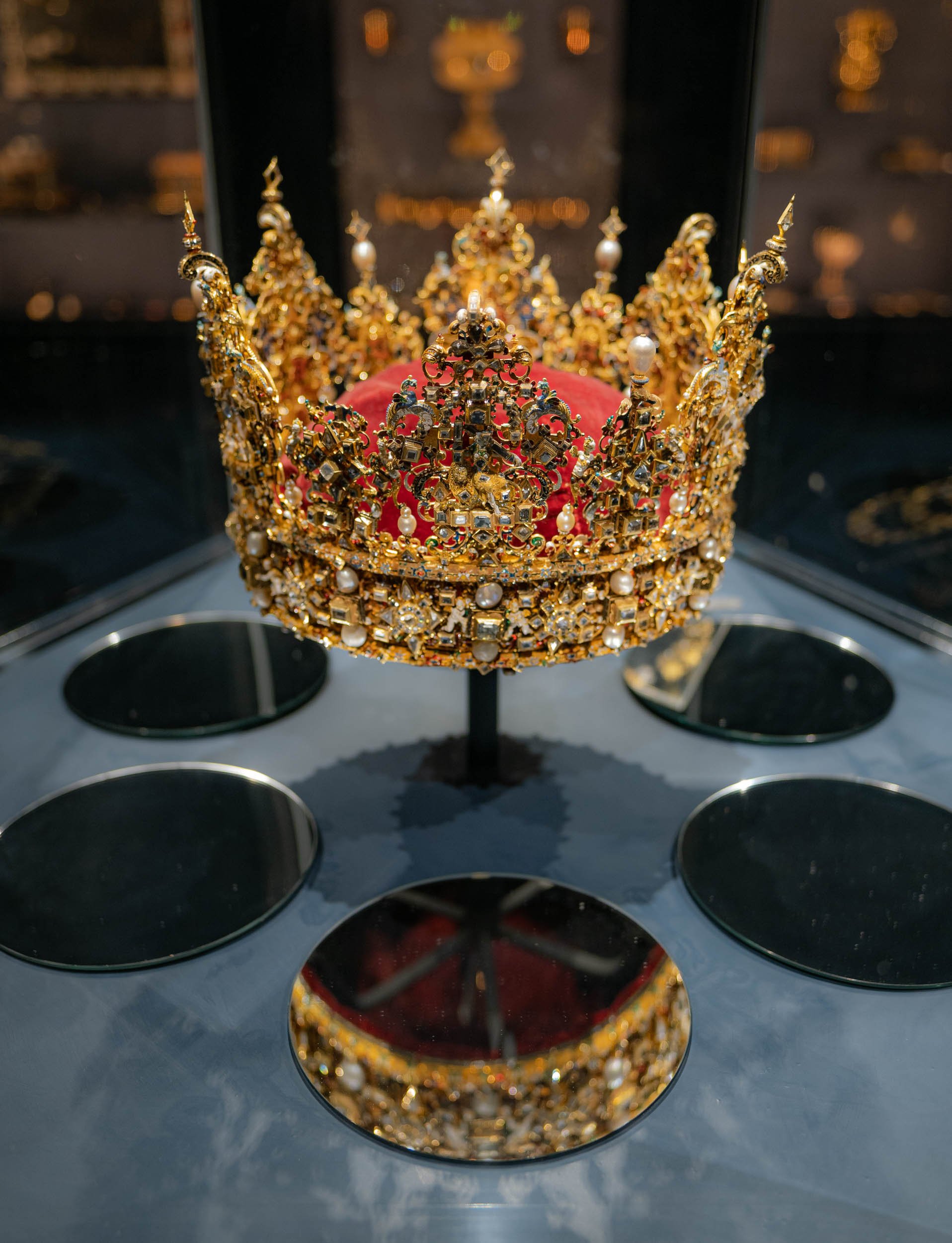

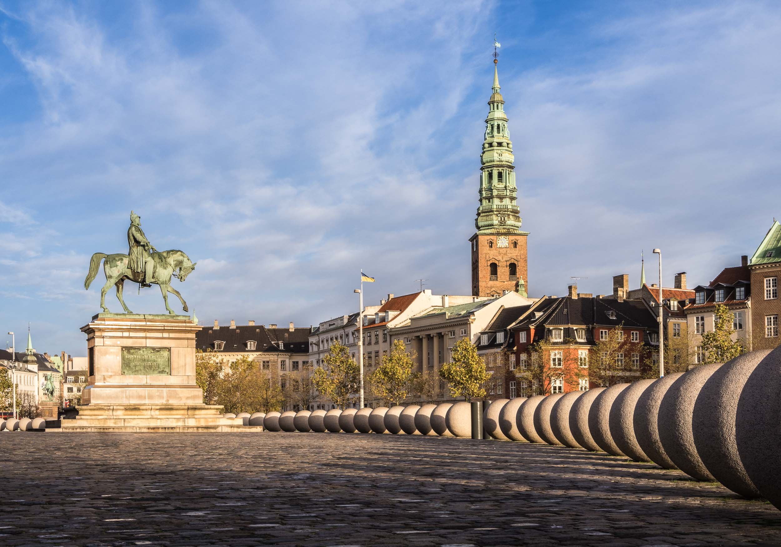
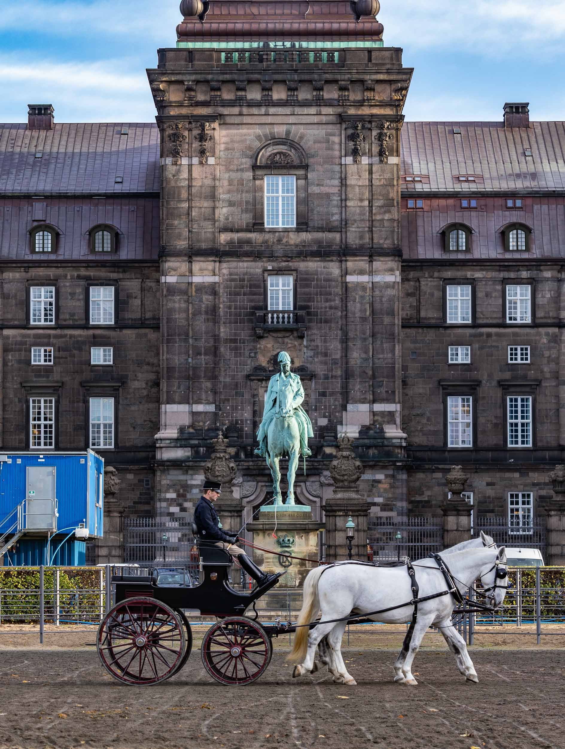

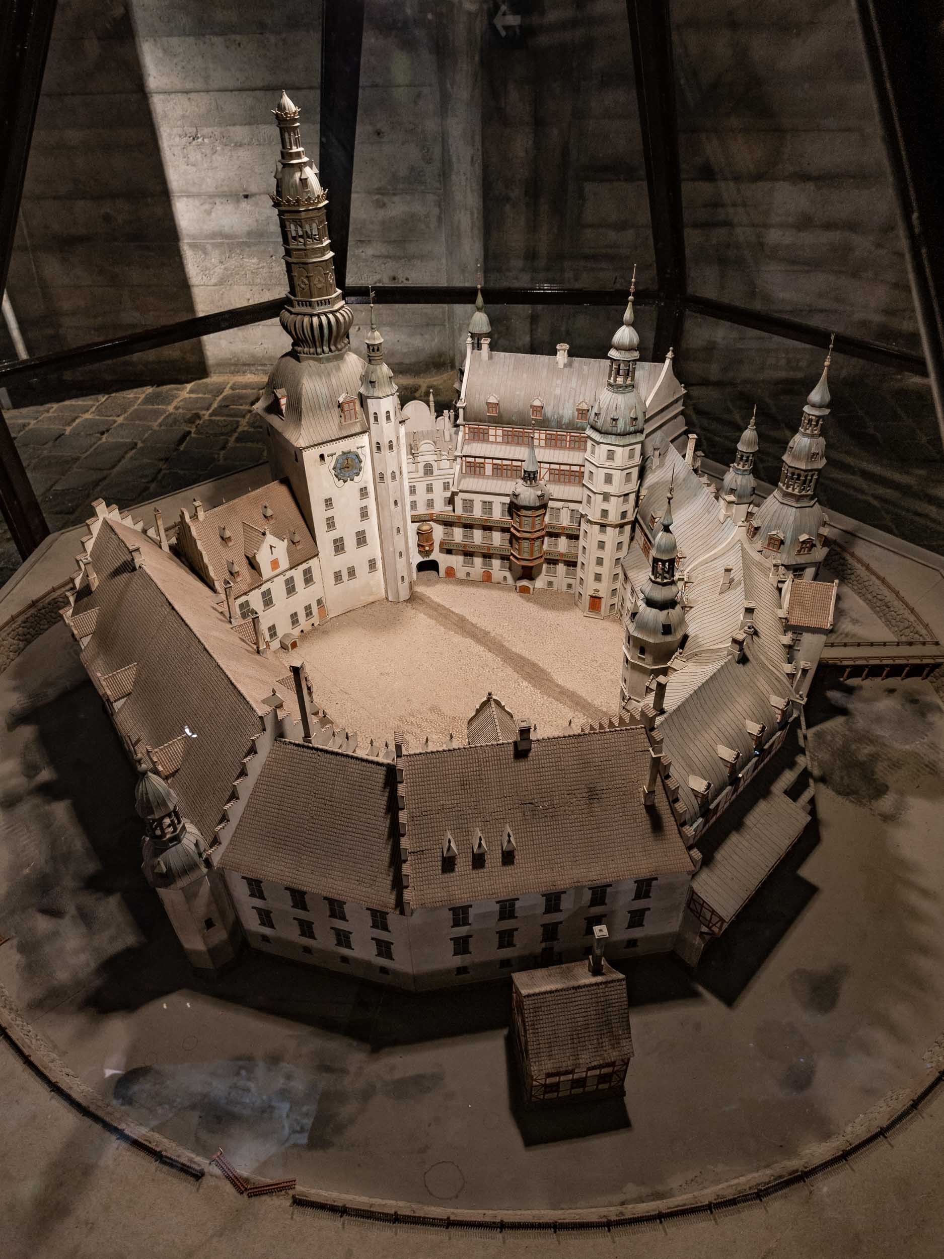
Grundtvigs Church
One of the most spectacular places in the city lies a little outside, but is worth the journey: A rare expressionist church completed in 1940, designed by Peder Vilhelm Jensen-Klint.
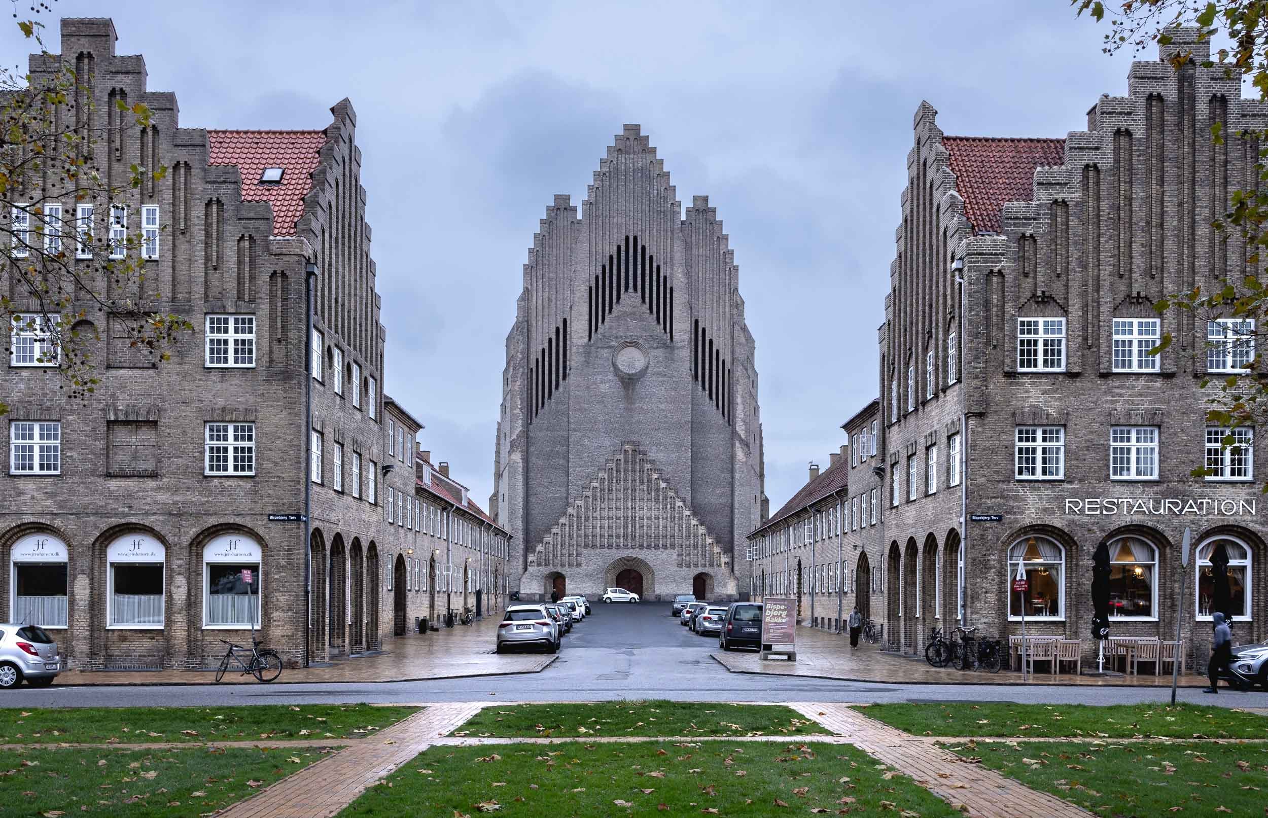
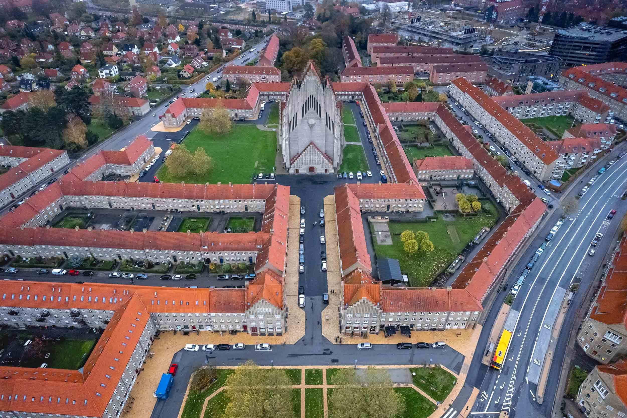


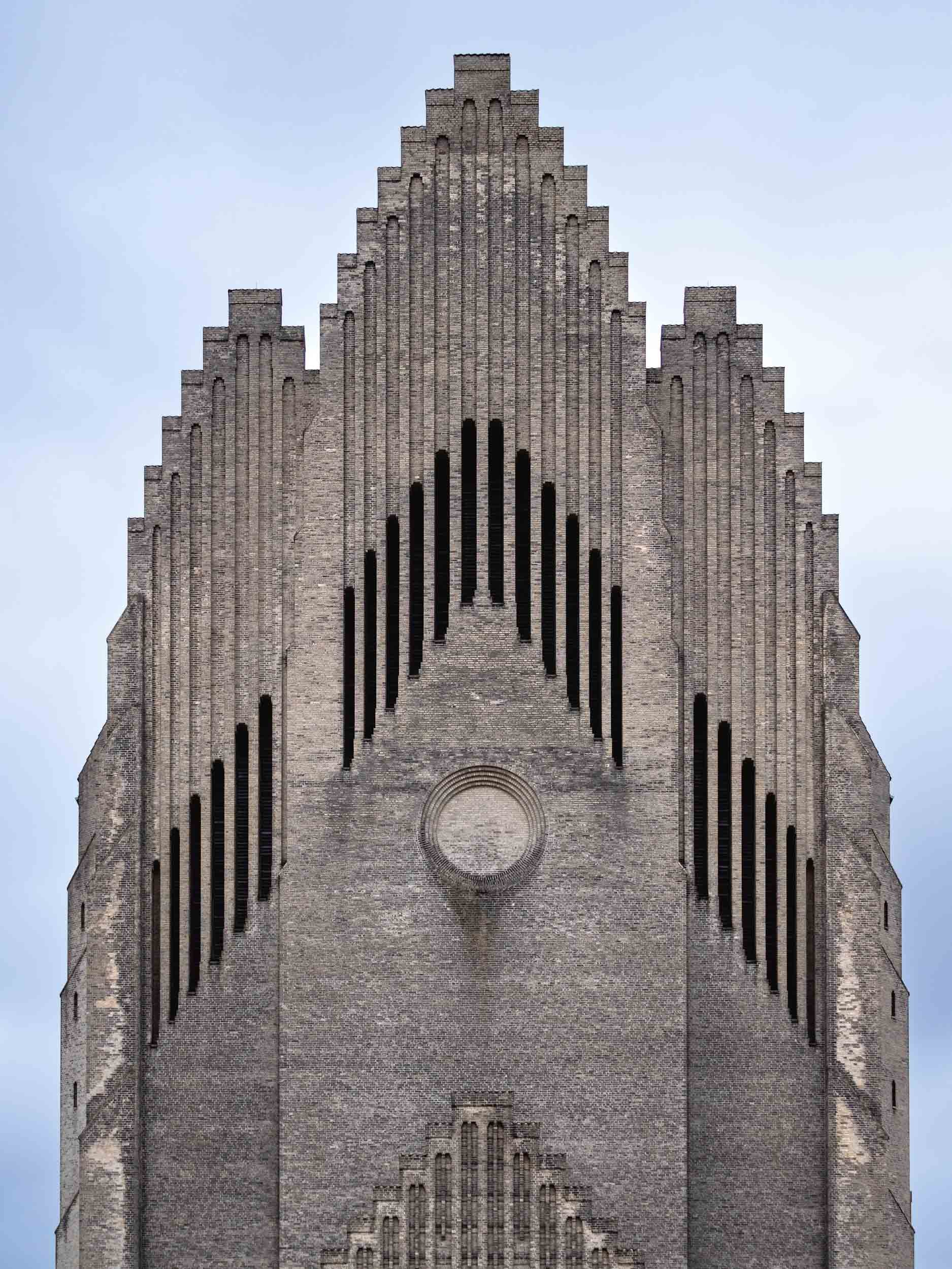
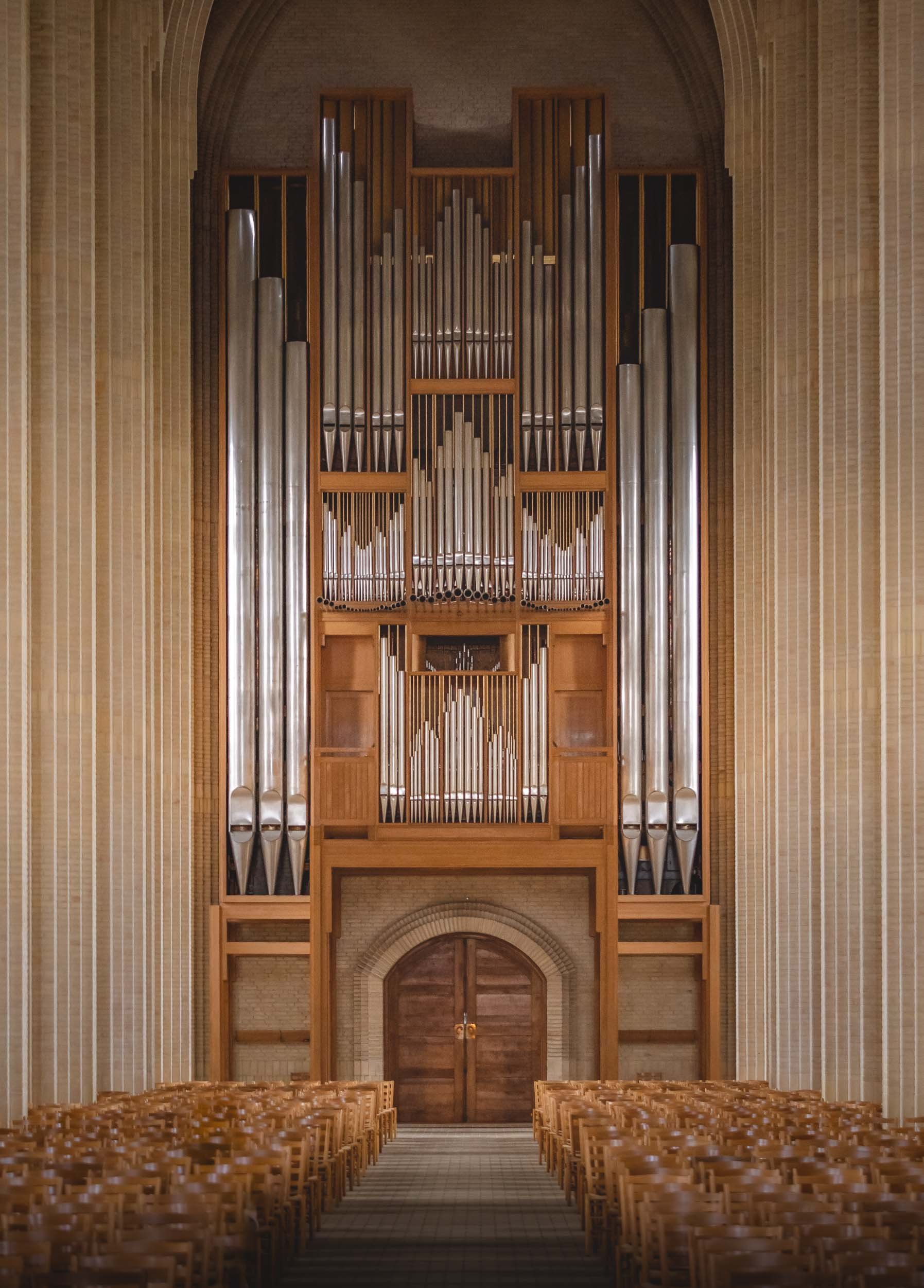


Here’s a little Hyperlapse clip of the central interior path to the altar.

Glimpses of Dubrovnik
After visiting another gem of the Adriatic, I took the chance to leave for the airport a little early to spend a few hours exploring Dubrovnik.

After visiting another gem of the Adriatic, I took the chance to leave for the airport a little early and spend a few hours exploring Dubrovnik, one of Croatia’s most famous coastal towns. It was just enough time to collect a few impressions - scroll down to see them!


The view towards the small port from the bridge. Dubrovnik’s history dates back to the 7th century, and for over 500 years it ruled itself as a free state.
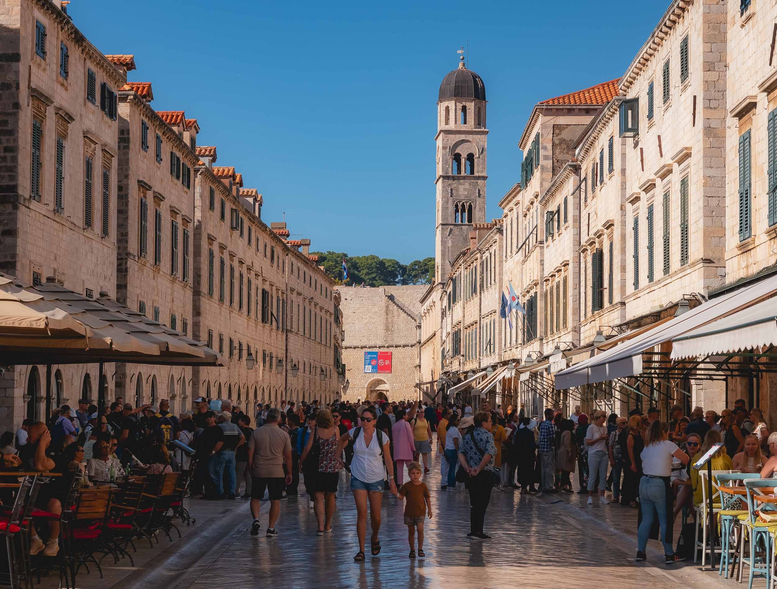
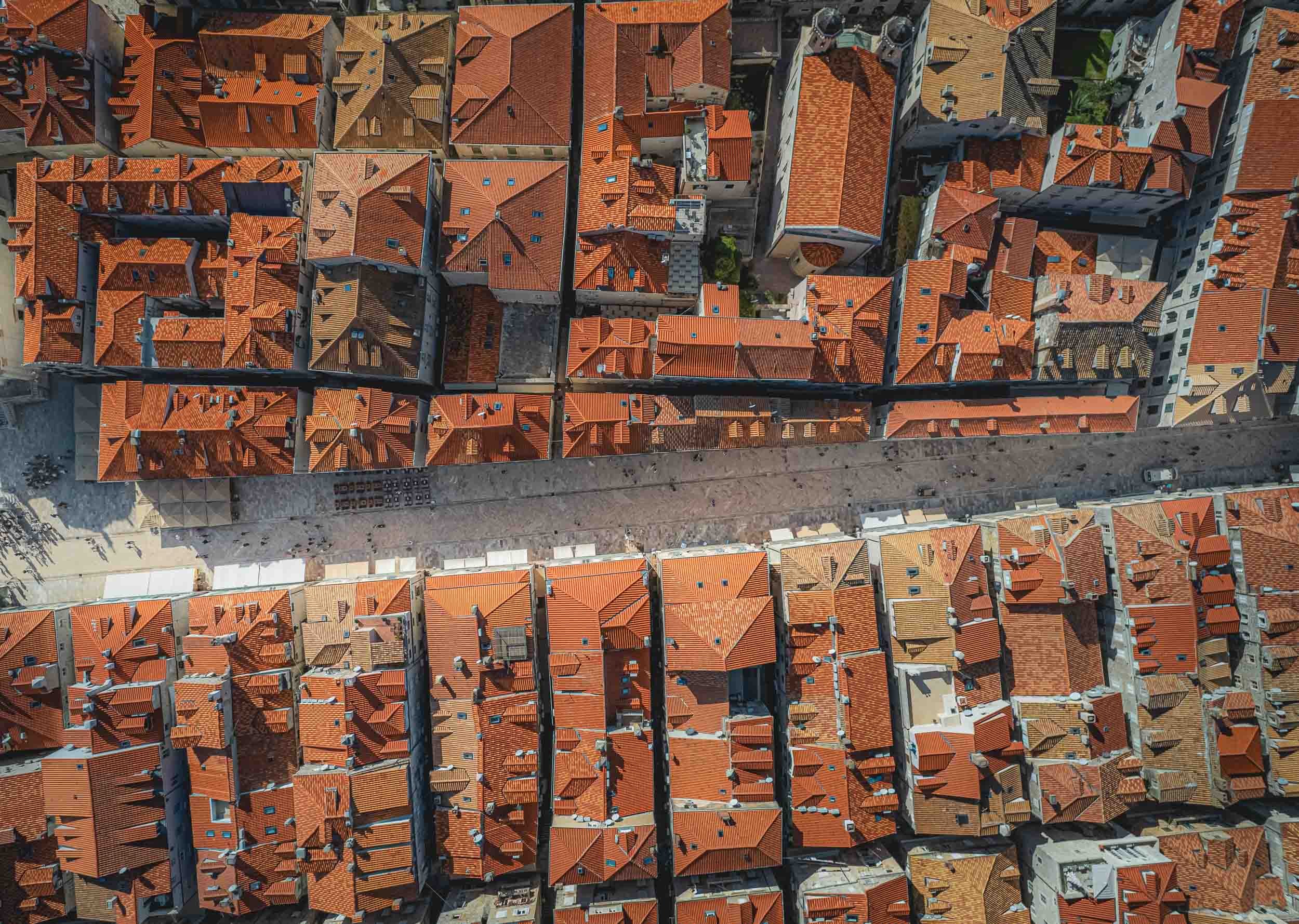
Narrow passages with a loooot of stairs wind their way up to the right and left. You’ll find Europe’s oldest operating pharmacy and many other historic places while wandering around.


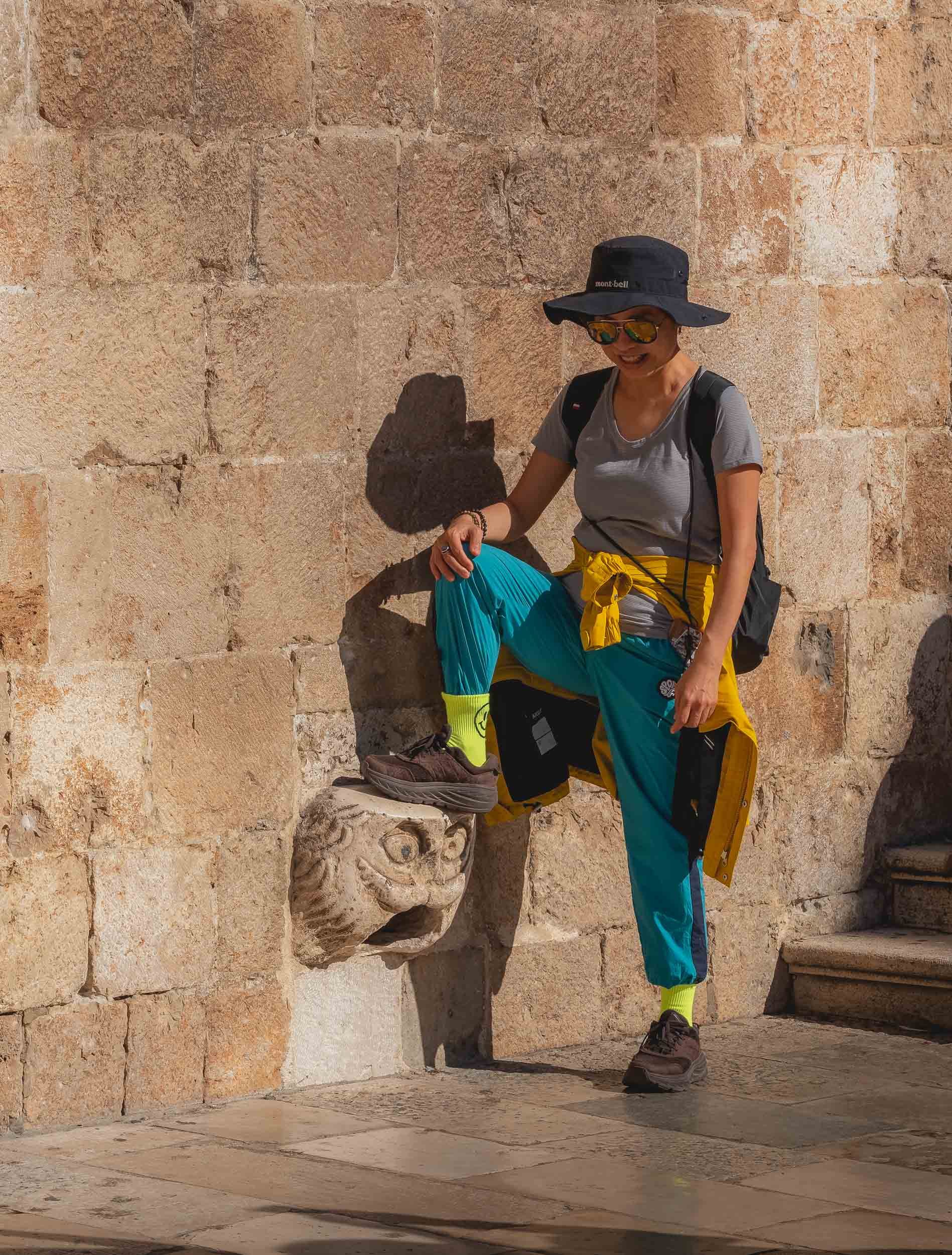


A majority of the city’s Renaissance buildings were destroyed during a large earthquake in 1667, and a lot of damage was done during the siege of 1991 - signs of repair are the brightly colored roof tiles on some of the buildings.
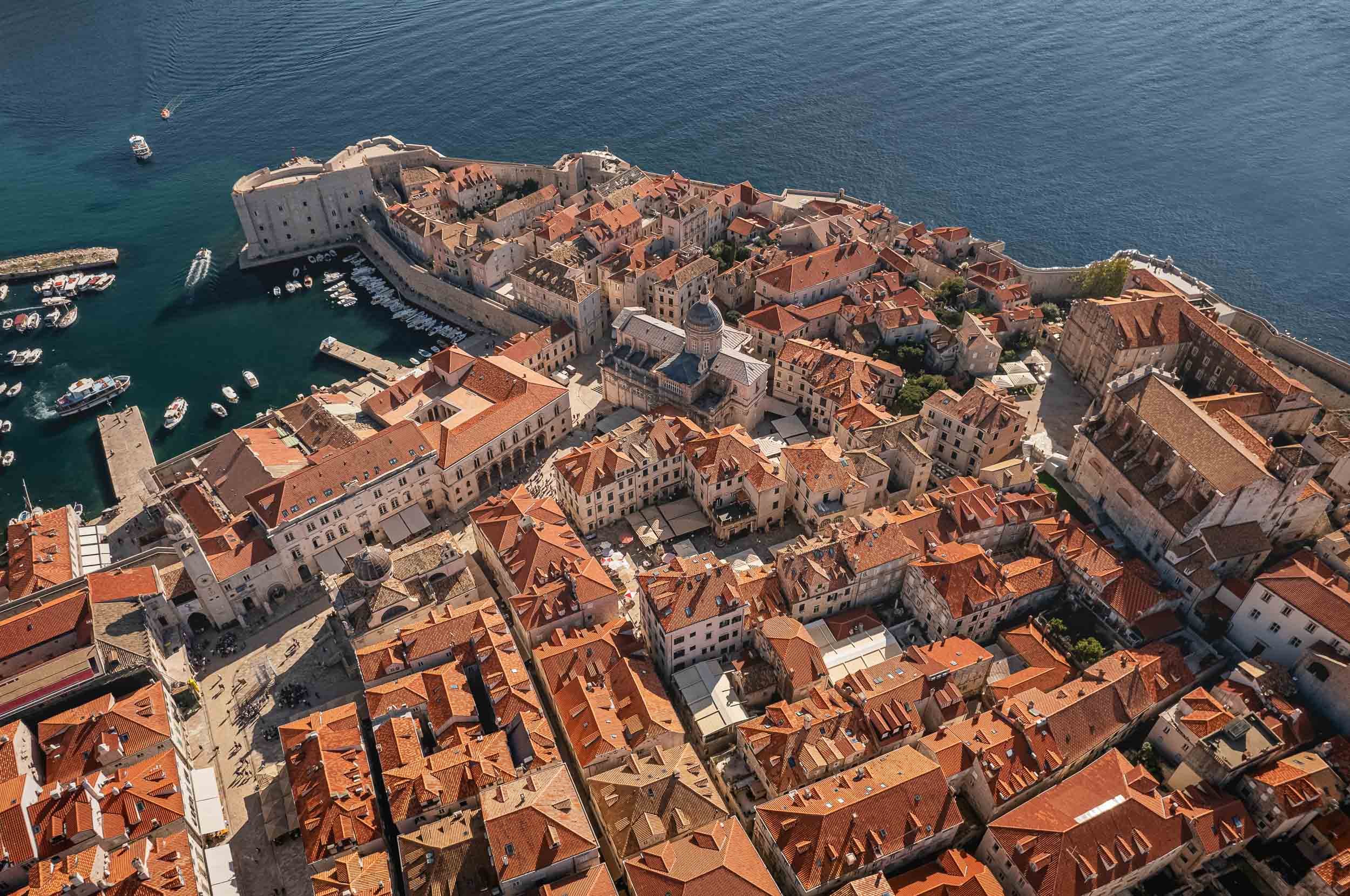
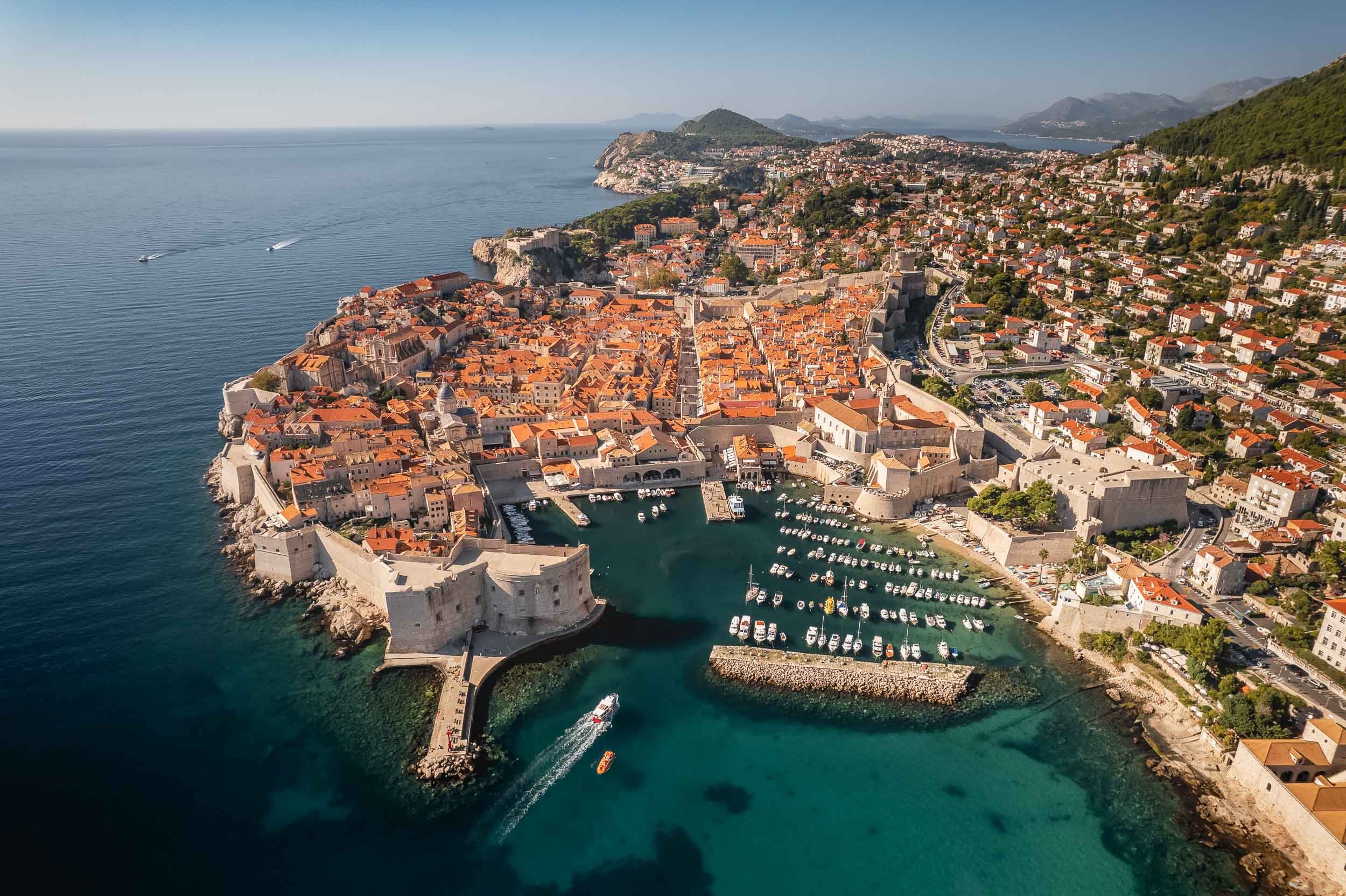

Today the city is very popular with tourists, helped by appearances in many movies and TV series - to the extent that the tourism board had to start staggering cruise ship arrivals in 2018.
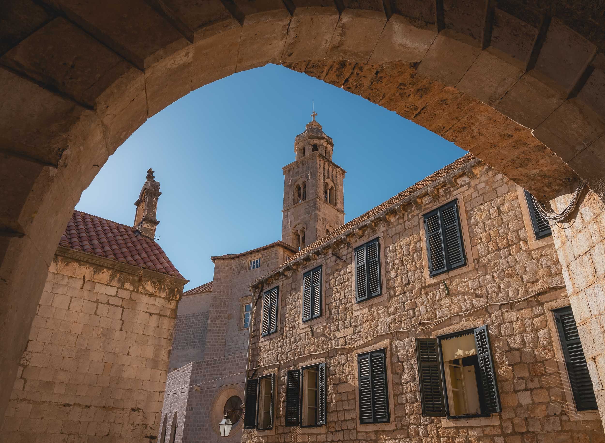
And that’s one last flight over Dubrovnik, and my impressions after spending a few hours here come to an end!.

Montenegro - Hidden Gem of the Adriatic Sea
In a quest to get a few glimpses of sunshine and explore a rather unknown place without too having to travel too far from Germany, Montenegro turned out to be an excellent choice

In a quest to get a few glimpses of sunshine (before going faaaar north shortly after) and explore a rather unknown place without too having to travel too far from Germany, Montenegro turned out to be an excellent choice for myself and my dear mother, who joined me on this trip. A young country with a rich and turbulent history, Montenegro only gained its current independence in 2006.
One & Only Portonovi
Since a few days of quiet time was on the agenda, this gem was our residence of choice - and wow, it did not disappoint. Definitely one of the most beautiful resorts I’ve ever stayed at, and surprisingly, somewhat, relatively (yes, need those qualifiers), affordable, given the fact we went during off season (summer will be a very different story).
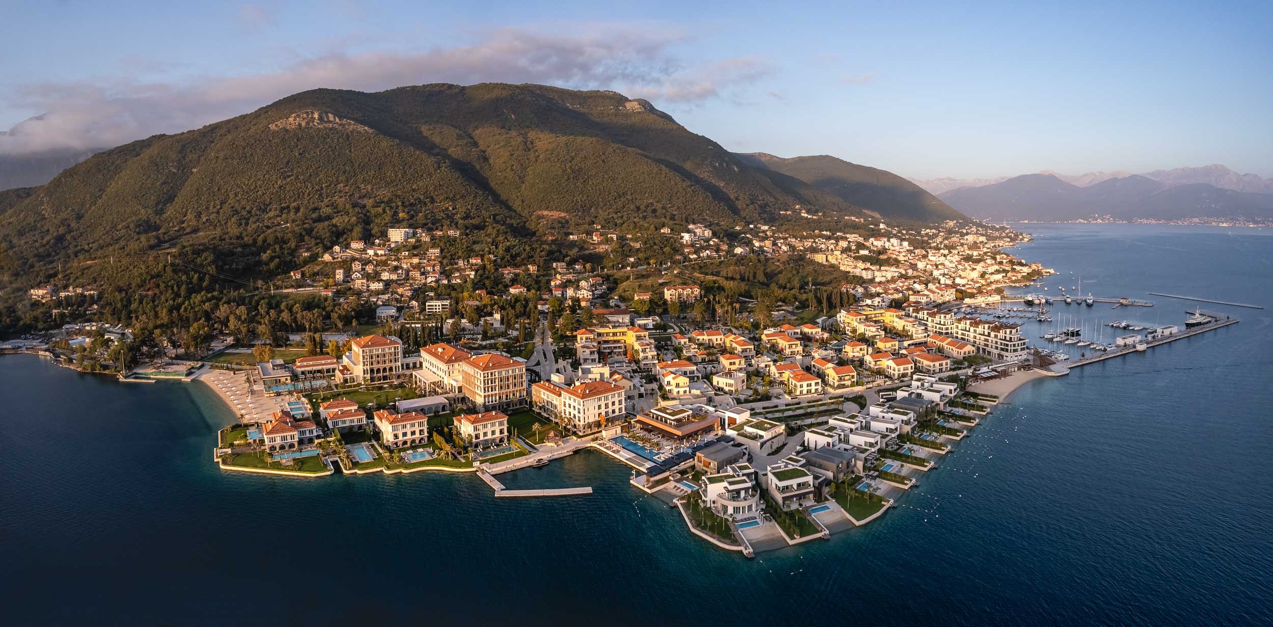
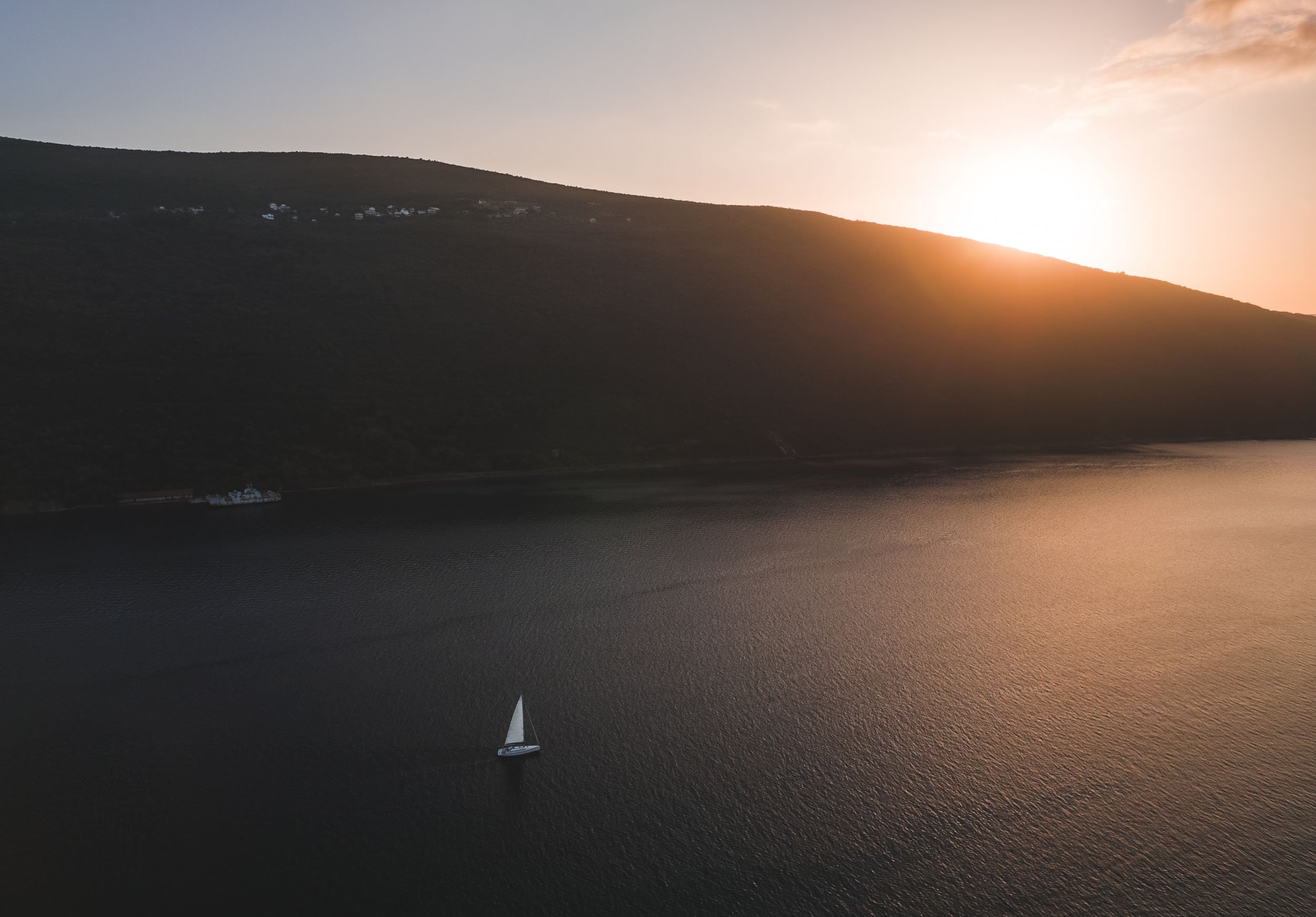
Secrets of the Bay
Just across the hotel lie a few interesting tidbits of history, barely noticeable unless you look a little closer. The first one is a series of tunnels dug into the mountain by the Yugoslavian army, with the intention to hide submarines in them during times of war.


The entrance to the tunnls was covered by metal structures and nets with rocks and plants to make them indiscernible from the surrounding landscape - nowadays, those are no longer serving their original purpose.


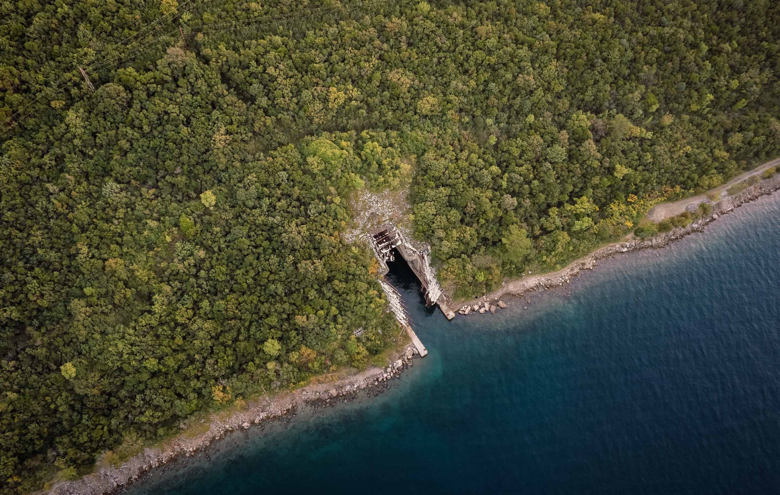
But the submarine tunnels were not the only surprises the bay had in store. Exploring a bit further into the Adriatic Sea, a colorful wonder awaits…
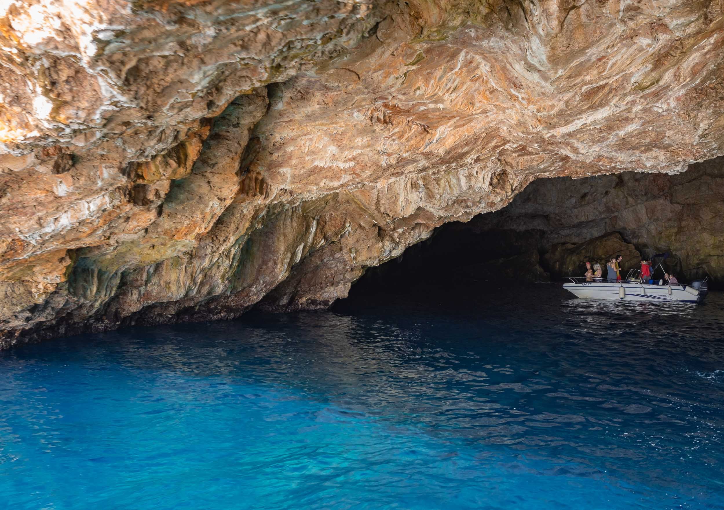
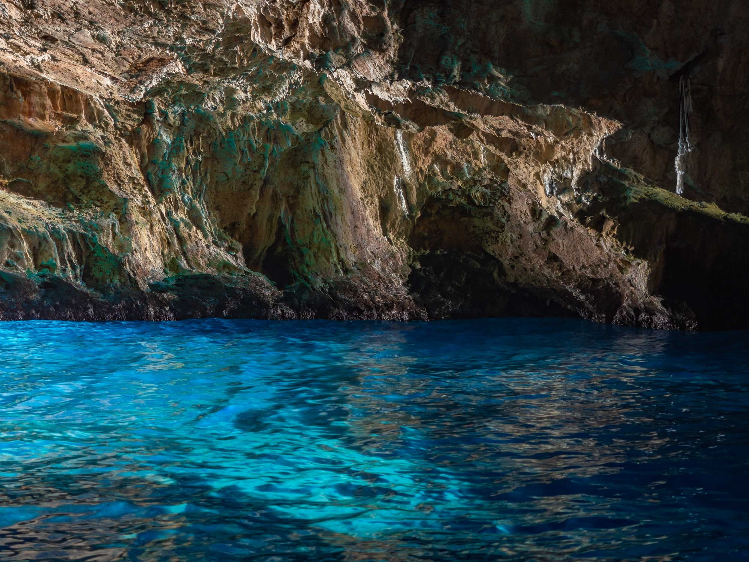
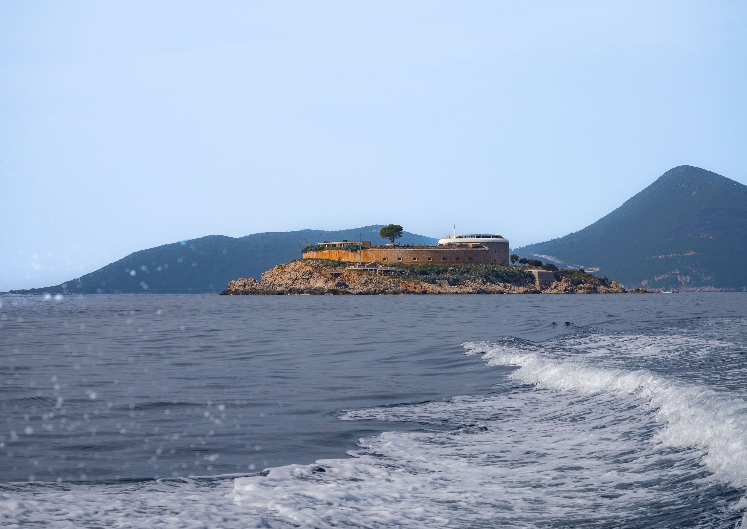
Islands in the Bay
Heading back into the bay towards the historical towns of Perast and Kotor, you pass two famous small islands, just off the coast, one of which is accessible.


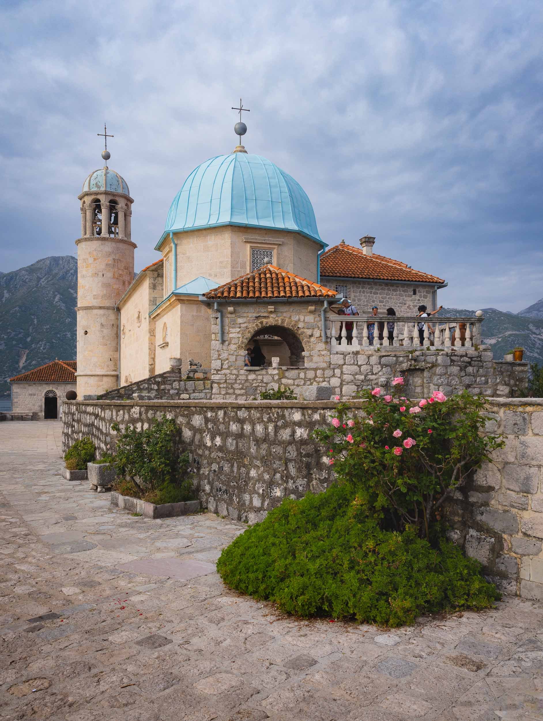
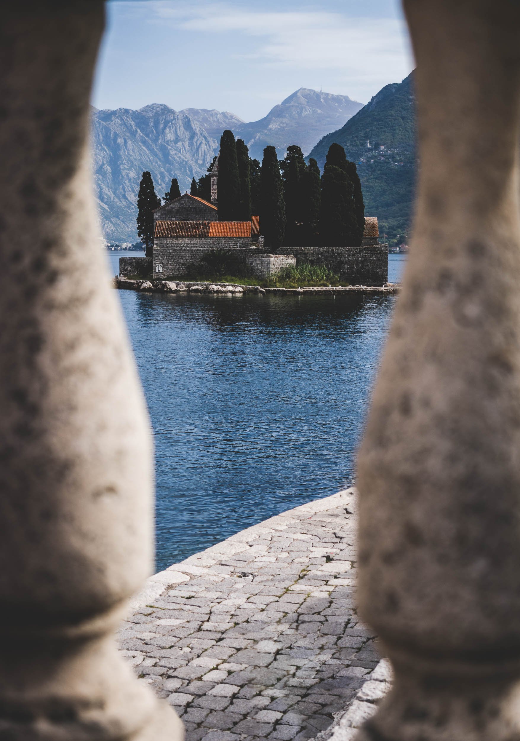


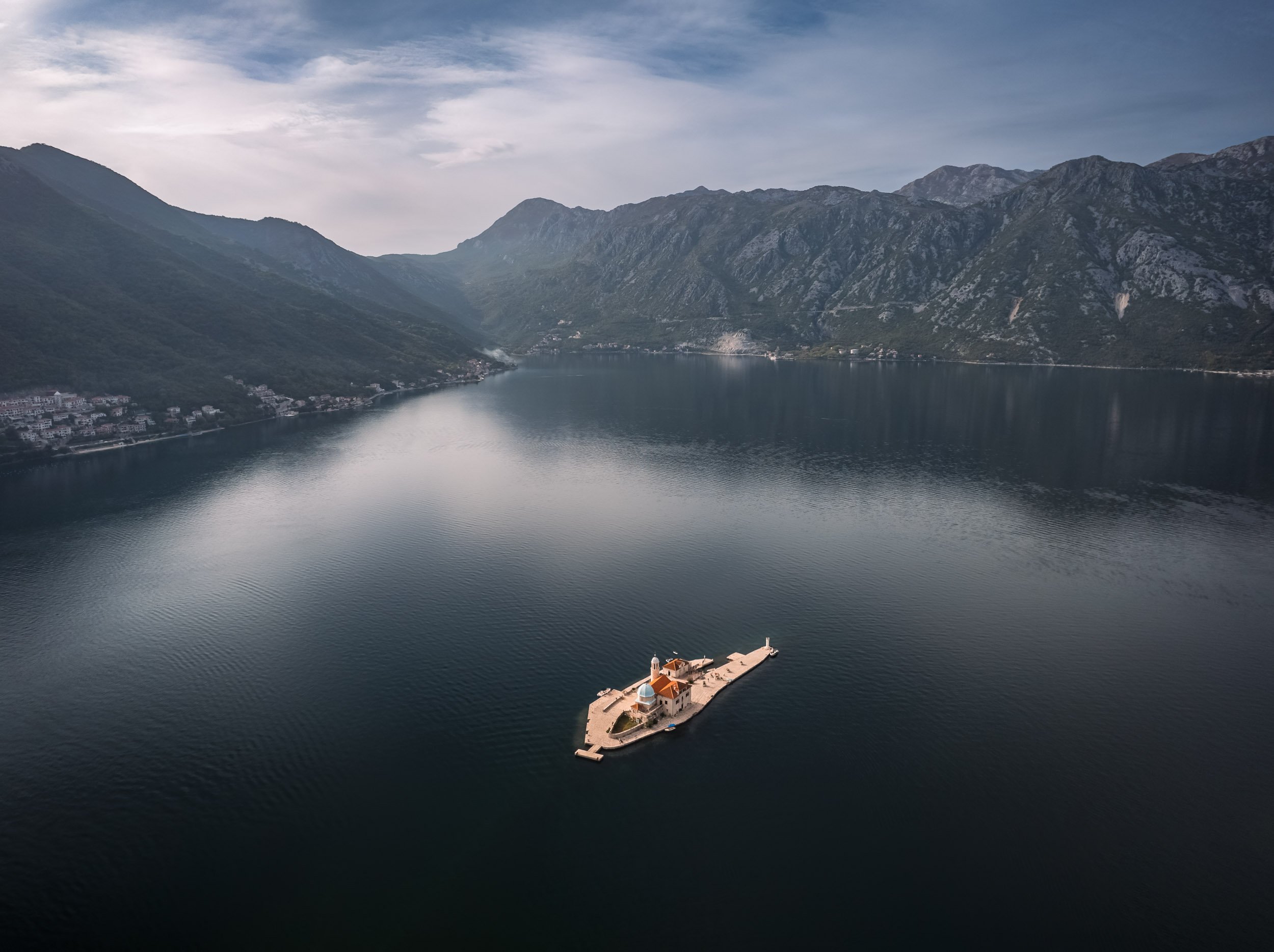
The Town of Perast
The first settlements in this area were found to be from the Neolithic era, but Prerast itself was referenced from 1336. Today, the city only has about 300 inhabitants, but its touristic appeal makes it feel much busier most of the year.
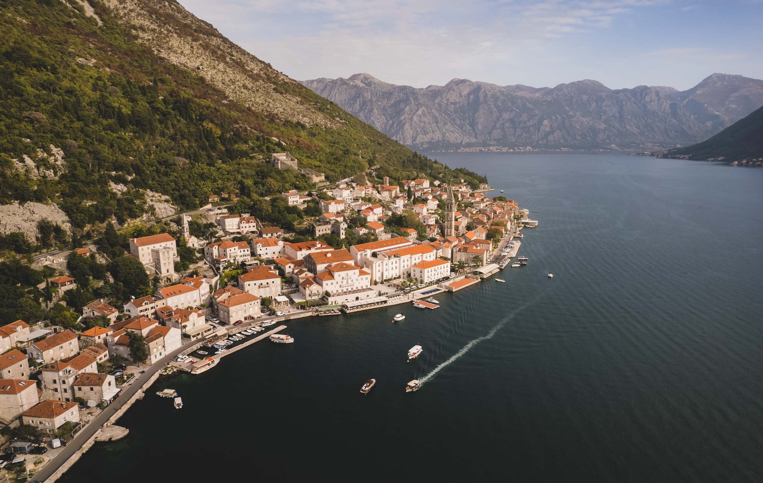
The city’s primary landmark is the Church of St Nicolas from 1616.


The entire area is part of the UNESCO World Heritage Site of the Kotor Region, due to its rich cultural past.


Kotor - Cat Kingdom
The namesake city at the end of the bay is also its most famous one. Its 2000 year history spans the Middle Ages, Venetian, Habsburg and Napoleonic rule. Today, its large population of cats has become a primary symbol for the town, and it indeed houses a cat museum (which unfortunately was closed) and a number of shops selling cat artefacts.
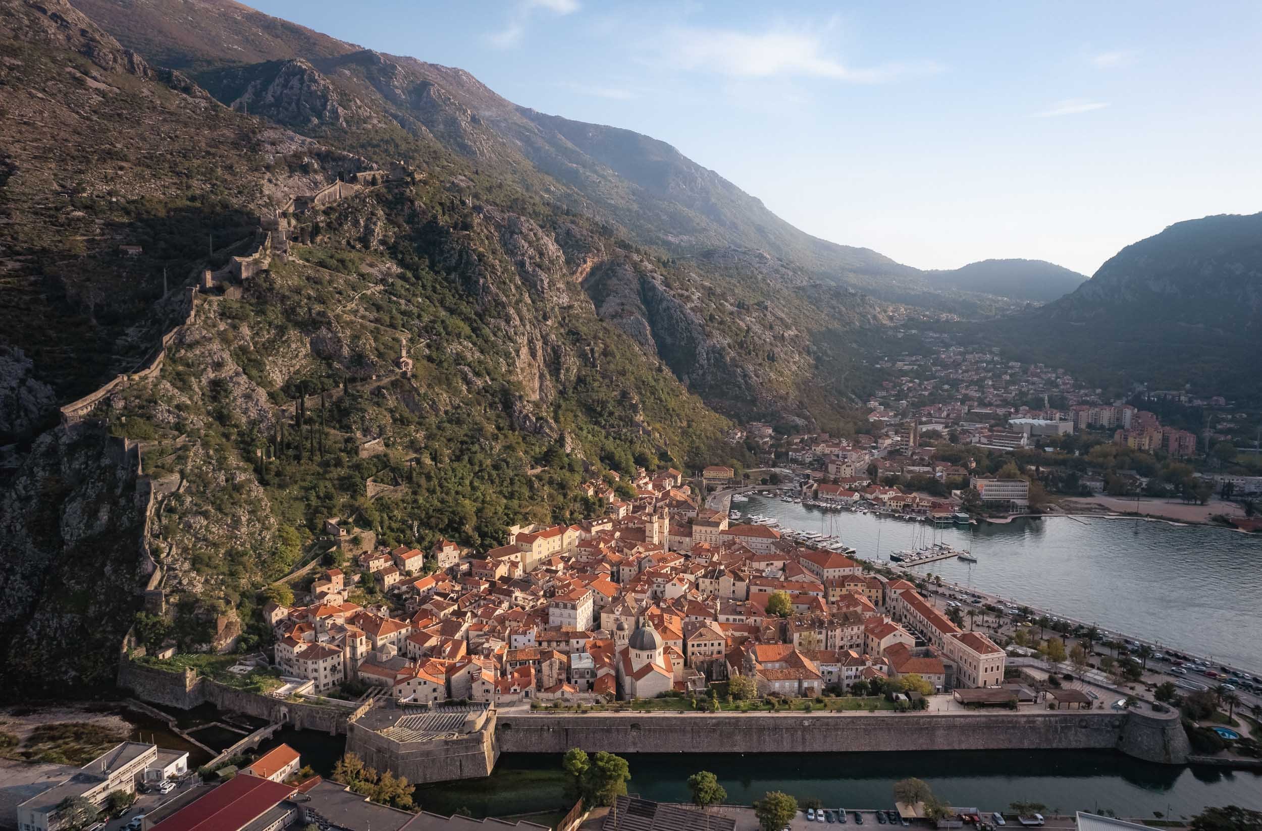
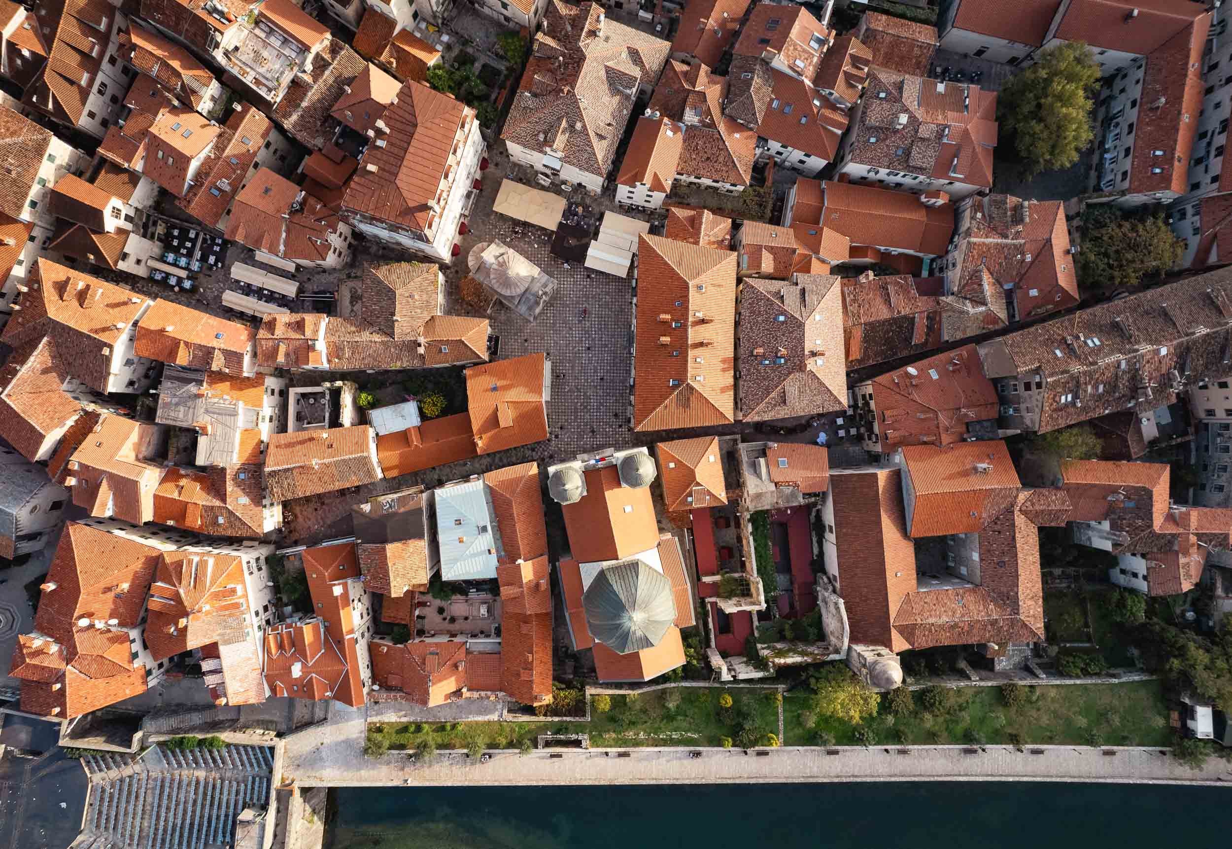
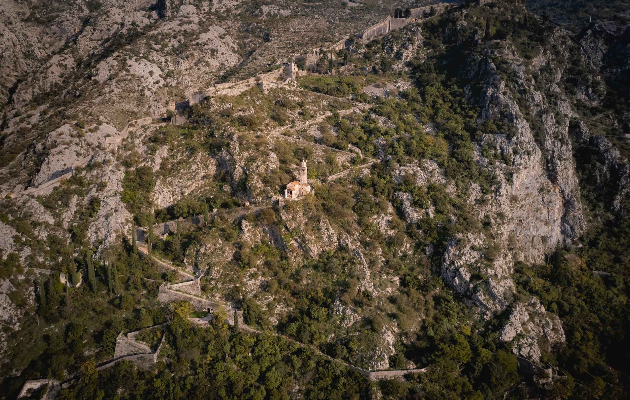


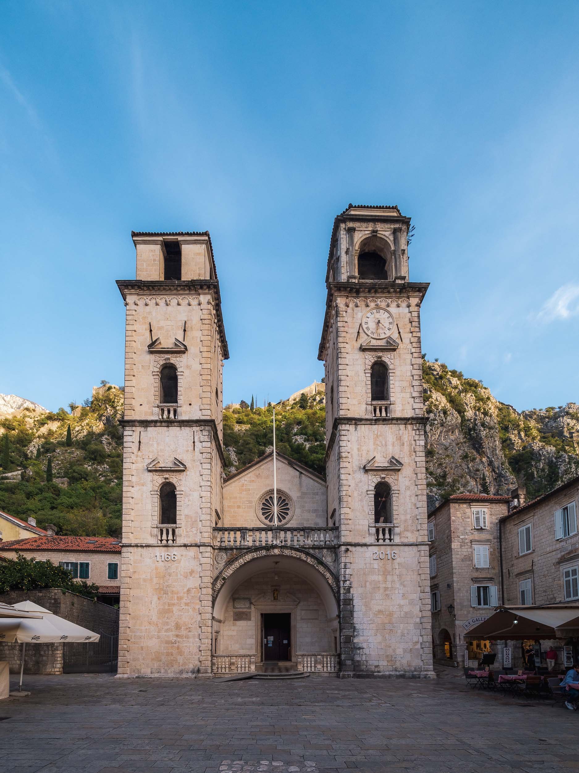
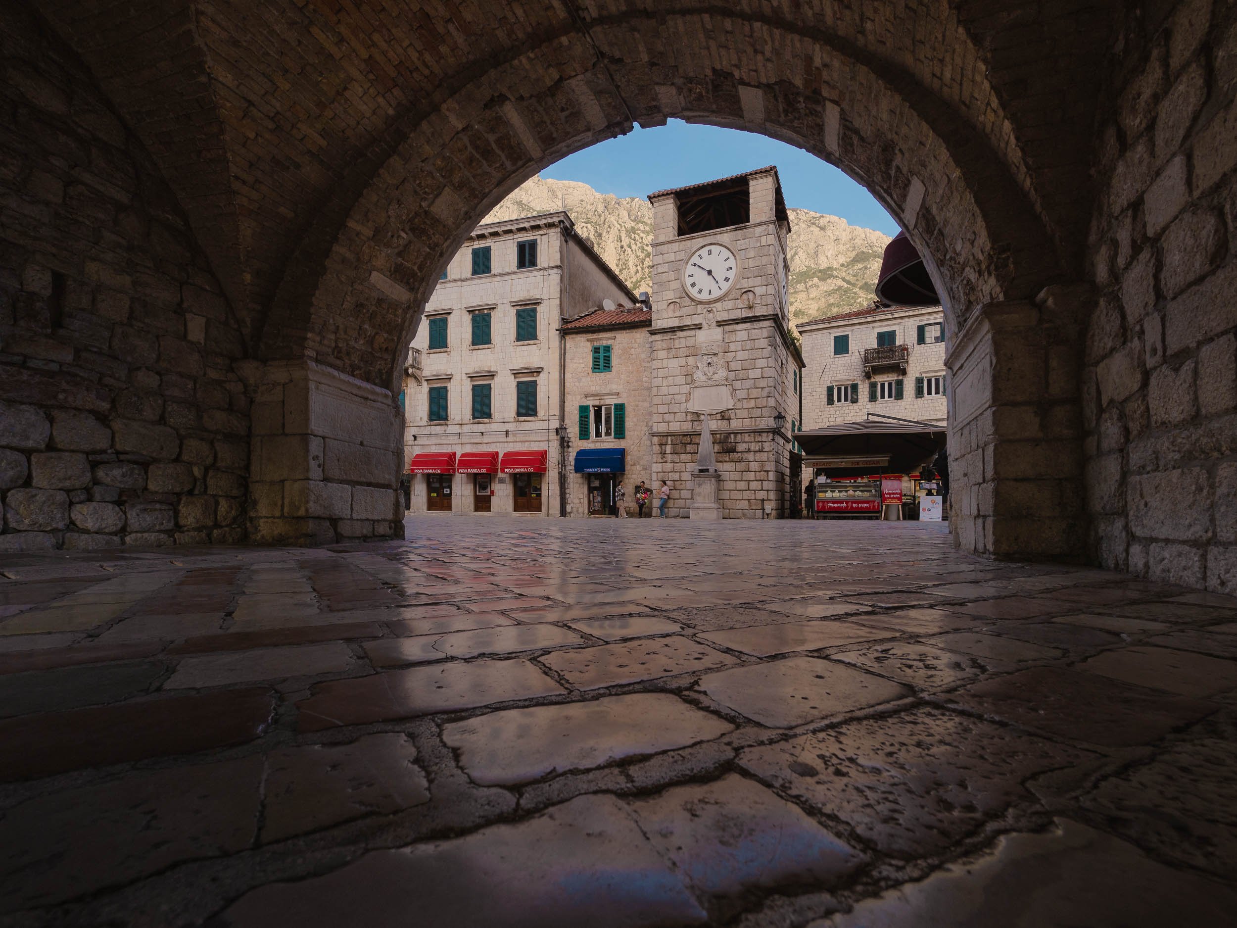
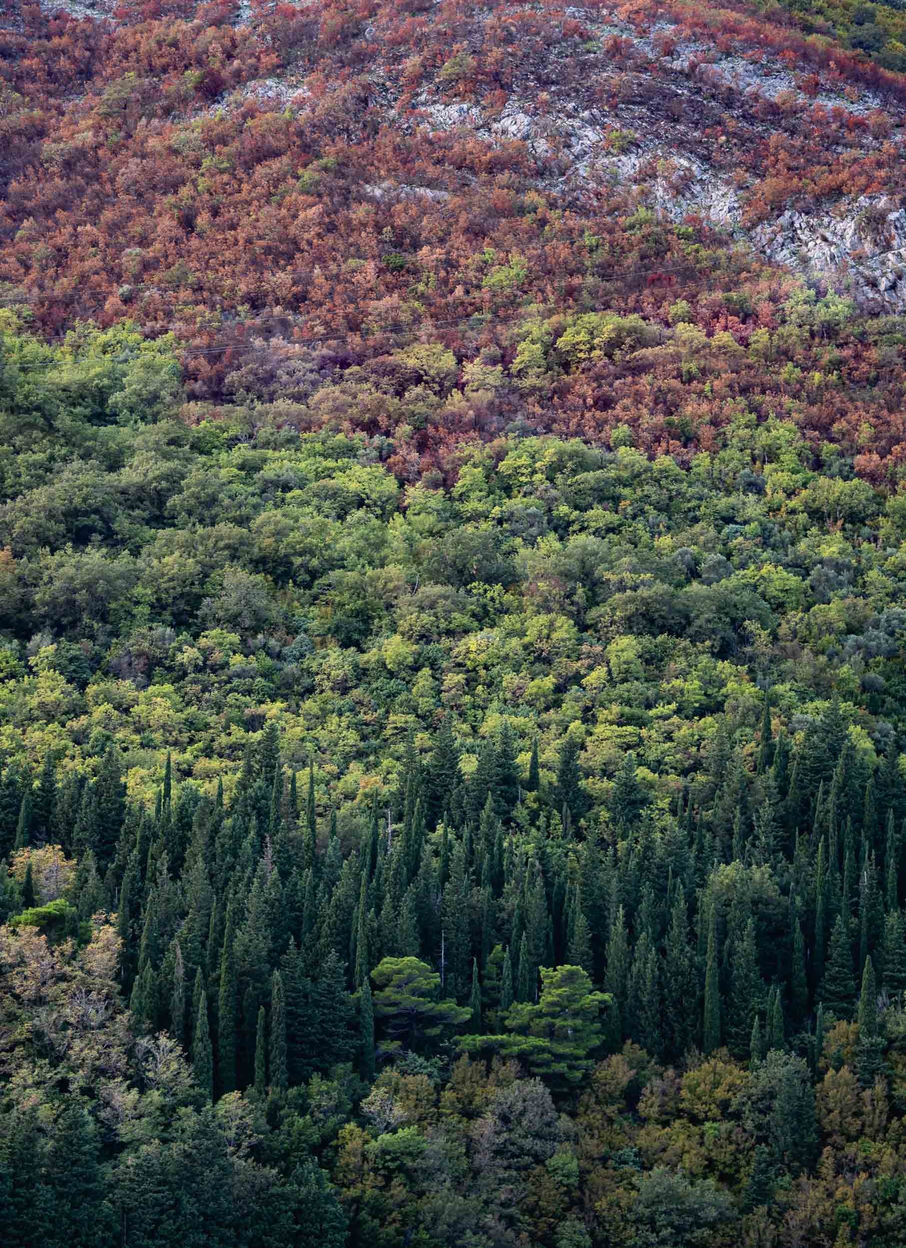
By the way, Croatia’s famous town of Dubrovnik is just an hour away and I had the chance to spend a few hours here - subscribe to be the first to hear more once I managed to go through the images.

Azerbaijan - Central Asia with a Few Surprises
Take a journey through incredible architecture, pink lakes, and rocks on fire with me in this central Asian country.

After visiting Tajikistan several years ago, exploring more of Central Asia was high on my list. When I started researching Azerbaijan’s sights, a few rather interesting spots came up - read on to find out what I mean and take a journey through incredible architecture, pink lakes, and rocks on fire with me.
The first stop on the way from Baku’s International Airport to the city was at the Atashgah Zoroastrianism Fire Temple. Azerbaijan is often referred to as the “Land of Fire’, and this site plays a small role, among others (read on..). It was built in the 17th century as a place of worship for Zoroastrians, whose belief includes fire as one of the tentpole elements. The natural flame on the site stopped burning in 1969 however.


Baku’s Old City
From here, we explored Baku’s Old Town, the country’s first UNESCO World Heritage Site.
One of its primary attractions is the Maiden tower, dating back at least to the 12th century and featured on Azerbaijani bank notes. Its back story is an interesting one, and so are the views from the top, with the glass architecture of the Flame Towers in the background in stark contrast to the beige old city buildings..


Another important building in the old city is the 15th century complex of the Shirvanshahs dynasty, with its palace, baths, mosque, and mausoleum. The palace contains a nicely curated museum.


The Old Town is full of pretty restaurants, historical sites, and interesting shops.


Baku’s Architectural Highlight
Despite its beautiful old city, one of the most intriguing buildings I was looking forward to photograph in Baku is much younger - it opened in 2012. The Heydar Aliyev Center was designed by Zaha Hadid and named after the country’s former president (as many things are in Azerbaijan).
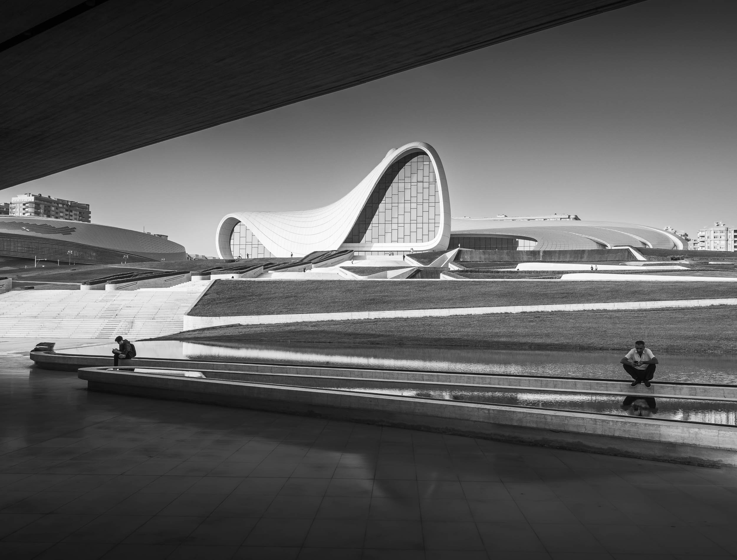


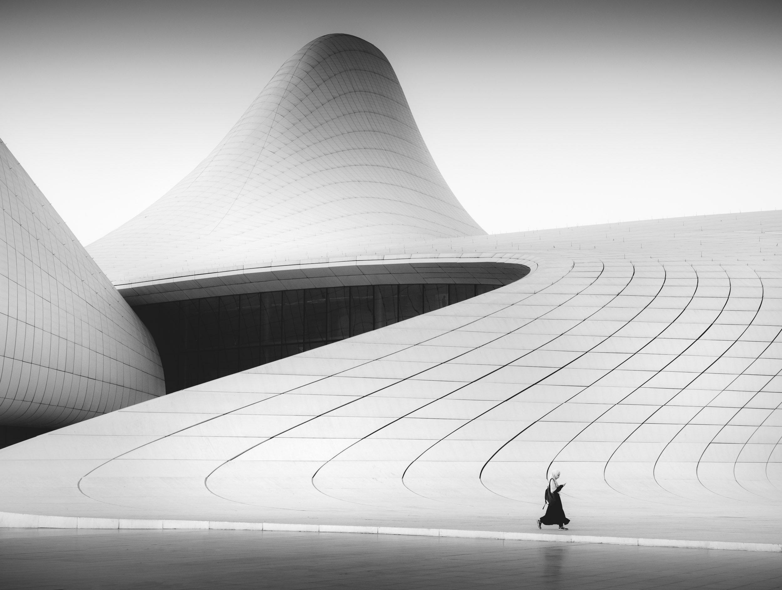


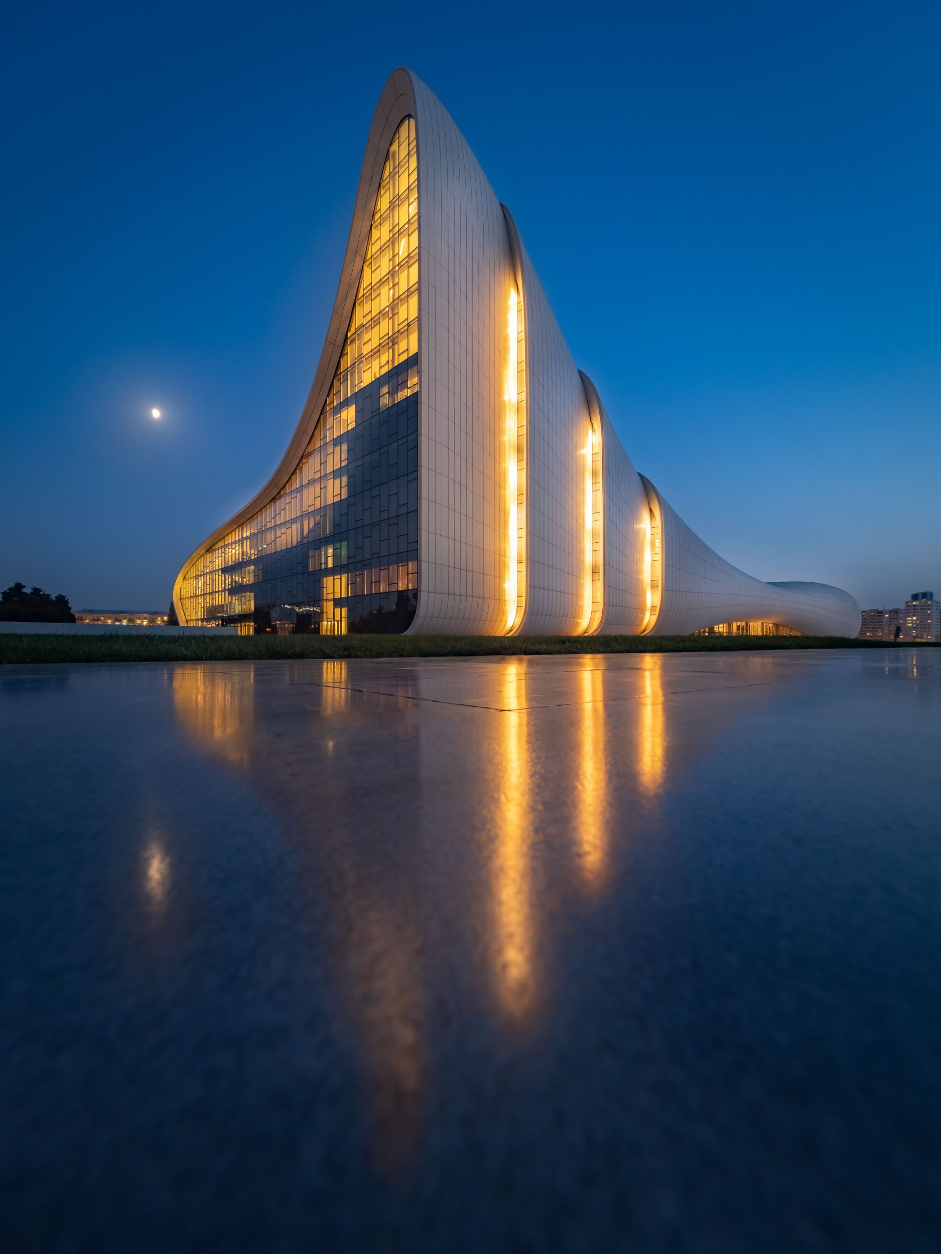

Pink Wonder
30km outside the city centre lies an attraction that only shows its true colours a few months of the year.
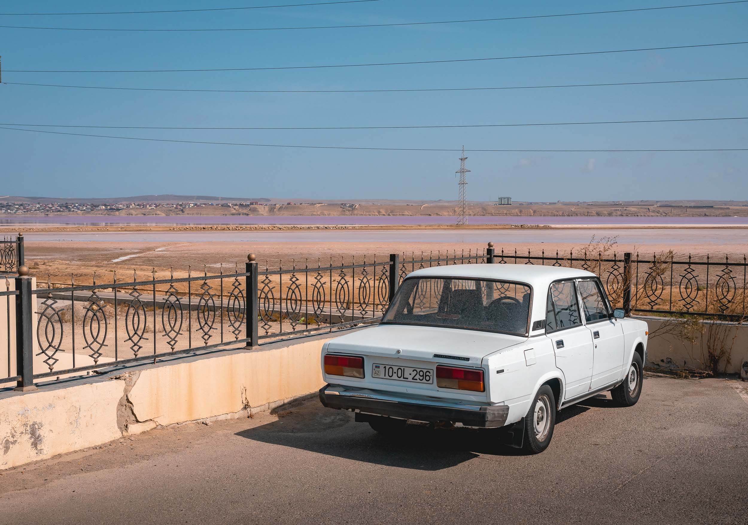


It's only when you get close that you start to suddenly realise the unique conditions present here, and the visual glory that comes with them. Having said that, nothing can beat the view from the top… ⬇️
This amazing sight is the pink lake of Masazir, north of Baku. Its color derives from the combination of algae and bacterial bloom in the highly salty water at the right temperatures. It's one of a few such lakes around the world, and the people living on its shorelines definitely get to witness an interesting spectacle.
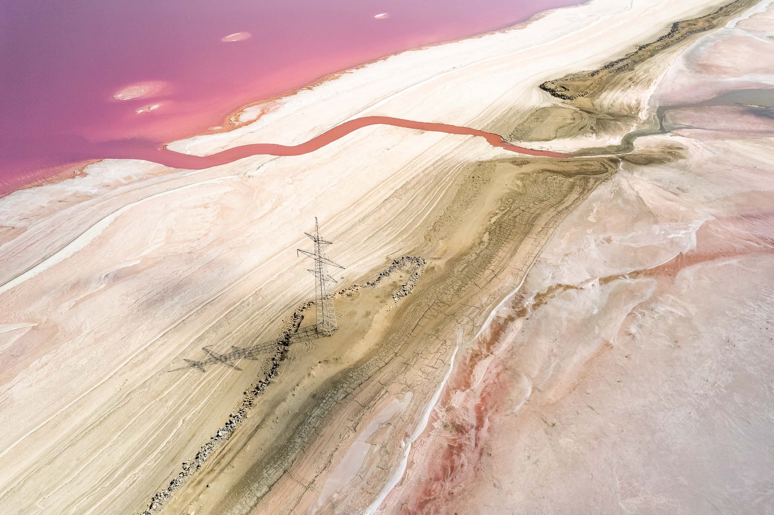


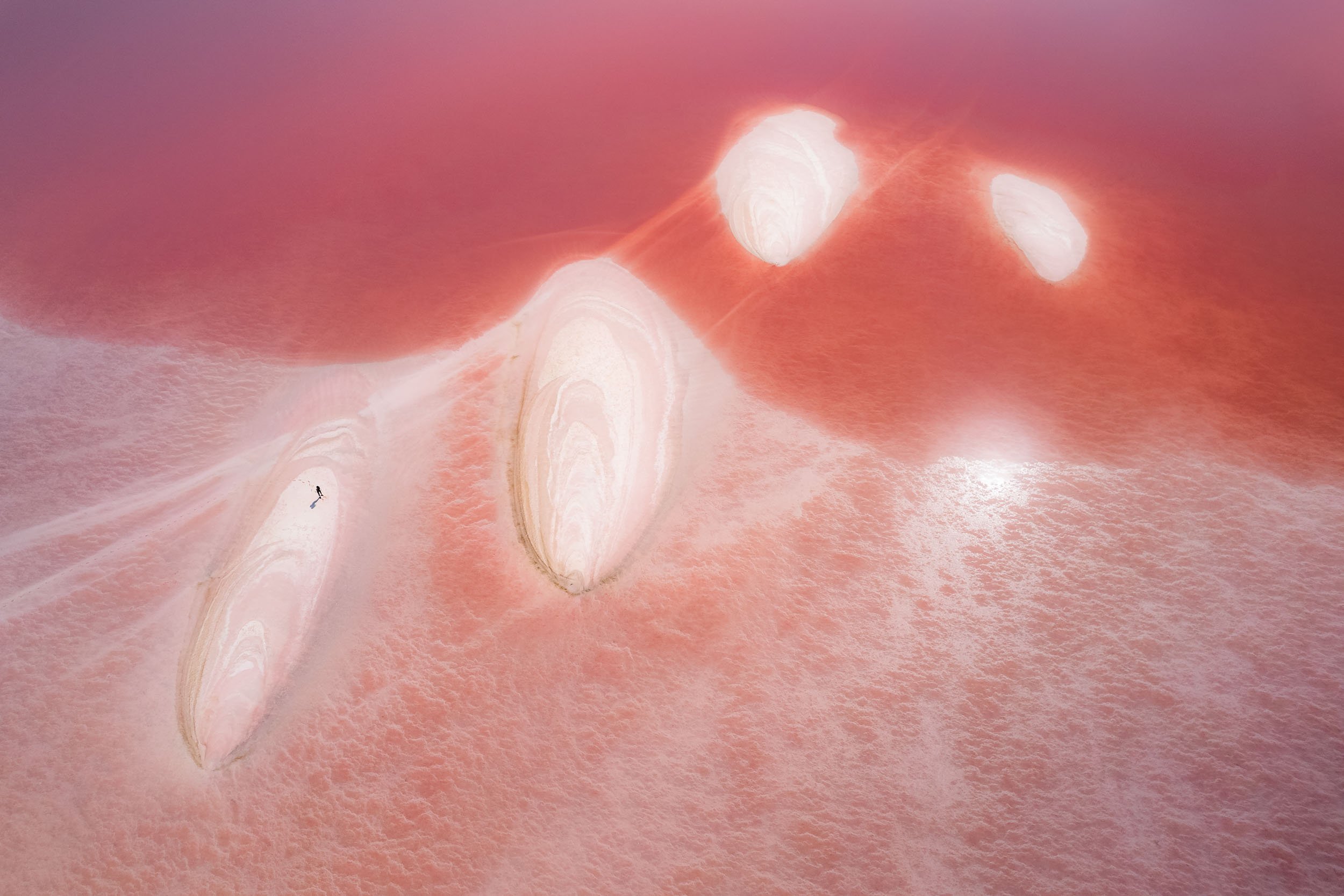
Got very lucky to explore and see this phenomenon, and many thanks to Andre Jabali for the tips in making it happen!
The Mud Volcanoes - Otherworldly Landscapes
Next up in the list of unusual places in Azerbaijan is an area called Gobustan, home to many of the world’s 800 mud volcanoes, half of which are located in the country.
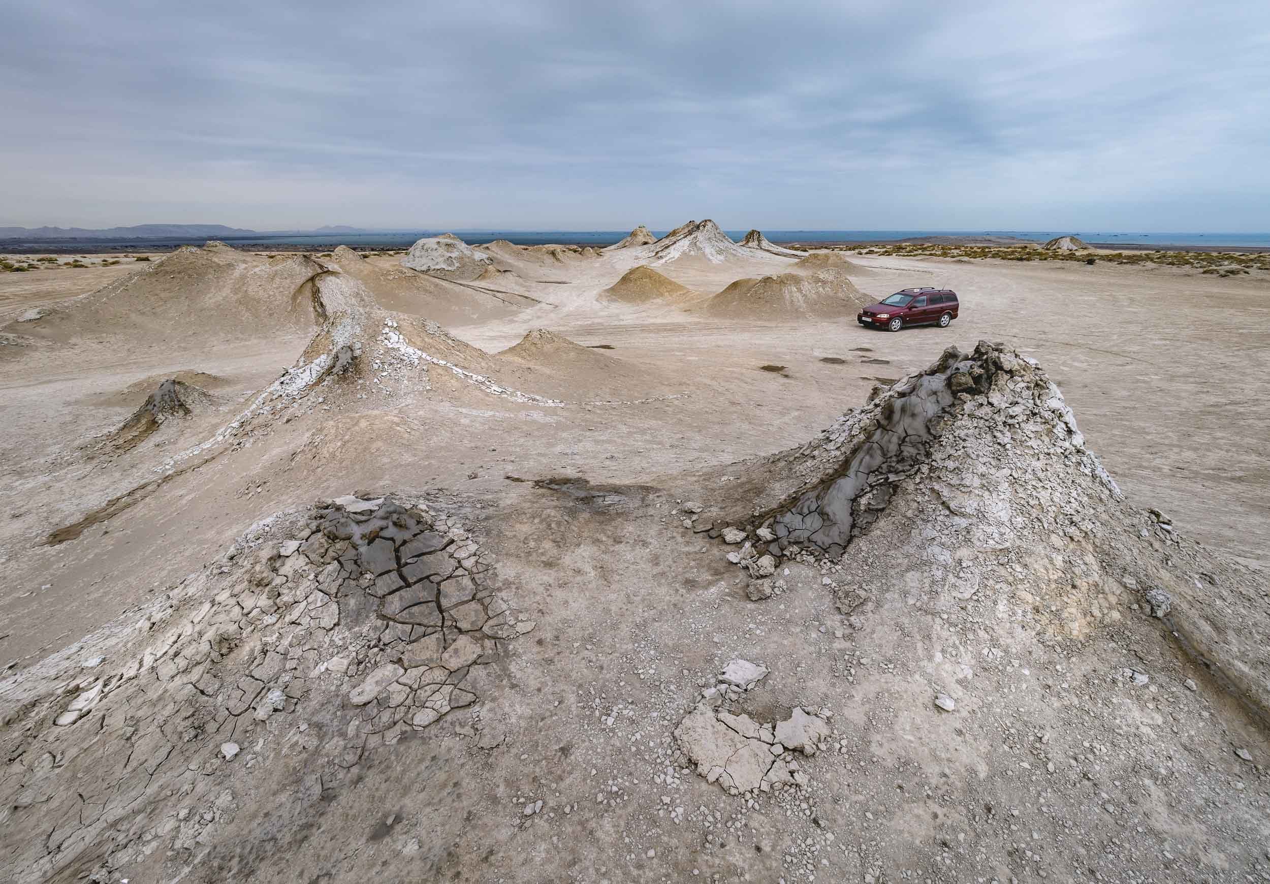

The look from above provides a perspective of several volcanoes in the area - notice the darker shades of fresh mud slowly making its way down the slope. NASA geologists studying Mars concluded that Azerbaijan's mud volcanoes have a similar structure to the uplands of the planet.


While the bubbly craters might appear cute, particularly given the sounds that come out of the bubbles as they pop, the larger volcanoes can erupt fiercely with flames shooting into the sky if water, gas, and mud mix under the right circumstances. In fact, the gas emissions are mostly methane, and can be ignited with a lighter (as our trusty guide proudly showed us while we scattered in fear of a mud explosion).


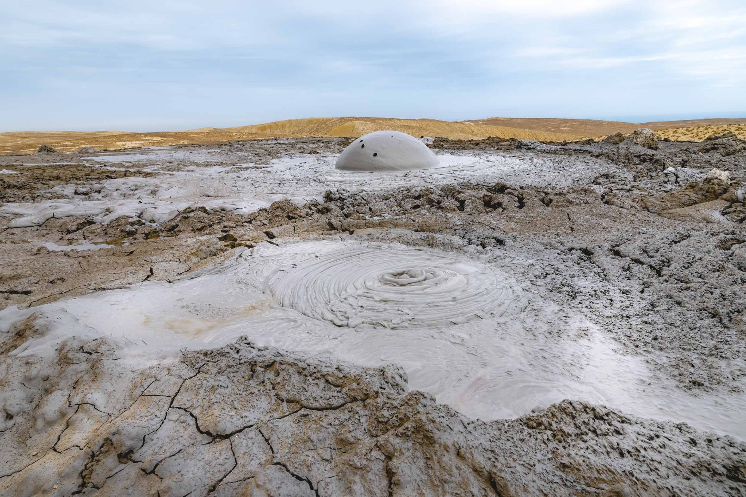
The mud is roughly the same temperature as the surrounding air, and dries up quickly once it spills over the crater edge. Volcano clay and mud are sometimes used in the treatment of diseases.


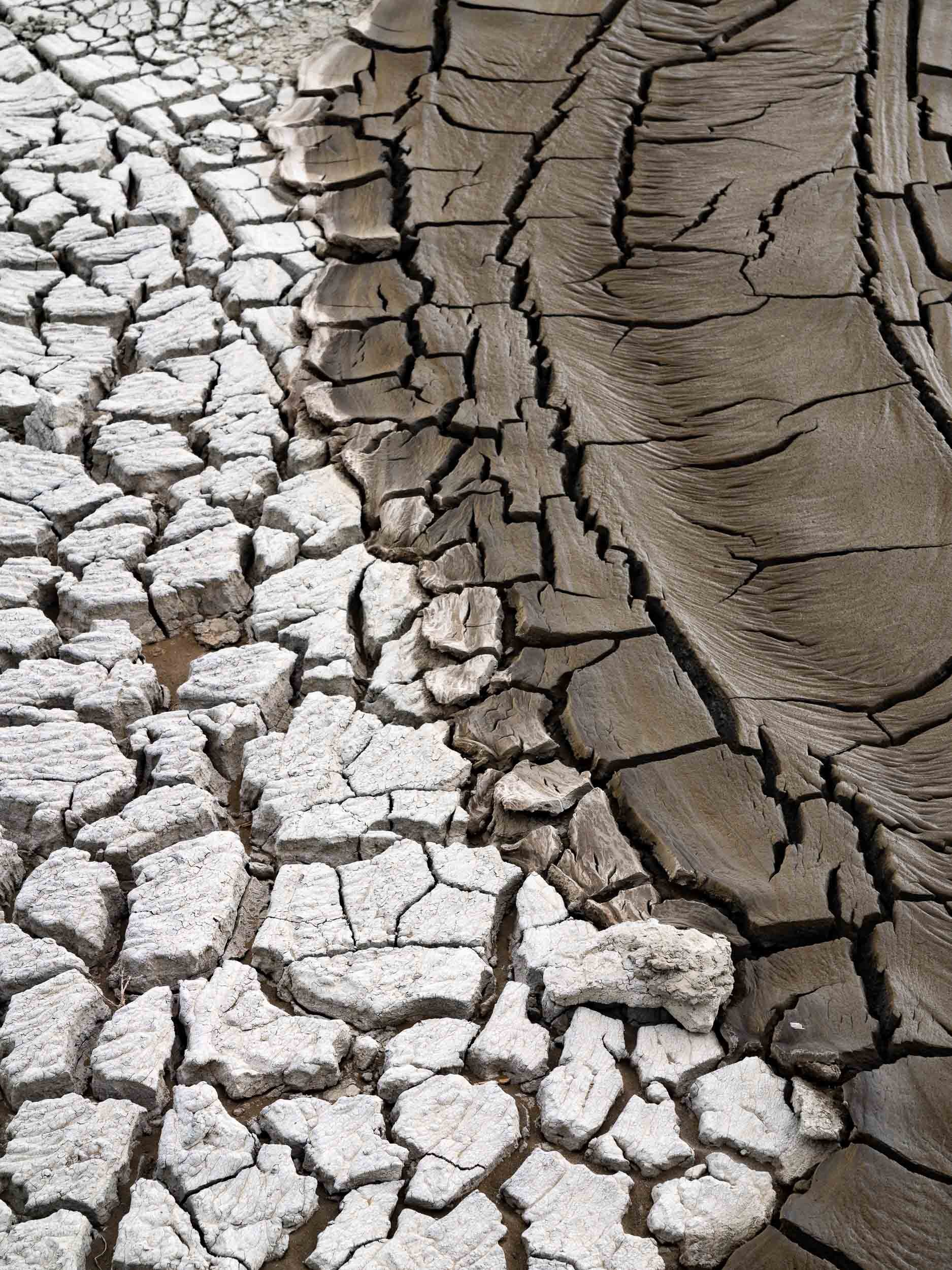
Gobustan National Park
The area around the volcanoes is a national park, home to a - surprisingly impressive - museum owing to the many prehistoric rock carvings dating back up to 15,000 years. The park is walkable and also includes natural “musical stones” called Gaval Dash, and a Roman inscription from the 1st century.

Heydar Mosque
Opened in 2014, it’s the largest in the South Caucasus region and located slightly outside the city centre. It’s almost disproportionately tall compared to its footprint - the minarets reach 95m.


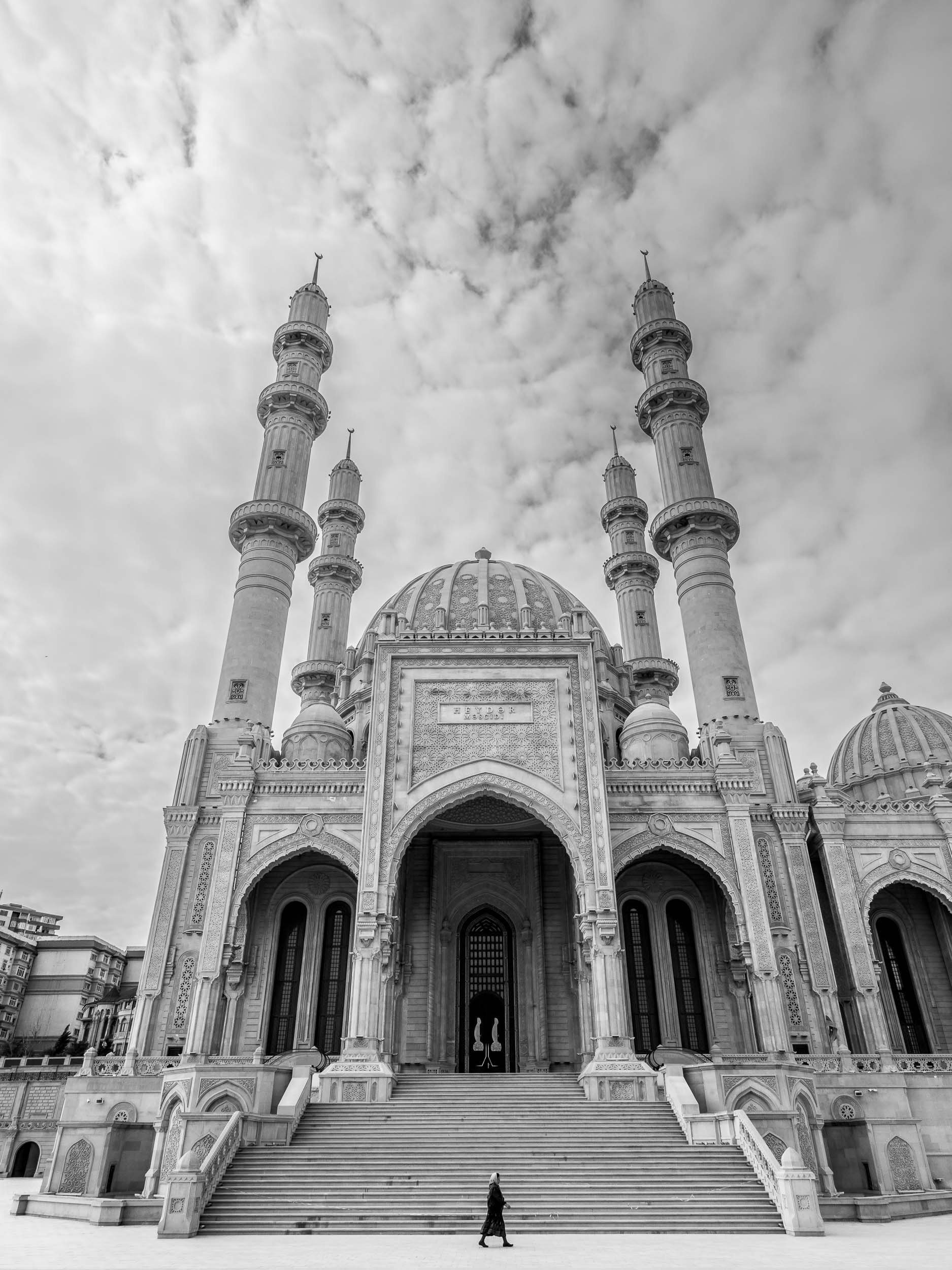
The Carpet Museum
Fitting into the city’s architectural gem collection is the carpet museum, which unsurprisingly looks like a carpet, and houses many of them in a nod to the regions carpet manufacturing heritage.


The Candy Cane Mountains
Azerbaijan is home to another colorful natural attraction: A small shale mountain range north-east of Baku full of pink, purple, orange, and brown shades.


Take a look from above!
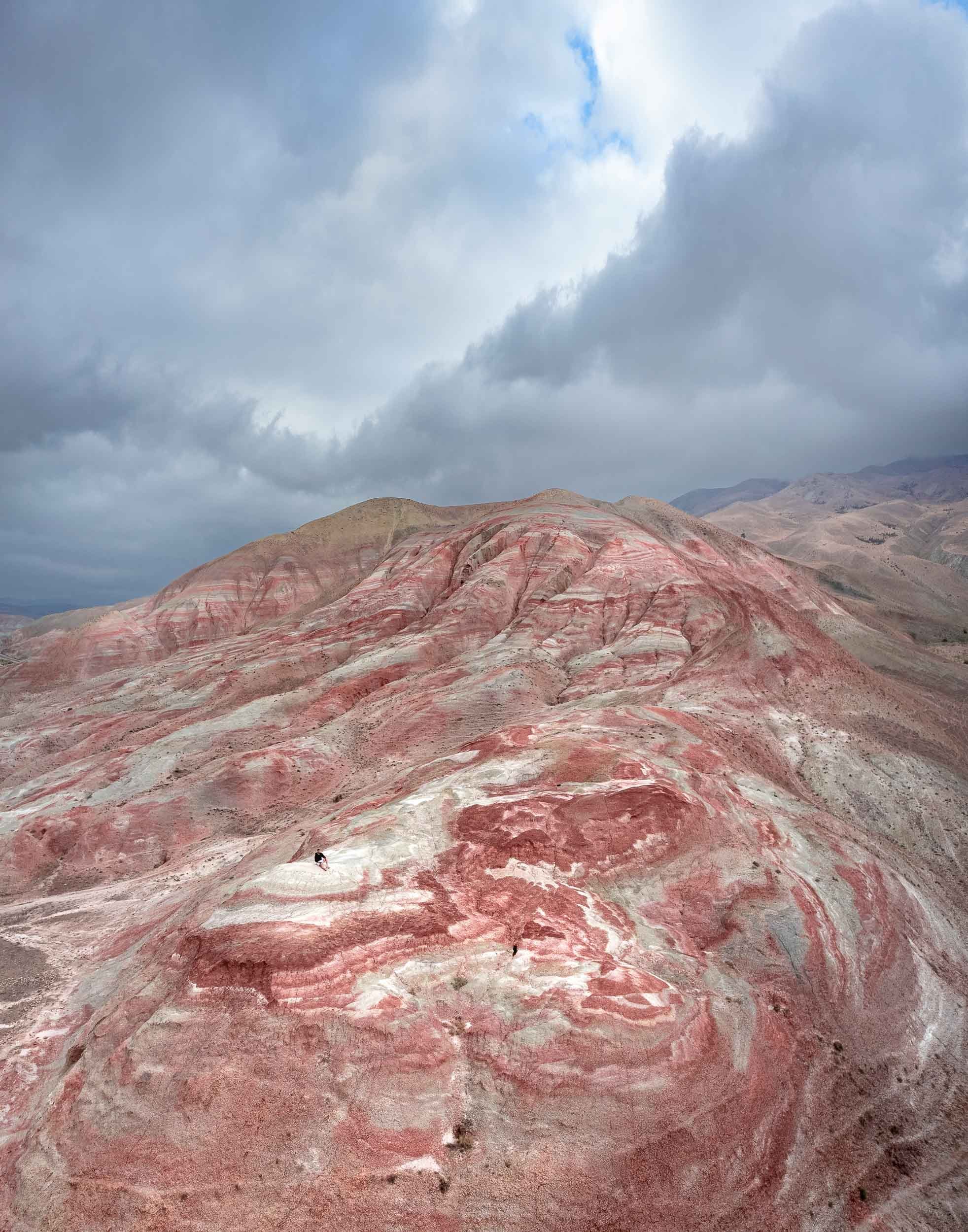

Yanar Dag - “Burning Mountain”
On our way back we stopped at another peculiar place. Remember Azerbaijan’s nickname? The “Land of Fire” has another appropriate sight: Yanar Dag is a natural gas fire said to have been continuously burning for more than 700 years, snow, wind and earthquakes notwithstanding.

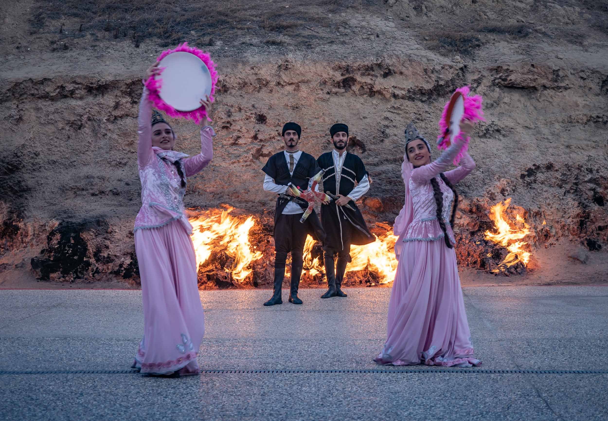
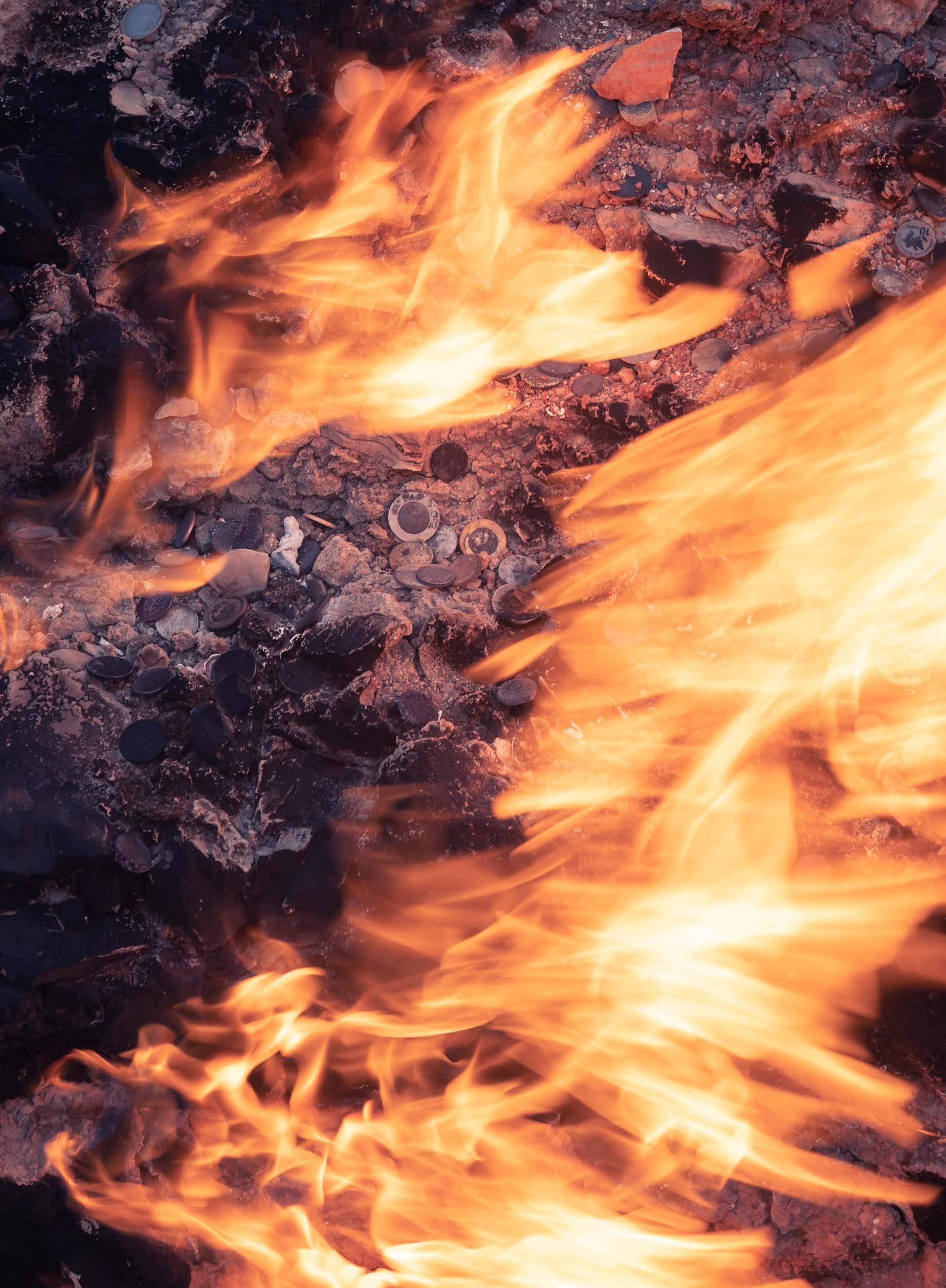
Baku Impressions
Baku’s Museum of Modern Art has an interesting collection, including private pieces of Picasso and Dali. Its curious cafe was unfortunately closed during the time of my visit.


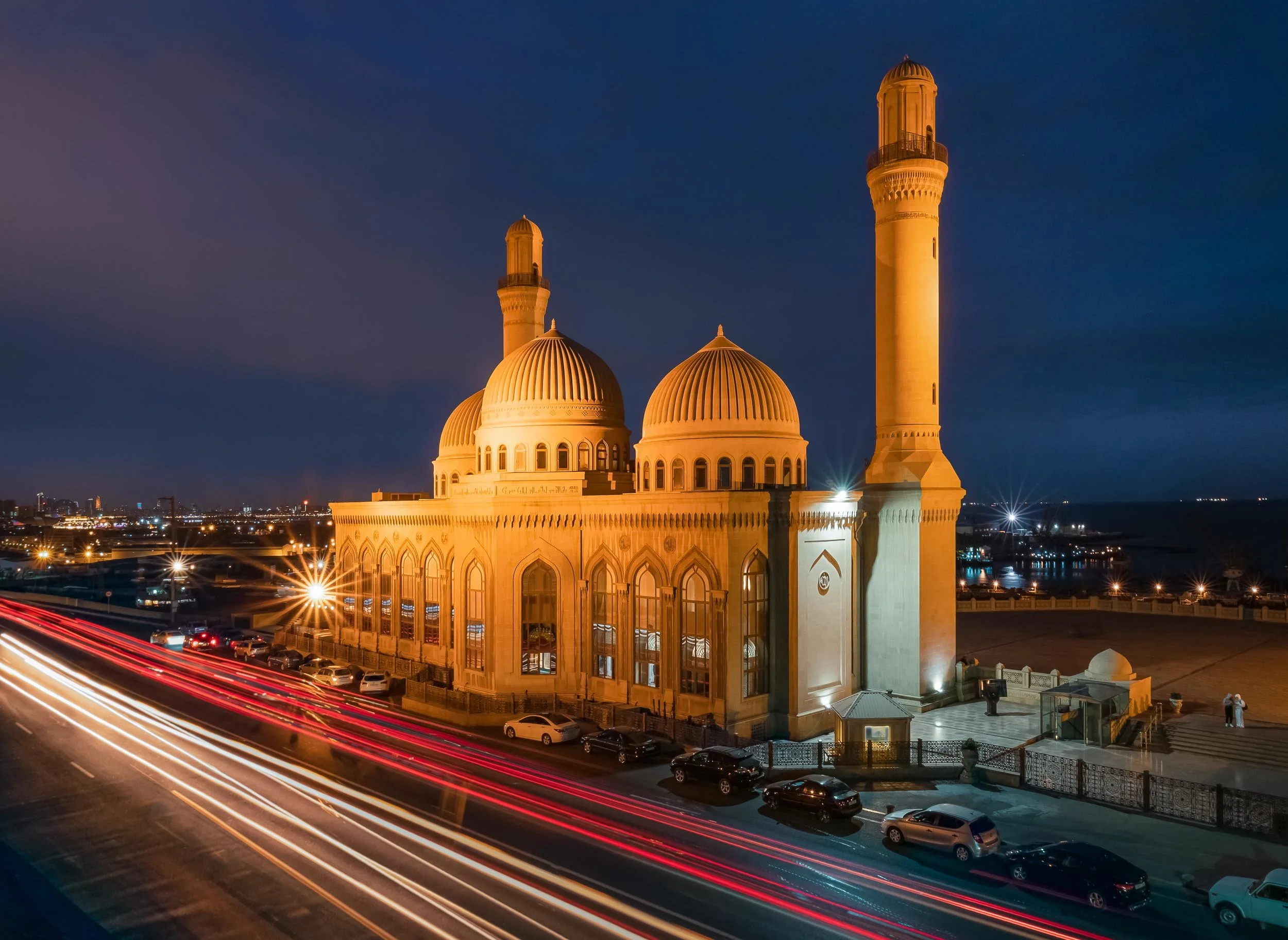

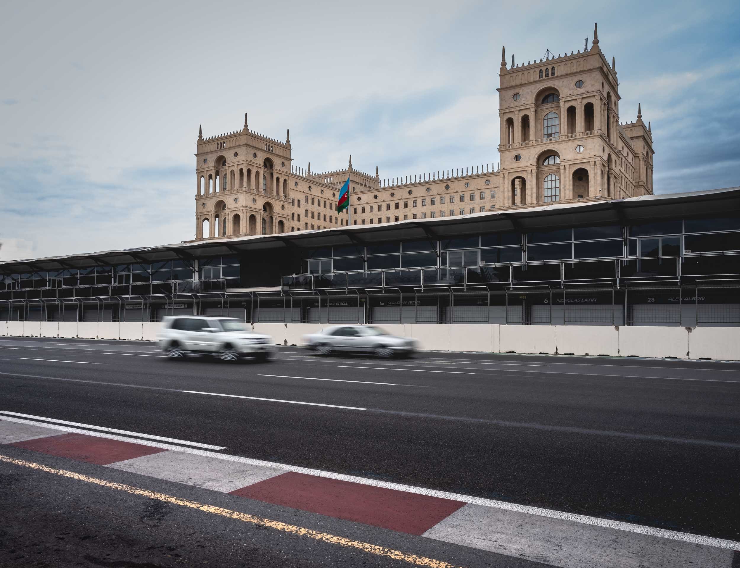
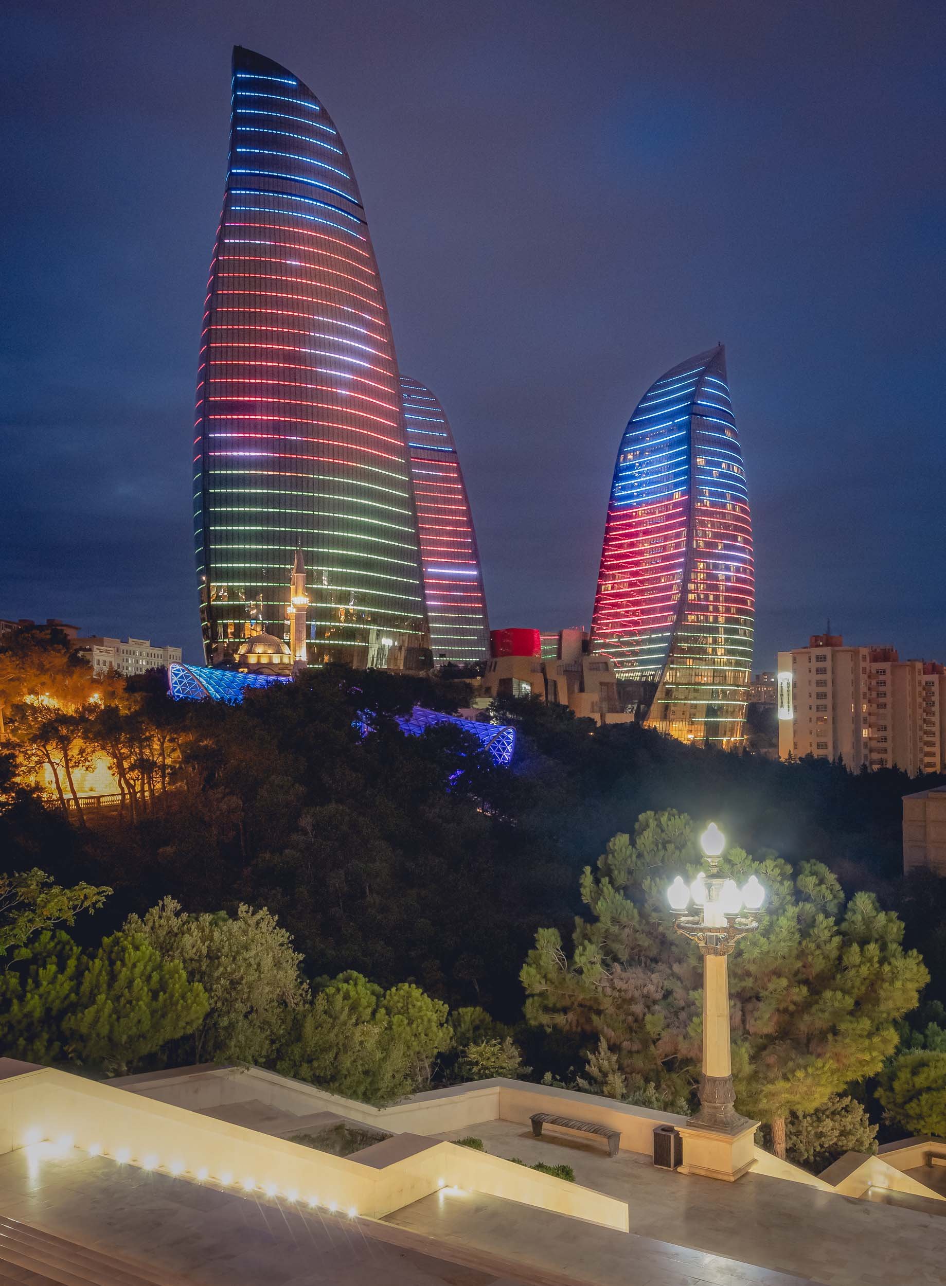
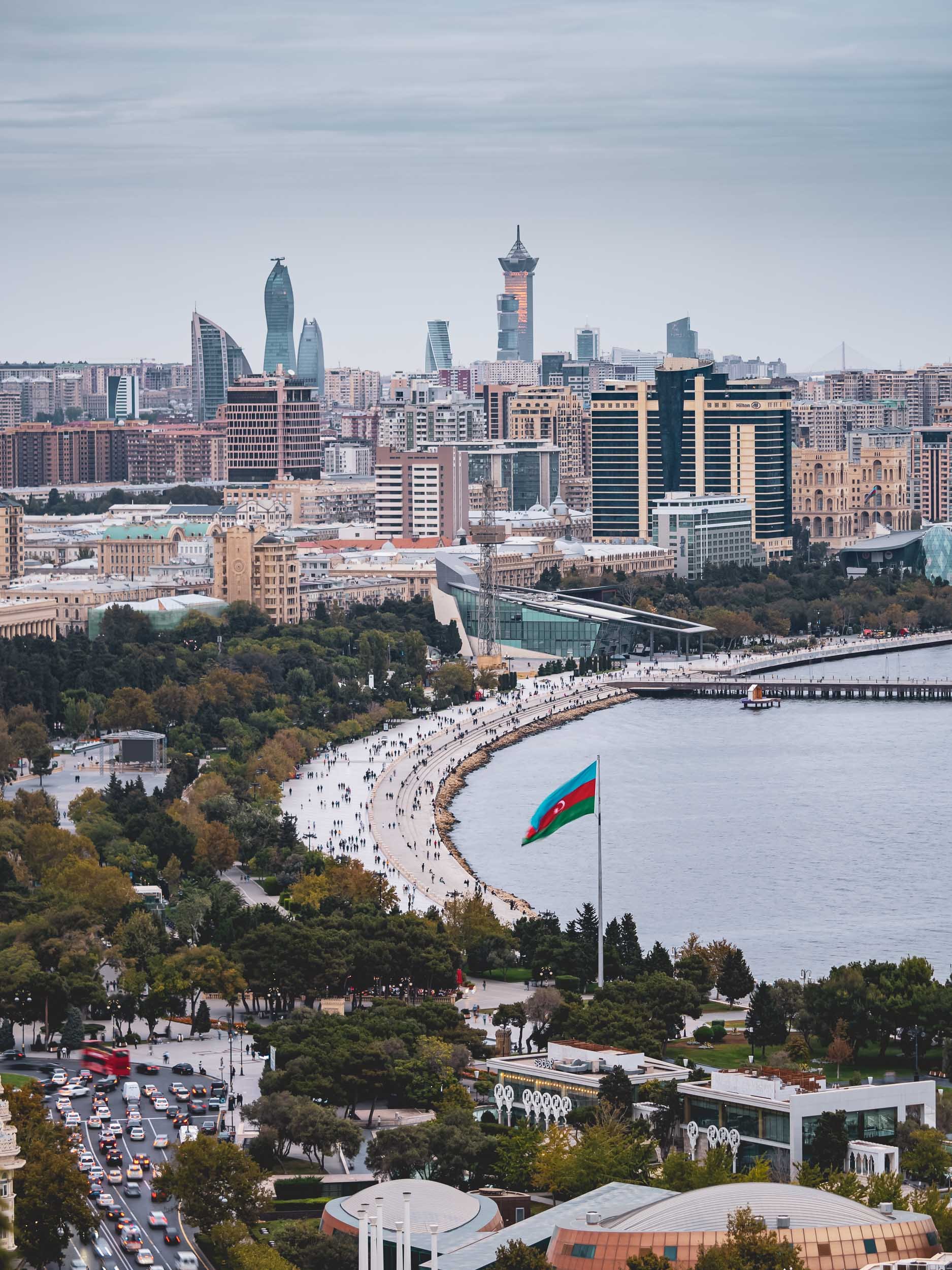
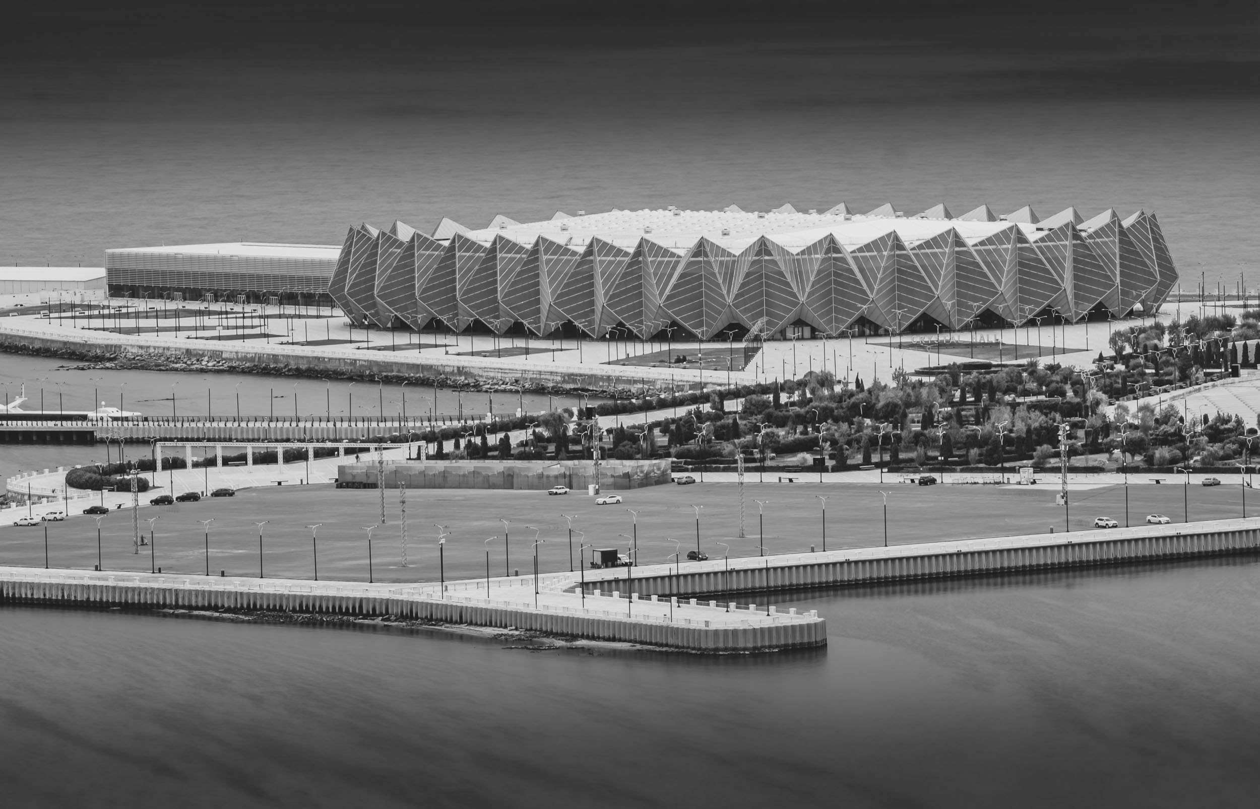
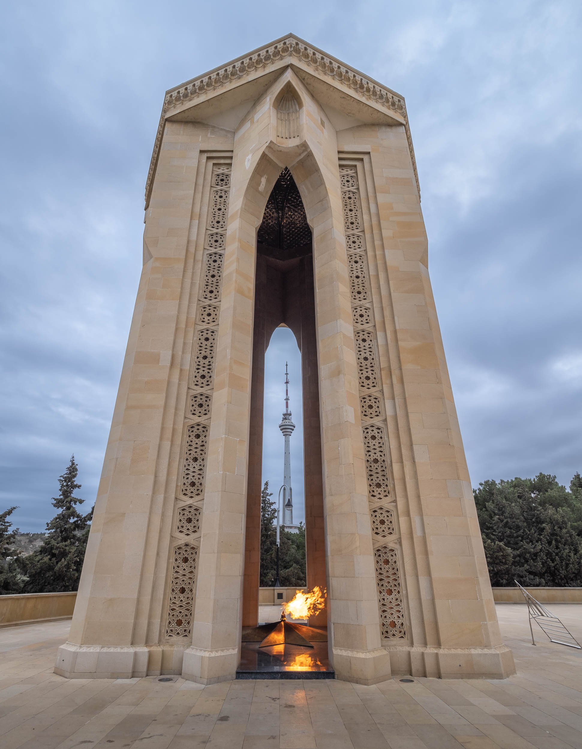
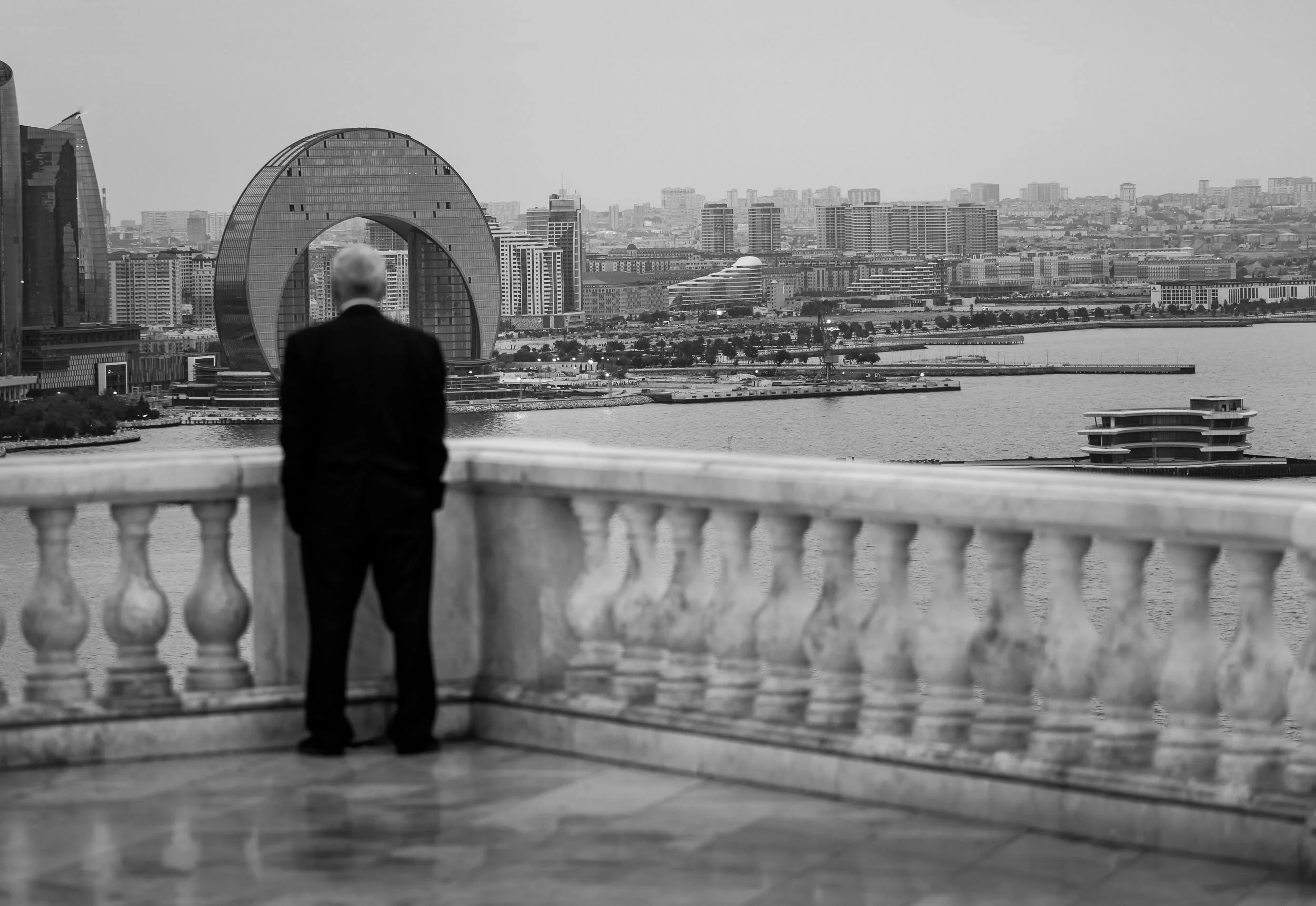

Palestine & Israel - Complex History, Present, and Future
Politically tense. Historically significant. Shaped by religion. Naturally beautiful. Developed in contrast.

Politically tense. Historically significant. Shaped by religion. Naturally beautiful. Developed in contrast. The region that is today shared one way or the other - depending on who you ask - between Israel and Palestine is all of those things and many more. Having spent close to a week between Tel Aviv, Jerusalem, and the surrounding areas, I feel like I barely scratched the surface.
Tel Aviv
The economic centre of the region with the largest per capita economy in the Middle East, and also the highest cost of living in the world as of 2021.
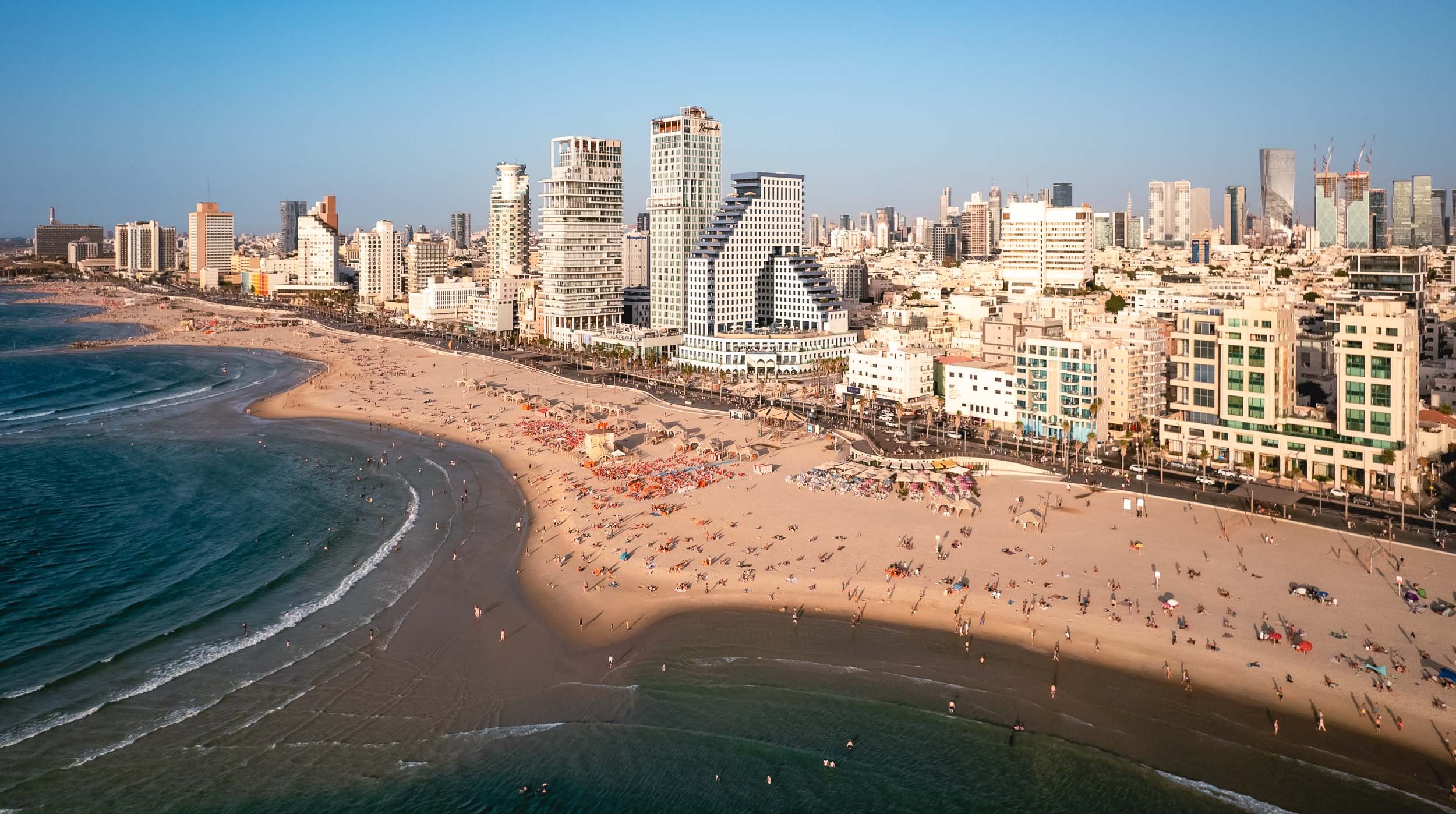
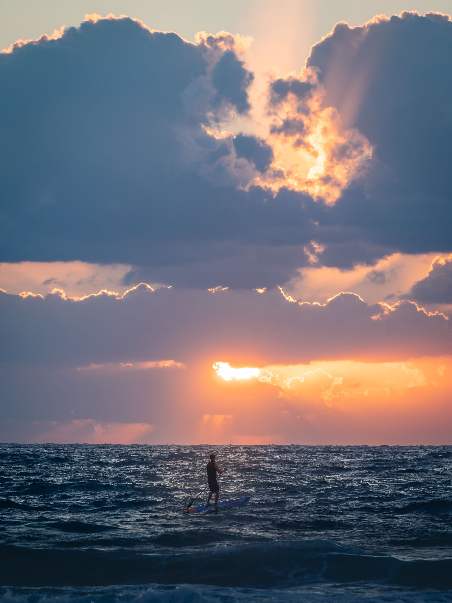
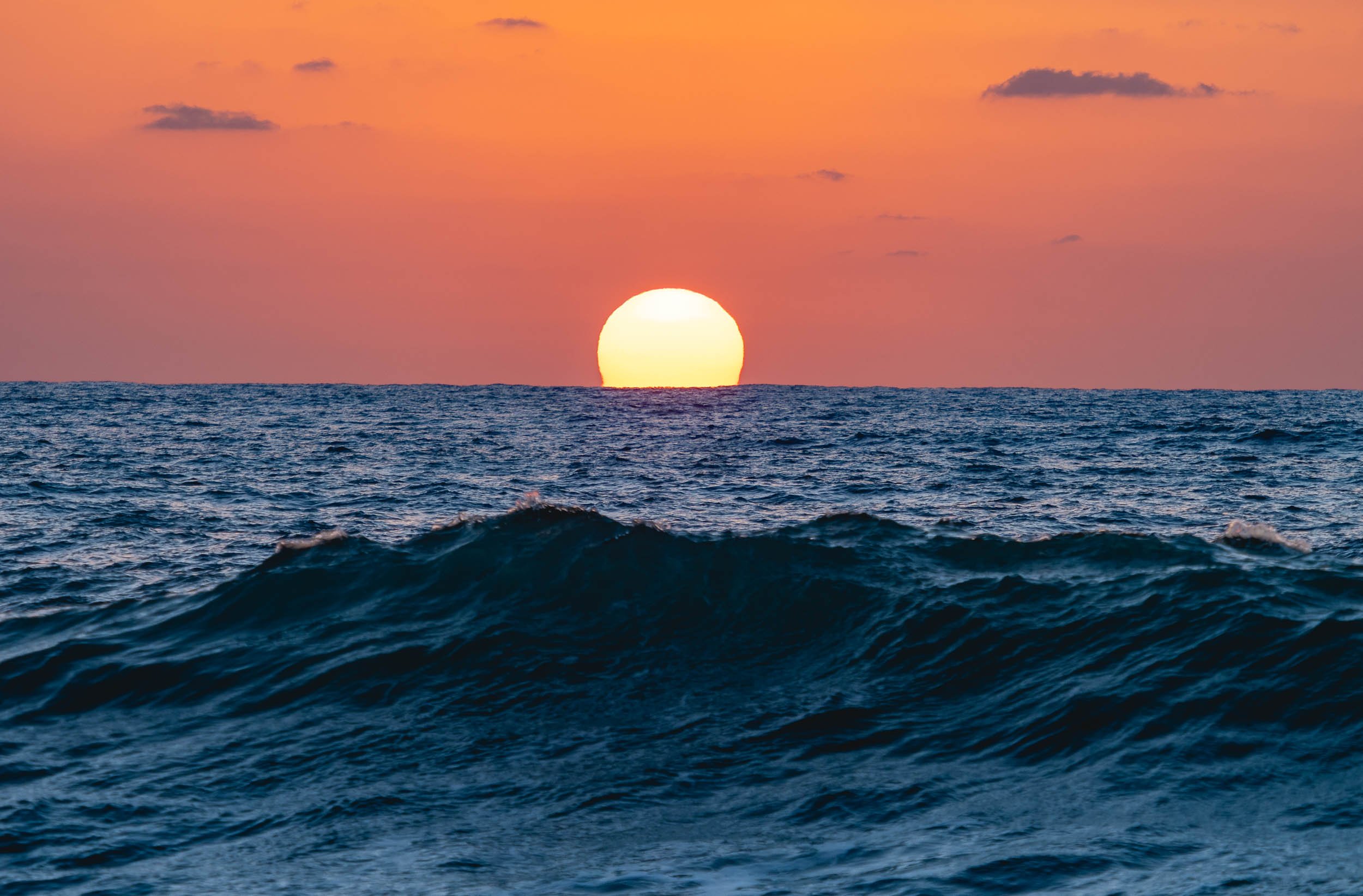
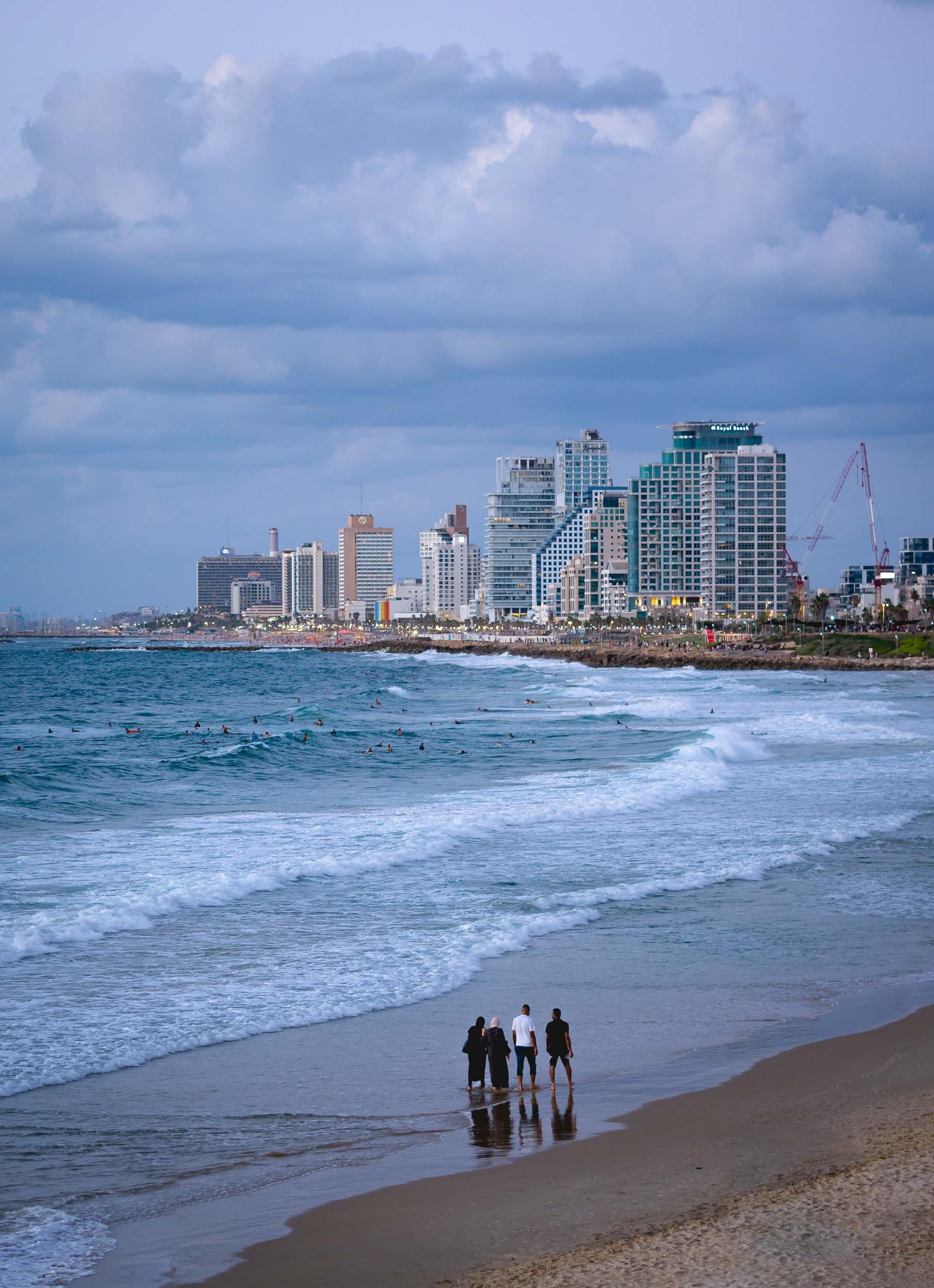


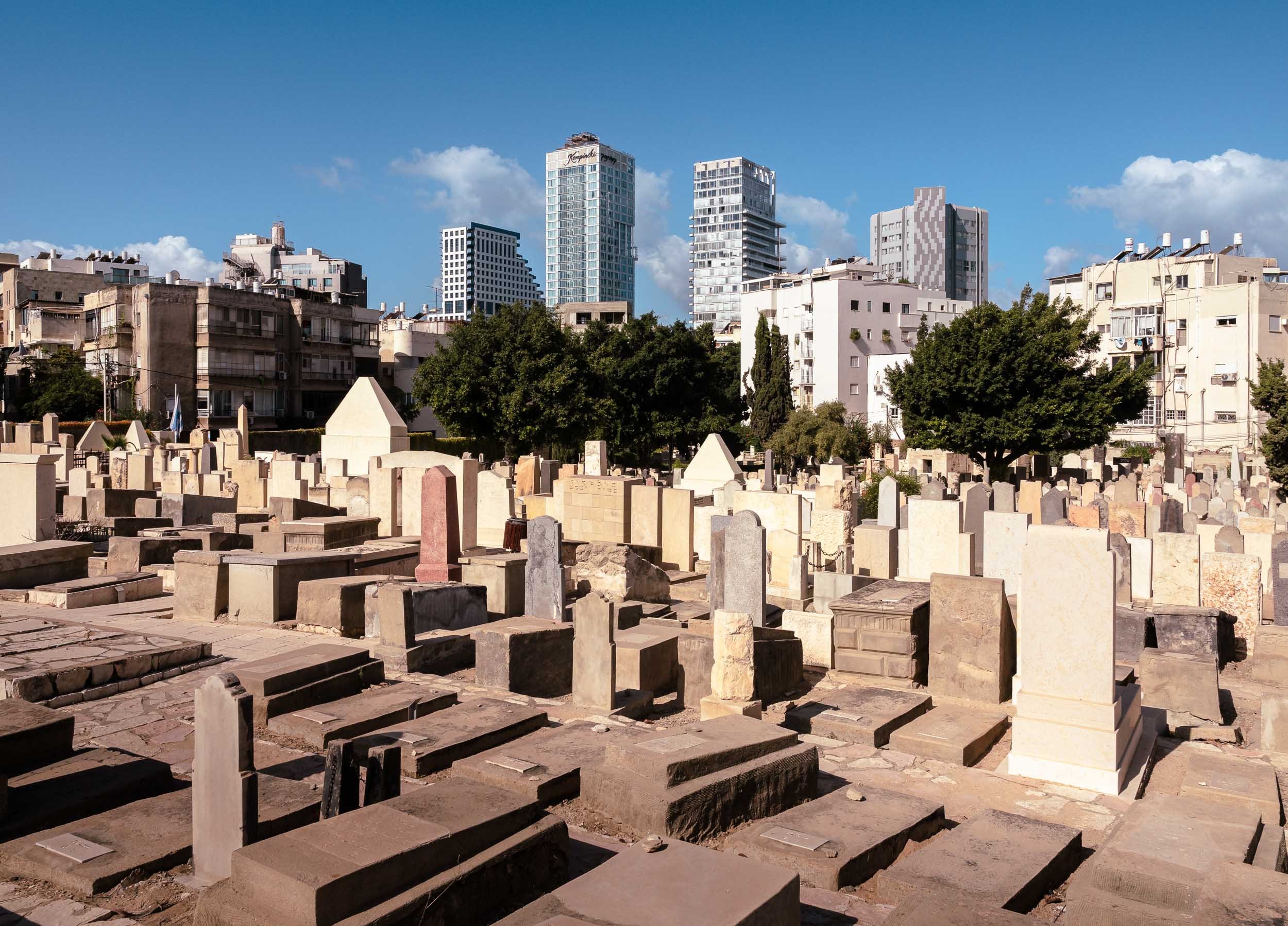
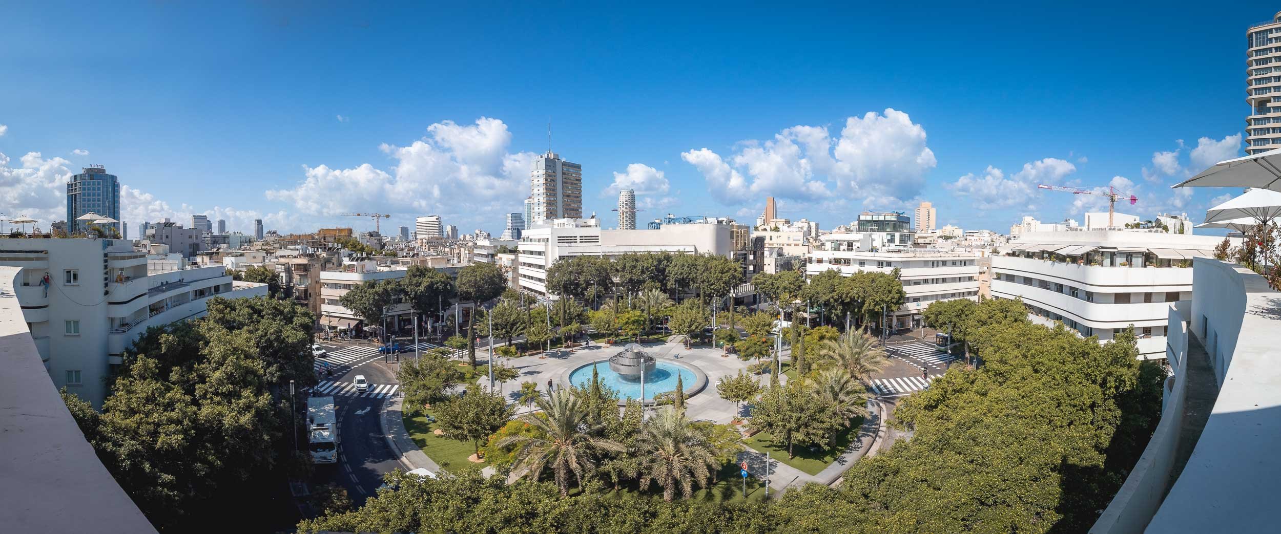
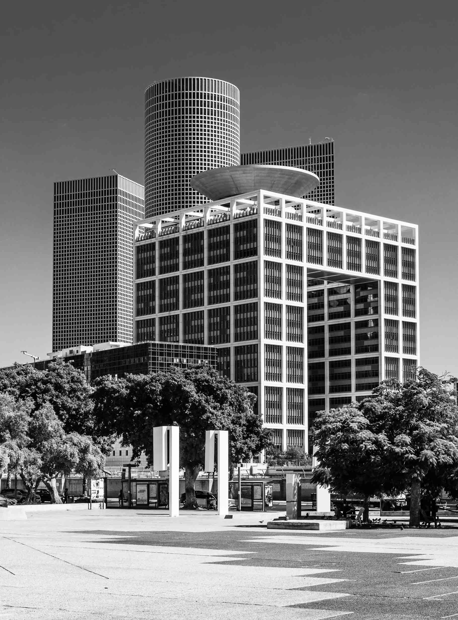
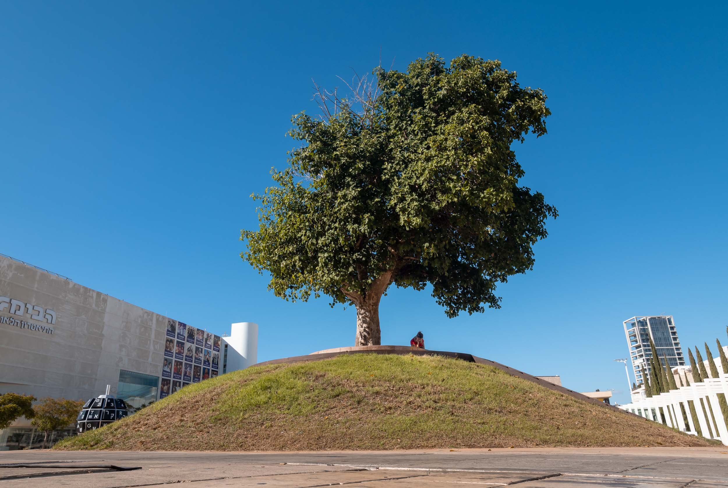
The Museum of Modern Art
While the city’s diverse architecture features many interesting corners, this building was definitely among my favorites.


The inside is no less intriguing.


The Museum features works by Klimt, Van Gogh, Monet, and also the intriguing Miniature Rooms by Helena Rubinstein.


Jaffa - The Real Roots
Tel Aviv in its current form is just over 100 years old, but the real roots of the city lie in Jaffa to the south.
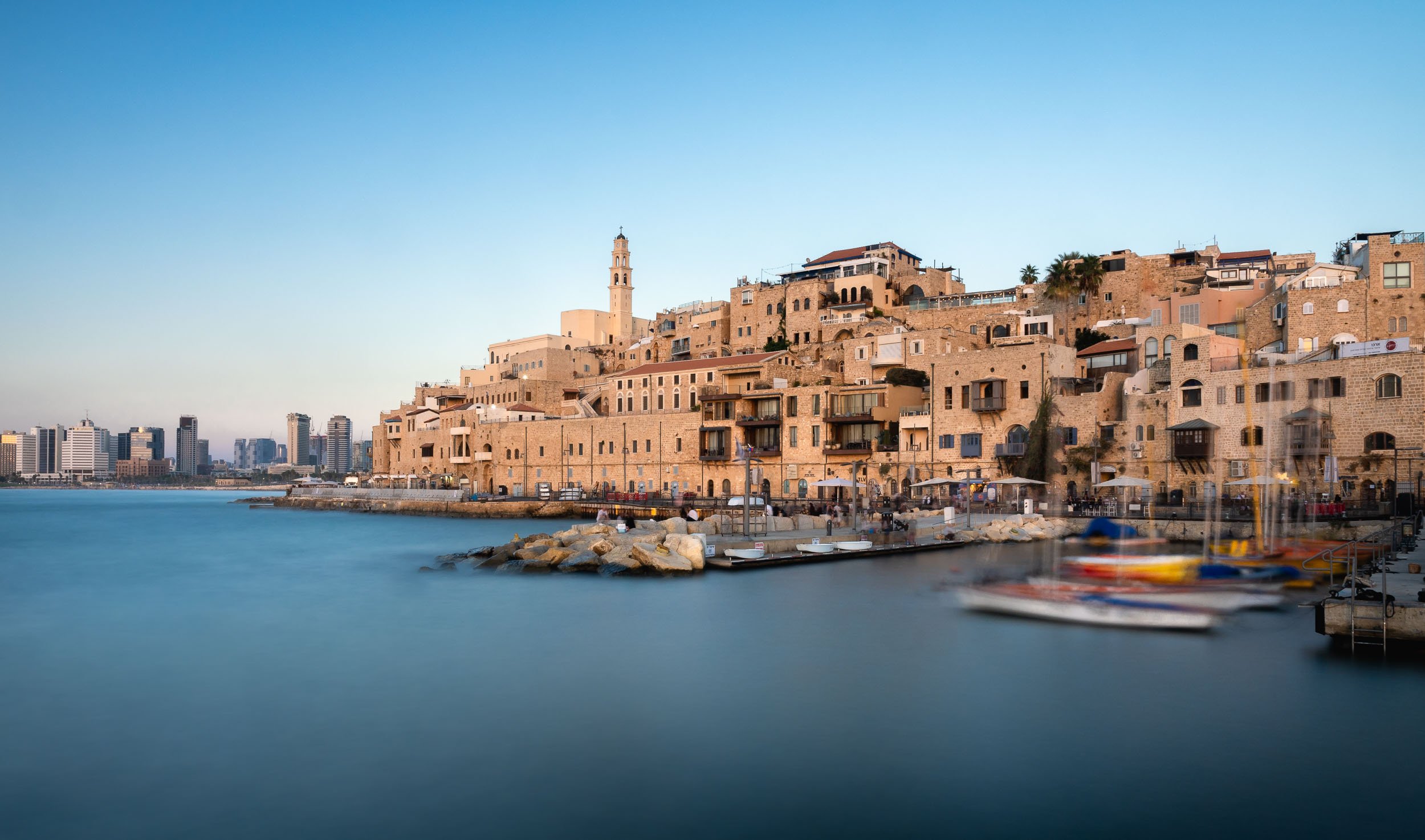
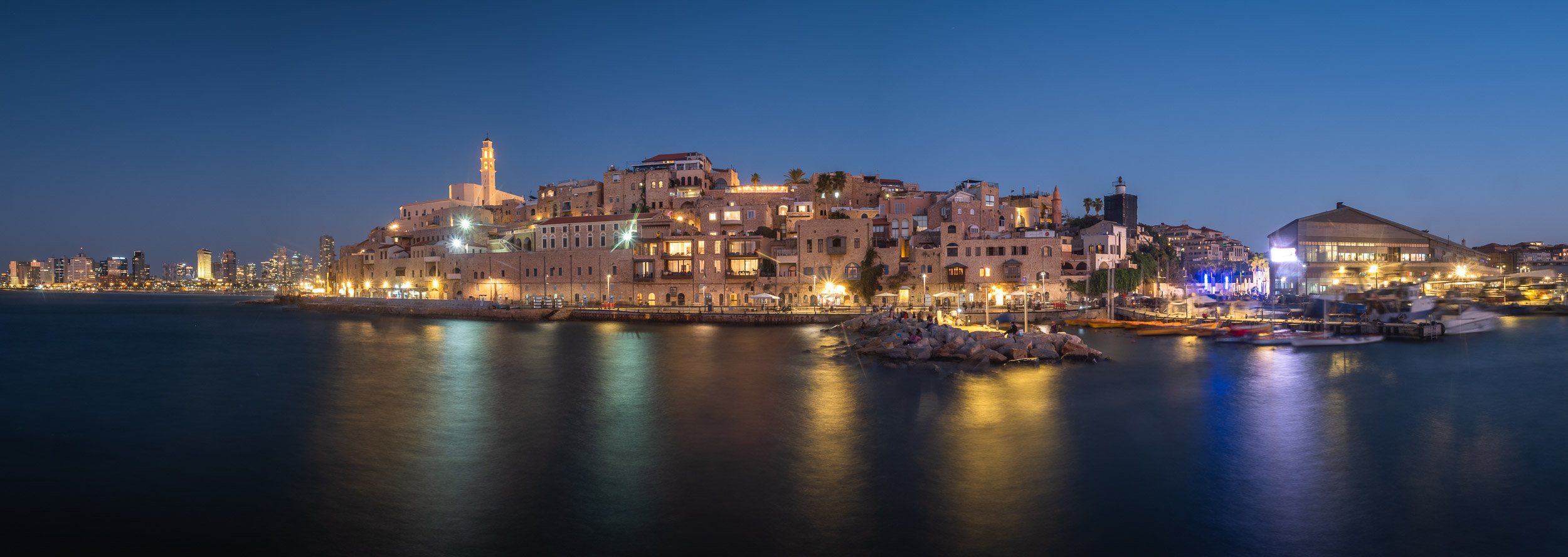
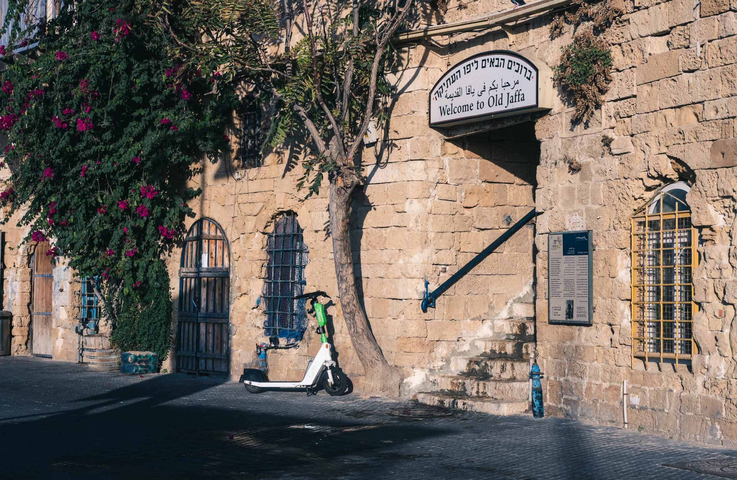
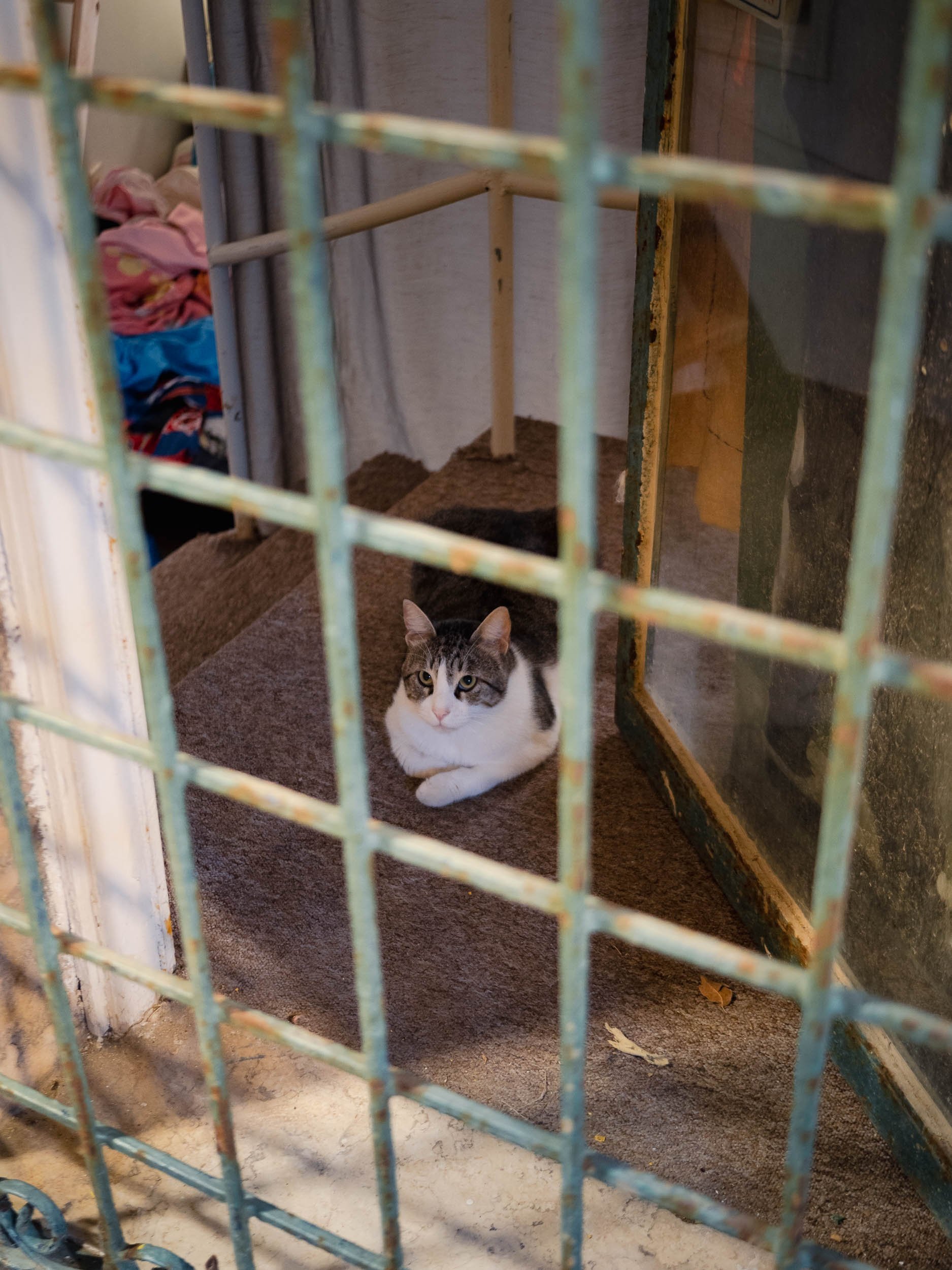
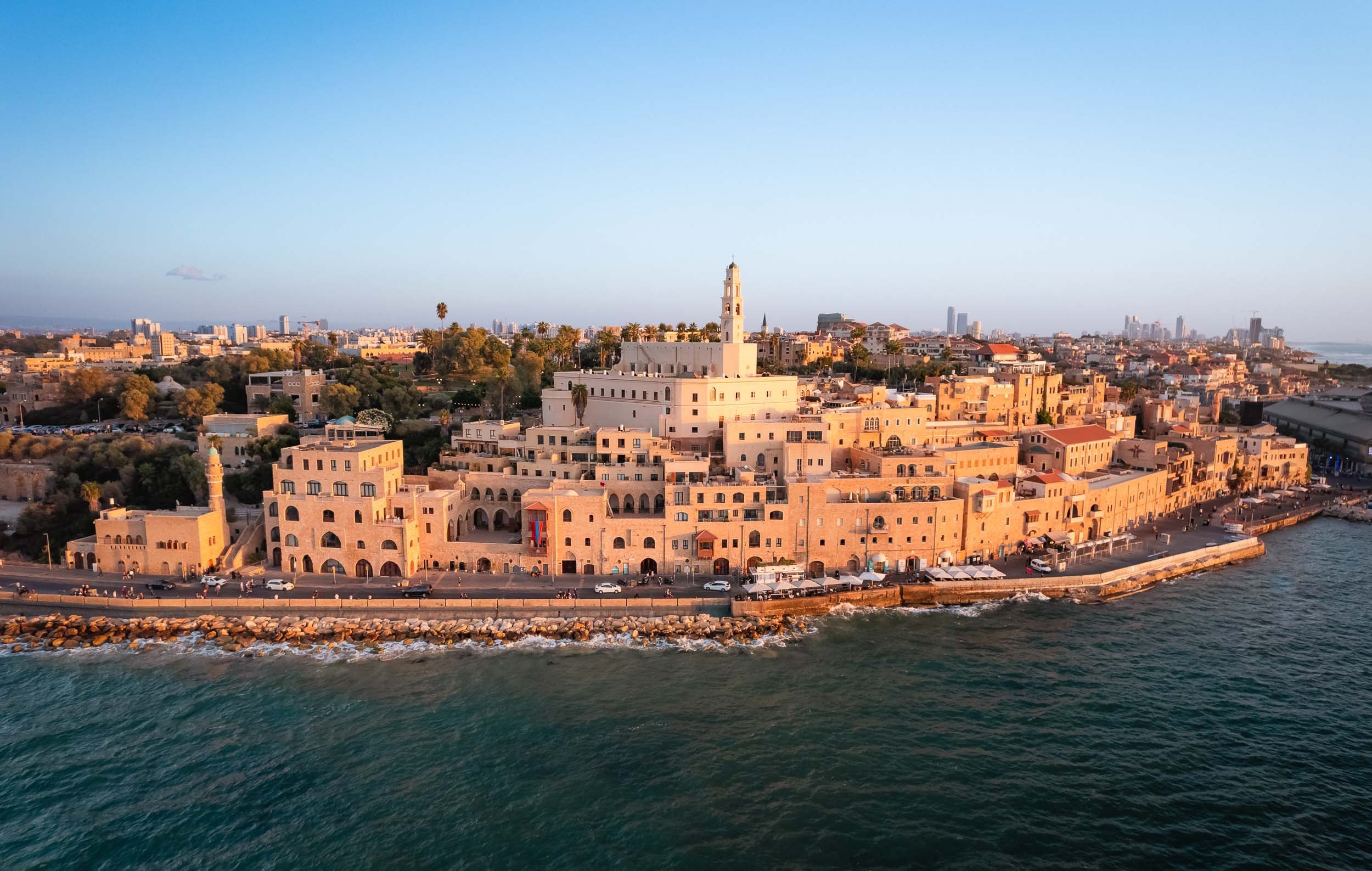
Beit Guvrin-Maresha National Park - Jewish, Roman, Byzantin, and in Between.
About an hour south-east of Tel Aviv lies the next stop on our route. This UNESCO World Heritage Site was full of surprising archaeological excavations, starting with a group of huge bell caves, some of them over 18m tall, airy, and used over 1000 years ago to extract chalkstone from the ground for construction.

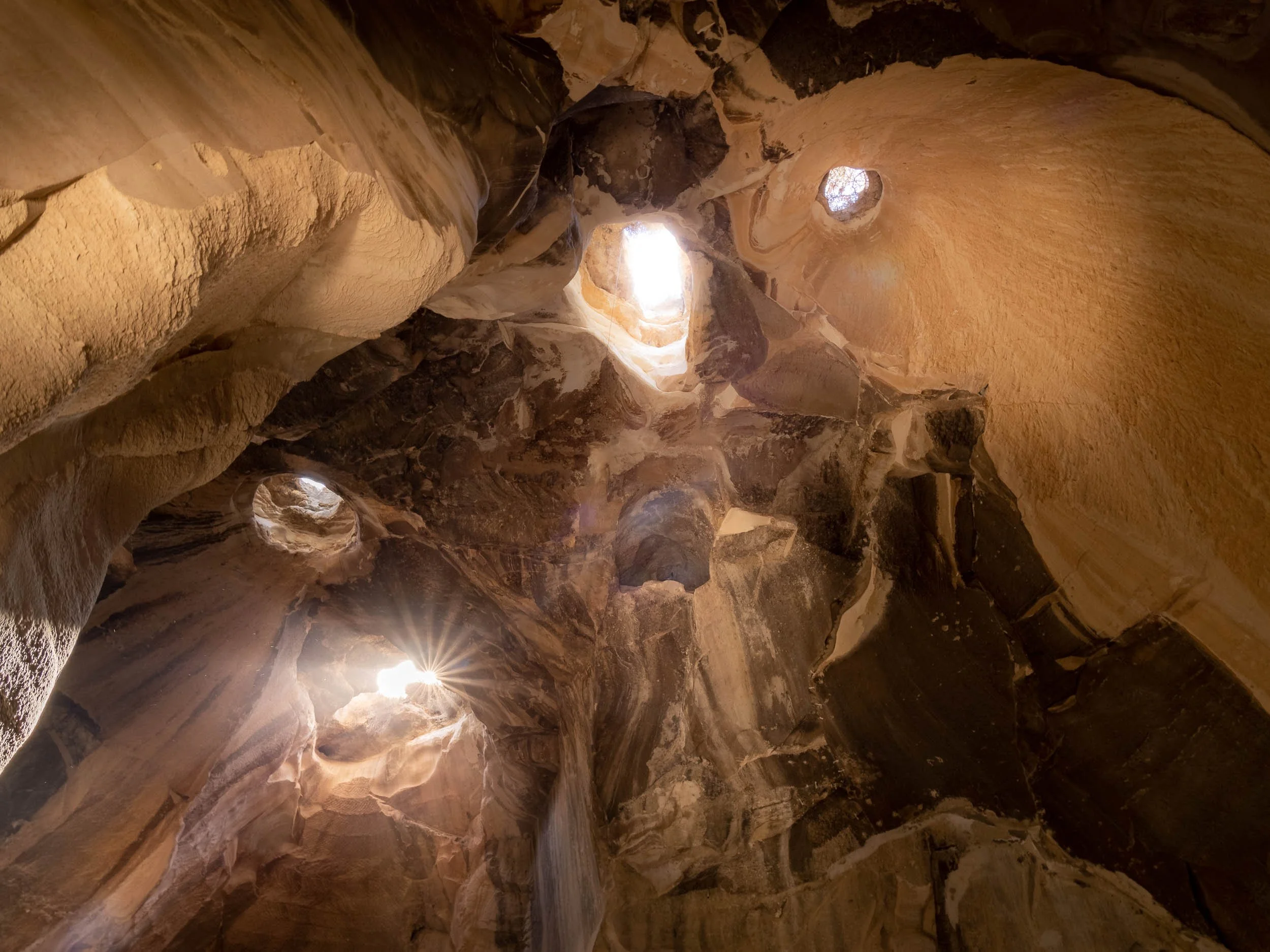
Additional caves acted as living quarters and baths, many of them interconnected via stairs and tunnels.


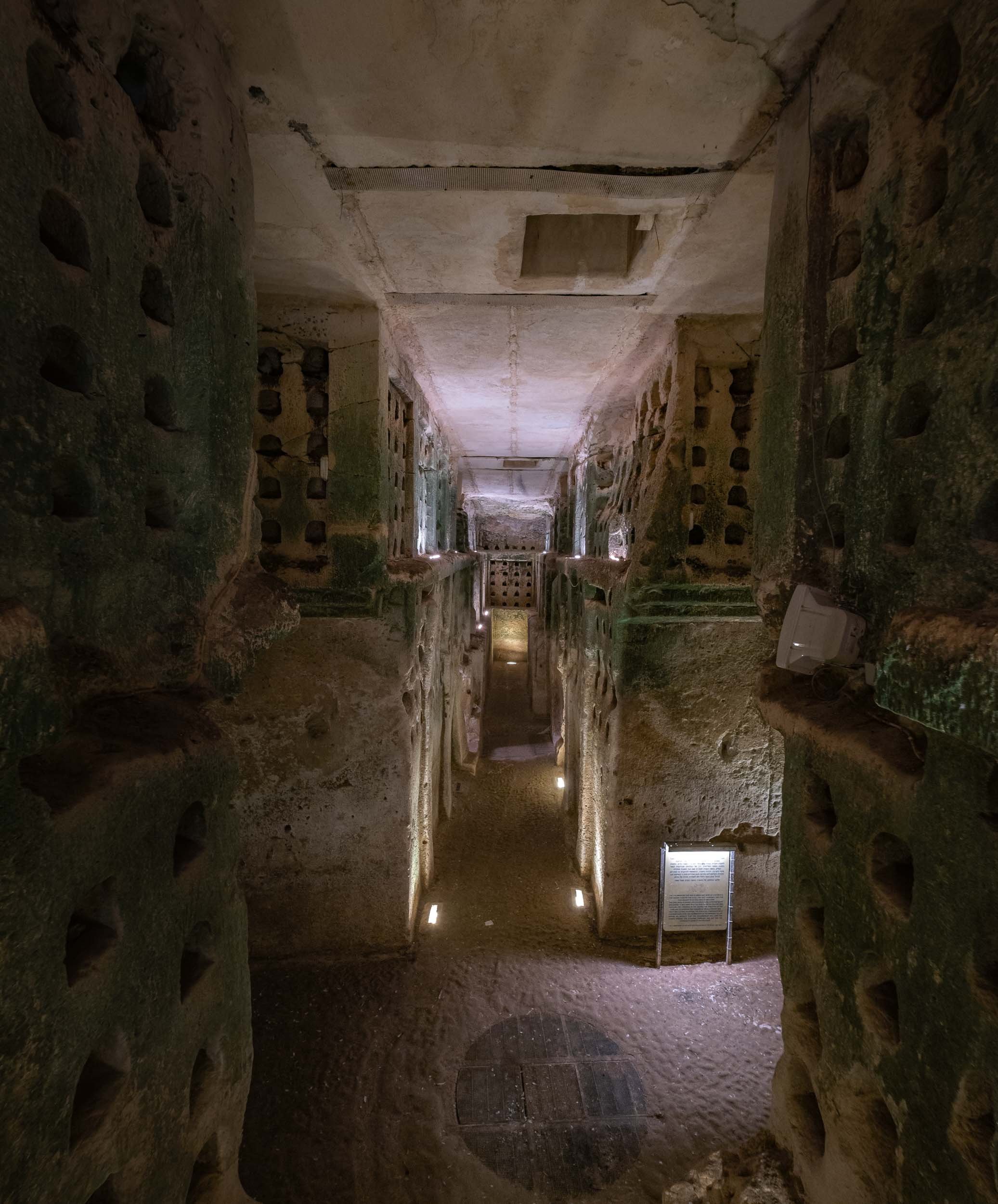
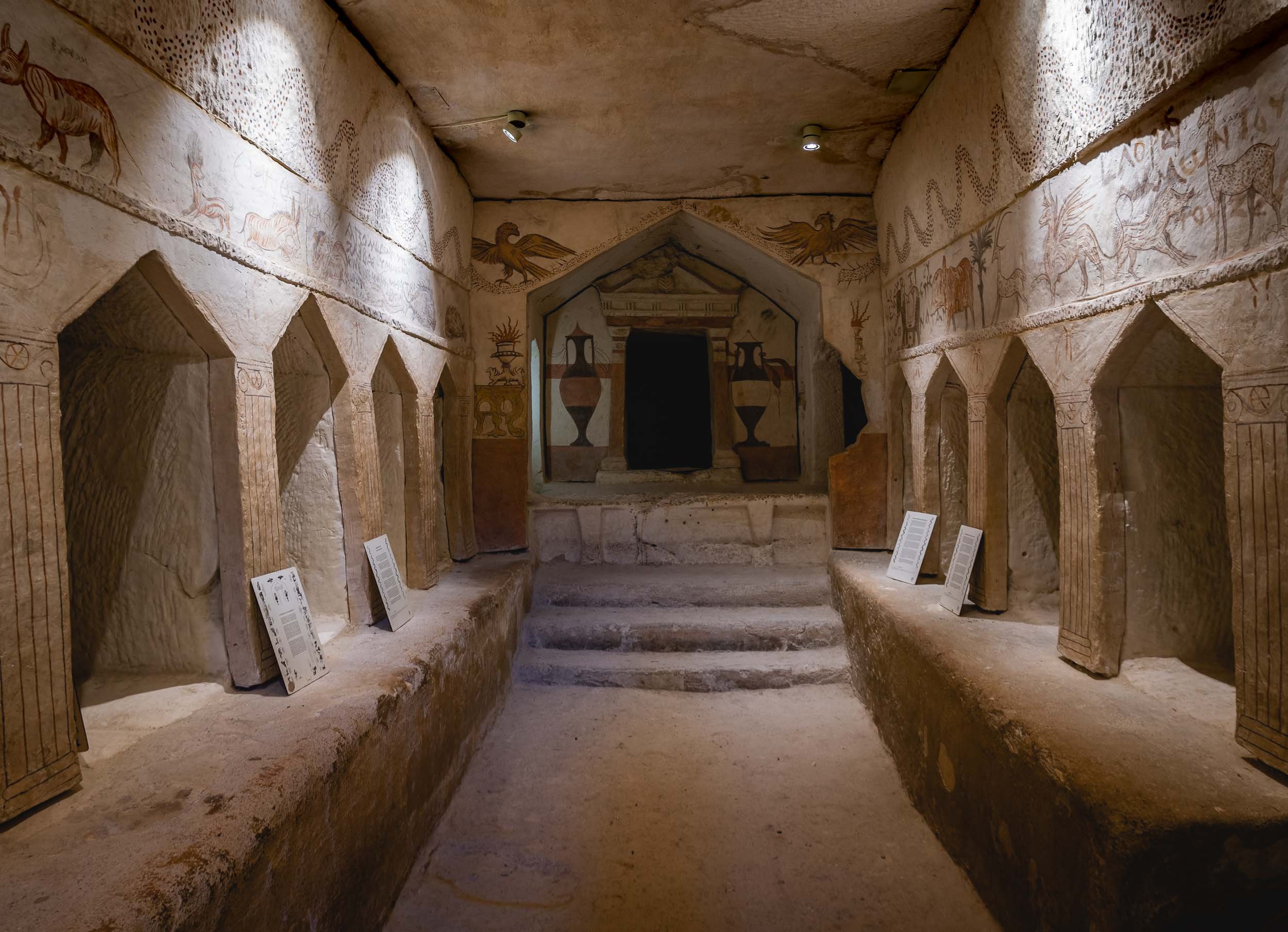


The site is also home to a Roman amphitheater built in the second century and uncovered in the 1990s.
The Stalactite Cave
A few kilometres north of the park is the Stalactite Nature Reserved, situated around several quarries which were the reason for the discovery of this cave.
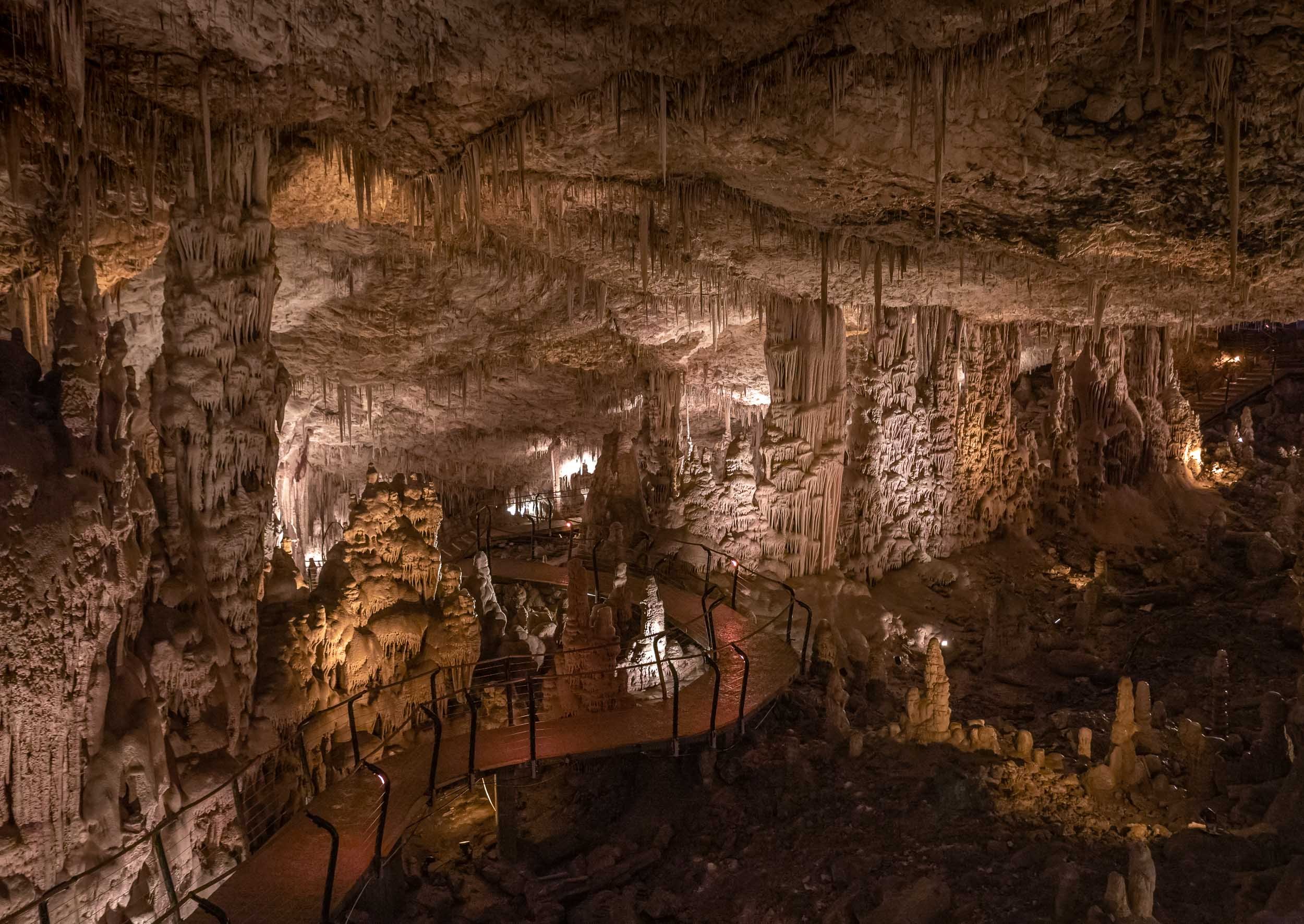
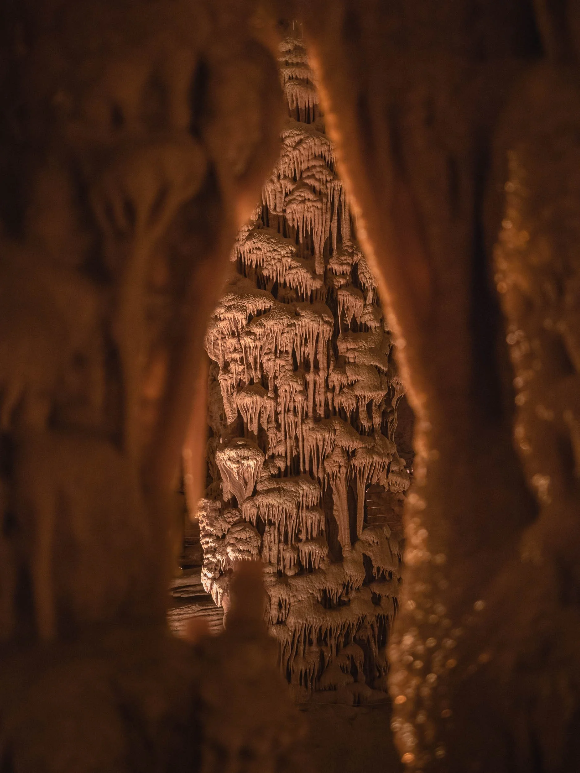

Betlehem - Into the West Bank
Before heading to Jerusalem, the trip took a small detour into the only area we visited that is not controlled by Israel as of today - the city of Betlehem. The experience of crossing the border (with no formal passport control) into a Palestinian territory encompasses a walk through a prison-like corridor and passing several one-way metal barriers, before exiting into a completely different environment, with a huge concrete wall to your left and right.
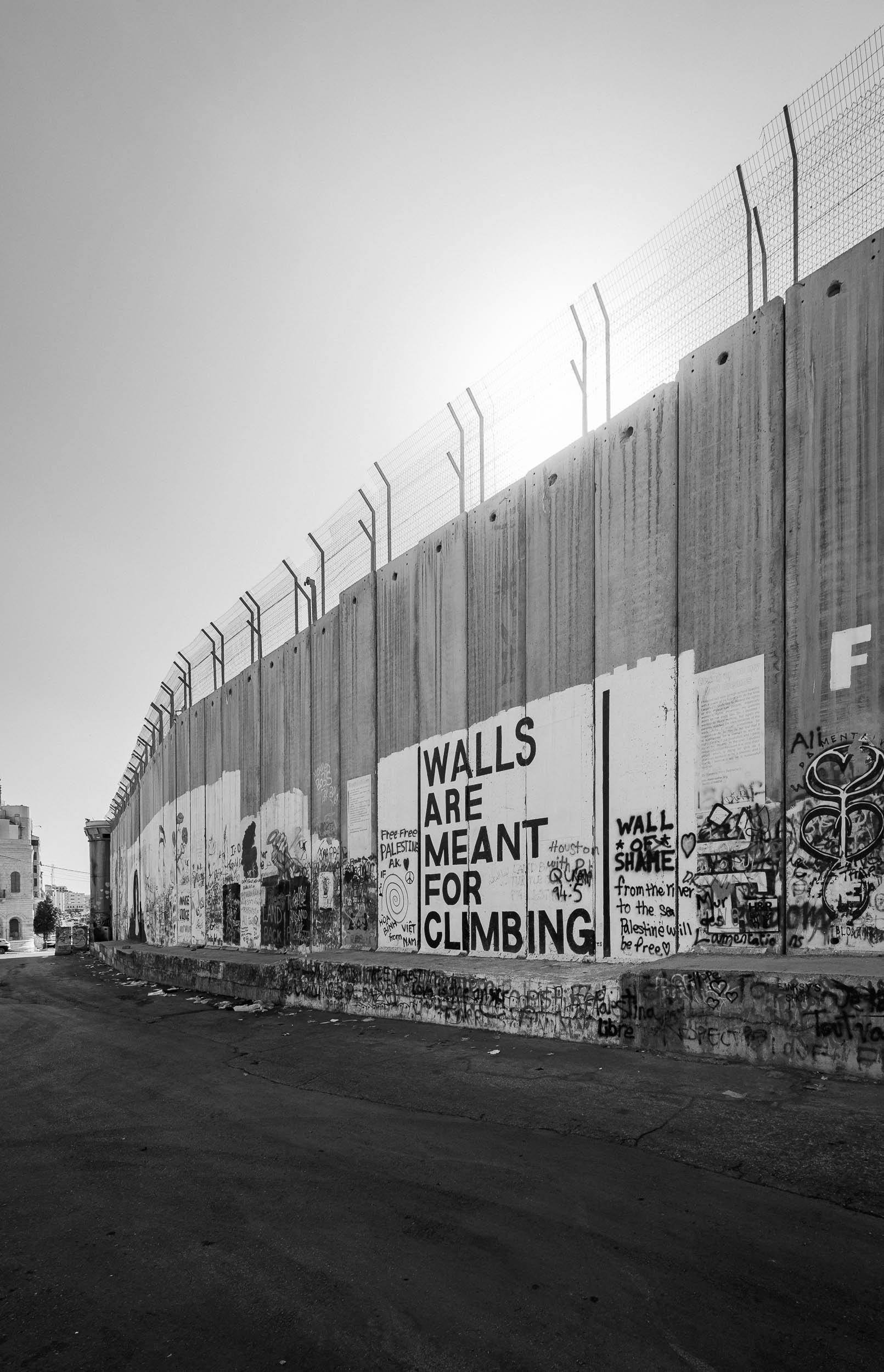
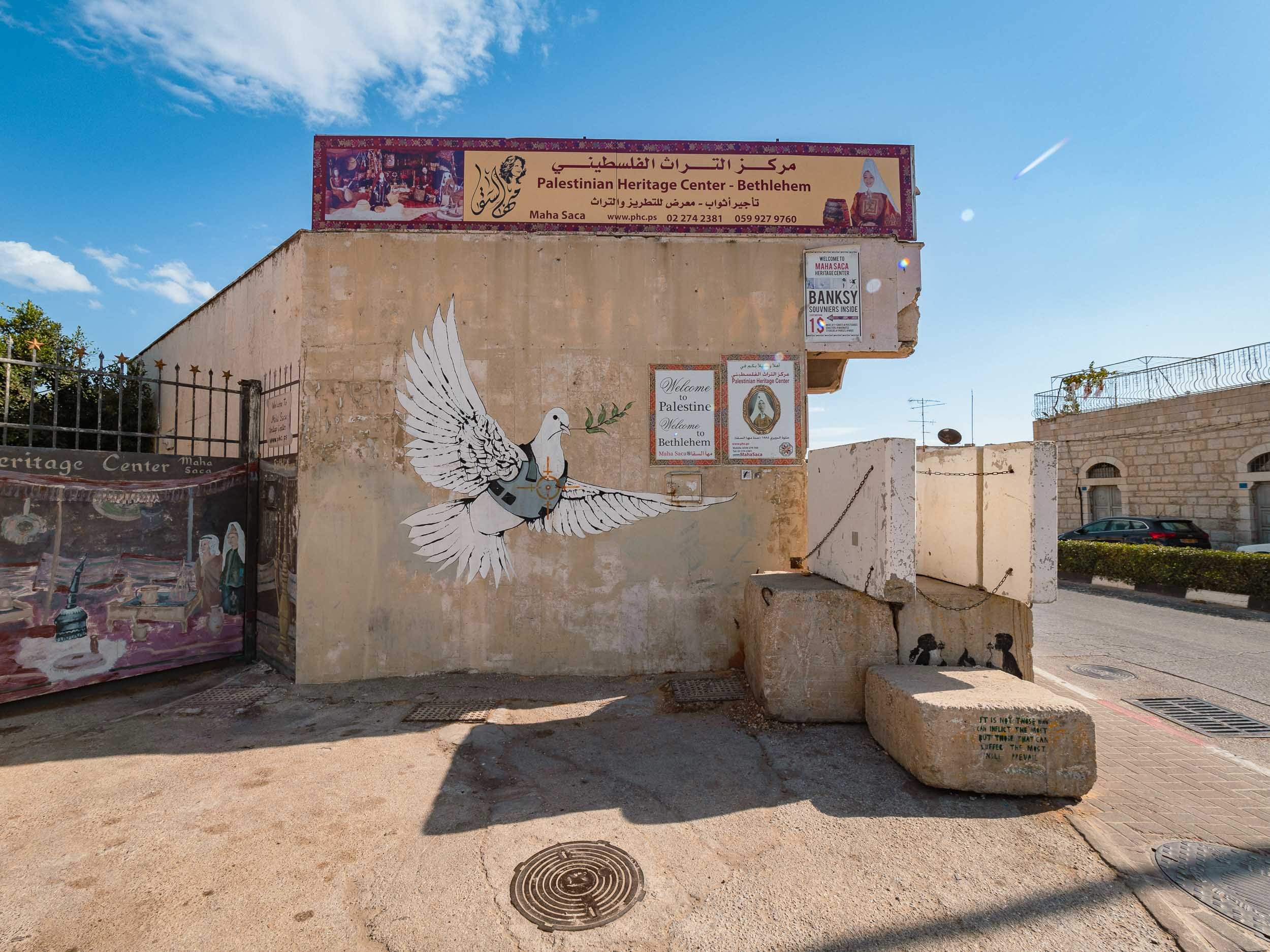
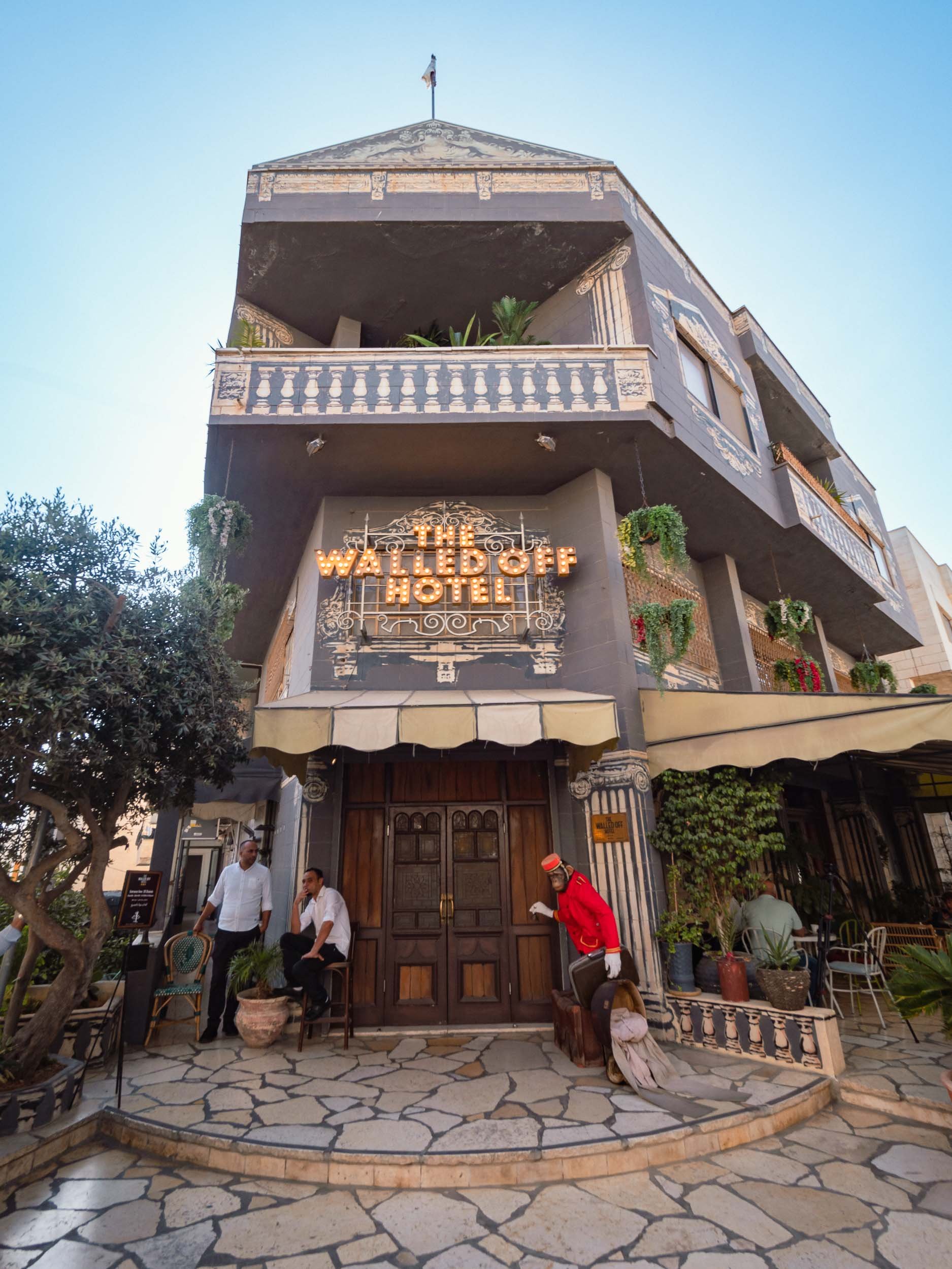
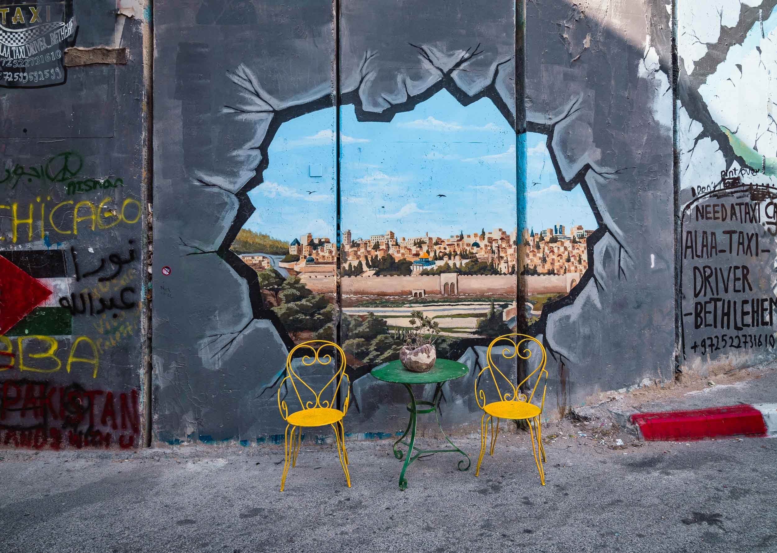
The Church of the Nativity
Of course, for most people the primary reason to visit Betlehem isn’t the wall or Banky’s art, but the church built at the spot where Jesus is said to have been born, albeit over 300 years earlier than the church’s construction. The nativity cave itself is the oldest site continuously used as a place of worship in Christianity and was declared a UNESCO World Heritage Site in 2012, the first listed under the State of Palestine.
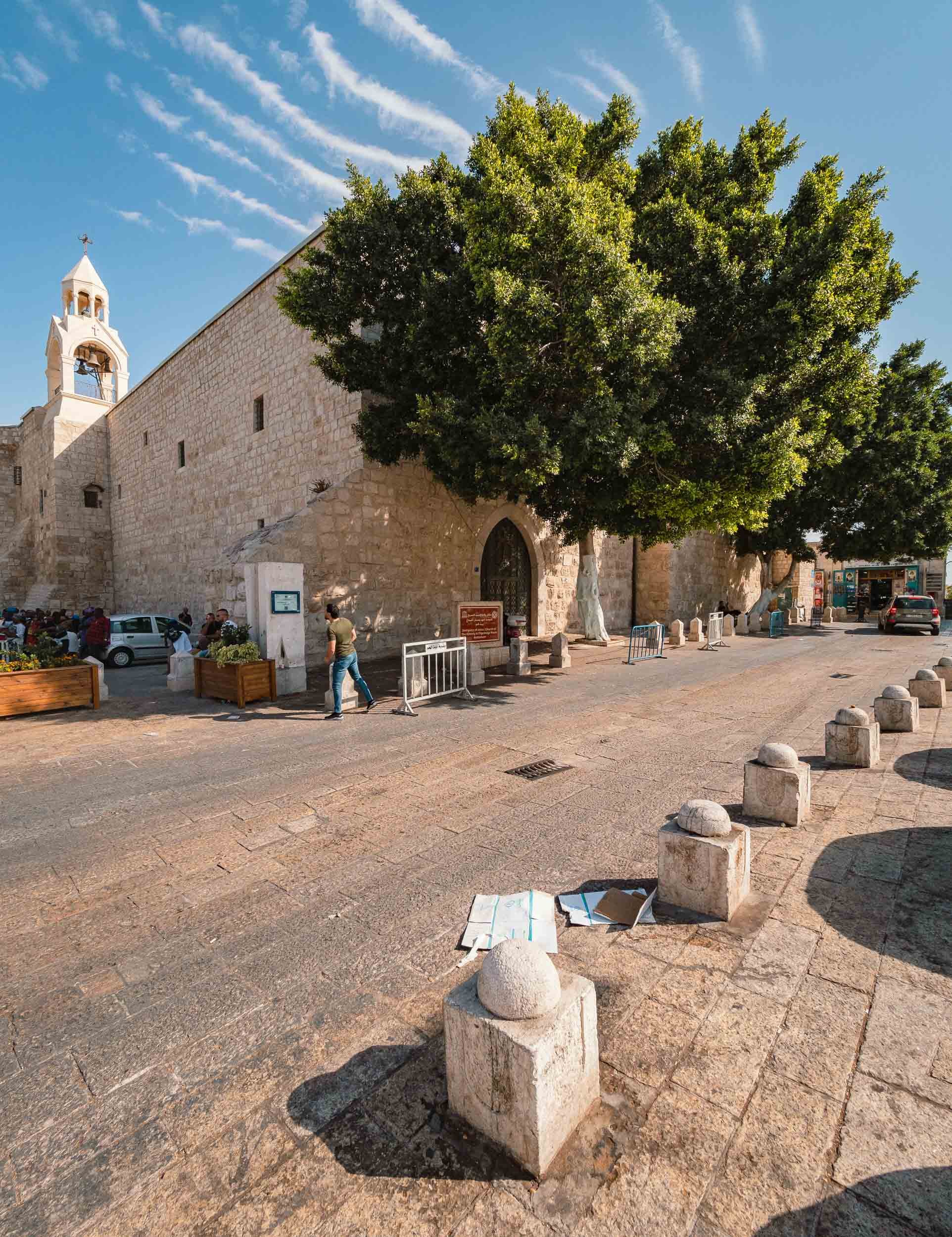
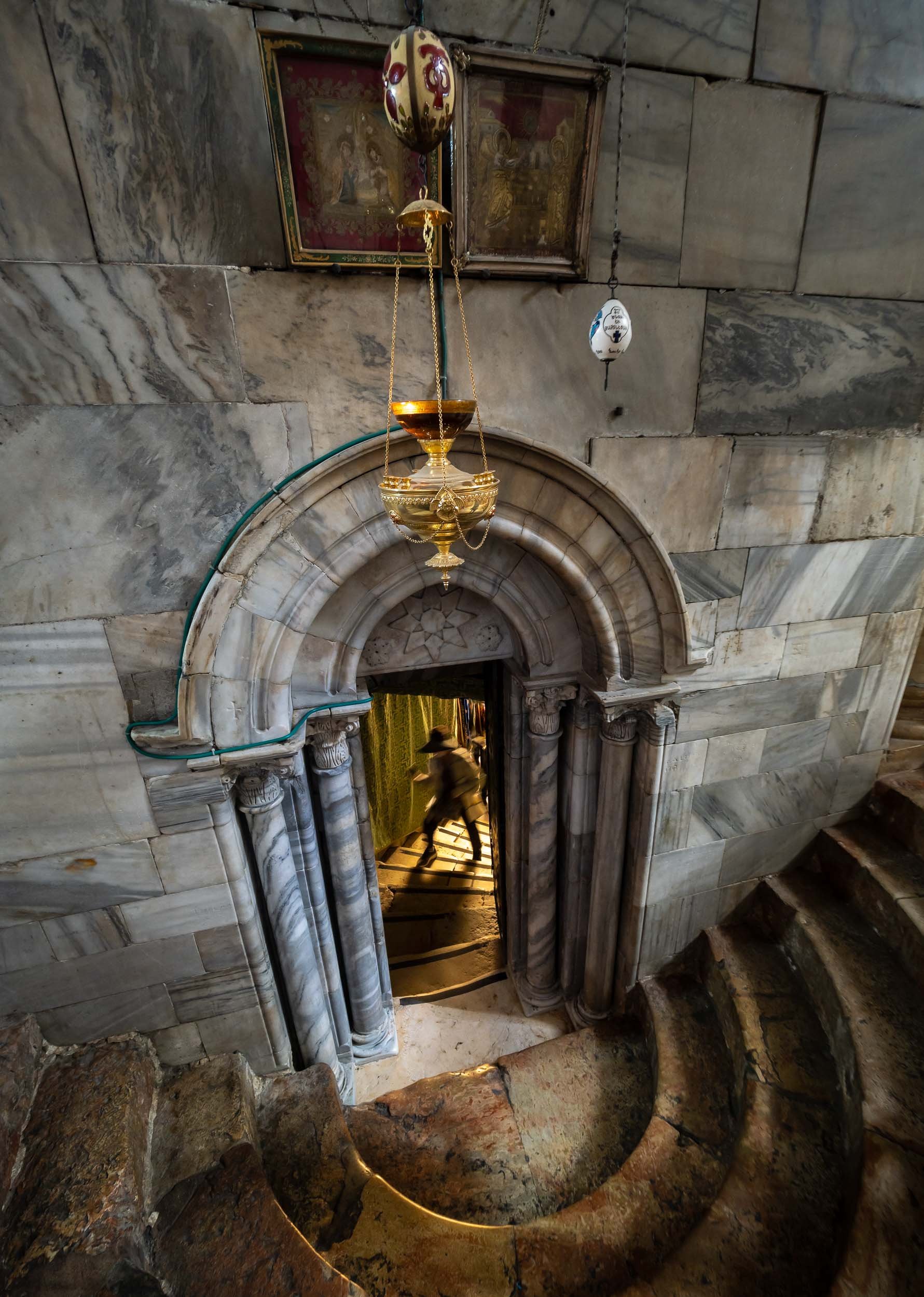
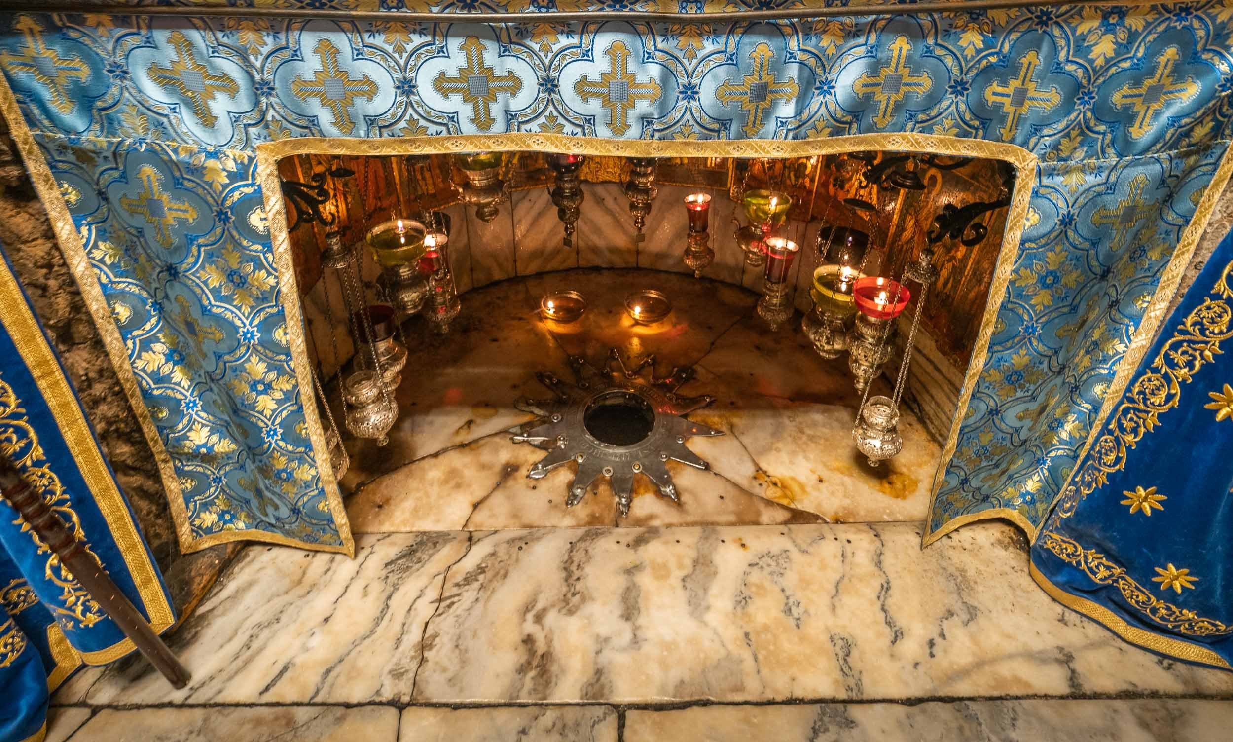
The Old City of Jerusalem - Holy Overload
Jerusalem’s Old City is without a doubt the most interesting part of the region - its historic significance is unparalleled and the number of sites with a complex past (and present) is difficult to grasp. The city is split into Muslim, Jewish, Christian and Armenian quarters (and a Moroccan one in front of the Western Wall, which was destroyed by Israel after the Six Day war in 1967), and each has its own flair, in a complex social, cultural, and political web.
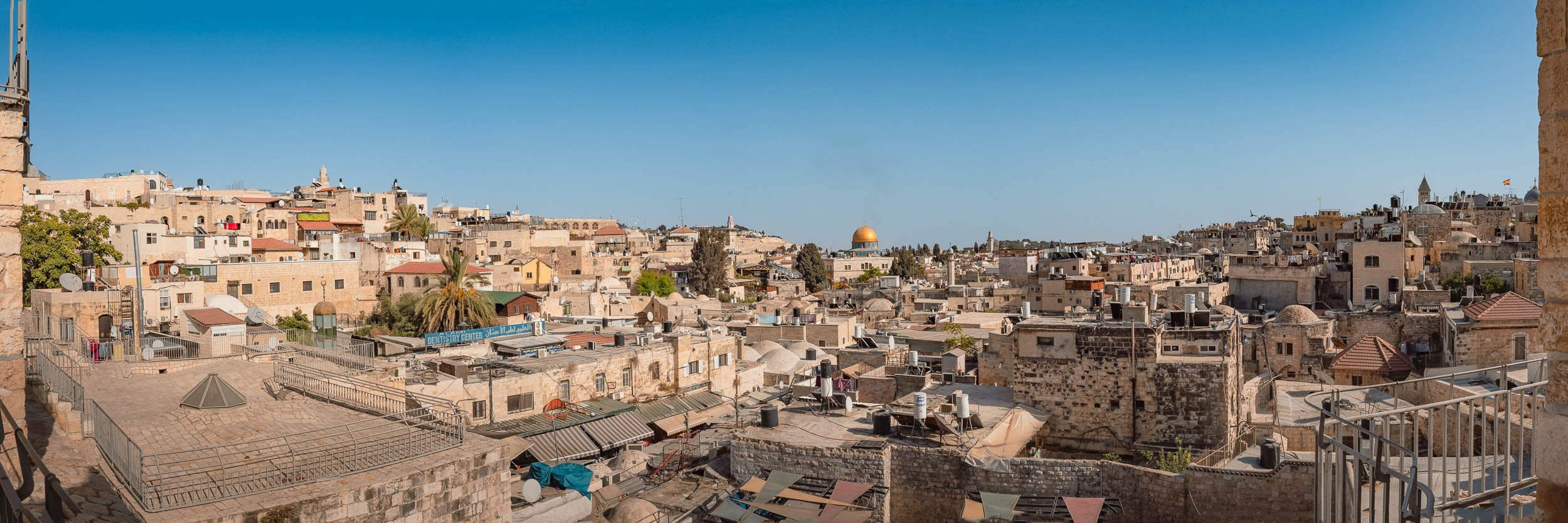


Walking through the allyes makes you feel like you are underground, and there is another layer above you - this is partially true, the roofs of many of the houses are accessible and walkable.
Church of the Holy Sepulchre
The current responsibilities for the religious sights in Jerusalem and Betlehem are managed through the so-called Status Quo from 1878, governing the roles of the various religions in managing the significant historic sites in the area. It’s an incredible read, and the complexity of interactions between the political parties and religions (even within their branches) is difficult to grasp. Find out more here.
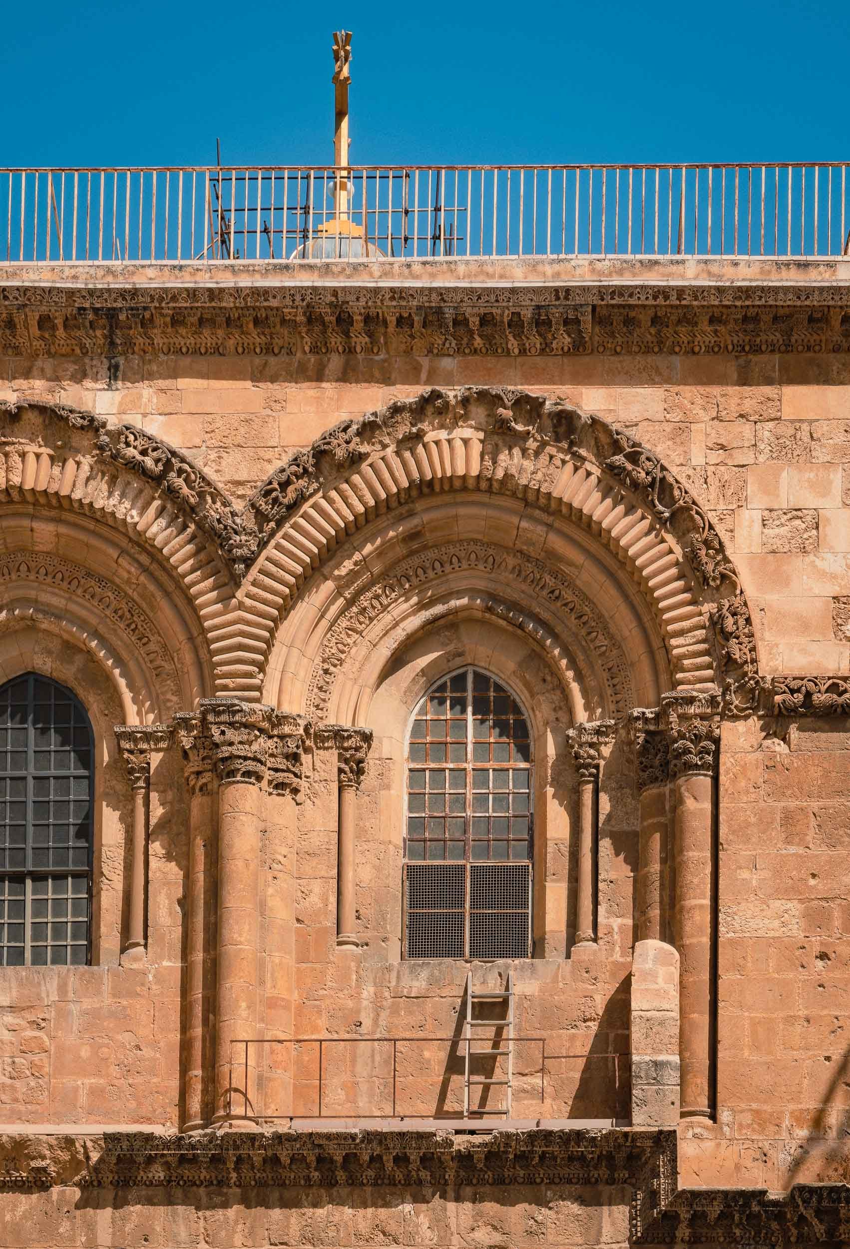
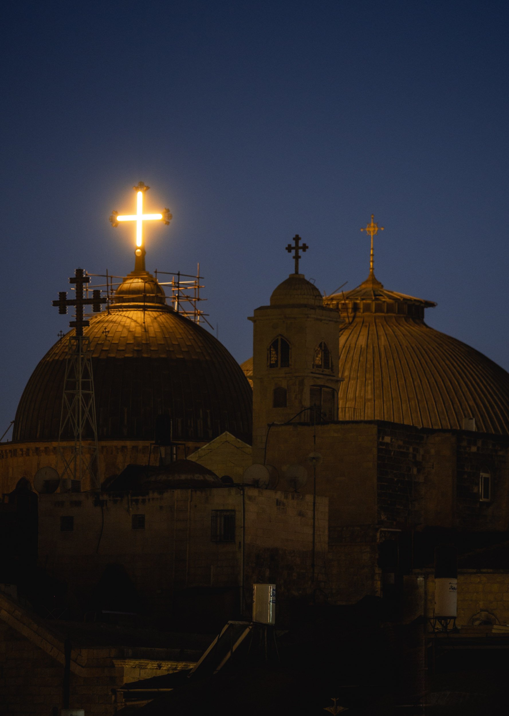

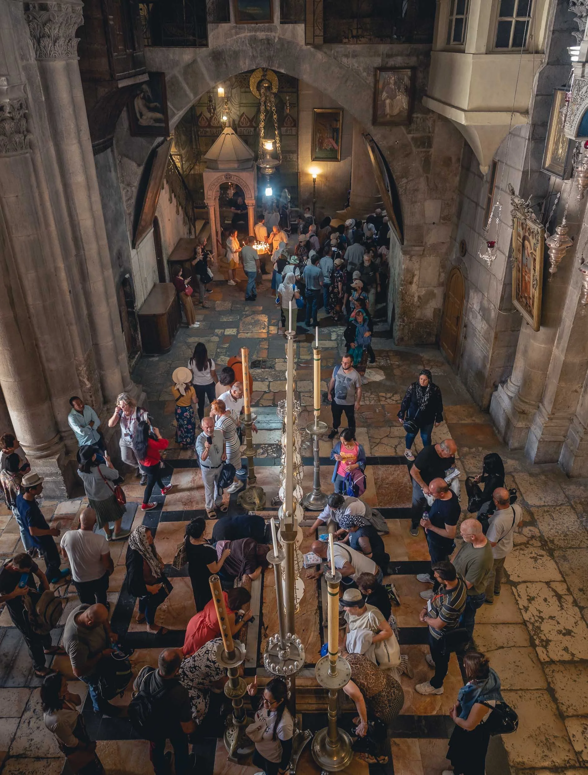
Two of the most important pilgrimage sites in the church are the Calvary, said to have been the spot of Jesus’ crucifixion (to the left above), and the Stone of Anointing, where Jesus’ body was prepared for burial (although the current stone was only placed here in 1810).
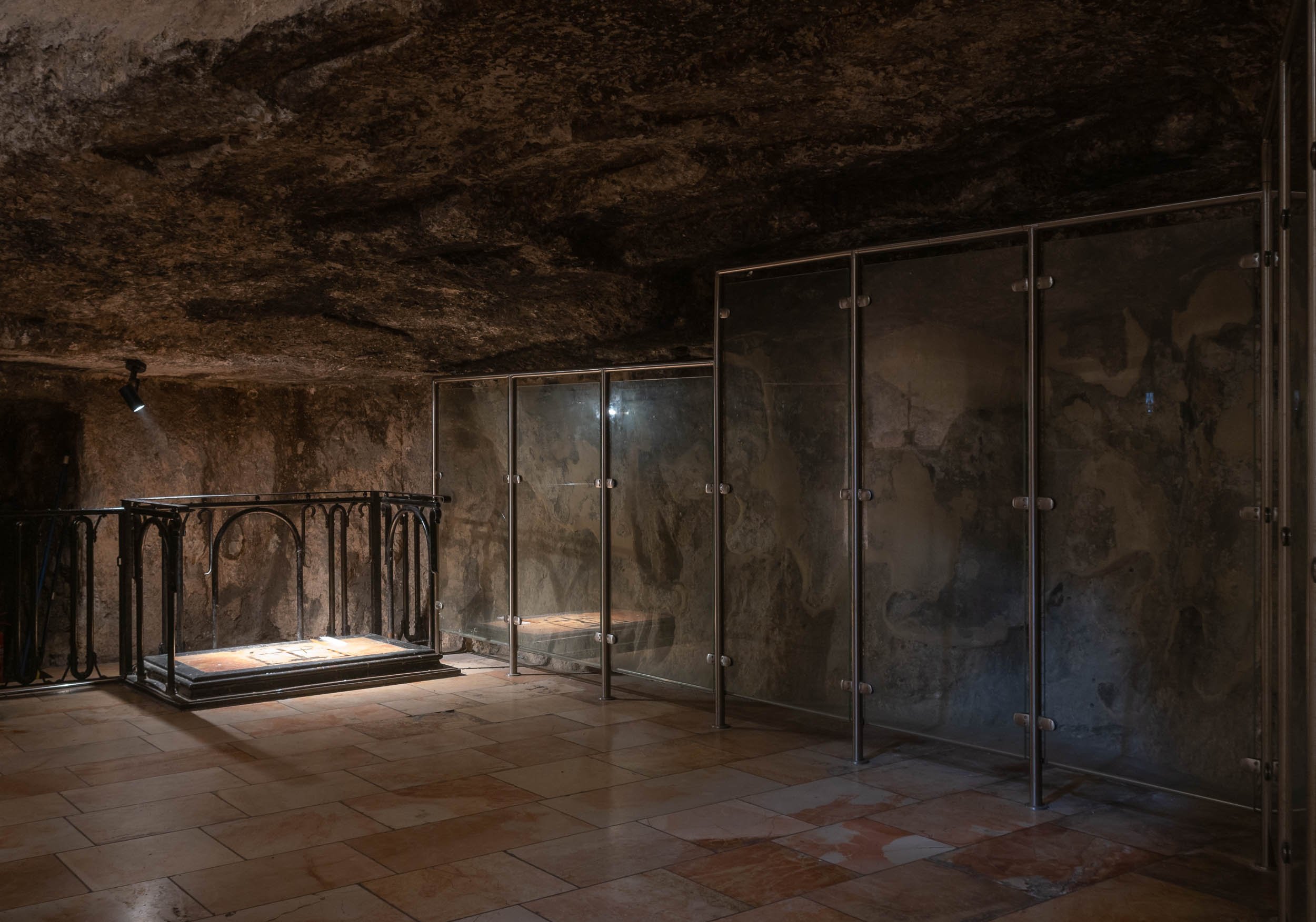
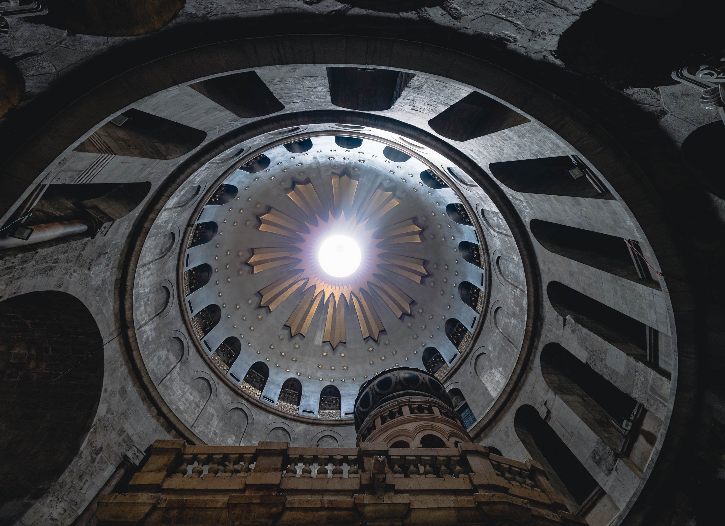
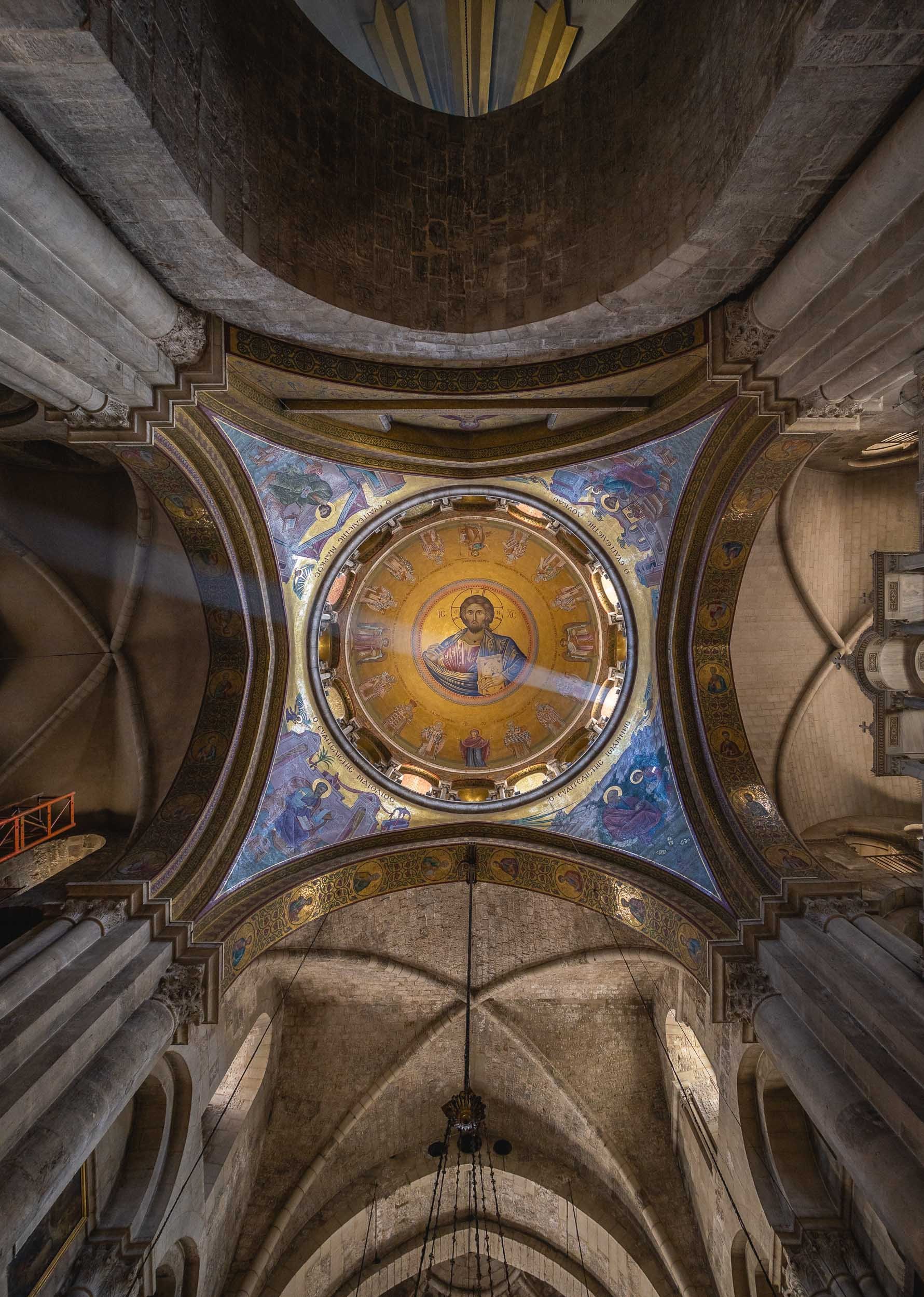
Dominus Flevit & Its View
This church on the western slopes of Mount of Olives offers a beautiful view of the Old City, and a particularly special one from the interior of the church.


Its unique aspect is the western facing altar, which is unusual for Christian churches. It was built this way to offer the view Jesus was said to have had when he wept while predicting the impending destruction of Jerusalem.
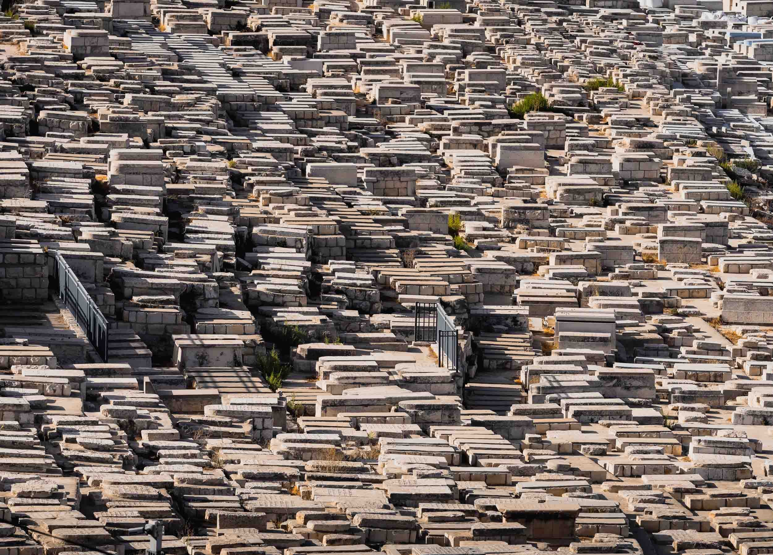
The Western Wall - A Small Piece of the Puzzle
The holiest Jewish site in the Old City is the Western Wall, often known as the Wailing wall. It sits on the west of the Temple Mount compound, and contains the exposed parts of the leftovers of the Second Jewish Temple.
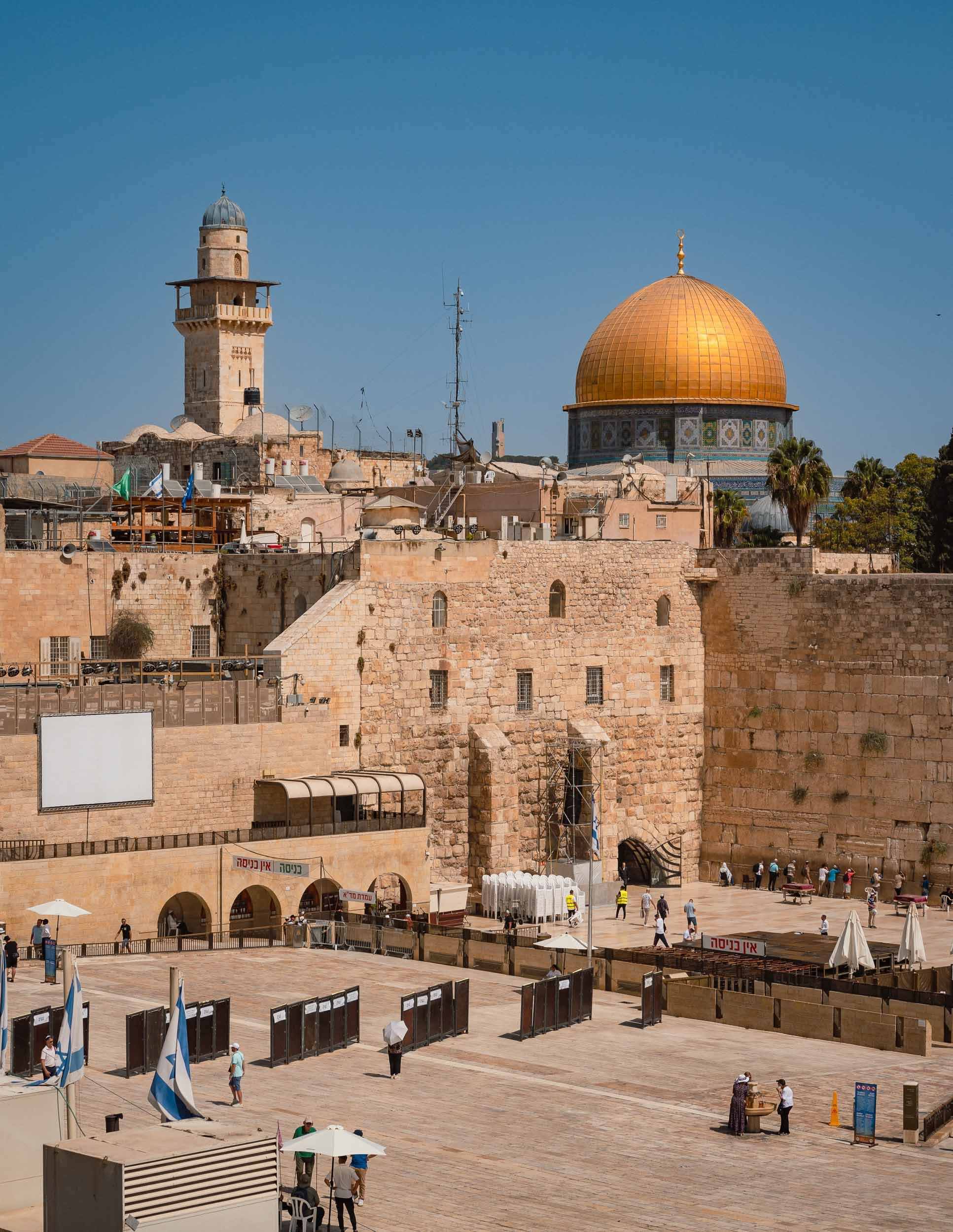
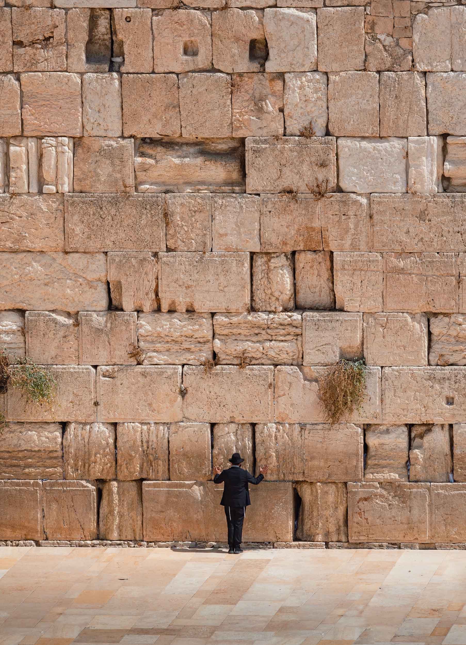
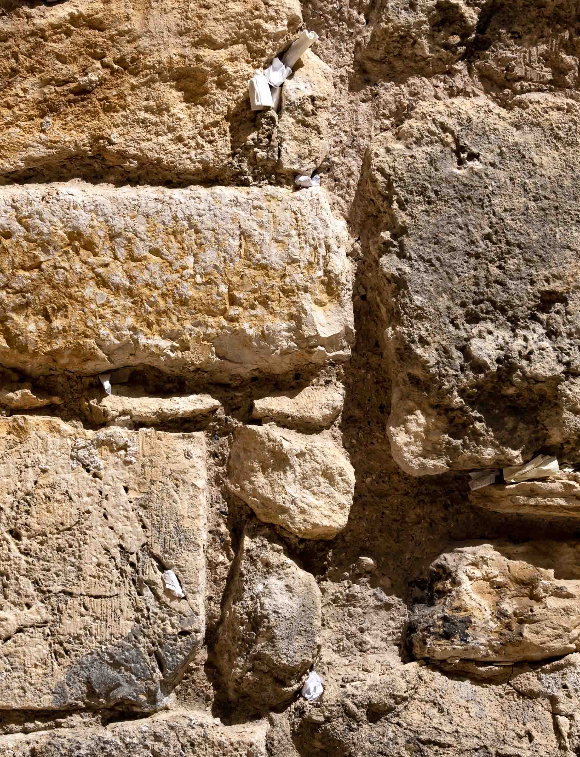
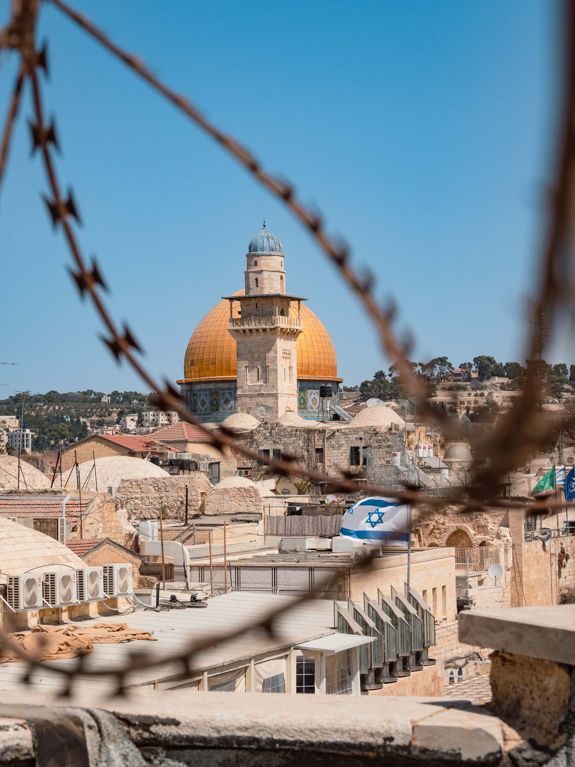
Dome of the Rock - The World's Oldest Surviving Work of Islamic Architecture
In the east of the Old City, on the Temple Mount, lies this another World Heritage Site, built in 688. While primarily an Islamic shrine today, it holds significance for all Abrahamic religions as the location of the Foundation Stone, the place where God created the earth and the first human.


In 1993, the golden dome covering was refurbished with funds provided by the King of Jordan - the country appointed the Waqf (trust) that is in charge of managing the site.
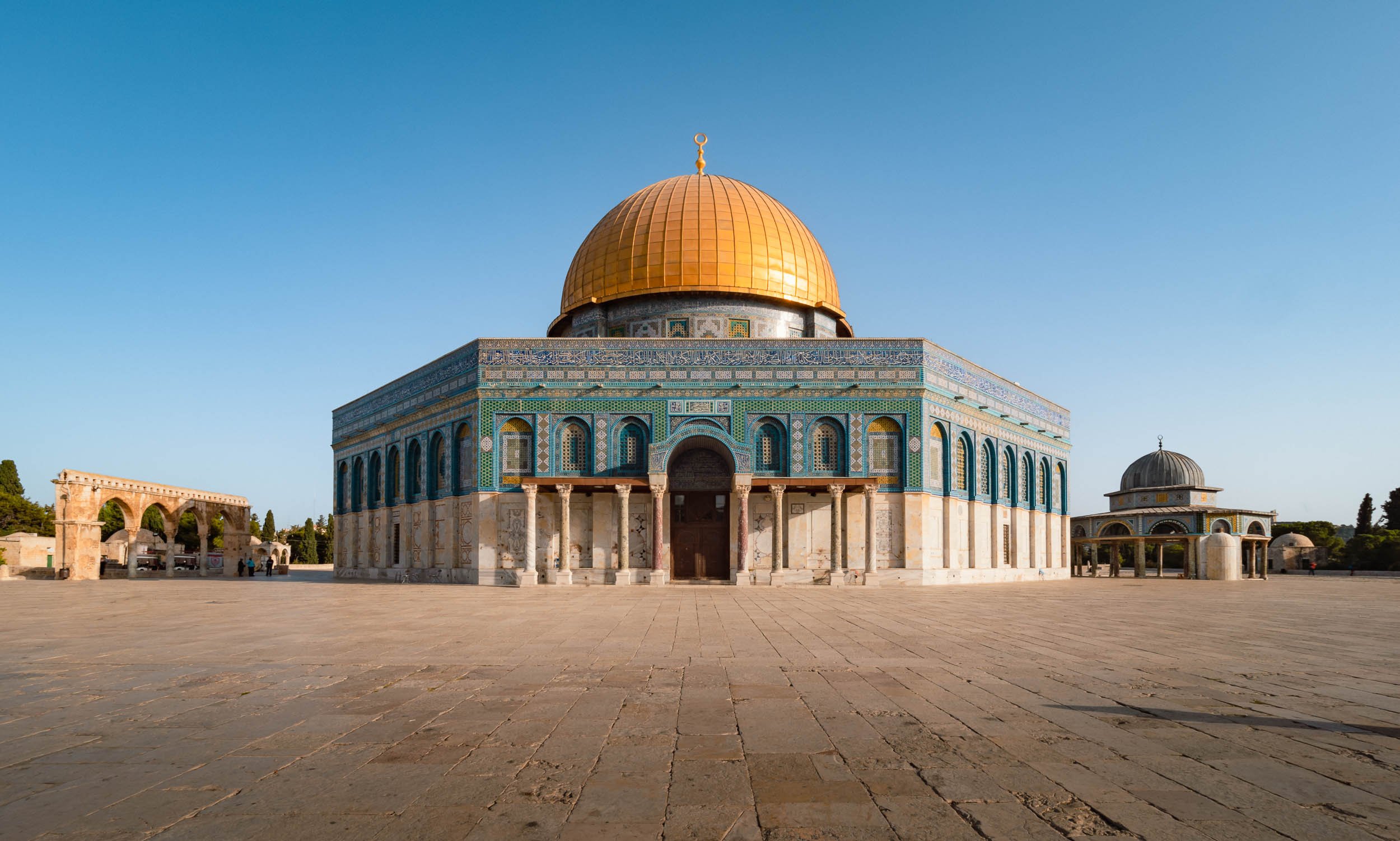


Take a Walk Around
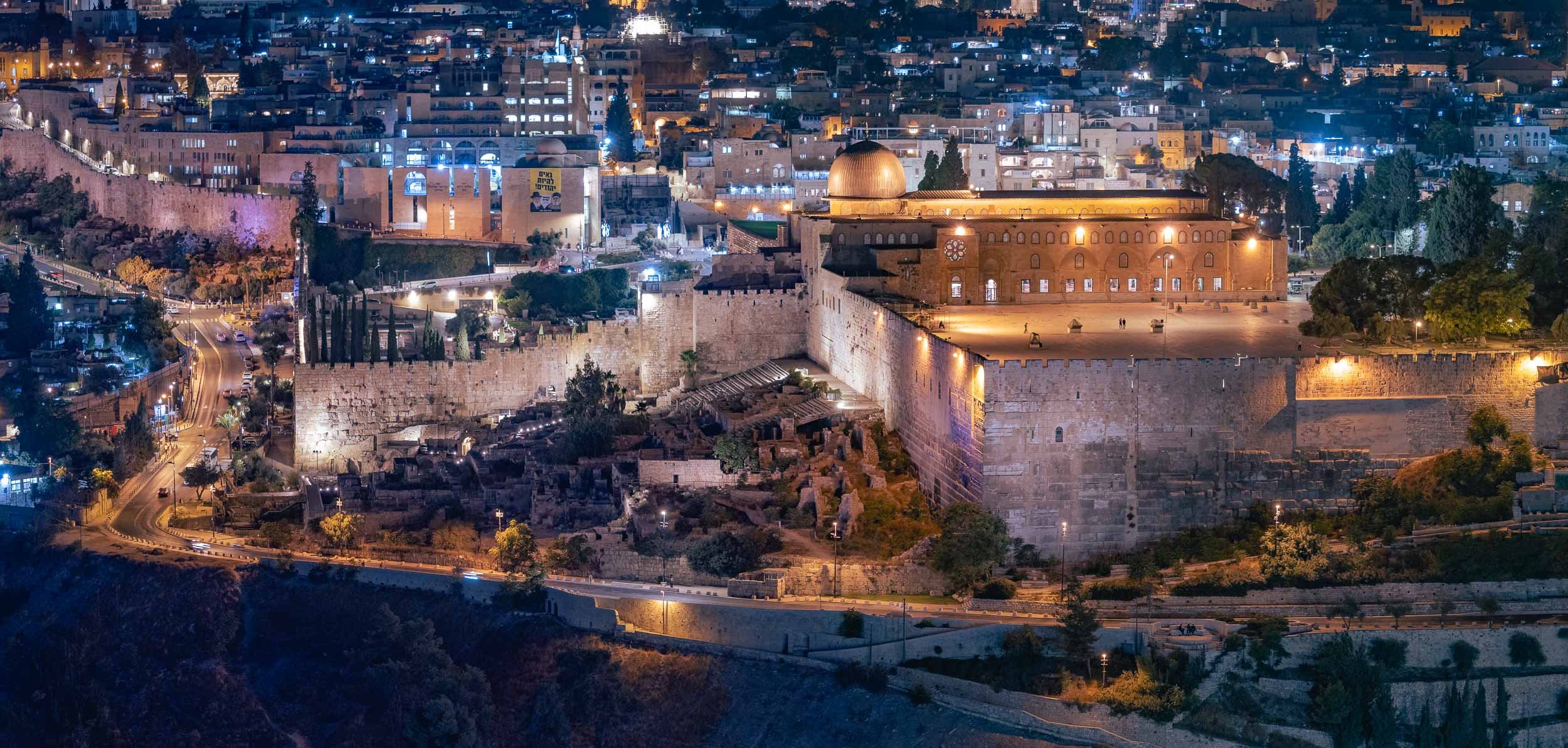
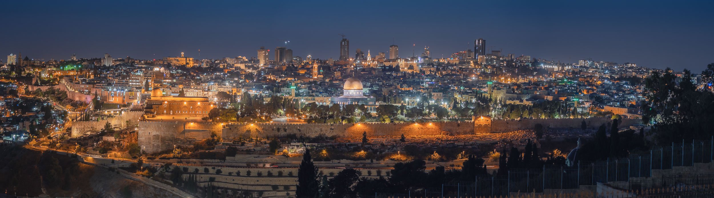
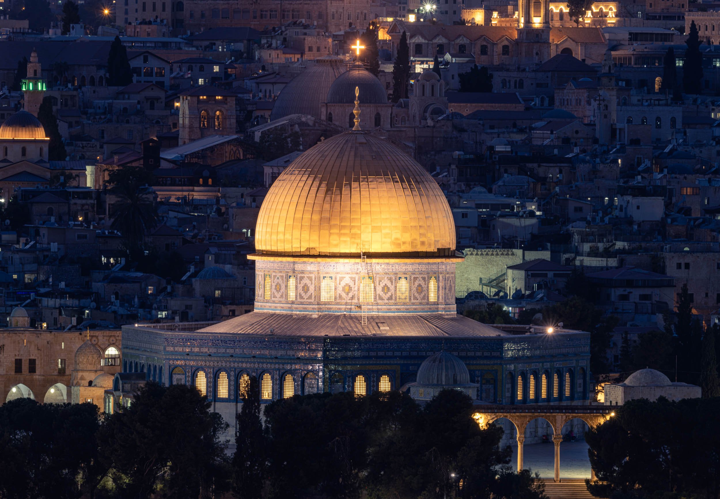
Street Scenes of the Old City
It’s an endless endeavor to cover all the alleys, corners, roofs and small shops in the quarters.


If you’re in need for some souvenirs, there are plenty of questionable options.


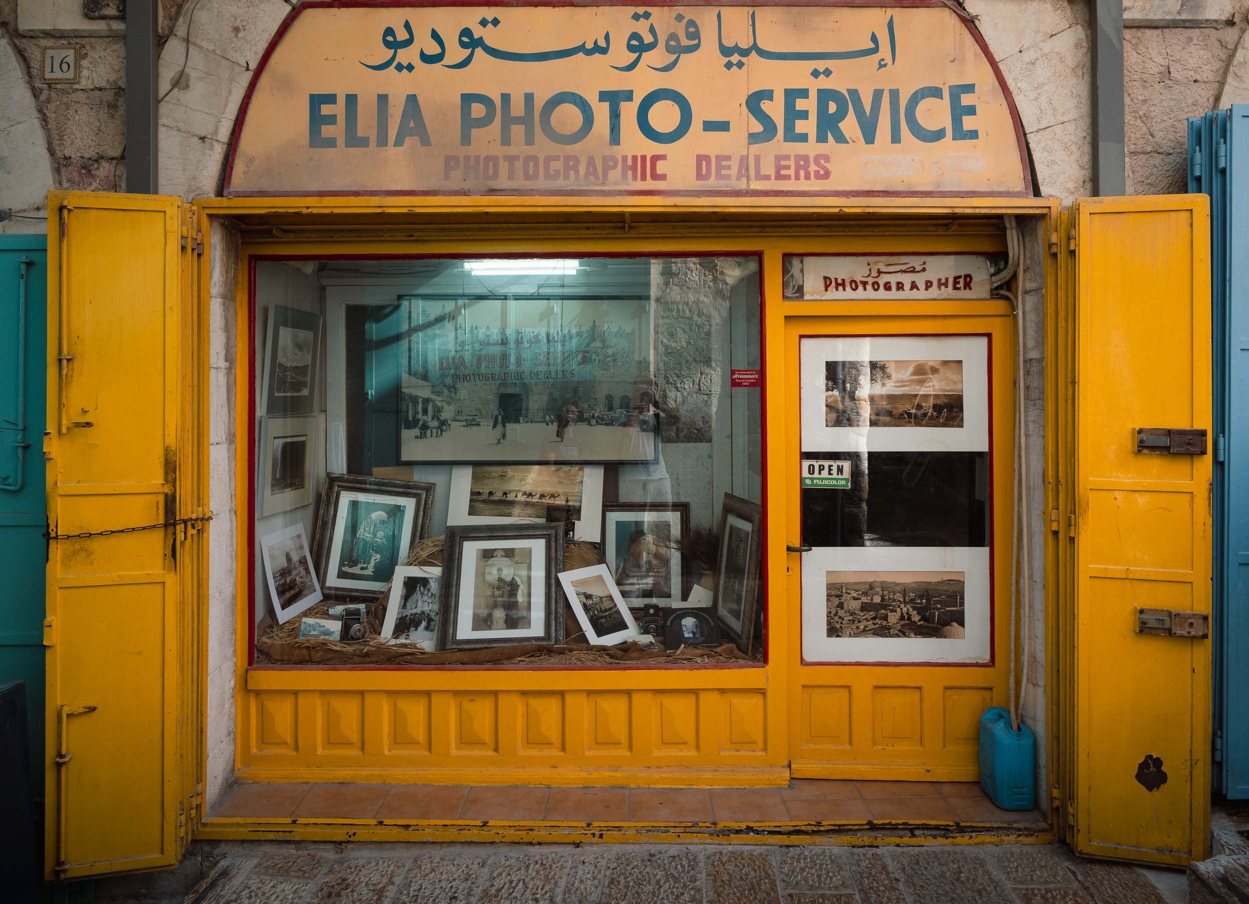
The Pool of Arches in Ramla
The last stop on the way back to Tel Aviv was this rather curious place, a 1200 year old underground reservoir.
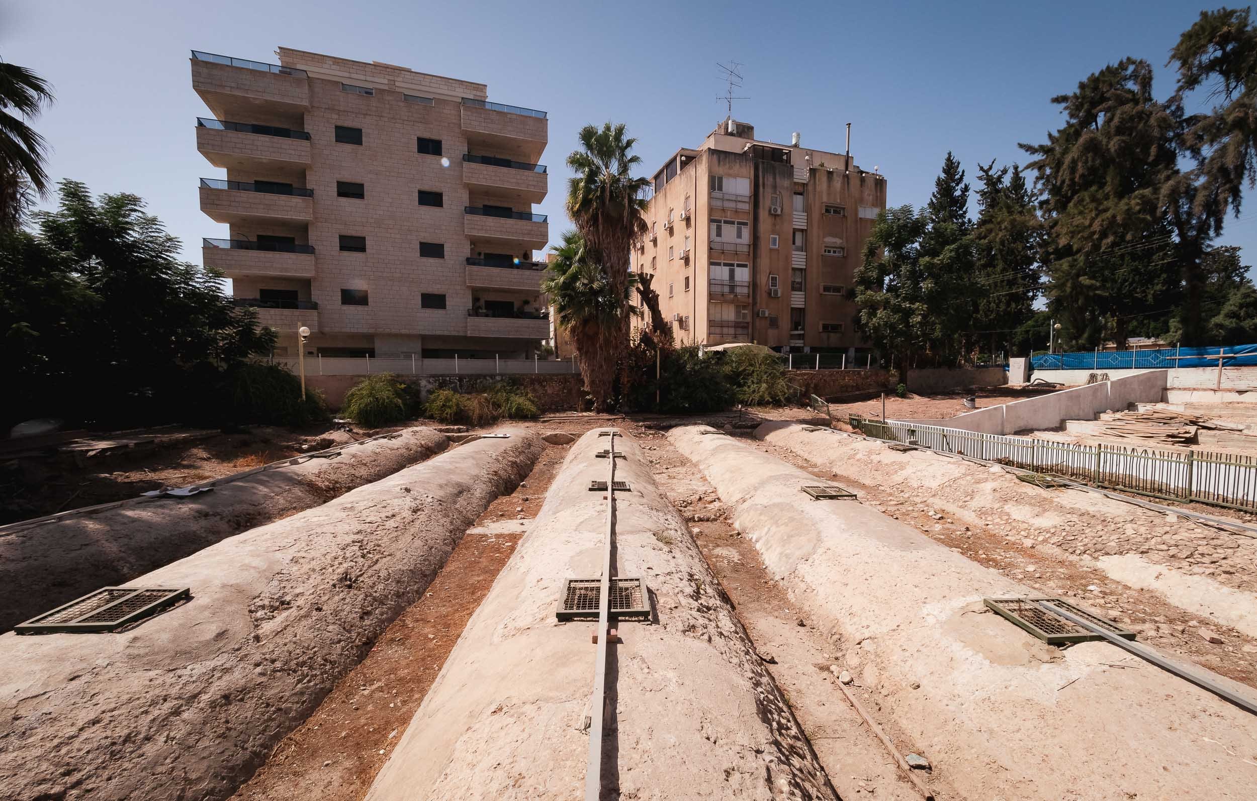


Once you descend down the stairs, you get to see the 20m x 20m basin, which is said to overflow in winter times, and rent a small boat to row around the stone columns carrying the roof.
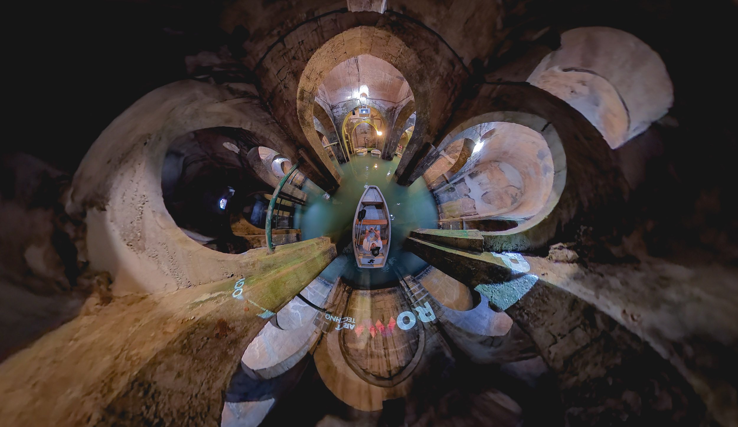
This region still has a lot more to offer, and is another part of the world that I want to go back to, but for now those were my first glimpses into one of the most historically significant parts of the world.

San Marino - Small but Surprising
In the eternal quest to explore all corners of earth, you sometimes have to make your way into the smaller corners, or countries in this case.

In the eternal quest to explore all corners of earth, you sometimes have to make your way into the smaller corners, or countries in this case. San Marino is definitely one of the smallest, at just over 60 sqkm and 33,000 people. In fact, this makes it the oldest extant sovereign state, and also one the wealthiest in terms of per capita GDP.
It was a short road-trip and we had just 36h to explore - on the other hand, its size makes that enough time to explore most of the country’s sights, which are located in the namesake city on Monte Titano (there is a larger community at the foot of the mountain where most people live). On arrival we were greeted with a peculiar cloud rolling in, which was my clue to take a look from above.


It wasn’t quite the weather you’d expect during August in Italy, just 10km from the Adriatic coast. A few minutes later, the city was covered in a layer of fog and clouds, and it became dark, turning the atmosphere into a mix of Christmas and Resident Evil.


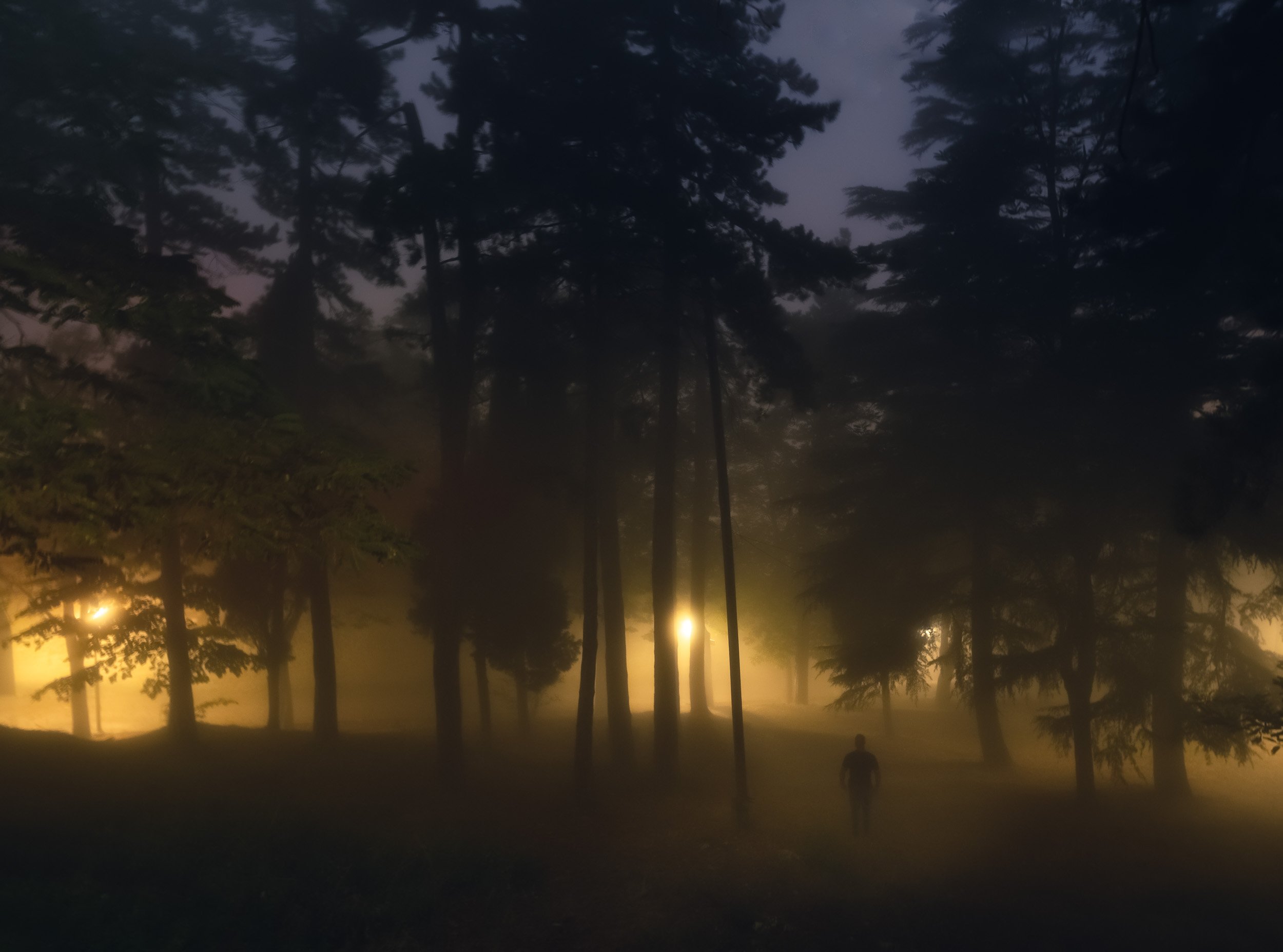
Exploring the fortress of Guiata and its two neighboring towers at the cliff of Monte Titano.


Nightly street vibes
Day 2
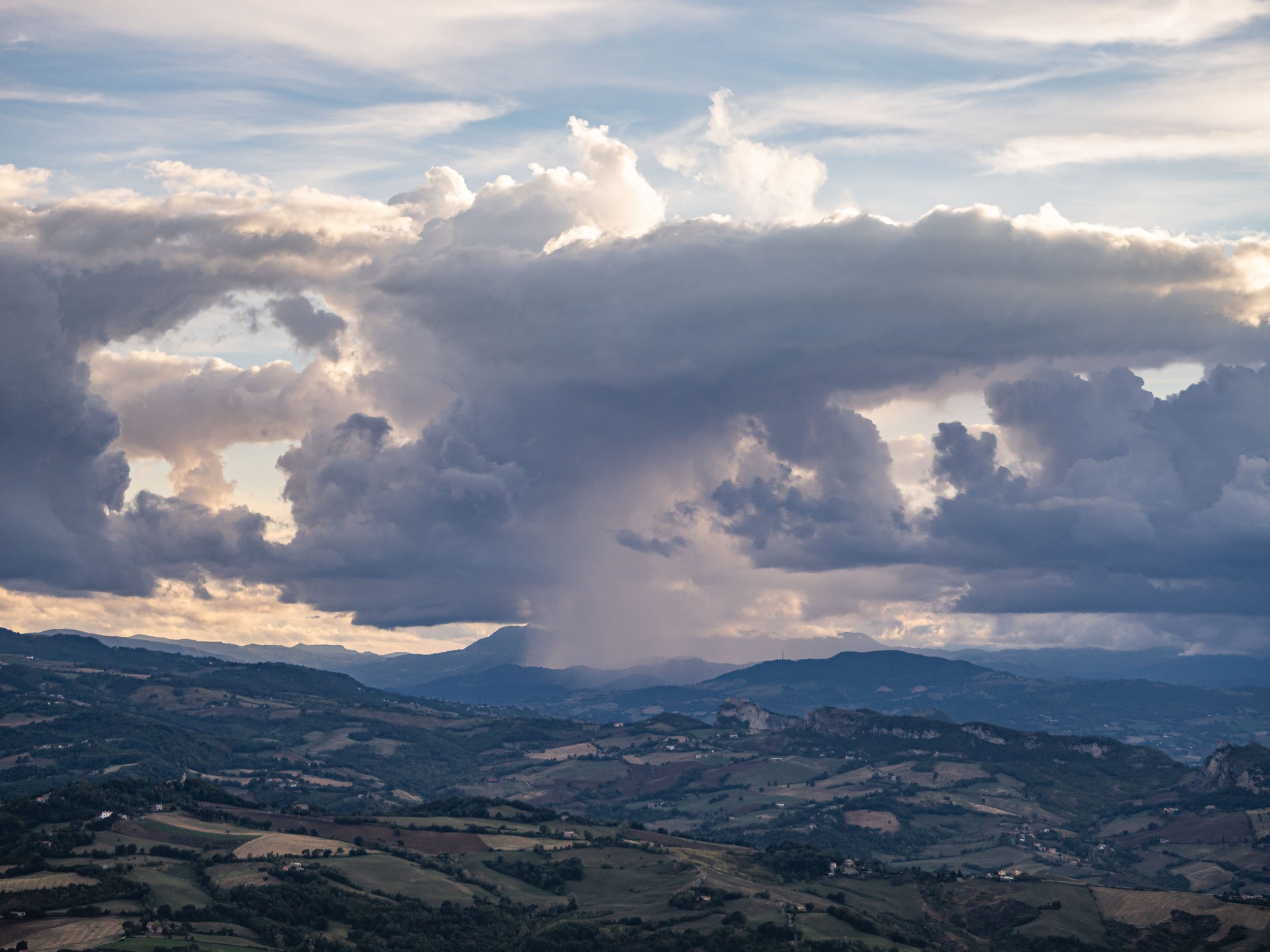

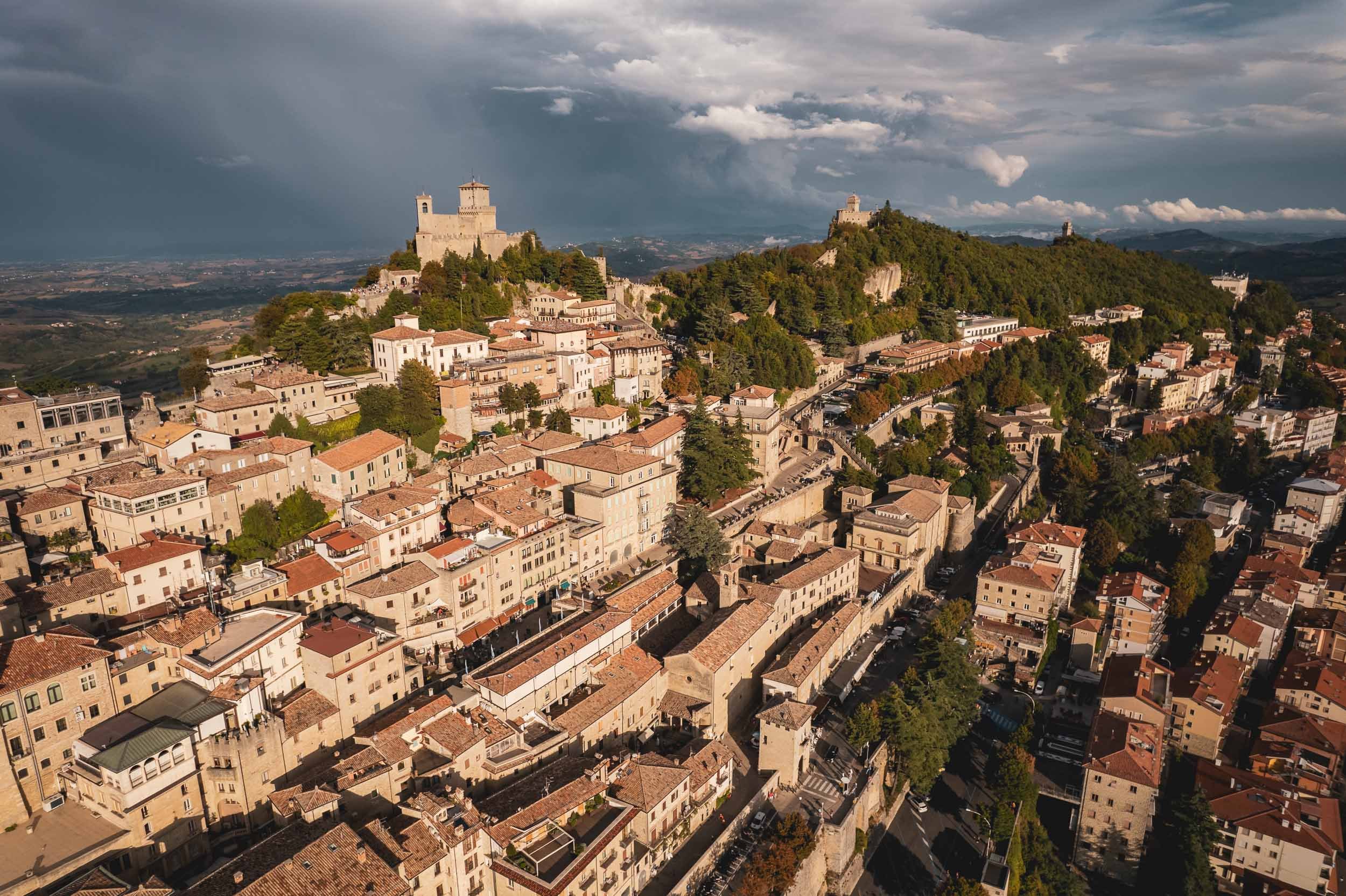
Politics
San Marino’s political system is a peculiar one. It is the world’s oldest constitutional republic with an elected assembly, which in turn elects not one, but two heads of state every six months from opposing parties, called the Captain’s Regents. This tradition is a nod back to the Roman consul times. At the end of their legislature, every Sammarinese (the Demonym for citizens of the country) has 15 days to submit any complaints about their actions - or lack thereof.
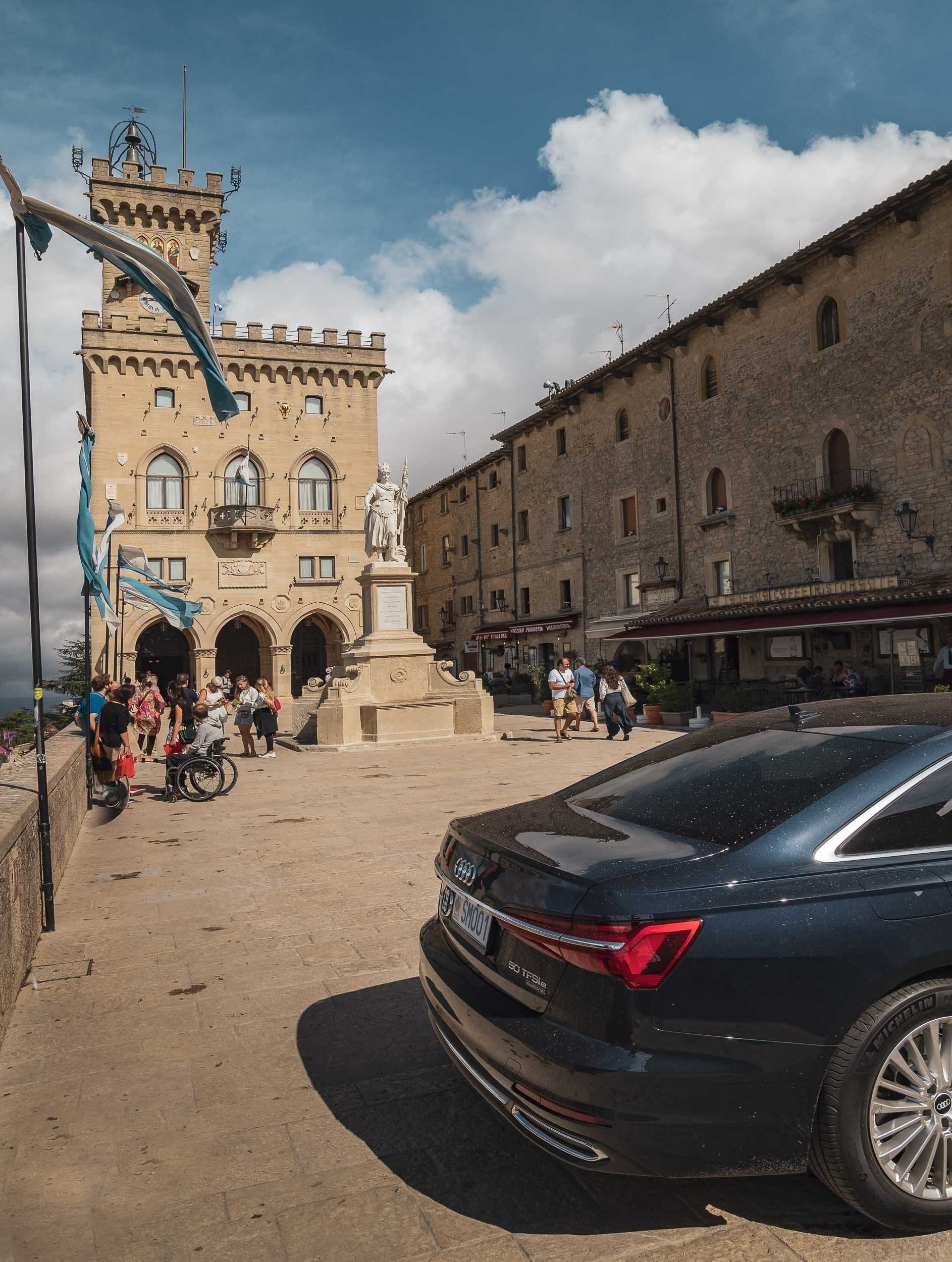
As the clouds opened up, I spent the last sunset photographing the country’s most iconic view, but rest assured there’s more to see in San Marino, such as its Museums of Torture, Dracula, and Curiosities (although I can’t say I’d highly recommend either of them). If you’re looking for the Formula 1 track where the race named after the country was held up until recently, you’ll have to go to Italy though. There is however an Ayrton Senna statue as a tribute one of the world’s best drivers, who tragically died at the 1994 Grand Prix.
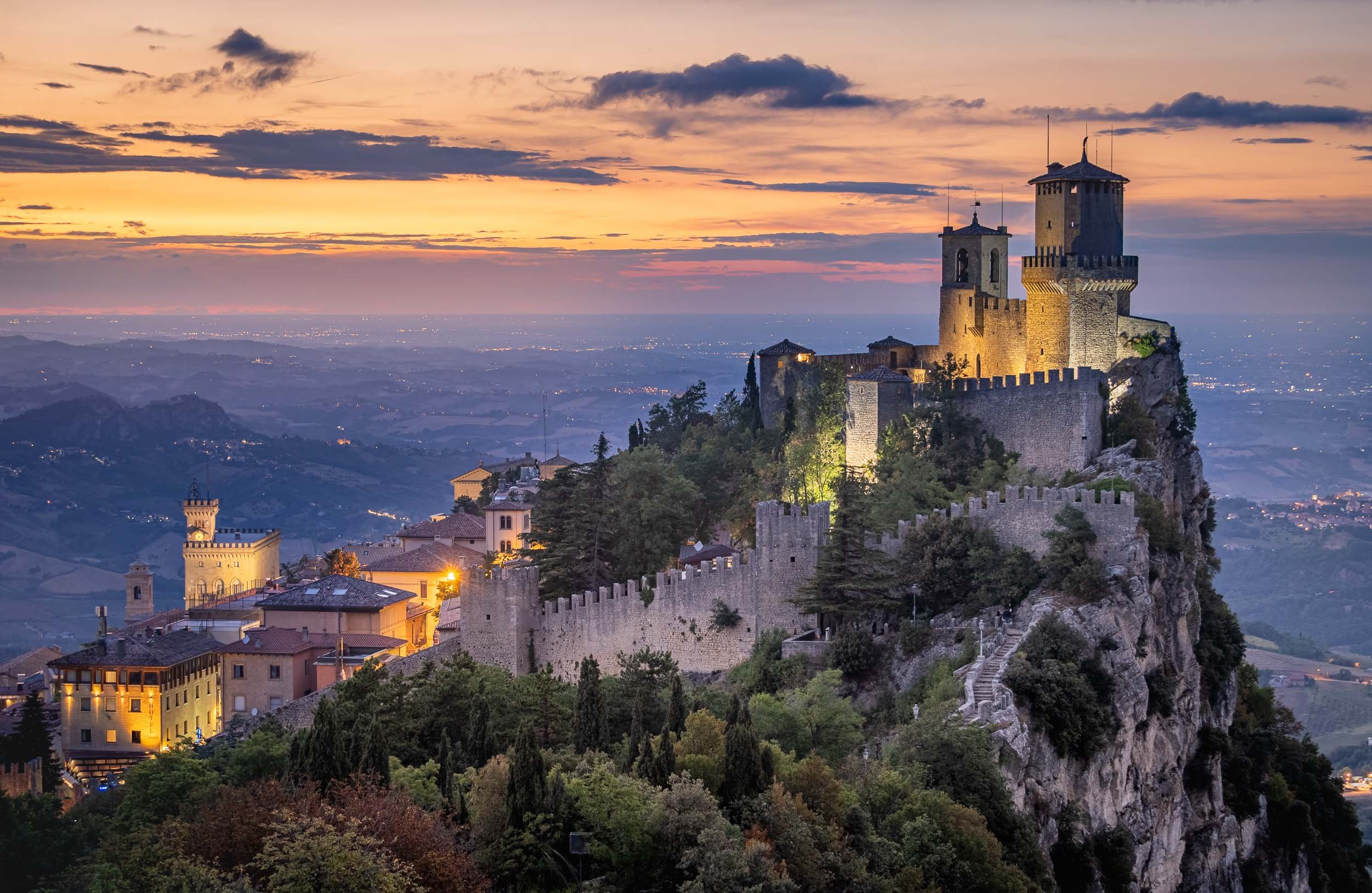
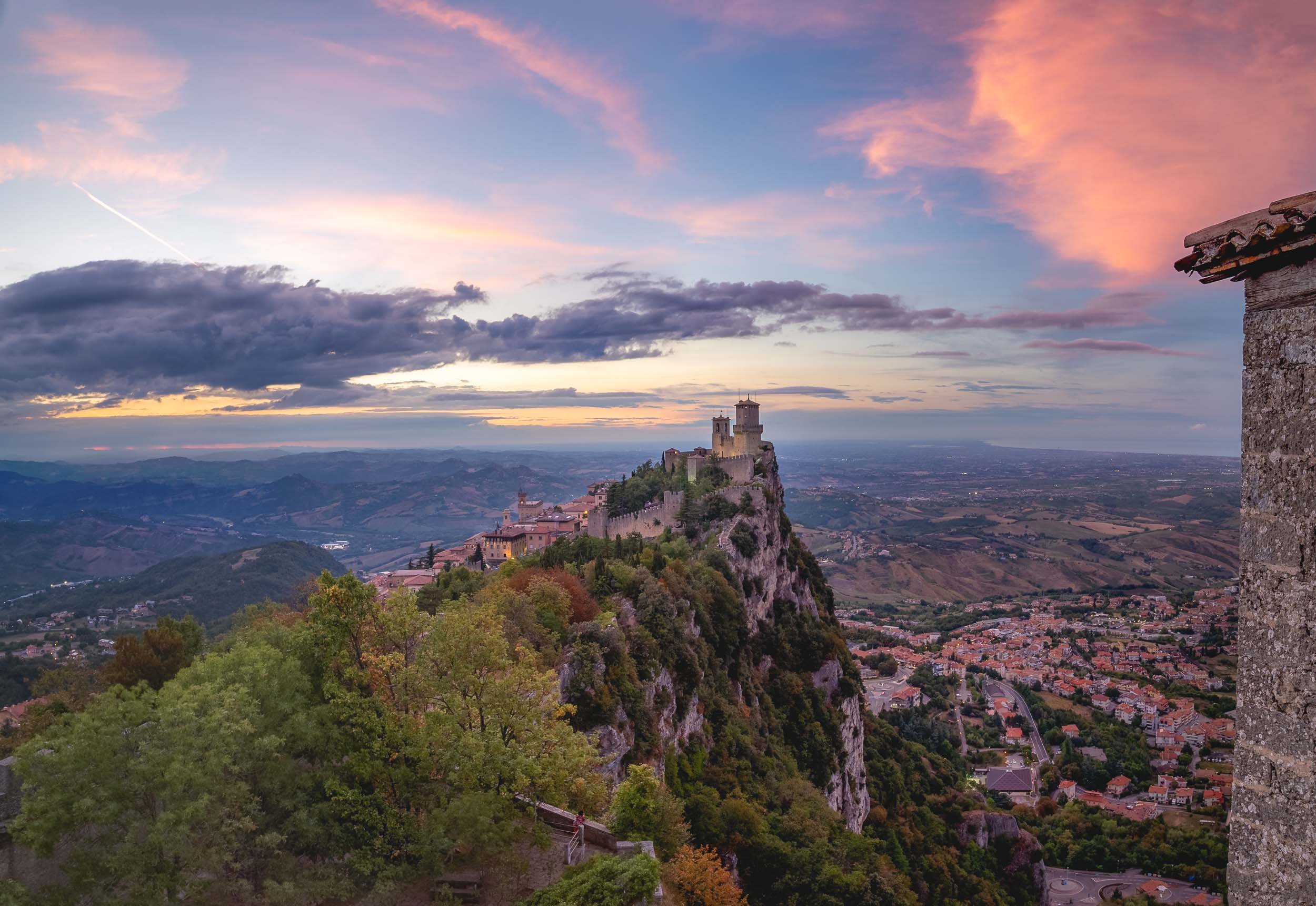
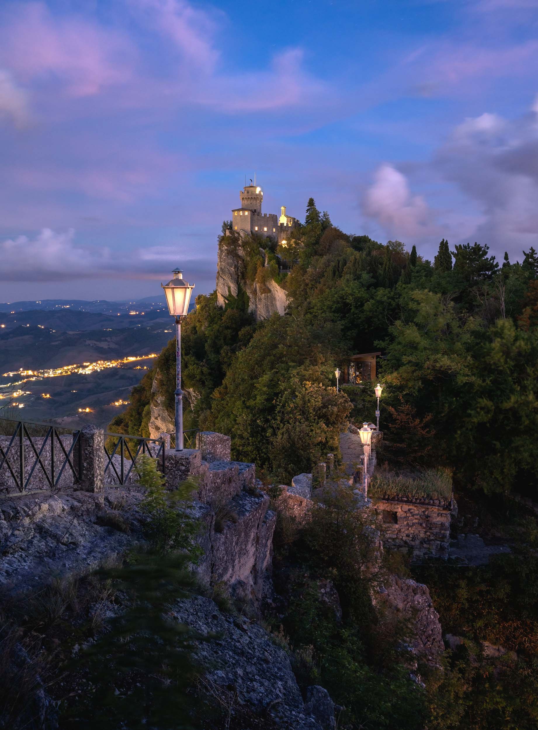
Thanks for tagging along - continue here with a nearby architectural curiosity, the medieval towers of Bologna (and a questionable statue).

Bologna - From Tall Towers and Statues with Secrets
On a recent roadtrip to San Marino we passed Bologna, one of Italy’s largest cities and home to one of its most peculiar architectural features.
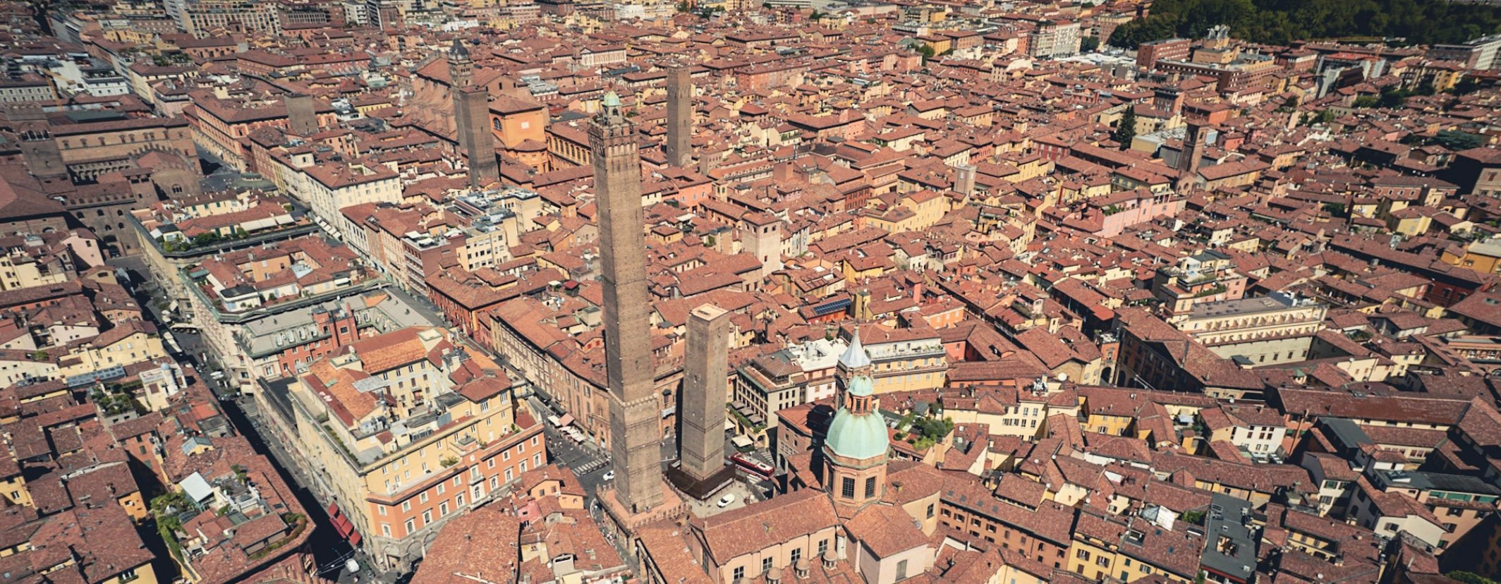
On a recent roadtrip to San Marino we passed Bologna, one of Italy’s largest cities and home to one of its most peculiar architectural features. Of course that was reason enough to take a small detour and spend a few hours in the city to document this special sight - in the process, we found another rather questionable historic remnant, read on to find out…
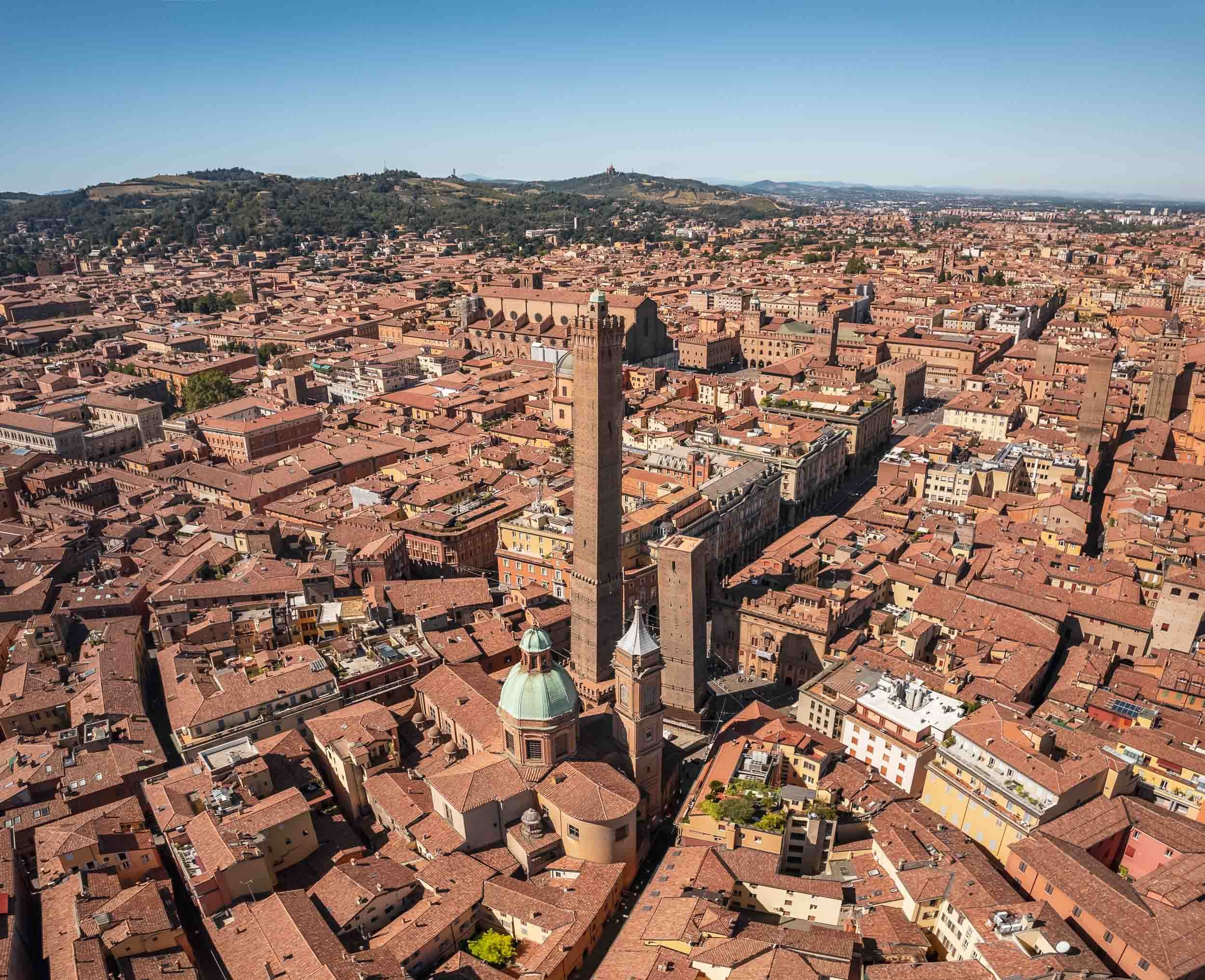


The larger of the two towers, Asinelli, is visible from many of the city’s streets at a height of almost 100m.
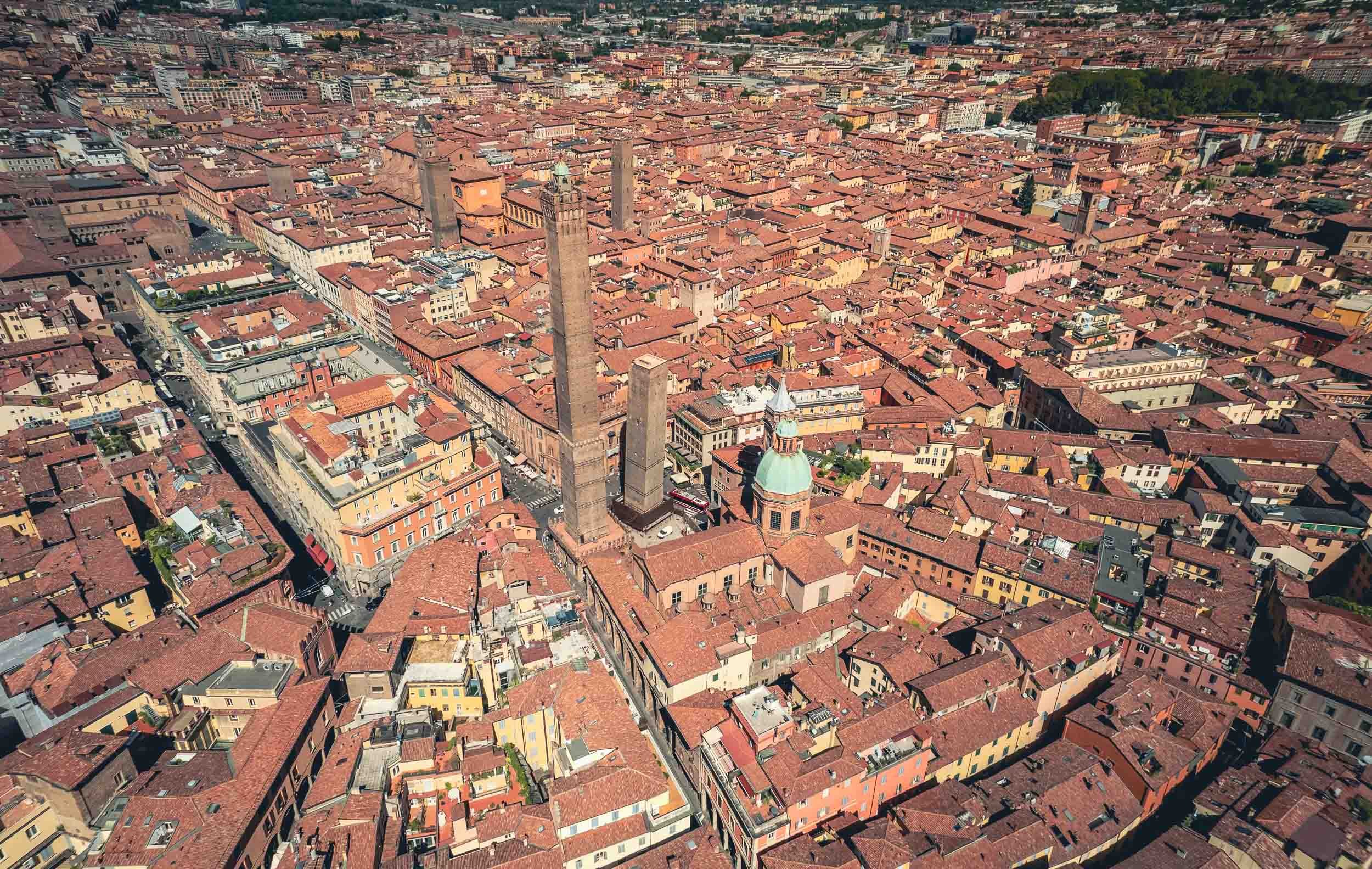
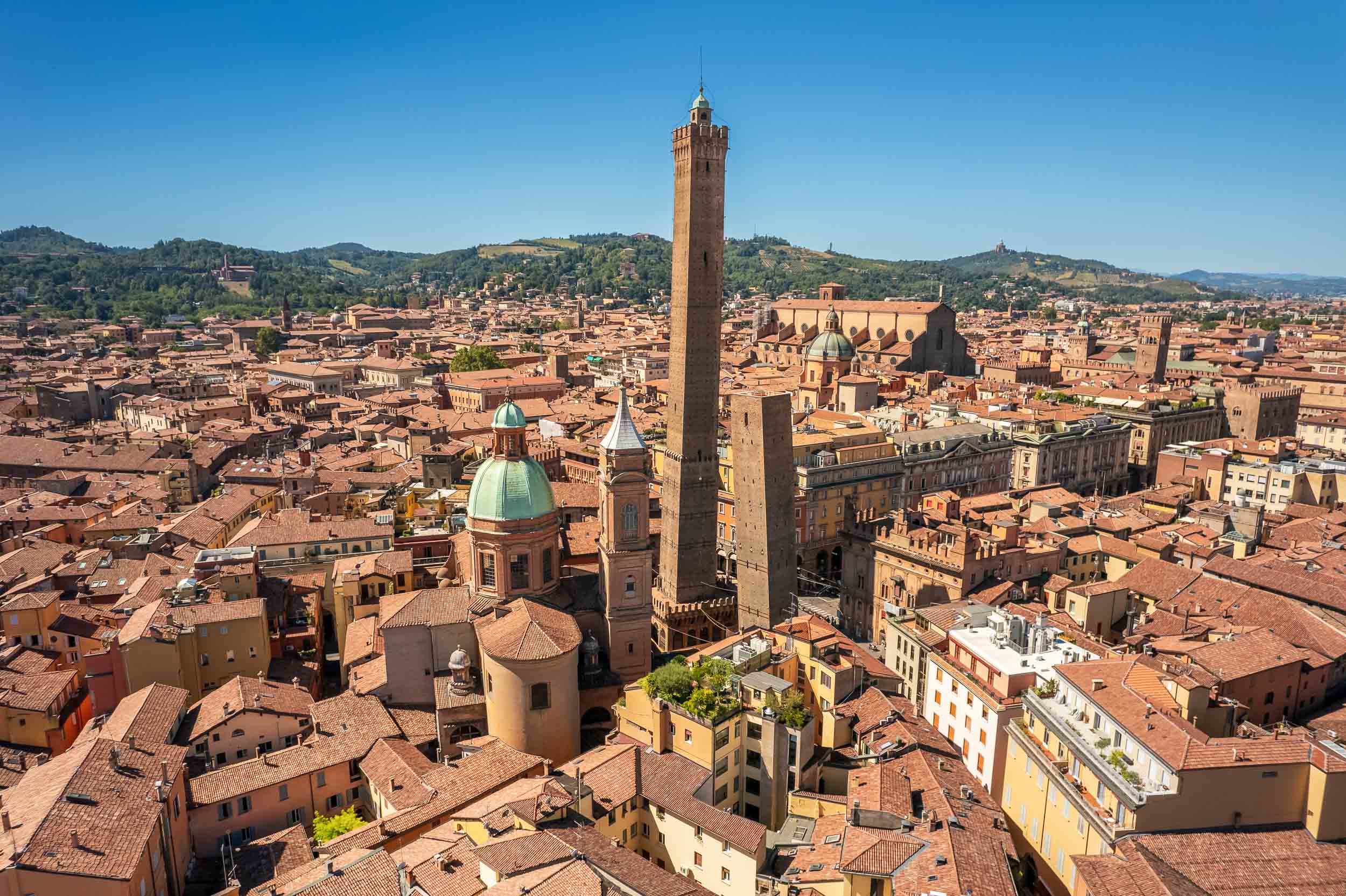
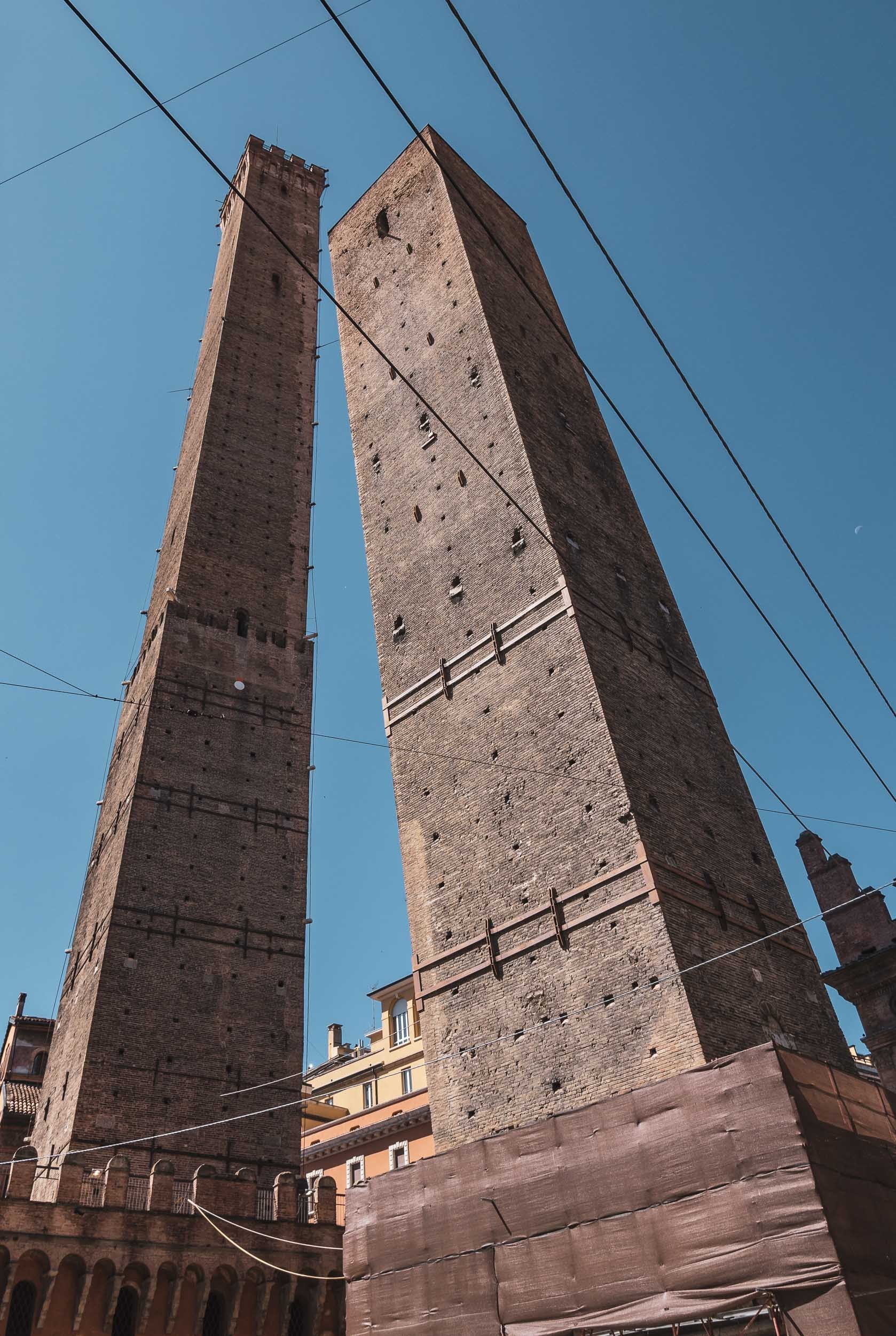
Take a flight around the towers.
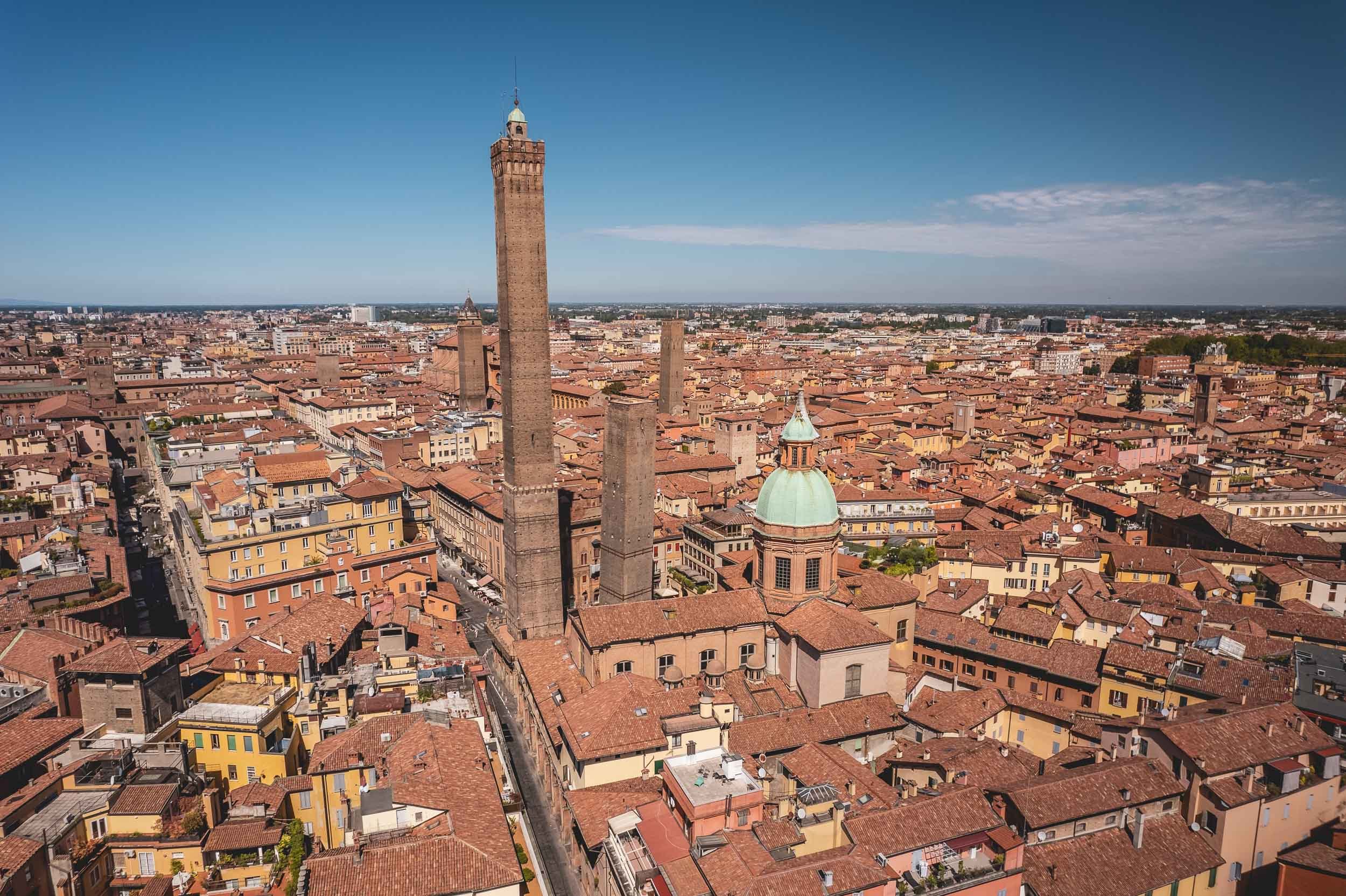
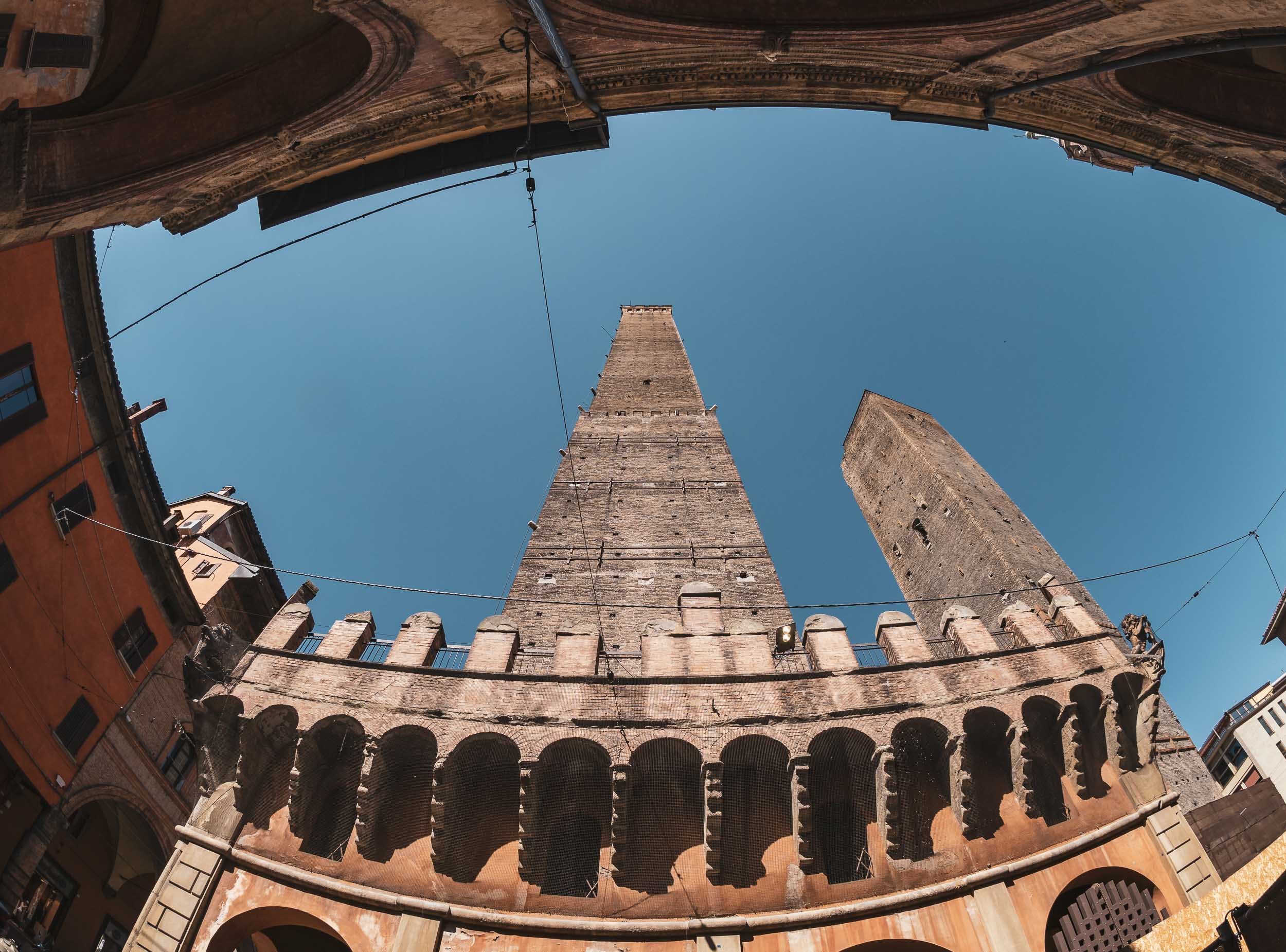
A Statue with a Secret
Not far from the towers and near the Basilica di San Petronio on the Piazza Maggiore you’ll find another oddity in the city - this time facing horizontal rather than vertical…
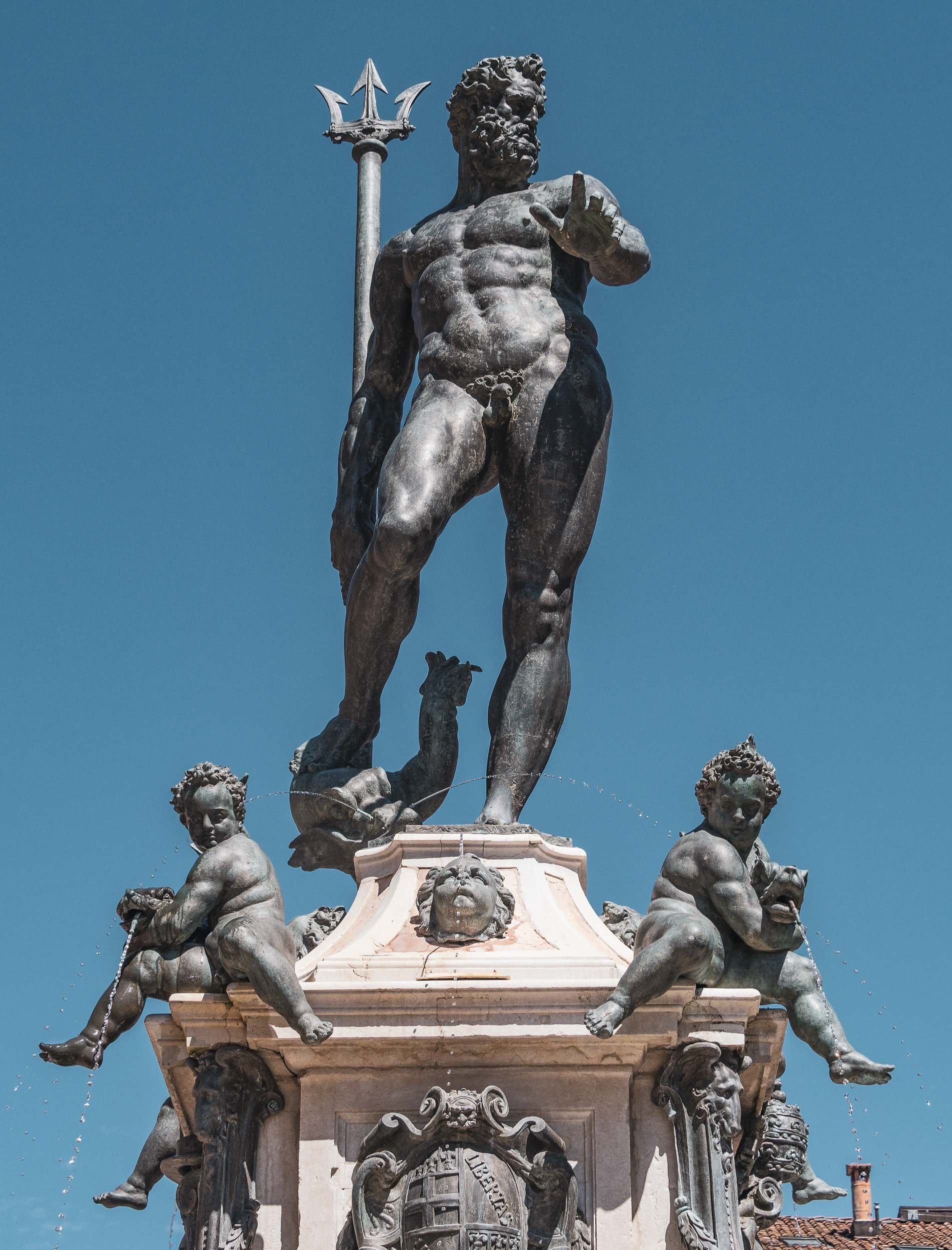

There’s a lot more to see in the city, and a return is definitely on the cards the next time I’m in the Emilia-Romagna region.

A Taste of Alsace - 36h in Strasbourg and Colmar
A brief visit to the two of the region’s most famous towns with their beautiful old woodwork.
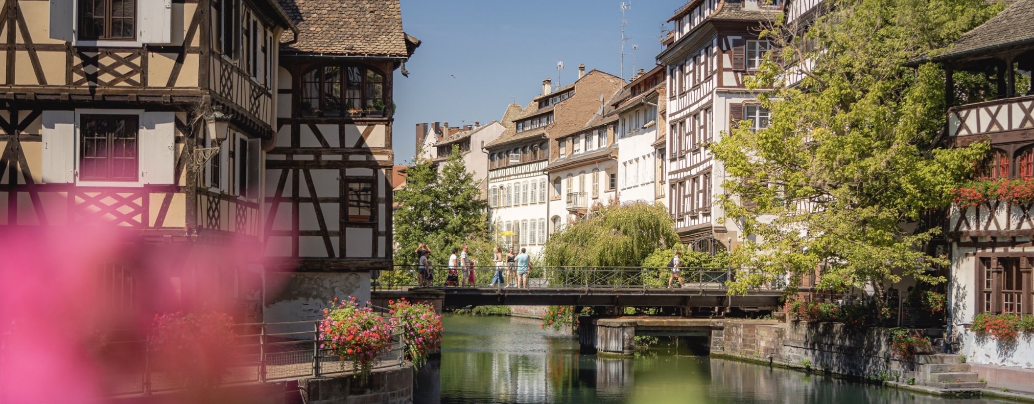
In August 2022 I attended a workshop for a startup founded by a couple that have become very good friends of mine (check it out, especially if you have young kids trying to learn reading: https://alphaben.app/de/) in the south western corner of Germany. Of course, I had to take the opportunity to jump over into the nearby Alsace region and visit Strasbourg and Colmar, two of the more famous cities in the area.
The Grande Île of Strasbourg
The most famous district is its Unesco World Heritage site area; in fact Strasbourg was the first city to have its entire city center be listed as a World Heritage Site. The city is over 2000 years old and was first mentioned in Roman times. Its position on the banks of the Rhine and on the borders of what is now France and Germany meant it was heavily disputed during its existence.
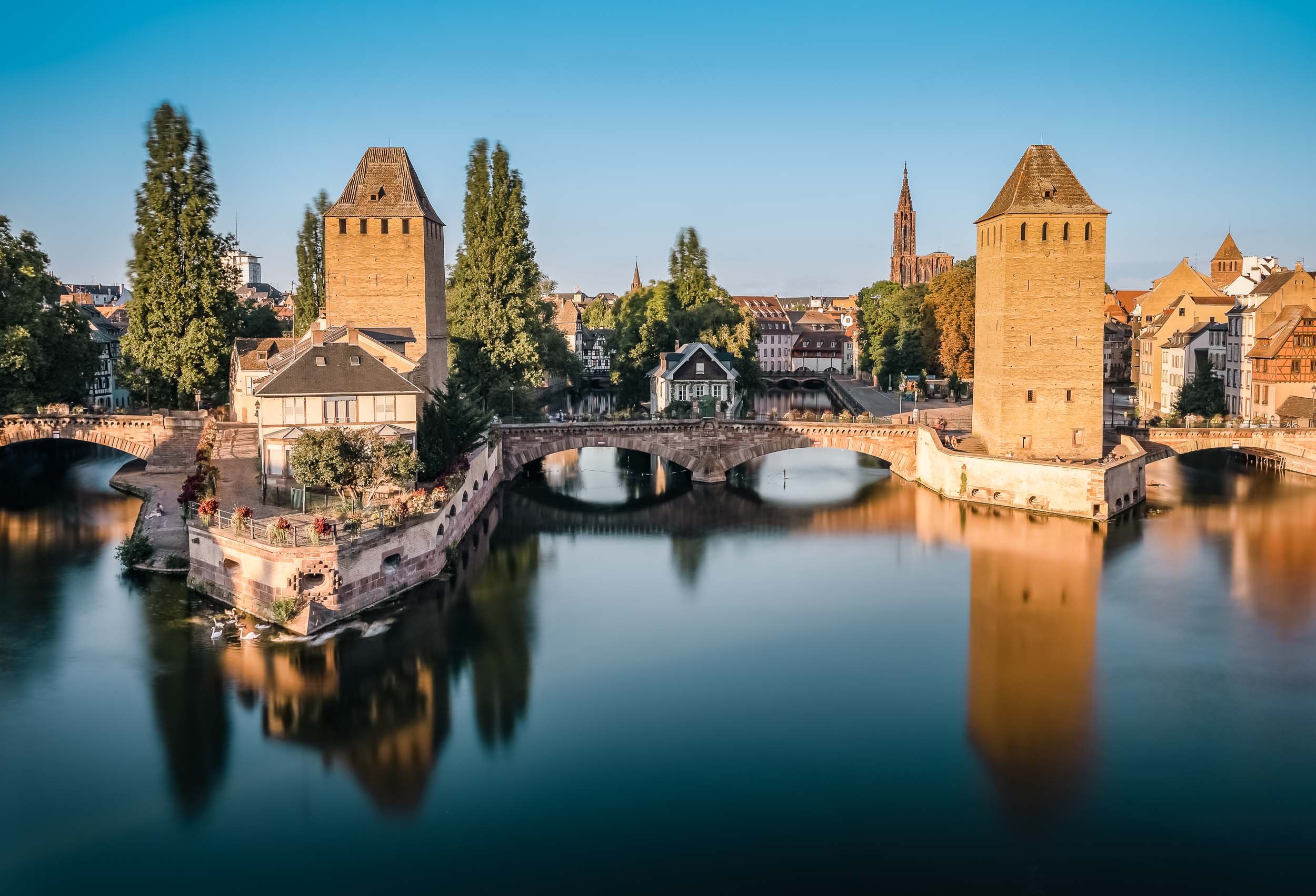


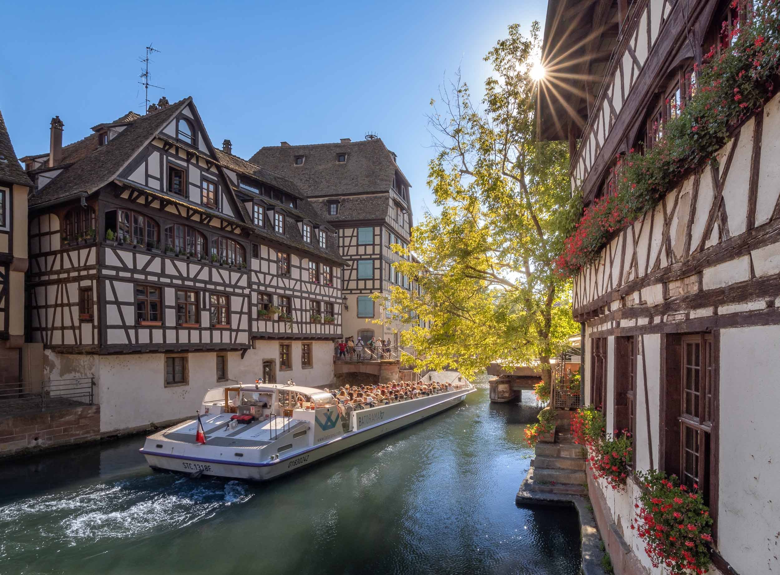
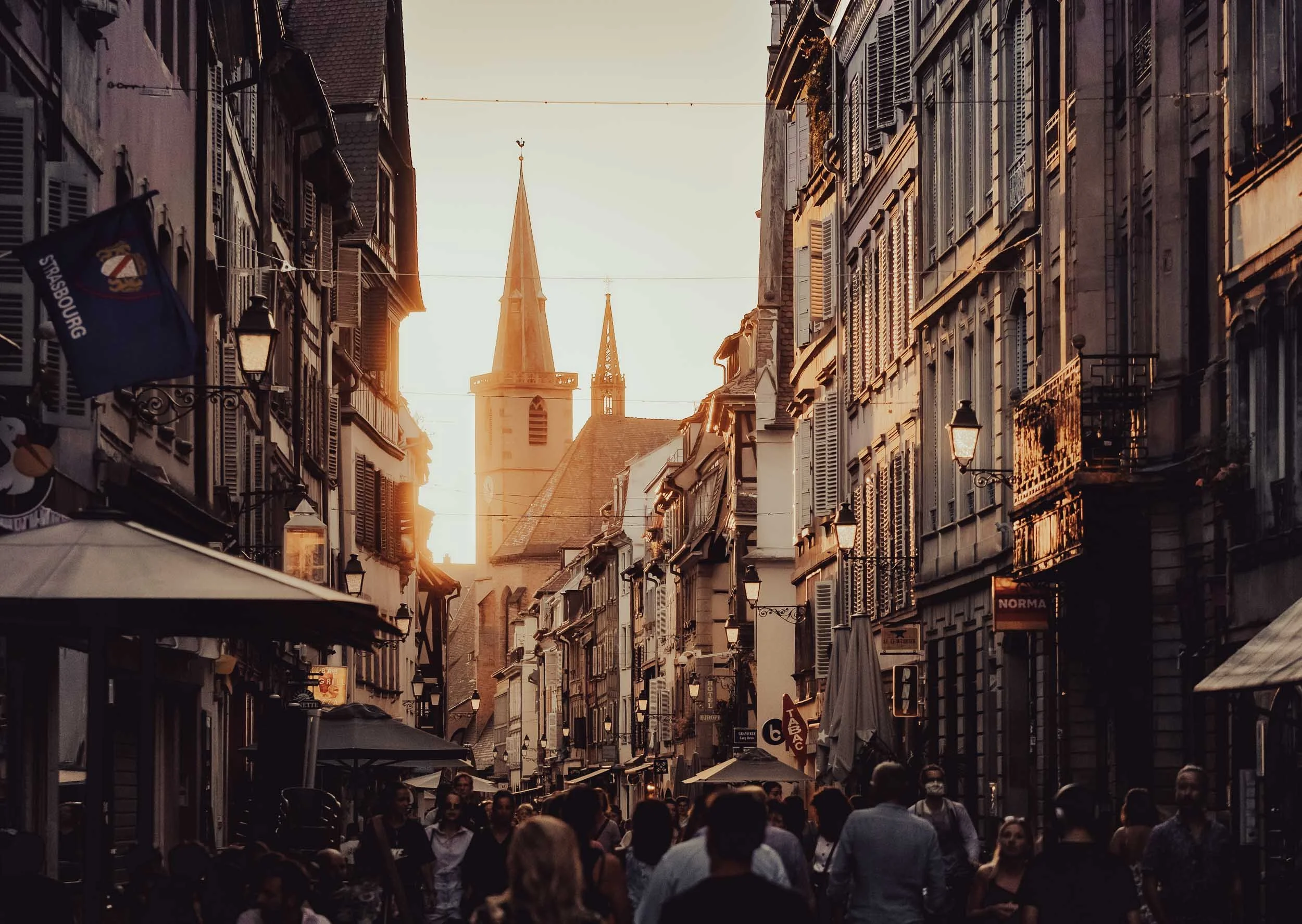
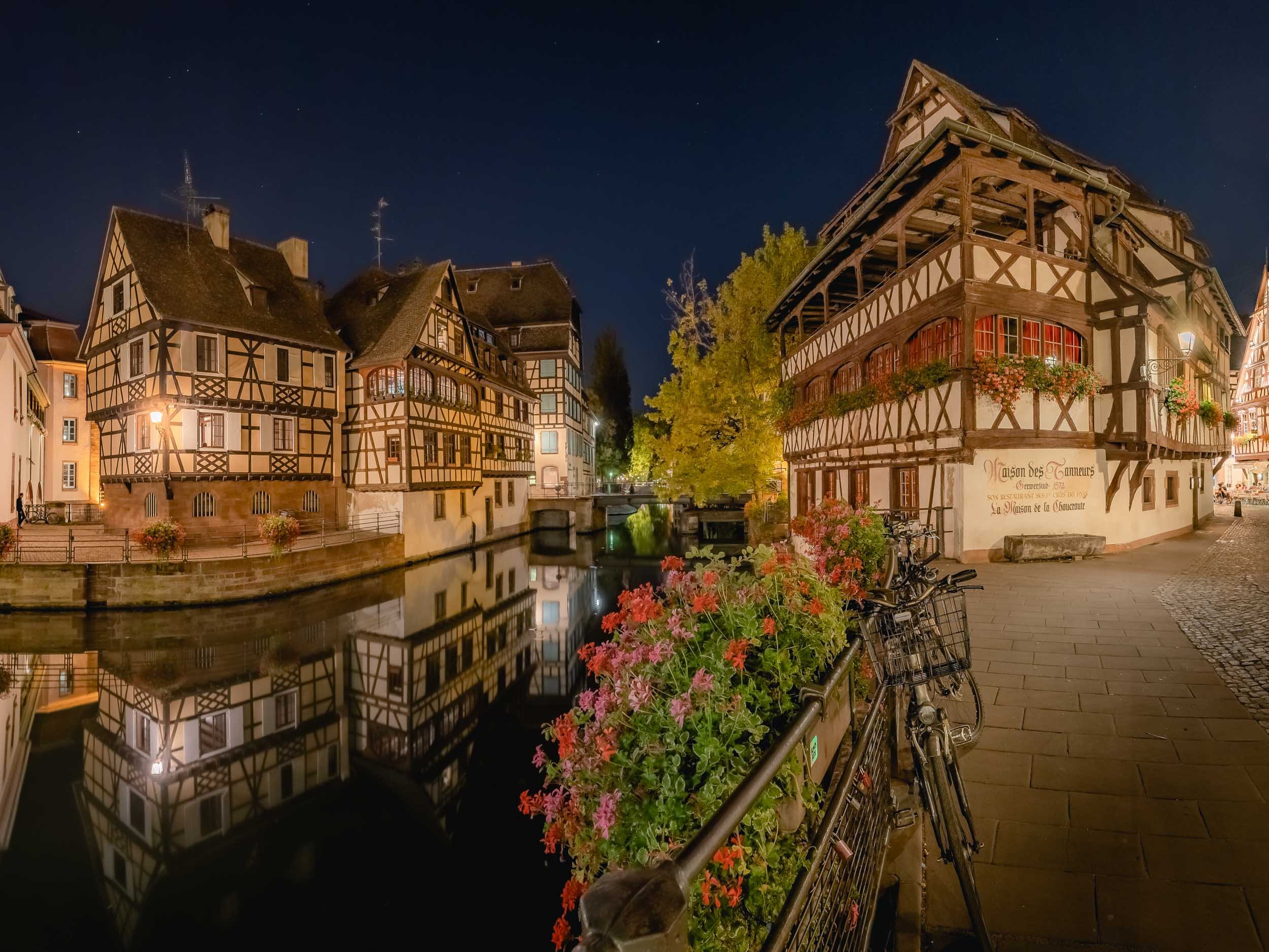

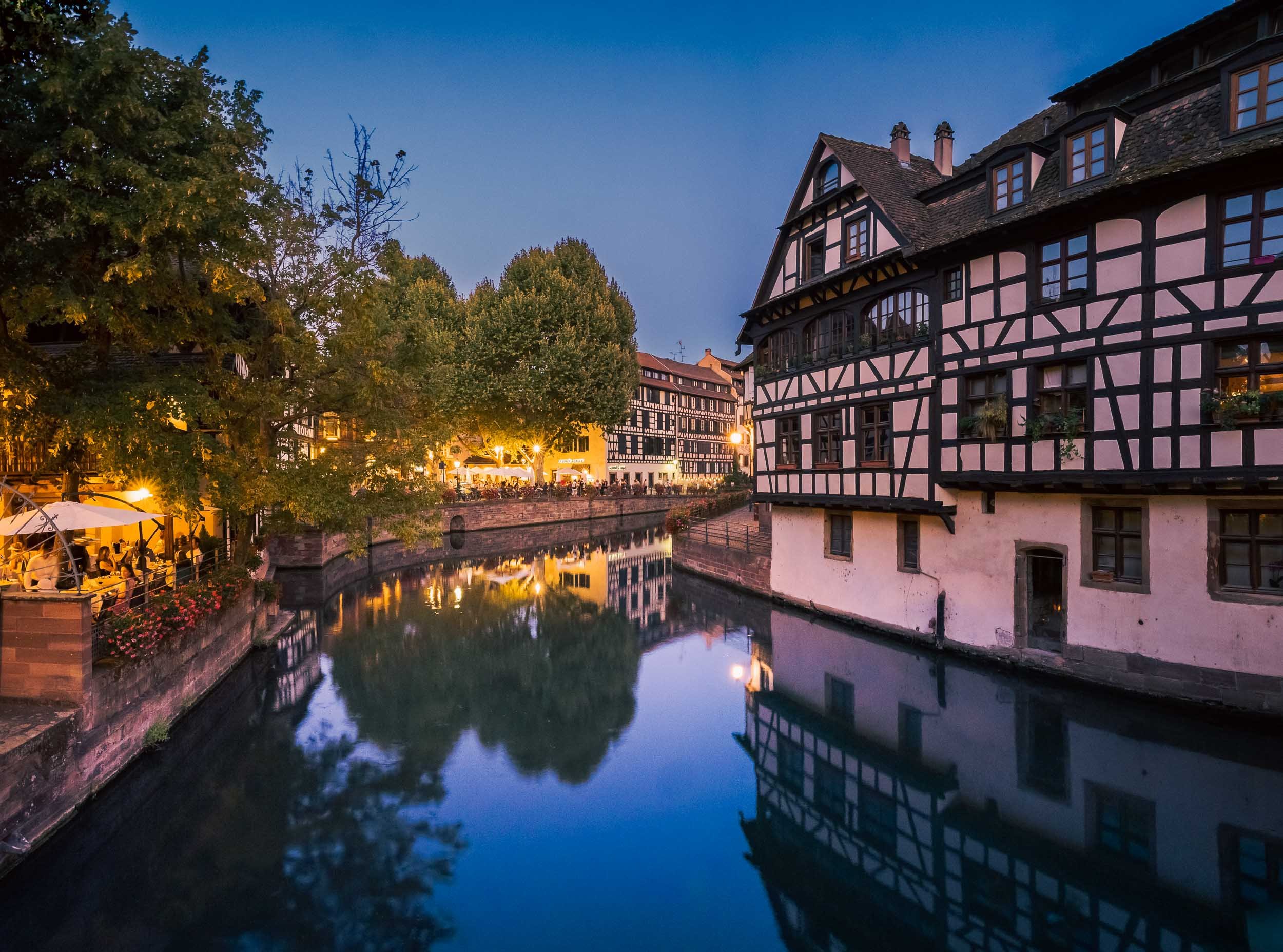

Street Scenes


The Strasbourg Cathedral
Unknowingly I happened to stay in one of the city’s most famous buildings - Maison Kammerzell - directly on the main square and one of the best preserved medieval gothic housings in existence. It also had the benefit of being able to visit the cathedral early morning before the crowds rolled in.
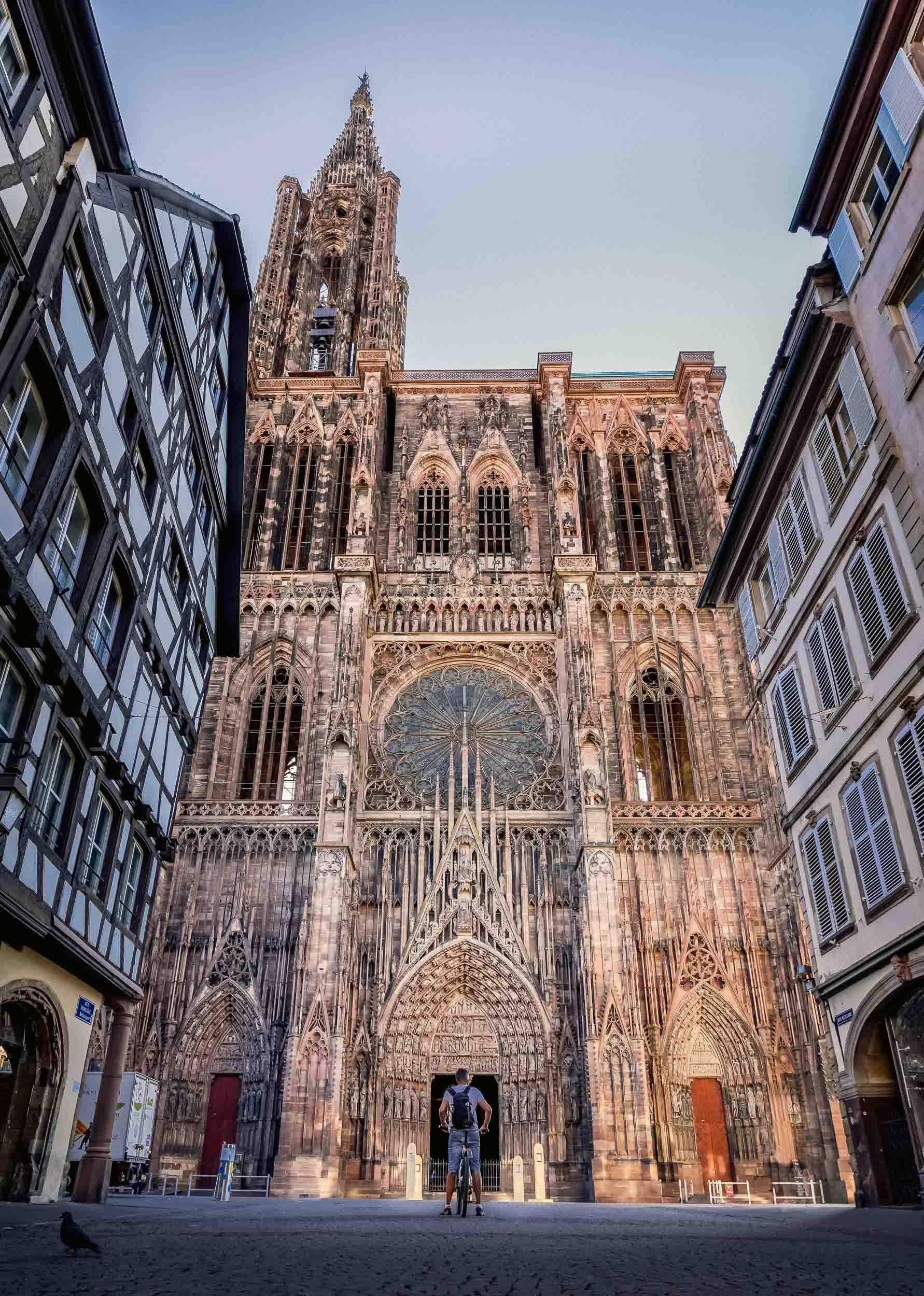
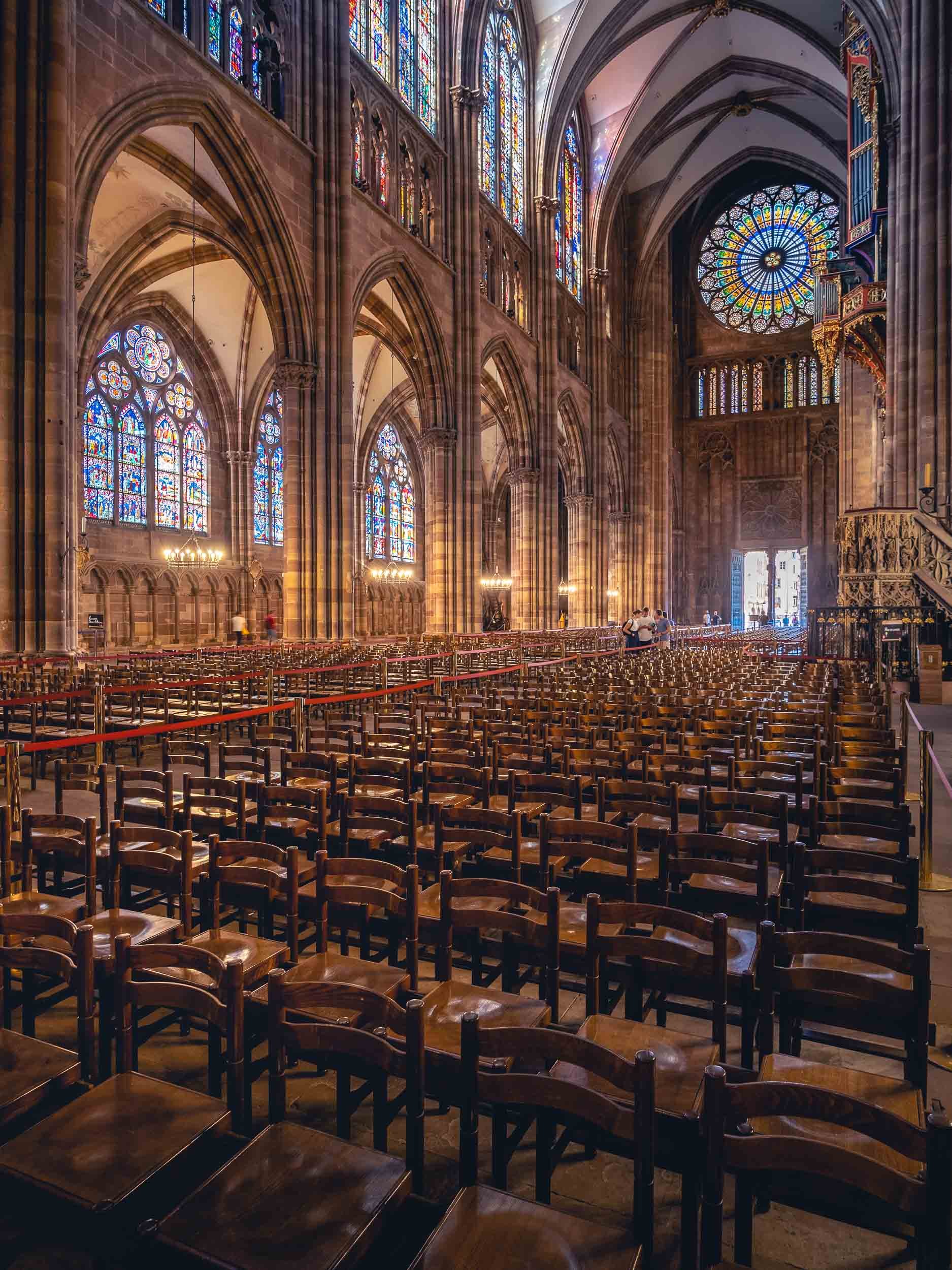
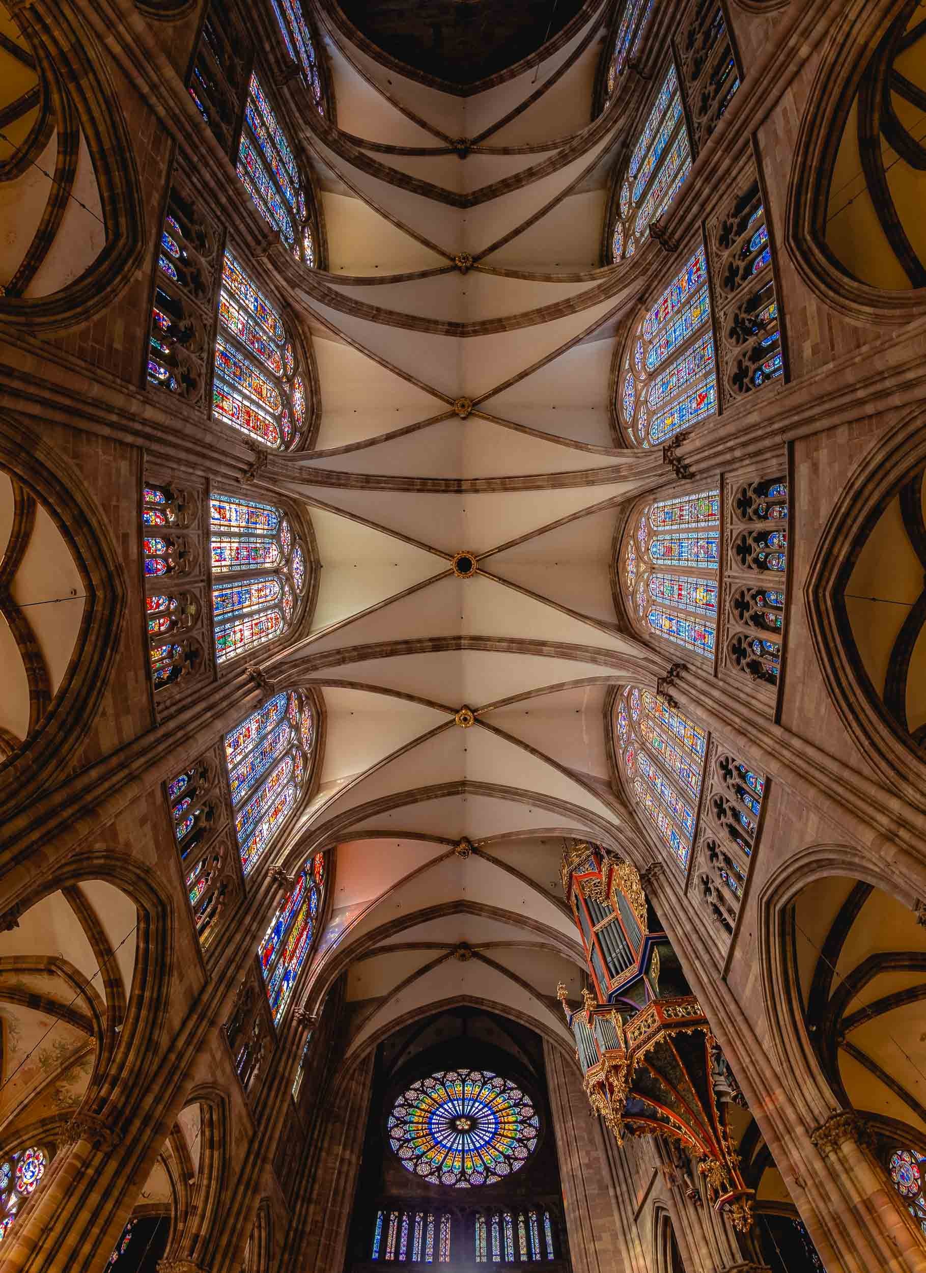
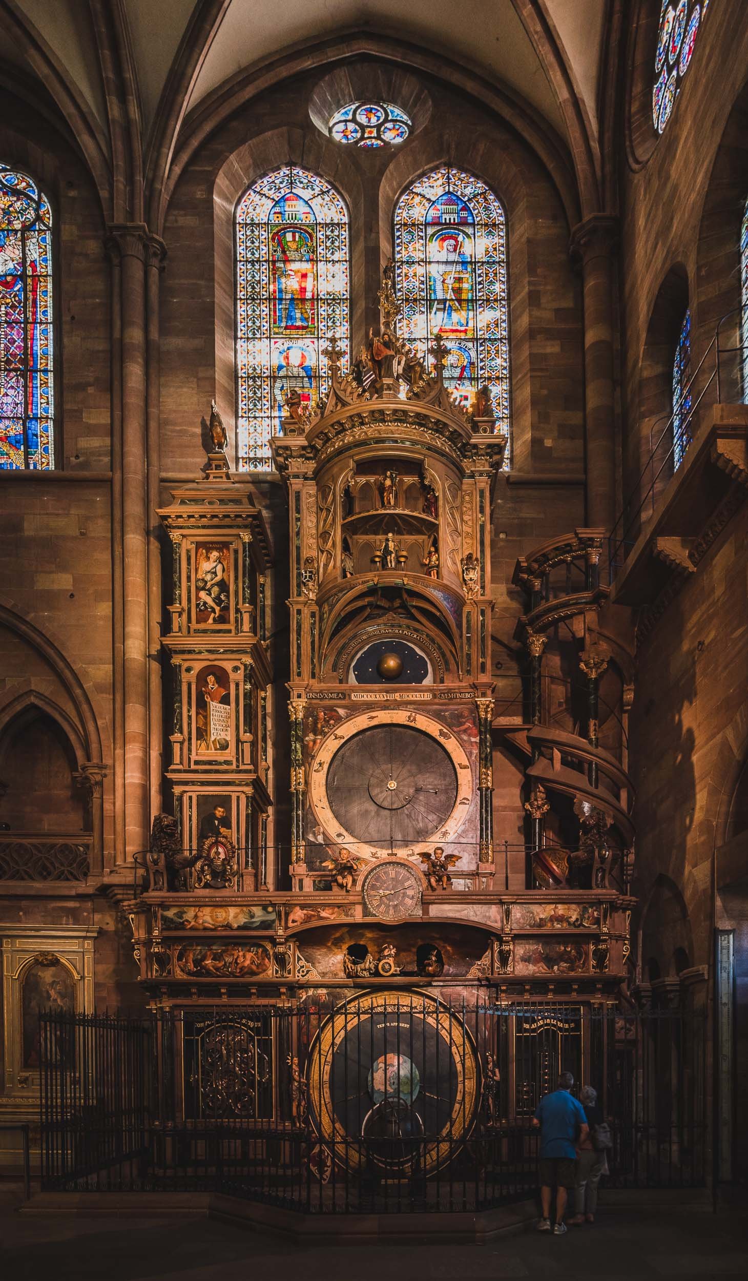
Views from Above
The views from the viewing platform of the cathedral provide a special look at the gothic architecture in the city, and its tilted roofs. On completion, the church was the tallest building in the world for a while, at 142m. In fact, it was meant to have a second identical tower, the preparations for which can be spotted on the empty roof foundation and by the fact the church has the same massive pillars inside to support it. Either way, it made the ascent quite a stair climbing marathon at 332 stairs.


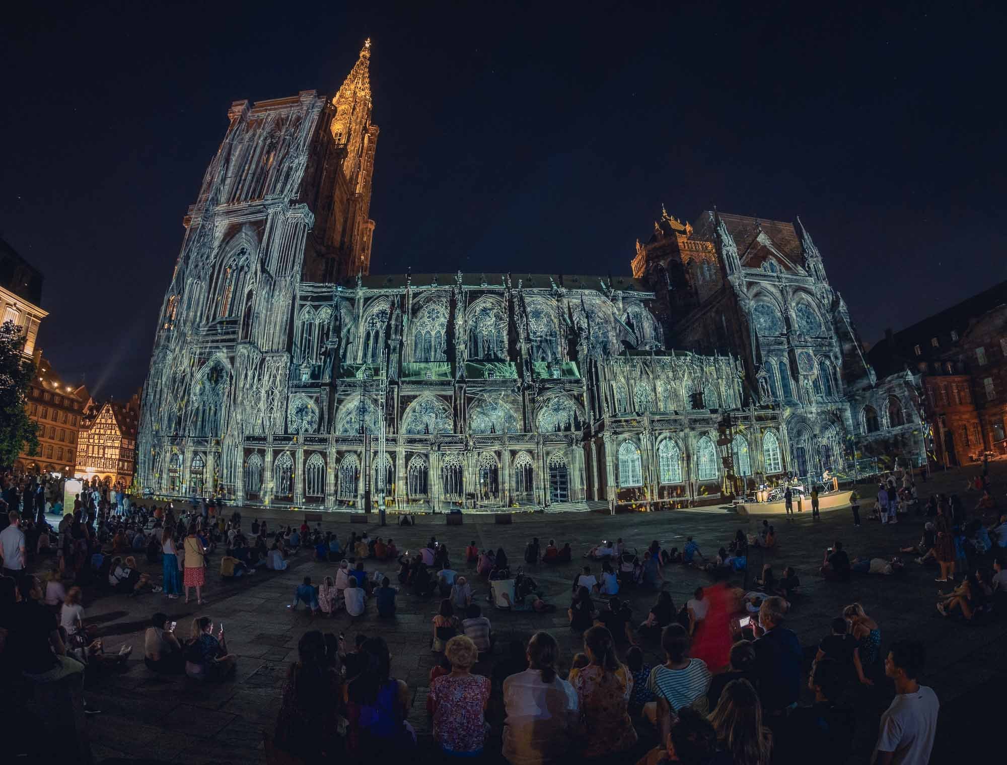
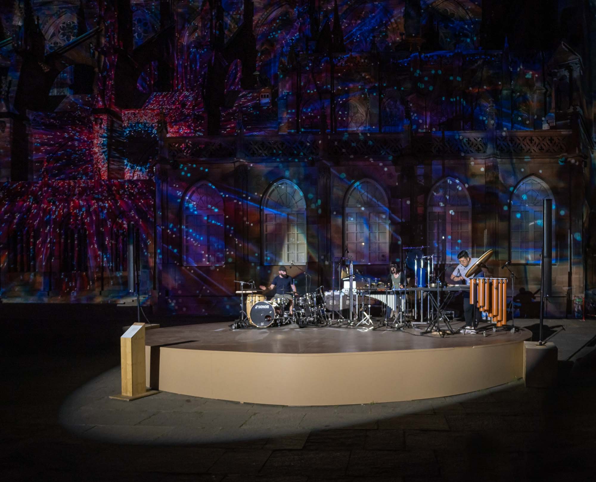
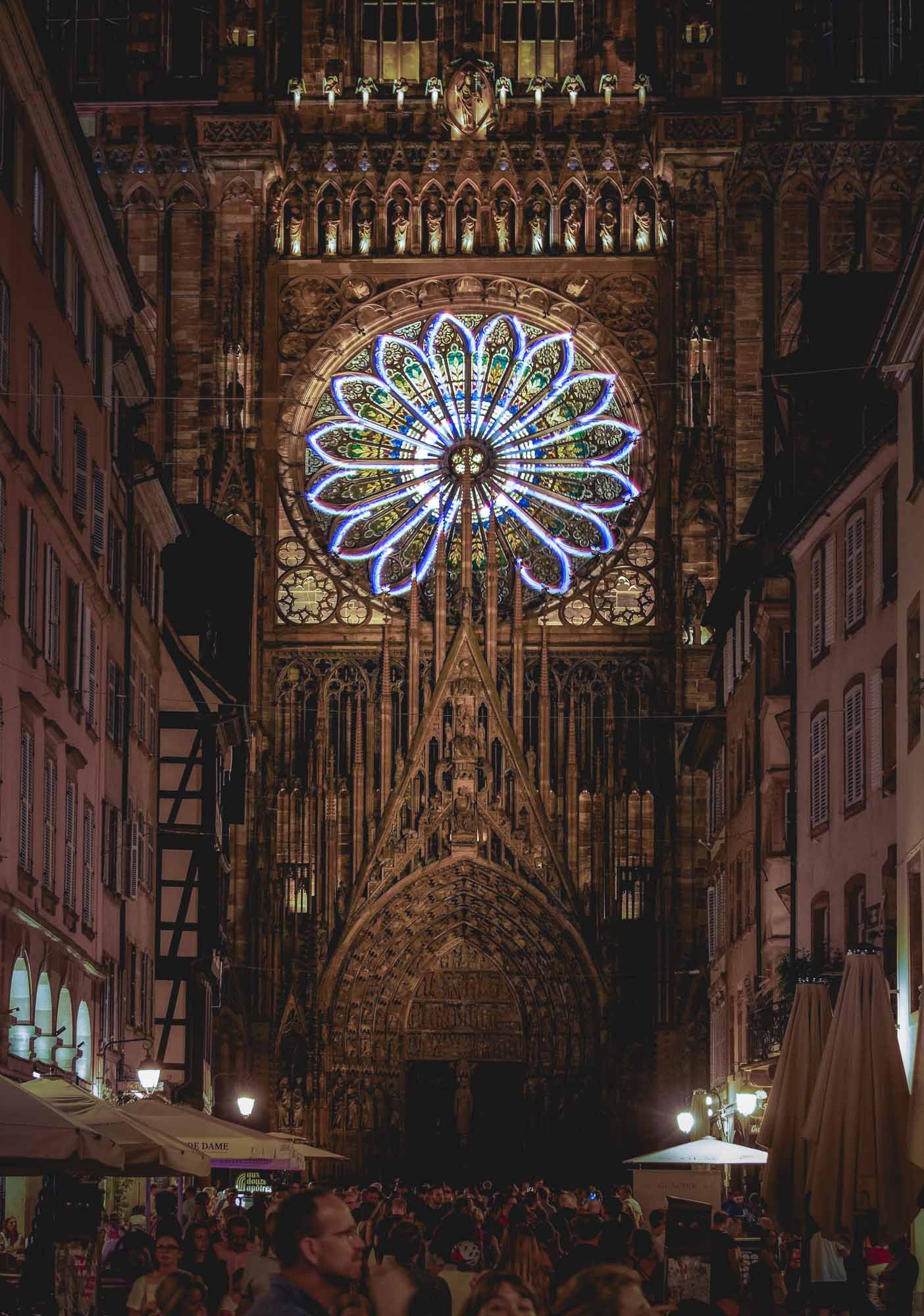
Colmar - The Little Venice
There was definitely a lot more to see in Strasbourg, for example the largest mosque in France, and the seat of the European Parliament, but I took a train to Colmar for a few hours instead, before having to leave the Alsace region for my trip to Iceland. It was worth it to catch a glimpse of one of the regions most picturesque villages with its well-preserved old town.

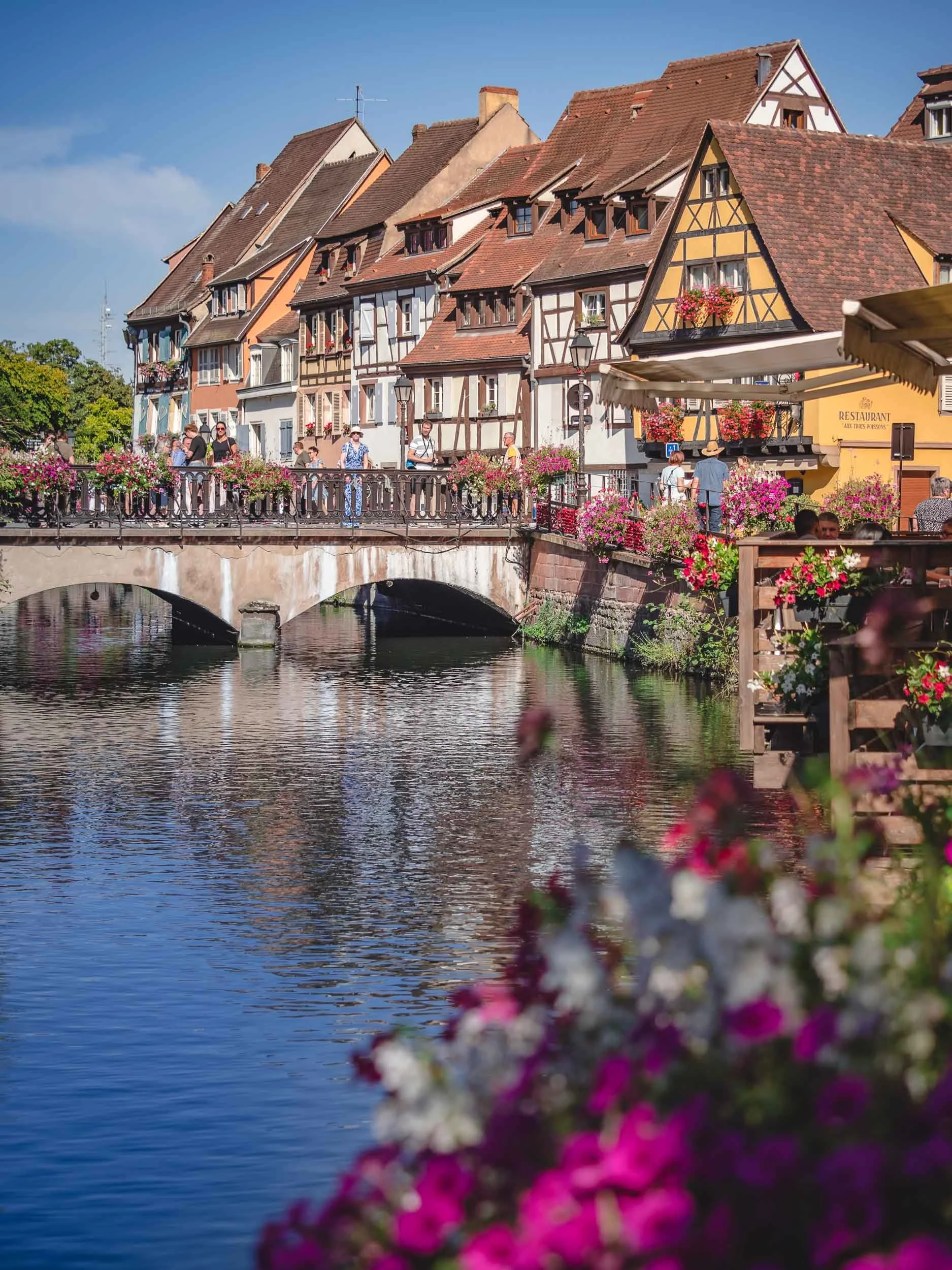
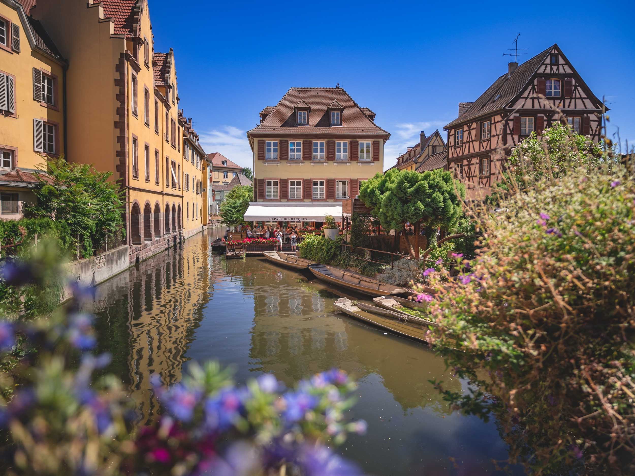
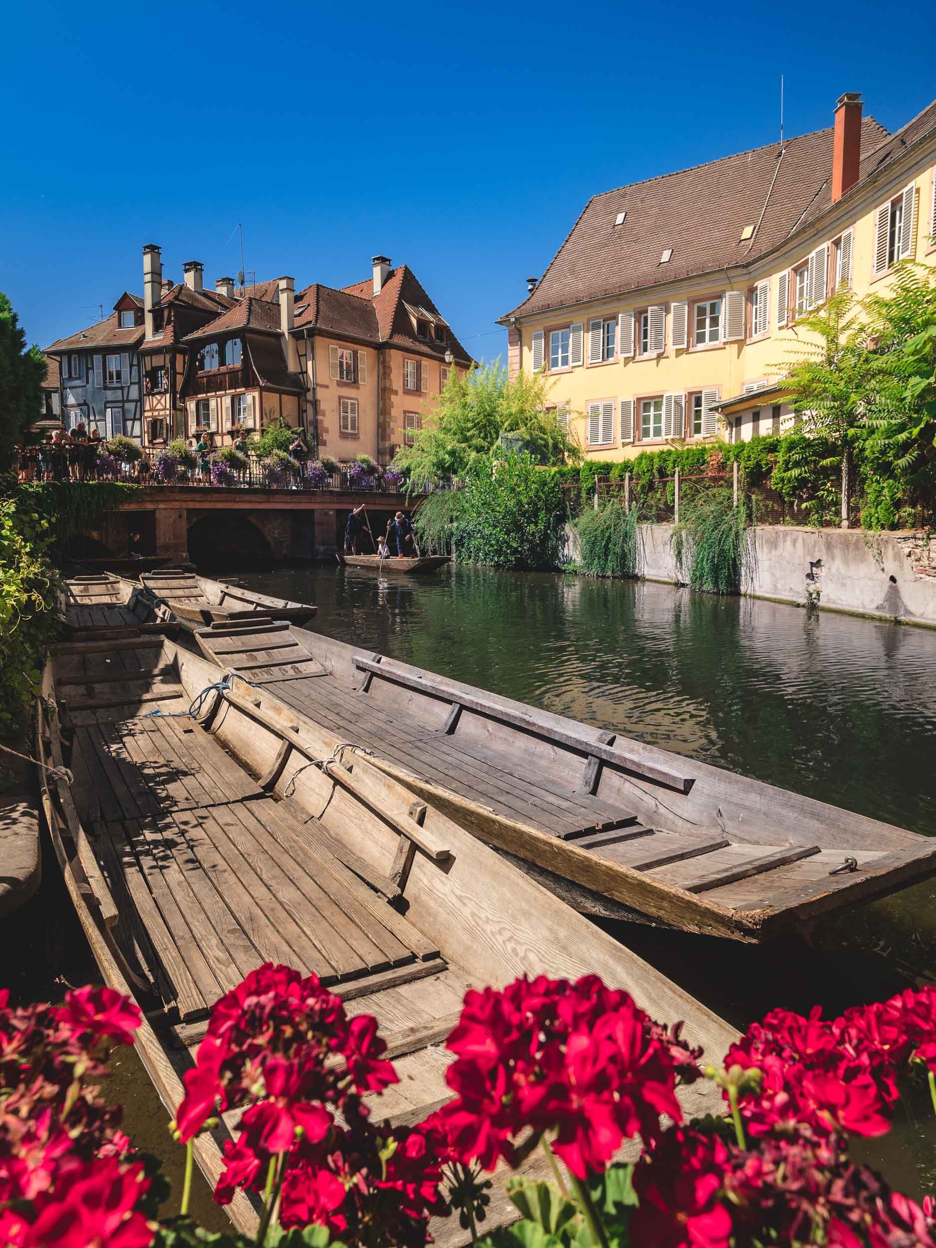
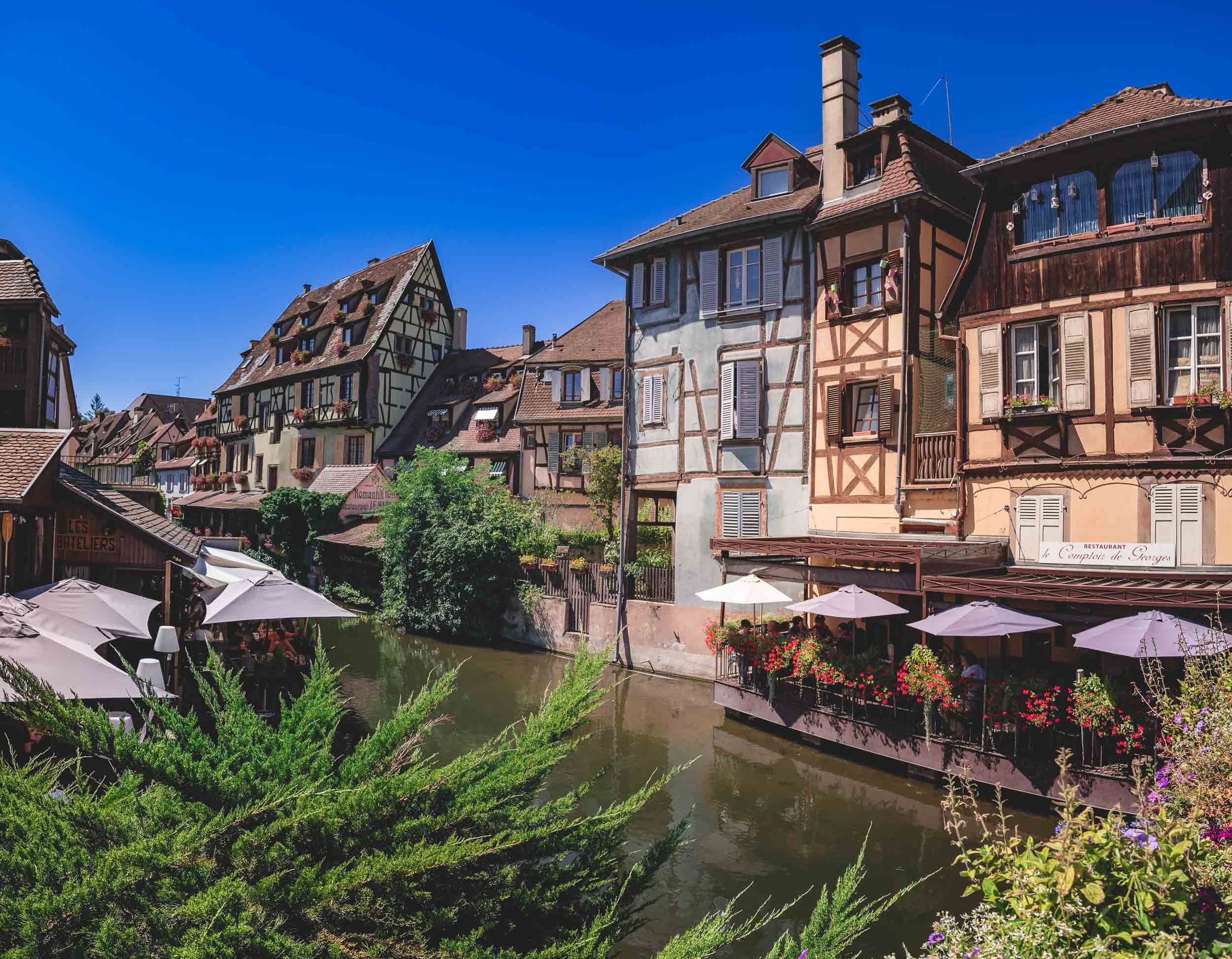


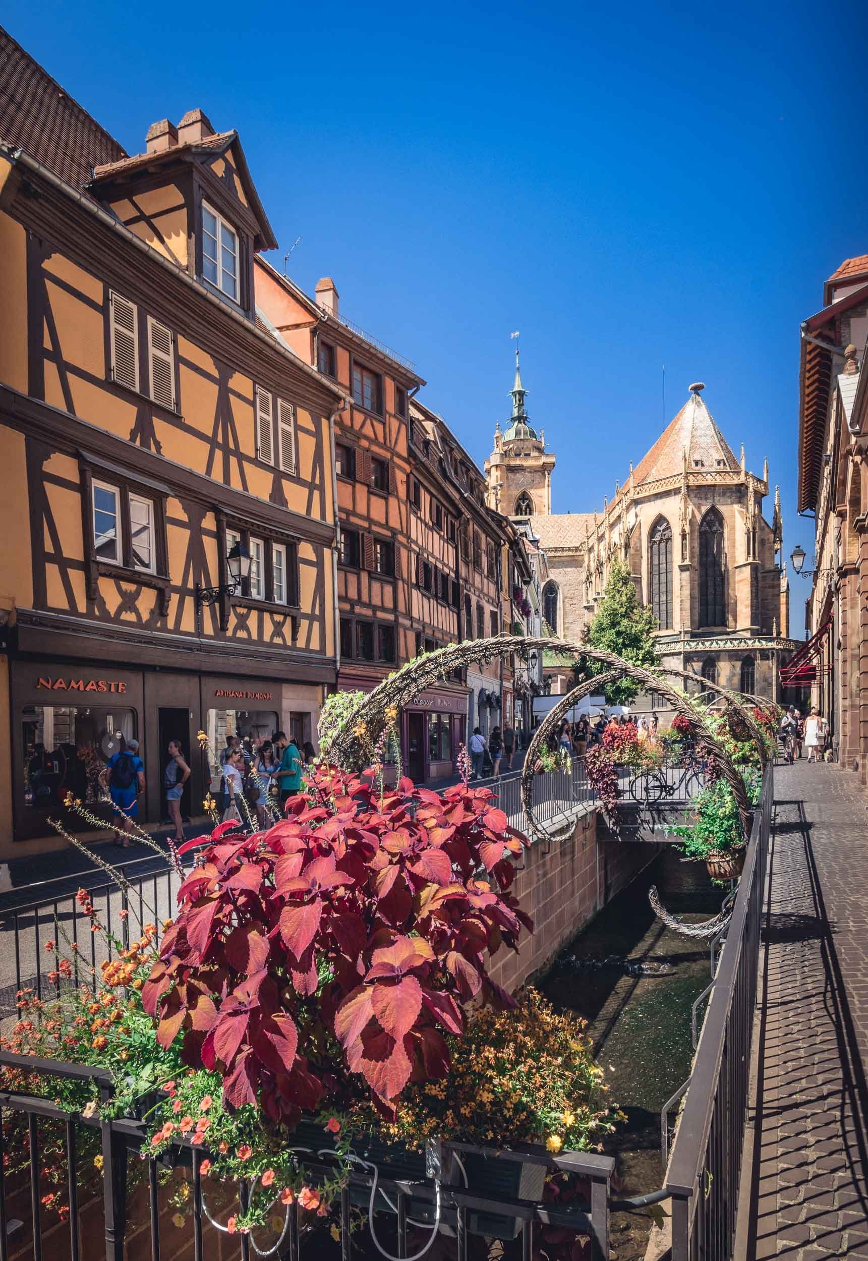
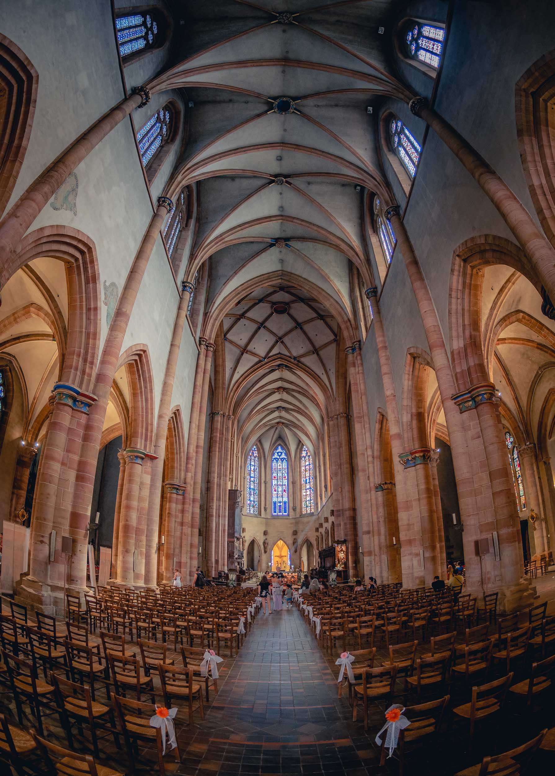
And that was a little excursion to a small corner of south eastern France! As usual, follow along on my Instagram, where I also have a story highlight with some clips from this trip.

🥇 The Epson 2022 Panorama Awards
I woke up to some excellent news a few days ago, telling me that I had won the overall Amateur Award at the 2022 Epson Panorama Awards.

I woke up to some excellent news a few days ago, telling me that I had won the overall Amateur Award at the 2022 Epson Panorama Awards, among 1876 entries, with three images scoring Gold medals, including 1st and 2nd place.
The Winning Image - In Formation 🐘
The dried-up lake bed of Lake Amboseli in Kenya is home to a regular ritual for large elephant families: In the mornings, they cross from the forest areas on one side towards the swamp lands on the other, in search for water. With a bit of patience you can photograph their amazing formations as they walk in line, and if you’re brave enough you might be able to do so from the ground for that extra special perspective. The experience of observing the behavior of these magnificent creatures and how it reflects their social ties and emotions has been very impactful for me, and their plight for survival in a world that continues to hunt them for ivory is a topic that deserves more attention - hopefully this image will help.

The quality of the submissions has been extremely high, as was the case in the previous years. Last year I was able to win the Built Up Environment Amateur category with my “City in the Clouds” panorama (more Dubai fog images here - available as prints!) and in the previous years two of my Timeblend Dubai series collected Silver and Bronze awards, so it’s amazing to see an overall win this year.
Runner Up - The Confrontation
This image is available as a limited edition print of 100 signed editions - contact me for details!

A journey of patience led me to this image, as it took many scouting trips to identify this spot, and even more visits to the location to finally find clear skies adorned by clouds, while a pair of oryx was engaging in their territorial rivalry. The resulting photograph is meant to represent both the confrontation of the animals, but also the contrast of harsh urban shapes of Dubai, with the natural soft outlines of the dunes of the UAE desert.
Sunrise in the Clouds

A panoramic view of Downtown Dubai, Business Bay, and the Sheikh Zayed Road skyline, as the beautiful blue hues of the morning light slowly turn orange and yellow from the rising sun in the east, illuminating the world's tallest building while thick fog rolling in from the desert covers the ground, creating the illusion of a city in the clouds. While many images of this rare phenomenon exist by now, I’ve always been looking for a new angle and composition during my time in Dubai - through persistence and patience I’ve been able to achieve this goal through a panoramic photo from the roof of a skyscraper that’s a little bit set back from the rest of the skyline.
Congratulations to all other winners and listed entries, make sure you check out the full gallery of the Awards here - incredible photography!
