
Nepal Part 2 - Diversity: Wildlife, Mountains, & More
This is the second part of my Nepal blog, leaving the Kathmandu valley and exploring the wildlife of Bardiya, Pokhara’s mountain views, and more.

As I alluded to in the first part of my Nepal blog I had such a vast selection of images to cover my time in this diverse country, putting them all in a single post would probably bring Squarespace (the platform I’m using to host this site) to its knees, so I decided to split them into two.
The first post is focused on the culture and architecture of the Kathmandu Valley (well worth seeing) and this is part two, covering everything from sub-tropical temperatures to snowy mountains, from tigers to other elusive creatures, and a few things in between.
Once again, credit goes to Ghanshyam, the owner of Tiger Encounter, who has been instrumental in helping me organise what you’re about to read, and is among the best operators I’ve ever worked with. For any type of Nepal trip, please consider them (not sponsored).
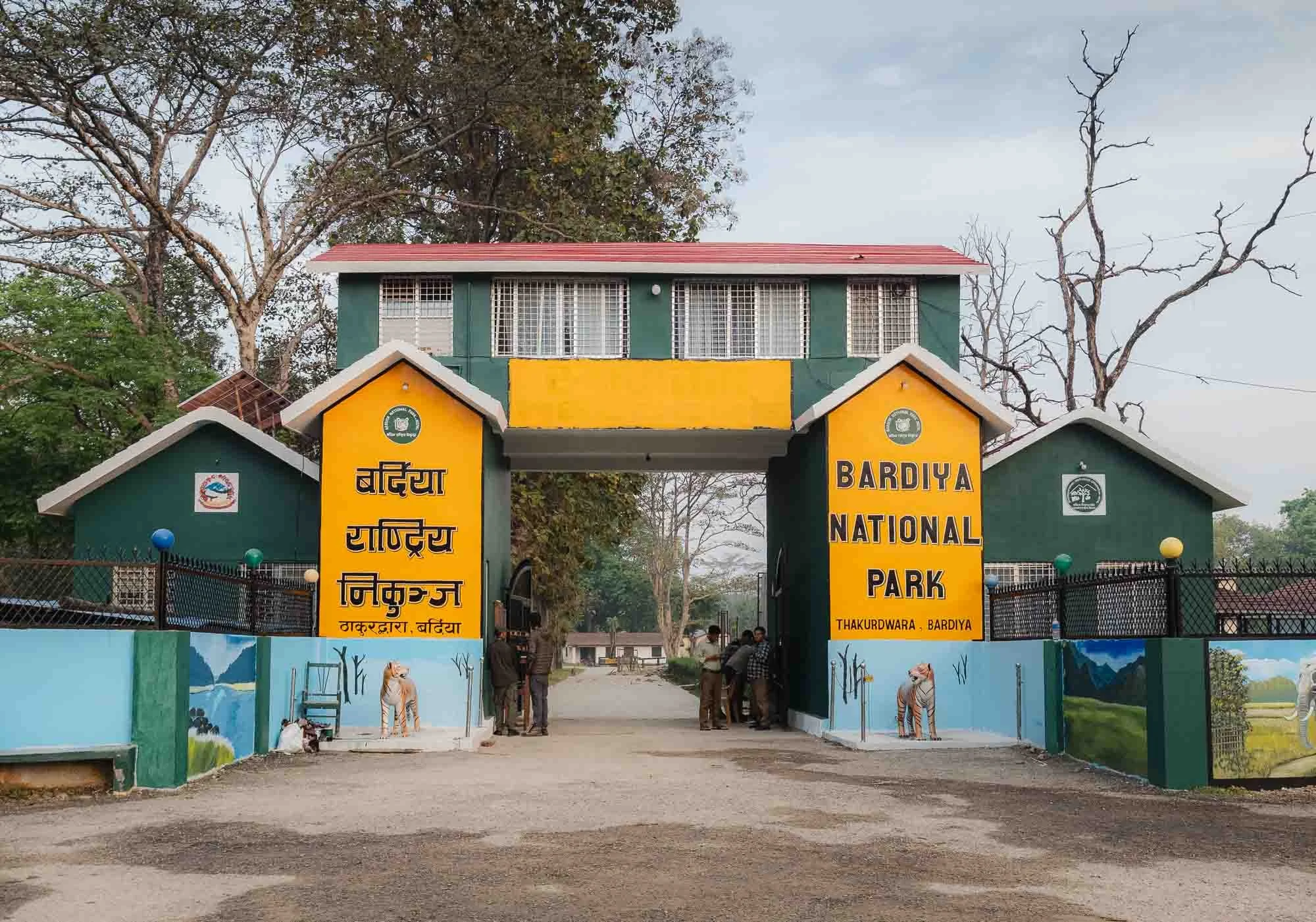
Bardiya National Park 🐅
I initially saw Nepal as an extension of my time in Bhutan, and only had a few ideas of what I wanted to explore, which quickly turned into a fully packed three weeks. From the Kathmandu Valley I made my way to the more remote western lowlands, landing in Nepalgunj, close to the Indian border after a 90 minute domestic flight (with almost no delays - which is not all that common…)
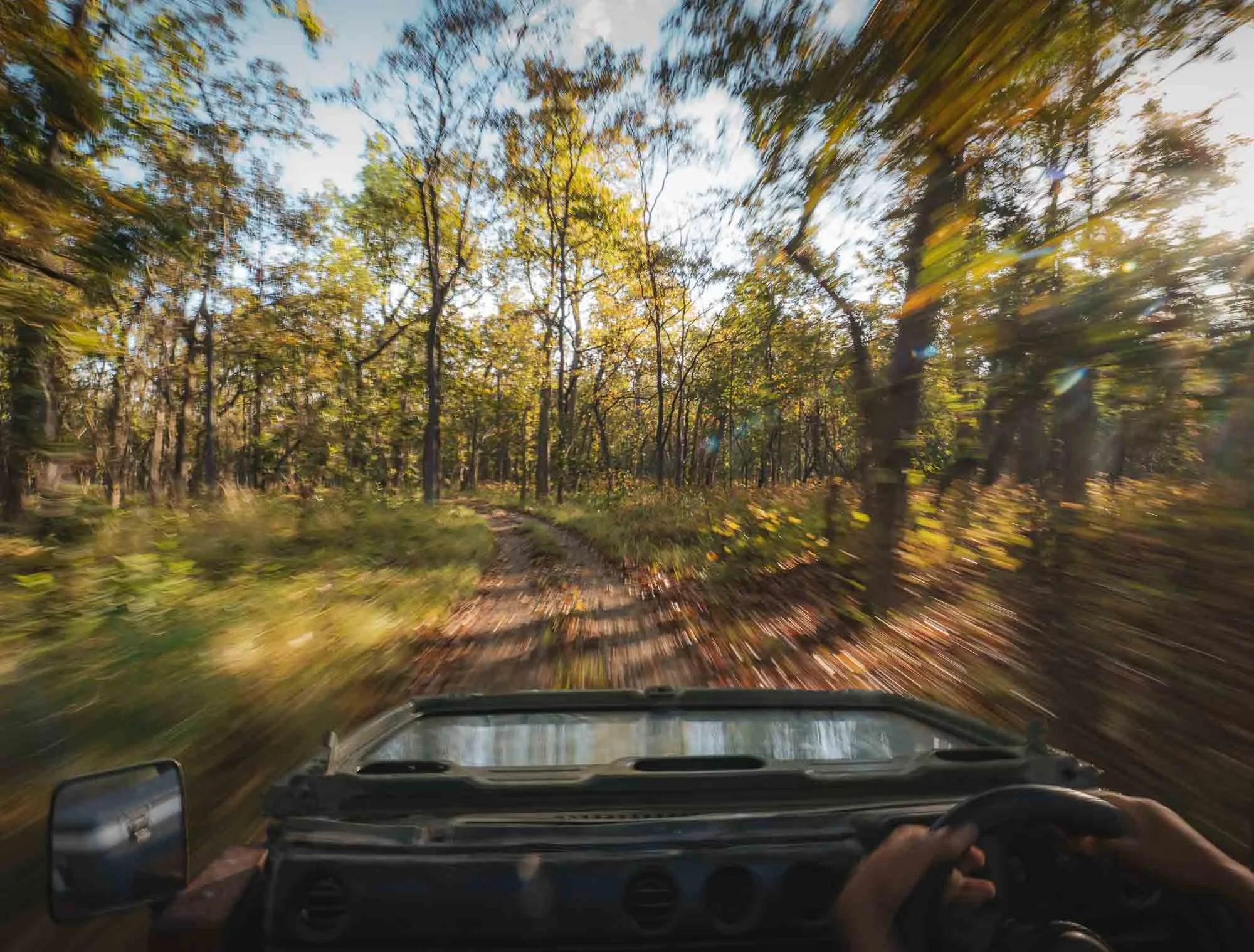
From here, it’s a 3 hour drive to the border of the Bardiya National Park. Why did I come here? It has become one of South Asia’s most rewarding places to search for wild Bengal tigers, so much so that the BBC series Tiger Island was filmed here just a few months before I arrived (and released a couple of months after I left). In fact, I had the chance to spend some time with one of its (human) protagonists, but it was the feline participants that were a bit less willing to cooperate…read on to find out.
I did have a few encounters of the non-feline kind on the way from the airport towards the park already.
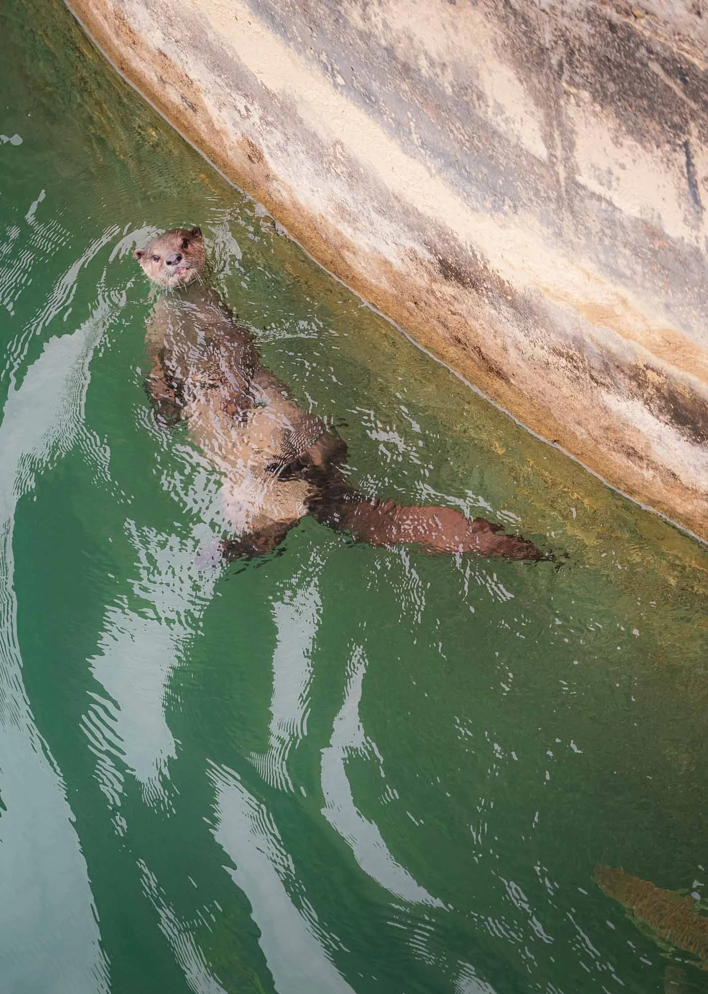
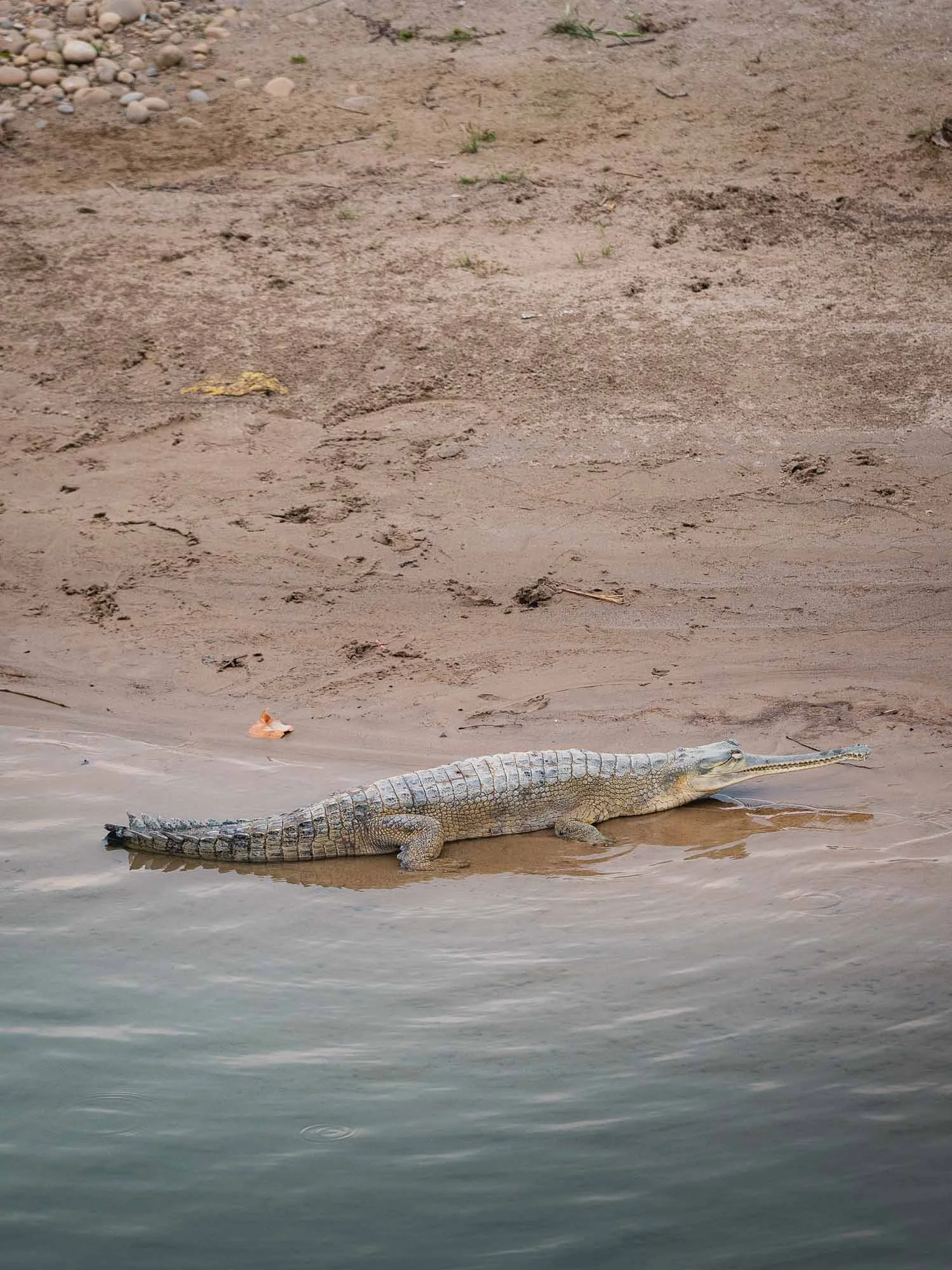
Bardiya is surrounded by a large buffer zone where human development is limited, but a major highway runs right through it - we encountered this otter and the critically endangered Gharial crocodile with its long, narrow snout near a bridge over the Babai River, one of many that runs through the ecosystem. There were once just an estimated 200 of these reptiles left in the wild. Now the number is growing, and Bardiya actually has a breeding program for them, which I would get to visit later.
Community Conservation
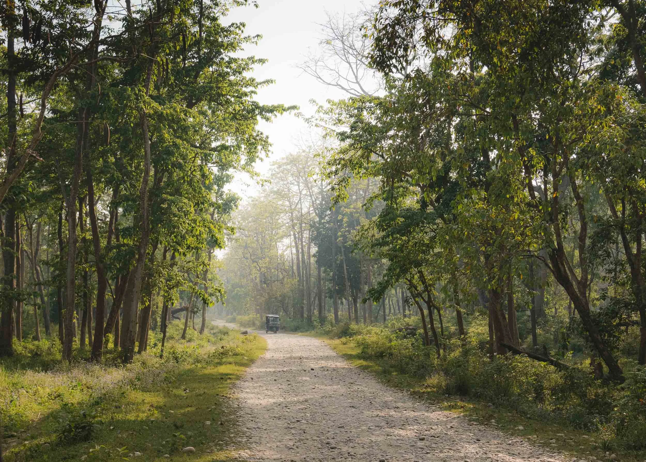
After arriving at a small lodge on the banks of the Girwa river just on the border of the park, we made our way into the community forest, part of the buffer zone where humans and animals coexist - not always happily, as my guide Ram Raj (his nickname is Nana) would explain.

He’s only 24, but grew up in the area and has been involved in its human-wildlife management and conservation efforts since his teenage years. In fact, Nana experienced the challenges first hand: he broke his leg during a motorcycle accident when he encountered an elephant on the road, and his previous house suffered from elephant-related damage regularly, forcing him to abandoned the mud-walled home and move into a concrete structure.
It’s maybe through these encounters he dedicated his life to helping the community engage with wildlife positively, become part of the community-based anti poaching unit (CBAPU). He also has a role in the Rapid Response Team and sleeps with two phones next to his bed, responding to calls from locals whose crops are raided by elephants, to leopards entering village areas, and pythons in people’s living rooms - yep, he showed me pictures.
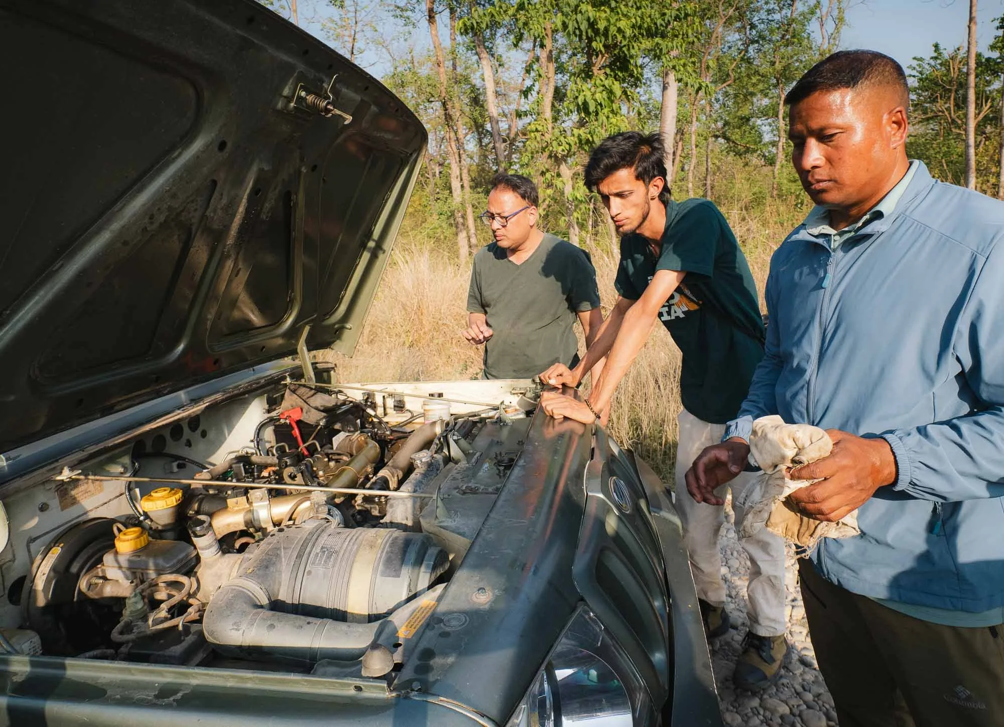
As we drove to the forest hoping for our first wildlife encounter, his helpful spirit became immediately apparent when we came across a jeep that had broken down.
The attempt to get the engine going again remained unsuccessful, and so we moved on after calling in more qualified help.
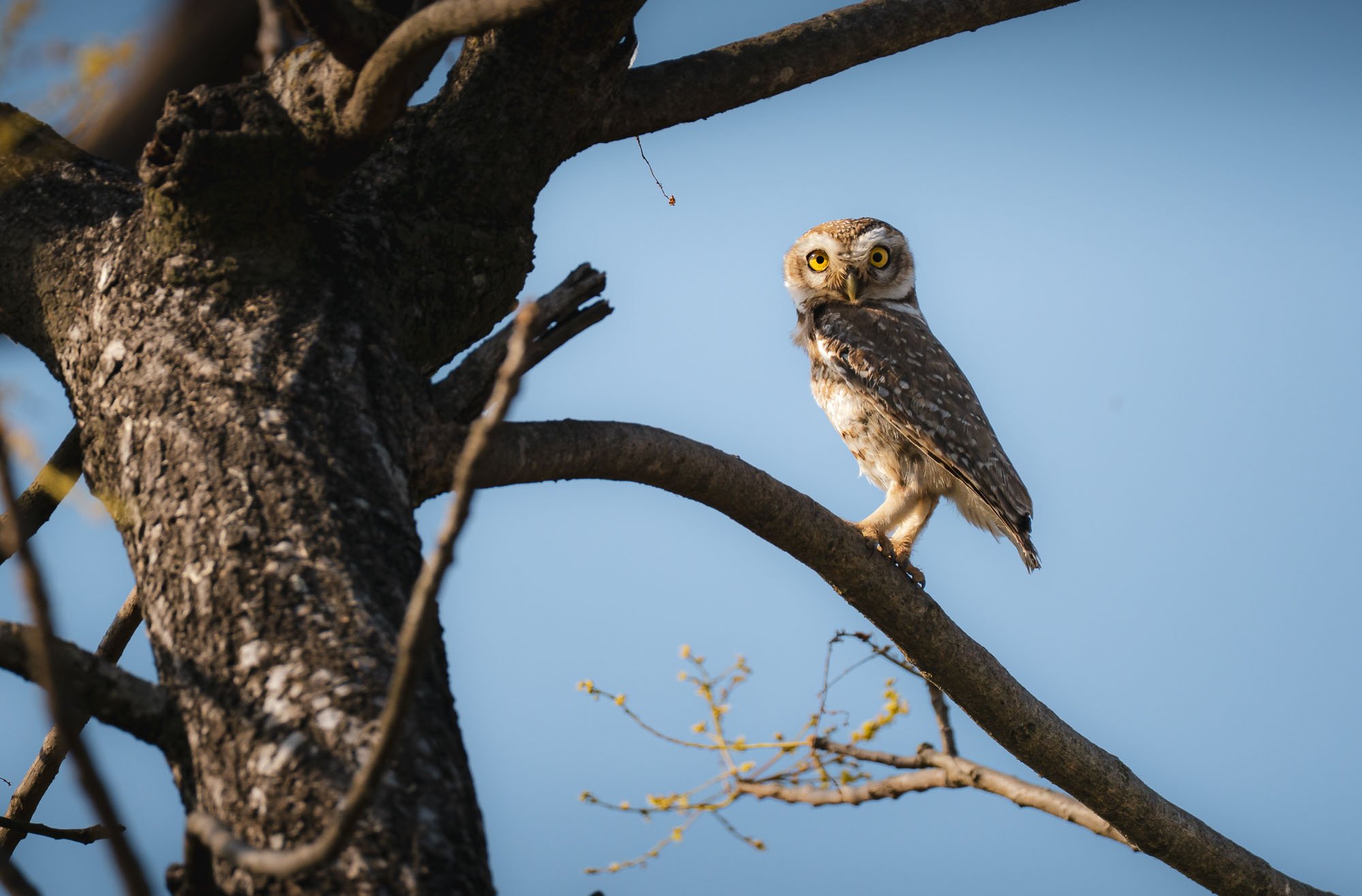
The area is of course home to much more than tigers - for instance, there are over 400 bird species to be found in the park. One of the more charismatic ones we encountered is the Spotted Owlet.
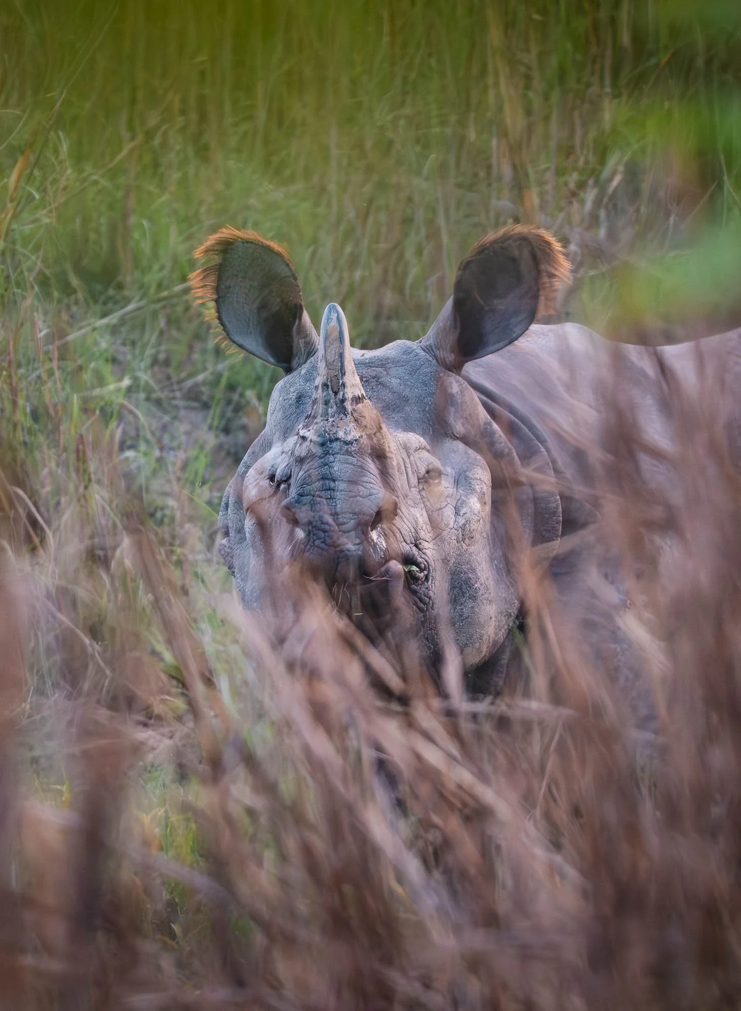
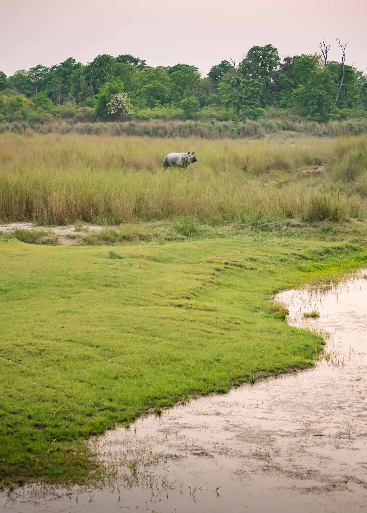
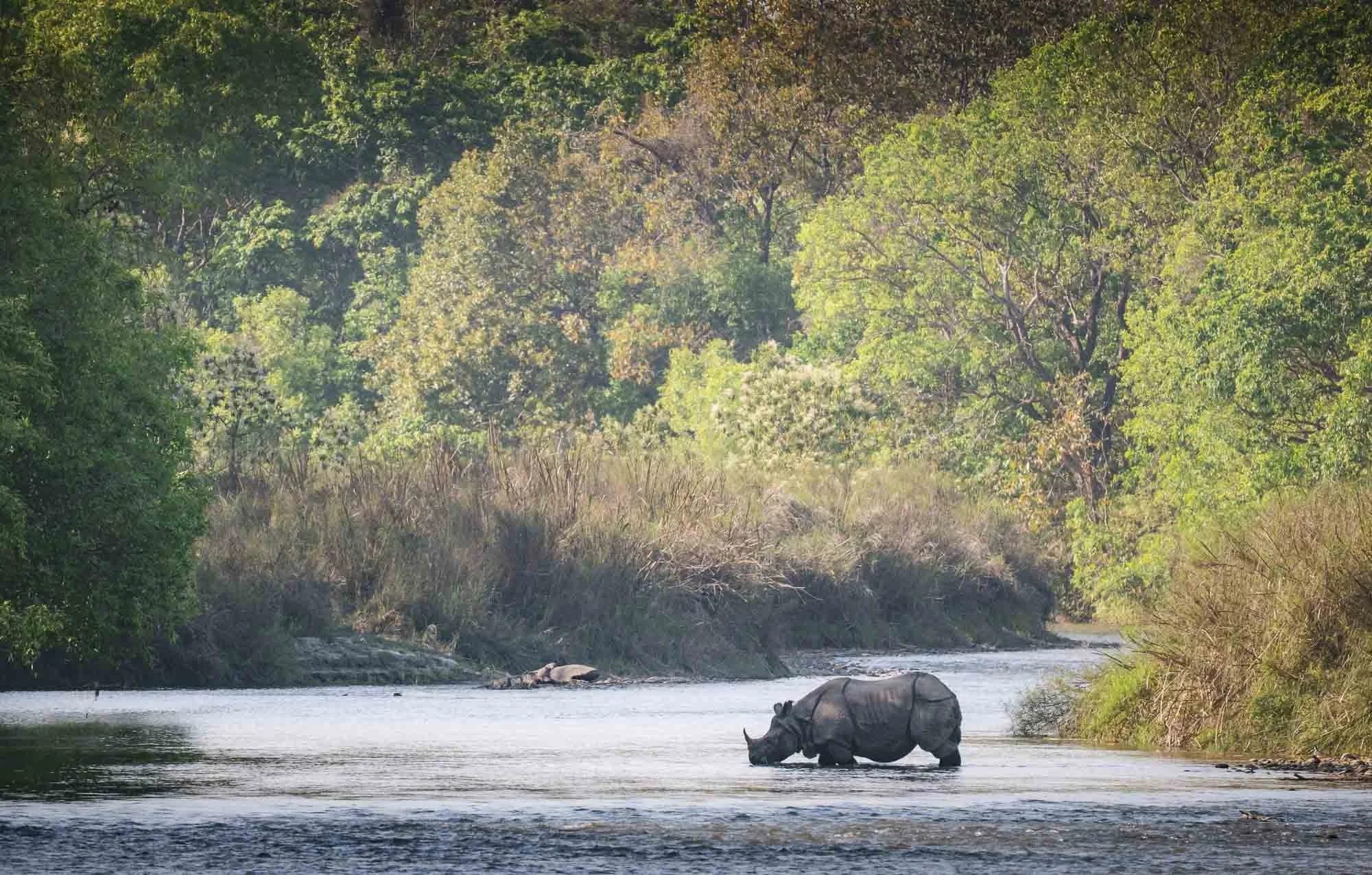
Beyond the birds, Bardiya is also a prime habitat for one-horned rhinoceros, the largest in Asia and a vulnerable species which I’d definitely hoped to see.
There are also a few animals I didn’t really have any hope to encounter due to their rarity, such as the fishing cat (yep, that’s a thing), rusty spotted cat, or the Gangetic dolphin (they are seasonal during the rainy times).
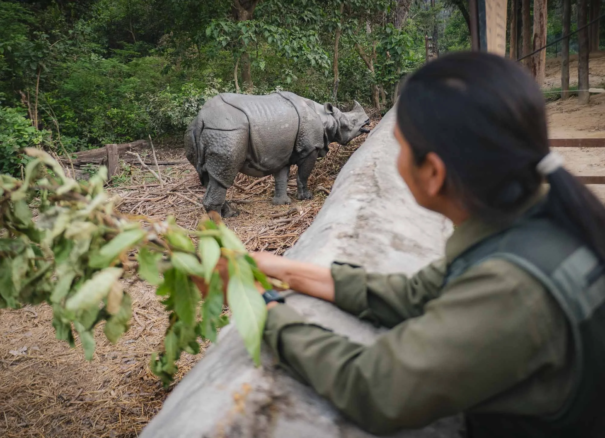
The One-horned Rhino
As we stood by the river bank of the community forest for sunset - a popular tiger crossing spot - Nana got a call that a rhino had been spotted a few hundred metres upstream, and we immediately got moving on foot through the bushes along the bank. Suddenly he stopped abruptly as we came around a curve, turned around and signaled for silence. A two-ton rhino, one of maybe around 4000 left in the wild, stood just 50 metres away, and had clearly noticed us - probably not seen (their eyesight is poor) but smelled and heard.
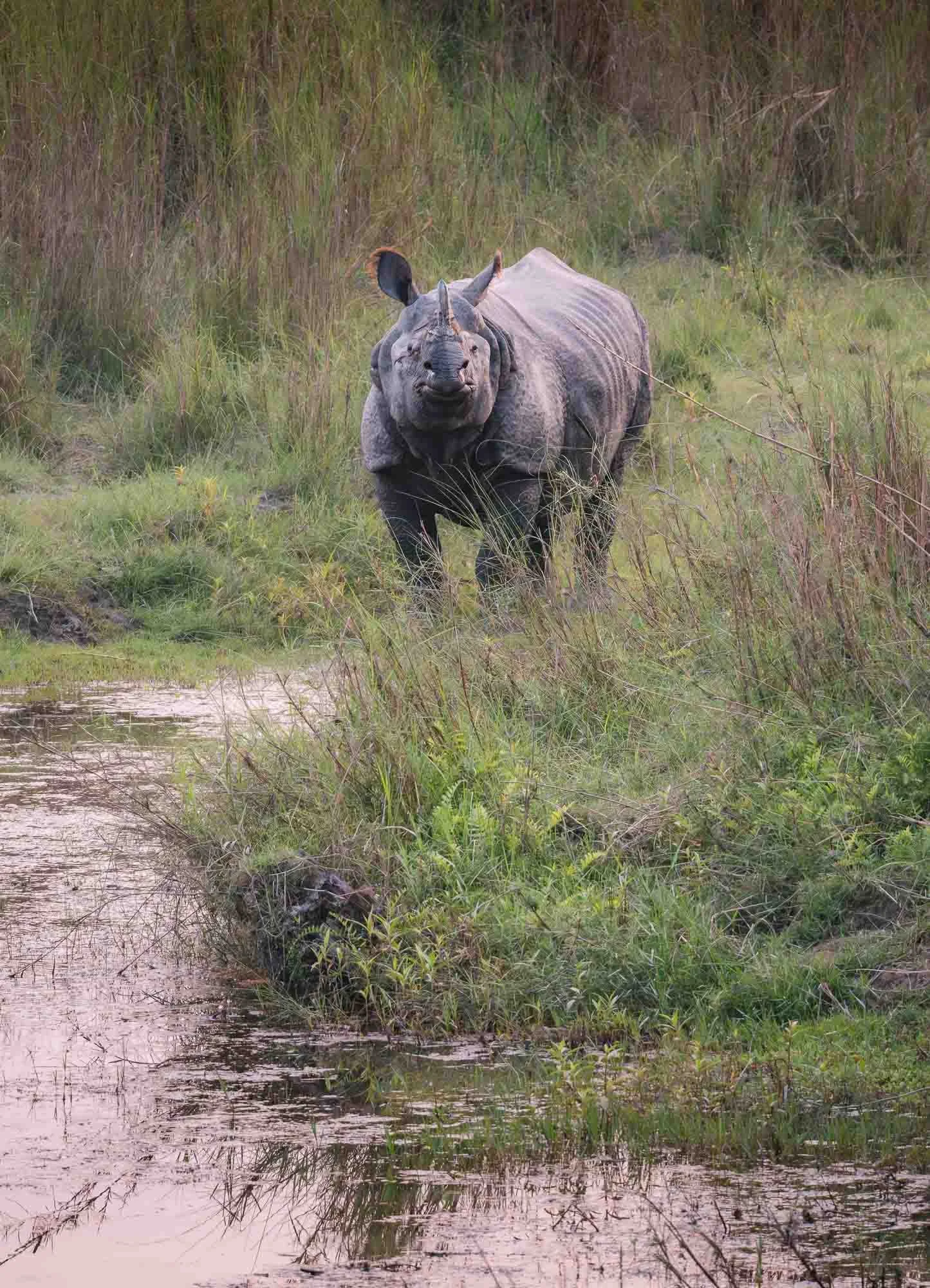
He watched us a for what felt like an eternity, then decided to turn, climb down the bank, and disappear into the thick grass across a small channel, not before giving us another disapproving look for disturbing his evening walk.
What a sighting - there are only said to be fewer than 50 individuals in the park and surrounding areas.
Day 1: success!
Into the National Park
Around sunrise on Day 2 we left the buffer zone behind and entered the actual National Park area of just over 1000 sqkm, established in 1988.
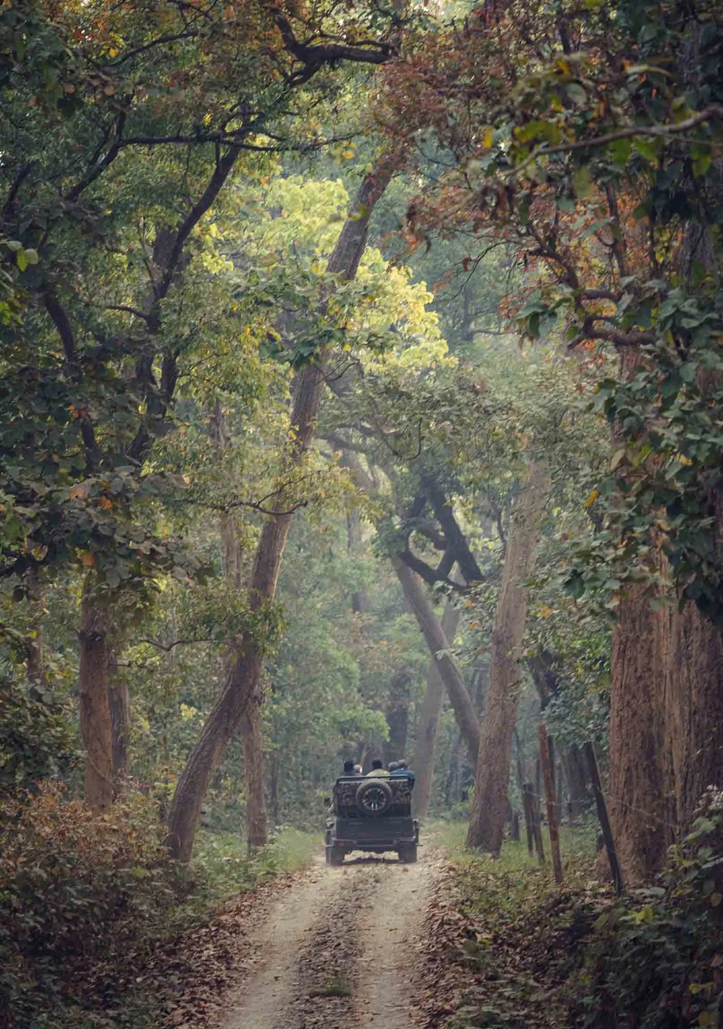
Owing to its rather remote location, it felt significantly less busy than many other parks in South Asia, although the lunch spots or major sightings can of course attract a few jeeps.
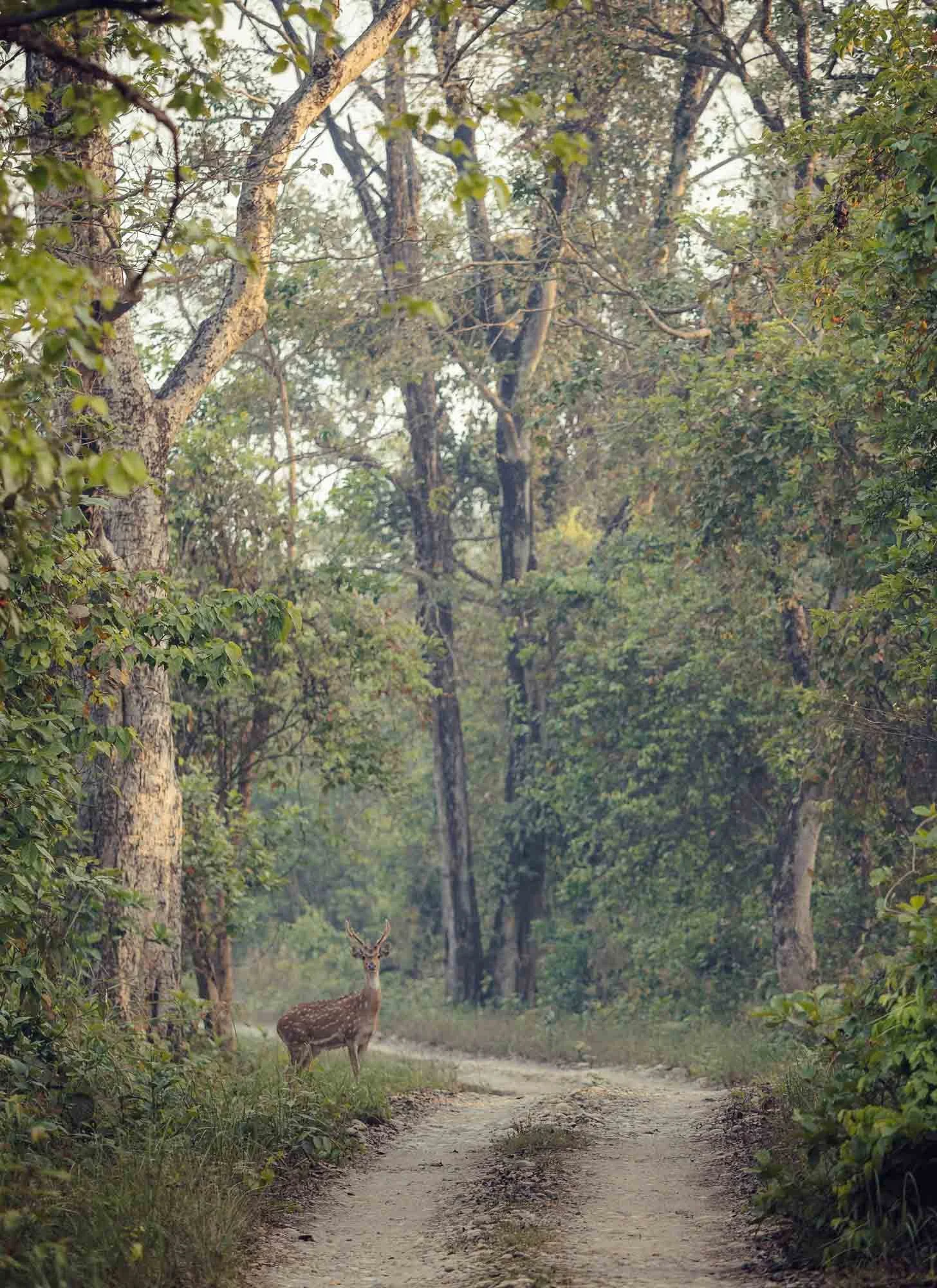
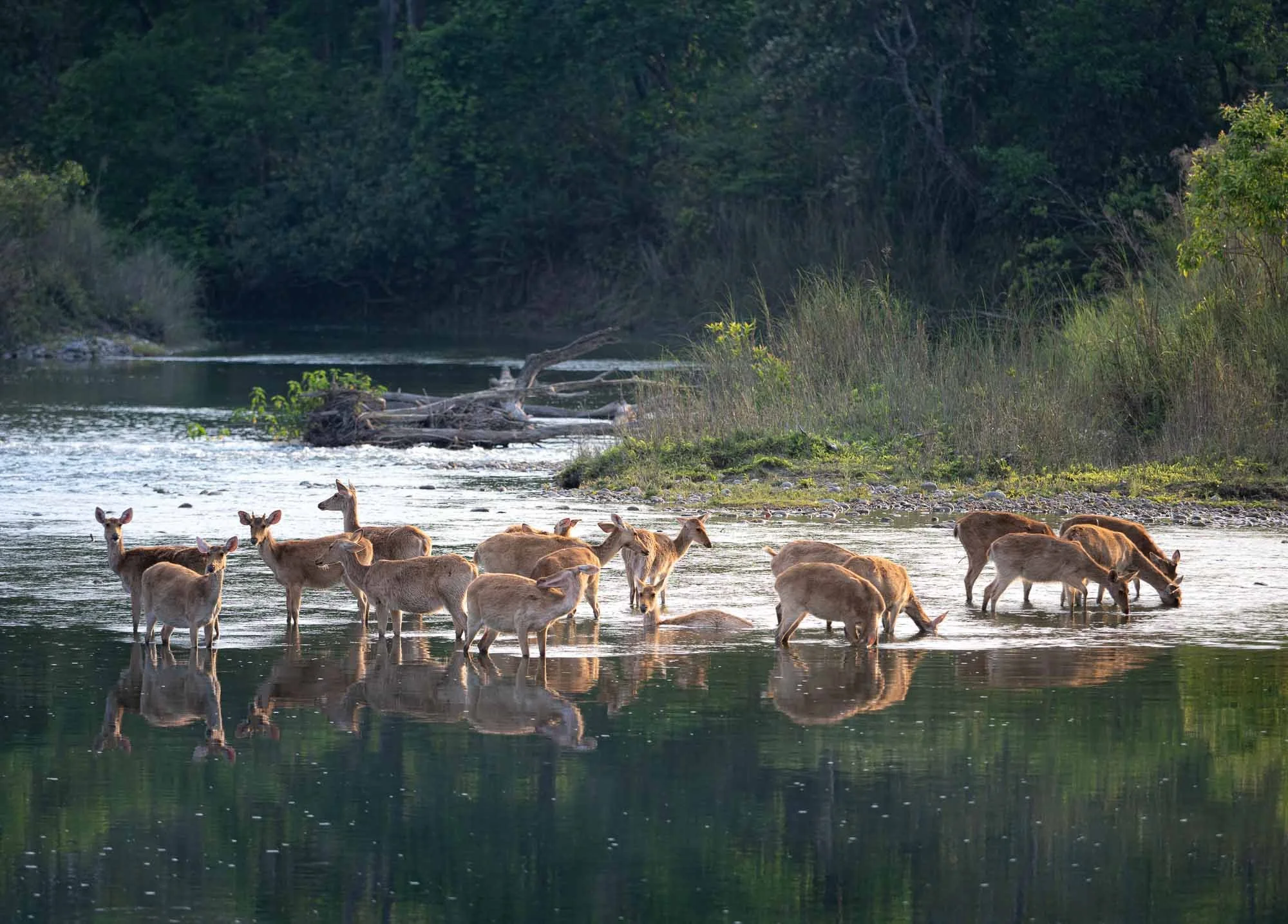
Among those sightings are deer: there are five species in the park (prime tiger prey…), the most common one, the spotted deer or Chital, seen here, watching us approach carefully.
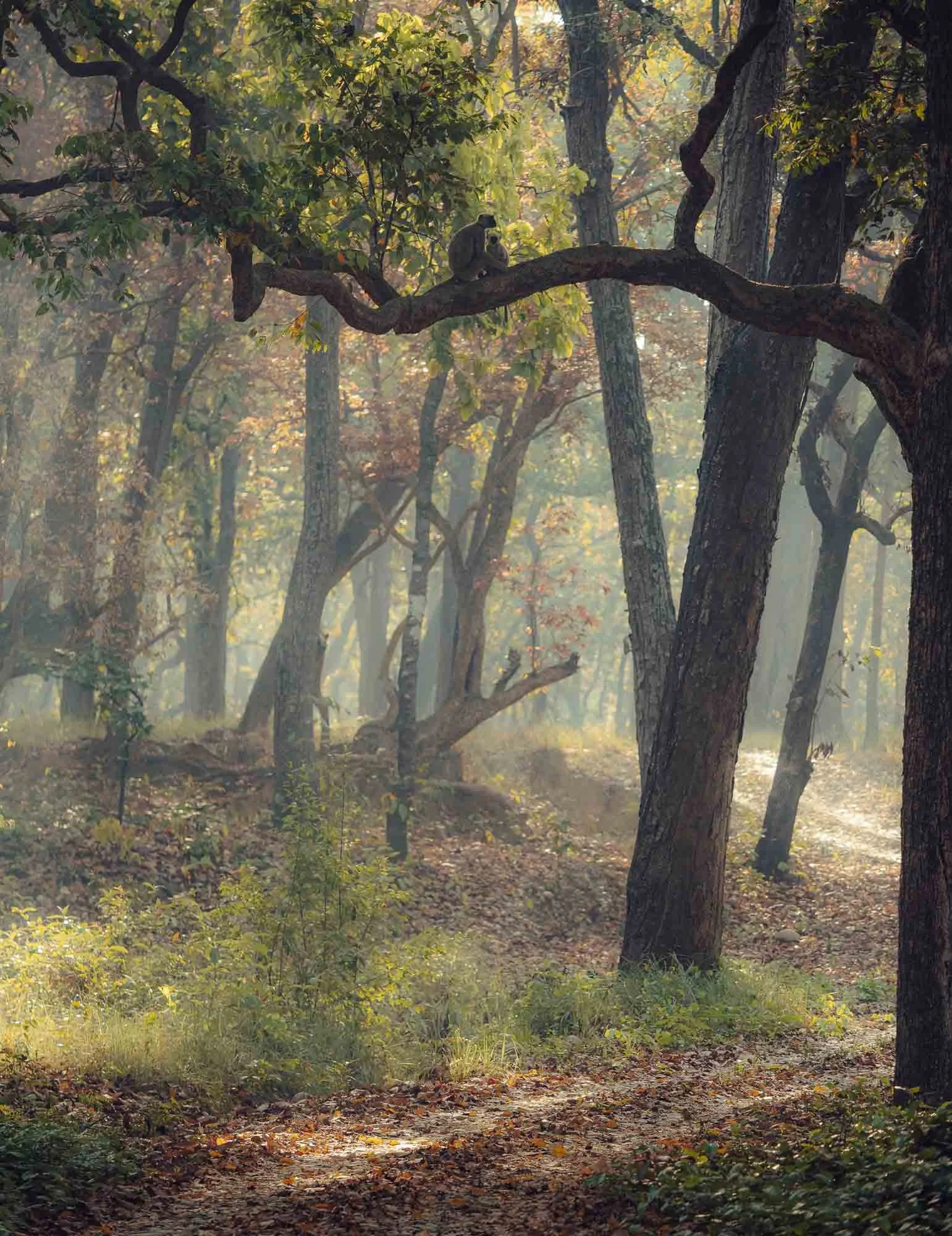
Although the day didn’t bring any major sightings, it’s always enjoyable to observe other forest inhabitants such as these rhesus macaques and listening for their alarm calls that alert other animals - and experienced guides - to the presence of tigers or leopards nearby.
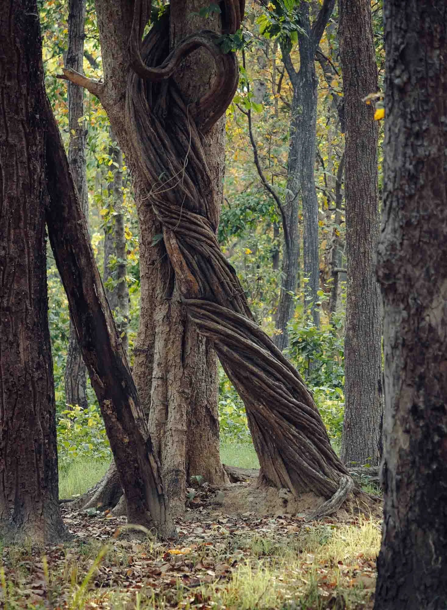
Even the flora is worth a closer look, such as these massive vines, which instead of investing energy in a thick trunk, climb existing trees to reach the canopy - sometimes smothering them in the process and giving the jungle a kind of Indiana Jones vibe.
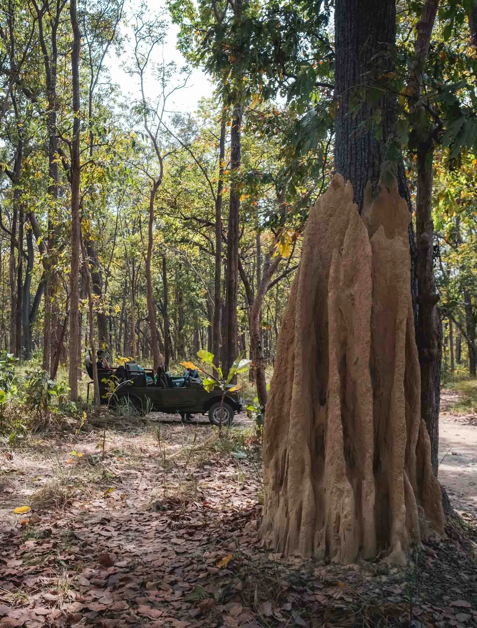
Another interesting forest feature are these huge termite mounds, sometimes in excess of 2 meters tall. They represent the pinnacle of a deep tunnel network constructed over decades by millions of these tiny insects.
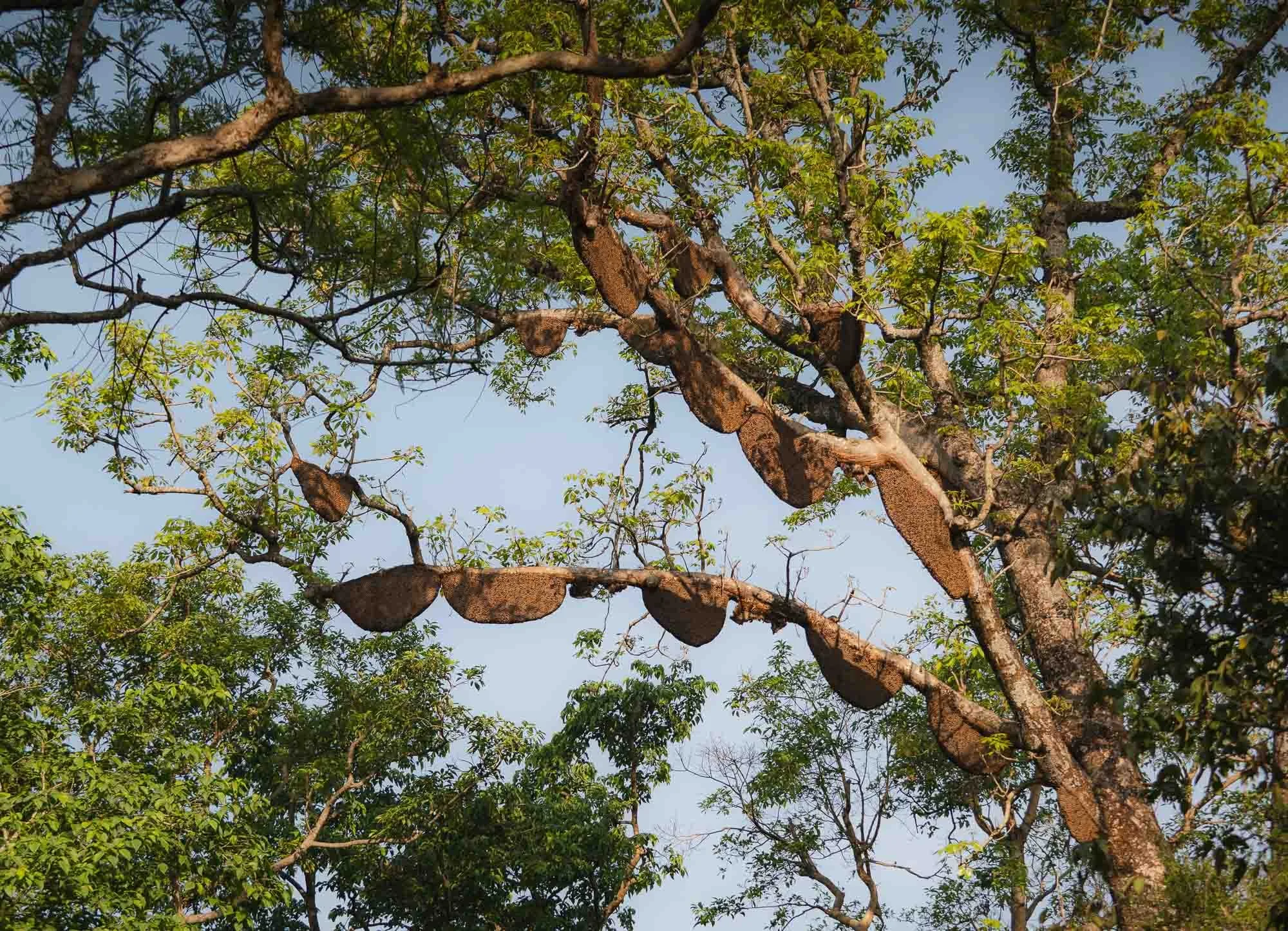
A different tiny insect positions their huge structures a little higher up - giant honeycombs, some more than a metre across, built by the Giant Asian Honey Bee.
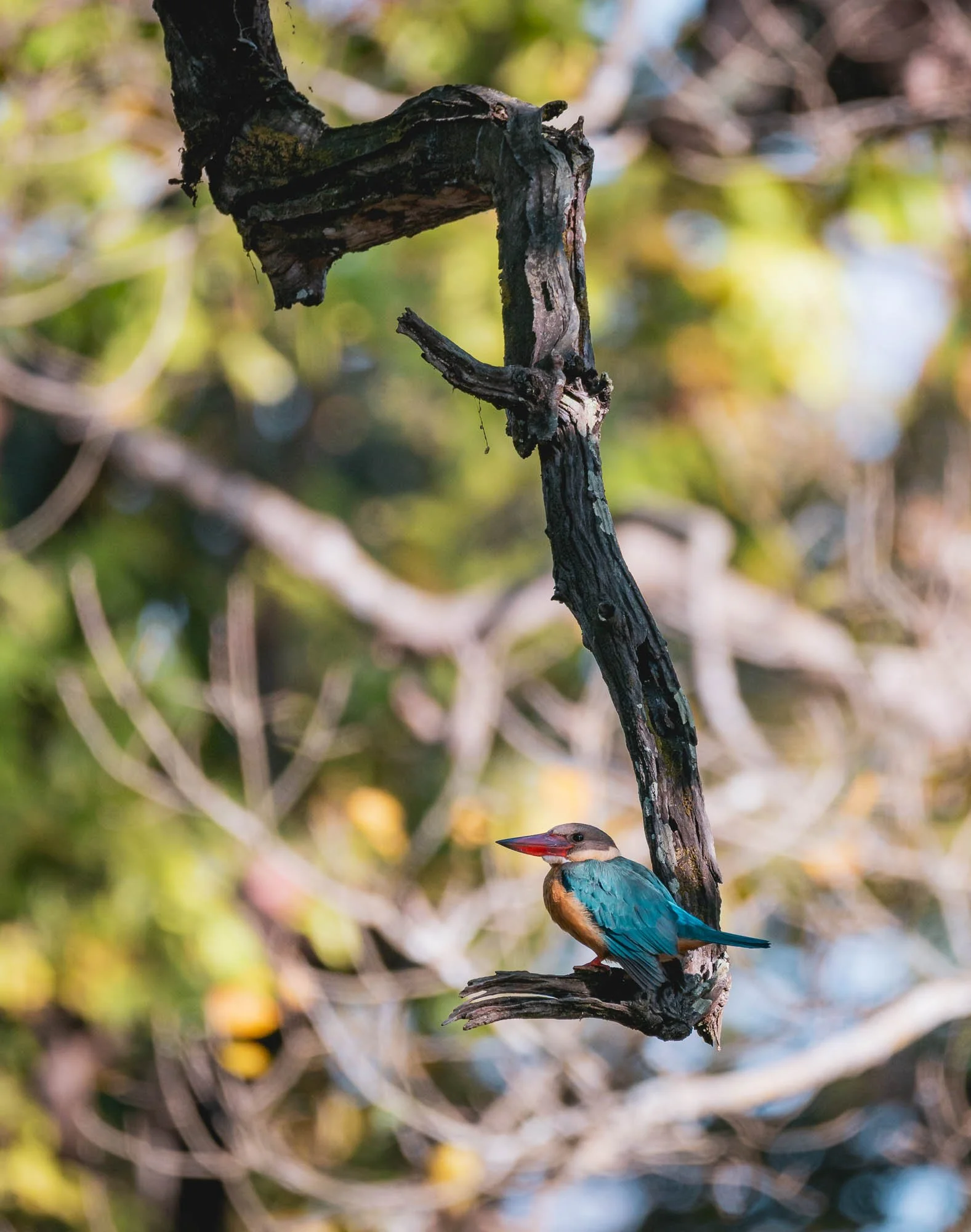
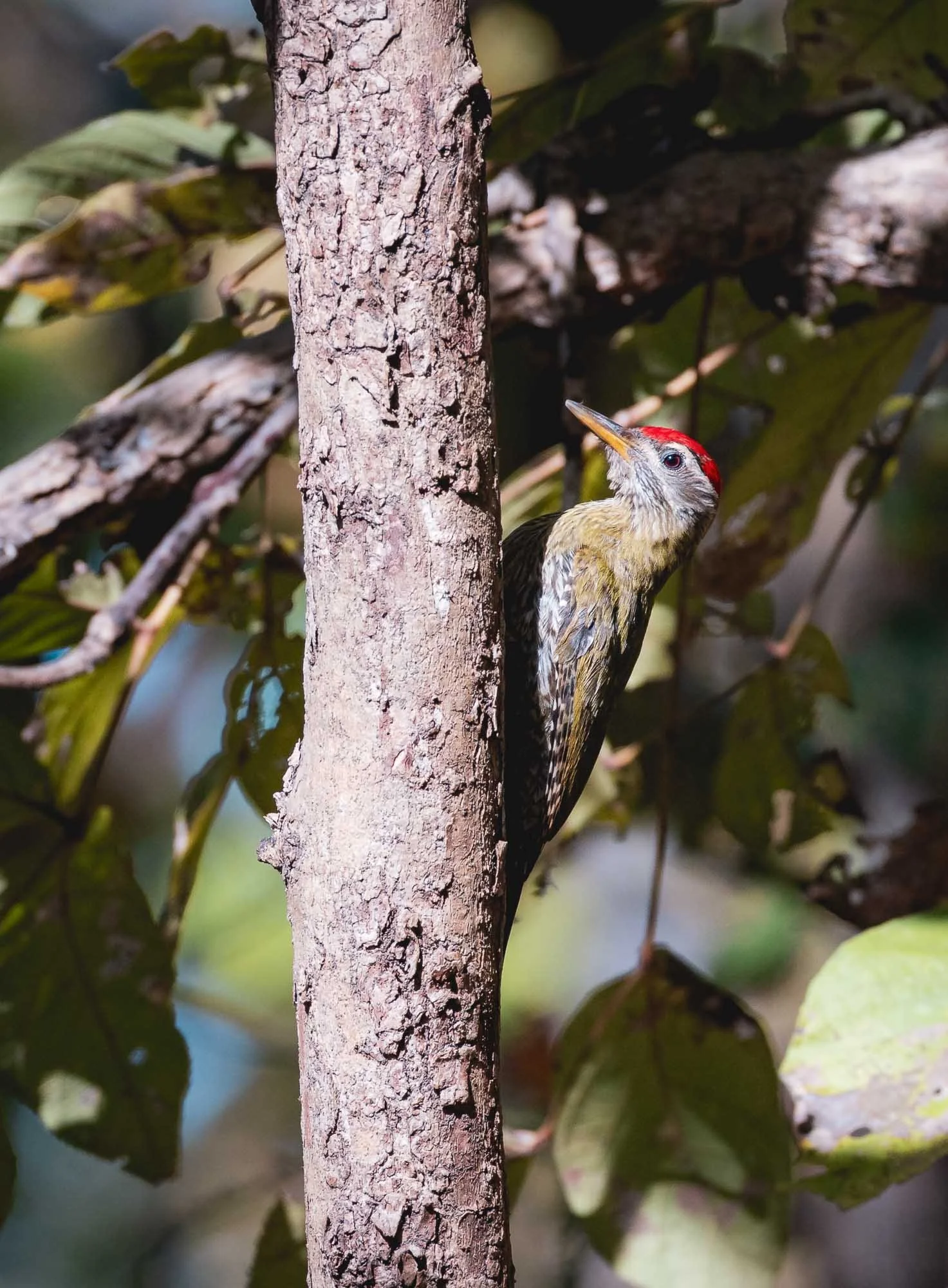
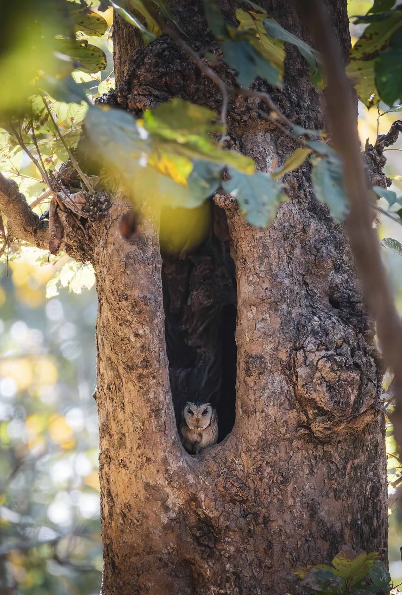
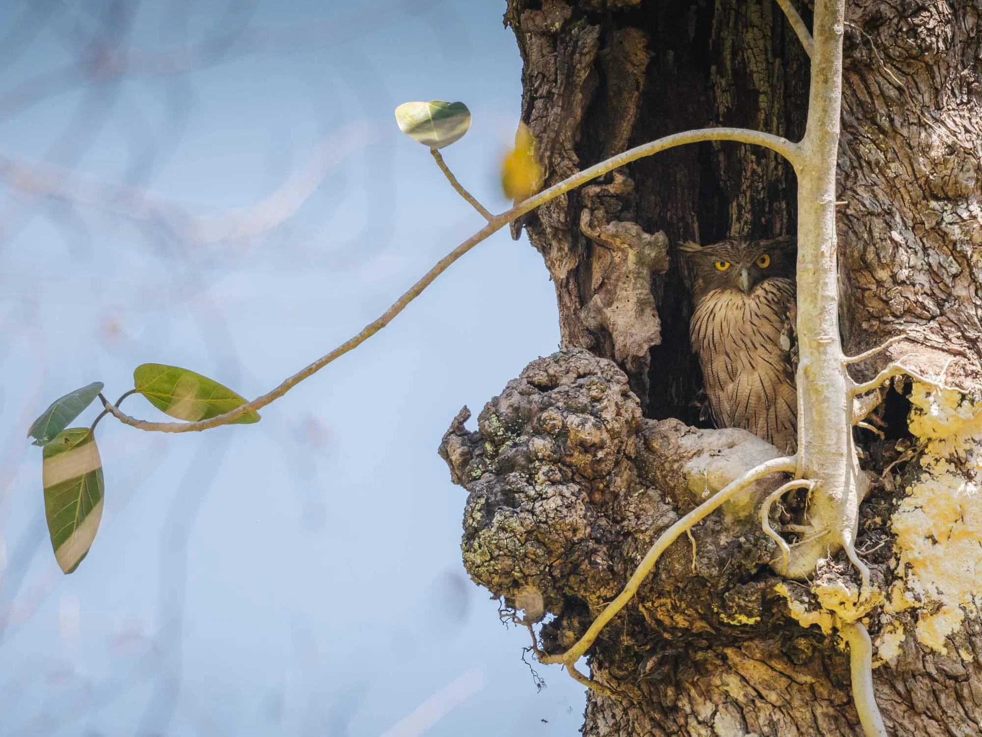
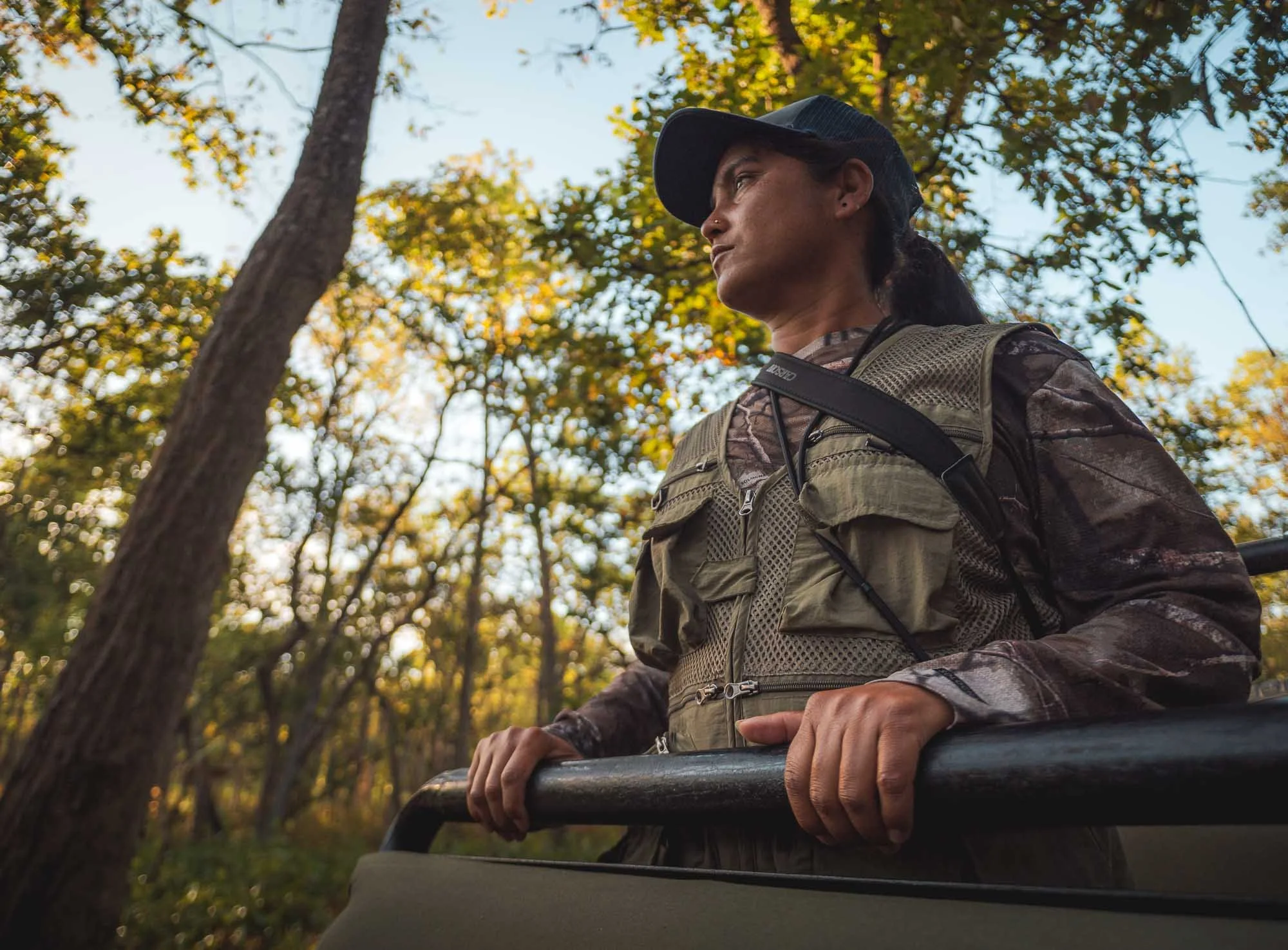
In general, scanning trees often pays off - they’re home to everything from kingfishers, woodpeckers, and what I believe are a collared scope owl and a fish owl. Luckily, my guide for the park was a woman who would miss none of those animals: Sushila. She grew up around the forest and became a guide more than 10 years ago. Evidently, a good one: she worked with the BBC for months to film the aforementioned Tiger Island documentary, helping them track the animals and study their behavior to capture the most interesting scenes. I also got to meet one of her four sisters, who is also a guide in the park, working hard to correct the skewed male / female ratio!
Even with her and our amazing driver Harry, who has been here for 17 years as well and never shied away from pressing on the gas when there were signs of a tiger nearby, spotting these big cats is no easy task. But we did see another large animal that roams these forests…
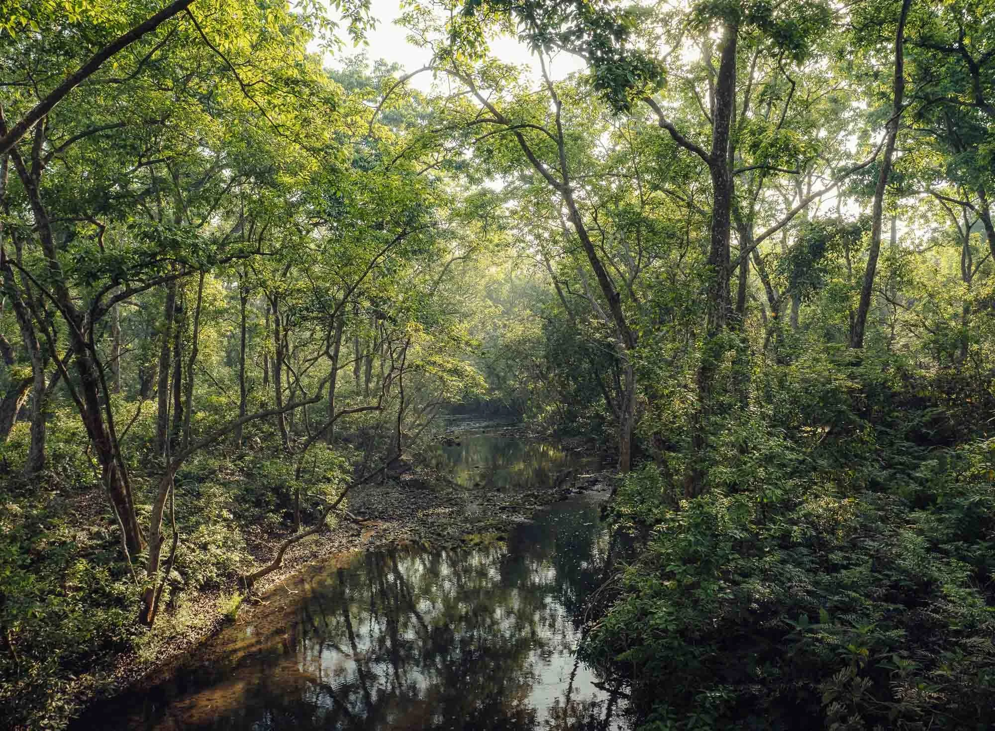
The park is mostly sal forest area, with small parts of grassland, floodplains of the river system, and transition zones. It gets very hot during the dry season, which ends around the time I visited in April, with temperatures over 35C.
During this dry season, several waterholes are filled artificially to provide drinking water for the animals - in fact Nana learnt to be a solar system technician during Covid to help install the pumps required. The water holes provide some of the best opportunities to spot tigers, who rest close to them to cool off during the day. But it’s not only tigers who make use of them.
Asian Elephants
We spotted this herd of endangered Asian elephants roaming the forest, sometimes migrating huge distances in search of food and water. There is a population of around 120 or so in the area. You’d think that animals of this size, let alone a herd of 10+, are easy to spot, but no, in these thick forests even an elephant can hide quite easily.
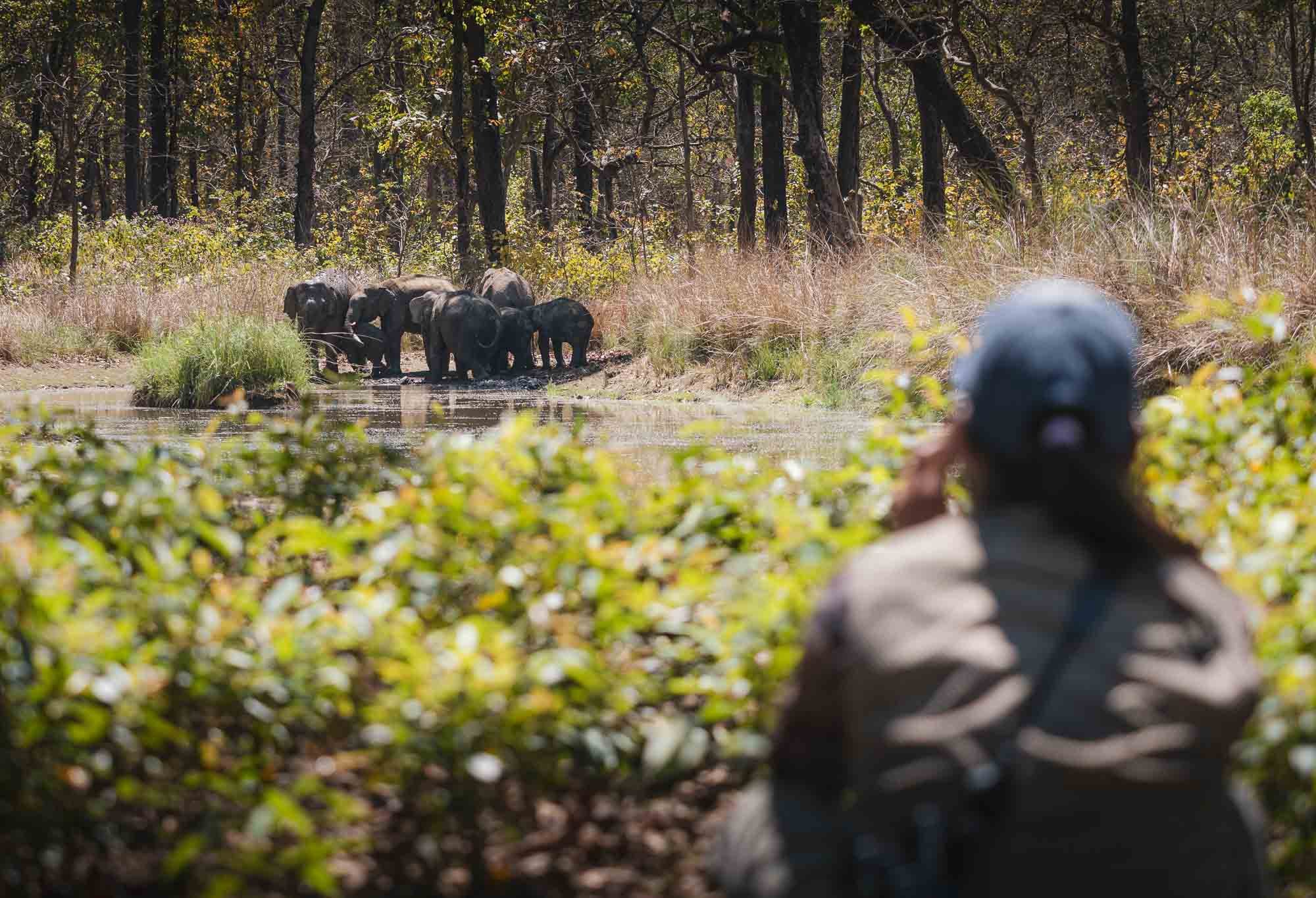
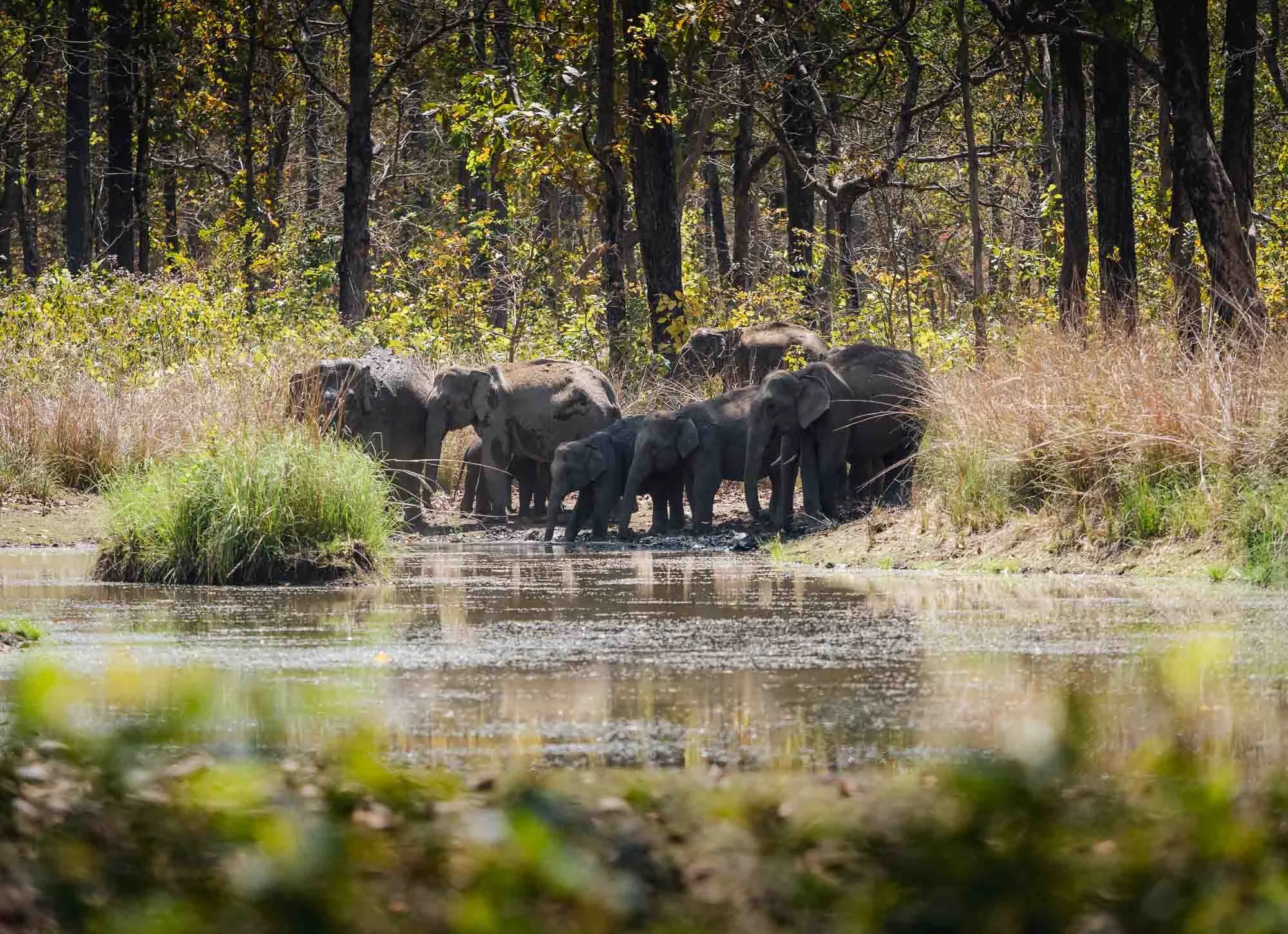
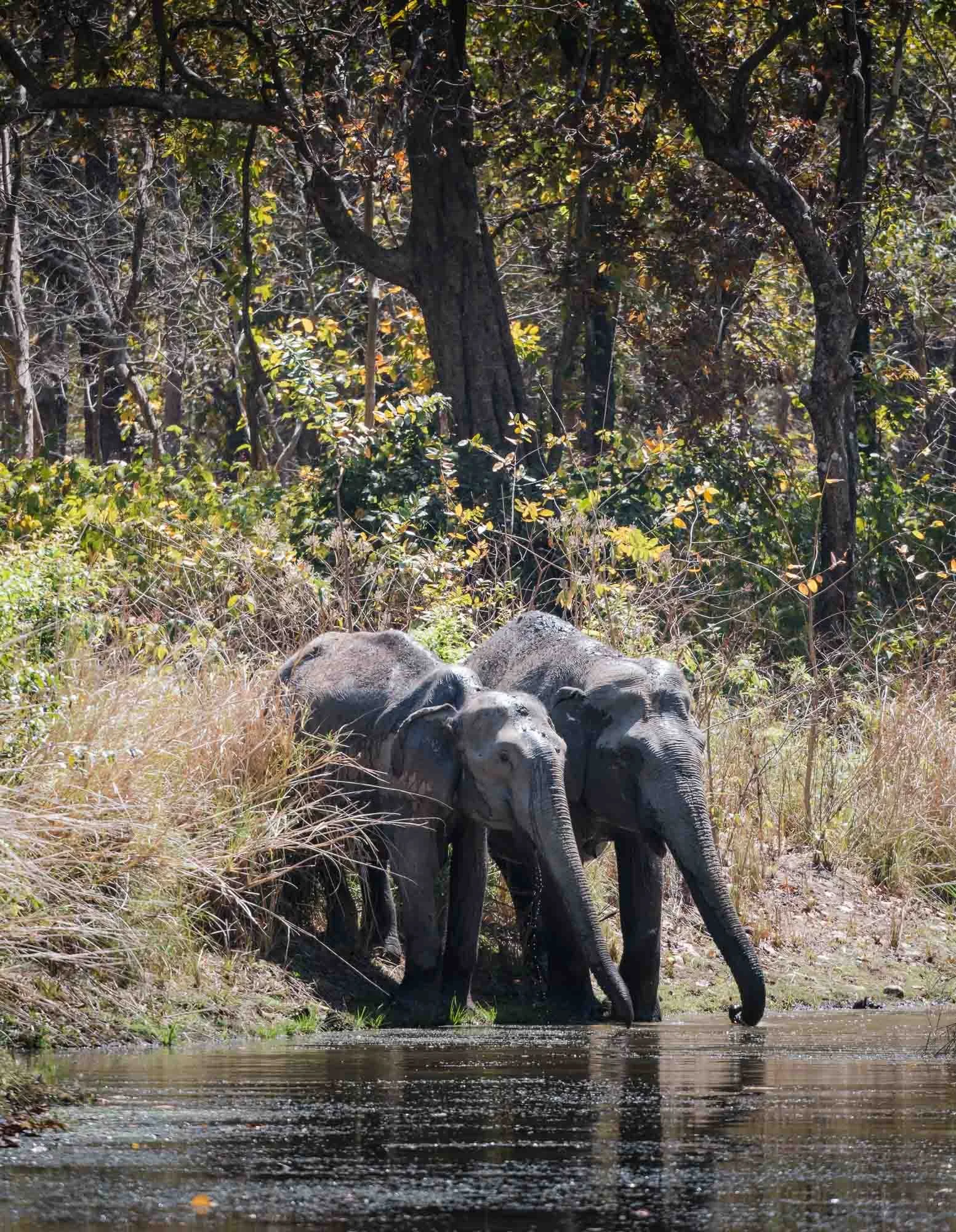
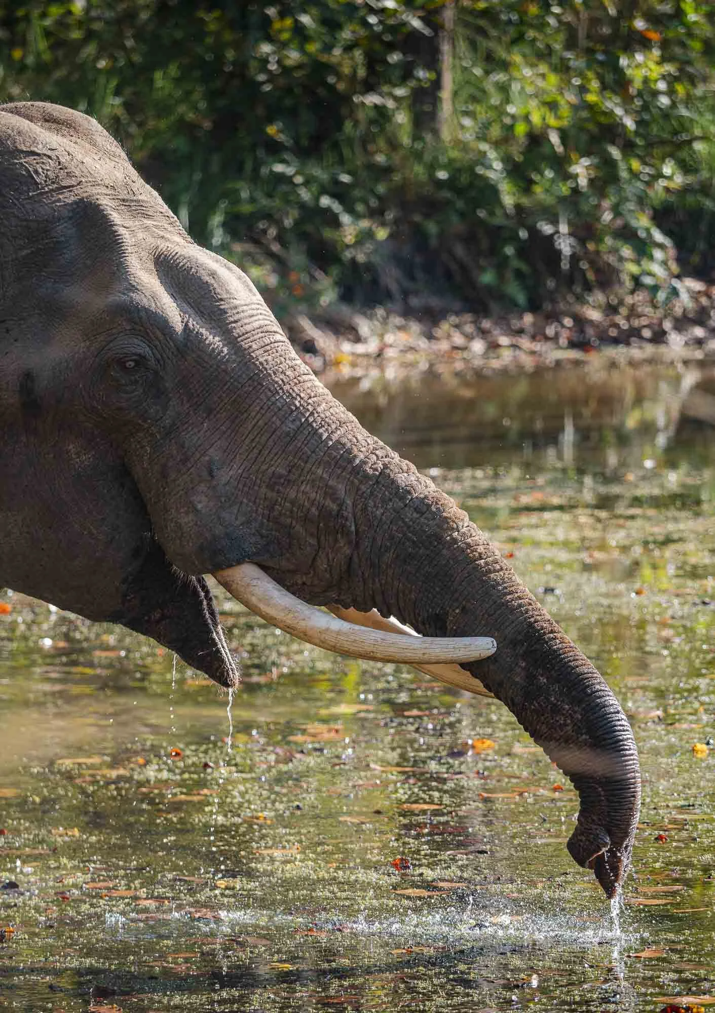
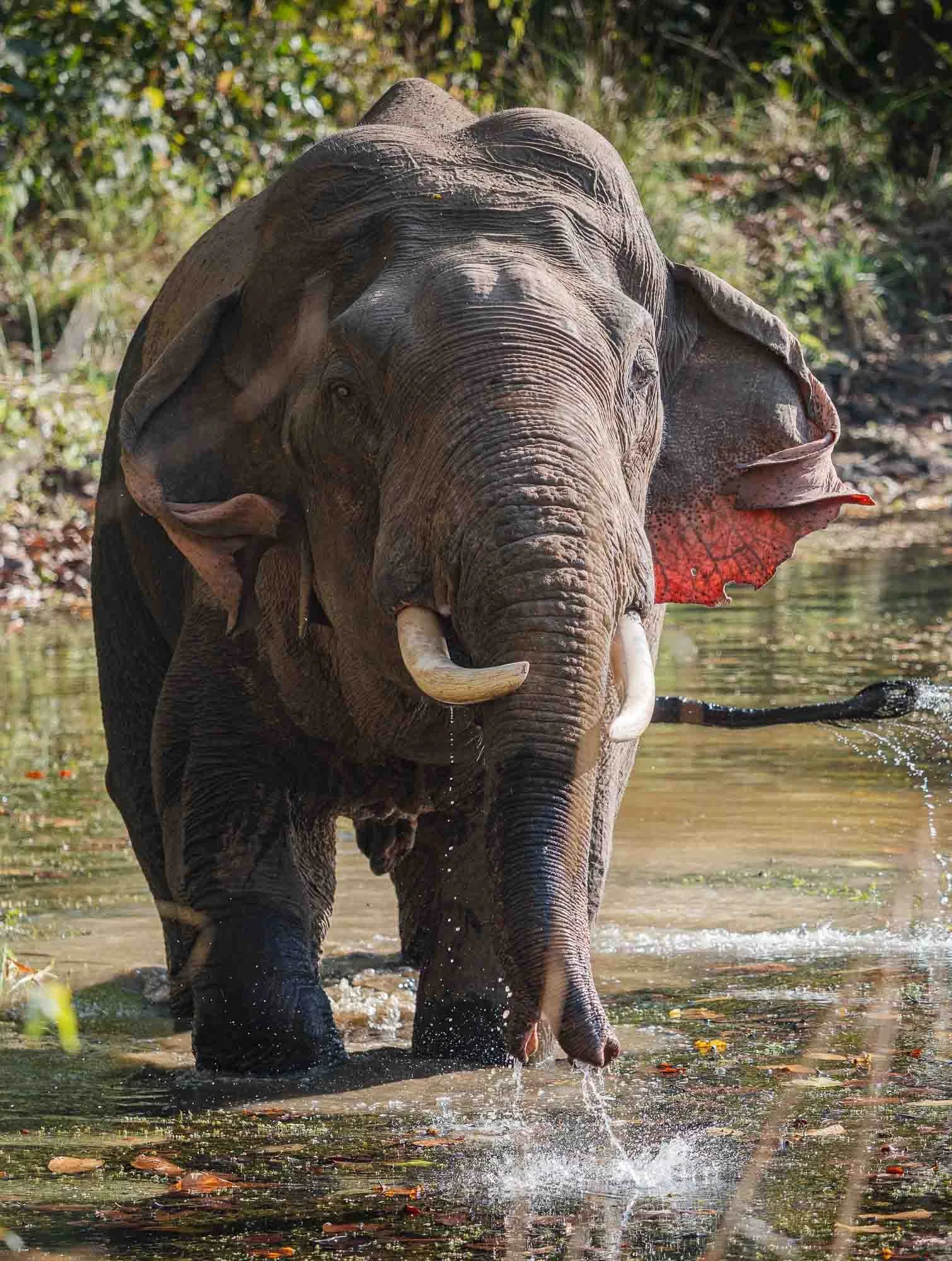
As they come out in the open to drink, you’ll get a chance to have a glimpse at them though. I learnt to appreciate these animals and their social structure and behavior over the years and they became one of my favorite species - although I still have a slight preference for the African variant.
The groups all live in matriarchal herds, while the bulls mostly roam the forest on their own. Just a few hours later, we encountered one at a different waterhole, making sure he got his 150L of daily required intake (and here I struggle to drink 1.5L a day…). In a interesting representation of the role of elephants in human wildlife conflict, Harry refused to turn off the engine as we got closer to him, and felt visibly uncomfortable: elephants are not generally aggressive, but when looking for food they often enter villages and raid crops - reversely, humans walking through the forest areas may startle them, inevitably resulting in conflict.
Risk Reduction
Although for the time in the park Sushila was my guide, Nana gladly took me to another initiative after we returned. It tries to address one of the sources of human wildlife conflicts: people from the village searching for seedlings and young plants in the forest, so that they can use them to start a new harvest season. But every such walk through the thick bushes risks meeting with tigers, elephants, snakes, and other animals that may see humans as a threat, or a meal.
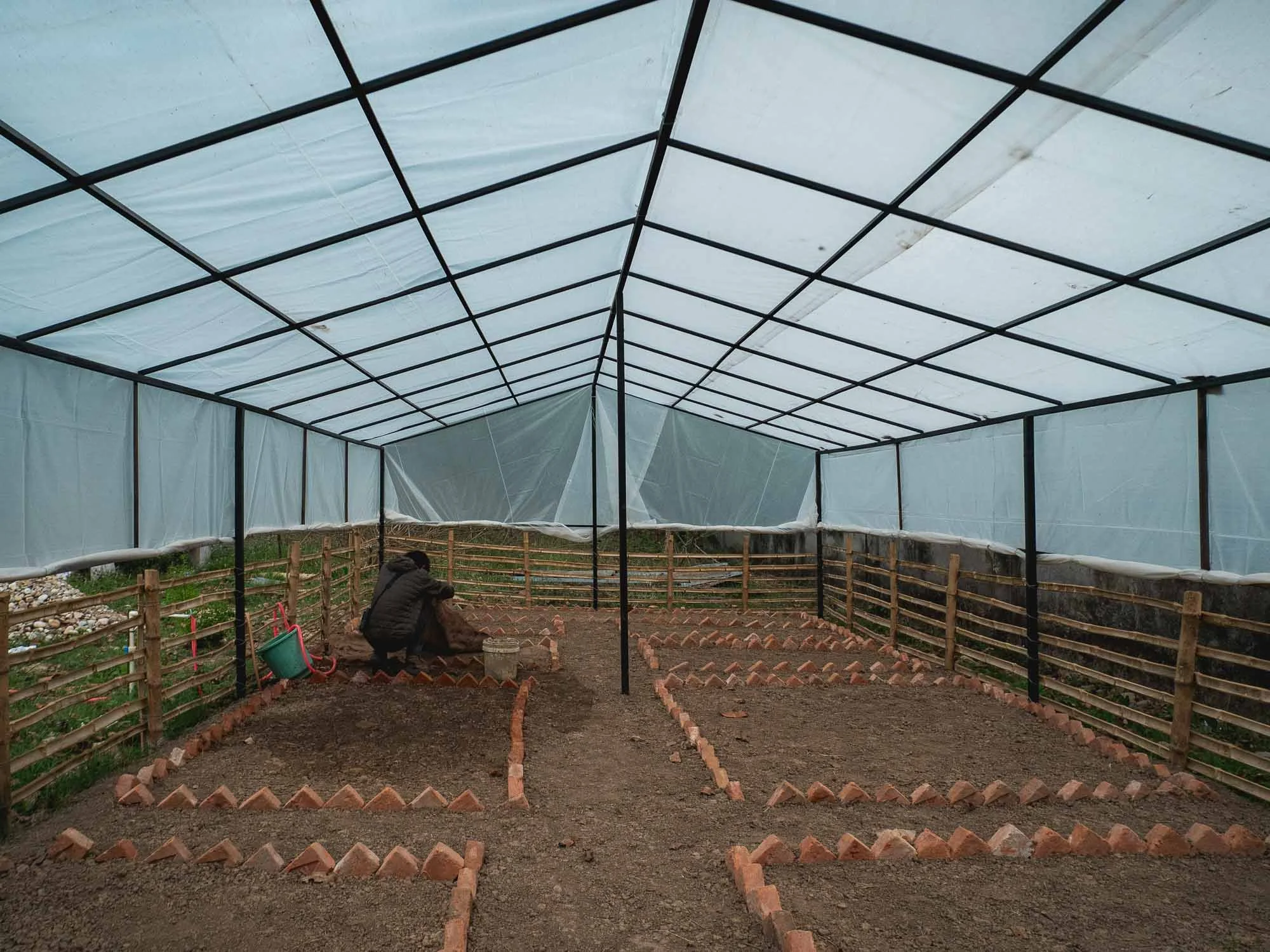
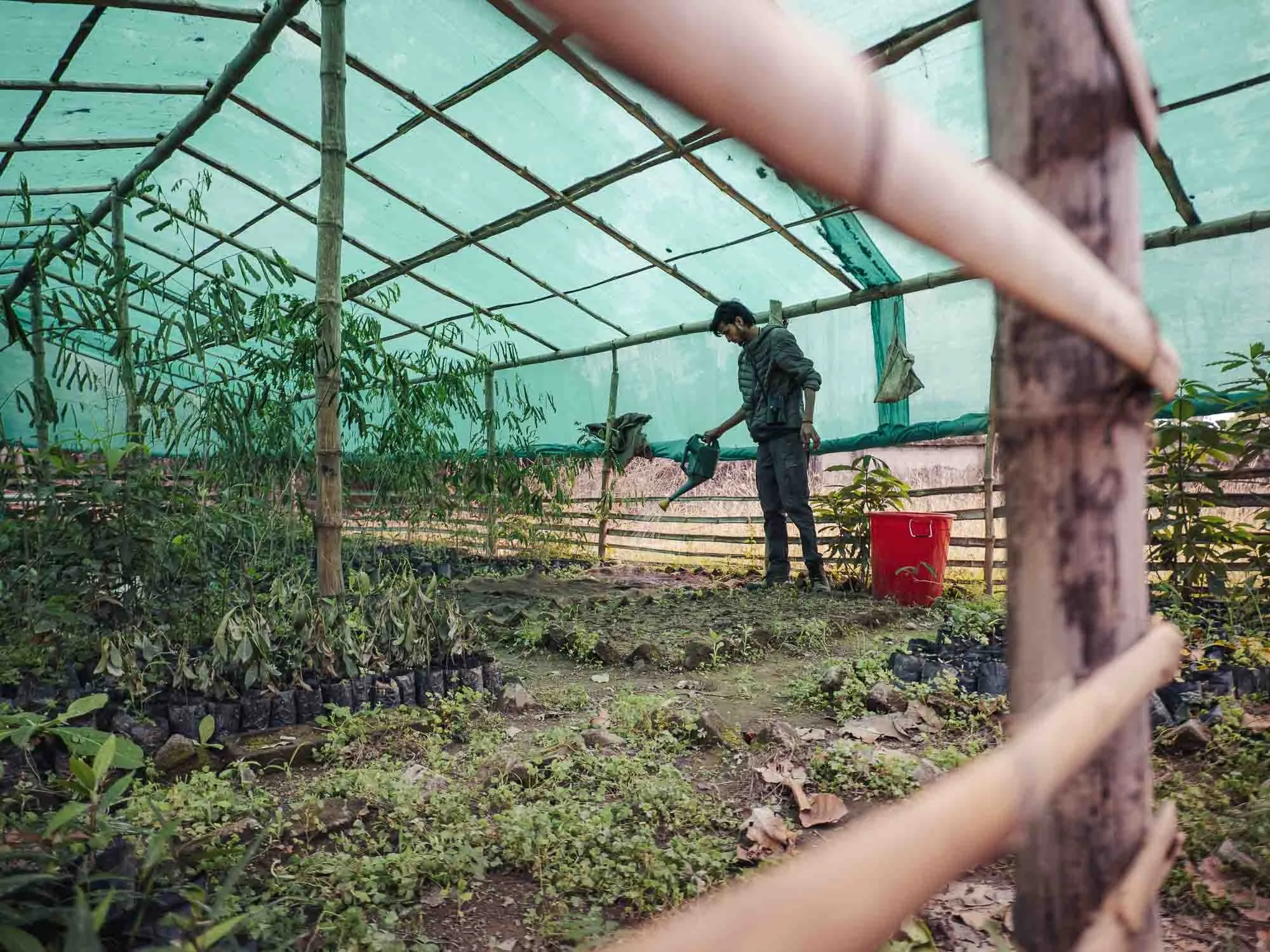
A project he supports was born out of this challenge: planting seedlings in small greenhouses around the community centre, where villagers can come and collect them for free in order to start their agricultural projects, making the forest visits moot and reducing the chance of such encounters.
Back in the park, the quest for the tiger continued - it had rained the night before, meaning it was cooler with more water around, reducing our chances to spot a thirsty big cat at a waterhole. We had signs, such as these huge claw marks on a tree by the dirt road, and the occasional deer calling in alarm. But no luck yet. After almost four days of searching with only a day left, I got a little nervous - none of the other guides we asked had seen a tiger in days either.
That said, we had another two sightings of rhino, with one crossing the river in the afternoon. Although there are so few of these animals left today, their situation looked a lot more dire 100 years ago, when numbers dropped to low triple digits, making this a conservation success.
Speaking of animals in the water, as the sun was low on the horizon we encountered this herd of swamp deer (Barasingha) in the river, with some of them literally submerging themselves to cool down.
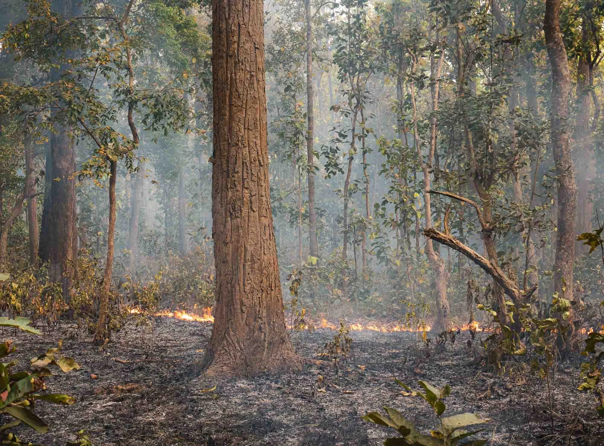
As we left for the day, we got to observe another human intervention characterized by the dry season, aside from the water holes: the controlled burning of dry leaves and lower vegetation. This helps to maintain grasslands, encourages new growth, and reduces the risk of uncontrolled wildfires - so while it may look depressing, it’s a healthy practice. The fires are also slow burning and set in a way that allows escape paths for animals, often using the dirt roads as “boundaries”.
The Last Day
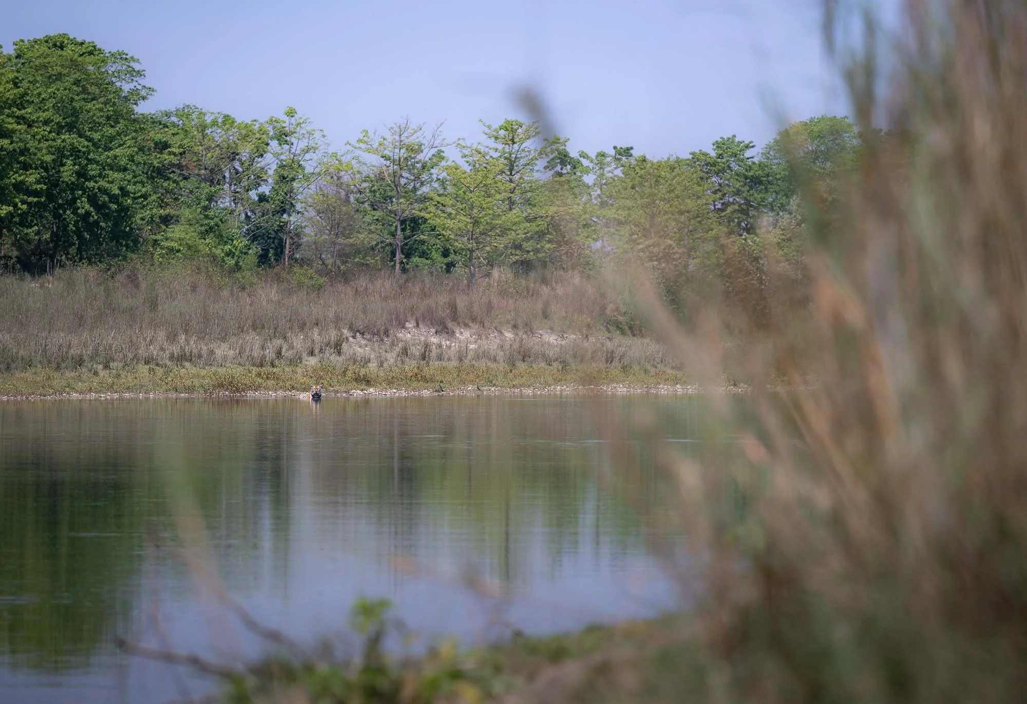
Since the park had not been our lucky territory, we headed back to the community forest, close to the area where we spotted the rhino on day 1.
A small group of people gathered at the river bank after sunrise, hoping a tiger would come out for a drink or to cross the water.
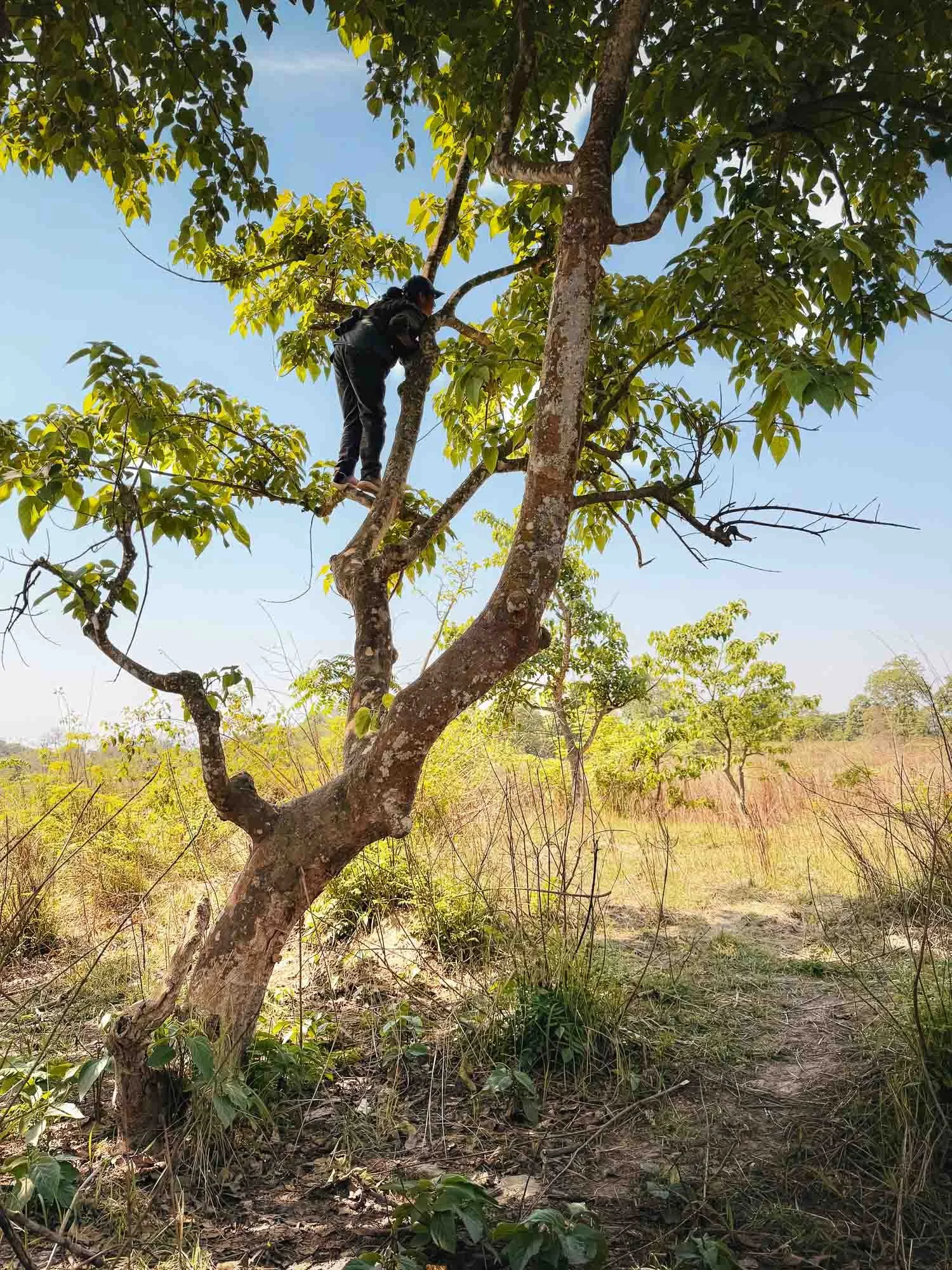
Even Sushila became a little anxious she wouldn’t be able to deliver a tiger in front of my lens, so a higher vantage point was necessary… but this was her area - the opposite bank was the island that gave BBC’s Tiger Island its name. She knew the individual tigers that call this territory their home.
In the background, I had already started thinking about extending my stay by a couple more days, with whatever logistical mess this would come with…
…but it wasn’t necessary. Sushila’s instincts were good, and her eyesight even better.
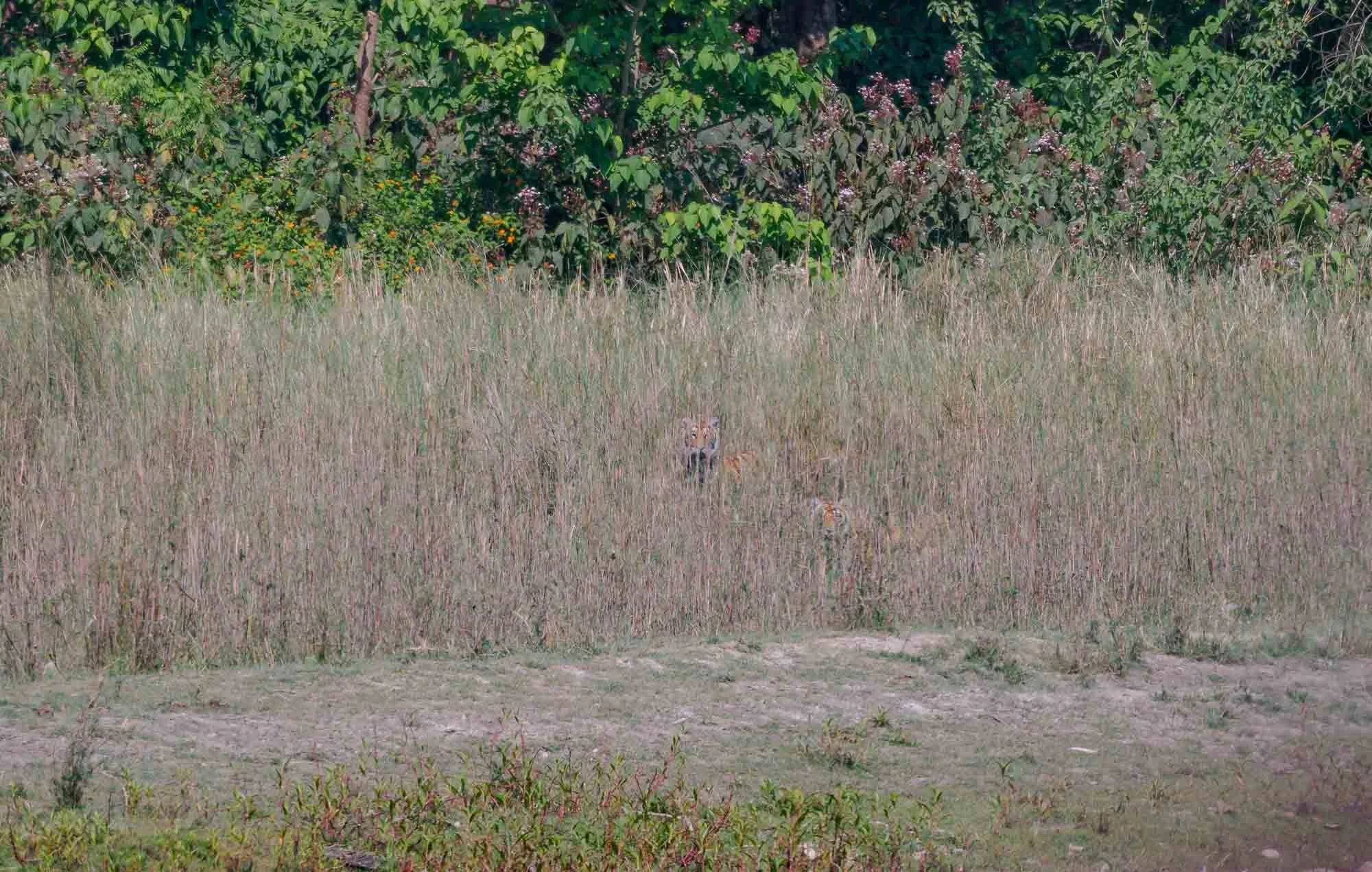
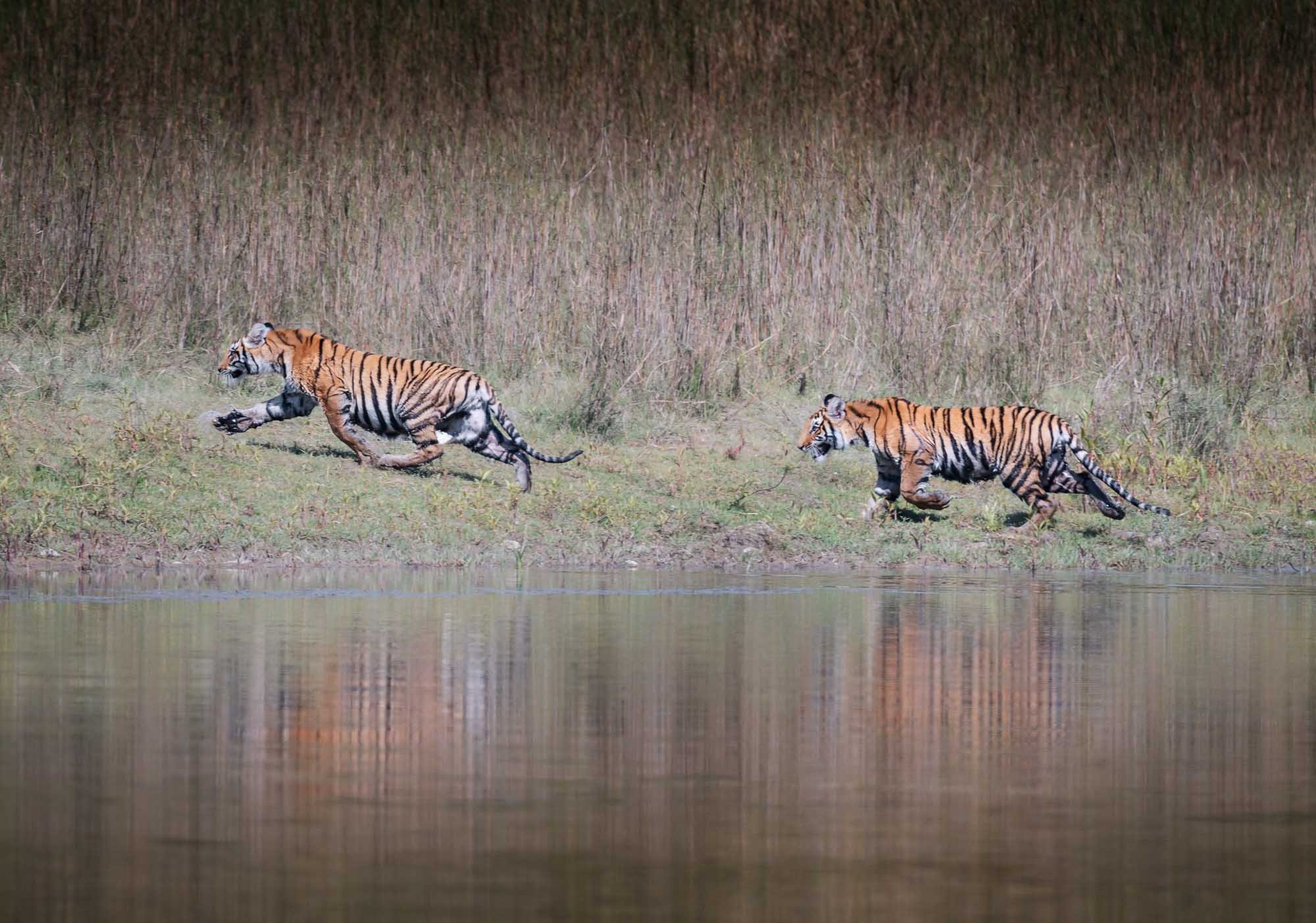
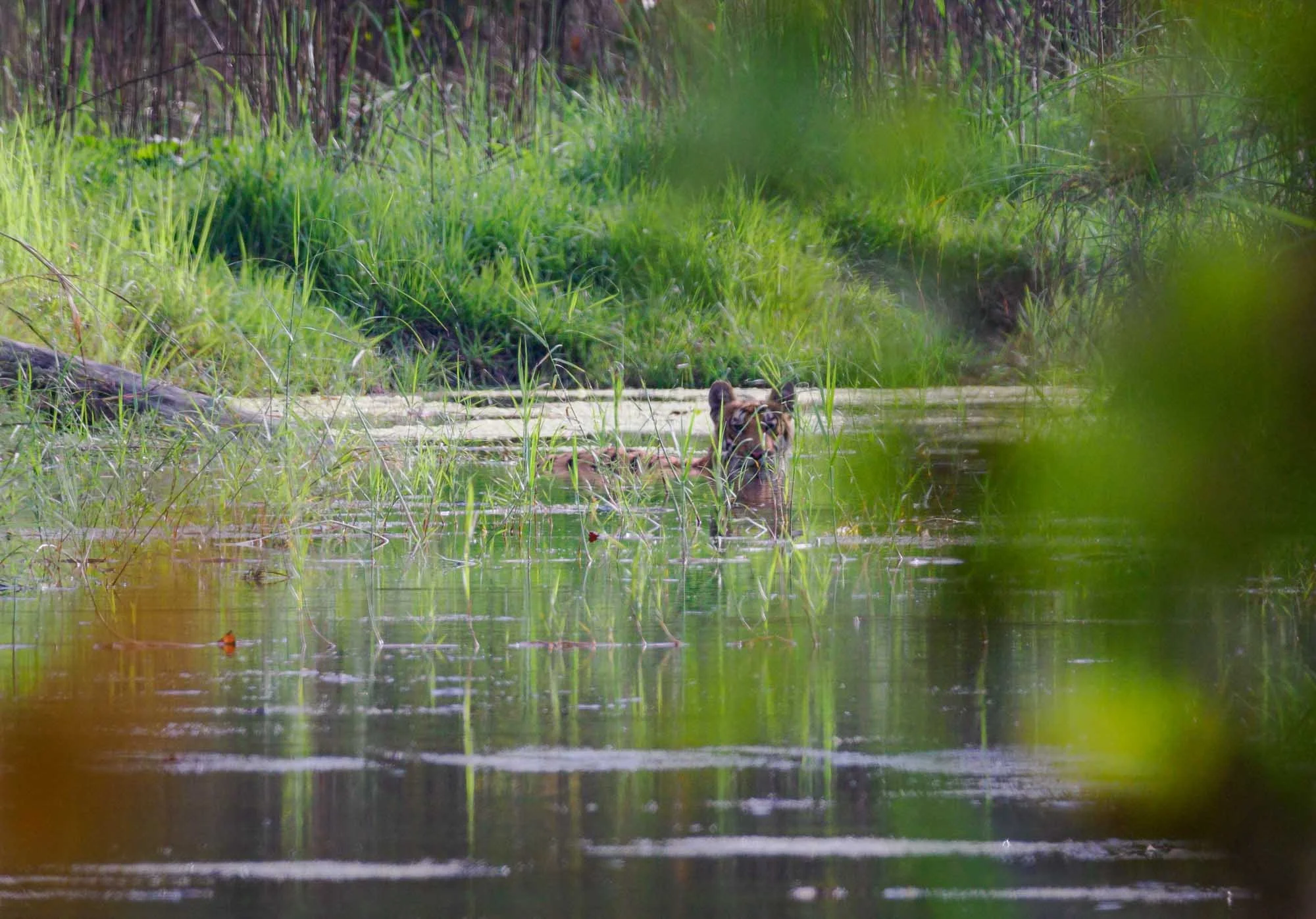
She spotted two subadult tiger cubs in the distant long grasses on the opposite bank, and quietly called for us to come down to the river.
Crouching and hiding in the grass so they wouldn’t get nervous - unlike the tigers in the busier Indian parks, most of the individuals here are apprehensive around human presence - we got a little closer on foot. And we got lucky - the two tigers went into the water for a quick drink, giving me the chance to get these photos. They had already spotted us and didn’t stick around for long, heading back into the grass after what felt like less than a minute. Nevertheless - mission accomplished, smiles and high-fives!
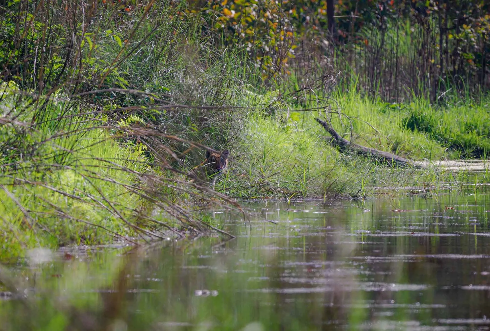
At this point, the rest of the small group decided to head back to the cars and go into the park, but Sushila had other ideas. The mother might be around, and she knew there are a couple of other tigers who regularly cross the river here. So we waited, just her, Harry, and me.
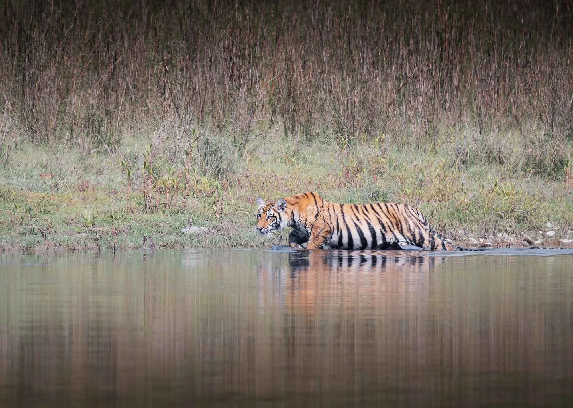
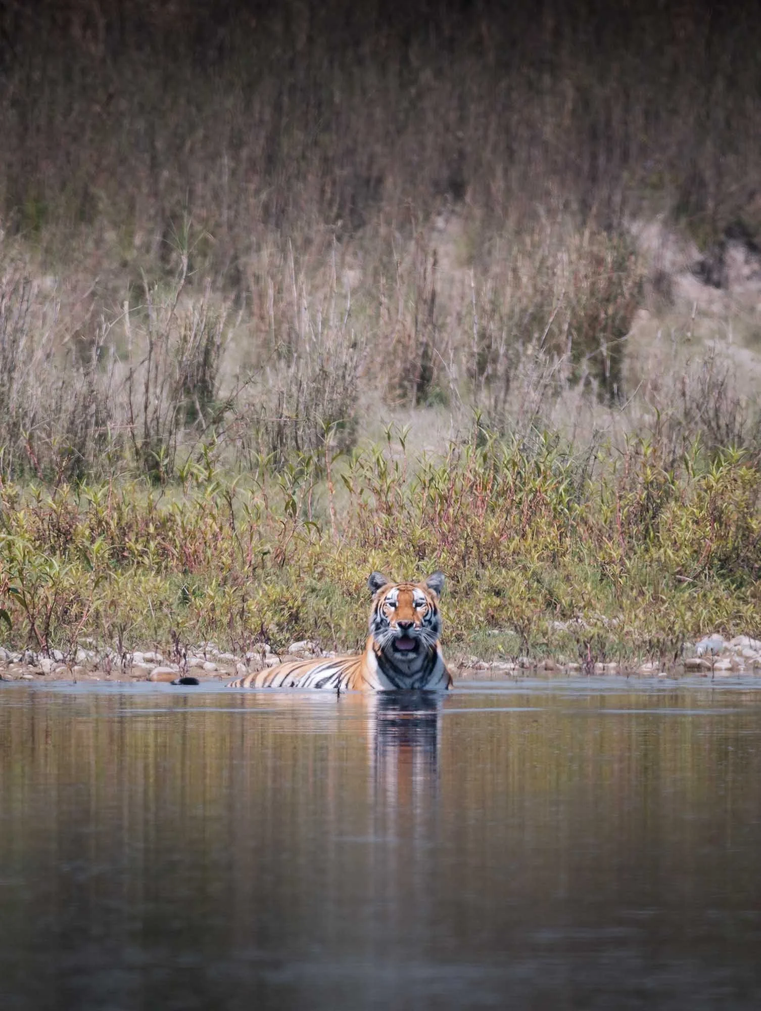
And she was right again. After an hour, a tigress appeared on the other side, once again giving us the chance to observe her as she waded into the river.
Once more, despite our best attempts, she had spotted us, and without much hesitation dove into the water and crossed the river behind a gentle bend, making it impossible for us to keep observing her. While she came to our side of the bank, we suspect she probably disappeared into the thick bushes of the forest quickly, making this another beautiful but brief encounter.
With a sigh of relief and joy we headed back up the river bank. We got a clear view of not just one, but three tigers, a sighting with no one else around, and a moment of these amazing cats swimming in the water - can’t expect much more!
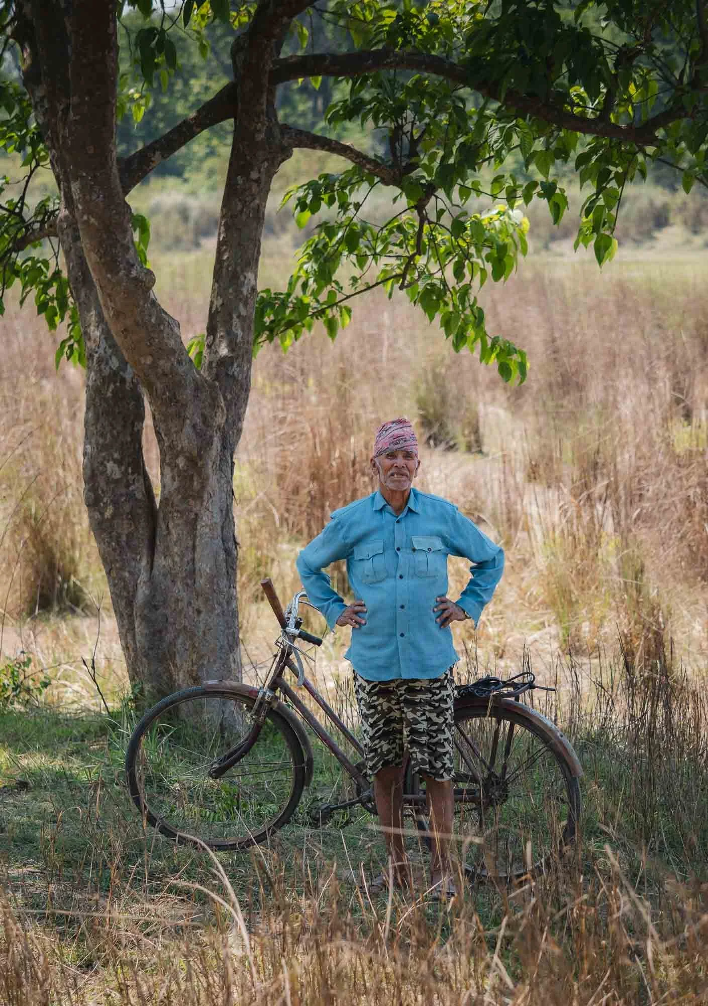
Up on the river bank, I was once again reminded of how closely humans interact with wildlife here - as we walked back, we encountered the man on the left, who was just about to ride his bicycle to the spot where the tigress must have emerged from the river after crossing. When we brought this to his attention, he hesitated for a few seconds, then shrugged his shoulders, and continued his way along the shoreline.
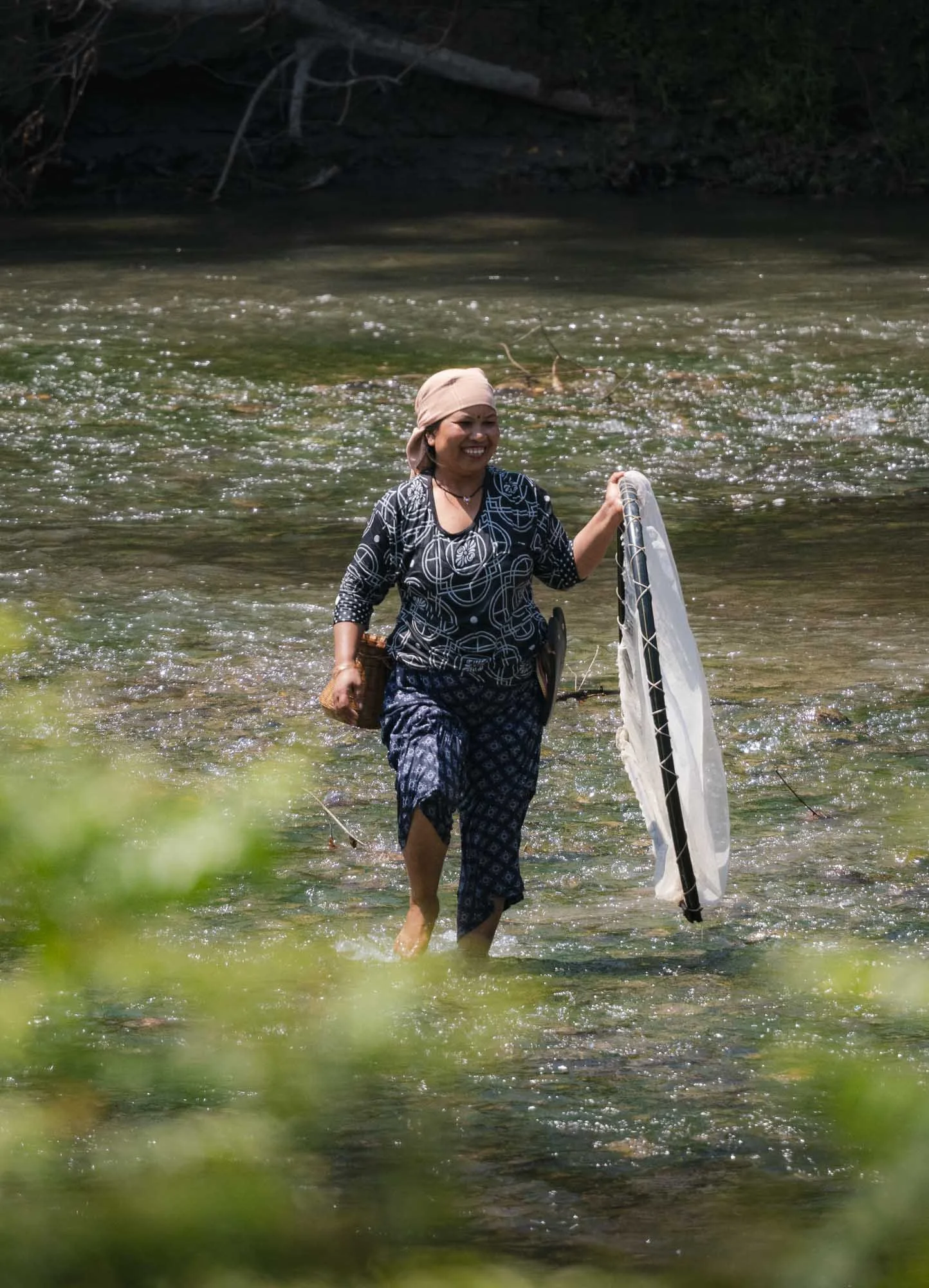
On our way to the park where we planned to head for the afternoon, we passed a few women fishing in the very same river the tigress just swam, a few hundred meters upstream. Normal life in Bardiya, but not without its challenges - in 2021, several tigers killed ten people in and around the park.
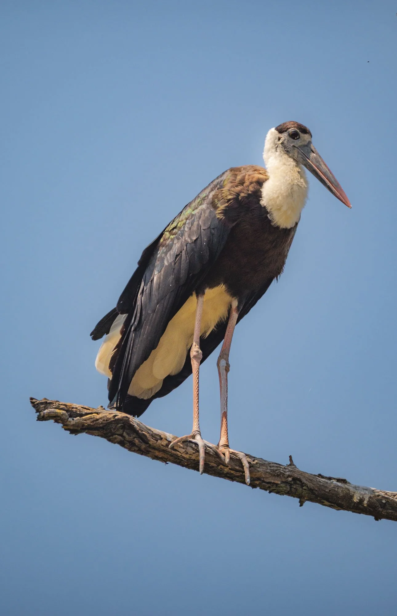
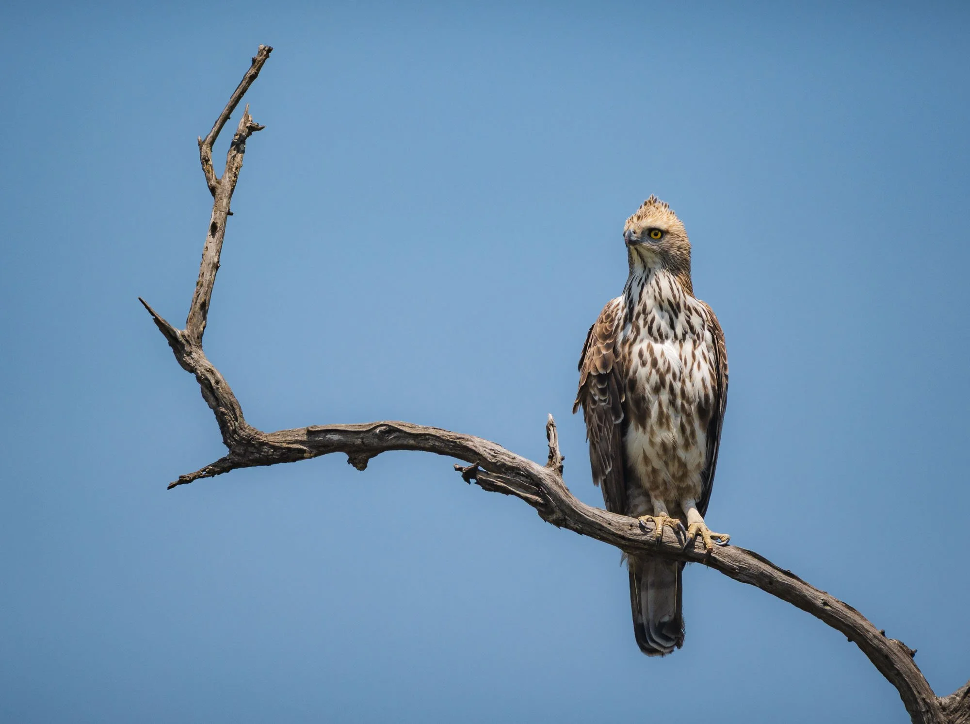
Taking it slow now, we added a few more birds to our sighting list, such as this aptly named but, given the heat, inappropriately dressed, woolly necked stork, and the crested hawk-eagle on the right.
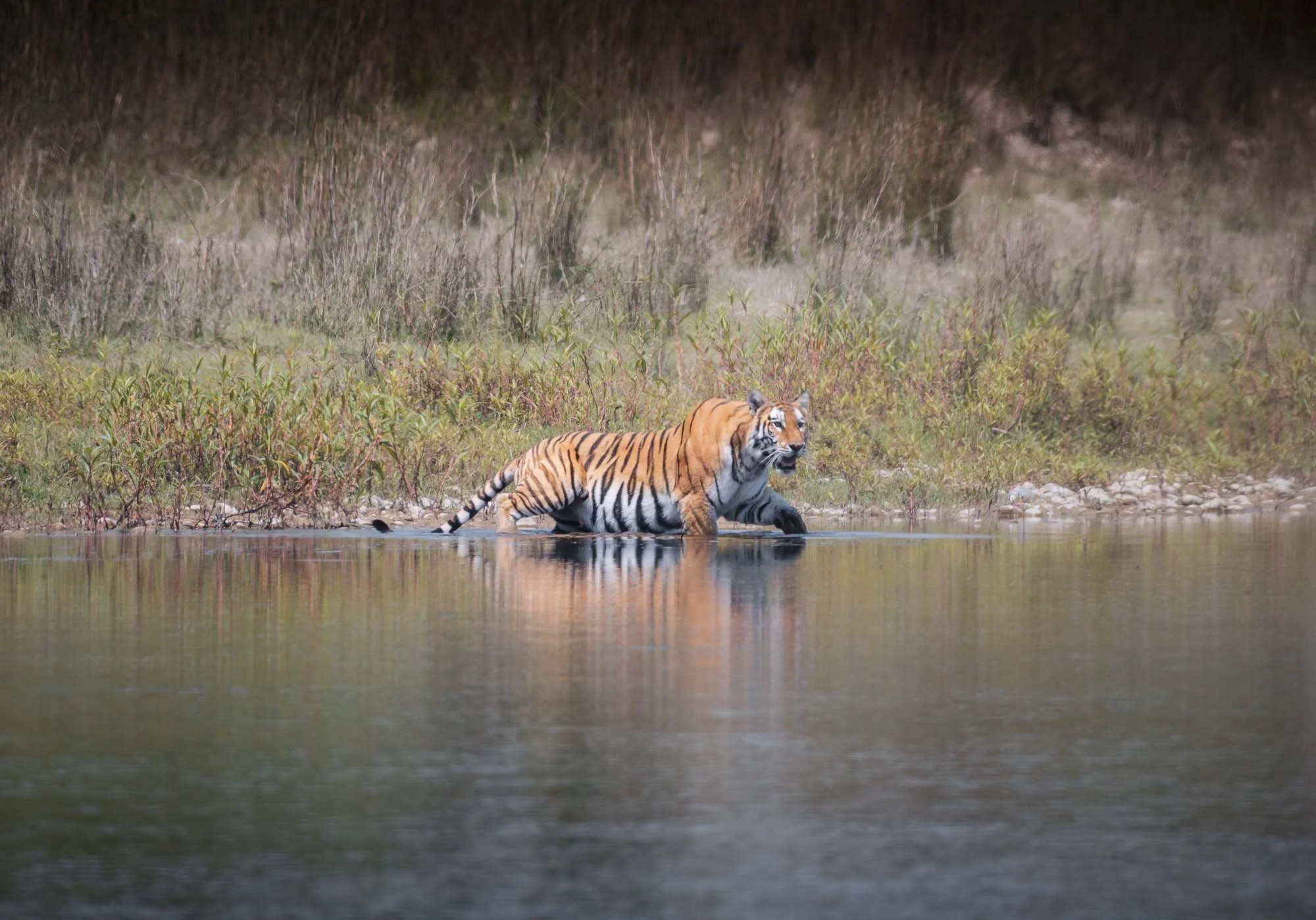
Although our main goal for returning back to the park was in fact visiting the crocodile breeding centre, another guide alerted us to something else: it was at one of the water holes where we would have a third tiger sighting for the day, after seeing none of them for five days. The other jeep had spotted it in the thickets, and it had come out briefly for a drink, and might do so again. Indeed, the young tiger appeared for a brief swim after an hour or so of waiting.
While still beautiful, this was both a more typical and more difficult sighting, for one reason because of the thick vegetation, and secondly because word had spread and five or so jeeps were around, trying to get into a good position, with people scrambling in front of the jeeps and on the seats. That is not necessarily a problem, but when the cub came out, a small frenzy broke out, including someone loudly shouting insults at other people to get out of the way, which of course immediately scared the cat away. One of the less pleasant things you might experience in these kinds of safaris - we left this mess behind, our tiger mission was completed already.
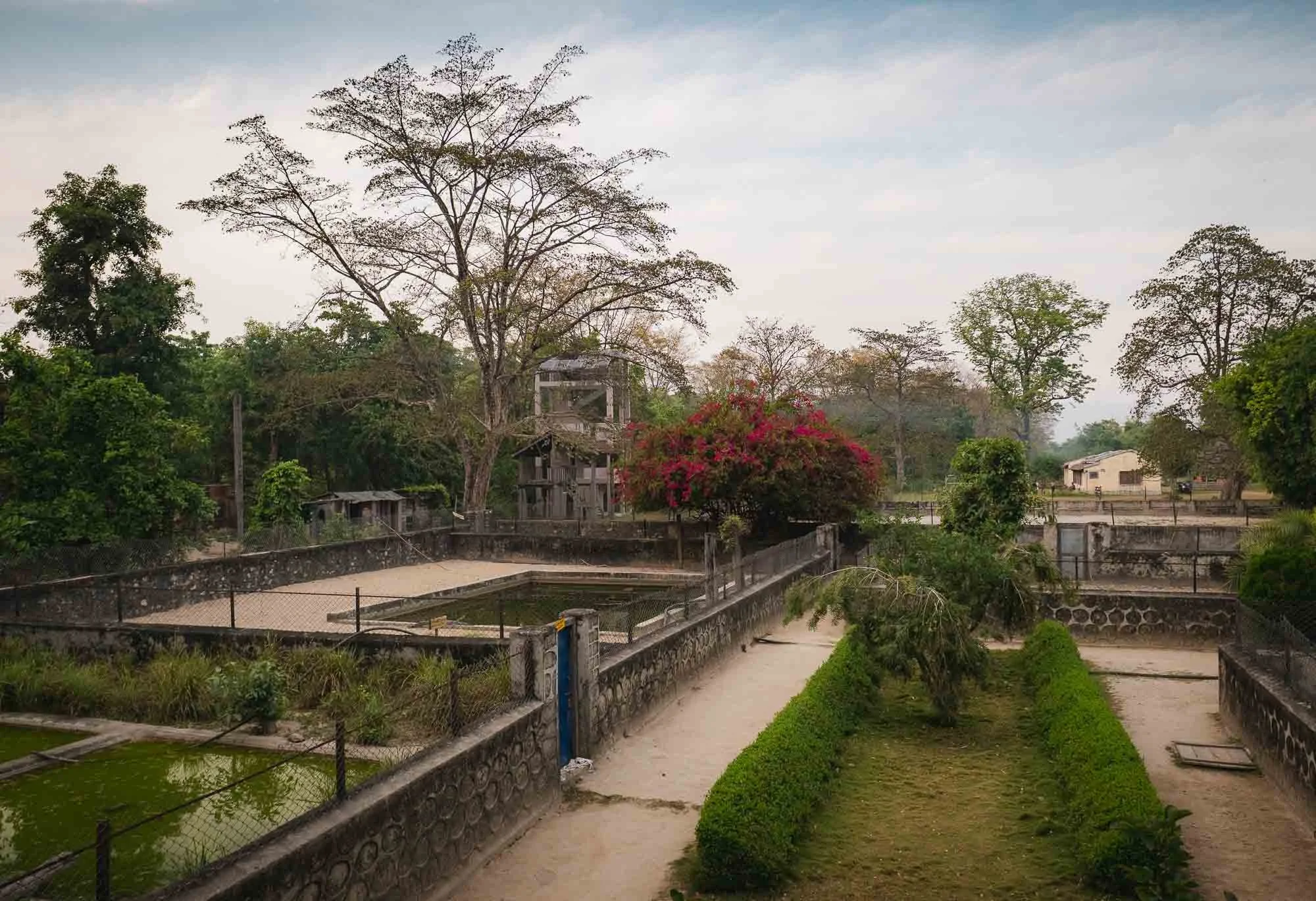
As the sun was setting we arrived back at the entrance of the park, where the crocodile breeding centre is located. It’s a small facility with a number of different ponds, where crocodiles are sorted by age and species. While there are a few more common marsh mugger crocodiles enclosures as well, the focus is on ensuring the hatchlings of the Gharial variant make it to adulthood and are able to survive in the wild once released.
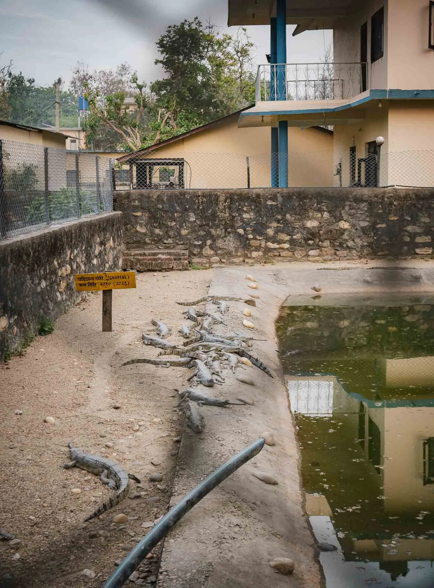
This group is from 2023, so they have a few years to go until they’re ready for the wild at a size that makes them less vulnerable to external threats.
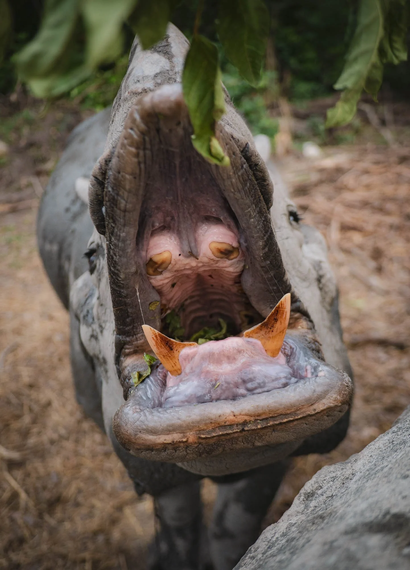
The facility is also home to a rescued rhino that has been kept here in captivity after its mother was killed by poachers - regardless, it was quite receptive to Sushila’s hand feeding. The centre also houses an elephant used for patrolling, and a tiger, kept here because it has become a threat to humans, making its removal from the park necessary.
After a successful day, Nana and I had one more small detour planned on the next morning on our way to the airport: he took me to the park management’s elephant stables, where they keep domesticated elephants, mainly for patrolling and other work in the forest. Since most of the park is inaccessible by vehicle during the monsoon season, this practice has survived for decades until today.
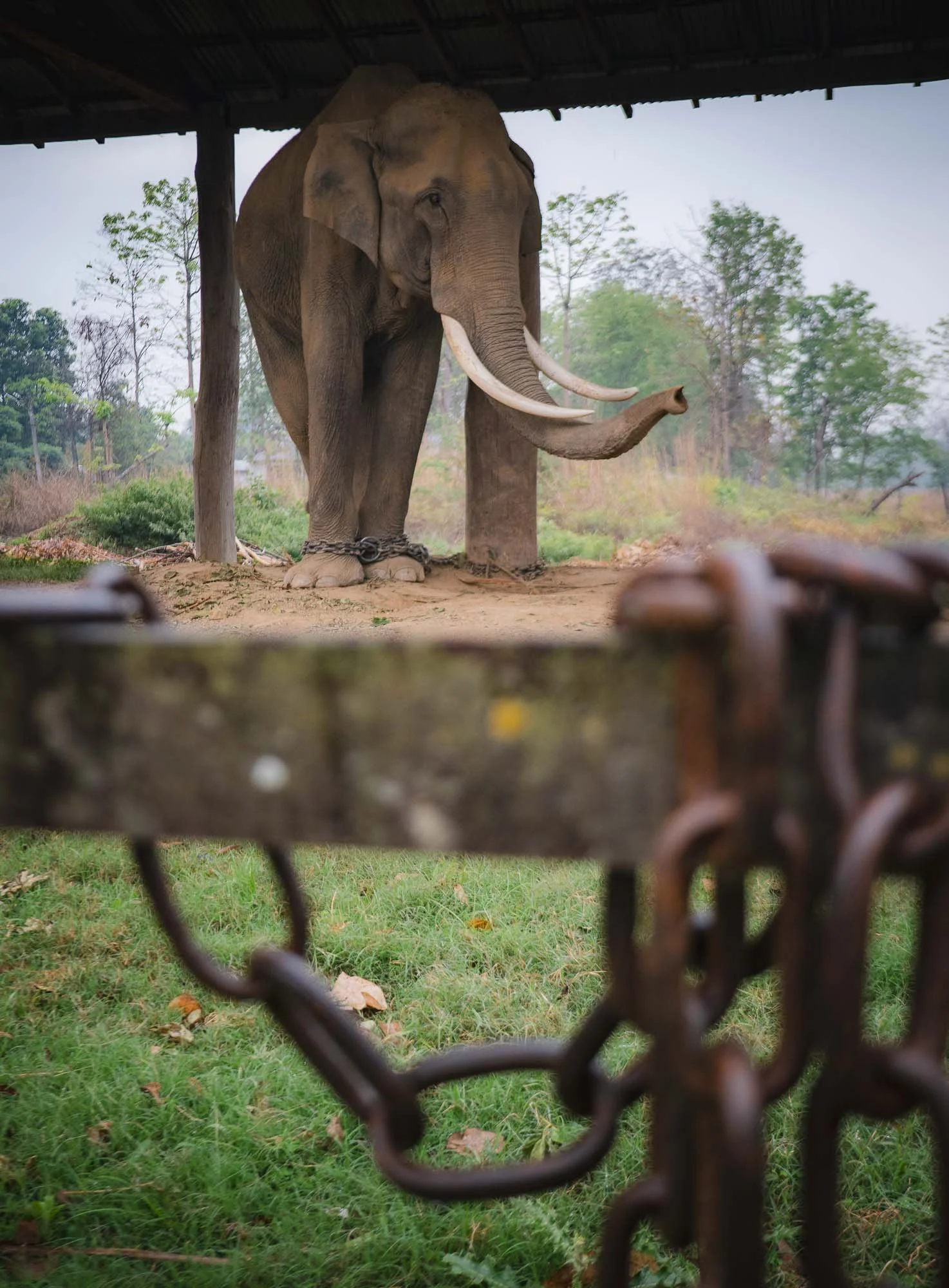
Indeed, Shushila’s father had been an elephant rider and keeper (mahout) for over 25 years in the park before his retirement. Although these elephants have grown up with their human keepers and been around them for years, it is a dangerous job - just a few days before my visit, a mahout was killed by this elephant, who now stands in shackles.
His companions are generally outside foraging in the community forest for most of the day when not being used in the park, but I am unsure of what his fate will be…
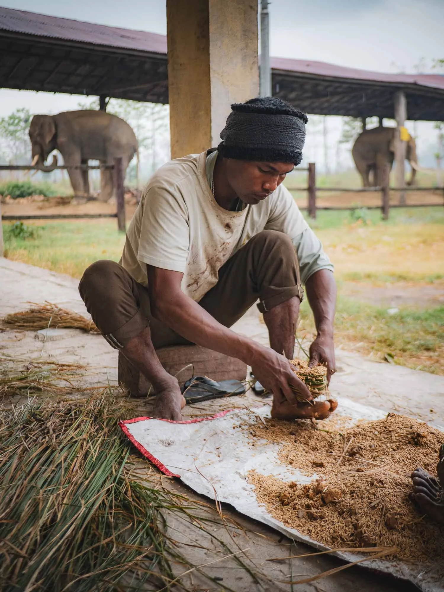
The morning routine of the keepers includes preparing small balls of mixed grains and grasses to feed the elephants during the time they're out on patrol or when they're back in the stables. On the right, parts of the padded saddle element that is used when the elephants transport people, which is still a common practice.
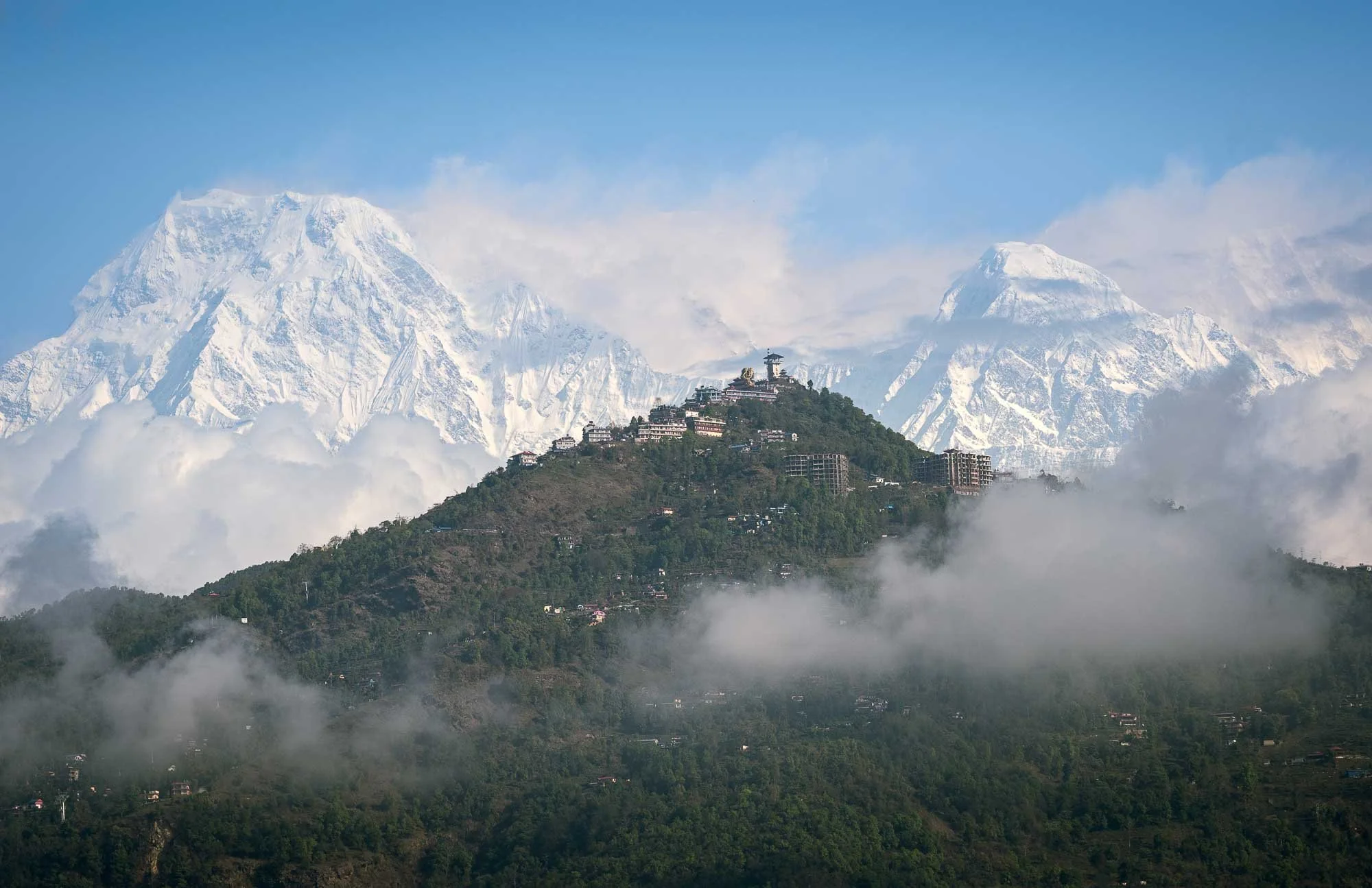
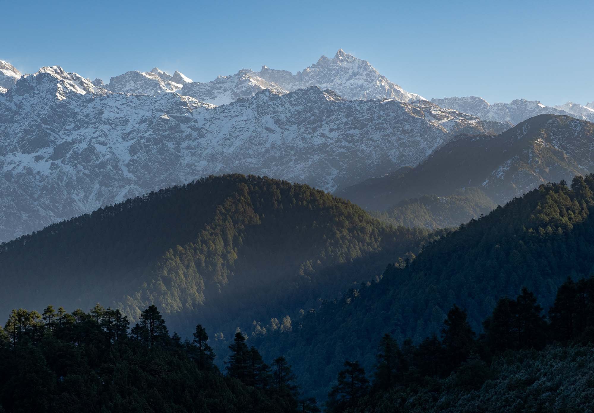
Pokhara - Gateway to the Annapurnas
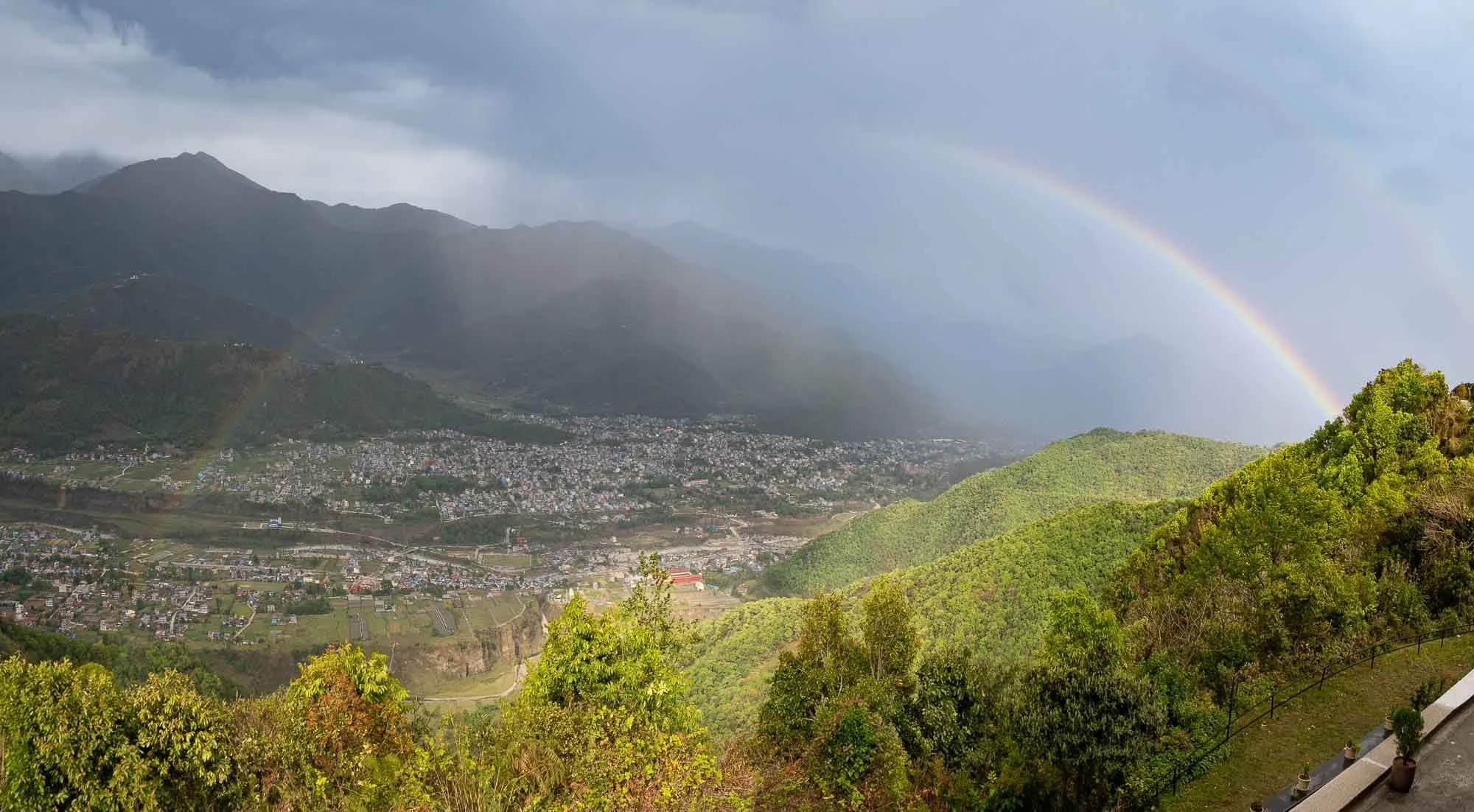
After Bardiya - and a few hours delay owing to bad weather at the destination - it was time to head back north-east. Less than an hour flight brings you from the subtropical Terai lowlands almost at sea-level to some of the tallest mountain ranges in the world: the Annapurnas. The major city in the region is Pokhara with a population of just over half a million people.
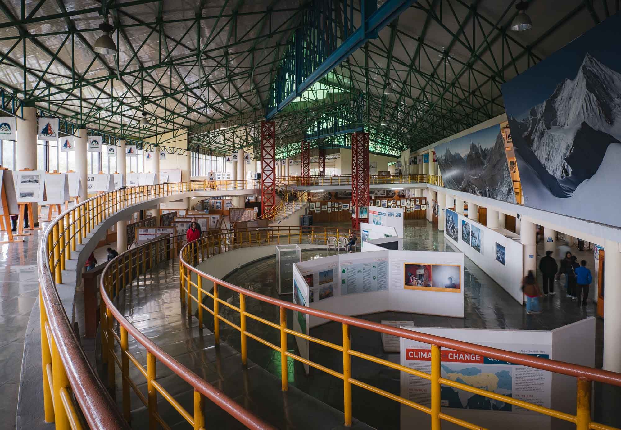
Mountain Museum
The aforementioned bad weather was a little disruptive to my plans, so we used the rainy afternoon to visit the mountain museum, documenting the history of mountaineering in Nepal and around the globe.
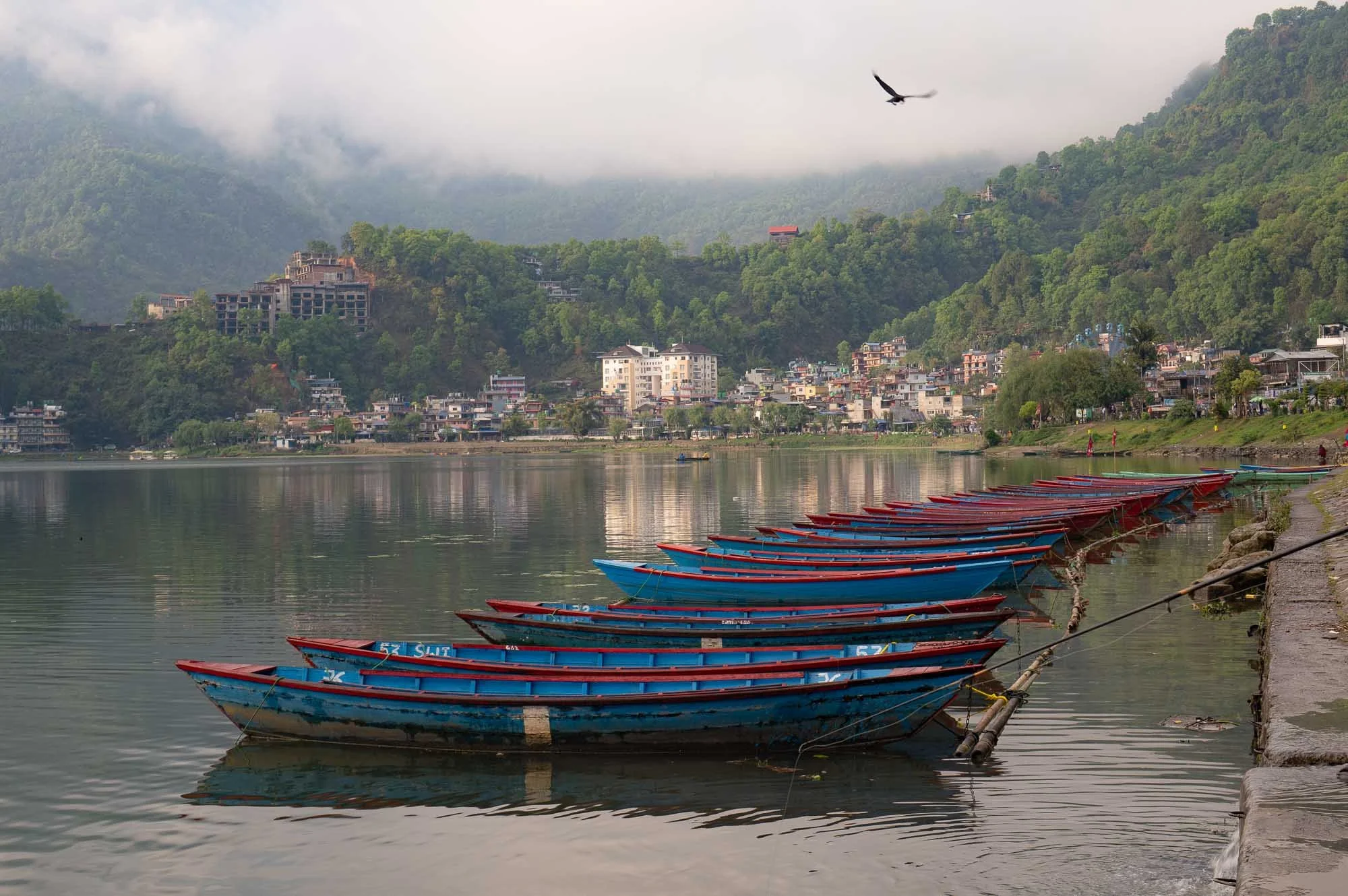
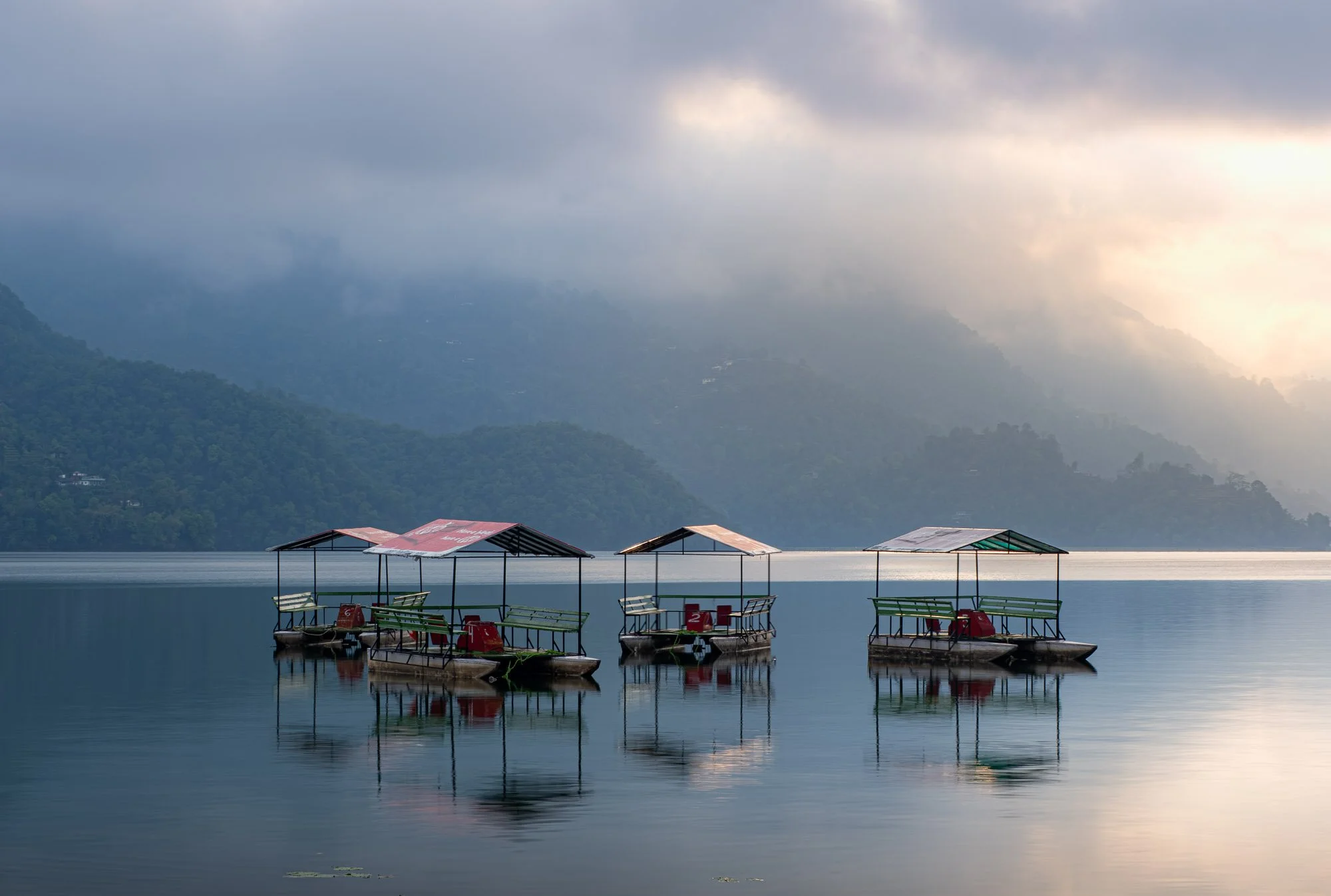
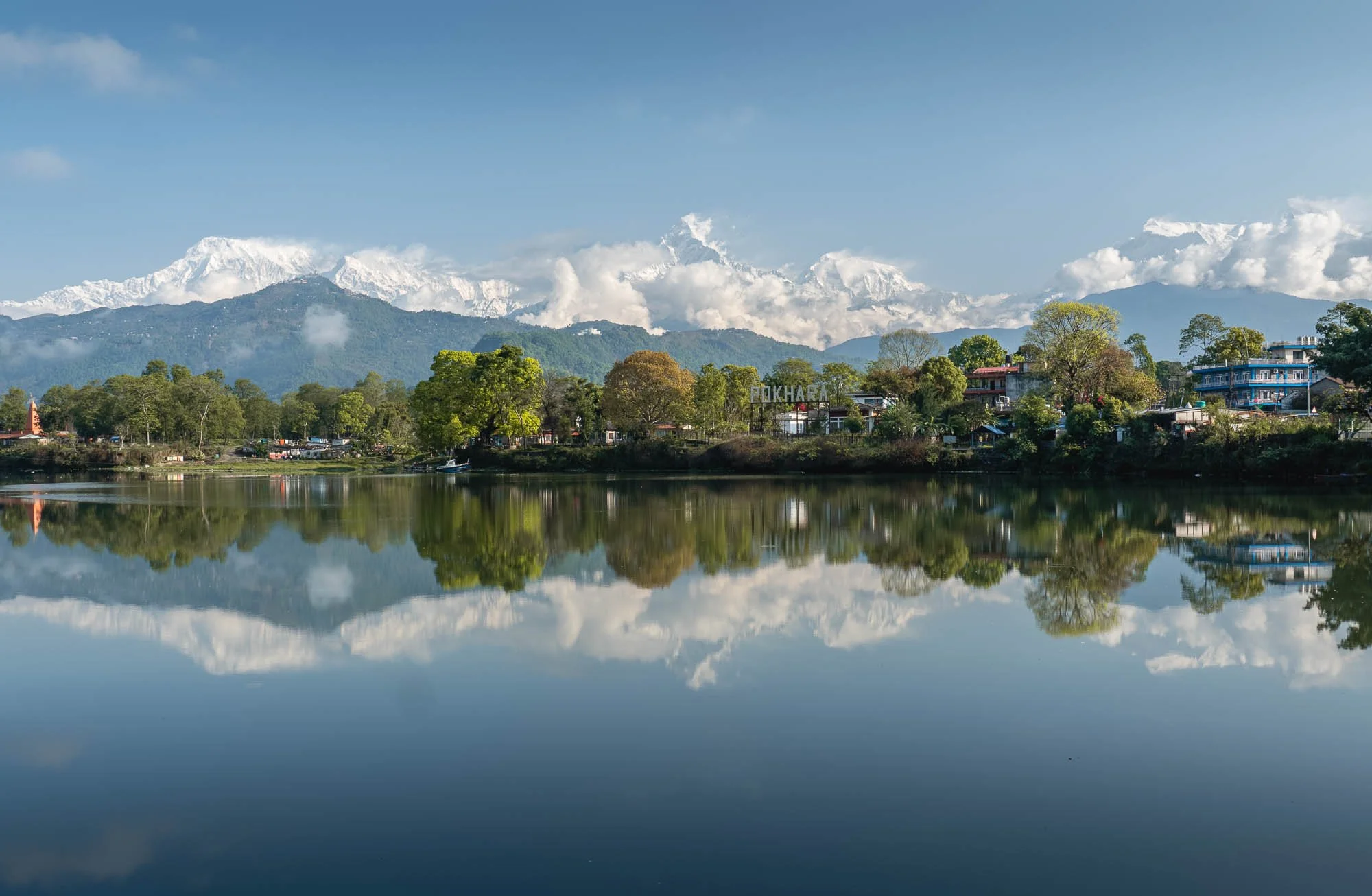
As the conditions improved a little bit in the late evening, I took a stroll from my hotel along the shores of Phewa Lake, one of the main attractions of the area for its beautiful mountain views, boat rides, and boardwalk.
It’s an amazing setting.
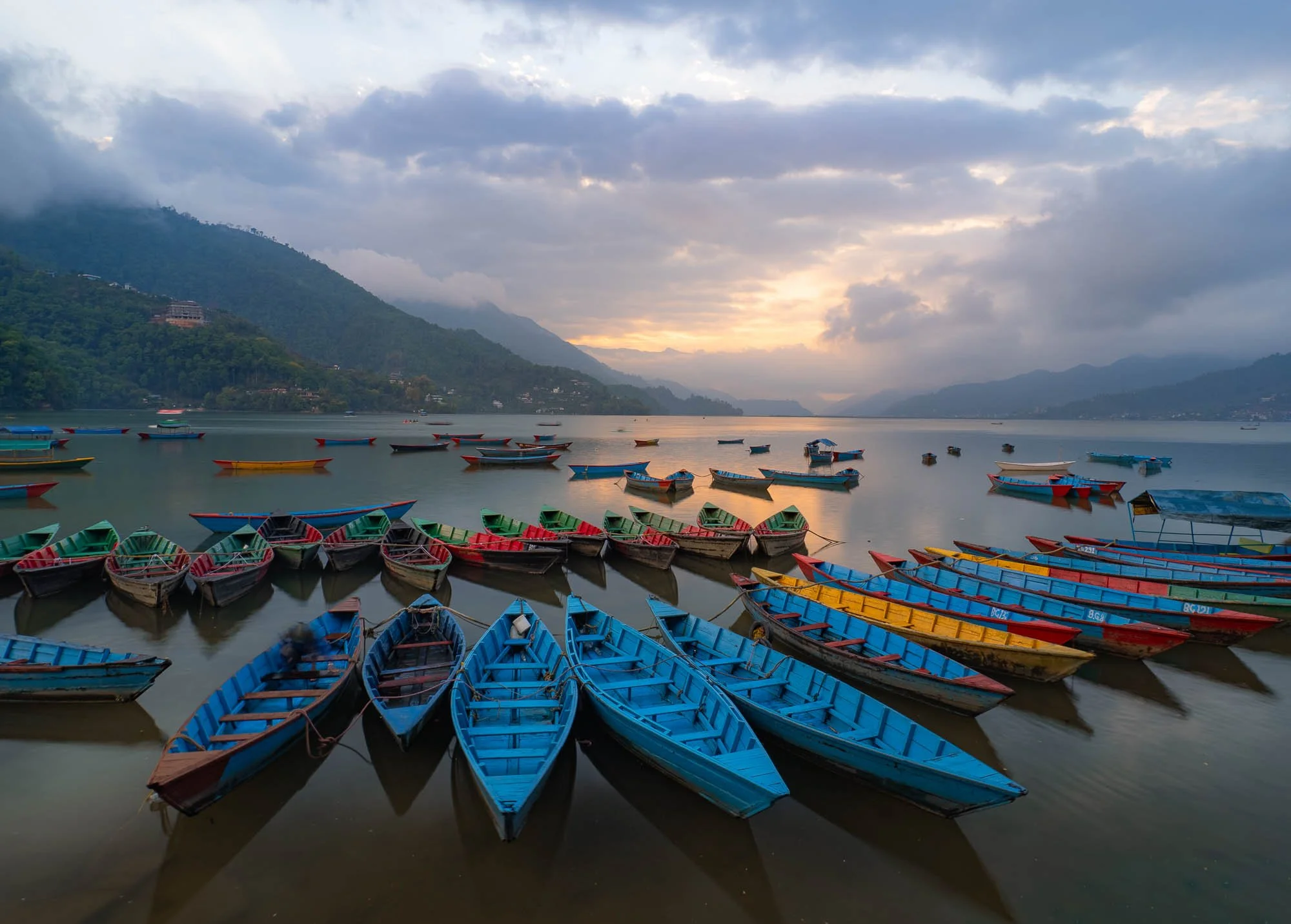
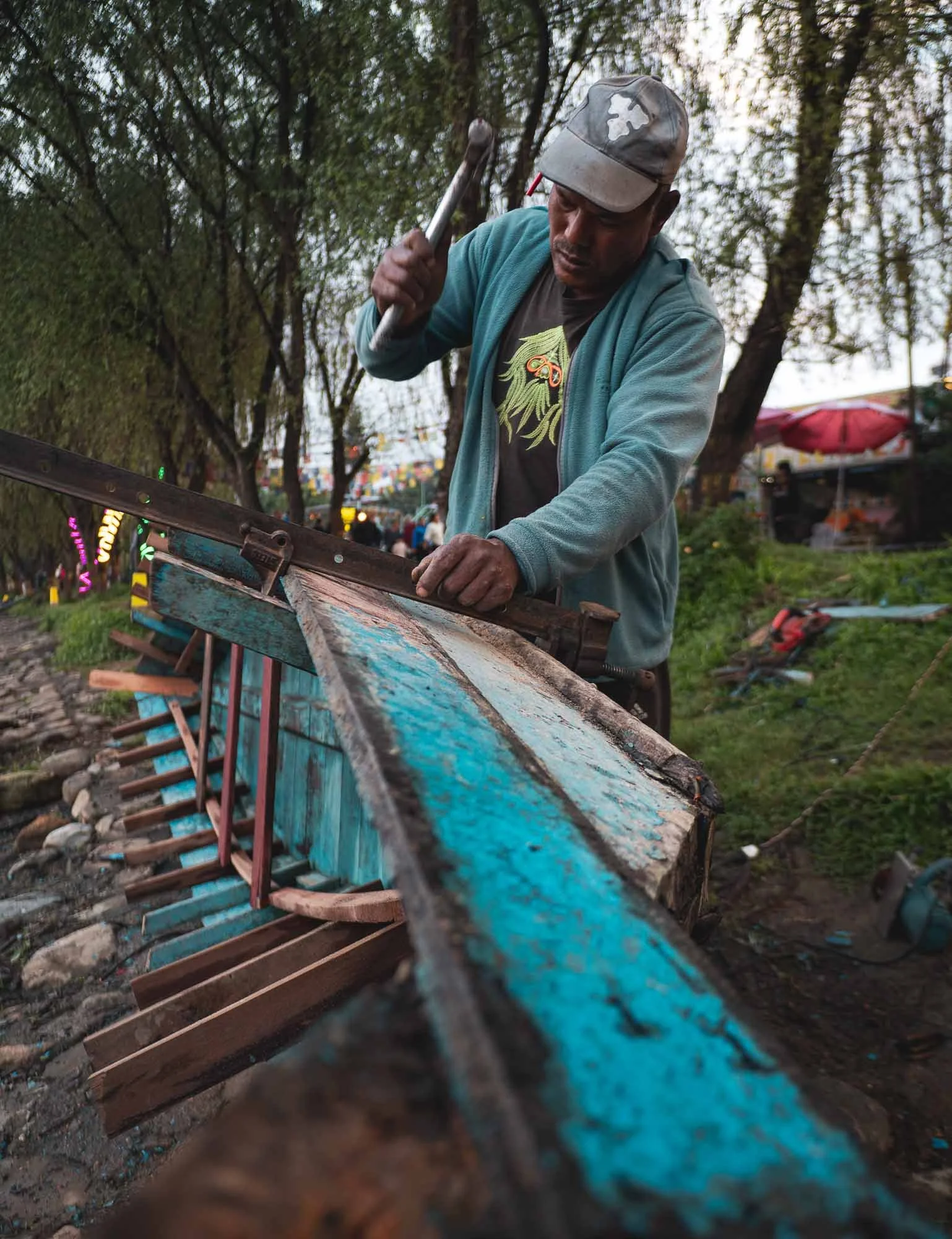
There are hundreds of small non-motorized boats on the lake, many of which are produced and maintained by the local owners along the shoreline.
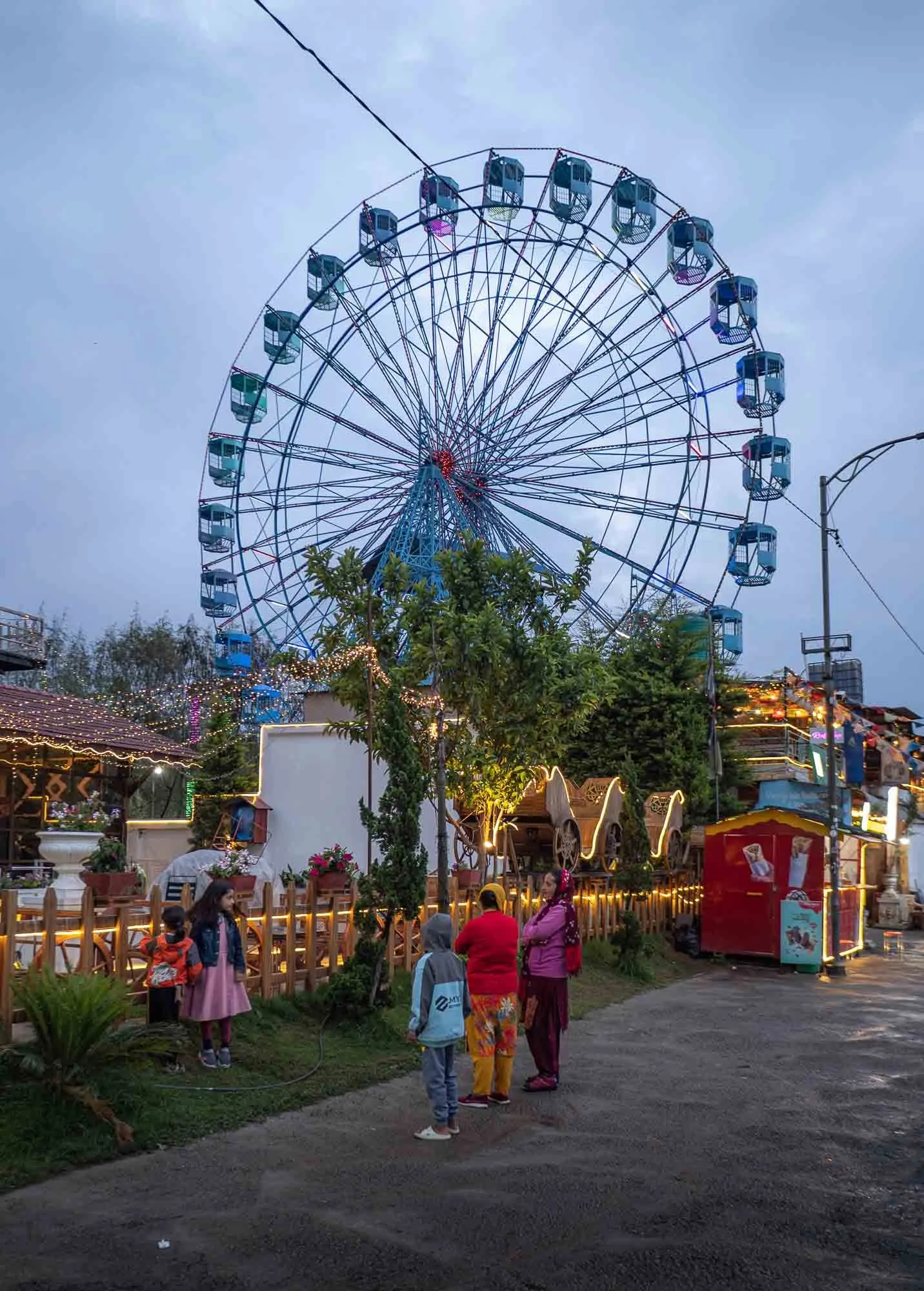
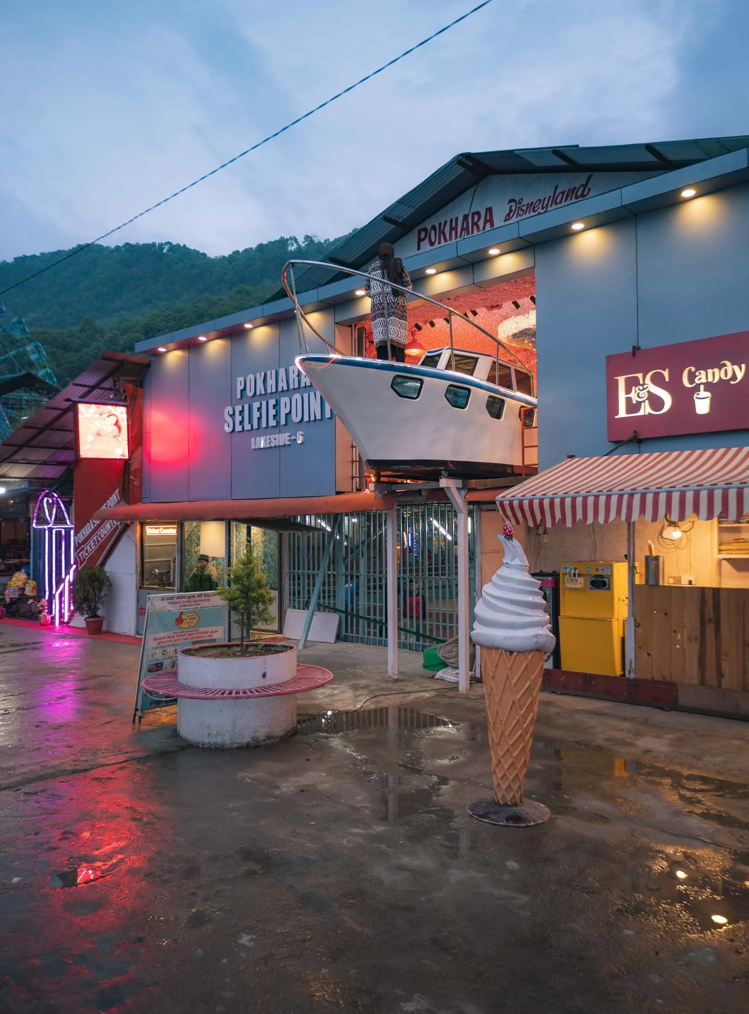
The boardwalk is lined with dozens of restaurants and bars and a few shops, as well as this little theme park which ambitiously called itself the Pokhara Disneyland. Fully licensed, I’m sure.
For the next morning, I had planned a quick helicopter trip to the Annapurna base camp, gateway to 3 of the 10 tallest mountains in the world. The early morning wake up call turned out to be in vain though - as we arrived at the airfield, the helicopter company told me they had to prioritise getting people down from the mountain. Yesterday's bad weather with thick clouds meant they could not fly, and it had caused a backlog of people stuck on the mountain for the night. Alternative plans it is, then.
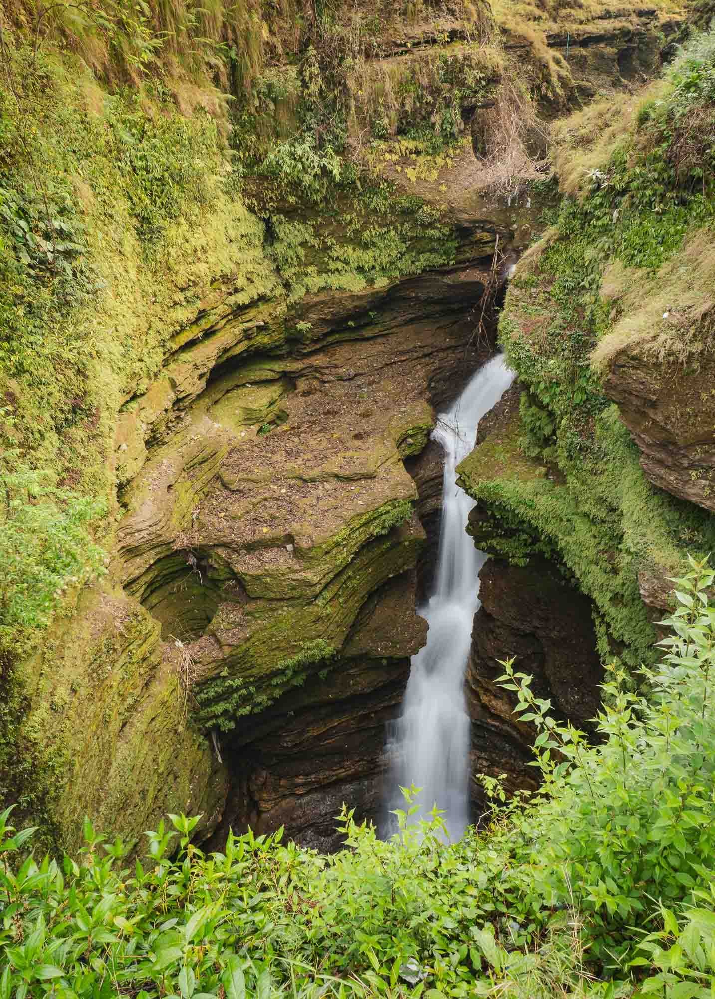
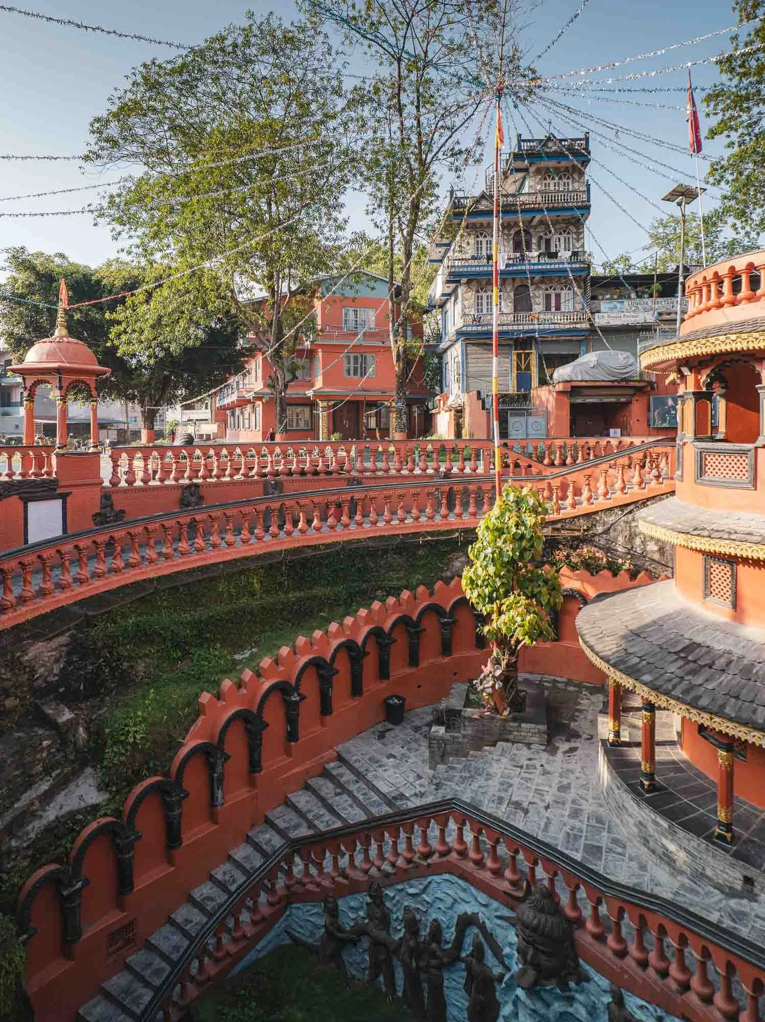
Somewhat hidden but in the middle of the city lies a rather beautiful waterfall and canyon, which, owing to the drier months of the year, felt a little less impressive than some of the photos during the monsoon suggest.
The falls drop around 50 metres into a tunnel, which then runs another 150 metres under one of the city’s main road, only to end up…
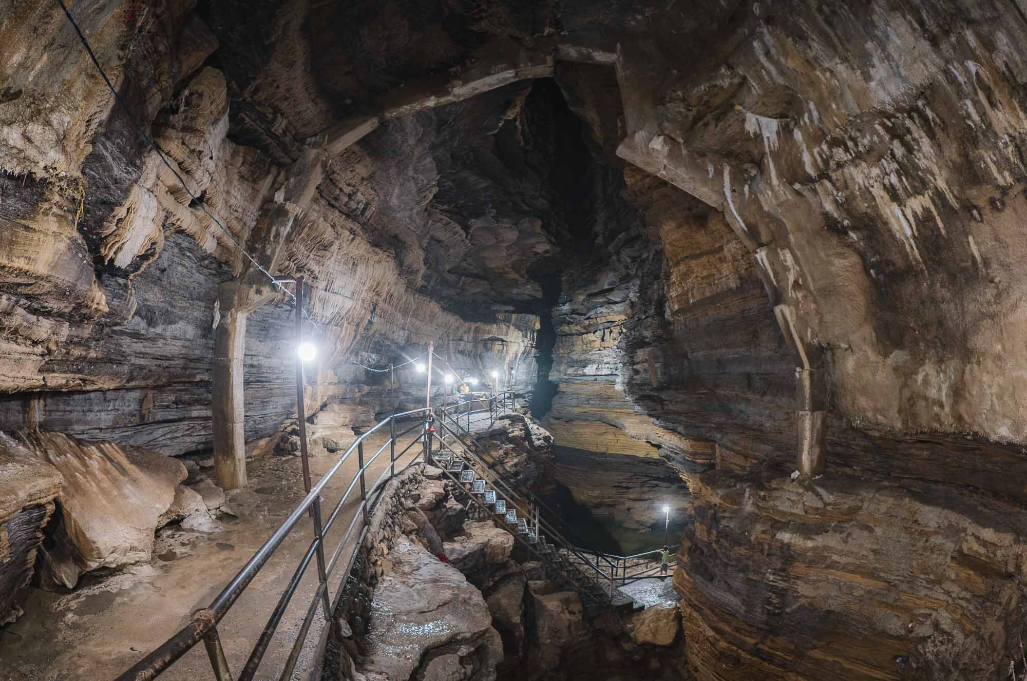
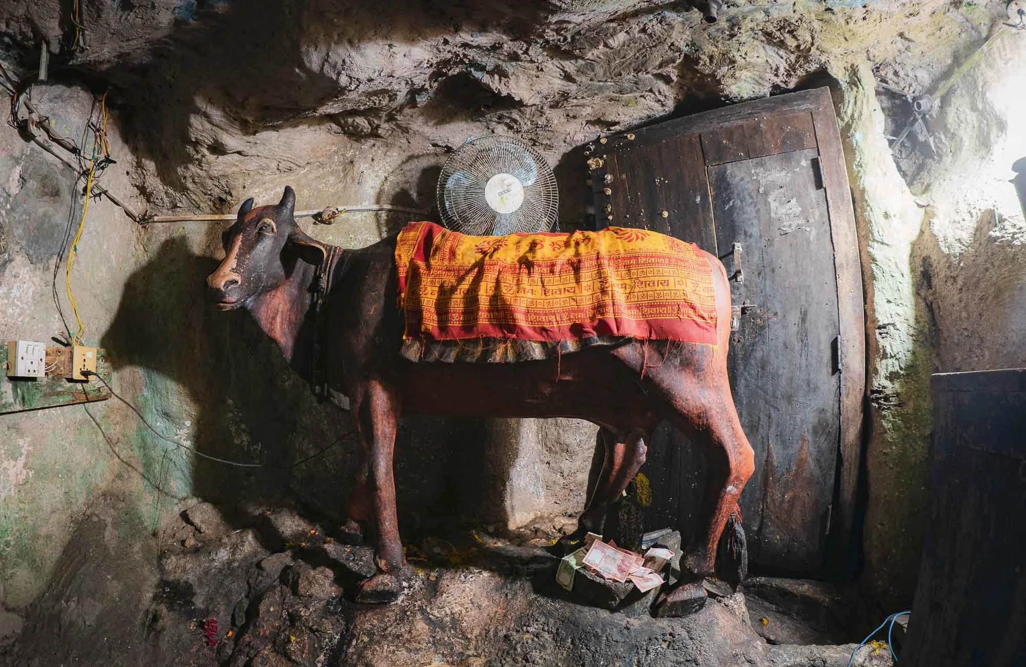
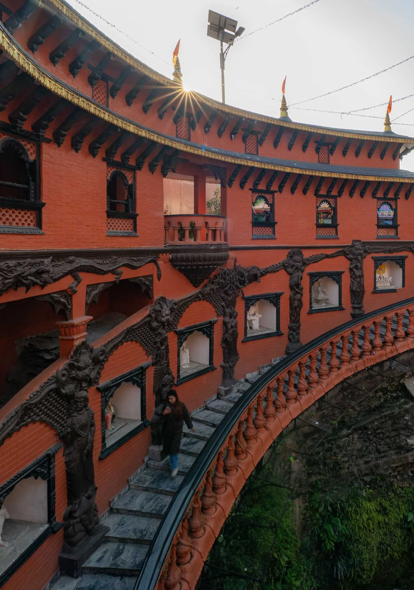
… in an impressive cave, covering a total of 3 kilometers, although only a very small part is accessible. It’s connected to the canyon of the falls on the other side of the road. Maybe unsurprisingly, the cave has a religious meaning today - it is an active pilgrimage site dedicated to Shiva, with Nandi, the bull, serving as its guardian and companion.
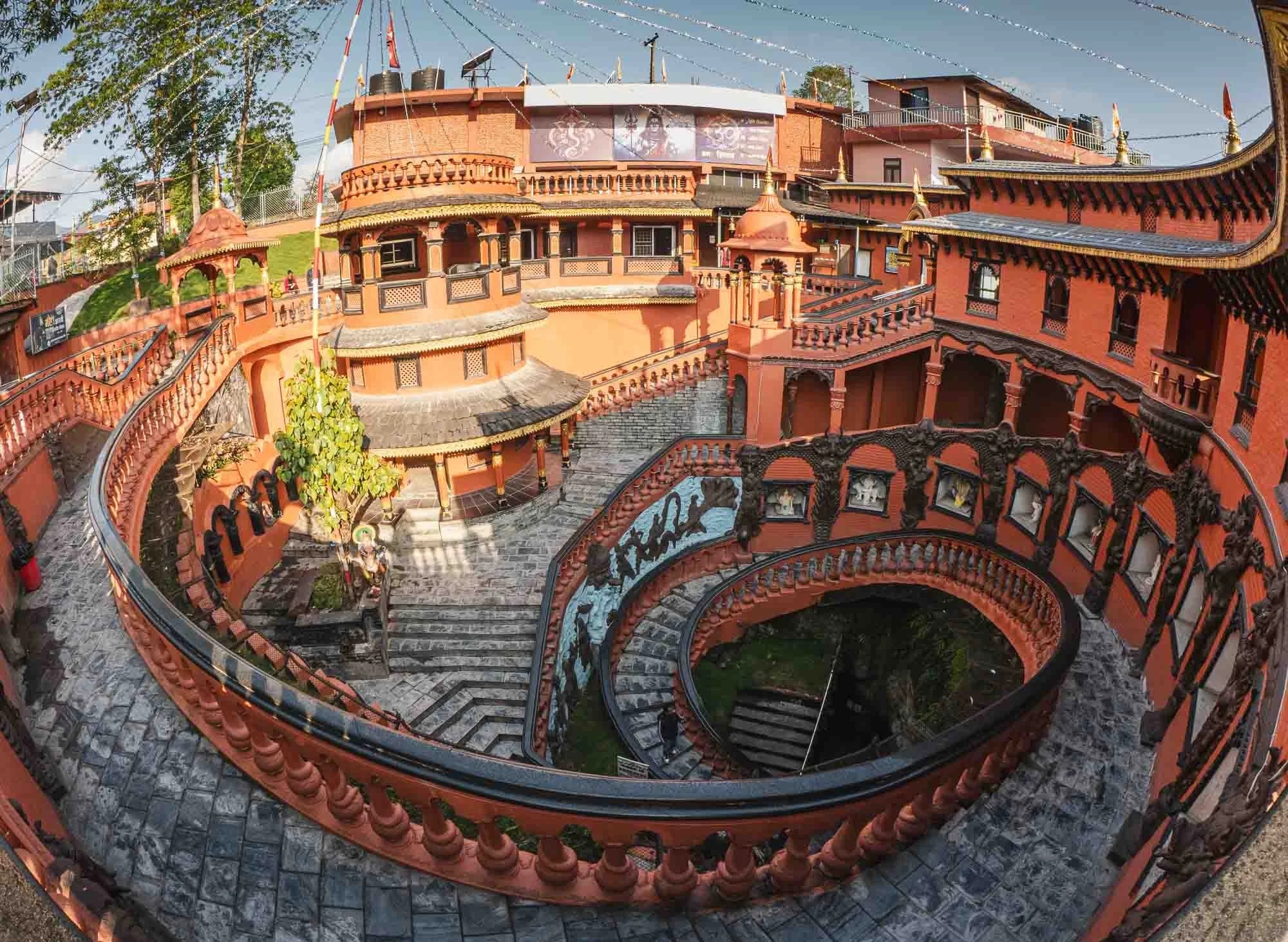
Owing to its religious meaning, the cave has a rather impressive entrance: a huge spiral staircase leading down into the bedrock under the city.
While by itself maybe none of the components of this sight would be particularly noteworthy, it’s the combination of the waterfall and its canyon, the cave, and the above ground temple entrance - all in the middle of the city - that make this quite an unusual place.
The Panorama
After the messy morning start and the cave, we then made it to what is probably Pokhara’s most beautiful viewpoint, with the massive Himalayan mountain ranges of the Annapurna reflecting in the calm river.
We did so just in time - only a couple of hours later, and the mountains would usually be fully engulfed in clouds during this time of the year - they had already started to form around the peaks and the viewing platform visible here on the opposite side of the lake.
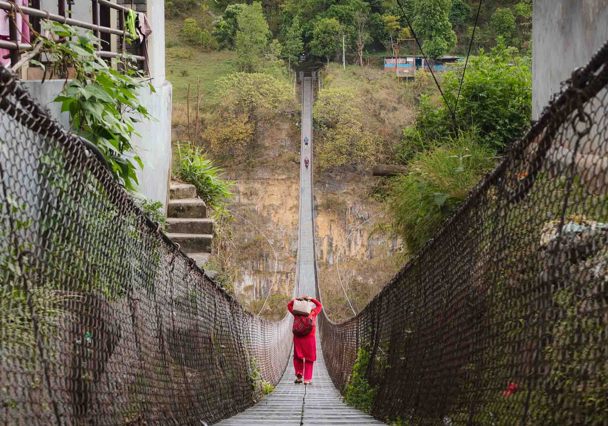
The many rivers and gorges around the area gave rise to a number of suspension bridges used to connect different parts of Pokhara and surrounding settlements, saving people from having to take significant detours by road.
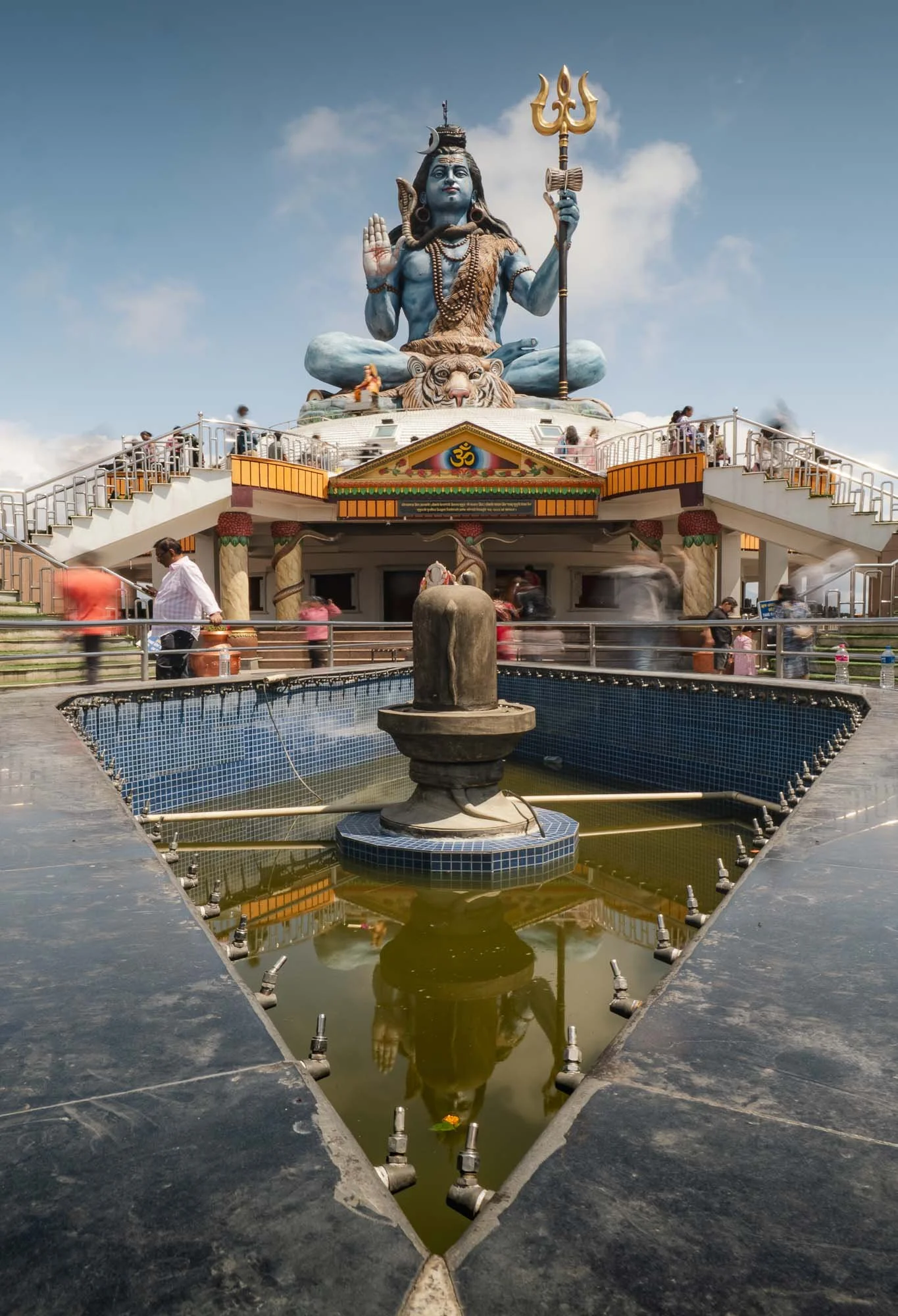
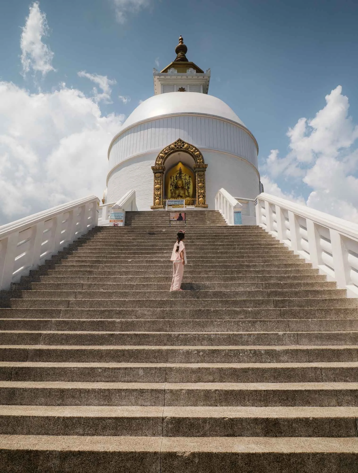
The hills on the southern side of the lake are home to relatively recent interesting temples. The Pumdikot Shiva Statue seen on the left is reachable from the city in about 30 min by car. Beyond its religious significance, the hill also offers nice viewpoints over Pokhara. On the right side is the Shanti Stupa or World Peace Pagoda, one of many around the world which a Japanese Buddhist monk worked to establish in the second half of the 20th century - a 30min hike will get you there from the Shiva statue if you don’t want to drive again.
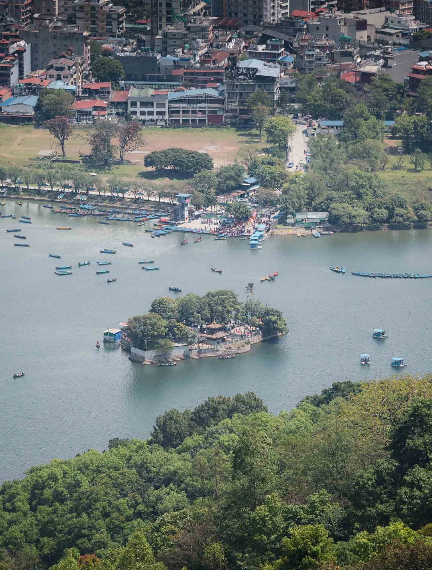
From the hill you’ll also be able to spot the Tal Barahi Temple with its small pagoda, situated on an island in the lake, making it reachable only by boat.
I spent the night in a hotel on the elevated ridges on the opposite side of the lake, known for its views of the mountains. It’s located just next to the viewing platform visible in the earlier images from across the lake. While the sunset was a rainy and cloudy affair, as is expected during this time of the year, the morning brought clear skies over the valley.
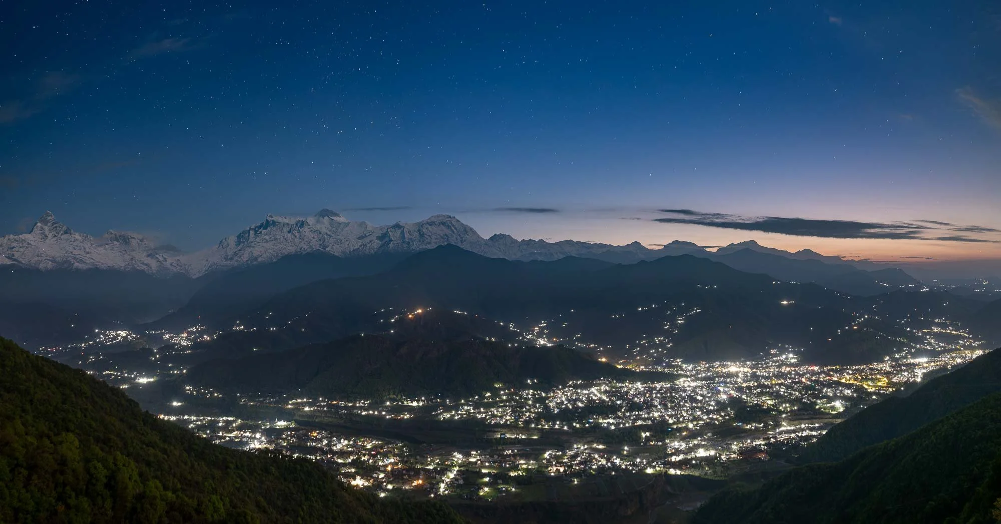
We were on a tight schedule for the reschedule helicopter flight, but I couldn’t resist the conditions and made my driver stop so I could run up the viewing platform as well, completely underestimating the number of steps. It was worth it though: a low layer of clouds slowly crept into the city in the east, and beautiful first light hit the mountain ranges just as I had to get going to not miss the flight.

Annapurna Base Camp
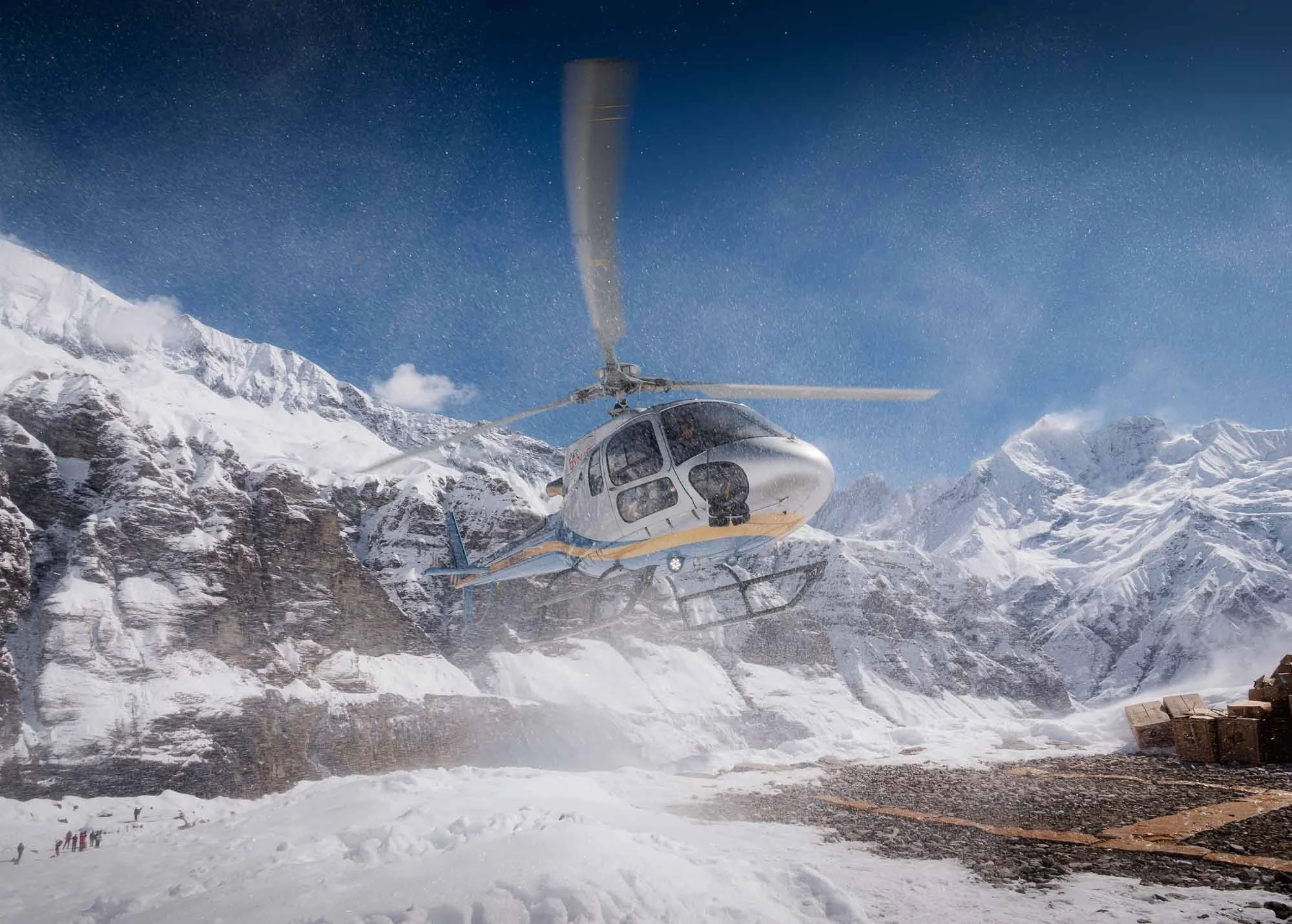
After the quick stop, we arrived at the city airport and got the go-ahead this time. Things still didn’t seem to be smooth, but after over an hour wait I finally got called to the helicopter as some clouds slowly engulfed the mountain tops in the distance.
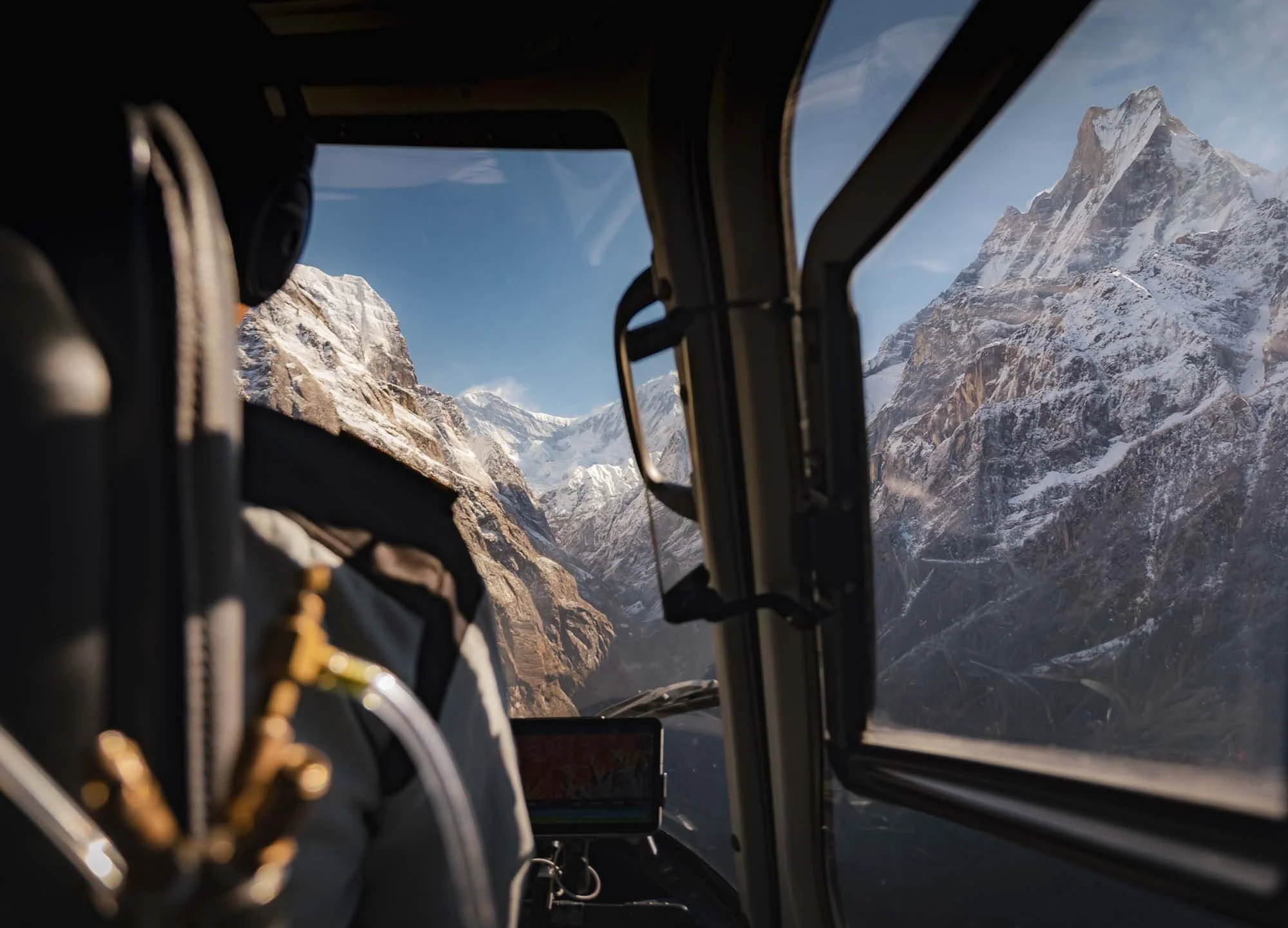
The flight was spectacular and it was obvious why heavy clouds would not allow them to fly: you’re literally sandwiched in between steep cliffs as the helicopter goes deeper into the valley that is home to Annapurna base camp at 4130m. No chance to navigate here without clear visibility.
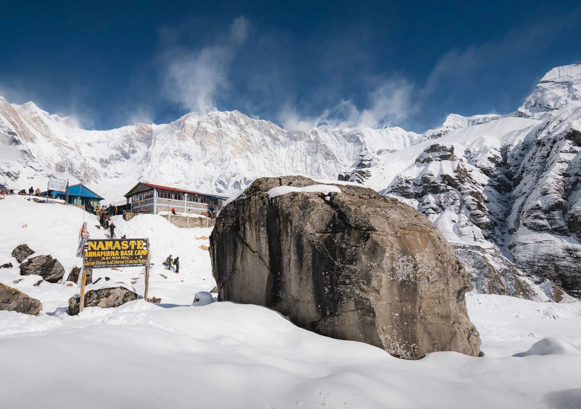
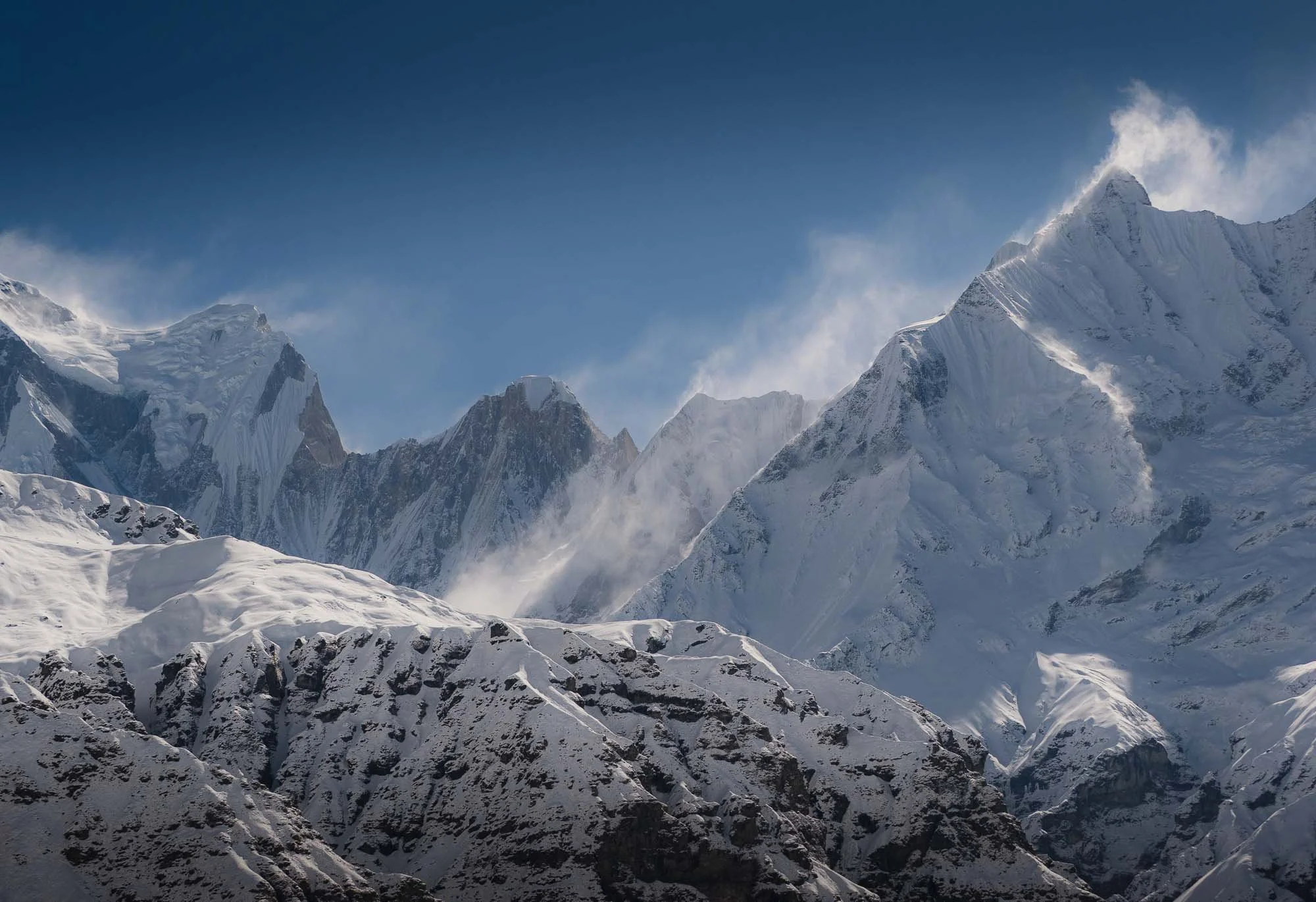
Once there, you’re surrounded by a near-continuous ring of Himalayan peaks rising above 7,000 and 8,000 metres - a 360-degree mountain amphitheater.

The infamous Machapuchare, also known as Fishtail Mountain, on the eastern side (the snow-less granite peak in the left image) is far from the tallest in the area but its summit has never been reached. It is considered sacred among Hindus for its association with Shiva, and after a British expedition stopped just below the top in 1957, Nepal permanently closed the mountain to climbers, leaving it one of the few major Himalayan peaks whose summit remains untouched.
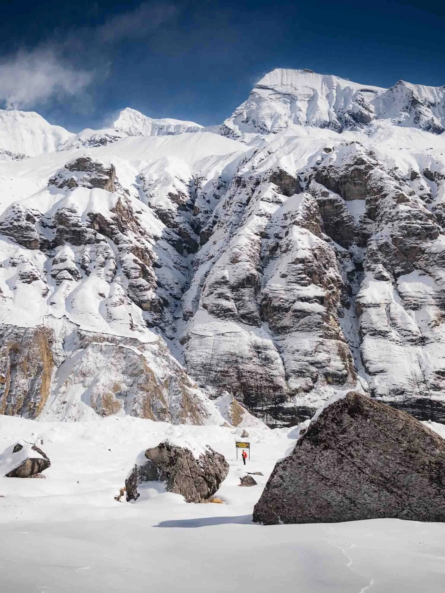
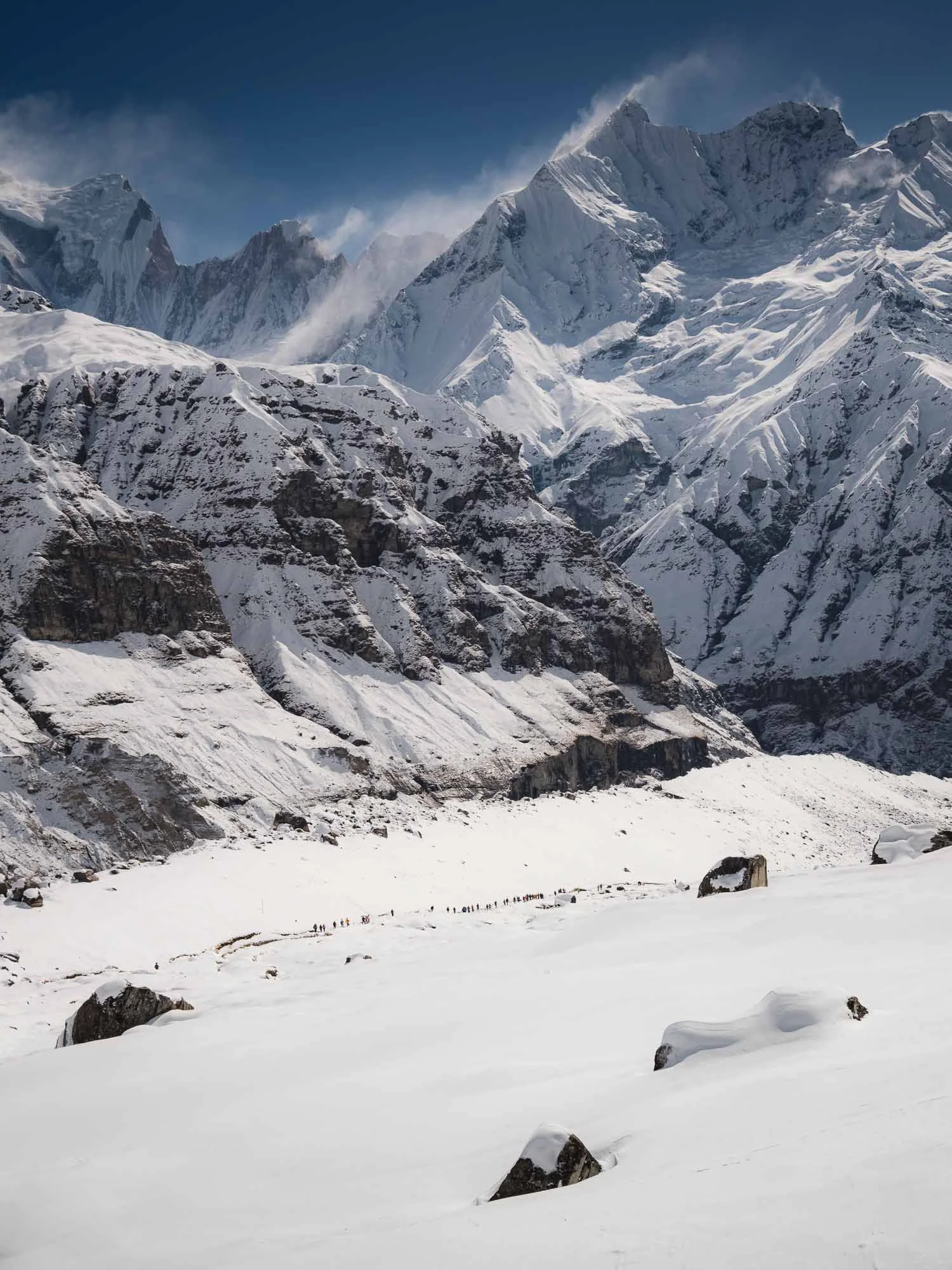
Other parts of the Annapurna sanctuary are more accessible though, with treks in and out lasting 1-2 weeks making it a popular hiking destinations - can you spot the humans in the photos above? While thousands of hikers frequent this route every year, the peaks are a whole different story: Its highest summit, Annapurna I (8,091 m), became the first 8,000-metre mountain ever climbed in 1950 and remains one of the world’s most challenging peaks - its companions Annapurna II to IV and South (not all visible from base camp) are not much easier.
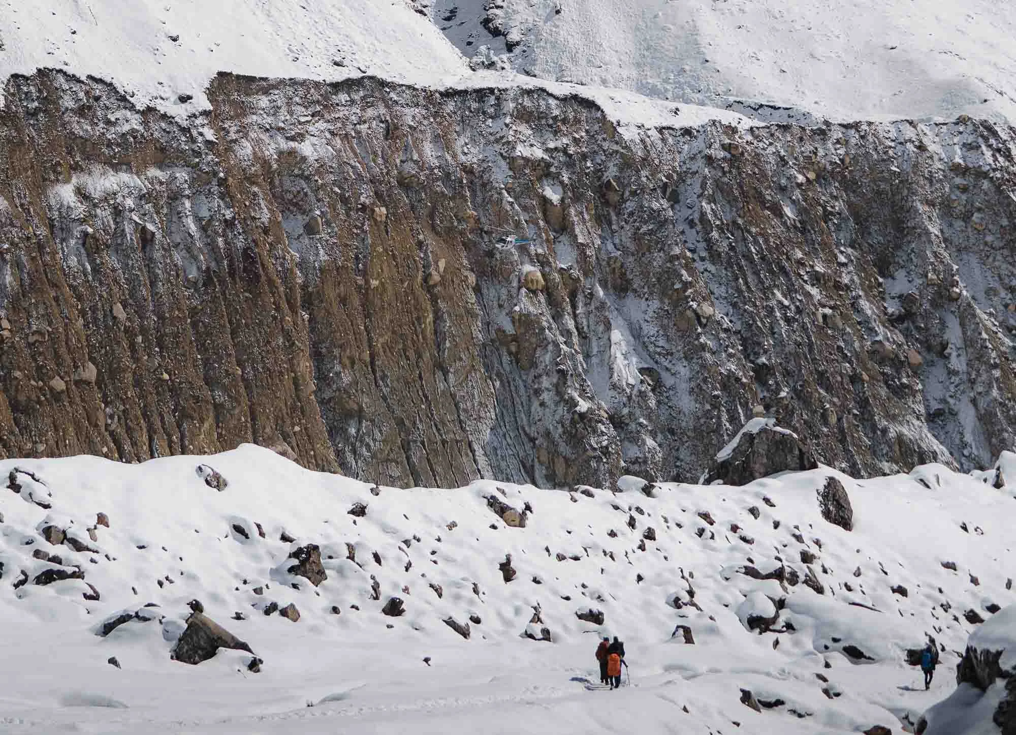
It’s difficult to convey the scale of these massifs, but one attempt is this image - can you make out the helicopter arriving in the distance? Zoom a little, or a little more…
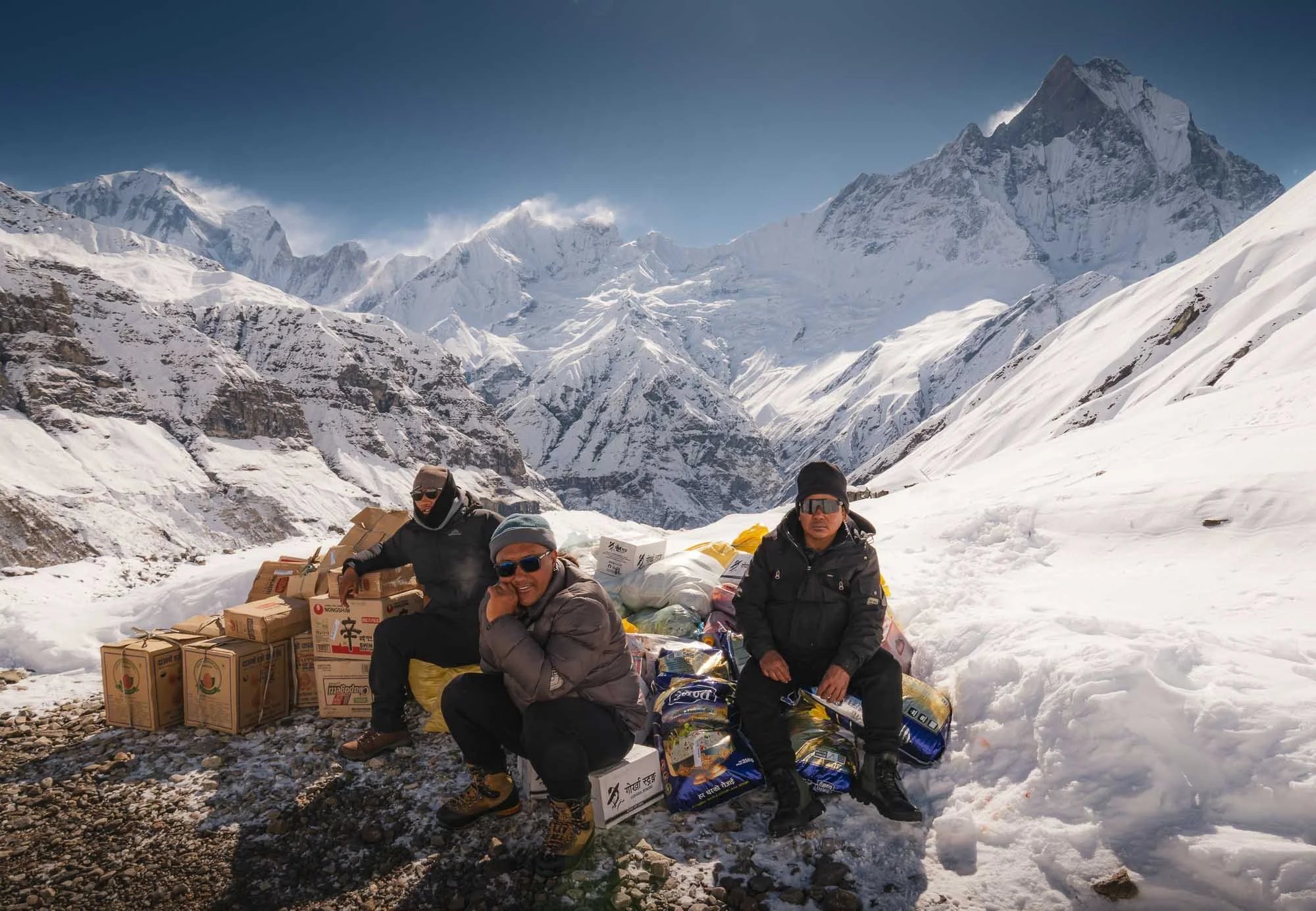
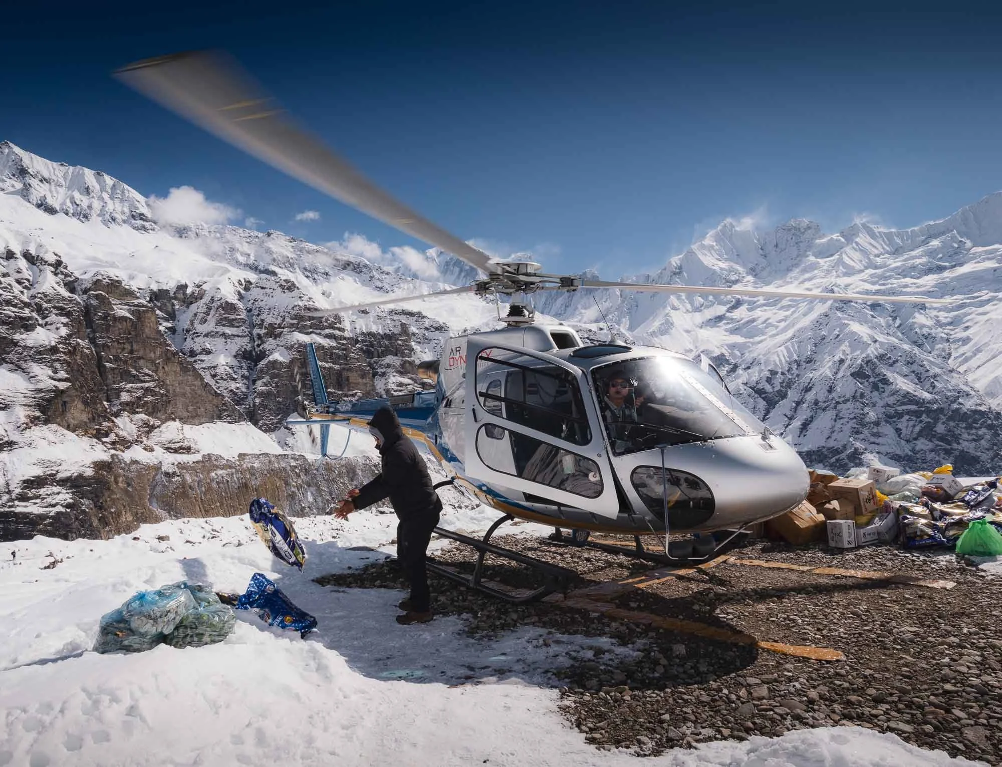
And so after a good hour of looking around - frankly, there is not that much to do other than admiring the views - the helicopter came back to pick me up again, dropping off some supplies for which some of the base camp team eagerly waited, and picking up trash and other items to bring back down.
And I was off to the main airport of the city again, and back to Kathmandu - but just for transit.
In Search of an Elusive Creature
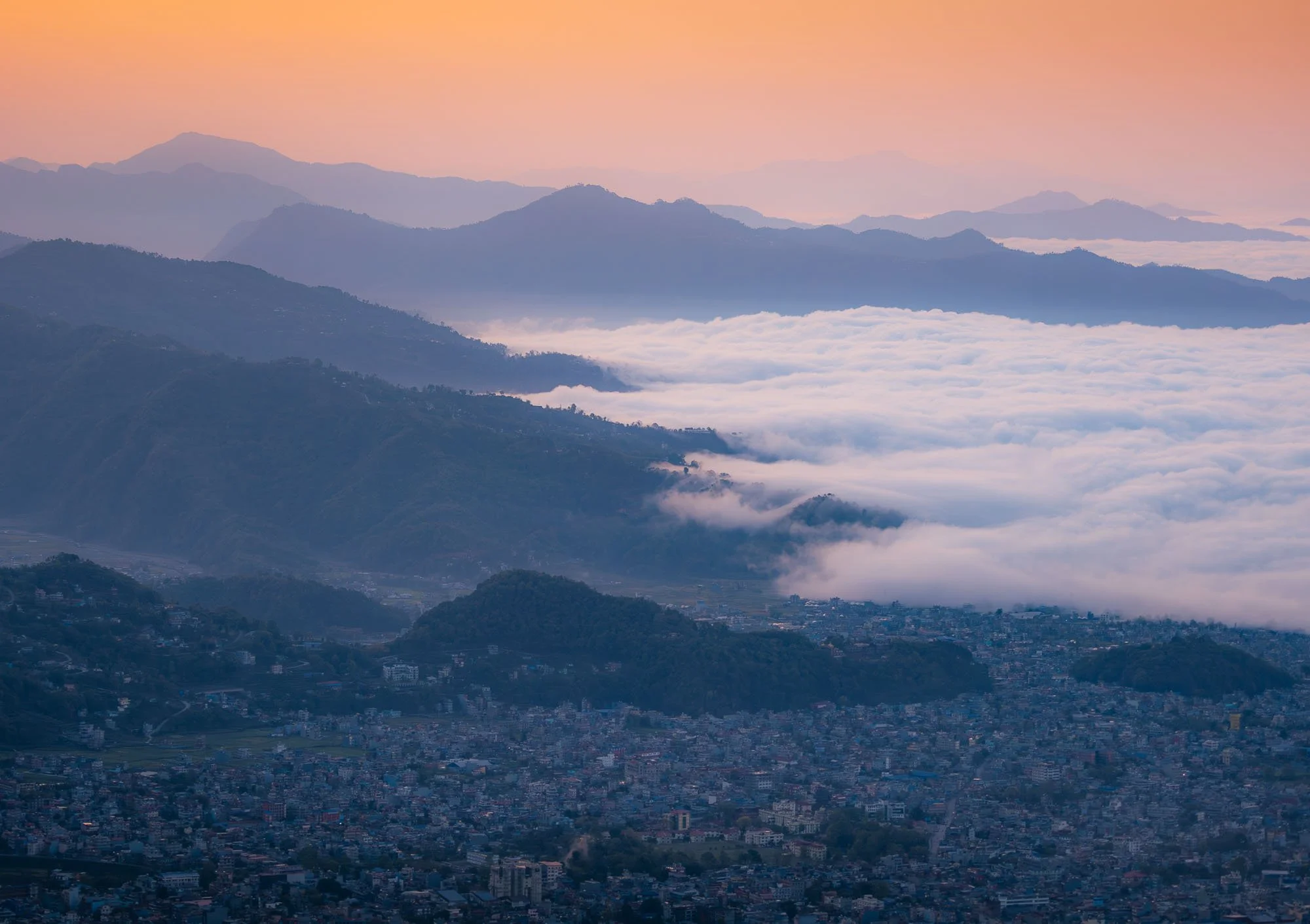
After arriving back at Kathmandu’s domestic terminal in the afternoon, my guide Lhakpa picked me up and we continued straight on by car towards the north-east, taking a good 4h to cover what was a surprisingly short distance. The further you moved away from the capital, the worse the roads got, with regular washouts, less capable cars getting stuck, and the occasional cow and goat traffic. Or destination was the Langtang valley, a well-known trekking destination. Trekking wasn’t what I came for though.
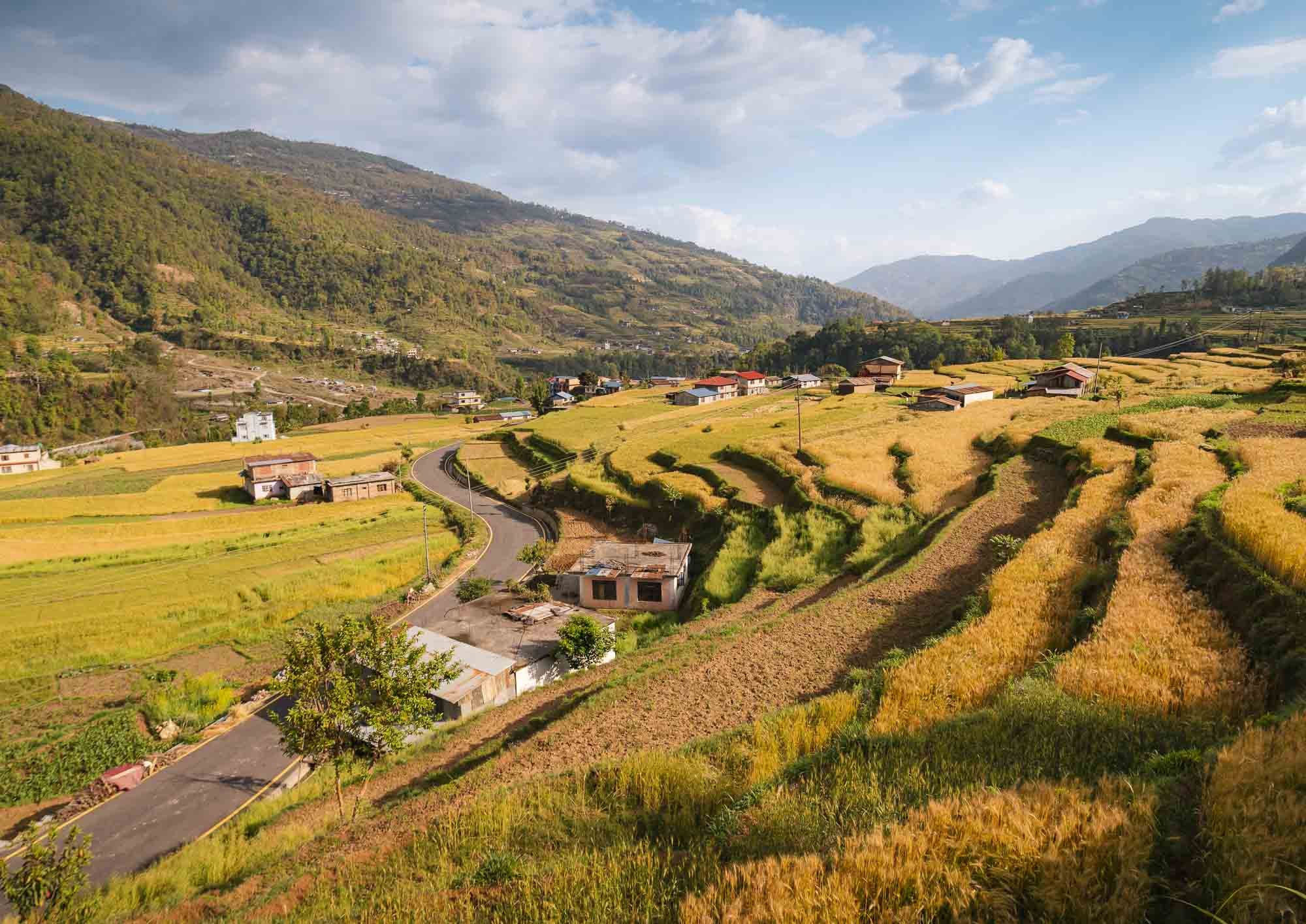
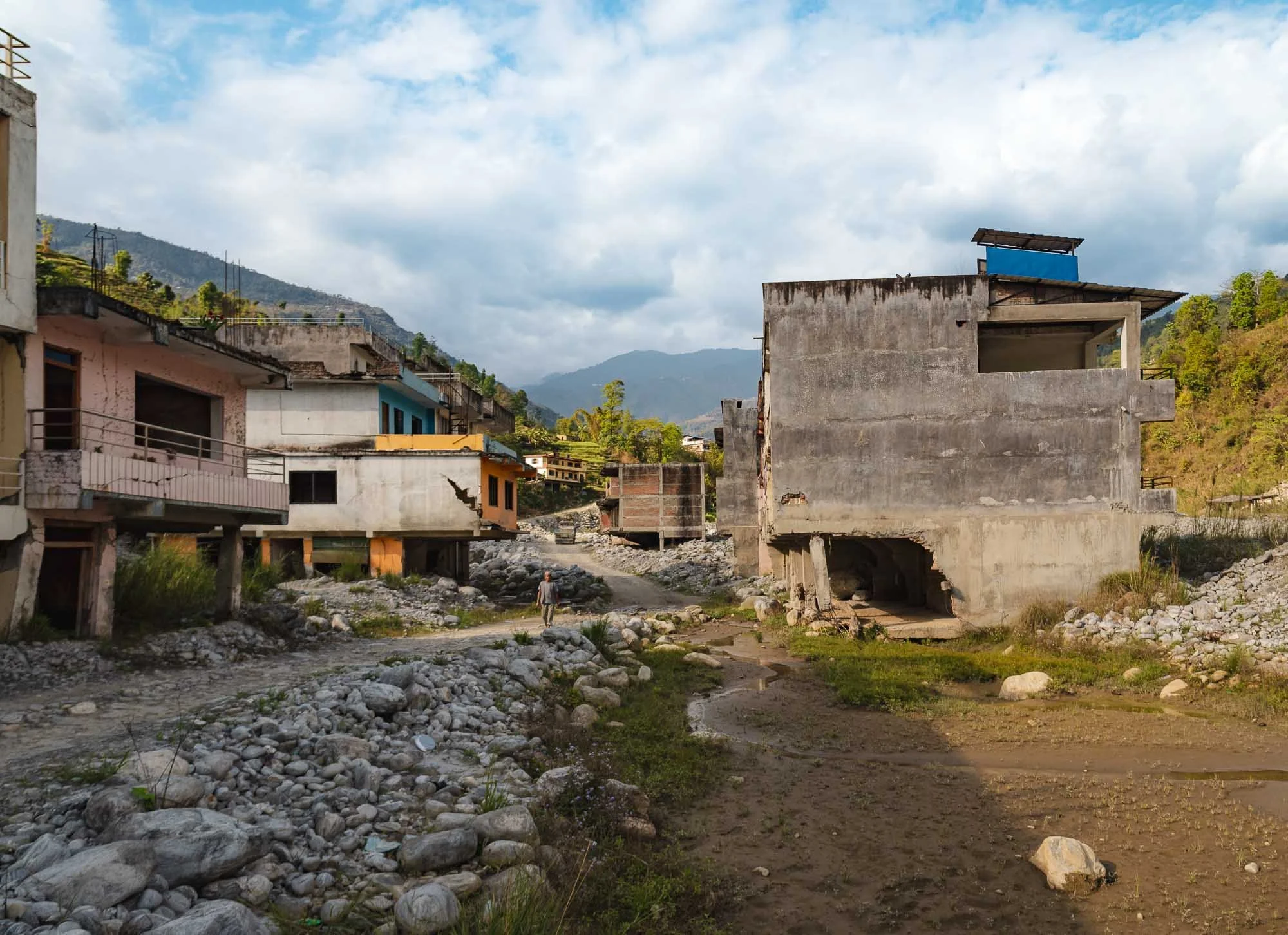
The drive through the valleys and hills was rather beautiful, with small villages and golden rice paddies lining the roads. But it also brought to light some of the destruction of the 2015 earthquake, and several floods that followed since. Many settlements that had been heavily damaged during the earthquake were reconstructed - this time with concrete structures - but as Lhakpa told me people were unwilling to use the opportunity to move away from the river fronts that are prone to flooding, resulting in further catastrophic consequences over the last decade and ultimately many abandoned houses, rendered uninhabitable by mud, rocks, and water.
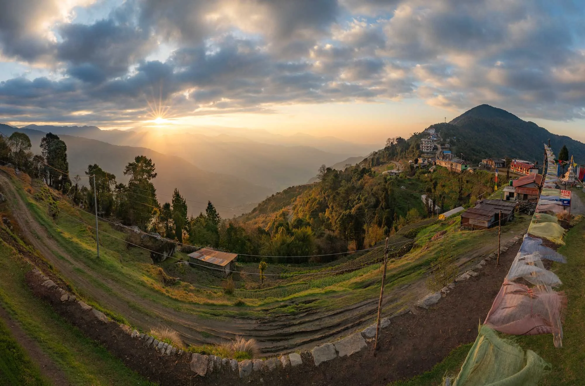
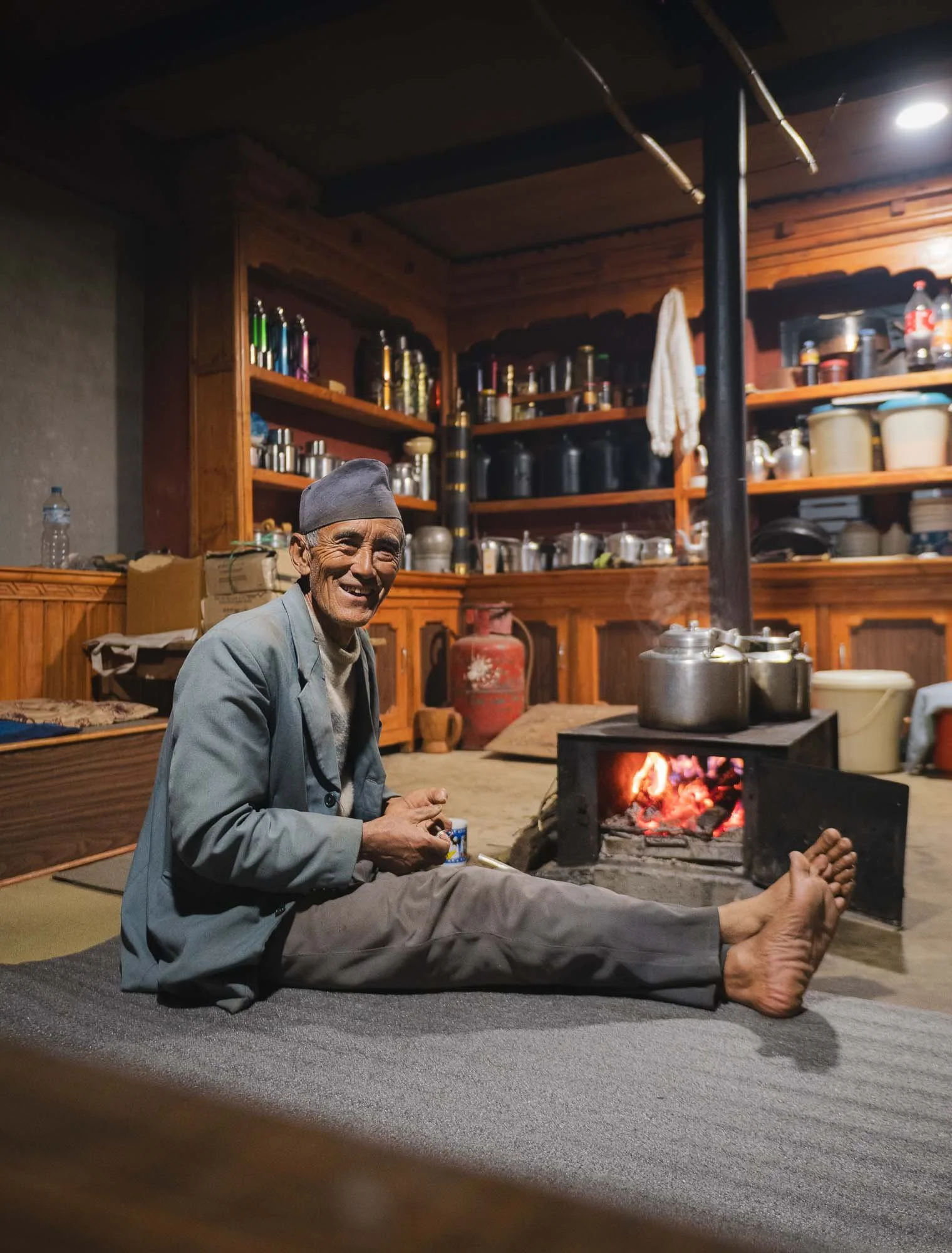
We arrived at our destination, the small mountain village of Kutumsang at around 2500m altitude just around sunset time - although this image is from the beautiful sunrise of the next morning.
It was quiet. Not many trekkers were around - although it was not a bad time of the year, it had been unusually snowy in the region, and the disruption in the Middle East also caused several people to cancel, from what the owning couple of the tea house told us as we set around the fire place and had dinner. Lakhpa entertained us with a rendition of “Shalala Lala” by the Vengaboys on a very old traditional instrument (not a sentence I was expecting to write in this blog), and we were off to bed - early start tomorrow.
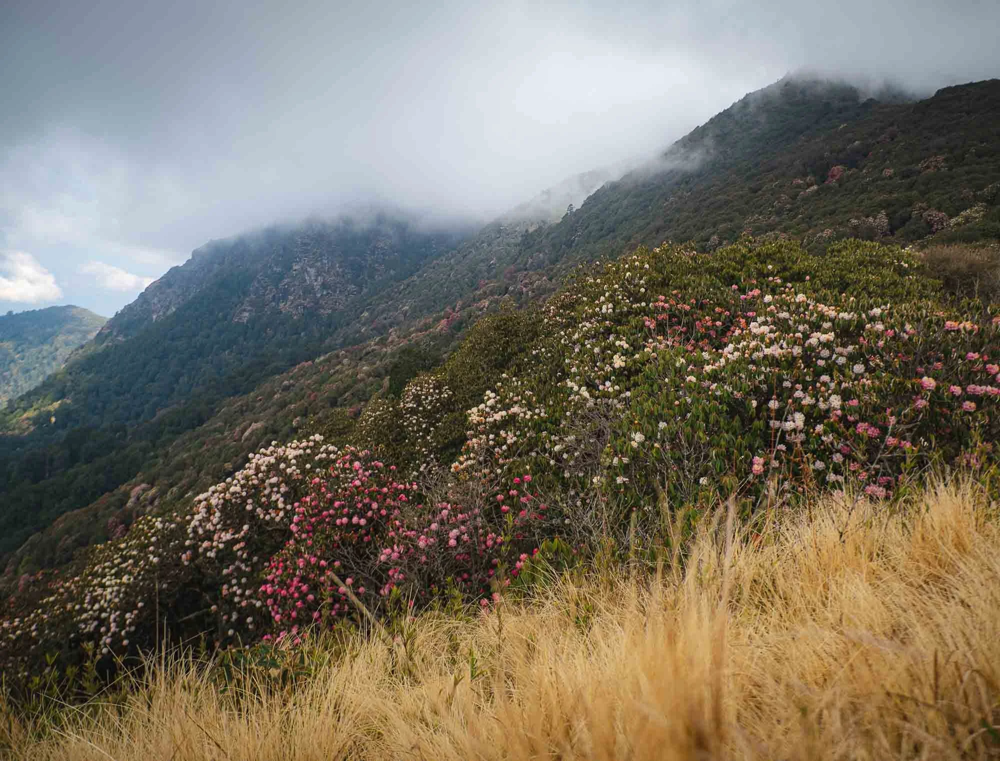
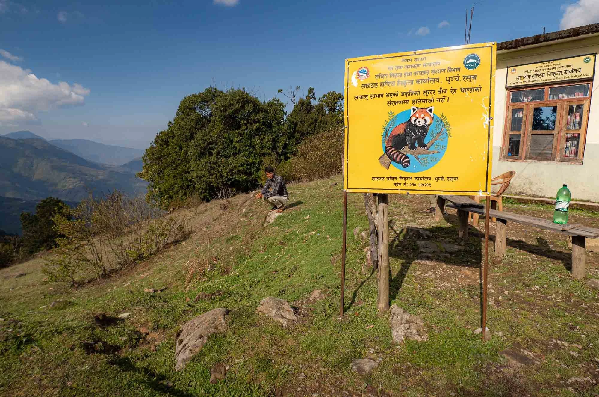
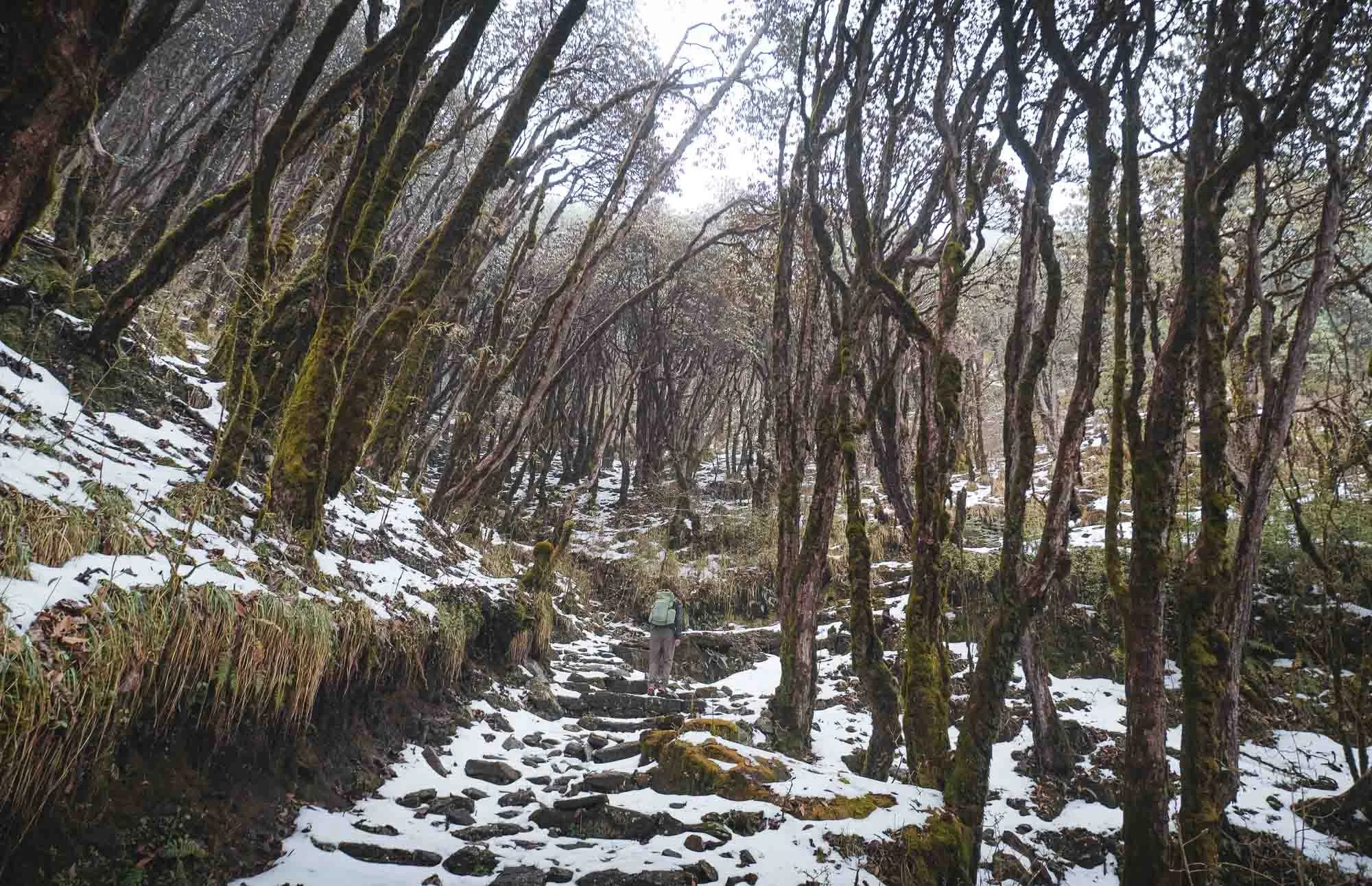
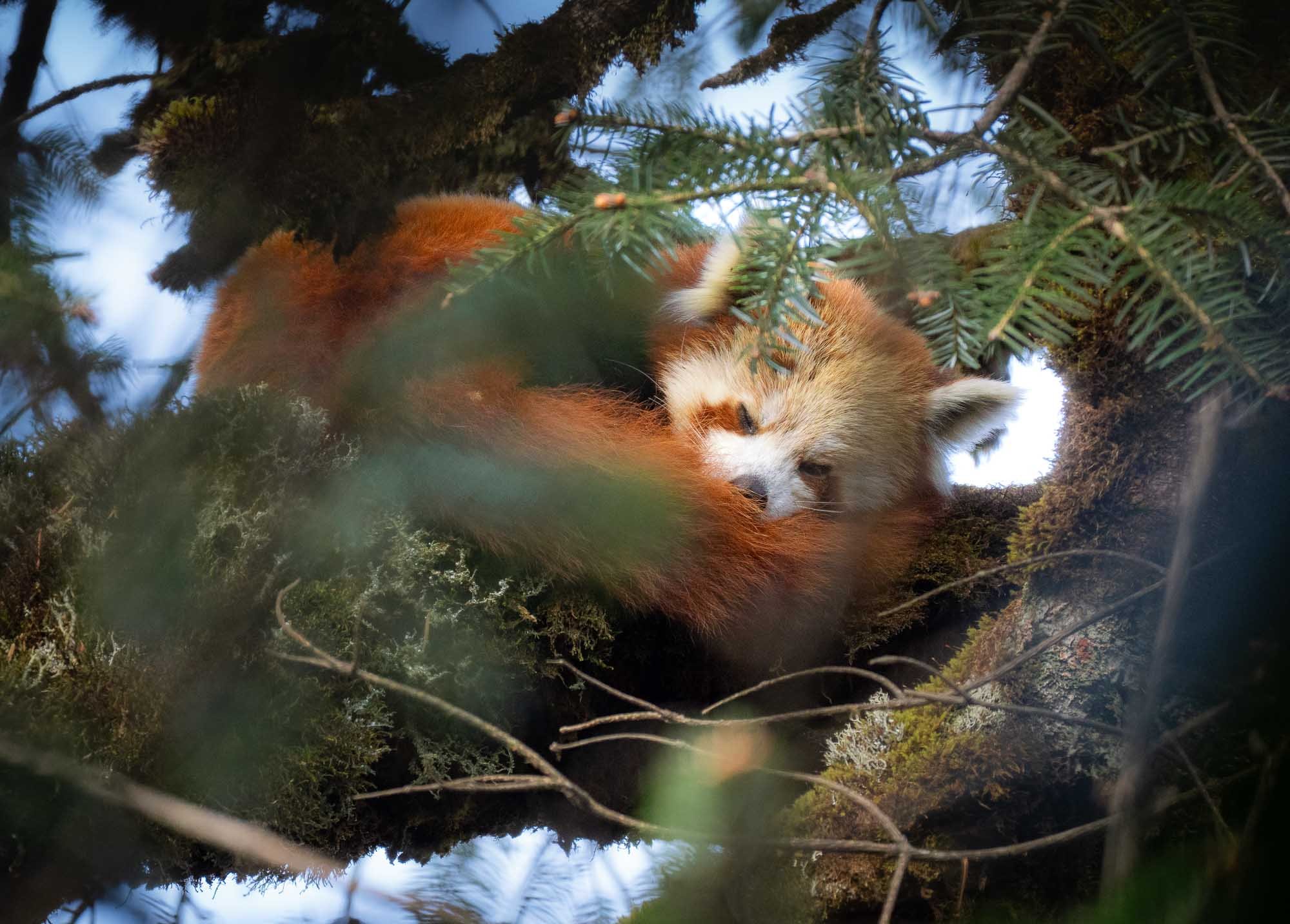
We had a three hour hike ahead, making our way into the Langtang National Park, and passing the beautiful Rhododendron forests in bloom on the way. As we registered at the national park office, the official sign will give you the reason why I made it all the way here: to find a red panda, an endangered small mammal that is native to the Himalayas.
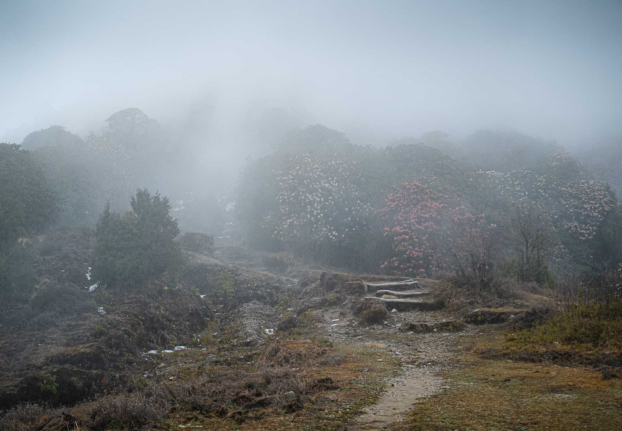
As we have ascended higher the forest slowly disappeared into the clouds, engulfing us in chilly mist, until we reached the snow-covered peaks of the mountain range, approaching our tea house in Mangin Goth at almost 3500m altitude.
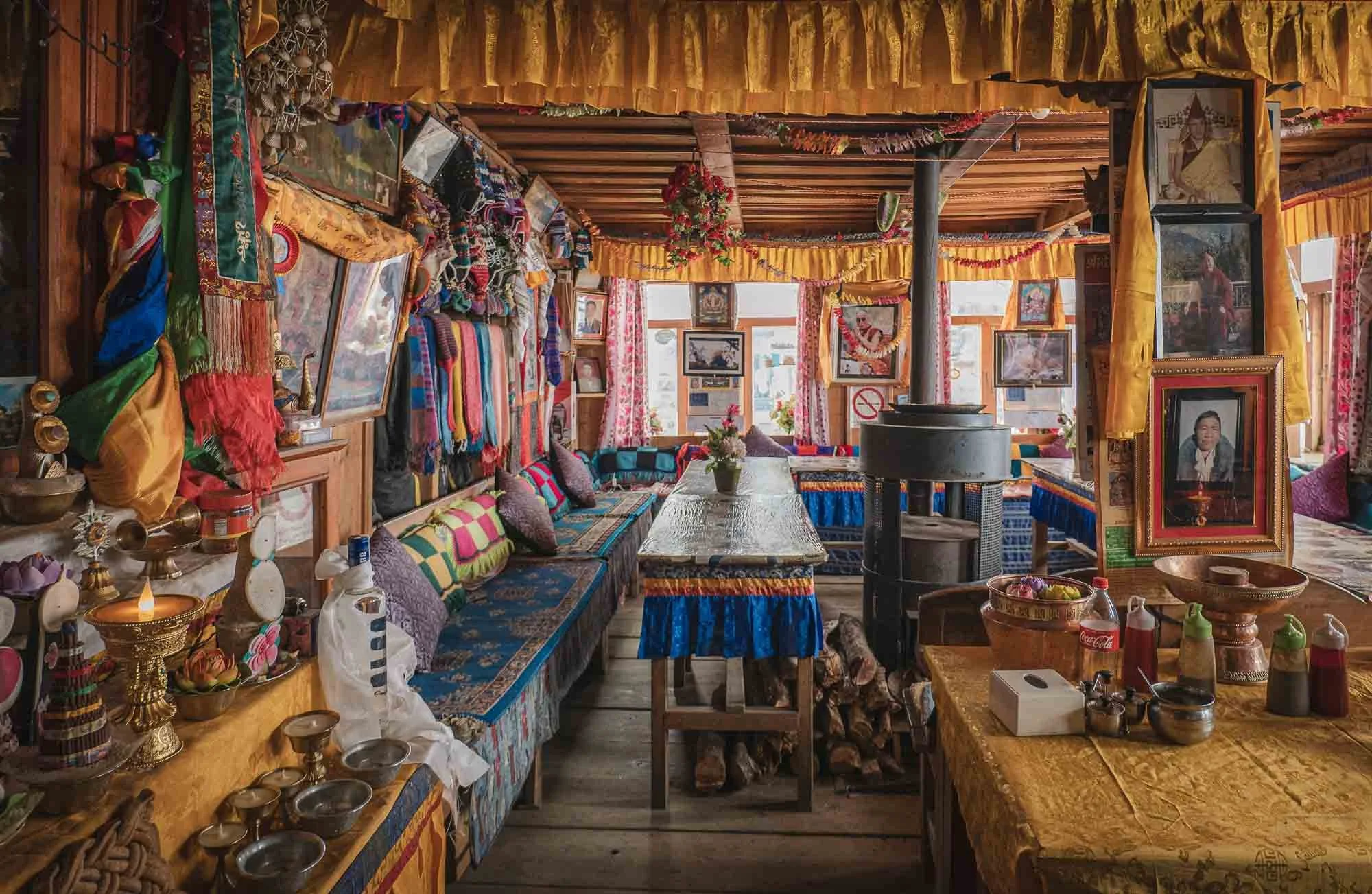
The tea house would be home for the next few days, although we were not planning to spend a lot of time inside.
The goal was to go out every morning and afternoon for several hours to find the elusive red panda. For that, we had to venture off the beaten paths and into the forest.
That's not to say it wasn't a cozy tea house. The owners were amazingly kind and even joined in on our search at times.
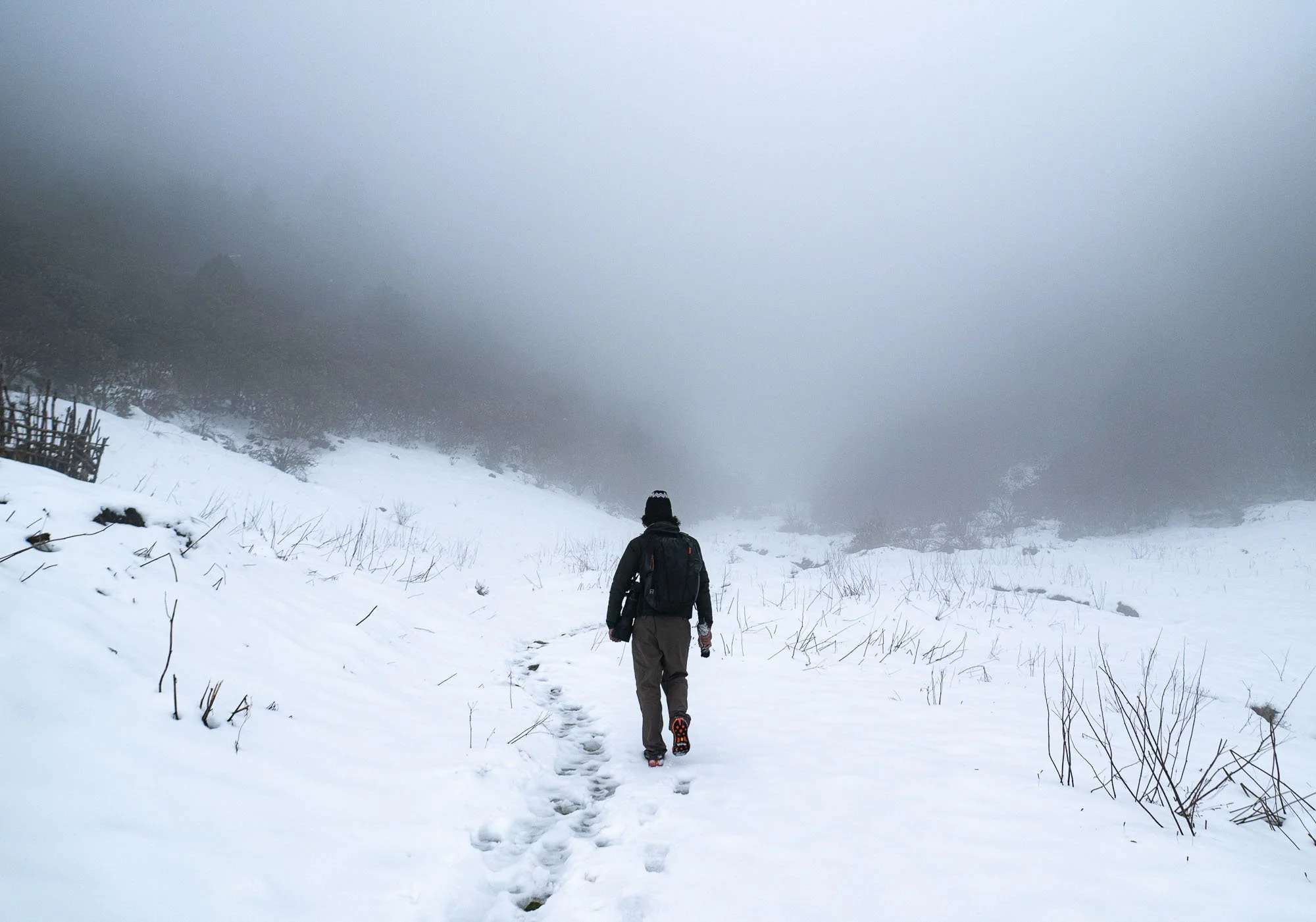
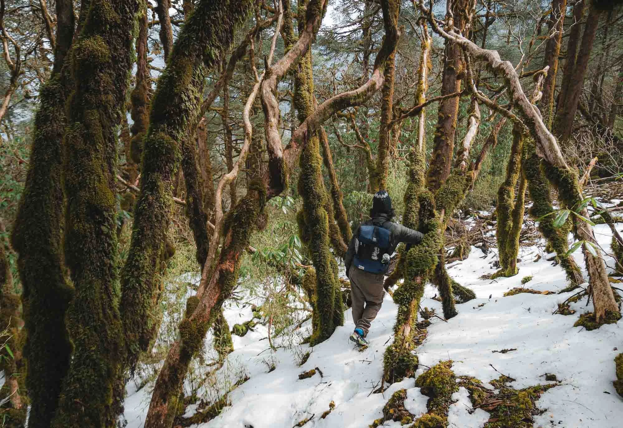
The weather however was less kind - snowy forest floors and clouds made the search challenging, both because it meant every step along the steep slopes was slippery and your shoes were soaking wet after half an hour in deep snow, but also because Lhakpa had predicted that our best chances to spot a panda would be when they are sunbathing in a high tree branch - not exactly promising conditions for that.
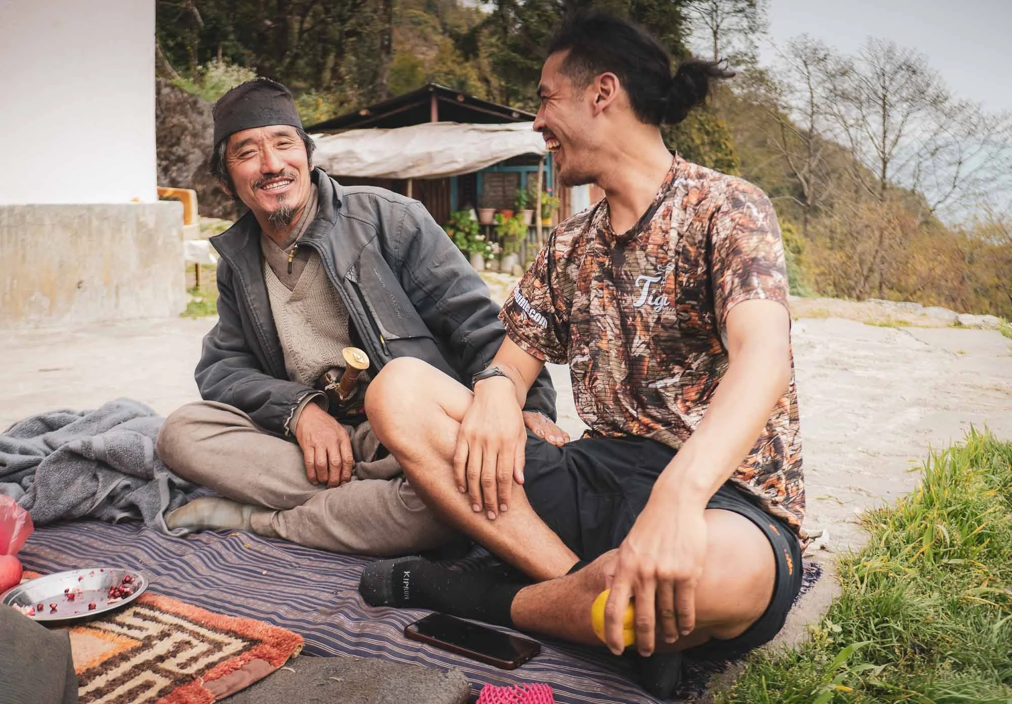
But we had another ace up our sleeves: Karsang, Lhakpa’s uncle (or as I rightly suspected, some kind of distant relative from the village that he called uncle). He has been living in these forests his whole life, and by that I mean not just that he is from a local village, but that he practiced pastoralism, moving his cows and yaks (or their hybrids) through the lands, building small temporary animal pens and a hut to stay in over night for months at a time.

His experience and ability to explore this terrain would come in handy - while I stumbled through the thick vegetation and slid around on the snow-covered forest floor, he was graceful and quick up and down the slopes - and up the trees, if needed.
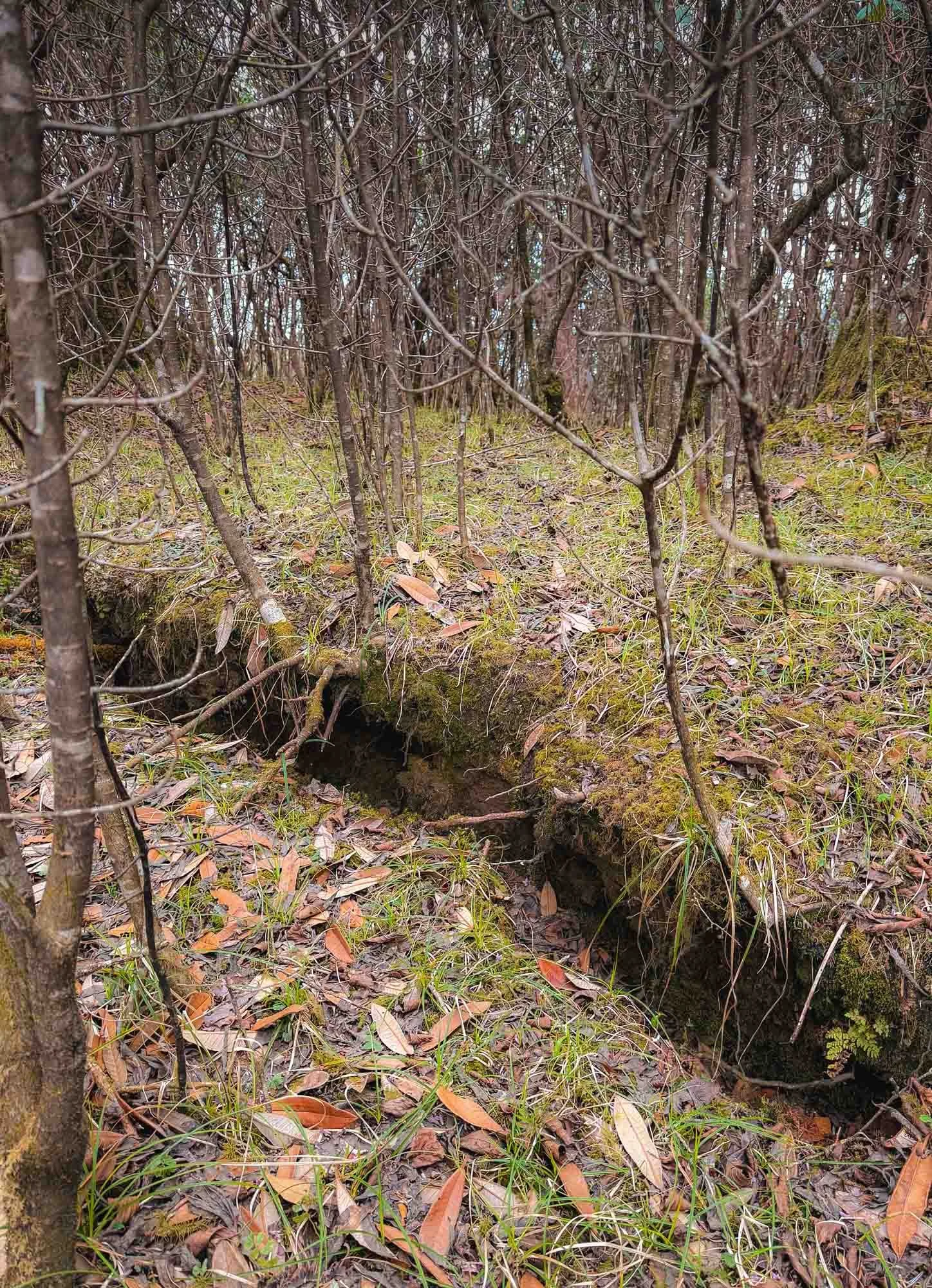
One way to ascertain the presence of these little creatures is looking for what they leave behind, such as the little black excrements here on a thick branch, which may have made for a comfortable red panda bed for the night. Unfortunately, this bed was empty. Well, almost.
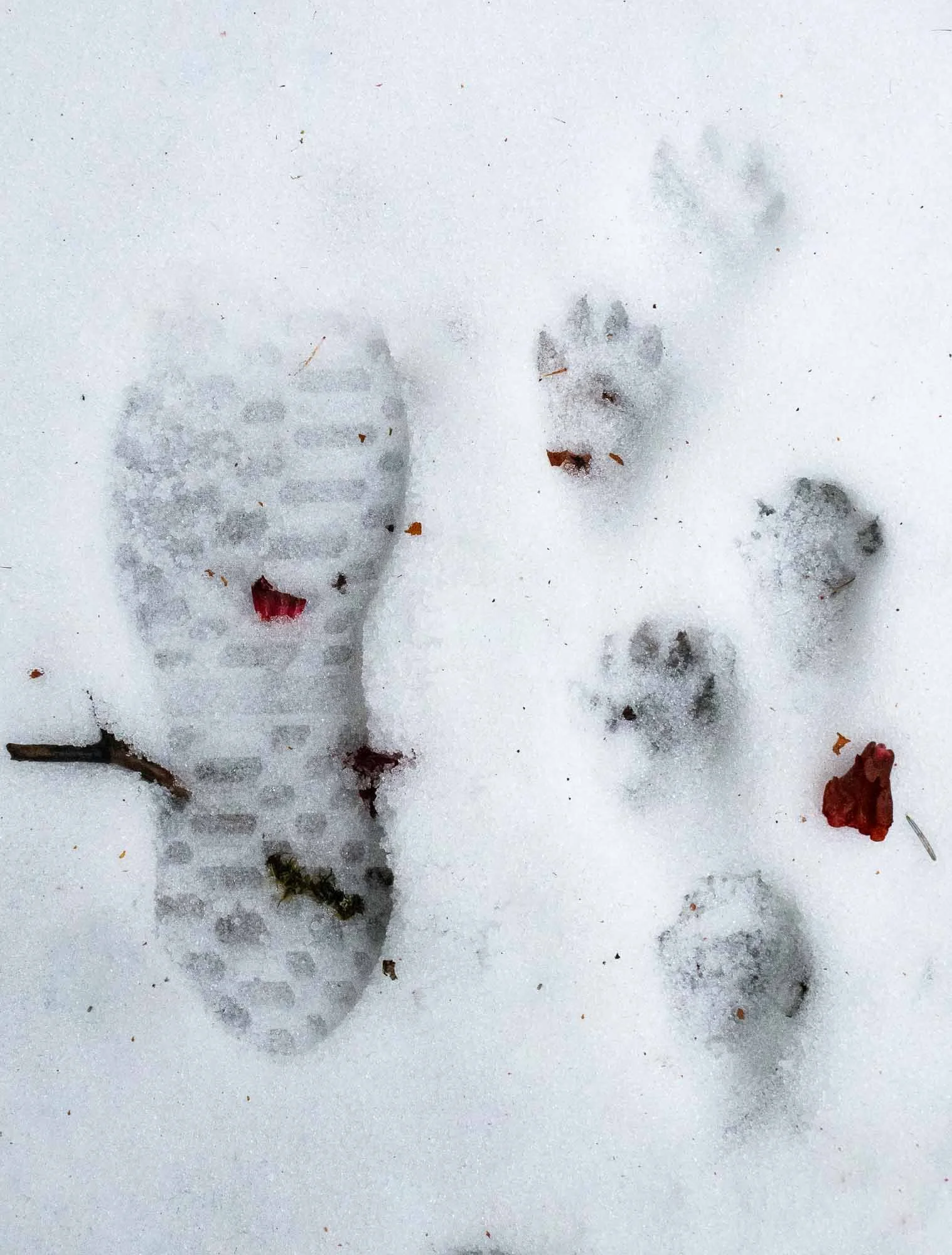
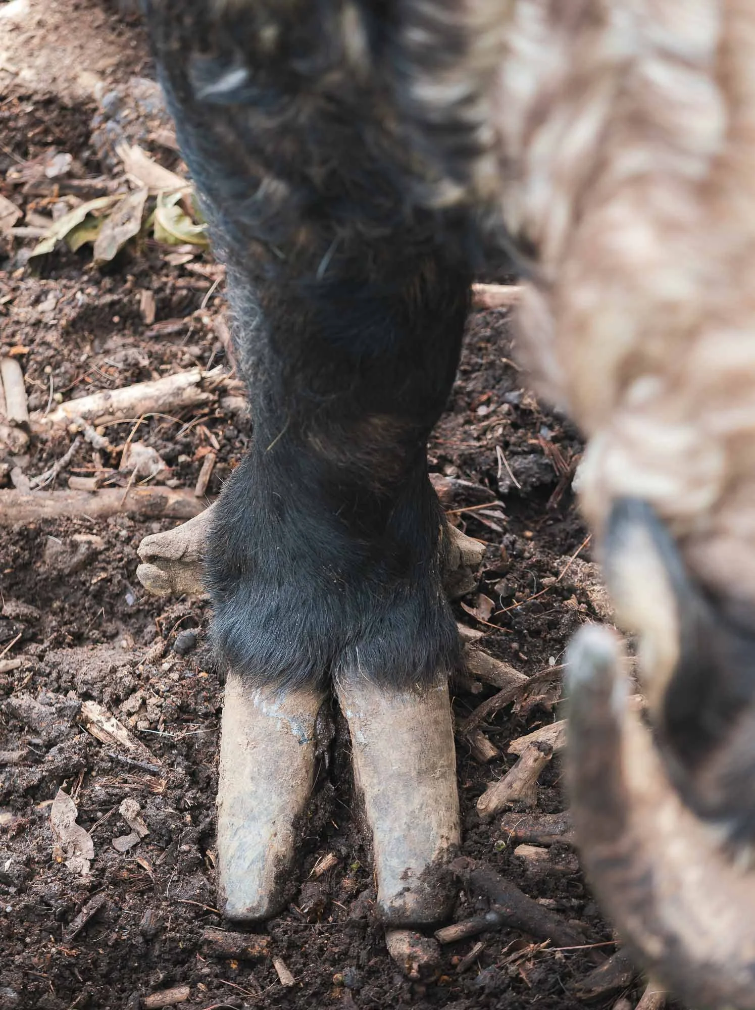
Just like with our tiger search, the evidence for the red panda’s presence was all around - from the bamboo shoots they prefer to eat, the hollow tree trunks the females often use to build their nests, the little piles of poo in the trees, and their prints on the snowy floors, shown here in comparison to my own footprint for size.


For now though, our search was not successful. As the days went by we found increasingly creative, but effective ways to avoid wet and frozen feet (although I burnt my shoes in the process of drying them by the oven…), but that didn’t quite take away from the growing anxiety that this trip may not end with a success.
Despite that, we seemed to get closer: During one of our searches we had split up to cover more ground, and Karsang called us down a steep ravine to a small river with heavy bamboo vegetation, where he seemingly spotted a red panda foraging on the ground. But by the time Lhakpa and I arrived, it had disappeared.
We kept going, but the nightly -5C temperatures without heating, the permanently dirty clothes, freezing cold water and therefore no showers, various scratches all over the body, a torn pair of trousers, ten hours a day carrying a bag of heavy camera equipment up and down the steep slippery forest slopes through thick vegetation… it was all starting to take its toll by the time the last day arrived.
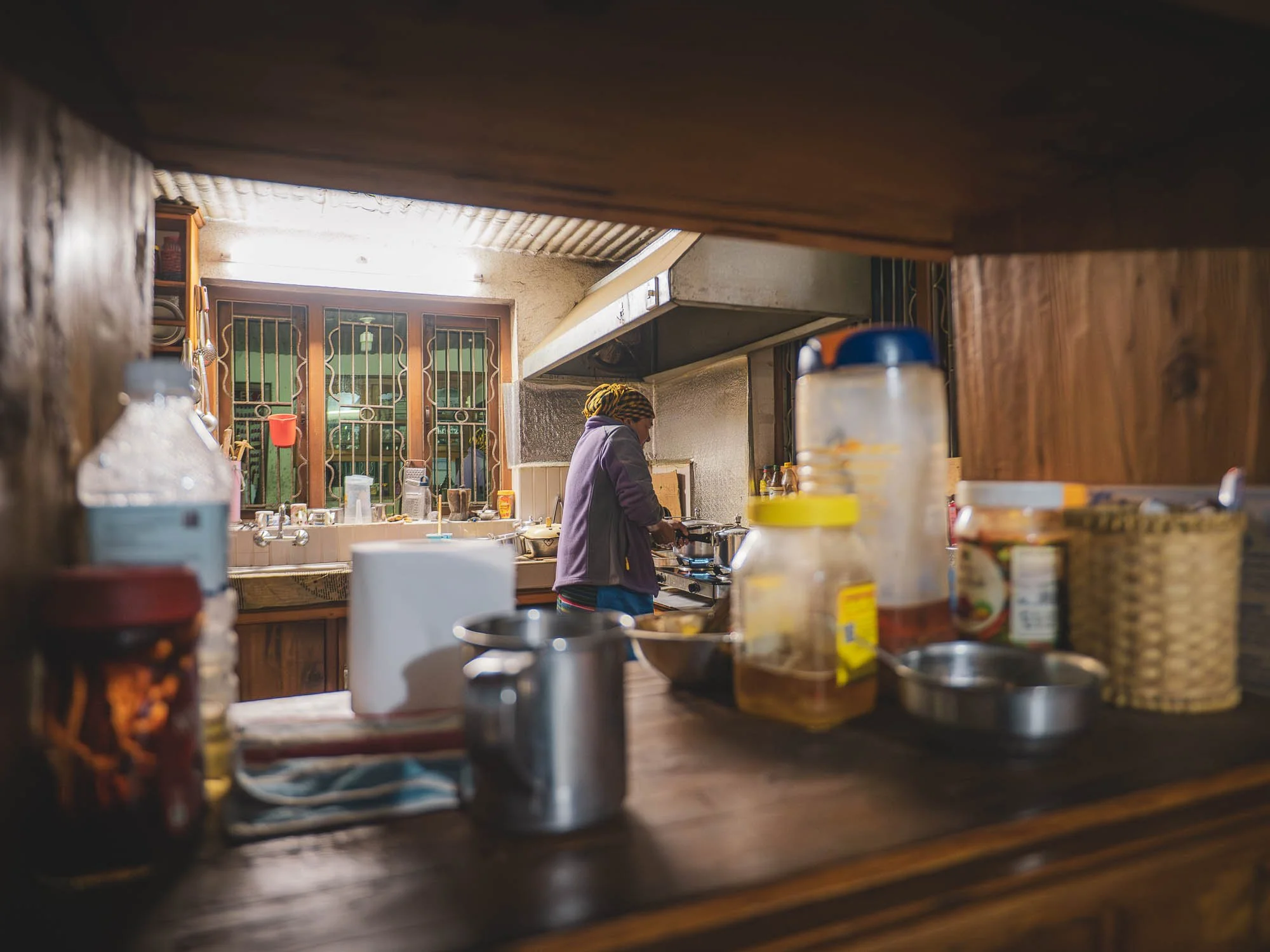
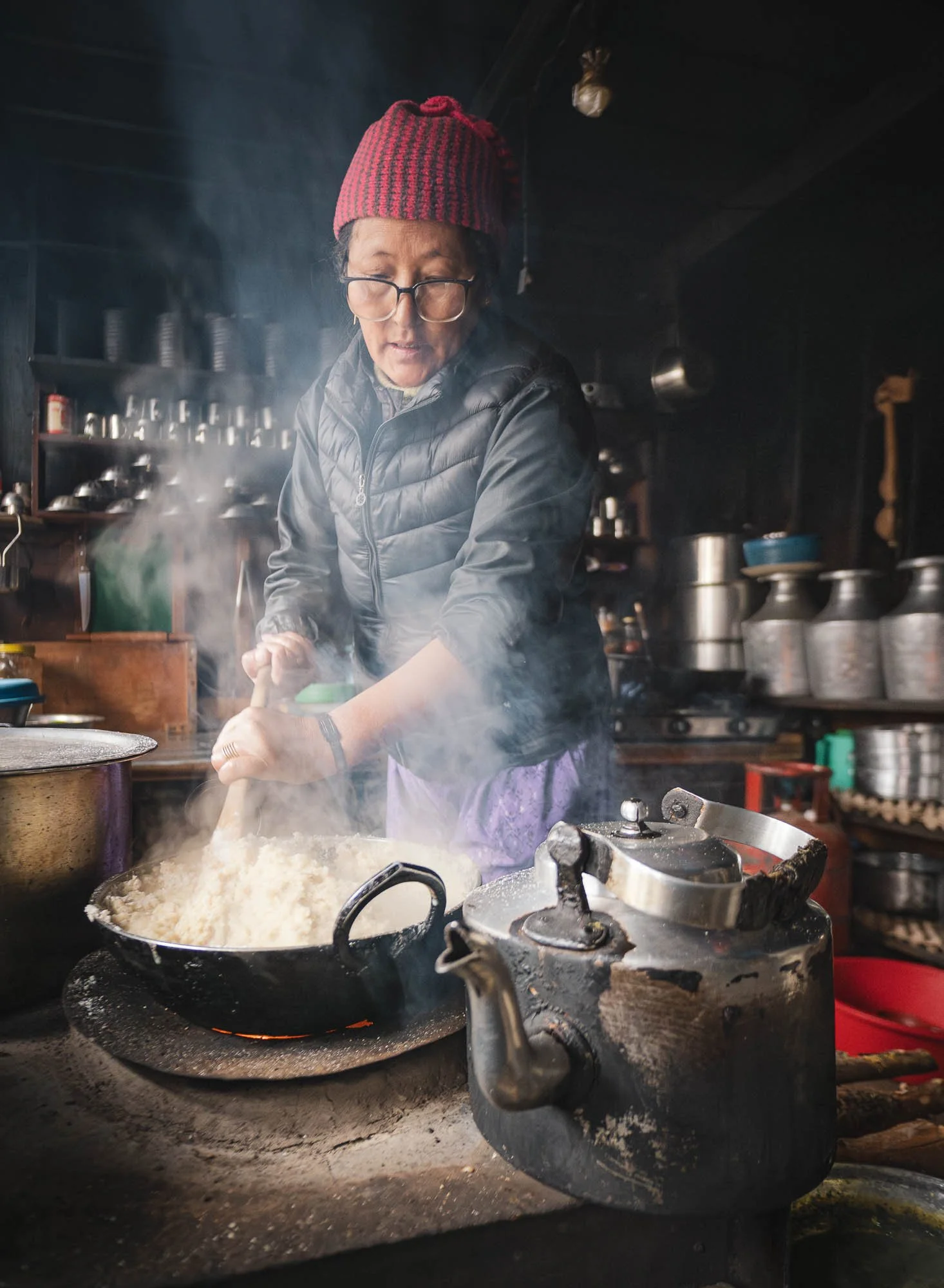
In the meantime, the owner’s wife did her best to keep everyone happy with food and hot tea - spending time near the traditional oven in the kitchen was a welcome distraction and way to stay warm when we were not out in the forest. Once again, there were barely any trekkers around - just a few people stopped by for lunch or a tea break.
The Last Day
As I woke up on the morning of our departure, clear skies greeted us, and we could see the mountains in the distance after what felt like an eternity.
After four unsuccessful days I was getting anxious - these were the last few hours. We had already discussed an extension - but as much as I enjoy a challenge and my guides and hosts were amazing, I wasn't that keen on carrying my camera over the forest slopes while twisting my neck upwards for another day.
Luckily, I didn’t need to. As I sat down for breakfast just after sunrise and got ready to go out, the owner of the tea house stumbled through the door and gesticulated me to get dressed (his English was not quite at a fluent level). He got a call from Lhakpa, who was apparently as anxious as me to make the last day successful and went out early without my knowledge. And what a good choice that was: he had spotted a red panda.
Of course my camera bag was always packed, and this time I didn't really care what I was wearing and whether it was appropriate and would get wet or cold or hot or dirty or torn. We rushed into the forest and down the slopes in a way that it can only be called a miracle that neither of us broke an ankle, and heard Lakhpa whistle in the distance.
He had to leave the spot where he saw the red panda in order to call us, as there was no network in most of the forest. Once we met up we carefully traced back his steps to the area where he had found it - if it was still there.
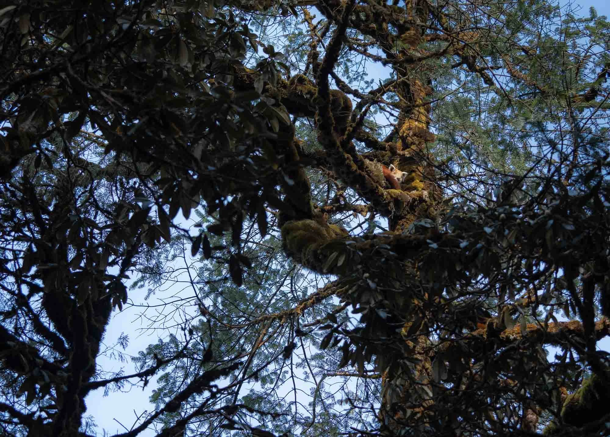
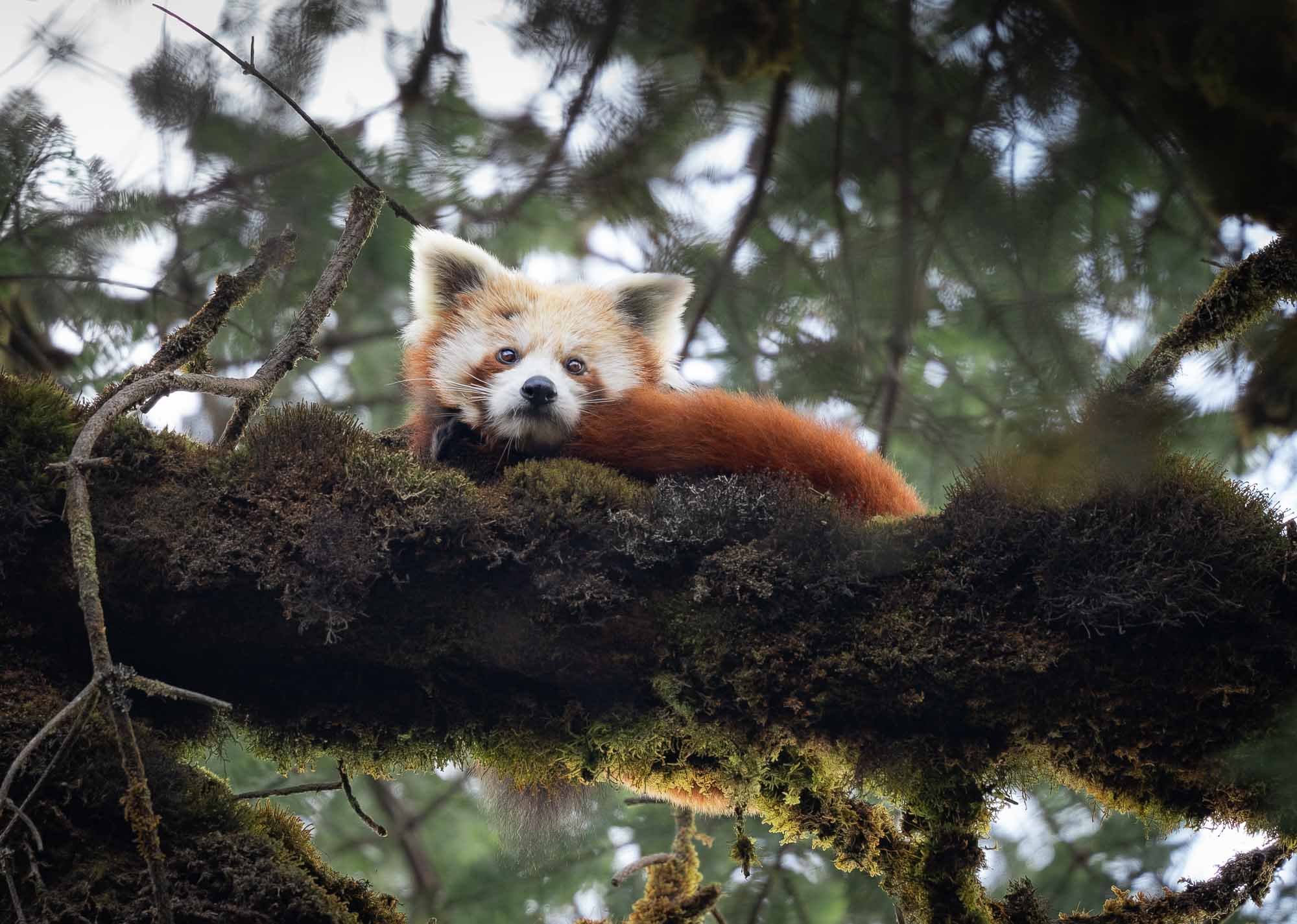
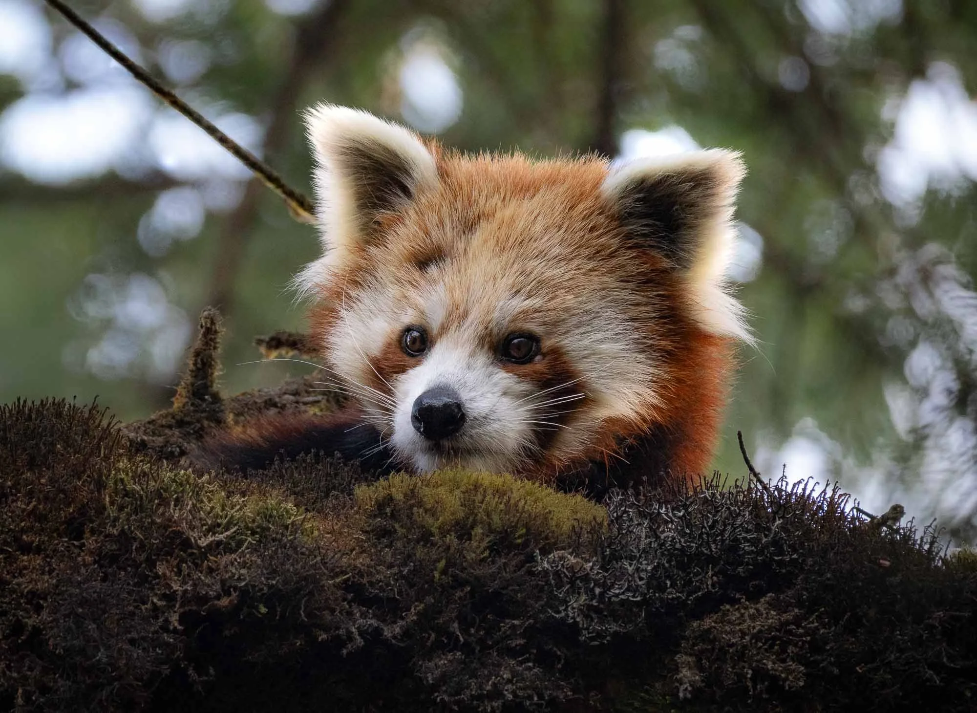
And it was. As he and his uncle expected, looking up was the way to spot the elusive creature, and indeed the clear skies had helped: it was enjoying the early morning rays of sunshine after mostly cloudy days, high up in the fork of a thick tree branch.
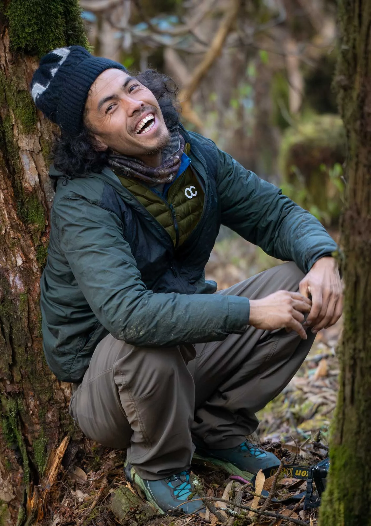
A Happy Guide
No further comment required.
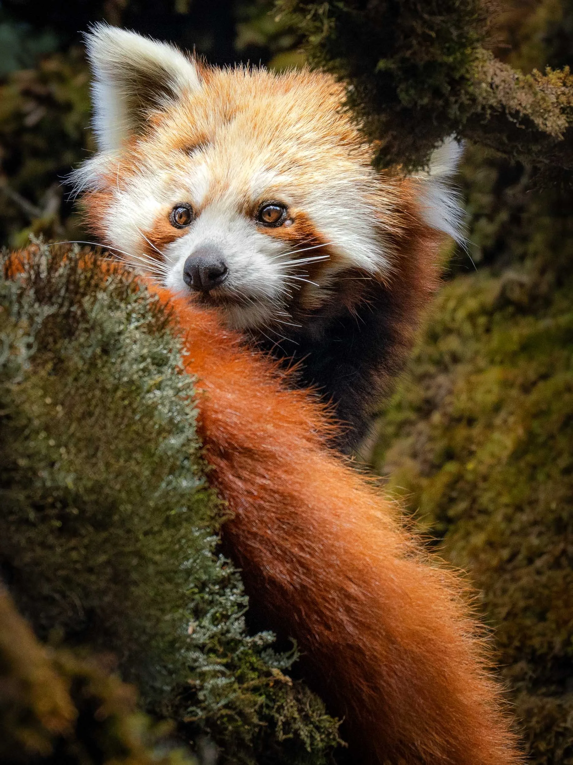
The Red Panda
Despite their name, they are not closely related to the Giant Panda, and thus also not a bear - their place on the evolutionary classification chart has been debated, but they’re more closely related to weasels, skunks, and raccoons.
The remaining estimated 10,000 individuals in the wild live at elevations of around 2,200 - 5,000 meters, covering the Himalayan mountain ranges of Nepal, Bhutan and China, with small populations in India and Myanmar.
Adults measure just over half a meter in body length, but they have a long bushy tail which they use to warm themselves. They are solitary and largely arboreal, primarily coming down to feed and find mates.
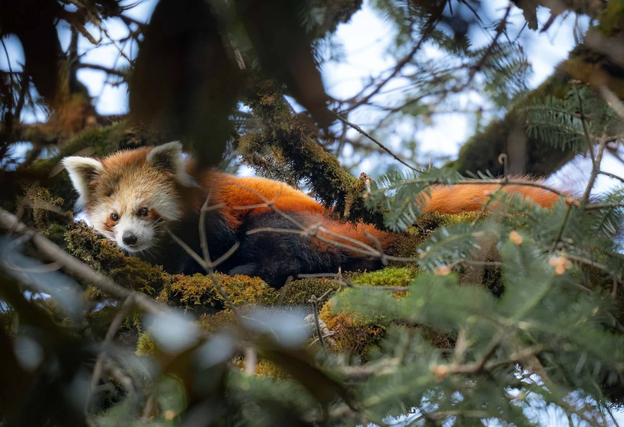
We spent a good hour with this individual, who didn’t seem that bothered by our presence, just occasionally looking down as it heard the leaves and snow crumble under our feet while we tried to find good positions for a photo in between the branches.
With a cheerful vibe we headed back to the tea house, having finally accomplished our mission. To give you a final idea of this expedition, here’s a quick video of the behind the scenes and the resulting moments with this beautiful red panda.

One last group picture with the owner of the tea house before we left to make our way down to the birth-village of Lhakpa and his uncle, where our car would pick us up for the drive back to Kathmandu.
Once more, there is a community aspect to the national park - red panda education and conservation is carried out directly by people like Lhakpa in collaboration with the official channels. Poaching remains a major problem and of course habitat loss is also a threat, despite the fact the species is protected in all its range countries.
Part of the local community-based initiatives include for example the installation of educational signs like these along the trekking routes. Evidently and unsurprisingly, funding is always a problem, making it difficult to replace the fading one here, as Lhakpa shares with a sigh, but not without losing his ever-present smile (especially after our successful sighting).
The way down didn’t bring many surprises, other than this interesting crack in the landscape, which appeared during the 2015 earthquake as Karsang pointed out.
A reminder of the disastrous force of nature and the lasting impact on the landscape this catastrophe had.
In Lhakpa’s village, I got to meet his aunt and grandma (or so he called them) and we hung out a bit together while waiting for our pickup, which took us down a questionable mountain road.
We dropped off a few villagers that had joined us to head to a nearby wedding which took place that evening, and then finally arrived back in Kathmandu by the evening.
Janakpur
But my time in Kathmandu was short. For the next morning I had one more final destination on the agenda before leaving Nepal: the city of Janakpur, or rather, its most-well known temple. A 45min of domestic flight (with a 2 hour delay) brought me to one of the southern-most and hottest parts of Nepal for a one night stay.
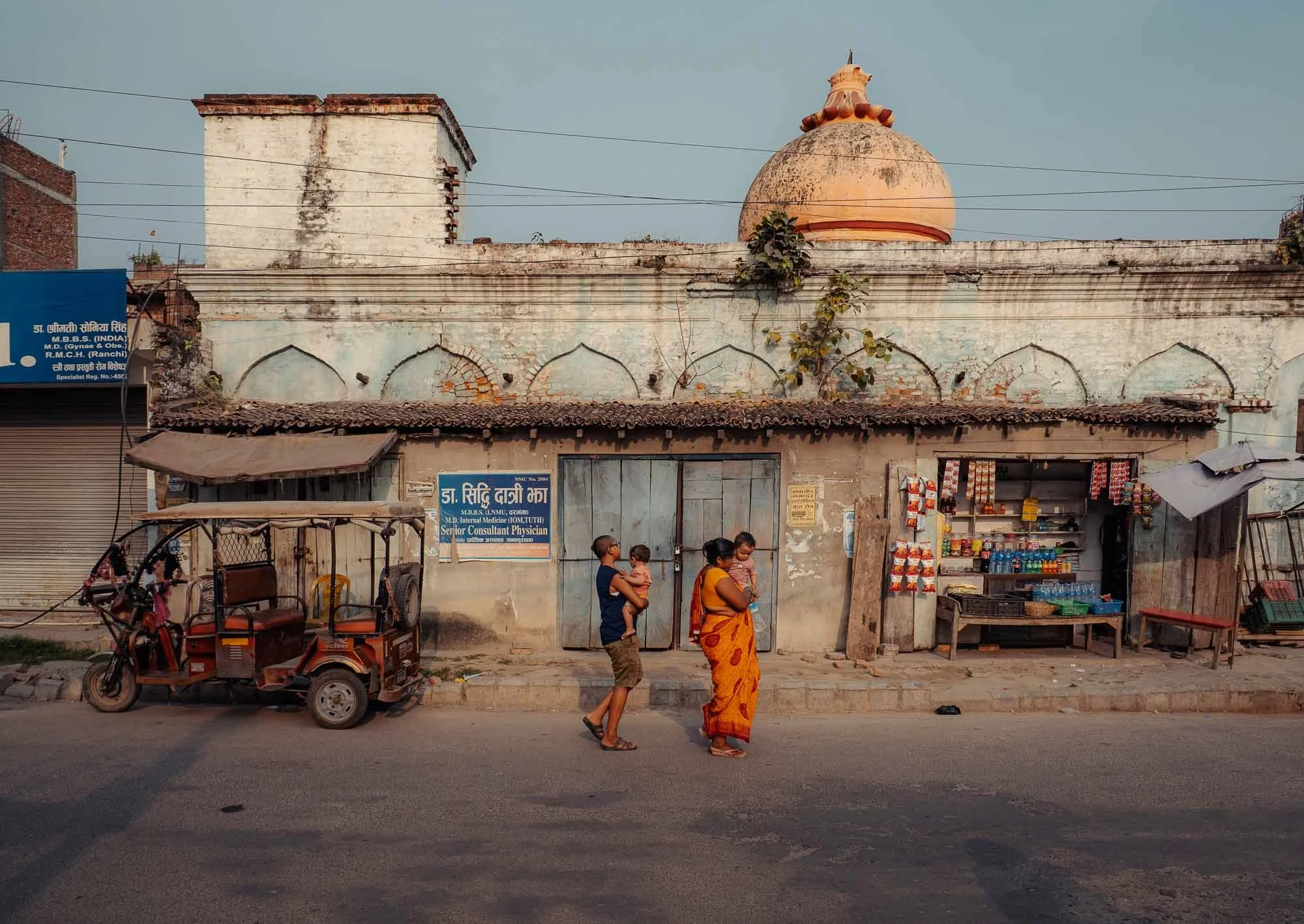
Even in the late afternoon, it was a toasty and humid 35C in the city of around 200,000 people, located less than 50km from the Indian border.
Janaki Mandir
The city is not exactly famous for tourism, or at least not among westerners.
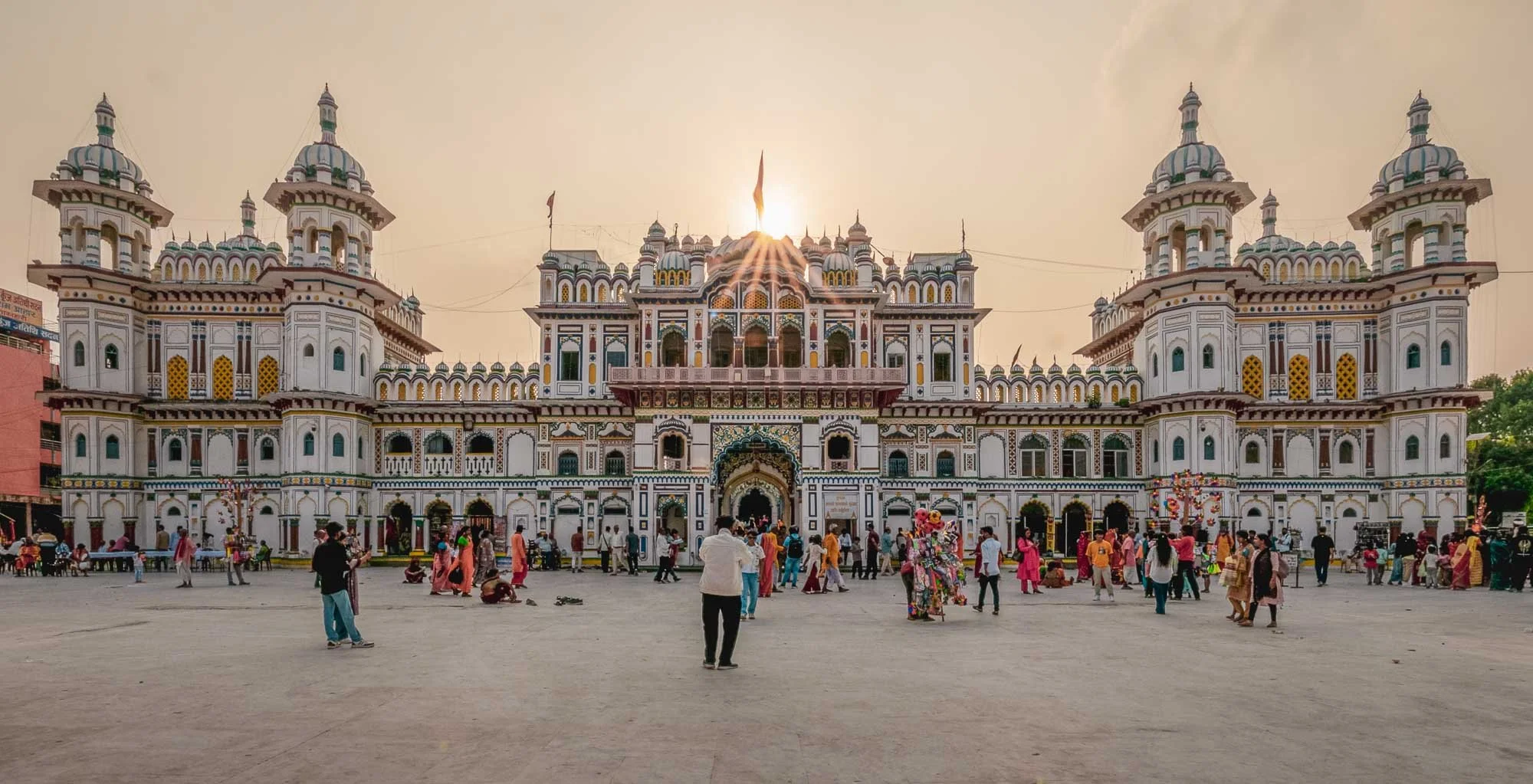
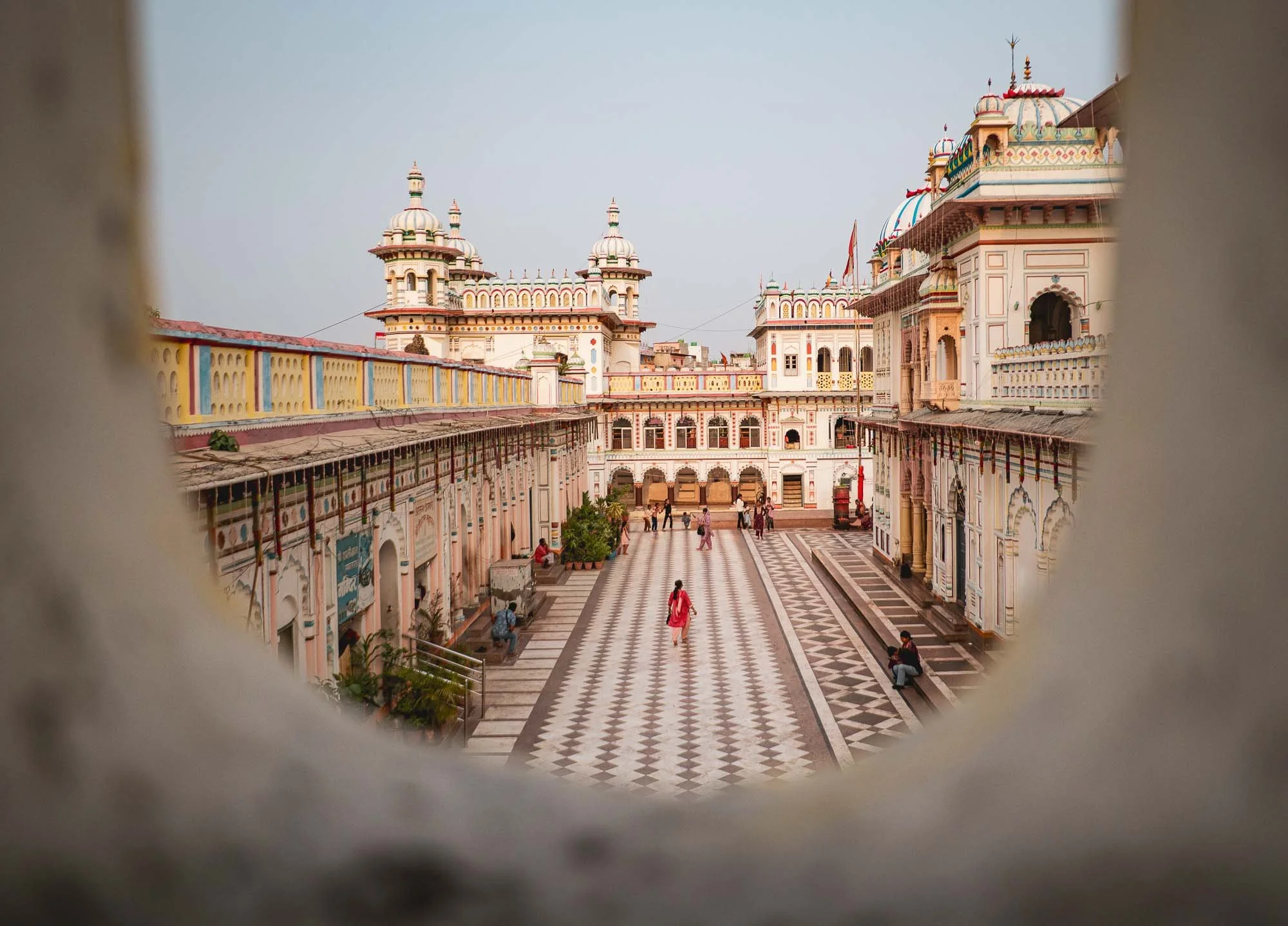
But it does feature one rather interesting attraction: the Janaki Mandir temple, built over 100 years ago.
It’s quite different from the traditional Buddhist, Hindu, and Newar temples of Kathmandu, and to my (untrained) eyes represents a kind of architectural amalgam of Hindu, Nepali, and Mughal styles.
The temple is dedicated to the Hindu goddess Sita and built on the spot where the founder of modern Janakpur is said to have found a statue of her in 1657.
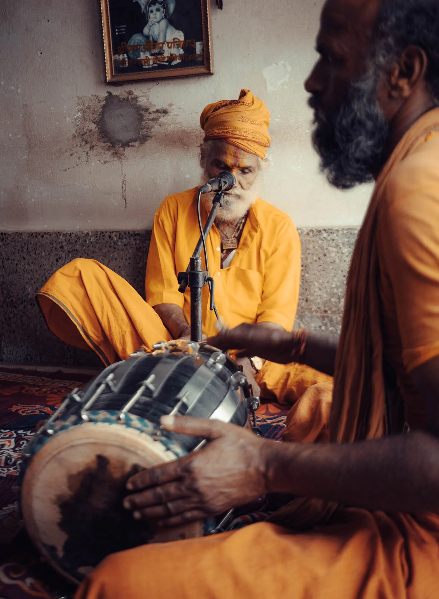
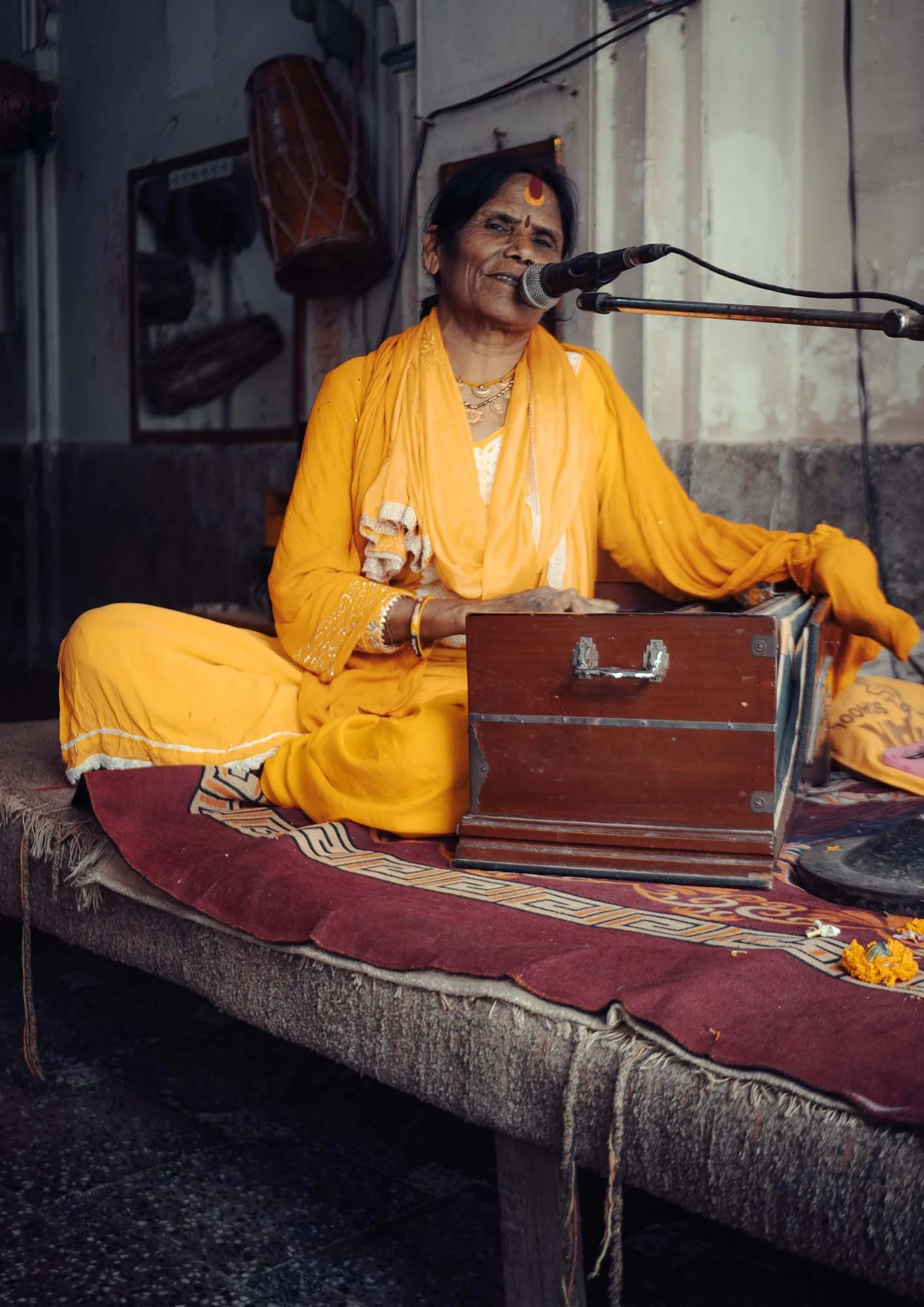
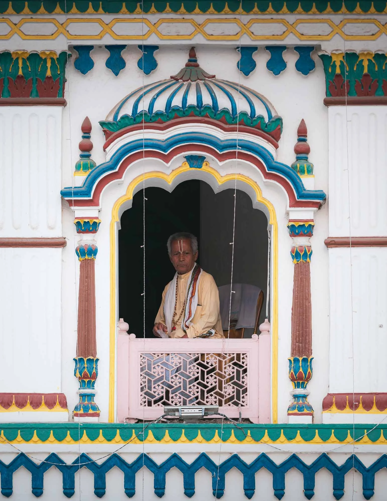
I got to witness the devotional chants by these sadhus inside one of the temple rooms, where they play on traditional instruments as a form of collective prayer and meditation.
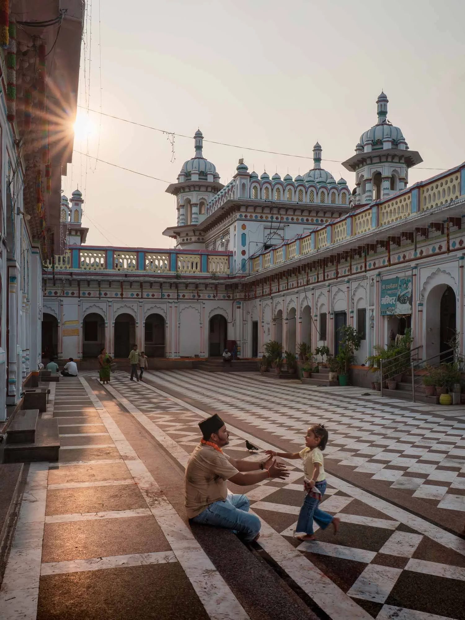
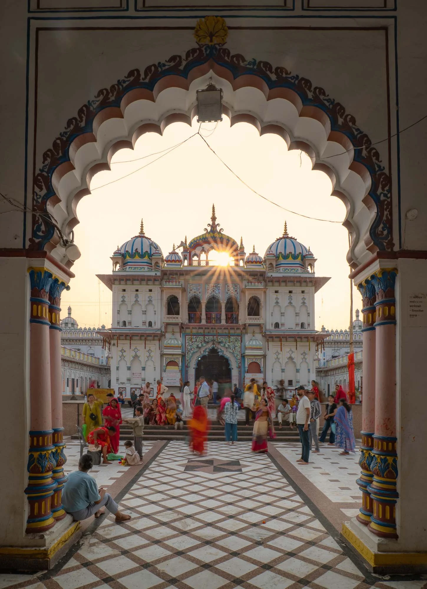
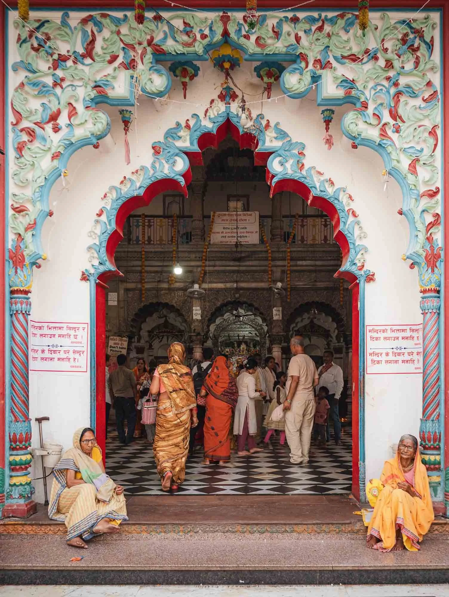
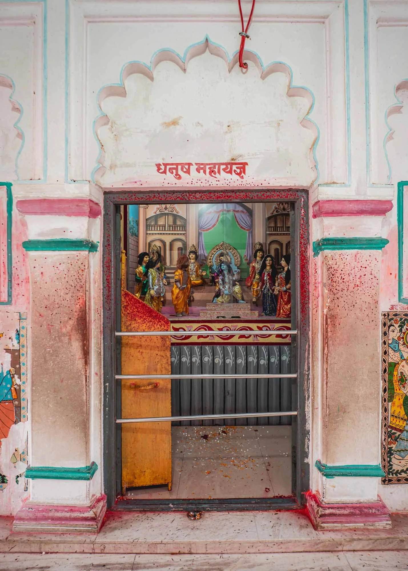
The inside contains several shrines (including a rather odd underground one) and a small central hall, where followers can pray, give offerings, and receive blessings.

Just beside Janaki Mandir stands the Shree Ram Janaki Biwah Mandap, the ceremonial pavilion marking the legendary wedding of Rama and Sita.
By coincidence I got to witness a wedding ceremony there myself, and was allowed to take this photo of the couple and their families as they made their way around the pavilion.
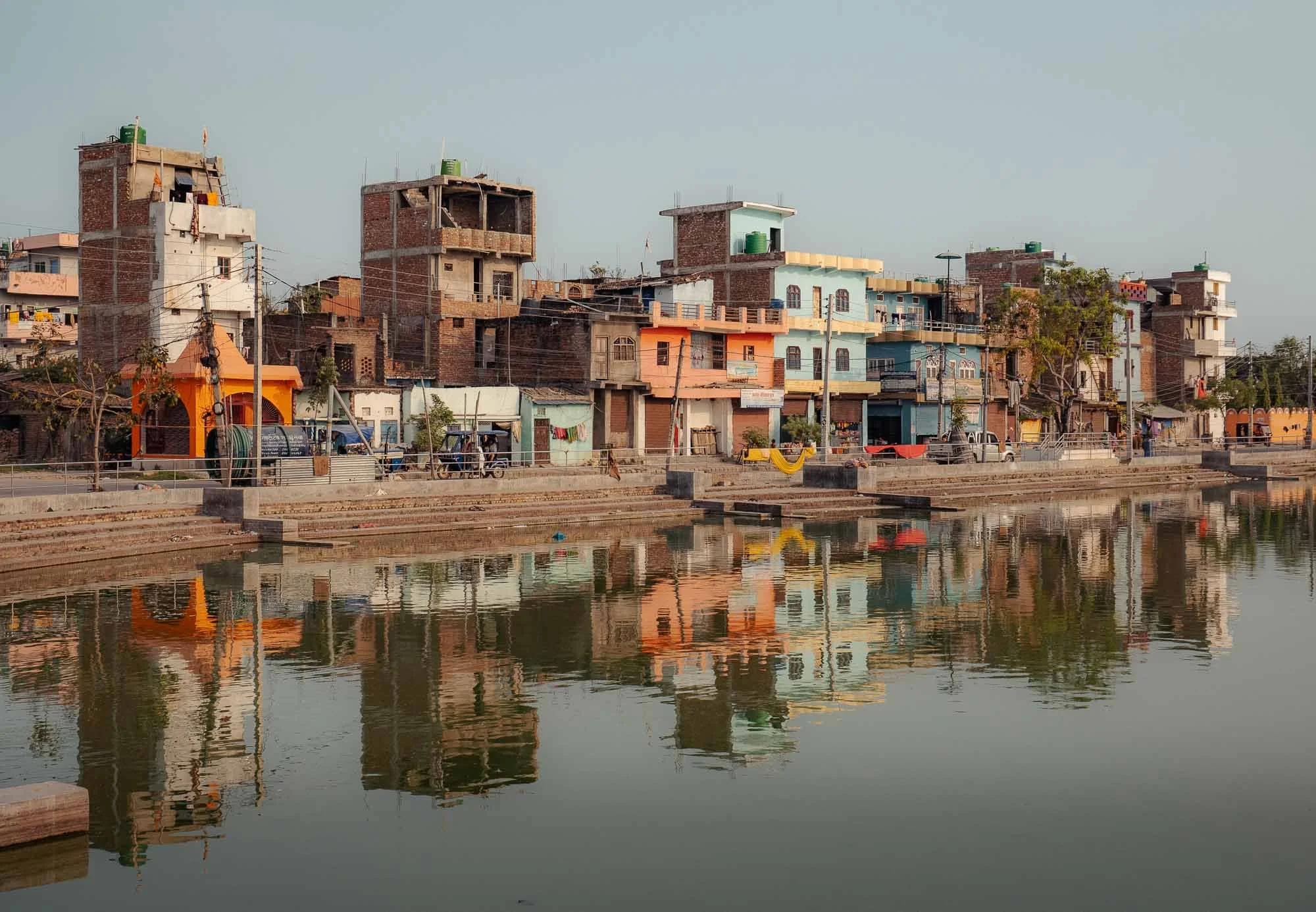
Aside from the temple, the many small lakes are one of the defining features of the city. More than seventy sacred ponds were once woven into the city’s design, serving as pilgrimage sites, water reservoirs and gathering places. That is partly still true today, but some of them suffer from neglect and are only slowly being restored again.
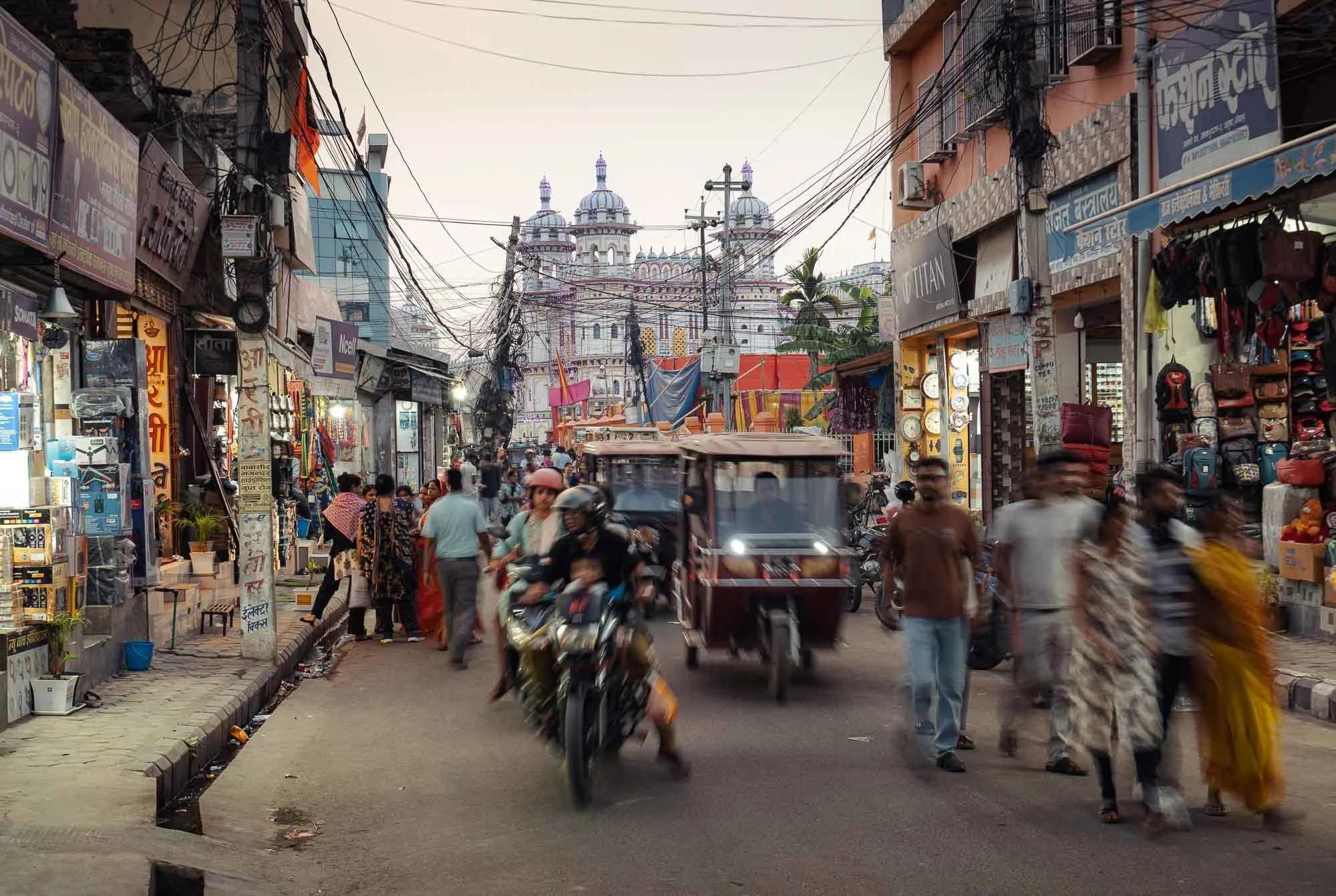
The streets around the city got busier after sunset, and I walked around a bit to get a feeling for the local vibe and the markets.
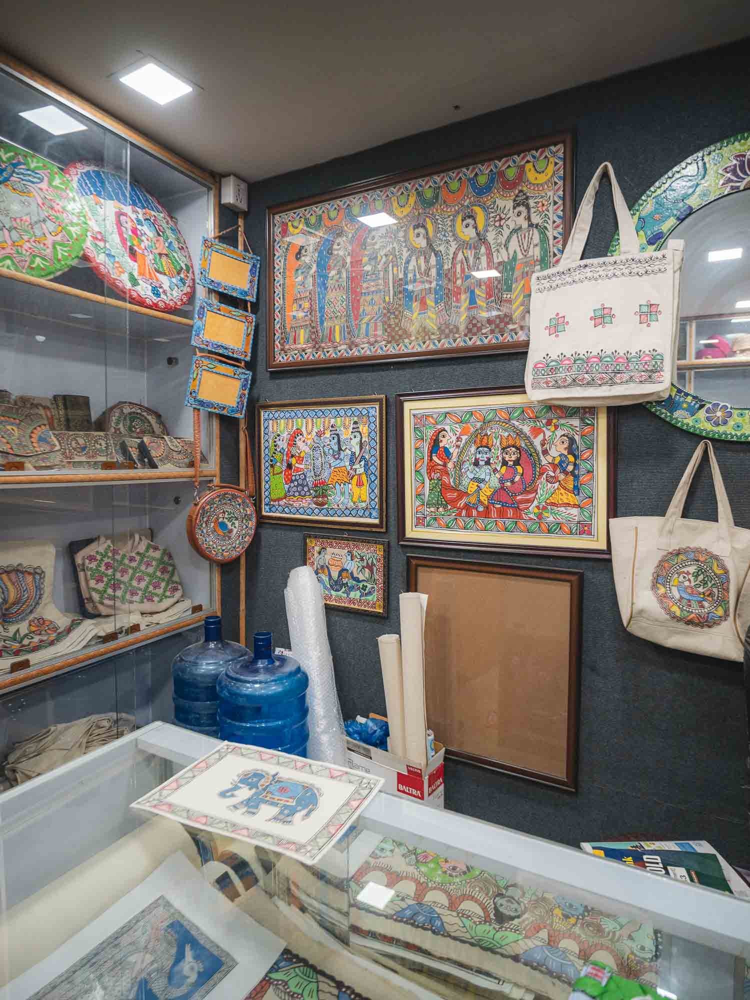
I also came across this store selling local art in the style of the Mithila Kingdom, said to go back 2000 years, making it one of South Asia’s oldest painting traditions.
Strong black outlines, bright colors and dense flat patterns of motifs from daily life characterize the paintings, although they were originally applied to the walls of the city and its houses for celebrations.
Nowadays a nearby Women’s Development Center works to keep the tradition alive, educate local women on the craft and how to turn it into a living.
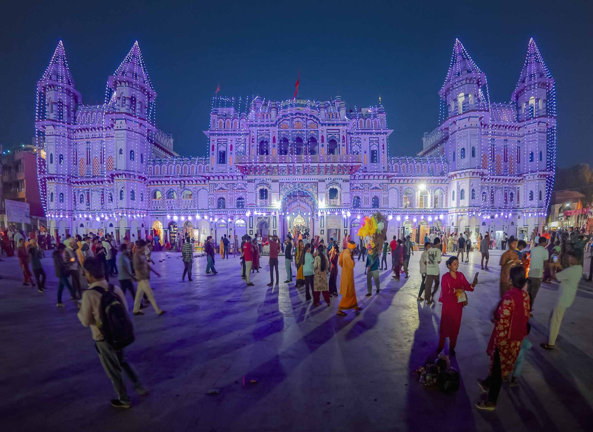
I returned to the temple as the sun had set, when it was fully illuminated by colorful lights - whether tasteful or not shall be up to interpretation.
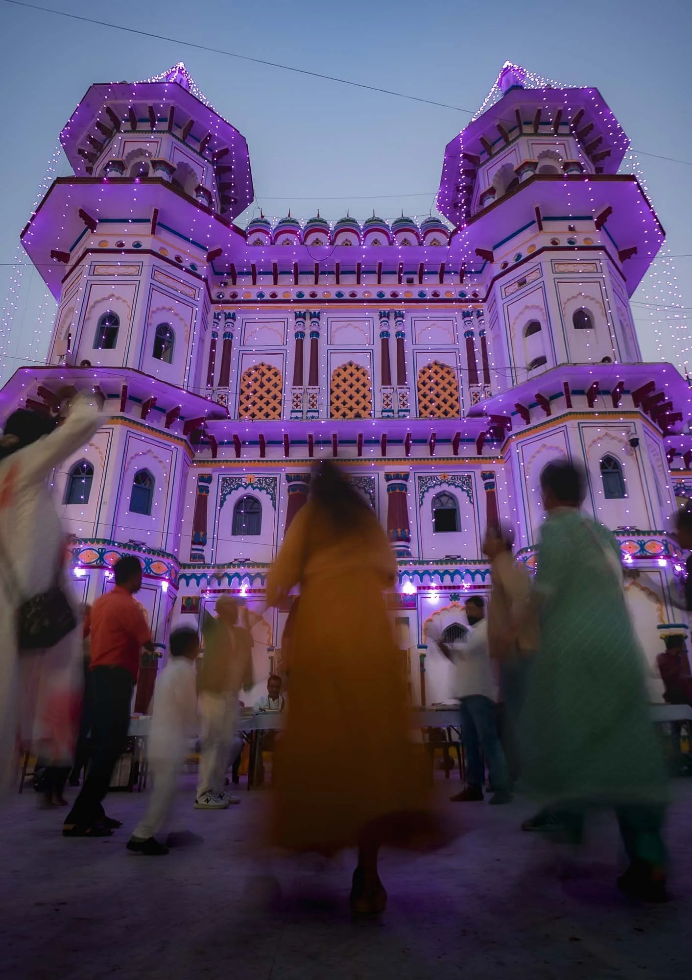
The crowds enjoyed it regardless, and spontaneous dances broke out in the courtyard, with loud music from speakers not meant to be turned up that far.
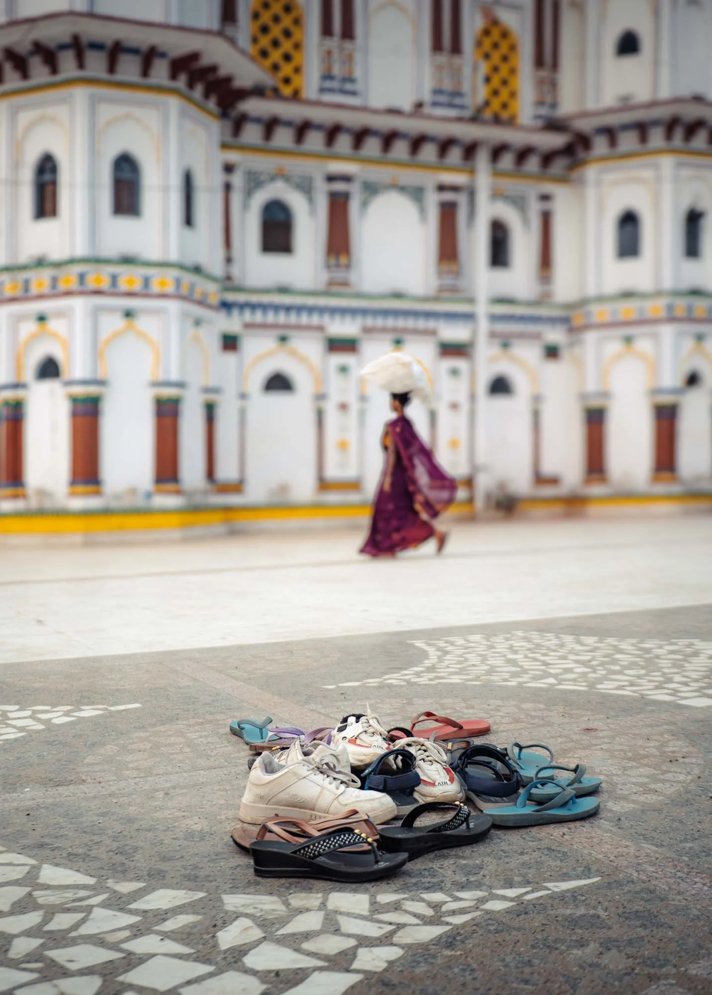
I went back to the temple for another quick visit in the morning, when things were quieter, and a couple of cleaners compiled shoes that were left behind by the worshippers entering the temple the night before. This was also a moment to take a closer look at the details of the structure. While its white stone, marble accents and colourful decoration are impressive, the craftsmanship focuses more on the building’s overall composition than on the elaborate inlay, lattice work or stone carving seen at some of South Asia’s most ornate temples.
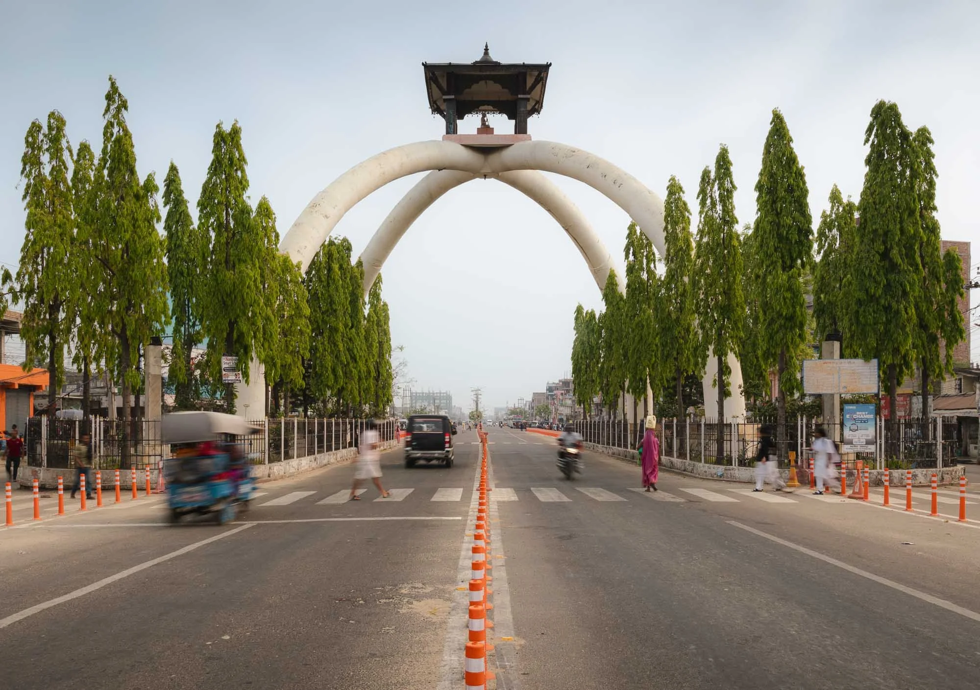
And with a quick visit to the Ramananda Chowk entrance gate to the city - often described locally as the tallest entrance gates in Asia, but I’m unsure as to the veracity of this record - my time in Janakpur ended.
And so did my time in Nepal. Maybe I’m ignorant, but I did not expect this level of diversity, with its mix of architectural styles, cultural richness, landscapes, wildlife, and more. Of course I knew it had more to offer than the Himalayas, but it feels like I barely scratched the surface and I enjoyed my time here more than expected. Another place to add to the growing “would return” list, whether it’s for another visit to Bardiya or the eastern Himalayas to get a glimpse at Everest. Not the summit - I did manage to do Kilimanjaro but that might be as high as I’ll ever go. Probably.
Subscribe to my newsletter to get notified and don’t miss out on more Wonders of the Globe.
Other Recent Posts:

Nepal Part 1 - Culture of Kathmandu Valley
I came to Nepal with a pictures of mountains in my head, and left with so much more - so much in fact I decided to split the blog of this trip into two parts. This is the first one, covering the Kathmandu valley.
After my original travel plans had been disrupted by the war in the Middle East, I decided to head to Bhutan, a place that has been on my list for a while, and what better extension than its near neighbor (they do not share a border in fact): Nepal!
Even during my (very short notice) planning, I realised that there would be a lot more to explore here than the country’s famous mountain landscapes, and what was meant to be just a few days slowly turned into a full three weeks.
As a result, this blog would turn out quite extensive, and so I decided to split it into two entries. Even so, I had to cull my photos quite heavily and feel l barely did each place justice, let alone capture everything this country has to offer.
A shoutout goes to Ganshyam, the owner of Tiger Encounter, who organized the whole trip for me - maybe the best operator I worked with, amazing guides, super flexible, always ensuring everything is going to plan. For any type of Nepal trip, please consider them (not sponsored).
Iconic Approach
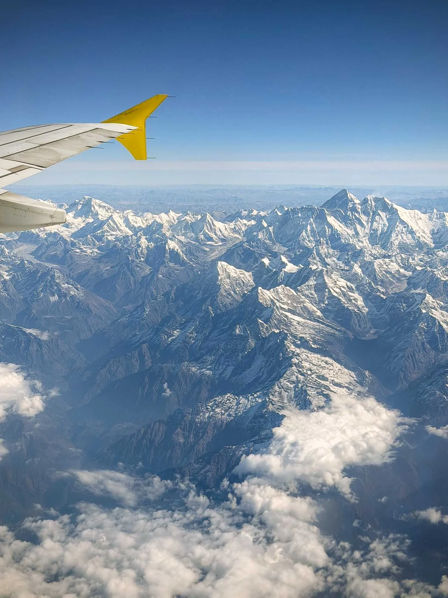
If you arrive in Kathmandu, the country’s capital, from the east, pick a window seat on the right side, and Mount Everest - the world’s tallest mountain - might make an appearance if the weather is clear. Mornings have better chances, and luckily my arrival flight from Bhutan was an early departure.
Everest’s 8,848m peak is (unsurprisingly) the tallest on the right side, with Lhotse and Nuptse just beside.
Kathmandu Valley
This first blog covers a part of Nepal I had originally mainly considered for rest days & stopover while visiting other areas of the country: The Kathmandu Valley. In hindsight, I can’t say those days turned out particularly restful (surprise!), which was completely my own doing - I had underestimated how interesting this area would be. Aside from around 5 million people, the Kathmandu Valley (which extends beyond the actual city) is also home to seven sites that collectively make up a UNESCO World Heritage entry. Many of them are covered here, while the second blog will explore the diversity of the rest of the country.
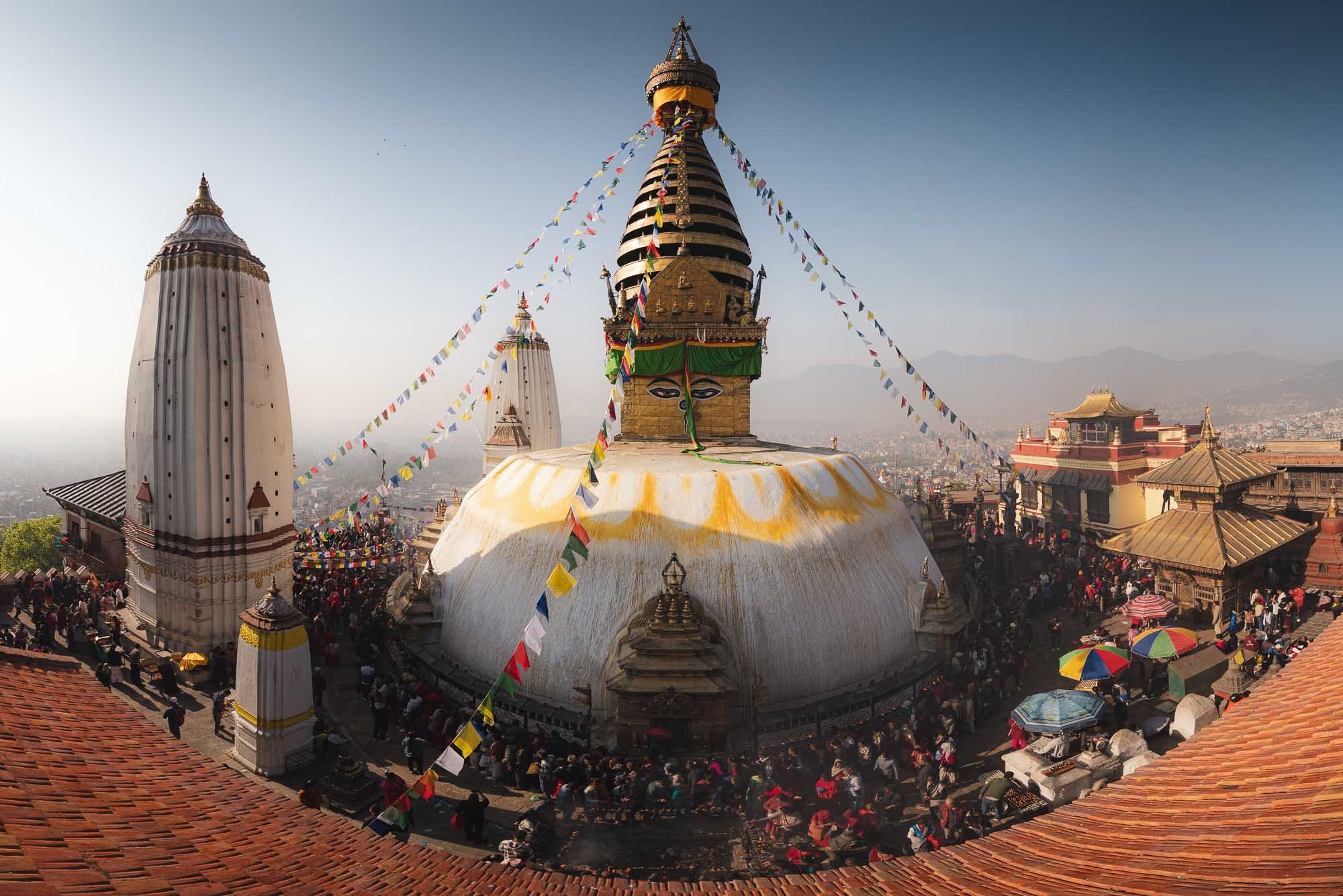
Swayambhu Stupa
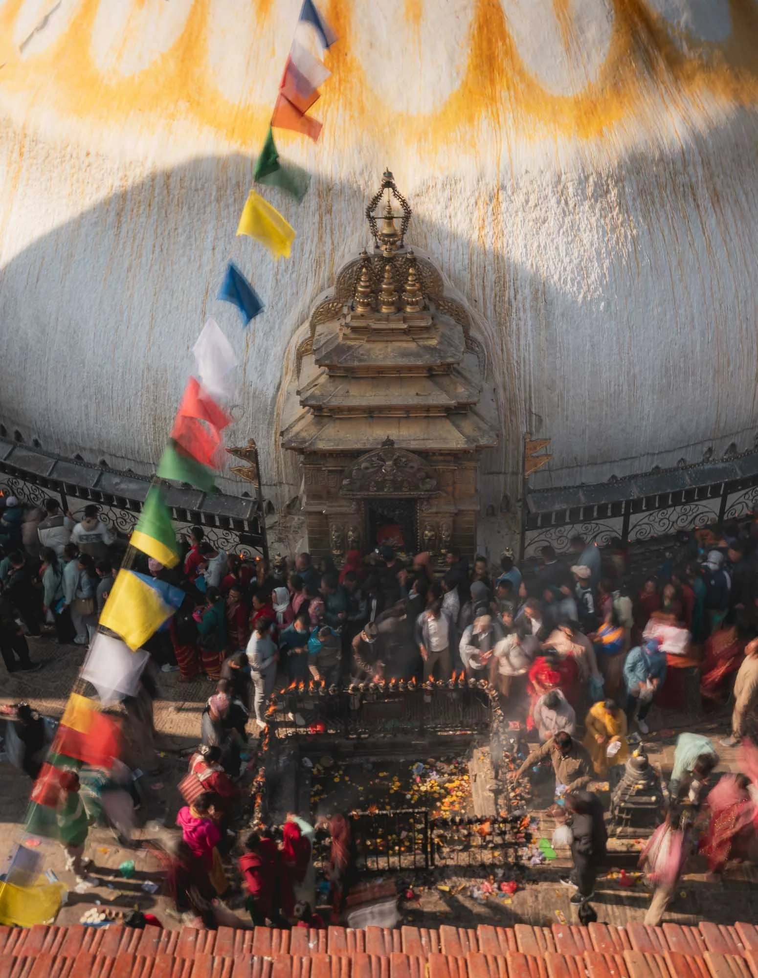
After my arrival, one of the first early morning destinations was this large beautiful stupa situated on a hill overlooking the city, and reachable by climbing a few hundred stairs.
By chance, our visit coincided with the full moon Uposatha, one of Buddhism’s most sacred monthly observance days, making it a busy affair of pilgrims performing kora, the clockwise walk around the stupa while spinning prayer wheels, chanting mantras, and making their offerings.
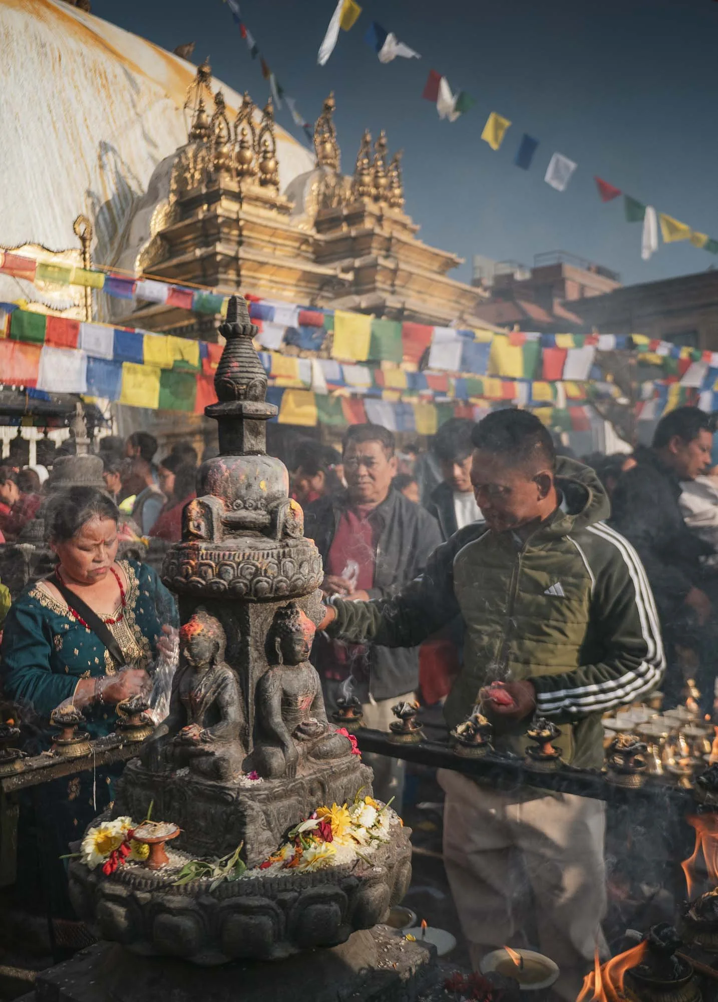
For reasons that became obvious quickly, the stupa is nicknamed “monkey temple”, but it is an ancient pilgrimage place considered the home of the primordial Buddha.
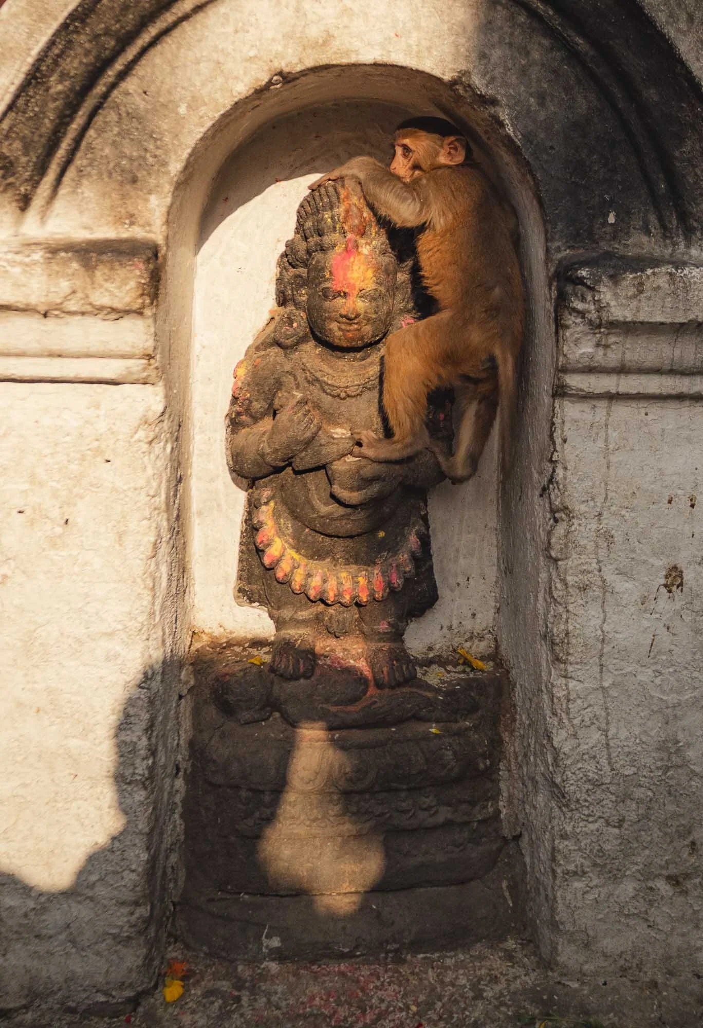
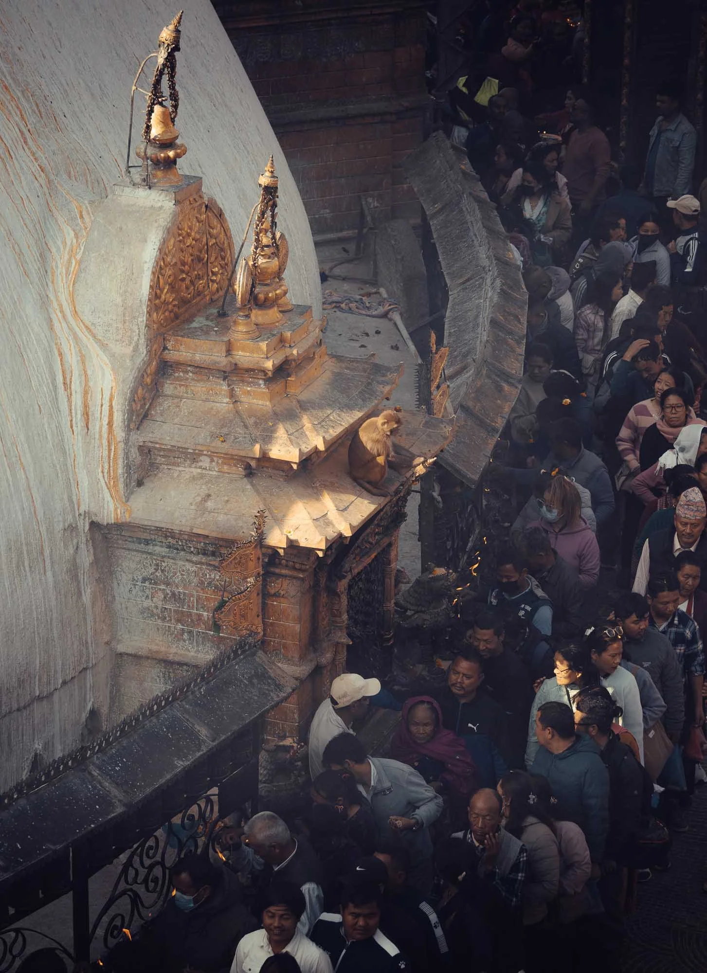
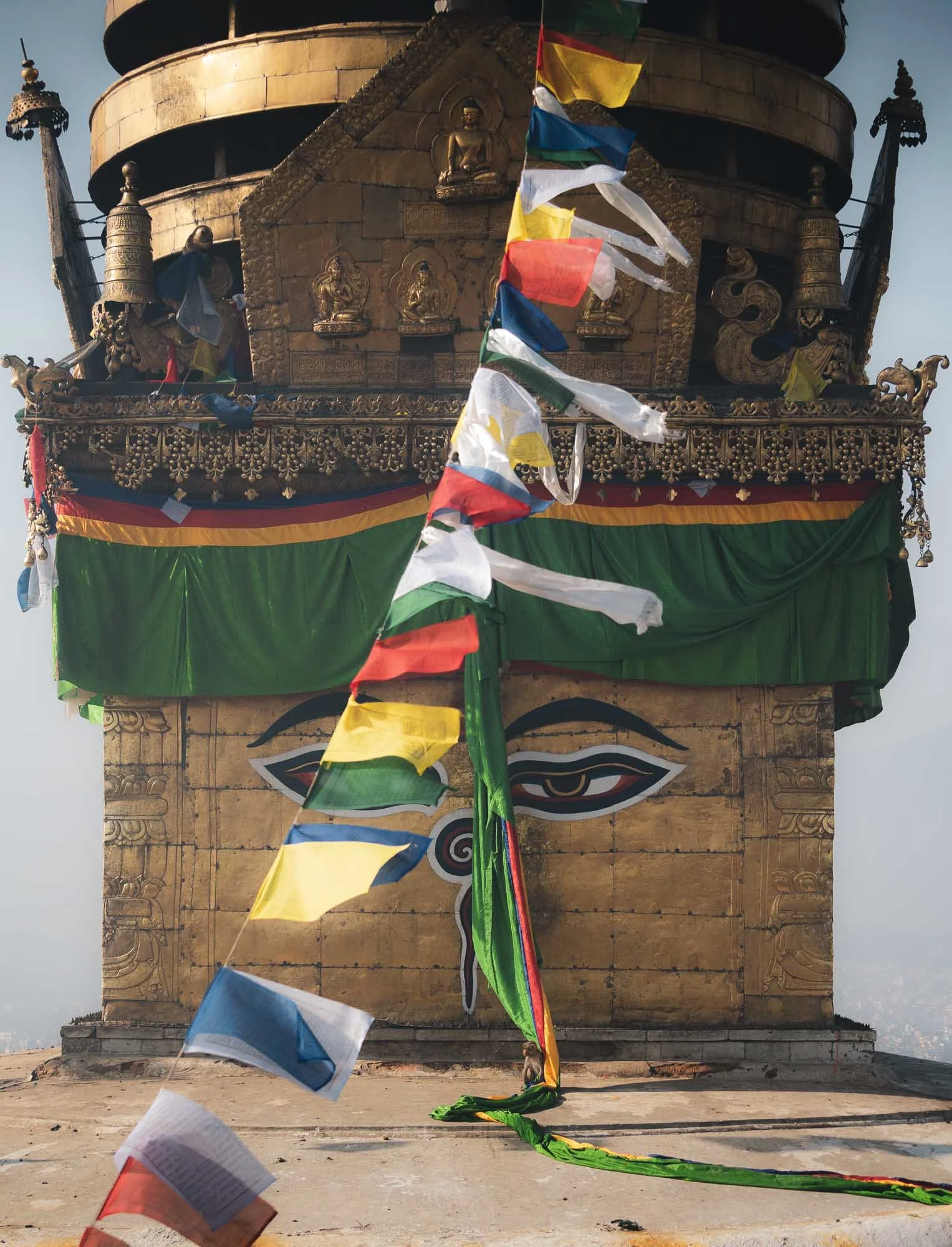
The first recorded stupa on the site was built around the 5th century, but its history seems to go back even further. It was rebuilt several times and underwent major renovation in 2010, where the huge (spot the monkey for scale!) shrine was re-gilded using 20 kg of gold plating.
Unlike much of the surrounding buildings, it survived the devastating 2015 earthquake that heavily affected the whole area largely unscathed.
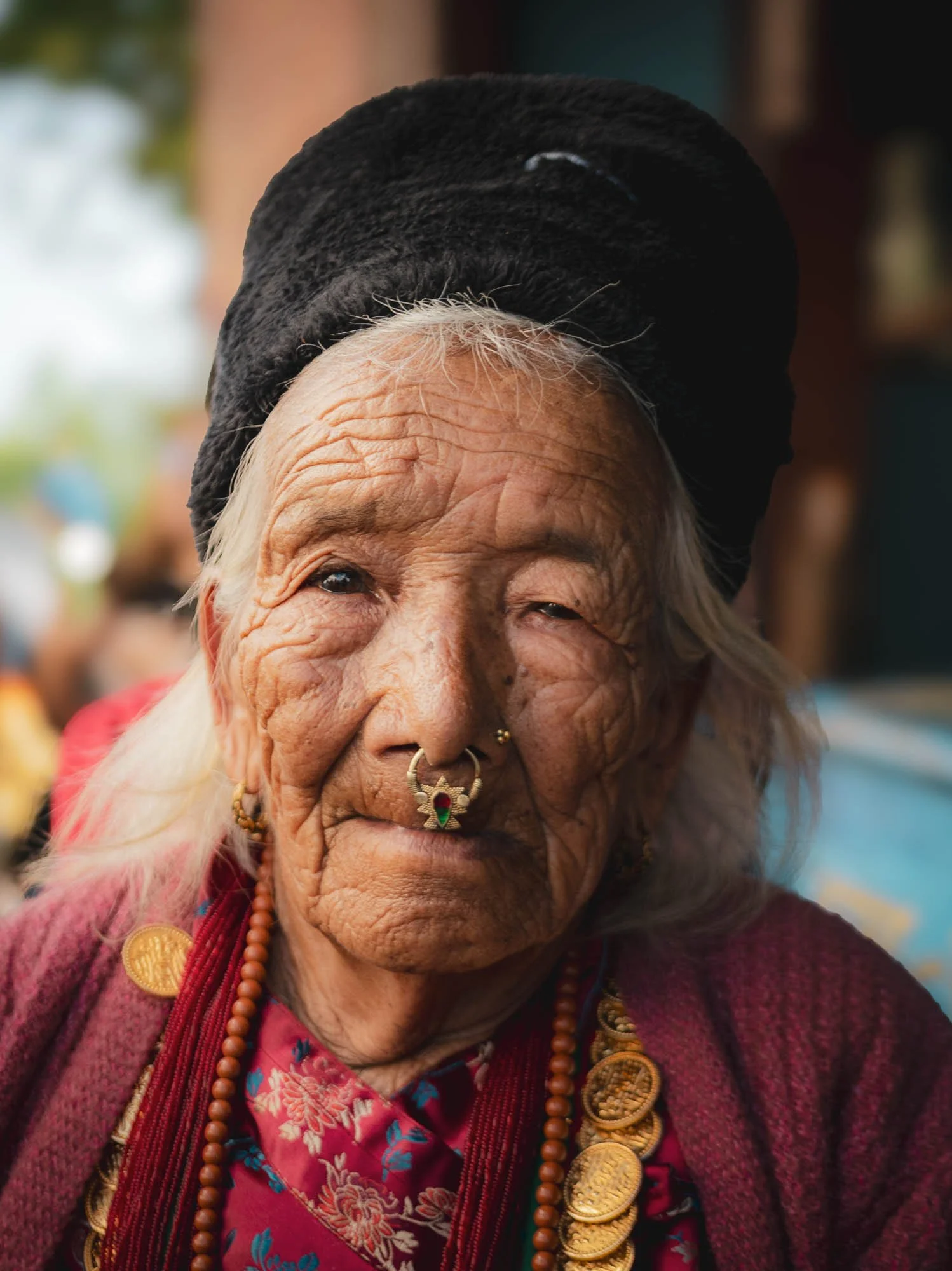
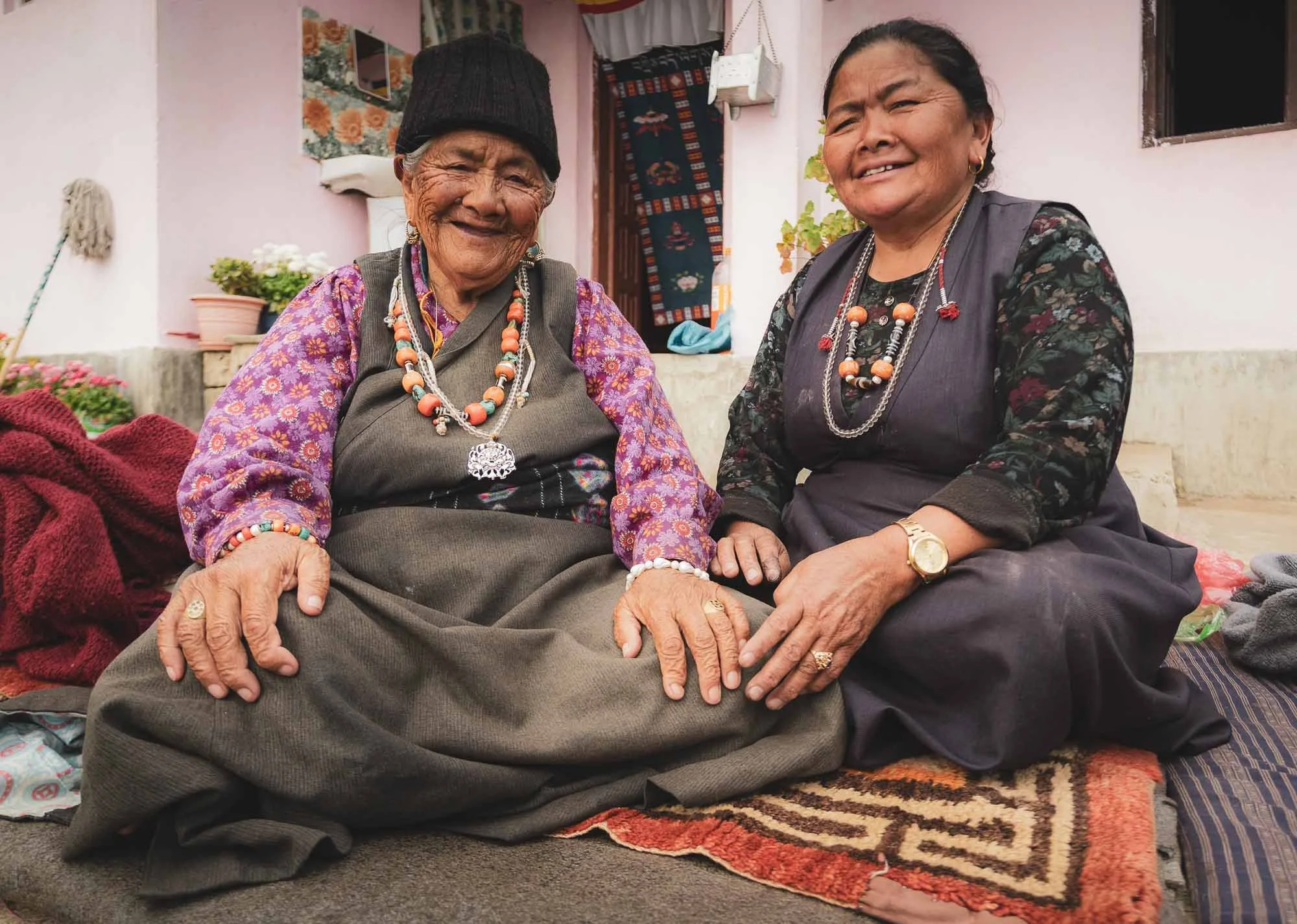
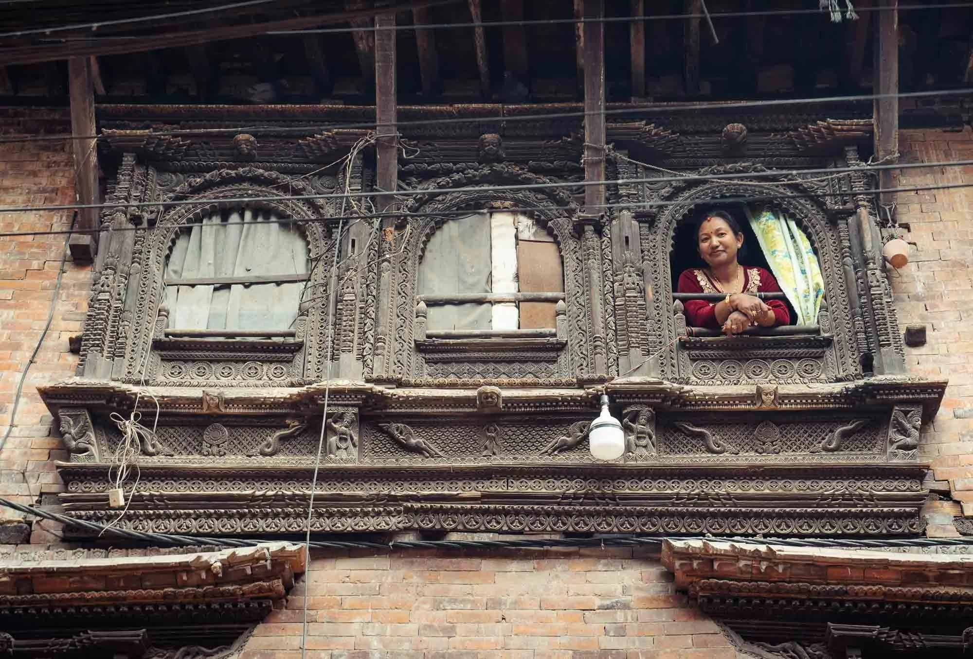
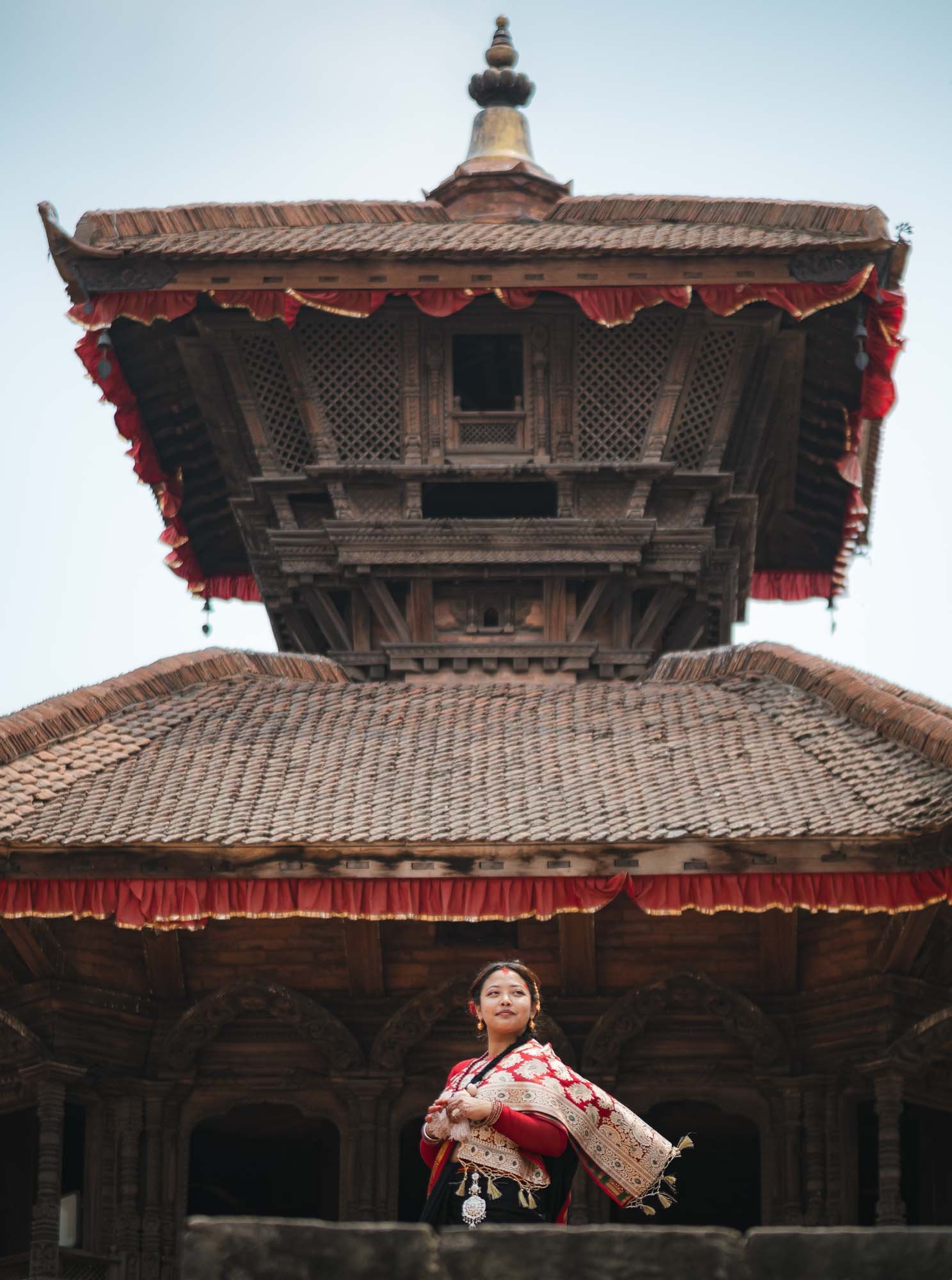
There are over 100 different ethnic groups in Nepal, and a similar amount of active languages, but in this region the Newar people have been the dominant civilisation for hundreds of years. I encountered this elderly couple at the temple and they happily posed for photos. The elaborate gold jewellery and distinctive nose ring might reflect their Newari heritage, but I didn’t get a chance to ask - I was going to have a chance to document parts of the Newari culture a bit later though, read on…
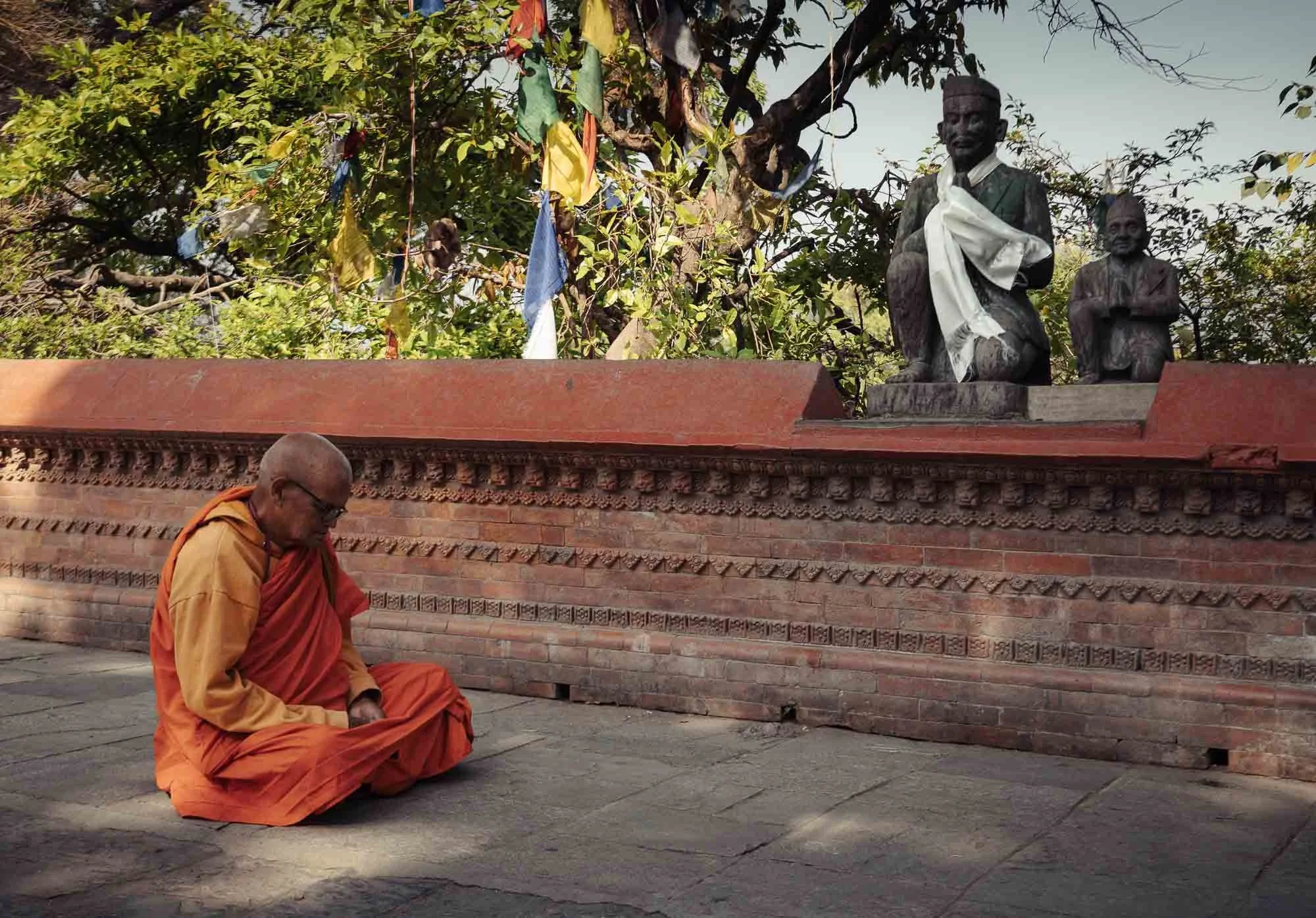
The way down at the back of the hill provides some moments of quiet green relief from the - at least on this day - crowds, sights, smells, and noises around the stupa.
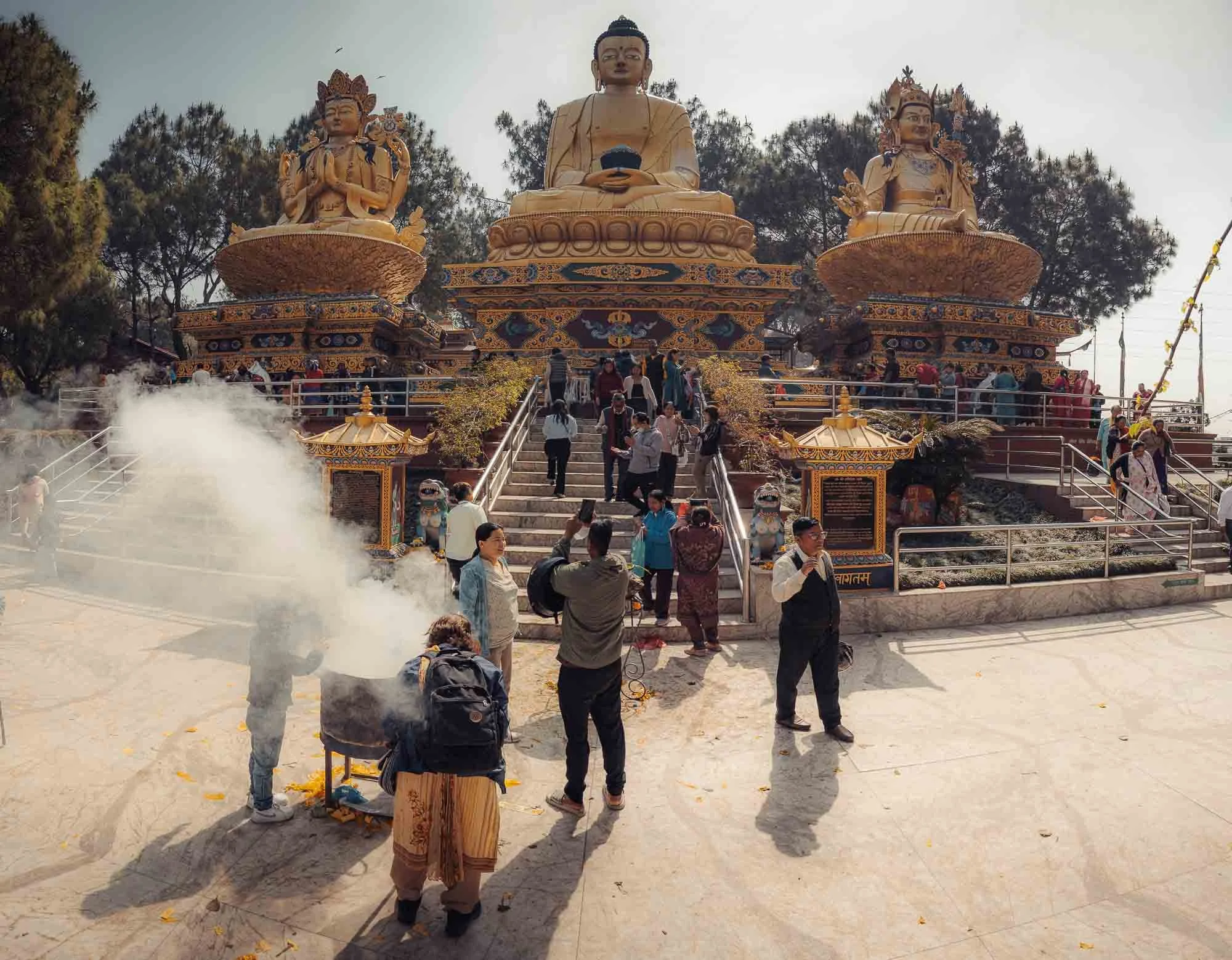
Amideva Buddha Park
At the base of the hill you’ll find more recent statues of three Buddhist masters (one of them Padmasambhava – known as Guru Rinpoche in Bhutan as I had found out a few weeks earlier).
In many pilgrimage sites of Nepal Buddhist and Hindu practices intertwine. Swayambhu plays a major role in Tibetan Buddhism (Vajrayana) - the second largest religion of Nepal - as well as the Newari variant, but is also an important site for Hindus, who make up almost 90% of the country.
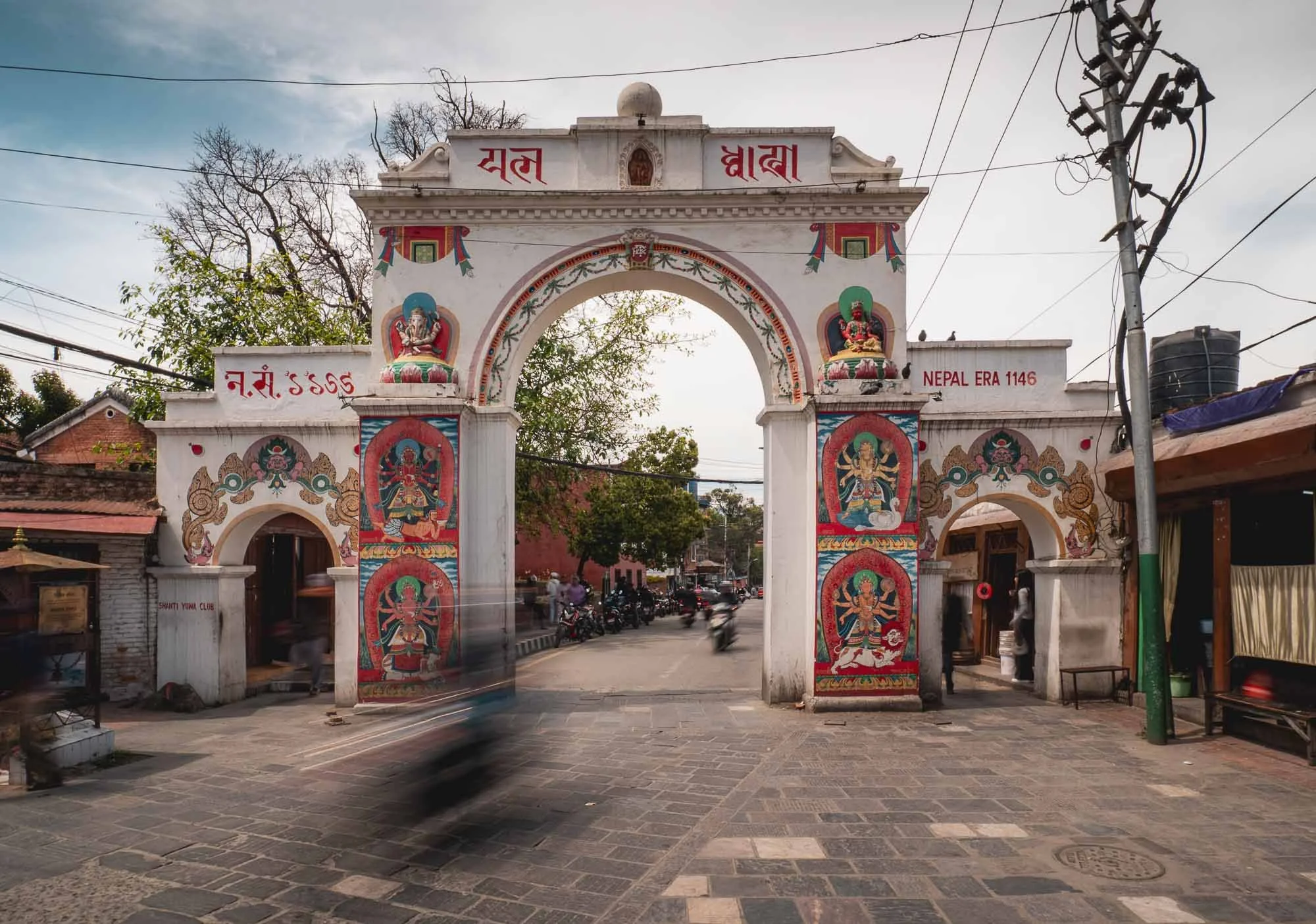
From here we made our way to the city of Patan - in effect, Patan and Kathmandu have converged into a single urban centre separated by the Bagmati river, and only the ceremonial gates like this one will indicate you’re passing from one to the other.
The “Nepal Era 1146” painted on the right refers to the traditional Newari calendar, which began in 879 AD, so it corresponds to 2025–2026.
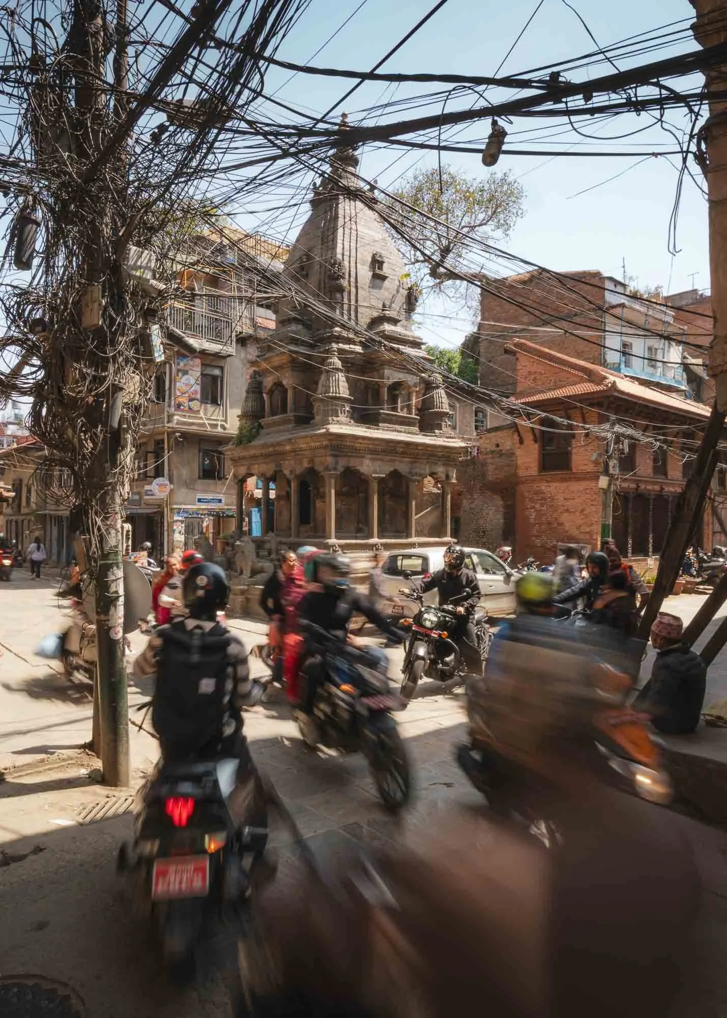
Whether Kathmandu or Patan, the roads can feel chaotic at times: narrow alleys, lots of scooters, power line chaos, the occasional cow, no sidewalks, potholes, informal merchant stalls…I’d find it less enjoyable for the long term, but during a visit walking on foot is a worthwhile experience nonetheless.
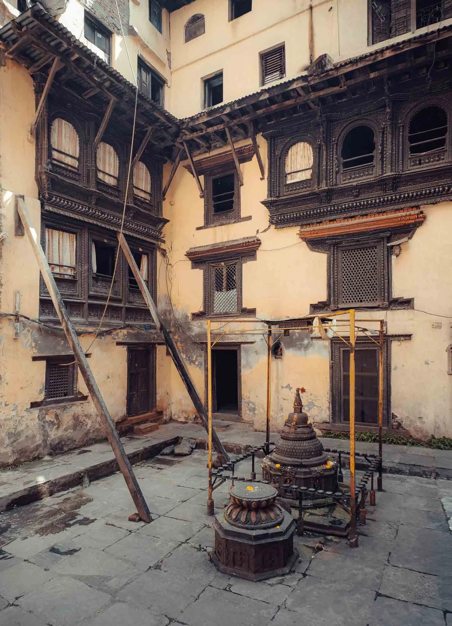
In between the chaos you’ll see amazing temples, and - hidden to the side of many of the small alleys in the city centre - interesting courtyards like this one, with wood-carved balconies that are often hundreds of years old.
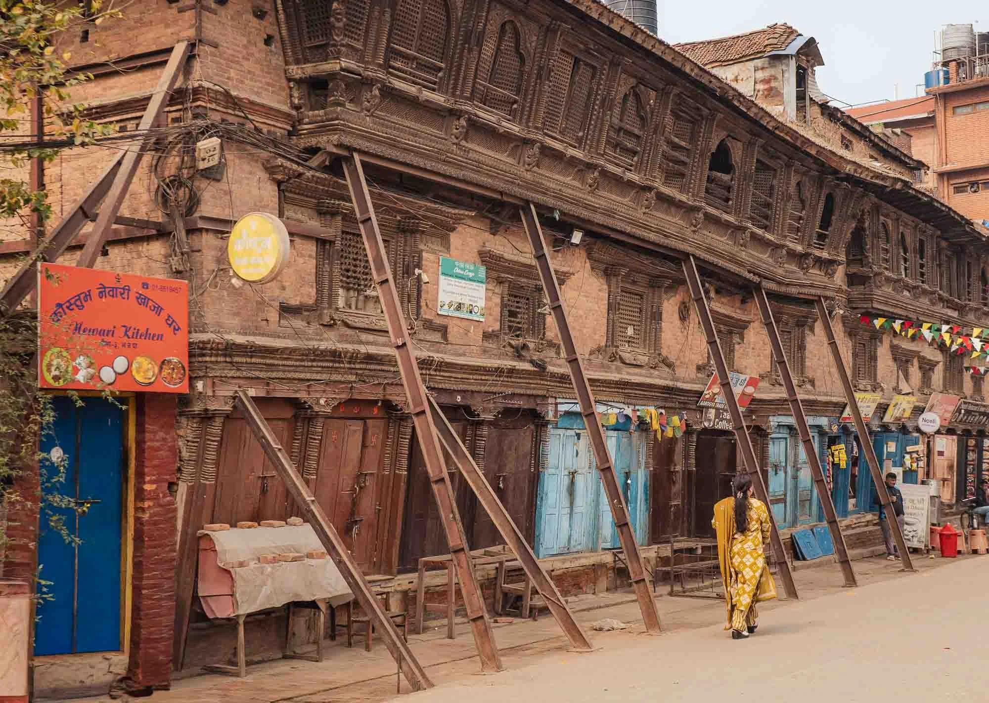
They are known as bahals, and were originally built as Buddhist monasteries, but now serve as residential shared spaces - sadly many of them have been heavily damaged during the 2015 earthquake, and building owners often lack the funds to repair them.
The Kumari
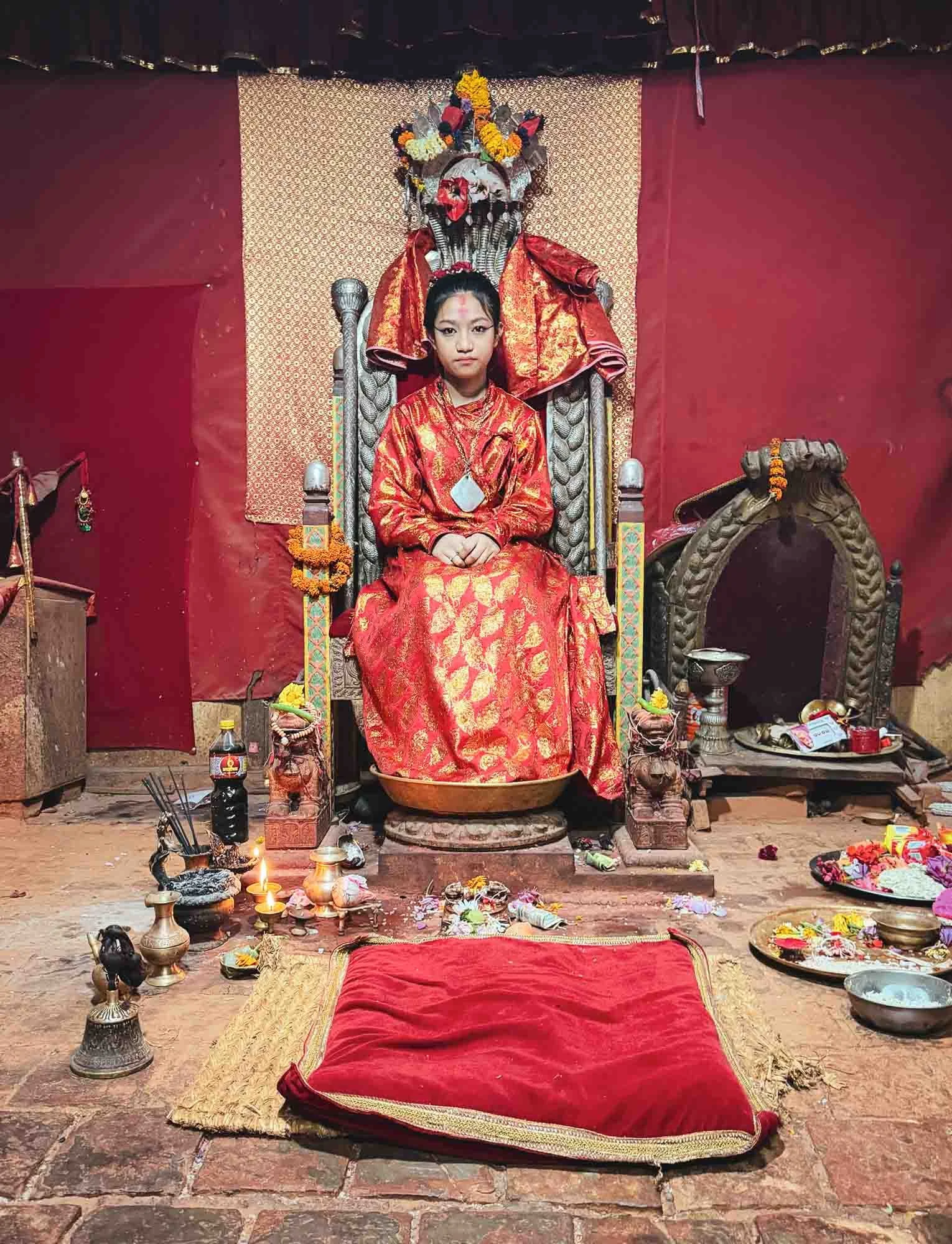
A fitting representation of the intertwined faith are the Kumari, the centuries-old tradition of the so-called Living Goddesses. Chosen from a Buddhist Newar family, she is worshipped by both Hindus and Buddhists as the earthly embodiment of a goddess.
A Kumari is usually picked at around three to five years of age with a rigorous selection process, and occupies the spot until puberty - an interesting way to spend your childhood I imagine.
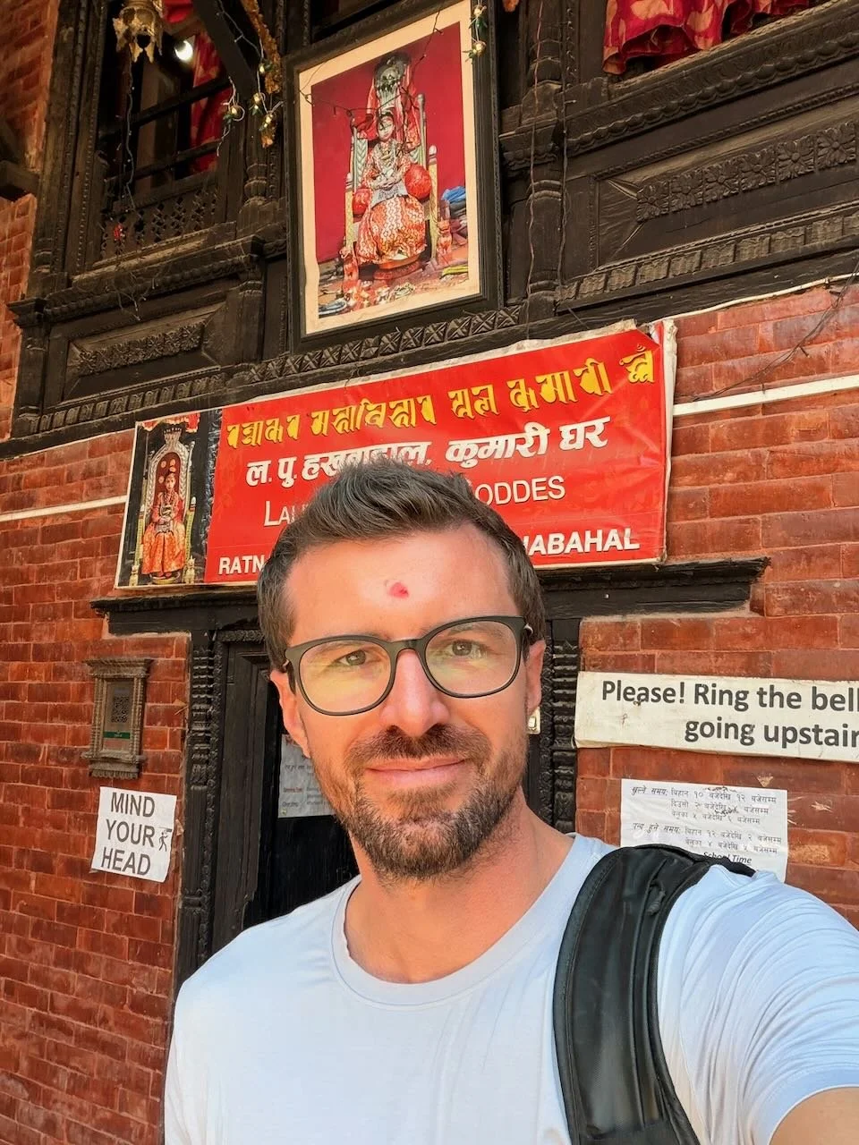
There are several important Kumaris in the Kathmandu valley, and I happen to visit (and be blessed without waiting in a long queue!) the lesser-known version of Patan. She kindly allowed me to take her photo, something that normally isn’t possible, but the guardian saw I was a photographer and encouraged me to use my phone to get a quick picture.
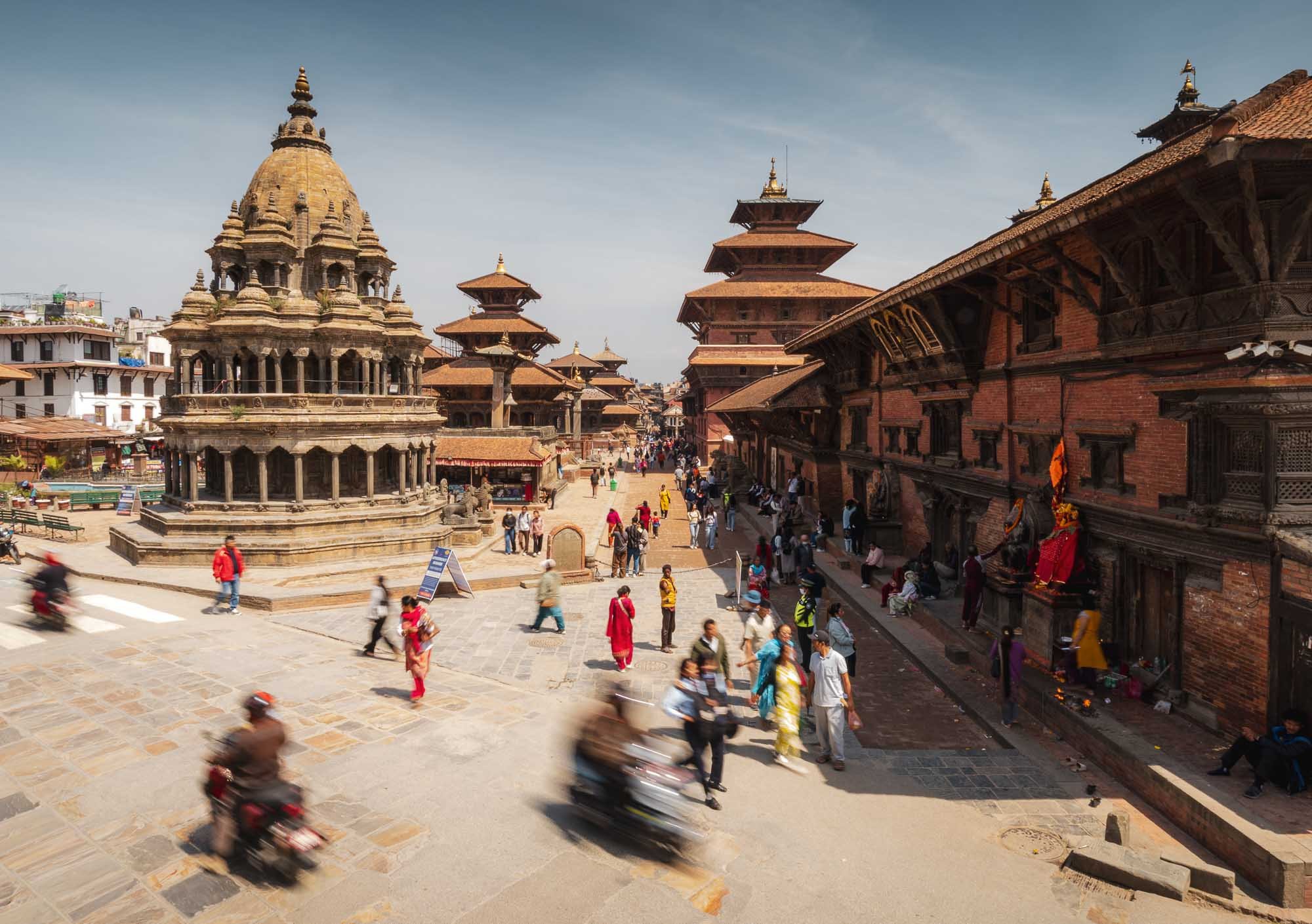
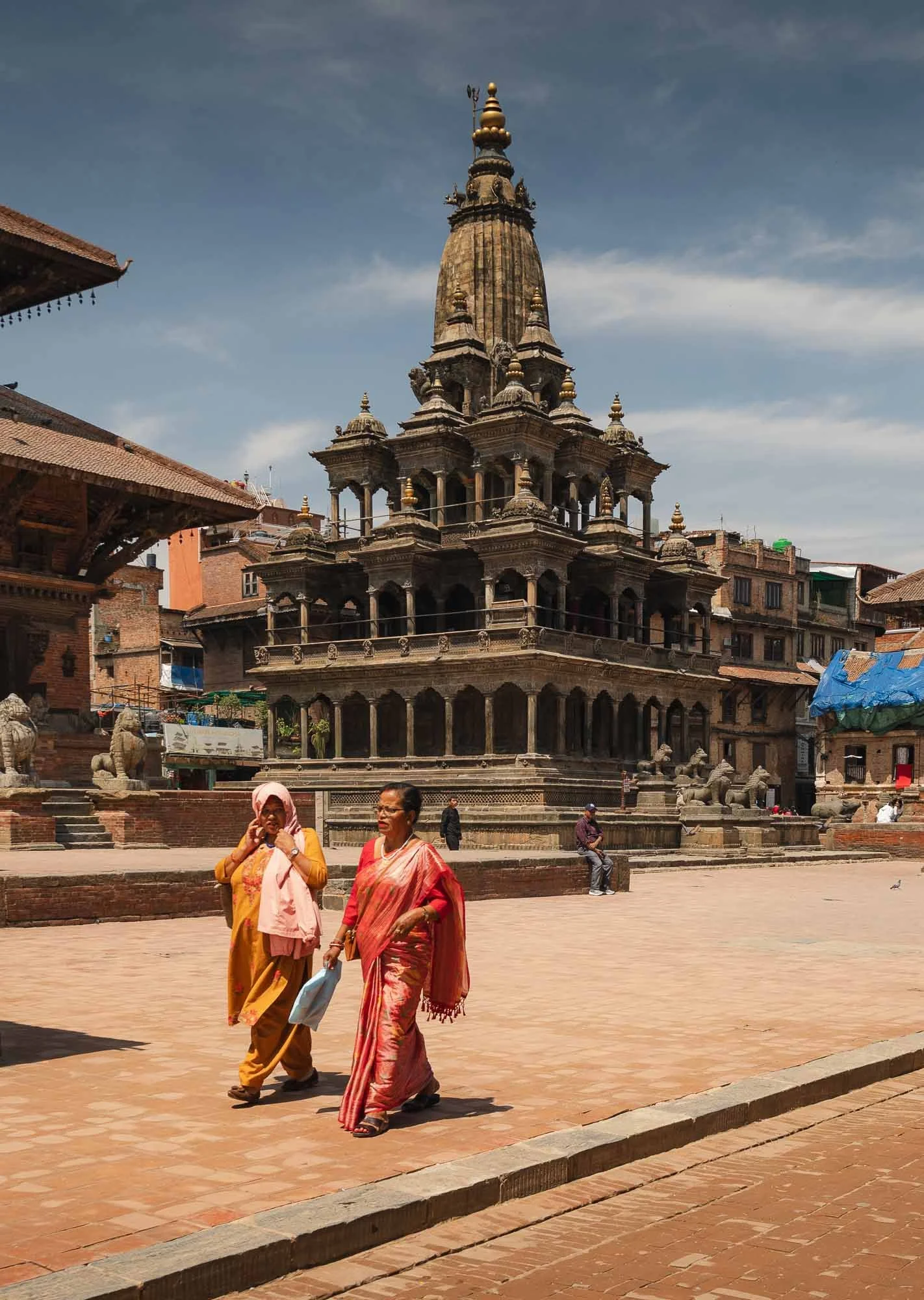
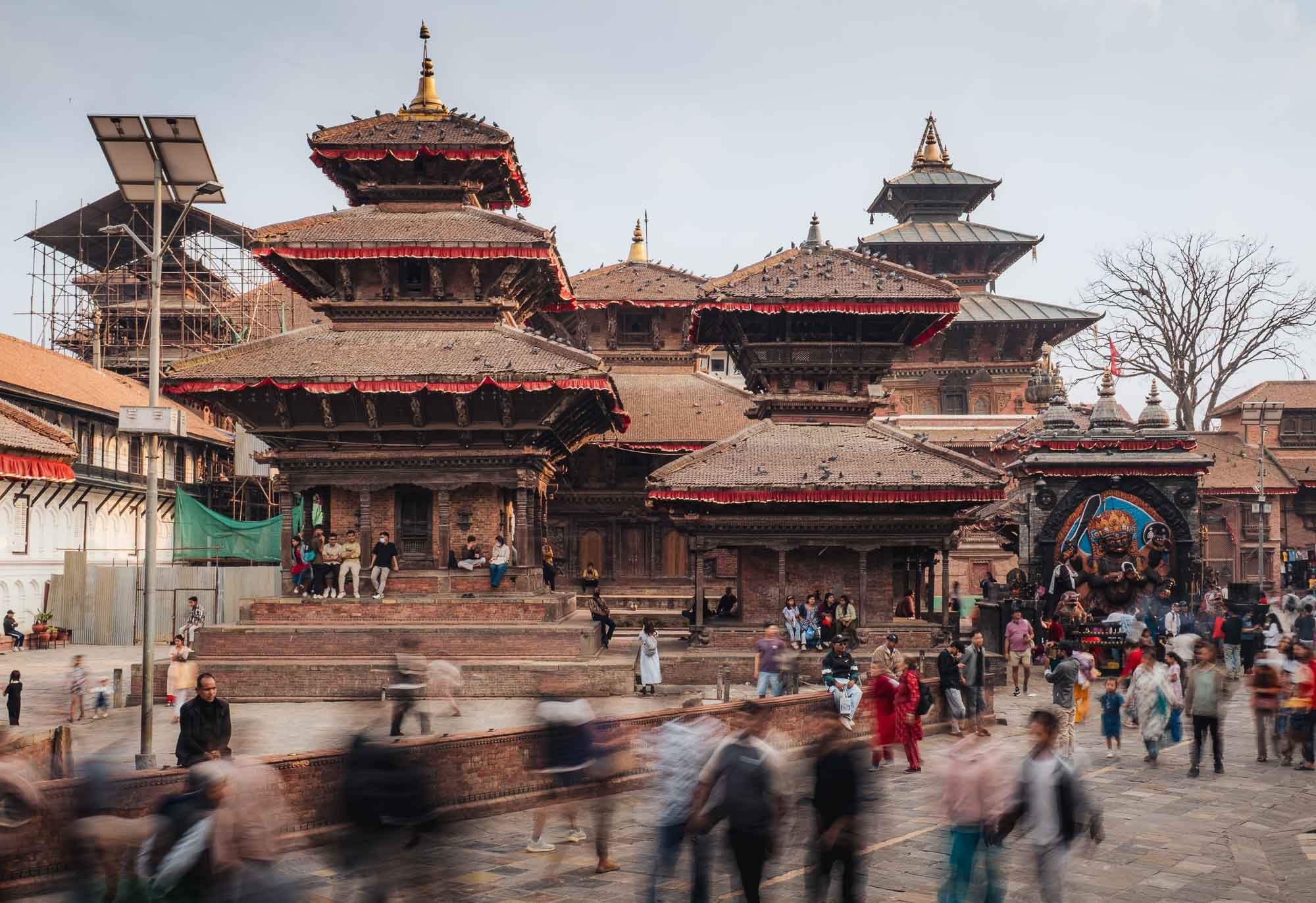
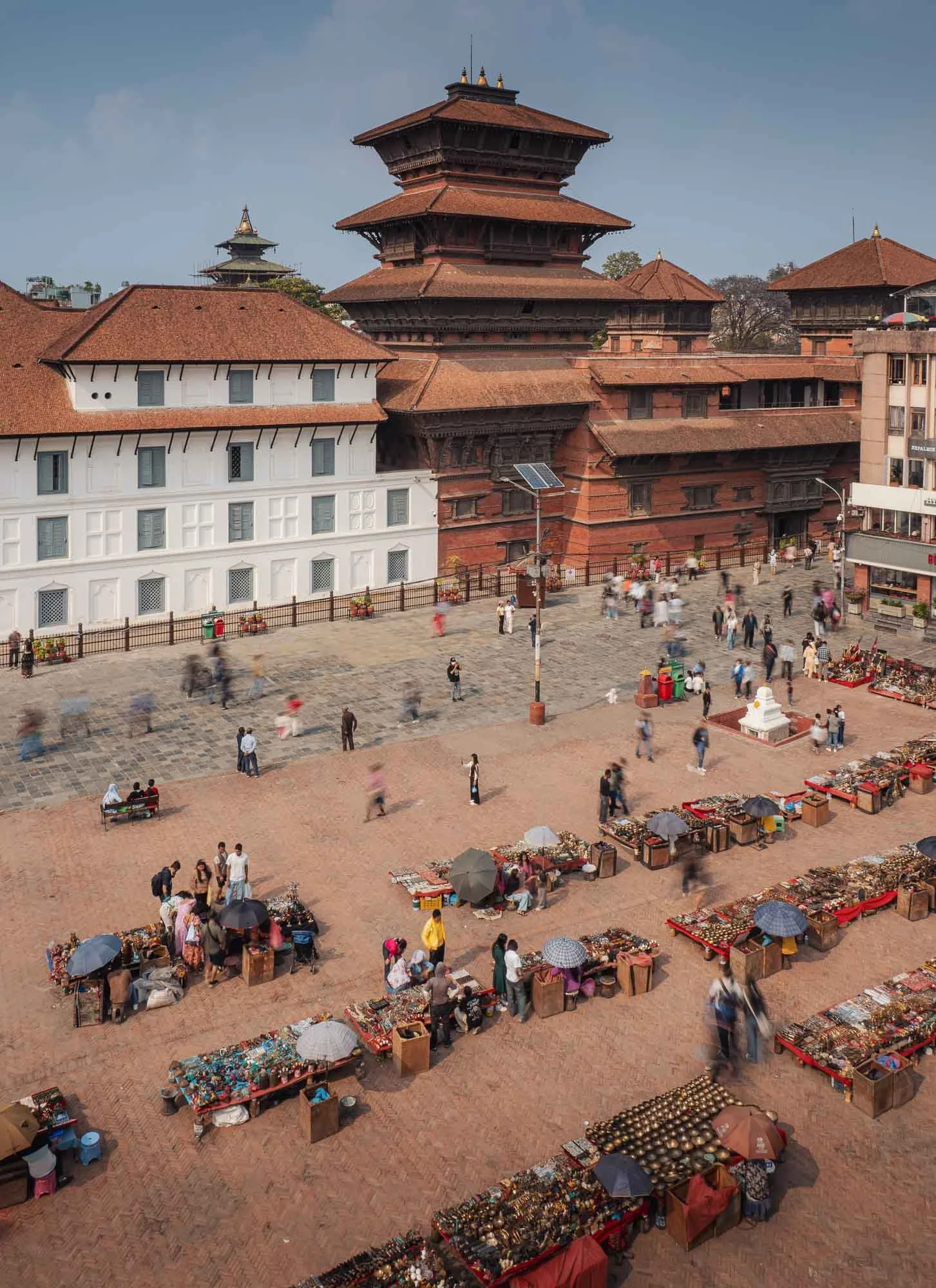
Durbar Square of Patan
Patan is home to one of the three famous Durbar Squares of the valley, all part of the UNESCO entry.
The phrase translates to ‘Royal Palace Square’ - before Nepal was unified in the 18th century, Kathmandu, Patan and Bhaktapur were independent kingdoms, each centred around its own palace complex.
When Shah, king of nearby Gorkha, looked to widen his reign, he captured all three of them and made Kathmandu the new capital. Nepal remained a kingdom until 2006 when the monarchy lost power, and became a republic in 2008.
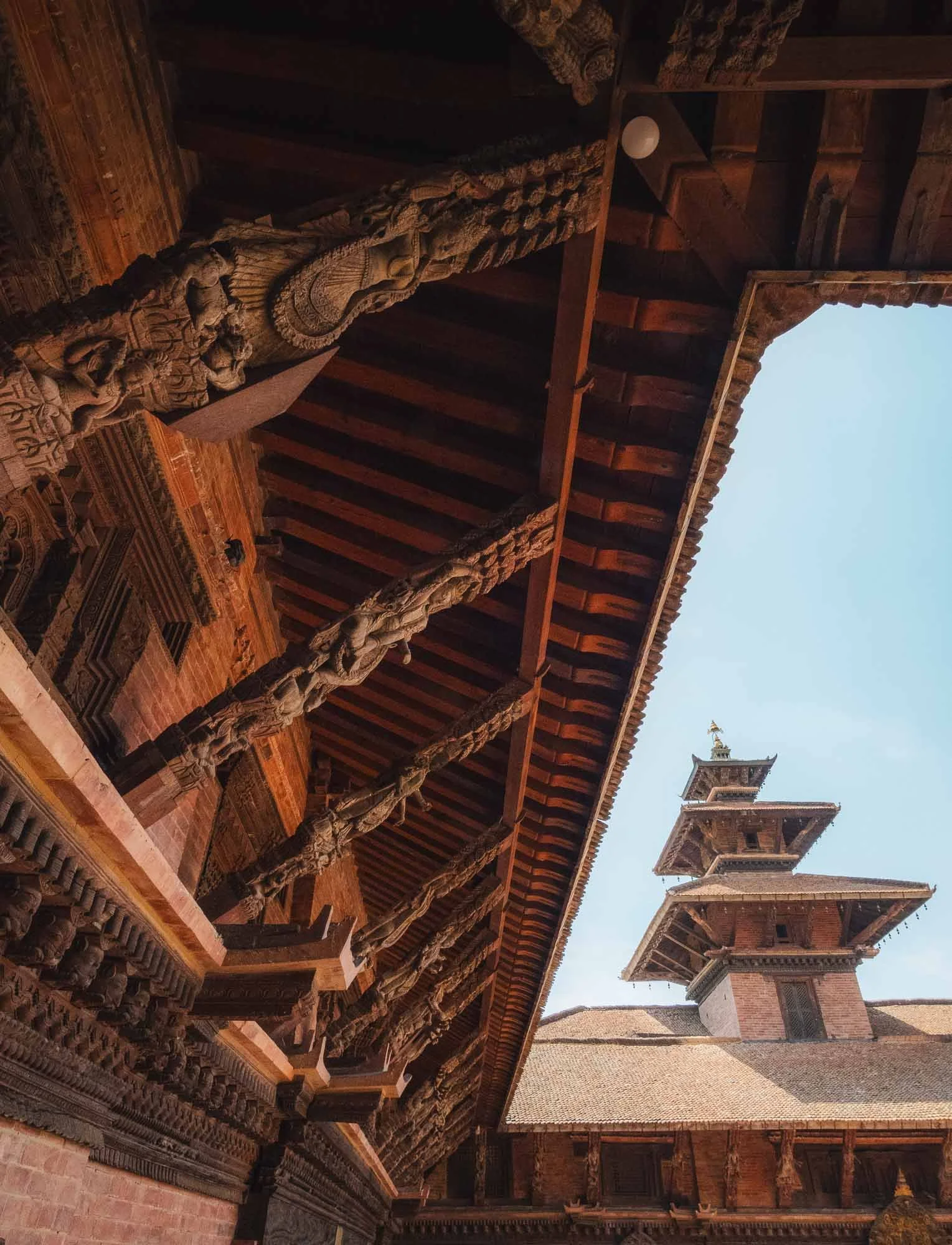
What is particularly interesting in the Durbar Squares is the diverse architectural blend, covering the indigenous Newar pagoda style, Indian Hindu stone temple designs, and the Newar Buddhist monasteries with their courtyards and wooden elements - all three are visible in the above photo.
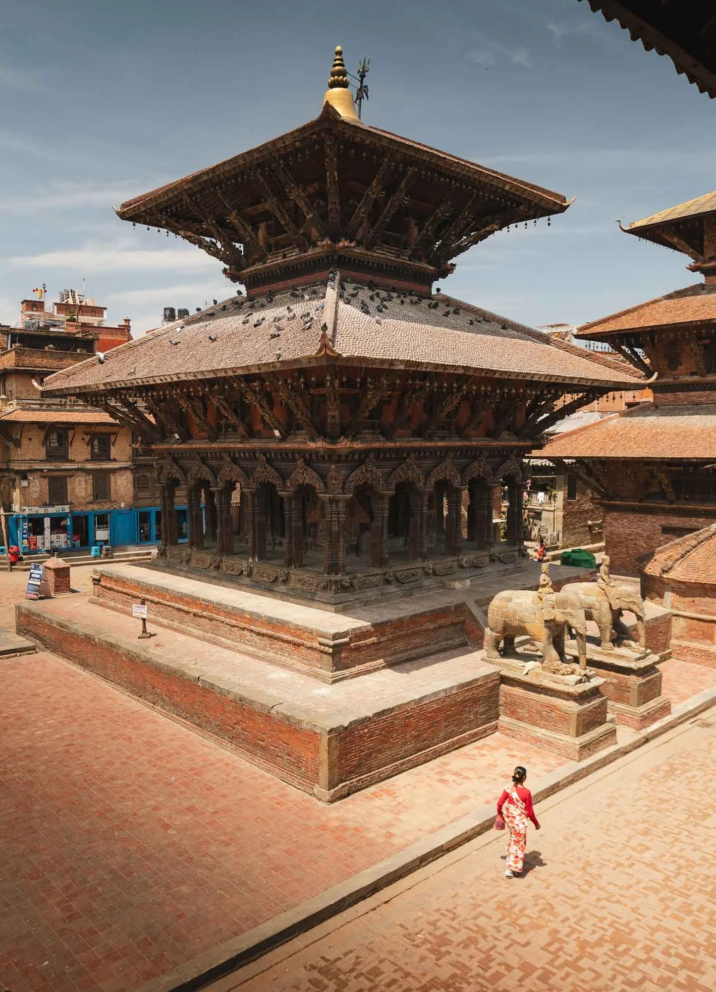
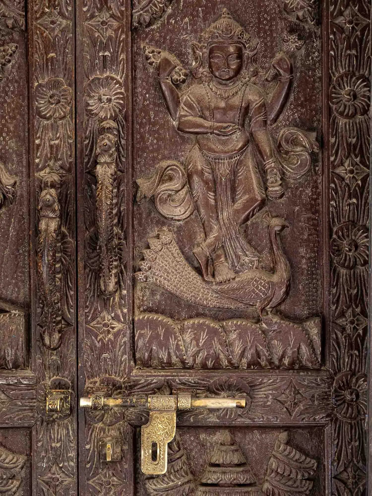
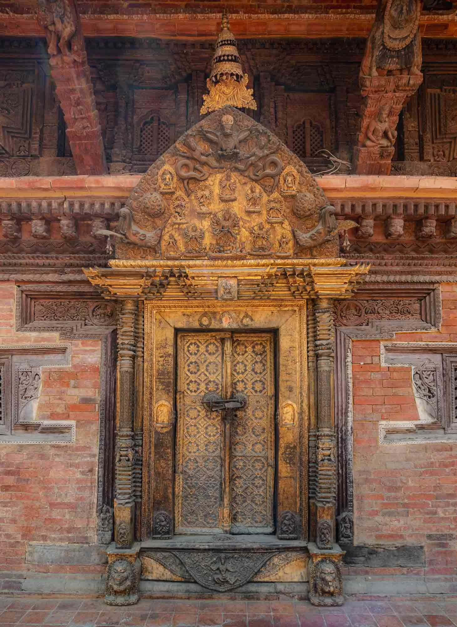
The wooden struts supporting Patan’s pagoda roofs are great examples of Newar craftsmanship; every beam is hand-carved with intricate floral motifs. Even the doorways are works of art, with gilded wood and decorative iconography all around.
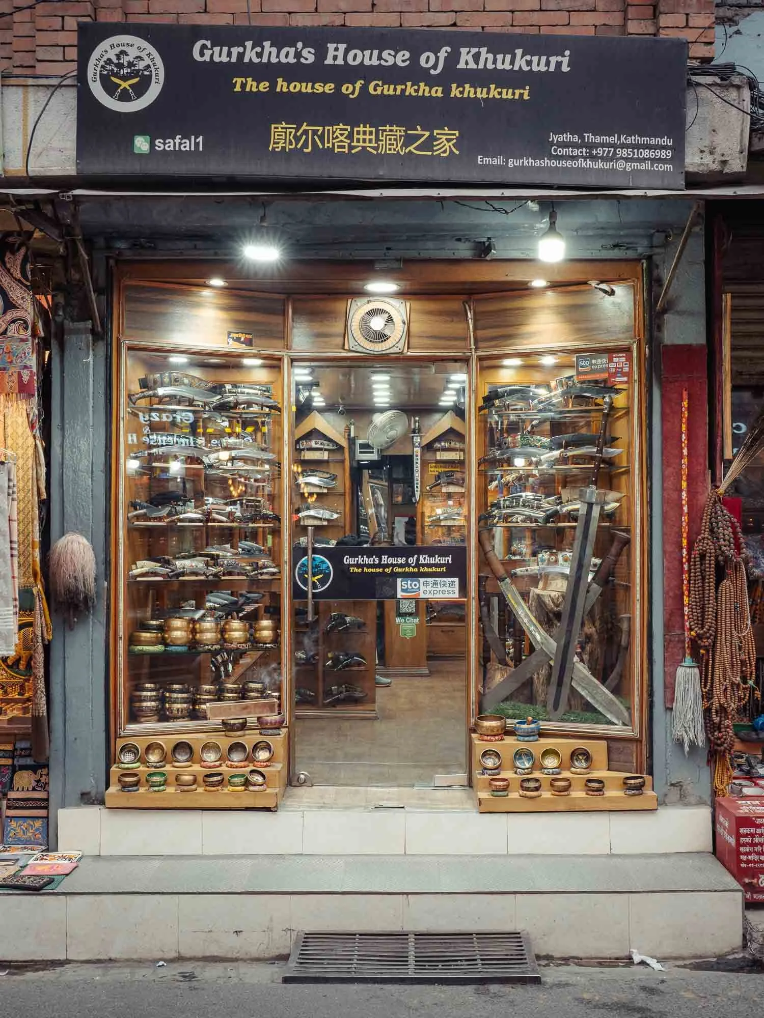
Walking through the alleys occasionally comes with surprises. While you’d expect a fruit vendor, I didn’t really have a sword and knife shop on the radar: the Khukuri is one of Nepal’s most recognisable cultural symbols - the hand-forged forward-curving blade has for centuries been used for farming, ceremonies, and as a weapon.
Kathmandu Durbar Square
The second Durbar Square I visited is in Kathmandu’s city centre. Construction of the original square began in the 3rd century, but many of the current buildings originated around the 16th century - and of course, some had to be rebuilt several times owing to the various earthquakes over the years - restoration work is a constant activity here, as seen on the left side.
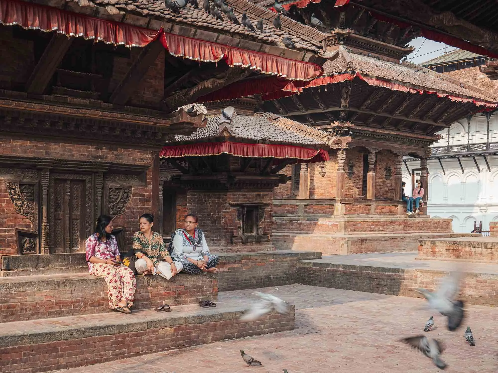
What I found quite interesting is that it’s very common to see people sitting under the shade of the pagodas to rest and chat, or carrying their shopping in between the temples. While these squares hold significant cultural and historic relevance, they are also interwoven into the fabric of regular life - only some sections are fenced or dedicated museums.
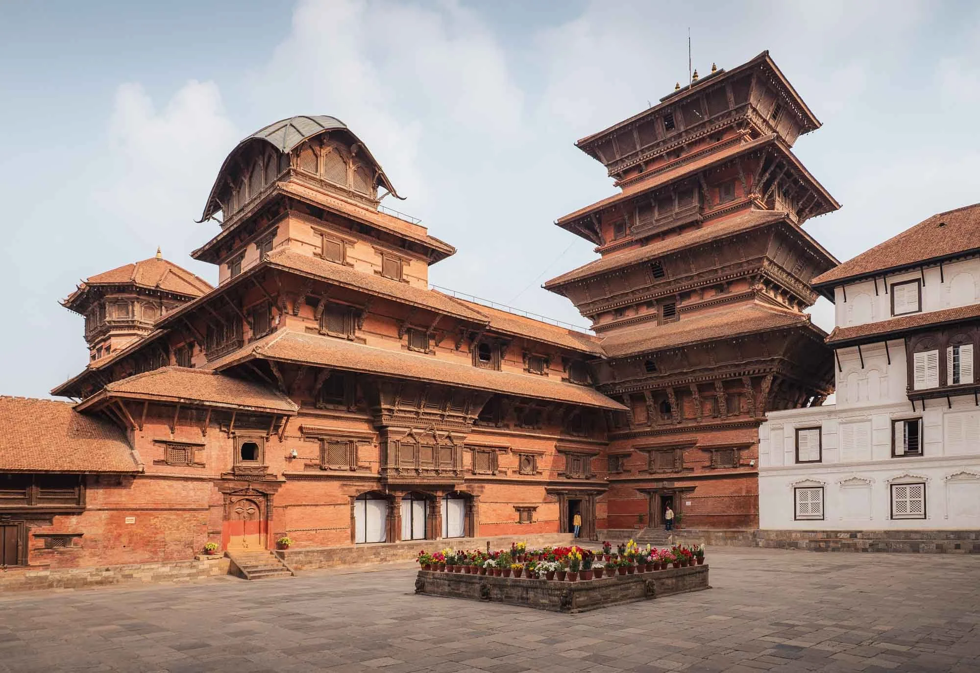
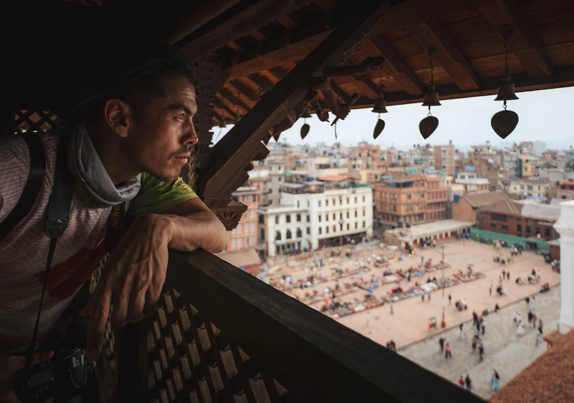
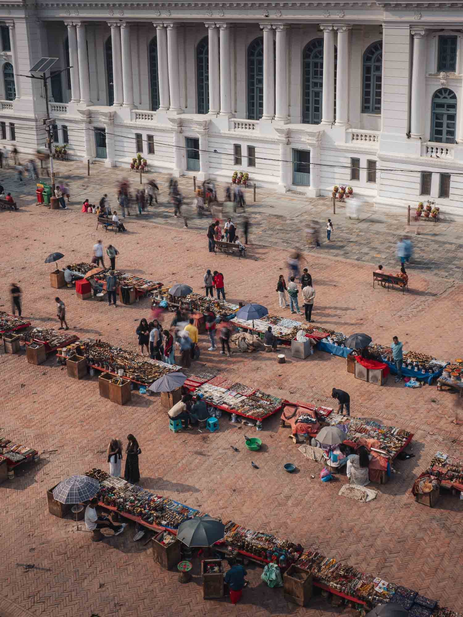
One such museum contains the royal residences seen here, featuring the nine-storey Nautalle Durbar tower, which you can climb up for a view of the nearby public square with its many street vendors - my guide Lhakpa looking out on the right image.
An unexpected sight on the square is the white neoclassical Gaddi Baithak. Built in 1908, it contrasts sharply with the surrounding architecture, as European influences took hold during this period.
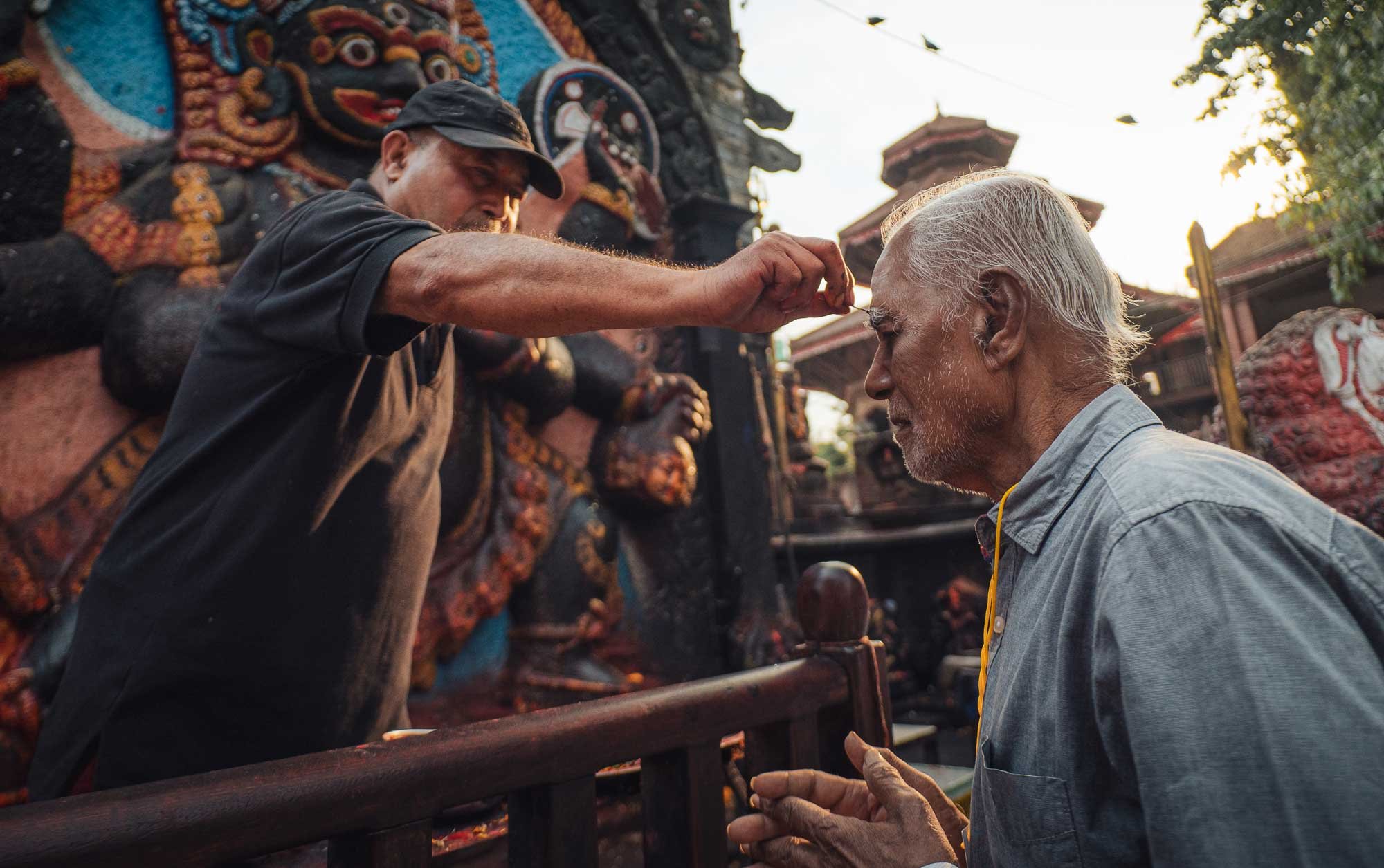
People receiving their blessing at the colourful Hindu Shrine Kaal Bhairav. According to legend it was found at a paddy field and later placed at the Durbar Square by King Pratap Malla, one of the most important figures of pre-unification Kathmandu.
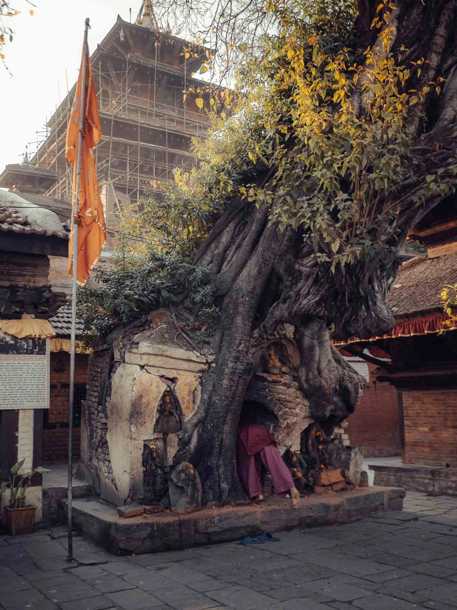
Speaking of temples around the square, one curiosity I discovered is this interesting structure that was either built into a tree or the tree was planted around it (unsure of the sequence), requiring worshippers to become one with nature to access it.
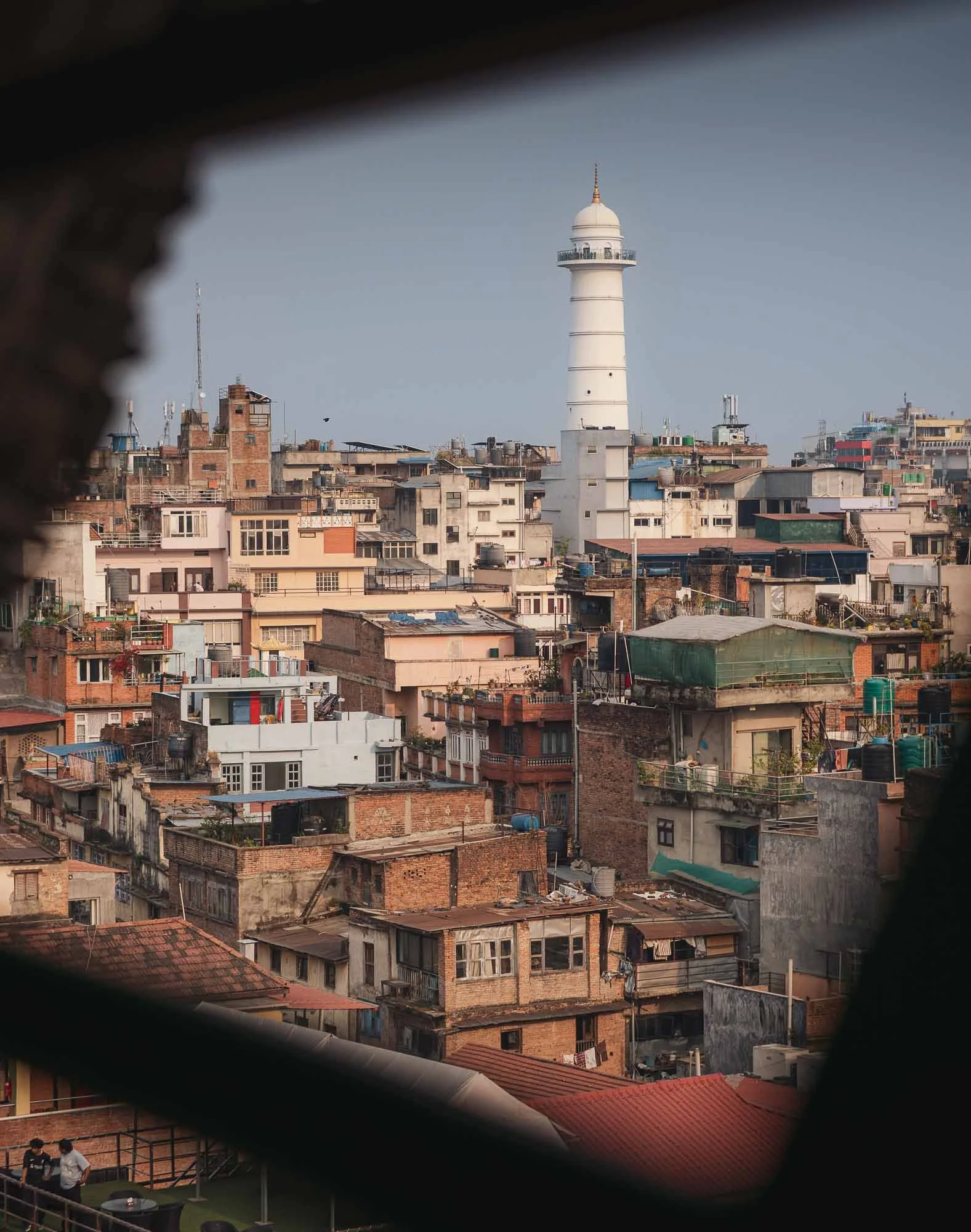
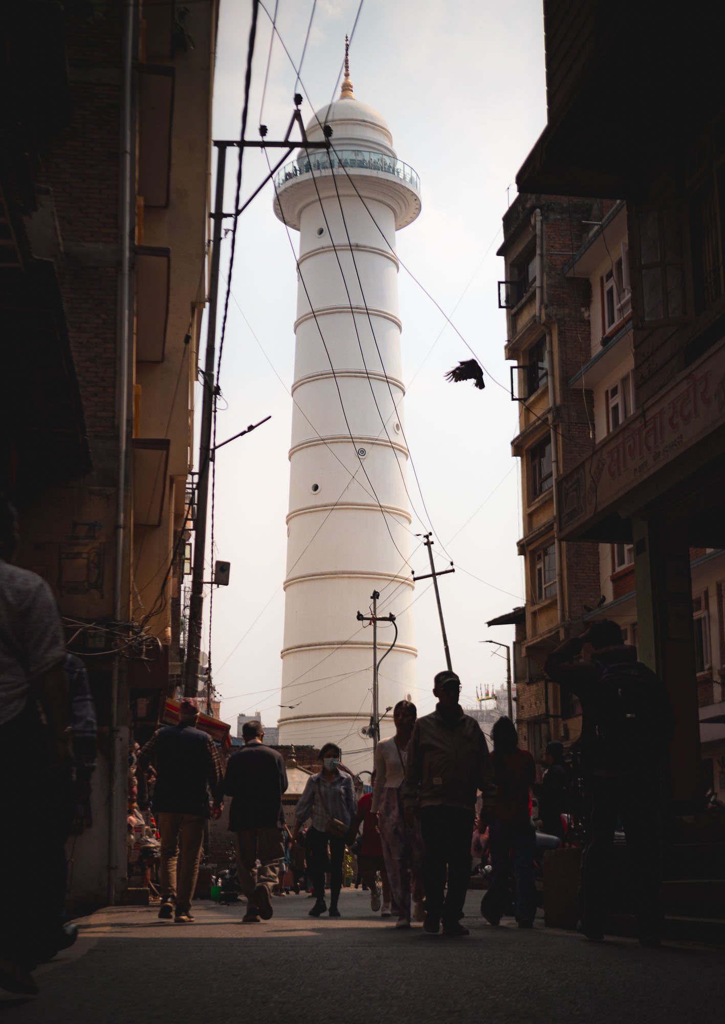
Not far from the square lies the white Dharahara Tower, first built in 1832 as a watchtower but destroyed by the 2015 earthquake (for the second time) before being painstakingly reconstructed. It reopened in 2021 as both a memorial and one of the city’s most recognisable landmarks.
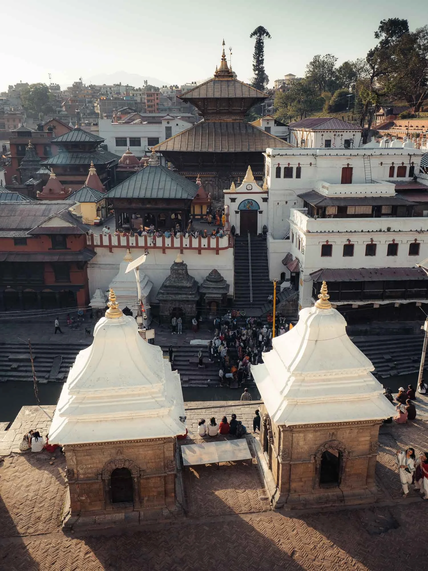
Pashupatinath Temple
Moving on from the Durbar Square, on the banks of the sacred Bagmati River lies the oldest Hindu temple in the city, going back to the fourth century, and now one of the most significant religious complexes in South Asia.
The primary temple structure follows the Newari pagoda style, but the surrounding buildings - excuse my ignorance - seem like an eclectic mix of all kinds of architectural expressions, possibly due to the ongoing expansion and renovation works over many centuries.
The complex covers a huge area, and is one of the holiest pilgrimage sites for Hindus for its association with Shiva, but Buddhists consider the temple sacred as well.
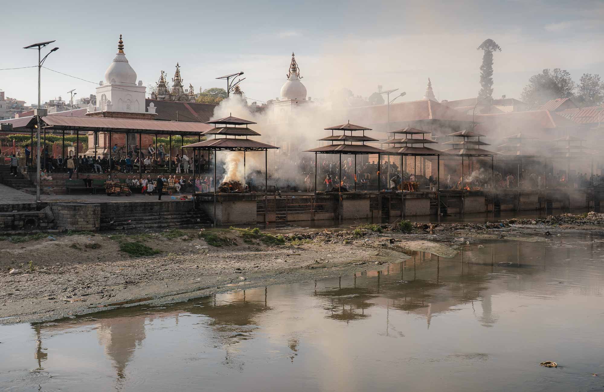
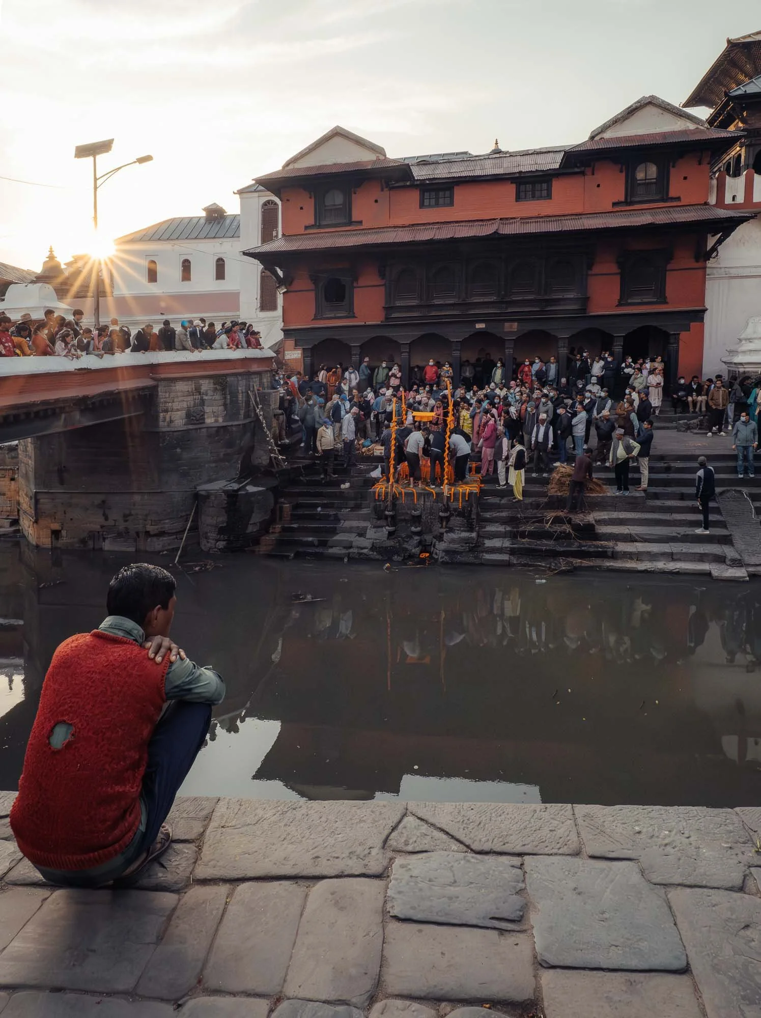
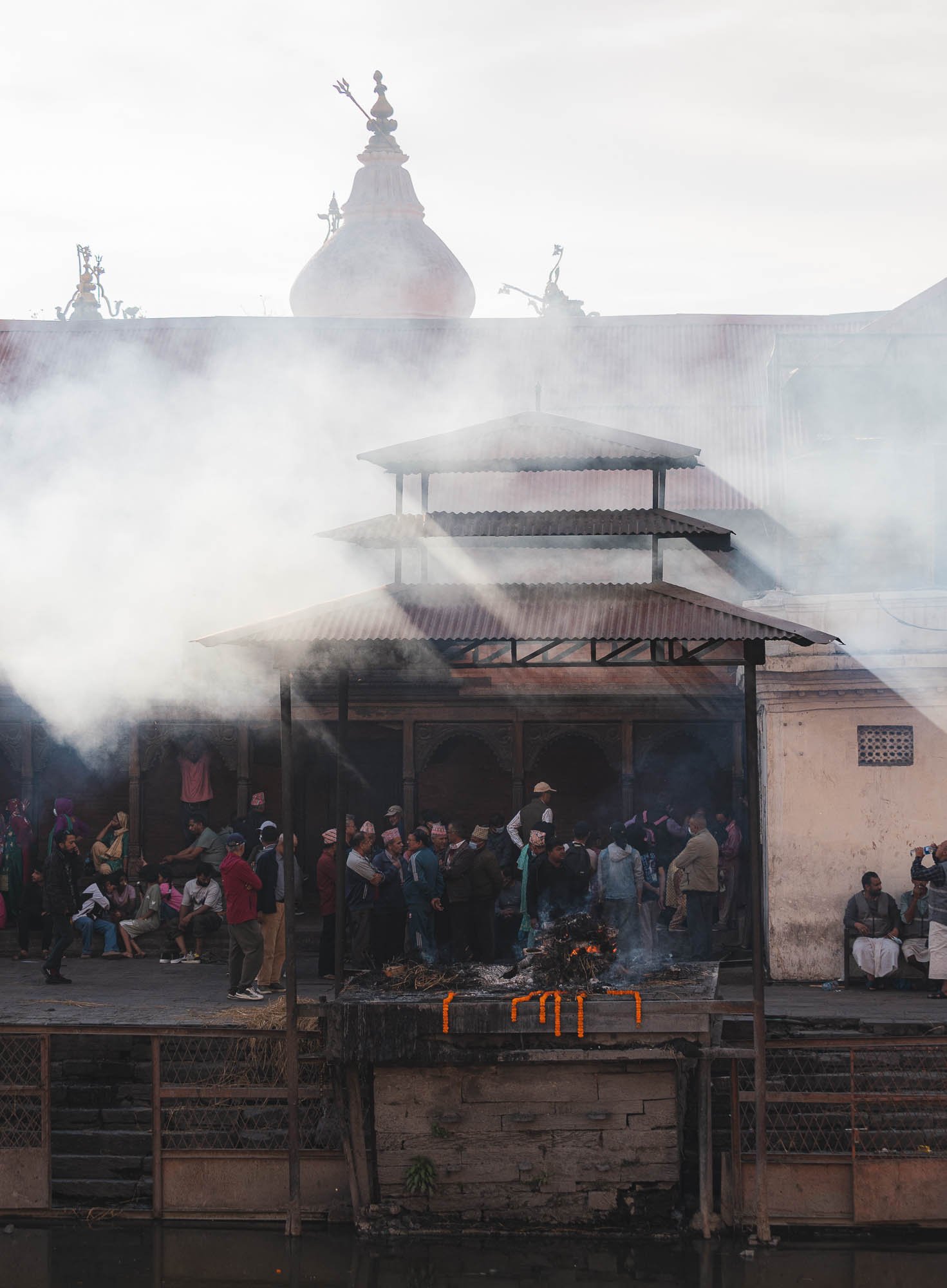
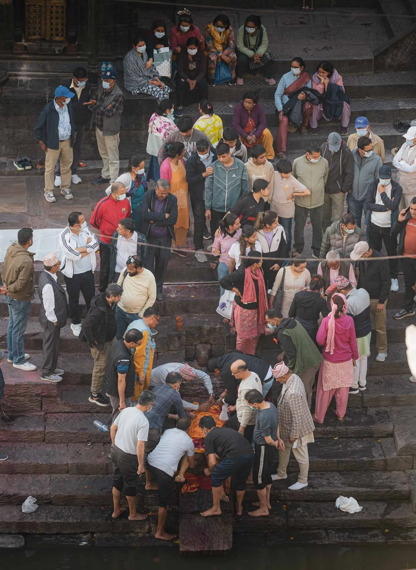
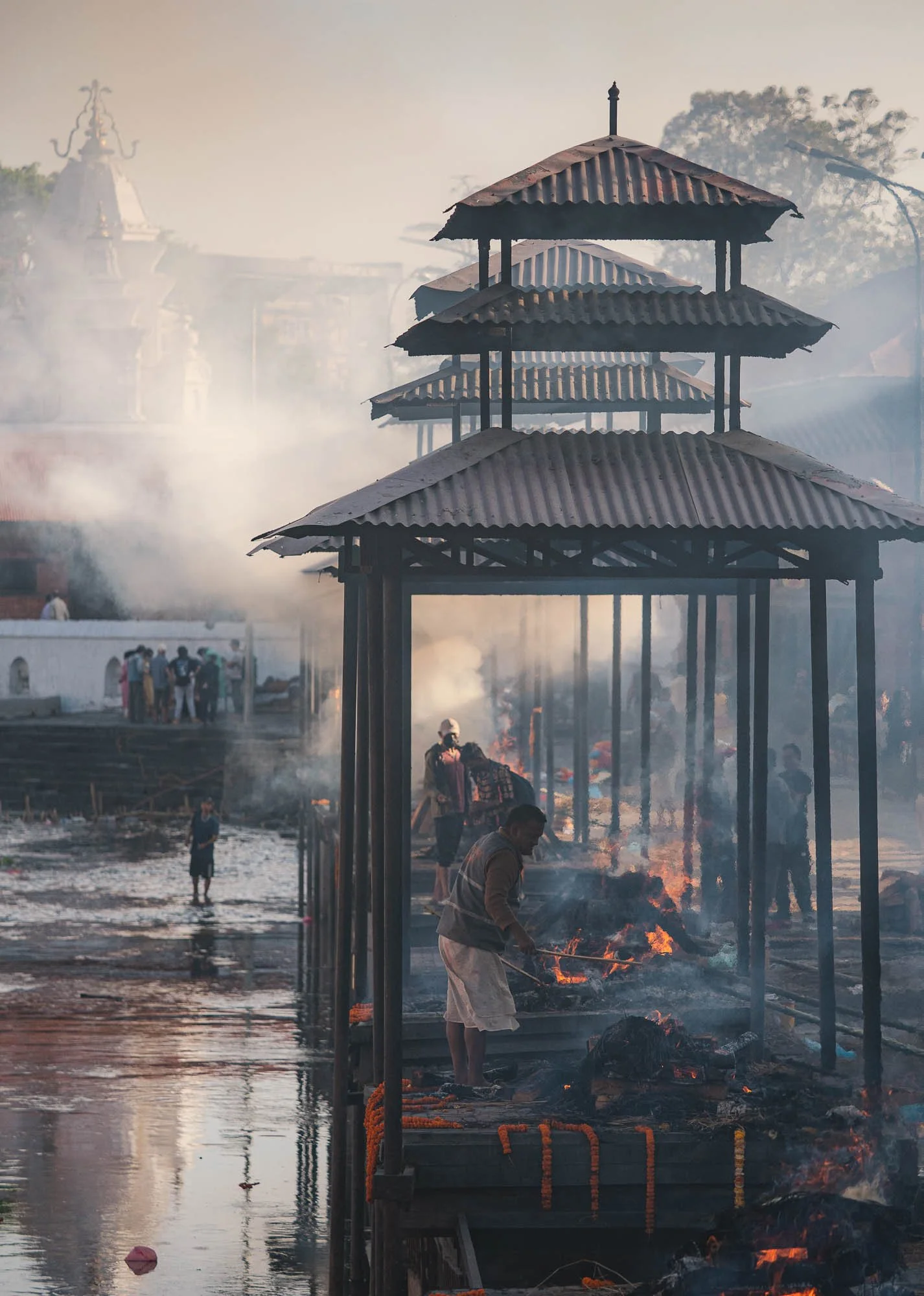
One of its most prominent features are the cremation spots along the river bank, where funeral pyres burn throughout the day. Being cremated here is meant to help the soul on its journey toward liberation, particularly as the Bagmati river finally joins the Ganges, increasing the status of the site.
If you're so inclined, it's possible to observe the full process from across the river: starting with preparation such as washing the body and wrapping it in cloth, followed by the purification with river water, placing it on the pyre, final rites and lighting of the body, and cremation before the remains are consigned to the river. It’s an intense spectacle, and the wailing cries of family members of the deceased often echo through the compound.
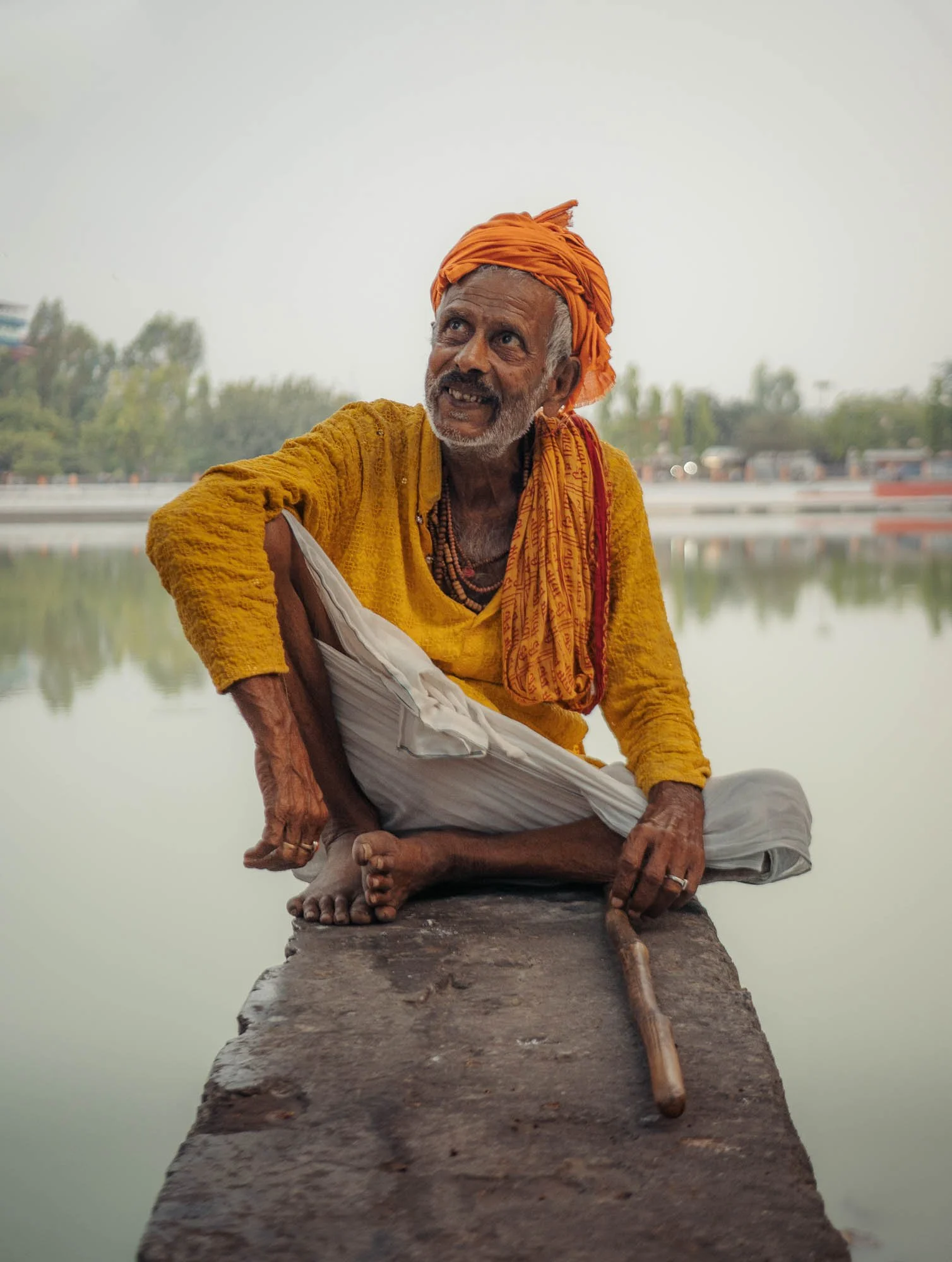
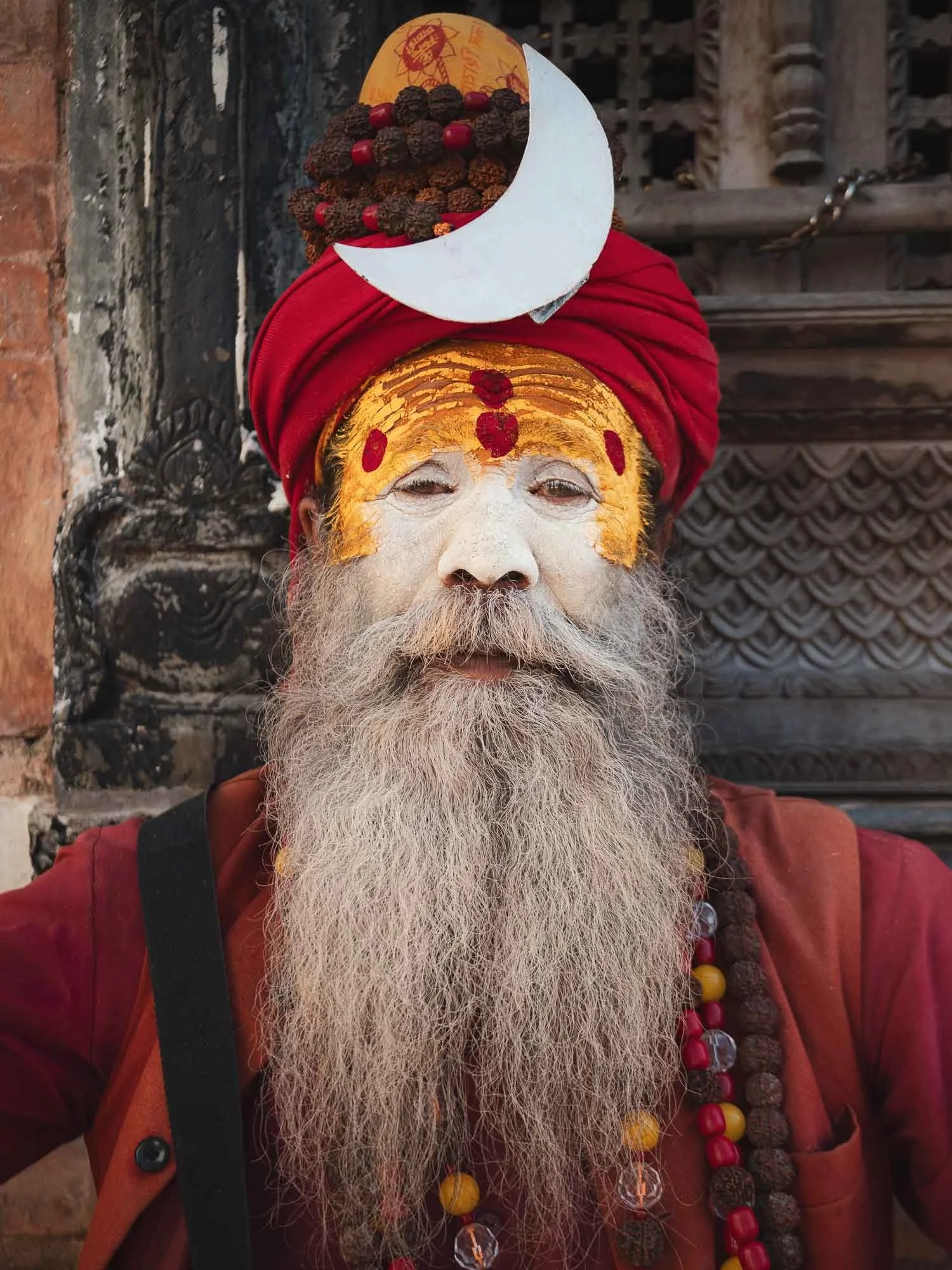
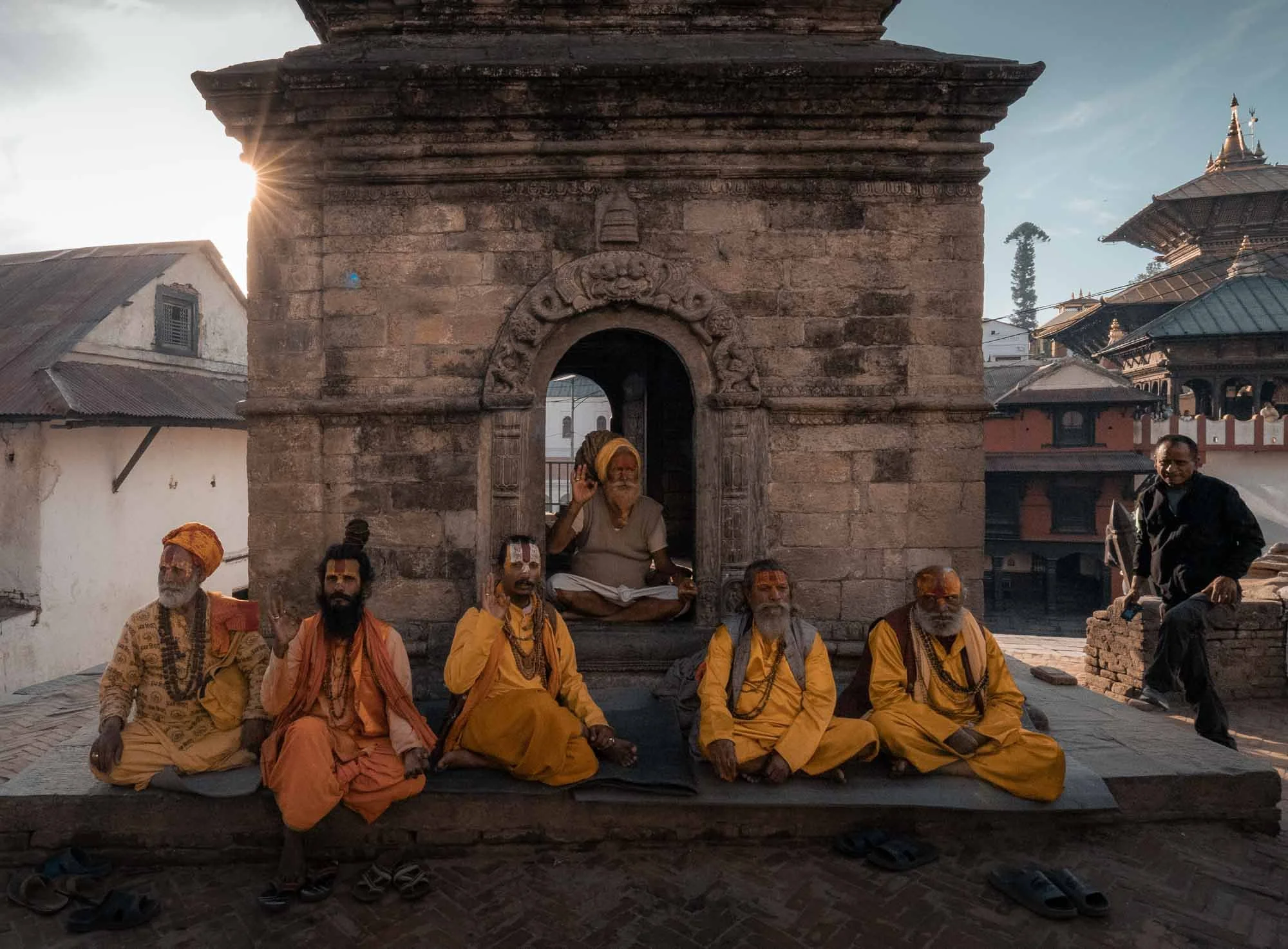
Among Pashupatinath’s temples wander saffron-clad sadhus - Hindu ascetics who have renounced worldly life in search of spiritual liberation (but of course would still appreciate a small donation to pose for your photograph…)
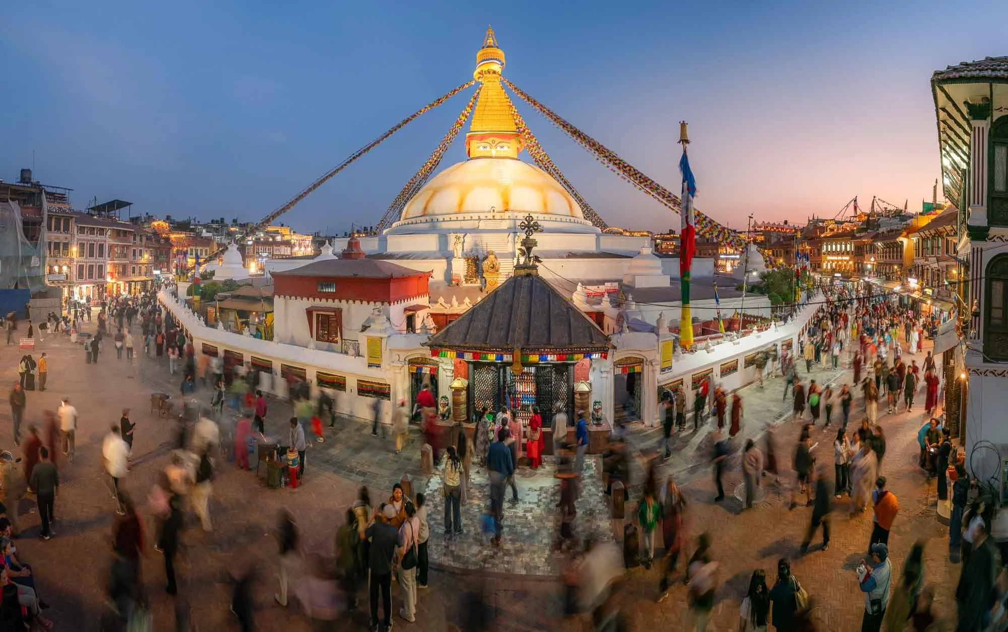
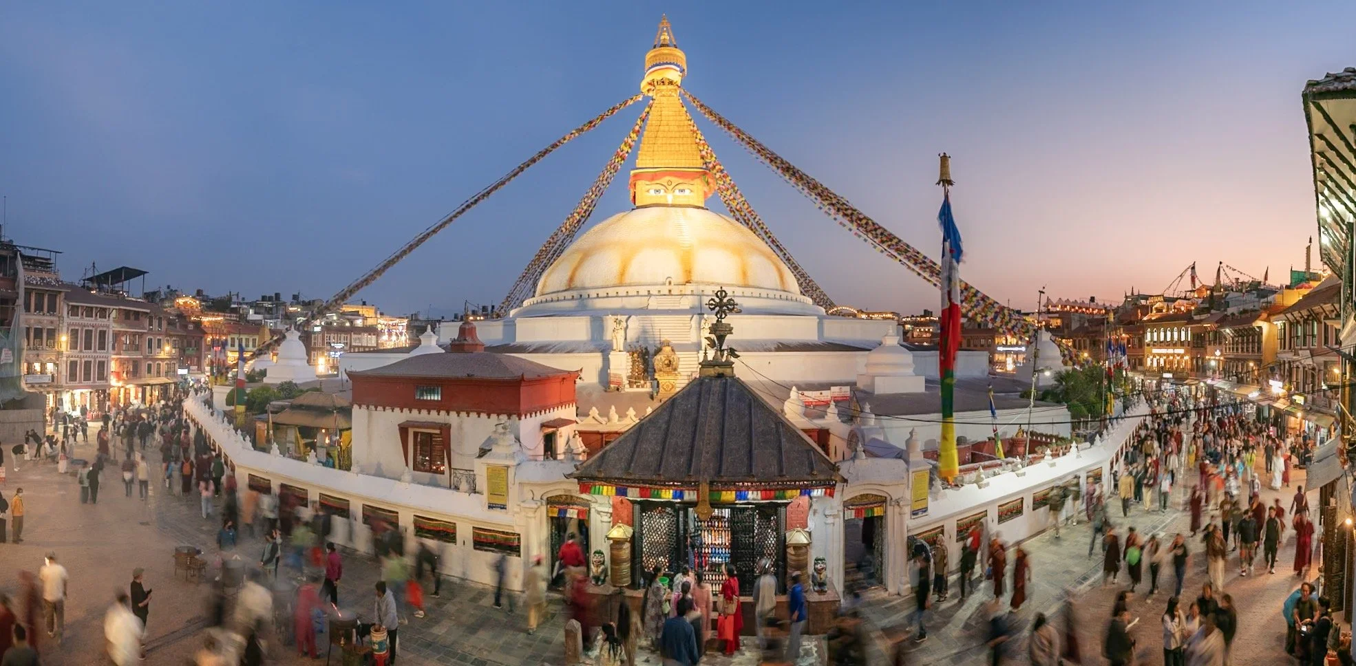
Stupa of Boudhanath
As we moved on I was keen to get a blue hour photo of this amazing stupa - luckily my guide Sushil knew all the possible rooftop spots and after what probably qualified as a sprint and climbing up and few floors, we made it to this one in time, which turned out to be my favourite.
The current structure built in the 14th century is one of the world’s largest Buddhist stupas and was surrounded by rice paddies up until the 1950s, which is difficult to believe now but you’ll find some incredible photos online.
The origins of the site go back much further than that and it is seen as the embodiment of the enlightened mind of all the Buddhas, closely associated with the spread of Tibetan Buddhism.
Taragaon Museum
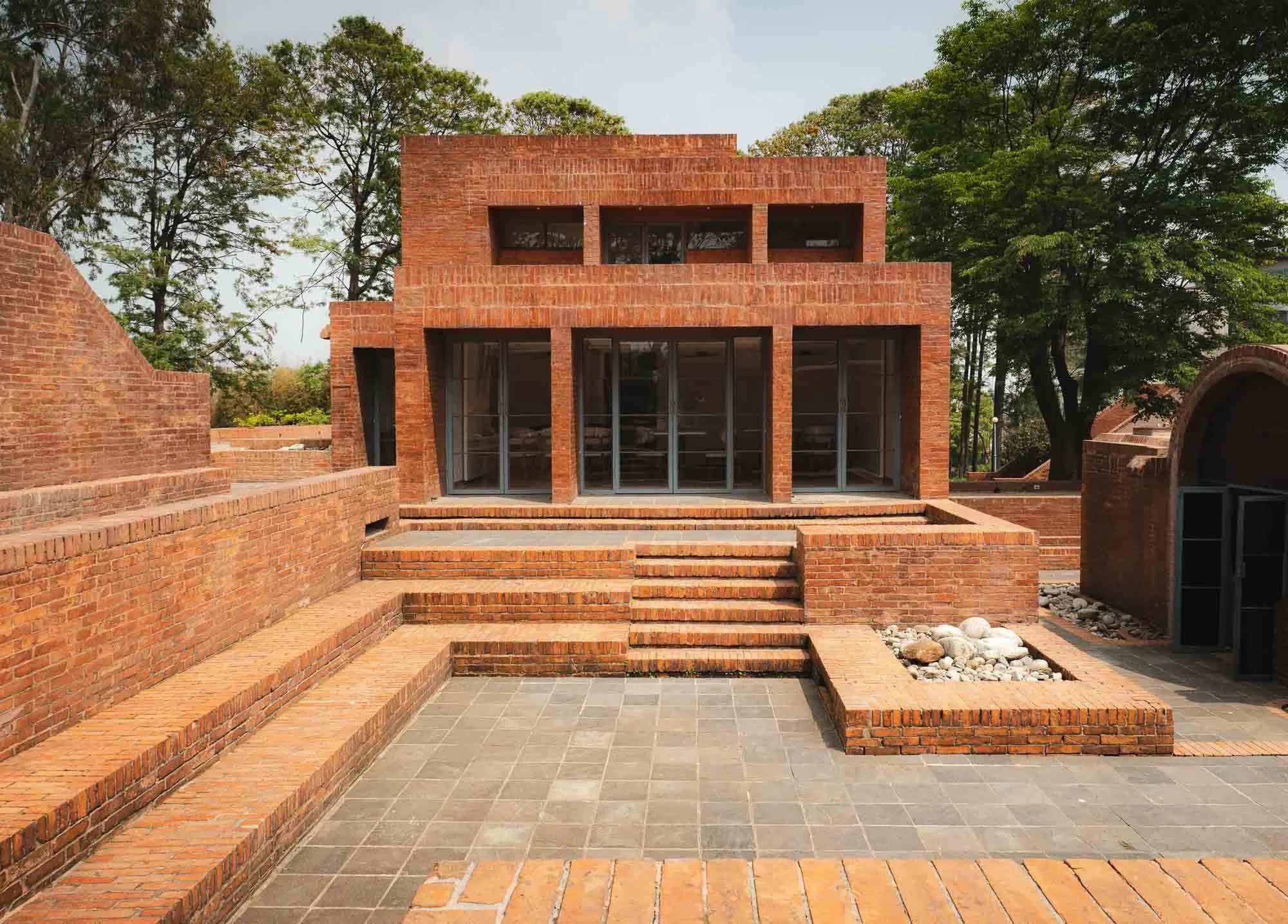
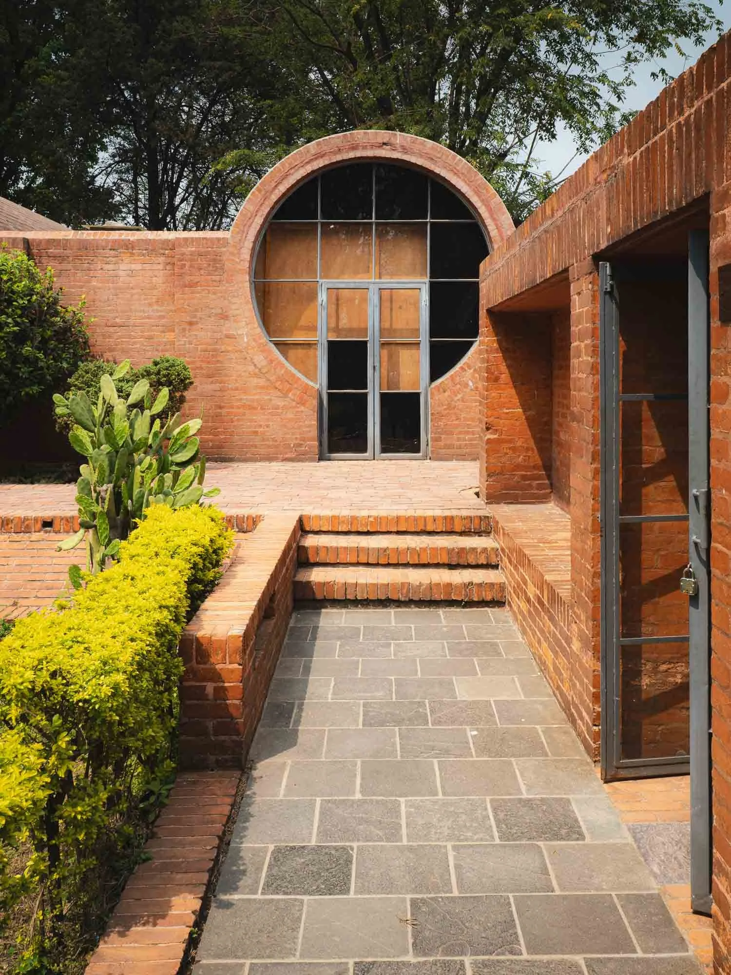
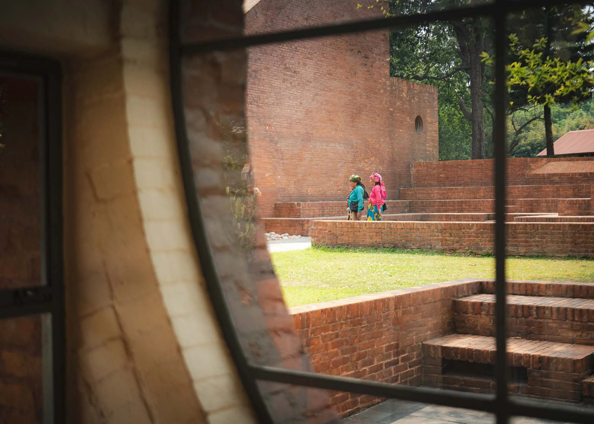
While there are a few examples, Kathmandu isn’t home to a lot of contemporary buildings, or at least not particularly significant ones. One example I wanted to visit is the Taragon museum, featuring a modernist design with traditional Nepali brickwork. It was originally built as accommodation for visiting artists, researchers and UNESCO experts in the 1970s and is home to a number if interesting exhibits and art pieces centred around the early exploration of Nepal.
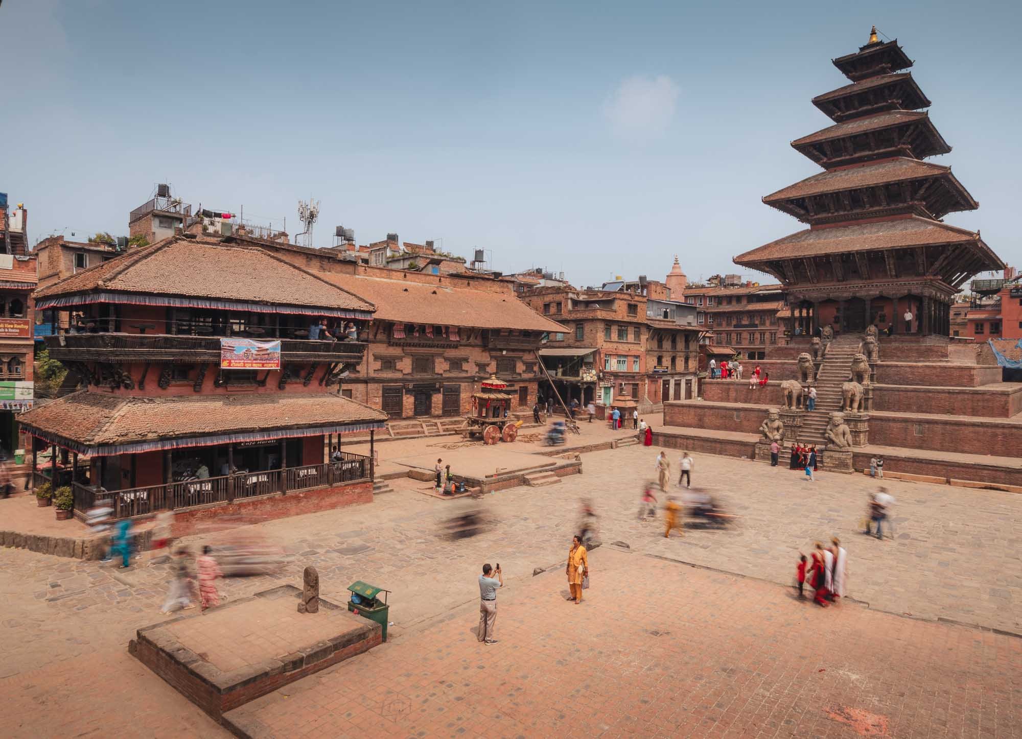
Bhaktapur
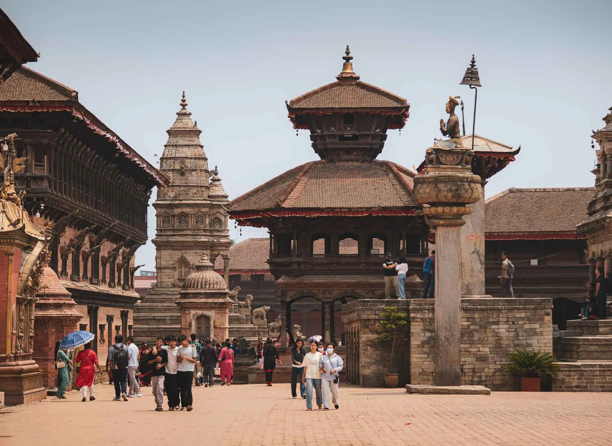
Another place I wanted to see lies just an hour outside the capital: Bhaktapur, maybe one of the most architecturally interesting and well-preserved cities in the country, and also part of the UNESCO complex in the area, significant for its Newar culture.
The city’s Durbar Square completes the set of three in the Kathmandu valley - hard to pick a favourite! Once again, the architectural diversity is stunning, and once again looking at images of the destruction from the 2015 earthquake shows the enormous reconstruction effort these historic sites have since undergone to bring them back to their original glory.
It was by far not the only time significant reconstruction was necessary: in 1833 and 1934 similarly destructive earthquakes destroyed almost the entire square. Through sheer coincidence (or maybe because it’s been a nice angle for the last 100 years) I took a photo with almost the exact composition as a pre-1934 image hosted on Wikipedia that allows to see the difference and similarities since then. Despite best efforts, dozens of important monuments were lost during these earthquakes. The historic royal residence with its palace of fifty-five windows is visible on the left.

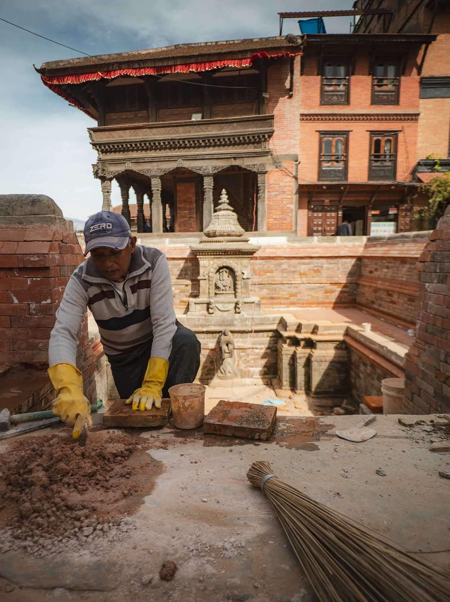
Even today, not every building is in its best state - restoring and preserving these structures is an ongoing effort. Since the 2015 earthquake, restoration has been supported by governments from around the world, with visitor entrance fees also helping to fund ongoing conservation. Most of the work is still carried out by Newar craftsmen using traditional techniques, but sometimes “modern” tools like steel bars have to support their efforts - literally and figuratively.
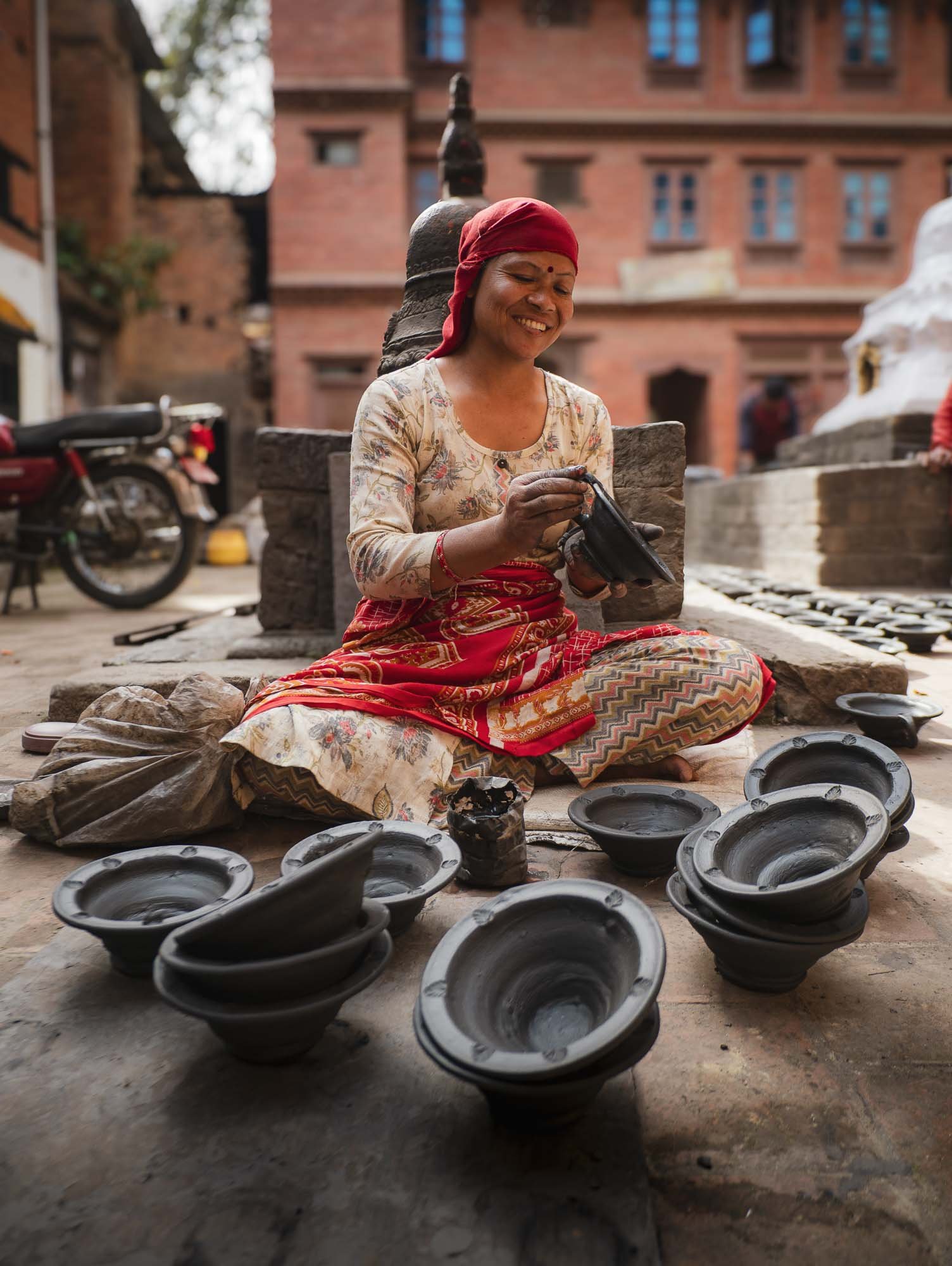
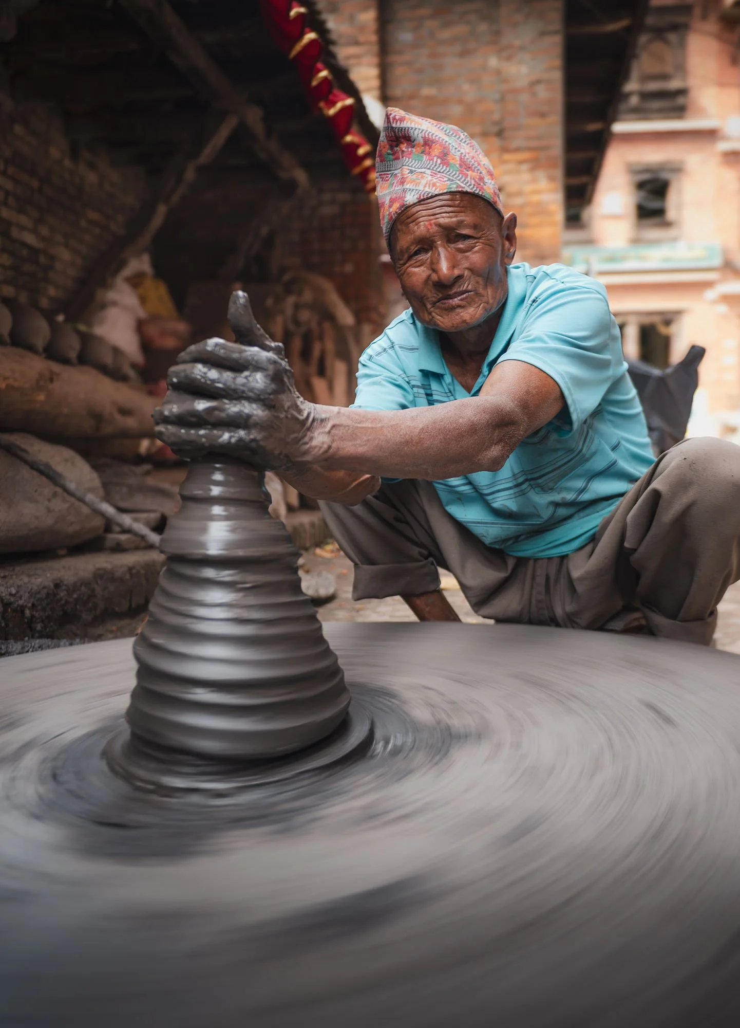
Pottery Central
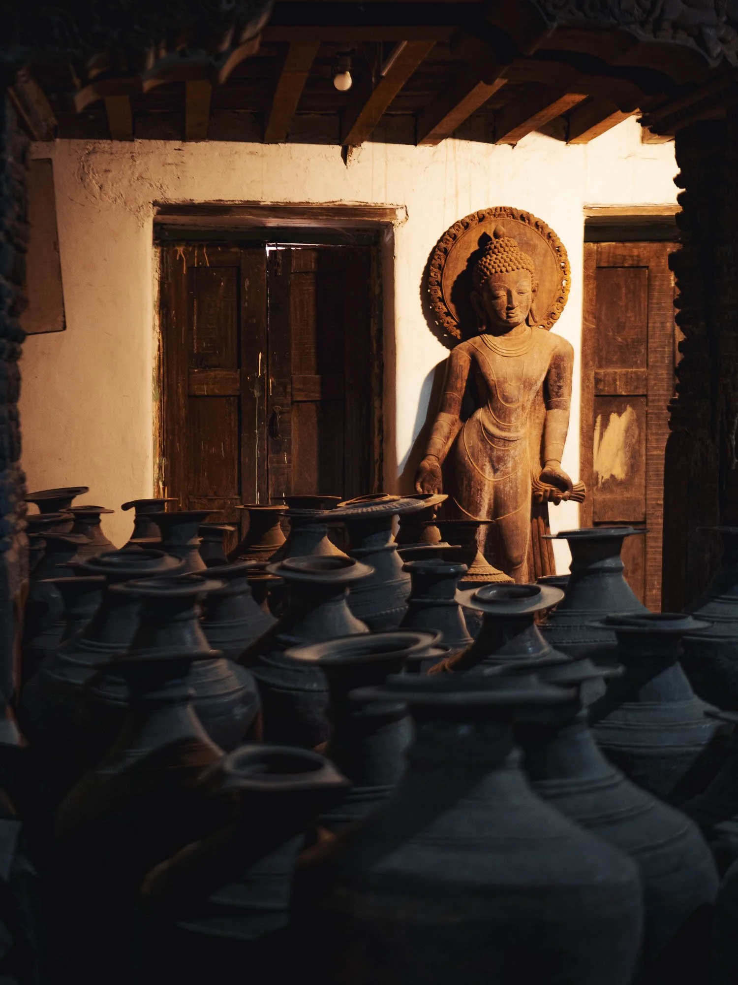
Beyond its architecture, Bakhtapur is also Nepal’s most famous centre for traditional pottery, a craft that has been practised here for centuries by the Newar community.
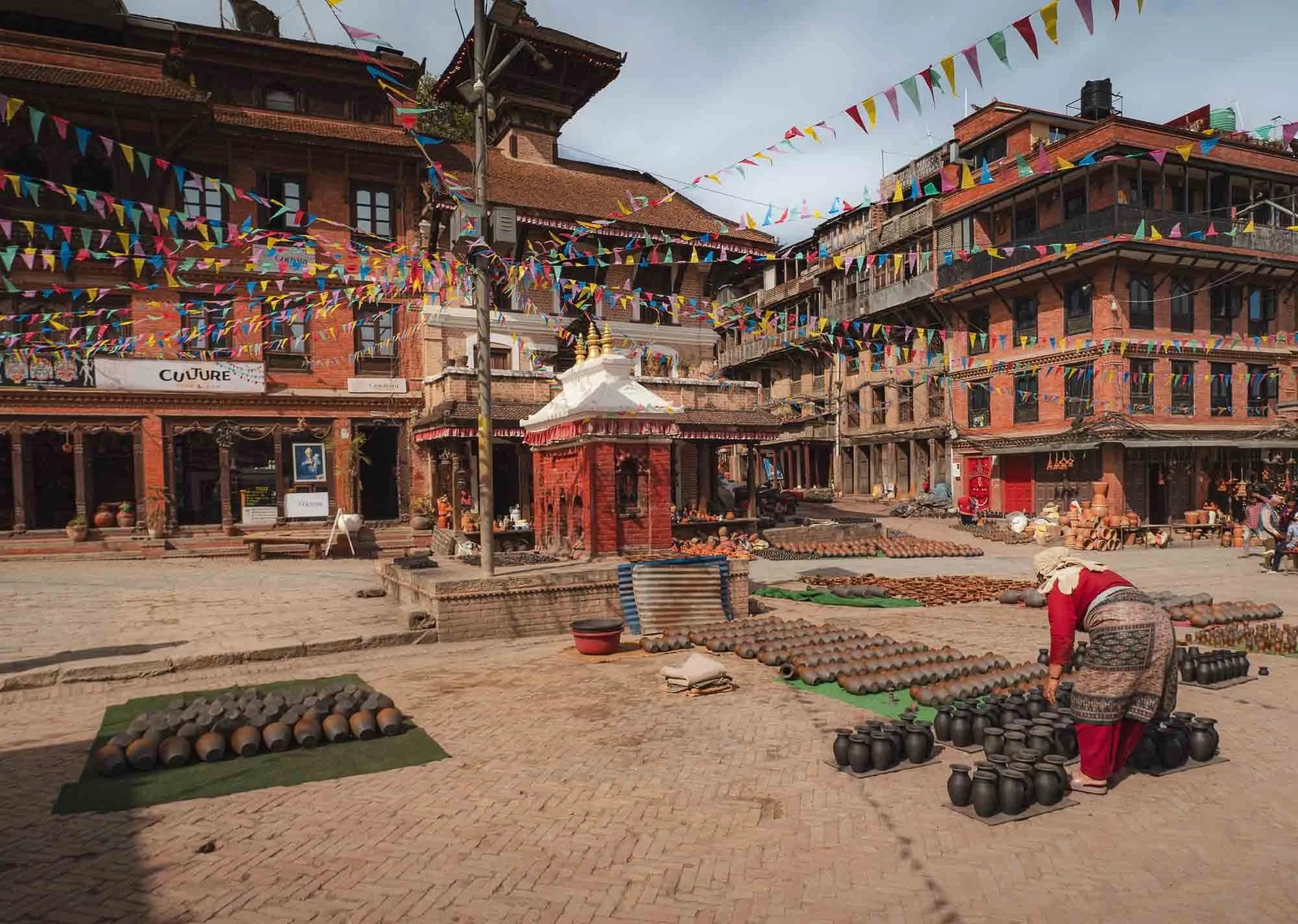
People collect clay from nearby riverbeds, shaping it by hand or on foot-powered wheels, and dry them in the sun before they are placed in large communal kilns and then sold in local shops or exported.
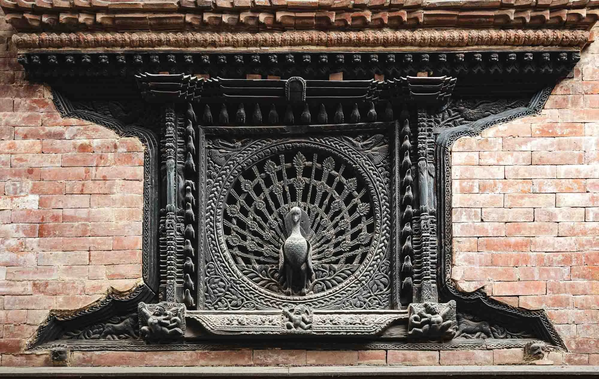
The Peacock Window
Somewhat hidden within Bhaktapur’s many alleys is the city’s most famous architectural treasure: the Peacock Window. Carved from a single piece of wood in the 15th century, the bird represents purity in Hindu and Buddhist culture.
While the peacock window represents the epitome of local wood craftsmanship, there are plenty of other examples to be found all around the city - you can literally look up in any alley and find balconies like this one, very typical of the Newari architecture.
& The Peacock Shop
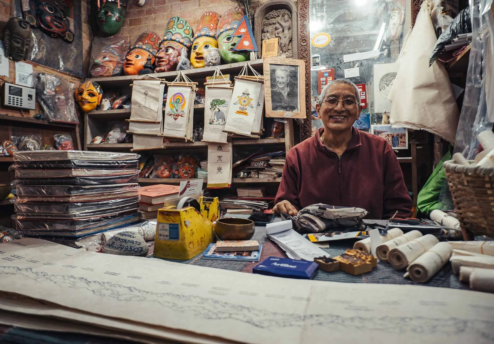
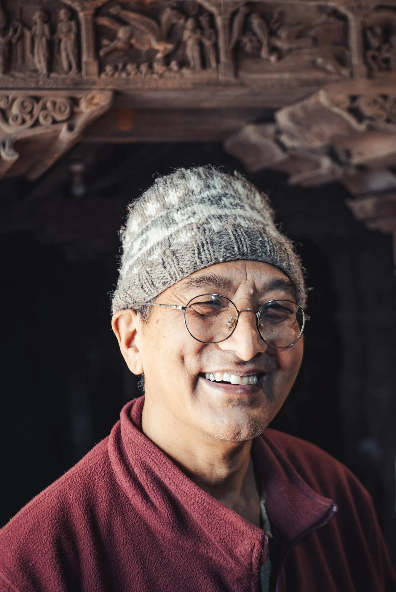
Just opposite the famous window lies an incredible house behind a very simple entrance. I was lucky to encounter the owner, Ram Narayan Prajapati, who spent decades conserving Nepali heritage, and turned his home into a sanctuary of traditional craft.
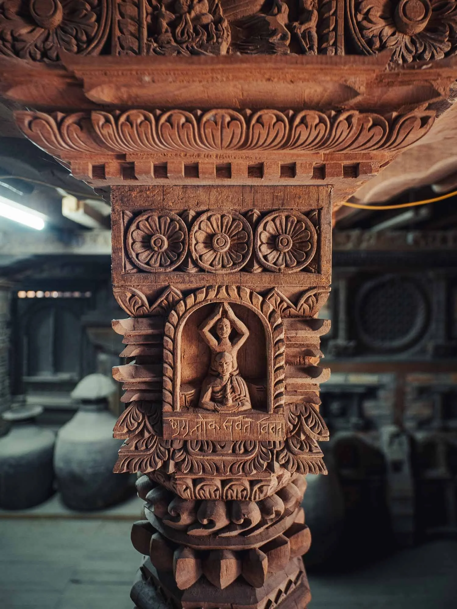
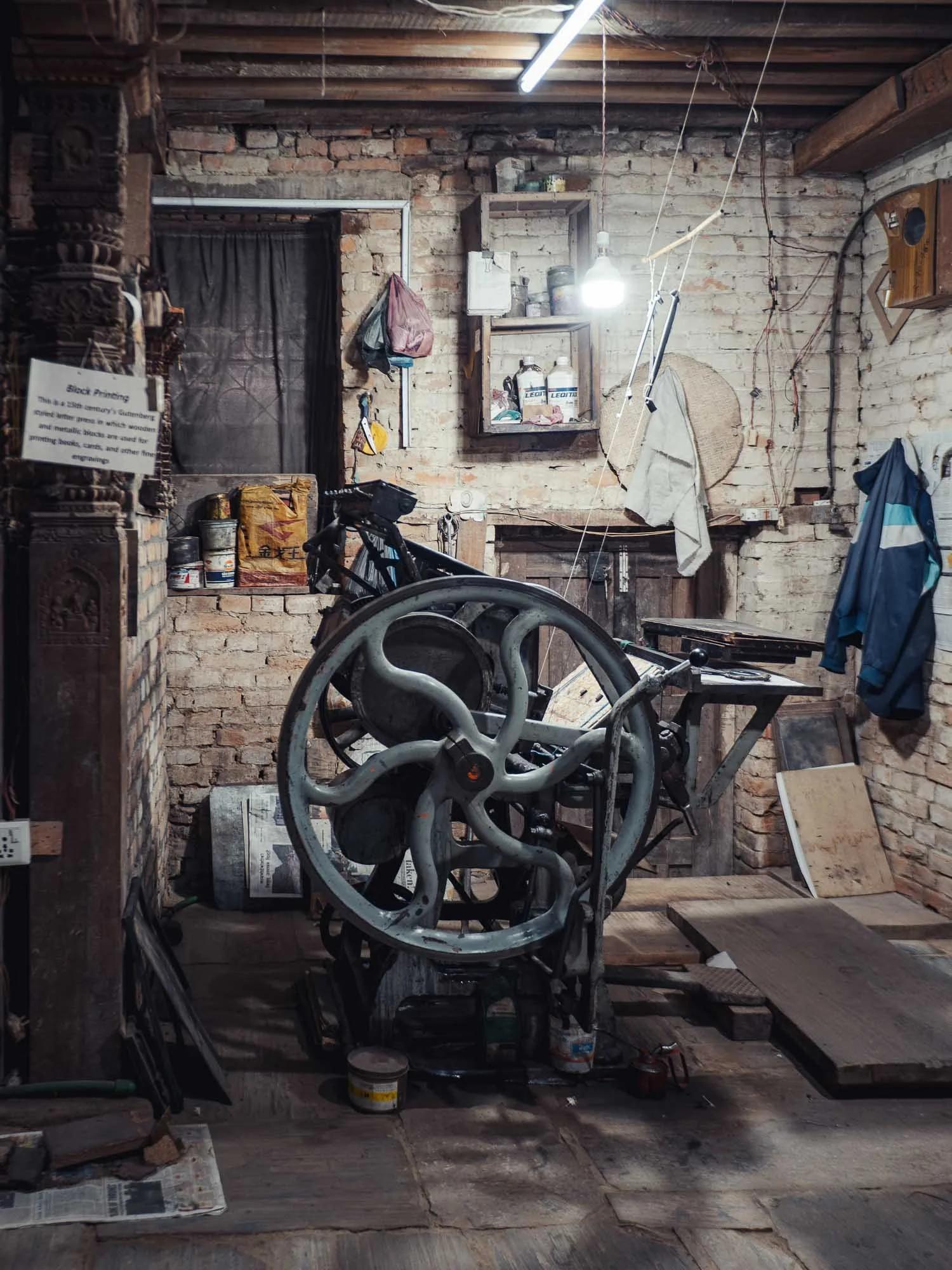
I spent a good hour getting a completely unplanned personal tour through his multi-floor home/factory/shop/storage/museum, where he showed me the 100s of beautifully crafted wooden pillars, the machines he uses to make paper by hand, handwritten books and notes, and so many artifacts of Nepali culture he collected over decades, it was difficult to keep track.
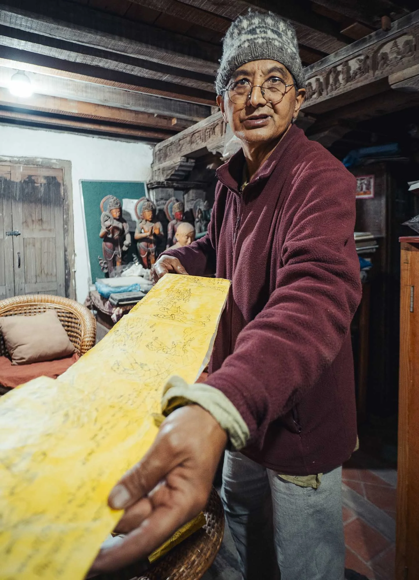
His mixed background of being a craftsman, historian, curator, and writer is an amazing combination, all delivered in such a genuine and humble manner that made this one of my highlights of the trip.
Needless to say, I bought plenty of souvenirs, including some of his paper that I plan to print a few of these images on.
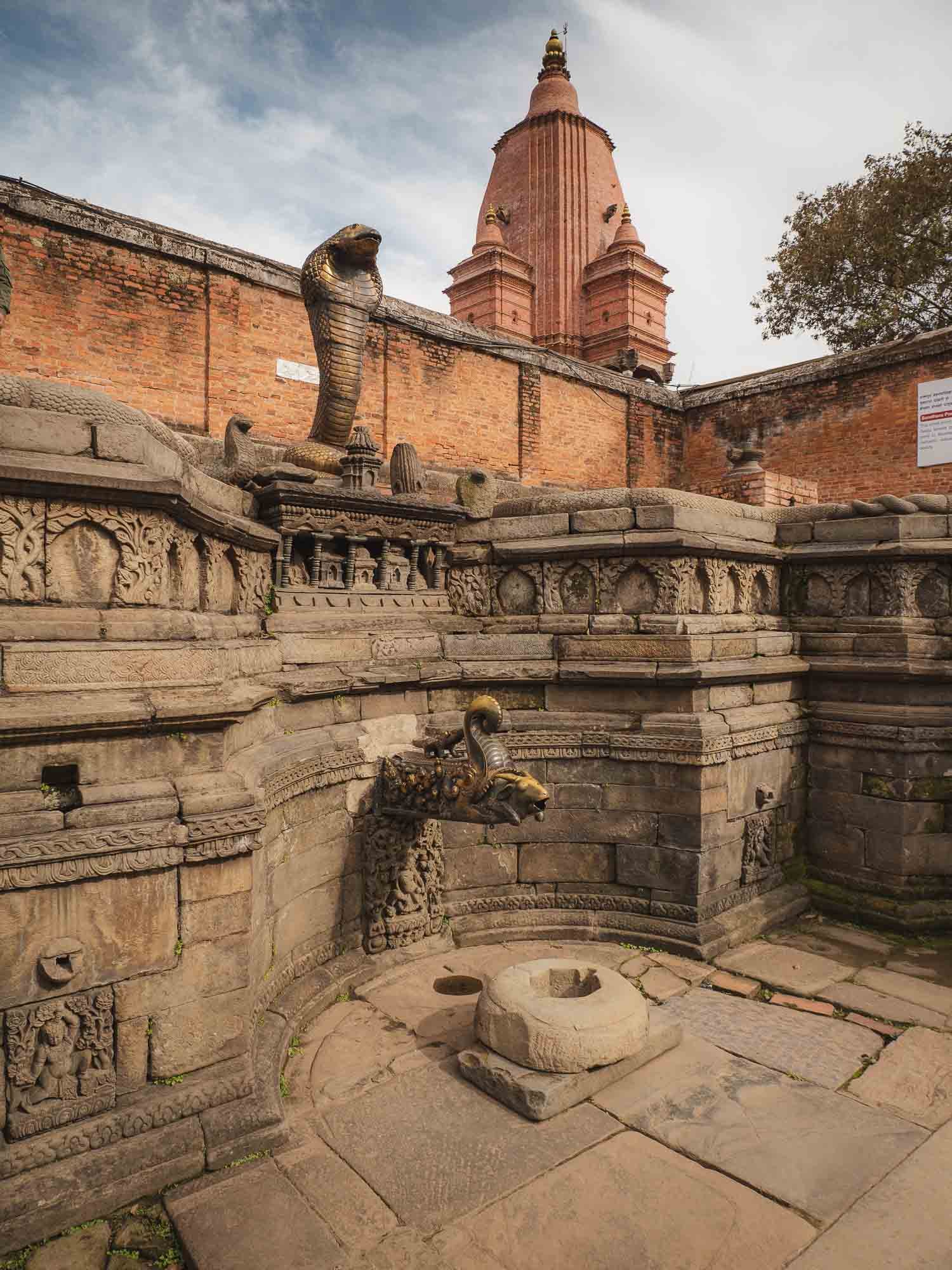
The Hiti Water System
Bhaktapur also features several remnants of the traditional supply system that once provided water from the surrounding hills into the cities of the valley, with its interconnected network of canals, ponds, and spouts acting as a resource in dry times and alleviating excess water pressure caused by the monsoon rains.
Its history began more than 1500 years ago, and although it’s no longer the primary infrastructure today, there are still working examples used by many people on a daily basis dotted around Kathmandu Valley.
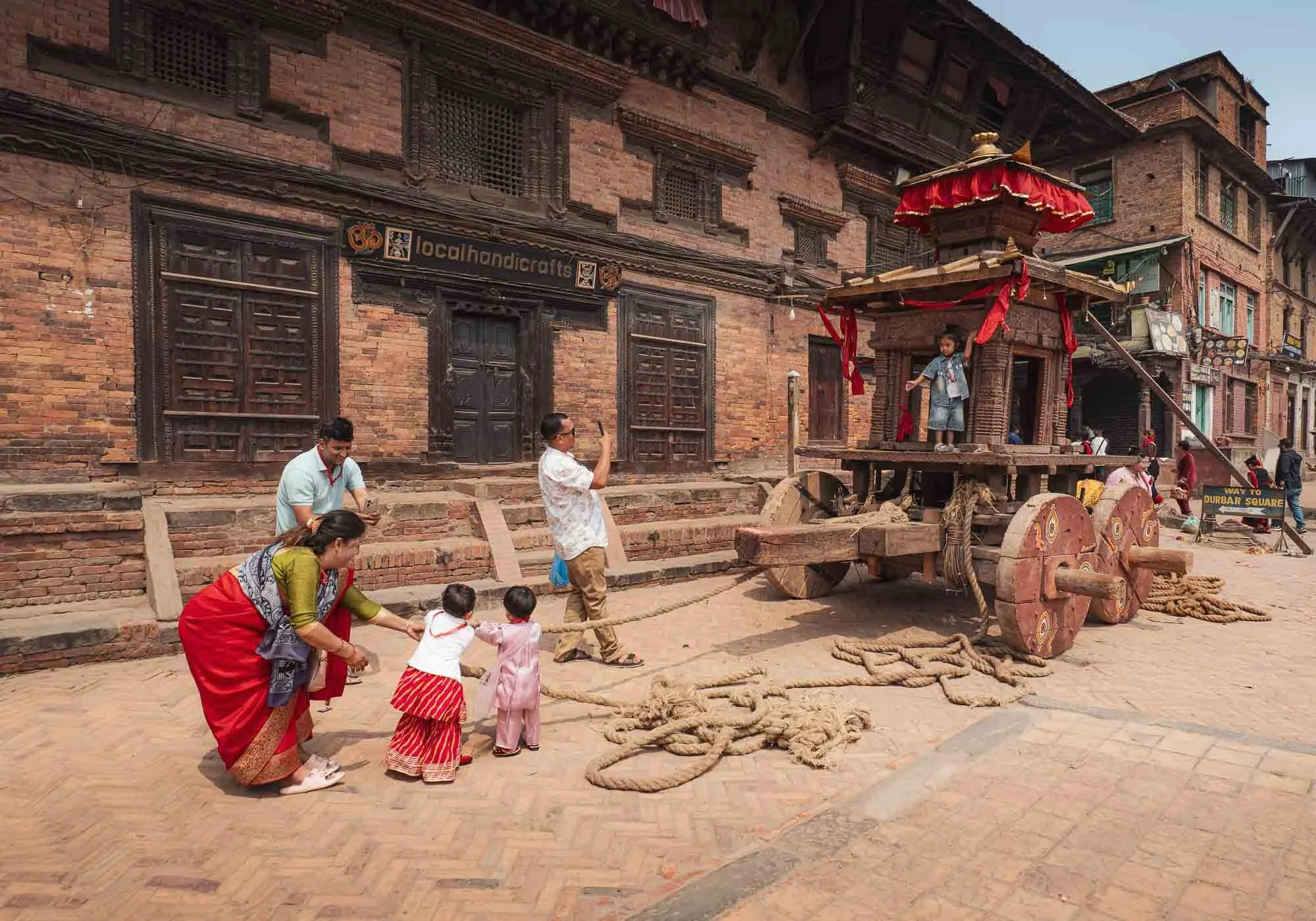
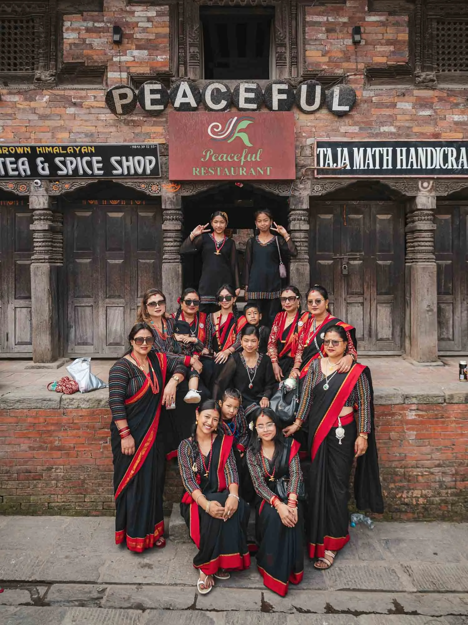
I happened to visit the city twice, and this is the result of my only planning mistake: the spectacular Biska Jatra festival took place during my time in the country, and one of its most dramatic celebration happens right here - but on a day where I was a few hundred kilometres away in the mountain forests, looking for a very elusive creature (more on that in the second part of this blog), making me miss the spectacle. A few minor remnants of the festival happen to last (albeit in a much more restrained fashion) for a few days, and I decided it would be worth to go again after my return and catch at least a glimpse of what it is all about.
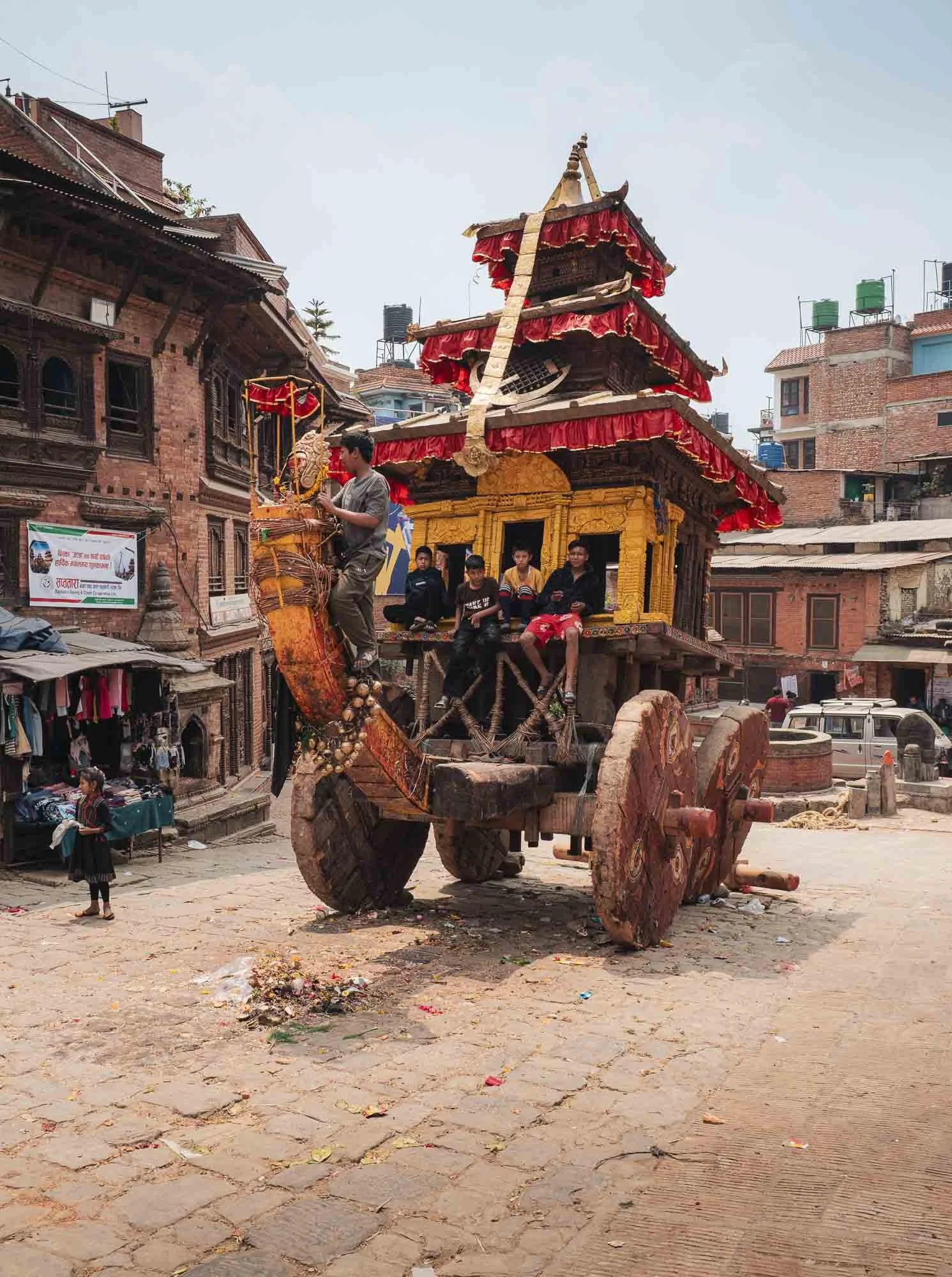
Bisket Jatra marks the beginning of a new year and a new agricultural cycle and celebrates renewal, prosperity and the triumph of good over evil through music, dances, and a few more less obvious rituals: one of its key practices is the chariot procession, where massive wooden carts carrying deities are pulled through Bhaktapur’s narrow streets by hundreds of people, often crashing into each other or surrounding houses (or the people watching).
Residents from different parts of the city also compete to pull the chariot in opposite directions in a tug-of-war as a representation of strength and community spirit.
While I missed this part, the chariots were still set up in the streets (looking rather battered) and at least temporarily became playgrounds for the local kids.
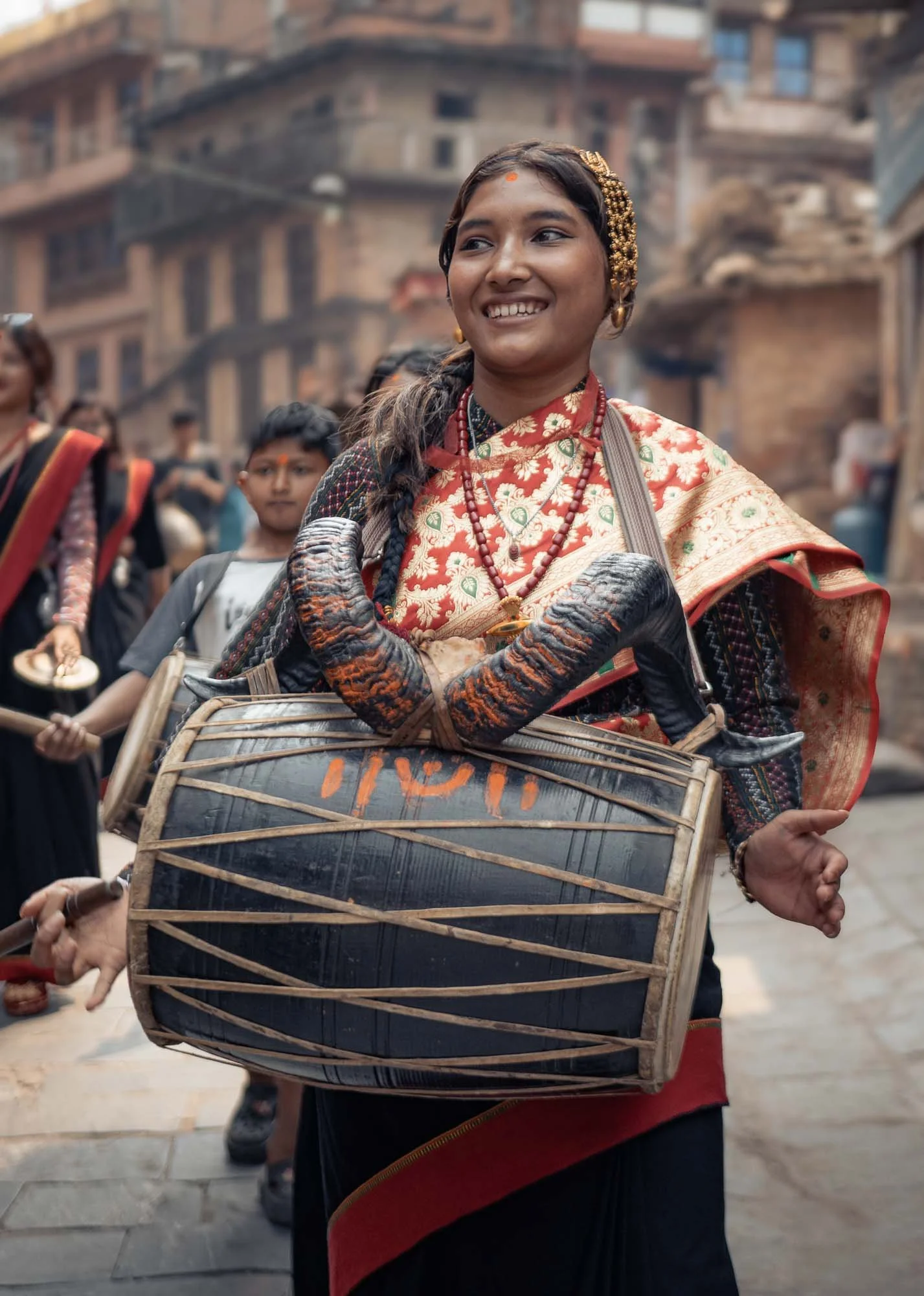
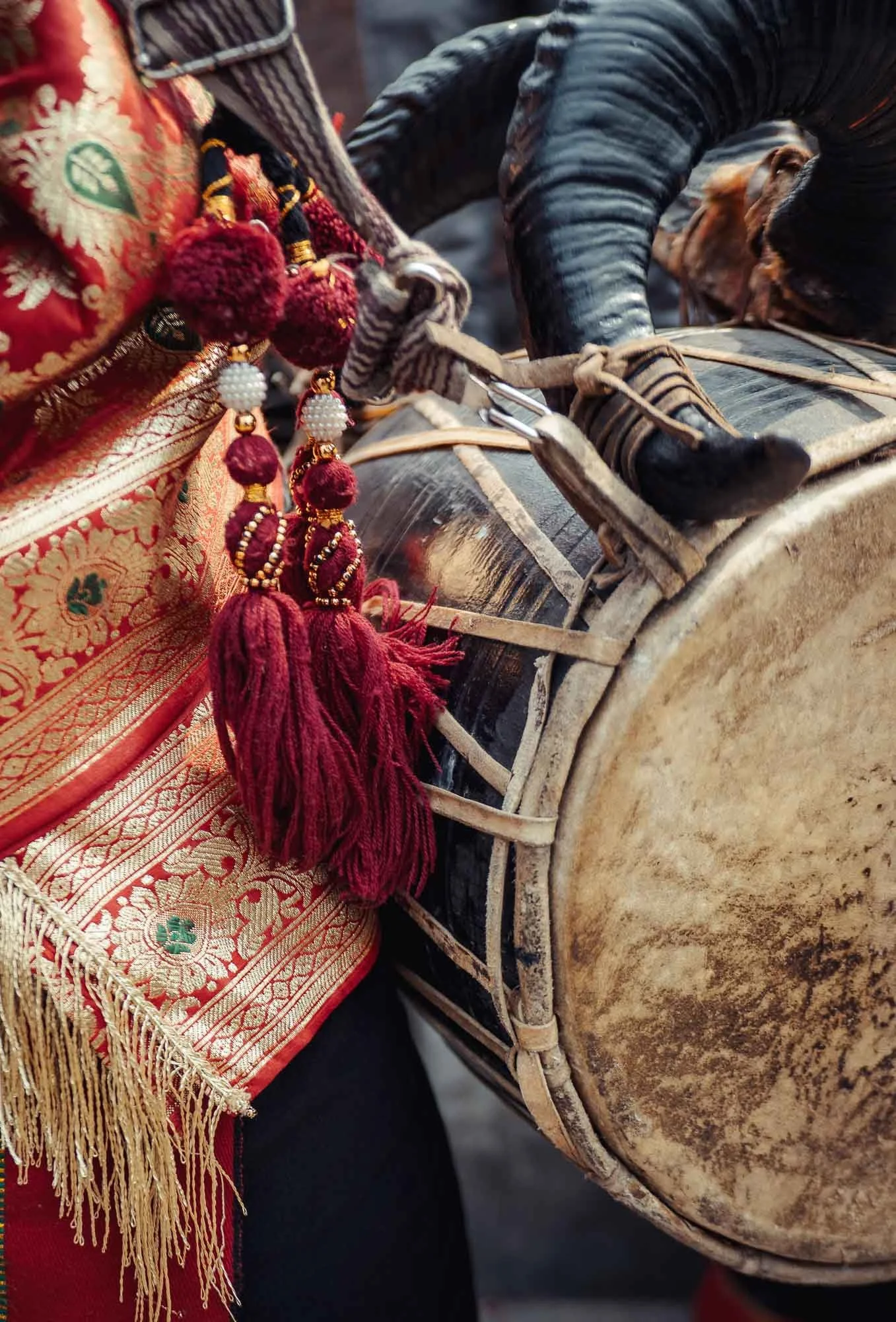
But there were still a few ongoing celebrations, with groups of teenagers wearing traditional Newari outfits and performing on the dhimay drum and other instruments as they wandered through the streets.
Warning ⚠️
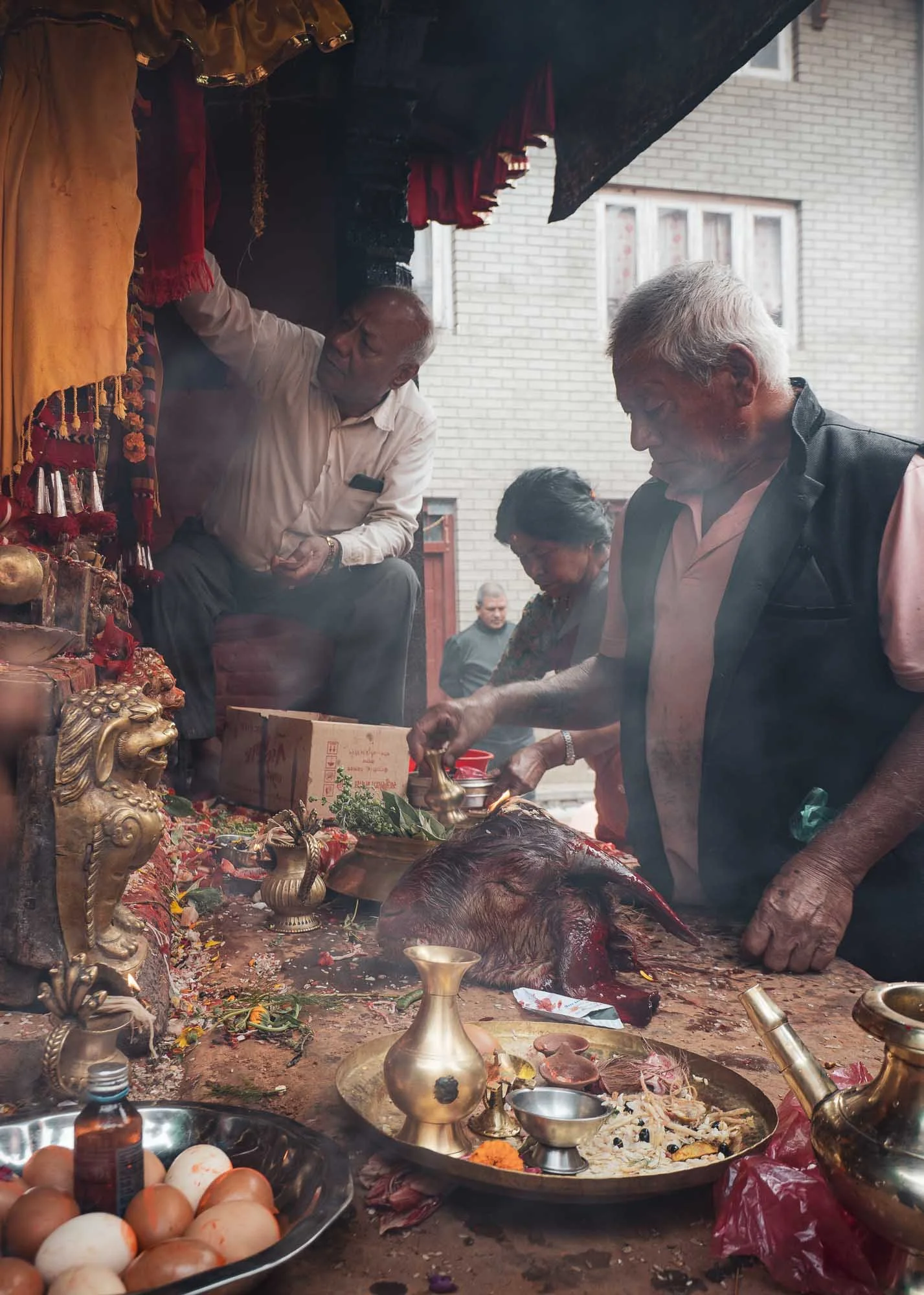
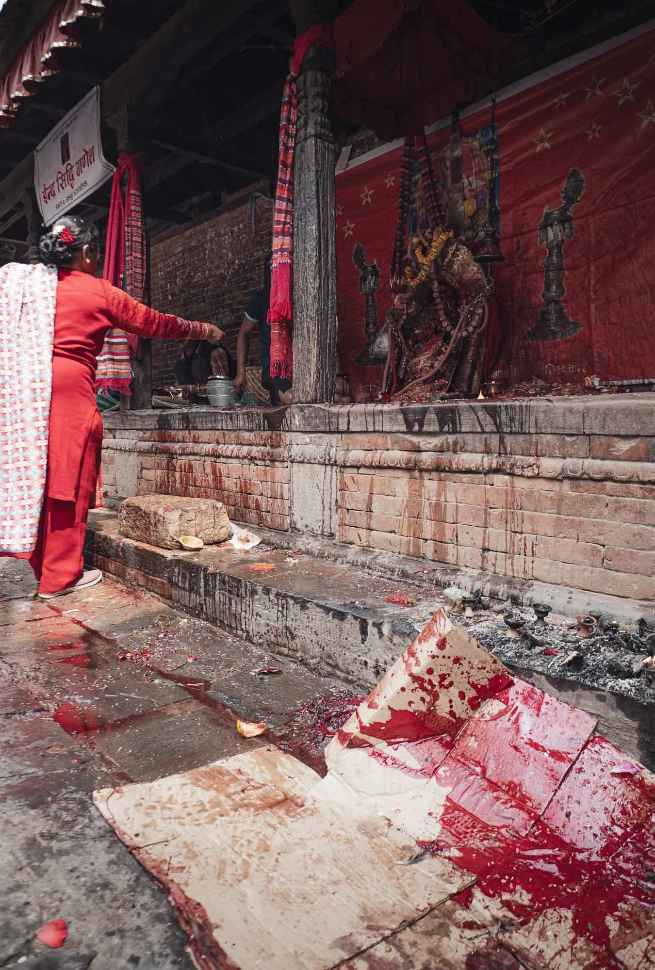
But the chariots, singing, instruments, and local dresses were not going to be the only traditions I was able to witness. What follows may not be for everyone so scroll down at your own peril - otherwise, just jump to the end quickly, as this is the last part of this blog…
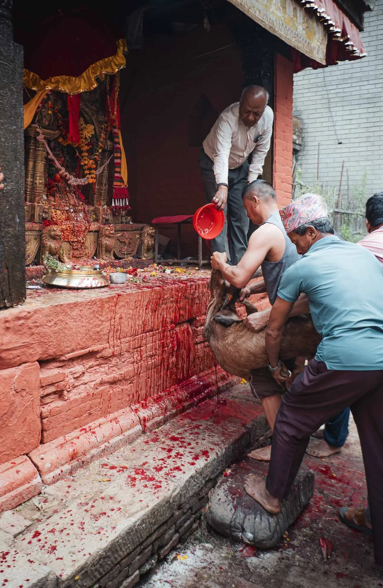
It’s a practice that is probably less familiar to many visitors: goat sacrifice. Conducted at some Hindu temples as an offering to deities, the priest sprinkles the goat with holy water. If and when the animal shook its head, it was taken as a sign that the offering has been accepted, and the animal’s throat is slit and held in a way so the blood squirts over the altar, where its head is later placed as an offering. The meat is shared in the community.
Unsurprisingly, this practice is not without its controversy and seems to be relatively uncommon now. It was the first time I personally observed it - can't say it’s particularly pleasant but I might also be too much of a robot to have a strong reaction…
And that was part one of my Nepal blog - subscribe below to receive updates on the second part of the series, leaving the cultural highlights of the Kathmandu valley behind and exploring Nepal’s wildlife and mountains. Below is a preview, without giving everything away…


Subscribe to my newsletter to get notified and don’t miss out on more Wonders of the Globe.
Other Recent Posts:

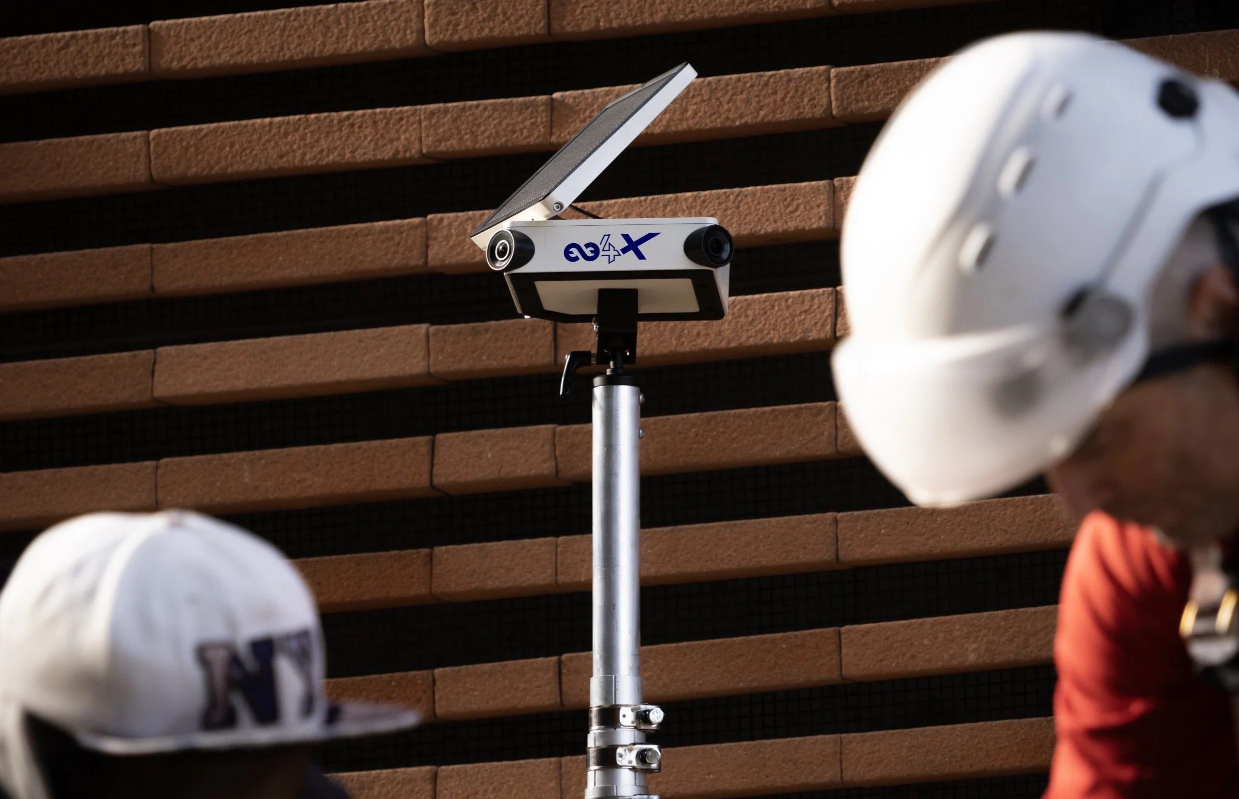
A New Flagship - The Enlaps Tikee 4X Timelapse Camera
My thoughts on the new Tikee 4X, an upgraded long term timelapse flagship camera from Enlaps.
I’ve been taking timelapse videos for almost 15 years, see some of them here, and for a couple of years now have been working with the long-term timelapse solutions from Enlaps. You can see my previous articles on their cameras and ecosystem here, and I just got a new demo unit from the French company. Disclaimer: I got the unit for free but otherwise wasn’t compensated for this post.
COUPON CODE FOR ENLAPS.COM
Get 50 EUR off of a Tikee product:
FK-ENLAPS
Familiar Strengths
The latest new product from Enlaps is the new Tikee 4X - the successor to the Tike 44. It still has everything that made the predecessor so powerful as a fully autonomous camera for long term timelapse and project monitoring. Whether it’s for construction, nature, events, and whether you just want a timelapse clip in the end, regular content, or enhanced security, or monitor safety and progress, the solution remains as powerful as ever.
A few quick highlights of the hardware:
6k Resolution
Panoramic framing through two lenses and sensors
LTE / WiFi built in
Solar panel built in
Designed for fully autonomous outdoor operation
Not to forget that it of course works with the mytikee cloud platform, including the improved subscription plans launched last year. While I know many people don’t like paying monthly for yet another software, I want to highlight again that I have yet to find another way to process long term timelapse footage as easily as with the mytikee platform, on top of all the other features for monitoring and remote access.
Having said that, you can also use the camera offline and get raw files from the SD card.
A quick video covering around 48h, taken on the Tikee 4X and exported straight from mytikee with the default settings.
What’s New
There are a few nice new features over the predecessor, some have been adopted from the Tikee Mini+:

New Live Preview
There are now realtime fast live previews available through the App while setting up the camera, makes it much easier to frame your shot while on site.
You can now set a fixed white balance, which is useful for some agricultural and industrial applications that require color consistency.
Next, we got a new low light mode, helps capture clean transitions from day to night, or construction sites operating during the night as well.
In addition, much better real-time livestreaming, which you can keep running as long as needed now. This means fewer site visits to see what is going on in a project, useful for security monitoring as well.
And last, new daylight auto scheduling, so if you have projects running over months the Tikee automatically adjusts its shooting periods according to available light as the days get shorter or longer.

Low Light Mode
Performance of the sensors in dark conditions has been improved significantly - definitely delivering usable images now.

Daylight Auto Schedule
No need to manually make changes or cut a lot of unnecessary images during post production - saves battery too! Of course you can include an offset to start taking images for a certain period before sunrise or after sunset as well.
Beyond that, the camera also got a few improvements in terms of usability, some of which address pain points I had highlighted in the past (always great if a manufacturer listens to its customers!):
LTE connectivity is much easier to configure.
The capture setup is finally foolproof, no more “start/stop” function that you might accidentally forget to set.
The performance of the instant remote access feature has been improved. While it still requires a SIM card to function, this looks to be more reliable now.
Watch my quick intro video
Pricing: The pricing has barely changed and sits at 2280 USD excluding VAT, while the pack with additional accessories is 3229 USD excluding VAT. Get 50 EUR off of a Tikee product: FK-ENLAPS - order https://shop.enlaps.io/en-ww

Summary
So all in all, while maybe not a huge upgrade, a really nice set of improvements again. More and more of the few shortcomings I complained about over the years have been addressed, and a couple new features included at the same time.
Looking forward to try this over the coming months!
Bhutan - The Mysterious Mountain Kingdom
In early 2026, the Gulf War caused a little bit of a mess to my travel plans, but on the bright side, the situation led me to Bhutan, one of the more peaceful spots on the planet.
Bhutan is probably one of the most enigmatic places on earth, rarely heard of and removed from most (but not all) geopolitics. Maybe that’s what makes it so intriguing. I spent a little less than two weeks in the country - intense ones with a lot of moving around, hiking, sights, people, culture, festivals, architecture, and more, and yet I know there is still more to see here, especially towards the centre and east.
Nevertheless, this blog will probably end up having almost 200 images, such is the richness of angles to cover. Stay with me until the end, which features some of my favourite photos of the trip.
Getting There…
Bhutan is a relatively small landlocked country in the eastern Himalayas of South Asia. Although you can enter through a few land borders from India (but not from China in the north - the border is disputed) most tourists would arrive via its only international airport in Paro. That is easier said than done, for two reasons: first, Bhutan levies a USD 100 per day Sustainable Development Fee on tourists from almost every country, and an official guide is mandatory, there is no self-driving tourism here for example. My guide Chencho and driver Nima were both excellent, so no complaints here.
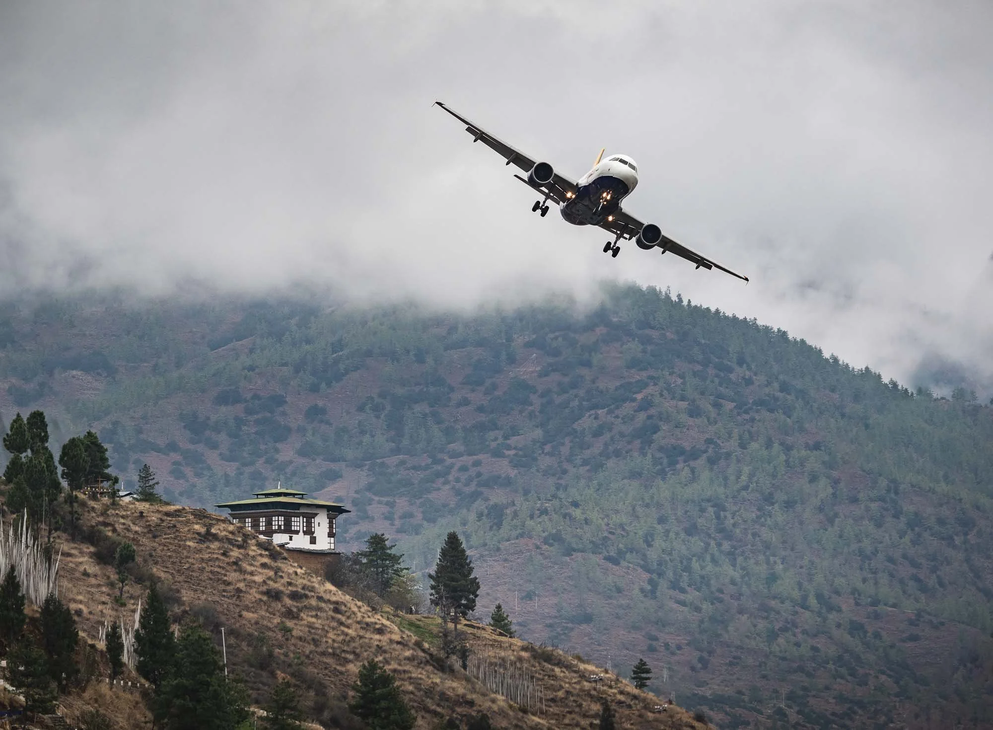
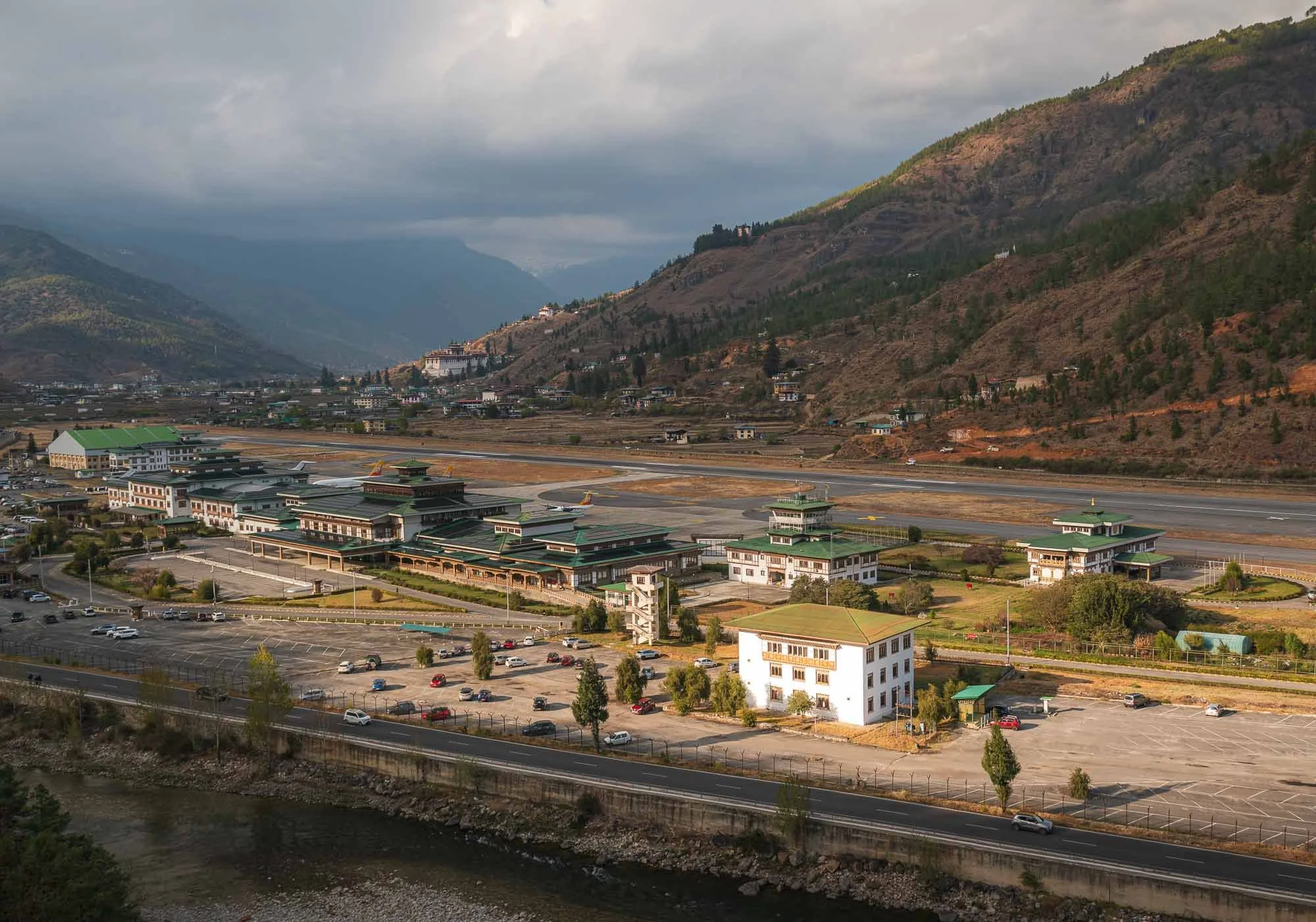
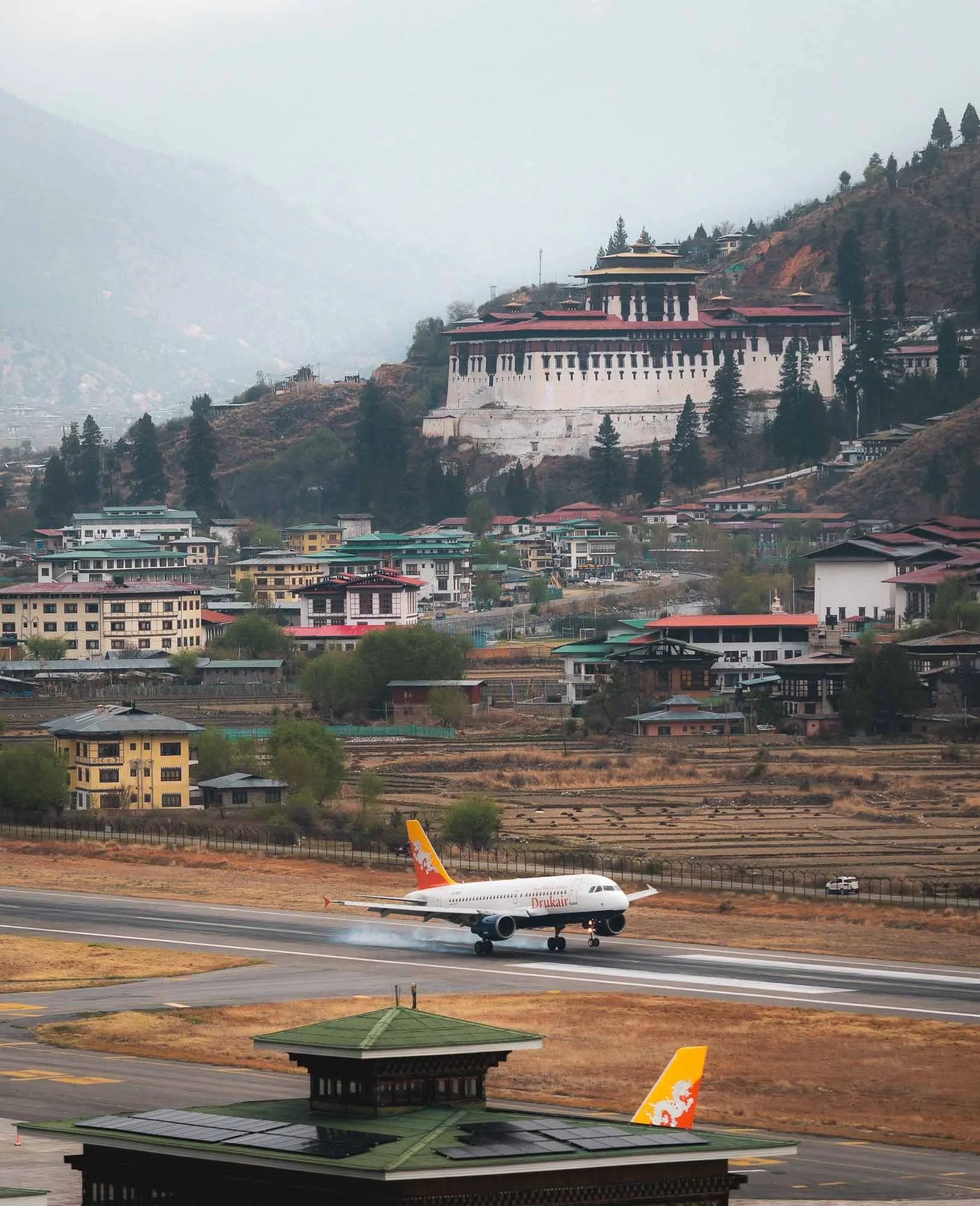
The second reason is its only international airport, generally considered one of the most difficult landings in the world due to its location in a narrow valley, with frequent poor visibility. Only a handful of airlines fly to and from a few countries, and only a few specially trained pilots are allowed to make the banked manual visual approach without the standard instrument-assisted landing systems.
My own arrival flight was delayed a few hours due to clouds (making such a visual approach impossible) - while I was in Paro I made sure to observe a few of the rather interesting landings with the backdrop of one of the many forts, more on that to come.
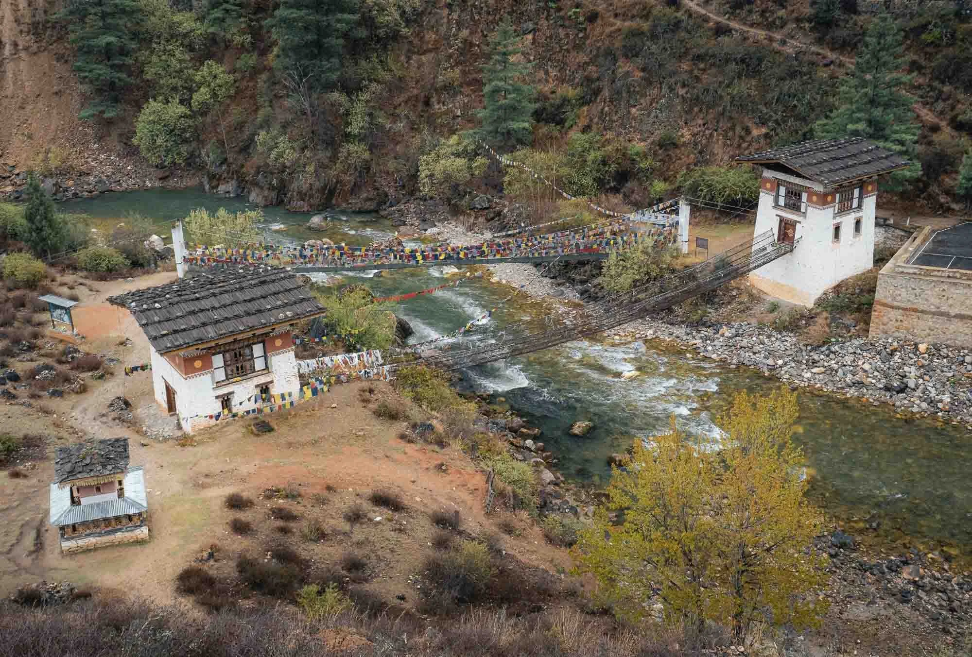
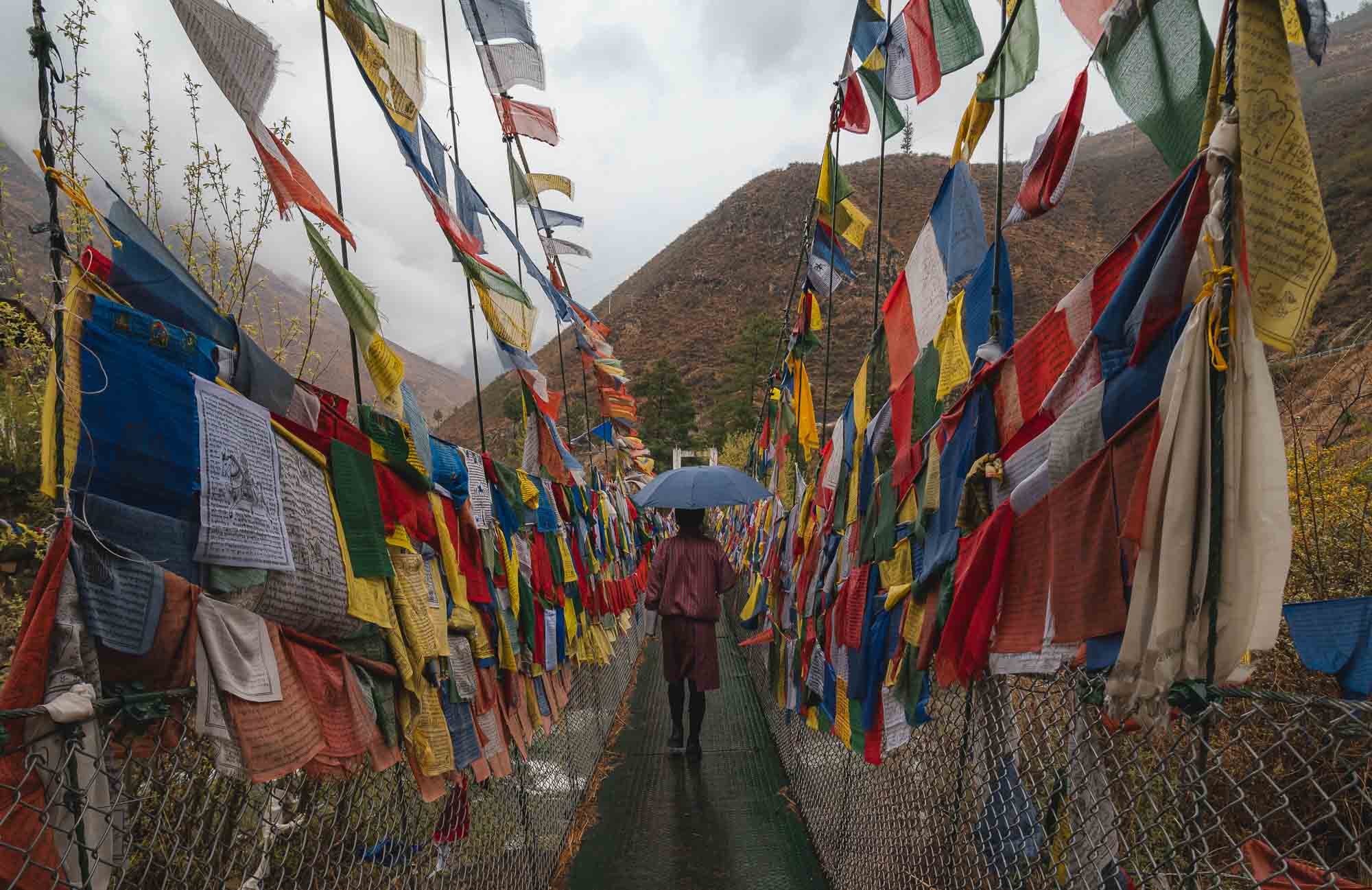
Once I made it a few hours later than planned, it was still rainy. A drive to Thimphu, the capital was on the agenda, with a short stop at a picturesque monastery of Tachog Lhakhang, accessible through one of the many rope bridges in the country. If you look closely, you’ll see there are actually two bridges here, the one without flags being the oldest in the country (from 1420) and - possibly for this reason - not in use anymore.
At this point I also had my first encounter with the political system of the country: Wikipedia says it’s a unitary parliamentary semi-constitutional monarchy - in effect a Kingdom, ruled by the so-called Dragon King (what a title). In practice, it holds general elections in a parliamentary form of government, but the royal family is present everywhere and from what I observed and been told, highly respected.
My guide Chencho and I walked up to the temple, where he showed me a statue of the so-called “Bearded Master”: Guru Rinpoche. He is omnipresent in the temples of the country, and considered the civilizational founder who established Buddhist Vajrayana practice across the region.
It also featured a rather curious artifact inside (no photos - none of the temples in Bhutan allow photography or videos inside and they’re quite strict about it): a spot where a woman had prayed so many times for so long that her footprints were eternalized in the stone floor.
Buddhism covers more than 75% of the around 800,000 people in the country, and its evidence is everywhere. The balance is mostly Hinduism, mostly from Indian influence in the south.
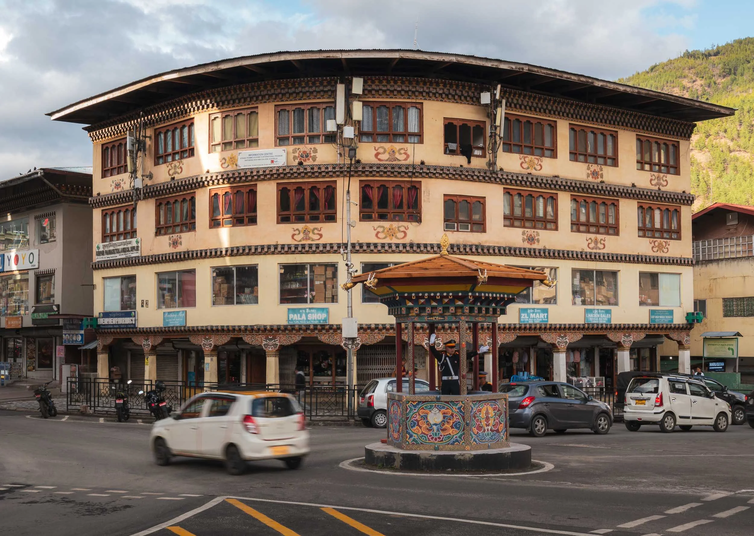
Thimphu
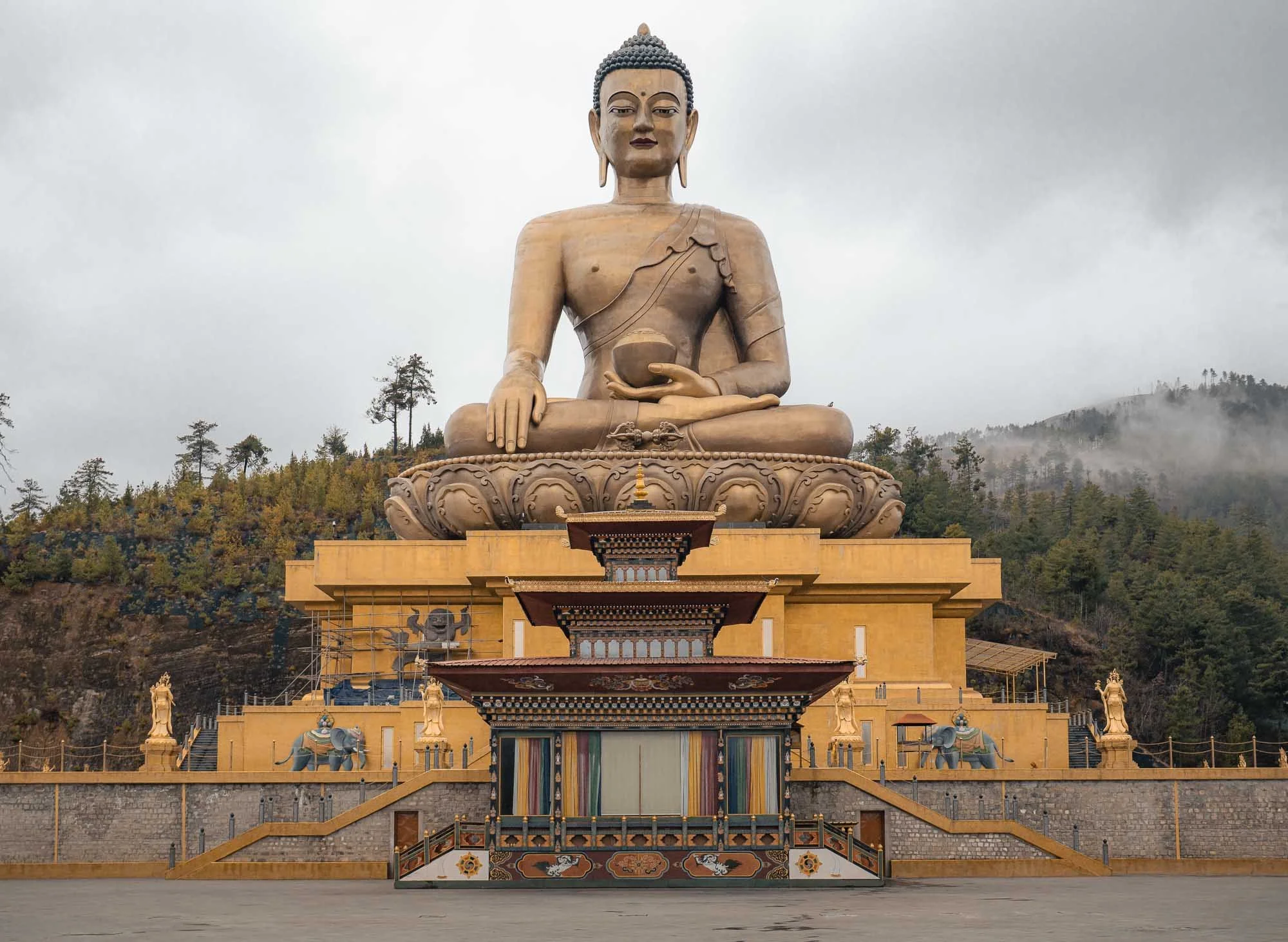
After about an hour drive we arrived at the capital, or more specifically, the Great Buddha Dordenma, a 50- metre-tall bronze statue overlooking the city. It was completed in 2015 and houses over 100,000 smaller Buddha statues inside and was built to emanate peace to the world, so they say. Indeed Bhutan has been ranked 21st on the Global Peace Index in 2025.
Thimphu is a relatively small capital, with a population of just over 100,000 people. In the Bhutanese spirit of calm, honking is not allowed on its road, and this is more or less adhered to from my observation - a stark contrast to neighboring India. The city also doesn’t have any traffic lights, the main intersection is managed by a white-gloved police offer housed in a little structure in a more human-centric approach.

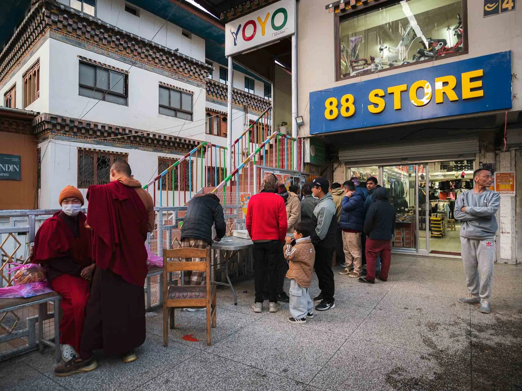
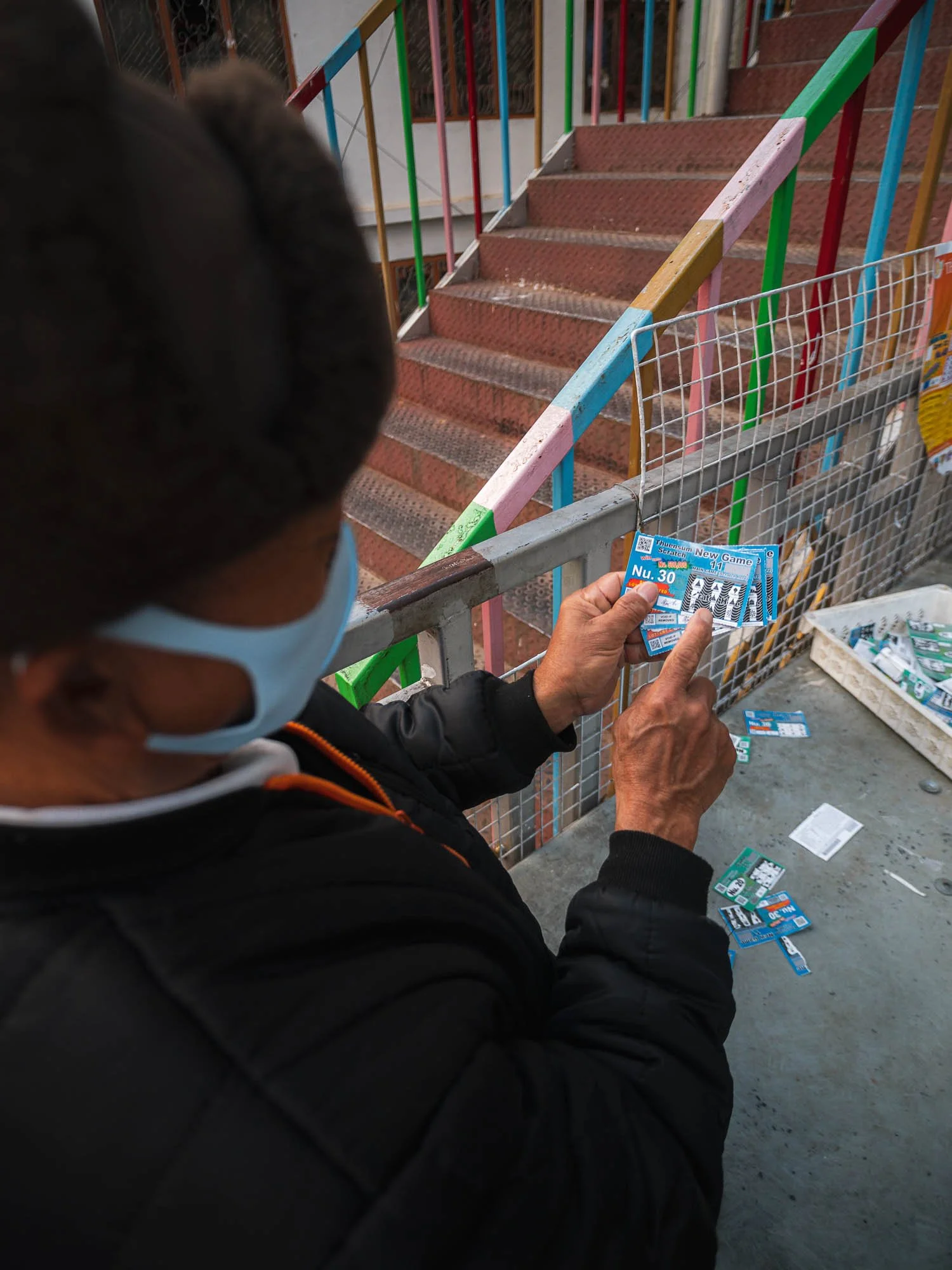
It otherwise has not that much to offer - the busiest spot I encountered was a local lottery stall. Gambling is frowned upon in Buddhism, but not forbidden. This man was not lucky according to his explanation of the various insignia on his ticket.
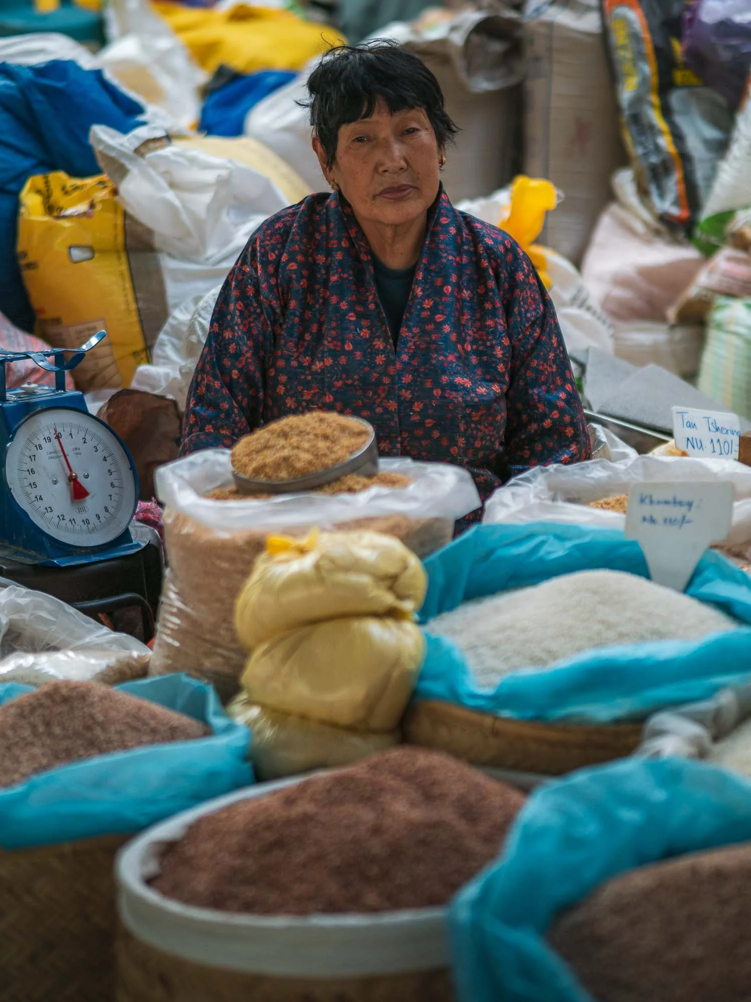
The market had a little more to offer than lottery tickets - mainly of agricultural nature, such as wild pepper. Agriculture makes up a large portion of the country’s economy despite the rugged terrain (almost 99% is considered mountainous), with significant subsistence farming.

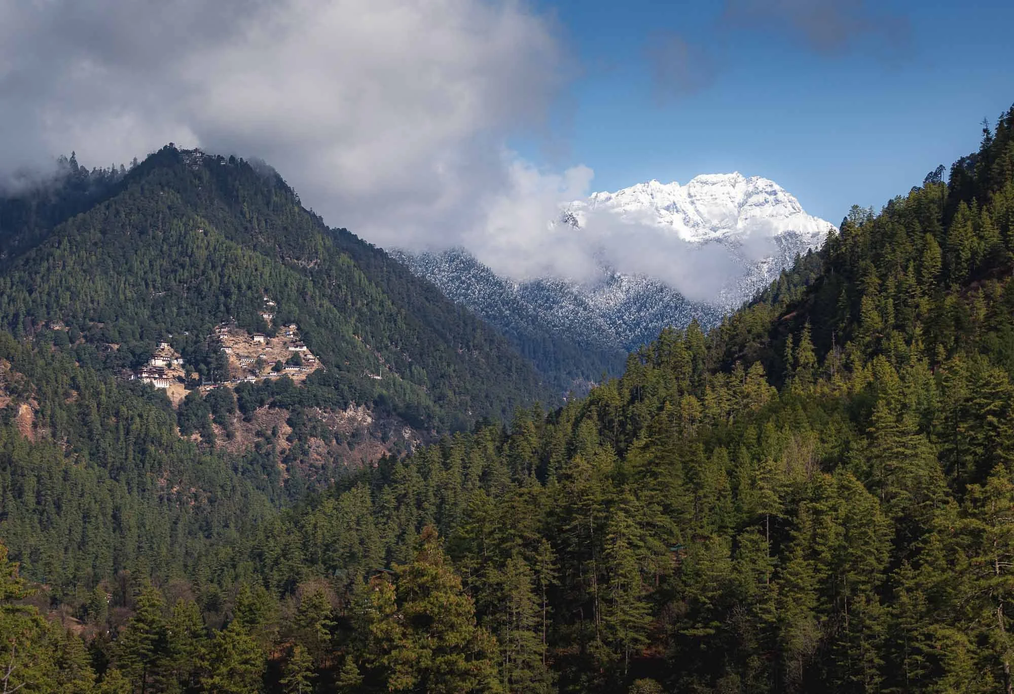
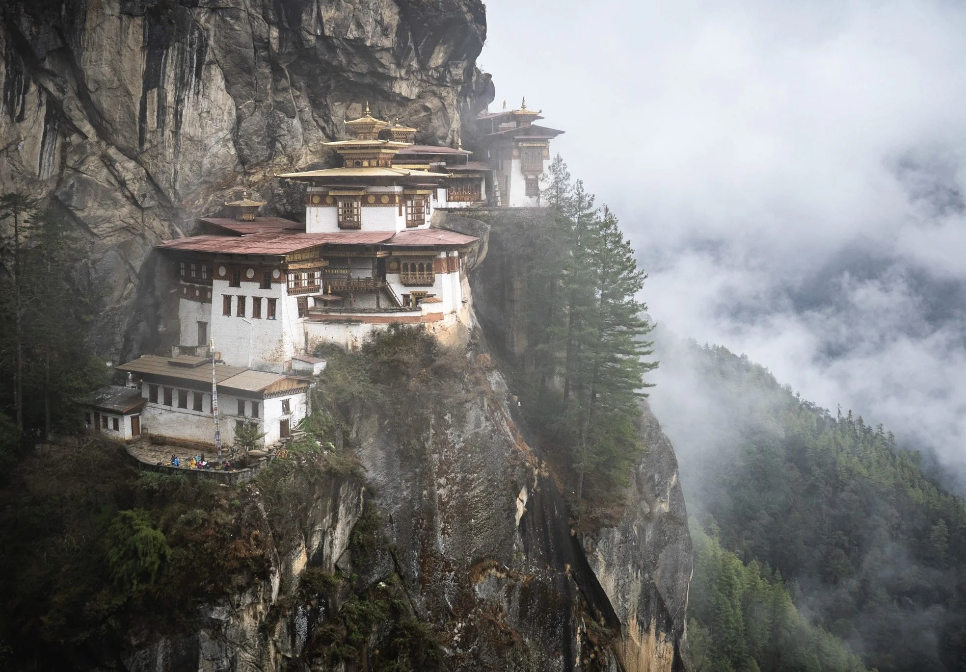
Cheri Monastery
The next day brought brighter conditions and a chance for a first small hike to another monastery, visible on the left here, with a second outpost even higher up the mountain - visible just below the clouds on the left.
The monastery gave my first glimpse at the incredible architecture all around Bhutan, which is more or less unique to the country - only Tibet seems to feature a similar style. Mostly a mix of compacted earth, stone masonry and the amazingly detailed wooden elements, arranged in interlocking patterns without supporting nails or metal brackets.
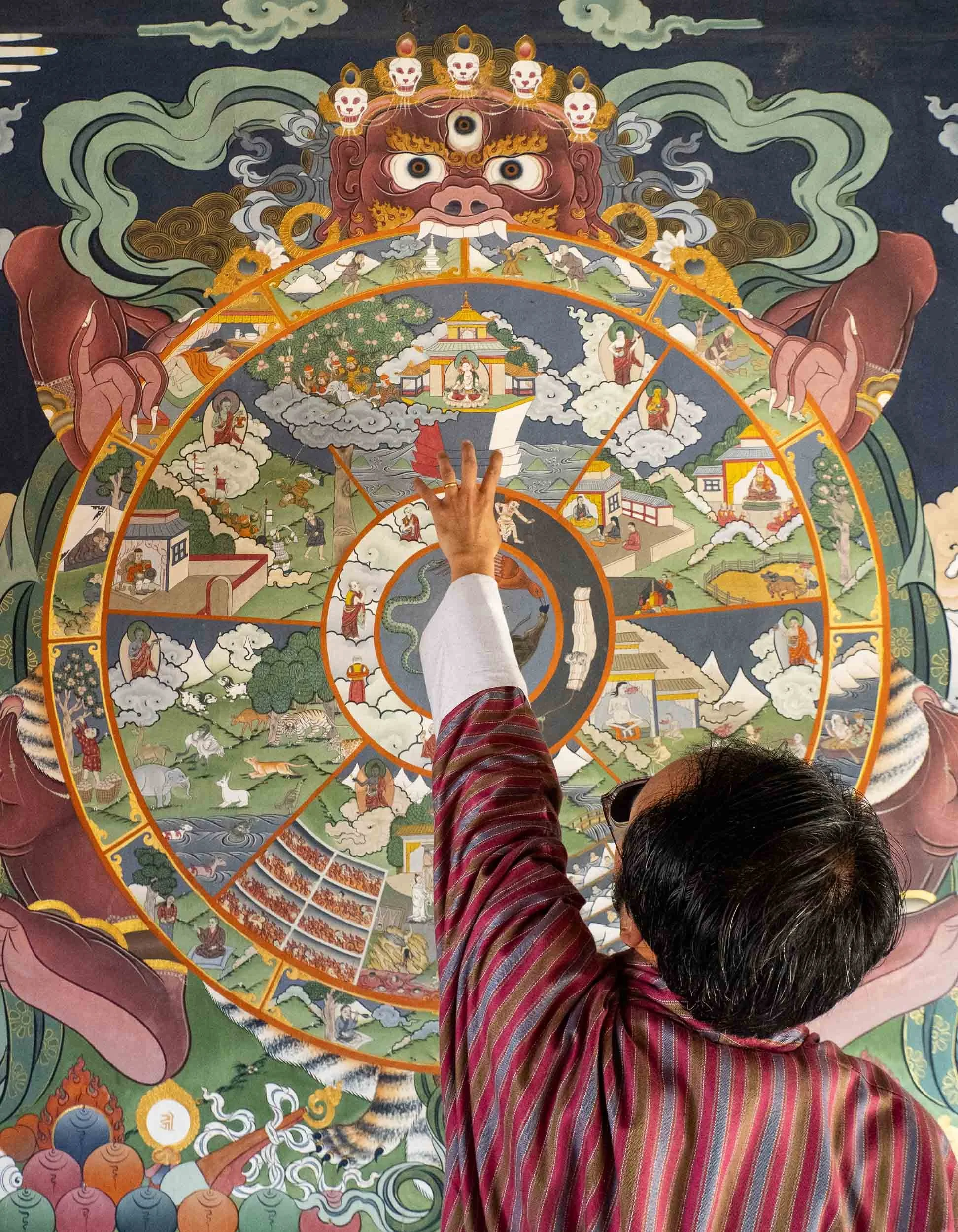
Thick, gold-slated doors protect the entrance, mostly wooden with carvings and gold leaf or powder mixed into paint. Chencho explained the Buddhist wheel of life that can be found painted at many of the temples, representing a kind of circle of existence in Buddhist cosmology.
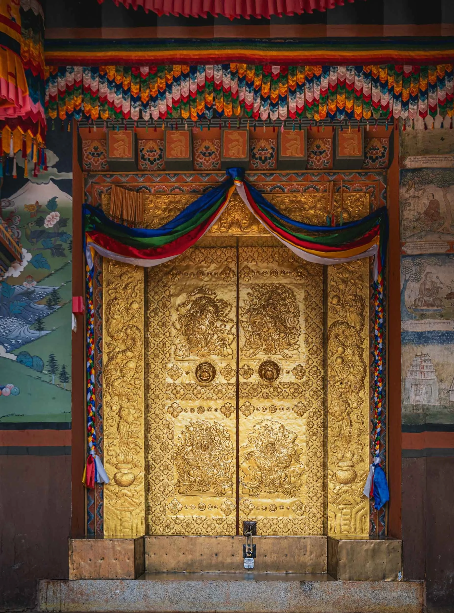
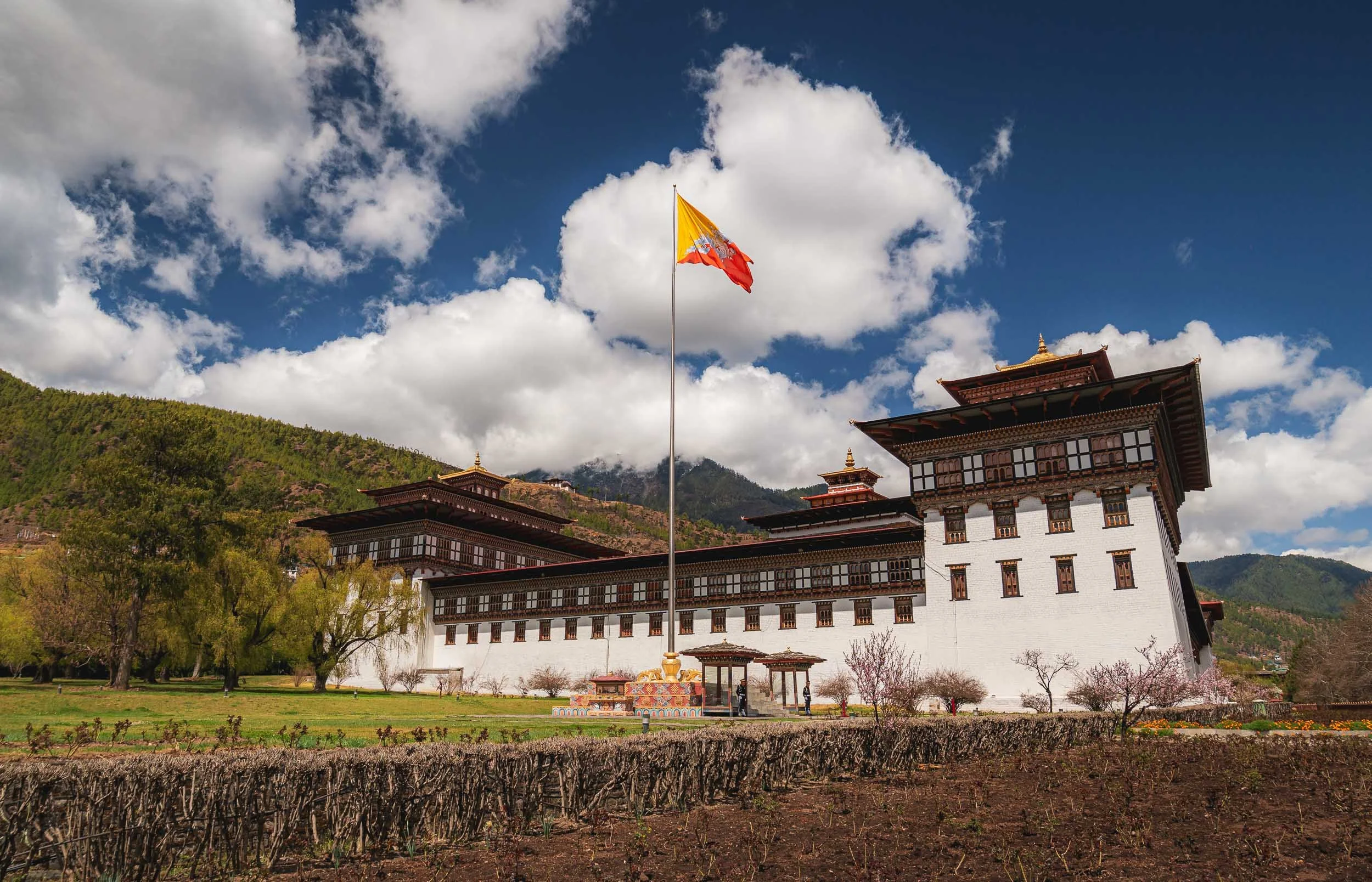
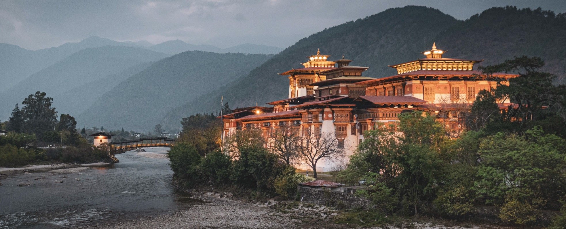
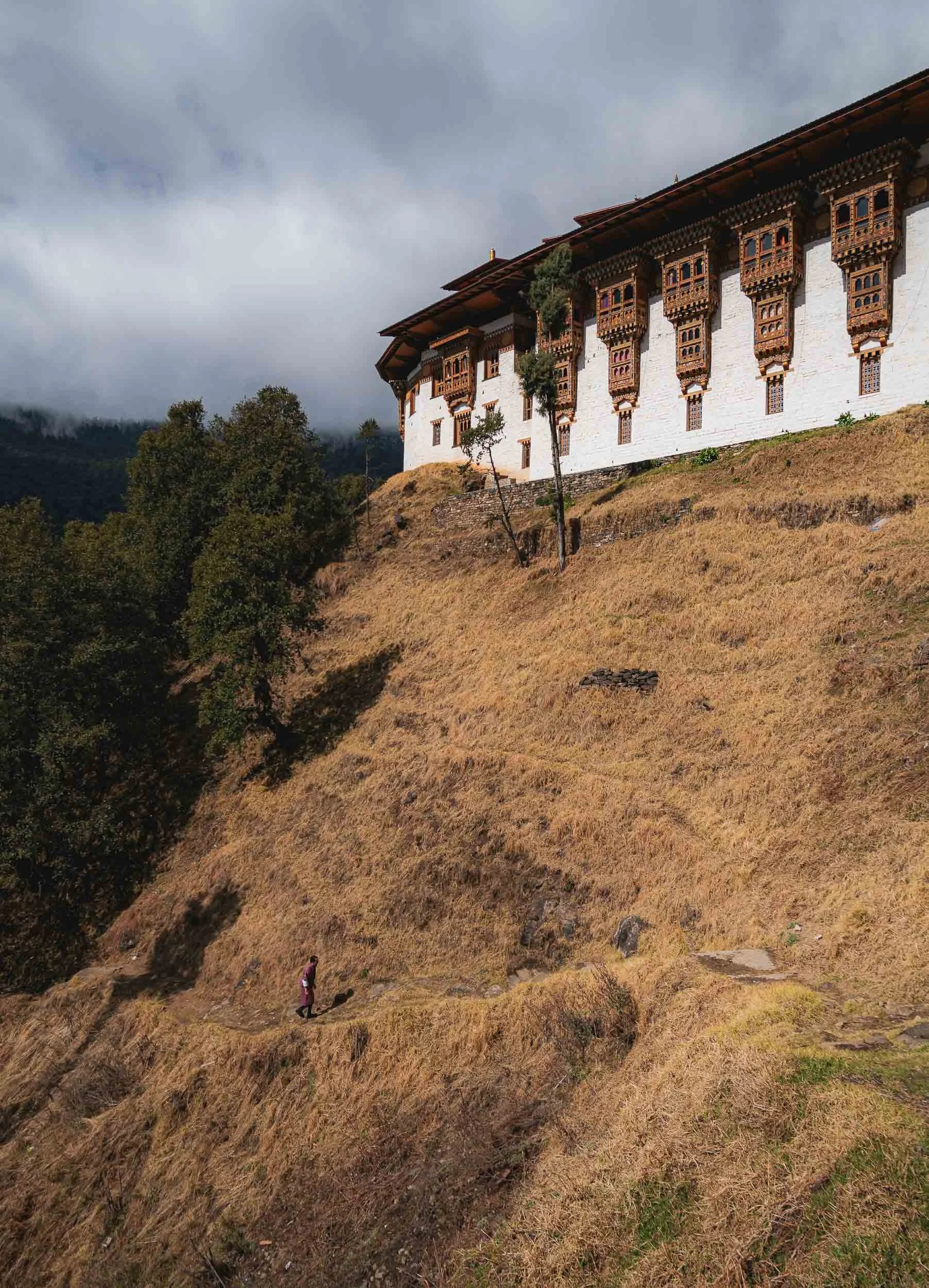
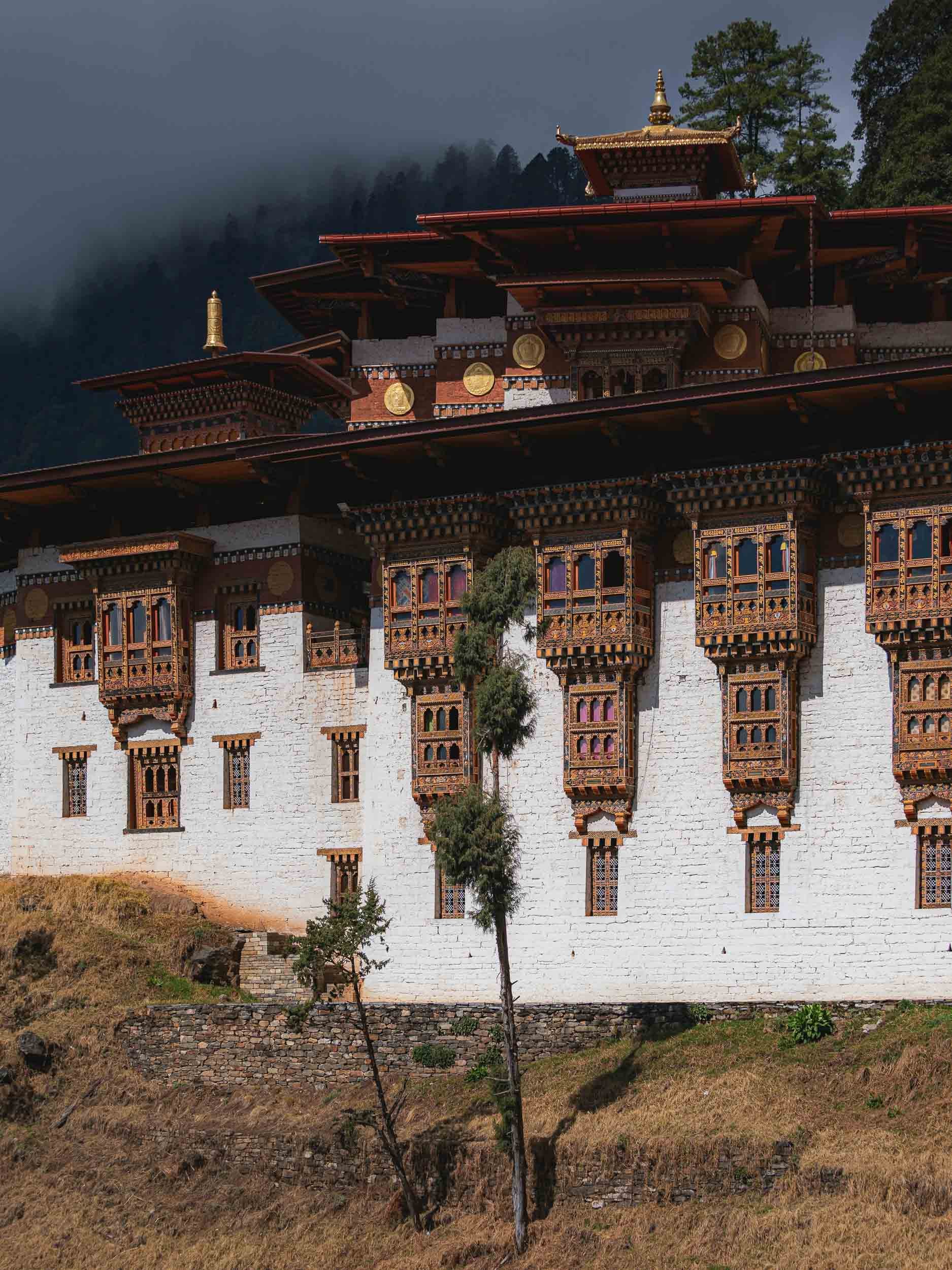
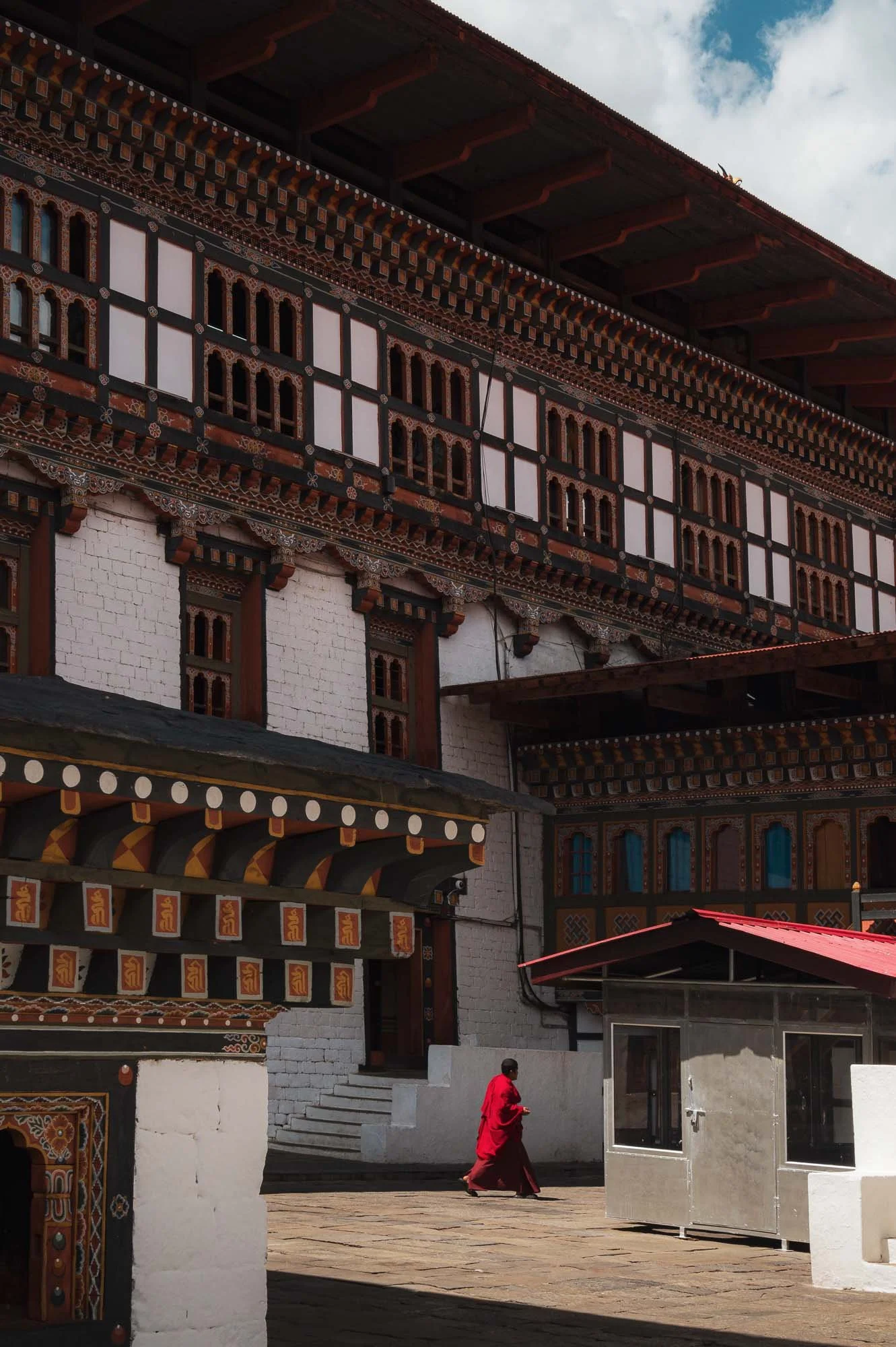
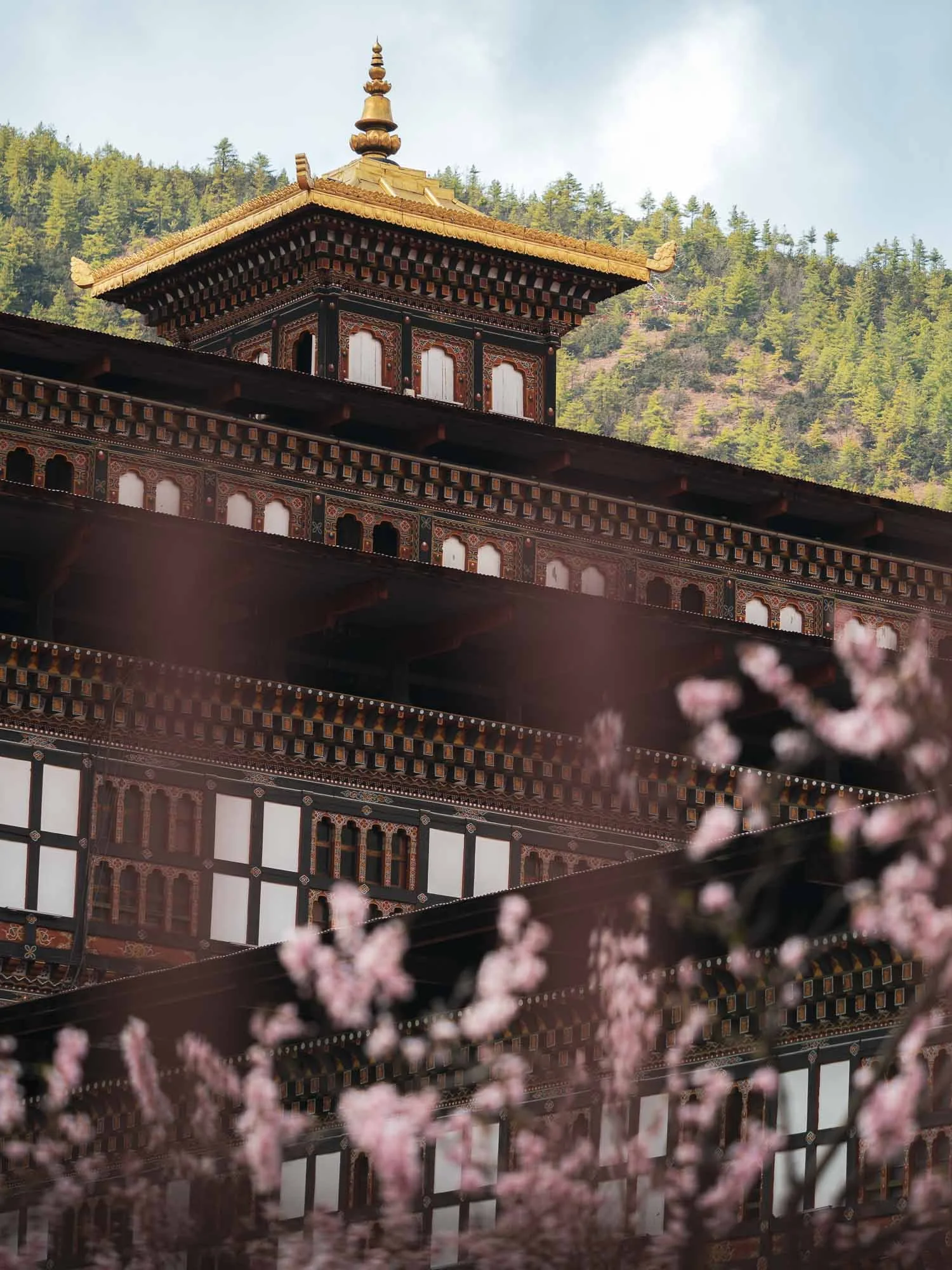
Tashichho Dzong
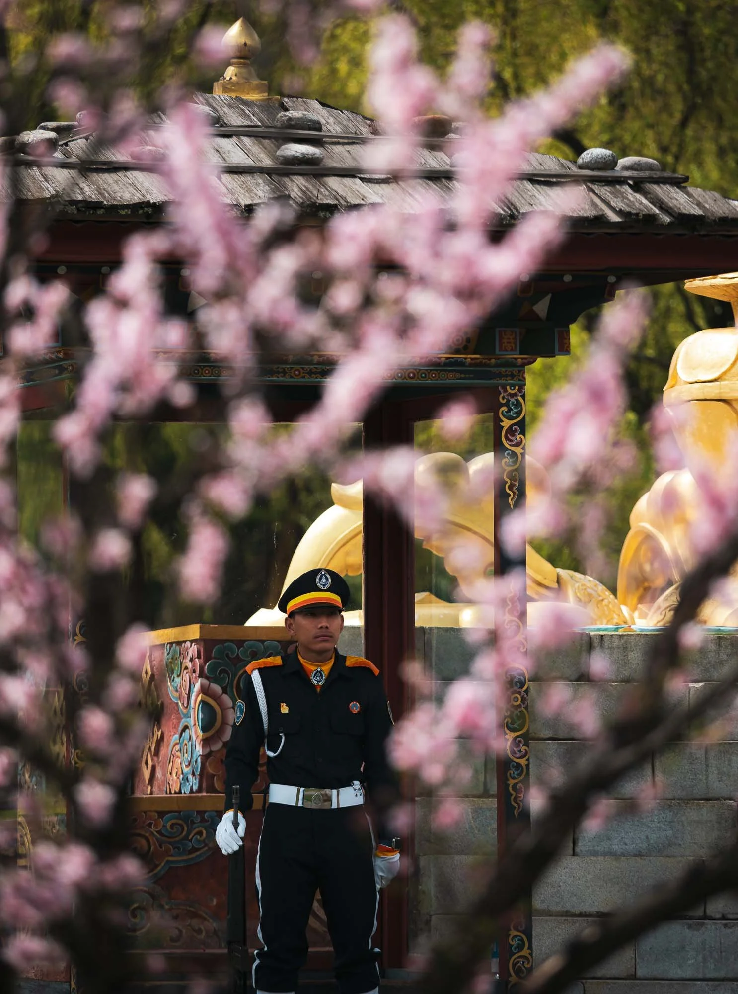
Back in the city, we visited its primary “Dzong” - meaning fort - an impressive structure serving a dual religious and secular function as the seat of the central monastic body and government offices of the King, including the throne room. Note Bhutan’s amazing flag - absolute winner!
The impressive structure originally dates back to the mid 17th century, but was damaged several times due to fire (a common story among the many heavily wooden structures in Bhutan) and earthquake. Its last restoration into the current form was largely finished in the 1960s.
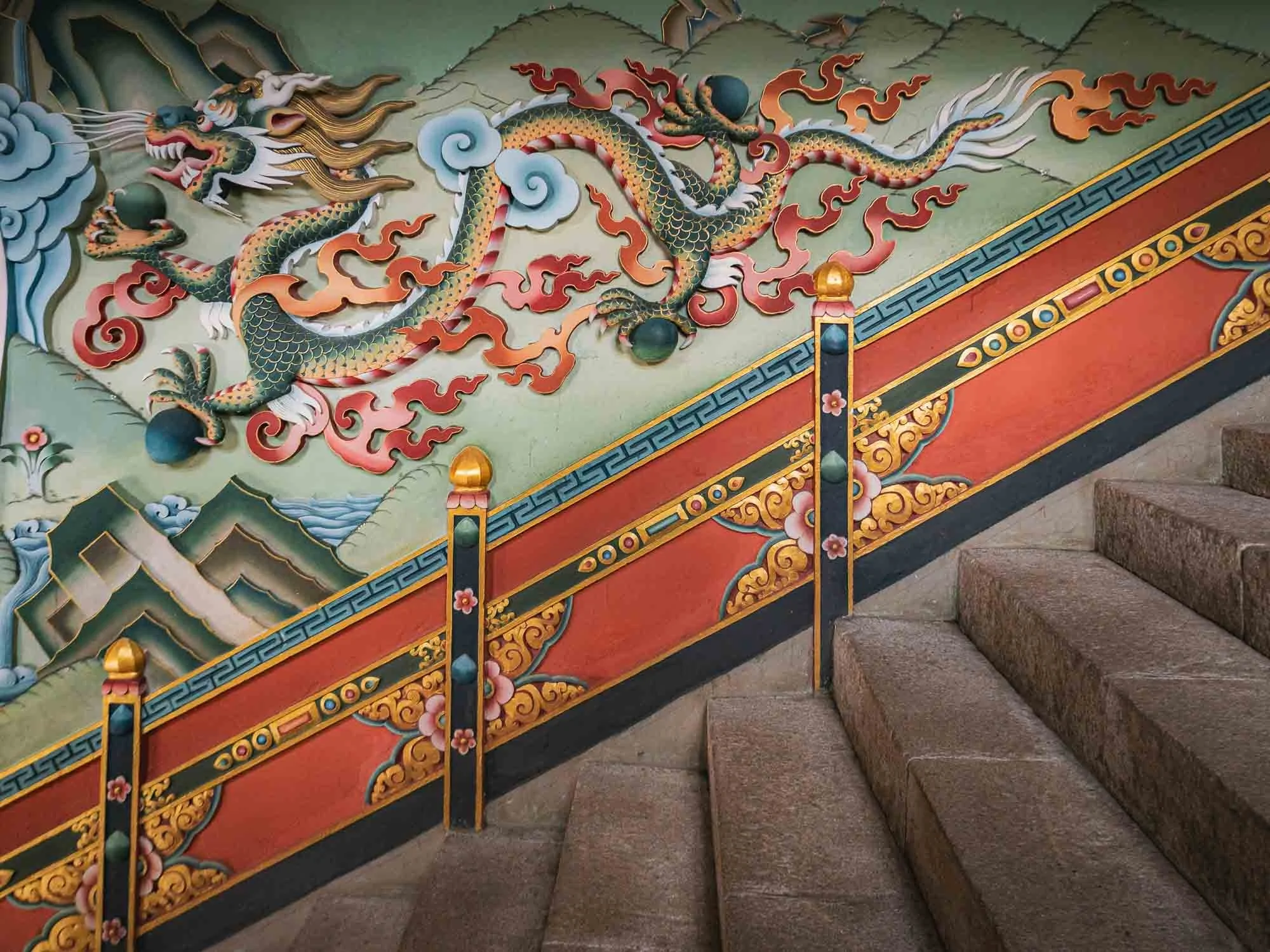
🐉
The dragon relief at the entrance staircase, Bhutan’s central national and religious symbol. The country is literally called Druk Yul - “Land of the Thunder Dragon”.
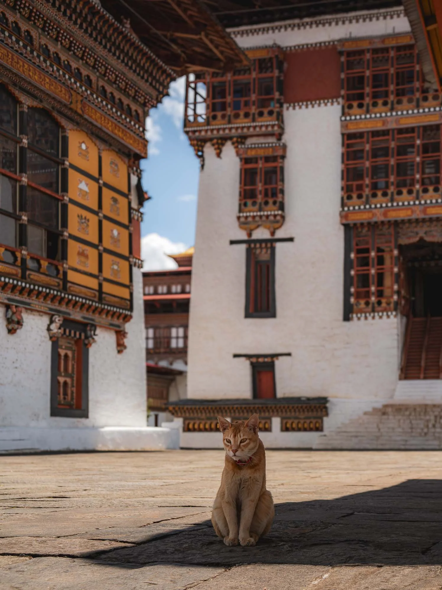
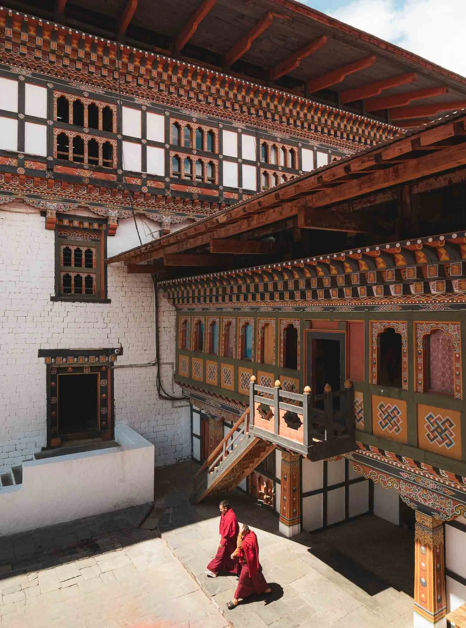
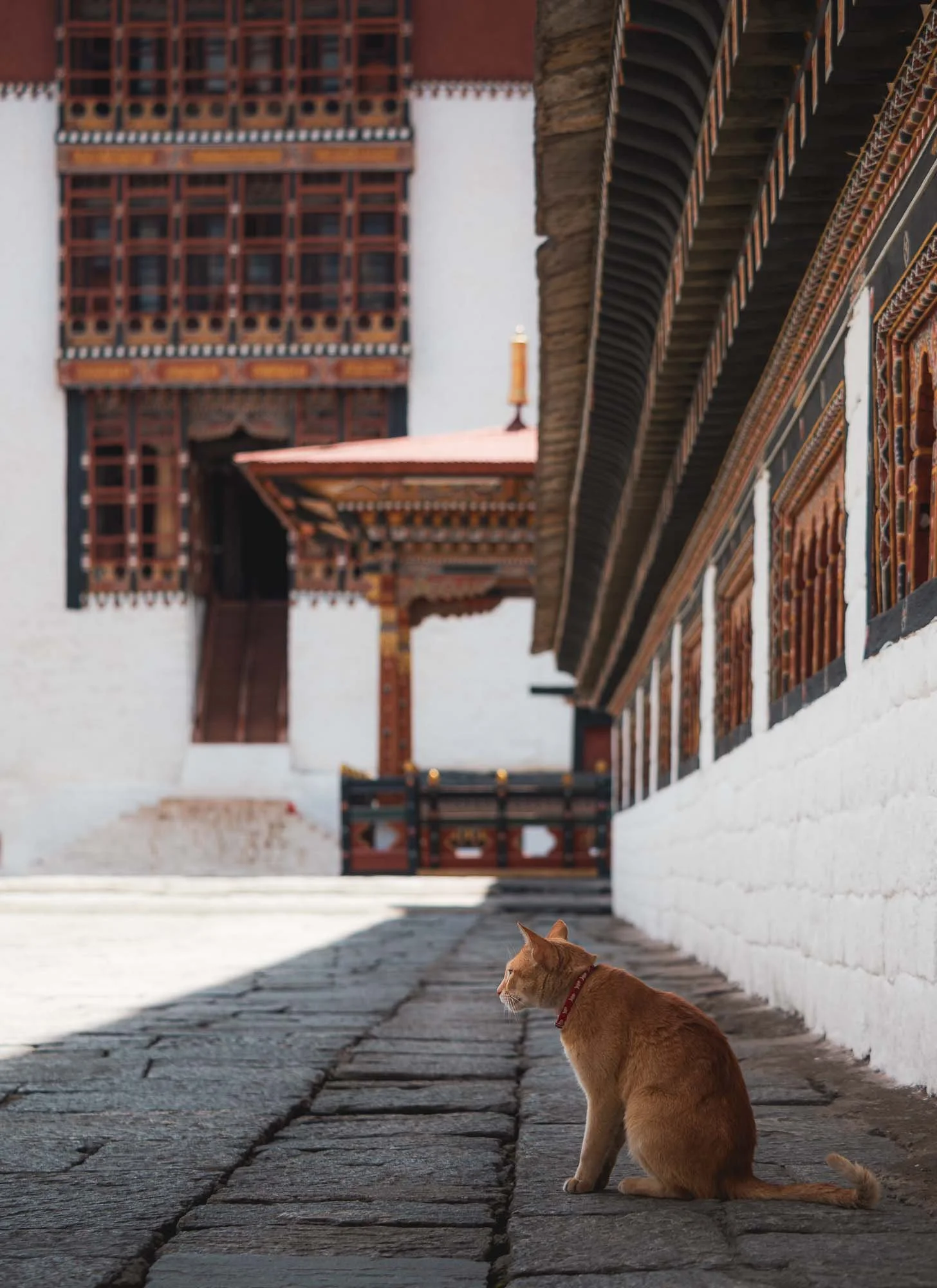
I spent a couple of hours here soaking up the calm atmosphere, virtually without any other tourists, waiting for monks or cats to move into position for a good photograph. They were obedient.
The spring cherry blossoms around the fort, which is formally guarded due to its administrative functions - not all areas are accessible to the public.
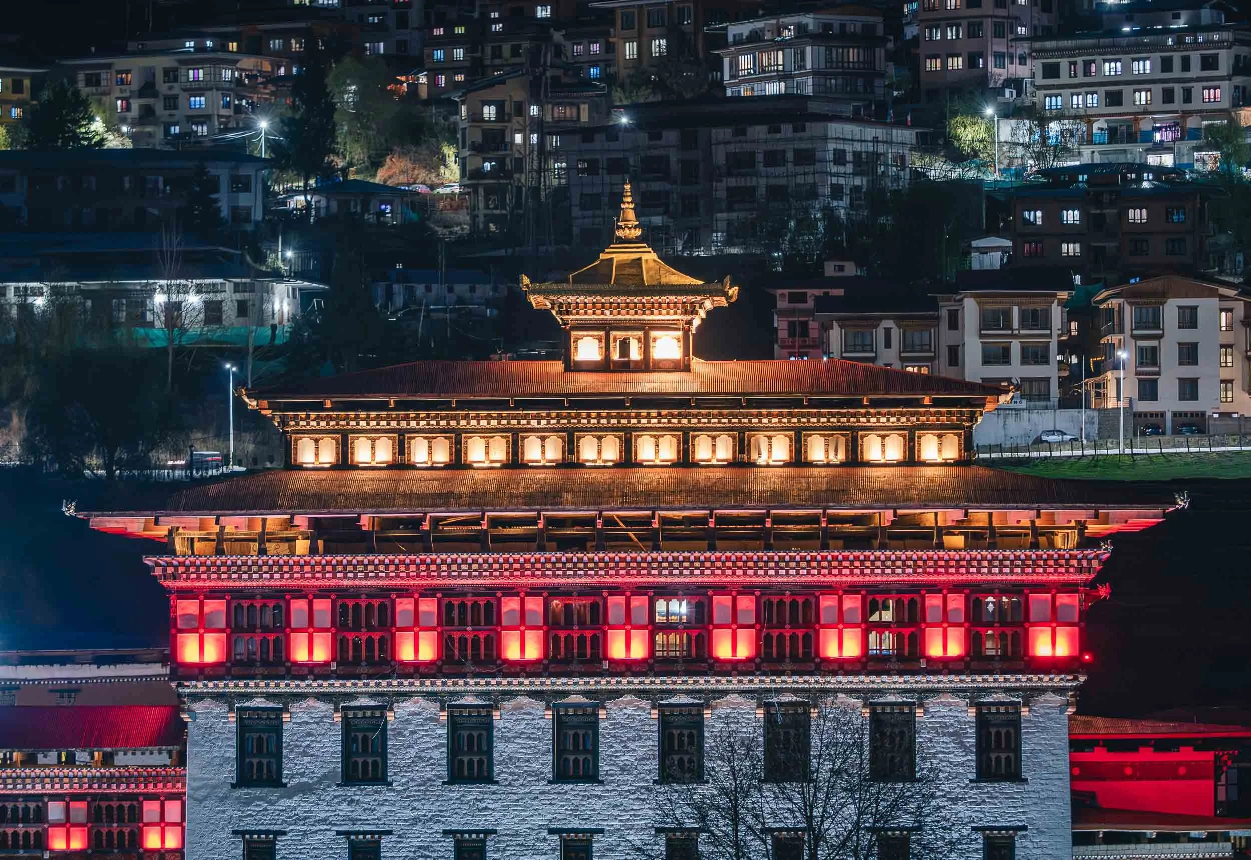
The Dzong is lit up beautifully at night, and I found two more viewpoints in the city to document it from.

Bhutan Takin
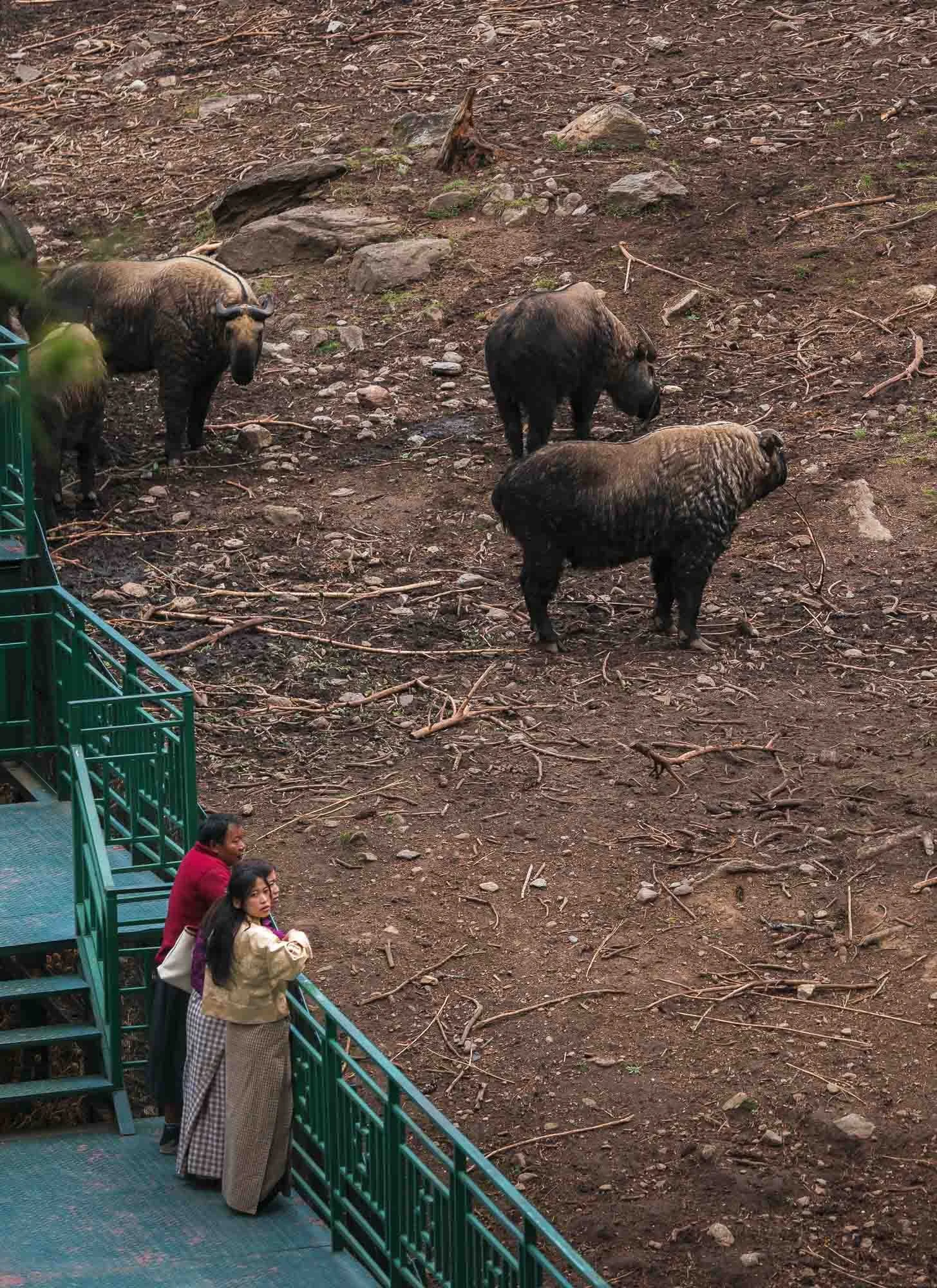
Beyond the mythical dragon, Bhutan features significant biodiversity, likely owing to a combination of factors such as its focus on sustainable development, the extreme geographical spread (its lowest point is just 100m above sea level, whereas its tallest mountain reaches over 7000m), and forest cover of more than 70%. One of the lesser known and more peculiar mammals is its national animal: the Bhutan takin.
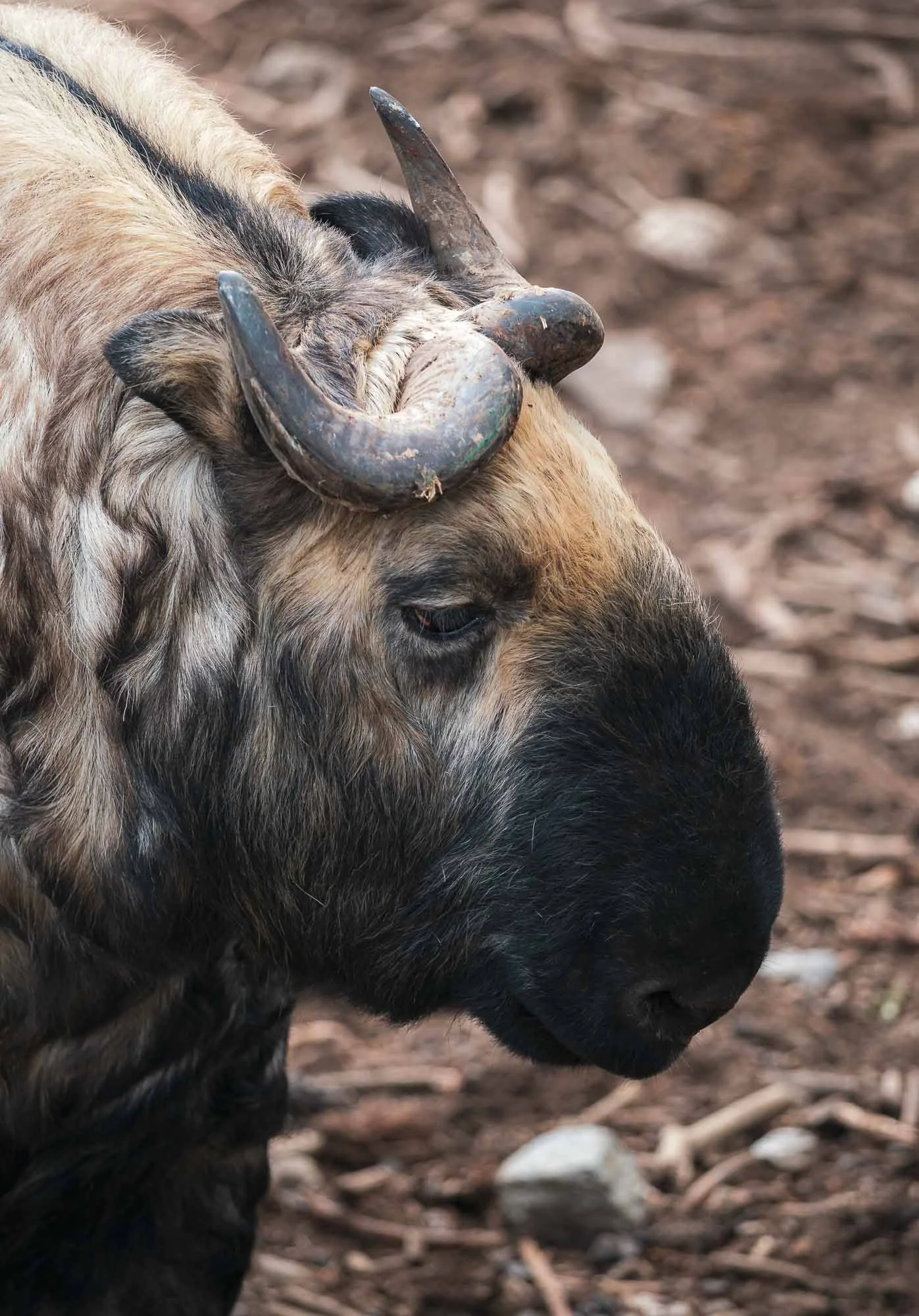
Spotting it in the wild is a rather difficult endeavor, but Thimphu is home to quite a decent and well-frequented mountain zoo, which houses a good number of them. While classified as vulnerable, the animal is protected in the country, probably for its cultural significance: as the legend of Drukpa Kunley (the Divine Madman, he would appear again later in the trip, read on…) goes, villagers asked him to perform a miracle. He told them to first bring a cow and a goat for dinner. After they served the animals, he ate them completely, leaving only bones. He then placed the goat’s head on the cow’s skeleton, clapped, and the animal combination came back to life and ran into the meadow. One can’t help but see the resemblance in the takin.
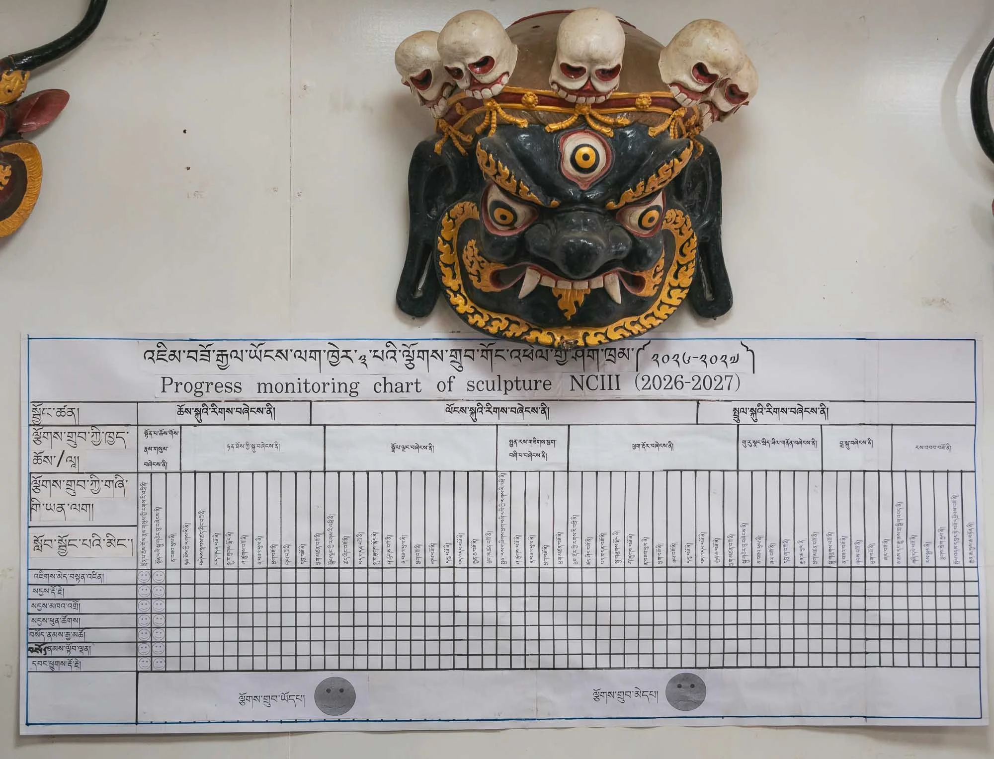
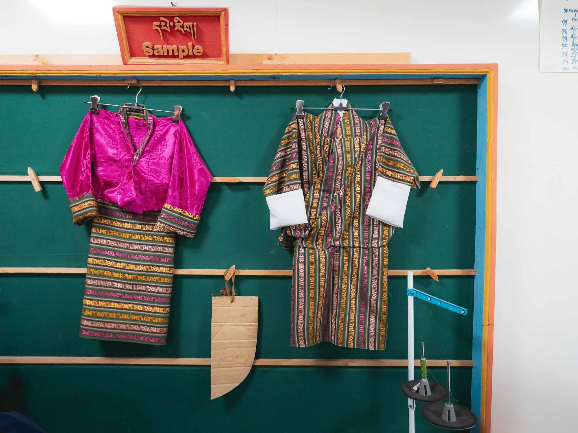
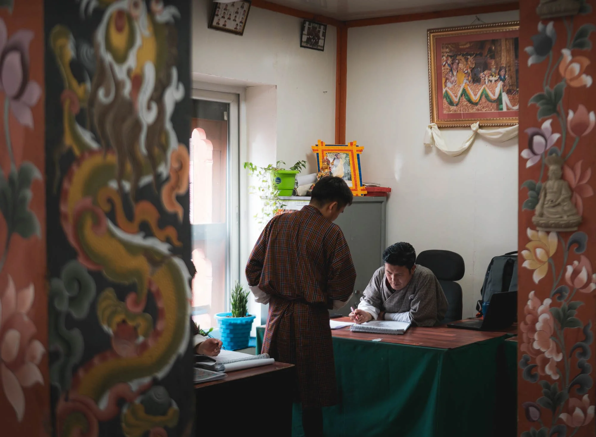
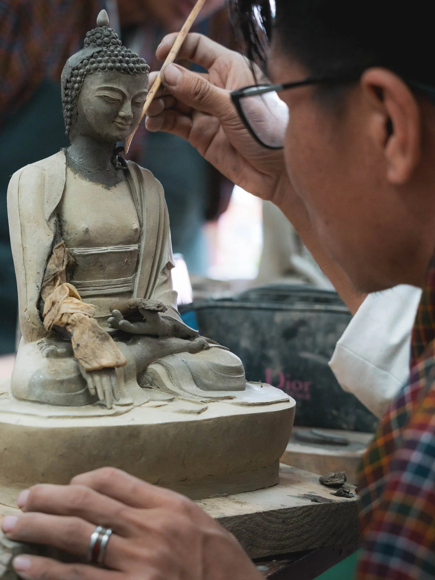
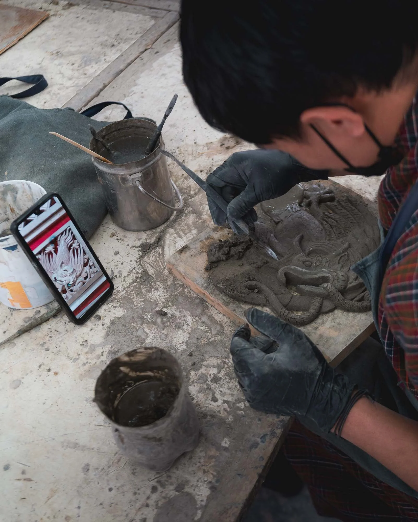
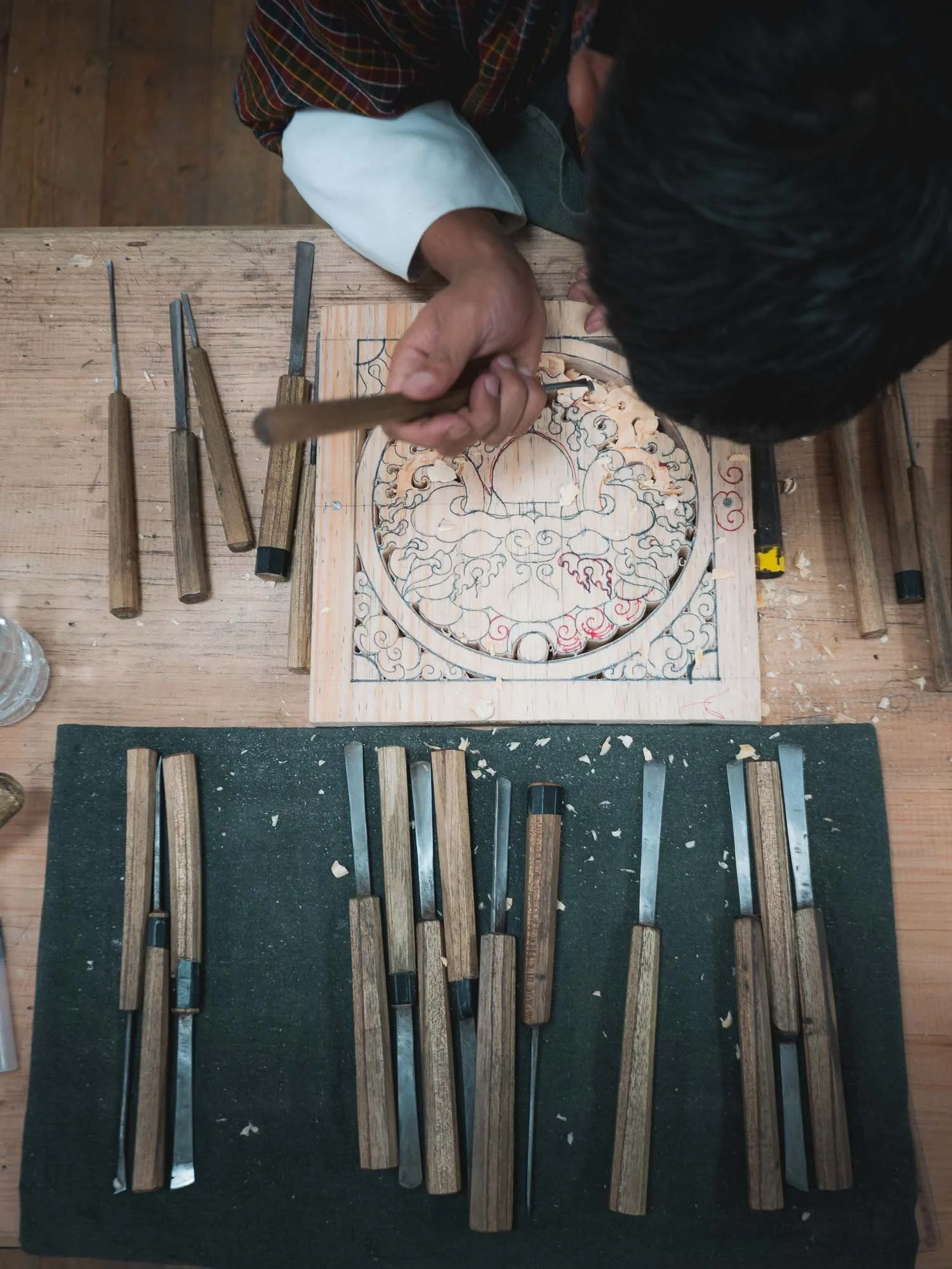
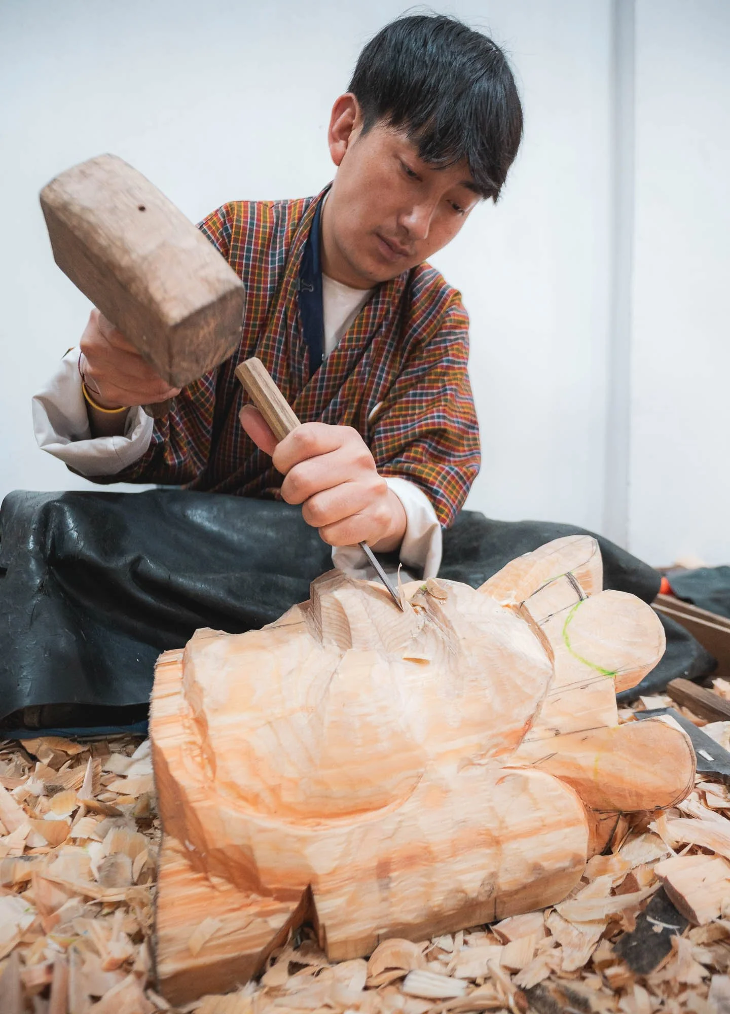
Moving on to a different kind of workmanship. For my time in Thimphu I had planned to visit a few places housing local artisans and craftsmen. No better spot to start this than the “Institute of thirteen Arts and Crafts” - collectively called Zorig Chusum and representing the formal classification of the country’s traditional disciplines.
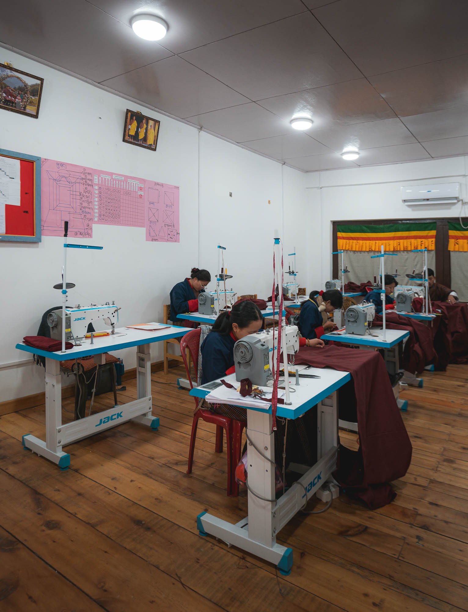

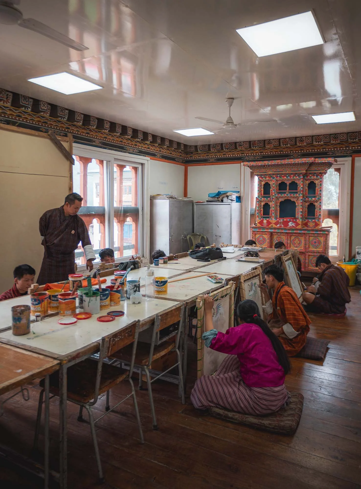
The school is not far from the city centre and dedicated to vocational training and encouraging entrepreneurial activities around tailoring, painting, sculpture, carving and more, many of them tied closely to the construction aspects of Dzongs and monasteries, or the various religious uses such as mask making and paintings for temples.
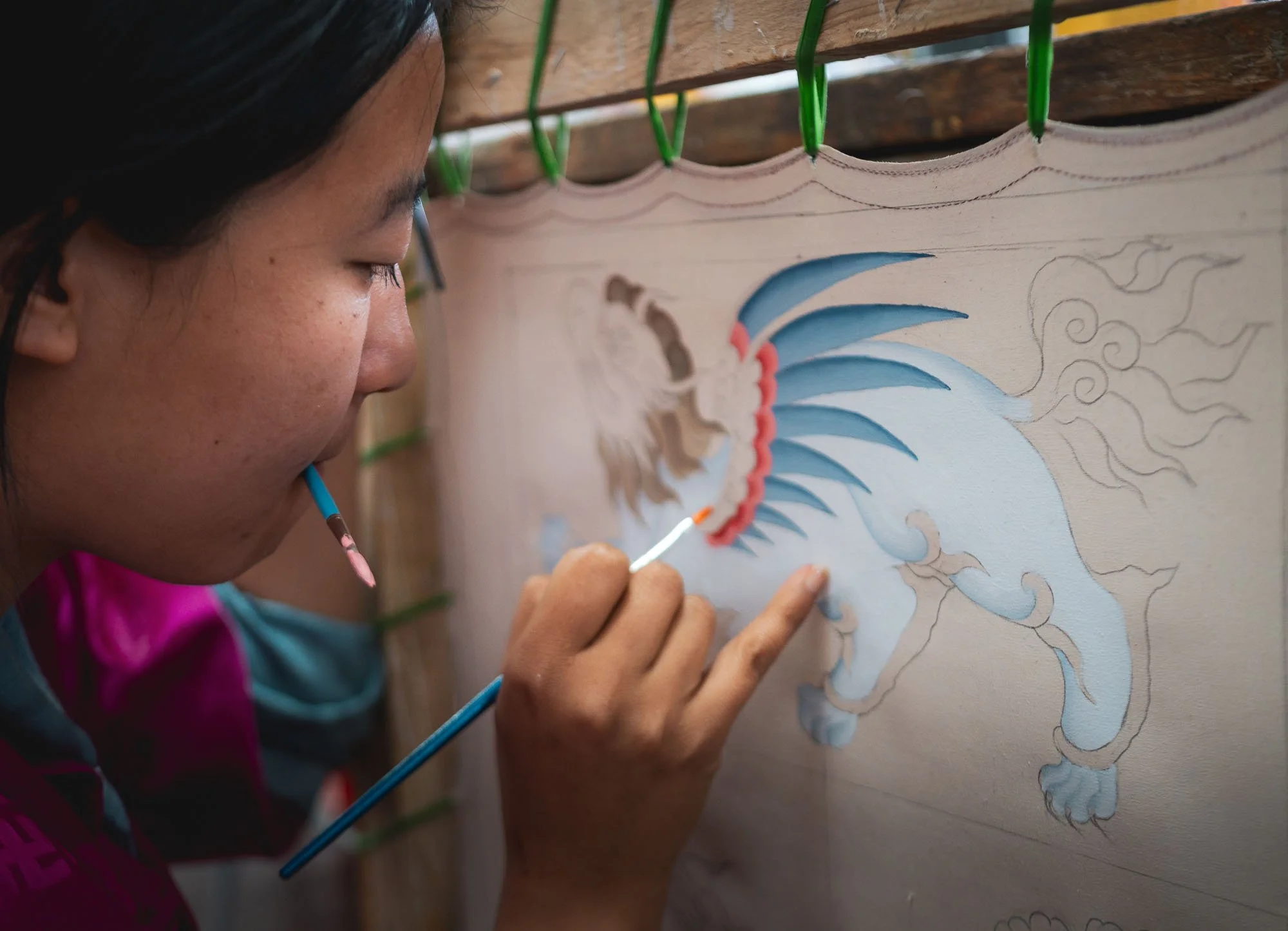
For a small fee, visitors are allowed to walk through the institute and check out the various classes in progress, such as the painting class here. Students attend courses anywhere from 3 months to 2 years depending on the level of skill and certification they want to attain.
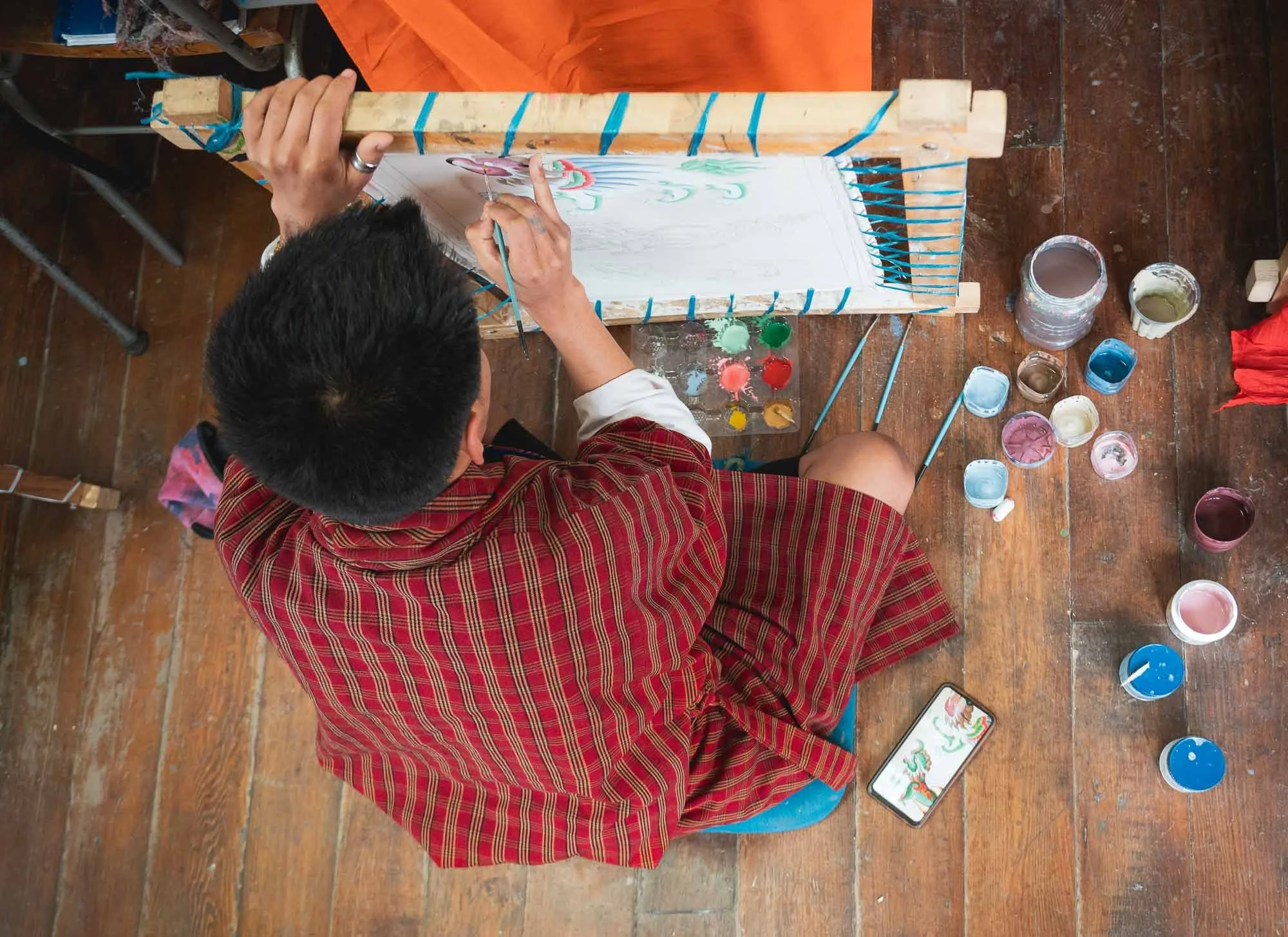
Schedules, performance, and quality monitoring don’t seem to be very relaxed! Indeed, a lot of the cultural aspects of Bhutan are not purely organic, but heavily institutionalized with skill development through formal training and government programs that preserve and regulate the national heritage.
This is evident in the day to day architecture of local houses and dress style as well - it encourages a unified visual identity wherever you go, but for better or worse arguably may also be a little restrictive to evolution and individualism.
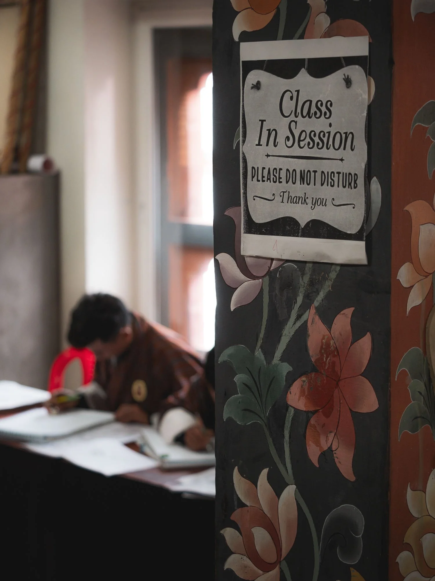
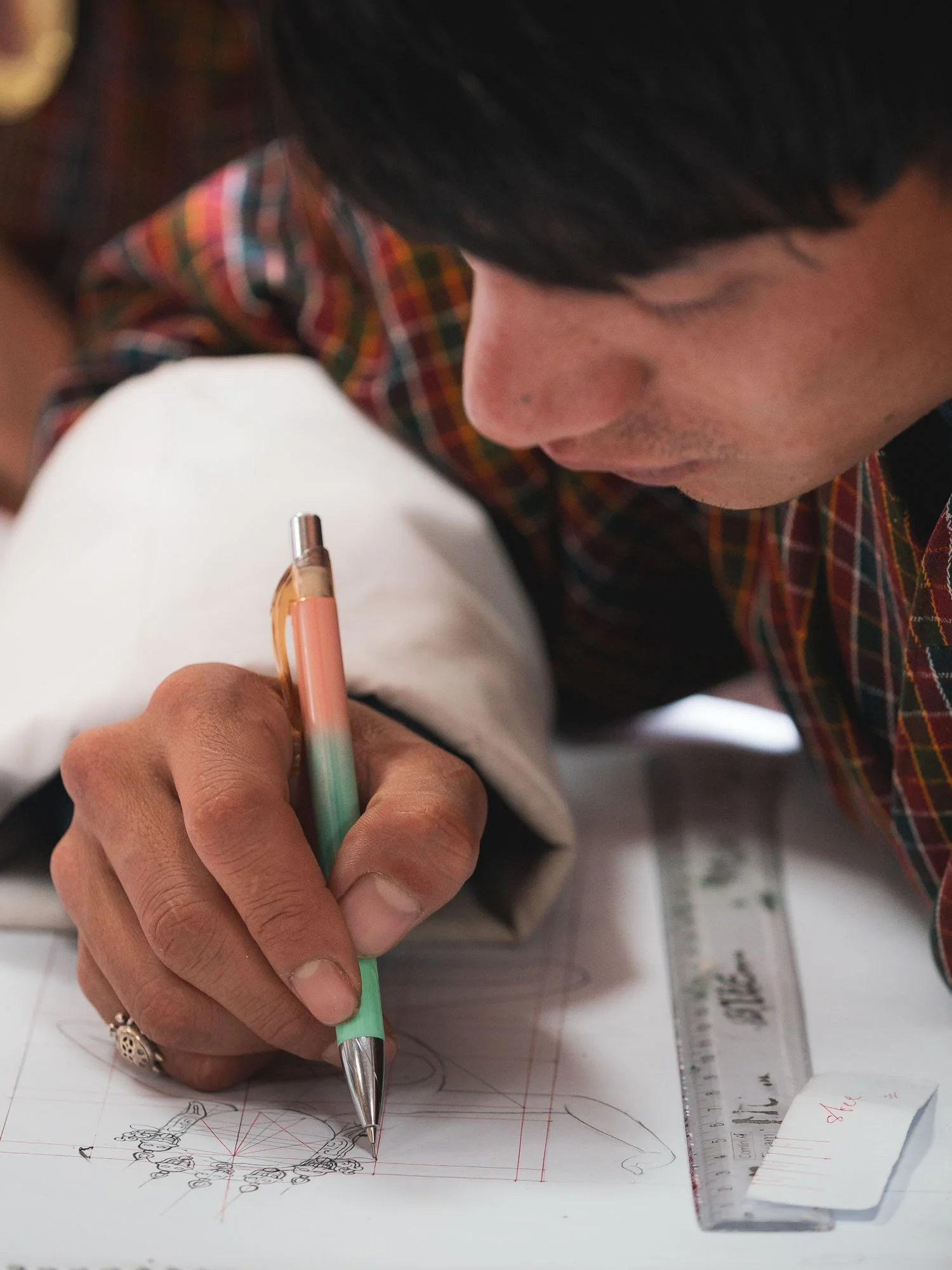
Experienced professors provide feedback and observe the student’s work, which seems largely focused on replication more so than creative expression.
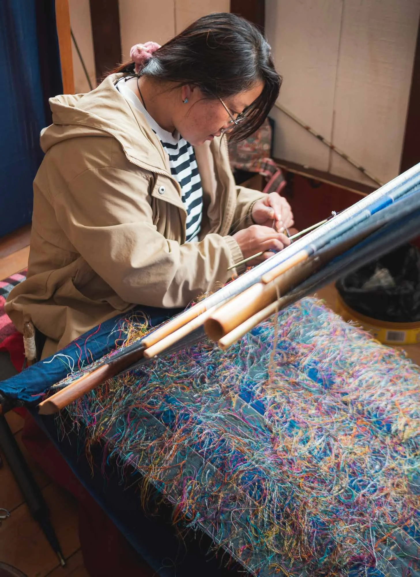
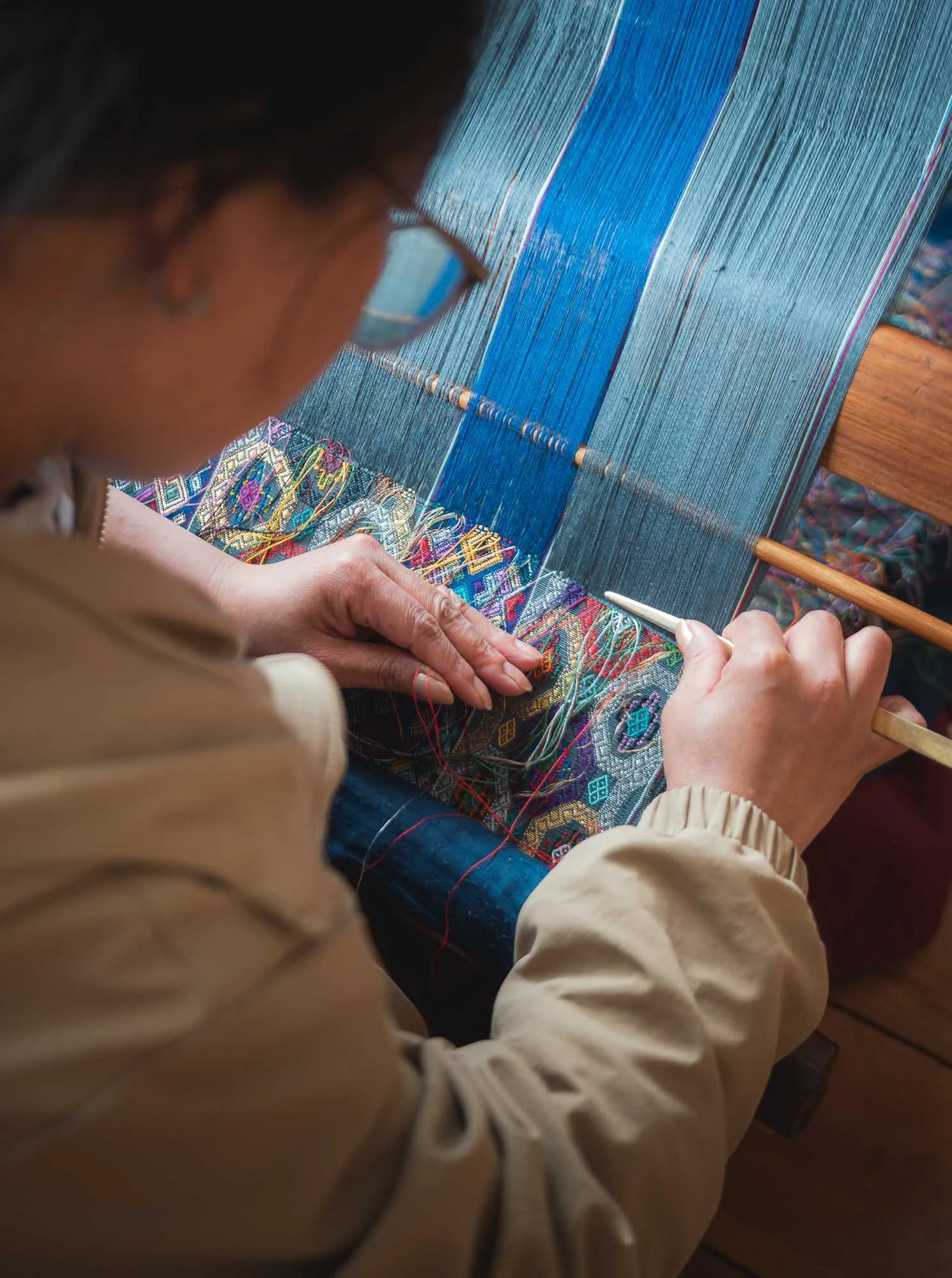
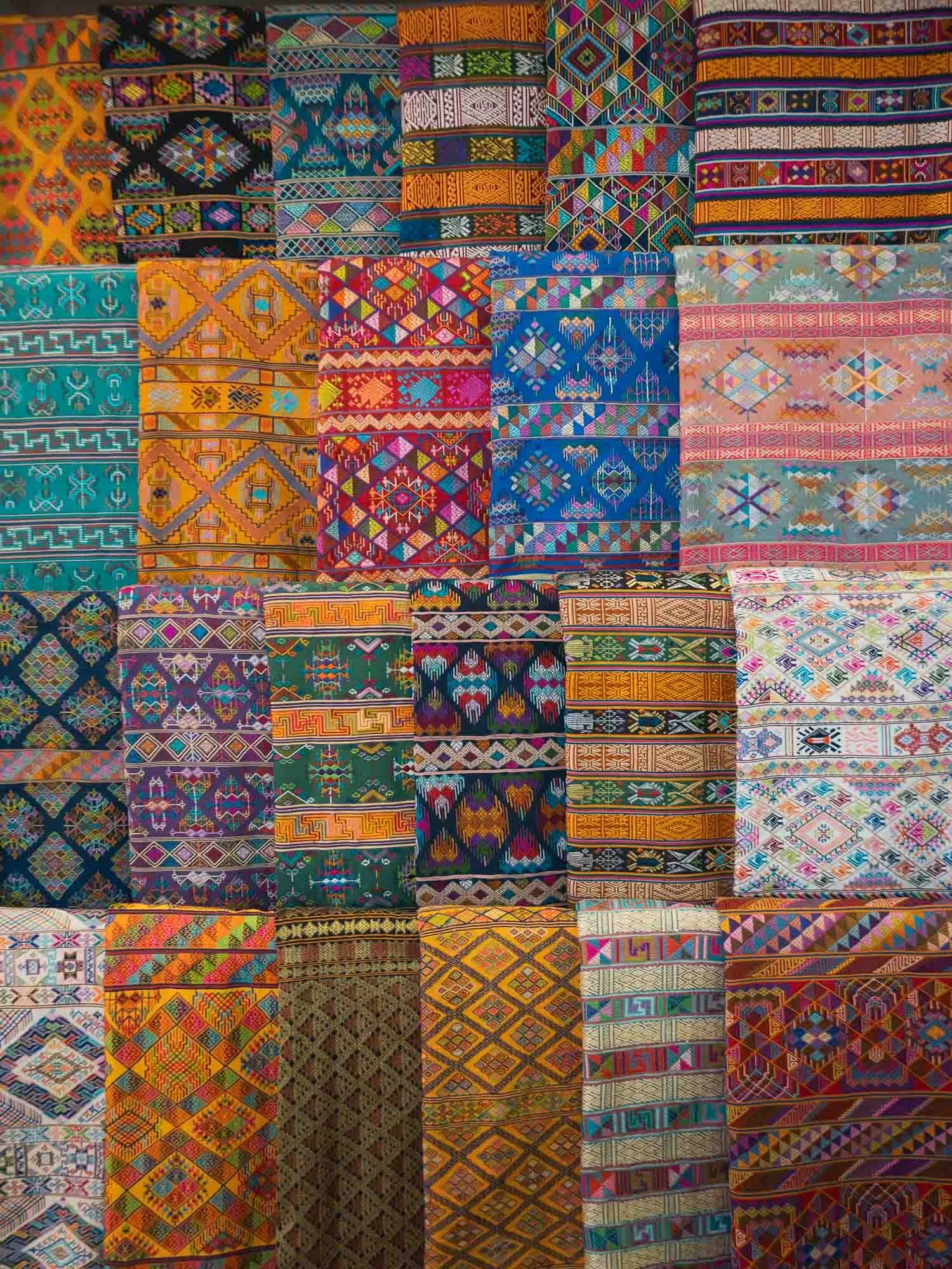
Weaving is one of the thirteen disciplines, and the dedicated Royal Textile Academy manages classes, market access opportunities, and a museum for this discipline, mainly practiced by women. It was closed for some renovations during my visit, but there are several other weaving centers dotted around the city.
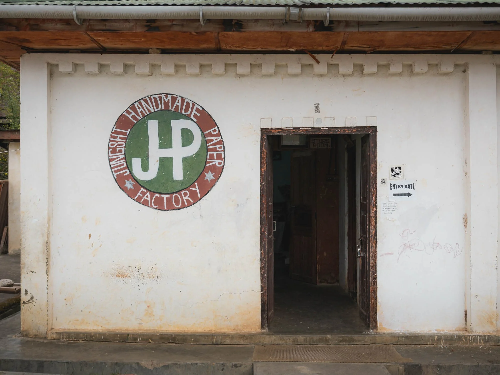
📜 Traditional Paper Making
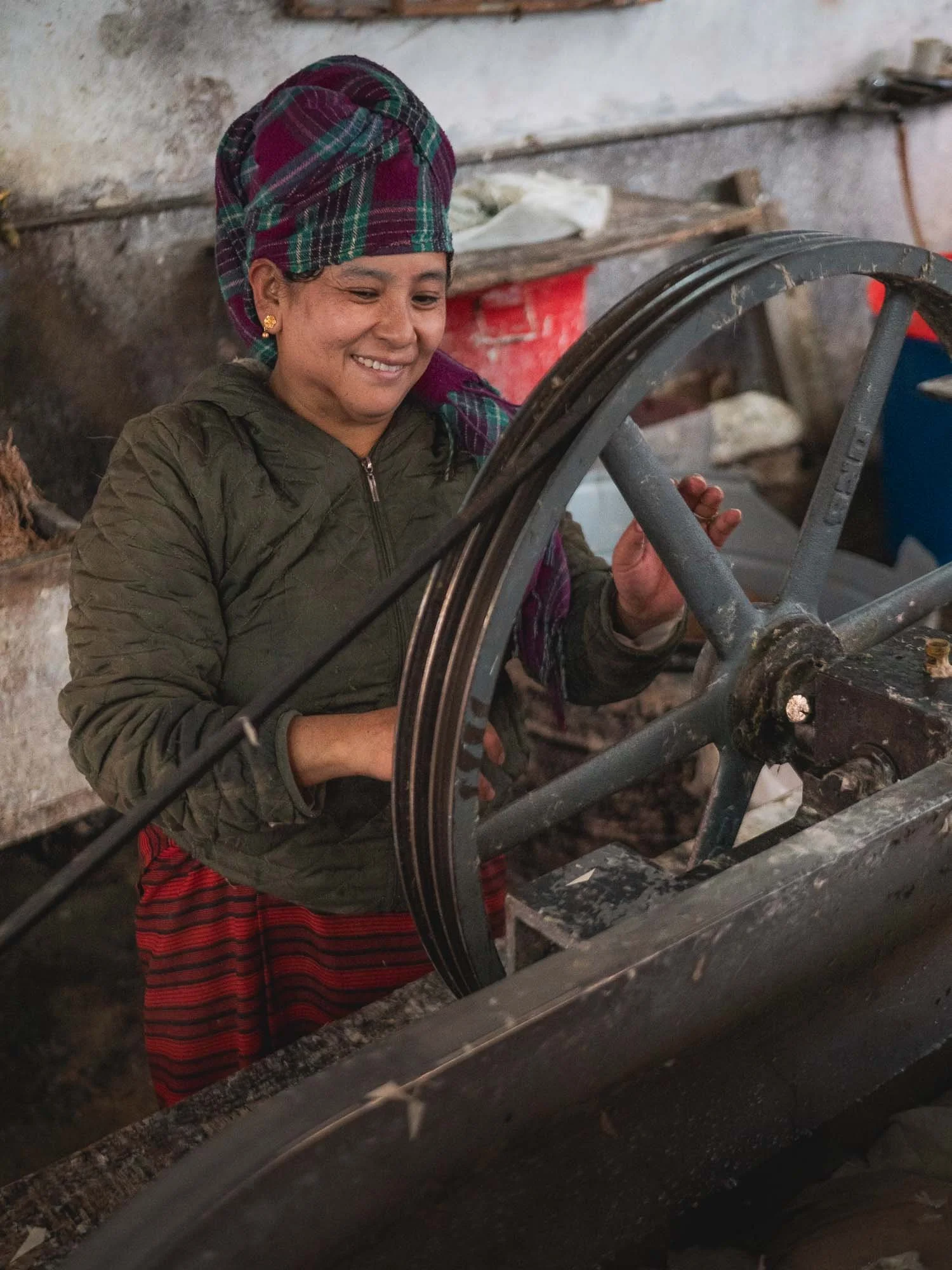
A little less formal and codified was the next place I visited, and it turned out to be one of my favorite spots.
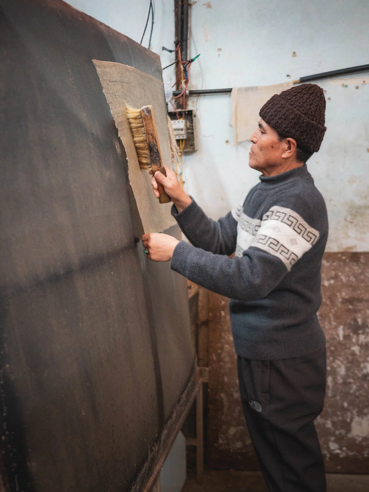
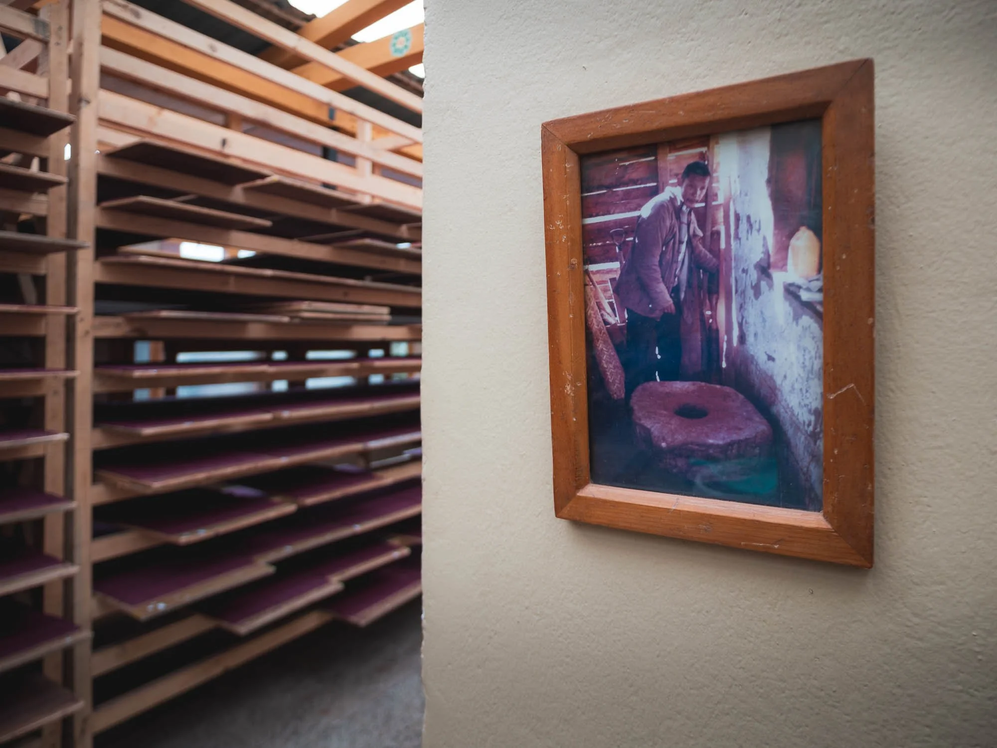
To make the paper here, Daphne plant fibers are first extracted by soaking and boiling the bark, then cleaned and broken down into pulp manually. This is mixed with water and a natural binder and spread in thin layers onto a screen to form sheets.
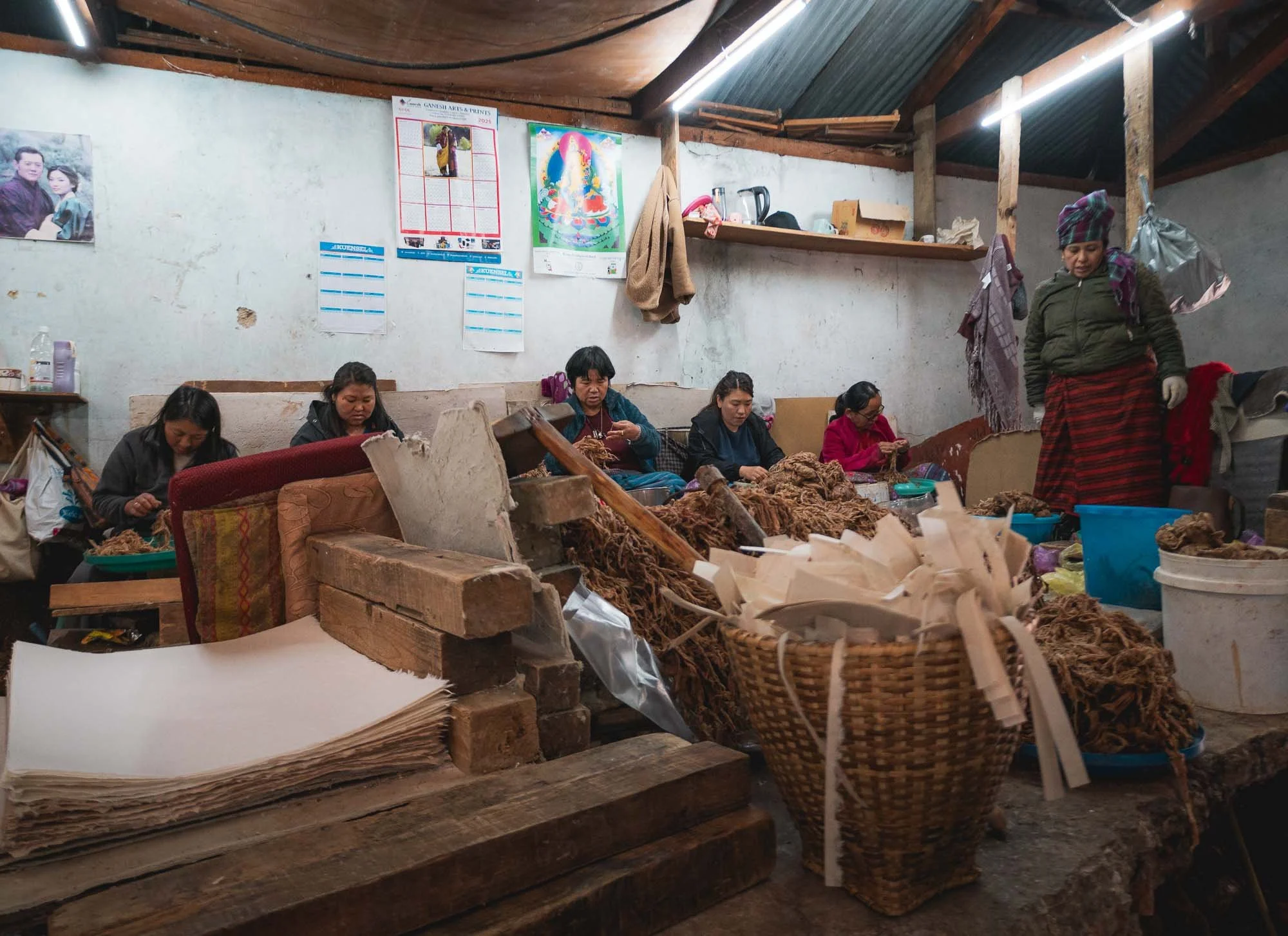
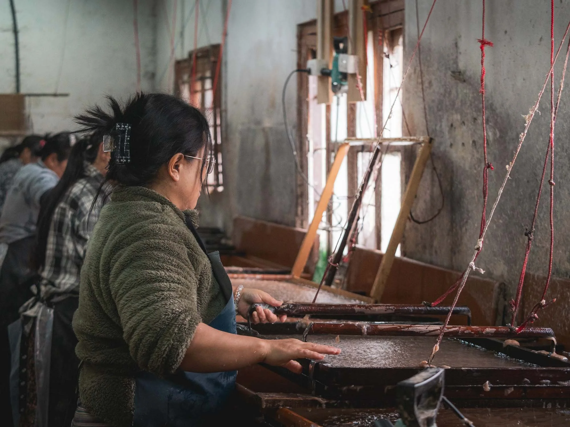
The sheets are then pressed to remove excess water, and dried individually on heated boards. They last for decades without chemical treatment.
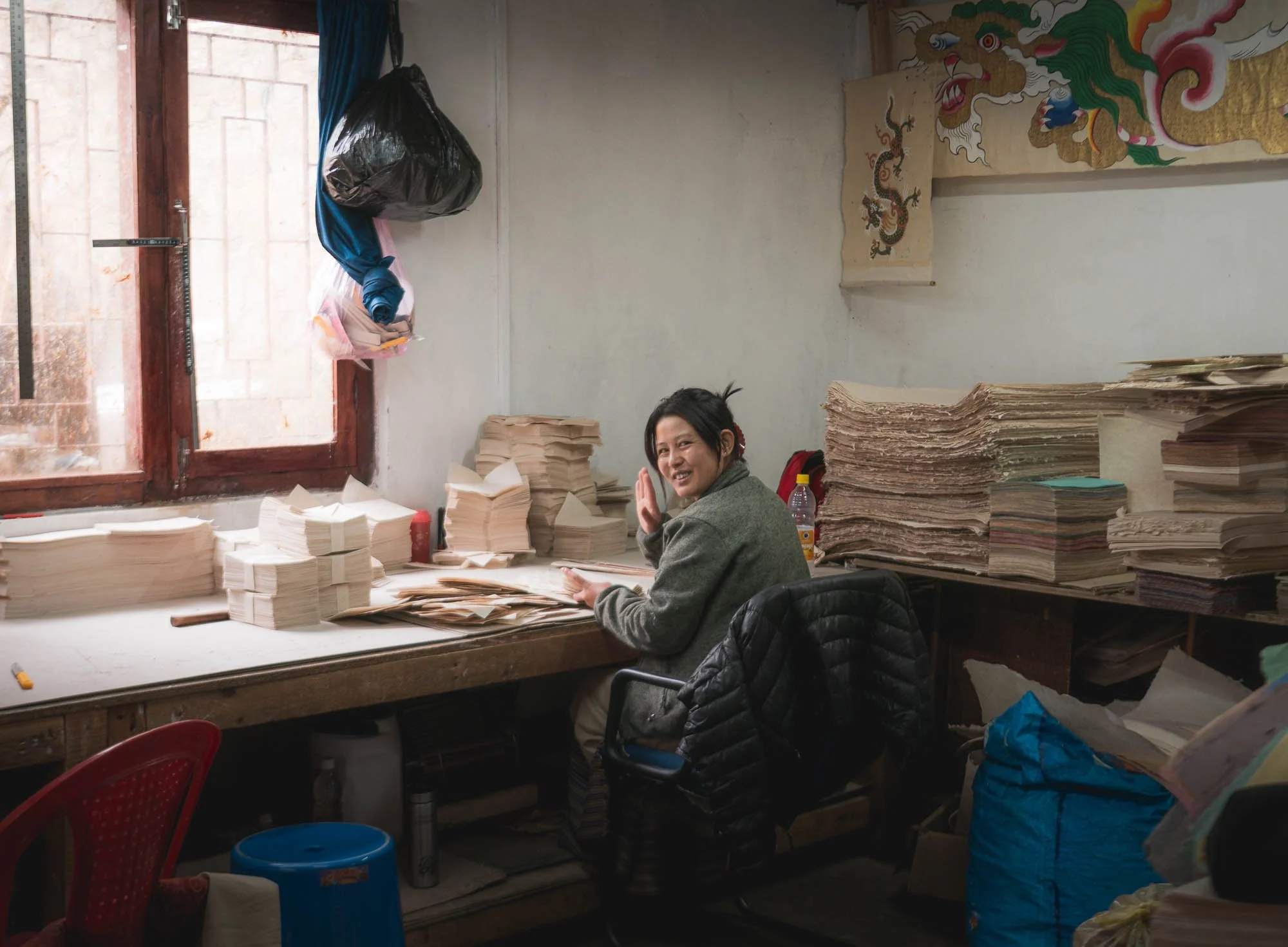
Historically, it was used for religious texts and official documents, nowadays it is commonly used for more industrial applications like packaging, and some of the paper is packaged and sold in their in-house shop as small postcards, note books, and similar items.
Although those are very expensive (overpriced, one could say), I couldn’t resist and bought plenty of sheets to try and print some photos on.
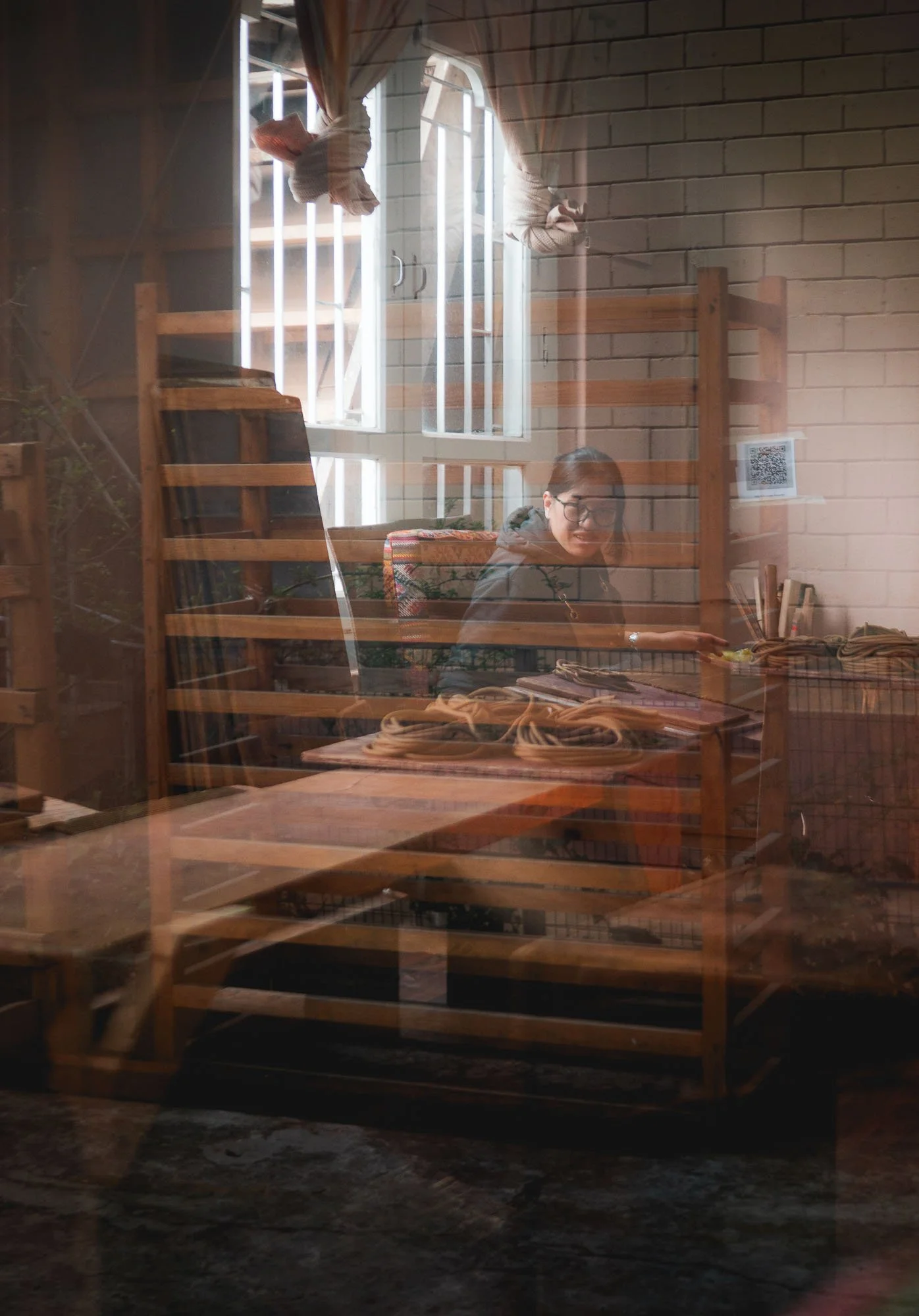
Incense Making
My last exploration into the world of Bhutanese crafts was at a local incense factory, which has been running for over 50 years, as the second generation owner told me.
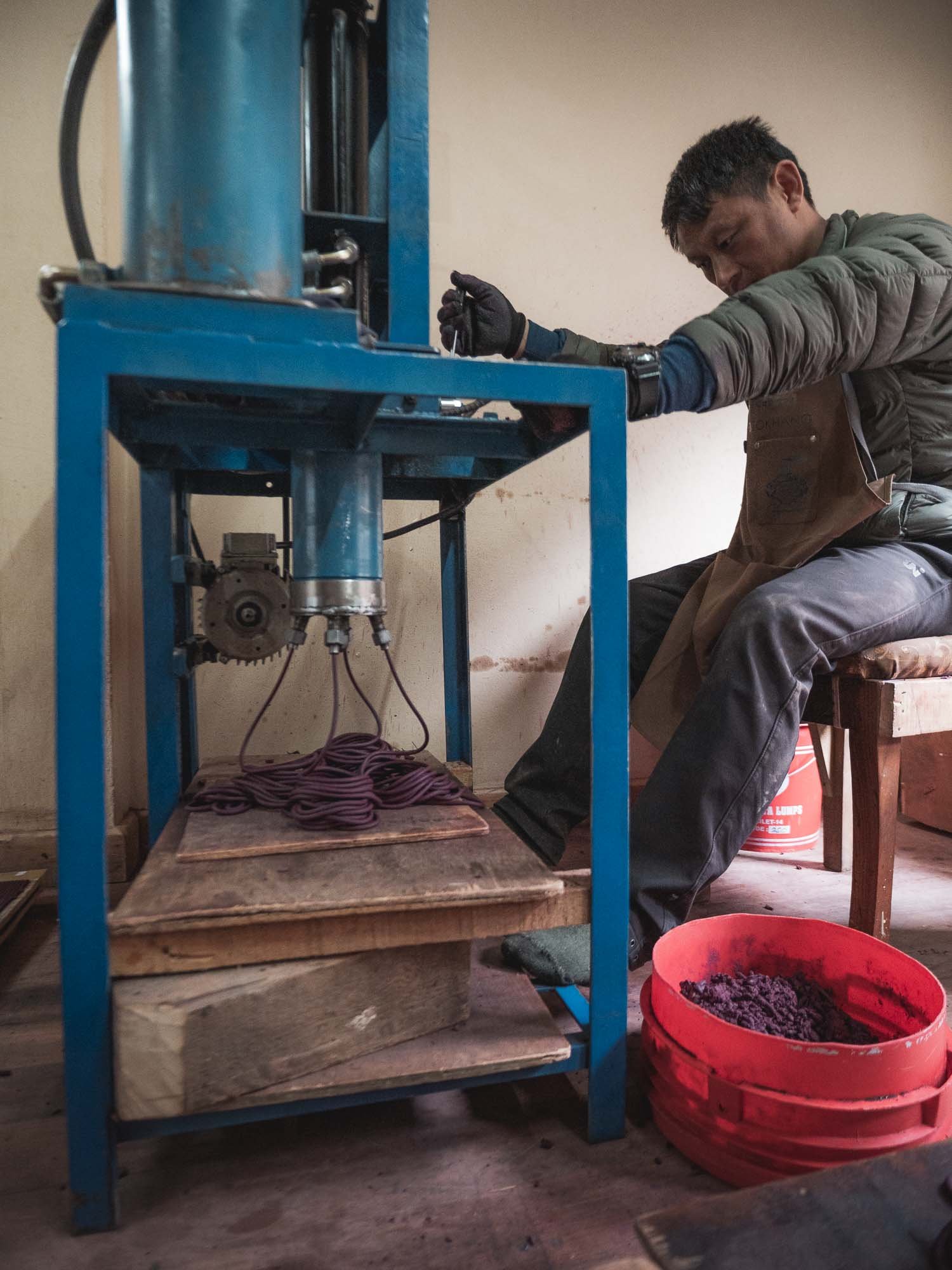
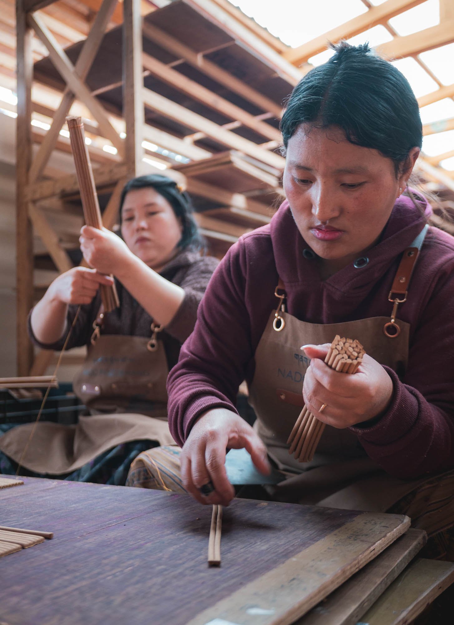
Incense here is mostly plant-based, from herbs, roots, and resins. They are first ground and dried (which produces a really strong stench and eye-watering sharp dust), then mixed with water into a paste, pressed into long tubes and then rolled and cut by hand, before being air-dried.
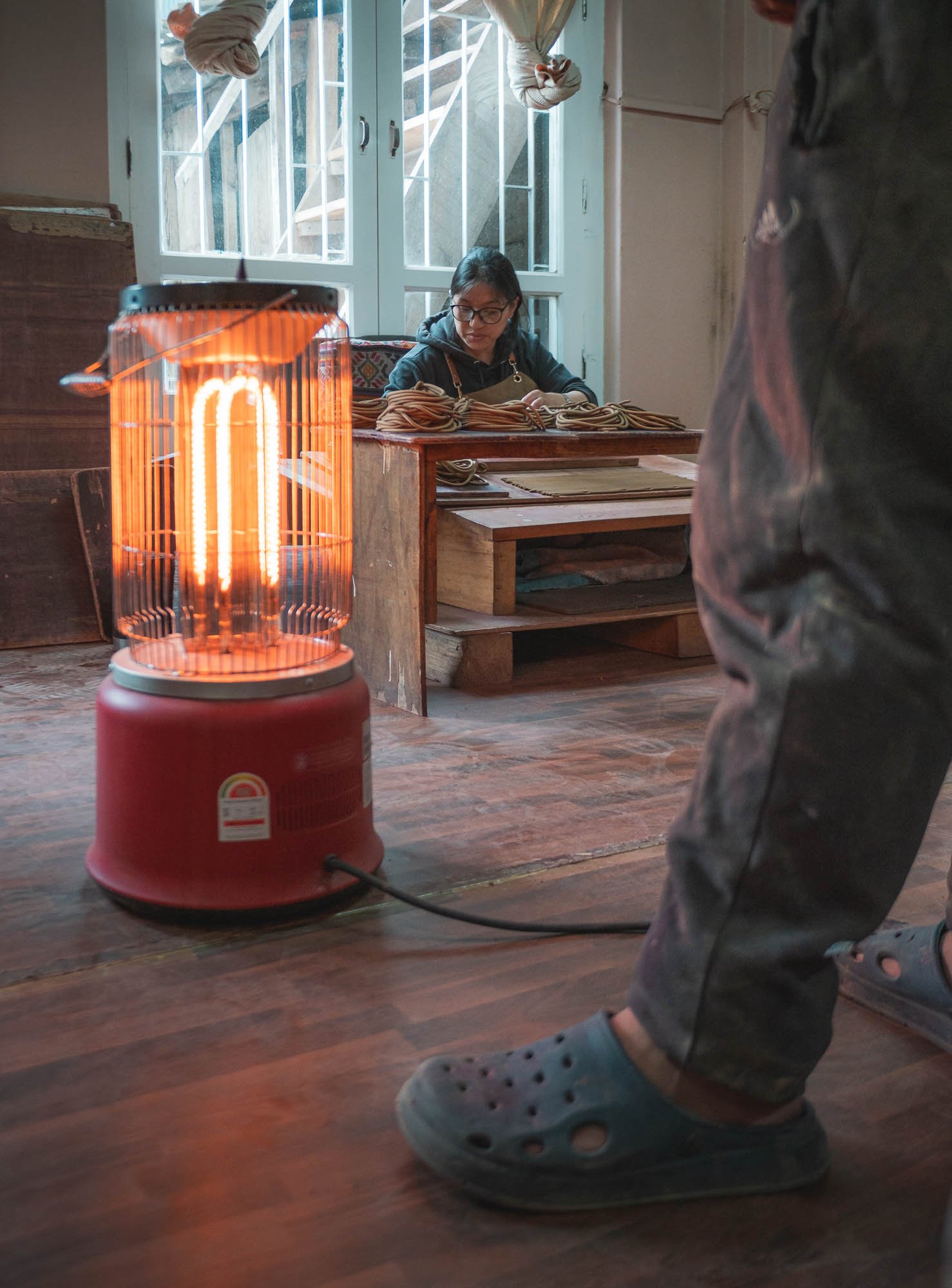
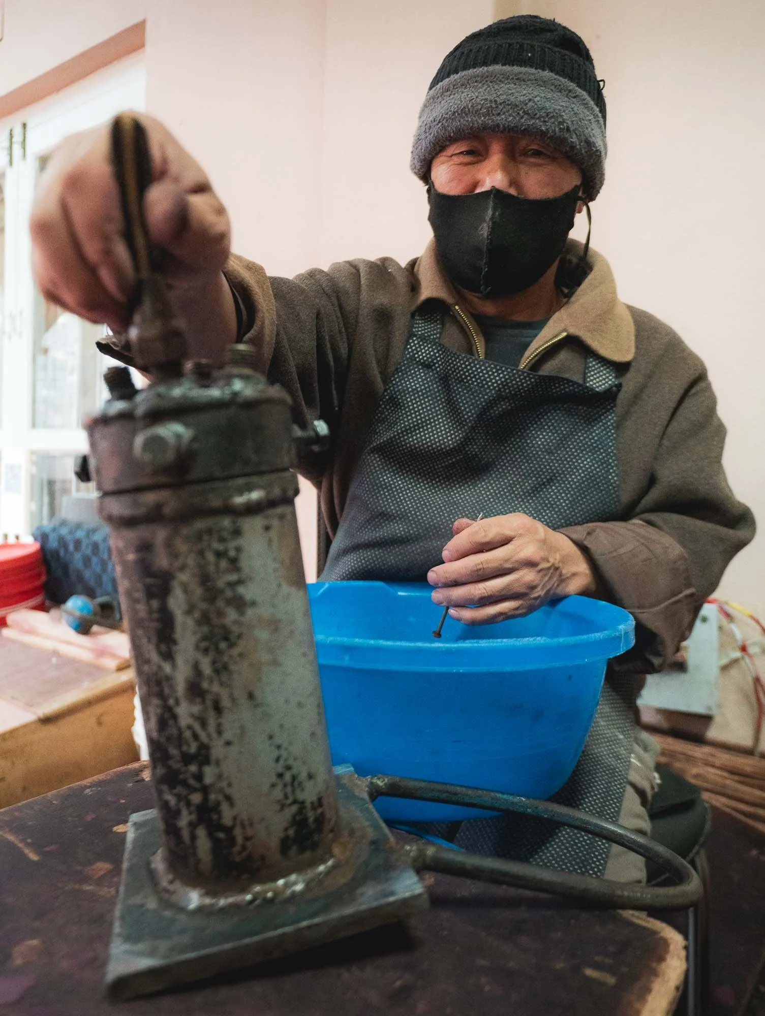
In house machine repairing… wearing a mask is a good idea in here, the dust filling the air from the finely ground base ingredients is definitely not healthy. With this, it was time to leave the capital and move a little further east.
Dochula Pass & Beyond
To do so, you cross the Dochula pass at around 3100m following a winding, but decent (not a guarantee everywhere as I’d later find out) road.
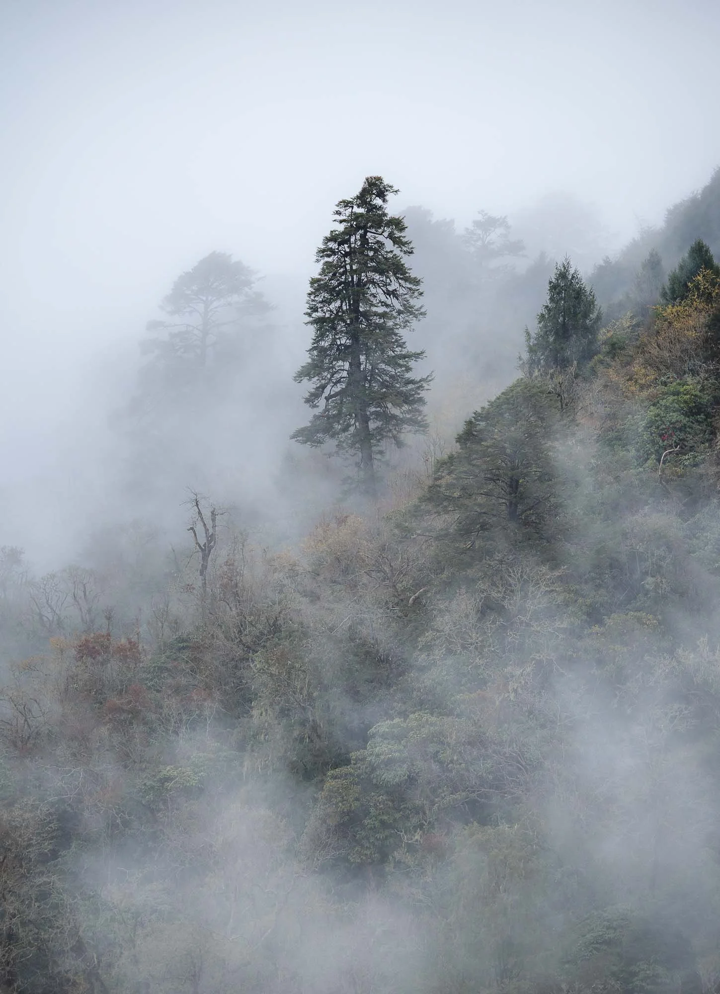
On a clear day it offers a view of the eastern Himalayas, alas that was neither the case on the way there or the return trip, which is quite common. Clear days in the mountains here can mostly be enjoyed in October or November, but the misty atmosphere also had its charm.
Many people visit the pass for the 108 chortens, a memorial constructed in 2004 at the very top in honor of the Bhutanese soldiers killed in military operations in the south against Indian insurgents the year before.
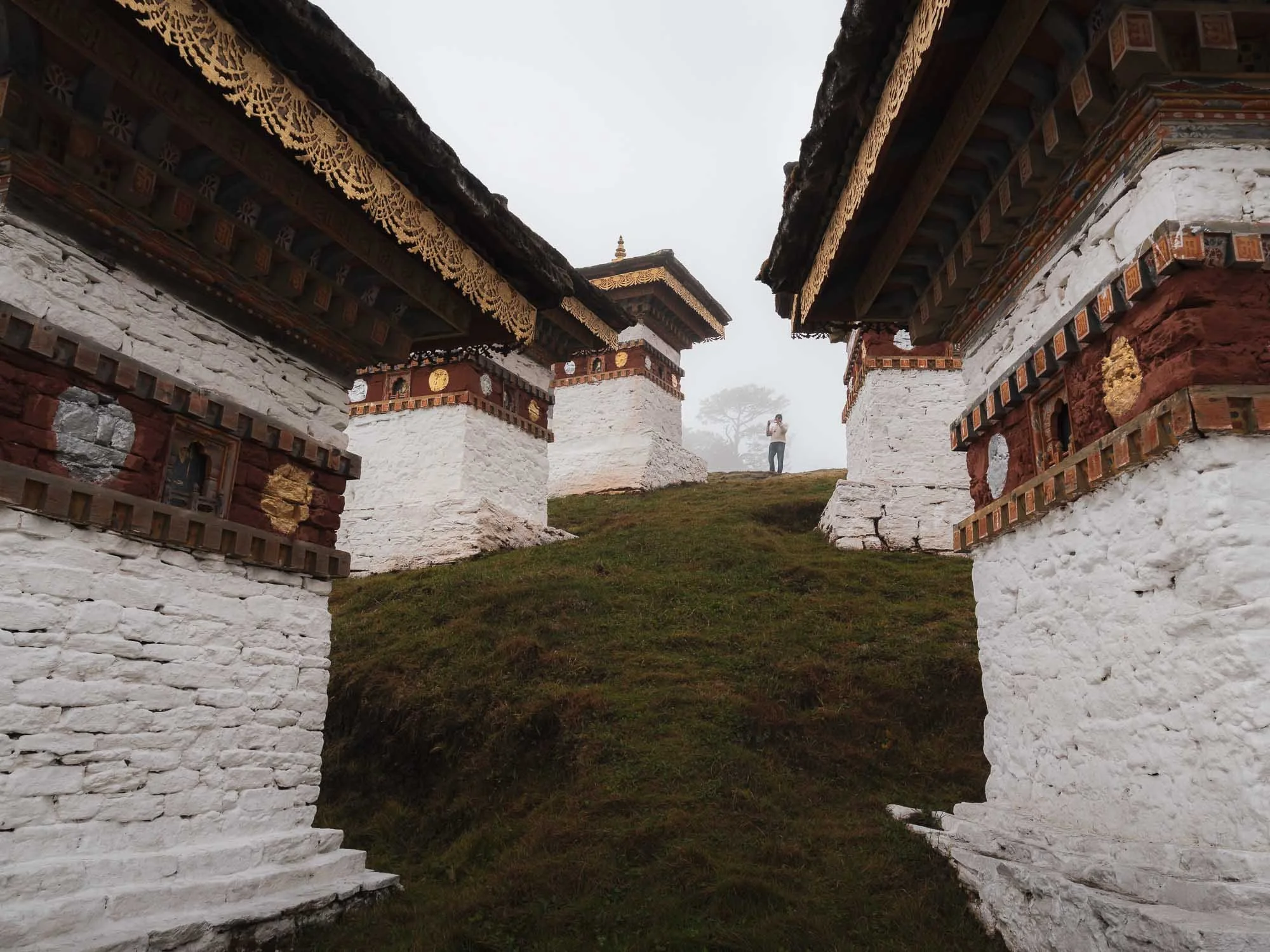
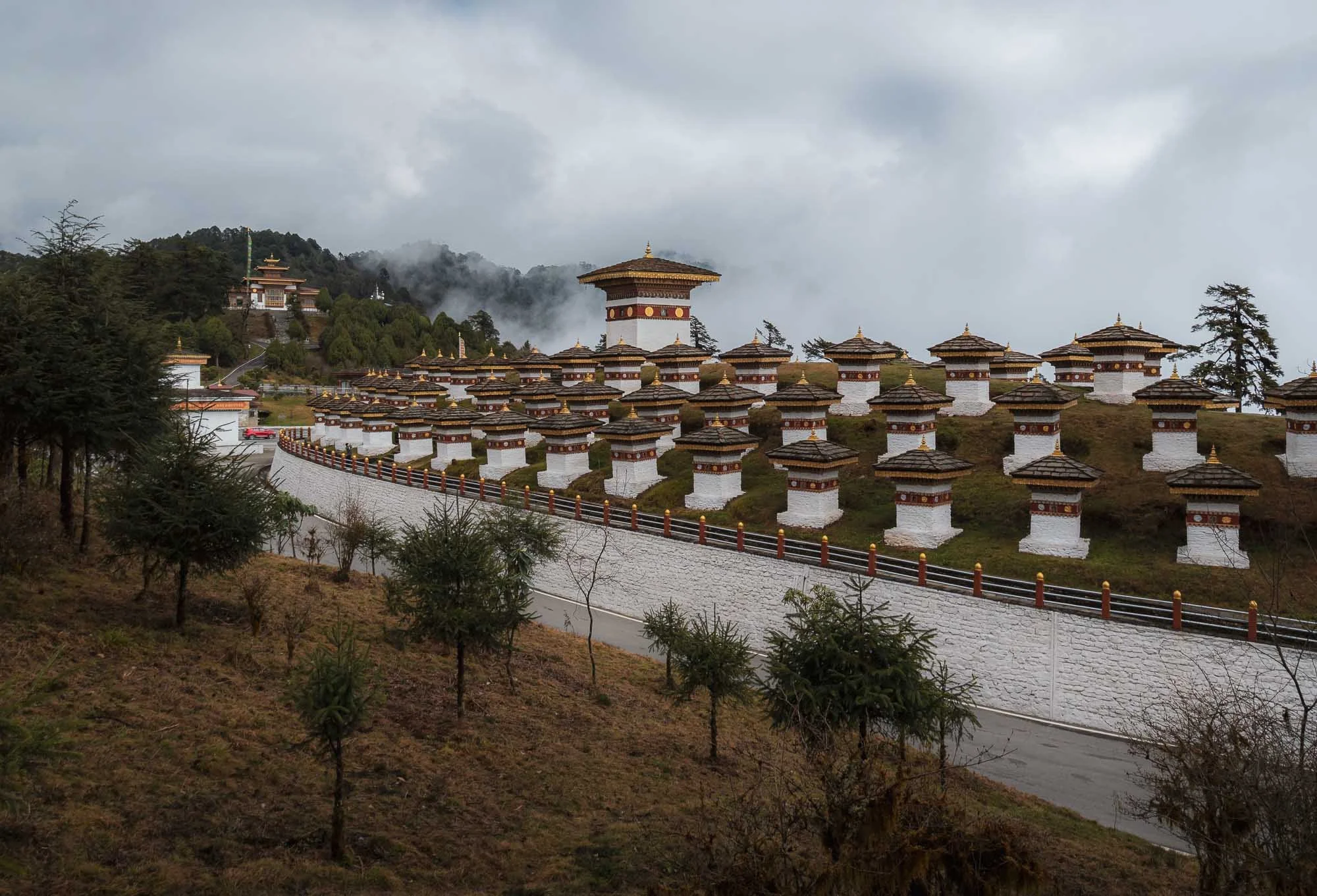
Instead of returning back, we made our way down the other side into the valleys, and had the chance to spot a grey langur with its characteristic black face on the roadside. It’s very rare golden cousin is endemic to Bhutan and small parts of India, and much harder to spot in the wild.
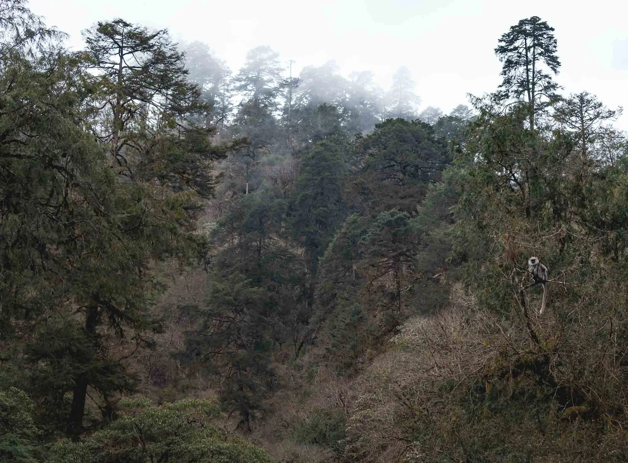
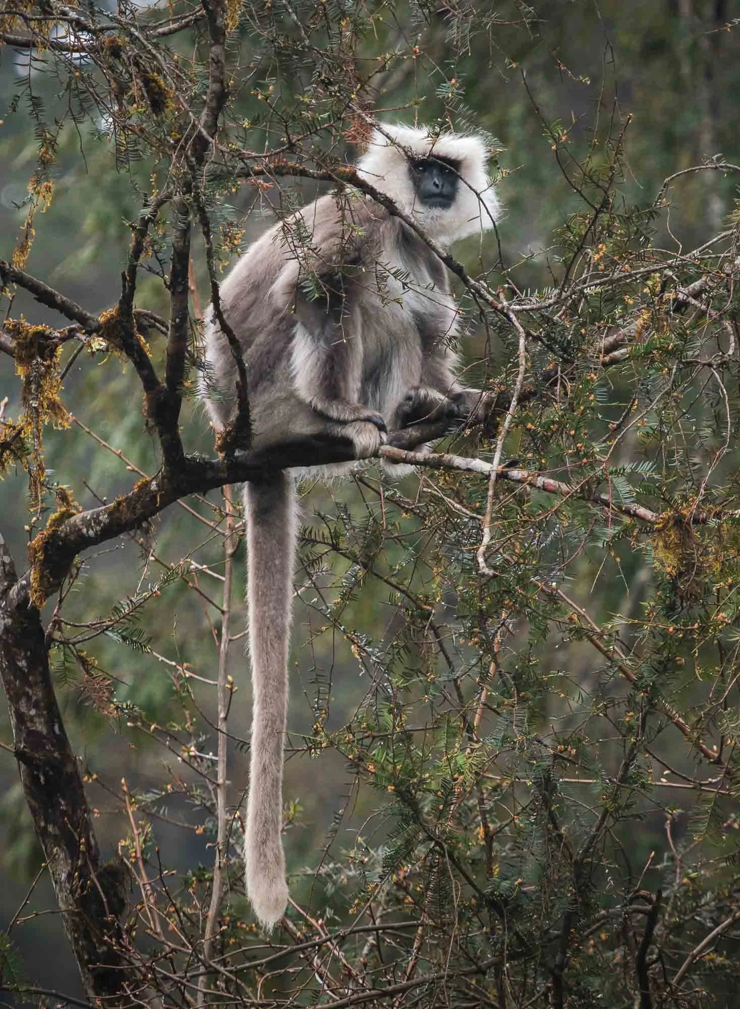
Once descended, we crossed the Puna Tsang Chu river and its valley and headed further east, but not without a short stop for a photo of the Wangdue Phodrang Dzong, at the ridge above the river confluences. It was almost fully destroyed by fire in 2012, and has been reconstructed over the last years.
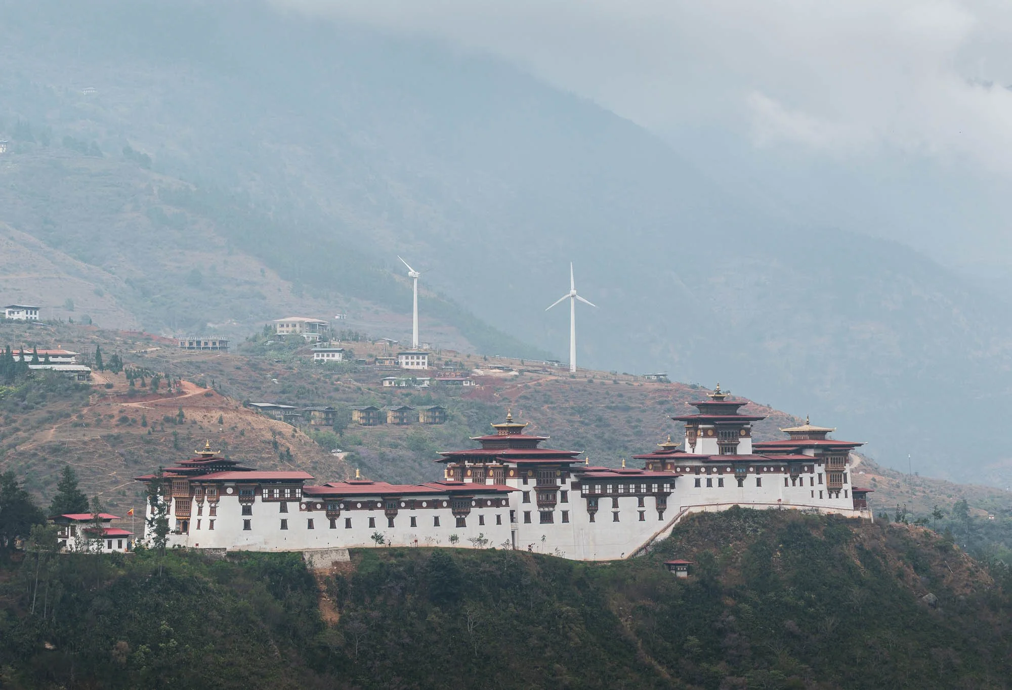
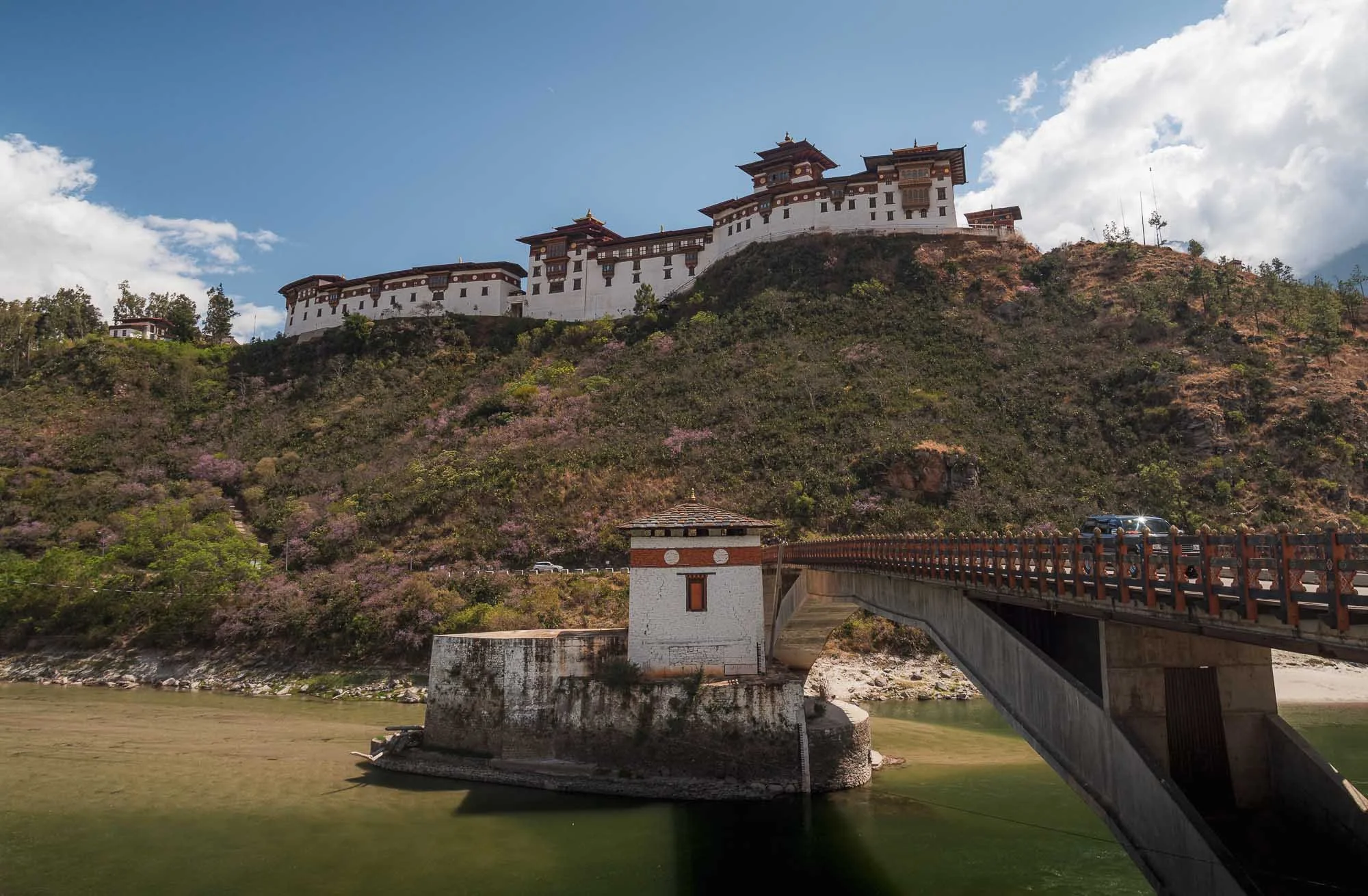
Despite the wind farm in the background, Bhutan’s electricity is almost entirely generated from hydropower owing to its many rivers. In fact, exports of energy to India are a major revenue source for the country, although it still imports fuel for local generators and uses biomass for heating, for instance.
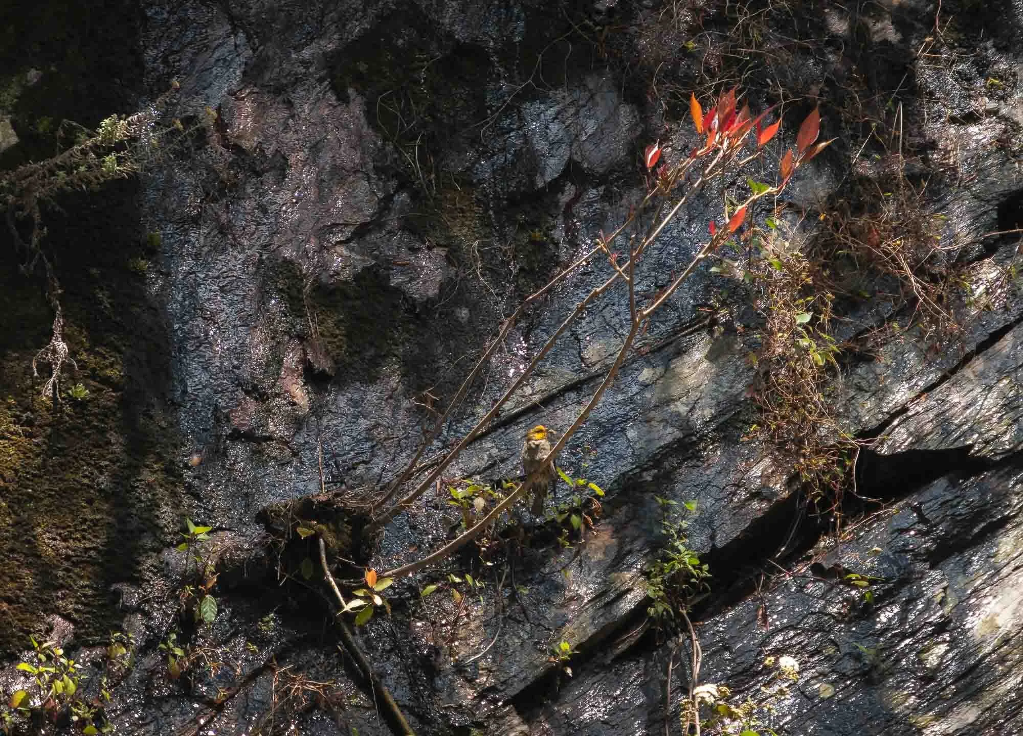
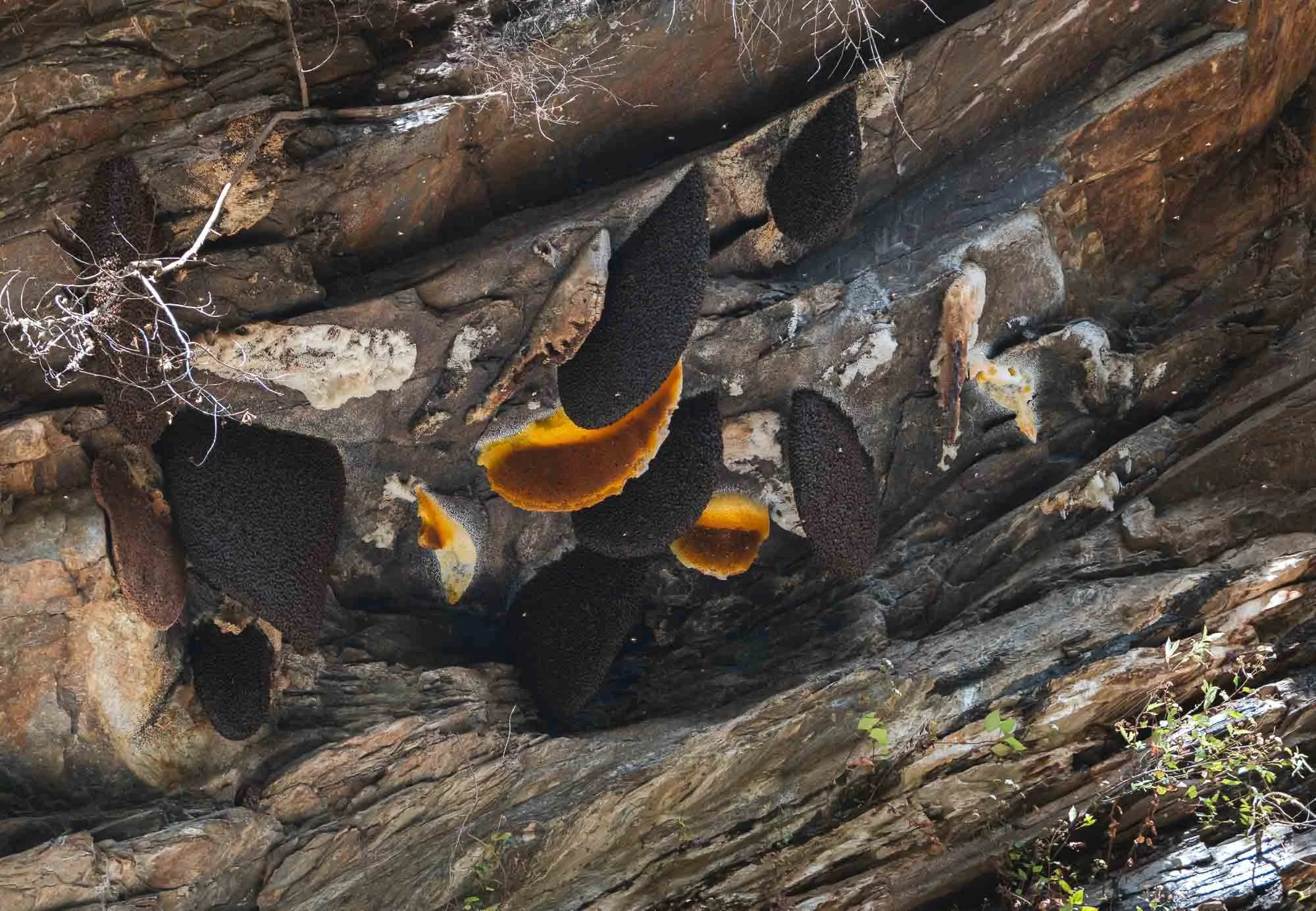
We continued our way to cross Lawala Pass at 3300m into the Phobjikha basin - the roads here were demonstrably worse, and recent rains didn’t help. An interesting sight a bit lower on the slopes were cliff-nesting giant honey bees and the accompanying yellow-rumped honeyguide, which I only spotted because a group of birders had stopped by the side of the road to photograph it - Birding tourism is quite common in Bhutan owing to its many rare and endemic avian species.
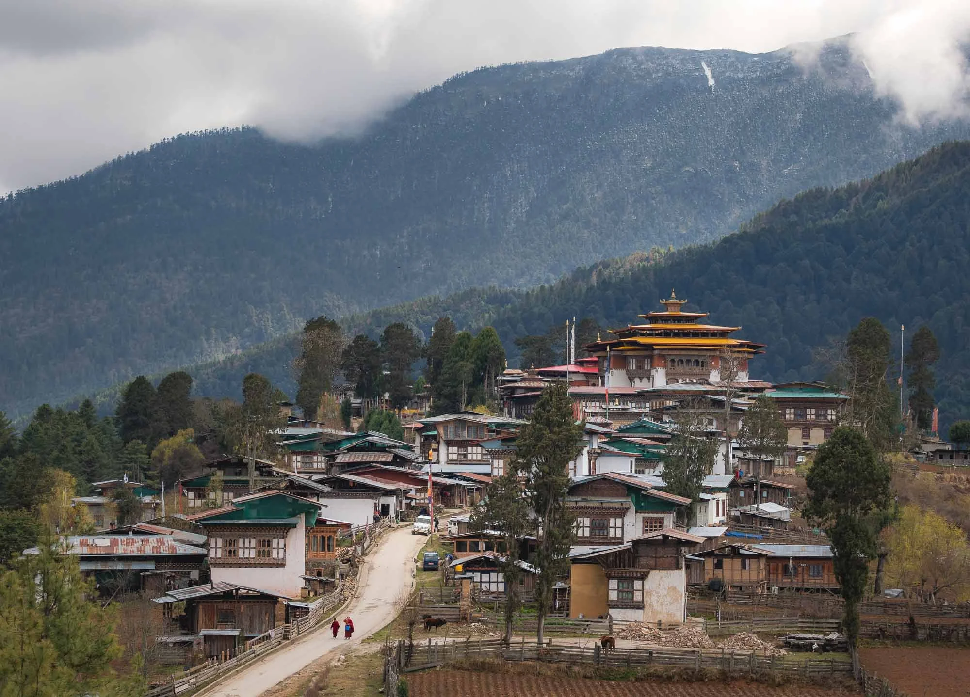
Gangtey
We finally arrived at one of my favorite spots in the country, this view of the small town of Gangtey and its monastery overshadowing the local houses.
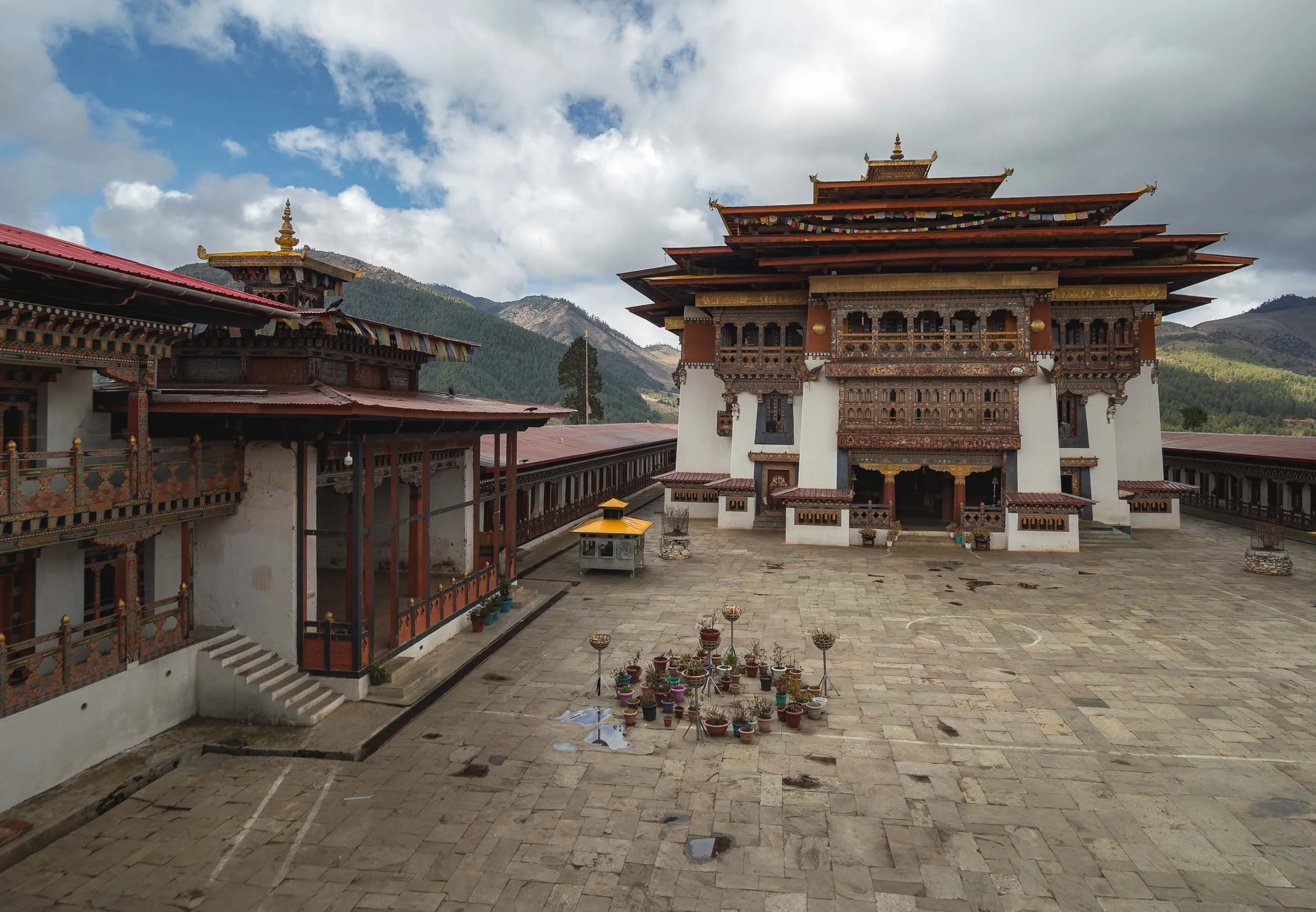
The 17th century monastery was renovated in the early 2000s - while a bit smaller and less monumental than the more famous Dzongs it’s quite beautiful with a lot of intricate details.
Things are quite rural here otherwise - the main shop on the left and the local branch of the Bhutan development branch on the right. I wonder what collateral they accept for a loan?
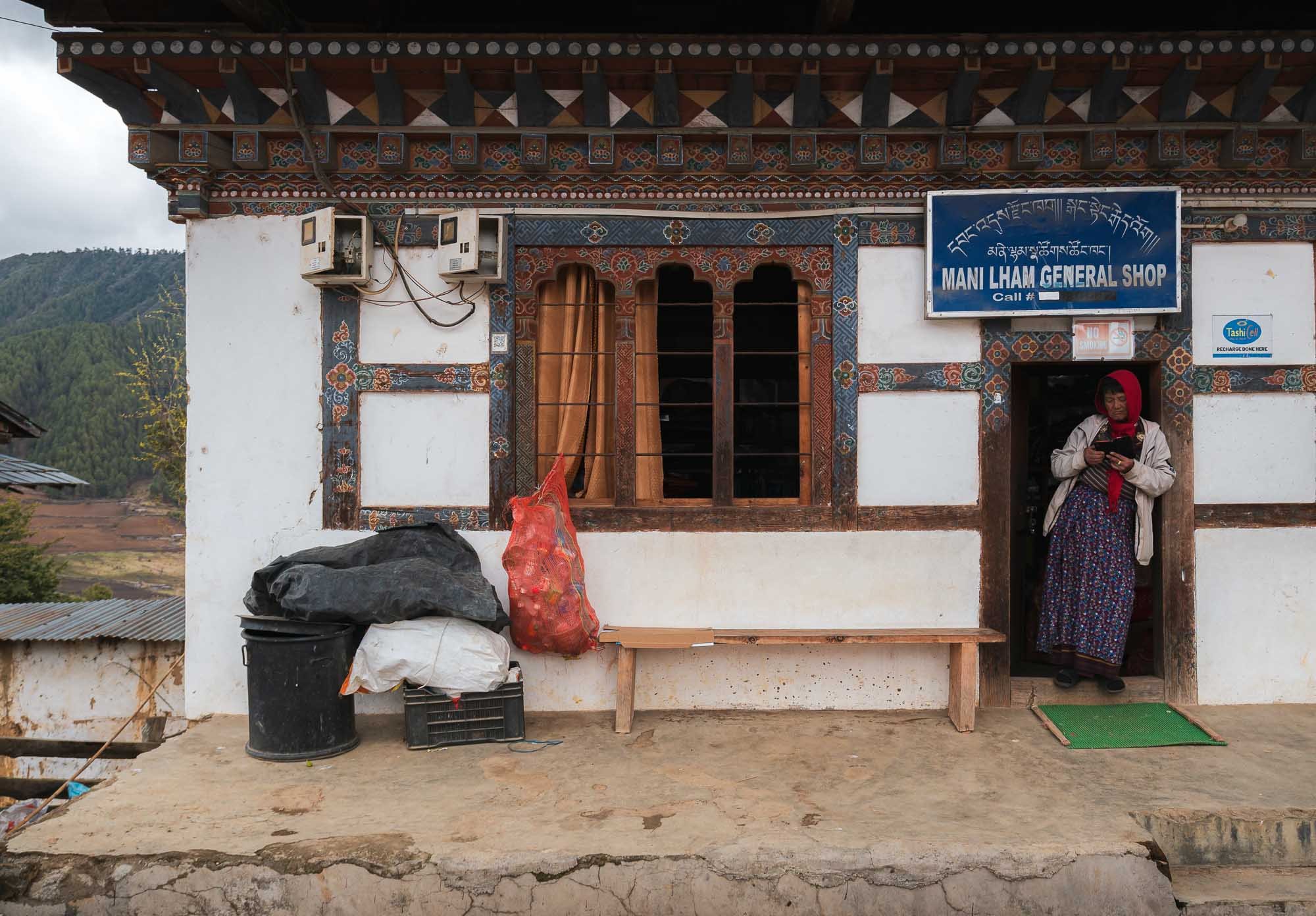
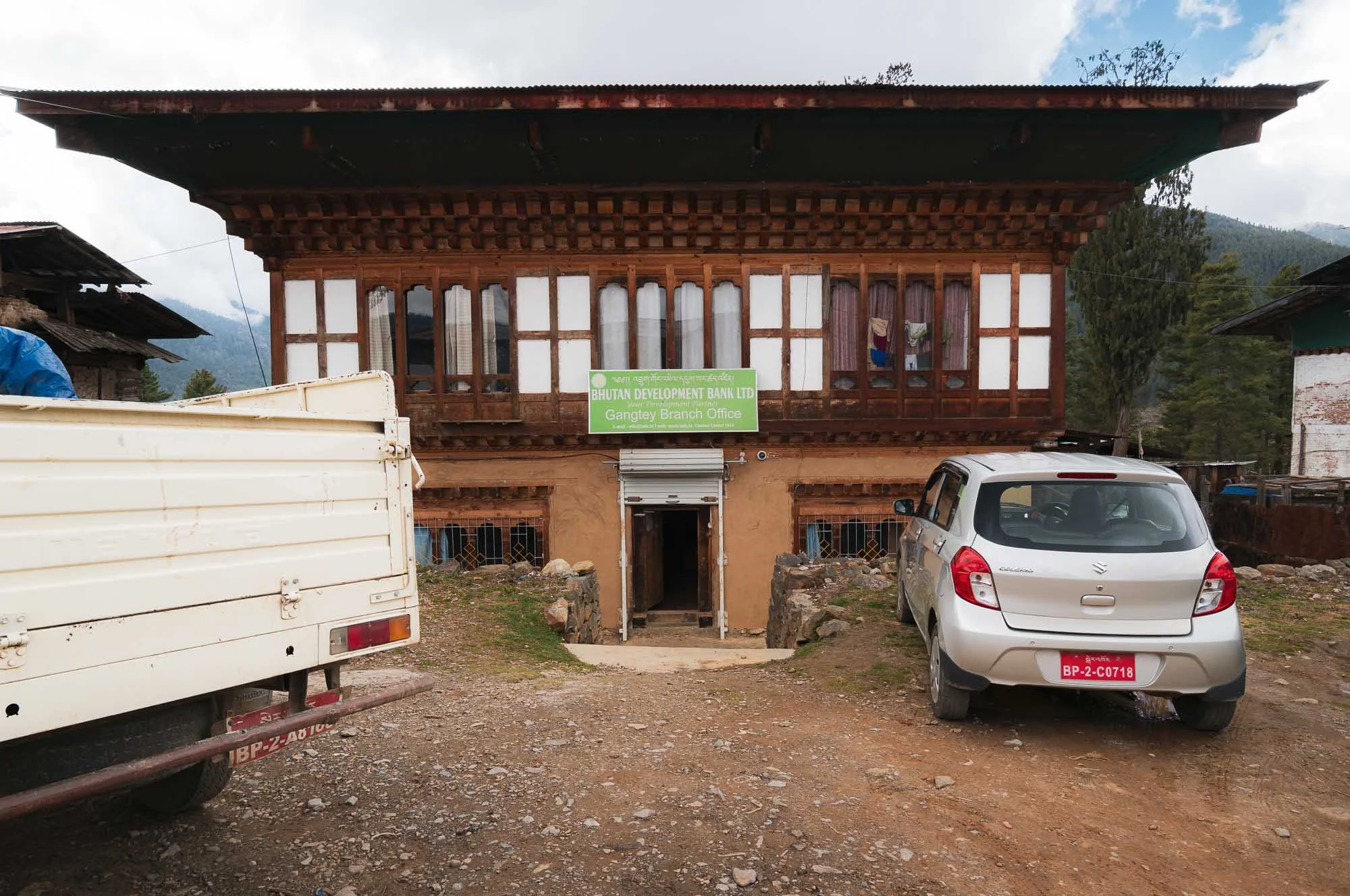
From here, we took a beautiful walk into the Phobjikha Valley along the Gangtey nature trail, crossing river trails and spotting a few of the tall white prayer flags, marking mourning rituals for the deceased.
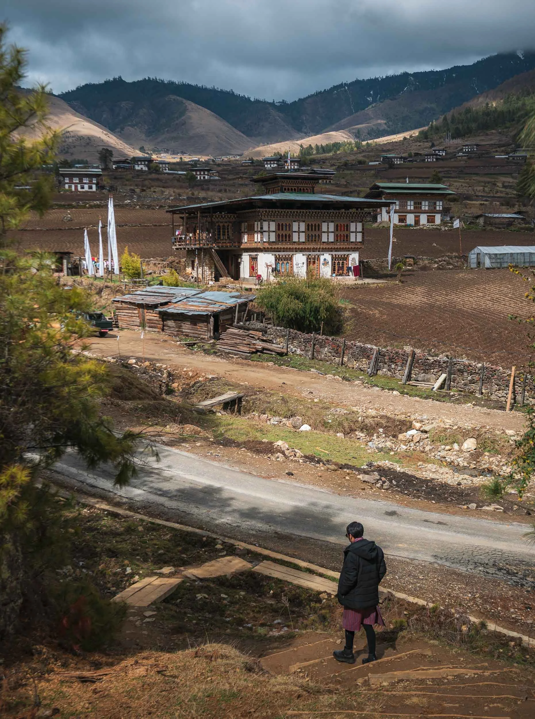
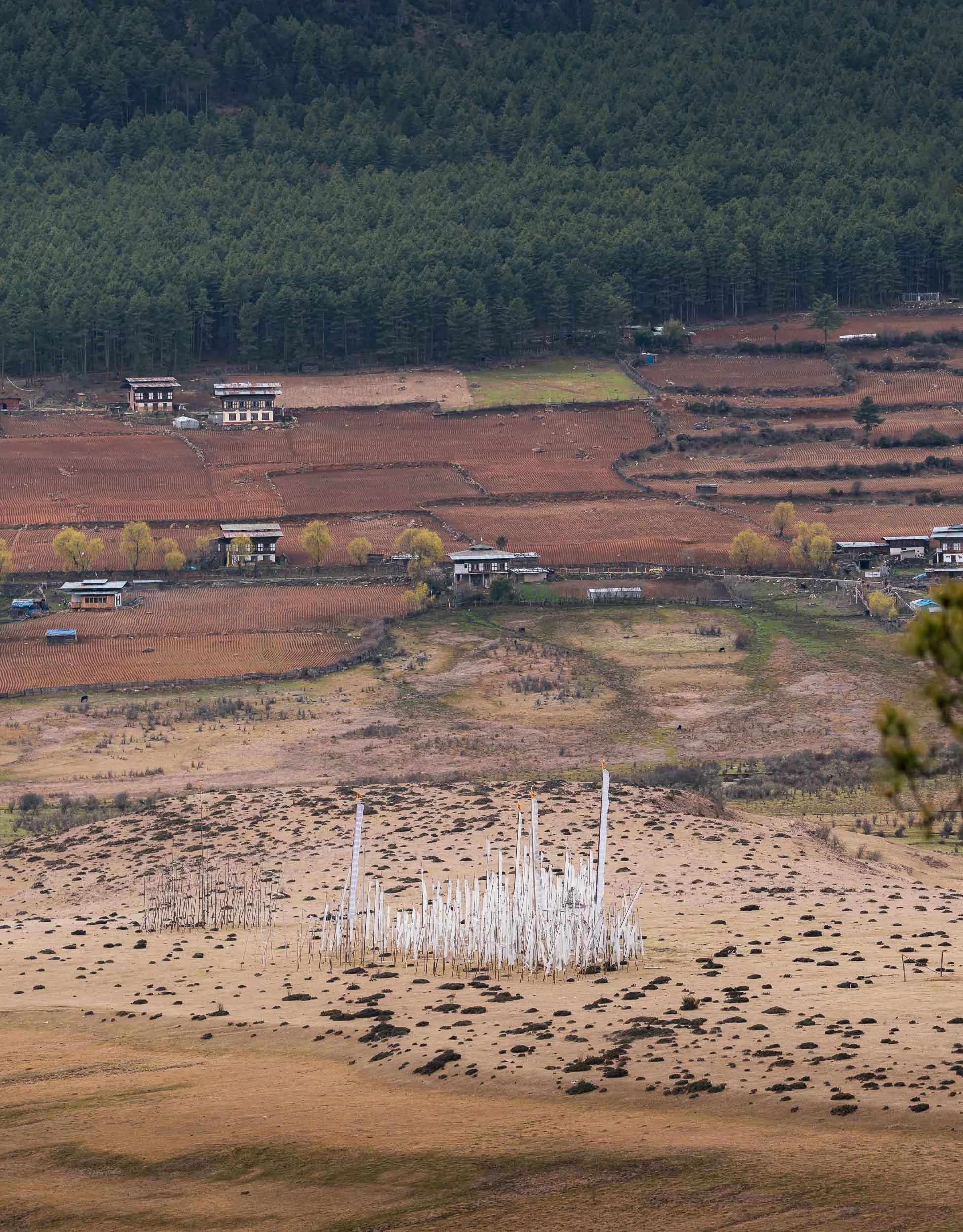
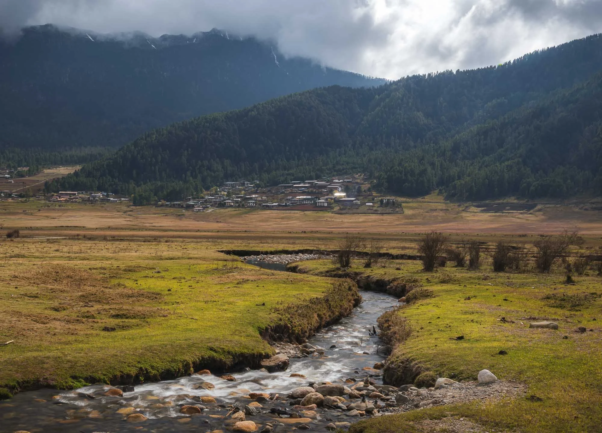
The valley itself is famous for its seasonal black-necked cranes, which arrive here in November and stay until March, using the wetlands around the central river as a wintering site. They are heavily protected - even power lines have been moved underground to reduce risk - and have a cultural relevance to the area.
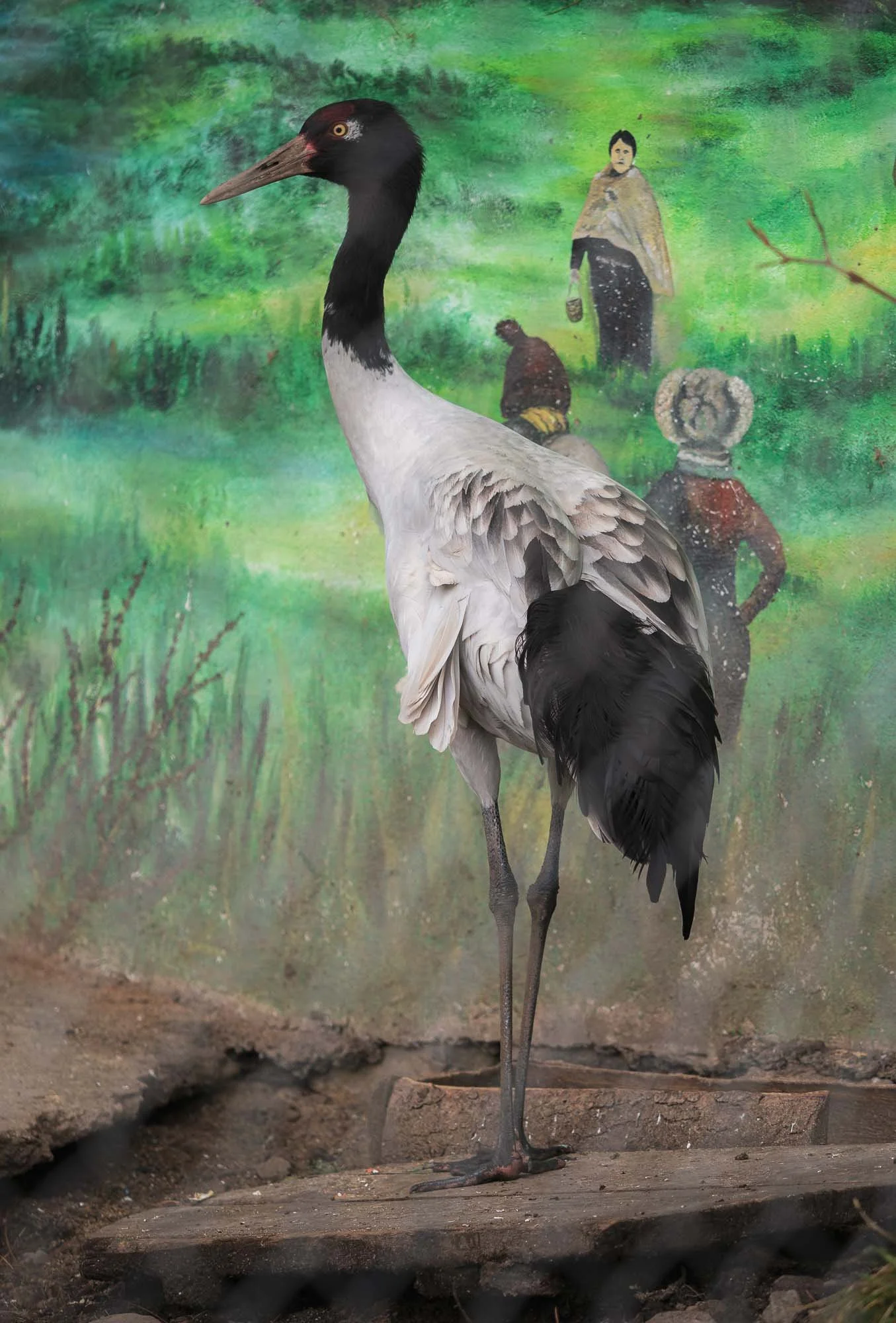
The cranes had already left by late March, so I didn’t get to see a wild one. The local visitor centre specifically built around these birds is home to two rescued individuals, which suffered injuries - they are prey for leopards in the area, for example.
Despite its remoteness, the area attracts quite a few of the aforementioned birding tourists, and the edge of the wetland is home to very small high-end results such as Six Senses (which has 5 resorts in the country), reflecting the upper scale tourism approach of the country.
Oddly, Bhutan’s national bird is the raven, rather less ecologically significant, but a representing a protective deity in Bhutanese Buddhism.
We headed back the next day, once again spotting the elevated Dzong of Wangdue, and a rather interesting football field, as well as the old village of Rinchengang across the river, which I explored a little.
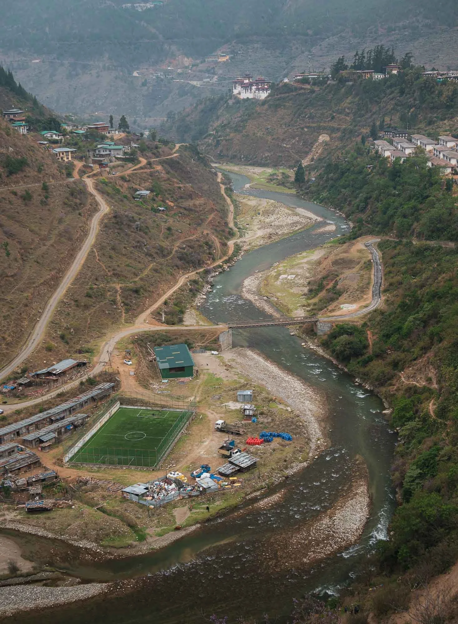
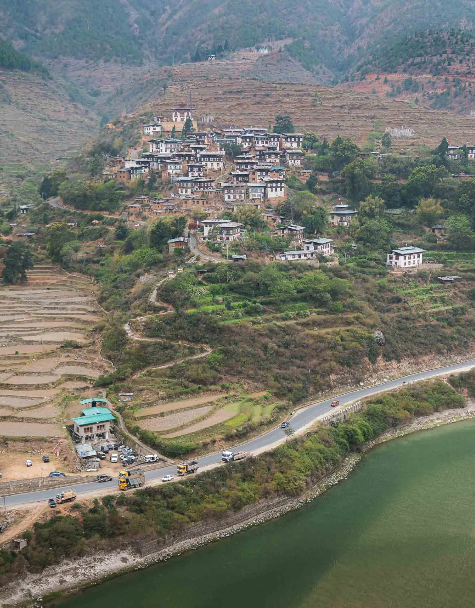
The rather unusually compact traditional village is said to be one of the oldest in Bhutan, and characteristic by tightly packed houses with stone roads inaccessible for cars. It was renamed to Drinchengang and is slowly being revived as a cultural reference village - many of the houses now have QR codes to learn about their history and past inhabitants.
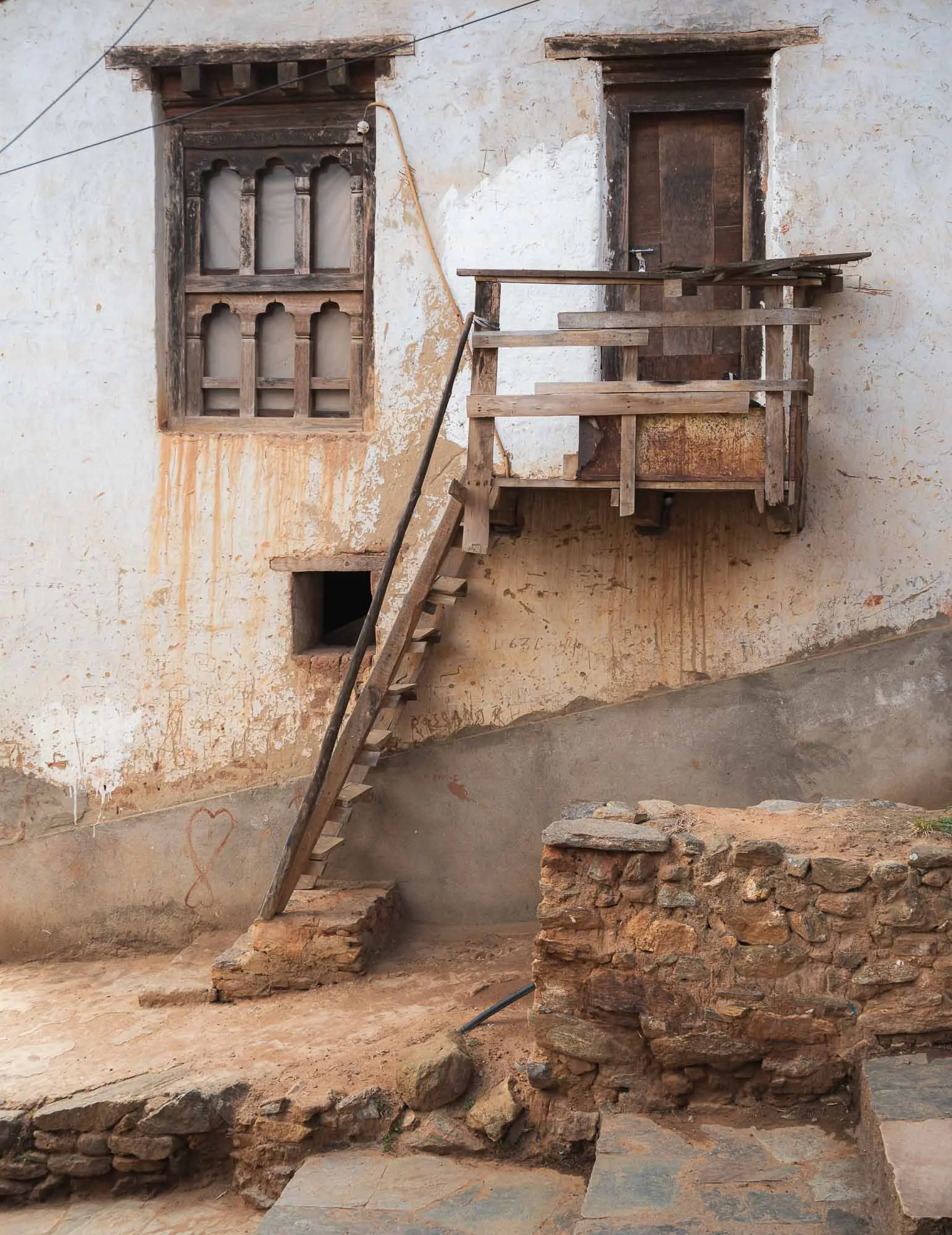
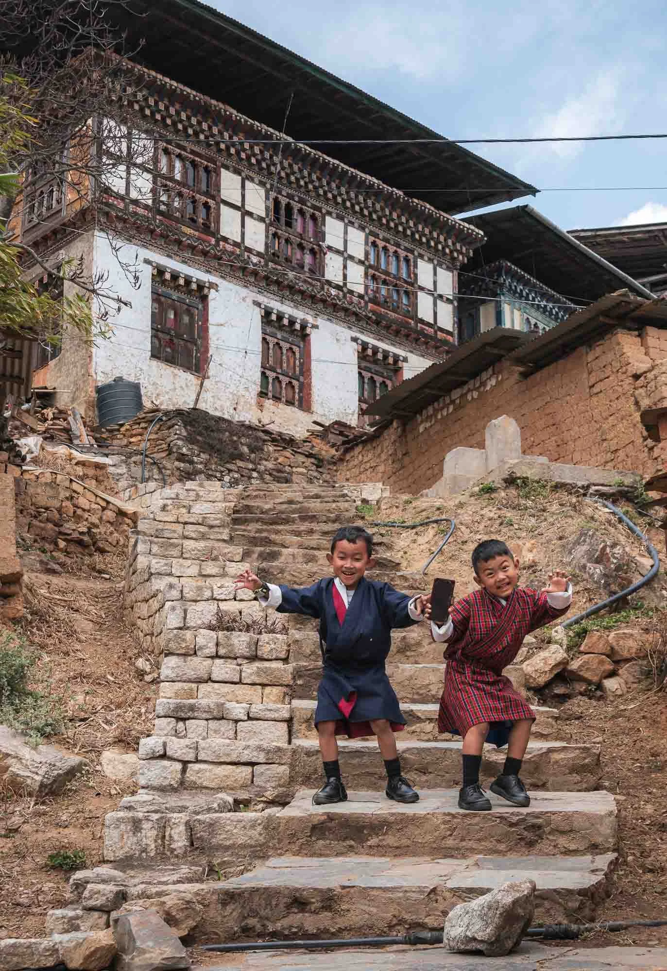
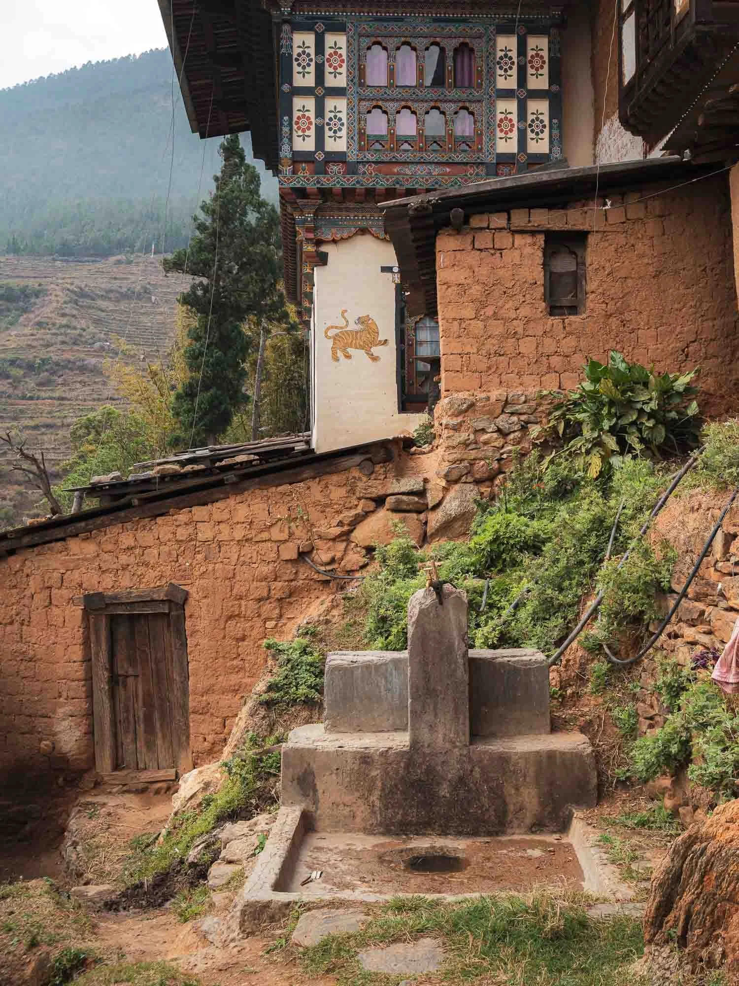
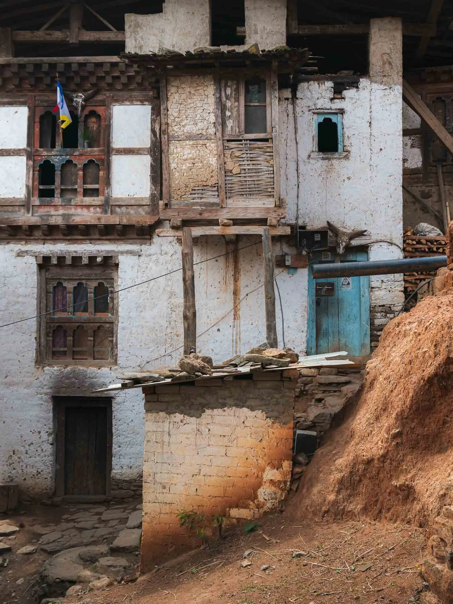
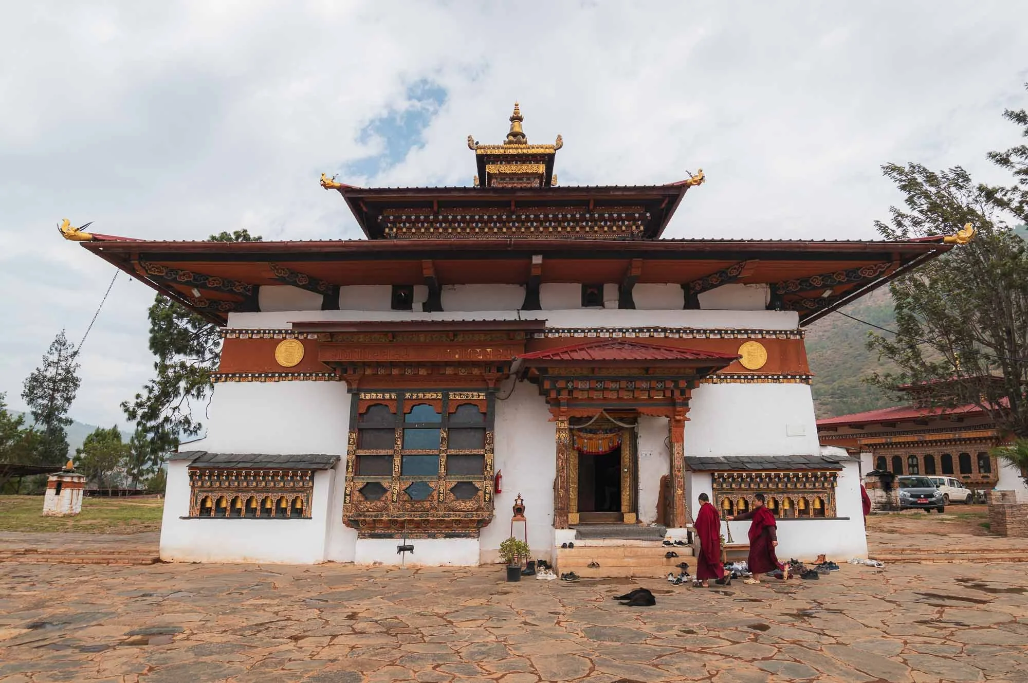
The Fertility Temple
Do you remember the Divine Madman from the story of the takin?
We visited the 1499 temple dedicated to this Buddhist master next - his story and what remains is probably the main attraction for tourists in this region. But not only - it’s also couples praying for children and women hoping to get pregnant that come here.
This is because the temple is known for its ability to bless people with babies, evident by a book full of pictures of parents from all around the world holding their rose-cheeked newborns - often unexpectedly so due to illness or other struggles to conceive - after having visited the temple and subduing themselves to one of the various rituals that supposedly address any obstacles to having a child.
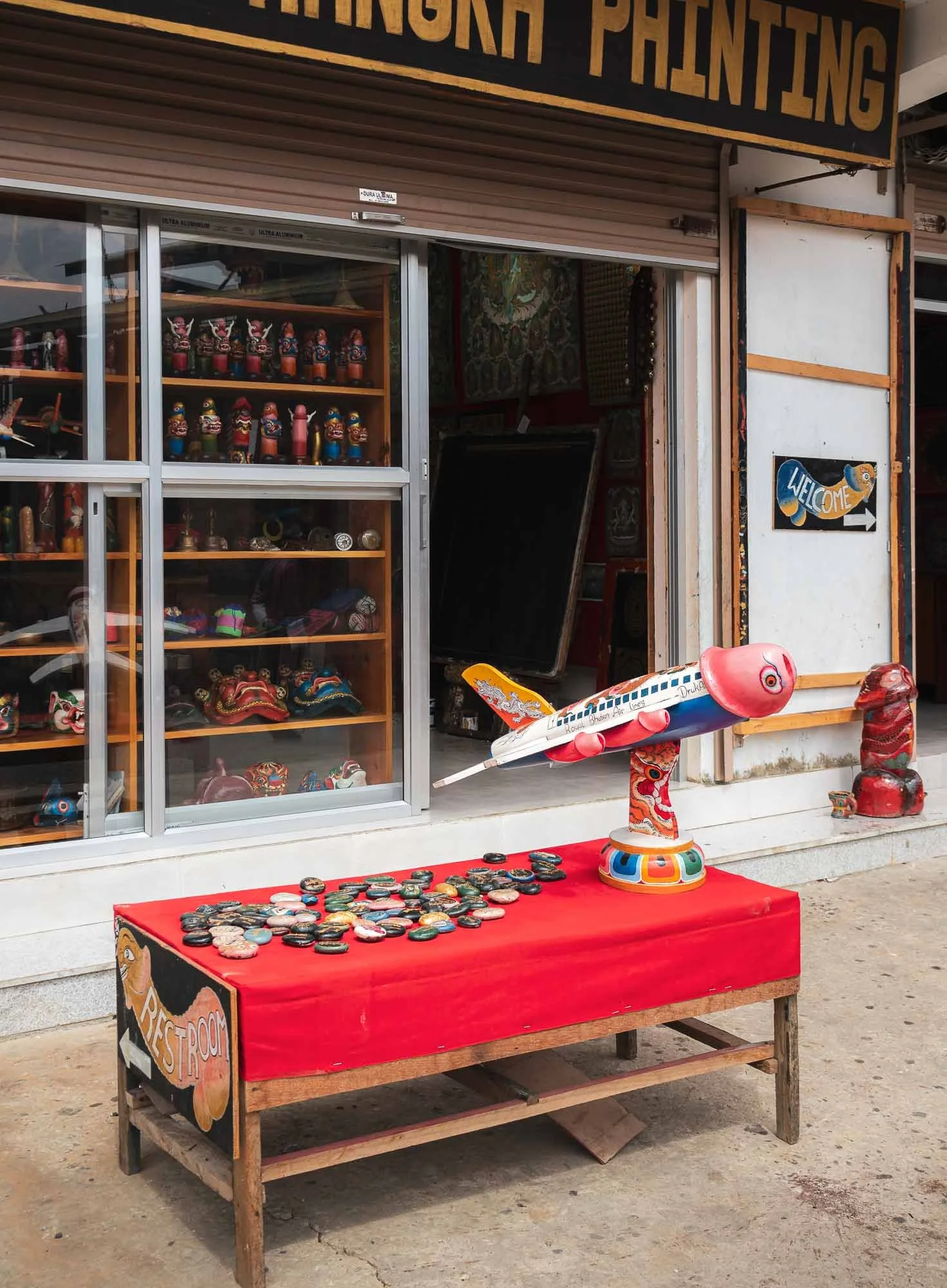
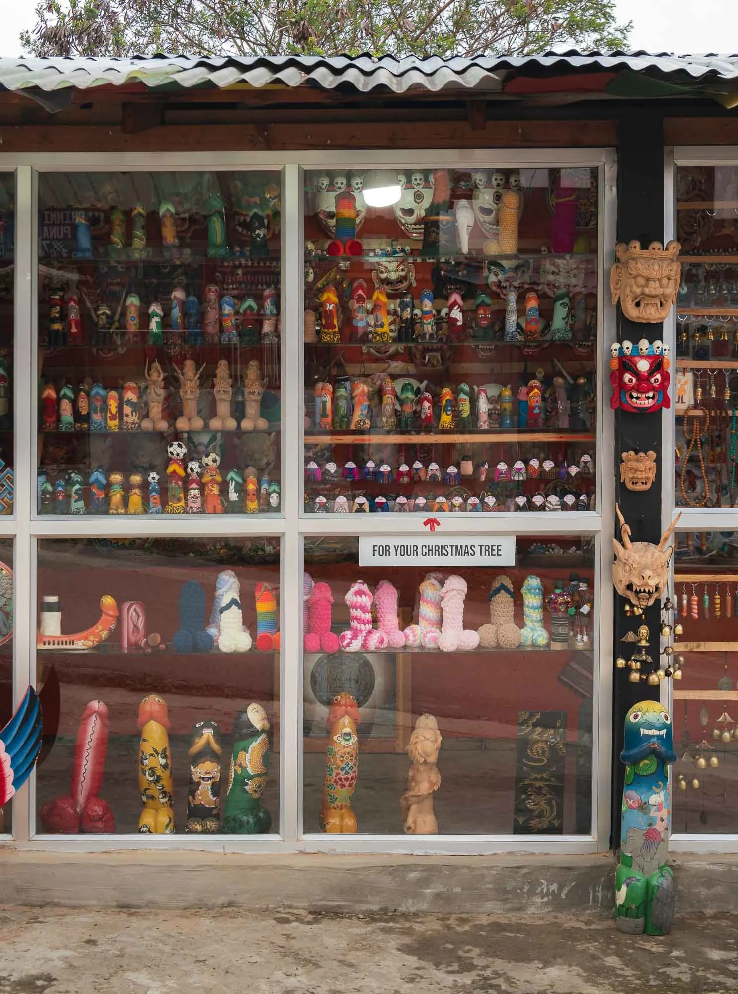
This belief is rooted in the stories of the Buddhist master known as the “Divine Madman,” who rejected traditional conventions and taught through more unconventional behavior, often using sexual themes and his (many) interactions with women as a way to make things memorable. The primary symbolism to reflect his powers follow a phallic theme, mirrored in the many small shops selling relevant artifacts accordingly. In general it’s hard not to notice the symbols around door frame carvings and paintings all around Bhutan.
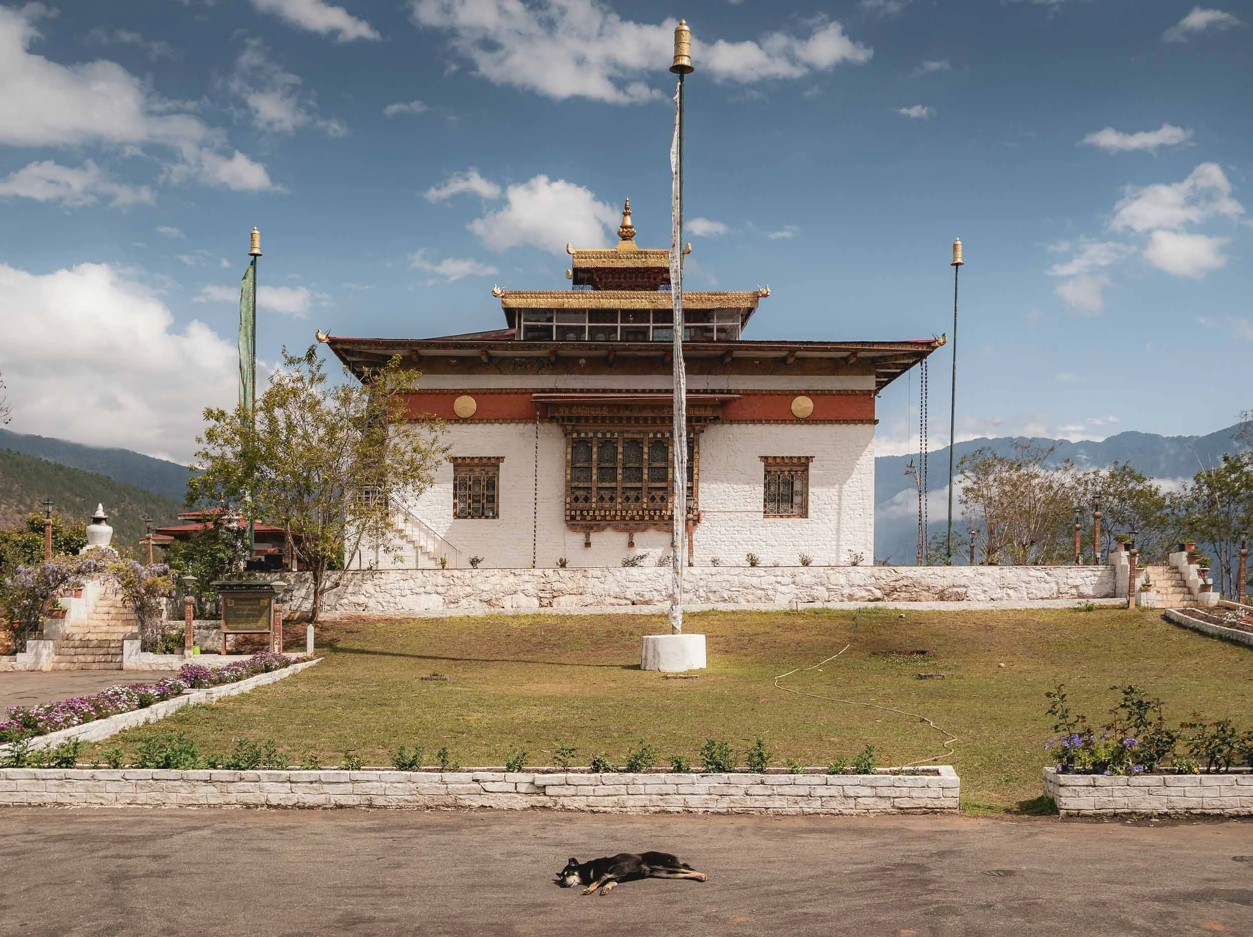
Wolakha Nunnery
In what one might describe as an antithesis to the above, we next visited the nunnery of Wolakha.
Aside from the beautiful views over the valleys, it features interesting architectural aspects such as the primary stupa following the design more common in Nepal (with painted eyes) as opposed to the more abstract, less adorned Bhutanese chorten style of the Vajrayana tradition.
On the right, the temple for the thousand-armed Avalokiteśvara, a deity for compassion and support in suffering.
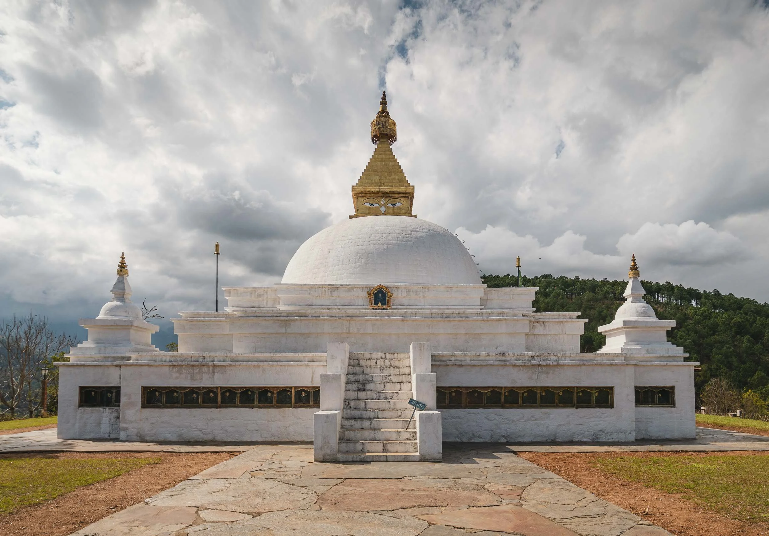
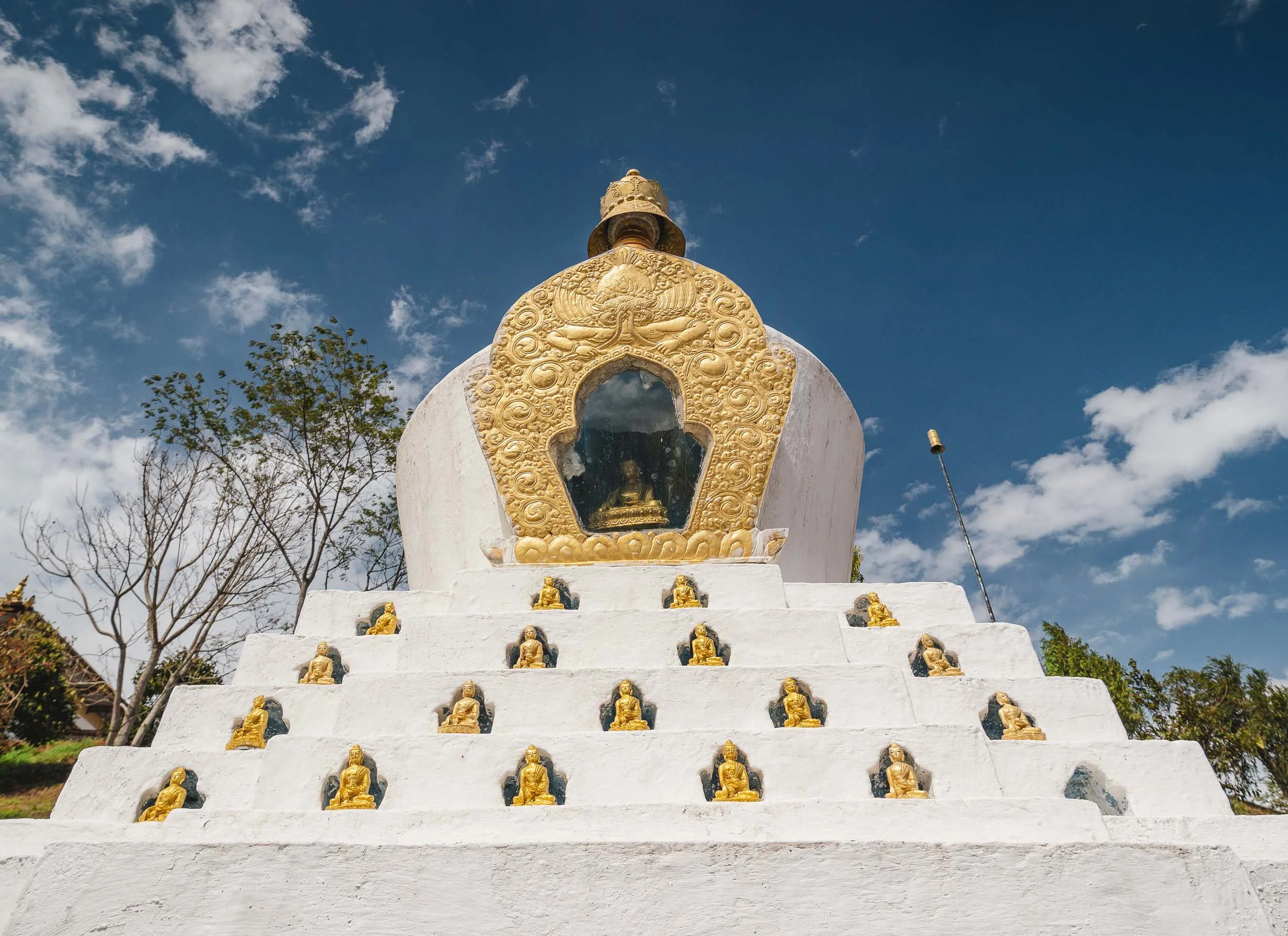
The nunnery features education and vocational activities and its pupils - mostly aged 6 to 18 or so - happily showed me their evolving skills and the readings and writings they practiced. While nuns historically had less institutional support than monks, there are now quite a few nunneries around the country.
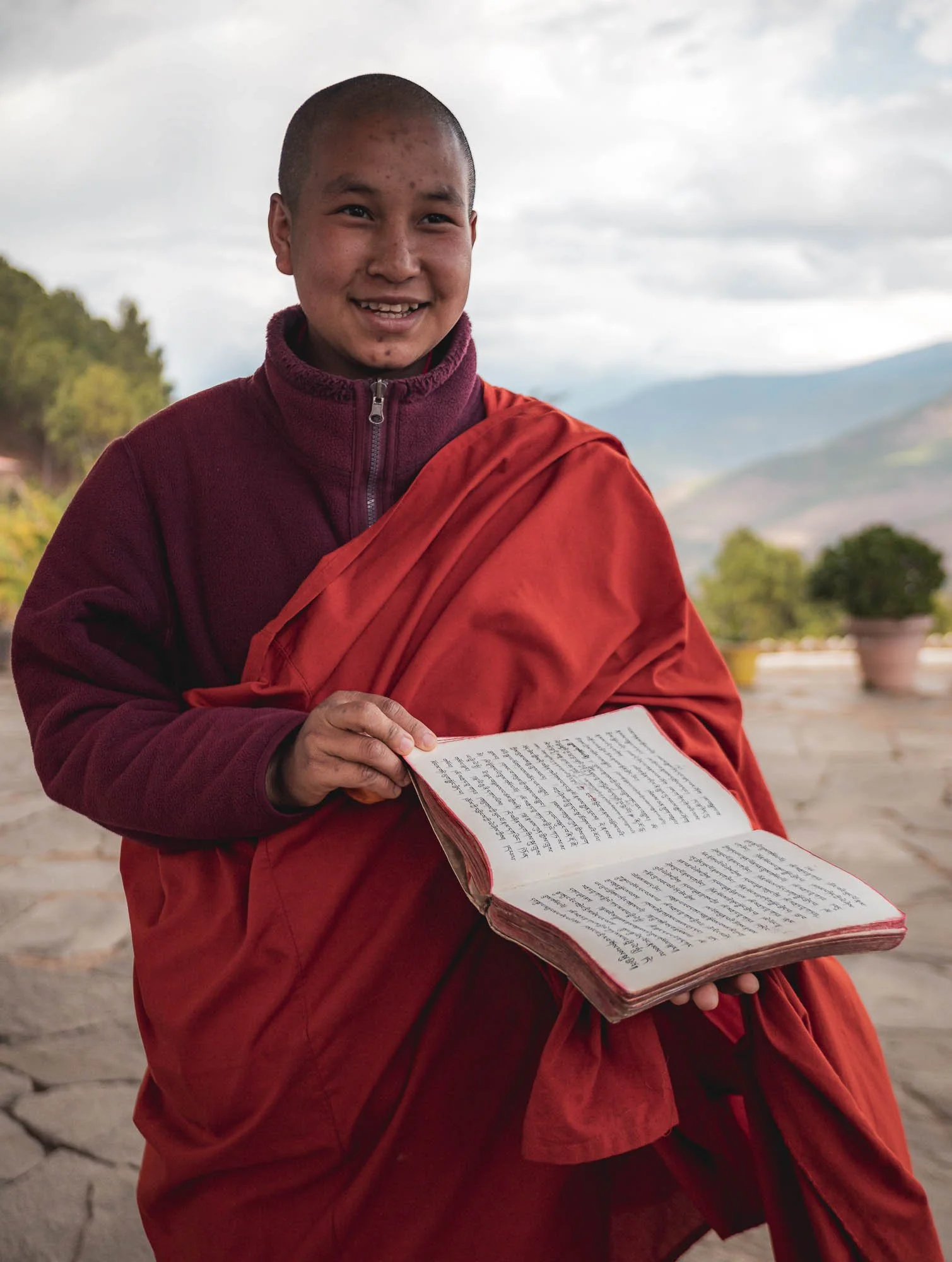
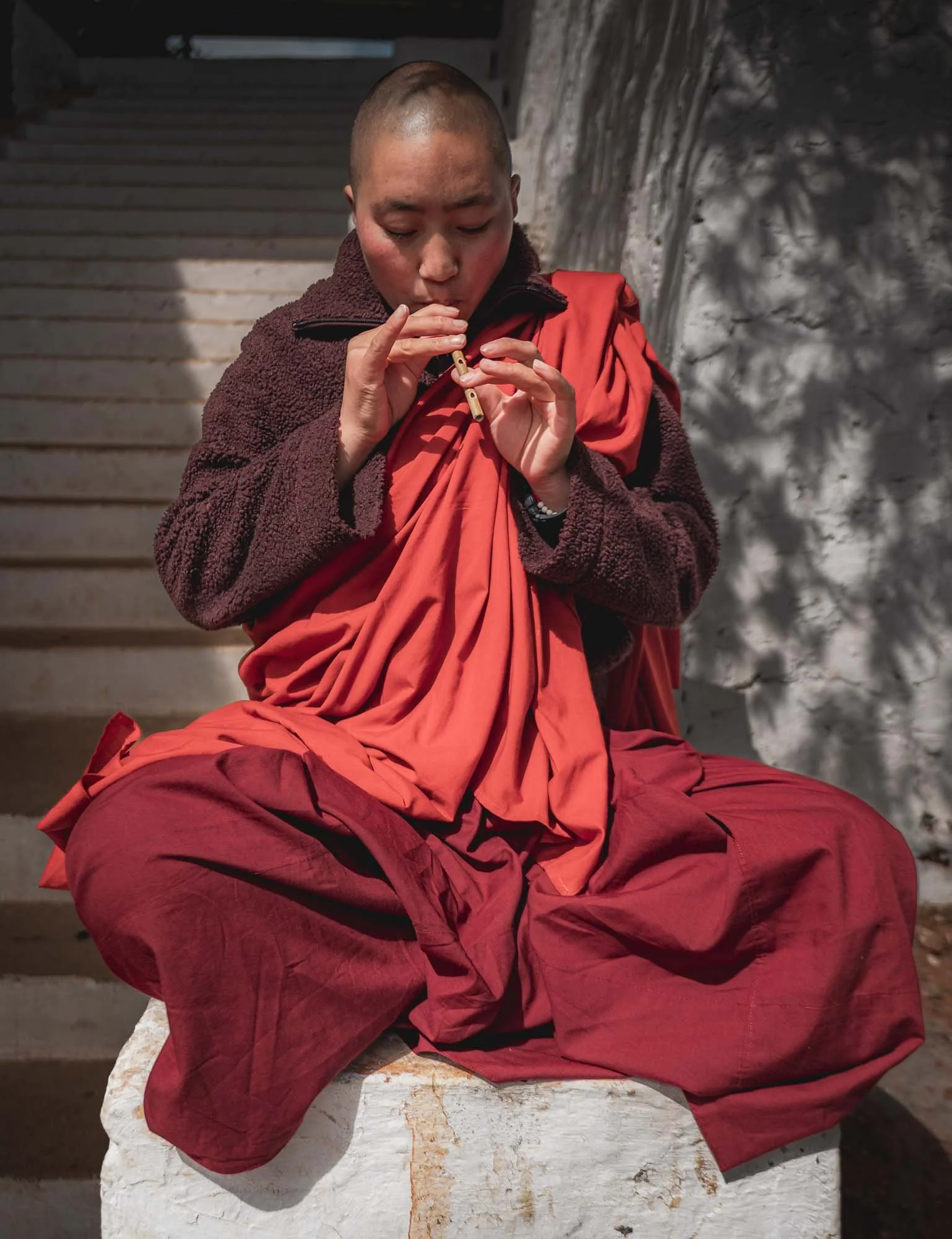
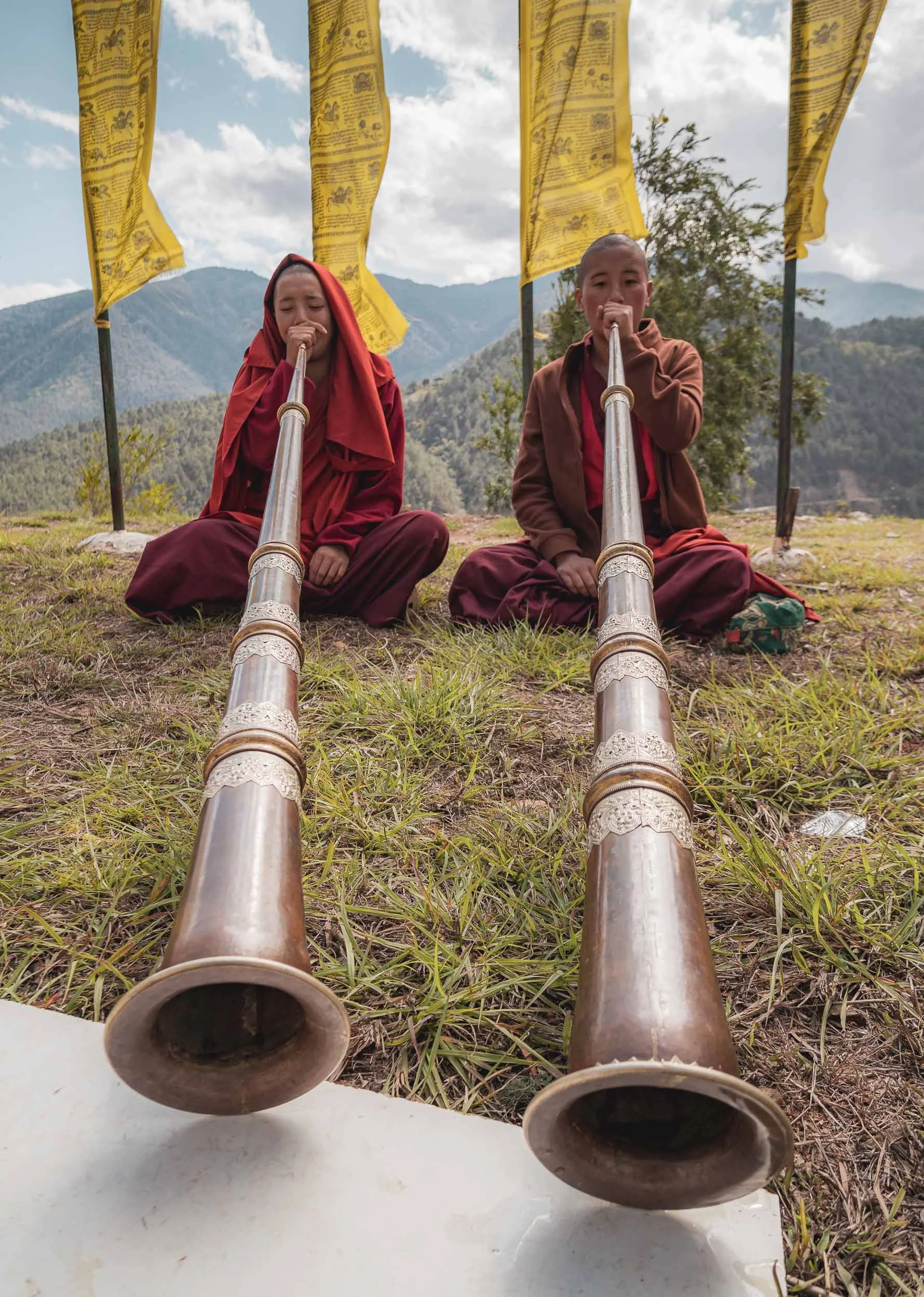
They were also practicing the Dungchen, a long kind of horn producing a deep drone sound used during monastic rituals and festivals. It takes them several years to master it.
Khamsum Yulley Namgyal Chorten
Not far from here lies another picturesque monastery, reachable after crossing another flagged suspension bridge, followed by a short walk through the rice paddies, and a brief hike up the hill.
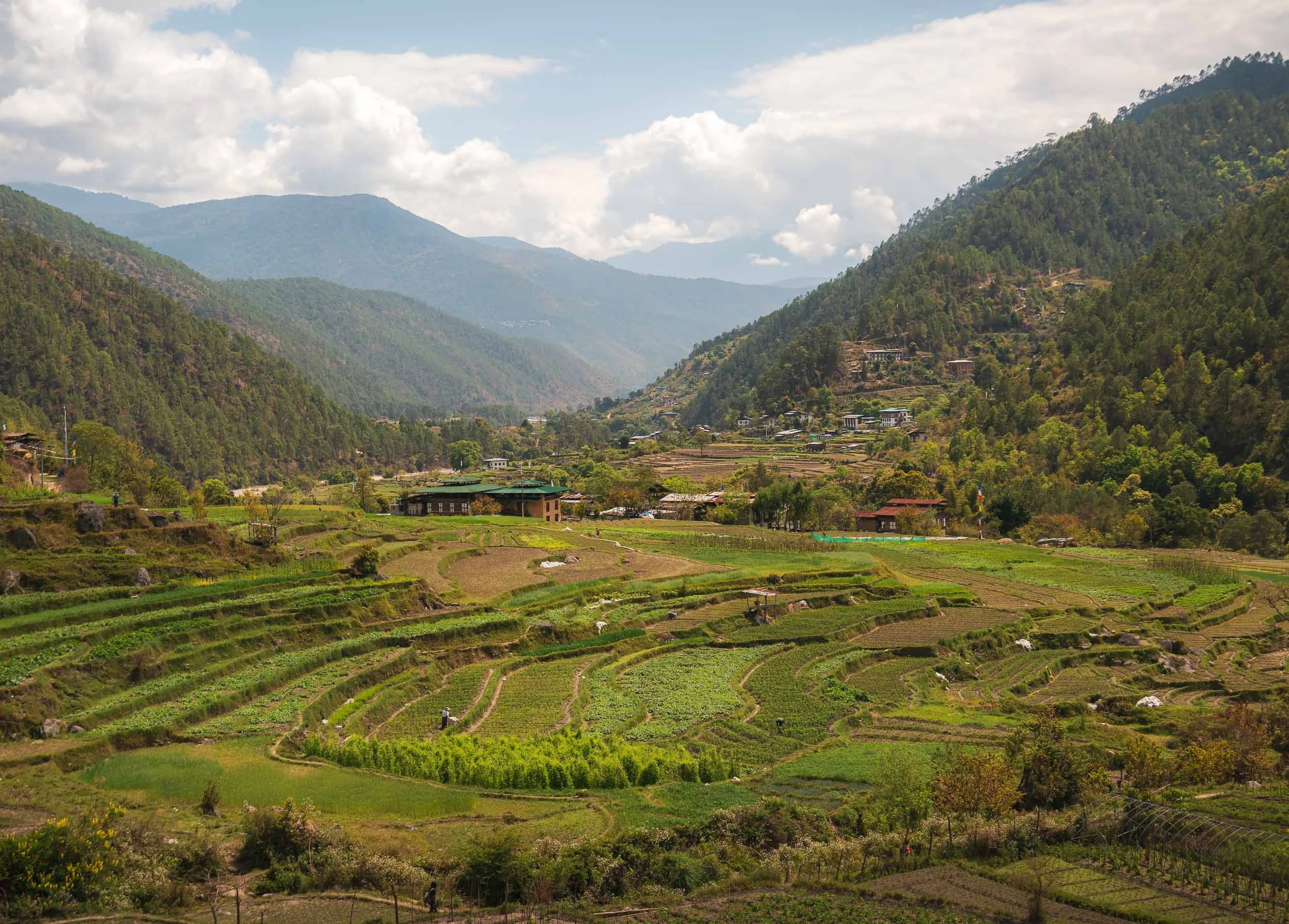
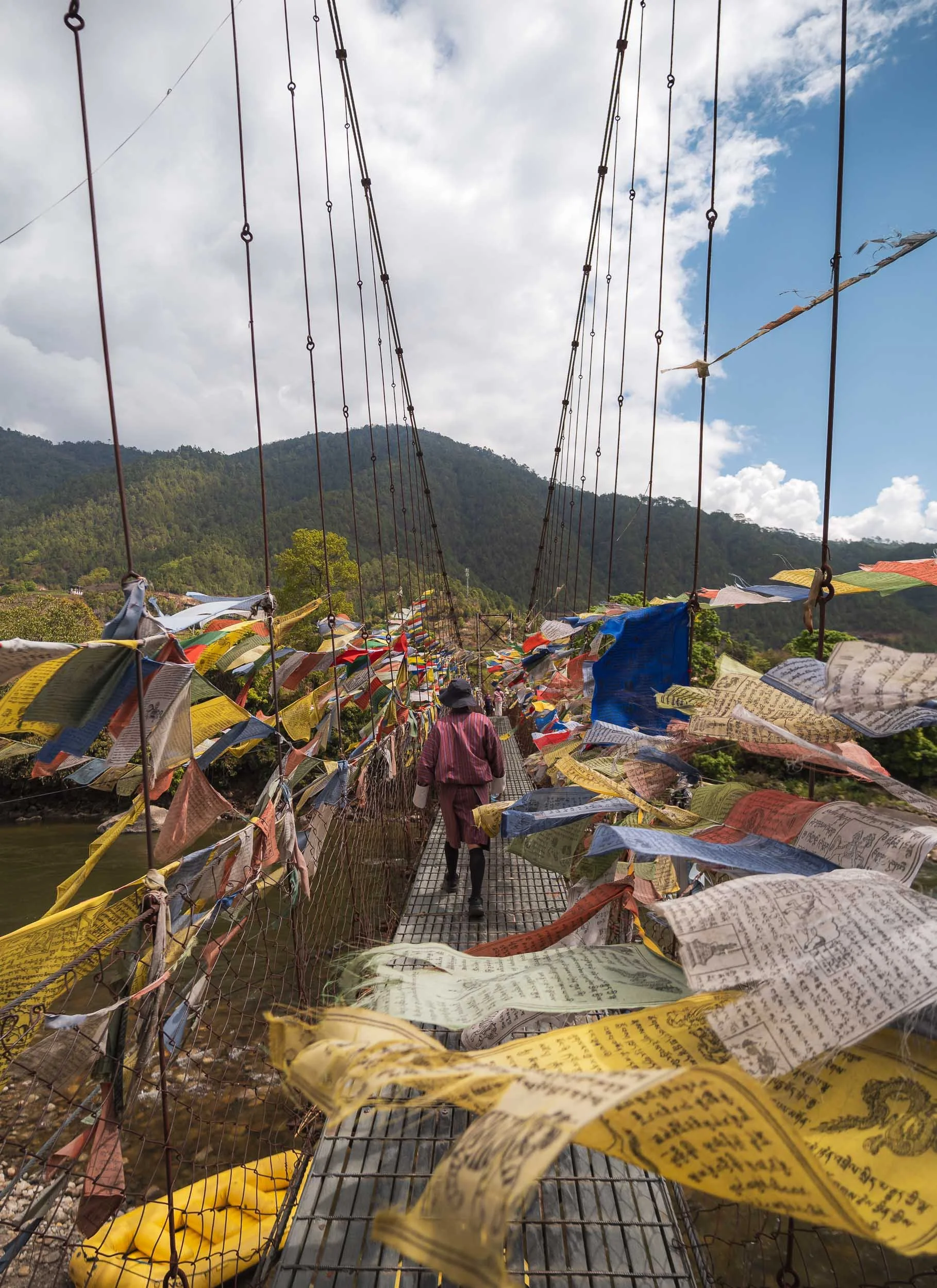
This one was built fairly recently and opened in 2004 - unlike many of the other chortens it has an accessible, multi-level interior, centered around promoting stability and peace in the region.
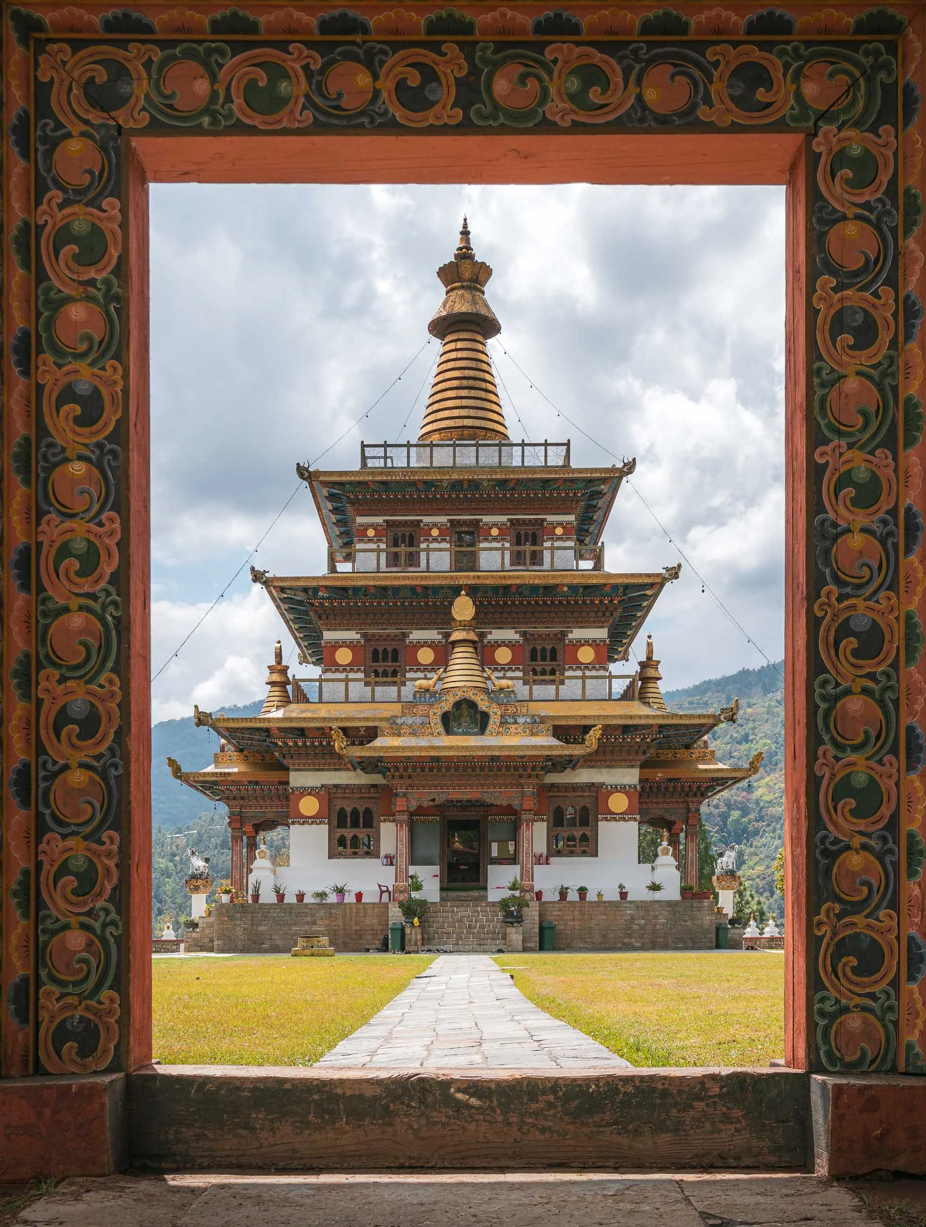
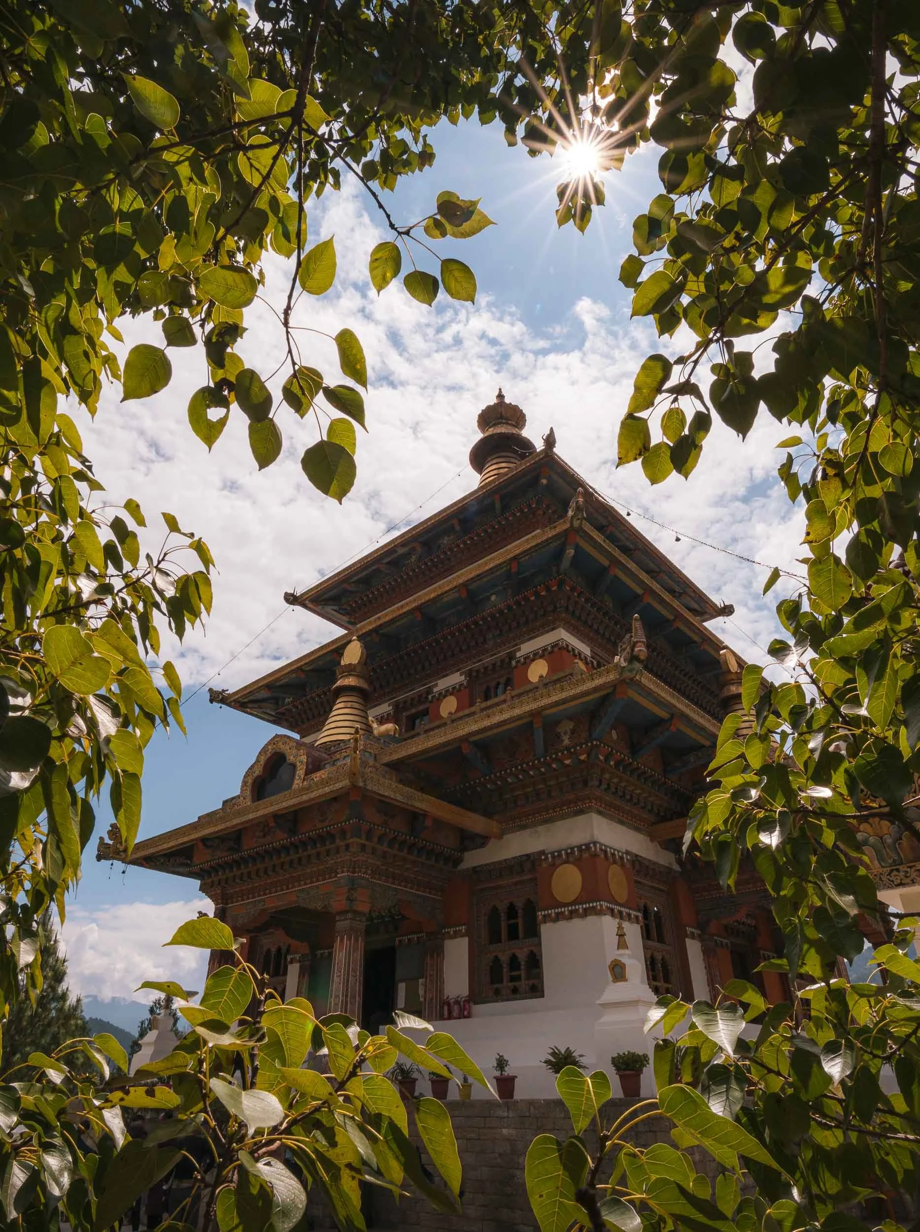
The Palace of Great Happiness
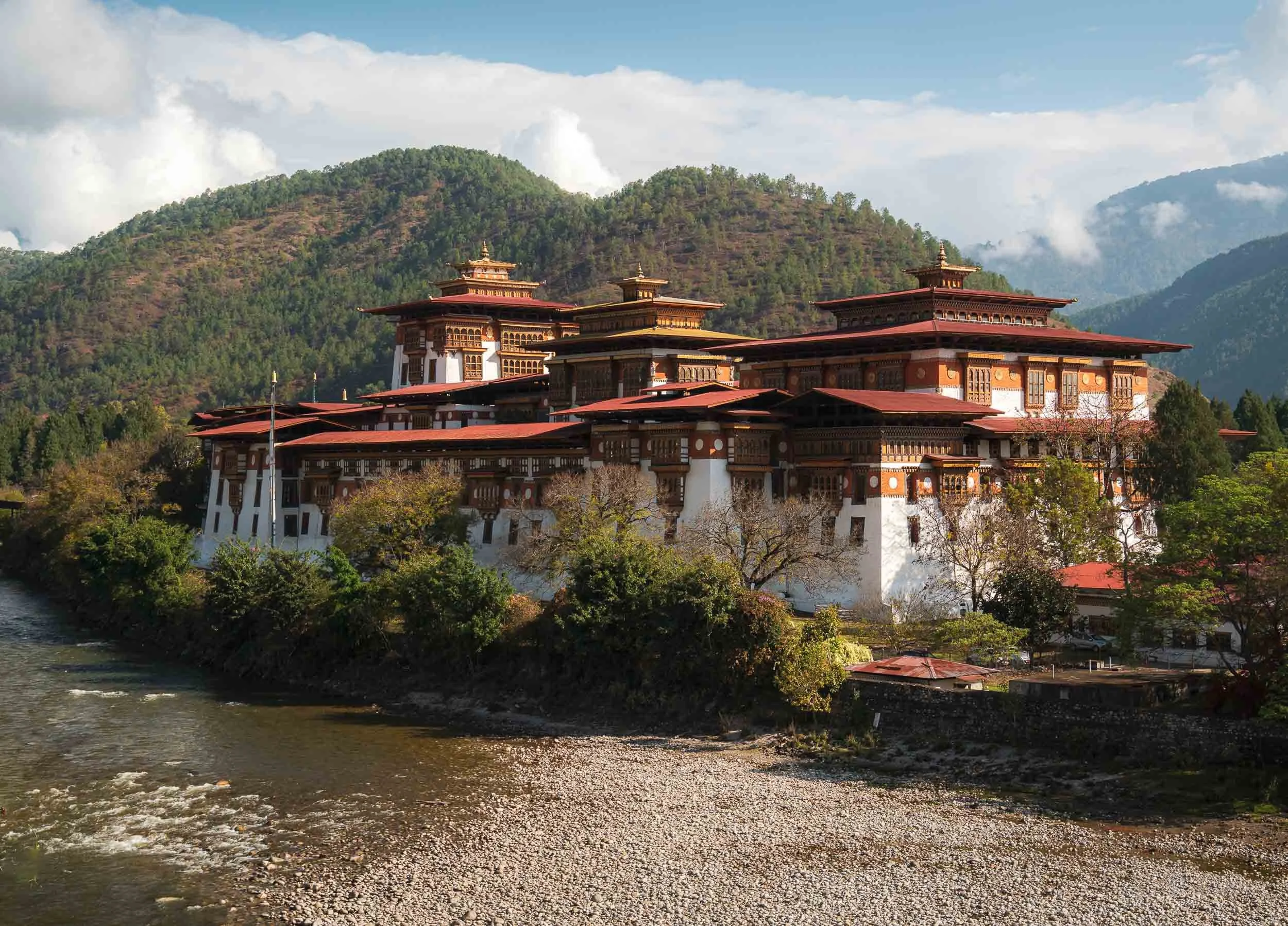
Despite the many interesting sights in the area, it’s undeniable that the Punakha Dzong steals the show, and also became one of my personal favourite places in the country. Its beautiful location at the confluence of the Pho Chhu and Mo Chhu rivers (representing male and female parts), the amazing architecture and its historic significance as the old capital of Bhutan until 1955 are some of the reasons for its appeal.
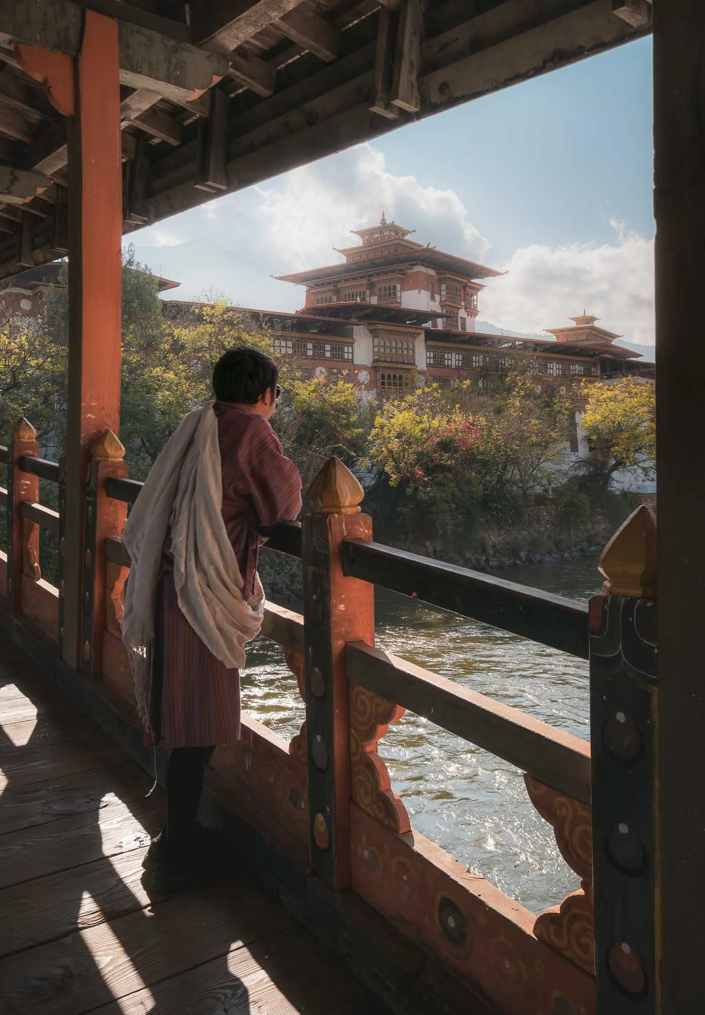
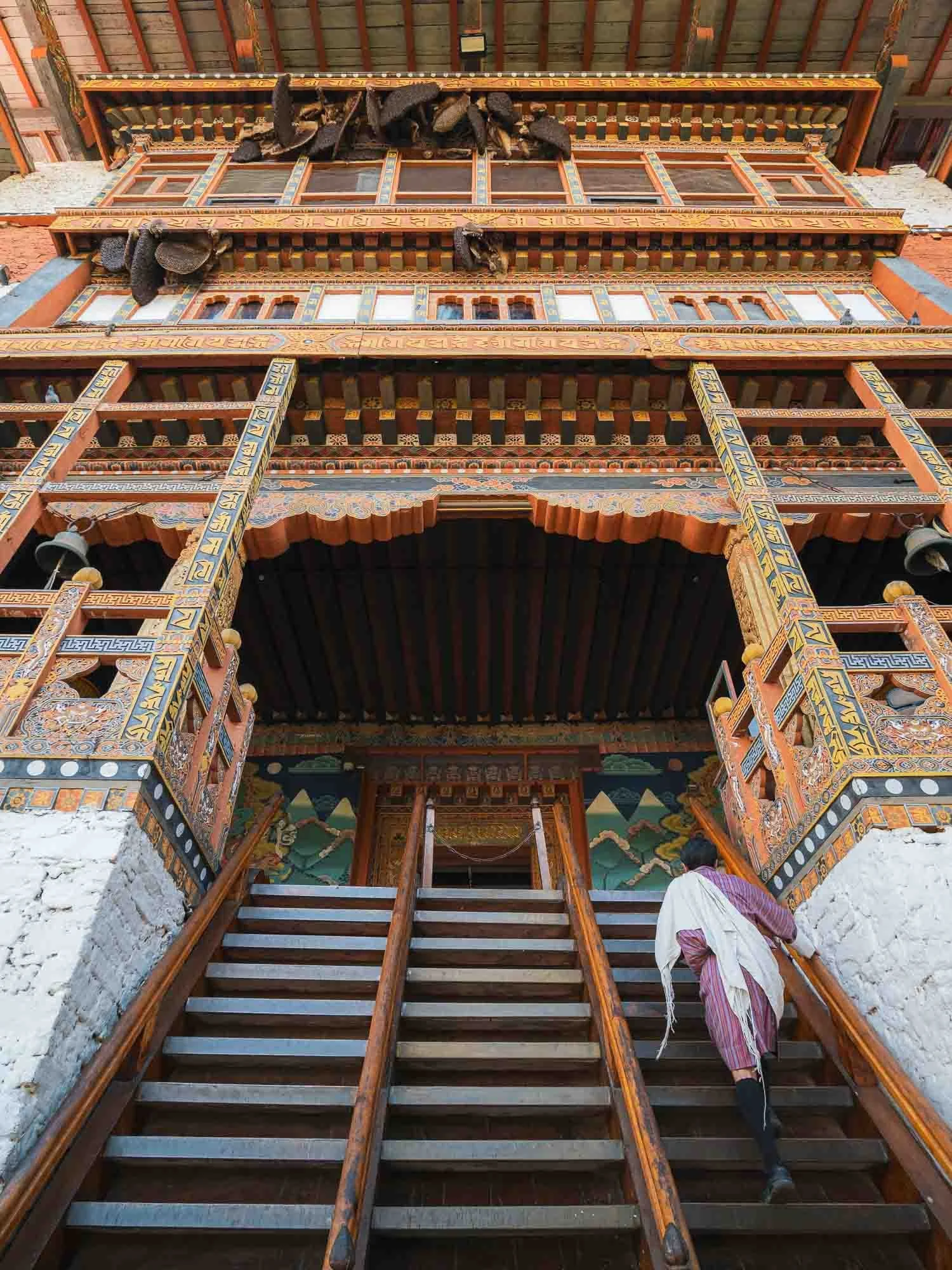
To enter, you cross the traditional timber cantilever bridge (re-built several times due to flood damages, last time in 2008) and then climb the steep stairs designed as a defensible entry point towards the courtyard. Always glad to have Chencho here as an involuntarily model - it is mandatory for guides to wear the local traditional outfit, and the more formal scarf is required for a Bhutanese to enter administrative buildings, which many Dzongs still serve as.
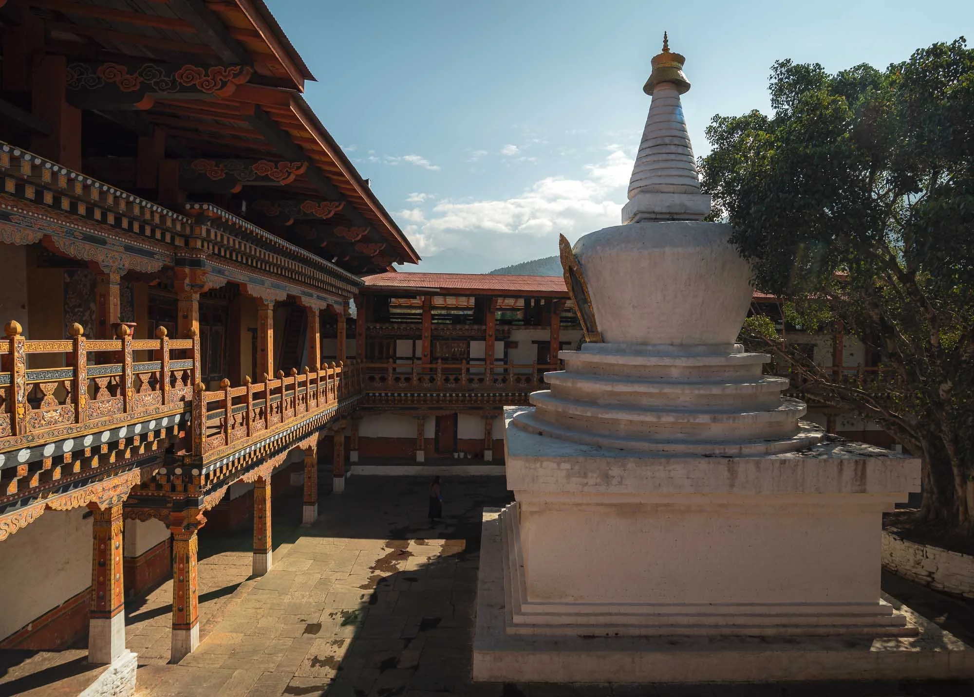
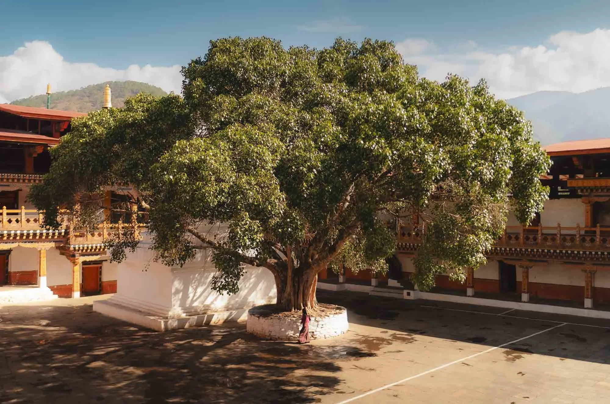
The courtyard is home to a large stupa and a jacaranda tree. The fort is surrounded by them which must be quite pretty during the few weeks when they show their purple bloom in the spring, but I wasn’t lucky enough to see that.
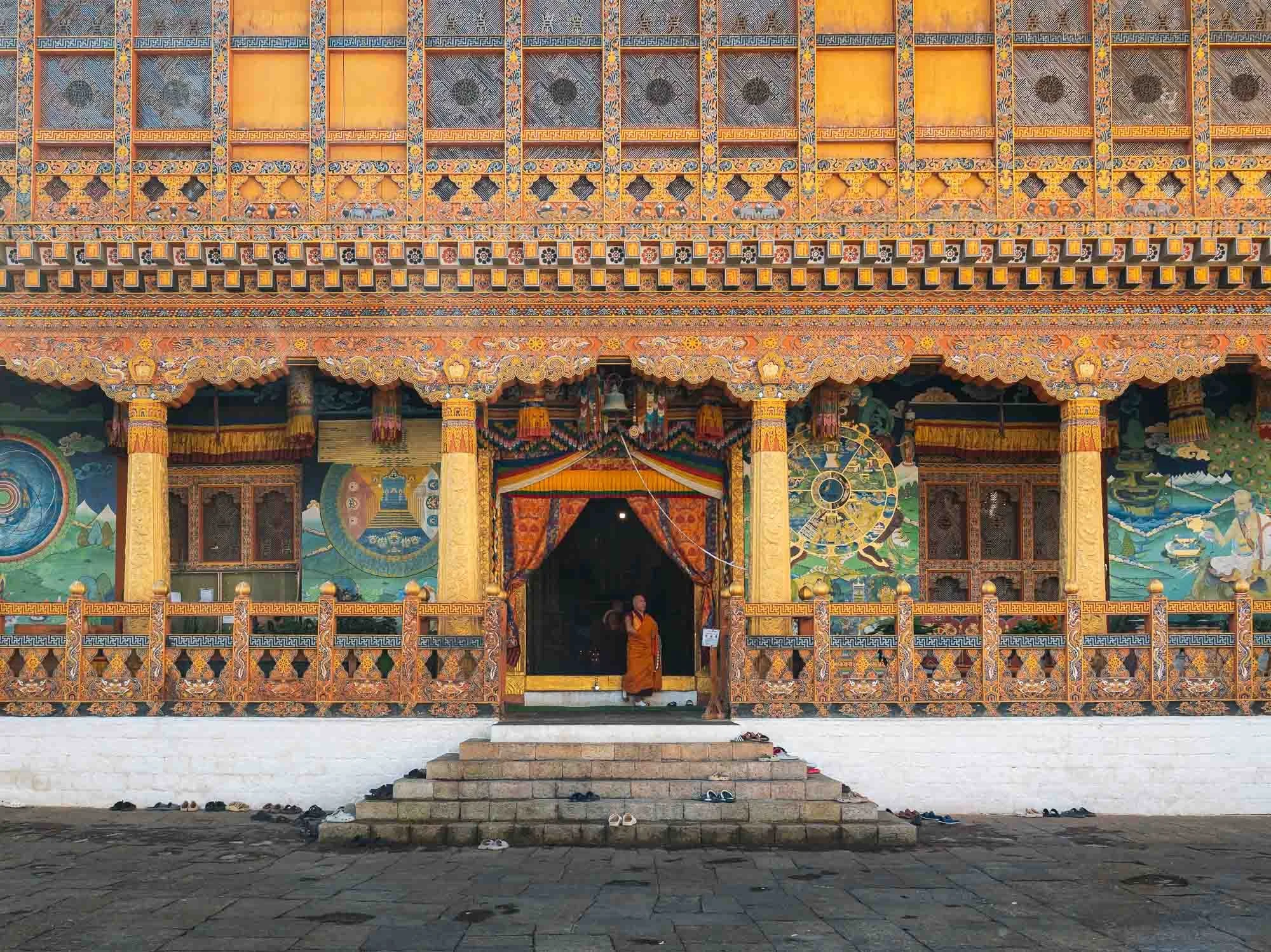
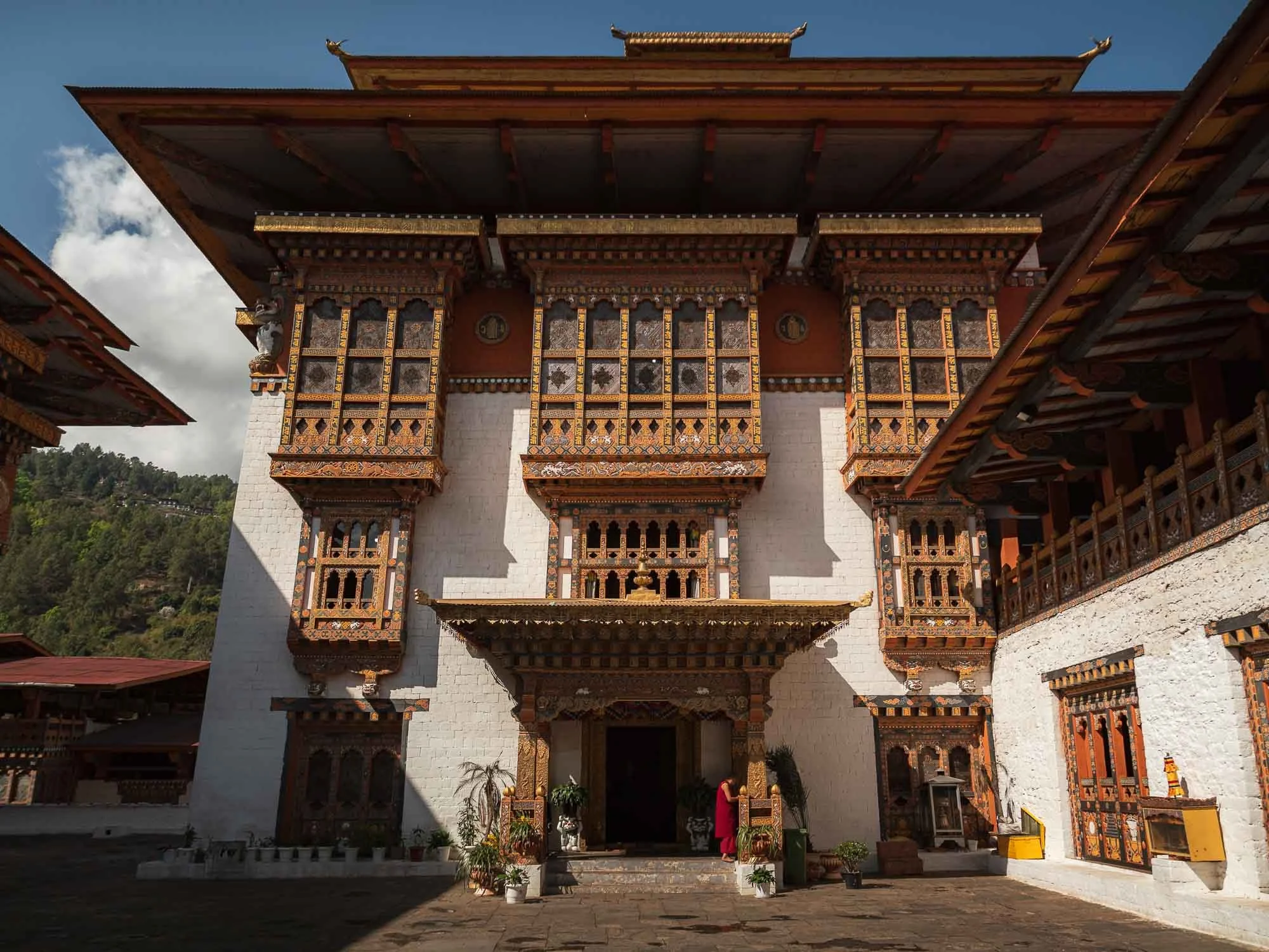
While some temples and courtyard spaces are public, several parts are off limits, such as the administrative areas and specific inner buildings housing some of the most important local religious relics.
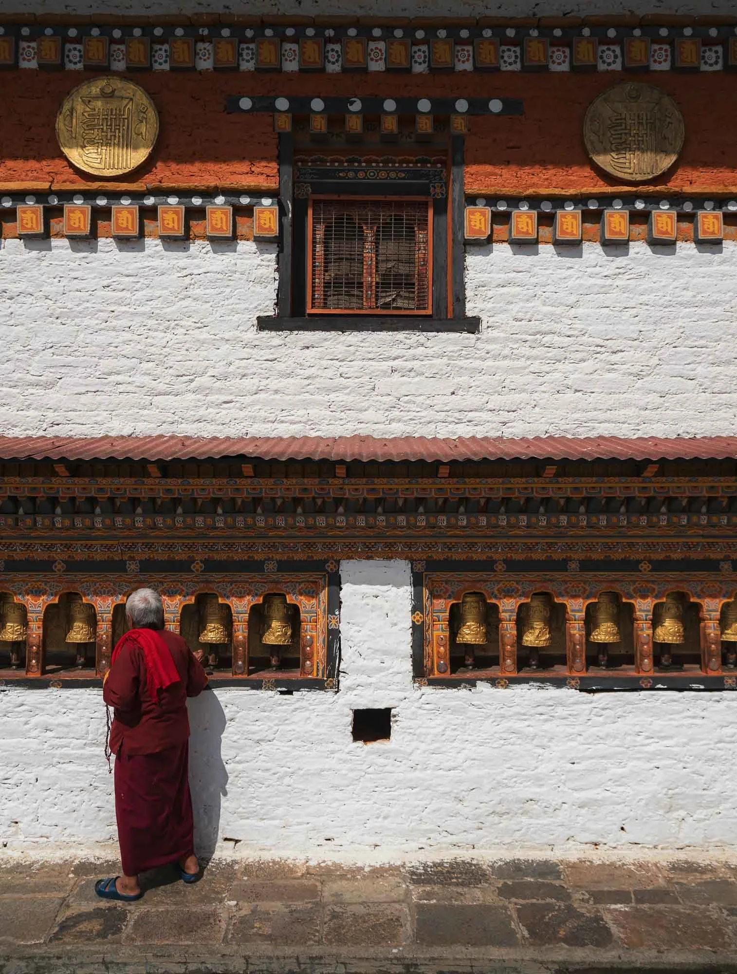
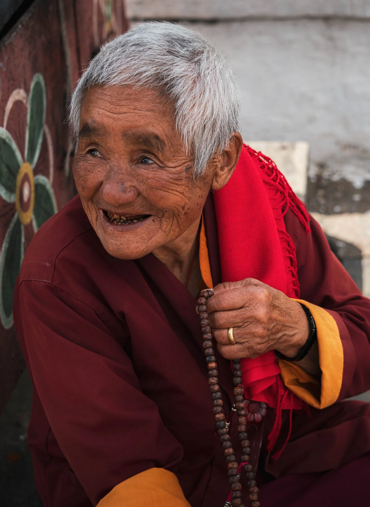
Just outside the main structure lies a smaller building where this elderly lady conducted her daily ritual of clockwise rotation around the temple, spinning the prayer wheels. She also showed me her string of the 108 prayer beads used to count mantra recitations and - I can’t validate this - told Chencho that she accumulates 30,000 counts every day.
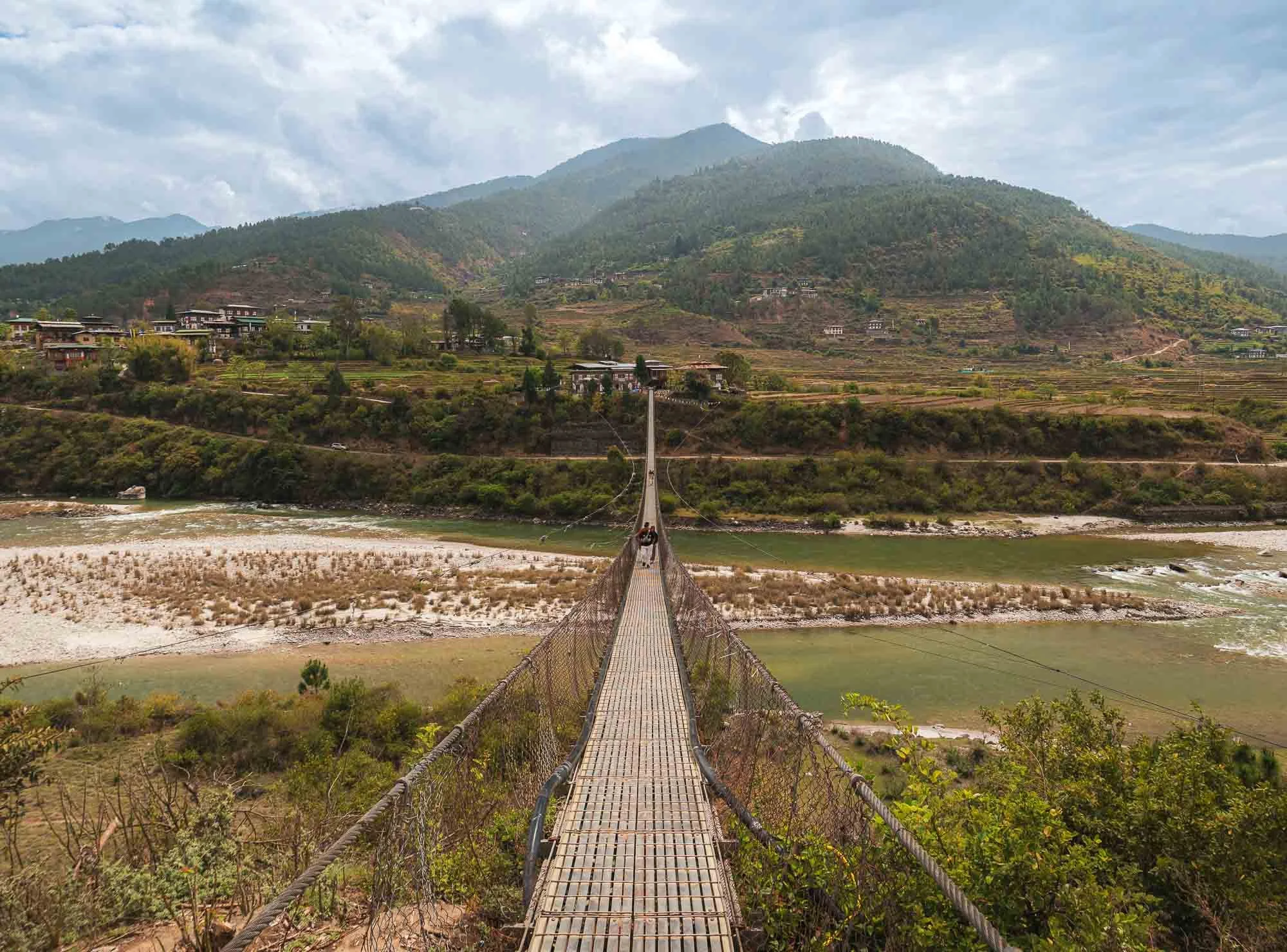
Just a few hundred metres from here you can cross the Pho Chhu river on Bhutan’s longest suspension bridge (around 180m) - it’s not so much a tourist attraction but provides actual connectivity between the Dzong and the nearby villages on the opposite side of the main entrance.
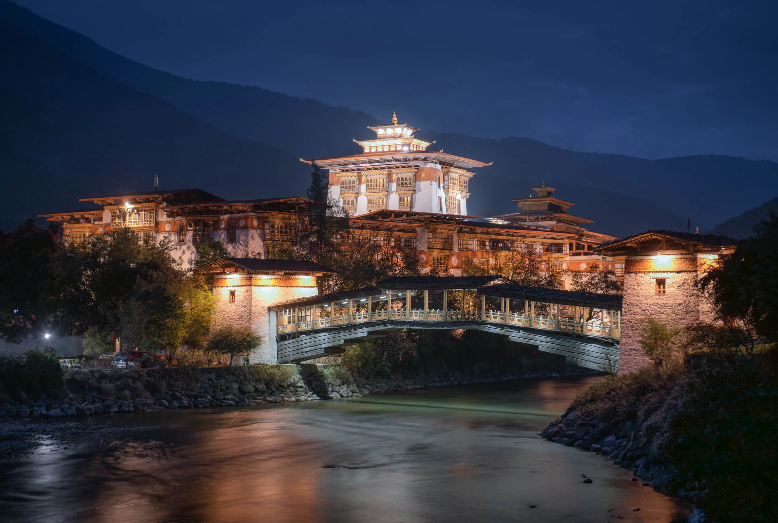
Night View
We came back in the evening for a night view - like many of the Dzongs, this one is beautifully illuminated as well.
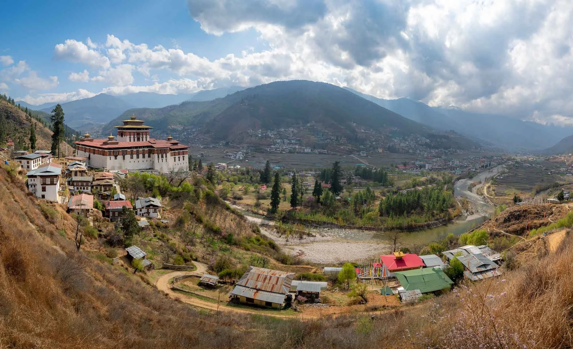
Return to Paro
And with this, we headed back to where the trip started, but there were a few more things on the agenda. Paro‘s valleys are a little more open and wider than most of the rest of the country, resulting in a lot of agricultural space and it being home to the (still barely fitting) airport. Of course, the city features another Dzong as well, built in 1646 and seen here on the left - more on that later…
Chele la pass
Having said that, we left the valleys on the next morning for the highest motorable road in Bhutan, passing through a beautiful forest, and reaching the 3980m summit with a small temple at the top. That’s still far from the highest peak of Bhutan, Gangkar Puensum at 7570m, which is also the highest unclimbed mountain in the world. It has been designated as off-limits by the government to protect its sanctity.
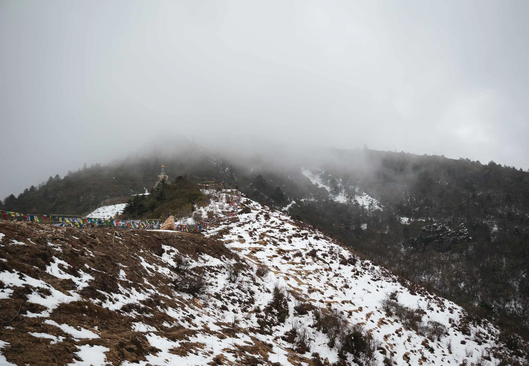
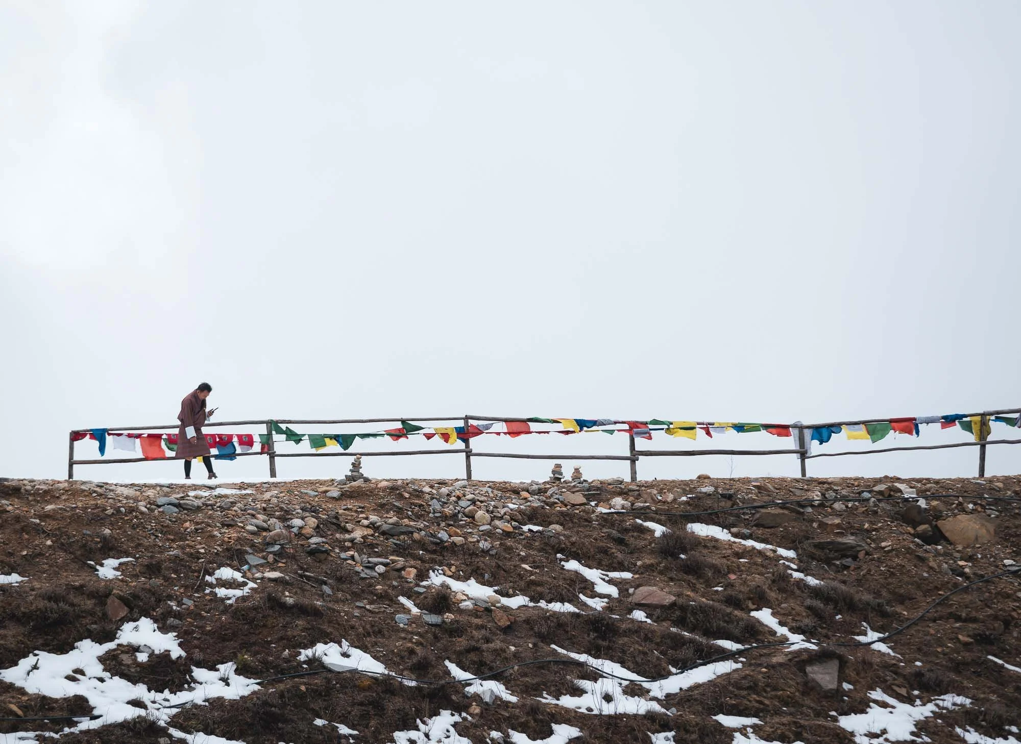
I’m not sure this drive was worth it given the cloudy conditions - nevertheless it gave me a little close up glimpse at the Himalayan snow. Born near the Alps, that was not quite as exciting to me as to the many Indian tourist families who arrived as we left and excitedly grabbed and lay down in whatever white patches were left next to the road. Surprisingly this is quite a rare occurrence: I was told snow has been quite spare in the valleys of Paro and Thimphu over the last years, something the locals attributed to global warming multiple times.
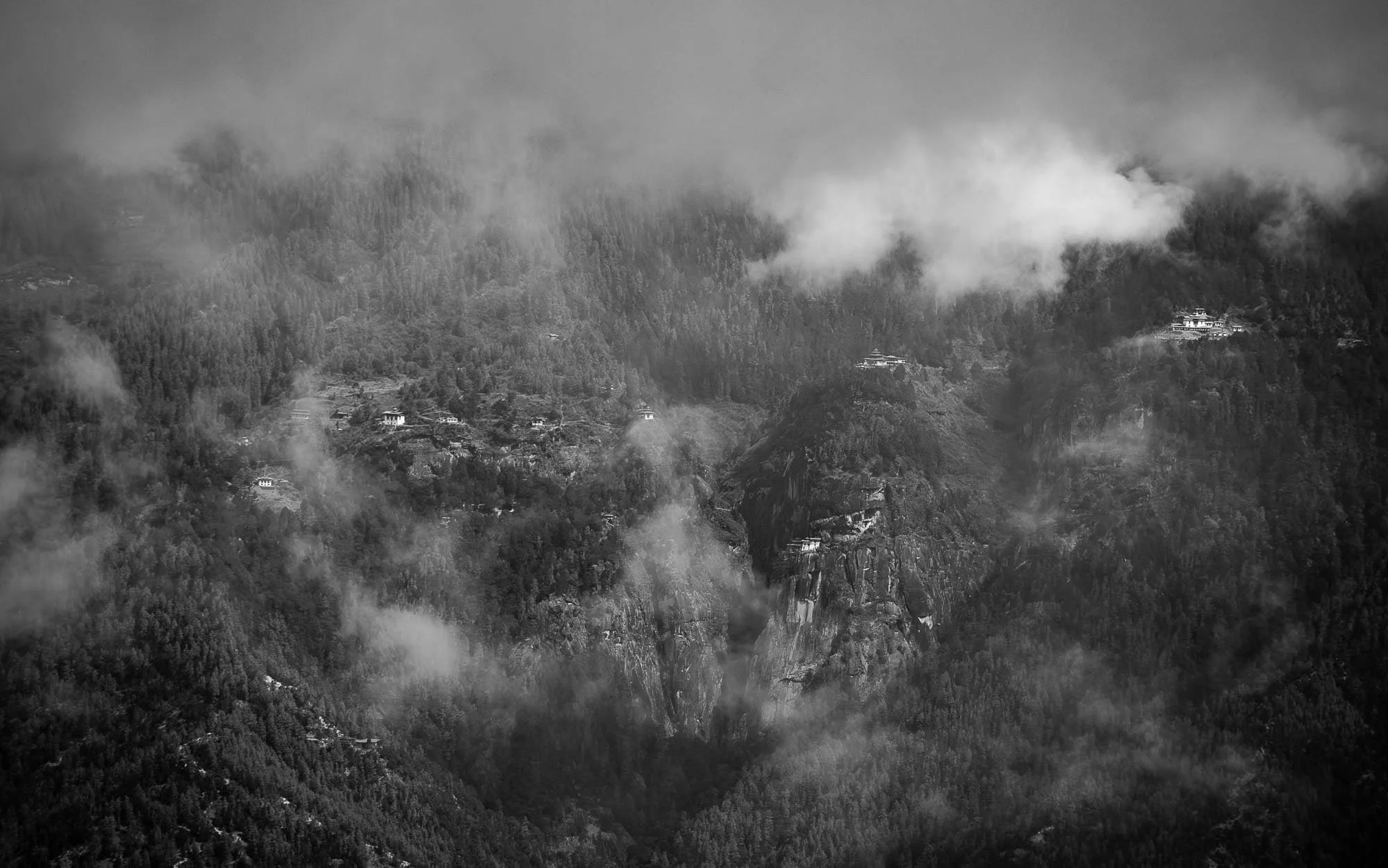
As the clouds opened up for a brief moment, my driver pointed at something in the opposite mountains I didn’t expect to see from here: Bhutan’s most famous sight, at a distance of what I suspect must be 20km or so made an appearance right in the centre of this image. It would be my destination for the next morning, read on…
Bhutan’s Crown Jewel
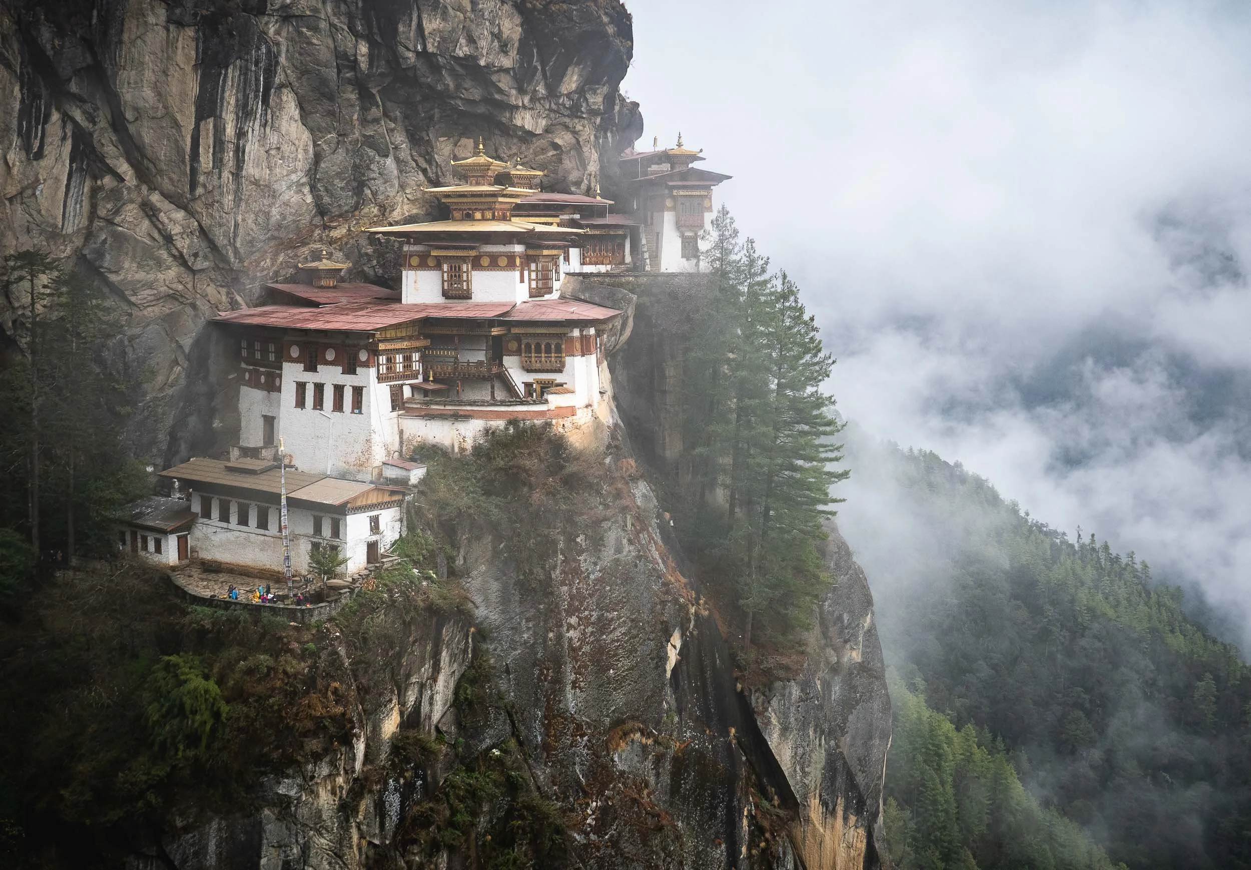
Opinions may vary on whether it’s justified (even my own mind isn’t quite so clearly settled, because I really enjoyed the Dzongs), but one thing is undoubtedly true: the so-called Tiger’s Nest monastery is Bhutan’s most iconic sight, and it doesn’t disappoint. We set off very early in the morning for the 30min drive to try and beat the crowds, but frankly speaking, no place I’ve visited in Bhutan felt particularly busy (sometimes it was the opposite). The same was true here as well, despite a few buses in the parking lot and some groups making their way up the trail.
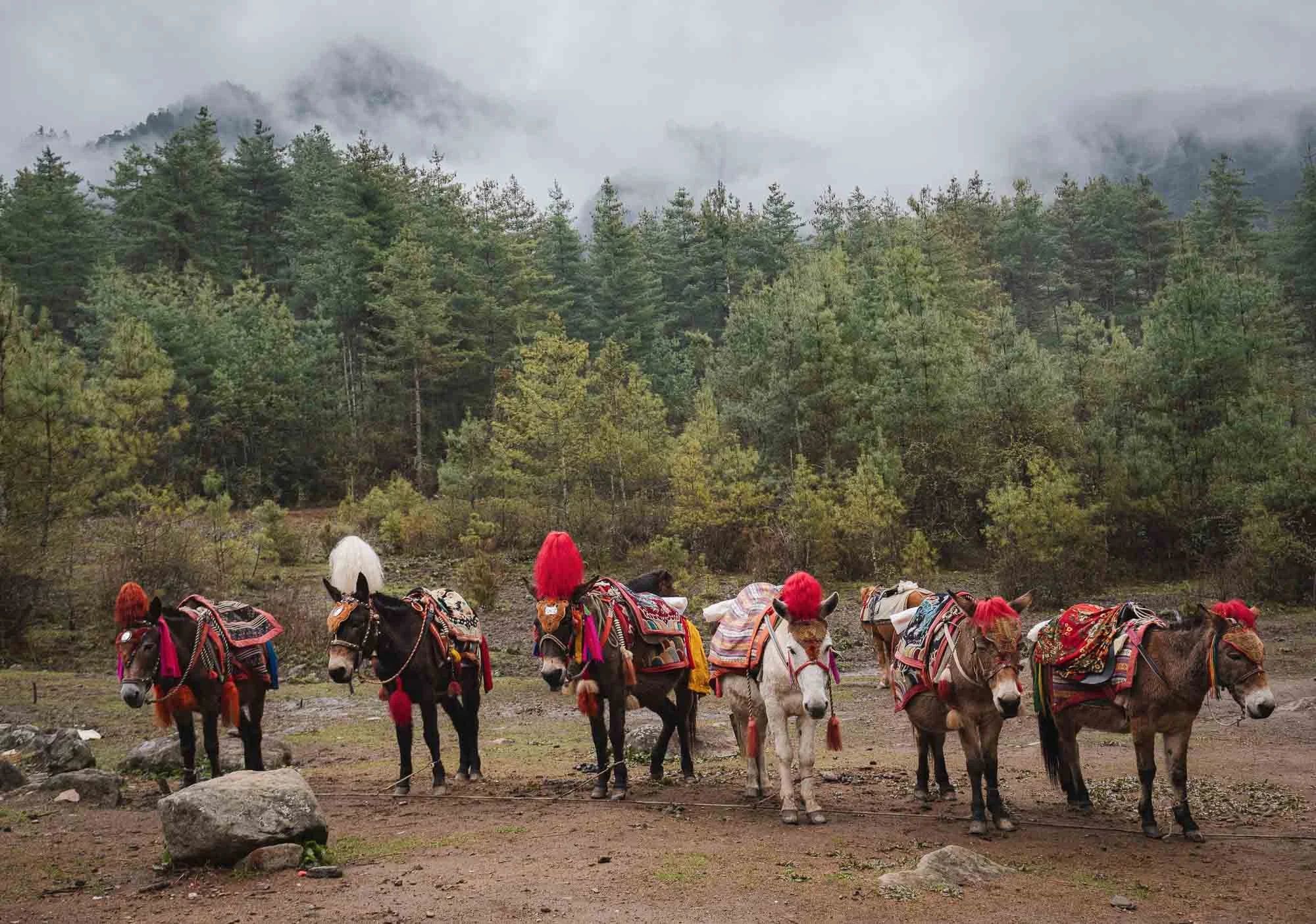
Speaking of the trail, to reach the cliffside monastery requires about 2-3h of hiking, depending on your speed and the amount of breaks you take. Part of it can be done by horses waiting at the bottom, but the second half has a few steeper elements, culminating in a lot of stairs at the end, so you won’t escape a little bit of physical exercise. Nothing extreme, but not a relaxed walk either, especially given the monastery’s altitude of 3,120 metres.
It’s worth it though, not only for the final destination, but also the forest, its inhabitants such as the beautiful magpies, and smaller temples and waterfalls on the way.
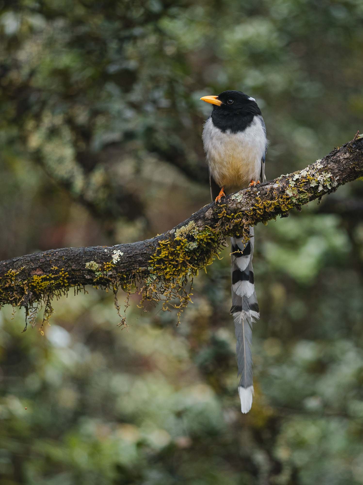
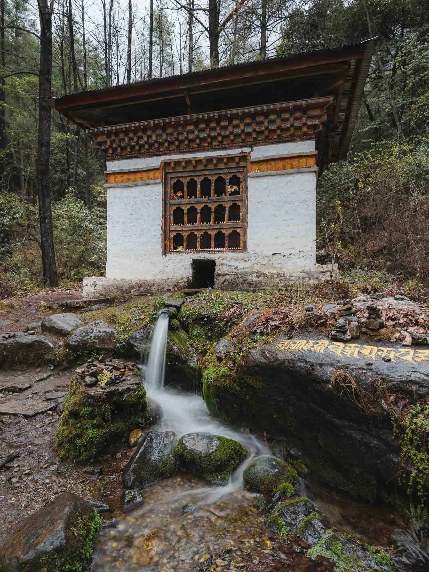
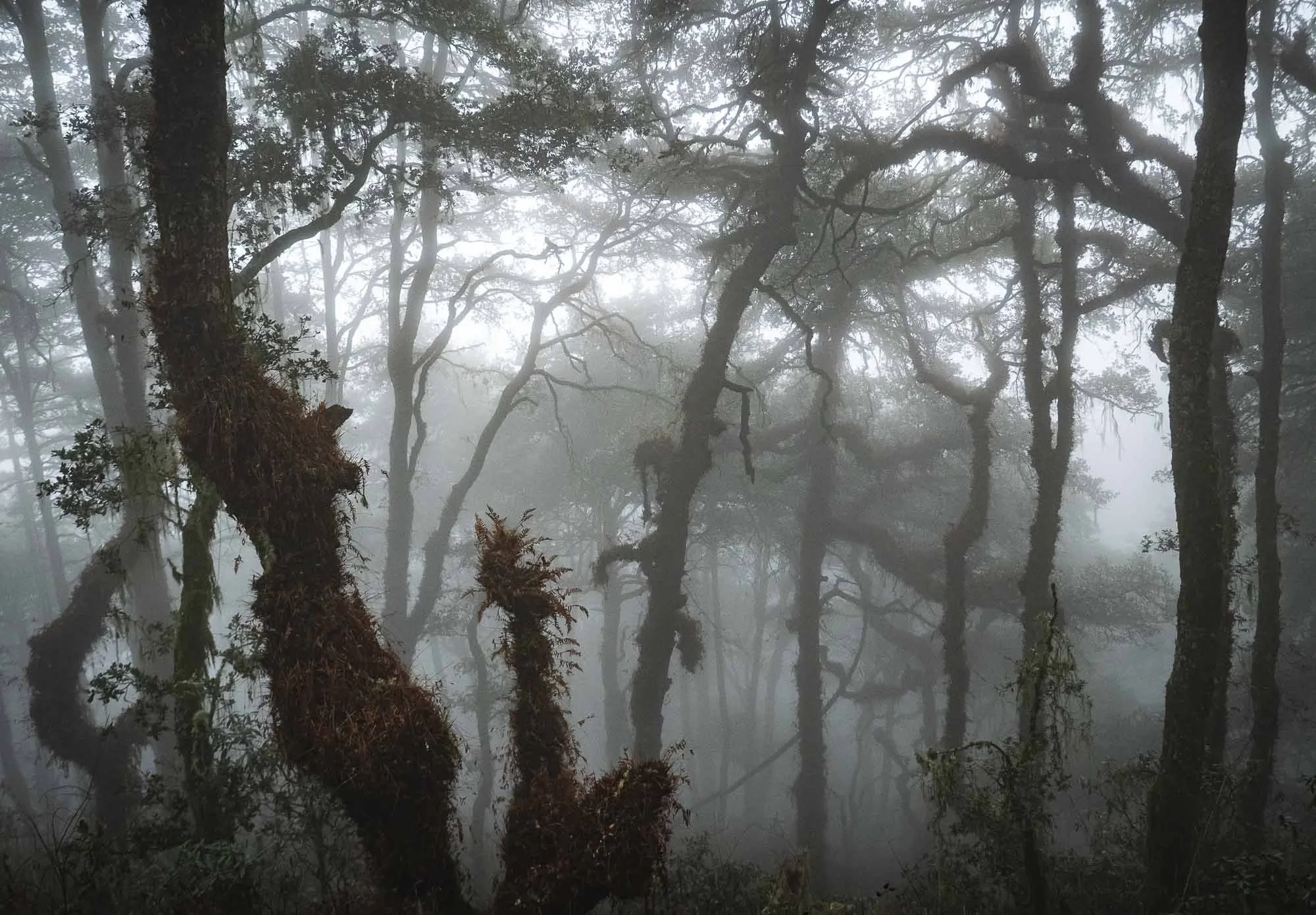
As we left in the morning I was a little afraid it would rain, but also had hope that the moody clouds would hang around and create a mysterious atmosphere in the scenery, and wasn’t disappointed…
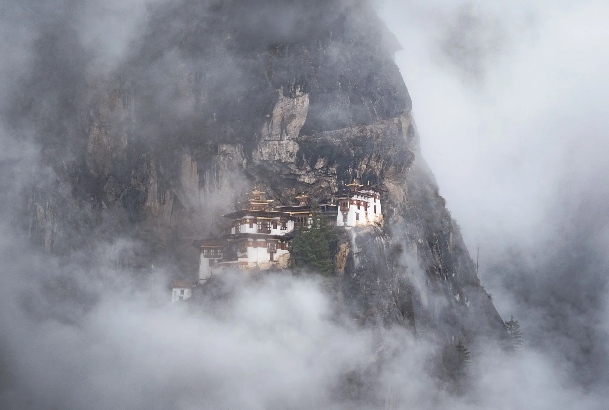
Even though the monastery was was occasionally completely covered in clouds, as is often the case, with a bit of patience conditions that wouldn’t generally be considered ideal produce some of the more intriguing and less common photos - I still want to see it in the snow one day as well though!
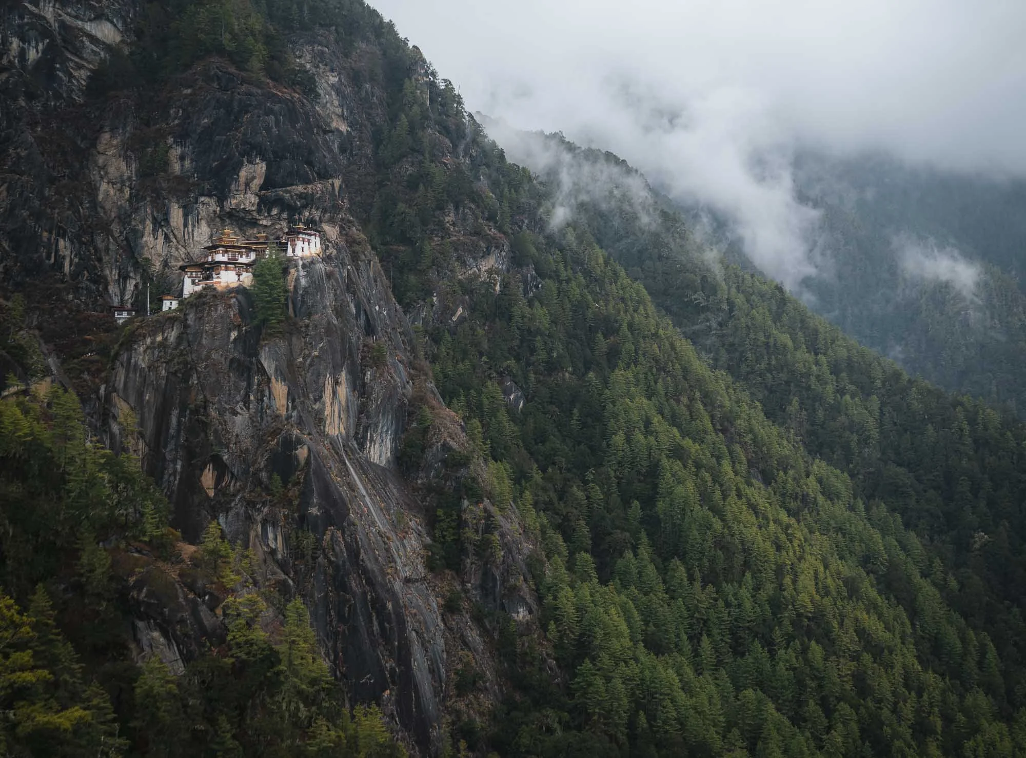
The complex actually consists of several main temples and residential shelters adapted into the rocky terrain. It was restored in 2005 after (you know the story by now) a fire broke out in 1998.
The monastery was originally started more than 300 years ago, and marks the site where Guru Rinpoche is said to have meditated in the 8th century after arriving on the back of a tigress (hence the colloquial term Tiger’s Nest - its actual name is Paro Taktsang), establishing Buddhism in the region. This makes it one of the most important religious sites in the country. Once you arrive, visitors need to lock away their cameras and phones and are searched before entering the interior courtyard and various temples holding some of Bhutan’s most sacred artifacts.
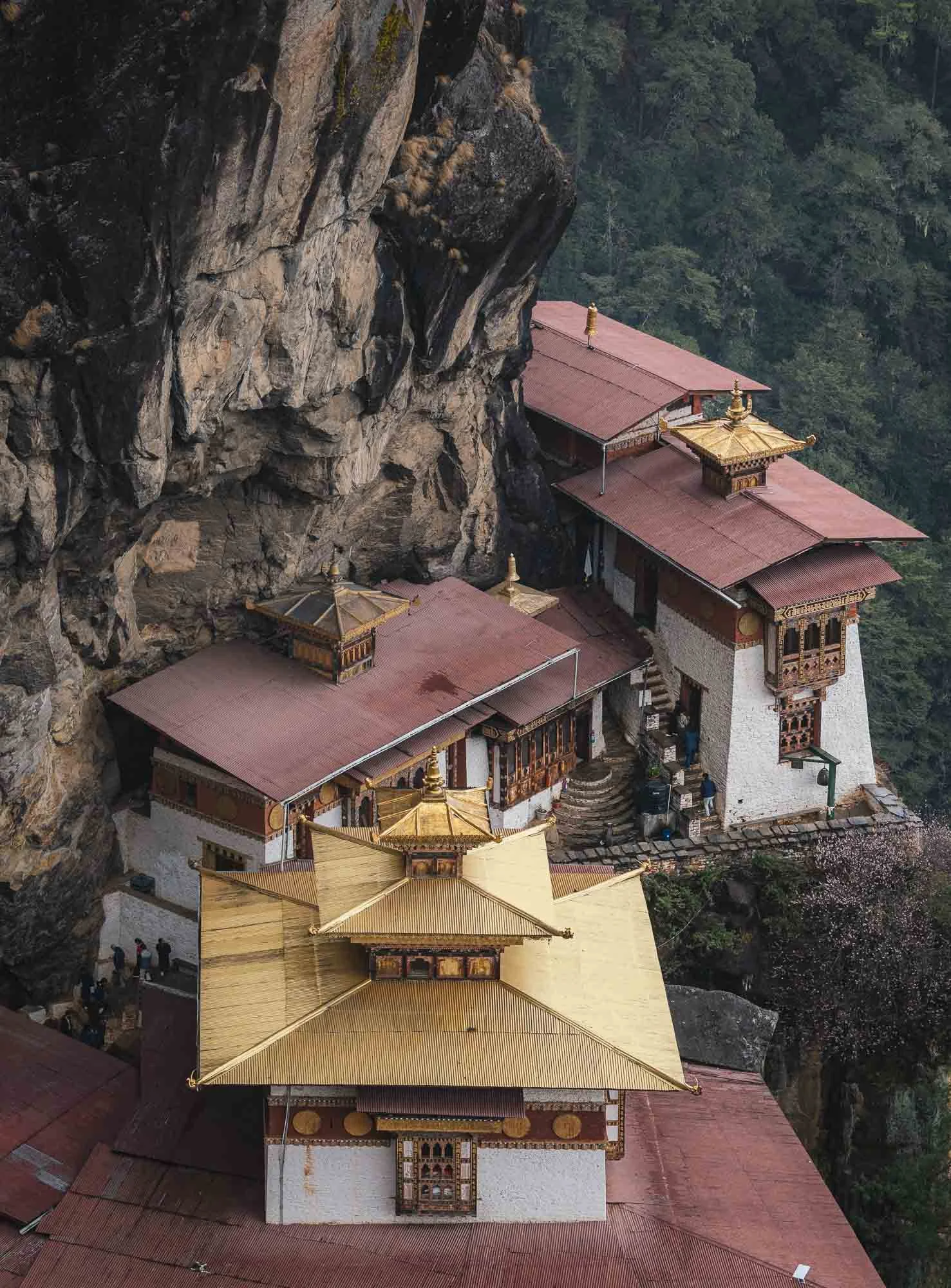
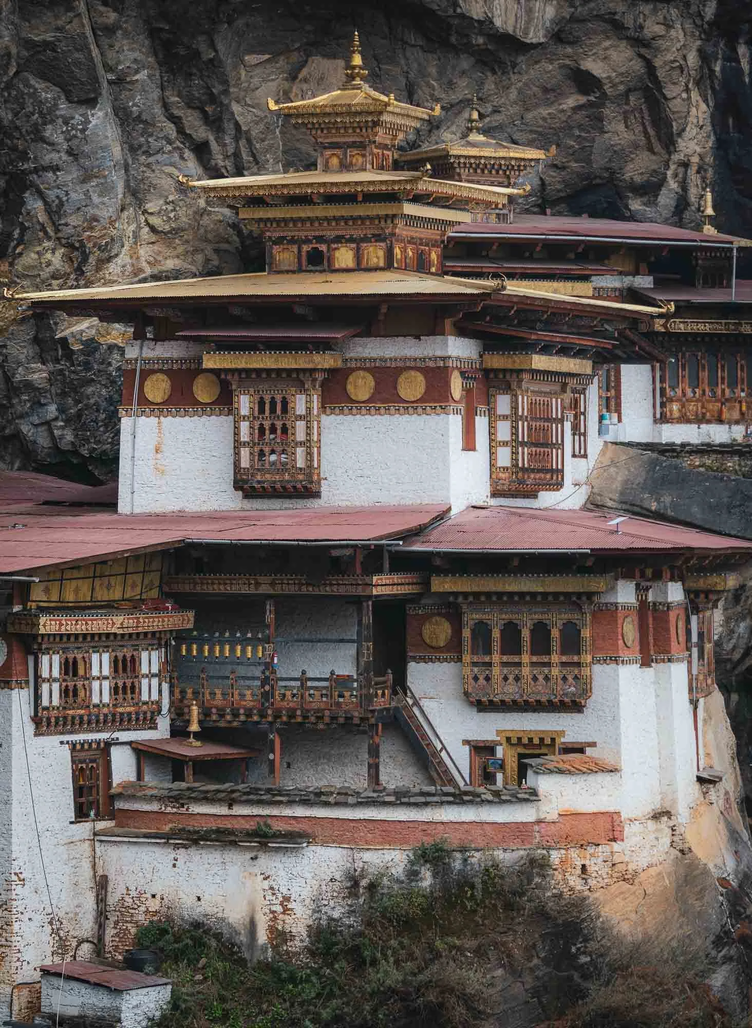
Looking backwards from the monastery you can see the tall waterfalls on the right with a small shrine embedded into the bedrock, and the stairs along the cliffs on the left. My guide told me that when he first came to Tiger’s Nest a few decades ago, accessing it required a bit more questionable climbing than nowadays.
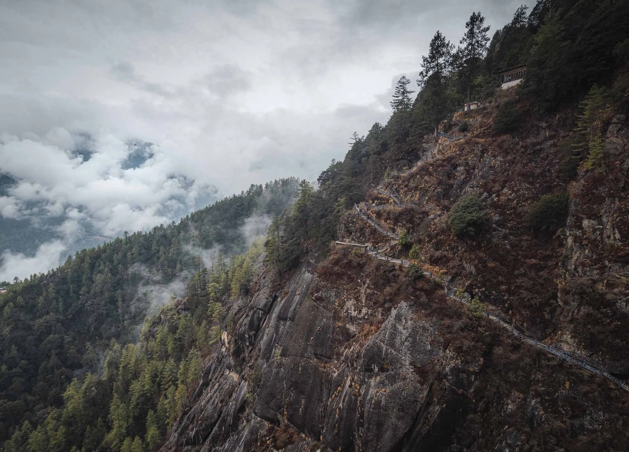
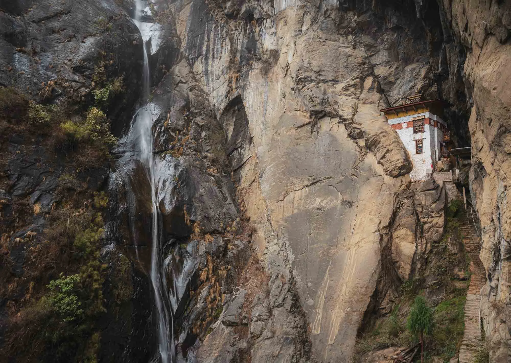
After all those stairs you’d be forgiven for just wanting to head back down, but it’s worth to continue the climb a little higher, where several more important religious spots and temples await.
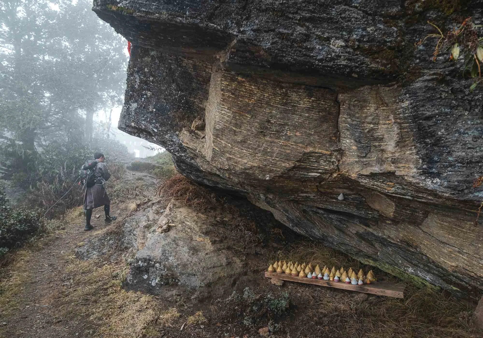
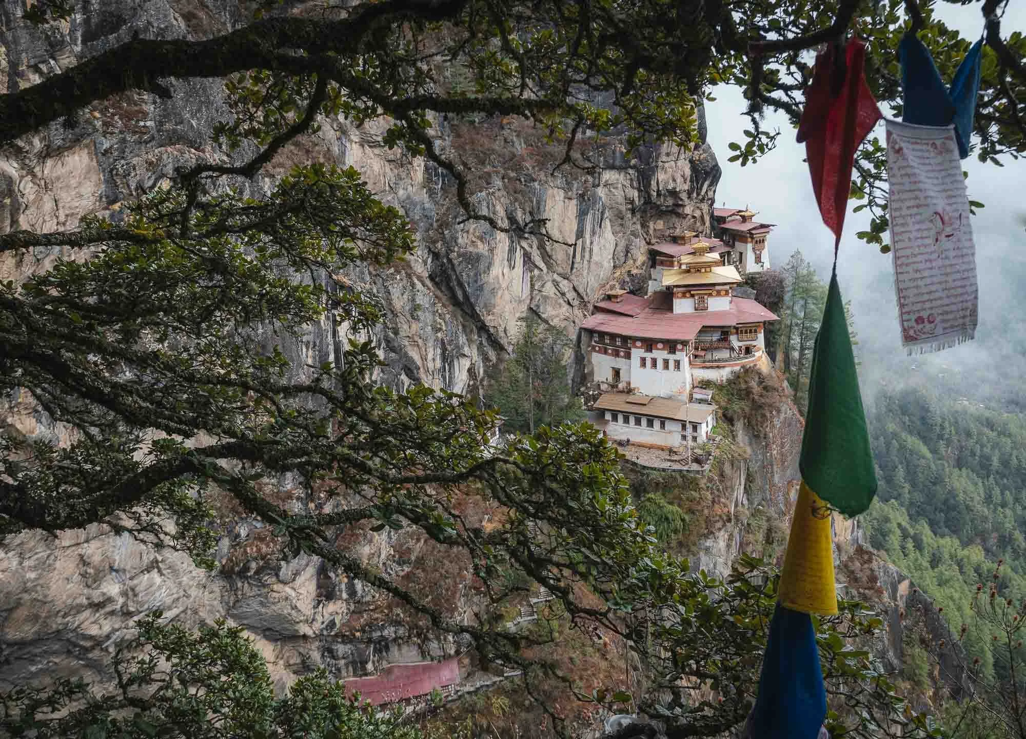
Throughout the entire hike there are several viewpoints along the way if you keep your eyes open - a few more angles below.
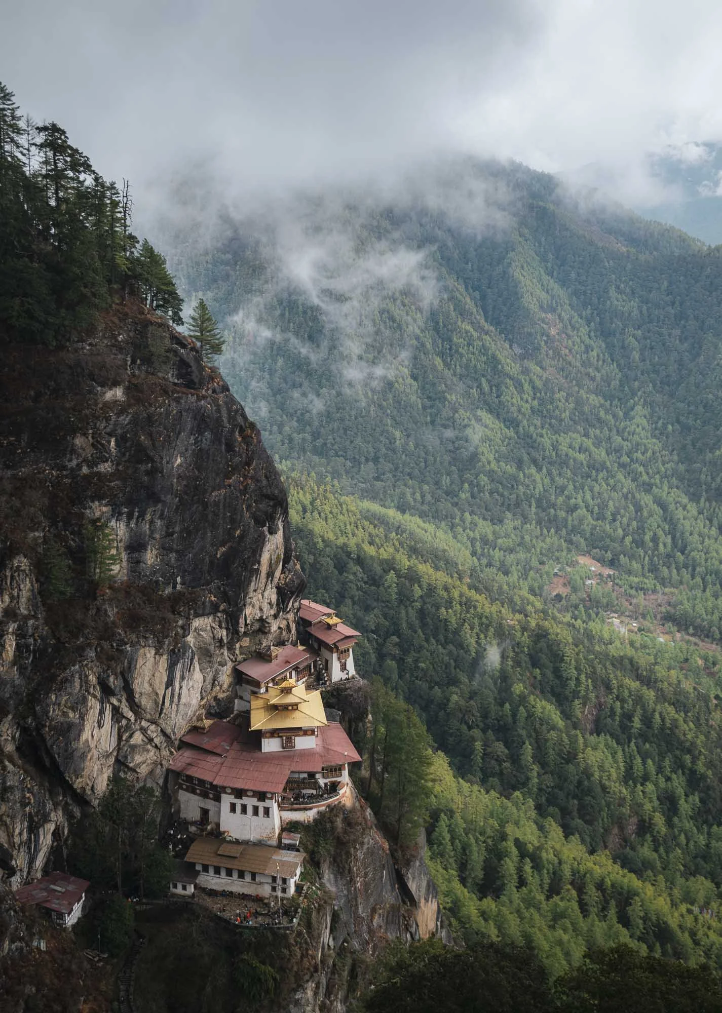
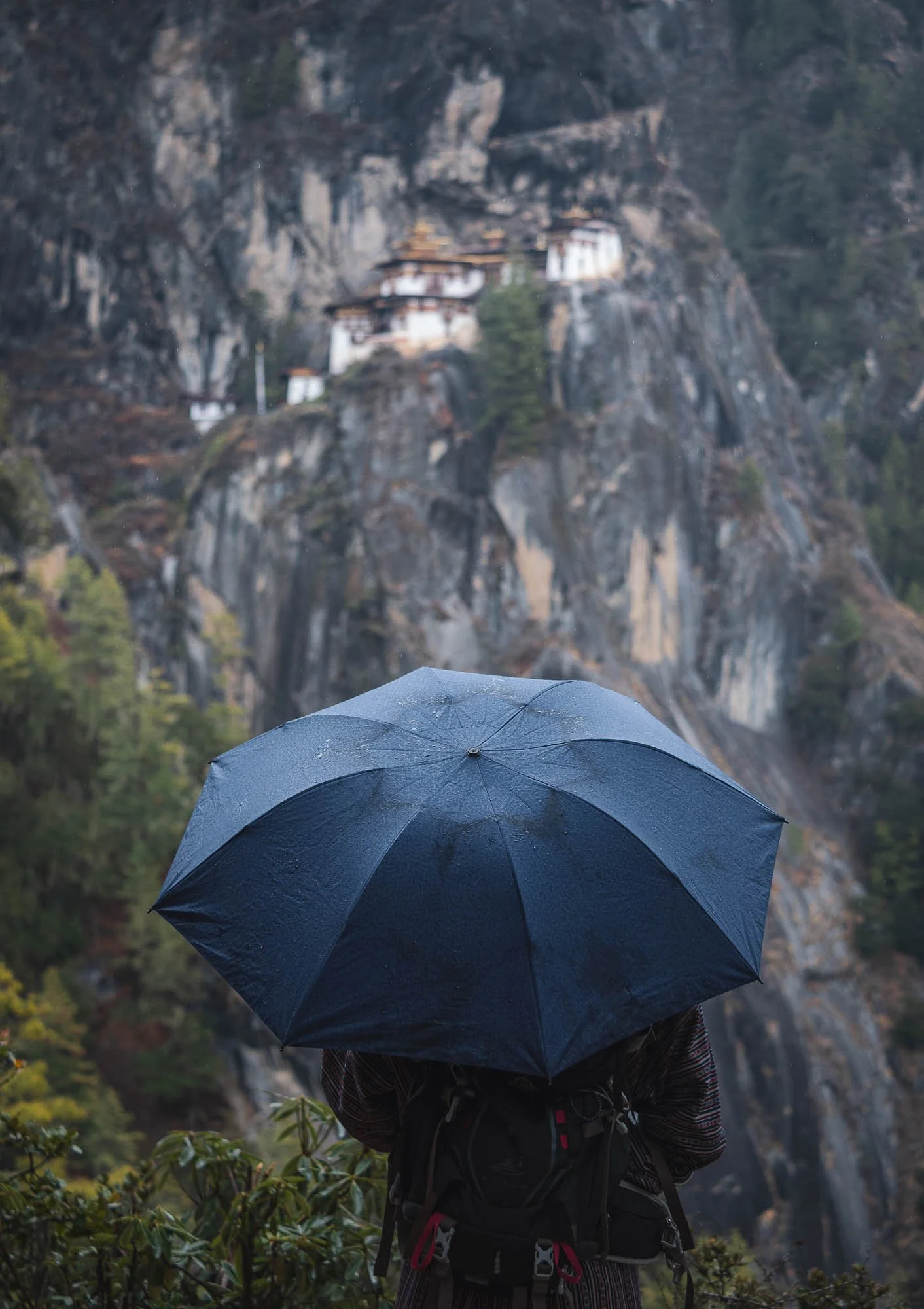
If you look back at the photo from Chele la pass, you’ll see that Tiger’s Nest is not as isolated as it may first seem, in fact it’s accessible from multiple places and surrounded by several more structures featuring the consistent local architectural style.
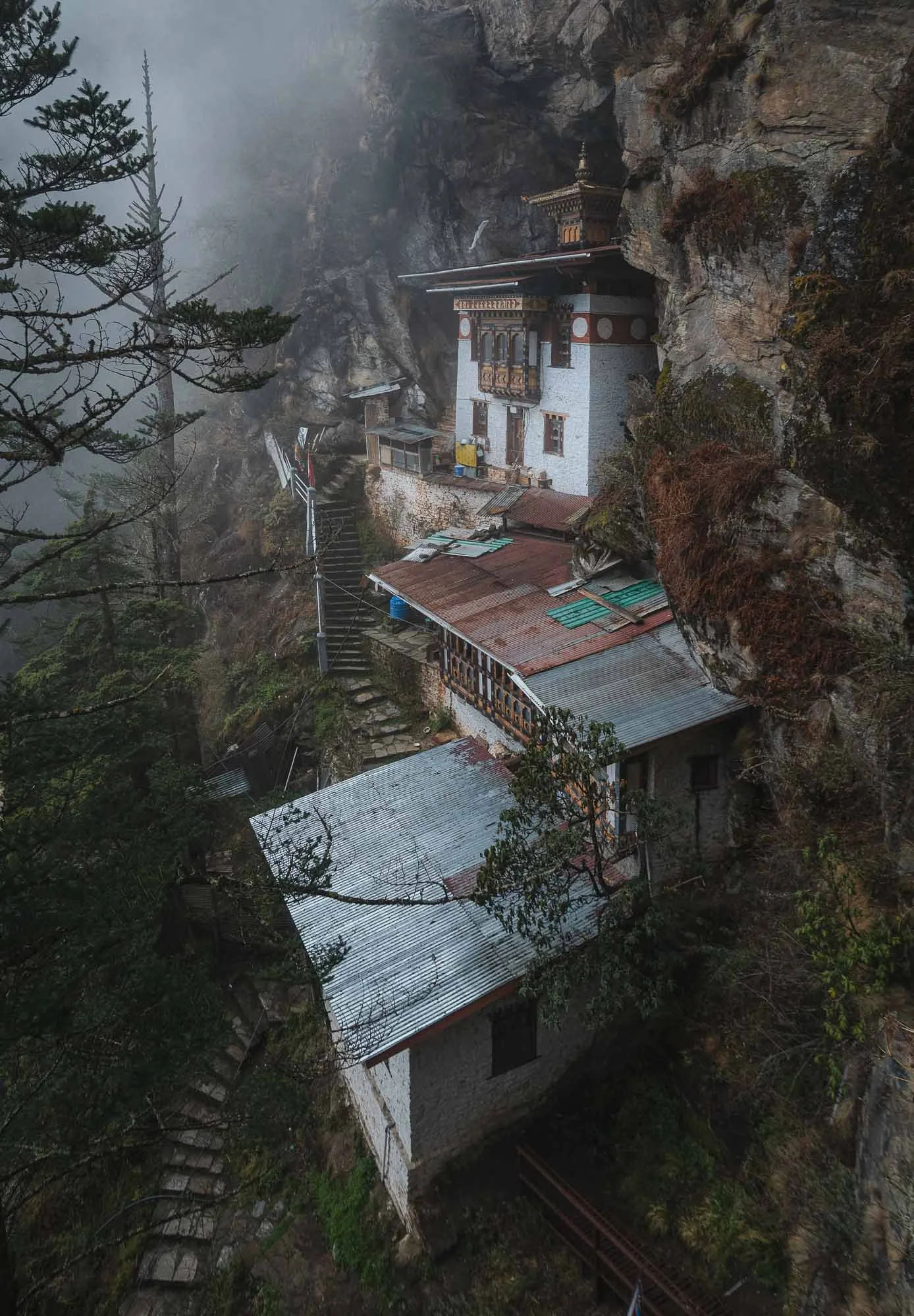
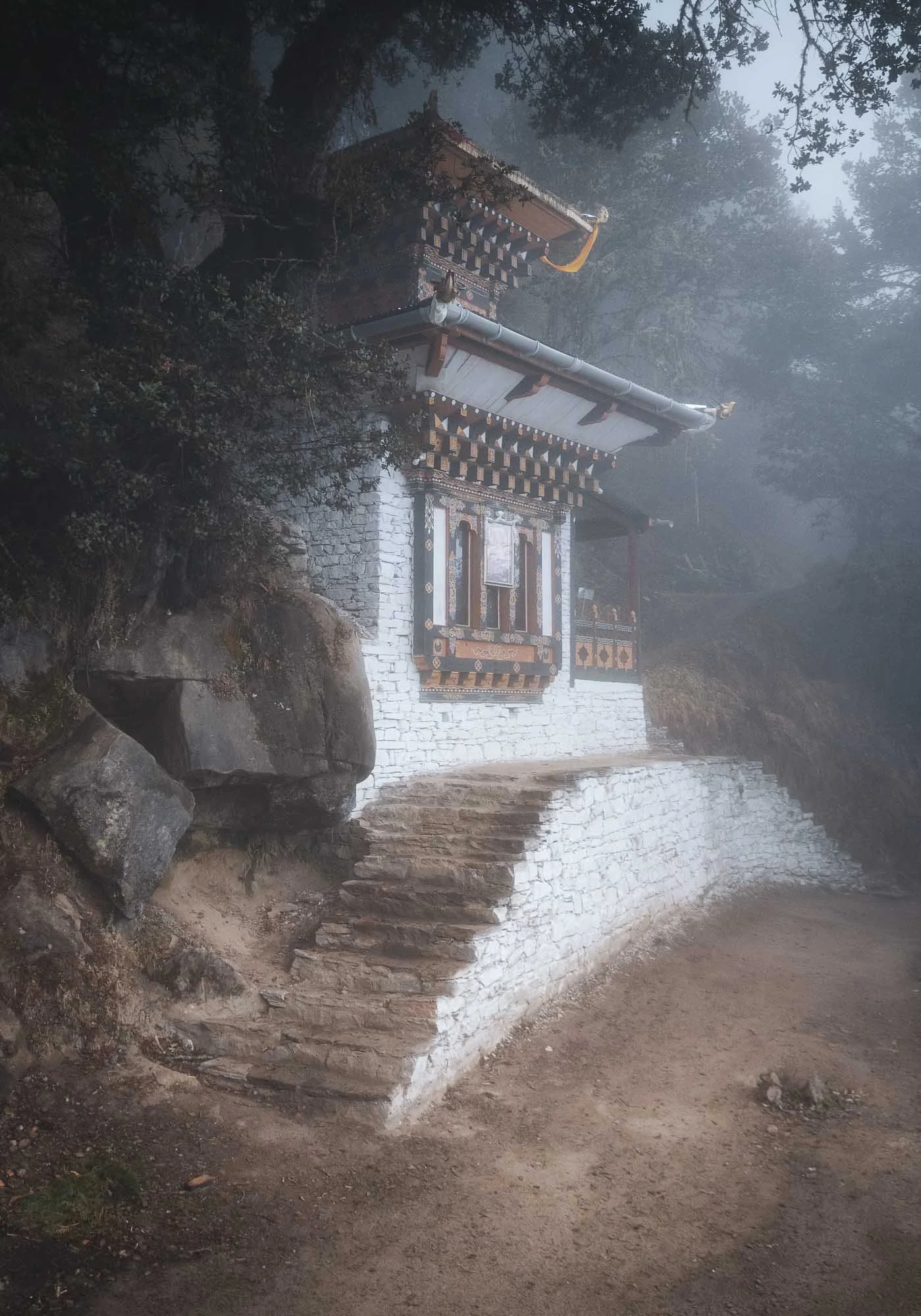
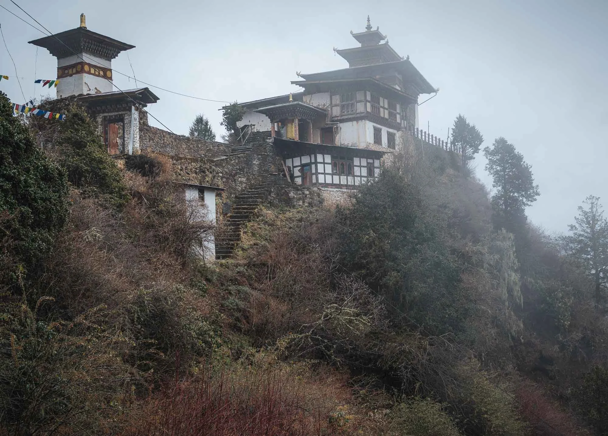
Despite this, not many people seem to make their way further up, possibly because the path is a lot rougher here and features a few questionable metal ladders. We were the only people as we arrived at the Zangdok Pelri temple.
Shortly after, the clouds and some rain caught up with us - luckily the resident lama (a respected monk teacher) who is staying here for several months to perform rituals, let us into his cabin, offering some heat and food that local ladies had brought for him the day before. No chance I could eat it and live to see the next day 🌶️🥵, but Chencho and Nima enjoyed themselves.
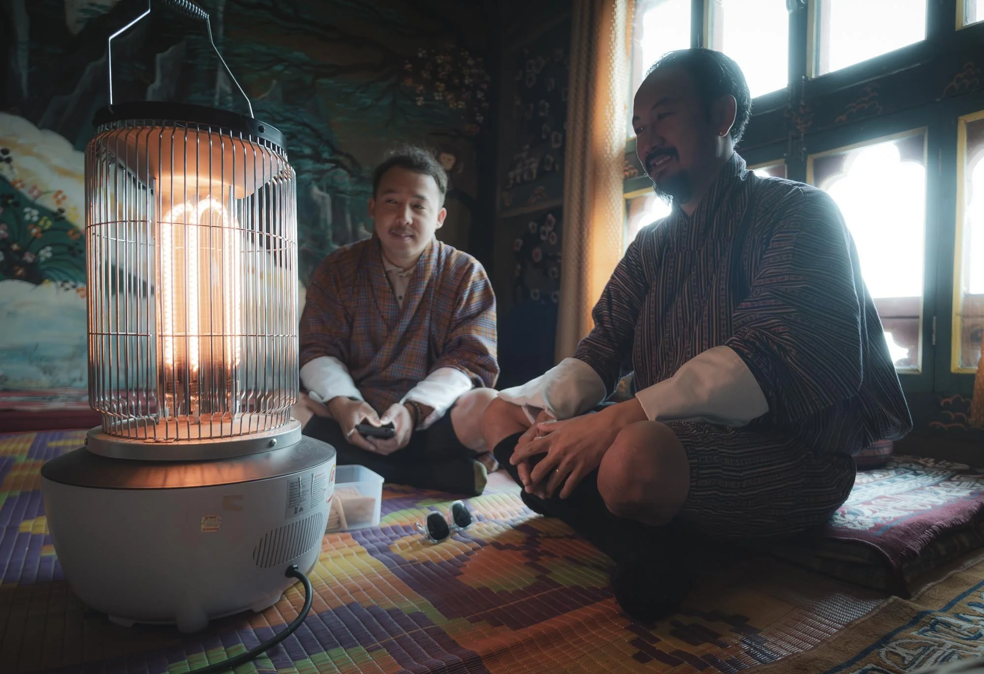
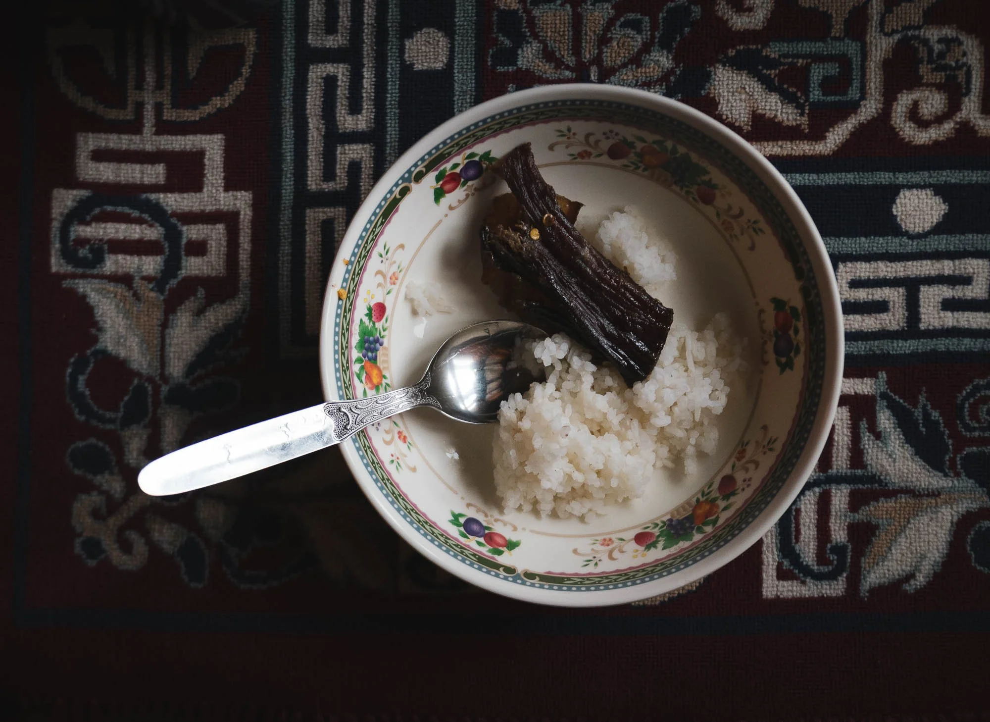
We left shortly after - with quite a few photography breaks and the extra temples beyond the monastery, and lunch at the little cafe on the way down, it took a total of a very worthwhile six hours from start to finish.
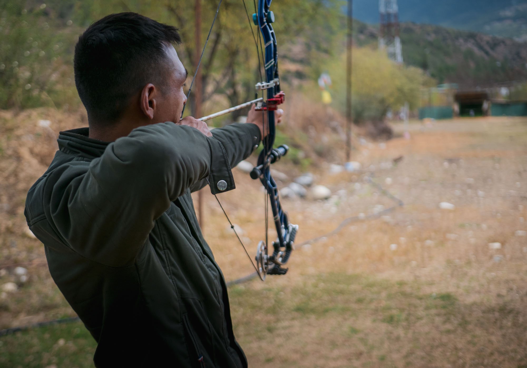
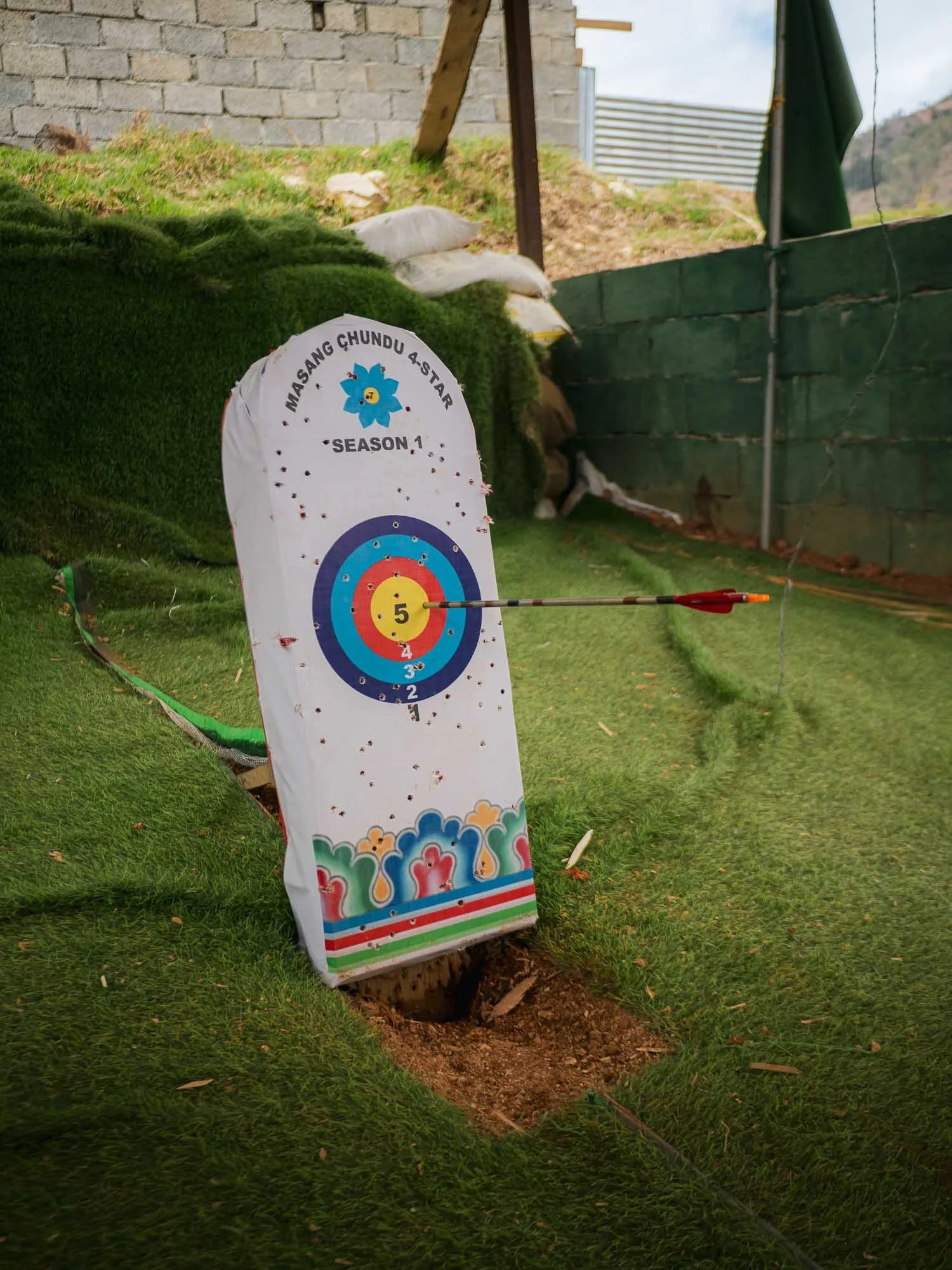
Driving back, we passed a group of people performing Bhutan’s national sport: archery. But here, it comes with a twist. Traditional matches are shot from a distance of about 140-145 meters (!), that’s roughly double the Olympic distance of 70 meters. Not difficult enough? The target is even smaller, with the bullseye being just 6cm in diameter, half of the Olympic version. It’s pretty ridiculous to see this first-hand: on the left picture you can just about make out the white dot in the centre of the little wooden structure in the distance - that’s what the rings are printed on.
I also took a short walk through Paro - as the primary gateway into the country it’s relatively touristic, but the main street is still interesting and features the traditional architecture and symbolism, albeit mostly housing touristic shops and restaurants or cafes.
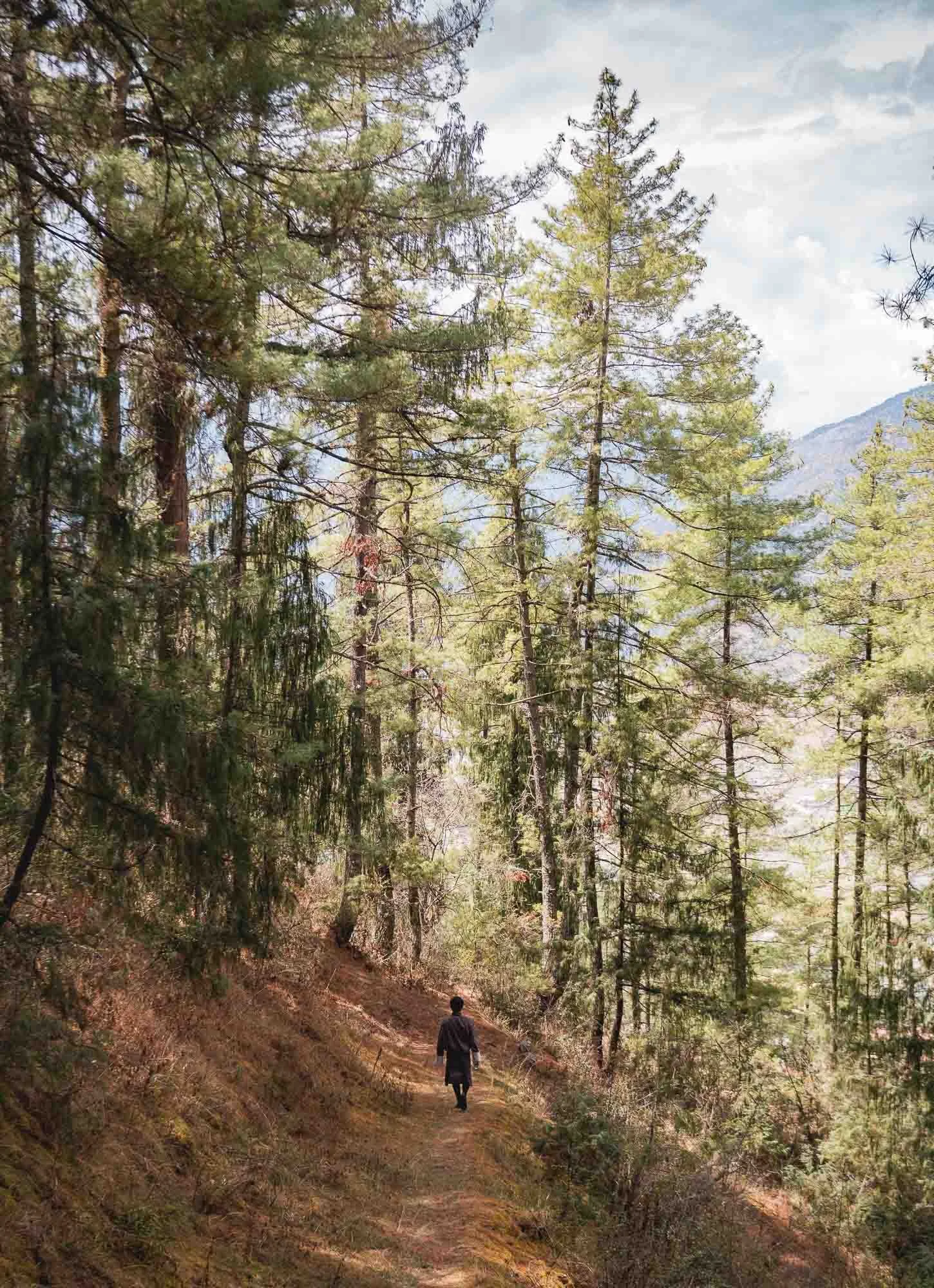
Another small hike followed through the woodlands around the city - Chencho grew up just around the corner of the Dzong, often roaming between the tall Himalayan Cypress - Bhutan’s national tree.
The leisurely path led to one of the oldest surviving forts in the country, said to date back to 1352, but now seemingly a mostly abandoned relic.
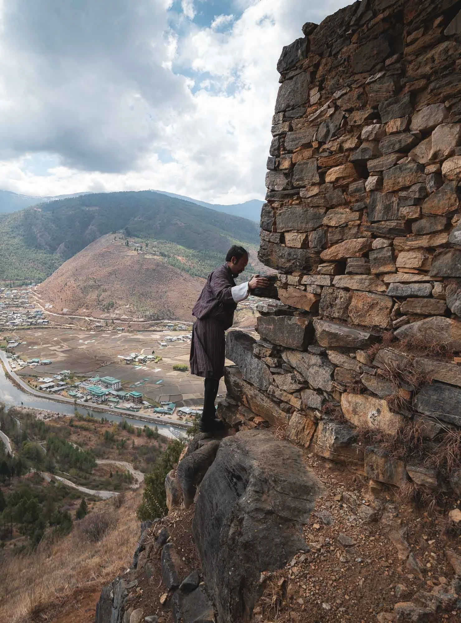
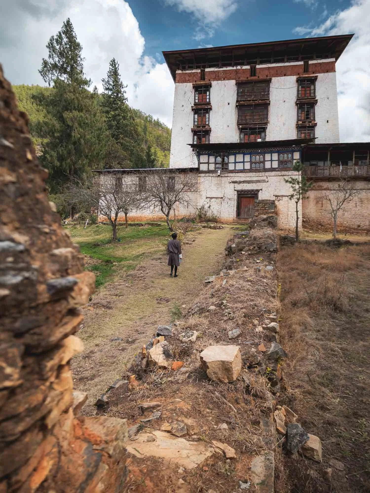
That’s not to say it is unoccupied. As we approached, I noticed a high pitched sound emanating from the building, and realised it was a motion activated camera that alerted an older lady of visitors. She promptly looked out the window to greet us but sadly the fort is not open to the public.
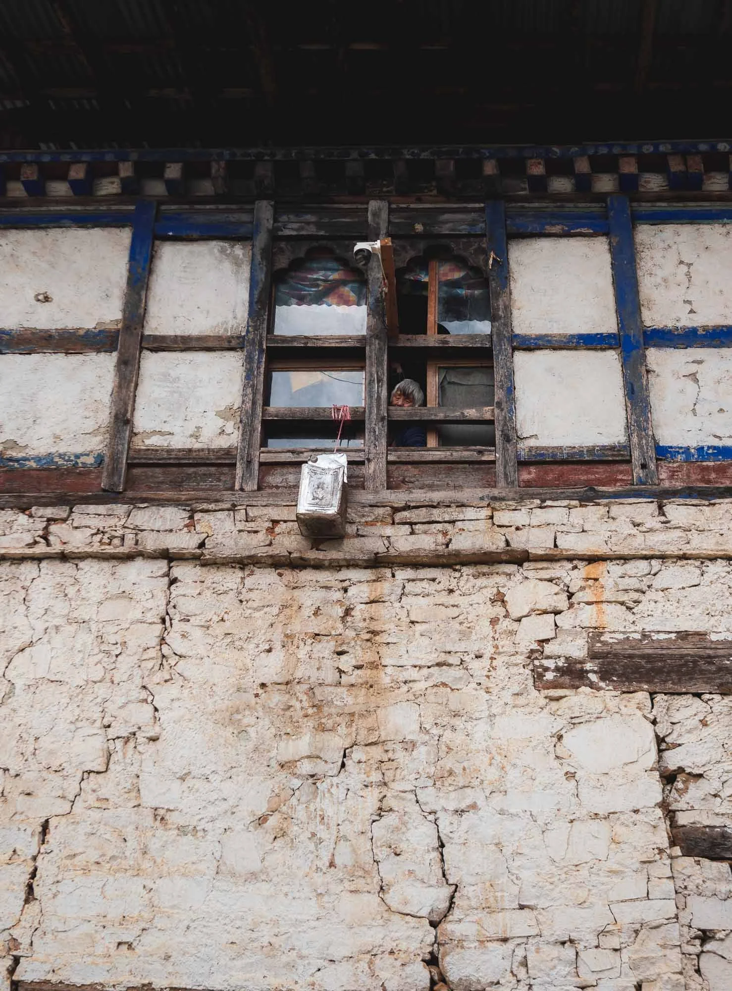
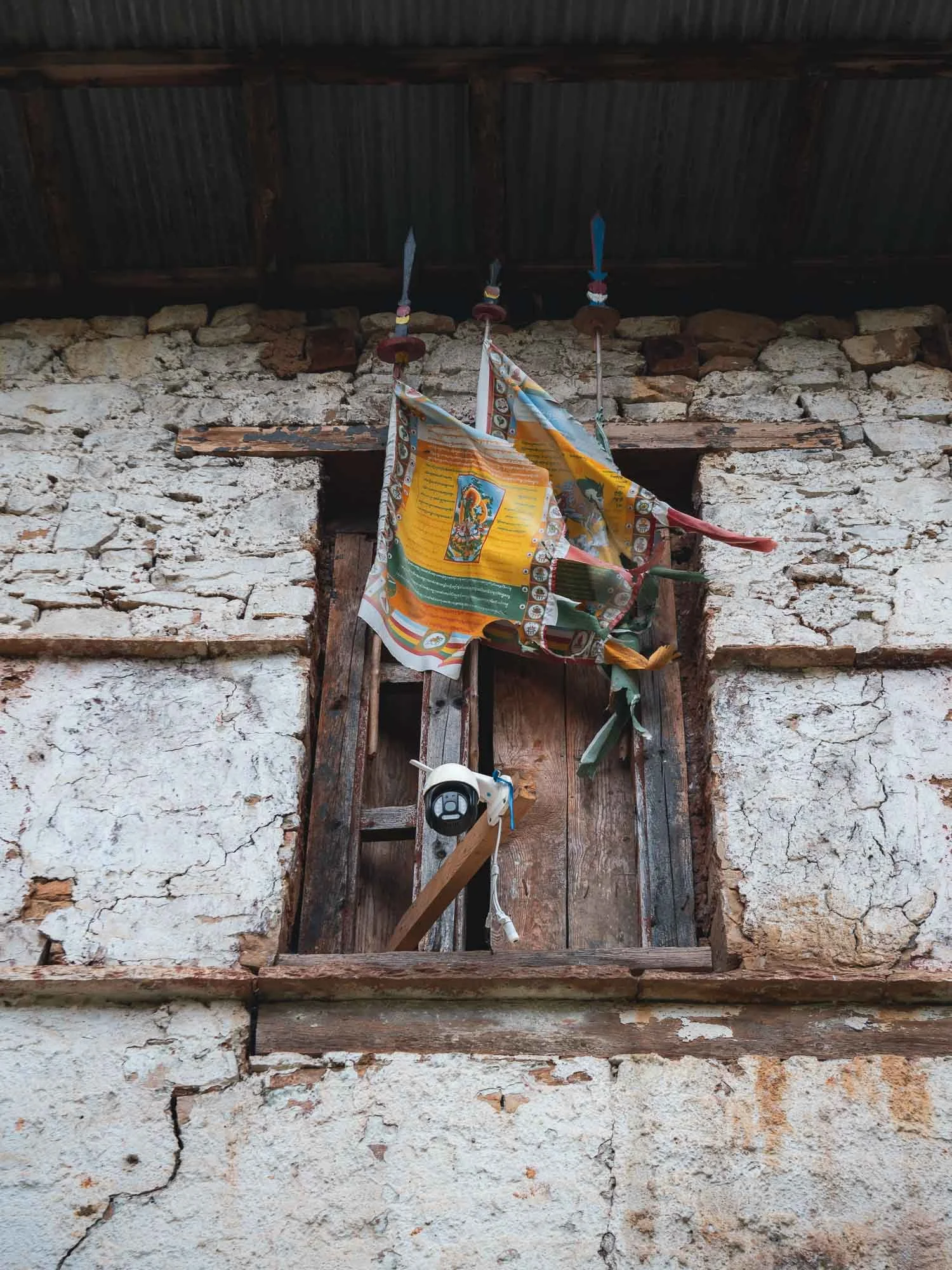
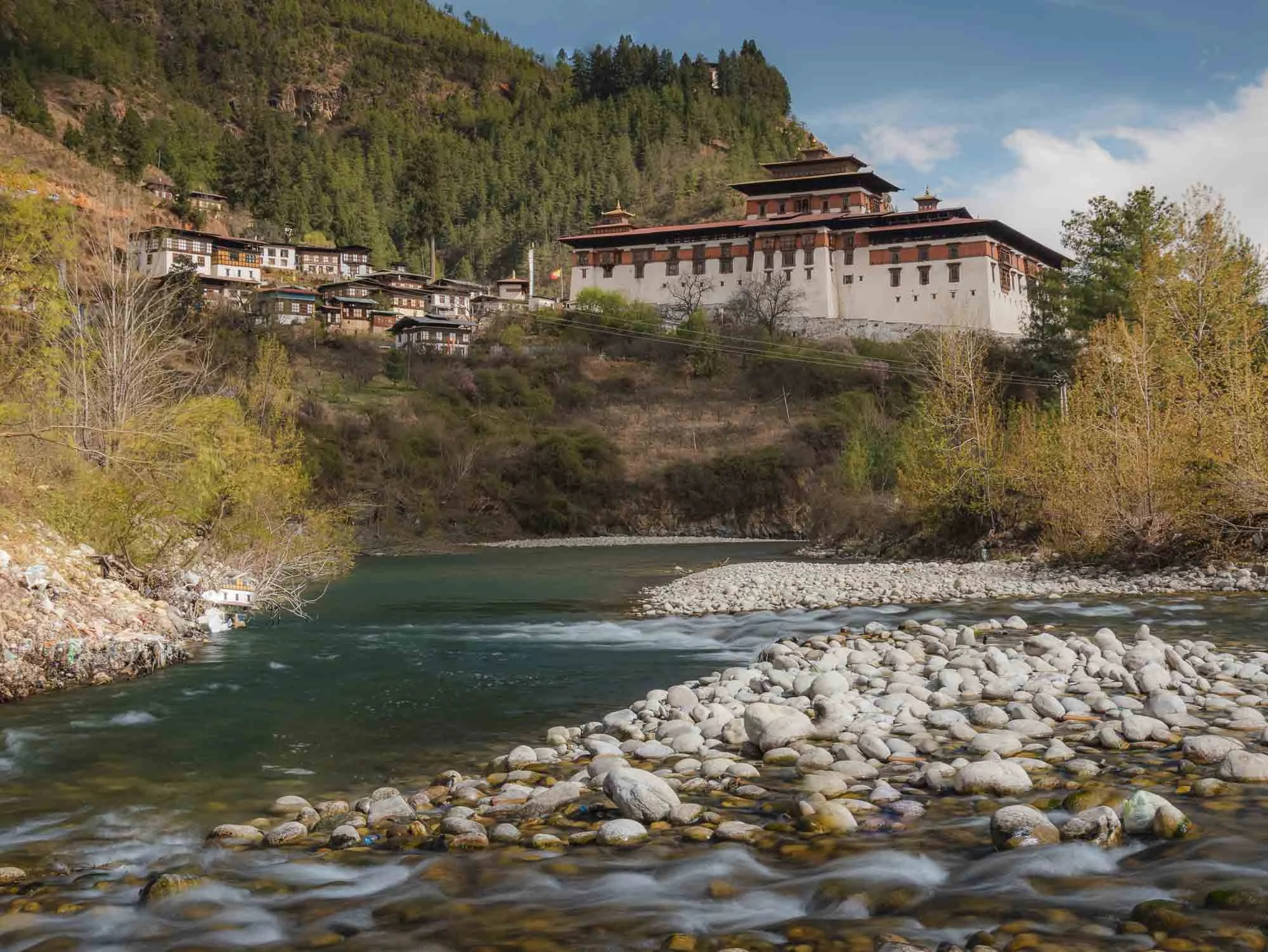
The Paro Tshechu
But aside from the Tiger’s Nest, there was a second main reason to spend a few days here, particularly in late March: over five days, the city is home to one of the most important and largest Tshechu (10th day in lunar calendar marker) festivals in Bhutan. It serves to generate merit and transmit the teachings of Guru Rinpoche through sacred dances, traditional music, and historic costumes. Its first day takes place inside Paro Dzong.
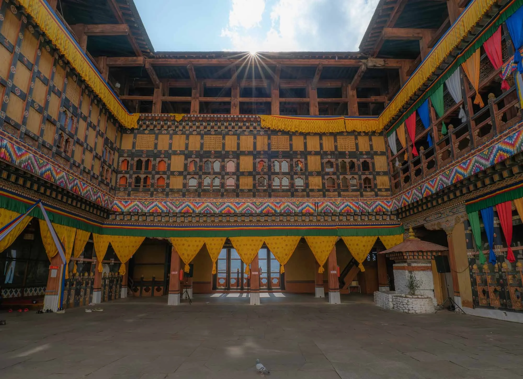
I visited the day before the festival for a quiet moment where the only other visitor was this pigeon, but the colorful decoration (and a few last minute dancing and singing practice) gave away that things were to become a lot more crowded soon.
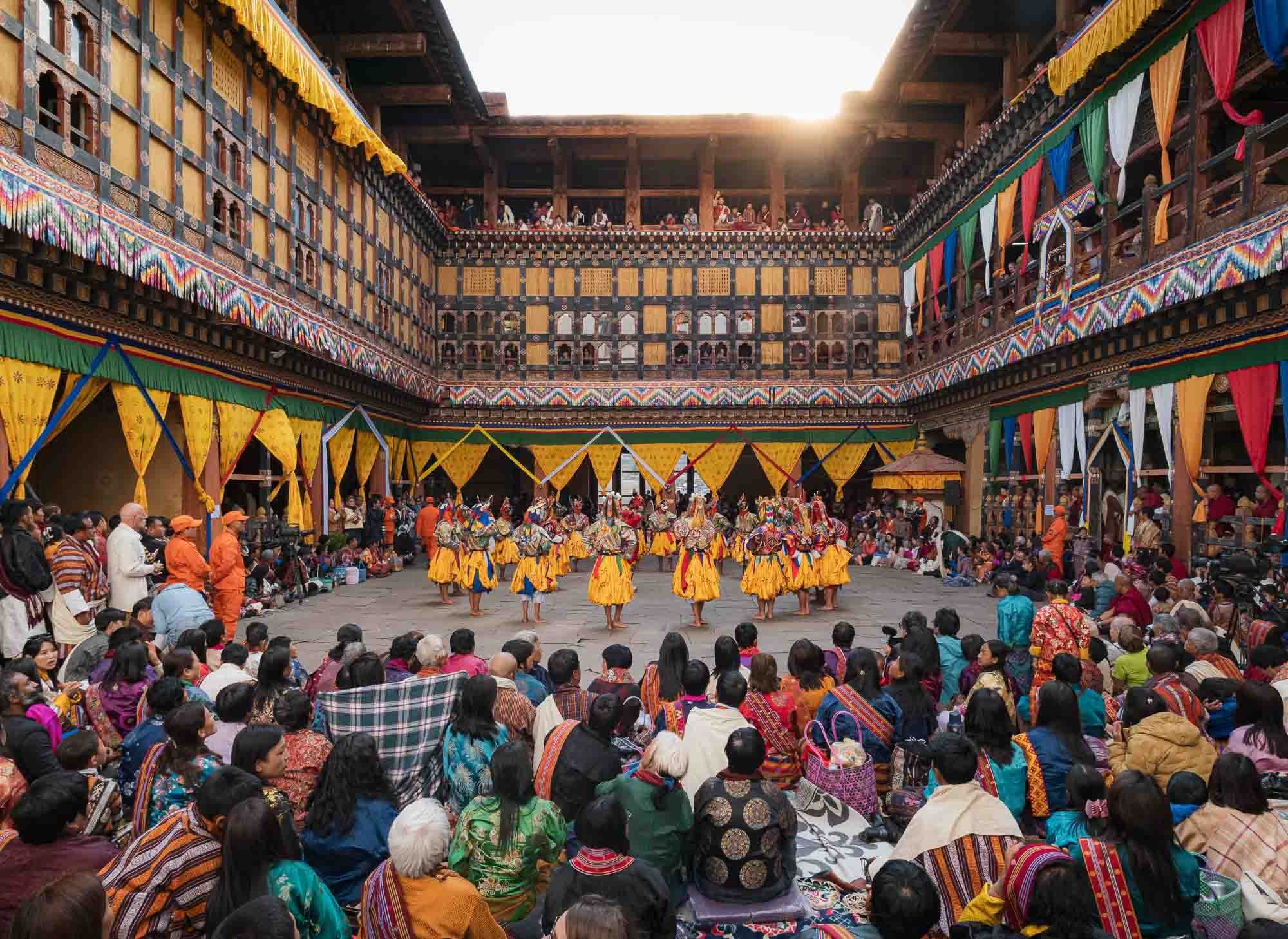
And indeed, this was the same spot the next day during the opening of the festival - crowds occupying every floor, nook, and cranny of the courtyard, with dancers performing in the centre. But one step at a time…
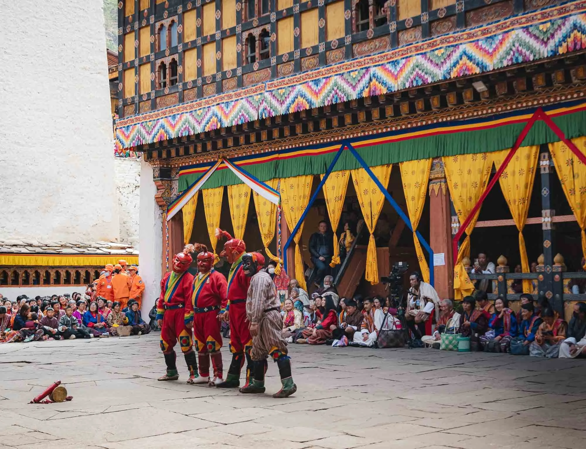
The proceedings are kicked off and hosted by the so-called Atsara (sacred clowns), who serve various roles, from teaching moral lessons and keeping the audience engaged, to managing the flow of performances all day, at times using their wooden phallic symbols seen in front of them here to do so...
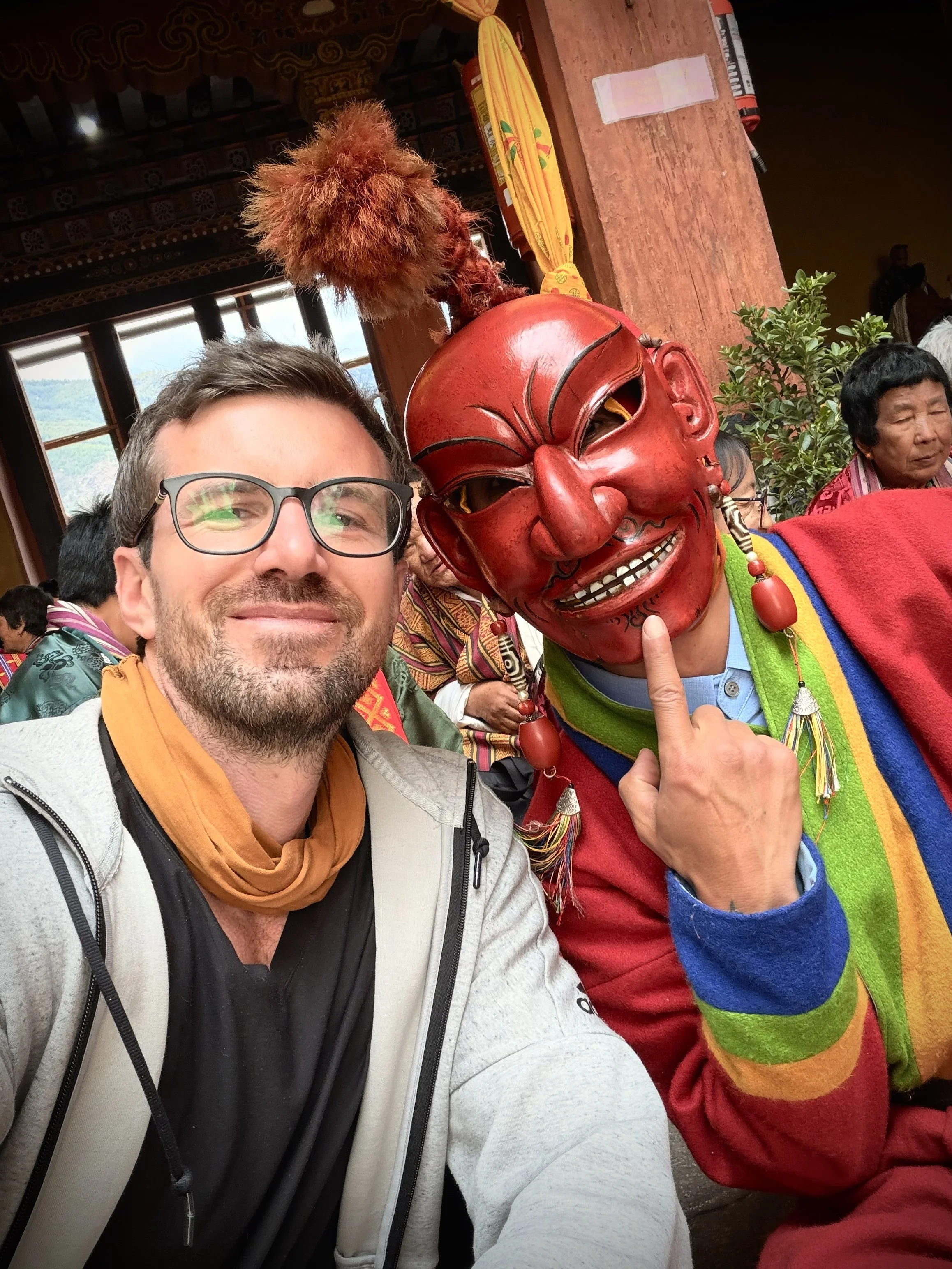
I had a chance to chat and take a selfie with one of them, and they seem to be born entertainers.
It’s a colorful affair of different dances and performances accompanied by varying music, with spectators in traditional local dresses all around. It’s often a family day out with three or more generations sitting together, bringing lunch and watching the activities.
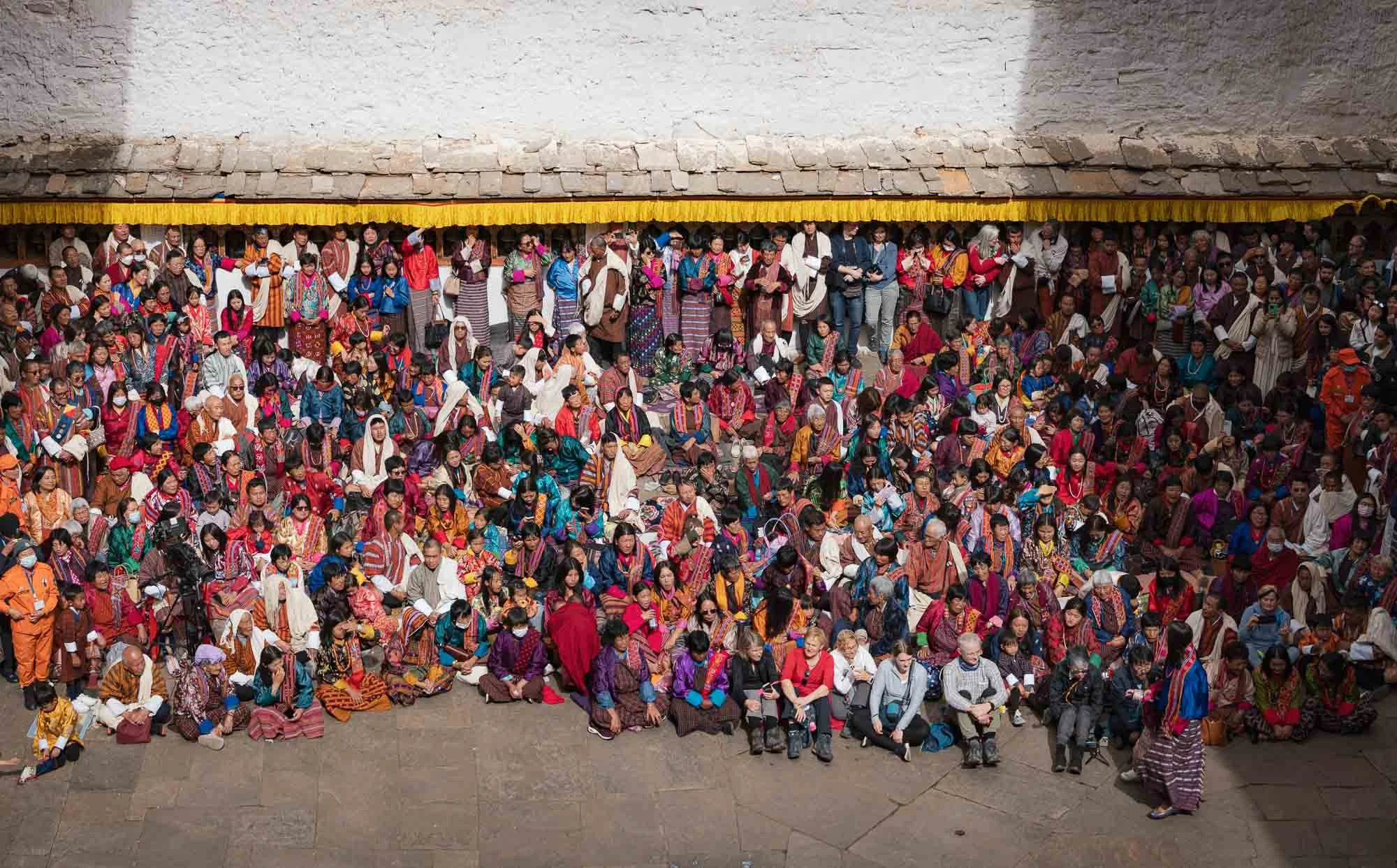
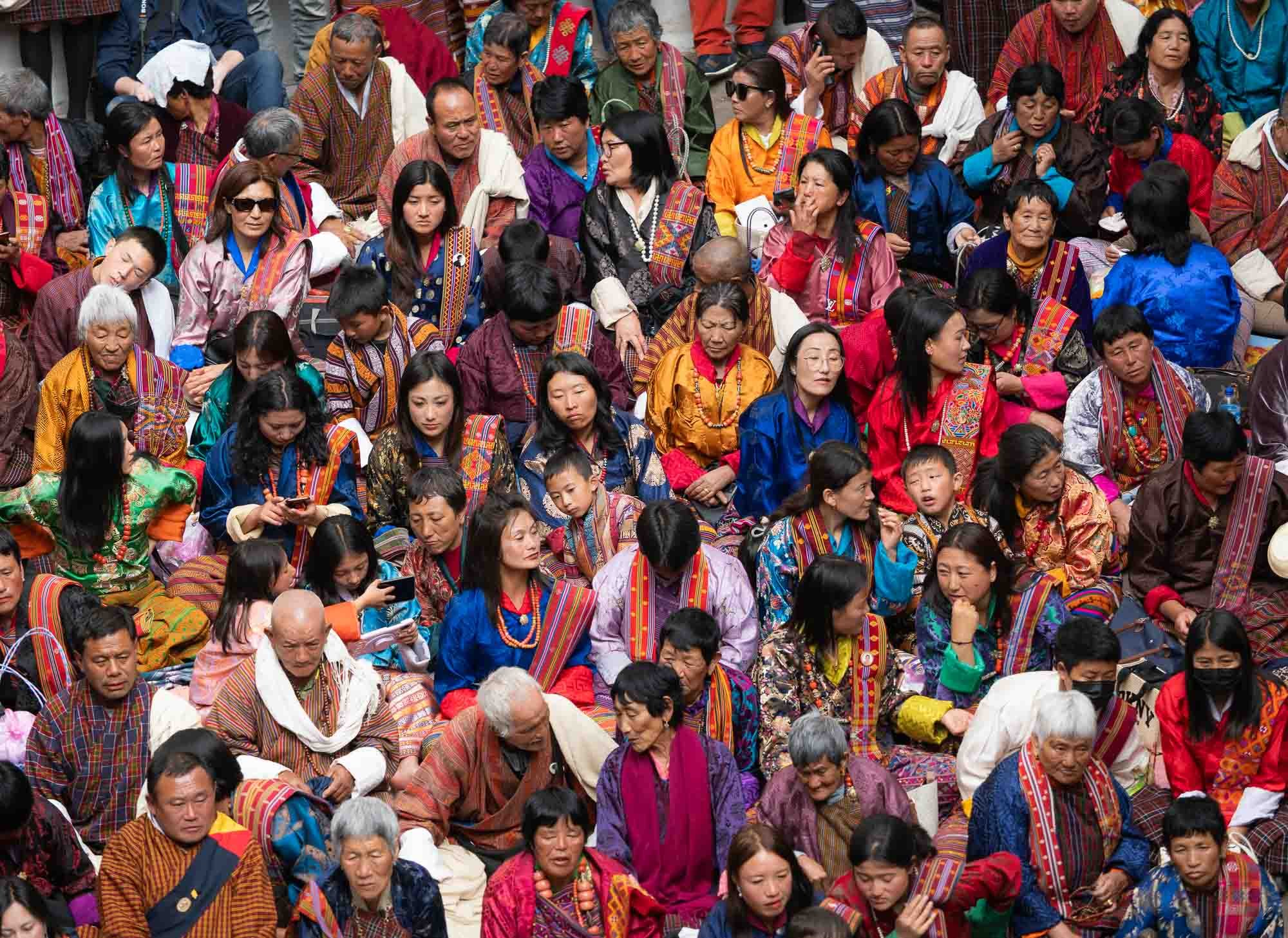
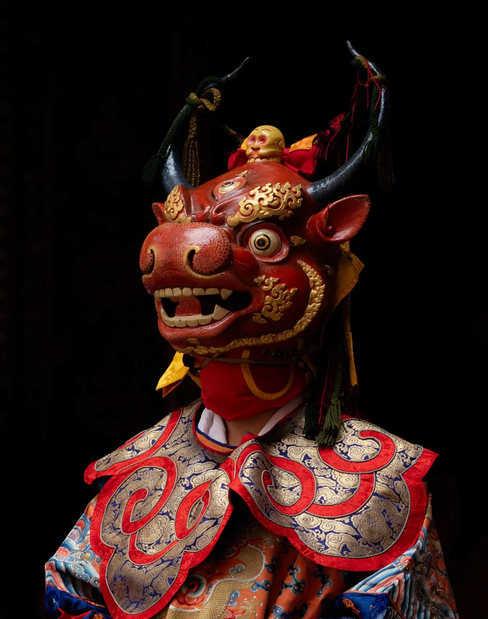
Equally colorful but sometimes a little more scary are the wooden masks of the performers, such as this one. If I recall it is part of the first dance related to overcoming the forces of death and blessing the ground for subsequent dancers.
The masks and dresses change as the day progresses, so does the music, rhythm, and choreography.
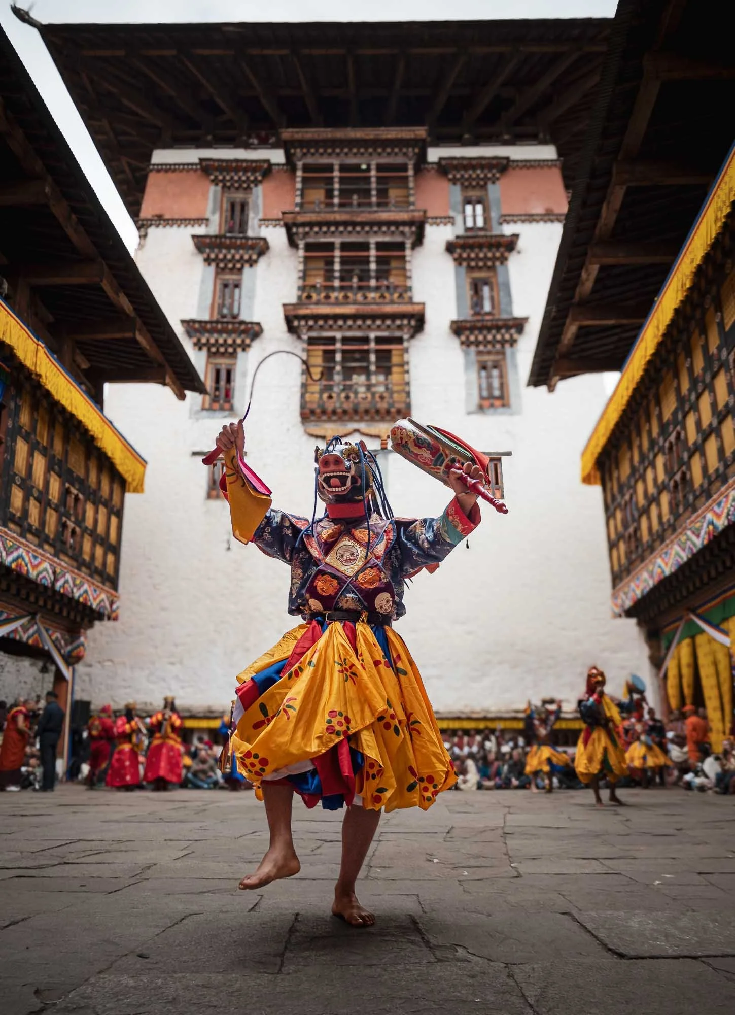
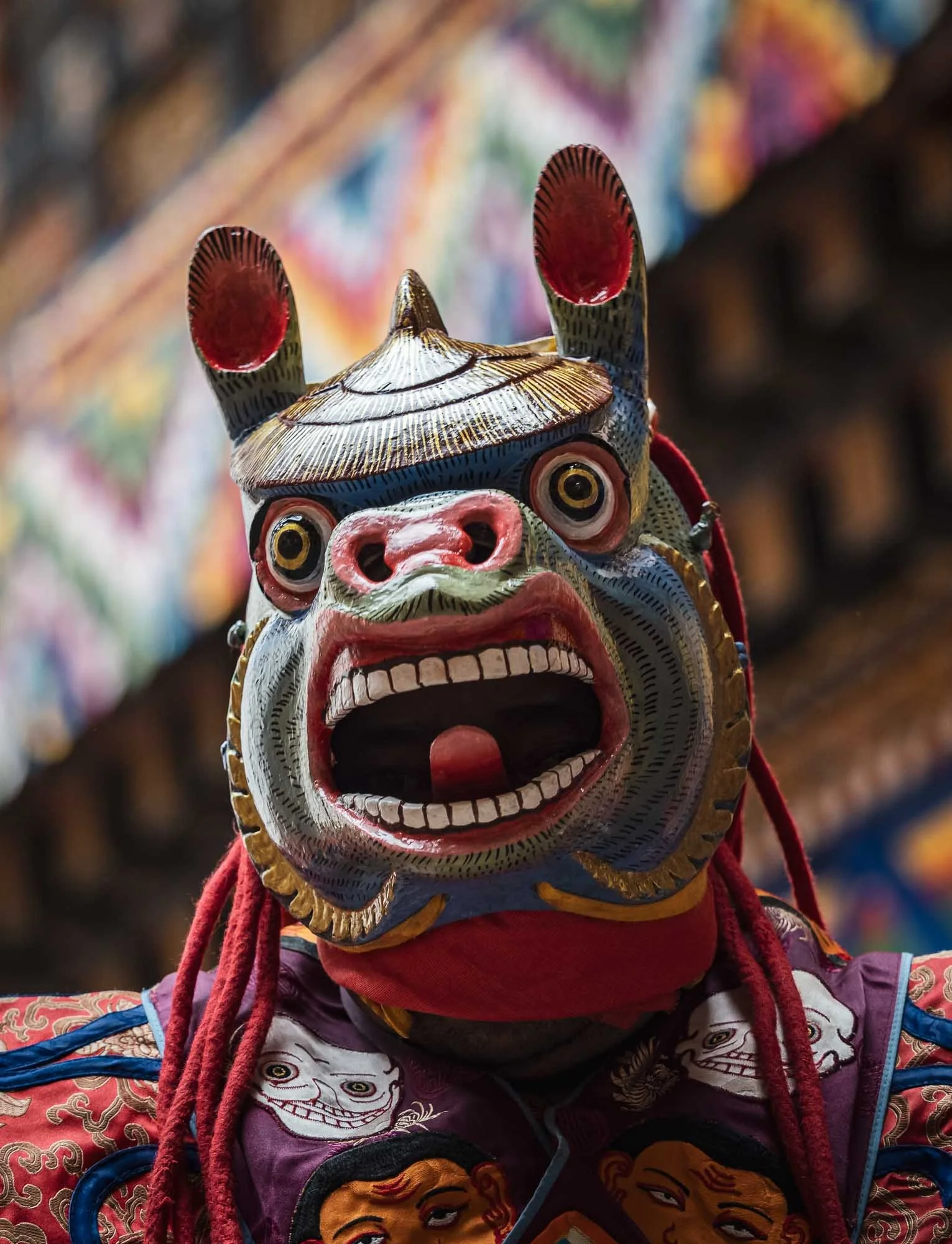
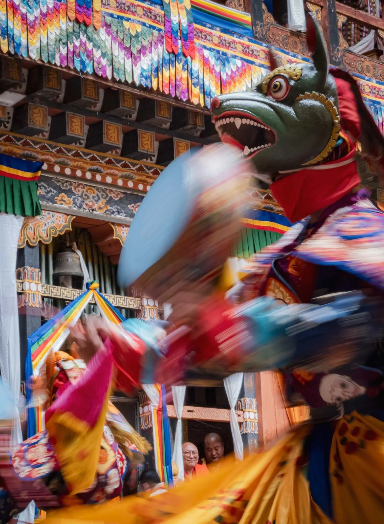
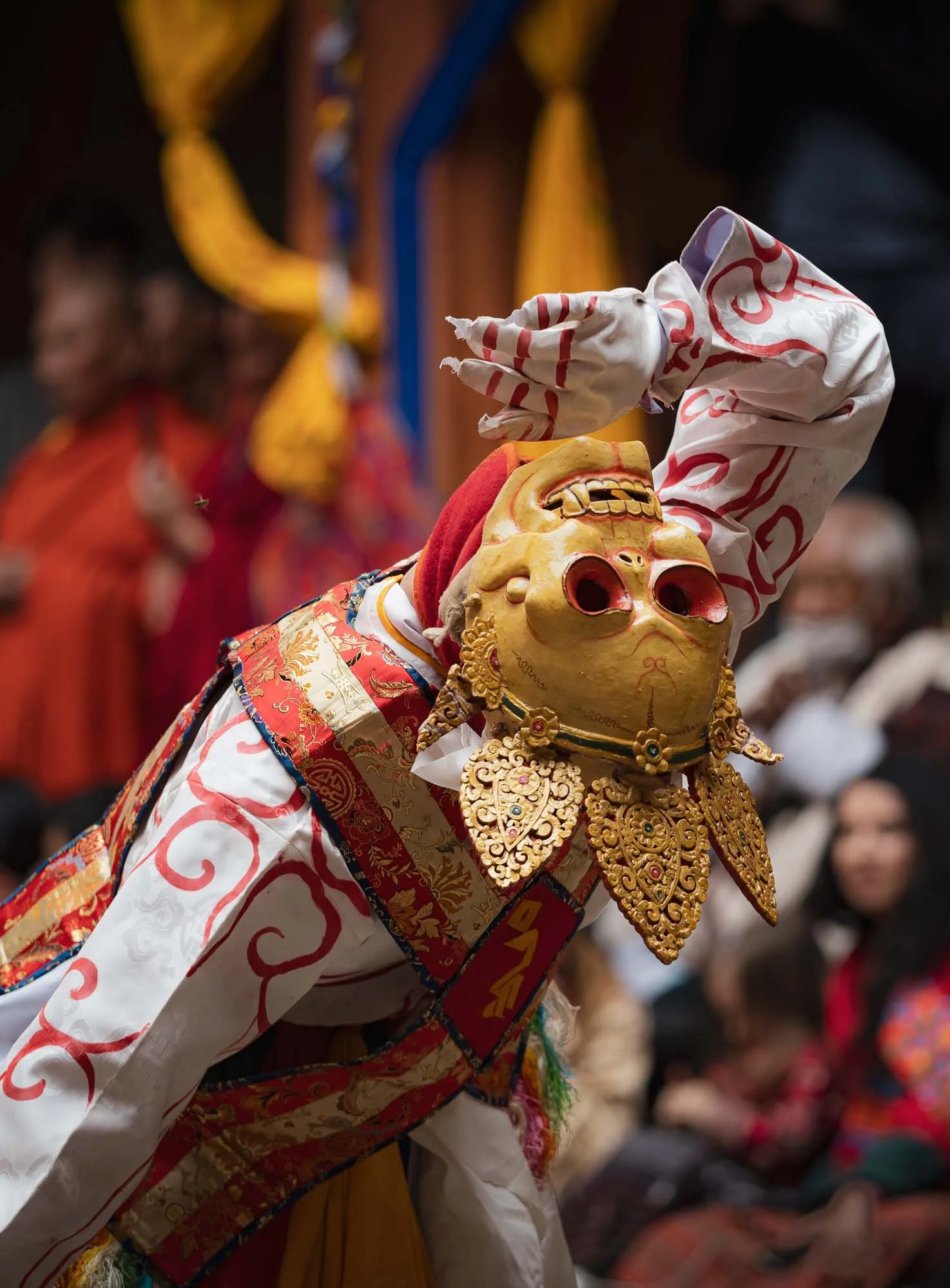
Every performance symbolizes a certain practice or teaching: the Black Hat Dance with its elaborate costume serves to celebrate the victory of good over evil and the purification of space, for example.
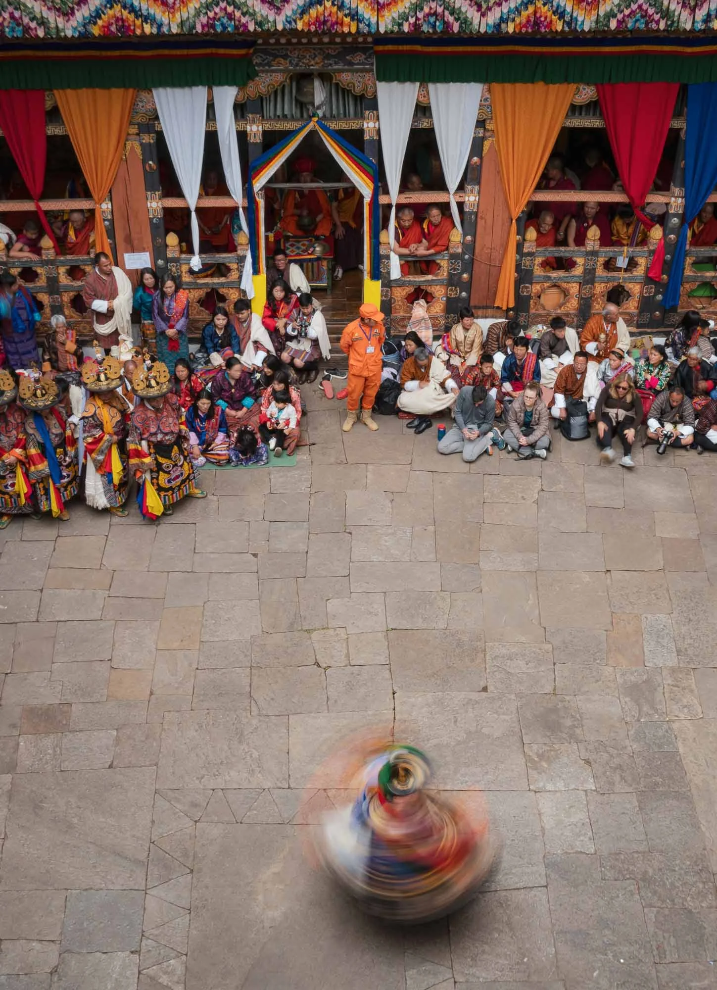
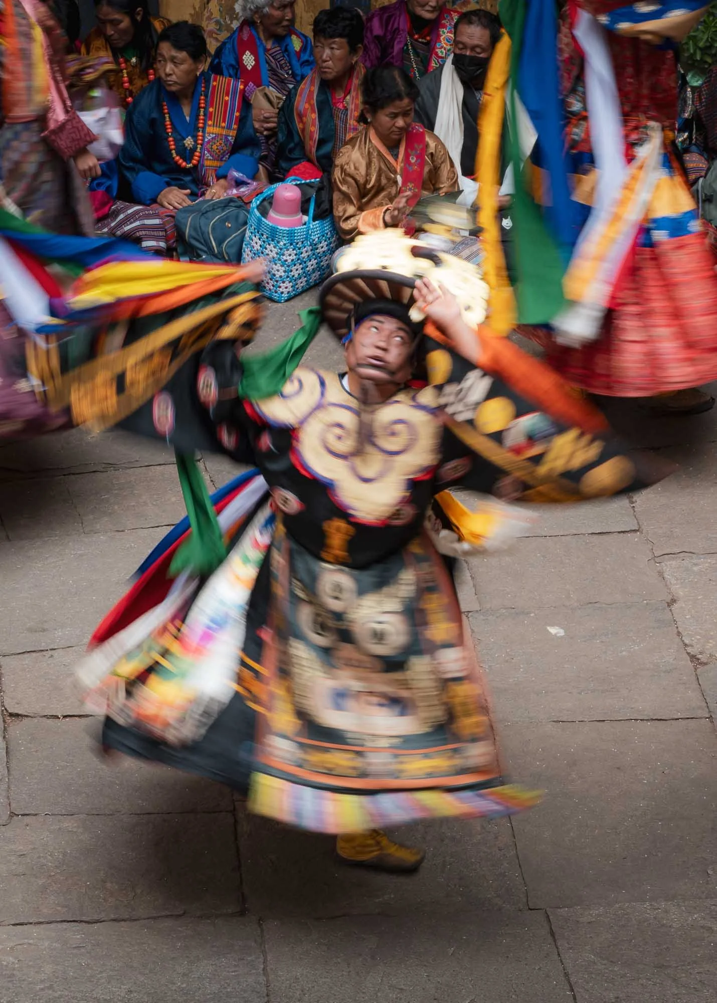
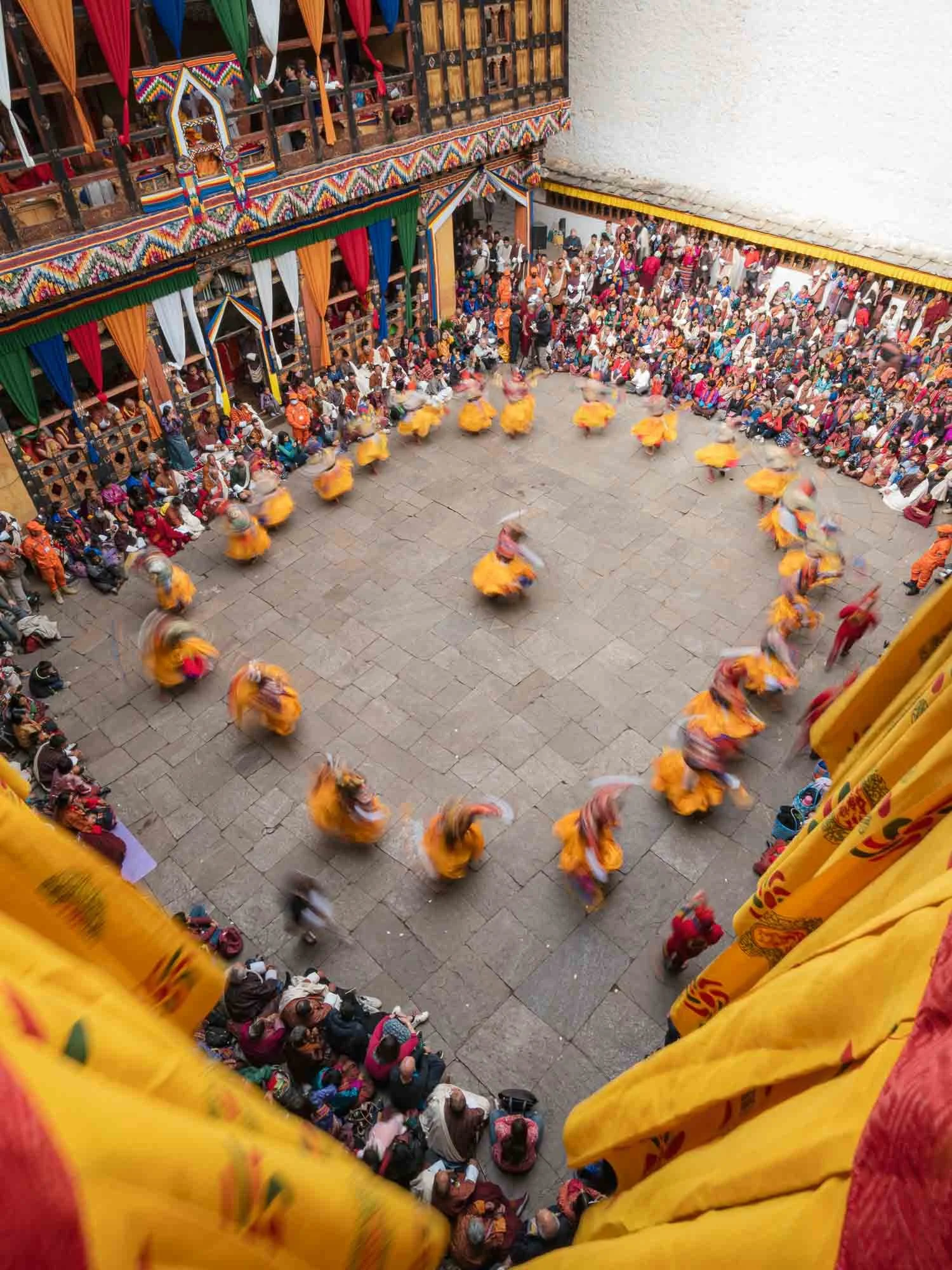
While quite a crowded affair at times, the very limited space makes the festival feel intimate and connects the spectators to the performers closely.
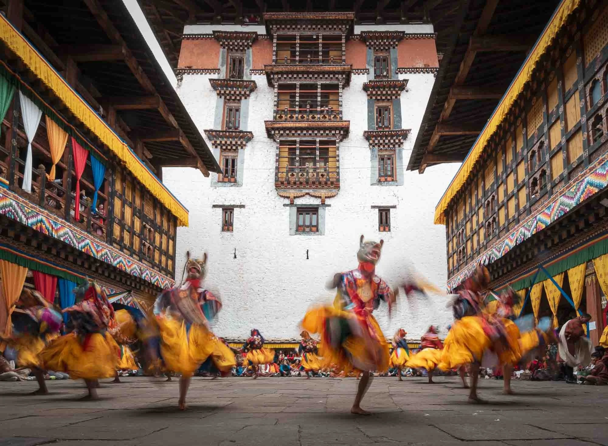
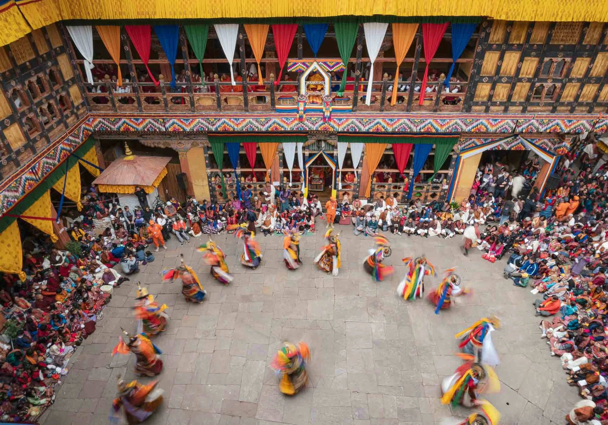
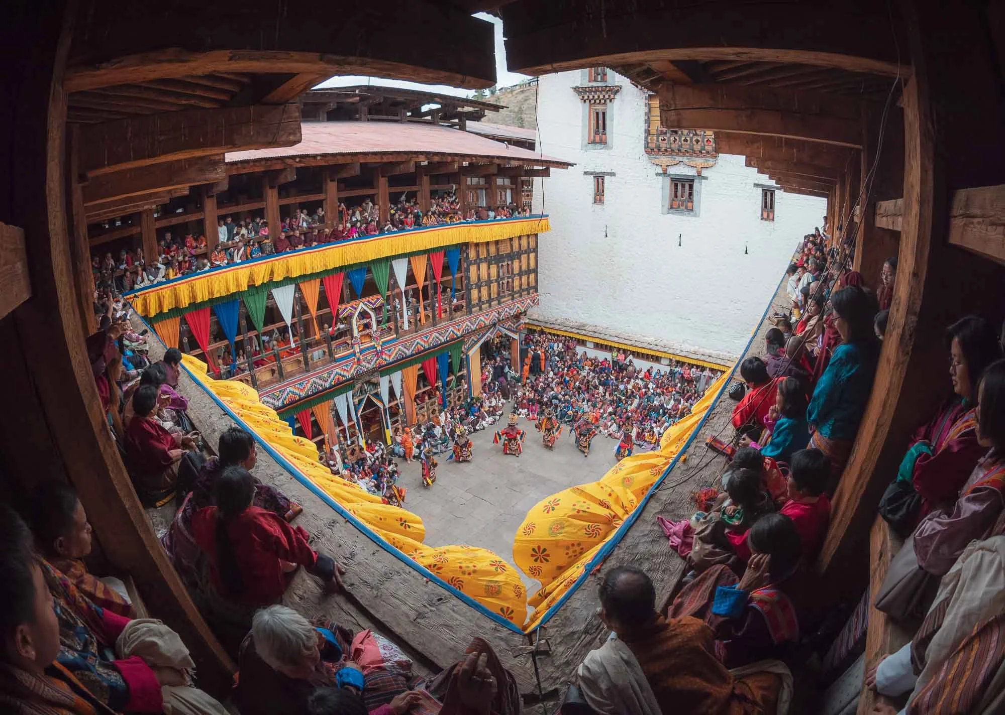
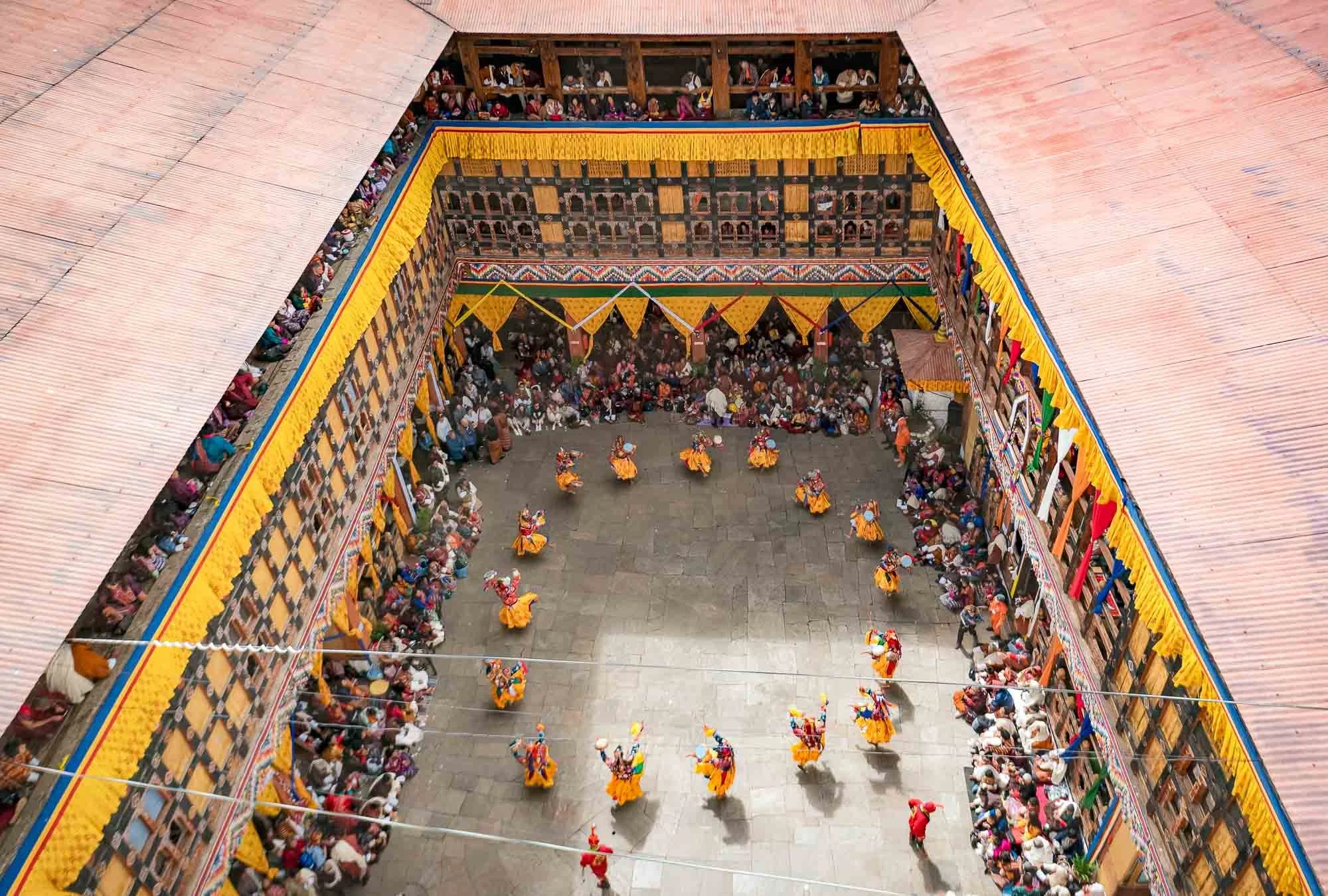
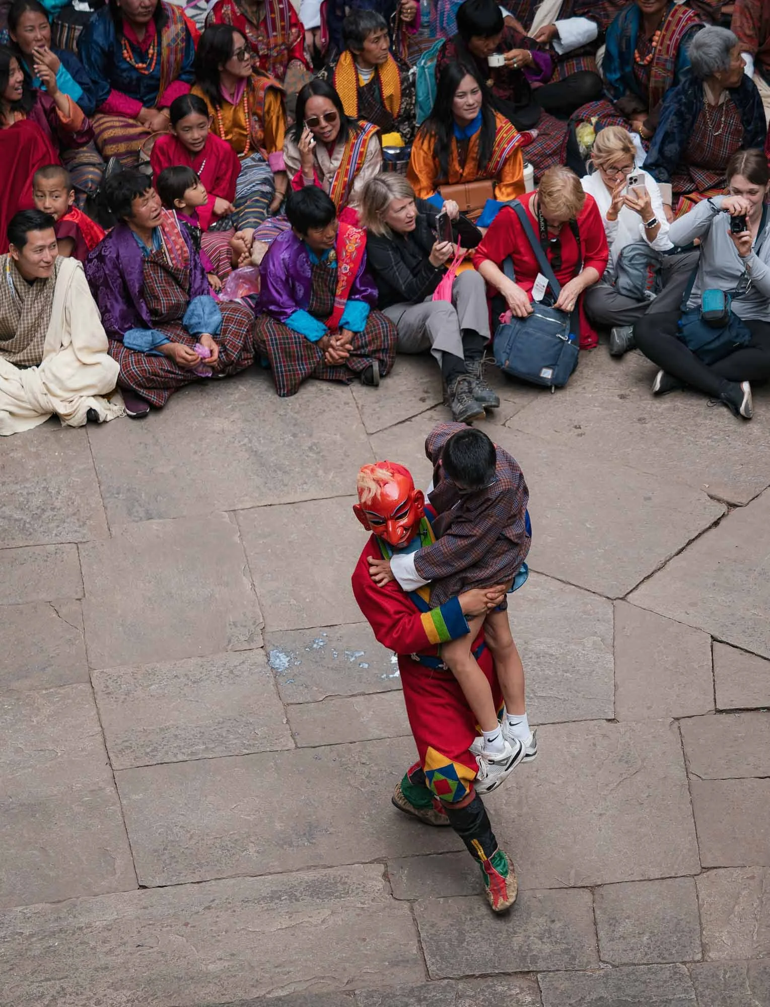
Sometimes a little too closely - audience participation is not always optional…
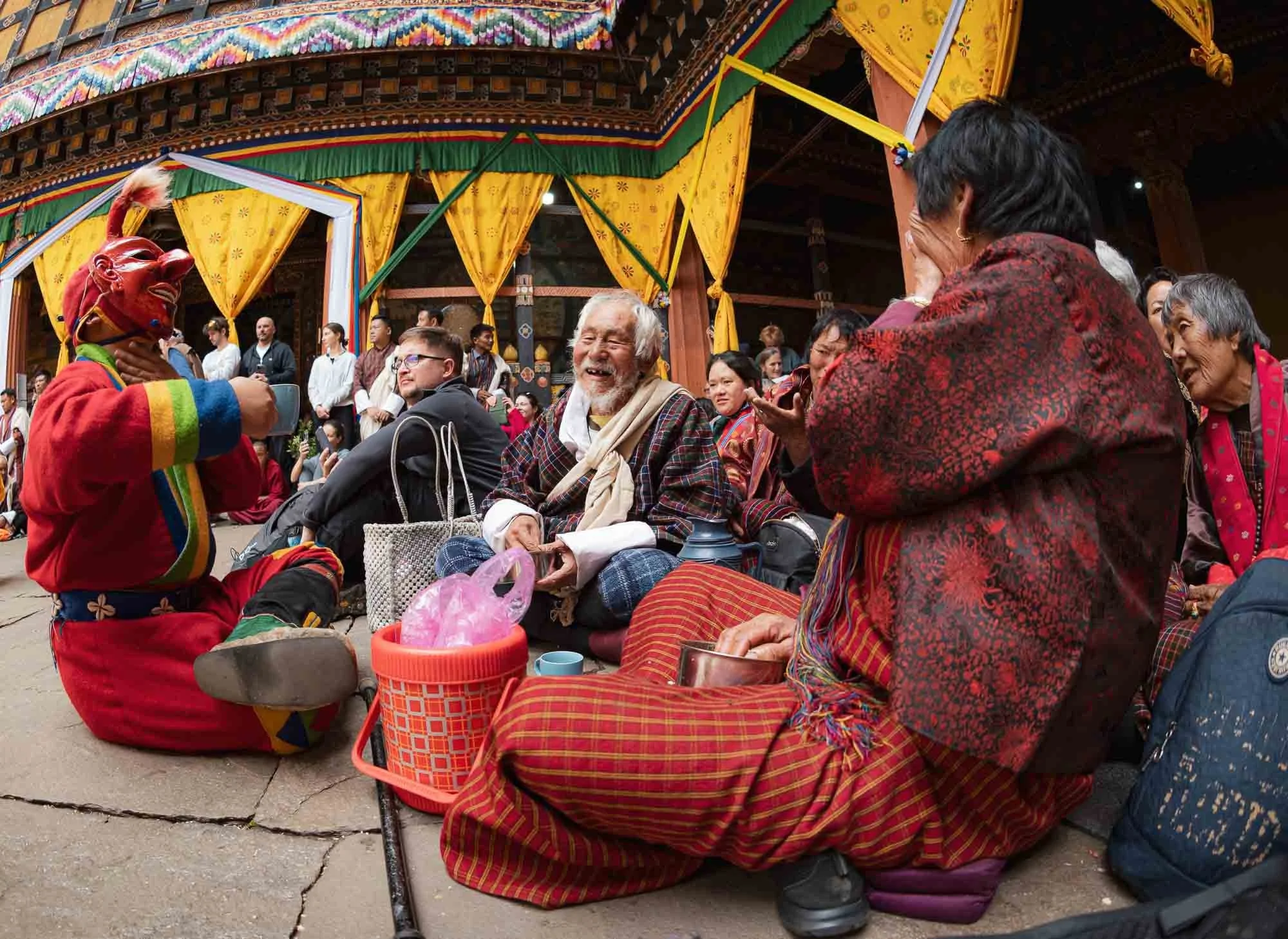
…but mostly a pleasant and humorous affair. I can’t be sure what this Atsara said though - given the expression of the women on the right, it may have been quite audacious. Not unlikely, from what I observed.
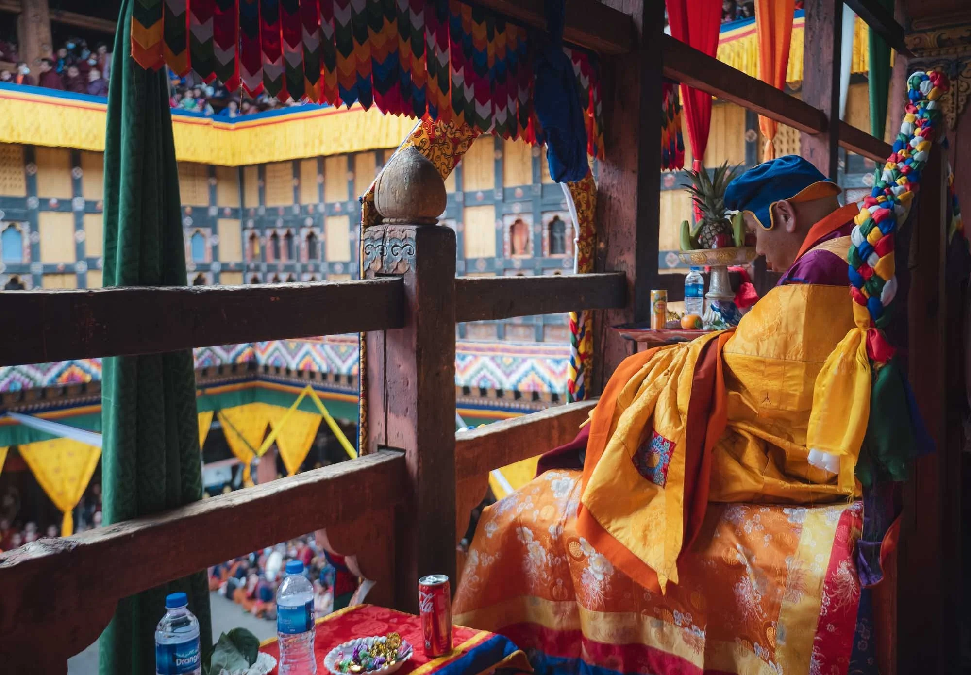
A dedicated section (into which I had the chance to sneak in for a bit) houses seats for the most important lamas and senior monks of highest monastic authority. If I recall, this one was the most respected person, immediately appealing to me for his choice of drink (and offering me some sweets).
I spent almost the full day here - the photographic opportunities are endless, and the cultural aspects quite interesting - part of the commentary is done in English and explains the purpose and background of the performances. Below are some clips of the day.
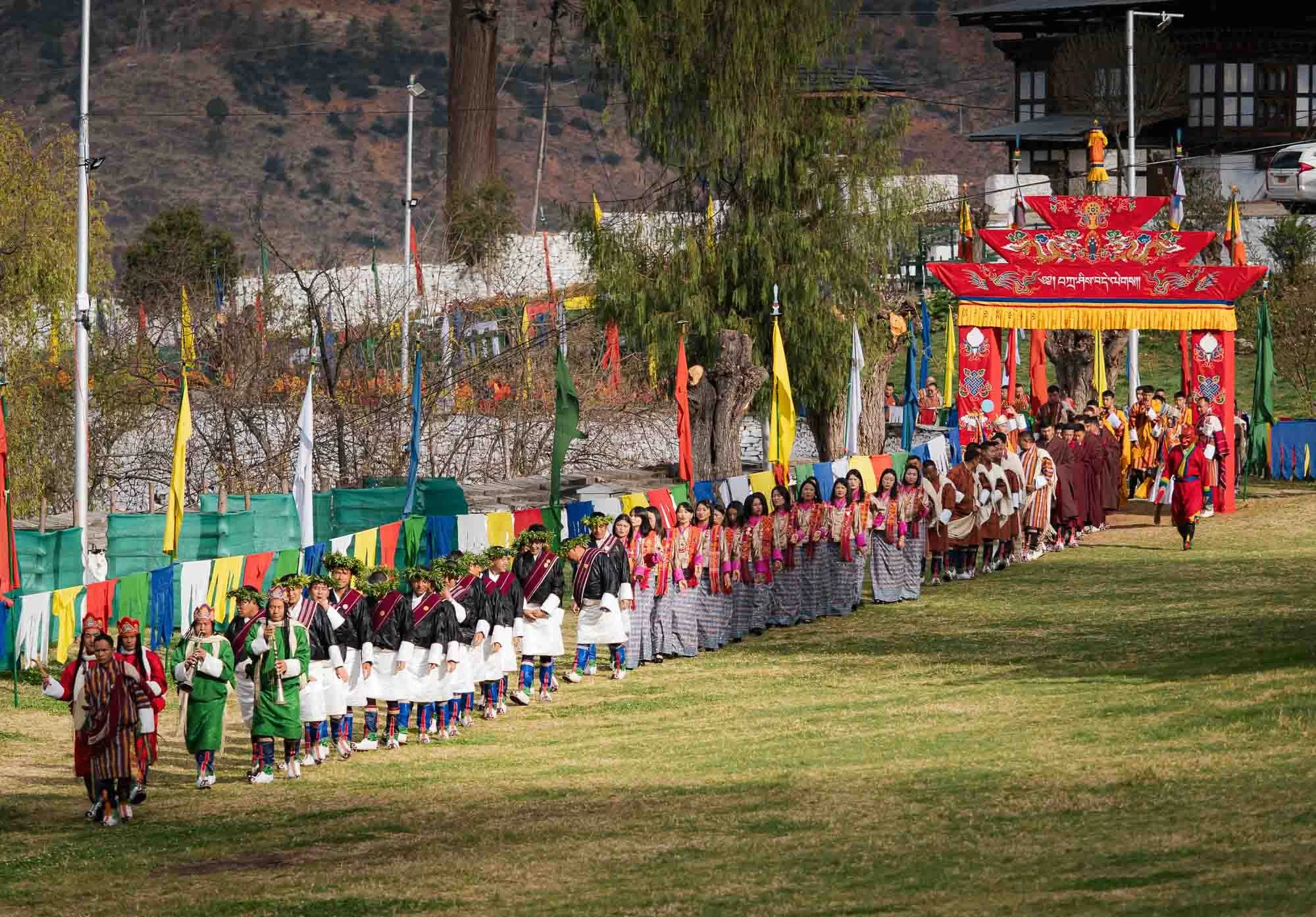
The second and subsequent days take place in the outer courtyard in front of the Dzong, with a procession of the participants arriving in the morning.
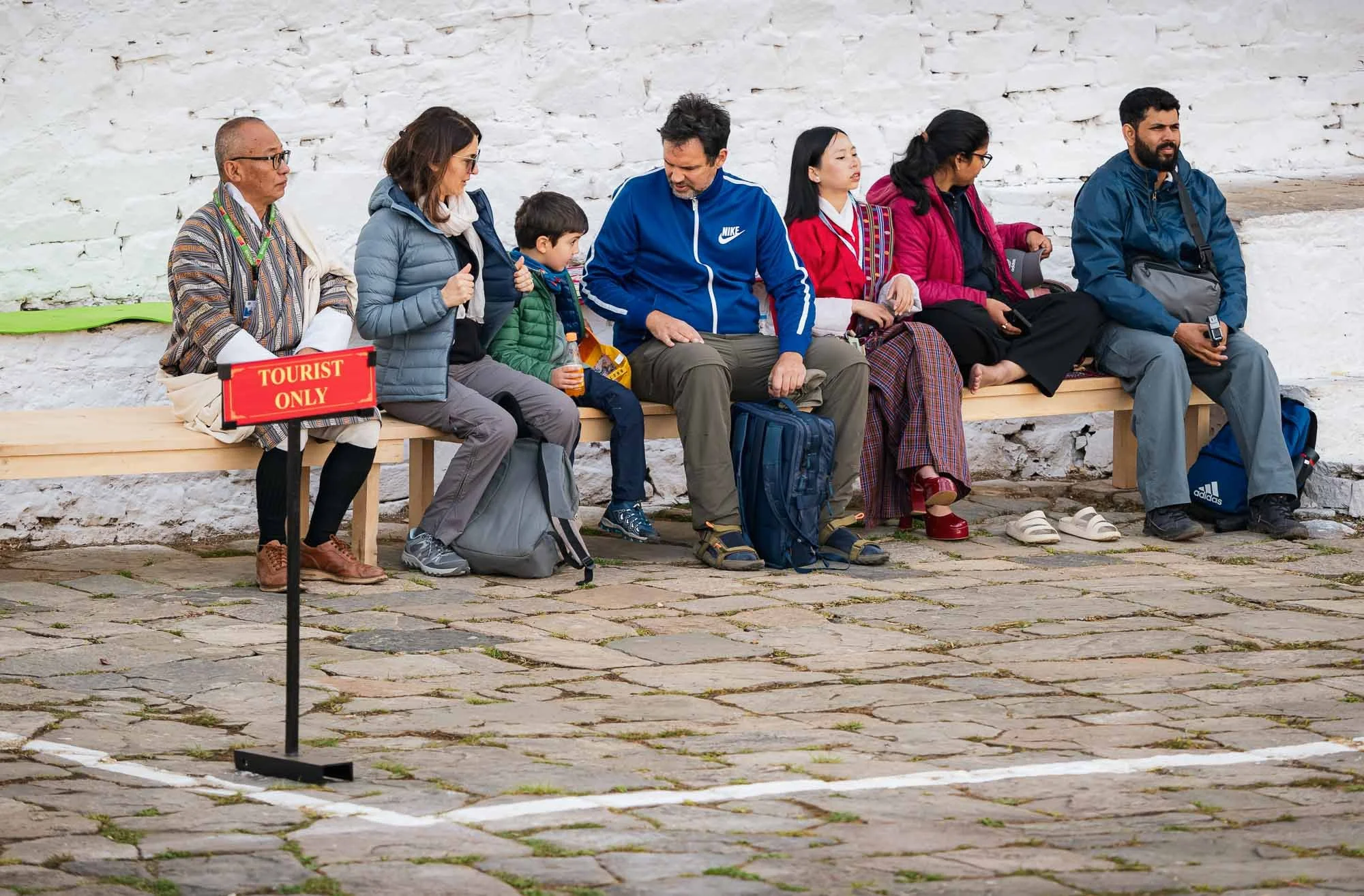
I couldn’t help but chuckle at this well-intended but somewhat awkward tourist section, which I of course didn’t let myself get confined to. While there were a few international tourists around, the vast majority of the attendees were locals.
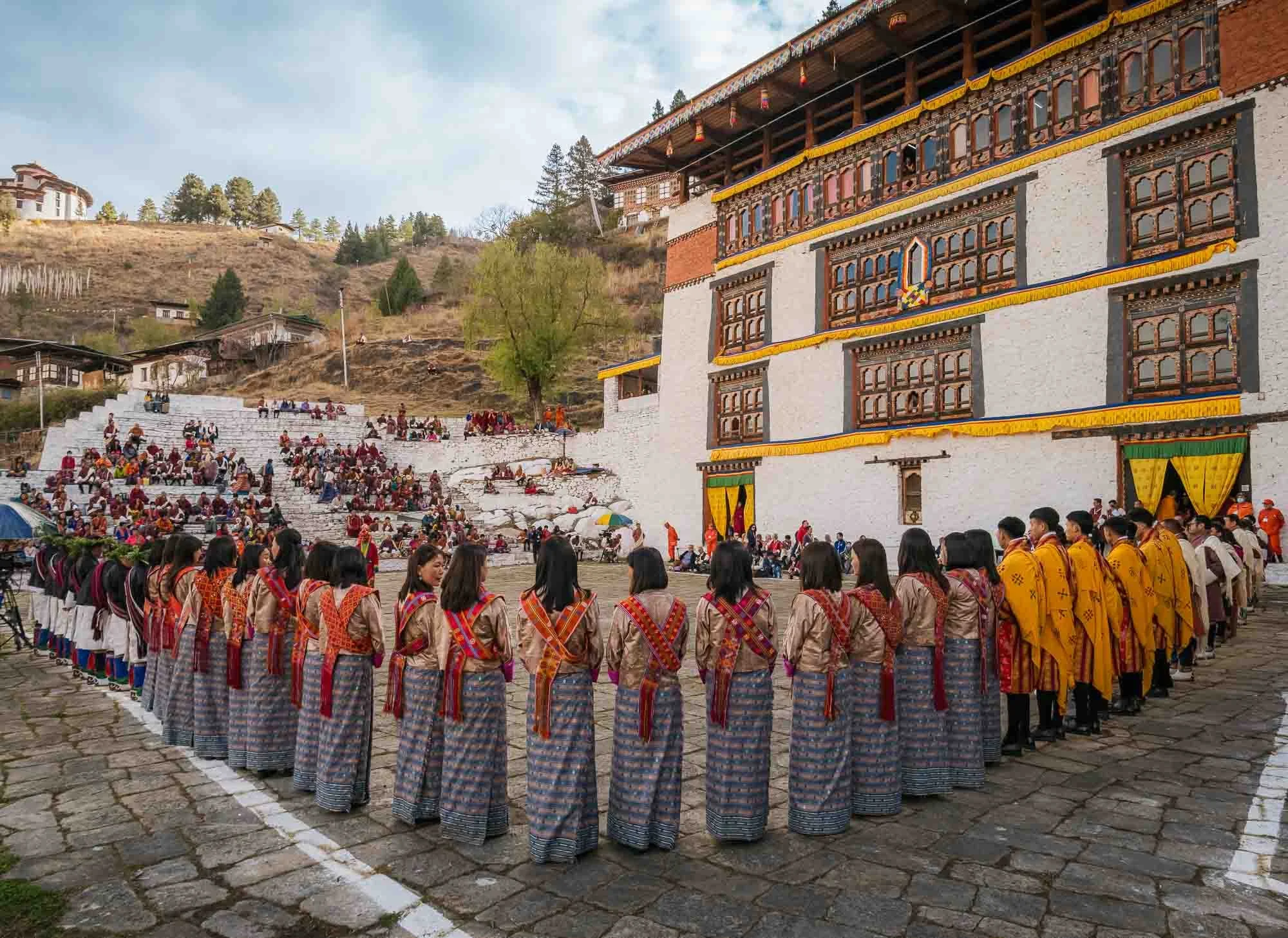
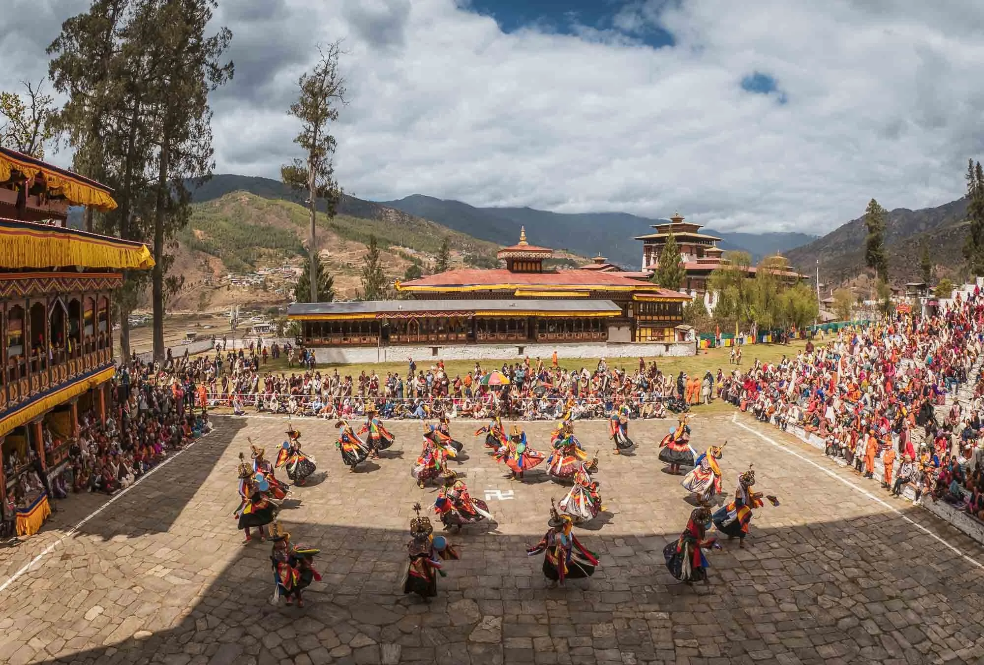
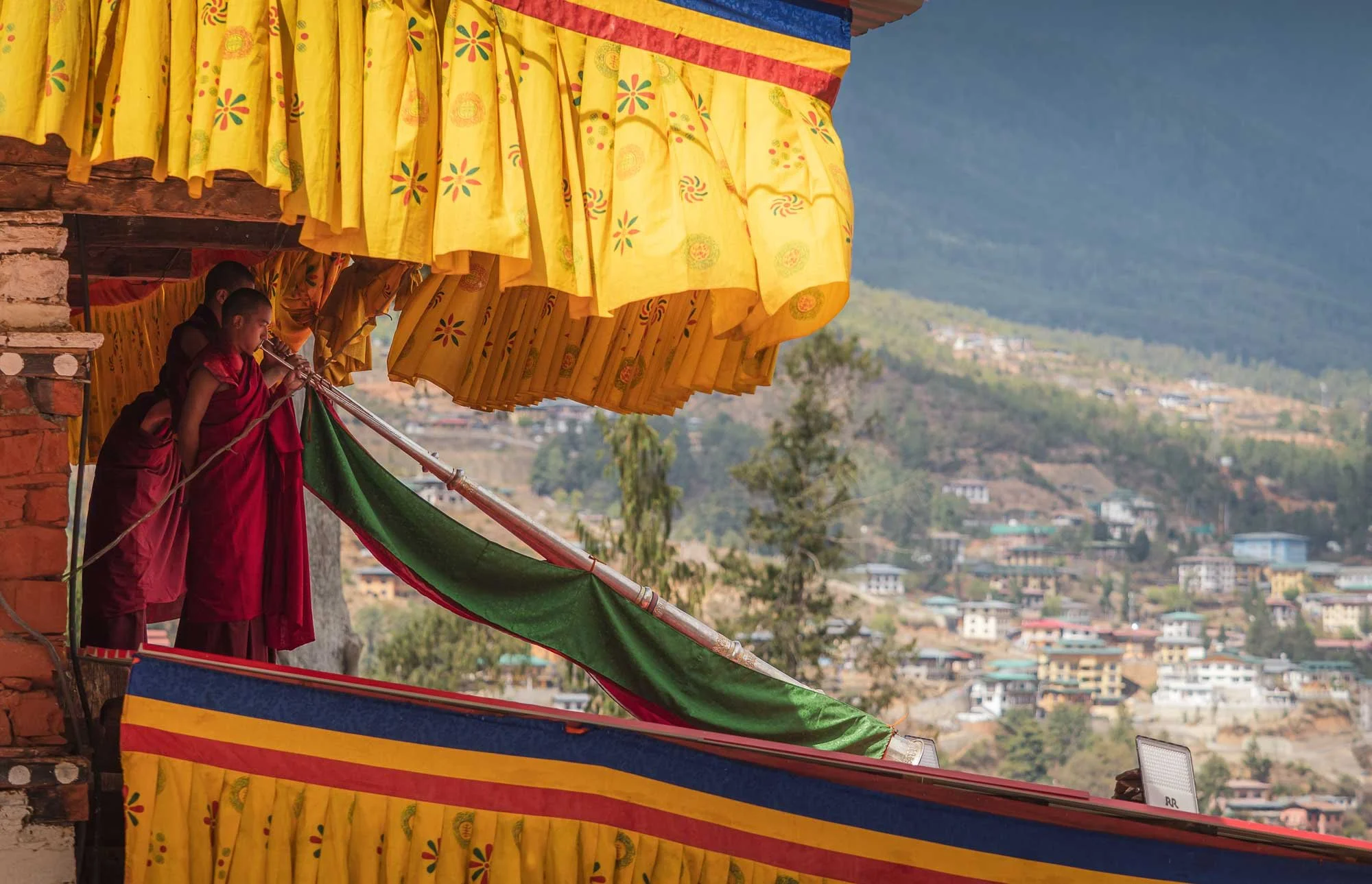
The Dungchen being played during the entry of the performers - it was nice to hear them played skillfully after observing the practice at the nunnery.
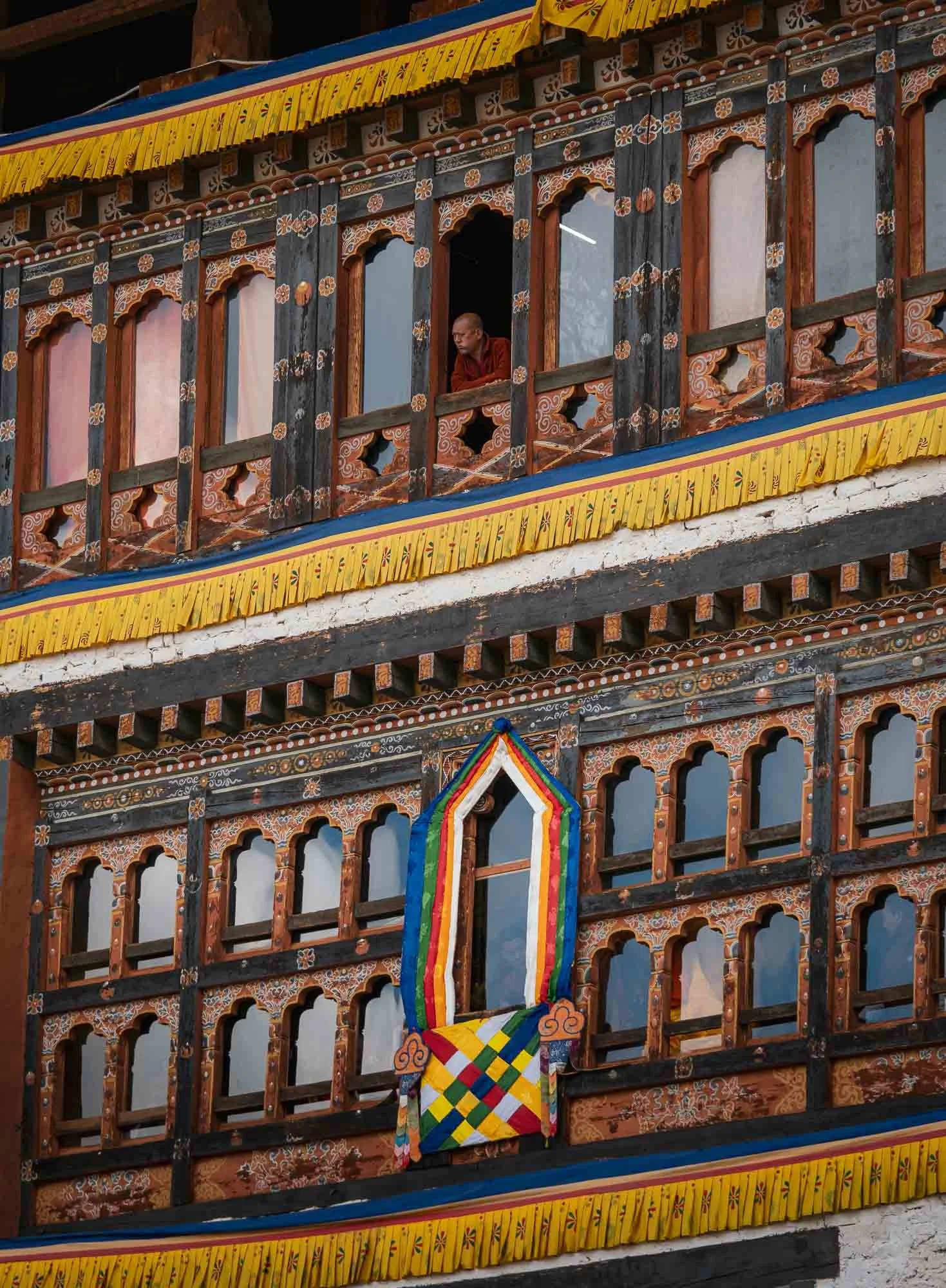
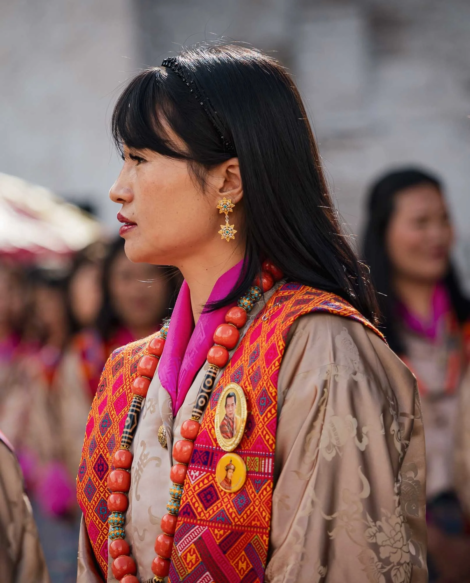
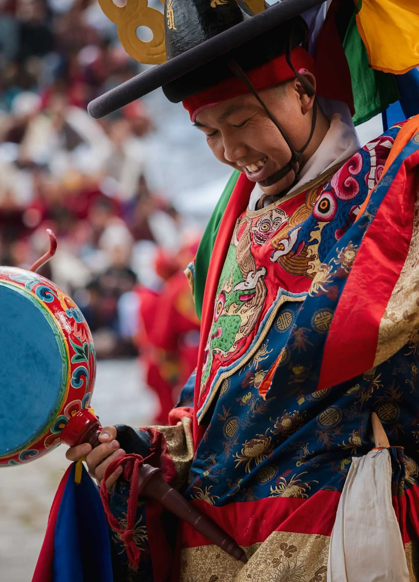
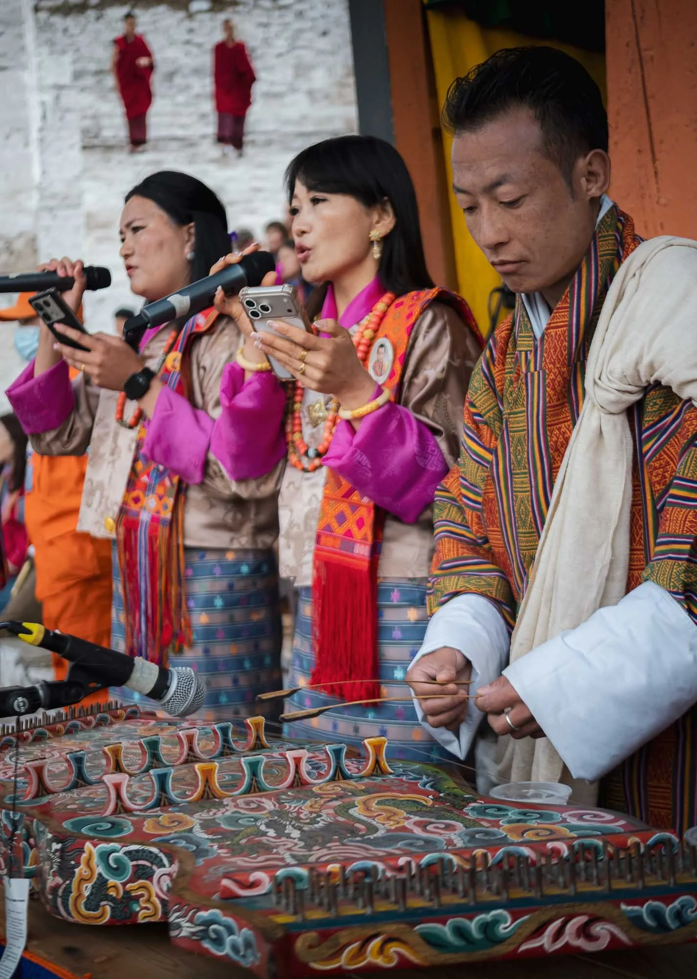
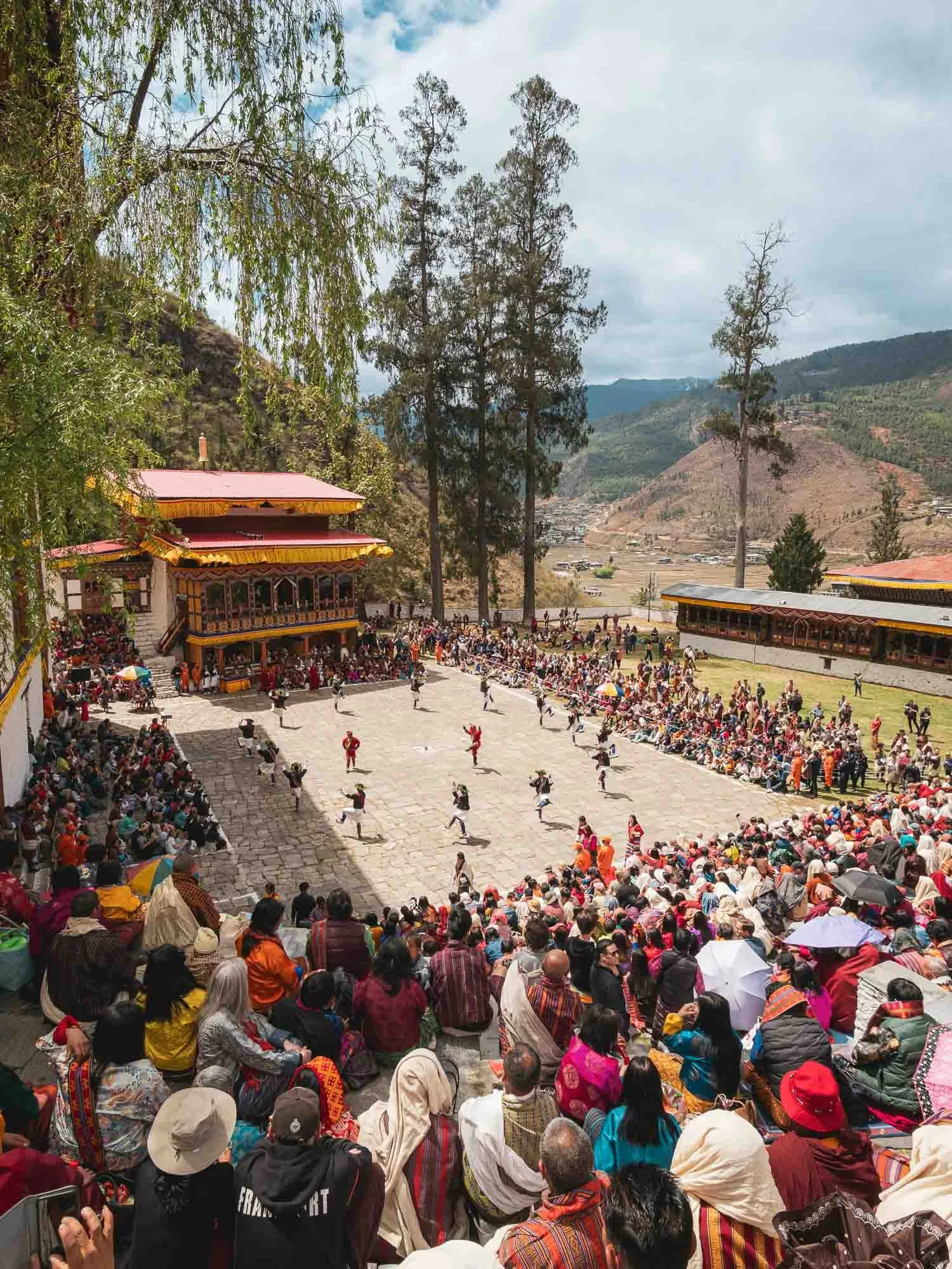
The location out in the open gives the festival a much more casual atmosphere. I preferred the first day but this was the perfect slightly more relaxed follow up.
This is also where on the final day the festival culminates in the revealing of the thongdrel, a sacred tapestry of Guru Rinpoche - I didn’t get to see this part anymore though, as this was the end of my time in Bhutan. Nepal was next.
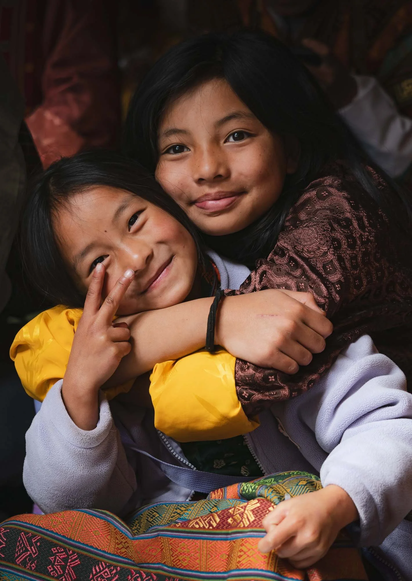
There is clearly a large amount of focus on preserving its roots and national unity, and Bhutan’s development model has long been famous for its idea of Gross National Happiness, prioritizing well-being, culture and environmental protection over pure economic output. Nevertheless, things may (have to?) undergo some change. While GNH remains an ideological basis, more conventional metrics have played an increasingly significant role in recent times.
For example, Gelephu Mindfulness City was announced in 2023 as a special economic zone three times the size of Singapore, designed to attract investment as a multi-sector economic hub, and also housing a new airport given its location in the lowlands near the Indian border.
Financing is meant to be driven by the country’s Bitcoin reserves. Bhutan held one of the largest national Bitcoin funds, at its peak estimated at $1.5Bn, mostly created through mining from its hydropower surplus (unlike US and Chinese holdings which were mostly seized). Its exposure has since been heavily reduced but remains significant.
We shall see if the country can maintain its sustainable happiness approach while at the same time creating attractive opportunities for its next generation - emigration, particularly to Australia, seems to be surging in recent years.
Subscribe to my newsletter to get notified and don’t miss out on more Wonders of the Globe.
Other Recent Posts:
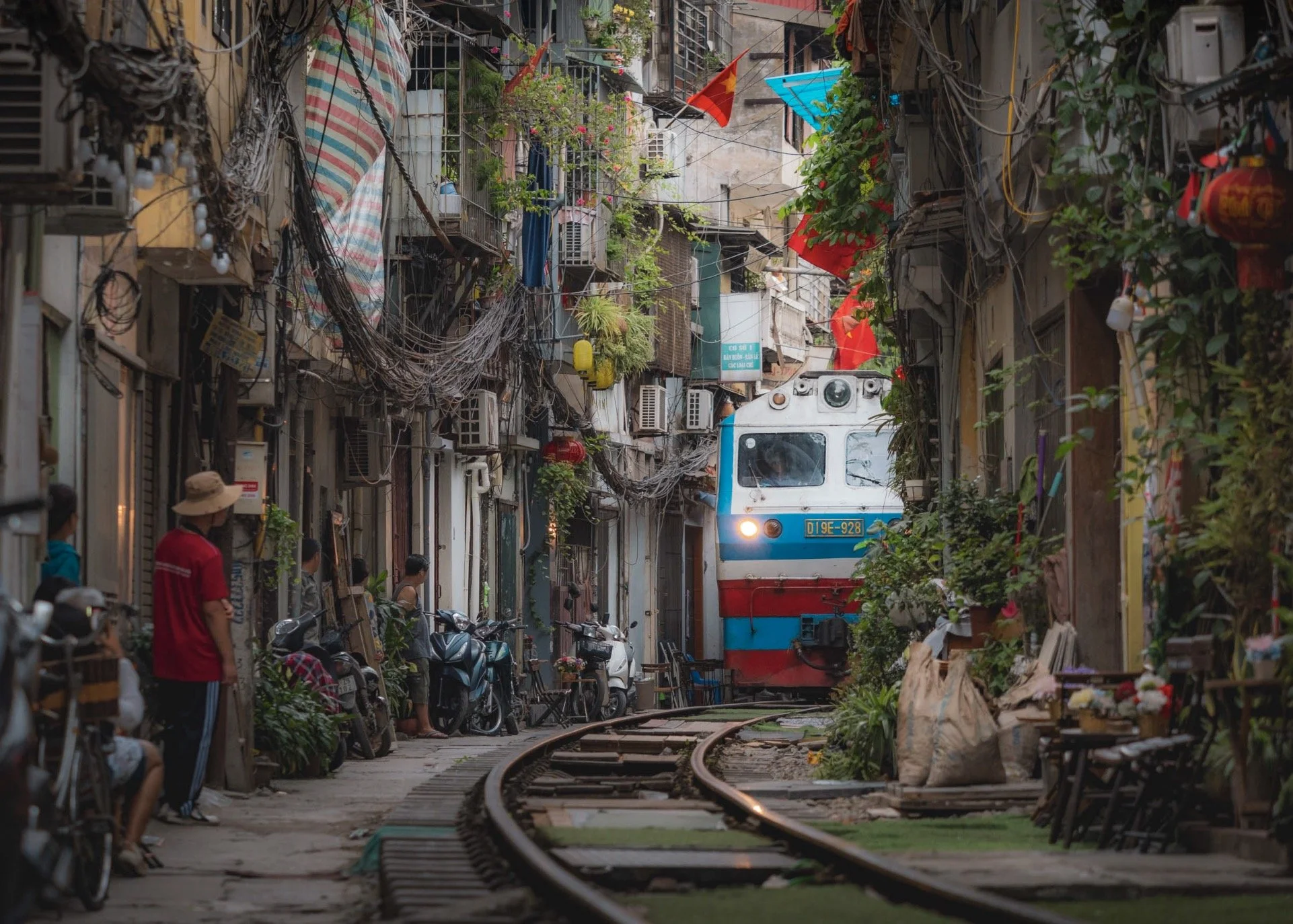
Hanoi & the Many Faces of Northern Vietnam
Vietnam’s beautiful capital and a glimpse at its mountainous and coastal landscapes.
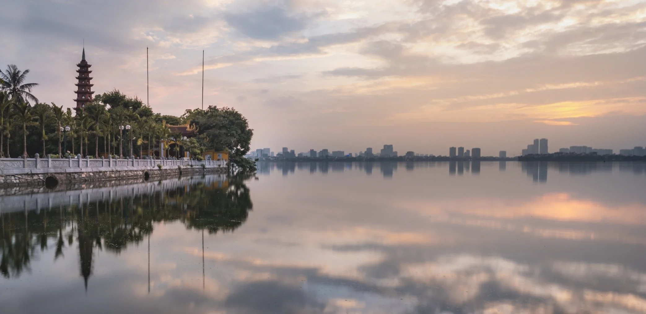
This is the third installment of my Vietnam blog series, after the central parts with beautiful Hoi An & Hue, and the south, featuring Ho Chi Minh City and the Mekong delta. Vietnam remains one of my favourite destinations in Asia, and this entry covers just over a week spent in its capital and northern parts - there is a lot more to see and I hope I’ll find time to go back in the not too distant future. For now, here is a look at the capital, the islands around Cat Ba, the tea plantations in the mountainous areas, and more…
Hanoi - Capital in the Shadow
Despite its capital status dating back more than 1000 years - granted, under different governing entities - and its nearly 9 million inhabitants, Hanoi is probably not the first city that comes to people’s mind when they think of Vietnam. At least in western culture, it’s Saigon - or Ho Chi Minh City, its official name - that commands a little more mindshare. Granted, the centre of the south does play the most critical economic role, but I probably enjoyed Hanoi a little more, despite my short stay.
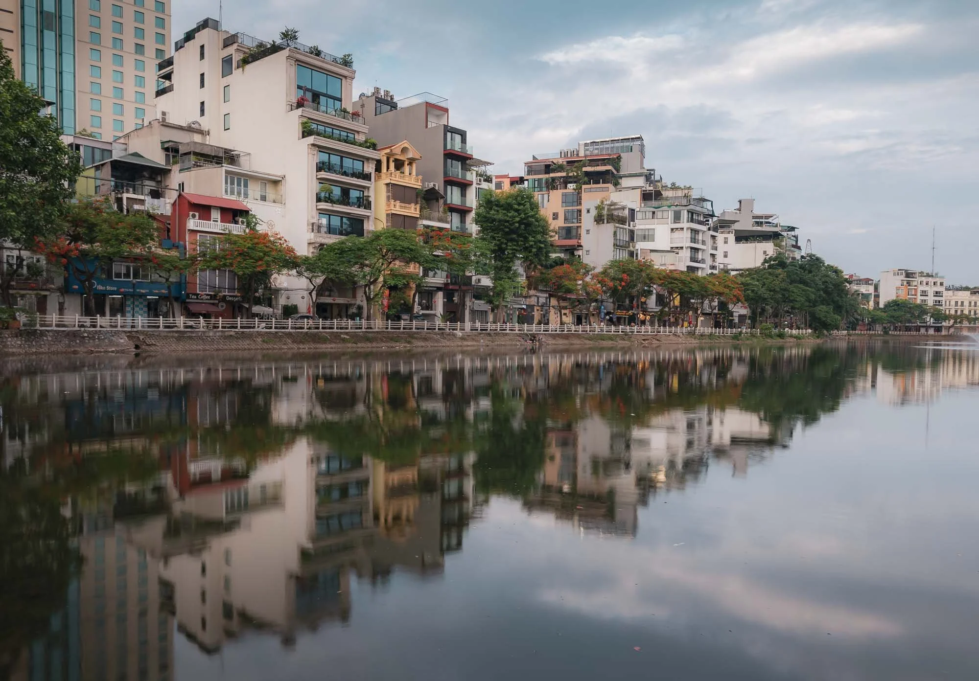
One of my favourite features is its many lakes dotted around different parts of the city, with plenty of walkways, restaurants, and street life. Many of them were left behind by the shifting patterns of the Red River, and later turned into natural features of the cityscape. While seemingly much improved over the last years, the lakes suffered from heavy wastewater pollution until recently - not a place to swim.
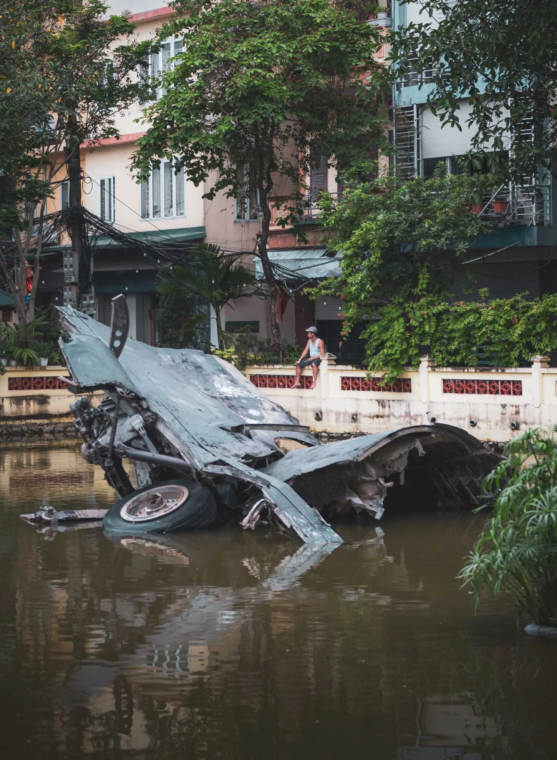
A very very small lake in a residential neighbourhood features remnants of a B-52 bomber, shot down on December 27, 1972 - the wreckage serves as a war memorial symbolising Vietnamese resilience during the war with the US (and the south).
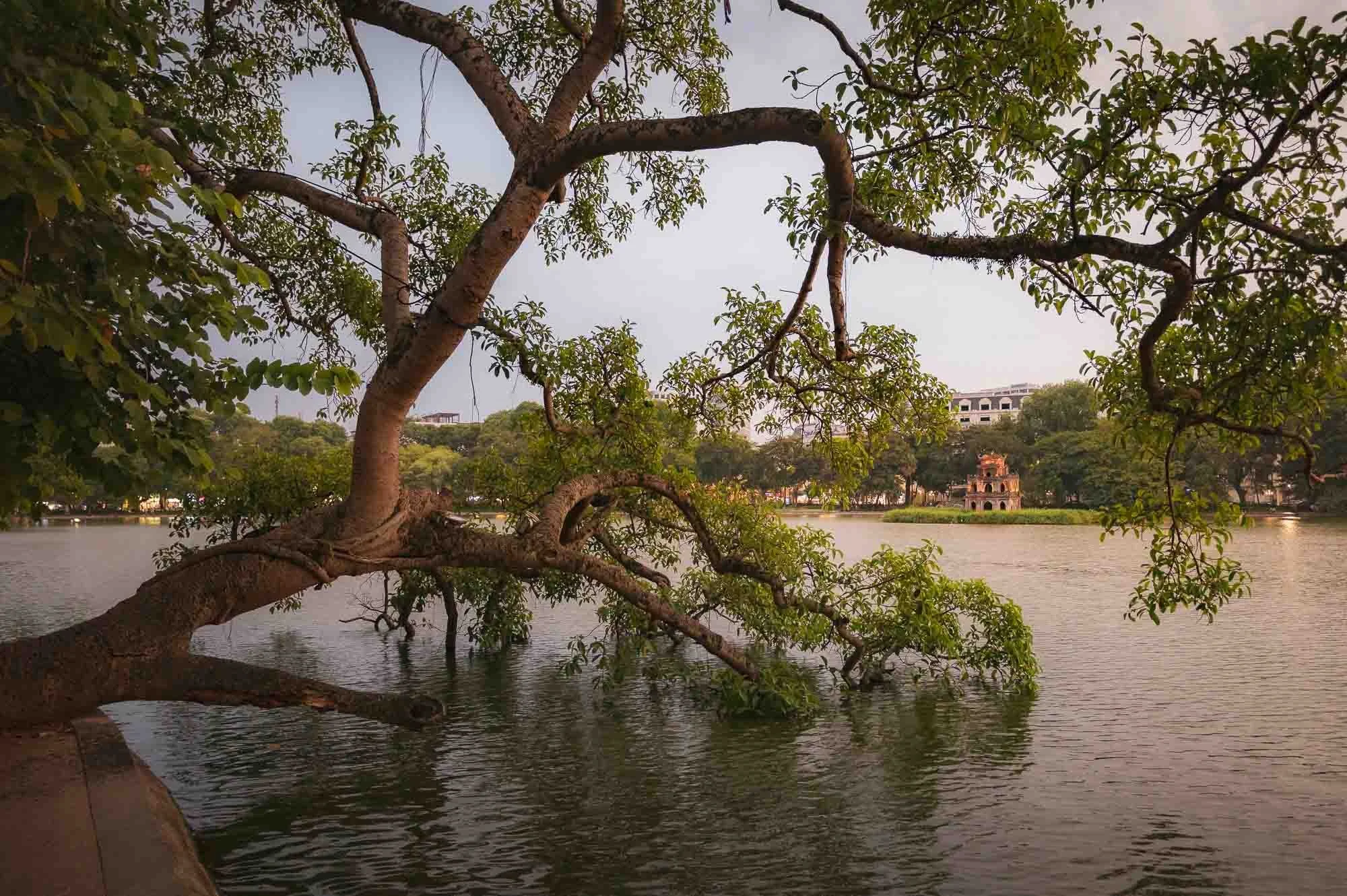
Luckily, some of the lakes feature slightly more peaceful relics, such as the so-called Turtle Tower on a small island in the centre of Hoan Kiem Lake near the old quarter, built around 1886 in honor of a local legend.
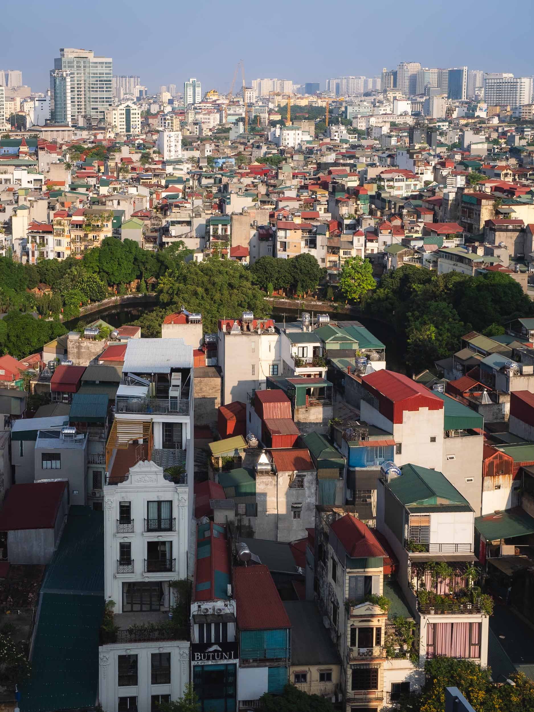
Hanoi is a colorful place - tree-lined avenues and lakes, stacked narrow houses with a mix of Vietnamese and colonial architecture, ancient temples, and modern high-rises.
St. Joseph Cathedral
A less colorful affair is its 19th-century Neo-Gothic cathedral in the old quarter on a moody afternoon - a common occurrence given that I visited at the start of the rainy season in May. It was built during the very early French Indochina period and now houses the Archdiocese of Hanoi.
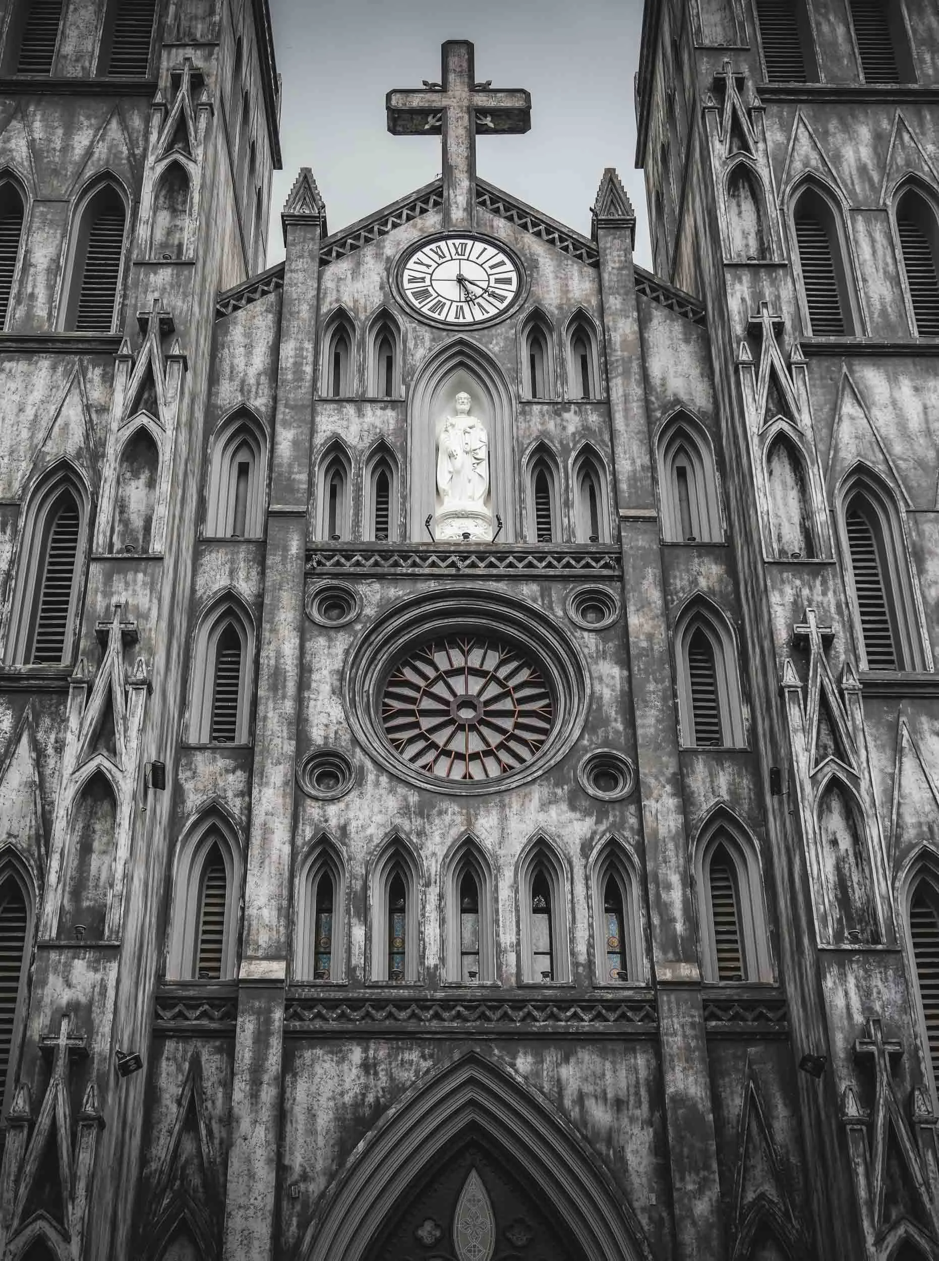
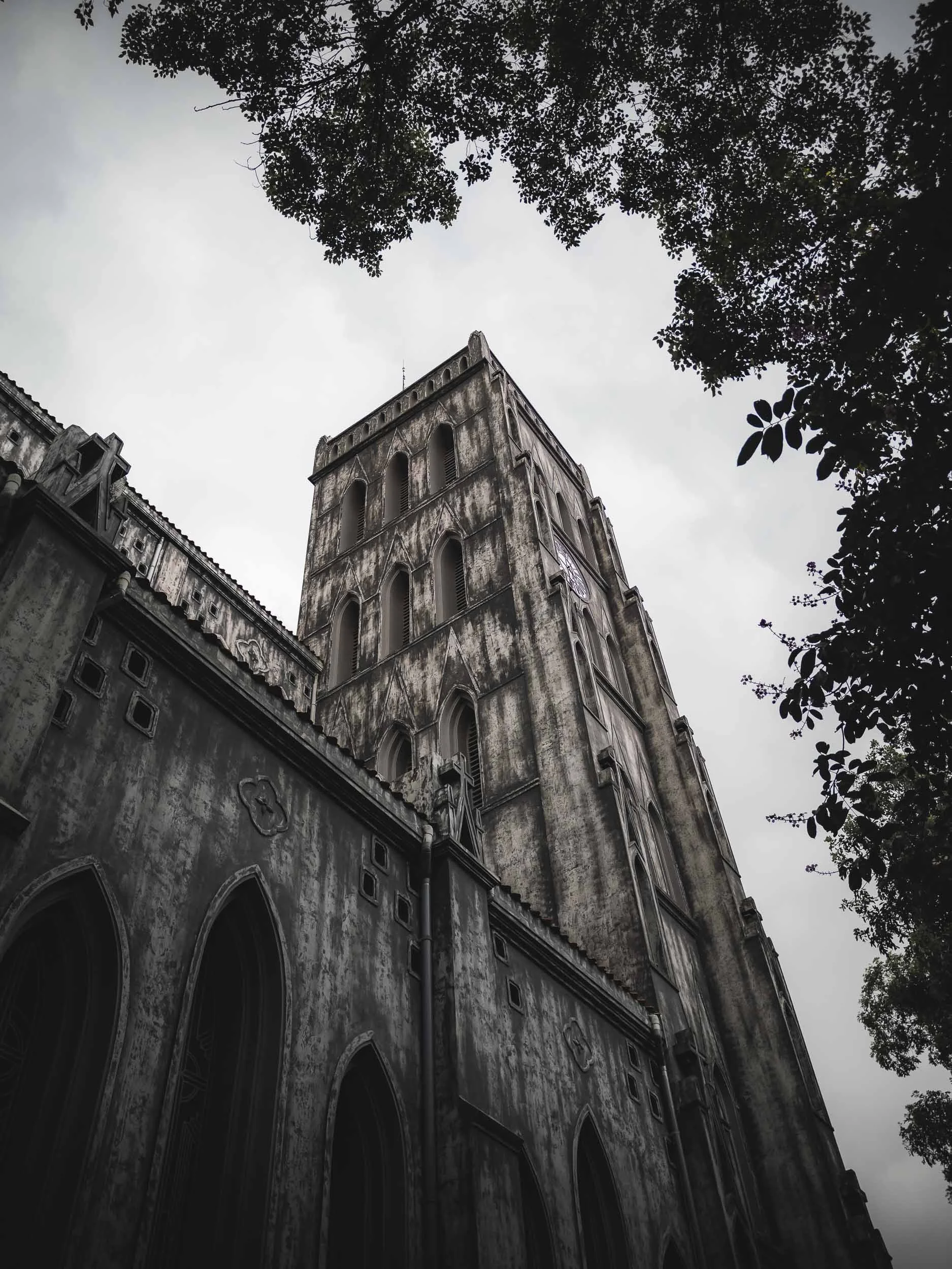
Only around 8% of the Vietnamese population is Catholic though. While the country is a secular state, in fact most people practice traditional folk customs rather than the more well-known global religions.
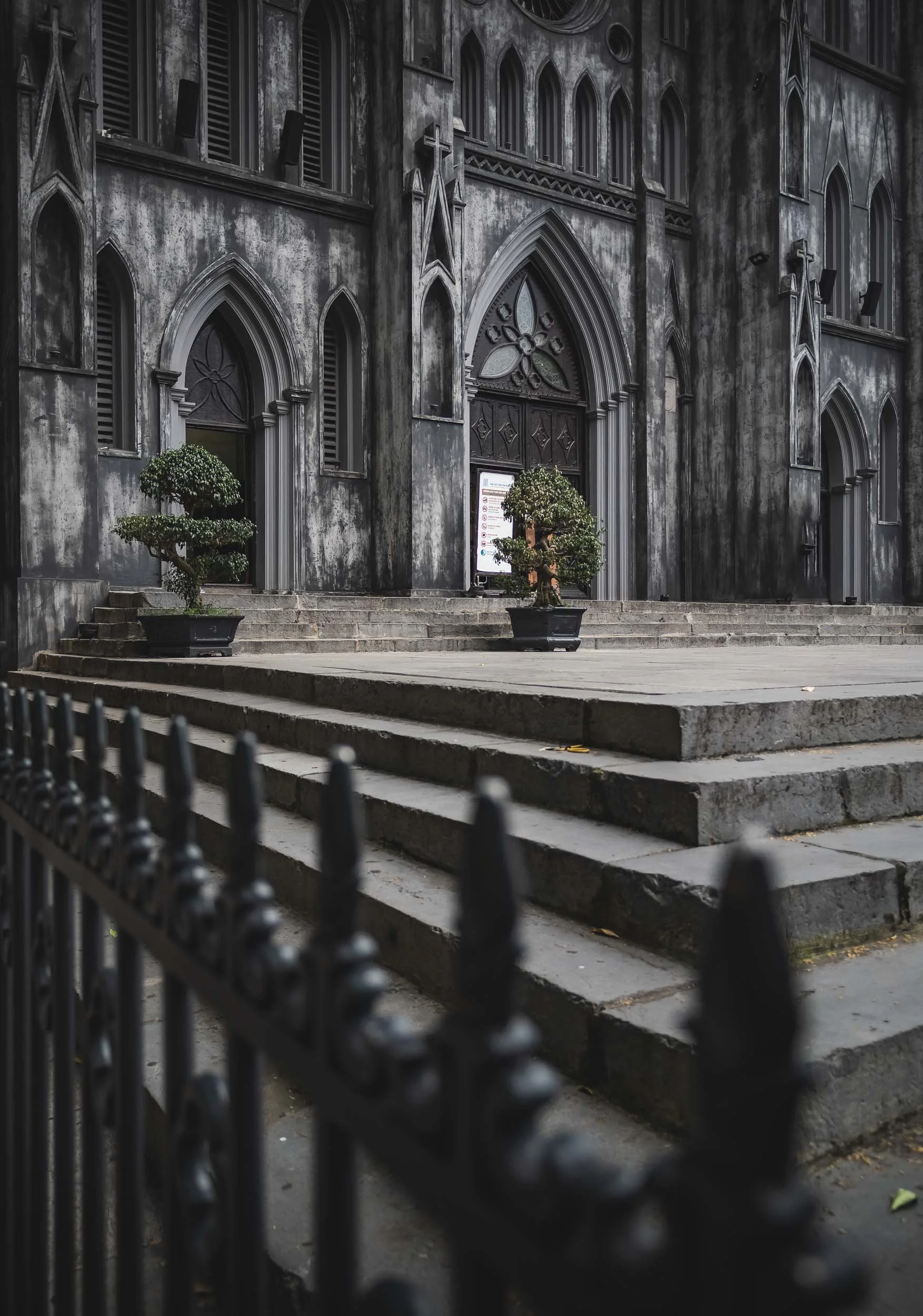
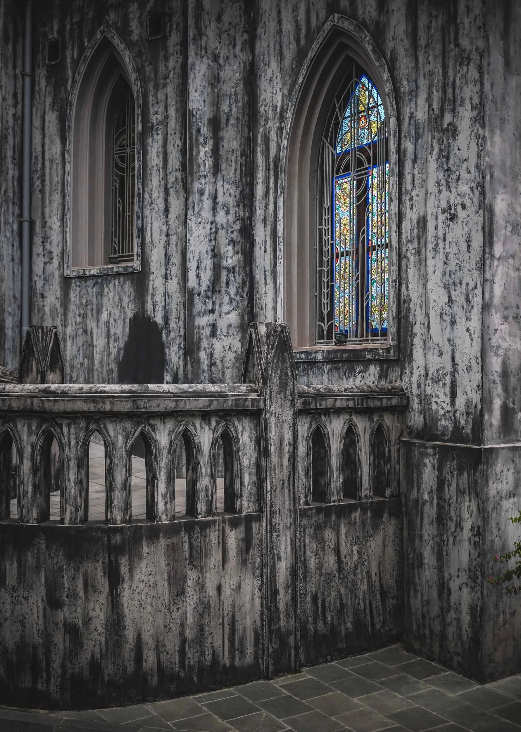
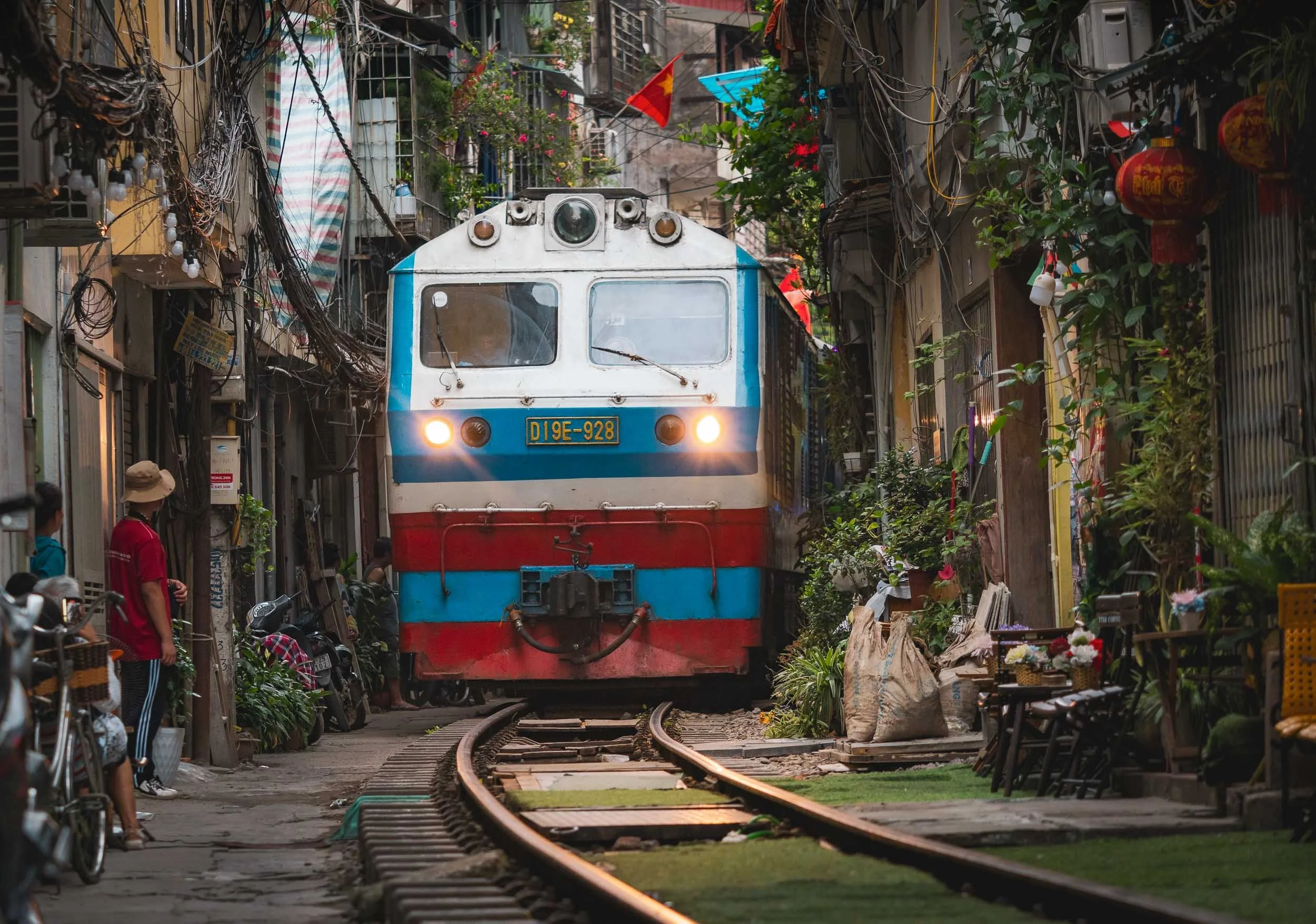
Train Street
Another of the city’s commonly visited attractions is the so-called train street.
The trains depart from or arrive at Hanoi’s central station and literally pass people’s living rooms on their way in and out of the city - a very peculiar sight. There is in fact one section of the railroad with an alley full of cafes for tourists - where incidents occur at not so irregular intervals and the section gets closed off quite regularly, with police around all the time.
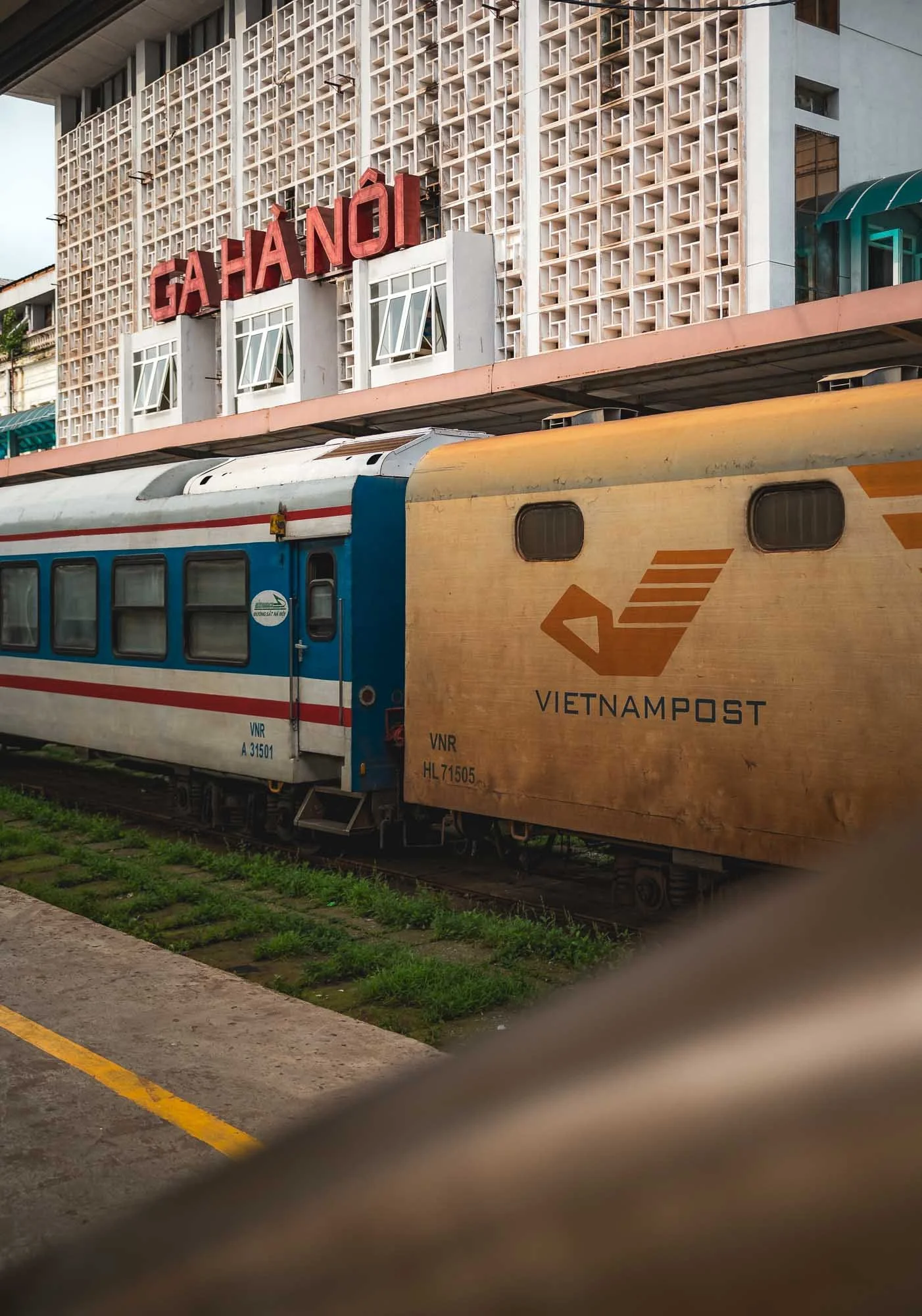
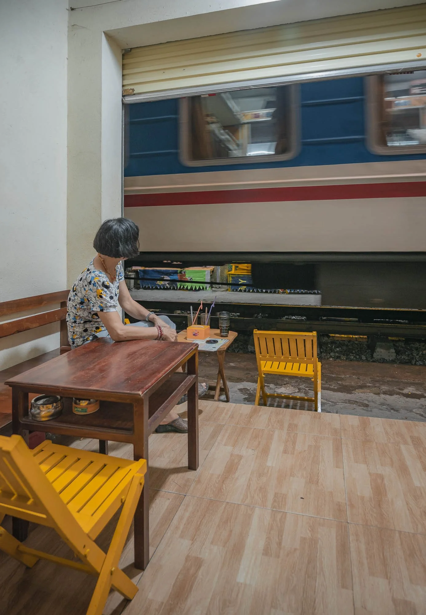
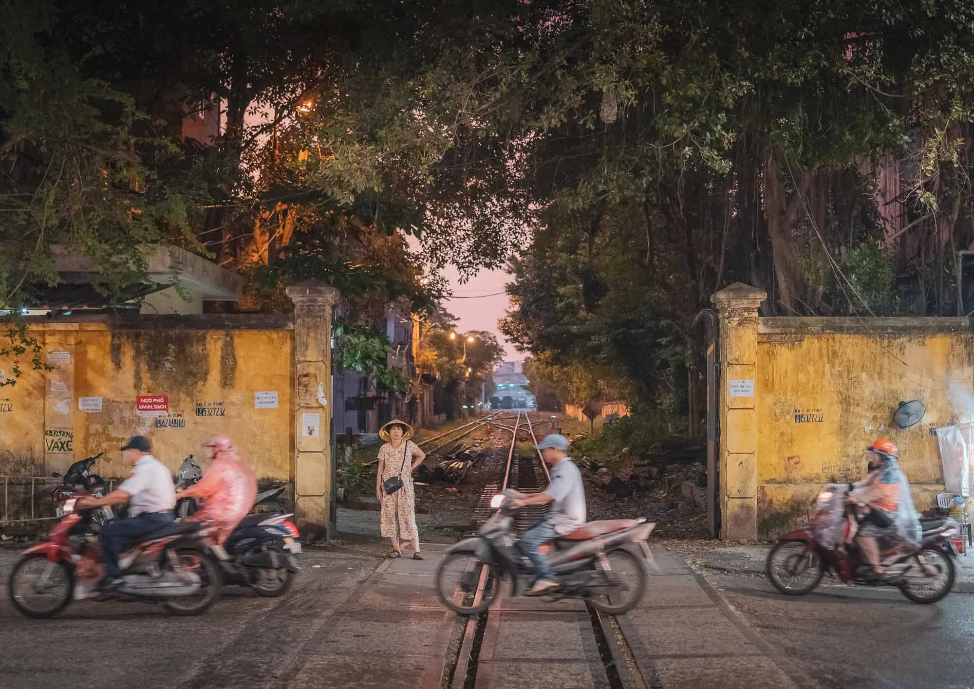
The main station lies behind these walls, where the trains cross the road and head into the alleys on their way in and out. A few of the quieter parts of the track further north and south are worth exploring as well. Whether you like trains or not, spending a couple of hours to watch the proceedings as they make their way through the tightest angles at considerable speed is intriguing.
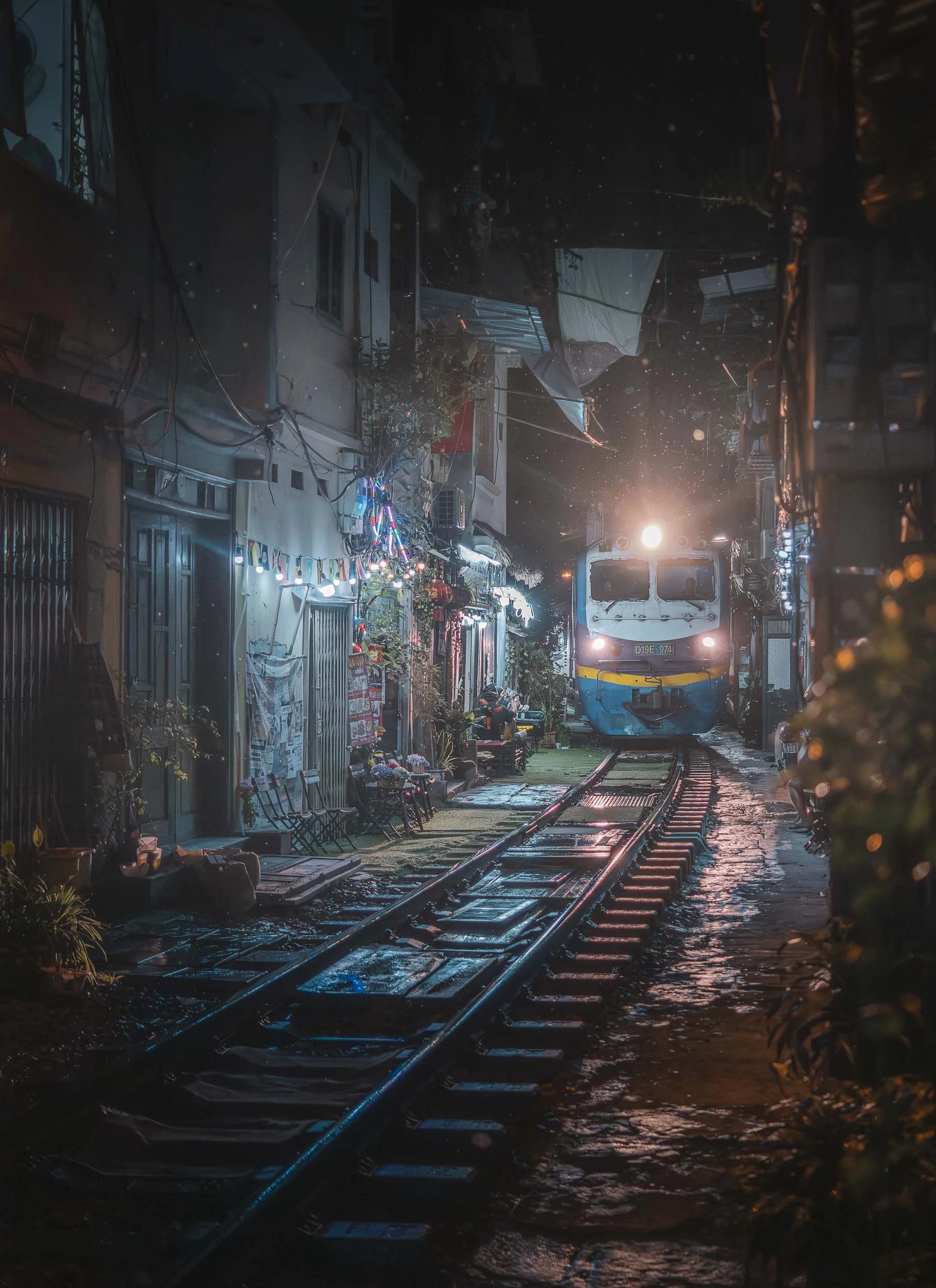
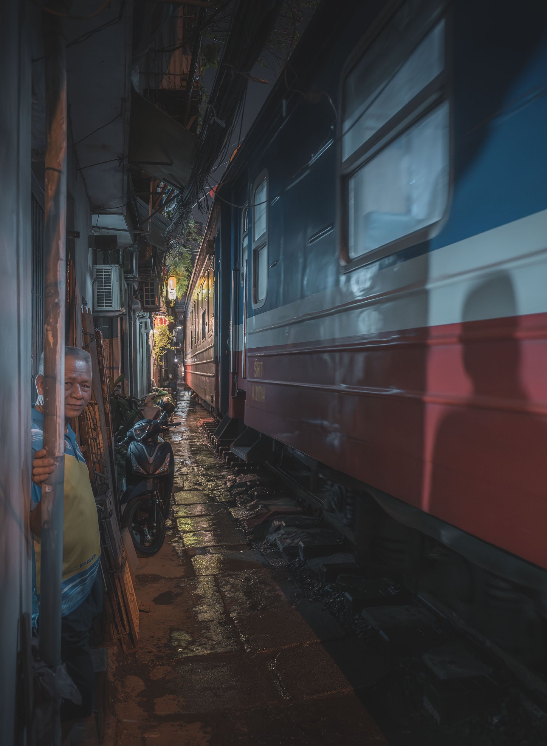
I came back to watch another part of the track for a second visit during a rainy evening. Make sure to check the schedule or ask the locals to catch a some of the trains, there are only a few each day.
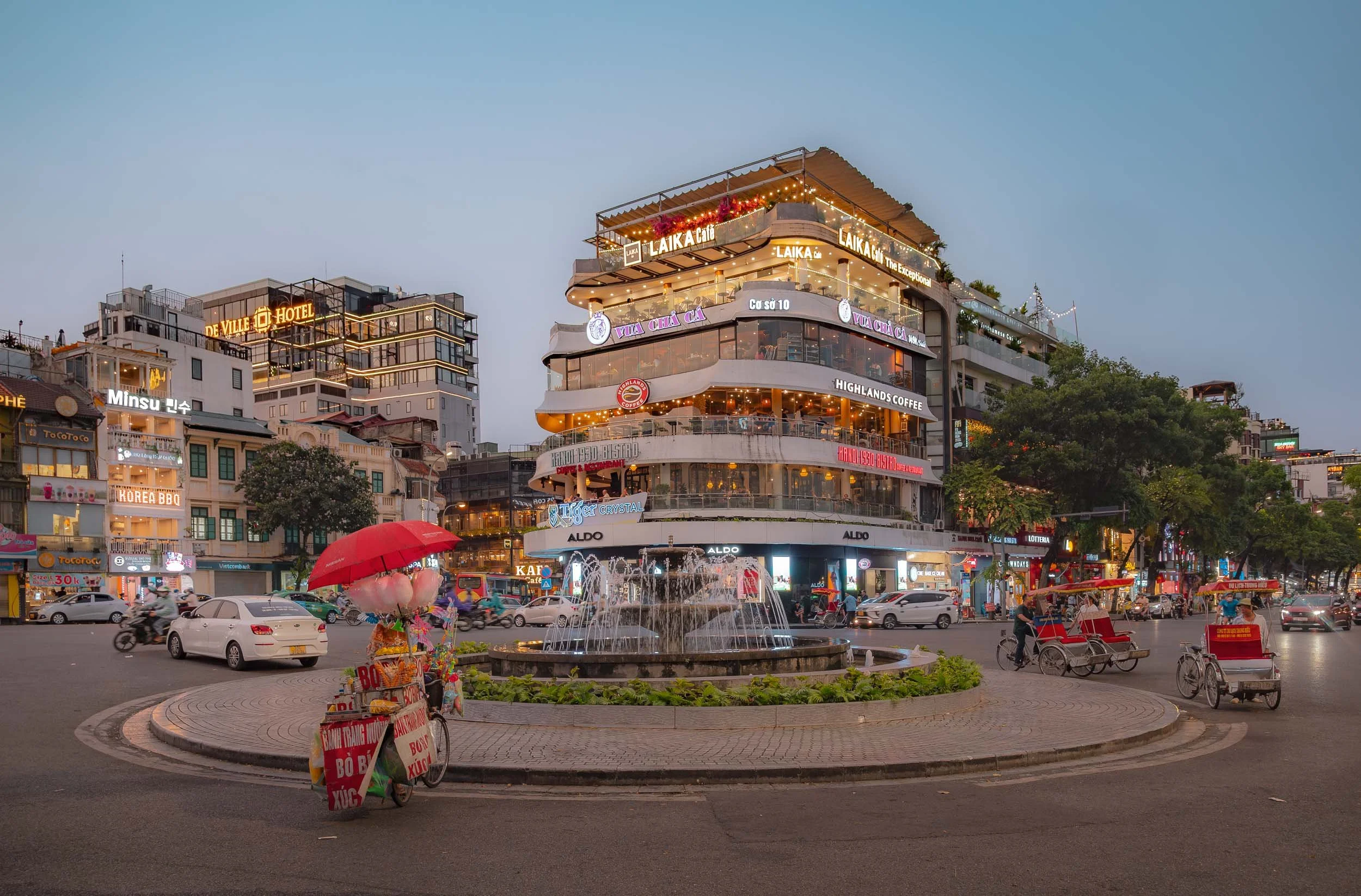
One of the city’s more famous spots was the 1990s-era "Shark Jaw" building with its rooftop cafes - it was demolished shortly after my visit.
Street life is vibrant and I explored a loooot on foot, which is quite easy - although many tourists (Americans, presumably?) choose to be driven around in a 1960s era military jeeps…
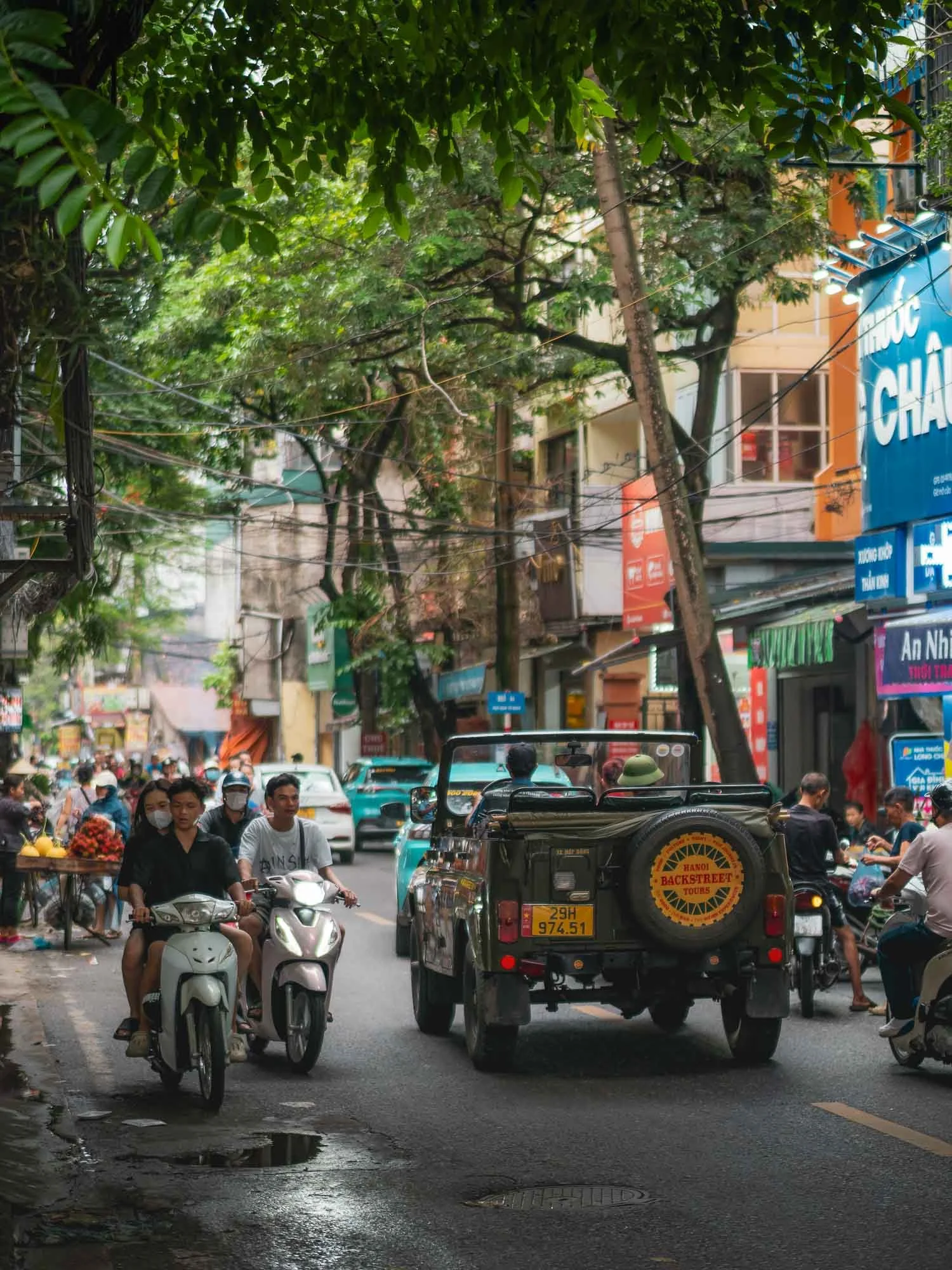
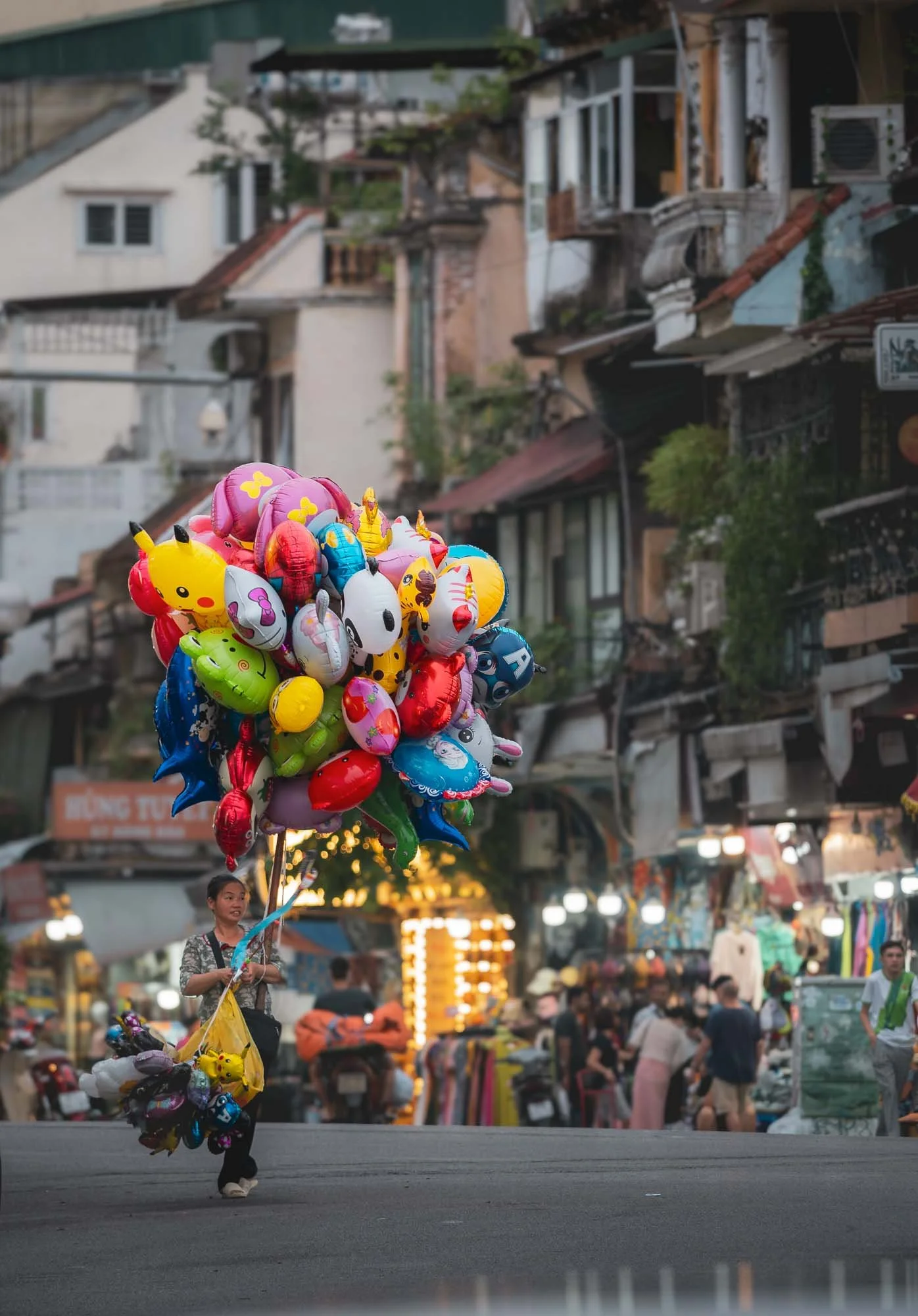
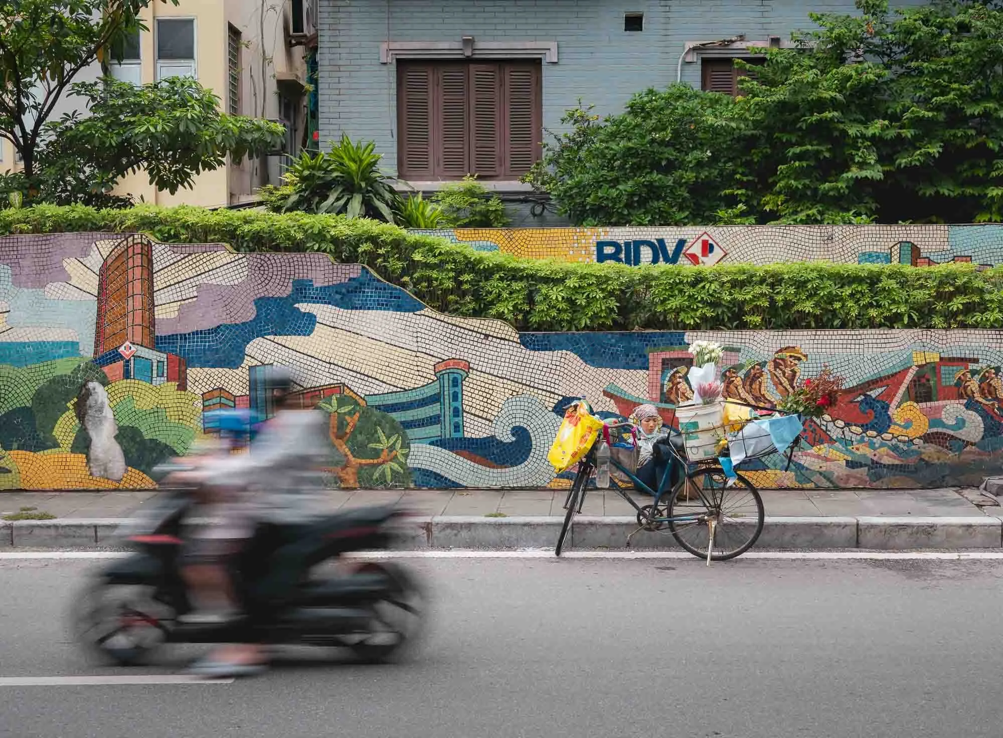
Of course the scooter noise is ever-present, although I felt Hanoi was a little more relaxed than many other large cities in the region - I can’t wait for all South-East Asian cities to move to the Beijing model with only electric two-wheelers. It’s an incredible quality of life improvement.
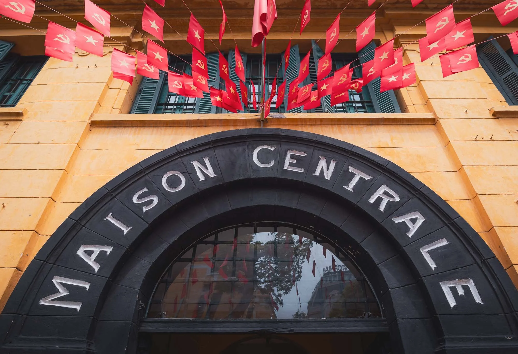
Maison Centrale
On my last morning in the city, I visited Hỏa Lò Prison, built during French Indochina more than 120 years ago. Its claim to fame probably came from its role during the Vietnam war, where it was dubbed the “Hanoi Hilton”, and home to American prisoners of war for almost 10 years.
The prison of course played a role before and after the Vietnam war as well, holding political dissidents and serving as an indoctrination centre, for instance, until it was demolished in 1994. Nowadays, only a small part still exists, converted into a museum telling many of the stories of its not so bright past.
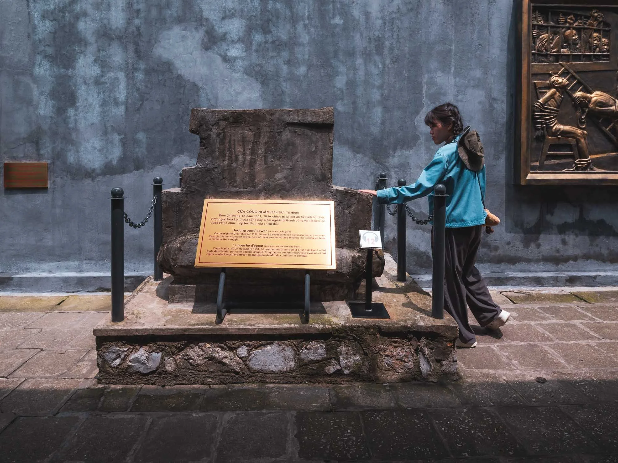
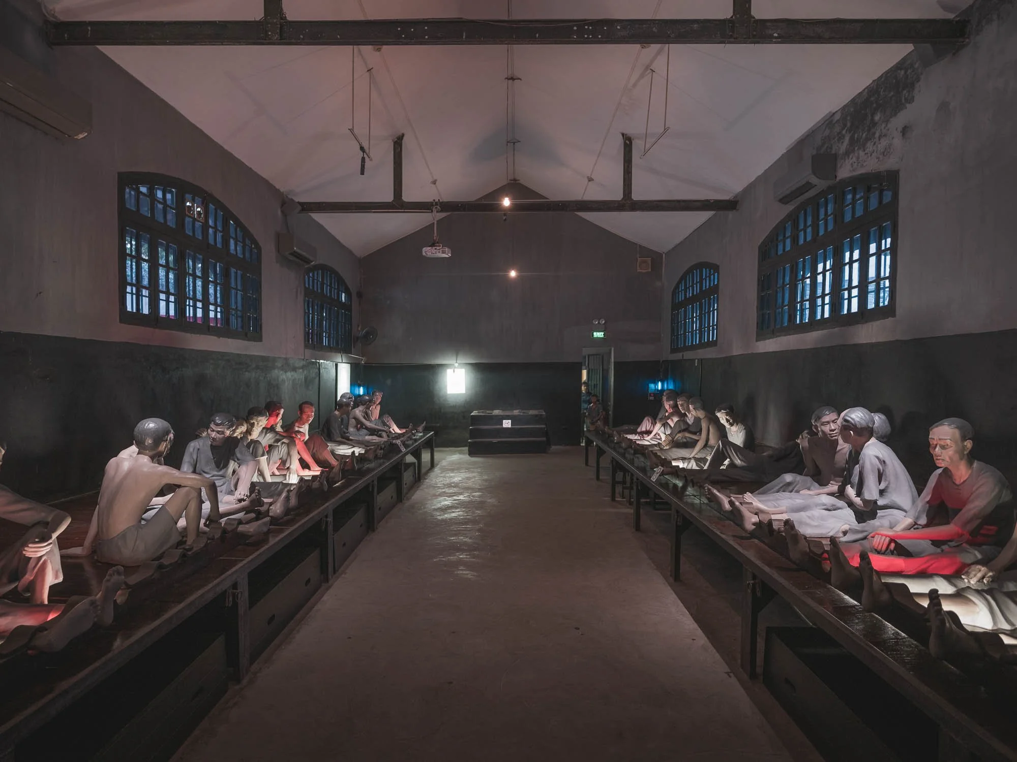
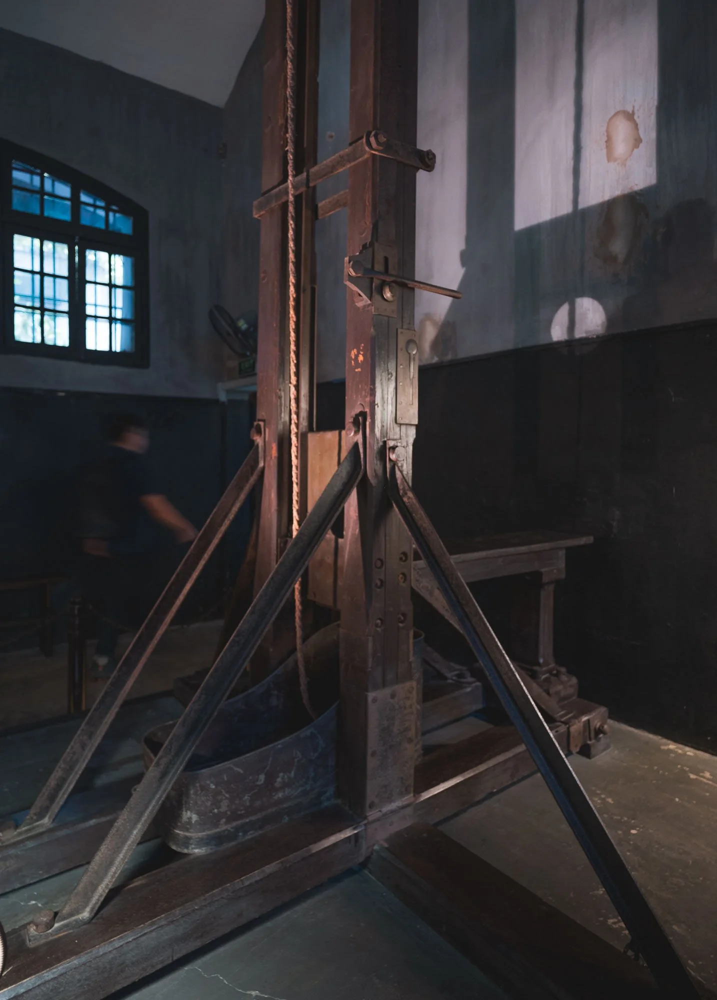
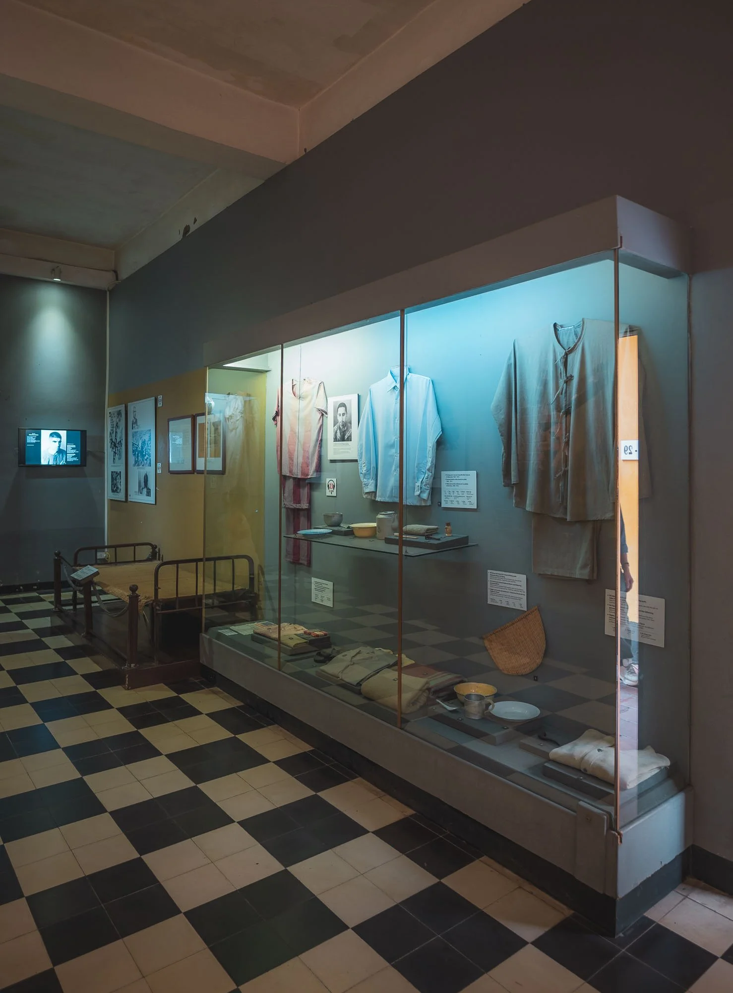
The exhibits include the guillotine room with its original equipment from the colonial period, as well as the flight suit of John McCain, who spent more than 5 years here after his plane was shot down, and later became a US senator and presidential candidate.
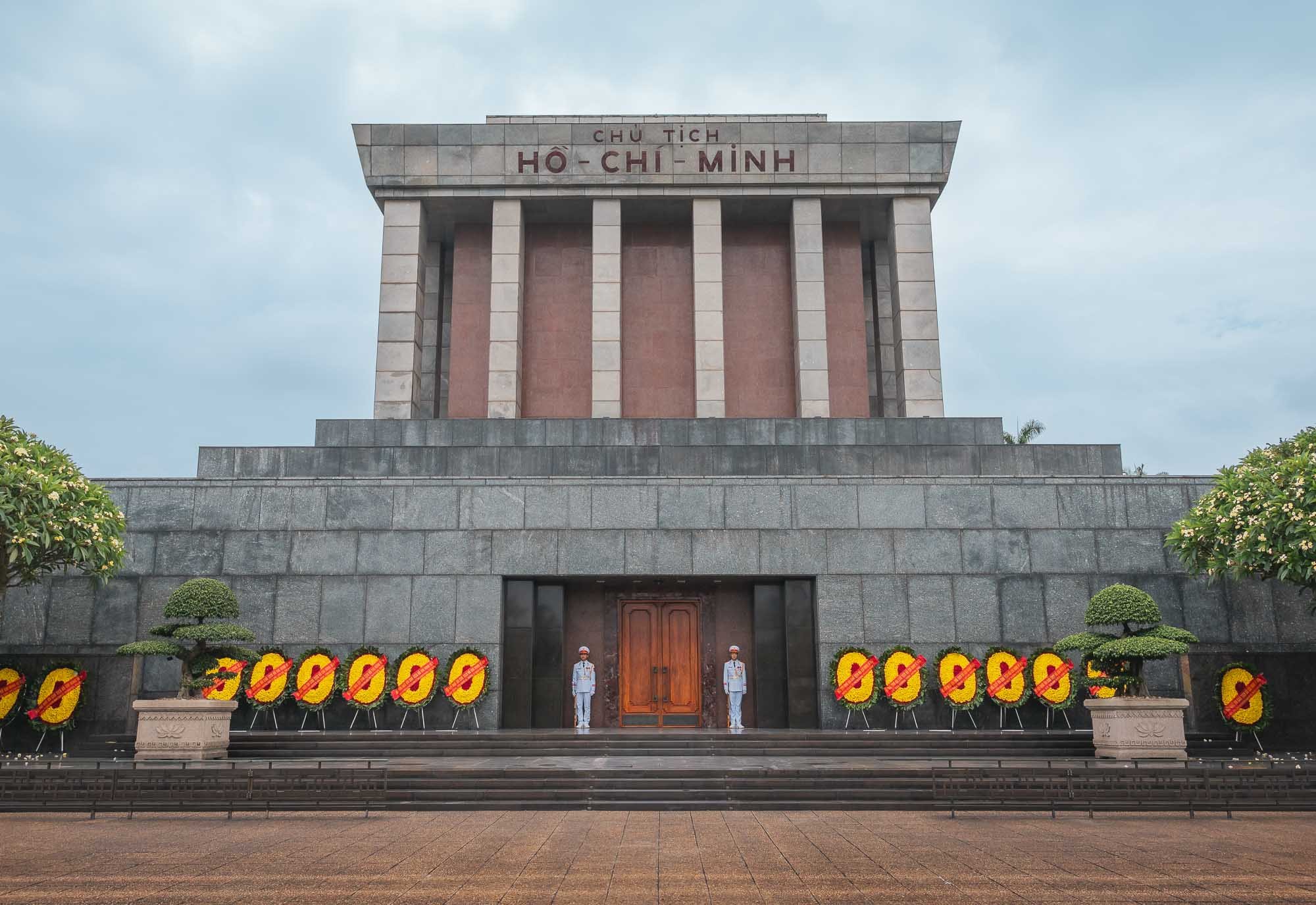
Ho Chi Minh Mausoleum
When it comes to historically important sights, the resting place of “Uncle Ho” shouldn’t be missed - his role in shaping Vietnam’s history can barely be overstated. No photos allowed inside.
The 1975 mausoleum sits within a larger complex, including a museum named after him (closed when I visited unfortunately) and the National Assembly Building on the other side.

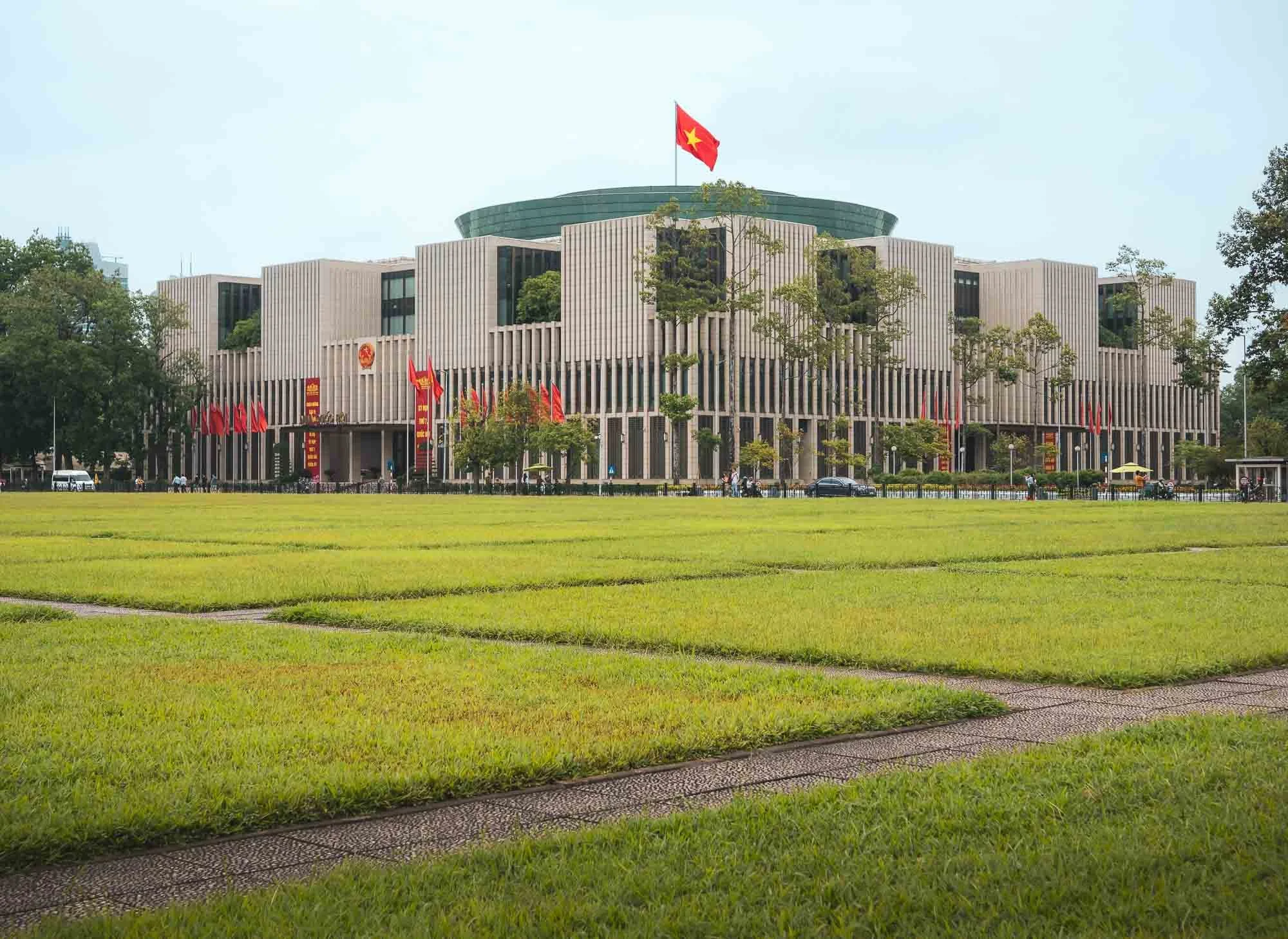
Just east of the complex you can spot the Hanoi Flag Tower, originally built in the early 19th century. It’s surrounded by the historic Imperial Citadel complex (a UNESCO World Heritage Site).
While it dates back 1000 years, much of what remains today is from a reconstruction in 1804. Part of the entrance gate to the forbidden city, the innermost part of the complex, is seen here.
The site also features several preserved French colonial-era military buildings, often constructed by tearing down the original structures of the citadel. In addition you’ll find a number of Vietnam war era bunkers, as well as the restored meeting room of the Politburo and Central Military Commission used at the time of the war.
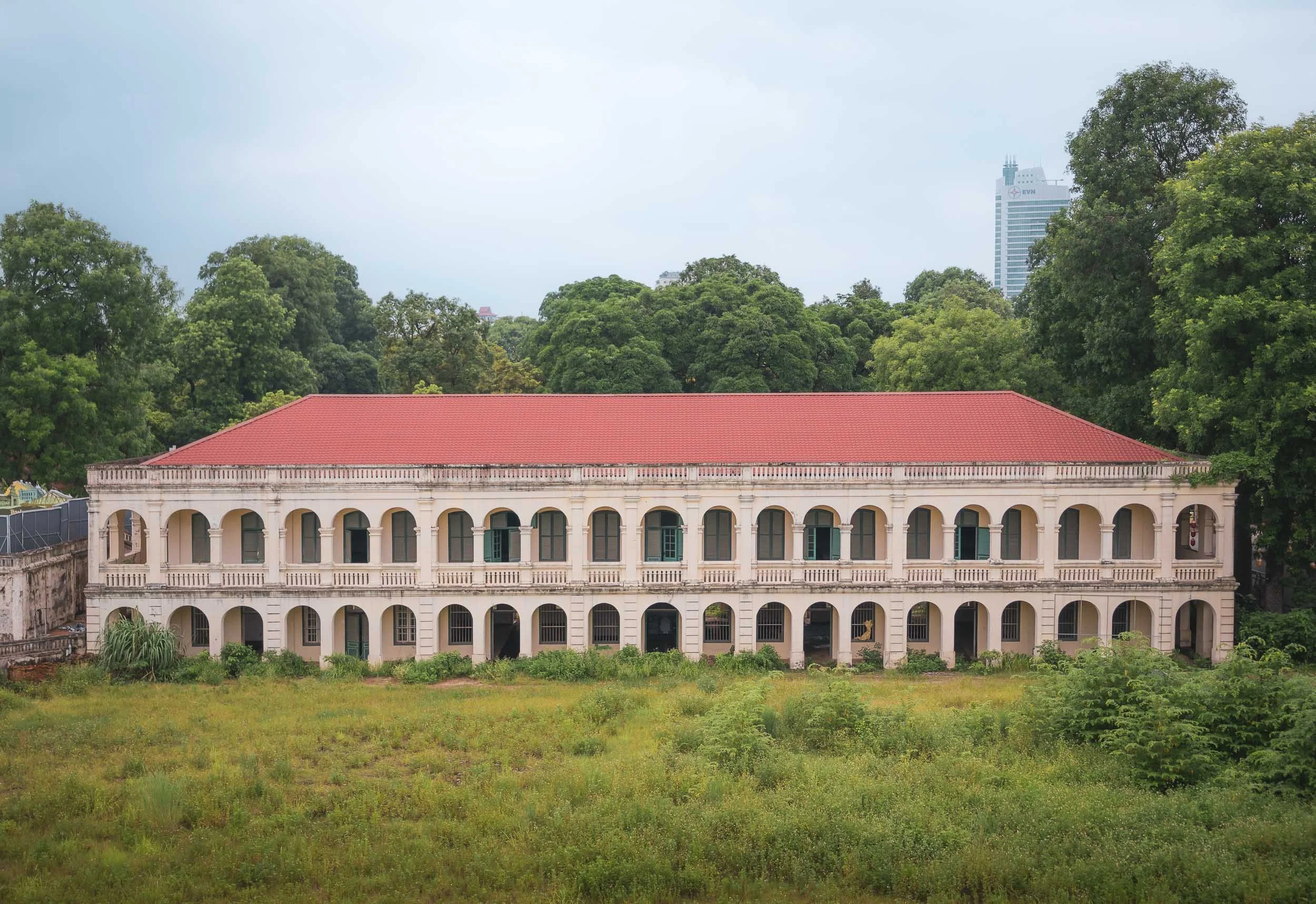
Just across the road you can go back even further into the city’s history, and explore the archeological site of the complex, with evidence going back to the Chinese dynasties all the way to the 7th century, and a small museum holding various artifacts found during the excavations.
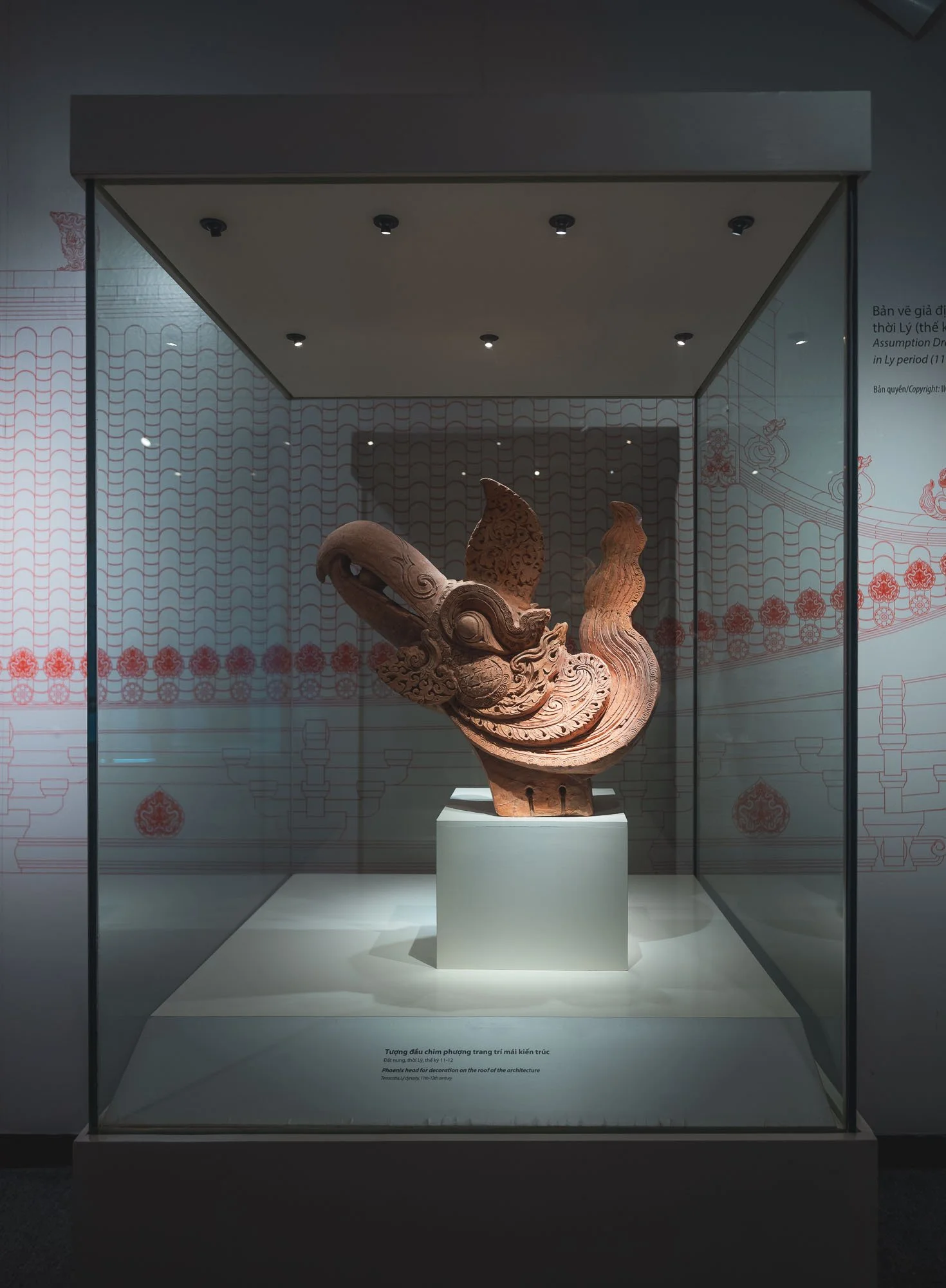
Moving on from the capital…
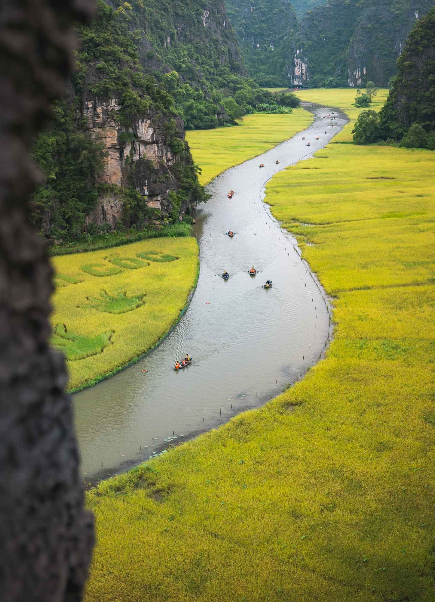
Valleys of Tam Coc
About 100km from Hanoi lies the Tràng An Scenic Complex, a UNESCO World Heritage site, featuring a number of temple complexes dating back more than 500 years, and the Tam Coc landscapes.
It’s a flooded karst scenery, with rice paddies covering the larger valleys dotted between the hill landscape, and the Ngo Dong River running straight through - truly beautiful, even on a cloudy day like during my visit.
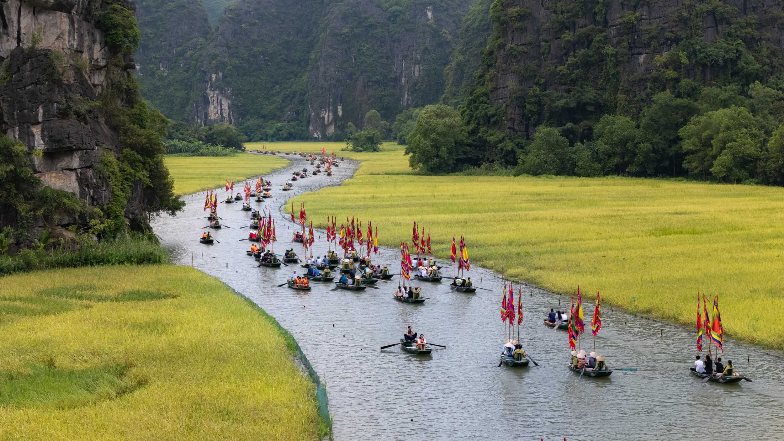
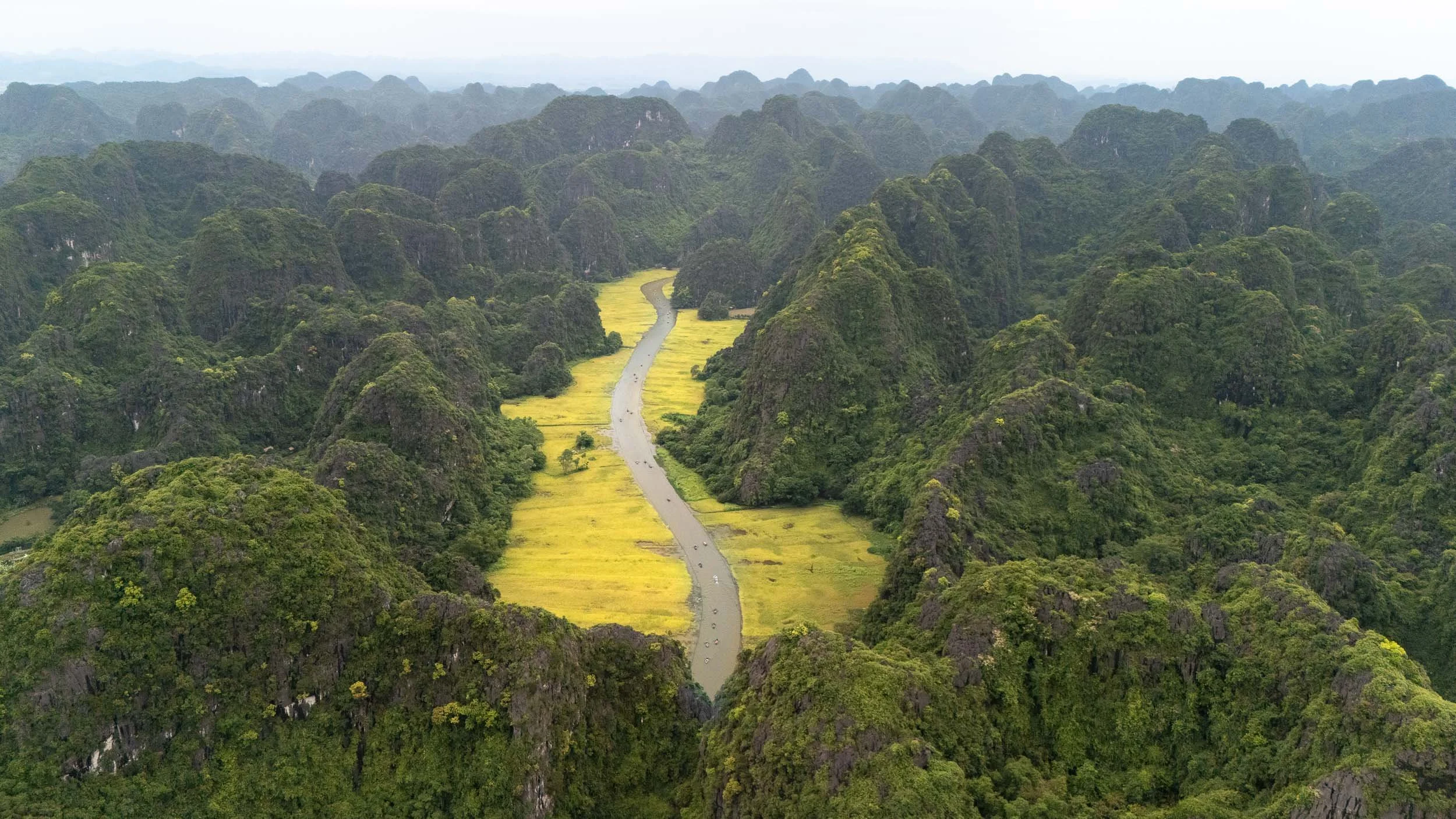
A small rehearsal of a boat parade for the annual rice harvesting festival took place when I was there, making the river a little busier than usual, but adding a few colorful flags to the scenery.
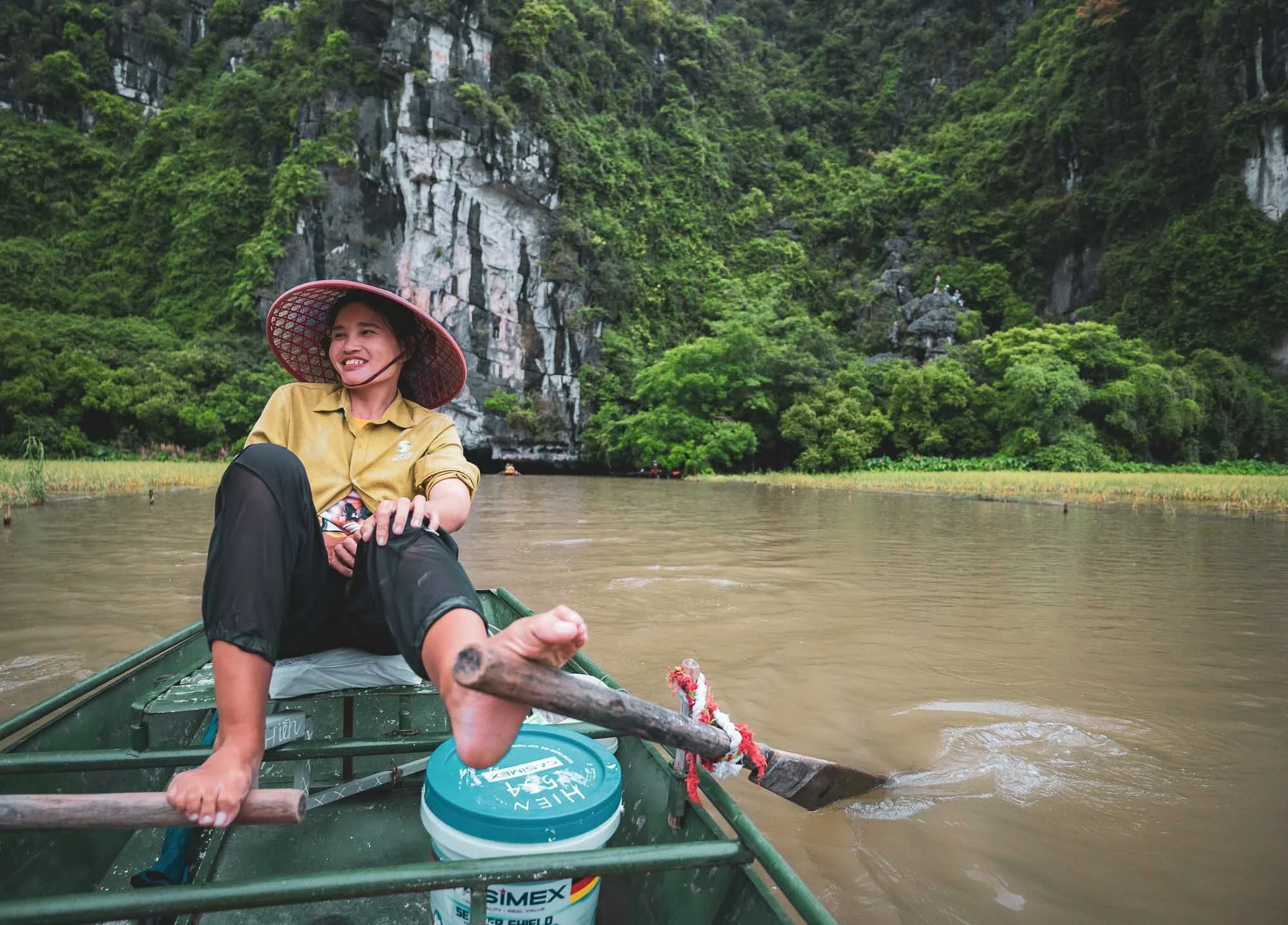
You gently make your way along the river in small boats that local ladies operate - mostly with their feet, including paddling both up and down stream. No need for leg day!
Aside from the rice paddies, you'll pass some beautiful karst stone formations with the occasional goats, and through three low caves, before turning around at a small temple complex.
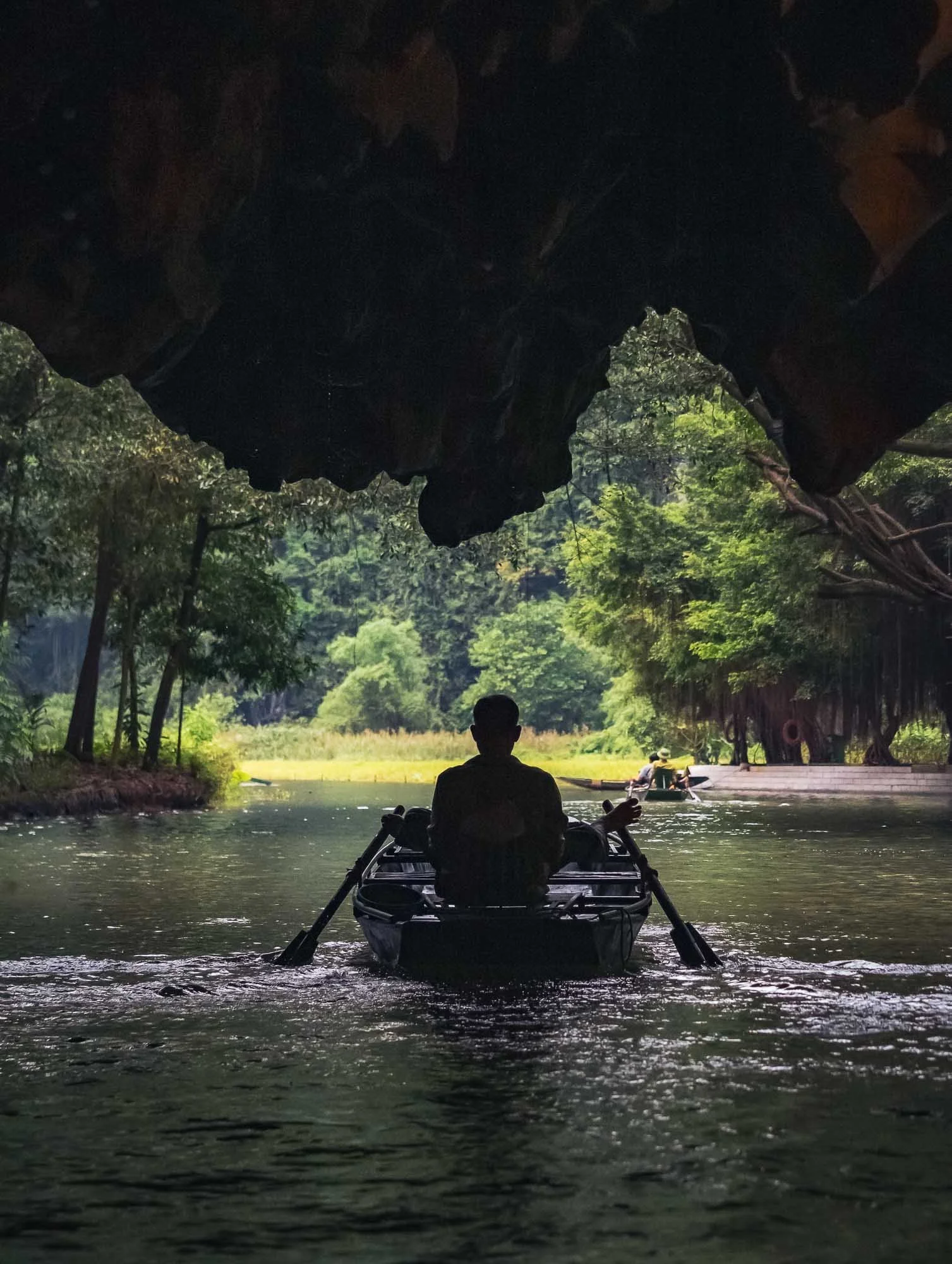
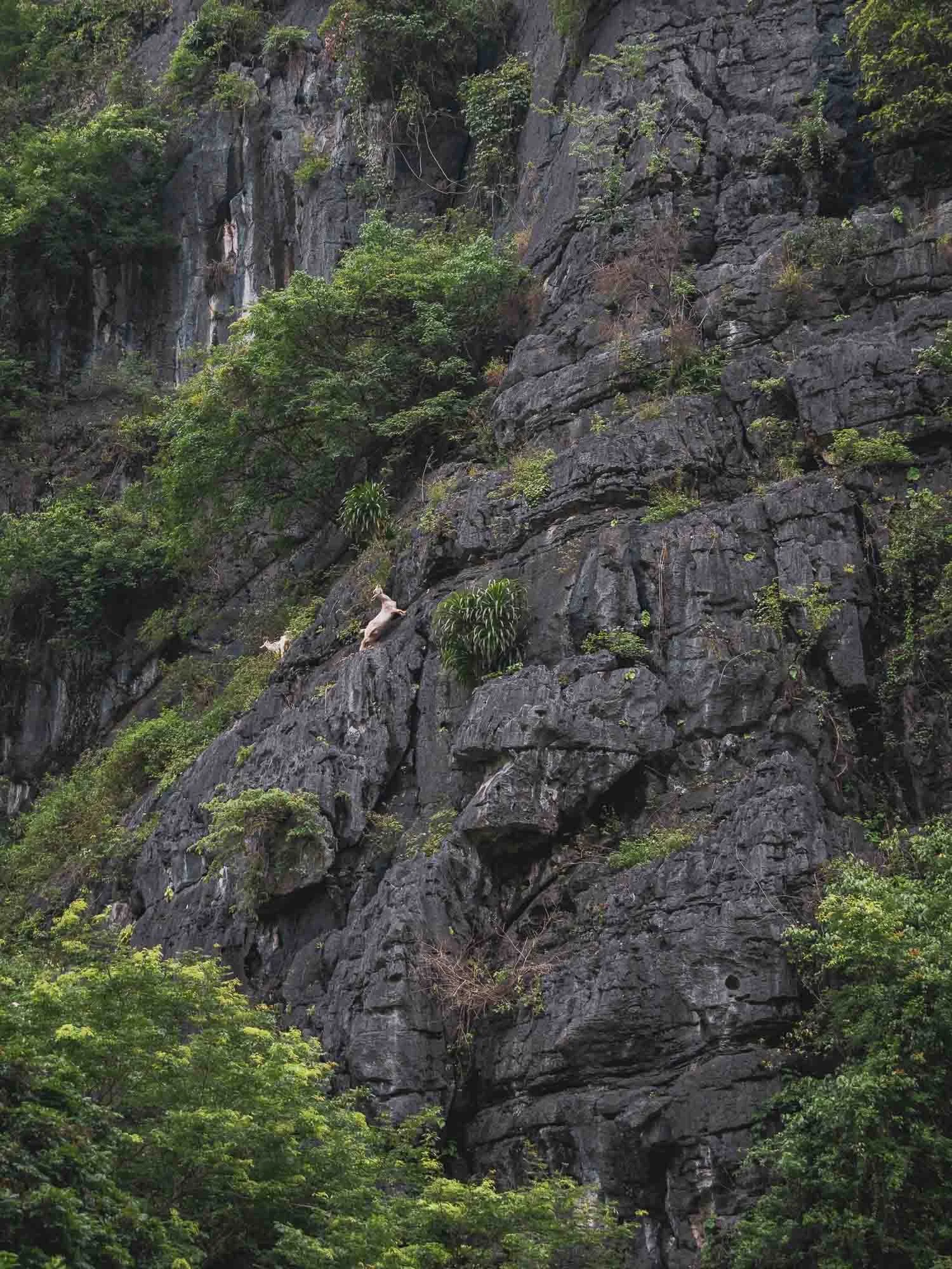
Beyond the boat trip there are a few other viewpoints around the area which can be explored on foot as well - I made my way up the Dragon Hill, for instance, named after a stone statue at the top.
Of Incense Village, Bamboo Fishtraps, & the Soy Sauce makers
The proliferation of photo tours in Vietnam combined with social media content has created quite a few occasions of somewhat staged environments: rooted in traditional culture and activities but now optimized for visitors and photographic opportunities. While I don’t have strong feelings about the practice itself, I’m personally not a huge fan of taking photos under these conditions. Having said that, sometimes it’s possible to catch a glimpse of their origins and the people behind them that makes a visit worthwhile, and this was true for the following three spots I visited over the next couple of days…
The Incense Village
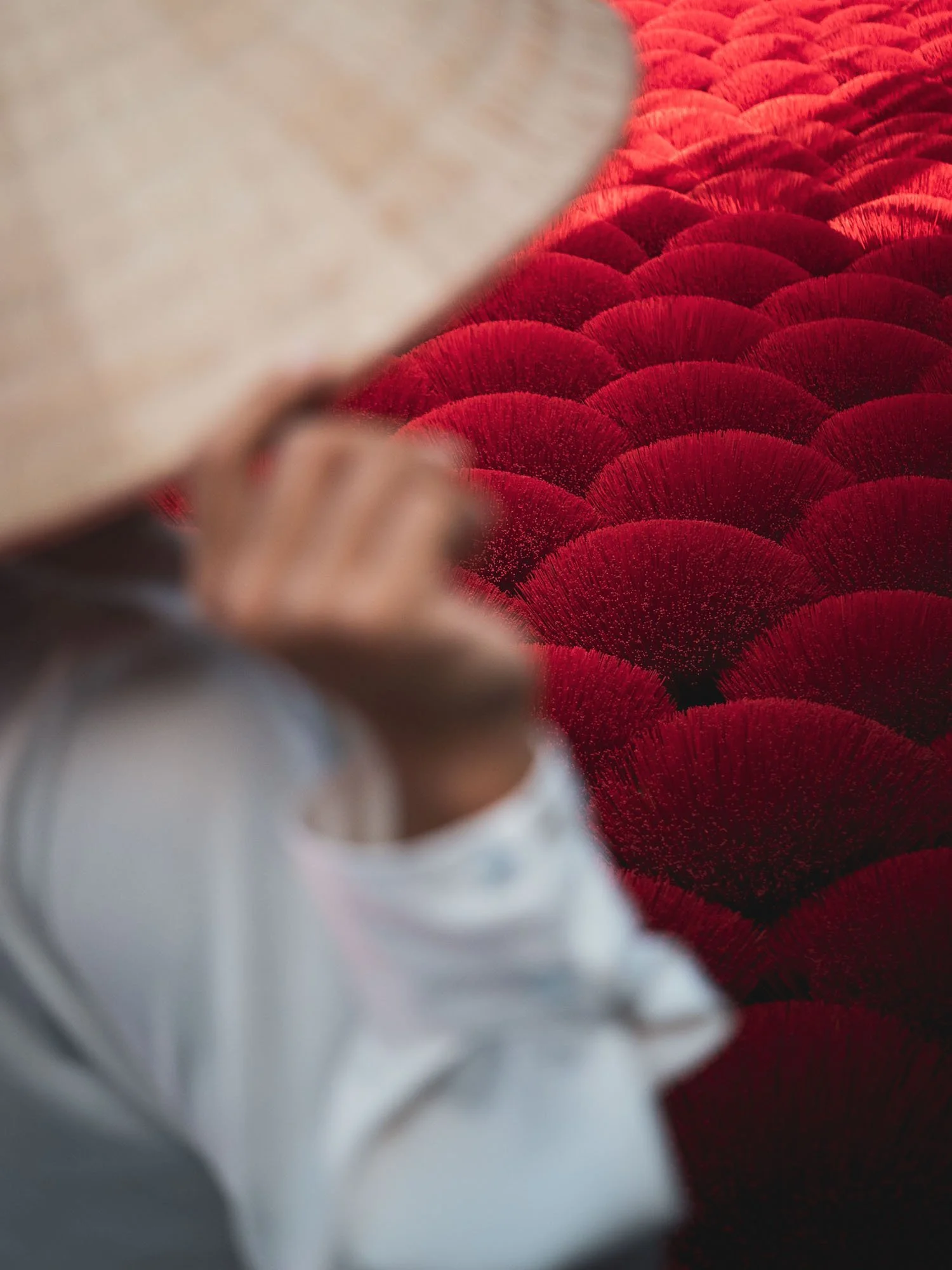
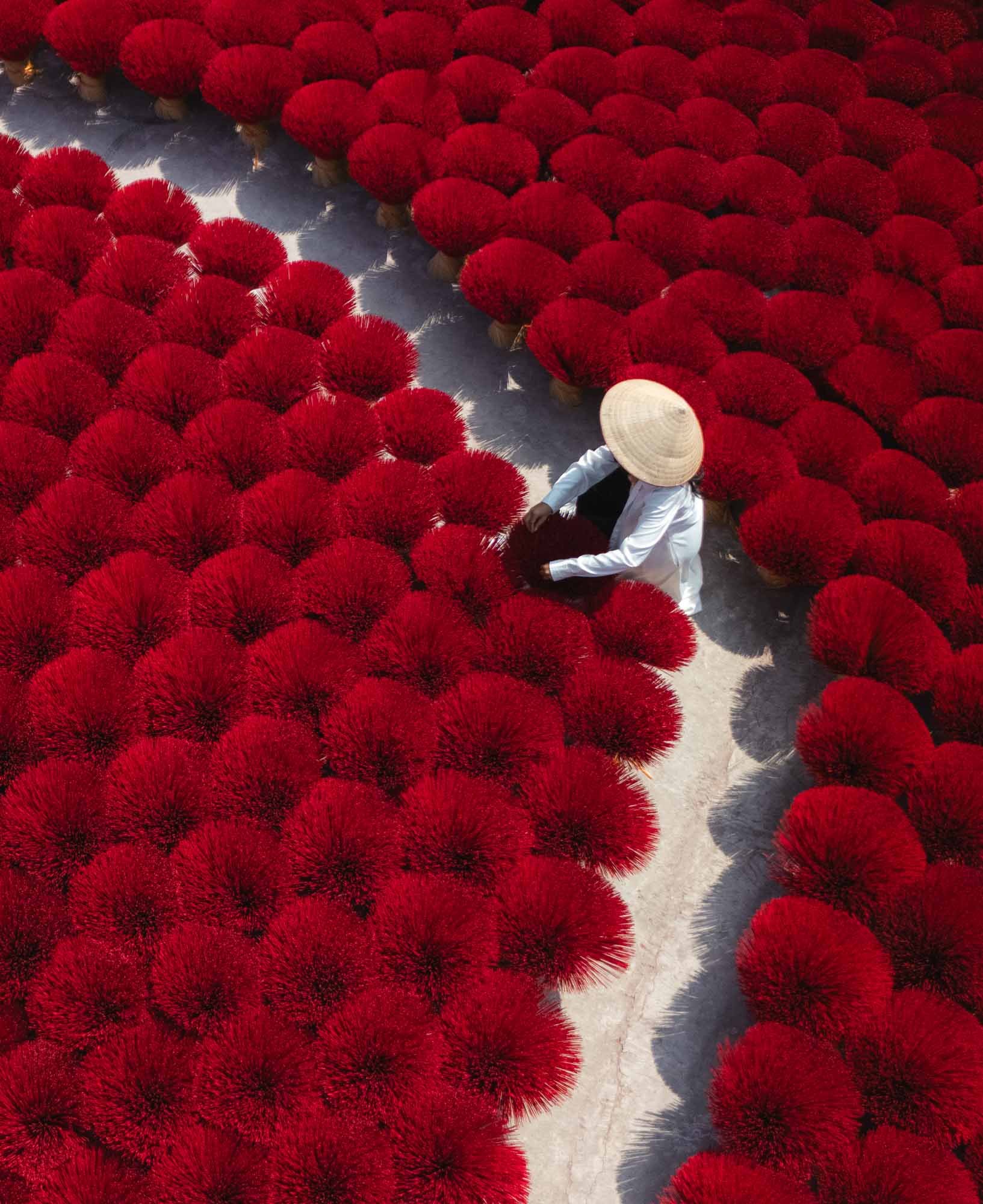
The village of Quang Phu Cau lies around an hour outside the city, and is famous for a practice established here more than a hundred years ago: producing bright red incense sticks. These have been neatly arranged in a few courtyards for tourists to take photos like the ones above, but if you walk down the street, you’ll find the actual factories and workers that cut, dye, and dry the sticks.
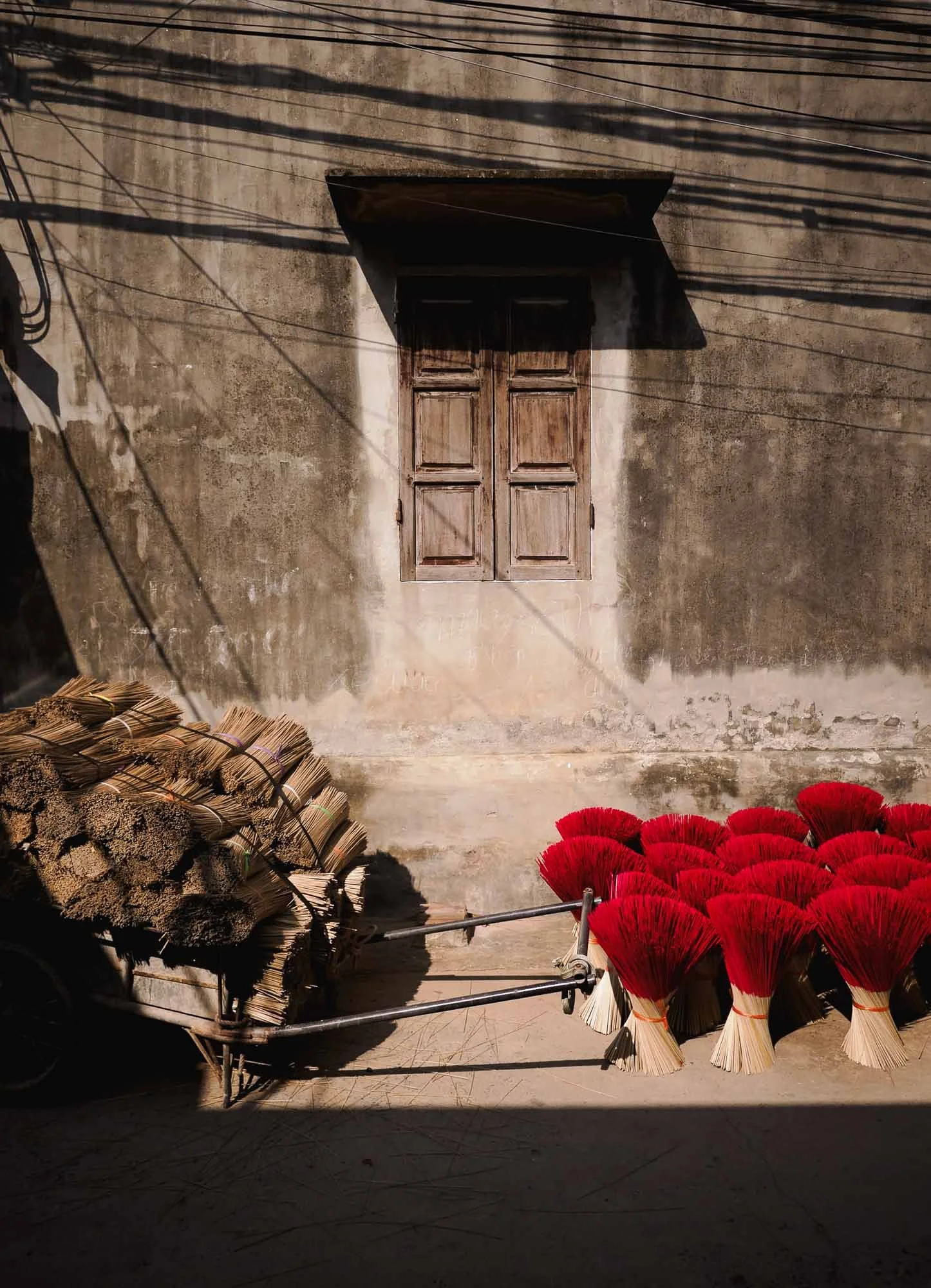
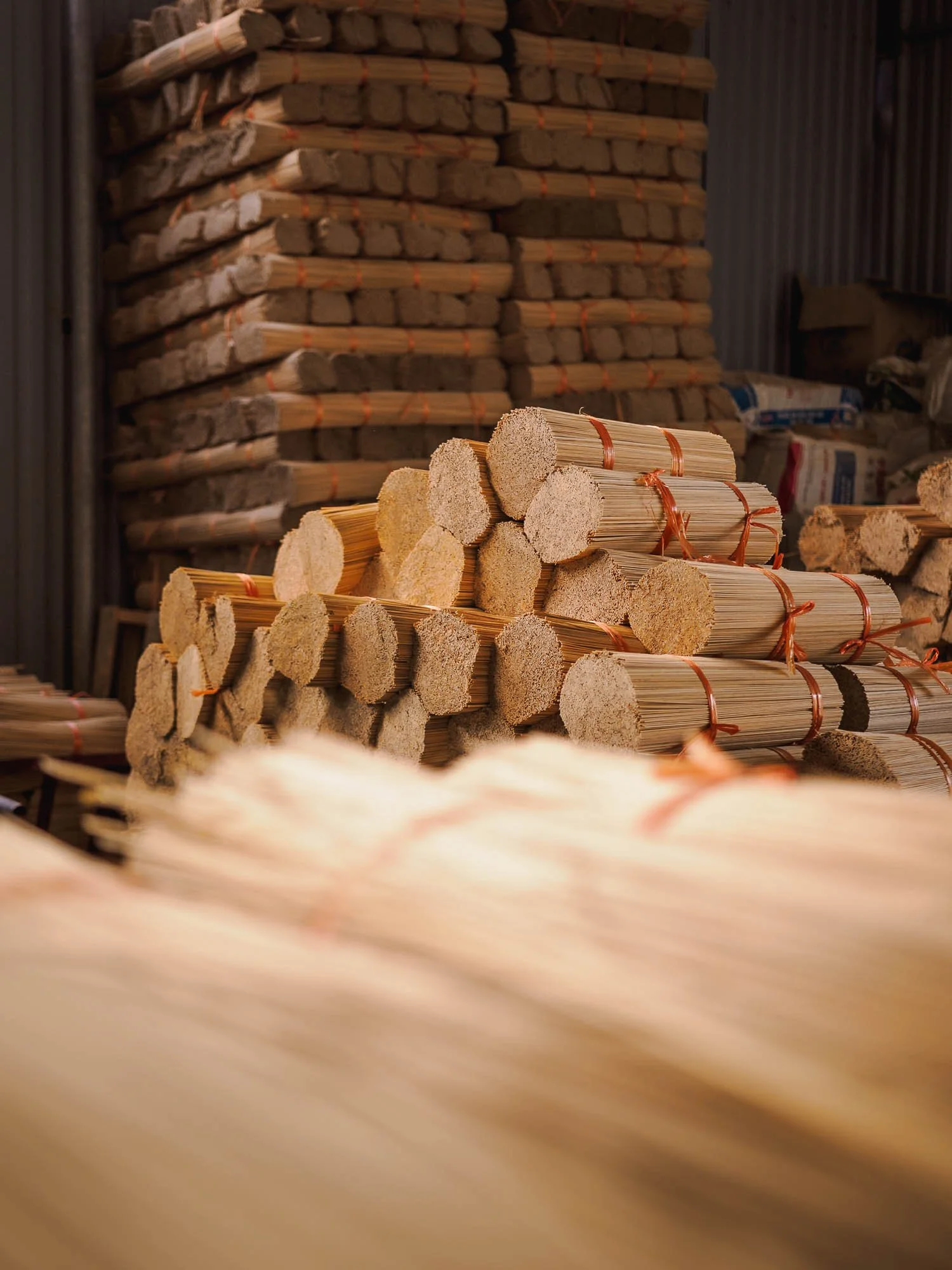
The core material is bamboo, as it burns slowly, coated in a binder and blended with fragrances such as sandalwood. From what I understood, the actual colour is merely decorative - red being a symbol of luck and prosperity, for instance.
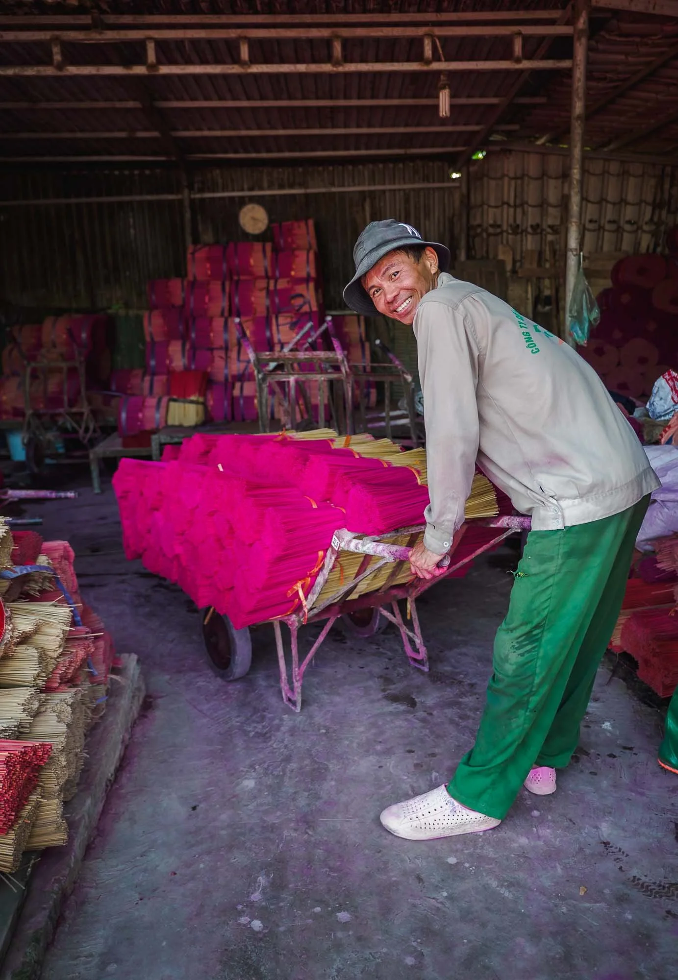
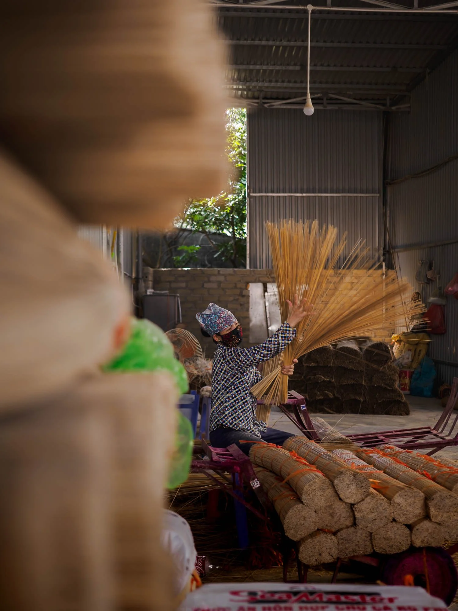
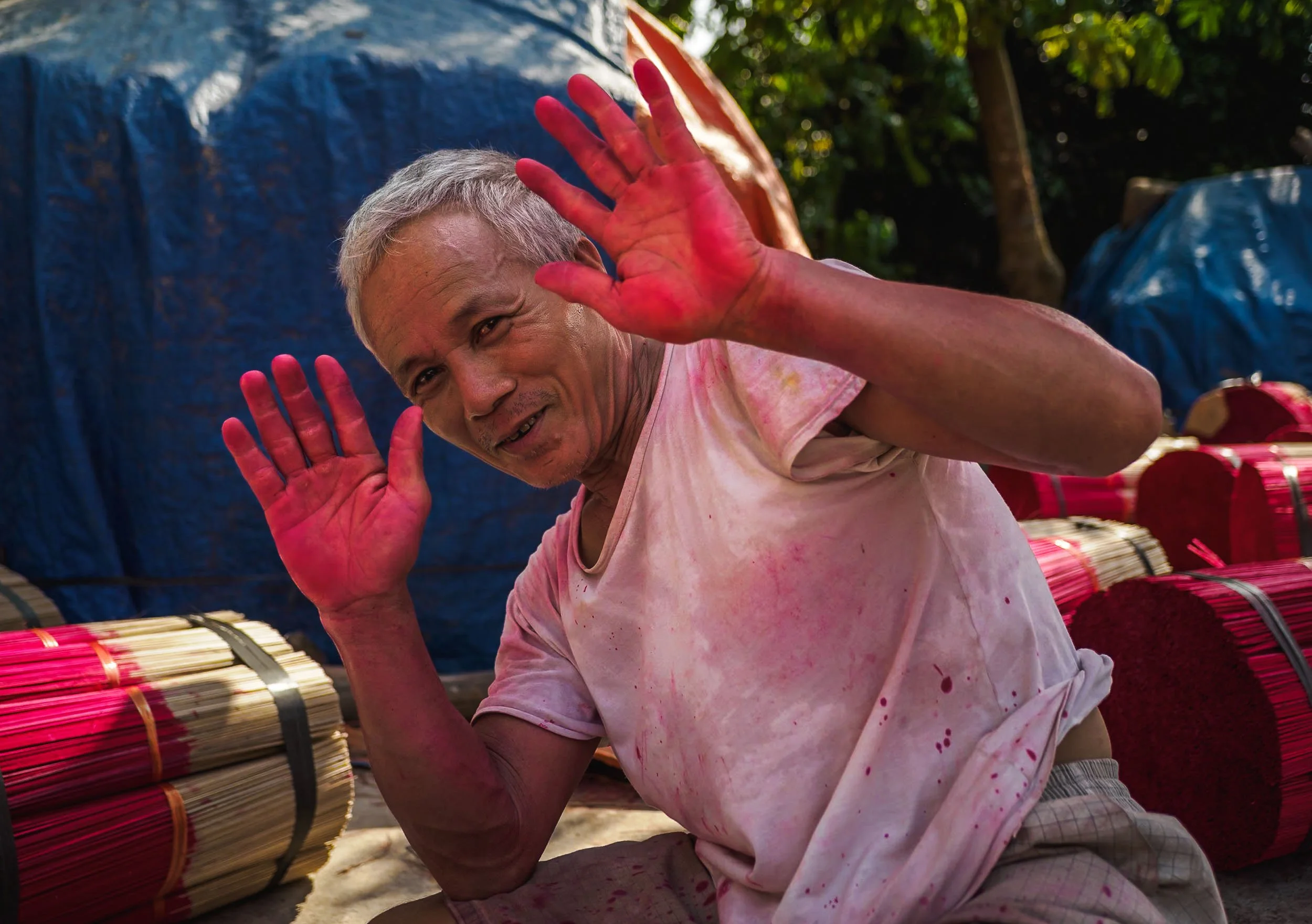
The dyeing process is unsurprisingly messy and I doubt this man has seen the natural colour of his hands (or feet) in the last years.

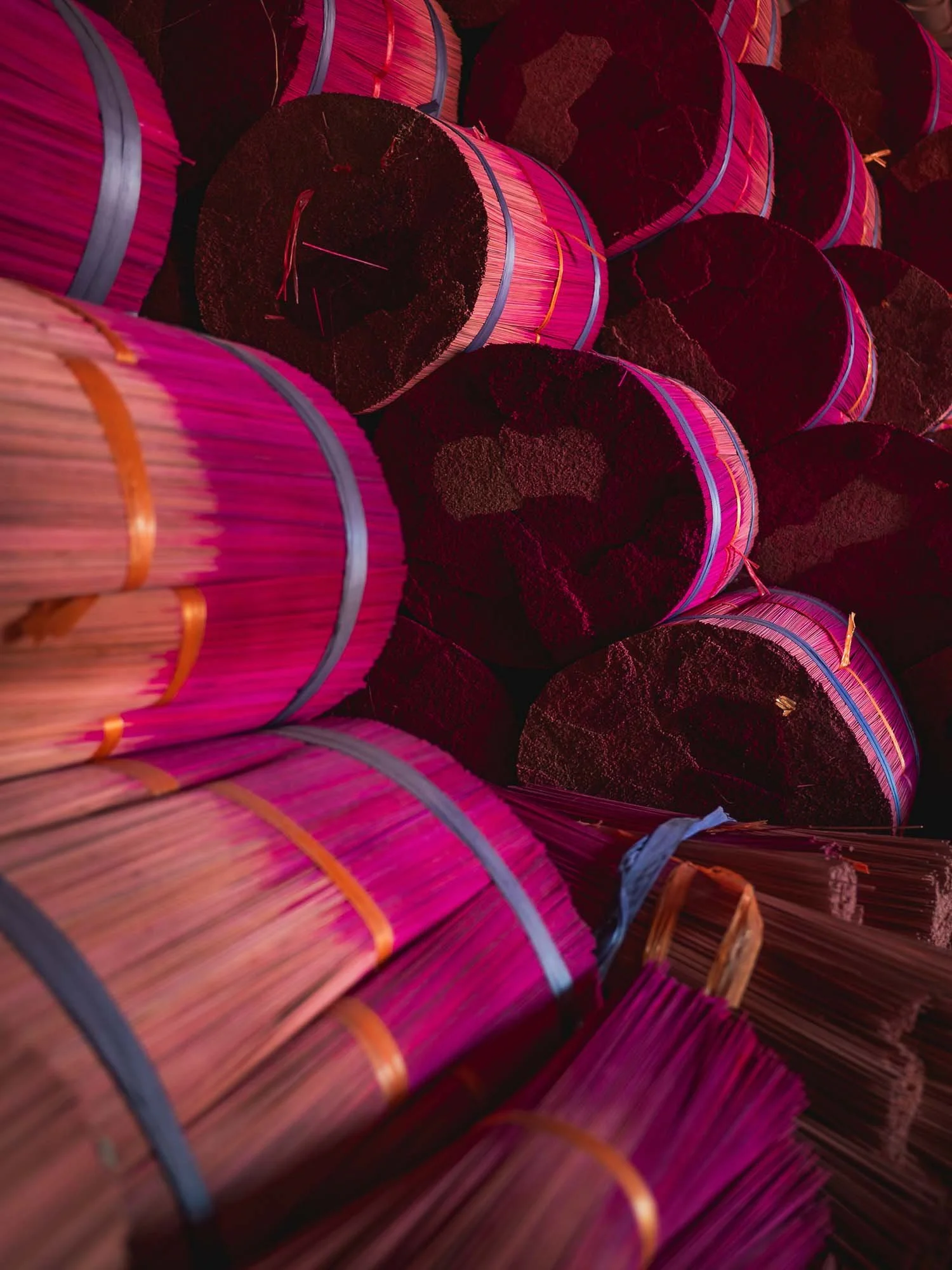
Once the work is done, the stick bundles are left outside to dry - not always arranged as neatly as in the staged tourist areas, but still an interesting aerial view.
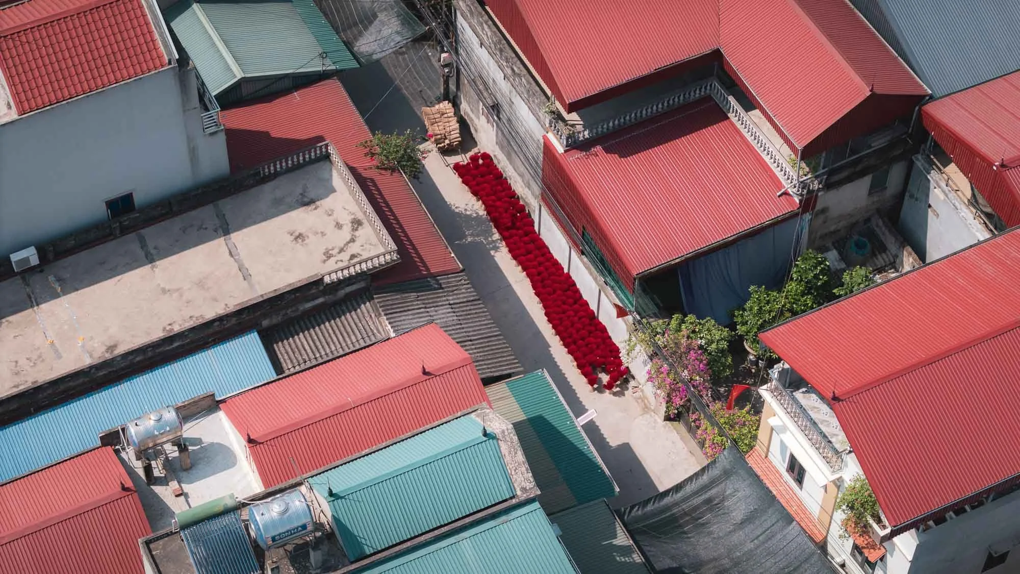
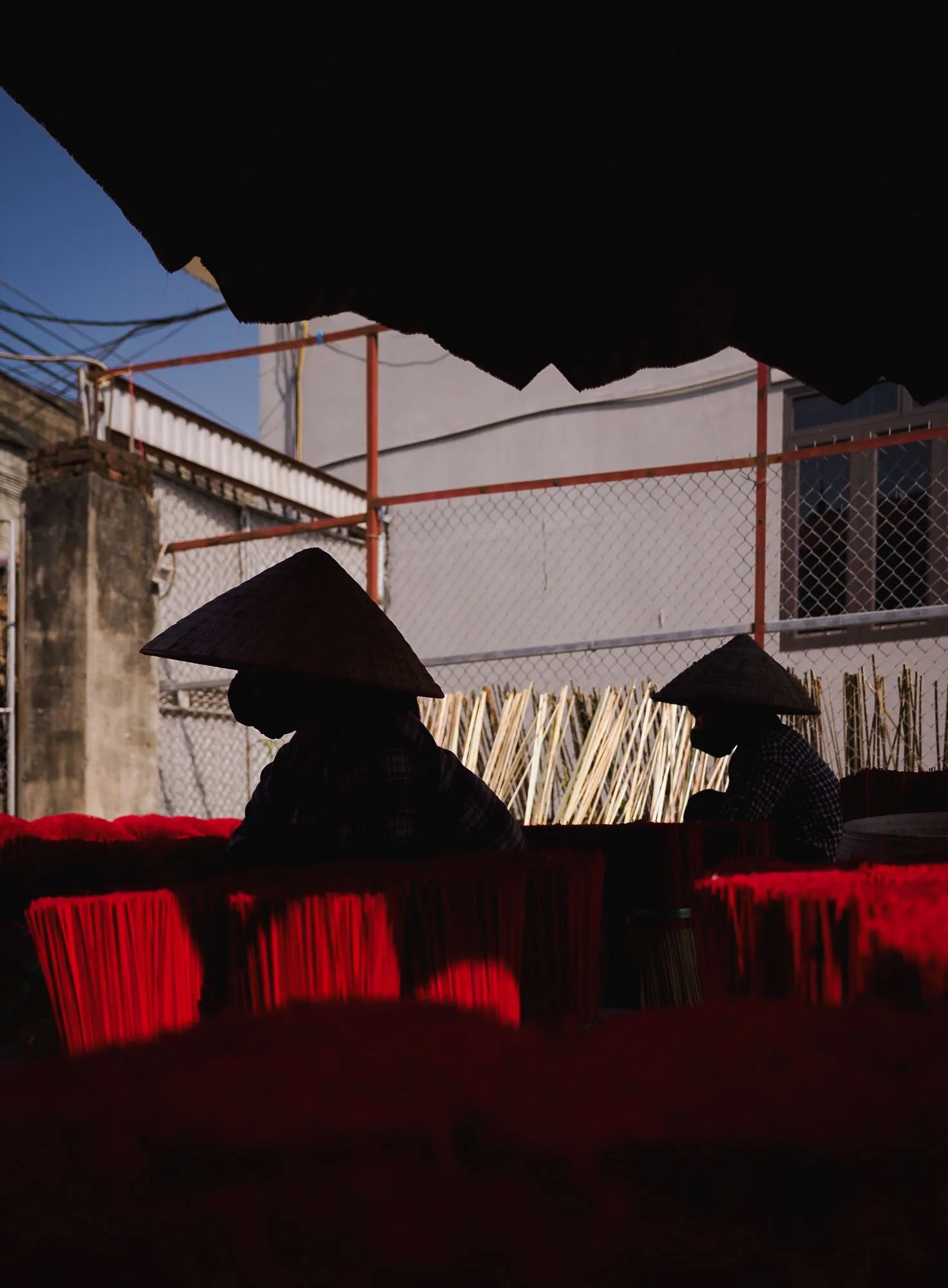
Is it worth going? Not really for the now all too cliché social media photos, but if you venture a bit beyond those parts of the village you might get an actual glimpse at the people keeping a craft that emerged around the 15th century alive, and that makes it a little more interesting.
Makers of the Bamboo Fish Traps
Another famous tradition can be found a bit further east of Hanoi - here, it’s both the practice and the people that have attracted countless photographers and tourists over the last years.
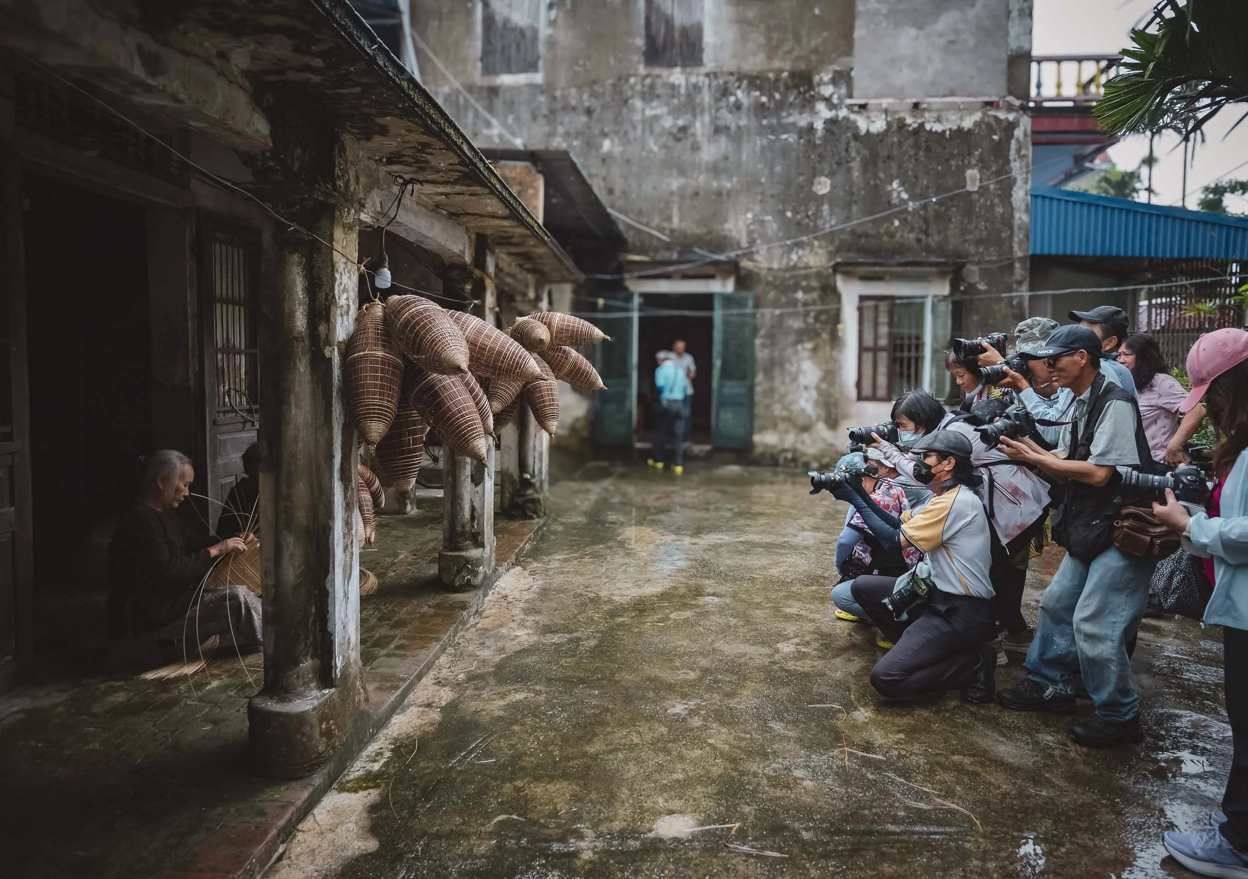
As we arrived, this group from China was clicking away, asking the elderly ladies to pose as they produce hand-woven fish traps from bamboo, called do or ro in Vietnamese - a technique used for hundreds of years in the lakes and streams of the country.
I got my own chance to take a few photos while watching them skillfully weave the baskets made of flexible bamboo sticks. Their shape is optimized for fish to enter the trap without being able to escape again - effective, but barely in use anymore today.
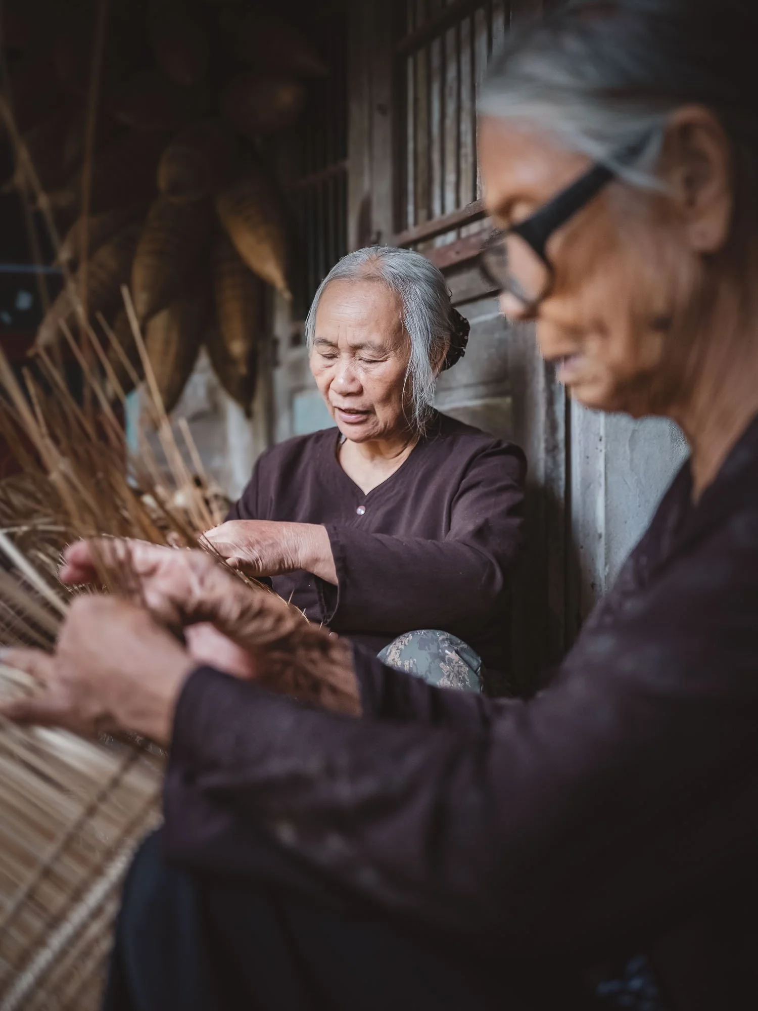
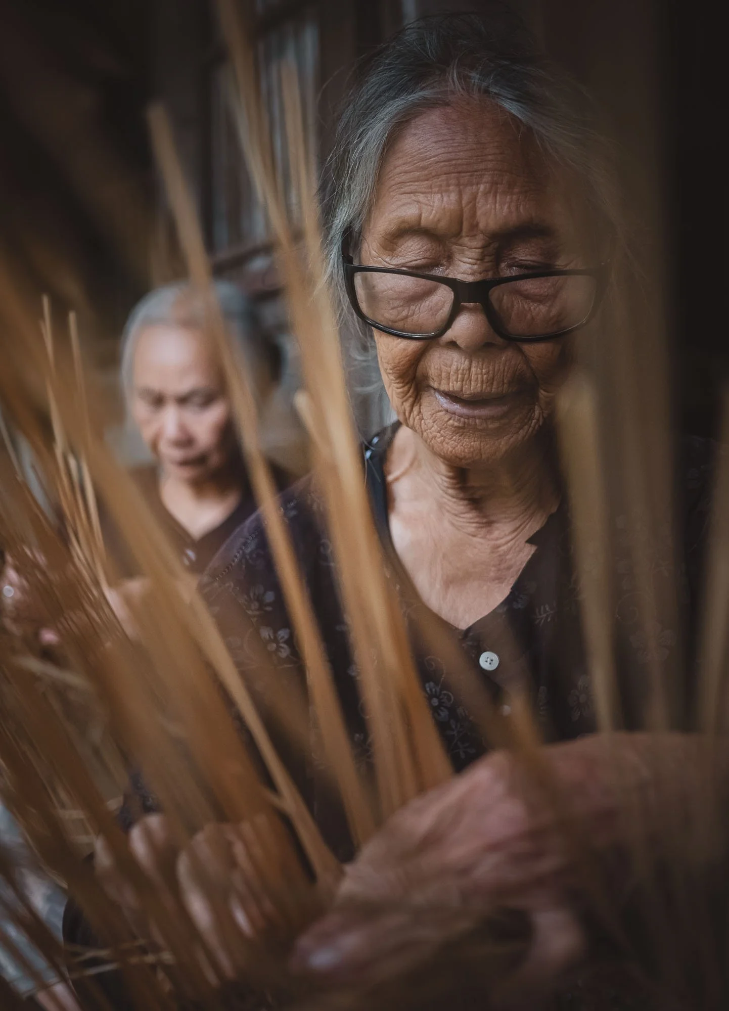
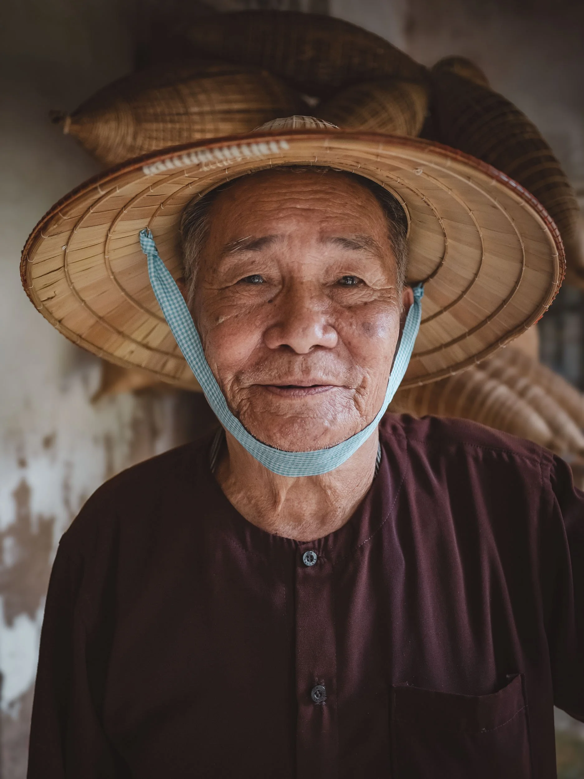
The Master Maker
The most famous protagonist here is Luong Son Bac, a very kind man in his late 80s (so he says), who took the time to tell us some stories from his past after the group left - one of those times where even a staged environment can bring some genuine moments - he’s the real deal.
He spent his youth in the military and then retired as farmer and fisherman, but unexpectedly became a celebrity featured in countless magazines and documentaries covering his fish trap making craft. He lives with his wife in their house next to their little fish trap storage and making facility, which he nowadays just opens for tourists.
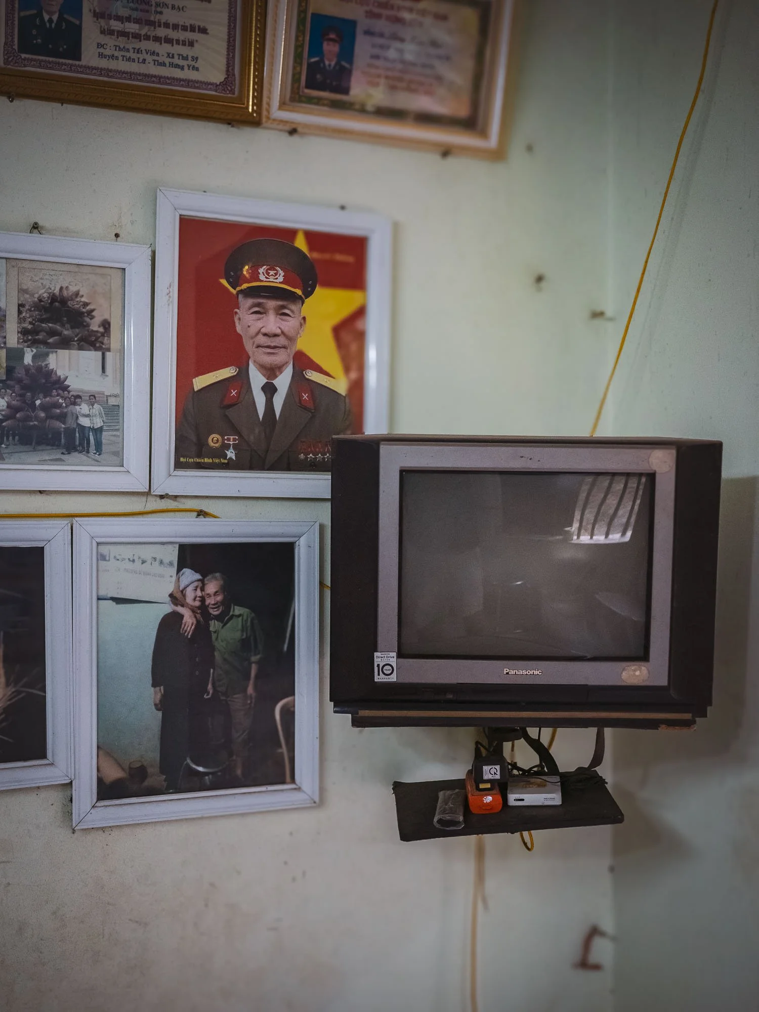
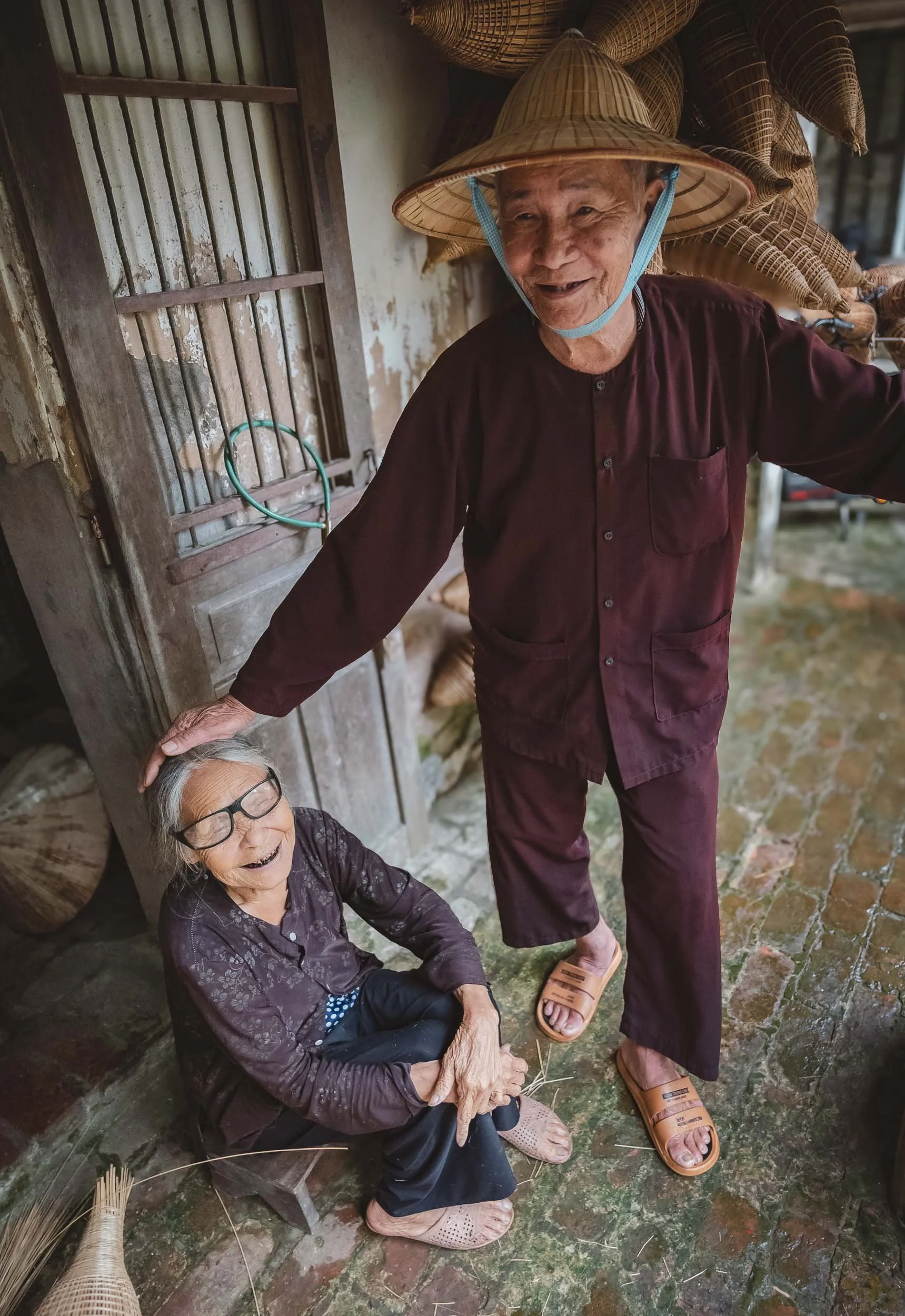
Neither of them have lost their skill though, and they both are always happy to showcase their craft.
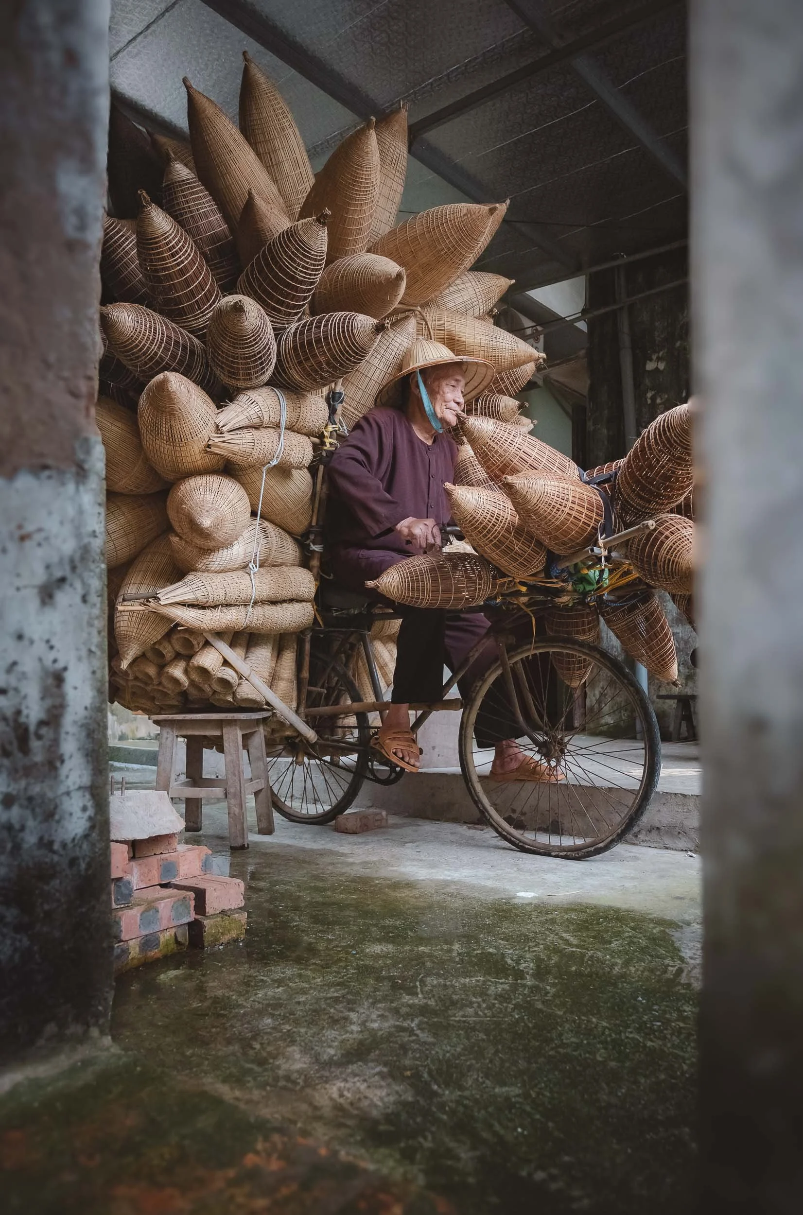
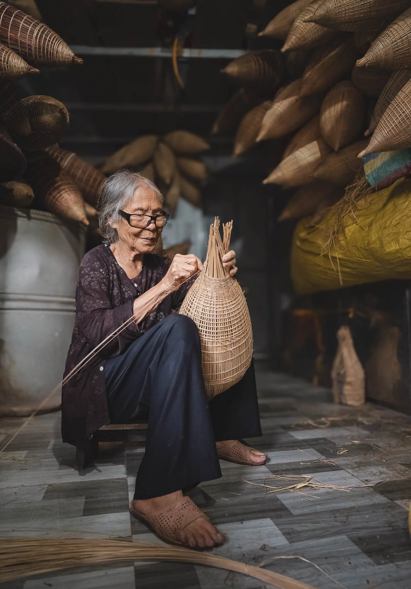
The Soy Sauce Specialists
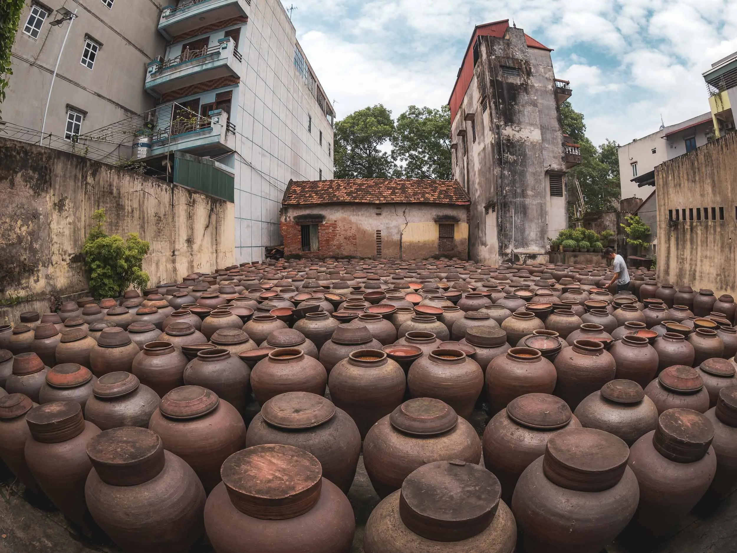
Another interesting traditional practice that can be found in Bần Yên Nhân just outside Hanoi. This little village is home to a few factories specializing in producing one of Asia’s most well known condiments: soy sauce.
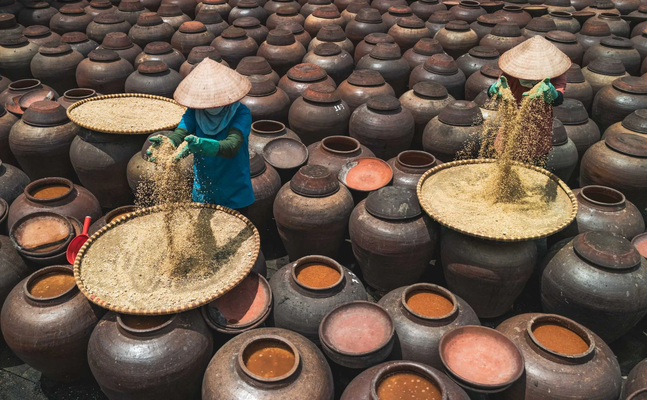
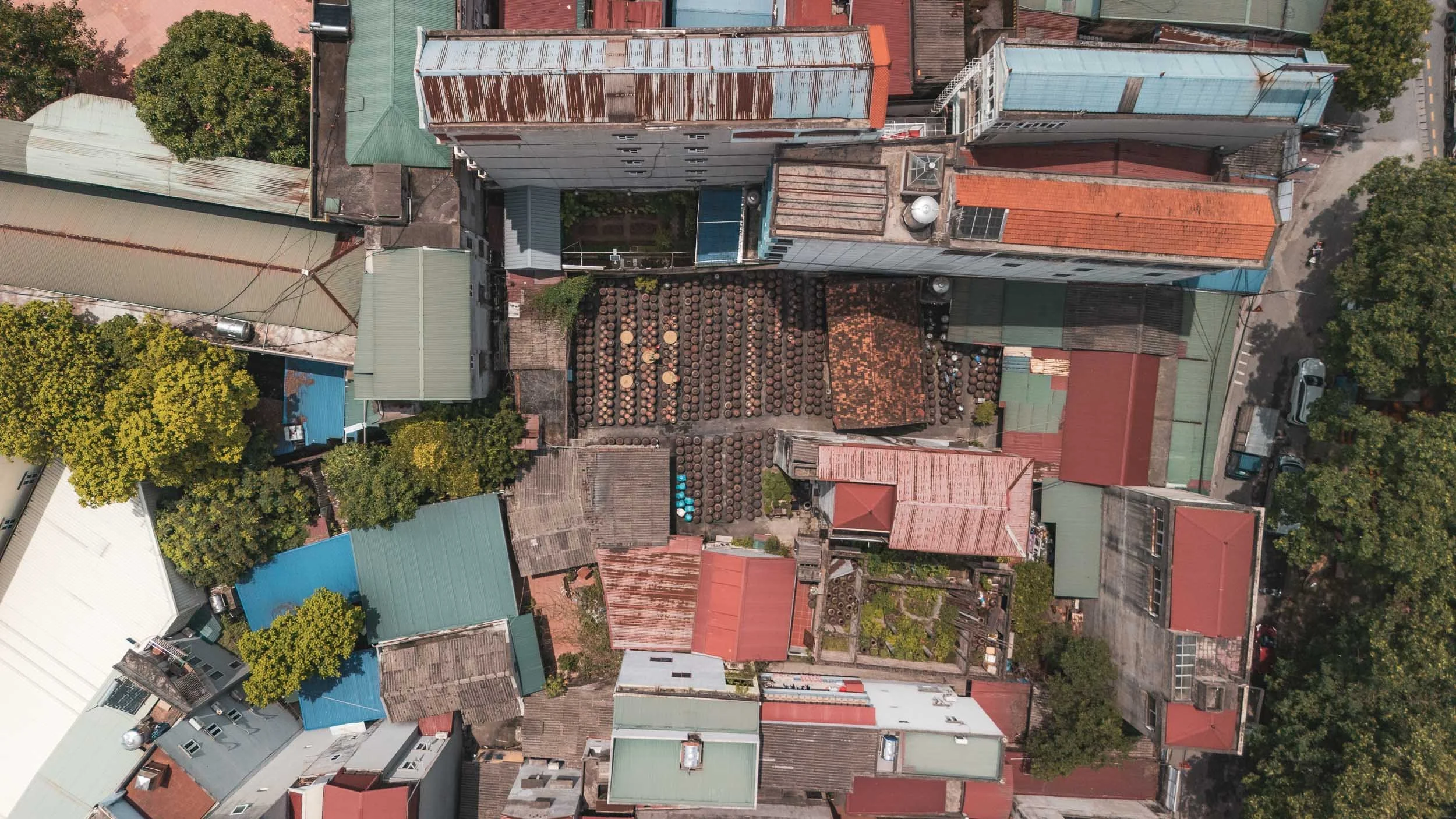
The ingredients are quite simple: rice, soybeans, salt, and water, but the process of combining them is a bit more elaborate. It starts from preparing a rice mold, cooking it into a sticky pace and letting it ferment for a while. The roasted soybeans are ground and also fermented for several days - the smell is quite intense at this stage.
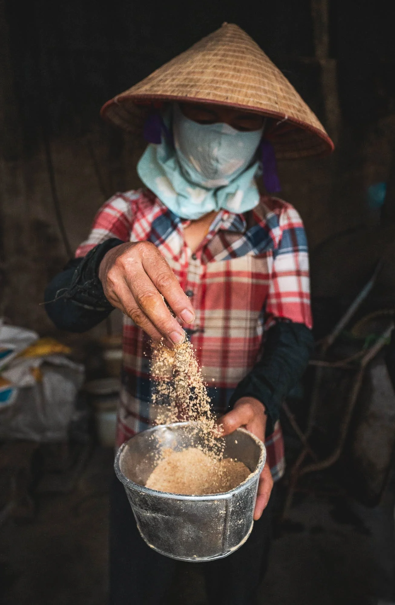
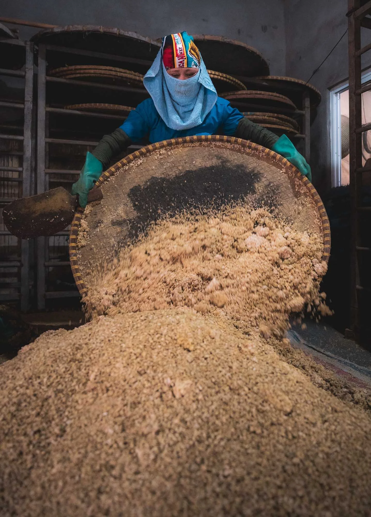
The two mixtures are then combined in large clay jars with salt and left in the sunlight - temperature, timing, and regular stirring is what makes the magic happen, with each maker and region having its own secret process to get the best flavor out of the process.
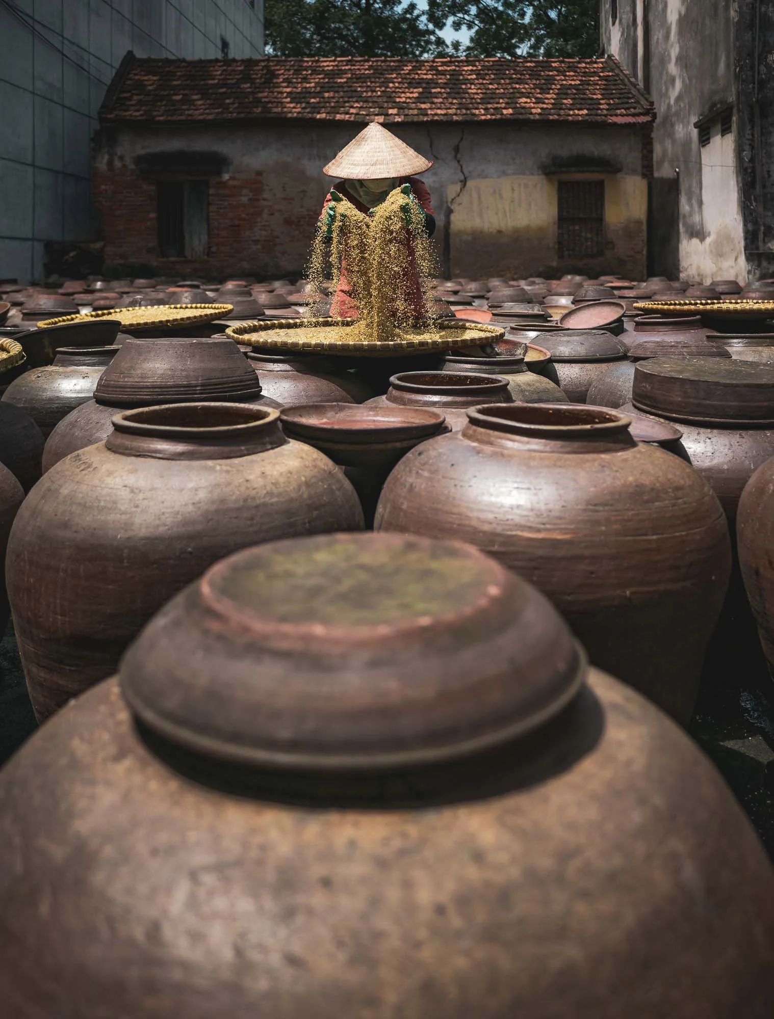
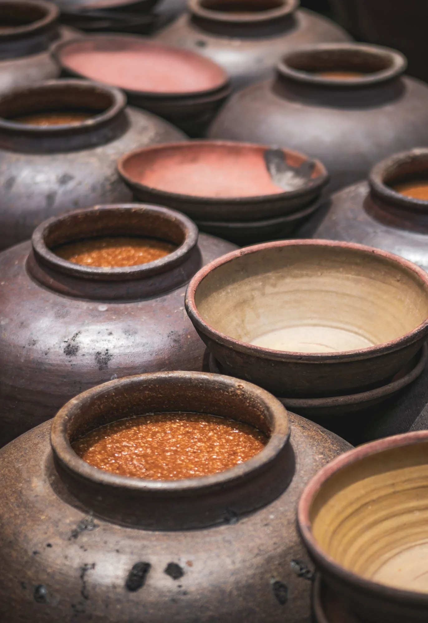
If all goes well, one can then purchase the final result in the shops after 6 weeks or so. There are quite a few factories dotted around the village - in total they are said to produce around 11 million liters a year. Cats play a more mentally supportive role in the process but probably keep the rodents out of the grain storage.
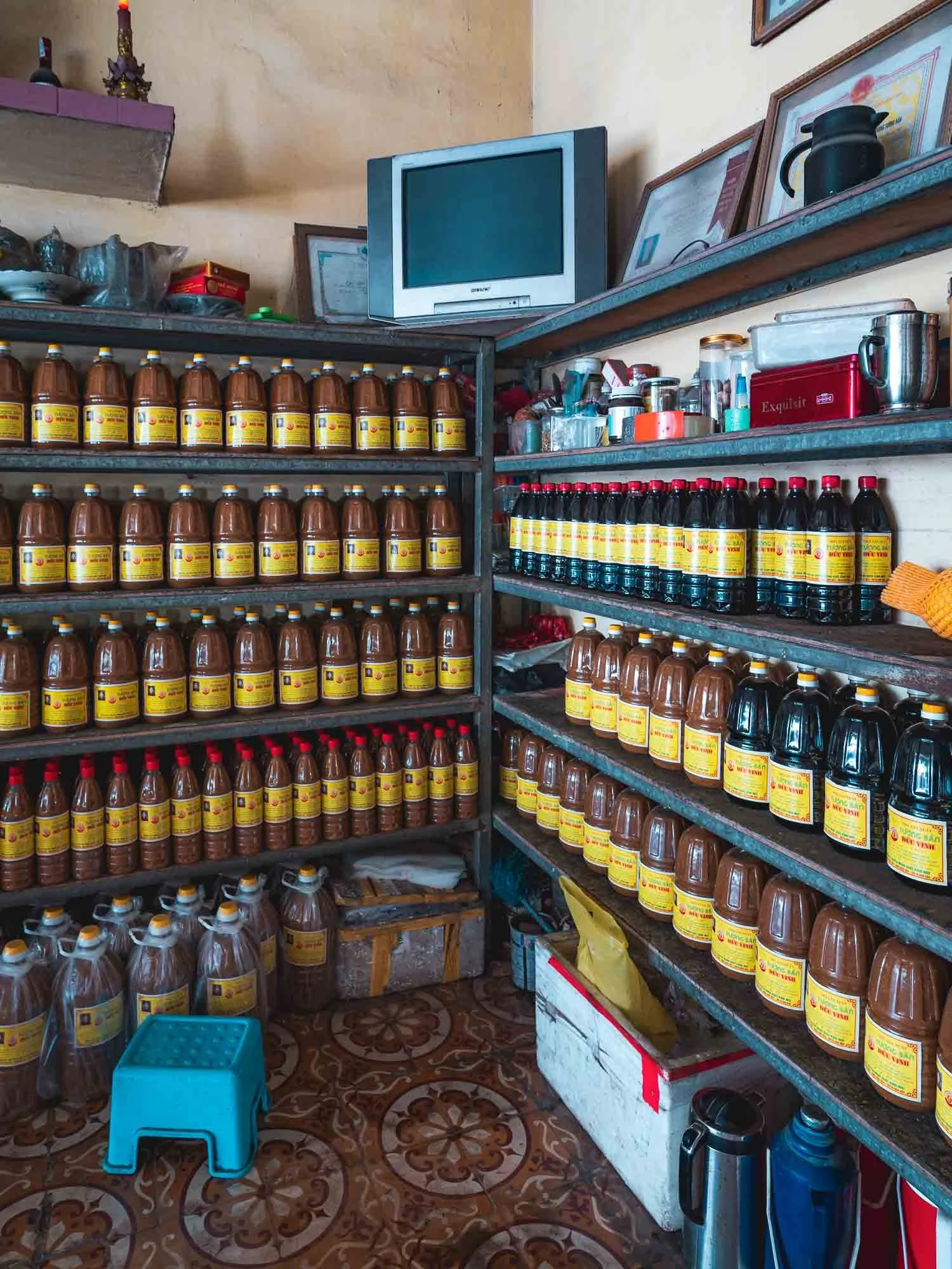
Rolling Tea Hills of Long Coc
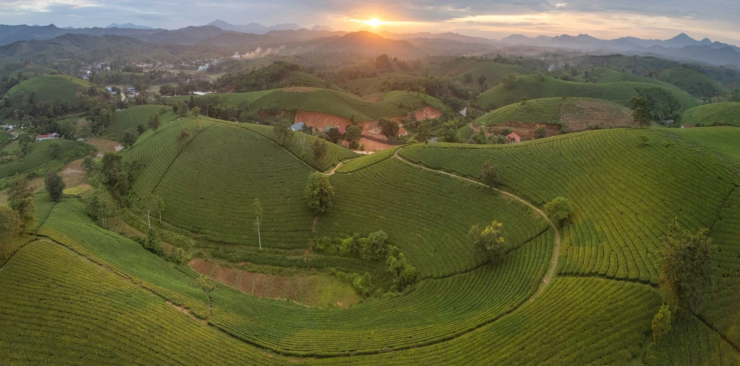
We left the eastern part of Hanoi behind us and moved into the north-western mountain regions, specifically the beautiful tea plantations of Long Coc.
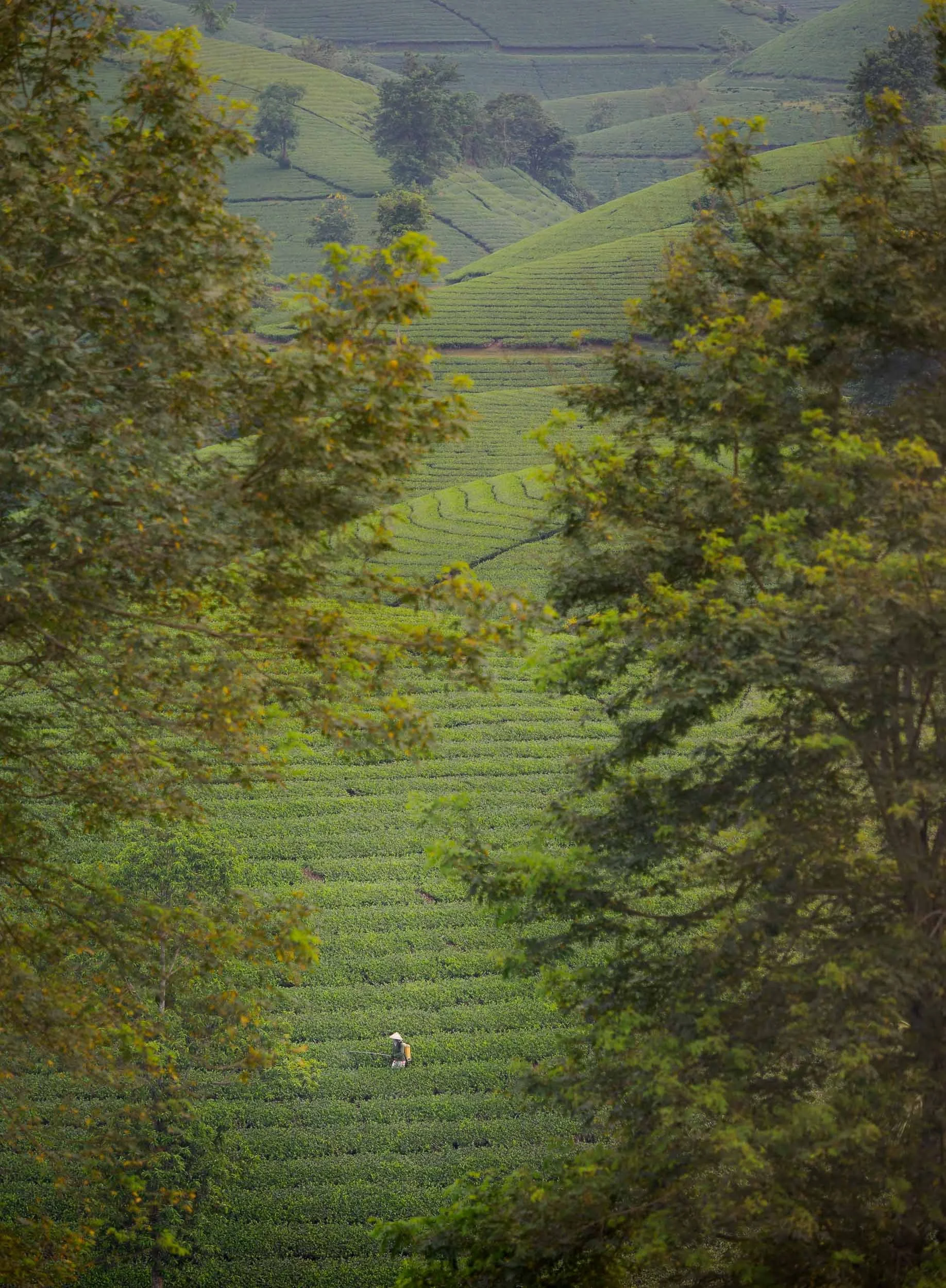
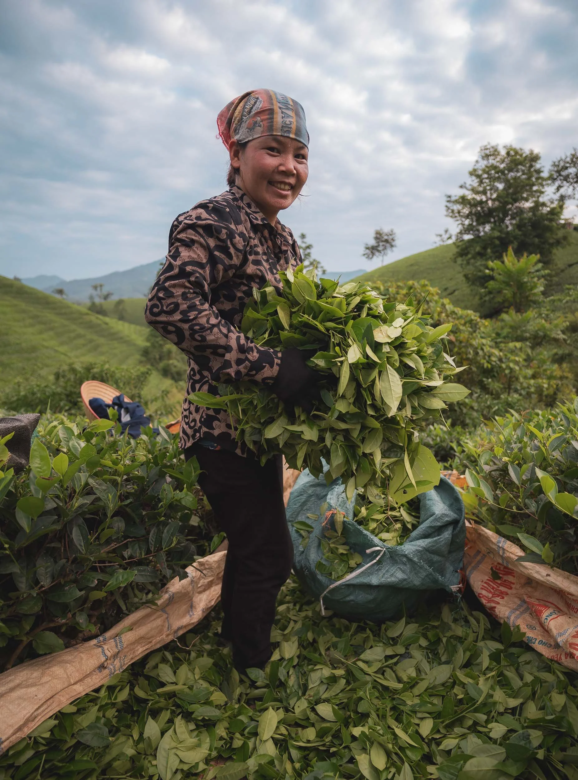
We happened to encounter a photography group here as well, who hired a few local ladies to pose with traditional tea harvesting outfits. If you just look around and ask the locals, you might get some more candid images of the actual workers in the fields though.
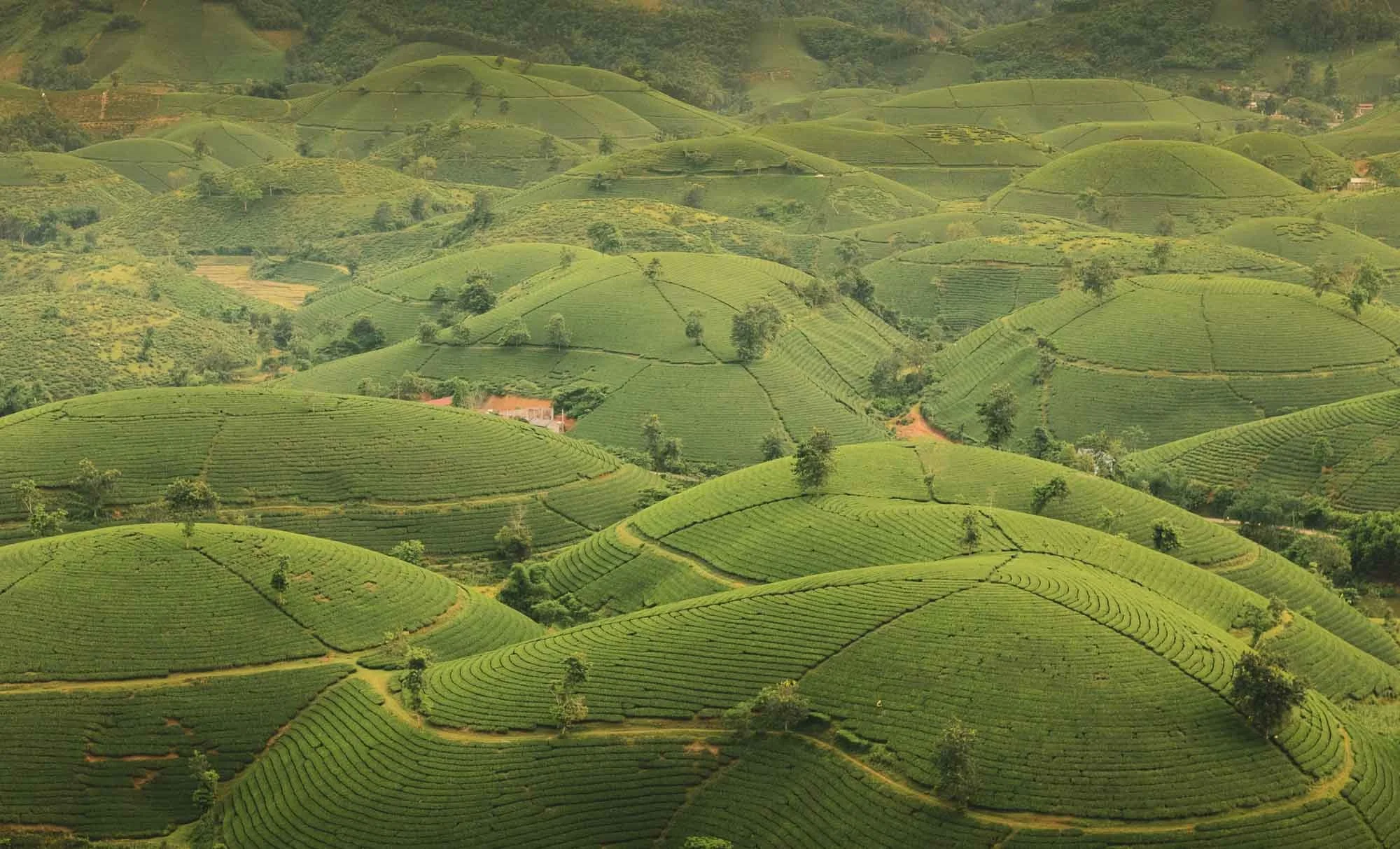
The tea hills are a beautiful sight, and I’d definitely come back to catch them in different conditions - adding a few dark nights for Milky Way photos would also make sense here!
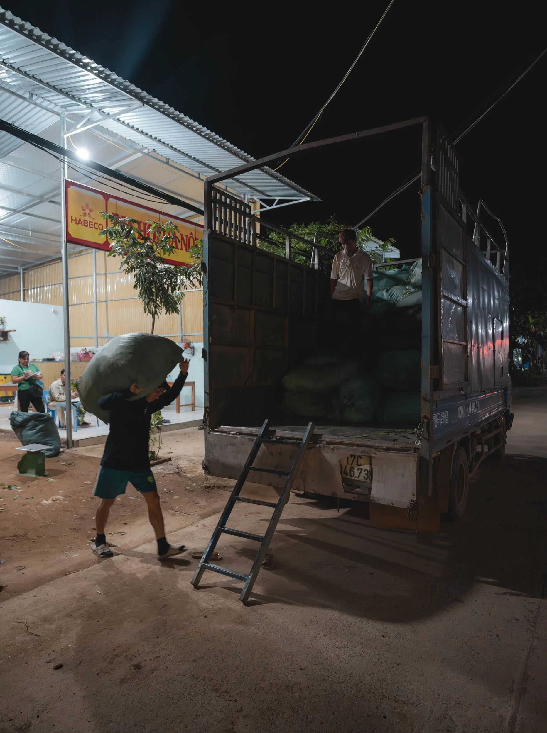
Aside from the aesthetic value for tourists, tea has been grown here for more than 100 years, and is the staple agricultural livelihood for the local Muong ethnic group.
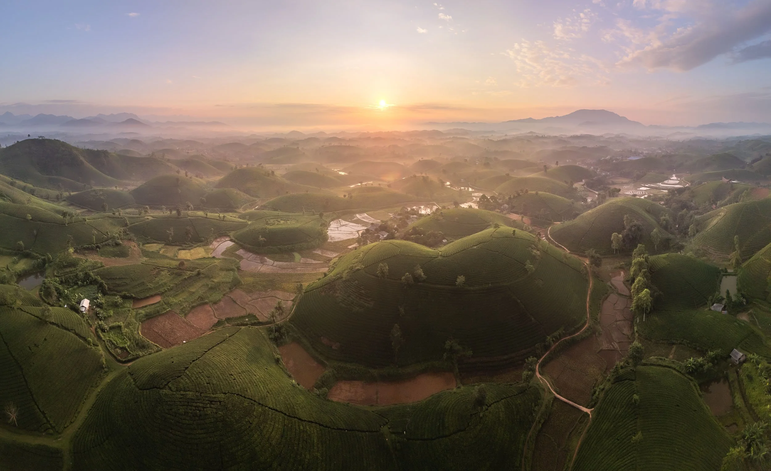
While undeniably picturesque, it’s also worth noting that with every new tea hill the landscape is shaped, and natural vegetation removed - of course that’s true for most agriculture.
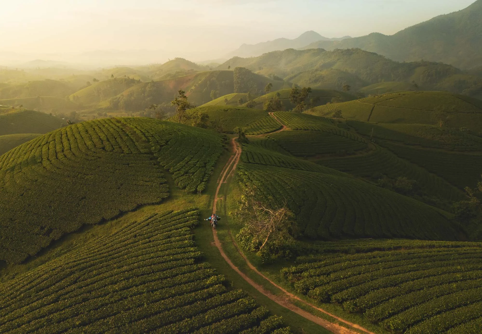
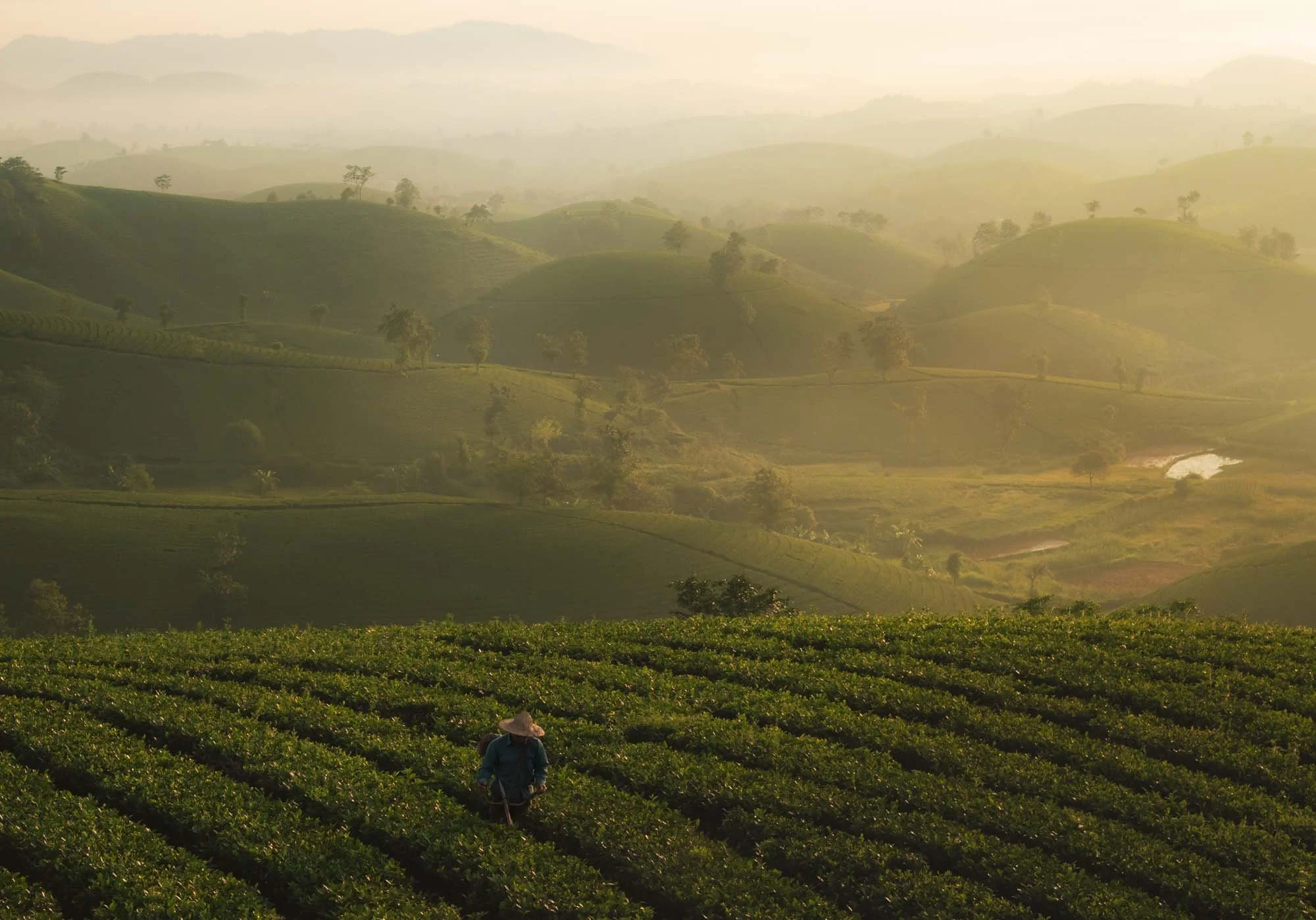
We spent the night at a local guest house before making our way even further north-east after sunrise…
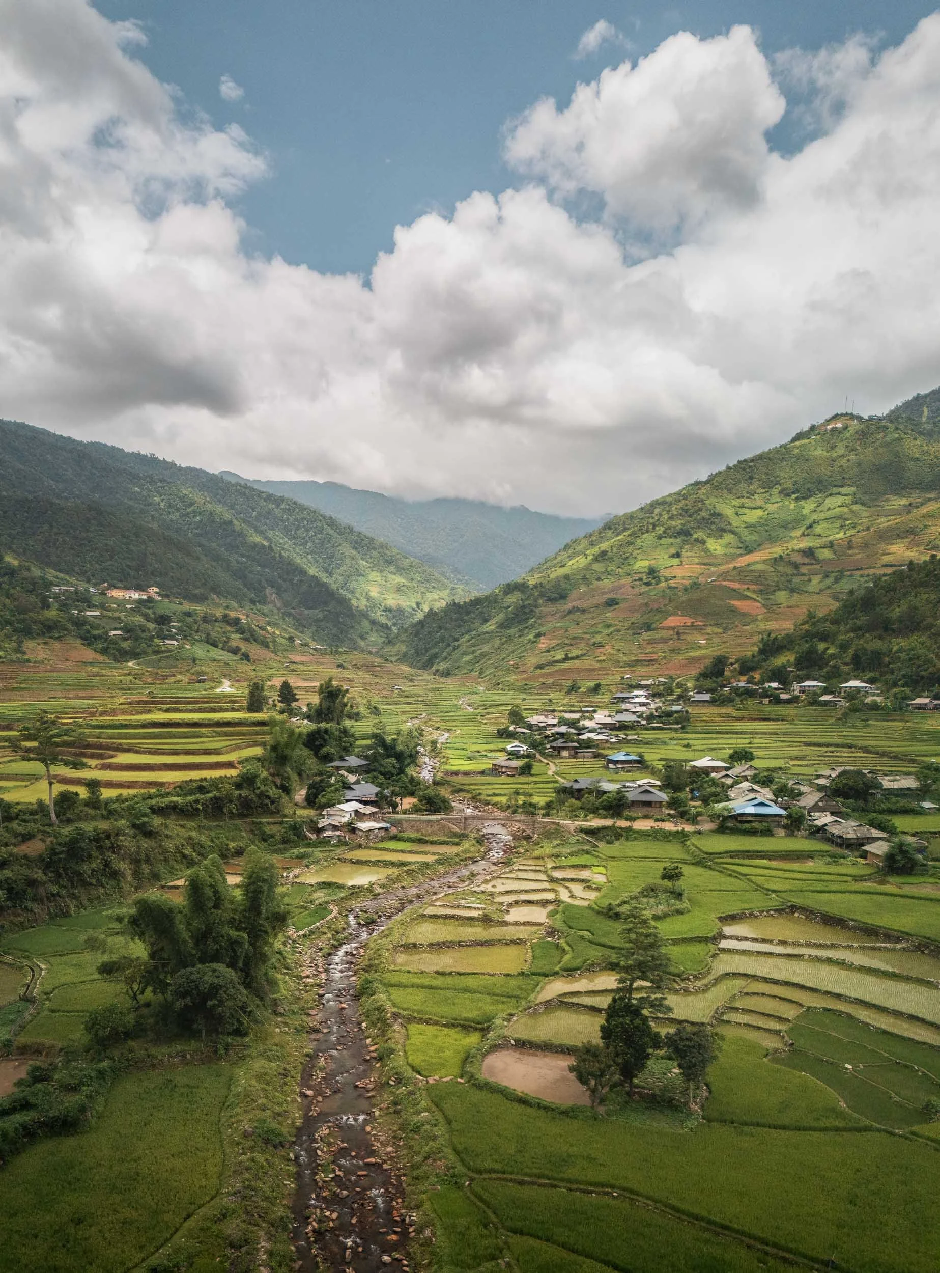
Khau Pha Pass & Tu Le Valley
…which brings you closer to the Chinese border, traversing various beautiful mountain passes in the process.
The peaks here are at about 1500m above sea level with great views into the valleys, many of which have been repurposed for rice fields as far as the eye can see.
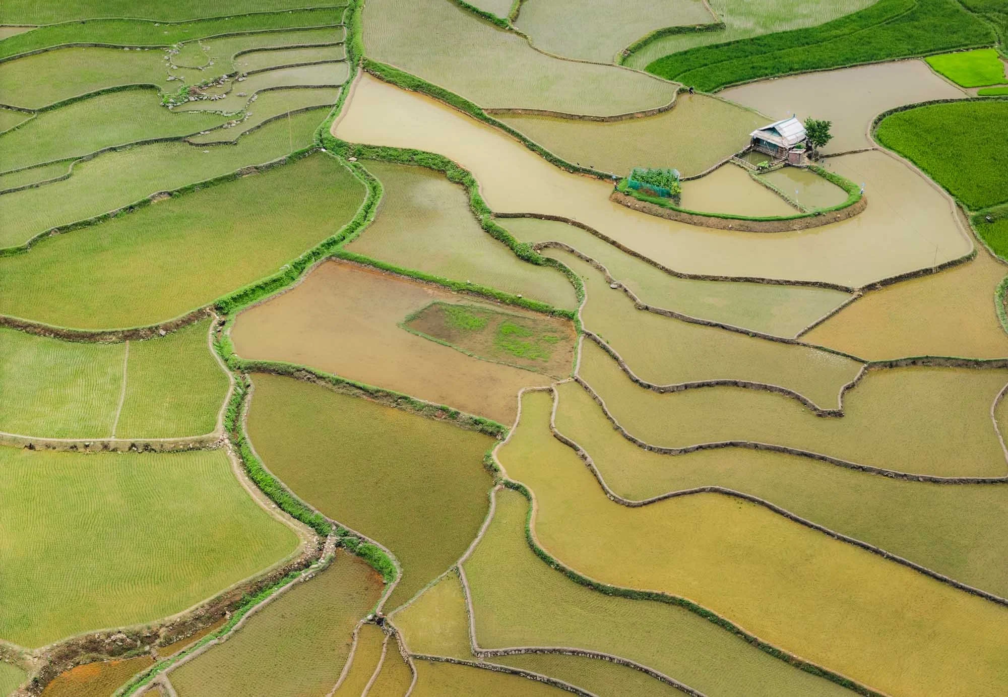
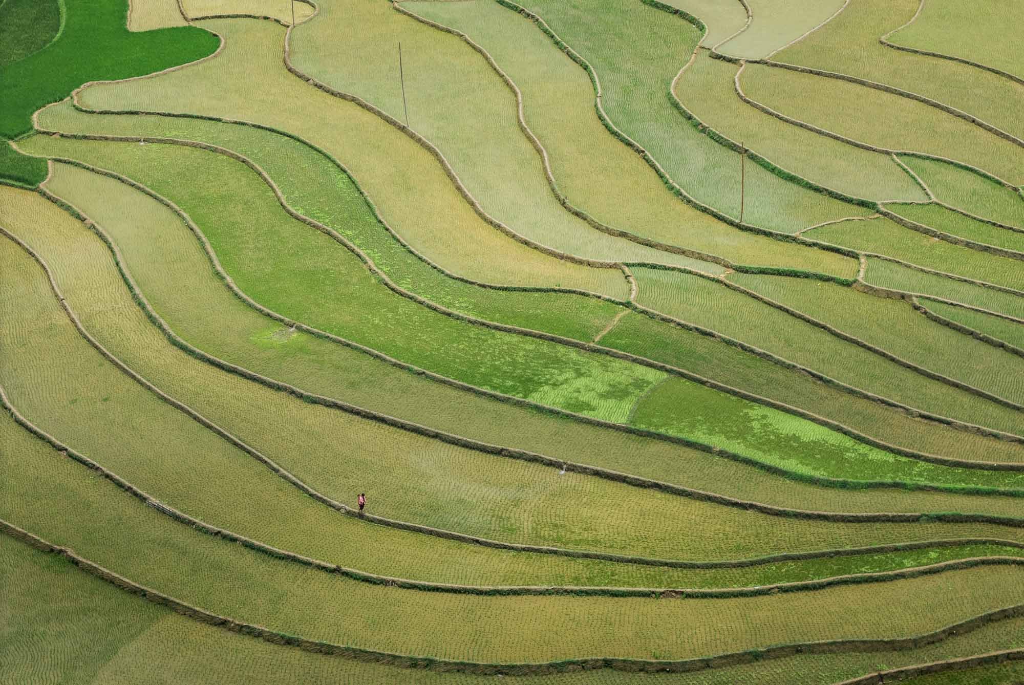
Mu Cang Chai
Our goal was Mu Cang Chai, where a specific U-shaped rice terrace is another photographer’s favorite - but usually during the harvest season when its rice plants shine golden and green for a dream-like feeling. This happens around September and October, which is also the peak tourist time.
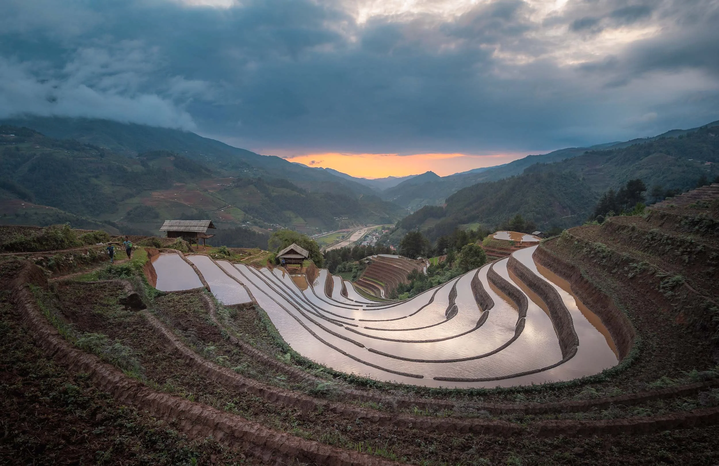
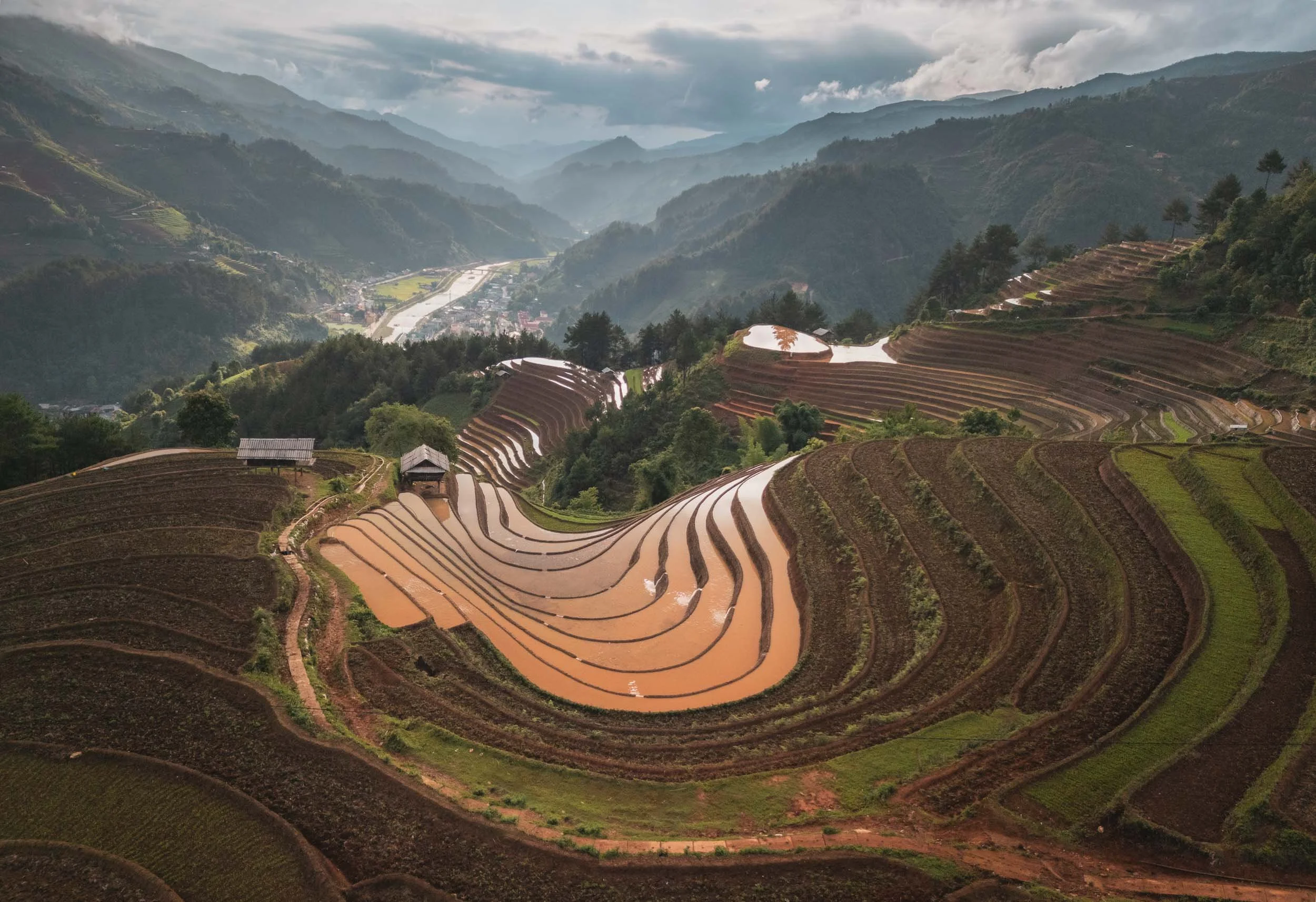
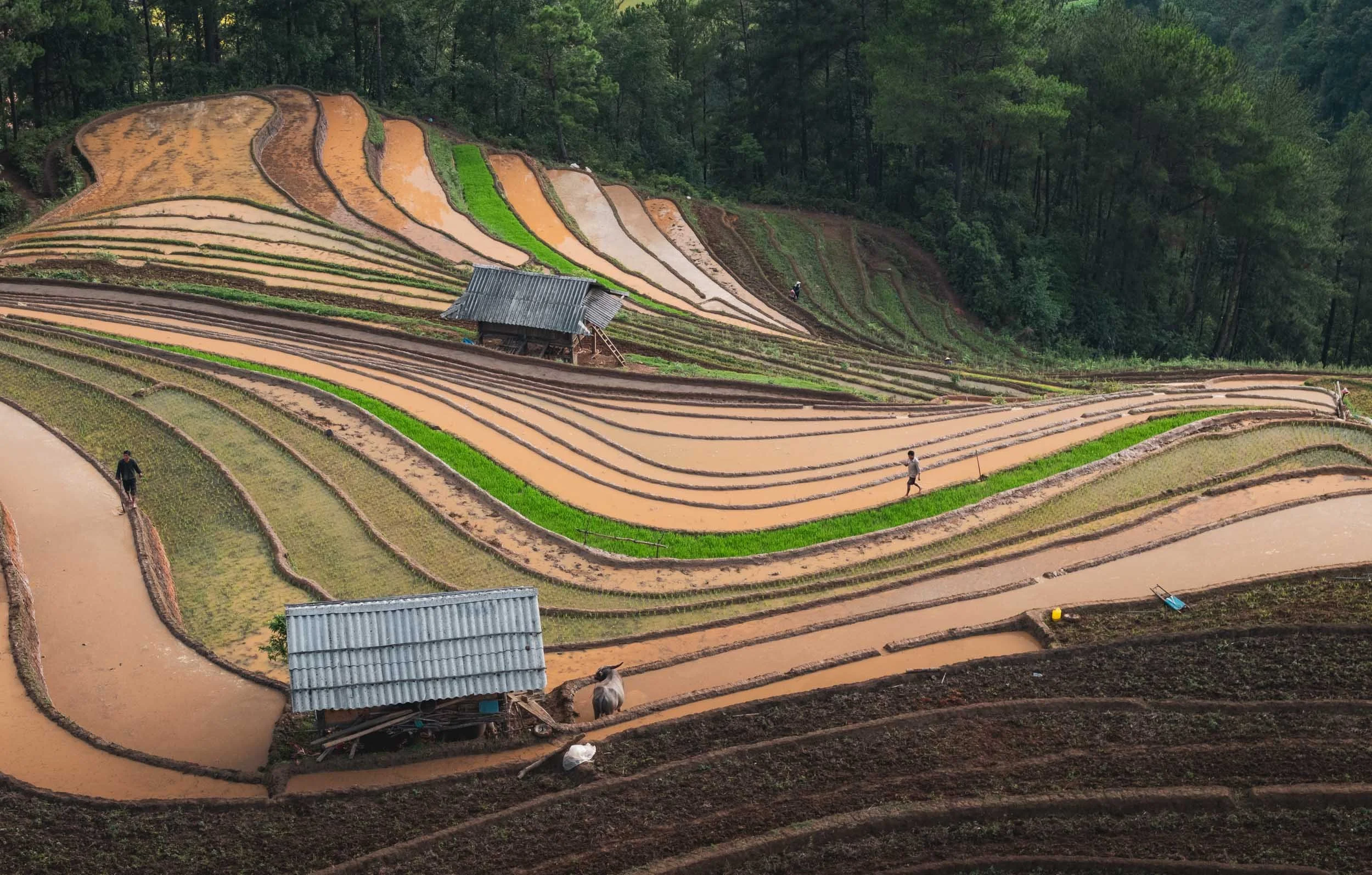
During the so-called water season, the paddies are flooded to keep them free of weeds and prepare for the next round, creating a very different scenery - still interesting (and a lot less busy).
Bamboo Forest
Not all of the mountains are covered in rice fields though - another quite beautiful feature is its bamboo forest, requiring quite an arduous motorbike ride along narrow slippery paths to reach.
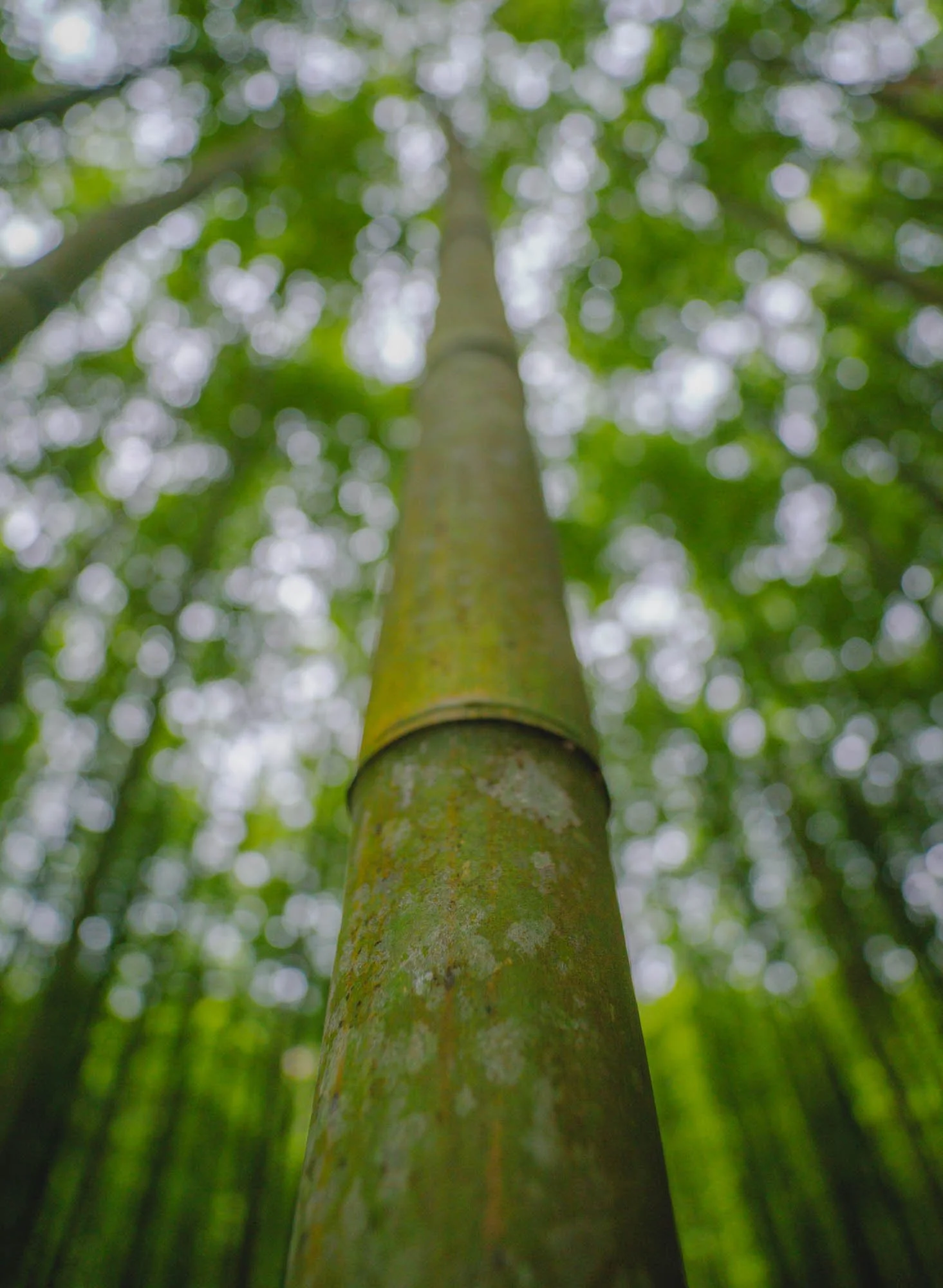
The forest is about 60 years old - its owners are native people of the Hmong ethnicity, and they take great care of its preservation. It was originally set up to harvest bamboo shoots and use the fast-growing trees as infrastructure materials, such as for fences.
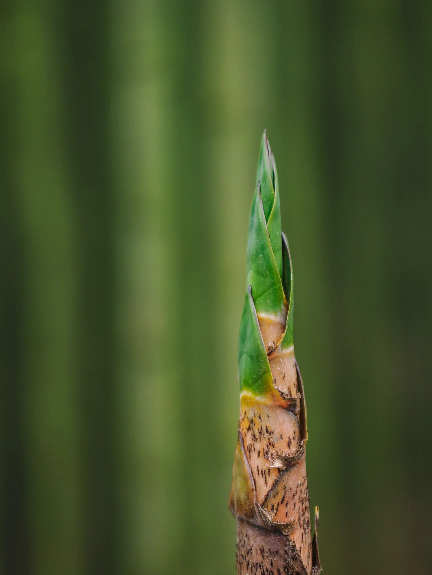
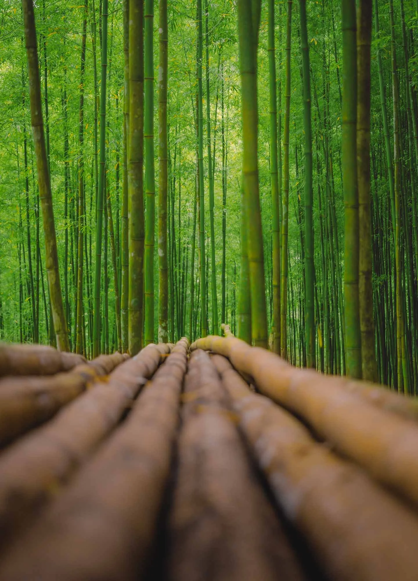
The Guardians
Its protectors during my visit were these two elderly ladies, asking for a small entrance fee and happily allowing me to take a few photographs of them. They have spent all their life here and have seen the forest grow from nothing during their lifetimes.
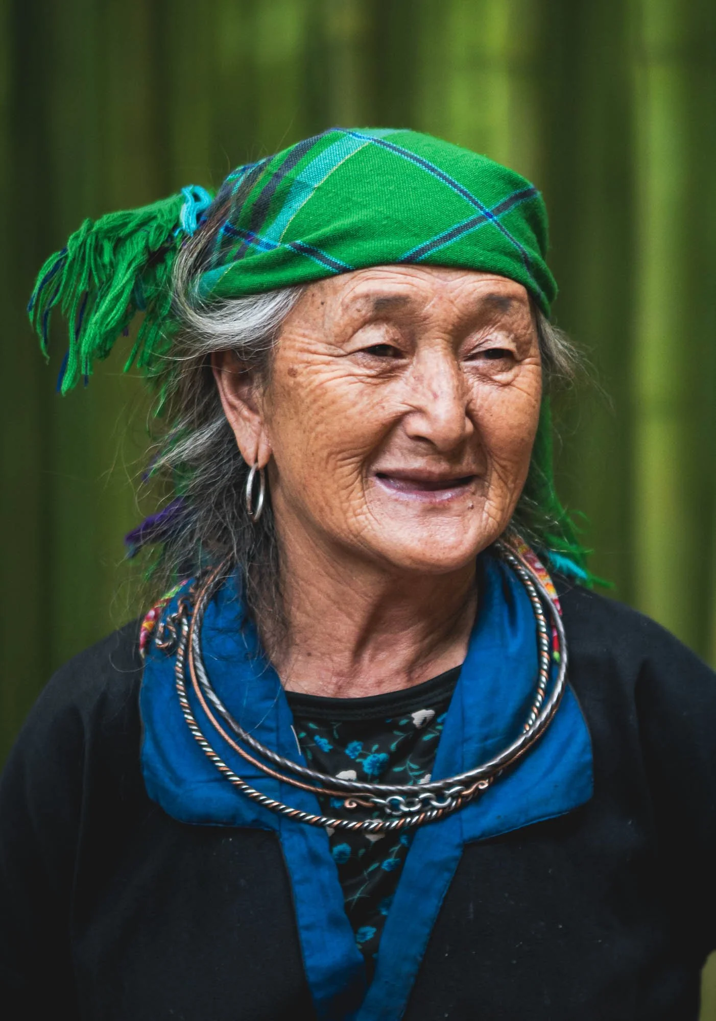
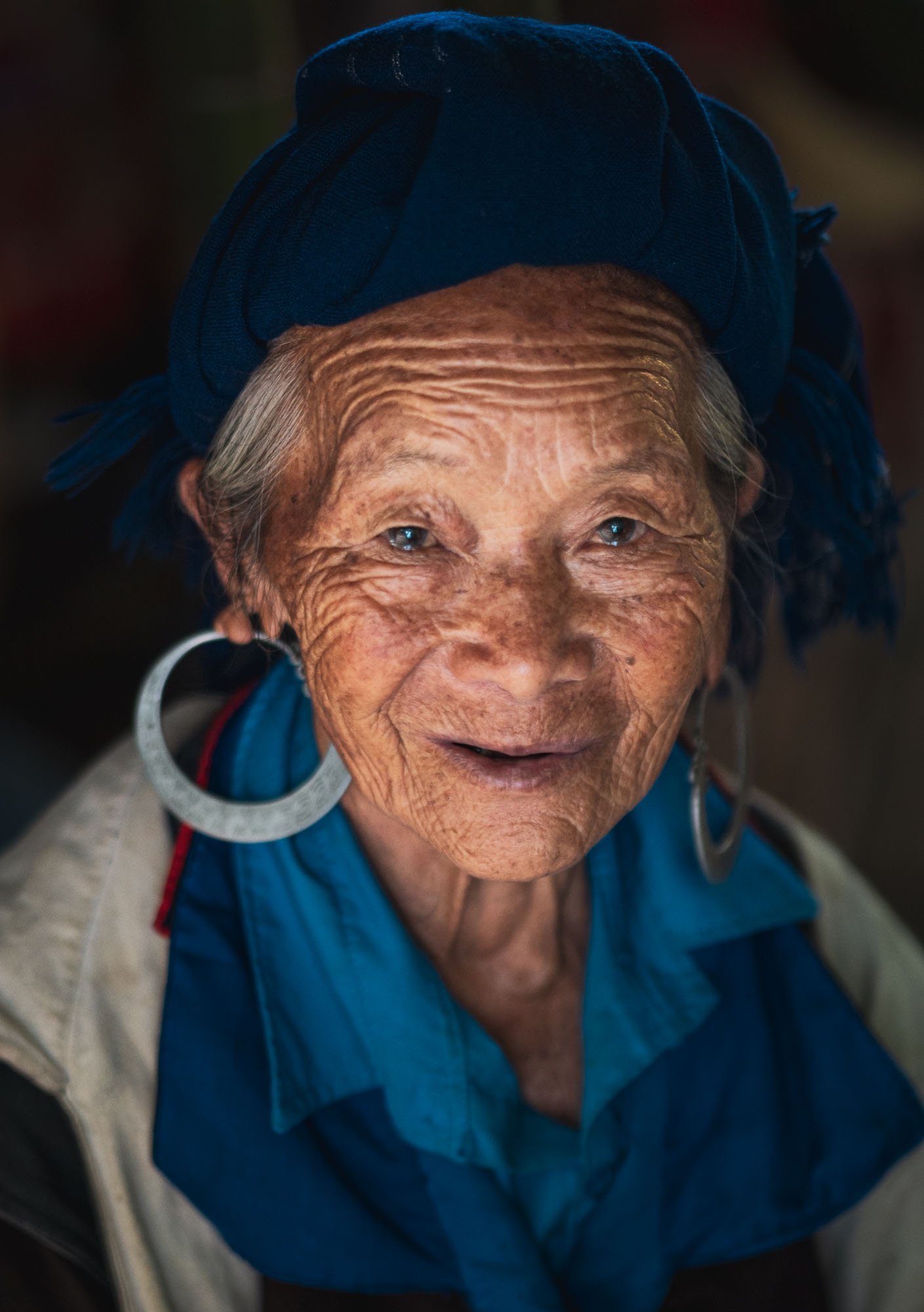
We explored a few more terraced rice fields the next morning, and were greeted with low clouds and fog over the hills, as well as a few rays of sunshine as we embarked on the drive back to Hanoi.
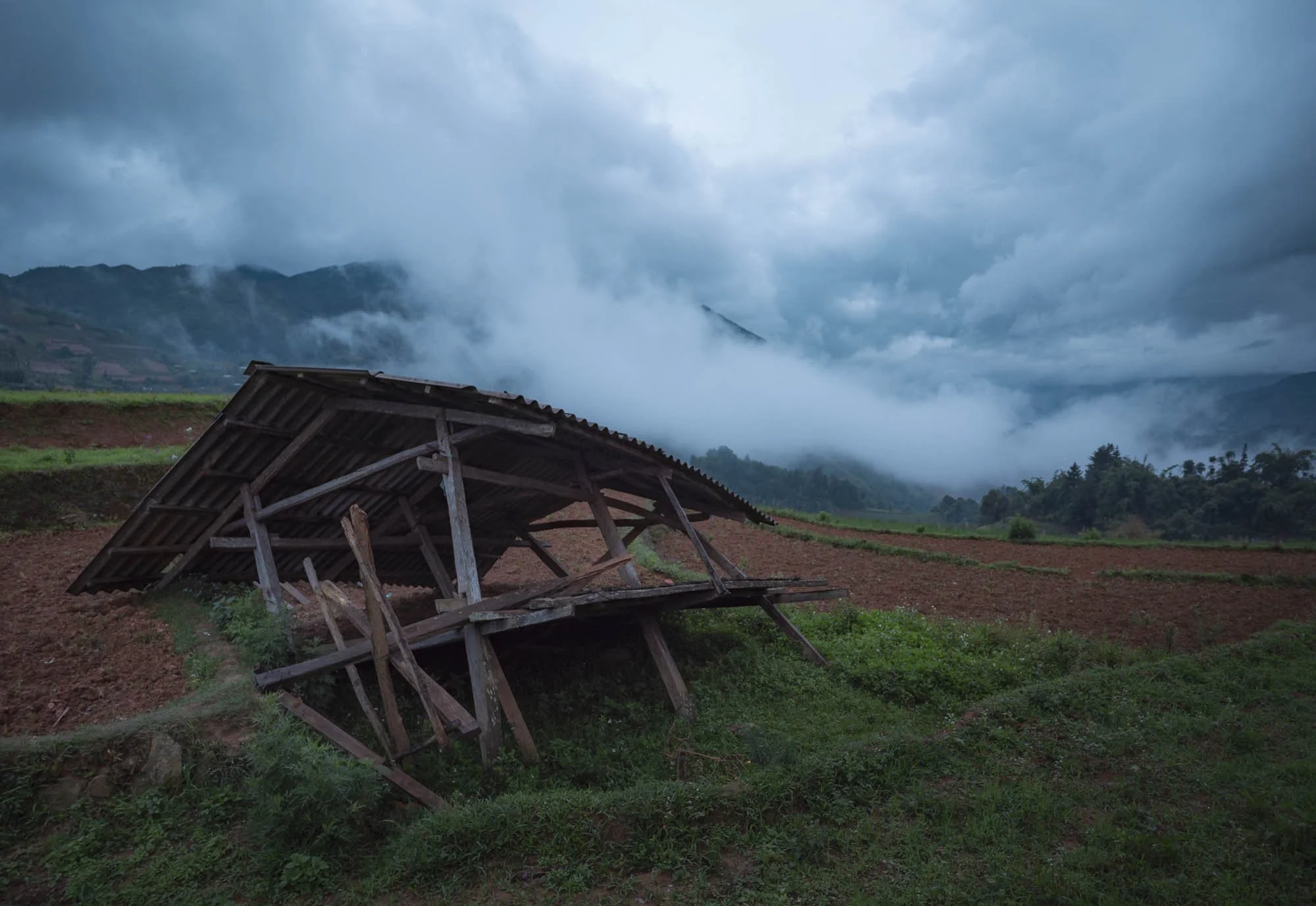
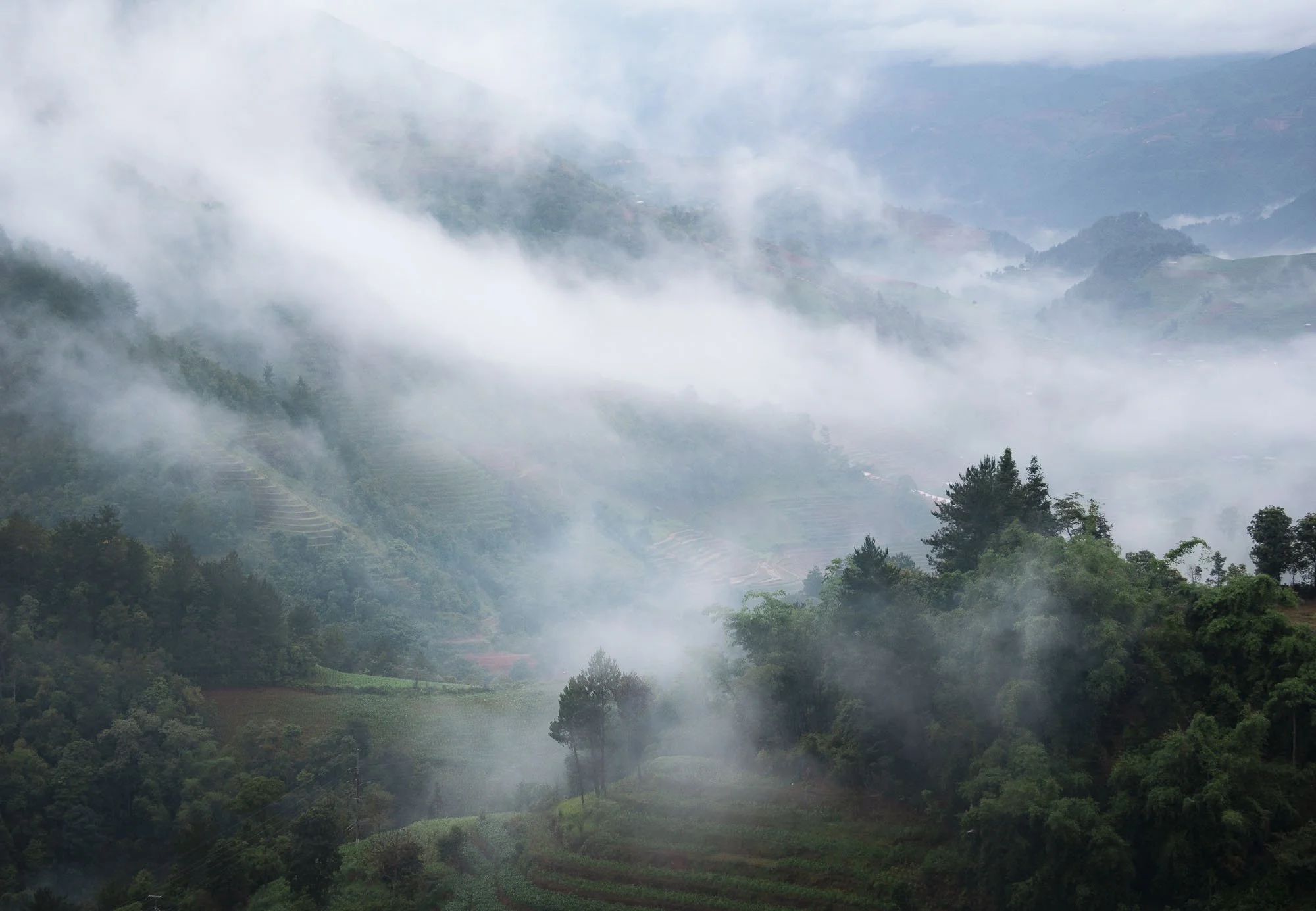
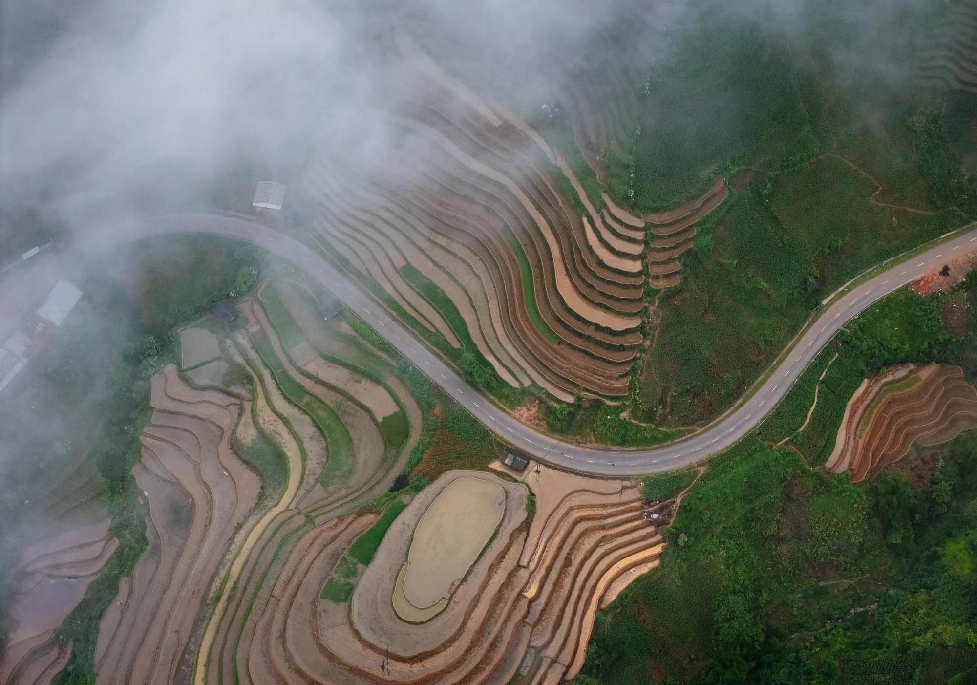
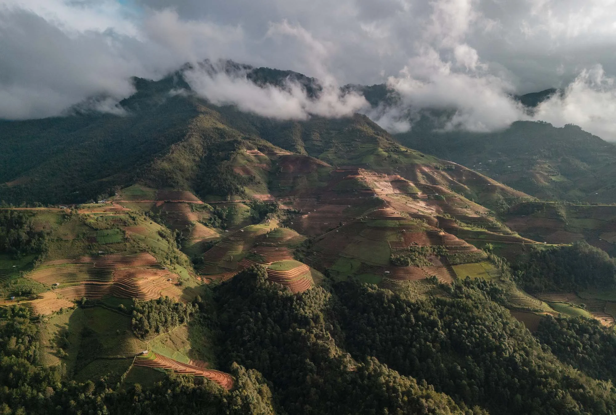
This was meant to be my last destination of the trip, but I had three extra days left, and decided to head back east of the capital…
Cat Ba - Floating Villages
and a Rare Primate
…where a few hours drive (and a cable car ride) from Hanoi lies Cat Ba Archipelago - a World Heritage Site, together with the more well-known Ha Long Bay.
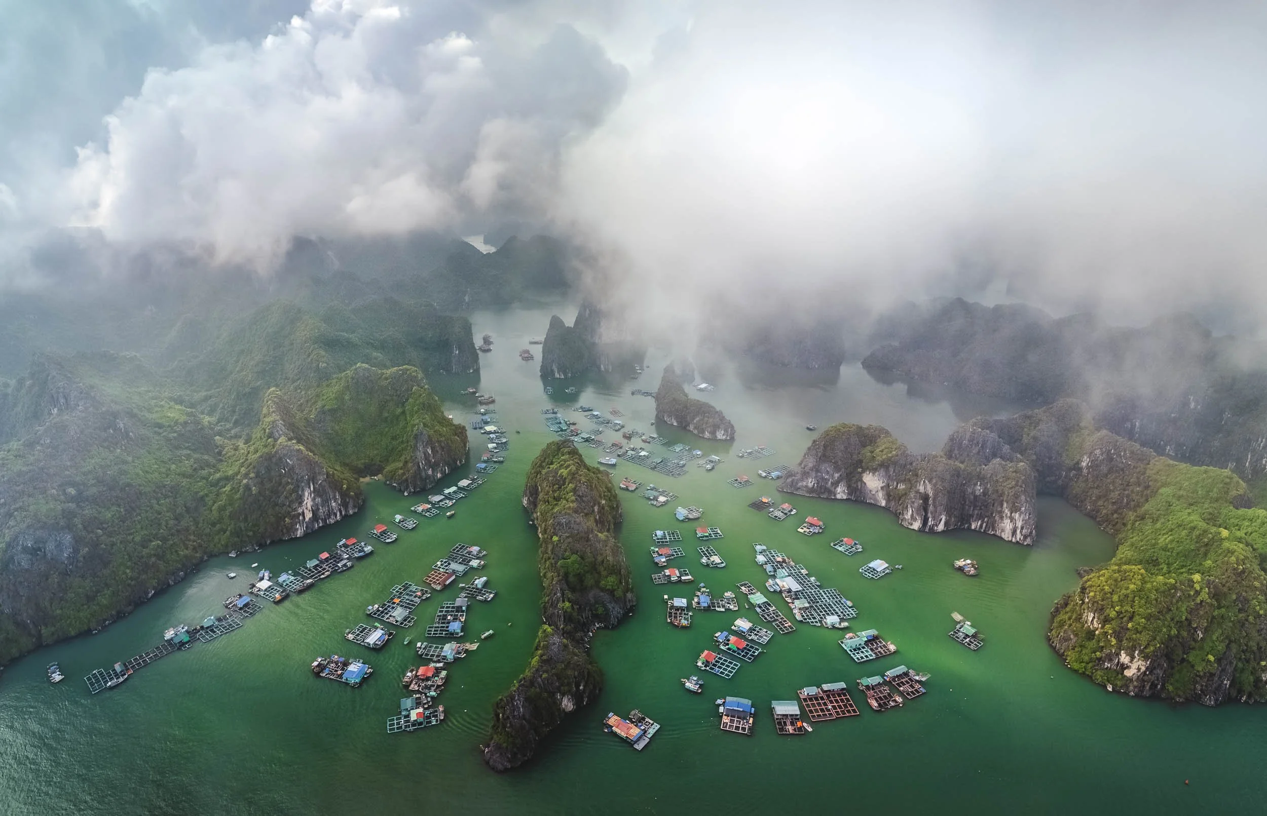
The area is home to Cai Beo, said to be Vietnam's oldest, largest, and one of its last remaining floating communities, featuring around 400 households built - literally - on water.
A short boat ride from the shoreline brings you closer to the floating houses, most of which are simple residential huts, while others act as schools, restaurants, or guest houses.
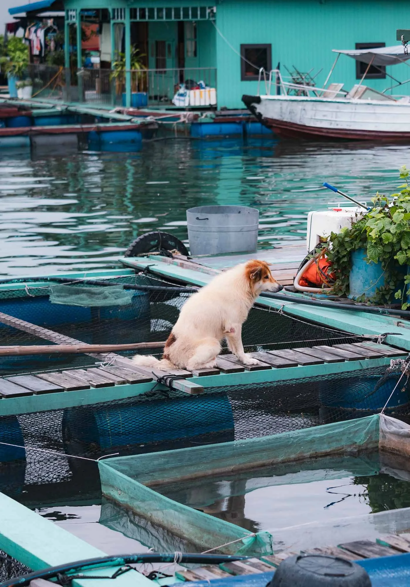
We got to visit one of them, observing a bit of their daily life here. Most of them have built-in fish farms, but some modernity has also taken hold: a few houses have at least temporary electricity from shared power lines and generators.
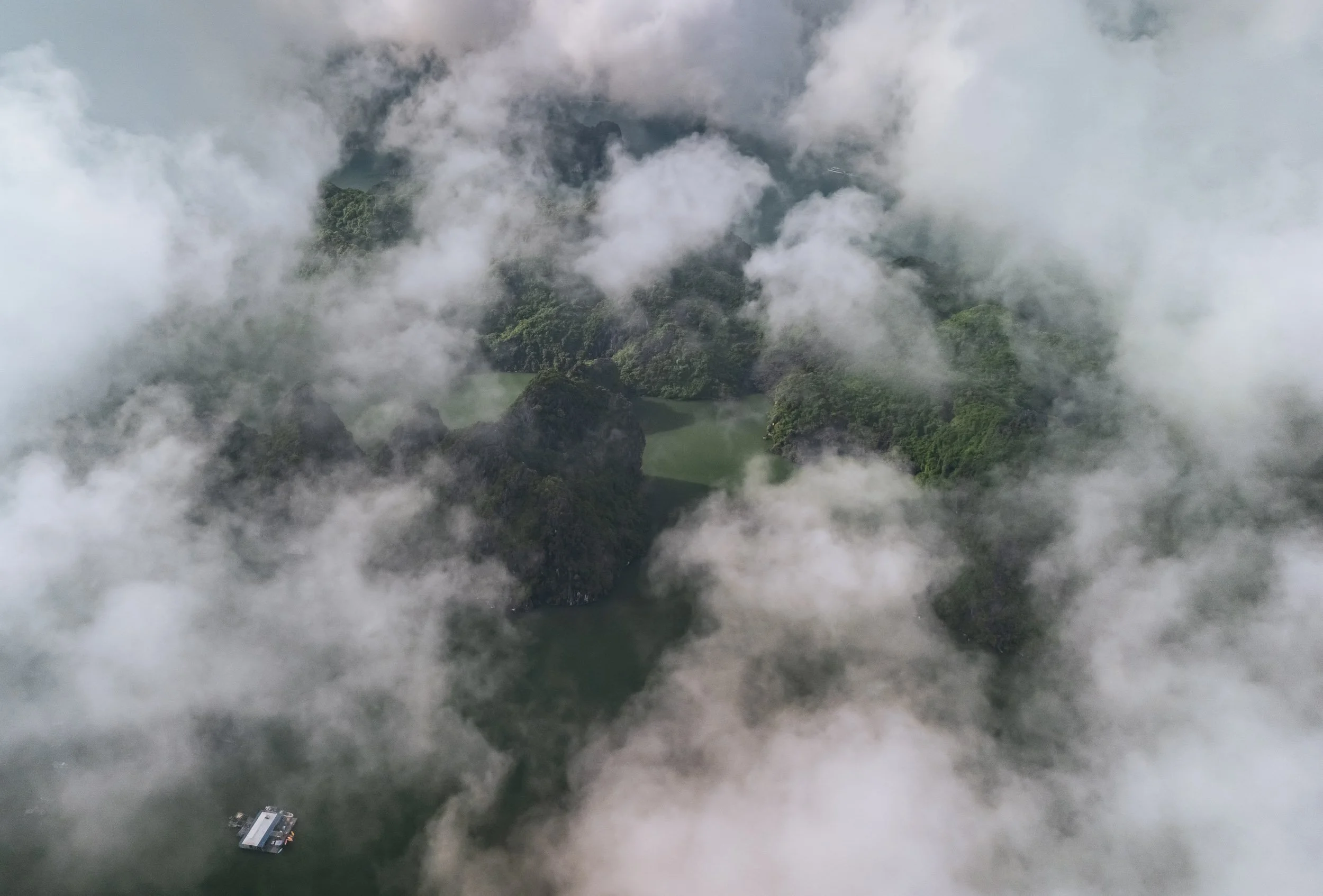
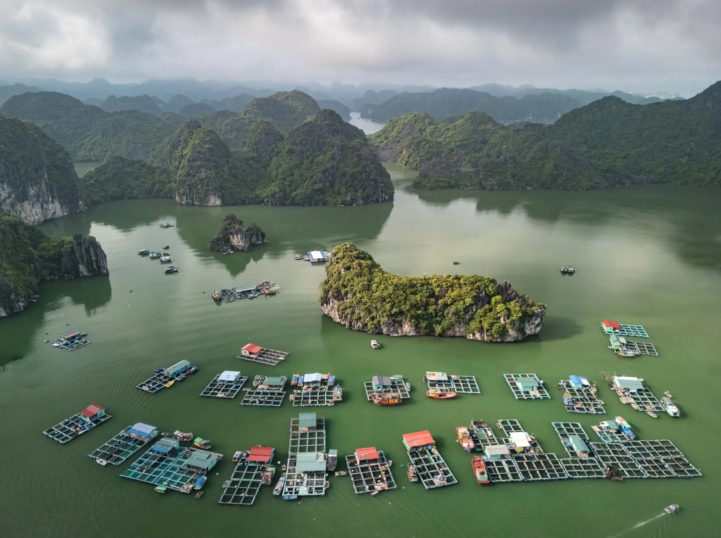
We headed out again the next morning into the very calm seas and moody clouds, creating a beautiful atmosphere among the many limestone islands dotted in the turquoise waters. The landscape is equally beautiful to Ha Long Bay, but a lot less busy - at least for now.
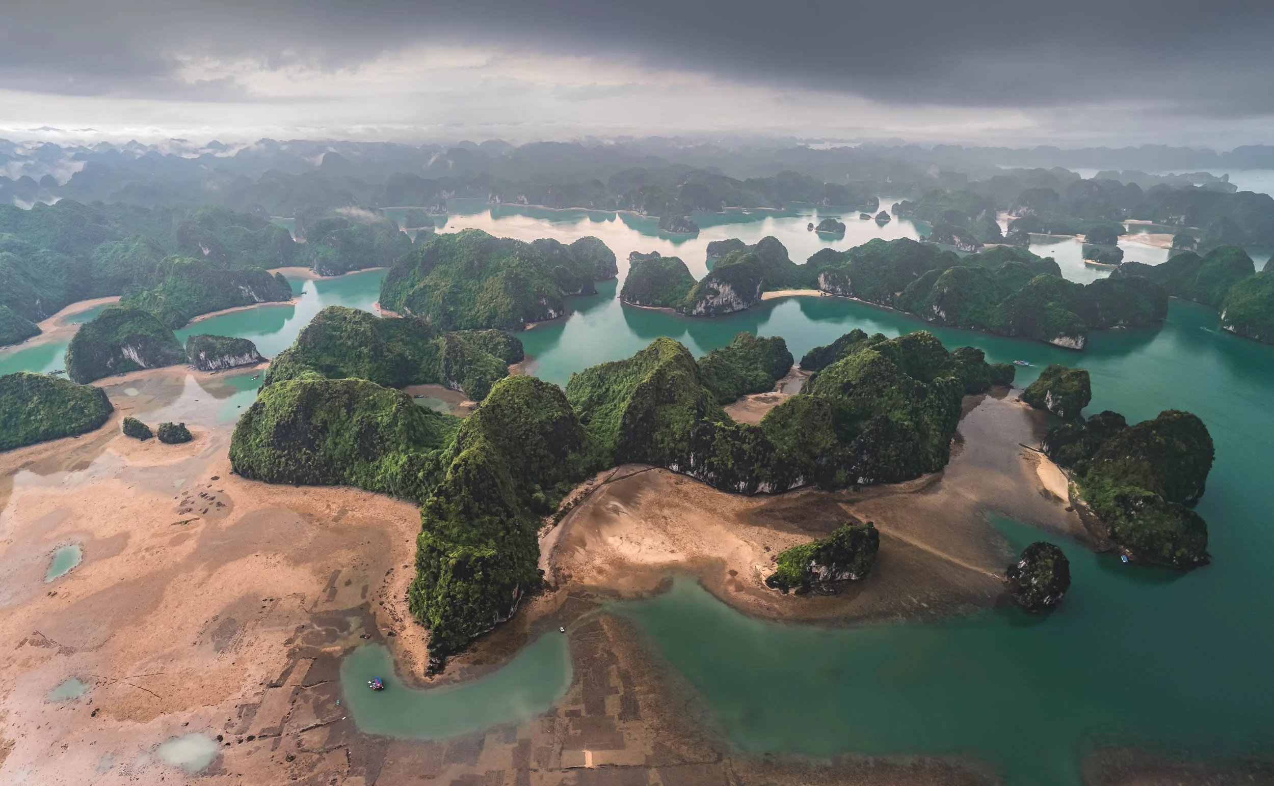
While most of the 300+ islands are uninhabited, you can spot the occasional lonely human soul around - they primarily work here to grow and harvest aqua-cultured oysters and other seafood.
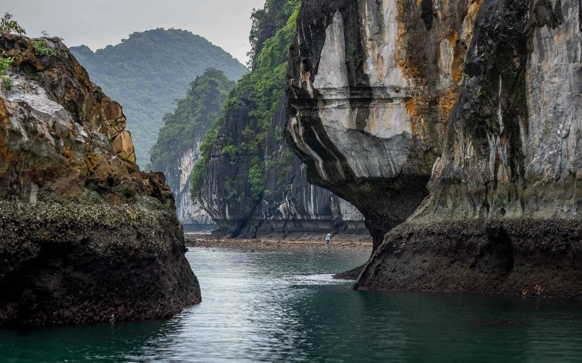
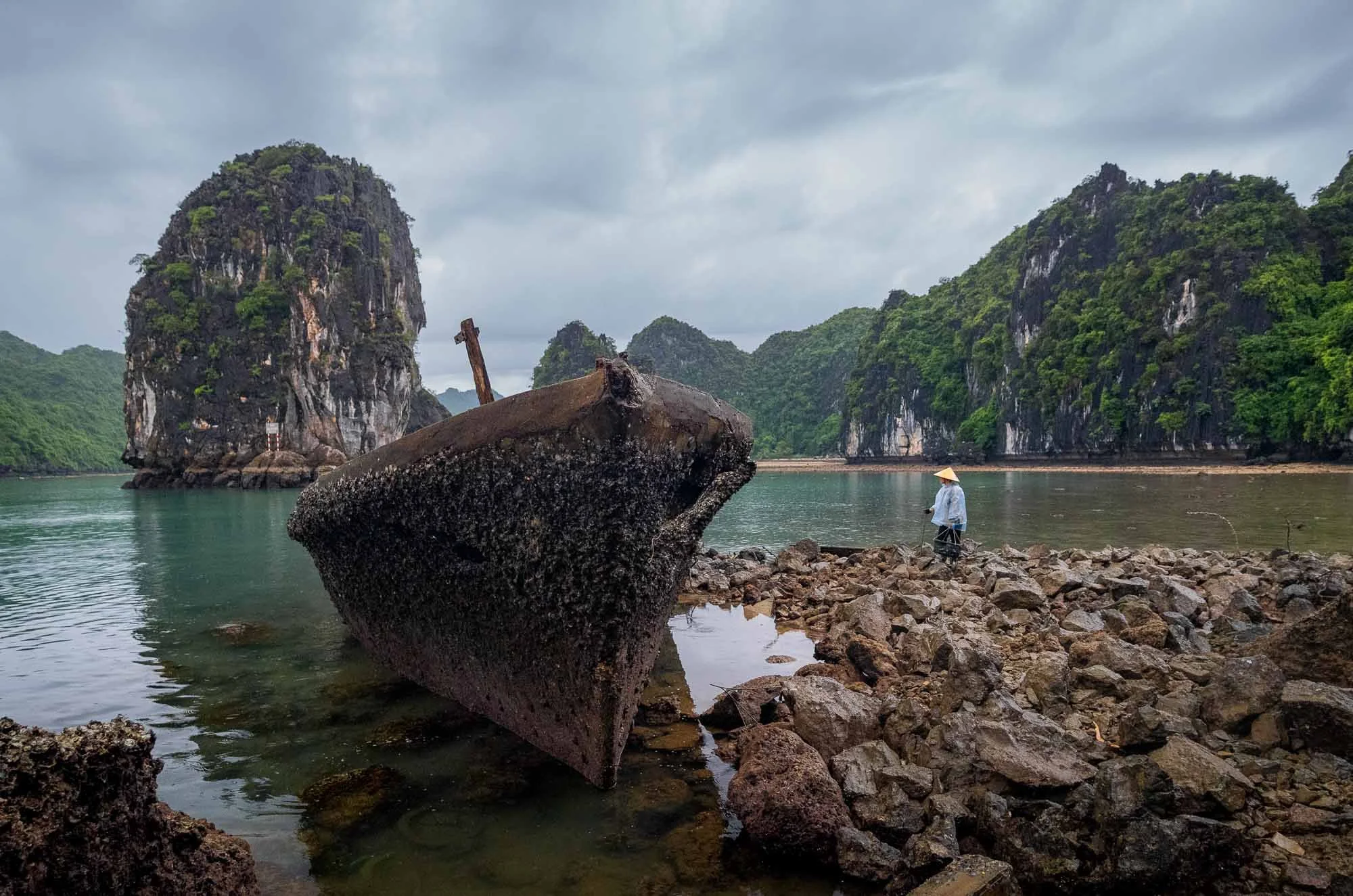
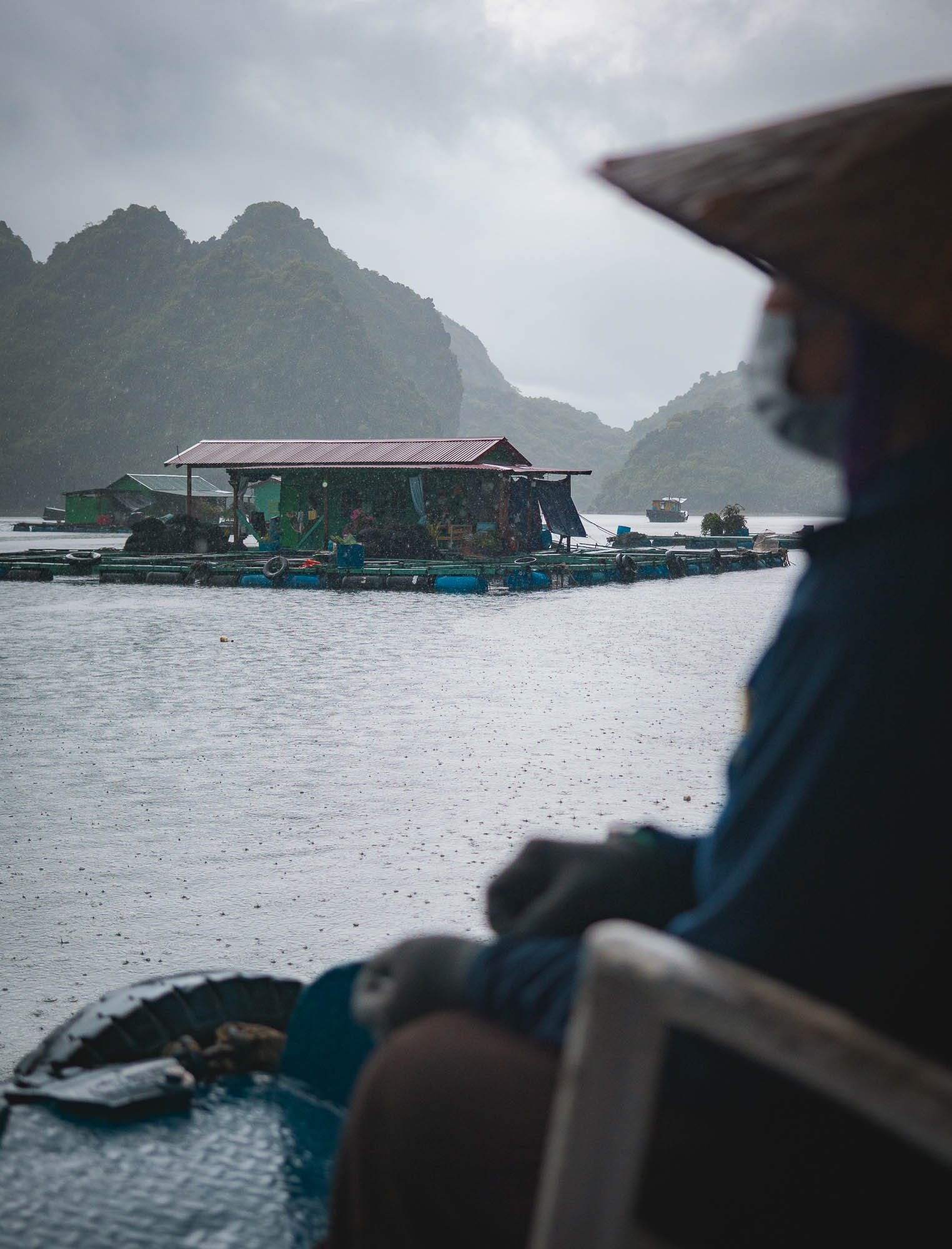
Rain had set in during the late morning hours, making their job a lot less comfortable. We picked up one of the local women - completely drenched - with our boat and dropped her at one of the floating houses.
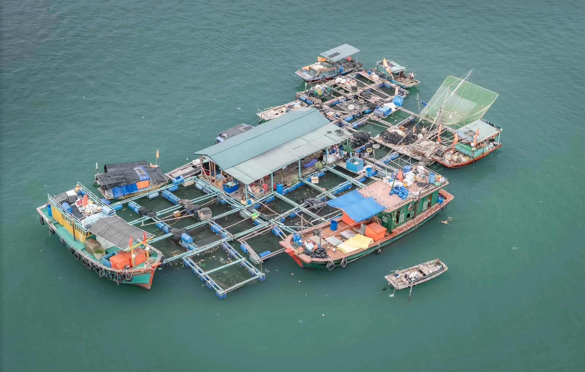
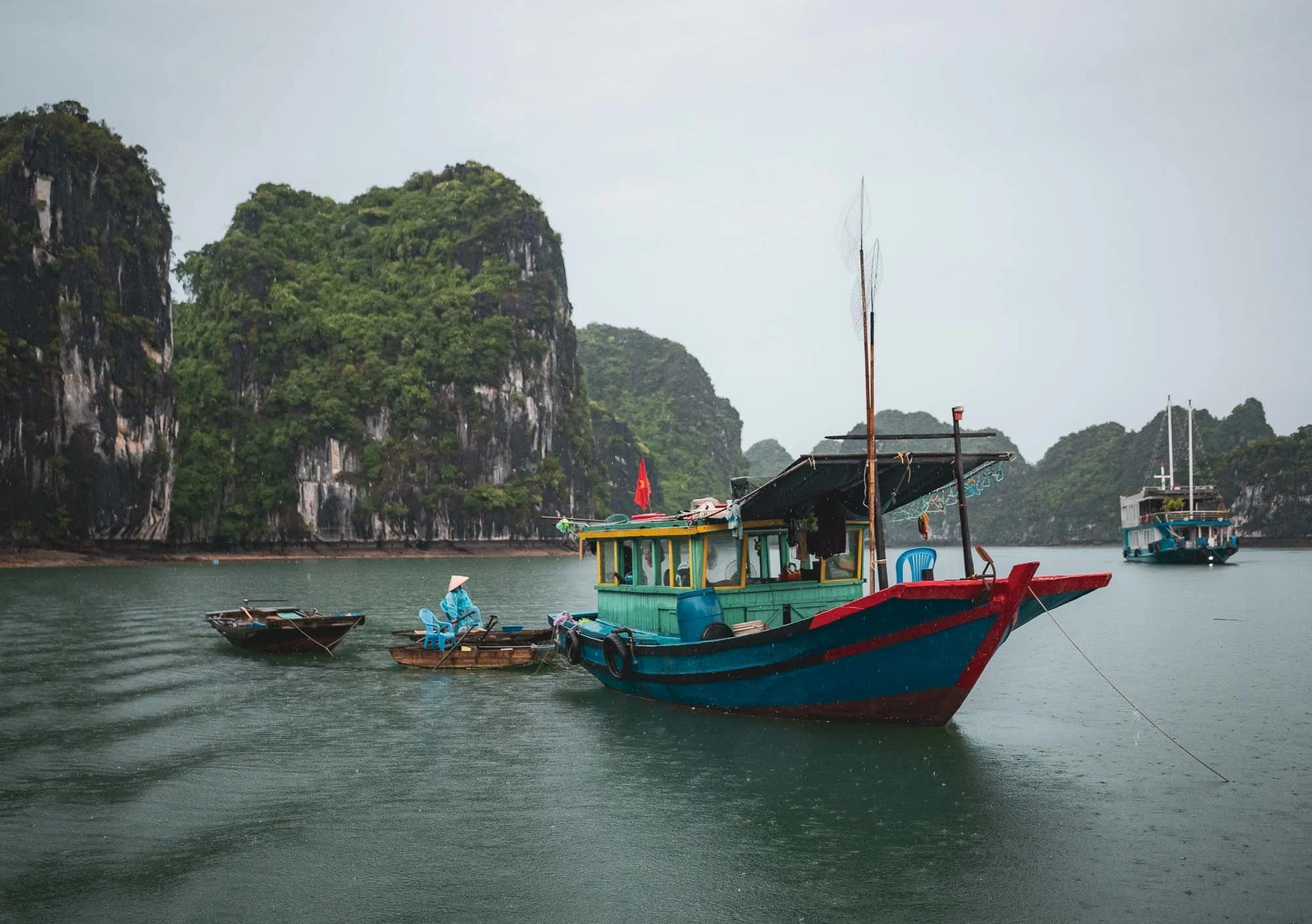
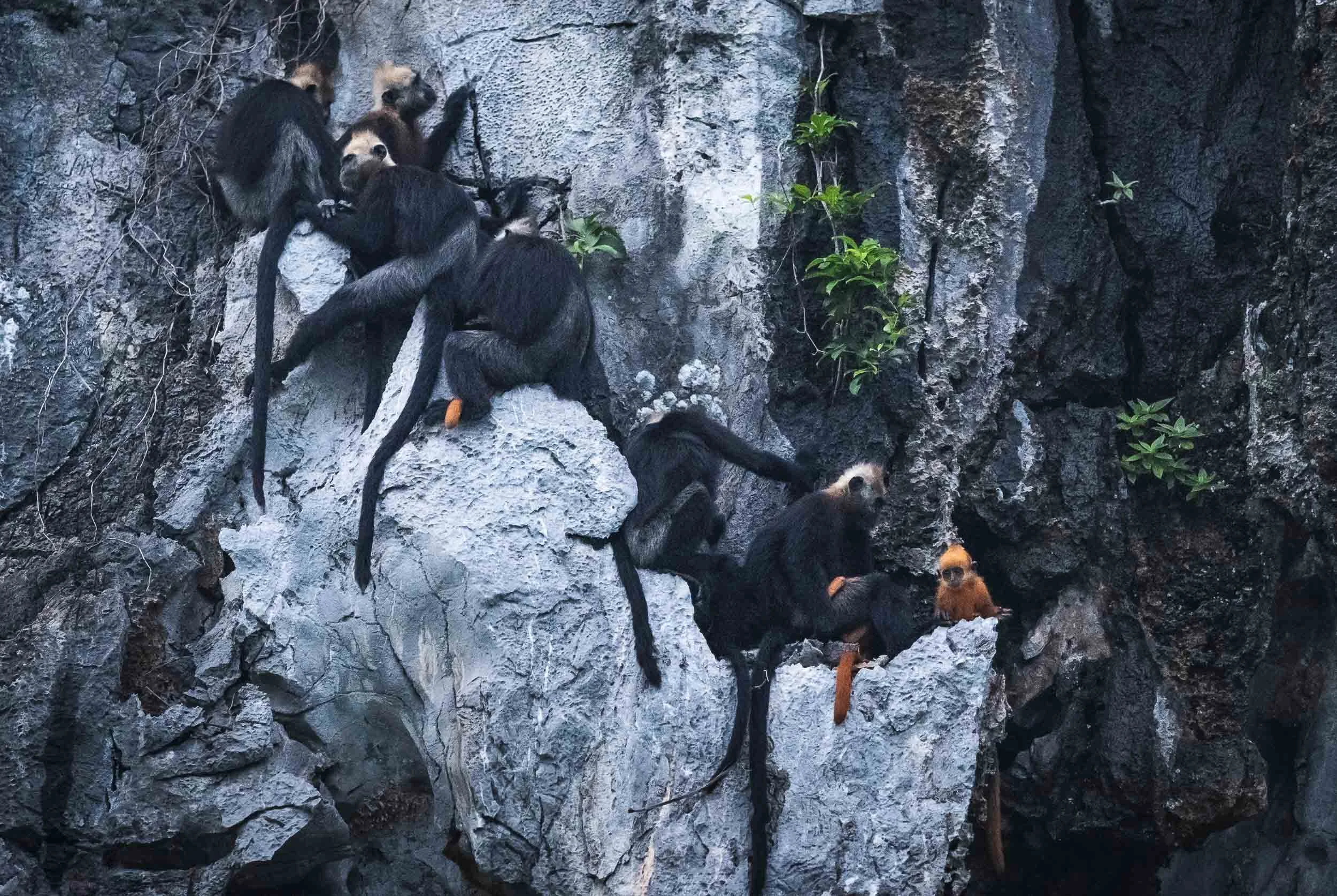
A Rarity
On our way back, we had a very very lucky encounter - something I had not even looked for: the Cat Ba langur, one of the most endangered primates in the world.
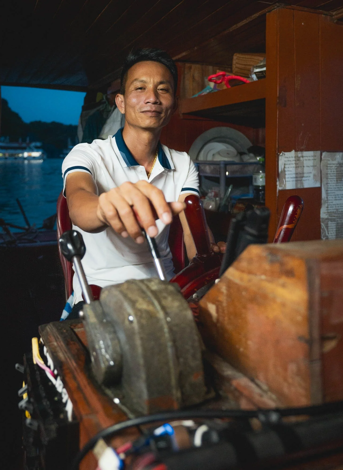
This is an extremely rare sight - there are less than 100 of them left, distributed over a few groups and occupying just a handful of islands. Our boat captain spotted one group high up in the limestone rocks, including a young individual with its distinctive orange colour, which probably gave them away.
These primates are critically endangered and have found ways to adapt to the unique environment here, for instance they can safely tolerate saltwater.
They are now heavily protected and part of the area is a strictly guarded national park to ensure their survival.
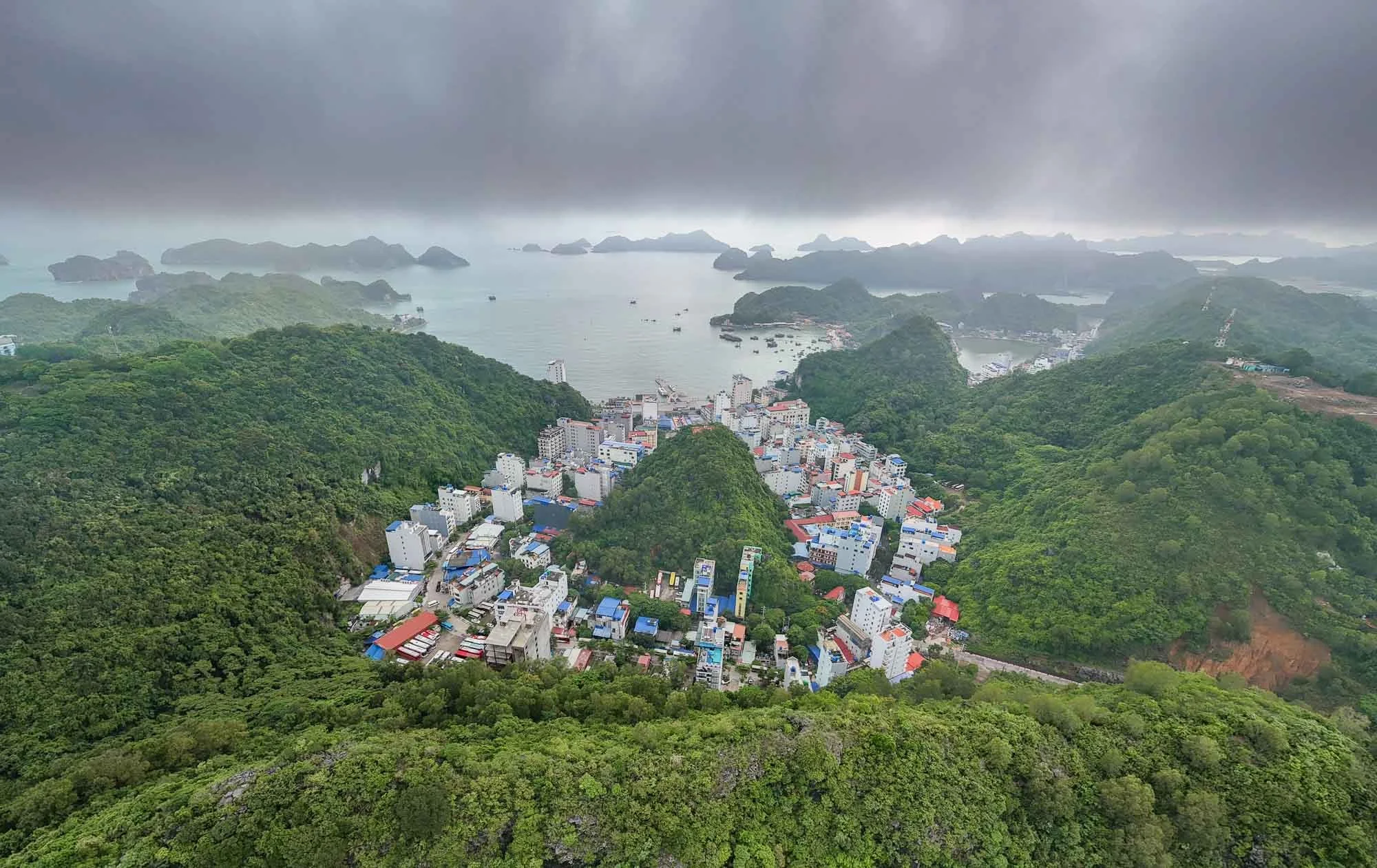
How long this will last is anyone’s guess - over the last years, more and more existing land was used to build human infrastructure, and in recent years huge reclamation projects into the sea added further pressure - just a year after I took this photo, this scene has changed completely, for example, as the bay is now filled with new land area.
And that’s it from my time in Vietnam - a country to add to your travel plan without a doubt!
Subscribe to my newsletter to get notified and don’t miss out on more Wonders of the Globe.
Other Recent Posts:

Ol Pejeta - Kenya’s Rhino Capital
One of the strongholds for both black and white rhino, and home to the last two northern white rhinos in the world, Ol Pejeta’s conservation work is critical to the species.
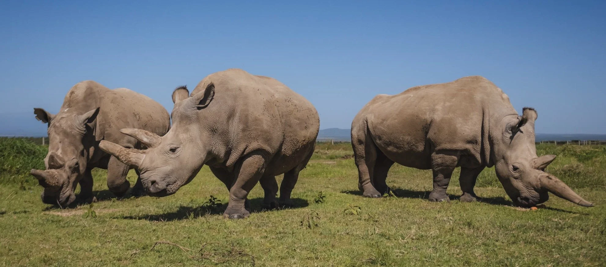
This blog isn’t really meant to be a wildlife portfolio, but I can’t deny that the wilderness of Africa is one of my favourite travel destinations. That’s partly for the landscapes (Namibia stands out), the unexpected (check out the dinosaur footprints in Zimbabwe), or the conservation efforts (see my trip to Amboseli for IFAW), but of course also for the animals you can find here. This is another blog focused on the latter. I promise though there will be future entries again covering other parts of the world, with cityscapes, landscapes, and possibly a few humans as well…
For now, we are going back to Kenya, not far from where I had the joy to photograph Giza, the famous black leopard. Specifically, a conservancy called Ol Pejeta, at the foot of Mount Kenya. This region is rich in wildlife, but stands out for one species more than all others: Rhinoceros.
I’ve wanted to come here for a few years, having followed the faith of a specific type of rhino for a while…but one thing at a time.


I stayed at the aptly named Porini Rhino Camp, a simple tented camp in the quiet north-eastern side of the conservancy. It’s a beautiful small camp in a very calm location, with wildlife just metres away from your tent. It was also completely empty - the season had just started (this was in mid-May) and we were the first guests after they re-opened. Could not ask for more!

The Water Hole
The camp also features a small hide directly at the local waterhole - always a great option to get some eye level close ups of animals coming to drink - giraffe, impala, warthogs were among the visitors as we arrived.

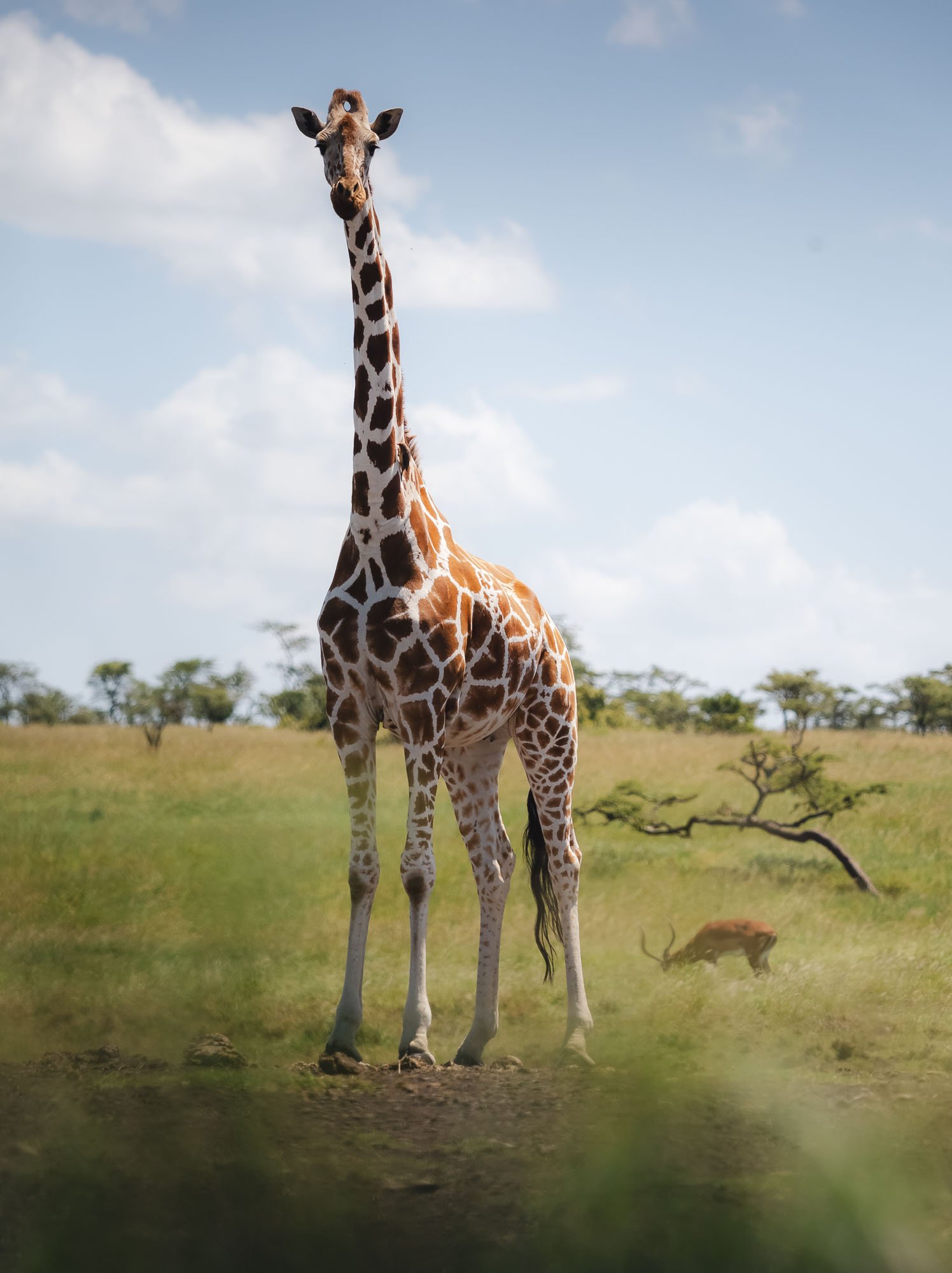
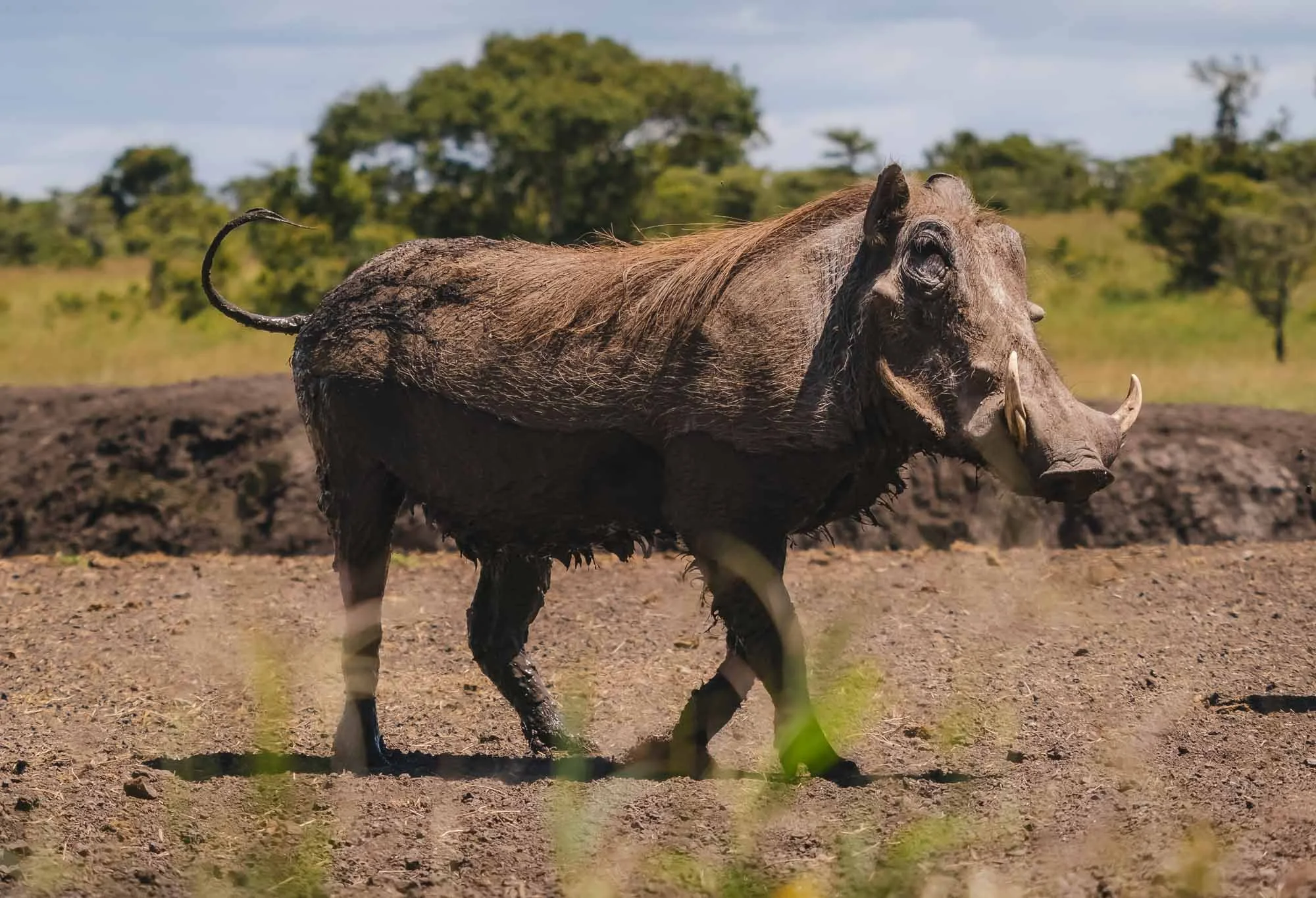
This brave warthog came pretty close to the hide but was rightfully skittish - the smallest sound and movement made it scuttle away quickly.
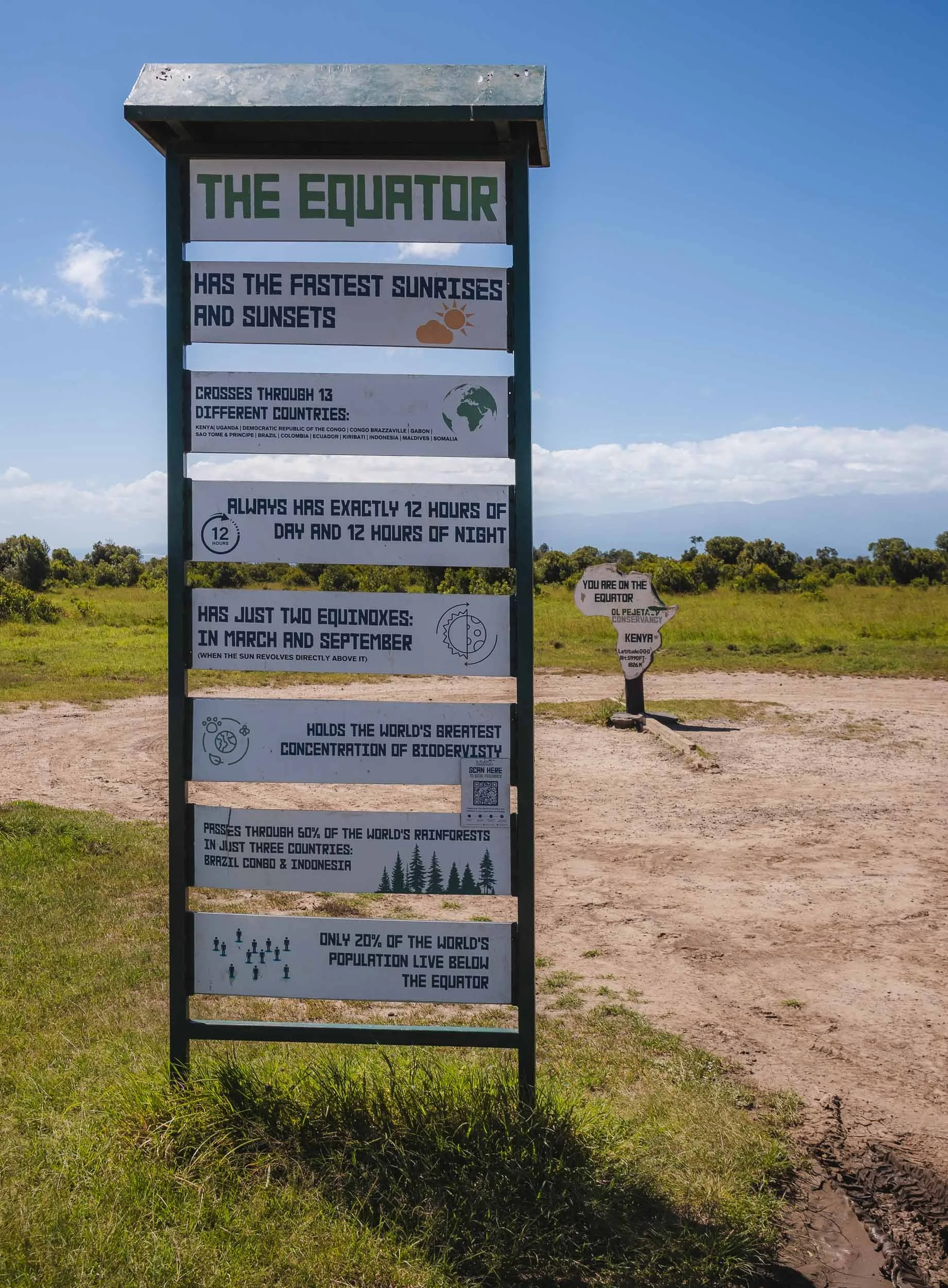
Centre of the World
The conservancy lies in the north of Kenya at the equator, which runs through its borders, marked by a small sign post. I’ve had the chance to cross the equator on foot a few times before, but it’s still a cool little quirk to move from one half of our planet to the other.
Ol Pejeta is also home to a large variety of birds. I’m still learning to appreciate our flying companions more, but even with my limited knowledge seeing one of these colorful bee-eaters in action is always a joy…


… as was this incredible and rather unusual (so I was told) sight of probably more than a hundred pelicans gathering in a small pond just off the dirt-road leading through the part of the conservancy.


Rhino Capital
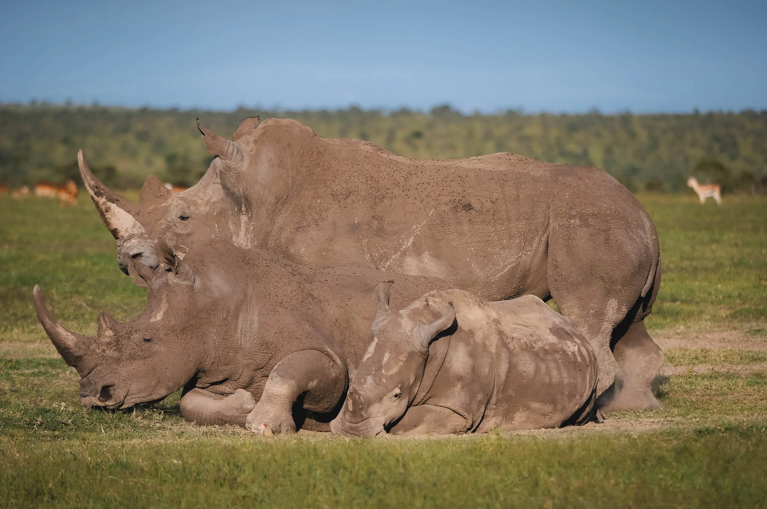
Admittedly it wasn’t the birds why I came here. It was for Rhinos. Ol Pejeta is one of their strongholds in Africa, with around 50 southern white rhinos such as these ones, more than 150 critically endangered black rhinos (the much more shy variant) and the last two northern white rhinos on the planet (yes - the last individuals of the species anywhere, whether in the wild or captivity).
We had at least a dozen rhino encounters over the 5 days here, with several groups spread around the conservancy. Its borders are designed in such a way that rhinos cannot move beyond its boundaries with specific type of fences and deterrents that only allow all other animals to pass and migrate. This is for their own protection: Ol Pejeta employs highly trained rhino protection squads, partners with international veterinary experts and gathers data on all of the individuals to support their conservation across Africa.


The Northern White Rhino
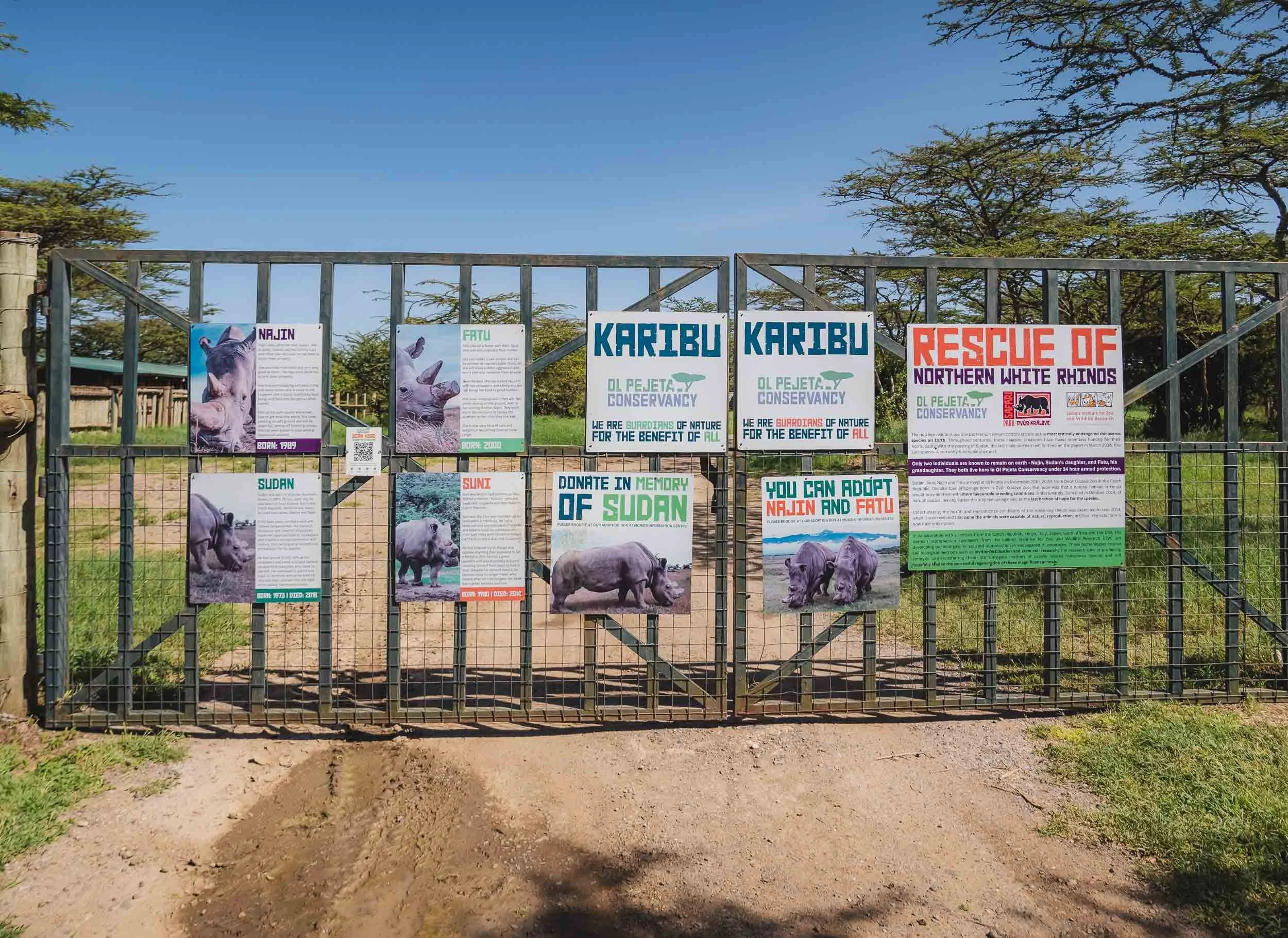
The pinnacle of the conservancy’s conservation work sits behind this fence: the enclosure of its two Northern White Rhinos, the last of their kind.
I’ve been following their faith for a few years and had been looking forward to learn and see more of them in person for a while - it was an exciting moment to stand in front of these gates.
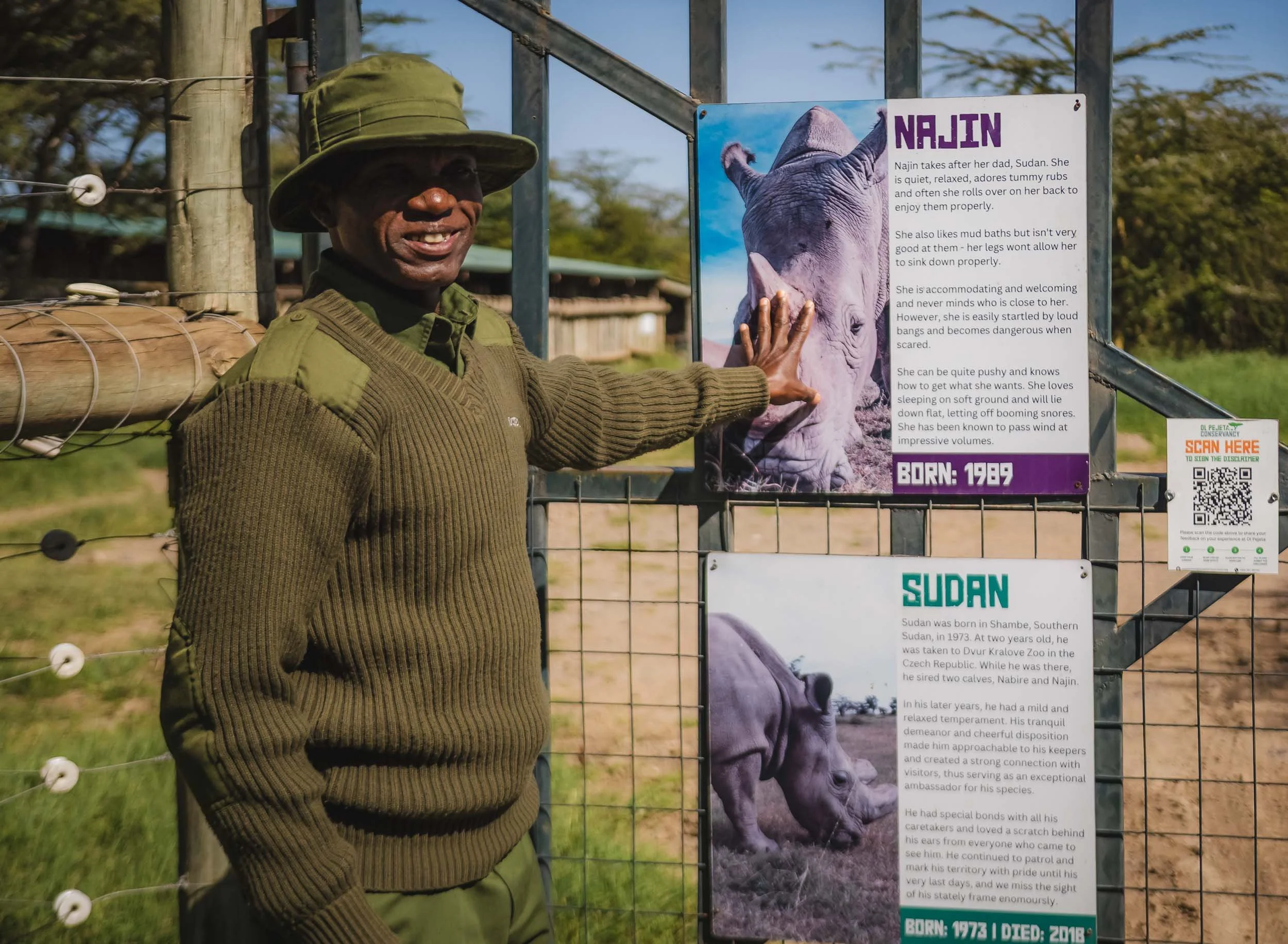
One of their caretakers (I think his name was Noah) tells the story of Fatu and Najin (her daughter): In 2009 four of the world's last remaining seven northern white rhinos at the time arrived at Ol Pejeta.
Najin, Fatu, Sudan and Suni were a family that had been living in a zoo in the Czech Republic, where previous breeding attempts had been unsuccessful.
The hope was they would reproduce here in their native habitat, but this didn't materialize. By 2018, Sudan, the last male of the species, died, leaving only the two females we have now.
Several attempts were made to mate them with a southern white rhino, which now lives with them in the enclosure, but this also proved futile.
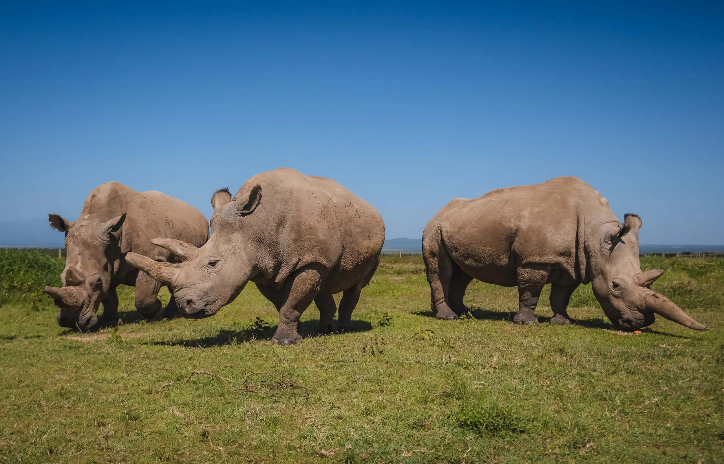
The Last of their Kind
As we entered the huge fenced area, the three rhino in the area weren’t all that far: Najin and Fatu to the left, with their southern white rhino companion on the right side. The northern variant is a bit smaller, less hairy, has a straighter back, flatter skull, and shorter horns. The group is protected 24/7: in total, the conservancy has almost 250 people in security, with over 40 armed rangers, and the protection of the rhinos costs $1.5m per year - mostly financed from donations.
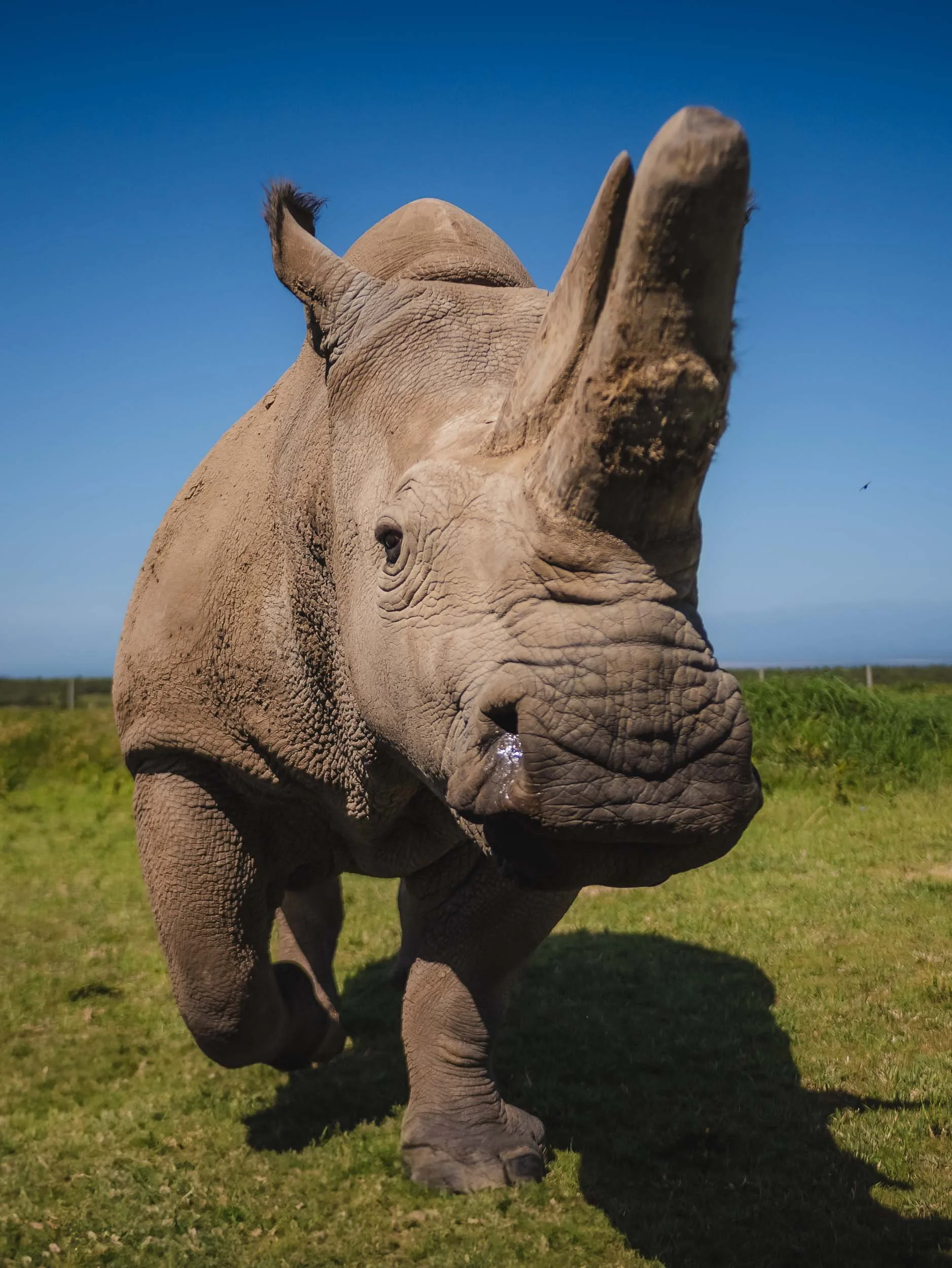
Owing to their history in a zoo, these rhinos are quite accustomed to humans, and may even let you feed them - a moment where you can feel their strength even in the most docile of movements.
The last wild members of the species are said to have been spotted in the mid 2000s in the DRC - with no sightings in the last 15 years they are considered extinct in the wild. With no other captive population either, these two are probably the rarest mammals on Earth.
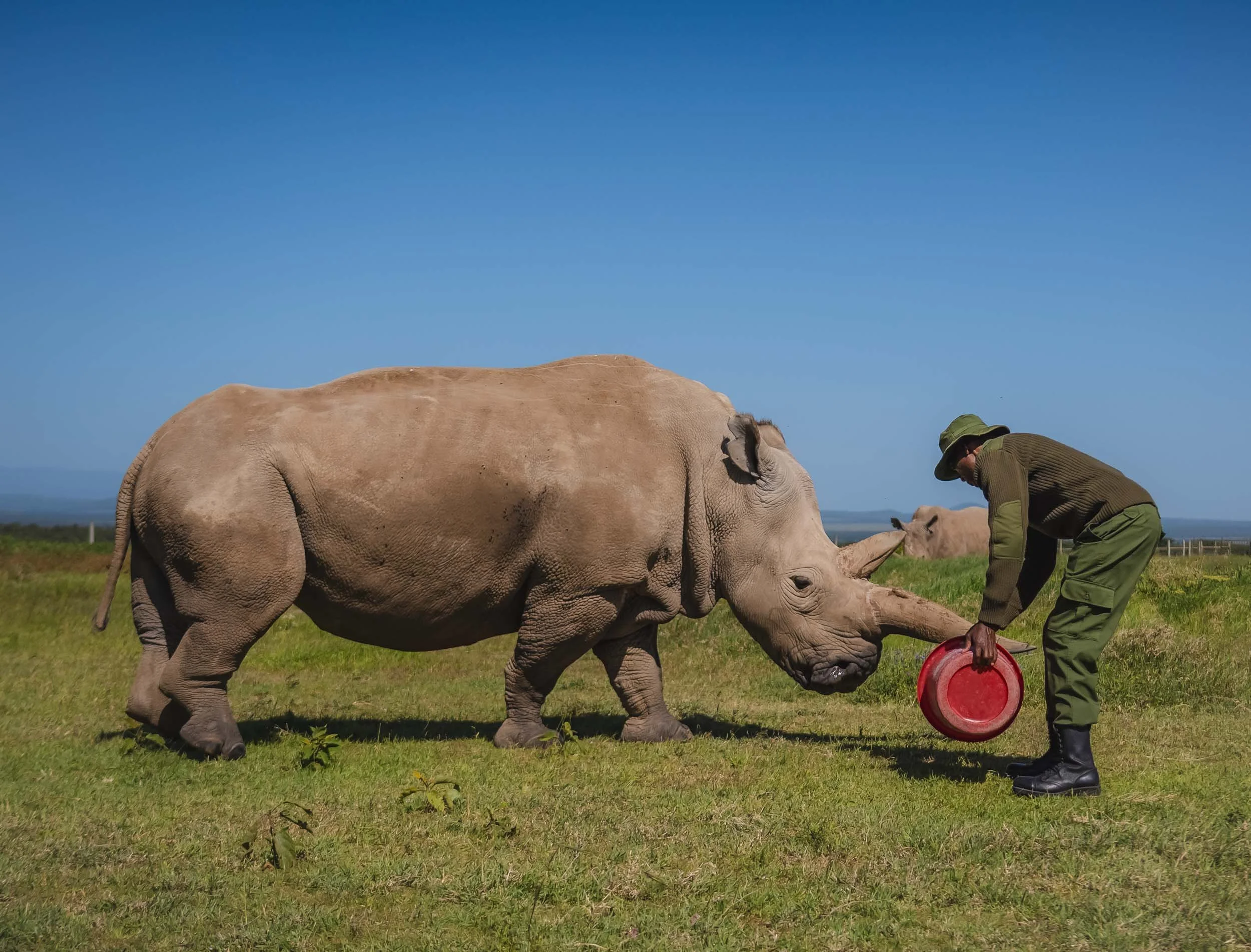

Both females are no longer be able to produce offspring on their own. The last hope of the species now lies in the development of in vitro fertilisation techniques and stem cell technology. The rangers told us excitedly that just a few days before my visit, researchers had attempted an in vitro process using a southern white rhino surrogacy female. This has unfortunately not been successful - read more here.

One last touch
We got to spend almost an hour with these (mostly) gentle giants. Even a few months later it gives me goosebumps to think back the feeling to encounter these creatures so closely and be able to touch their skin and horn - the last remnants of an entire species of animal that may not exist anymore in a few years from now. A sober reminder of the fragile environment we live in these days, given that rhinoceros have been around for 50-60 million years.
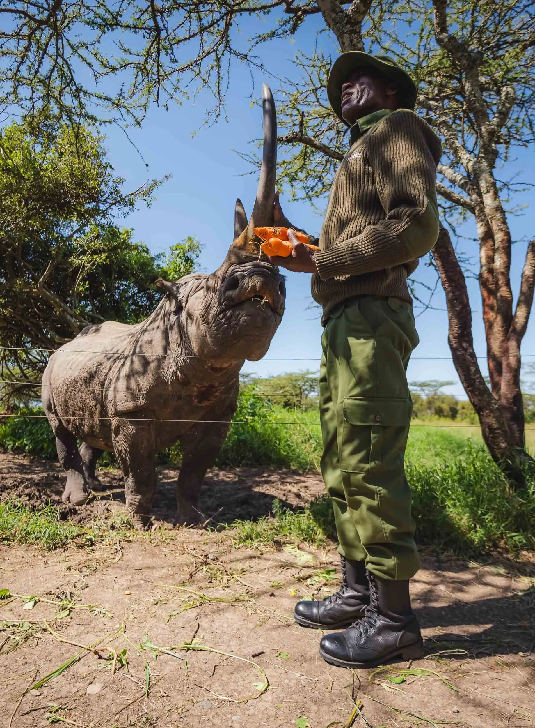
Baraka - the blind black rhino
Another close encounter you can have here is with a rhino that was saved from certain death in the wild: Baraka, meaning “blessing".
He lost sight on one eye due to a battle with another male, and a bit later his other eye was affected by an infection, rendering him completely blind.
Luckily for him, rhinos generally have poor eyesight, and instead mostly rely on touch and hearing to navigate the world around them. That made it possible for Baraka to enjoy a relatively peaceful life in a huge enclosure.
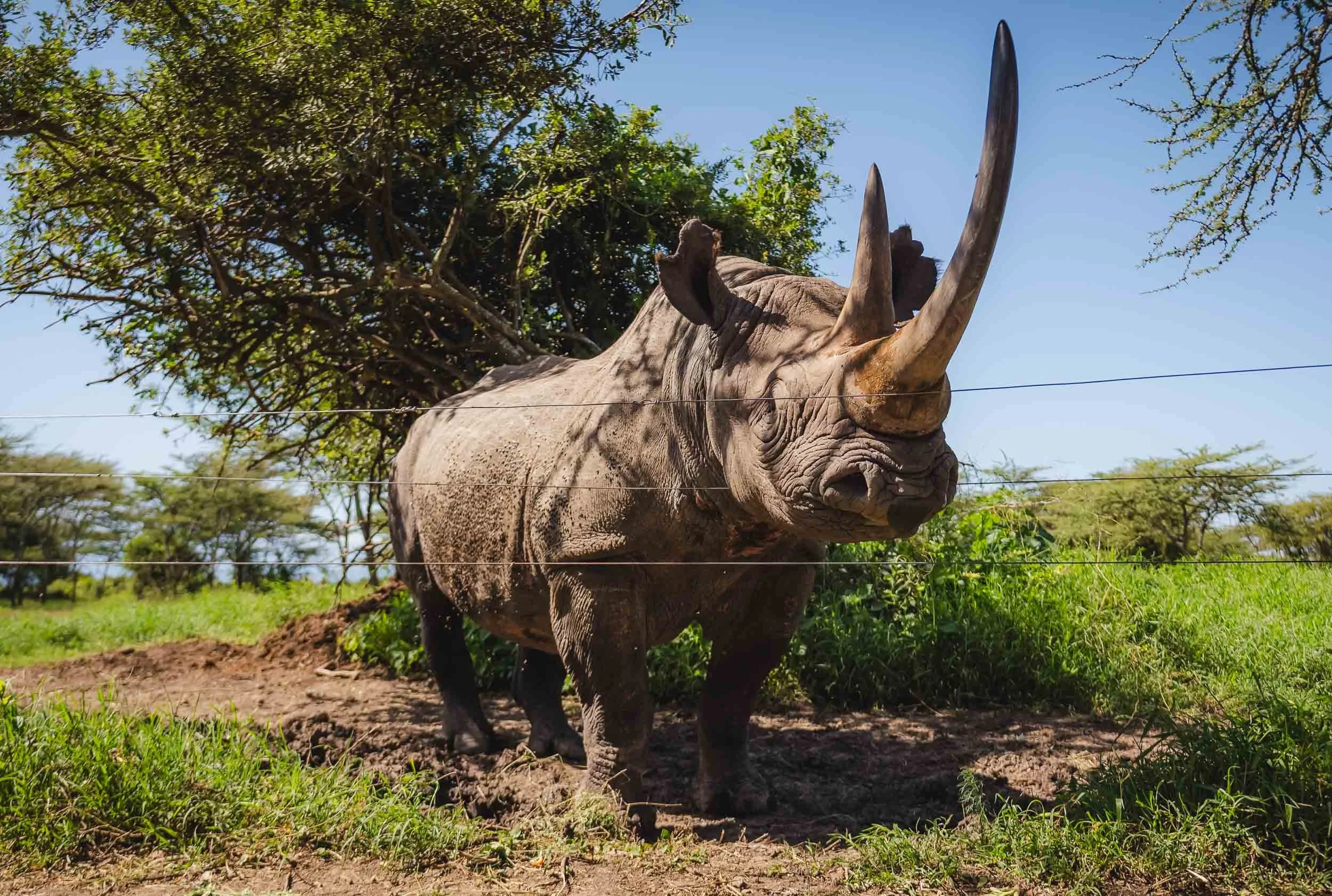

Although he got used to humans around him and is generally calm, his massive horn makes Baraka an imposing creature. It’s not surprising that when a local school class approached, not all the kids were confident in handing him a carrot. Ol Pejeta regularly hosts education trips for the local community to bring them closer to the animals and teach them about the conservation efforts.
White vs black: the names of the species have little to do with their color - they’re all grey. White rhinos are generally bigger and heavier, but also calmer, a little more social than their black counterpart. The name however comes from the shape of their mouth, an anglicized version of the Dutch “wijd”, meaning wide, representing their wide mouth. This shape is linked to their feeding habit: wide rhinos are grazers, eating grass from the ground in large bites, whereas black rhinos use their much more pointy mouth to browse on shrubs and leaves in bushes and trees.
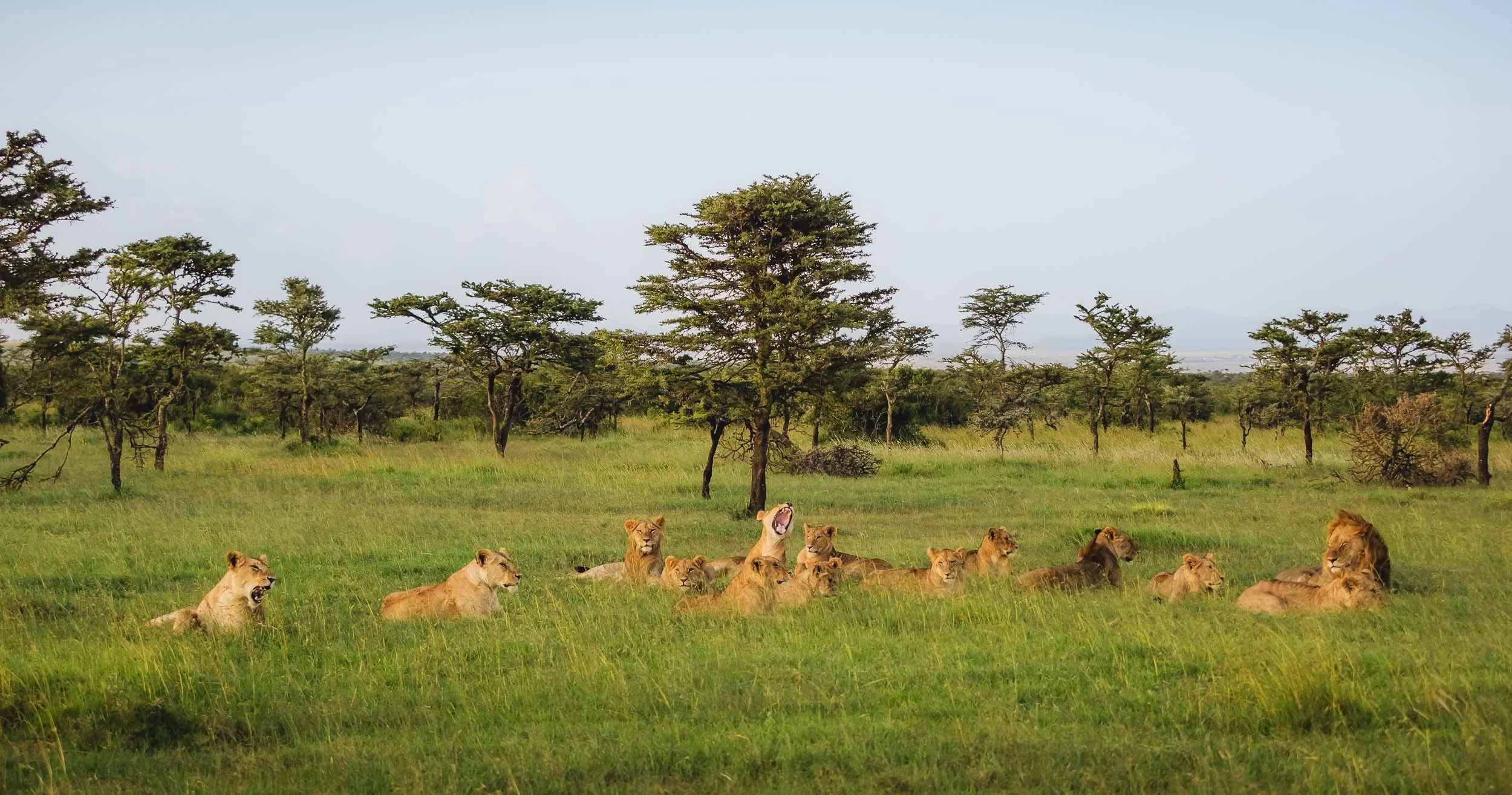
The Pride
Ol Pejeta is also home to six lion prides with over 70 members, and we saw a lot of them during this sighting, with over 20 individuals resting together in the late afternoon; slowly becoming more active, stretching and scratching, as the sun set.
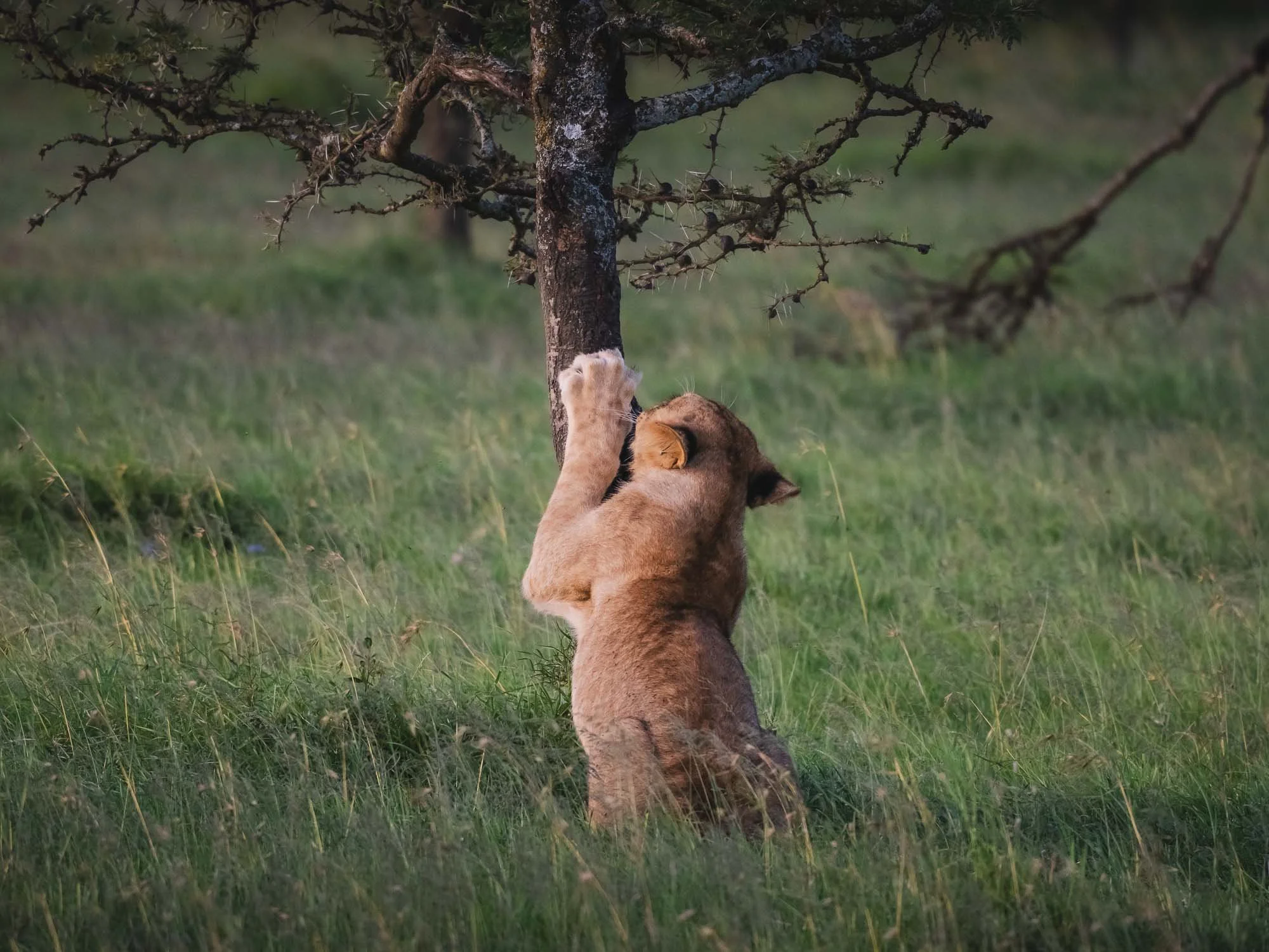
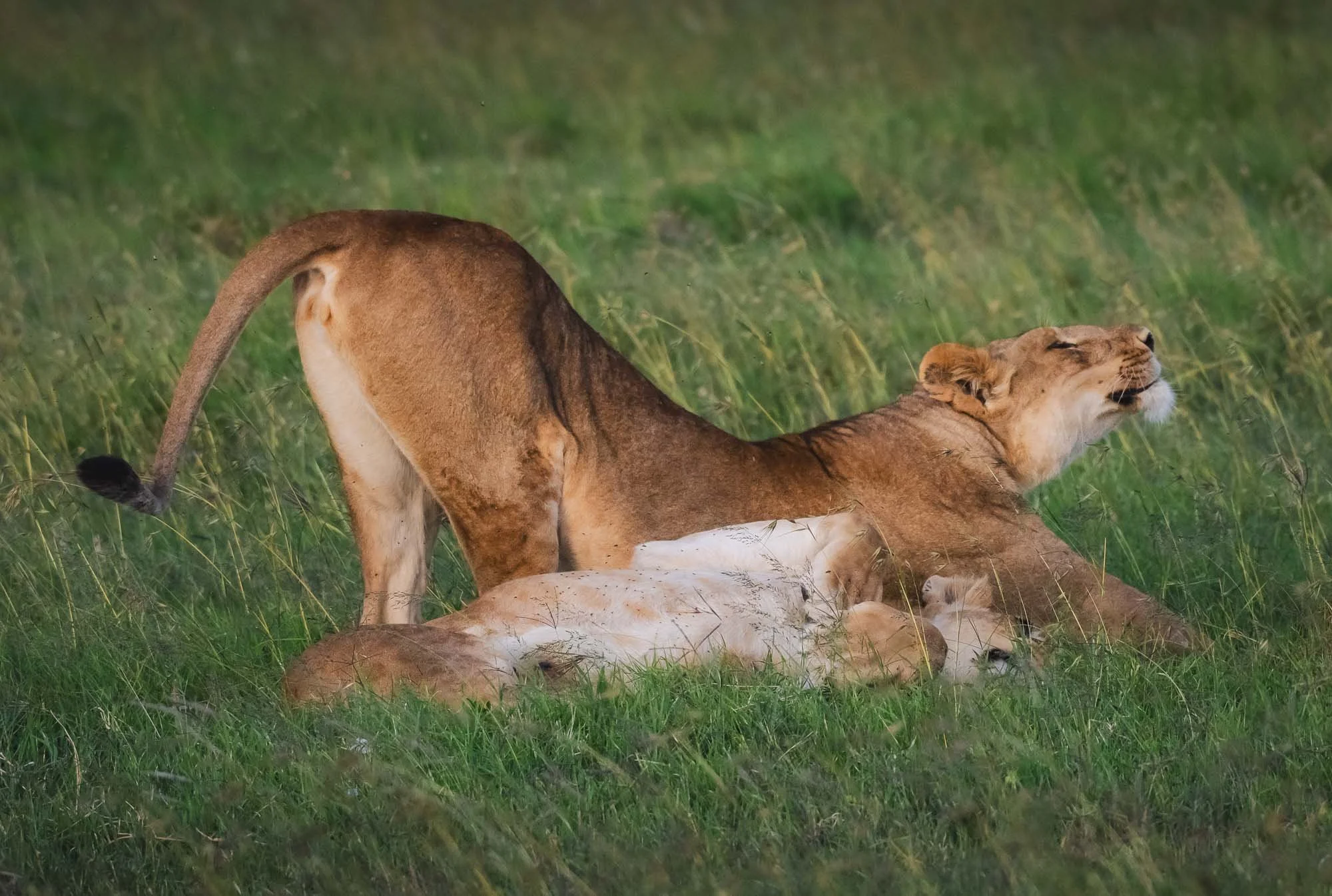
One of the youngsters also made an attempt at catching some guinea fowl - completely unsuccessful, and even the distant herd of gazelles had long seen him stalking the bird.

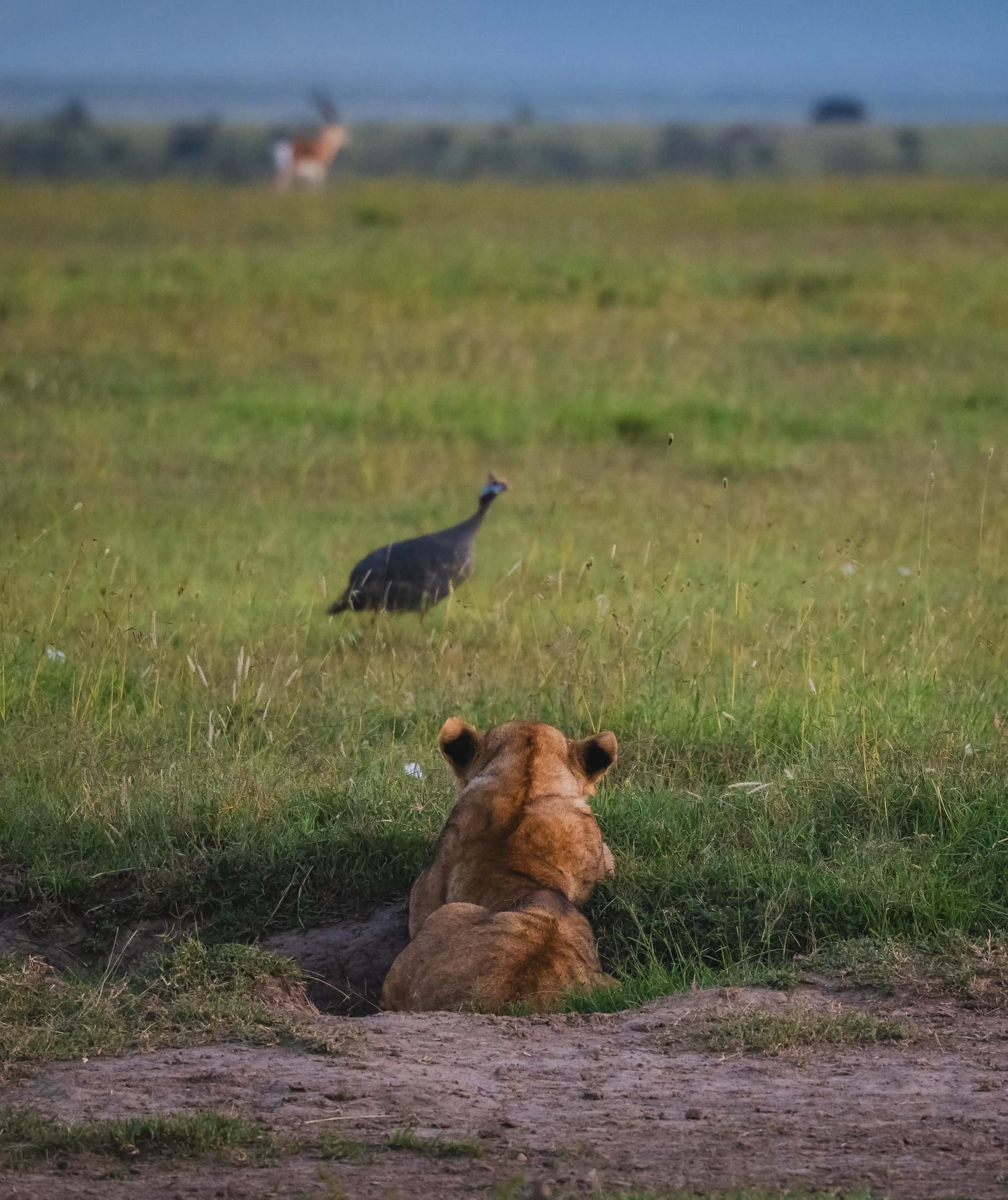
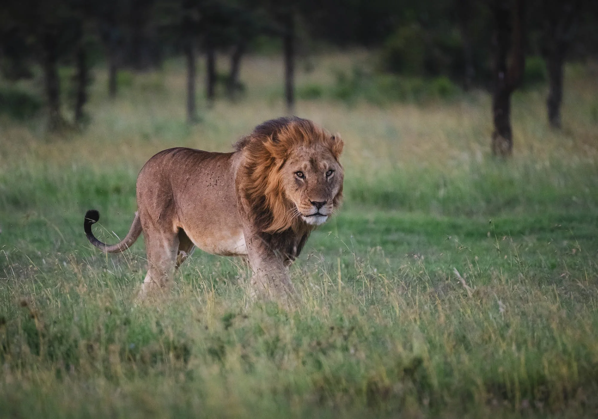
As the light faded the large male decided to get up, greet everyone, and ended the shenanigans - they made their way off into the forests and it was probably time to look for today’s meal.
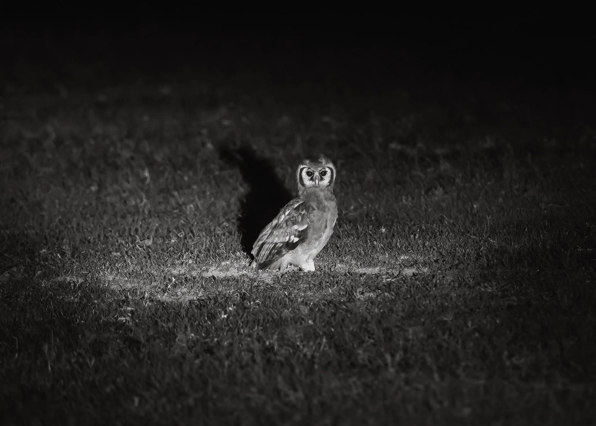
It’s very hard to follow lions at night, but we did spot what I suspect is a Verreaux’s Eagle Owl (the largest African owl) in the grass on our way back.
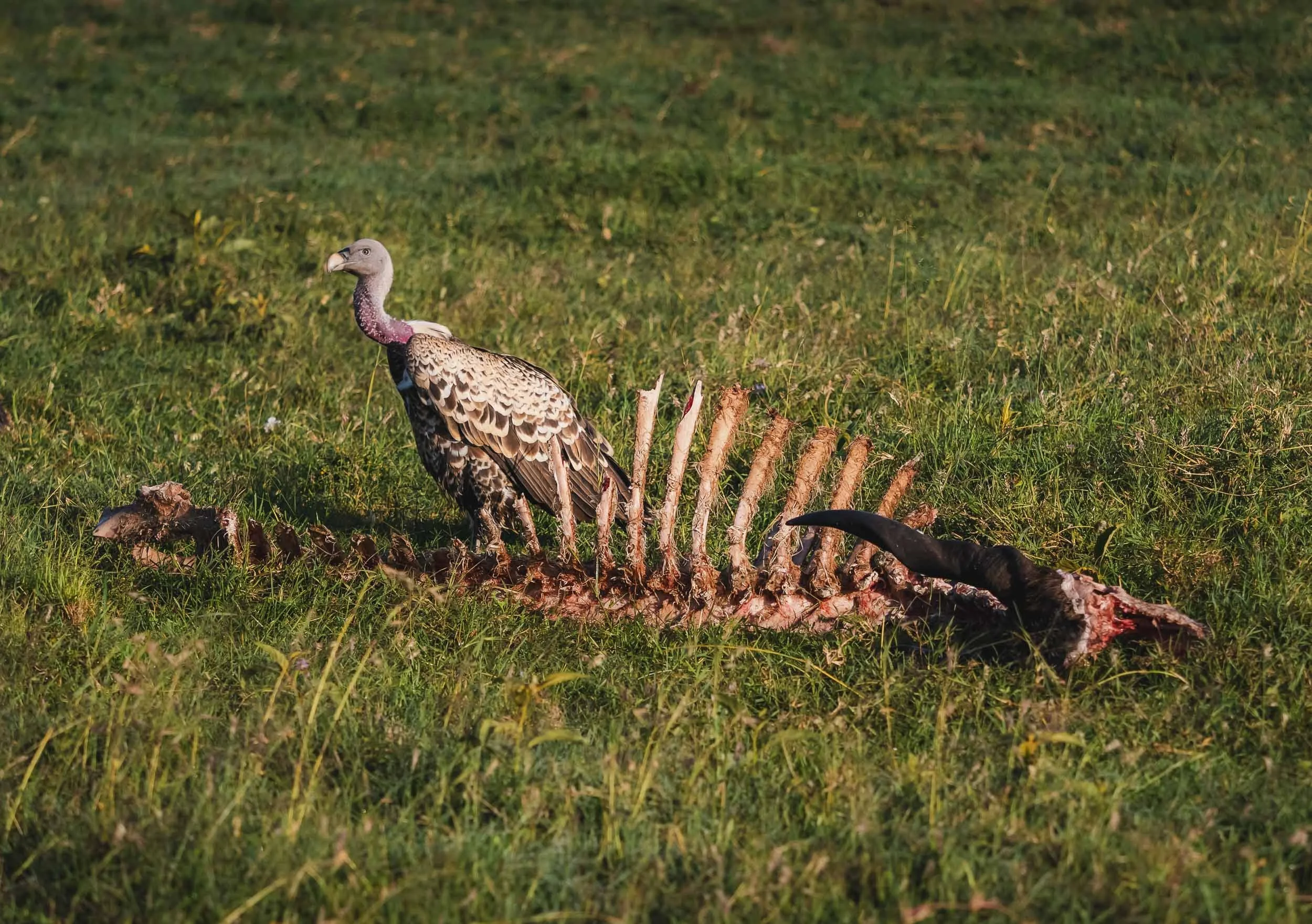
The next morning…
I can’t say for sure whether the leftover Kudu skeleton this vulture is sitting on is related to the pride going for a hunt the night before, but some predators certainly had a filling meal.
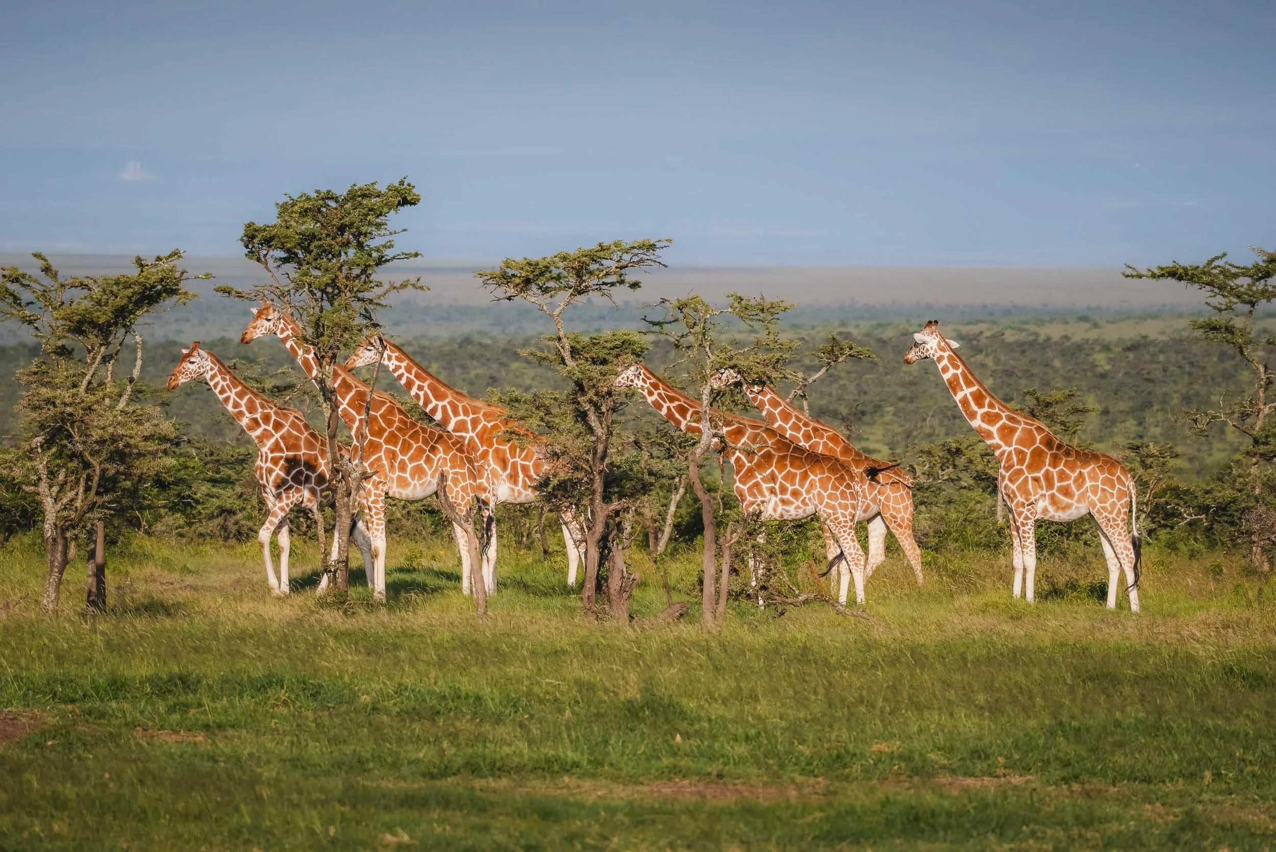
The Reticulated Giraffe
The northern part of Kenya also features a special type of Giraffe - did you know there are multiple species?
With up to 6 meters in height, the Reticulated Giraffe is the largest of them and the tallest land animal on Earth.
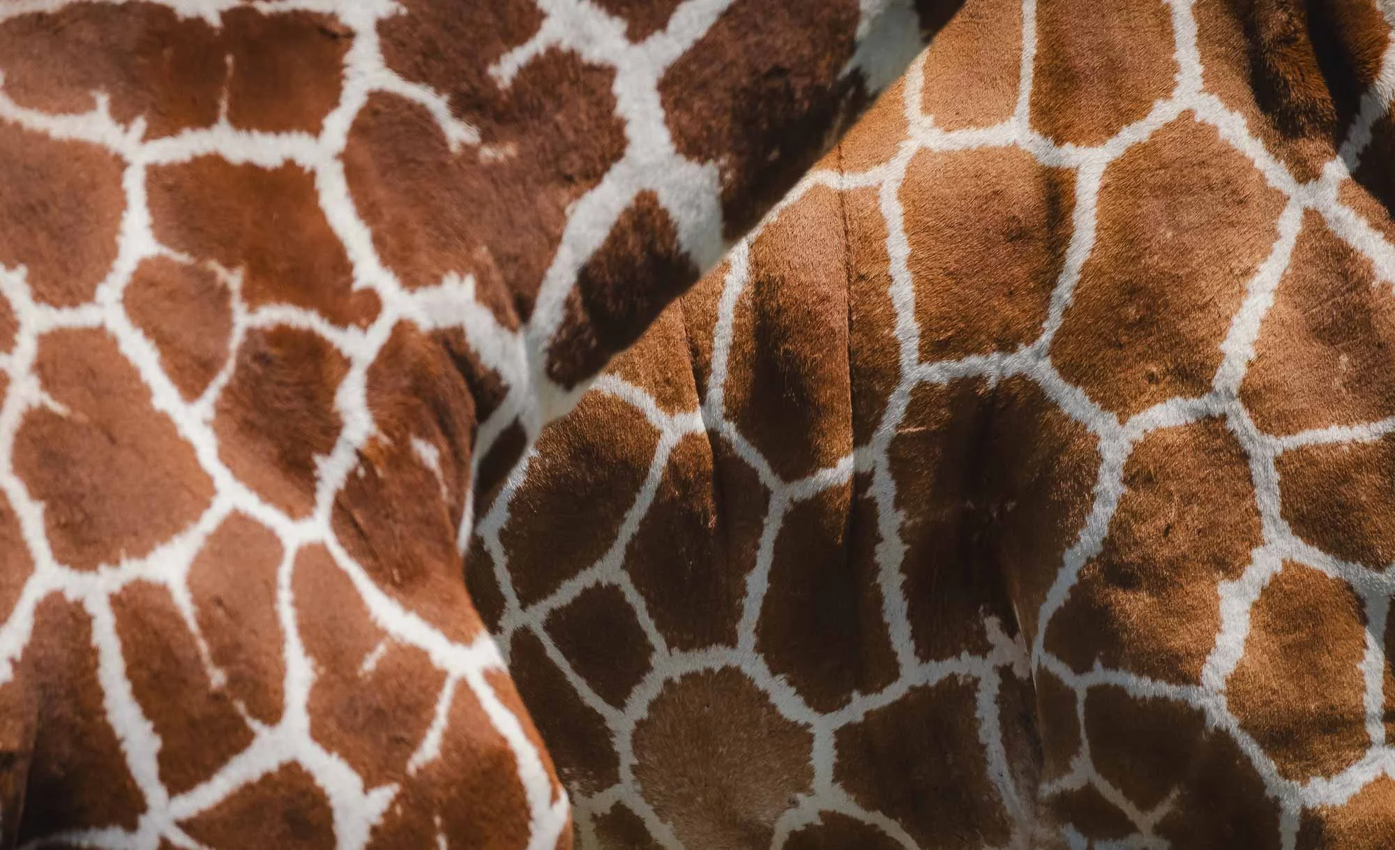
Aside from their impressive height, it’s the fur coat pattern that gives away this type of giraffe -the bright lines between the brown patches are much thinner and clearly defined than the common Masaai Giraffe.
They are an endangered species, with about 9000 individuals left in the wild. We got lucky to see a big herd with over 20 or so individuals together.


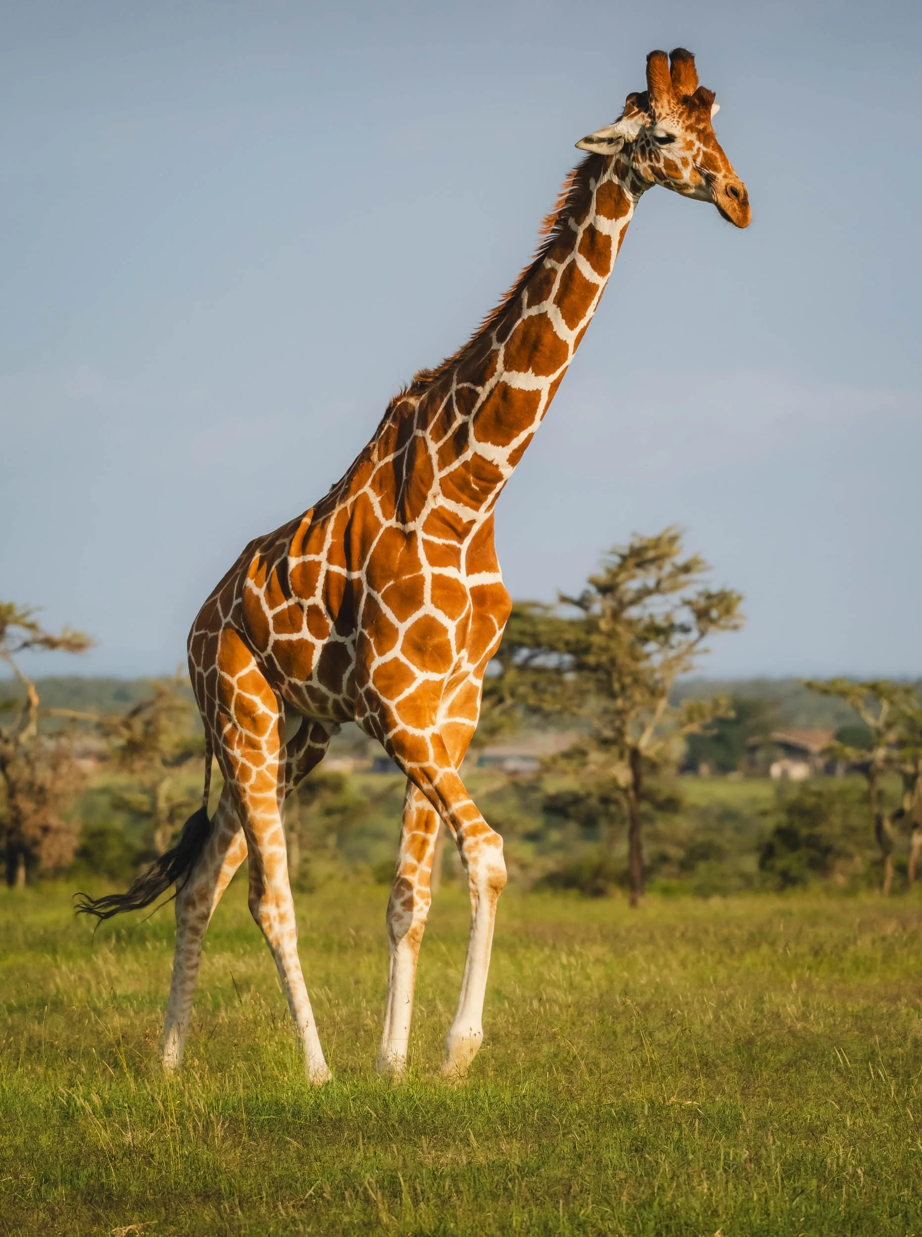
Melman
The cartoon character from the Madagascar movie is a Reticulated Giraffe, although I didn’t see any of the same tendency to hypochondria in the wild individuals we observed here…
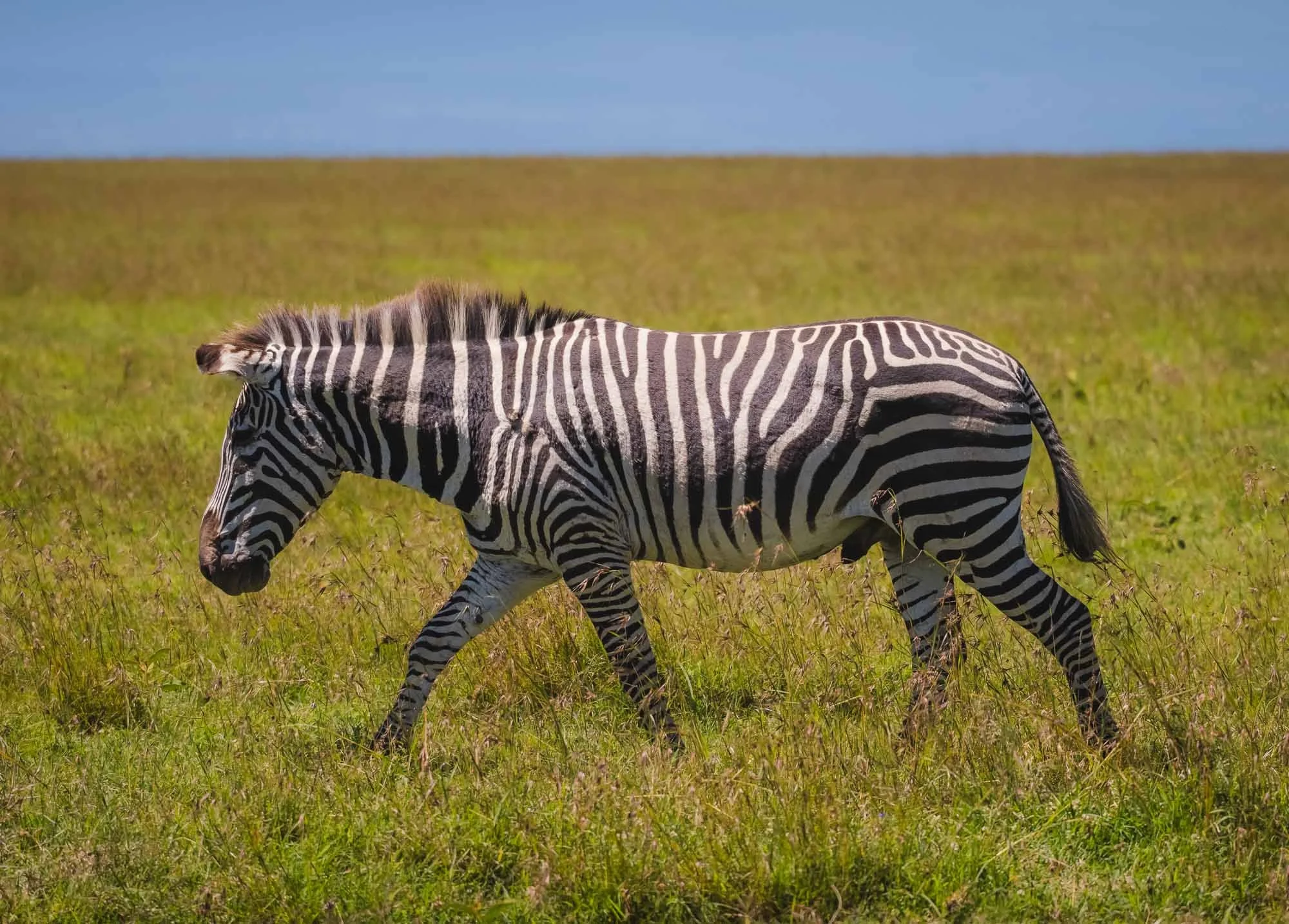
The Northern 5
Reticulated Giraffe are part of the so-called “Northern 5” - give species commonly found only in the northern parts of Kenya and beyond. The Grevy’s Zebra is one of them, and while not common in Ol Pejeta there are plenty in Laikipa. This specific individual is a hybrid between the plains and Grevy’s individual. The brown-ish colour, smaller size, rounder ears and fewer stripes on the belly give it away.

The third Northern 5 is the Beisa Oryx - allegedly there are only three of them in the conservancy, and we managed to get a very distant and very lucky glimpse of them.
The other two members of this elusive group are the Gerenuk (which can actually also be found in other parts of the country including as far south as Amboseli) and the Somali Ostrich, for which you need to go further north.

On the Lion’s Path
The conservancy tracks a few lion prides with collars to observe their movements and health - normally that information is not accessible to tourists, but the park management sometimes offers visitors to join the rangers for lion tracking in the mornings. Despite having seen a huge pride already, this is never something to miss!
And what a good decision it was - we learnt that the collared female was heavily pregnant and probably about to give birth, or may have already done so. That meant she was going to be very difficult to find. A lioness that’s about to have cubs will usually separate from the pride and hide deep in the thickets. Indeed, we spent a couple of hours driving to different areas and listening for the ominous beeping sound on the receiver until we managed to hear anything.
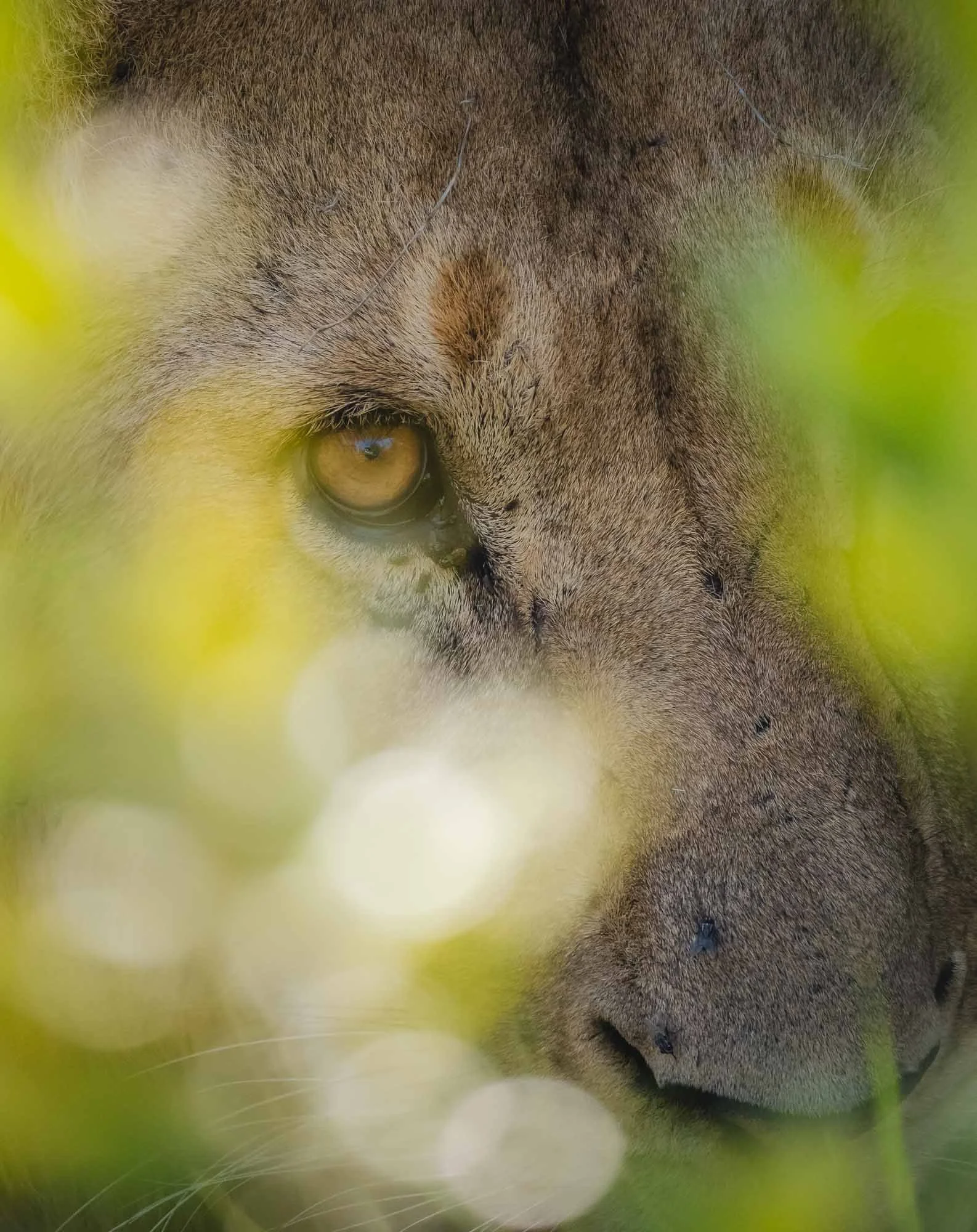
As expected, she did hide far into the thick bushes, and only after half an hour of heavy off-roading (the benefit of being with rangers!) did we manage to come close… but it was all worth it - it turns out, she was not alone anymore.


The lioness had given birth a few days ago - the youngsters had barely opened their eyes. It was the first time anyone had seen the cubs, and even the rangers were surprised. They had expected them in a week or two. We observed a total of four cubs, but they were deep inside a group of bushes and very difficult to spot - I suppose that’s the point, well done to the lioness.
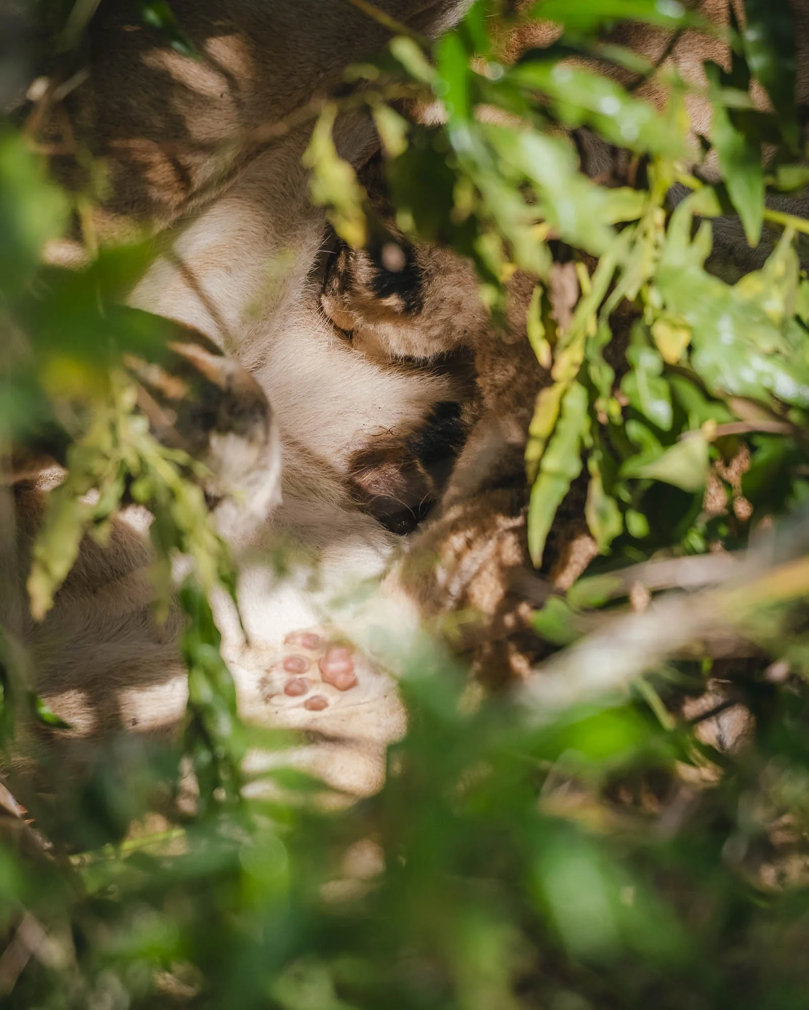
We observed them for a few minutes more and got a chance to see one of the tiny cubs (look at the paw!) enjoying a meal before deciding to leave them alone. A lioness and her cubs are extremely vulnerable to hyena and rival lions during the first weeks after they’re born, and we didn’t want to draw more attention to their location or trigger the lioness to move them, which is always risky.
Another male and female were sleeping not far away in the bushes, which is quite uncommon, and the rangers decided they would not visit them again for at least a couple of weeks to avoid any disturbance. As a result, I’m not sure what happened to this litter.

In a rather sad turn of events we encountered this black-backed jackal on the road on our way back, which had seemingly been hit by a car the night before - speeding is also a problem inside a conservancy. We saw its lonely companion a few hundred meters from the site of the incident - jackals live in pairs and generally mate for life.
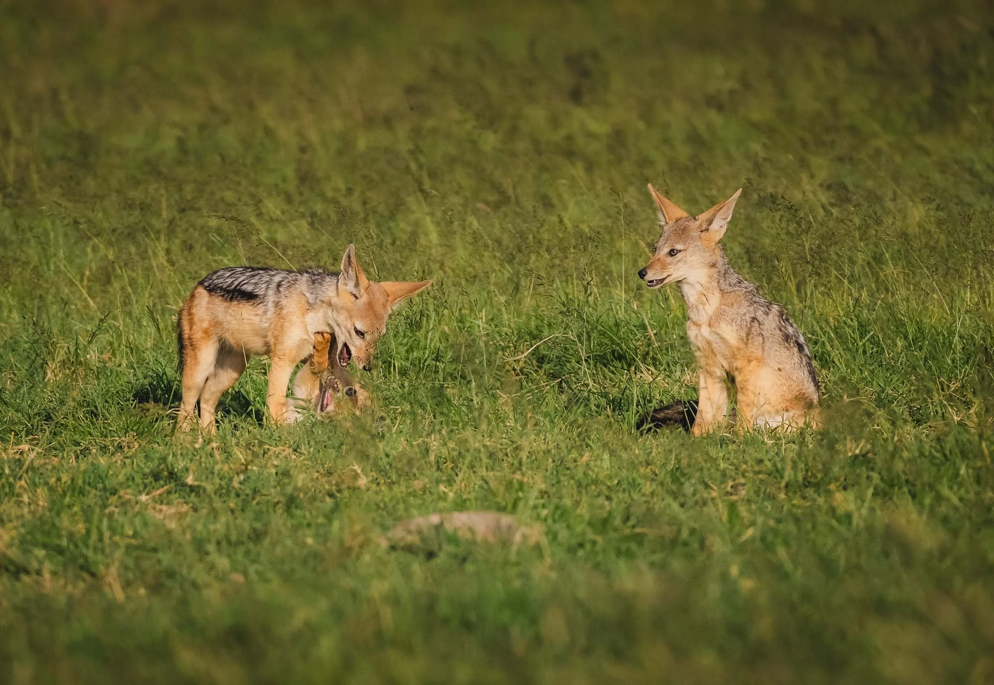
On the positive side we spotted this family with a few young pubs peeking out from the burrow a little later. Jackals are always extremely amusing to watch - they constantly give the impression of being up to no good.
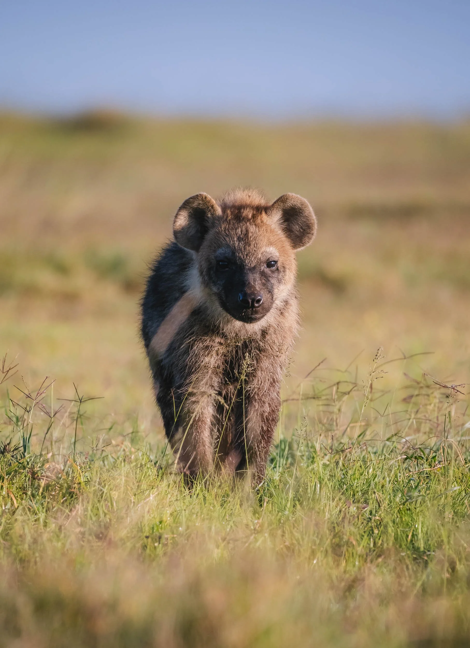
Spotted Hyena
Speaking of pubs, we also had the chance to come close to a hyena den with very young cubs, that occasionally stuck their head out, but didn’t seem quite confident enough to come out and play in our presence.


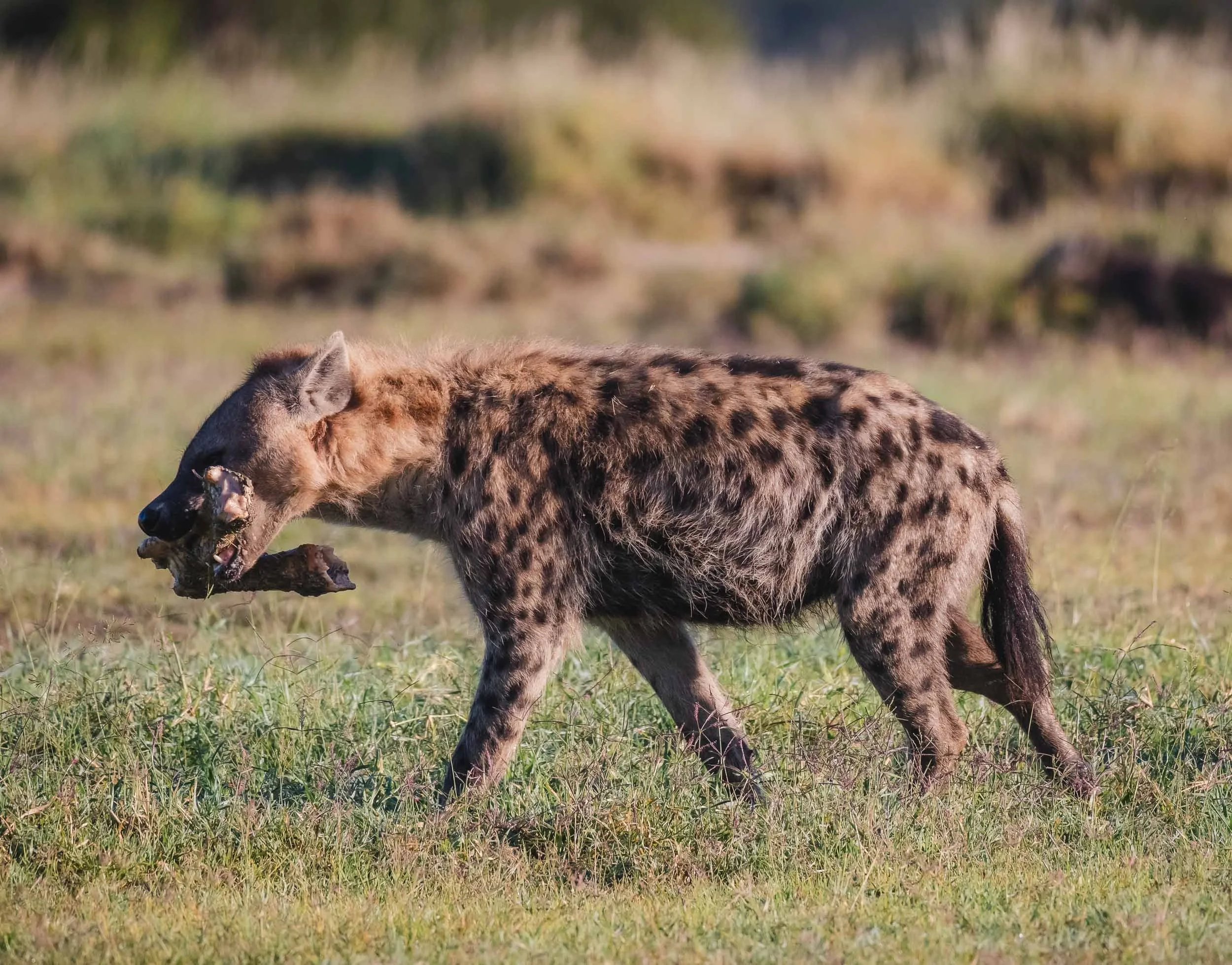
Even the large bone with some leftover meat didn’t seem to be intriguing enough for the small ones - maybe it’s because their survival rate into adulthood is as low as 50%.
Buffalos are common in Ol Pejeta as well - it’s home to all of Africa’s Big 5. They are often the species that suffers the earliest and most during dry seasons, as they rely on constant availability of green grass.

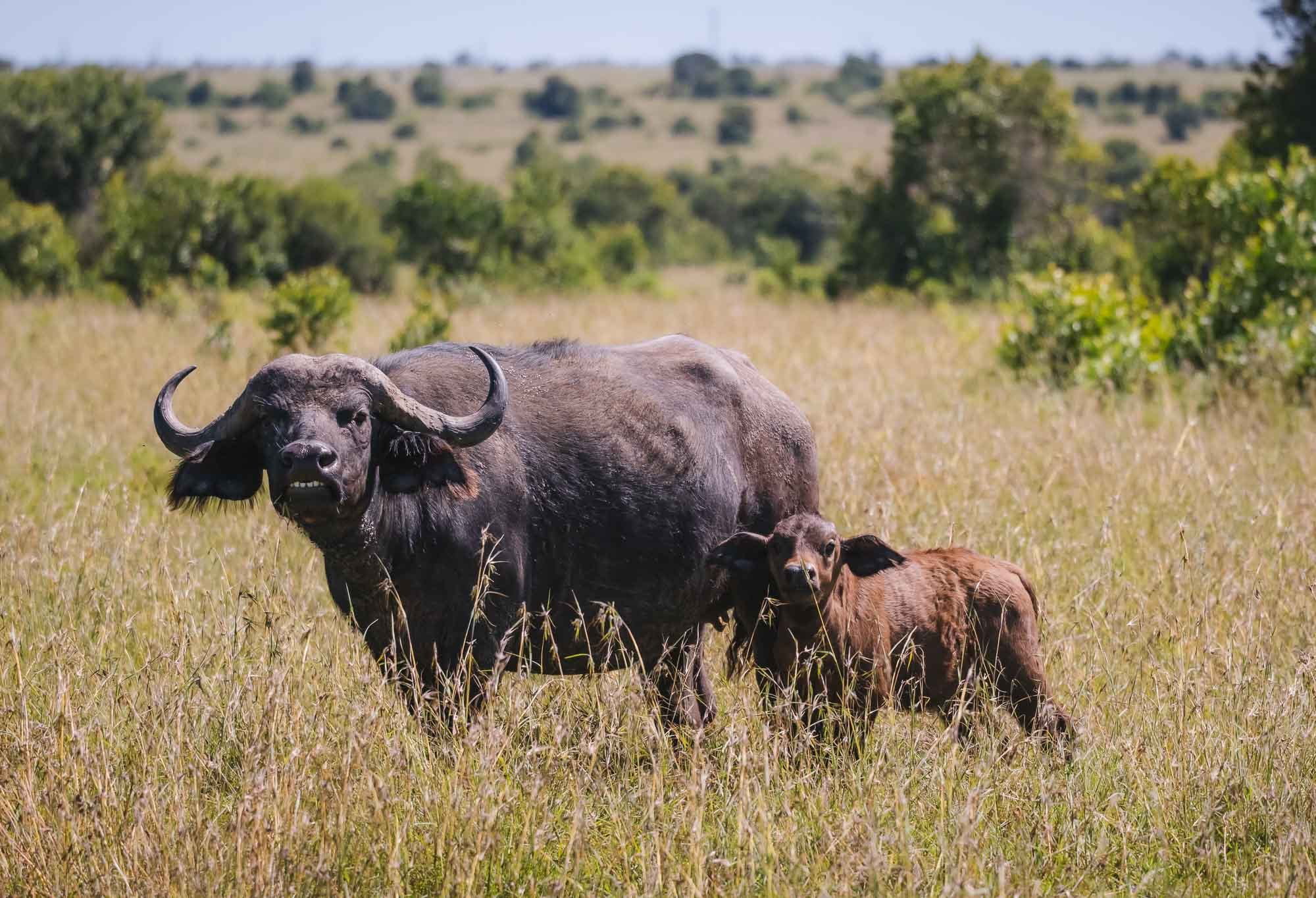
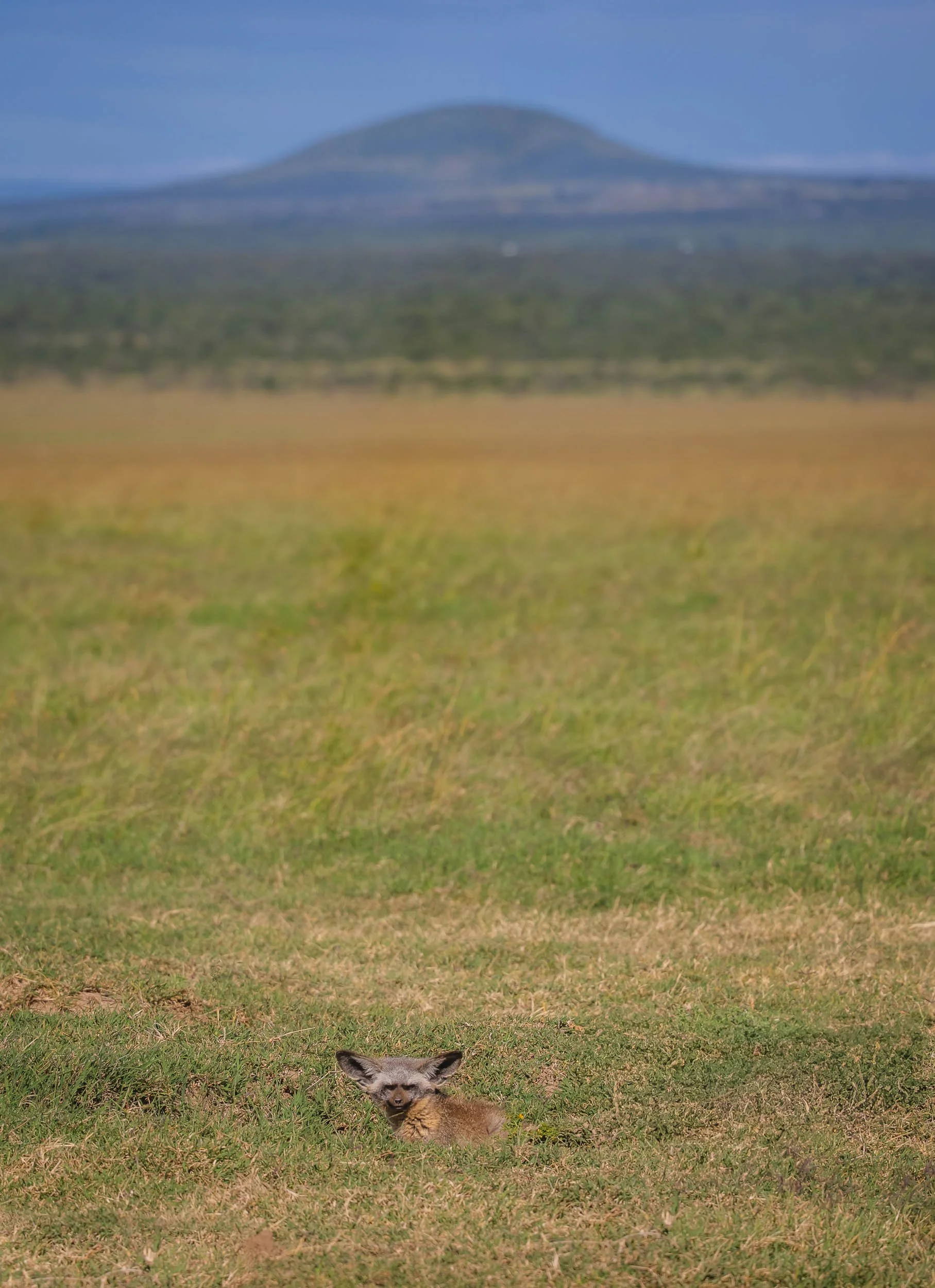
One more species…
A bat-eared fox taking a look at us from its den in the grasslands. These animals with their amusing ears mostly live in social groups, but it seems the rest of his clan was sleeping.
On Foot
I’m never one to miss out on an opportunity to explore the bush on foot - it’s always a very different feeling than in the car. A walk through the area with the local team (including some Maasai from the southern parts of Kenya) was a welcome opportunity.
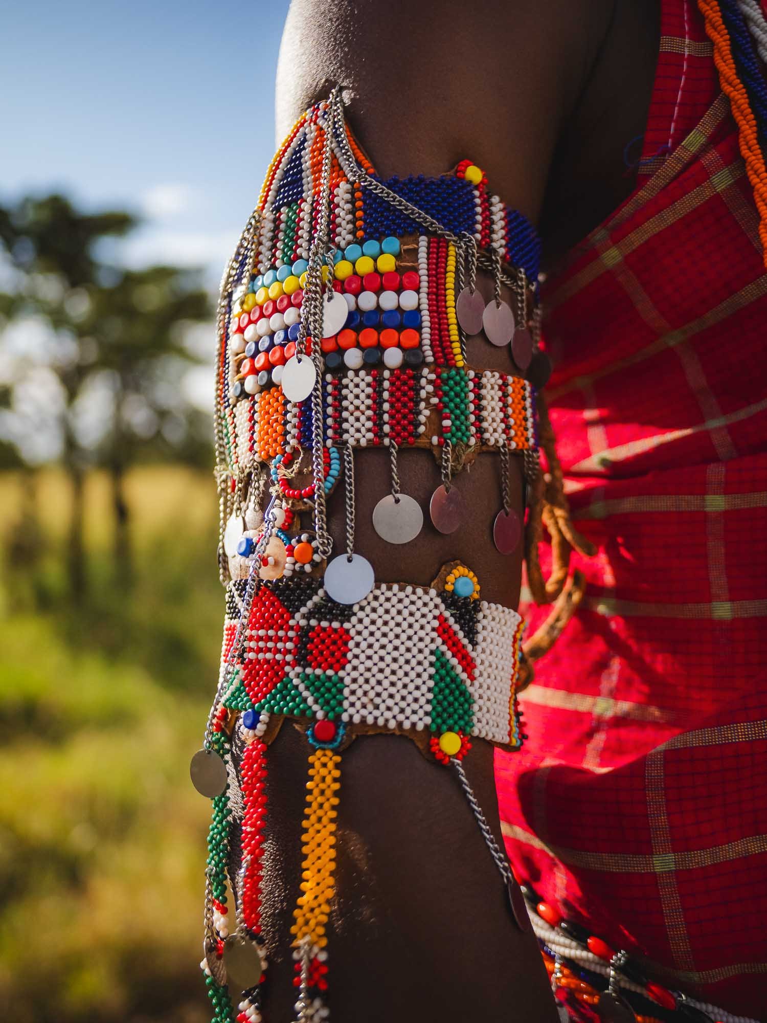

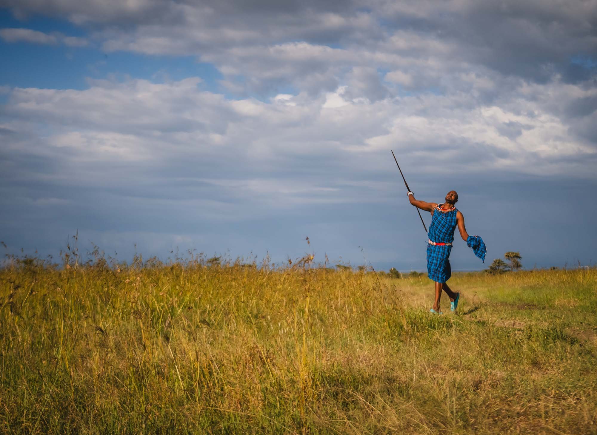

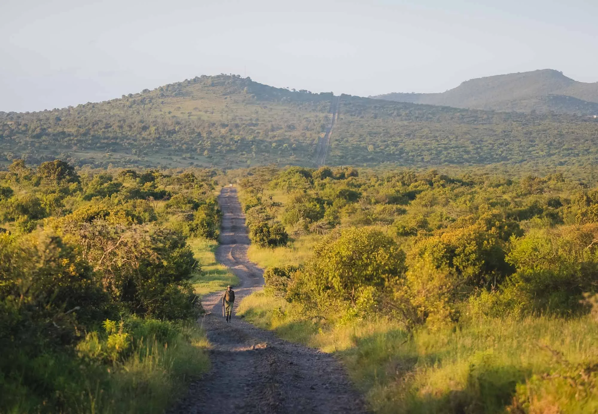
Brave Souls
While we were well-protected, the local rangers often make their way through the conservancy on foot, with nothing more than a stick to fend off the odd curious animal…
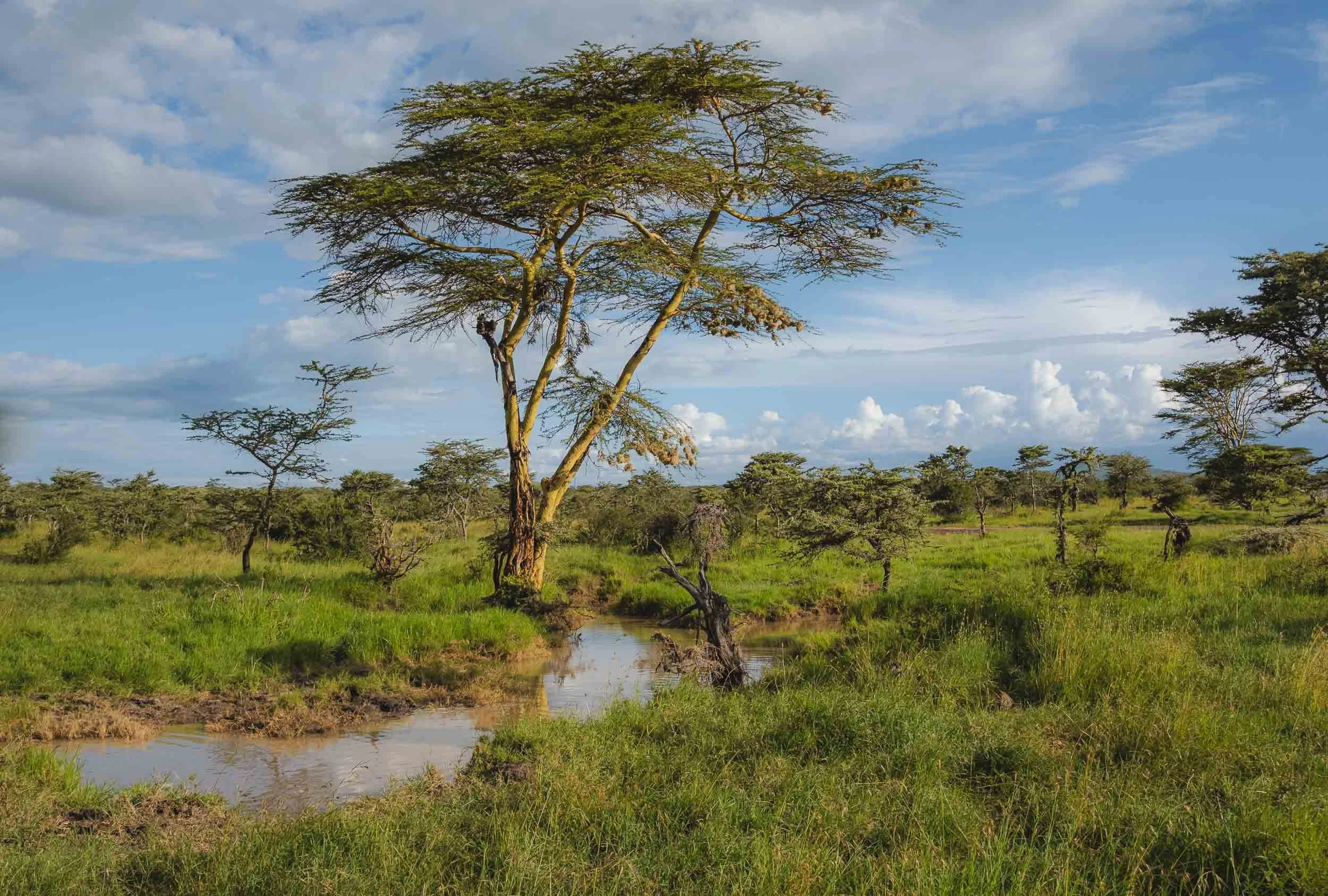
Landscapes
The green bushes and trees along the many small rivers and ponds of the post-rain season make it a beautiful landscape as well - a hint at what was to come in the amazing Laikipia area I was going to visit next.
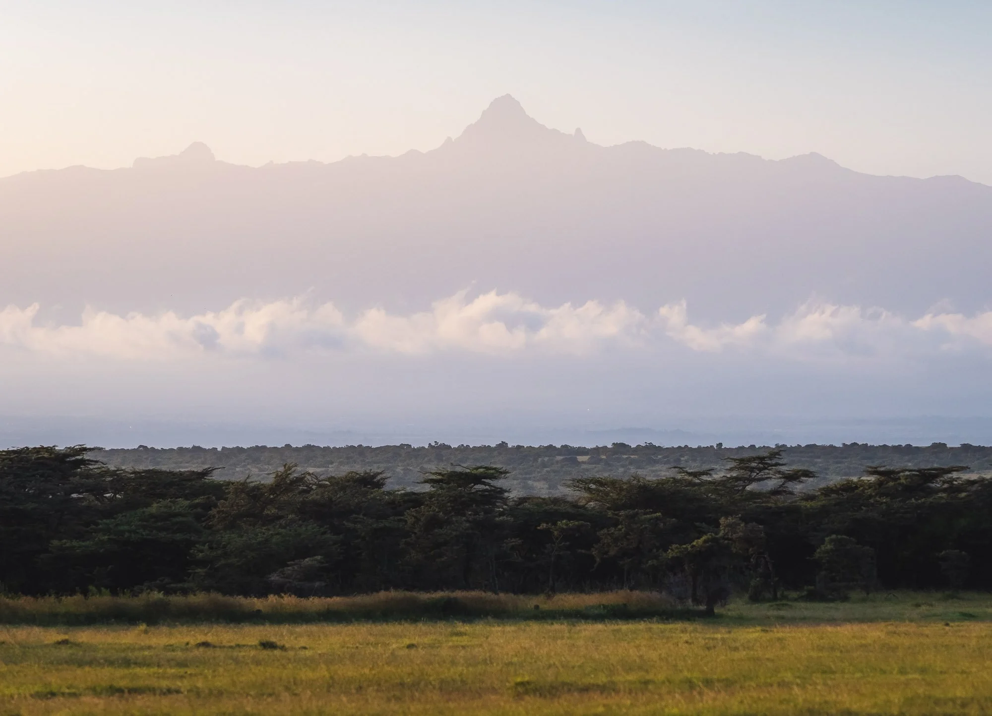
Mount Kenya
On clear days, Africa’s second-tallest mountain makes an appearance with its various peaks. While not quite as tall, climbing it can be a little more demanding than what it took to summit Kilimanjaro.


The conservancy is a shared environment: wildlife and the local pastoralists live side by side, in what is generally a well-managed and balanced approach. This is not always easy to maintain, as I’ve learned first-hand during my time with the IFAW rangers of the Amboseli ecosystem. Ol Pejeta used to be a cattle ranch and prides itself in its integrated conservation effort, contributing to dozens of community projects from education, food and water security, to energy.
While the cattle traffic is amusing, elephant traffic is obviously a lot more intriguing, especially when a curious youngster wants to inspect your car a little closer.


Ol Pejeta is typically home to a few hundred elephants, but they are not a resident population. Instead, they use the wildlife corridors in the surrounding areas to migrate across the Laikipia / Samburu ecosystem - in fact, all animals are able to freely roam, with the exception of rhinos. Of course this also puts them at risk of human-wildlife conflicts and one of the community engagement aspects is to mitigate and manage these situations to avoid crop raids and similar issues.


As readers of this blog will know, elephants have become one of my favourite animals. I could observe them for hours, particularly the large bulls or family groups with young calves like this one, probably barely a few weeks old.


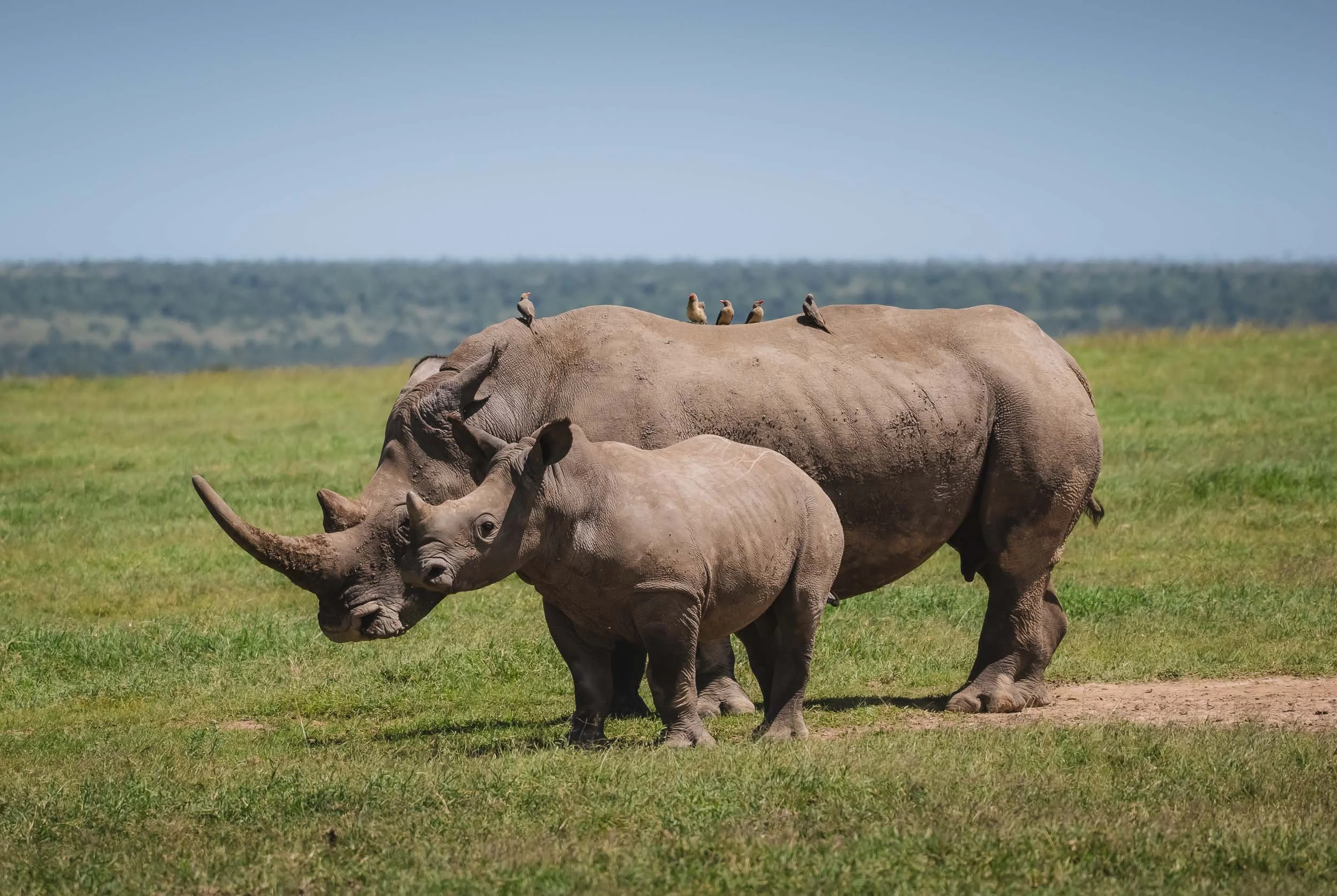
Mother & Calf
Speaking of calves: We spotted this mother and her young one relaxing in a wide open area, with the characteristic oxpeckers sitting on top of the female.
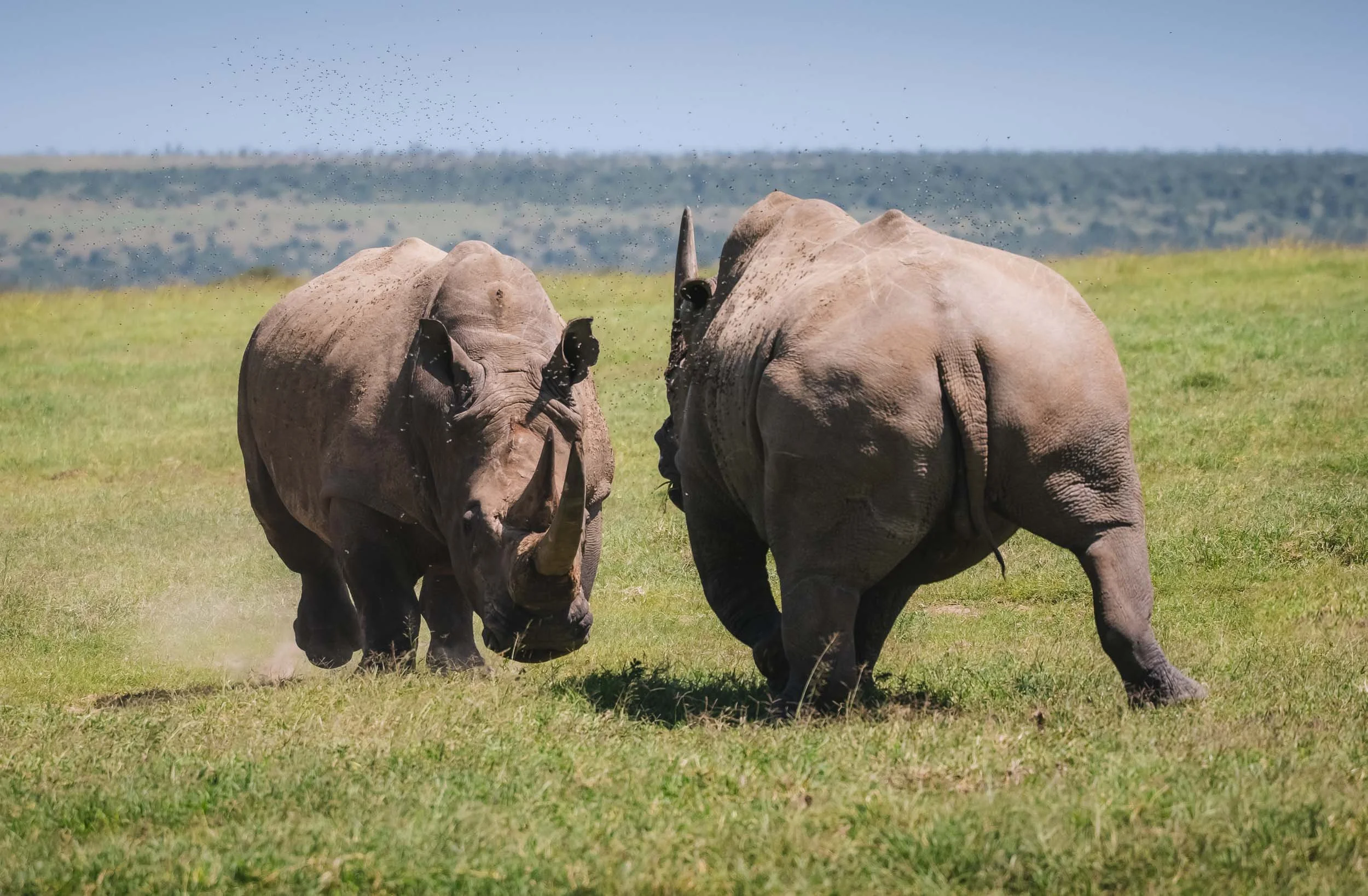
The Battle
What seemed like an innocent family gather quickly turned intense when two males started to compete for the spot by the female’s side. It’s only when they move like this you realize the force of a white rhino that weighs up to 4 tons and can run up to 60km/h - twice as fast as an average human.


After a short altercation they decided she wasn’t worth the risk of an injury with their huge horns - a white rhino’s horn can grow up to 150cm in length. Despite its impressive shape and size, it’s difficult to understand why a single horn can fetch around 50,000 USD on the black market, when the horns are made of keratin, just like human fingernails. It's this demand that continues to make them an attractive target for poaching.
Sitting not far from the rhinos were two lions, including this magnificently strong individual.


Chimpanzee Conservation
Aside from the rhino conservation work, Ol Pejeta is also home to the Sweetwater Chimpanzee Sanctuary, established with the Kenya Wildlife Service (KWS) and the Jane Goodall Institute.


Chimpanzees are not native to Kenya, but the 35 or so individuals here are mostly rescued from illegal trade, orphans, or have suffered severe injuries. They are being nursed to health and then join the two groups living in a very large enclosed area in the conservancy.
🌈 Lucky Moments
Although the rainy season had just ended, we barely felt a few drops during our time in Ol Pejeta. On the contrary, the last remnants of the clouds and their contents made for one of the most beautiful moments as a rainbow appeared behind the airfield, where many animals were grazing in the late afternoon, giving me the opportunity for some unique compositions.


One Last Rhino Encounter
As the rainbow faded and the sun slowly set in the other direction, we spotted a black rhino mum and her calf in the distance - a chance for some silhouette photos, if they were to remain calm as we approached. More alert and shy than white rhino, this was not a given. They eyed us cautiously as we positioned ourselves, but luckily felt we were not going to be bothering them, and continued grazing.


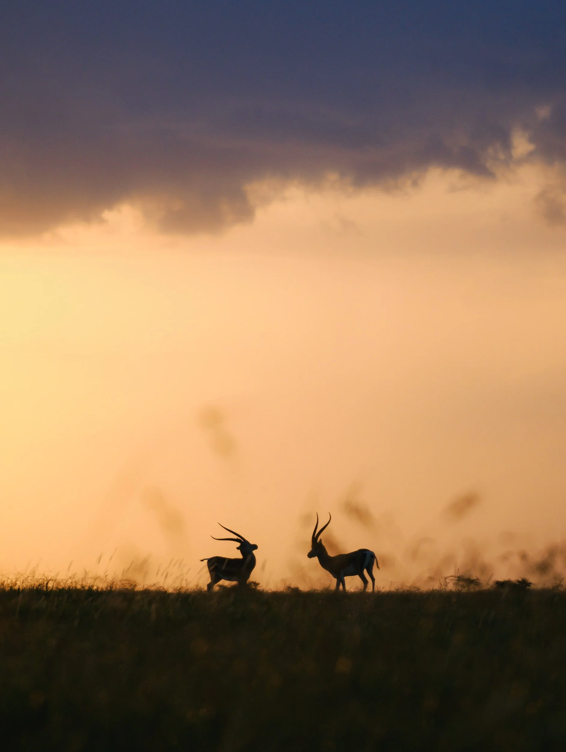
We spent almost 30 minutes with the family until the sun disappeared below the horizon, and during this time I managed to take what are probably my favorite images of the trip.
Not wanting to be left out, these two impala posted for another silhouette image just a few minutes later. A beautiful end to the day and my time in Ol Pejeta.
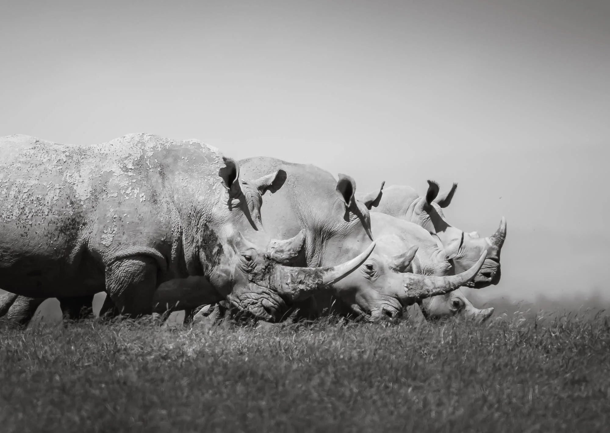
The End
It’s only after you spend dedicated time with these animals and observe them beyond a quick drive-by that you appreciate their behavior and beauty - let’s hope they’ll roam our planet for longer than what the recent trajectory would indicate. I’m sure Ol Pejeta will continue to play a role in this quest, and maybe give us a chance at seeing Northern White Rhinos in the wild again soon.
Subscribe to my newsletter to get notified and don’t miss out on more Wonders of the Globe.
Other Recent Posts:

A new member of the Tikee family, and it’s not a camera: Tikee Sentinel
My thoughts on the new Tikee Sentinel motion detector just released by Enlaps.
I’ve been taking timelapse videos for almost 15 years, see some of them here, and recently have been working with the long-term timelapse solutions from Enlaps, after they contacted me and asked if I’d be interested in a review unit. You can see my previous articles on their cameras and ecosystem here, but this time we have something new!

COUPON CODE FOR ENLAPS.COM
Get 50 EUR off of a Tikee product:
FK-ENLAPS
A few weeks ago I got an invite from Enlaps for a product presentation: a new member of the Tikee family, but this time not a camera! Curious what it would be, I was keen to see how they’d expand their industry-leading long-term time-lapse and project-monitoring ecosystem. It turns out the new addition is a high-end motion sensor. While on the surface that may sound a little less exciting than a new camera, it actually brings a whole new set of possibilities to the platform.
Hardware
The Tikee Sentinel is a small (less than 10 cm on the longest side) and light (150 g) industrial motion sensor that is completely wireless, lasting around two years on a single charge via USB-C. It’s made for all kinds of environments with an IP66 rating, similar to the Tikee cameras, and has a detection range of 9 metres through a PIR lens that covers a 120-degree horizontal field of view. The device also features an ambient-light sensor.
It pairs with any Tikee 4, Mini, or Mini+ camera on the same site, within a transmission distance of around 30 metres in the open.

Features
The Sentinel is meant to deliver three things to users of the Tikee ecosystem: Detect, Capture, Notify.
After setup through the Tikee Remote App and pairing it with a Tikee camera, you can configure its sensitivity and set up the motion-detection pattern: during the day, at night, or anytime.
On the Tikee camera side, you can then configure the behaviour of the camera when motion is detected: capture a photo, video, or a burst of images. You can also determine if the camera should trigger this action only outside its normal shooting-sequence hours, or anytime motion is detected. Of course the Tikee cameras with their wide field of view and excellent image quality can deliver excellent evidence of whatever triggered motion that goes beyond the capability of simple traditional webcams.
The Sentinel is also fully integrated with the myTikee cloud platform. This allows you to set up immediate notifications via email to various interested parties for motion events and associated images, by selecting who gets notified and in what timeframe.

Speaking of the mytikee platform, it recently received a welcome update to its subscription model, in my view bringing more value and flexibility to the base subscriptions. Additional storage is now an extra add-on, as is the AI monitoring function.
Watch the Enlaps recap video here to see the features in action:

Use Cases
A primary use for the Sentinel will likely be construction sites, allowing companies to monitor storage areas, access to the site, restricted zones, and general site conditions outside working hours.
This is ideal for sites that already use the Tikee for documentation and monitoring, and allows them to add a layer of security on top of the same ecosystem with minimal implementation effort.
I expect this will be a common addition for anyone using Tikee devices on a construction, project, or event-setup site, but I can imagine it could also be interesting for certain types of nature monitoring—for example wildlife or glaciers, triggering on ice-calving events.
Pricing: The Sentinel is priced at 189 EUR excluding tax, and there are new packages available combining Tikee Mini or Mini+ and their accessories with the Sentinel, starting at 1488 EUR.
A great addition to the ecosystem.

In Search of a Black Leopard
For several years I’ve been following the journey of a special variant of what is probably my favourite animal - the elusive black leopard.

Ever since reading Will Burrad-Lucas’ incredible book “The Black Leopard” (go check it out, his work is truly pioneering and inspiring) I’ve been keeping my eyes open for sightings of black leopards, so that I could take my chances at seeing one myself. It’s been several years since I had my mind set on finding this melanistic version of my favourite cat in the wild, and Kenya’s Laikipia area seems to be the hotspot in Africa for this rather rare genetic mutation.
Although several black leopards have been spotted here, a specific individual has been rising to prominence in recent years: a female that has become quite habituated around humans, having grown up near a camp.
This presented what is probably the best chance since forever to see one in the wild. In mid 2025 I finally had an opportunity to visit Kenya again, owing to a planned trip to Amboseli National Park for IFAW, and so it was time to make this sighting a reality! It was also going to be a new wildlife photography experience for me, as my sister happened to join for this leg of the trip - clearly, no one can escape the allure of a black leopard.
A Black What?
At this juncture, it might be worth answering a question a few people asked me when I told them I was going to find a black leopard: “Don’t you mean a panther?” - you could be forgiven for thinking so, but actually there is no distinct species called ‘panther’. The blackness is caused by a recessive gene that causes leopards to be melanistic due to an overproduction of melanin. It needs two leopards with this recessive gene to meet and mate for a black cub to develop, making this exceedingly rare. The umbrella term panther is a colloquial description for any black big cat, and also includes black Jaguars - those can only be found in South America and look very similar to leopards, although generally a little bigger.


The journey to the lodge in Laikipia county in central Kenya was a rather short one. I had already spent a few days in the area, visiting Ol Pejeta, one of the strongholds of white and black rhinos in the world, and also home to the two last northern white rhinos on our planet - more on that in a future blog (subscribe!). The drive takes you through a number of farming areas, with an animal you’d not really expect it in Kenya: Camels. They are however kept quite frequently in the north of the country for trade and export.
The Northern 5
Another rather interesting animal we encountered on the way was one of the so-called “Northern 5”, in reference to the local version of the typical African Big 5 animals (did you know there are also the Small 5?): The Grevy’s Zebra. This species of Zebra is a little more shy and taller than the regular plains Zebra, and has thinner stripes that end at the belly. Most notably, it can be recognized by its round Mickey Mouse ears - distinctly different from the Zebras one usually sees.


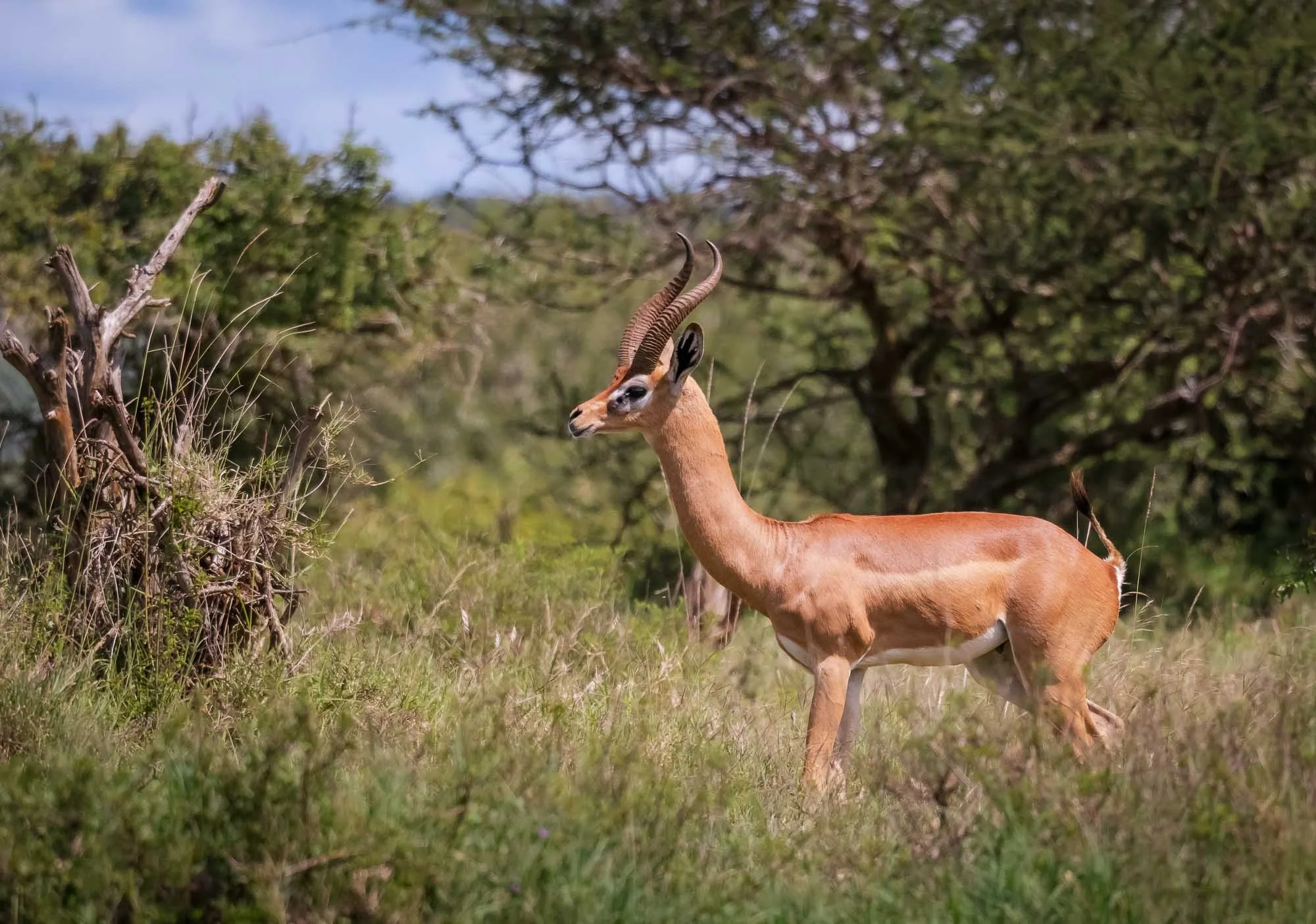
A second animal that’s part of the Northern 5 is the gerenuk, a long-necked, medium-sized antelope. Frankly, I’ve also seen it in the south of Kenya, which tells you a little bit about how strict the classification of the Northern 5 might be…

Glimpses of Laikipia
As you continue deeper into the wilderness, signs of human evidence fade away, with the incredible landscapes of the area coming into focus: low-lying plains around the Ewaso Nyiro and Ewado Narok rivers, dotted with ancient dryland forest remnants and rocky ridge lines. One of the most incredible bush landscapes I’ve ever seen, more on that later…
There was however some temporary human presence in the area: during my time here, we had several encounters (sometimes visible and sometimes only audible) with the British military, which is conducting troop exercises here every year. Why they need to conduct their field work in central Kenya is anyone’s guess. Speaking to various locals, I have some rather qualified assumptions, based on the post-colonial challenges and conflicts around land leasing that have become more prominent in recent years.


After around 3h of driving we arrived at the lodge in the afternoon and had the chance to speak to the owner of the camp, Steve, who told me that the resident black leopard here has mostly been sighted in the evening. She had two cubs recently (before you ask, unfortunately they’re not melanistic, it’s a recessive trait, and either way they had barely been spotted at all so far), and has been more cautious in her outings, but also more focused on hunting to provide them with their daily meals. That means, sightings during the day would be unlikely, but on the other hand, the chances of seeing her with a kill would go up…
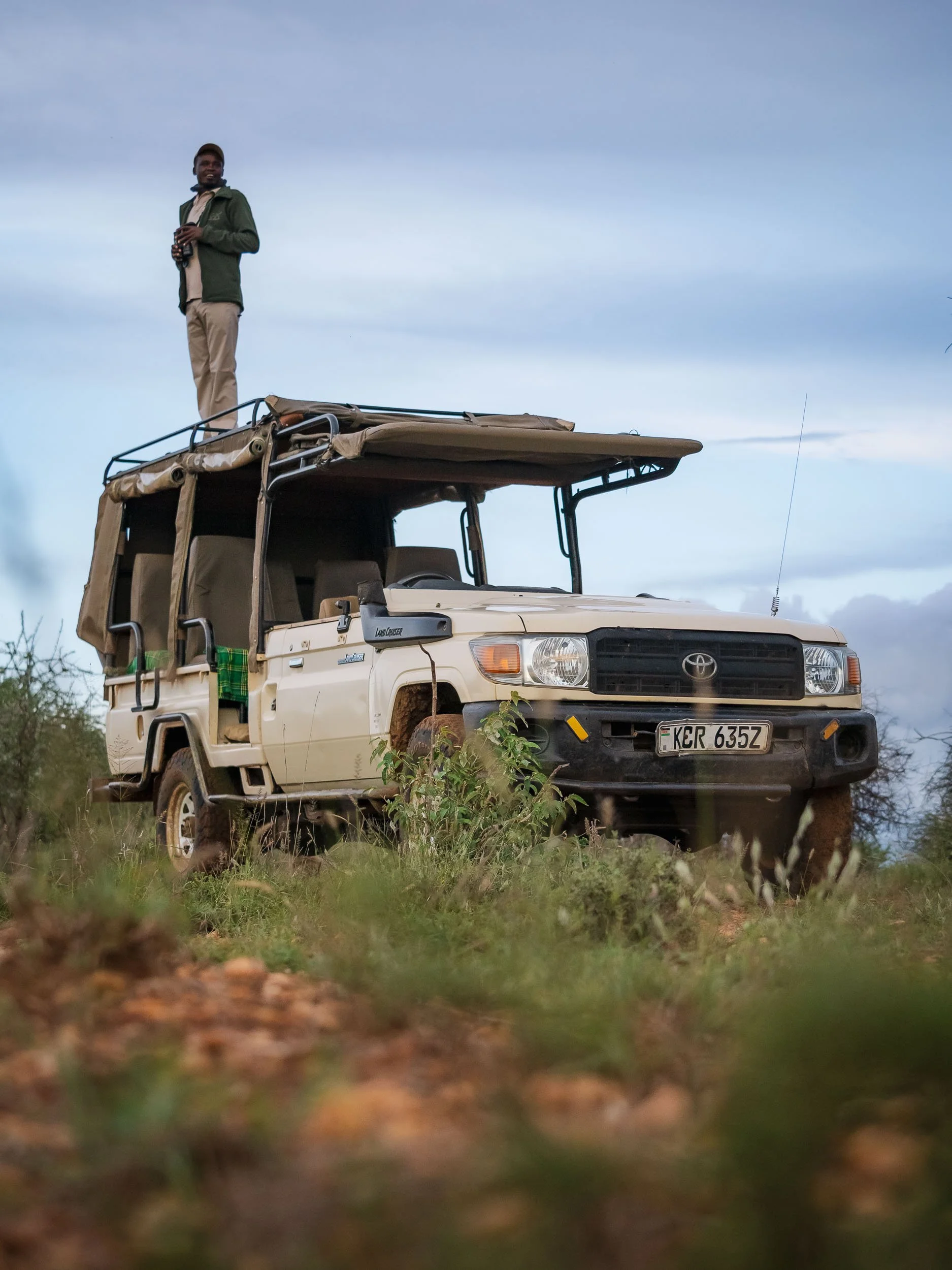
The good news is, we would not have to go far, the leopard’s territory is literally the hill of the camp and a small portion across the river, which she used to cross occasionally. Leopards in Laikipia have relatively small territories, owing to the amount of prey almost year-round - in fact, their ranges overlap quite closely sometimes, as we’d experience first-hand.
We stuck to a clearing near the camp and kept our eyes open, spotting a few elephants that had just come back from a dust-bath in the mineral rich brown soil of the area - some remains of their ancestors could be seen nearby.


As in many private conservancies, off-roading is possible here - and almost necessary for good sightings - and it shows on the land cruiser, which has been modified with removed doors for more freedom during photography.


Darkness arrives quickly near the equator, with a short golden and blue hour. It was my first day and I didn’t have many expectations to see a leopard, let alone a black one, but my (excellent) guides Paul & Francis were confident - our target had been seen for most days in the past week. They suggested we start to make a move through the dark paths around the camp, using the car’s lights and a dedicated lamp to see if we could spot the distinct yellow eyes of the cat - seeing her fur would be hard, given her colour (or lack thereof). We drove for around thirty minutes, more or less in circles, with a couple of other cars from the camp covering the rest of the area to increase our chances. It feels pointless to drive in circles, looking for a black cat moving quietly through the tall grass and bushes in the darkness of the endless wilderness. But this is what makes it special. And special it was.
Giza
We passed a tight curve, and she suddenly made her appearance out of nowhere, crossing the path in front of us: the elusive black leopard, Giza.
With silent but determined steps, carrying what seemed to be a hare in her mouth into the thicket, she had given me the moment I was looking for.
I was too in awe and too slow to get my camera set up for the dim light of the lamp quick enough to capture the moment, but she jumped onto a tree stump and started to devour her catch, giving me the chance to get some photos as she looked back for a moment. She was close to us, which means you could clearly make out the characteristic leopard spots on her majestic coat.
She disappeared into the tall grass once she finished her meal, and I had to catch my breath for a moment to process what happened.
Looking at my images, and learned that I had missed quite a few photos: A fast cat in the dim light of the handheld lamp, moving like a black shadow through tall grasses, really makes for some of the toughest photographic conditions you can encounter - but a few tweaks to the focus setting and exposure behavior should make things better. Now we just had to hope this would not be our only encounter…

Ghost of the Night
My concerns were unfounded. As we followed her through the thickets we could see her stalking a small antelope.
We switched off the lights and engine, and a few seconds later everything was over - a single squeak of her target, and silence again. And then she walked out of the bush, carrying her prey, most probably with the goal to feed the two cubs hidden away somewhere.
We let her wander off in peace to do just that, not wanting to attract too much attention on her, but just a few dozen meters past the car, we heard the distinct sound of two leopards in a brief altercation. We switched on the light, and just saw Giza run off into the distance, as a large male walked into the other direction, carrying her kill away.


Kijana is a strong leopard whose territory just borders Giza’s, and this was seemingly not the first time he took advantage of her predatory skills - his size and the fact Giza has cubs now makes it less likely she would risk an injury and try to fight him off. As we learned over the next days, catching another Dik-dik seems to be the far easier task for her, and it is what she did this time as well: we left her alone, but another guide told us they saw her with a fresh kill a few minutes later. What a first encounter!


One of the reasons Laikipia is such a stronghold for leopards, and why there can be multiple individuals in very close proximity with smaller territories, is the local density of these peculiar small antelopes: Dik-diks. You will see dozens every day, roaming around in the dense bush, and making alarm calls whenever they see or smell or hear something unusual - a great indicator if you’re on the lookout for predators.
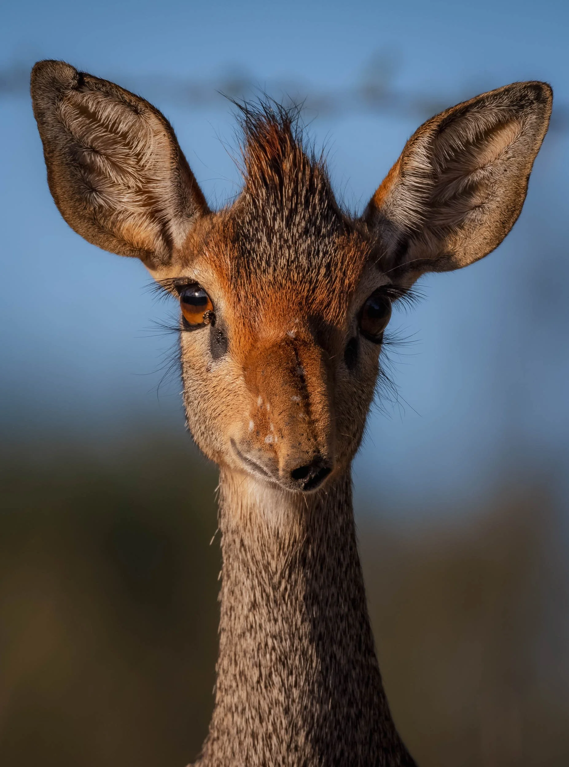
Guenther's Dik-dik
The sub-species here has a rather funny looking nose, long, flexible, and bent downwards over the snout. They live monogamously, so you’ll mostly spot them in pairs - which also means that every morning you can congratulate those who didn’t turn into a widow/er the night before…


We spent the morning of day 2 exploring the area - it was unlikely that we’d see Giza again during the day, but there are plenty of leopards around. For now, rich birdlife was on the agenda, with common cuckoo, pied king fisher, bee eater, and even a nubian woodpecker among the sightings.
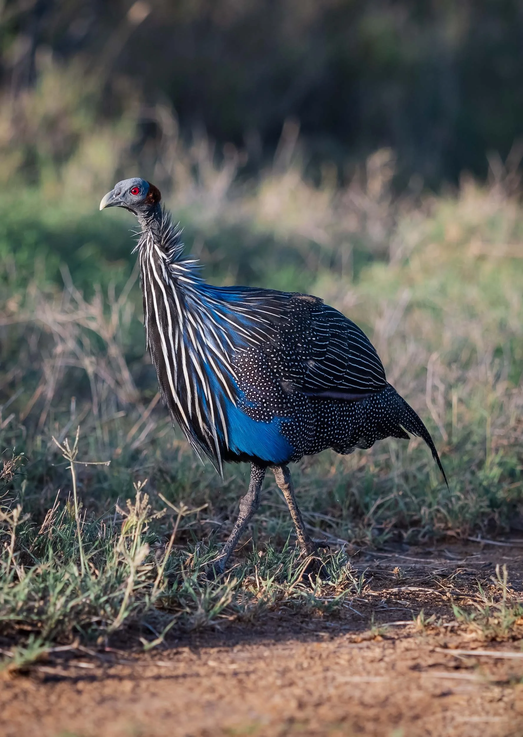
Laikipia is also home to the largest and probably most striking extant guinea fowl, the vulturine guinea fowl. It typically lives in flocks of about 20 birds.


Although less appreciated by birds, when it’s quiet on safari black-backed Jackals often add some entertainment - this couple was quite chilled and minding their own business though. Laikipia is home to lions, wild dogs, and also striped hyena - all animals I wouldn’t mind seeing - particularly the latter is one of the missing large mammals on my Africa list.
After lunch and an afternoon break from the heat, it was time to head out again and focus on our special black cat. The camps location on a hillside makes for a perfect viewpoint over the incredible scenery here - although it was a relatively dry year, the rainy season turned much of the landscape green. Around October, most of the region will turn brown and dusty again, with very little respite for grazing animals and a consequentially happy time for predators.


As the sun set, some of the camp team are using their binoculars from the viewpoint on the top of the hill to look for signs of Giza.

And this time it was another guide who told us she was out: just as the last light of the day faded, Giza appeared, walking casually past the front of our car - I caught a glimpse. If you look closely, this image also shows the little distinct kink at the end of her long tail, maybe a remanent of an accident, or just another idiosyncratic feature of this special animal.
“Giza Mrembo”
That’s the full name she was given after her birth a few years ago. It means “beautiful darkness” and I couldn’t think of a more suitable name.


After a few minutes of traversing the rocks and long grass, she once again started to stalk for her favourite prey, and once again, it was only a matter of minutes before a quick rustle in the bushes was followed by a high-pitched squeak. A few seconds later, the master huntress appeared with her kill.

The rhythm of the first full day became our routine: exploring the surrounding area in the morning, enjoying the scenery, see what animals we can find, before staying close to the camp and waiting for Giza’s appearance in the early evening. We got lucky and spotted her almost every day, only the rain made things difficult one night. Nightly outings in the bush are always interesting, for instance, we spotted a striped polecat, also referred to as African skunk or zorilla - hard to photograph, so you’ll have to live with this image.
Somewhat more common to see, but still an interesting nightly sighting, was this genet. Related to civets, they have a cat-like body with short legs.
Nevertheless, the daylight adventures were equally as enjoyable, for example watching these rock and bush hyraxes coming out to sunbathe in the morning. Everyone who has ever seen these has probably been told that they are the closest living relatives to elephants and assumed it’s a joke, but well, it’s not, they are.


My knowledge of birds remains very limited, but over the years I slowly began to appreciate them more and more as part of the ecosystem.
We encountered several trees with dozens of weaver nests, such as the one on the left (with soft, green grass built during the wet season) and the Village Weaver on the right, using dry branches to make its hanging nest.


A pair of speckled mousebird on the left, with their characteristic long tail, and two spurfowl to the right.


A long-tailed widowbird in breeding season with its extensive tail feathers, and what I think was a pair of spotted eagle owls, relaxing in the exposed roots of a tree on the eroding river banks.


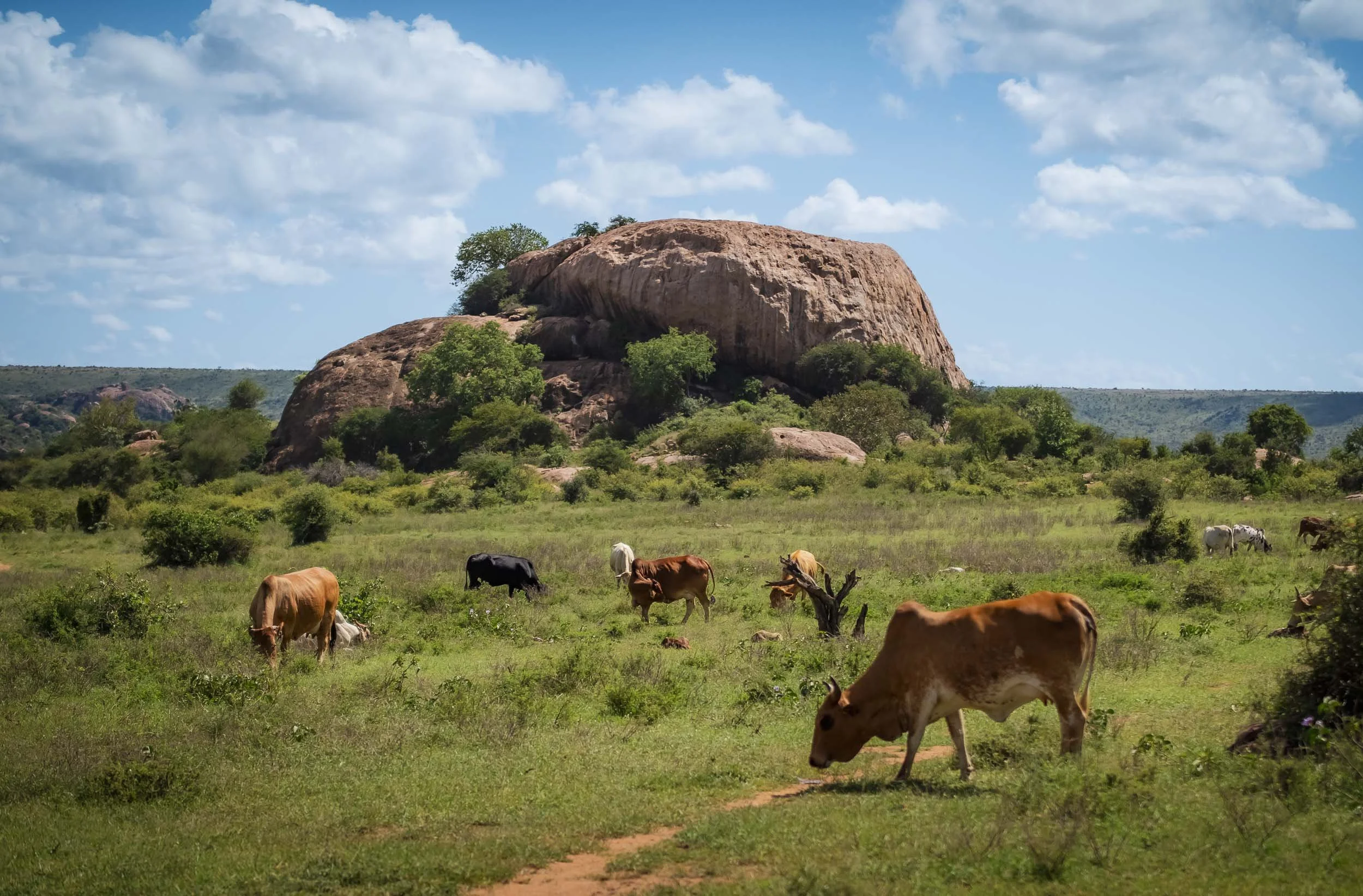
Like many of the more rural areas that are not national parks, Laikipia is also a mix of conservancies, farmland, ranches, and community lands. That often comes with conflicts, not just among wildlife and humans, but also different interest groups. Settler descendants, investors, ranch operators, and the indigenous tribes are often at odds as to the most efficient use of the land.
Either way, it’s always useful to build a good rapport with the locals around. The herders bring their cattle and goats through parts of the conservancy, and are always on the lookout for predators - helpful for us!


We discussed a new leopard that had been spotted near the river banks in this area, and were able to observe him twice over the following days.

Spot the cat?
The first time was more of a typical encounter: from a distance across the river, in the high grass, with hours of no movement beyond a flapping ear and a quick tilt of the head. Can you see him?
But on the second encounter, this adult male put on a show for us, starting on our side of the river bank and calmly watching a heard of Impala on the other side. After a while, he decided they might be worth a closer look - but that meant crossing the river…


… and that involved a few jumps over several meters, which he made appear effortless and elegant. One reason I love cats. Unfortunately by the time he made it, the impala headed for safer grounds and he just watched them from a distance.


We followed him for a few hundred metres on the river bank, before he decided to lie down exactly in the spot where we had (barely) spotted him the day before - cat routines.

More Big Cats
After a rainy night, we spotted a few prints in the sand - clearly too big for leopards, and definitely also very big for a typical lion: these were of a massive male for sure.

The Laikipa region is in fact also home to a large number of lions, although their density in this area isn’t as high - to the benefit of the leopards. We did spot a female for a brief moment, which, as we learned, had cubs recently - but no signs of them. Admittedly, lions were not my focus.

The Young Male
Instead, the leopard encounters continued beyond Giza - their density in this area is really amazing, and in just a few days I saw more individuals than in all my previous trips throughout Africa (of which there were quite a few).


And what beautiful encounters we had, such as with this pretty young male, who posed for us for several minutes. We had hoped his mother, who is still close by, would join, and we heard a few calls but didn't manage to spot her.


He was a curious fellow, which is to be expected with young cats. On the other hand, you don’t want habituation to go too far, and it’s a fine line between animals seeing the car as being part of their environment and ignoring it, or going a step further and interacting with humans more directly, which is not desirable.

Close Encounter
Did I say he was curious?
We moved away from him at this point to not give him more opportunities to come even closer.

Laikipia Landscapes
Although nothing could top these leopard sightings, the landscapes came close. Of course, the greenery at this time of the year helped, but the combination of rocky outcrops, the river banks, gentle waterfalls, and the endless plains and bushland really made this one of my favorite African landscapes ever.
We spent one morning exploring a few of the outcrops on foot for a better view, hoping we wouldn’t get pushed off the steep ridges by a mean baboon....


Luckily that didn’t happen and we got to enjoy the sprawling plateau, encircled by some of the hills of the Great Rift Valley to the west. The scenery here could have escaped straight from Lion King - incredibly beautiful.
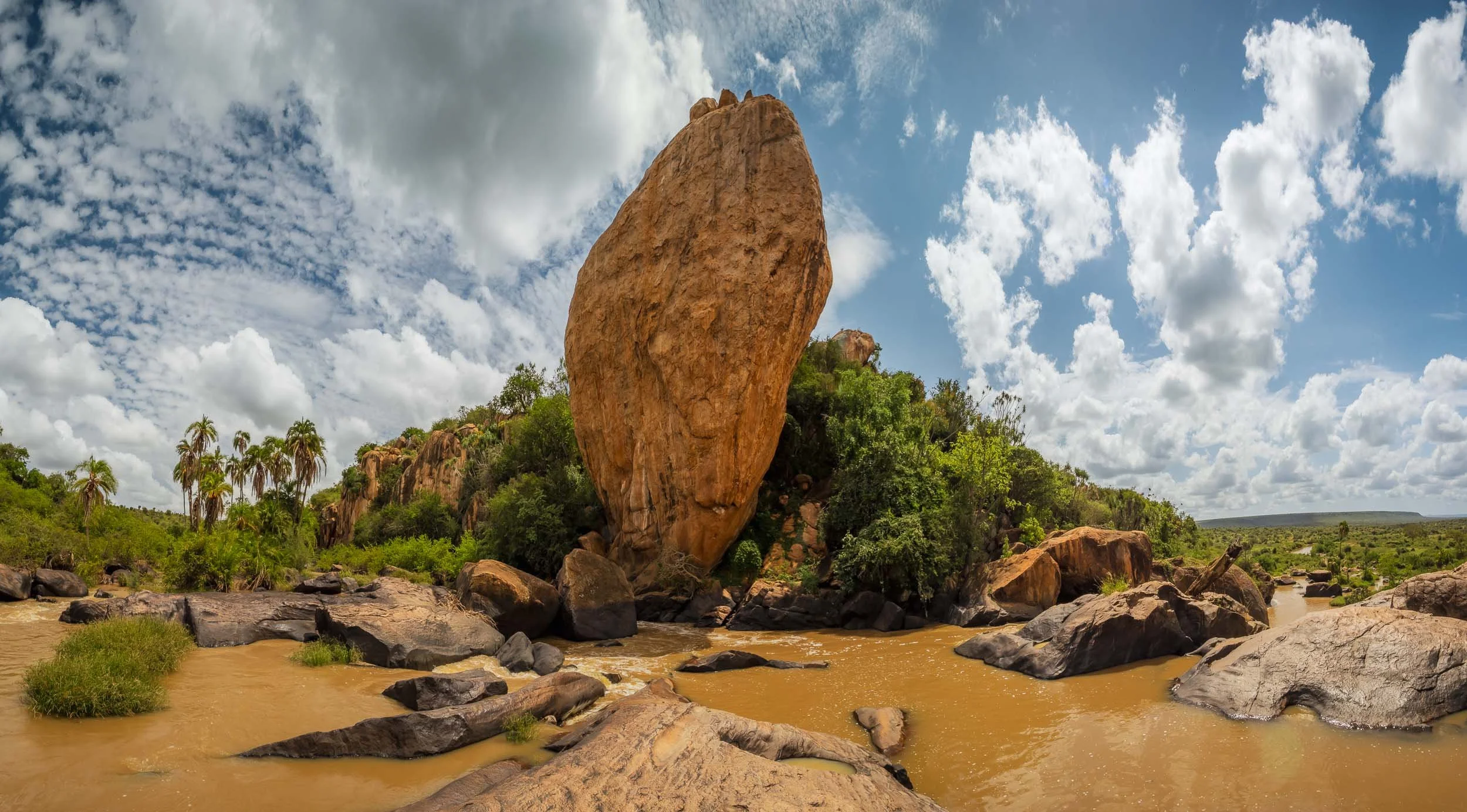
The seeds of some of these palm trees are carried for hundreds of kilometres through the river, before settling on the banks during periods of flood - in turn, elephants then carry their seeds further through the landscapes.

Even if you never get to see a single leopard (hopefully that won’t ever be the case) this area is worth a visit.
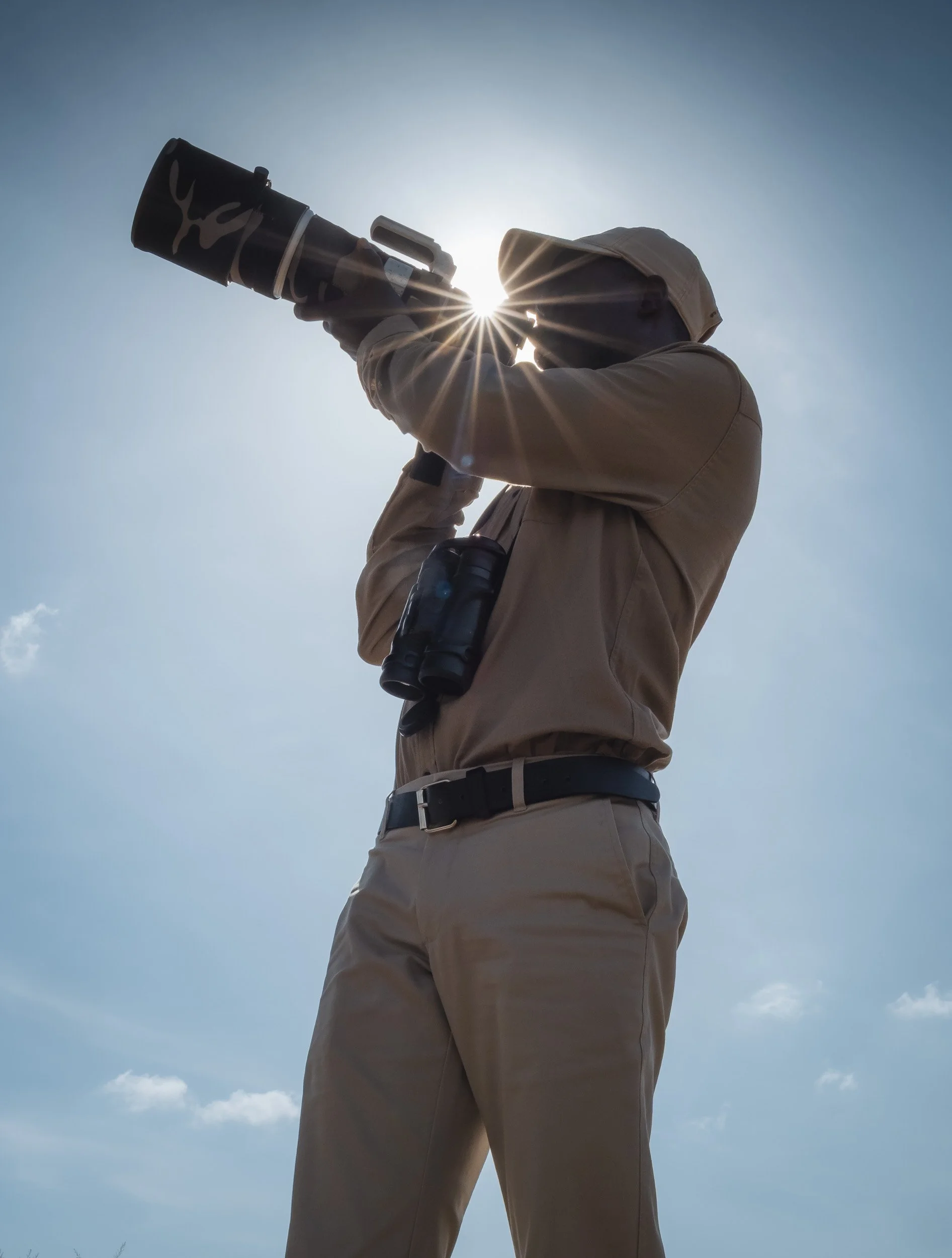
My guide couldn’t resist lifting the camera up to capture some of this beauty either.
The Master Huntress
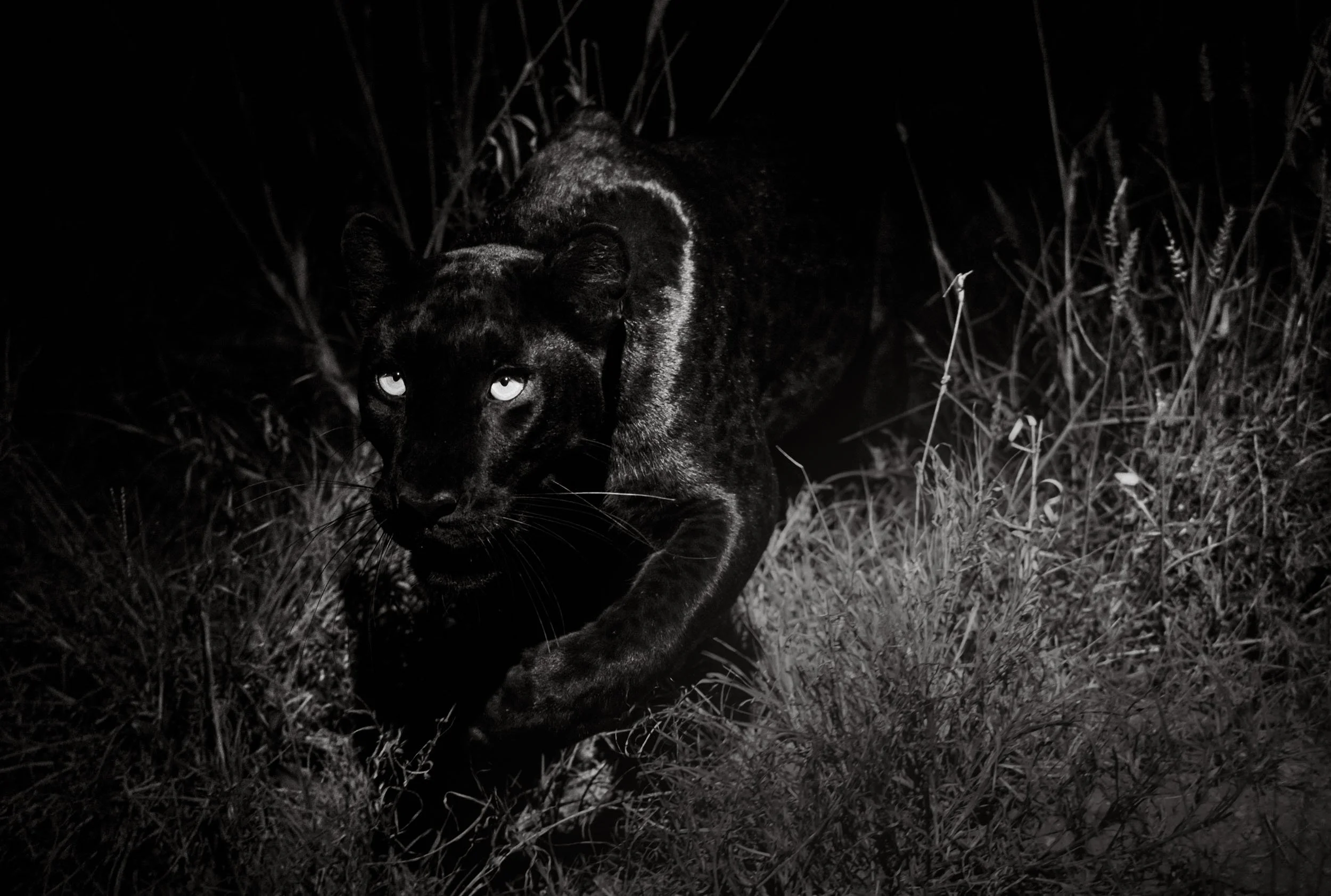
At night though, only one thing was on our mind - more sightings of Giza. And we were rewarded almost every evening. Her hunting prowess and the need to bring home at least two kills to her cubs every day meant that no evening passed where we didn’t hear the characteristic squeal of a dik-dik in distress. For better or worse, it never lasted more than a few seconds, so efficient was the leopard in her attempts.


We can’t know for sure, but it may be her black coat that makes Giza a more efficient predator at night, even more difficult to spot, and reversely also the cause for her to develop a preference to hunt in complete darkness - indeed, the brown bushland is not a very suitable environment to stay undetected during the day if you look like Giza.
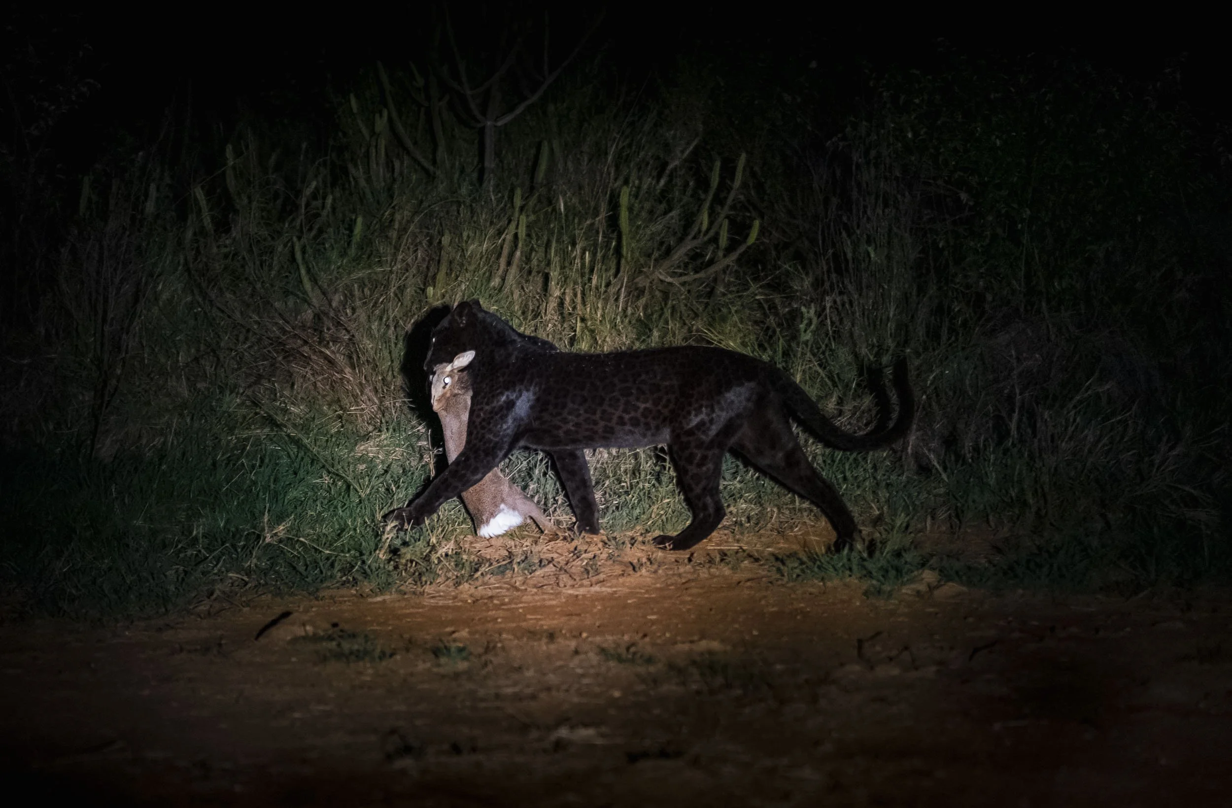
Patterns
In the right light and angles, her coat truly shone, literally and with its intricate black pattern.

With the Boss
On our last day we had the pleasure to be guided by Steve, the lodge owner, himself. That was a privilege, as his experience in the bush of this area is unmatched, and we also got to chat a bit about his time in Zimbabwe - for example, he happened to know the amazing Steve Edwards of Musango, and Barry of Chewore. Read about my time at their lodges, standing in dinosaur footprints (yes, for real) and taking one of my favorite images ever.
I always love being out in the bush for a walk as well, so we went for a morning trek along one of the river banks - it’s just such a different feeling compared to being in the car, and I can recommend it whenever you have the possibility.

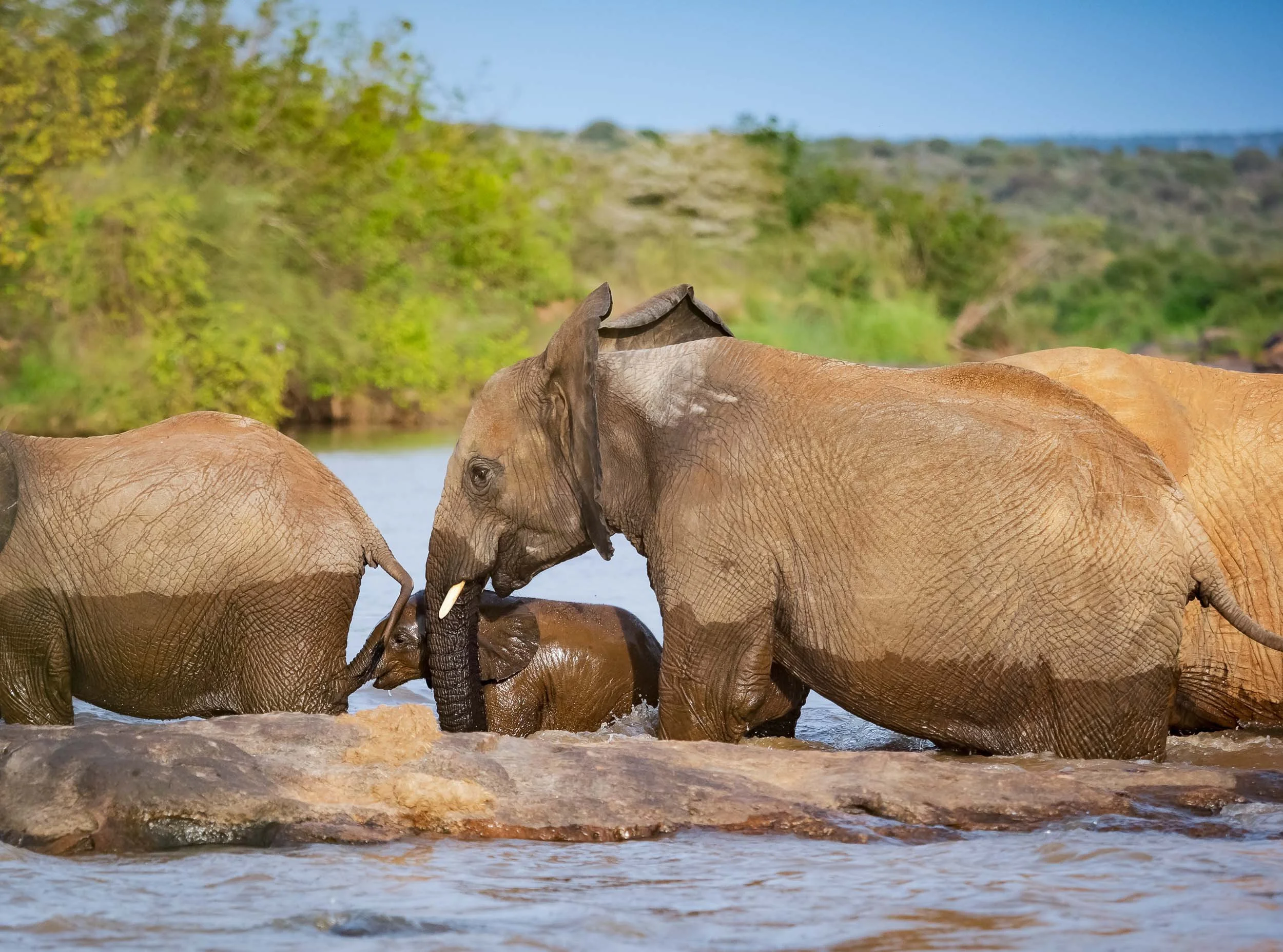
Over the last years I’ve developed a soft spot for elephants, and Steve took us with him on foot to see this family cross the river, forcing their youngest to become a temporary submarine.

He also showed us these makeshift beehives the locals hang from trees to encourage honey production. However, this is a tricky endeavor: honey badgers often outsmart even the most stable human construction and manage to climb down the ropes and open the wooden boxes, as seems to have happened here with a few of them.
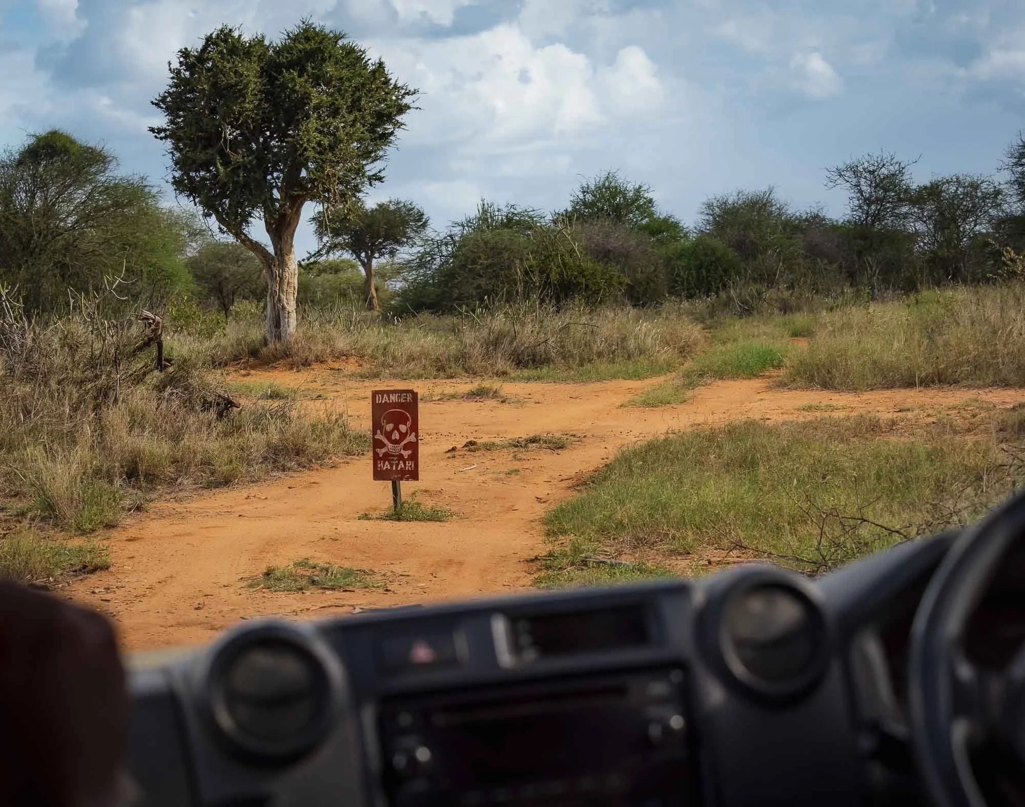
Back in the car, we decided to venture out a little further into new areas of the conservancy and beyond - only a few roads were off limits due to the military exercise: Hatari! (That’s danger in Swahili, and also the name of a classic 1962 movie with John Wayne everyone who loves Africa should watch!)
We spotted another leopard who had just hunted a hyrax - once again, observing the prey is often the best way to make out the predator. A group of rock hyrax seemed very agitated and made alarm calls, which gave away the presence of the cat. He hid in the tall grass with his meal, giving us only a brief moment to make out that he was a shy individual, less commonly seen.


Striped Hyena
We also managed to tick off another of my goals for this trip - seeing a striped hyena. They are more common in the northern half of Africa, the Middle East, and parts of India, whereas their spotted and brown cousins as well as the aardwolf (the latter two still on my list) are more frequently seen in the southern half of the continent. They are shy animals, and we had to be quite strategic to get these images before it disappeared into the bush - Steve’s knowledge of their behaviour paid off.


There are around 10,000 individuals left in the wild, primarily nocturnal and mostly observed alone or in pairs (they are monogamous), unlike the spotted variant, which is usually found in groups. They are heavily featured in folklore and mythology in the Middle East.

The Last Morning
In the early hours of my final day, we launched an attempt at finding the local pack of wild dogs - another amazing underrated African mammal species.
One of them is collared, so the radio would increase our chances of finding them. It still depends on line of sight, and with the many ravines and a dog that may be sleeping in one of them, it’s still a challenge.
Too much of a challenge for us this time, as even after several attempts we didn’t get a signal.

Instead, we were blessed with a final leopard sighting. It was a distant one, but a very interesting observation. The cat moved close to a giraffe, which watched him very carefully (although leopards don’t really pose a threat to them), and a small group of waterbuck (whose young might be a risk).
Can you spot it? It’s testament to the Steve’s observation skills that he was able to determine the presence of a leopard by the watchful alert behavior of the other animals, from several hundred meters away - while driving.

One last amazing bird sighting was this martial eagle - with a wingspan of over 2 meters and almost 1 meter in length, this is Africa’s largest eagle. An apex predator, but by now unfortunately endangered due to habitat loss.

The Queen of the Darkness
It goes cats -> leopards -> black leopards - we reached the end of the funnel of my favourite animals, it doesn’t get much better than this.
One can only hope that Giza will be with us for several years, and produce more offspring. With some luck, we might get to see a few more iterations of a beautiful darkness in the area, given the presence of the gene in the local leopard population - I’m here for it.
For now, it’s a true privilege to get to see a rare animal like this in the first place, and even more so to observe her up close. It may sound corny, but there is undeniably a certain aura around her beyond just the color of her fur, although one might be the antecedent of the other.
Subscribe to my newsletter to get notified and don’t miss out on more Wonders of the Globe.
Other Recent Posts:
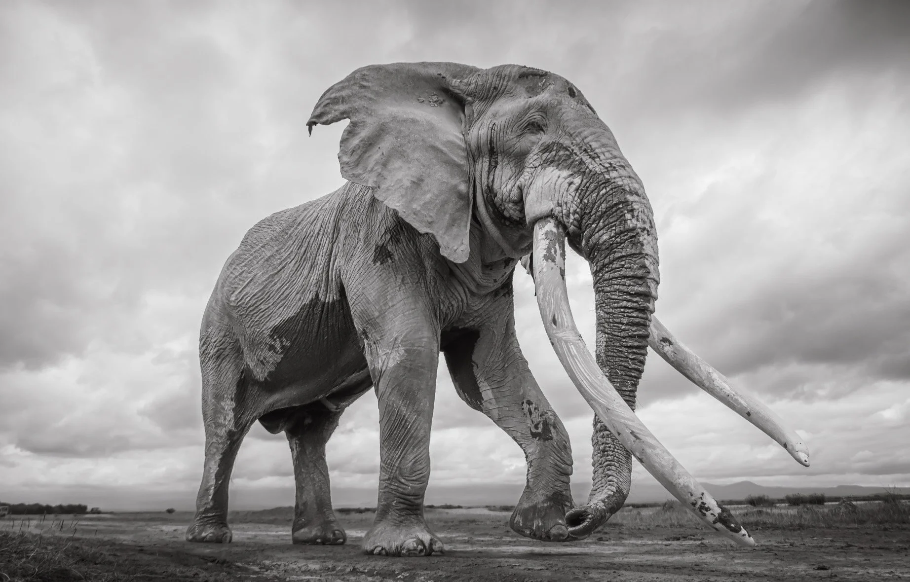
On a Mission for IFAW - Elephants & Rangers
My second trip to Amboseli National Park in collaboration with IFAW and Pexels, documenting the amazing ecosystem and the people protecting it.
In 2024 I came across a competition on Pexels’ website titled “Our Wild World”, looking for impactful images of our earth’s flora and fauna. There are lots of photography competitions out there, but this one intrigued me for two reasons: first, it was fittingly organised in collaboration with IFAW, the International Fund for Animal Welfare, a large conservation non-profit with activities all around the world. Secondly, the first prize was a trip to Kenya’s Amboseli National Park – a place I had visited before and that will always be dear to me owing to its incredible elephant population. Most notably, its group of rare Super Tuskers: elephants whose tusks exceed 100 pounds each, often reaching all the way to the floor.
Within a few minutes I had selected and submitted some of my favourite images, among them also one taken in Amboseli itself a few years earlier, showing one of the most famous Super Tuskers: Craig, the elephant said to have the largest tusks in Africa.
Not expecting much, I received an email a few weeks later, telling me this specific image had won the competition! I was delighted, of course, but the irony that a photo from Amboseli was the reason I won a trip to Amboseli was not lost on me. It had escaped the Pexel’s team and judges until I pointed it out to them later, when I shared a few quotes and we had a short video interview about the photo and its behind the scenes - watch the result here.
On my call with them to discuss the award a few days later, it came to me that a simple tourist trip to Amboseli would be enjoyable, but not provide much meaning for IFAW, Pexels, the elephants, and myself as well. Why not try to do something that serves a bigger purpose and aligns with the vision of the competition and its organisers? Luckily both Pexels and the IFAW team thought that was great idea, and were fully on board to help fund and organise a longer trip that would not only give me the chance to visit the Amboseli National Park and see its wildlife again, but go a little deeper into the local conservation effort and its challenges. To achieve this, I’d be visiting the IFAW offices in Nairobi, and then spend time to shadow and document two of IFAW’s most important ranger bases in Amboseli. Of course we’d also launch an attempt to find Craig and the other Super Tuskers, and cover the wider ecosystem with the camera.
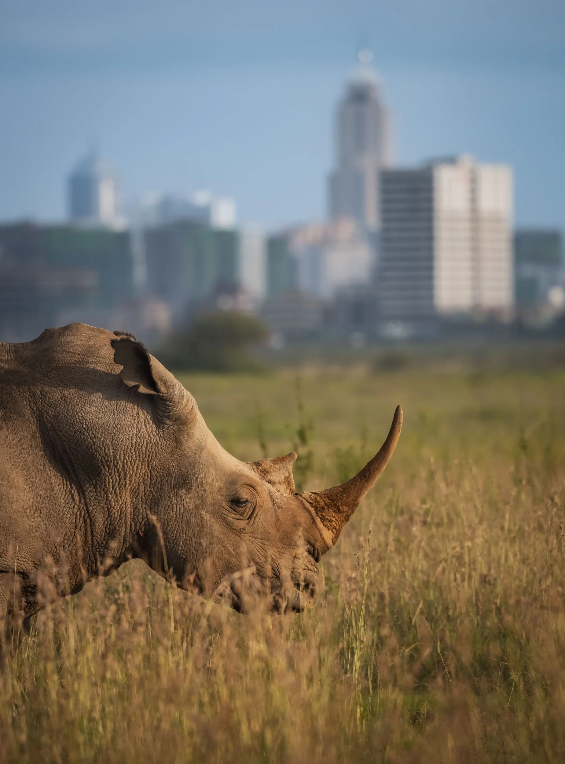
In Nairobi
Following a few months of planning and organising, the time had finally come. On May 26th I arrived in Nairobi, having already spent two weeks in Kenya’s Laikipia and Ol Pejeta areas in the north (blogs coming soon - amazing sightings). I started the day with a short visit to Nairobi National Park with its iconic juxtaposition of wild animals framed by the city’s skyline
The Ivory Burning Site
Created in 1989, this site near the entrance of the park stands as a symbol against the ivory trade. Kenya’s presidents have overseen four burnings of seized tusks, the last one included 105 tonnes of ivory in 2016. It’s now a conservation memorial and a picnic spot. It gave me some goosebumps to think how many elephants died for what is now a pile of ash, and it’s a stark reminder that being able to see them in the wild is not to be taken for granted - it needs work.
A quick stop at the Sheldrick Trust, which saves, raises, and re-homes orphaned elephant and rhino calves, as we exited the park. Nothing better than watching some baby elephants fight for milk to contrast the somewhat haunting images of the burned ivory site.
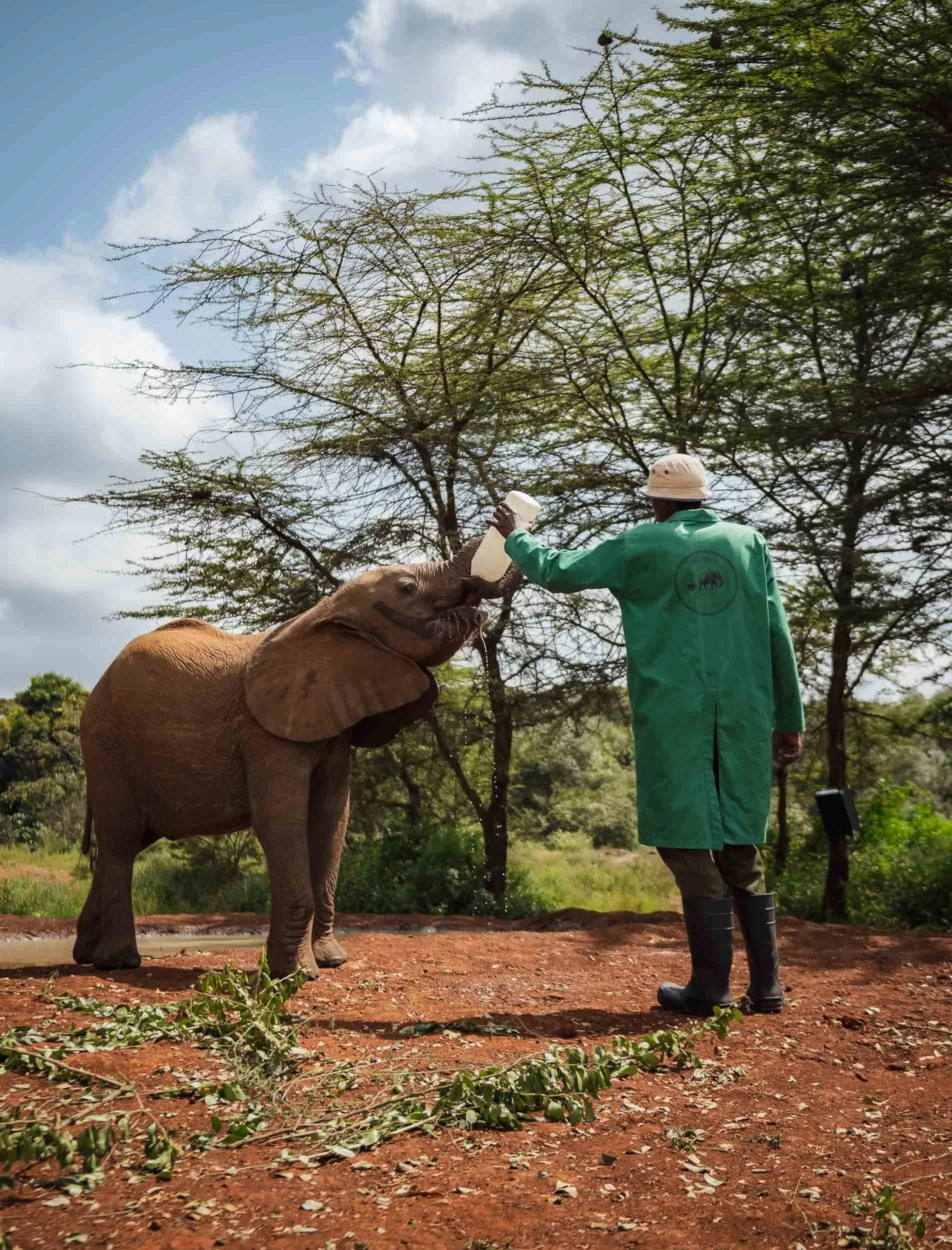
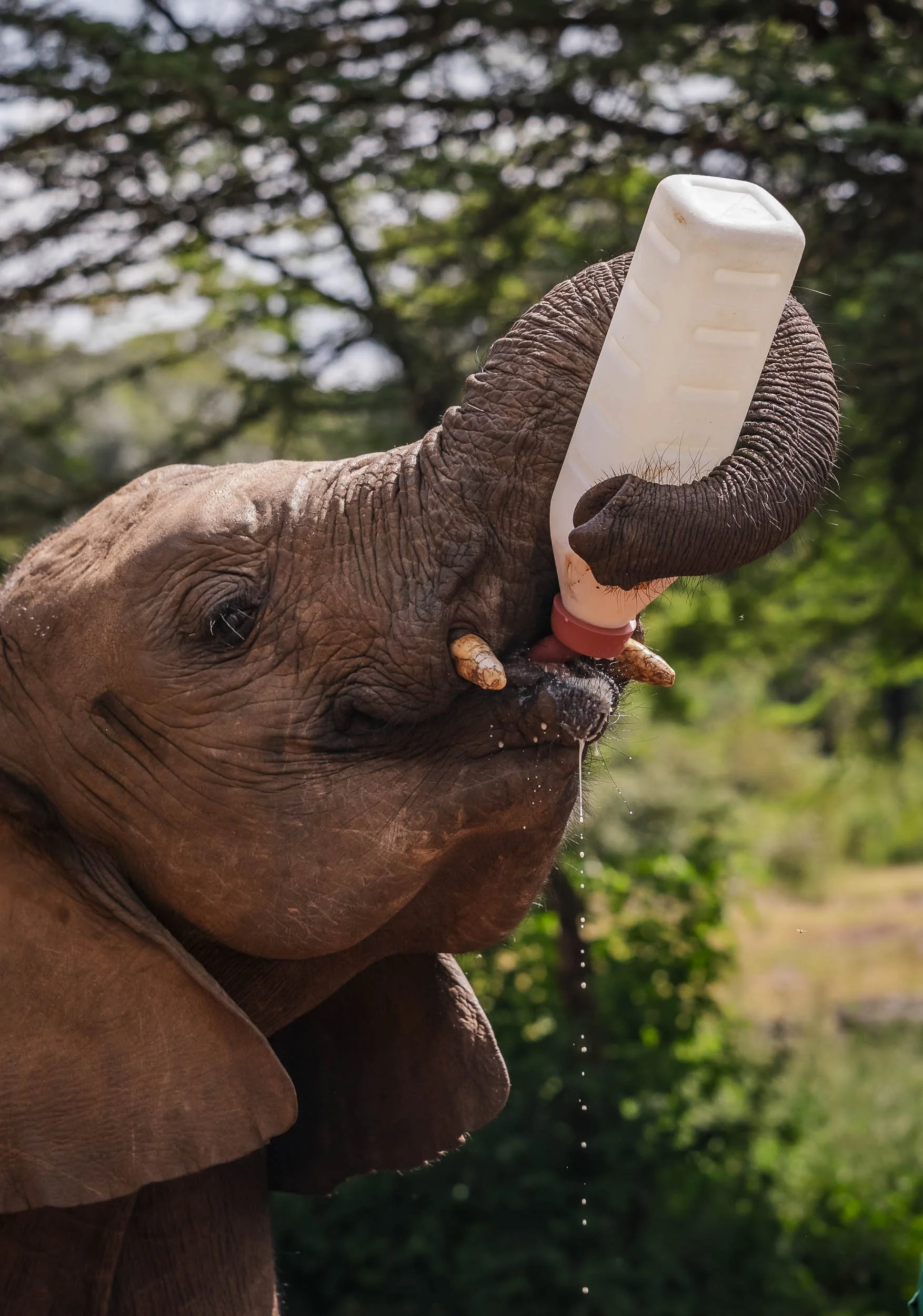
I made my way to the IFAW office in the afternoon, where I met Guyo, Communications Officer for East Africa, for a discussion on logistics and footage we were hoping to get - as much as that’s possible given the wildlife involved and the unpredictability of the African bush!
To get you into the mood for this rather long blog, here’s a 2 minute video of some of the highlights that are about to follow…
After a 5am start the next morning, I was on the way to Wilson Airstrip for a short flight eastward, heading to the airstrip of Amboseli National Park at the foot of Tanzania’s Kilimanjaro mountain – the iconic backdrop of the park, and also my next destination, as I planned to climb it in early June.
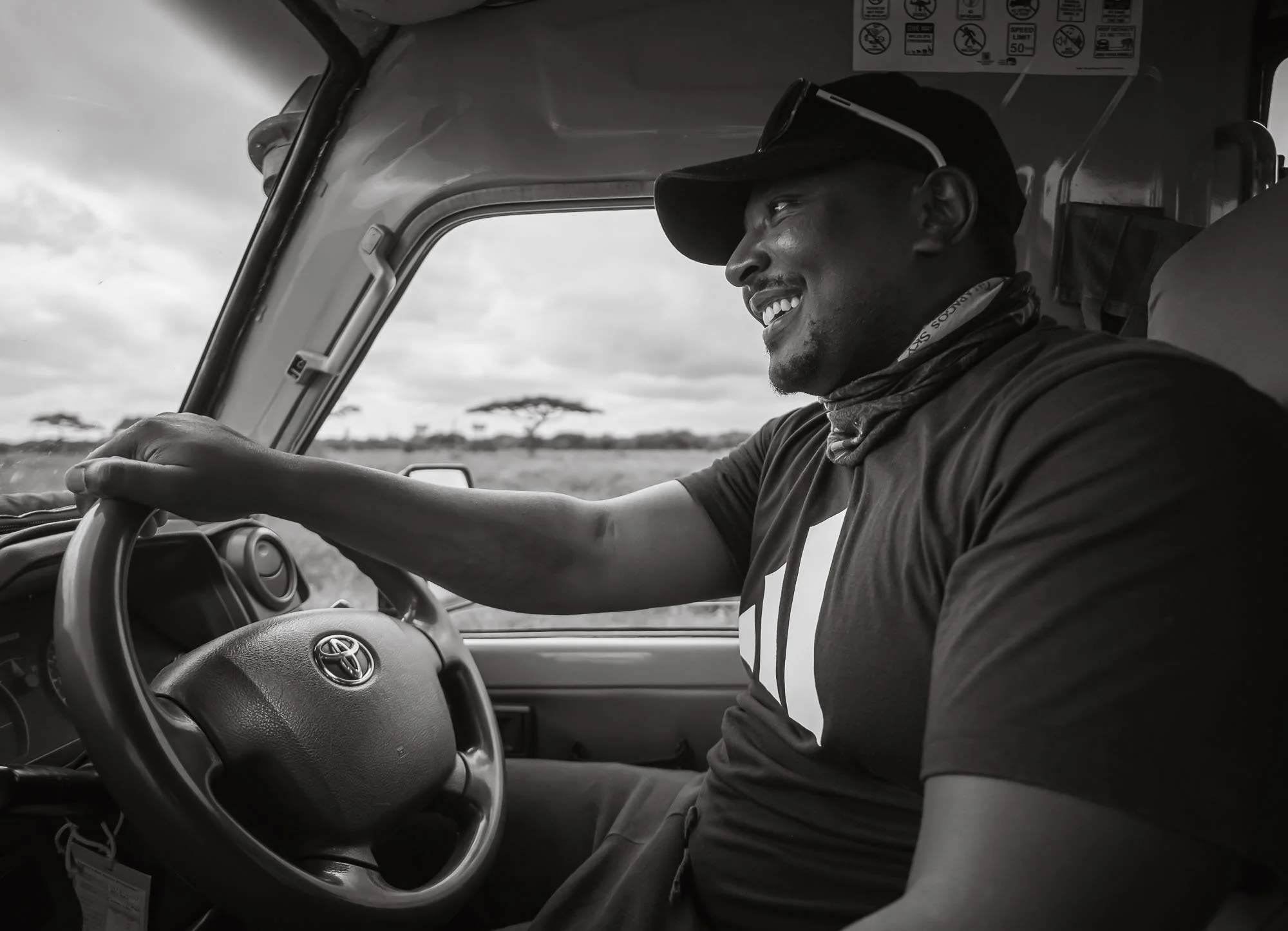
Old Friends
After landing, my first happy “sighting” was Dickson, one of the best wildlife guides I’ve ever worked with, and who had gladly agreed to help me again during this visit – his network of contacts across rangers, local Maasai, and other guides was invaluable for what we wanted to do. In addition, he had also been working for months to secure us an off-road permit in the park, greatly increasing the chances for unique sightings and photographic angles.
To complete the paperwork for that, we stopped at the Kenya Wildlife Service headquarters and then straight away made our way out into the plains, bushes, marshes, and lakes of Amboseli and its surrounding areas. While we were able to plan when to visit the ranger bases, it’s more difficult to make plans with the wildlife (insert corny joke about sending a meeting invite to Craig). Nevertheless, I had high hopes that during the 5 days I would be able to spend here, at least a glimpse of Craig would be achievable. During my previous visit, it took 3 days of searching and coordinating until we finally got a message that he had been seen in a conservancy outside the park. While elephant herds often follow a routine, lone large older bulls are not as predictable: they can roam over thousands of square kilometres, not stopped by park boundaries or even national borders.
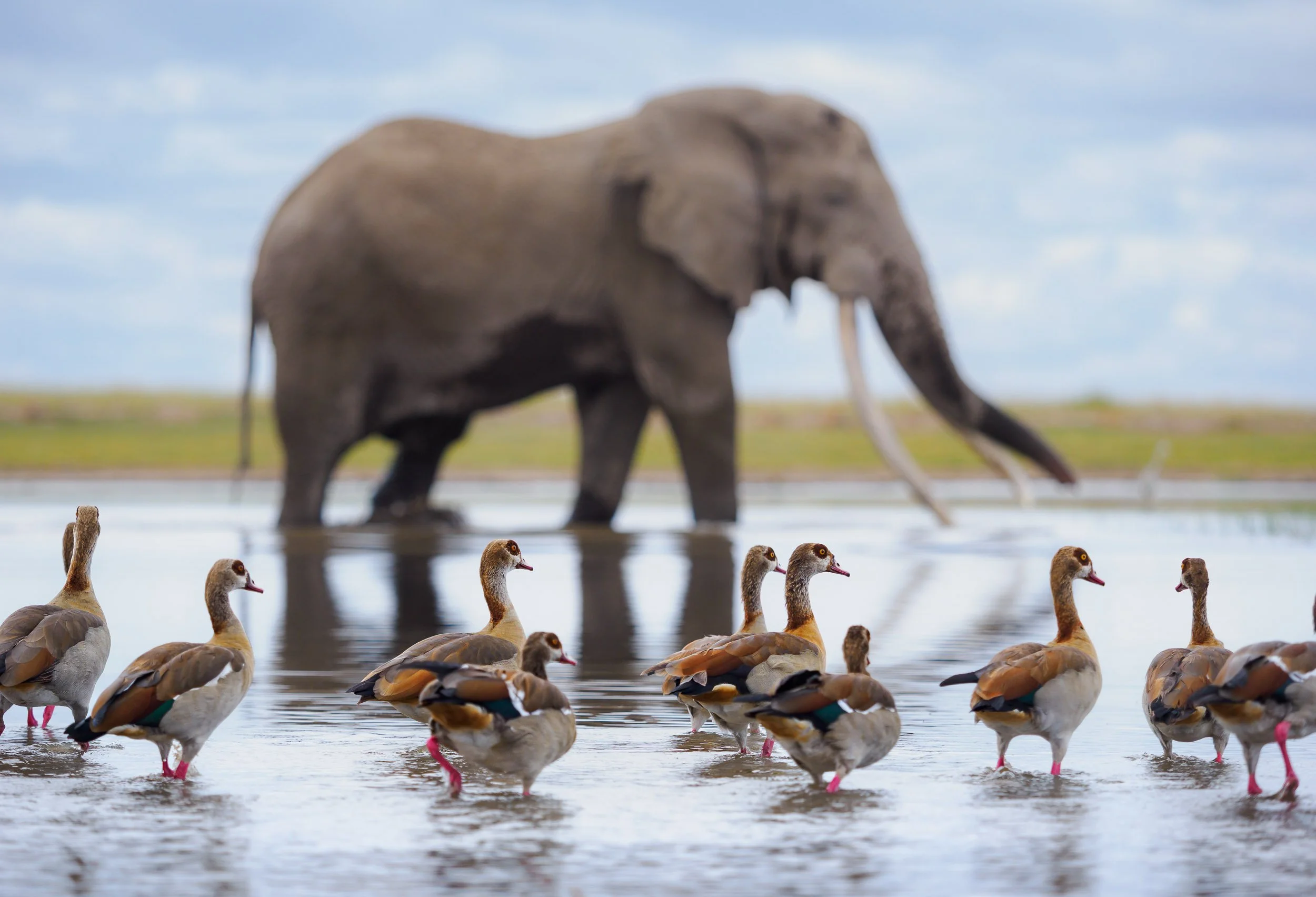
A Reunion with Craig
Let me cut this short – my worry about whether I’d be able to find Craig again this time was luckily unfounded. In fact, I could not believe what occurred – just a few hours after landing on the airstrip, I stood in front of him again, gently walking towards the marsh, watching him enter the water for a drink and some fresh grass.
While his figure is in fact not among the largest elephants in the park, it’s his tusks and the gentle, yet imposing presence that truly makes you feel in awe when watching this magnificent animal. At 53, Craig is no longer a youngster, has seen and done it all, and is not fazed by human presence. His age also means that there is not much time left for him: aside from poaching, disease, or other unnatural deaths, elephant lifespan is primarily dictated by their molars. With six sets lasting 10 years each, it’s usually in their 60s when they’re unable to chew anymore and face starvation. As we left him alone for the morning and made our way to the lodge, I felt a sense of relief and gratitude that I already had been able to document him again so early in my trip. Even before my first trip to Amboseli, I enjoyed seeing elephants in the wild, but observing them up close here has given me a new level of appreciation for their complex social structures, intelligent behaviour, and sheer size, but also the threats and difficulties they face.
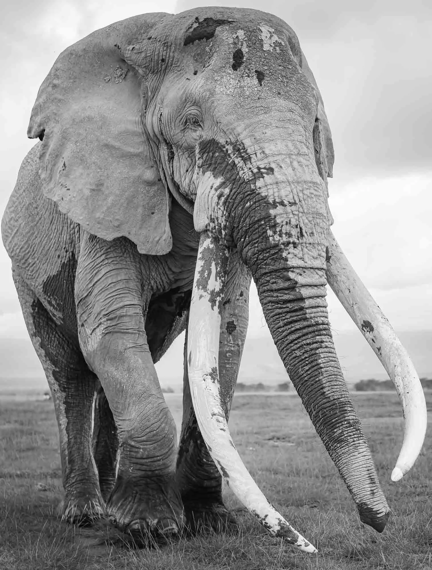

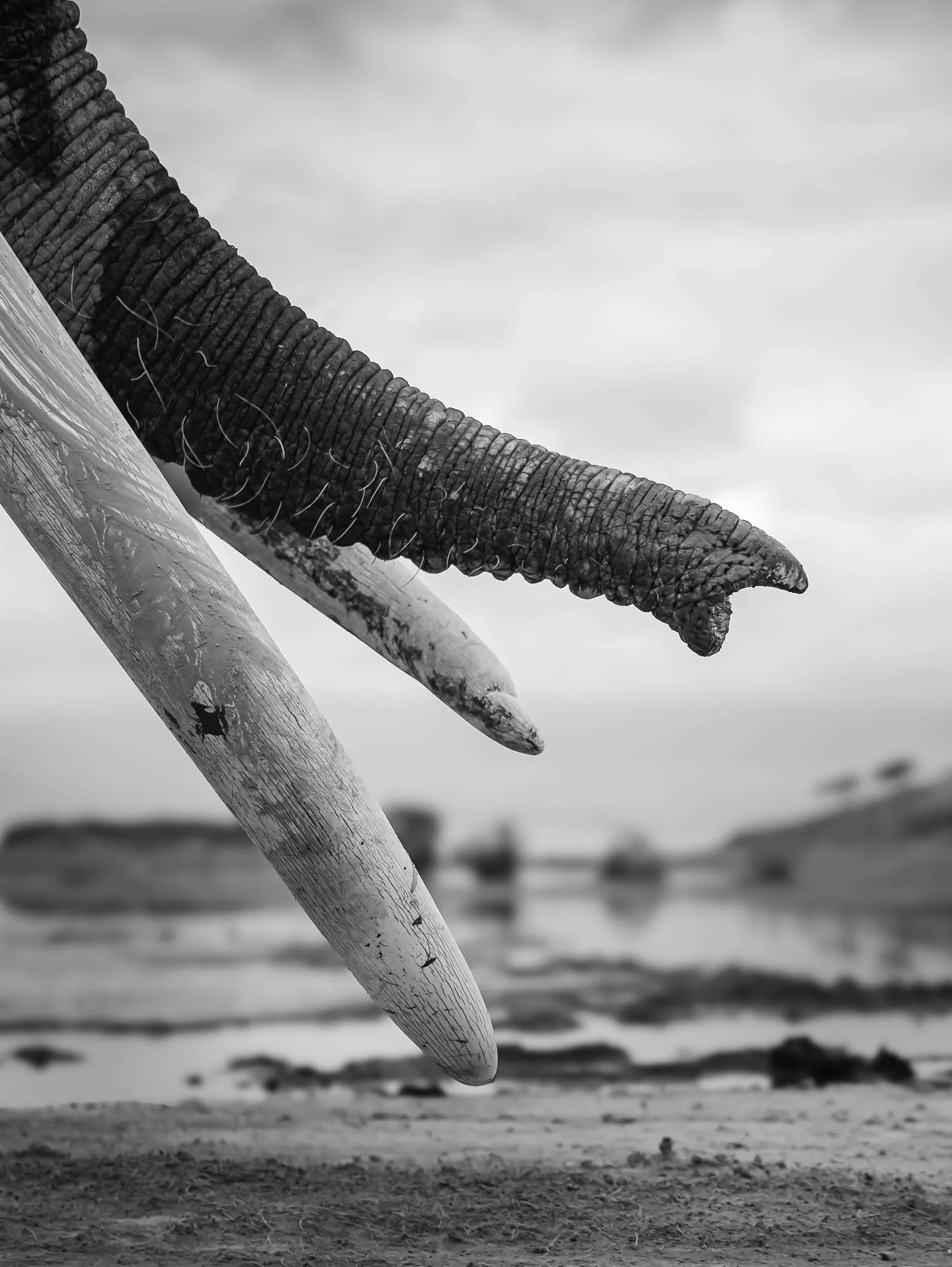
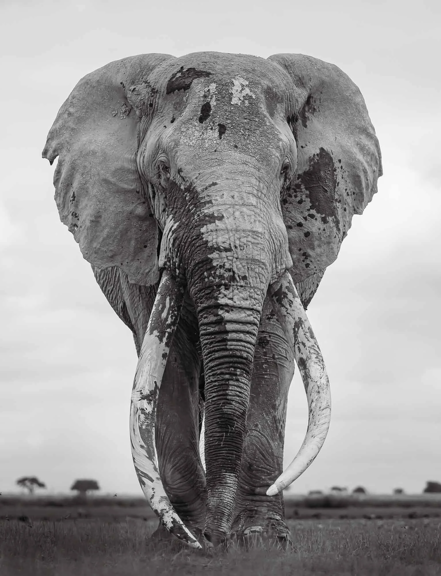
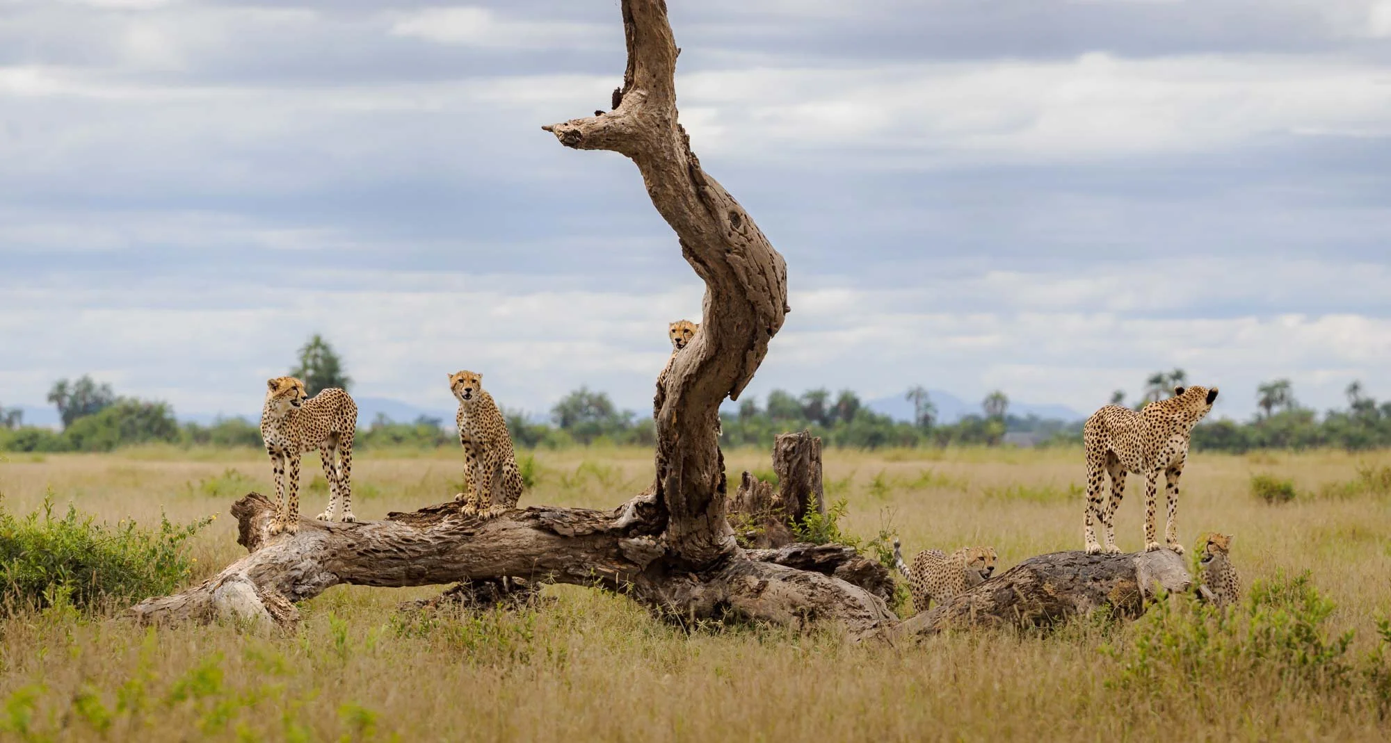
Day 1 was not over yet. In the afternoon, Amboseli had another beautiful sighting in store for us: a cheetah. But she was not alone. This cheetah gave birth to a total of five cubs several months earlier, all of which she has kept alive until today, despite the threat of lions and hyena. Can you spot them all?
Although they are slowly approaching full adult size, they still rely on the mother for food and hunting guidance.
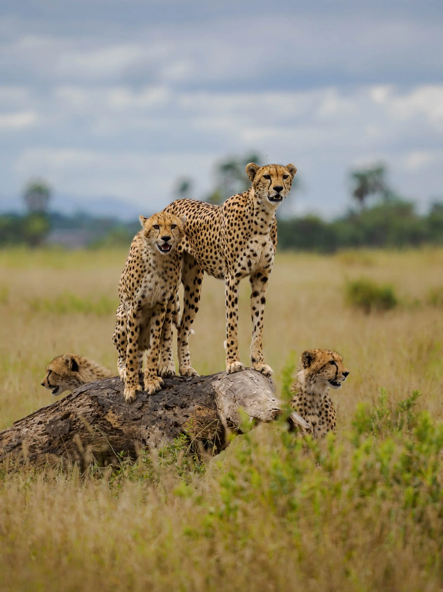
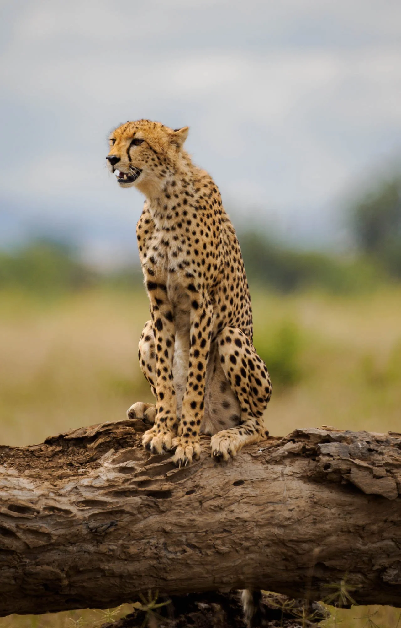
We watched them cross the plains and take a short break on a fallen tree, scanning the environment for what might be their next meal, before they disappeared into the thickets. The ecosystem here supports a healthy and stable cheetah population, although the species as a whole has been under pressure from human impact on its range, and is considered the most vulnerable of the big cats. There are less than 7000 cheetah left in the world, spread over only 10% of their former range.
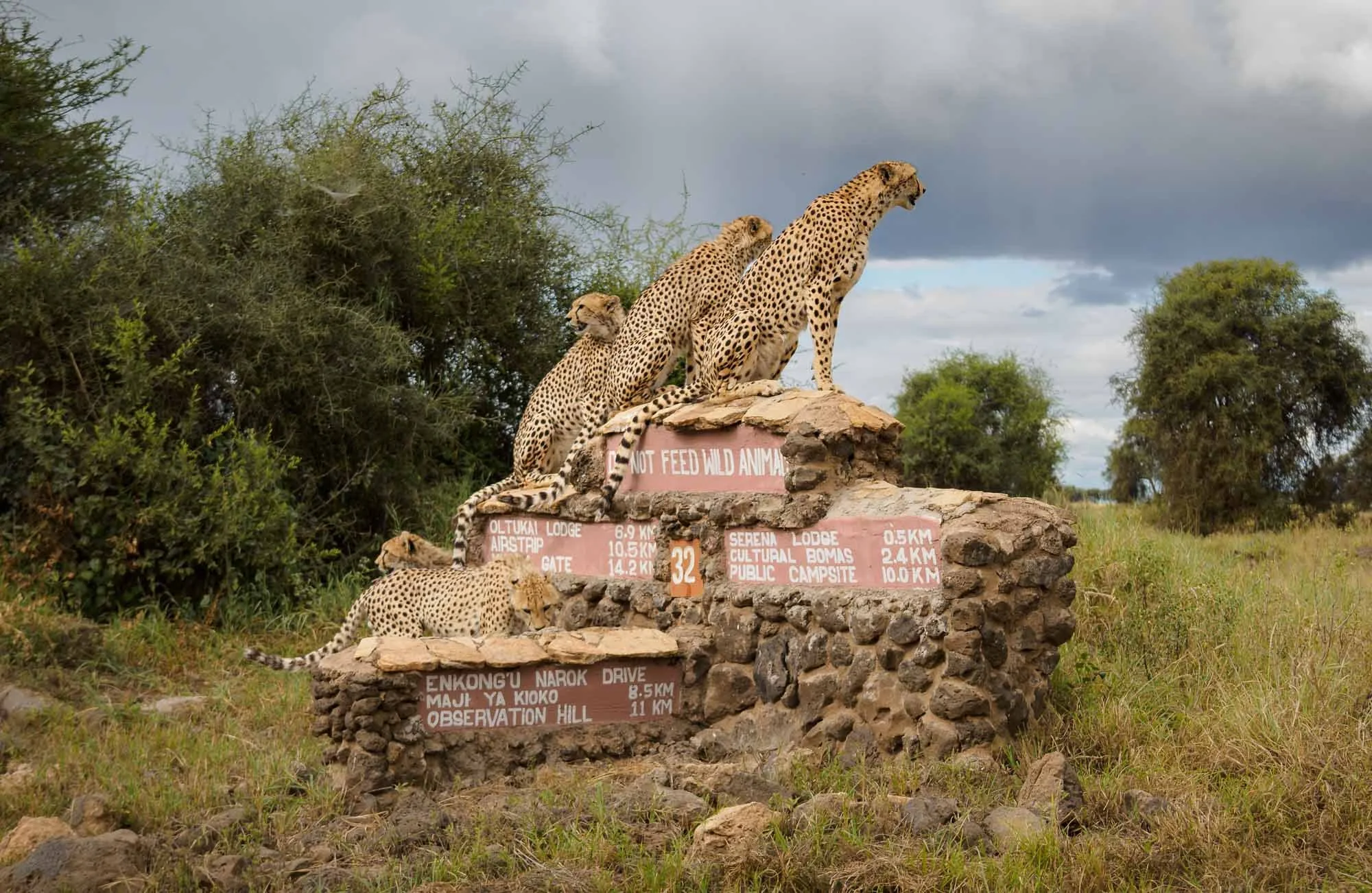
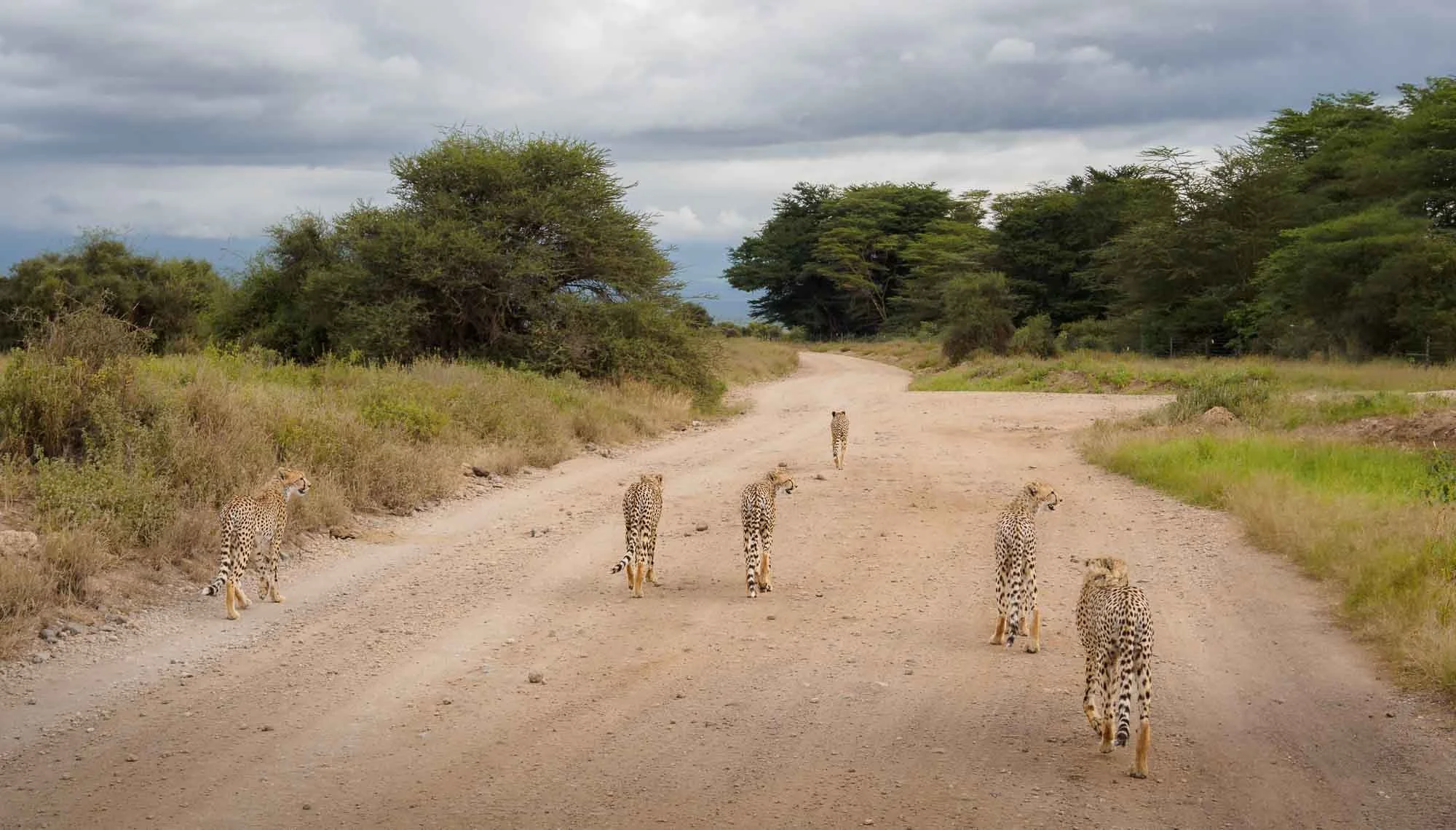
We happen to come across them another time on our second day, giving me a few more opportunities to capture their elegant lean shapes in the tall grass as they stalked a herd of gazelle.
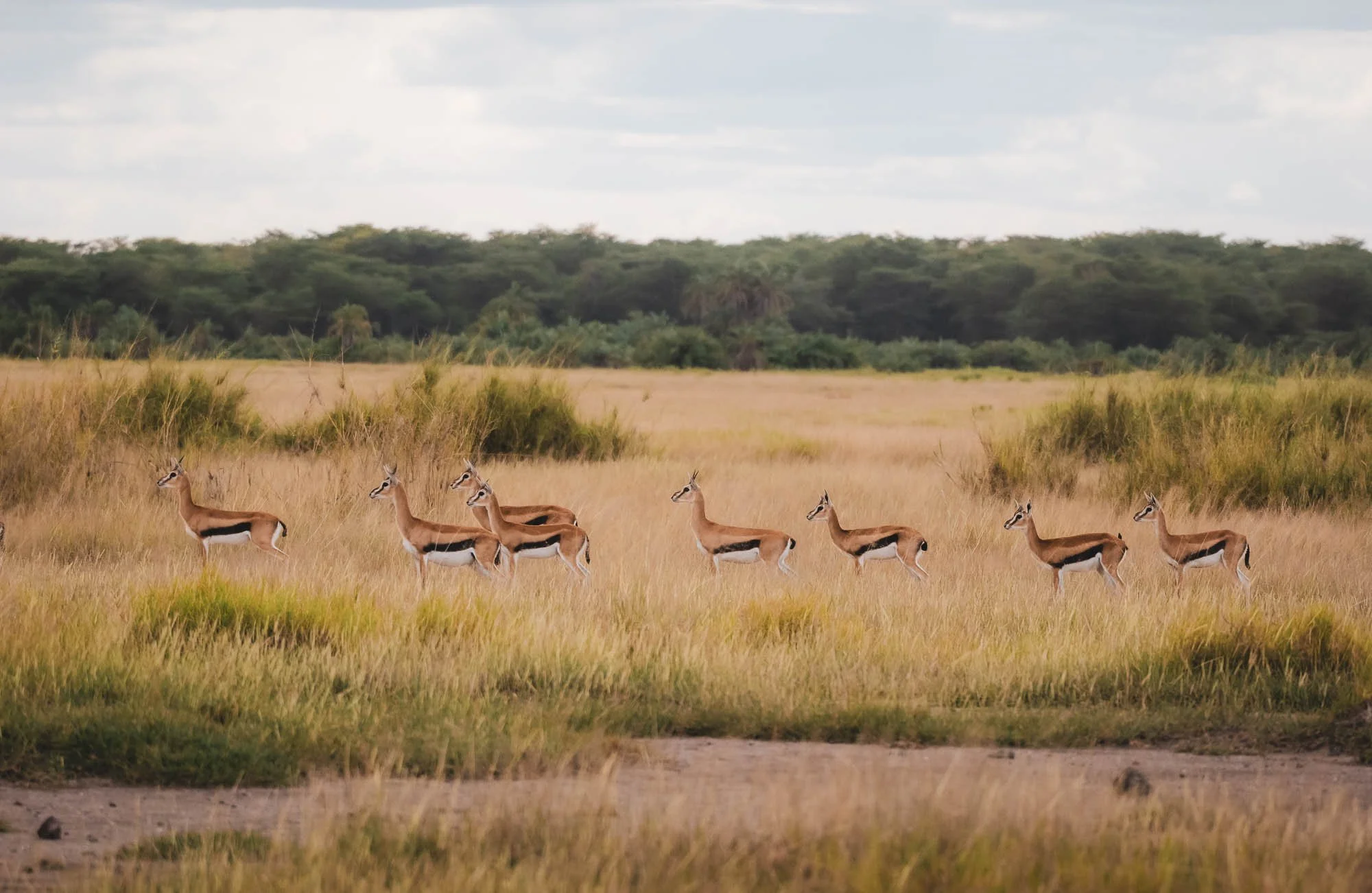
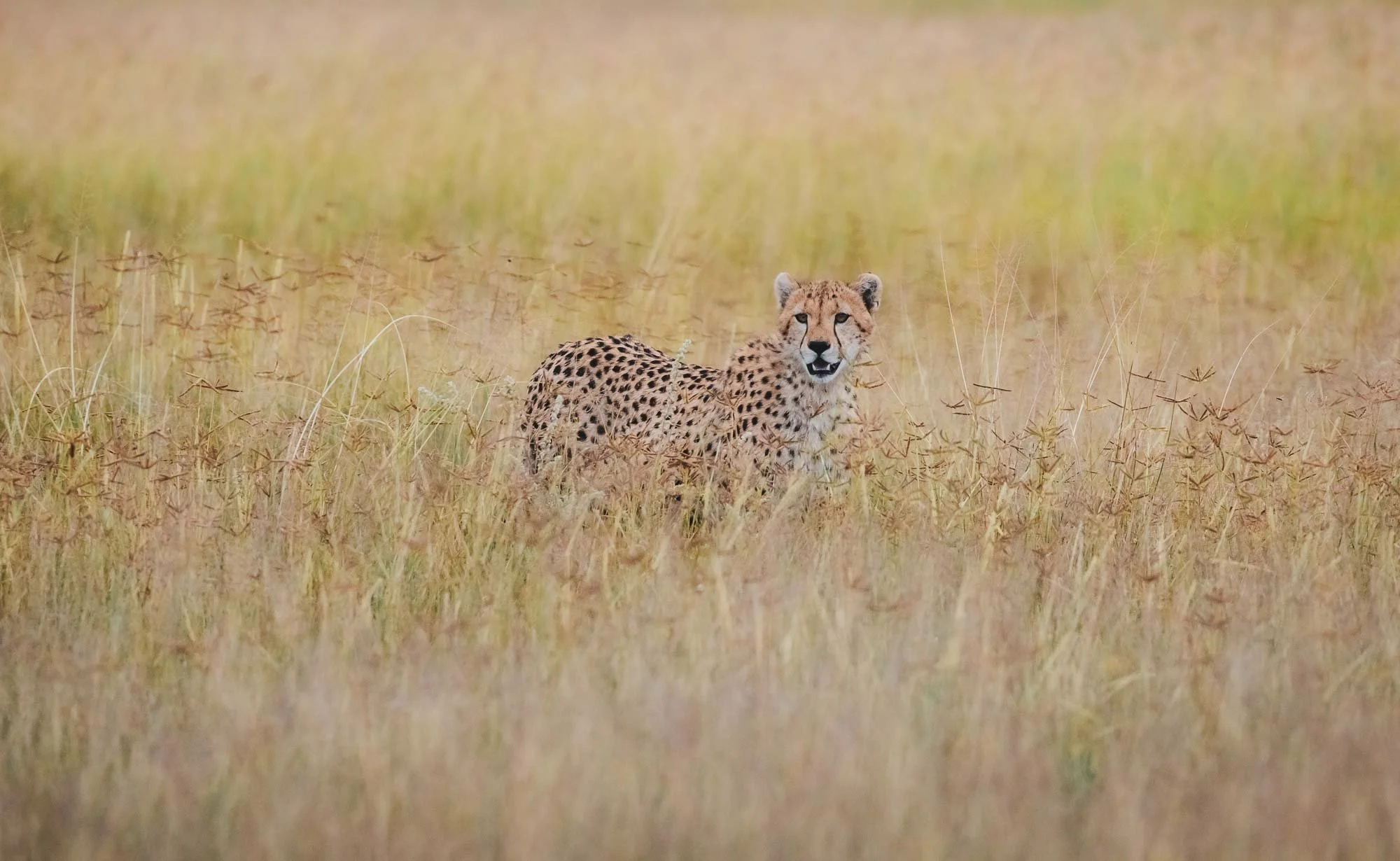
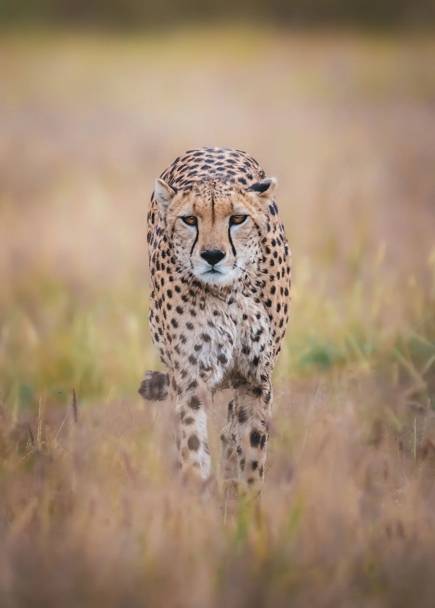
This year luckily brought the significant water needed to sustain the ecosystem. In the past, droughts have been quite severe, resulting in the deaths of many elephants and other species from competition for water. Even today, water access is a challenge as human needs conflict with the requirements of the wildlife – an elephant needs to drink up to 200 litres per day, for instance!
Clouds and a bit of drizzle also accompanied this afternoon, but it made my second encounter with Craig even more special. We spotted him in the distance not far from where he had been roaming around in the morning, when I saw a faint rainbow in the eastern clouds. Dickson and I rushed to him with the hope we’d be able to get a special photo. We only had a few minutes, and at first Craig didn’t cooperate, showing us his backside… but our patience was rewarded when he turned to the side, and I could snap a few images with him and the last glow of the rainbow. You never know what nature has in store!

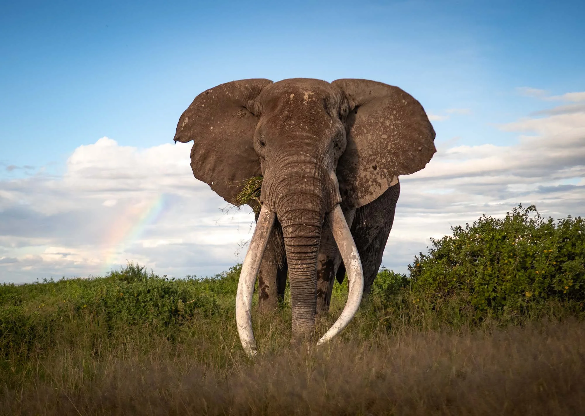
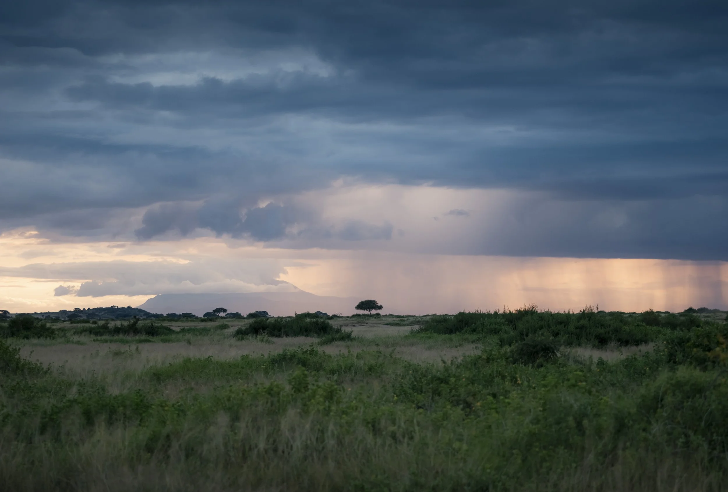
The last light faded, rains appeared on the horizon, and we made our way back to the lodge.
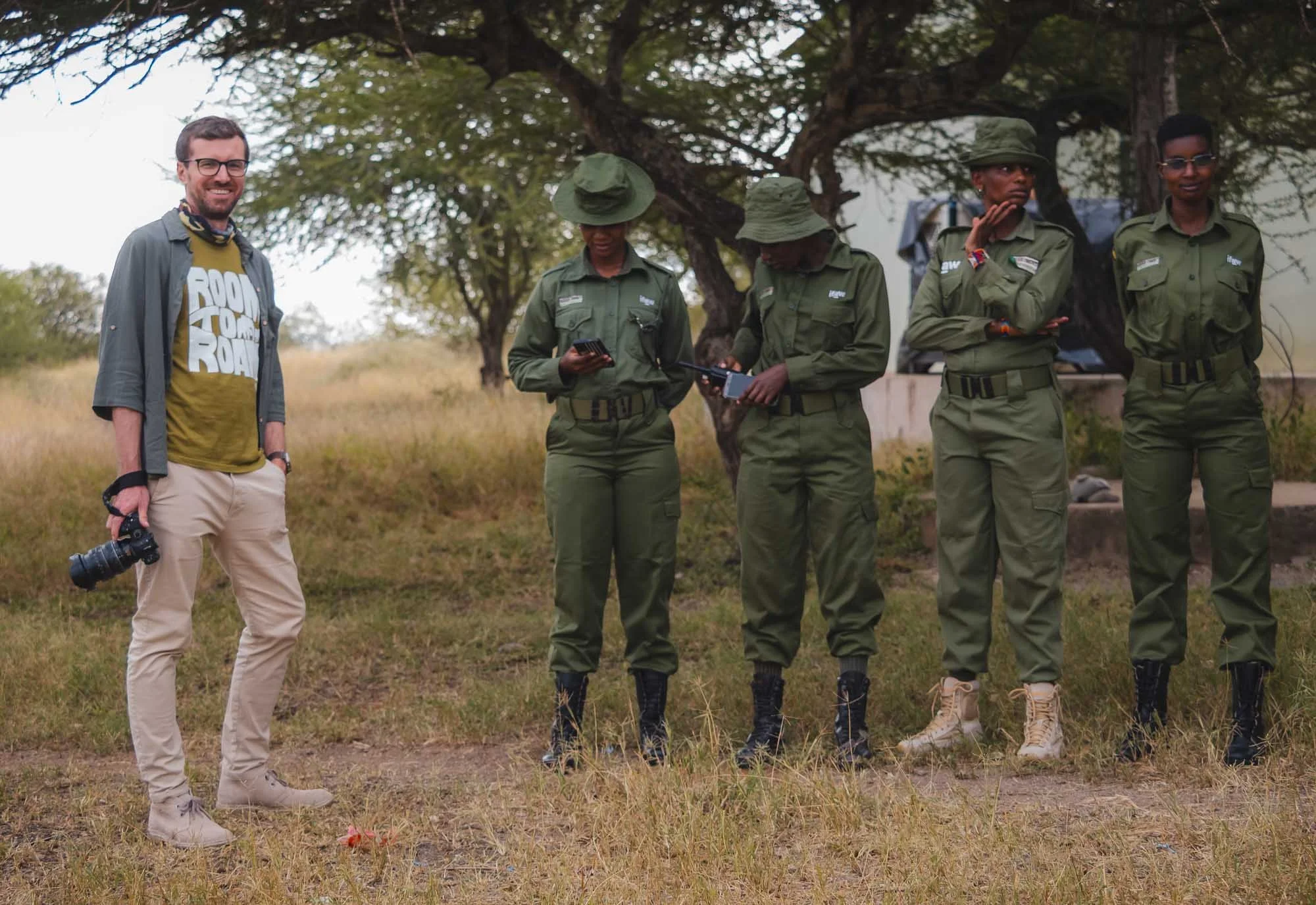
Team Lioness
For Day 2, we planned an early morning start, heading to the north of the National Park into the surrounding community lands. The goal was one of IFAW’s most well-known ranger bases: the home of Team Lioness, an all-female ranger team, which began its duty in 2019 and now consists of 17 members in total. Its story is a special one for several reasons: the members are often the first women in their families to secure employment, and at the same time break the mould of a traditionally male-dominated domain, taking on the role of protector against poaching and mitigator of human-wildlife conflict.
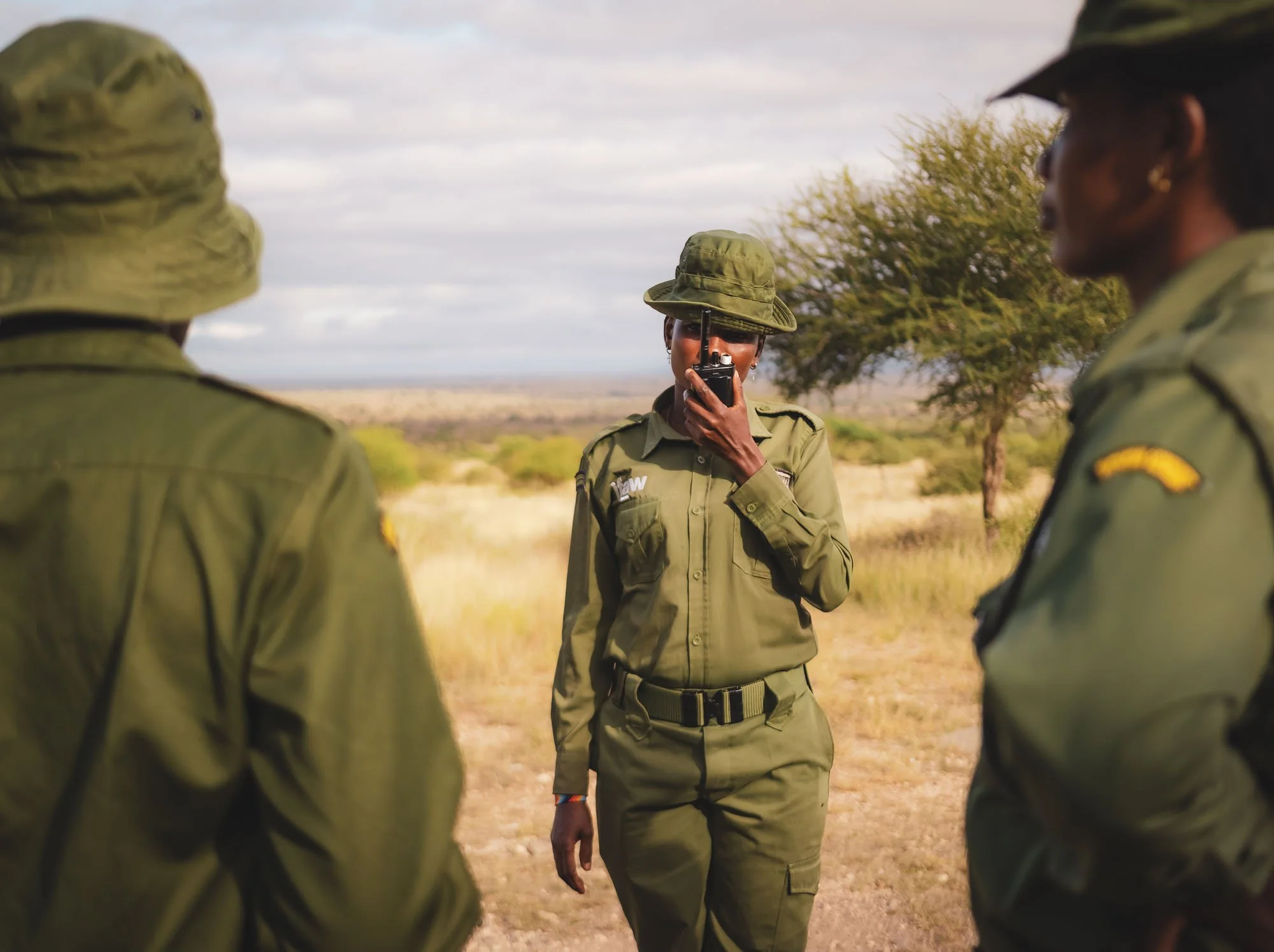
On Patrol
One of their ranges gave me a short briefing on the day’s activities: typically, they wake up at 6:30, followed by exercise and morning tea, and then a patrol, during which the team reports back findings to the headquarters. They normally walk for 20 km per day, but were happy to cut their route a bit shorter that day – lucky me, it was hot.
The first interesting observation? Two male rangers stayed behind, taking care of one of the Team Lioness member’s young child – unexpected gender role reversal indeed. Evelyn tells me it’s great for her to be able to go to work while knowing that her young one is safe at the base.
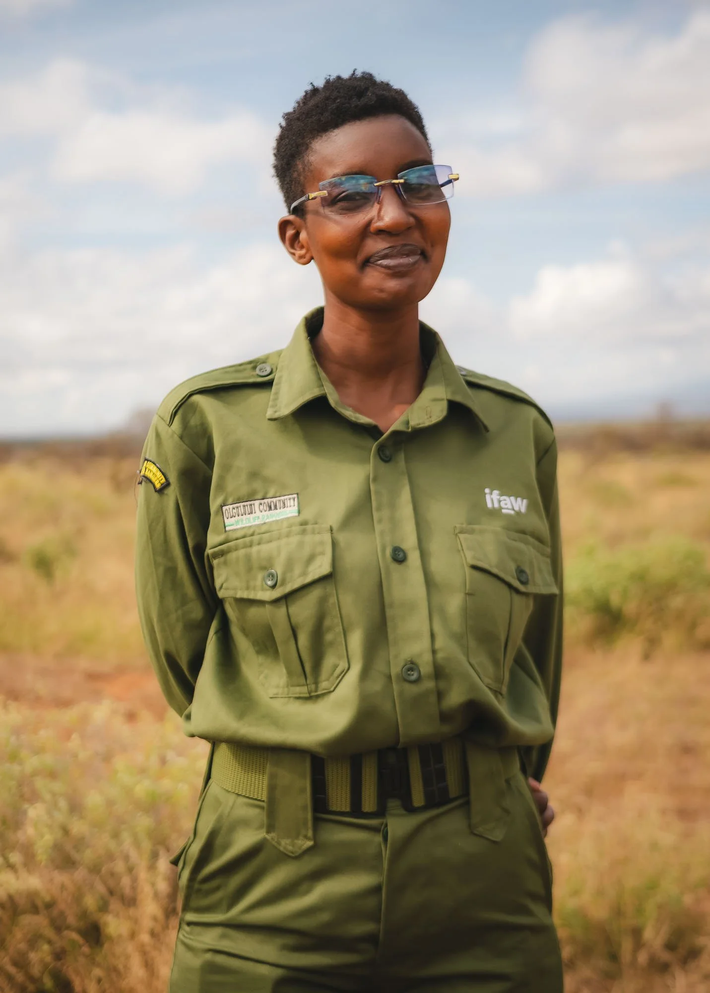

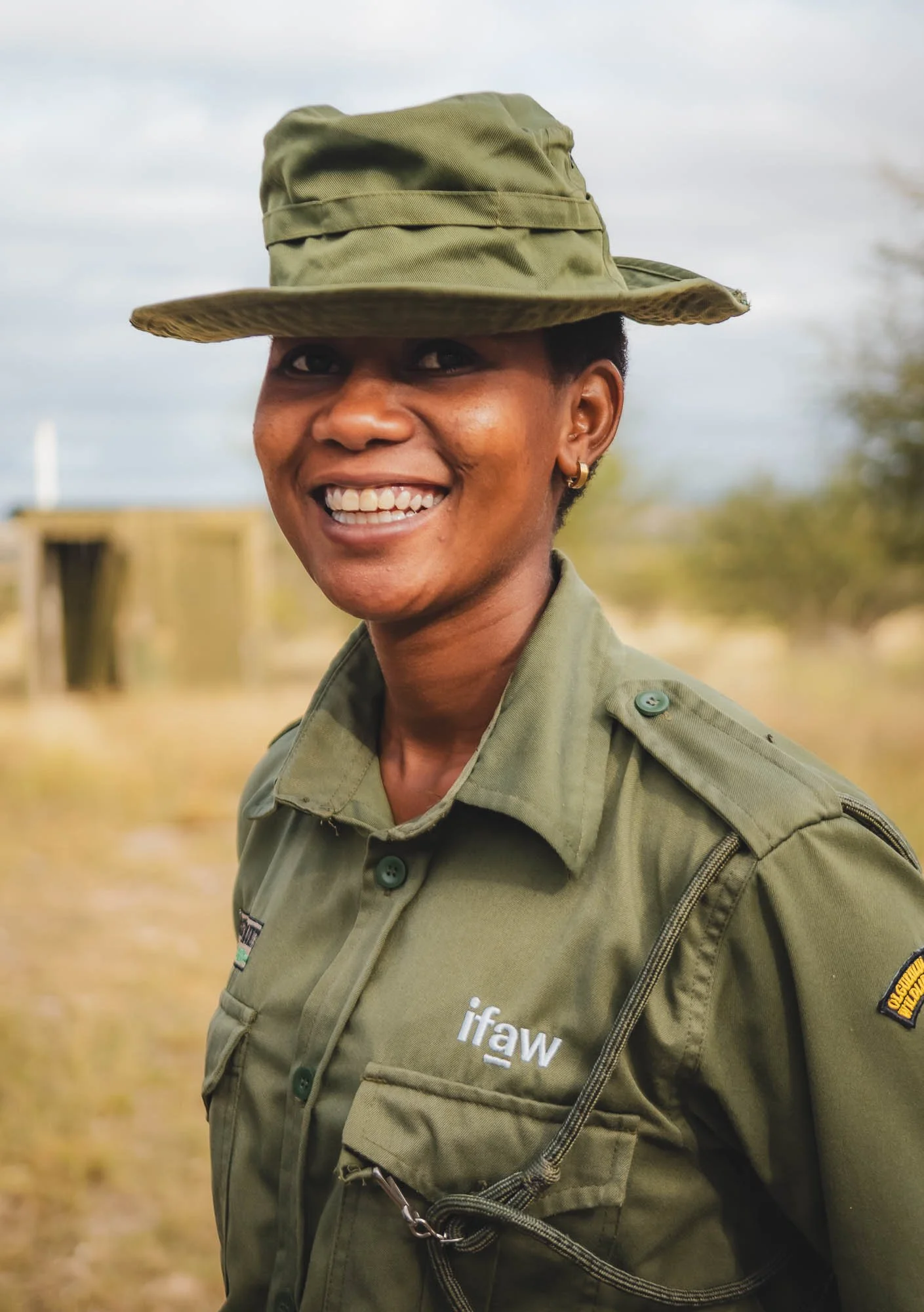
As we explore the area, Leah shares that they look for tracks to identify animal activity, with the goal of determine the number of animals moving in the conservancy, and any sick animals or other unusual signs. I watched them map wildlife sightings, and communicating findings using GPS coordinates over the radio to the central base of the area. We spotted zebra, gerenuk, giraffe, and other wildlife from a distance – it’s not common to run into the more dangerous animals such as buffalo or lion during the day, but Team Lioness is not allowed to carry weapons with them (only the Kenya Wildlife Service has the permission to do so), so you always need to be on high alert. Nevertheless, walking through the bush on foot is a very different and much more intimate experience than in a Safari vehicle, and brings you much closer to nature.
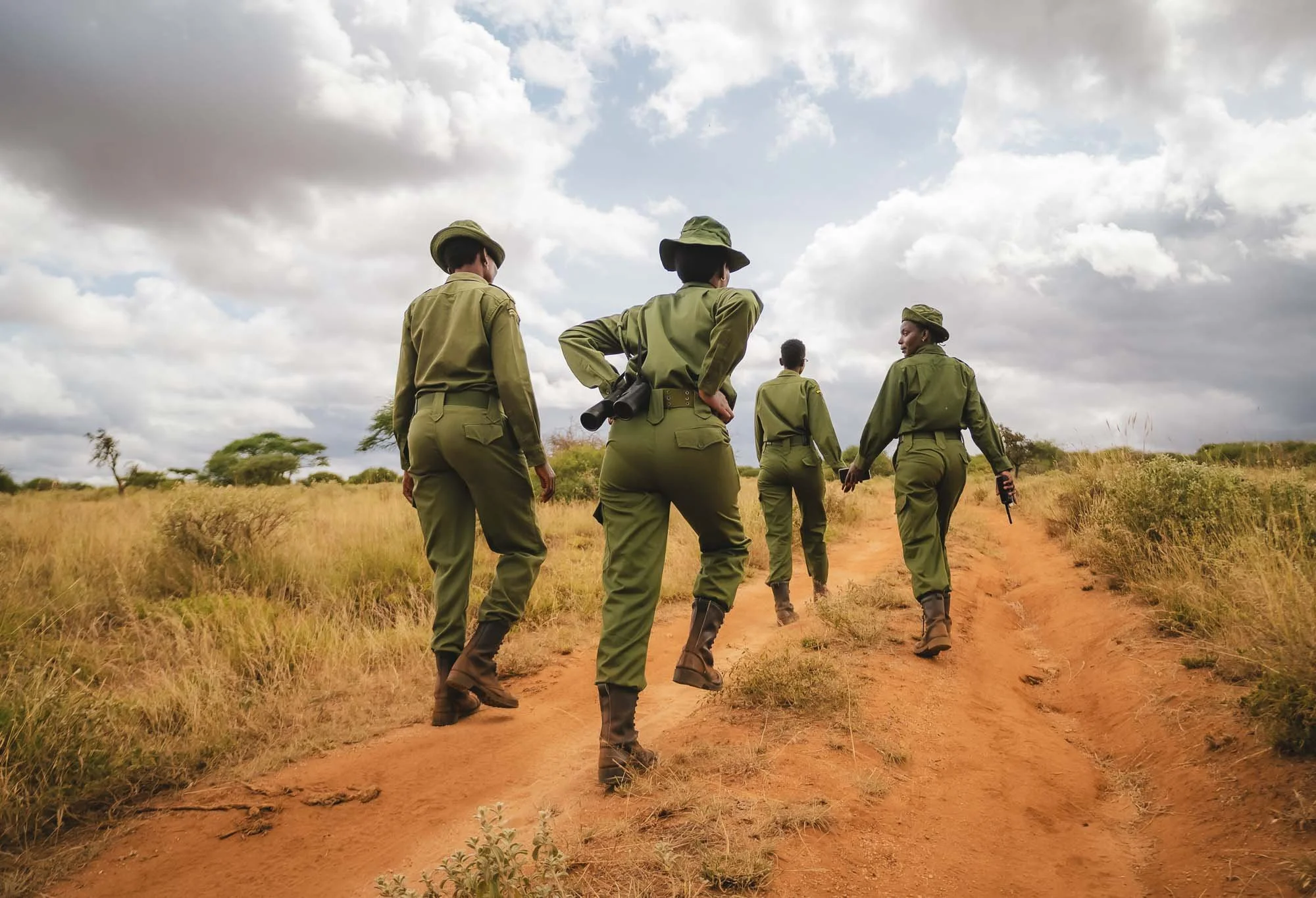

I had the chance to spend a little bit of time with them after the patrol, and they revealed some of their motivations for becoming a ranger, hurdles they faced in their communities, and goals for the future. Leah says she wants to pass the knowledge she gained working for IFAW to her kids so that they would also be interested in preserving wildlife for future generations. Human-wildlife conflict is one of the biggest challenges she sees in this goal, as it is a constant struggle to prevent and mitigate the consequences of lions seeing herds of goat or cows as prey for instance, while keeping the communities positive about wildlife, which is critical to its protection. I didn’t know it yet, but we would see an example of this issue first-hand a few days later. I asked her what her favorite animal is - which was probably not a very creative question –and unsurprisingly, the answer was Lioness, because “she’s a hardworking woman”.
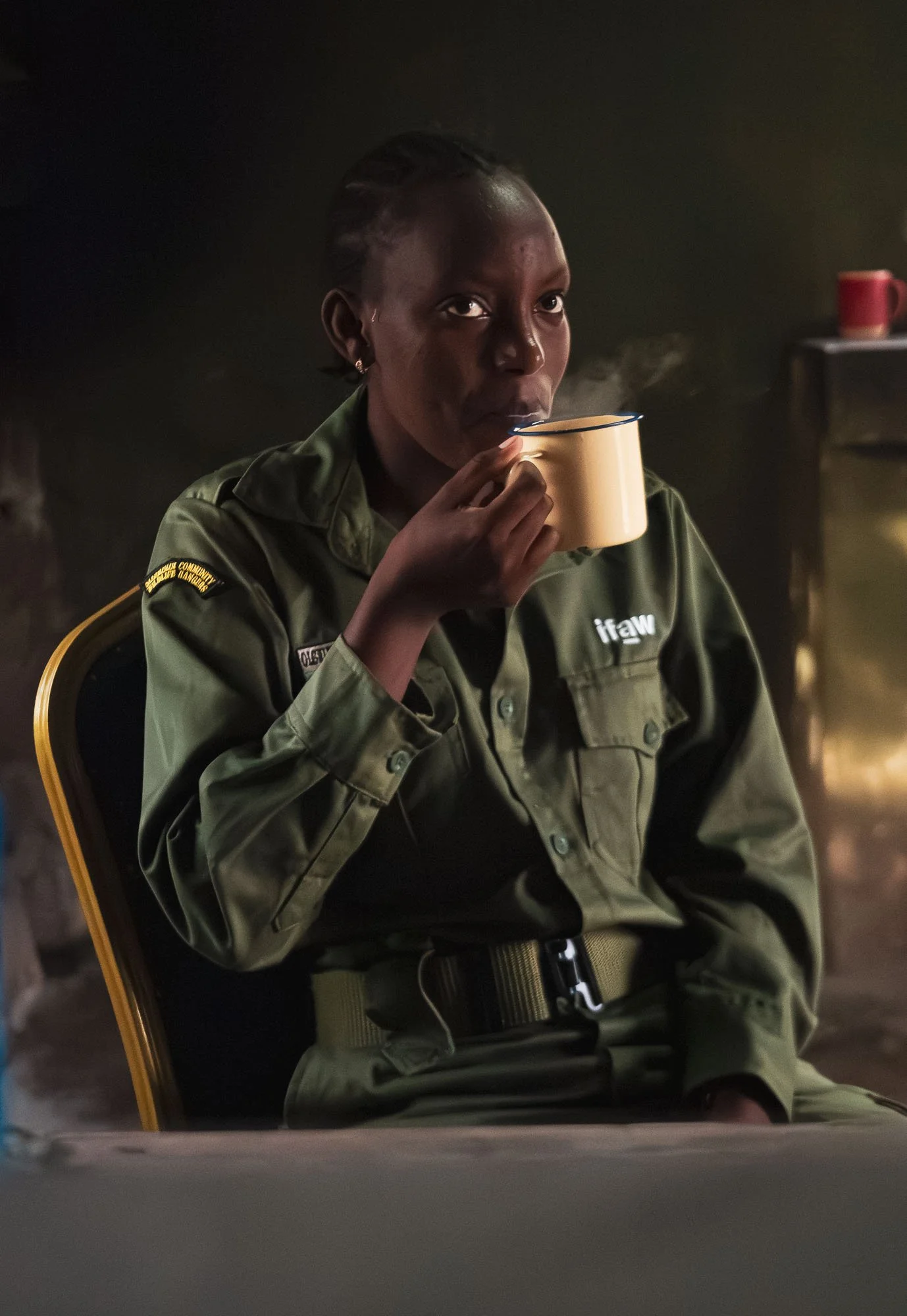
One of their newest members, Doreen, is just 24 and joined the team in January. Over a cup of tea, she tells me the reason she joined was to protect the wildlife and culture of her homeland, and it was something that she already cared about back in school. After some jobs in retail and hotels, she found out about the chance to join Team Lioness. She didn’t face a lot of reluctance from the men around her, but they told her the work would be hard. She laughed as she tells me that actually, she finds it “quite easy and enjoyable”.
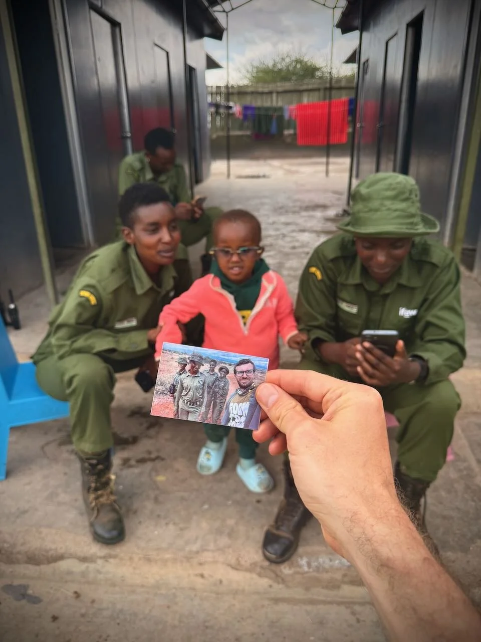
Although it’s difficult to connect with people in just a few hours, and admittedly many members of Team Lioness are quite reserved (who can blame them, they became rangers to protect wildlife, not to be interviewed by me), I was still happy and grateful they let me into their routine. We shared a few moments of laughter, and I gained some insights into their motivations and goals, and a better understanding what it means to be a female IFAW ranger on a day to day basis.
Here is a short video IFAW and I created with a few more clips of my visit to Team Lioness - inspiring!
The Allure of the Tuskers
Aside from my time with Team Lioness, the day brought with it two more big “Tusker” sightings: elephants of the name of Per, and Wickstrom (they are named by the Amboseli Elephant Trust, but don’t ask me how they come up with these names…).
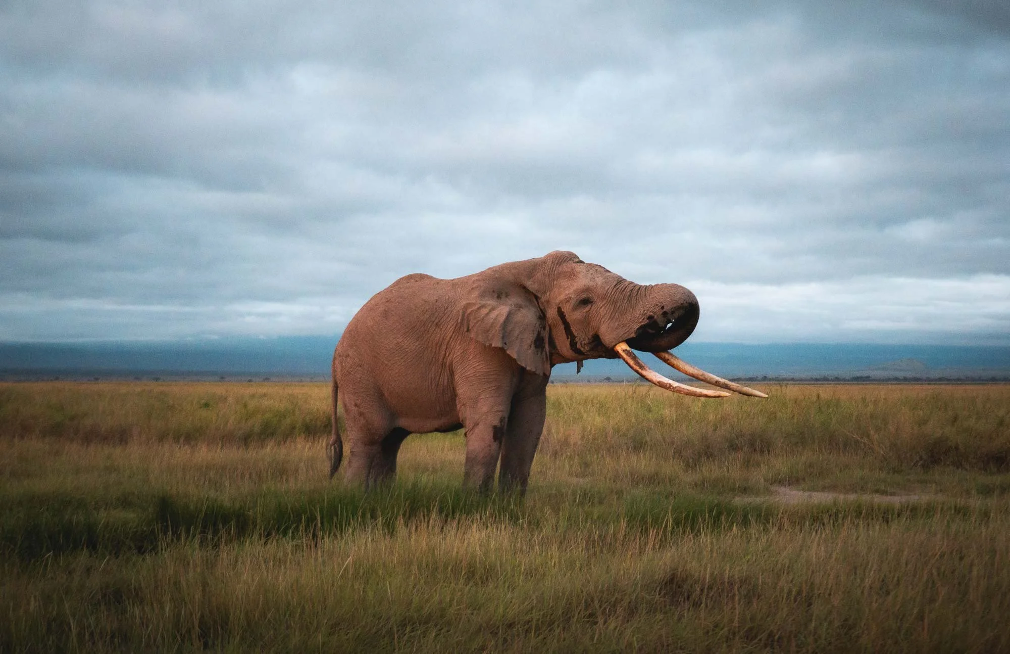
For Per, it was a beautiful morning sighting on our way to Team Lioness, watching him slowly wake up and start his day. Once you spend more time with these elephants, it’s also easy to see how different they look: Per has a more sturdy, wider figure and head than Craig for example, and his eyes are set deep with large black borders, giving him a mix of scary and sad appearance at the same time.
In the afternoon, the clouds lifted for the first time, revealing Amboseli’s famous backdrop – Kilimanjaro, Africa’s tallest mountain. While it’s situated within Tanzania’s borders, it’s undeniably (for me anyway, having stood on both sides and a few days later, also on the summit) Kenya that got the better view of the iconic flat top with its (ever shrinking) glaciers. As the mountain appeared in the background, our goal became to combine Amboseli’s incredible elephants with what is probably Africa’s most typical fauna, the Tortilis Acacia, and the iconic landscape – a postcard photo.
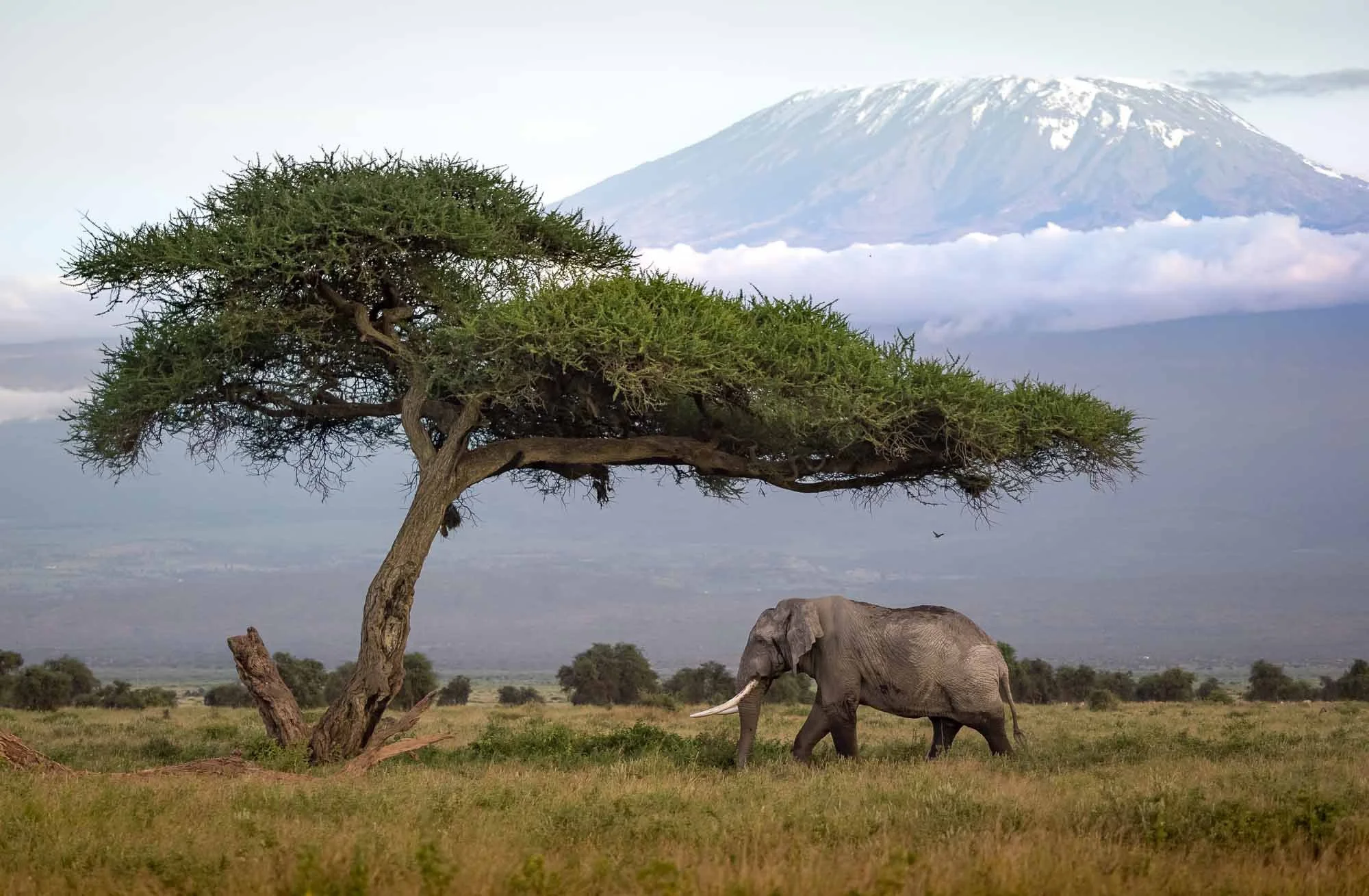
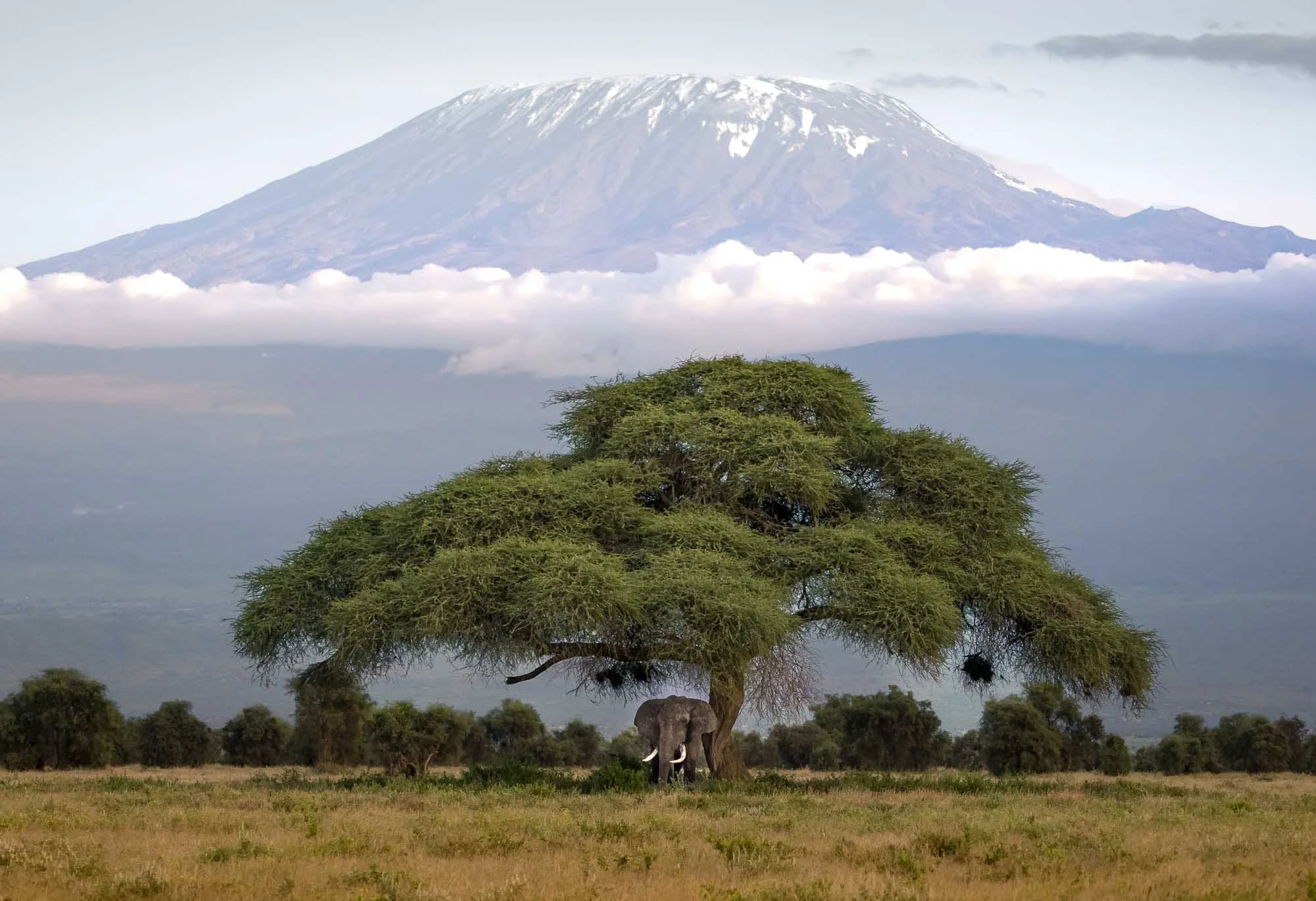
Just as the day ended after a couple of hours looking for this exact scenery, things came together when I spotted a big elephant in the distance, slowly approaching a beautiful acacia tree to scratch his skin. We rushed through the bumpy thickets, positioned ourselves, and managed to take some images. Wickstrom has beautiful symmetric tusks, and at age 42, he’s in his prime. A true privilege to see him under these conditions.
Day 3 - Above the Clouds
The next day started very, very, early, but for good reason – it was time to see this ecosystem from a different perspective. The plan to do that? A balloon flight. Leaving the lodge around 4am, I headed to the boundary of the park, with the hope to explore the landscape from above. The evening before was cloudy and windy, so this hope was slightly diminished given that the weather conditions around Kilimanjaro are often unpredictable.
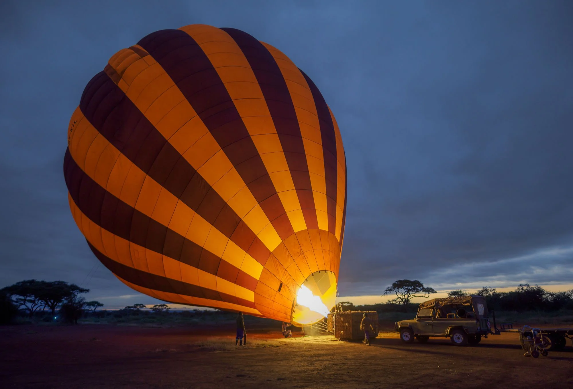
And indeed, as we left, not a single star was visible, making it clear to me that a thick cloud layer put the chances for a beautiful sunrise and a great view of the mountain into question. However, my experience with cloud conditions and flights (balloon, helicopter, drone, or otherwise) told me that sometimes a less promising outlook holds opportunities for something special. It would turn out that I wasn’t wrong, but as we watched the balloon inflate and then climbed into the basket around 6am, the thick cloud cover I had suspected was confirmed as daylight crept in.
We gently rose into the air and came closer and closer to the white ceiling above us – until we were fully engulfed by what seemed like white, cool, humid smoke. Seeing absolutely nothing when looking around was of course not why you’d fly in a balloon, but the temporary blindness only lasted a few seconds.
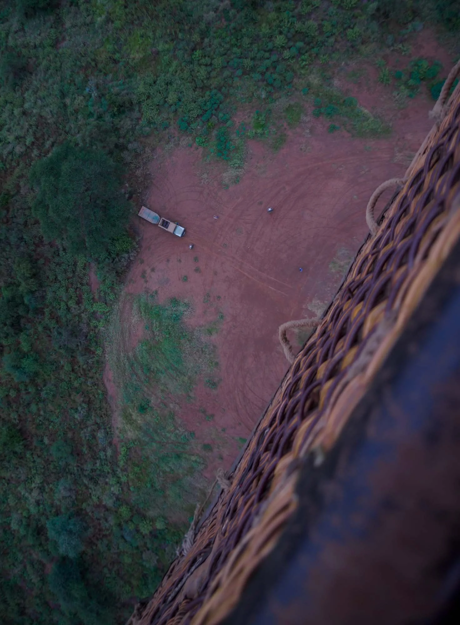


At this point, we breached the cloud layer at an altitude of around 6000 feet, and it was like entering another world: the magical sunrise on one side, and a clear view of Kilimanjaro above the clouds on the other, with the snow-capped peak illuminated by early rays emanating from our home star. I have been lucky to experience many beautiful things in life, but can’t deny that this brought a smile on my face.
It was another sign that sometimes it’s ok to let nature do its thing and embrace what you get, rather than trying to force it, a lesson I also try to apply to wildlife encounters (but sometimes struggle with in other parts of life 😃).
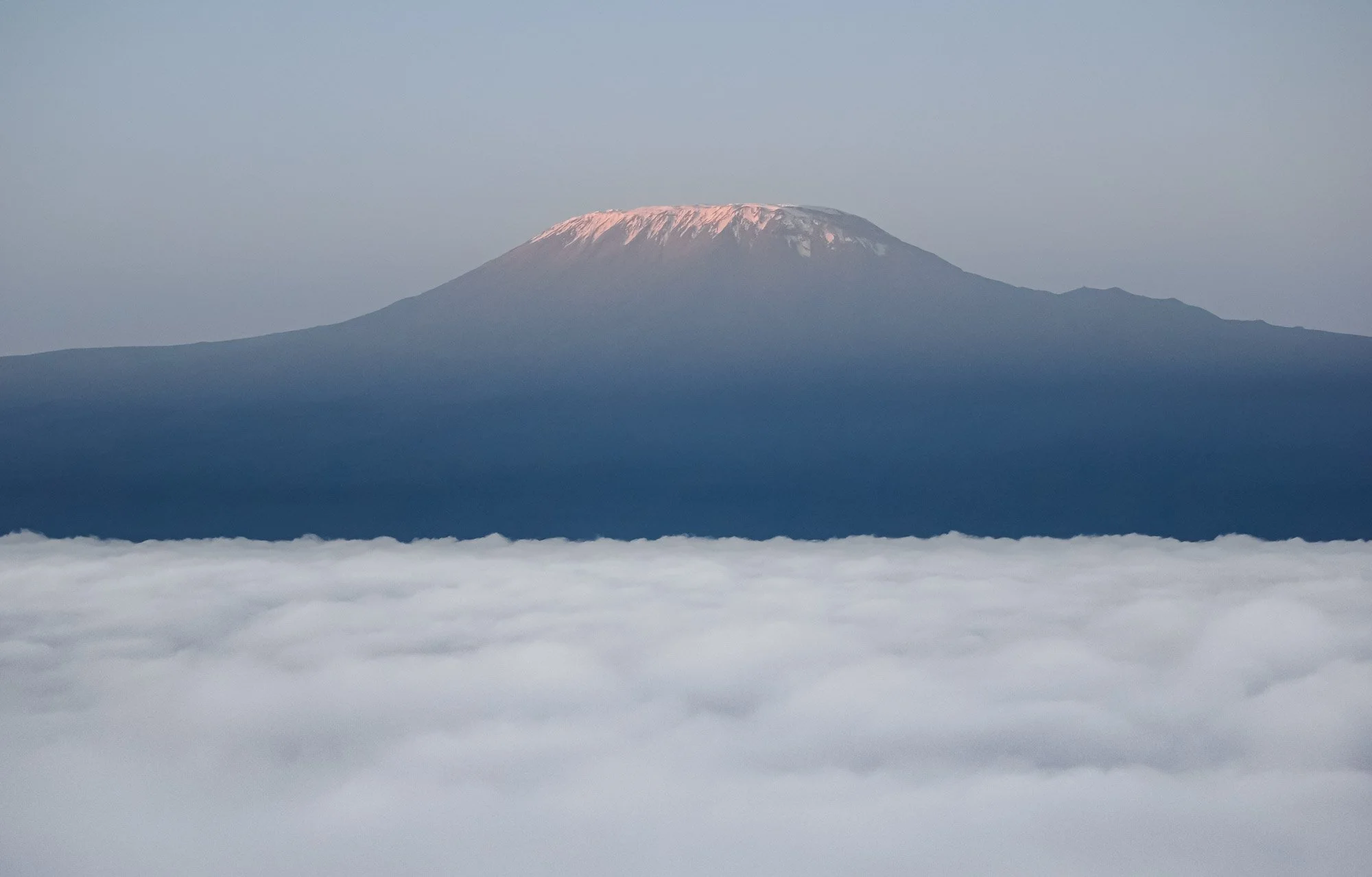
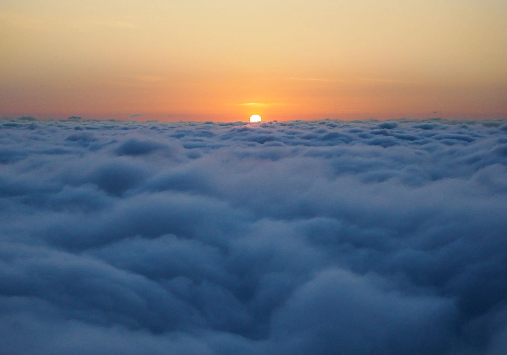
Our pilot (and my hunch about the local weather conditions) told me that it’s not uncommon to be able to have this experience, but it’s by no means a given: there are plenty of clear days (which are beautiful of course, but a little less interesting) and also days with heavier cloud cover or stronger winds that don’t allow the balloon to simply pop up above the cloud layer. As we dropped below the white blanket again the sun also made an appearance over the landscape for a few moments, and we descended over the Maasai bomas (villages), their cattle, kids going to school, and a few animals as well: hyena, giraffe, wildebeest, zebra, gazelle, and ostrich could be spotted from the air.
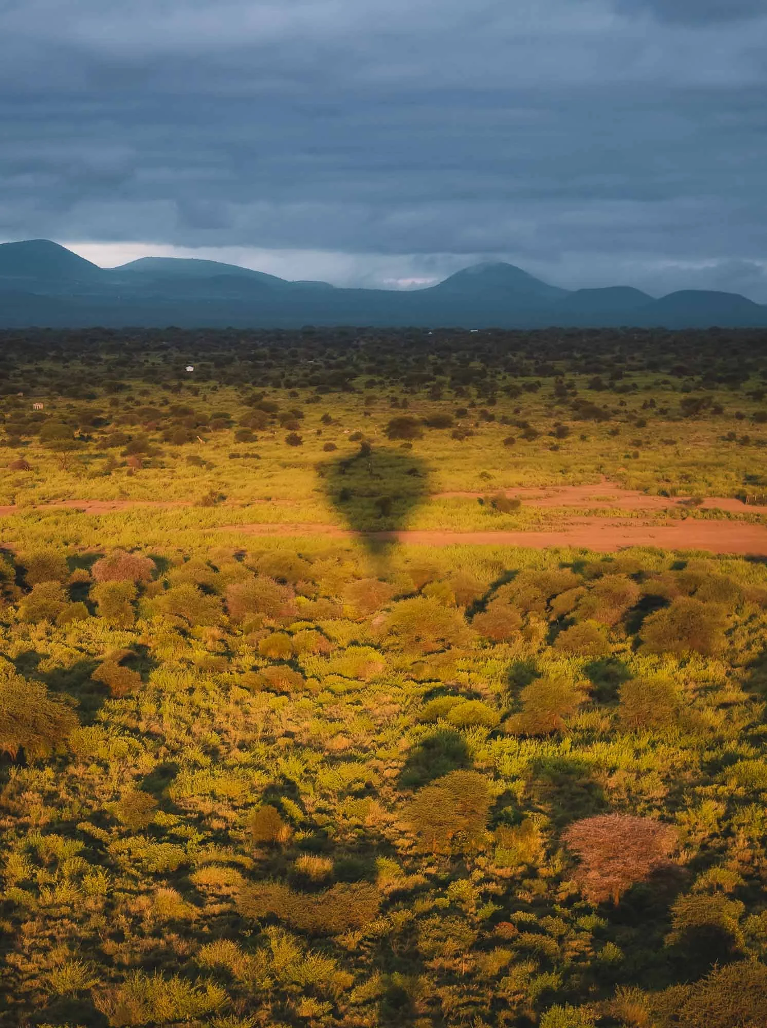
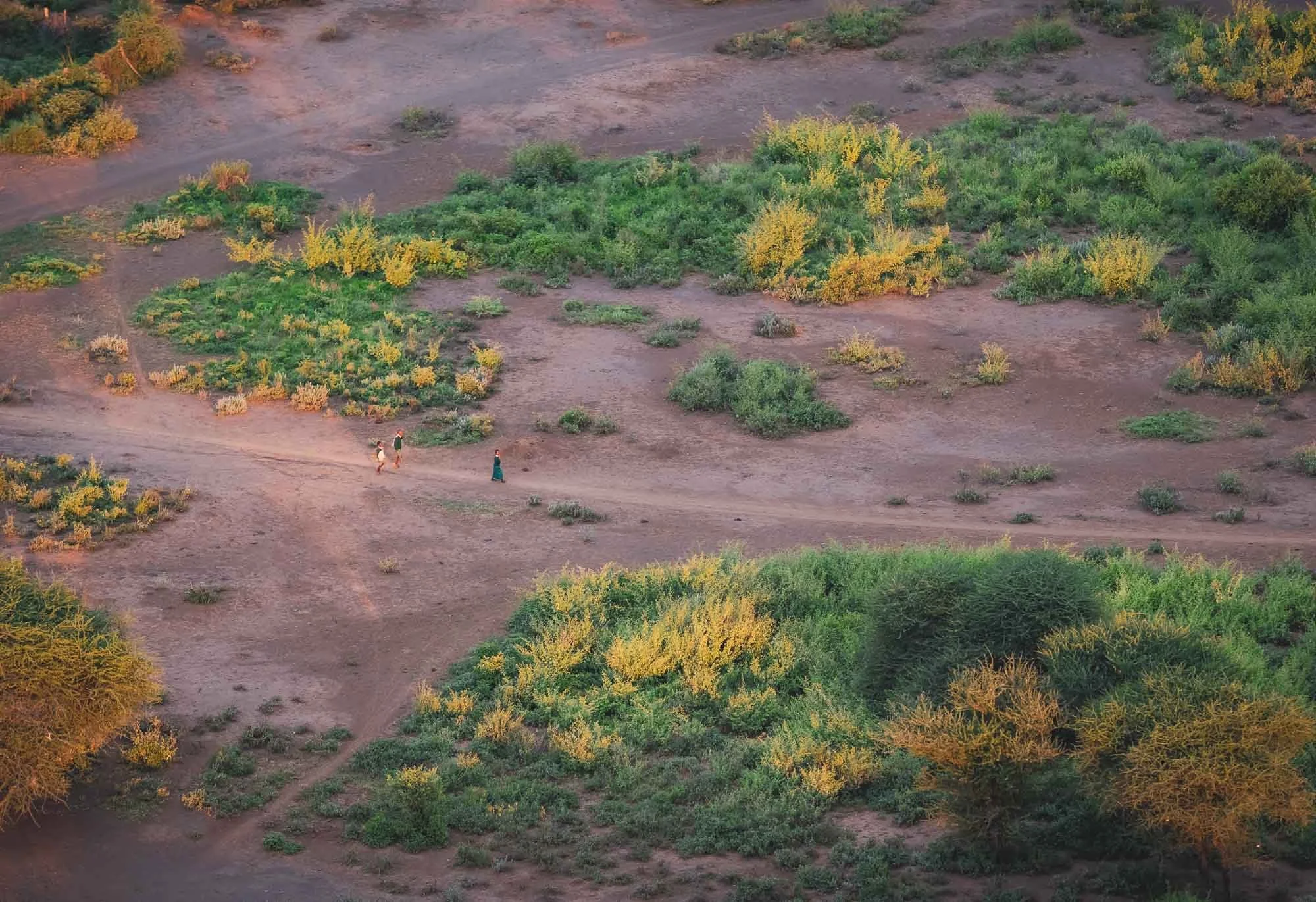
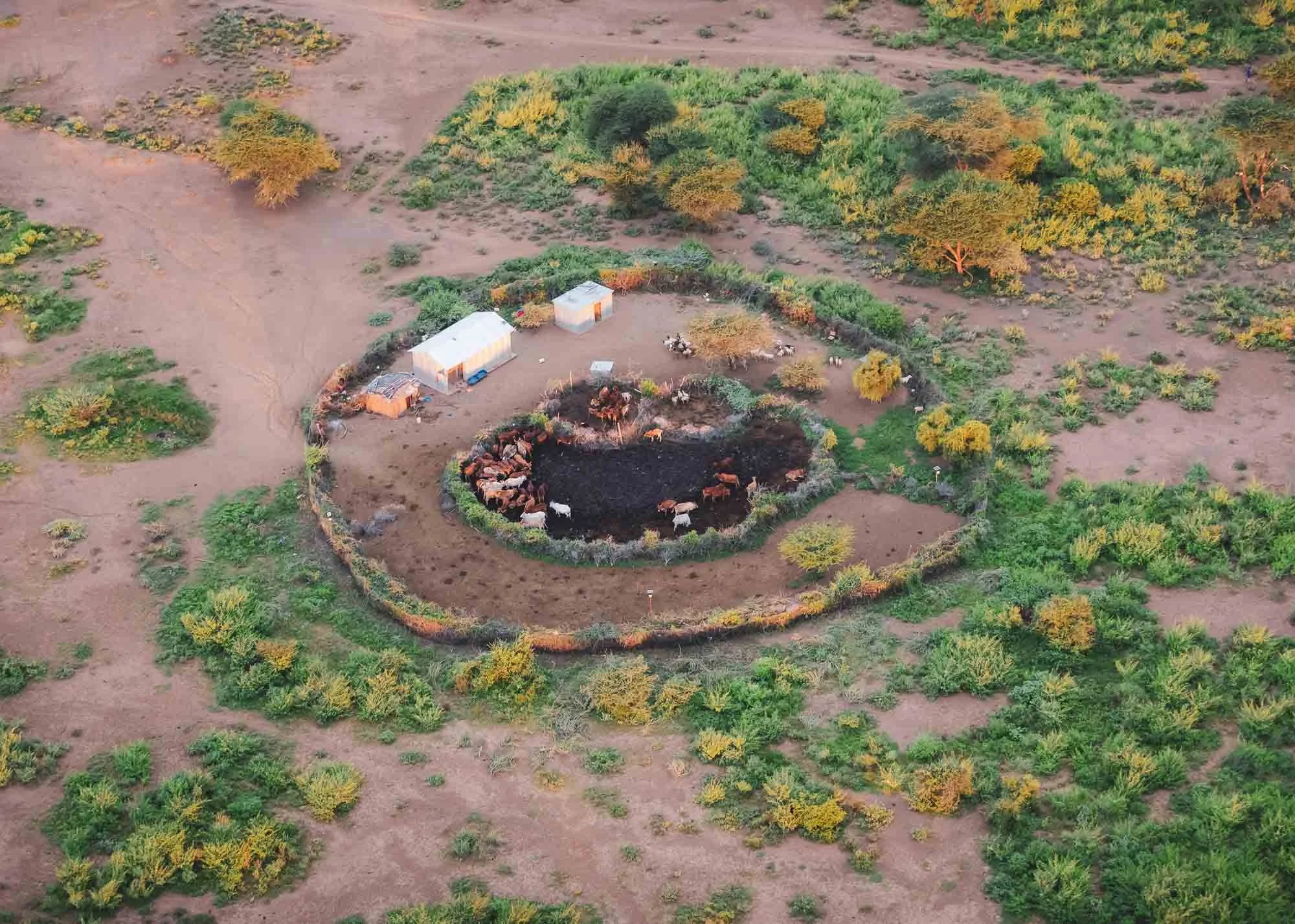
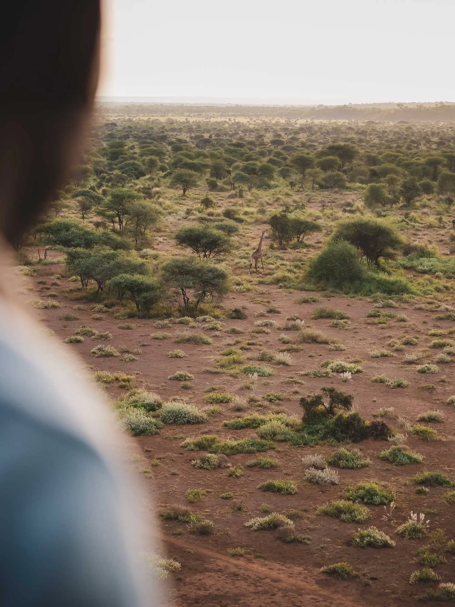
After another half an hour of quietly (this is one of the things that makes balloon flights special) hovering over Amboseli, it was time to land before we got close to the nearby mountain ridges. A small bump into the tree canopy and a few bumps over some bushes, and we were back on the ground.
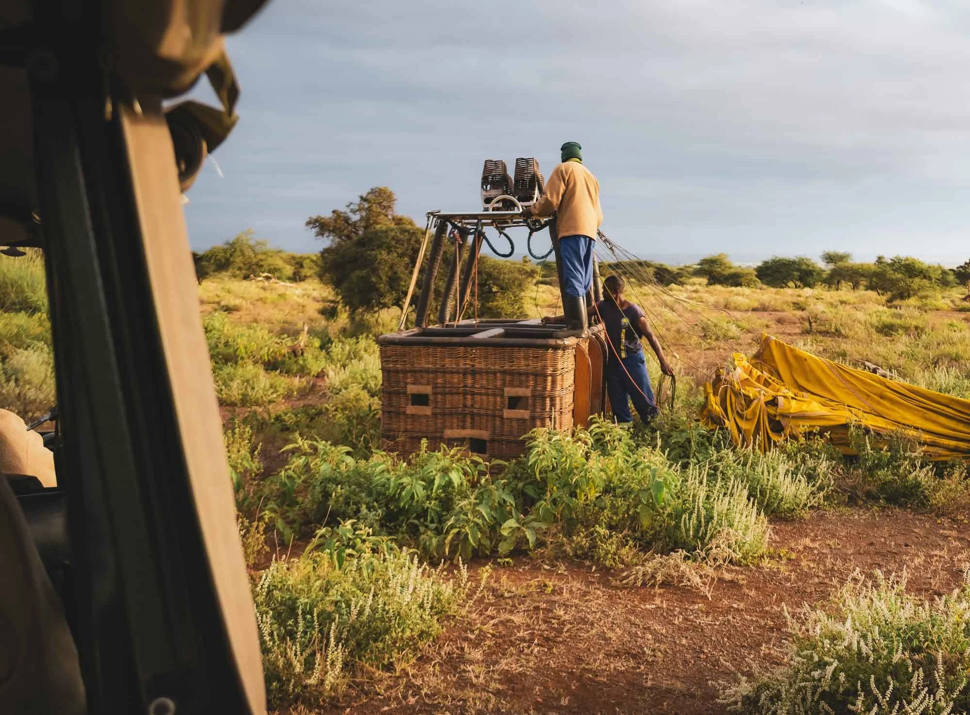
After a short drive back and the obligatory balloon champagne celebration (non-alcoholic for me), we encountered a beautiful large herd of elephant crossing the road towards the marsh from the forest area, and I spotted a female with very large tusks, as well as some juveniles engaging in playful behaviour. Making a mental note to ask Dickson about the female later, it was time to head back to camp.
For the afternoon, we had a decision to make: Craig was spotted on the other side of the park in the morning, but so were some lions. It’s hard for me to say no cats of any kind, but as there were glimpses of Kilimanjaro between the clouds and one of the photos I was still looking for was the iconic view of Craig and the mountain, there was only one right choice to make: you can never go wrong with spending time with this creature, it’s almost therapeutic to watch him go about his business. Although that business didn’t quite include plans to face the right way for the Kilimanjaro photo, we got quite close to what I was looking for, with two egrets adding to the show. These birds follow elephants in the hope that their movement stirs up insects on the ground, which they can then feast on (one reason elephants are sometimes called the ecosystem engineers).
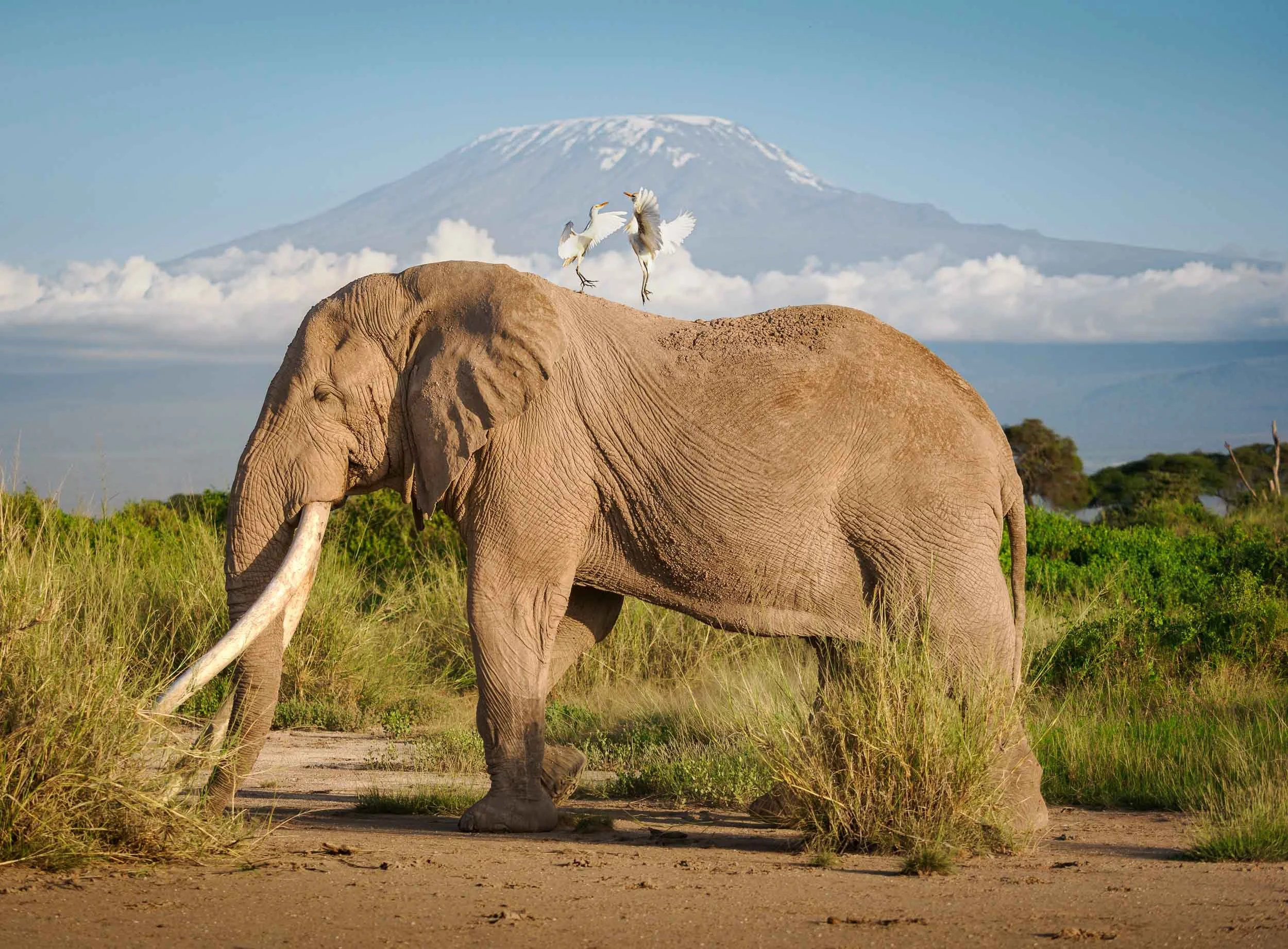
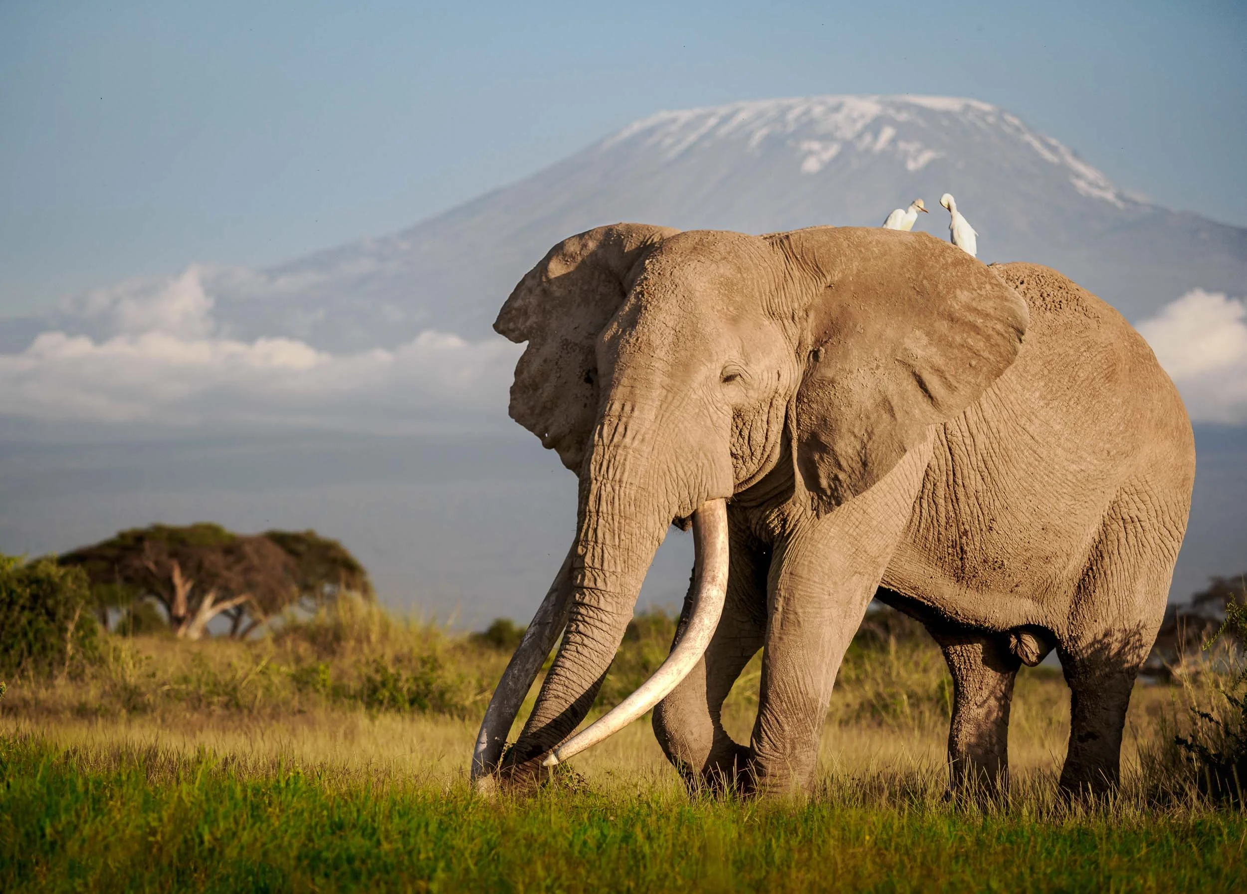
Real Human-Wildlife Conflict
We planned our second ranger base visit for the morning of Day 4, heading to the north of the park into the Illaingarunyoni Conservancy, where IFAW opened a new base in 2023.
This base is named after and was established in partnership with David Rio, a chai tea company from the US – a rather unusual collaboration, but their foundation has been active in the area for many years. These partnerships are invaluable for IFAW’s work here, which is not only limited to set up a ranger base and help manage human-wildlife conflict. Leasing land and working with government, researchers, and local communities as well as the landowners (in this case through a formal agreement with the Olgulului-Ololorashi Group Ranch) to establish animal corridors and ensure there is sufficient space for wildlife to move around is another key activity.
One such project is IFAW’s “Room to Roam”, a visionary approach to conservation established across different parts of Africa with the goal of secure elephant migration paths and habitats, while considering the needs of the local community, sharing land and resources. This is not an easy task, and we got to experience why first hand during my visit.
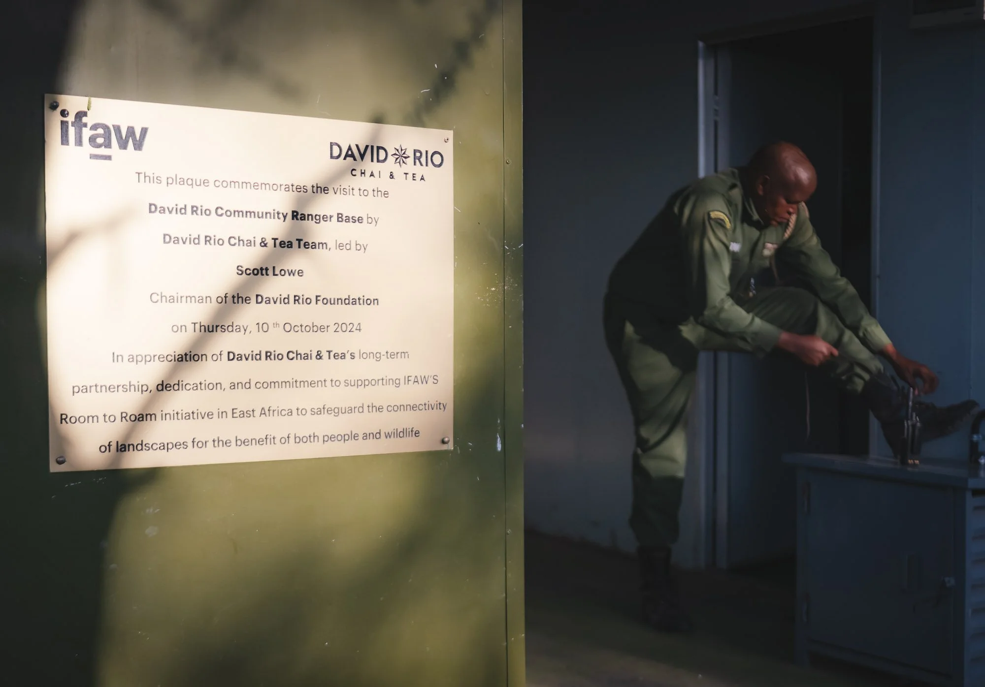
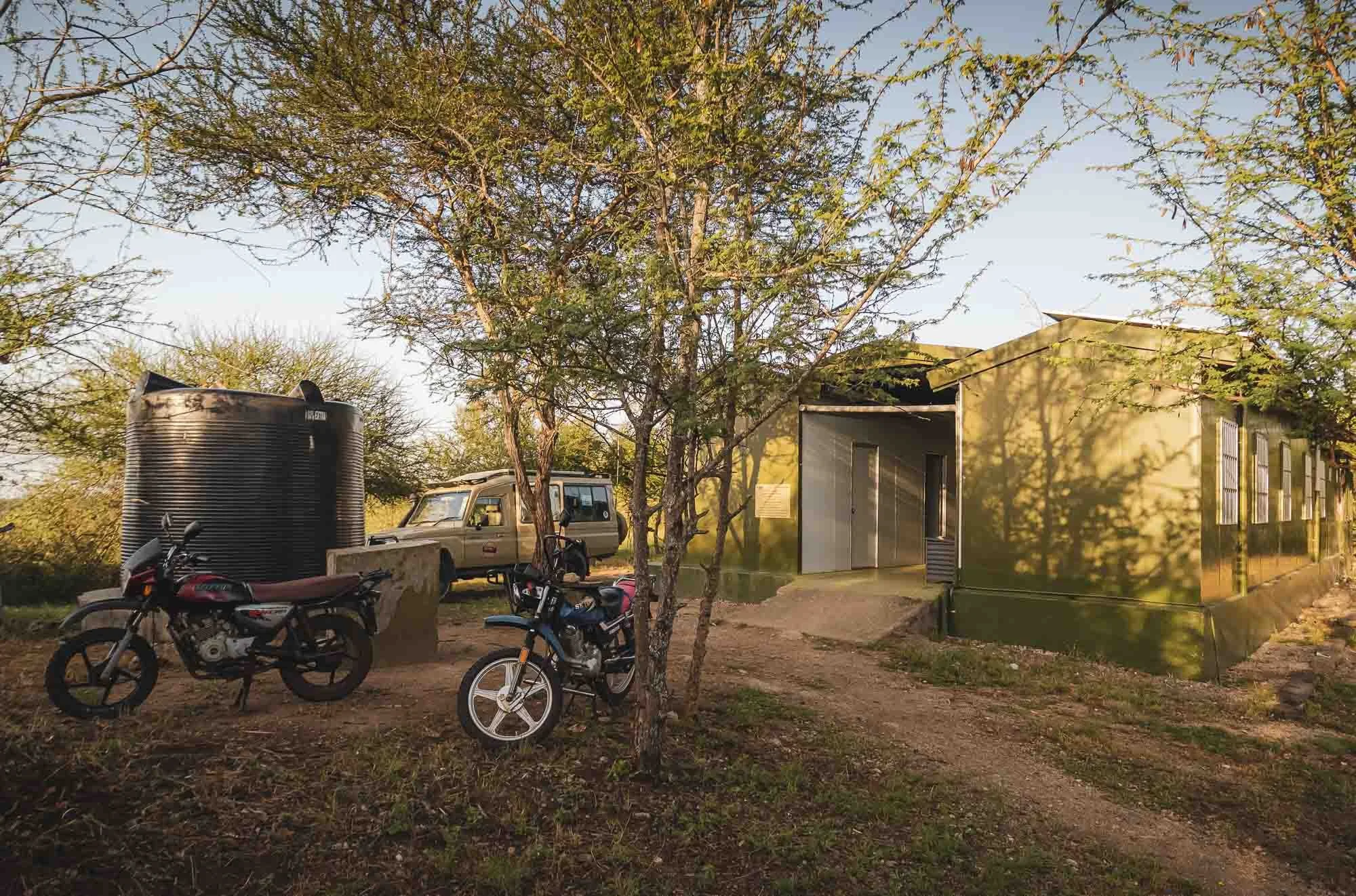
But one thing at a time. We arrived at the base in the early morning, and had the chance to see the team of rangers get ready – only men this time. Moses, the head of the group here, gave me a quick introduction, and then checked in with the rangers in the area if there was any news – funnily enough, we heard the voices of Team Lioness on the radio!
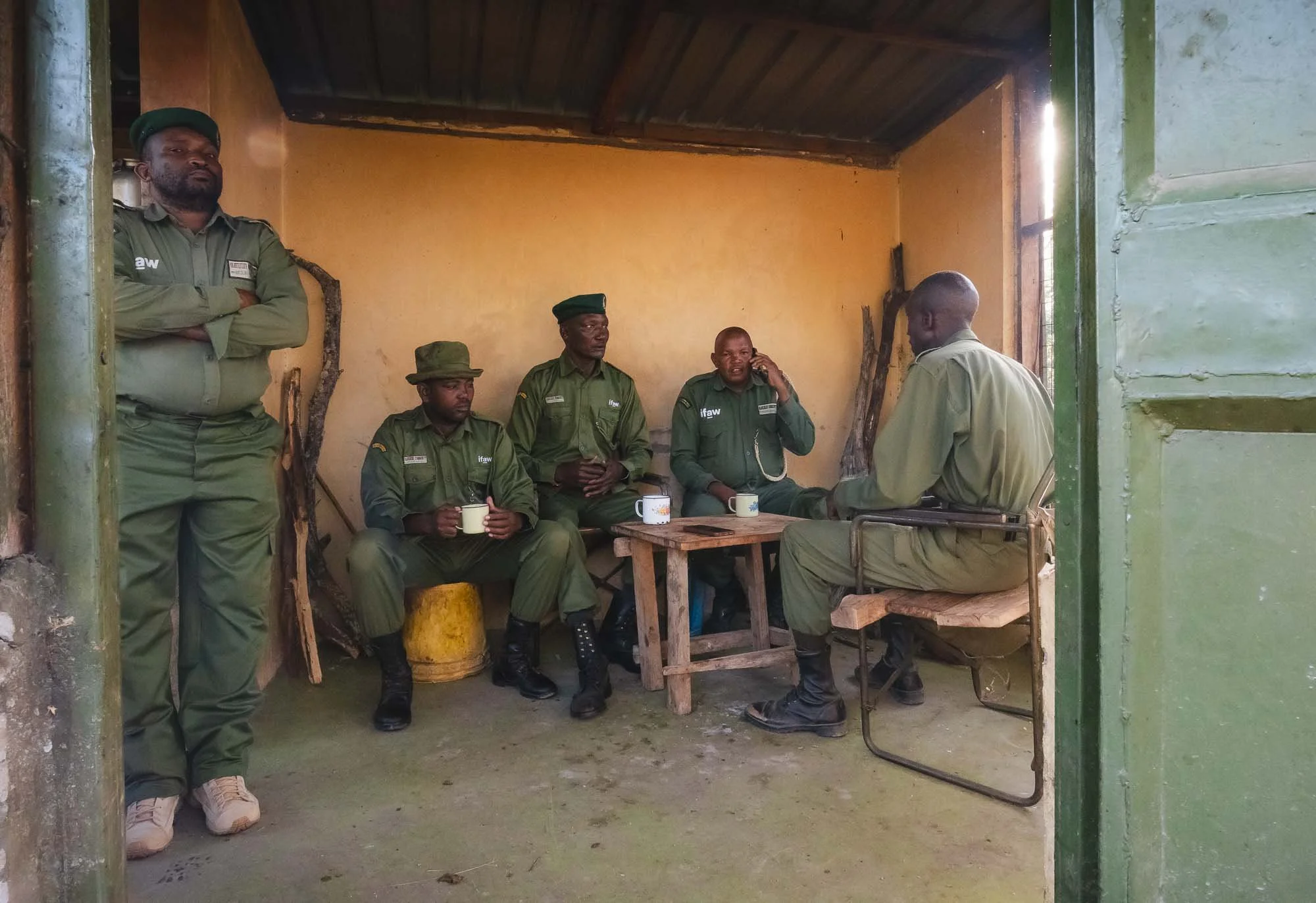
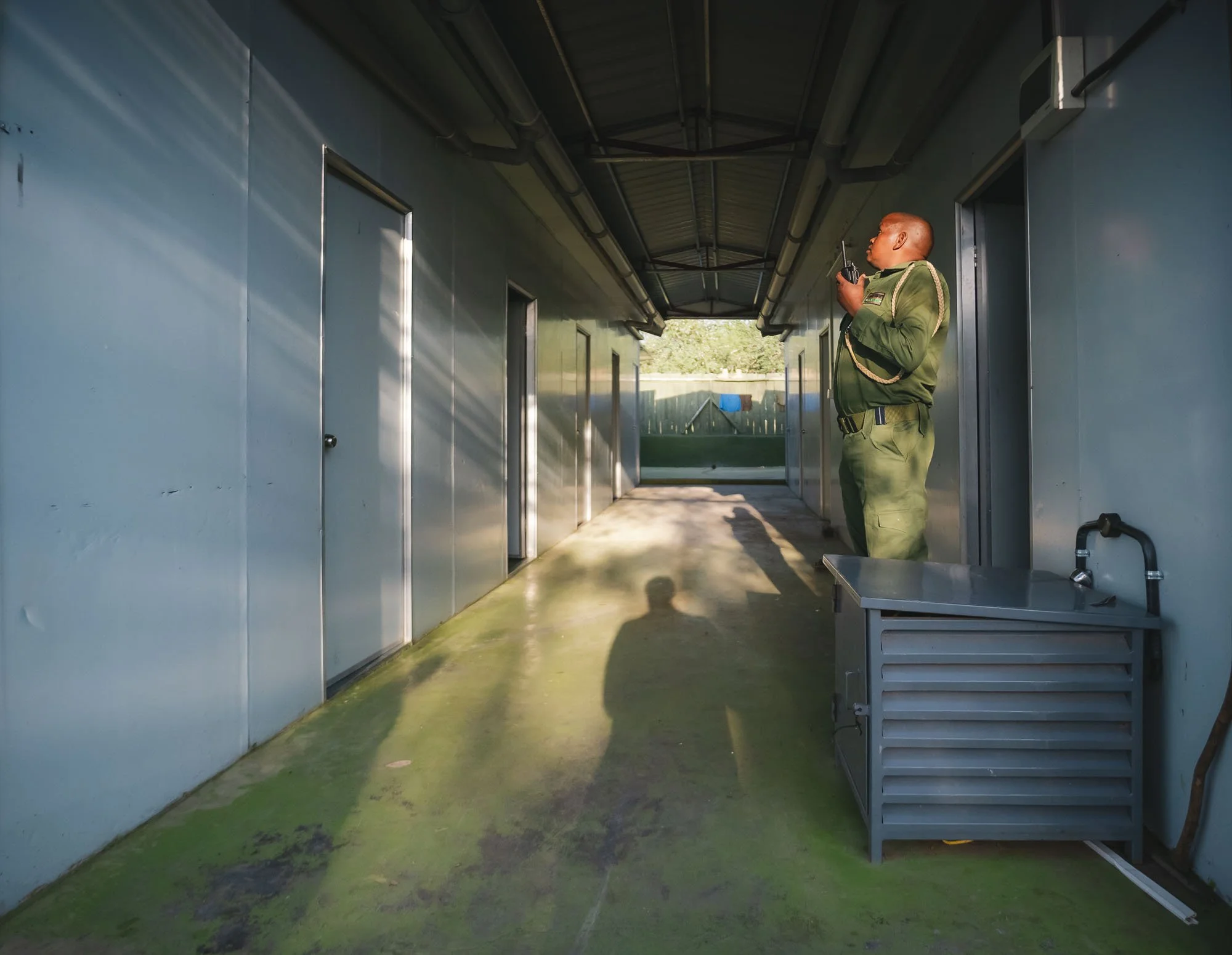
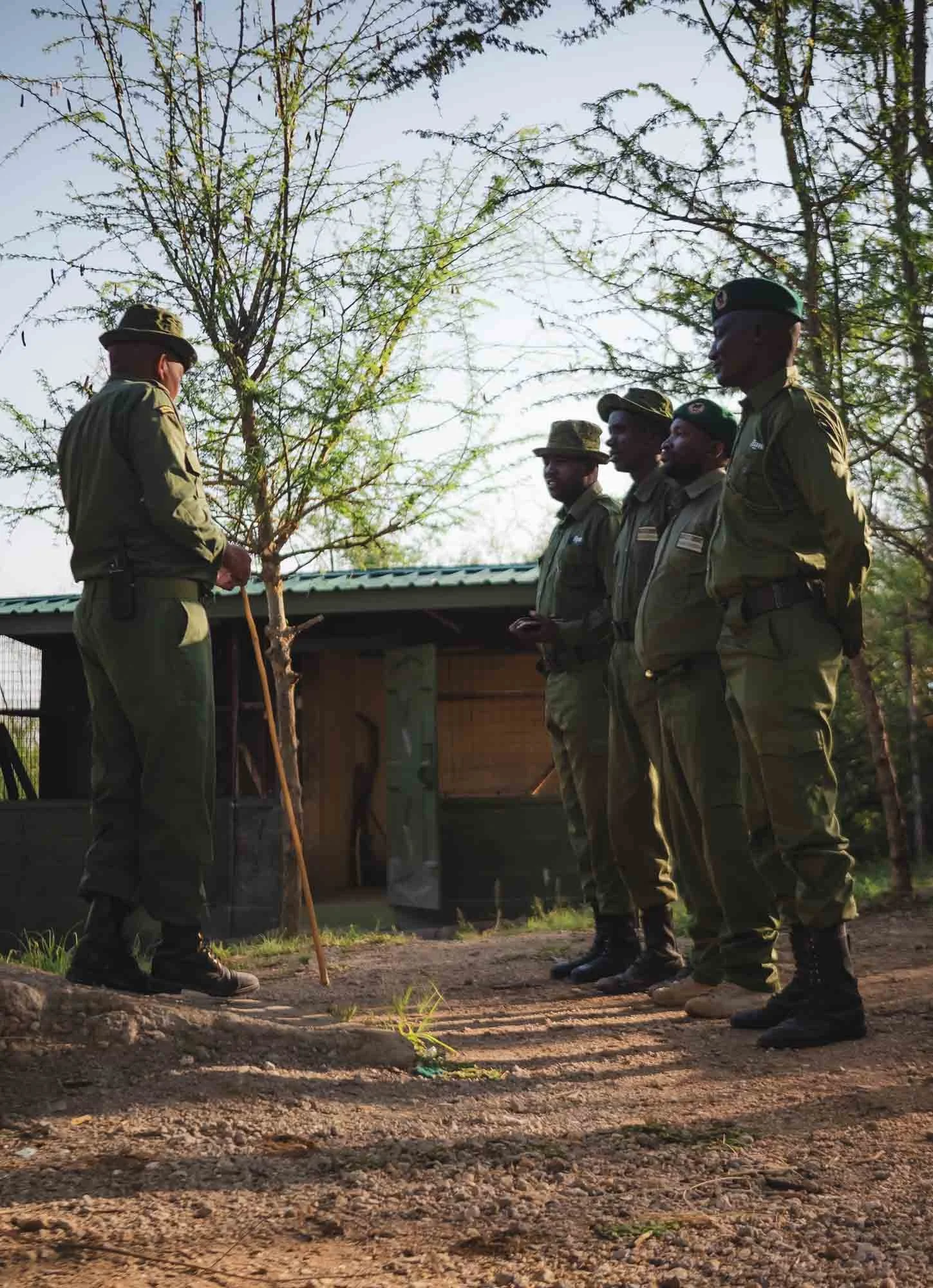
Indeed, for today there was a rather unusual incident that required their attention: a male elephant had been raiding the crops of a nearby Maasai village over the last days, culminating in a major incident the evening before our visit: the elephant turned over a car. The ranger team was planning to visit the incident to understand what happened, and how to deal with the problem, but they did not have a car available to themselves – a major constraint in their day to day job.
Dickson and I had a solution: we offered to take them in our Land Cruiser, and they happily agreed, so after some morning tea and a briefing, we all headed out together. While on the one hand this was possibly a serious incident, it would maybe give me the chance to observe a real life example of human-wildlife conflict.
On the way I had a chance to ask Moses a few questions about his life as a ranger and why he chose to get into this profession. He started 10 years ago, primarily with the goal of support his family and four kids. But he quickly learned that there is more to the job than just subsistence, and it became a mission for him to protect the wildlife. In his words:
“when the animals disappear, our children will not see how we see”.
But it’s been challenging, as they often lack the resources to intervene effectively. Our case was a prime example, as he tells me they would have been able to move to the incident much earlier if they had a dedicated car. According to him, this kind of human-wildlife conflict is one of the primary challenges they face: for a lion, killing a cow is survival for a few days, but that cow is also the source of income guaranteeing food on the table for a local family, or education for their kids – it was a familiar topic to me by now.
As we arrived at the Maasai boma, the rangers first checked in with the village head if I was allowed to enter and take photos – not a given in the protective Maasai community. Luckily, they had no objections, and we joined the discussion of the group and learned a few more details: the head of the conservancy had sent his three sons in an (IFAW-sponsored) vehicle to the affected boma.
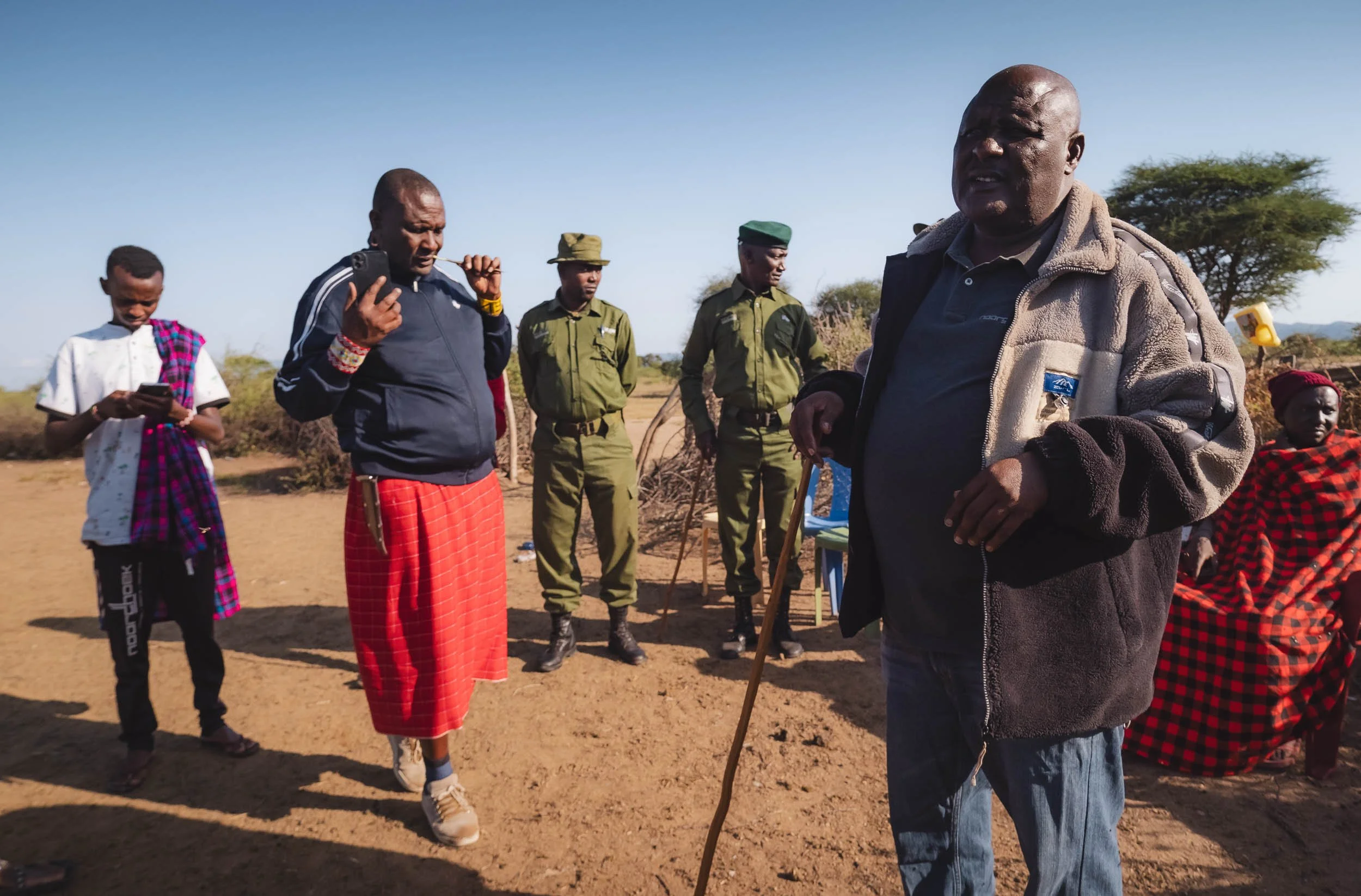
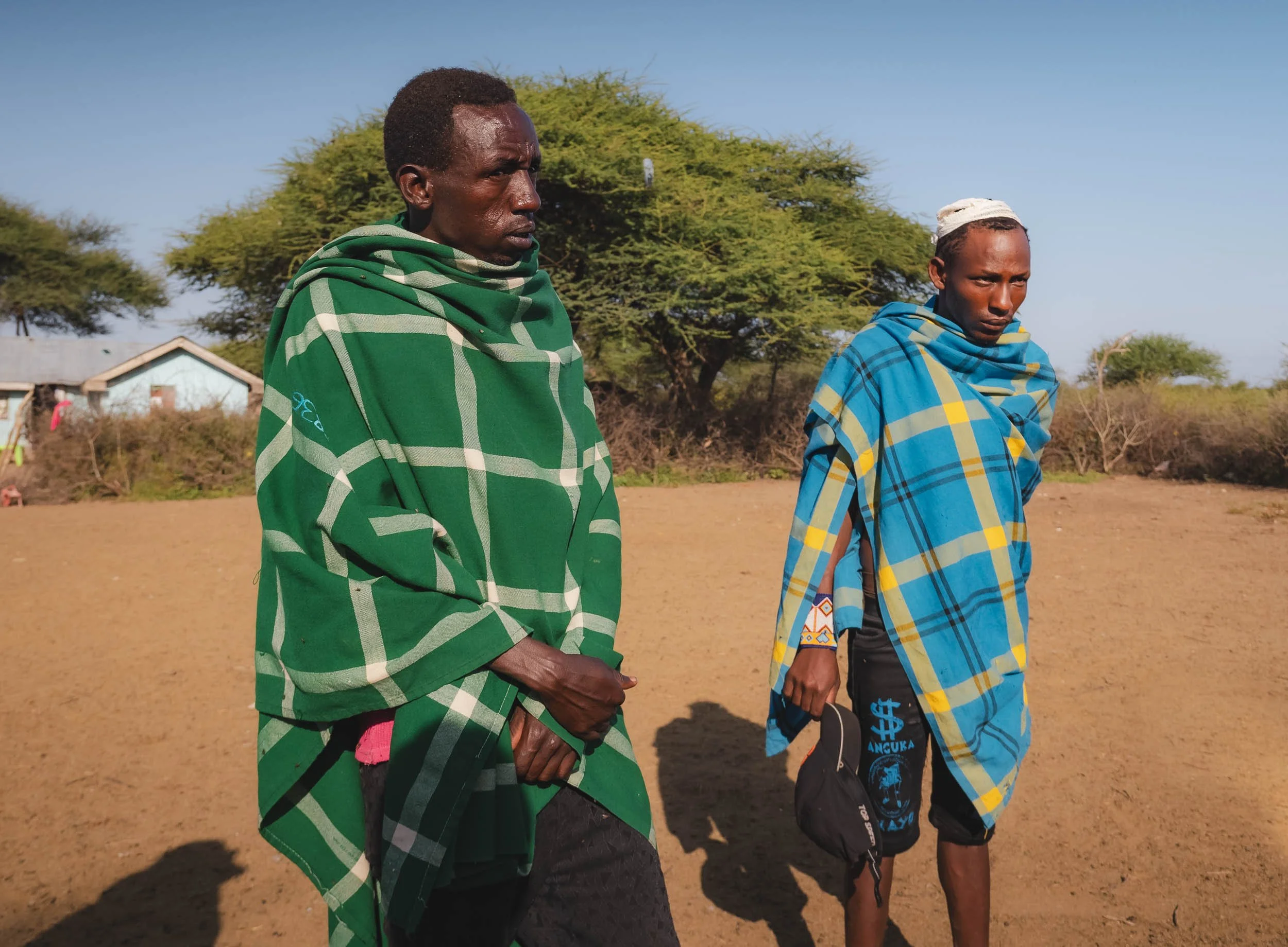
They attempted to scare off the elephant with the car, and chase him out of the area. The bull however had none of it, attacked the car a few hundred metres from the field, and turned it over, injuring the occupants, who fled the scene. Luckily the injuries were relatively minor - especially given the state of the car on the photo I was able to see, this could have been much worse.
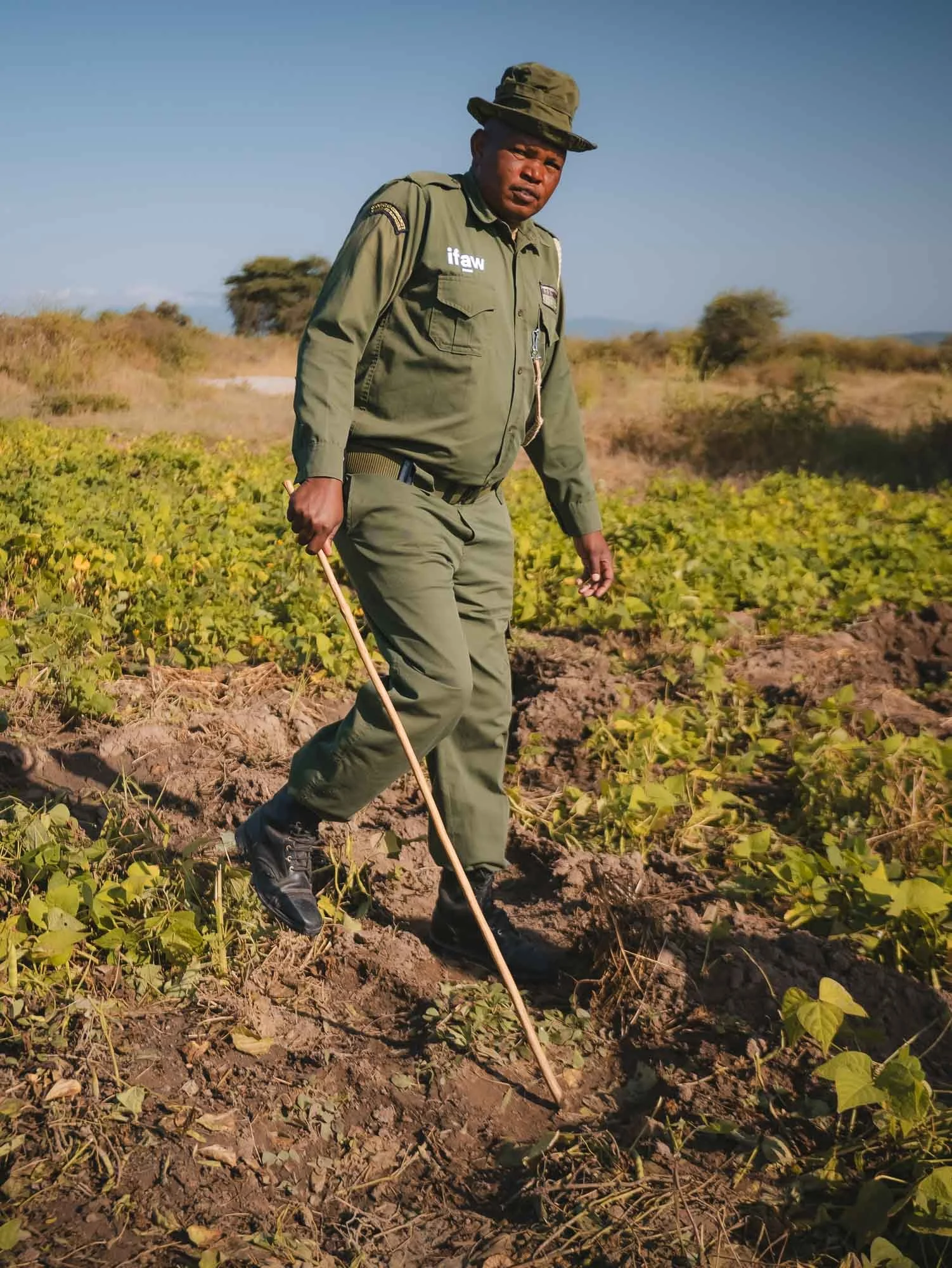
They showed the rangers and myself the crops that the elephant had raided. It was a very large area, around 1 acre, almost completely trampled and emptied of whatever vegetables and fruits were growing there, mostly tomato. That’s a major problem for the local community, and they were visibly upset.
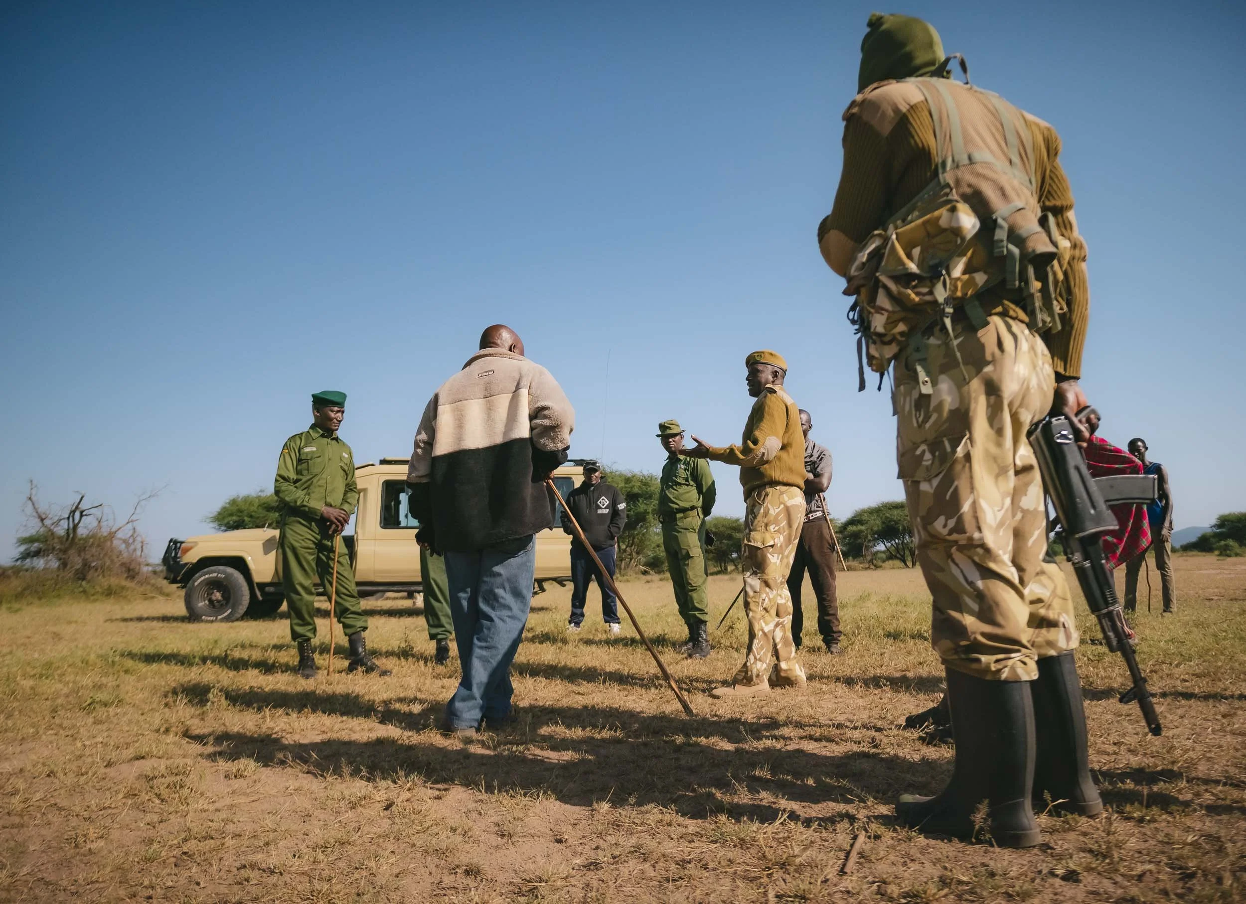
We then wanted to head out to the scene of the car being turned over, but around half way were stopped as the Kenya Wildlife Service approached. IFAW’s rangers facilitate, monitor, and support, but the KWS is the only organisation allowed to carry guns, and make decisions about wildlife. As their vehicle arrived, more people showed up, and a larger discussion ensued. My understanding was that the Maasai were advocating for the elephant to be killed, while others proposed he'd be chased away and moved from the area.
What happened?
These decisions are not clear cut. An elephant who encroaches on settlements regularly and acts aggressively is a real threat, not just directly to the affected local community, but by extension also through the risk that his behaviour might spread to other elephant herds, creating a larger issue. From what we understood, this bull was migrating from the Tsavo ecosystem, where many elephants are less calm and not as relaxed around humans as here in Amboseli, where conflict is less common. In addition, inaction on the KWS’ part might trigger self-justice by the Maasai, who are fierce warriors: killing an elephant with spears is not beyond their realm of ability, at great risk to themselves and with a painful death for the animal.
Even more so, it would foster a general animosity to wildlife and a distrust towards the organisations protecting it, as they might be seen to disregard community needs, making future collaboration much more difficult. Within these discussions, it became clear to me that my presence, especially with a camera, was not completely without controversy – the typical fate of a documentary photographer and (so I’d imagine) even more so of a journalist. Simply being there as an outsider could alter the behaviour of the people.
This might not be for nefarious reasons - one can imagine a wide range of motivations: the Maasai may not want to be negatively portrayed as advocating to kill animals in western press, or the KWS may think that without outsiders, stakeholders would act more rationally and not try to prove anything. I can only speculate what ultimately triggered the decision to ask us to leave.
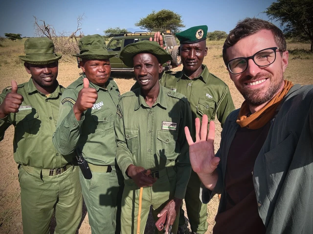
Either way, not wanting to aggravate the situation, Dickson and I sadly made our way back before seeing the vehicle or understand the next steps. But not before sharing our thanks to the David Rio Ranger team, and of course exchanging the obligatory selfie and contact details. At this point, we didn’t know what the outcome of the situation would be, but had hopes we might find out later.
As we left, I realised once more the complexities of the overall system that organisations like IFAW need to work in, and the many decisions and opinions that cannot be simply reduced to black and white, even though that is sometimes the way it is superficially portrayed in news on social media, for instance.
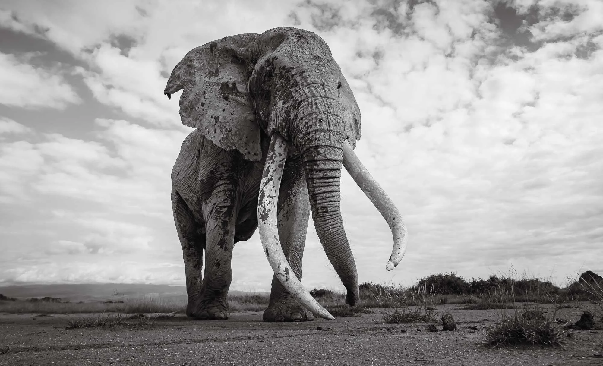
A Final Moment with Craig
Back in Amboseli, the afternoon gave me a fourth and final encounter with Craig as he made his way to the northern end of the park, most likely crossing into a conservancy where he’d be much more difficult to find over the next days. Once again, we had plenty of time alone with him while he was feeding and slowly moving from bush to bush, giving me the chance to observe him from the ground, kneeling in front of the car as he calmly walked by. Having experienced what it’s like to be completely exposed as a three-and-a-half metre, five-tonne elephant with two-metre long tusks passes you so close that you could touch him, I’ll always see these creatures in a different light.
There is no way to develop the same respect for their presence from the elevated safety of a vehicle, or in front of a fenced zoo enclosure. There are very few places in the world where it is imaginable to be so close to a wild elephant without danger, or without triggering their curiosity and thus altering their behaviour – something an ethical observer should avoid whenever possible. Craig’s calm demeanor around vehicles and people is what makes this experience feasible, but a wild animal will always remain a wild animal, and should be respected accordingly – there is no guaranteed safety, as we had seen first-hand at the ranger base in the morning. In the same vein, I have unfortunately also experienced how some guides would push their cars into Craig’s path at the last second to get the best close up view, and it makes me increasingly angry to witness this – it’s almost a personal affront, a cringeworthy feeling that makes you want to apologise to this majestic animal for being part of the human species. How much of this must he have endured over his 53 year lifespan, and yet he’s still accepting our presence?
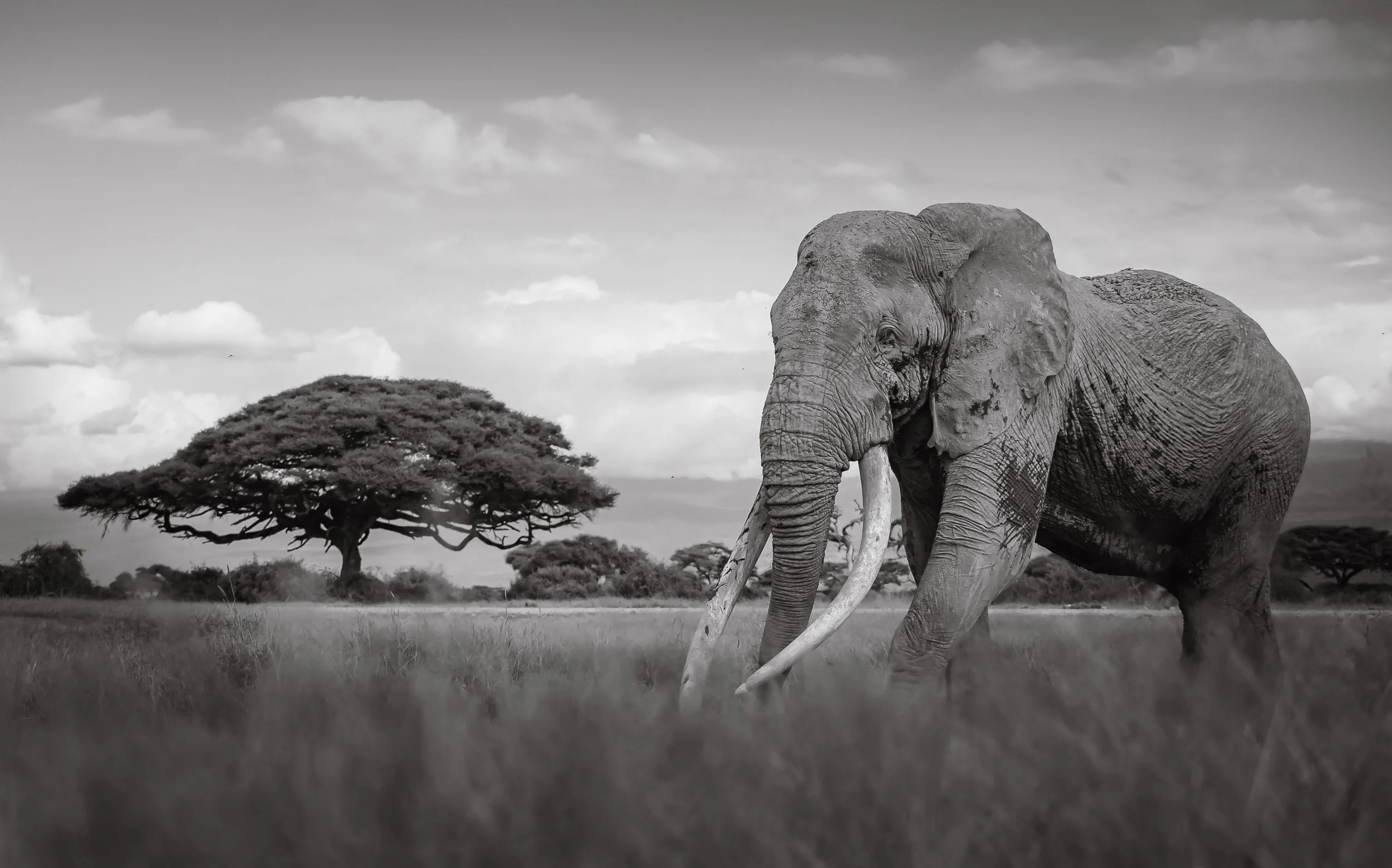
It was these mixed emotions, and the lasting impression of the morning, that we let Craig disappear into the distance, hoping he’d stay out of trouble. In fact, one worry that is always present here is that males like him would cross into Tanzania, where they are less protected, and human wildlife conflict and especially trophy hunting in the Enduimet Area of Tanzania has cost many elephant lives, including several large tuskers in 2023 and 2024.
The Amboseli Elephant Trust has been advocating to end this with some success for more than 30 years, but it seems policies have changed over the last years and the moratorium on hunting in the area was lifted. This is a major issue for the elephant population, as bulls enter their most active reproductive years in their 40s – an age many of them don’t reach.
Let’s hope Craig won't be next.
We spent the last hour of the day reflecting on this, soaking up Kilimanjaro views with wildebeest and waterbucks as the sun set behind us.
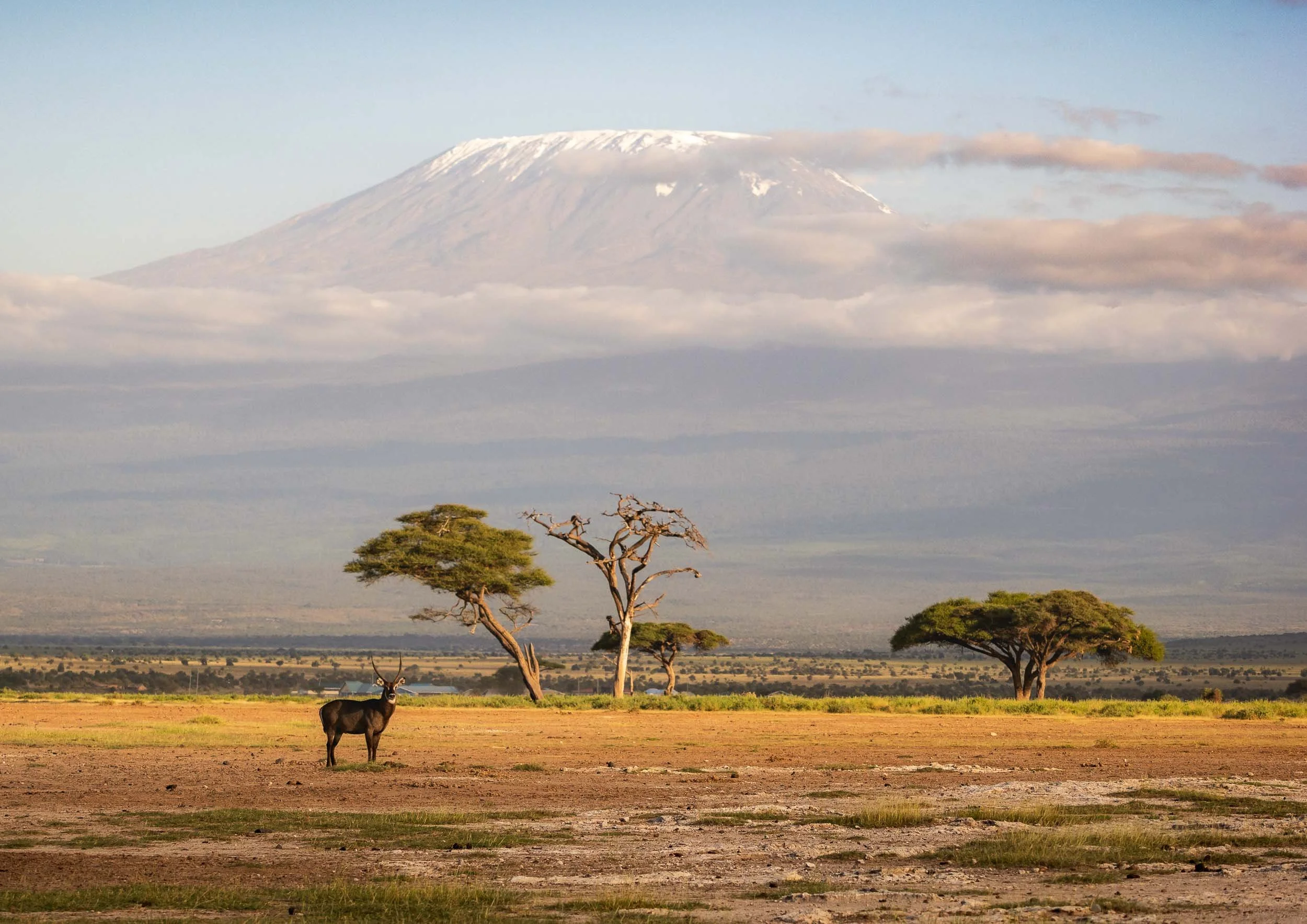
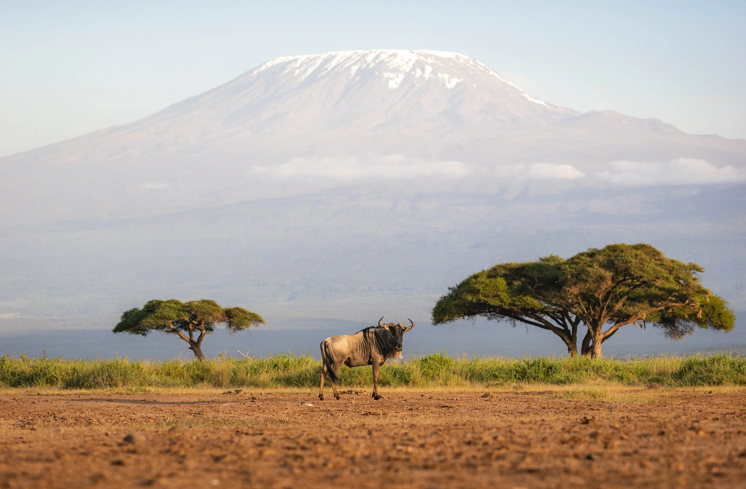
Day 5
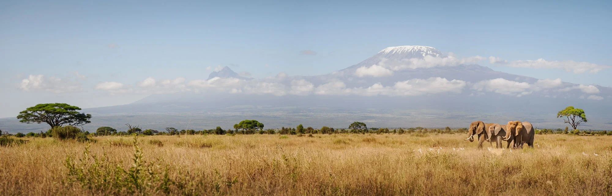
Although I said goodbye to Craig for this trip, that didn’t mean that my time looking for elephants was over. Remember the female with the large tusks? I wanted to try and see her again, so we headed out early in the morning towards the east, where she’d typically cross from the forest into the marshes, often accompanied by a few large family groups. Just after the sun rose, we did indeed spot her where expected – elephant families have very specific routines they generally follow. It was a clear day, and that meant it was time for more images with the beautiful Kilimanjaro backdrop.
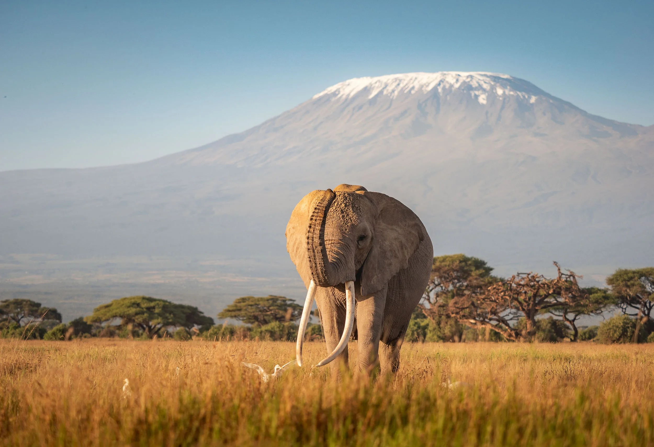
Hollie
Hollie is actually rather small in terms of body size, even for a female, but her tusks are seriously impressive and beautifully symmetric. More often than not, one tusk is used significantly more than the other (depending on whether the elephant is right- or left-tusked, if you will) and that also means they don’t always face exactly the same way.
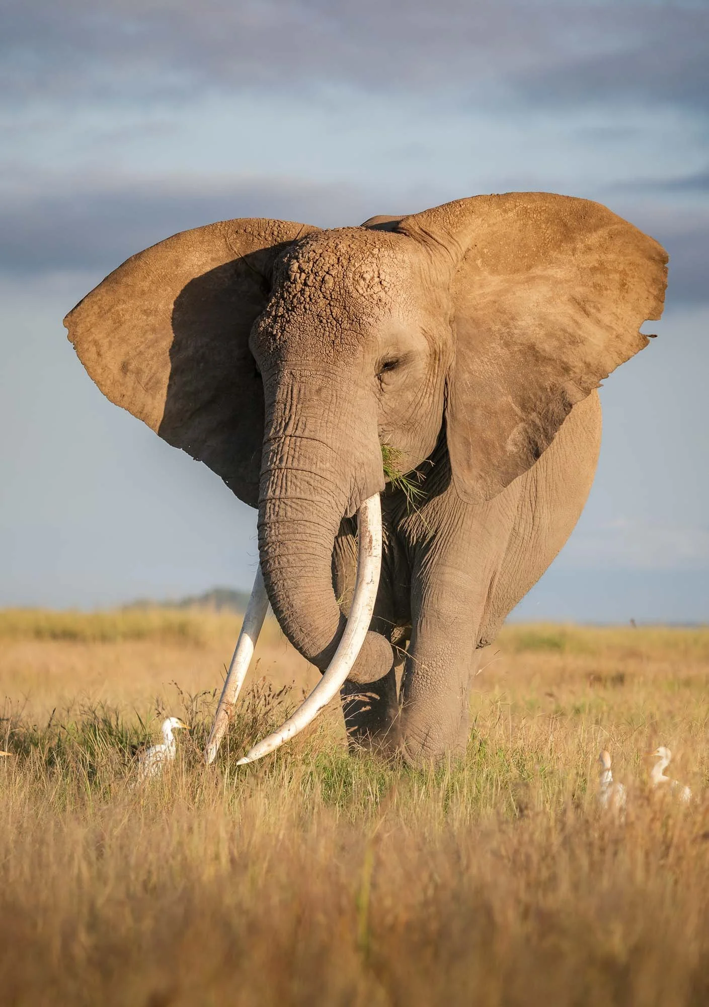
She also has very large ears, shaped like the map of Africa, and with a distinct cut on the left one. Aside from the wide ears, her body also seemed wider than normal, which could indicate a pregnancy – wouldn’t it be amazing if her and Craig could produce a few more Super Tuskers… let’s hope for the best.
We had a few more beautiful observations of her family group passing through the savannah on their way to the marshes, and also ran into one of the most famous elephant researchers in the world, Cynthia Moss, who was observing them and making notes of their movements. She has been studying the elephants of Amboseli for five decades, and is the founder of the Amboseli Elephant Research Project and its associated Trust. Her books “Portraits in the Wild” and “Elephant Memories: Thirteen Years in the Life of an Elephant Family” are certainly going to be one of my next reads.
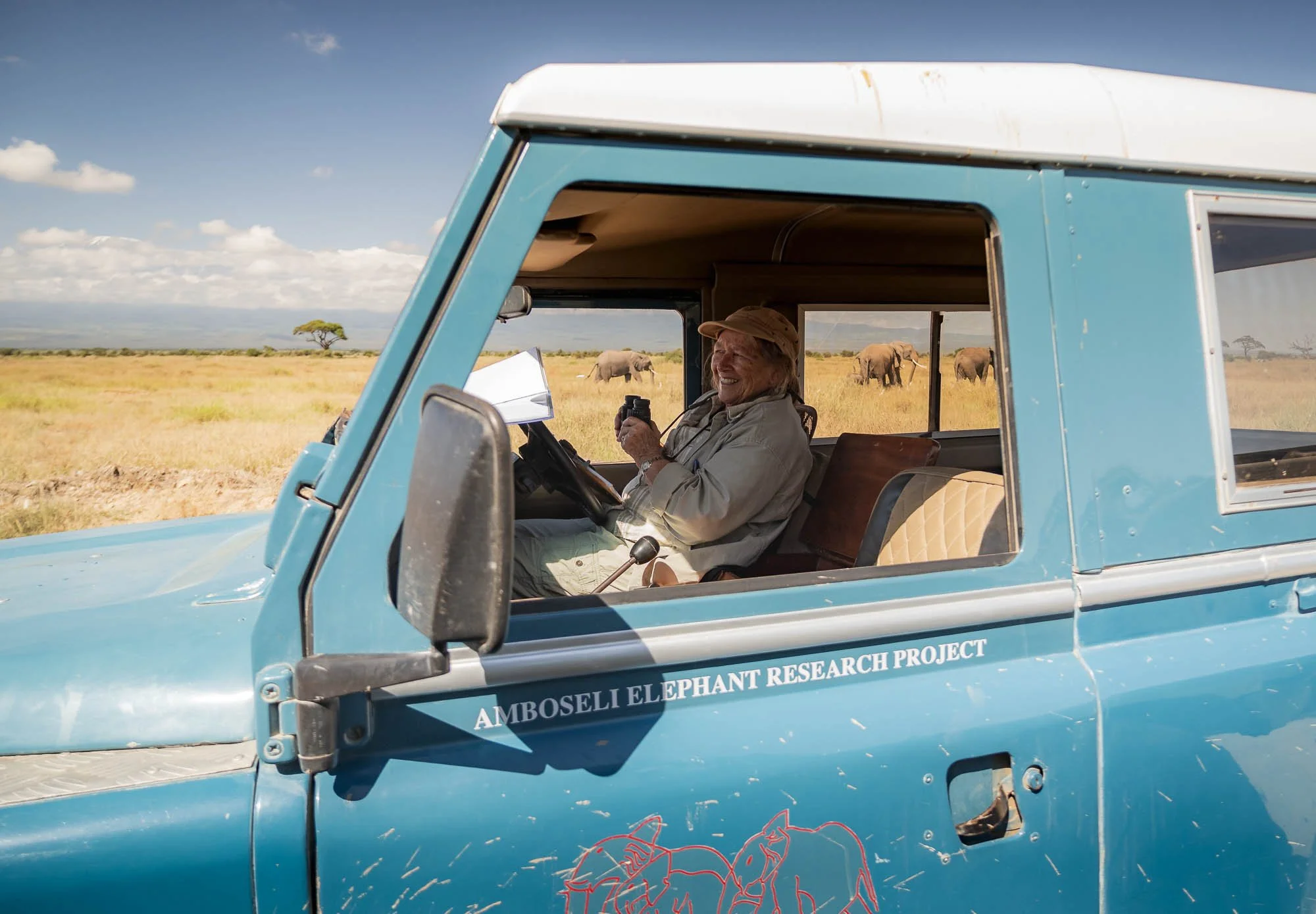
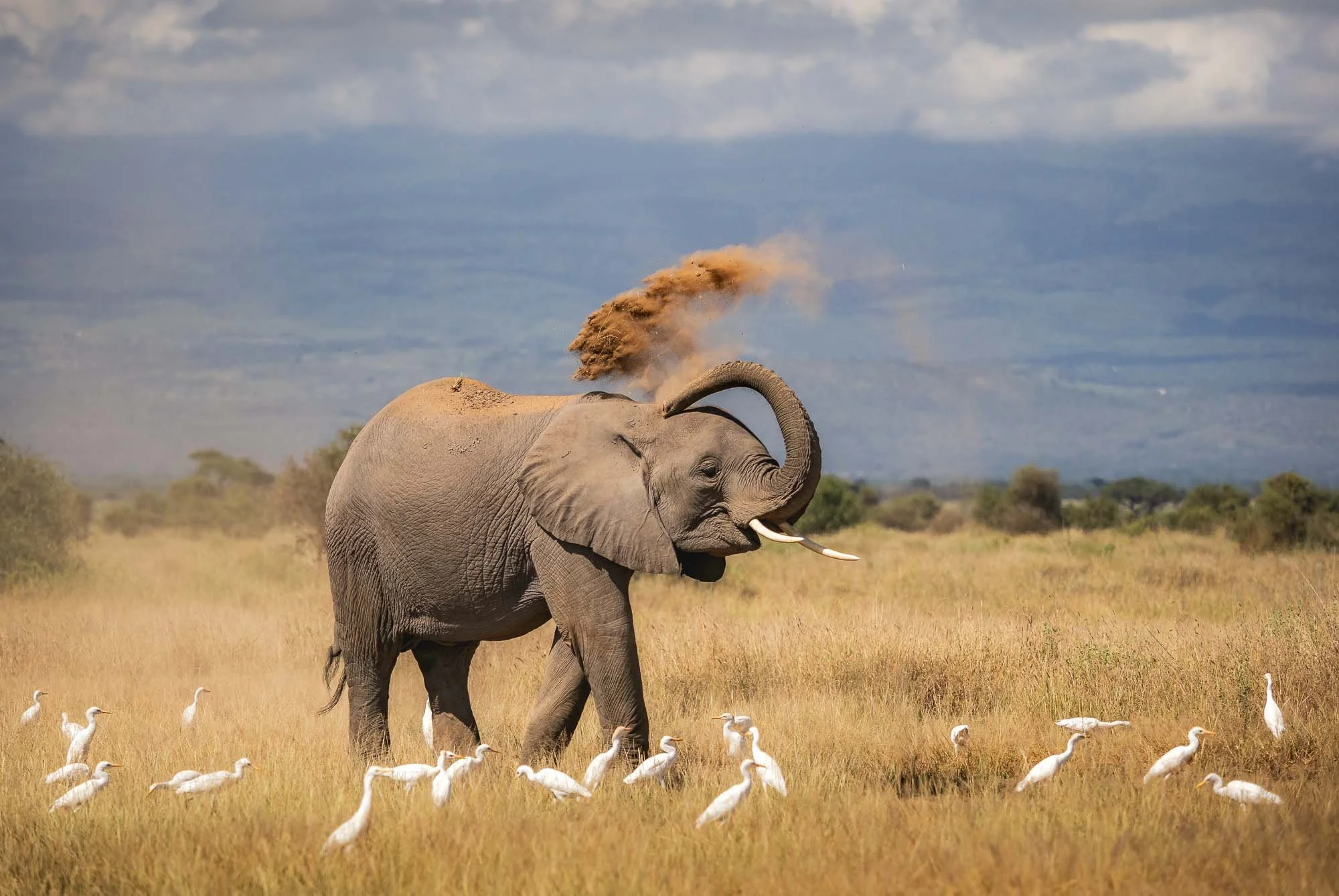
The afternoon was spent slowly, exploring more of the fauna and flora of the region. Amboseli is home to 400 species of birds, 80 types of mammals, and 300 plant species, aside from its gorgeous landscape.
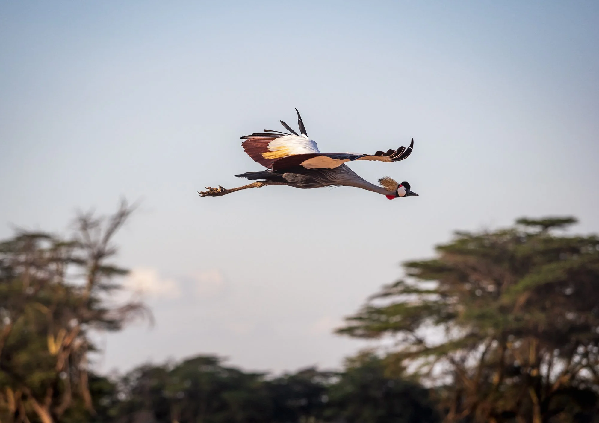
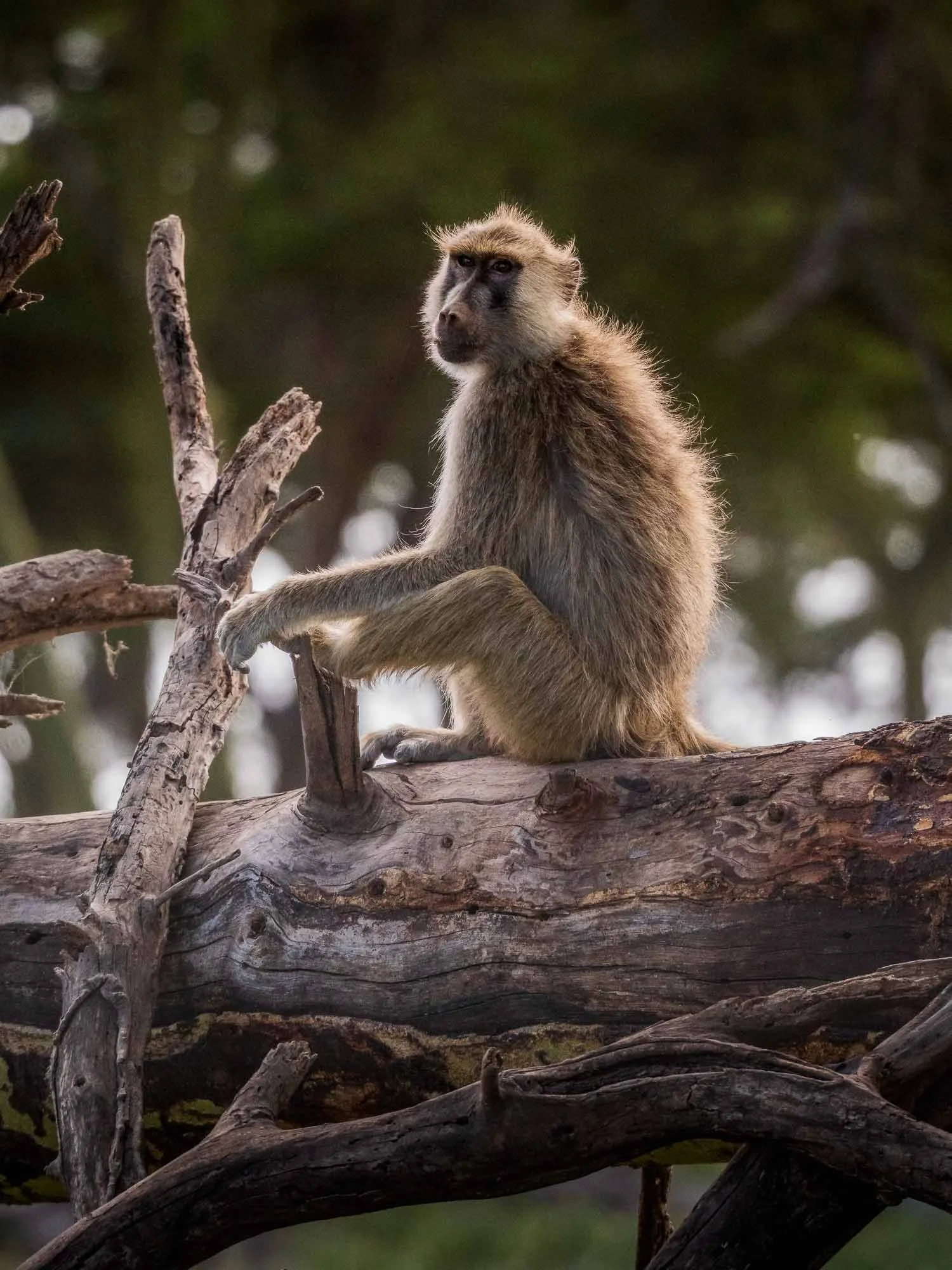
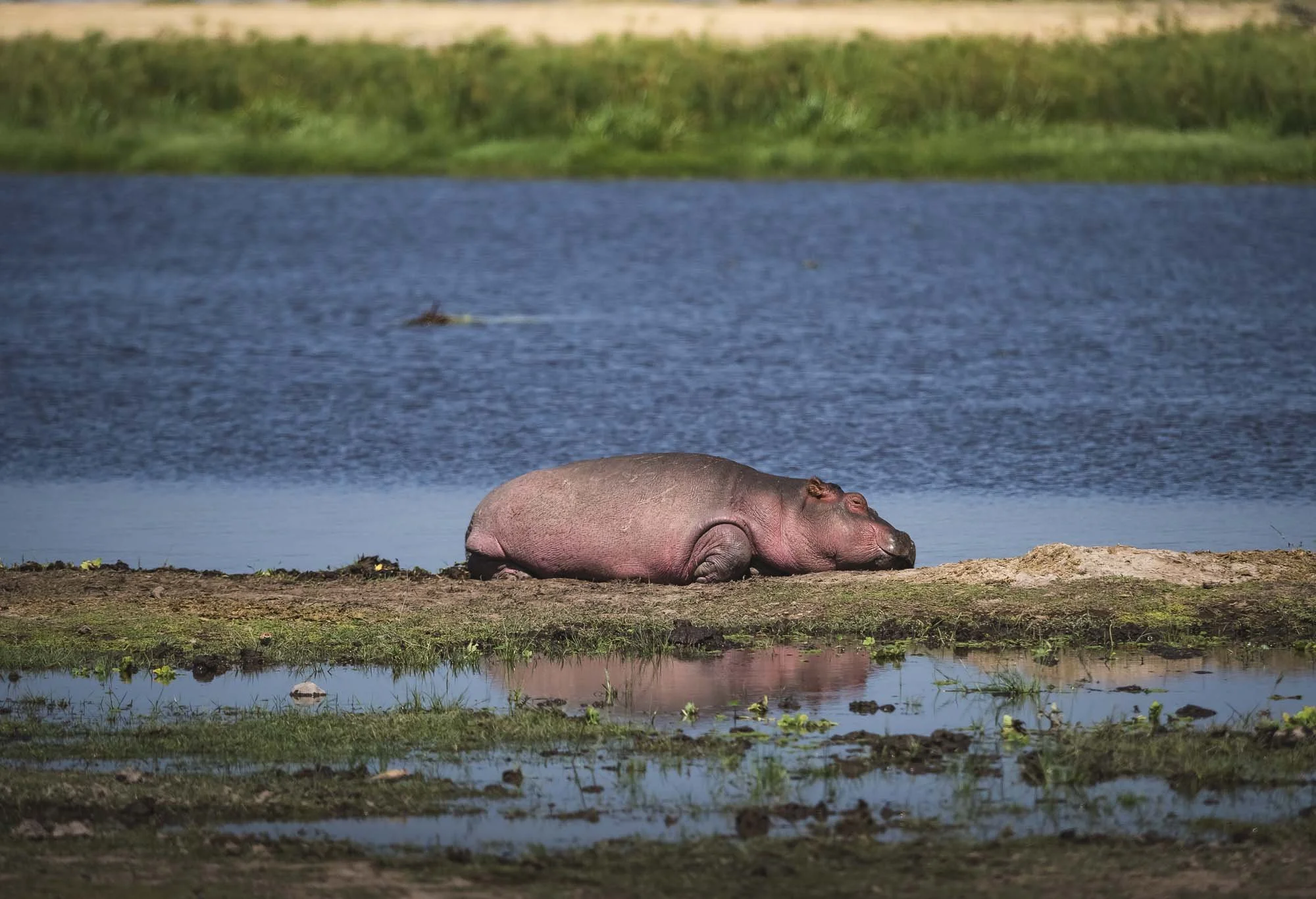
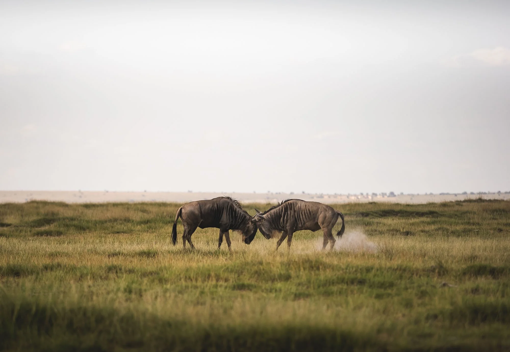
The morning of Day 6 marked my last few hours in the park, with an early drive towards the border crossing with Tanzania. I was going to climb Kilimanjaro, after looking at it many times over the last days, mostly with mixed feelings of awe, respect, and excitement.
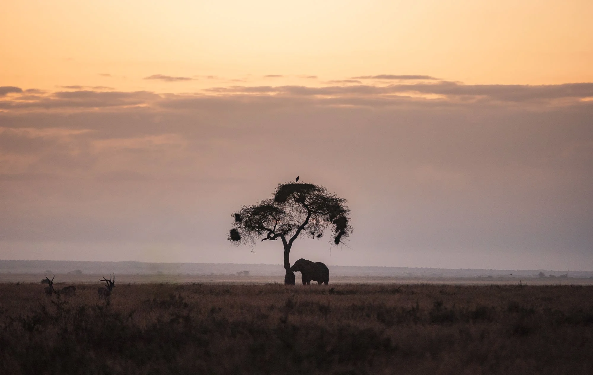
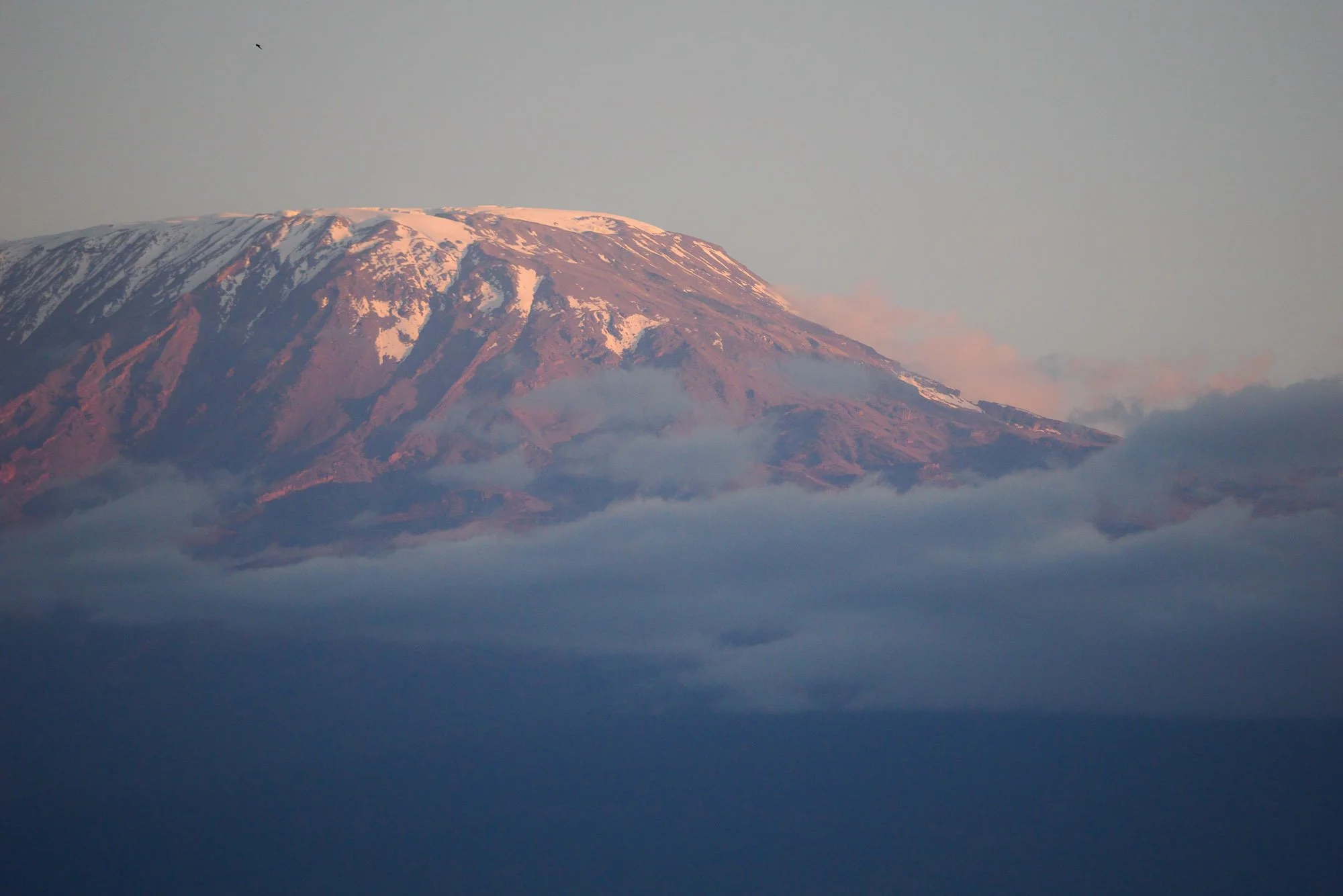
The Tarakea border is just over an hour from the gates of Amboseli National Park towards the Tsavo region, Kenya’s largest protected area. Of course, nature had one more beautiful morning elephant sighting for us in store before we made our way to the KWS Headquarters again to finish the paperwork required to leave.
I received this photo of the car the elephant had turned over. They’re strong animals…
This is also where I learned of the fate of the elephant that had been raiding the crops in the conservancy where the David Rio ranger base is located: the KWS ranger transparently told us that the decision was made to eliminate him. While this is a sad outcome of the story in one way, for the reasons I mentioned earlier, it may ultimately be the most beneficial long-term option for the ecosystem as a whole, and the growing number of elephants and continued thriving biodiversity in the area with limited conflict serves as evidence to confirm this hunch.
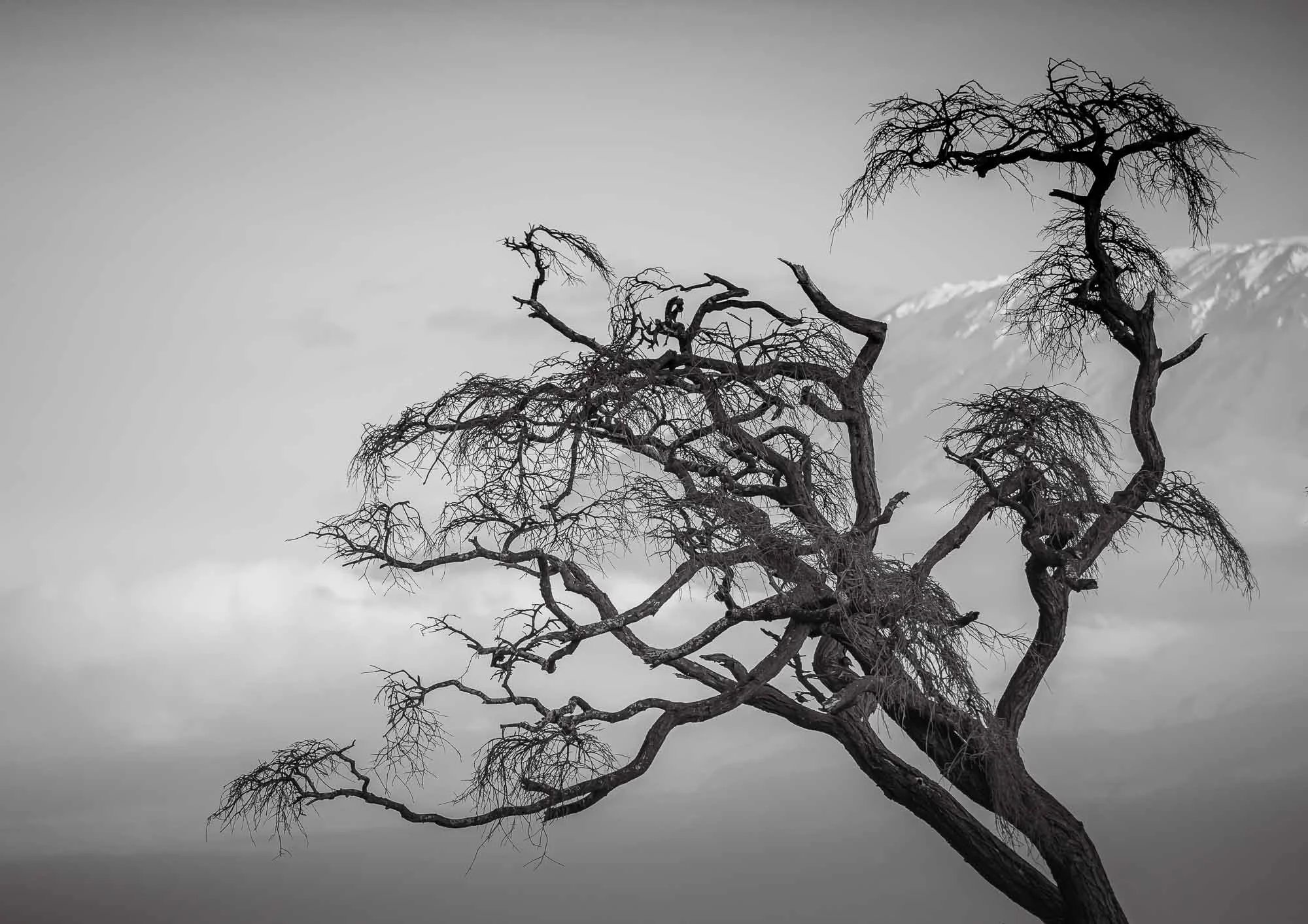
Yet, it’s a stark reminder of the difficulty conservation organisations face, and at the same time clearly shows their importance. Ultimately, it made me appreciate the time I spent in Amboseli and the opportunity to document it with such deep access to its inner workings even more. But now it was time for the next adventure, I had a mountain to climb – and can imagine that this is also a good metaphor for how the task to protect our wild world must feel for organisations like IFAW.
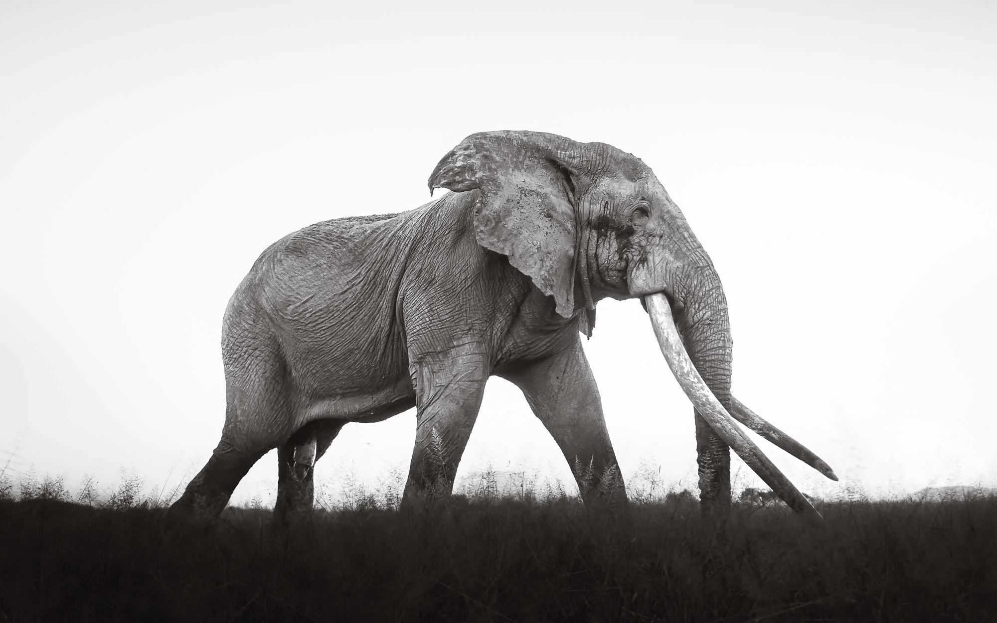
Subscribe to my newsletter to get notified and don’t miss out on more Wonders of the Globe.
Other Recent Posts:

From Rio to São Paulo, and in between
Exploring the famous coastal cities of Brazil, and a few sights on the way after my trip to the Pantanal.

During my first trip to Brazil, the priority was to photograph the wildlife and landscapes of the Pantanal and I couldn’t be happier with the outcomes (in fact, even National Geographic covered it 😃). But a few extra days in the country allowed me to spend some time in its most famous cities, with a small roadtrip from Rio de Janeiro to São Paulo, and some stops in between. Here are my visual (and a few other) observations…
I was curious what I would find during my days in the urban parts of Brazil - the combination of photographic opportunities, famous landmarks, beach lifestyle, and the seemingly ever-present safety concerns should make for an interesting mix. I arrived in Rio in the late afternoon and got a first glimpse of its famous beaches from the rooftop of my hotel at sunset.


Rio de Janeiro
I only had a couple of days in the city, so we started early on the first morning to get an overview and capture the sunrise views from Mirante Dona Marta.
The theme of safety became a factor here: ”starting early” in Rio is an interesting experience, as many people would rather not walk to their cars or drive while it is still dark outside with much less police presence. My guide, a German who lived here for decades, didn’t seem as bothered but also said he’d rather not go out that early if he could avoid it.
The view from here provides a first contrast of the favelas (an informal neighborhood) with the urban setting below - this one in the foreground is called Favela Santa Marta and features a small but popular Michael Jackson statue. It is a favela where guided tours are possible - many others are off limits to tourists (and really anyone not living there). The famous sugarloaf mountain is visible in the centre.

As you turn around, another famous Rio sight awaits in the distance: the statue of Christ the Redeemer.
The (unused) helipad also appears to be a nice spot for a romantic sunrise picnic, or so it seems.


On the way down from the mountain we stopped at Largo do Boticário, a group of brightly painted houses are a nice representation of late 18th century Portuguese colonial architecture. The square was home to the apothecary for the Brazilian royal family, and has been restored to now house a small hotel and homes mostly occupied by artists and writers.
Catedral Metropolitana de São Sebastião
Our next destination was an architectural one as well - after some breakfast, we came to Rio’s main church, intended to echo the ancient Mayan pyramids in a kind of brutalist way.


I can’t say its exterior is particularly appealing - especially with the unmaintained stained concrete walls - but it does provide an interesting contrast to the surrounding area in the centre of the city, home to a few modern skyscrapers with glass facades the church reflects in.

The interior is rather impressive though, and holds up to 20,000 people. Huge stained glass windows on all four sides culminate in a cross pattern at the top of the pyramid, with a large hanging Jesus cross above the altar providing a juxtaposition with the bare facade.
The church took almost 15 years to build and was completed in the late 1970s. It features a separate bell tower outside.


Rio’s architecture is an interesting mix of modernism and colonial heritage - sadly a lot of the latter buildings in the city centre are not maintained and gradually fall into disrepair.


Candelária Church
Portuguese colonial Baroque references also show in this church, combined with some neoclassical elements. The dome was once the tallest structure in the city, and the interior heavily redesigned over the years.


Remnants
The church is known for the 1993 massacre, where eight homeless people, including six minors, were killed by a group of men when they opened fire on the 70 or so children that had set up their makeshift homes on the square. Several of the shooters were members of the police and were tried for the killings, but only two were convicted.
The aftermath was severe and lengthy, placing the spotlight on police brutality, drug gangs and corruption, youth poverty and associated crime. Today a small monument serves as a reminder, alongside these 8 silhouettes on the ground in front of the church.

Mosteiro de São Bento
We moved on to another close-by religious site, an abbey founded by Benedictine monks in 1590, still operating today.
The interior of the church is known for its Baroque and Rococo-inspired decoration.
Sticking to ancient architecture: we encountered this small section of exposed remains of Rio’s early underground sewage system set up by Emperor Pedro II in the second half of the 18th century, as we walked towards more recent additions to the city’s architectural variety.
Museu do Amanhã
Specifically, we went to the newly redeveloped waterfront area at Pier Maua, a project executed as part of the reurbanization efforts during the Olympic and World Cup events. Its complex terraced steel construction is somewhat typical of its architect: Santiago Calatrava - I first encountered his work at the Lisbon train station back in 2008.


It sits on the lively Boulevard Olímpico and was opened in 2015. The museum houses exhibits around sustainability and innovation focused on - as the name suggests - tomorrow. I didn’t visit and hence cannot judge how well it delivers on these themes.

The Royal Portuguese Cabinet of Reading
Instead, we visited a library containing the largest collection of Portuguese texts outside of Portugal.


Not speaking the language, my interest centered around the beautiful arrangement of almost half a million books the library collected since its opening in 1887. They are arranged in book covering three stories around a central reading area.
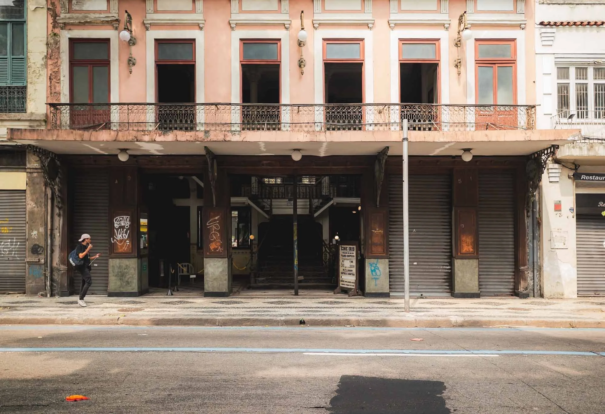
Cine Iris
As we continued, my guide pointed out one of the oldest cinemas in the city, seemingly famous for its program of adult movies of all genres, often showing in the middle of the day - I am not sure how he was aware of this…

Arcos de Lapa
More interesting to me was the Carioca Aqueduct, built in the middle of the 18th century to bring fresh water from the Carioca River to the population of the city. From 1896 onwards it served as bridge for what is now Rio’s last official tram line.
Taking photos here was not something my guide enjoyed, as it is apparently not a very safe spot - indeed we got approached by several people and I put my camera into the bag the moment I snapped the shot I wanted.
Our next destination was a short drive away, and gave me the chance for a very quick stop at the so-called Sambadrome, the place where the Rio Carnival parade takes place. Outside of that, the arena is sometimes used for concerts and was also a venue for some olympic competitions.
The Maracana
What I really wanted to see though is one of the world’s most well-known stadiums, famous for its record-breaking attendance figures, said to have reached in excess of 200,000 people during 1950 World Cup final, just two years after construction started. Despite this, its official completion took another 15 years.

Pele scored his 1000th goal in the stadium in 1969, and it hosted concerts by Frank Sinatra, Paul McCartney, the Foo Fighters, and many more. It is also home to the city’s most famous football clubs, Flamengo, Fluminense, and Vasco, but its present capacity has been reduced to 74,000 spectators.


In the previous decade, the stadium was host to the 2014 World Cup Final and the opening and closing ceremonies of the 2016 Olympics. It fell into disrepair after, and the stadium tours were halted because of vandalism and robberies in the area. After a new management agreement was signed, it is now home to a small museum and the visitor ticket allows you to go up into the stands and put your feet on the pitch as well.
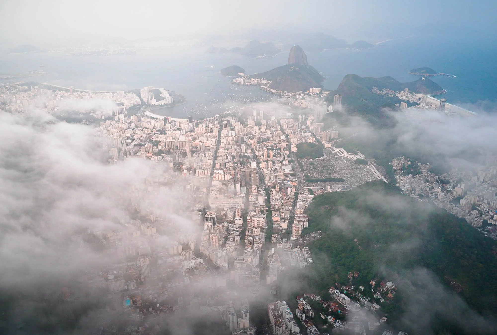
Vertical Rio
For the late afternoon, I had planned to explore the city from above and booked an open door helicopter flight. Rio is one of the few places that offers this kind of experience “by default” without needing permits or private helicopter flights. The weather had been mixed the whole day - small moments of sunshine but mostly clouds and even some rain as we explored the city. Most of the time, Christ the Redeemer, my main subject for the flight, wasn’t even visible from the ground. Although rescheduling was a possibility, my experience told me that sometimes it’s conditions that on the surface are less than ideal that then make for the most interesting photos…


Once I was up in the air after securing all my cameras, belongings, and myself, I knew my instinct was right. Couldn’t have been happier as I saw the clouds just about touching the ridges of the Corcovado mountain, and some haze and pollution giving the sunset a yellow tint.
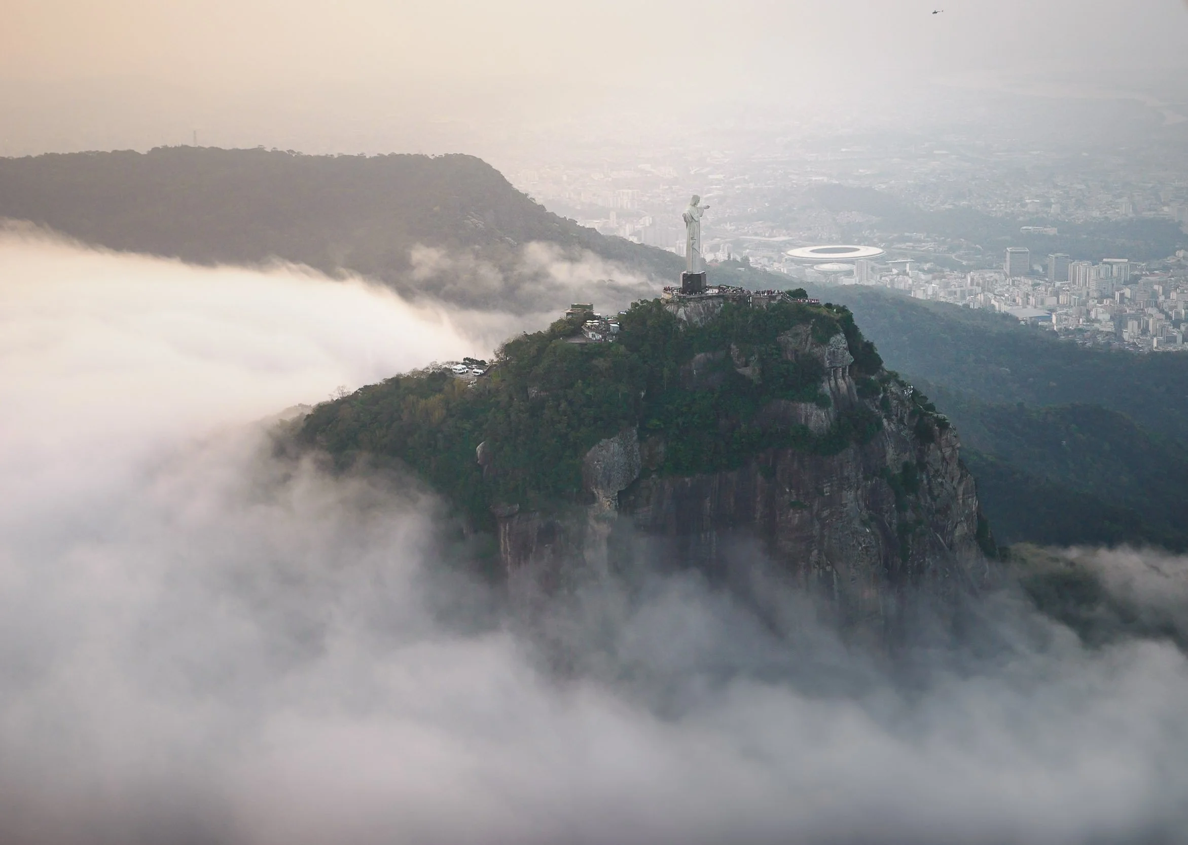
I even managed to get the composition I first saw during the World Cup final coverage - including both the Maracana and the Christ the Redeemer statue in a single photo.
The art deco statue of Christ was constructed between 1922 and 1931 and is 30 meters high, making it quite small compared to other large statues around the world. It suffers from erosion and lightning strikes, and needs quite frequent repairs - the last major restoration took place in 2010.
Interestingly, Rio is also home to another famous statue - a copy of the Statue of Liberty located on the city’s outskirts. What makes this copy special is that it was created by the original designer Frederic Bartholdi (who was born in another city that has a replica).
Legs Out
At certain points on the route the pilot hovers and you get to hang your feet out the doors - not something I’d recommend while the helicopter is moving. A rare experience not possible in many places, so it’s worth doing! The Copacabana in the distance.
On my second day, we explored a few more the neighborhoods and hills of Rio, and I wanted to cross the bridge to Niteroi, where some further architectural highlights await. But first, we had the chance to get closer to the historic Santa Teresa Tram, first set up in 1896.


The hilly landscapes and neighborhoods around the Santa Teresa area on a quiet morning create a very different, artsy, calm, vibe, helped by findings such as this old VW Beetle, known as the "Fusca” in the country - it was produced here until 1996, way longer than anywhere else in the world.


The district is also home to some of the more peculiar architectural remnants, such as this castle-like house on the Rua Almirante Alexandrino.
Escadaria Selarón.
Descending from the hills, you arrive to one Rio’s most photographed spots: the Escadaria Selarón, a project started in 1990.


The Creator
The steps made of ceramic tiles from all over the world are the work of Chilean-born artist Jorge Selarón, who considered it a project that was never meant to be finished. Whether due to this mindset or not, he was found dead on the stairs in 2013, but is still permanently present on one of the tiles.

In the morning hours the 215 steps are still mostly empty, especially the upper parts, but it gets extremely busy during the day. I can imagine the people using the steps to enter their houses may find that less enjoyable, although this cat didn’t seem to mind.
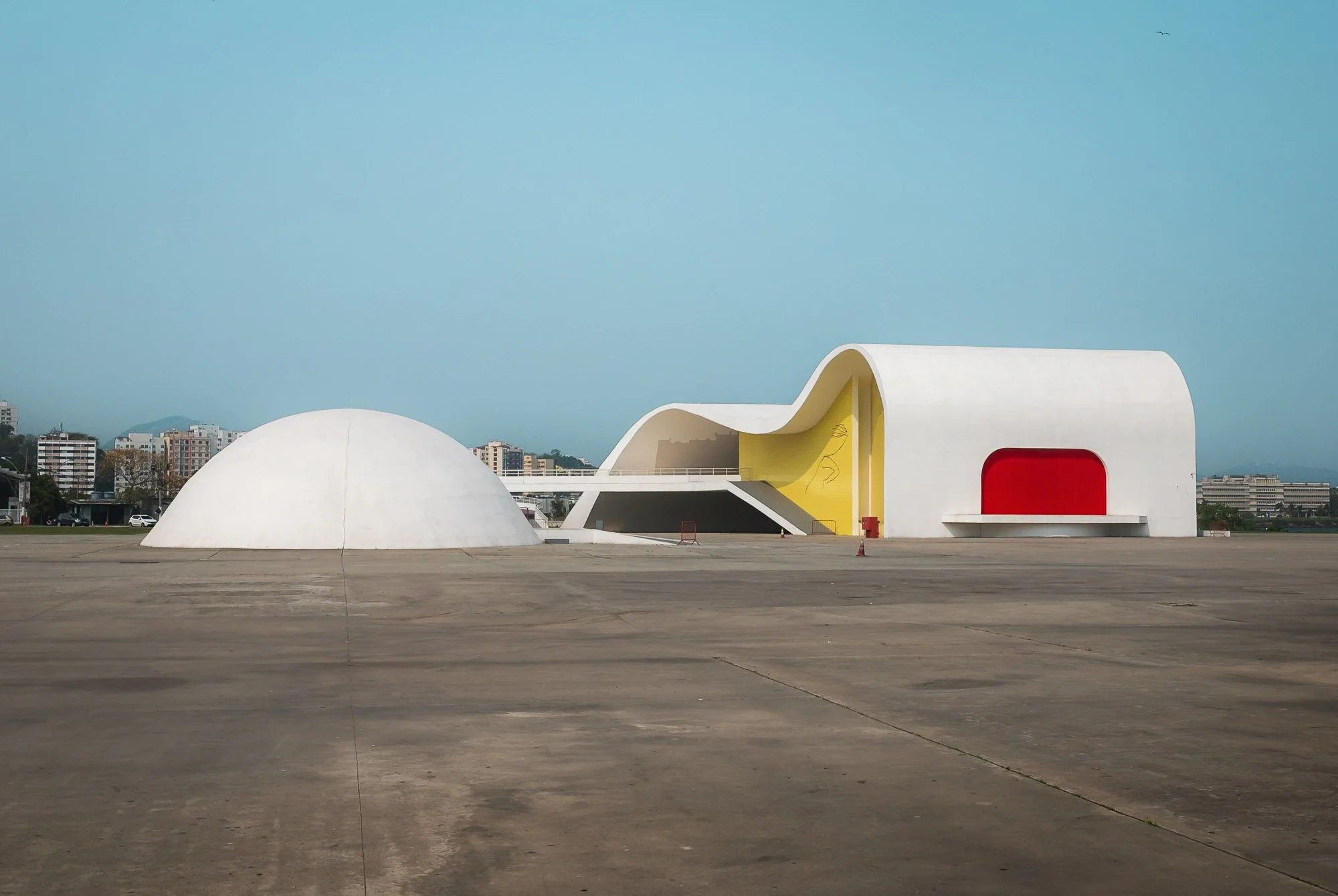
Caminho Niemeyer
From here, we crossed the only bridge over the Guanabara Bay to the district of Niteroi - before the bridge was built in 1971, it was a 3h journey inland or a ferry ride to make it here from Rio.
Oscar Niemeyer is maybe Brazil’s most famous architect, known for his use of abstract forms and curves. He was instrumental in the design of the country’s purpose-built capital, Brasilia.


The reason I wanted to cross the bay was to see a set of organic buildings designed by the famous architect as a space for art, history & culture.

Niterói Contemporary Art Museum
Not far along the coast lies another of his works, the UFO-like museum of contemporary art.
Aside from the exhibition, the building features beautiful views across the bay from the large windows of its 50m cupola.


It is said that Niemeyer positioned and designed the building in a way that it would align with the sugarloaf mountain on the other side when viewed from the right angle - I checked and it seems plausible!


As we returned back to Rio, I had one last sight on my mind - a walk through the city’s botanical garden. It is part of its UNESCO World Heritage area, which represents the significance of the unique interplay between sea, mountain, beach, and urban features taking place here.


It is home to the Avenue of Royal Palms, a collection of 134 palms that all descended from the same tree, and reach a height of 40 meters.


A brown capuchin monkey and one of the many large trees that were planted here in the time since the garden was established in1808, originally to acclimate plants the Portuguese brought to their colony from around the world.


After we returned, I spent a few minutes at sunset on the Copacabana just in front of my hotel, observing one of the reasons why Brazilian footballers are said to have the best technique on the ball: hundreds of people of all ages and genders were playing on the beach, whether casually or in organized groups. And that was my last impression of Rio - architectural diversity in a beautiful natural setting, with an upbeat vibe that is somewhat muted by the ever-present safety concern, with unmissable poverty, and the occasional hints of the uncontrolled informal gang governance.
An early start the next morning would take me towards São Paulo, but not without a few stops.
Hangars & Reactors
Some of those stops were at rather peculiar places: the first was the zeppelin hangar at Santa Cruz Air Force Base, one of the world's last well-maintained airship hangars.

For weeks my local contact and I had been trying to get a permit to be able to access the hangar from the inside, but without luck - as we arrived, the military unsurprisingly didn’t spontaneously let us in either, so the only view I could get was from a distance. Even that turned out to be difficult - the whole area is fenced off. In the end a local woman living in a house on the surrounding road kindly allowed me on her balcony to take this photo.
Irritatingly, after we had already moved on and drove a further 2 hours, we got a call telling us that the employee who normally handles these requests was on holiday and she was now back and would be able to give us a permit. I was tempted to turn around but it would have derailed a lot of our plans, so I reluctantly let go of the idea to stand in a Zeppelin hangar.
Instead, we stopped at Brasil’s only nuclear power plant. The multi-reactor facility started operating in 1985, and is still being expanded.
Paraty
My overnight stop on the way to São Paulo was Paraty, a well-preserved colonial town listed on the UNESCO World Heritage List for its car-free, cobblestone city centre, which has not changed much for the last 250 years.
It’s the western-most city of the state of Rio de Janeiro, and lies more or less half way between the two cities, 300km in each direction.


What adds to the unusual charm of the city is the fact that its centre floods almost every day depending on the height of the tide, turning the streets into little rivers. Apparently this was by design, to help keep the cobblestone clean - the house entrances are slightly elevated with at least a step or two at every door step.

It’s this unusual feature along with the beautiful architecture, its history, the many islands in the bay, and regular events, that made the town a tourist attraction.
Small wooden bridges and elevated sidewalks help to keep your feet dry when navigating the roads - not always successfully, I might add.


As I walked the streets trying to avoid soaking my shoes or twisting my ankles (the cobblestones are huge, bumpy, and full of holes) I had a few beautiful encounters of the feline and musical nature, getting the chance to meet and photograph an elderly singer who recorded a promotional video for her upcoming performance in a small designer store.


I took another walk during blue hour the next morning, as the water just receded again from the nightly tide and the town was still empty.


The road in front of the city’s oldest church, the Capela de Santa Rita from 1722, is one of the last places where the water drains back into the sea…
…which makes the morning commute rather interesting.

Further into the harbour, I encountered a few boats on the pier that didn’t seem to be in their best condition. That is seemingly not a coincidence or matter of maintenance: from what I’ve been told, recent years have seen heavy competition among operators attracting tourists to the various islands and beaches on the bay. Competing on price to do so is not judged upon with favor - in fact, the opposite, and captains who don’t adhere to the fixed price system may end up with a boat that is not going anywhere anytime soon…

Paraty’s historic claim to fame came from its use as an export hub for gold after the discovery of the world's richest mines in the late 17th century in the mountains further inland. It was the endpoint of the “gold trail”, a 1200 kilometer road that was built to transport the metal to the harbor. When pirates became a problem and the mines were depleted, the city’s importance faded.


Before continuing towards São Paulo, I explored these mountains myself with a short morning hike to a nearby viewpoint, offering an aerial perspective of the city and the many islands in the bay. Somewhere in the area lives the explorer Amyr Klink, who circumnavigated Antarctica in the late 1990s on his own. He was also the first person to row the South Atlantic, spending 100 days to make the journey from Namibia to Brazil in 1984. I added the books he wrote about his journeys to my reading list…
The Ubatuba Whale
Speaking of oceanic exploration, the city of Ubatuba just a few kilometres west of Paraty has an interesting sight to offer: a skeleton of a humpback whale that stranded here in 2000, triggering a frantic mission to somehow get rid of the stench of the rotting carcass. When all kinds of efforts to move the remains with tractors and other heavy machinery failed, the officials just dug a huge hole into the ground and buried the animal. 8 years later, the local public aquarium assembled a team to retrieve the skeleton and it was put up in front of the entrance, with a statue of the legendary ocean explorer Jacques Cousteau watching over it.


Ruins of Lagoinha
I planned one more stop before arriving in São Paulo that day: the ruins of Lagoinha, remnants of an old sugar mill of Fazenda do Bom Retiro and the pillars of the alleged first glass factory in Brazil.
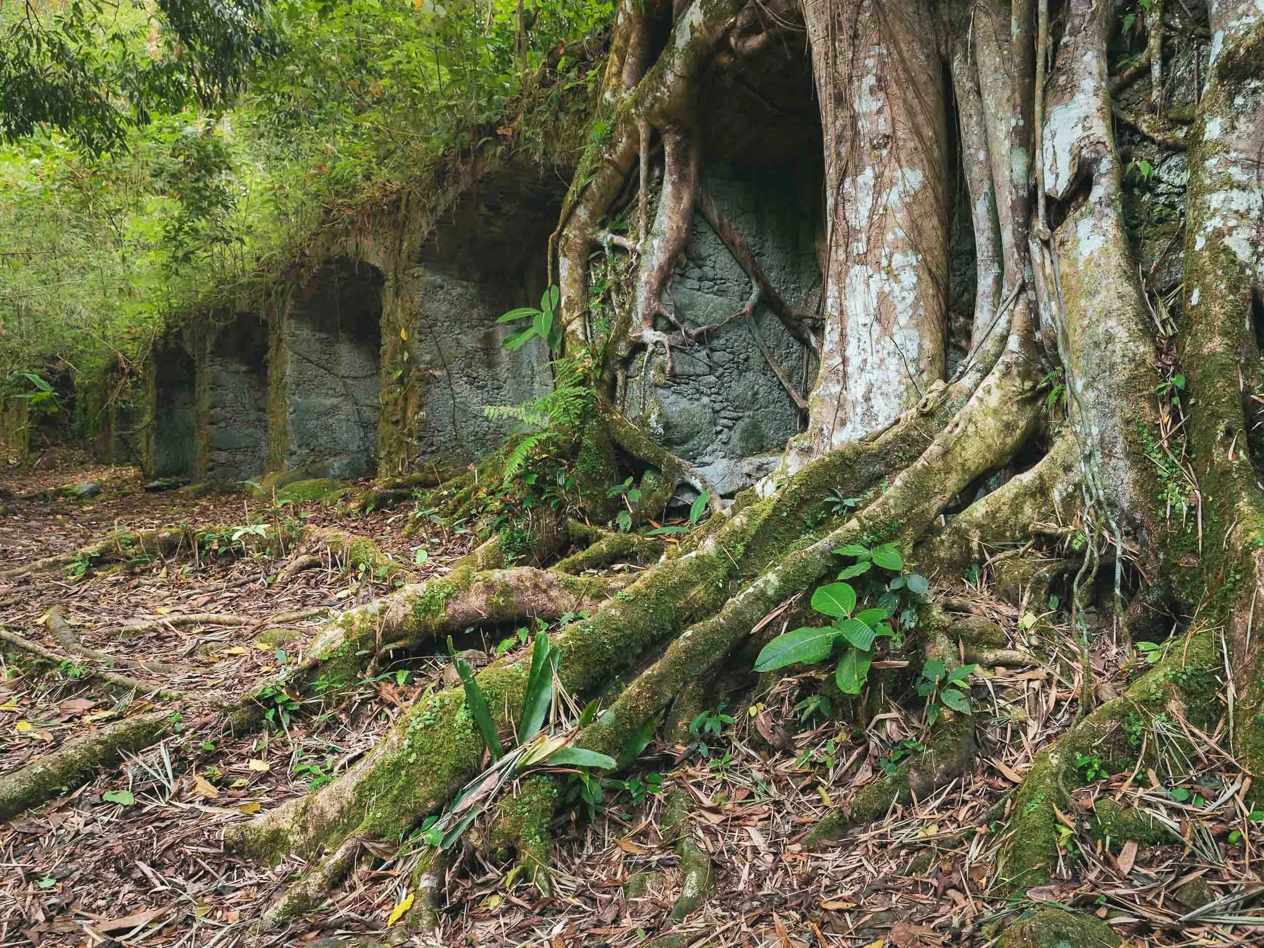
Slowly reclaimed by the Atlantic rainforest, the scene feels like straight out of Indiana Jones.
I arrived in São Paulo late in the evening - and knew I was in the city as my (local) driver told me to stop using my phone in the passenger seat, as it is not unheard of that thieves break the window and snatch the phone when the car is moving slowly or stopped in traffic. We made it to the hotel without such incidents.

Paranapiacaba
The next morning I didn’t in fact stay in the city - an early start took me to a small municipality about an hour into the mountain ranges: Paranapiacaba (harder to pronounce than my last name..). It’s a sleepy, mostly abandoned place. Only a few hundred people live here.

This wasn’t always the case, and it’s the reason we visited: in the late 19th century it was home to 4000 engineers and workers operating the headquarter and station of the São Paulo Railway. Nowadays, trains have become a rarity but the track is still operational.
Many of the buildings around the railway have a very distinct British Victorian appearance, with red brick construction dominating the now mostly abandoned structures.


There used to be a small railway museum in the building to the left, but it seems to have been closed for a while - comparing its state with some older photos, it seems like it has been decaying for a few years. I only found out the museum was closed when I got there, but luckily I found a small (literal) loophole and managed to get access to some of the relics from the past in this area…


I’m not necessarily a huge train enthusiast, but who doesn’t like abandoned machines from a bygone era? I can imagine this place must be a paradise for someone who is a little more into this mode of transport - overgrown locomotives and wagons that have last been used dozens of years ago…


Even the old staff quarters were still visible - complete with the relics keeping the workers safe… I did wonder who put the flowers into the vases, as I didn’t run into a single soul around.

A set of old railway wagons in their home - which according to the “SPR” sign was built in 1900.
The railway primarily carried coffee between the port of Santos and the mountains inland.
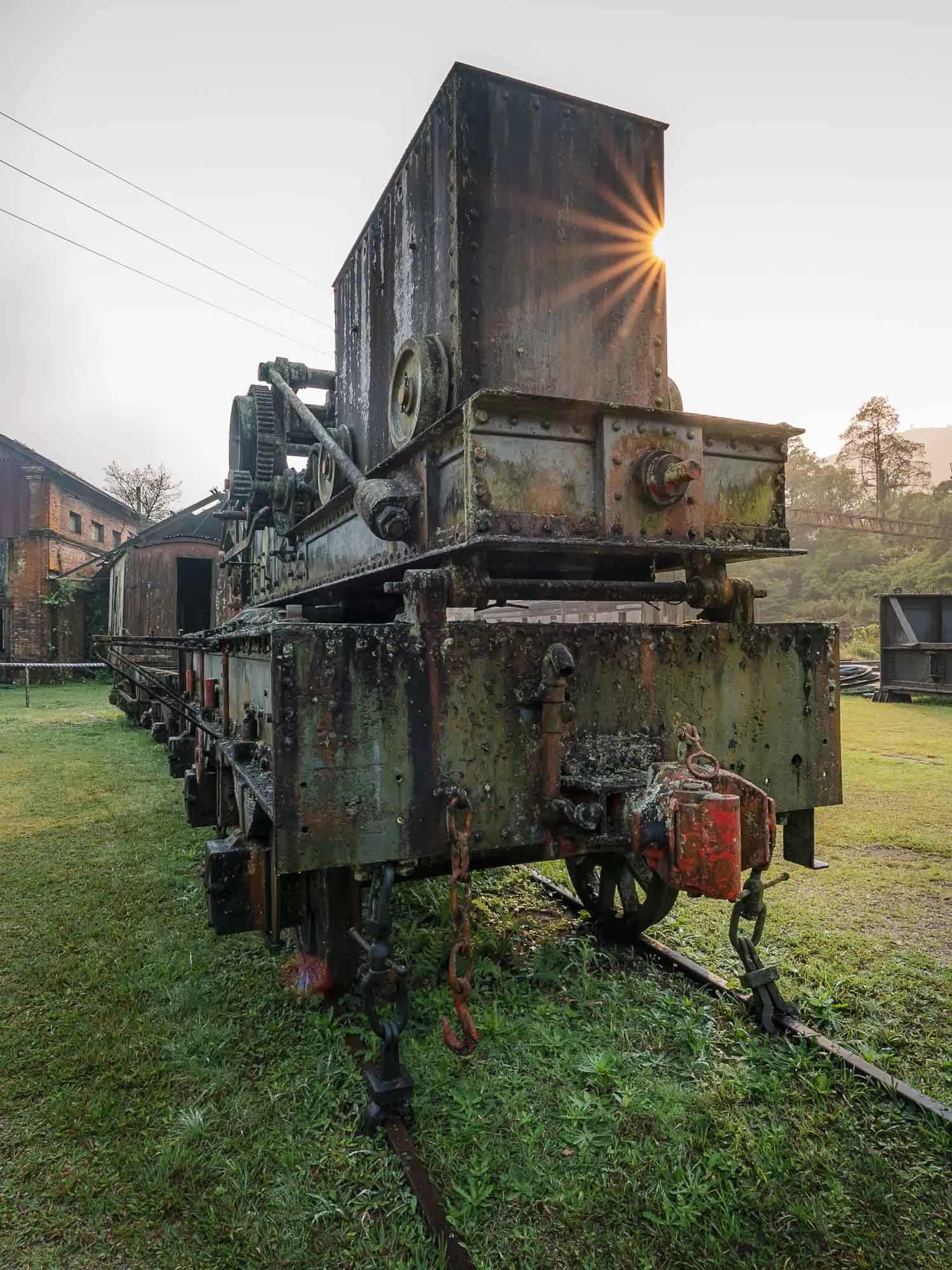
In the 1980s, a working steam engine from the turn of the 20th century ran several times a day, originally used to pull inclined trains from the coast - no more unfortunately, although there is still a daily tourist train from São Paulo.

Not everything is abandoned here - some things from the past are kept in good condition.
Either way, a worthwhile visit to a colonial sight of Brazil, and kind of a hidden gem if you ask me - but maybe that’s because I like trains and abandoned things. The setting in the middle of the Atlantic rainforest is beautiful as well, the town is surrounded by greenery and hiking tracks for kilometers.
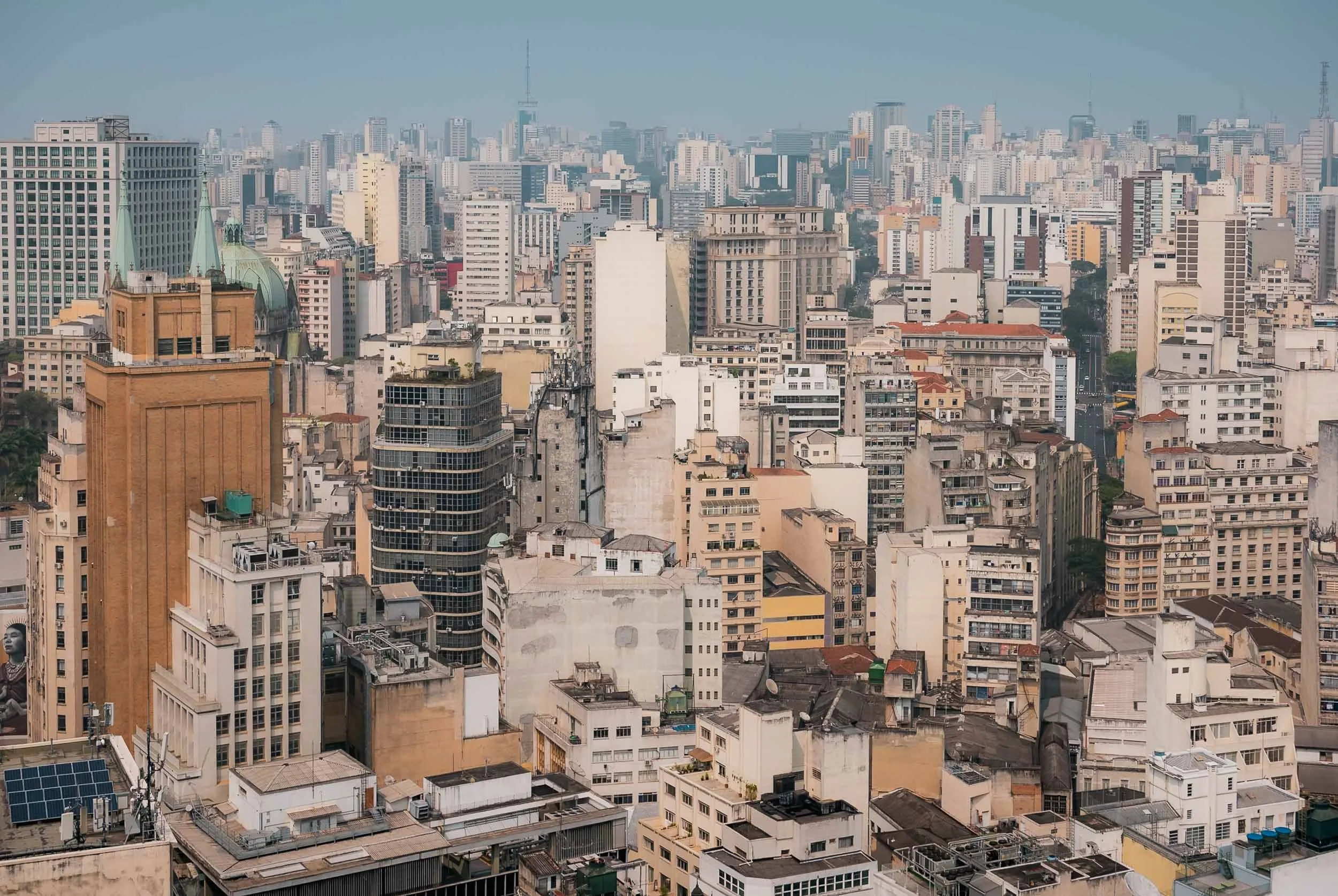
São Paulo
After returning, I had a full day to explore a little bit of São Paulo, Brazil’s most populous city. São Paulo was founded almost 500 years ago, and its metro region is home to more than 20 million people.


Urban impressions: the Consolação district to the left with its parish church, and a view of the city centre to the right, including the Art Deco Altino Arantes Building, once the tallest building in the city in the 1940s. The photo above is taken from its observation deck.
The Altino Arantes building is also home to the world’s highest skatepark in a building - not sure what this says about demand for high-rise units in the city, but a cool initiative nonetheless.

Leading the Way
As you walk around the city, you might come across these kind of traffic lights, with unique clues leading to different sights in each area…

São Paulo Cathedral
…such as the São Paulo Cathedral with the statue of Apóstolo São Paulo in front of it (and a demonstration in the background, the purpose of which I cannot recall). The Neo-gothic church was only completed in 1967 and is the largest in the city.
The interior of the cathedral - an interesting mass was going on here, with almost only men in attendance. I couldn’t figure out why though, if anyone has an idea, please do share.


It was a Saturday, where some of the main elevated highways are closed off for pedestrian traffic, creating a car-free area for walking, running, cycling, and people to have gatherings.


Urban Finds
Common sights in the city are unfortunately also the many abandoned buildings with the historic colonial architecture, and - more fortunately - a lot of amazing murals, covering entire building facades. This one is by Hanna Lucatelli - her goal is to infuse a sense of strong women into the streets, which she says generally have a more masculine energy.


In the late afternoon, we made our way to the final place I wanted to see, located in Paraisópolis, the city's second largest favela. The huge informal housing district is surrounded by parks and skyscrapers, creating the intense contrast many of Brazil’s urban centers are notoriously famous for. Taking photos here is not something you want to risk - and indeed, entering without a local contact person is not a good idea. But - I did have a contact person and a reason to go.
Casa de Pedra
The reason was this man and his house. The eccentric home of Estevão Silva da Conceição, known as the "Brazilian Gaudí", is truly an extraordinary place.

That’s his living room, where we had some tea and he told us the story of his incredible house, which covers several floors and has been a work of love for the past decades. Each room is defined by organic shapes and covered to the last square centimetre with artifacts he collected over the years, mostly plates and similar objects.


If you look hard enough, you’ll surely find some of your favorite things in here…
…if not on the ground floor, just take one the tiny ladders and squeeze through a small hole into the second floor. Or third floor. Or fourth floor, or the roof. The house is an endless collection of art, but the higher you go, the less busy it gets - Estevão is still working on the upper parts. Luckily his family was around and made sure we didn’t get lost.


The artist speaks with a lot of passion about his project. Even though it’s been over 30 years, as he explains while showing us a book with images a documentary photographer took at the beginning of his journey, he knows the origins of many of the pieces used to decorate the house.


The roof of the house above the entrance to the left, and his ongoing work and yet to be used pieces on the right. A place like no other, both for its interior, its artistic commitment, and its setting.
As we headed back to the city centre, the unexpected traffic was an indicator of something out of the ordinary occurring: it turned out to be a large political demonstration on Paulista Avenue, one of the main arteries of the city. The road was closed off to cars, and thousands of people roamed the street - alongside a similar number of policemen (and maybe women) - which to some extent gave me some confidence to walk around and try to get some photos.
Surprising no one that knows me, one reason I wanted to take a walk here was this rather special McDonald’s, named after its local nickname and to celebrate store number 1000 in the country. Its design seems inspired by the White House (which nowadays is probably a good customer)

The interior was equally appealing to me!
I got some photos of friendly protestors left on the street, although the main demonstration had ended a few hours ago. Brazil’s political situation has been messy over the last years as the former president is facing legal proceedings. When I was in the country, access to X was blocked after disputes between Elon Musk and Brazil’s supreme court, which had moved to curb extremism.


It was dark after I had my well-deserved burger, and the police decided it was time to empty the streets, forming a long line and pushing everyone out, making for a quite interesting scene - that was also the end of my time here, as I flew out the next day. One morning visit to the Museo do Futebol (worthwhile, really quite cool!) and my time in South America’s largest country was over - for now.


Some final words: To what extent the danger of robberies, assault, theft, etc are exaggerated or a true risk is probably subjective and sometimes hard to tell - but as a photographer, it was common for guides, drivers, and hotel staff to tell me to keep my camera in the bag while walking around, avoid using your phone in the streets, and not to go out at night - in both Rio and São Paulo.
Beyond statistics it’s also a matter of perception, and for me this is what created an impression that would always make me favor many South-East Asian cities or the GCC in terms of feeling safe to just walk around with a camera anywhere anytime. On the other hand, it would not keep me from going back, and I’d also not deter people to visit either São Paulo or Rio de Janeiro (and for sure not Paraty) - they have a lot to offer. So do other parts of the country, and I might be back here soon!
Subscribe to my newsletter to get notified and don’t miss out on more Wonders of the Globe.
Other Recent Posts:

Hue & Hoi An - A Glimpse of Central Vietnam
The sights of Hue and Hoi An were my focus for central Vietnam, where I only had a few days after covering the south and on my way to the north. One of my favourite countries in South East Asia.

Vietnam is one of my favourite South-East Asian countries, and for this reason I spent more time here than originally planned. Starting in the southern part of the country, I made my way north with a stop in the central cities of Hue and Hoi An. It was a short stopover, so the below blog covers just three days of exploring the sights here - but I already know there is a lot more to see, for example, the city of Da Nang (Vietnam’s Miami, so I heard and partly saw while driving through) and several amazing natural sights further inland. I still wanted to see the northern parts - blog coming soon - so some compromises had to be made.
If you want to get an overview of many of the sights I was able to cover during this trip, check out this video, which has aerial clips from southern, central, and northern parts of the country.
Hoi An - Ancient Trading Port
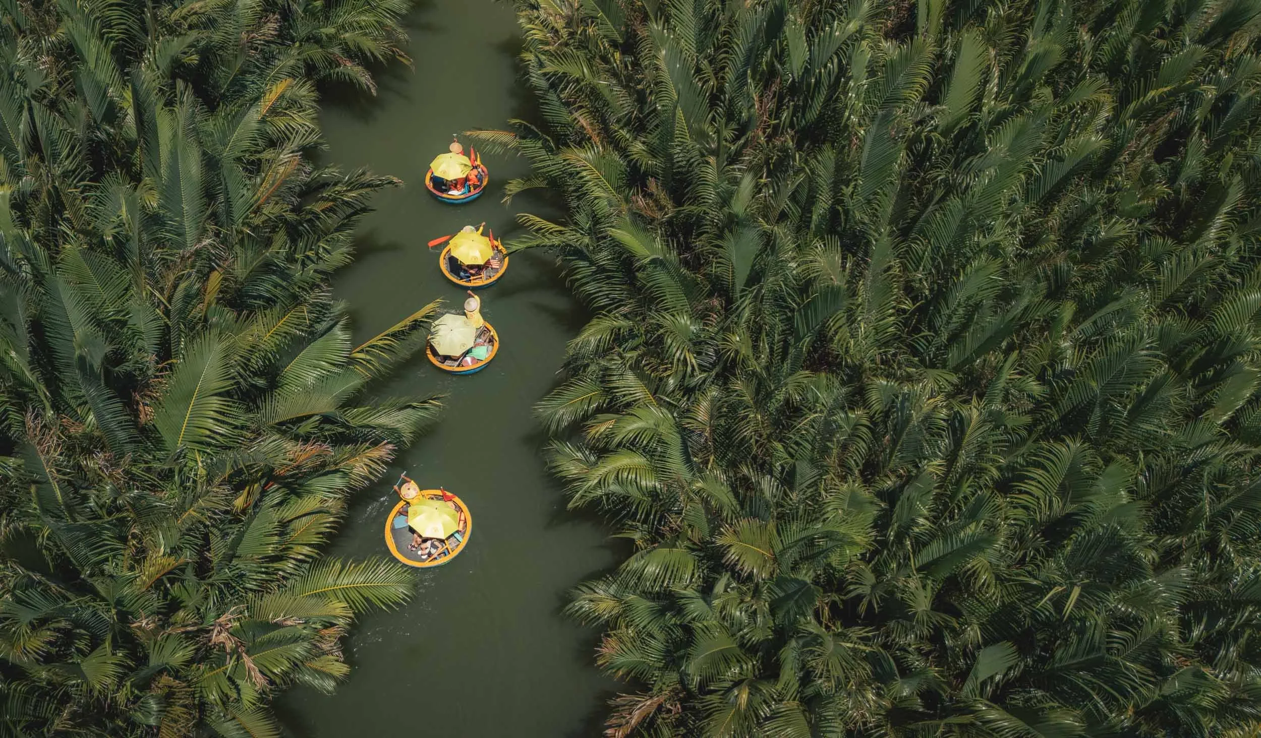
From the airport in Da Nang the first stop was the Bay Mau coconut forest just outside the city, to see its infamous basket boat rides. While today this place is definitely a tourist attraction more than anything else, many such sights are rooted in specific traditions of the past. This one is not so different.
The bamboo-made basket boats are actually part of the historic roots of Hoi An as a trading and fishing port, and while the stories of their origin vary, one interesting angle is that they were used to evade taxes that the French levied on “real” boats. Others say they developed as a way to easily maneuver during shallow water fishing - either way we will see them again later in this blog in a less touristy context.
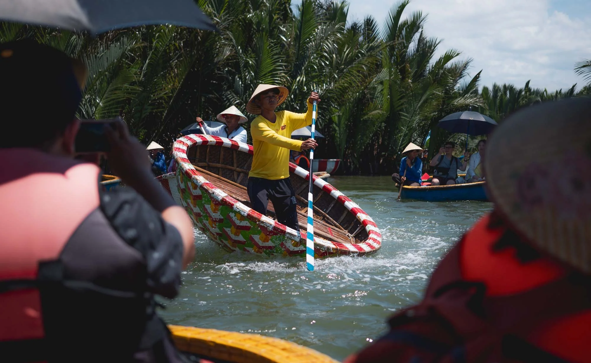
If you look past the entertainment aspect of the captains twisting and turning their boats with quite remarkable skill, accompanied by a speaker blasting Gangnam style (yep), you can have quite a relaxing time here, and get an insight into the activity’s cultural background.


That’s because once you escape the beats and dancing of the main parts of the river - where admittedly both locals and tourists seem to have a lot of fun, although I can't quite say the same for myself - you can enjoy some of the more quiet side channels with their vibrant coconut groves, and things become a lot more relaxed.


From what the guide told me, the forest here covers almost seven acres (also the meaning of Bay Mau) and was started more than 200 years ago. It’s the combination of soil and brackish water that seems to have made it a fertile area for coconut. It was once also a hotspot for the resistance of the Vietnamese against the colonial occupation.


The forest is close to the sea along the Thu Bon river, a few kilometers from the old town. It’s worthwhile to visit, if you can appreciate the historic value in the context of today’s tourist activities.

Blue Nets
From here, I visited another place that is mainly driven by photographic opportunities for tourists than real day to day life - this is a theme in many of the famous places in Vietnam.


The iconic blue net mending scenes of Hoi An are rooted in the region’s traditional fishing culture, once a vital part of the so-called “Silk Road of the Sea.” Historically, it was often the women who repaired the nets after the men brought them back from the sea. While this practice still exists today, many of the images circulating online are staged - including these ones. Personally, I don’t feel strongly against this practice, these reenactments help preserve a visual heritage and generate income for locals. At the same time, they distort the perception of daily life and contribute to a growing uniformity and commodification in travel photography, with people chasing identical scenes simply to check them off a list. The trade off is probably somewhere in the middle and tourism is part of local dynamics in so many ways regardless, but generally I mostly avoid staged images, or at least declare them as such.


The inside of the house, where the ladies mend the nets when things are not set up for beautiful photos - with some joy either way it seems!

The fisheries at the Thu Bon river, with the house of the net mending ladies just on the left side.

As a piece of evidence indicating the importance of fishing and the sea for the locals, just to the left of the above panorama lies Bon Van Duy Vinh - a boat-shaped temple.

The Old Town of Hoi An
I spent the evening exploring Hoi An’s old town. The town’s history as a trading hub goes back over 2000 years, from the Cham people, to Portuguese and French influences, and Vietnamese rule, with later decline. Only a few decades ago the town was revived and became a UNESCO World Heritage Site in 1999.
In the evenings, the many bars and restaurants attract people, as do the colorful boats and the traditional lantern release on the river. A beautiful sight from the air, showing the clear distinction between the old town and the newer part of the city across the river bank.


From a closer angle, its rise from irrelevance came at a cost: nowadays, tourism around the old town and river areas have put significant pressure on the sustainability of the city and its surrounding marine ecosystem.


The city is famous for lanterns, especially the monthly full moon festival for prosperity and good fortune, honoring the ancestors.
Irrespective of the festival, they adorn many of the streets, handmade lanterns are for sale in several shops, and tourists release small floating versions with candles in the river (with questionable environmental consequences).


Away from the river, I got a few glimpses of the mixed traditional architecture and chessboard-pattern streets that made the old town famous.


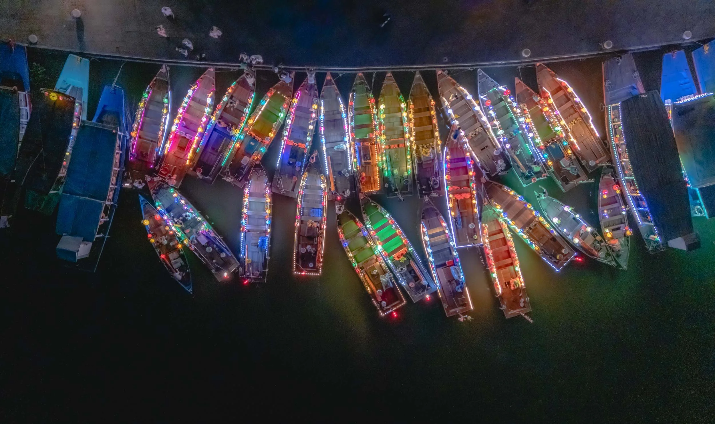
It’s a colorful but crowded affair, and I told myself I’d come back the next morning to see it under a different light…
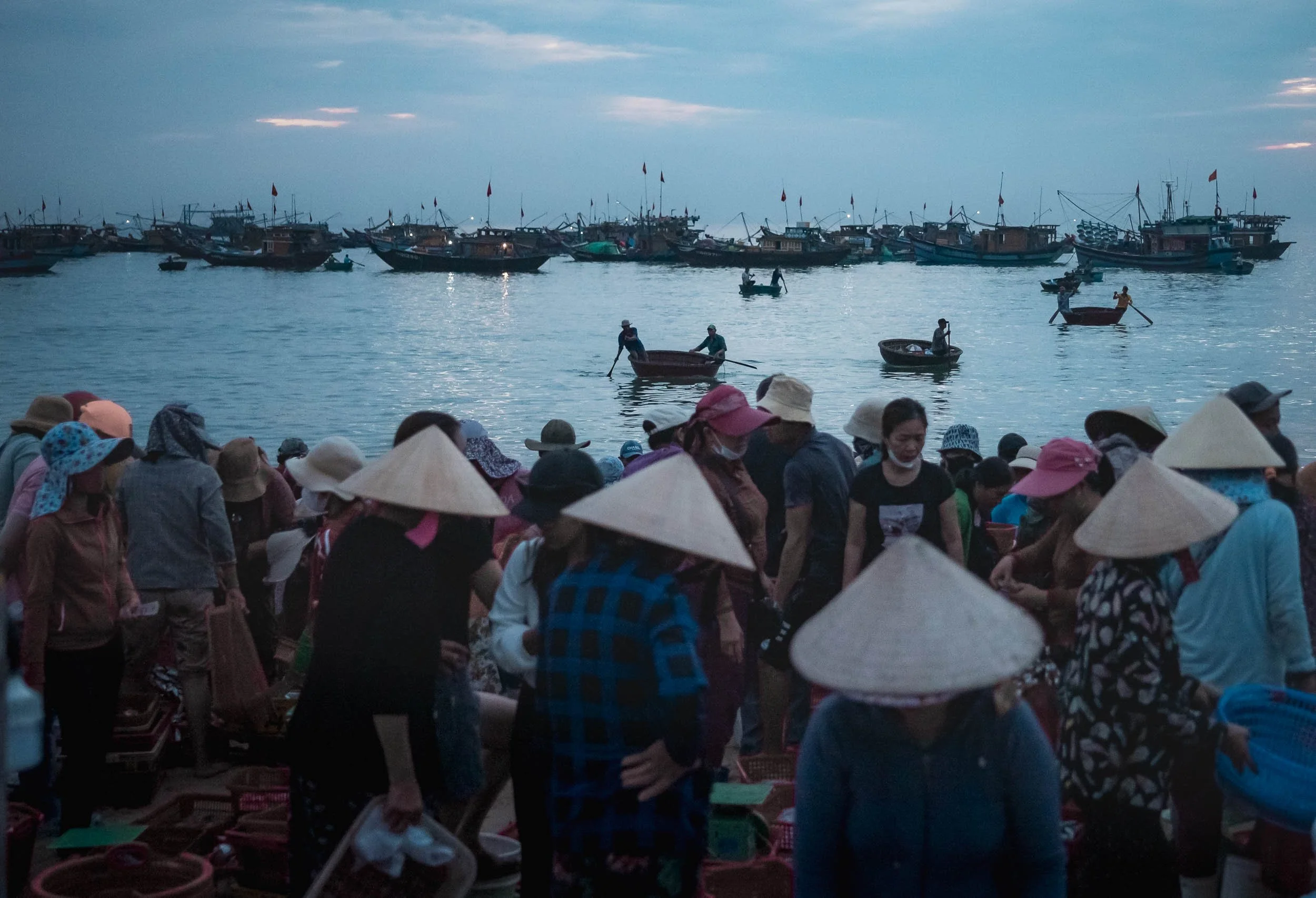
Tam Tien Fish Market
But before that, it was a very early start to reach the fish market of Tam Tien, around an hour south of Hoi An.
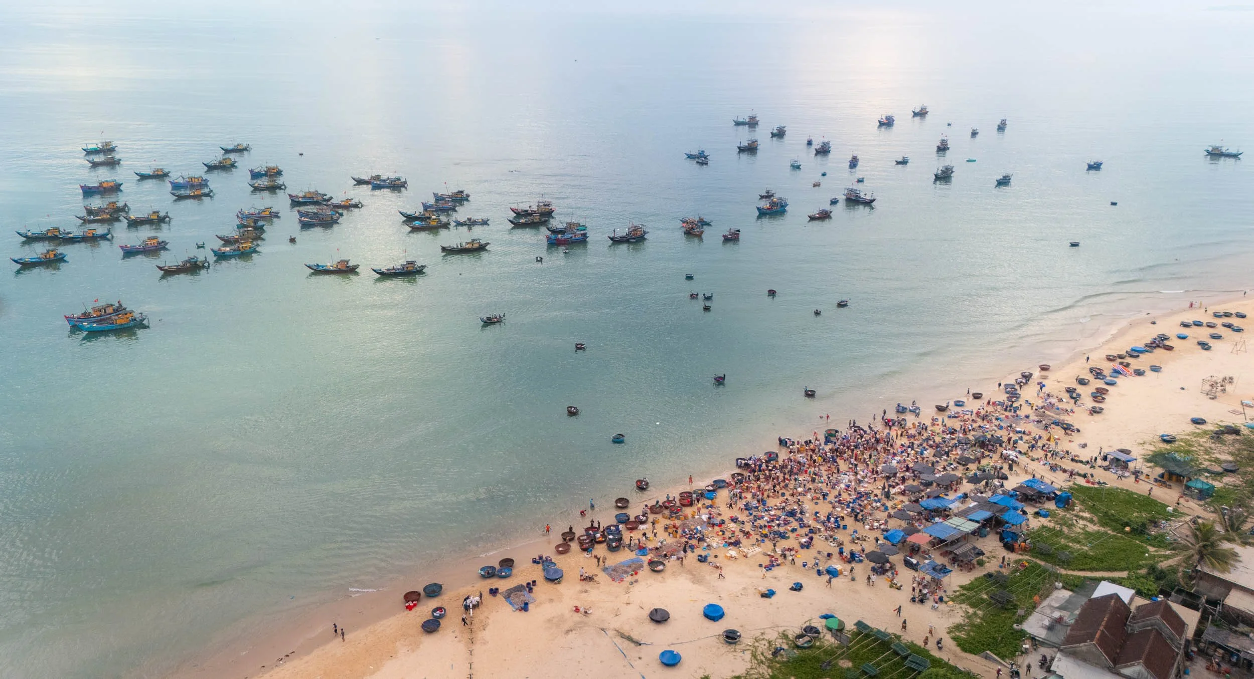
The market flurry starts at 4am or so, and slowly dies out after sunrise. It runs from April to September, but closes during the monsoon season.
This was also my second encounter with the basket boats - this time not for touristic use, but their original purpose: bringing the nightly catch from the larger boats docked off the coast directly to the beach - it’s a bumpy journey, even in calm waters.


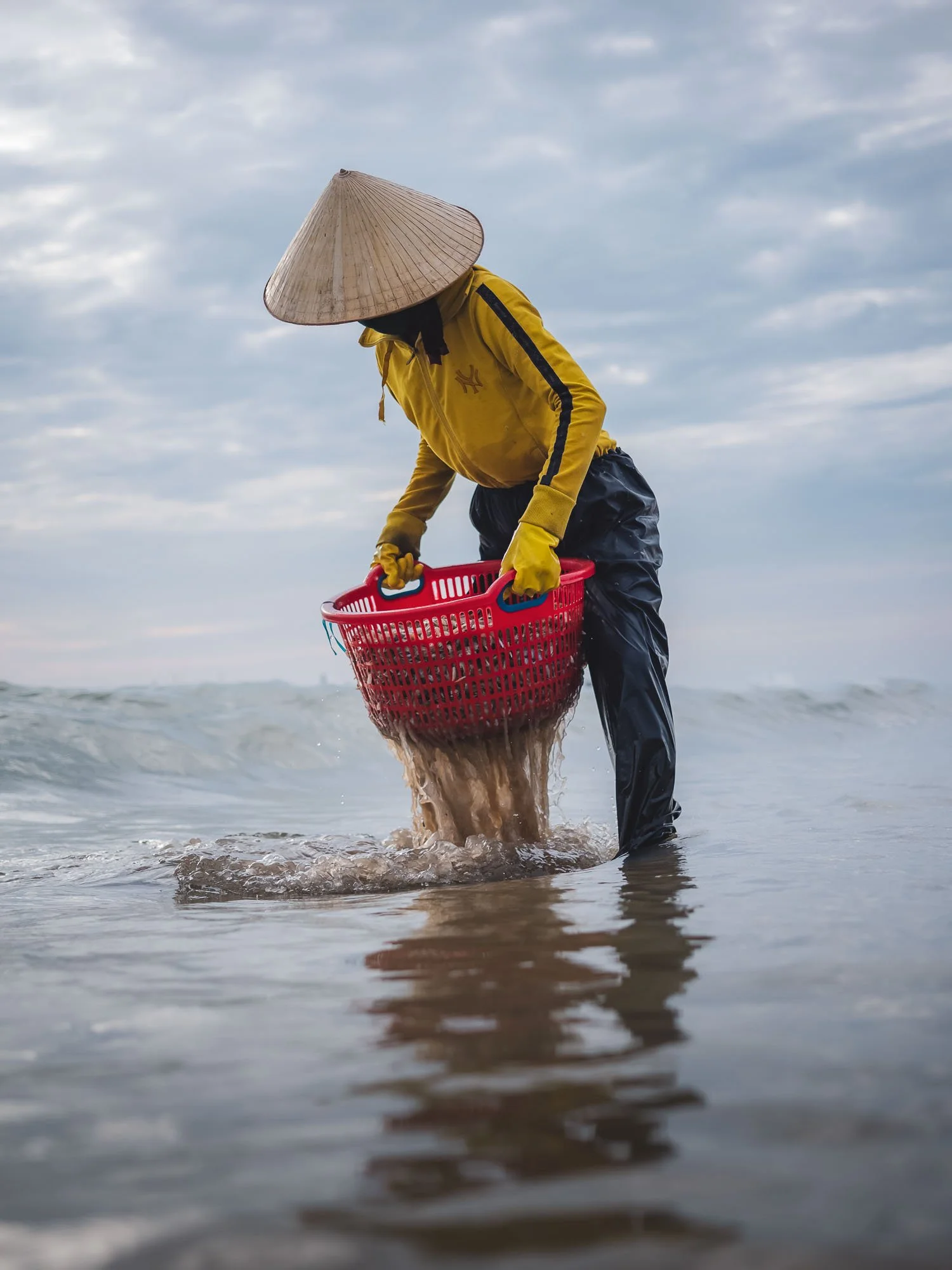

It is mostly the women who are then responsible for preparation, negotiation and sales, while the men go back and forth to transfer the fish between the boats and the beach. Things happen quickly, and most of the haul is picked up by buyers within just a few minutes.
While the market feels very traditional, it was only established about 20 years ago or so. Initially, the boats just anchored here after returning from their nightly mission until a few business-minded fishermen realised they could sell the freshest fish to buyers directly on the beach. It’s now the largest fish market in the Quang Nam Province.


To keep the catch cold, the community installed a metal track to send large chunks of ice from the road down to the beach.
I took some of my favourite photos of the trip here with the drone, capturing the colorful activities on the shoreline from above. A worthwhile visit, with very few tourists around - so far.


We made our way back to the "peaceful meeting place" - the translation of Hoi An from Sino-Vietnamese. I was keen to see the city during the day, and the early hours also meant there were very few people around.


The many rooftop cafes were a good place to get a view of the typical narrow and deep two-story houses, often mixing the local traditional architecture with wooden porches and some colonial influences.

A Chinese influence are the community halls, such as Fujian Community Hall from 1792, with its courtyard and decorated gardens.

One of its most iconic architectural sights is the Japanese bridge - currently covered and under renovation because it is at risk of sinking due to erosion. It was established in the late 16th century by Japanese merchants to ease the crossing of the canals connecting different city districts. A small temple with ornate decorations was added in the centre later, but little is visible with the current works going on.

As I walked back to the hotel, I stopped in a small antiquities shop and got talking to the owner. When he found out I was German, he proudly showed me his copy of Faust, which he had been reading - and quoting from - in Vietnamese, no less. After a brief philosophical exchange, during which I couldn’t help but wonder why anyone would voluntarily read Goethe’s novels, while I was busy recalling my dread of them back in school, I had to head off to my next destination.

Huế
And that destination was Hue, another ancient city once belonging to the Cham people, before Vietnamese rule, where it was an Imperial City. It is also home to a UNESCO site…

.. which is in fact a complex of multiple different monuments, spread over several square kilometers along the bank of the perfume river (named after the seasonal orchards that are carried in the river water).
Like Hoi An, it includes features from the Vietnamese dynasties, Chinese influence, and also some colonial French aspects.
As I arrived at the Meridien Gate, some young women were posing in traditional dresses and gave me the chance to take a few photos of them with the backdrop of the 1833 entrance to the Imperial City.


The site is huge with many different tombs, shrines, palaces, and other remnants of the time when Hue was the capital of unified Vietnam in the early 19th century - you could easily spend a full day here, which I unfortunately wasn’t able to do.


The Thai Binh Lau (Peace Pavilion) above within the Forbidden Purple City, with its beautiful ornamentation restored in the early 1990s. The entire complex features green gardens and a large moat surrounding the area, seen below.


Details of the buildings, often featuring lattice windows and ceramic statues with colorful painted decoration.


Kiến Trung Palace
Architectural details of one of the main palaces of the site, combining traditional and colonial influences. Originally built in the early 1900s, it was destroyed during the Indochina wars, and then reconstructed just a few years ago.
In fact, a lot of the complex has been destroyed during the Indochinese wars, but restoration projects are ongoing. On the other hand, its current state - especially in moody weather and around the wilder parts - admittedly gives a kind of intriguing Indiana Jones vibe to the area.


Lantern Release
As the light faded, I had one more short photographic scene on the agenda - and it was another famous “Vietnam setup” that is often seen on social media - a more picturesque version of the river lantern release in Hoi An.
A cute idea, but little to do with the reality, as we’ve seen.

I did however get to see this super intense sunset over Hue - nothing artificial about this one.
Before heading to the airport for a flight to Hanoi, I had one more rather unusual and less well-known sight on my agenda, maybe the only one of its kind. While Hue is home to several historic sites spread all around the region, including a number of beautiful temples and pagodas, this one is without comparison.
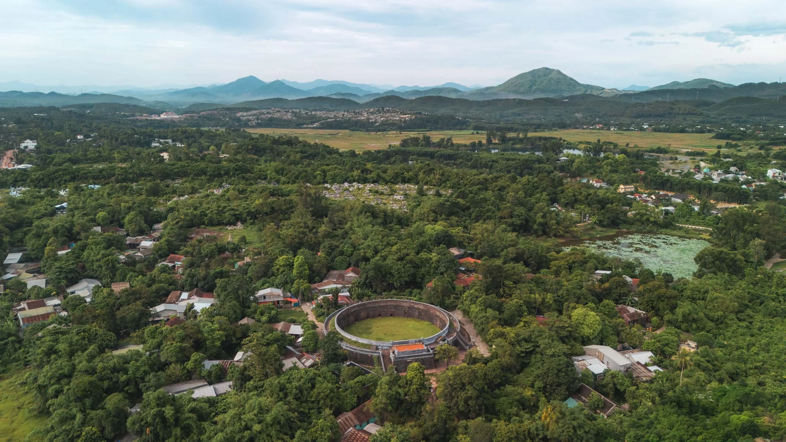
Hổ Quyền (Tiger Arena)
Barely visited, this relic lies just a few hundred meters from the perfume river, and was home to one of the most intense (and cruel) spectacles of the Nguyen dynasty. In the second half of the 19th century, gladiatorial battles between elephants and tigers took place here during yearly royal festivals.

For better or worse, its doors remain closed today, unfortunately also for visitors, so the best perspective of what the arena looks like is the aerial view.
Apparently the complex was built after several incidents during previous festivals, where elephants trampled people and tigers escaped, going after spectators or the royal attendees.
The original purpose of these fights was to train the elephants used in battle, but it later became a purely entertainment-driven event.
The last festival took place in 1904.


While exploring the surrounding areas (which include a rather beautiful old temple and mausoleum) I encountered this gentleman, and he kindly showcased his craft: producing amazing hand-carved wooden elements for the various restorations.


And with that impression of how much work must have gone into some of these sights, I made my way to the airport. Stay tuned for a future blog post covering the north of Vietnam, with amazing tea plantations, limestone landscapes, and of course the country’s capital.
Subscribe to my newsletter to get notified and don’t miss out on more Wonders of the Globe.
Other Recent Posts:

Island of Wonders - Mauritius
A family trip to Mauritius gave me a few opportunities to document some the island’s amazing sights, from the underwater-waterfall to the 7-coloured earth, and resident sperm whales.
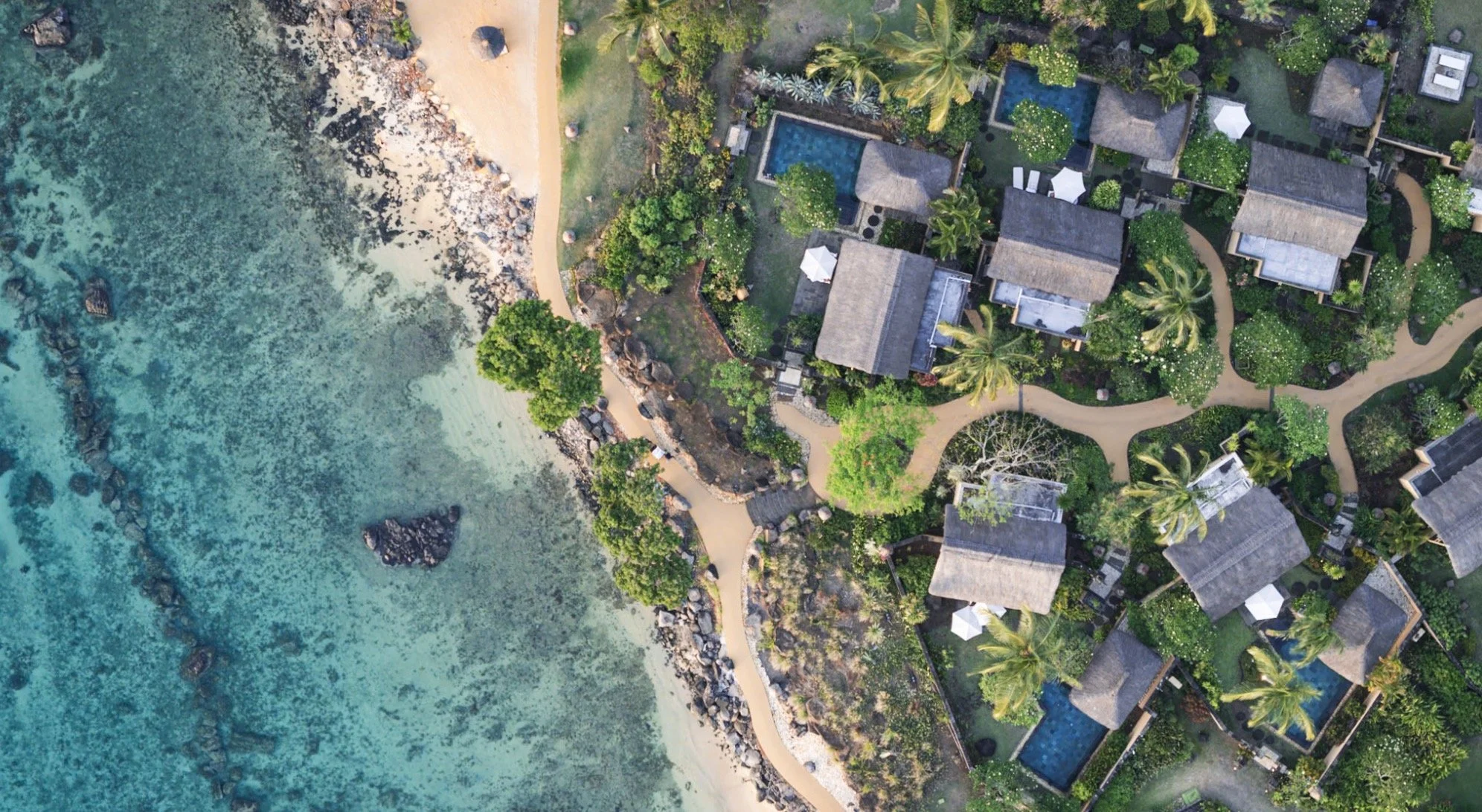
In late 2024 a family trip took me to the amazing island of Mauritius, east of Madagascar and south of the equator. In fact, it was not my first trip to the country, but the last one was cut rather short due to some unfortunate circumstances, so this time I actually got to see a little bit more of the island. Having said that, it was a family trip, and as a result, what you read in this blog is the result of less than 2 days of photography. It mainly covers some of the more famous spots, but I know Mauritius has a lot more to offer - maybe next time.
Highlights
With only a day and a half of time allocated to exploring, I tried to optimise my time to see most of the interesting places on the western side of the island, where we were staying. The main island is just 65km by 45km, but it’s mountainous and the roads are not always the most efficient. It can take a few hours to go from one place to the next. Take a quick look at this video for two of the highlights - you’ll read about them below.
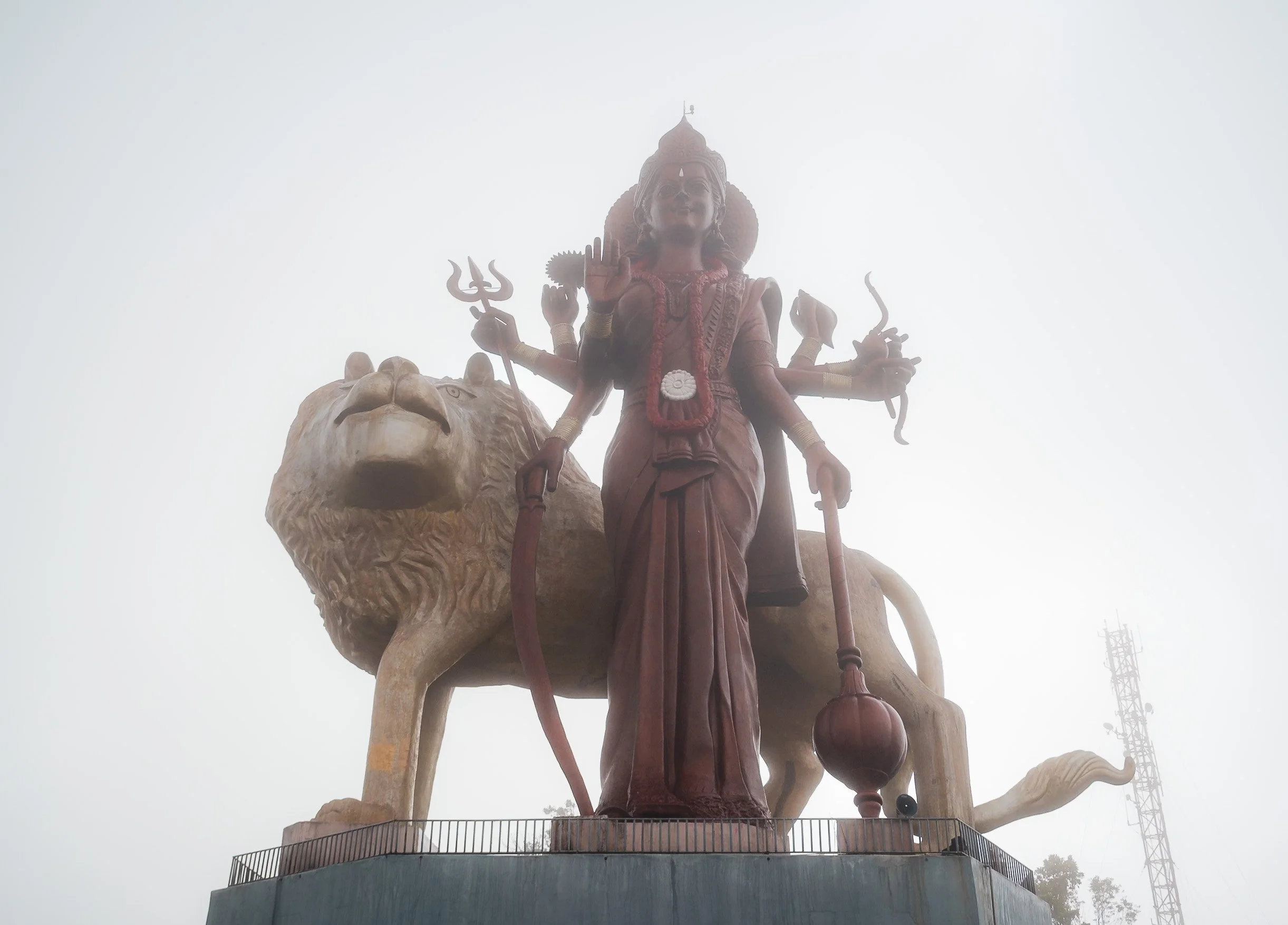
Grand Bassin Temple
But first, I started in the early morning from the north-west of the island towards to the Grand Bassin Temple, situated in a volcanic crater in the forest areas at higher altitudes. Its history dates back almost 150 years, and it features the tallest Hindu Goddess Durga statue in the world, completed in 2018.


The temple is the most sacred Hindu temple in Mauritius, dedicated to Shiva. Almost half of the population follows Hinduism, while the rest is quite mixed across Christianity, Islam, and others. The foggy weather created a kind of eerie atmosphere here, especially with the statues around, and the temple was almost empty - that is not the case later in the day or in festivals, when the whole area gets extremely crowded

Kovil Montagne Temple
Another beautiful Hindu temple sits on the foot of the Corps de Garde mountain, with a beautiful view over the Quatre Bornes district.


It was originally established in 1907 by an Indian laborer and now features intricate colorful decorations, even covering the drainage system - and some remnants from the various festivals being held here during the year.


Trou Aux Cerfs Volcano
Just a few kilometers away lies one of the many volcanic craters of the island - in fact, Mauritius as a whole is was entirely formed by eruptions millions of years ago.
This one is rather interesting, as it sits in the middle of the city, and the crater is surrounded by a road.
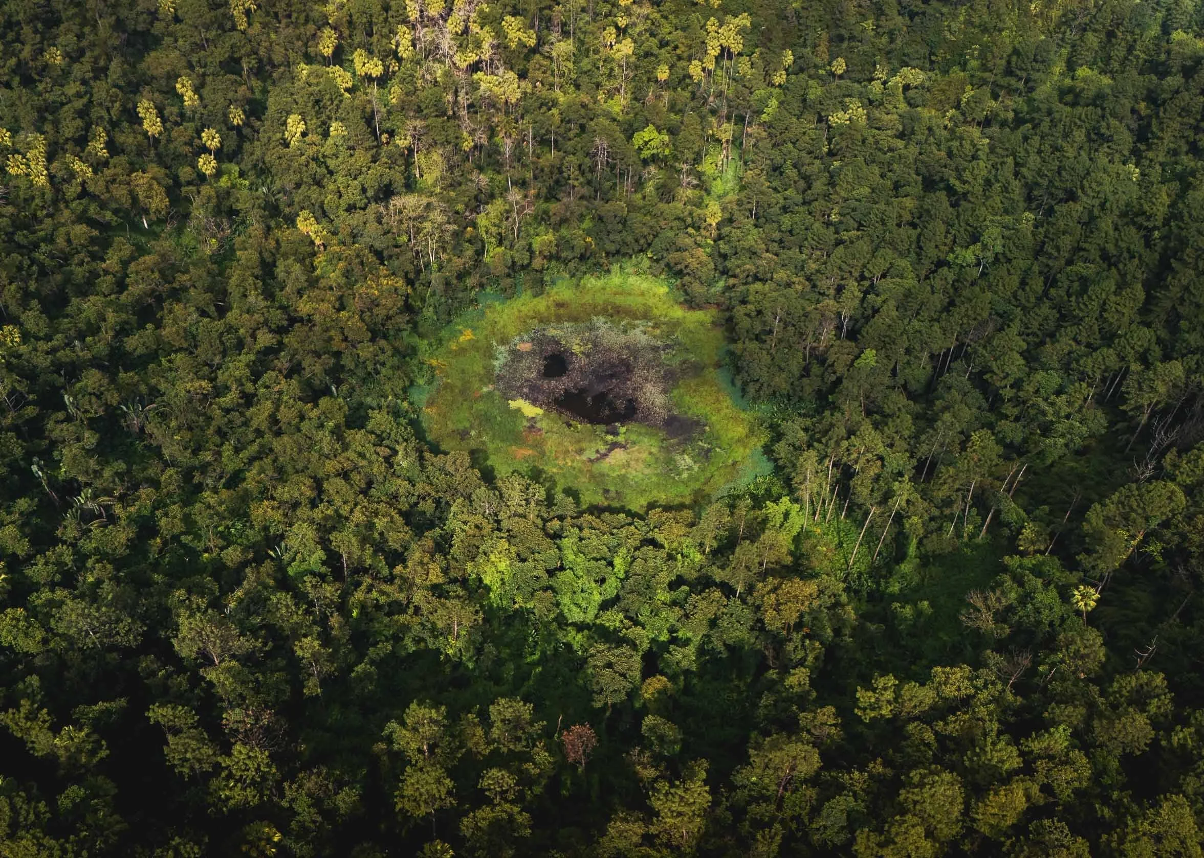
The crater is 80m deep with a small lake in the middle, but not accessible. It last erupted 700,000 years ago. It’s quite an interesting place, with a few endemic plants, as well as fruit bats and monkeys calling it home. Having said that, the zebra doves shown below are not actually native here and have been introduced from Southeast Asia.


⛵️
Not far from here you can observe a traditional craft of the country: Mauritius is known for its tradition of model ship building, with several workshops producing detailed replicas of historical boats. Nowadays this activity is mostly aimed at tourists, but still practiced by hand.


The level of detail on the model is amazing, and it takes the artisans days to finish a single ship. They split the work by different activities and skills.


For someone like me who enjoys building things by hand and has been dabbling with making models since childhood, I can absolutely appreciate this work. Having said that I’m not so sure how I’d feel about having to do it daily for a living…

Le Morne
We moved on th the very southern tip of the island, to one of the country’s two UNESCO World Heritage Sites, chosen for its representation of the resistance to slavery. The mountain was used as a fortress for shelter at the time of the slave trade on the east coast of Africa. In front, the newly opened Riu hotel - can’t say it adds to the scenery…

An Underwater-Waterfall?
But the very special sight here is actually in the water just off the coast: an optical illusion, making the sediment pattern being carried by the current appear like a waterfall on the edge of the ocean shelf. There are two ways to see this curious visual phenomenon: by drone, or by seaplane.
I tried to do both. Both came with challenges, mainly caused by the tropical cyclone raging with heavy wind and rain in the north-east of the island during our visit, and in both cases, it took more than one attempt to make it… but in the end it did happen.

These first two images were taken by drone. The flight from the beach is not an easy one - to get this photo, you need to fly almost 2km into the sea under - in my case at least - heavy westward winds, which probably would have been enough to carry a small drone into the open ocean. On my first day of exploring I didn’t dare to fly here for this reason, but the second day was a little calmer.
To get the perspective, a panorama shot is necessary (3 x 3 photos at least), but it does give a very cool effect of the island being sucked into the depth of the ocean.
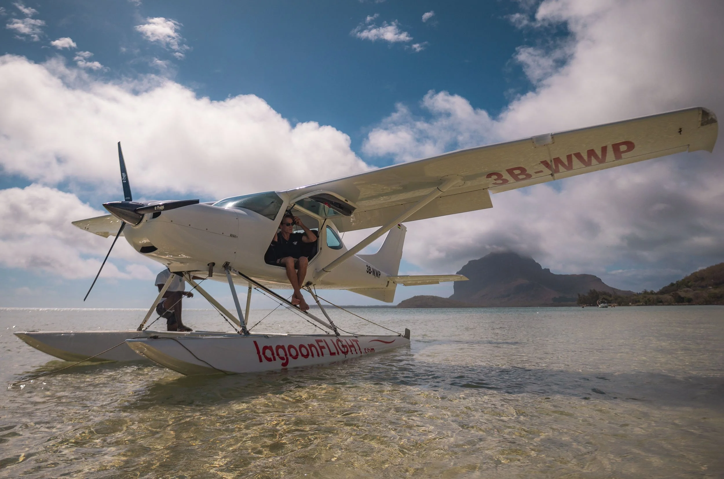
From from the sea plane
I also tried my luck with sea plane in slightly different conditions. Funnily enough it’s similarly nerve-wrecking as flying the drone under over the open ocean in the wind, but a little more fun, especially as the pilot decided it would be a great idea to do a brief nosedive over the waterfall.
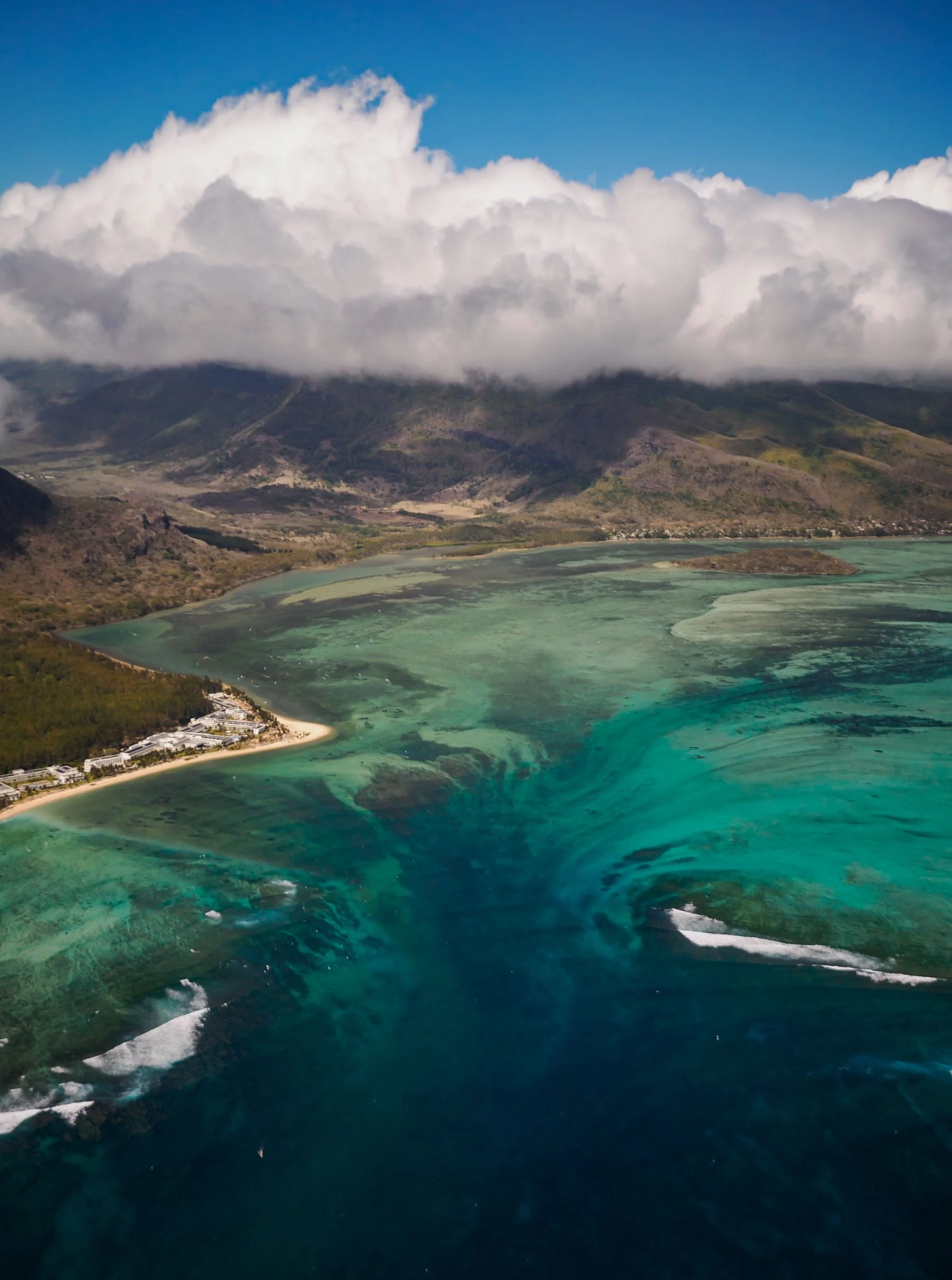
The panoramic view from the drone makes the landscape look a little more extreme, but I like the light on the seaplane photos better.

We also saw this little palm shaped channel on the southern edge of the island, and a few beachgoers and windsurfers enjoying the coastline.


Chamarel Geopark
After the seaplane ride, we had one more destination on the agenda before the sun went down: The Geopark of Chamarel.
🐢
This beautiful nature park is actually famous for a specific attraction, but also features the tallest single drop waterfall on the island at almost 100m, seen above, a beautiful ebony forest (closed by the time I got there), and a small tortoise park. Mauritius was once home to its own giant tortoise species, which went extinct in the 1700s. Nowadays they’re imported from nearby Seychelles.
The 7 Colored Earth.
.


What most people come here for though is this natural phenomenon: a relatively small area of sand dunes that have very distinct colors - whether there are seven is probably down to your definition.
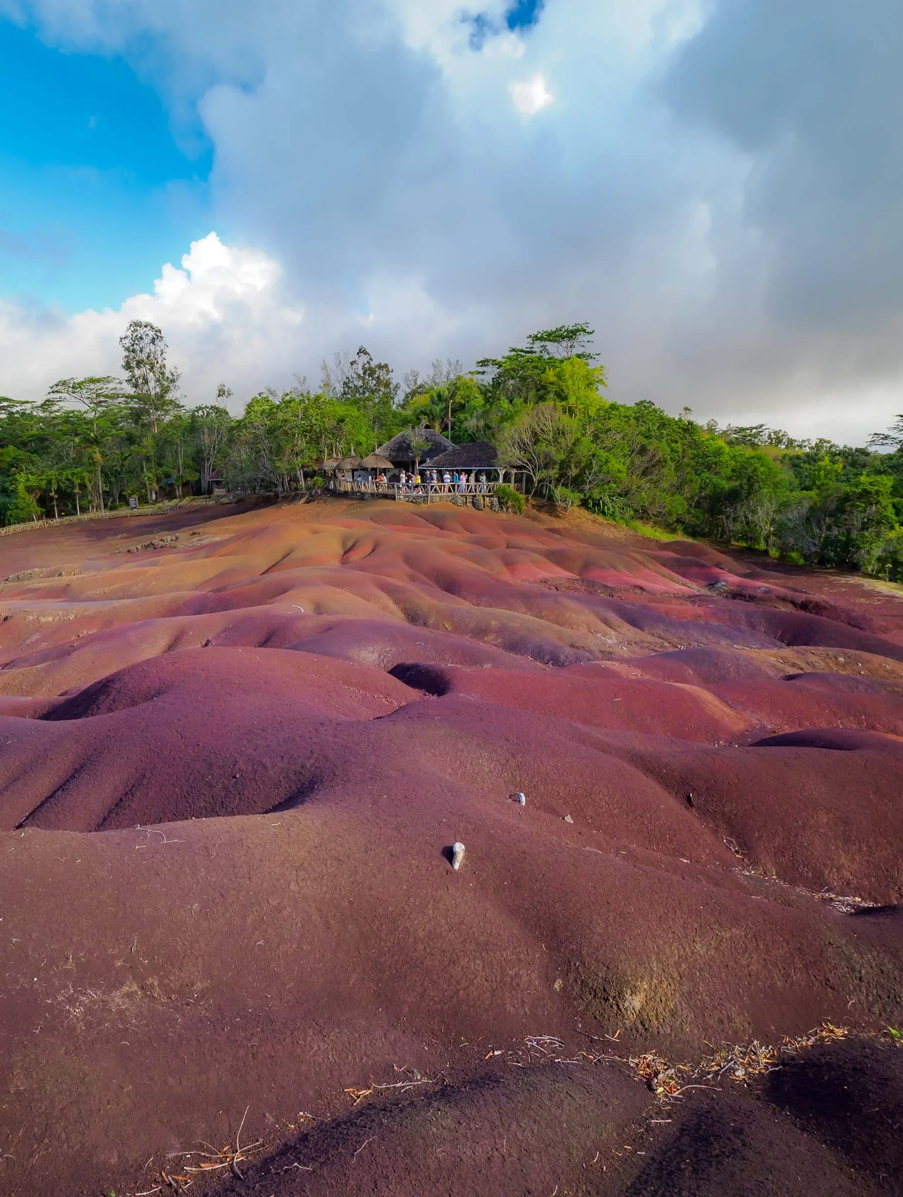
Either way it’s quite a fascinating place, as the rains have carved out lots of channels into the landscape, creating small hills in the area. We had a moment of sunshine which immediately changed the hues.
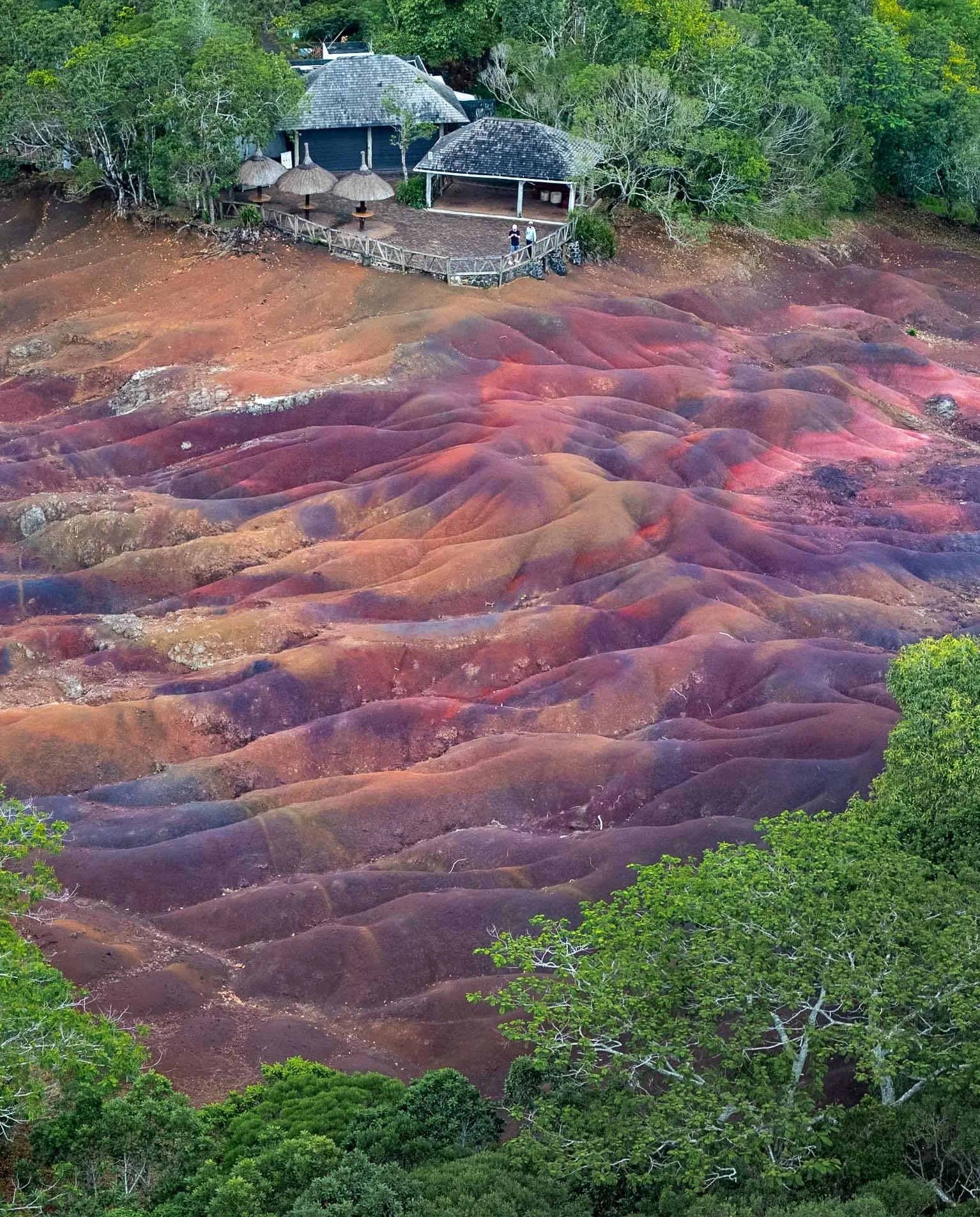
I had pre-arranged to come shortly before official opening hours ended, meaning I had a few moments with no people here. On top of that, the management kindly granted me permission to fly a drone after the park closes, which is normally forbidden (and monitored). Unfortunately by the time everyone was out, heavy rain clouds had moved in and I had about 5 minutes in the air before the rain got too heavy for my drone (or my risk appetite for losing it). It’s a very unique spot in the forest though, worth visiting.


Ocean Giants
I had half a day reserved to try and go out and see what is maybe Mauritius’ most famous animal sight: its resident pod of sperm whales, on the east coast. I was hoping to be able to get some underwater photos of these majestic creatures. It’s a double-edged sword though - the country has recently enacted much stricter laws on swimming with dolphins and whales due to tourist overcrowding, but there is a mix of tour operators that still do it - illegally, or by (allegedly?) having a permit. It does seem like there are regulations allowing people in the water with whales under certain conditions, but there is undoubtedly some “noise” and questionable operators out there.
Either way we rented our own boat with a great guide who claims to adhere to the rules, to be able to avoid possible crowds and have more flexibility on timings. The first challenge was the weather - the active cyclone bringing winds and occasional rain with it didn’t exactly create the best conditions for a boat trip into the open sea. After two cancelled attempts, we managed to go out as the winds and waves subsided.
I hoped we’d at least get to see these animals, and my backup plan, if going into the water would have been problematic or unethical, was to try get some photos with the camera in its case held under water from the boat. First, you need to find them though.
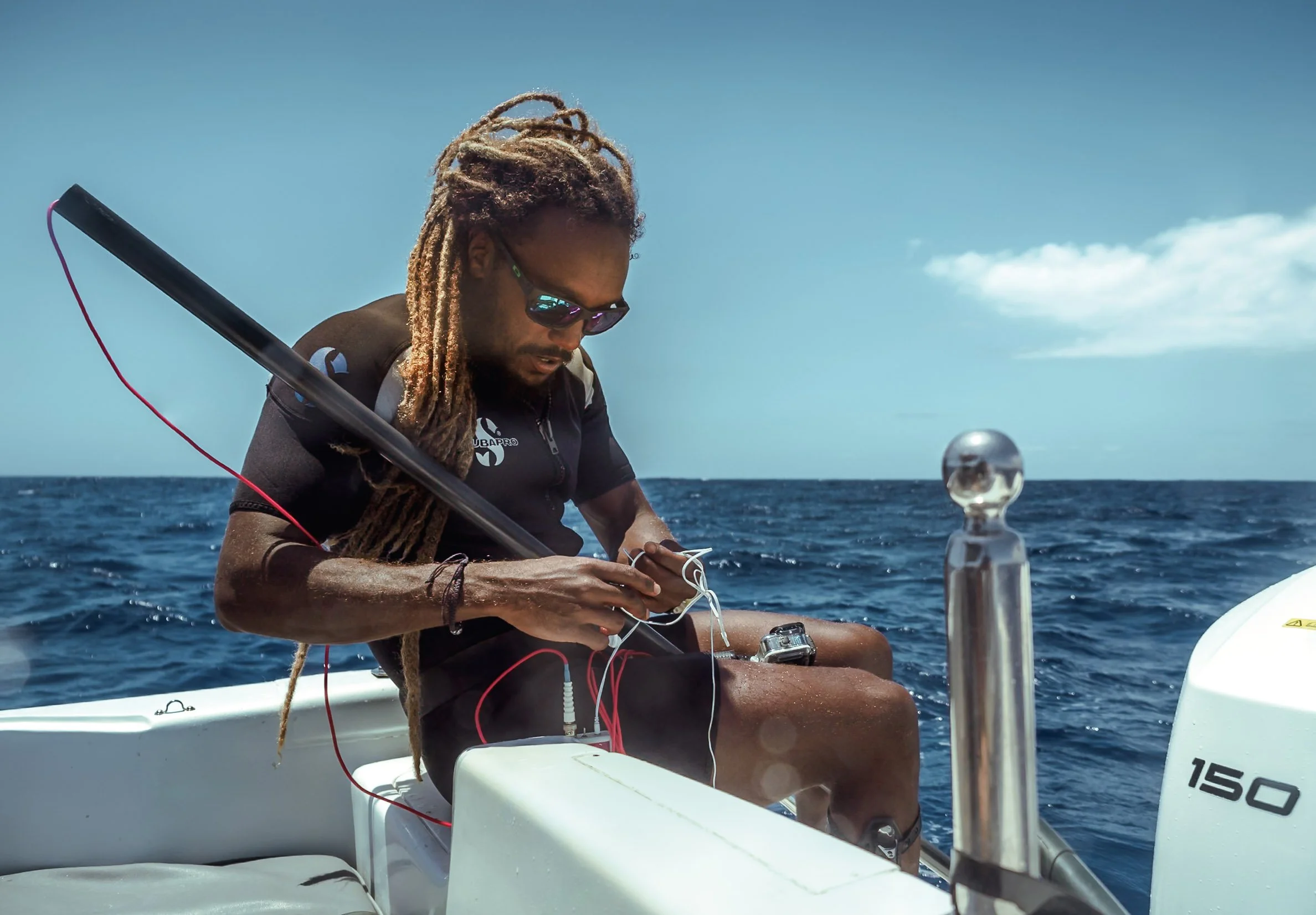
For most whales, that means looking for the huge spouts and the associated blow as they exhale and breathe at the surface - this also works with sperm whales. However, they have another feature that makes it possible to find them: Sperm whales use a powerful form of echolocation, emitting loud clicks that bounce off objects for them to form an idea of their surroundings.
Equipped with a hydrophone (a kind of underwater microphone), we hoped to pick up these sounds and find the pod.
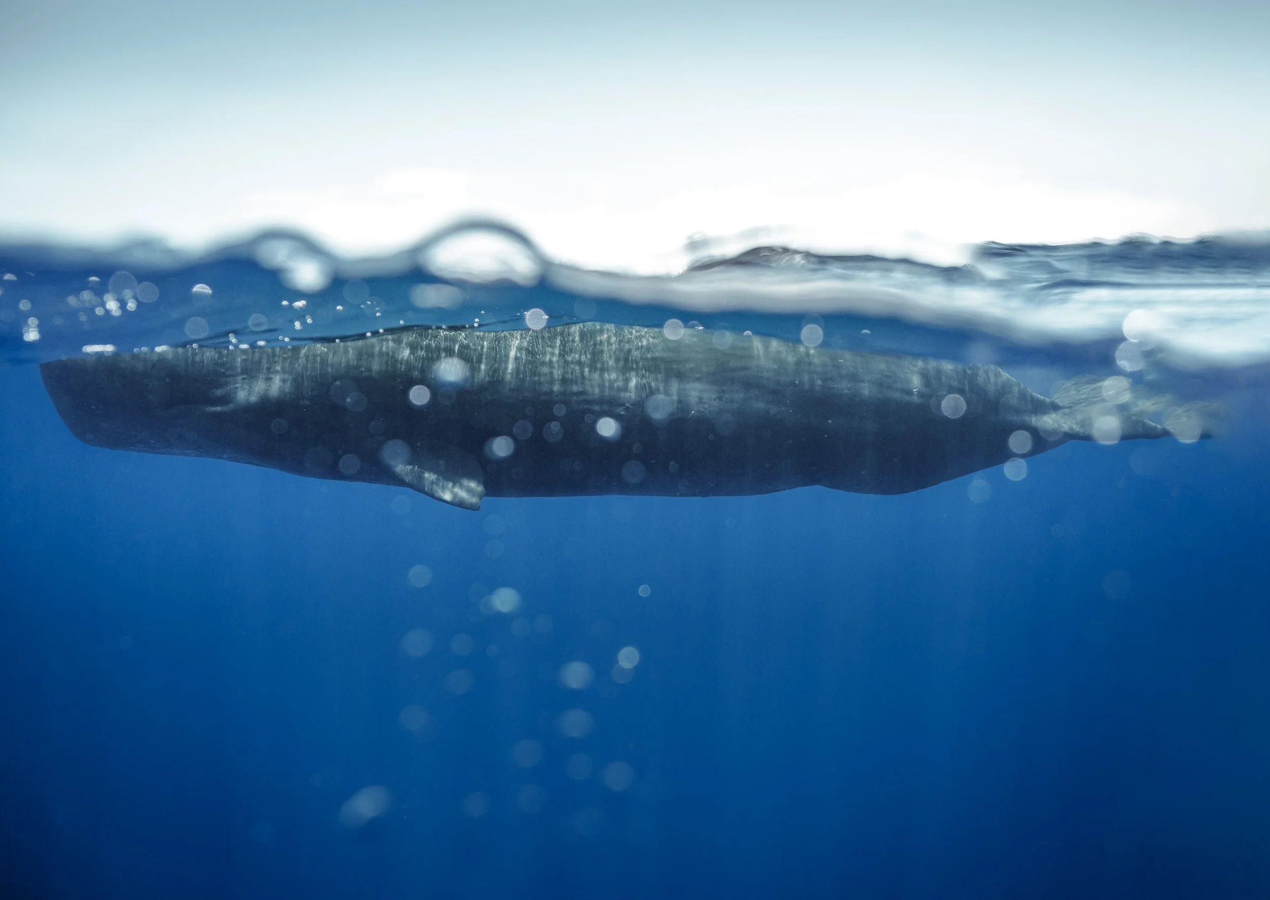
After about an hour at sea, the plan worked - we saw (& heard) them in the distance. We were the only boat, slowly approaching a large whale gently swimming along the surface.
Our captain told us to quietly get in the water as we were a good 30m away from them, and I got my first photo while being minimally invasive to the whale’s behavior.
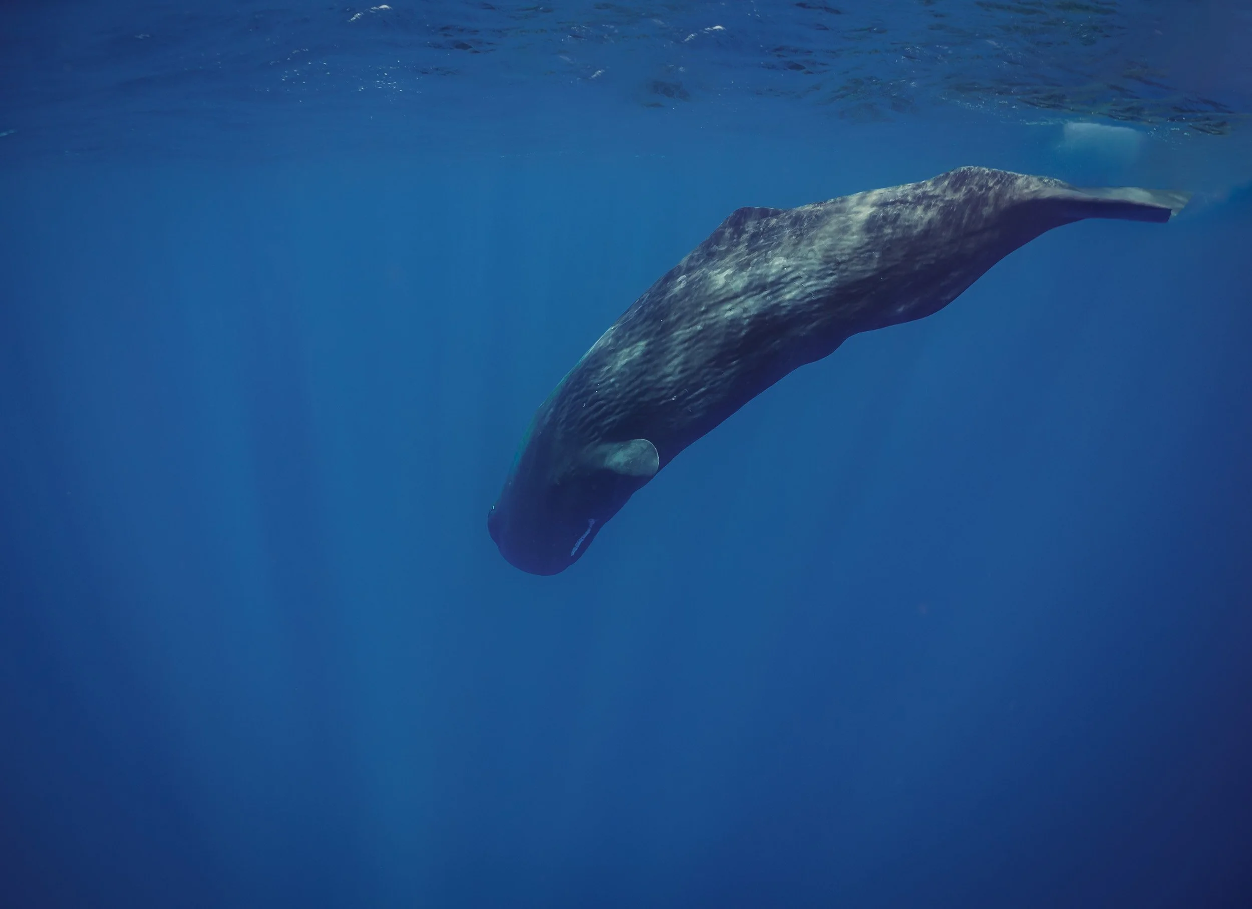
Into the Deep
A few minutes later, the whale started to dive. Sperm whales generally hunt giant squid, often reaching more than 1000m depth and spending 45min or so under water. It is also one of the purposes of their echolocation abilities.
In this photo you can see the white line around their very narrow lower jaw - this is the area where the mouth houses huge teeth, weighing up to 1kg each. As it happens though, it seems they don’t really need or use them for hunting.
We made our way to another location where a group had been sighted, possible of the same pod. There are just around 50 resident sperm whales in Mauritius, living in a matriarchial society, with migratory groups and males joining them seasonally. They are quite social and intelligent, with the largest brain of any living animal (five times heavier than a human brain), and live up to 70 years.
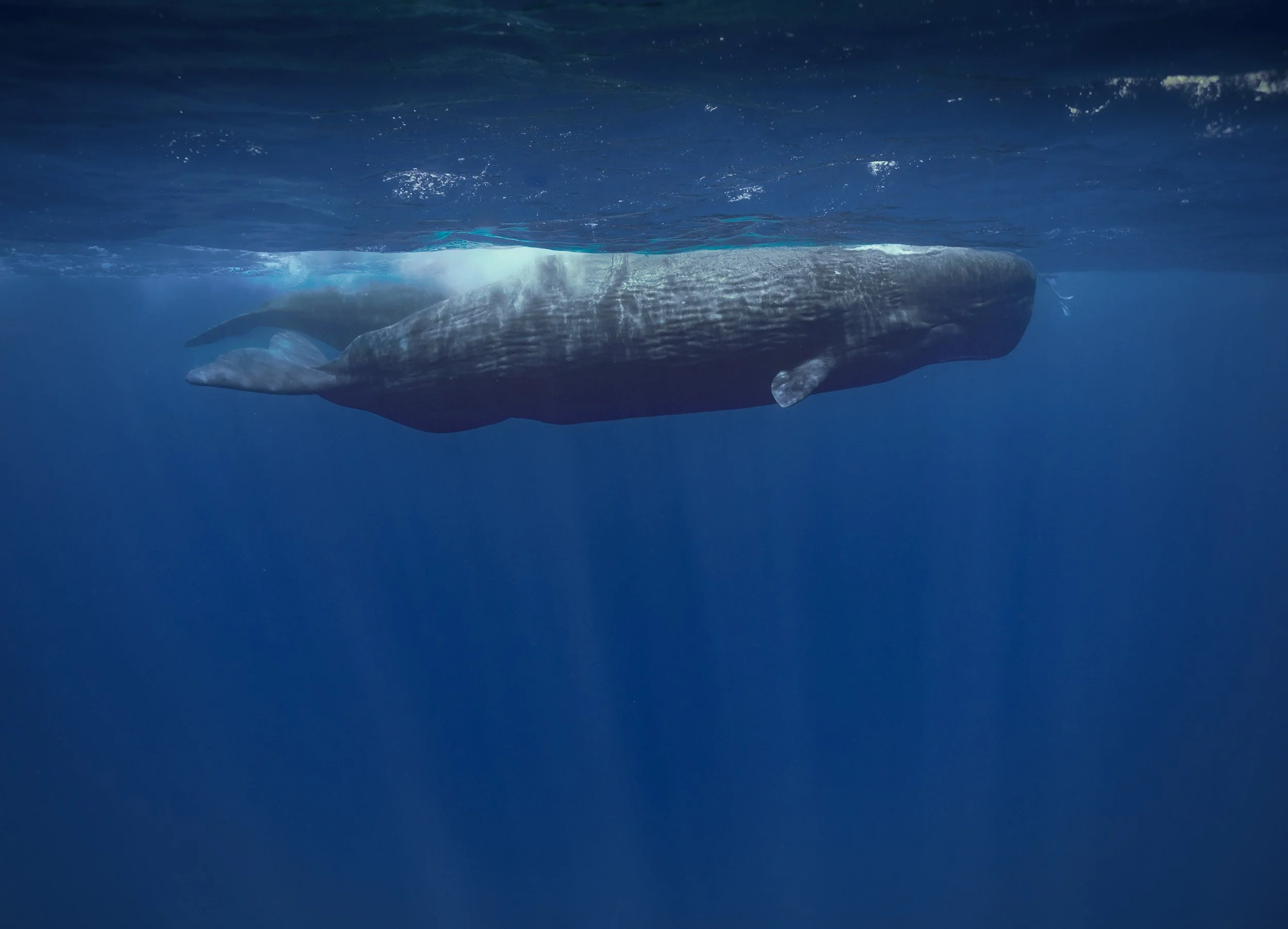
It was at the point where there were more boats around, and groups of snorkelers jumped into the water in a manner that was way less respectful (and way closer) to the animals than one would hope for.
It gave me the chance to put the size of these whales into perspective - can you see the human legs for scale in this image?
Sperm whales can be up to 16m long and weigh 45 tons, making it the largest toothed predator.
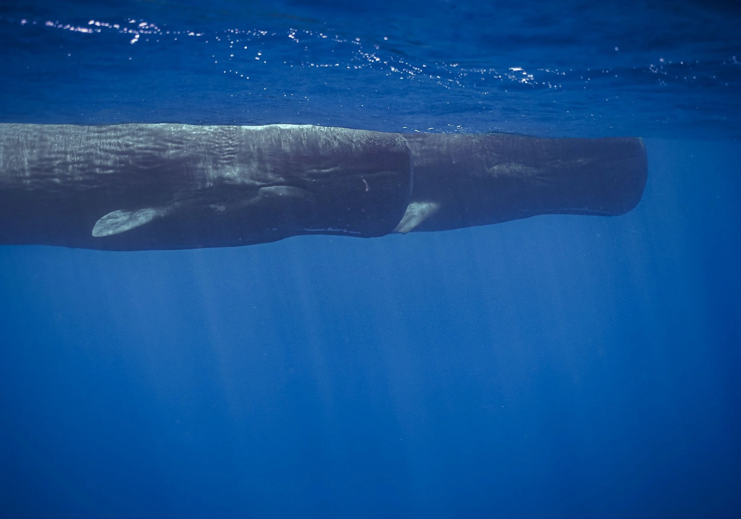
As is often the case with wildlife encounters, there is a fine line between experiencing and documenting these creatures in their natural habitat, but not disturbing them - especially vulnerable species.
Luckily these whales are no longer hunted today - in the past they were sought after for whale oil, as anyone who read Moby Dick will know.

While what I saw here was nothing in comparison to some of the dolphin, whale shark, or manta ray watching tours in many places around the world, it still seems like there needs to be more oversight - I include myself in this problem, although we kept a very reasonable distance, and didn’t cut off their path like some other boats that arrived later.
With this in mind, we left these amazing animals behind, saying goodbye to a young one that dove under is, down into the depths of the ocean.
Watch them moving
Take a look at the video to see them gliding through the ocean, and listen closely for the click sounds in some of the clips.


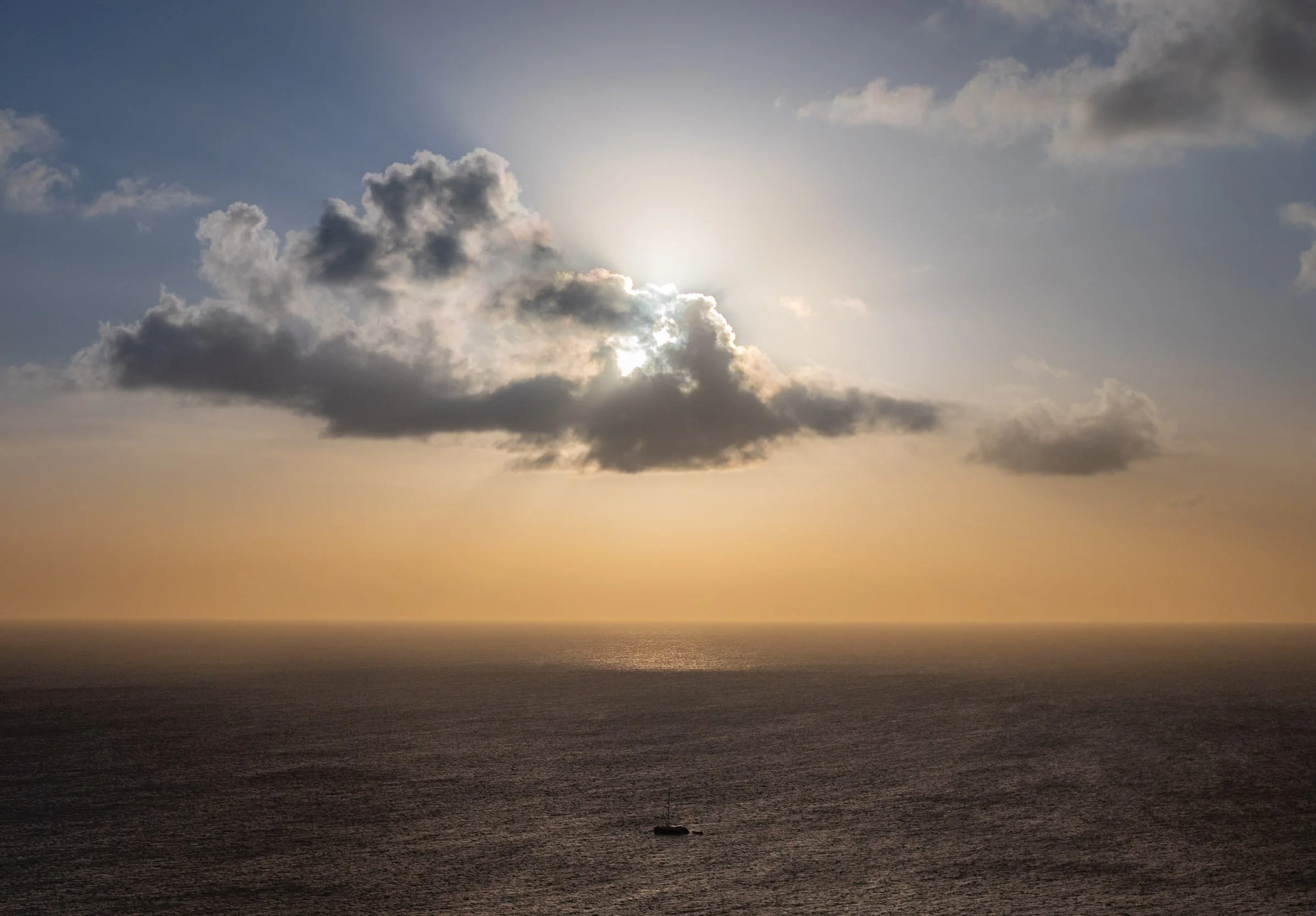
Goodbye ☀️
A much more enjoyable second visit to Mauritius came to an end with a few relaxing days, but I still feel like this island has a lot more to offer - amazing dive sites, the rich cultural history, monuments to the slave routes, including Aapravasi Ghat (its second UNESCO site), one of the oldest horse racecourses in the world, amazing hikes, critically endangered plants, and more.
We shall see if I’m back - or rather, when.
Subscribe to my newsletter to get notified and don’t miss out on more Wonders of the Globe.
Other Recent Posts:

A new mini in town: Enlaps Tikee mini+
My thoughts and review of the new Tikee mini+ term timelapse camera just released by Enlaps.
I’ve been taking timelapse videos for almost 15 years, see some of them here, and recently have been working with the long-term timelapse solutions from Enlaps, after they contacted me and asked if I’d be interested in a review unit. You can see my previous article on their flagship camera here.

COUPON CODE FOR ENLAPS.COM
Get 50 EUR off of a Tikee Camera:
FK-ENLAPS
They recently also added a smaller, more affordable camera to the portfolio, the Tikee mini, which I reviewed as well. It’s been just about a year, but they already sent me an updated version of the mini, aptly titled the “mini+”. However, I haven’t been paid otherwise, and my opinions here remain honest and reflect my actual impressions of the camera. Let’s see what’s new!
The Tikee mini - Recap
Let’s start with a quick recap of the Tikee mini - this was the first time Enlaps brought a new form factor to the market with a slightly different approach than the Tikee 4. As the name implies, it’s a lot more compact, and that partly comes from two changes compared to its bigger sibling: first, it doesn’t have a solar panel built-in, but still has the opportunity to connect one. With a huge battery built-in though, it can still work autonomously for weeks or even months at a time depending on the configuration. Secondly, it features a single wide-angle lens, as opposed to two of them for panoramic perspectives.

Other than this, the mini retains almost all of the features of the Tikee 4, including the built in WiFi and 4G, the ability to install it inside but also outside in harsh conditions, and a very high resolution image delivering 4k quality.
Of course, it also remains compatible with the mytikee cloud platform for easy remote monitoring, configuration changes, image storage, one click generation of timelapse videos and other media, and the AI functions for keeping track of projects, particularly things like construction safety and activity.
You can watch the (German + English subtitles) video review here, including a real-world test, or otherwise just read below!
What’s New with the mini+?
So what’s new on the Mini+? Well, as the name implies, it’s a revised version of the mini, rather than a full mini 2, if you will, so from the outside not much as changed. But there are a total of six new or updated features available.

Distortion Free Wide Angle: Let’s start with the most important to me: Enlaps addressed one of the primary complaints I had about the original mini, which is the heavy distortion of the wide-angle lens, giving almost a fisheye look. With the mini+, there is now a “True View” mode, providing the original 120° ultra wide angle view, but also 110° and 90° straightened distortion free options, which is great to keep lines straight, particularly in things like construction. While of course not a true zoom option, this also allows for a little bit of a tighter crop on the subject, which is sometimes useful.
Live Preview: We now have a way improved Live Preview function when setting up the camera in a new location, making it much easier and faster to check the composition and adjust the angle using the Tikee Remote Smartphone App for iOS and Android. This was always a little bit of a pain, so I’m glad it’s better now. The Live Preview also includes the True View mode setting in its preview, so you know exactly what you will get.
Fixed WB Option: For more advanced requirements, you can now fix and lock the white balance of the sensor, avoiding colour shifts depending on weather and light conditions or a changing subject. This is useful for things like Phenology where you need absolutely consistent reference colors in the image.
Vertical Shooting: Next, the camera now supports vertical shooting when turning it 90 degrees (it can be mounted upside down now and fix the image orientation for the final video automatically). This can be useful for social media content or skyscrapers, for example.
Advanced Adaptive Interval: There’s a more advanced adaptive interval function to further optimise battery life, which allows more flexibility to reduce shooting frequency as the battery degrades. This can almost double battery life in some scenarios and is also available for the original mini.
Low Light Performance: And last but not least, another point that we all want to see continuous development on: low-light performance has been improved, and the camera can now take long exposures up to 2 seconds, with better noise control in darker situations. This has already been a step forward in the Tikee 4 compared to its predecessor, so it’s great to see Enlaps keeps investing in this area.
Watch the Enlaps recap video here to see the features in action:

Ecosystem
The Tikee solution is arguably the best tool for creating long-term timelapse videos, making it as easy as possible to monitor projects, landscapes, and more over months or even years.
That obviously includes the cameras themselves, and the Tikee Mini + is a great addition to the portfolio.
But as I said before, it also includes the cloud platform, mytikee. Clearly we all would like to pay for fewer subscriptions, and there is always the option to use the camera with just the free (limited) version, and record images on the SD card.
But the ability to monitor the camera remotely, adjust all its settings, have images uploaded automatically, and get alerts in case of issues makes this just a very reliable option for professional use.
On top of that, the timelapse generation is so simple, no other solution I know of can compare to the automatic filtering of images, exposure compensation, stabilization. This used to take hours, now it’s a few clicks.
Summary
As mentioned, this is all in all not a huge update to the product, and some of the points seem focused more on software enhancements. For someone running the existing Tikee mini, an upgrade probably isn’t necessary, but for everyone who was on the fence about the original version, this new replacement makes it an even more attractive camera.
It’s a welcome set of “quality of life” improvements for Enlaps users, just one year after the mini was originally released.

Climbing Kilimanjaro: Africa’s Tallest Mountain
After several visits to Kenya and Tanzania, each time admiring the snow-capped peaks of Kilimanjaro, it was time to get a little closer, and attempt to summit.

Above the Clouds
Kilimanjaro seen during a balloon flight in Amboseli, Kenya
During my previous visits to Tanzania and Kenya, I’ve come pretty close to one of the continent’s most imposing landmarks: Mount Kilimanjaro. Although I’ve never considered myself a hiker, I did see the appeal of the challenge, particularly as Kilimanjaro is considered quite a safe and manageable climb. No difficult technical parts aside from a bit of scrambling, and longer routes with slow ascent, allowing for gentle acclimatization - you still need to make it up to almost 6000m though.
In addition, Kilimanjaro’s unique snow-capped peak topped with a number of (quickly receding) glaciers, the various ecosystems as you make your way up, and its title as the world’s tallest free-standing mountain, make the challenge even more appealing. Plus, I was sure I’d find some interesting photographic opportunities up there.
In late 2024, an opportunity presented itself: I was given the chance to visit Amboseli National Park in the southeast of Kenya again, documenting its amazing elephants and the conservation work of IFAW (more on that coming soon - subscribe!). The trip would take place at the end of May 2025 and bring me close to the border with Tanzania, making it an easy hop to the foot of the mountain. June is also the time when climbing Kilimanjaro becomes feasible again after the rainy months. It was time to make this happen!
Choices
When planning a Kilimanjaro summit, you have a few choices to make before you even start: What time of the year, what time of the month, and what route? The first two questions are not too difficult: Avoid the rainy seasons (although escaping the wetness completely might be impossible), and consider picking a period where you will summit around full moon-ish - the extra light makes it just a little easier to start the summit push at midnight.

The Lemosho Route
Deciding which route to take can be a bit more tricky - there are a few trade offs (discussed extensively online) between difficulty, scenery, crowds, acclimatization, and duration.
All of them take anywhere from 5-9 days and 50-80km total distance - longer in this case is sometimes better, as you will have more time to acclimatize.
From my research, discussions, and now experience, the route you take is ultimately not so decisive, and almost all of them merge closer to the summit anyway.
I picked the Lemosho route because it covers beautiful forests and the large western plateau, is quite long with gentle altitude gains, and is not the most crowded but neither the most remote. Its ascent path is also quite different from the descent, adding another layer of interest.
I’m happy with my choice - if I were to climb again, I’d consider one of the northern routes as they follow a different summit path, and are generally a little less used.
The base for all Kilimanjaro routes is Moshi, a small-ish but decent town that has everything you need for a some days before and after the trek, and is reachable within a couple of hours from the Kenyan border or from Kilimanjaro airport. Arusha airport is also not too far. The town also has plenty of places to rent equipment - depending on your mountaineering aspirations, I’d say don’t bother buying too many things and making your luggage heavier than you need to. Instead, down-jacket, sleeping bag, gaiters, walking sticks, and thick jacket and pants are things you can consider renting instead. There are plenty of packing lists available online, and they all say more or less the same thing, and I have not much more to add to them from my experience - importantly, consider taking around 40,000 mAh of extra battery capacity if you want to charge phone (Airplane mode), camera, AirPods and flashlight throughout the trip. A solar pack (which I didn’t take) can help.

I opted for a solo-trek - as in, no other hikers with me, but of course you still have a crew - and met Paul, my guide, for a short briefing the day before. We agreed an early morning pickup time, and would stop on the way to rent what I still needed and buy a few snacks for the hike, mainly some nuts and chocolate. The drive to the starting point is around 3-4h - that is indeed a downside of the Lemosho route, as it starts on the western side of the mountain, rather than the southern edge where Moshi is located. You’ll get to take a few more looks at the cloud covered peak before you start the climb.

After a while we reached the lower slopes of the mountains, also called the cultivation zone, where agriculture is still permitted, in addition to forest department managing wood collection. This area is occupied by the Chagga people, the historic population around the region that has heavily relied on the fertile soil of the volcano, and does so until today.
Our little van was filled with the team and our equipment: A typical 8 day Kilimanjaro climb comes with a guide, a chef, a camp helper, and several porters to carry tents, food, and equipment.
We reached the starting point of the Lemosho route shortly after, where everyone registers and organizes themselves. It can appear quite busy here - and the same is true for some of the camps as you make your way up - but ultimately I didn’t feel like the hike was crowded . Yes, it’s a touristic place and you will rarely be completely alone (although it does happen - more on that below), but for the most part I didn’t experience it too negatively.

Day 1
Starting point: 2100m
Elevation gain: 472m
Camp altitude: 2650m
Total hiking distance: 6.09km
Total hiking hours: 1h 54min
Vegetation zone: Montane Forest
I tracked this with my Apple Watch Ultra on low power mode, which reduces accuracy a bit.

The Before!
A quick lunch, and one last photo at the gate - which also tells you the distance and estimated walking hours to the upcoming camps until the summit - and we were off into the forest.


This was a relatively short hike on a decent path, with the exception of a few muddy bits, crossing through beautiful thick rainforest and a few lush valleys around the streams that make their way down from the mountain.


We also ran into some flora and fauna, including the indigenous so-called elephant flower, its shape resembling a trunk, and a curious blue monkey. Kilimanjaro is home to a lot of wildlife including mongoose, hyrax, and even leopard, but it is rare to spot most of the species around the hiking routes.


By the time I arrived at camp, my crew had already set up the tent and prepared some tea - luxury life on Kilimanjaro! They knew I was keen to take some photos, too, and so we found a nice spot at the edge of the camp area, away from some larger groups.

Dinner shortly after also gave me the first chance to get to know the crew a little more while they enjoyed their Ugali - Tanzania's national dish, a staple food made from maize flour. Christian, the chef, had a surprising variety of dishes for me in store - more on that later...

Day 2
Elevation gain : 995m
Camp altitude: 3610m
Total hiking distance: 9.92km
Total hiking hours: 4h 13min
Vegetation zone: Moorland
We began the hike in the early morning through the forest, but soon approached a zone with a lot less trees, and most plants being around human height at most.


With almost 1000m elevation gain, this day was lot more work than the first day, but still manageable. Despite the clouds rolling in, we got beautiful views over the large plateau on the western side of the peak.
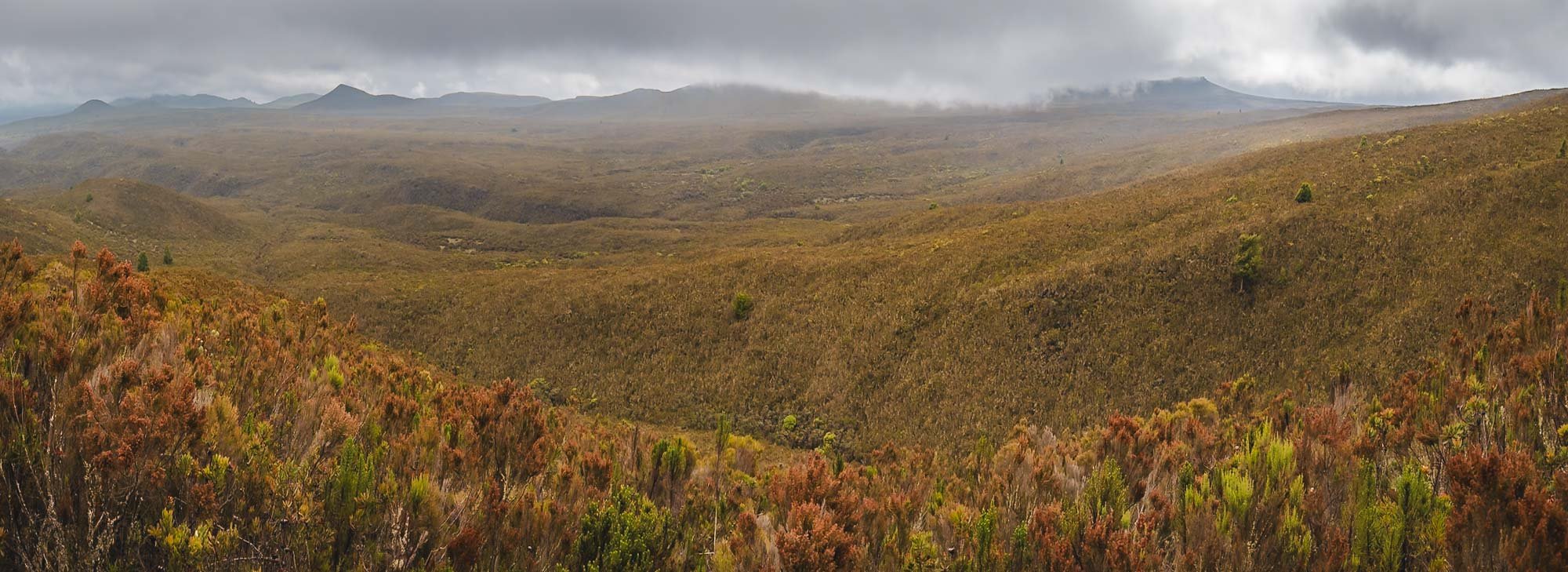
After a good 4 hours we arrived at Shira 1 camp after midday, making our way through the muddy moor lands towards the end, when a few rain drops caught us as well. The camps are mostly situated by the rivers, serving as a source of fresh water for cooking, basic cleaning, and drinking.


Drying stuff is a constant challenge on the mountain, whether the root cause is sweat, rain, dirt, or humidity in the tent. Use all the sunny hours you can get, and have enough backups and separate bags to keep your things organized.
A panoramic view of Sihra 1 camp - once again, we had our own little spot, across the river and away from the bigger groups. This camp is in some ways an optional one: despite the altitude gain, the hike to reach it is relatively short. This allows you to skip it and continue to Shira 2 directly, which is at roughly the same altitude, cutting the Lemosho route to 7 days.


Pole Pole
I was in no rush. Pole, pole as they say in Swahili, meaning slowly, is something you will hear a lot on the mountain. Going slowly but consistently is your best bet to make it to the top.
At the same time, the extra time gave me more chances for clear nights such as this one: the first time we got to see the peak since the start of the hike still quite a distance away. Although the moon was out, even the Milky Way made a faint appearance above my tent.
As mentioned, Day 3 is in theory a little shorter, and some people combine it with Day 2 - I didn’t do that, which had another benefit: we had the opportunity to take a small detour to another peak on the plateau. That helped with additional acclimatization, but also included a few beautiful landscapes, and best of all, no other people at all for almost the entire hike.

Day 3
Elevation gain : 522m
Camp altitude: 3850m
Total hiking distance: 11.26km
Total hiking hours: 3h 41min
Vegetation zone: Moorland
We passed the remnants of an animal you rarely see on the slopes of the mountain (luckily if you ask me) before being engulfed by the clouds in the ever-changing conditions. Kilimanjaro is so big it has its own local weather system, influenced by the proximity to the equator and its height. Conditions change really quickly, and a single day can include everything from dry hot sun, thick clouds, foggy humidity, strong winds, heavy rains, frosty nights, and even snow.


Our detour had the goal to reach Cathedral Point at 3872m, and lead us through an area of bushes and smaller trees covered in beautiful lichens. Kilimanjaro is home to several species, including some native ones. They can be found at an altitude of more than 4000m, where very little other vegetation exists.


Beautiful canyons and moss colors were all around as we made our way through the area. Shira plateau shows the remains of an ancient caldera, one of the three that make up the mountain system here (Kibo being the name of the primary one).


Arriving at the peak of foggy Cathedral Point - we didn’t get the nice view into the valley one seemingly can experience here, but the fog and clouds created a special outer-worldly atmosphere instead.


One of my favorite places on the mountain. A great detour for the 8 day Lemosho route, recommended.
On the way back down and towards Shira 2 camp we passed some of the last signs of civilization on the mountain - a helicopter landing spot and a 4x4 road used for emergency evacuation and day-excursions to Cathedral peak. This time Paul posed for me knowingly, otherwise I mostly used him to create some human context in my photos without his knowledge - the orange backpack made a perfect colour contrast. You’ll see a lot more of it…


Day 4
Elevation gain : 939m
Camp altitude: 3900m
Total hiking distance: 15.29km
Total hiking hours: 6h 36min
Vegetation zone: Alpine Desert & Moorland
This was the first day where temperatures at night approached freezing, and my tent reflected that in the morning. It had cleared up again though, giving us another glimpse at the peak in the distance.
In the other direction, a few cloud layers got stuck in the mountain ranges, and we got a glimpse at Mount Meru, 70lkm to the west, standing at 4,566m tall.


But our path continued eastwards, and it would be the longest hiking day of the trip. That however, was a choice I made with Paul. After the enjoyable detour on Day 3, he proposed another opportunity to improve my acclimatization… luckily the team was still in a good mood, as we got closer and closer to the peak.


Lava Tower
We first had to reach a place called Lava Tower, at 4600m elevation. This rock formation is about 50m tall and over 150,000 years old, created as the result of a volcanic vent.
There’s a water source not far from the tower, so we stopped here for lunch with some other groups. To the right, we have Mr. Gangster, as he introduced himself - one of our porters and always happy when it was time for a meal.


It was a special lunch indeed! The backstory? In the van on our way to Lemosho gate, chef Christian asked me what my favorite food was. I told him that he’d struggle to cook that on the mountain, but answered “Pizza” anyway. Well, I underestimated him. He somehow managed to make something that was Pizza-adjacent with his little gas cooker, and whatever ingredients he brought with him for our 8 day journey! It was not bad at all, and he was rightfully proud.


After lunch, Paul and I left Lava Tower and followed a different path than everyone else: He decided it would be good to try and reach Arrow Camp, a site that once offered a different path to the summit, which closed a few years ago due to frequent rock slides. It meant another 300m ascent, reaching almost 5000m altitude. We made our way through the fine volcanic ash and sand that accumulated in this area. I’m not a geologist (very far from it sadly) but this part seemed to have interesting remnants of lava flow structures, and quite a few Obsidian rock fragments scattered around (some of which may or may not have made their way into my pocket).


From here, it is only another 6-7 hours to the peak, but it was hazardous route. The camp is named after the Arrow Glacier, itself named after its shaped, or rather, its past shape. The glacier has now all but disappeared, with only a few snowy remnants left. The entire ice cap of Kilimanjaro is rapidly shrinking, with over 80% lost in the 20th century alone.

Going up this far also meant we had to make it back down, as our next destination, Baranco Camp, was almost a full 1000m lower.
Altitude sickness is the most common reason people need to stop their hike and don’t reach the summit, and a slow ascent with the principle of “climb high, sleep low” is one of the best ways to avoid this issue.
The Giant Groundsel
But the way down brought us to an area I had been looking forward to see since I first researched the climb: a river valley that is home to Kilimanjaro’s most unique plants, called Dendrosenecio kilimanjari, a type of Giant Groundsel. Why are they special? Look at these photos…


Have you ever seen a tree or plant like this? Although they look like a cross between pineapple and cactus, they are members of the sunflower family (yes, really), and only grow in the mountain areas of east Africa, usually in the alpine zone and in proximity to water. One such area is Baranco Camp, our next stop.

While there are different species, this particular one is endemic to the mountain, and cannot be found anywhere else. Many grow to 5 meters and more, at only a few centimetres per year, meaning some of these plants are 100+ years old.
Once more, the crew set up my tent at a perfect spot, which was great, because I had some plans for the night! I was hoping for the fog and clouds to clear…


… so that I could get up around 4am after the moon had set, and capture these photos! My goal for the trip was to make it to the summit, but a second hope I had was to be able to have chance at photographing some Giant Groundsel under clear skies at night. Mission accomplished.


At this altitude, the most common animal you will encounter is the white-necked raven, often using the campsites to scout for sources of food, such as here at sunrise.
I did spot a four striped mouse around my tent as well one day, but it luckily didn’t find the way inside.

Day 5
Elevation gain : 430m
Camp altitude: 3995m
Total hiking distance: 6.50km
Total hiking hours: 3h 30min
Vegetation zone: Alpine Desert
Admittedly, I was not sure if I’d regret my nightly escapades in the freezing cold (I was only out for about 30min) the next morning, because one of the toughest parts of the climb laid ahead - the Baranco Wall, formed when Kilimanjaro went dormant around 150,000 years ago. In fact, it’s just a rather steep ridge of around 250m with a very narrow zig-zag path, that requires a single file approach - this makes it one of the busier spots on the mountain for sure.
The good news was that after you pass the wall, things would become a lot flatter, as the next camp was almost at the same altitude we started from. While feared, the ascent of the wall is ultimately not difficult or dangerous - there is some scrambling involved (long legs help), and a few very tight passages, but it is manageable. And your’e rewarded with some beautiful views of the Giant Groundsel gardens below - maybe the most special place here.


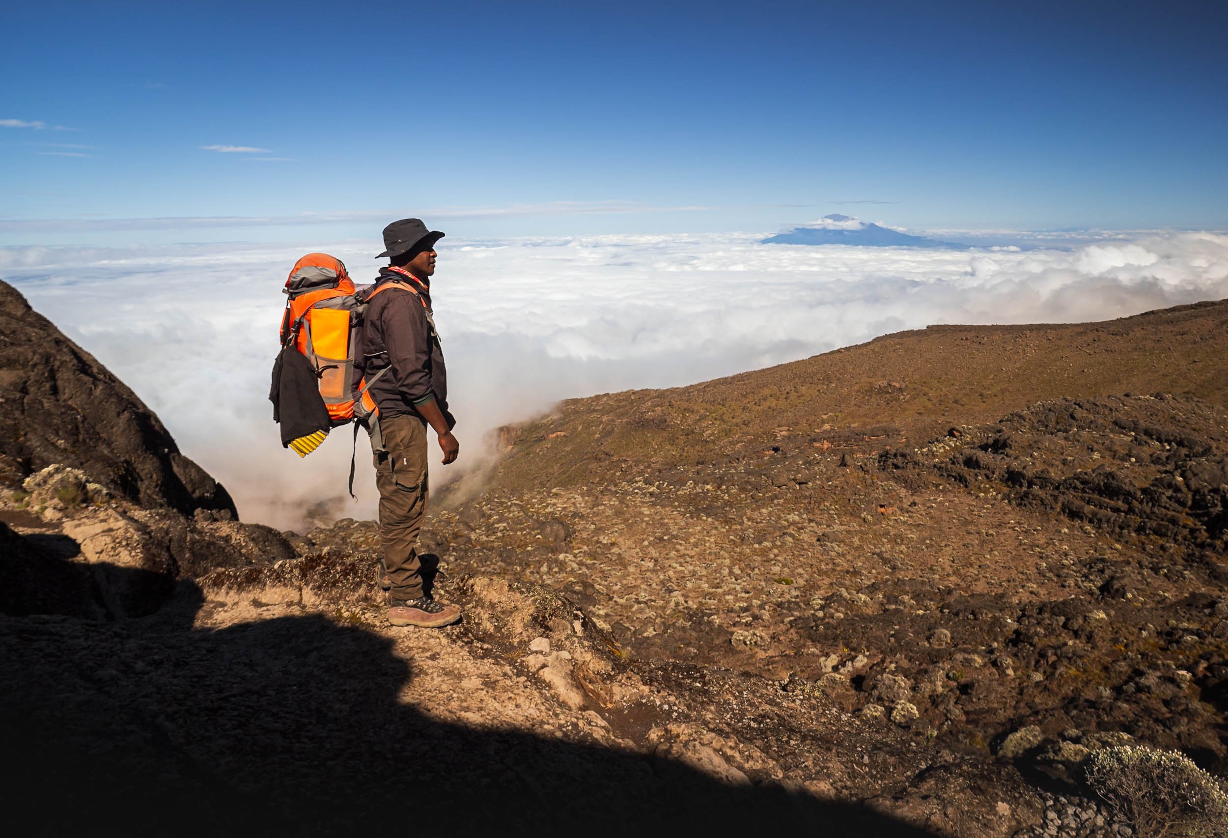
Beautiful views also await at the plateau on the top - you’re generally above the cloud layer at this point, so if it’s not foggy, Mount Meru will peak out above the clouds in the distance again.
At this altitude, you will find fewer and fewer plants in the area - the everlasting flowers on the left are an exception. These dry flowers can bloom all year round at up to 5000m.


All in all a relatively short day of less than 4h hiking, but it starts with a step ascent, and ends with one too. Not gaining much net altitude does feel a little frustrating after all the ups and downs, but in the end it all helps to prepare for the final summit (is that a metaphor for life?)

Karanga Camp
We arrived at our next destination in the early afternoon, and the rain hit hard shortly after. It cleared around evening, making for an interesting sunset atmosphere at camp.

Day 6
Elevation gain: 576m
Camp altitude: 4673m
Total hiking distance: 4.23km
Total hiking hours: 2h 45min
Vegetation zone: Alpine Desert
A rainbow woke us up this morning, which some would deem as a good omen - let me tell you, in terms of weather, it was not.

Today would take us to Barafu basecamp, from where you make the summit attempt just after midnight. It’s a relatively short day, which makes sense considering you will only sleep for a few hours until 11pm or so after you get to camp.
The peak is getting closer, and was still visible when we started…
… but that would change rapidly, as heavy winds of 50+ km/h started to blow down the mountain, while it began to rain at the same time. It’s generally relatively ok to deal with either: a windbreaker, or a poncho respectively, help. But the combination of your poncho getting blown in all kinds of directions, and the wind forcing the rain into every little opening of your clothing for 2 hours, makes for a less enjoyable experience. I took these two photos and then saved my camera from being drenched more than necessary.


All in all, this became the most miserable day of the journey, and the afternoon was spent trying to somehow use the gas burner fire to dry the most important pieces of clothing that would be needed again for the midnight summit attempt - no backups for gloves and shoes, and trying to reach the freezing peak with either of them in a wet state was a non-starter.

By the time dinner was on the agenda, the rain, which had temporarily turned into a snowy hail-like form, gradually faded, however the winds did not, and neither did the clouds on the summit. This was not looking promising - an ascent in heavy wind and low visibility was not really my preference, let alone the fact it would reduce any photographic opportunities at the peak and crater area to a minimum. At least the equipment was dry. Maybe things would look better after the four hours of sleep I was hoping to get before waking up and getting ready for the midnight start. As I went to bed, the tent was still shaking vigorously in the wind.

Day 7 - Summit Night & Descent
Elevation gain: 1190m
Camp altitude: 5895 peak to 3100m after summit
Total hiking distance: 10.58km to the peak + 10.81km down from basecamp
Total hiking hours: 9h 38min + 3h 14min
Vegetation zone: Arctic Zone to Moorland
As I got up after a few hours of not-so-deep sleep I heard the familiar rattling of the tent sheets: the wind hadn’t subsided much, but at least it was almost clear outside. The temperature had fallen and the air felt even colder due to the wind, so we expected -10C at the peak before sunrise. That is, if I’d make it to the summit! So far things had been very manageable, even approaching 5000m at Arrow camp was not am major issue: no symptoms of Altitude sickness, and my heart rate also barely scratched 150bpm.

But summit night is a little more tricky: starting at midnight and a total hike of almost 10h, up 1200m elevation in the first 7 hours taking you to the summit, it’s nonstop elevation gain, no level ground or downward slope to be seen. Oxygen levels at the summit would be less than half of what your body gets at sea level.
The moon was shining brightly though, making it almost possible to walk without headlamps - much more comfortable than during a really dark night I imagine.

Stella Point
We reached the first milestone at 5,756 meters, named after the first women who made it this far in 1925, about 45min before sunrise.
It’s not the end yet, but the last 1h or so before this point were the toughest - physically and mentally. It’s not a given to make it - during my ascent, I noticed a few people who had to give up here, and some that needed support to make it back down again.
It felt like the switchbacks on the way up would never end anymore, but once you see the golden glow in the distance and get to take some photos to distract yourself, everything becomes just a little more relaxed.
The path here leads to Gilman’s Point. Climbers coming from the northern routes pass it on their way to the summit, which lies in the opposite direction of the path, less than an hour walk away now.
To the Peak
I knew that the toughest part was done, but we still had to make it to the highest point - Uhuru Peak. Another 200m in altitude to go, but it is a gentle slope along the Kibo crater. You get beautiful views of the glaciers and the landscape below, and also a glimpse at the second highest peak of the mountain, the jagged walls of Mawenzi, in the distance.


Around half-way, the sun came up in the distance, illuminating the edges of the crater we were walking along. At this point, the wind had subsided, and the rays slowly warmed my fingers and cheeks. At the same time, you need to be careful as the sun gets intense very quickly, and much more so at this altitude than at lower levels.


The destination was close now - Uhuru peak is just behind the right rocky area in the image. On the left side, Mawenzi peak casts a triangular shadow into the distance.
The remaining smaller glaciers on the southern side of Kilimanjaro feature some incredible structures.


Peak Happiness!
Reaching Uhuru Peak - the Swahili word for “freedom. The name was adopted in 1961 when today’s Tanzania gained independence.
We took it slow for the last few hundred meters, enjoying the views - my final summit time was just before 7:00am. It was quiet at the peak: around 40,000 people attempt the summit each year, and the success rates are around 60-70% depending on the route. That makes around 100 people at the peak daily if you consider that most summits happen outside of rainy season - of course those are spread out over 4-5h in the morning. Just a few people were joining me at the peak during the 30 minutes we spent up here.
The first (recorded European) climb to this spot took place in 1889, while the fastest summit was in 2014 in a ridiculous time of 4h and 56min, which puts any feeling of accomplishment into perspective. Humans are crazy.
It’s easy to forget sometimes, but the panorama below shows most of the “flat” Kilimanjaro peak - it’s not just a small tip. The snowy hill to the left covers the Reusch Ash pit, a central hole of more than 100m in diameter that still emits faint sulfurous vapors. The last eruption of the volcano is estimated to have happened more than 350,000 years ago.

Visiting the pit takes another 4-5h from the peak, and in the current conditions would likely require snow shoes, so we did not make our way down into this area. Seeing it would be one of the reasons I might consider doing this climb again at some point.
To the very left of the panorama can see the northern ice fields, holding a cluster of large glaciers. It’s these ones you see in the famous “typical” Kilimanjaro photos from the northern side - as they say (and I feel I can confirm) “Tanzania has the mountain, but Kenya has the view”. It’s true that the perspective from Amboseli of the iconic flat top shape of the mountain with the white snowy tip is always the one used on any Kilimanjaro merchandise or marketing material.

Snow Patterns Close Up
On both the southern and northern side, the retreat of the ice field has been extreme, even satellite images from 20 years ago show a huge difference. It is estimated that by the middle of the century, the glaciers on the mountain will have completely disappeared.

The Way Down
We started our descent next, and it’s almost a little annoying that the feeling of triumph has to make way to the slightly irritating task of losing all this altitude again for the next 3 hours: your knees and ankles will not be happy at all.

Basecamp was in sight again, but we’d only spend an hour here to pack up, have some breakfast, and then continue our way down. The faster you descend, the less likely altitude sickness will catch up on you. There are two camps on the way down, and our goal was to make it all the way down to the lower one at 3100m.
While I survived the summit and celebrated with a tiny coke that I brought all the way up here, my shoes did not quite make it in the same cheerful state - but luckily still held up until the end.


If your physical state is closer to how my shoe looked like, then this is how they will bring you down to the nearest accessible helicopter landing spot - in the past, they used these carts to bring people all the way to the bottom.
There is also another variant that was used to bring down the bodies of people who passed away while trying to summit - luckily that has not happened in years, and with better emergency services, the mountain is now a very safe one.
The way down leads through an area that was recently affected by wildfires causes by human activities, leaving a huge trail of burnt trees behind. Fires have unfortunately been common in the National Park, with an incident happening almost every year.


We continued our descent through the ecosystems, finally arriving at Mweka camp near the beginning of the rain forest, at an altitude of 3100m. This was going to be our last night on the mountain!


Day 8
Total hiking distance: 9.48km
Total hiking hours: 3h 06min
Vegetation zone: Moorland & Montane Forest
Our last day led us through the beautiful rainforest zone again, this time on the southern slopes.


The forest here is incredibly beautiful, and worth a hike on its own if you don’t want to make it further up the mountain. It’s in this area where Africa’s tallest known tree was discovered in 2016, measuring over 80m and almost 500 years old.


The last bit of the path ends in a 4x4 road that is used for emergency purposes, and makes its way to Mweka Gate - the exit.

Arrived!
The final sign board at the exit, where I received my summit certificate and our van would pick us up and take us back to Moshi.

Time to Clean
It was time to clean. My shoes, my clothes, my bag, my camera, myself. 8 days without a shower take their toll.
Some Final Thoughts
On the last night in my tent, I wanted to write down what it was like, on the one hand to record it for a few people who asked me, and also to process it myself. So here goes, sorry for all the text, which is probably slightly repetitive. I’d summarise my experience in three areas:

The Emotional Part
A main concern I had was to be offline for so long, because I like to keep up with the world (for example, i subscribe to a few geopolitics and economics newsletters) and especially read a lot on technology (missed Apple’s WWDC for example). Secondly, I travel alone a lot, and (mainly) WhatsApp becomes a primary aspect of social interaction in those cases. This trip was also a solo expedition, and thus my connectivity-deprived socialising was limited to the interaction with my guide, and the occasional chats with the rest of the team helping one to conquer the mountain: learning some Swahili at dinner, or figuring out why one of them is called Gangster. Having a great team makes a difference!
I’m definitely not unhappy I didn’t do this trip in a group though: too many times did we pass teams that stopped because one person suffered one of an assortment of small problems, or encountered people being overly vocal or just constantly feeling the need to chit-chat or even play music while hiking, or witnessed discussions on what speed was the appropriate average for everyone. No thanks, I prefer my own rhythm, connection to the environment, and introvert downtime (I read Gambling Man during the trip, a biography about Masayoshi Son, the legendary SoftBank founder).
Having said all that, I’ve been offline for a few days before, but not 8 days. Funnily enough, knowing in advance and accepting it (and telling the people for whom it might matter) made it less of a factor - indeed so much so that I successfully resolved to ignore the unexpected appearance of a data connection in one or two spots, and the satellite WiFi they’re setting up in some of the lower camps (I don’t know if it works). FOMO - beaten! Getting back to reality of course requires some catching up regardless.
The Mental Part
The mental challenge to push yourself through the effort of climbing this mountain wasn’t - in my case at least - so much rooted in the difficulty of the hike. This was maybe because I felt physically quite able (see next section) and aside from summit day didn’t have to push extremely hard on any of the previous stages to make it to the destination for that portion of the climb.
Summit night (day 6/7) was different though indeed - it’s the anticipation of the highest altitude gain required on the trip (over 1200m), reaching almost 6000m where oxygen intake is half compared to sea level, the midnight start, the freezing temperature, and in my specific case, the intense wind and icey rain on the preceding afternoon, and not knowing whether those conditions would improve (or worsen) as you make your way up. Accepting all this, you’re just setting one foot in front of the other at this point, and finding some comfort in the fact that this routine takes you closer and closer to the goal. After over 4 hours of endless uphill hiking, you know the goal is close, but the remaining 1 hour up to the pre-summit milestone did require some mental grit to conquer - battling the endless switchbacks and non-stop elevation gain during that period was the most difficult moment of the entire journey.
Aside from the summit push, what was almost more taxing for me than the hikes was the general discomfort that comes with 8 days of sleeping in a tent on a mostly cold, often rainy and foggy, and very tall mountain: it’s less the absence of luxuries (like taking a shower, using a proper bathroom, sleeping in a normal bed, or picking what food you like that day), but more the fact that your stuff is effectively constantly wet or dirty (or worse, both): tent, shoes, socks, hat, toiletries, you name it, and there is hardly anything you can do to fix it or avoid it in the first place. I’m not a mountaineer by any stretch of the term, so maybe there are ways to manage it a little better than I did, but I found this almost more of an irritant on a daily basis than anything else. I brought a large-ish towel to help with some basic hygiene, and after a sweaty first day where I drenched it in a bit of water to clean, it literally stayed wet for the next 6 days. It makes you look forward to leave the tent behind and start walking.

The Physical Part
I consider myself reasonable fit, going to the (sometimes home-) gym two or three times a week, running 5 or 10km from time to time, and generally being active. I also walk a lot on most city travel for example, 15-20km per day are not unusual. Combined with the fact that Kilimanjaro isn’t considered a technically difficult climb, but rather a long strenuous hike, I felt confident, even though I didn’t specifically train for this adventure. An unknown was the altitude: I’ve been at 5000m + in the Himalayas on my snow leopard trip for example, but barely walked a few kilometres. Luckily, I didn’t have any signs of altitude sickness, and the long acclimatisation ups and downs of the 8-day Lemosho route help in this regard (as did our detours, I presume). We also didn’t look to finish the daily stretches quickly (pole pole!) and nevertheless were usually among the fastest third or so (especially compared to the groups) from what I observed. My heart rate never rose above 150 and usually stayed in the 120-140 zone 2 range during all hikes, with a decently low resting heart rate below 90, and blood oxygen never dropping below 90%. One of my struggles was surprisingly not breathing or legs, but the shoulders and back from carrying the weight of the backpack while mostly adopting a slightly hunched position as you ascend. In my case, that meant around 7-10kg, with 2L of water plus camera and two lenses making up the bulk of that.
The summit day was a slightly tougher story, I definitely felt exhausted once I fell back into my tent with various painful body parts, but it was still manageable. The way down wasn’t that much fun, perhaps unsurprisingly I arrived at the exit gate with a few blisters on my toes from spending 25km on a declining slope during the last 2 days. All in all, for someone of good health this is definitely doable. It’s not to be underestimated and you should have a good understanding of your fitness, the level of grit you can conjure, and how disciplined you are in the face of adversity. If you’ve never hiked at this altitude, you might need to push yourself beyond your known limits.
All in All…
Would I do this a second time? Probably not, but I can’t rule it out. I’m not a huge fan of hiking for hiking’s sake. If it comes with an interesting challenge (or more than one) and the opportunity to take some unique-ish photos, I’m always up for trying things though - and who knows, there are other interesting routes on Kilimanjaro, and the ash pit is also a place worth seeing... If this was a 3-4 day trip I might be more inclined, but it’s just a lot of overall sacrifice otherwise. So, I’m very happy to have stood on the top of Africa, but for now it will probably be the only time. There are other mountains to climb out there, literally and metaphorically.
Subscribe to my newsletter to get notified and don’t miss out on more Wonders of the Globe.
Other Recent Posts:

The Mysteries of Easter Island
In the middle of the Pacific Ocean sits one of the most enigmatic places in the world (and one of the most remote!).

When I planned my first trip to South America, the primary goal was finding the very big cats of Chile and Brasil - but the former is also home to a rather surprising place, so different from the rest of the country that many people don’t know of its national belonging: Rapa Nui - or commonly known as the Easter Island. In the middle of the Pacific Ocean sits one of the most enigmatic places in the world (and one of the most remote). Although time was a little short and I ended up being able to spend just 2 days here, I couldn’t miss the opportunity.
Getting there…
…was half the battle. Or a little more than half. While Chile is already not the most centrally located and easily accessible country (admittedly that depends on where you start from), the Easter Island is on another level: Considered one of the most remote inhabited places in the world, it’s part of the Polynesian Triangle in Oceania. Its closest inhabited neighbor are the Pitcairn Islands (population: 40) at over 2000km away, while mainland Chile itself is 3500 km to the east. That’s a good 6h flight - of which there is one per day at the time of my travels in August 2024.

A Bumpy Ride
I was thinking about these facts as we made our third landing attempt, having aborted two due to very heavy winds, and circling for almost an hour over literal no-mans-land while we hoped for the storm to clear.
The pilots finally managed to land on the surprisingly long runway, which is one of the first peculiar things about this place: the island was originally considered as an abort site for Space Shuttle missions, and NASA extended the runway in the late 1980s. Nowadays that means a Boeing 787 can land on what is considered the most remote airport in the world, in a place with a population of less than 10,000 people.


The weather during my two days was a very mixed bag, as is common in this part of the world. The sea was rough, and the cloud cover only lightened for a few hours each day, and sadly less so (that is to say, not at all) during the night, which would turn out to be one of the disappointing aspects of this journey. More on that later.
Hanga Roa
As the rain cleared, I started with a short walk through the primary (and only) settlement on the island. Hanga Roa sits on the western side right next to the runway, and is home to the vast majority of the population, its only hospital, a football pitch, harbour, and quite a few restaurants, small hotels, and guest houses - tourism is a primary economic activity, supplemented by some farming and fishing, as well as the administrative aspects and a presence of the Chilean military.


A first Glimpse
Without meaning any disrespect, the city isn’t the reason to make the trip to the island for most visitors. But it does give you a glimpse of why most tourists arrive here: Just opposite the football pitch, you will find one of the almost 900 moais on the island.
This is probably the first encounter any tourist will have with them. Their story is long, controversial, full of unanswered questions, and of course adds to the mystique of the place…

As you walk just a few hundred meters further along the coast, a whole set of them awaits, situated on the typical “Ahu” giving many of the sites their names: a stone pedestal that serves as the altar for the moai placed on them. Despite its fame, the site only gets a little busy during sunset, otherwise you’ll find mostly stray dogs and horses around…

The Boat House - Hare Paenga
Close to the site is also a remnant of what the ancient accommodation looked here on the island: the so-called boat house, referring to the resemblence the finished houses have to a boat turned upside-down on land. Nowadays only the elliptical shape of the stone foundation is left.


I would visit these moais a few more times for some photos, as it was just a 20 minute walk from my hotel. The island is not very big - about 10 by 20 km in a triangle shape.
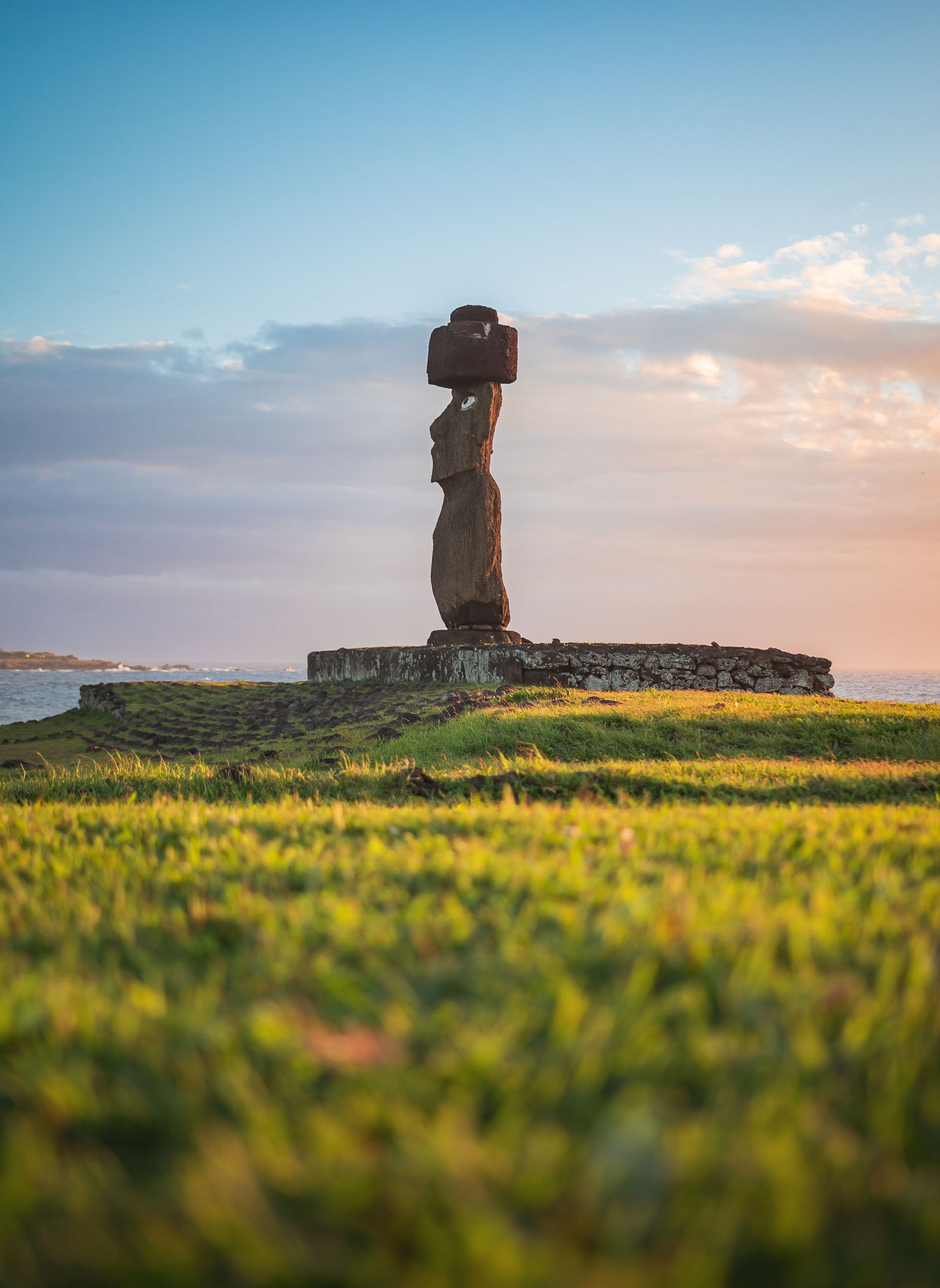
The collection here include this one called Ahu Ko Te Riku, which features the traditional hat like structure called Pukao, made from volcanic rock and added to the statues at a later stage, as well as the eyes made from coral stone, placed into the sockets and adorned with black obsidian or red scoria serving as pupils. This specific moai is the only completely restored one on the island with these features.

So many Questions?
It is at this stage (if not before) that you ask yourself what the point of these huge statues is, how they were made and moved to their resting places, and by whom and when! Some of those questions we shall try to answer in this blog…

The Moai
Although many of these questions have not been conclusively answered, there is plenty of evidence around. One such piece of evidence tells the tale of where the statues were produced: The quarry at Rano Raraku.


Almost all of the moai on the island were born on this site in the northern part of the islands, situated on the slope of an extinct volcano. The unfinished remnants of about 400 of them can still be found here, sometimes toppled over, partly buried, half finished in the rock, or simply abandoned during transport.

All the status are monolithic, and on average about 4 meters tall, weighing in excess of 10 tons. Some of them however are much bigger - the tallest standing at around 10 meters. Take a look at the above images to see how they scale against humans and horses.
The largest incomplete one seen here however is called Te Tokanga (the Giant), would be more than 20 meters tall, and weigh at least 270 tons, a multiple of the typical status scattered around the island.


It is often assumed that the moai are only “heads”, but in fact they represent full bodies - their heads are just oversized and the statues do not have very distinct legs. Some of them are in fact buried in the ground, with only the top third or so sticking out. Many moai feature carved designs, primarily on the back, and some of them were painted as well.

The quarry was active for several hundred years - it is said that most of the moai were built between 1100 and 1600 CE, with the peak somewhere in the middle of that period. The exact dates vary depending on the source. Moai carving was abandoned quite suddenly towards the end of this period, associated with the end of the Rapa Nui society that built them. The reasons for this remain controversial and unclear, ranging from the impact of contact with European explorers throughout the 18th century, to the disputed ecocide theory of self-induced collapse owing to resource imbalances.

Their Makers
But who made up this society? And did they have cats? These were the critical questions.
(Well, maybe the latter one was not so important, and cats only arrived at the island much later, but again showing why they are the truly dominant species of the globe).
The people erecting the moai were of Polynesian descent, arriving to the islands in ocean-going canoes after what must have been an incredible feat of navigation and endurance. When this happened seems difficult to say, and estimates range from around 400 to 1100 CE - even reliable sources do not fully agree on the dates, but the MET says it happened around 600 - 800 CE.
Ahu Tongariki
As you look east from the quarry, you will see their most famous work: a row of 15 moai standing on a huge stone platform, all facing inland, away from the sea. It is said that the reason for this placement is to watch over the villages and communities inland. The moai are considered to be representations of the Polynesians' ancestors, carrying their spiritual essence called “mana”.


As you get closer to the site, you can once again appreciate their size - the base plate alone is almost as tall as a human. Ahu Tongariki was the capital of one of the Rapa Nui clans on the eastern end of the island. Its claim to fame comes not just from its row of moai, but also the so-called “Traveling Moai” in front of it, for two reasons: it was shipped to Japan (and back) for an expo in Osaka in 1982, and later became the testbed for Thor Heyerdah, one of the most prominent researchers working on understanding Rapa Nui culture, who wanted to investigate how the moai were transported. Indeed, they made him “walk” for a few meters using ropes to generate a swinging motion. Whether this was truly the way they were transported for many kilometers remains disputed and alternative hypotheses add a kind of sled or cantilevers to move them along the ancient roads.


Celestial alignment
The site is positioned to provide perfect perpendicular alignment with our home star on the summer solstice around December 21st each year - for my vist in August, I needed a different perspective to get sun in frame (I visited both during sunrise and sunset). Sunrise here is also one of the few times where things get a little busy for an hour or two.


Toppled
Close the 15 main moai here lies a toppled one, with its facial structure somehow resembling the volcanic cliffs of Rano Raraku just behind. In fact, all the moai on the island were toppled over around the 17th and 18th century. Reasons are thought to be intertribal warfare to loss of faith in the ancestors' ability to protect them as Europeans arrived.

Restoration
As a result, all 50 or so standing moai (except some of the ones buried at the quarry) have actually been restored, mostly in the early second half of the 20th century. Ahu Tongariki suffered twice though - a tsunami toppled them over again in 1960 and swept the moai inland.
It was only in the 1990s that a team of Chilean and Japanese archaeologists restored them to their current state. The (few) photos floating around from the restoration efforts, one of them placed on a stone inscription at the site, feel quite surreal.

Luckily these 15 are now back on their (not-so-prominent) feet, including one with the red-colored Pukao top heat. These alone can weigh up to 10 tons, and it is believed a kind of ramp system helped the Rapa Nui to raise and balance them on the statues.

Ahu Tongariki from the sea, with the steep rim of the Rano Raraku caldera in the background. The quarry lies to the left side of the slope.
Beyond the Moai
We move on from our stone-headed friends for the moment, as there are a few other culturally interesting sites and beautiful landscapes to explore here. One of the former attractions is the so called Naval of the World - a rather peculiar stone structure on the northern coast of the island.

Natives
To get there, you need to make it past this man - an elderly Rapa Nui, a descendant of the indigenous Polynesians, which make up a bit more than half of the islands population today, with more having settled on mainland Chile after the island was annexed in the late 19th century.

Once the first guard is cleared, you need to bribe the second one with some cuddles - luckily my guide Yoyo has built some credit over the years.

Feline Tour
Indeed, it seems we qualified for dedicated guidance to find the Naval of the World!
As we look for it, we passed the remains of the tallest moai ever erected on the island at around 10 meters, with its Pukao on the left - almost 2m in height by itself.


The site is quite simple: the primary attraction is this central round stone, which is said to have been brought to the island specifically by the first king, Hotu Matua. One of its peculiar qualities is the impact it has on any compass in its vicinity, most probably due to its mineral content, although of course others may argue it’s the ephemeral spiritual power emitted from this piece of rock, the aforementioned “mana”.

Pu o Hiro
Just a little further down the road, a small unremarkable area with a simple fenced area is home to another rather interesting stone: this one posses some musical capabilities, and the locals would blow into one of the holes to create a trumpeting sound that served several purposes. A primary one was a call to aid fertility, and indeed, the stone features a few carvings that represent the female reproductive parts… other benefits seem to have been a trigger for rain, and for the fish to come closer to the coast.
The stone was actually on the move regularly during its original use, and its magic powers aided those victorious in clan battles.

A drive along one of the roads cutting across the islands brings you past one of its mounts, the small extinct volcano called Maunga Pu’i, with its beautiful textures and an almost fluffy looking covering of various bushes and grasses, with bright very green centre.

This place is home to a crazy yearly extreme sport event, where locals in traditional outfits use a kind of wooden sled to descend its slope from the rim in just a few seconds and dizzying speeds, with sometimes less than ideal outcomes. I did not get to observe this, but if you happen to be on the island whenever it takes place (dates seem to be around February during the Tapati festival, but it changes) don’t miss it.
Even if you tried, it’s hard to escape the ever present moai sites. They are spread all over the island, and although only a few feature standing statues, there are also a number of empty platforms (Ahu), and several toppled remnants dotted in the landscape.

Ahu Akivi
One more beautiful sight with several standing ones is the seven moai of Ahu Akivi, facing the sunset during the spring equinox and the only site not on the coast.

Ahu Nau Nau
Another is the beachfront collection at Ahu Nau Nau, where four moai still feature their characteristic hats.


The Moai under the Stars?
One of my goals for this trip was to try and capture the Milky Way rising above the moai. I liked the idea of connecting the mystery of their existence with the unknowns of our night sky. Unfortunately, the clouds had other plans. Despite two late-night outings (each after a long, exhausting day) I only got about ten minutes of clear skies through a small break in the clouds, leaving very little time to set up a proper composition.


It was not easy to arrange for access to the sites away from city lights at night (as they are in the National Park), get a guide to take me there at midnight, and skip pretty much all sleep for 3 days, only to then walk away with very little result after all the effort. I can’t deny that on my departure a certain frustration took over - that has settled a little by now, and turned into a motivation to go back and plan a few more nights on the island…

Rano Kau
On the south western tip of the island lies its largest volcanic crater. The southern edge of the caldera features a small dip where the lava once made its way into the ocean, the slope eroded by wind and waves into 300m tall cliffs.


The site is quite easy to reach, and part of the crater’s edge can be traversed on foot, allowing for views into the beautiful lagoon at the centre of the volcano. There are no permanent freshwater sources on the island, so the various volcanoes’ rainwater lakes played a central role in the past.

Rainwater Collection
It is also for this reason that in some locations around the island you can find these ancient stone bowls, which were used to gather freshwater at the time.
Orongo & the Birdman Cult
Just a bit further from the crater viewpoint lies the ceremonial village of Orongo. While the island’s culture is most well-known for the moai - rightly so probably - this aspect of the local rituals is less famous but rather intense. The cult emerged as the intrigue of the moai and their relevance as ancestral holdouts of hereditary power faded in the late 17th century, triggering a need to establish new patterns of power acquisition among the island's tribes, in the honor of the creator god Make Make.
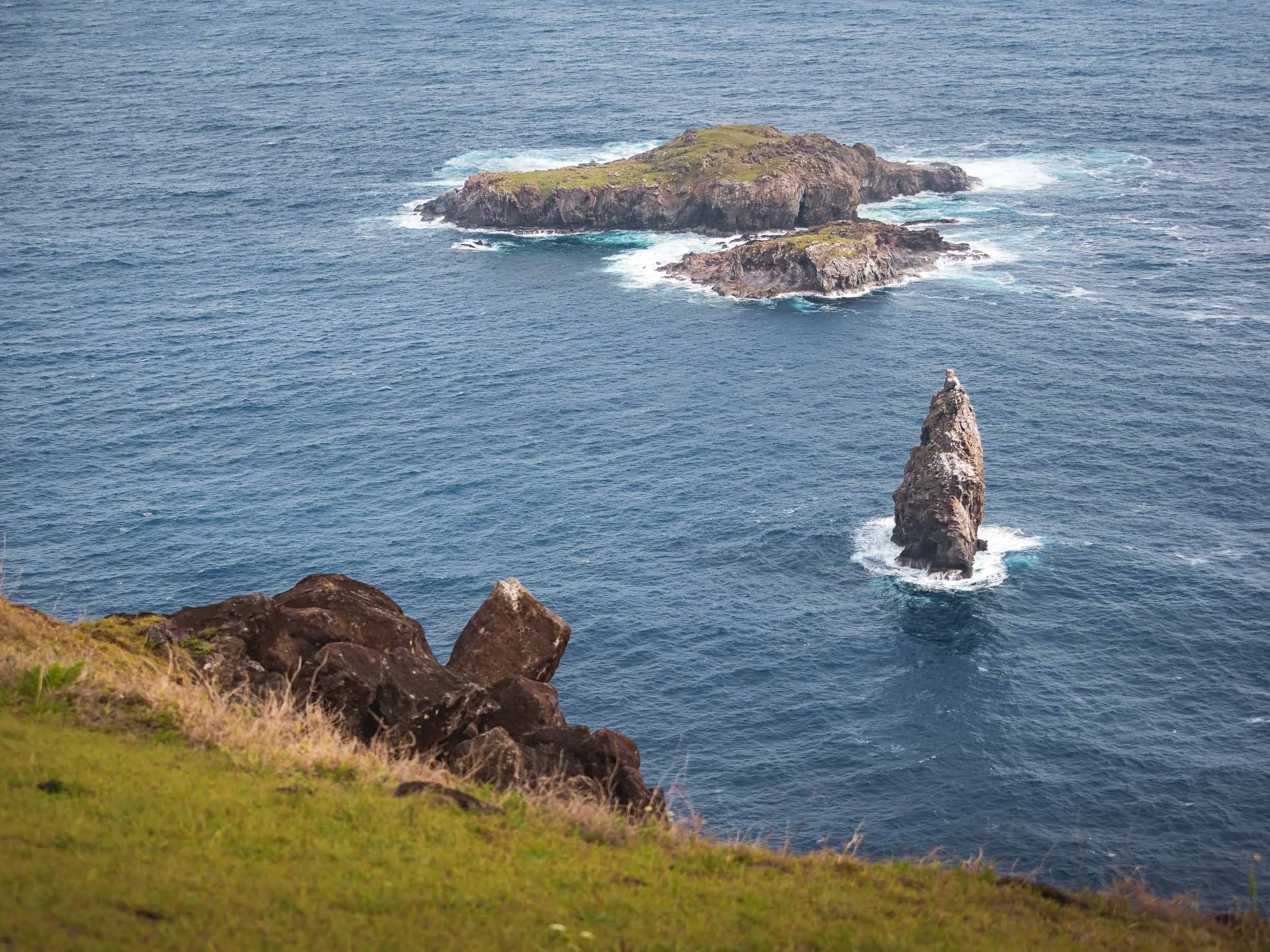
Naturally, someone came up with the idea to satisfy this need by making contestants climb down the vertical cliffs at the edge of the island, brace the waves and sharks to swim to the furthest of the nearby islands, and wait for weeks for the arrival of the manutara bird, in order to collect its first eggs.
Then the warrior could announce his (yes, only men participated) success, but still had to make the way back with the intact egg to cement his clans rise to the top of the governance system for the following year, while he himself would spend most of it in a ritual confinement with very little to celebrate. Logical!
Having said that, the prominence of birds in the beliefs of the local is probably not surprising given that there were few other mammals or reptiles on the island. The islets to the south of Orongo can be seen here in the distance, the furthest of which the contestants had to reach to retrieve the highly sought after bird egg.


The village consists of 54 stone houses, the remnants of some are visible here to the left and right, including one of the entrances. It was only occupied during the spring time for the ceremony.

Dozens of large petroglyphs can be found here as well, many representing the Birdman cult.

Another example of these kind of petroglyph carvings is visible at the small outdoor museum on the road to the crater - you can see the bird-like drawings if you look closely.

Although often overlooked, there are actually beautiful petroglyphs at Ahu Tongariki as well, just a few dozen meters from the statues. Some of them also relating to the Birdman culture, while others show the face of the Make Make creator god and other important aspects of the Rapa Nui culture - even an image of a tuna (food is important)!


Religion
I spent my last morning with a final walk through Hanga Roa before my departure. The only Catholic church on Easter Island is one of the most prominent evidences of religious syncretism here - it features a mix of traditional mythology from the island, mixed with Christian symbolism. Even an effigy of Make-Make makes an appearance inside, and some of the mass proceedings mix both of the cultures.

The nearby cemetery includes graves that mix both spiritual approaches as well - I didn’t take more photos here out of respect, but there are graves with moai replicas, and some shaped like traditional canoes. Nevertheless, the arrival of Christian missionaries in the second half of the 19th century had a key influence on the diminishing role of the Rapa Nui culture.

Outside Impact
Aside from the religious influence, the arrival of Europeans unsurprisingly had a lot of other consequences for the island - starting with its name, given to it by the Dutch explorer Jacob Roggeveen, who was the first to set foot on the island in 1776 on Easter Sunday.
Spanish and British explorers arrived later, but the first serious negative consequences manifested themselves when Peruvian smugglers took over 1000 Rapa Nui as slaves, only to later return some of them diseases that wiped out a lot of the population. This continued when a French businessmen wanted to take over the island and use it as a sheep farm, forcing the local population to give up their land - in the end, only over 100 or so Rapa Nui were left in 1877.

Chilean Influence
Not long after this period, Chile moved to annex Rapa Nui, reportedly using misleading translations to secure agreement from the local population. This marked the beginning of a long phase of exploitation, during which the Rapa Nui were denied basic rights and restricted to living in the town of Hanga Roa. It wasn’t until 1966 that they were finally granted Chilean citizenship. Today, the island benefits from certain administrative privileges, and the designation of the Rapa Nui National Park as a UNESCO World Heritage Site in 1995 brought greater international attention and access to resources. Despite this progress, tensions still exist between the islanders’ desire for self-determination and the interests of the Chilean state - and indeed other countries: for example, one of the most famous moai called Hoa Hakananai'a with beautiful petroglyphs was taken from the island in 1886 and now sits in the British Museum, but there are regular voices for it to be returned to the island (sounds familiar?).
And that’s the end of my short time on the island - too short. Really keen to go back, explore more of the ancient volcanoes, a few more interesting natural and cultural sites, and most of all, get the chance to take some proper Milky Way photos with the moai 🗿✨ … one day!

A small notes on drone flying: I only flew mine twice, reasons being partly weather and wind, but primarily that most of the island is part of the Rapa Nui National Park, where flying is not allowed. I relied on my guide to decide when and where it would be ok to fly.
Subscribe to my newsletter to get notified and don’t miss out on more Wonders of the Globe.
Other Recent Posts:

Sights of Southern Vietnam
I managed to explore quite a bit of Vietnam over almost 4 weeks in mid 2024 - here is the first blog, starting with its economic centre Hi Chi Minh city and the beautiful Mekong delta.

In late spring of 2024 I explored another Asian country, spending four weeks in Vietnam. What was initially planned to be a bit more of a slow travel trip as I had plenty of work to do, turned out to be as intense as always, and I ended up exploring Ho Chi Minh City, the Meklong Delta, Hue and Hoi An, Hanoi and some of its surroundings, and the northern mountainous regions as well as Cat Ba bay. Although I didn’t spend a lot of time in each part, all of that definitely won’t fit into a single blog post, so this will be the first of three, starting with the south: Vietnam’s economic capital, and the Meklong river delta region.
“Saigon”
Ho Chi Minh’s colloquial and historic name is Vietnam’s largest city, with over 10 million inhabitants.


Panoramic photos of the Bến Thành Market in the city centre, with its iconic clock tower and a rather rare French Indochinese design. It is one of the oldest surviving buildings in the city, having operated for more than 100 years. Great views from the nearby Silverland Ben Thanh hotel with its amazing rooftop restaurant!


Train Vibes
Although it’s Hanoi that is famous for its train street - more on that in another blog - Ho Chi Minh has its own cute corners where the tracks runs through the city quarters. I’m a fan of trains, and can’t deny that the idea of the multi-day train journey from HCMC to Hanoi or back appeals to me…
Of course, the primary means of transport here are scooters though. There are very few place in the world with a higher scooter / person ratio than HCMC, and it shows in the organized chaos on the roads, and is also evident by the noise levels. Unfortunately, most south-east Asian cities have not undergone the transition of all two-wheeled transport to electric models, which brings incredible quality of life improvements - see my trip Beijing.

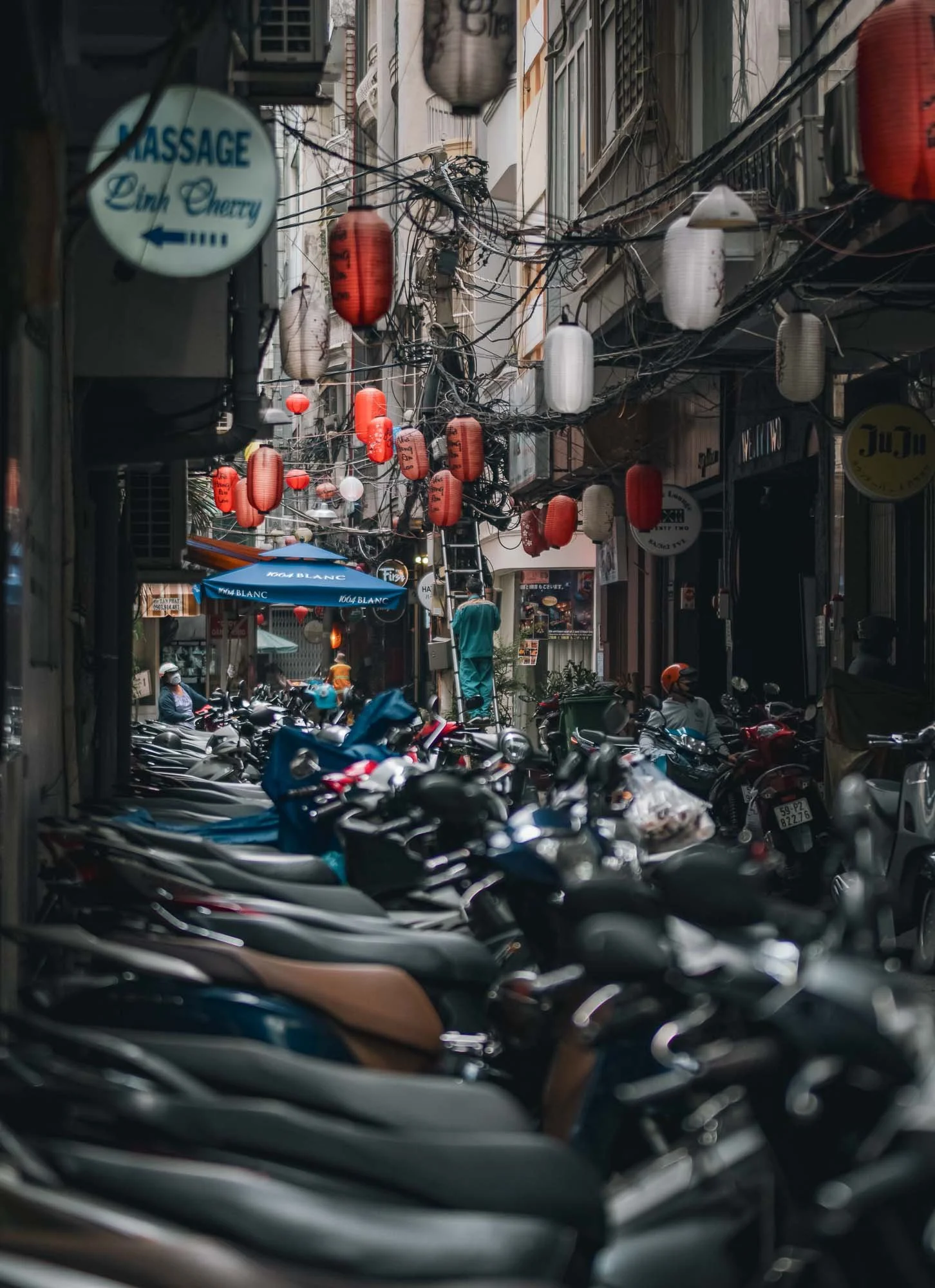


Walking through the city is enjoyable - people are friendly, and there are interesting compositions for street photography all around, for example in the famous Japan town - a quiet place during the day, but it comes to life at night, so I’ve been told…The group above was enjoying their weekend around the markets at An Quang Buddhist Temple and immediately invited me for a drink and some karaoke (both not my favorite pastimes, so I just said hi for a little).


The Church of Tan Dinh
Just over 10% of the population are Christian (almost half follow traditional folk religions or are not religious), but there a number of churches to be found in HCMC. Aside from this pink gothic marvel, the Notre Dame Cathedral is another, but was closed and covered for renovation during my visit. Strangely, this one is very strict about access: only catholics allowed inside - but even that did not help me as a tourist! Exterior photos only.
Phap Hoa Pagoda
Another beautiful religious building is this buddhist temple, uniquely combining Vietnamese and Chinese architectural styles, situated on the channel running through the area north of the city centre - quite a nice place to walk around and explore. Buddhism makes up the largest of the major religions in the country.


HCMC is a growing busy place, and the infrastructure is suffering accordingly - yet I found it quite pleasant to explore (aside from the usual humidity), with lot of large trees, many smaller streets, and less imposing highways than for example Jakarta and Bangkok. Much of the city centre follows an open square or radial-concentric grid system, while the surrounding areas are somewhat less strictly organized and consist mainly of denser low and mid-rise buildings. A defining feature are city’s famous roundabouts, where the rules are difficult to understand for any foreigner.


The city is dotted with greenery, and several of its roads are tree-lined, given them an avenue-like feeling, probably in part a heritage of the French colonial times. Nowadays, they act as source of shade (it makes a difference of several degrees C in urban centers), aside from their aesthetic appeal.


Landmark 81
To the east of the city by the Sai Gon river, a new modern district has developed over the last decade, including South East Asia’s second tallest building, only surpassed by KL’s newly completed Merdeka 118: Landmark 81. I can’t say I find it architecturally appealing - its Neo Futurism reminds me a of a boxy less elegant version of Burj Khalifa.


Architectural Oddities.
Not far across the river is this rather odd building and associated establishment - its claim to fame is derived by the borrowed name and logo only though.

Although I spent a few more days here, visiting more of the city’s landmarks such as the late 19th century Saigon Central Post Office seen here, the Opera House, the Skydeck at the (architecturally more pleasing than Landmark 81) Bitexco Financial Tower, and could probably fill a whole blog entry with the corresponding photos, southern Vietnam has more to offer than Ho Chi Minh City…
To the Mekong Delta
…and so I embarked on a three day roadtrip you’ll see documented below.

The Hang Pagoda of
the Khmer People
The Khmer ethnic group arrived to the area more than 4000 years ago, and is primarily present in what is today Cambodia, but over 1 million live in the Mekong delta area of Vietnam as well.
More than a 1000 years ago the Khmer empire dominated the area for over 500 years, and was responsible for many of the famous temples of Angkor. Today they follow a variant of Buddhism, and many of their temples can be found in the Tra Vinh area, this one being around 300 years old.


Aside from its beautiful golden ornamentation, the Hang temple is also famous for its wood sculpture and clay workshop, where skillful monks build out the intricate statues and decorations for the temple by hand.


Interior Vibes
The inside is normally not accessible, but we got lucky and a monk opened the doors for us - and even turned on the somewhat incongruous LED light around the central Buddha altar for added effect (complete with strobes and changing colours).
A Day At Sea
After a quick stop at the temple and another stop to get some of Vietnam’s famous coffee (which is essentially stretched with condensed milk, making it so sweet even I drink it), we arrived to our first primary destination, the shores of the Eastern Vietnamese Sea, where the Bassac (or Hau) river, a branch of the Mekong, meets the ocean. The goal? To spend a day at sea with a group of local fishermen, witnessing one of the primary ways of live shaping their culture, alongside the cultivation of rice.


Unlike many tours on the rivers here (and many other photography-specific arrangements, more on that below), this day was not set up to please tourists, but we were simply following their routine of going out to sea and collect the catch of the day, getting a real feel for what their job is like. The crew was really accommodating and gave us the chance to document their techniques, despite the hardship of the work.


After cruising for about an hour away from the shore on the boat, we reached their destination, a set of wooden pillars in the sea, connected by thin planks, with an occasional tiny hut in between. These are not traditional floating houses you might find on the river banks or near the shore: they are meant to be temporary accommodations, where the fishermen take turns to live for a few days or even weeks, tending to the nets that are attached to the poles with ropes in a kind of semi-permanent fish trap.

Waiting Game
We did arrive a little earlier than they normally do, giving us the chance to take some daylight and sunset photos while the fishermen rested. They typically haul in their catch a few hours after sunset, to take advantage of the natural behavior of fish and maximize the effectiveness of the nets - plus, it means the fish are as fresh as possible for the early morning market.
The Fishing Watchtowers
In this area, the traditional stilted huts stand in contrast to the huge concrete wind towers that part of the renewable energy farms built here over the last decades, taking advantage of the strong winds in this corner of the Vietnamese coastlines. As the sun set, the fisherman living in the hut came out, walking along the thin planks between the poles and preparing their nets to be lifted.


I sent my drone up during a few minutes of beautiful light - luckily the sea and winds were calm. Flying from a boat over the ocean is not always easy, read more about it on my recent drone photography book (German only, sorry!).
At this point, it was slowly time to let the crew focus on their job, and our ship moved closer, while the fishermen currently living in the little huts started to prepare the nets, dragging them out of the water.
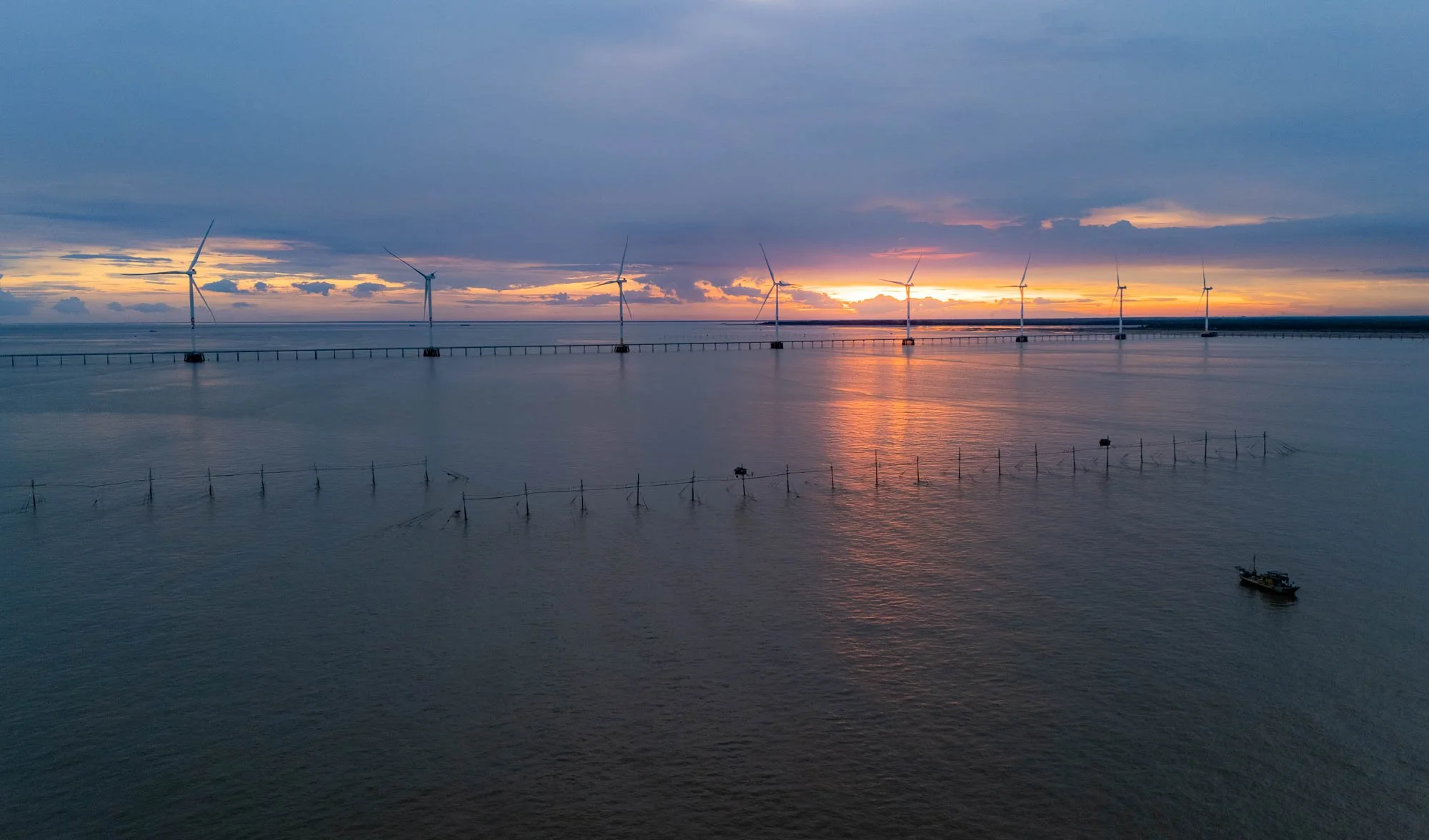

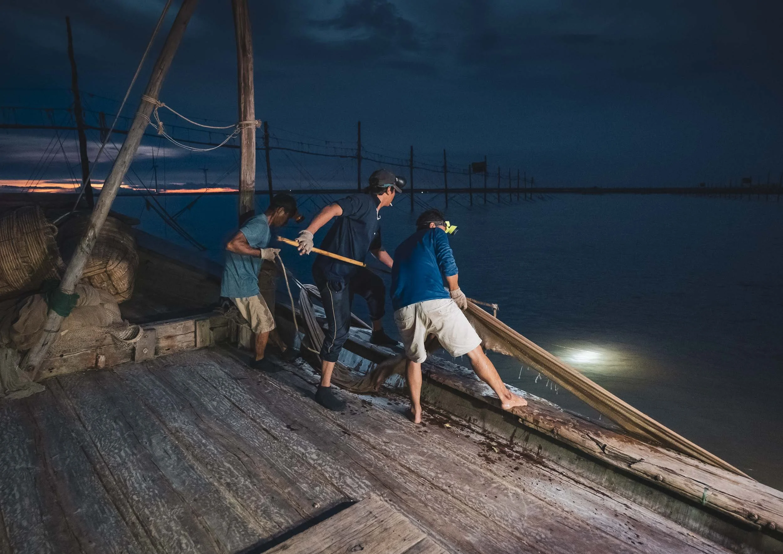
Pulling the Nets in
The crew then took the nets by the edges attached to the buoys and pulled them into the boat - the harder the task, the better, because that means they’re full of fish.

Nightly Work
For the fishermen on the stilts, conditions to stay out here are tough. No running water or permanent electricity, rough weather conditions, isolation, and of course the actual work, make this a difficult job.
Once the net was pulled into the boat, wooden baskets were prepared to empty the contents into - hopefully without letting too much of the catch escape, although one or the other creature managed to find a way.


Emptying the nets into the baskets required the full strength of three crew members - more than a dozen times they repeated this process.


Afterwards the nets are lifted back to the fisherman staying on the wooden stilts, spread out, and prepared for the next catch. A few more supplies were exchanged with the poor soul left behind to manage and monitor the nets, while the crew makes its way back to shore with their catch (reasonably successful, so I was told).


After almost 10h at sea we were back on land, headed to a small hotel for a few hours of sleep before sunrise, exploring more of the interesting ways of life in the Mekong Delta.
Sedge Grass Patterns
My next destination was on land tough. The Khmer people are also known for planting sedge grass in this area of the delta, which is used to make baskets or mattresses and similar handicraft items. The wetlands of the delta are a fertile ground for this plant to grow up to 2m in length. After a short exploration, we found a beautiful field with some local workers - as the grass is laid out to dry, the harvest season brings with it beautiful patterns when viewed from above.

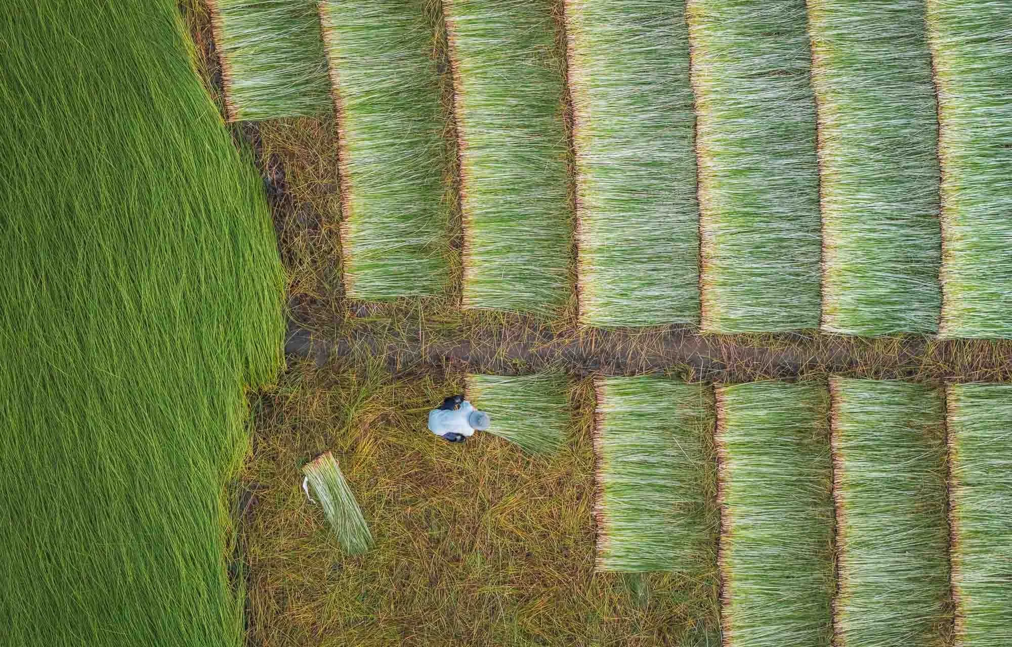
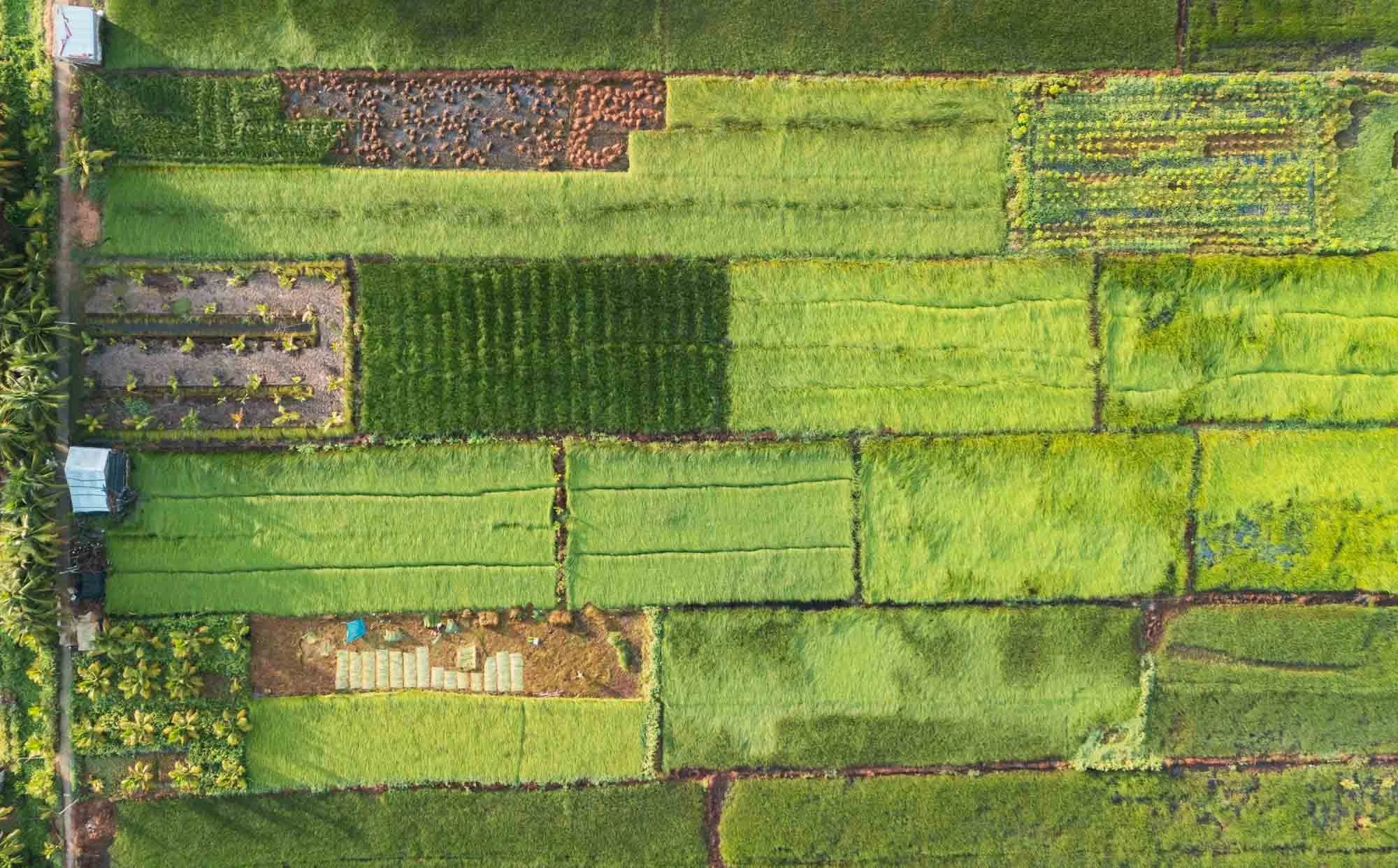

I had the chance to get a little closer as well and observe the locals in their work - they set up small sheet tents or use the traditional hat to protect themselves from the sun, and run the grass through a little roller machine as a first pass at removing the water, before spreading it on the ground to dry.


Staying Safe
Gloves are essential to avoid scratches as they grab the grass and pull it through the machine - I experienced that first hand when I tried the process.
Pottery Patterns
From here, I visited a local pottery factory - another place for interesting photographic opportunities. The process starts with the production of the clay from the Mekong river, filtered and kneaded to make it moldable.


The clay is then moulded by hand using a potter’s wheel, and turned into vases, pots, or decorative items by these skilled ladies getting paid per piece. Sometimes items for mass production are also shaped via mold casting, but in this factory it was all made by hand.


From Above
The resulting pieces are first air-dried on the large factory floor for several days, getting their final polish with sandpaper.
When I told the lady I’d like to fly a drone over her head for this photo, she was clearly very amused but happily obliged.


After that, the products are hardened in these massive brick kilns, often for several days, until they are fully dried out.


The factories utilize mounds of rice husks to fire the oven - a byproduct of the rice milling that happens in the region and perfect to provide slow, consistent heating, that is ideal for drying the clay. Huge amounts are stored here - my guide for scale.


The Red Brick Kingdom
Following the path of the local clay industry, we made our way to Mang Thit village in Vinh Long, long known for its brick factories stretching along the channels for kilometers, seen here in this panoramic view as heavy clouds rolled in during the late afternoon.

Quiet Times
The area has been thriving for over a hundred years, supported by the availability of cheap fuel for the kilns, and plenty of clay in the nearby streams, which then also serve as transport route for the finished products - primarily bricks. Nowadays, only a few of the factories are still active, and many have been standing still for years, or just attract tourists.
It’s not difficult to find the working factories though - dark smoke emitting from the small chimneys is the giveaway, and the workers are very welcoming and happy for you to come in for a chat and take photos - an opportunity I did not miss.

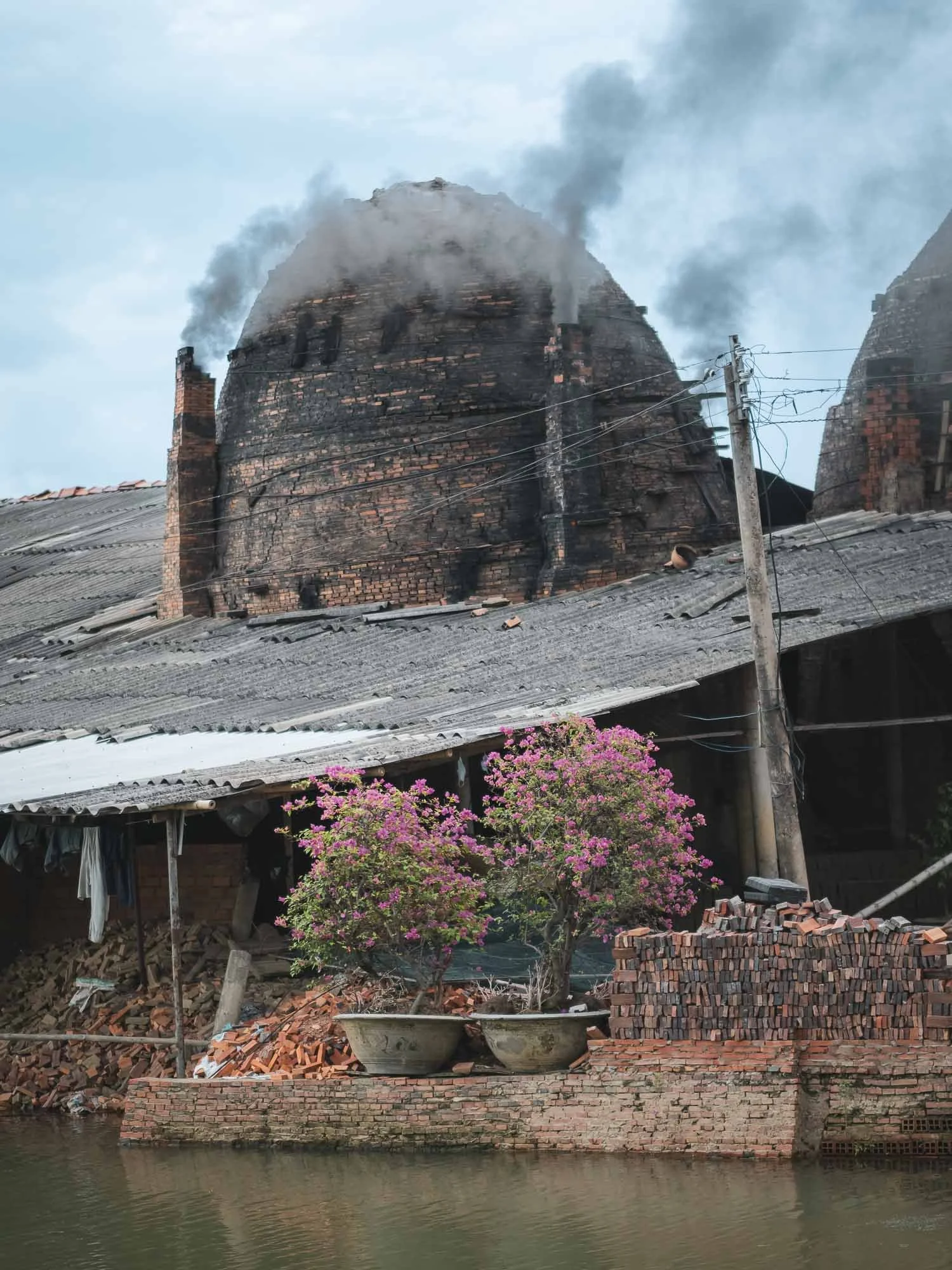
I got to observe their process, separating the clay, shaping the bricks using simple tools, and using conveyers, carts, or even small bikes to move them through the factory before they’re placed in the kilns for several weeks.


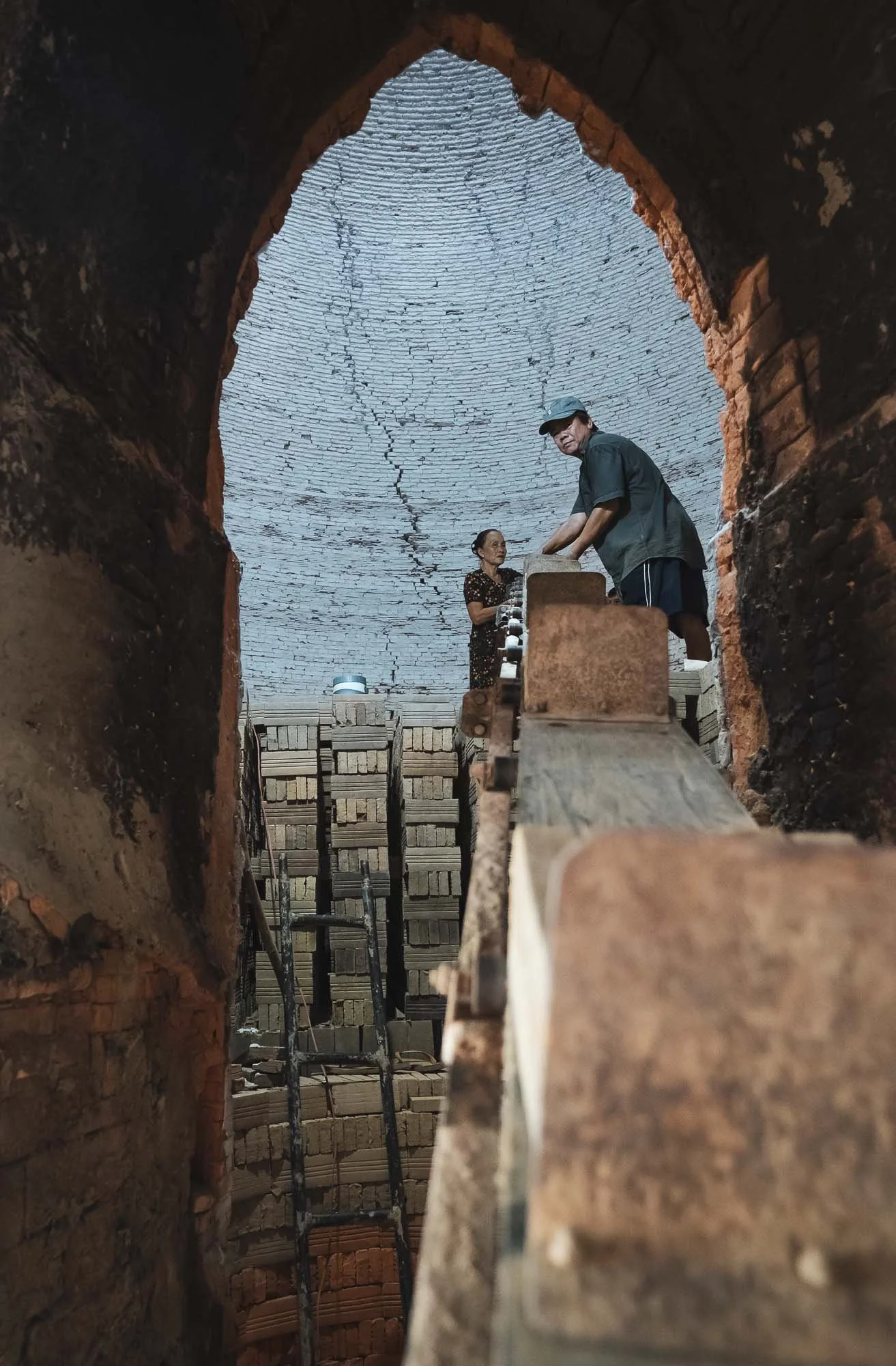

One of the active factories from above, and another one with some of the boats used to transport clay and bricks along the channel.

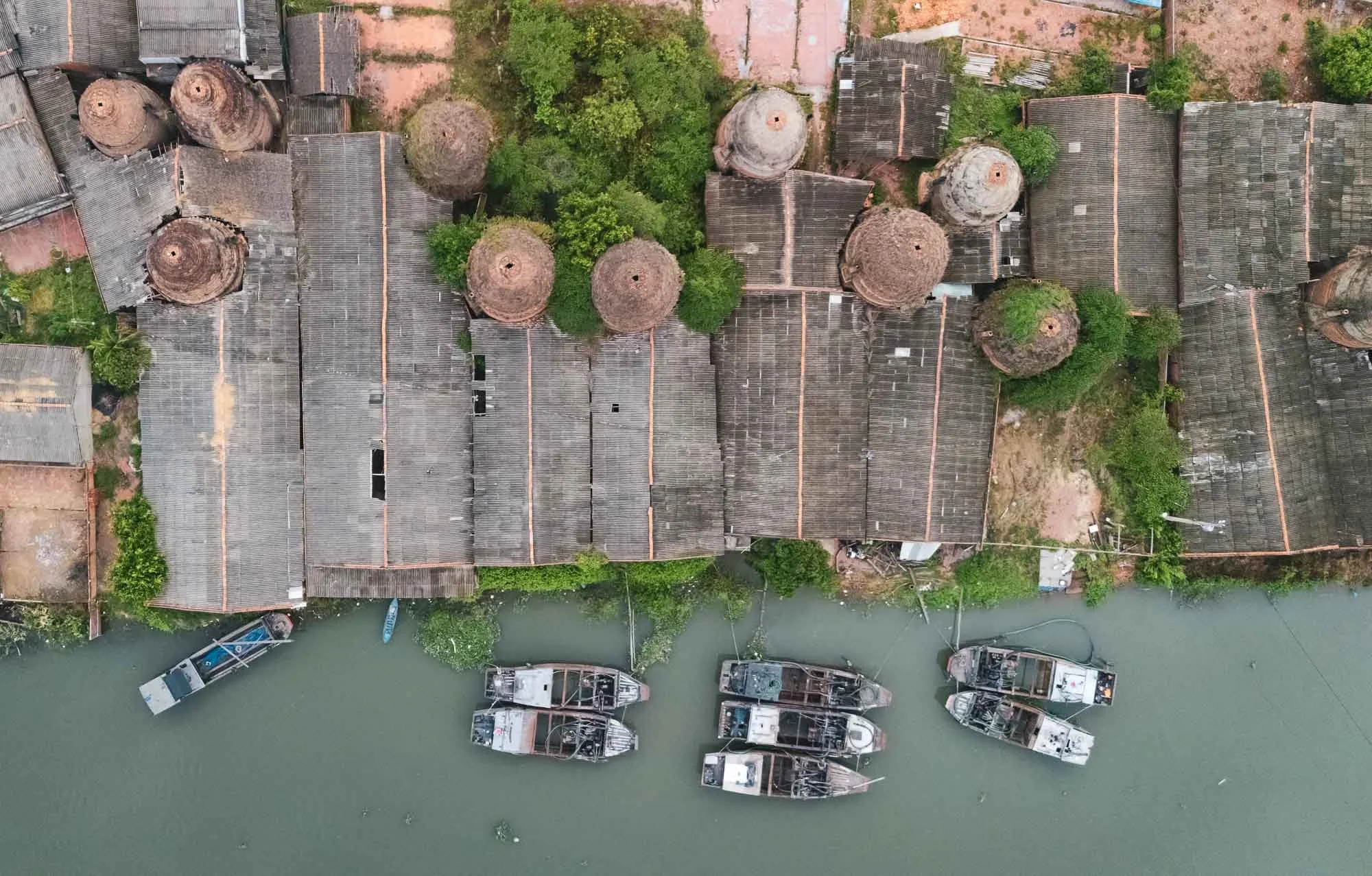

It’s of course sad to see that these traditional methods are slowly replaced by industrial production - the area is definitely a cultural landmark for the region with its unique architectural charm, not to forget the kittens I saw.

Nightly Storms
After we left, the stormy clouds decided to slowly empty their contents, but not before a few beautiful lighting strikes, captured here from the parking lot of our dinner spot.

Water Lilies
The rains didn’t last long and by the next morning the sunrise greeted us with beautiful light to photograph another local tradition: the collection of water lilies, typically happening during the floating season from September to November.
Disclaimer: I am normally not a fan of “arranged” photography, but as the time of my visit didn’t coincide with the right period to see this practice, and my guide happened to know the women who normally harvest the lilies, it was an easy decision to go for it anyway. As a result, these photos are the result of purposeful posing and arrangement of the flowers, rather than the natural harvesting practice.


The lilies are collected for their stems, which are used in various dishes, while the flowers are turned into Buddhist offerings. Aside from their use for humans, the lilies actually play an important role in the ecosystem, as they absorb excess nutrients and provide habitat for fish and insects.

Into the Water
While the drone views of these neat flower circles have been taken before, I tried to also get a few different perspectives and got into the water for some portraits - a welcome refresher as temperatures rose, but on the other hand my feet needed a real deep clean after wading through the muddy ground.
Although this scene has been excessively romanticized, mostly during organized photo tours and the resulting social media coverage, it does hold some understandable appeal: the flowers are beautiful and the ladies with their conical hats and small wooden boats make for nice subjects.


A Final Pottery Stop
We made our way back for the 6h drive to Ho Chi Minh City, with one last brief stop - another pottery factory, closer to the outskirts of the city.
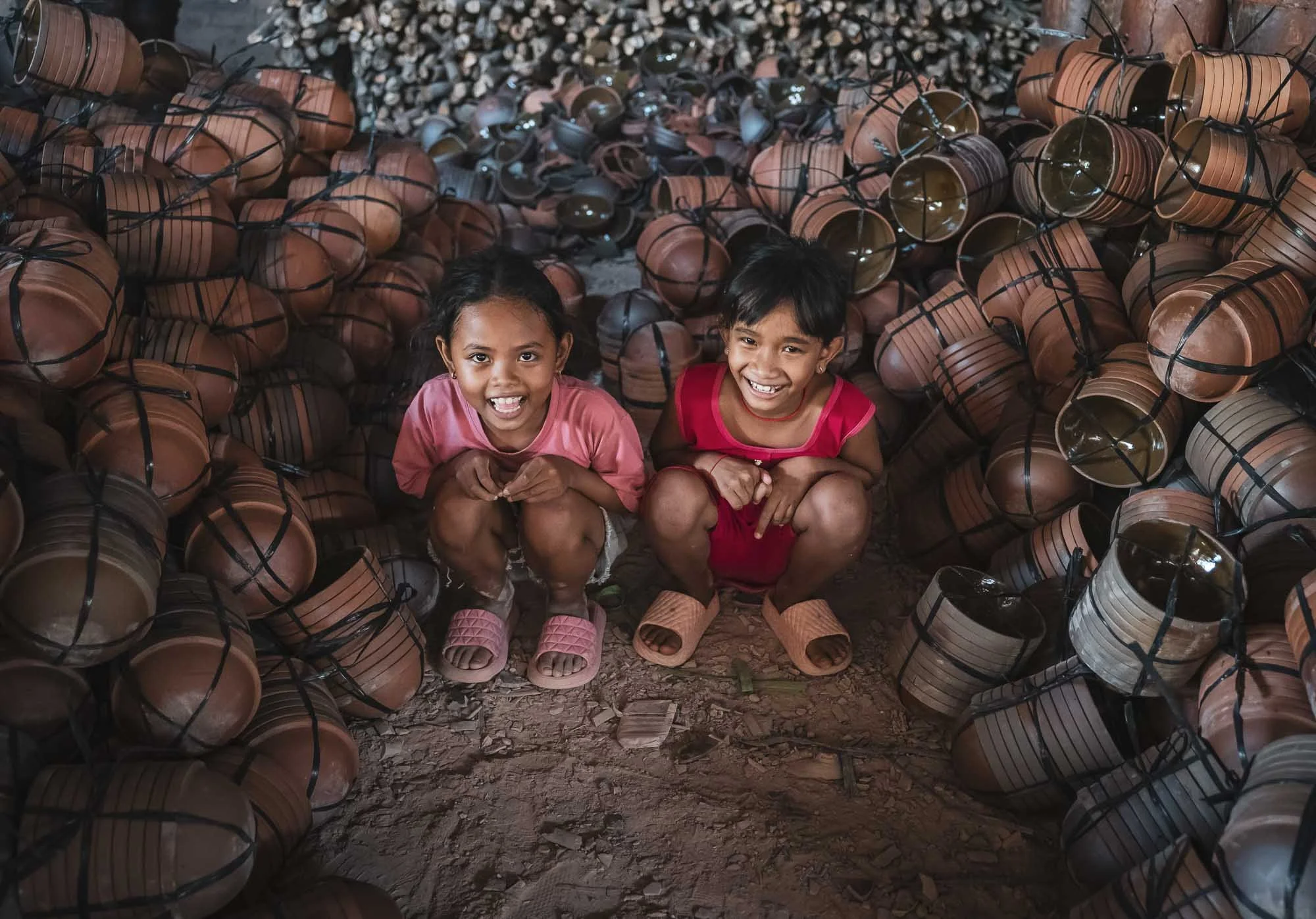

This one has a rather interesting feature, which are dedicated shallow ponds to remove the clay from the soil in the ground and process it, seen here from above, with a long row of bowls laid out next to them to dry in the sun.
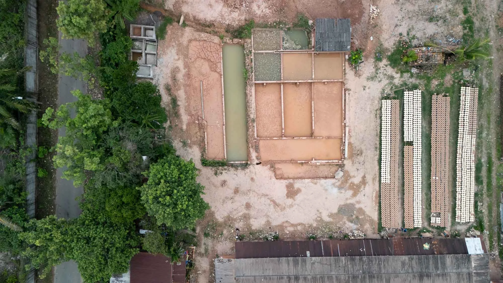

Breakage happens even to the best of them, as evident below, but that doesn’t take away the smile of the local workers here.


That’s it from the south of Vietnam - subscribe to get notified for the central and northern parts!
Subscribe to my newsletter to get notified and don’t miss out on more Wonders of the Globe.
Other Recent Posts:

Patagonia - Pumas & Peaks
The Chilean side of Patagonia is home to incredible landscapes and wildlife, and I spent a week here to document some of it during the winter months.

In August of 2024 I finally embarked on a trip to one of the last regions on earth I had not explored at all: South America. The first blog posts are in: Tales of the Atacama Desert and the Wildlife of the Pantanal. There is more to come, and this is the third post covering my trip to Brasil and Chile: The beautiful mountain landscapes of Patagonia, and one of the incredible animals that inhabits them…
From Puerto Natales to the Peaks
I arrived in the small city of Puerto Natales from Santiago (with a short stopover, there are barely direct flights in the winter time), but didn’t spend much time in town, other than a short photography walk to the shoreline with my great expedition guide Rodrigo and his wife, who were to become friends with a lot of laughs on the following days.

Puerto Natales was formally founded in 1911, but its history goes back further than that, with Spanish explorers making visits to the area in the early 16th century in search of the Strait of Magellan and indigenous people having occupied this remote part of the world. First human evidence dates back more than 10,000 years.

Two black-necked swans with the Hotel Costaustralis of Puerto Natales in the distance. My actual destination here was the Torres Del Paine National Park, around 100km to the north, a UNESCO World Heritage Site (one day I should make a list of which ones I’ve seen…).

Torres del Paine
As we drove towards the park, the namesake mountain range came into view, with a beautiful sunrise awaiting at the Amarga lagoon.

Calm Waters
While the weather is a little colder in the winter, it’s much less windy (reflections galore!) and the late sunrise and early sunset makes the life of a photographer a little more enjoyable…Here is the same spot a few days later in different conditions.
The Paine massive with its three individual peaks reaching almost 2500 meters above sea level are definitely its most iconic sight, and the many lakes and lagoons provide a beautiful foreground. The peaks make for endless compositions, and we spent quite a bit of time around the area.


The park is quite popular - but that still only means around 250,000 tourists a year. Most of those come during the summer months, making the trails, camping spots and roads a little more busy - in August when I visited other people and cars were a rare sight.


The same can’t be said for the guanacos, which were definitely quite a common encounter. Closely related to the llama (and their cousin the vicuñas, which you will see in my Atacama blog), they generally live in herds and don’t mind the high altitude - their blood has 4 times the number of red blood cells as humans.

To the north of the park entrance is this viewpoint of the Cascada Rio Paine, a small waterfall on the Rio Paine, the water of which finally makes it into the Lago del Toro.

We made our way through the park for the rest of the day, stopping at a few more spots, including the Salto Grande waterfall that comes from Lake Nordenskjöld away from the mountains. Can you spot my guide in the left photo?


The waterfall flows through a narrow canyon into Lago Pehoé. A bridge once crossed the lake here, but it collapsed during flooding from what I recall.

Konkashken Lodge
My sleeping place for the next few days was this little hut on the banks of the Serrano river, just outside the park boundaries - amazing place to stay with a very hospitable owner and his family.

The river landscape in this area is incredible, with a number of small lodges and hotels scattered around on the right, and the nearby confluence of the blue Serrano river and the discharged water of the grey glacier - the latter was still on the agenda for my last days here, keep reading!


Contrasts
A few dozen semi-wild horses live around the park, one of which was grazing in the muddy waters and spotted by my drone.
A sunrise like no other…

The next morning had what was probably the most beautiful sunrise I’ve ever seen in store - and I almost missed it. In fact, I did miss the early blue hour, because for what was maybe the first time in my traveling life I actually properly overslept, falling back asleep after waking up and getting ready a little too early…Luckily Rodrigo banged on my door and we were off to capture the colors lighting up the mountain peaks from a small lagoon.


Cerro Paine Grande mountain is the tallest mountain in the park at 2884m, and reflected back on us in a different colour every 5 minutes. It’s peak has only been climbed four times.


The Cuernos (Horns) getting kissed by the first light. No editing needed - sometimes nature increases its saturation without human help…take a look at this clip of a few more beautiful landscape moments taken with my drone (flying outside the perimeters of the park is permitted).

Not every morning was equally as colorful of course, so sometimes you need to add your own bit of human made colour. This little red bridge leads to a small island which houses the Hosteria Pehoe, a restaurant and refugio - it was still closed, just preparing for its summer season.

Icey Start
While overall bearable, Patagonian winter temperatures at night fall way below freezing.
A morning photo as the moon set, and an evening impression from one of the many little lagoons around the park, with a small lenticular cloud wrapping itself around a peak. Winter is the time for reflections here, with very little wind, which is rare in the summer, when there are warning signs on many of the roads and wind speeds commonly exceed 100 km/h.


Burnt Victims
A few parts of the park show the devastating effects of fires caused by tourists. Over the last decades, three incidents that destroyed over 150 sqkm each occurred, the last one in 2012.


While the dead trees that remain make for beautiful haunting photos, they are a reminder of how fragile the ecosystem is. Having said that, research has shown that naturally occurring fires have not been uncommon in the area for thousands of years.
Puma Quest
Although the landscapes were beautiful and not to be missed, my primary priority was to find and photograph another big cat for the collection (see here for some jaguar, snow leopard, and leopard photos, for example). This area is probably the world’s most famous to see the puma, often referred to as cougar and - aptly, given their appearance - mountain lion. Many documentaries by the BBC and National Geographic have been shot in and around the park, which would probably mean it’s good enough for me as well, just about…

On the lookout
Rodrigo scanning the mountain ranges for signs of the elusive cats.
We dedicated most of the mornings and late afternoons of the six days I spent in Patagonia to areas where pumas are frequently sighted, keeping an eye out for alert guanacos (or their complete absence, which is also a good indicator), prints, or other cars tracking them. Although there are estimated to be around 200 individuals in the territory, the first three days were not successful, and as the days dwindled, so did my hope for a good sighting.


While there was no pumas to be found for the moment, the guanacos served as decent alternative wildlife subjects.


Another common sight is the crested caraca, one of the large birds in the area, and they have gotten used to humans. In fact, the ones living near the Pehoe camping site, where we stopped a few times, are almost pets.


One more interesting species to observe when looking for pumas is the Andean condor, as they often follow the cats in the hope to scavenge on the remains of a kill, or even harass them to get their share. With a wingspan of over 3m and weighing 15kg, they are considered the largest bird of pray in the world and have an impressive lifespan of 70 years. The species is considered vulnerable today.


On the fourth afternoon, we once more made our way through one of the roads less travelled in and around the park, sleepily looking for puma clues after a nice lunch. But the sleepy vibe changed within a second, when suddenly, not one, or two, but three puma appeared just a hundred meters away from us as we crossed a small hill. Before we even realised what was happening, two of them dashed off over the hills into the distance. We suspected they were two younger brothers but could barely catch a glimpse of them. That left a large female gently walking on the slope besides the car, just 20 meters away.

The Sighting
At first she stalked and smelled the tracks of the two young puma that had just ran away, but didn’t seem particularly eager to chase after them.


A few moments of focused observation in the taller grass and bushes seemed enough to be sure the youngsters would not bother her again.

Crossing
Once she had made sure the intruders were nowhere to be seen, she changed direction, came down the slope and crossed the road, at which point we slowly scrambled backwards to give her space. Pumas in this area have gotten used to humans around, and don’t see them as a threat (or source of food) - that’s unlike anywhere else in the world, where this would be a very dangerous situation.
That’s not to say you should try and pet these large cats - keeping a distance, never cornering them, avoiding sudden movements and sounds, and observing their behaviour closely, are the key.

Notice the huge paws, the cut in her ear and slightly grumpy face, which gives her a very characteristic look - if anyone knows the name of this individual, please leave a comment!


She took a moment to chill in the short grass on the other side of the road, with the dramatic Patagonian mountain ranges in the distance, before making her way across the ridge, where it became impossible to follow her.

Queen
What an encounter! We probably spent almost 1h with her, observing different behaviors with no other soul in sight, in beautiful conditions.
Tip: One thing that I always find really useful when photographing unpredictable scenes like wildlife is to carry two camera bodies with different lenses with me - it’s hard to switch lenses in the field, and you risk missing the action. I used a previous Olympus flagship model for the wider angle photos here, and it is quite affordable nowadays, perfect for these situations.
Take a look at this video for a few clips of this amazing moment.

A few days later we did in fact have another Puma sighting in the very last light of the evening - this is the best photo I could get before it disappeared, putting the quality of the first sighting into perspective…

Puma Presence
We came back to the same area the next day, but she and her two companions were nowhere to be found. Instead, we opted for a small hike along the hills - probably crossing her territory. Guides are mandatory due to the presence of the cats, but the goal this time was to see evidence of humans, rather than cats.
There are a few places in and around the park with pre-historc rock art - this one is fairly easily to reach after about an hour of moderate hiking. These petroglyphs are from the ancient Aonikenk / Tehuelches culture, the nomadic tribes that once inhabited this area. The paintings on the cave ceiling in the left image are about 6500 years old.


Lago Grey & its Glacier

The quest for these big cats was also the reason landscapes and the longer hiking routes to or around the peaks (which can take 5-10 days) had to take a backseat - plus, the rising moon (and frequent clouds) didn’t make Milky Way photography an option during my visit, but I may be back for that…
Having said that, I moved to a different hotel for the last two nights, this time on the west side inside the park to explore its most famous glacier, feeling a little bit more relaxed after the successful Puma quest.

The calm shoreline of Lago Grey at sunrise, with the glacier just about visible as tiny bright blue spec in the distance on the left. In fact though it’s almost 6 kilometers wide, and the front face over 30 meters tall.

Iceberg Alert
It regularly calves, leaving large floating icebergs in the water, which gently make their way to the shores of the lake, where they slowly melt away.
The goal was to get much closer though, taking a boat across the glacier lake for a better look at the details. I had the chance to explore glaciers in Alaska before, and while there are always similarities, every one is its own incredible feat of nature, with the heavily compressed blue ice slowly pushing its way down the slopes.


As the boat approaches, temperature drop noticeably and more and more ice appears on the lake, with the beautiful backdrop and earthy colors of the mountain ranges.

The glacier belongs to the Southern Patagonian Icefield - at almost 17,000 sqkm, it the world's second largest contiguous extrapolar ice field (the biggest being in Alaska).


Patagonia Aesthetics
Thev view towards the glacier from Hotel Lago Grey. Look closely to spot the boat that takes you close to the glacier.


One last morning view over the Cerro Paine Grande and its icey snowcapped mountaintop from a small waterfall near the (very expensive) Explora hotel. We saw a number of Puma prints here, and the accompanying smell also indicated they may have been here the night before, leaving their marks, but remaining unseen - to us anyway. But we had our moment.
And that was it from my trip to Patagonia, but I would say chances are high I might be back...
Disclaimer: This post contains a sponsored link from which I earn a small amount, but all the content absolutely represents my true opinion and is factual to the best of my knowledge.
Subscribe to my newsletter to get notified and don’t miss out on more Wonders of the Globe.
Other Recent Posts:

Drone Photography - A New Book
During 2024 I have been working on a new project for German publisher Rheinwerk, co-authoring a book filled with inspiration and instruction for aspiring drone photographers.

Just about a year ago I was approached by German publisher Rheinwerk with an opportunity to take part in their latest project: an instructional and inspirational book for aspiring drone photographers. Having been using drones for almost 10 years (yep, I started with the very first DJI Phantom model) and accumulating a large collection of aerial photos in the process, that sounded like an interesting task. On top of that, I had quite a bit of experience and insight to share (including the painful kind, having lost two drones so far and missing plenty of good photo opportunities), and enjoy helping others in their own journey.

So myself and the four co-authors, Tobias Fröhner, Stephan Fürnrohr, Kerstin Maier, Jan Erik Waider embarked on this project, compiling our best drone projects, the behind the scenes, and all our combined technical, equipment and creative knowledge to finish this 384 page book, which now, 1 year later, is ready to order!
Disclaimer: For now this book is only available in German 🇩🇪, but an English version is being considered. If you’re a publisher reading this and would be interested in adding the English version to your portfolio, contact me!

Content
Image composition from the air
Plan flights with apps and Co.
Camera settings for optimal image quality
Flying in difficult conditions
Panoramic shots with the drone
Wide landscapes
Structures and patterns
Creative wedding photos
Magical light moods
Deserts, icebergs, volcanoes - discover remote places with the drone
Edit drone footage
The book is made for everyone who is considering to start with drone photography, readers who already have a drone, but are a little anxious about flying or haven’t gotten the photographic results they aspire to, and a little more advanced users who want to dive deeper into various techniques and look for new inspiration.
For everyone else not speaking German, below is sneak-peak into some of my projects that are covered in this book, all with tips and tricks on location, setting, equipment, useful accessories, processing and more. In addition, I’ve covered a number of specific techniques, such as HDR, panoramic photos, filters, and video recording.
Check out the “read more” links for my blog entries and stories from these places.
Architecture


The Pink Lake of Baku


Chocolate Hills of Bohol


Desert Roads of Dubai


Flamingo Shadows


Camels of the Gobi Desert


Volcanoes of Indonesia


Islands of Komodo


Minimalism on the Beach


Island Storms in Palau


Great Wall Golden Moments


If you have specific questions on drone photography, get in touch or leave a comment below!
Subscribe to my newsletter to get notified and don’t miss out on more Wonders of the Globe.
Other Recent Posts:

🐘 An Award for Craig
I was lucky enough to win the Pexels “Wild World” award recently with an image of Craig, and will be visiting the Amboseli National Park again in 2025!
One of my favorite wildlife experiences ever was observing the elephant herds of the Amboseli and Tsavo ecosystem in the south of Kenya - to read about my time in the country, check the blog!
This region is a special place to see these magnificent animals for a few reasons, not the least of which is the presence of the so-called Super Tuskers: Elephants with tusks weighing more than 100 pounds each, often taking 50 years or more to grow until they literally scrape the floor.

Craig
The king of them all is Craig, the elephant with the largest tusks in Africa. In his 50s, he has seen it all, a large, gentle, imposing bull, with slightly withered skin and tusks that have scraped more than a few trees in their lifetime.
There are just over 20 or so of these Super Tuskers left on earth, split between the Kruger National Park in South Africa, and this area of Kenya. Poaching, human wildlife conflict, and age has been a challenge over the last decades, although the local population is now more sensitive than ever to their plight, and rangers and park officials have increased efforts to keep them safe.

When I saw that Pexels was looking for photos to celebrate our wild world in collaboration with the International Fund for Animal Welfare as part of their 2024 global competition, I thought that Craig would make a pretty good subject, and submitted my favourite photo of him.

Side profile of Craig - the winning photo.
It seems to have been a good choice, because a few weeks ago, I got an E-Mail telling me I had won the competition! And I can’t deny, the price for the competition was kind of the reason I signed up in the first place: A trip back to Amboseli! Sometimes things come full circle and I can’t wait to visit again in the summer of 2025.
Watch the video to hear the story behind the photo and see some behind the scenes clips!

The Matriarch
The dried-up lake bed of Lake Amboseli also witnesses a regular ritual for large elephant families lead by the matriarch. In the mornings, they cross from the forest areas on one side towards the swamp lands on the other, in search of water. With a little bit of patience, you can photograph their amazing formations as they walk in line and, if you’re brave enough, you might be able to do so from the ground for that extra special perspective. To witness the behaviour of these magnificent creatures and how it reflects their social ties and emotions is an eye-opening experience with a lasting impact. Their plight for survival in a world that continues to hunt them for ivory is a topic that deserves more attention.

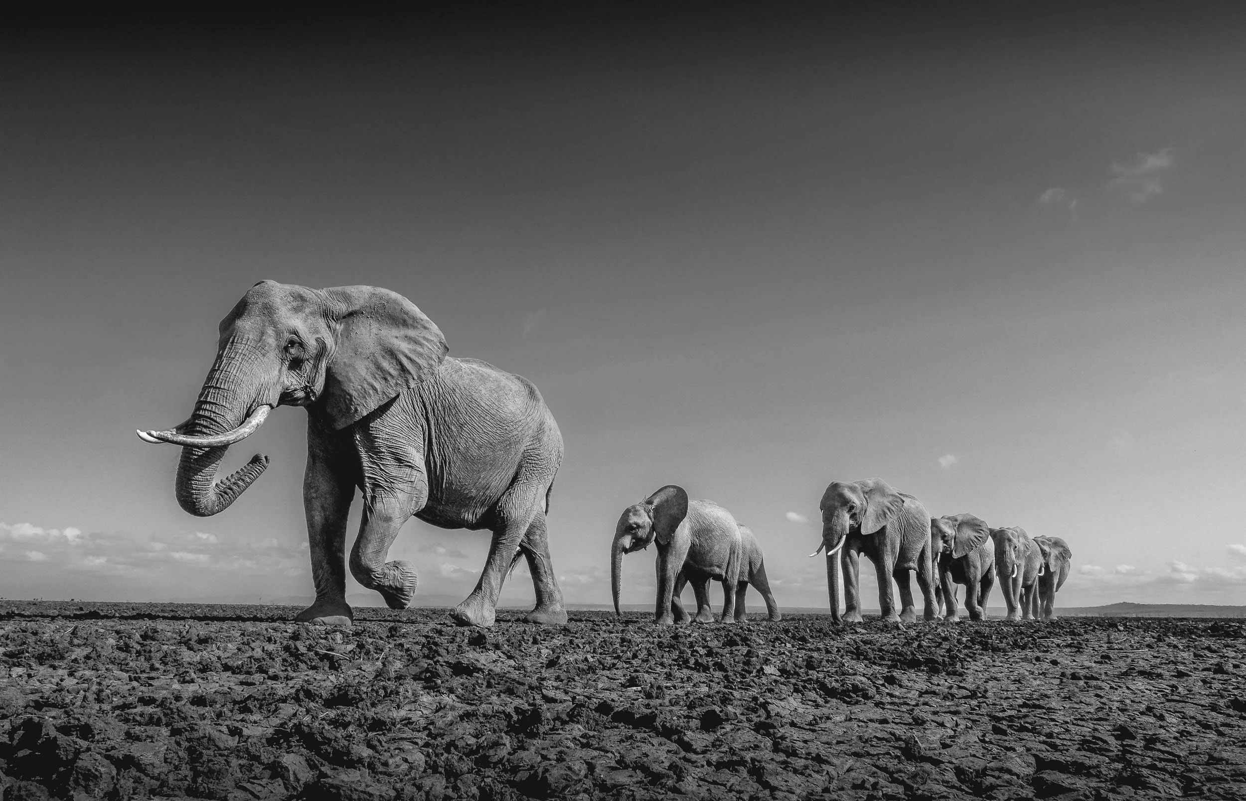


Draught is a major issue for the animals in this area: every year, dozens of elephants don’t make it through the dry season, as they need in excess of 100L of water per day, and a large bull can drink over 200L in a day.

For the winning trip, I am currently working with IFAW and Pexels on a plan to document the work of their rangers and conservationists, hopefully highlighting the amazing work they do to support the wildlife and create sustainable community engagement in the region.


Despite the challenges, the area boasts Kenya’s largest elephant population: more than 15,000 individuals call the Tsavo / Amboseli ecosystem home.

Craig blowing dust in the air as he walks past Africa’s tallest mountain (and the tallest free-standing mountain in the world), the mighty Kilimanjaro. The ice glacier on the tallest peak has gradually receded, and is now less than 2 sqkm. It is estimated that by 2060 no ice will remain on the Kilimanjaro due to global warming. The mountain is actually located across the border in Tanzania, but elephants of course don’t care about human borders, making it even harder to properly track and protect them.

I’m looking forward to be back here - subscribe below to stay up to date.
Subscribe to my newsletter to get notified and don’t miss out on more Wonders of the Globe.
Other Recent Posts:

🇺🇳 Snow Leopard Day
The United Nations declared October 23rd International Snow Leopard Day, and one of my images made it into an exhibition at its HQ to support this initiative.
A few weeks ago I was approached by Koustubh Sharma, the Director for Science and Conservation at the Snow Leopard Trust with a somewhat unexpected request: Whether I’d be willing to provide some of my images for an exhibition at the United Nations Headquarters in NYC.
Of course that’s generally not something you’d say no to, but in this case even less so: It was for an initiative to get the United Nations General Assembly to declare the 23rd of October as “Day of the Snow Leopard”. As a big cats lover (see some of my Jaguar photos here for example, and my favorite Leopard shots in Botswana), that’s a worthwhile cause. Less than 10,000 (some say only 3000) snow leopards are left in the wild, and seeing a few of them during my trip to Ladakh was one of my most memorable travel experiences.

Specifically, the trip allowed me to see one of the rarest of rare sighting - a snow leopard hunt from start to finish. Although the combination of distance, light, and my own questionable photographic choices didn’t result in the best images, they were still special to me, and seemingly also to the Snow Leopard Trust, who asked to use them for their exhibition, intended as a final piece of encouragement to convince the general assembly members to cast their votes in the right direction.


As a result, they happened to end up being exhibited at the United Nations building this month, alongside some incredible photos from renowned wildlife and conservation photographers like Sascha Fonseca and Sebastian Kennerknecht.

(Image credit to Koustubh Sharma)


On the 4th of December 2024, in its 79th session, Agenda item 13 was ratified, paving the way for more recognition and cooperation to support the conservation of snow leopards. This is overdue, as the resolution acknowledges that the snow leopard population is already at risk of extinction. The primary threats to its survival are habitat loss and fragmentation, prey depletion, illegal trafficking, illegal hunting, including poaching, and climate change.


This follows the original establishment of Snow Leopard Day in 2013, with the adoption of the Bishkek Declaration.
At the time, 12 countries that host the vast majority of the snow leopard populations – Afghanistan, Bhutan, China, India, Kazakhstan, Kyrgyzstan, Mongolia, Nepal, Pakistan, Russia, Tajikistan, and Uzbekistan – agreed to collaborate in their conservation efforts.
Let’s hope this effort continues and will produce the desired results!